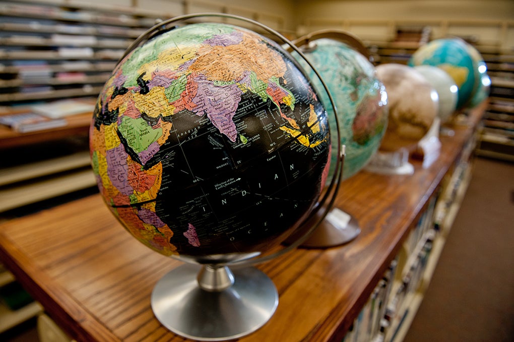
The Perry-Castañeda Library (PCL) Map Collection, comprising more than 350,000 items representing all areas of the world, provides comprehensive cartographic resources to serve constituents both within and beyond the university’s walls. Most of the maps in the collection date from 1900 to the present and the collection is continually updated with new and gifted materials. Since 1995, the PCL Map Collection has digitized 70,000 maps from the print collection and has also forged partnerships with local and national archives to create a more comprehensive online map collection. The website is amongst the university's most visited and highlights items with connections to current events or of particular historical relevance.
Both the mapping and the internet have changed in the last twenty-five years, and we're changing with them! Visit the UT Libraries' Digital Collections portal for larger maps and more information about them, or visit the Texas GeoData Portal if you are interested in georeferenced versions of maps from the PCL Map Collection.
Visit the PCL Map Room whenever the Perry-Castañeda Library is open. Most items are available for check-out in the Map Room when staffed or at the PCL Check-Out desk. See the Library Hours page for current details.
Contact