Perry-Castañeda Library
Map Collection
Belarus Maps
The following maps were produced by the U.S. Central Intelligence Agency, unless otherwise indicated.
Country Maps- Belarus (Political) 1997 (357K) and pdf format (355K)
- Belarus (Political) 1992 (236K) and pdf format (257K)
- [Belarus] Byelorussia (Political) 1991 (240K) and pdf format (248K)
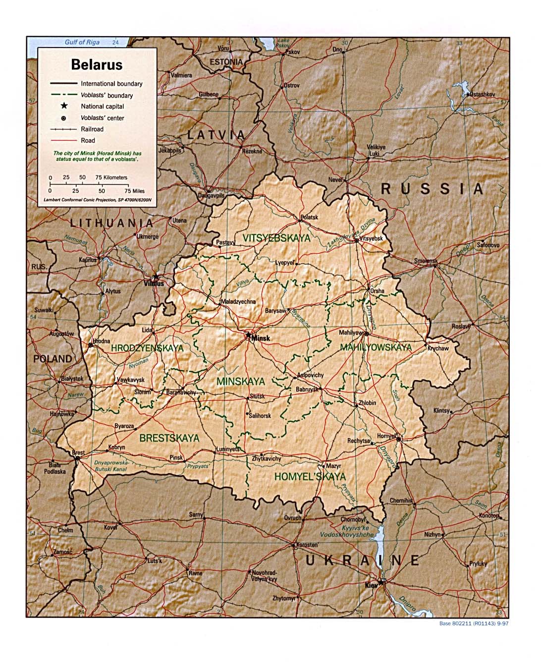
- Belarus (Shaded Relief) 1997 (391K) and pdf format (311K)
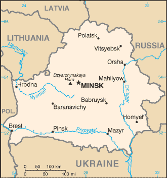
- Belarus (Small Map) 2016 (26.1K)
![[Belarus] Byelorussia](commonwealth/byelorussia_pol91.jpg)
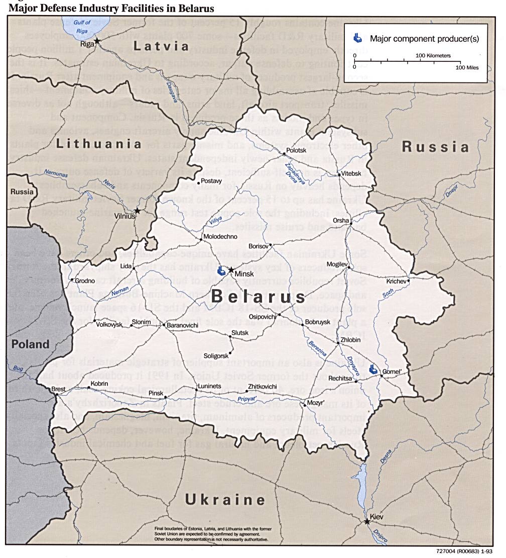
- Major Defense Industry Facilities in Belarus from Defense Industries of the Newly Independent States of Eurasia. 1993 (173K)
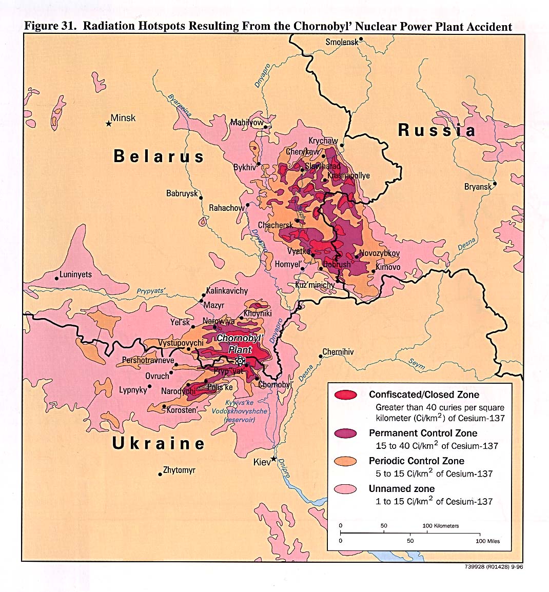
- Radiation Hotspots Resulting From the Chornobyl' Nuclear Power Plant Accident from Handbook of International Economic Statistics. 1996 (273K)
- 1:1,000,000 - Operational Navigation Chart Series U.S. Defense Mapping Agency Aerospace Center. Not for navigational use
- Sheet E-3 includes Belarus
- 1:500,000 - Tactical Pilotage Charts U.S. National Imagery and Mapping Agency. Not for navigational use
- This series covers Belarus
- 1:250,000 Eastern Europe Series N501, U.S. Army Map Service, 1954
- This series includes what is now Belarus.
- 1:250,000 - Russia (Joint Operations Graphic) Not for navigational use
- Only sheet NM 36-1 covers part of southeast Belarus.
- Sheet E-3 includes Belarus
Maps on Other Web Sites