Perry-Castañeda Library
Map Collection
Austin, Texas Maps
Updated 6/1/15
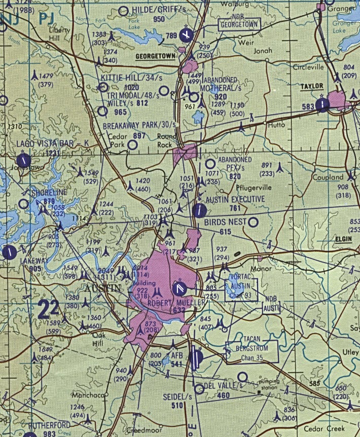
- Austin - Aeronautical Chart 1:500,000 D.M.A. 1989 (319K) Not for navigational use
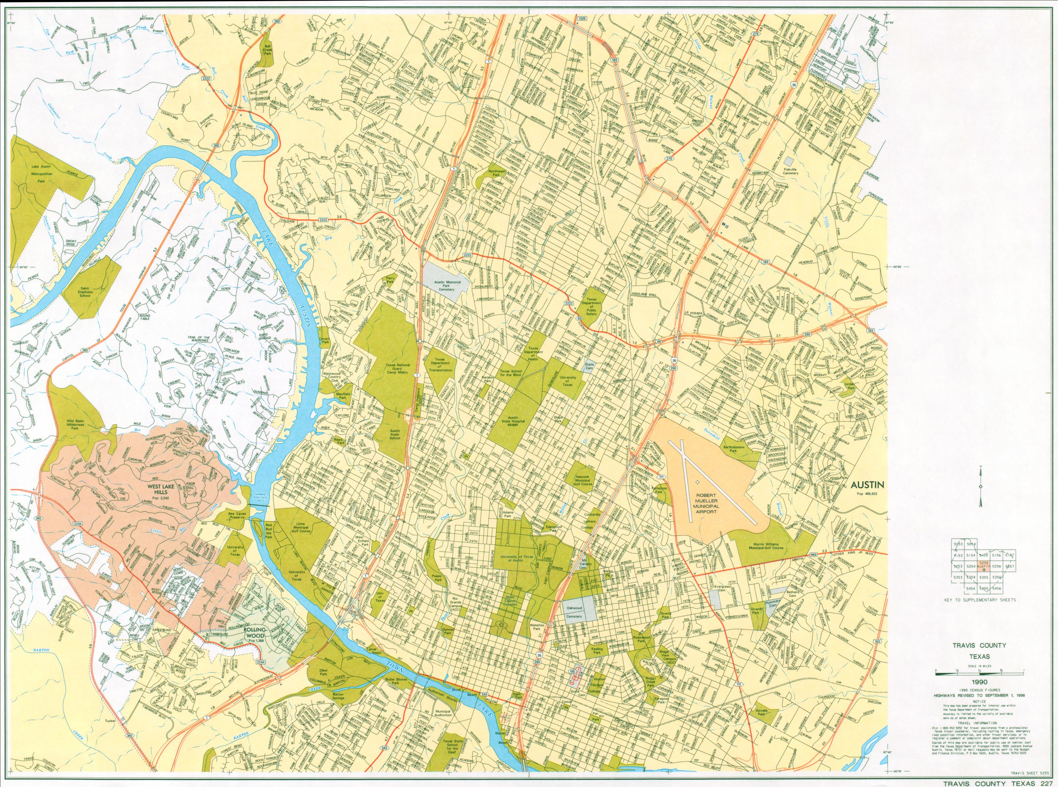
- Austin - Central Austin Street Map 1990 (1.8MB) (Texas Department of Transportation)
- Austin - Historical City Maps
- Austin - Planimetric 1:100,000 U.S.G.S. 1985 (817K)
- Austin - Topographic Maps (University of Texas Map Collection)
- Austin - University of Texas - Historical Campus Maps
Travis County Maps (Texas Department of Transportation/UT Austin):
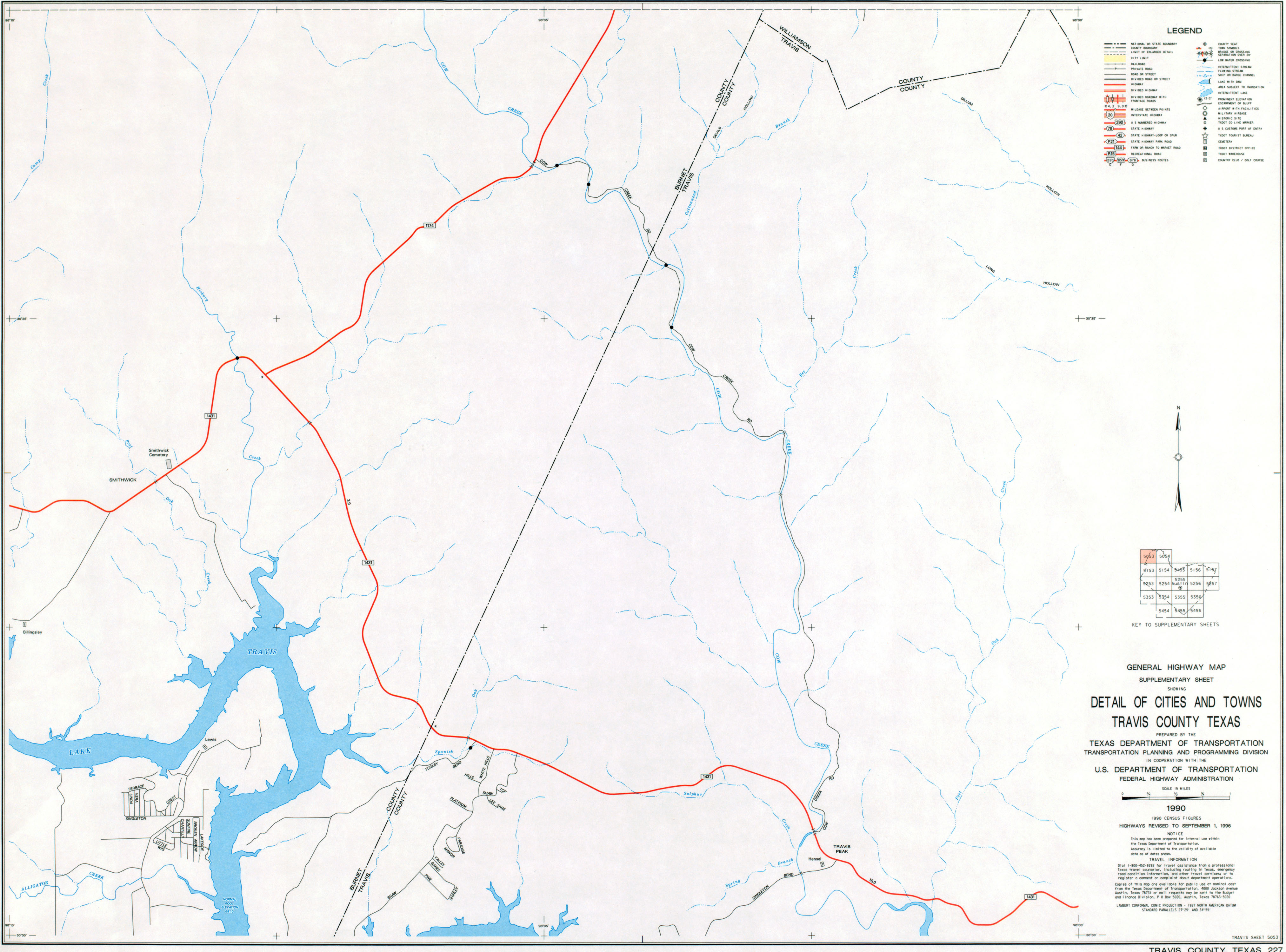
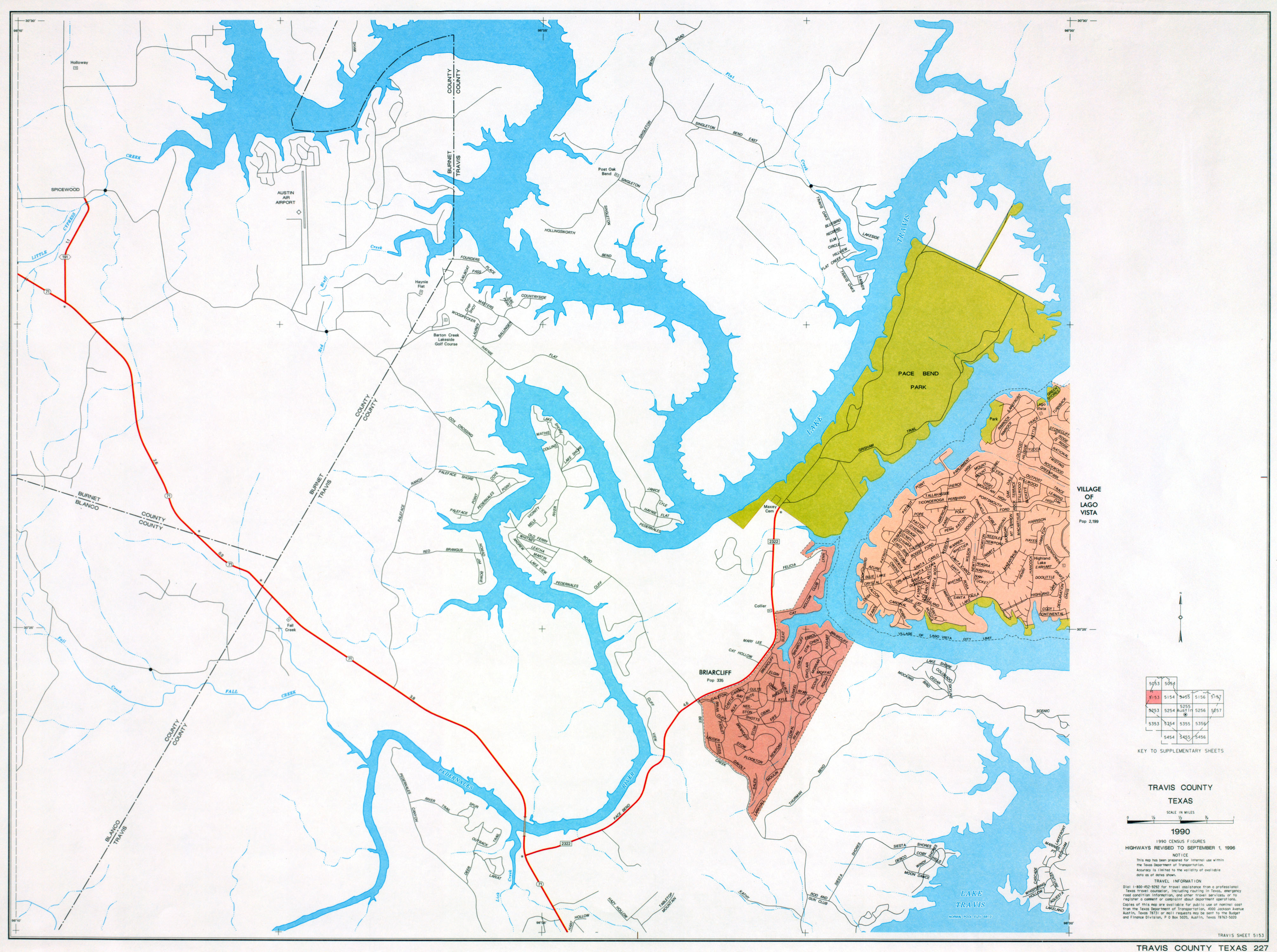
- Travis County (County #227, Base Sheet 1 [Index Map]) 1996
- Travis County (County #227, Supplementary Sheet 5053) 1996
- Travis County (County #227, Supplementary Sheet 5054) 1996
- Travis County (County #227, Supplementary Sheet 5153) 1996
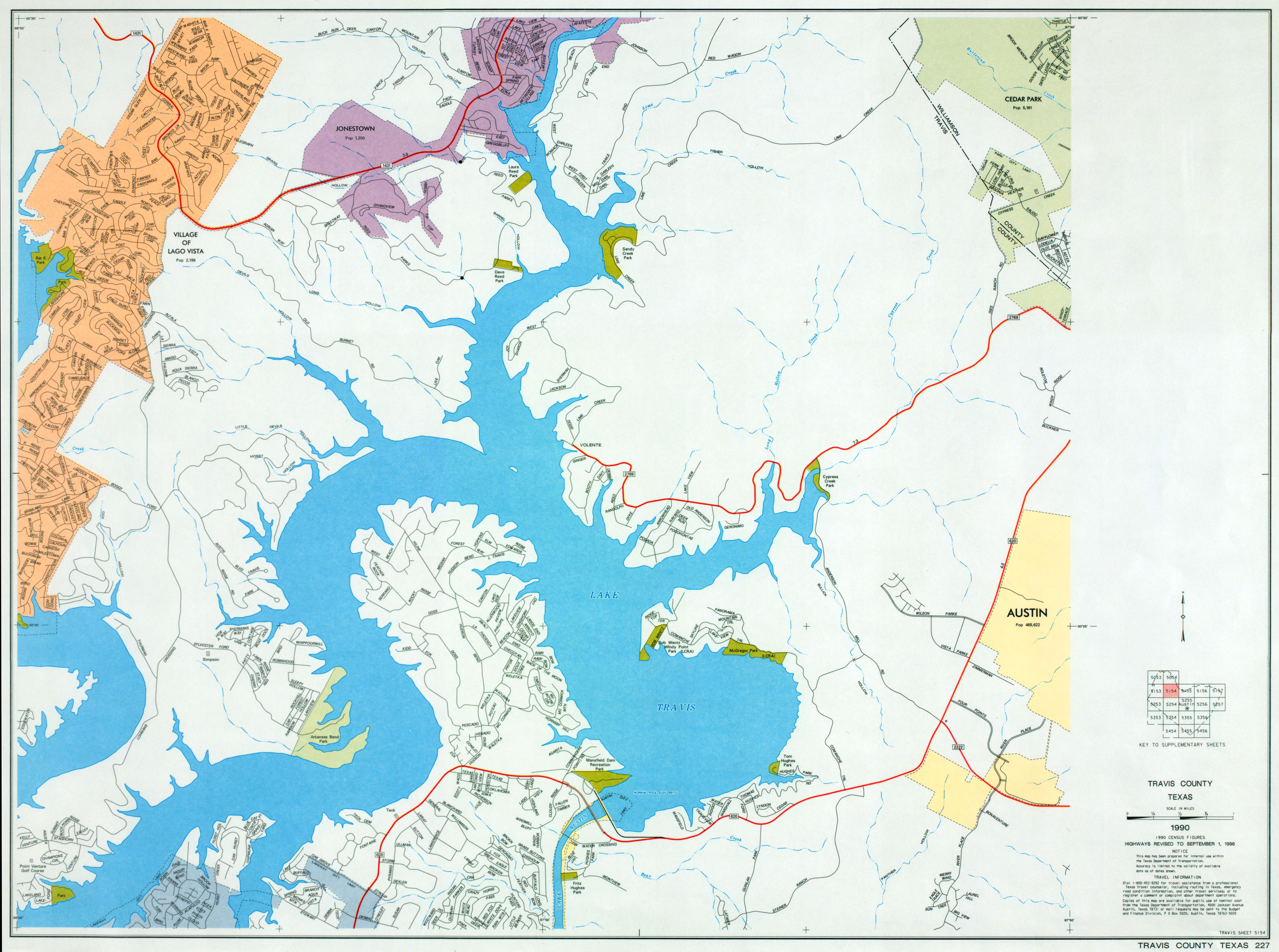
- Travis County (County #227, Supplementary Sheet 5154) 1996
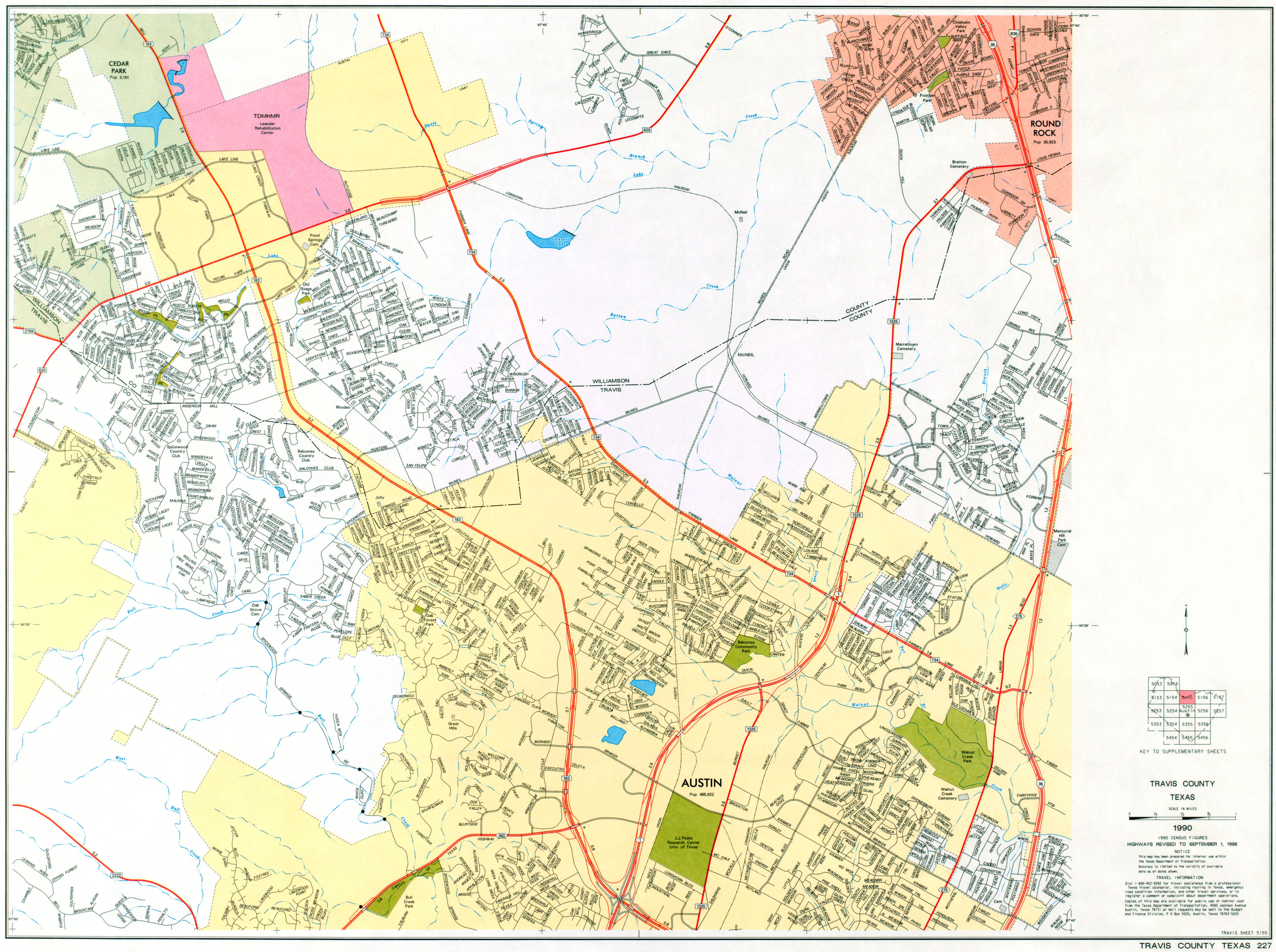
- Travis County (County #227, Supplementary Sheet 5155) 1996
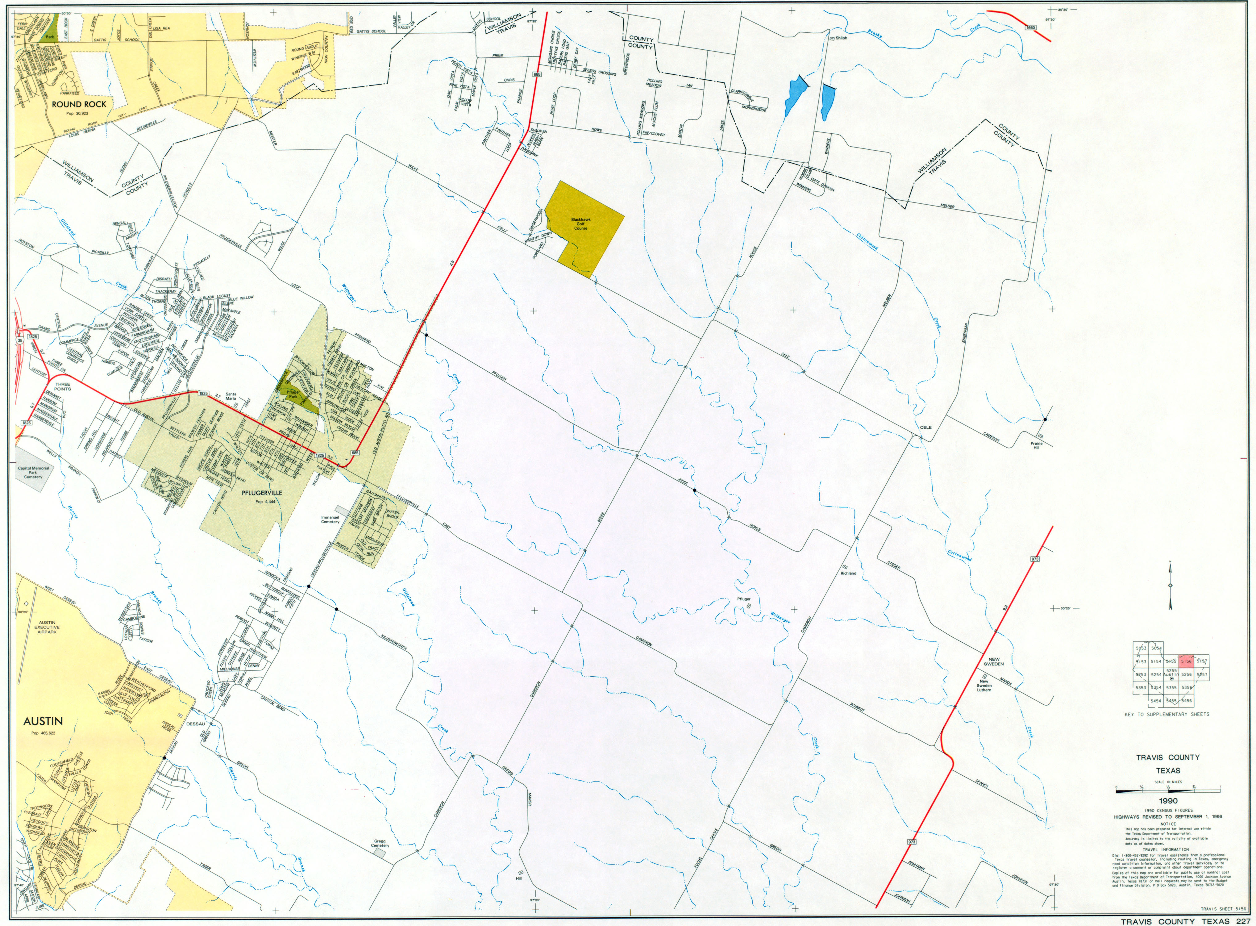
- Travis County (County #227, Supplementary Sheet 5156) 1996
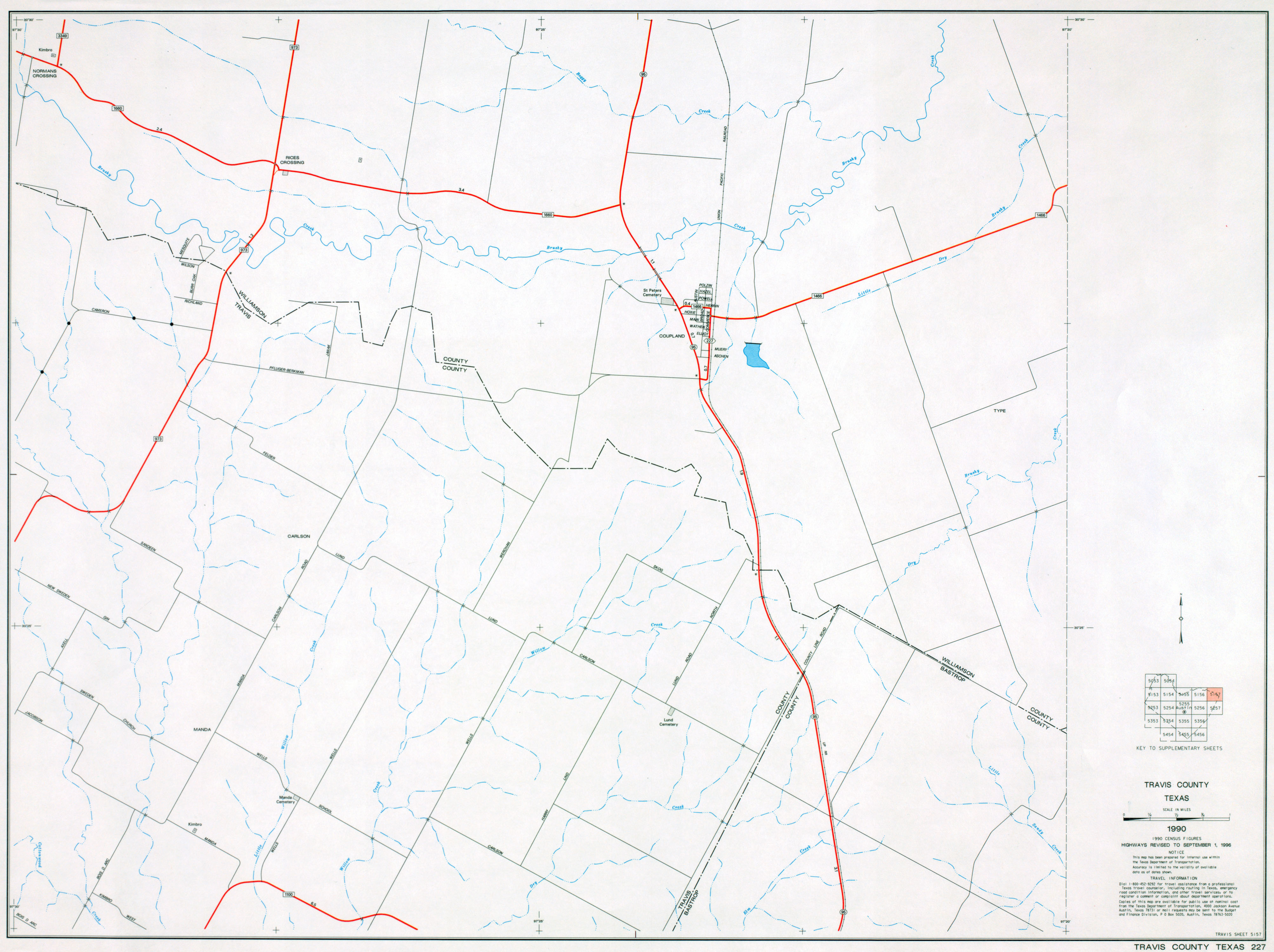
- Travis County (County #227, Supplementary Sheet 5157) 1996
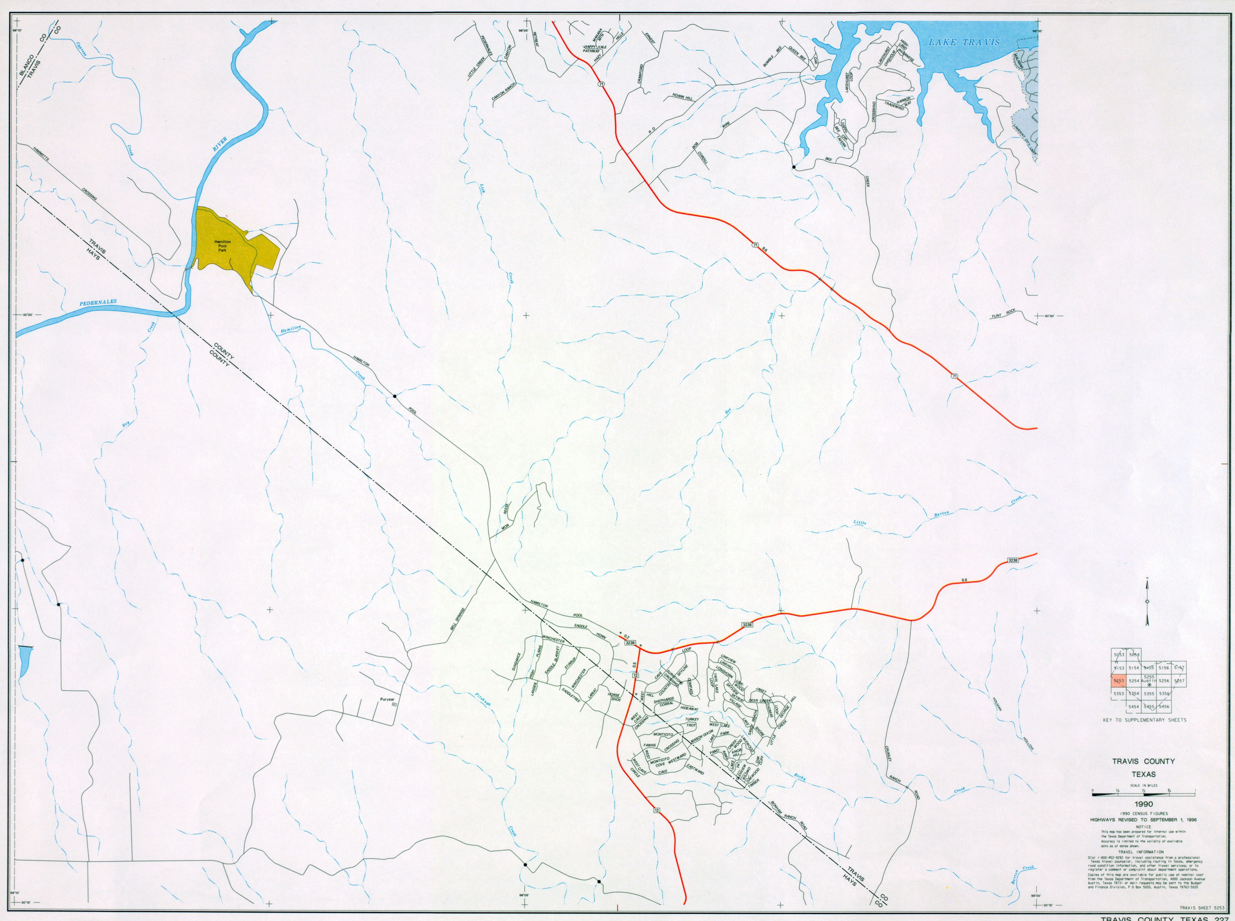
- Travis County (County #227, Supplementary Sheet 5253) 1996
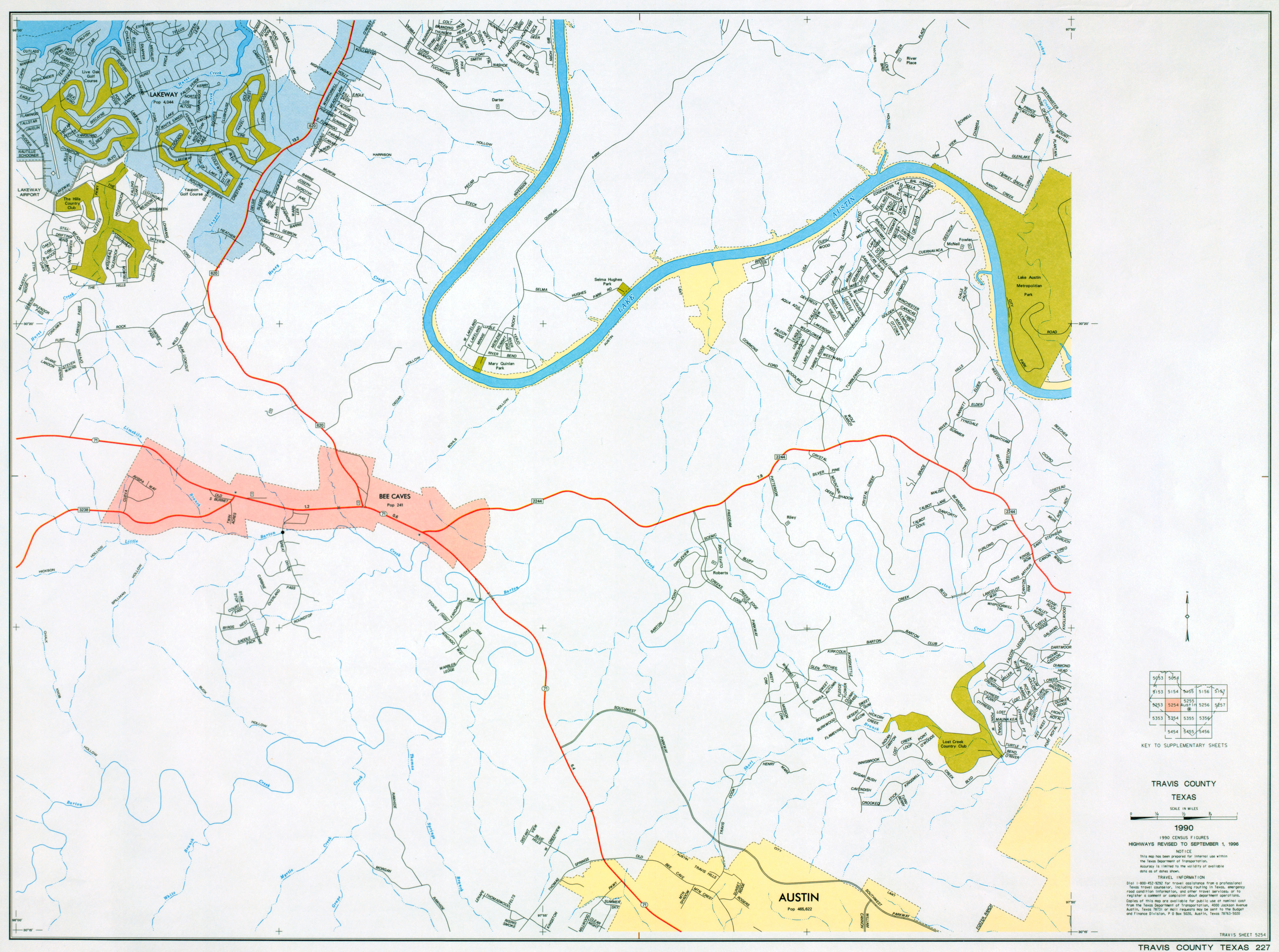
- Travis County (County #227, Supplementary Sheet 5254) 1996
- Travis County (County #227, Supplementary Sheet 5255) 1996
- Travis County (County #227, Supplementary Sheet 5256) 1996
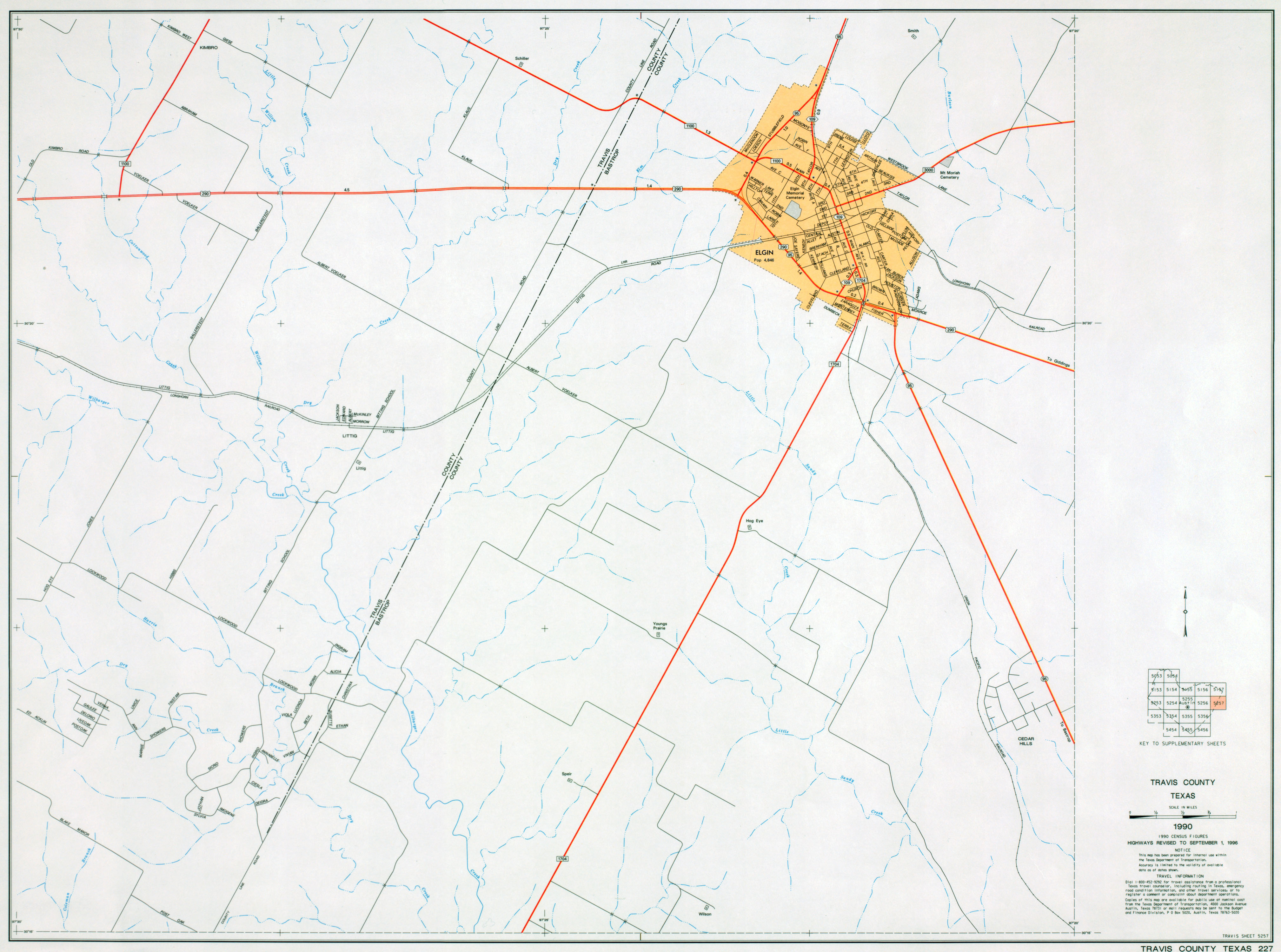
- Travis County (County #227, Supplementary Sheet 5257) 1996
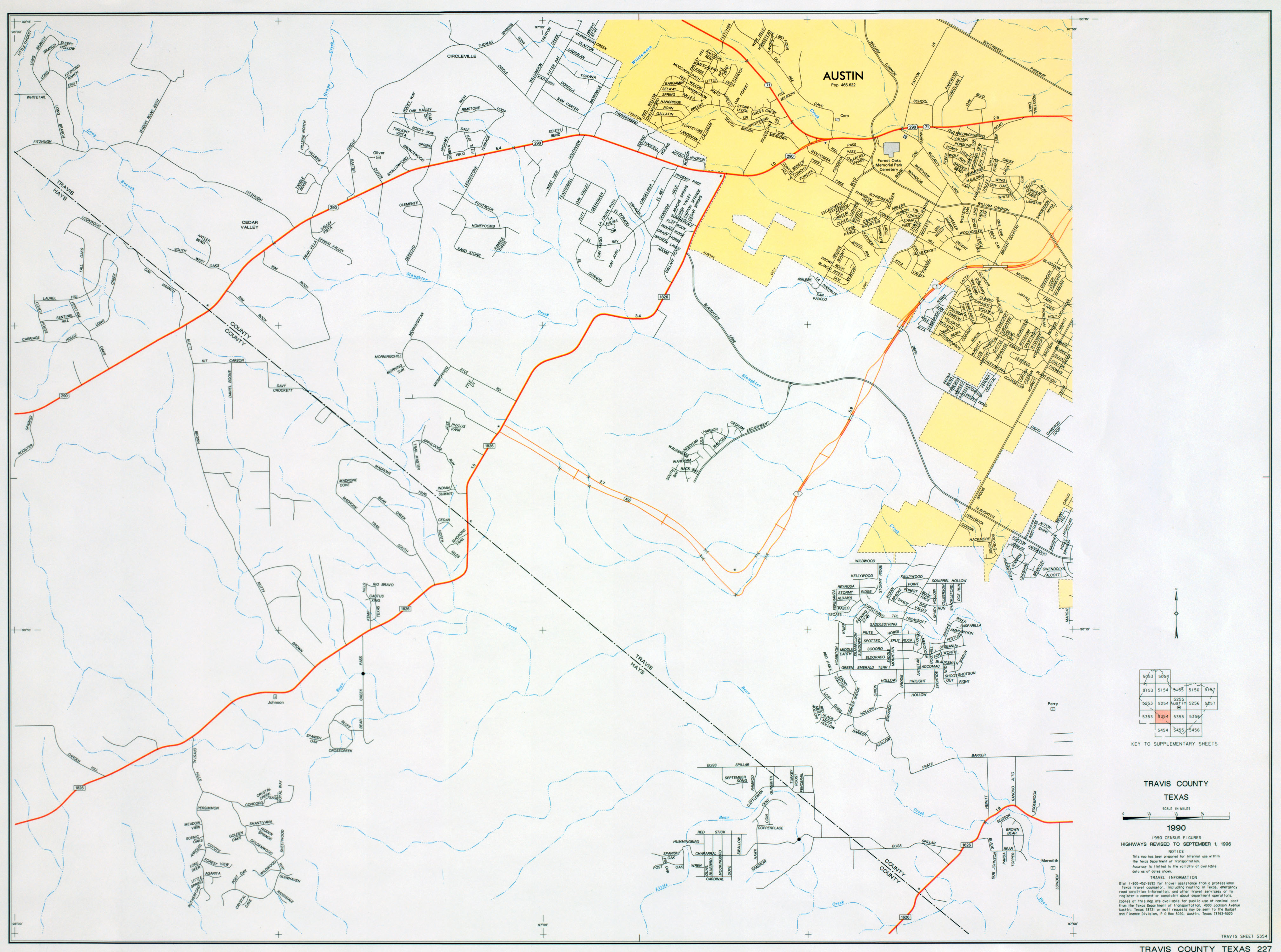
- Travis County (County #227, Supplementary Sheet 5354) 1996
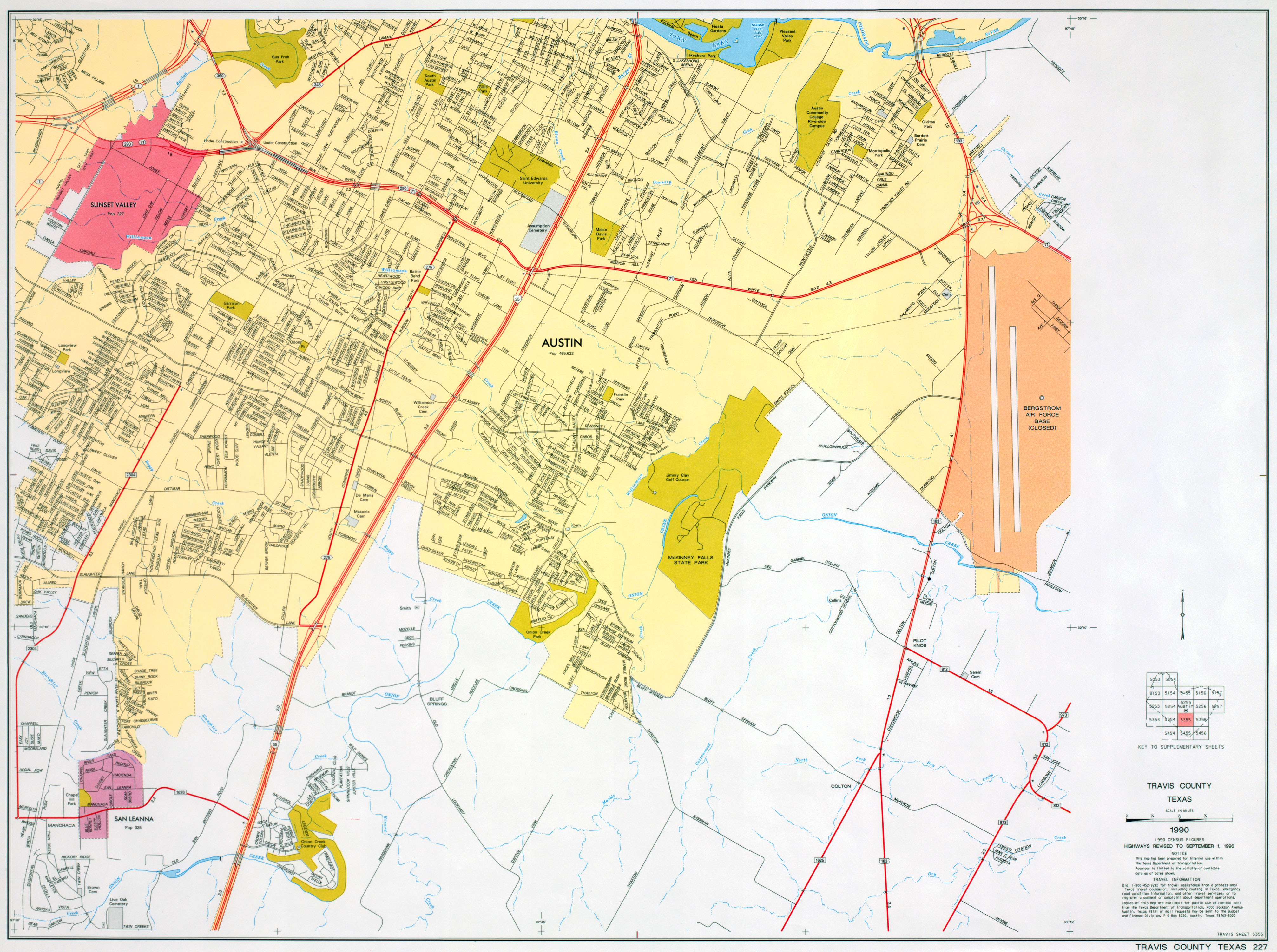
- Travis County (County #227, Supplementary Sheet 5355) 1996
- Travis County (County #227, Supplementary Sheet 5356) 1996
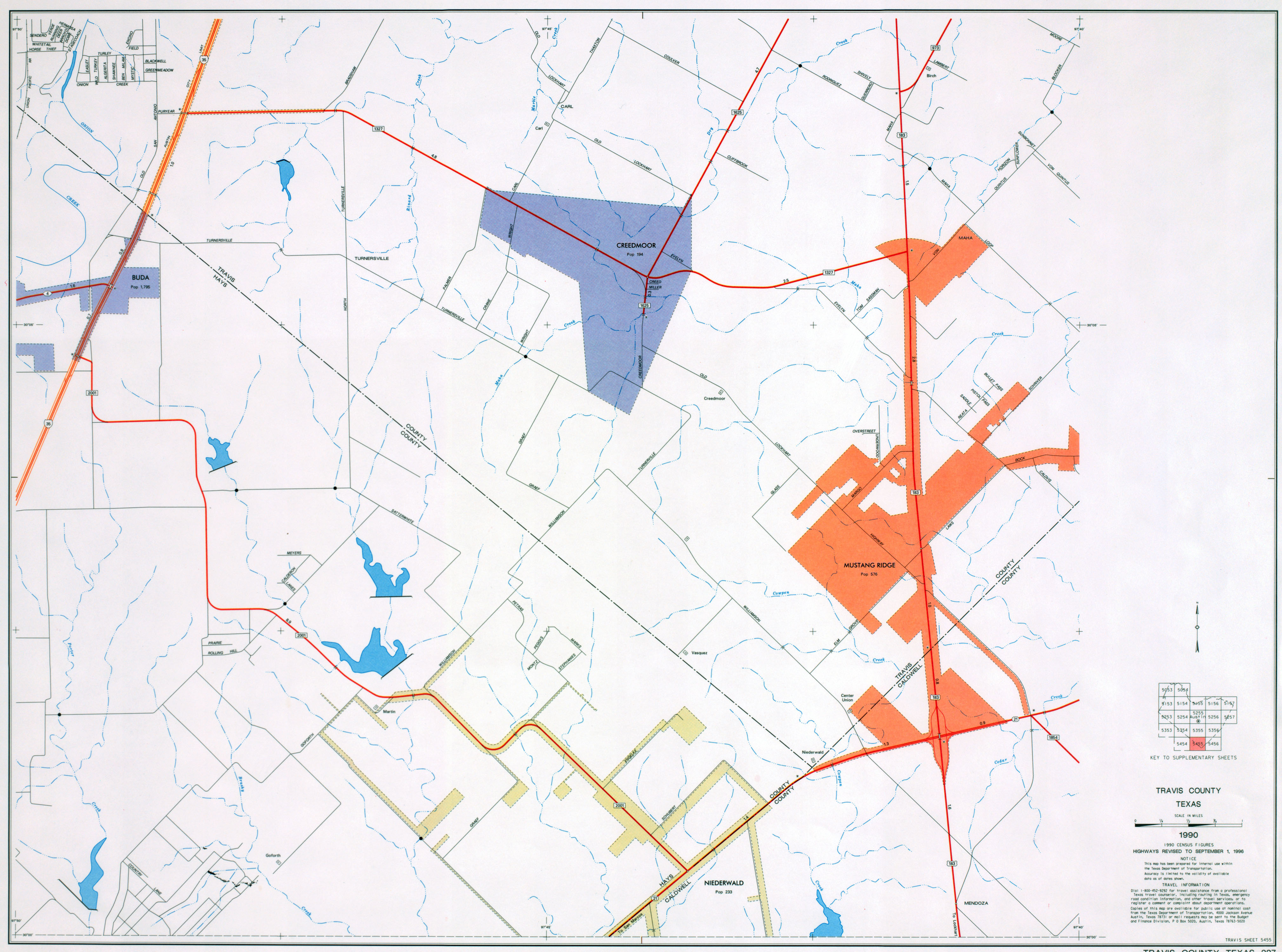
- Travis County (County #227, Supplementary Sheet 5455) 1996
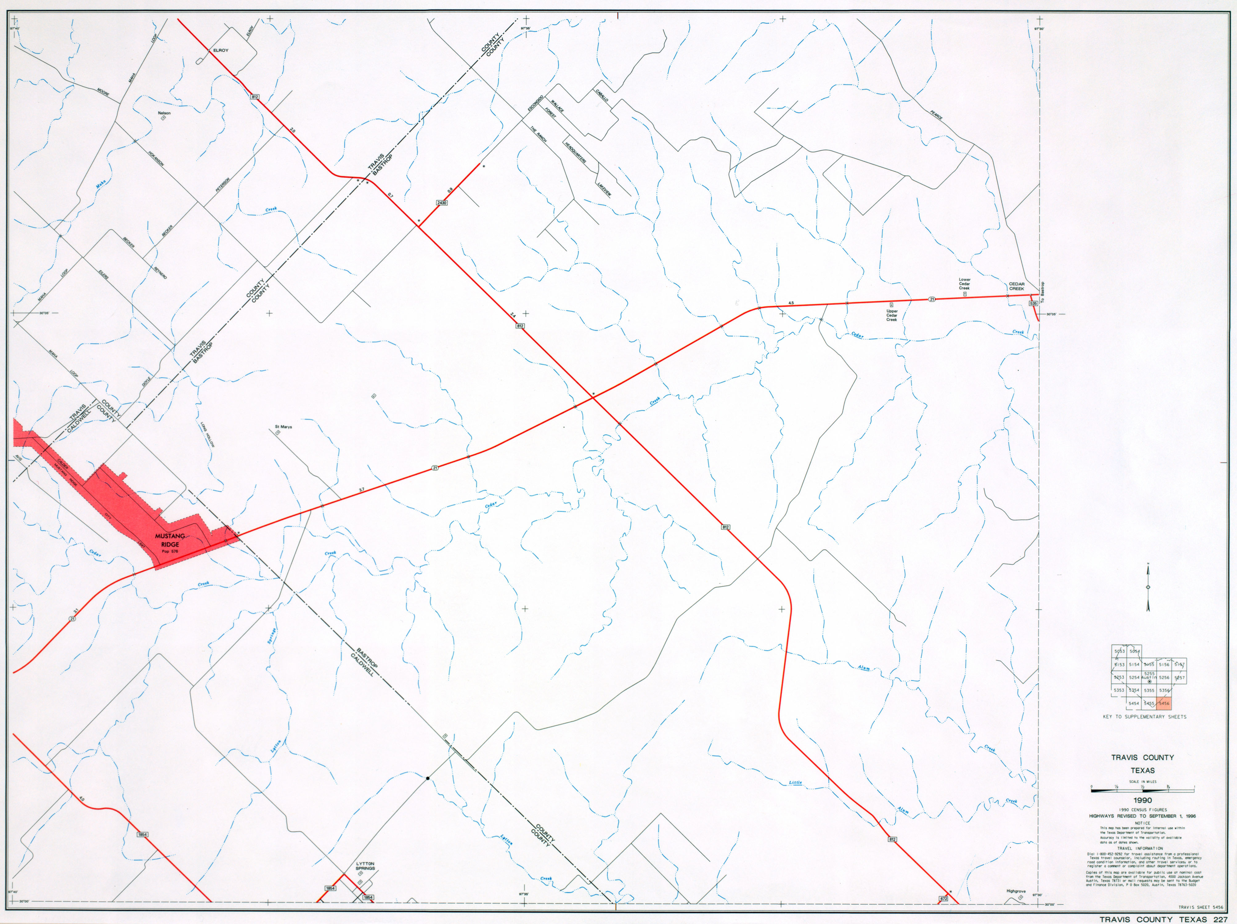
- Travis County (County #227, Supplementary Sheet 5456) 1996
- Texas County Maps - 2012 (Texas Department of Transportation)
Austin GIS Data:
- Austin - City of Austin Geographic Information Systems/Maps
- Austin - GIS Data Sets (City of Austin)
- Austin - GIS Data Sets (University of Texas, Community and Regional Planning Program)
- Austin - Land Use GIS Data (City of Austin)
- Capital Area Council of Governments - Geospatial Data (CAPCOG)
- Austin - Capital Area Metropolitan Planning Organization - Maps (CAMPO)
- GIS Data Depot - Travis County Data
- TNRIS - Texas Natural Resources Information System
Austin Maps:
- Austin (AARoads)
- Austin (Google Maps)
- Austin (Lonely Planet)
- Austin (MapQuest)
- Austin (Yahoo Travel)
- Austin and Travis County Plat Maps (Travis County Appraisal District)
- Austin Area Map (City of Austin)
- Austin Area Map (Johnny Road Trip)
- Austin - Barton Creek Greenbelt Map (Texas Outside)
- Austin-Bergstrom International Airport Maps (City of Austin)
- Austin - Bicycle Maps (City of Austin)
- Austin - Bike Routes and Maps (BicycleAustin.info)
- Austin - Bus Route Map [2013] (Capital Metro/PCL Map Collection)
- Austin - Capitol Complex Map (Texas State Preservation Board)
Austin - Census Maps:
- Austin - 1900 Census Enumeration District Map (National Archives/PCL Map Collection)
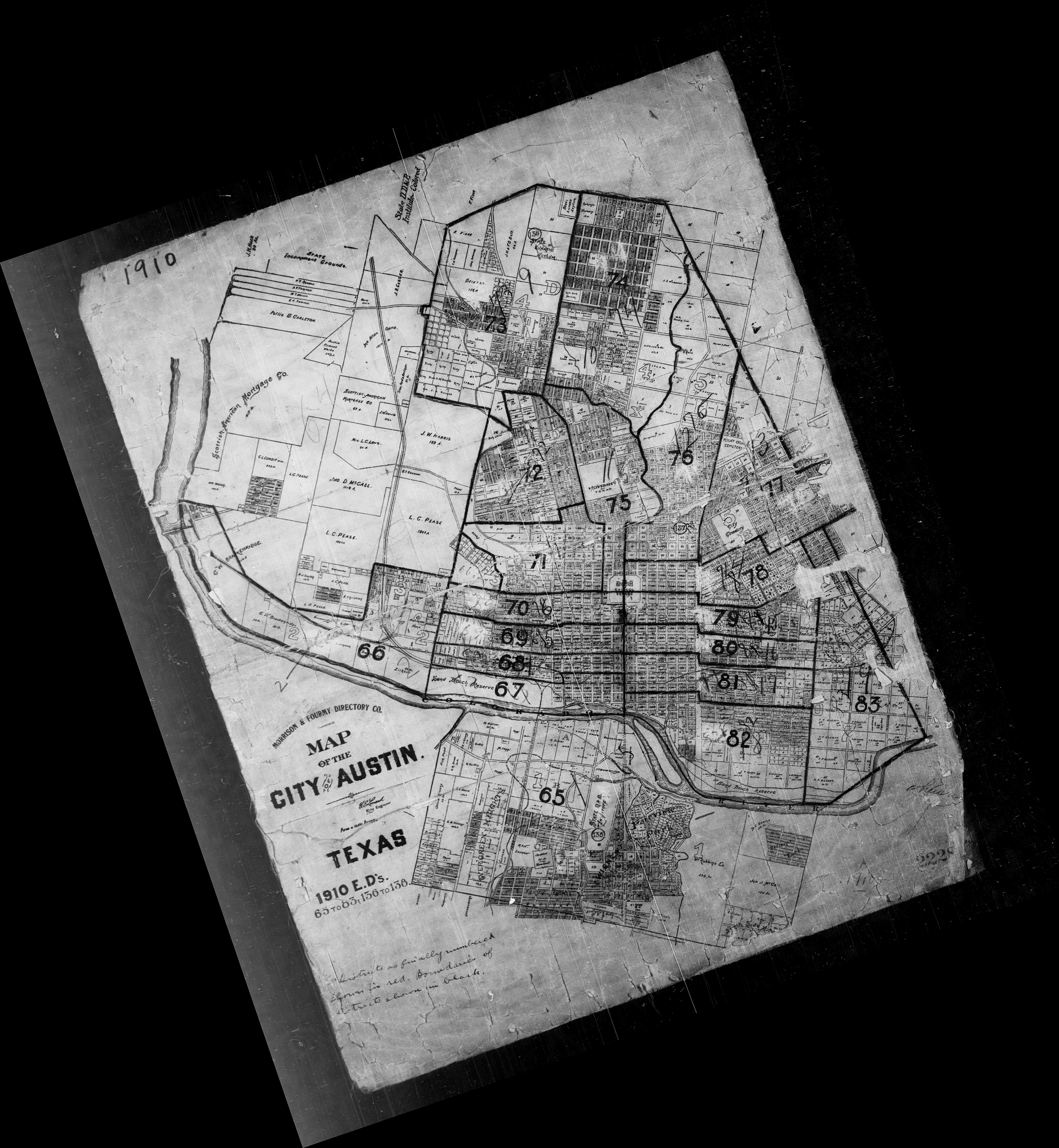
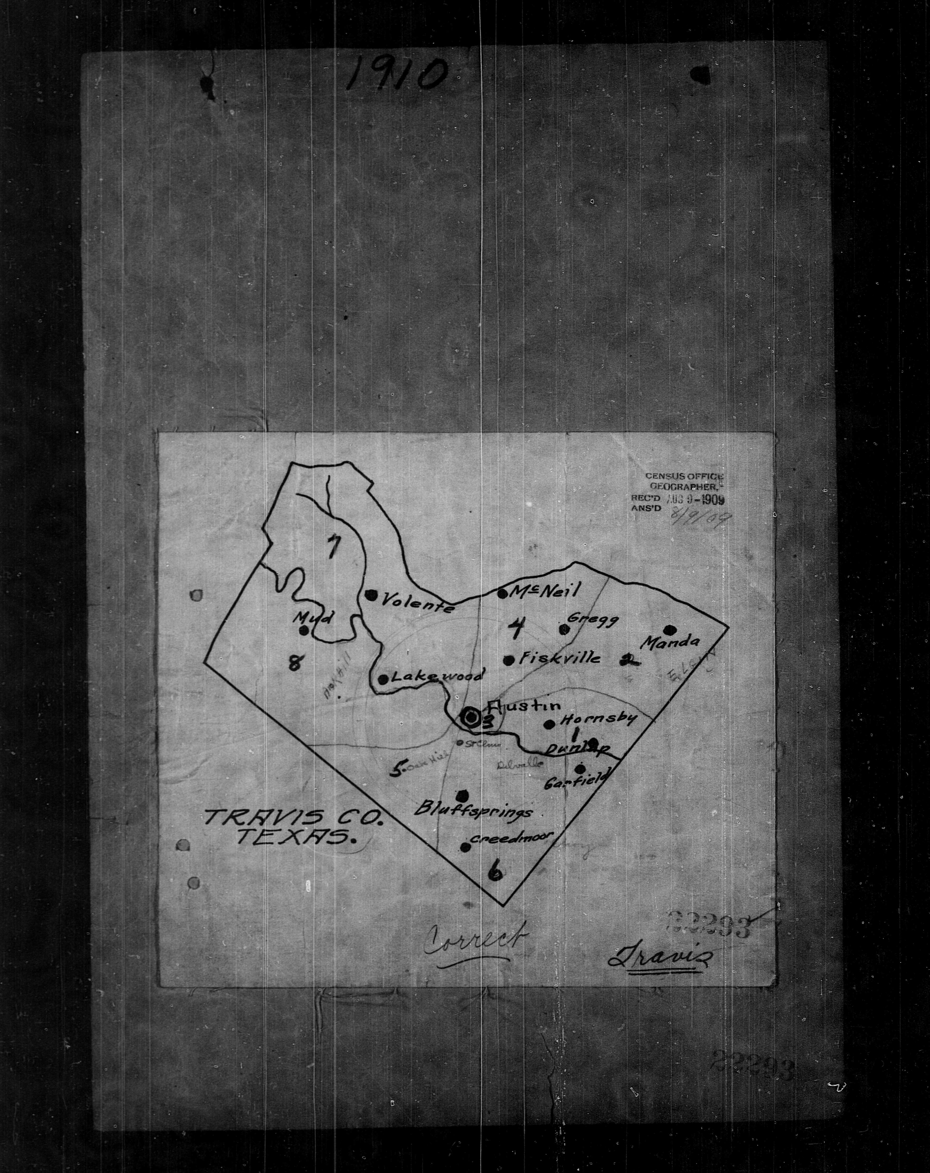
- Austin - 1910 Census Enumeration District Map (National Archives/PCL Map Collection)
- Austin - 1920 Census Enumeration District Map (National Archives/PCL Map Collection)
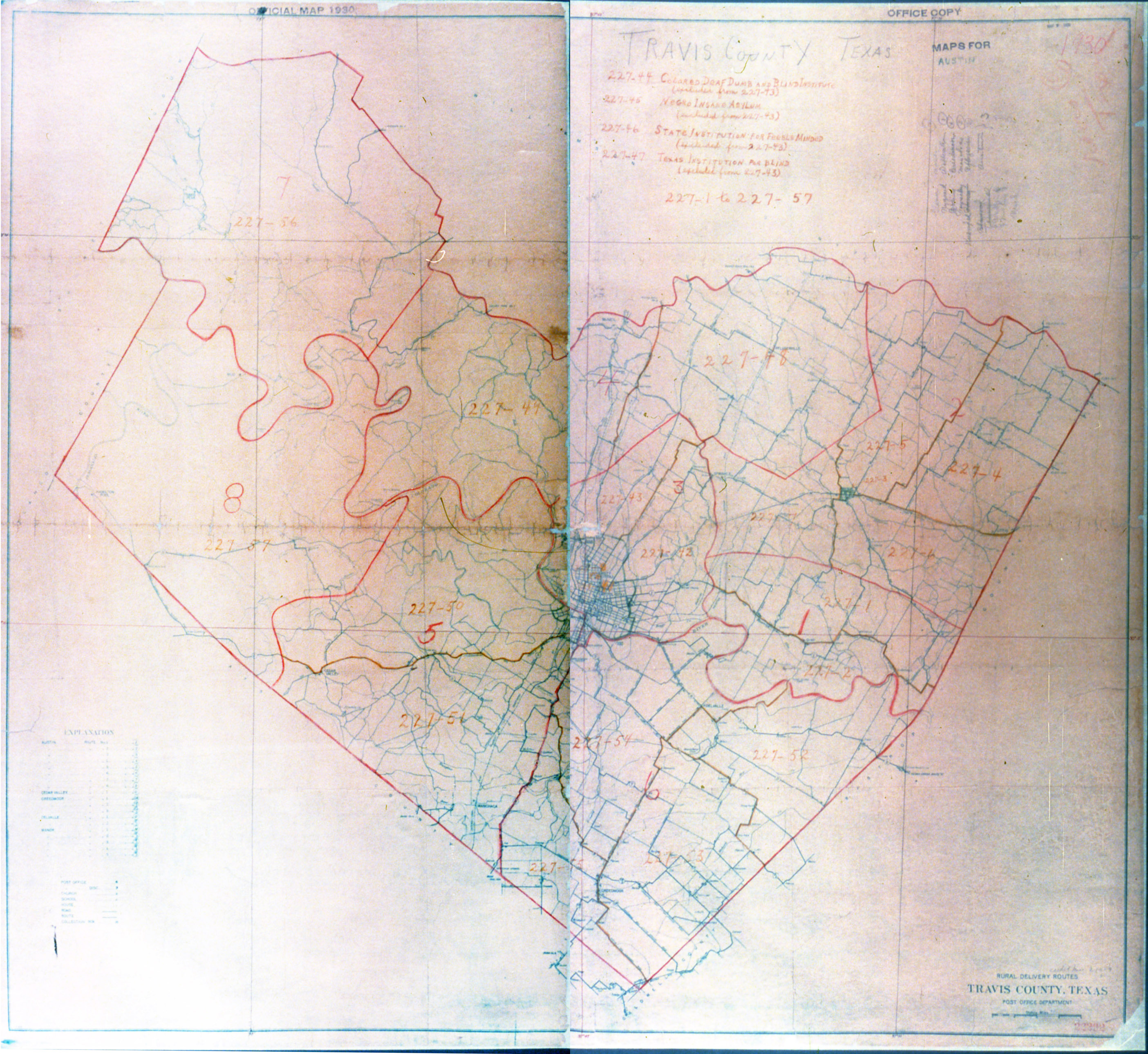
- Austin - 1930 Census Enumeration Dictrict Map - Color Overview (National Archives/PCL Map Collection)
- Austin - 1930 Census Enumeration District Map - Black and White Overview (National Archives/PCL Map Collection)
- Austin - 1930 Census Enumeration District Map - 1 (National Archives/PCL Map Collection)
- Austin - 1930 Census Enumeration District Map - 2 (National Archives/PCL Map Collection)
- Austin - 1930 Census Enumeration District Map - 3 (National Archives/PCL Map Collection)
- Austin - 1930 Census Enumeration District Map - 4 (National Archives/PCL Map Collection)
- Austin - 1930 Census Enumeration District Map - 5 (National Archives/PCL Map Collection)
- Austin - 1930 Census Enumeration District Map - 6 (National Archives/PCL Map Collection)
- Austin - 1935 [Redlining] Home Owners' Loan Corporation. Residential Security Map (National Archives, Record Group 145, Austin Texas Folder) (7.0MB) and Small Version (638K)
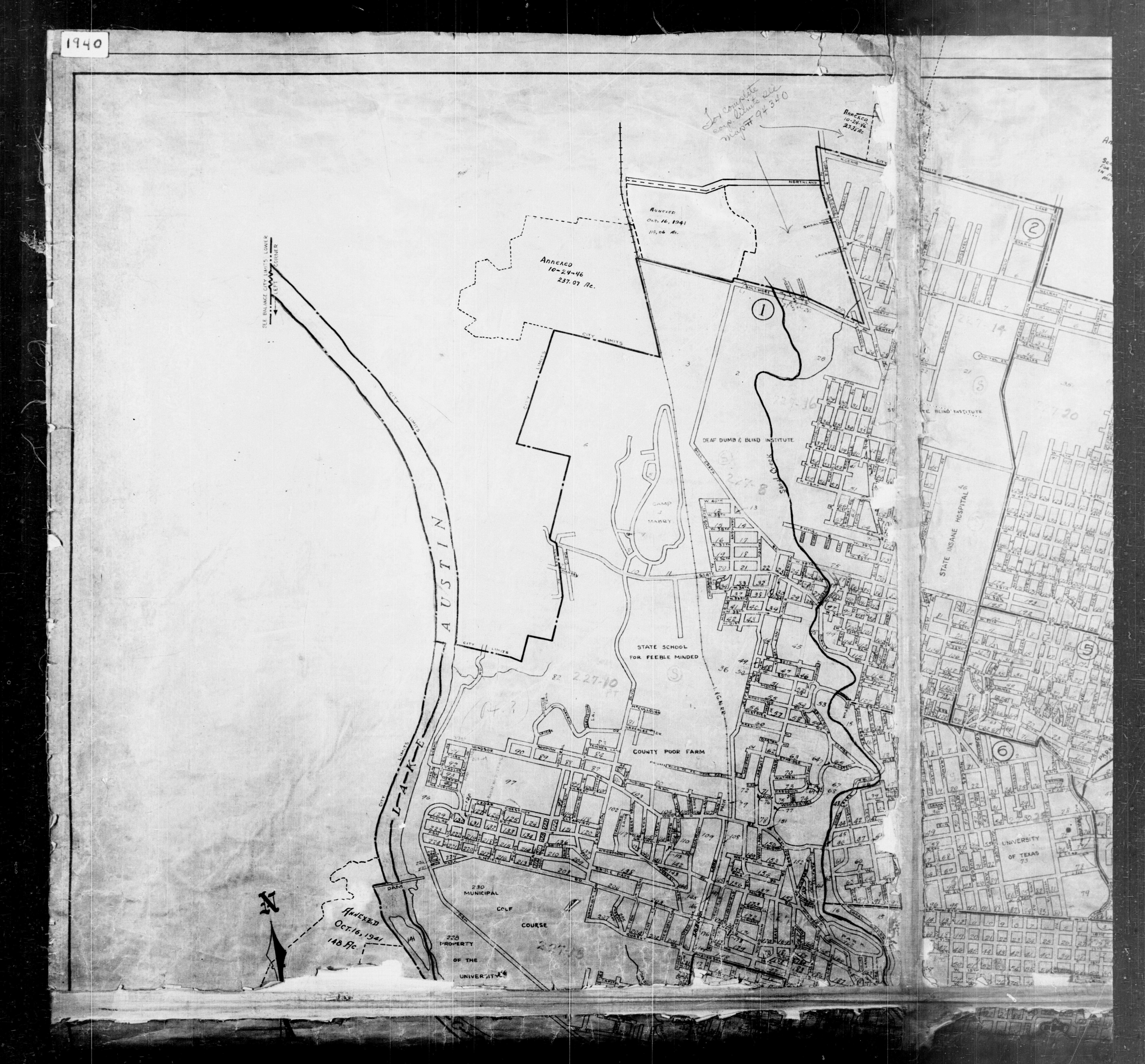
- Austin - 1940 Census Enumeration District Map - 1 (National Archives/PCL Map Collection)
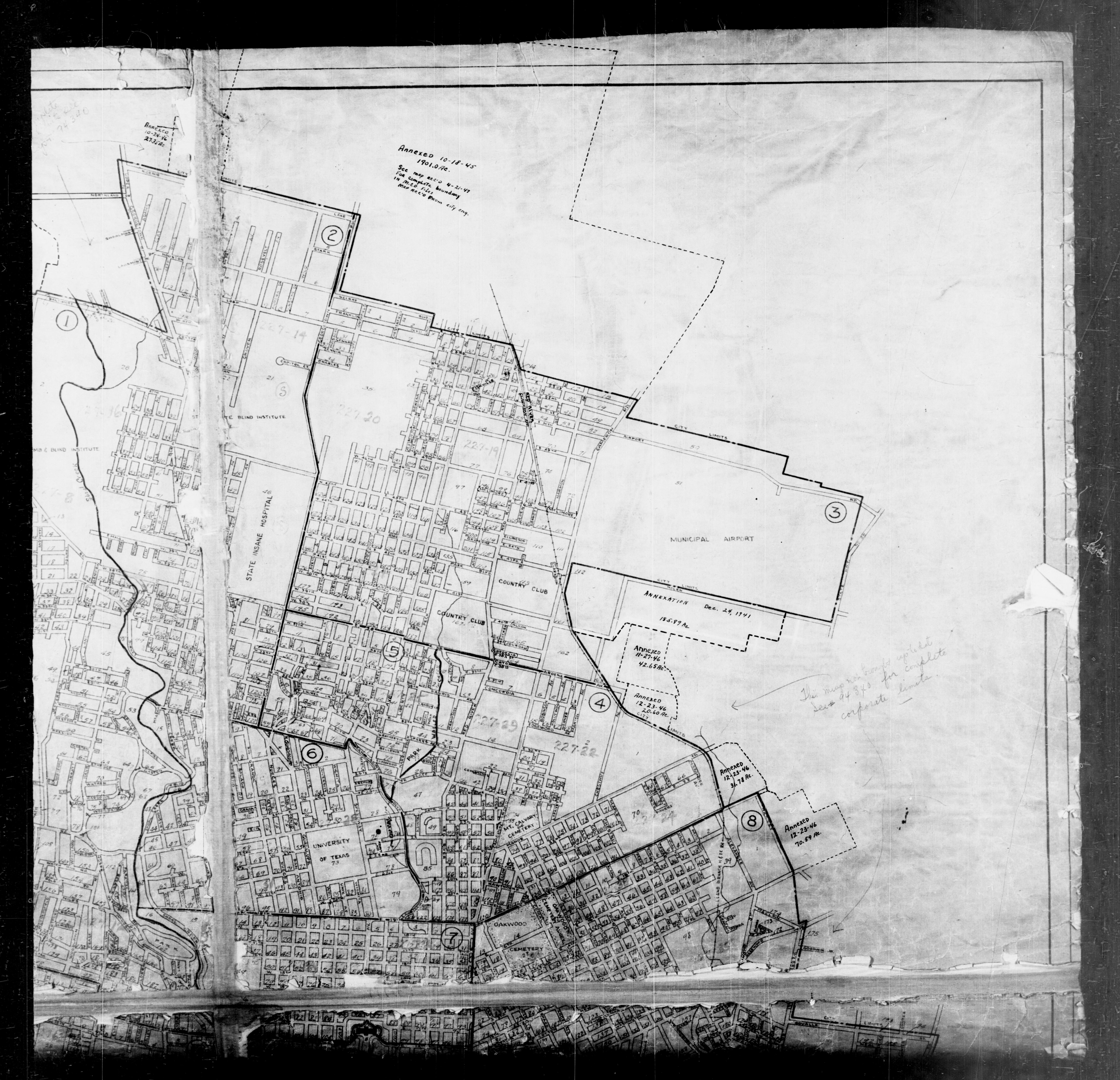
- Austin - 1940 Census Enumeration District Map - 2 (National Archives/PCL Map Collection)
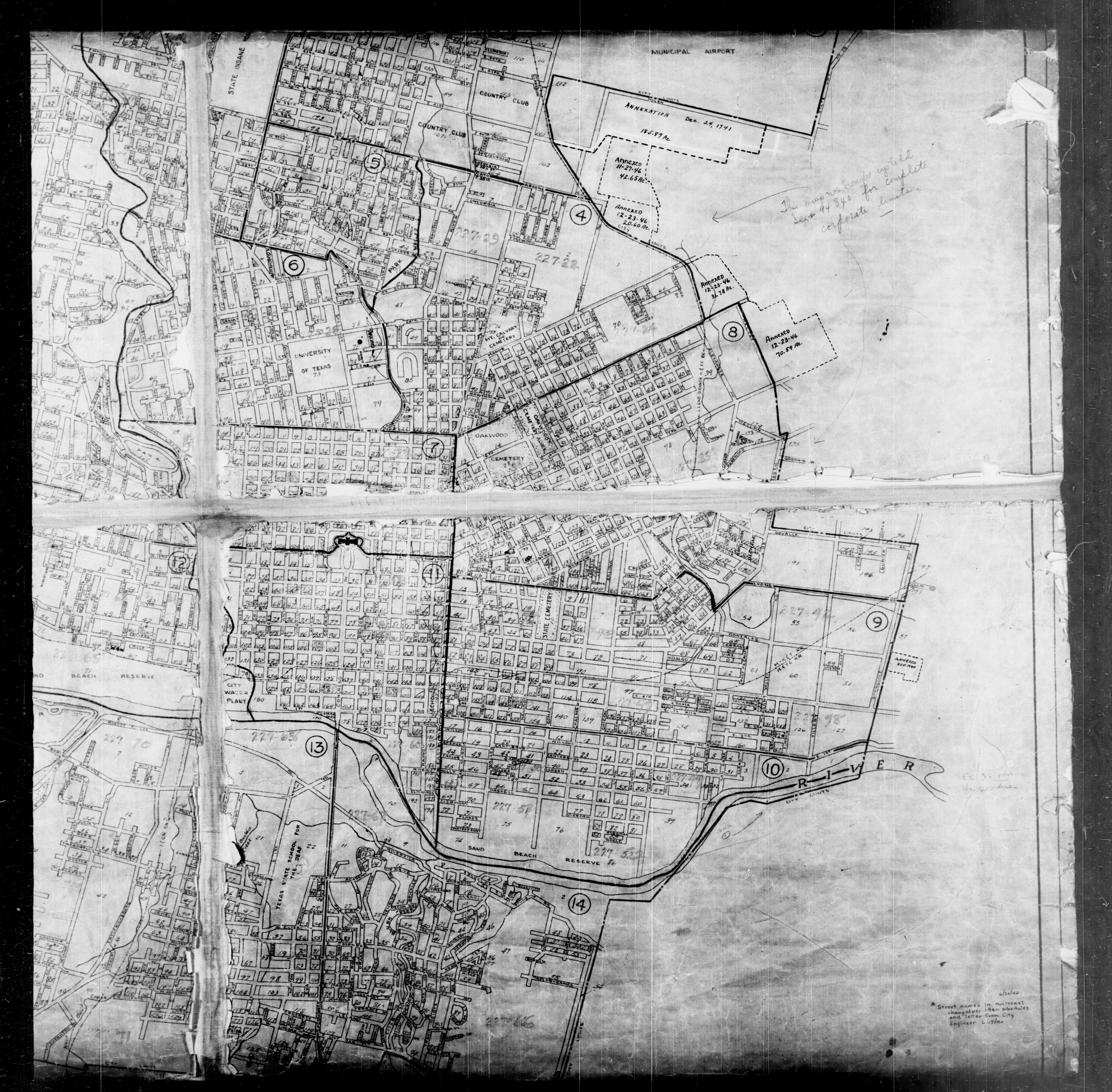
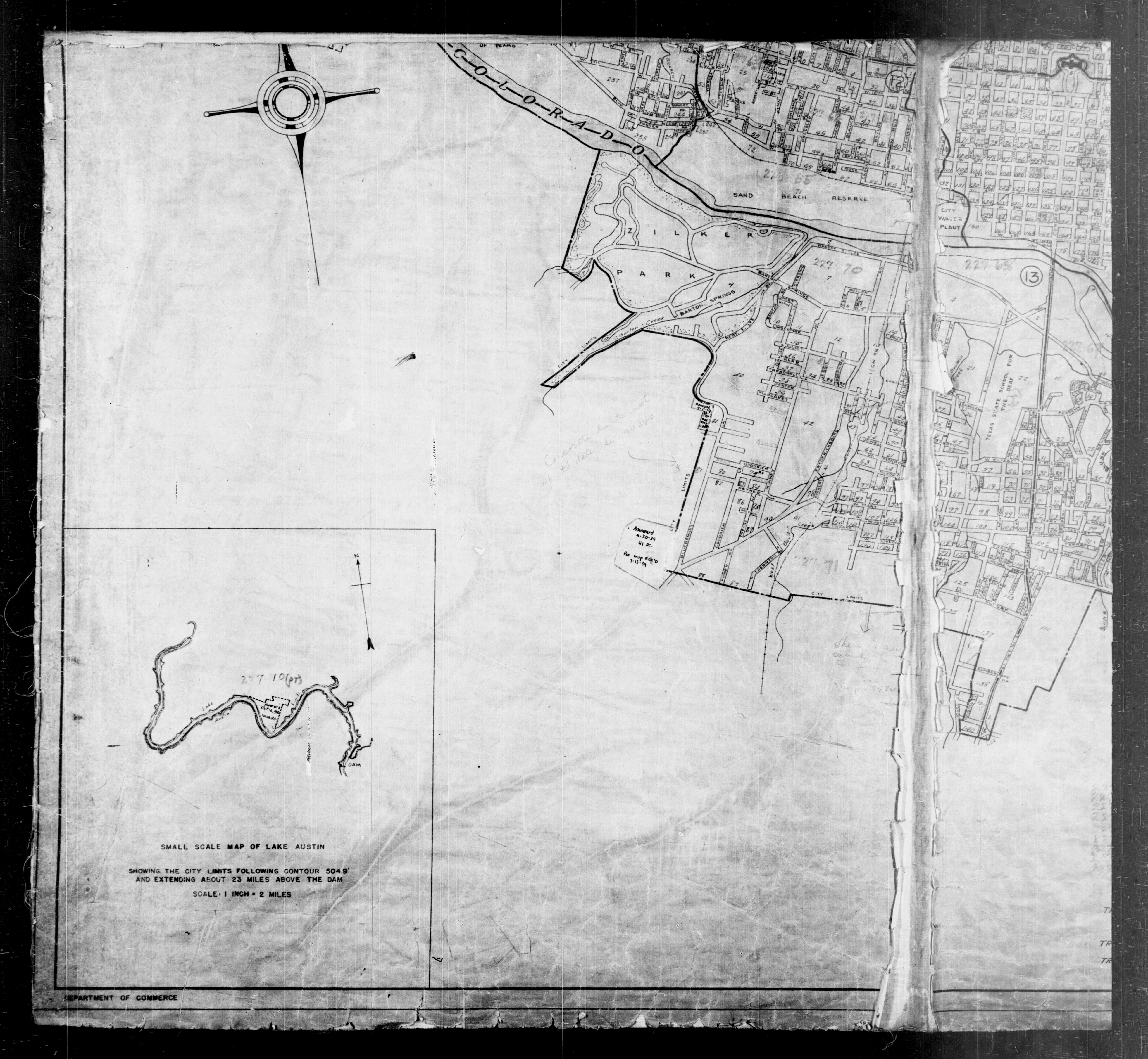
- Austin - 1940 Census Enumeration District Map - 3 (National Archives/PCL Map Collection)
- Austin - 1940 Census Enumeration District Map - 4 (National Archives/PCL Map Collection)
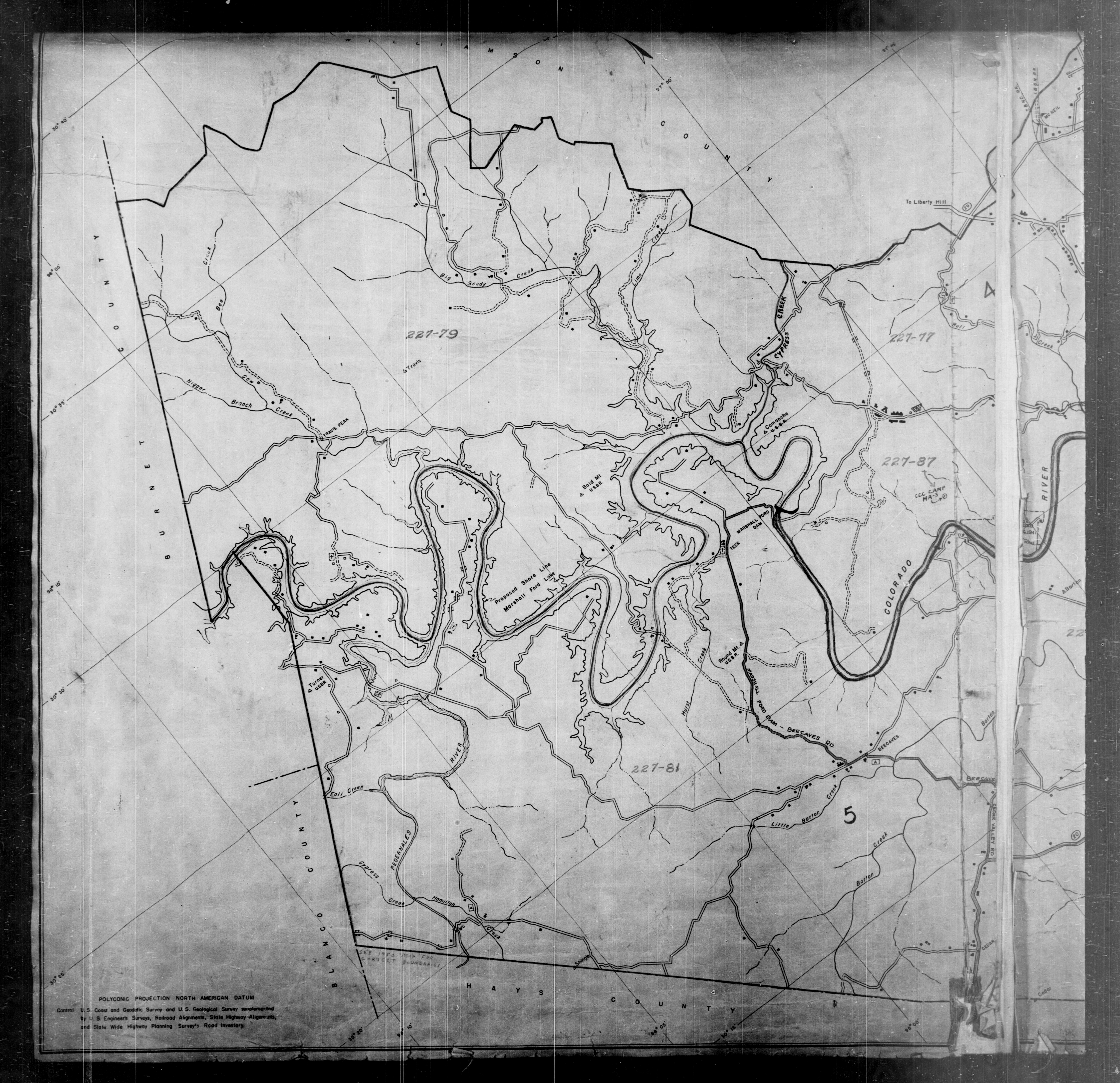
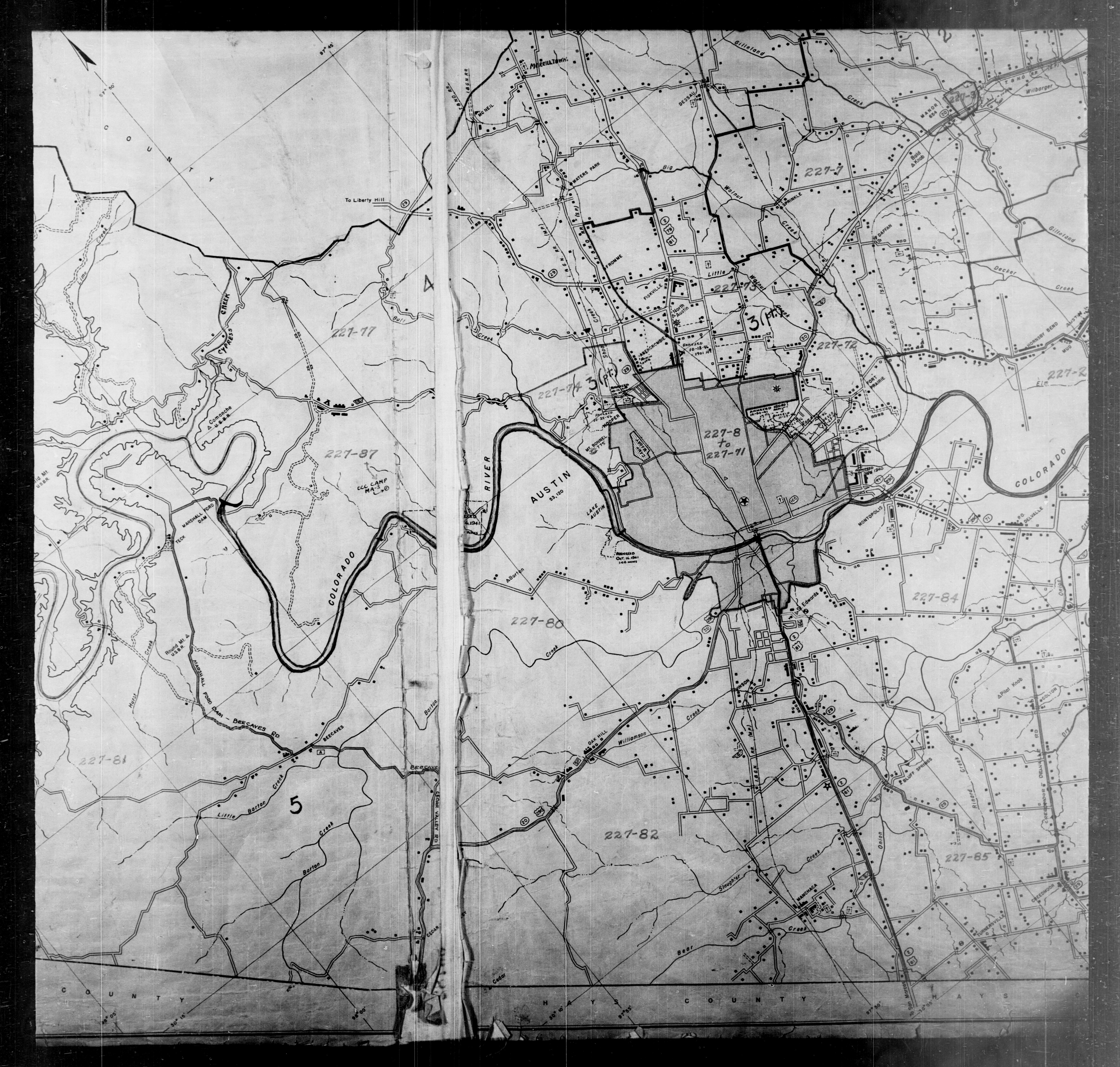
- Austin - 1940 Census Enumeration District Map - 5 (National Archives/PCL Map Collection)
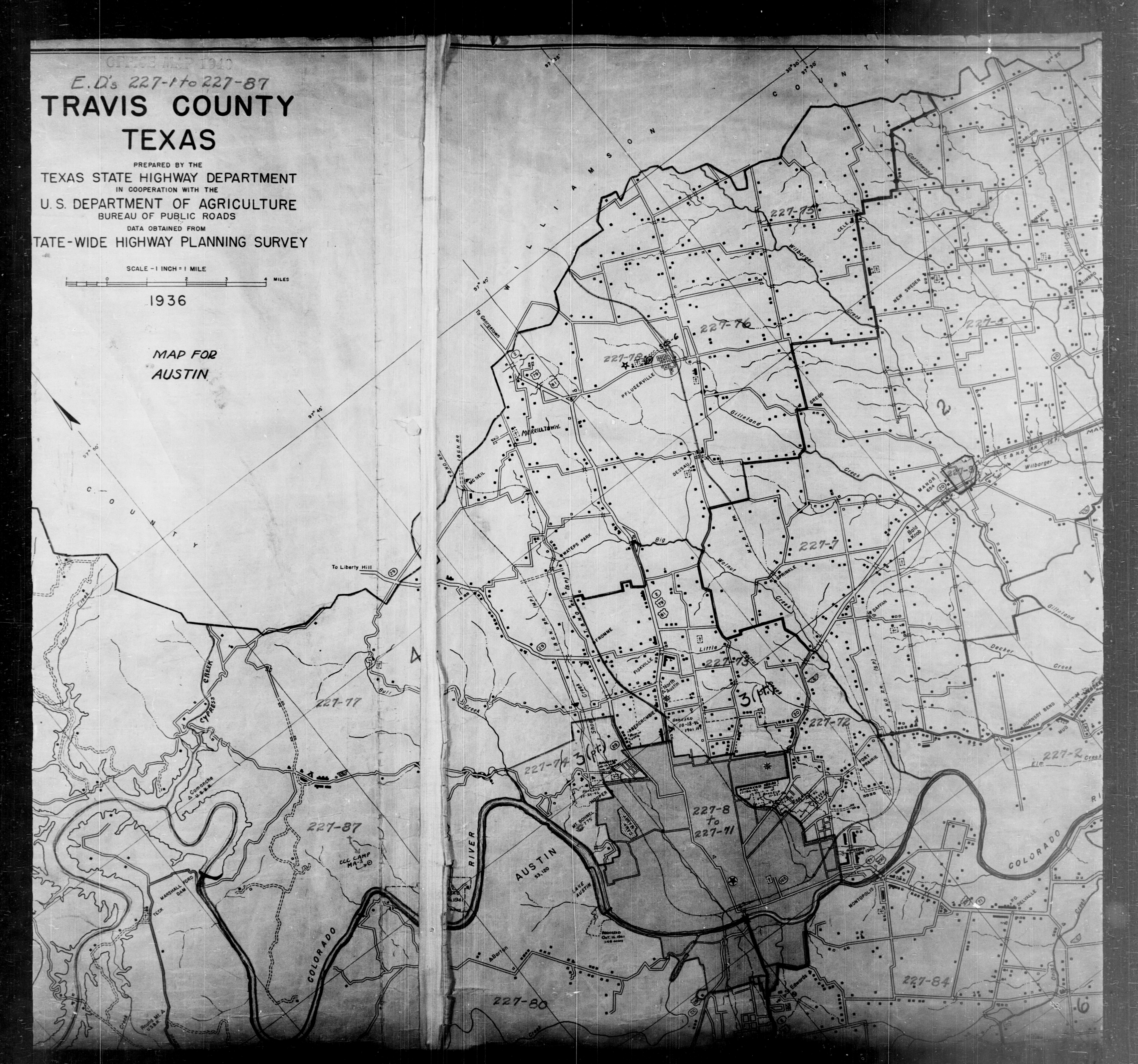
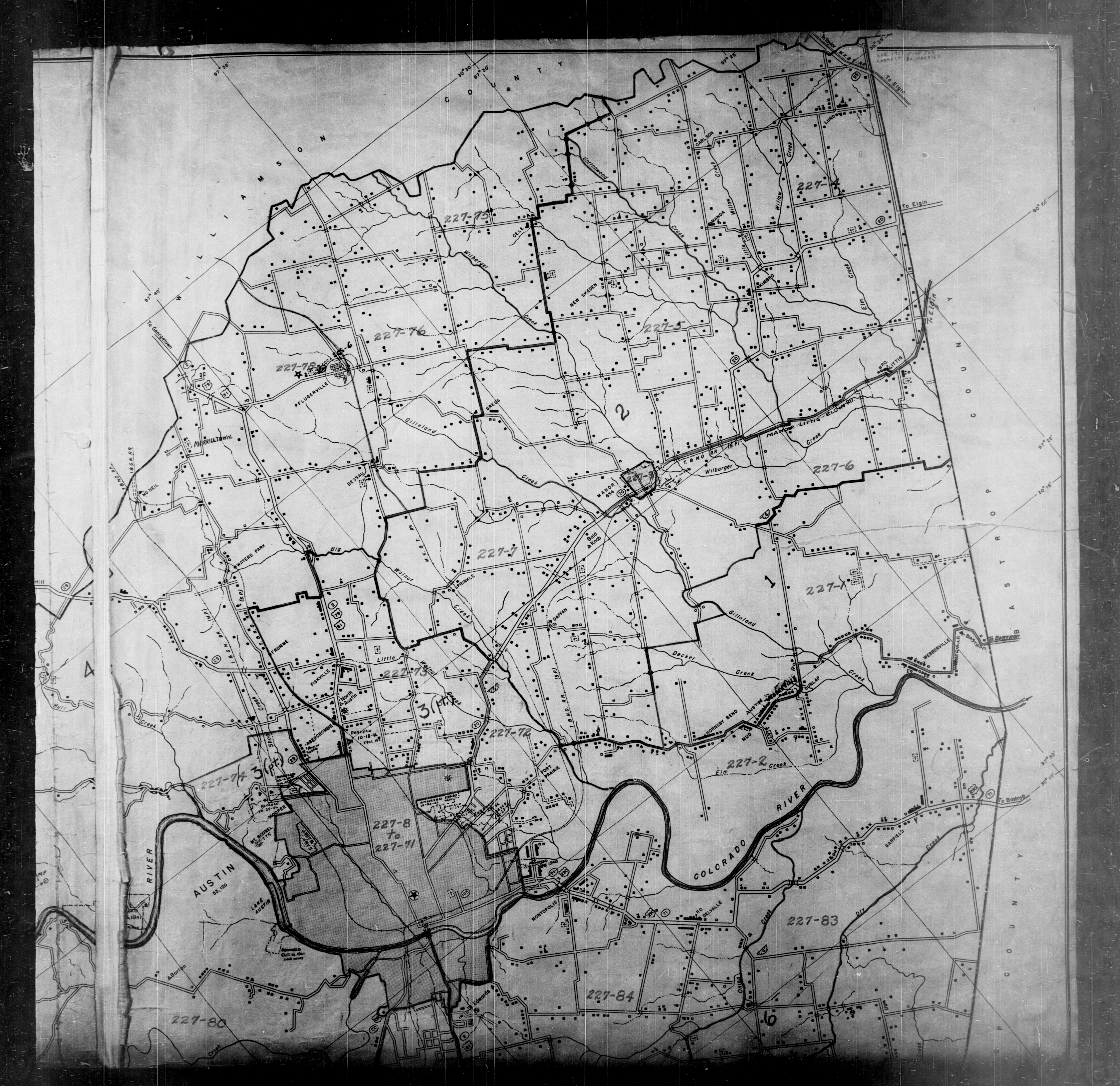
- Austin - 1940 Census Enumeration District Map - 6 (National Archives/PCL Map Collection)
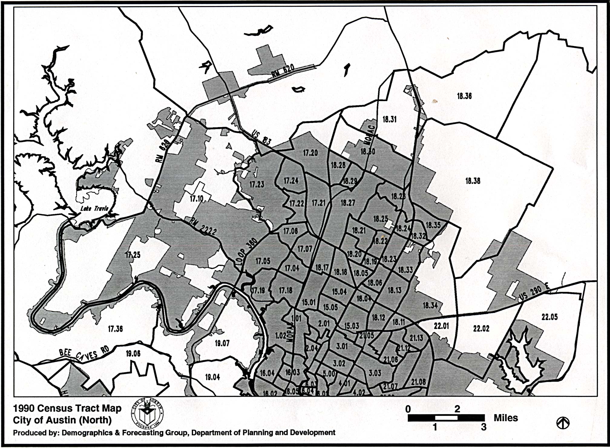
- Austin - Census Tract Map - 1990 - North (611K)
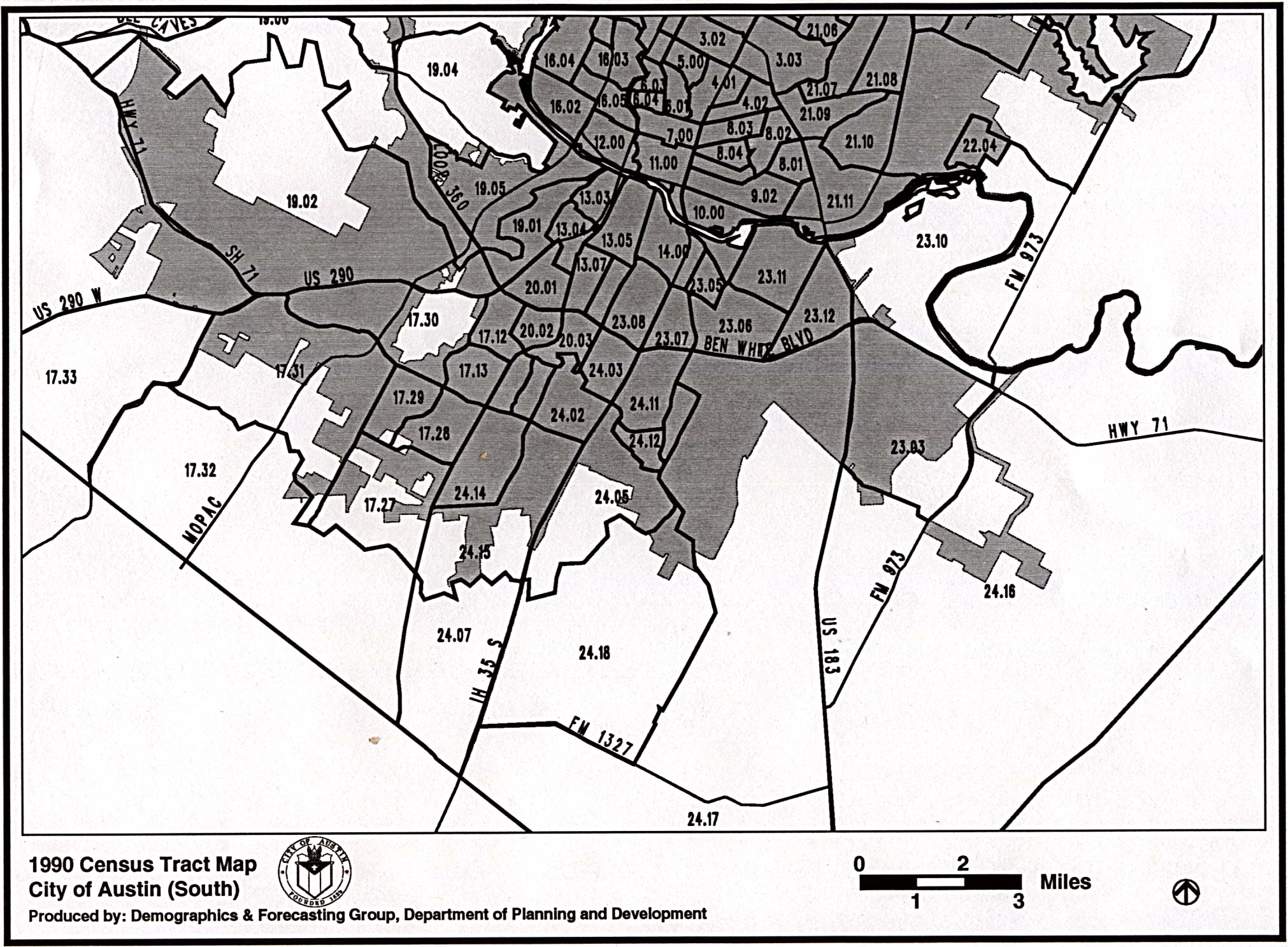
- Austin - Census Tract Map - 1990 - South (618K)
- Austin - Census Tract Map - 2000 [PDF] (City of Austin)
- Travis County - 1910 Census Enumeration District Map (National Archives/PCL Map Collection)
- Travis County - 1930 Census Enumeration District Map - Color Overview (National Archives/PCL Map Collection)
- Travis County - 1930 Census Enumeration District Map - Black and White Overview (National Archives/PCL Map Collection)
- Travis County - 1930 Census Enumeration District Map - 1 (National Archives/PCL Map Collection)
- Travis County - 1930 Census Enumeration District Map - 2 (National Archives/PCL Map Collection)
- Travis County - 1930 Census Enumeration District Map - 3 (National Archives/PCL Map Collection)
- Travis County - 1930 Census Enumeration District Map - 4 (National Archives/PCL Map Collection)
- Travis County - 1930 Census Enumeration District Map - 5 (National Archives/PCL Map Collection)
- Travis County - 1930 Census Enumeration District Map - 6 (National Archives/PCL Map Collection)
- Travis County - 1940 Census Enumeration District Map - 1 (National Archives/PCL Map Collection)
- Travis County - 1940 Census Enumeration District Map - 2 (National Archives/PCL Map Collection)
- Travis County - 1940 Census Enumeration District Map - 3 (National Archives/PCL Map Collection)
- Travis County - 1940 Census Enumeration District Map - 4 (National Archives/PCL Map Collection)
- Travis County - 1940 Census Enumeration District Map - 5 (National Archives/PCL Map Collection)
- Travis County - 1940 Census Enumeration District Map - 6 (National Archives/PCL Map Collection)
- Austin - City Council Districts - Final Map (November 18, 2013) (City of Austin)
- Austin - Condos - Downtown Austin High-Rise Condo Project Map (Austintowers.net)
- Austin - Congress Avenue [PDF] (City of Austin)
- Austin - Crime Map (Trulia)
- Austin - Crime Report Viewer (Austin Police Department)
- Austin - Demographic Maps [PDF] (City of Austin)
- Austin - Downtown (Austin American-Statesman)
- Austin - Downtown (City of Austin)
- Austin - Downtown "Basic" Map 2001 (City of Austin)
- Austin - Downtown "Detailed" Map 2001 (City of Austin)
- Austin - Downtown Hotels (City of Austin)
- Austin - Downtown Hotels [PDF] (City of Austin)
- Austin - Downtown - "Uptown" Area (City of Austin)
- Austin - Downtown Warehouse District (City of Austin)
- Austin - Downtown with street names (City of Austin)
- Austin - East César Chávez Pueblito (City of Austin)
- Austin - Election Map - 2016 Texas Primary (Austin American-Statesman)
- Austin - Electric Service Area (Austin Energy)
- Austin Energy Outages Map (Austin Energy)
- Austin - Extra-Territorial Jurisdictions 1997 (City of Austin)
- Austin - Fire Department Station Locations (City of Austin)
- Austin - Flood Maps (FEMA national site)
- Austin - Flood Maps (FEMA/City of Austin)
- Austin - Central Texas Geologic Mapping (Walter Geology Library/Mark Helper)
- Austin - Geology (from Geologic Atlas of Texas 1981) University of Texas, Bureau of Economic Geology
- Austin - Geology (from Geologic Atlas of the United States 1894-1895) [104MB tif file] (Texas A&M University/U.S. Geological Survey)
- Austin - Greater Austin Area (Austin American-Statesman)
- Austin - Historical City Maps
- Austin - Hornsby Bend Facility Map (Hornsby Bend Bird Observatory)
- Austin - Interactive Map (Austin Convention and Visitors Bureau)
- Austin - Library System Map (Austin Public Library)
- Austin - MetroRail Map (Capital Metro)
- Austin - Neighborhood Associations - South Lamar Neighborhood Association - Maps (see near the end of the page)
- Austin - Neighborhood Associations - Other Neighborhood Associations (MAIN)
- Austin - Neighborhoods (Austin American-Stateman)
- Austin - Parks - Interactive Map (Austin Parks and Recreation Dept.)
- Austin - Plane Crash, February 18, 2010 (Daily Texan)
- Austin - Plat Maps (Travis County Appraisal District)
- Austin - Police Area Command/District Maps (Austin Police Department)
- Austin - Running/Walking Maps - Town Lake, Barton Creek, Zilker (Runtex) [pdf format]
- Austin-San Antonio Commuter Rail Study Maps [TxDOT Expressway] (TXDOT/Internet Archive)
- Austin - Shoal Creek Greenbelt (MountainBikeTX)
- Austin - Sister Cities (City of Austin)
- Austin - Sixth Street - Clickable Map (City of Austin)
- Austin - Smart Growth Zones 2003 (City of Austin)
- Austin - Texas State Cemetery - Clickable Map and Name Search (Texas State Cemetery)
- Austin - Toll Roads (Completed and Under Construction) (Central Texas Regional Mobility Authority)
- Austin - Toll Road Maps - Central Texas Turnpike System (SH 130, SH 45 North, Loop 1) (TexasTollways.com/TxDot)
- Austin - Tourist Maps (Frommer's)
- Austin - Town Lake, Auditorium Shores (MapMyRun)
- Austin - Town Lake Hike and Bike Trail (Texas Outside)
- Austin - Traffic Map - 1974 (Texas State Highway Department)
- Austin - Traffic Count Maps for Austin Metro Area (CAMPO)
- Austin - Transportation Planning - Maps (CAMPO, Captial Area Metropolitan Planning Organization)
- Austin - Transportation Plans - Campo 2040 Plan [PDF, includes many maps] (CAMPO)
- Austin - University of Texas at Austin Campus Maps including parking and shuttle bus maps (University of Texas)
- Austin - University of Texas at Austin Historical Campus Maps (PCL Map Collection)
- Austin - University of Texas at Austin Outdoor Siren Warning System Map (University of Texas)
- Austin - Warehouse District (City of Austin)
- Austin - Watershed Maps - Clickable (LCRA)
- Austin - Watershed Regulation Areas Map (City of Austin)
- Austin - Wild Basin Trail Map Brochure (St. Edwards University) [PDF]
- Austin - Wild Basin Mileage Trail Map (St. Edwards University) [PDF]
- Austin - Zilker Park Map (Austin Parks and Recreation Dept./PCL Map Collection) [PDF]
- Colorado River Basin Map [PDF] (Texas Parks and Wildlife)
- Edwards Aquifer Region (Edwardsaquifer.net)
- Highland Lakes Region (Austin American-Statesman)
- Lake Travis (Highland Lakes Recreational Guide)
- Lower Colorado River Authority Maps (Lower Colorado River Authority)
- Travis County - Central Texas Geologic Mapping (Walter Geology Library/Mark Helper)
- Travis County - Maps (Travis County Government)
- Travis County - Plat Maps [Search for property and click the Plat Map button on detail page] (Travis Central Appraisal District)
- Travis County 1940 - General Highway Map [1936, revised to 1940] Texas State Library and Archives
![Travis County (County #227, Base Sheet 1 [Index Map]) 1996](txdot/tctrav01.jpg)
![Austin - 1935 [Redlining]](texas/austin-redlining-large-1935.jpg)