Perry-Castañeda Library
Map Collection
Austin, Texas Topographic Maps
The maps below were published by the U.S. Geological Survey. Scales given are for the original printed maps. For topographic maps of the areas outside of Central Austin see Texas Topographic Maps.
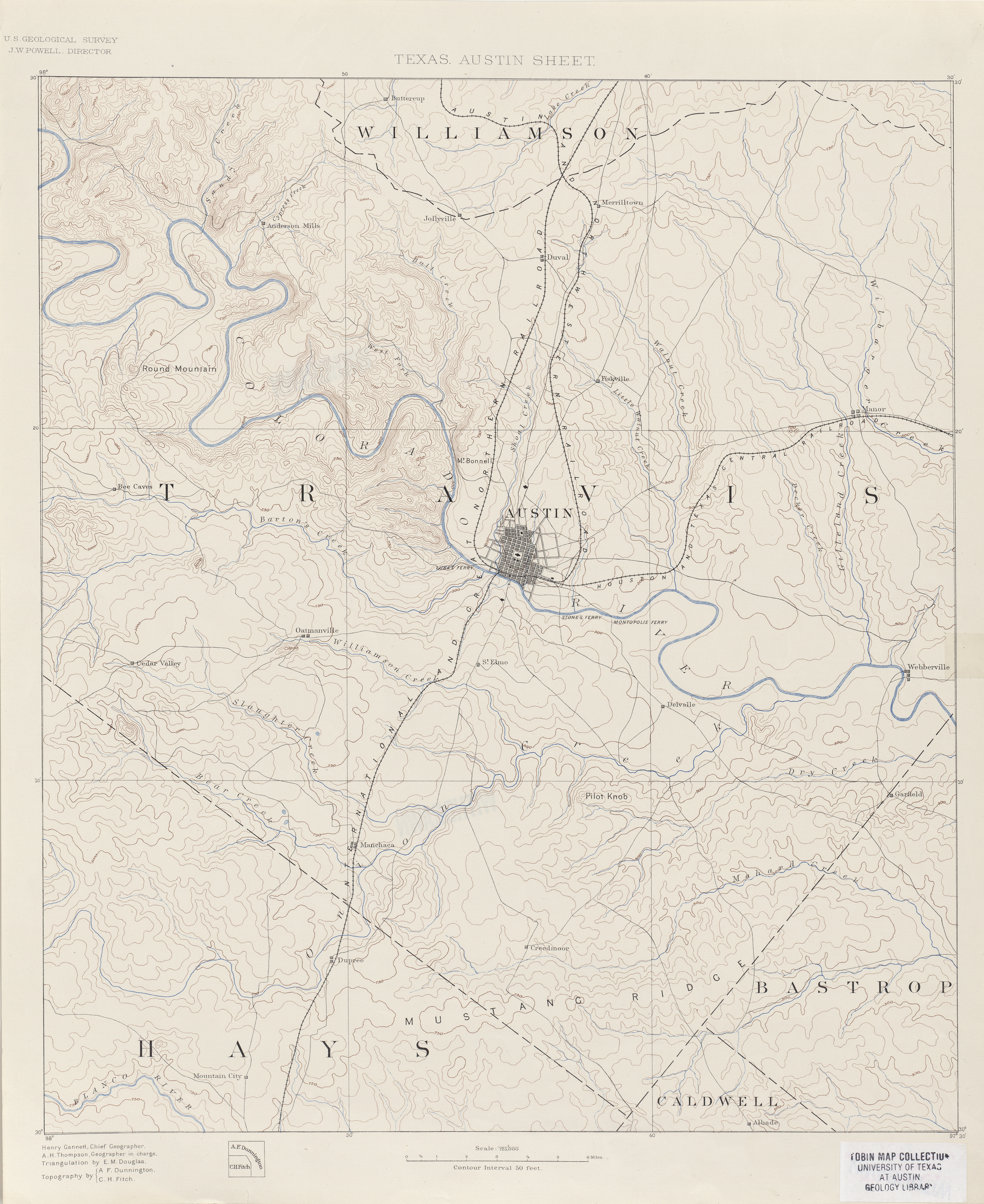
- Austin 1:125,000 1894 (19.1MB)
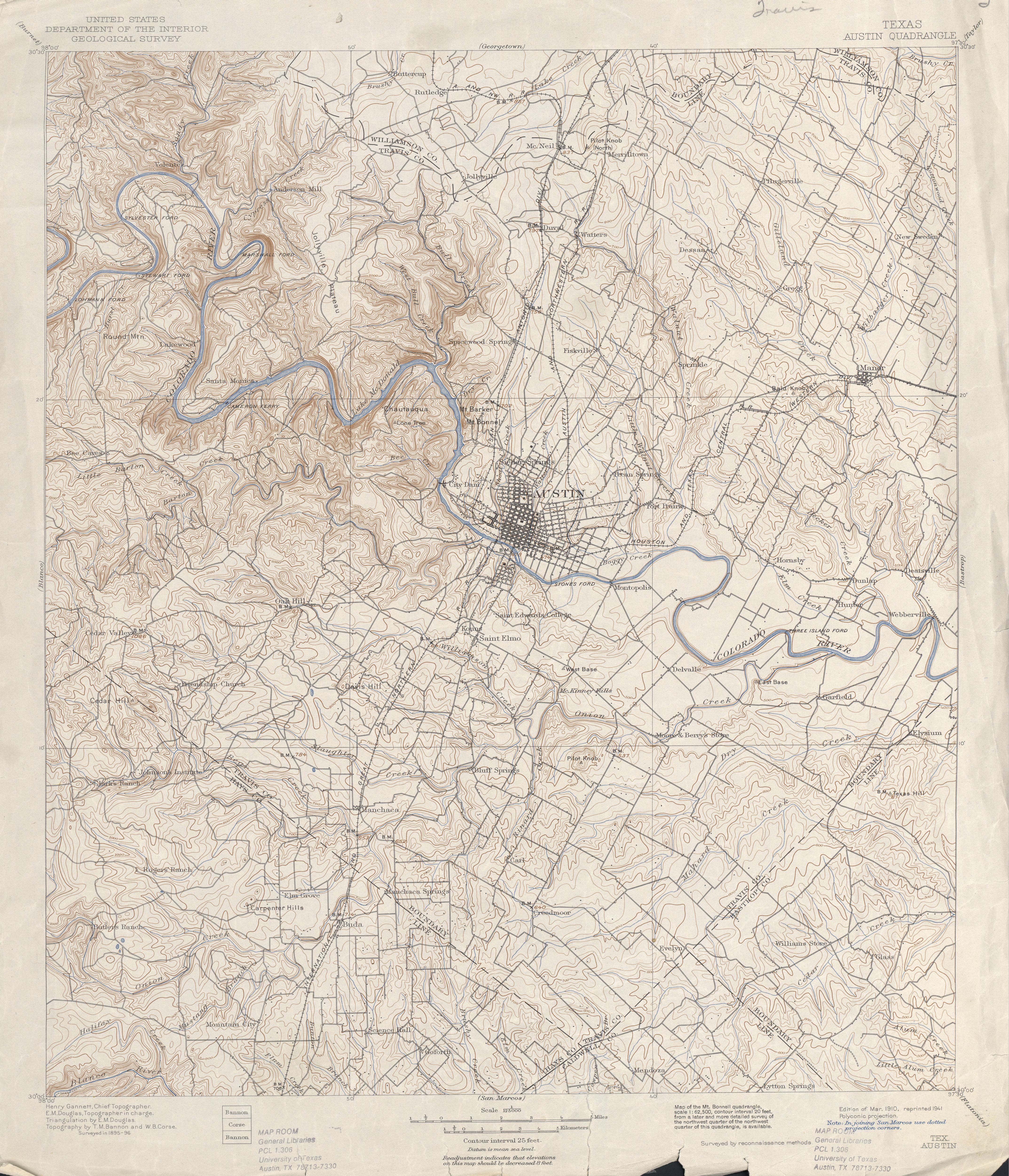
- Austin 1:125,000 Surveyed 1895-96 (5.3MB)
- Austin 1:125,000 [portion of map above] Surveyed 1895-96, 1910 Edition, 1921 Reprint (741K)
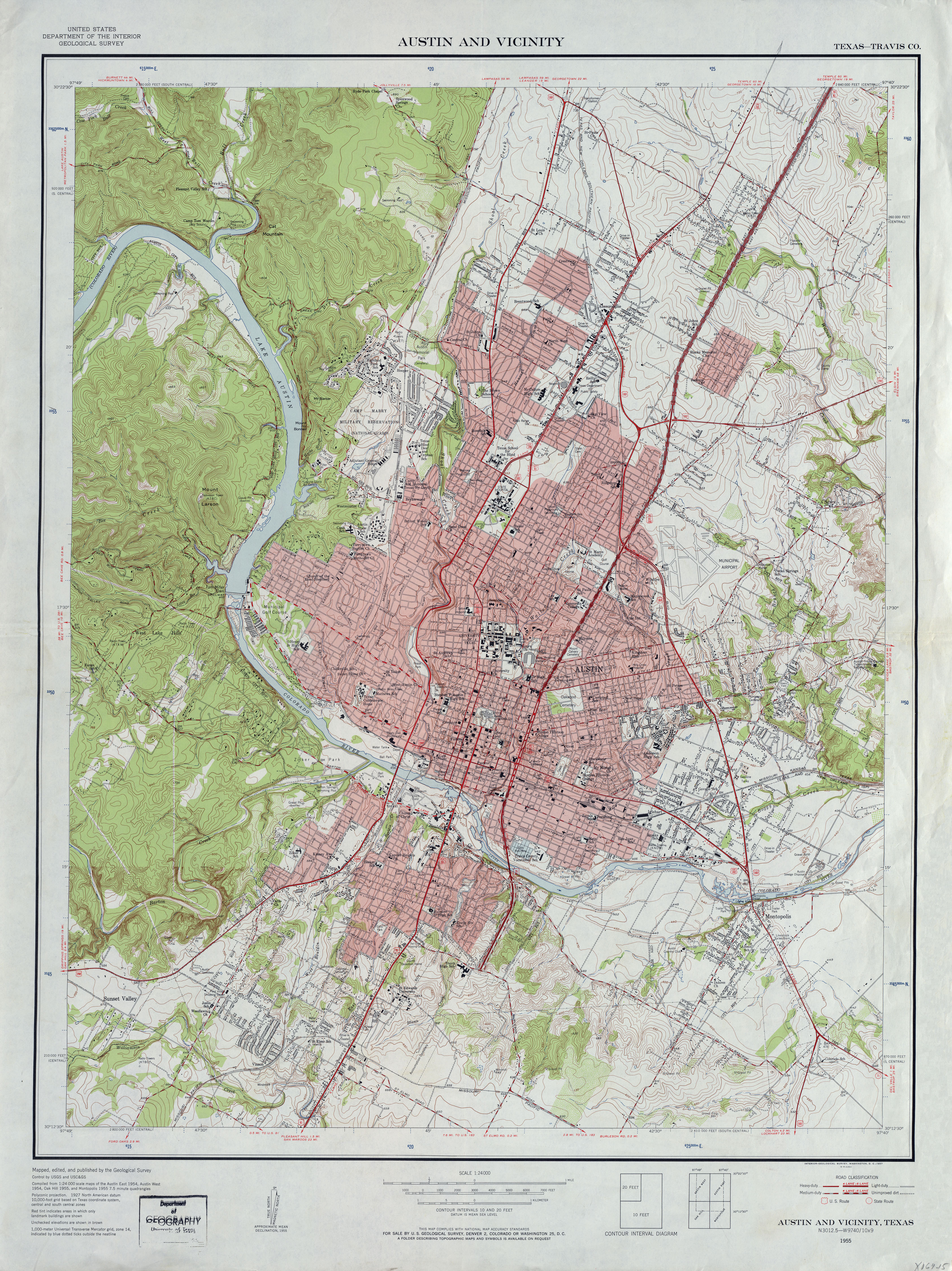
- Austin and Vicinity (Travis County) 1:24,000 1955 (4.9MB)
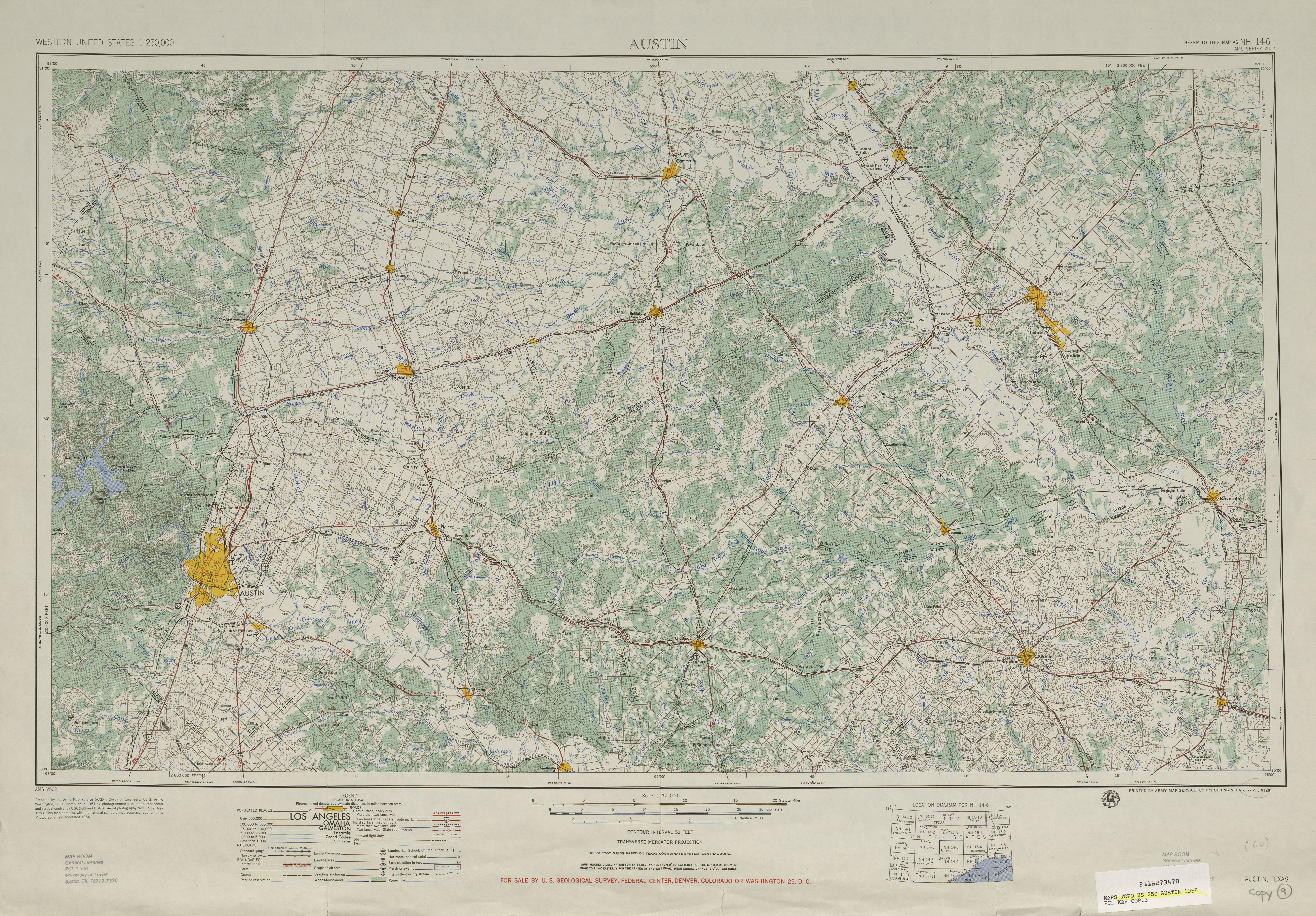
- Austin 1:250,000 1955 (9.4MB)
- Austin 1:250,000 1963 (9.1MB)
- Austin 1:250,000 1974 (10.2MB)
- Austin East (Travis County) 1:24,000 1954 (5.1MB)
- Austin East (Travis County) 1:24,000 1966 (4.8MB)
- Austin East (Travis County) 1:24,000 1973 (4.8MB)
- Austin East (Travis County) 1:24,000 1988 (5.8MB)
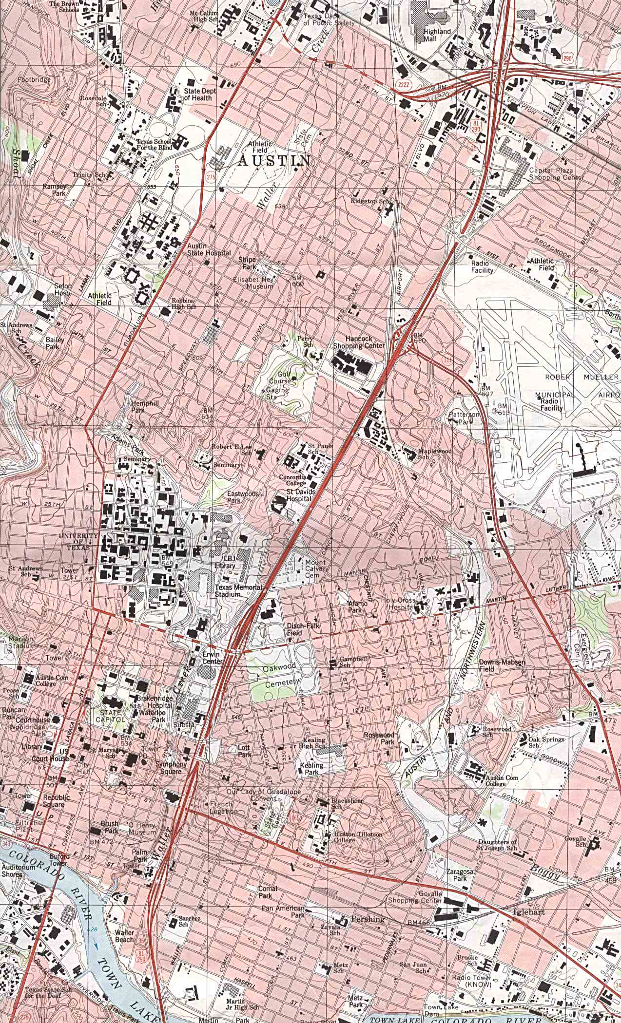
- Austin East - Part of map showing Central Austin 1:24,000 1988 (504K)
- Austin East 1:24,000 2008 (19.4MB) [GeoPDF]
- Austin East 1:24,000 2013 (30.1MB) [GeoPDF]
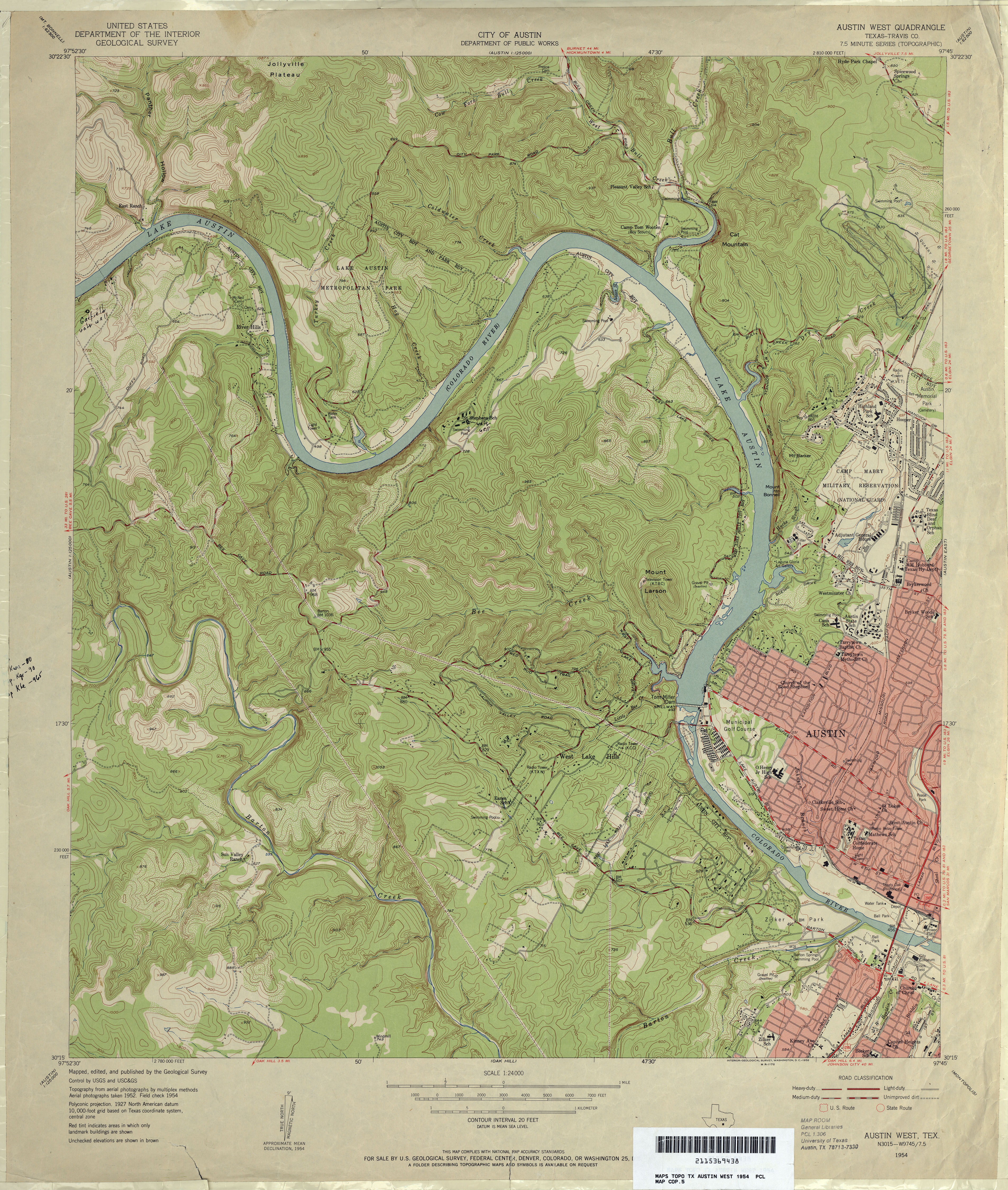
- Austin West (Travis County) 1:24,000 1954 (5.4MB)
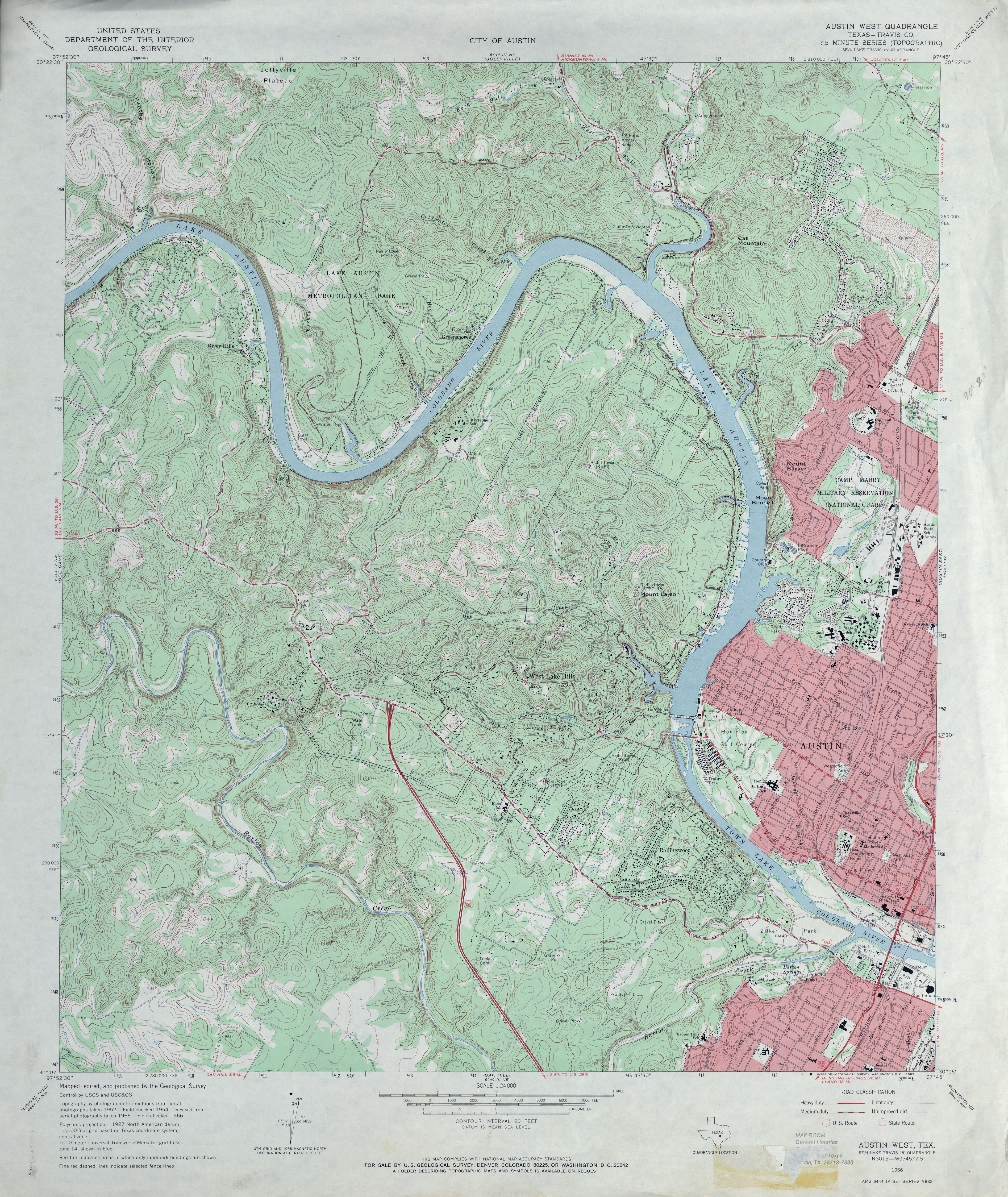
- Austin West (Travis County) 1:24,000 1966 (5.5MB)
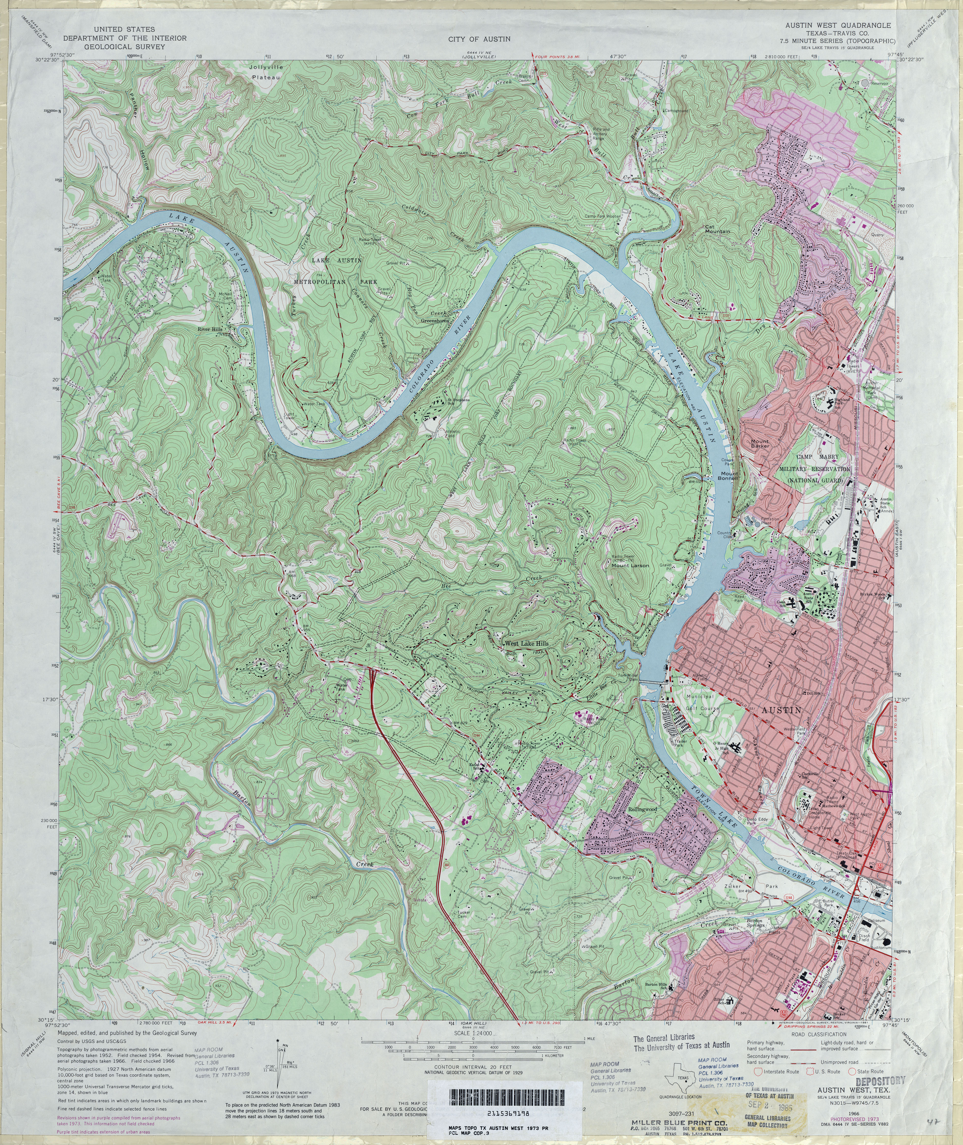
- Austin West (Travis County) 1:24,000 1973 (5.8MB)
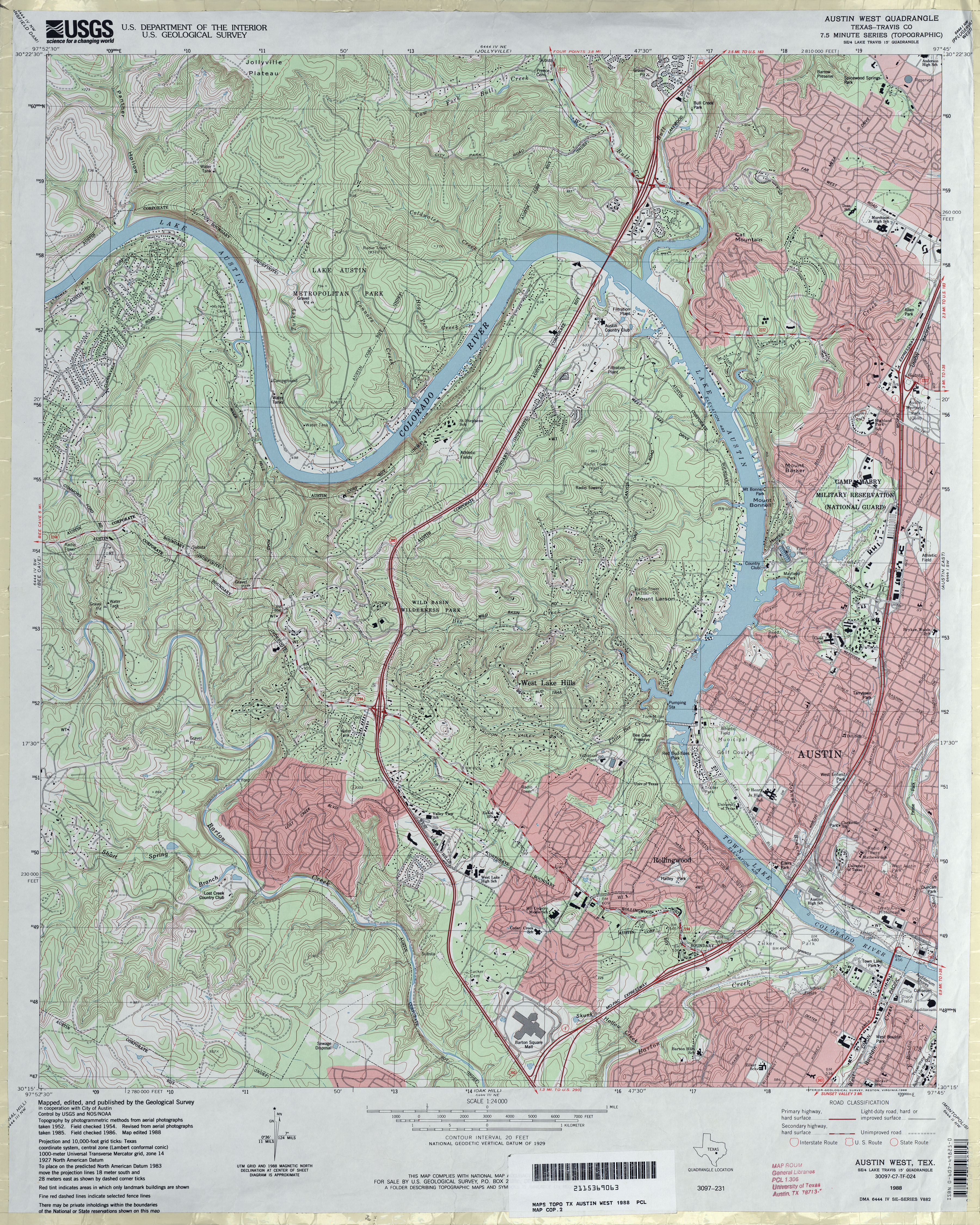
- Austin West (Travis County) 1:24,000 1988 (6.2MB)
- Austin West 1:24,000 2008 (21.2MB) [GeoPDF]
- Austin West 1:24,000 2013 (31.1MB) [GeoPDF]