Perry-Castañeda Library
Map Collection
U.S. Virgin Islands Maps
Virgin Islands Maps
The following maps were produced by the U.S. Central Intelligence Agency, unless otherwise indicated.
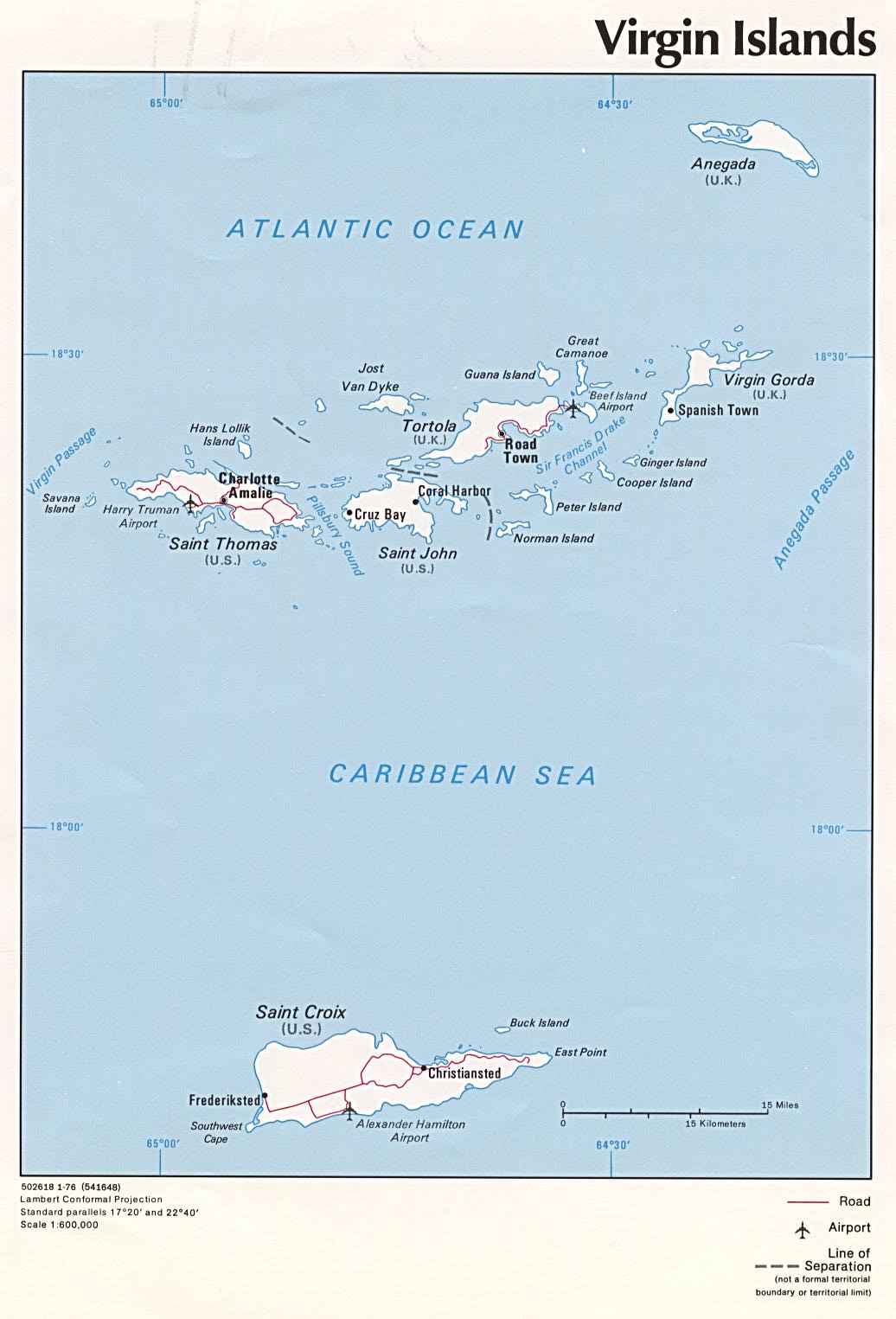
- Virgin Islands (U.S. External Territory) (Political) 1976 (142K) and pdf format (145K)
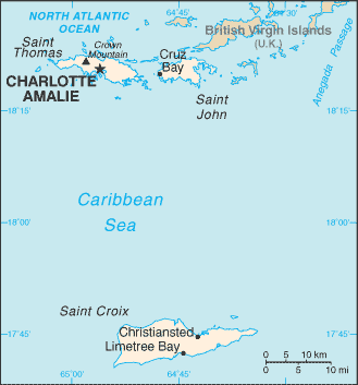
- Virgin Islands (U.S. External Territory) (Small Map) 2015 (9.2K)
City Maps
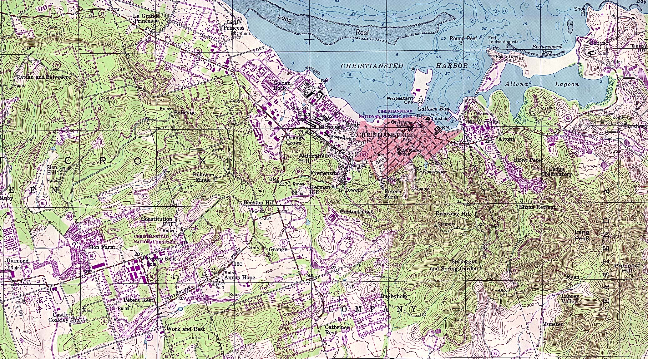
- Christiansted (Topographic) original scale 1:24,000 U.S. Geological Survey 1982 (1,411K)
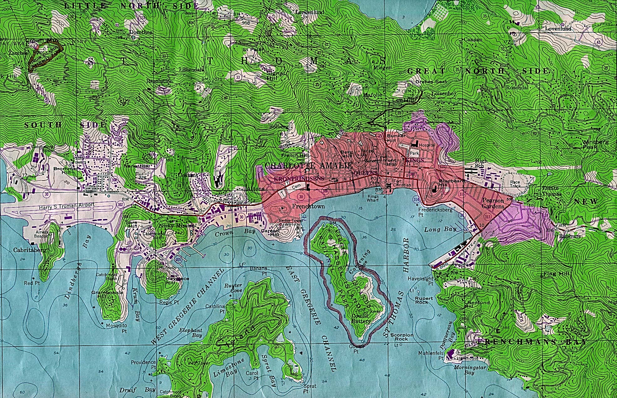
- Charlotte Amalie (Topographic) original scale 1:24,000 U.S. Geological Survey 1982 (1,360K)
Historical Maps
- Virgin Islands 1920 "Virgin Islands of the United States" from Putnam's Handy Volume Atlas of the World, with an Index of Cities and Towns giving the Complete 1920 Census of the United States and lists of the Countries and Cities of the World, With Latest Population Figures and Useful Statistical Information. 1921. (323K)
The following maps were produced by the U.S. National Park Service
- Virgin Islands National Park (Area Map) 1995 (65K) (PDF Format)
- Virgin Islands National Park (Park Map) (561K)
- U.S. Virgin Islands Topographic Maps Original Scale 1:24,000 U.S. Geological Survey
- 1:1,000,000 - Operational Navigation Chart, Sheet J-27 (aeronautical chart) U.S. Defense Mapping Agency Aerospace Center, revised 1980 Not for navigational use (9.5MB)
- This sheet includes the Virgin Islands
- 1:500,000 - Tactical Pilotage Charts U.S. National Imagery and Mapping Agency. Not for navigational use
- This series covers the Virgin Islands
- This sheet includes the Virgin Islands