Perry-Castañeda Library
Map Collection
Texas Topographic Maps
Maps in this online collection are from the Perry-Castañeda Library, Walter Geology Library and Dolph Briscoe Center for American History at the University of Texas at Austin as well as the Texas State Library. All maps on this site were published by the U.S. Geological Survey unless otherwise noted and are in the public domain. The date given for each map is the date of latest survey. The Geographic Names Information System allows searches of geographic names to determine which map sheets they appear on. Indexes are available for Texas - East and Texas - West for the 1:24,000 map series. Maps published prior to 1923 are on the Texas Historical Topographic Map Index. More information about these maps is available on the Topographic Maps Home Page. Note: To fully view the GeoPDF files use Adobe Reader as your default PDF viewer or download the files and open them within Adobe Reader.
A, B, C, D, E, F, G, H, I, J, K, L, M, N, O, P, Q, R, S, T, U, V, W, X, Y, Z
- Sabanno 1:24,000 1969 (3.4MB)
- Sabanno 1:24,000 2008 (12.8MB) [GeoPDF]
- Sabanno 1:24,000 2012 (20.1MB) [GeoPDF]
- Sabinal 1:62,500 1928 (4.9 MB) U.S. Army. Corps of Engineers. Tactical Map
- Sabinal 1:24,000 1970 (3.8MB)
- Sabinal 1:24,000 2008 (14.7MB) [GeoPDF]
- Sabinal 1:24,000 2013 (21.8MB) [GeoPDF]
- Sabinal NE (Medina County) 1:24,000 1969 (3.9MB)
- Sabinal NE 1:24,000 2008 (18.3MB) [GeoPDF]
- Sabinal NE 1:24,000 2013 (24MB) [GeoPDF]
- Sabinal Canyon 1:24,000 1964 (5.6MB)
- Sabinal Canyon 1:24,000 2008 (21.8MB) [GeoPDF]
- Sabinal Canyon 1:24,000 2012 (28.2MB) [GeoPDF]
- Sabine Pass 1:31,680 1943 (2.9 MB) Tennessee Valley Authority
- Sabine Pass 1:25,000 1947 (3.7MB) U.S. Army Map Service, Series V882
- Sabine Pass 1:24,000 1957 (3.3MB) U.S. Department of the Army Corps of Engineers
- Sabine Pass 1:62,500 1957 (2.7MB) U.S. Department of the Army Corps of Engineers
- Sabine Pass 1:24,000 1970 (3.6MB) U.S. Department of the Army Corps of Engineers
- Sabine Pass 1:24,000 1993 (4.2MB)
- Sabine Pass 1:24,000 2009 (11.2MB) [GeoPDF]
- Sabine Pass 1:24,000 2013 (15.4MB) [GeoPDF]
- Sacatosa Tank (Maverick County) 1:24,000 1974 (4.6MB)
- Sacatosa Tank 1:24,000 2008 (20.7MB) [GeoPDF]
- Sacatosa Tank 1:24,000 2012 (28.5MB) [GeoPDF]
- Saddle Butte (Pecos County) 1:24,000 1970 (3.1MB)
- Saddle Butte 1:24,000 2008 (19.7MB) [GeoPDF]
- Saddle Butte 1:24,000 2012 (26.4MB) [GeoPDF]
- Sadler (Grayson County) 1:24,000 1982 (4.3MB)
- Sadler 1:24,000 2008 (13.1MB) [GeoPDF]
- Sadler 1:24,000 2013 (19.7MB) [GeoPDF]
- Sagerton 1:24,000 1964 (3.7MB)
- Sagerton 1:24,000 2008 (11.1MB) [GeoPDF]
- Sagerton 1:24,000 2012 (17.1MB) [GeoPDF]
- Sagunada Ranch (Starr County) 1:24,000 1965 (5.2MB)
- Sagunada Ranch 1:24,000 2009 (20.5MB) [GeoPDF]
- Sagunada Ranch 1:24,000 2012 (22.3MB) [GeoPDF]
- Saint Charles Bay (Aransas County) 1:24,000 1952 (3.9MB)
- Saint Charles Bay (Aransas County) 1:24,000 1973 (3.8MB)
- Saint Charles Bay 1:24,000 2008 (7MB) Texas Natural Resources Information System (TNRIS). [pdf]
- Saint Charles Bay 1:24,000 2008 (10.3MB) [GeoPDF]
- Saint Charles Bay 1:24,000 2013 (19.1MB) [GeoPDF]
- Saint Charles Bay SE 1:24,000 1952 (2.5MB)
- Saint Charles Bay SE 1:24,000 1973 (2.6MB)
- Saint Charles Bay SE 1:24,000 2008 (2.3MB) Texas Natural Resources Information System (TNRIS). [pdf]
- Saint Charles Bay SE 1:24,000 2008 (14.0MB) [GeoPDF]
- Saint Charles Bay SE 1:24,000 2013 (20.6MB) [GeoPDF]
- Saint Charles Bay SW (Aransas County) 1:24,000 1952 (3.1MB)
- Saint Charles Bay SW 1:24,000 2008 (4.6MB) Texas Natural Resources Information System (TNRIS). [pdf]
- Saint Charles Bay SW 1:24,000 2008 (14.5MB) [GeoPDF]
- Saint Charles Bay SW 1:24,000 2013 (21MB) [GeoPDF]
- Saint Hedwig 1:24,000 1958 (4.9MB) U.S. Department of the Army Corps of Engineers
- Saint Hedwig 1:24,000 1973 (4.8MB) U.S. Department of the Army Corps of Engineers
- Saint Hedwig 1:24,000 1992 (4.4MB)
- Saint Hedwig 1:24,000 2008 (13.1MB) [GeoPDF]
- Saint Hedwig 1:24,000 2013 (21.2MB) [GeoPDF]
- Saint Jo (Montague County) 1:24,000 1961 (4.6MB)
- Saint Jo (Montague County) 1:24,000 1978 (5.3MB)
- Saint Jo 1:24,000 2008 (15.2MB) [GeoPDF]
- Saint Jo 1:24,000 2013 (21.2MB) [GeoPDF]
- Saint Lawrence 1:24,000 1973 (3.2MB)
- Saint Lawrence 1:24,000 2008 (12.9MB) [GeoPDF]
- Saint Lawrence 1:24,000 2012 (19.8MB) [GeoPDF]
- Saint Lawrence SE (Reagan County) 1:24,000 1973 (3.2MB)
- Saint Lawrence SE 1:24,000 2008 (16.6MB) [GeoPDF]
- Saint Lawrence SE 1:24,000 2012 (21.9MB) [GeoPDF]
- Sal Colorada 1:62,500 1938 (3.8 MB) U.S. Army. Corps of Engineers. 15 Minute Series
- Salado (Bell County) 1:24,000 1964 (4.4MB)
- Salado (Bell County) 1:24,000 1979 (4.2MB)
- Salado 1:24,000 2008 (14.7MB) [GeoPDF]
- Salado 1:24,000 2013 (22.5MB) [GeoPDF]
- Saline Bay 1:24,000 1973 (4.6MB)
- Saline Bay 1:24,000 2009 (17.1MB) [GeoPDF]
- Saline Bay 1:24,000 2012 (21.1MB) [GeoPDF]
- Salineno 1:24,000 1965 (4.7MB)
- Salineno 1:24,000 1980 (4.9MB)
- Salineno 1:24,000 2008 (24.1MB) [GeoPDF]
- Salineno 1:24,000 2012 (27.4MB) [GeoPDF]
- Salmon Peak (Kinney County) 1:24,000 1974 (5.2MB)
- Salmon Peak 1:24,000 2008 (26.0MB) [GeoPDF]
- Salmon Peak 1:24,000 2013 (32.5MB) [GeoPDF]
- Salona (Montague County) 1:24,000 1961 (4.8MB)
- Salona (Montague County) 1:24,000 1978 (4.6MB)
- Salona 1:24,000 2008 (15.2MB) [GeoPDF]
- Salona 1:24,000 2013 (20.9MB) [GeoPDF]
- Salt Basin 1:125,000 1891 (2.3 MB)
- Salt Flat (Hudspeth County) 1:24,000 1984 (3.3MB)
- Salt Flat 1:24,000 2008 (15.7MB) [GeoPDF]
- Salt Flat 1:24,000 2012 (20.5MB) [GeoPDF]
- Salt Gap 1:24,000 1967 (4.2MB)
- Salt Gap 1:24,000 2008 (18.5MB) [GeoPDF]
- Salt Gap 1:24,000 2013 (21.8MB) [GeoPDF]
- Salt Lake (Midland County) 1:24,000 1965 (3.7MB)
- Salt Lake (Midland County) 1:24,000 1974 (3MB)
- Salt Lake 1:24,000 2008 (19.0MB) [GeoPDF]
- Salt Lake 1:24,000 2012 (24.1MB) [GeoPDF]
- Salt Well 1:24,000 1983 (3.7MB)
- Salt Well 1:24,000 2008 (19.4MB) [GeoPDF]
- Salt Well 1:24,000 2012 (28.3MB) [GeoPDF]
- Salter Creek 1:24,000 1954 (5.2MB)
- Salter Creek 1:24,000 1969 (7MB)
- Salter Creek 1:24,000 1985 (4.9MB)
- Salter Creek 1:24,000 2003 (5.2MB)
- Salter Creek 1:24,000 2009 (24.6MB) [GeoPDF]
- Saltillo 1:24,000 1964 (3.7MB)
- Saltillo 1:24,000 2009 (14.8MB) [GeoPDF]
- Saltillo 1:24,000 2012 (21.5MB) [GeoPDF]
- Saltillo Ranch (Kenedy County) 1:62,500 1921 (3.8 MB)
- Saltillo Ranch (Kenedy County) 1:62,500 1956 (5.2MB)
- Saltillo Well (Kenedy County) 1:24,000 1956 (4.4MB)
- Saltillo Well (Kenedy County) 1:24,000 1975 (3.9MB)
- Saltillo Well 1:24,000 2009 (19.9MB) [GeoPDF]
- Saltillo Well 1:24,000 2013 (24.1MB) [GeoPDF]
- Sample 1:24,000 1961 (4MB)
- Sample 1:24,000 1987 (4.8MB)
- Sample 1:24,000 2008 (14.8MB) [GeoPDF]
- Sample 1:24,000 2013 (25.9MB) [GeoPDF]
- San Ambrosia Creek 1:100,000 1985 (3.5MB) Planimetric Map
- San Ambrosia Creek 1:100,000 1993 (6.3MB)
- San Ambrosia Creek 1:100,000 1993 [large] (21.5MB)
- San Ambrosia Creek 3 NE 1:24,000 1983 (2.8MB)
- San Angelo 1:125,000 1890 (2.2 MB)
- San Angelo 1:250,000 1954 (9.2MB)
- San Angelo 1:100,000 1986 (8.1MB)
- San Angelo North (Tom Green County) 1:24,000 1957 (4.7MB)
- San Angelo North (Tom Green County) 1:24,000 1971 (4.3MB)
- San Angelo North (Tom Green County) 1:24,000 1978 (3.2MB)
- San Angelo North 1:24,000 2008 (20.4MB) [GeoPDF]
- San Angelo North 1:24,000 2012 (25.1MB) [GeoPDF]
- San Angelo South (Tom Green County) 1:24,000 1957 (4.7MB)
- San Angelo South (Tom Green County) 1:24,000 1971 (4.3MB)
- San Angelo South (Tom Green County) 1:24,000 1978 (4.5MB)
- San Angelo South 1:24,000 2008 (21.1MB) [GeoPDF]
- San Angelo South 1:24,000 2013 (26.2MB) [GeoPDF]
- San Antonio 1:62,500 1903 (7.2 MB) [military facilities in red]
- San Antonio 1:250,000 1964 (10.9MB)
- San Antonio 1:250,000 1980 (11.9MB)
- San Antonio 1:100,000 1985 (9MB)
- San Antonio East (Bexar County) 1:24,000 1953 (5.3MB) U.S. Department of the Army Corps of Engineers
- San Antonio East (Bexar County) 1:24,000 1967 (4.1MB)
- San Antonio East (Bexar County) 1:24,000 1973 (5MB)
- San Antonio East (Bexar County) 1:24,000 1992 (5.4MB)
- San Antonio East 1:24,000 2008 (22.6MB) [GeoPDF]
- San Antonio East 1:24,000 2013 (28.5MB) [GeoPDF]
- San Antonio Bay 1:125,000 1928 (3.8MB) U.S. Army. Corps of Engineers. Tactical Map
- San Antonio Bay 1:100,000 1983 (4.9MB)
- San Antonio Mtn. (Hudspeth County) 1:62,500 1943 (4.4MB) U.S. War Department
- San Antonio Pass 1:24,000 1978 (2.9MB)
- San Antonio Pass 1:24,000 2008 (12.8MB) [GeoPDF]
- San Antonio Pass 1:24,000 2012 (20.1MB) [GeoPDF]
- San Antonio Viejo (Jim Hogg County) 1:24,000 1972 (4.8MB)
- San Antonio Viejo (Jim Hogg County) 1:24,000 1993 (3.6MB)
- San Antonio Viejo 1:24,000 2008 (21.7MB) [GeoPDF]
- San Antonio Viejo 1:24,000 2012 (25.1MB) [GeoPDF]
- San Antonio West (Bexar County) 1:24,000 1953 (5MB) U.S. Department of the Army Corps of Engineers
- San Antonio West (Bexar County) 1:24,000 1967 (4.4MB)
- San Antonio West (Bexar County) 1:24,000 1973 (4.5MB)
- San Antonio West (Bexar County) 1:24,000 1993 (5MB)
- San Antonio West 1:24,000 2008 (23.0MB) [GeoPDF]
- San Antonio West 1:24,000 2013 (29.5MB) [GeoPDF]
- San Augustine 1:62,500 1958 (4.9MB)
- San Augustine Draw (Menard County) 1:24,000 1970 (3.5MB)
- San Augustine Draw 1:24,000 2008 (22.7MB) [GeoPDF]
- San Augustine Draw 1:24,000 2012 (26.8MB) [GeoPDF]
- San Augustine East 1:24,000 1984 (5.3MB)
- San Augustine East 1:24,000 2003 (5.8MB)
- San Augustine East 1:24,000 2008 (3.4MB) Texas Natural Resources Information System (TNRIS). [pdf]
- San Augustine East 1:24,000 2009 (24.5MB) [GeoPDF]
- San Augustine East 1:24,000 2013 (27.8MB) [GeoPDF]
- San Augustine West 1:24,000 1984 (5.4MB)
- San Augustine West 1:24,000 2008 (3MB) Texas Natural Resources Information System (TNRIS). [pdf]
- San Augustine West 1:24,000 2009 (24.2MB) [GeoPDF]
- San Augustine West 1:24,000 2013 (25.7MB) [GeoPDF]
- San Benito 1:62,500 1925 (4.8MB) U.S. Army. Corps of Engineers. Tactical Map
- San Caja Hill (McMullen County) 1:24,000 1969 (4.8MB)
- San Caja Hill 1:24,000 2008 (18.1MB) [GeoPDF]
- San Caja Hill 1:24,000 2013 (24.2MB) [GeoPDF]
- San Carlos (Presidio County) 1:125,000 1895 (2.4 MB)
- San Diego 1:126,720 1899 (6.2MB) U.S. Army. Corps of Engineers. Progressive Military Map
- San Diego 1:62,500 1917 (4.1MB) U.S. Army. Corps of Engineers. Tactical Map
- San Diego 1:24,000 1963 (4.6MB)
- San Diego 1:24,000 2009 (15.3MB) [GeoPDF]
- San Diego 1:24,000 2013 (22.1MB) [GeoPDF]
- San Diego NE (Jim Wells County) 1:24,000 1963 (4.6MB)
- San Diego NE 1:24,000 2009 (13.9MB) [GeoPDF]
- San Diego NE 1:24,000 2013 (19.7MB) [GeoPDF]
- San Elizario (El Paso County) 1:24,000 1955 (2MB) U.S. Department of the Army Corps of Engineers
- San Elizario (El Paso County) 1:24,000 1967 (2.1MB) U.S. Department of the Army Corps of Engineers
- San Elizario (El Paso County) 1:24,000 1973 (2MB) U.S. Department of the Army Corps of Engineers
- San Elizario (El Paso County) 1:24,000 1995 (2MB)
- San Elizario 1:24,000 2008 (20.0MB) [GeoPDF]
- San Elizario 1:24,000 2012 (14.4MB) [GeoPDF]
- San Estaban Dam (Presidio County) 1:62,500 1933 (4.4MB) U.S. Army Corps of Engineers Tactical Map
- San Esteban Lake (Presidio County) 1:24,000 1983 (3.1MB)
- San Esteban Lake 1:24,000 2008 (13.1MB) [GeoPDF]
- San Esteban Lake 1:24,000 2012 (20.3MB) [GeoPDF]
- San Esteban Lake SW (Presidio County) 1:24,000 1983 (4.5MB)
- San Esteban Lake SW 1:24,000 2008 (15.7MB) [GeoPDF]
- San Esteban Lake SW 1:24,000 2012 (22.7MB) [GeoPDF]
- San Felipe 1:24,000 1960 (3.9MB)
- San Felipe 1:24,000 1980 (3.7MB)
- San Felipe 1:24,000 2009 (14.7MB) [GeoPDF]
- San Felipe 1:24,000 2013 (24MB) [GeoPDF]
- San Francisco Creek 1:125,000 1907 (10.2MB) U.S. Army. Corps of Engineers. Progressive Military Map
- San Francisco Shutups (Brewster County) 1:24,000 1983 (3.7MB)
- San Francisco Shutups 1:24,000 2008 (31.4MB) [GeoPDF]
- San Francisco Shutups 1:24,000 2013 (29.9MB) [GeoPDF]
- San Gabriel 1:24,000 1963 (4.3MB)
- San Gabriel 1:24,000 1989 (3.7MB)
- San Gabriel 1:24,000 2008 (11.2MB) [GeoPDF]
- San Gabriel 1:24,000 2012 (20MB) [GeoPDF]
- San Geronimo 1:24,000 1970 (3.9MB)
- San Geronimo 1:24,000 1982 (4.4MB)
- San Geronimo 1:24,000 2008 (19.0MB) [GeoPDF]
- San Geronimo 1:24,000 2013 (24.6MB) [GeoPDF]
- San Ignacio 1:50,000 1991 (6.8MB) U.S. Defense Mapping Agency, Edition 1-DMA, Series V782
- San Isidro 1:24,000 1972 (3.2MB)
- San Isidro 1:24,000 1993 (3.3MB)
- San Isidro 1:24,000 2009 (20.3MB) [GeoPDF]
- San Isidro 1:24,000 2012 (22.2MB) [GeoPDF]
- San Jacinto 1:24,000 1959 (3.8MB)
- San Jacinto 1:24,000 1976 (4.5MB)
- San Jacinto 1:24,000 1997 (5MB)
- San Jacinto 1:24,000 2009 (25.1MB) [GeoPDF]
- San Jacinto 1:24,000 2013 (21.4MB) [GeoPDF]
- San Jose (Duval County) 1:24,000 1968 (4.4MB)
- San Jose 1:24,000 2008 (14.9MB) [GeoPDF]
- San Jose 1:24,000 2013 (21.7MB) [GeoPDF]
- San Juan (Hidalgo County) 1:62,500 1914 (2.3 MB)
- San Juan SE (Hidalgo County) 1:24,000 1962 (2.8MB)
- San Juan SE 1:24,000 2002 (3.5MB)
- San Juan SE 1:24,000 2009 (13.7MB) [GeoPDF]
- San Juan SE 1:24,000 2013 (15.8MB) [GeoPDF]
- San Lorenzo Creek 1:62,500 1925 (3.7 MB) U.S. Army. Corps of Engineers. Tactical Map
- San Lorenzo Creek 1:62,500 1940 (4.2MB)
- San Luis Pass (Galveston County) 1:31,680 1930 (1.6 MB)
- San Luis Pass 1:24,000 1952 (2.1MB) U.S. Department of the Army Corps of Engineers
- San Luis Pass 1:24,000 1963 (2.1MB)
- San Luis Pass 1:24,000 1974 (2.1MB)
- San Luis Pass 1:24,000 2008 (1.7MB) Texas Natural Resources Information System (TNRIS). [pdf]
- San Luis Pass 1:24,000 2009 (13.3MB) [GeoPDF]
- San Luis Pass 1:24,000 2013 (17.9MB) [GeoPDF]
- San Marcos 1:125,000 1908 (7.3MB)
- San Marcos North 1:24,000 1964 (4.6MB)
- San Marcos North 1:24,000 1973 (4.9MB)
- San Marcos North 1:24,000 1994 (5.5MB)
- San Marcos North 1:24,000 1995 (5.3MB)
- San Marcos North 1:24,000 2008 (20.1MB) [GeoPDF]
- San Marcos North 1:24,000 2013 (26.7MB) [GeoPDF]
- San Marcos South 1:24,000 1964 (4MB)
- San Marcos South 1:24,000 1973 (3.9MB)
- San Marcos South 1:24,000 1994 (5MB)
- San Marcos South 1:24,000 2008 (14.3MB) [GeoPDF]
- San Marcos South 1:24,000 2013 (23MB) [GeoPDF]
- San Martine 1:24,000 1970 (3.6MB)
- San Martine 1:24,000 2008 (21.0MB) [GeoPDF]
- San Martine 1:24,000 2013 (22.2MB) [GeoPDF]
- San Miguel Ranch 1:24,000 1969 (5MB)
- San Miguel Ranch 1:24,000 2008 (17.4MB) [GeoPDF]
- San Miguel Ranch 1:24,000 2013 (22.6MB) [GeoPDF]
- San Pablo 1:24,000 1968 (3.4MB)
- San Pablo 1:24,000 2008 (19.6MB) [GeoPDF]
- San Pablo 1:24,000 2013 (25.2MB) [GeoPDF]
- San Pablo Ranch (Jim Hogg County) 1:24,000 1972 (4.6MB)
- San Pablo Ranch 1:24,000 2008 (20.4MB) [GeoPDF]
- San Pablo Ranch 1:24,000 2013 (23.7MB) [GeoPDF]
- San Patricio 1:24,000 1979 (3.6MB)
- San Patricio 1:24,000 2008 (14.7MB) [GeoPDF]
- San Patricio 1:24,000 2013 (20.2MB) [GeoPDF]
- San Pedro Creek 1:24,000 1982 (5.3MB)
- San Pedro Creek 1:24,000 2008 (18.0MB) [GeoPDF]
- San Pedro Creek 1:24,000 2012 (27.7MB) [GeoPDF]
- San Pedro Hill 1:24,000 1983 (5.1MB)
- San Pedro Hill 1:24,000 2008 (18.2MB) [GeoPDF]
- San Pedro Hill 1:24,000 2013 (29.4MB) [GeoPDF]
- San Pedro Ranch (Kenedy County) 1:24,000 1956 (4.5MB)
- San Pedro Ranch (Kenedy County) 1:24,000 1975 (4.6MB)
- San Pedro Ranch 1:24,000 2009 (17.1MB) [GeoPDF]
- San Pedro Ranch 1:24,000 2013 (22.5MB) [GeoPDF]
- San Perlita North 1:24,000 1956 (4.5MB)
- San Perlita North 1:24,000 1975 (3.7MB)
- San Perlita North 1:24,000 2009 (16.2MB) [GeoPDF]
- San Perlita North 1:24,000 2013 (17.6MB) [GeoPDF]
- San Perlita South (Willacy County) 1:24,000 1956 (2.2MB)
- San Perlita South (Willacy County) 1:24,000 1970 (2.3MB)
- San Perlita South (Willacy County) 1:24,000 1980 (2.3MB)
- San Perlita South 1:24,000 2008 (12.7MB) [GeoPDF]
- San Perlita South 1:24,000 2013 (15MB) [GeoPDF]
- San Rosendo 1:24,000 1983 (4.6MB)
- San Rosendo 1:24,000 2013 (15.3MB) [GeoPDF]
- San Saba 1:125,000 1885 (2.6 MB)
- San Saba (San Saba County) 1:24,000 1959 (4.9MB)
- San Saba 1:62,500 1959 (6.6MB)
- San Saba (San Saba County) 1:24,000 1976 (4.1MB)
- San Saba 1:100,000 1985 (10MB)
- San Saba 1:24,000 2008 (17.7MB) [GeoPDF]
- San Saba 1:24,000 2013 (22.2MB) [GeoPDF]
- San Saba 2-a 1:48,000 1925 (3.8MB)
- San Saba 2-b 1:48,000 1925 (3.5MB)
- San Saba Peak 1:24,000 1980 (4.7MB)
- San Saba Peak 1:24,000 2008 (19.9MB) [GeoPDF]
- San Saba Peak 1:24,000 2013 (25.9MB) [GeoPDF]
- San Tomas Camp (Brooks County) 1:24,000 1963 (3.8MB)
- San Tomas Camp (Brooks County) 1:24,000 1982 (3.9MB)
- San Tomas Camp 1:24,000 2009 (18.6MB) [GeoPDF]
- San Tomas Camp 1:24,000 2012 (21.8MB) [GeoPDF]
- San Vicente 1:24,000 1971 (4MB)
- San Vicente 1:24,000 2008 (19.6MB) [GeoPDF]
- San Vicente 1:24,000 2012 (24.2MB) [GeoPDF]
- San Ygnacio (Zapata County) 1:62,500 1942 (3.7 MB) U.S. Army. Corps of Engineers. Tactical Map
- San Ygnacio 1:24,000 1979 (4MB)
- San Ygnacio 1:100,000 1985 (6.6MB)
- San Ygnacio 1:100,000 1985 [large] (22.8MB)
- San Ygnacio 1:24,000 2008 (23.6MB) [GeoPDF]
- San Ygnacio 1:24,000 2013 (24.6MB) [GeoPDF]
- Sanchez Springs 1:24,000 1968 (2.6MB)
- Sanchez Springs [Texas, New Mexico] 1:24,000 2009 (22.1MB) [GeoPDF]
- Sanchez Springs [Texas, New Mexico] 1:24,000 2012 (25.8MB) [GeoPDF]
- Sanco 1:24,000 1962 (4.4MB)
- Sanco 1:24,000 1987 (5.5MB)
- Sanco 1:24,000 2008 (23MB) [GeoPDF]
- Sanco 1:24,000 2012 (30.5MB) [GeoPDF]
- Sand 1:24,000 1970 (3MB)
- Sand 1:24,000 2008 (8.9MB) [GeoPDF]
- Sand 1:24,000 2012 (14.5MB) [GeoPDF]
- Sand Bluff Draw (Sterling County) 1:24,000 1963 (3.2MB)
- Sand Bluff Draw (Sterling County) 1:24,000 1978 (5.3MB)
- Sand Bluff Draw 1:24,000 2008 (18.5MB) [GeoPDF]
- Sand Bluff Draw 1:24,000 2012 (24.6MB) [GeoPDF]
- Sand Creek 1:24,000 1970 (4MB)
- Sand Creek 1:24,000 2008 (17.9MB) [GeoPDF]
- Sand Creek 1:24,000 2012 (22.8MB) [GeoPDF]
- Sand Lake 1:24,000 1961 (3.6MB)
- Sand Lake 1:24,000 1981 (4MB)
- Sand Lake 1:24,000 2008 (22.9MB) [GeoPDF]
- Sand Lake 1:24,000 2013 (27.2MB) [GeoPDF]
- Sand Mountain 1:24,000 1960 (5.4MB)
- Sand Mountain 1:24,000 2008 (18.8MB) [GeoPDF]
- Sand Mountain 1:24,000 2013 (30.3MB) [GeoPDF]
- Sand Point (Deaf Smith County) 1:24,000 1966 (2.7MB)
- Sand Point 1:24,000 2008 (11.2MB) [GeoPDF]
- Sand Point 1:24,000 2012 (14.4MB) [GeoPDF]
- Sand Ranch (Andrews County) 1:24,000 1971 (2.9MB)
- Sand Ranch 1:24,000 2008 (18.5MB) [GeoPDF]
- Sand Ranch 1:24,000 2012 (23.5MB) [GeoPDF]
- Sand Ridge 1:24,000 1964 (3.6MB)
- Sand Ridge 1:24,000 1972 (3.7MB)
- Sand Ridge 1:24,000 2009 (16.9MB) [GeoPDF]
- Sand Ridge 1:24,000 2013 (21.1MB) [GeoPDF]
- Sanders Hollow 1:24,000 1968 (4.1MB)
- Sanders Hollow 1:24,000 1981 (4.1MB)
- Sanders Hollow 1:24,000 2008 (13.7MB) [GeoPDF]
- Sanders Hollow 1:24,000 2012 (20.7MB) [GeoPDF]
- Sanderson 1:125,000 1917 (4.1MB) U.S. Army. Corps of Engineers. Progressive Military Map
- Sanderson 1:125,000 1928 (4.1MB)
- Sanderson (Terrell County) 1:24,000 1969 (4.6MB)
- Sanderson 1:100,000 1985 (8.5MB)
- Sanderson 1:24,000 2008 (25.7MB) [GeoPDF]
- Sanderson 1:24,000 2012 (32.5MB) [GeoPDF]
- Sanderson NE (Terrell County) 1:24,000 1969 (4.6MB)
- Sanderson NE 1:24,000 2008 (24.7MB) [GeoPDF]
- Sanderson NE 1:24,000 2012 (34.1MB) [GeoPDF]
- Sanderson SE (Terrell County) 1:24,000 1969 (4.3MB)
- Sanderson SE 1:24,000 2008 (21.2MB) [GeoPDF]
- Sanderson SE 1:24,000 2012 (31.7MB) [GeoPDF]
- Sandhill (Floyd County) 1:24,000 1965 (2.9MB)
- Sandhill 1:24,000 2008 (9.9MB) [GeoPDF]
- Sandhill 1:24,000 2012 (15.4MB) [GeoPDF]
- Sandia 1:24,000 1979 (4.4MB)
- Sandia 1:24,000 2009 (13.5MB) [GeoPDF]
- Sandia 1:24,000 2013 (22.7MB) [GeoPDF]
- Sandy Fork 1:24,000 1964 (4.1MB)
- Sandy Fork 1:24,000 1981 (4.4MB)
- Sandy Fork 1:24,000 2008 (13.9MB) [GeoPDF]
- Sandy Fork 1:24,000 2013 (24.4MB) [GeoPDF]
- Sanford 1:62,500 1936 survey, 1938 overprint (4.2 MB)
- Sanford 1:24,000 1953 (5.2MB)
- Sanford 1:24,000 1970 (4.4MB)
- Sanford 1:24,000 2008 (18.9MB) [GeoPDF]
- Sanford 1:24,000 2012 (24.4MB) [GeoPDF]
- Sanger (Denton County) 1:24,000 1960 (3.8MB)
- Sanger (Denton County) 1:24,000 1978 (3.9MB)
- Sanger 1:24,000 2008 (12.8MB) [GeoPDF]
- Sanger 1:24,000 2013 (18.5MB) [GeoPDF]
- Santa Anna (Coleman County) 1:24,000 1962 (4.4MB)
- Santa Anna (Coleman County) 1:24,000 1987 (4.1MB)
- Santa Anna 1:50,000 1989 (3.9MB) U.S. Defense Mapping Agency, Edition 2-DMA, Series V782
- Santa Anna 1:24,000 2008 (19.3MB) [GeoPDF]
- Santa Anna 1:24,000 2013 (21.5MB) [GeoPDF]
- Santa Elena 1:24,000 1972 (3.7MB)
- Santa Elena 1:24,000 1993 (3.6MB)
- Santa Elena 1:24,000 2009 (17.9MB) [GeoPDF]
- Santa Elena 1:24,000 2012 (20.9MB) [GeoPDF]
- Santa Elena NW 1:24,000 1972 (3.6MB)
- Santa Elena NW 1:24,000 2009 (18.0MB) [GeoPDF]
- Santa Elena NW 1:24,000 2012 (20.9MB) [GeoPDF]
- Santa Elena SE 1:24,000 1972 (3.7MB)
- Santa Elena SE 1:24,000 1993 (3.7MB)
- Santa Elena SE 1:24,000 2009 (16.8MB) [GeoPDF]
- Santa Elena SE 1:24,000 2012 (20.2MB) [GeoPDF]
- Santa Maria (Cameron County) 1:31,680 1929 survey, 1932 overprint (2.7 MB)
- Santa Maria 1:24,000 1956 (2.6MB)
- Santa Maria 1:24,000 1970 (2.7MB)
- Santa Maria 1:24,000 2002 (3.6MB)
- Santa Maria 1:24,000 2009 (14.8MB) [GeoPDF]
- Santa Maria 1:24,000 2013 (16.3MB) [GeoPDF]
- Santa Rosa 1:31,680 1929 survey, 1932 overprint (2.4 MB)
- Santa Rosa 1:24,000 1956 (2.6MB)
- Santa Rosa 1:24,000 1970 (2.6MB)
- Santa Rosa 1:24,000 1982 (2.6MB)
- Santa Rosa 1:24,000 2009 (12.2MB) [GeoPDF]
- Santa Rosa 1:24,000 2013 (16.5MB) [GeoPDF]
- Santa Rosa Lake 1:24,000 2010 (10.7MB) [GeoPDF]
- Santa Rosa Lake 1:24,000 2013 (16.7MB) [GeoPDF]
- Santa Rosa Lake NW 1:24,000 1966 (3.4MB)
- Santa Rosa Lake NW 1:24,000 2008 (9.3MB) [GeoPDF]
- Santa Rosa Lake NW 1:24,000 2012 (16.3MB) [GeoPDF]
- Santa Rosa Lake SW 1:24,000 1966 (4.5MB)
- Santa Rosa Lake SW 1:24,000 2008 (14.5MB) [GeoPDF]
- Santa Rosa Lake SW 1:24,000 2013 (21MB) [GeoPDF]
- Santana Mesa (Presidio County) 1:24,000 1971 (3.9MB)
- Santana Mesa 1:24,000 2012 (24.2MB) [GeoPDF]
- Santiago Mountains 1:125,000 1906 (10.1MB) U.S. Army. Corps of Engineers. Progressive Military Map
- Santiago Mountains 1:100,000 1985 (9MB)
- Santiago Peak (Brewster County) 1:62,500 1917 (3.2 MB)
- Santiago Peak (Brewster County) 1:24,000 1983 (4.3MB)
- Santiago Peak 1:24,000 2012 (24.9MB) [GeoPDF]
- Santo (Palo Pinto County) 1:62,500 1925 (2.1 MB)
- Santo 1:24,000 1984 (4.6MB)
- Santo 1:24,000 2008 (18.8MB) [GeoPDF]
- Santo 1:24,000 2012 (23.5MB) [GeoPDF]
- Saragosa (Reeves County) 1:24,000 1970 (2.8MB)
- Saragosa 1:24,000 2008 (17.0MB) [GeoPDF]
- Saragosa 1:24,000 2013 (22MB) [GeoPDF]
- Saragosa NW (Reeves County) 1:24,000 1970 (2.7MB)
- Saragosa NW 1:24,000 2008 (19.8MB) [GeoPDF]
- Saragosa NW 1:24,000 2013 (23.8MB) [GeoPDF]
- Saratoga 1:62,500 1955 (3.4MB)
- Saratoga (Hardin County) 1:24,000 1984 (3MB)
- Saratoga 1:24,000 2013 (23.6MB) [GeoPDF]
- Sardis (Cass County) 1:24,000 1965 (4.4MB)
- Sardis 1:24,000 2009 (21.3MB) [GeoPDF]
- Sardis 1:24,000 2012 (23.4MB) [GeoPDF]
- Sargent (Matagorda County) 1:24,000 1952 (2.9MB)
- Sargent (Matagorda County) 1:24,000 1972 (2.9MB)
- Sargent 1:24,000 2008 (16.7MB) [GeoPDF]
- Sargent 1:24,000 2013 (17.9MB) [GeoPDF]
- Sarita 1:125,000 1909 (4.4MB) U.S. Army. Corps of Engineers. Progressive Military Map
- Sarita 1:62,500 1954 (4.6MB)
- Sarita 1:24,000 1979 (3.7MB)
- Sarita 1:24,000 2009 (18.1MB) [GeoPDF]
- Sarita 1:24,000 2013 (22.9MB) [GeoPDF]
- Sarita 4 NE (Kenedy County) 1:24,000 1951 (3.9MB)
- Sarita 4 NE (Kenedy County) 1:24,000 1975 (4MB)
- Sarita 4 SE (Kenedy County) 1:24,000 1952 (3.2MB)
- Sarita 4 SE 1:24,000 1975 (4MB)
- Sarita SW 1:24,000 1979 (3.3MB)
- Sarita SW 1:24,000 2008 (16.1MB) [GeoPDF]
- Sarita SW 1:24,000 2013 (21.5MB) [GeoPDF]
- Sarnosa Hill (Duval County) 1:24,000 1971 (4.7MB)
- Sarnosa Hill 1:24,000 2008 (19.9MB) [GeoPDF]
- Sarnosa Hill 1:24,000 2013 (23.7MB) [GeoPDF]
- Saspamco 1:62,500 1936 (3.6MB) U.S. Army. Corps of Engineers. Tactical Map
- Saspamco 1:62,500 1942 (3.7MB) U.S. Army. Corps of Engineers. Tactical Map
- Saspamco 1:24,000 1958 (4.3MB) U.S. Department of the Army Corps of Engineers
- Saspamco 1:24,000 1973 (4.1MB) U.S. Department of the Army Corps of Engineers
- Saspamco 1:24,000 2013 (23MB) [GeoPDF]
- Saspamco SE 1:24,000 1964 (3.4MB)
- Saspamco SE 1:24,000 2008 (10.8MB) [GeoPDF]
- Saspamco SE 1:24,000 2013 (18.6MB) [GeoPDF]
- Satan Canyon (Val Verde County) 1:24,000 1972 (5.3MB)
- Satan Canyon 1:24,000 2008 (23.2MB) [GeoPDF]
- Satan Canyon 1:24,000 2012 (34.7MB) [GeoPDF]
- Satsuma (Harris County) 1:24,000 1916 (3.6MB)
- Satsuma 1:25,000 1949 (4.1MB) U.S. Army Map Service, Series V882
- Satsuma (Harris County) 1:24,000 1970 (3.2MB)
- Satsuma (Harris County) 1:24,000 1982 (3.8MB)
- Satsuma (Harris County) 1:24,000 1995 (4.3MB)
- Satsuma 1:24,000 2009 (26.7MB) [GeoPDF]
- Satsuma 1:24,000 2013 (27.5MB) [GeoPDF]
- Sattler (Comal County) 1:24,000 1963 (4.9MB)
- Sattler (Comal County) 1:24,000 1973 (5.3MB)
- Sattler (Comal County) 1:24,000 1994 (6.1MB)
- Sattler 1:24,000 2008 (20.7MB) [GeoPDF]
- Sattler 1:24,000 2013 (27.1MB) [GeoPDF]
- Sauceda Ranch (Presidio County) 1:24,000 1971 (4.2MB)
- Sauceda Ranch 1:24,000 2008 (16.5MB) [GeoPDF]
- Sauceda Ranch 1:24,000 2012 (23.4MB) [GeoPDF]
- Savage (Crosby County) 1:24,000 1967 (2.7MB)
- Savage 1:24,000 2008 (11.1MB) [GeoPDF]
- Savage 1:24,000 2012 (17.5MB) [GeoPDF]
- Savell Ranch 1:24,000 1967 (4.2MB)
- Savell Ranch 1:24,000 1982 (4.3MB)
- Savell Ranch 1:24,000 2008 (22.6MB) [GeoPDF]
- Savell Ranch 1:24,000 2012 (28.9MB) [GeoPDF]
- Sawmill Branch 1:24,000 1965 (3.9MB)
- Sawmill Branch 1:24,000 1981 (3.8MB)
- Sawmill Branch 1:24,000 2008 (19.1MB) [GeoPDF]
- Sawmill Branch 1:24,000 2013 (28.4MB) [GeoPDF]
- Scharbauer Ranch 1:24,000 1966 (3.1MB)
- Scharbauer Ranch 1:24,000 2008 (15.7MB) [GeoPDF]
- Scharbauer Ranch 1:24,000 2012 (17.8MB) [GeoPDF]
- Schattel 1:62,500 1934 (3.4 MB) U.S. Army. Corps of Engineers. Tactical Map
- Schattel 1:24,000 1968 (3.9MB)
- Schattel 1:24,000 2008 (13.9MB) [GeoPDF]
- Schattel 1:24,000 2012 (20.4MB) [GeoPDF]
- Schattel NW (Frio County) 1:24,000 1968 (4.2MB)
- Schattel NW (Frio County) 1:24,000 1982 (4.1MB)
- Schattel NW 1:24,000 2008 (16.4MB) [GeoPDF]
- Schattel NW 1:24,000 2012 (22.3MB) [GeoPDF]
- Schertz 1:24,000 1953 (5.2MB) U.S. Department of the Army Corps of Engineers
- Schertz 1:24,000 1967 (4.3MB)
- Schertz 1:24,000 1973 (4.3MB)
- Schertz 1:24,000 1992 (5.3MB)
- Schertz 1:24,000 2008 (18.9MB) [GeoPDF]
- Schertz 1:24,000 2013 (27.5MB) [GeoPDF]
- Schneeman Draw NE (Crockett County) 1:24,000 1967 (2.8MB)
- Schneeman Draw NE 1:24,000 2008 (24.8MB) [GeoPDF]
- Schneeman Draw NE 1:24,000 2012 (28.1MB) [GeoPDF]
- Schneeman Draw NW (Crockett County) 1:24,000 1967 (4MB)
- Schneeman Draw NW 1:24,000 2008 (29.5MB) [GeoPDF]
- Schneeman Draw NW 1:24,000 2012 (32.8MB) [GeoPDF]
- Schneeman Draw SE (Crockett County) 1:24,000 1967 (3.6MB)
- Schneeman Draw SE 1:24,000 2008 (25.6MB) [GeoPDF]
- Schneeman Draw SE 1:24,000 2012 (29.4MB) [GeoPDF]
- Schneeman Draw SW (Crockett County) 1:24,000 1967 (4MB)
- Schneeman Draw SW 1:24,000 2008 (30.3MB) [GeoPDF]
- Schneeman Draw SW 1:24,000 2012 (34.9MB) [GeoPDF]
- Schooler Ranch 1:24,000 1971 (3.5MB)
- Schooler Ranch 1:24,000 2008 (14.5MB) [GeoPDF]
- Schooler Ranch 1:24,000 2012 (18.6MB) [GeoPDF]
- Schott Mountain (Briscoe County) 1:24,000 1985 (5.1MB)
- Schott Mountain 1:24,000 2008 (23.6MB) [GeoPDF]
- Schott Mountain 1:24,000 2012 (29.6MB) [GeoPDF]
- Schroder Arroyo (Hudspeth County) 1:24,000 1972 (3.6MB)
- Schroder Arroyo 1:24,000 2008 (19.6MB) [GeoPDF]
- Schroder Arroyo 1:24,000 2012 (23.4MB) [GeoPDF]
- Schroder Arroyo OE S 1:24,000 2008 (17.4MB) [GeoPDF]
- Schroder Arroyo OE S 1:24,000 2012 (9.1MB) [GeoPDF]
- Schroeder 1:24,000 1964 (4.1MB)
- Schroeder 1:24,000 1987 (5.1MB)
- Schroeder 1:24,000 2009 (16.8MB) [GeoPDF]
- Schroeder 1:24,000 2013 (27.2MB) [GeoPDF]
- Schulenburg 1:62,500 1919 (5.0 MB) U.S. Army. Corps of Engineers. Progressive Military Map
- Schulenburg 1:24,000 1965 (4.2MB)
- Schulenburg 1:24,000 1981 (4.7MB)
- Schulenburg 1:24,000 2008 (13.5MB) [GeoPDF]
- Schulenburg 1:24,000 2013 (21.9MB) [GeoPDF]
- Schwab City 1:24,000 1984 (4.5MB)
- Schwab City 1:24,000 2009 (23.9MB) [GeoPDF]
- Schwab City 1:24,000 2013 (23.2MB) [GeoPDF]
- Scotland 1:24,000 1963 (4.2MB)
- Scotland 1:24,000 1981 (4.9MB)
- Scotland 1:24,000 2008 (12.2MB) [GeoPDF]
- Scotland 1:24,000 2012 (15.5MB) [GeoPDF]
- Scotland SE (Clay County) 1:24,000 1964 (4.5MB)
- Scotland SE (Clay County) 1:24,000 1981 (4.6MB)
- Scotland SE 1:24,000 2012 (18.7MB) [GeoPDF]
- Scotts Crossing (Llano County) 1:24,000 1960 (6.3MB)
- Scotts Crossing 1:24,000 2008 (23.9MB) [GeoPDF]
- Scotts Crossing 1:24,000 2012 (26.2MB) [GeoPDF]
- Scottsville (Harrison County) 1:24,000 1962 (4.9MB)
- Scottsville (Harrison County) 1:24,000 1978 (4.3MB)
- Scottsville 1:24,000 2008 (21.7MB) [GeoPDF]
- Scottsville 1:24,000 2013 (24.3MB) [GeoPDF]
- Scranton 1:24,000 1966 (4MB)
- Scranton 1:24,000 2008 (15.1MB) [GeoPDF]
- Scranton 1:24,000 2012 (22.8MB) [GeoPDF]
- Scratch Ranch (Hudspeth County) 1:24,000 1984 (3.7MB)
- Scratch Ranch 1:24,000 2008 (18.5MB) [GeoPDF]
- Scratch Ranch 1:24,000 2013 (23.8MB) [GeoPDF]
- Screw Bean Draw East 1:24,000 1973 (2.4MB)
- Screw Bean Draw East 1:24,000 2008 (19.4MB) [GeoPDF]
- Screw Bean Draw East 1:24,000 2012 (21.8MB) [GeoPDF]
- Screw Bean Draw NE 1:24,000 1973 (2.7MB)
- Screw Bean Draw NE 1:24,000 2009 (20.6MB) [GeoPDF]
- Screw Bean Draw NE 1:24,000 2013 (22.6MB) [GeoPDF]
- Screw Bean Draw West (Culberson County) 1:24,000 1973 (3.6MB)
- Screw Bean Draw West 1:24,000 2008 (21.6MB) [GeoPDF]
- Screw Bean Draw West 1:24,000 2012 (24.1MB) [GeoPDF]
- Scurry (Kaufman County) 1:24,000 1962 (3.9MB)
- Scurry 1:24,000 2009 (14.6MB) [GeoPDF]
- Scurry 1:24,000 2012 (19.6MB) [GeoPDF]
- Sea Breeze 1:31,680 1943 (2.2 MB) Tennessee Valley Authority
- Sea Isle 1:24,000 1963 (3MB)
- Sea Isle 1:24,000 1974 (3.1MB)
- Sea Isle 1:24,000 2008 (3.6MB) Texas Natural Resources Information System (TNRIS). [pdf]
- Sea Isle 1:24,000 2009 (17.5MB) [GeoPDF]
- Sea Isle 1:24,000 2013 (20.5MB) [GeoPDF]
- Seabrook 1:31,680 1929 survey, 1932 overprint (3.5 MB)
- Seadrift (Calhoun County) 1:24,000 1952 (2.8MB)
- Seadrift (Calhoun County) 1:24,000 1973 (2.9MB)
- Seadrift 1:24,000 2008 (11.2MB) [GeoPDF]
- Seadrift 1:24,000 2013 (19.1MB) [GeoPDF]
- Seadrift NE (Calhoun County) 1:24,000 1952 (3.7MB)
- Seadrift NE (Calhoun County) 1:24,000 1973 (3.1MB)
- Seadrift NE 1:24,000 2008 (10.9MB) [GeoPDF]
- Seadrift NE 1:24,000 2013 (19MB) [GeoPDF]
- Seagoville 1:24,000 1959 (3.8MB)
- Seagoville 1:62,500 1959 (4.9MB)
- Seagoville 1:24,000 1968 (3.8MB)
- Seagoville 1:24,000 1973 (4.1MB)
- Seagoville 1:24,000 2008 (19.0MB) [GeoPDF]
- Seagoville 1:24,000 2012 (22.4MB) [GeoPDF]
- Seagraves 1:24,000 1970 (3.2MB)
- Seagraves 1:24,000 2008 (10.1MB) [GeoPDF]
- Seagraves 1:24,000 2012 (16.5MB) [GeoPDF]
- Seagraves NW 1:24,000 1970 (3MB)
- Seagraves NW 1:24,000 2008 (12.3MB) [GeoPDF]
- Seagraves NW 1:24,000 2012 (16.4MB) [GeoPDF]
- Seagraves SE (Gaines County) 1:24,000 1970 (3.2MB)
- Seagraves SE 1:24,000 2008 (10.1MB) [GeoPDF]
- Seagraves SE 1:24,000 2012 (15.5MB) [GeoPDF]
- Seagraves SW (Gaines County) 1:24,000 1970 (3.3MB)
- Seagraves SW 1:24,000 2008 (11.9MB) [GeoPDF]
- Seagraves SW 1:24,000 2012 (16MB) [GeoPDF]
- Sealy 1:62,500 1919 (5.1MB) U.S. Army. Corps of Engineers. Tactical Map
- Sealy (Austin County) 1:24,000 1960 (3.4MB)
- Sealy (Austin County) 1:24,000 1981 (4MB)
- Sealy 1:24,000 2008 (12.6MB) [GeoPDF]
- Sealy 1:24,000 2013 (21MB) [GeoPDF]
- Seaton 1:24,000 1963 (3.3MB)
- Seaton 1:24,000 1993 (4MB)
- Seaton 1:24,000 2008 (10.6MB) [GeoPDF]
- Seaton 1:24,000 2012 (17.4MB) [GeoPDF]
- Seco Pass 1:24,000 1964 (5.9MB)
- Seco Pass 1:24,000 2008 (22.4MB) [GeoPDF]
- Seco Pass 1:24,000 2013 (28.8MB) [GeoPDF]
- Sedan NE 1:24,000 1970 (3.1MB)
- Sedan NE 1:24,000 1998 (3.3MB)
- Sedan NE [New Mexico, Texas] 1:24,000 2009 (12.8MB) [GeoPDF]
- Sedan SE 1:24,000 1970 (3.3MB)
- Sedan SE [New Mexico, Texas] 1:24,000 2009 (14.6MB) [GeoPDF]
- Seeligson Ranch 1:24,000 1963 (4.8MB)
- Seeligson Ranch 1:24,000 2009 (12.6MB) [GeoPDF]
- Seeligson Ranch 1:24,000 2013 (19MB) [GeoPDF]
- Segno 1:62,500 1958 (4.7MB)
- Segno (Polk County) 1:24,000 1984 (4.1MB)
- Segno 1:24,000 2009 (24.2MB) [GeoPDF]
- Segno 1:24,000 2013 (23.6MB) [GeoPDF]
- Segovia (Kimble County) 1:24,000 1974 (4.4MB)
- Segovia 1:24,000 2008 (23MB) [GeoPDF]
- Segovia 1:24,000 2012 (30.7MB) [GeoPDF]
- Seguin (Guadalupe County) 1:62,500 1924 (2.6 MB)
- Seguin 1:250,000 1953 (9.5MB)
- Seguin (Guadalupe County) 1:24,000 1964 (4MB)
- Seguin 1:250,000 1965 (8.6MB)
- Seguin (Guadalupe County) 1:24,000 1973 (3.6MB)
- Seguin 1:250,000 1975 (9.7MB)
- Seguin 1:100,000 1985 (9.1MB)
- Seguin (Guadalupe County) 1:24,000 1994 (4.4MB)
- Seguin 1:24,000 2008 (16.0MB) [GeoPDF]
- Seguin 1:24,000 2013 (23.2MB) [GeoPDF]
- Selfs (Fannin County) 1:24,000 1984 (4.1MB)
- Selfs 1:24,000 2008 (19.2MB) [GeoPDF]
- Selfs 1:24,000 2013 (21.2MB) [GeoPDF]
- Selma 1:24,000 1961 (4.5MB)
- Selma 1:24,000 1978 (4.6MB)
- Selma 1:24,000 2008 (21.4MB) [GeoPDF]
- Selma 1:24,000 2013 (22.6MB) [GeoPDF]
- Seminole (Gaines County) 1:24,000 1970 (3.5MB)
- Seminole 1:100,000 1985 (4.4MB) Planimetric Map
- Seminole 1:100,000 1992 (6.8MB)
- Seminole 1:24,000 2008 (14.0MB) [GeoPDF]
- Seminole 1:24,000 2012 (17.9MB) [GeoPDF]
- Seminole Canyon (Val Verde County) 1:24,000 1972 (4.2MB)
- Seminole Canyon 1:24,000 2008 (21.5MB) [GeoPDF]
- Seminole Canyon 1:24,000 2013 (32.1MB) [GeoPDF]
- Seminole NE (Gaines County) 1:24,000 1970 (3.4MB)
- Seminole NE 1:24,000 2008 (13.4MB) [GeoPDF]
- Seminole NE 1:24,000 2012 (17MB) [GeoPDF]
- Seminole SE 1:24,000 1970 (2.9MB)
- Seminole SE 1:24,000 2008 (14.1MB) [GeoPDF]
- Seminole SE 1:24,000 2012 (17.3MB) [GeoPDF]
- Seminole SW 1:24,000 1969 (3MB)
- Seminole SW 1:24,000 2008 (12.4MB) [GeoPDF]
- Seminole SW 1:24,000 2012 (16.4MB) [GeoPDF]
- Senate (Jack County) 1:24,000 1964 (4.8MB)
- Senate (Jack County) 1:24,000 1981 (5.1MB)
- Senate 1:24,000 2012 (23.8MB) [GeoPDF]
- Settegast (Harris County) 1:31,680 1916 (2.9 MB)
- Settegast 1:31,680 1946 edition, surveyed 1943 (7.4MB) [PDF]
- Settegast 1:25,000 1946 (4.1MB) U.S. Army Map Service, Series V882
- Settegast (Harris County) 1:24,000 1955 (5.5MB)
- Settegast (Harris County) 1:24,000 1967 (4.5MB)
- Settegast (Harris County) 1:24,000 1982 (4.5MB)
- Settegast (Harris County) 1:24,000 1995 (4.7MB)
- Settegast 1:24,000 2009 (23.5MB) [GeoPDF]
- Settegast 1:24,000 2013 (27.2MB) [GeoPDF]
- Seven Diamond L Canyon (Stonewall County) 1:24,000 1958 (5.7MB)
- Seven Diamond L Canyon (Stonewall County) 1:24,000 1981 (5.3MB)
- Seven Diamond L Canyon 1:24,000 2008 (16.7MB) [GeoPDF]
- Seven Diamond L Canyon 1:24,000 2012 (22.3MB) [GeoPDF]
- Seven Heart Gap (Culberson County) 1:24,000 1972 (4.4MB)
- Seven Heart Gap 1:24,000 2008 (23.9MB) [GeoPDF]
- Seven Heart Gap 1:24,000 2013 (23.9MB) [GeoPDF]
- Seven Heart Gap NW (Culberson County) 1:24,000 1973 (2.8MB)
- Seven Heart Gap NW 1:24,000 2008 (21.7MB) [GeoPDF]
- Seven Heart Gap NW 1:24,000 2012 (22.8MB) [GeoPDF]
- Seven L Peak (Culberson County) 1:24,000 1973 (3.2MB)
- Seven L Peak 1:24,000 2008 (23.1MB) [GeoPDF]
- Seven L Peak 1:24,000 2013 (24.7MB) [GeoPDF]
- Seven L Peak NE (Culberson County) 1:24,000 1973 (2.9MB)
- Seven L Peak NE 1:24,000 2008 (22.2MB) [GeoPDF]
- Seven L Peak NE 1:24,000 2012 (23.8MB) [GeoPDF]
- Sevenmile Basin 1:24,000 1953 (2.5MB)
- Sevenmile Basin 1:24,000 1967 (3MB)
- Sevenmile Basin 1:24,000 1973 (2.8MB)
- Sevenmile Basin 1:24,000 2008 (10.0MB) [GeoPDF]
- Sevenmile Basin 1:24,000 2012 (14.7MB) [GeoPDF]
- Sevenmile Canyon 1:24,000 1980 (3.1MB)
- Sevenmile Canyon 1:24,000 2008 (20.9MB) [GeoPDF]
- Sevenmile Canyon 1:24,000 2012 (29.1MB) [GeoPDF]
- Sevenmile Corner (Upton County) 1:24,000 1970 (2.8MB)
- Sevenmile Corner 1:24,000 2008 (20.2MB) [GeoPDF]
- Sevenmile Corner 1:24,000 2012 (27.2MB) [GeoPDF]
- Sevenmile Corner NE 1:24,000 1970 (2.8MB)
- Sevenmile Corner NE 1:24,000 2008 (19.5MB) [GeoPDF]
- Sevenmile Corner NE 1:24,000 2012 (24.9MB) [GeoPDF]
- Sevenmile Corner SE 1:24,000 1970 (2.9MB)
- Sevenmile Corner SE 1:24,000 2008 (21.6MB) [GeoPDF]
- Sevenmile Corner SE 1:24,000 2012 (27.6MB) [GeoPDF]
- Sevenmile Hill (Uvalde County) 1:24,000 1971 (6.1MB)
- Sevenmile Hill 1:24,000 2008 (17.7MB) [GeoPDF]
- Sevenmile Hill 1:24,000 2012 (25.7MB) [GeoPDF]
- Seventeen Ranch 1:24,000 1969 (3.8MB)
- Seventeen Ranch 1:24,000 2008 (22.9MB) [GeoPDF]
- Seventeen Ranch 1:24,000 2012 (29.7MB) [GeoPDF]
- Seymour East (Baylor County) 1:24,000 1966 (3.7MB)
- Seymour East 1:24,000 2008 (12.0MB) [GeoPDF]
- Seymour East 1:24,000 2013 (19.8MB) [GeoPDF]
- Seymour West (Baylor County) 1:24,000 1966 (3.2MB)
- Seymour West 1:24,000 2008 (11.0MB) [GeoPDF]
- Seymour West 1:24,000 2013 (16.8MB) [GeoPDF]
- Shady Grove 1:24,000 1960 (4.5MB)
- Shady Grove 1:24,000 1981 (4.7MB)
- Shady Grove 1:24,000 2009 (23.4MB) [GeoPDF]
- Shady Grove 1:24,000 2012 (25.1MB) [GeoPDF]
- Shaeffer Ranch 1:24,000 1963 (6.3MB)
- Shaeffer Ranch 1:24,000 2008 (14.9MB) [GeoPDF]
- Shaeffer Ranch 1:24,000 2013 (22.5MB) [GeoPDF]
- Shafter (Presidio County) 1:125,000 1895 (2.9 MB)
- Shafter (Presidio County) 1:24,000 1983 (4.1MB)
- Shafter 1:50,000 1990 (4.8MB) U.S. Defense Mapping Agency, Edition 1-DMA, Series V782
- Shafter 1:24,000 2008 (19.1MB) [GeoPDF]
- Shafter 1:24,000 2012 (24.9MB) [GeoPDF]
- Shafter Canyon 1:24,000 1983 (4.7MB)
- Shafter Canyon 1:24,000 2008 (20.9MB) [GeoPDF]
- Shafter Canyon 1:24,000 2013 (29.2MB) [GeoPDF]
- Shafter Draw 1:24,000 1967 (3.9MB)
- Shafter Draw 1:24,000 1982 (4.8MB)
- Shafter Draw 1:24,000 2008 (23.7MB) [GeoPDF]
- Shafter Draw 1:24,000 2012 (33.6MB) [GeoPDF]
- Shafter Lake (Andrews County) 1:24,000 1971 (3.5MB)
- Shafter Lake 1:24,000 2008 (14.8MB) [GeoPDF]
- Shafter Lake 1:24,000 2012 (18.2MB) [GeoPDF]
- Shallowater (Lubbock County) 1:24,000 1956 (2.5MB)
- Shallowater (Lubbock County) 1:24,000 1970 (2.5MB)
- Shallowater (Lubbock County) 1:24,000 1975 (2.8MB)
- Shallowater 1:24,000 2008 (10.8MB) [GeoPDF]
- Shallowater 1:24,000 2012 (16.8MB) [GeoPDF]
- Shamrock 1:100,000 1983 (7MB)
- Shamrock East 1:24,000 1963 (4.6MB)
- Shamrock East 1:24,000 1978 (5.2MB)
- Shamrock East 1:24,000 2008 (14.0MB) [GeoPDF]
- Shamrock East 1:24,000 2012 (20.7MB) [GeoPDF]
- Shamrock West 1:24,000 1963 (3.9MB)
- Shamrock West 1:24,000 1978 (4.3MB)
- Shamrock West 1:24,000 2008 (13.3MB) [GeoPDF]
- Shamrock West 1:24,000 2012 (18.7MB) [GeoPDF]
- Shankleville (Newton County) 1:24,000 1984 (5MB)
- Shankleville 1:24,000 2009 (25.8MB) [GeoPDF]
- Shankleville 1:24,000 2012 (27.5MB) [GeoPDF]
- Sharp (Milam County) 1:24,000 1963 (4.2MB)
- Sharp (Milam County) 1:24,000 1989 (3.8MB)
- Sharp 1:24,000 2008 (13.1MB) [GeoPDF]
- Sharp 1:24,000 2013 (21.2MB) [GeoPDF]
- Shawville (Coke County) 1:24,000 1961 (5.5MB)
- Shawville (Coke County) 1:24,000 1987 (4.6MB)
- Shawville 1:24,000 2008 (21.0MB) [GeoPDF]
- Shawville 1:24,000 2012 (27MB) [GeoPDF]
- Sheeks 1:24,000 1961 (2.8MB)
- Sheeks 1:24,000 1982 (3MB)
- Sheeks 1:24,000 1993 (3.3MB)
- Sheeks 1:24,000 2009 (14.1MB) [GeoPDF]
- Sheeks 1:24,000 2013 (17MB) [GeoPDF]
- Sheep Peak 1:24,000 1964 (5.2MB)
- Sheep Peak 1:24,000 2008 (21.6MB) [GeoPDF]
- Sheep Peak 1:24,000 2013 (24.5MB) [GeoPDF]
- Sheep Run Creek 1:24,000 1968 (5.2MB)
- Sheep Run Creek 1:24,000 2008 (25.9MB) [GeoPDF]
- Sheep Run Creek 1:24,000 2012 (28.9MB) [GeoPDF]
- Sheffield 1:125,000 192- (4.3MB)
- Sheffield 1:24,000 1967 (4.5MB)
- Sheffield 1:24,000 2008 (25.2MB) [GeoPDF]
- Sheffield 1:24,000 2012 (32.5MB) [GeoPDF]
- Sheffield NW 1:24,000 1967 (4.7MB)
- Sheffield NW 1:24,000 1976 (5.2MB)
- Sheffield NW 1:24,000 2008 (26.8MB) [GeoPDF]
- Sheffield NW 1:24,000 2012 (32.6MB) [GeoPDF]
- Sheffield SE (Terrell County) 1:24,000 1967 (4.1MB)
- Sheffield SE 1:24,000 2008 (22.5MB) [GeoPDF]
- Sheffield SE 1:24,000 2012 (30.4MB) [GeoPDF]
- Shelbyville (Shelby County) 1:24,000 1984 (5.1MB)
- Shelbyville (Shelby County) 1:24,000 2003 (5.1MB)
- Shelbyville 1:24,000 2009 (21.7MB) [GeoPDF]
- Shelbyville 1:24,000 2013 (24.8MB) [GeoPDF]
- Shell Mountains (Coryell County) 1:24,000 1947 (4.3MB)
- Shell Mountains (Coryell County) 1:24,000 1958 (4.4MB)
- Shell Mountains 1:24,000 2008 (17.7MB) [GeoPDF]
- Shell Mountains 1:24,000 2012 (23.6MB) [GeoPDF]
- Shep (Taylor County) 1:24,000 1967 (3.7MB)
- Shep (Taylor County) 1:24,000 1987 (4MB)
- Shep 1:24,000 2008 (20.4MB) [GeoPDF]
- Shep 1:24,000 2012 (27.7MB) [GeoPDF]
- Shepard Hill (Montgomery County) 1:24,000 1976 (5.5MB)
- Shepard Hill (Montgomery County) 1:24,000 1997 (4.5MB)
- Shepard Hill 1:24,000 2009 (17.7MB) [GeoPDF]
- Shepard Hill 1:24,000 2013 (19.5MB) [GeoPDF]
- Sherbino Mesa (Pecos County) 1:24,000 1969 (3.5MB)
- Sherbino Mesa 1:24,000 2008 (25.2MB) [GeoPDF]
- Sherbino Mesa 1:24,000 2012 (28.9MB) [GeoPDF]
- Sherbino Ranch (Pecos County) 1:24,000 1969 (4MB)
- Sherbino Ranch 1:24,000 2008 (24.4MB) [GeoPDF]
- Sherbino Ranch 1:24,000 2012 (29.8MB) [GeoPDF]
- Sheridan 1:24,000 1965 (4MB)
- Sheridan 1:24,000 1981 (4.5MB)
- Sheridan 1:24,000 2009 (22.7MB) [GeoPDF]
- Sheridan 1:24,000 2013 (29.5MB) [GeoPDF]
- Sheridan NE 1:24,000 1965 (3.1MB)
- Sheridan NE 1:24,000 1981 (3.2MB)
- Sheridan NE 1:24,000 2009 (14.8MB) [GeoPDF]
- Sheridan NE 1:24,000 2013 (22.8MB) [GeoPDF]
- Sheridan SE 1:24,000 1965 (3MB)
- Sheridan SE 1:24,000 1981 (3MB)
- Sheridan SE 1:24,000 2009 (11.9MB) [GeoPDF]
- Sheridan SE 1:24,000 2013 (22.3MB) [GeoPDF]
- Sherman 1:250,000 1954 (9.3MB)
- Sherman (Grayson County) 1:24,000 1958 (4.6MB)
- Sherman (Grayson County) 1:62,500 1958 (4.7MB)
- Sherman 1:250,000 1963 (9.7MB)
- Sherman (Grayson County) 1:24,000 1974 (4.6MB)
- Sherman 1:250,000 1977 (9.9MB)
- Sherman 1:100,000 1985 (8.6MB)
- Sherman 1:24,000 2008 (17.0MB) [GeoPDF]
- Sherman 1:24,000 2013 (23.8MB) [GeoPDF]
- Sherman NW (Grayson County) 1:24,000 1958 (4MB)
- Sherman NW (Grayson County) 1:24,000 1974 (4MB)
- Sherman NW 1:24,000 2008 (12.4MB) [GeoPDF]
- Sherman NW 1:24,000 2013 (20.4MB) [GeoPDF]
- Sherwood 1:125,000 1893 (2.9 MB)
- Shiloh 1:31,680 1943 (2.2 MB) Tennessee Valley Authority
- Shiloh 1:24,000 1961 (3MB)
- Shiloh 1:24,000 1974 (2.8MB)
- Shiloh 1:24,000 1993 (3.6MB)
- Shiloh 1:24,000 2009 (21.7MB) [GeoPDF]
- Shiloh 1:24,000 2013 (19.2MB) [GeoPDF]
- Shiloh Hills SE 1:24,000 1970 (3.1MB)
- Shiloh Hills SE [New Mexico, Texas] 1:24,000 2009 (20.4MB) [GeoPDF]
- Shiner 1:24,000 1965 (4MB)
- Shiner 1:24,000 1987 (4.5MB)
- Shiner 1:24,000 2008 (11.8MB) [GeoPDF]
- Shiner 1:24,000 2013 (20.8MB) [GeoPDF]
- Shingle Hills 1:24,000 1967 (3.8MB)
- Shingle Hills 1:24,000 1986 (5MB)
- Shingle Hills 1:24,000 2008 (20.3MB) [GeoPDF]
- Shingle Hills 1:24,000 2012 (31.1MB) [GeoPDF]
- Shinnery Creek 1:24,000 1959 (4.4MB)
- Shinnery Creek 1:24,000 2008 (13.6MB) [GeoPDF]
- Shinnery Creek 1:24,000 2012 (20MB) [GeoPDF]
- Shipp Ranch (Webb County) 1:24,000 1980 (5MB)
- Shipp Ranch 1:24,000 2008 (18.4MB) [GeoPDF]
- Shipp Ranch 1:24,000 2013 (27.2MB) [GeoPDF]
- Shive (Hamilton County) 1:24,000 1956 (3.5MB)
- Shive (Hamilton County) 1:24,000 1979 (3.3MB)
- Shive 1:24,000 2008 (15.7MB) [GeoPDF]
- Shive 1:24,000 2012 (20MB) [GeoPDF]
- Shoals 1:24,000 1951 (3.6MB)
- Shoals 1:24,000 2008 (17.3MB) [GeoPDF]
- Shoals 1:24,000 2012 (21.6MB) [GeoPDF]
- Shoats Creek 1:24,000 1982 (3.7MB)
- Shoats Creek 1:24,000 2009 (33.2MB) [GeoPDF]
- Shoats Creek 1:24,000 2012 (28.7MB) [GeoPDF]
- Shumla 1:62,500 1944 (6.7 MB) U.S. Army. Corps of Engineers. 15 Minute Series
- Shumla (Val Verde County) 1:24,000 1973 (4.1MB)
- Shumla 1:24,000 2008 (22.8MB) [GeoPDF]
- Shumla 1:24,000 2013 (34.1MB) [GeoPDF]
- Shut-In 1:62,500 1932 (4.5MB) U.S. Army. Corps of Engineers. Tactical Map
- Sibley Creek (Throckmorton County) 1:24,000 1966 (3.7MB)
- Sibley Creek (Throckmorton County) 1:24,000 1981 (3.7MB)
- Sibley Creek 1:24,000 2008 (14.9MB) [GeoPDF]
- Sibley Creek 1:24,000 2013 (21MB) [GeoPDF]
- Sidney (Comanche County) 1:24,000 1969 (3.9MB)
- Sidney 1:24,000 2008 (14MB) [GeoPDF]
- Sidney 1:24,000 2012 (19.7MB) [GeoPDF]
- Sierra Blanca (El Paso County) 1:125,000 1891 (2.4 MB)
- Sierra Blanca (Hudspeth County) 1:24,000 1964 (3.1MB)
- Sierra Blanca (Hudspeth County) 1:24,000 1979 (3.2MB)
- Sierra Blanca 1:100,000 1985 (7.5MB)
- Sierra Blanca 1:100,000 1985 [large] (24.6MB)
- Sierra Blanca 1:24,000 2008 (20.1MB) [GeoPDF]
- Sierra Blanca 1:24,000 2013 (24.7MB) [GeoPDF]
- Sierra Blanca SW (Hudspeth County) 1:24,000 1964 (4.9MB)
- Sierra Blanca SW 1:24,000 2008 (20.1MB) [GeoPDF]
- Sierra Blanca SW 1:24,000 2013 (26.1MB) [GeoPDF]
- Sierra Madera (Pecos County) 1:62,500 1921 (2.4 MB)
- Sierra Madera (Pecos County) 1:24,000 1980 (3.7MB)
- Sierra Madera 1:24,000 2008 (24.0MB) [GeoPDF]
- Sierra Madera 1:24,000 2012 (28.1MB) [GeoPDF]
- Sierra Madera NE (Pecos County) 1:24,000 1980 (3.3MB)
- Sierra Madera NE 1:24,000 2008 (18.1MB) [GeoPDF]
- Sierra Madera NE 1:24,000 2012 (28.5MB) [GeoPDF]
- Sierra Madera NW (Pecos County) 1:24,000 1980 (3.3MB)
- Sierra Madera NW 1:24,000 2008 (21.3MB) [GeoPDF]
- Sierra Madera NW 1:24,000 2012 (25.4MB) [GeoPDF]
- Sierra Madera SE (Pecos County) 1:24,000 1980 (4MB)
- Sierra Madera SE 1:24,000 2008 (20.8MB) [GeoPDF]
- Sierra Madera SE 1:24,000 2012 (28.7MB) [GeoPDF]
- Sierra Parda (Presidio County) 1:24,000 1978 (4.5MB)
- Sierra Parda 1:24,000 2008 (24.3MB) [GeoPDF]
- Sierra Parda 1:24,000 2012 (27MB) [GeoPDF]
- Signal Hill 1:24,000 1968 (4.3MB)
- Signal Hill 1:24,000 1973 (4.8MB)
- Signal Hill 1:24,000 1986 (5.2MB)
- Signal Hill 1:24,000 2008 (21.0MB) [GeoPDF]
- Signal Hill 1:24,000 2013 (31.4MB) [GeoPDF]
- Signal Spring (Oldham County) 1:24,000 1966 (3.7MB)
- Signal Spring 1:24,000 2008 (16.6MB) [GeoPDF]
- Signal Spring 1:24,000 2012 (18.9MB) [GeoPDF]
- Signal Spring SE (Oldham County) 1:24,000 1966 (4MB)
- Signal Spring SE 1:24,000 2008 (13.6MB) [GeoPDF]
- Signal Spring SE 1:24,000 2012 (18.9MB) [GeoPDF]
- Silsbee 1:62,500 1955 (4.8MB)
- Silsbee (Hardin County) 1:24,000 1984 (4.2MB)
- Silsbee 1:24,000 2009 (25.2MB) [GeoPDF]
- Silsbee 1:24,000 2013 (25.3MB) [GeoPDF]
- Silver 1:24,000 1959 (6.4MB)
- Silver 1:24,000 1987 (5.1MB)
- Silver 1:24,000 2008 (20.2MB) [GeoPDF]
- Silver 1:24,000 2012 (28.5MB) [GeoPDF]
- Silver King Canyon (Hudspeth County) 1:24,000 1972 (4.4MB)
- Silver King Canyon 1:24,000 2008 (26.1MB) [GeoPDF]
- Silver King Canyon 1:24,000 2013 (27.4MB) [GeoPDF]
- Silver Lake 1:24,000 1974 (5.1MB)
- Silver Lake 1:24,000 2008 (27.2MB) [GeoPDF]
- Silver Lake 1:24,000 2013 (33.9MB) [GeoPDF]
- Silverton (Briscoe County) 1:24,000 1965 (2.6MB)
- Silverton 1:24,000 2008 (9.4MB) [GeoPDF]
- Silverton 1:24,000 2012 (14.6MB) [GeoPDF]
- Silverton SW 1:24,000 1965 (2.7MB)
- Silverton SW 1:24,000 2008 (10.0MB) [GeoPDF]
- Silverton SW 1:24,000 2012 (15.5MB) [GeoPDF]
- Simmons 1:62,500 1925 (1.8 MB)
- Simmons Bottom (Liberty County) 1:24,000 1984 (2.8MB)
- Simmons Bottom 1:24,000 2009 (21.7MB) [GeoPDF]
- Simmons Bottom 1:24,000 2013 (20.2MB) [GeoPDF]
- Simms (Deaf Smith County) 1:24,000 1966 (2.5MB)
- Simms 1:24,000 2008 (6.9MB) [GeoPDF]
- Simms 1:24,000 2012 (12.4MB) [GeoPDF]
- Simms NE 1:24,000 1966 (2.5MB)
- Simms NE 1:24,000 2008 (6.5MB) [GeoPDF]
- Simms NE 1:24,000 2012 (12.4MB) [GeoPDF]
- Simms NW 1:24,000 1966 (2.7MB)
- Simms NW 1:24,000 2008 (6.7MB) [GeoPDF]
- Simms NW 1:24,000 2012 (12.4MB) [GeoPDF]
- Simpson Springs Mountain (Brewster County) 1:24,000 1983 (4.5MB)
- Simpson Springs Mountain 1:24,000 2008 (23.0MB) [GeoPDF]
- Simpson Springs Mountain 1:24,000 2012 (25.2MB) [GeoPDF]
- Singleton (Grimes County) 1:24,000 1961 (4MB)
- Singleton 1:24,000 2009 (20.8MB) [GeoPDF]
- Singleton 1:24,000 2013 (22MB) [GeoPDF]
- Sinton 1:62,500 1954 (4.3MB)
- Sinton East 1:24,000 1979 (3.4MB) 7.5 Minute Series Orthophotomap
- Sinton East 1:24,000 2009 (12.2MB) [GeoPDF]
- Sinton East 1:24,000 2013 (19.6MB) [GeoPDF]
- Sinton West (San Patricio County) 1:24,000 1979 (3MB)
- Sinton West 1:24,000 2009 (12.3MB) [GeoPDF]
- Sinton West 1:24,000 2013 (18.5MB) [GeoPDF]
- Sipe Springs 1:24,000 1966 (3.8MB)
- Sipe Springs 1:24,000 1987 (4MB)
- Sipe Springs 1:24,000 2008 (15.2MB) [GeoPDF]
- Sipe Springs 1:24,000 2012 (20.6MB) [GeoPDF]
- Sisterdale (Kendall County) 1:24,000 1964 (4MB)
- Sisterdale (Kendall County) 1:24,000 1982 (4.2MB)
- Sisterdale 1:24,000 2008 (19.0MB) [GeoPDF]
- Sisterdale 1:24,000 2013 (26.9MB) [GeoPDF]
- Six Bar Ranch (Culberson County) 1:24,000 1973 (3.3MB)
- Six Bar Ranch 1:24,000 2012 (23.1MB) [GeoPDF]
- Sixshooter Canyon 1:24,000 1973 (4.4MB)
- Sixshooter Canyon 1:24,000 2008 (23.1MB) [GeoPDF]
- Sixshooter Canyon 1:24,000 2012 (33.6MB) [GeoPDF]
- Sixteen Mountains (Hudspeth County) 1:24,000 1979 (2.9MB)
- Sixteen Mountain 1:24,000 2008 (16.0MB) [GeoPDF]
- Sixteen Mountains 1:24,000 2012 (21.1MB) [GeoPDF]
- Skeen Lake (Lynn County) 1:24,000 1969 (2.4MB)
- Skeen Lake 1:24,000 2008 (9.0MB) [GeoPDF]
- Skeen Lake 1:24,000 2012 (16.9MB) [GeoPDF]
- Skellytown (Carson County) 1:24,000 1963 (4.7MB)
- Skellytown (Carson County) 1:24,000 1978 (4.9MB)
- Skellytown 1:24,000 2008 (10.8MB) [GeoPDF]
- Skellytown 1:24,000 2012 (17.4MB) [GeoPDF]
- Skellytown NE 1:24,000 1971 (3.8MB)
- Skellytown NE 1:24,000 2008 (11.9MB) [GeoPDF]
- Skellytown NE 1:24,000 2012 (18.3MB) [GeoPDF]
- Skellytown NW 1:24,000 1971 (3.8MB)
- Skellytown NW 1:24,000 2008 (13.9MB) [GeoPDF]
- Skellytown NW 1:24,000 2012 (19.8MB) [GeoPDF]
- Skidmore 1:62,500 1954 (4.7MB)
- Skidmore 1:24,000 2009 (14.0MB) [GeoPDF]
- Skidmore 1:24,000 2013 (20.1MB) [GeoPDF]
- Skidmore (Bee County) 1:24,000 1979 (3.5MB)
- Skidmore NE 1:24,000 1979 (4.4MB)
- Skidmore NE 1:24,000 2009 (15.7MB) [GeoPDF]
- Skidmore NE 1:24,000 2013 (22.8MB) [GeoPDF]
- Skunk Creek (Lipscomb County) 1:24,000 1972 (3MB)
- Skunk Creek 1:24,000 2008 (10.3MB) [GeoPDF]
- Skunk Creek 1:24,000 2012 (15.7MB) [GeoPDF]
- Skyscraper Peak (Pecos County) 1:24,000 1969 (3.8MB)
- Skyscraper Peak 1:24,000 2008 (25.3MB) [GeoPDF]
- Skyscraper Peak 1:24,000 2012 (28.7MB) [GeoPDF]
- Slager Lake (Reagan County) 1:24,000 1973 (3.7MB)
- Slager Lake 1:24,000 2008 (19.9MB) [GeoPDF]
- Slager Lake 1:24,000 2012 (24.3MB) [GeoPDF]
- Slate Shoals 1:24,000 1951 (4.4MB)
- Slate Shoals 1:24,000 2008 (16.9MB) [GeoPDF]
- Slate Shoals 1:24,000 2013 (23.7MB) [GeoPDF]
- Slaton 1:24,000 1965 (2.6MB)
- Slaton 1:24,000 1975 (2.4MB)
- Slaton 1:100,000 1986 (7.1MB)
- Slaton 1:24,000 2008 (14.9MB) [GeoPDF]
- Slaton 1:24,000 2012 (18.1MB) [GeoPDF]
- Slaton NE 1:24,000 1965 (4.3MB)
- Slaton NE 1:24,000 1979 (4MB)
- Slaton NE 1:24,000 2008 (15.6MB) [GeoPDF]
- Slaton NE 1:24,000 2012 (20.8MB) [GeoPDF]
- Slide 1:24,000 1985 (3.2MB)
- Slide 1:24,000 2008 (12.0MB) [GeoPDF]
- Slide 1:24,000 2012 (18.6MB) [GeoPDF]
- Slidell 1:24,000 1978 (4.7MB)
- Slidell 1:24,000 2008 (13.2MB) [GeoPDF]
- Slidell 1:24,000 2013 (17.8MB) [GeoPDF]
- Slocum 1:62,500 1952 (5.6MB)
- Slocum (Anderson County) 1:24,000 1982 (4.3MB)
- Slocum 1:24,000 2009 (23.5MB) [GeoPDF]
- Slocum 1:24,000 2013 (25MB) [GeoPDF]
- Sloop Creek 1:24,000 1956 (4.5MB)
- Sloop Creek 1:24,000 1981 (4.7MB)
- Sloop Creek 1:24,000 2008 (14.0MB) [GeoPDF]
- Sloop Creek 1:24,000 2012 (17.8MB) [GeoPDF]
- Small (Hudspeth County) 1:24,000 1972 (4.5MB)
- Small 1:24,000 2008 (22.5MB) [GeoPDF]
- Small 1:24,000 2013 (26.8MB) [GeoPDF]
- Smeltertown 1:24,000 1955 (4.3MB)
- Smeltertown 1:24,000 1967 (4.2MB)
- Smeltertown 1:24,000 1973 (4.5MB)
- Smeltertown 1:24,000 1994 (4.7MB)
- Smeltertown 1:24,000 1996 (5.2MB)
- Smeltertown 1:24,000 2009 (22.0MB) [GeoPDF]
- Smeltertown 1:24,000 2012 (30MB) [GeoPDF]
- Smiley 1:125,000 1908 (5.2MB) U.S. Army. Corps of Engineers. Tactical Map (Special)
- Smiley (Gonzales County) 1:24,000 1962 (3.7MB)
- Smiley (Gonzales County) 1:24,000 1987 (4.3MB)
- Smiley 1:24,000 2008 (14.8MB) [GeoPDF]
- Smiley 1:24,000 2013 (23.6MB) [GeoPDF]
- Smith Hills 1:24,000 1983 (3.4MB)
- Smith Hills 1:24,000 2008 (13.0MB) [GeoPDF]
- Smith Hills 1:24,000 2012 (19.7MB) [GeoPDF]
- Smith Point (Galveston County) 1:31,680 1932 (1.9 MB)
- Smith Point 1:25,000 1943 (2.2MB) Tennessee Valley Authority
- Smith Point 1:24,000 1952 (1.9MB) U.S. Department of the Army Corps of Engineers
- Smith Point 1:24,000 1961 (2.2MB)
- Smith Point 1:24,000 1974 (1.9MB)
- Smith Point 1:24,000 1993 (2.4MB)
- Smith Point 1:24,000 2008 (1.2MB) Texas Natural Resources Information System (TNRIS). [pdf]
- Smith Point 1:24,000 2009 (6.9MB) [GeoPDF]
- Smith Point 1:24,000 2013 (12.2MB) [GeoPDF]
- Smith Tank 1:24,000 1962 (6.2MB)
- Smith Tank 1:24,000 1981 (6.2MB)
- Smith Tank 1:24,000 2008 (14.3MB) [GeoPDF]
- Smith Tank 1:24,000 2012 (22.2MB) [GeoPDF]
- Smithdale (Childress County) 1:24,000 1985 (5.2MB)
- Smithdale 1:24,000 2008 (14.7MB) [GeoPDF]
- Smithdale 1:24,000 2012 (20MB) [GeoPDF]
- Smithers Lake (Fort Bend County) 1:24,000 1980 (3.5MB)
- Smithers Lake 1:24,000 2009 (13.0MB) [GeoPDF]
- Smithers Lake 1:24,000 2013 (16MB) [GeoPDF]
- Smithland 1:24,000 1962 (3.9MB)
- Smithland 1:24,000 2009 (22.3MB) [GeoPDF]
- Smithland 1:24,000 2013 (23.4MB) [GeoPDF]
- Smiths Bend 1:24,000 1966 (4MB)
- Smiths Bend 1:24,000 1979 (4MB)
- Smiths Bend 1:24,000 2008 (16.2MB) [GeoPDF]
- Smiths Bend 1:24,000 2013 (22MB) [GeoPDF]
- Smithson Valley 1:62,500 1929 survey, 1940 overprint (6.3MB)
- Smithson Valley (Comal County) 1:24,000 1964 (4.4MB)
- Smithson Valley (Comal County) 1:24,000 1973 (4.3MB)
- Smithson Valley (Comal County) 1:24,000 1994 (5.3MB)
- Smithsons Valley 1:62,500 1927 (2.9MB) U.S. Army. Corps of Engineers. Progressive Military Map
- Smithson Valley 1:24,000 2008 (20.5MB) [GeoPDF]
- Smithson Valley 1:24,000 2013 (28.9MB) [GeoPDF]
- Smithville 1:50,000 1948 (5MB) U.S. Army Map Service, Series V782
- Smithville 1:62,500 1950 (5.2MB) U.S. Department of the Army Corps of Engineers
- Smithville (Bastrop County) 1:24,000 1982 (4.7MB)
- Smithville 1:24,000 2008 (16.9MB) [GeoPDF]
- Smithville 1:24,000 2013 (25.5MB) [GeoPDF]
- Smithville NW (Bastrop County) 1:24,000 1982 (4.3MB)
- Smithville NW 1:24,000 2008 (16.9MB) [GeoPDF]
- Smithville NW 1:24,000 2012 (26.5MB) [GeoPDF]
- Smithwick (Burnet County) 1:24,000 1967 (4MB)
- Smithwick (Burnet County) 1:24,000 1986 (4.8MB)
- Smithwick 1:24,000 2008 (19.6MB) [GeoPDF]
- Smithwick 1:24,000 2012 (27.2MB) [GeoPDF]
- Smokey Creek (Brewster County) 1:24,000 1971 (3.4MB)
- Smoky Creek 1:24,000 2008 (21.4MB) [GeoPDF]
- Smoky Creek 1:24,000 2012 (23.4MB) [GeoPDF]
- Smoky Draw 1:24,000 1984 (4.9MB)
- Smoky Draw 1:24,000 2008 (13.4MB) [GeoPDF]
- Smoky Draw 1:24,000 2012 (21.1MB) [GeoPDF]
- Smoky Mountain Ranch 1:24,000 2008 (23.8MB) [GeoPDF]
- Smoky Mountain Ranch 1:24,000 2012 (29.8MB) [GeoPDF]
- Smokey Mountain Ranch 1:24,000 1969 (4.2MB)
- Smoothingiron Mountain 1:24,000 1955 (5.3MB)
- Smoothingiron Mountain 1:24,000 2008 (17.2MB) [GeoPDF]
- Smoothingiron Mountain 1:24,000 2012 (22.3MB) [GeoPDF]
- Smyer [Wolfforth SW] 1:24,000 1976 (2.8MB) 7.5 Minute Series Orthophotoquad
- Smyer (Hockley County) 1:24,000 1985 (3.3MB)
- Smyer 1:24,000 2008 (9.3MB) [GeoPDF]
- Smyer 1:24,000 2012 (15MB) [GeoPDF]
- Smyrna 1:24,000 1961 (4.4MB)
- Smyrna 1:24,000 1978 (4.6MB)
- Smyrna 1:24,000 2009 (16.3MB) [GeoPDF]
- Smyrna 1:24,000 2013 (21.8MB) [GeoPDF]
- Snake Creek 1:24,000 1974 (4.3MB)
- Snake Creek 1:24,000 2008 (17.8MB) [GeoPDF]
- Snake Creek 1:24,000 2013 (23.4MB) [GeoPDF]
- Sneed Mountain (Hudspeth County) 1:24,000 1973 (3MB)
- Sneed Mountain 1:24,000 2008 (17.9MB) [GeoPDF]
- Sneed Mountain 1:24,000 2012 (22.6MB) [GeoPDF]
- Sneed Mountain NE (Hudspeth County) 1:24,000 1973 (3.7MB)
- Sneed Mountain NE 1:24,000 2008 (18.1MB) [GeoPDF]
- Sneed Mountain NE 1:24,000 2013 (24.1MB) [GeoPDF]
- Snipe 1:31,680 1943 (2.2 MB) Tennessee Valley Authority
- Snook (Burleson County) 1:24,000 1960 (3.7MB)
- Snook (Burleson County) 1:24,000 1980 (4.2MB)
- Snook 1:24,000 2008 (13.0MB) [GeoPDF]
- Snook 1:24,000 2013 (22.4MB) [GeoPDF]
- Snyder (Scurry County) 1:24,000 1952 (4.4MB)
- Snyder (Scurry County) 1:24,000 1979 (4MB)
- Snyder 1:100,000 1985 (8.6MB)
- Snyder 1:24,000 2008 (13.4MB) [GeoPDF]
- Snyder 1:24,000 2012 (21.3MB) [GeoPDF]
- Snyder Lake 1:24,000 1965 (4.2MB)
- Snyder Lake 1:24,000 1987 (4.6MB)
- Snyder Lake 1:24,000 2008 (14.9MB) [GeoPDF]
- Snyder Lake 1:24,000 2012 (23.9MB) [GeoPDF]
- Soap Creek 1:24,000 1966 (4.1MB)
- Soap Creek 1:24,000 2008 (16.7MB) [GeoPDF]
- Soap Creek 1:24,000 2013 (23.5MB) [GeoPDF]
- Soda (Polk County) 1:24,000 1984 (3.9MB)
- Soda 1:24,000 2009 (25.0MB) [GeoPDF]
- Soda 1:24,000 2013 (24MB) [GeoPDF]
- Soda Lake 1:24,000 1961 (3.8MB)
- Soda Lake 1:24,000 1981 (4.1MB)
- Soda Lake 1:24,000 2008 (25.0MB) [GeoPDF]
- Soda Lake 1:24,000 2012 (27.9MB) [GeoPDF]
- Soda Lake NE 1:24,000 1968 (2.1MB)
- Soda Lake NE 1:24,000 1981 (2.4MB)
- Soda Lake NE 1:24,000 2008 (25.0MB) [GeoPDF]
- Soda Lake NE 1:24,000 2013 (28.3MB) [GeoPDF]
- Soda Lake NW 1:24,000 1967 (2.5MB)
- Soda Lake NW 1:24,000 1981 (3MB)
- Soda Lake NW 1:24,000 2008 (24.8MB) [GeoPDF]
- Soda Lake NW 1:24,000 2013 (28.5MB) [GeoPDF]
- Soda Lake SE (Ward County) 1:24,000 1968 (3.1MB)
- Soda Lake SE (Ward County) 1:24,000 1981 (3.1MB)
- Soda Lake SE 1:24,000 2008 (24.3MB) [GeoPDF]
- Soda Lake SE 1:24,000 2013 (28.1MB) [GeoPDF]
- Soldier Spring 1:24,000 1972 (4.2MB)
- Soldier Spring 1:24,000 2008 (20.1MB) [GeoPDF]
- Soldier Spring 1:24,000 2013 (26.3MB) [GeoPDF]
- Solis (Brewster County) 1:24,000 1970 (2.6MB)
- Solis 1:24,000 2008 (21.9MB) [GeoPDF]
- Solis 1:24,000 2012 (21.4MB) [GeoPDF]
- Sombrero Peak (Brewster County) 1:24,000 1971 (4.1MB)
- Sombrero Peak 1:24,000 2010 (21.7MB) [GeoPDF]
- Sombrero Peak 1:24,000 2012 (25MB) [GeoPDF]
- Somerset 1:24,000 1958 (4.6MB) U.S. Department of the Army Corps of Engineers
- Somerset 1:24,000 1973 (4.5MB) U.S. Department of the Army Corps of Engineers
- Somerset 1:24,000 1982 (4.8MB) U.S Department of the Army Corps of Engineers
- Somerset 1:24,000 2008 (17.8MB) [GeoPDF]
- Somerset 1:24,000 2013 (25.2MB) [GeoPDF]
- Somerville 1:62,500 1919 (2.5MB) U.S. Army. Corps of Engineers. Progressive Military Map
- Somerville 1:24,000 1959 (4.6MB)
- Somerville 1:24,000 1971 (4.4MB)
- Somerville 1:24,000 1988 (4.5MB)
- Somerville 1:24,000 2008 (17.4MB) [GeoPDF]
- Somerville 1:24,000 2013 (25.5MB) [GeoPDF]
- Sonora 1:250,000 1954 (11.1MB)
- Sonora (Sutton County) 1:24,000 1964 (4.8MB)
- Sonora 1:250,000 1978 (9.6MB)
- Sonora (Sutton County) 1:24,000 1982 (5.3MB)
- Sonora 1:100,000 1985 (5MB) Planimetric Map
- Sonora 1:100,000 1994 (8MB)
- Sonora 1:24,000 2008 (22.9MB) [GeoPDF]
- Sonora 1:24,000 2012 (32.8MB) [GeoPDF]
- Sonora NE 1:24,000 1964 (3.4MB)
- Sonora NE 1:24,000 1982 (3.6MB)
- Sonora NE 1:24,000 2008 (18.6MB) [GeoPDF]
- Sonora NE 1:24,000 2012 (26.4MB) [GeoPDF]
- Sonora NW 1:24,000 1964 (4MB)
- Sonora NW 1:24,000 1982 (4.6MB)
- Sonora NW 1:24,000 2008 (MB) [GeoPDF]
- Sonora NW 1:24,000 2012 (29.9MB) [GeoPDF]
- Sonora SE (Sutton County) 1:24,000 1964 (3.8MB)
- Sonora SE (Sutton County) 1:24,000 1982 (3.9MB)
- Sonora SE 1:24,000 2008 (22.3MB) [GeoPDF]
- Sonora SE 1:24,000 2012 (29.3MB) [GeoPDF]
- Sosa Peak (Brewster County) 1:24,000 1983 (4.3MB)
- Sosa Peak 1:24,000 2012 (27.7MB) [GeoPDF]
- Sotol Hill 1:24,000 1970 (3MB)
- Sotol Hill 1:24,000 2008 (19.5MB) [GeoPDF]
- Sotol Hill 1:24,000 2012 (19.4MB) [GeoPDF]
- Sour Lake 1:62,500 1955 (3.7MB)
- Sour Lake (Hardin County) 1:24,000 1984 (3.1MB)
- Sour Lake 1:24,000 2009 (22.8MB) [GeoPDF]
- Sour lake 1:24,000 2013 (23.8MB) [GeoPDF]
- Sourdough Creek 1:24,000 1973 (4MB)
- Sourdough Creek 1:24,000 2008 (15.7MB) [GeoPDF]
- Sourdough Creek 1:24,000 2012 (20.1MB) [GeoPDF]
- Sourdough Creek NE (Ochiltree County) 1:24,000 1973 (3.5MB)
- Sourdough Creek NE 1:24,000 2008 (10.0MB) [GeoPDF]
- Sourdough Creek NE 1:24,000 2012 (16MB) [GeoPDF]
- Sourdough Creek NW (Ochiltree County) 1:24,000 1973 (2.5MB)
- Sourdough Creek NW 1:24,000 2008 (8.7MB) [GeoPDF]
- Sourdough Creek NW 1:24,000 2012 (14.4MB) [GeoPDF]
- Sourdough Creek SW 1:24,000 1973 (4.7MB)
- Sourdough Creek SW 1:24,000 2008 (18.9MB) [GeoPDF]
- Sourdough Creek SW 1:24,000 2012 (21.8MB) [GeoPDF]
- South Bend (Young County) 1:24,000 1967 (4.2MB)
- South Bend (Young County) 1:24,000 1981 (4.2MB)
- South Bend 1:24,000 2008 (18.1MB) [GeoPDF]
- South Bend 1:24,000 2013 (21.9MB) [GeoPDF]
- South Bird Island (Kleberg County) 1:24,000 1951 (2.9MB)
- South Bird Island 1:62,500 1951 (3.9MB)
- South Bird Island (Kleberg County) 1:24,000 1969 (3.9MB)
- South Bird Island 1:24,000 2009 (8.2MB) [GeoPDF]
- South Bird Island 1:24,000 2013 (19.4MB) [GeoPDF]
- South Bird Island NW (Kleberg County) 1:24,000 1951 (3.2MB)
- South Bird Island NW (Kleberg County) 1:24,000 1975 (3.4MB)
- South Bird Island NW 1:24,000 2009 (14.4MB) [GeoPDF]
- South Bird Island NW 1:24,000 2013 (19MB) [GeoPDF]
- South Bird Island SE 1:24,000 1951 (2.2MB)
- South Bird Island SE 1:24,000 1975 (3.4MB)
- South Bird Island SE 1:24,000 2009 (7.4MB) [GeoPDF]
- South Bird Island SE 1:24,000 2013 (11.7MB) [GeoPDF]
- South Bosque (McLennan County) 1:24,000 1965 (3.9MB)
- South Bosque (McLennan County) 1:24,000 1975 (3.7MB)
- South Bosque (McLennan County) 1:24,000 1993 (4.1MB)
- South Bosque 1:24,000 2008 (14.4MB) [GeoPDF]
- South Bosque 1:24,000 2012 (19.8MB) [GeoPDF]
- South Cowden Ranch 1:24,000 1965 (3MB)
- South Cowden Ranch 1:24,000 1981 (3MB)
- South Cowden Ranch 1:24,000 2008 (19.7MB) [GeoPDF]
- South Cowden Ranch 1:24,000 2012 (22MB) [GeoPDF]
- South Dokegood Creek (Garza County) 1:24,000 1968 (4.4MB)
- South Dokegood Creek 1:24,000 2008 (15.8MB) [GeoPDF]
- South Dokegood Creek 1:24,000 2012 (23MB) [GeoPDF]
- South Fork Sulphur Draw 1:24,000 1970 (3.9MB)
- South Fork Sulphur Draw 1:24,000 2008 (14.6MB) [GeoPDF]
- South Fork Sulphur Draw 1:24,000 2012 (19.2MB) [GeoPDF]
- South Mustang Draw NE 1:24,000 1970 (3.7MB)
- South Mustang Draw NE 1:24,000 2008 (18.6MB) [GeoPDF]
- South Mustang Draw NE 1:24,000 2012 (24.2MB) [GeoPDF]
- South Mustang Draw SE 1:24,000 1970 (3MB)
- South Mustang Draw SE 1:24,000 2008 (20.7MB) [GeoPDF]
- South Mustang Draw SE 1:24,000 2012 (25.2MB) [GeoPDF]
- South of Lopena Island 1:62,500 1929 (2.8MB) U.S. Army. Corps of Engineers. Tactical Map
- South of Palacios Point (Matagorda County) 1:24,000 1952 (1.8MB)
- South of Palacios Point (Matagorda County) 1:24,000 1973 (1.9MB)
- South of Palacios Point 1:24,000 2008 (15.5MB) [GeoPDF]
- South of Palacios Point 1:24,000 2013 (10.7MB) [GeoPDF]
- South of Potrero Lopeno 1:62,500 1952 (3.2MB)
- South of Potrero Lopeno NE (Kenedy County) 1:24,000 1951 (2.6MB)
- South of Potrero Lopeno NE (Kenedy County) 1:24,000 1975 (4.6MB)
- South of Potrero Lopeno NE 1:24,000 2009 (18.3MB) [GeoPDF]
- South of Potrero Lopeno NE 1:24,000 2013 (14.3MB) [GeoPDF]
- South of Potrero Lopeno NW (Kenedy County) 1:24,000 1952 (2.9MB)
- South of Potrero Lopeno NW (Kenedy County) 1:24,000 1975 (3.4MB)
- South of Potrero Lopeno NW 1:24,000 2009 (17.0MB) [GeoPDF]
- South of Potrero Lopeno NW 1:24,000 2013 (14.5MB) [GeoPDF]
- South of Potrero Lopeno SE 1:24,000 1952 (2.8MB)
- South of Potrero Lopeno SE 1:24,000 1975 (5.3MB)
- South of Potrero Lopeno SE 1:24,000 2008 (26.2MB) [GeoPDF]
- South of Potrero Lopeno SE 1:24,000 2012 (14.1MB) [GeoPDF]
- South of San Pedro Hill 1:24,000 1983 (2.5MB)
- South of San Pedro Hill 1:24,000 2008 (17.5MB) [GeoPDF]
- South of San Pedro Hill 1:24,000 2013 (11.3MB) [GeoPDF]
- South of Star Lake 1:25,000 1944 (3.4MB) U.S. Army Map Service, Series V882
- South of Star Lake (Jefferson County) 1:24,000 1962 (2.3MB)
- South of Star Lake (Jefferson County) 1:24,000 1974 (1.8MB)
- South of Star Lake (Jefferson County) 1:24,000 1994 (1.9MB)
- South of Star Lake 1:24,000 2009 (5.2MB) [GeoPDF]
- South of Star Lake 1:24,000 2013 (14.7MB) [GeoPDF]
- South Plains (Floyd County) 1:24,000 1966 (2.7MB)
- South Plains 1:24,000 2008 (9.7MB) [GeoPDF]
- South Plains 1:24,000 2012 (14.6MB) [GeoPDF]
- South Rector Canyon (Culberson County) 1:24,000 1973 (3.5MB)
- South Rector Canyon 1:24,000 2008 (26.8MB) [GeoPDF]
- South Rector Canyon 1:24,000 2012 (26.3MB) [GeoPDF]
- Southeast Lake Kemp (Baylor County) 1:24,000 1966 (4.5MB)
- Southeast Lake Kemp 1:24,000 2008 (13.8MB) [GeoPDF]
- Southeast Lake Kemp 1:24,000 2013 (19.4MB) [GeoPDF]
- Southeast Midland (Midland County) 1:24,000 1965 (3.5MB)
- Southeast Midland (Midland County) 1:24,000 1974 (2.9MB)
- Southeast Midland 1:24,000 2008 (18.2MB) [GeoPDF]
- Southeast Midland 1:24,000 2012 (21.2MB) [GeoPDF]
- Southeast Palestine (Anderson County) 1:24,000 1982 (5.5MB)
- Southeast Palestine 1:24,000 2009 (23.6MB) [GeoPDF]
- Southeast Palestine 1:24,000 2013 (25.8MB) [GeoPDF]
- Southerland Canyon 1:24,000 1958 (6.8MB)
- Southerland Canyon 1:24,000 1978 (5.5MB)
- Southerland Canyon 1:24,000 2008 (16.6MB) [GeoPDF]
- Southerland Canyon 1:24,000 2012 (22.3MB) [GeoPDF]
- Southland 1:24,000 1965 (2.7MB)
- Southland 1:24,000 2008 (13.7MB) [GeoPDF]
- Southland 1:24,000 2012 (16.6MB) [GeoPDF]
- Southmost (Cameron County) 1:31,680 1930 survey, 1932 overprint (1.7 MB)
- Southmost (Cameron County) 1:24,000 1955 (1.8MB)
- Southmost 1:24,000 2008 (18.4MB) [GeoPDF]
- Southmost 1:24,000 2012 (13.4MB) [GeoPDF]
- Southmost OE E 1:24,000 2008 (14.4MB) [GeoPDF]
- Southmost OE E 1:24,000 2012 (7.5MB) [GeoPDF]
- Southton (Bexar County) 1:24,000 1953 (4.5MB) U.S. Department of the Army Corps of Engineers
- Southton (Bexar County) 1:24,000 1967 (4.4MB)
- Southton (Bexar County) 1:24,000 1973 (4.3MB)
- Southton (Bexar County) 1:24,000 1992 (4.9MB)
- Southton 1:24,000 2008 (18.7MB) [GeoPDF]
- Southton 1:24,000 2013 (24MB) [GeoPDF]
- Southwest Lake Kemp (Baylor County) 1:24,000 1966 (4.1MB)
- Southwest Lake Kemp 1:24,000 2008 (14.1MB) [GeoPDF]
- Southwest Lake Kemp 1:24,000 2013 (20.6MB) [GeoPDF]
- Southwest Midland (Midland County) 1:24,000 1965 (3.2MB)
- Southwest Midland (Midland County) 1:24,000 1974 (3MB)
- Southwest Midland 1:24,000 2008 (18.7MB) [GeoPDF]
- Southwest Midland 1:24,000 2012 (19.5MB) [GeoPDF]
- Southwest Palestine 1:24,000 1982 (4.8MB)
- Southwest Palestine 1:24,000 2009 (22.5MB) [GeoPDF]
- Southwest Palestine 1:24,000 2013 (25.1MB) [GeoPDF]
- Spade (Lamb County) 1:24,000 1985 (3.2MB)
- Spade 1:24,000 2008 (9.5MB) [GeoPDF]
- Spade 1:24,000 2012 (14.3MB) [GeoPDF]
- Spade Ranch (Mitchell County) 1:24,000 1959 (5.5MB)
- Spade Ranch 1:24,000 2008 (16.5MB) [GeoPDF]
- Spade Ranch 1:24,000 2012 (25.2MB) [GeoPDF]
- Spanish Fort 1:24,000 1968 (4MB)
- Spanish Fort 1:24,000 2008 (15.0MB) [GeoPDF]
- Spanish Fort 1:24,000 2013 (22.9MB) [GeoPDF]
- Sparenberg 1:24,000 1970 (3.3MB)
- Sparenberg 1:24,000 2008 (14.8MB) [GeoPDF]
- Sparenberg 1:24,000 2012 (17.6MB) [GeoPDF]
- Speaks 1:24,000 1964 (3MB)
- Speaks 1:24,000 1981 (3.5MB)
- Speaks 1:24,000 2009 (13.9MB) [GeoPDF]
- Speaks 1:24,000 2013 (22.7MB) [GeoPDF]
- Spearman (Hansford County) 1:24,000 1962 (2.8MB)
- Spearman (Hansford County) 1:24,000 1974 (2.8MB)
- Spearman 1:100,000 1986 (6.2MB)
- Spearman 1:24,000 2008 (9.8MB) [GeoPDF]
- Spearman 1:24,000 2012 (16MB) [GeoPDF]
- Spearman NE 1:24,000 1973 (2.4MB)
- Spearman NE 1:24,000 2008 (8.9MB) [GeoPDF]
- Spearman NE 1:24,000 2012 (14.3MB) [GeoPDF]
- Spearman SE 1:24,000 1973 (3.4MB)
- Spearman SE 1:24,000 2008 (12.8MB) [GeoPDF]
- Spearman SE 1:24,000 2012 (18.6MB) [GeoPDF]
- Speck Mountain (Coleman County) 1:24,000 1962 (4.3MB)
- Speck Mountain (Coleman County) 1:24,000 1987 (4MB)
- Speck Mountain 1:24,000 2008 (18.8MB) [GeoPDF]
- Speck Mountain 1:24,000 2013 (21MB) [GeoPDF]
- Speegleville (McLennan County) 1:24,000 1957 (3.3MB)
- Speegleville (McLennan County) 1:24,000 1970 (3.6MB)
- Speegleville (McLennan County) 1:24,000 1975 (4MB)
- Speegleville 1:24,000 2008 (14.9MB) [GeoPDF]
- Speegleville 1:24,000 2012 (20MB) [GeoPDF]
- Spencer Draw (Moore County) 1:24,000 1953 (5MB)
- Spencer Draw (Moore County) 1:24,000 1969 (5.3MB)
- Spencer Draw 1:24,000 2008 (14.2MB) [GeoPDF]
- Spencer Draw 1:24,000 2012 (21.6MB) [GeoPDF]
- Spencer Lake 1:24,000 1959 (5.6MB)
- Spencer Lake 1:24,000 2008 (14.6MB) [GeoPDF]
- Spencer Lake 1:24,000 2012 (22MB) [GeoPDF]
- Spice Rock 1:24,000 1979 (5.2MB)
- Spice Rock 1:24,000 2008 (22.8MB) [GeoPDF]
- Spice Rock 1:24,000 2013 (23.7MB) [GeoPDF]
- Spicewood 1:62,500 1930 (1.9 MB)
- Spicewood 1:24,000 1967 (3.9MB)
- Spicewood 1:24,000 1986 (4.2MB)
- Spicewood 1:24,000 2008 (17.2MB) [GeoPDF]
- Spicewood 1:24,000 2012 (27MB) [GeoPDF]
- Spindletop 1:31,680 1943 (2.8 MB) Tennessee Valley Authority
- Spindletop 1:25,000 1947 (3.7MB) U.S. Army Map Service, Series V882
- Splendora 1:24,000 1959 (3.5MB)
- Splendora 1:24,000 1979 (3.8MB)
- Splendora 1:24,000 2009 (25.1MB) [GeoPDF]
- Splendora 1:24,000 2013 (24.7MB) [GeoPDF]
- Spofford 1:62,500 1928 (3.8MB) U.S. Army. Corps of Engineers. Tactical Map
- Spofford 1:62,500 1944 (5.1MB) U.S. Army Corps of Engineers, War Department
- Spofford 1:50,000 1947 (4.4MB) U.S. Army Map Service, Series V782
- Spofford (Kinney County) 1:24,000 1974 (4.6MB)
- Spofford 1:24,000 2008 (21.8MB) [GeoPDF]
- Spofford 1:24,000 2013 (30.8MB) [GeoPDF]
- Spohn Ranch (Webb County) 1:24,000 1965 (6.5MB)
- Spohn Ranch 1:24,000 2008 (18.1MB) [GeoPDF]
- Spohn Ranch 1:24,000 2013 (25.8MB) [GeoPDF]
- Spoon Draw (Menard County) 1:24,000 1970 (3.4MB)
- Spoon Draw 1:24,000 2008 (22.5MB) [GeoPDF]
- Spoon Draw 1:24,000 2012 (25.9MB) [GeoPDF]
- Spraberry 1:24,000 1965 (3.7MB)
- Spraberry 1:24,000 2008 (16.5MB) [GeoPDF]
- Spraberry 1:24,000 2012 (22.3MB) [GeoPDF]
- Spring (Harris County) 1:24,000 1916 (3.9MB)
- Spring 1:24,000 1960 (3.6MB)
- Spring 1:24,000 1982 (3.9MB)
- Spring 1:24,000 1995 (4.5MB)
- Spring 1:24,000 2009 (26.7MB) [GeoPDF]
- Spring 1:24,000 2013 (28MB) [GeoPDF]
- Spring Branch 1:24,000 1964 (3.8MB)
- Spring Branch 1:24,000 2008 (20.5MB) [GeoPDF]
- Spring Branch 1:24,000 2013 (26.9MB) [GeoPDF]
- Spring Creek (Wheeler County) 1:24,000 1962 (3.7MB)
- Spring Creek 1:24,000 2008 (13.8MB) [GeoPDF]
- Spring Creek 1:24,000 2012 (18.7MB) [GeoPDF]
- Spring Creek Gap 1:24,000 1956 (3.4MB)
- Spring Creek Gap 1:24,000 1979 (3.4MB)
- Spring Creek Gap 1:24,000 2008 (15.9MB) [GeoPDF]
- Spring Creek Gap 1:24,000 2012 (22.4MB) [GeoPDF]
- Spring Creek Ranch (Hartley County) 1:24,000 1971 (3.4MB)
- Spring Creek Ranch 1:24,000 2008 (11.2MB) [GeoPDF]
- Spring Creek Ranch 1:24,000 2012 (16.1MB) [GeoPDF]
- Spring Seat (Leon County) 1:24,000 1964 (4.5MB)
- Spring Seat (Leon County) 1:24,000 1982 (4.9MB)
- Spring Seat 1:24,000 2009 (17.9MB) [GeoPDF]
- Spring Seat 1:24,000 2013 (24MB) [GeoPDF]
- Springlake (Lamb County) 1:24,000 1962 (2.6MB)
- Springlake 1:24,000 2008 (10.3MB) [GeoPDF]
- Springlake 1:24,000 2012 (14.7MB) [GeoPDF]
- Springtown 1:62,500 1924 (1.7 MB)
- Springtown 1:24,000 1958 (4.7MB)
- Springtown 1:62,500 1959 (5.5MB)
- Springtown 1:24,000 1979 (4.1MB)
- Springtown 1:24,000 2008 (19.0MB) [GeoPDF]
- Springtown 1:24,000 2012 (22.3MB) [GeoPDF]
- Springtown SE 1:24,000 1968 (4.9MB) U.S. Department of the Army Corps of Engineers
- Springtown SE 1:24,000 1968 (4.6MB) U.S. Department of the Army Corps of Engineers
- Springtown SE 1:24,000 2013 (22.2MB) [GeoPDF]
- Spur 1:24,000 1967 (3.3MB)
- Spur 1:24,000 2008 (12.4MB) [GeoPDF]
- Spur 1:24,000 2012 (18.4MB) [GeoPDF]
- Spur NW 1:24,000 1967 (4.6MB)
- Spur NW 1:24,000 2008 (13.0MB) [GeoPDF]
- Spur NW 1:24,000 2012 (20MB) [GeoPDF]
- Spur SW (Kent County) 1:24,000 1968 (4MB)
- Spur SW 1:24,000 2008 (15.0MB) [GeoPDF]
- Spur SW 1:24,000 2012 (22.7MB) [GeoPDF]
- Spurger 1:62,500 1958 (4.1MB)
- Spurger 1:24,000 1984 (4.1MB)
- Spurger 1:24,000 2009 (23.6MB) [GeoPDF]
- Spurger 1:24,000 2013 (24MB) [GeoPDF]
- Spurlock Chapel (Sherman County) 1:24,000 1965 (2.4MB)
- Spurlock Chapel 1:24,000 2008 (8.9MB) [GeoPDF]
- Spurlock Chapel 1:24,000 2012 (15.8MB) [GeoPDF]
- Spy Rock 1:24,000 1963 (6.3MB)
- Square Mesa (Culberson County) 1:24,000 1972 (2.3MB)
- Square Mesa 1:24,000 2008 (19.8MB) [GeoPDF]
- Square Mesa 1:24,000 2012 (20.2MB) [GeoPDF]
- Square Top Mountain (Upton County) 1:24,000 1972 (3.3MB)
- Square Top Mountain 1:24,000 2008 (19.2MB) [GeoPDF]
- Square Top Mountain 1:24,000 2012 (25.3MB) [GeoPDF]
- Stacy 1:62,500 1924 (1.5 MB)
- Staley 1:24,000 1961 (4.4MB)
- Staley 1:24,000 1972 (4.6MB)
- Staley 1:24,000 1997 (5.4MB)
- Staley 1:24,000 2009 (15.4MB) [GeoPDF]
- Staley 1:24,000 2013 (25.2MB) [GeoPDF]
- Stallwitz Lake (Moore County) 1:24,000 1963 (2.6MB)
- Stallwitz Lake 1:24,000 2008 (10.2MB) [GeoPDF]
- Stallwitz Lake 1:24,000 2012 (14.7MB) [GeoPDF]
- Stallwitz Lake NE (Moore County) 1:24,000 1965 (2.4MB)
- Stallwitz Lake NE 1:24,000 2008 (9.5MB) [GeoPDF]
- Stallwitz Lake NE 1:24,000 2012 (13.7MB) [GeoPDF]
- Stamford 1:24,000 1965 (3.5MB)
- Stamford 1:100,000 1985 (8.1MB)
- Stamford 1:24,000 2008 (12.6MB) [GeoPDF]
- Stamford 1:24,000 2012 (19.8MB) [GeoPDF]
- Standart 1:62,500 1941 survey, 1943 overprint (4.5MB)
- Standart (Kinney County) 1:24,000 1979 (3.8MB)
- Standart 1:24,000 2008 (19.8MB) [GeoPDF]
- Standart 1:24,000 2012 (29.2MB) [GeoPDF]
- Stanmire Lake 1:24,000 1964 (3.7MB)
- Stanmire Lake 1:24,000 2009 (19.3MB) [GeoPDF]
- Stanmire Lake 1:24,000 2013 (22MB) [GeoPDF]
- Stanolind Reservoir (Chambers County) 1:24,000 1962 (2.9MB)
- Stanolind Reservoir (Chambers County) 1:24,000 1974 (2.8MB)
- Stanolind Reservoir (Chambers County) 1:24,000 1994 (3.1MB)
- Stanolind Reservoir 1:24,000 2009 (13.2MB) [GeoPDF]
- Stanolind Reservoir 1:24,000 2013 (15.4MB) [GeoPDF]
- Stanton (Martin County) 1:24,000 1966 (2.9MB)
- Stanton 1:24,000 2008 (13.6MB) [GeoPDF]
- Stanton 1:24,000 2012 (18.4MB) [GeoPDF]
- Stanton SE 1:24,000 1966 (3.2MB)
- Stanton SE 1:24,000 2008 (14.7MB) [GeoPDF]
- Stanton SE 1:24,000 2012 (20.3MB) [GeoPDF]
- Star 1:24,000 1959 (3.7MB)
- Star 1:62,500 1959 (5.1MB)
- Star 1:24,000 1979 (3.7MB)
- Star 1:24,000 2008 (14.4MB) [GeoPDF]
- Star 1:24,000 2012 (19.8MB) [GeoPDF]
- Star Lake 1:31,680 1943 (4.1MB) Tennessee Valley Authority
- Star Lake (Jefferson County) 1:24,000 1961 (3.9MB)
- Star Lake (Jefferson County) 1:24,000 1974 (3.7MB)
- Star Lake (Jefferson County) 1:24,000 1994 (3.9MB)
- Star Lake 1:24,000 2009 (13.0MB) [GeoPDF]
- Star Lake 1:24,000 2013 (15.3MB) [GeoPDF]
- Star Mountain 1:24,000 1966 (3.8MB)
- Star Mountain 1:24,000 1977 (4.2MB)
- Star Mountain 1:24,000 2008 (17.3MB) [GeoPDF]
- Star Mountain 1:24,000 2012 (22.7MB) [GeoPDF]
- Stark Creek (Kimble County) 1:24,000 1970 (3.8MB)
- Stark Creek (Kimble County) 1:24,000 1987 (3.8MB)
- Stark Creek 1:24,000 2008 (23.2MB) [GeoPDF]
- Stark Creek 1:24,000 2012 (31.1MB) [GeoPDF]
- Starks 1:62,500 1959 (4.9MB)
- Starks 1:62,500 1967 (5.1MB)
- Starks 1:24,000 1982 (3.7MB)
- Starks 1:24,000 1994 (4MB)
- Starks 1:24,000 1996 (4.1MB)
- Starks 1:24,000 2009 (31.5MB) [GeoPDF]
- Starks 1:24,000 2012 (27.8MB) [GeoPDF]
- Starrville (Smith County) 1:24,000 1966 (4.6MB)
- Starrville 1:24,000 2008 (21.9MB) [GeoPDF]
- Starrville 1:24,000 2012 (24.9MB) [GeoPDF]
- Steel Star Draw (Val Verde County) 1:24,000 1970 (4.7MB)
- Steel Star Draw 1:24,000 2008 (24.1MB) [GeoPDF]
- Steel Star Draw 1:24,000 2012 (35.2MB) [GeoPDF]
- Steen Lake (Sutton County) 1:24,000 1963 (3.1MB)
- Steen Lake (Sutton County) 1:24,000 1982 (3.6MB)
- Steen Lake 1:24,000 2008 (19.6MB) [GeoPDF]
- Steen Lake 1:24,000 2012 (28.9MB) [GeoPDF]
- Steep Branch 1:24,000 1963 (4MB)
- Steep Branch 1:24,000 2009 (22.4MB) [GeoPDF]
- Steep Branch 1:24,000 2013 (21.6MB) [GeoPDF]
- Stegall (Bailey County) 1:24,000 1962 (2.8MB)
- Stegall (Bailey County) 1:24,000 1980 (2.7MB)
- Stegall 1:24,000 2008 (11.0MB) [GeoPDF]
- Stegall 1:24,000 2012 (14.2MB) [GeoPDF]
- Stephen Creek 1:24,000 1960 (4.4MB)
- Stephen Creek 1:24,000 1972 (6.5MB)
- Stephen Creek 1:24,000 1997 (5.2MB)
- Stephen Creek 1:24,000 2009 (20.8MB) [GeoPDF]
- Stephen Creek 1:24,000 2013 (23.3MB) [GeoPDF]
- Stephenson Lake (Midland County) 1:24,000 1965 (3.1MB)
- Stephenson Lake (Midland County) 1:24,000 1974 (2.9MB)
- Stephenson Lake 1:24,000 2008 (15.8MB) [GeoPDF]
- Stephenson Lake 1:24,000 2012 (22.4MB) [GeoPDF]
- Stephenville 1:125,000 1887 (2.8 MB)
- Stephenville (Erath County) 1:24,000 1961 (4.1MB)
- Stephenville (Erath County) 1:24,000 1979 (4.2MB)
- Stephenville 1:100,000 1985 (7.7MB)
- Stephenville 1:24,000 2008 (16.7MB) [GeoPDF]
- Stephenville 1:24,000 2012 (20.5MB) [GeoPDF]
- Sterley (Floyd County) 1:24,000 1966 (2.6MB)
- Sterley 1:24,000 2008 (10.4MB) [GeoPDF]
- Sterley 1:24,000 2012 (15MB) [GeoPDF]
- Sterling City (Sterling County) 1:24,000 1972 (3.2MB)
- Sterling City 1:24,000 2008 (21.5MB) [GeoPDF]
- Sterling City 1:24,000 2012 (23.7MB) [GeoPDF]
- Sterling City NW (Sterling County) 1:24,000 1972 (4.6MB)
- Sterling City NW (Sterling County) 1:24,000 1987 (4.5MB)
- Sterling City NW 1:24,000 2008 (19.5MB) [GeoPDF]
- Sterling City NW 1:24,000 2012 (25.7MB) [GeoPDF]
- Stevens (Sherman County) 1:24,000 1965 (2.8MB)
- Stevens 1:24,000 2008 (13.2MB) [GeoPDF]
- Stevens 1:24,000 2012 (16.2MB) [GeoPDF]
- Stevens SE (Sherman County) 1:24,000 1974 (3.1MB)
- Stevens SE 1:24,000 2008 (9.5MB) [GeoPDF]
- Stevens SE 1:24,000 2012 (15.8MB) [GeoPDF]
- Stevens SW (Sherman County) 1:24,000 1964 (3MB)
- Stevens SW 1:24,000 2008 (9.9MB) [GeoPDF]
- Stevens SW 1:24,000 2012 (15.7MB) [GeoPDF]
- Stewards Mill (Freestone County) 1:24,000 1963 (3.9MB)
- Stewards Mill (Freestone County) 1:24,000 1982 (4.4MB)
- Stewards Mill 1:24,000 2008 (16.7MB) [GeoPDF]
- Stewards Mill 1:24,000 2013 (22.8MB) [GeoPDF]
- Stewart Ranch 1:24,000 1962 (3.1MB)
- Stewart Ranch 1:24,000 1987 (3.2MB)
- Stewart Ranch 1:24,000 2008 (17.6MB) [GeoPDF]
- Stewart Ranch 1:24,000 2012 (26MB) [GeoPDF]
- Stiles (Reagan County) 1:24,000 1970 (2.3MB)
- Stiles 1:24,000 2008 (20.8MB) [GeoPDF]
- Stiles 1:24,000 2012 (26.2MB) [GeoPDF]
- Stiles NW (Reagan County) 1:24,000 1970 (3.1MB)
- Stiles NW 1:24,000 2008 (19.7MB) [GeoPDF]
- Stiles NW 1:24,000 2012 (25.1MB) [GeoPDF]
- Still Canyon (Val Verde County) 1:24,000 1973 (5.3MB)
- Still Canyon 1:24,000 2008 (21.9MB) [GeoPDF]
- Still canyon 1:24,000 2013 (34.7MB) [GeoPDF]
- Stillwell Creek 1:62,500 1930 (4.1MB) U.S. Army. Corps of Engineers. Tactical Map
- Stillwell Crossing (Brewster County) 1:24,000 1971 (2.2MB)
- Stillwell Crossing 1:24,000 2008 (16.2MB) [GeoPDF]
- Stillwell Crossing 1:24,000 2013 (23.8MB) [GeoPDF]
- Stillwell Mountain (Brewster County) 1:24,000 1983 (4.4MB)
- Stillwell Mountain 1:50,000 1991 (5.3MB) U.S. Defense Mapping Agency, Series V782
- Stillwell Mountain 1:24,000 2008 (30.1MB) [GeoPDF]
- Stillwell Mountain 1:24,000 2013 (28.3MB) [GeoPDF]
- Stinnett (Hutchinson County) 1:24,000 1953 (5.3MB)
- Stinnett (Hutchinson County) 1:24,000 1978 (5.3MB)
- Stinnett 1:24,000 2008 (16.7MB) [GeoPDF]
- Stinnett 1:24,000 2012 (23.1MB) [GeoPDF]
- Stinnett Station (Hutchinson County) 1:24,000 1953 (4.9MB)
- Stinnett Station (Hutchinson County) 1:24,000 1978 (4MB)
- Stinnett Station 1:24,000 2008 (16.3MB) [GeoPDF]
- Stinnett Station 1:24,000 2012 (21MB) [GeoPDF]
- Stith 1:24,000 1984 (3.2MB)
- Stith 1:24,000 2008 (10.8MB) [GeoPDF]
- Stith 1:24,000 2012 (17.2MB) [GeoPDF]
- Stockard 1:24,000 1984 (5.2MB)
- Stockard 1:24,000 2009 (20.3MB) [GeoPDF]
- Stockard 1:24,000 2013 (23.6MB) [GeoPDF]
- Stockdale 1:62,500 1942 (4.9MB) U.S. Army. Corps of Engineers. Tactical Map
- Stockdale (Wilson County) 1:24,000 1961 (4MB)
- Stockdale (Wilson County) 1:24,000 1987 (3.8MB)
- Stockdale 1:24,000 2008 (12.8MB) [GeoPDF]
- Stockdale 1:24,000 2013 (20.6MB) [GeoPDF]
- Stoneburg 1:24,000 1961 (3.6MB)
- Stoneburg 1:24,000 1976 (3.6MB)
- Stoneburg 1:24,000 2008 (15.2MB) [GeoPDF]
- Stoneburg 1:24,000 2013 (17.4MB) [GeoPDF]
- Stoneham (Grimes County) 1:24,000 1961 (4.5MB)
- Stoneham 1:24,000 2009 (20.2MB) [GeoPDF]
- Stoneham 1:24,000 2013 (21.7MB) [GeoPDF]
- Stonewall 1:24,000 1961 (4.2MB)
- Stonewall 1:24,000 1964 (4.1MB)
- Stonewall 1:24,000 2008 (17.7MB) [GeoPDF]
- Stonewall 1:24,000 2012 (24.9MB) [GeoPDF]
- Stowell 1:31,680 1943 (2.0 MB) Tennessee Valley Authority
- Stowell 1:25,000 1944 (3.2MB) U.S. Army Map Service, Series V882
- Stowell (Chambers County) 1:24,000 1962 (3.1MB)
- Stowell (Chambers County) 1:24,000 1977 (2.8MB)
- Stowell (Chambers County) 1:24,000 1993 (3MB)
- Stowell 1:24,000 2009 (14.5MB) [GeoPDF]
- Stowell 1:24,000 2013 (16.2MB) [GeoPDF]
- Straddlebug Mountain (Brewster County) 1:24,000 1983 (2.7MB)
- Straddlebug Mountain 1:24,000 2008 (20.7MB) [GeoPDF]
- Straddlebug Mountain 1:24,000 2012 (23.6MB) [GeoPDF]
- Stratford (Sherman County) 1:24,000 1964 (3.2MB)
- Stratford 1:24,000 2008 (10.8MB) [GeoPDF]
- Stratford 1:24,000 2012 (14.7MB) [GeoPDF]
- Stratford 2 NE (Dallam County) 1:24,000 1964 (2.7MB)
- Stratford 2 NW (Dallam County) 1:24,000 1973 (3.2MB)
- Stratford 2 SE (Dallam County) 1:24,000 1964 (2.9MB)
- Stratford 2 SW (Dallam County) 1:24,000 1973 (2.3MB)
- Stratford NE (Sherman County) 1:24,000 1964 (2.8MB)
- Stratford NE 1:24,000 2012 (15.1MB) [GeoPDF]
- Strauss 1:24,000 2008 (25.8MB) [GeoPDF]
- Strawn East 1:24,000 1984 (4.5MB)
- Strawn East 1:24,000 2008 (17.6MB) [GeoPDF]
- Strawn East 1:24,000 2012 (22.8MB) [GeoPDF]
- Strawn West 1:24,000 1967 (5.2MB)
- Strawn West 1:24,000 2008 (18.0MB) [GeoPDF]
- Strawn West 1:24,000 2012 (24.3MB) [GeoPDF]
- Streetman 1:24,000 1960 (4.1MB)
- Streetman 1:24,000 1982 (4.1MB)
- Streetman 1:24,000 2008 (13.7MB) [GeoPDF]
- Streetman 1:24,000 2013 (19.5MB) [GeoPDF]
- Stricklin Springs 1:24,000 1962 (3.5MB)
- Stricklin Springs 1:24,000 1978 (2.9MB)
- Stricklin Springs 1:24,000 2008 (21.1MB) [GeoPDF]
- Stricklin Springs 1:24,000 2013 (23.9MB) [GeoPDF]
- Structure 1:24,000 1982 (3.8MB)
- Structure 1:24,000 2008 (11.7MB) [GeoPDF]
- Structure 1:24,000 2013 (24MB) [GeoPDF]
- Stuebner (Harris County) 1:31,680 1916 (1.6 MB)
- Styx 1:24,000 1962 (3.4MB)
- Styx 1:24,000 2009 (16.4MB) [GeoPDF]
- Styx 1:24,000 2012 (21.9MB) [GeoPDF]
- Sublime (Lavaca County) 1:24,000 1962 (4.1MB)
- Sublime (Lavaca County) 1:24,000 1981 (4MB)
- Sublime 1:24,000 2009 (17.6MB) [GeoPDF]
- Sublime 1:24,000 2013 (25MB) [GeoPDF]
- Sudan 1:24,000 1962 (2.7MB)
- Sudan 1:24,000 1981 (2.7MB)
- Sudan 1:24,000 2008 (9.8MB) [GeoPDF]
- Sudan 1:24,000 2012 (14.2MB) [GeoPDF]
- Sudduth Bluff 1:24,000 1984 (3MB)
- Sudduth Bluff 1:24,000 2009 (23.7MB) [GeoPDF]
- Sudduth Bluff 1:24,000 2012 (22.4MB) [GeoPDF]
- Sue Peak (Brewster County) 1:24,000 1971 (5.4MB)
- Sue Peaks 1:24,000 2008 (25.4MB) [GeoPDF]
- Sue Peaks 1:24,000 2013 (28.8MB) [GeoPDF]
- Sugar Creek 1:24,000 1972 (3.8MB)
- Sugar Creek 1:24,000 2008 (20.0MB) [GeoPDF]
- Sugar Creek 1:24,000 2013 (24.4MB) [GeoPDF]
- Sugarland 1:125,000 1915 (2.9MB) U.S. Army. Corps of Engineers. Tactical Map
- Sugar Land 1:62,500 1955 (4MB)
- Sugar Land (Fort Bend County) 1:24,000 1970 (3.1MB)
- Sugar Land (Fort Bend County) 1:24,000 1980 (3.1MB)
- Sugar Land (Fort Bend County) 1:24,000 1995 (3.7MB)
- Sugar Land 1:24,000 2009 (18.0MB) [GeoPDF]
- Sugar Land 1:24,000 2013 (21MB) [GeoPDF]
- Sugarloaf Mountain (Bosque County) 1:24,000 1956 (3.8MB)
- Sugarloaf Mountain (Bosque County) 1:24,000 1979 (4.1MB)
- Sugarloaf Mountain 1:24,000 2008 (16.9MB) [GeoPDF]
- Sugarloaf Mountain 1:24,000 2012 (21.6MB) [GeoPDF]
- Suggs 1:24,000 1971 (3.2MB)
- Suggs 1:24,000 2008 (18.1MB) [GeoPDF]
- Suggs 1:24,000 2012 (22.6MB) [GeoPDF]
- Sullivan City 1:24,000 1965 (4.2MB)
- Sullivan City 1:24,000 2002 (4.3MB)
- Sullivan City 1:24,000 2009 (20.0MB) [GeoPDF]
- Sullivan City 1:24,000 2013 (21.9MB) [GeoPDF]
- Sulphur Bluff 1:24,000 1962 (3.5MB)
- Sulphur Bluff 1:24,000 2009 (15.8MB) [GeoPDF]
- Sulphur Bluff 1:24,000 2013 (21.2MB) [GeoPDF]
- Sulphur Springs (Hopkins County) 1:24,000 1964 (3.5MB)
- Sulphur Springs 1:100,000 1985 (6.1MB) Planimetric Map
- Sulphur Springs 1:100,000 1991 (7.6MB)
- Sulphur Springs 1:24,000 2008 (17.9MB) [GeoPDF]
- Sulphur Springs 1:24,000 2013 (22.7MB) [GeoPDF]
- Sulphur Springs SE (Hopkins County) 1:24,000 1964 (3.8MB)
- Sulphur Springs SE 1:24,000 2009 (16.5MB) [GeoPDF]
- Sulphur Springs SE 1:24,000 2012 (22.2MB) [GeoPDF]
- Summerfield 1:24,000 1966 (2.8MB)
- Summerfield 1:24,000 2008 (8.8MB) [GeoPDF]
- Summerfield 1:24,000 2012 (13.3MB) [GeoPDF]
- Sundown 1:24,000 1965 (2.9MB)
- Sundown 1:24,000 2008 (12.7MB) [GeoPDF]
- Sundown 1:24,000 2012 (17.2MB) [GeoPDF]
- Sundown SE (Terry County) 1:24,000 1969 (2.5MB)
- Sundown SE 1:24,000 2008 (9.3MB) [GeoPDF]
- Sundown SE 1:24,000 2012 (15MB) [GeoPDF]
- Suniland 1:62,500 1942 (4.4 MB) U.S. Army. Corps of Engineers. Tactical Map
- Sunny Side 1:24,000 1960 (3.1MB)
- Sunny Side 1:24,000 1980 (3MB)
- Sunny Side 1:24,000 2009 (12.7MB) [GeoPDF]
- Sunny Side 1:24,000 2013 (21MB) [GeoPDF]
- Sunray 1:24,000 1972 (2.7MB)
- Sunray 1:24,000 2008 (10.4MB) [GeoPDF]
- Sunray 1:24,000 2012 (15.4MB) [GeoPDF]
- Sunray 1 NE 1:24,000 1974 (3.1MB)
- Sunray 1 NW 1:24,000 1974 (3MB)
- Sunray 1 SE 1:24,000 1974 (2.9MB)
- Sunray 1 SW (Sherman County) 1:24,000 1974 (2.9MB)
- Sunset 1:24,000 1961 (4.4MB)
- Sunset 1:24,000 1978 (4.4MB)
- Sunset 1:24,000 2009 (18.2MB) [GeoPDF]
- Sunset 1:24,000 2013 (22MB) [GeoPDF]
- Sunshine Hill 1:24,000 1972 (3.9MB)
- Sunshine Hill 1:24,000 2012 (16.1MB) [GeoPDF]
- Susan Peak (Tom Green County) 1:24,000 1972 (4.2MB)
- Susan Peak 1:24,000 2008 (20.2MB) [GeoPDF]
- Susan Peak 1:24,000 2012 (26.8MB) [GeoPDF]
- Swanson (Harris County) 1:31,680 1916 (2.5 MB)
- Swayback Mountain (Jeff Davis County) 1:24,000 1972 (4.6MB)
- Swayback Mountain 1:24,000 2008 (17.8MB) [GeoPDF]
- Swayback Mountain 1:24,000 2012 (23.5MB) [GeoPDF]
- Swearingen (Cottle County) 1:24,000 1967 (4MB)
- Swearingen (Cottle County) 1:24,000 1981 (4.9MB)
- Swearingen 1:24,000 2008 (23.1MB) [GeoPDF]
- Swearingen 1:24,000 2013 (27.6MB) [GeoPDF]
- Sweeny (Brazoria County) 1:24,000 1952 (3.2MB)
- Sweeny (Brazoria County) 1:24,000 1972 (3.3MB)
- Sweeny 1:24,000 2009 (22.3MB) [GeoPDF]
- Sweeny 1:24,000 2013 (21MB) [GeoPDF]
- Sweet Home 1:24,000 1963 (3.9MB)
- Sweet Home 1:24,000 1987 (4MB)
- Sweet Home 1:24,000 2008 (15.8MB) [GeoPDF]
- Sweet Home 1:24,000 2013 (24.6MB) [GeoPDF]
- Sweetwater 1:125,000 1891 (3.1 MB)
- Sweetwater (Nolan County) 1:24,000 1969 (3.8MB)
- Sweetwater 1:100,000 1985 (9.1MB)
- Sweetwater (Nolan County) 1:24,000 1987 (4.3MB)
- Sweetwater 1:24,000 2008 (17.1MB) [GeoPDF]
- Sweetwater 1:24,000 2012 (25.6MB) [GeoPDF]
- Swenson (Stonewall County) 1:24,000 1968 (3.2MB)
- Swenson 1:24,000 2008 (14.7MB) [GeoPDF]
- Swenson 1:24,000 2012 (21.3MB) [GeoPDF]
- Swiss Alp (Fayette County) 1:24,000 1965 (4.4MB)
- Swiss Alp (Fayette County) 1:24,000 1981 (4.3MB)
- Swiss Alp 1:24,000 2008 (13.3MB) [GeoPDF]
- Swiss Alp 1:24,000 2013 (21.3MB) [GeoPDF]
- Sycamore Canyon (Val Verde County) 1:24,000 1970 (5.6MB)
- Sycamore Canyon 1:24,000 2008 (25.5MB) [GeoPDF]
- Sycamore Canyon 1:24,000 2012 (36.2MB) [GeoPDF]
- Sycamore Mountain (Uvalde County) 1:24,000 1971 (5.1MB)
- Sycamore Mountain 1:50,000 1983 (5.7MB) U.S. Defense Mapping Agency, Edition 1-DMA, Series V782
- Sycamore Mountain 1:24,000 2008 (23.1MB) [GeoPDF]
- Sycamore Mountain 1:24,000 2013 (31.6MB) [GeoPDF]
- Sycamore Ranch 1:62,500 1928 (3.7MB) U.S. Army. Corps of Engineers. Tactical Map
- Sycamore Ranch 1:62,500 1943 (5.3MB) U.S. Army Corps of Engineers, War Department
- Sycamore Ranch 1:50,000 1944 (4.9MB) U.S. Army Map Service, Series V782
- Syndicate Hills (Hartley County) 1:24,000 1971 (3.2MB)
- Syndicate Hills 1:24,000 2008 (9.1MB) [GeoPDF]
- Syndicate Hills 1:24,000 2012 (14.4MB) [GeoPDF]
Return to the top
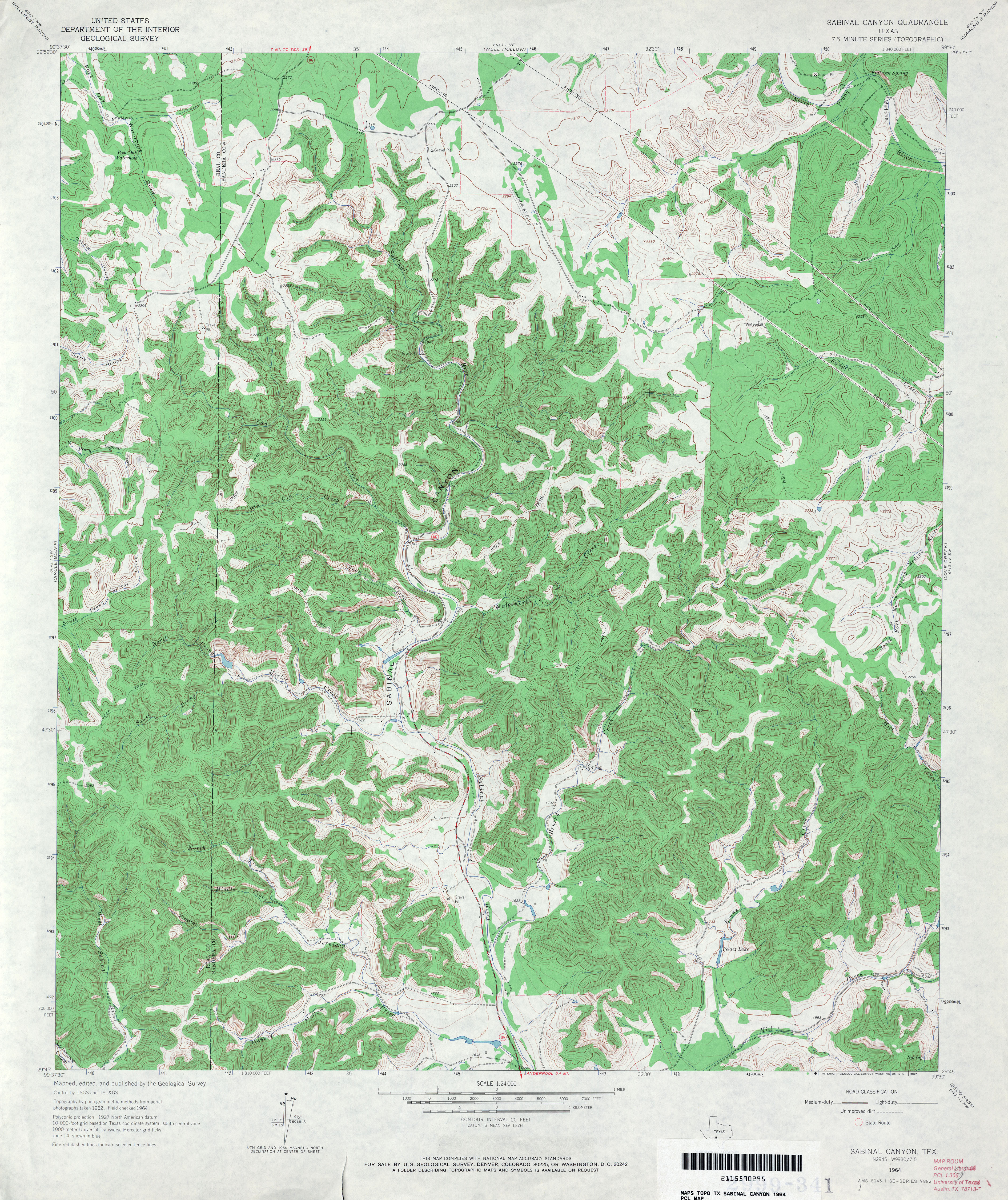
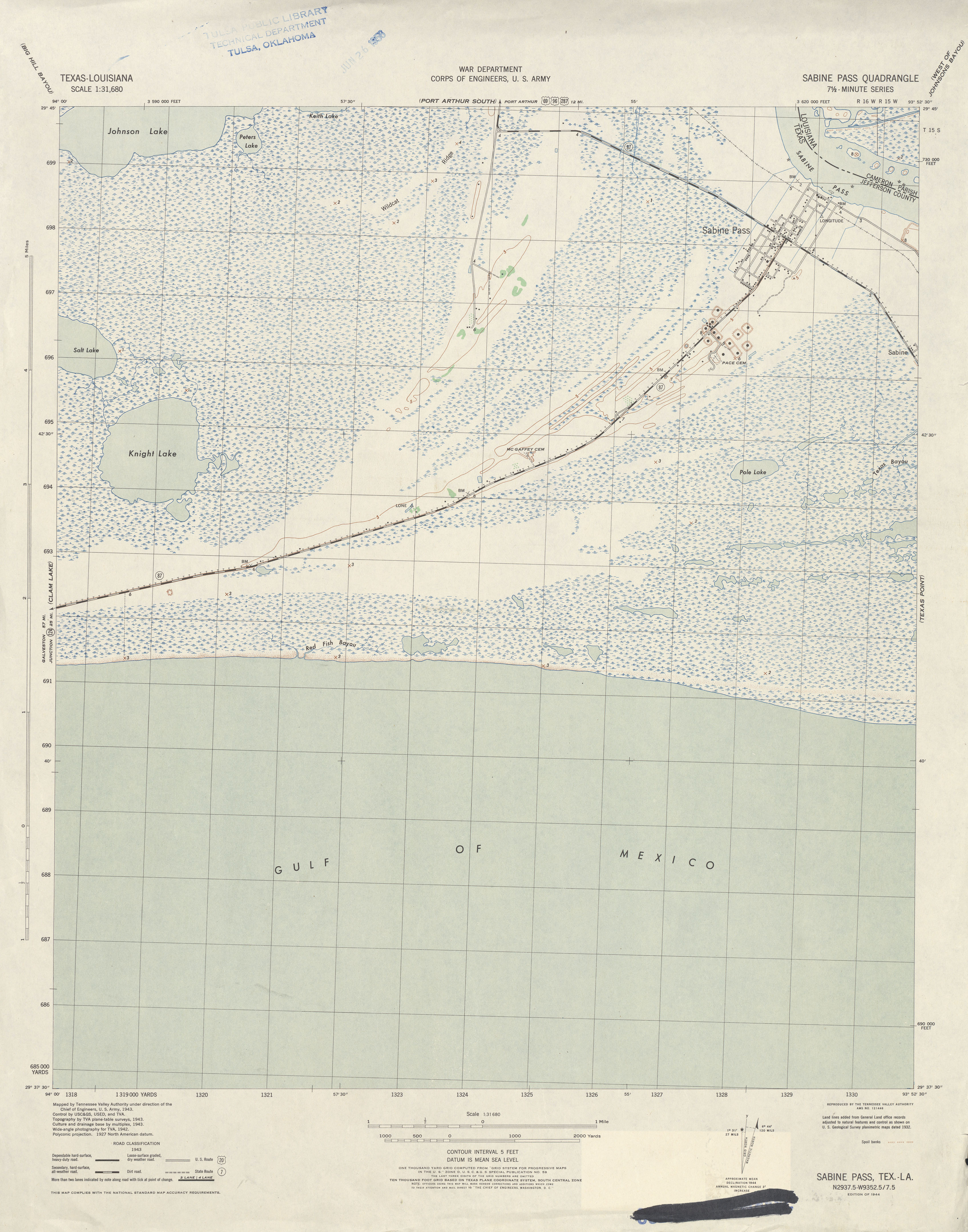
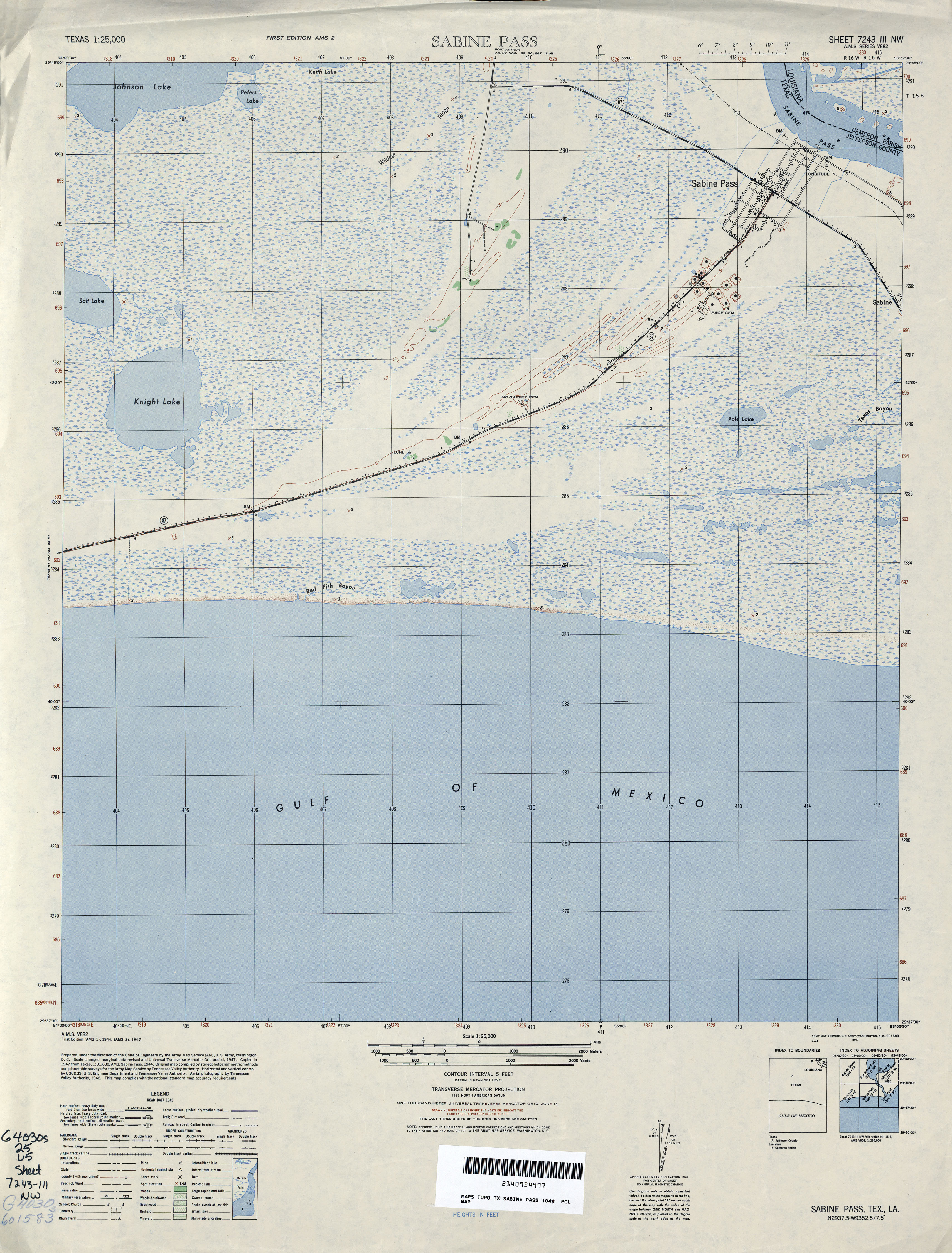
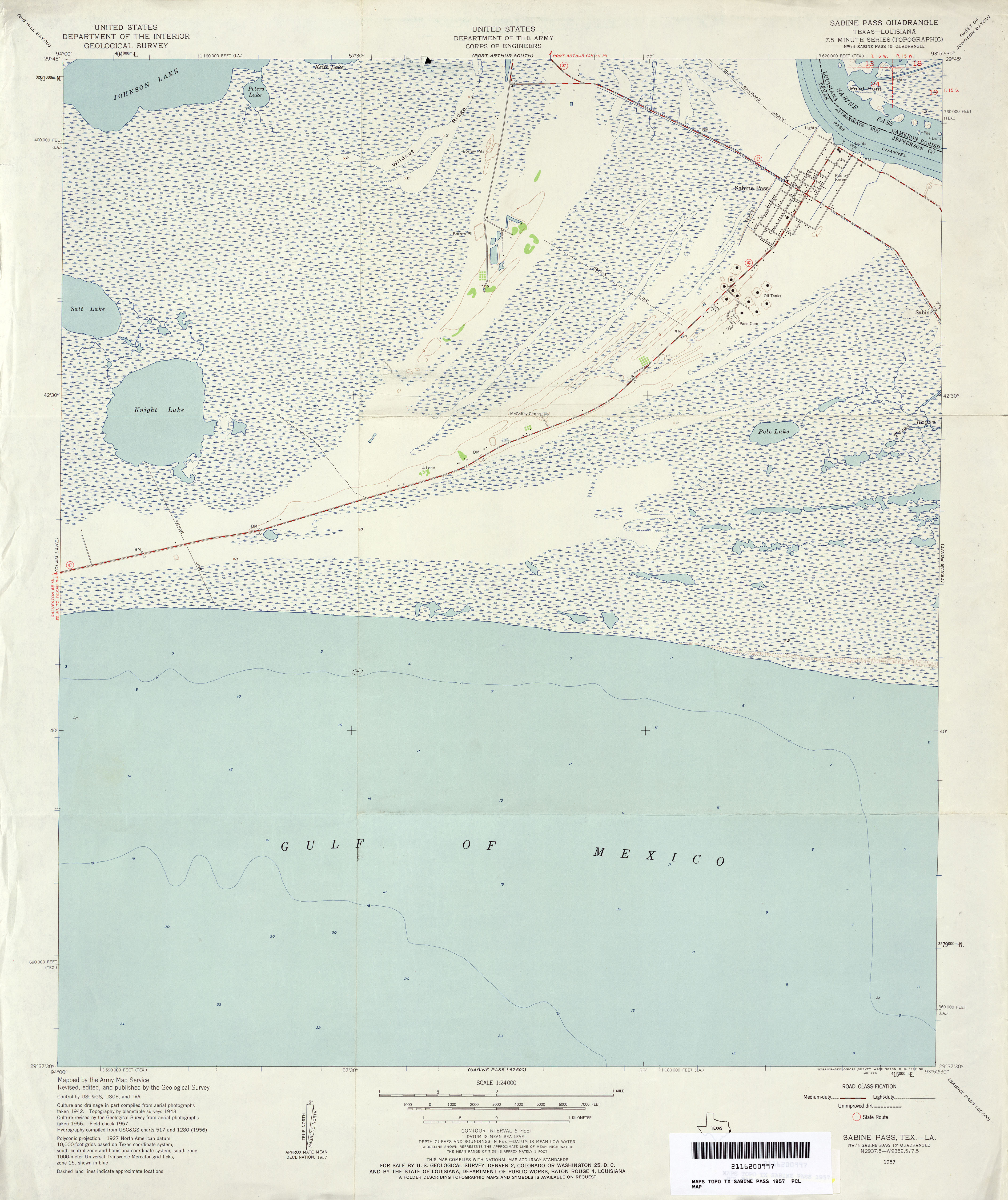
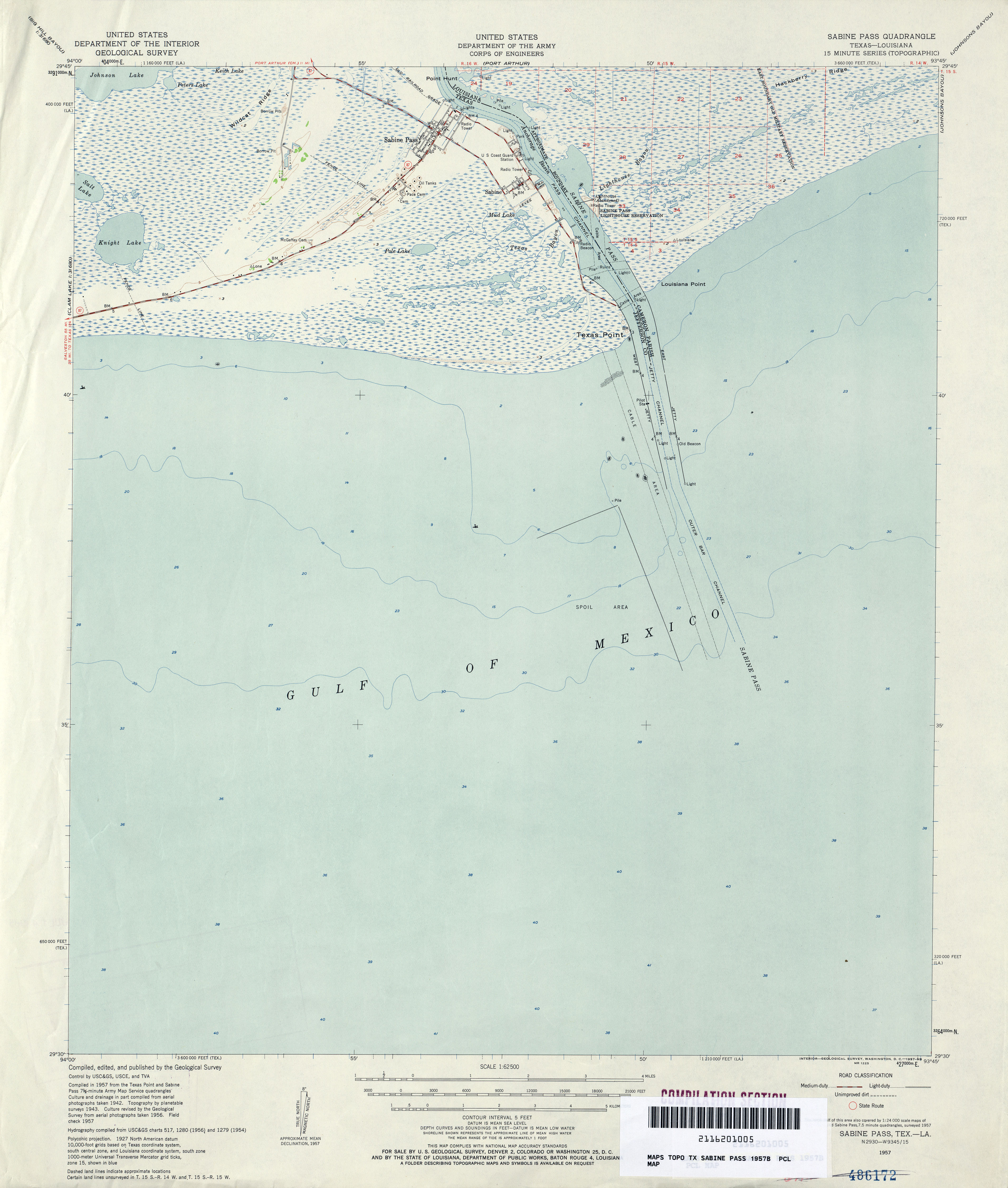
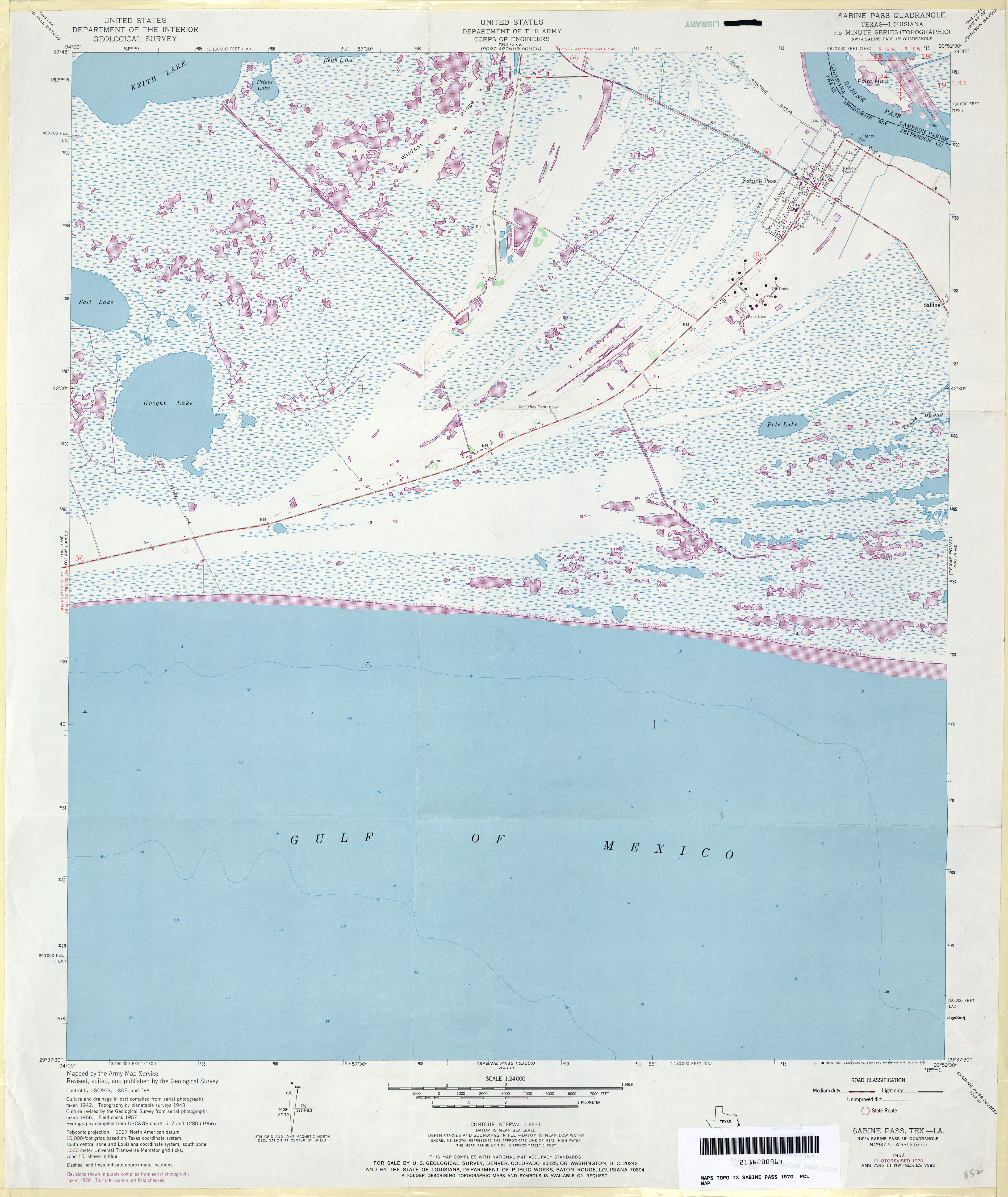
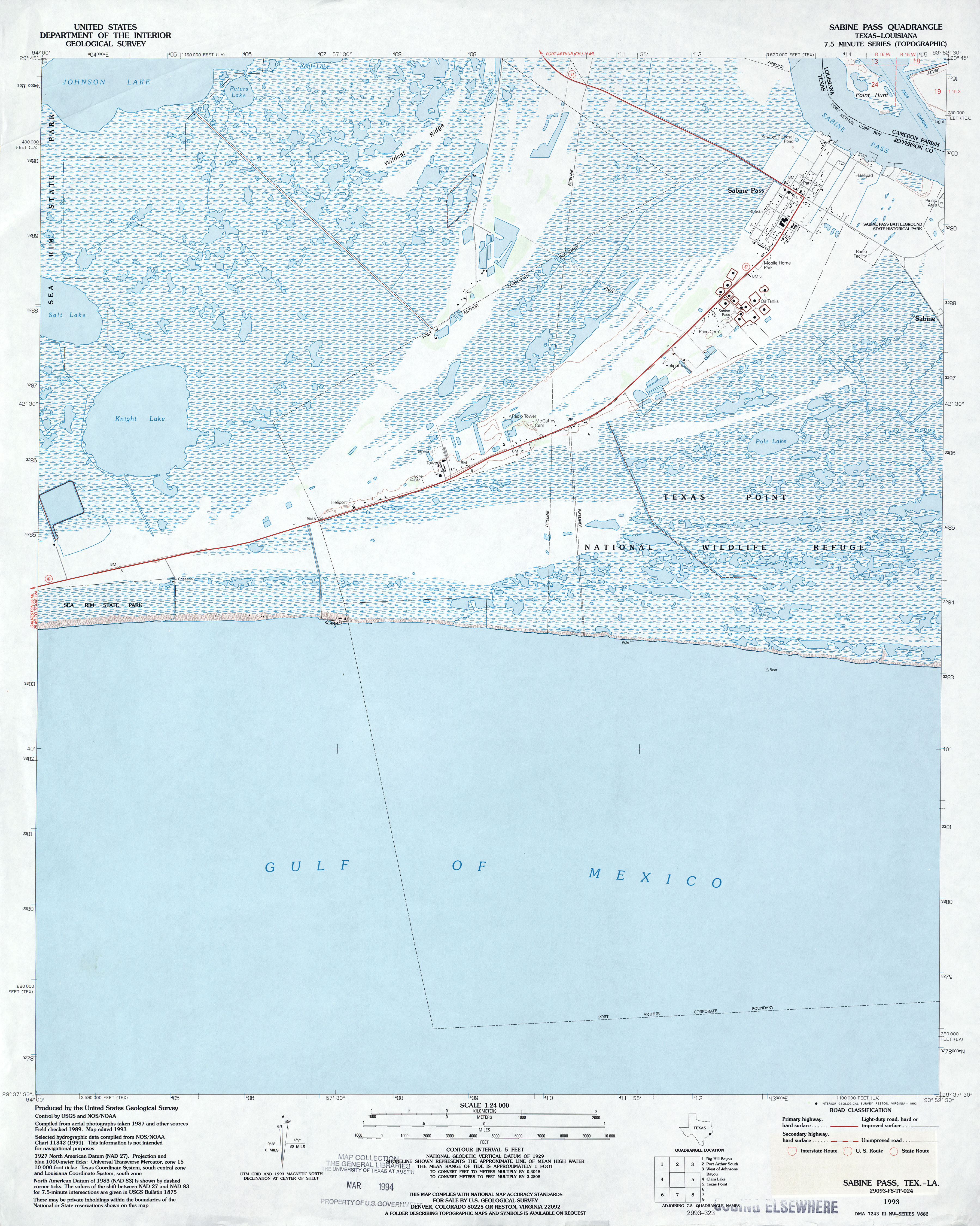
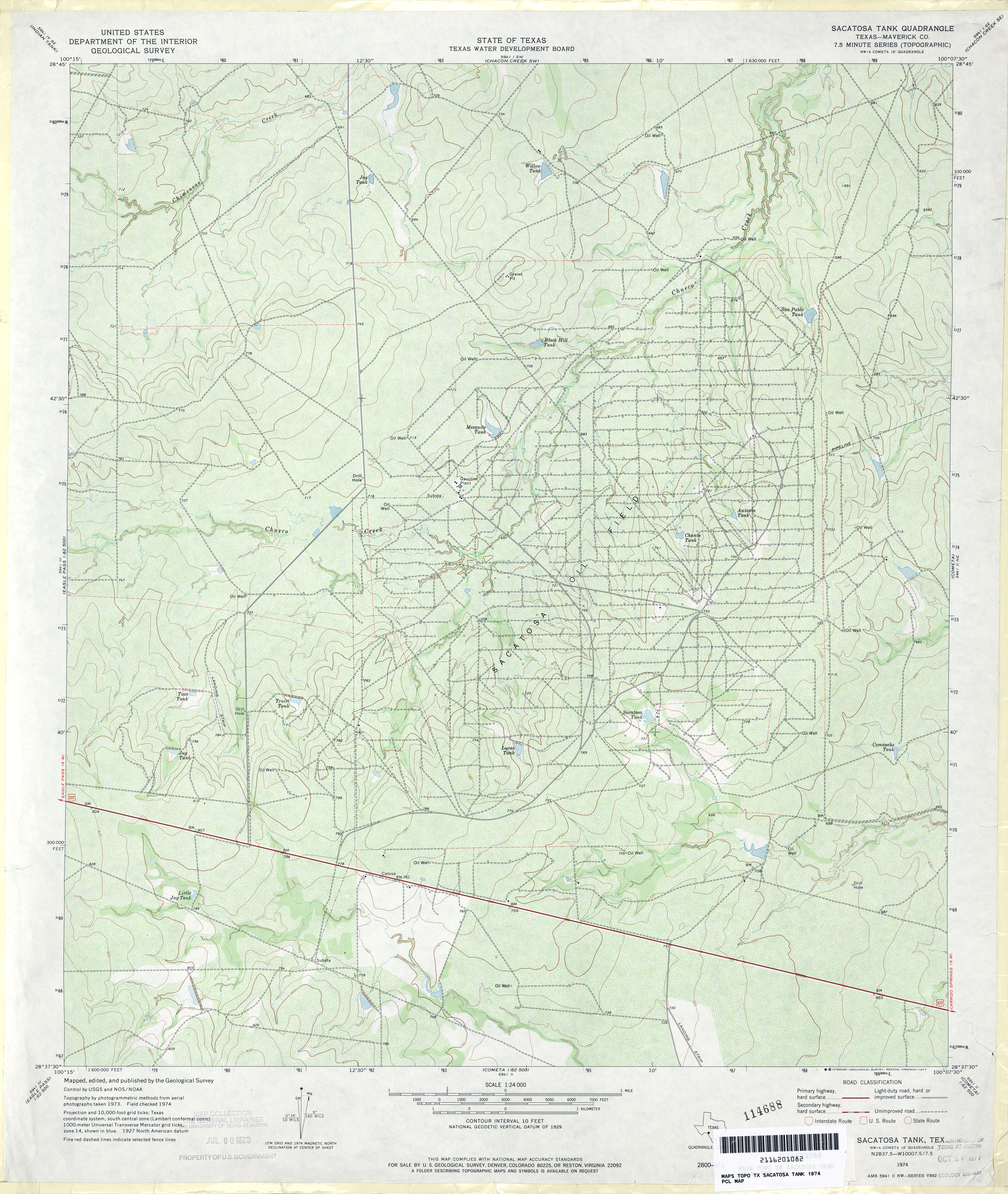
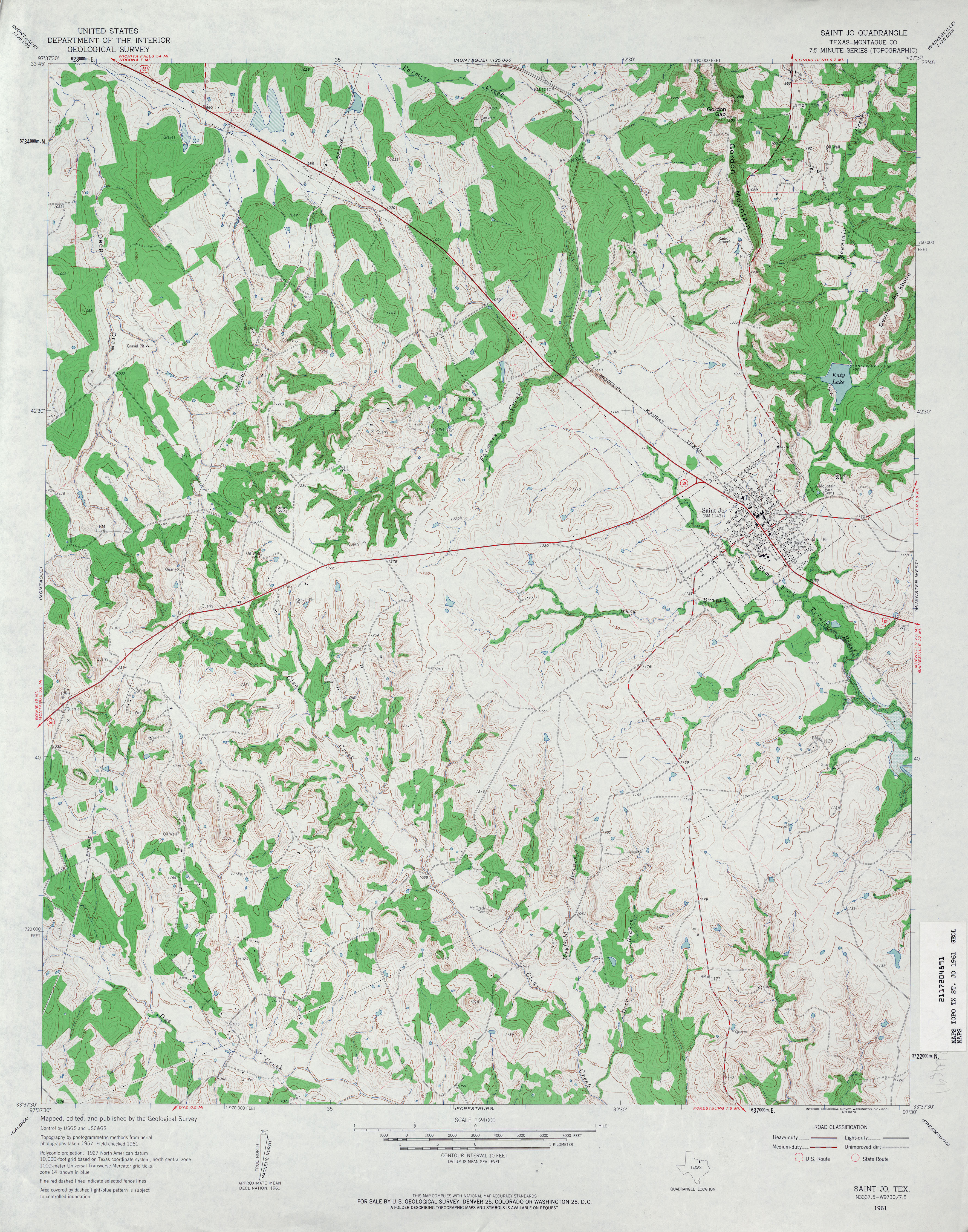
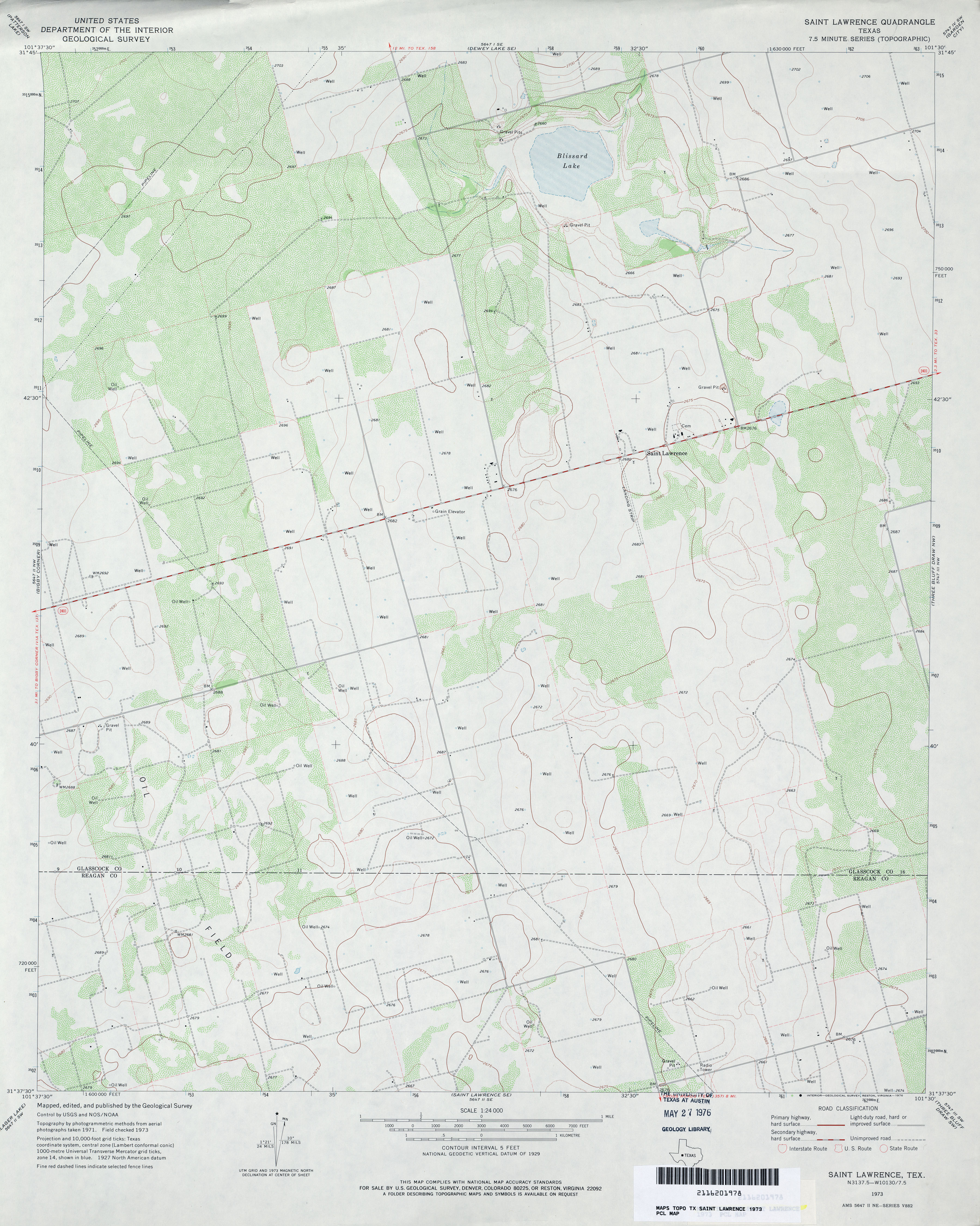
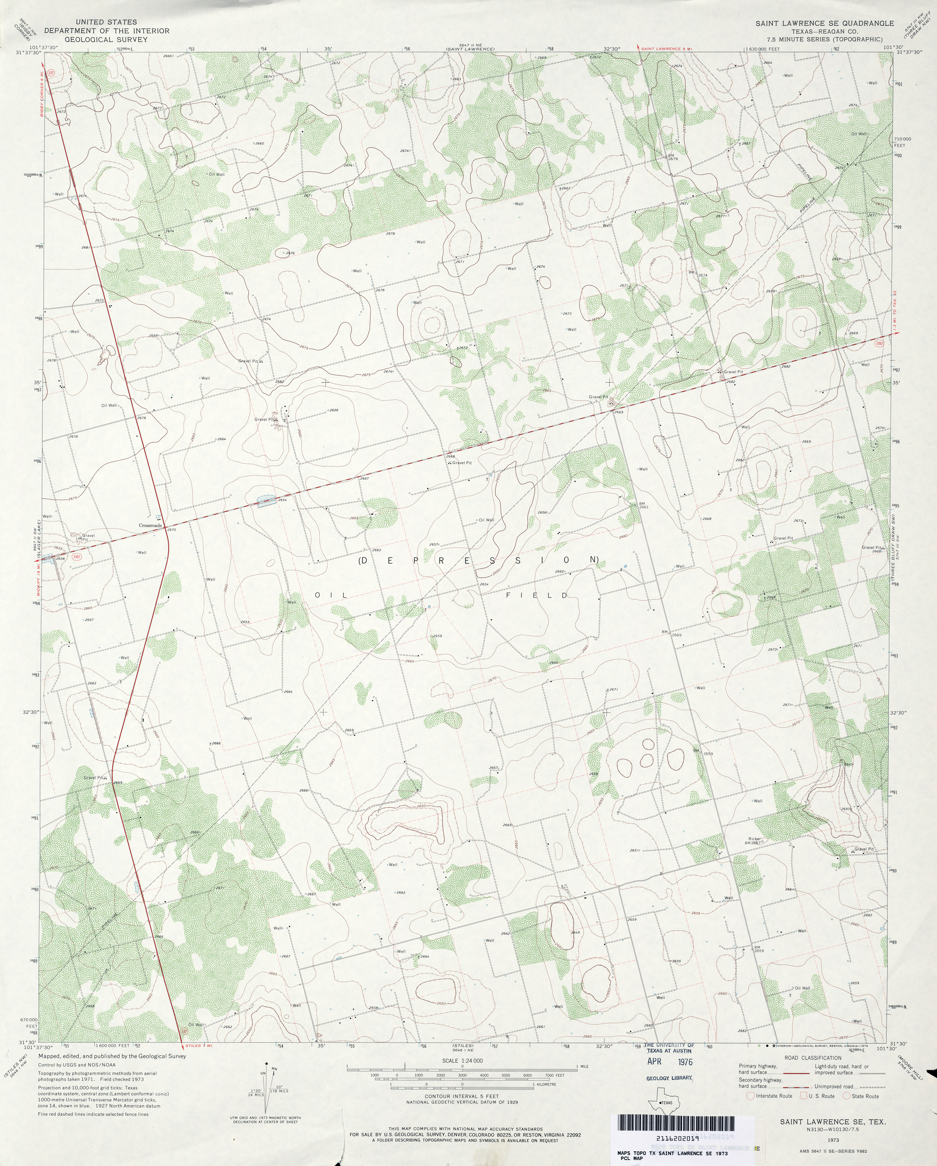
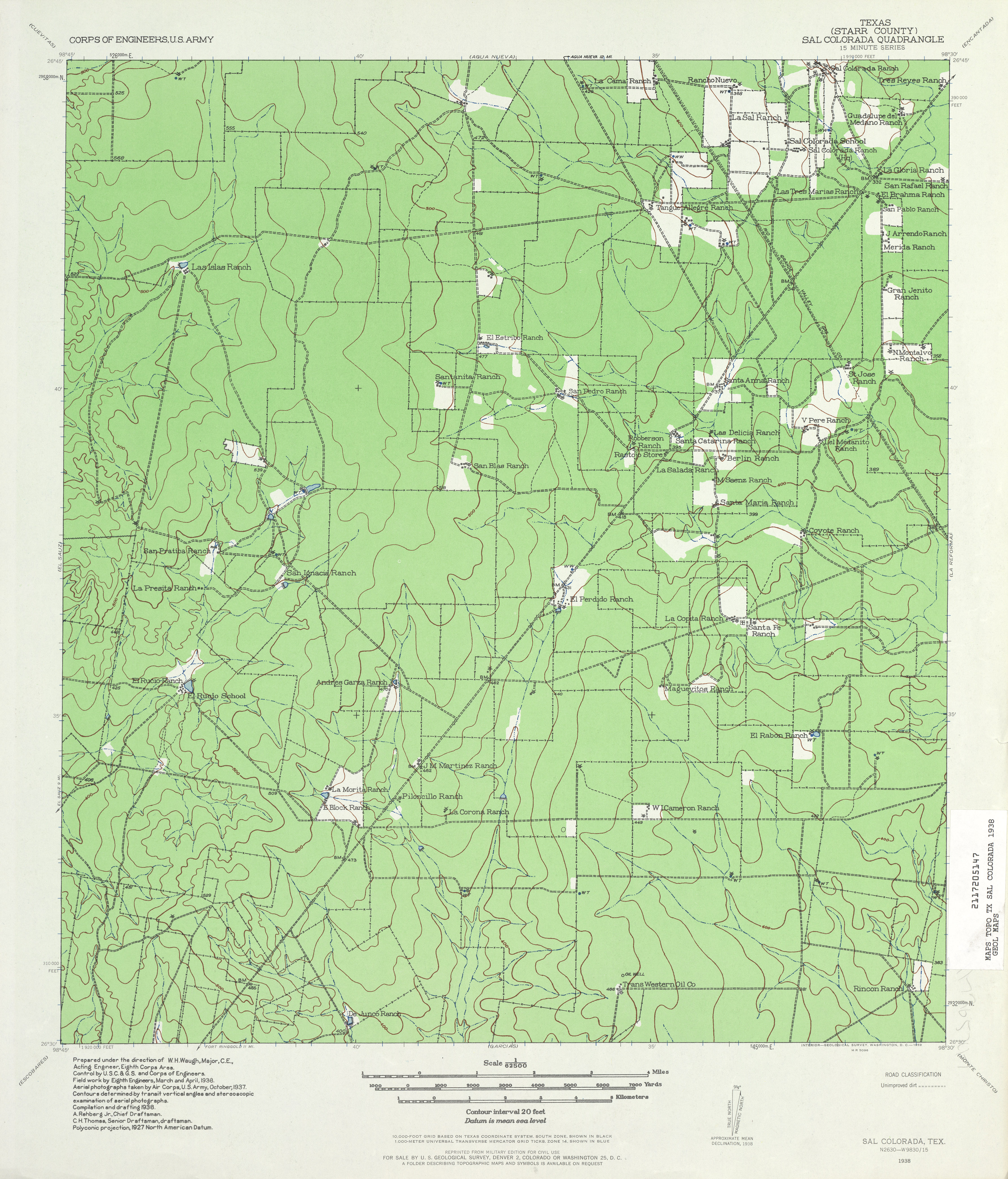
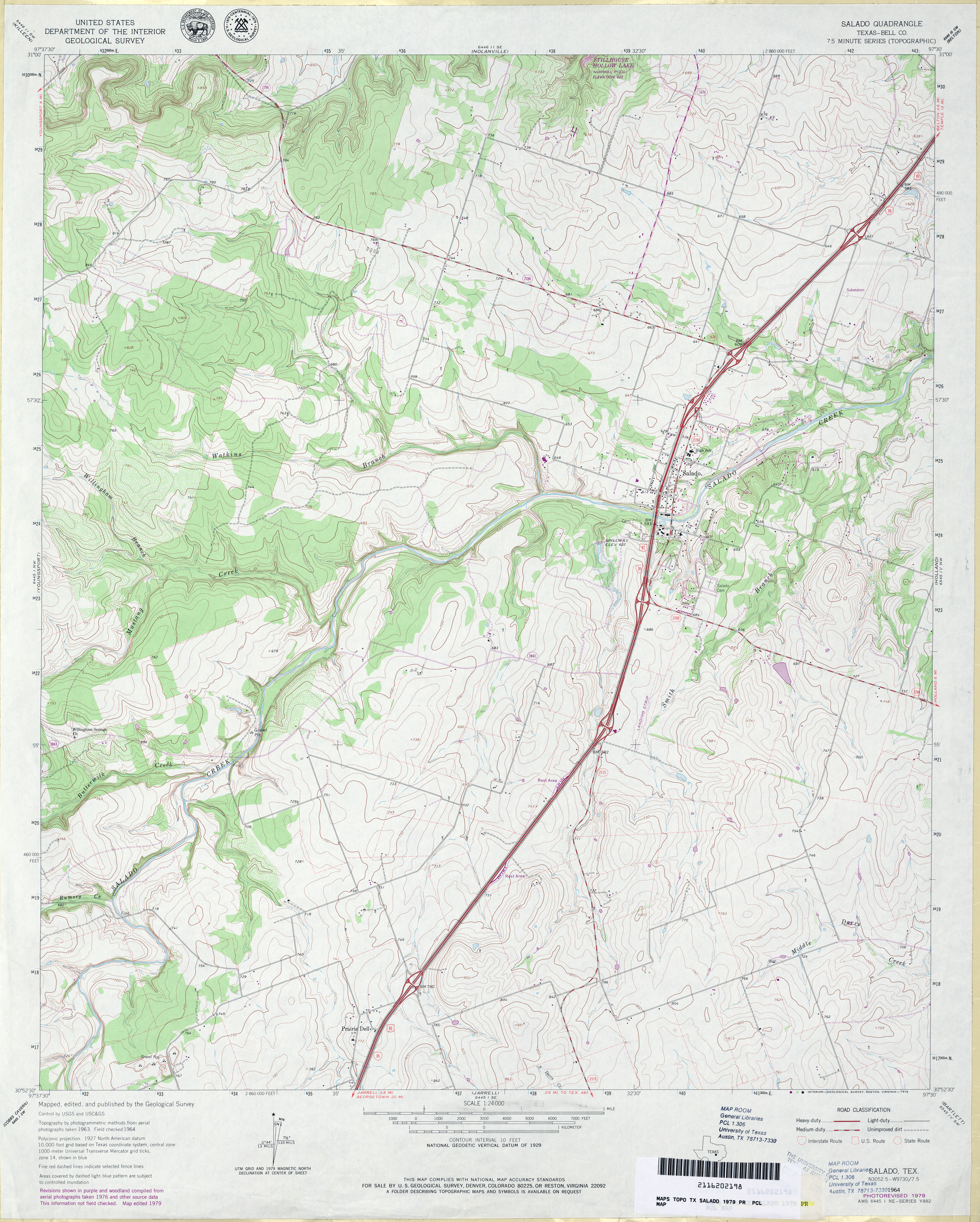
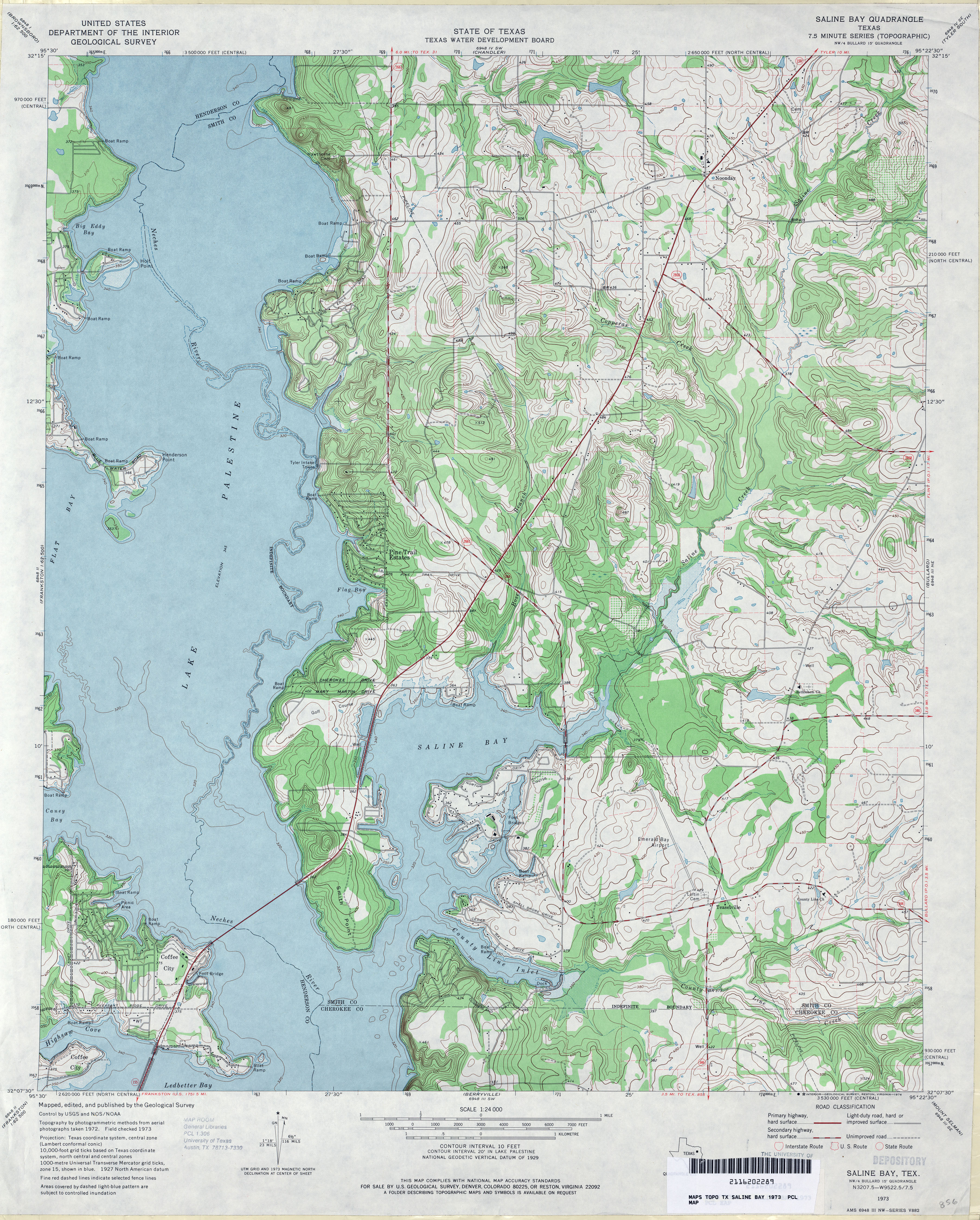
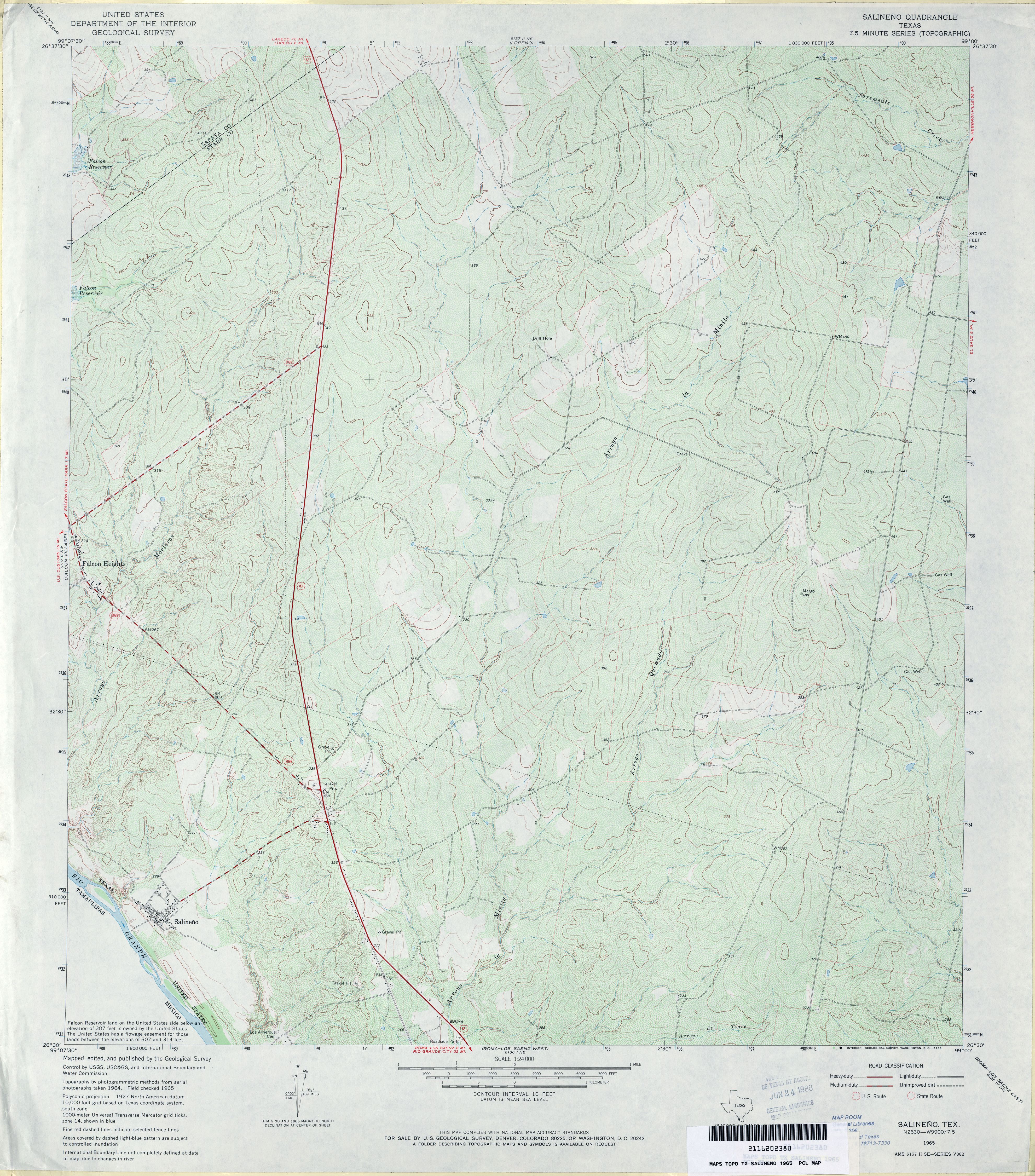
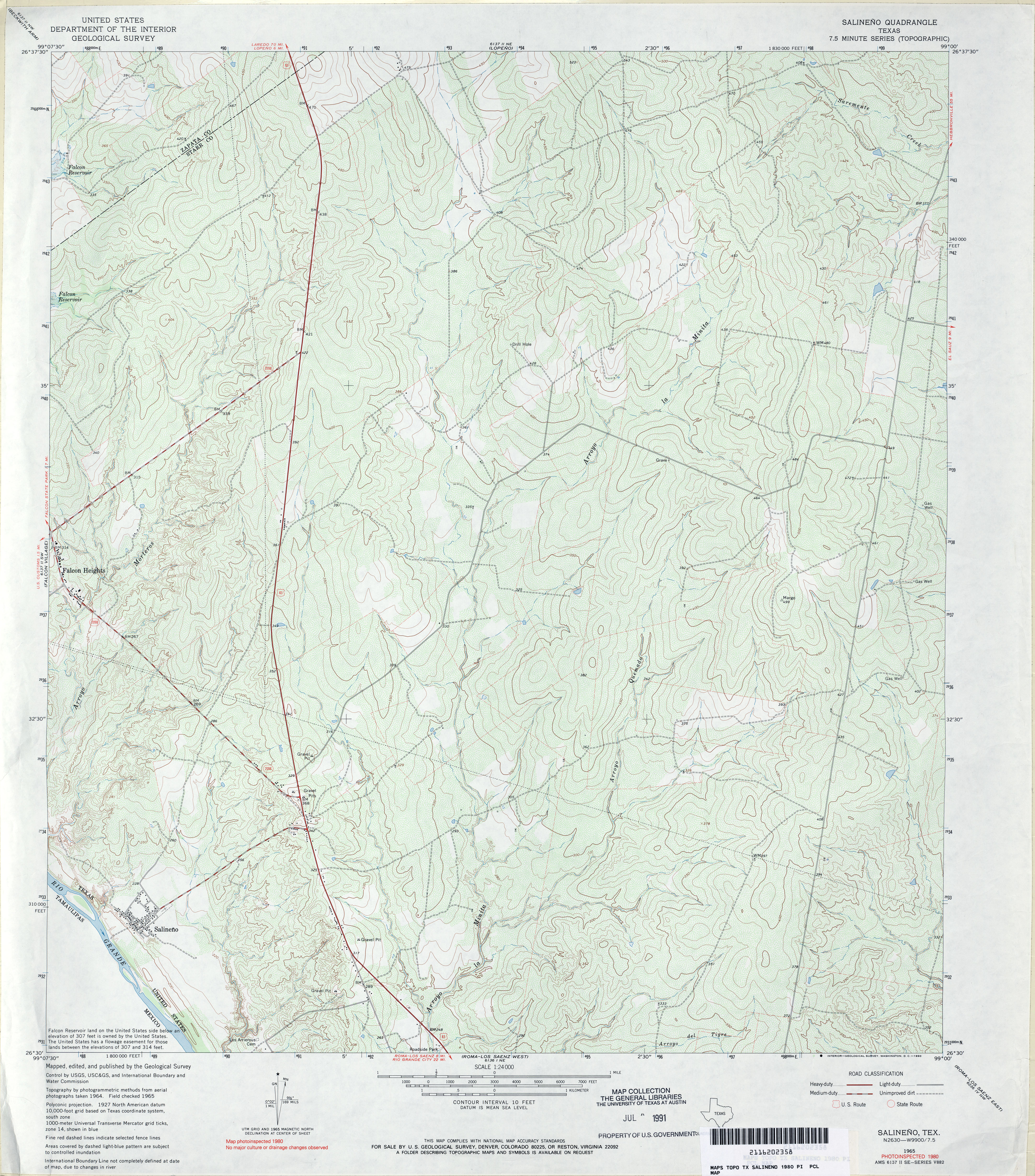
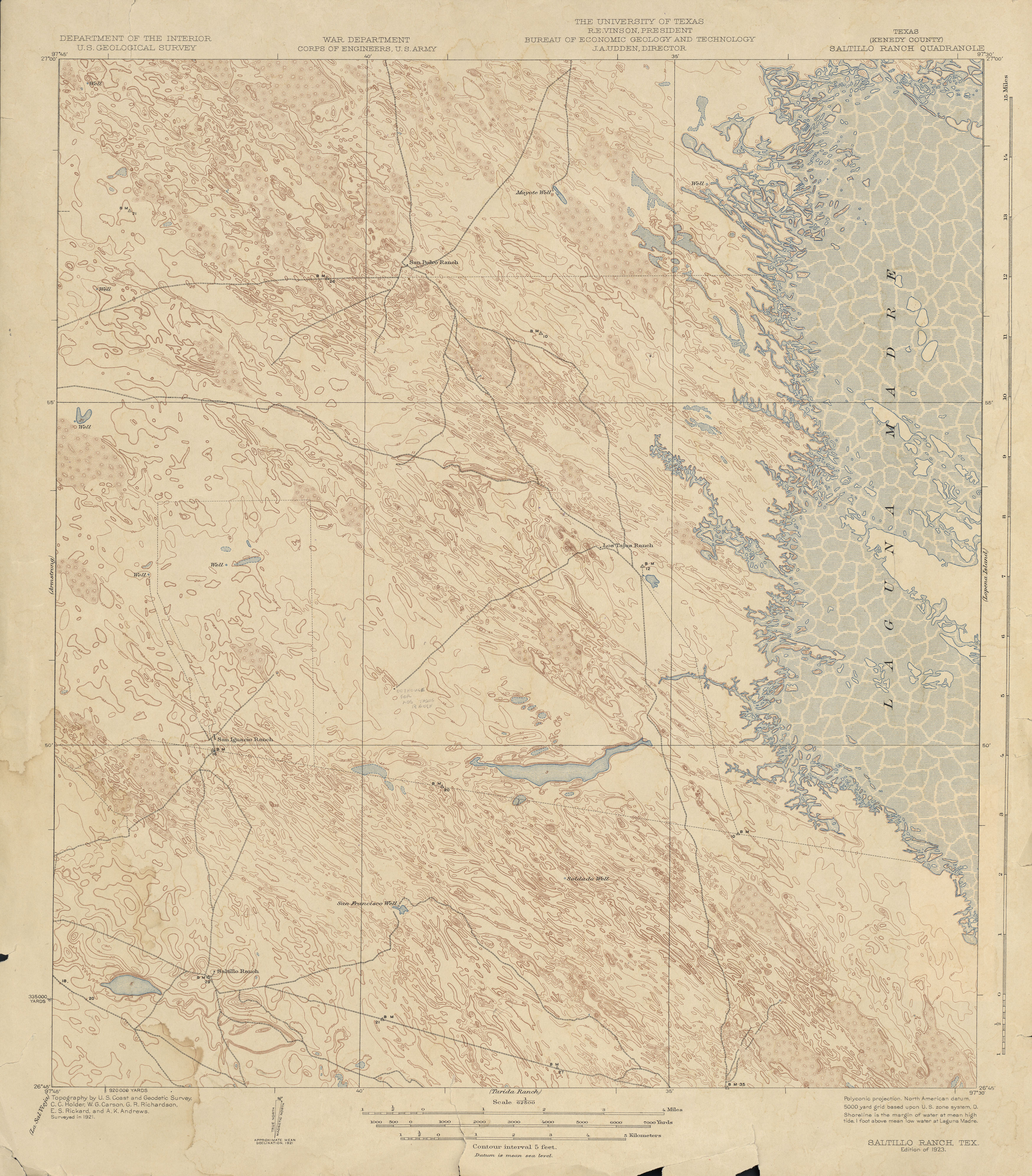
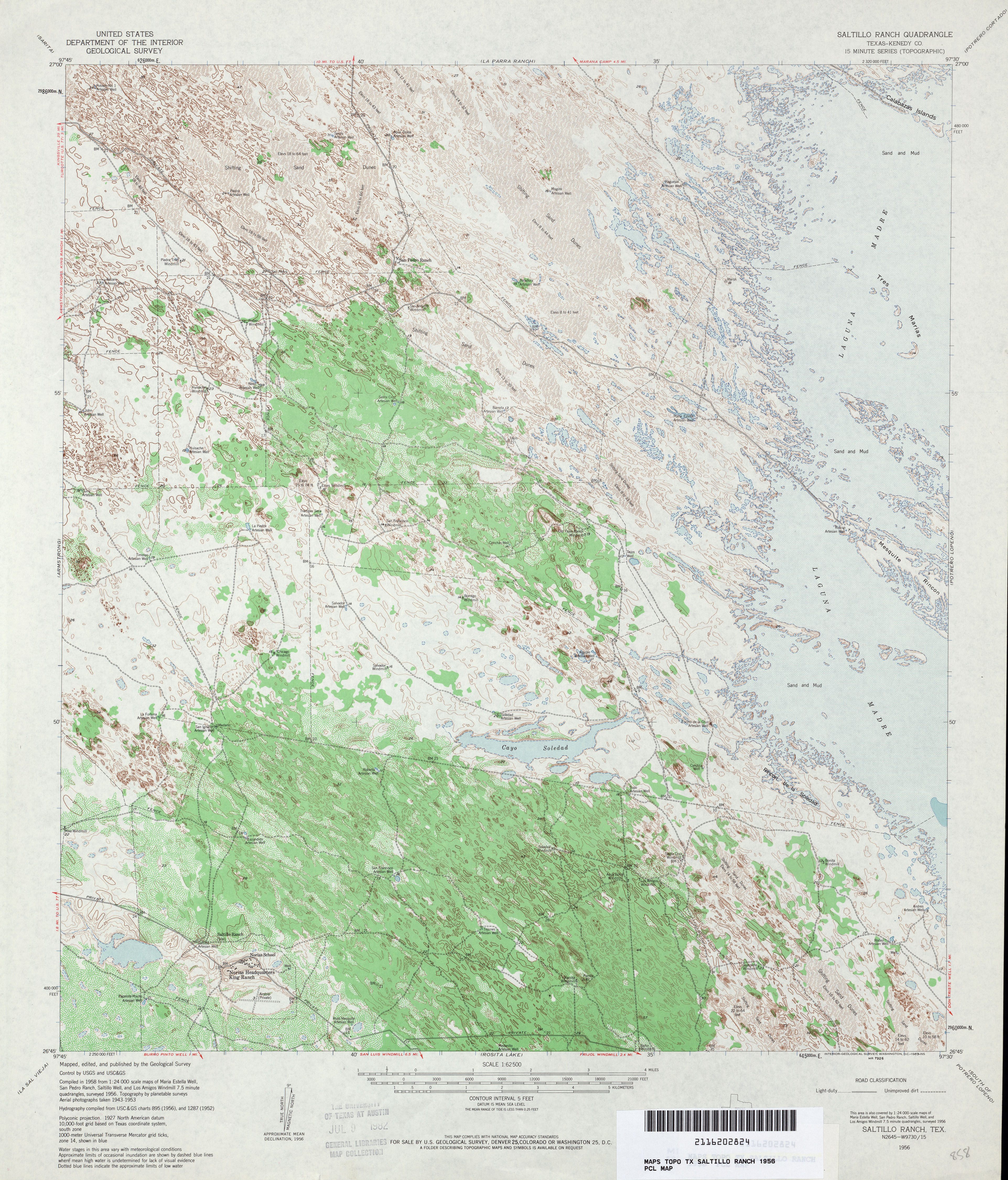
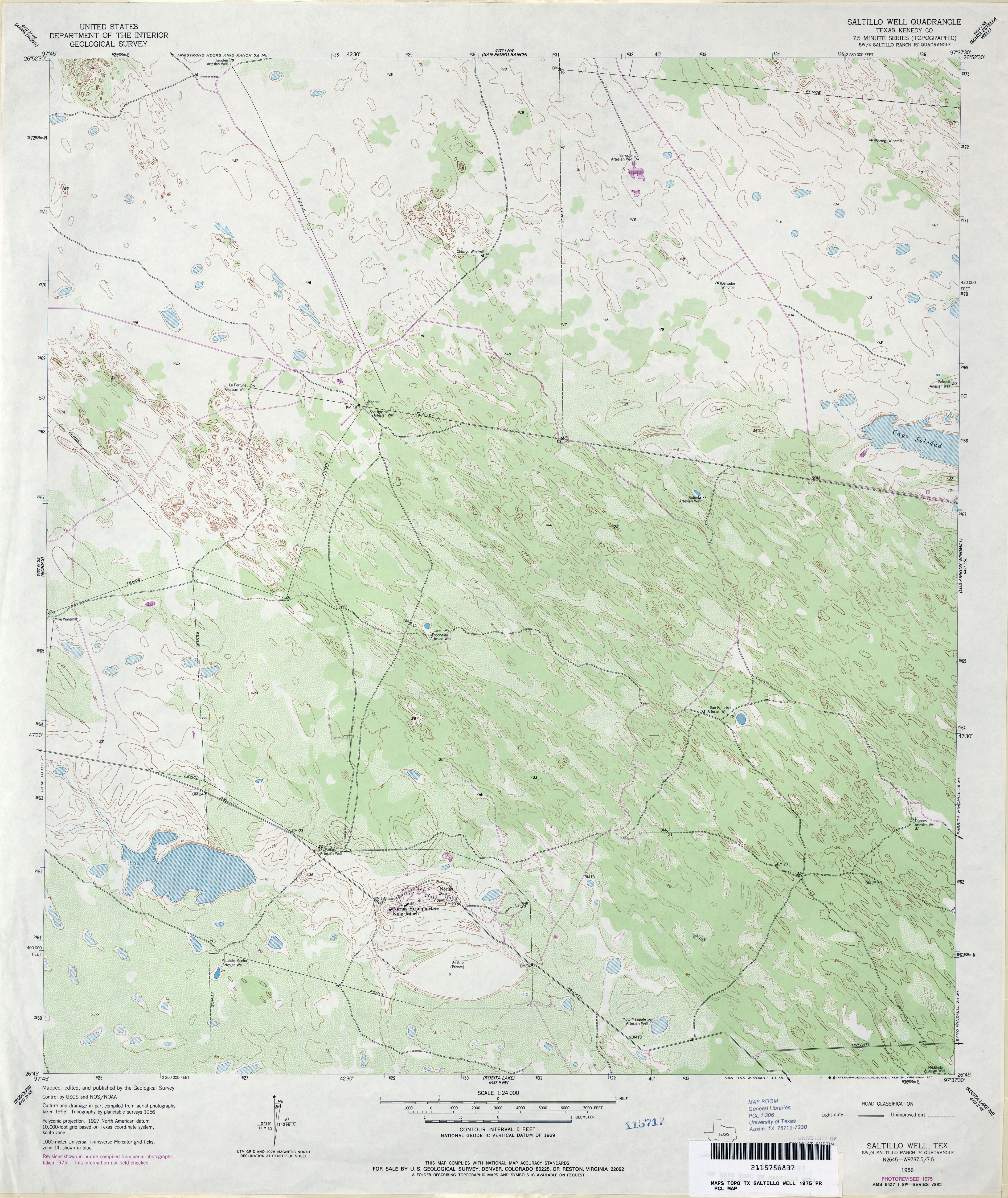
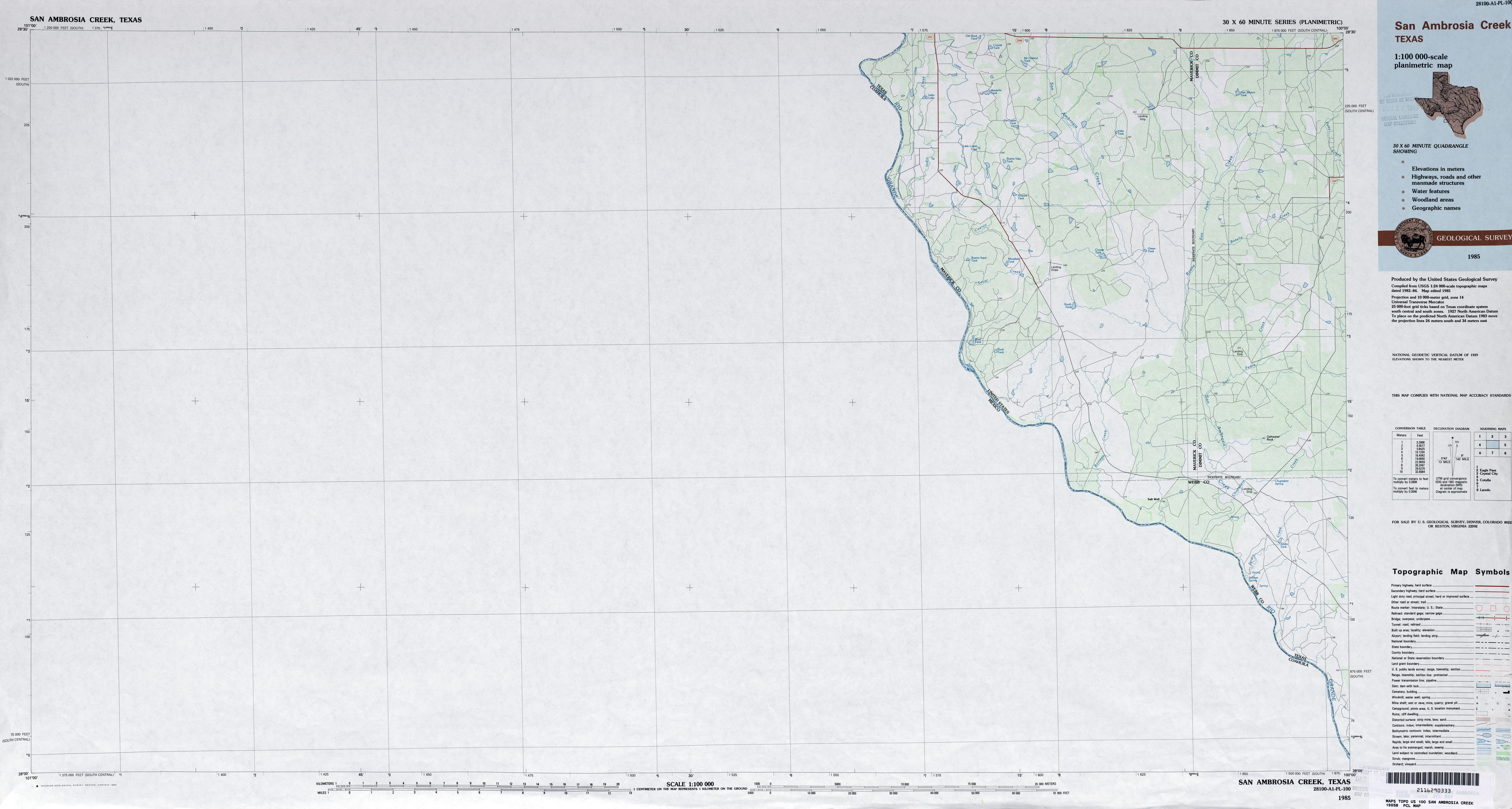
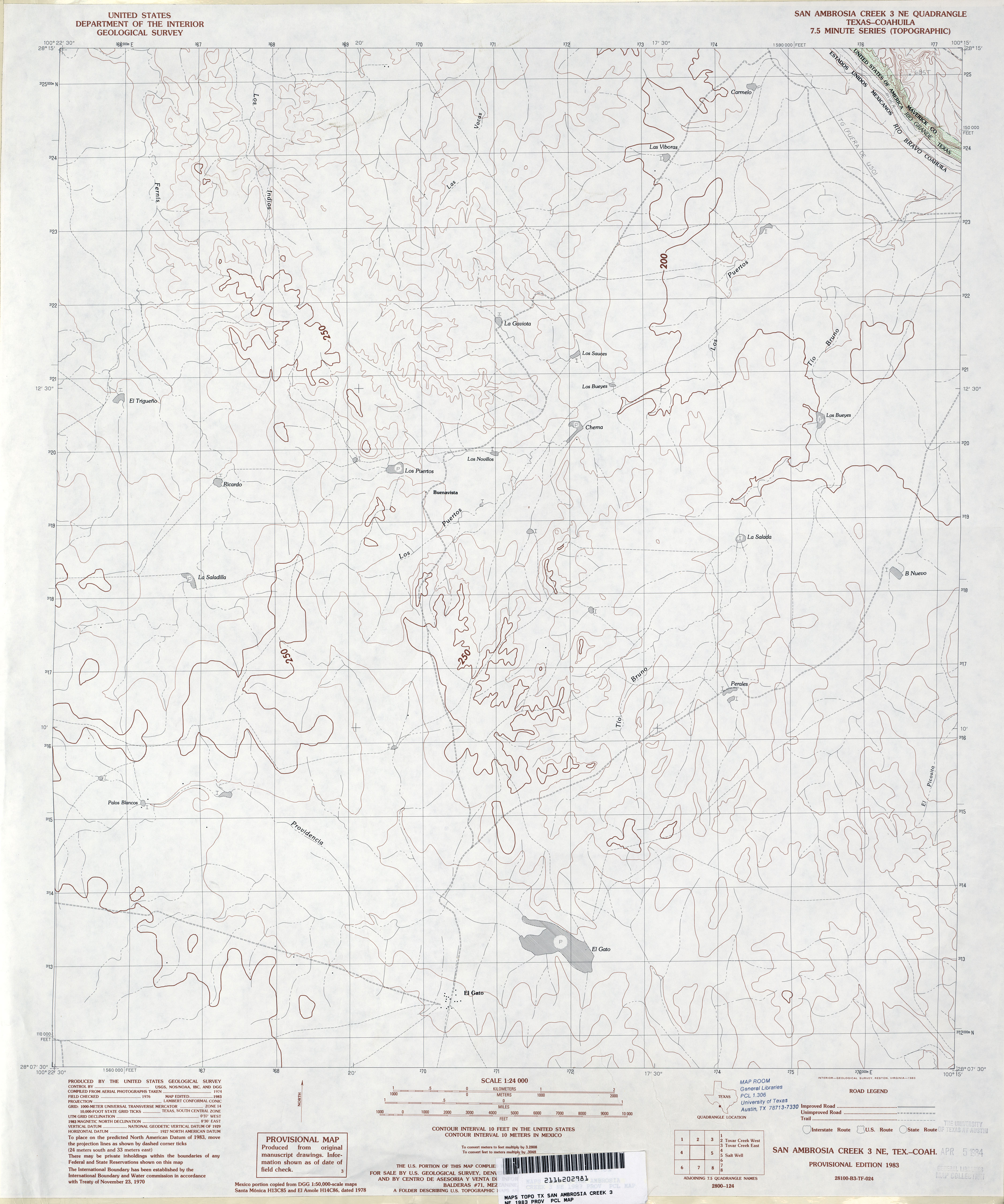
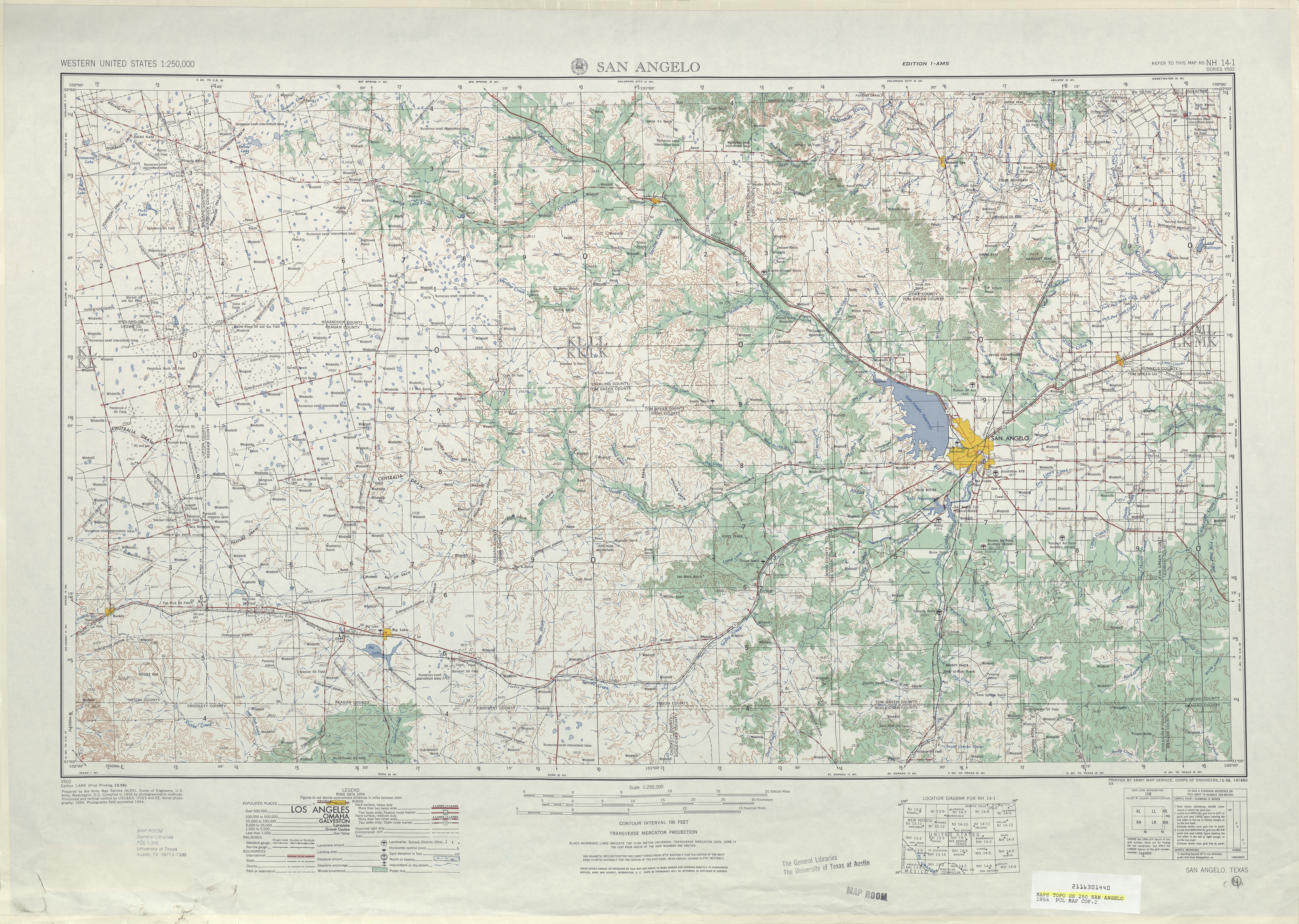
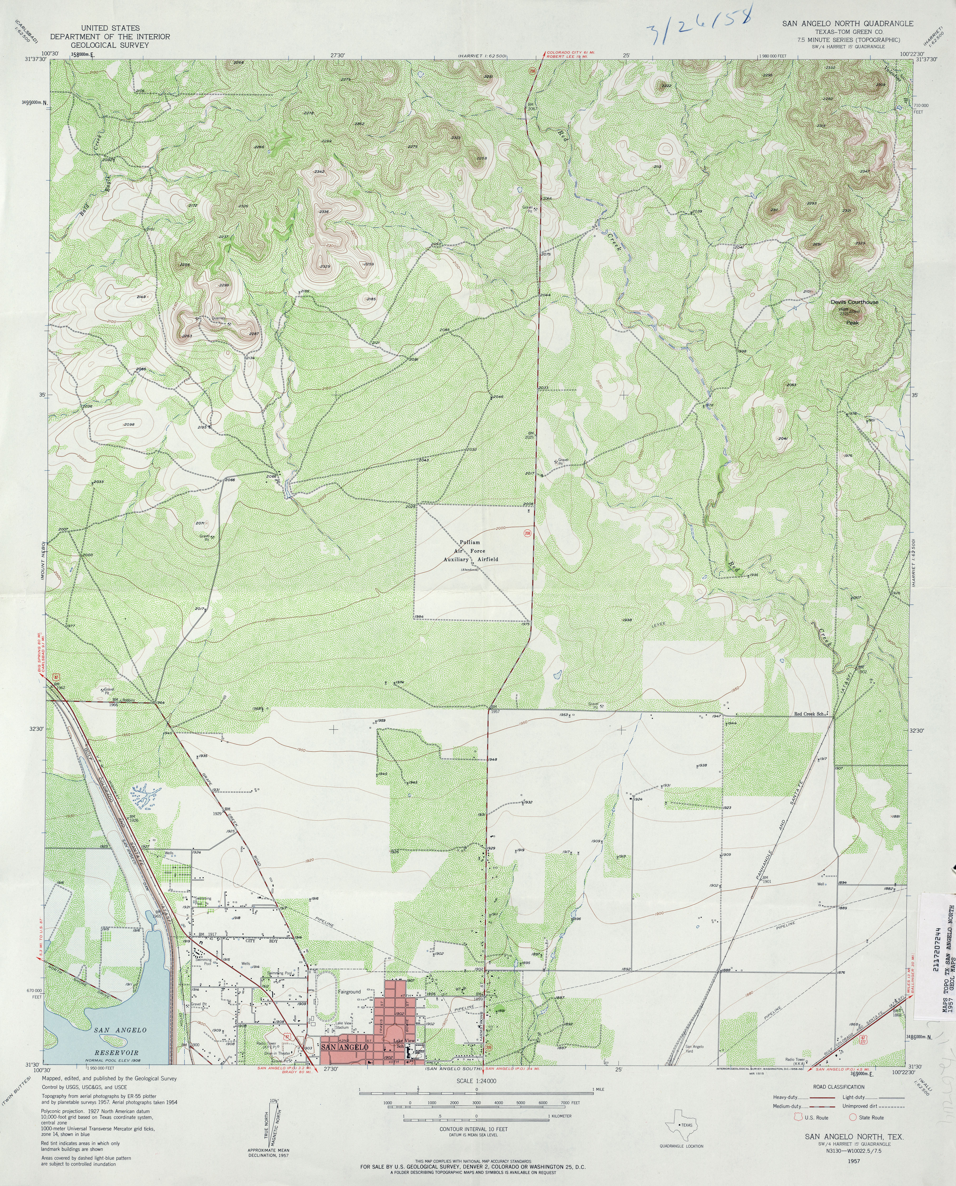
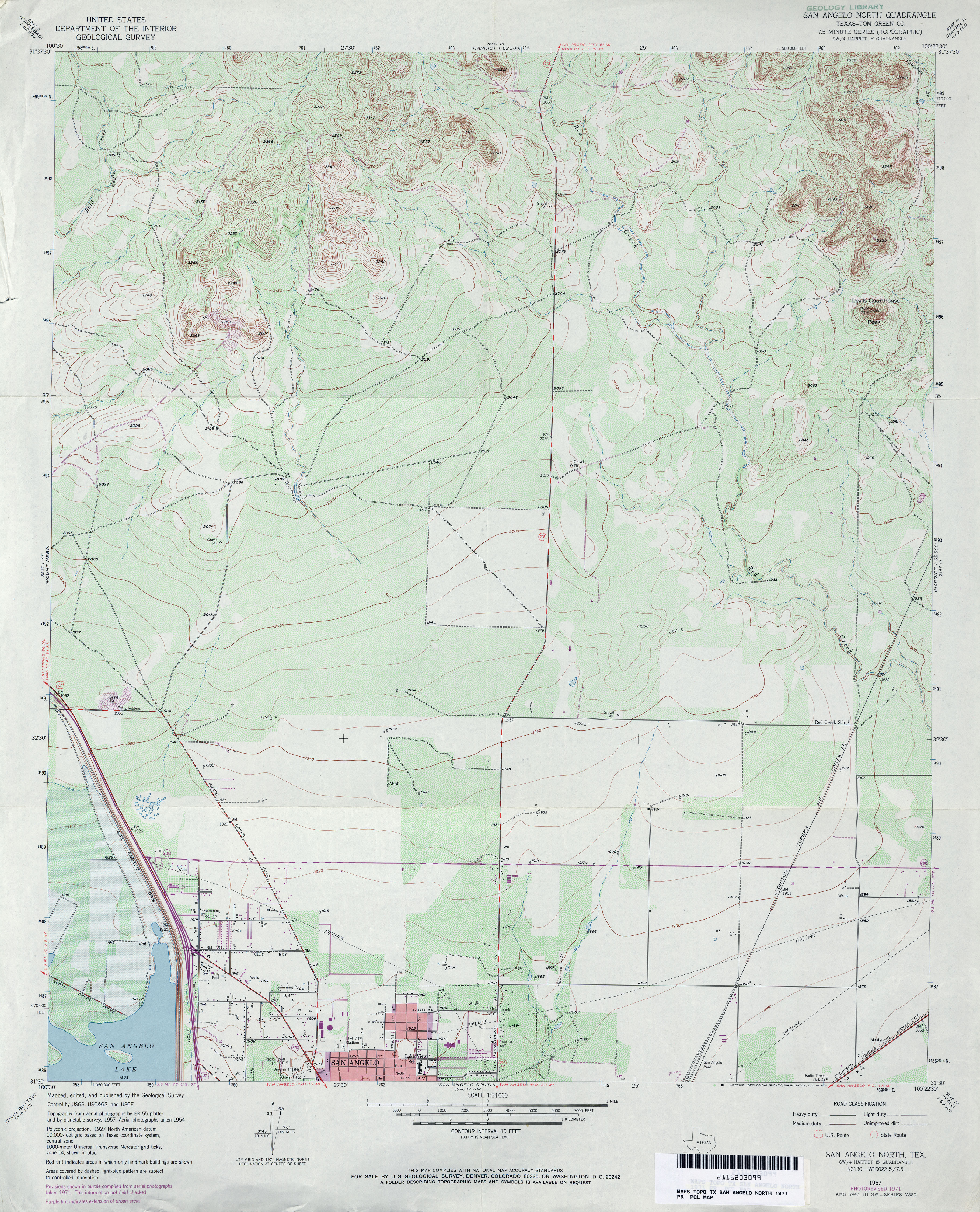
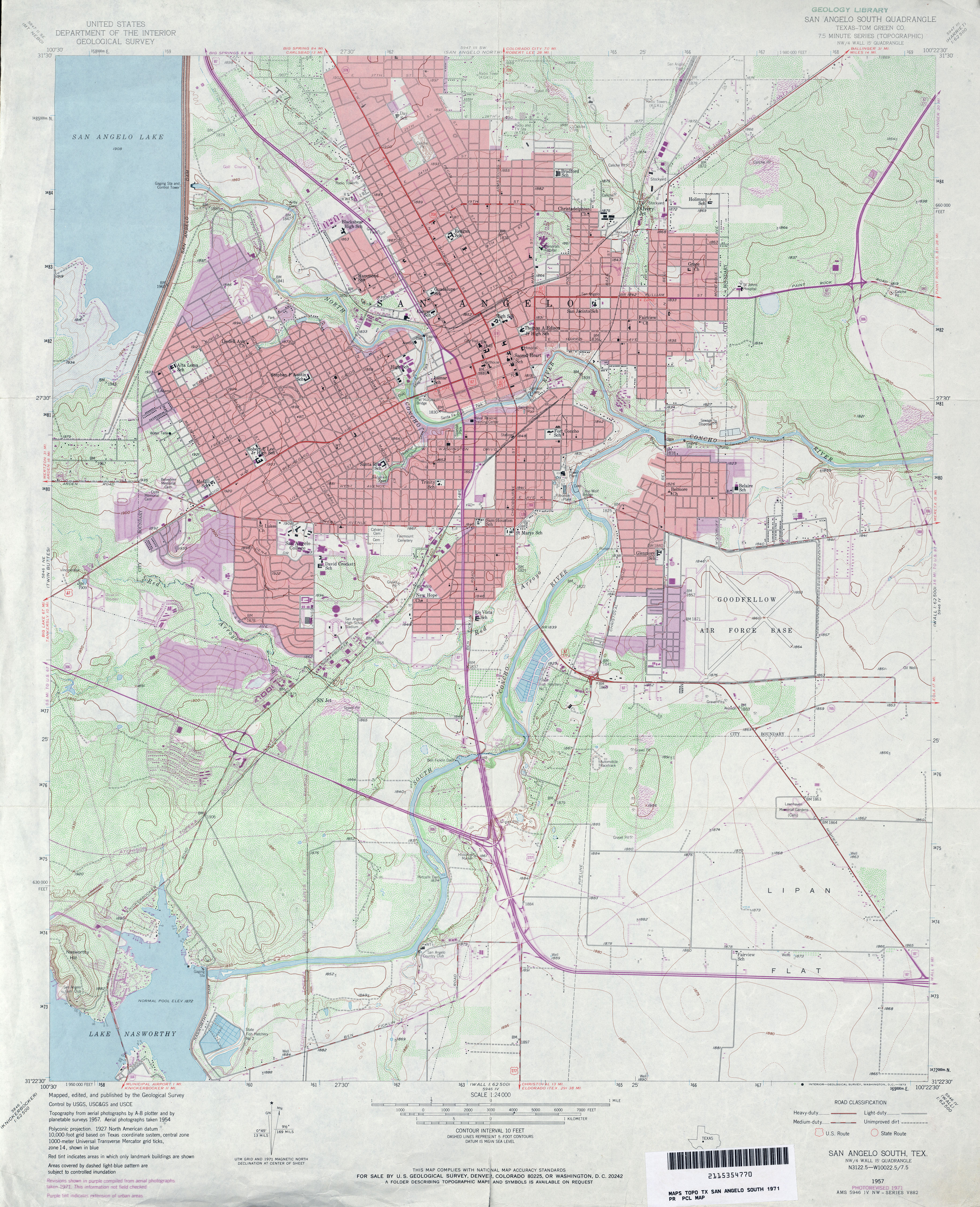
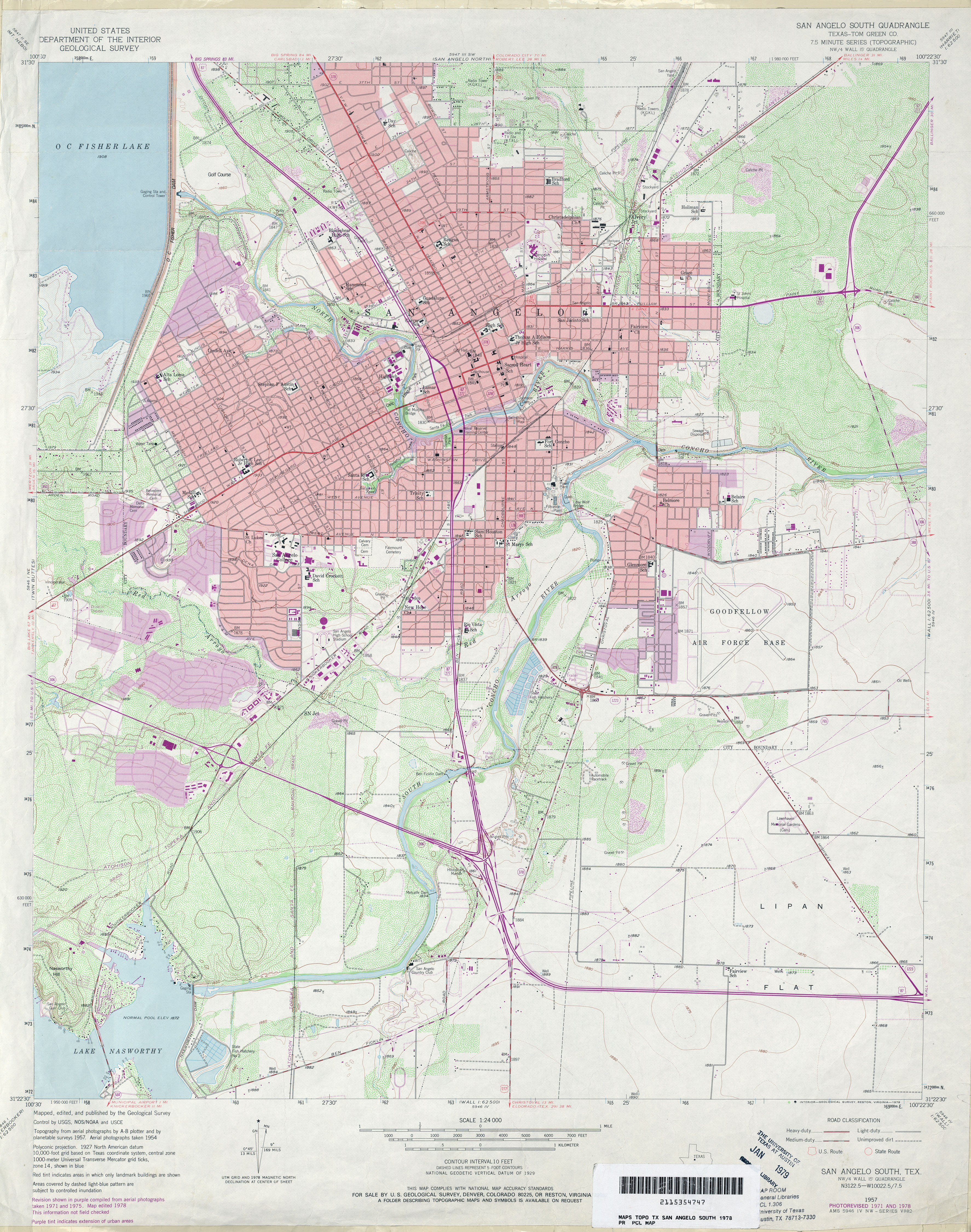
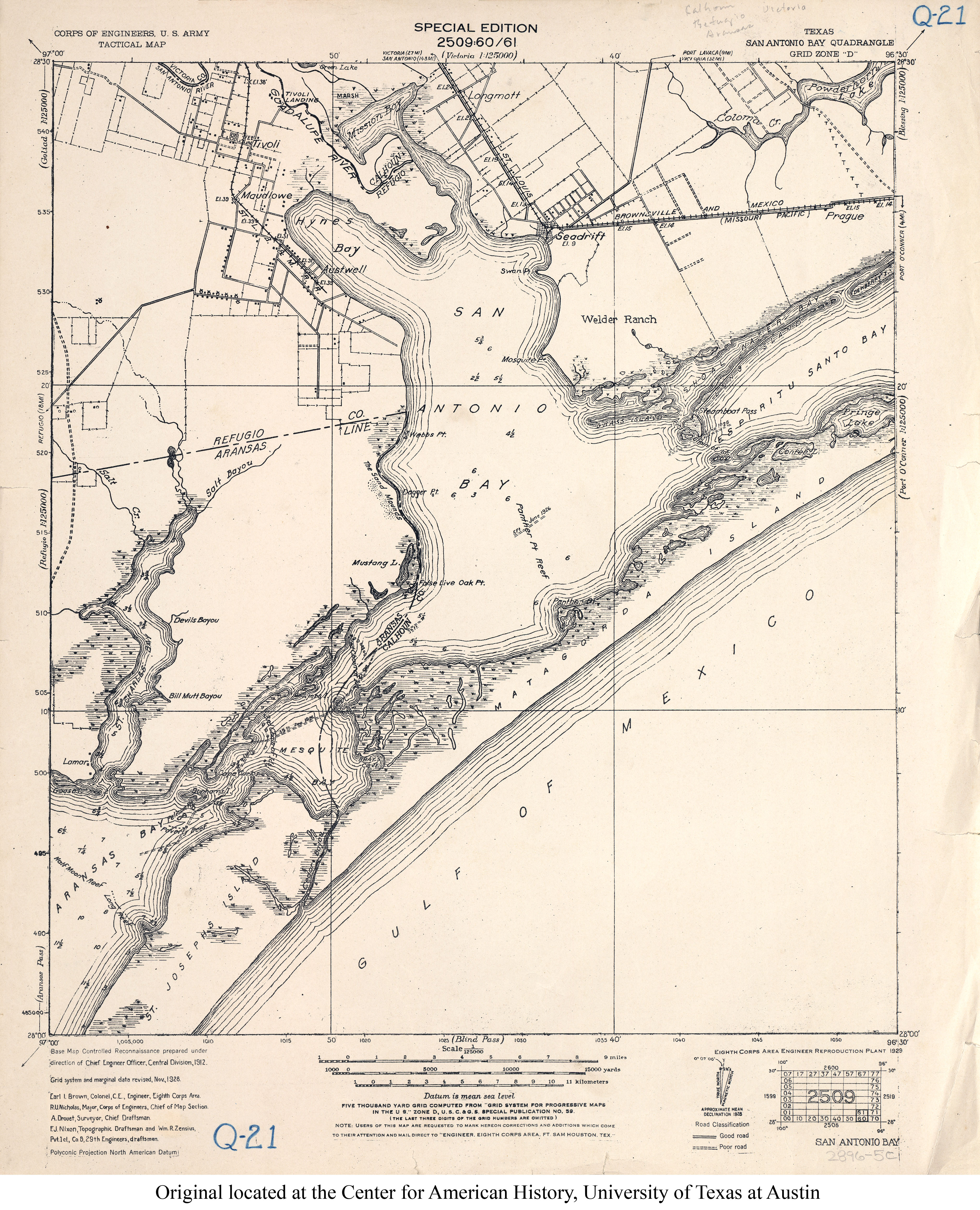
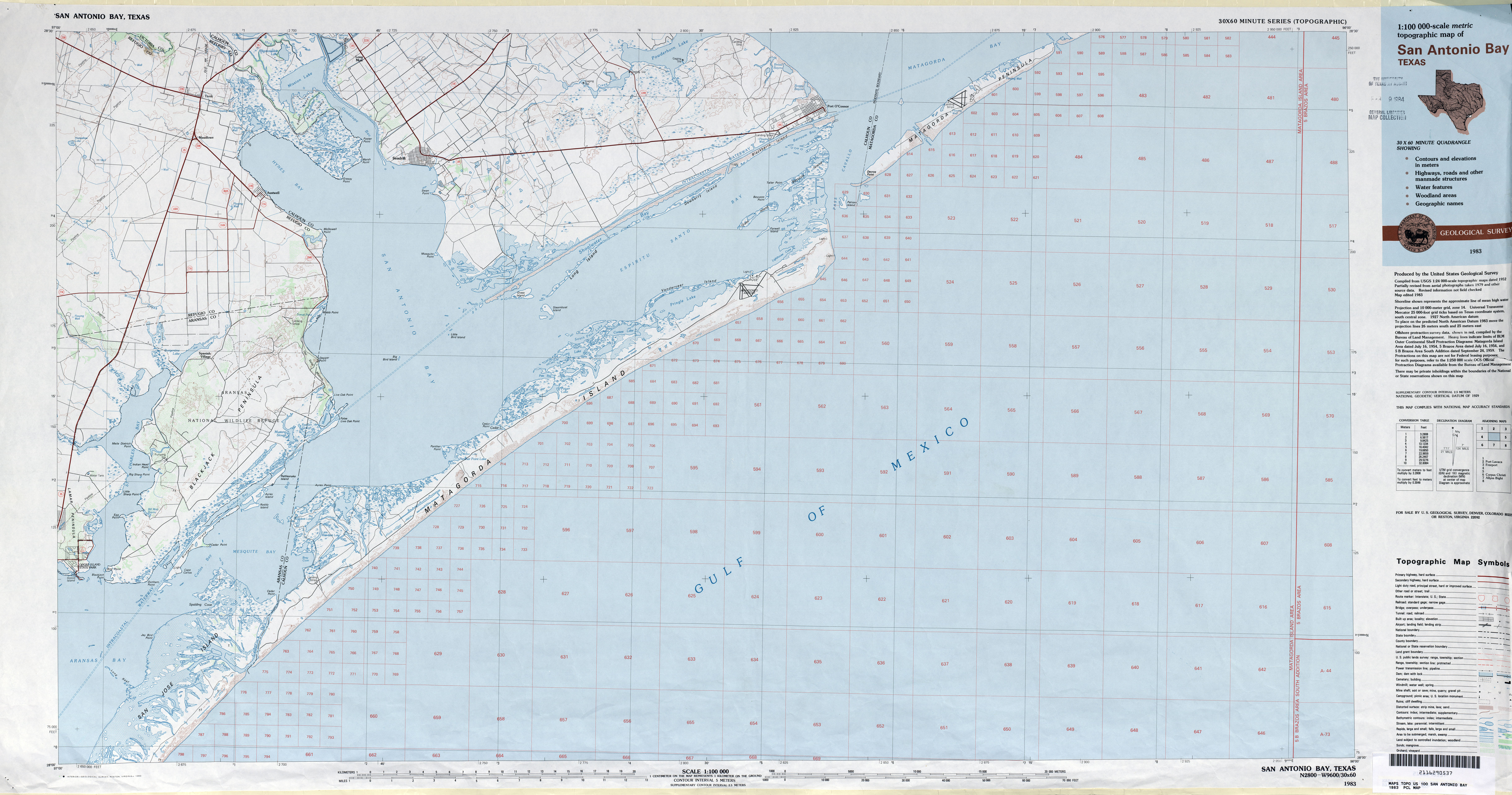
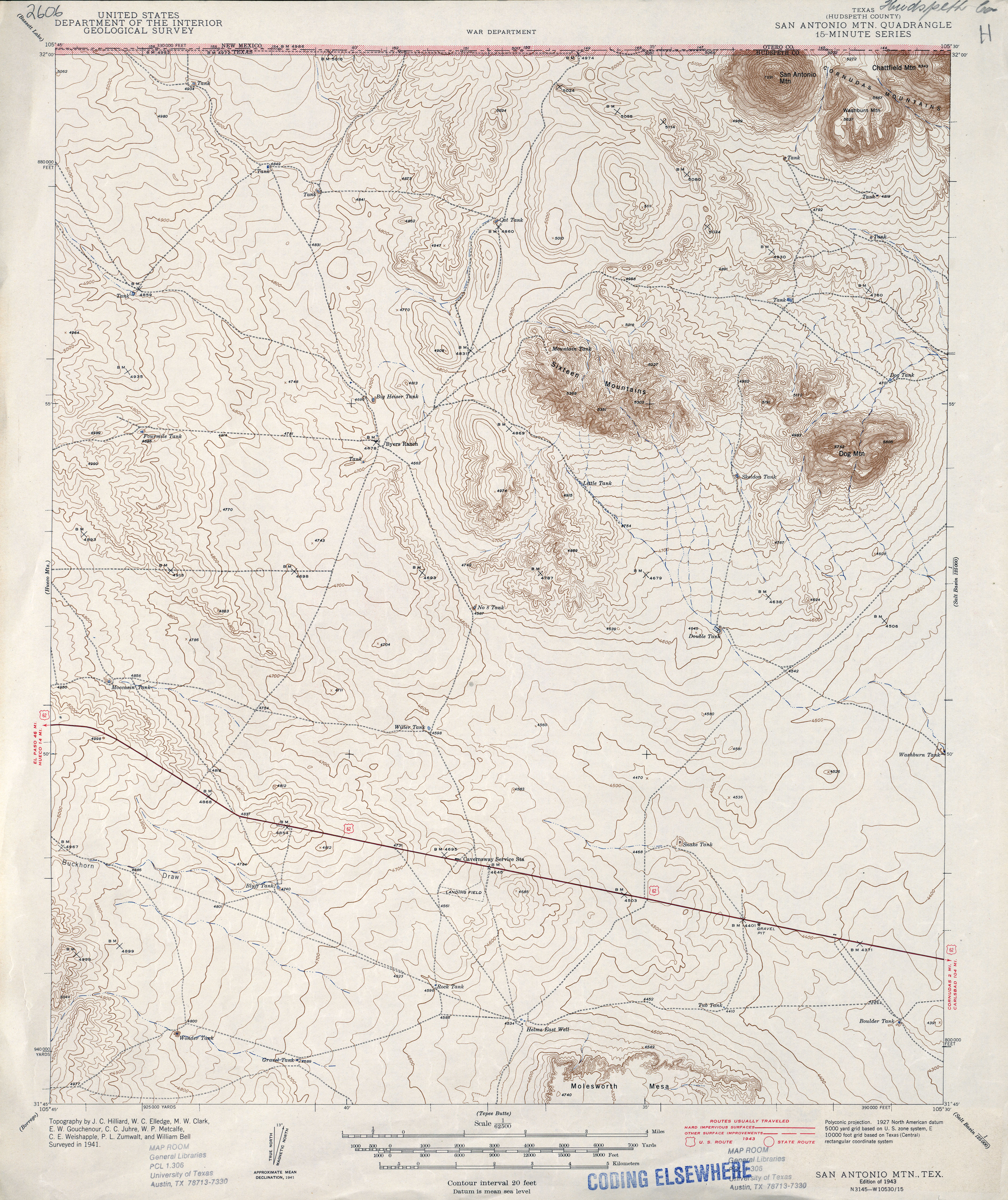
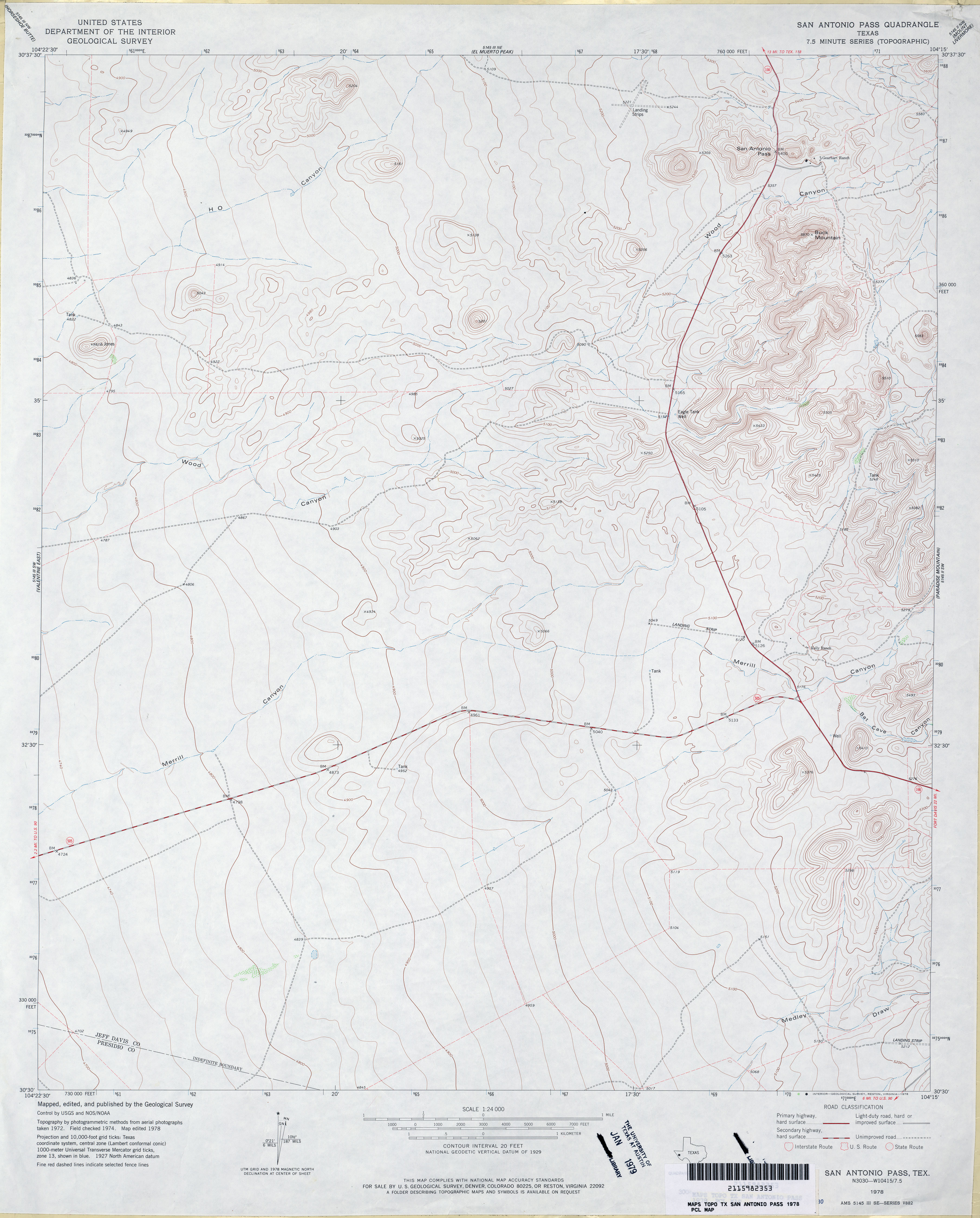
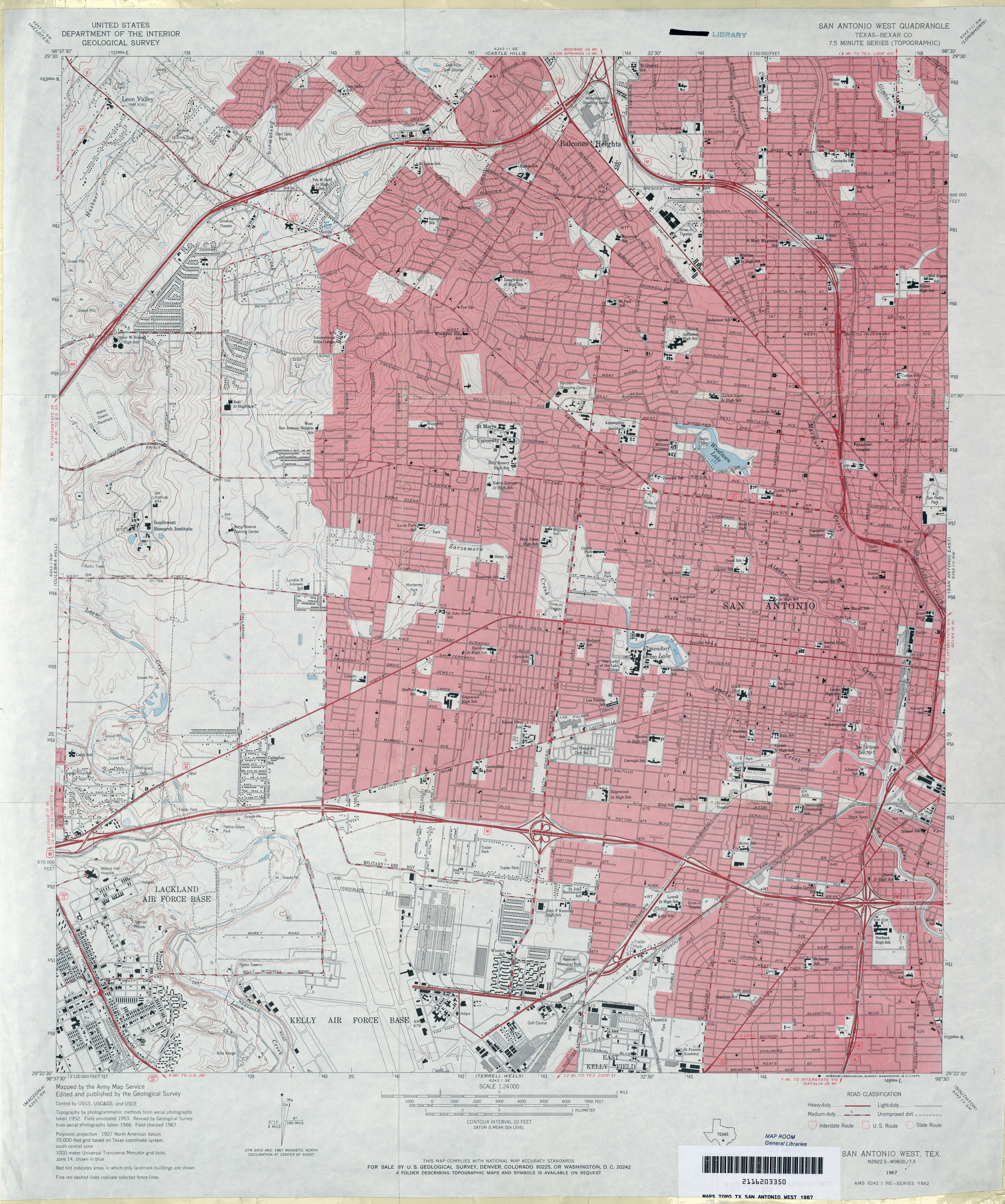
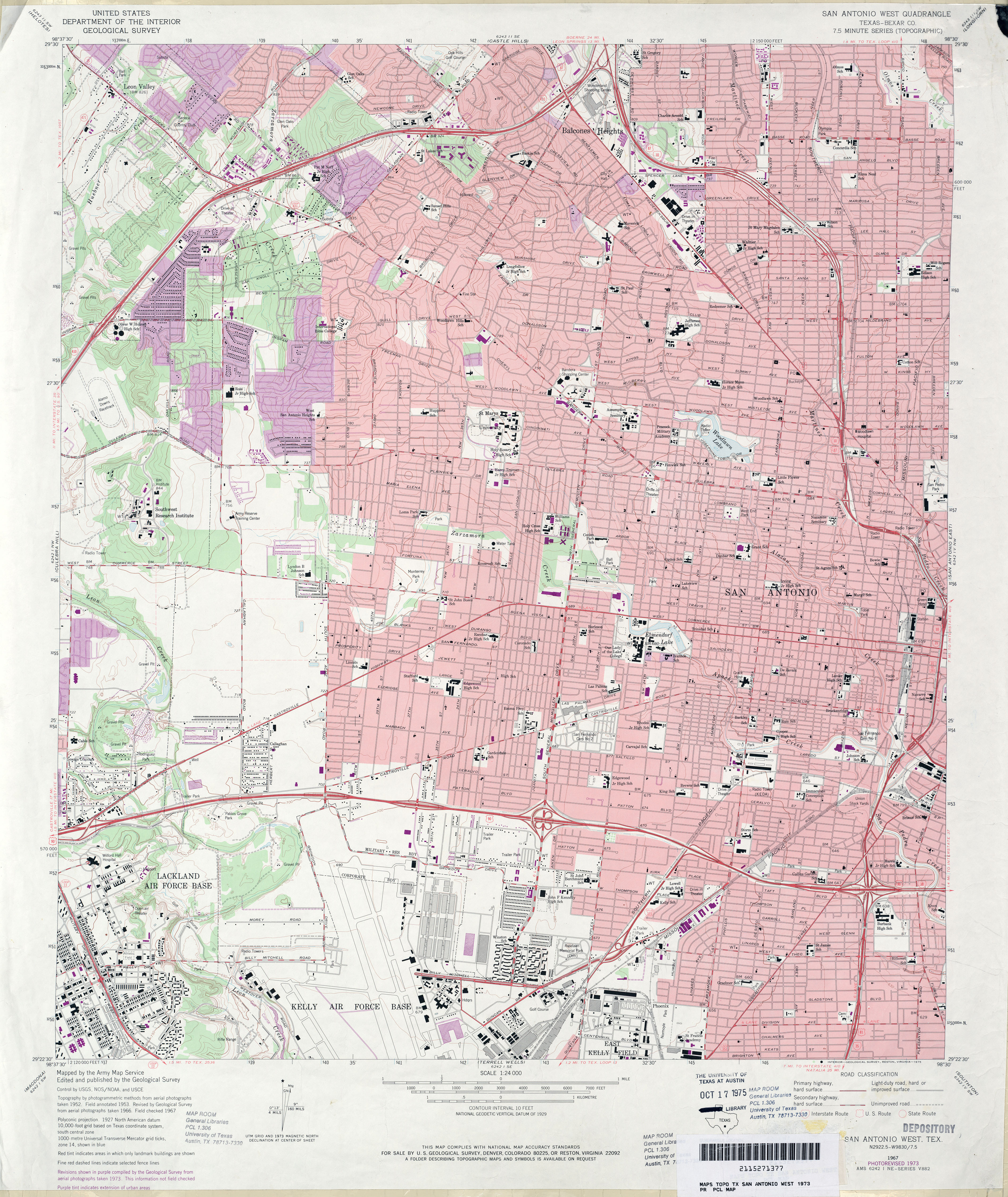
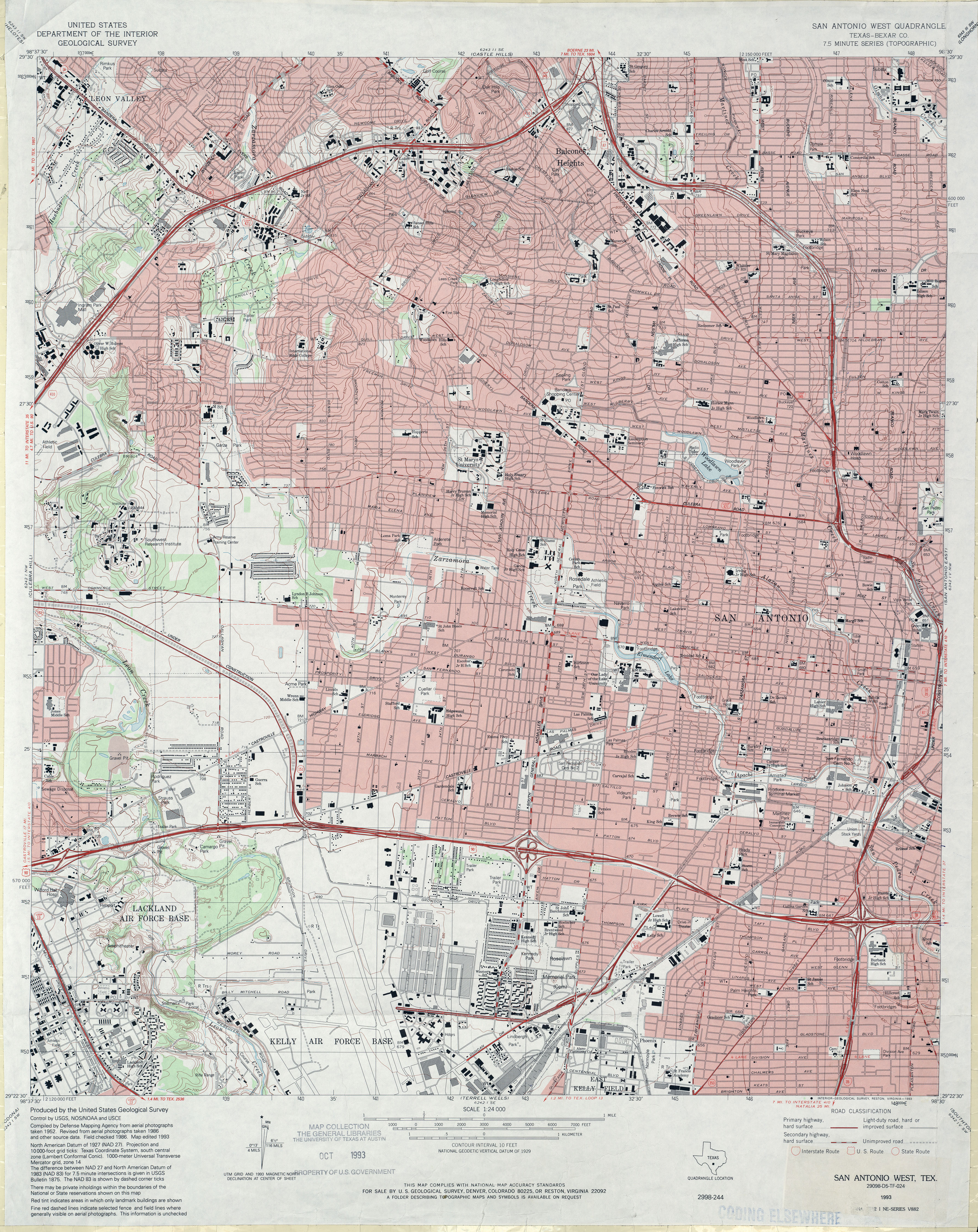
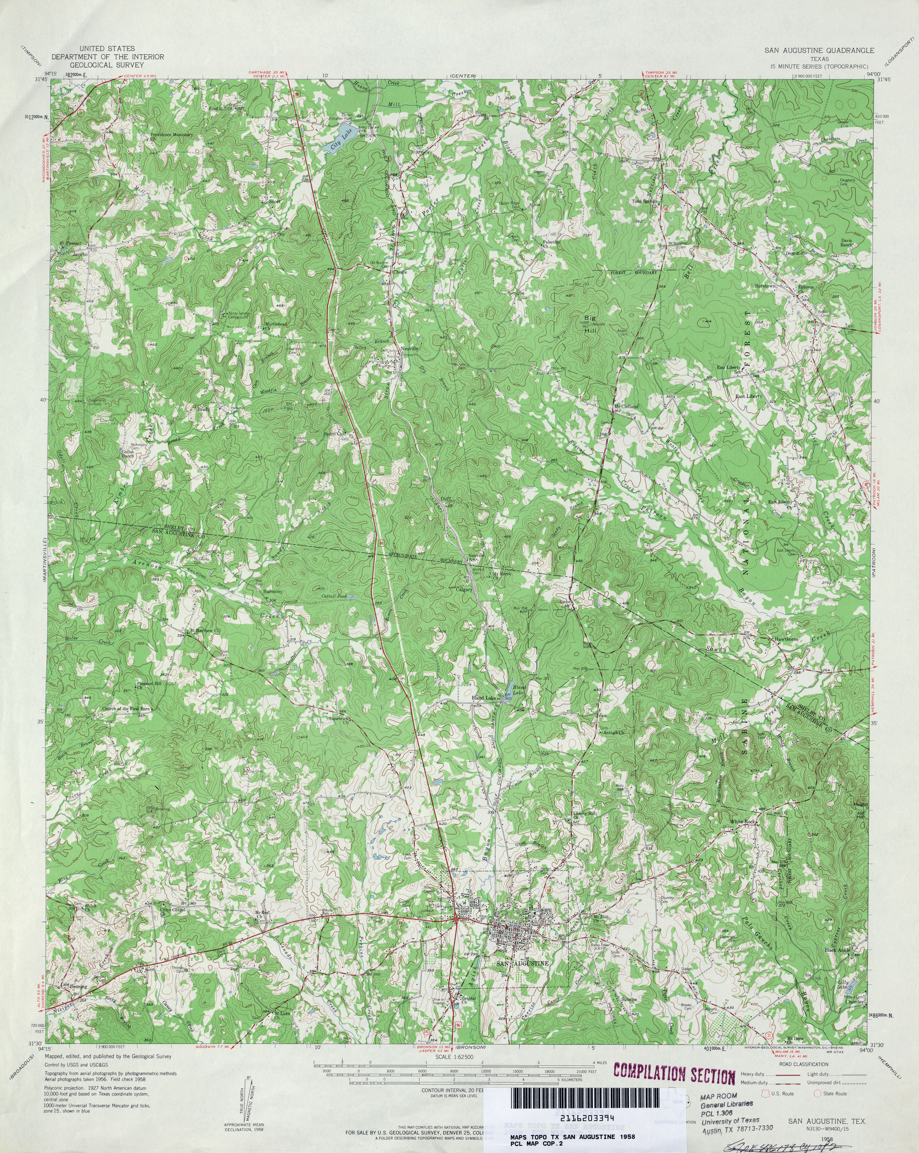
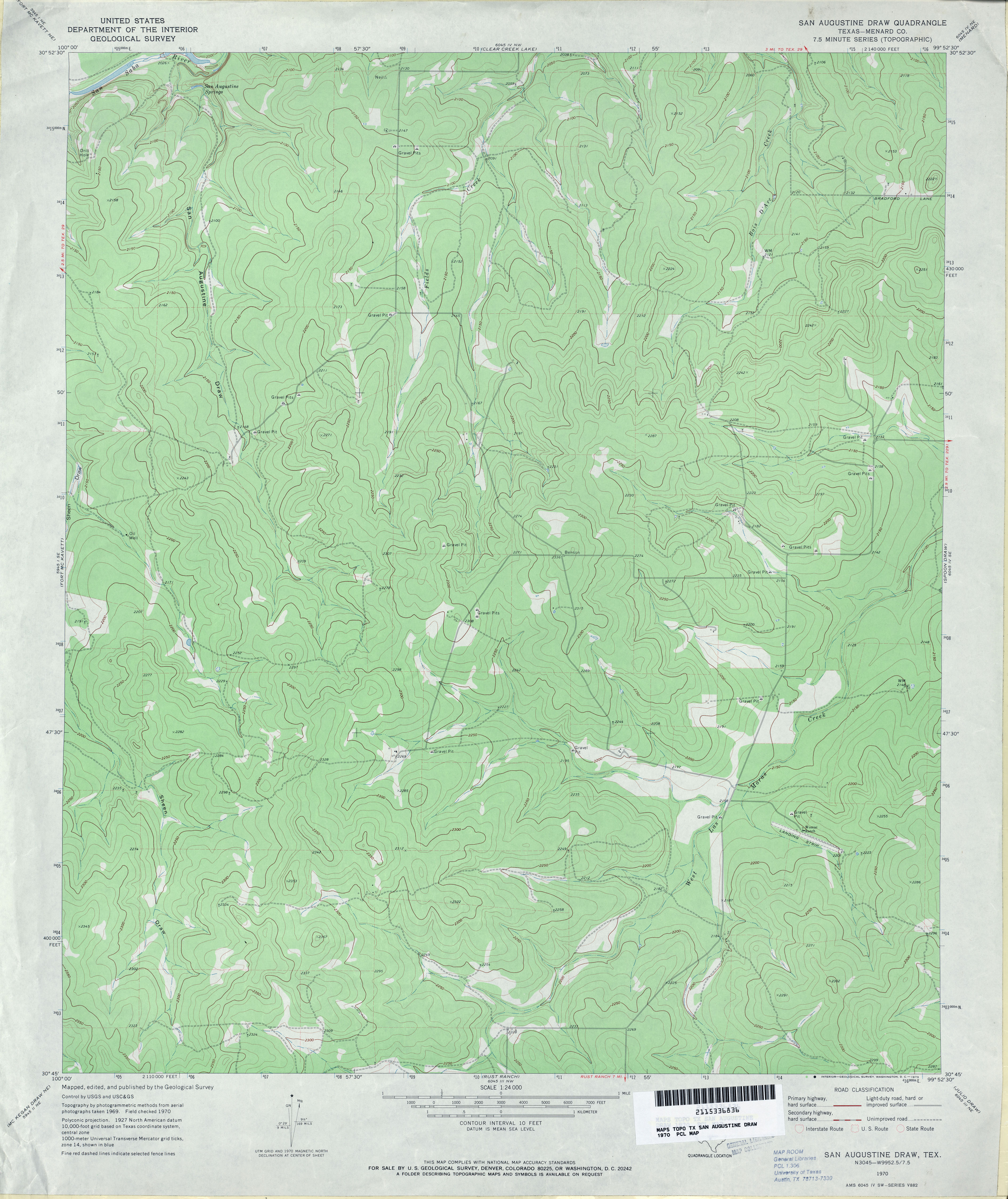
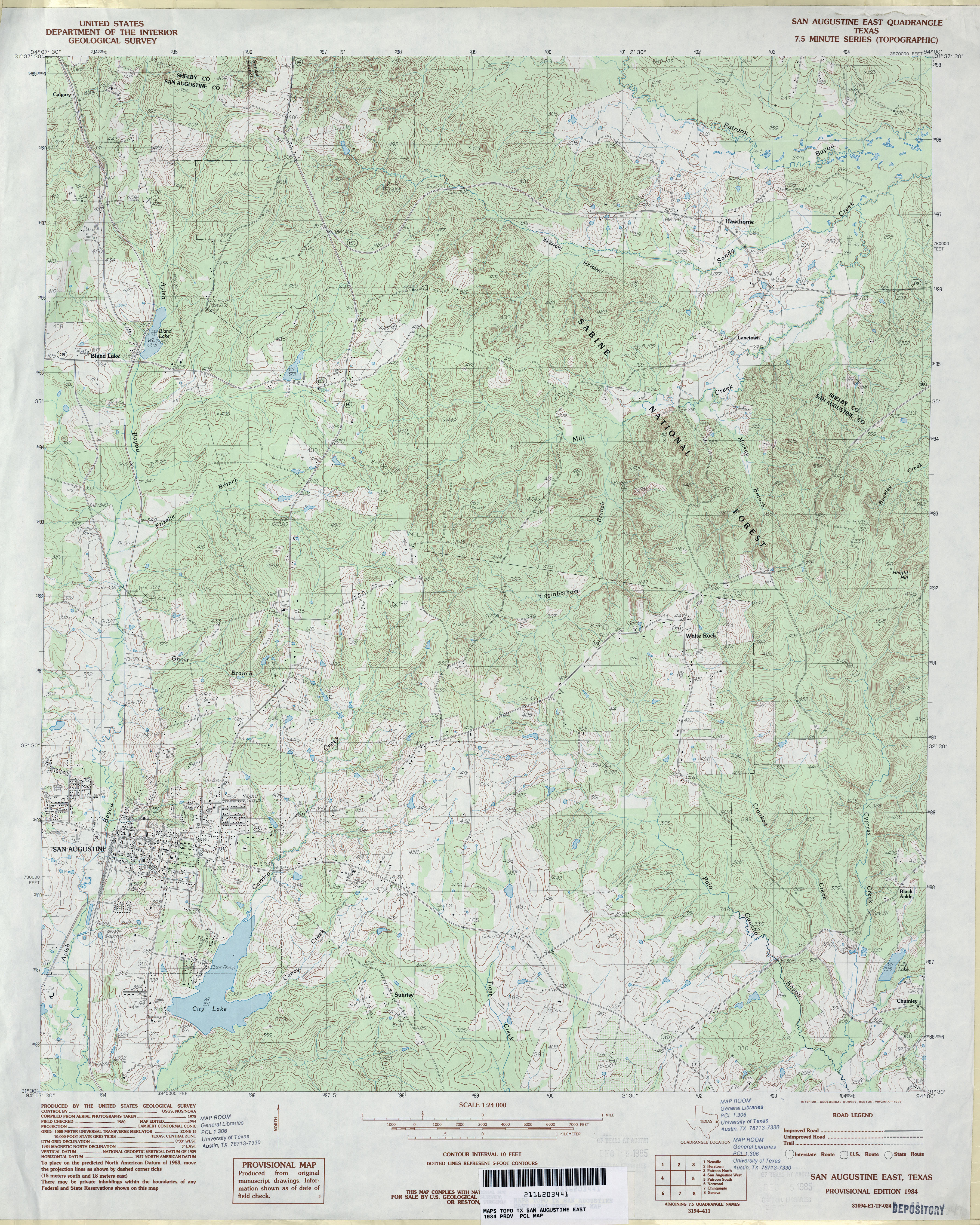
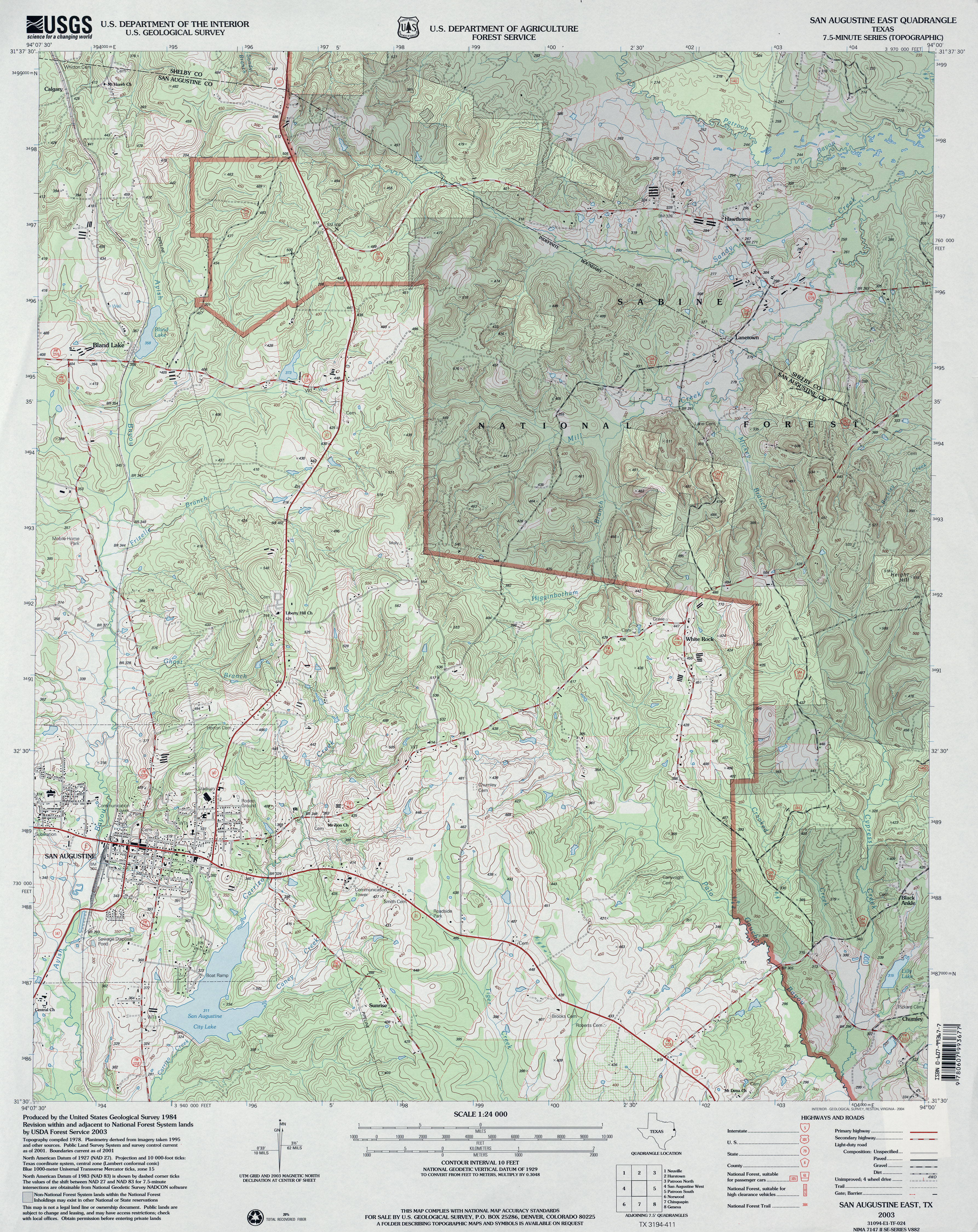
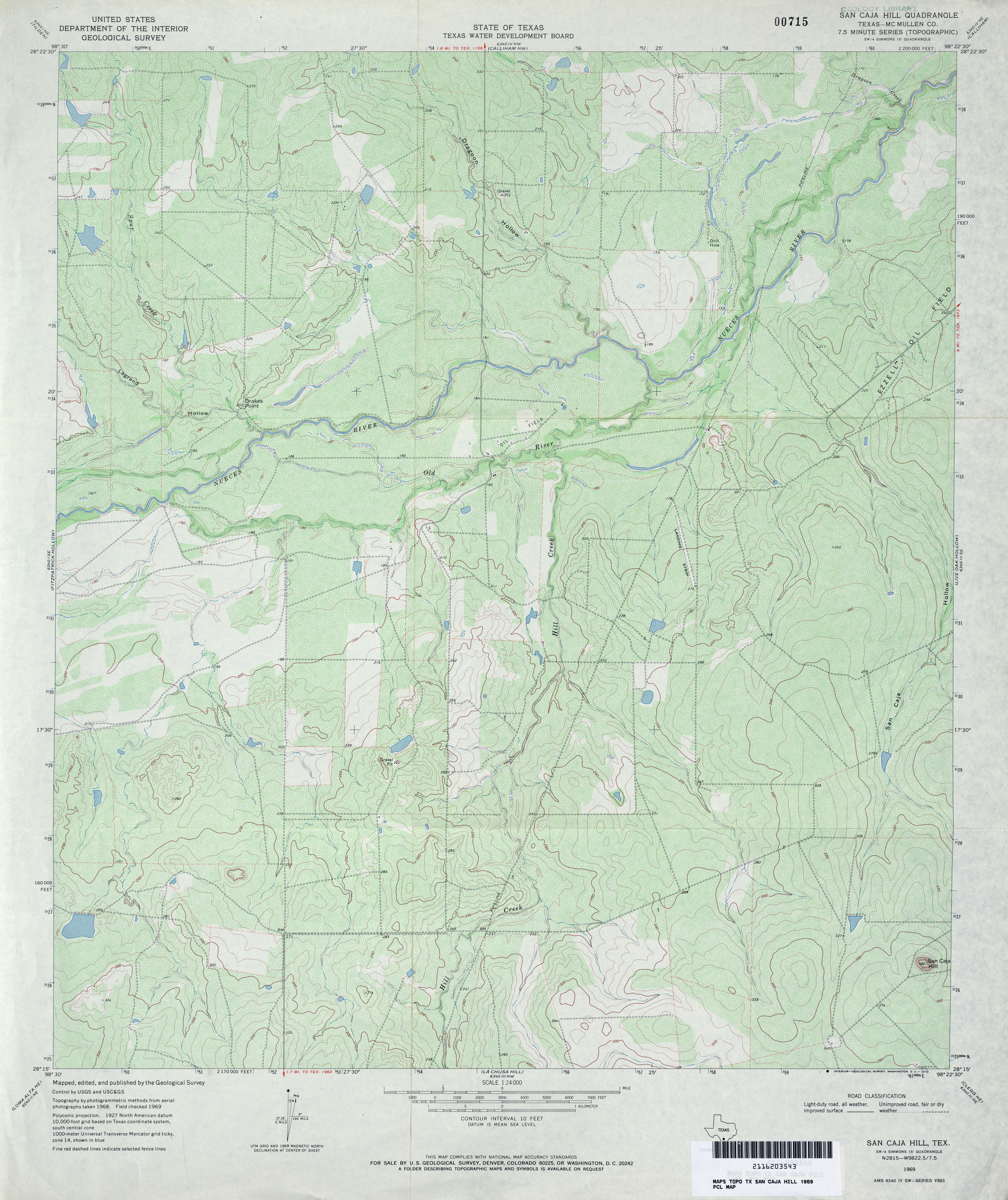
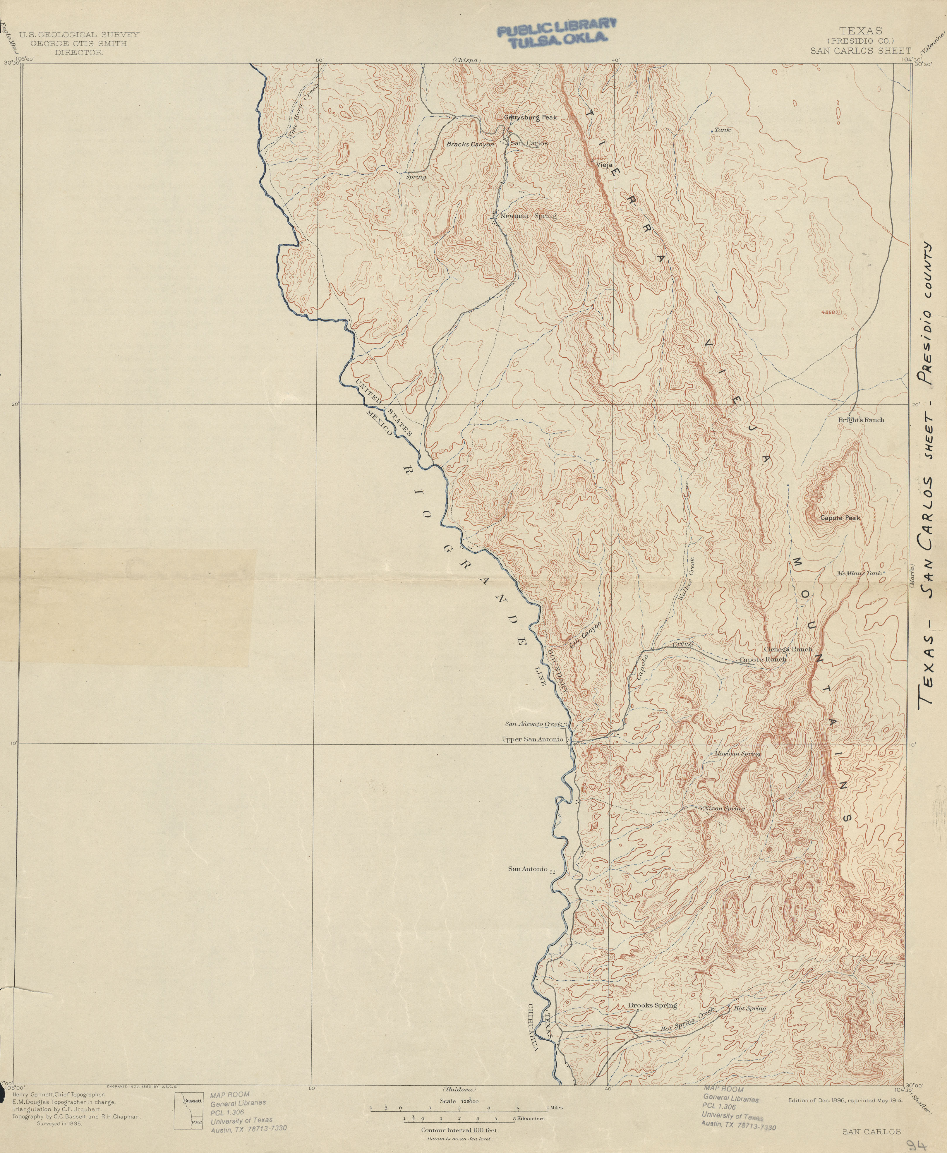
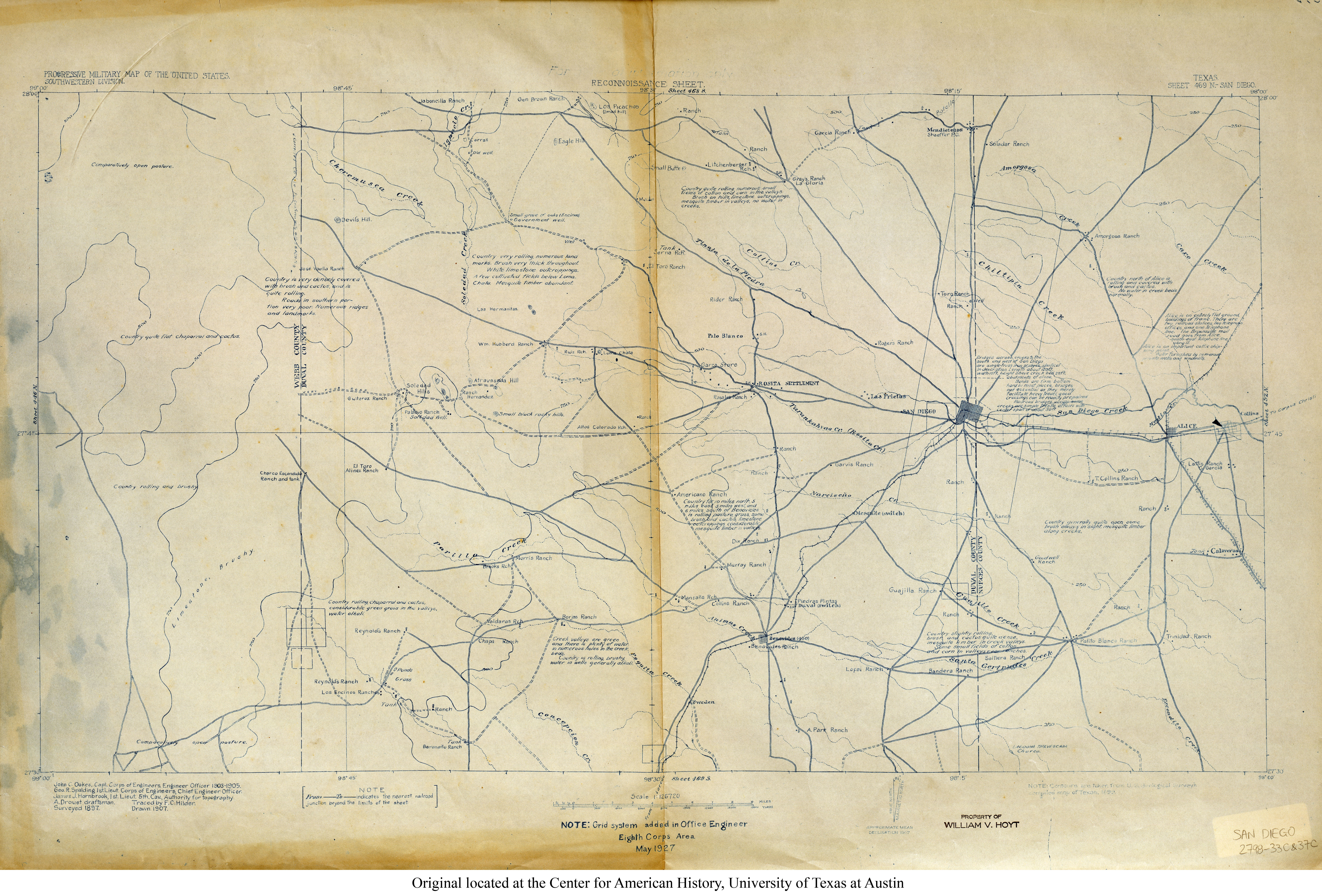
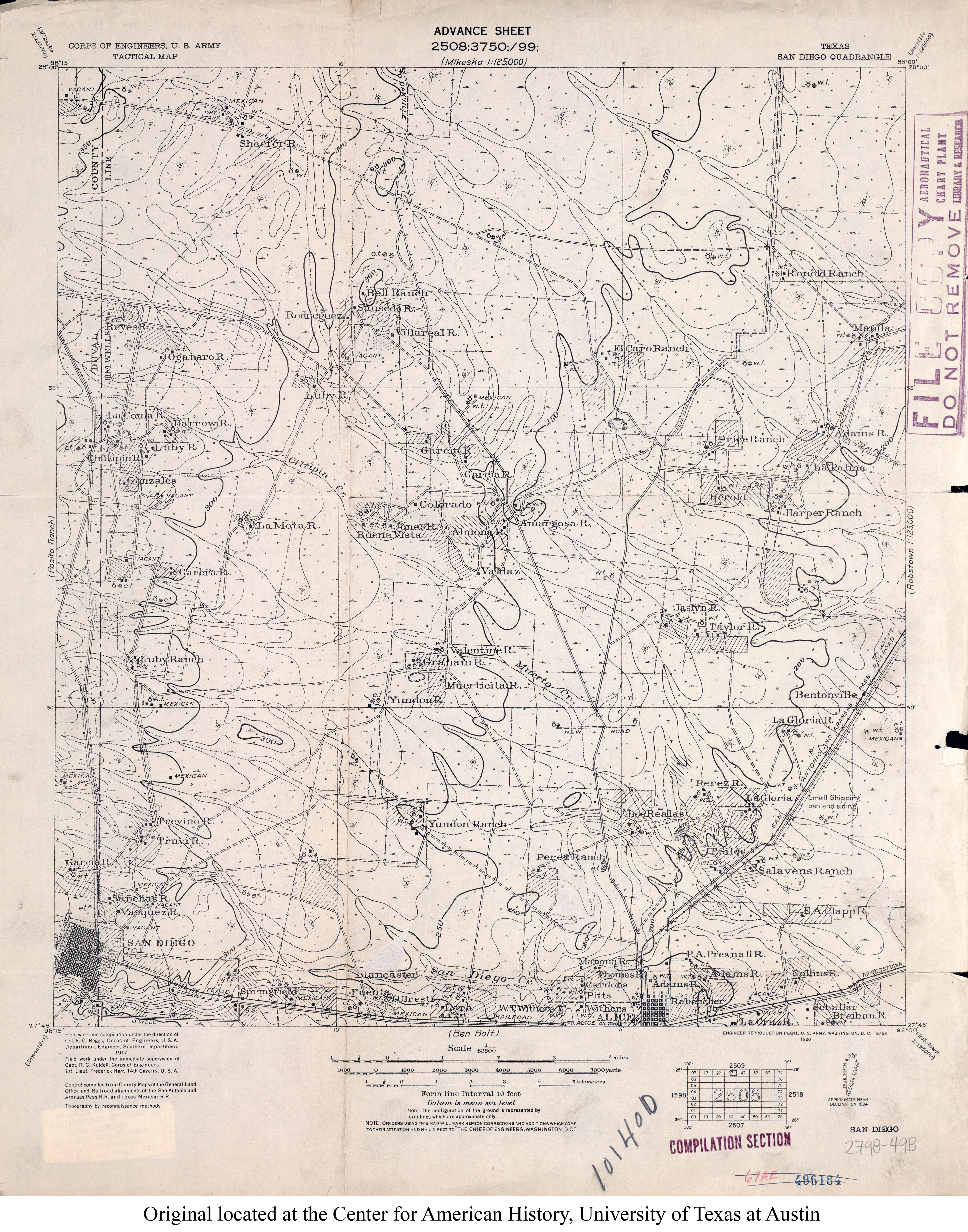
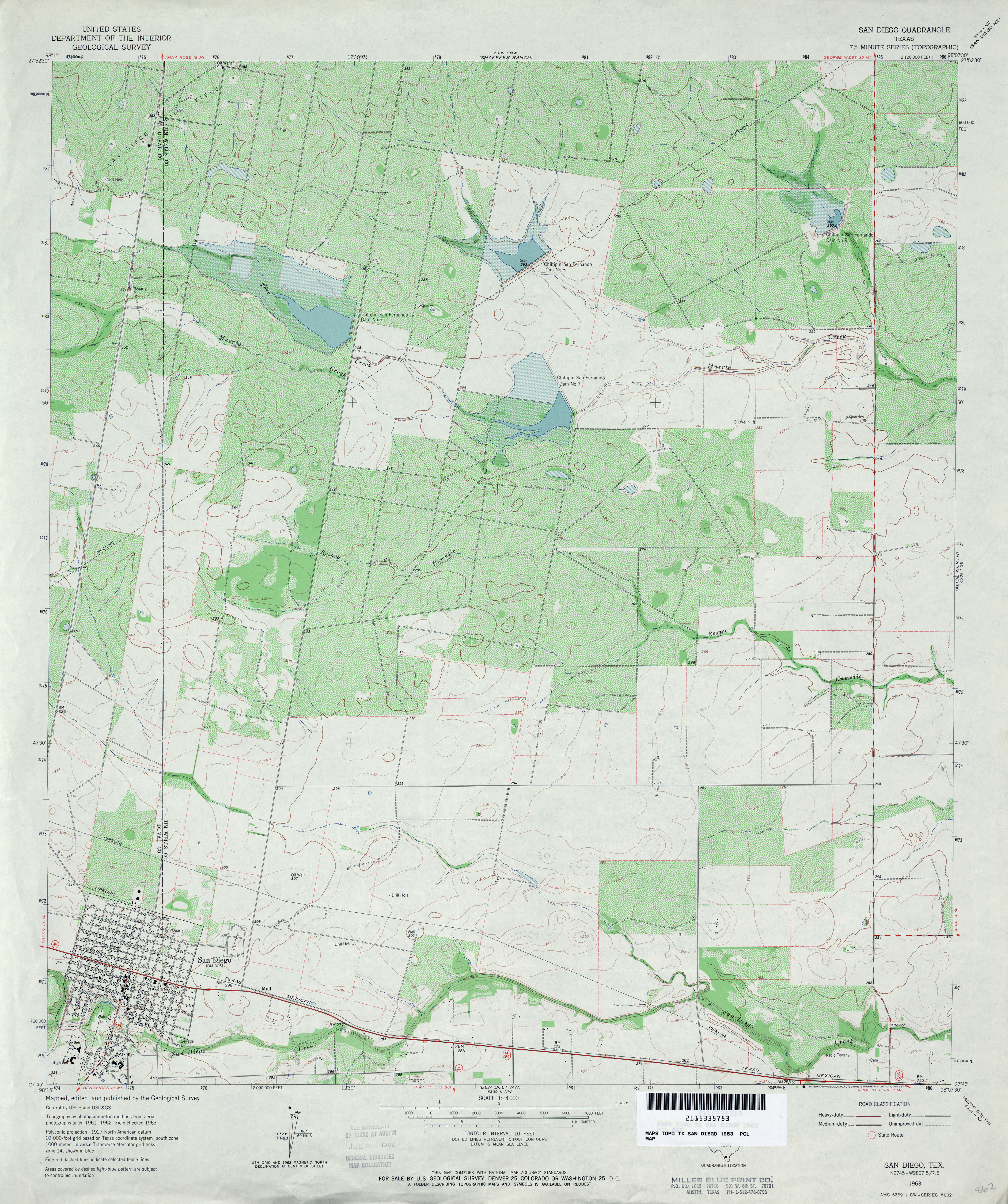
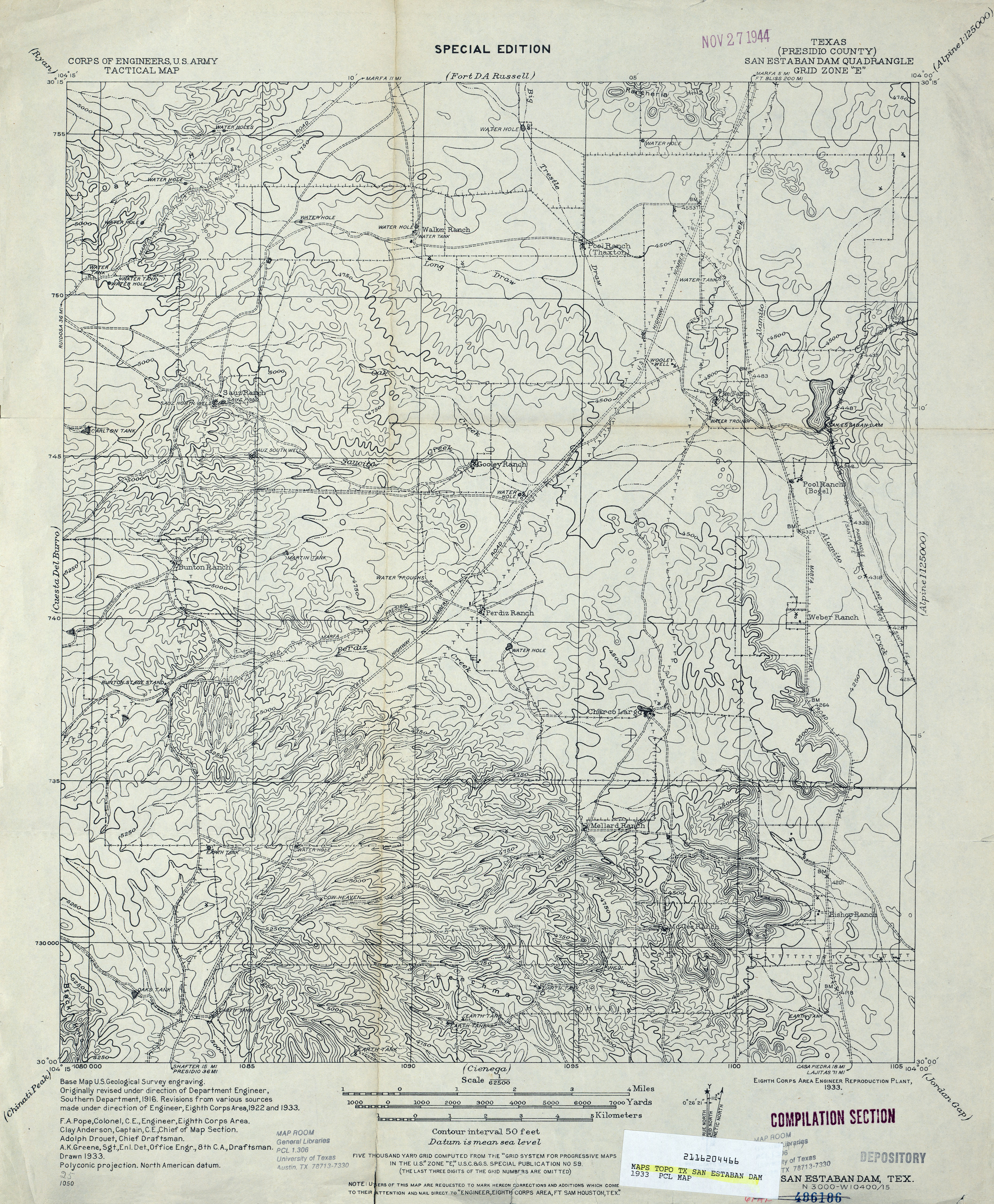
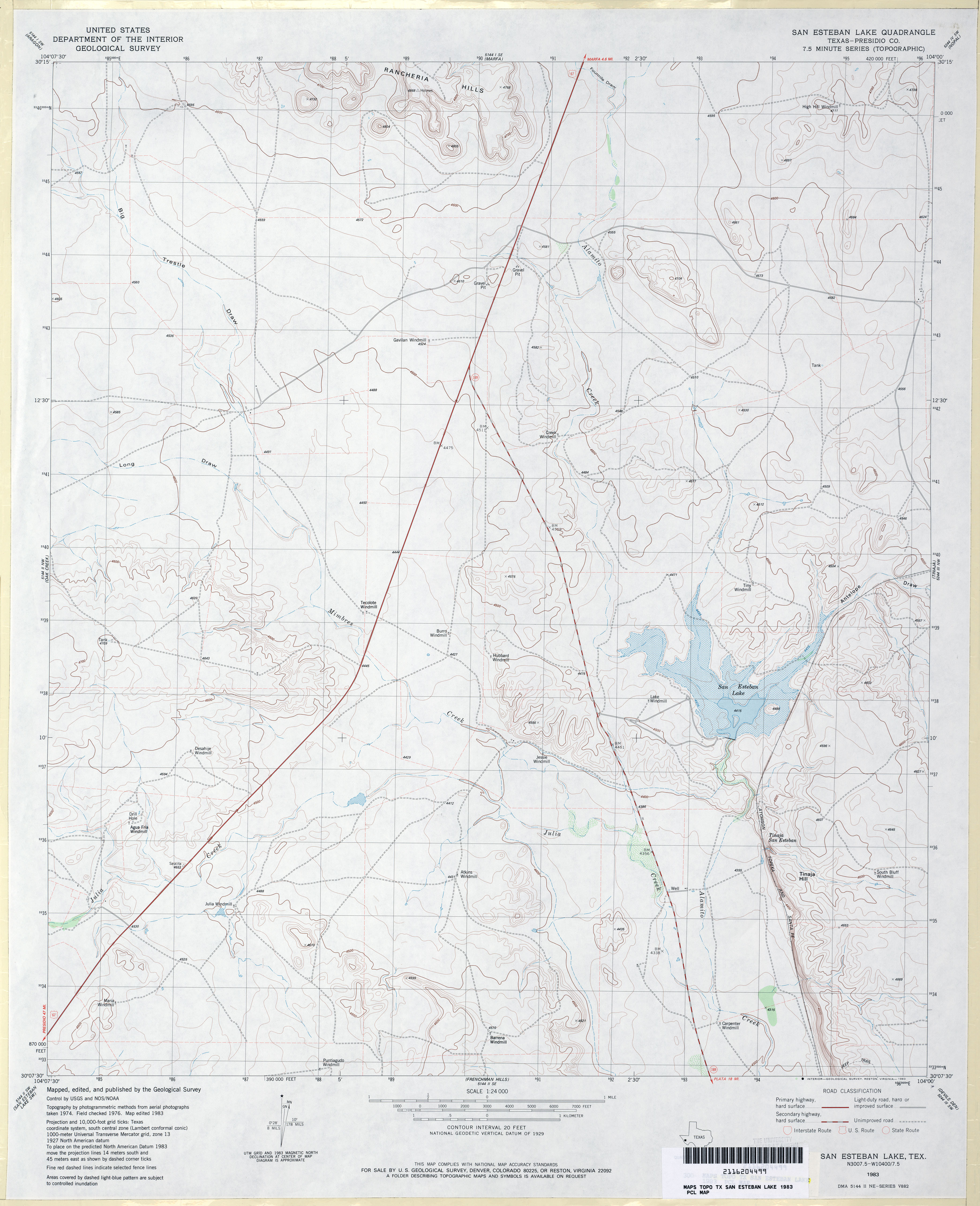
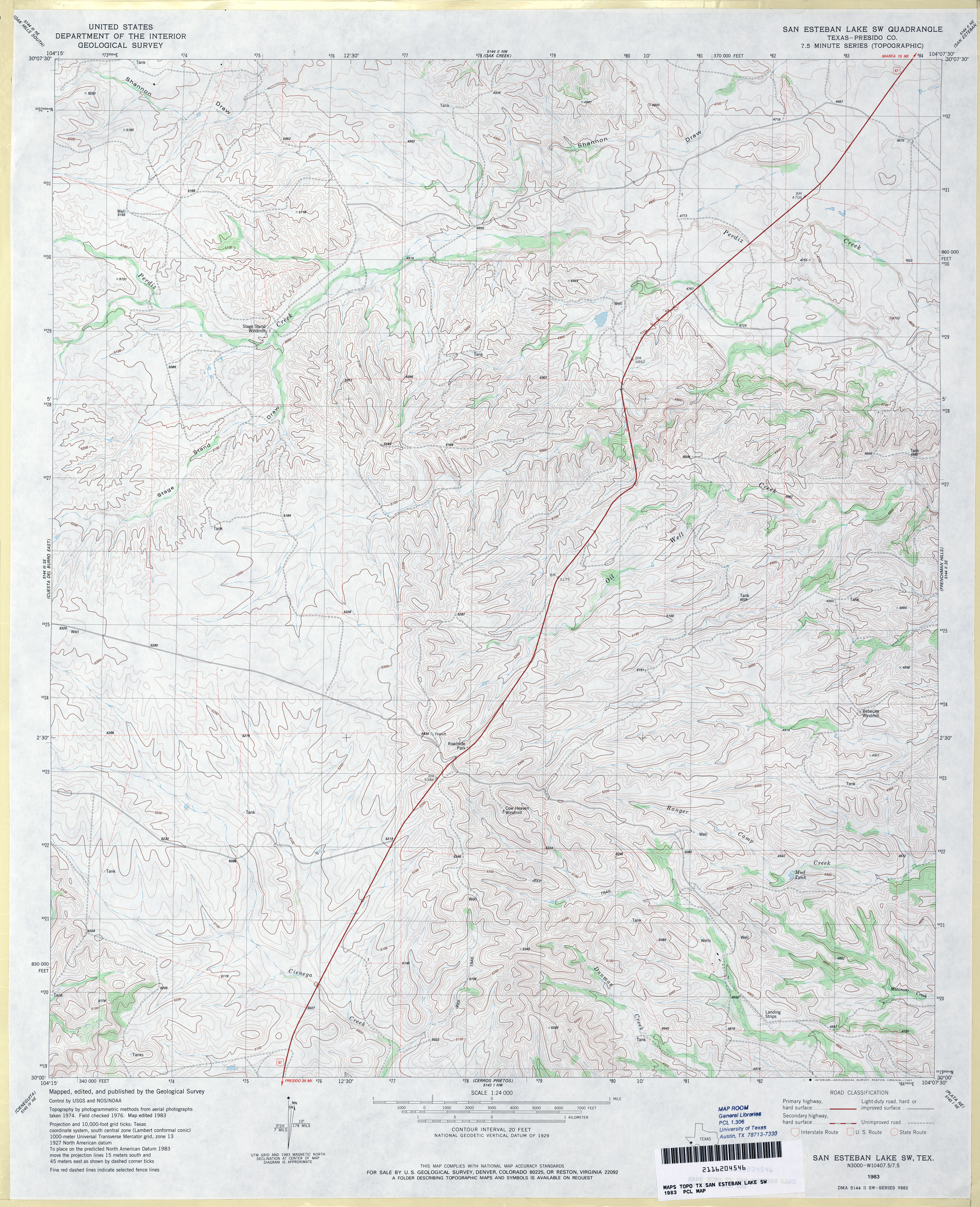
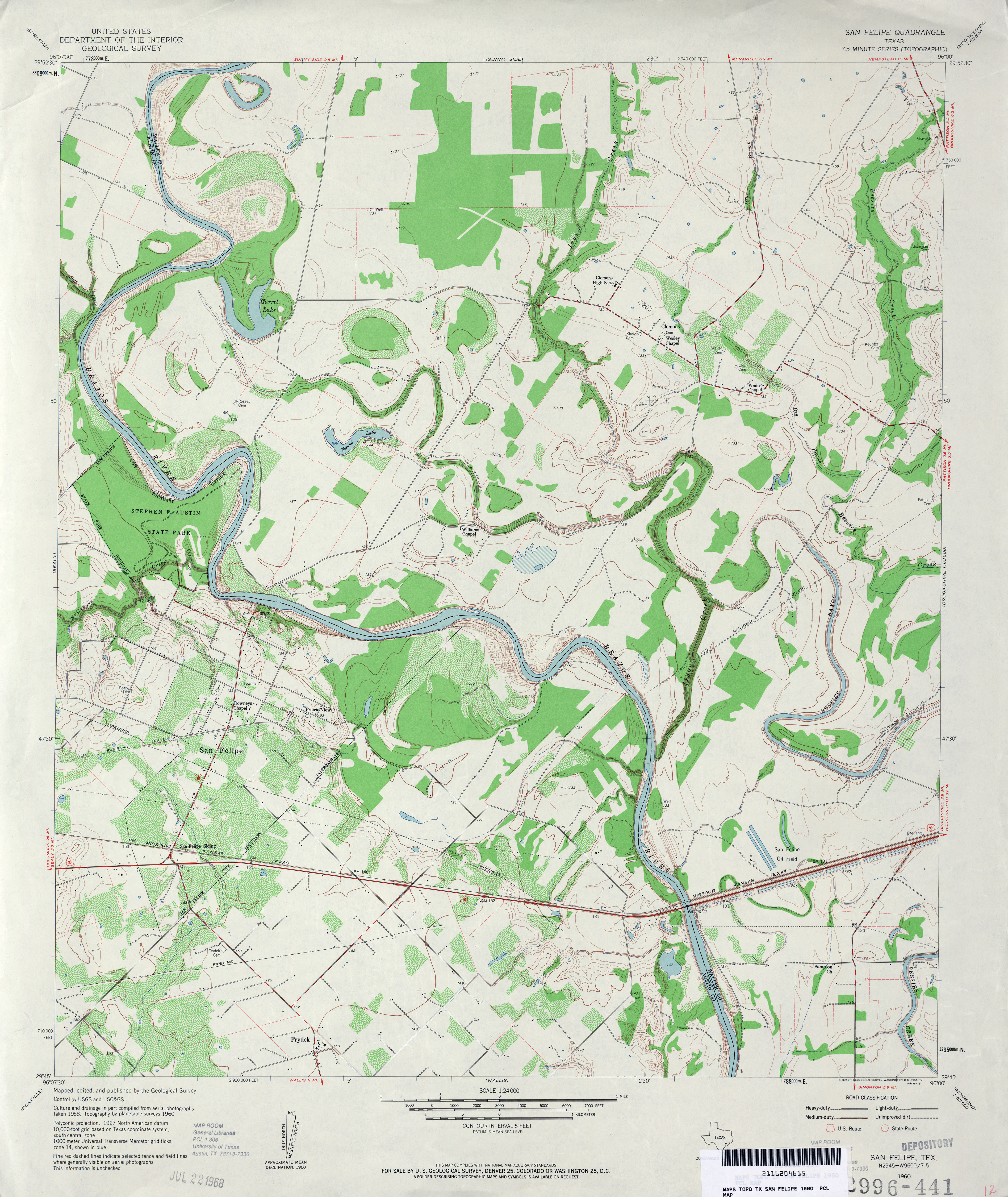
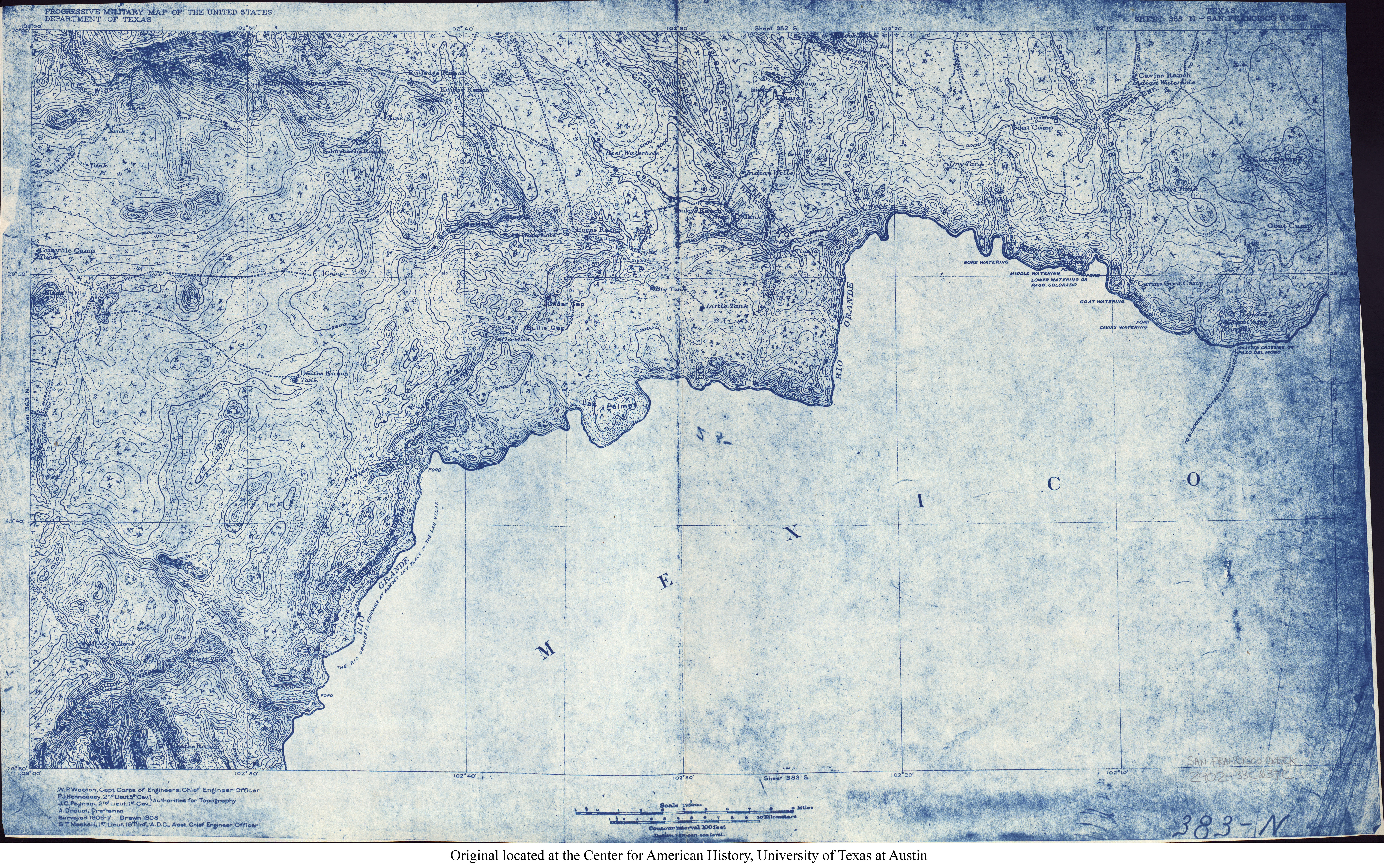
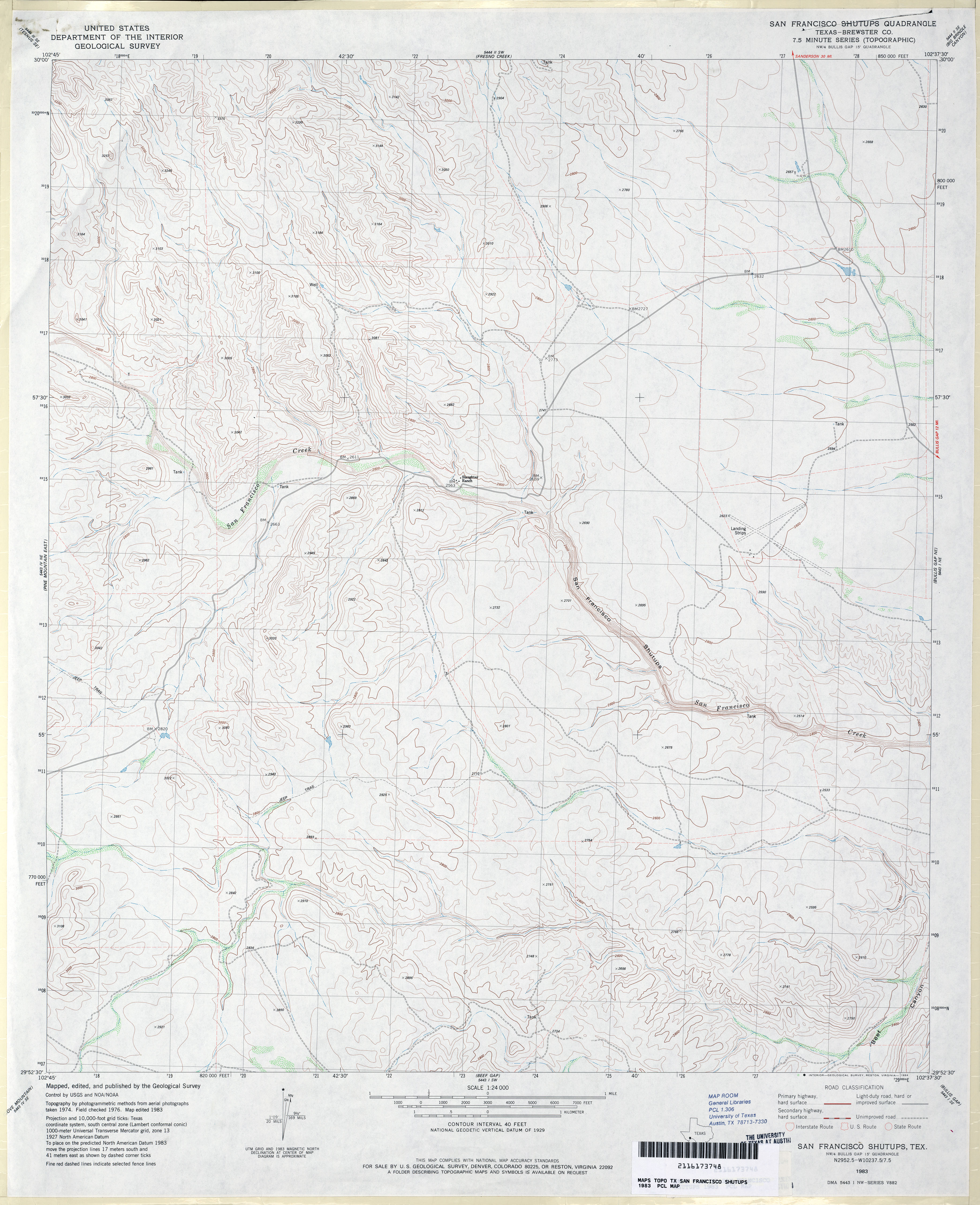
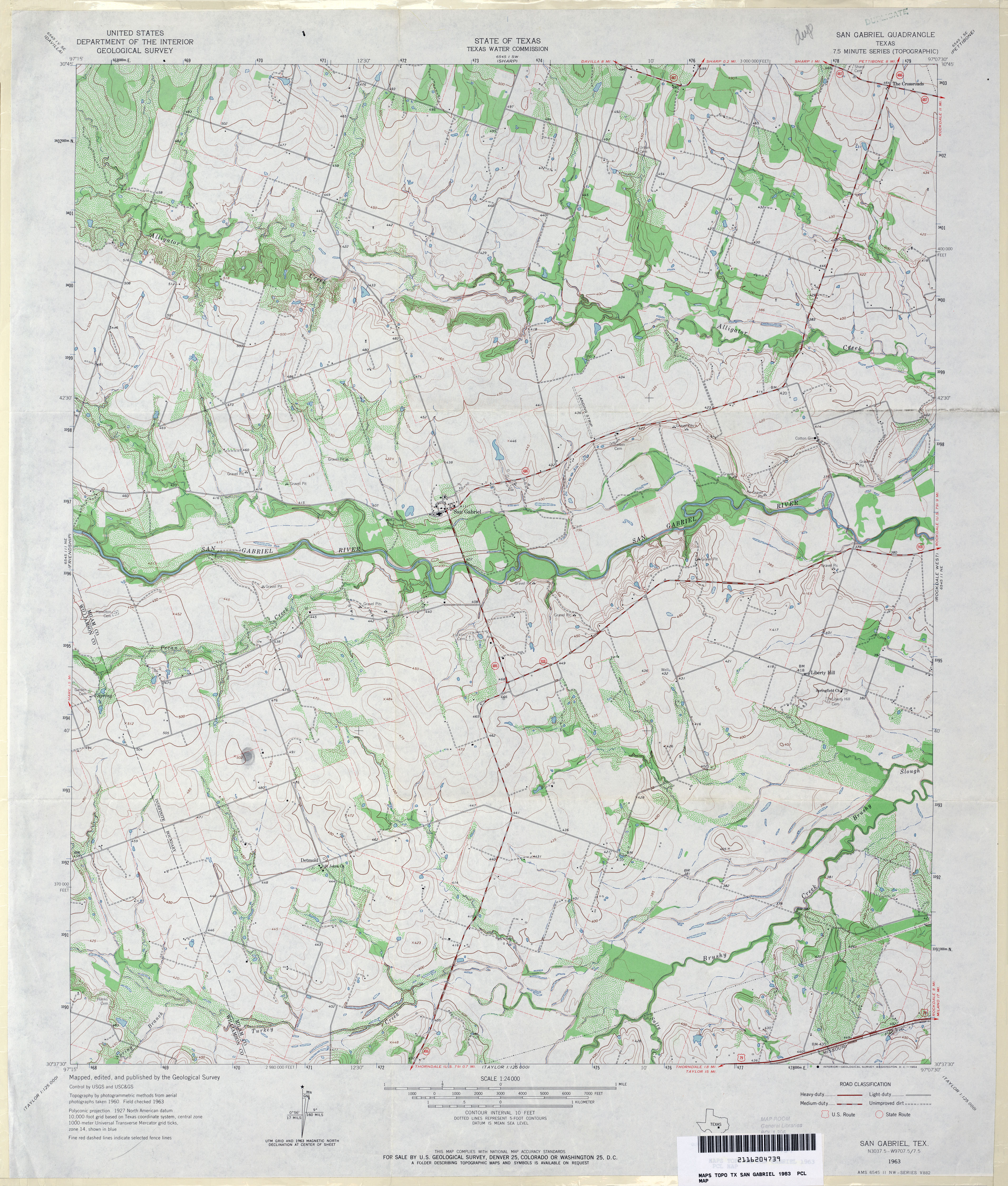
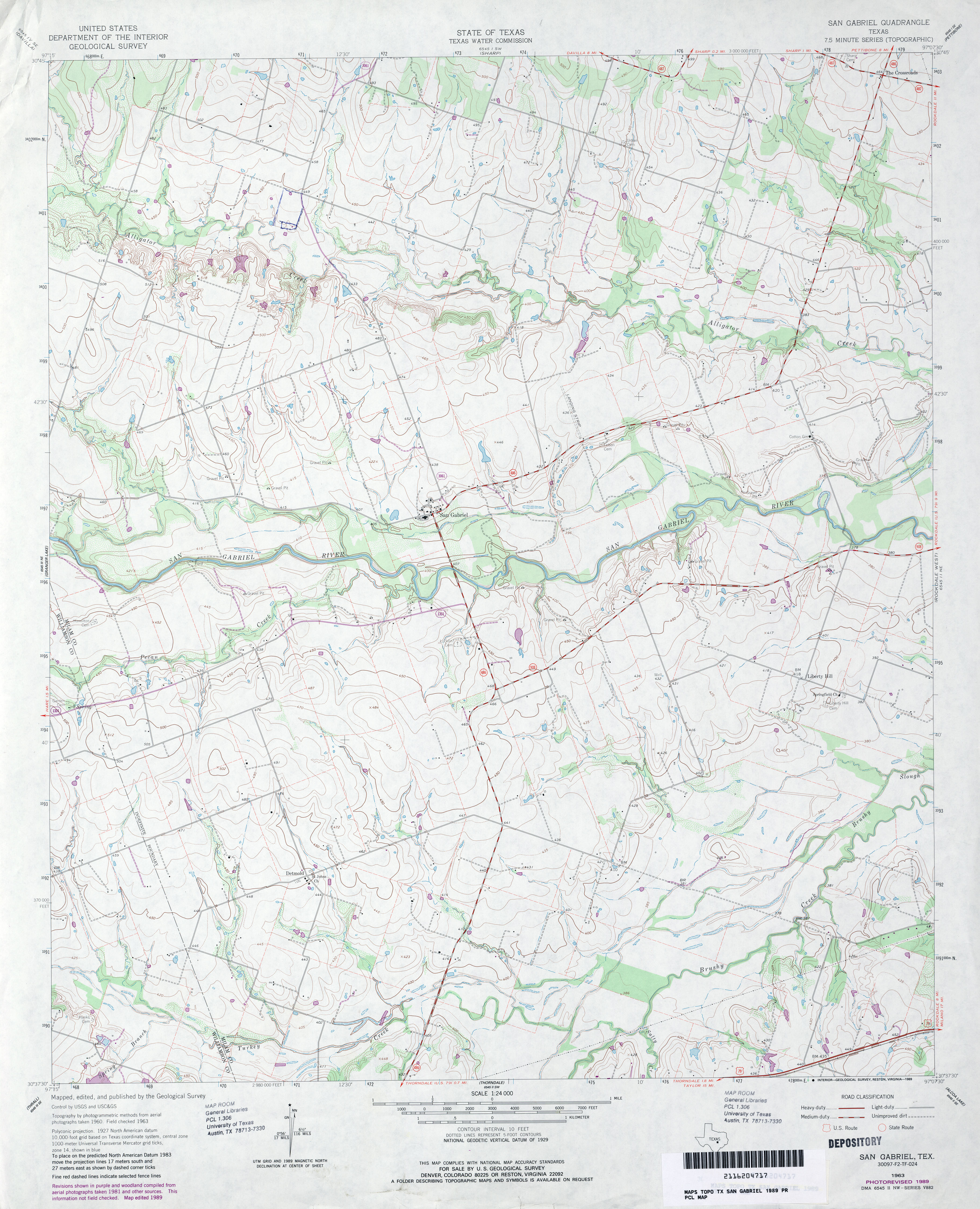
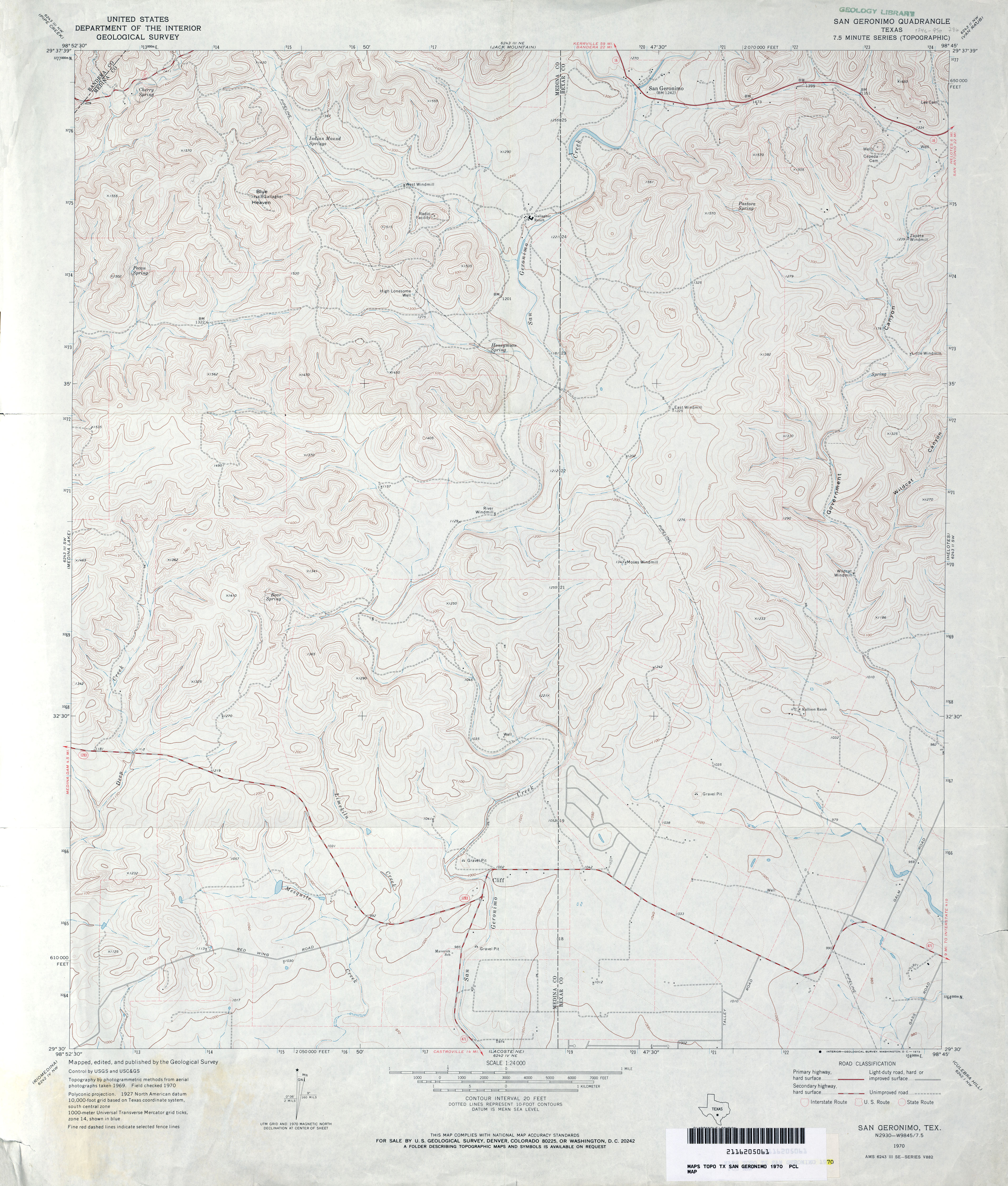
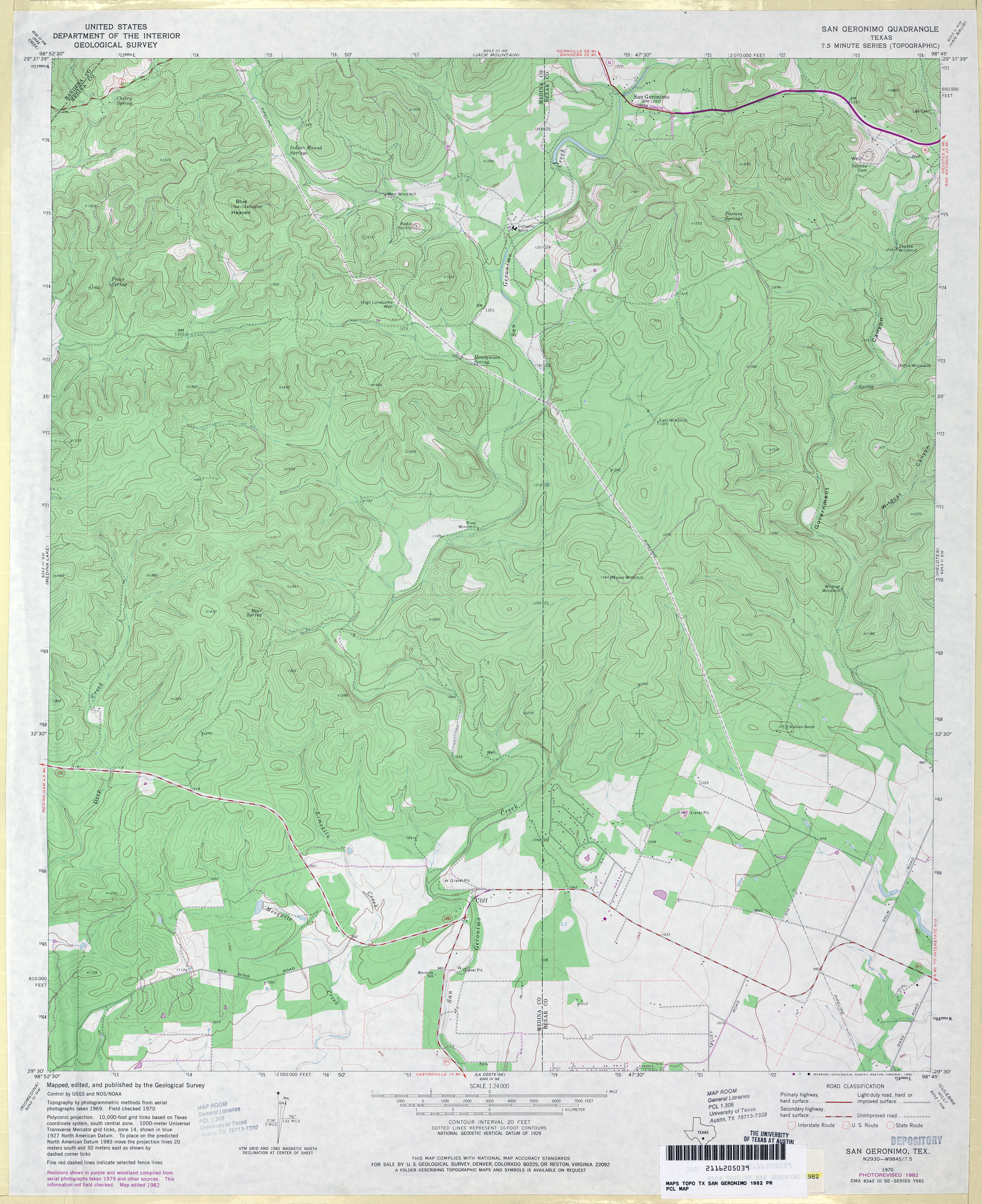
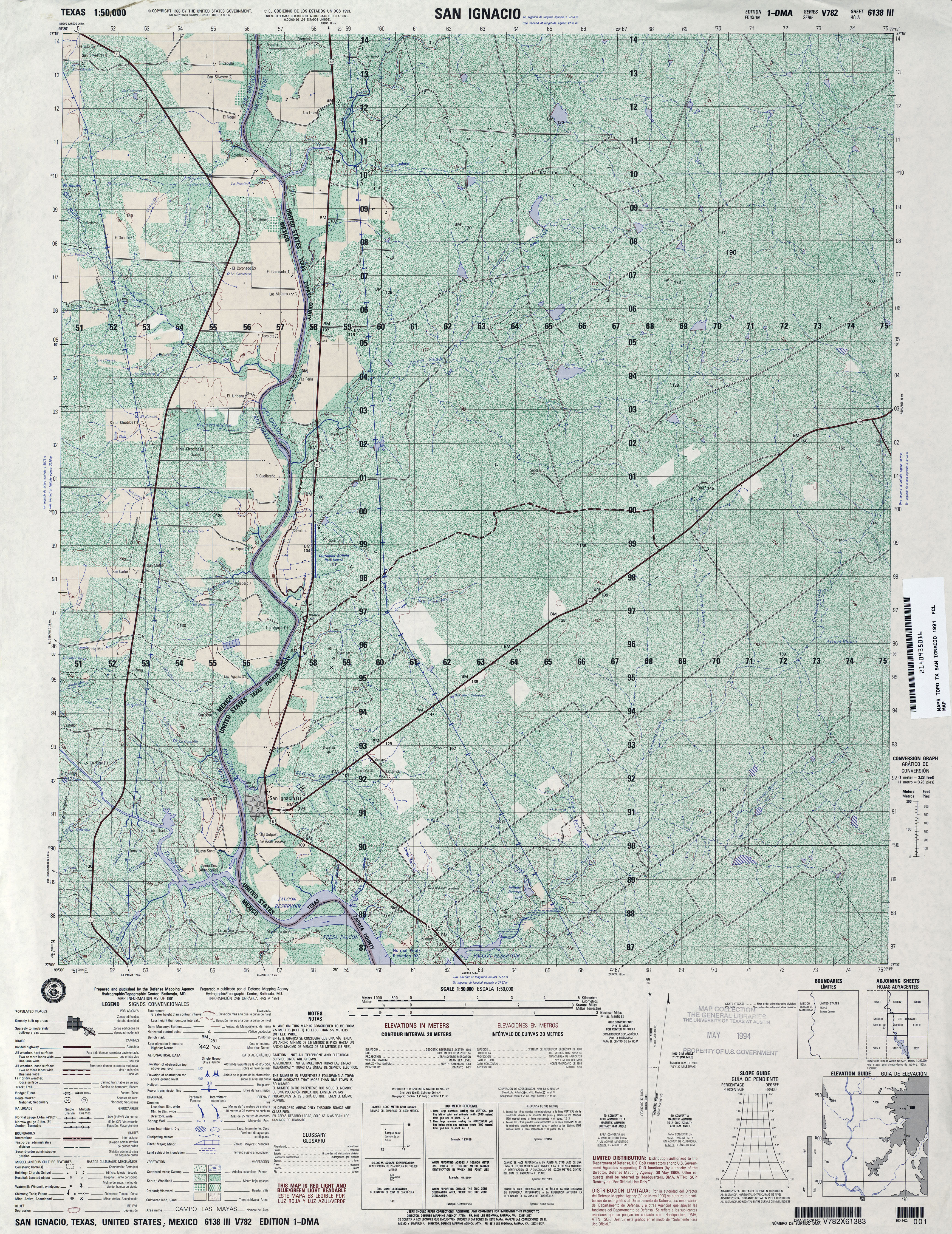
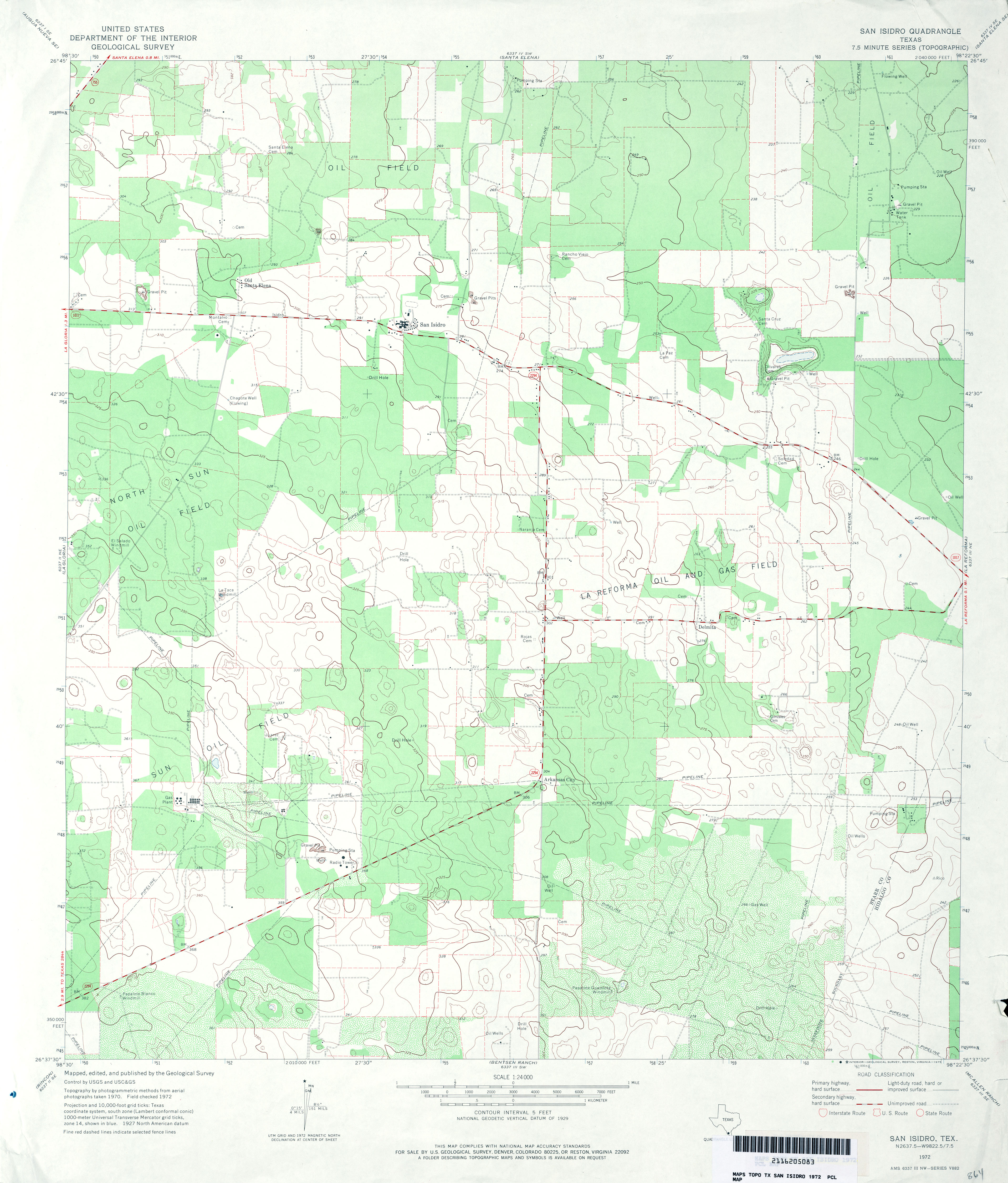
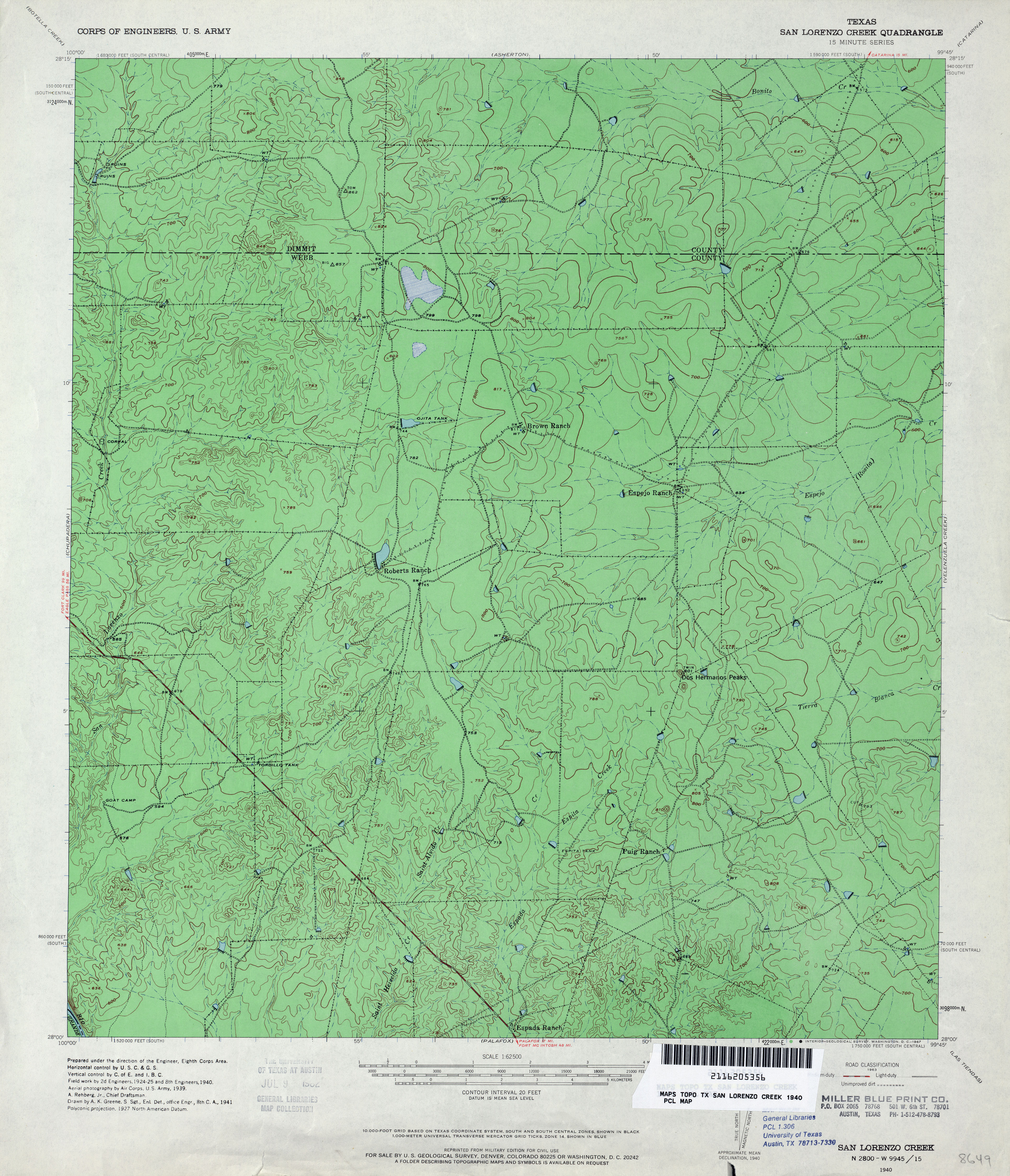
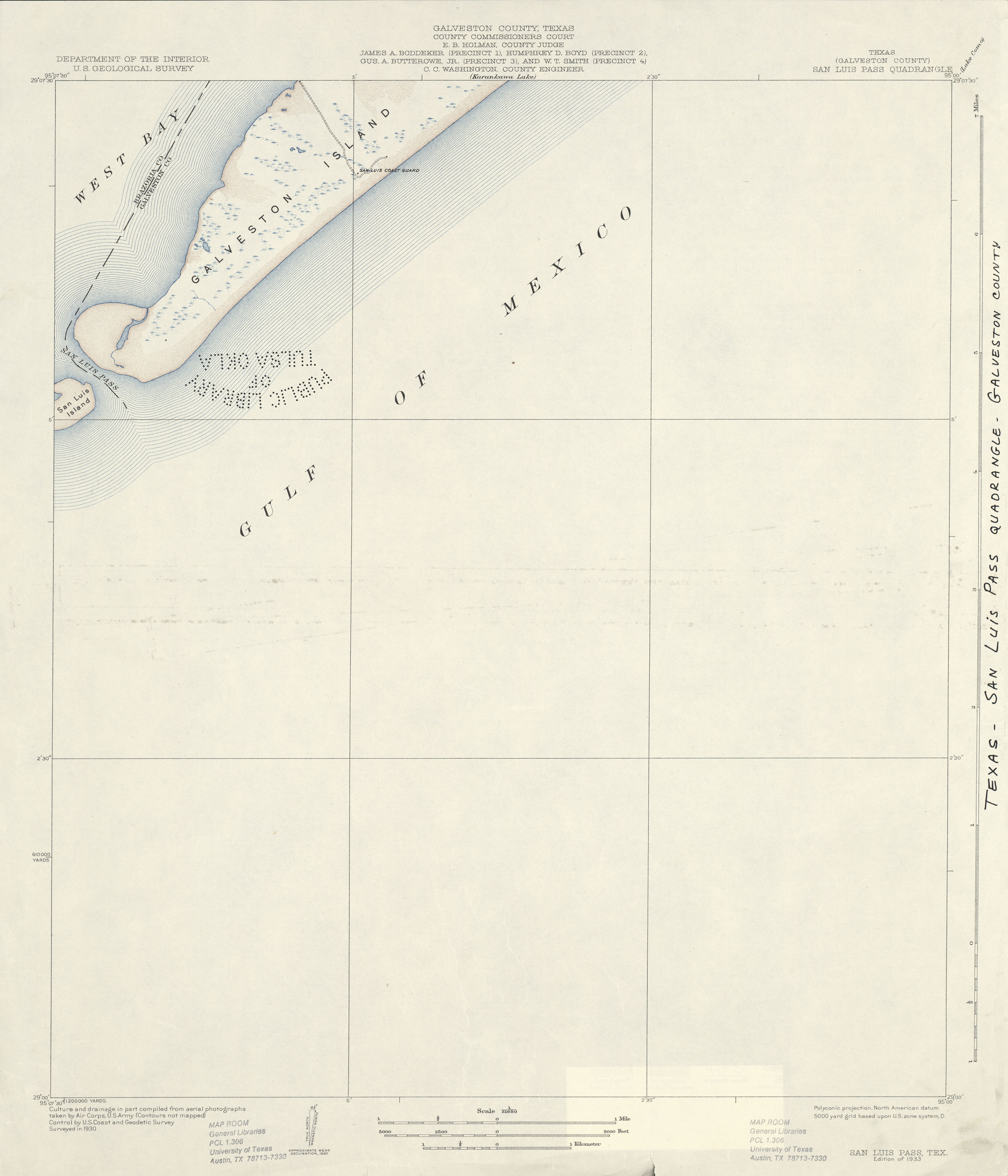
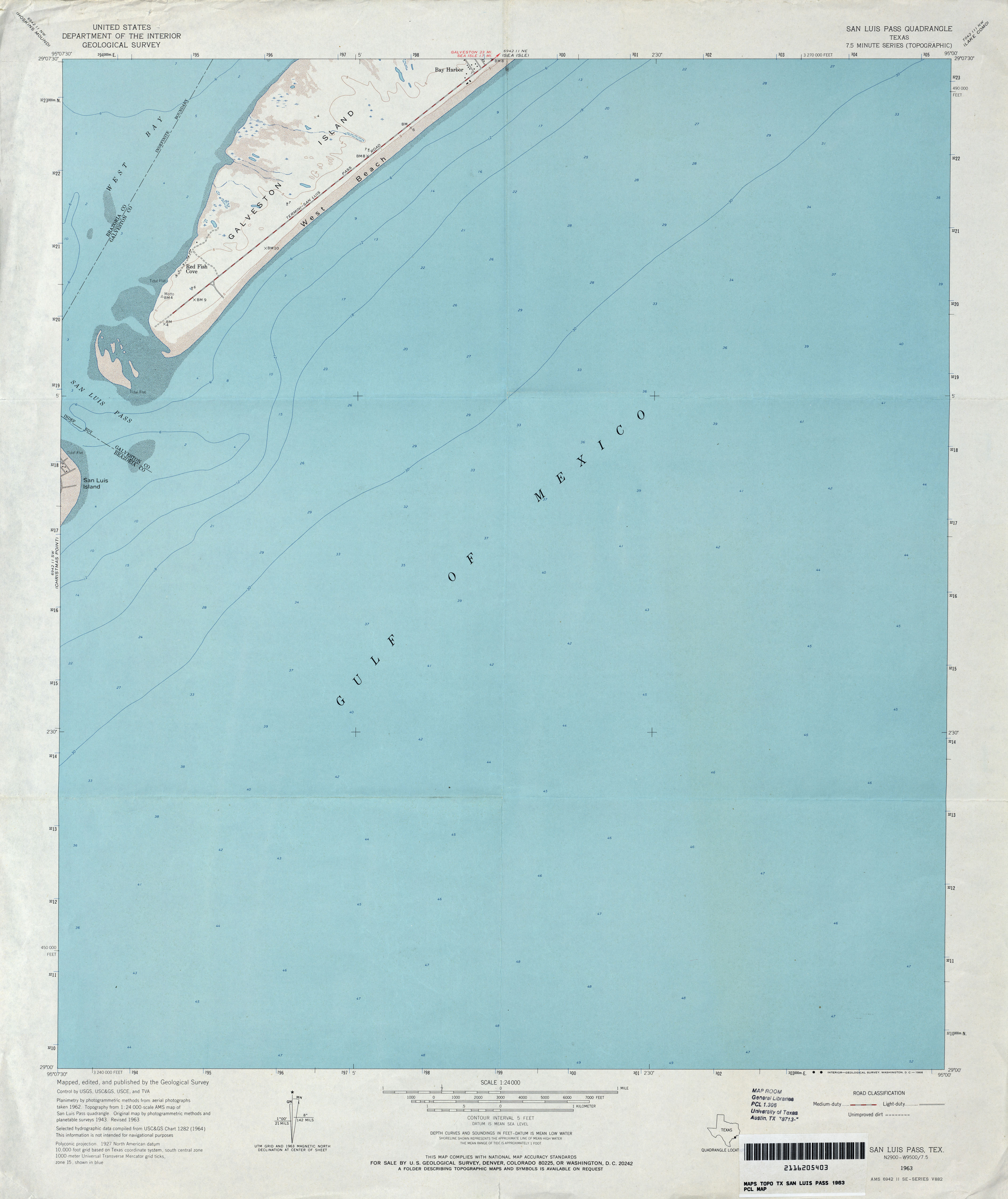
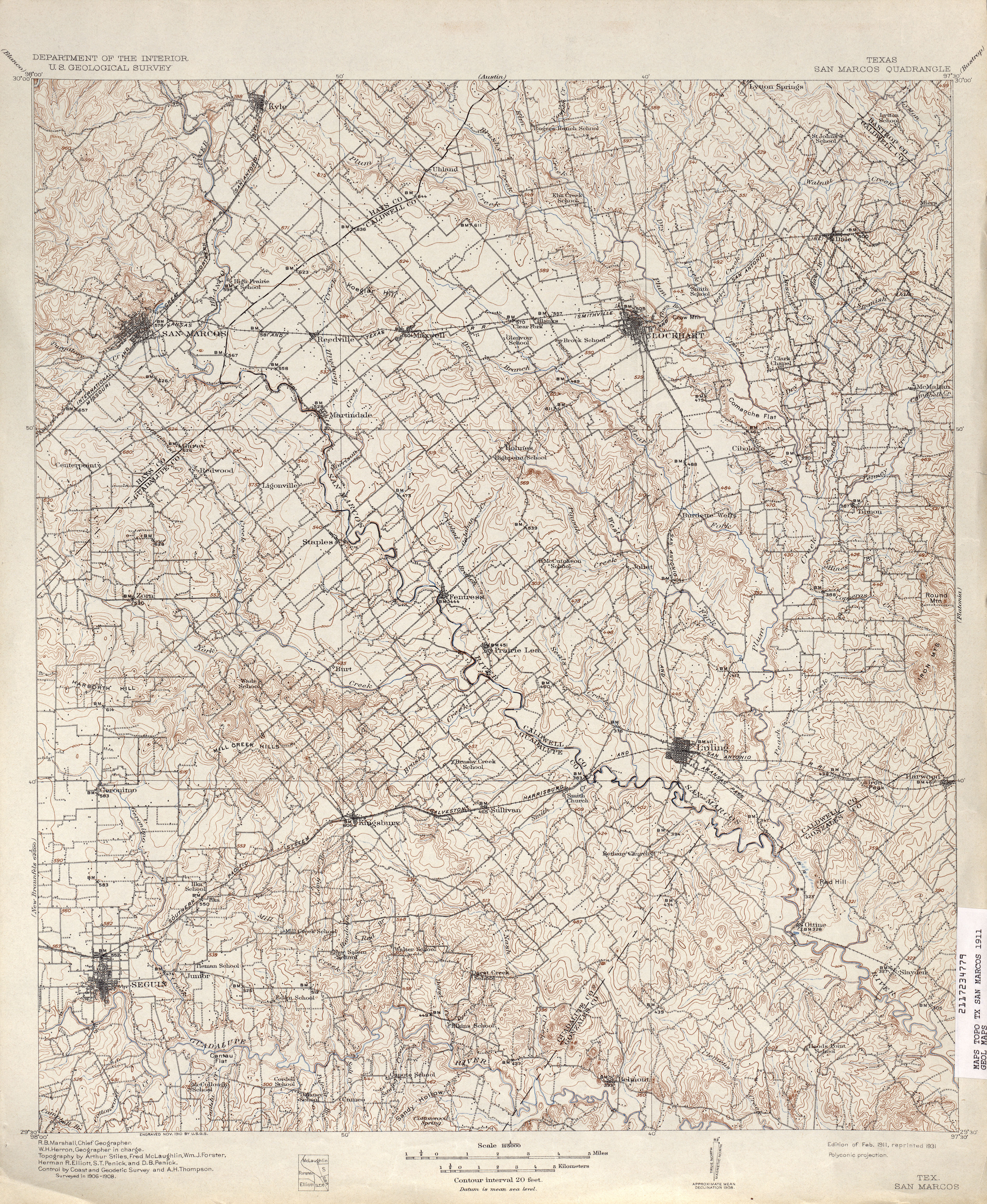
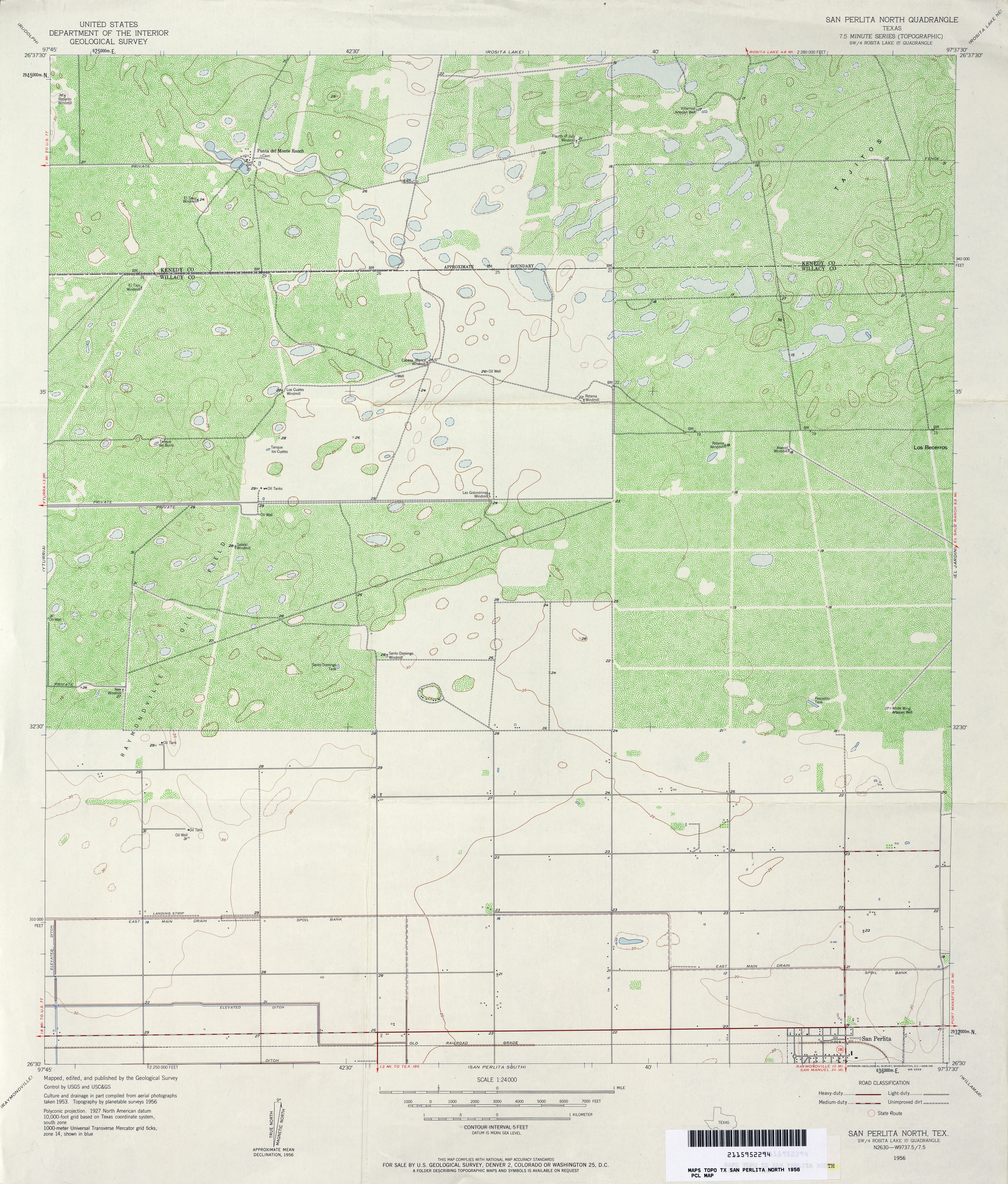
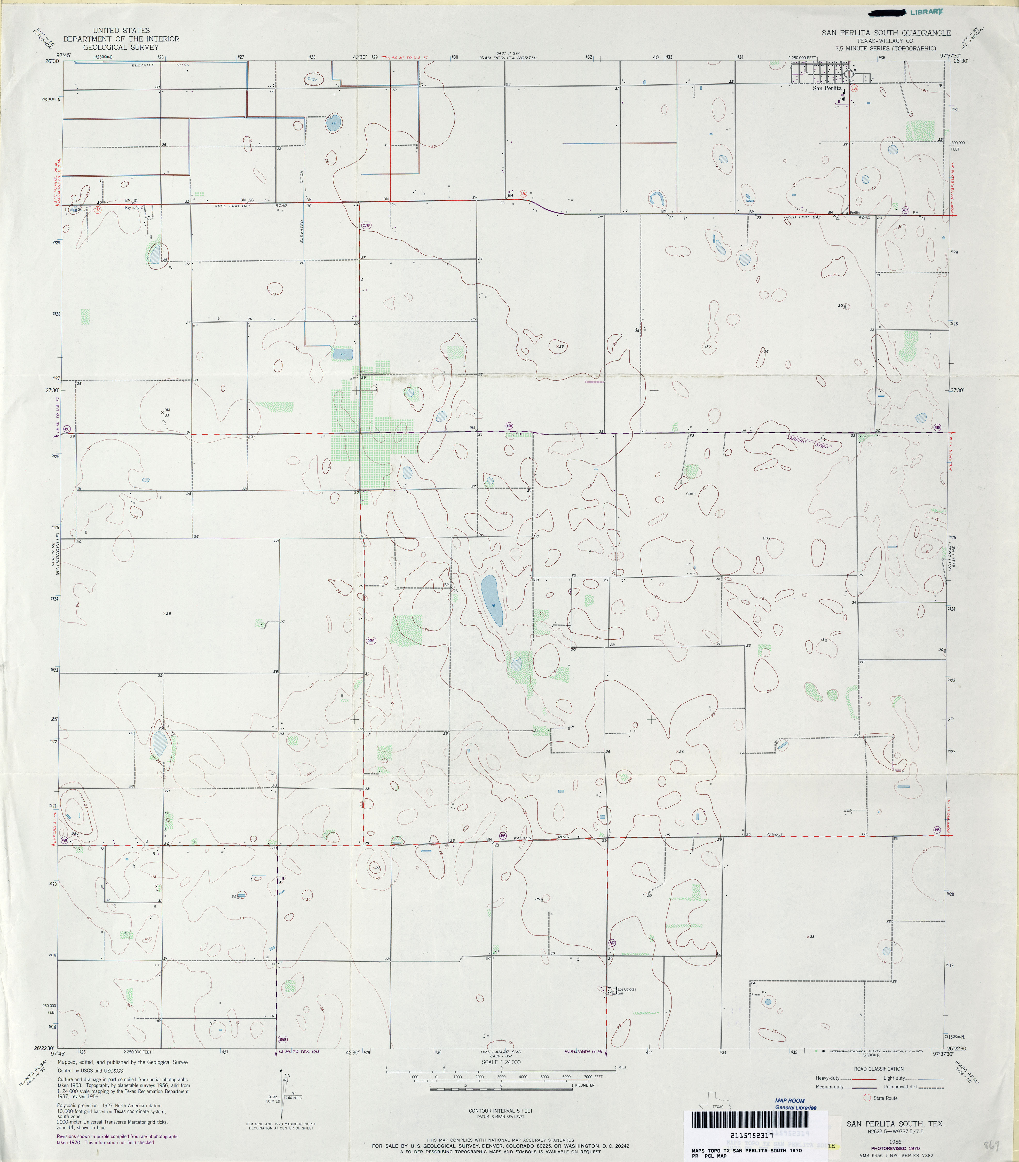
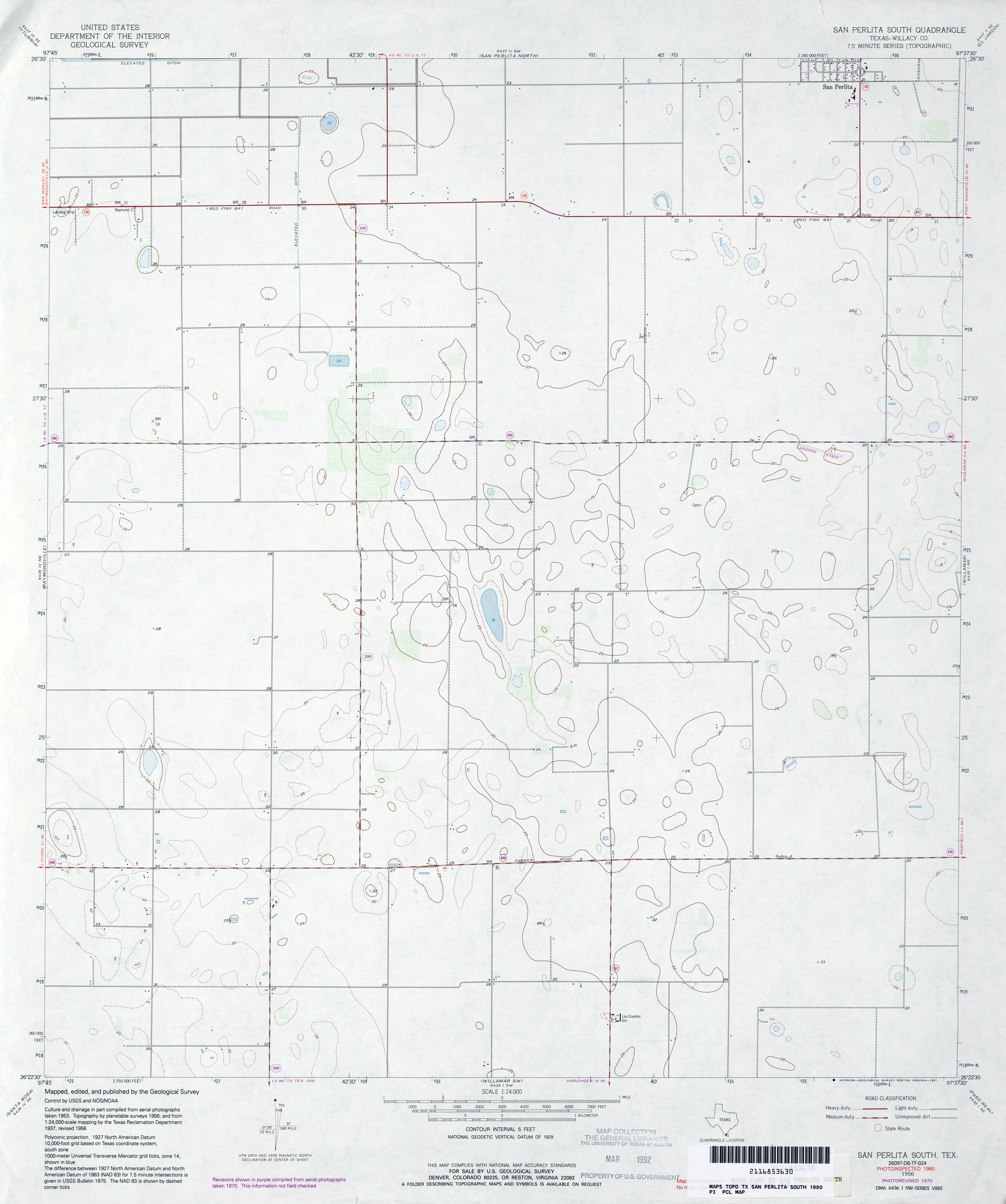
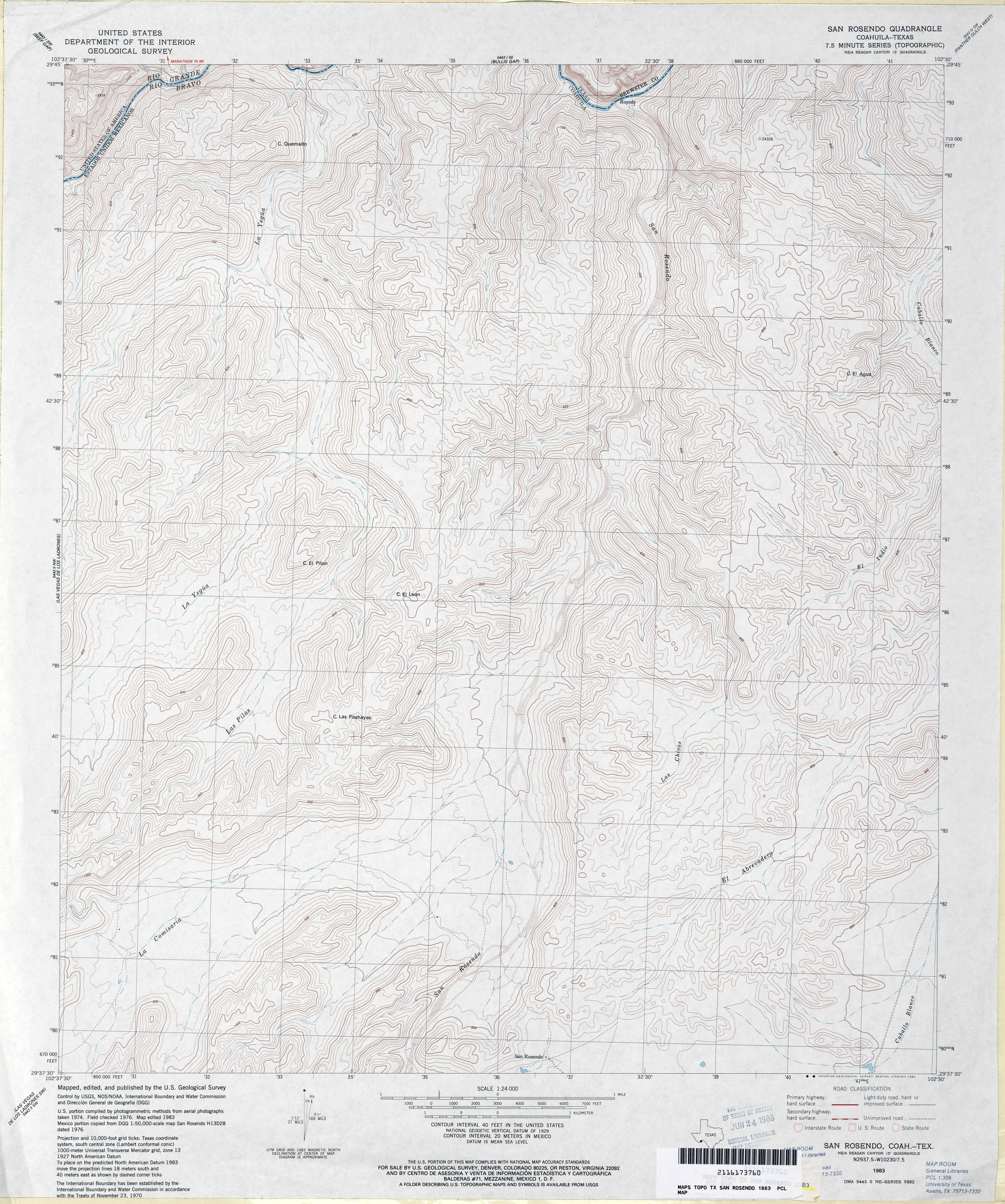
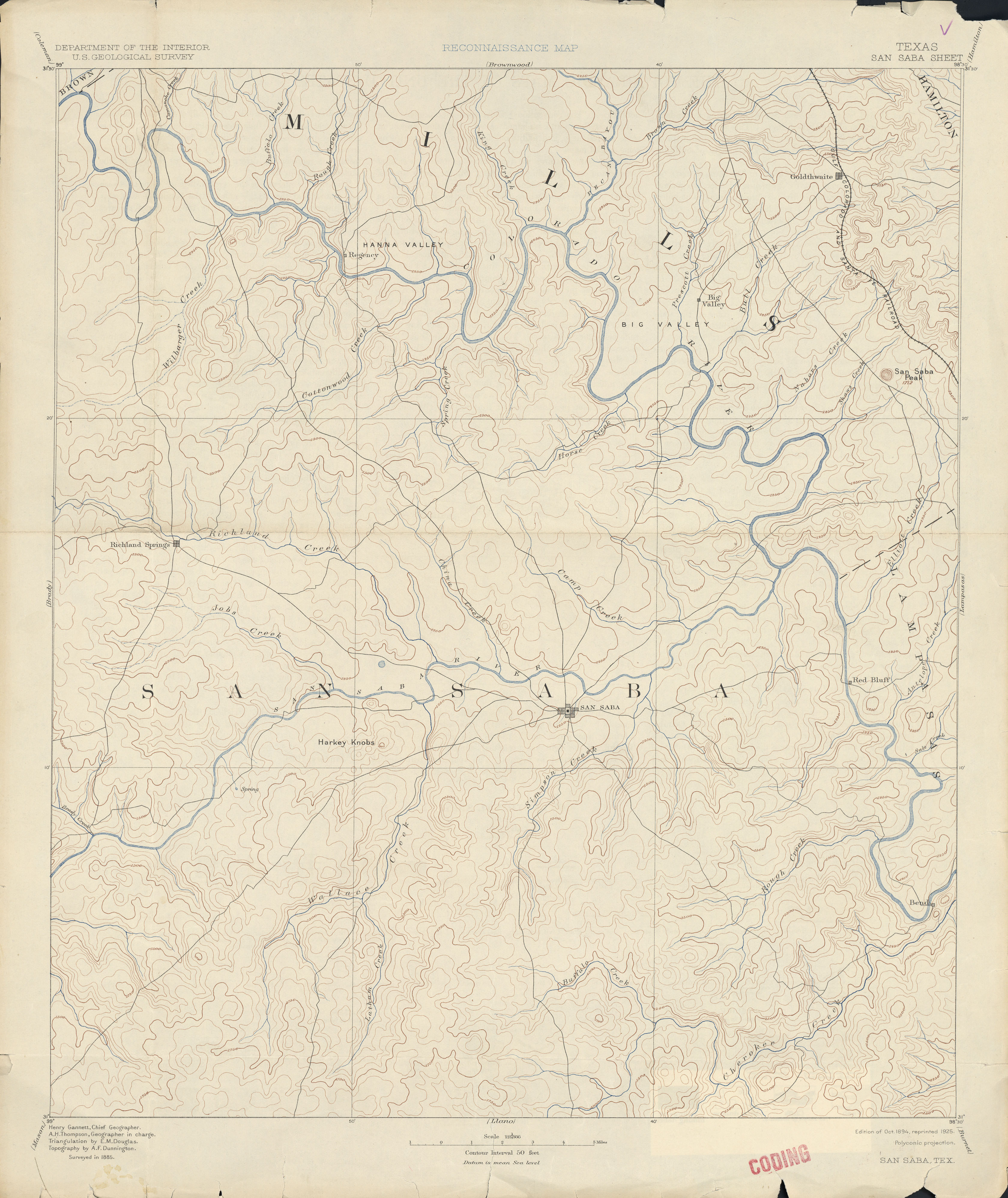
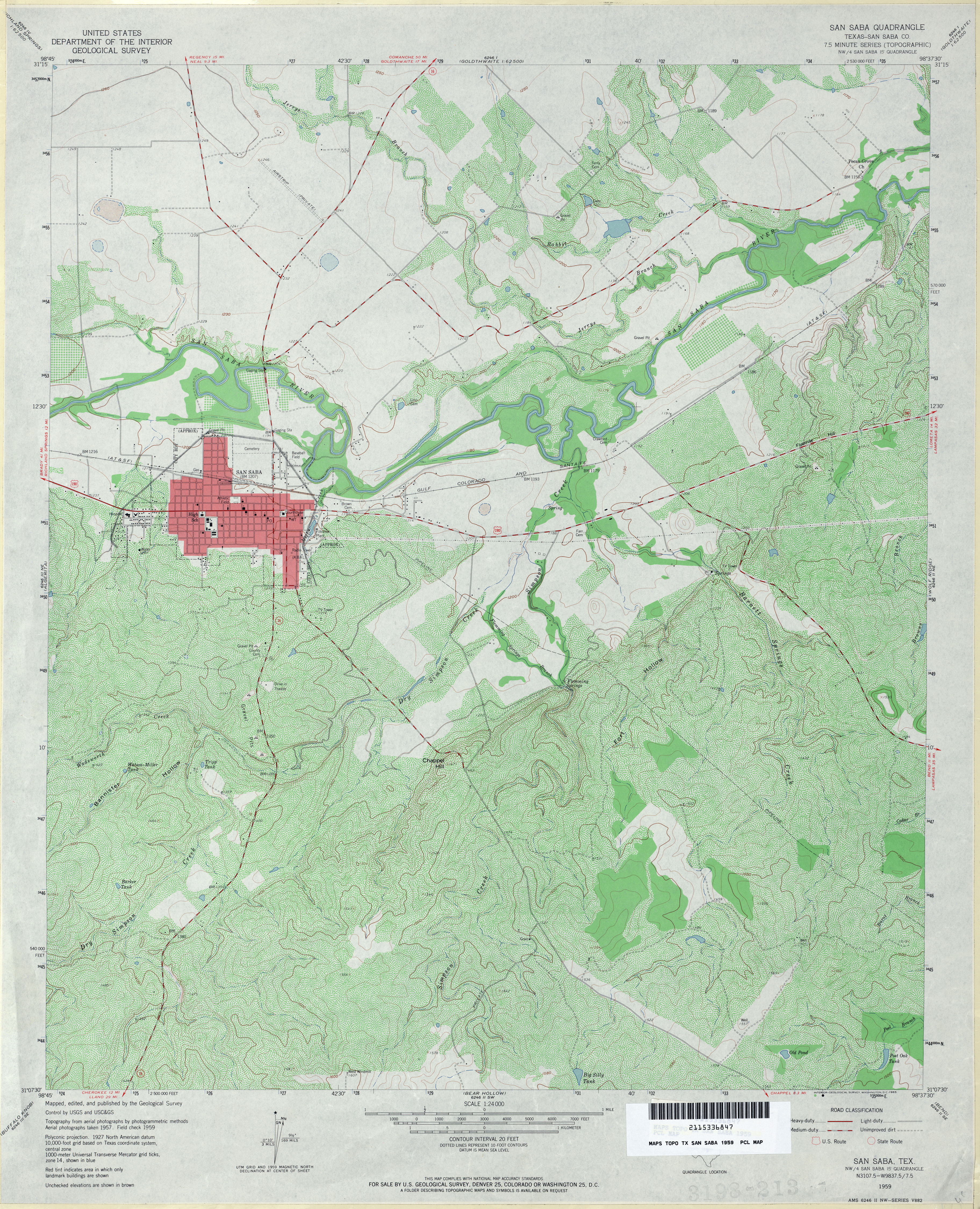
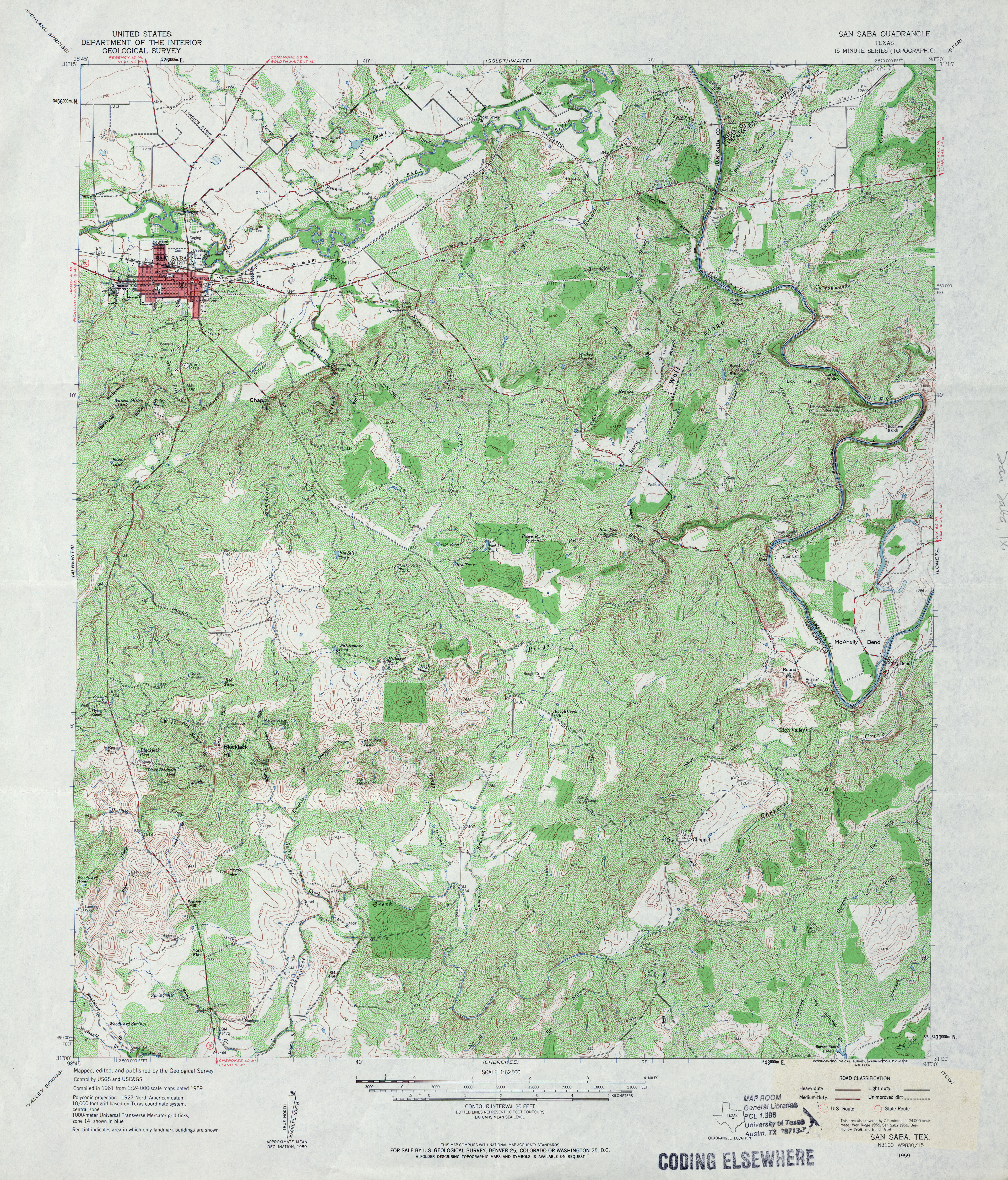
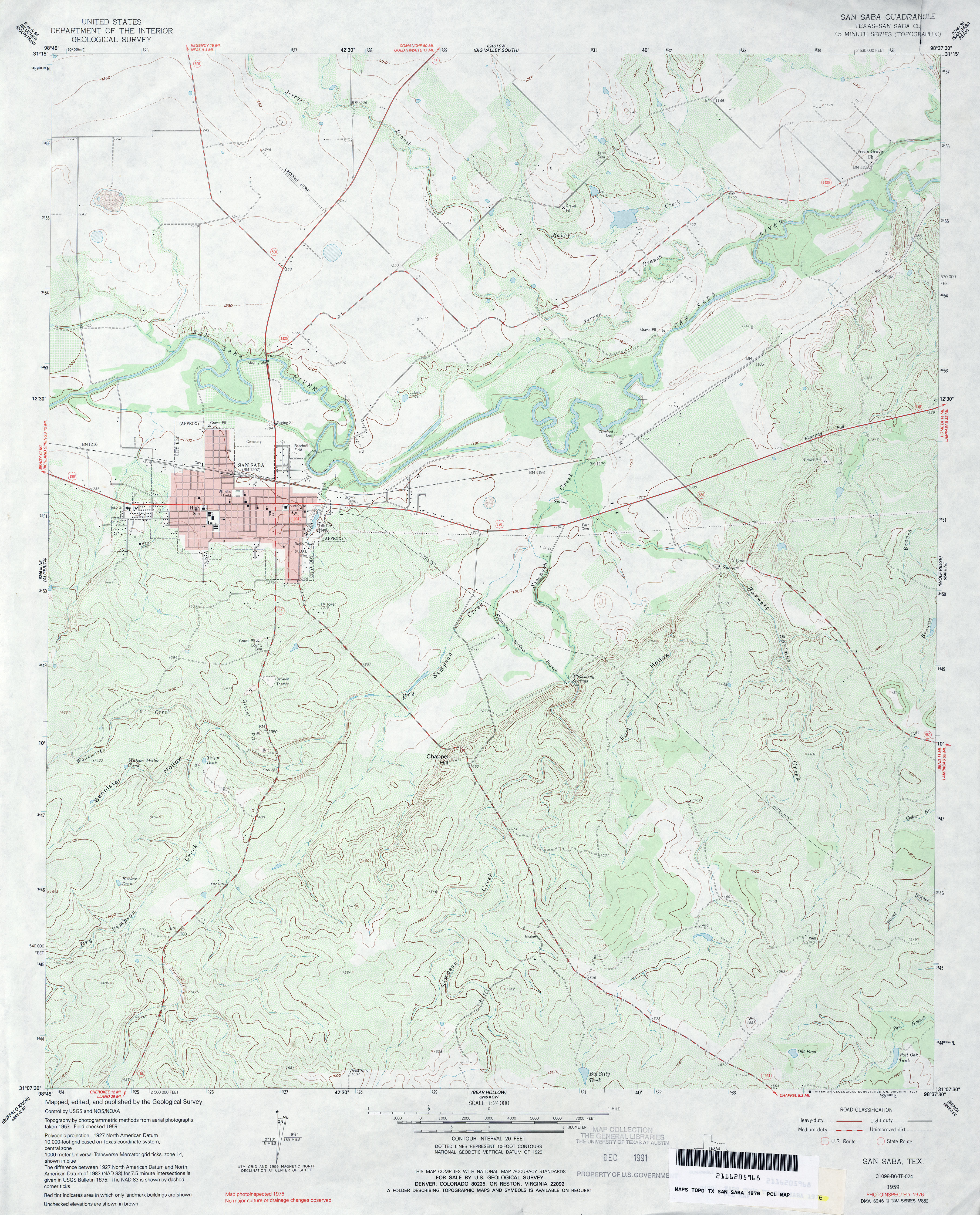
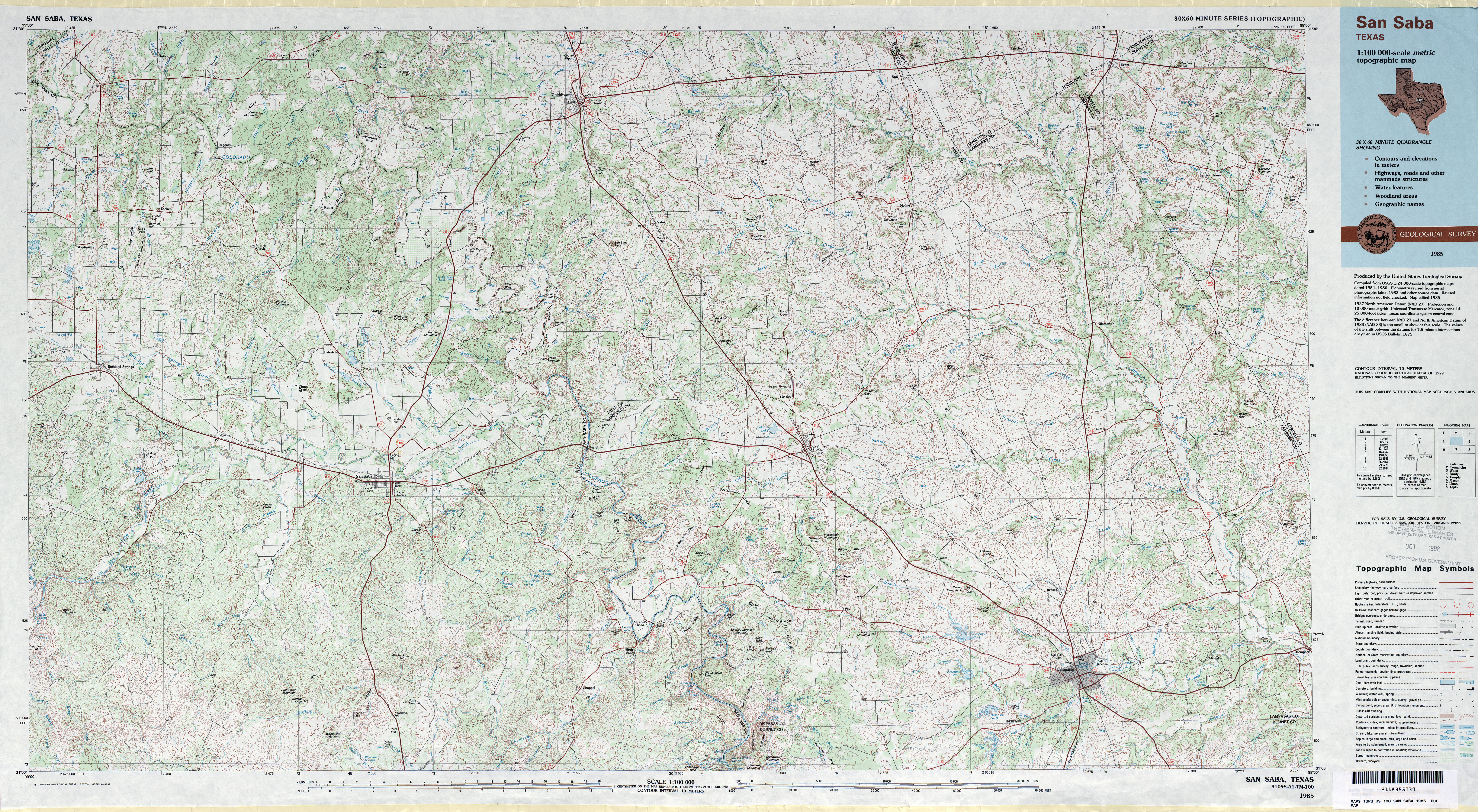
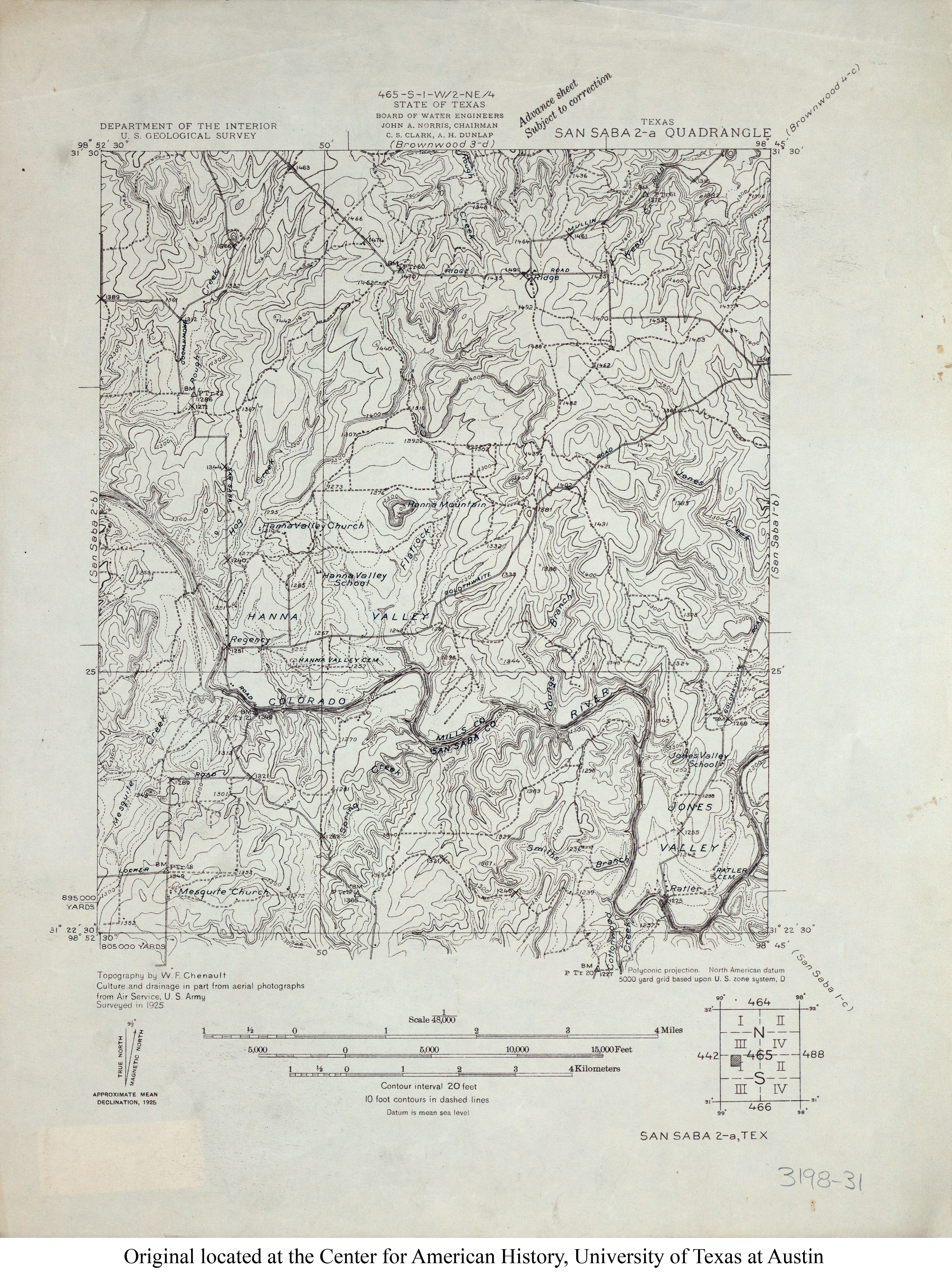
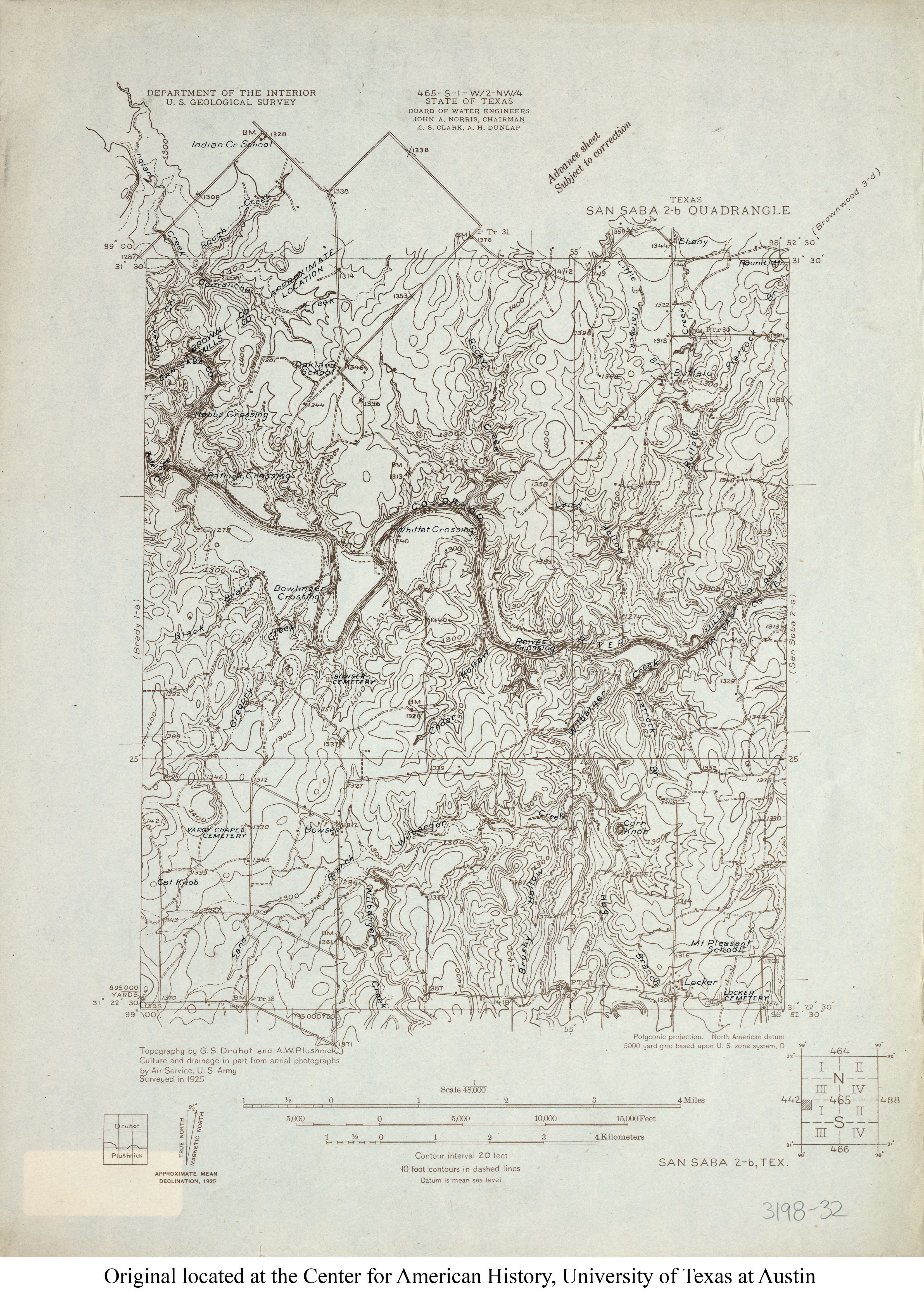
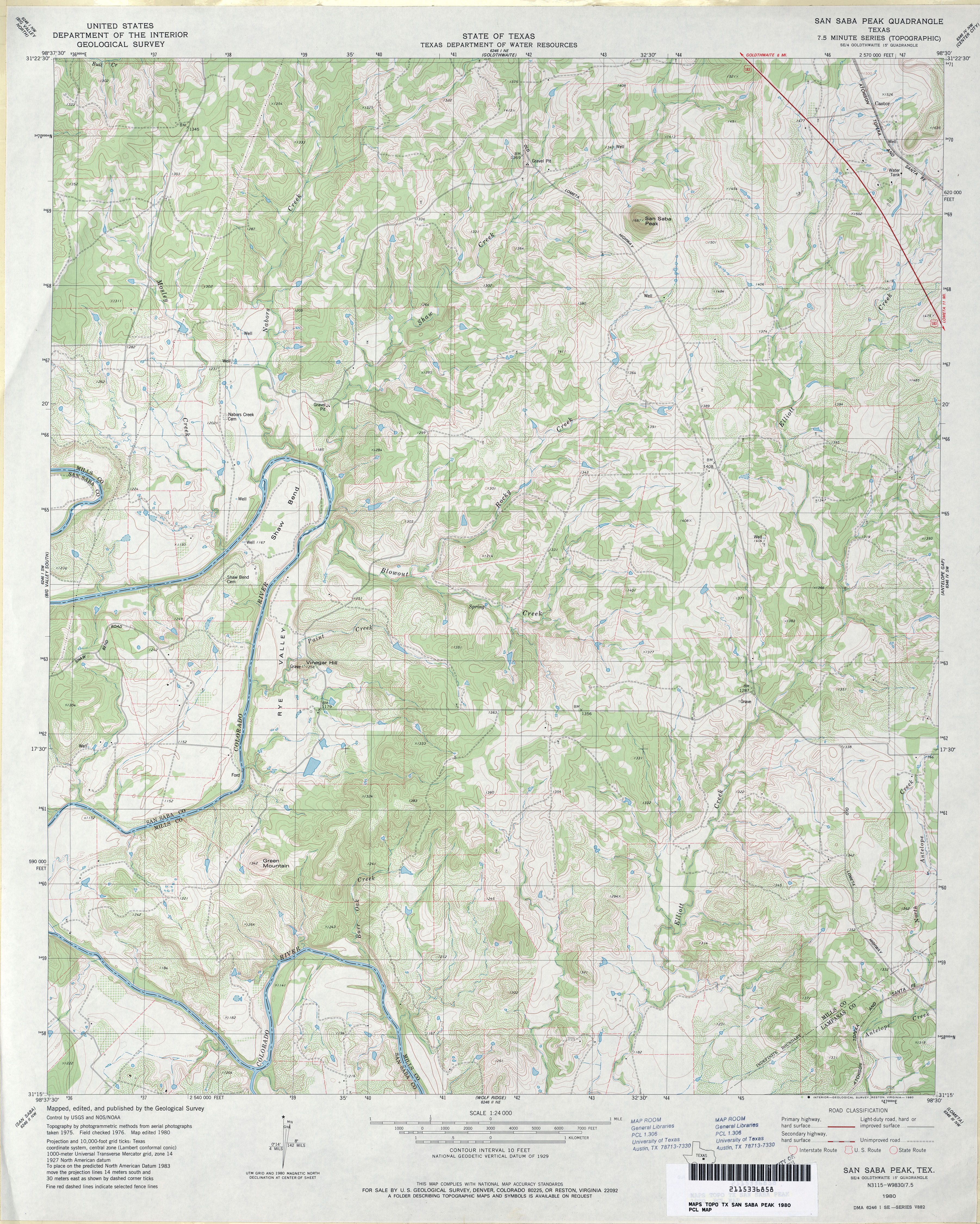
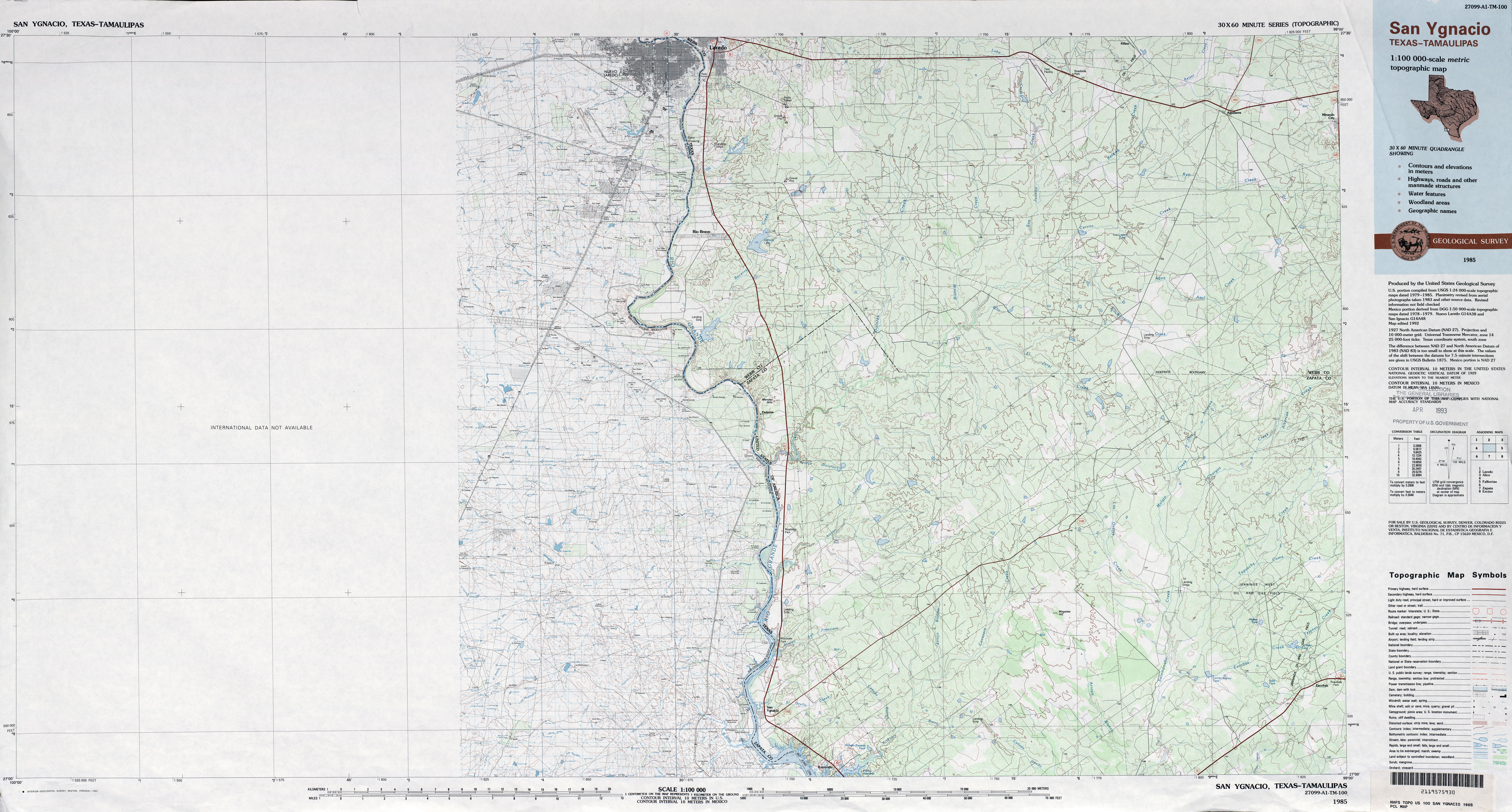
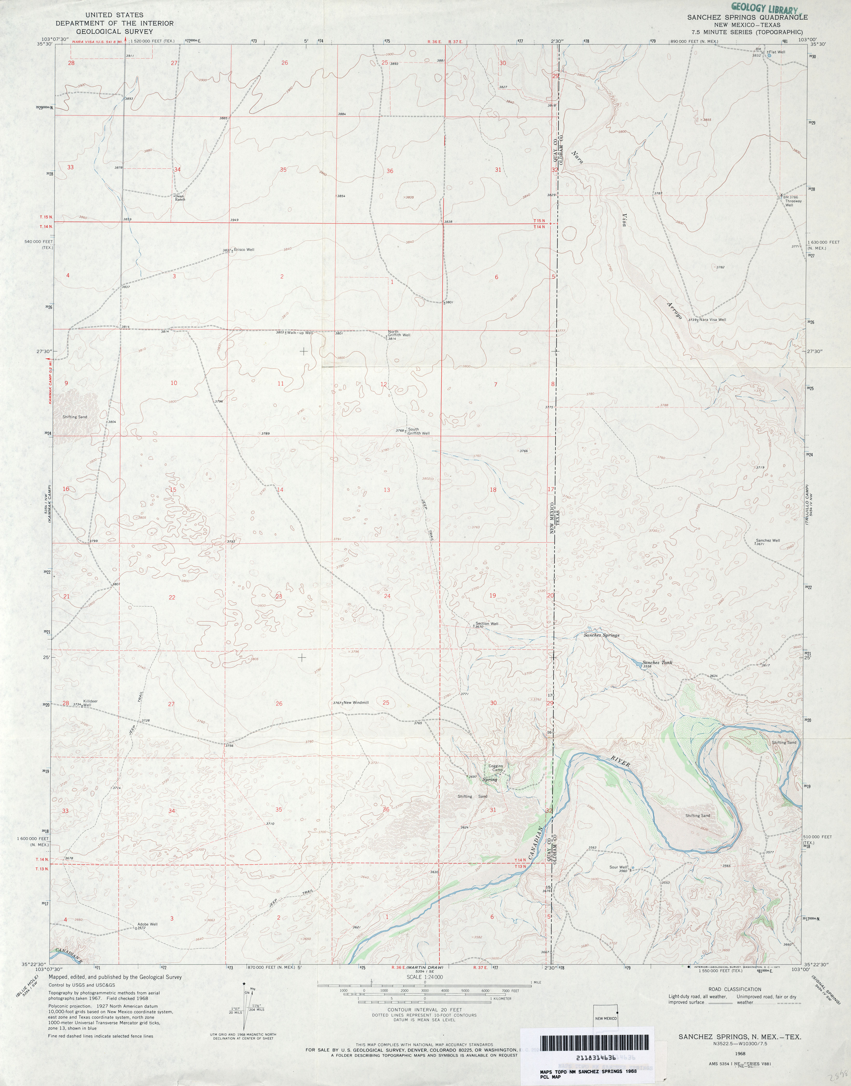
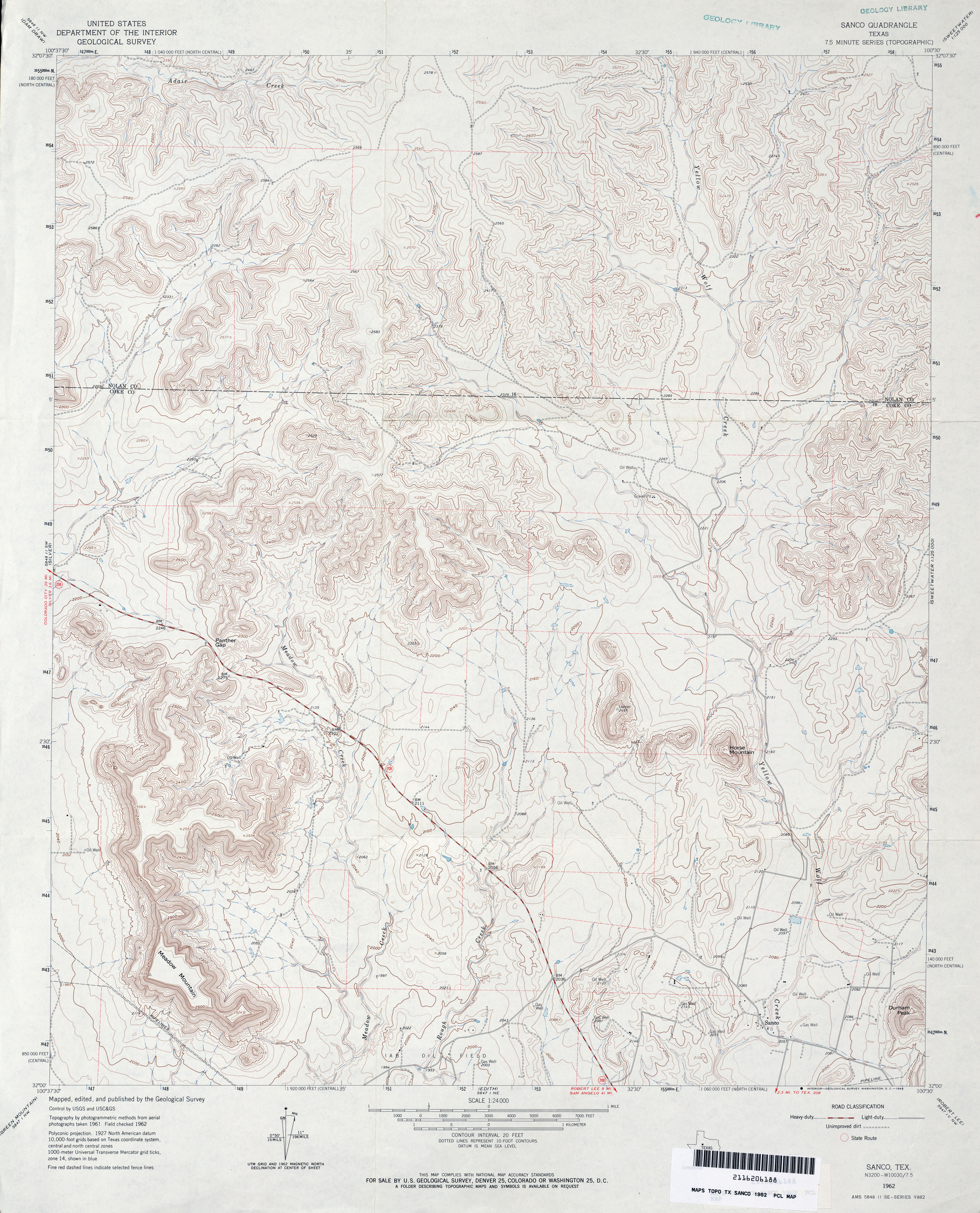
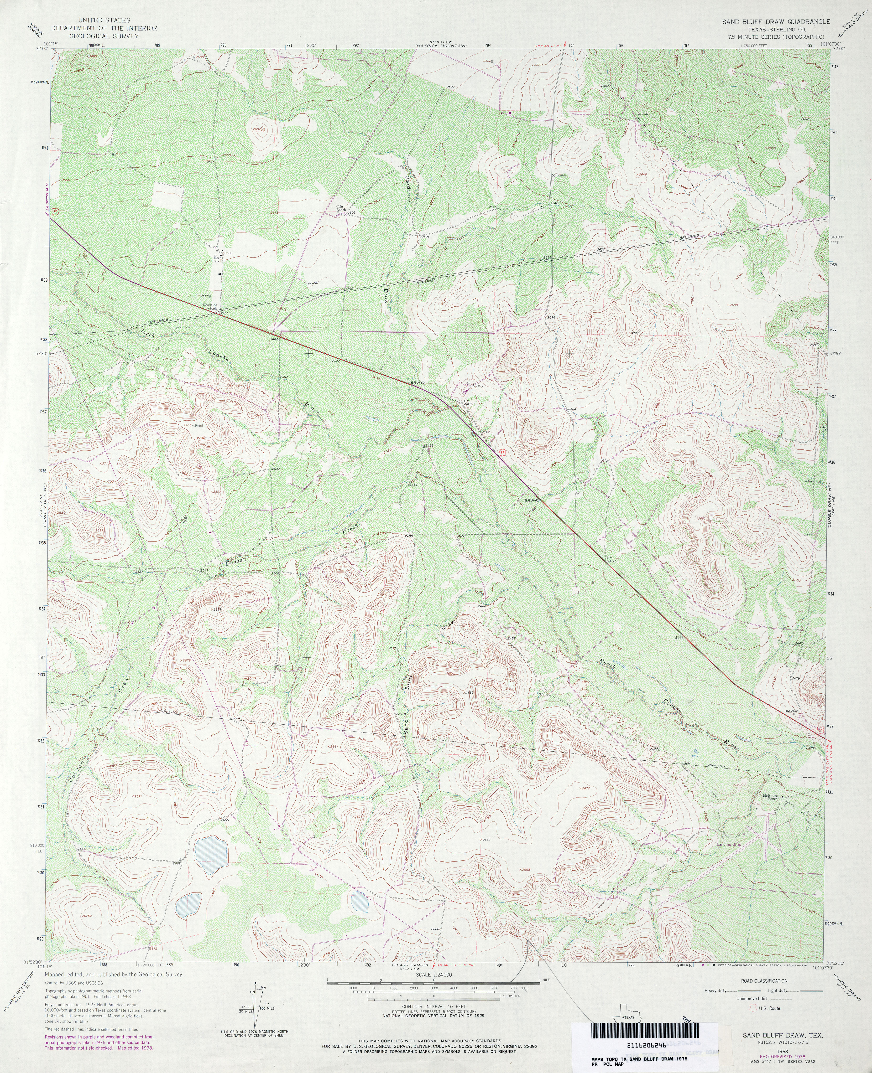
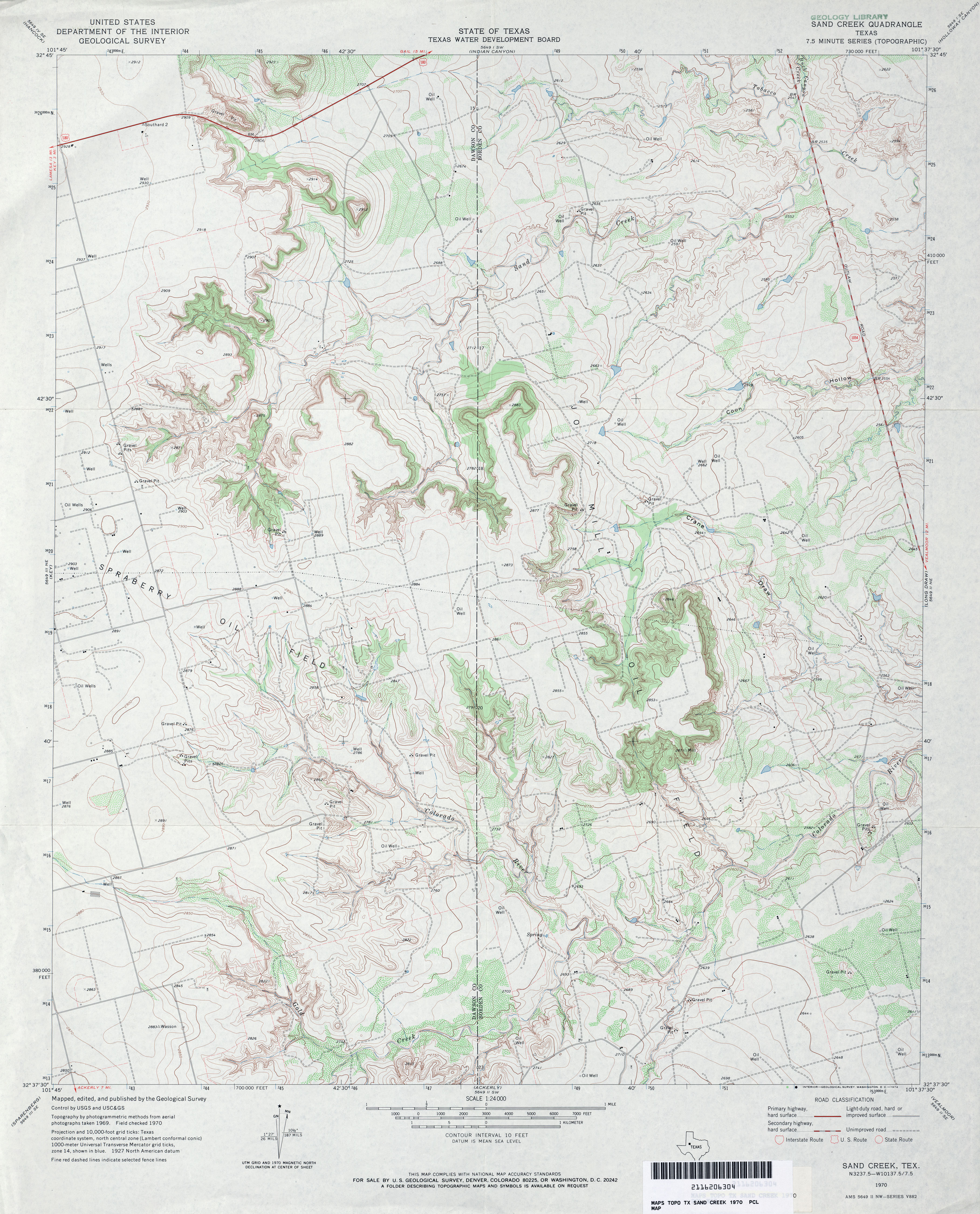
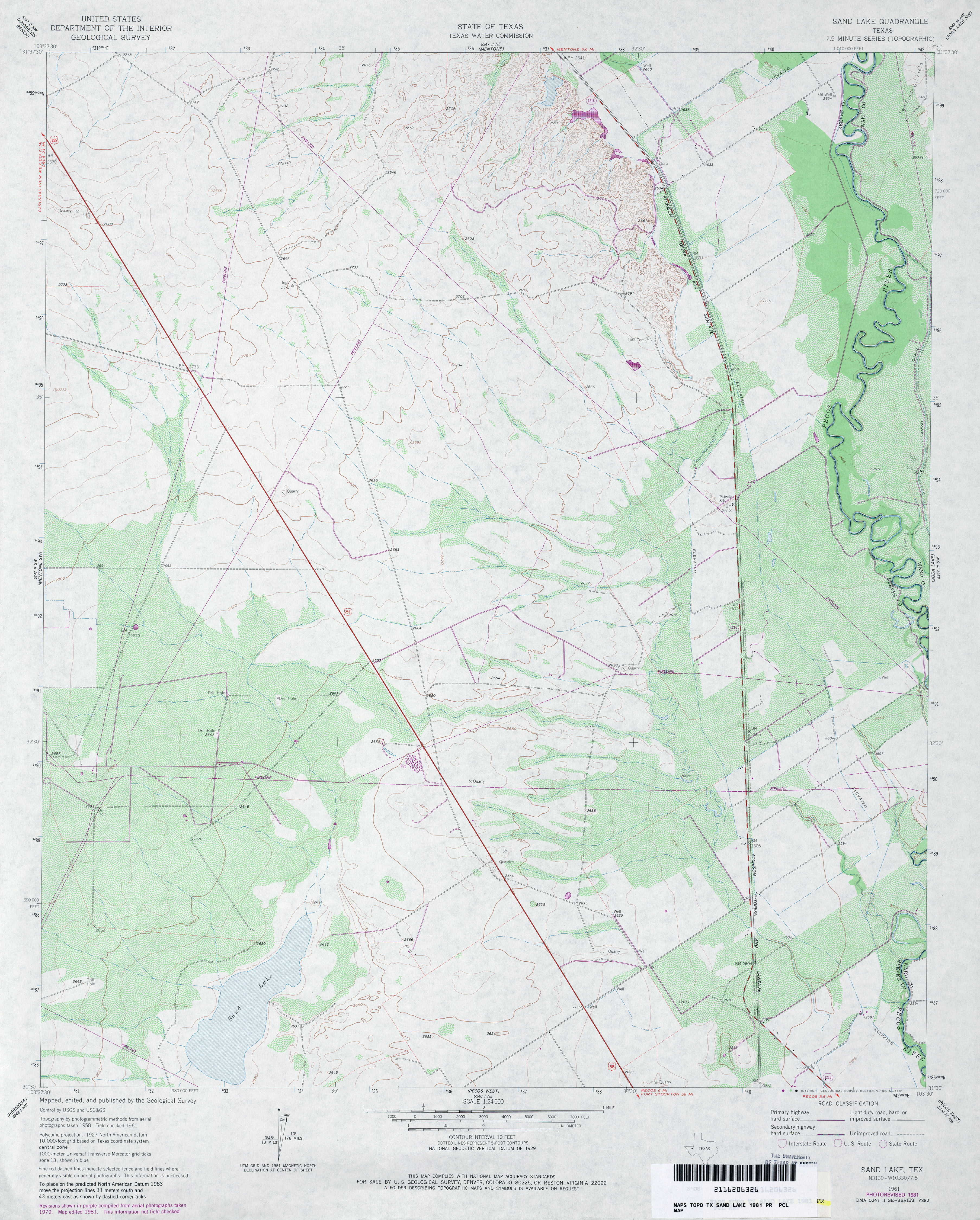
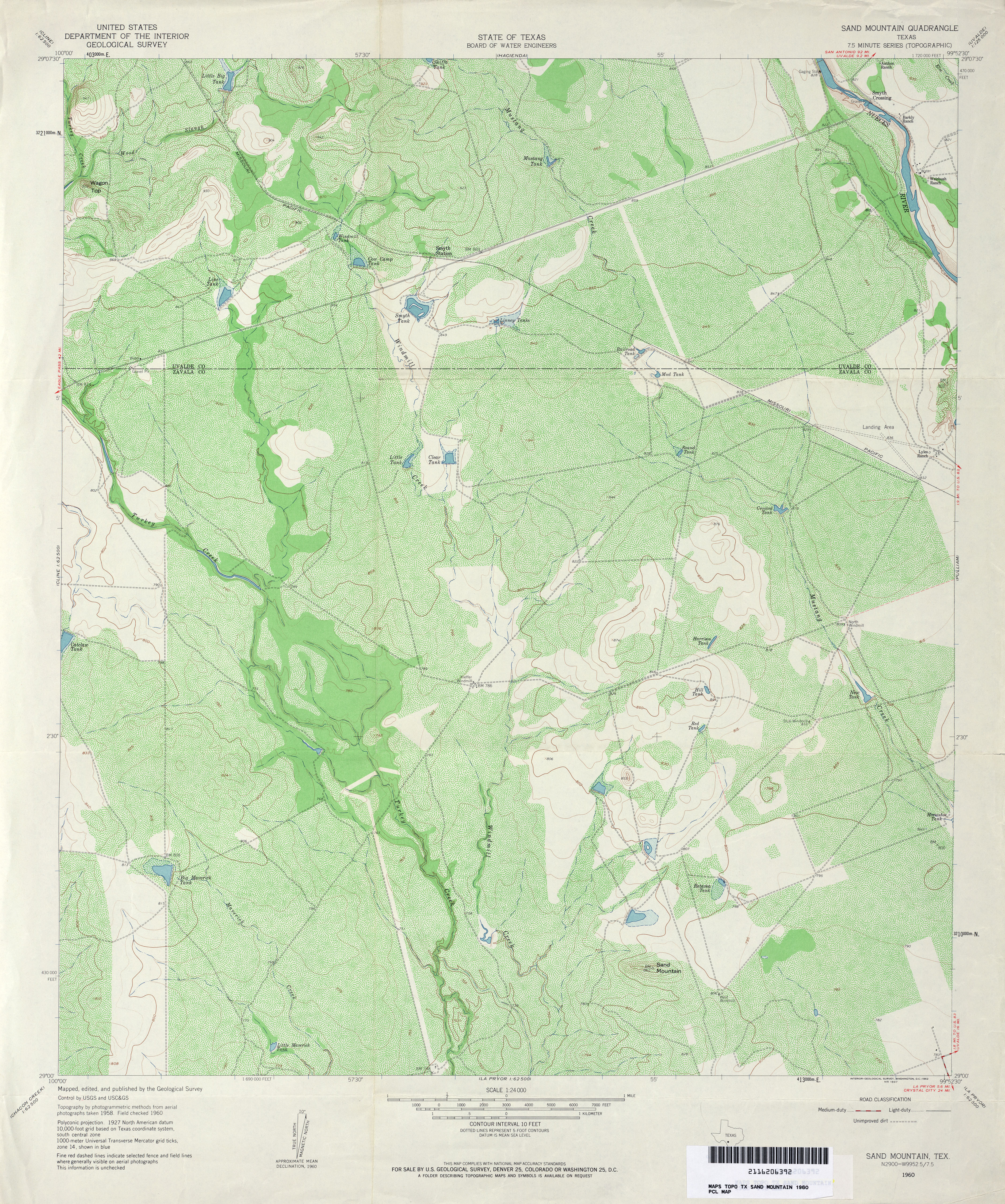
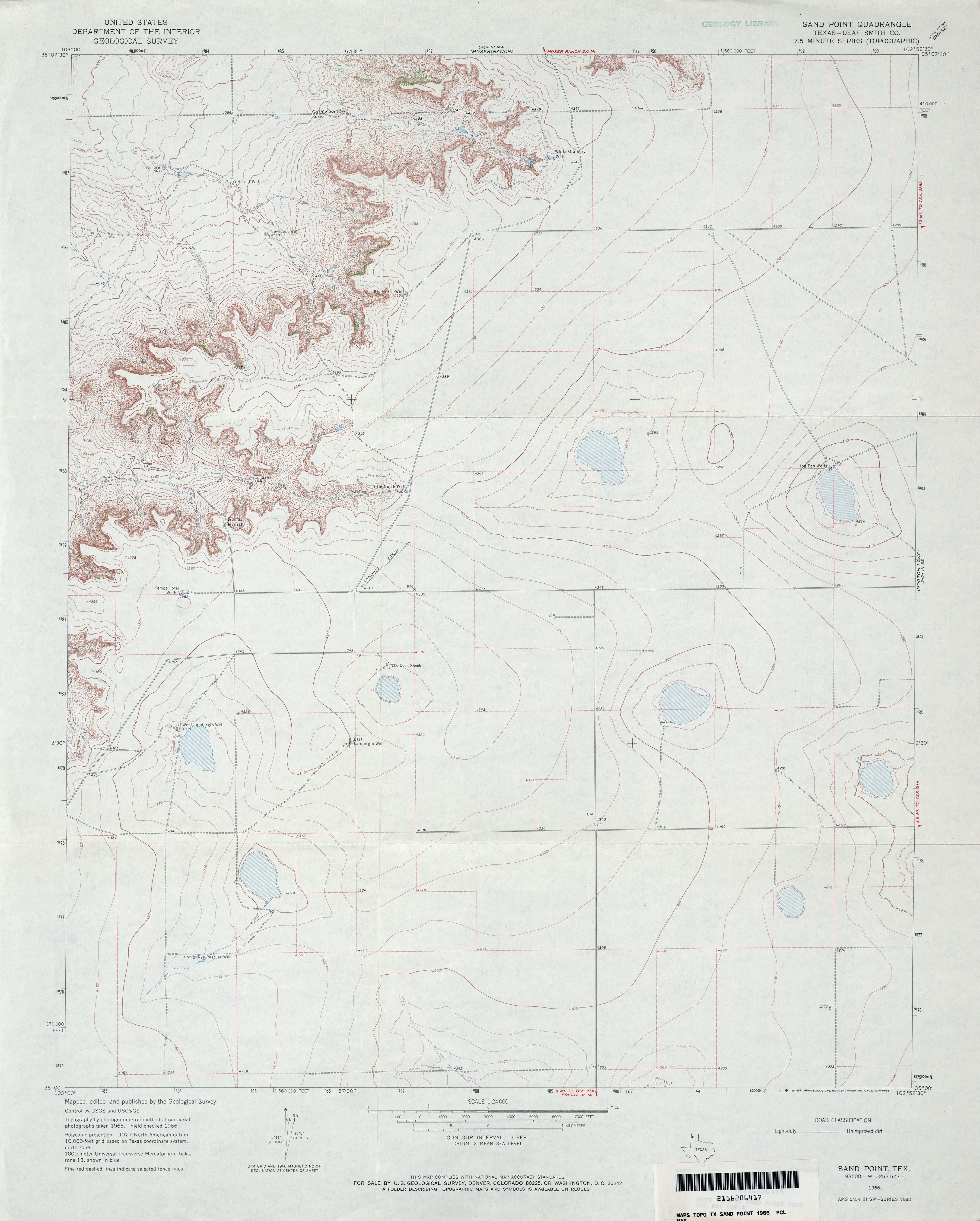
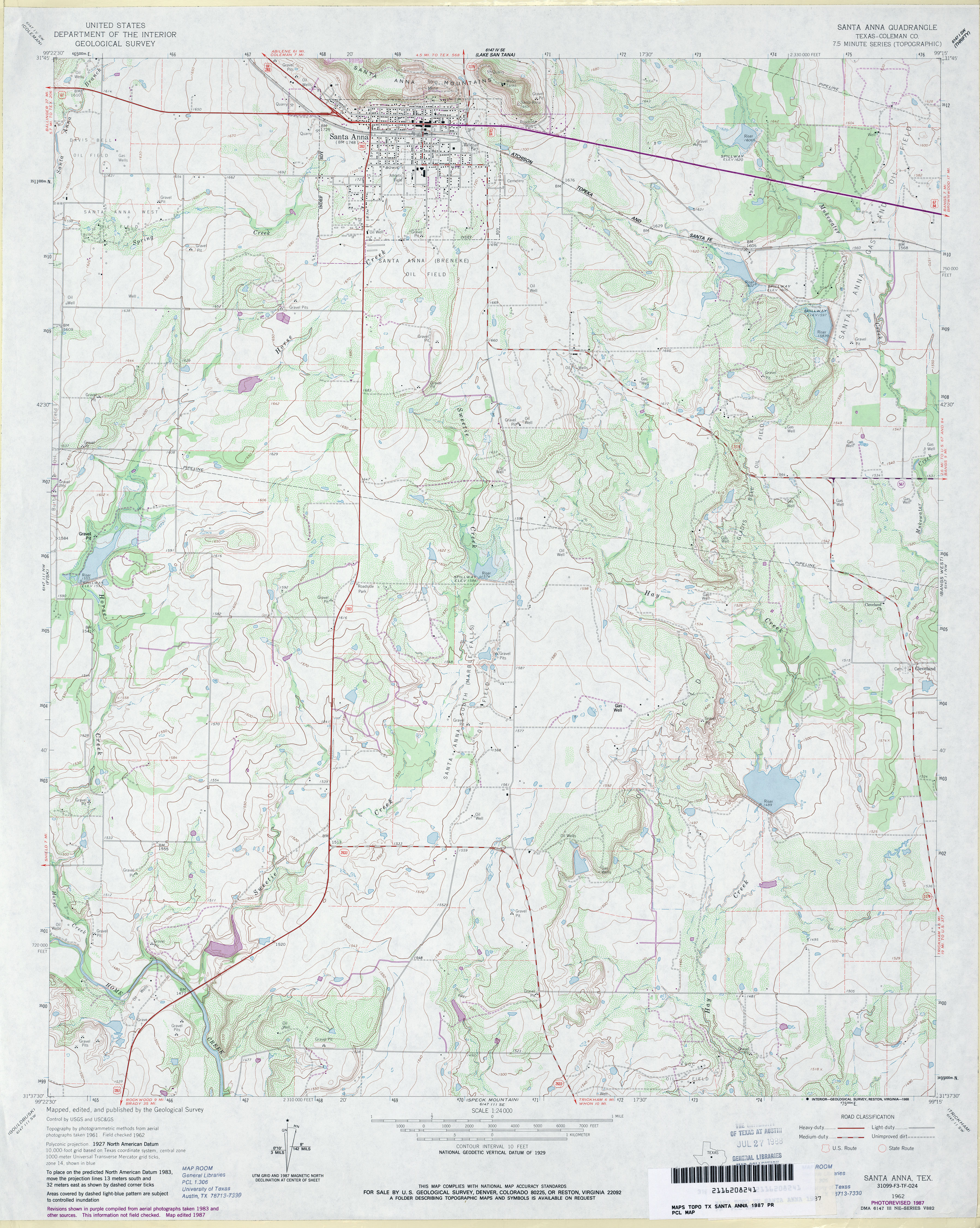
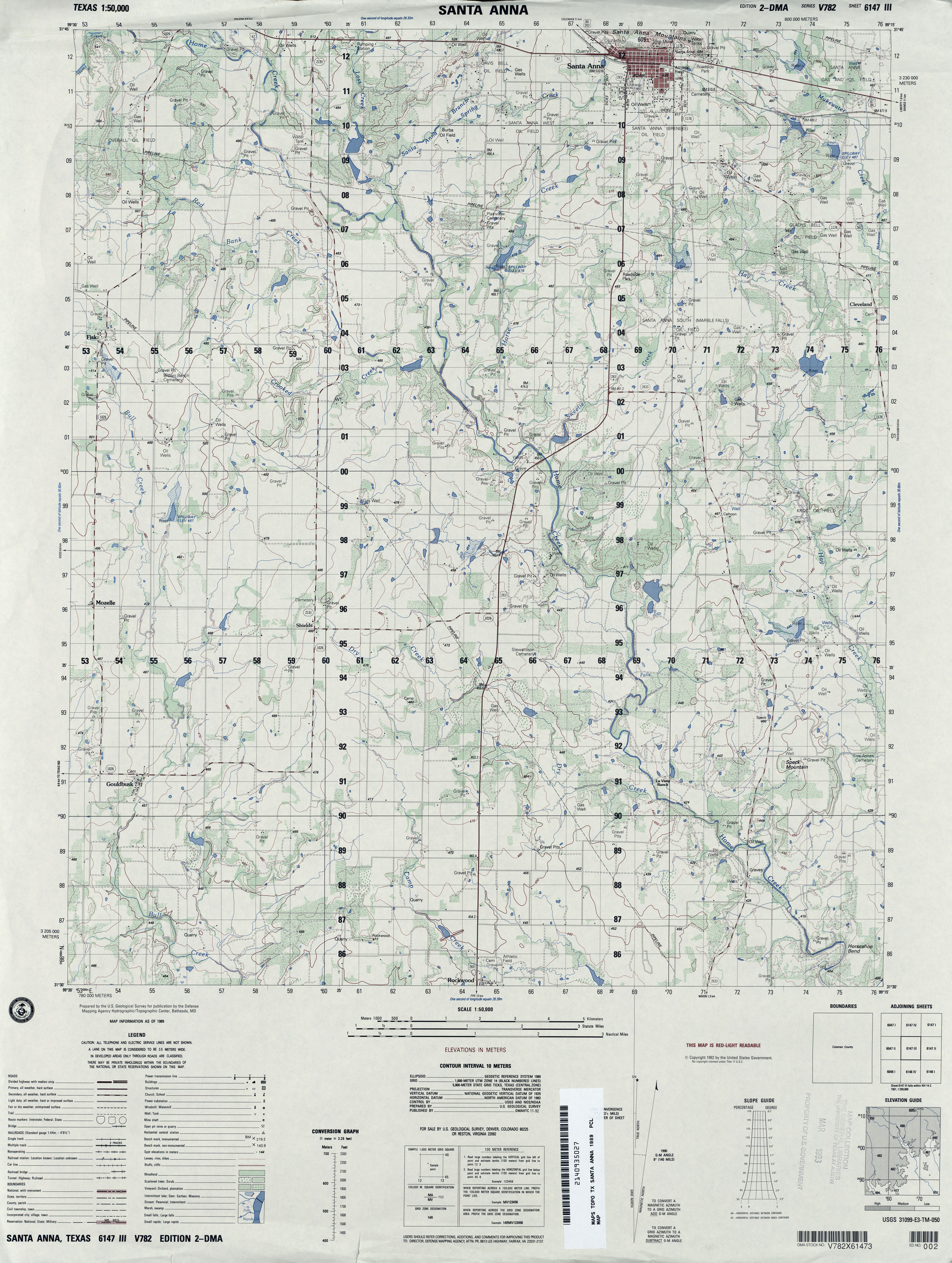
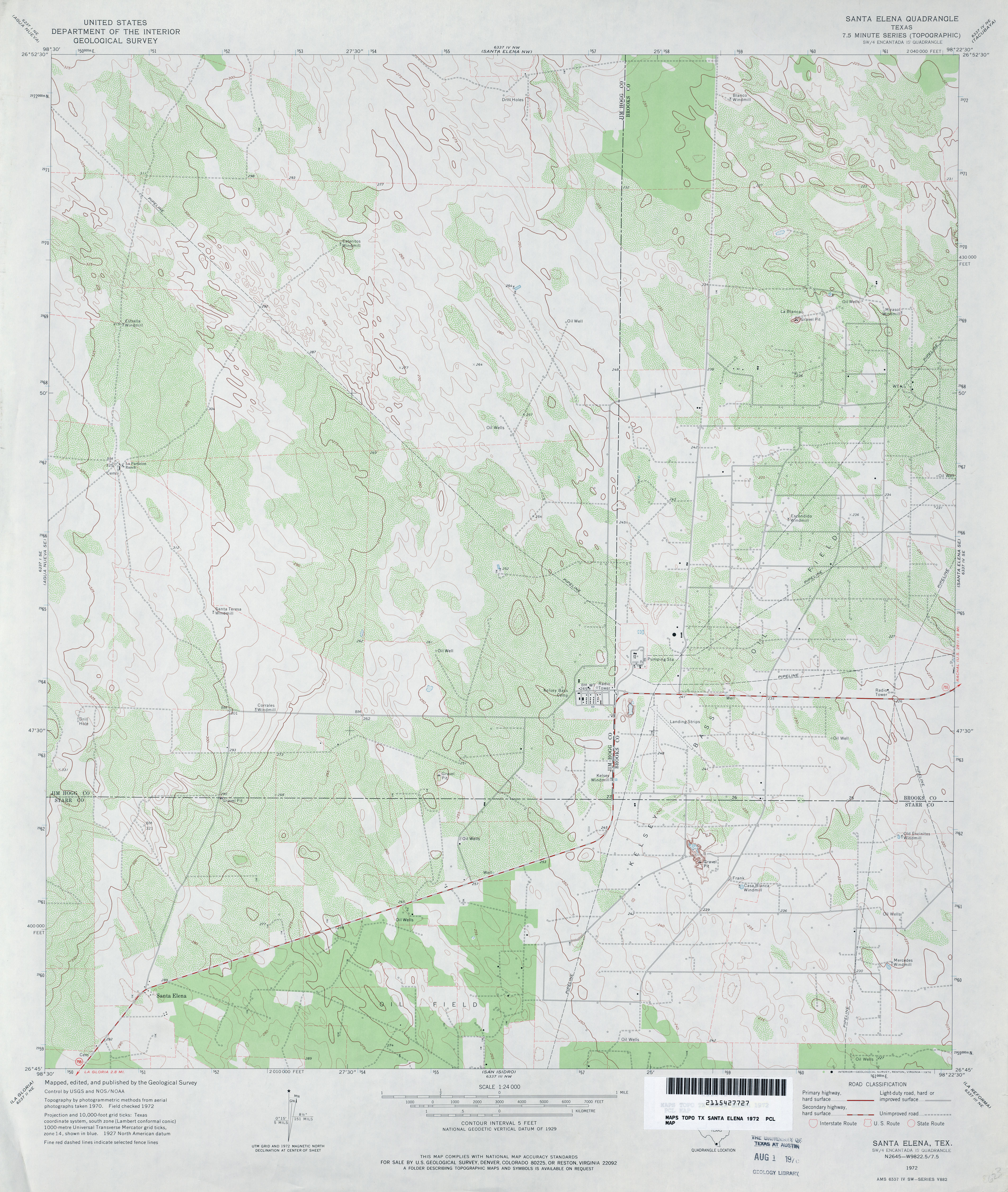
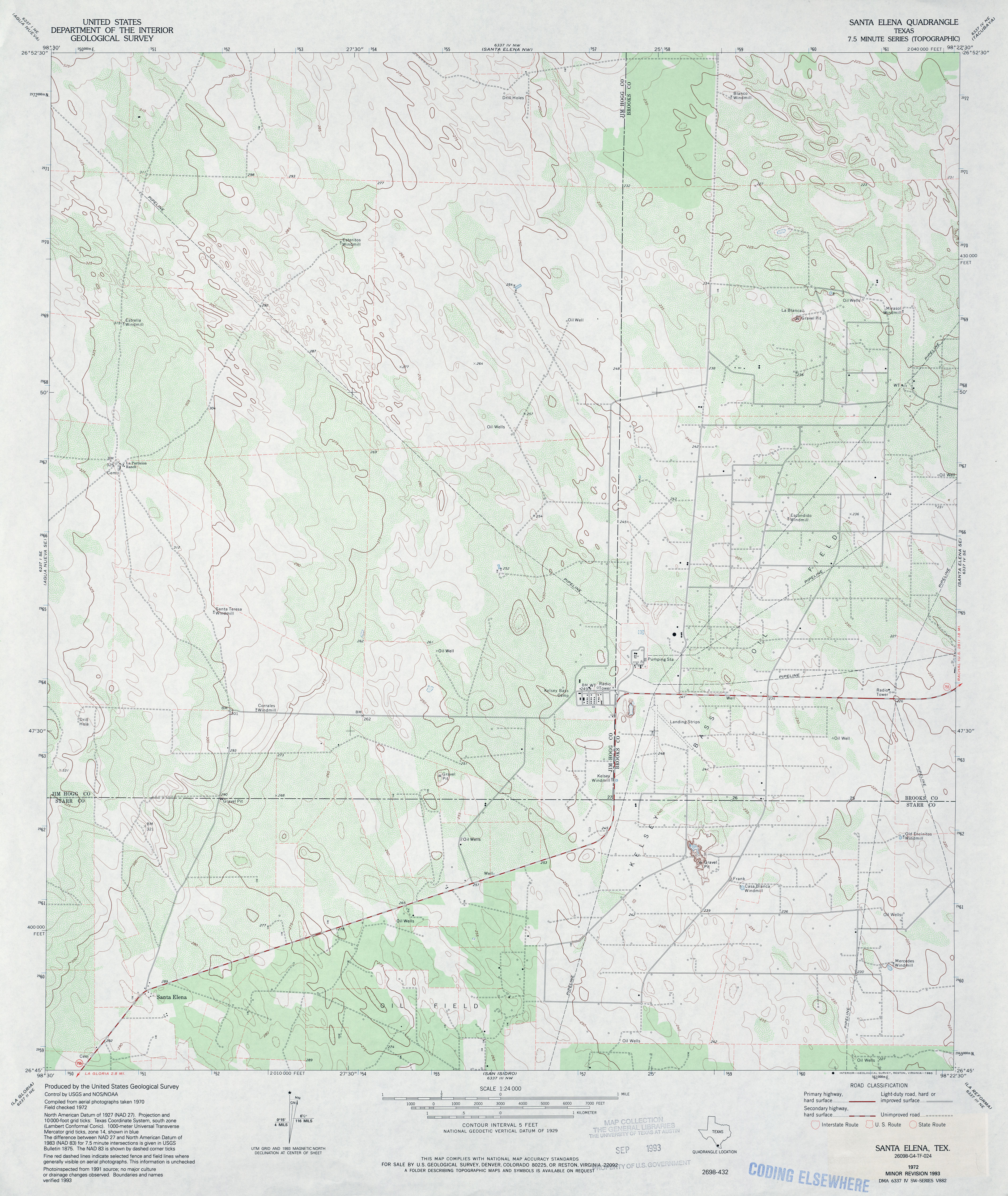
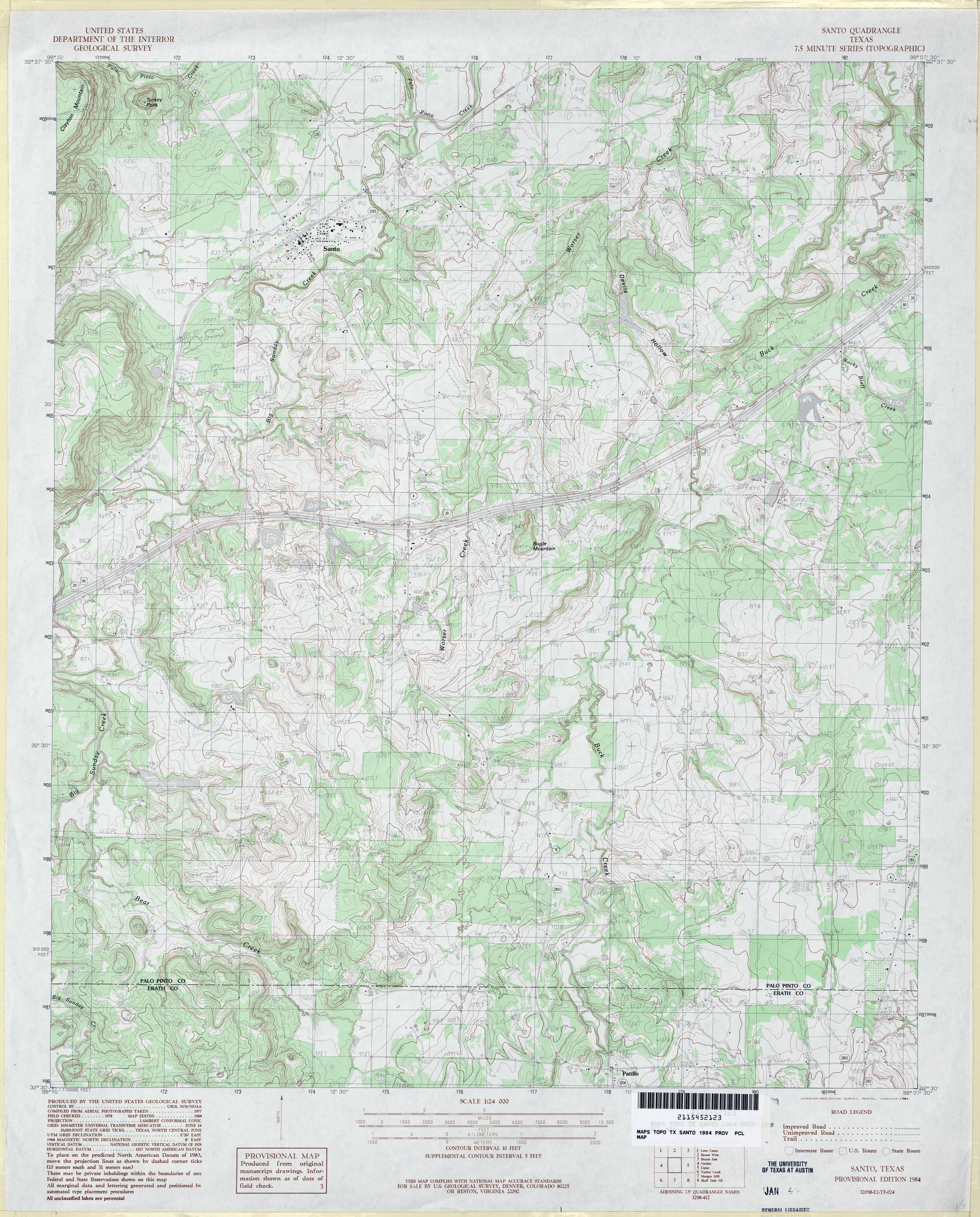
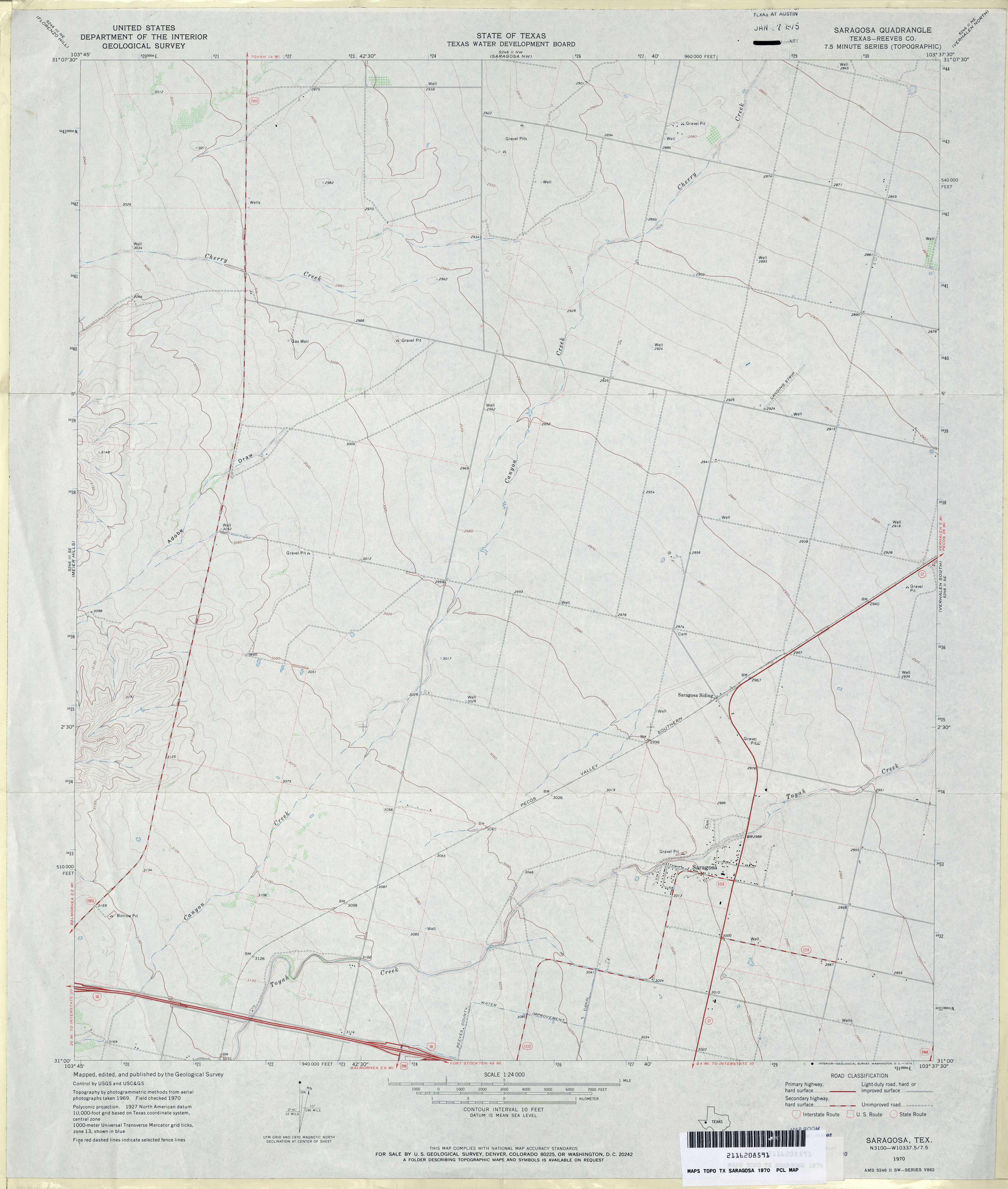
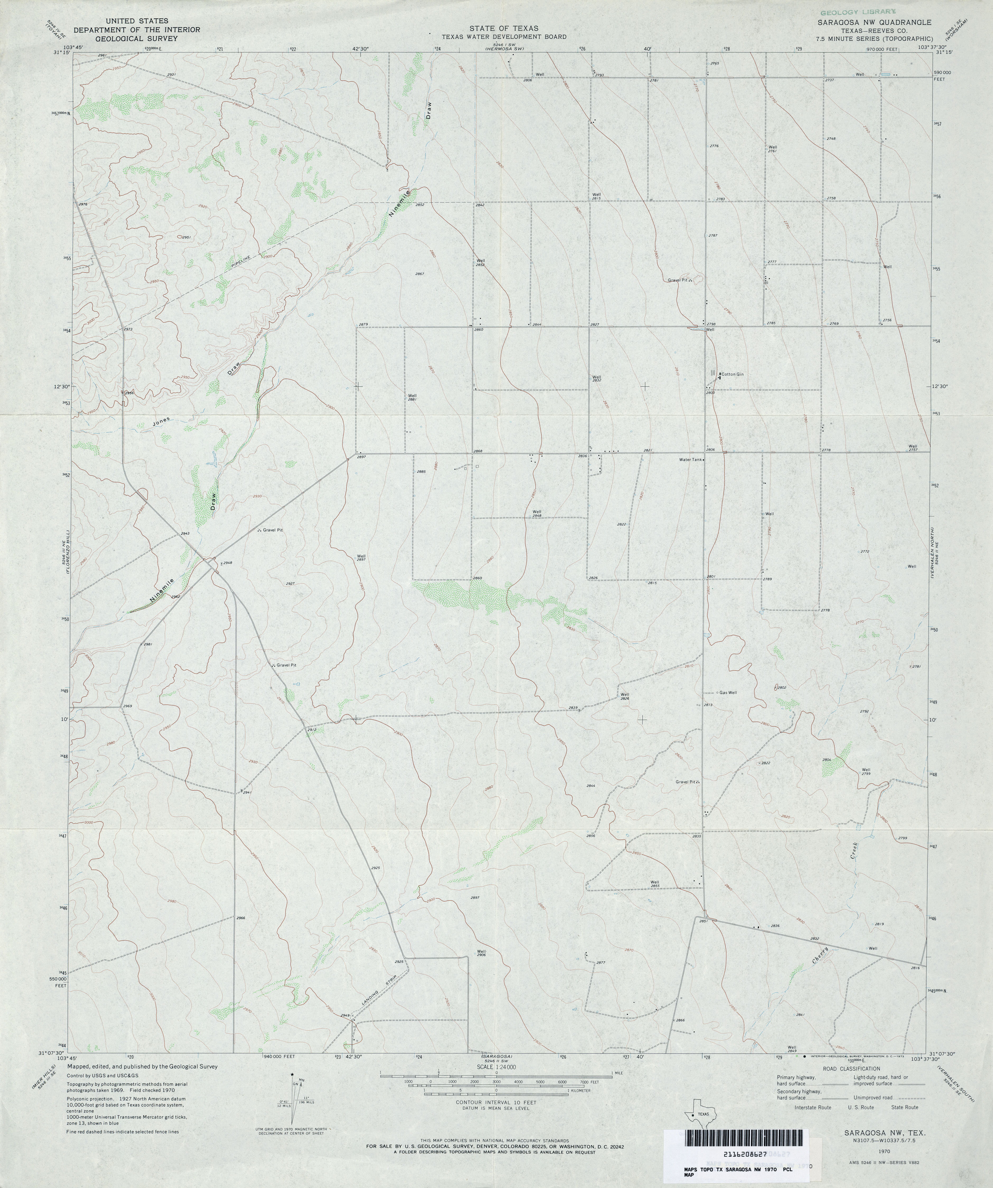
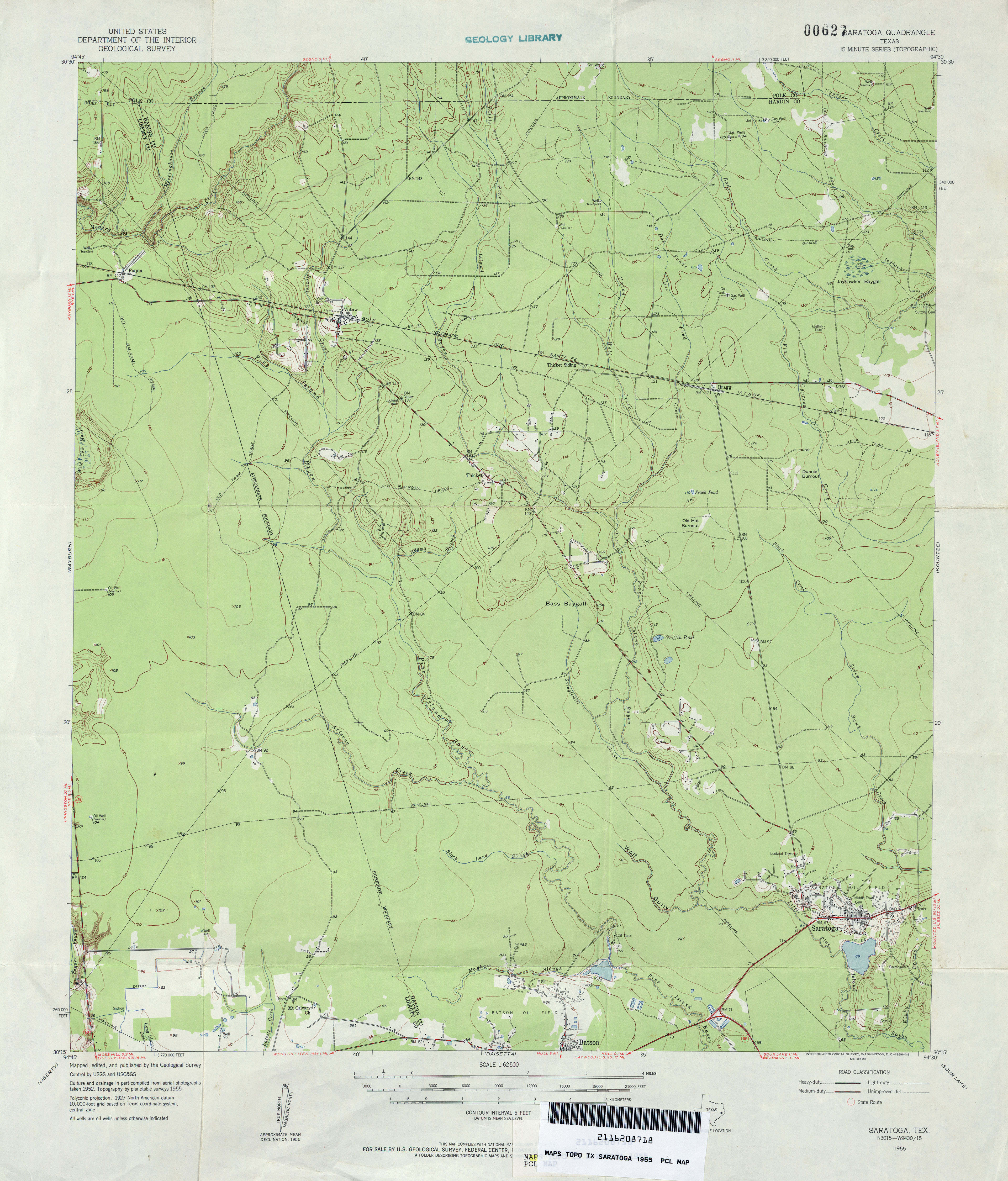
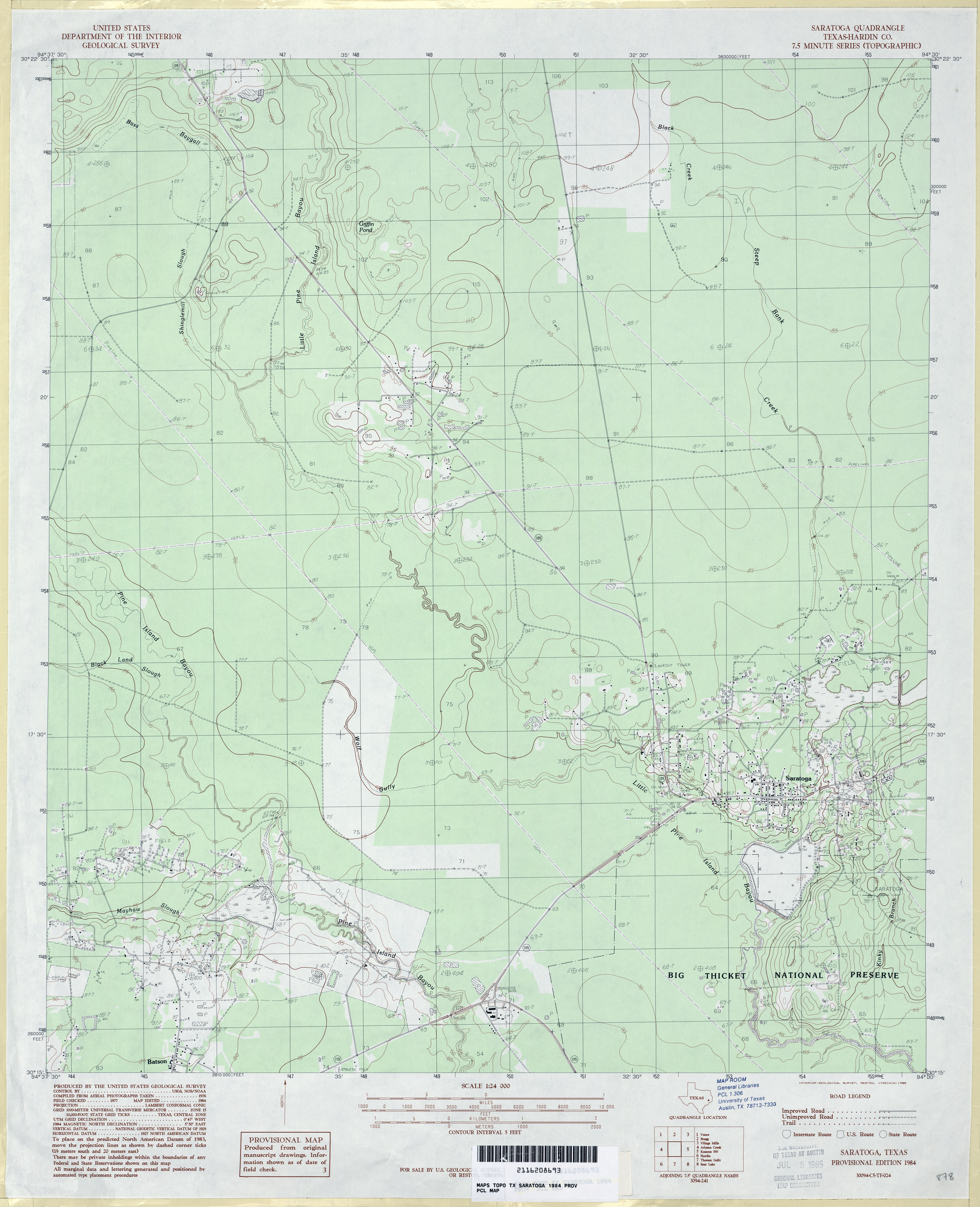
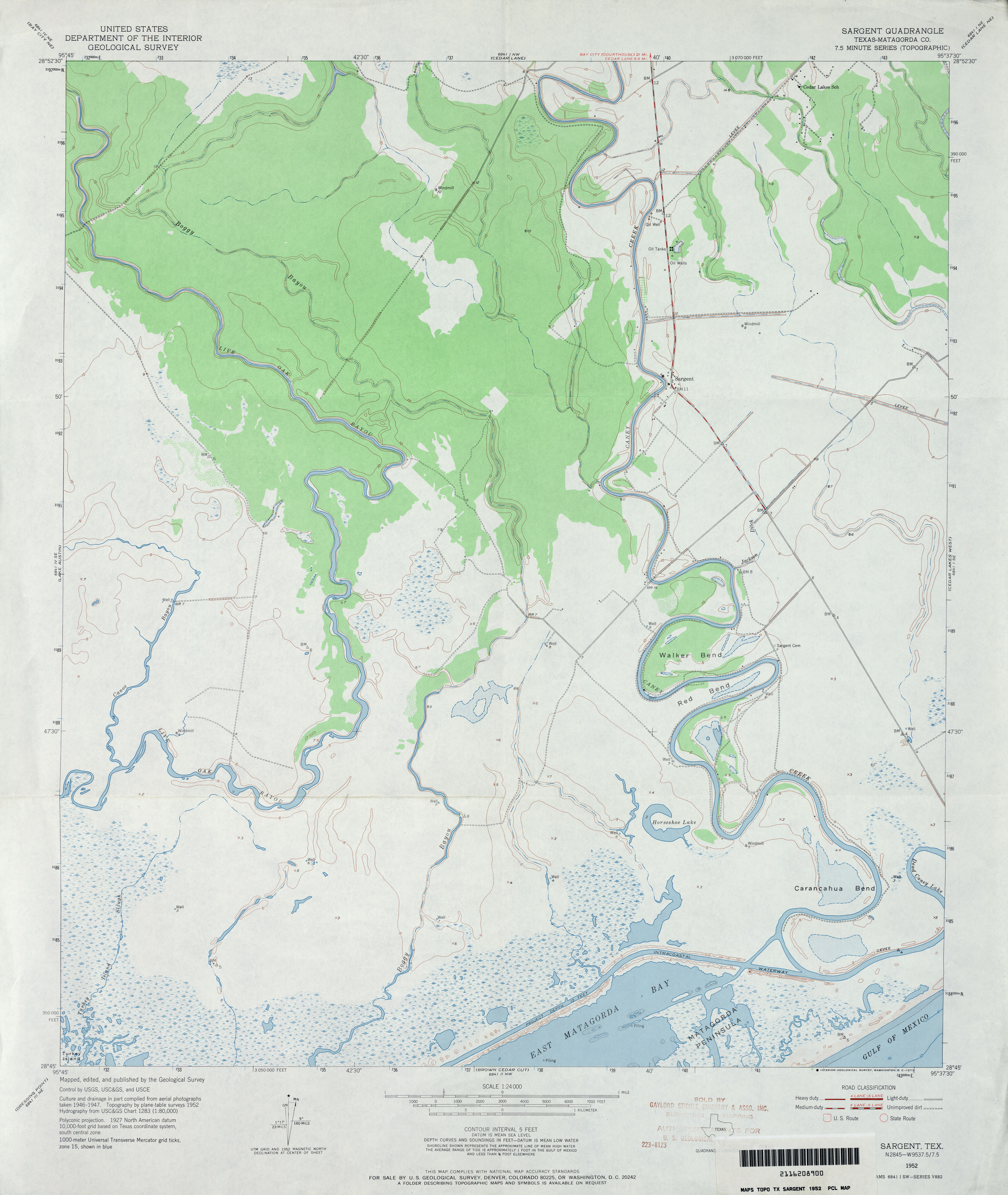
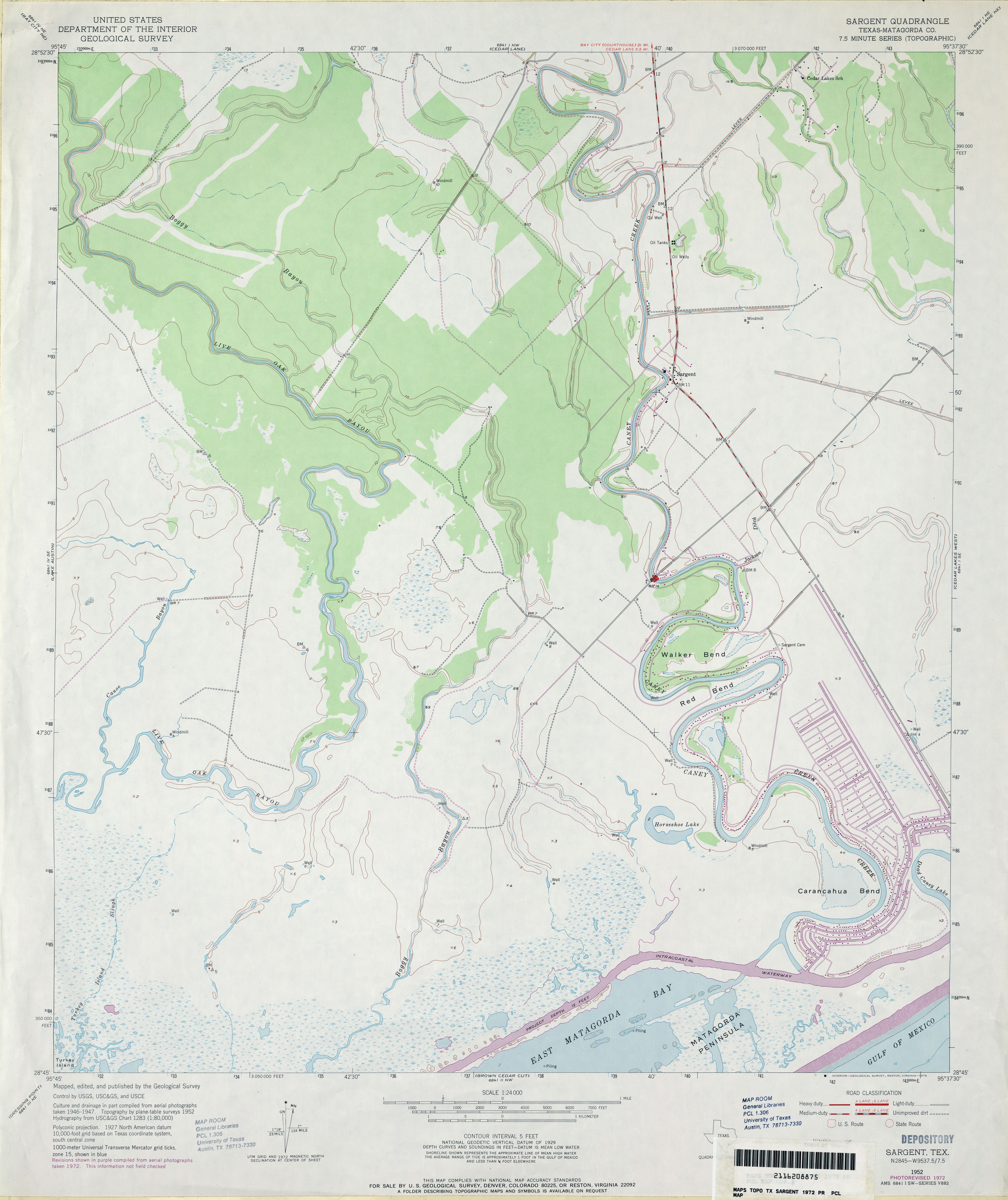
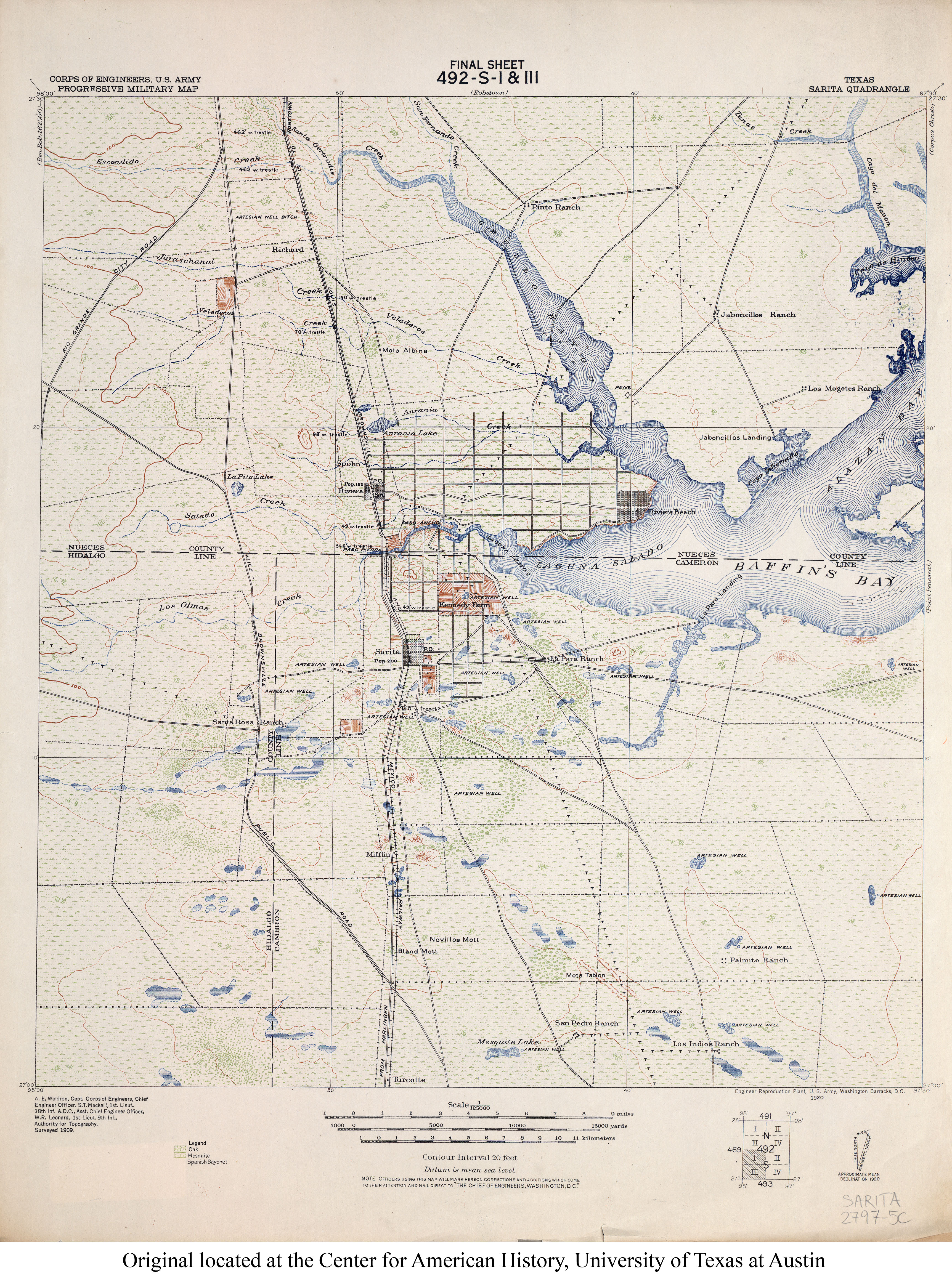
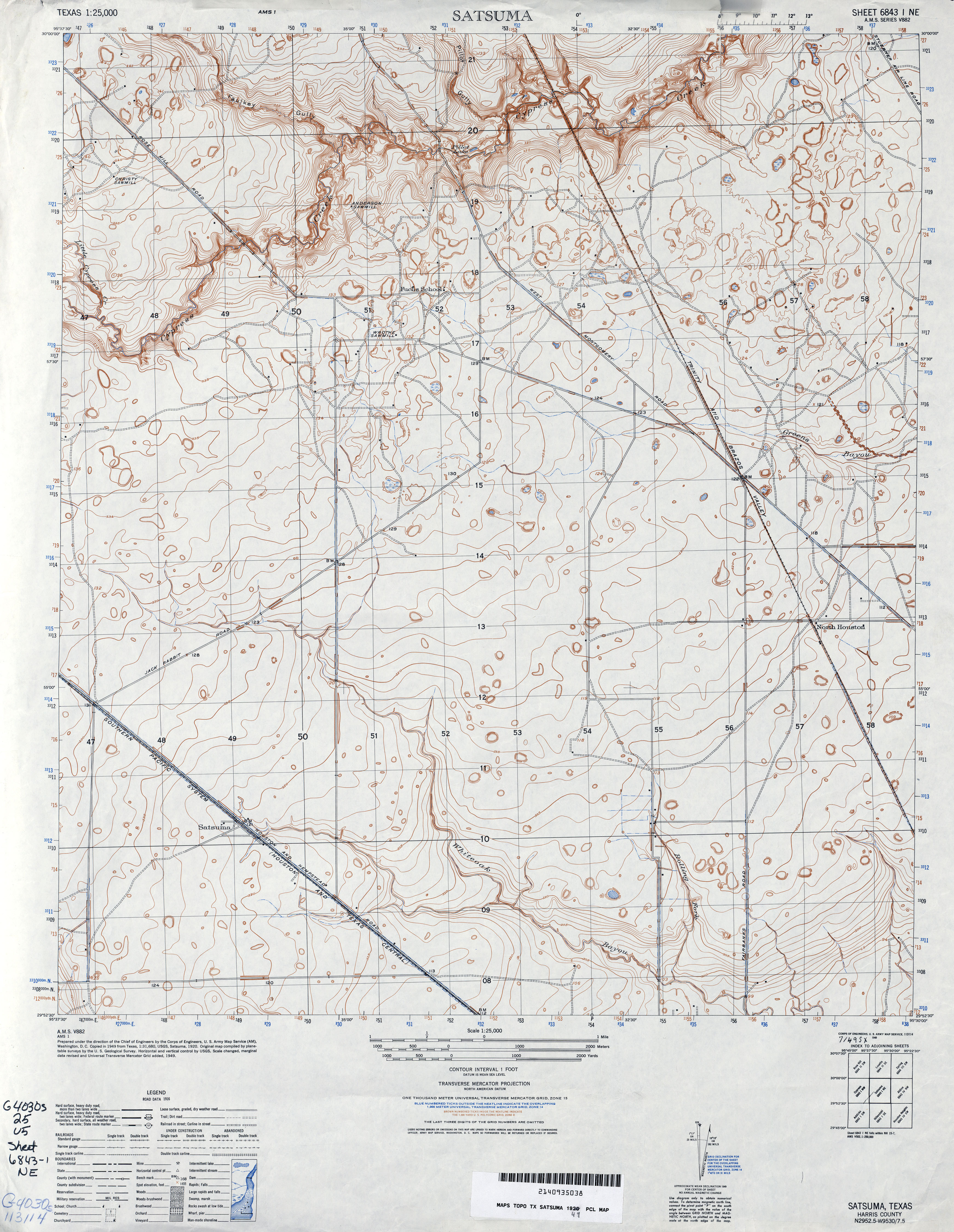
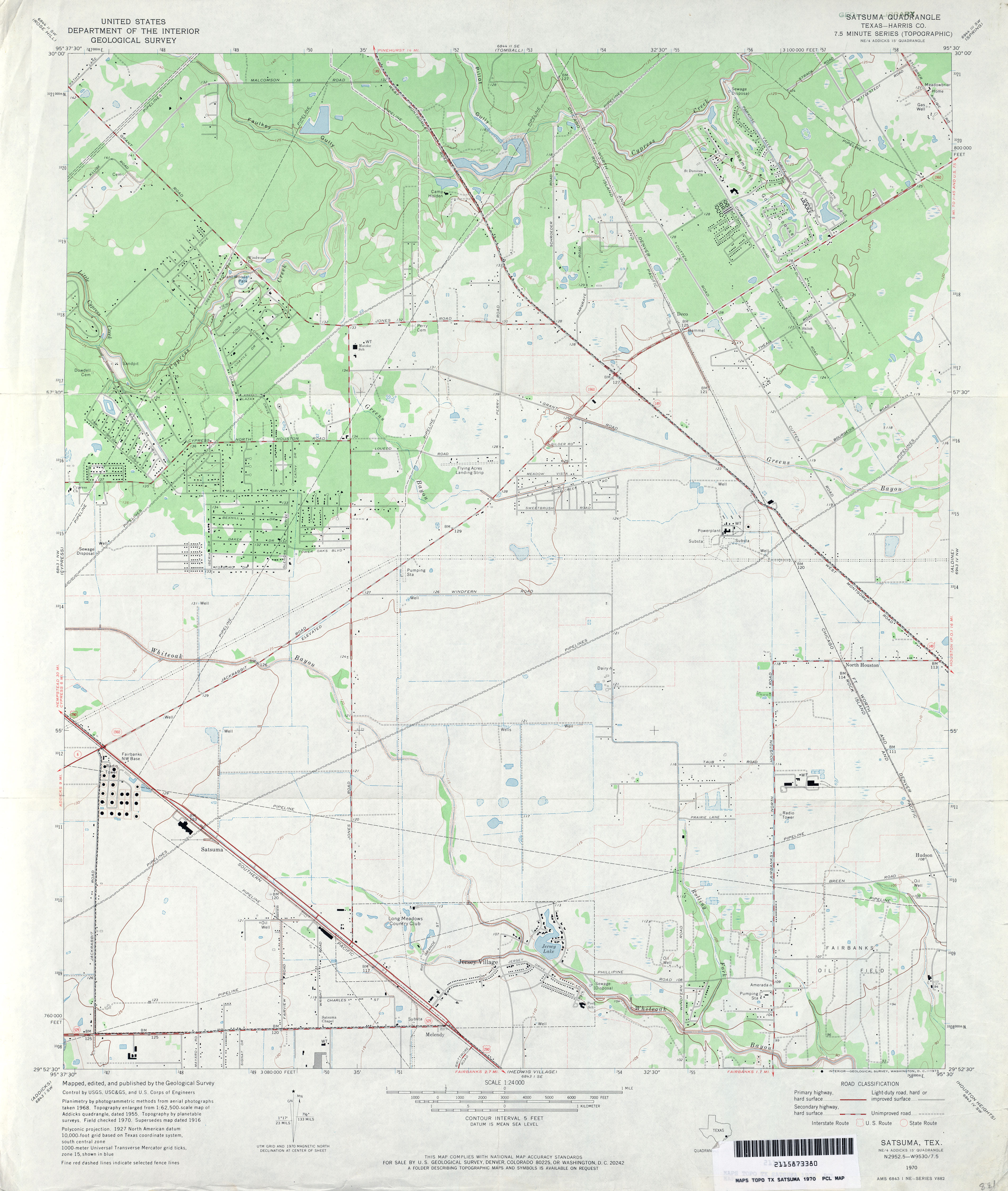
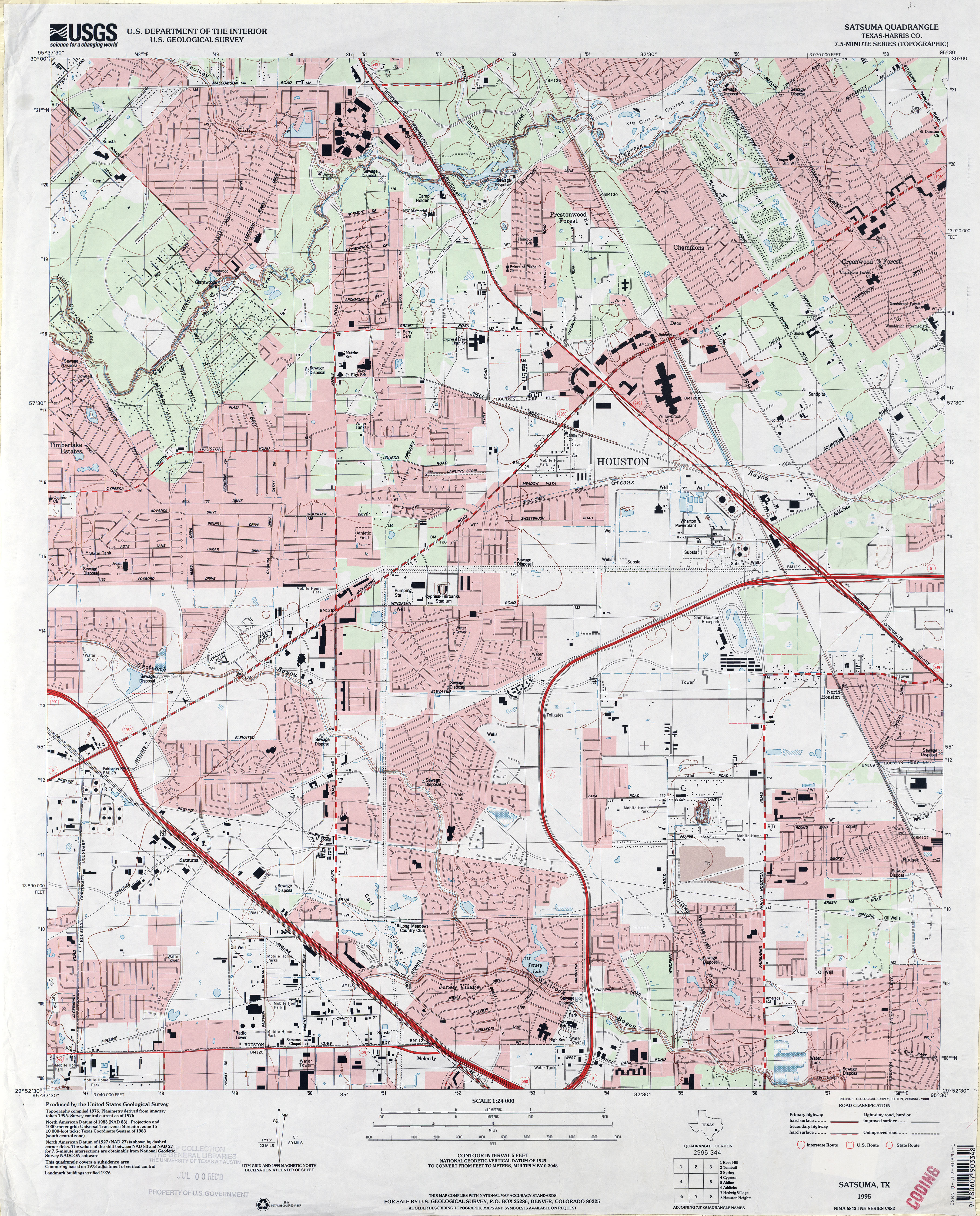
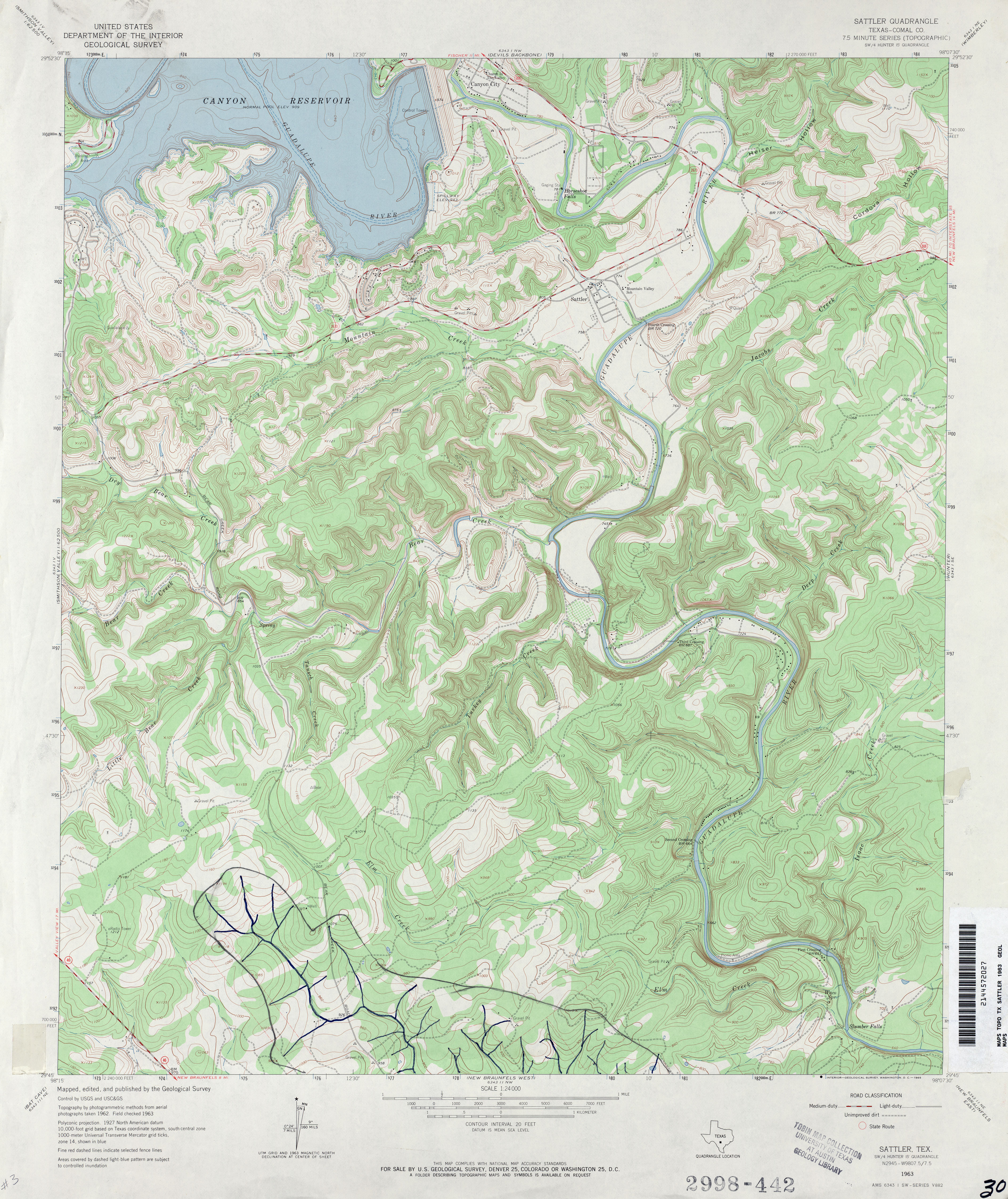
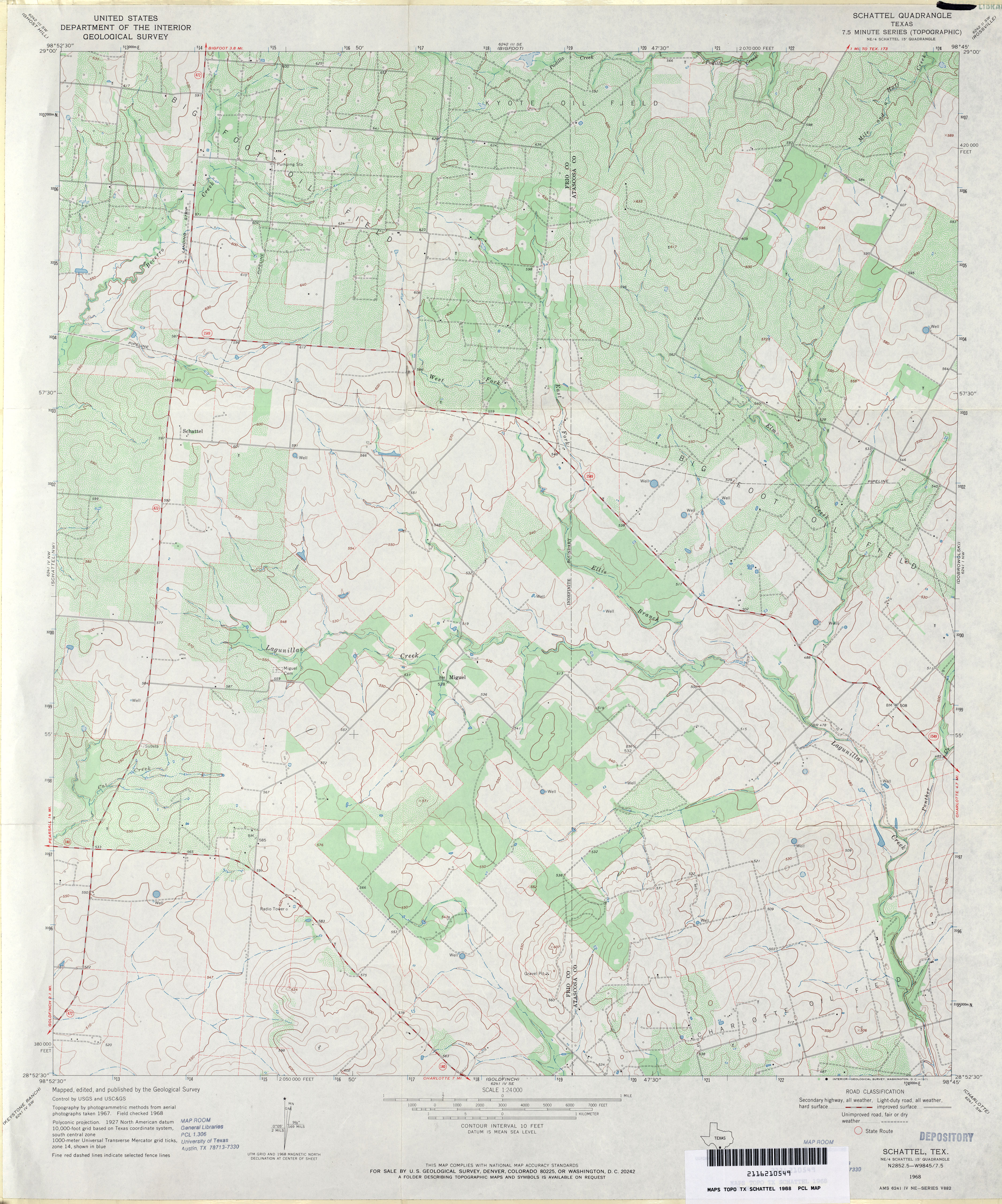
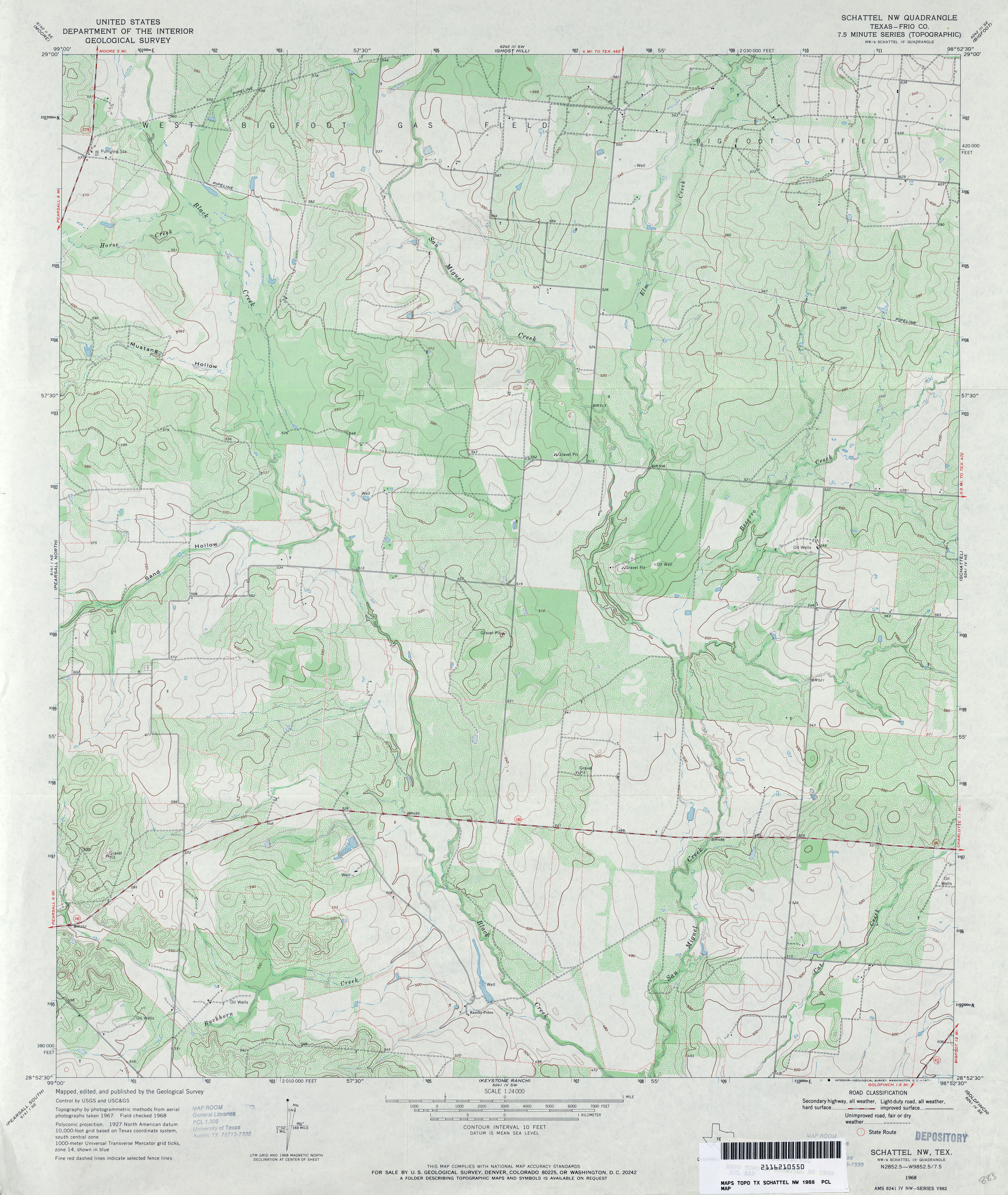
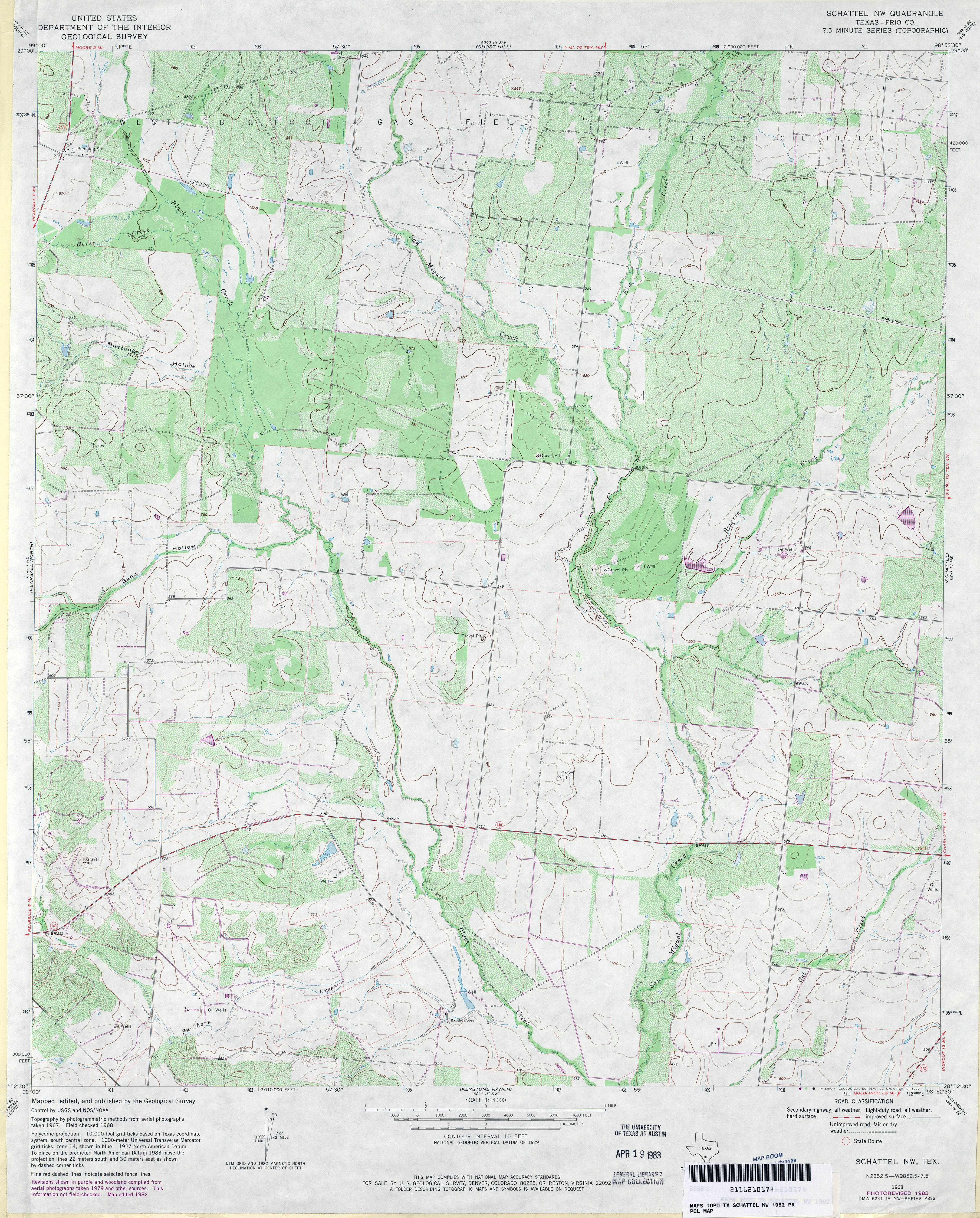
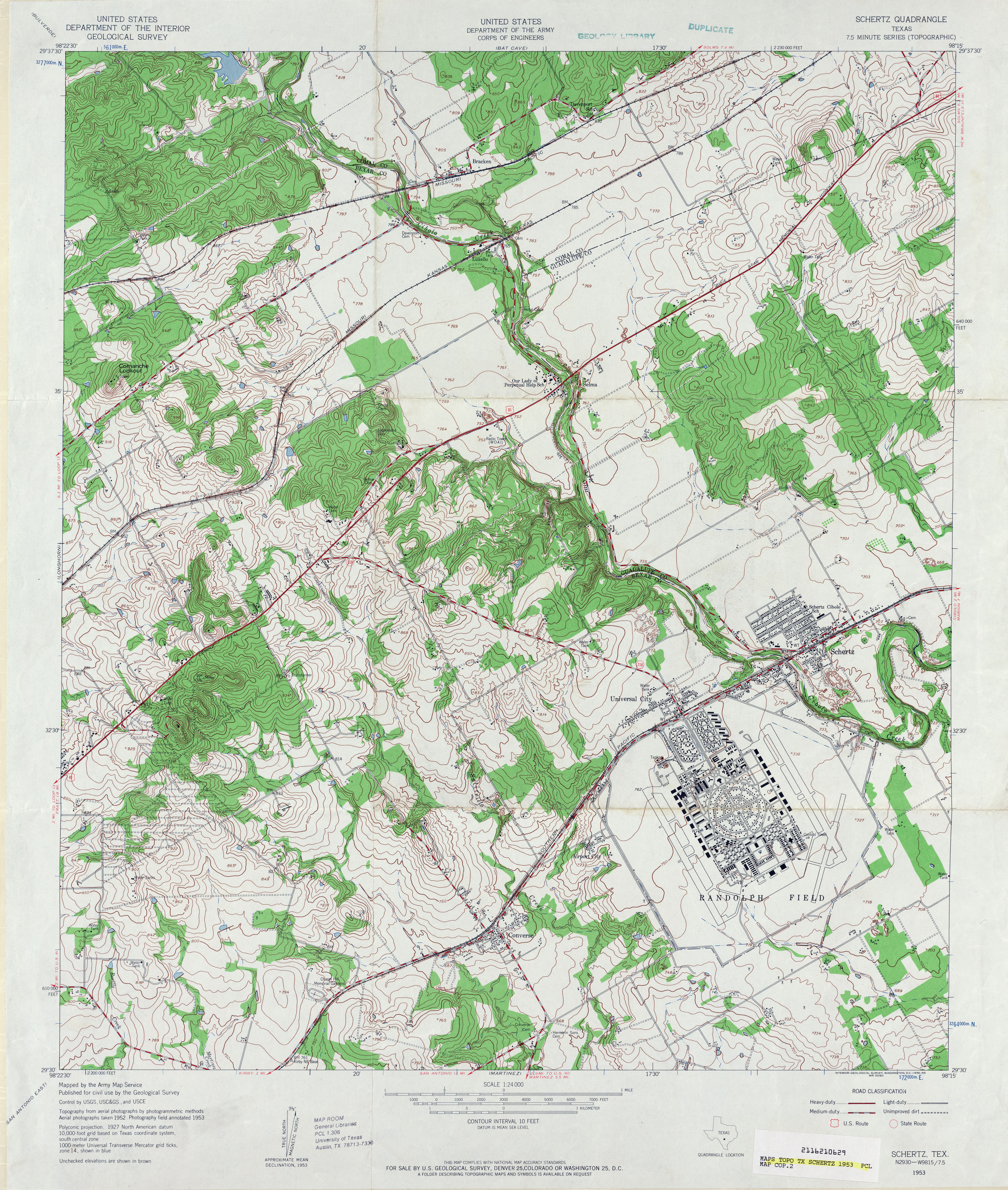
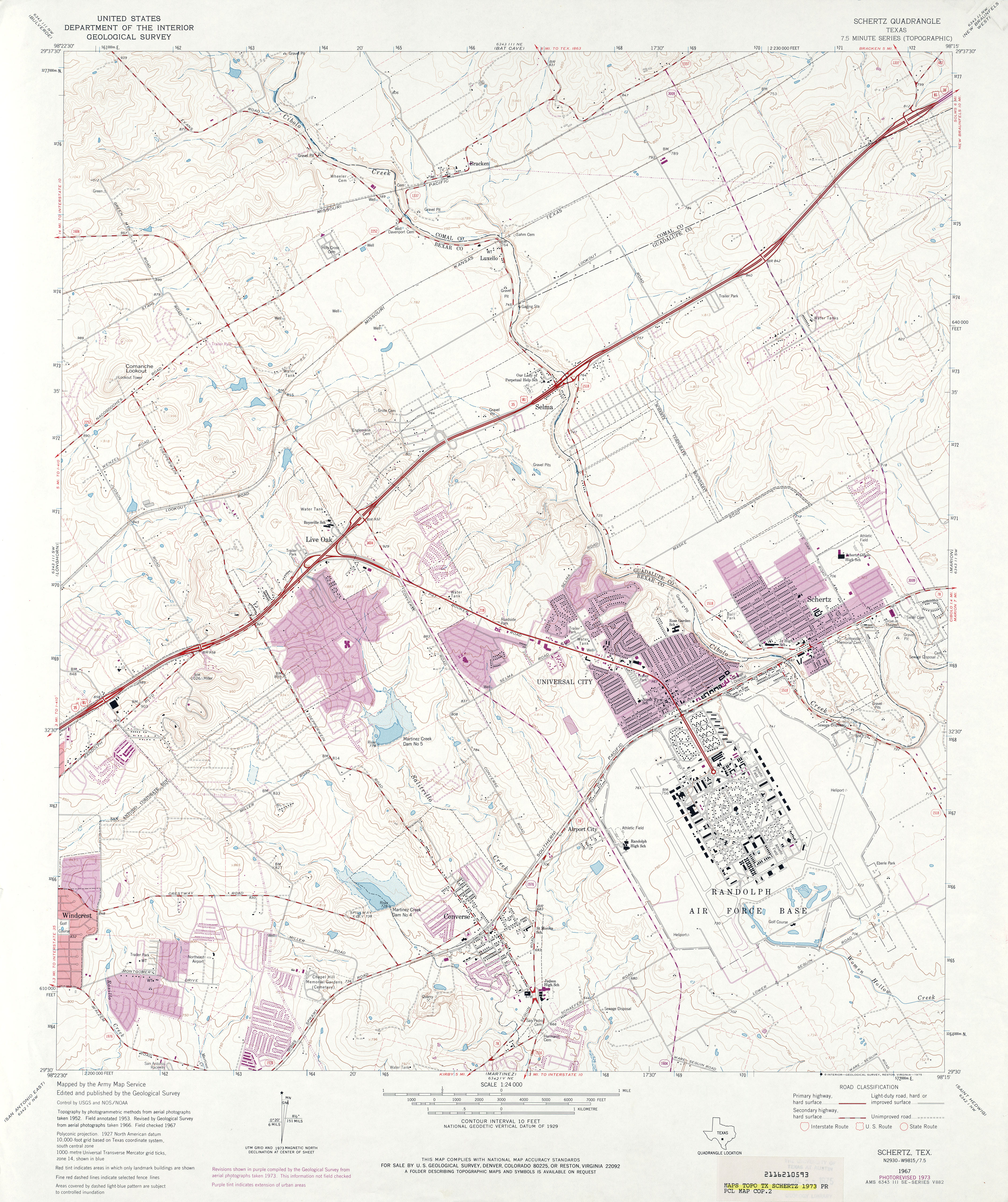
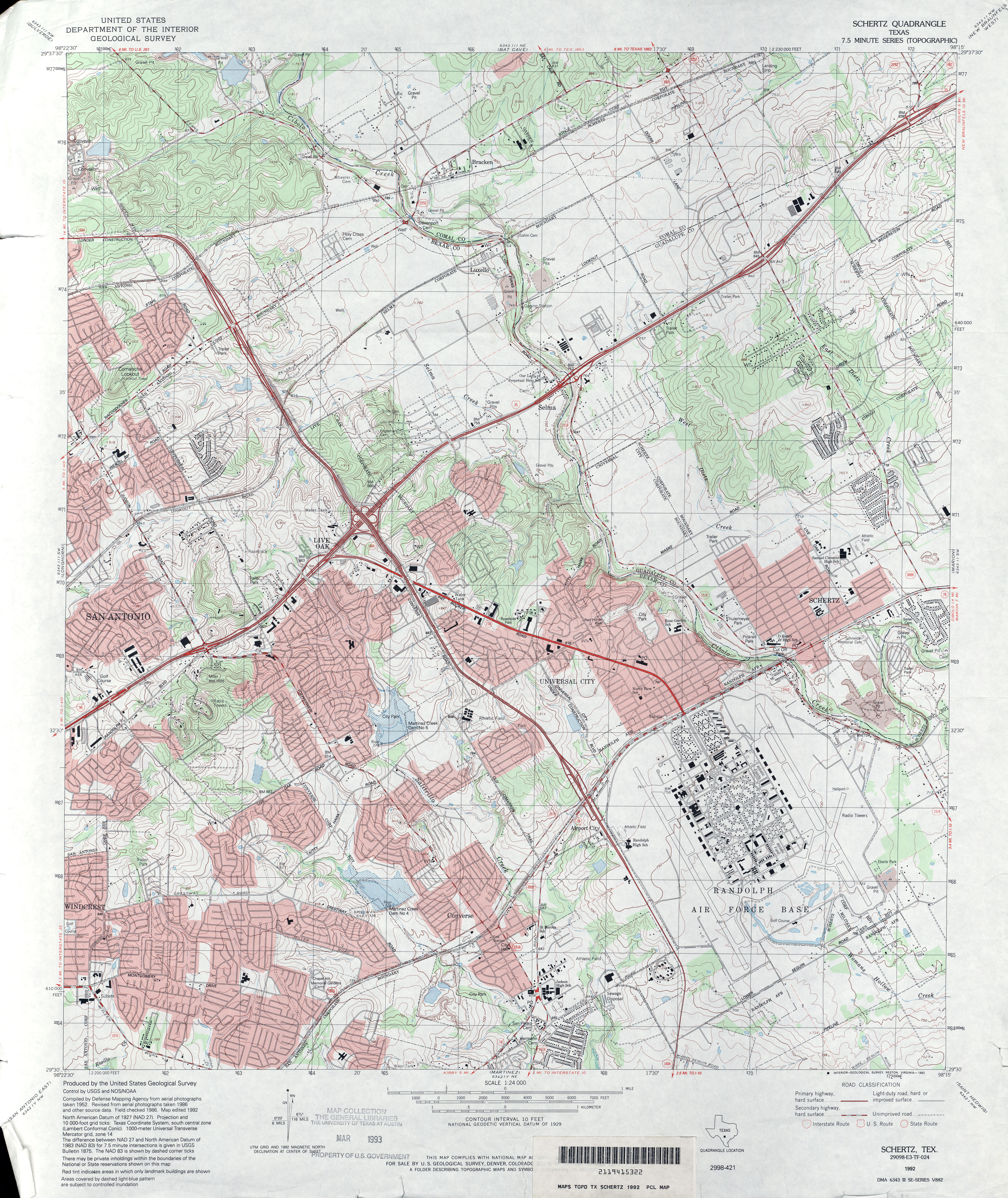
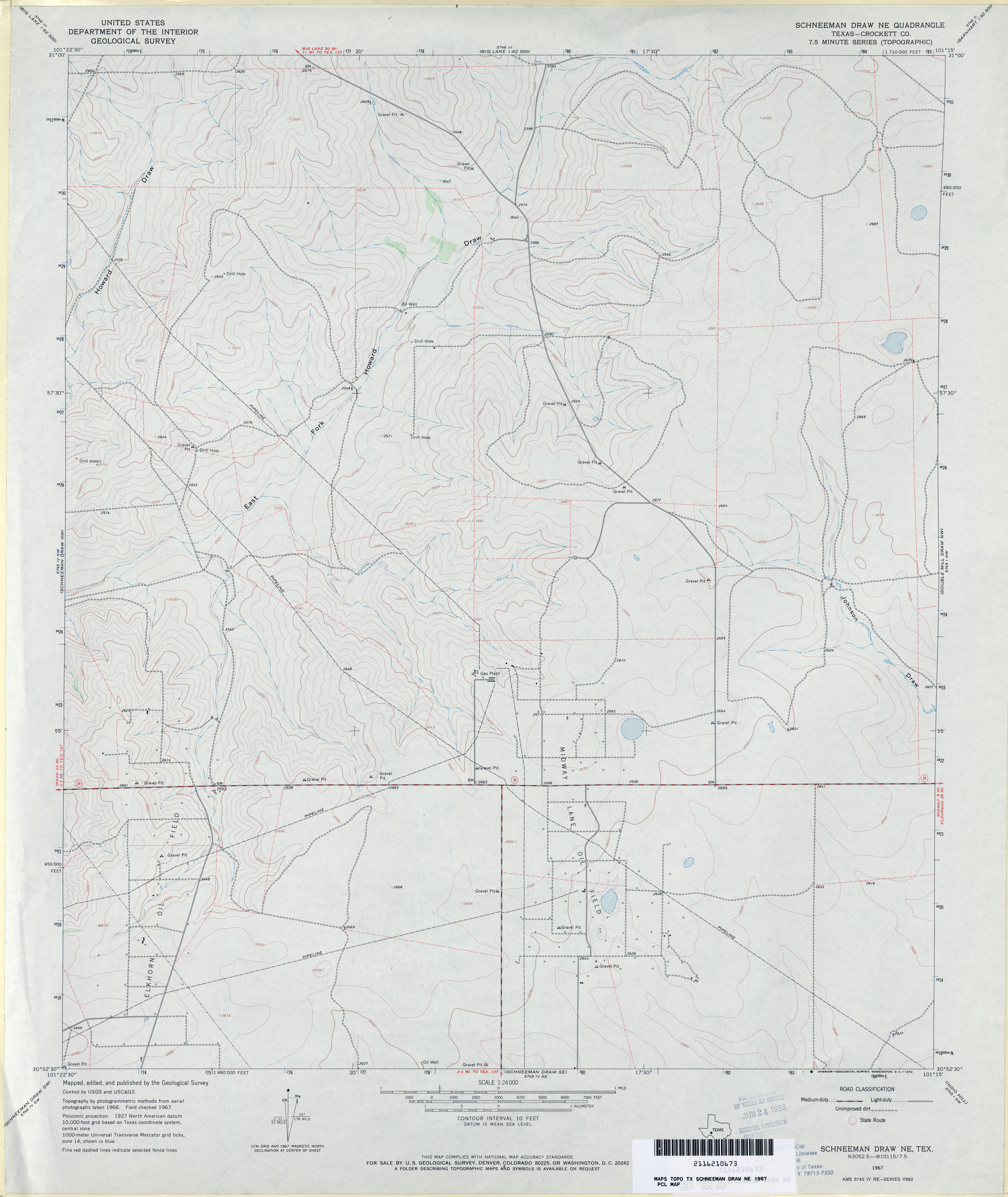
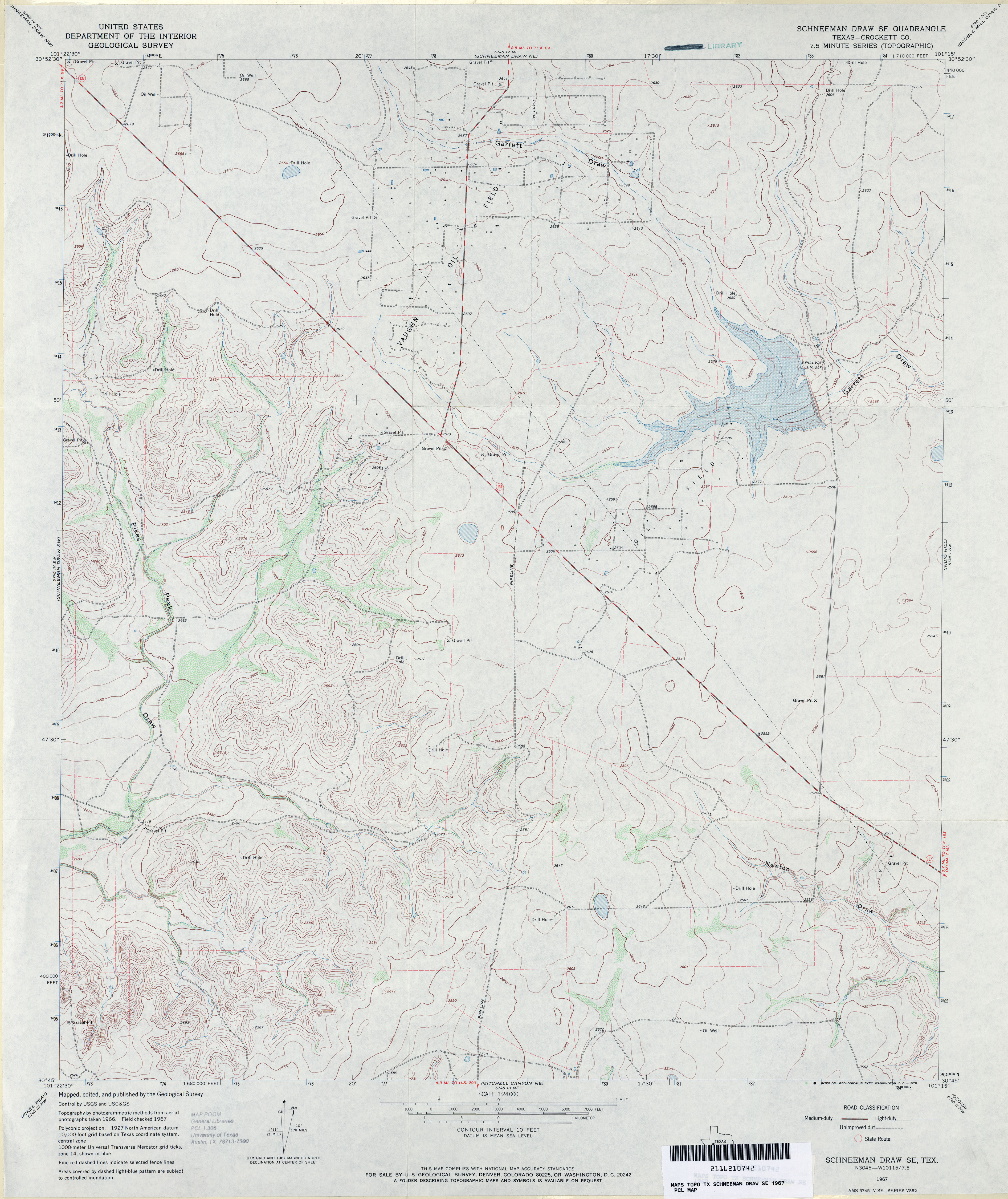
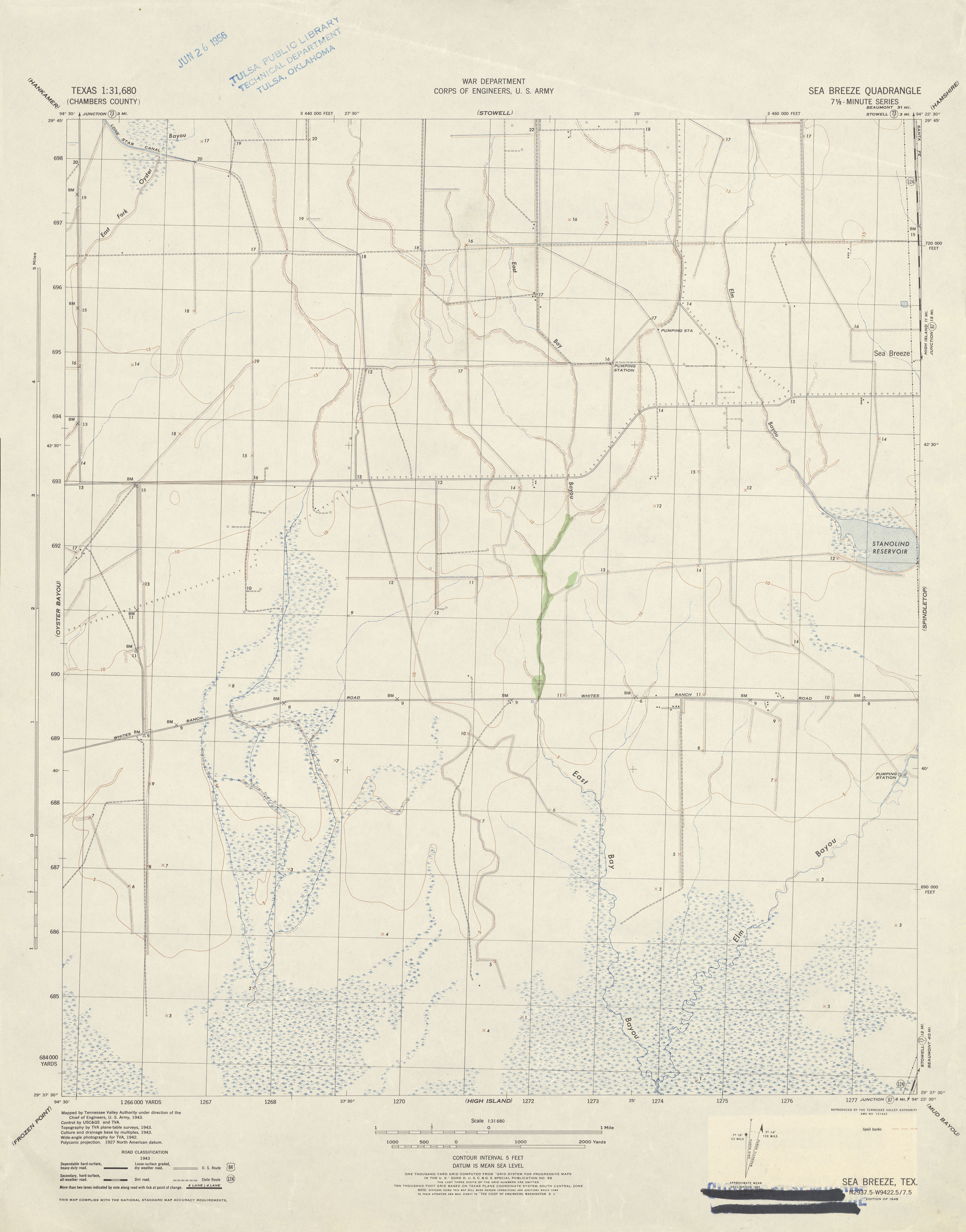
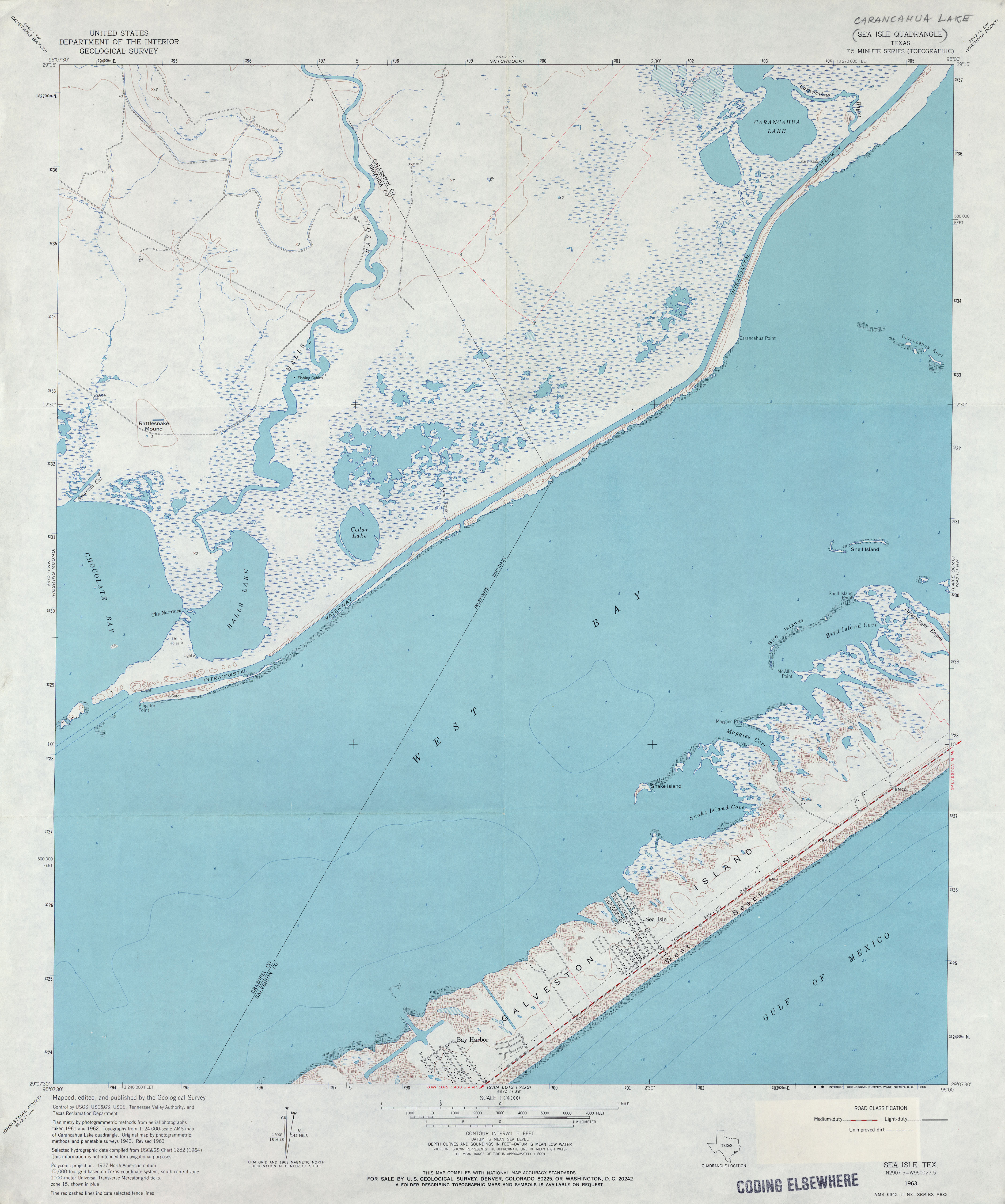
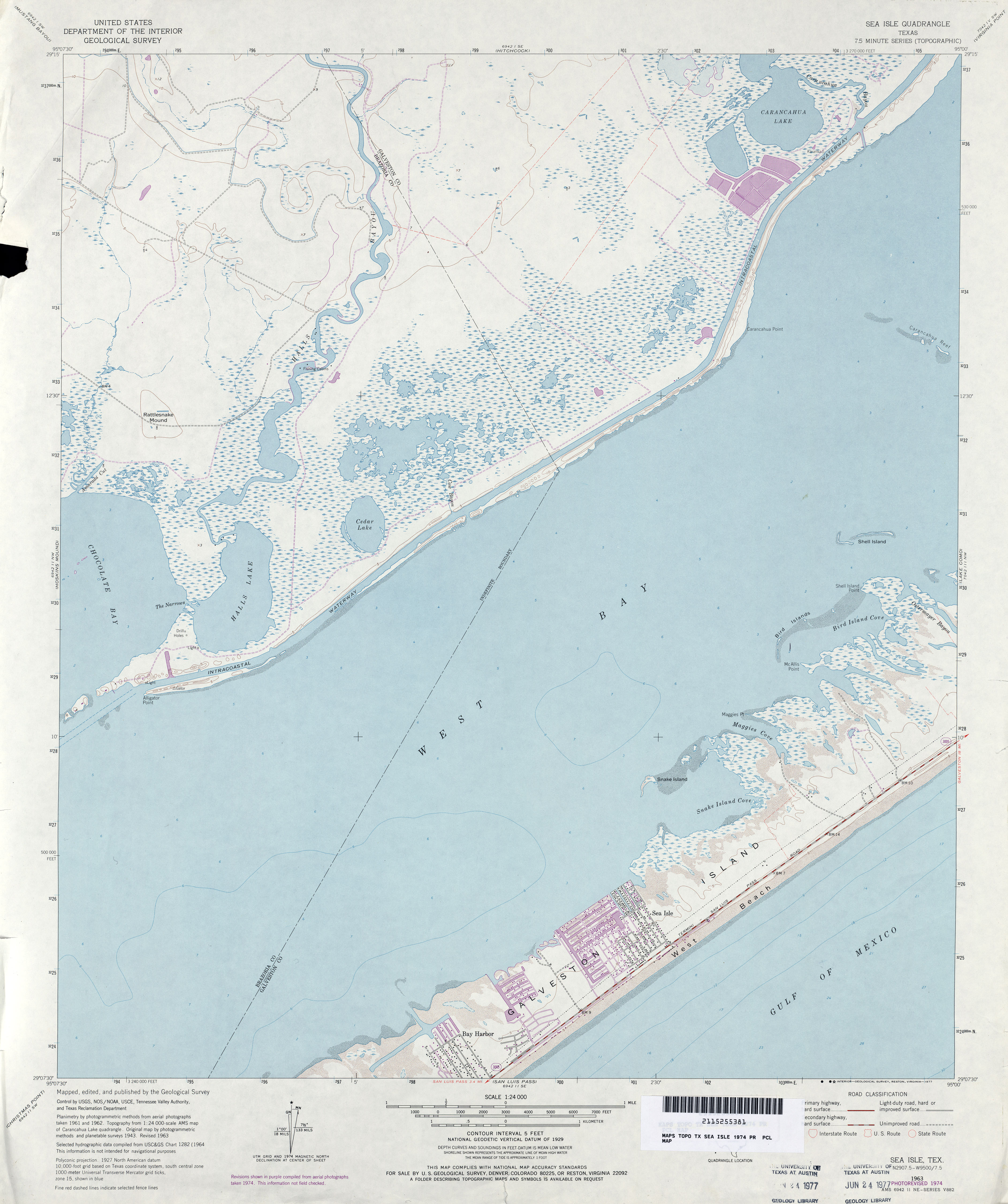
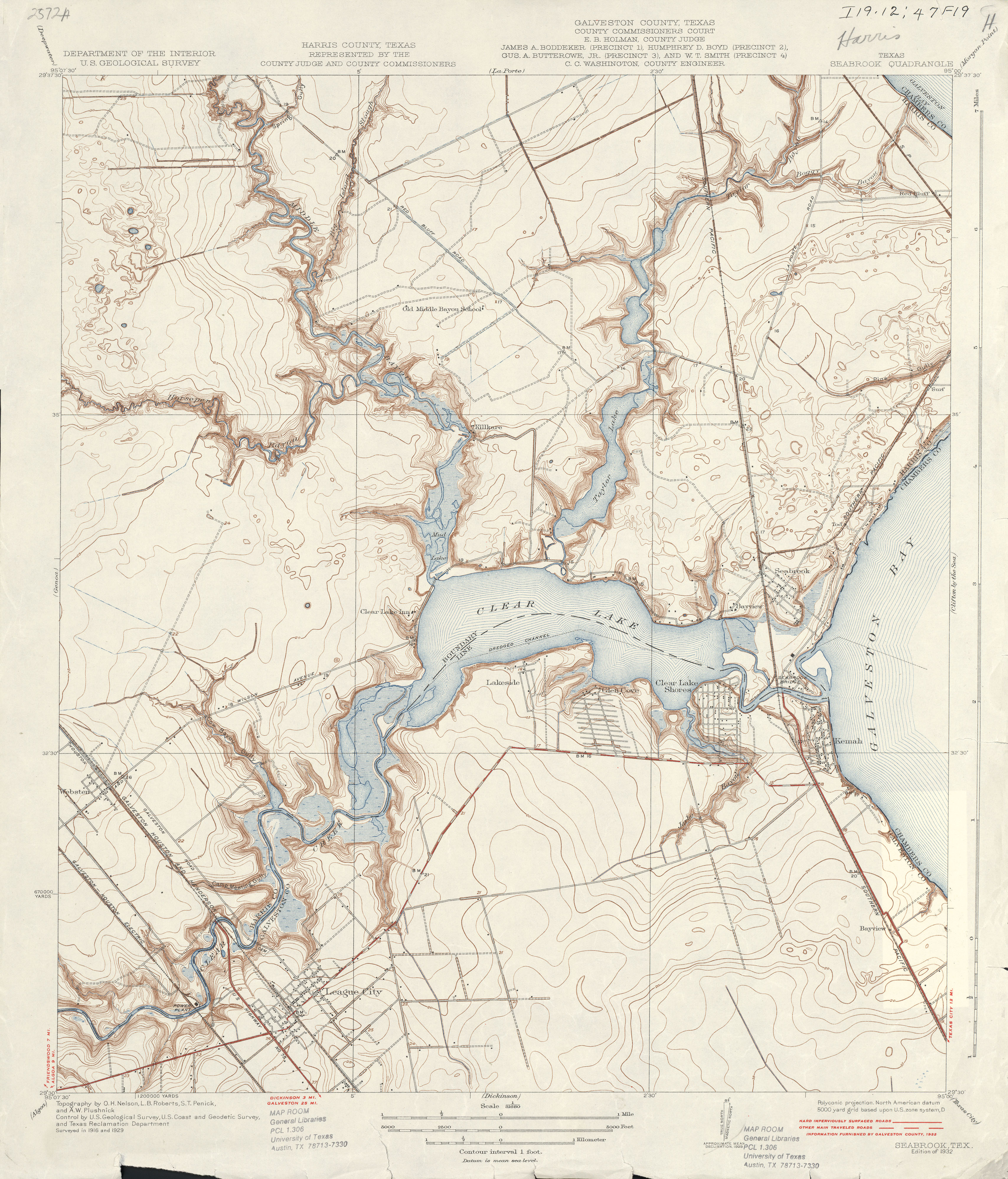
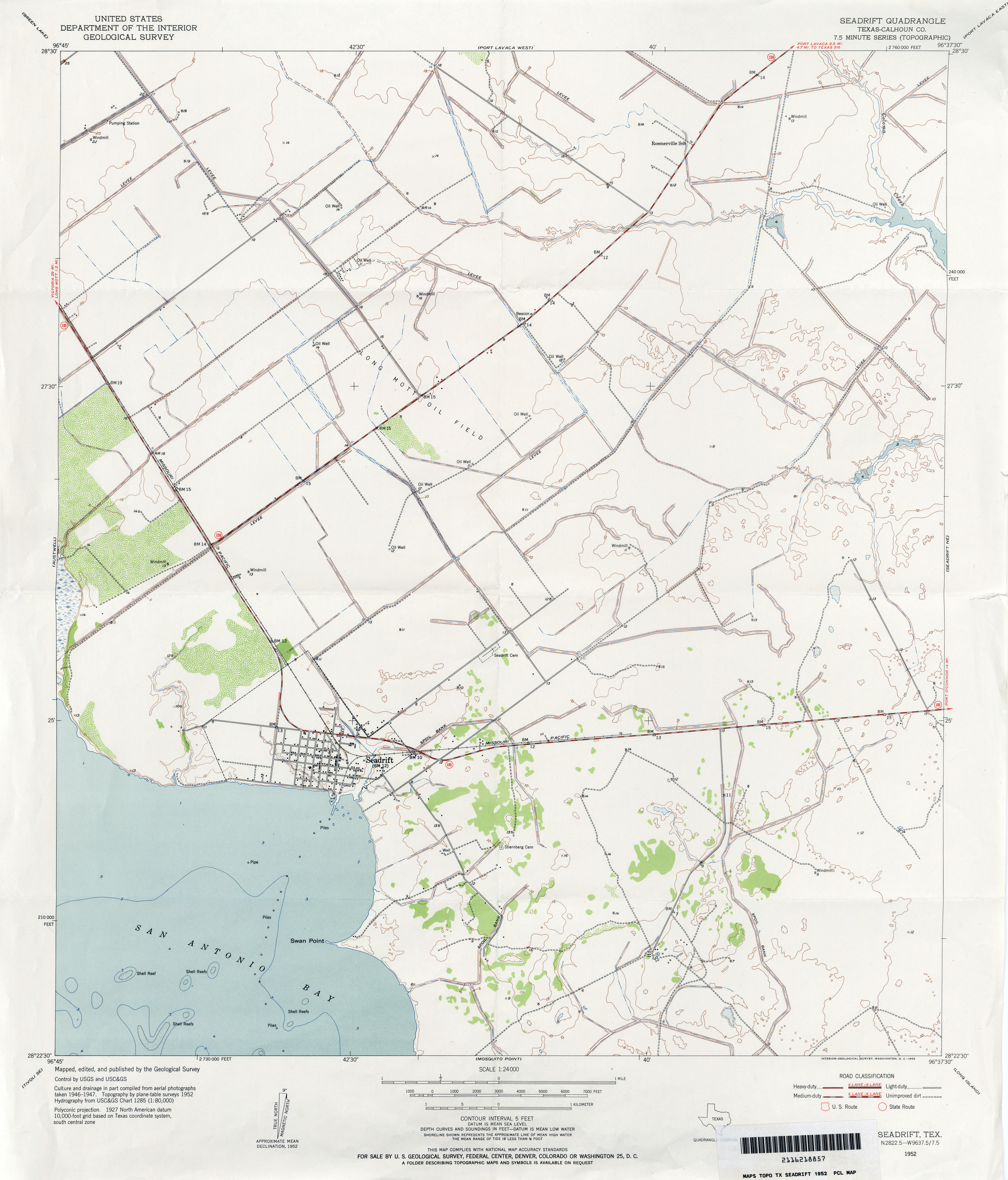
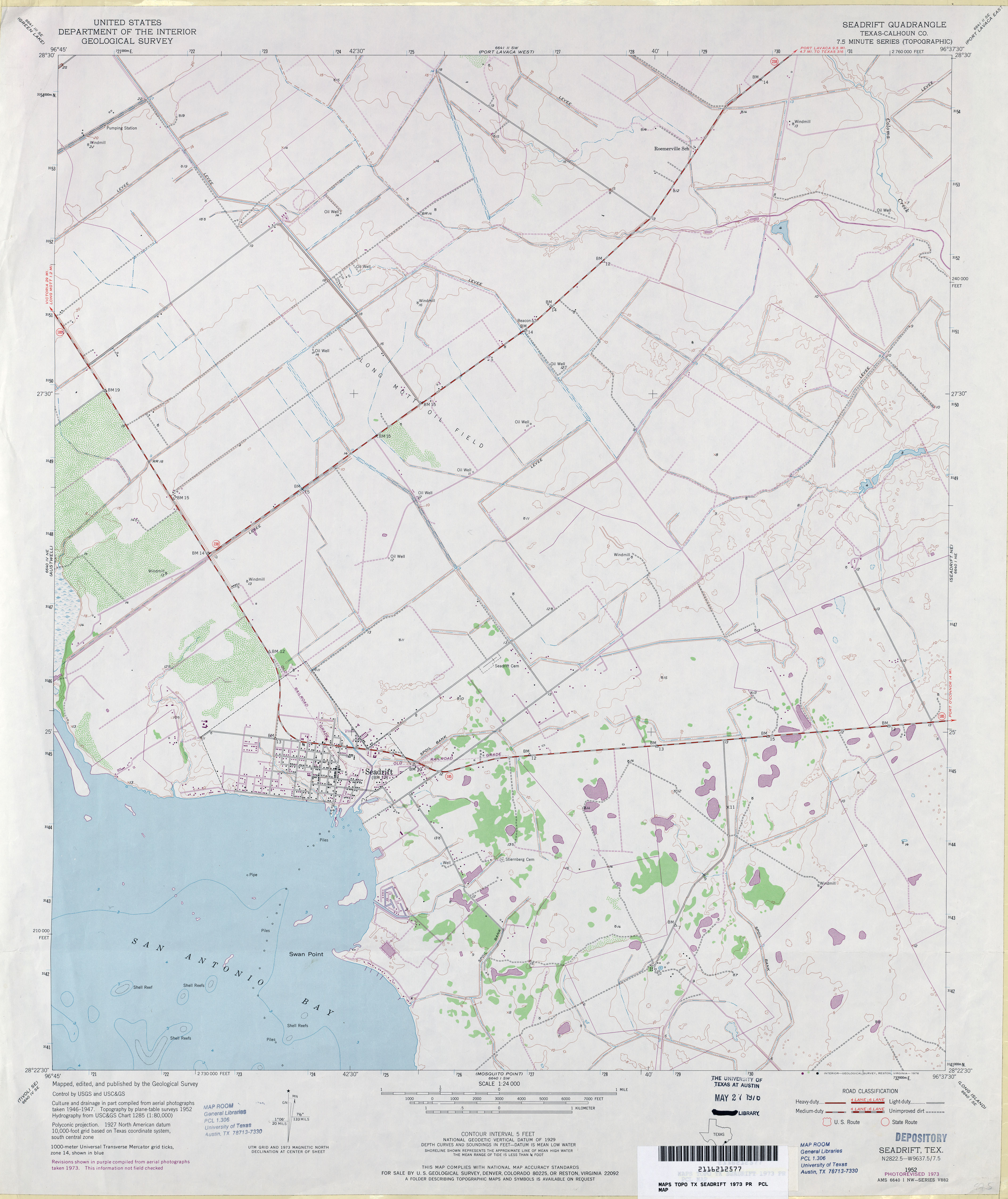
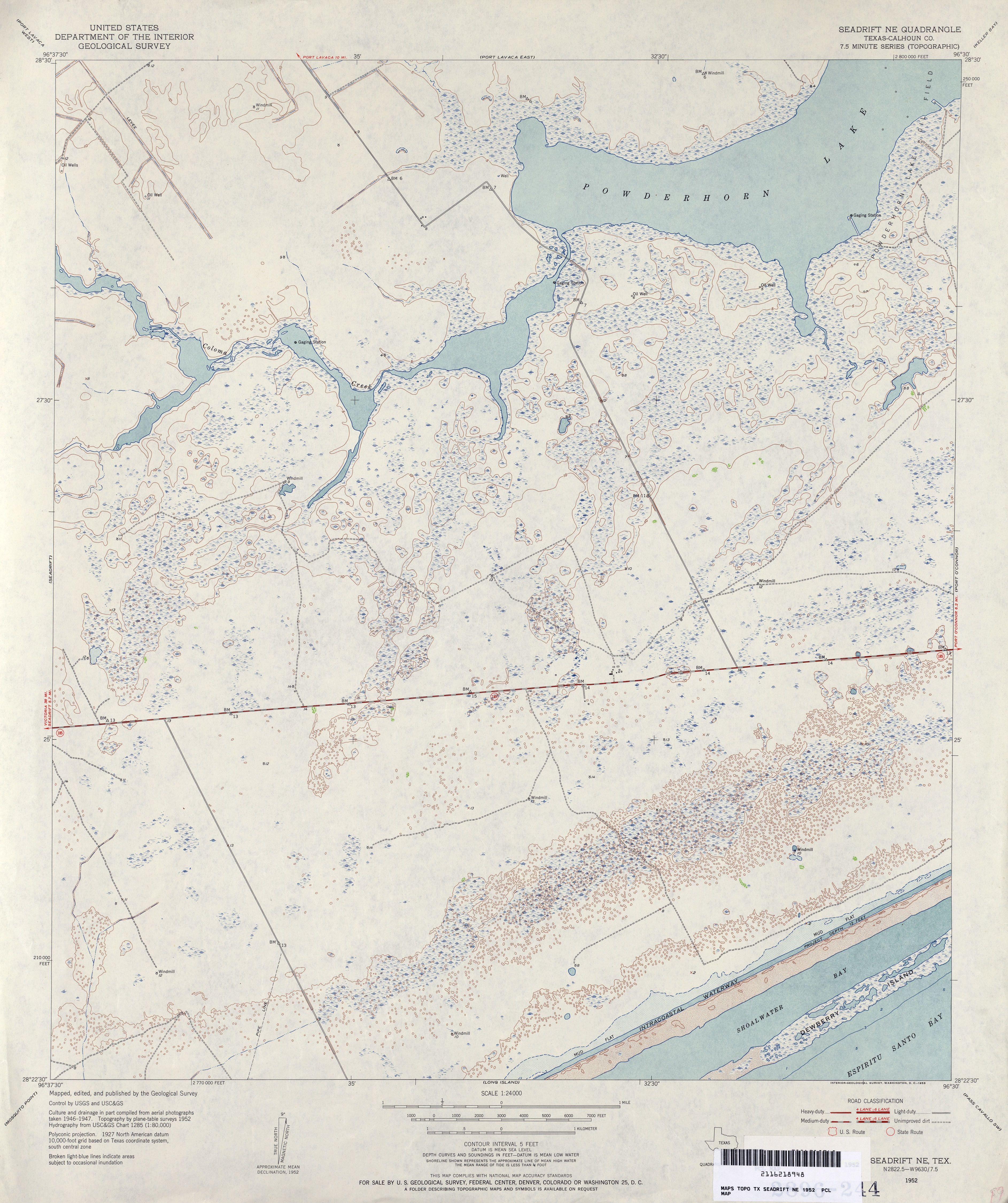
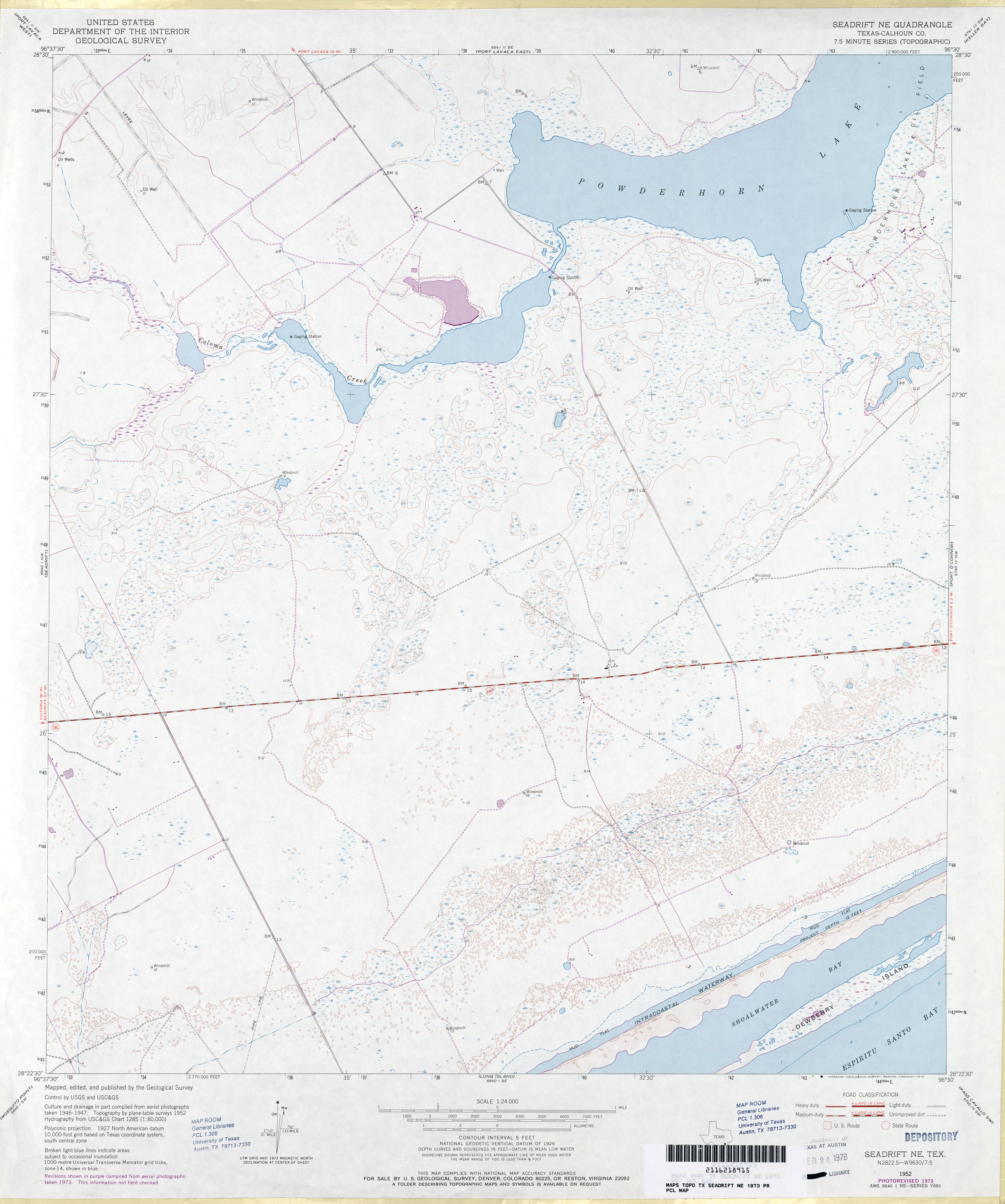
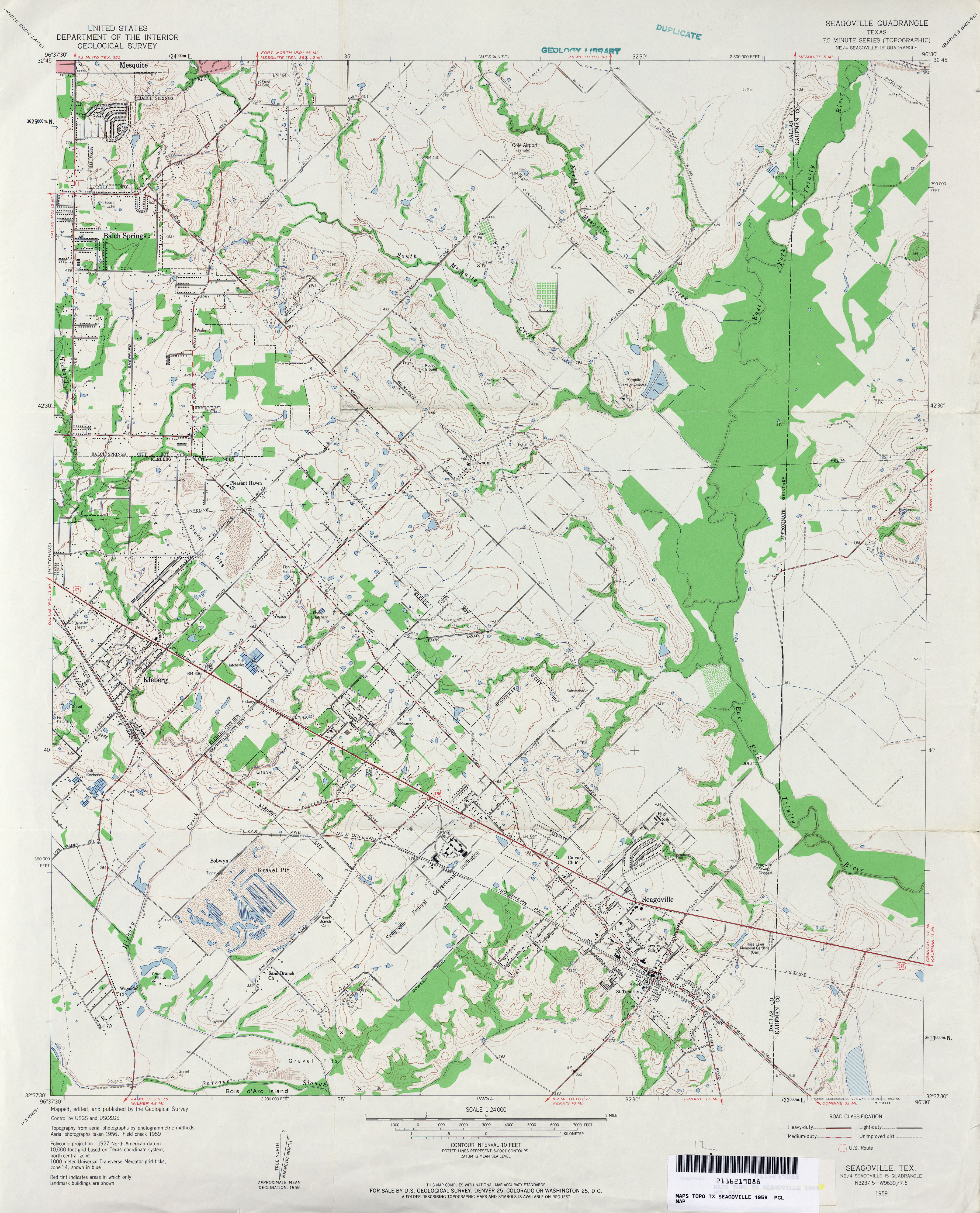
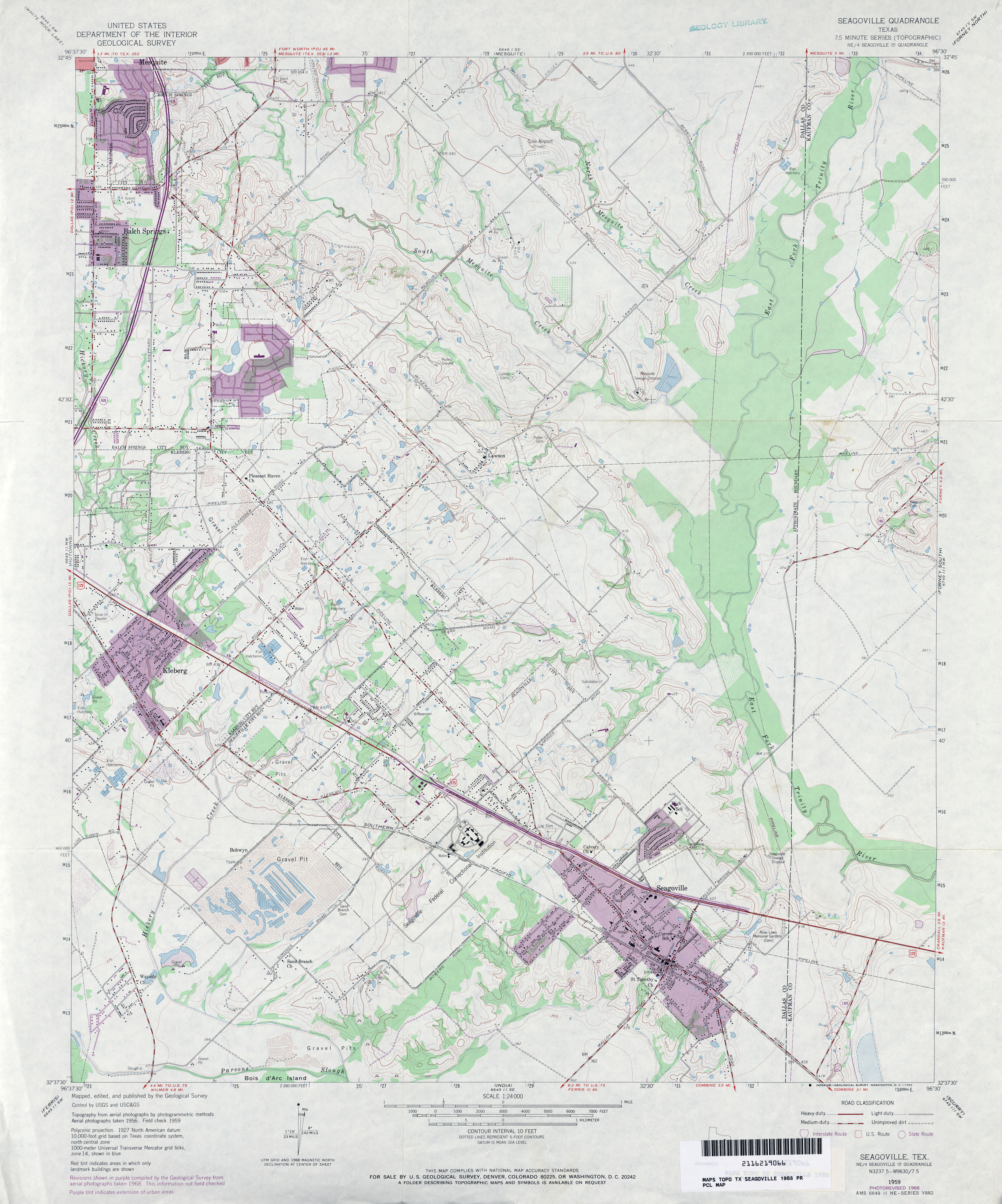
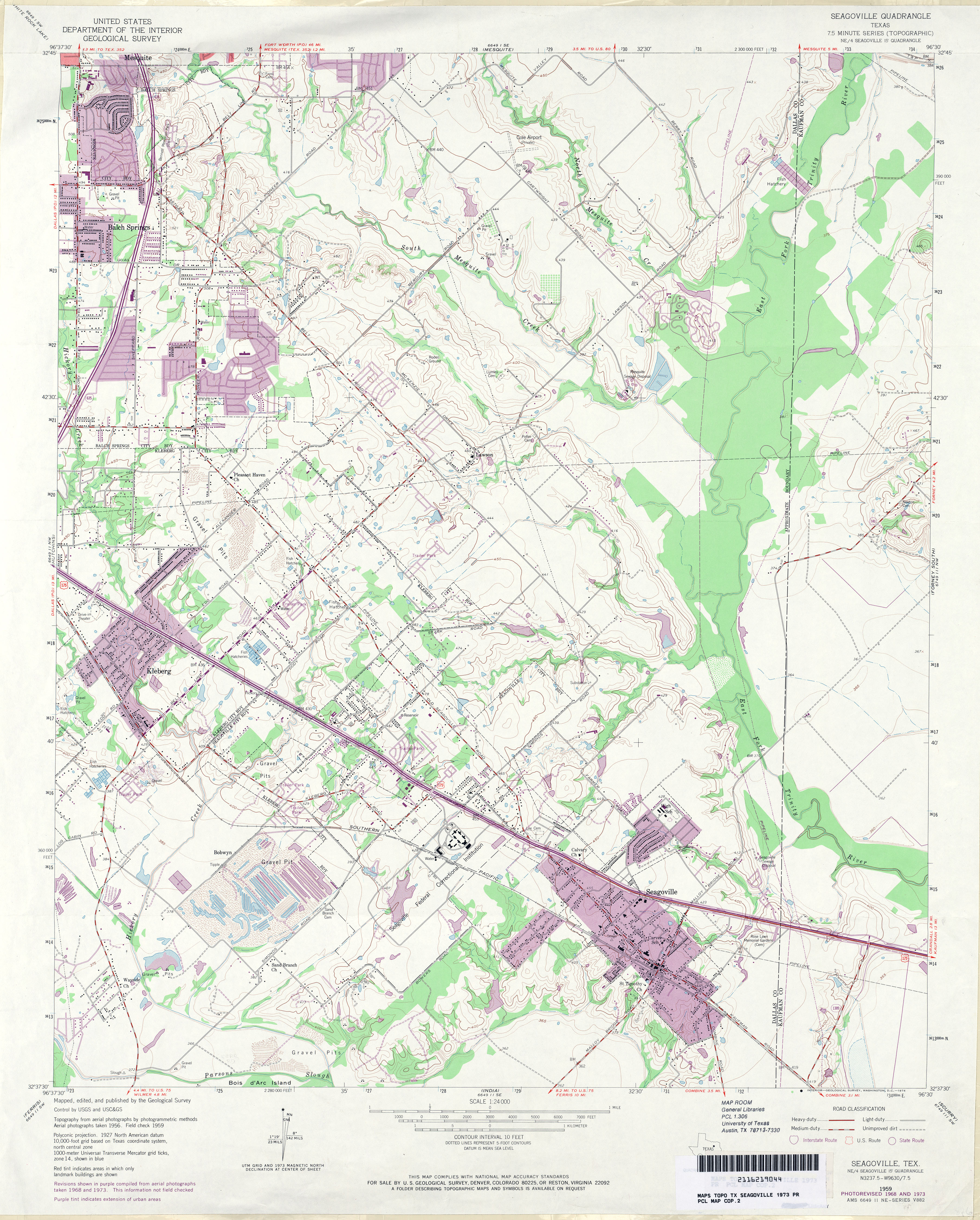
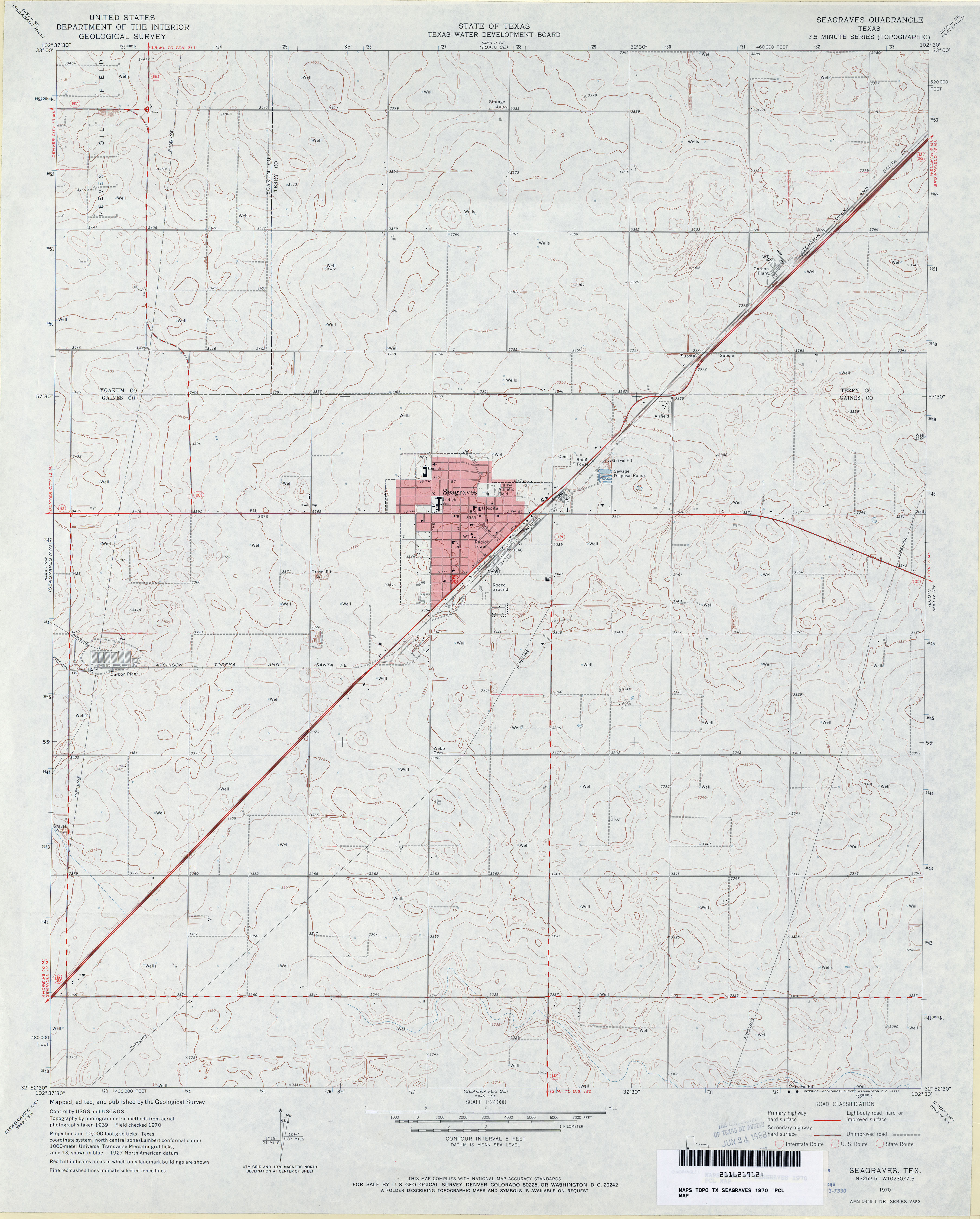
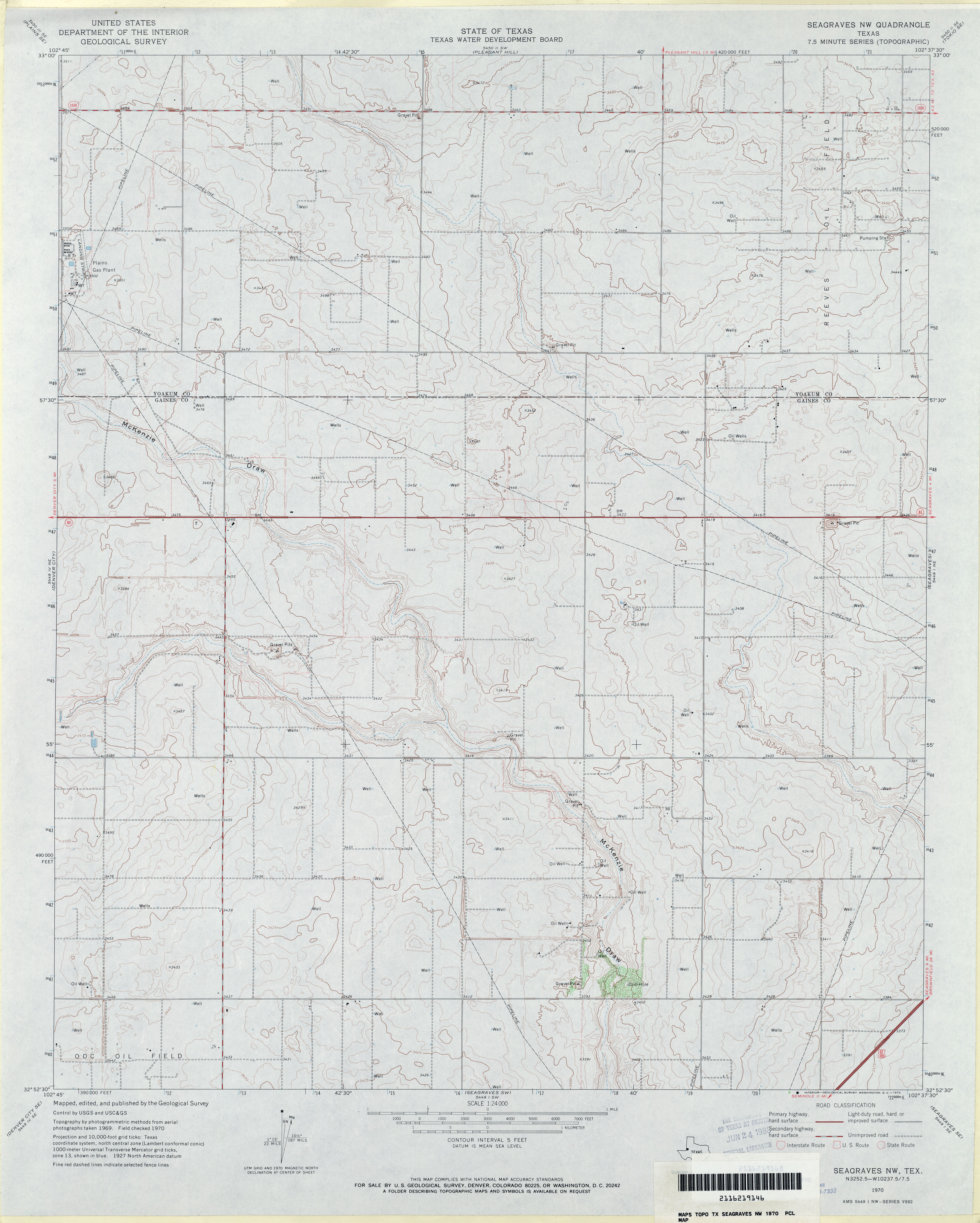
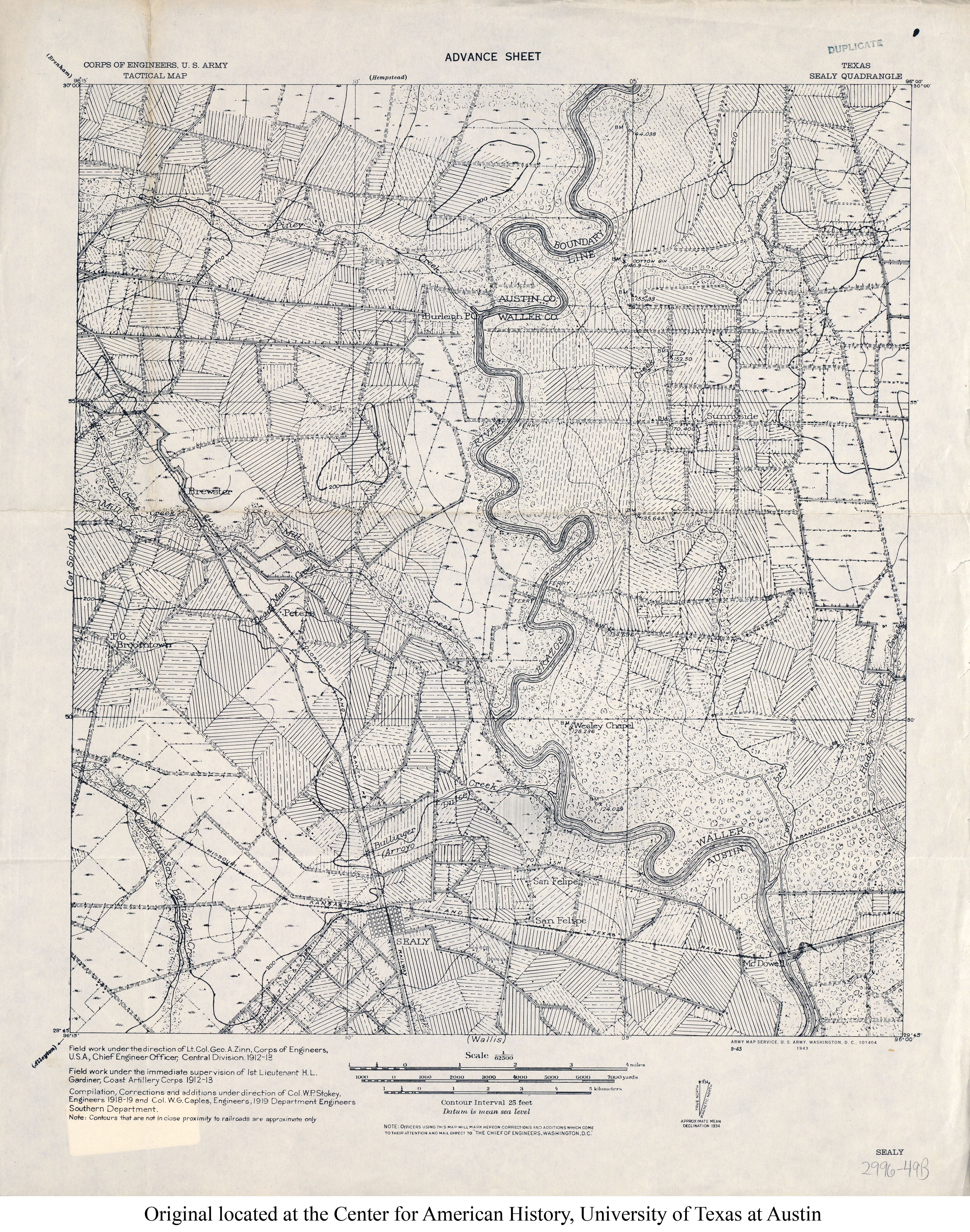
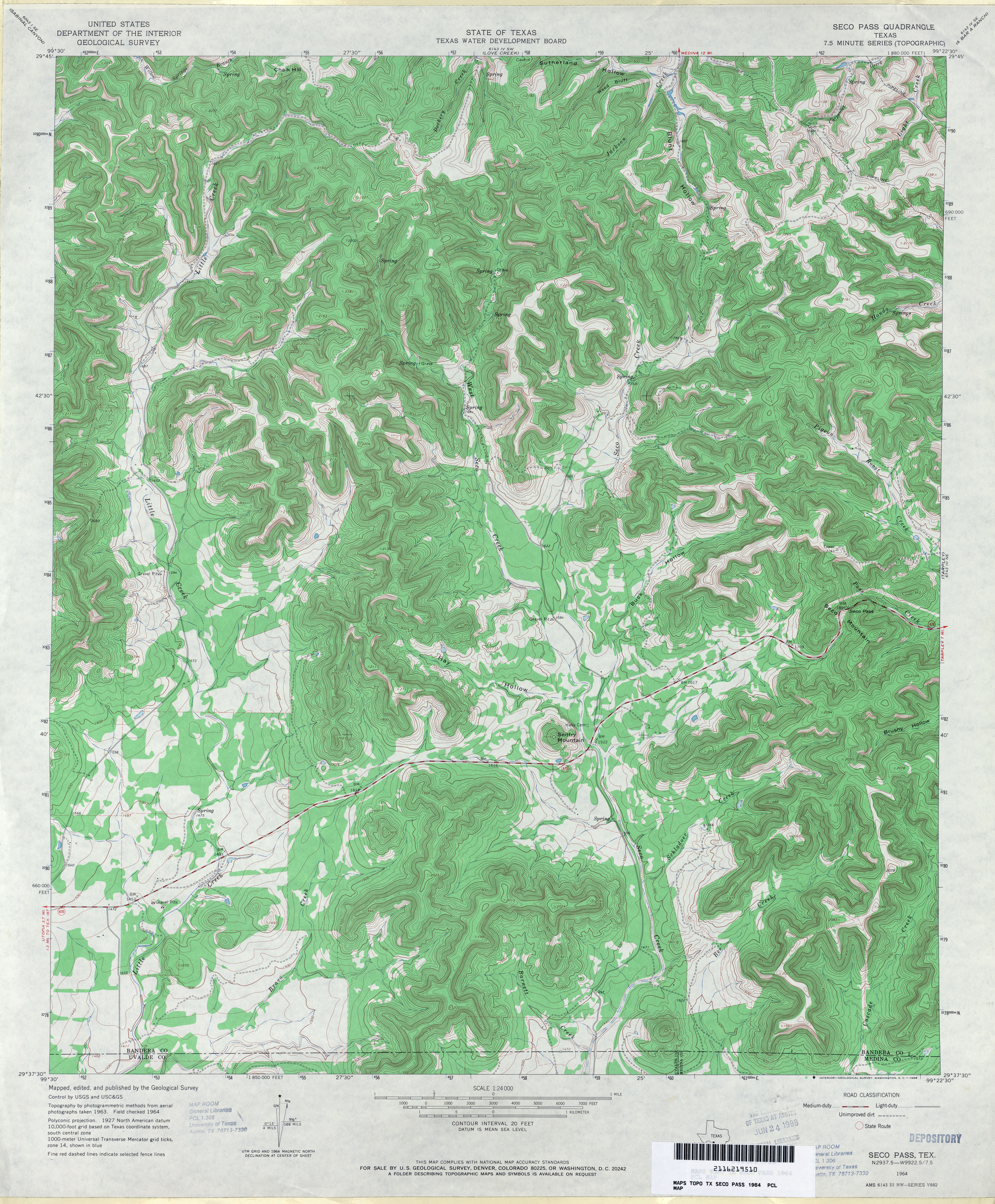
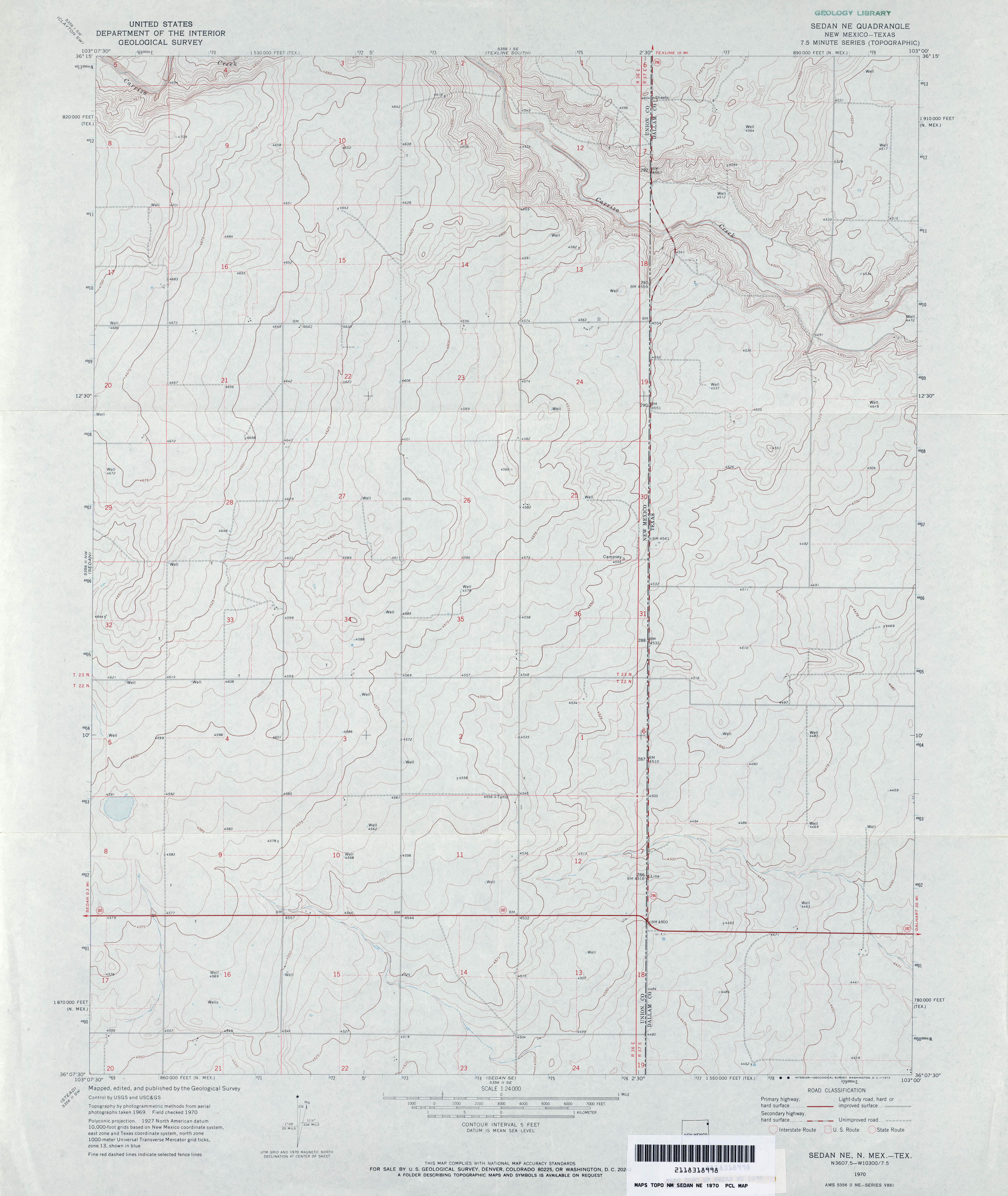
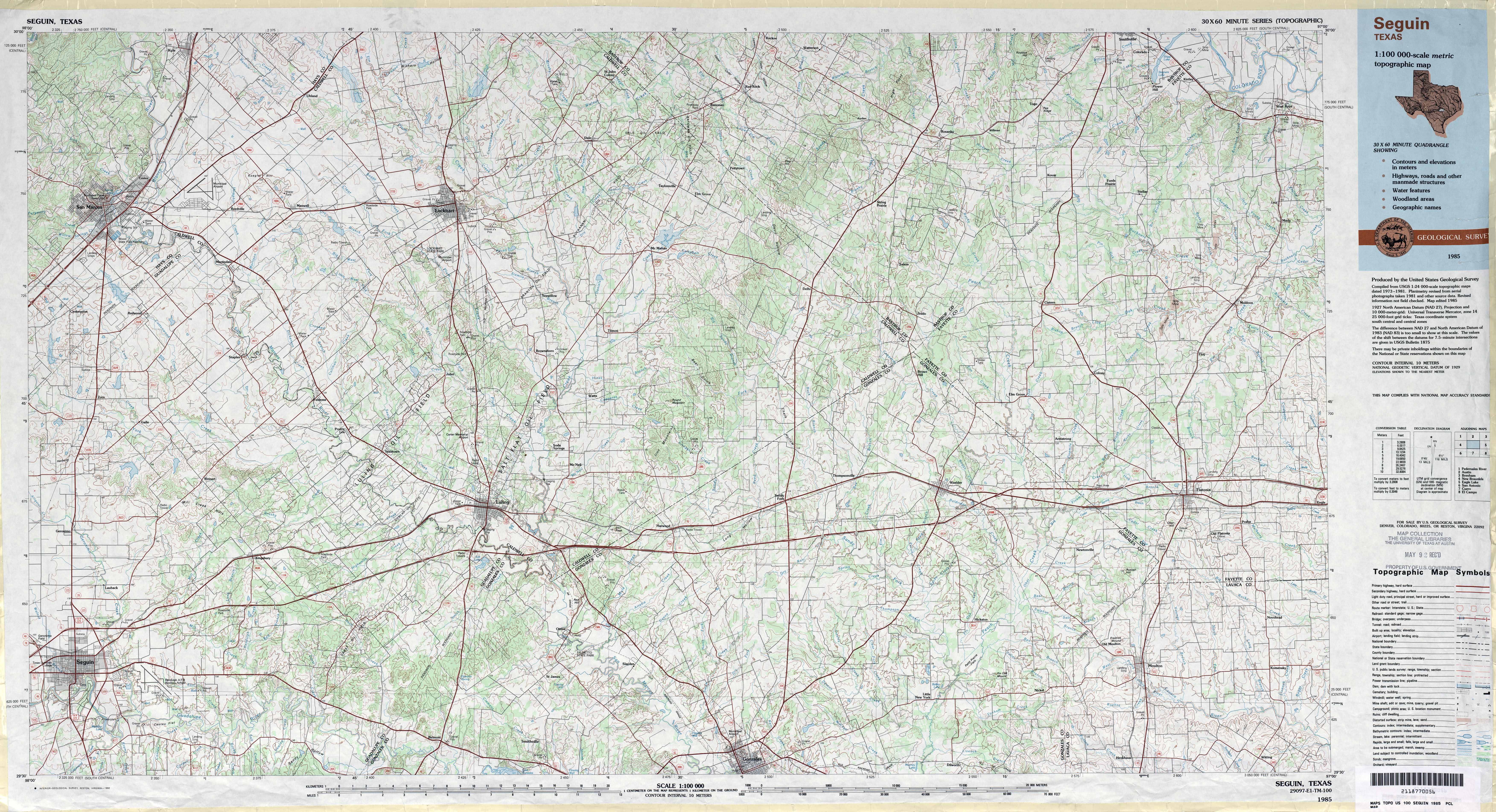
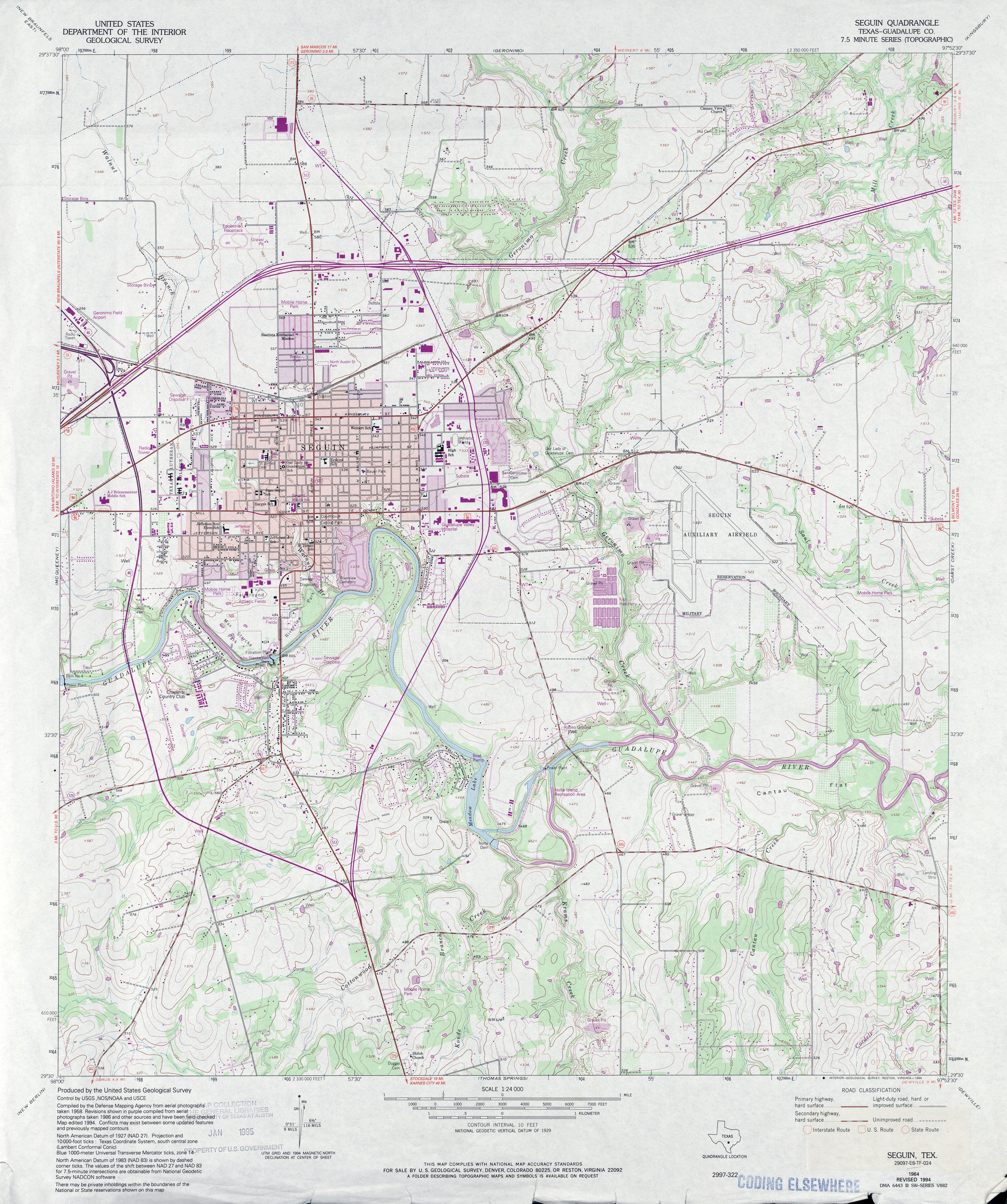
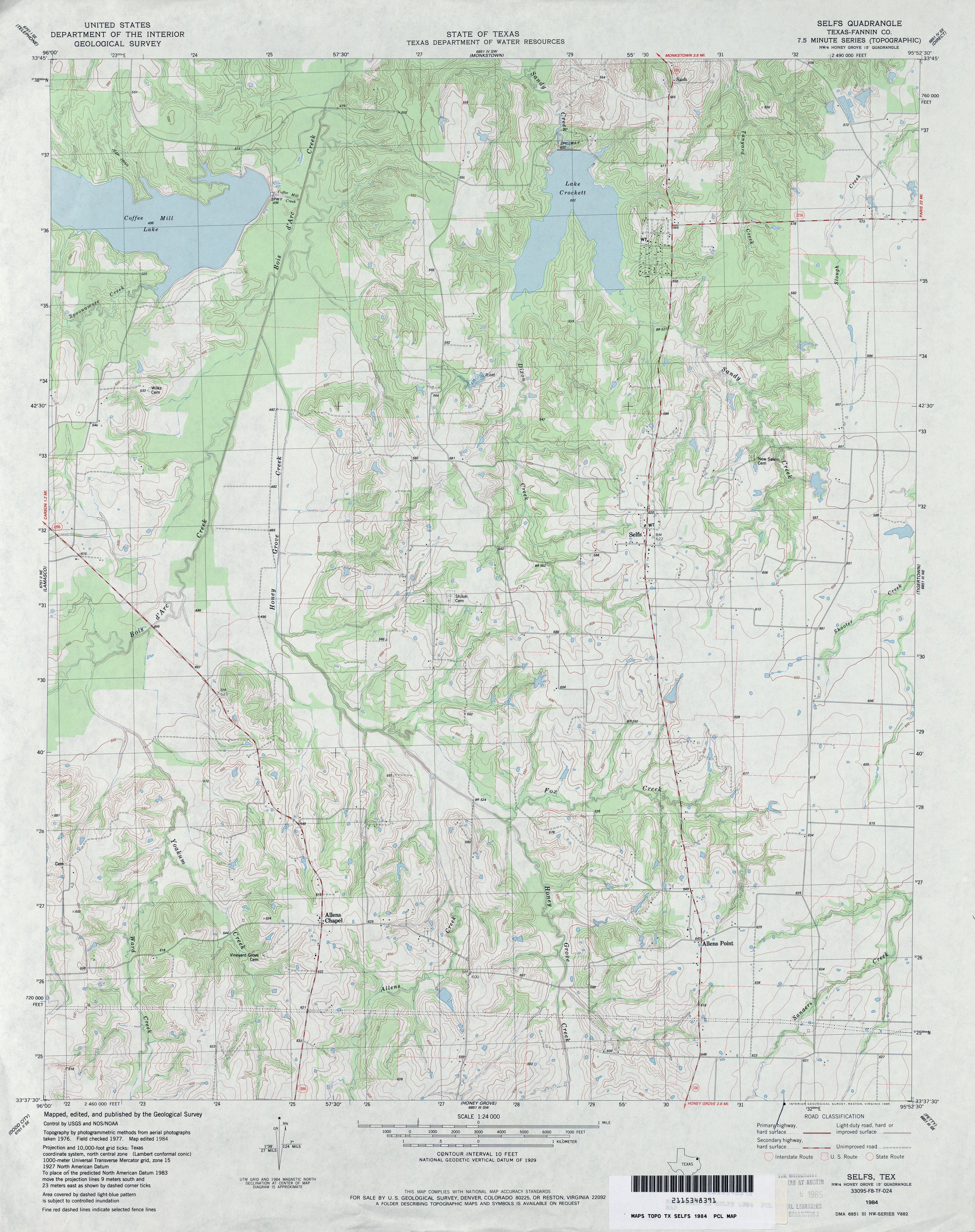
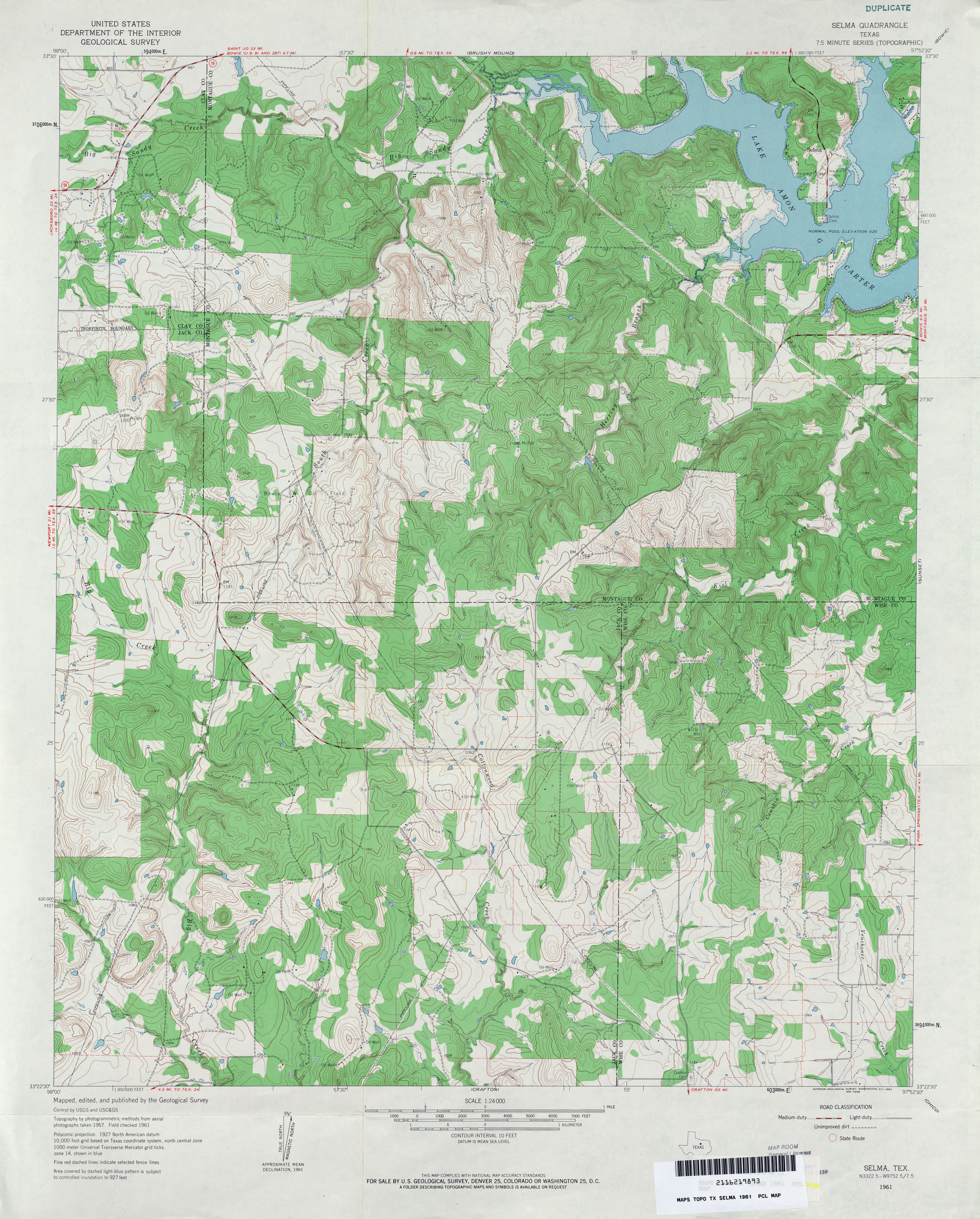
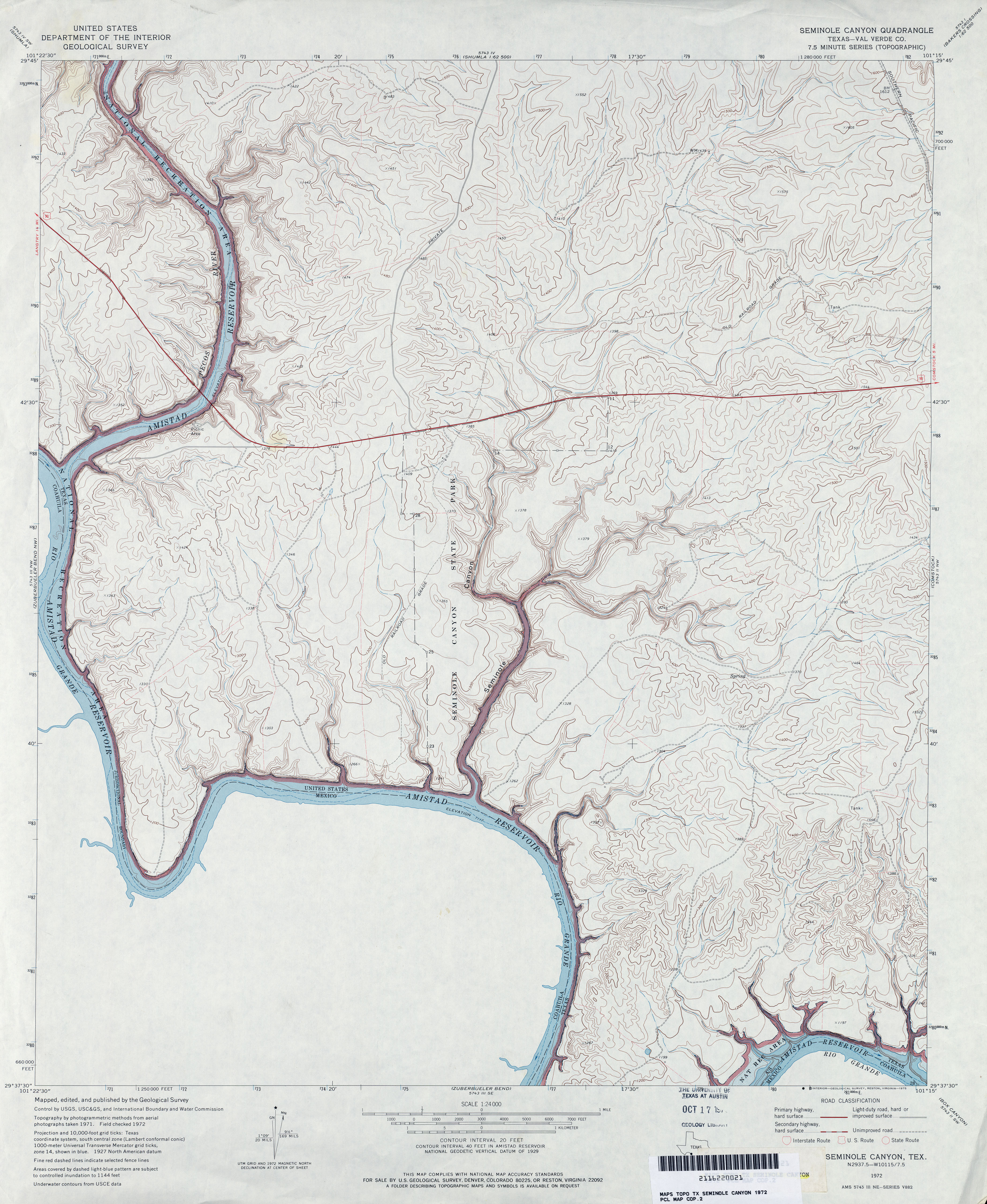
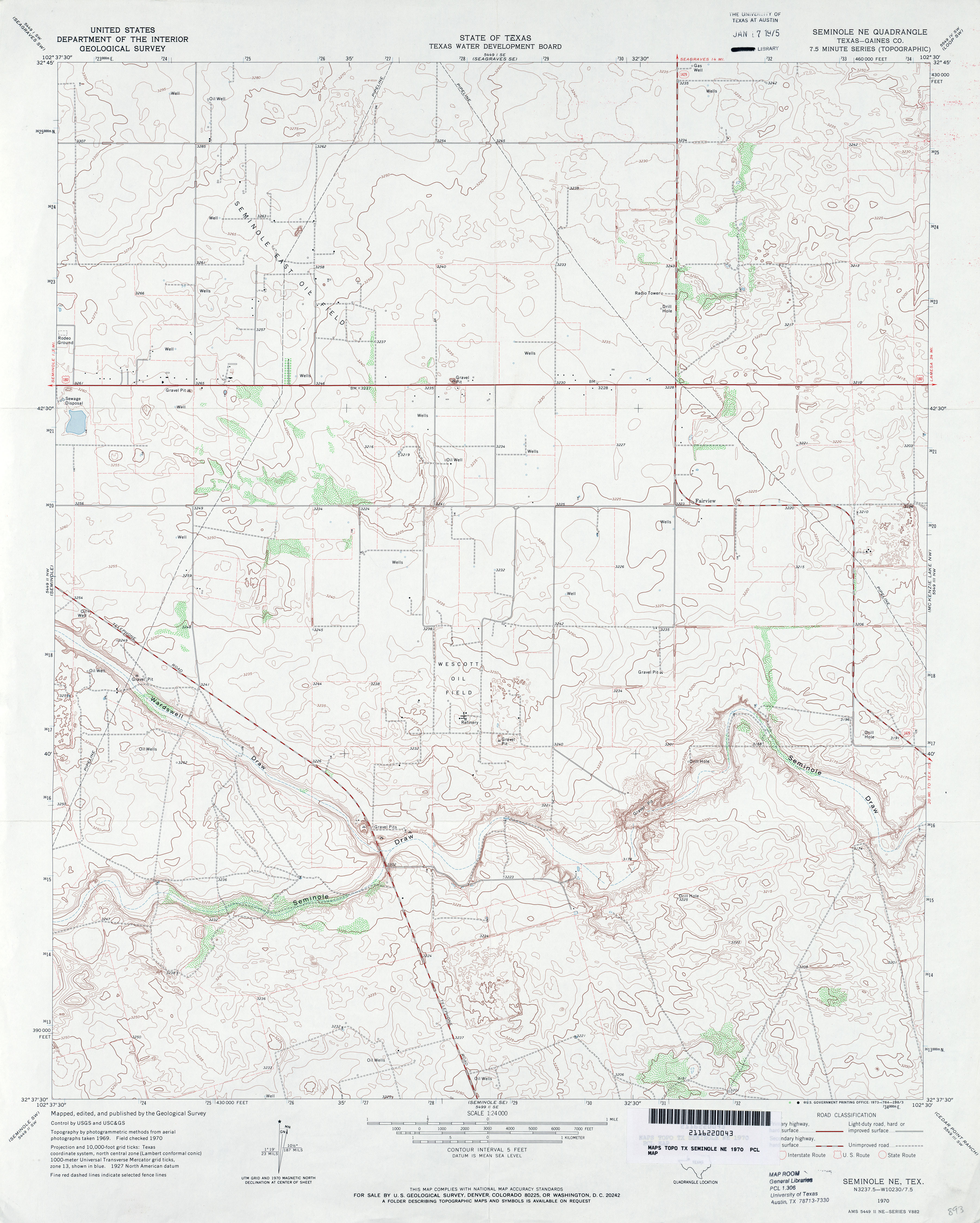
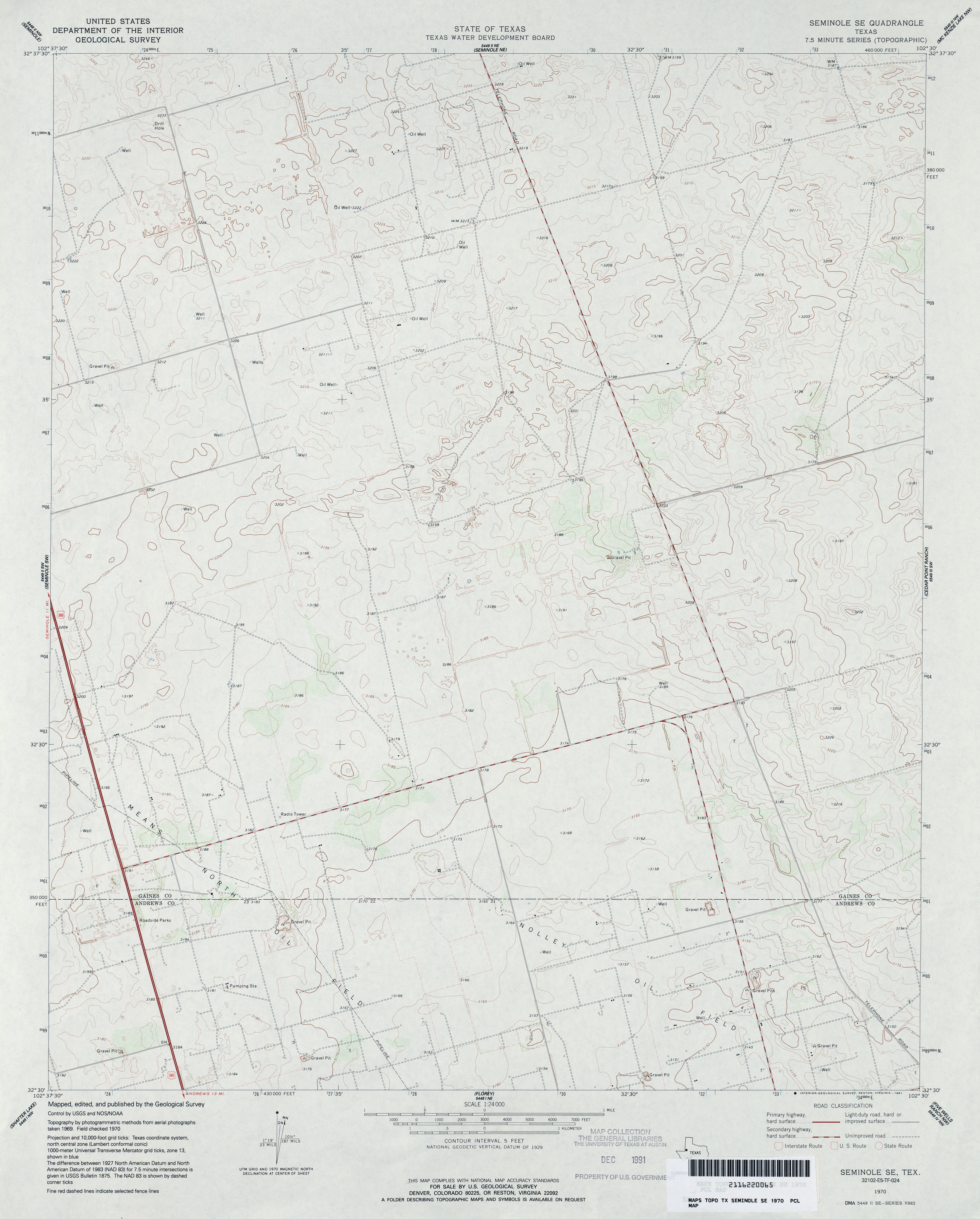
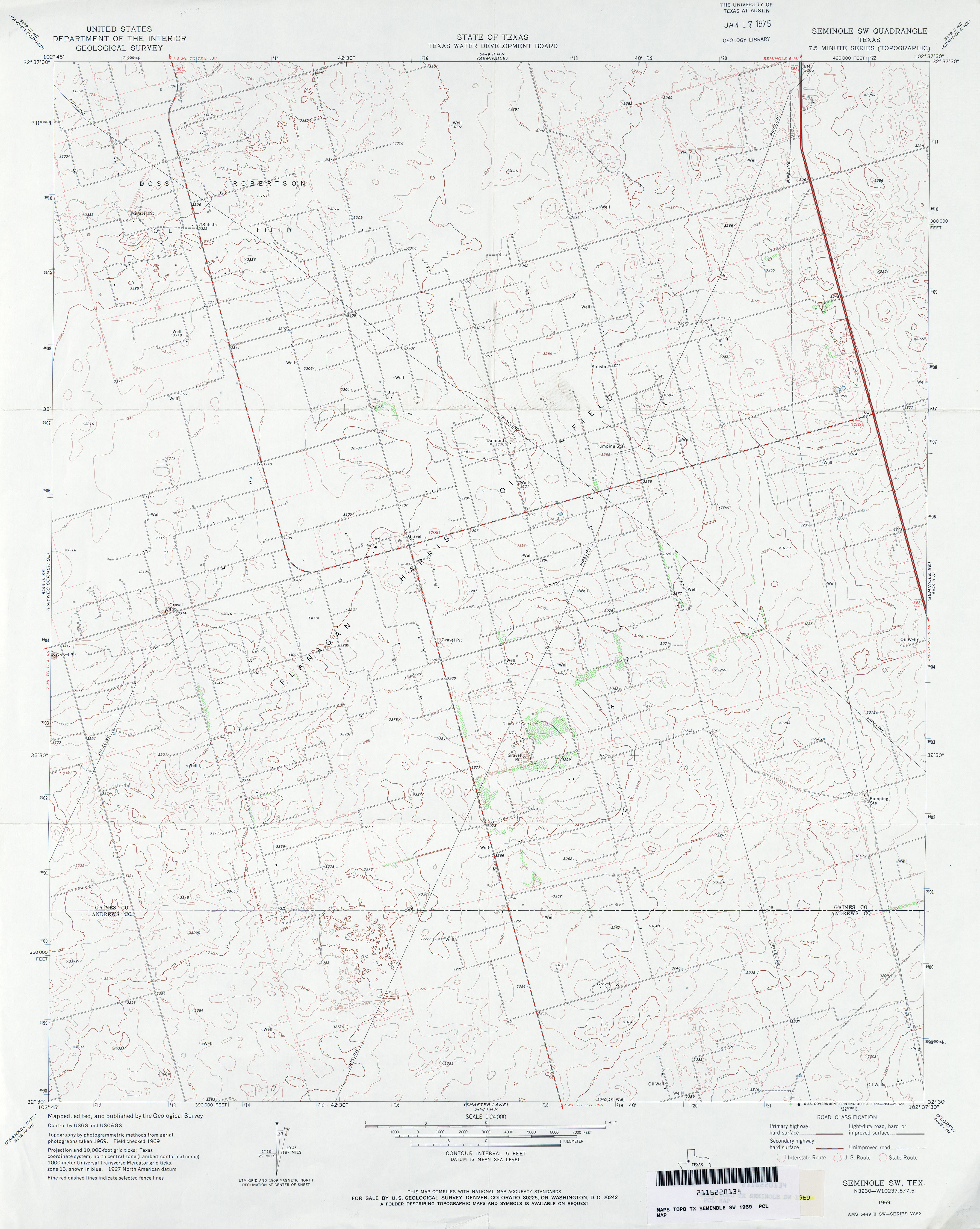
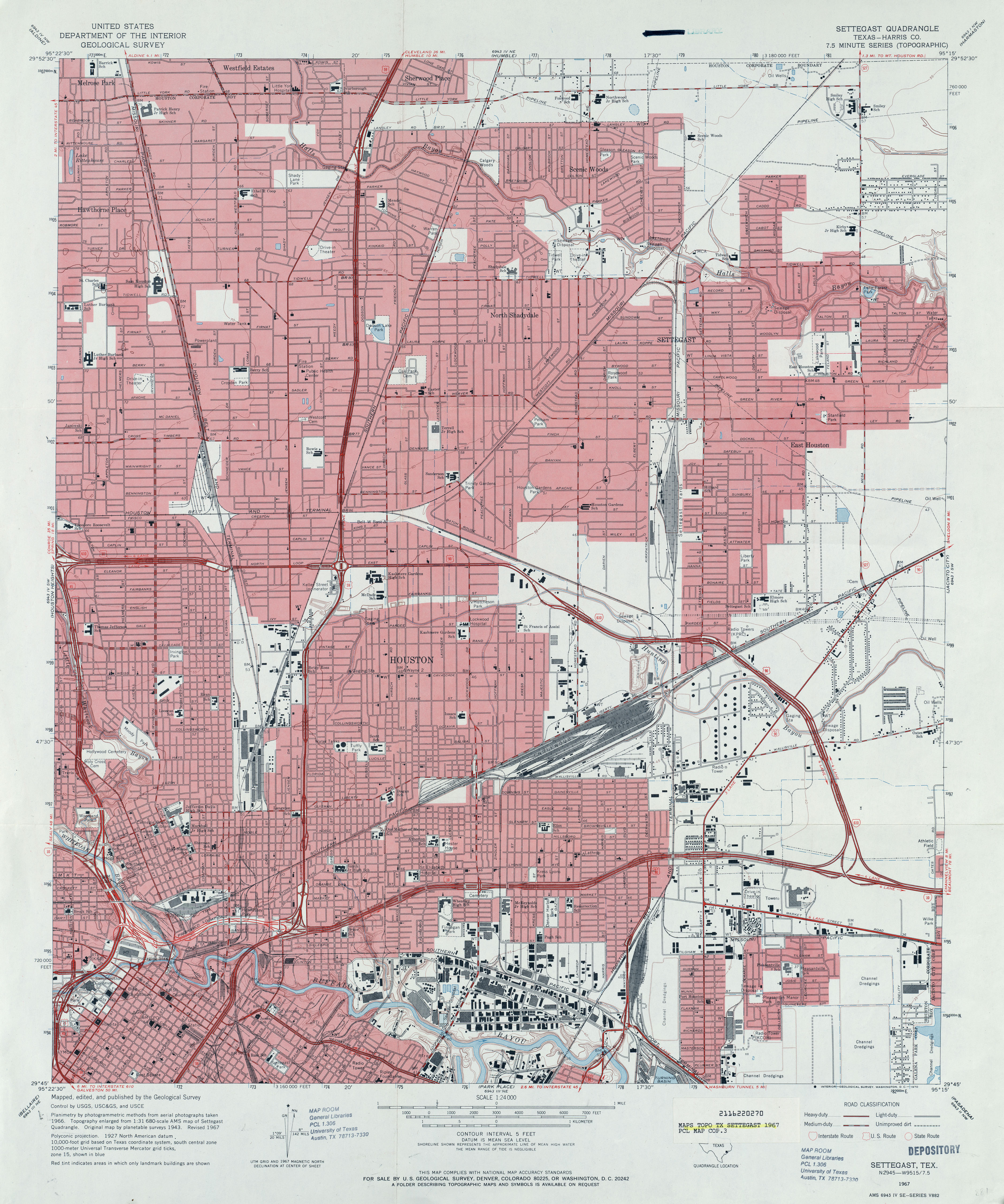
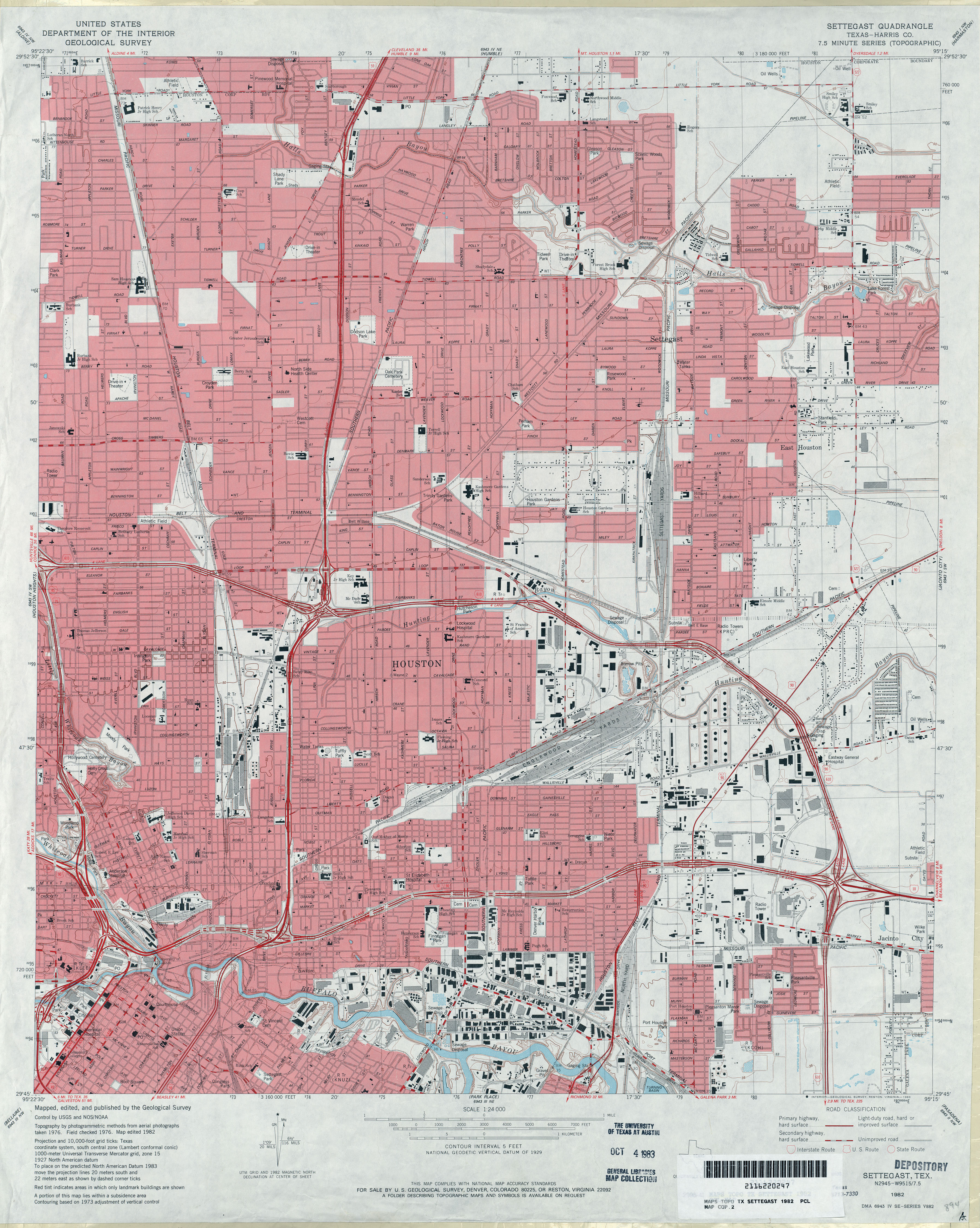
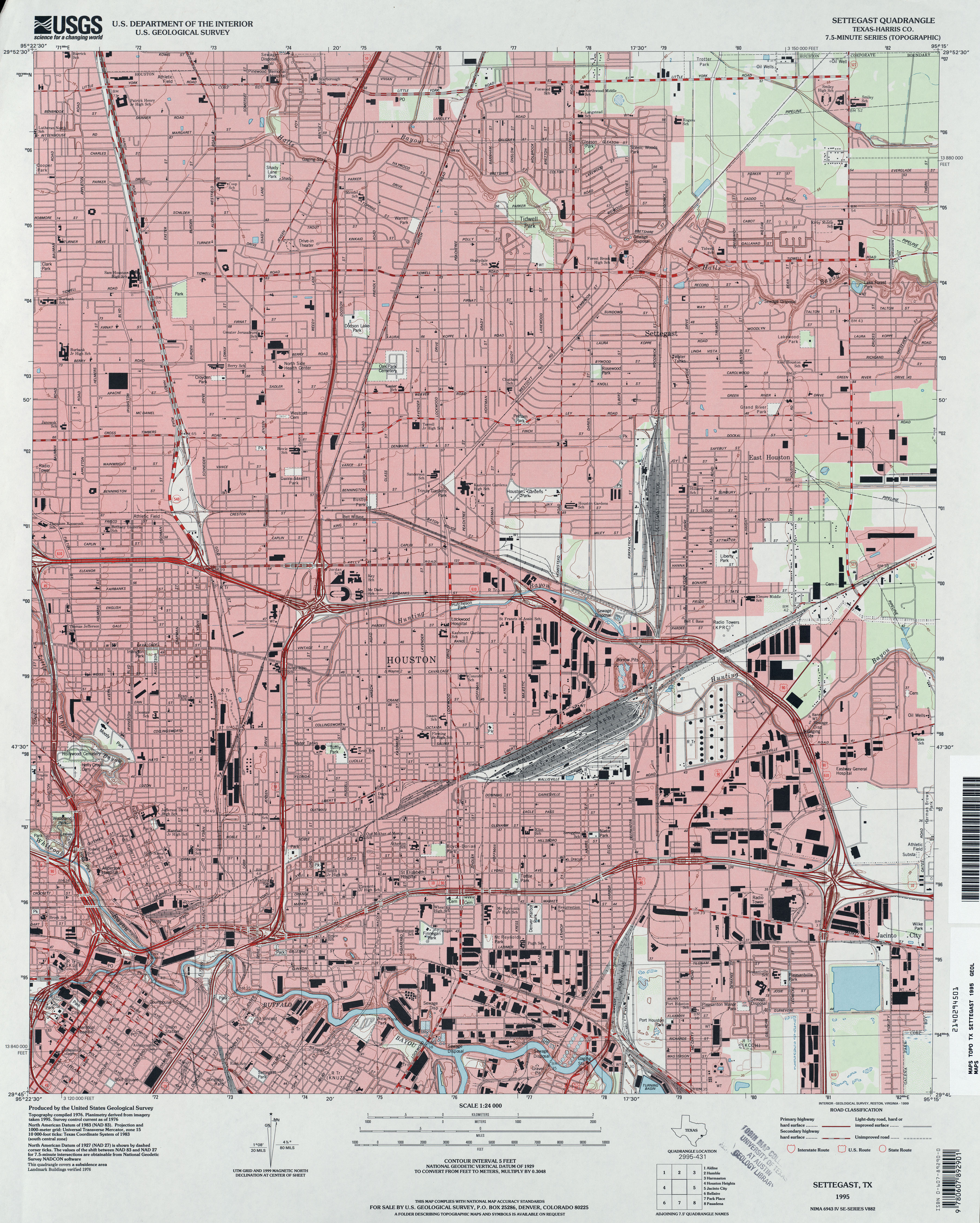
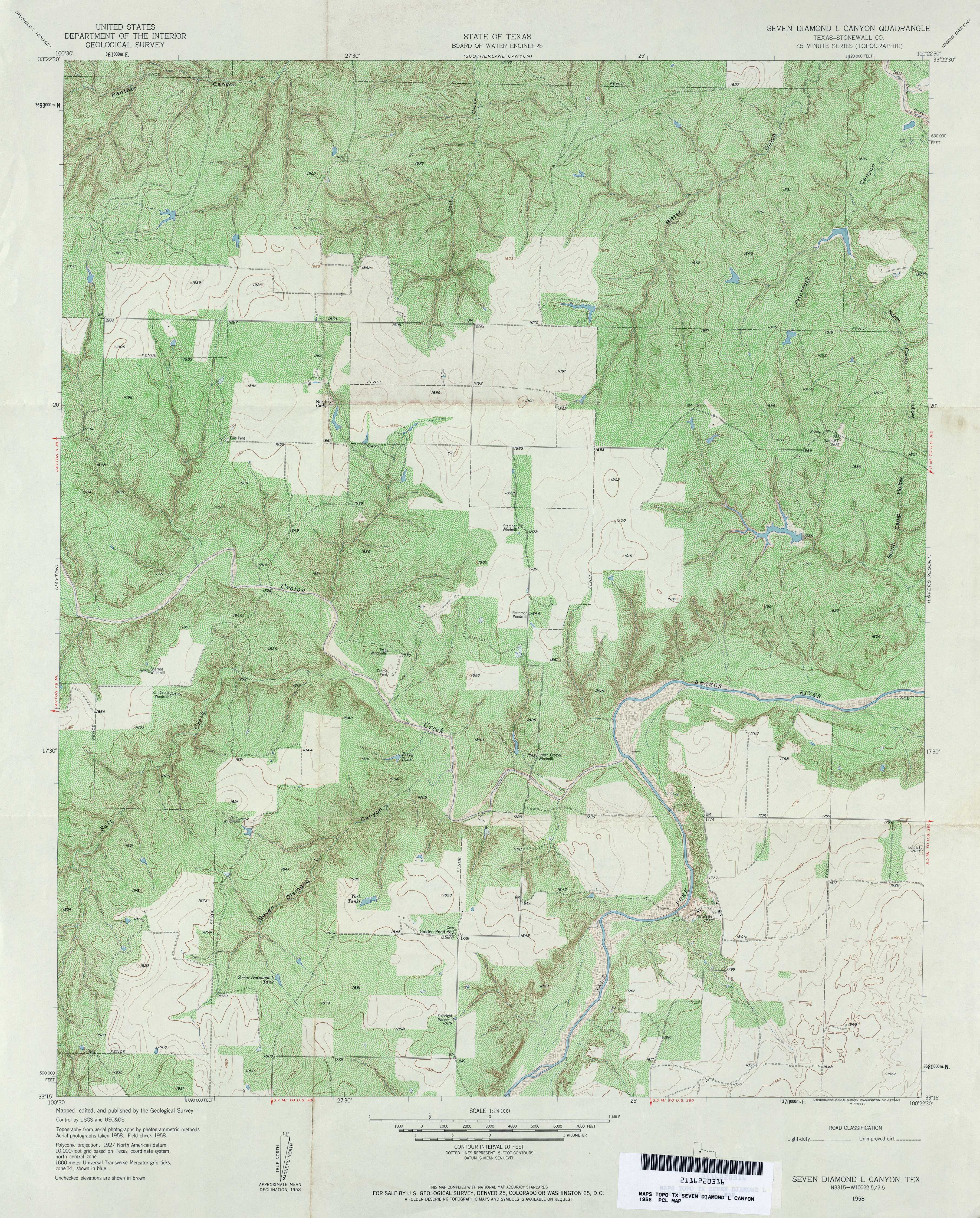
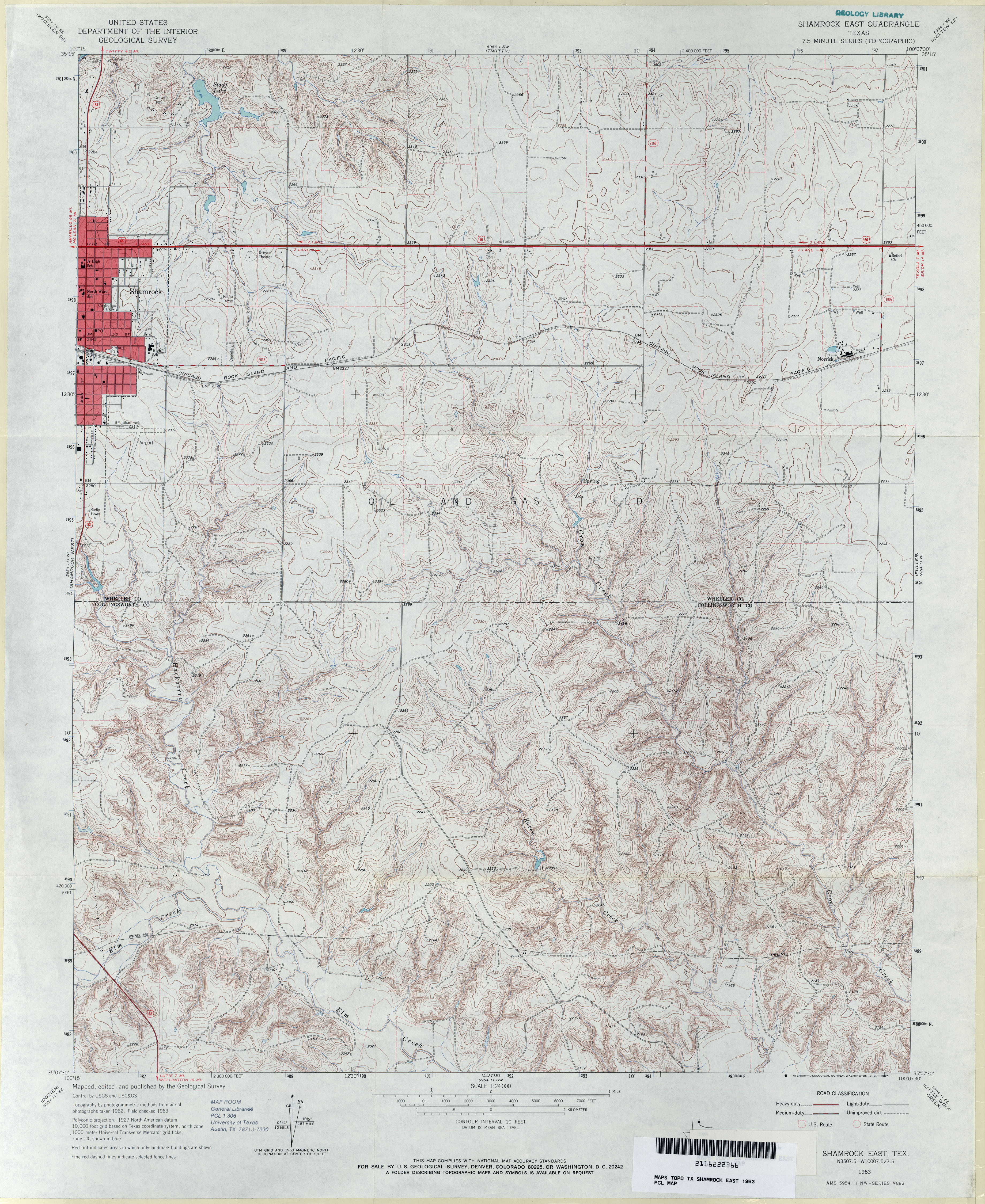
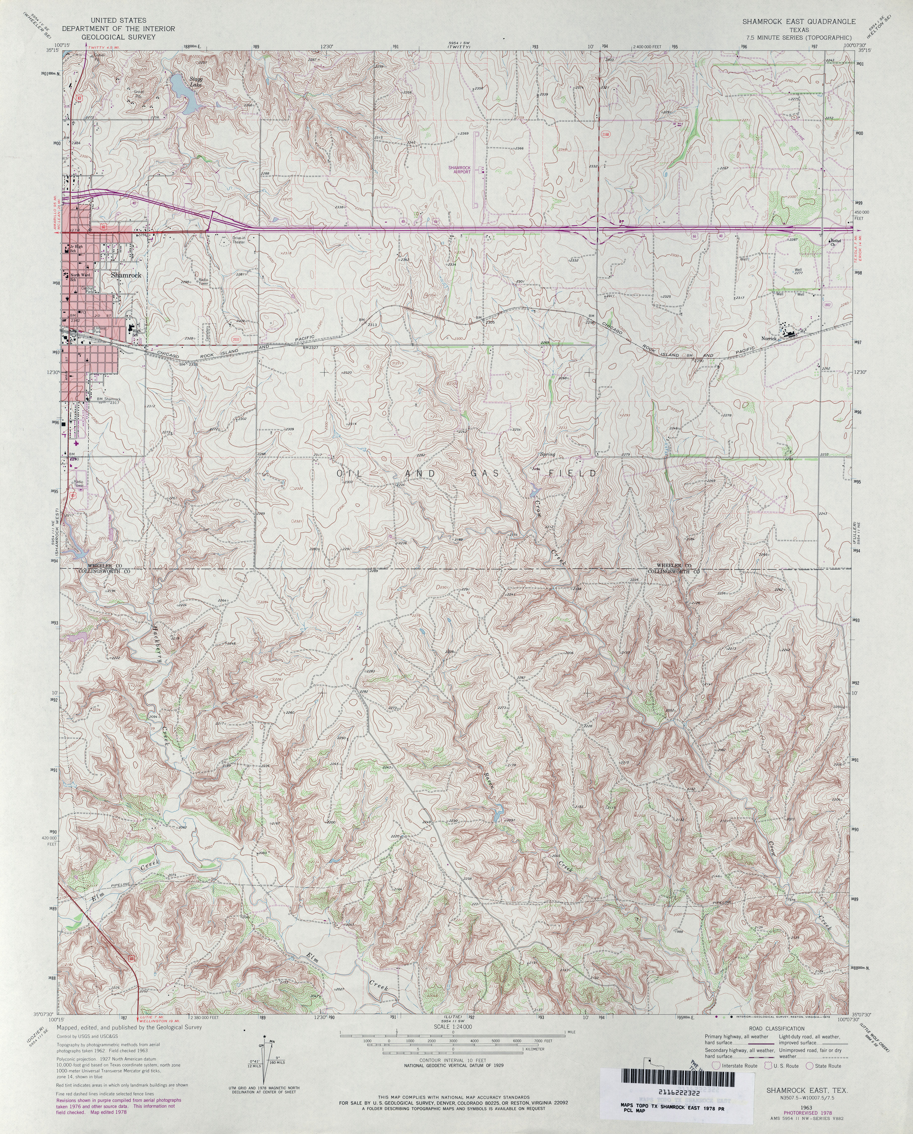
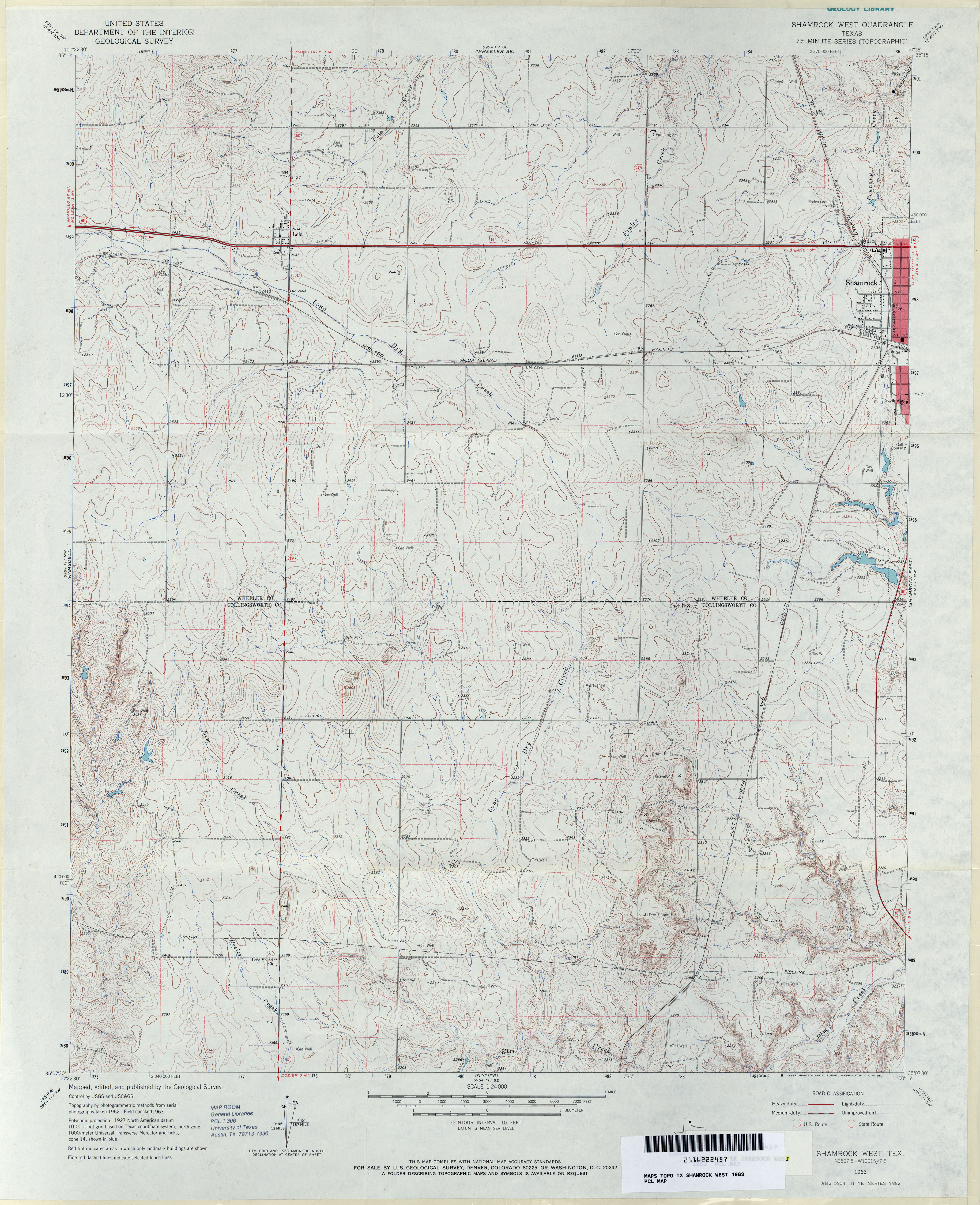
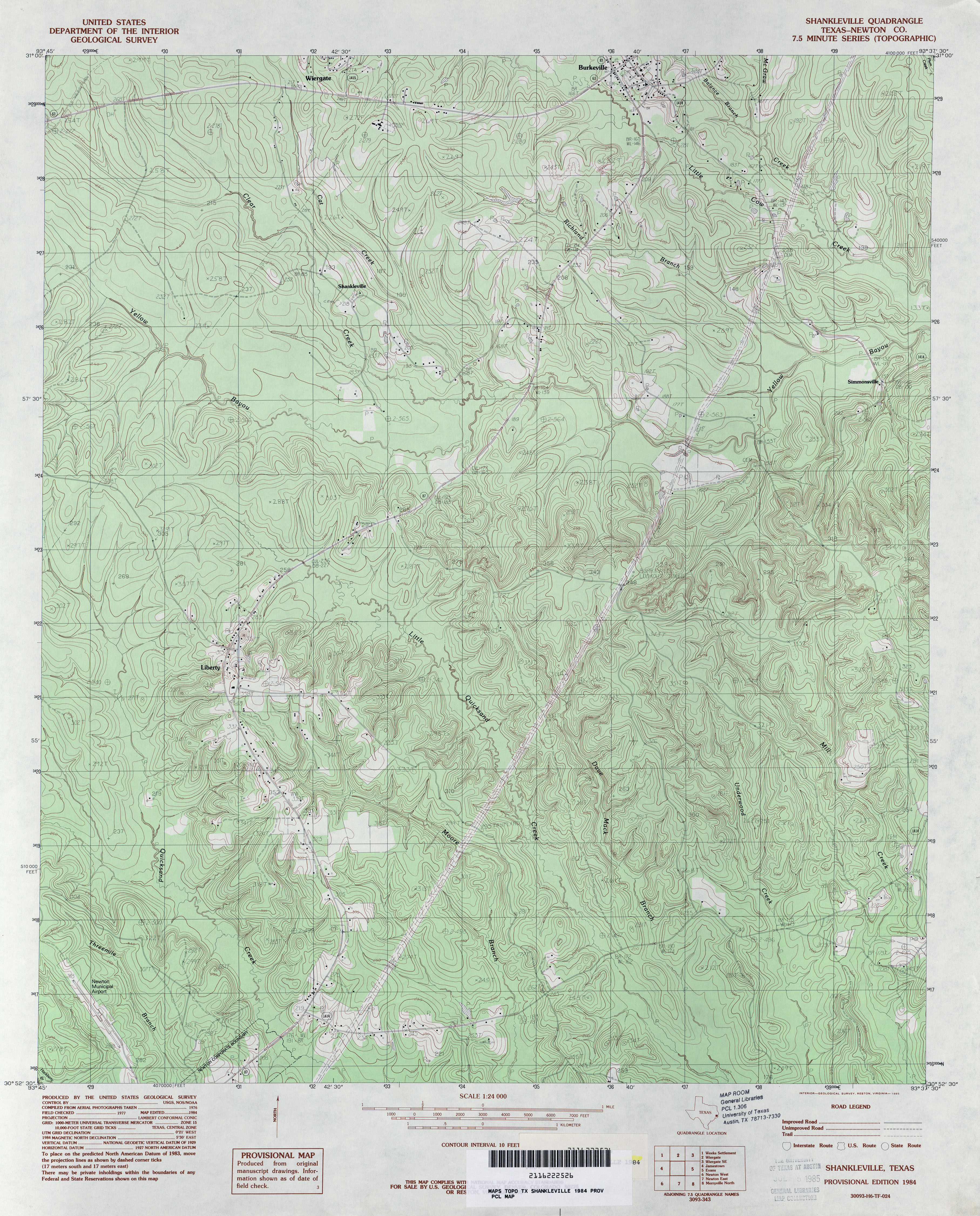
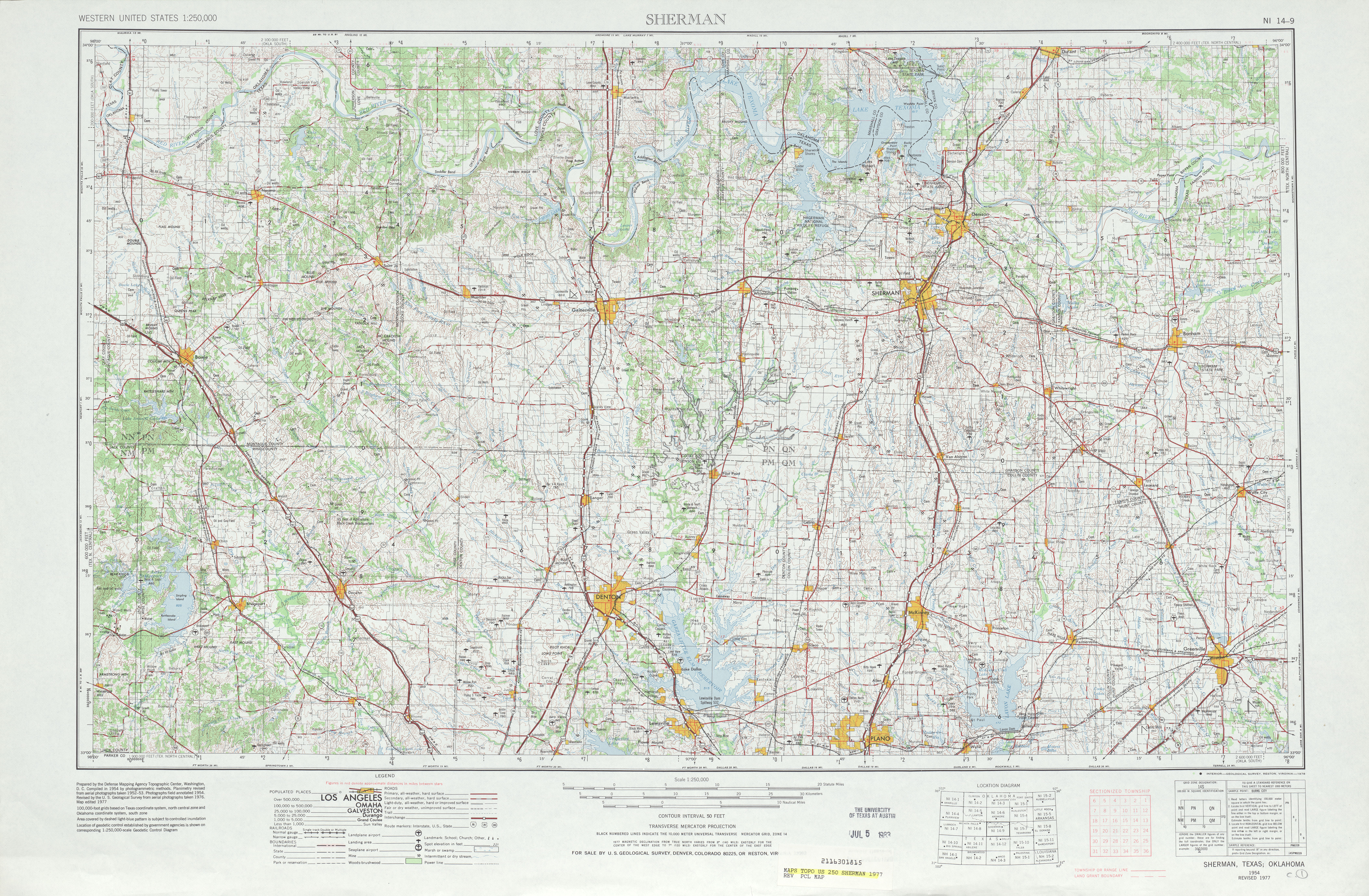
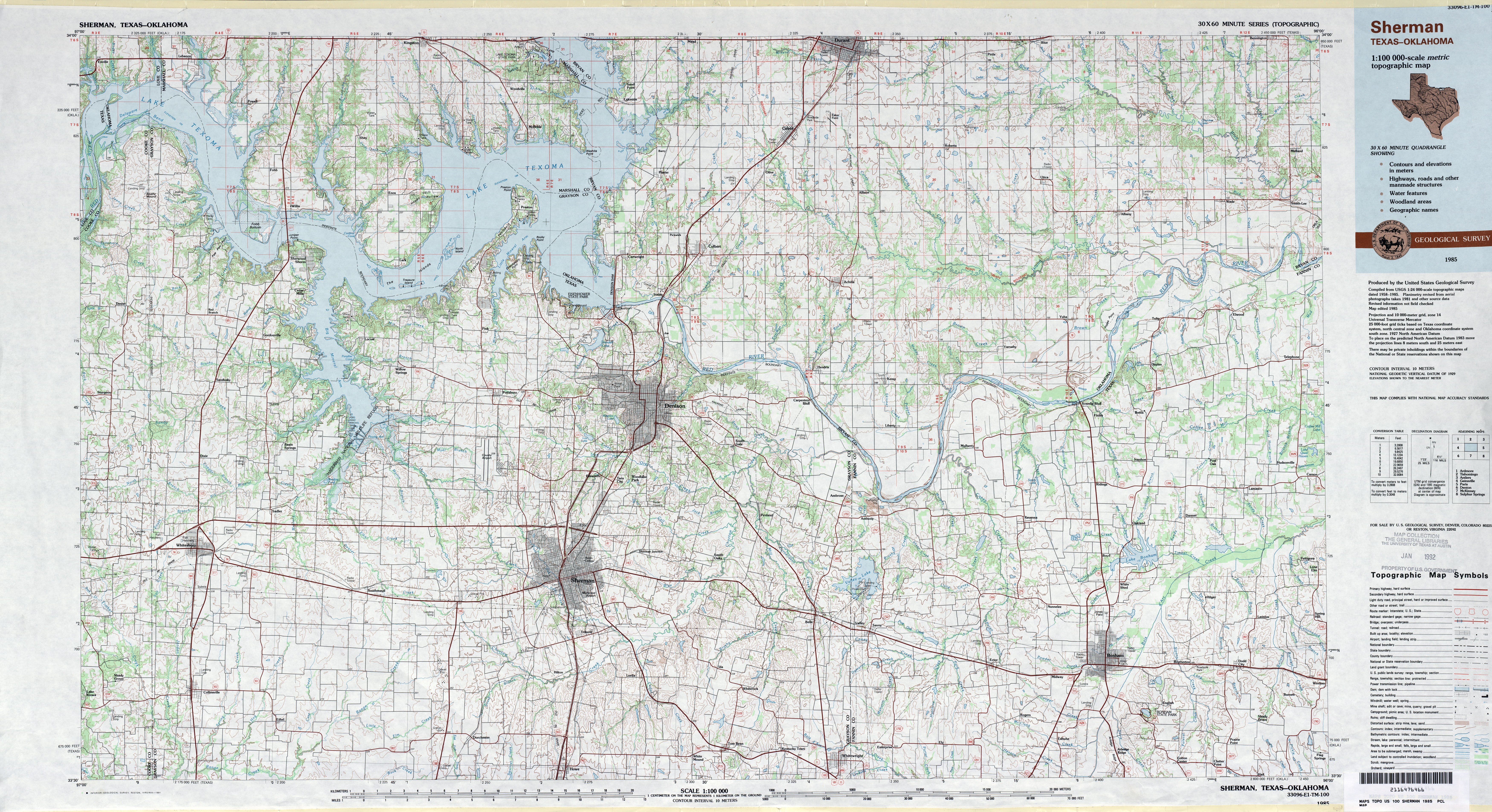
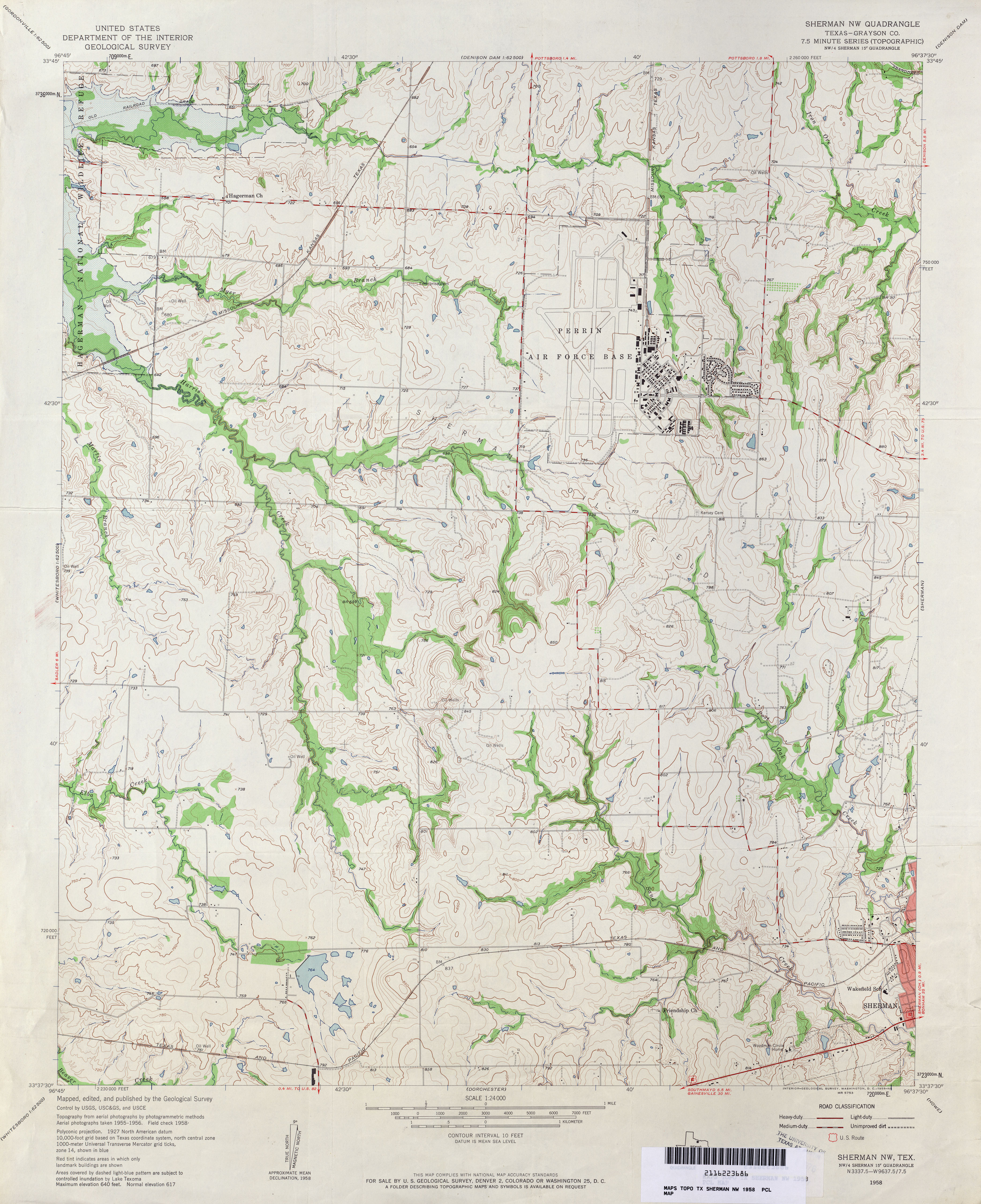
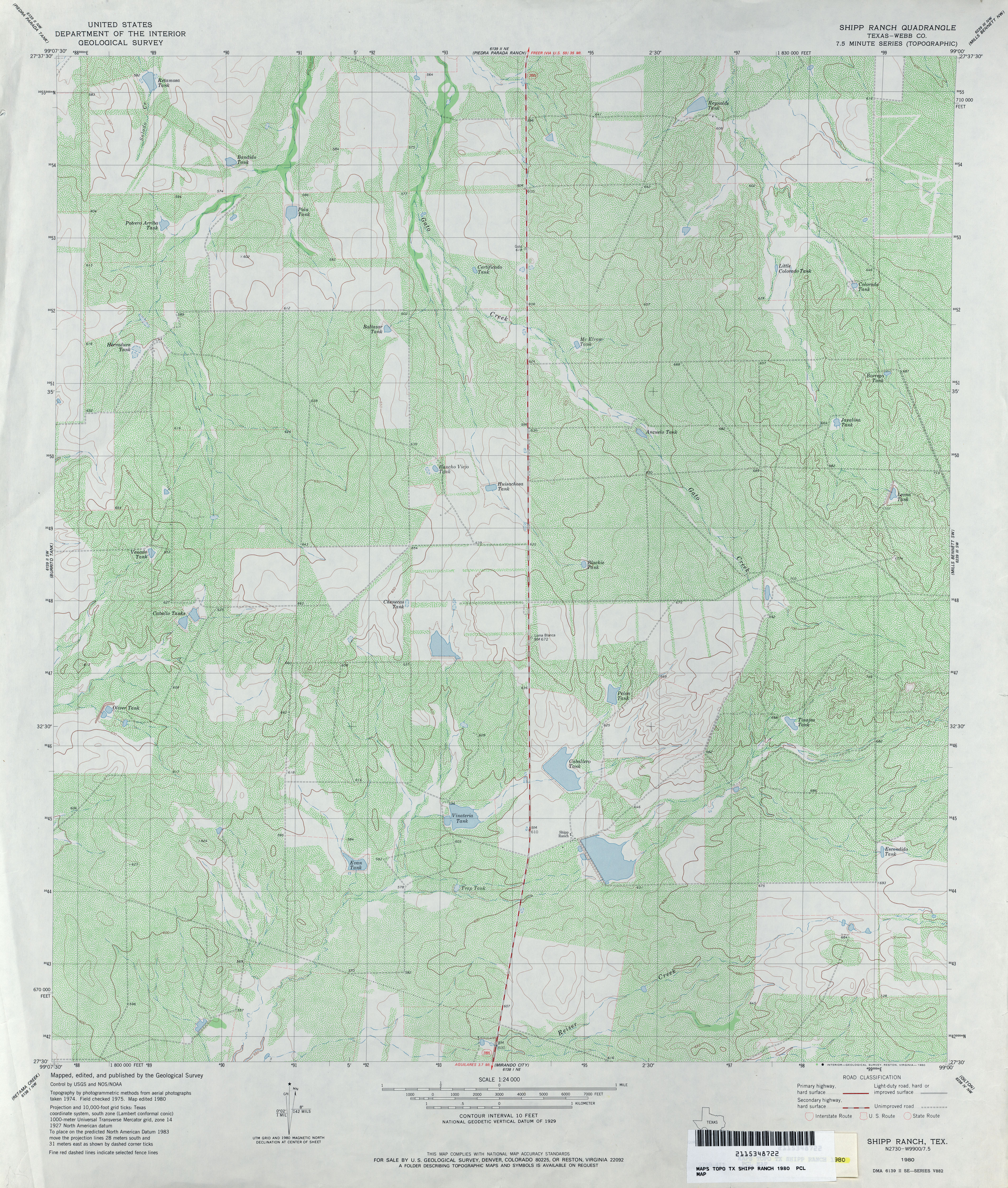
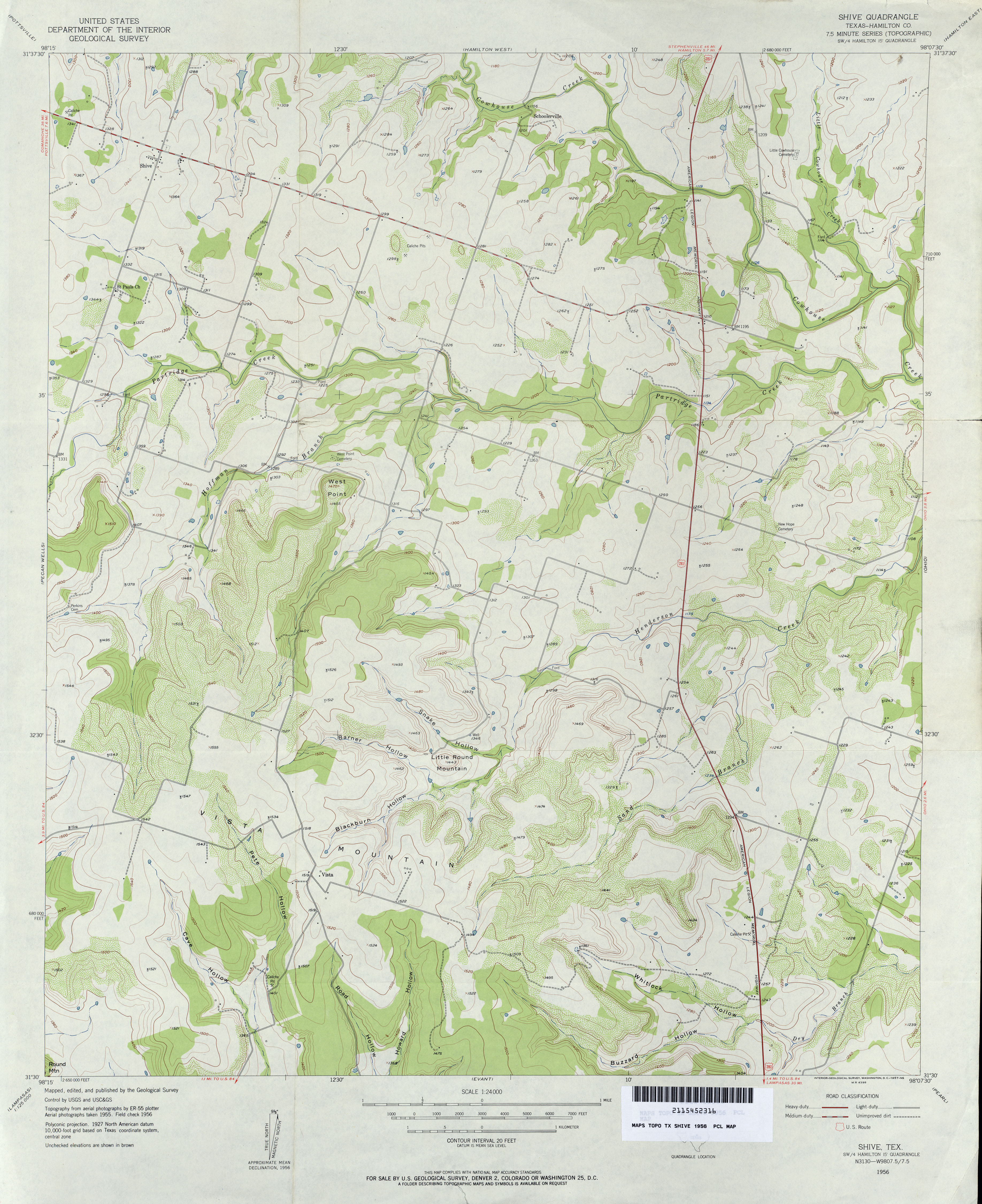
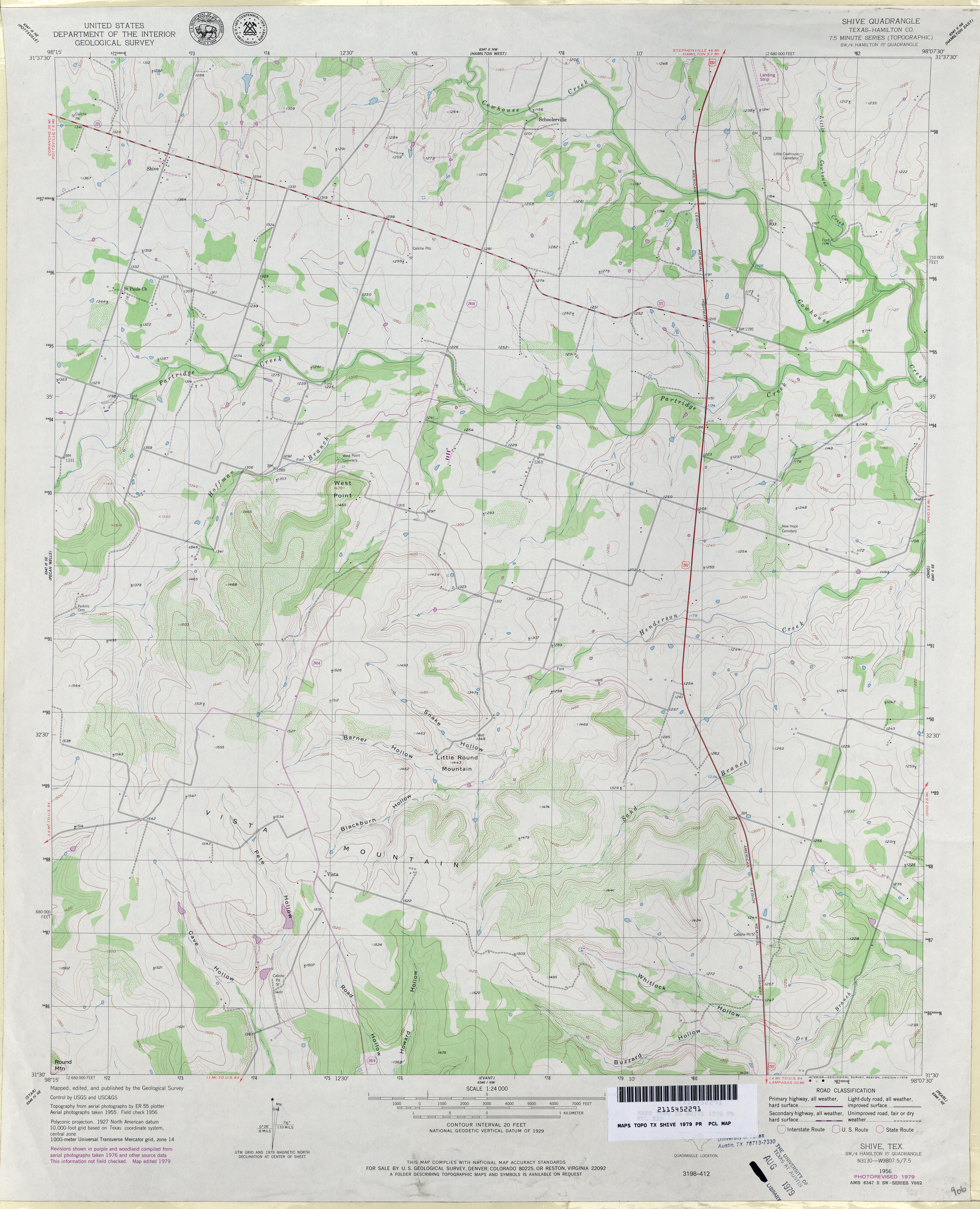
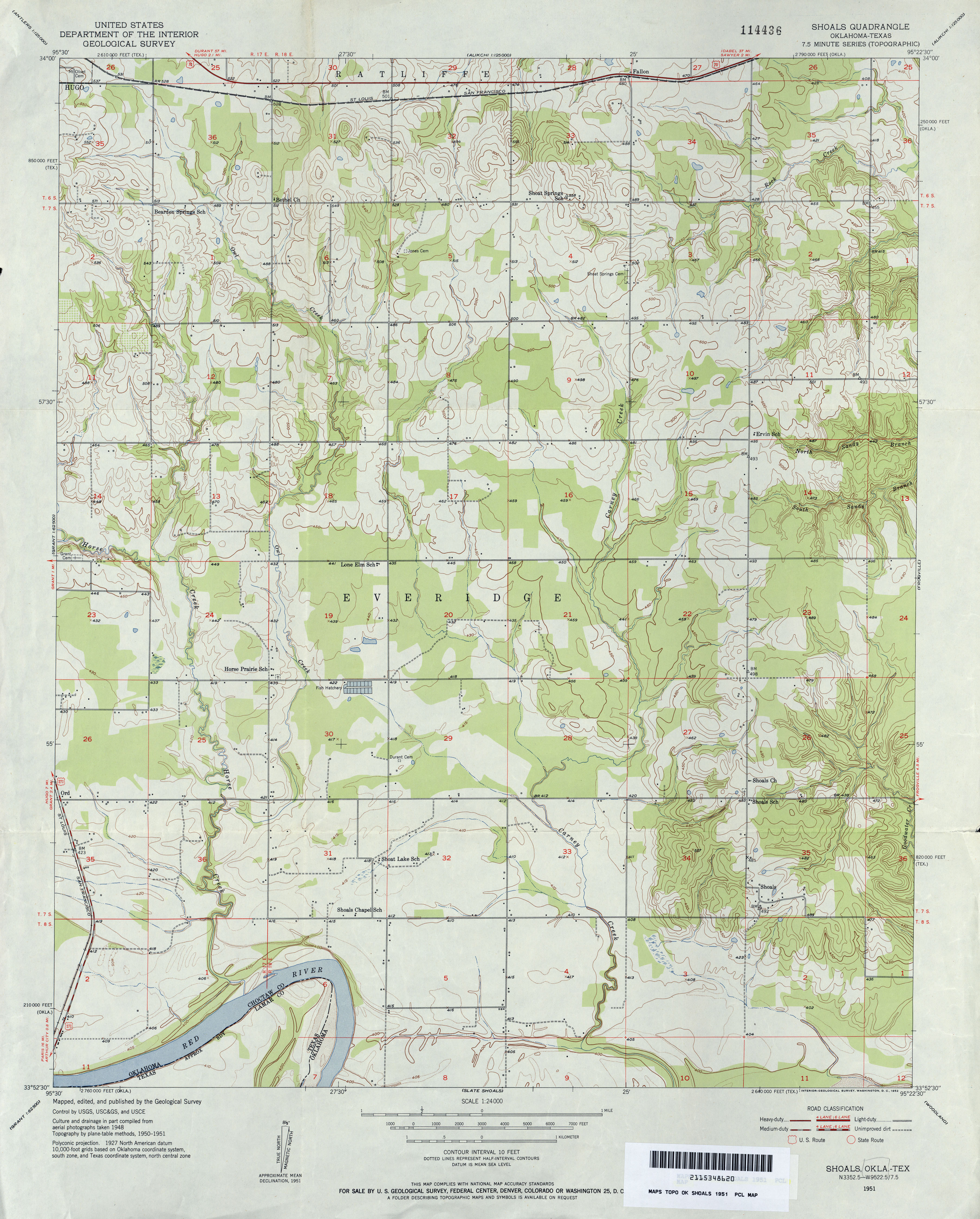
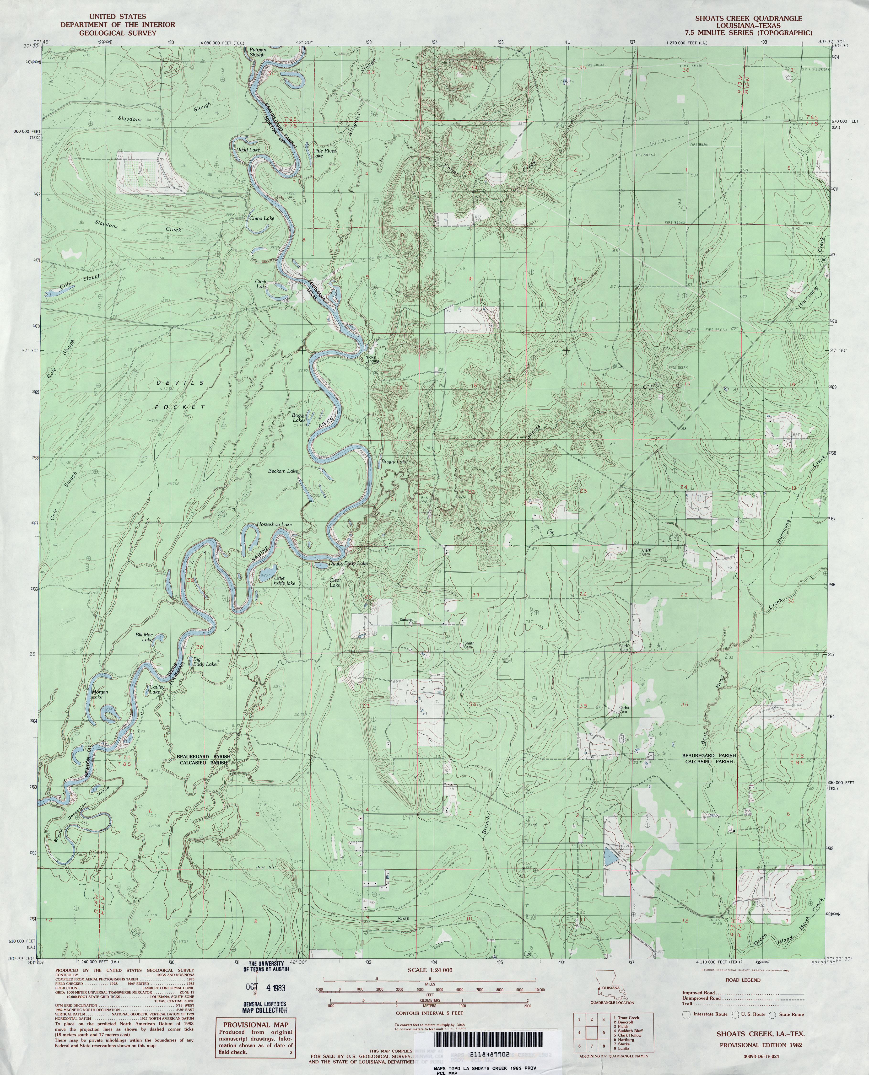
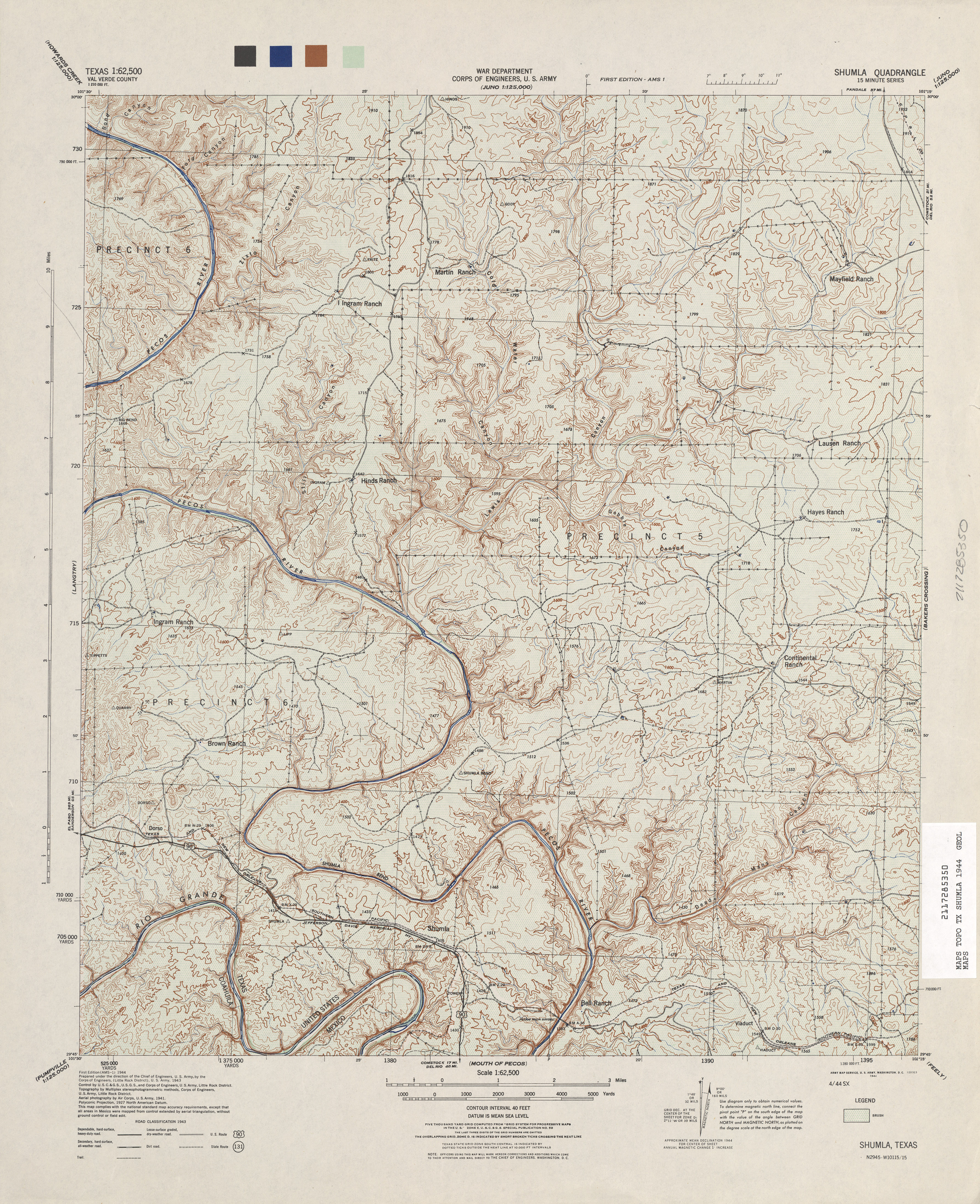
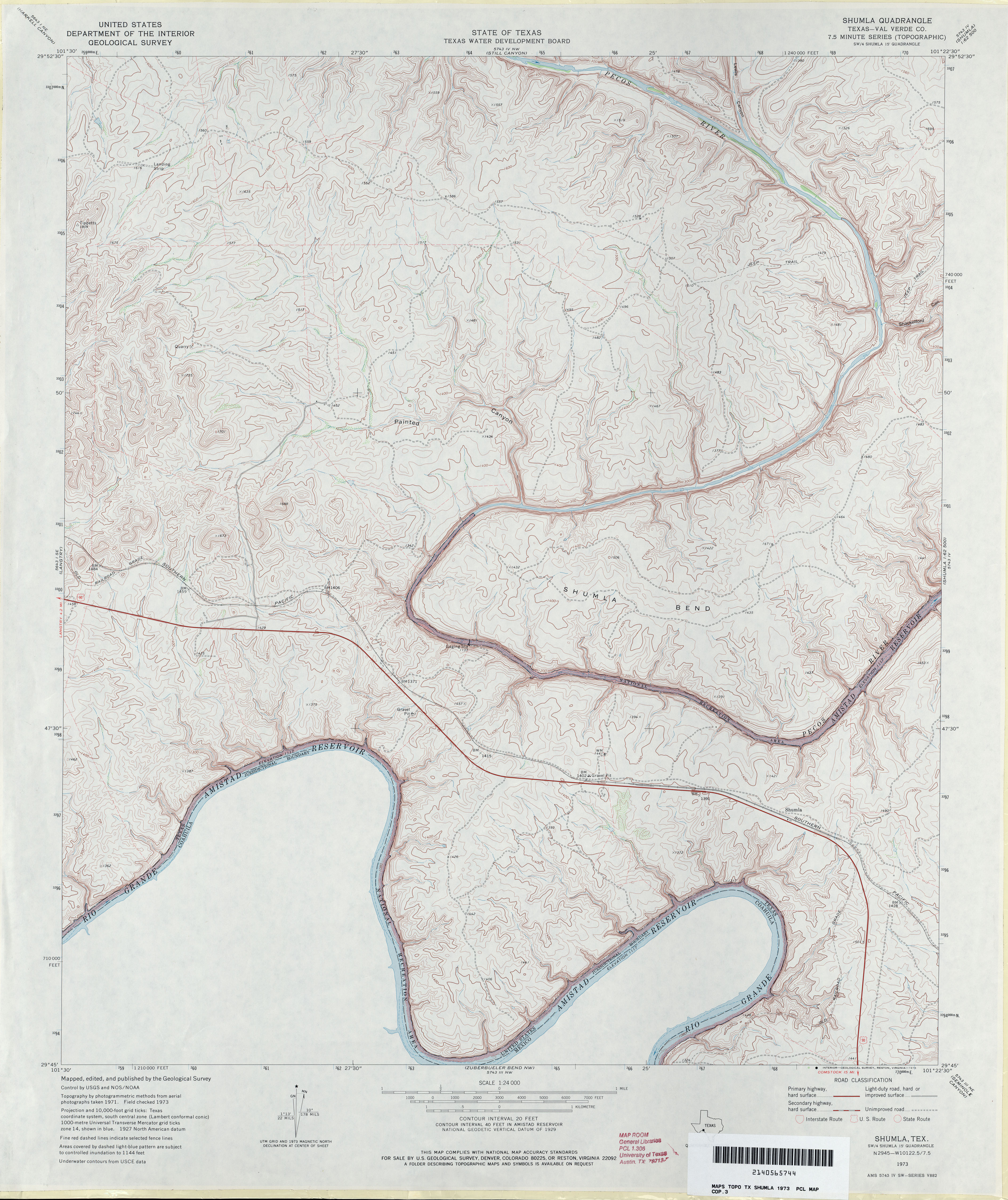
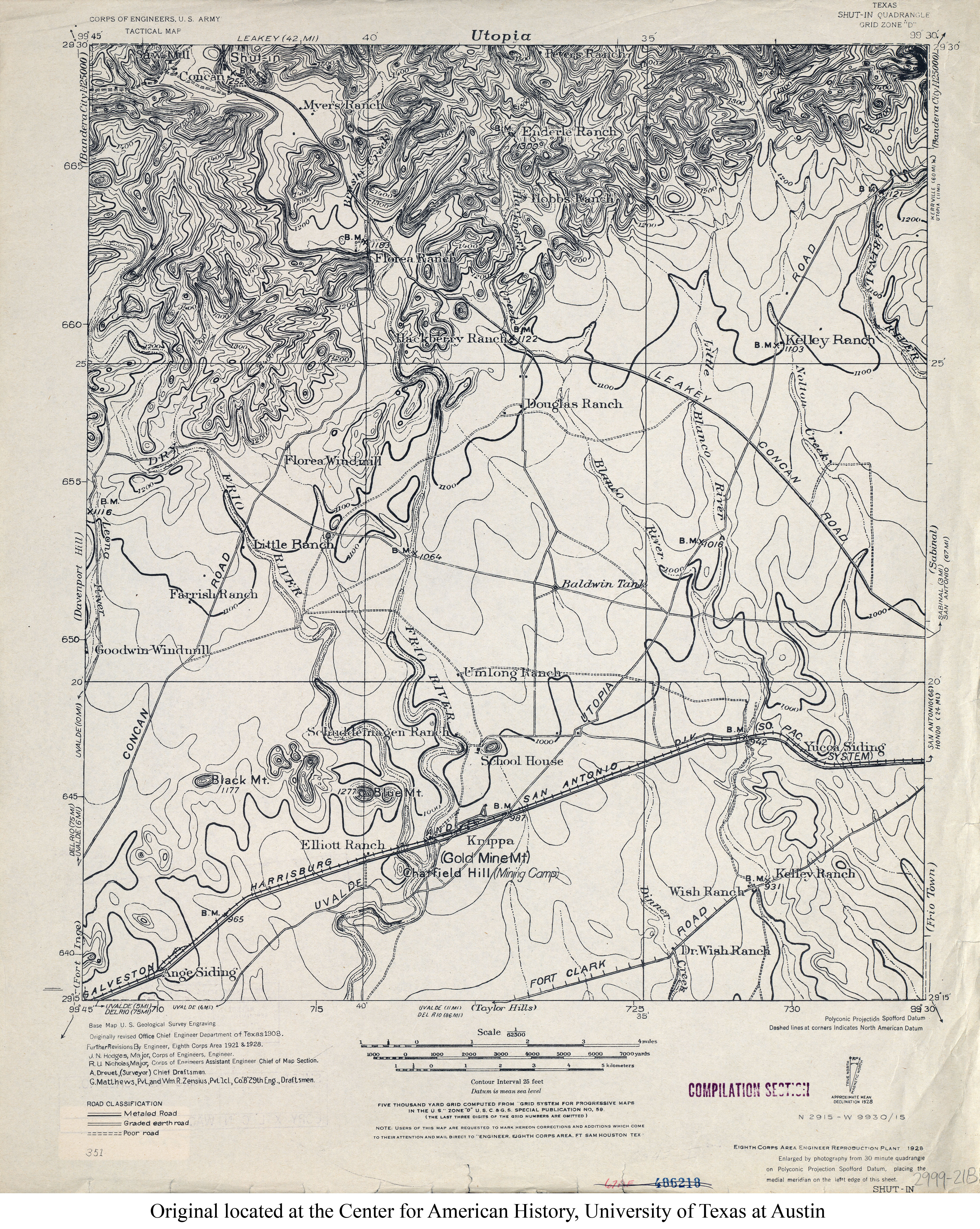
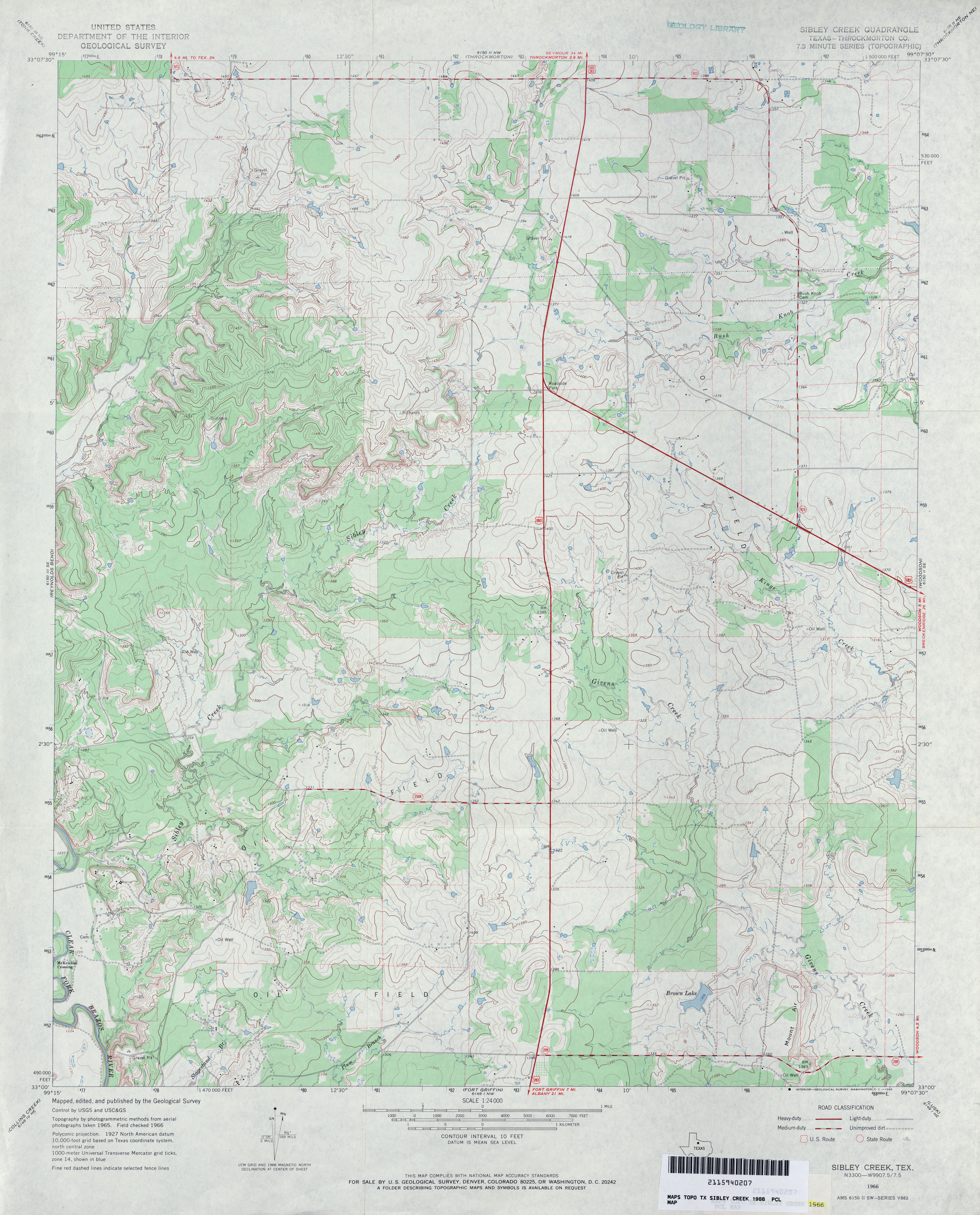
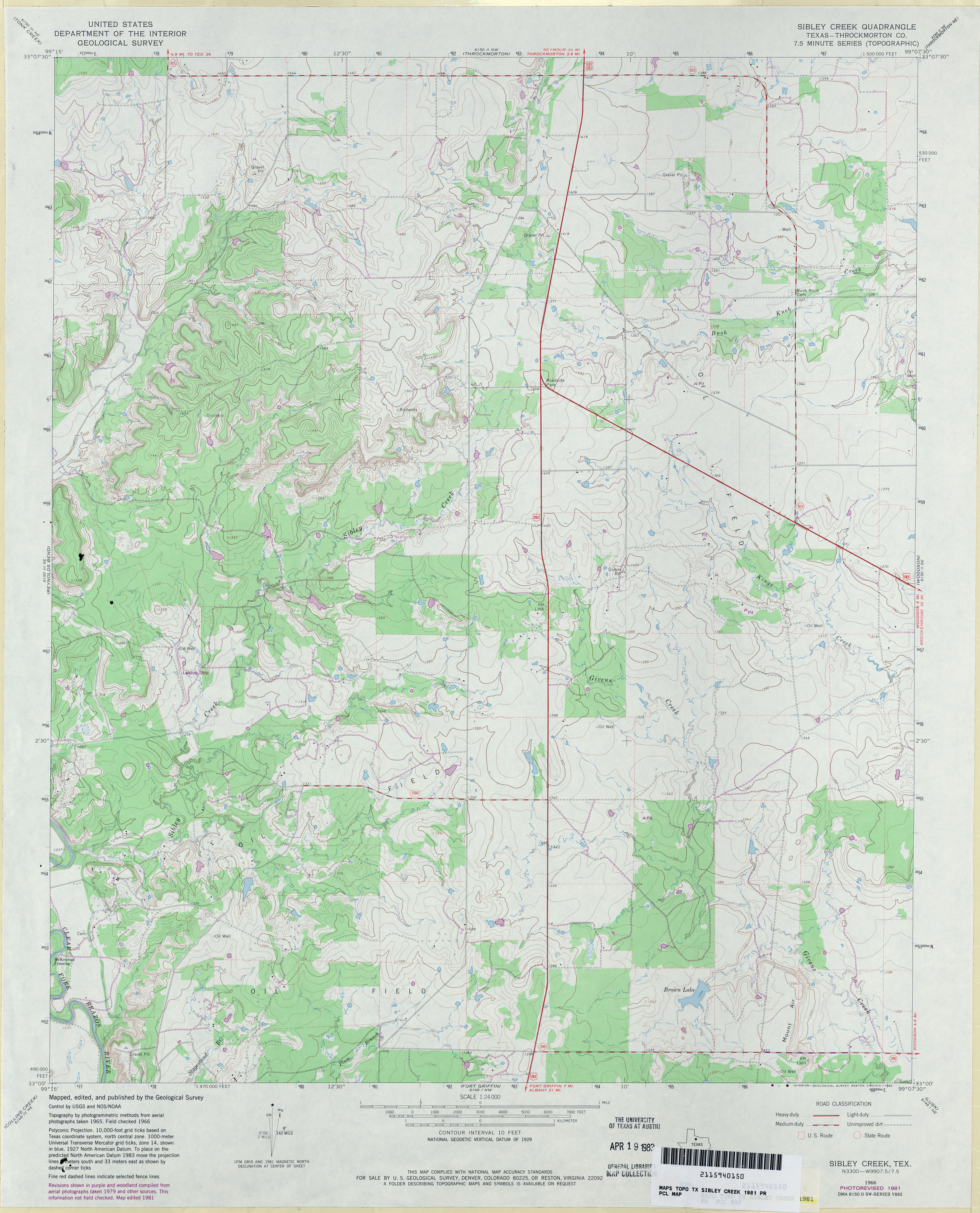
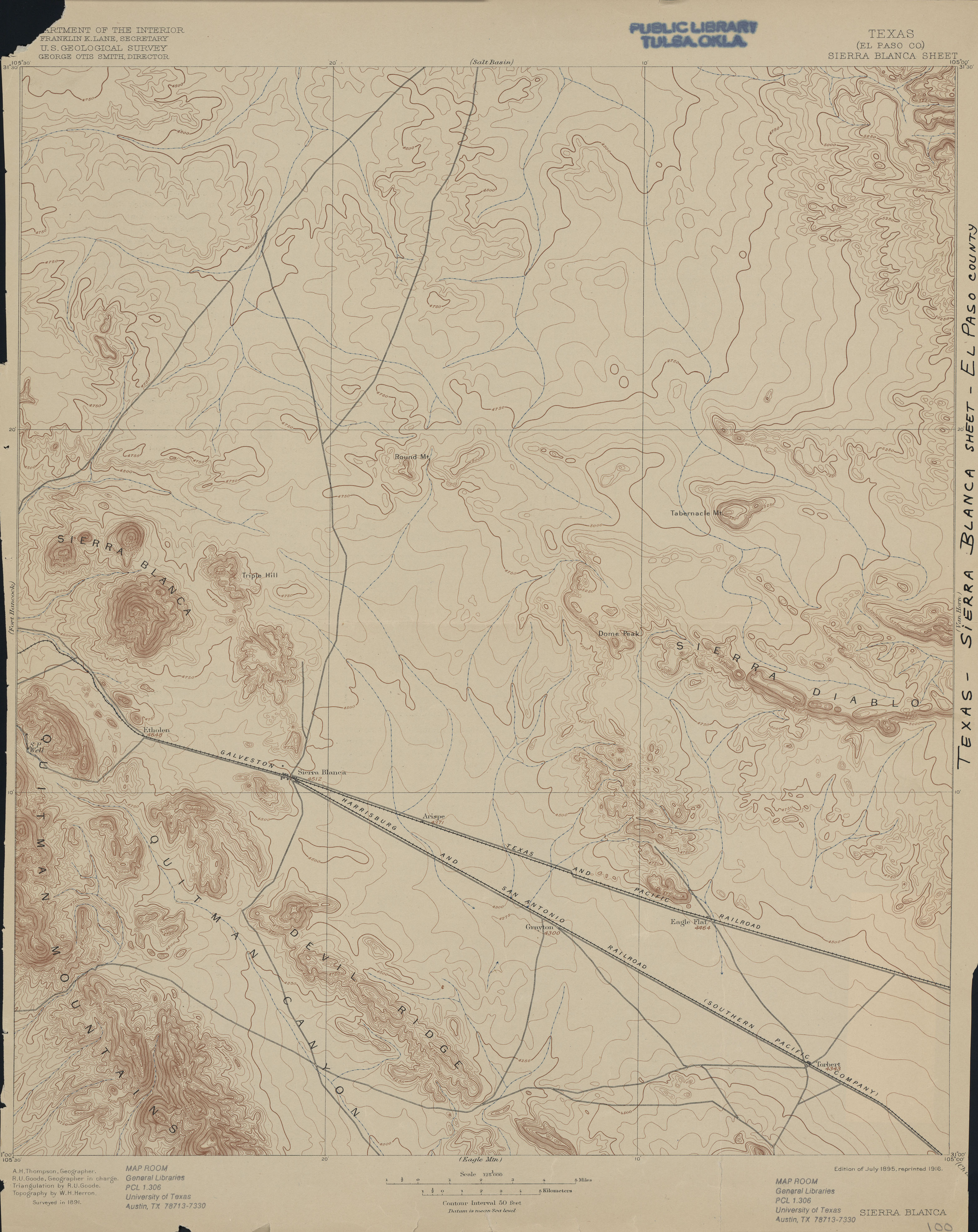
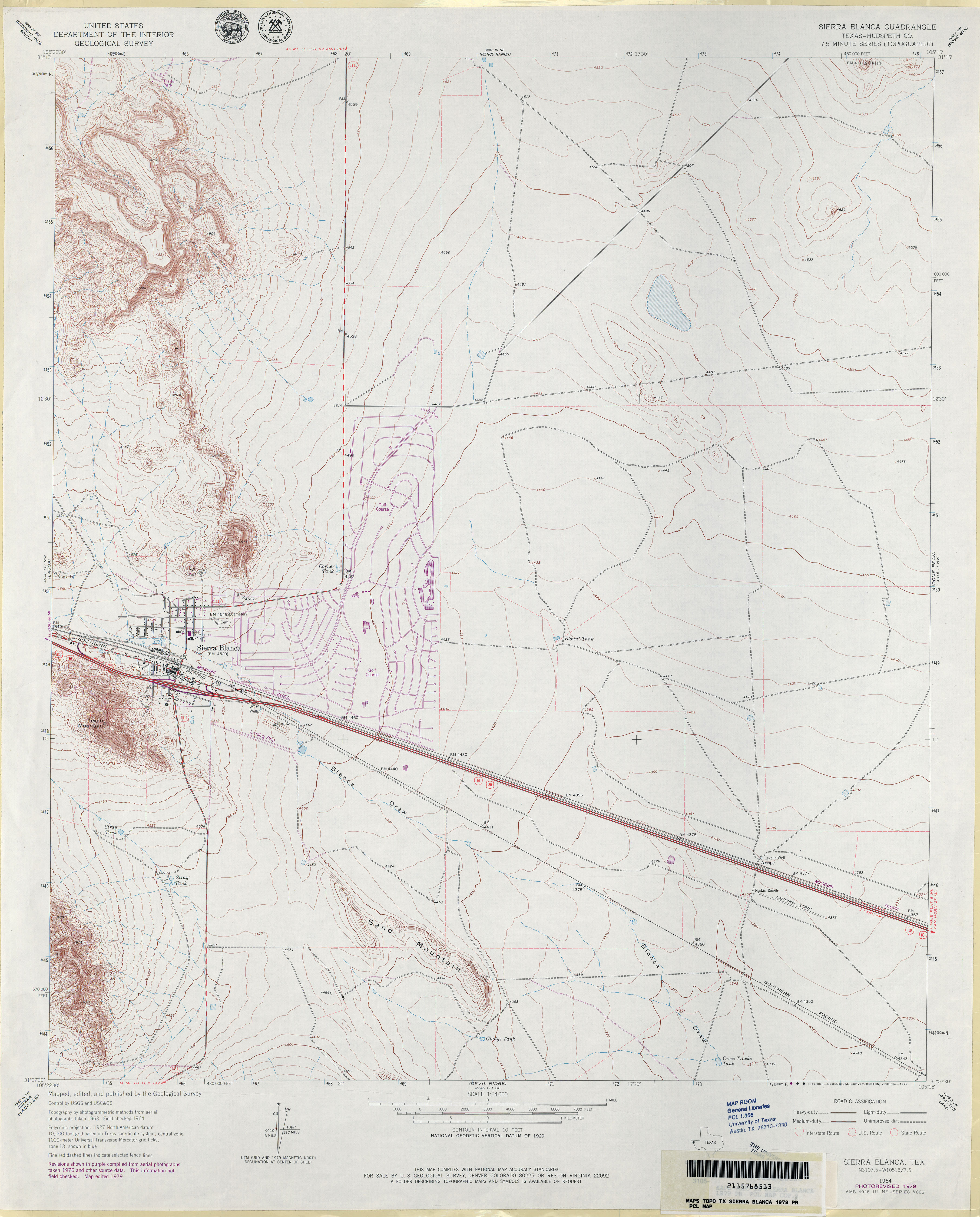
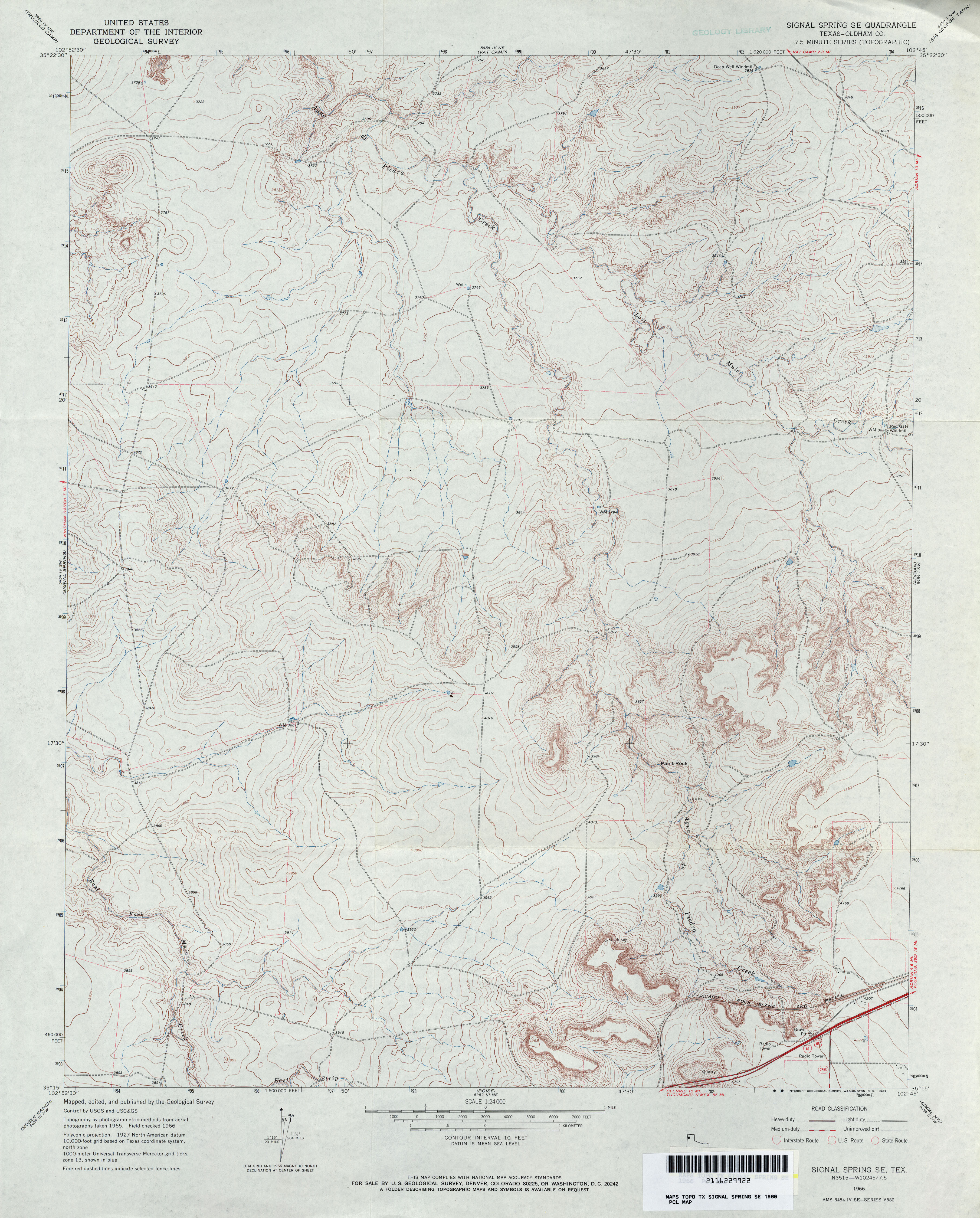
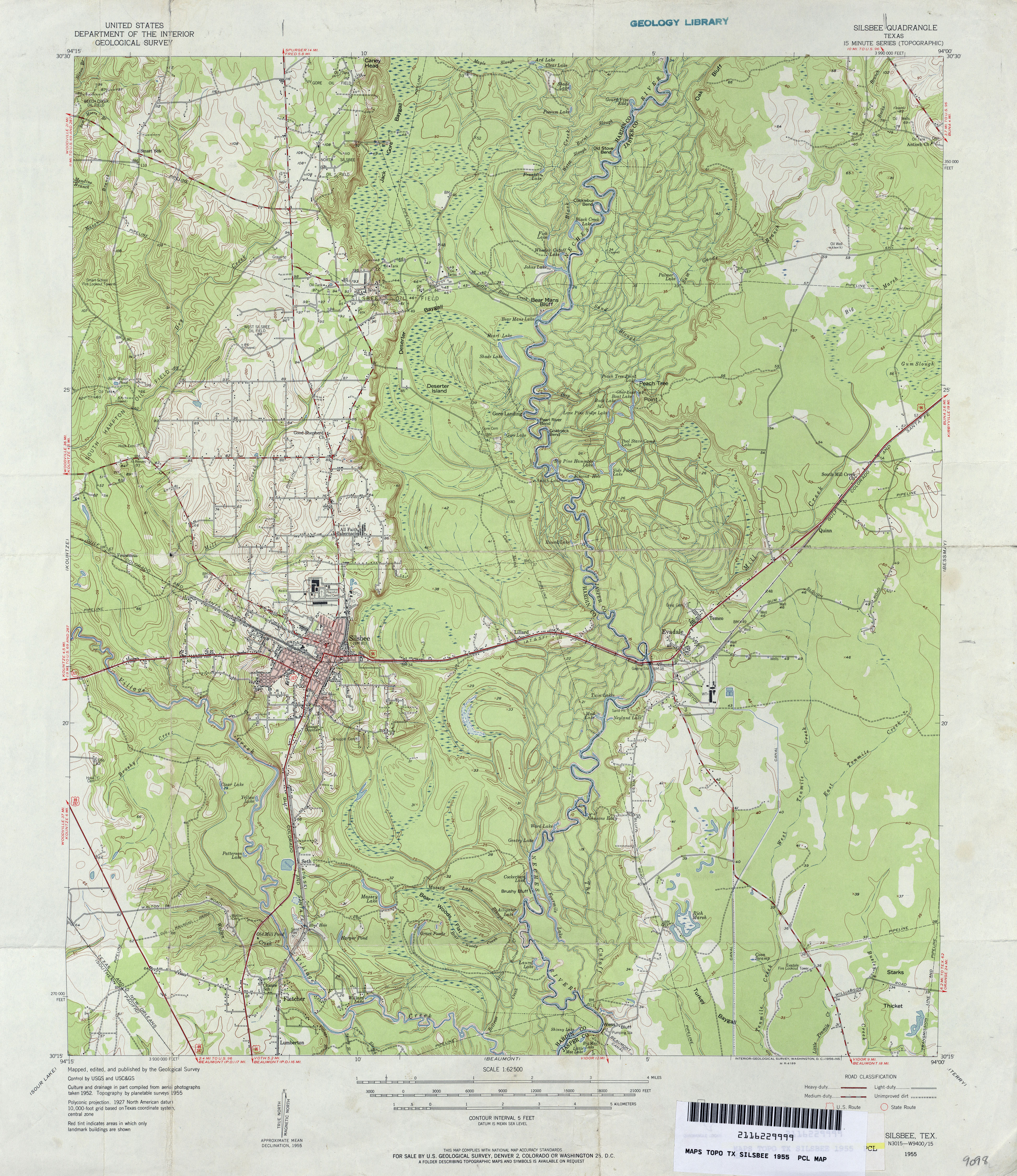
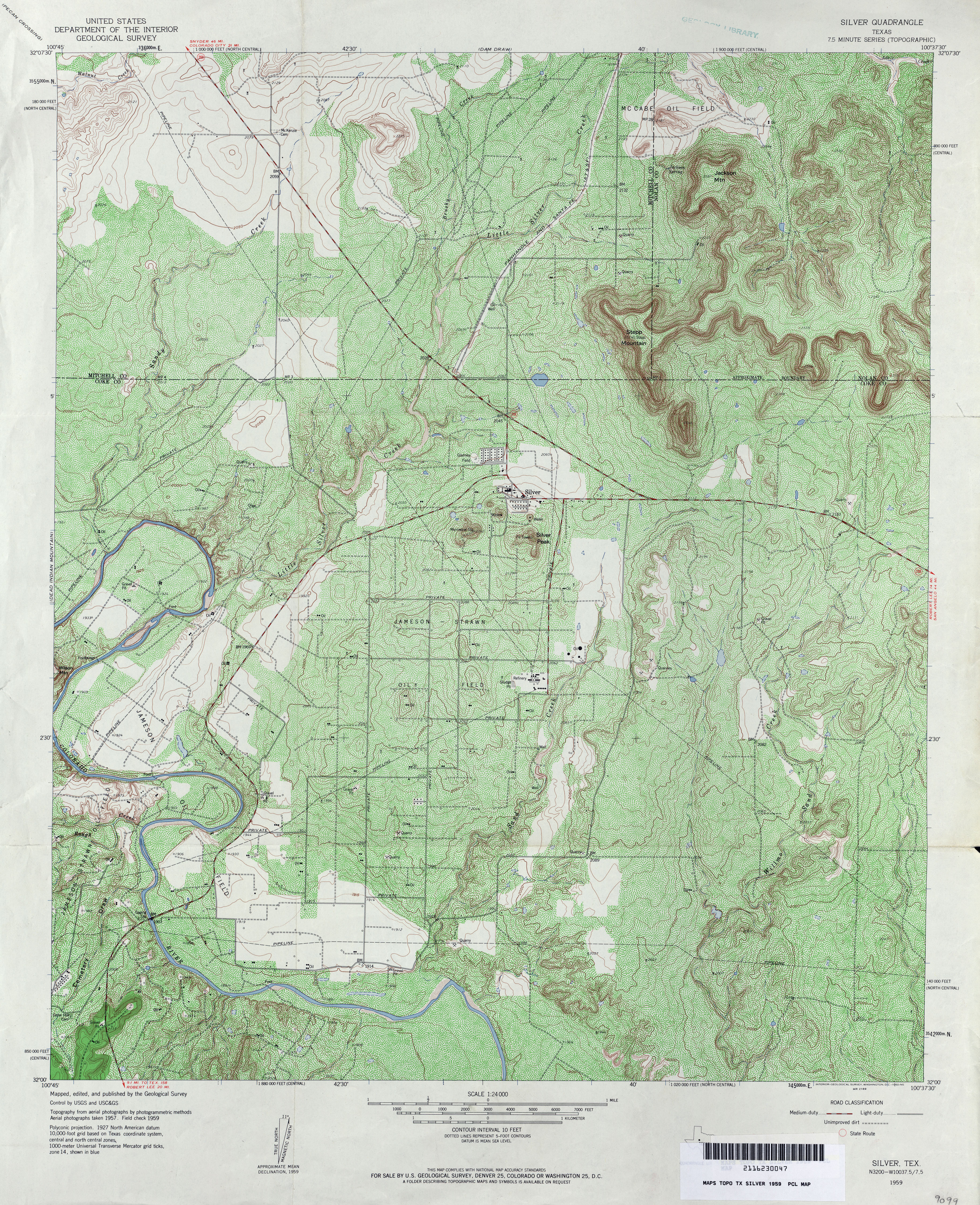
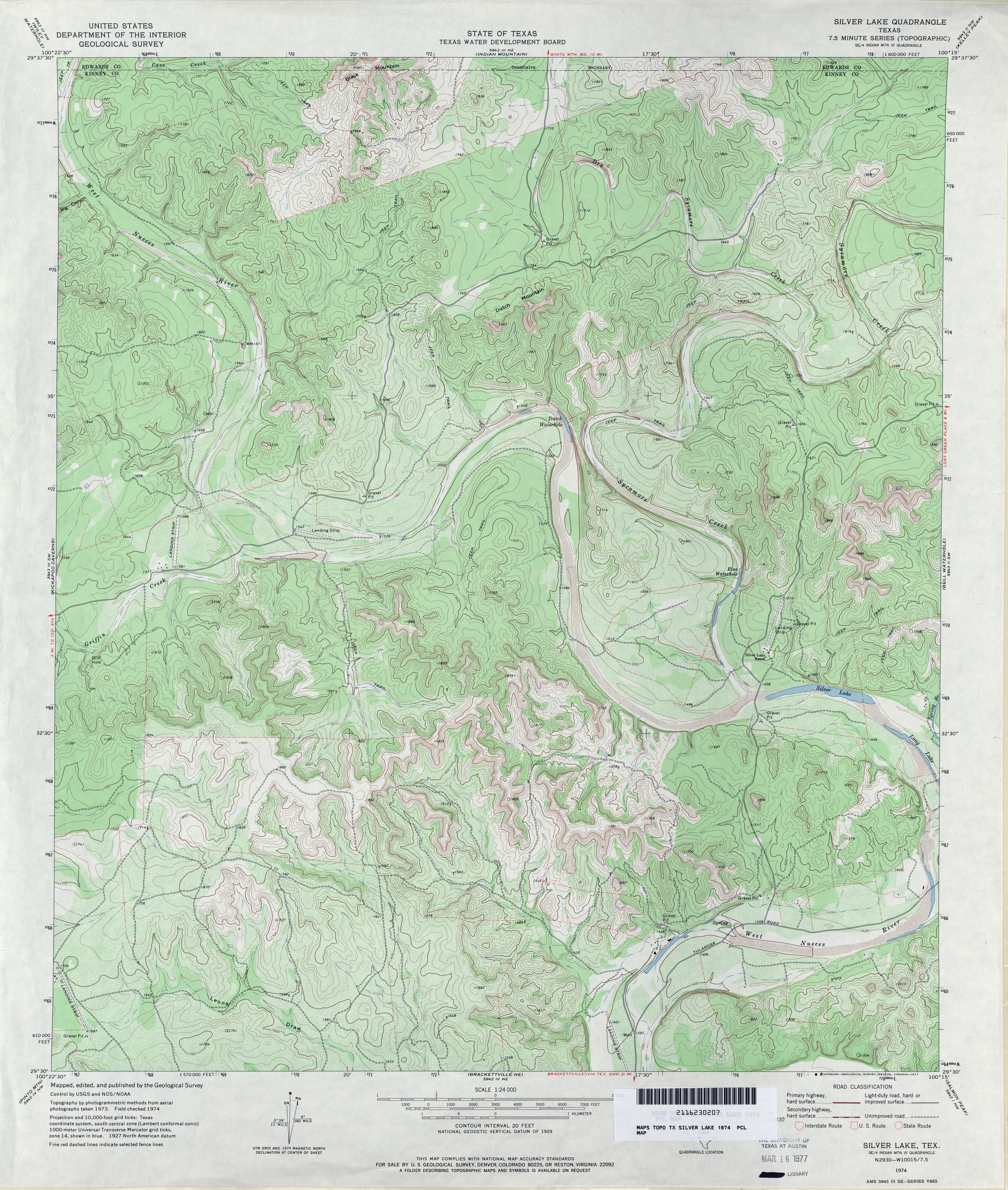
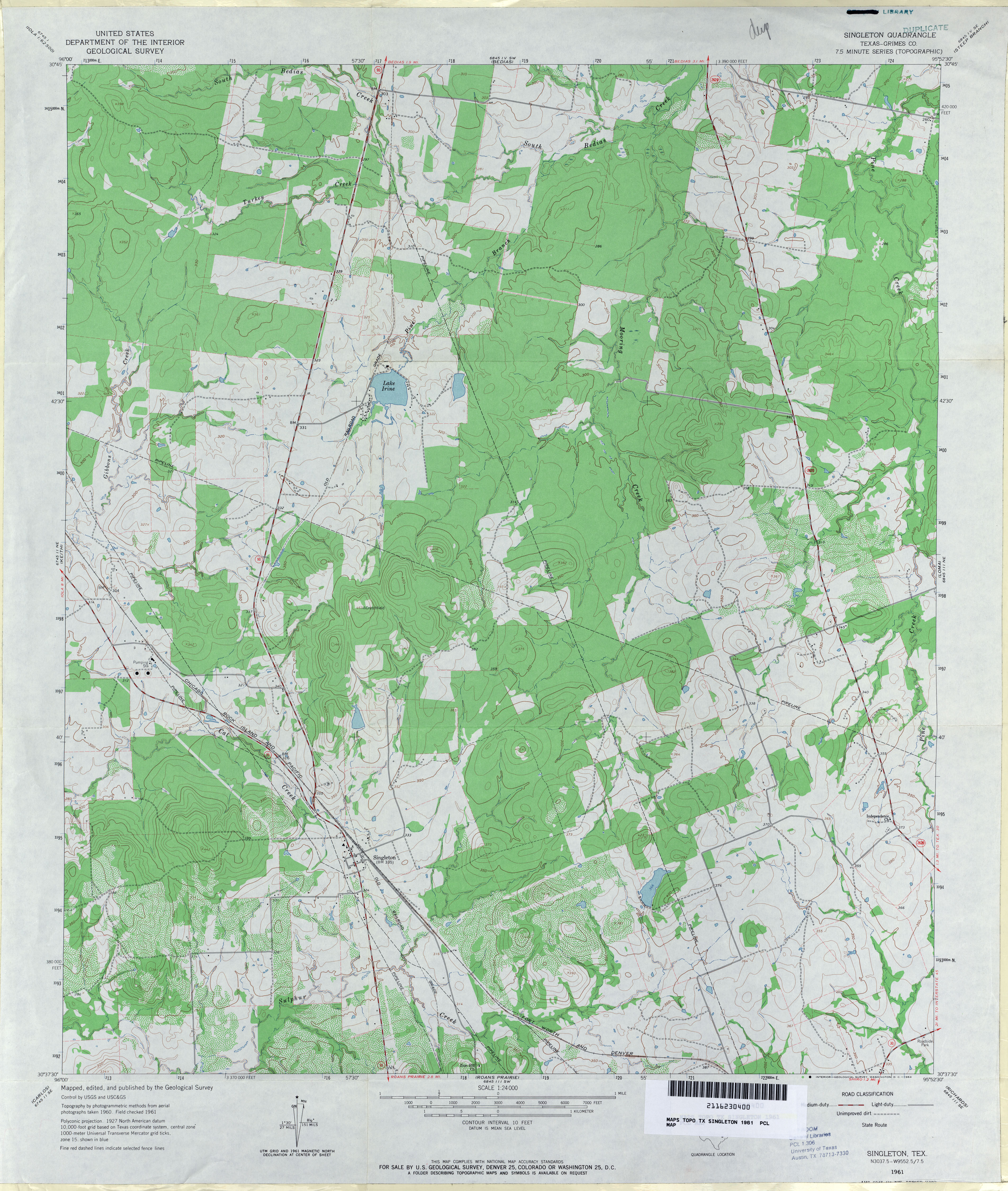
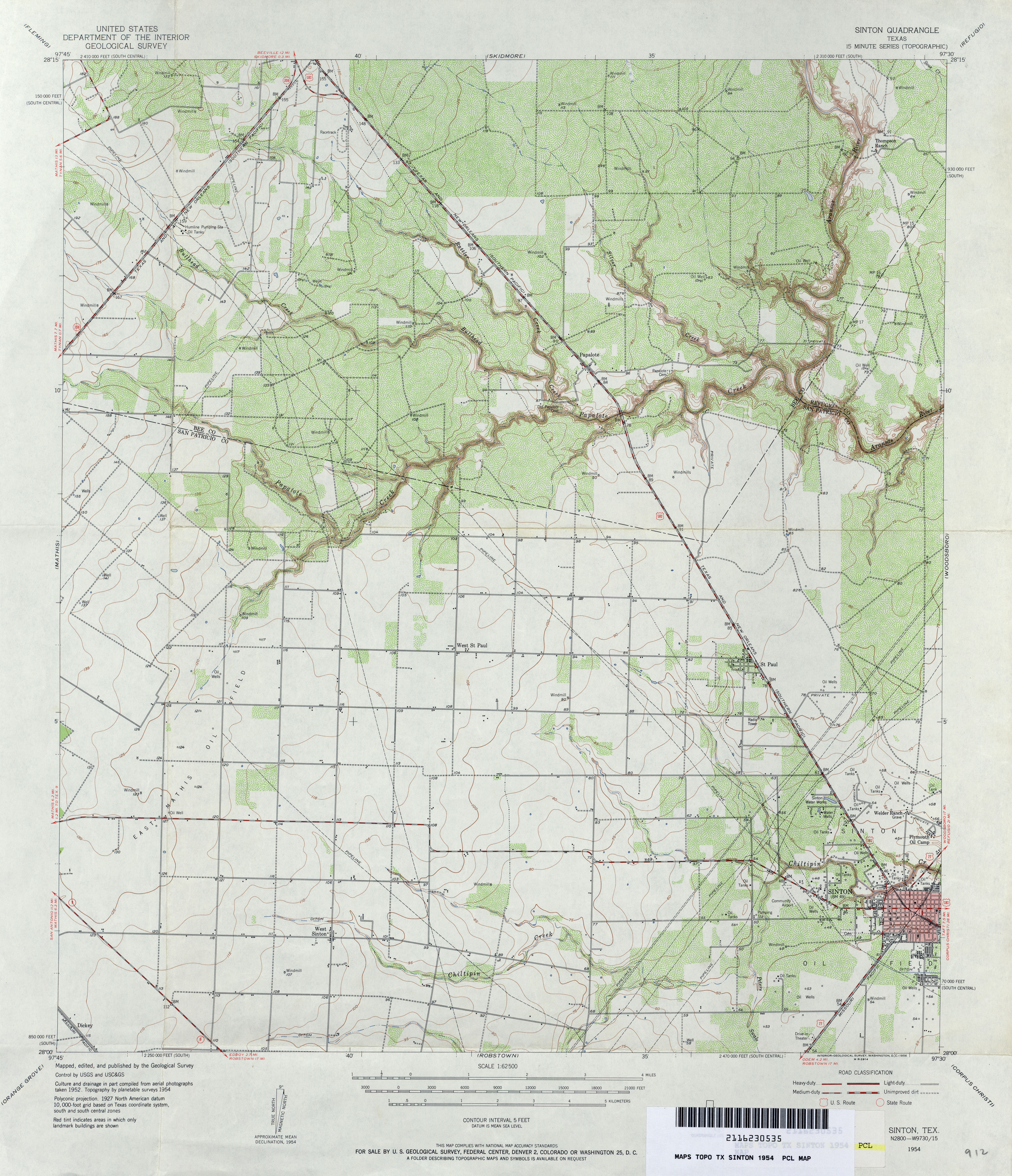
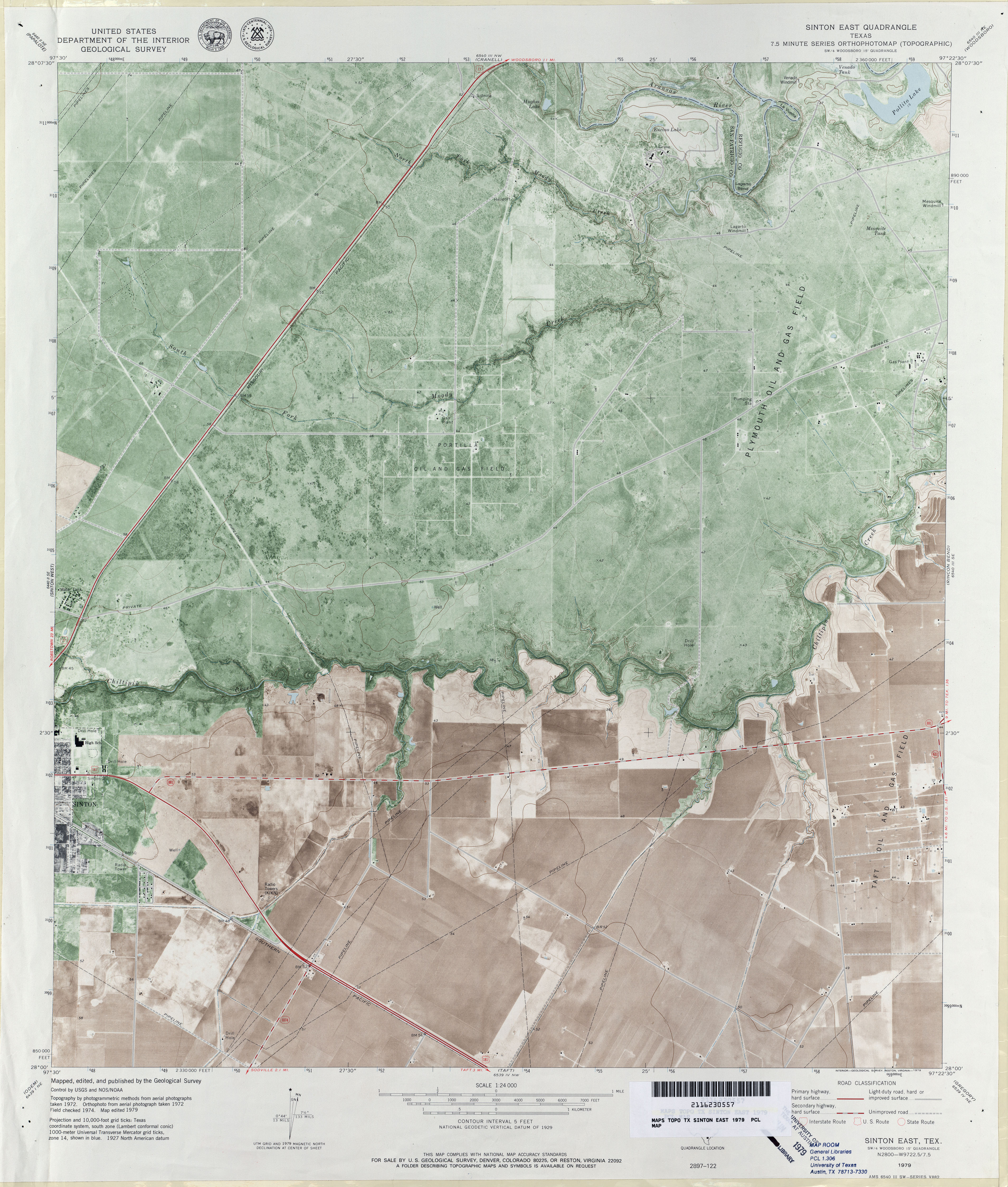
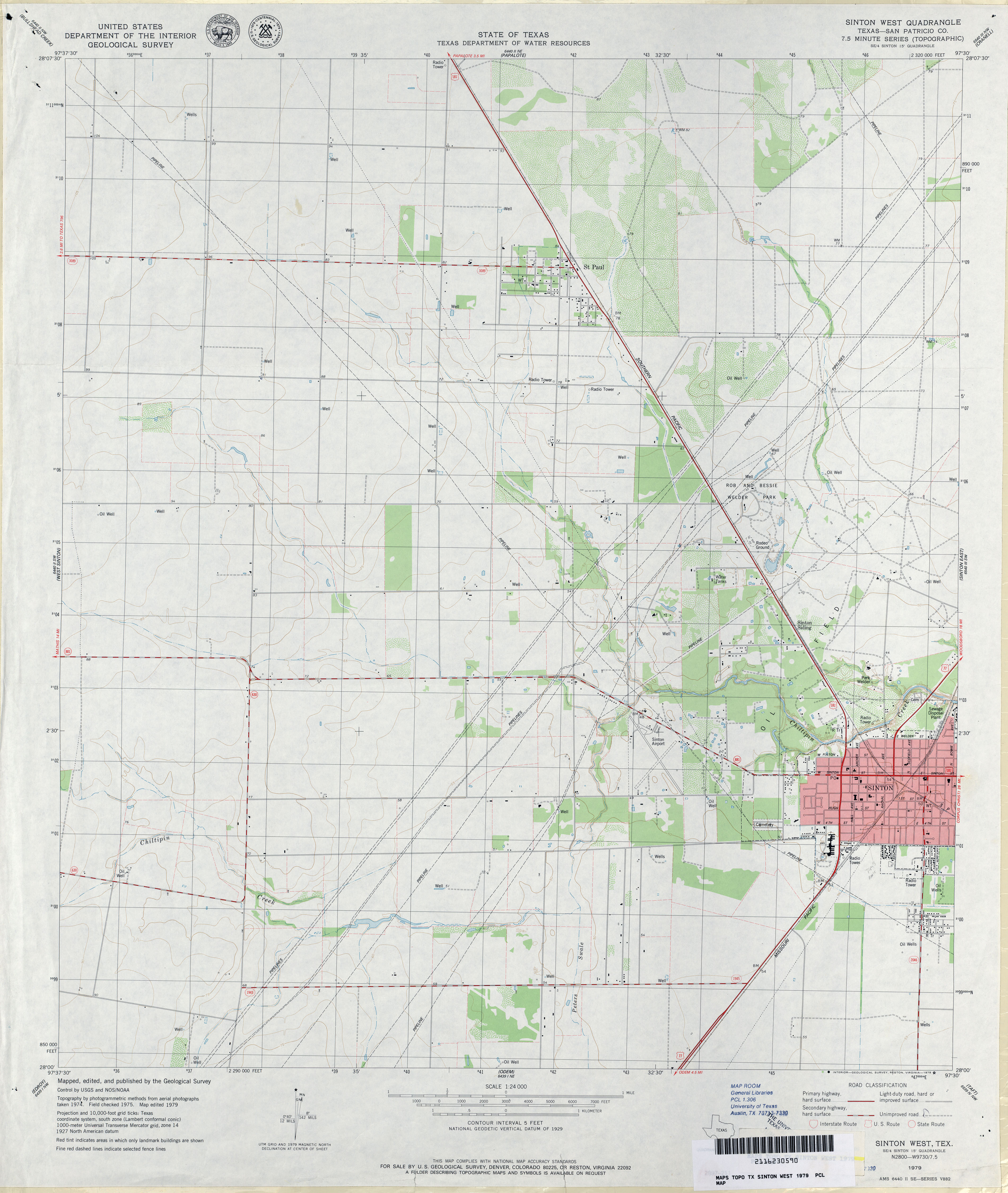
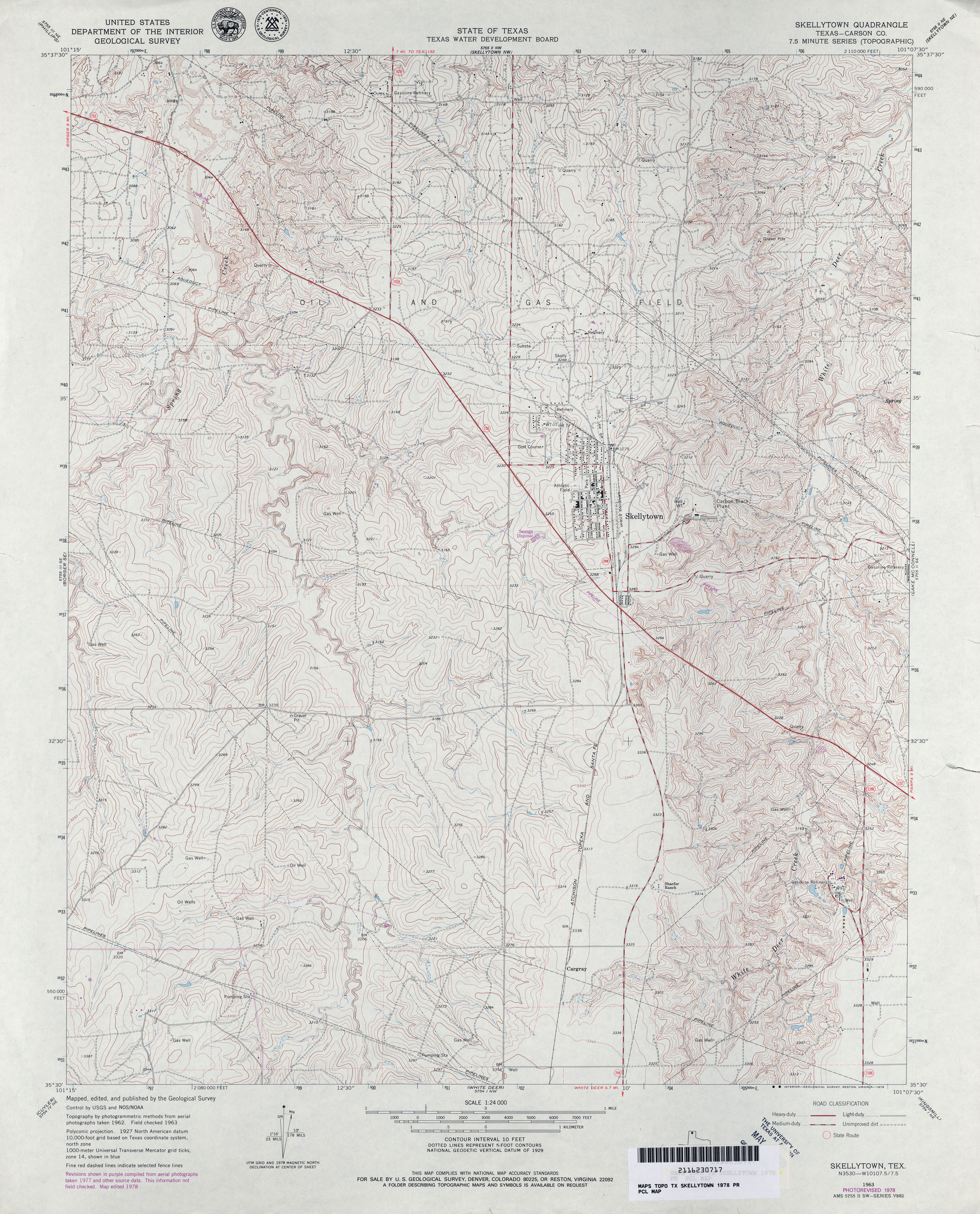
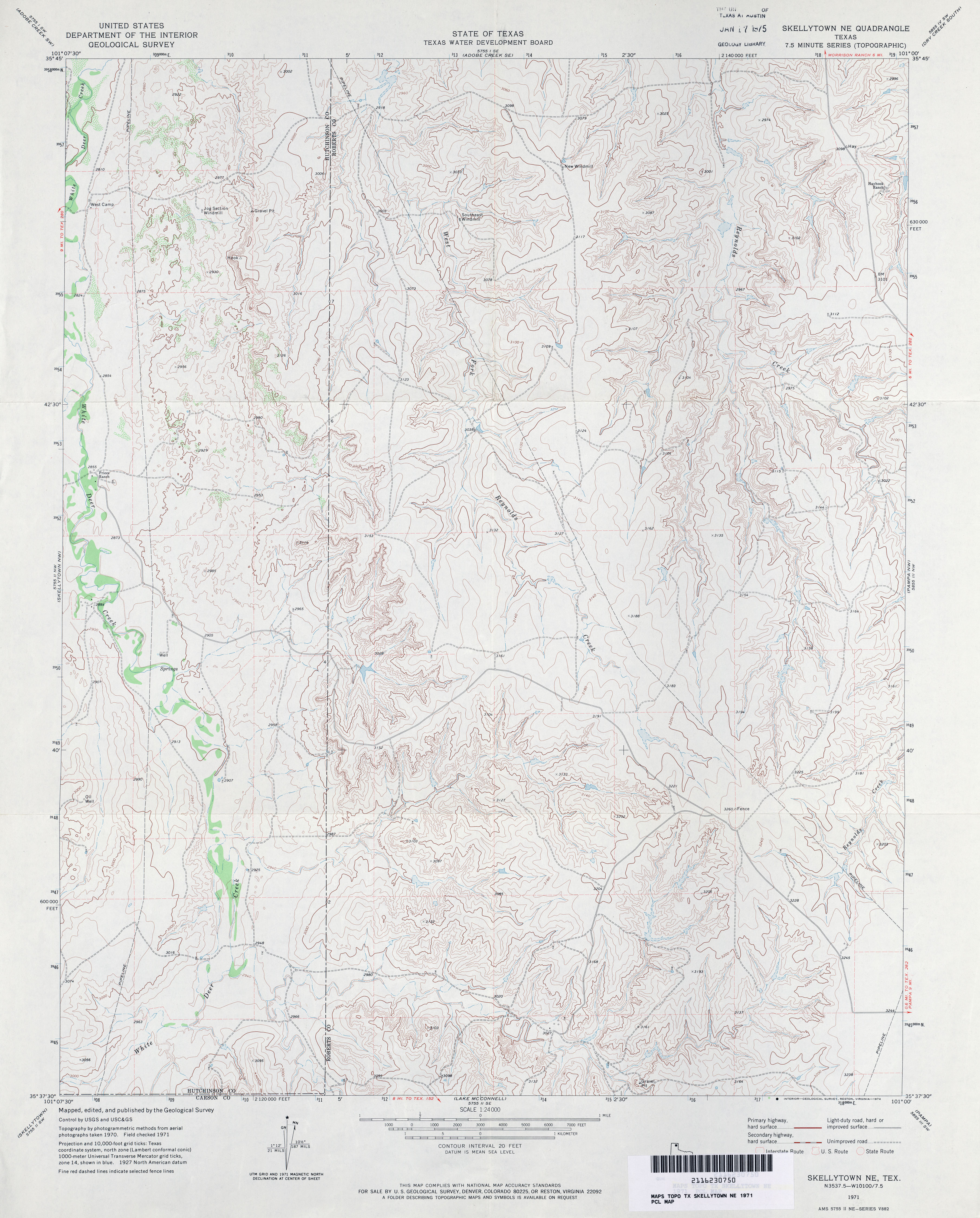
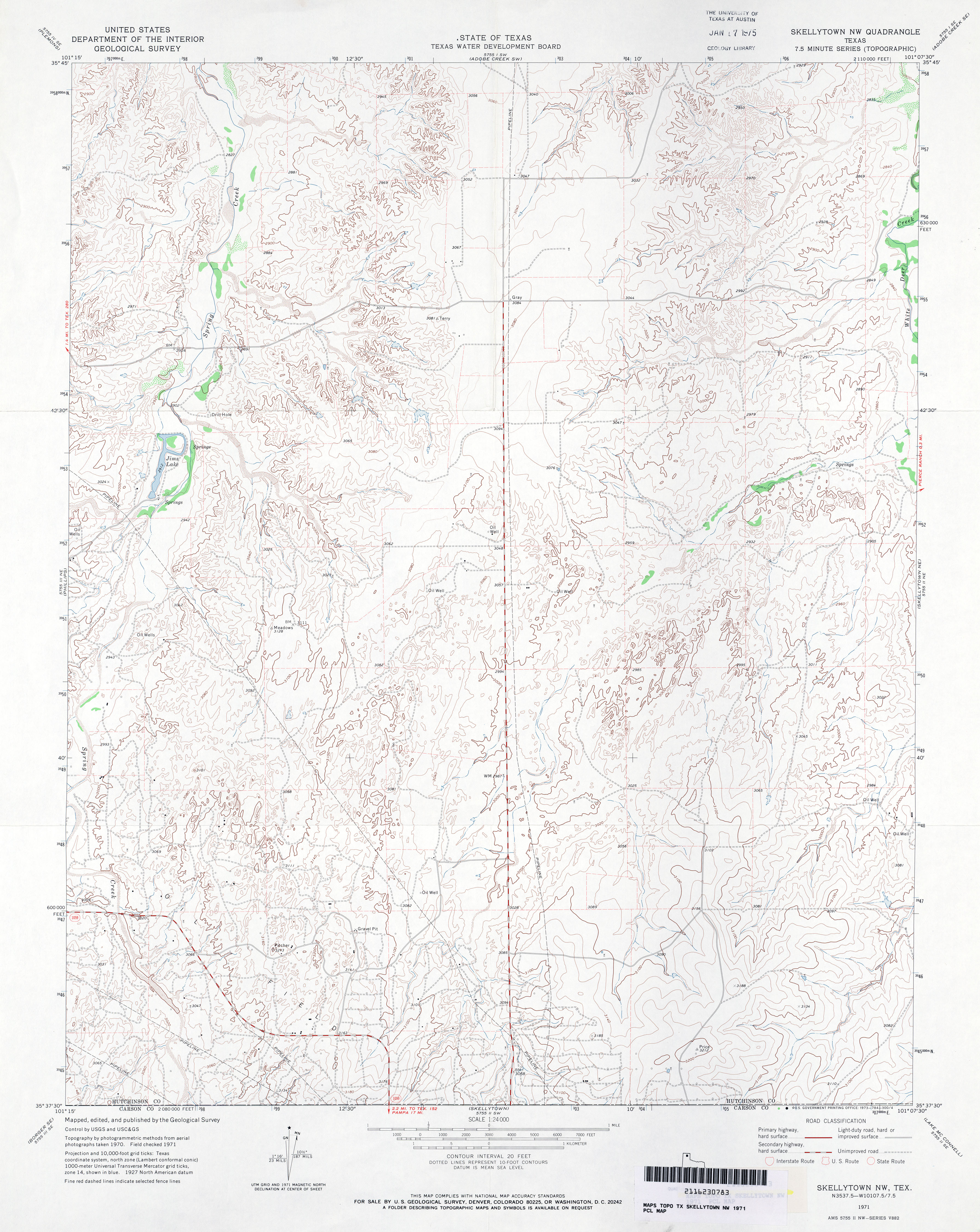
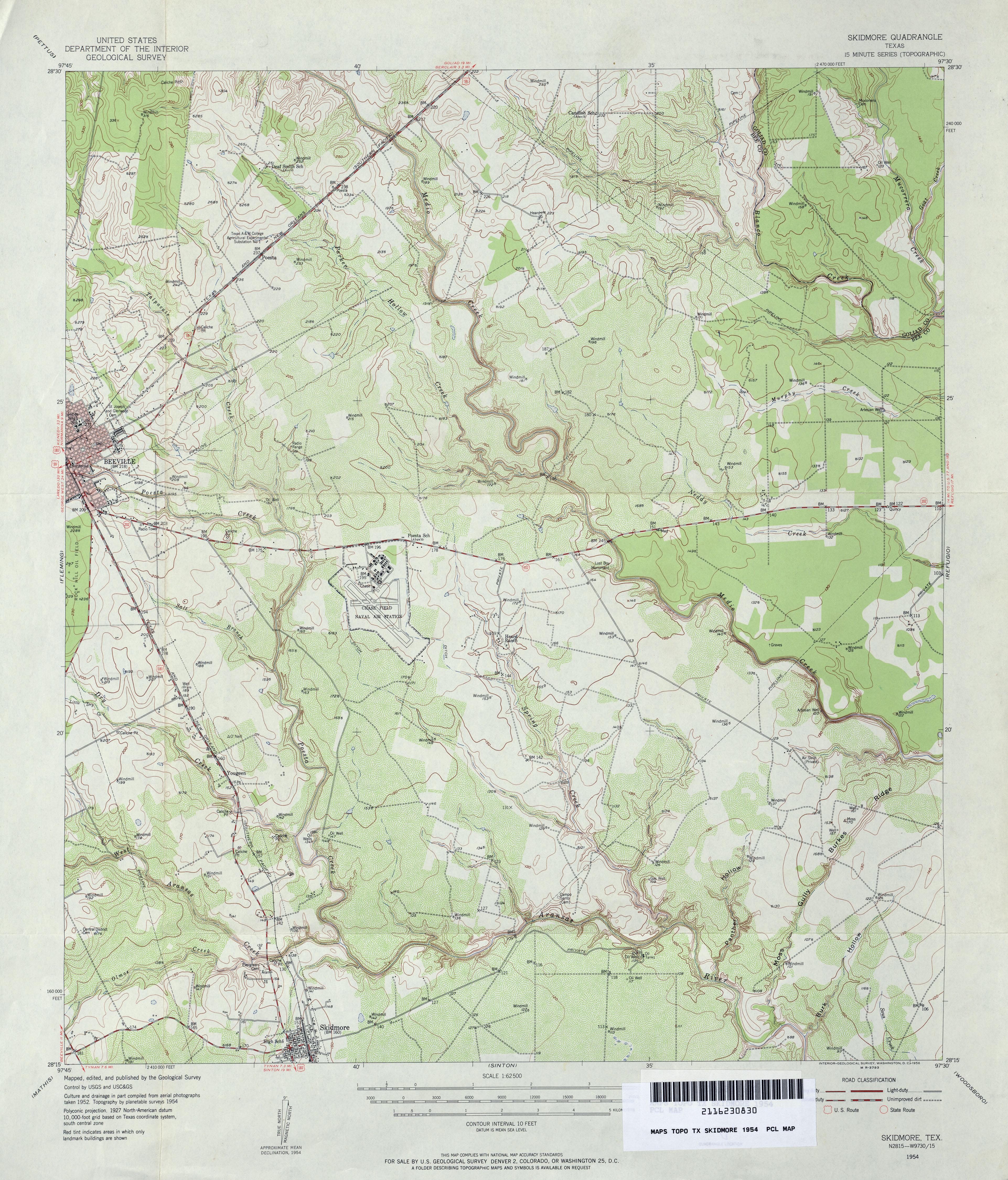
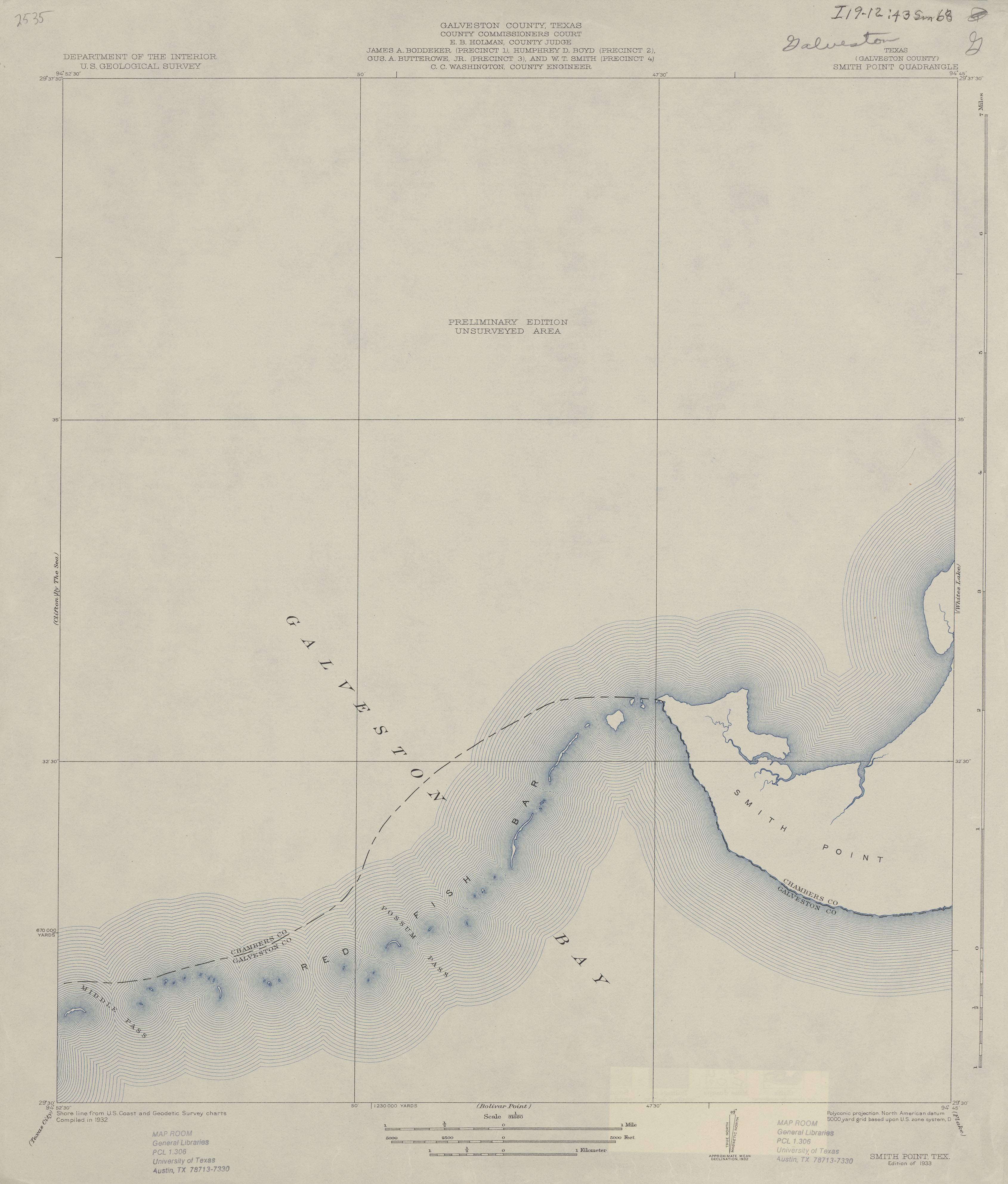
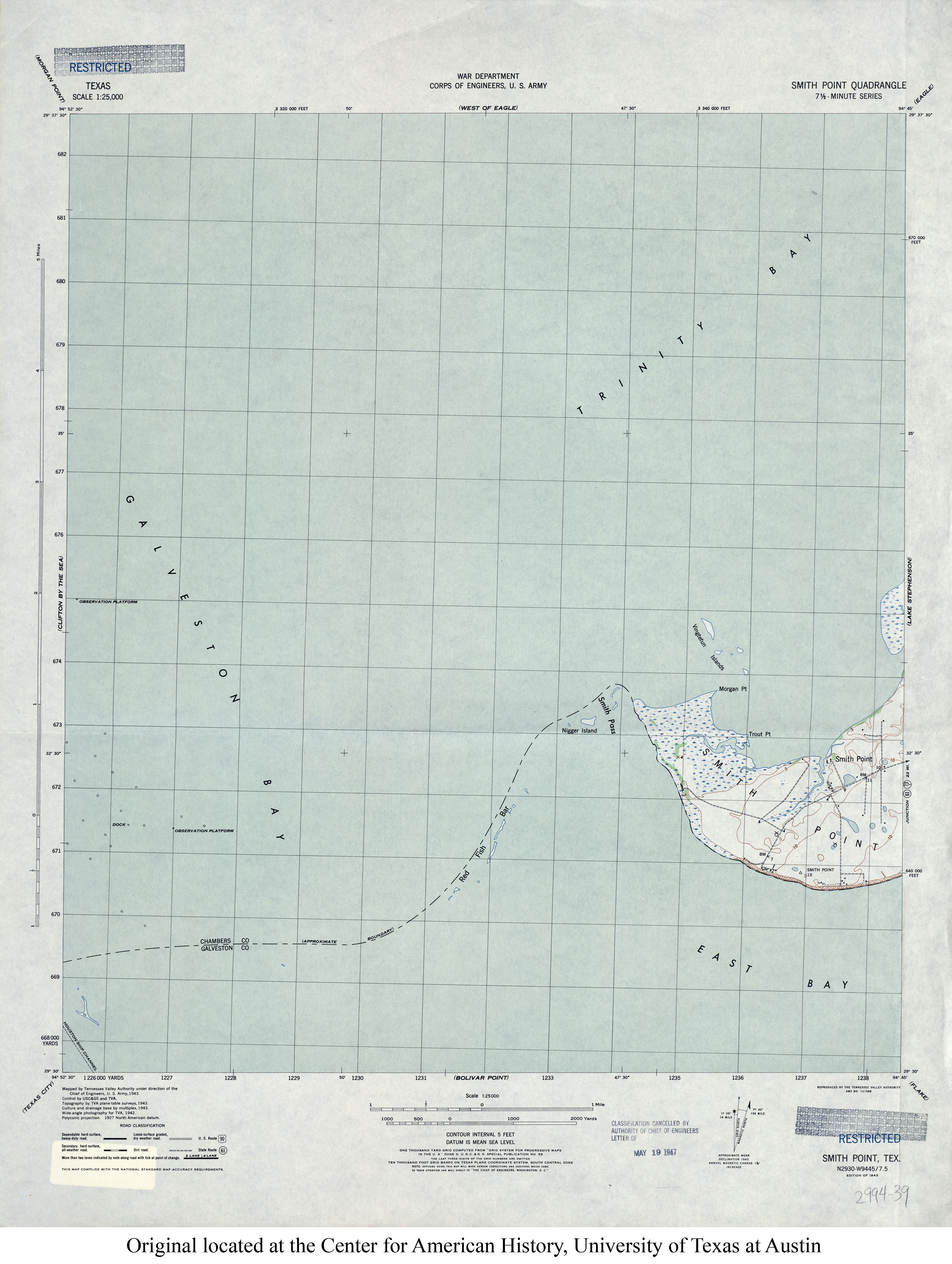
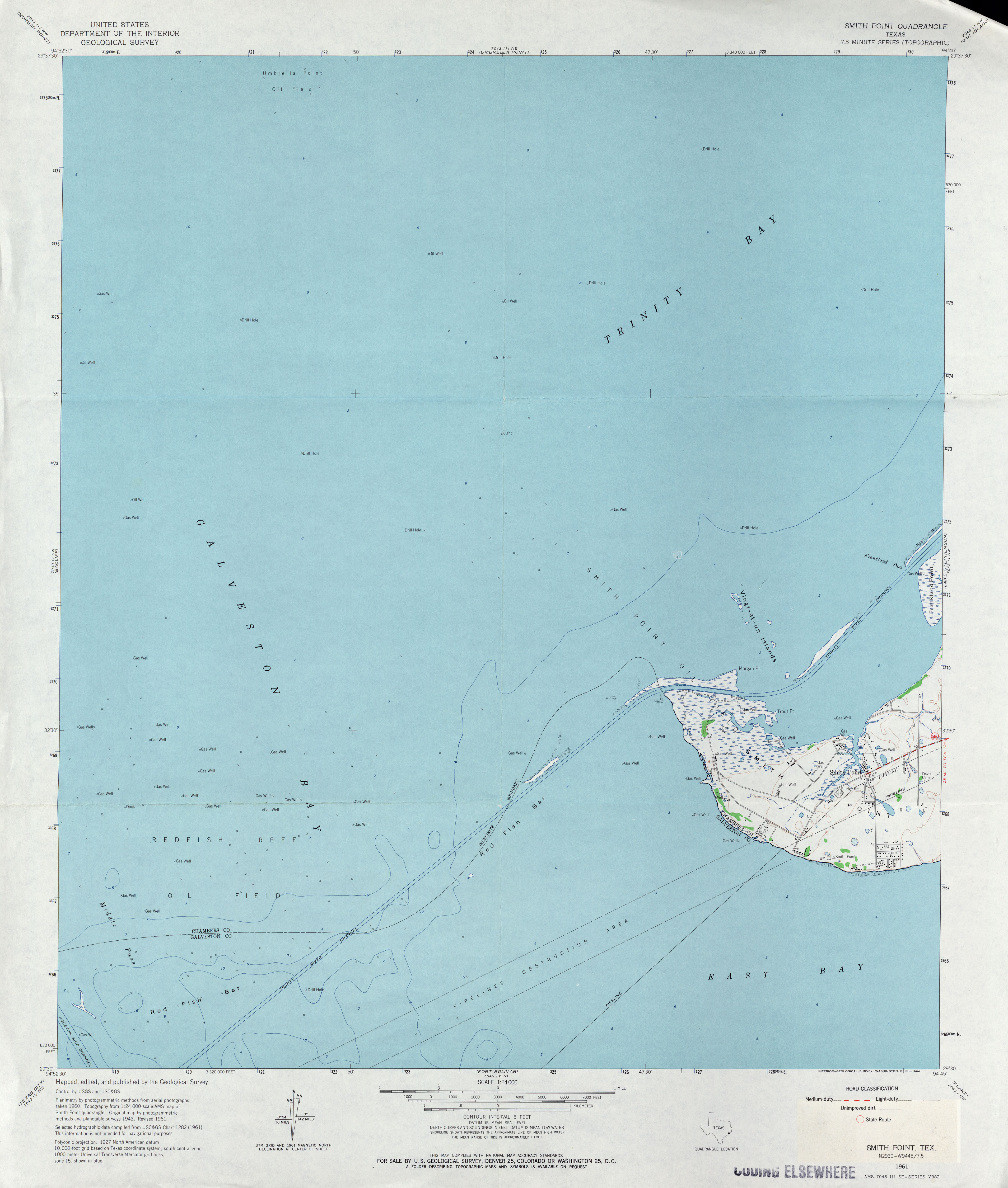
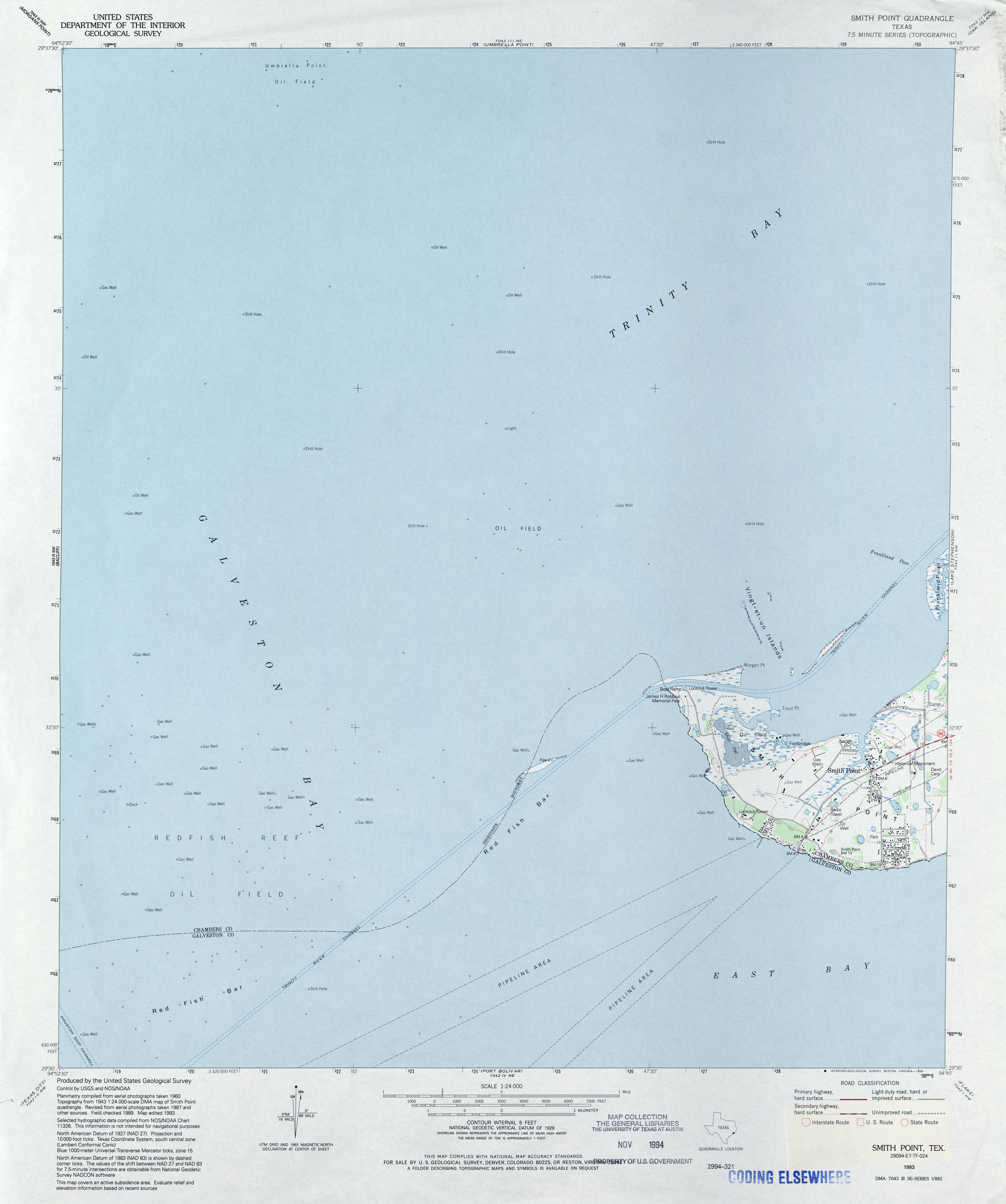
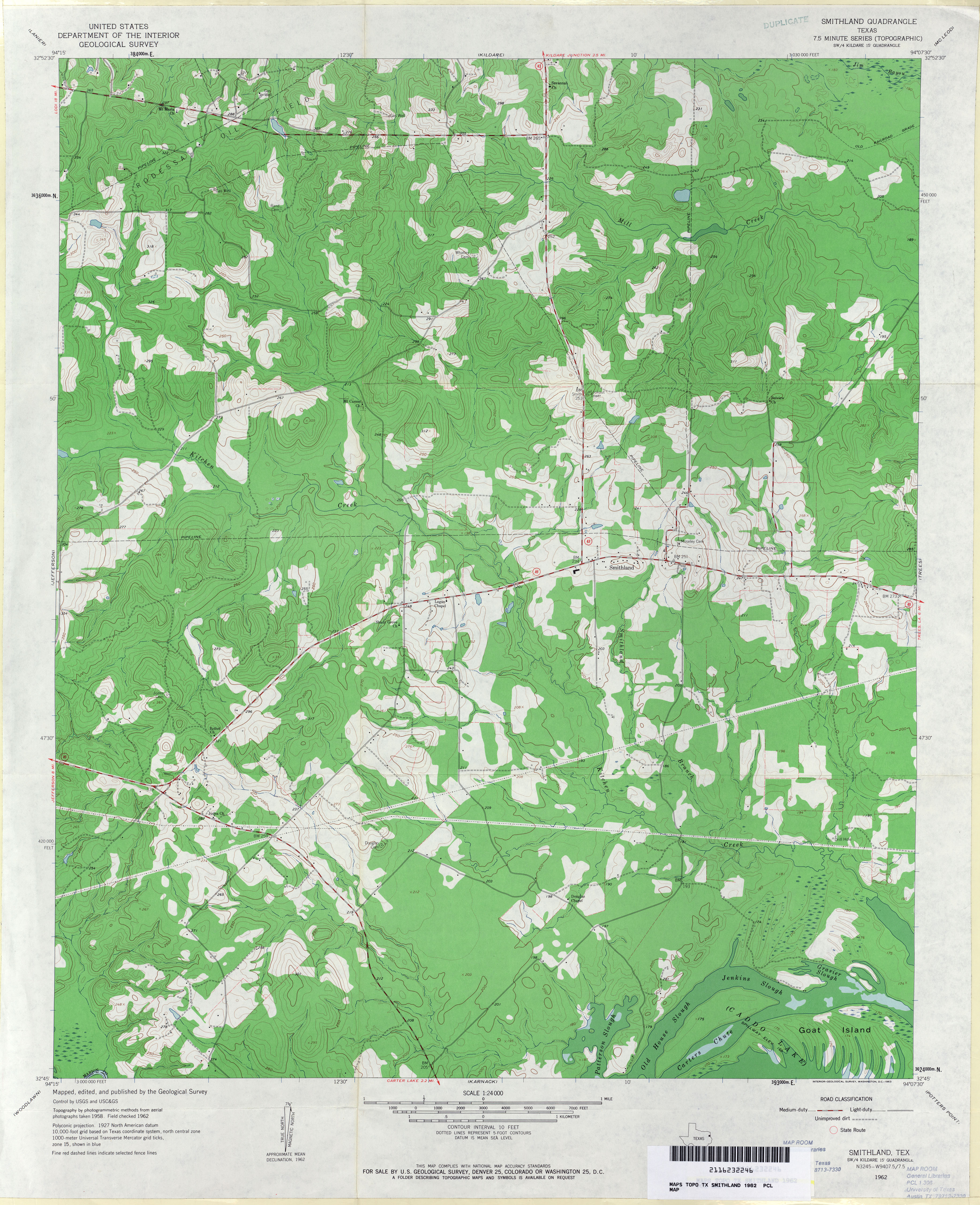
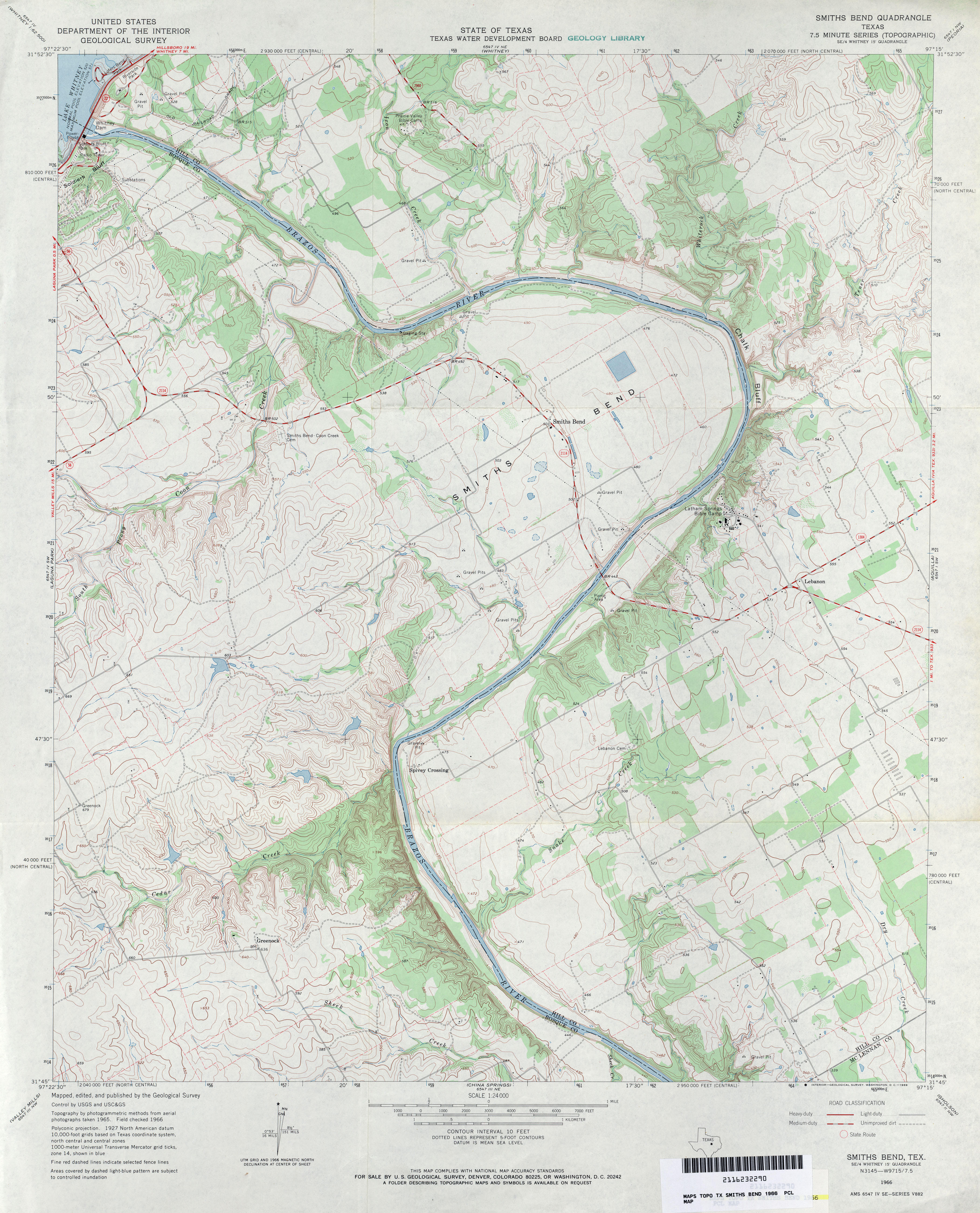
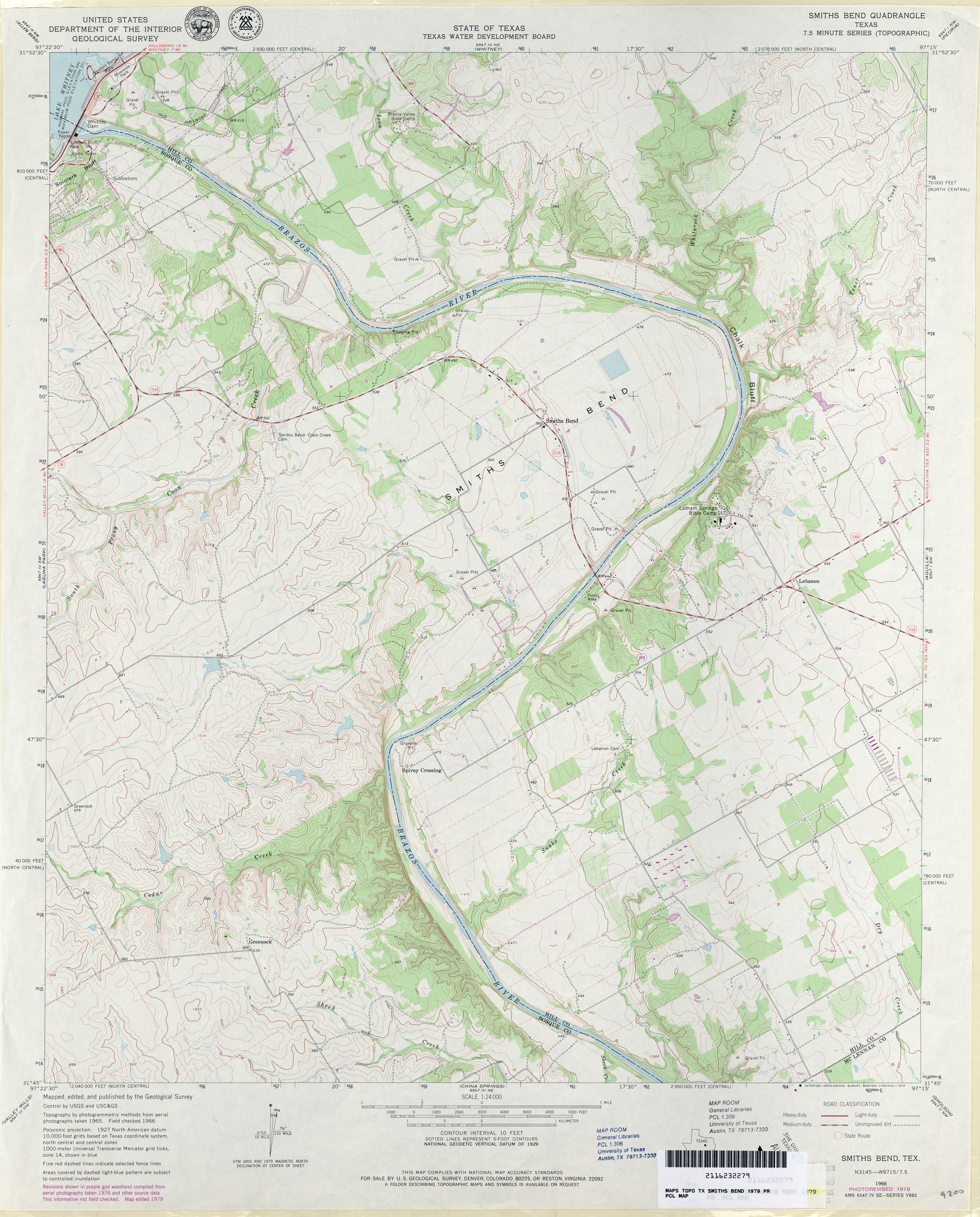
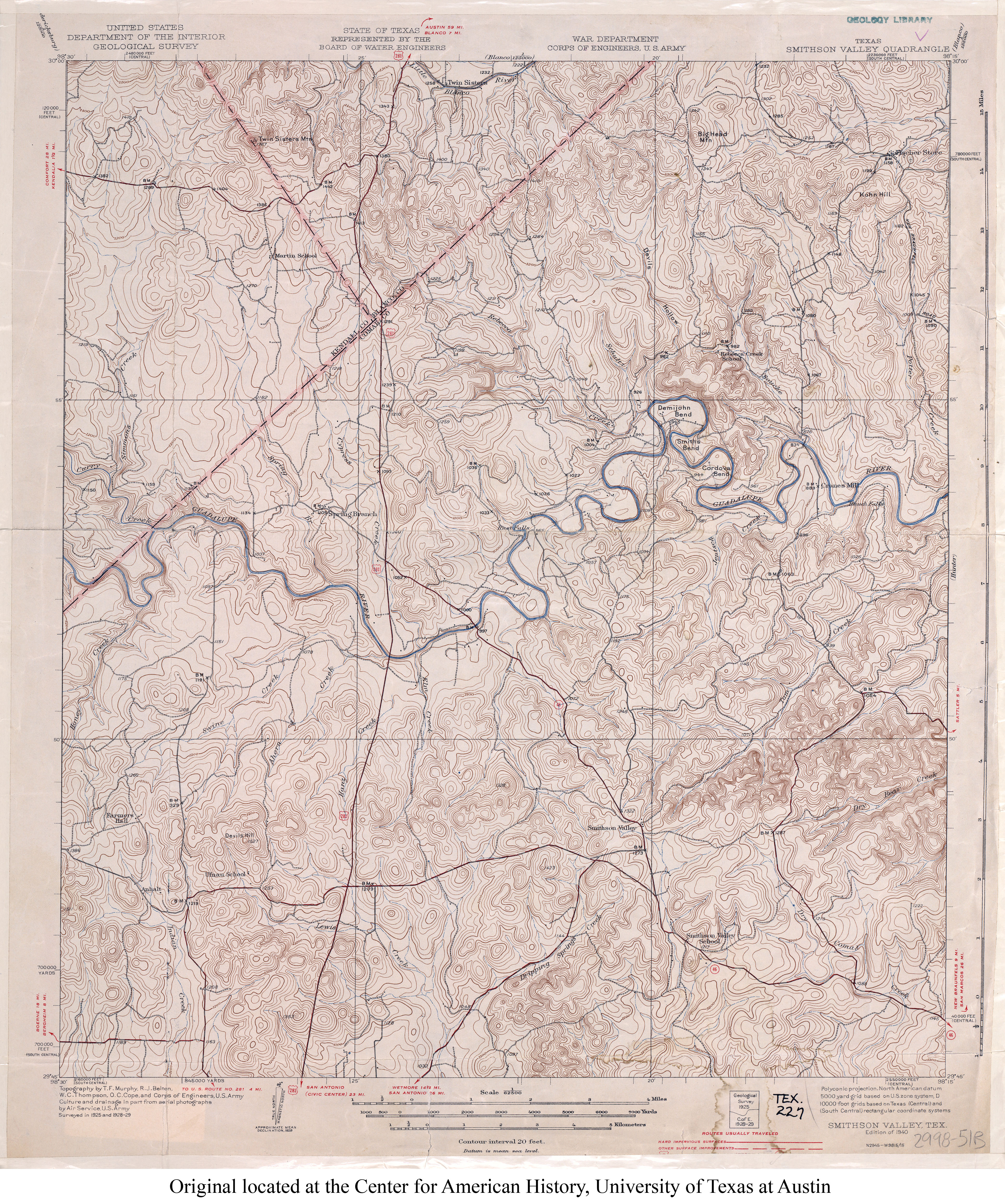
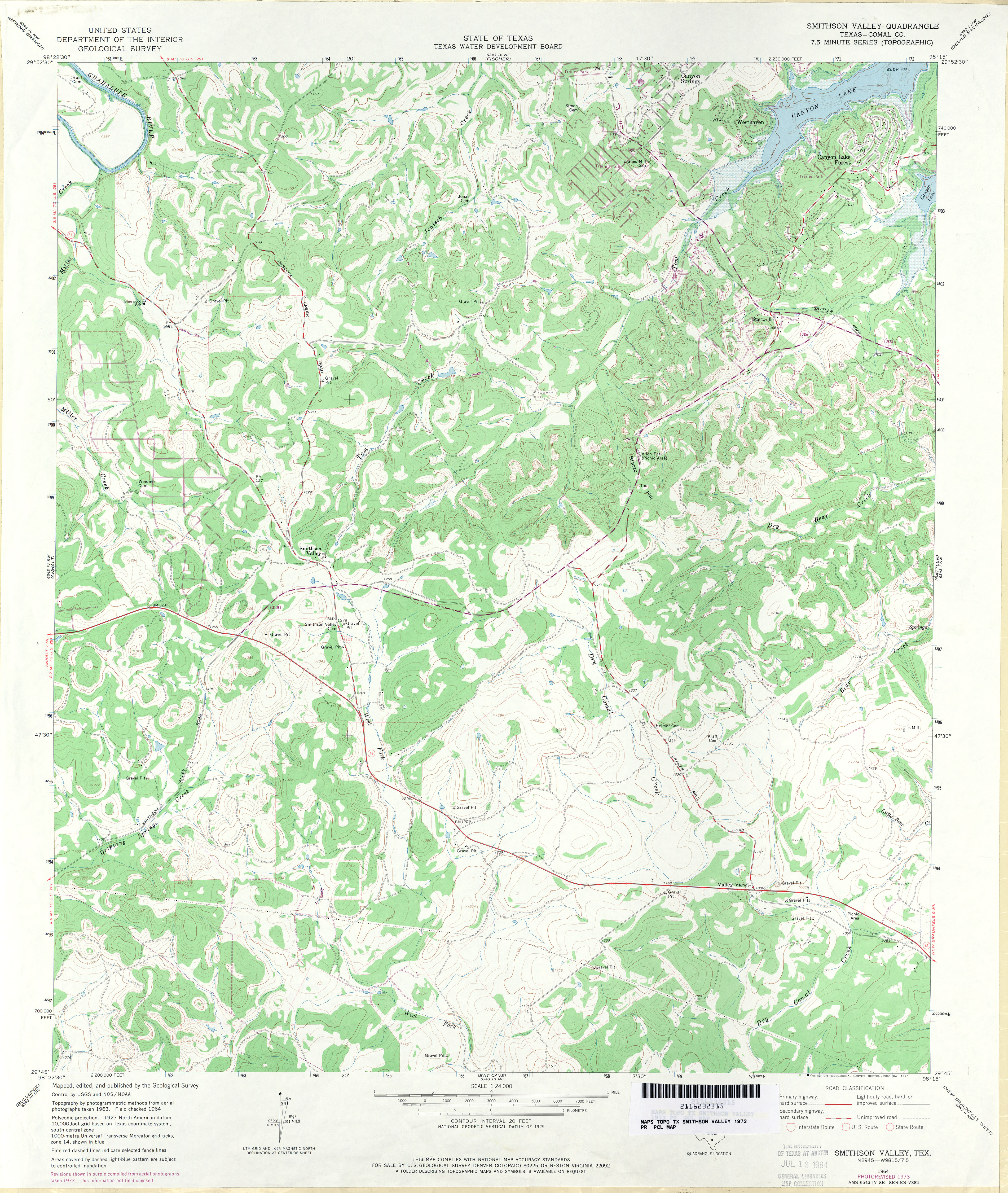
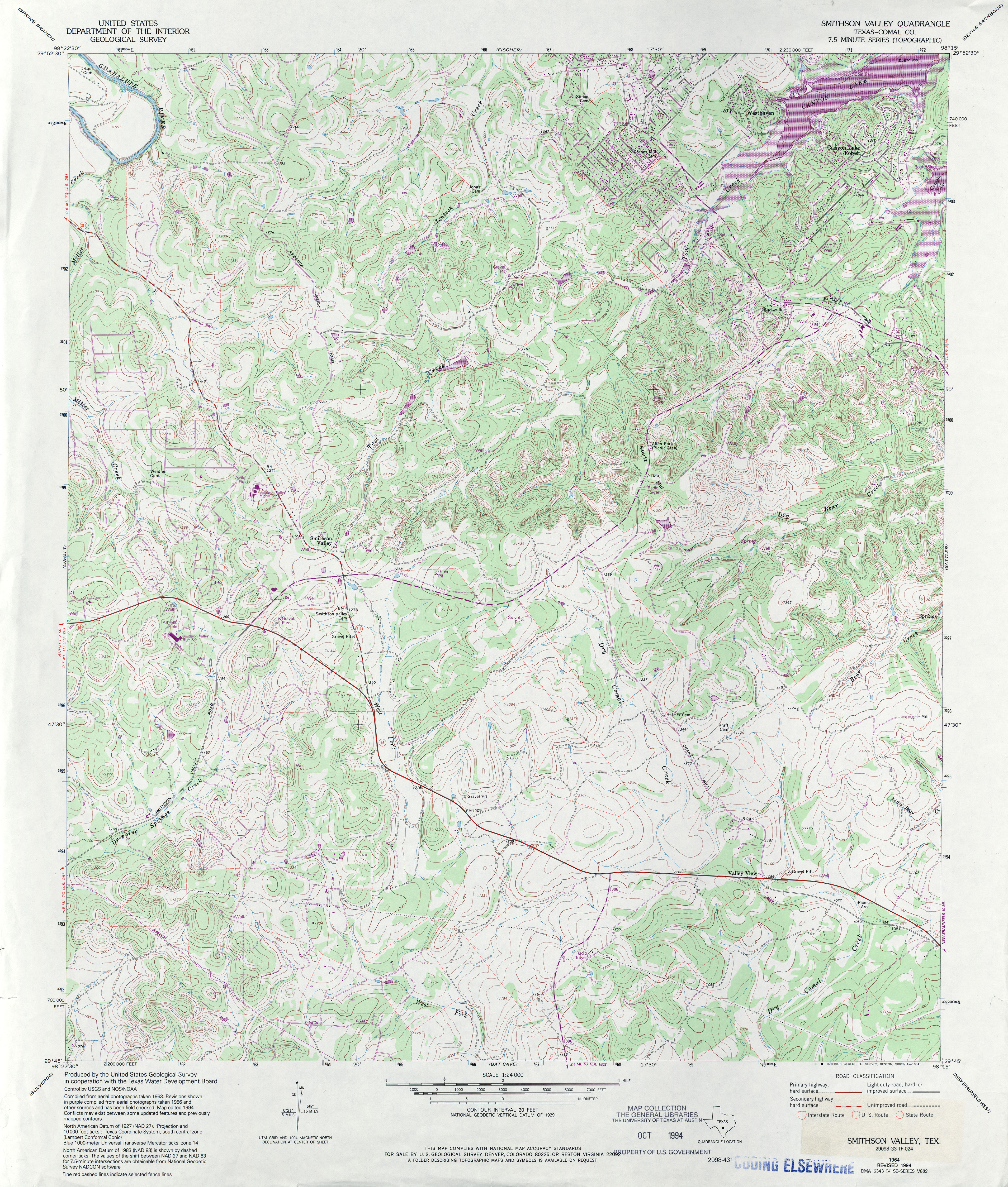
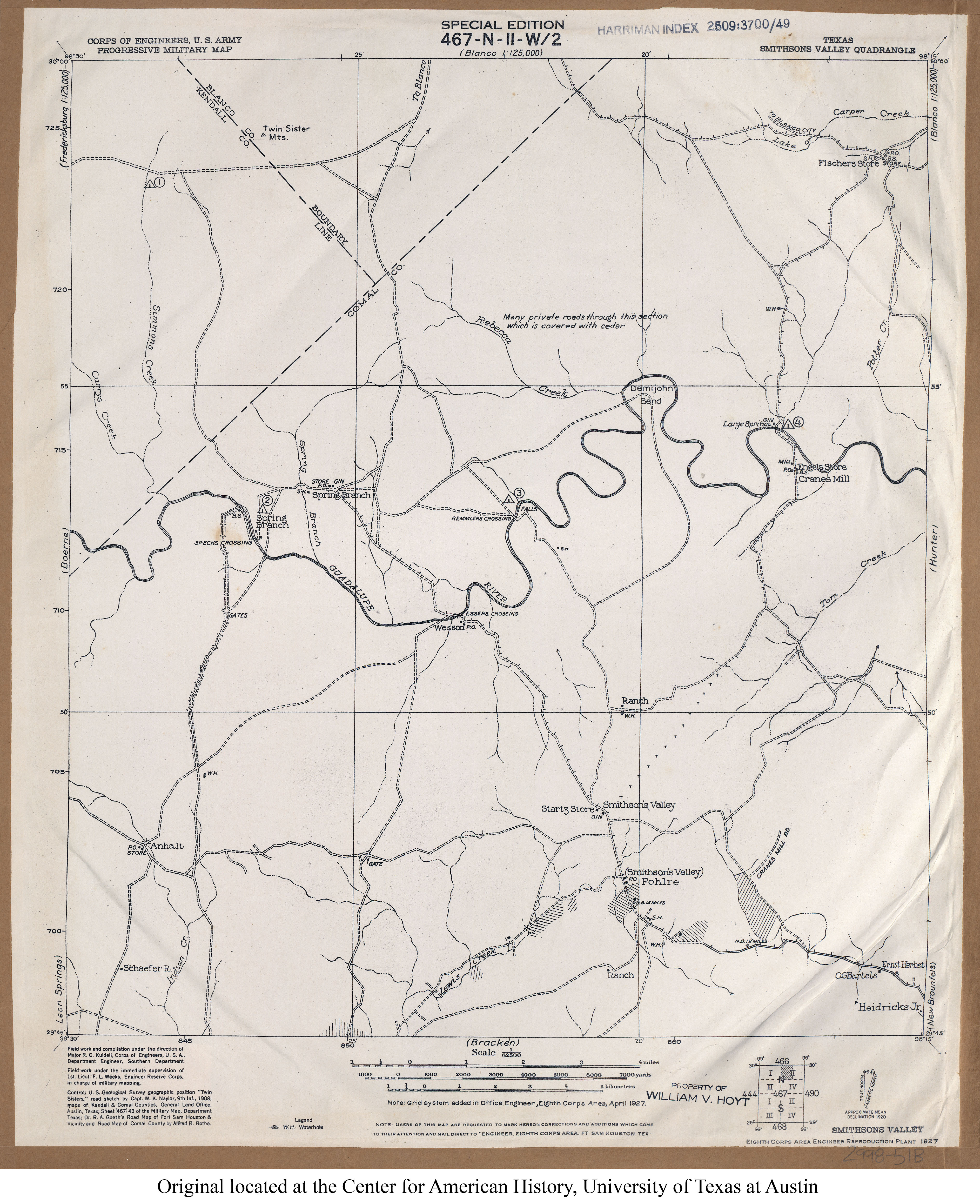
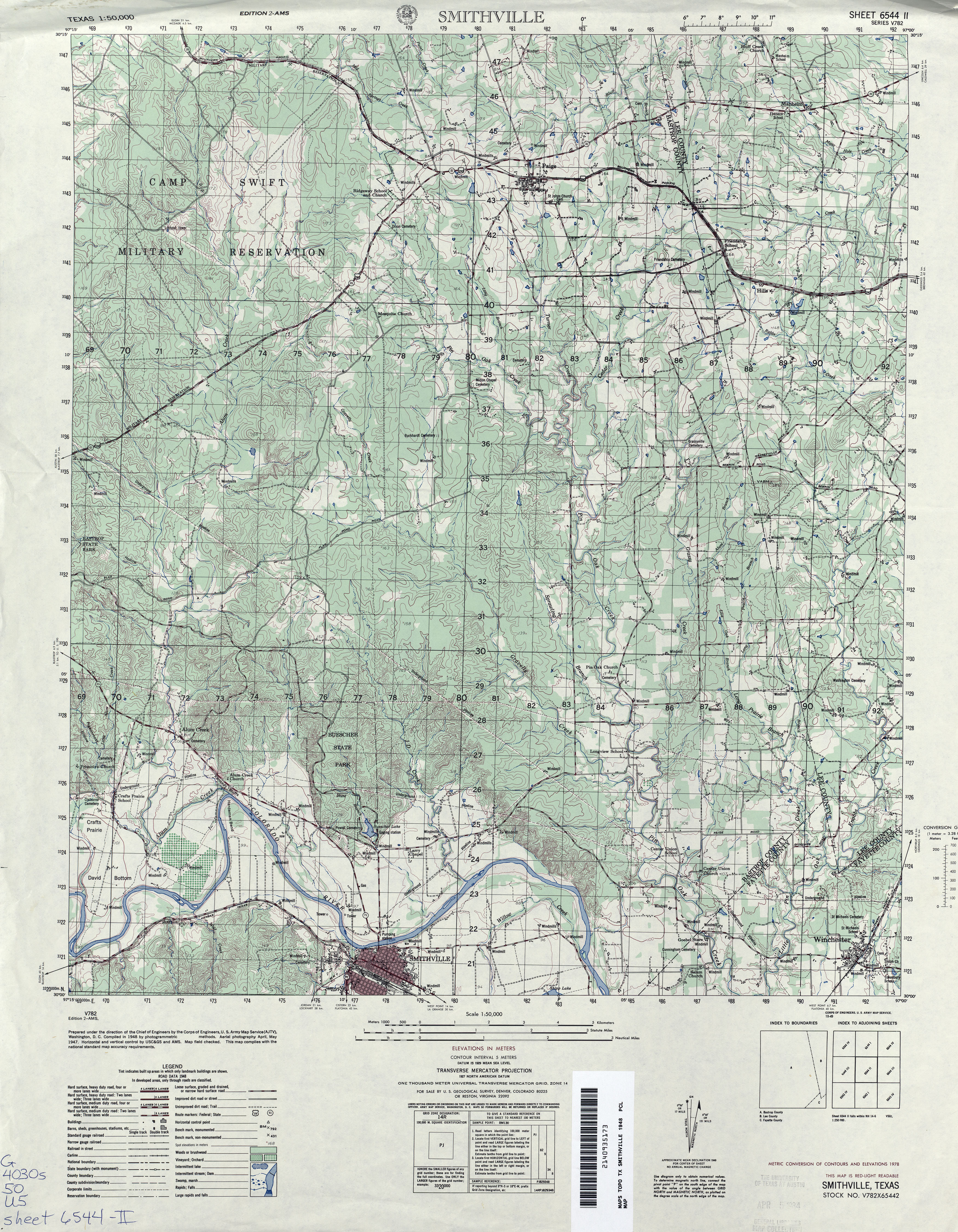
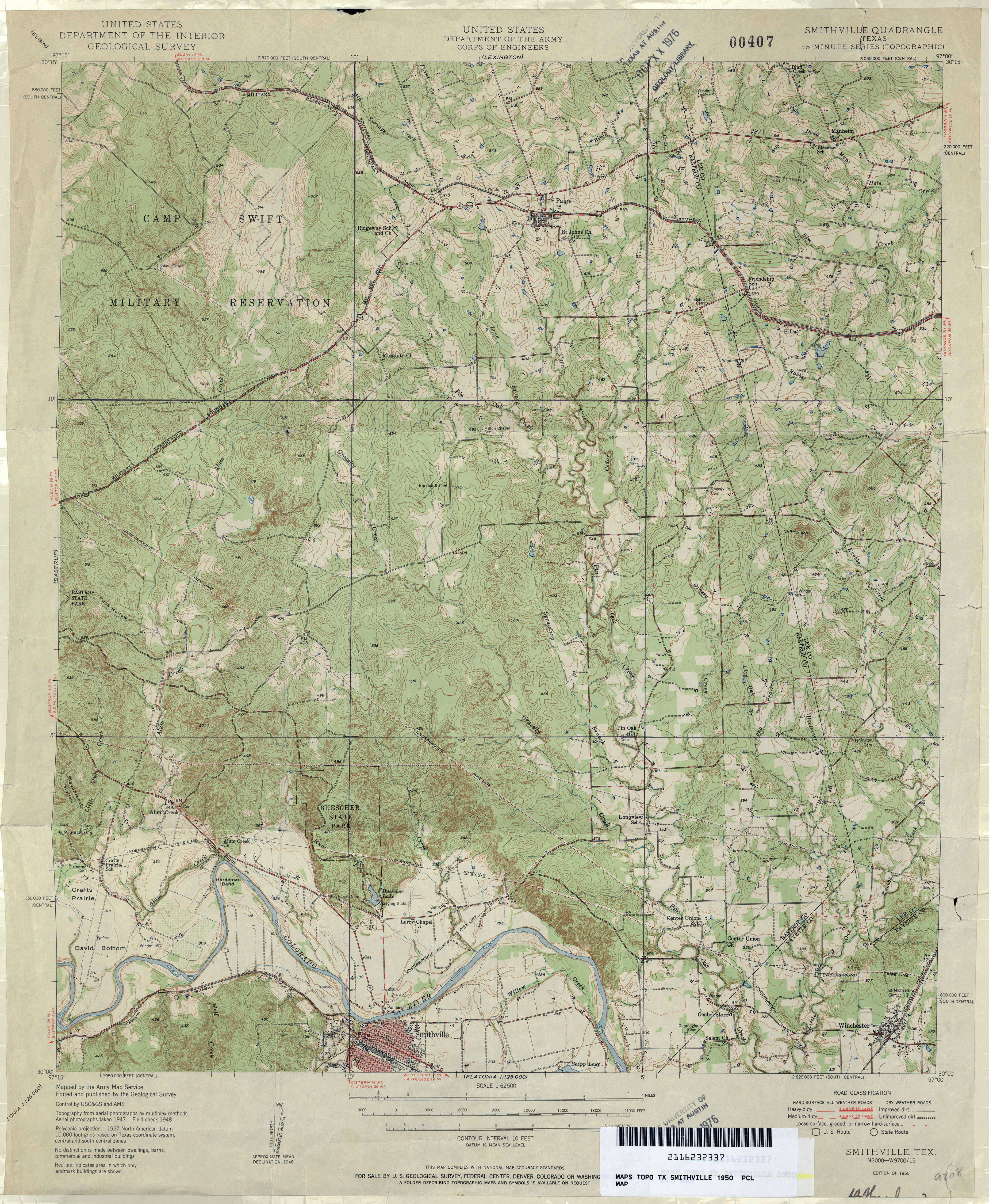
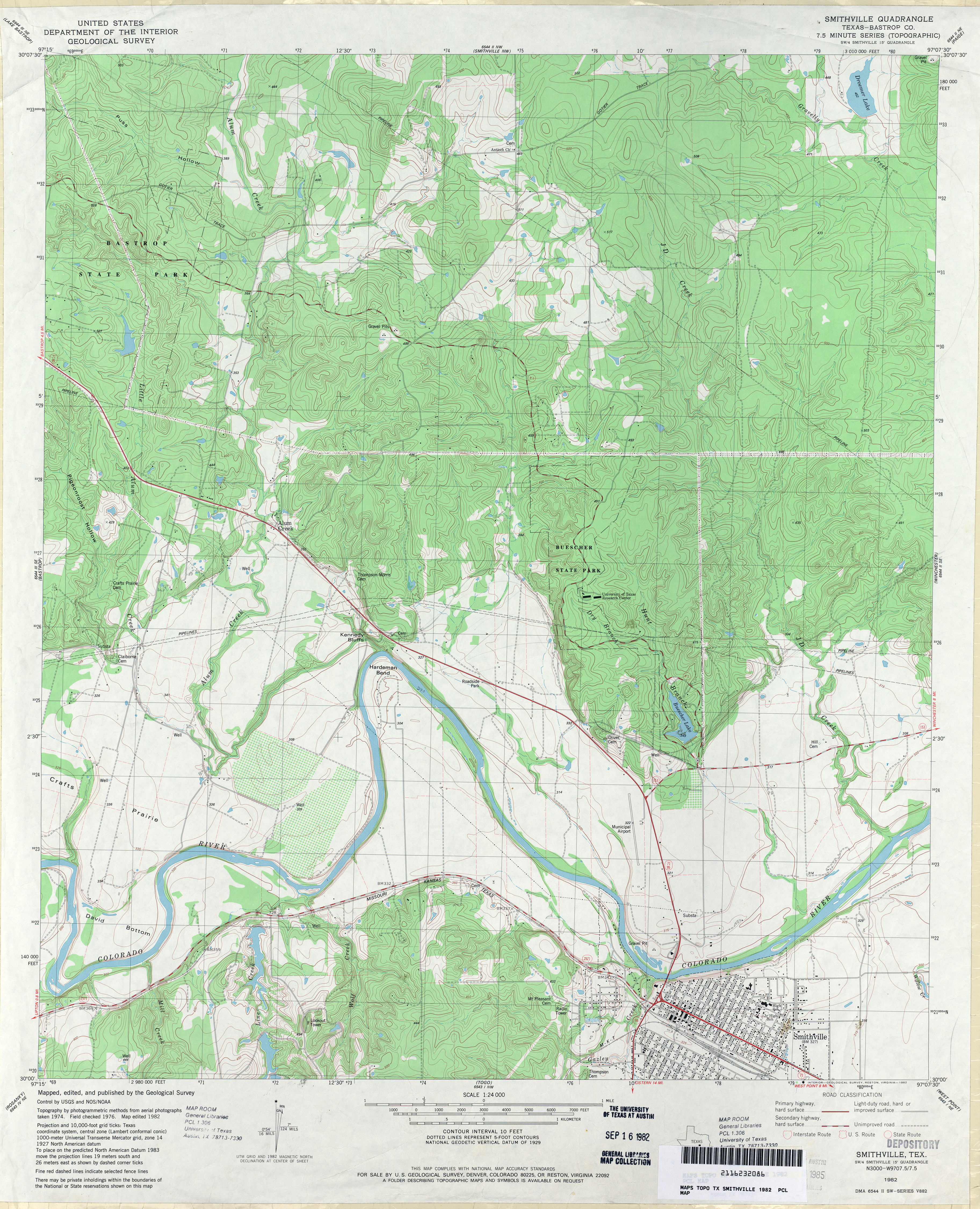
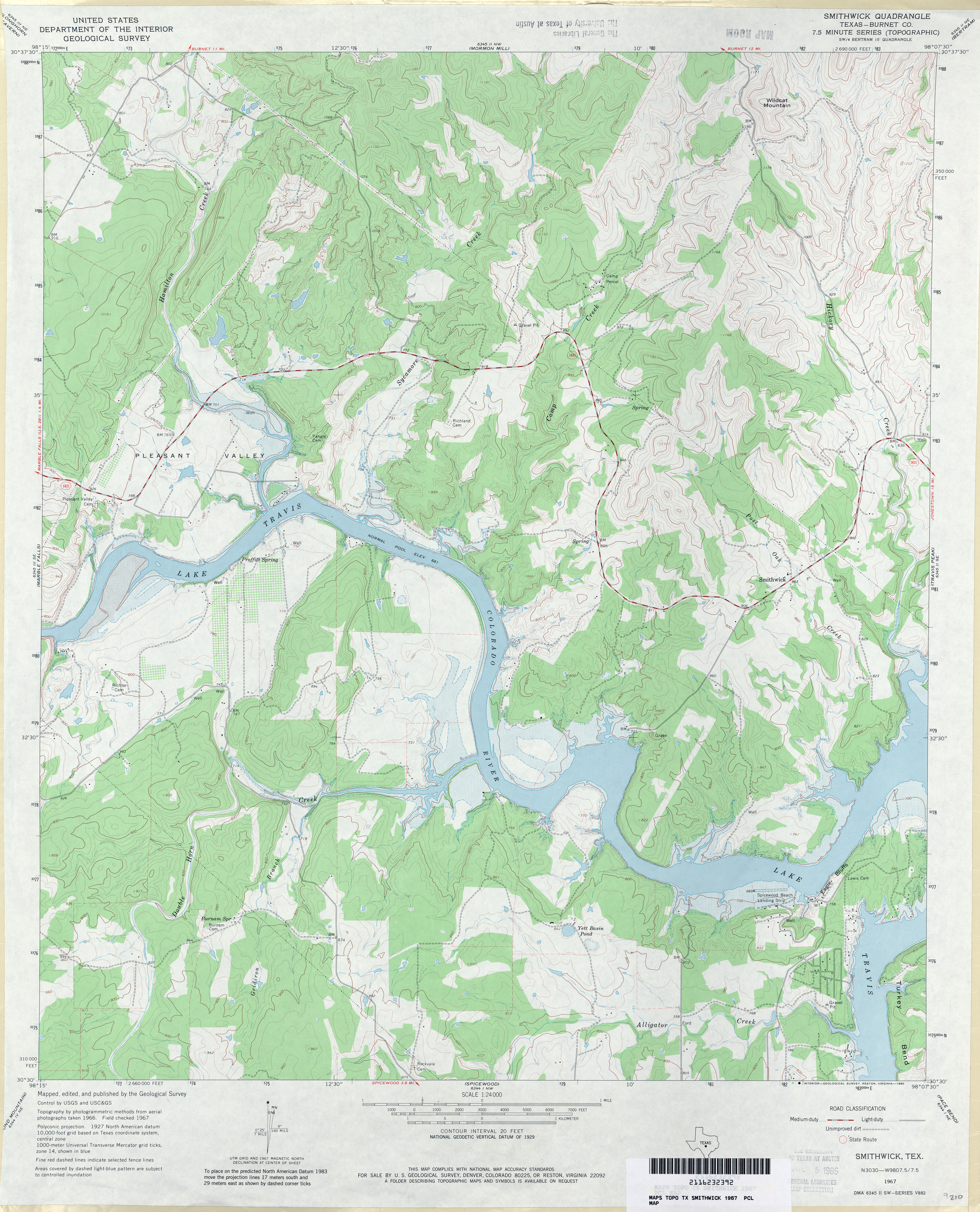
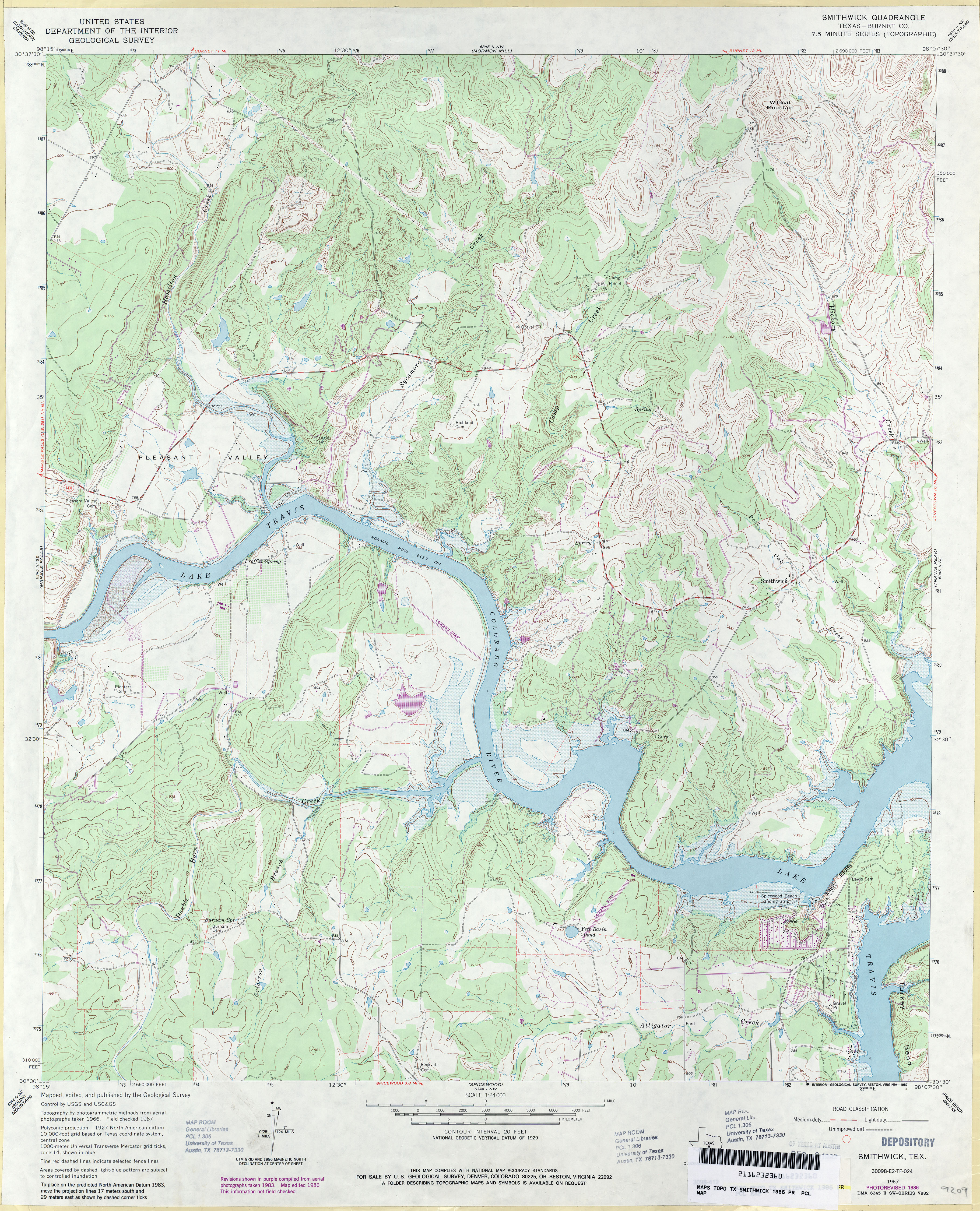
![Smyer [Wolfforth SW]](http://maps.lib.utexas.edu/maps/topo/texas/txu-pclmaps-topo-tx-wolfforth_sw-1976.jpg)
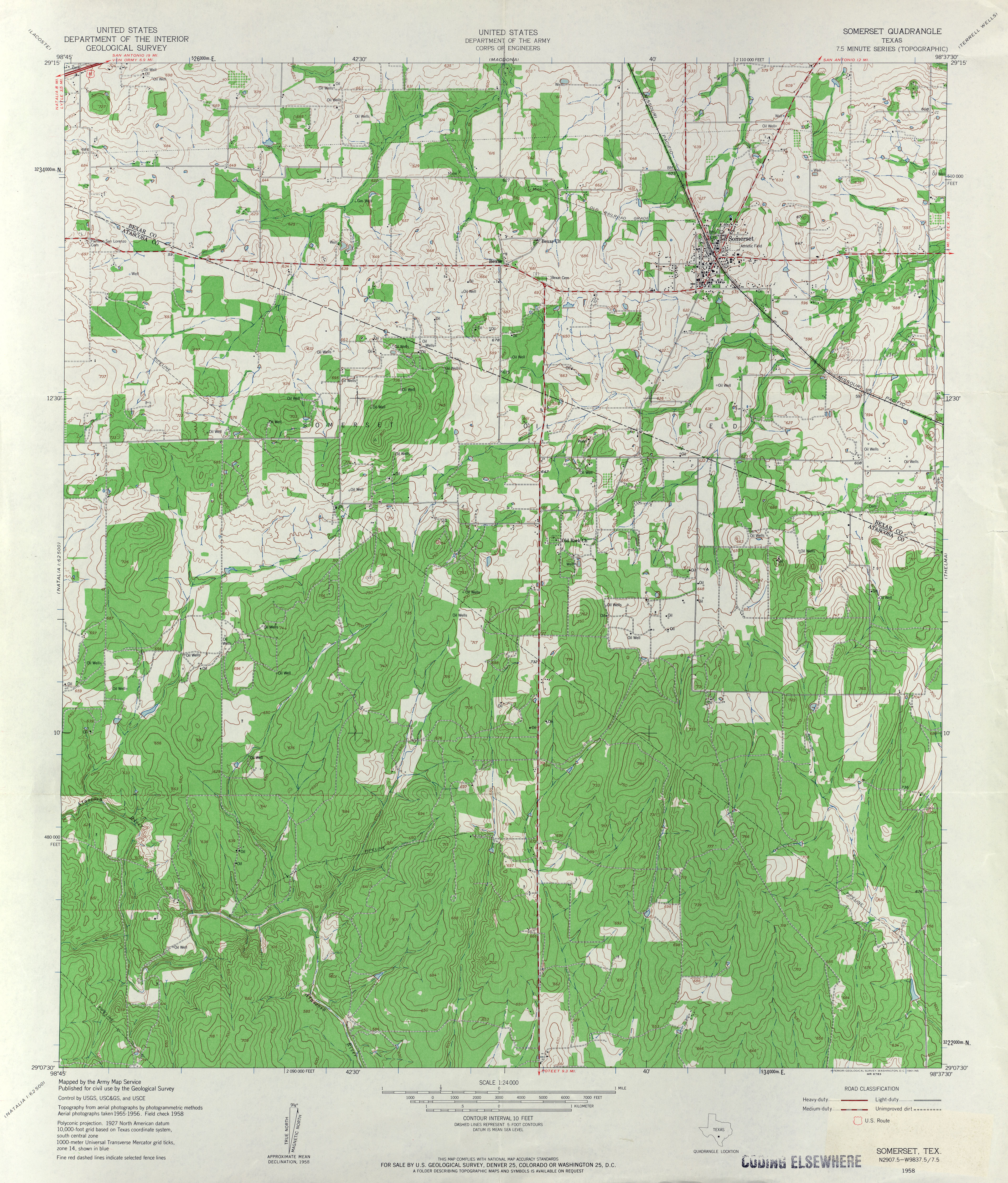
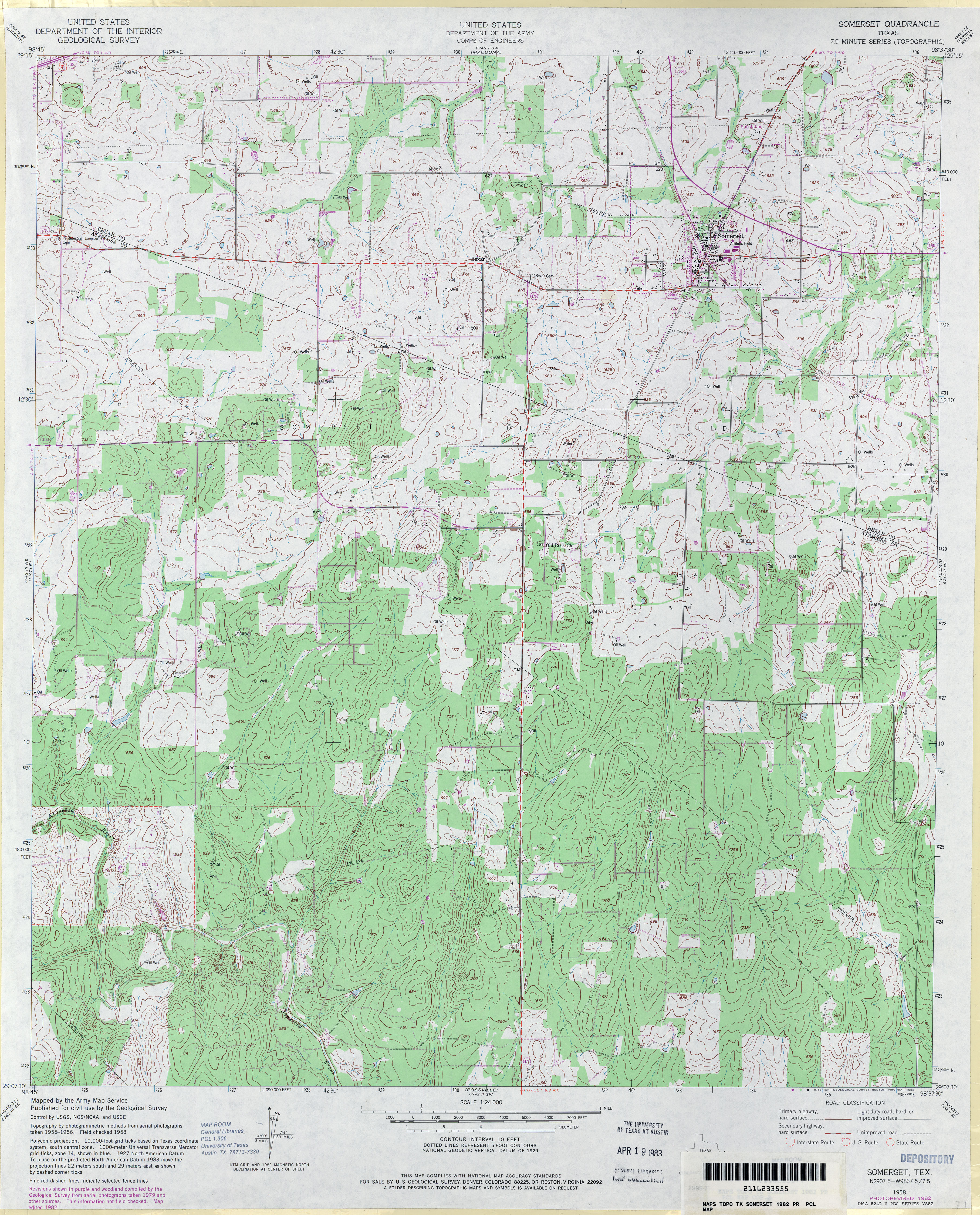
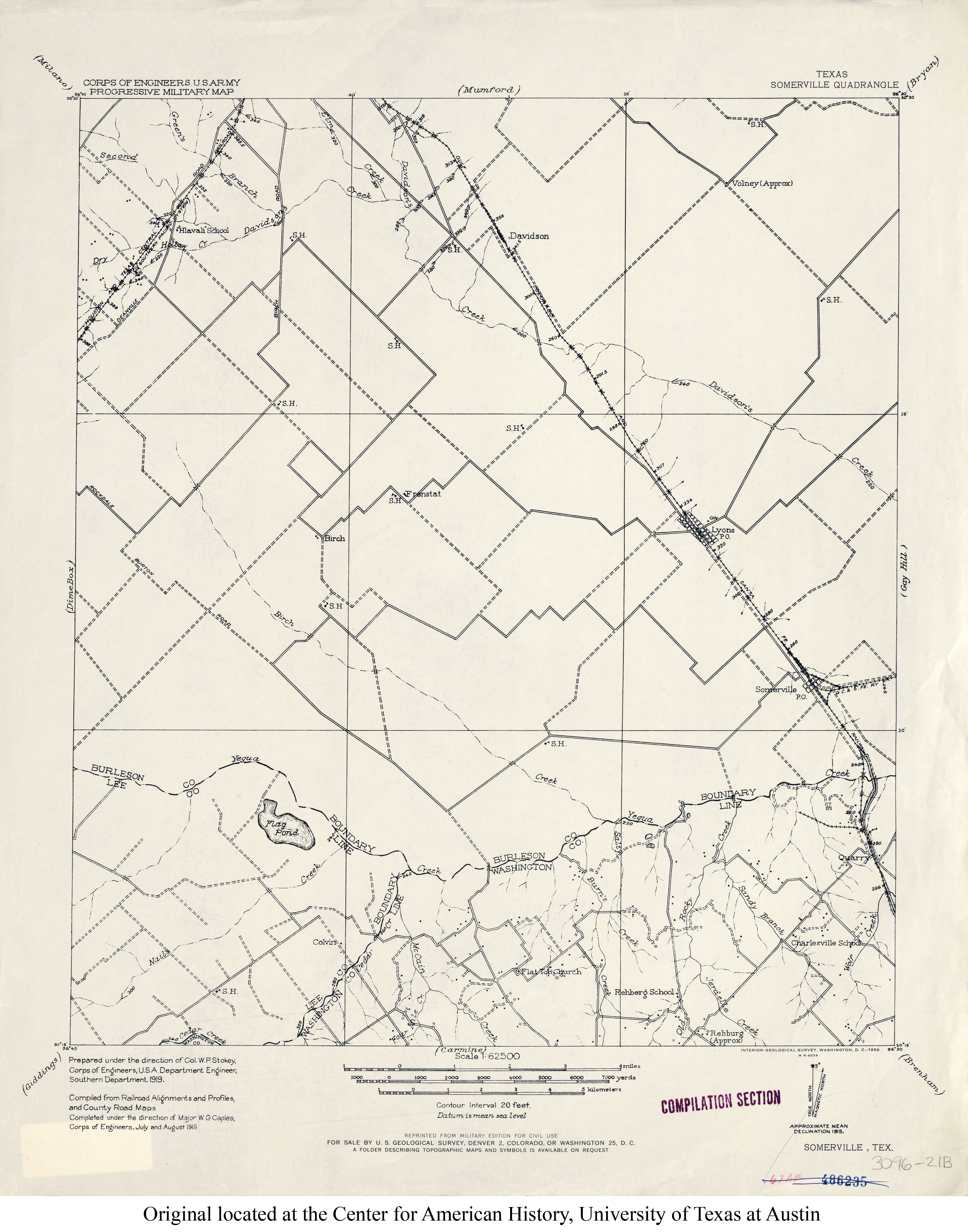
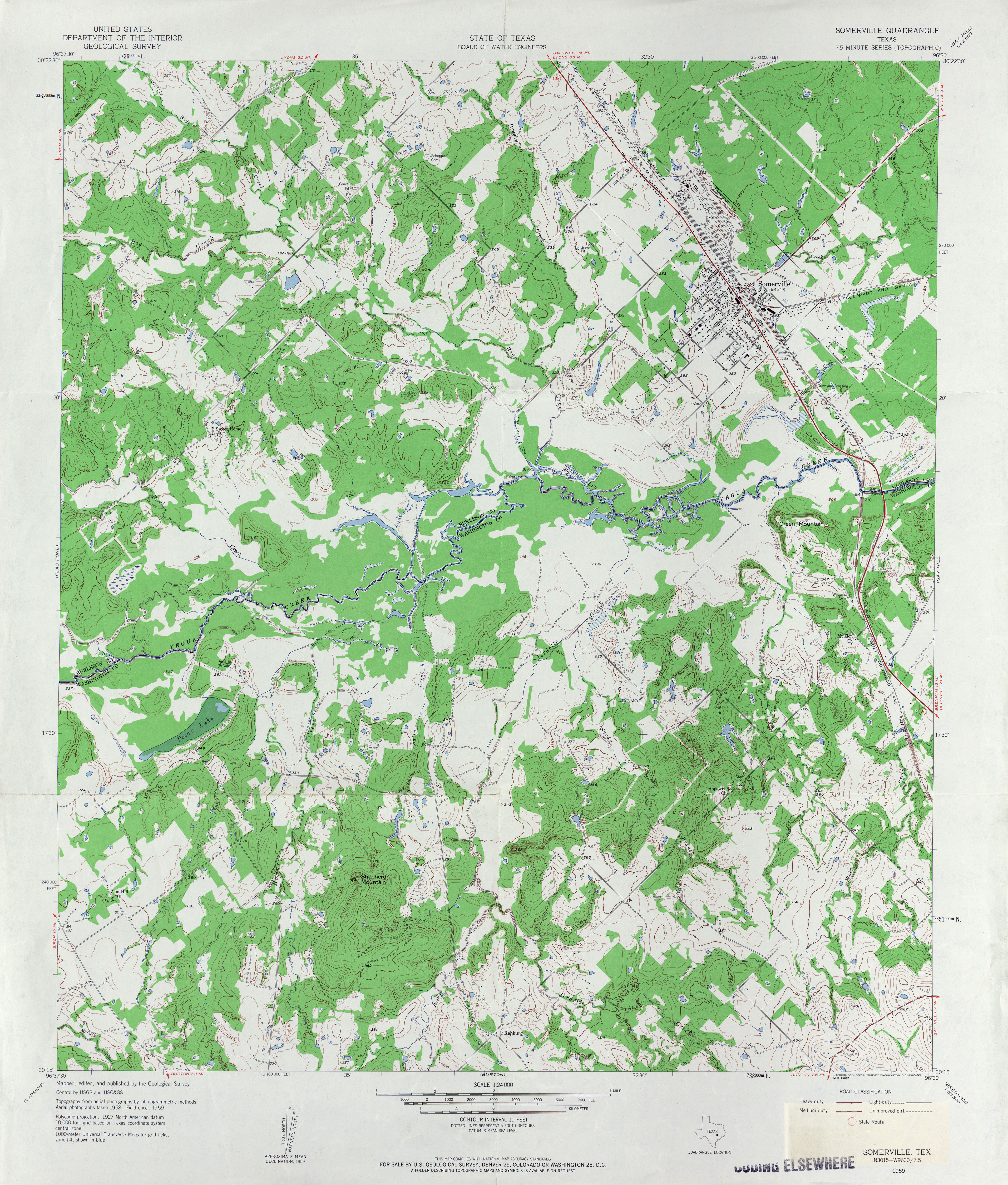
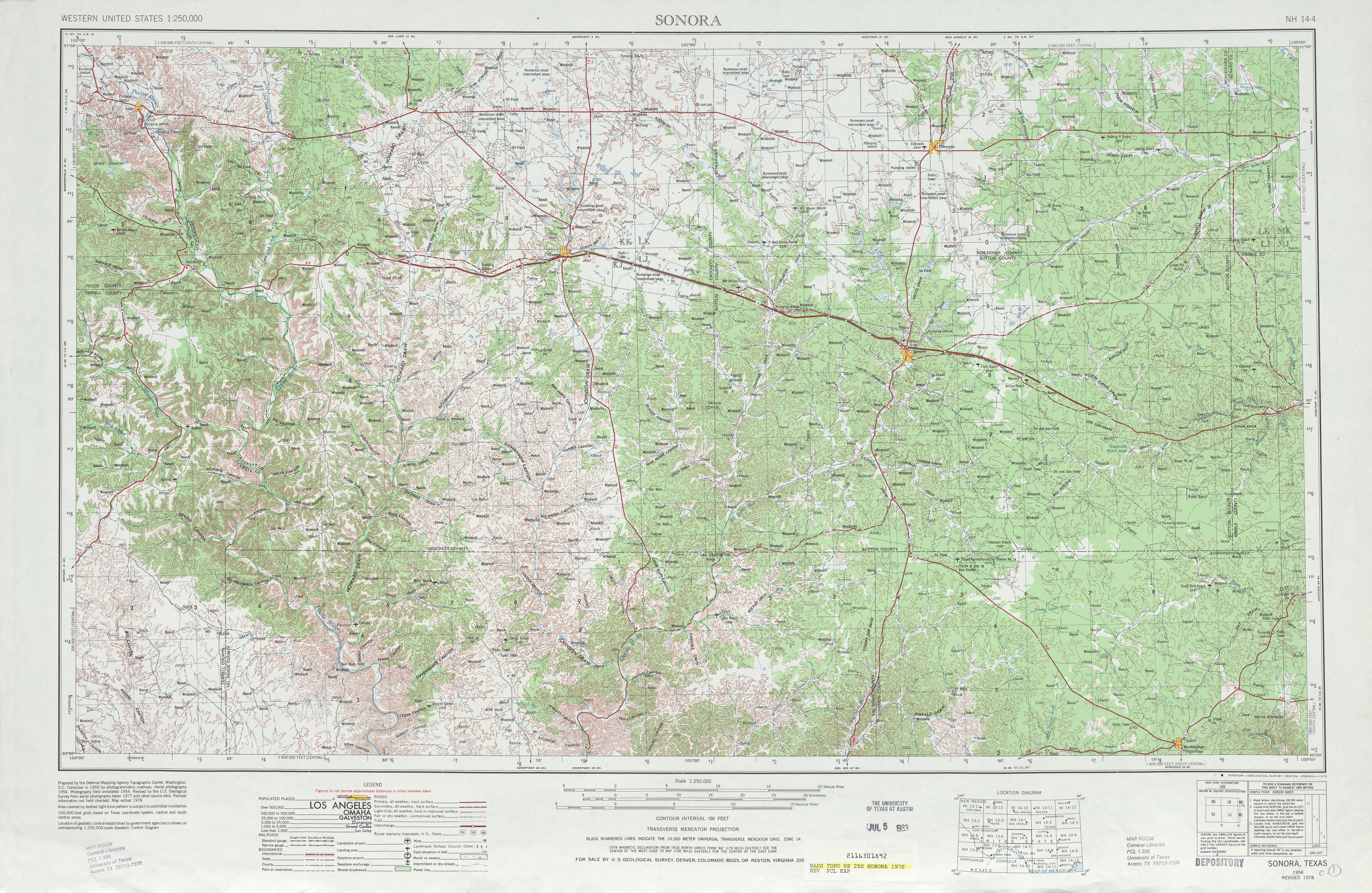
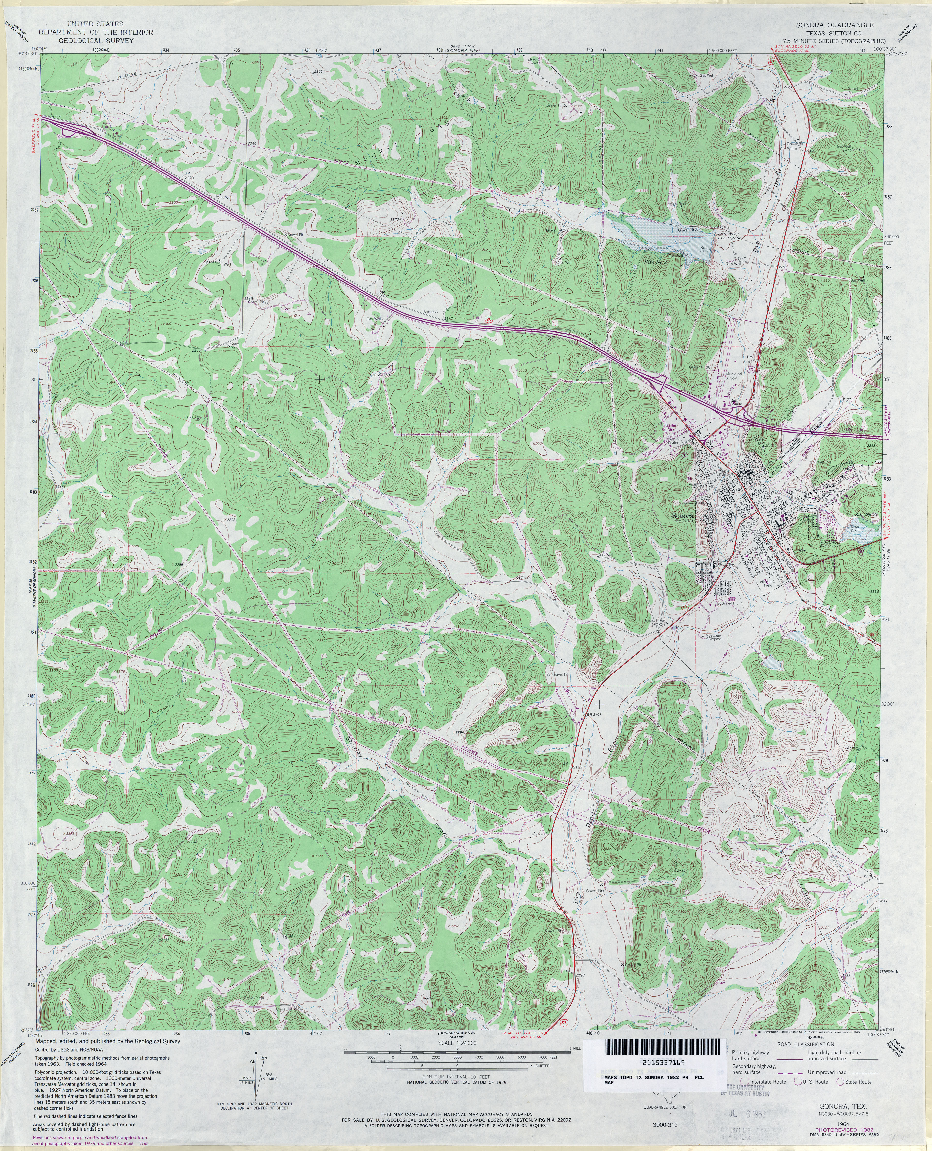
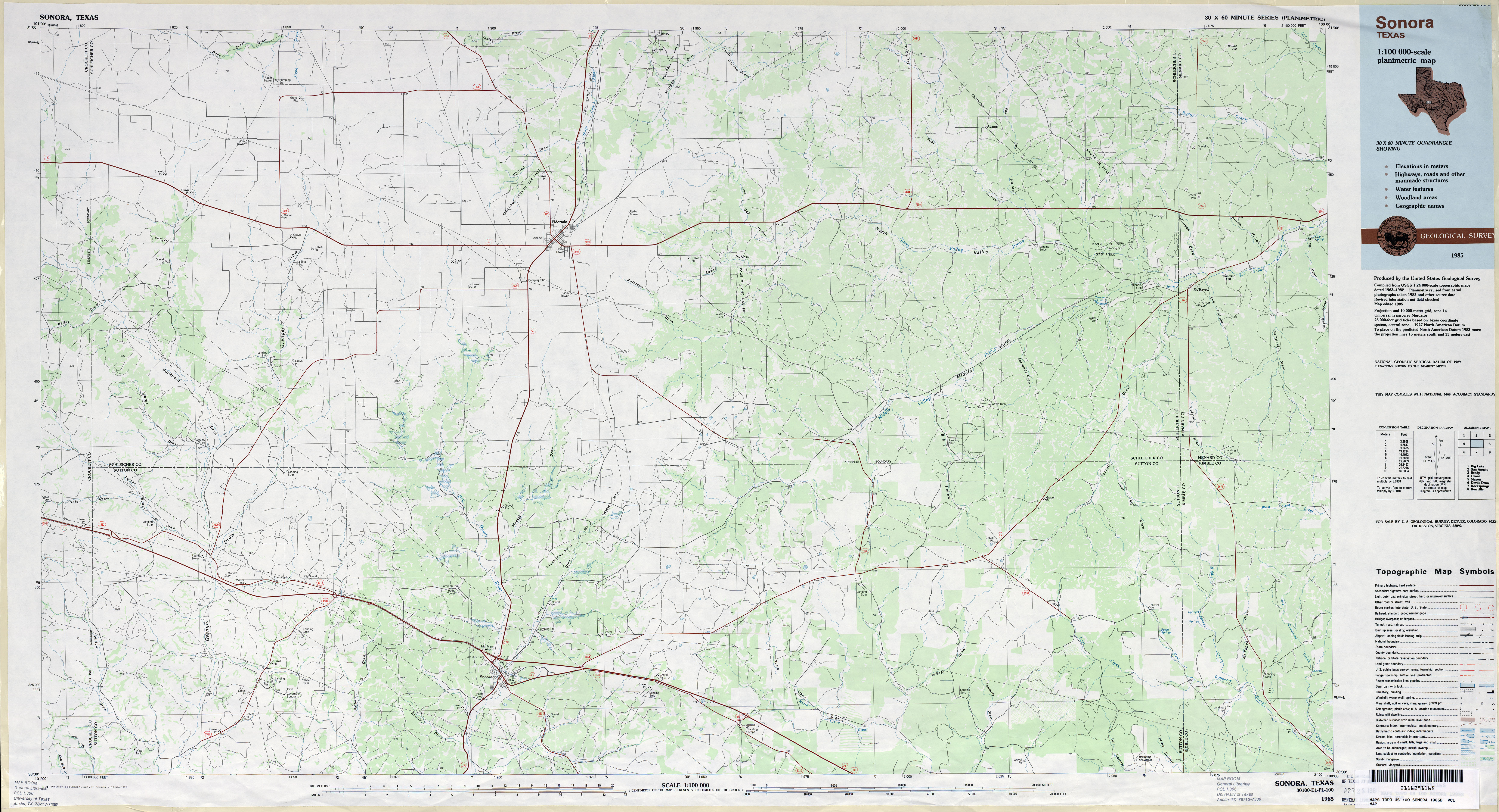
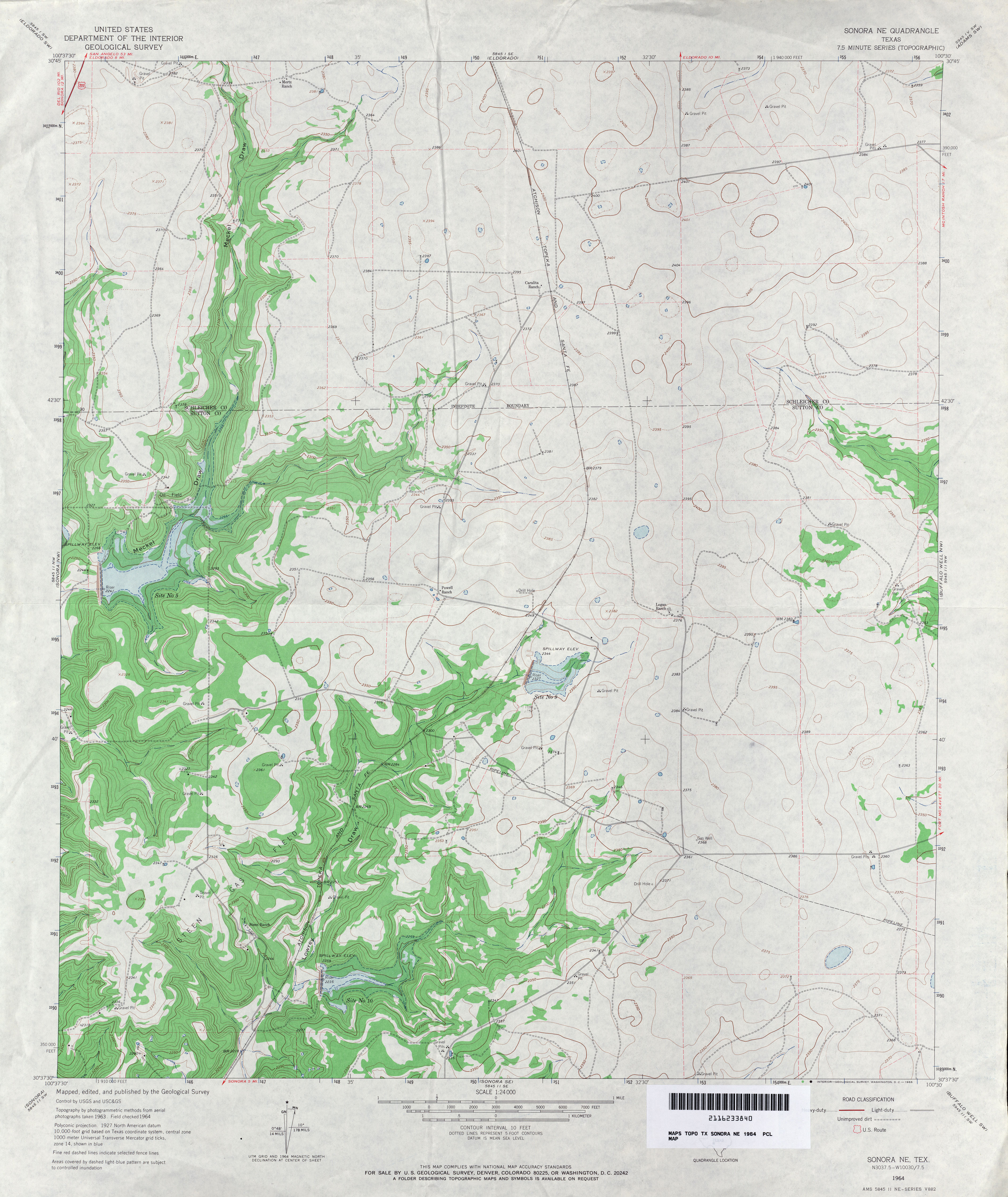
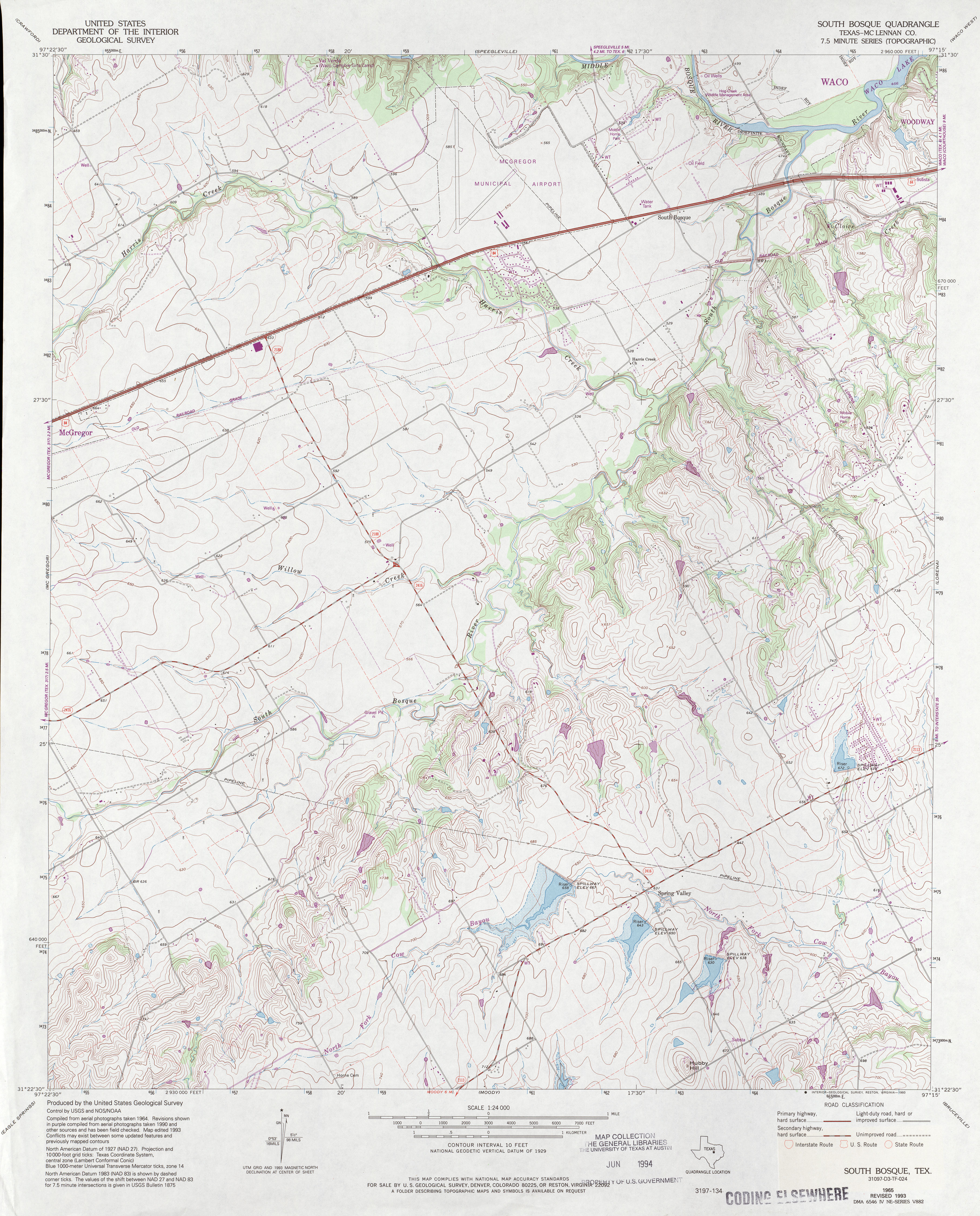
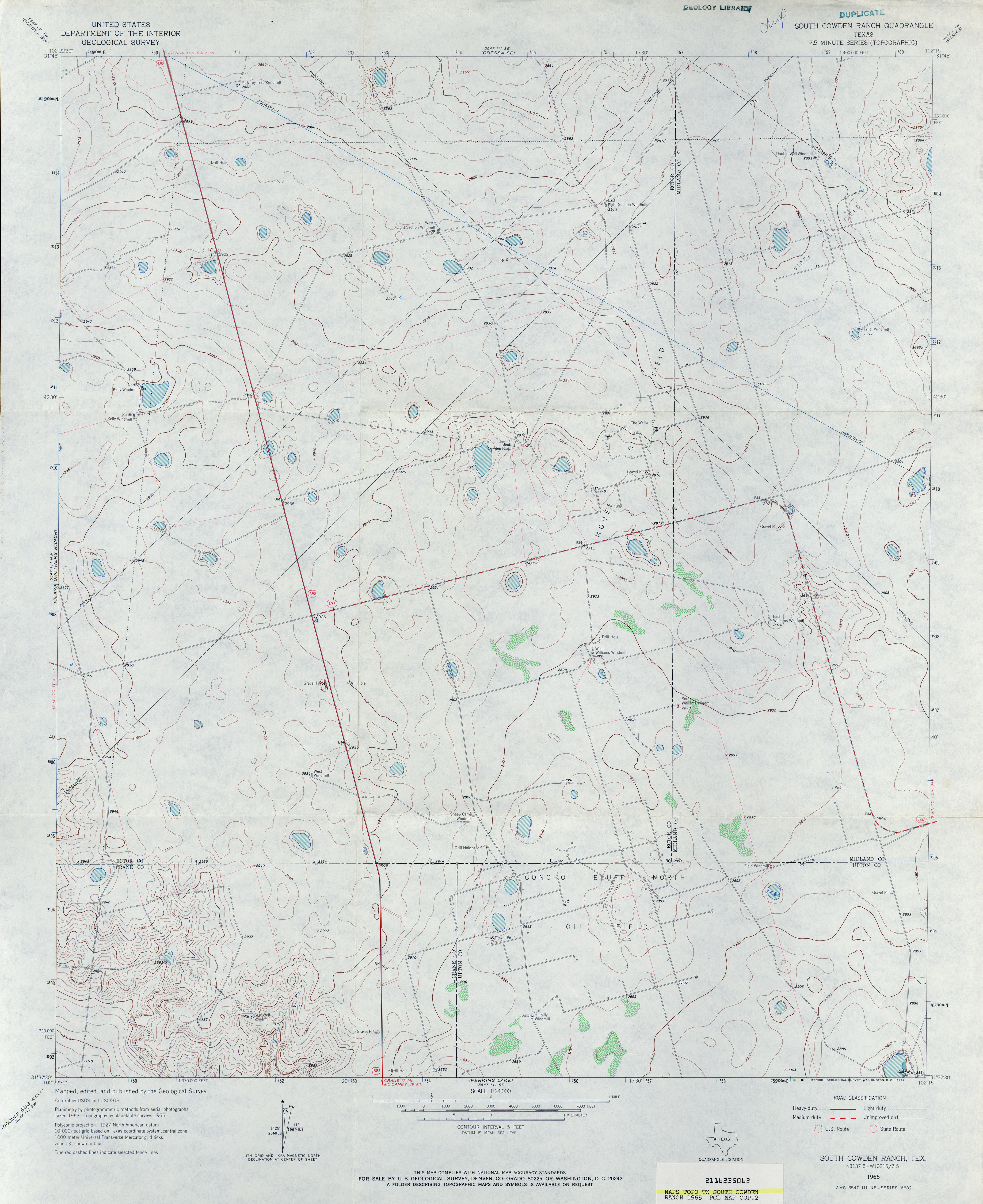
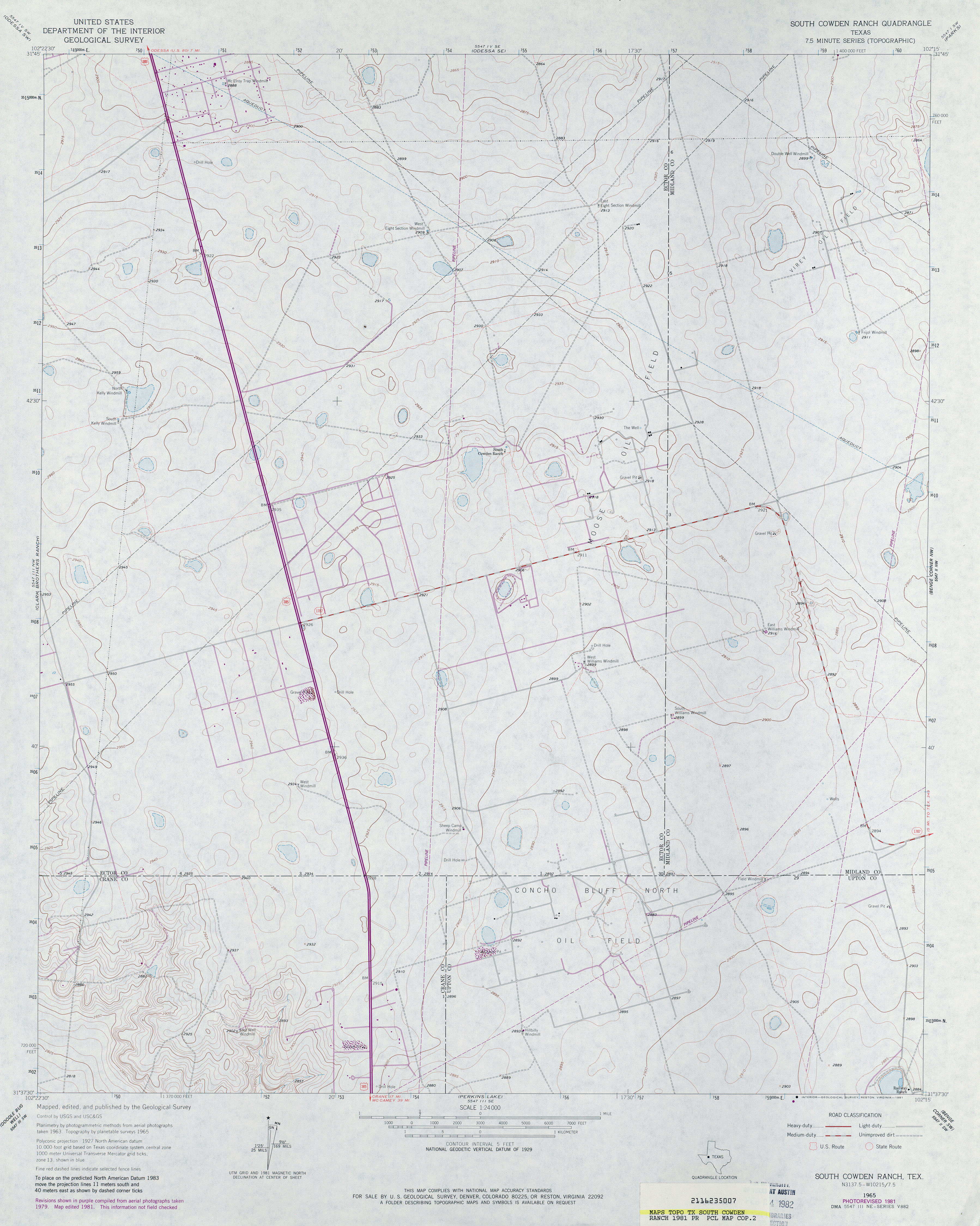
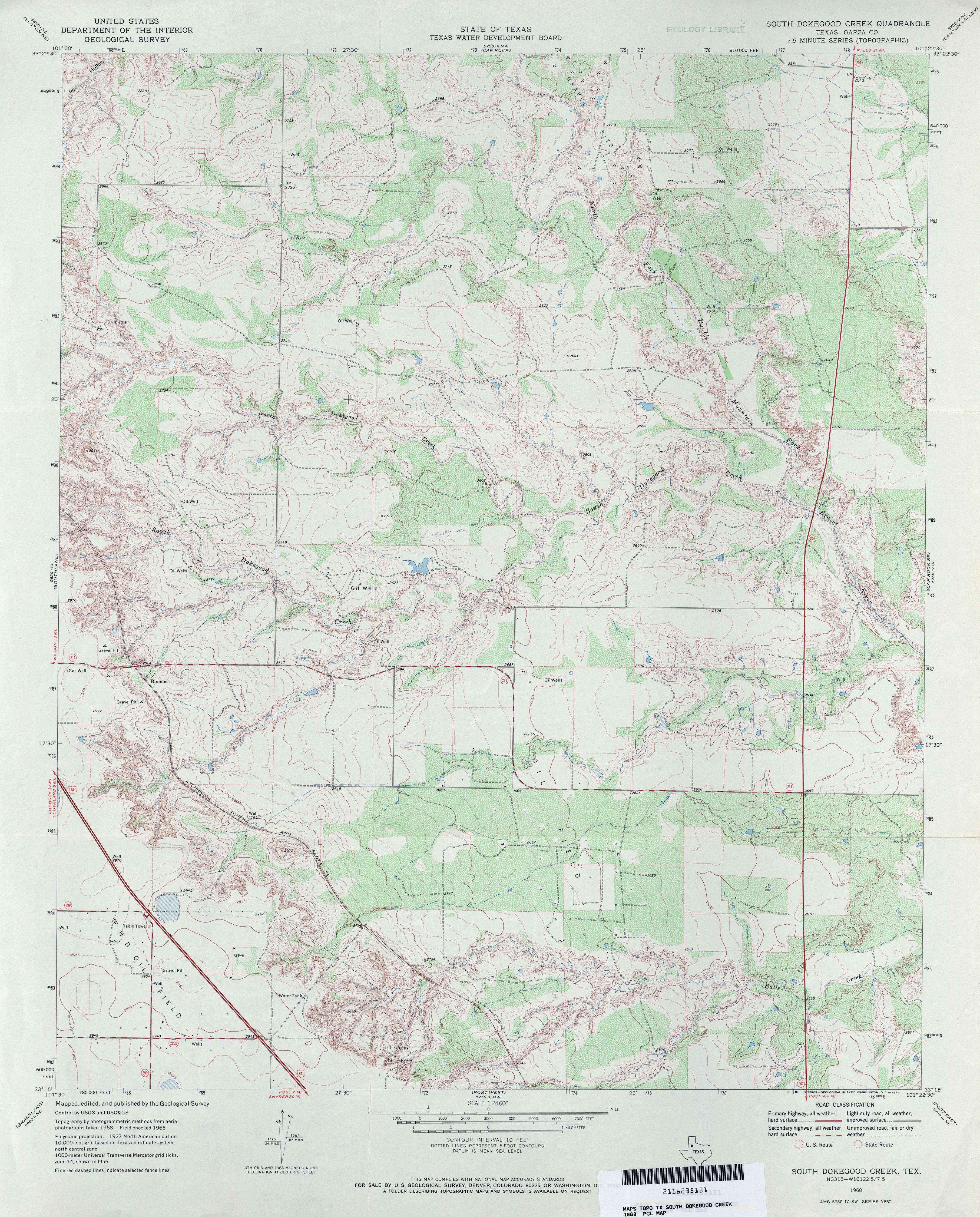
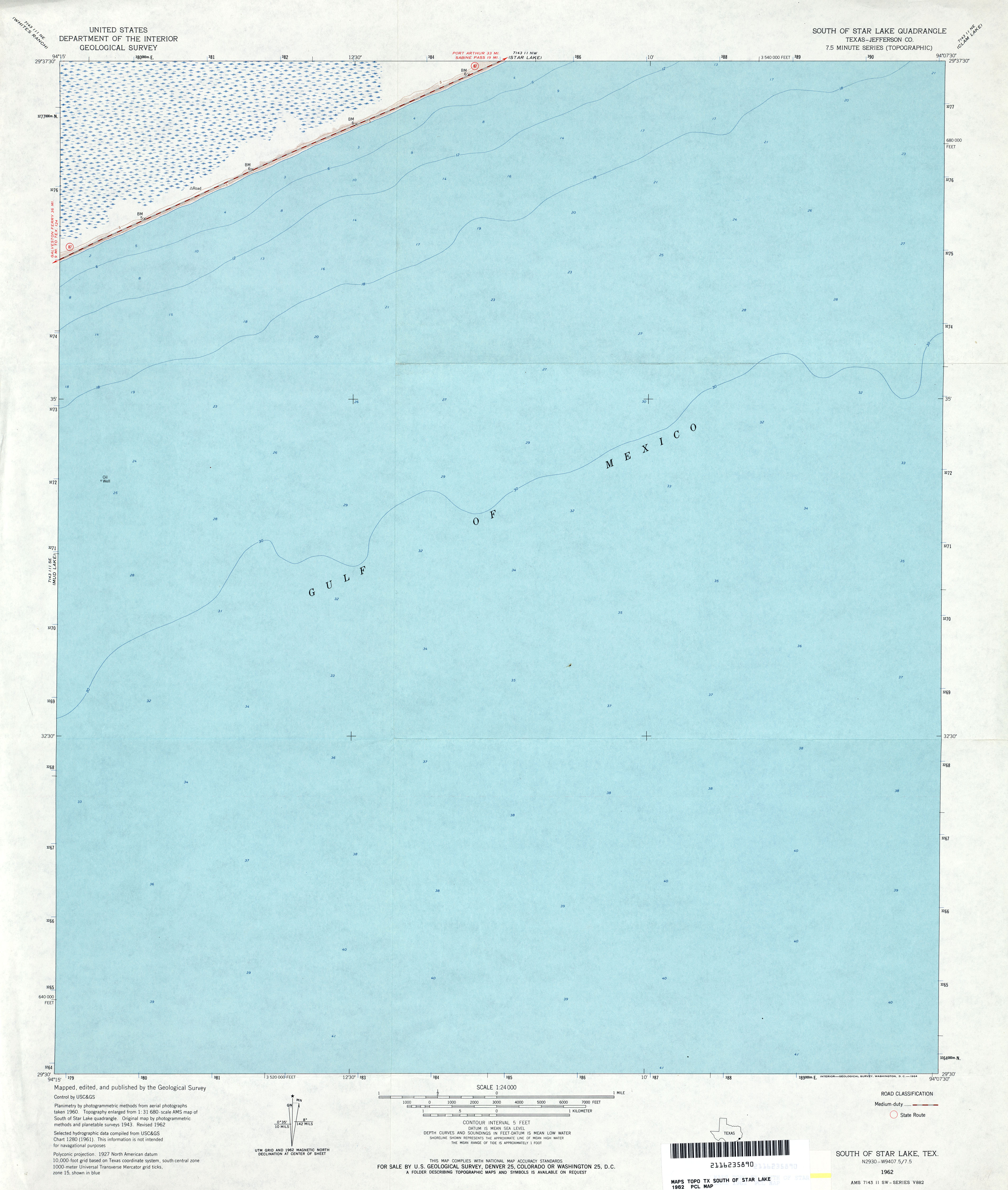
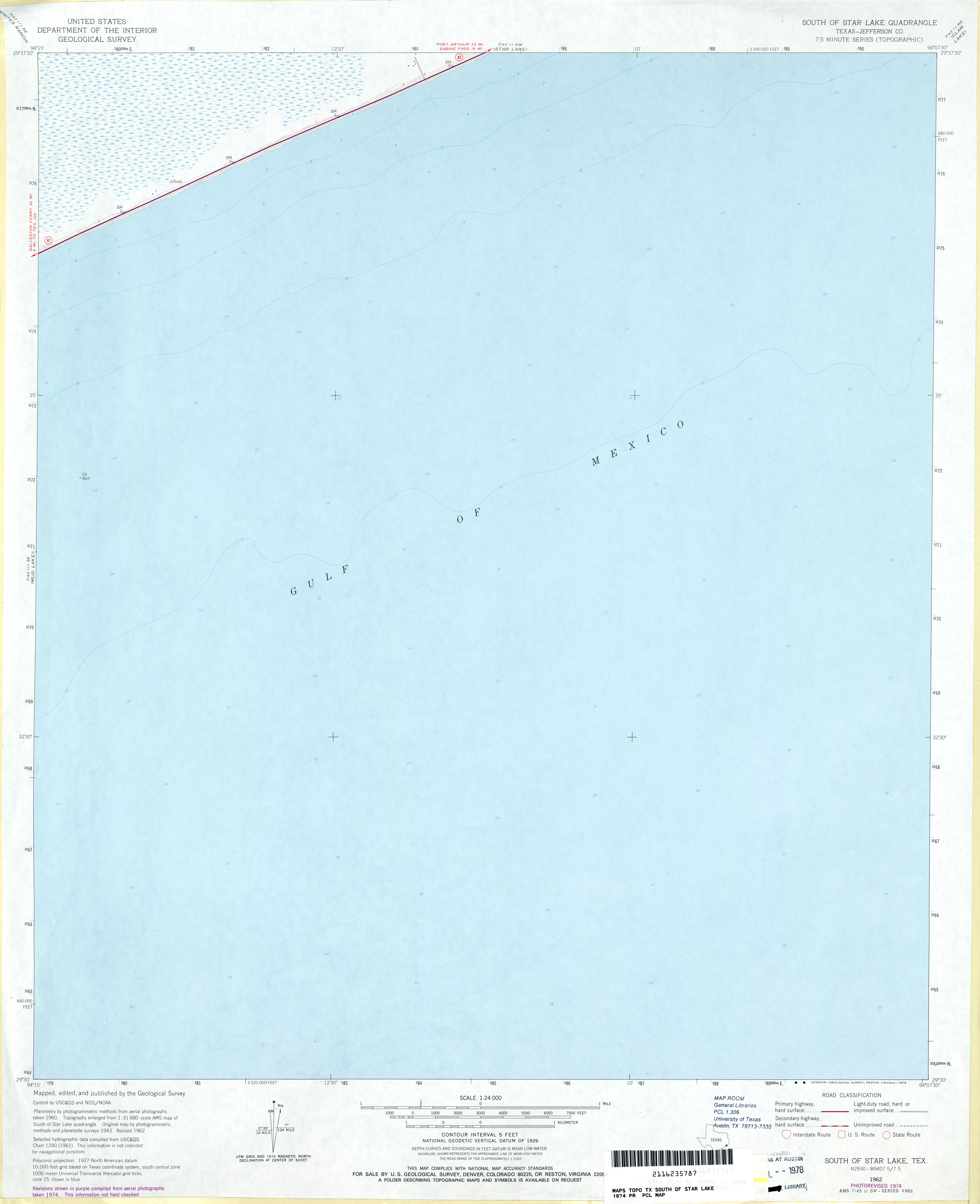
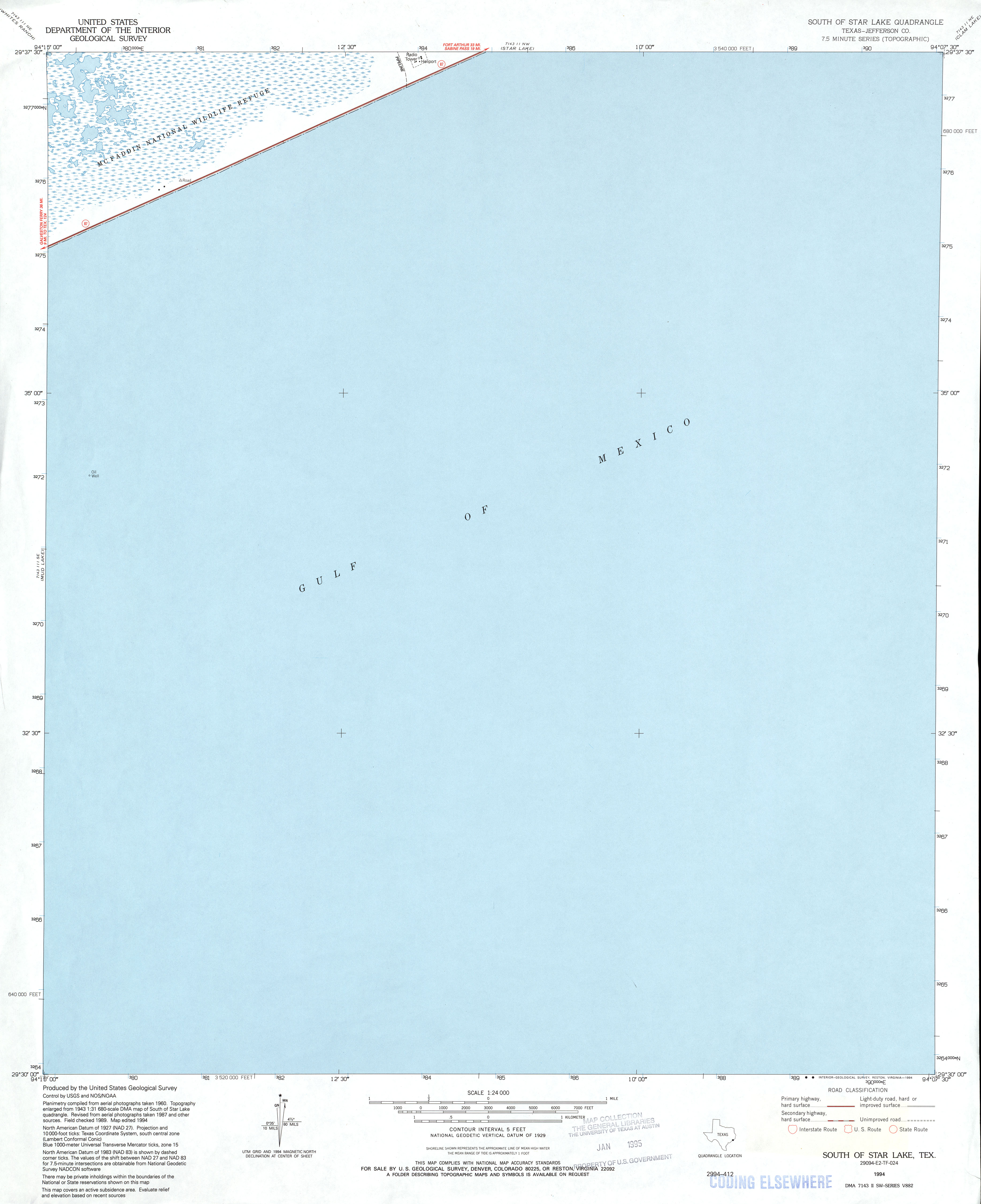
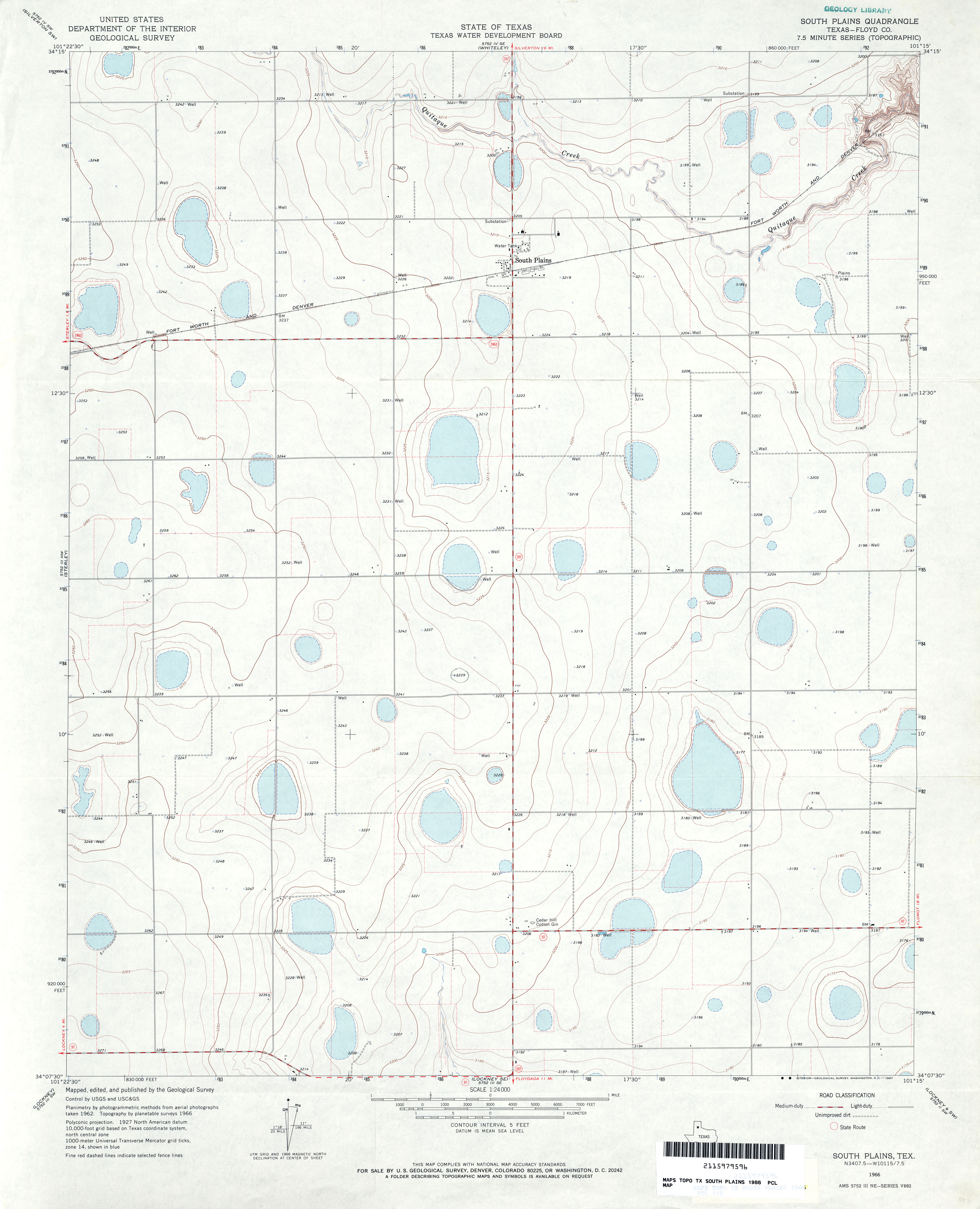
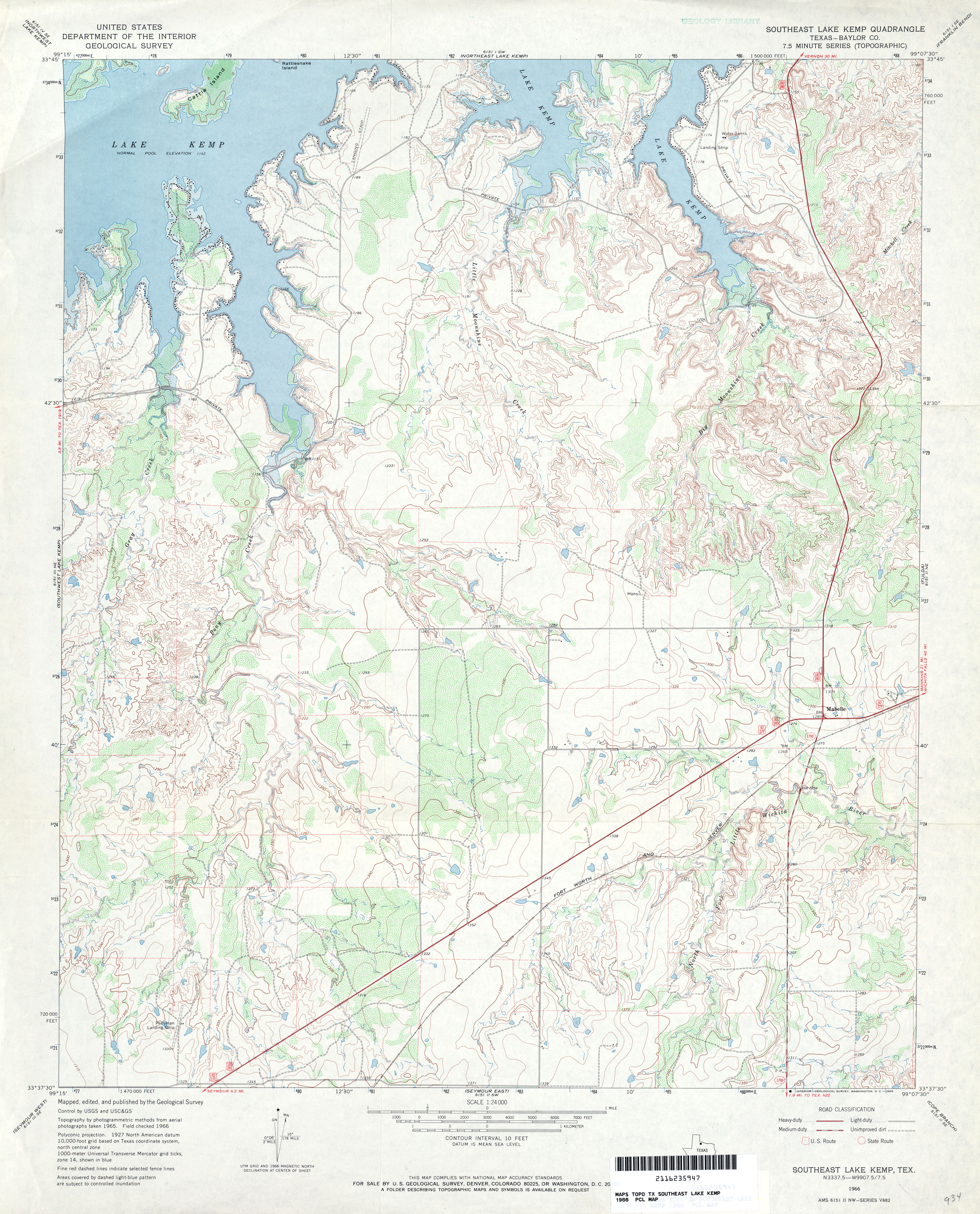
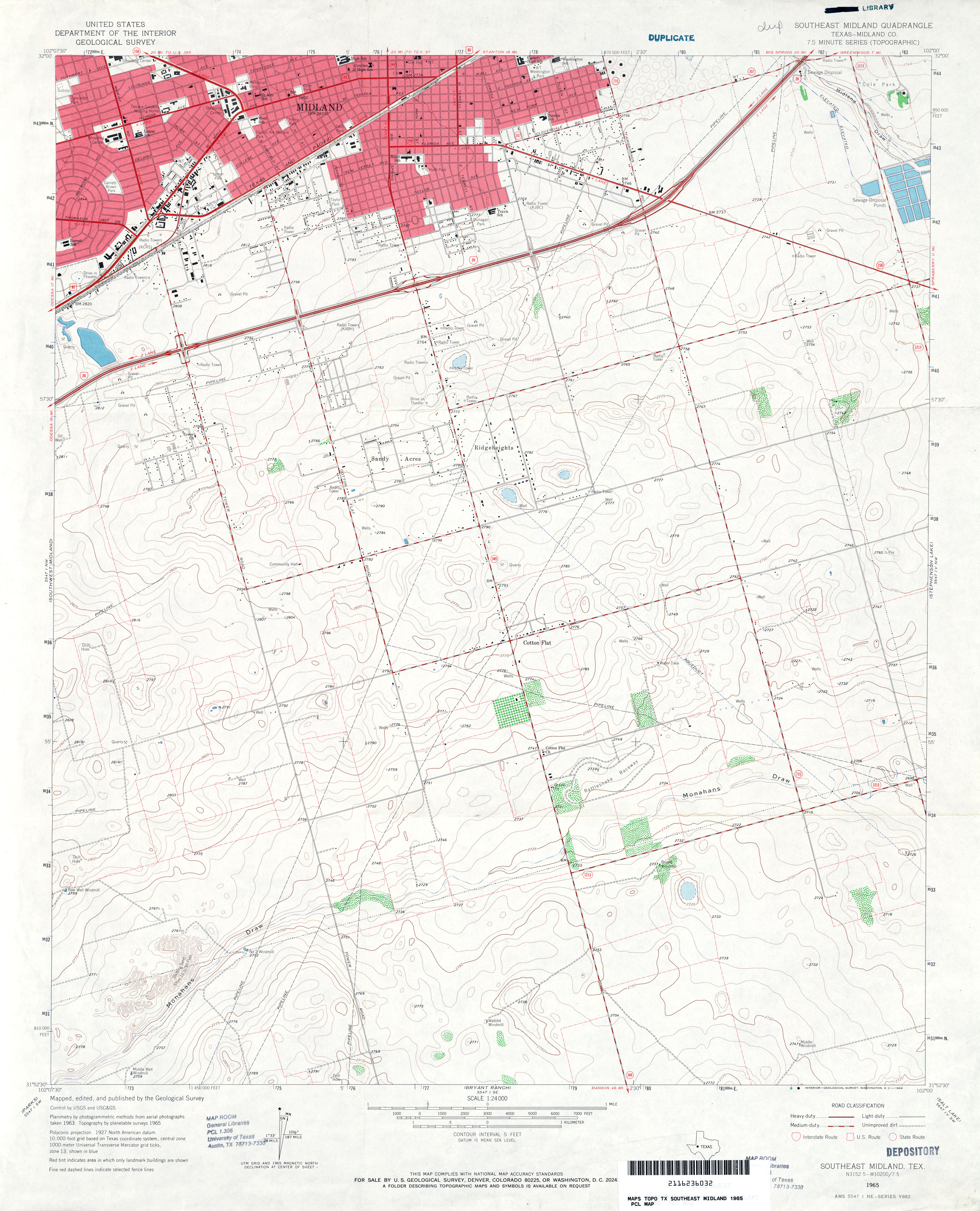
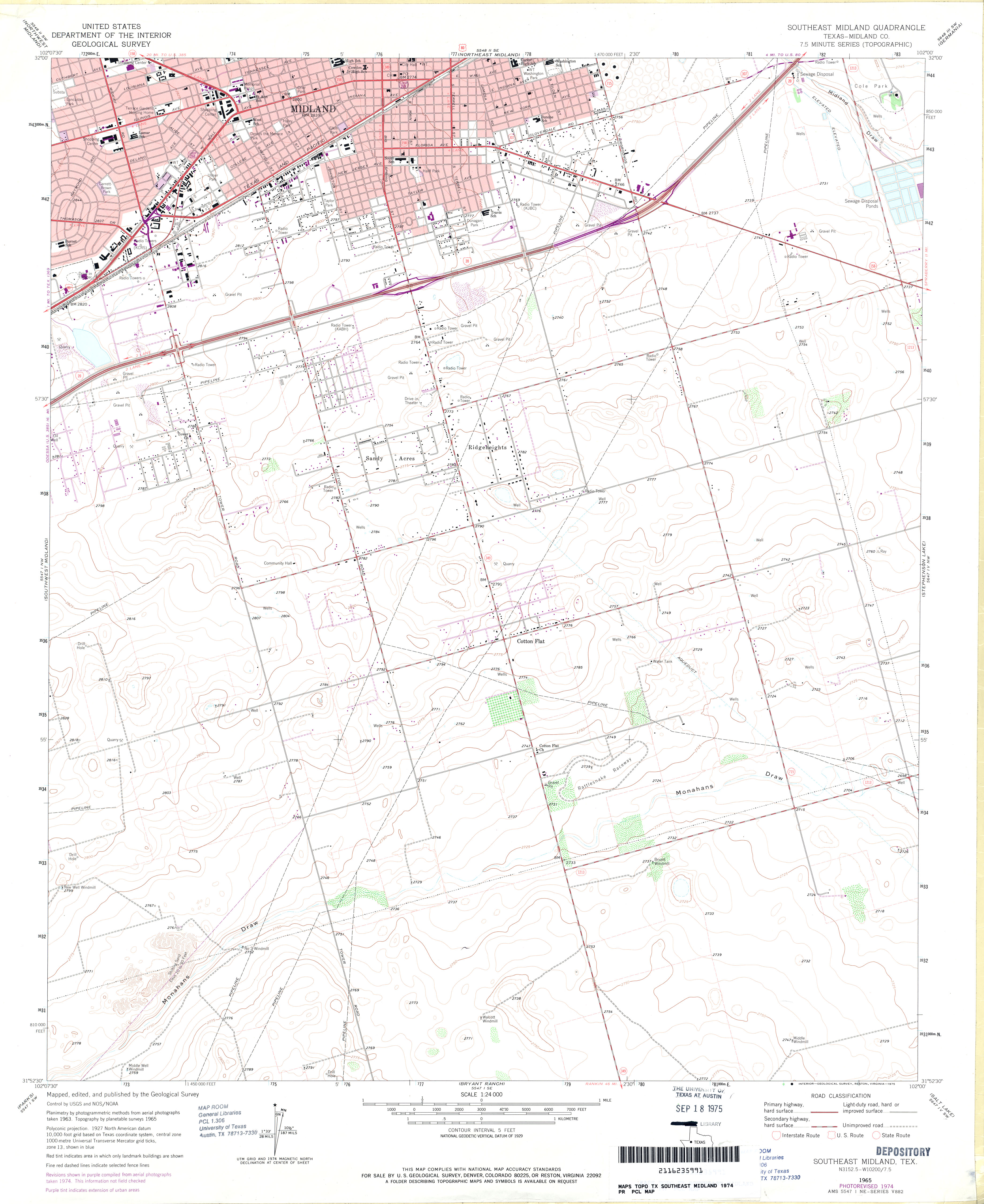
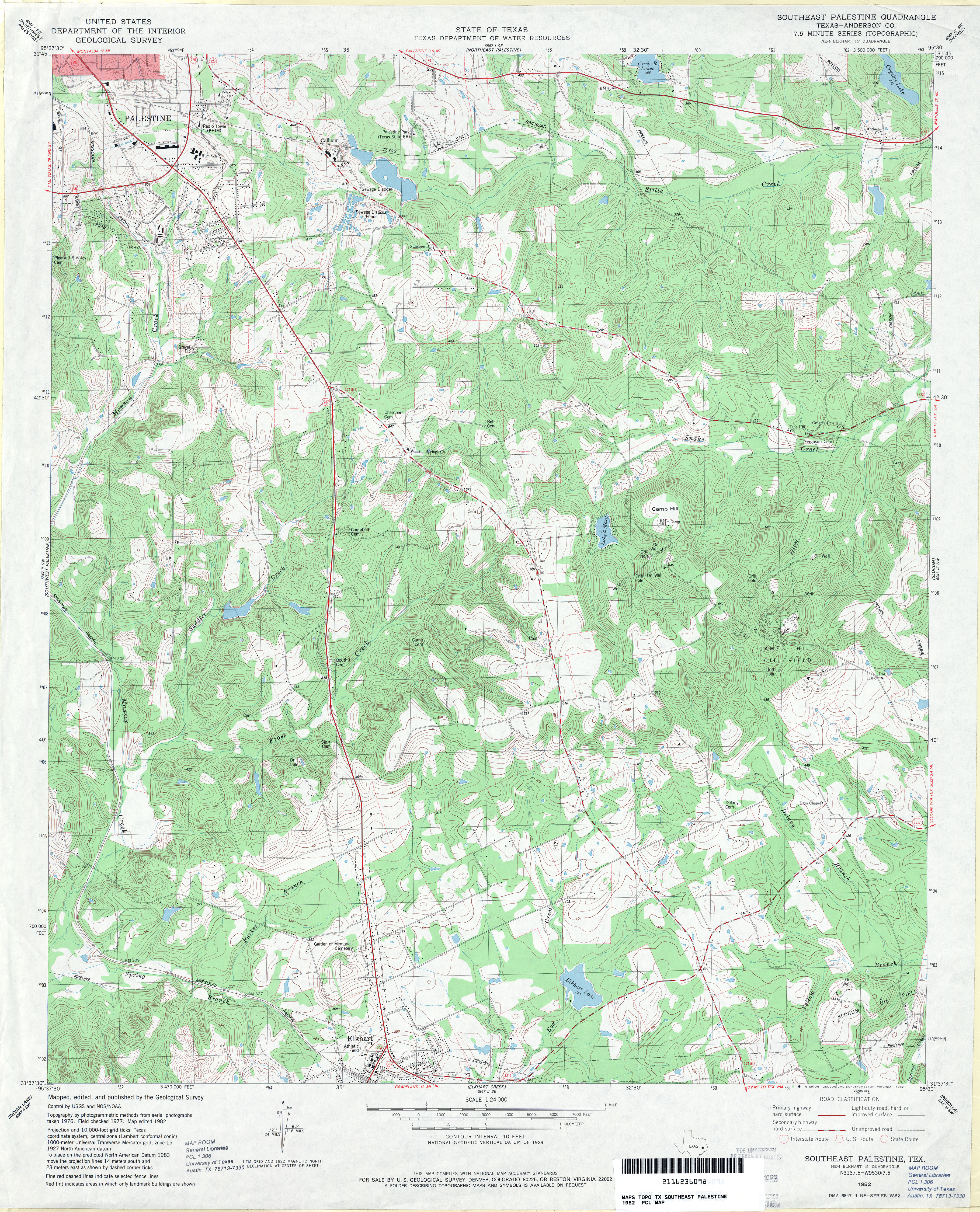
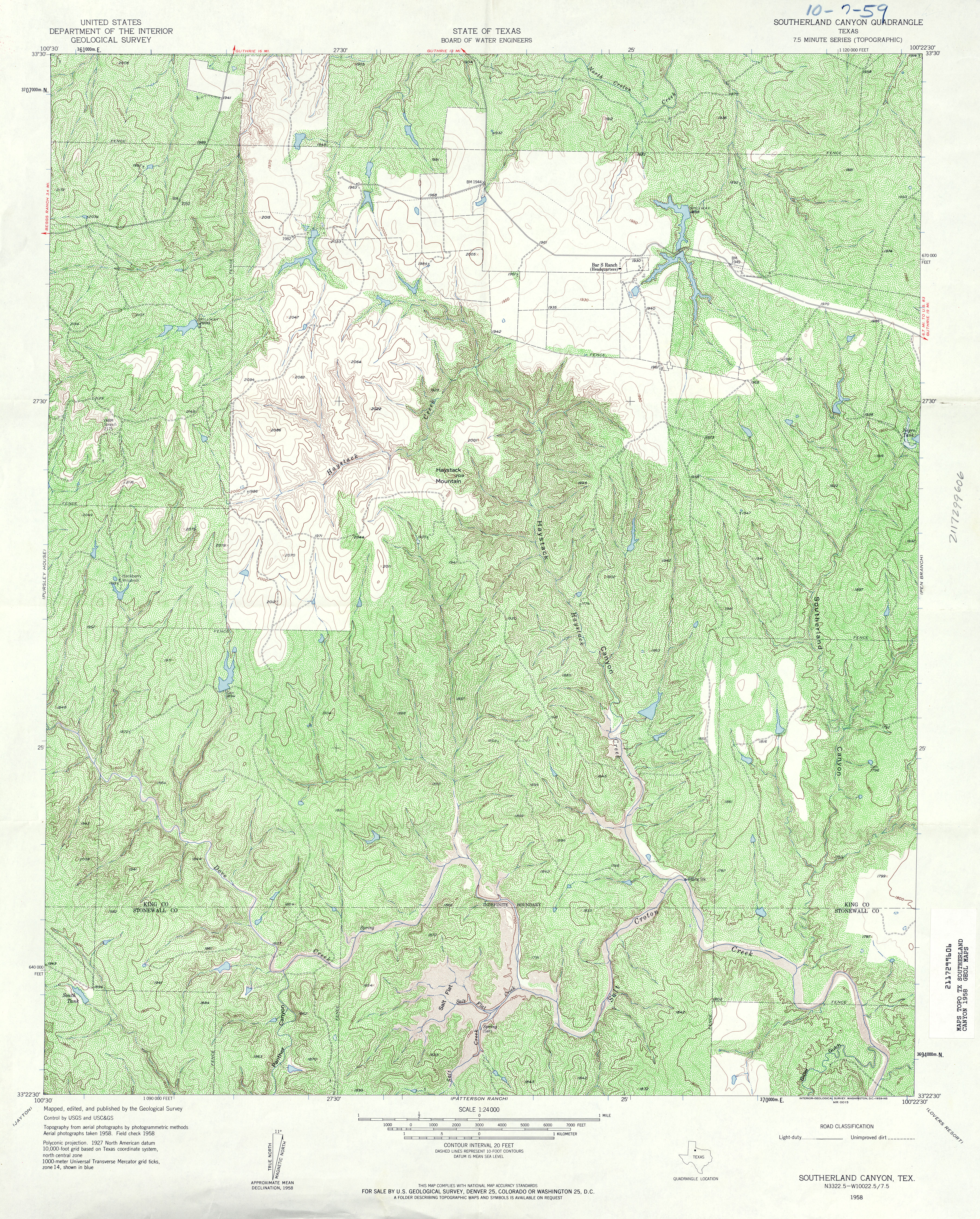
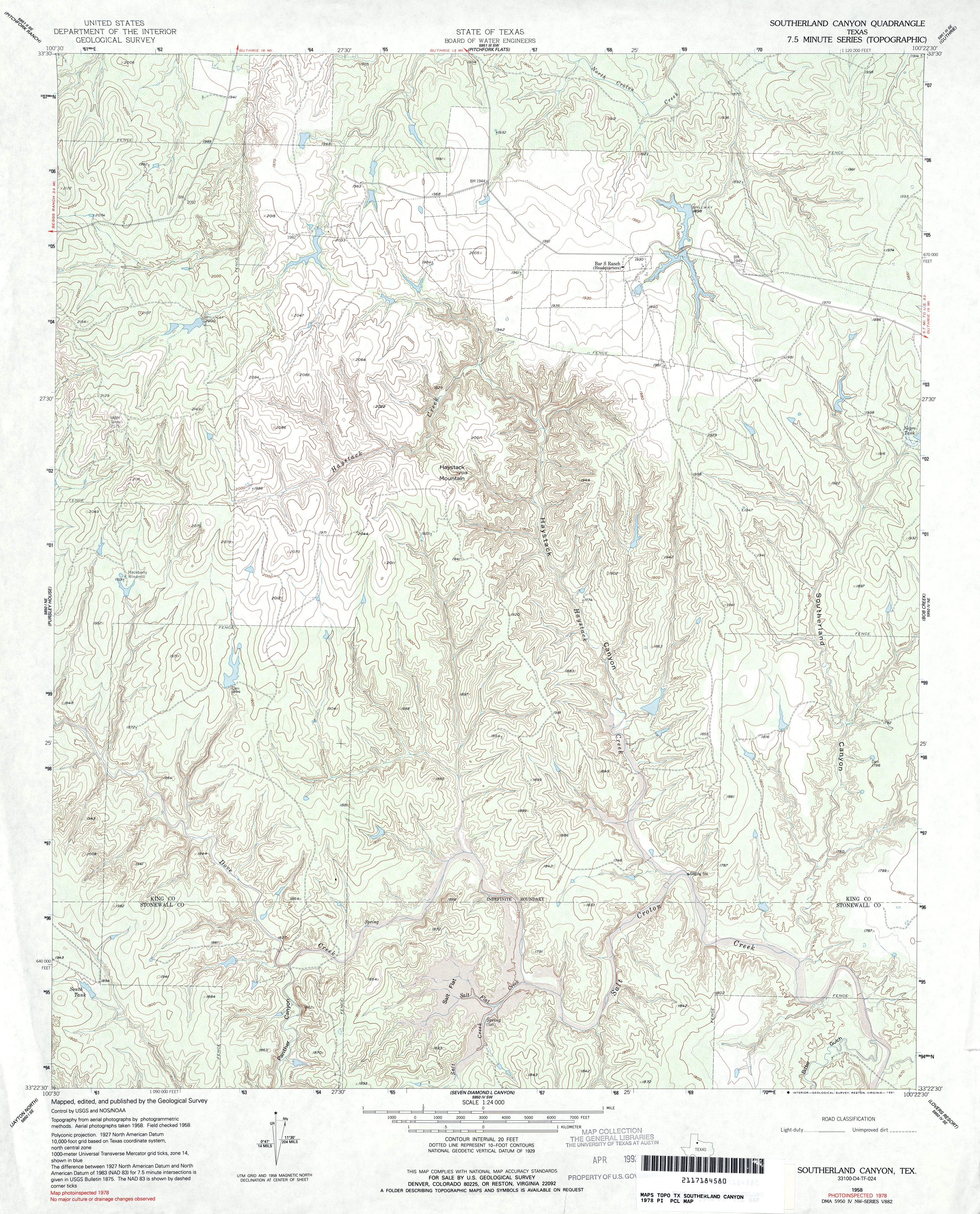
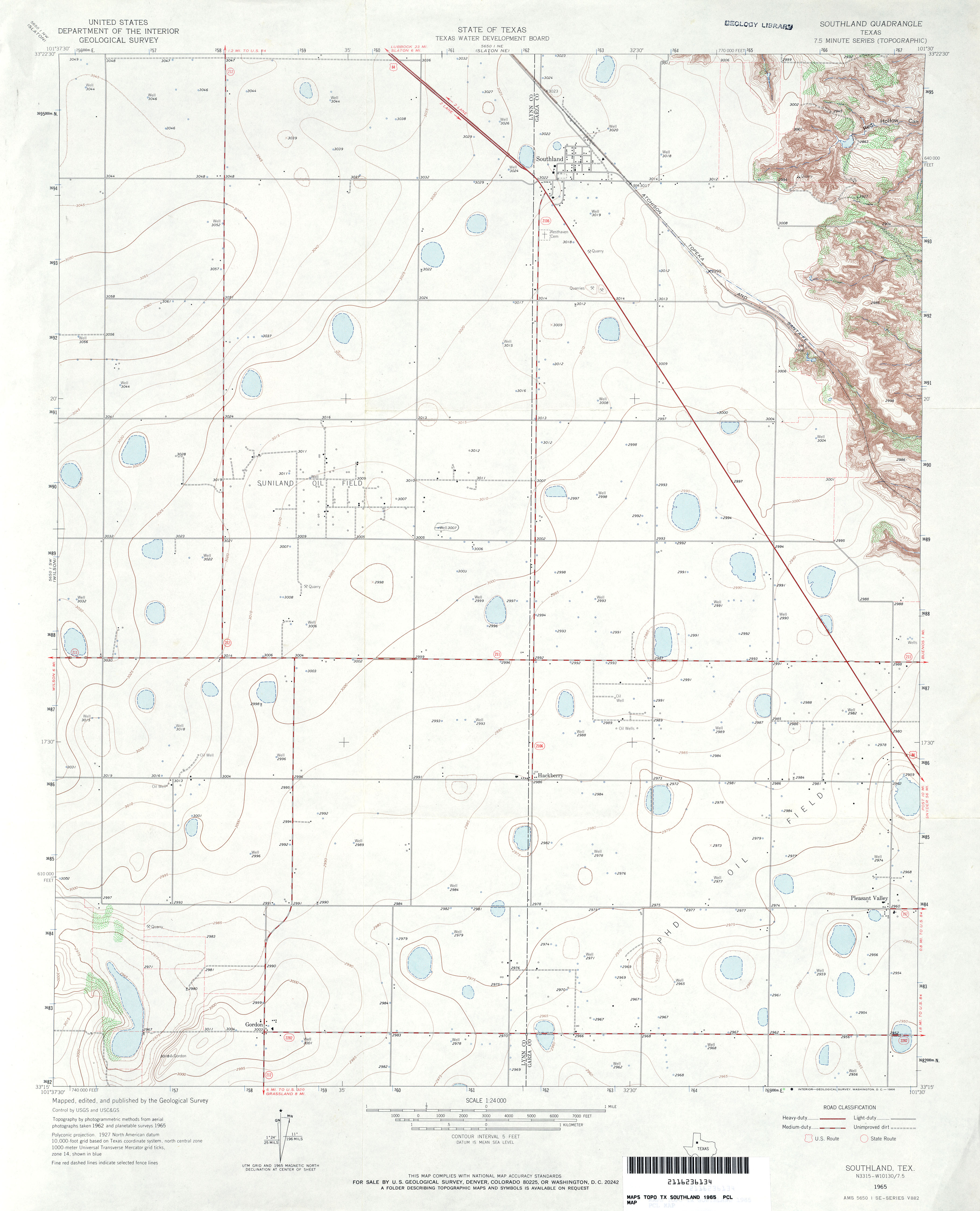
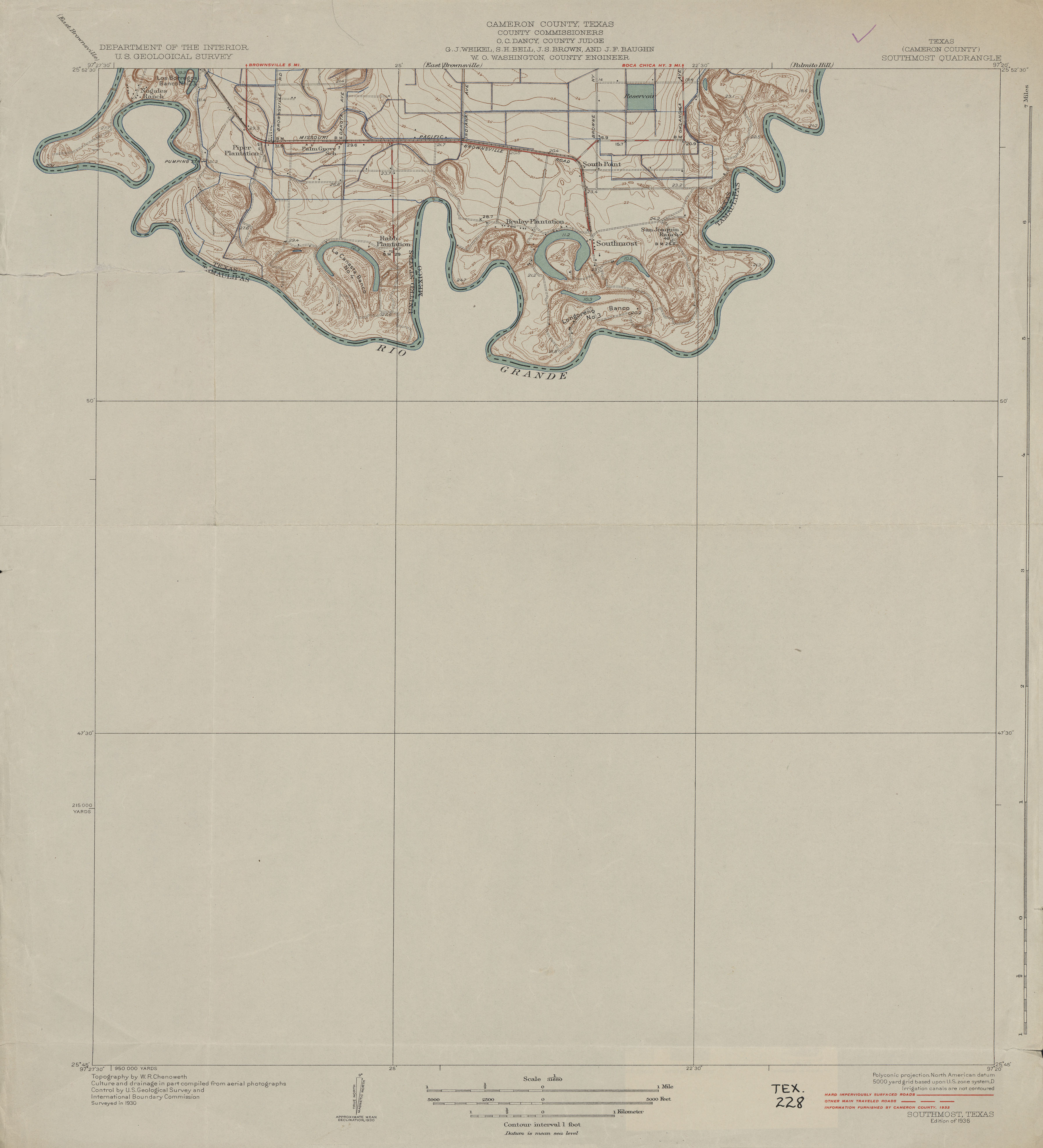
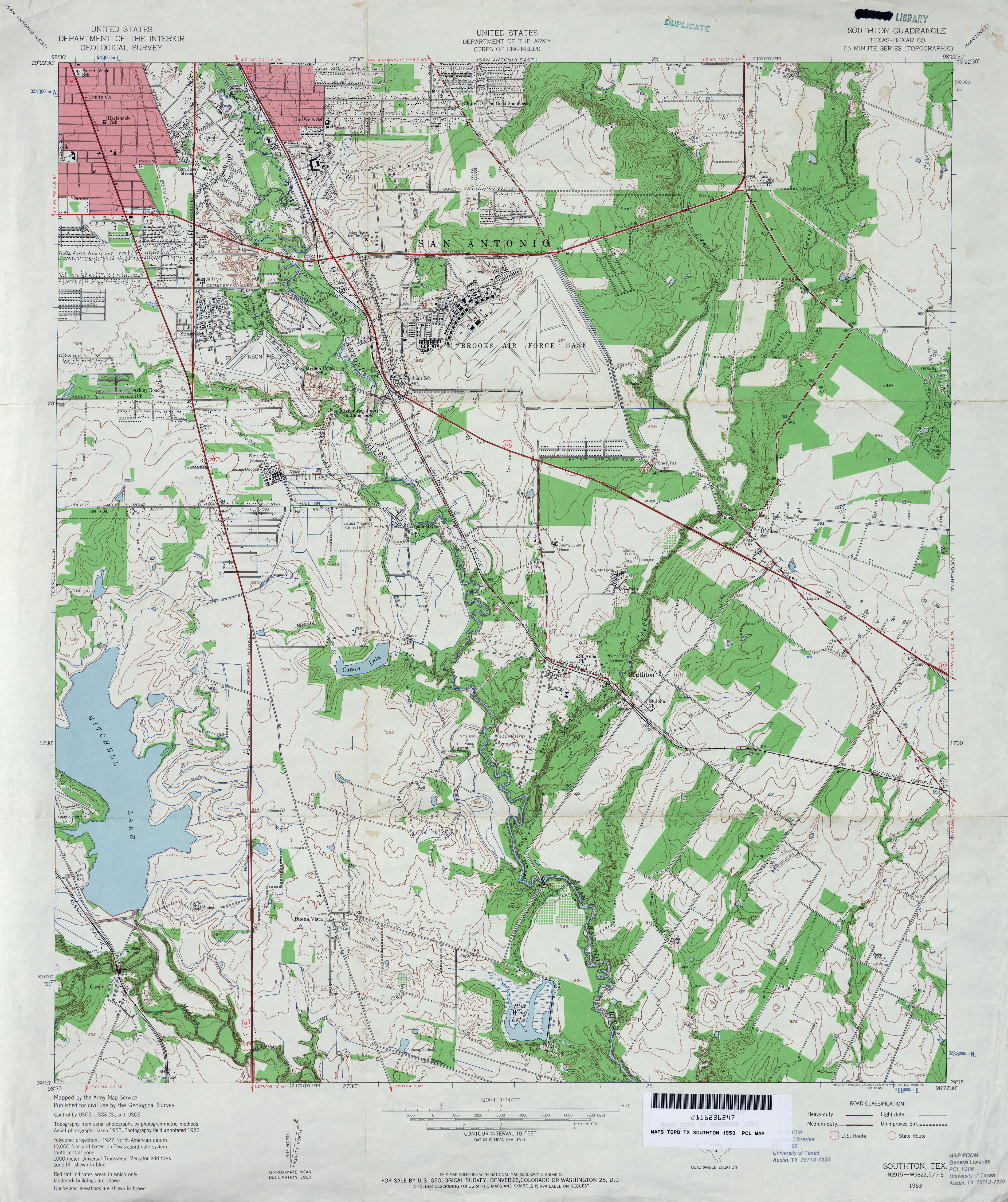
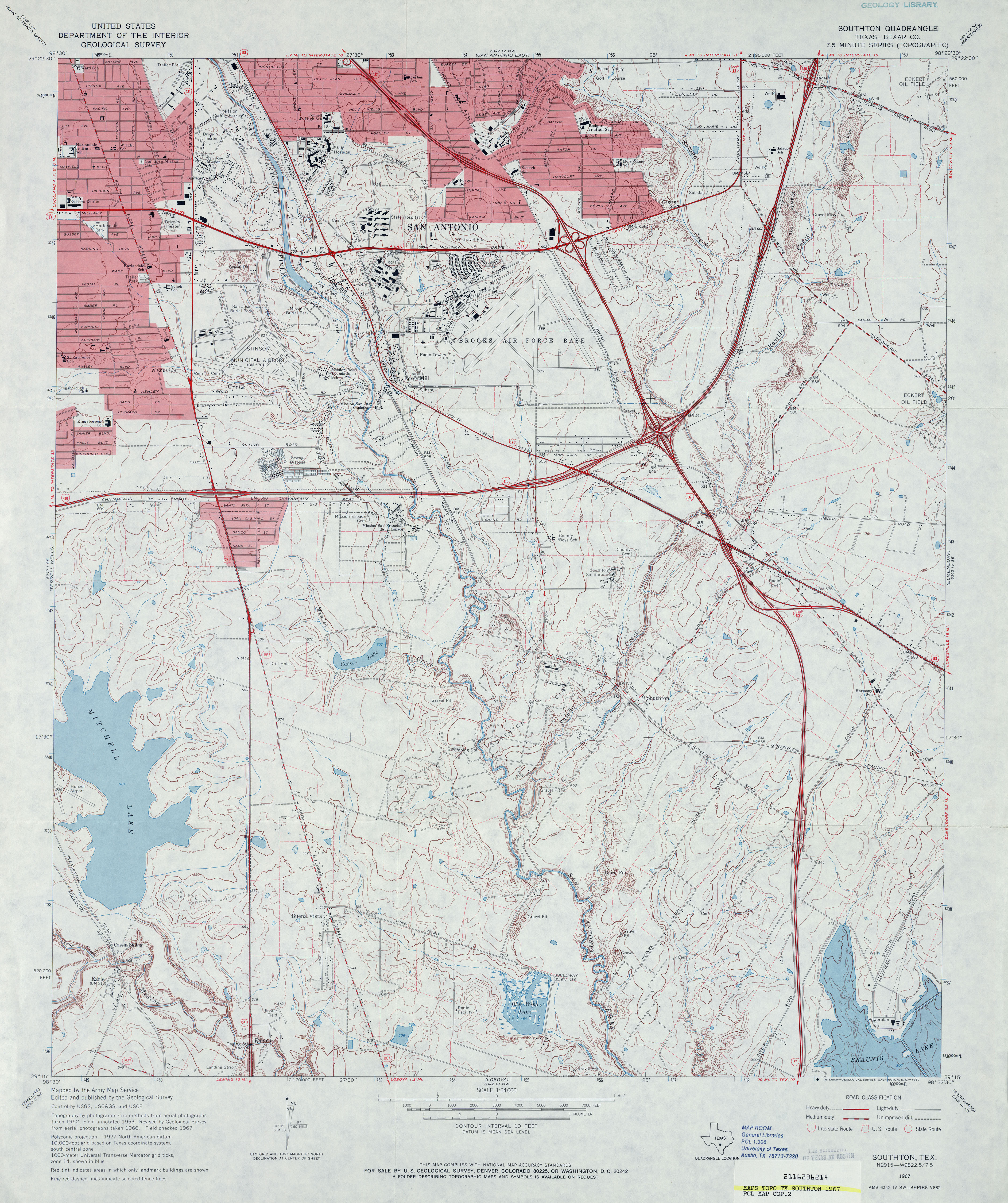
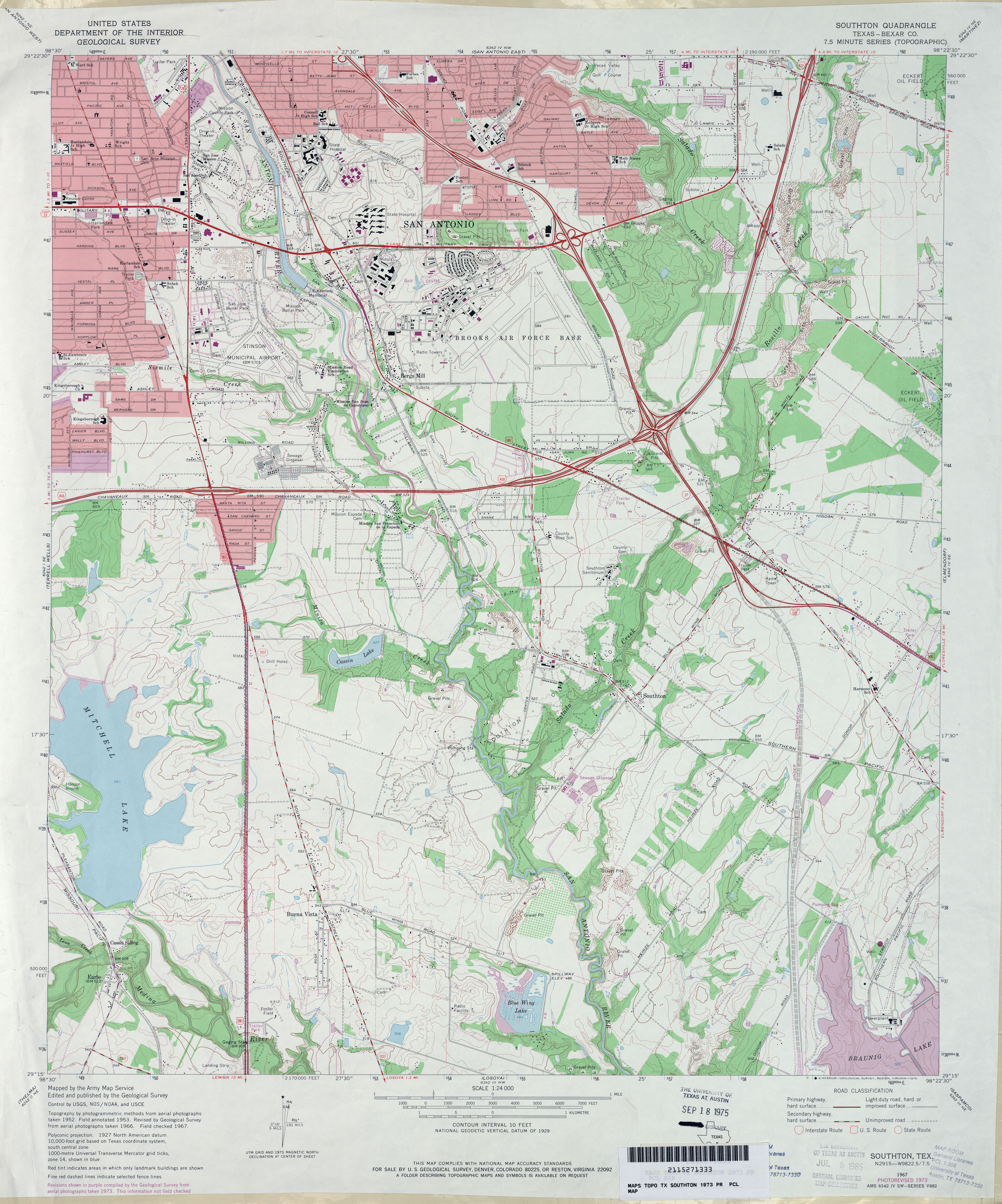
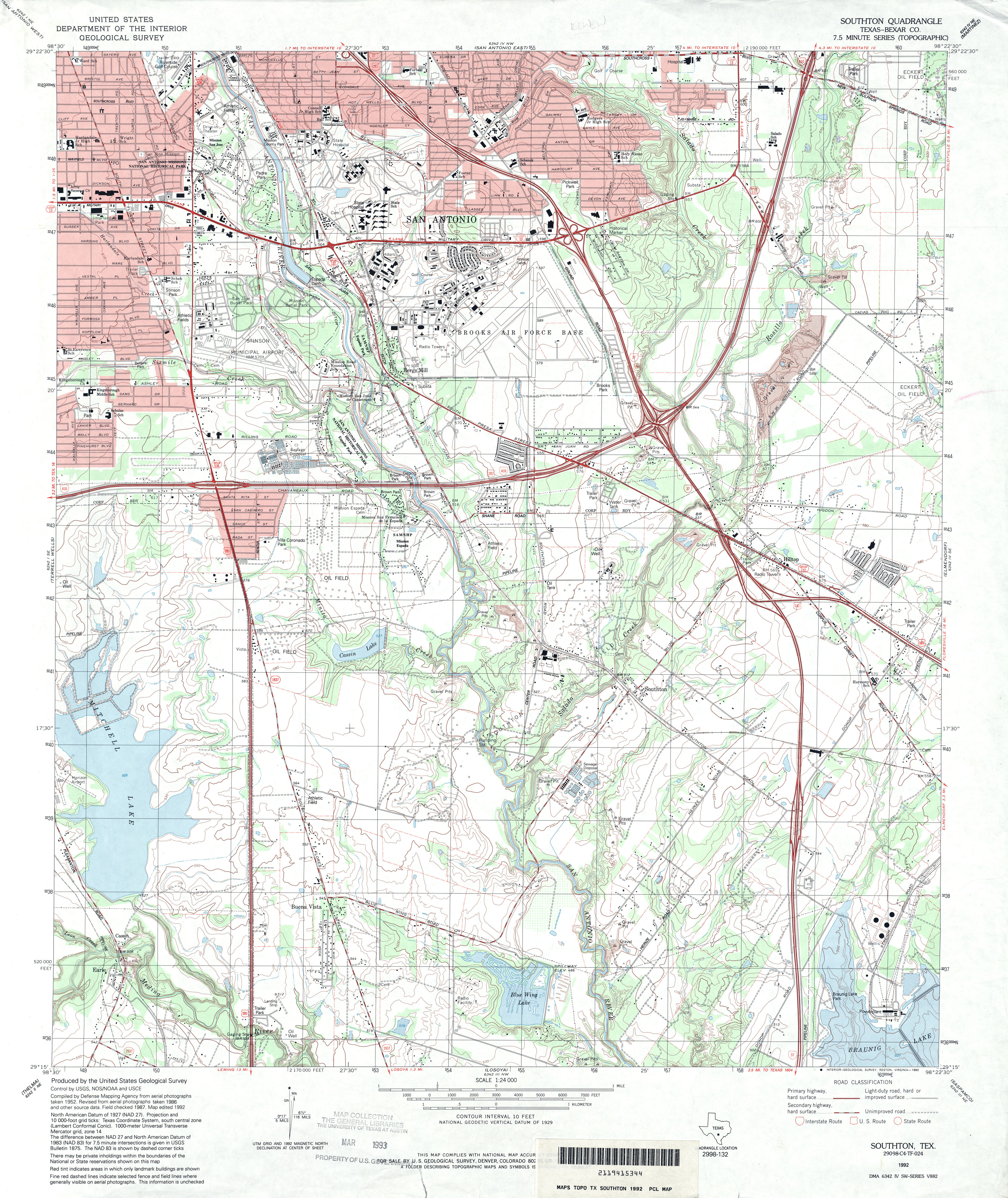
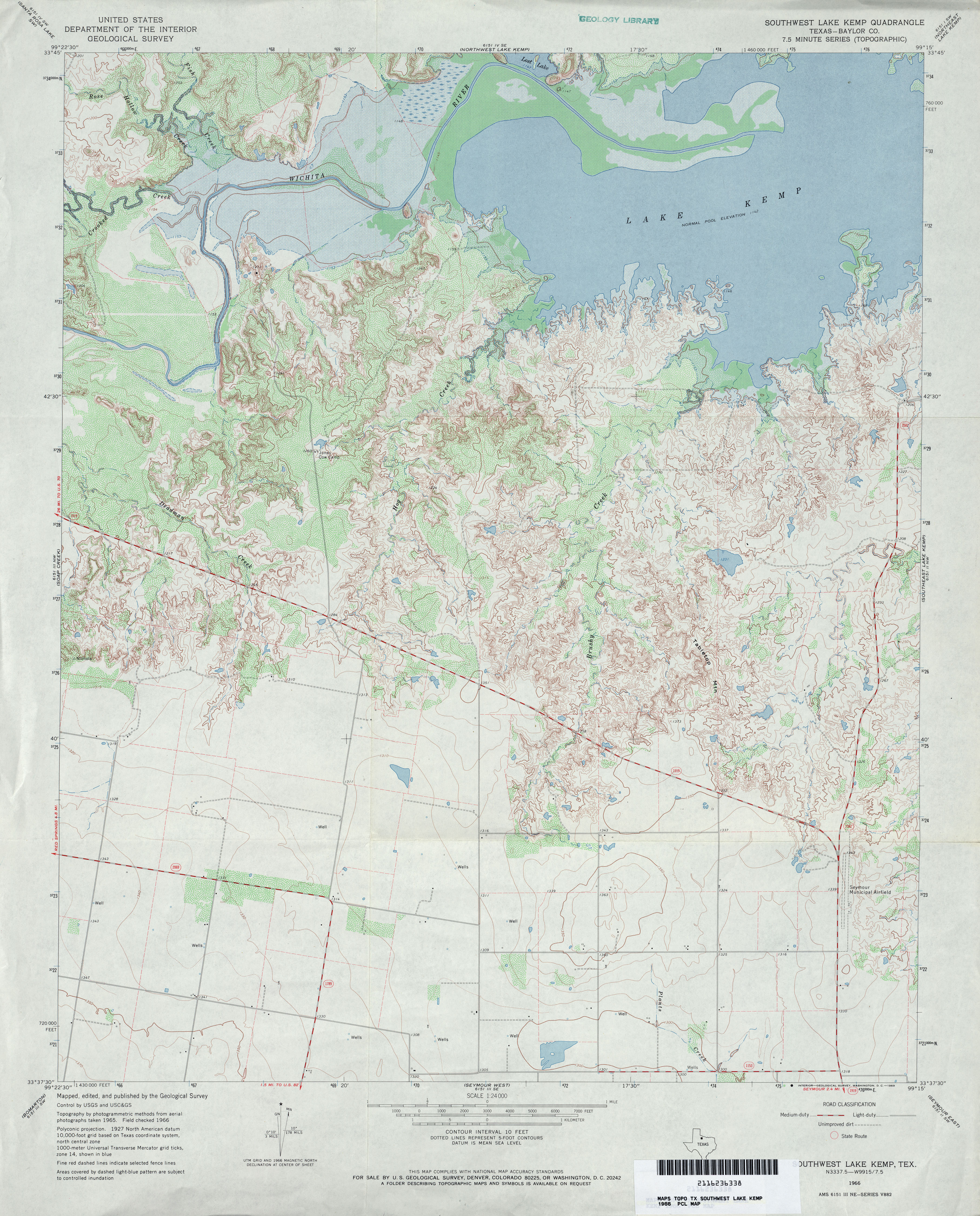
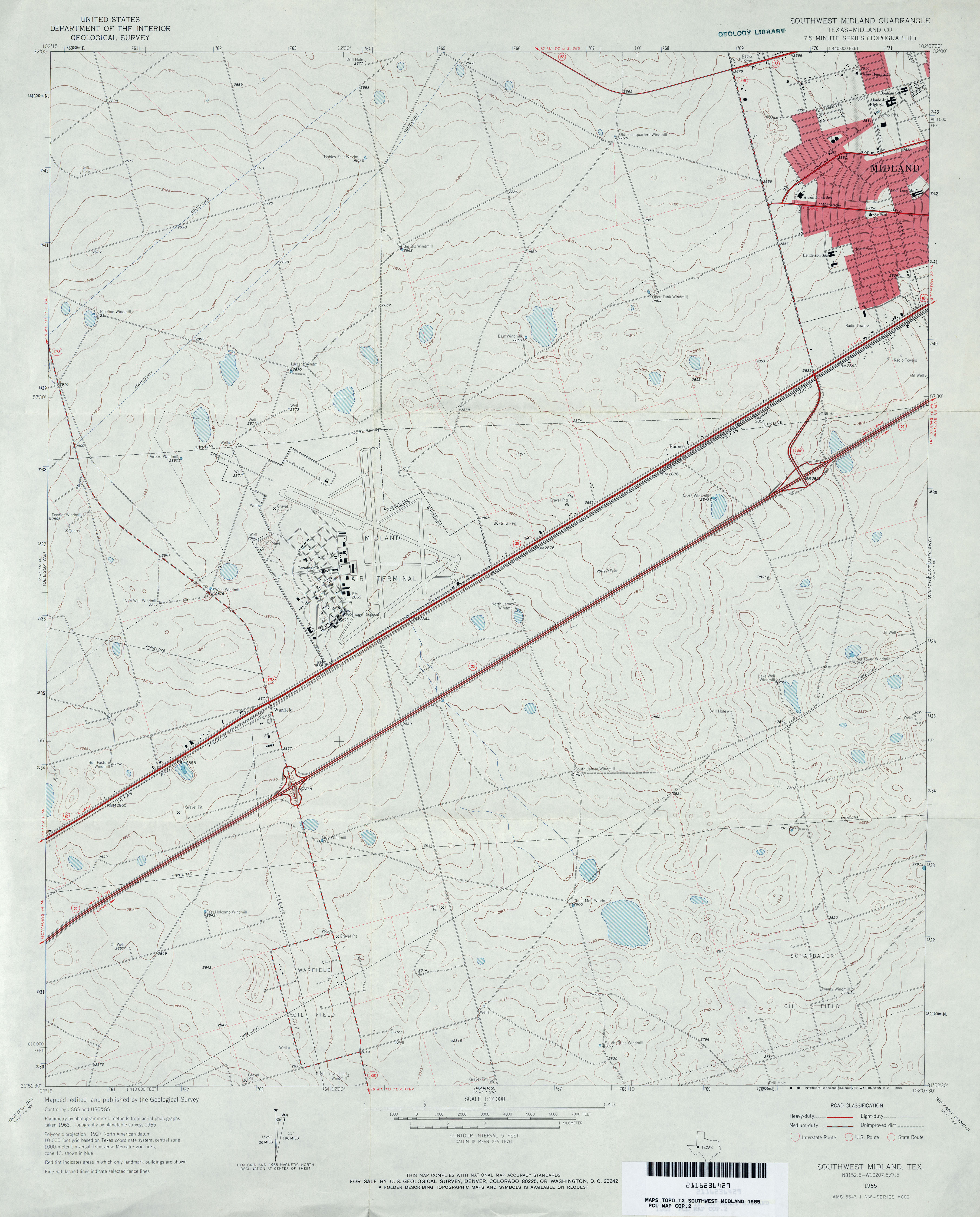
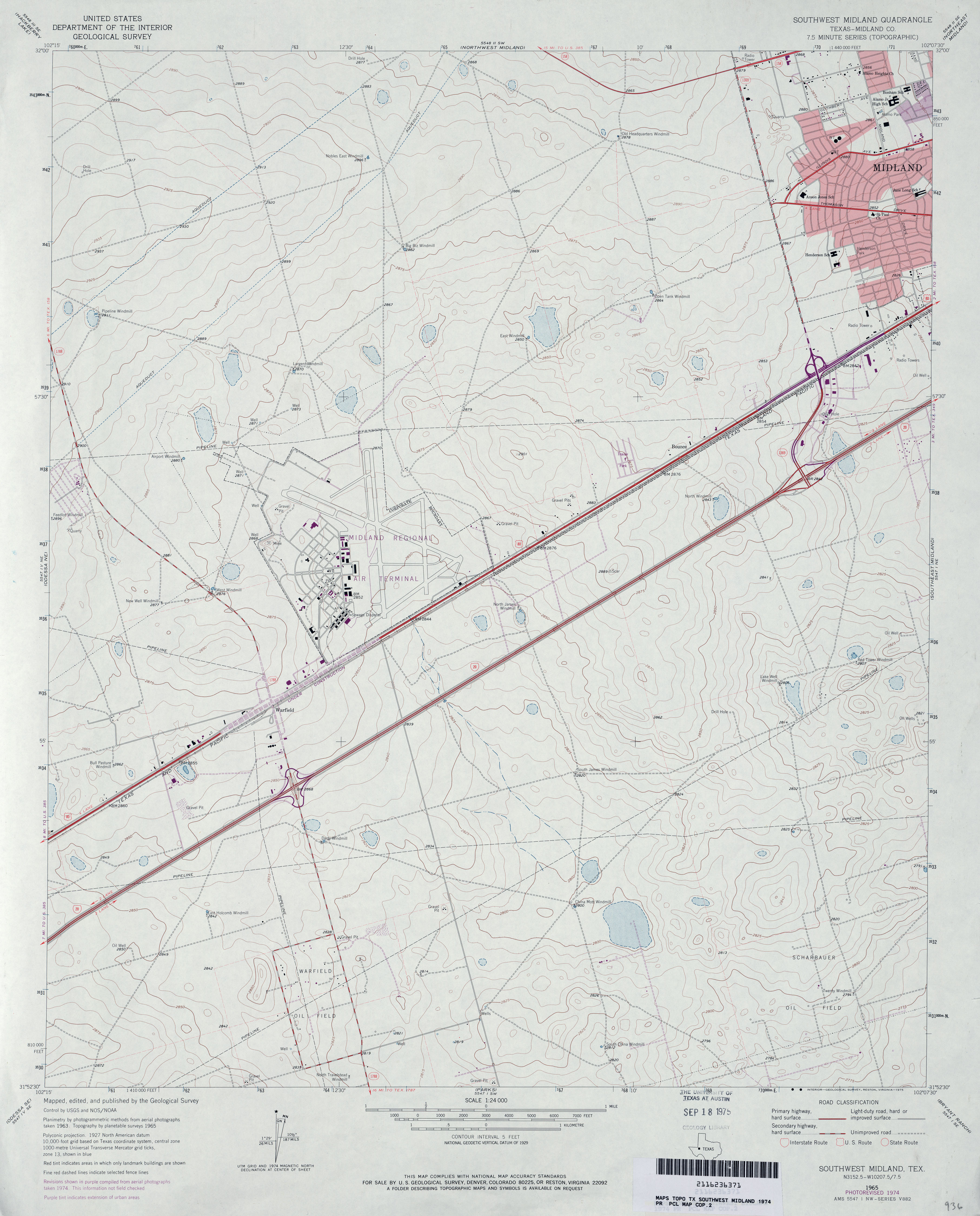
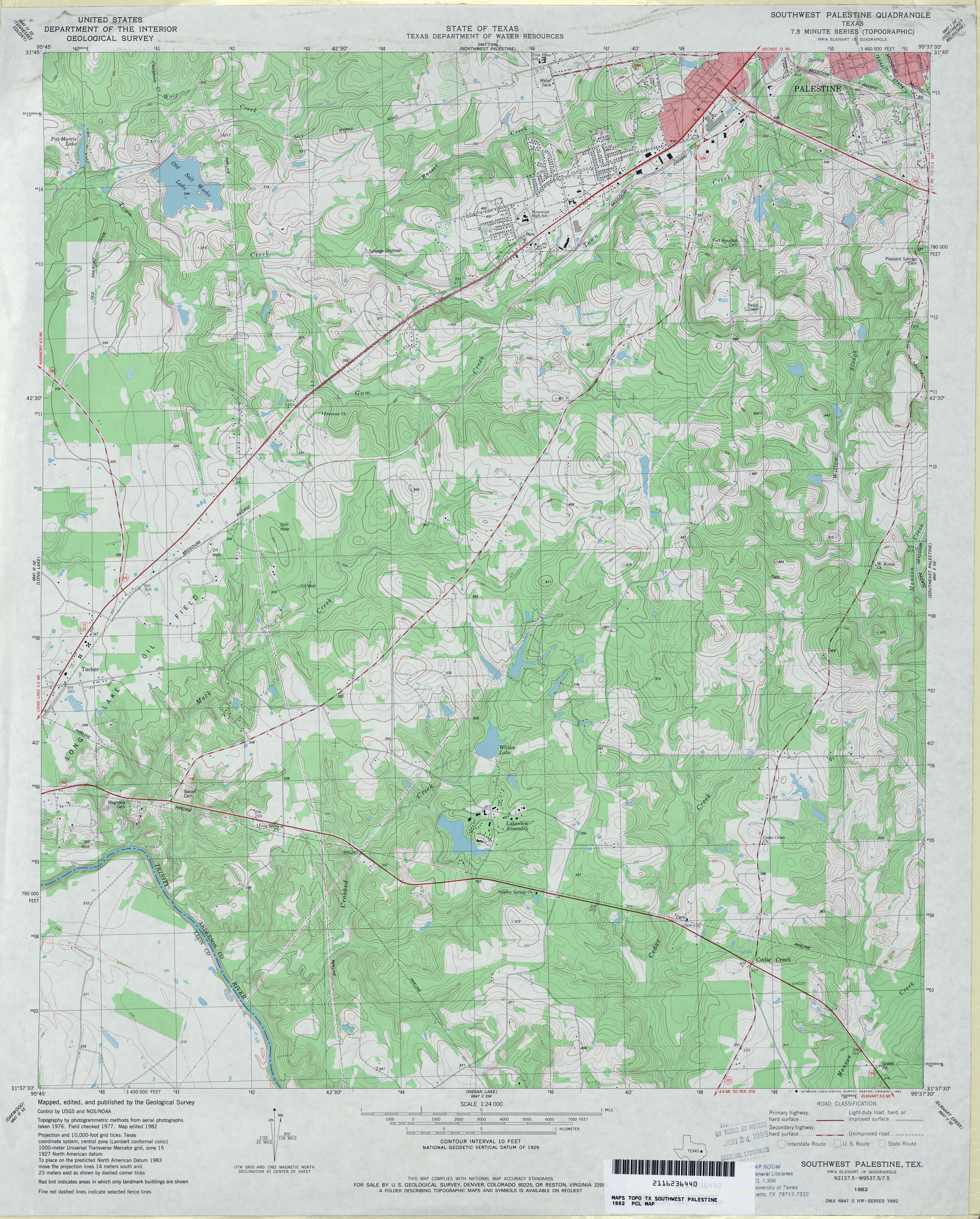
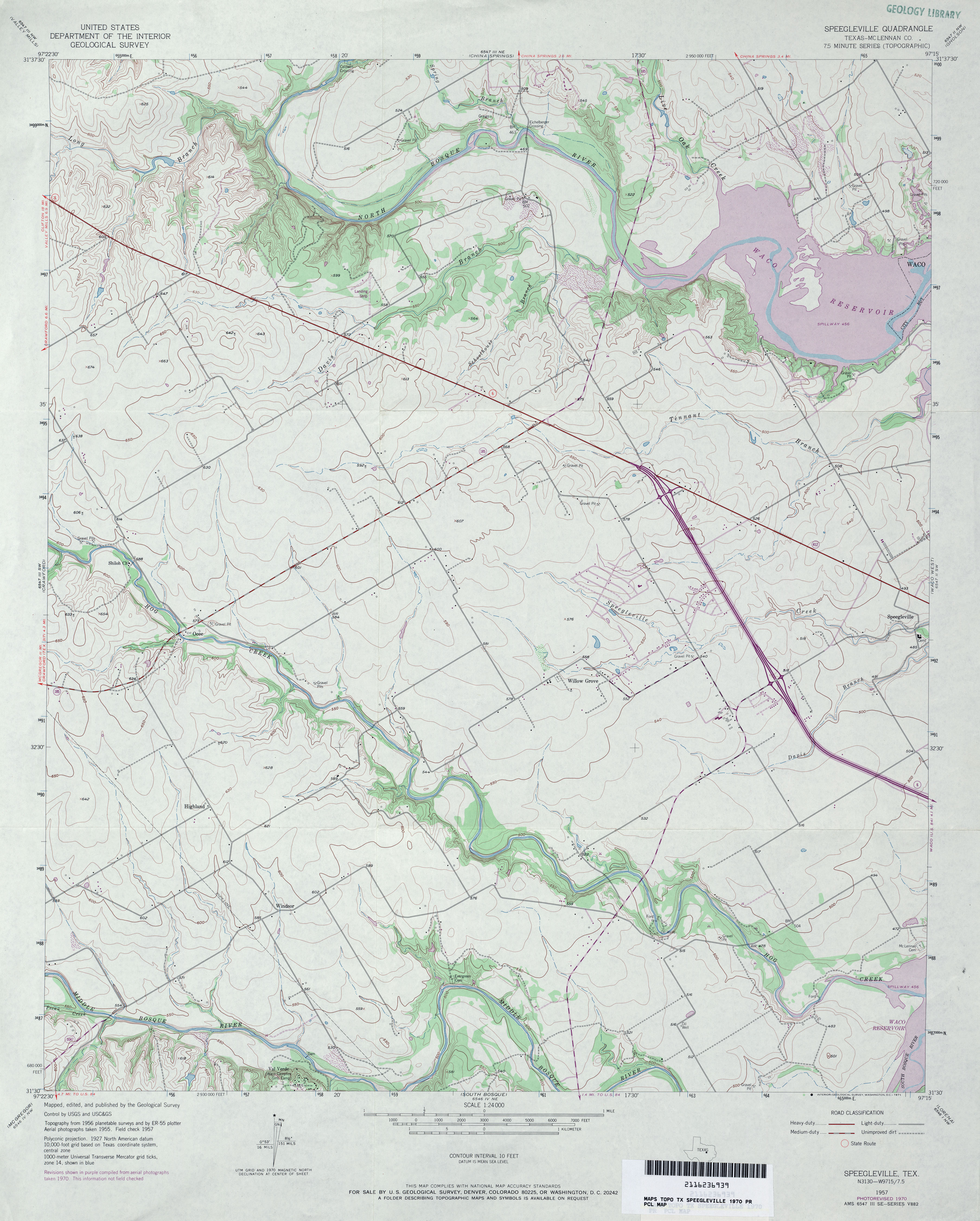
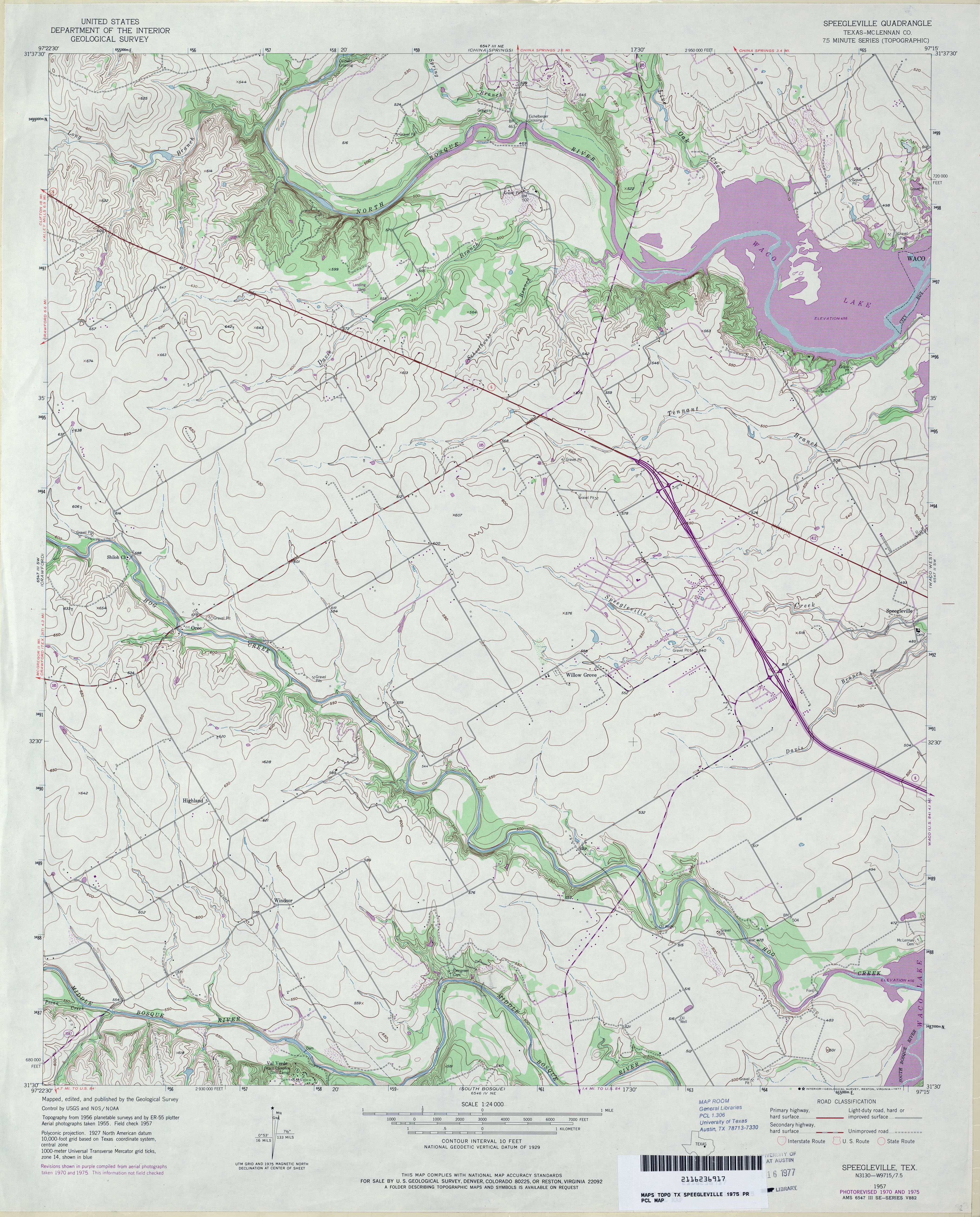
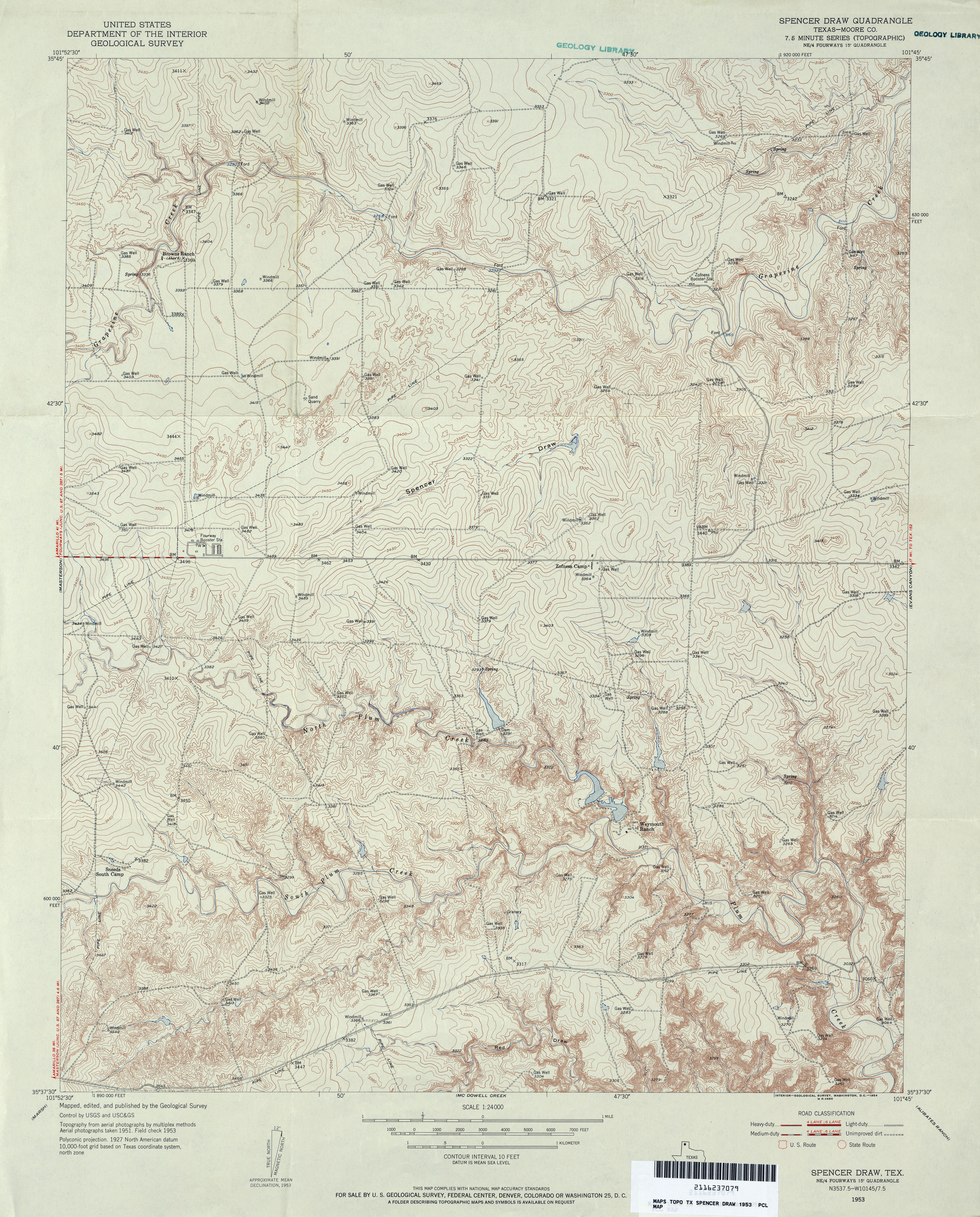
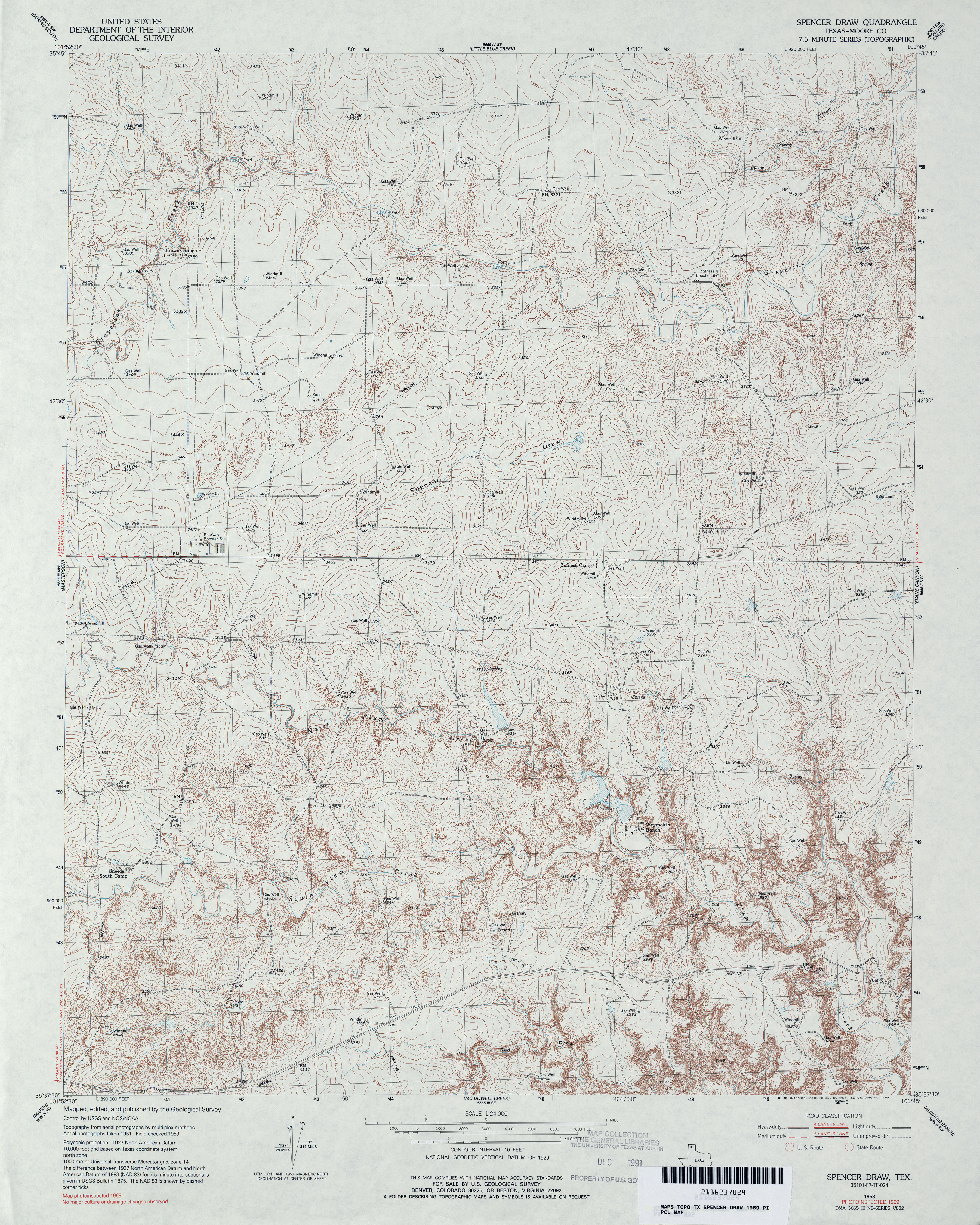
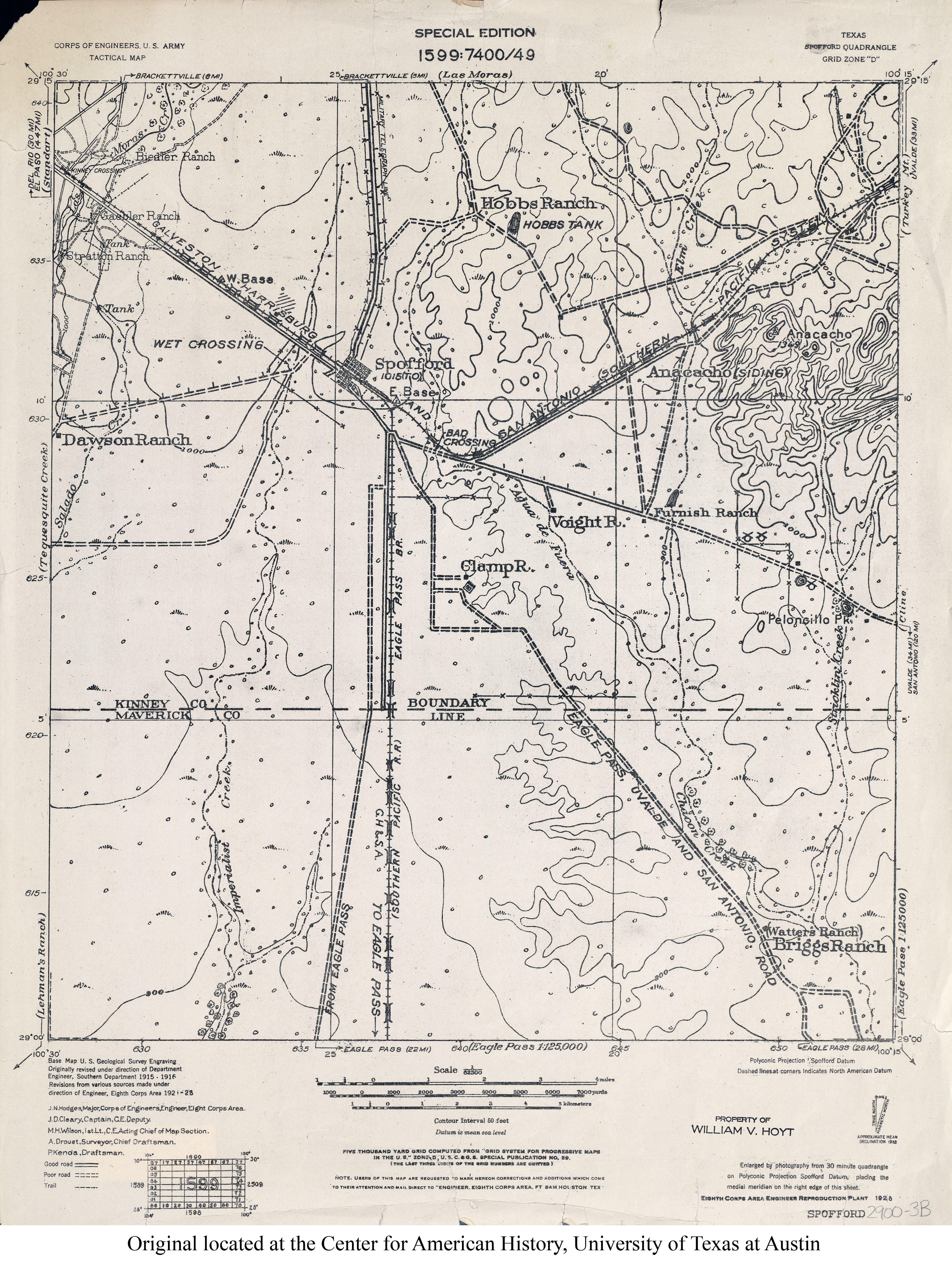
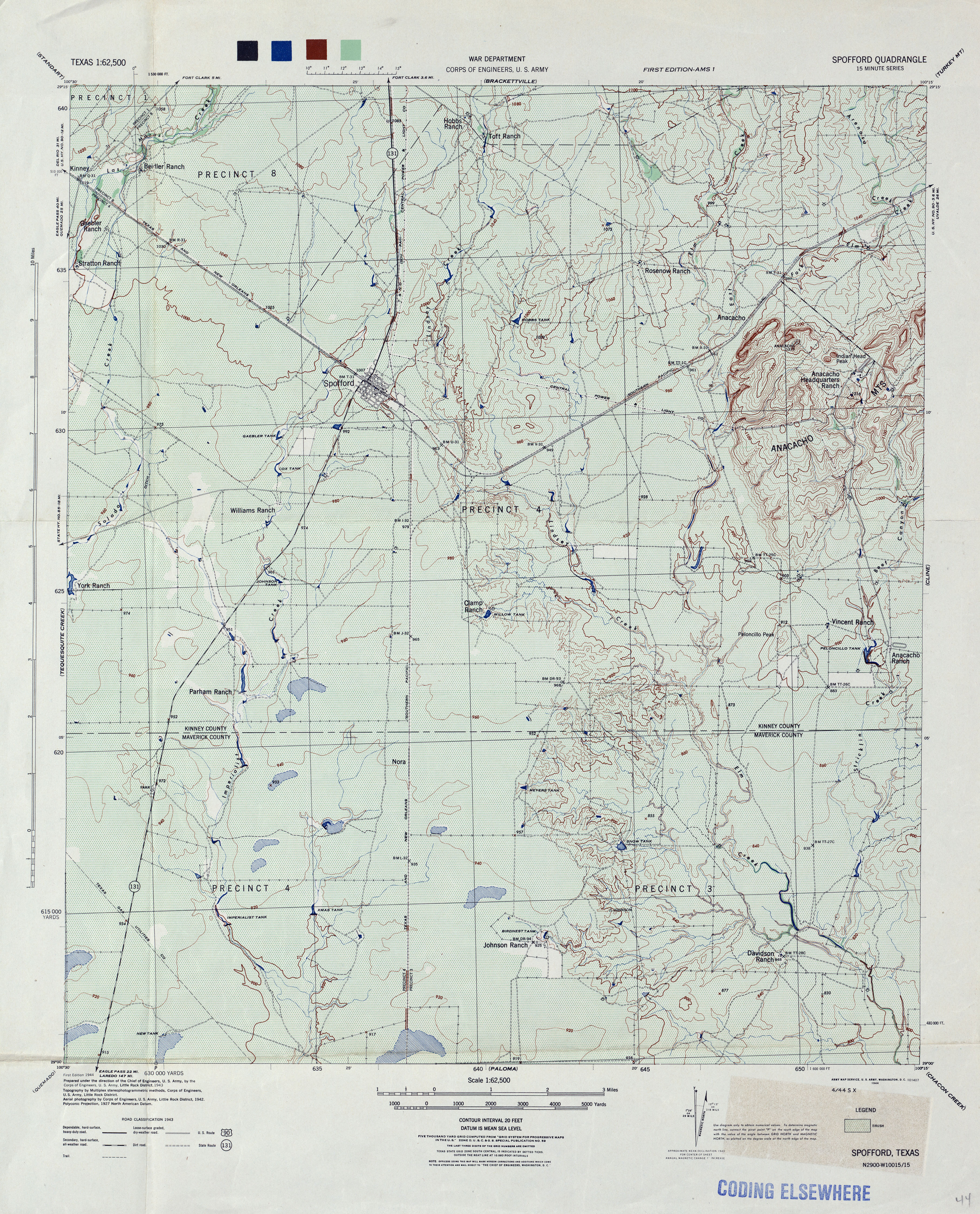
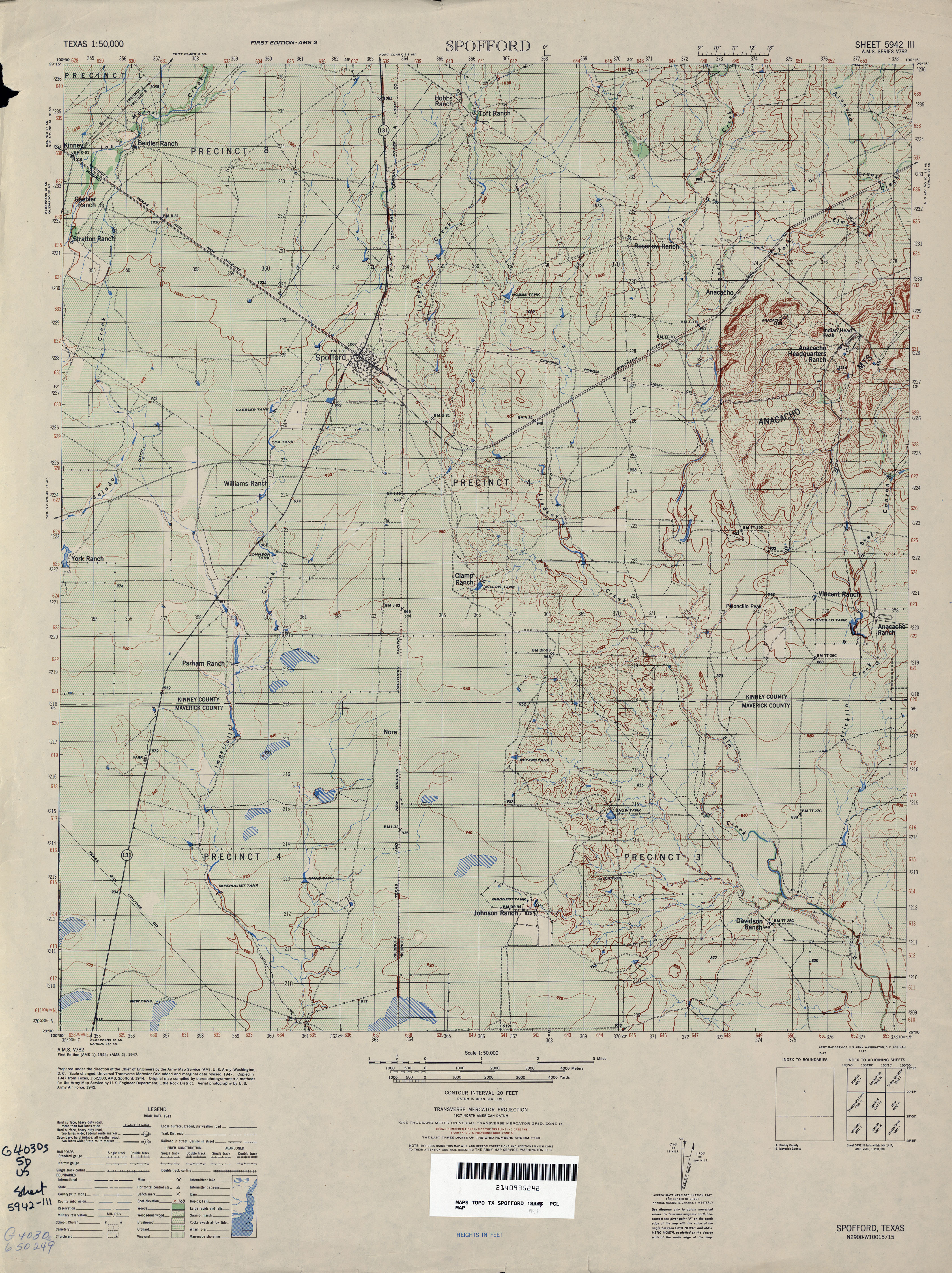
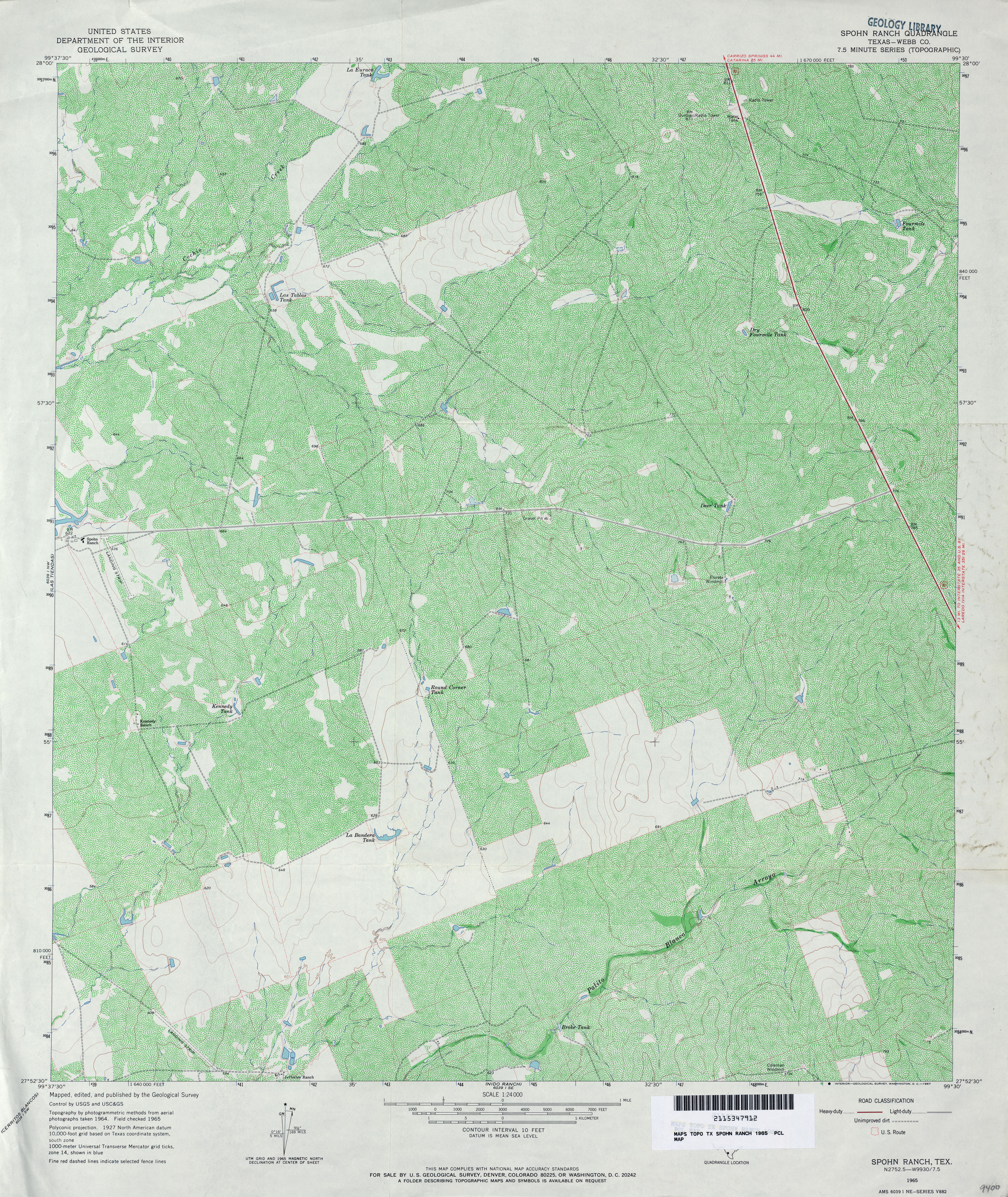
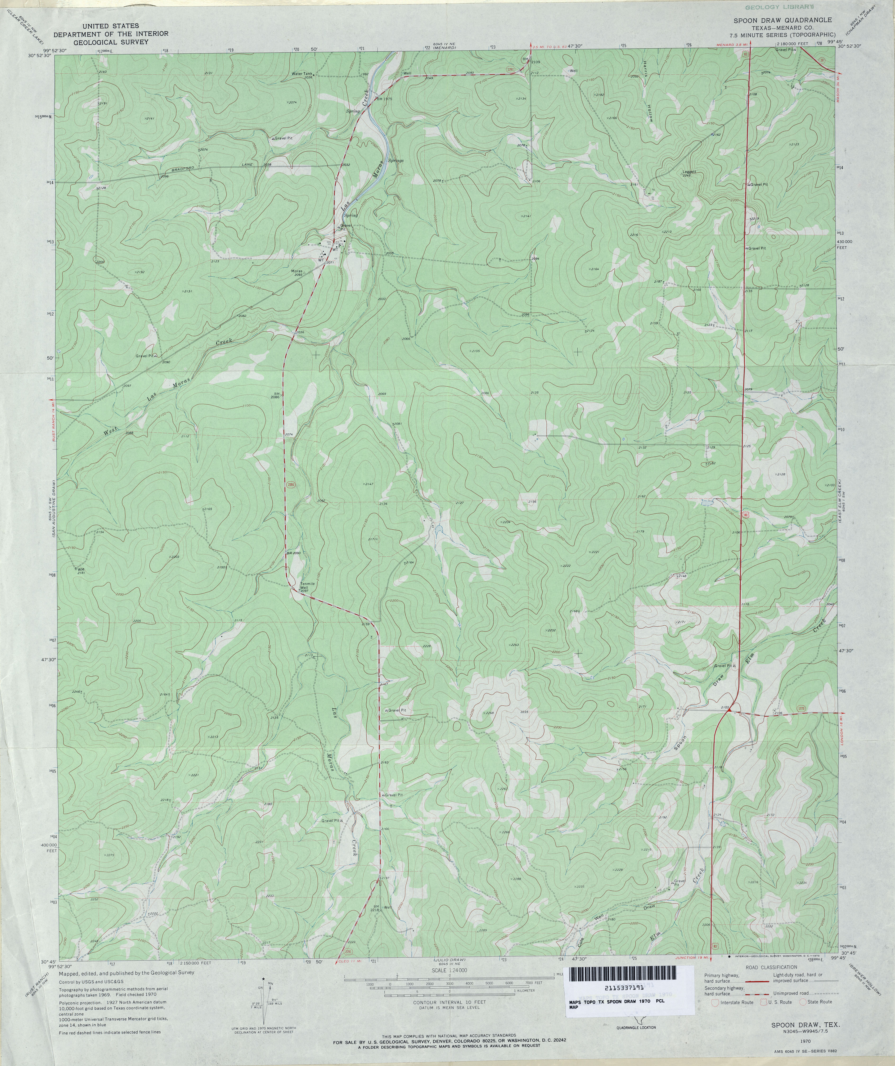
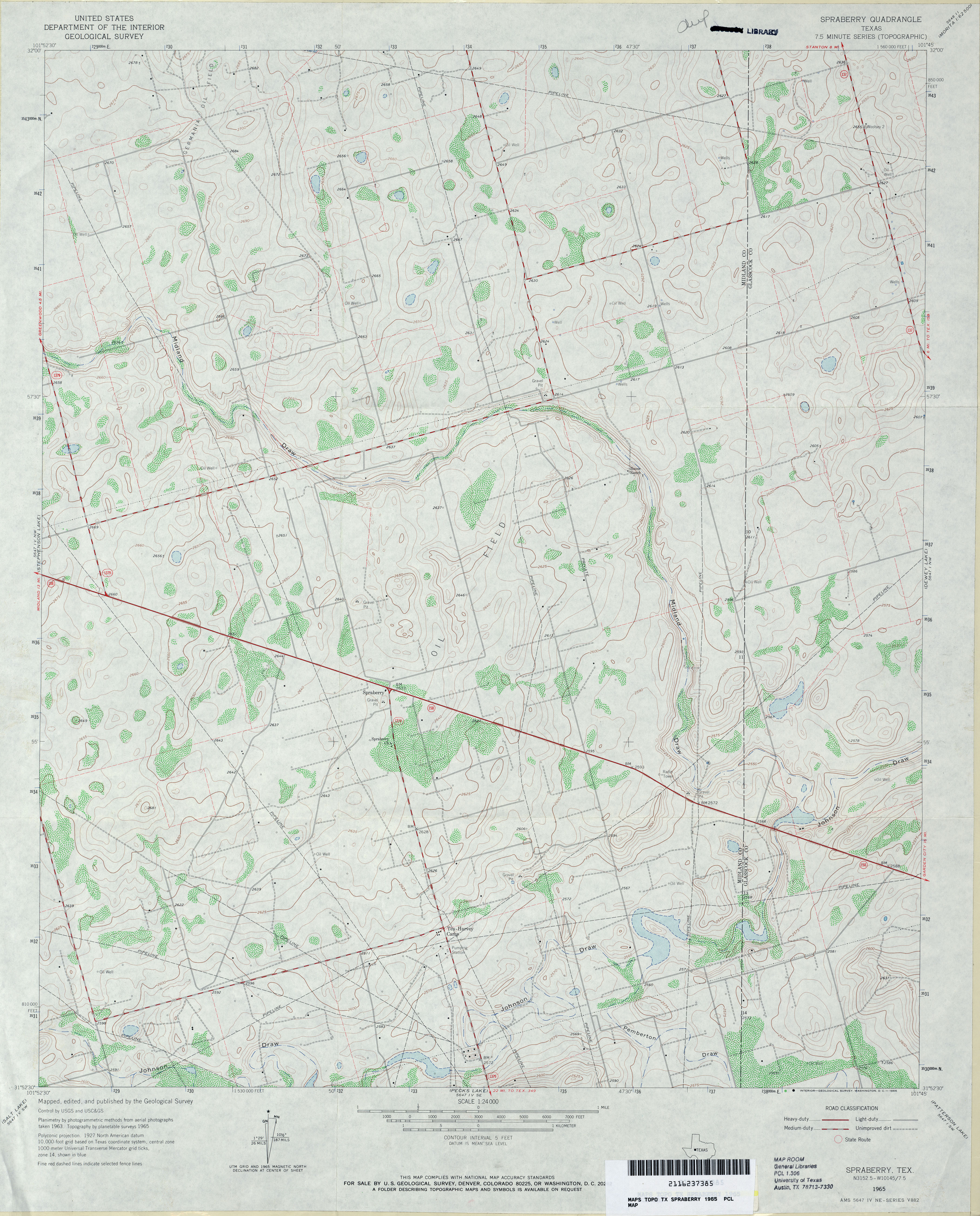
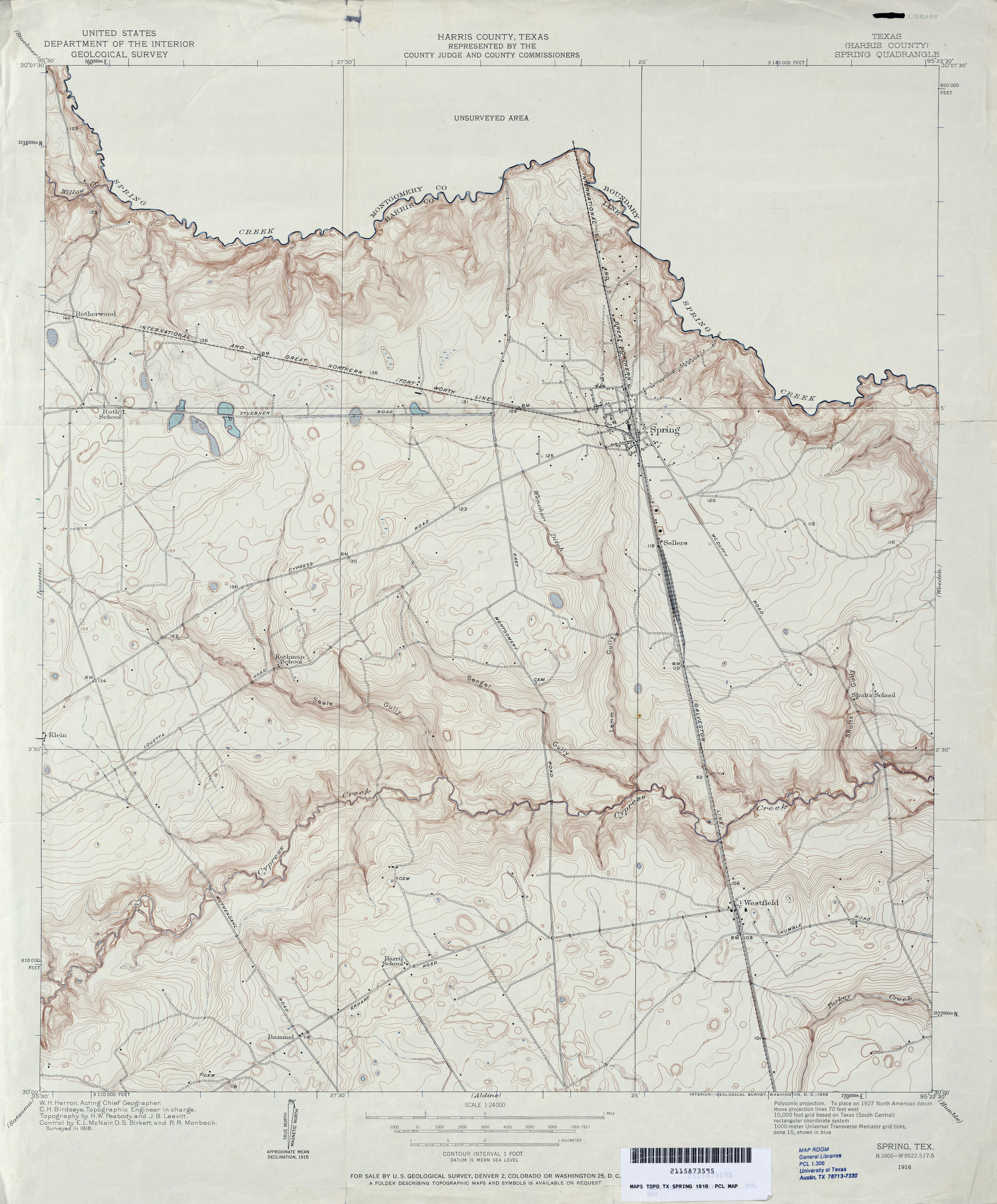
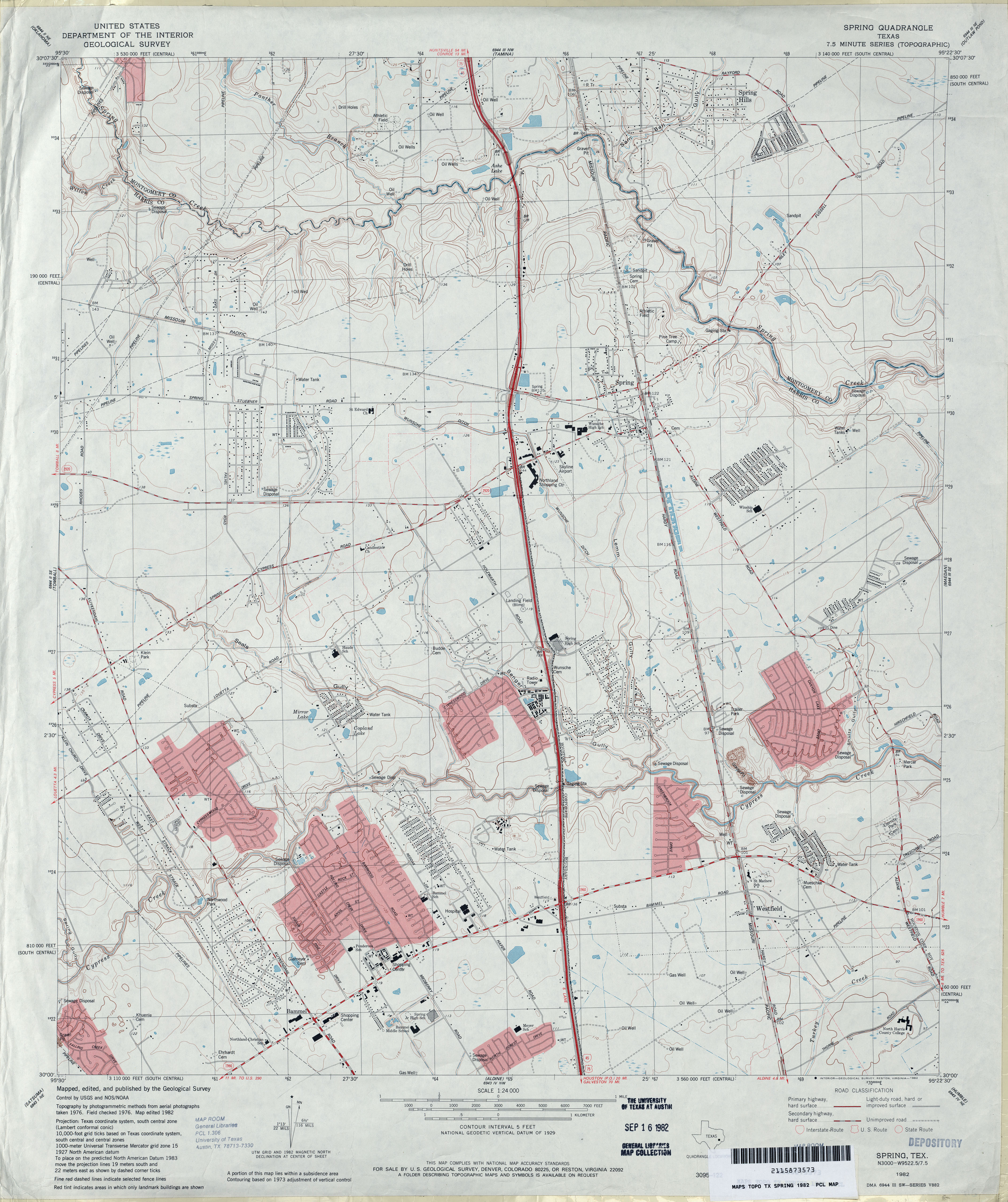
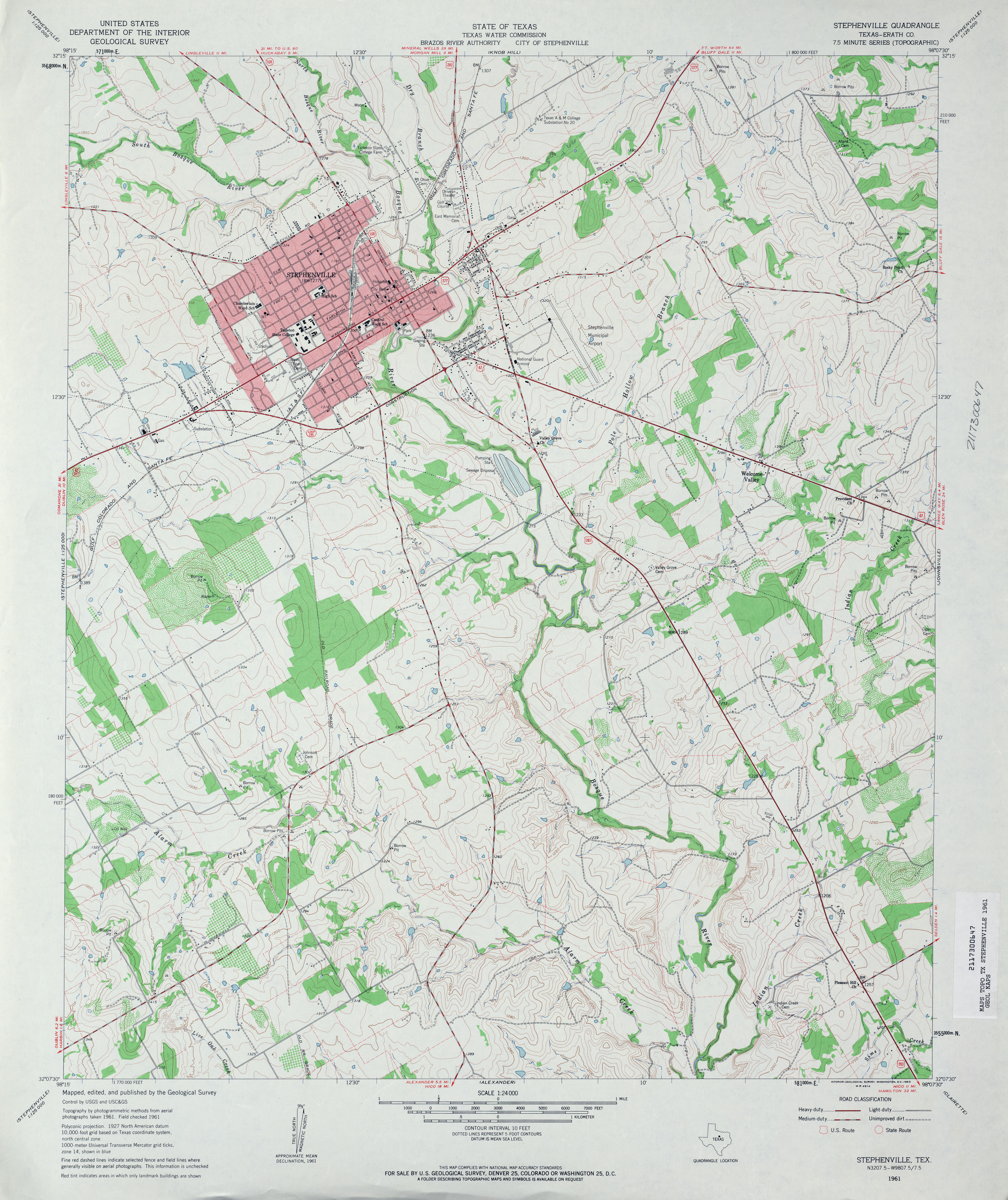
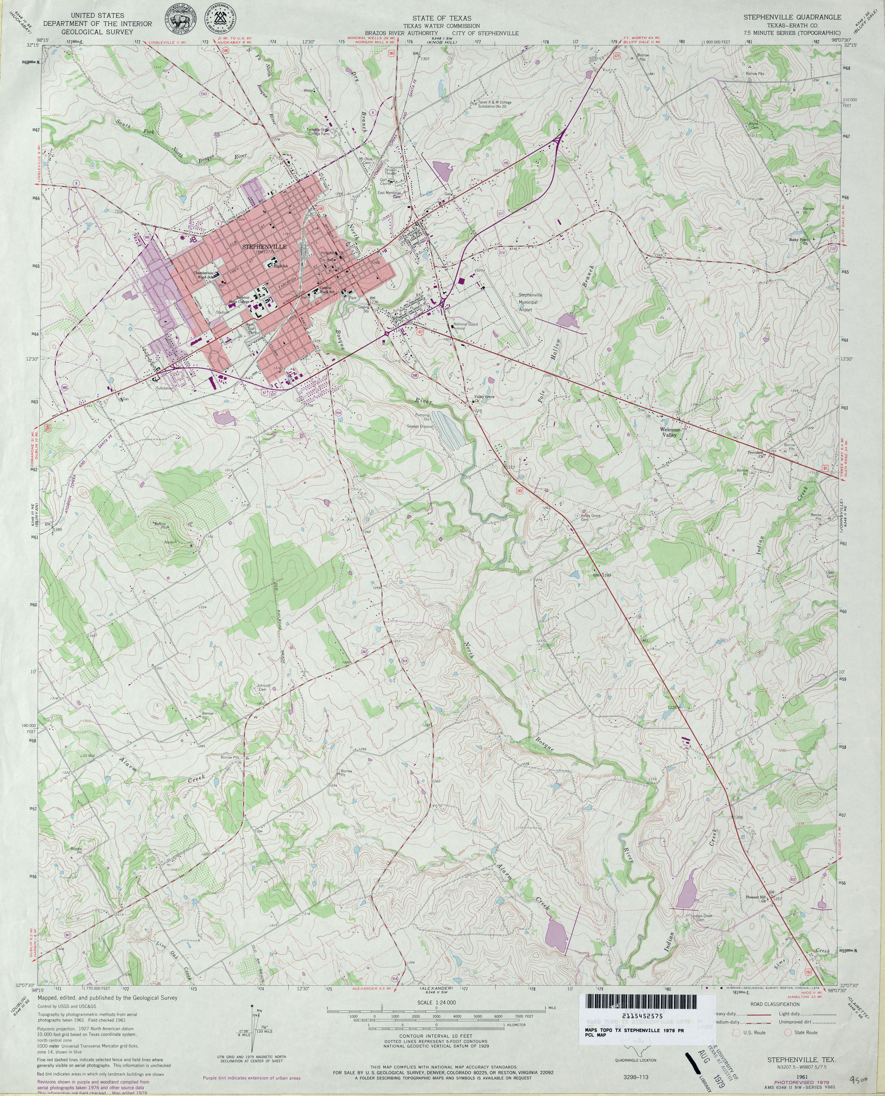
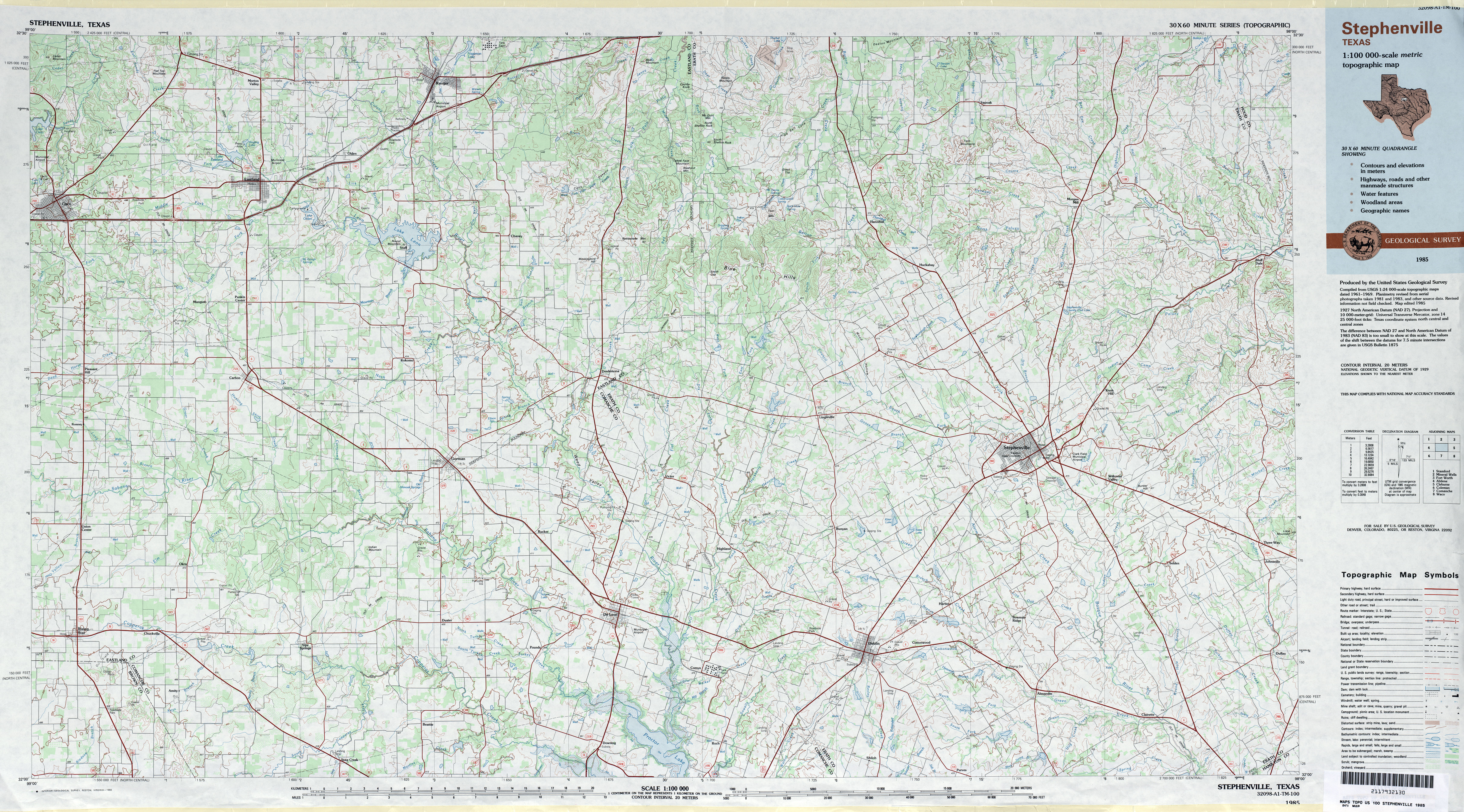
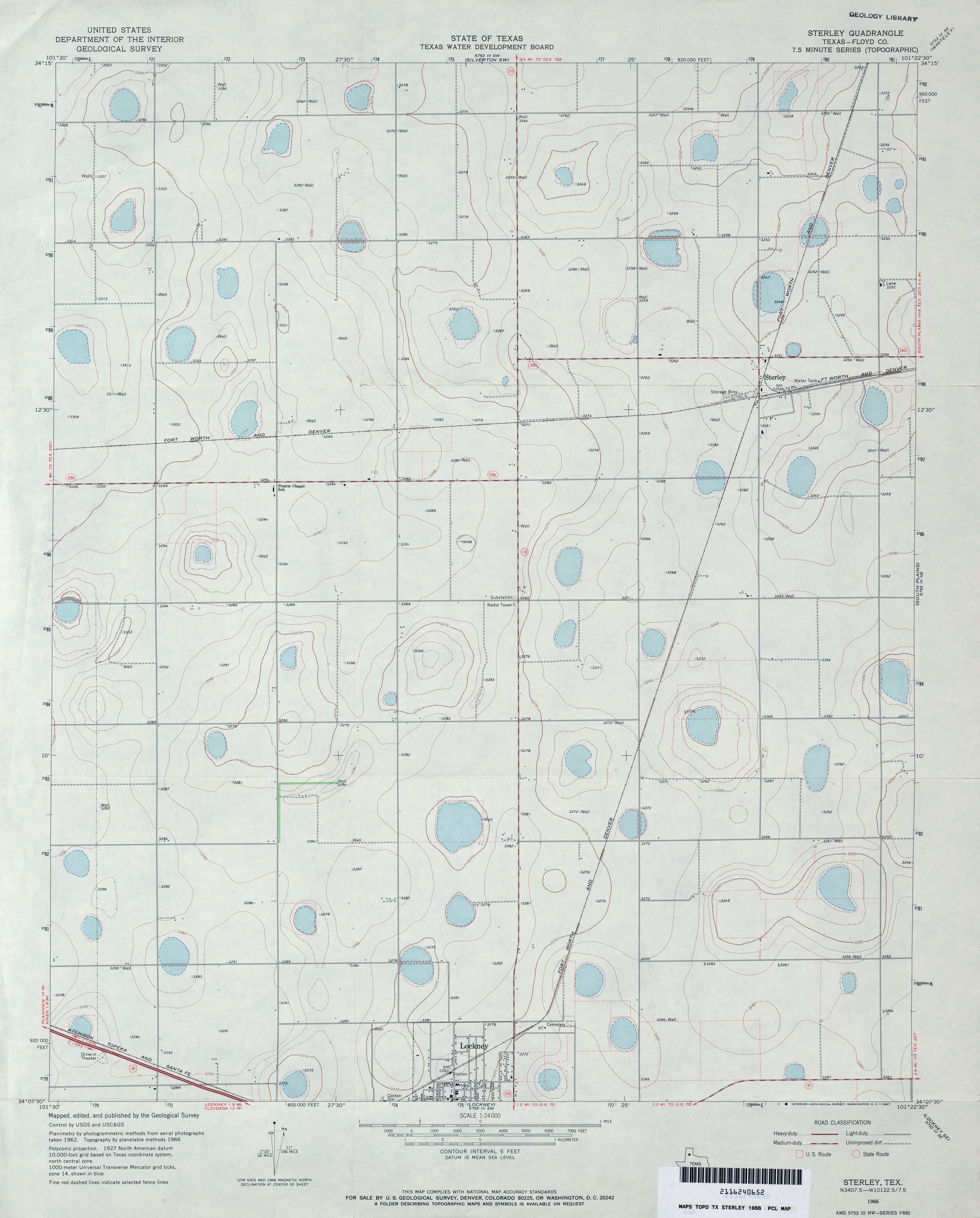
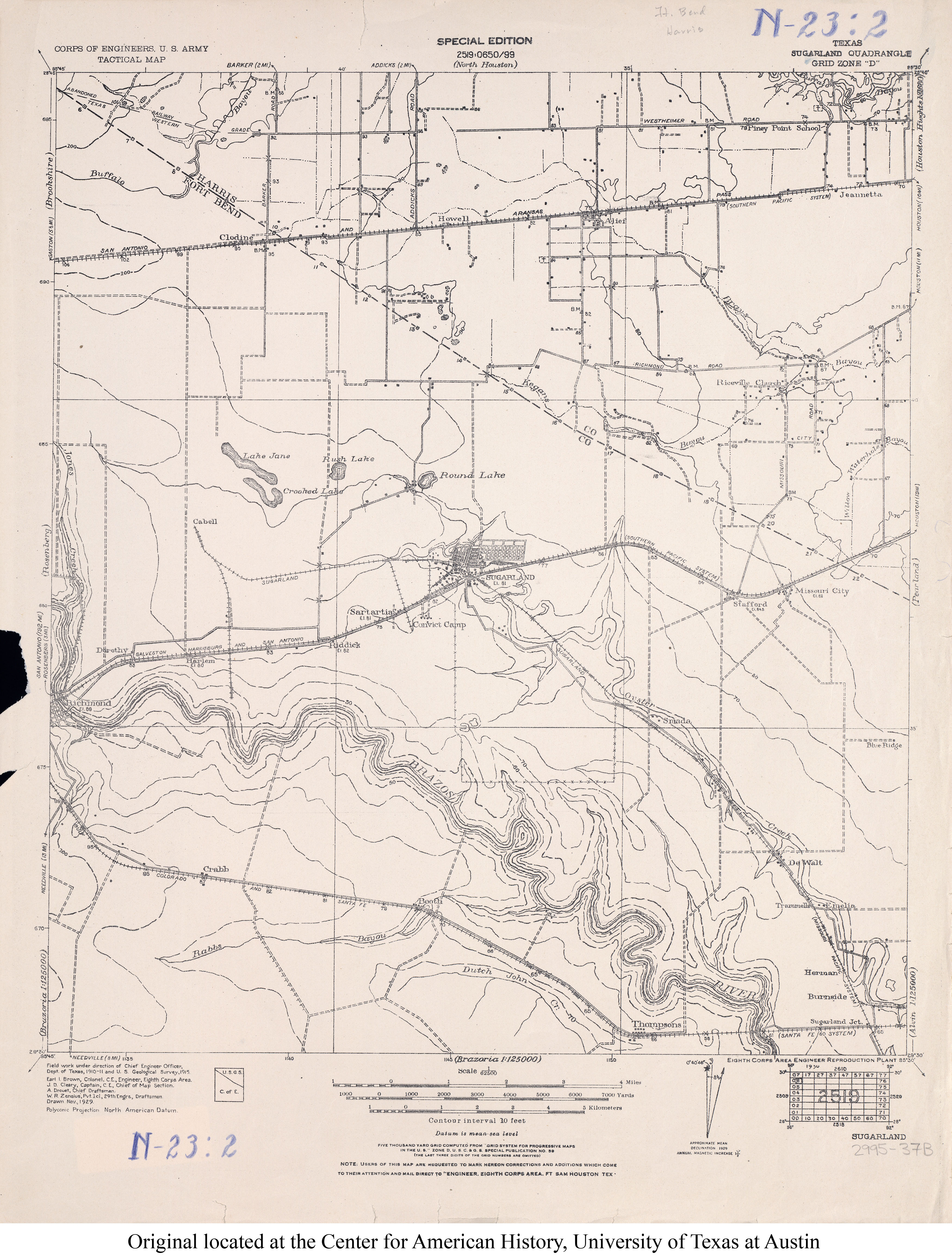
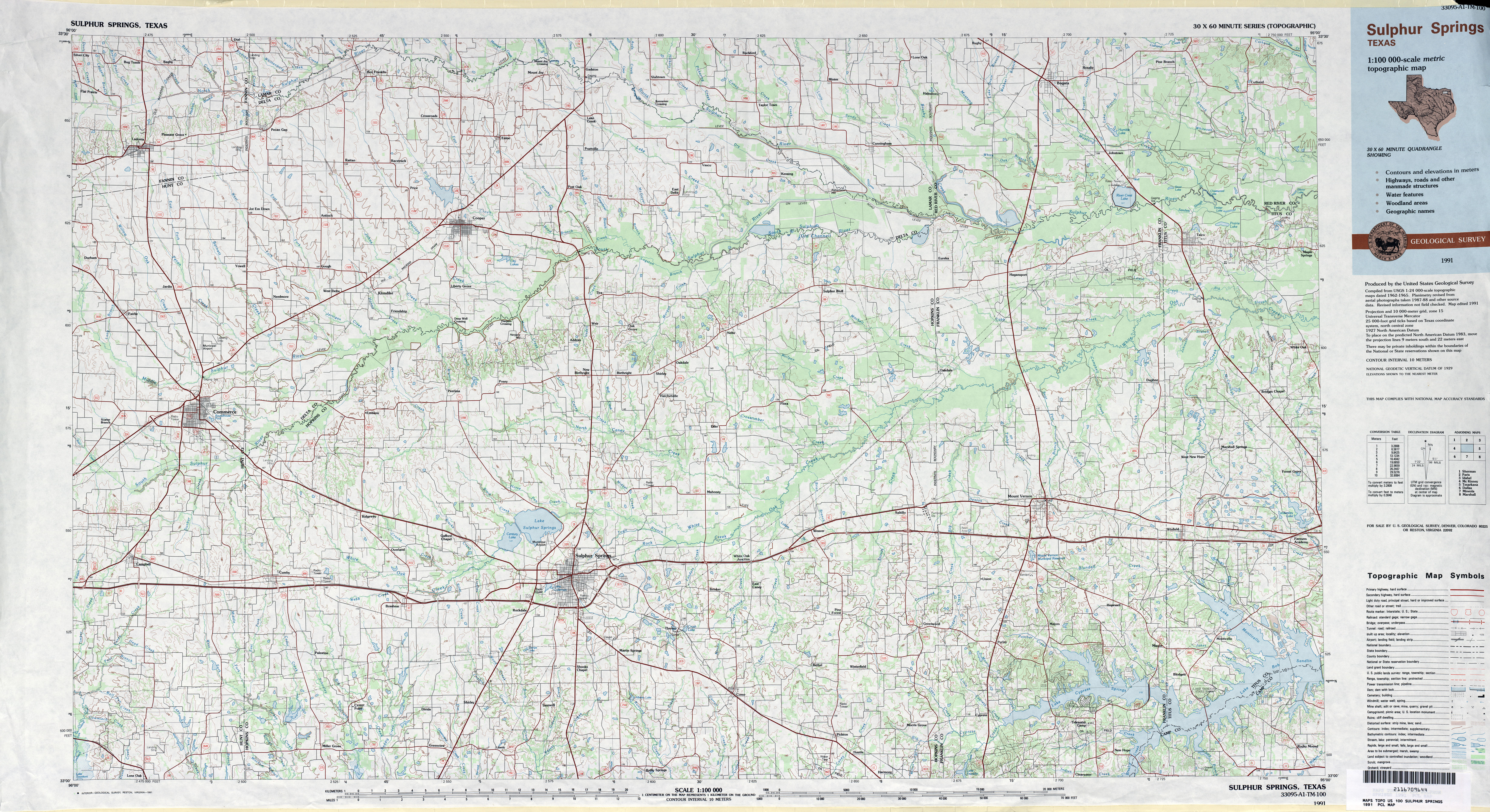
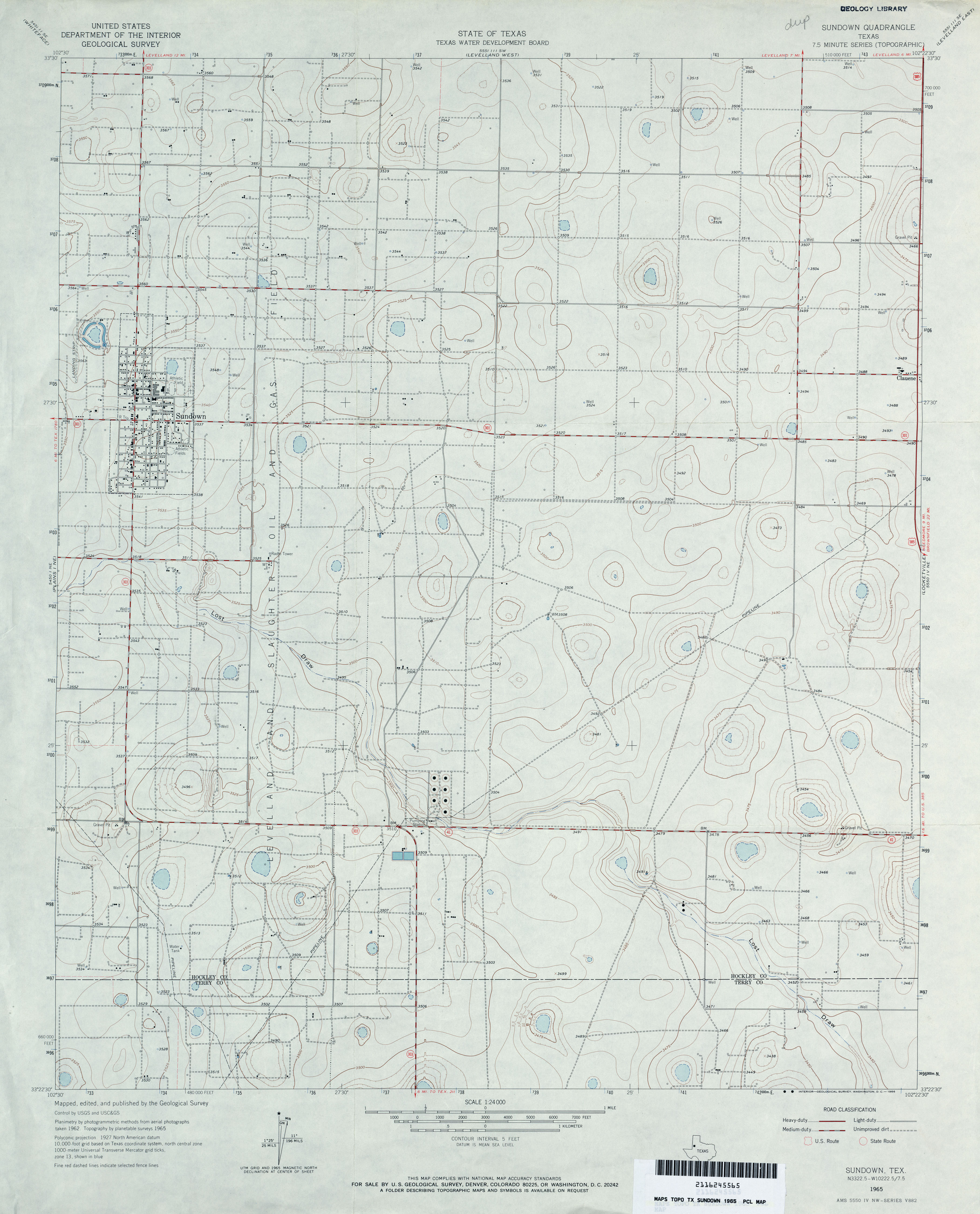
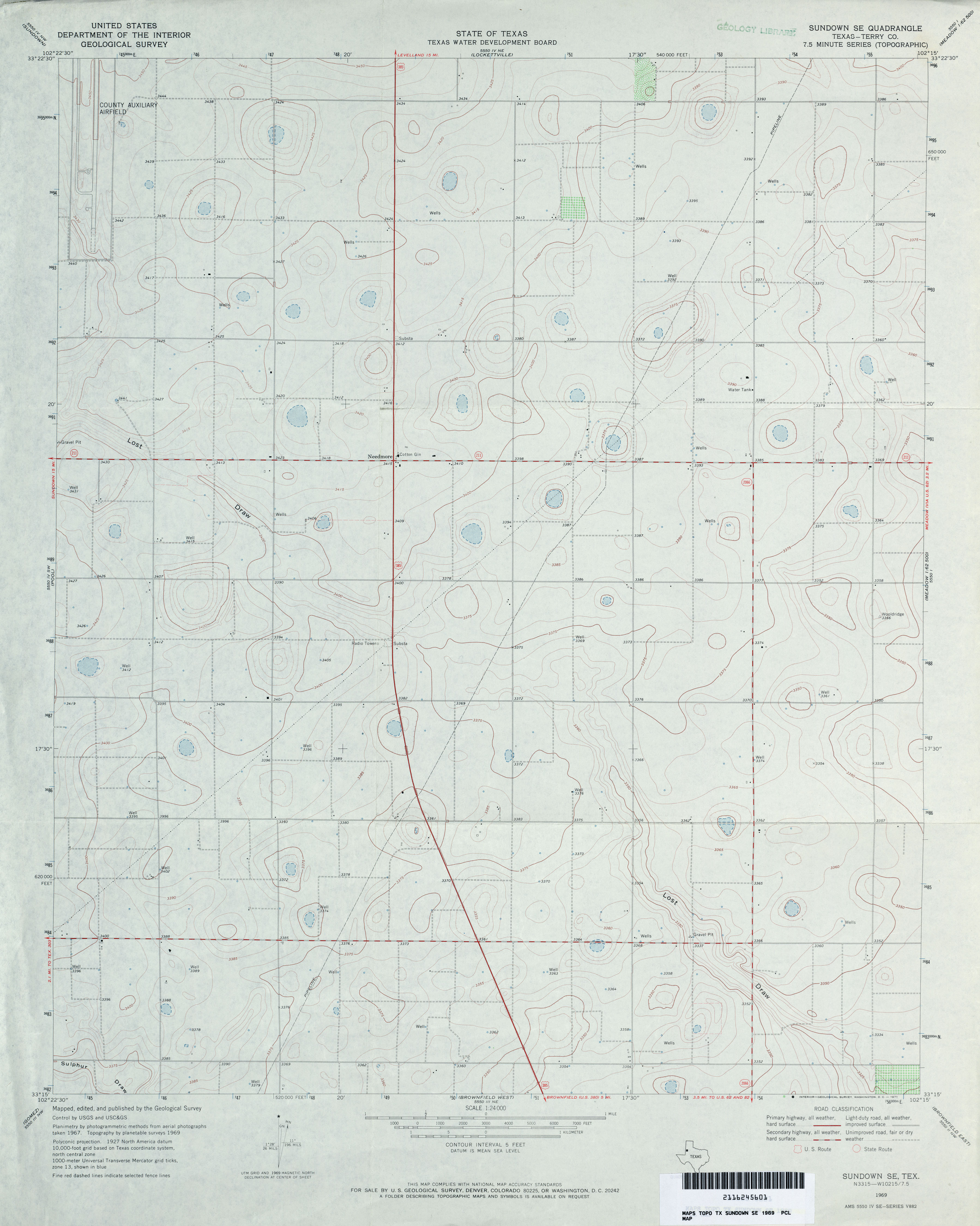
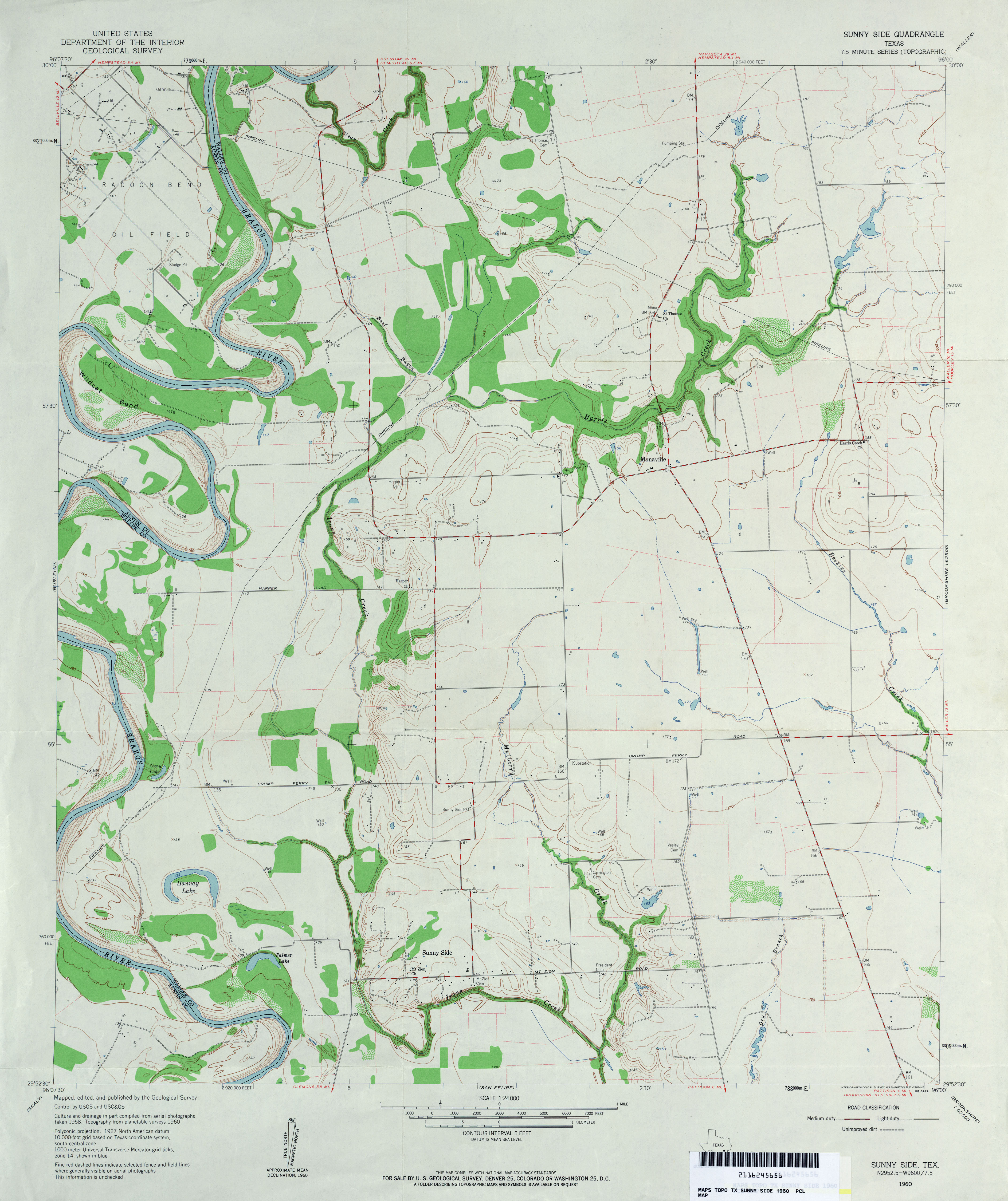