Perry-Castañeda Library
Map Collection
Texas Topographic Maps
Maps in this online collection are from the Perry-Castañeda Library, Walter Geology Library and Dolph Briscoe Center for American History at the University of Texas at Austin as well as the Texas State Library. All maps on this site were published by the U.S. Geological Survey unless otherwise noted and are in the public domain. The date given for each map is the date of latest survey. The Geographic Names Information System allows searches of geographic names to determine which map sheets they appear on. Indexes are available for Texas - East and Texas - West for the 1:24,000 map series. Maps published prior to 1923 are on the Texas Historical Topographic Map Index. More information about these maps is available on the Topographic Maps Home Page. Note: To fully view the GeoPDF files use Adobe Reader as your default PDF viewer or download the files and open them within Adobe Reader.
A, B, C, D, E, F, G, H, I, J, K, L, M, N, O, P, Q, R, S, T, U, V, W, X, Y, Z
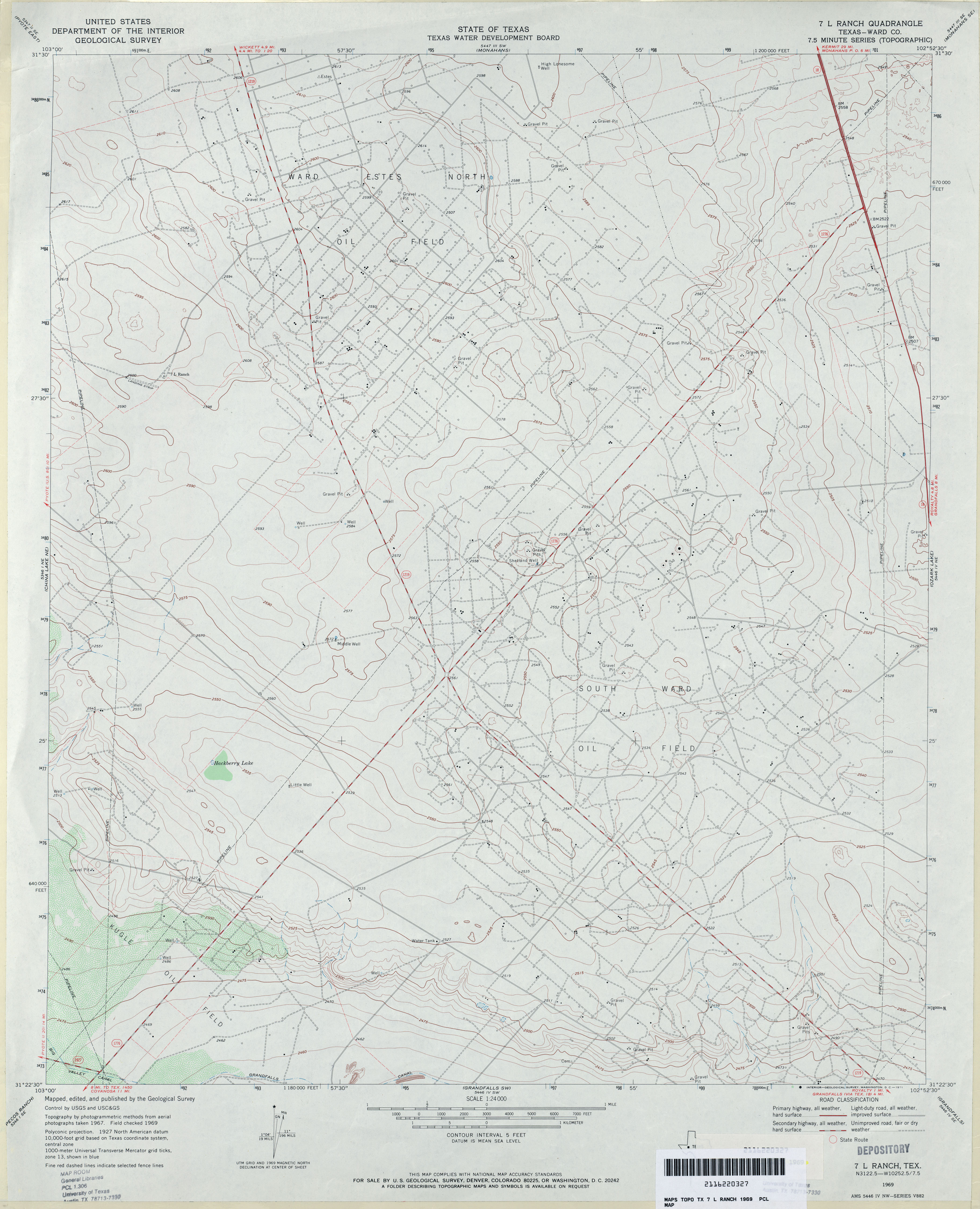
- 7 L Ranch (Ward County) 1:24,000 1969 (3.1MB)
- 7 L Ranch 1:24,000 2008 (21.9MB) [GeoPDF]
- 7 L Ranch 1:24,000 2012 (22.9MB) [GeoPDF]
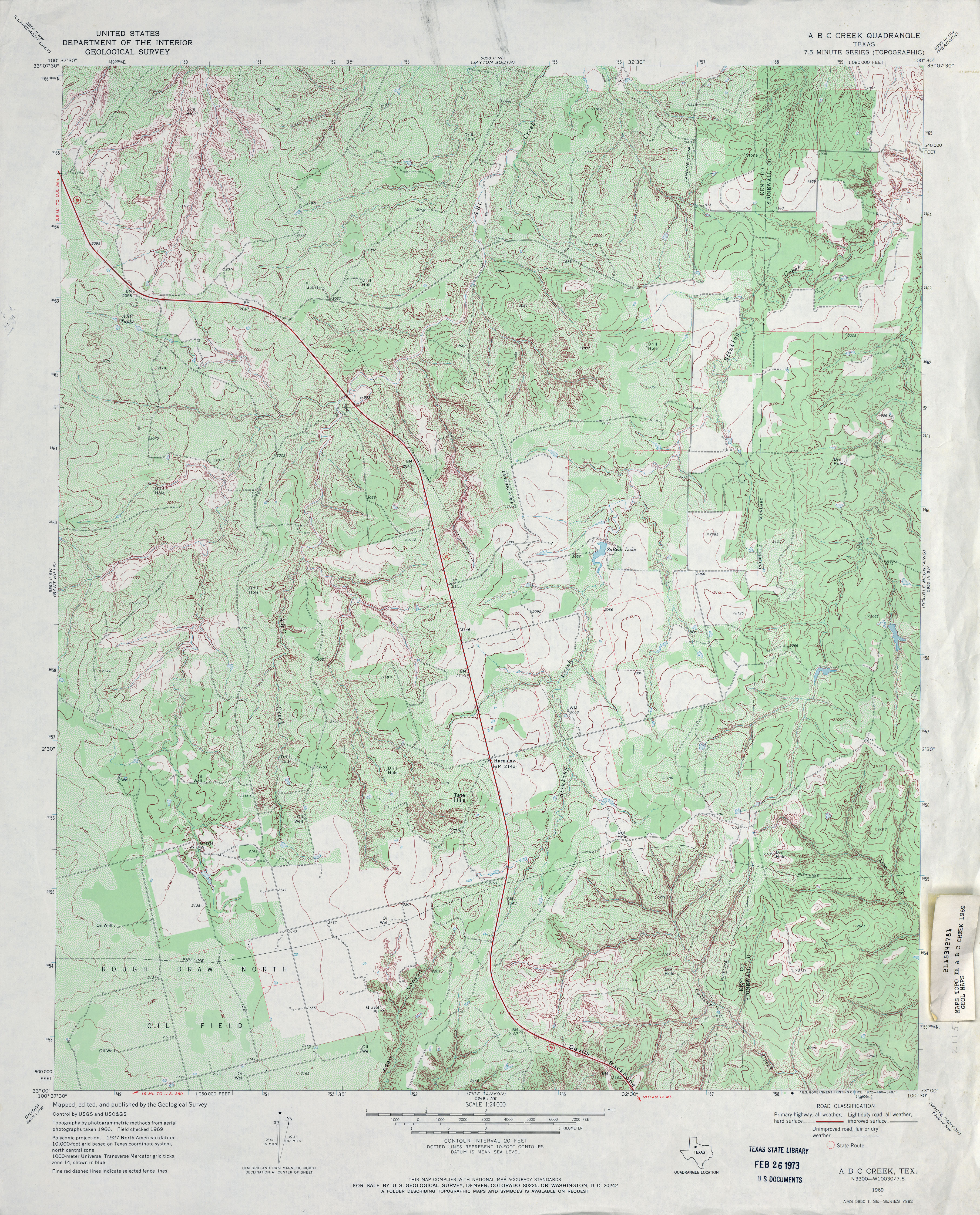
- A B C Creek 1:24,000 1969 (5.3MB)
- A B C Creek 1:24,000 2008 (17.0MB) [GeoPDF]
- A B C Creek 1:24,000 2012 (23.7MB) [GeoPDF]
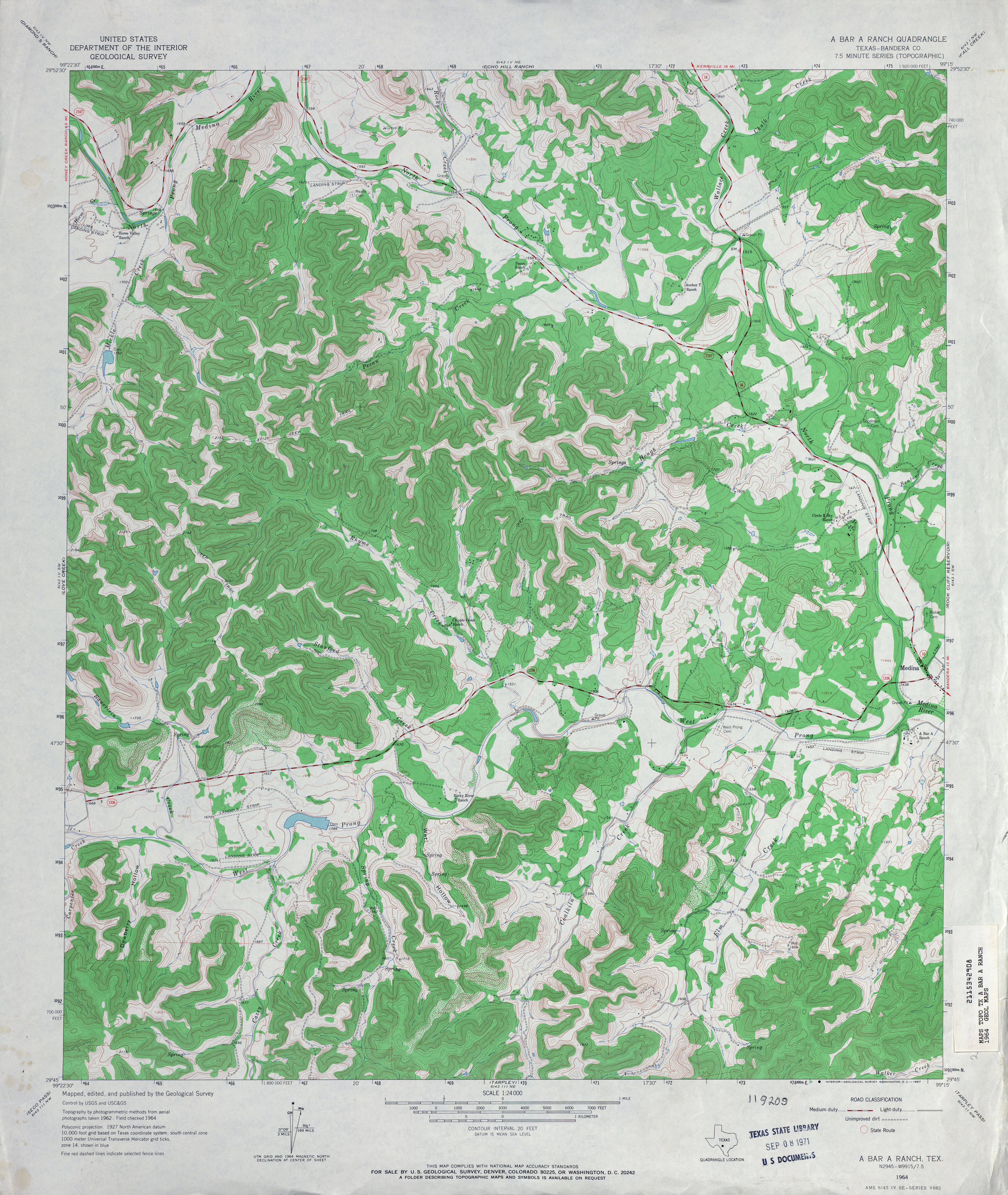
- A Bar A Ranch (Bandera County) 1:24,000 1964 (5.2MB)
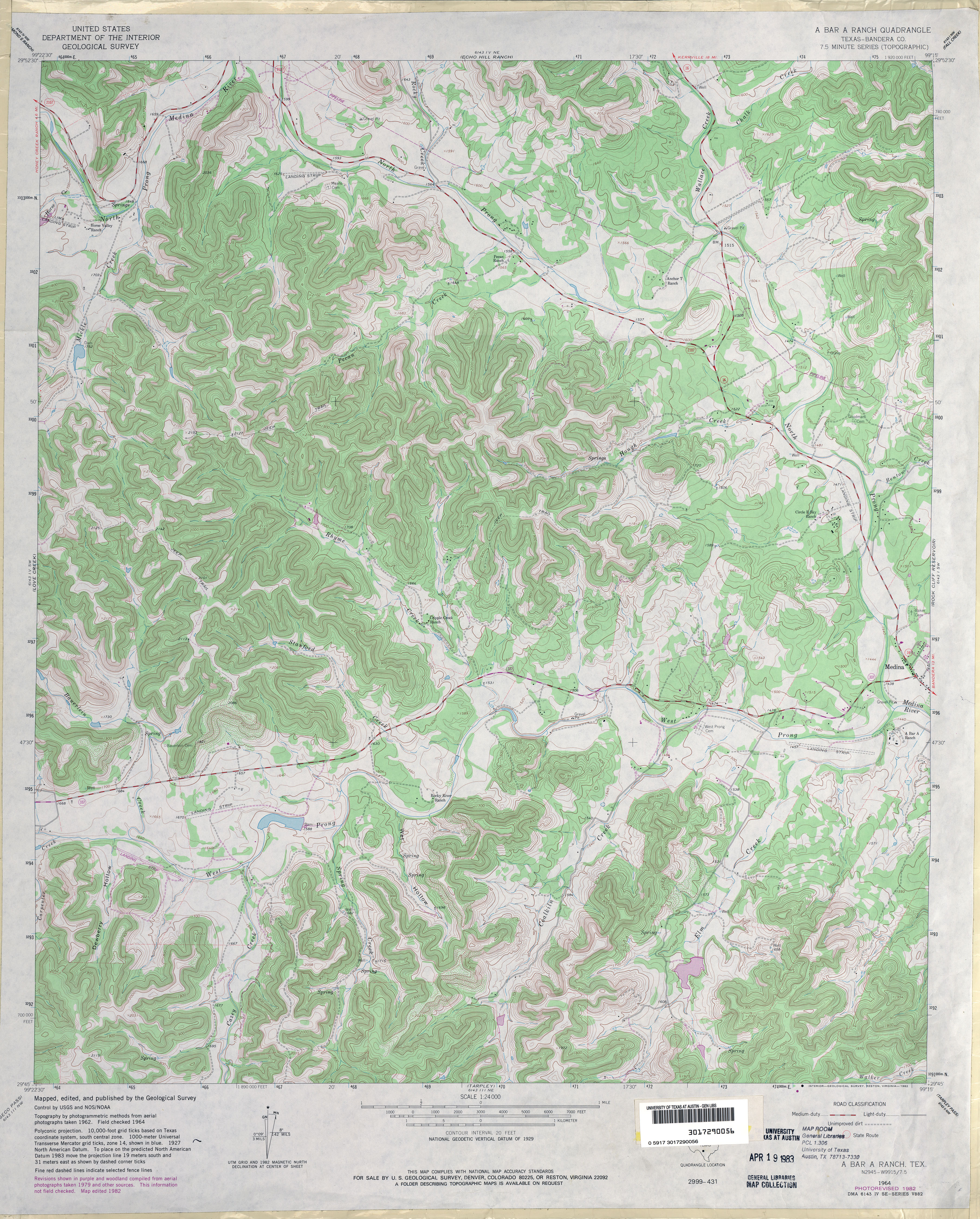
- A Bar A Ranch (Bandera County) 1:24,000 1982 (5.3MB)
- A Bar A Ranch 1:24,000 2008 (21.9MB) [GeoPDF]
- A Bar A Ranch 1:24,000 2013 (28.6MB) [GeoPDF]
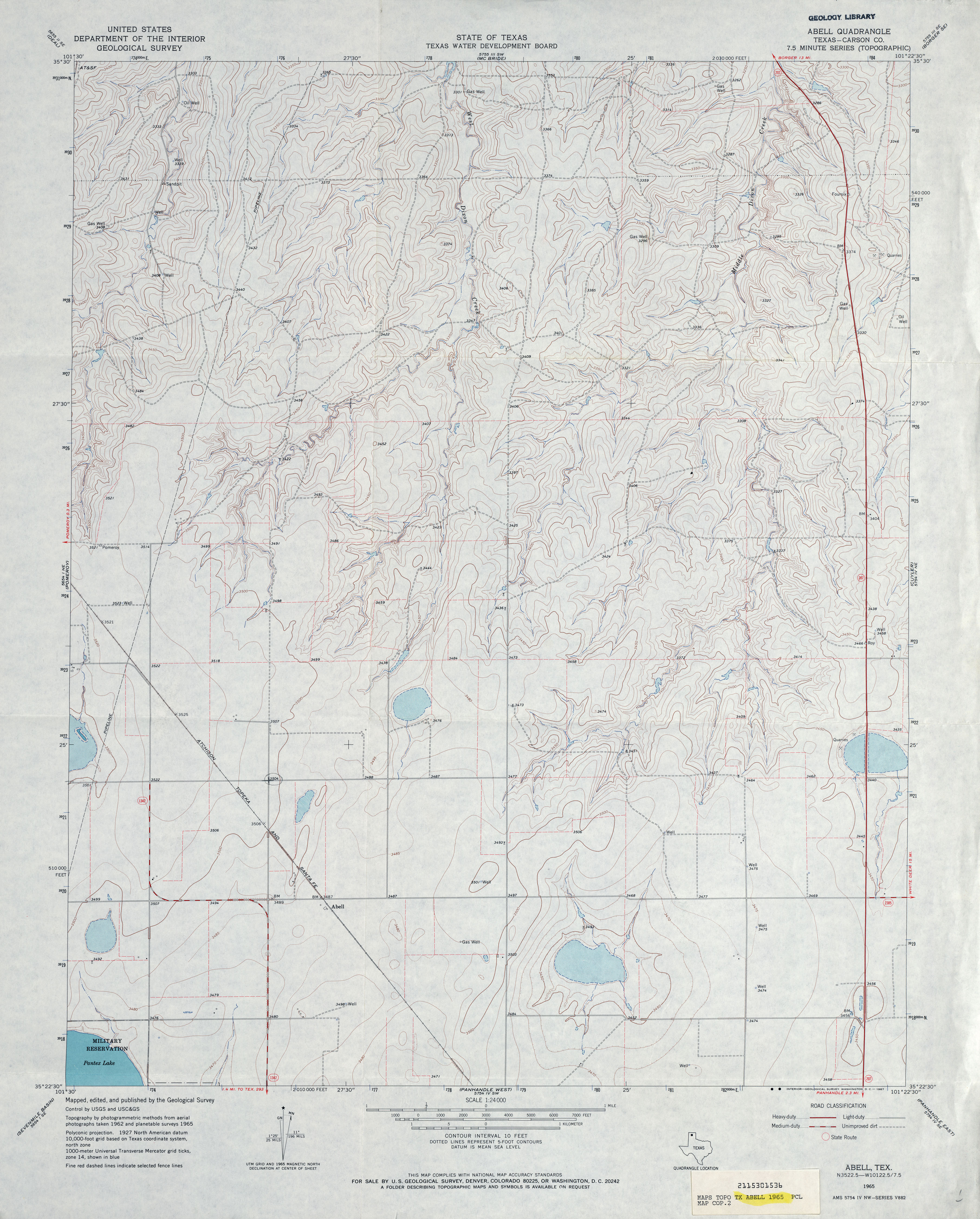
- Abell (Carson County) 1:24,000 1965 (3.5MB)
- Abell 1:24,000 2008 (8.3MB) [GeoPDF]
- Abell 1:24,000 2012 (15.7MB) [GeoPDF]
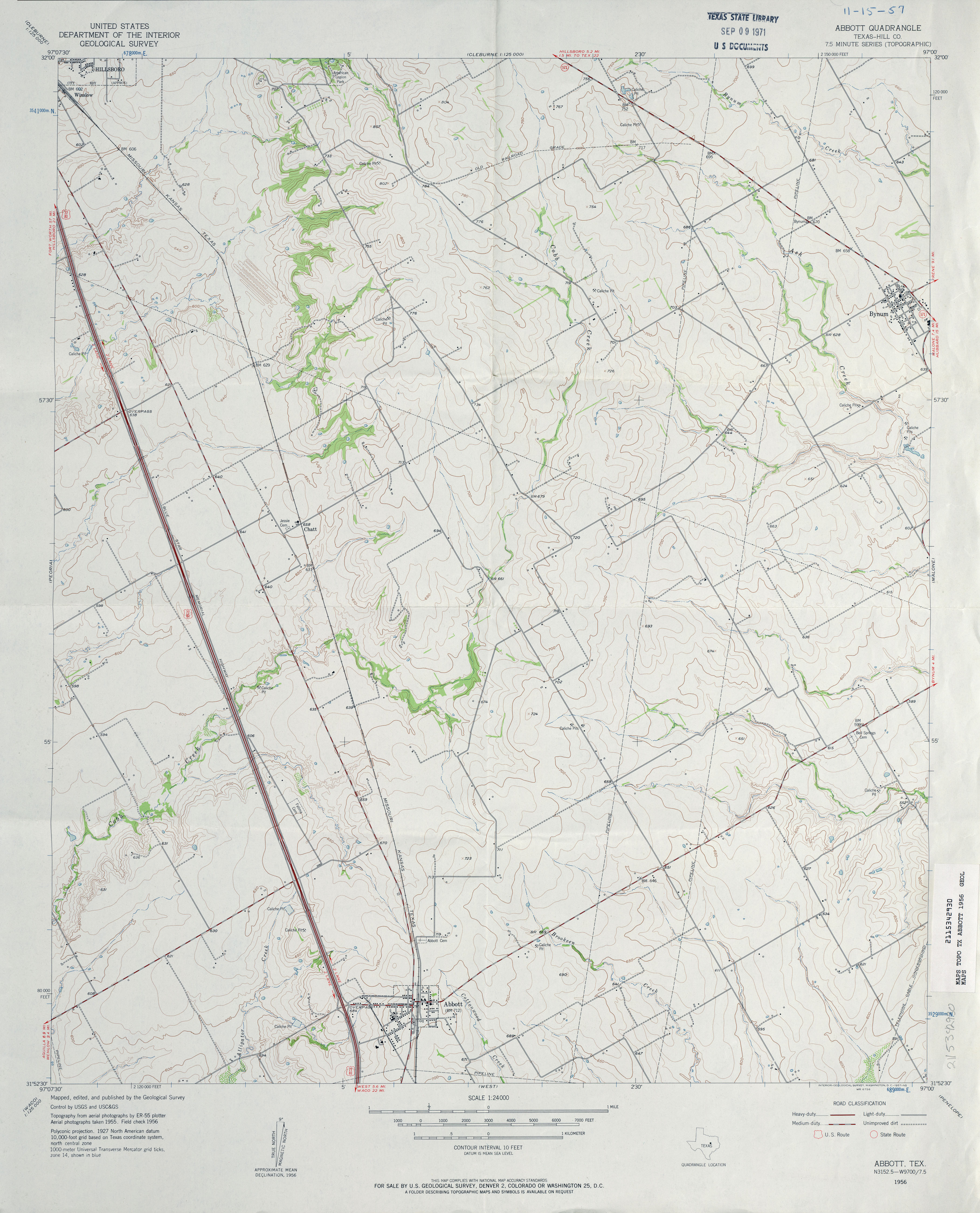
- Abbott (Hill County) 1:24,000 1956 (3.3MB)
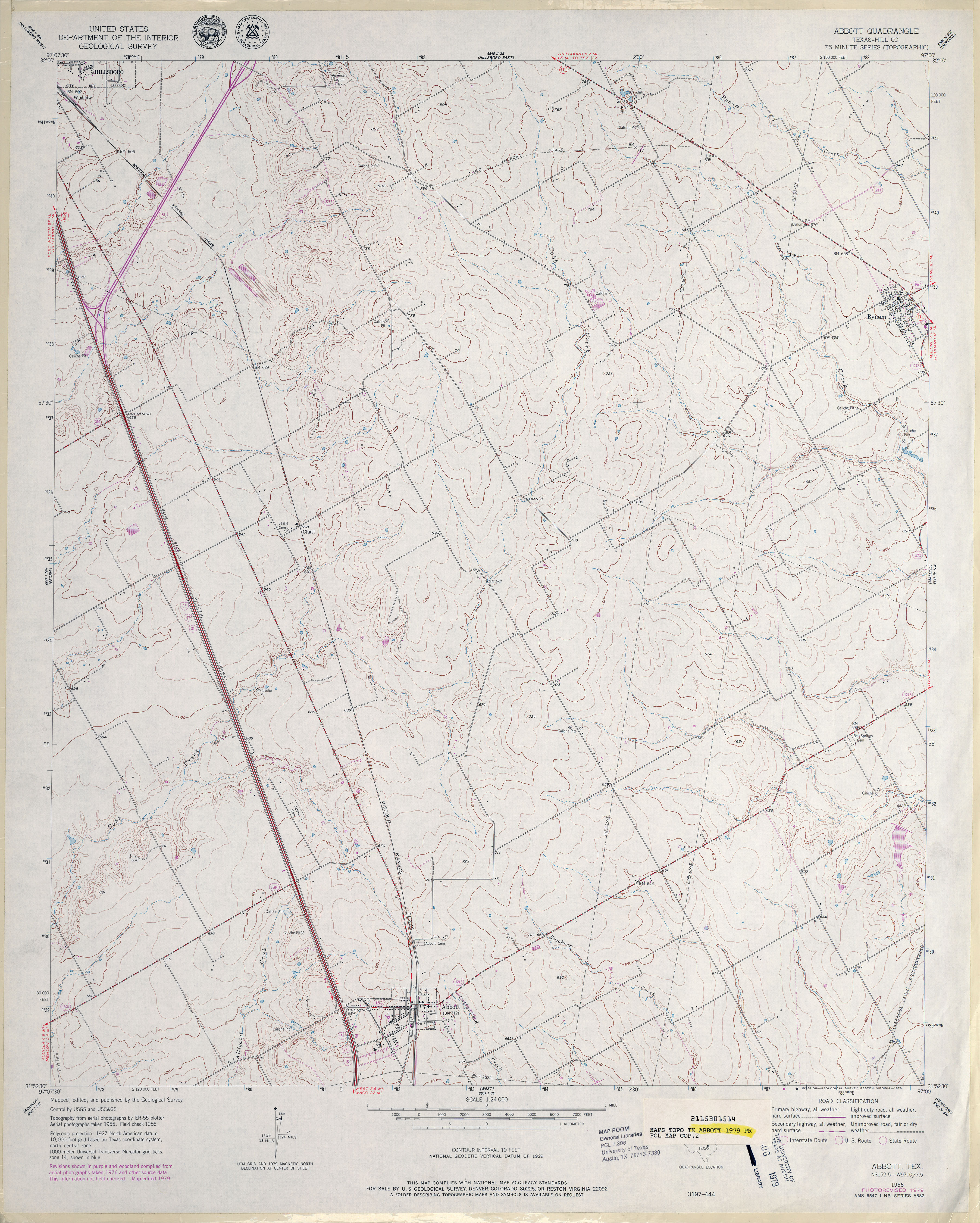
- Abbott (Hill County) 1:24,000 1979 (3.7MB)
- Abbott 1:24,000 2008 (12.5MB) [GeoPDF]
- Abbott 1:24,000 2012 (17.3MB) [GeoPDF]
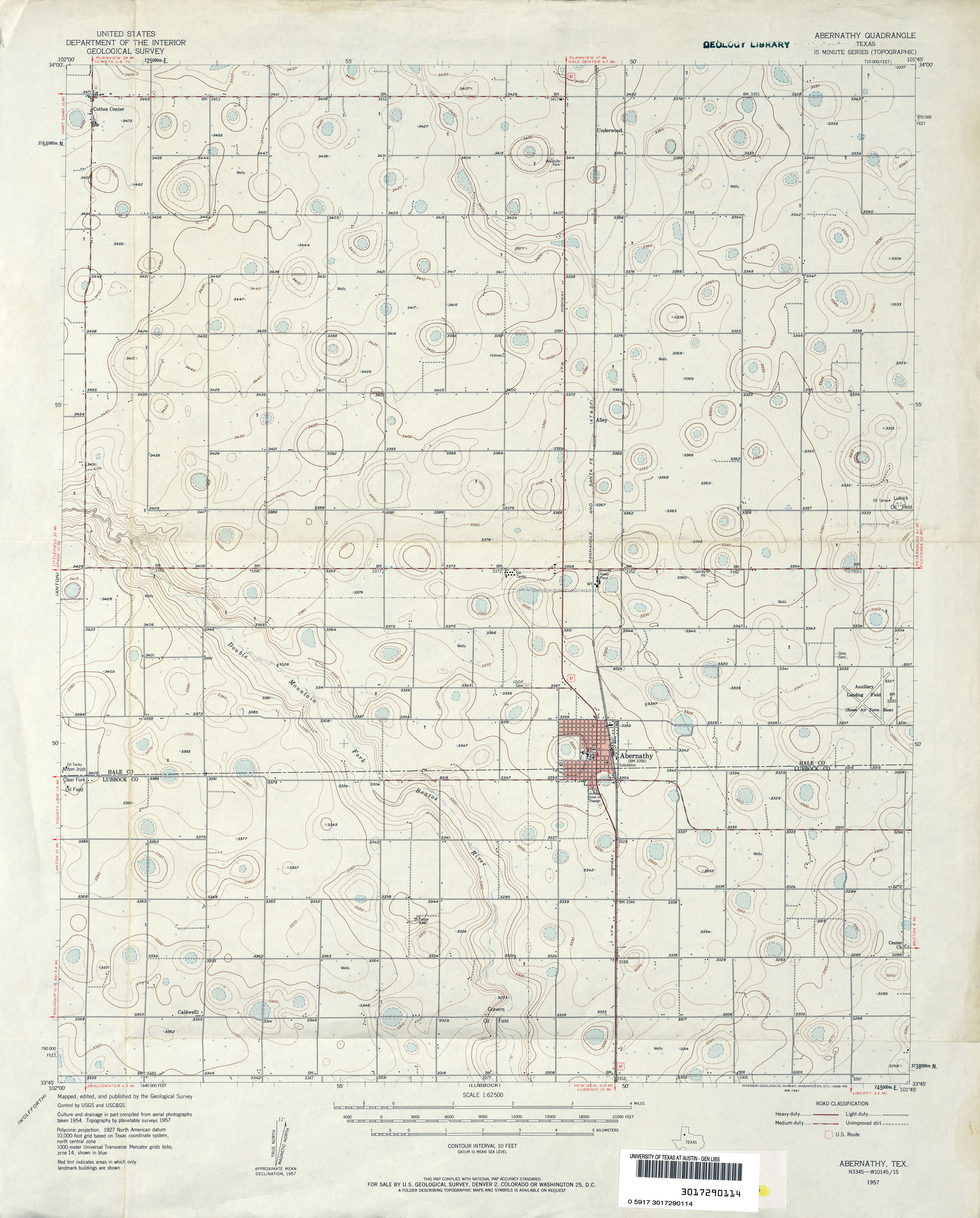
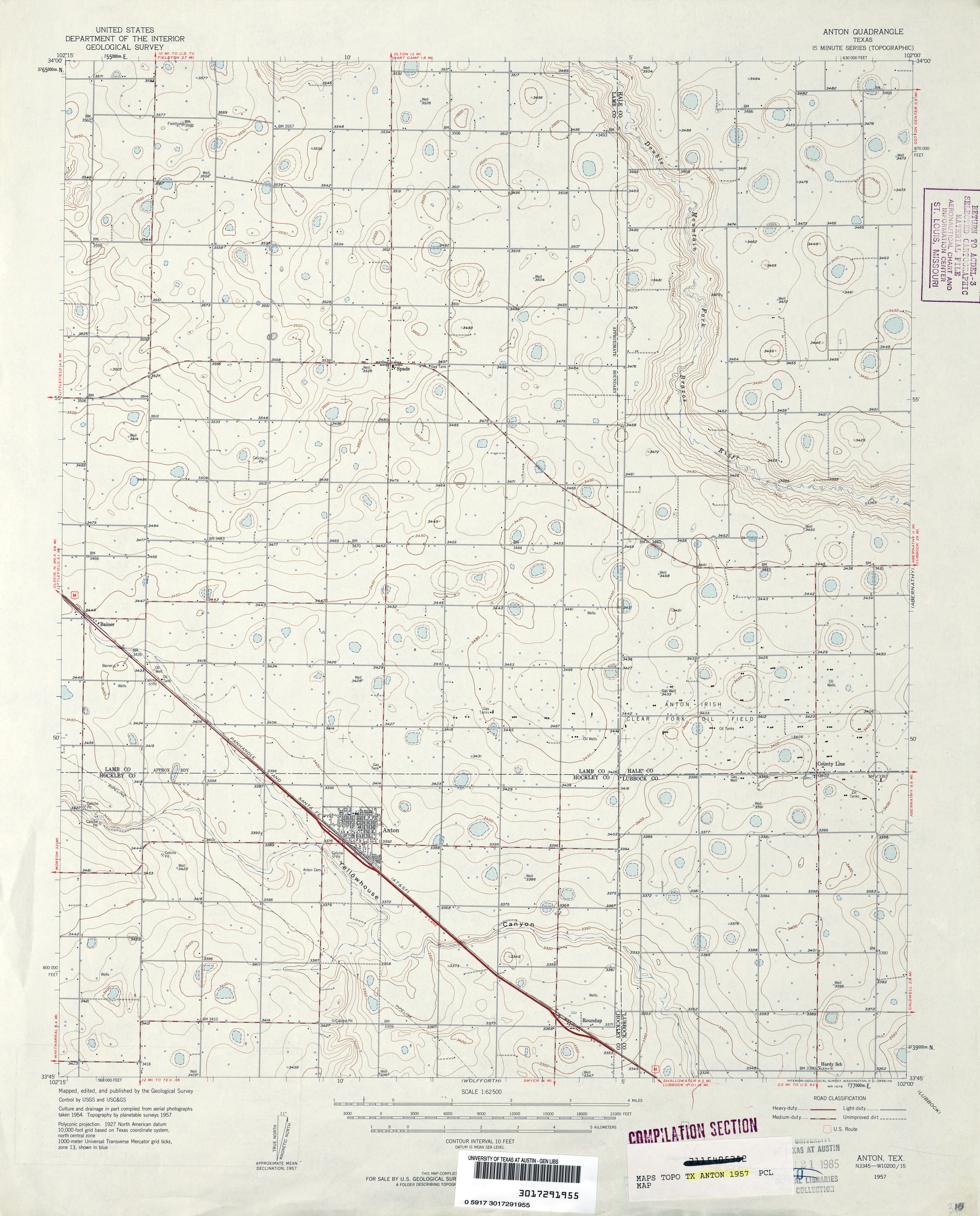
- Abernathy 1:62,500 1957 (3.2MB)
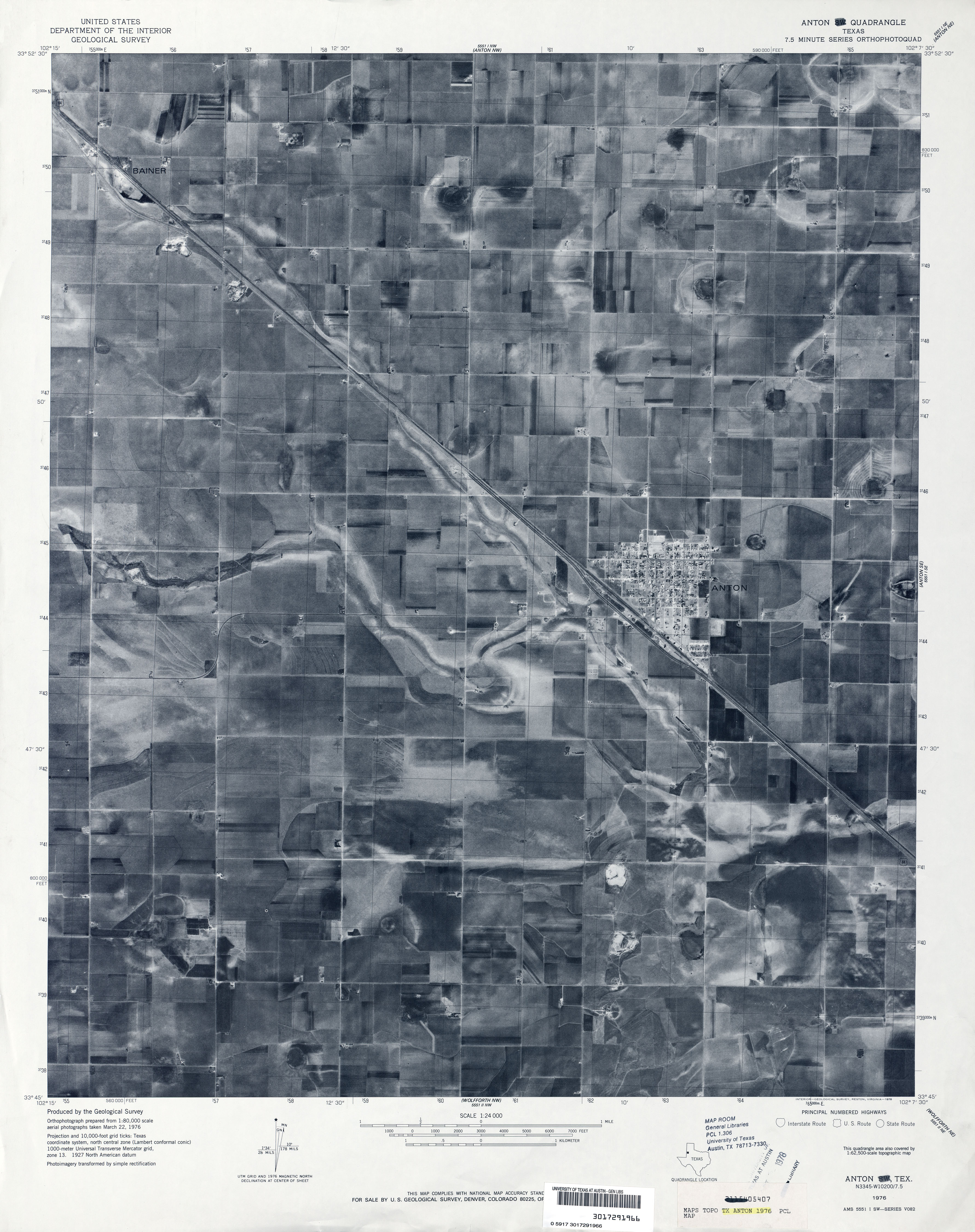
- Abernathy 1:24,000 1976 (2.7MB) 7.5 Minute Series Orthophotoquad
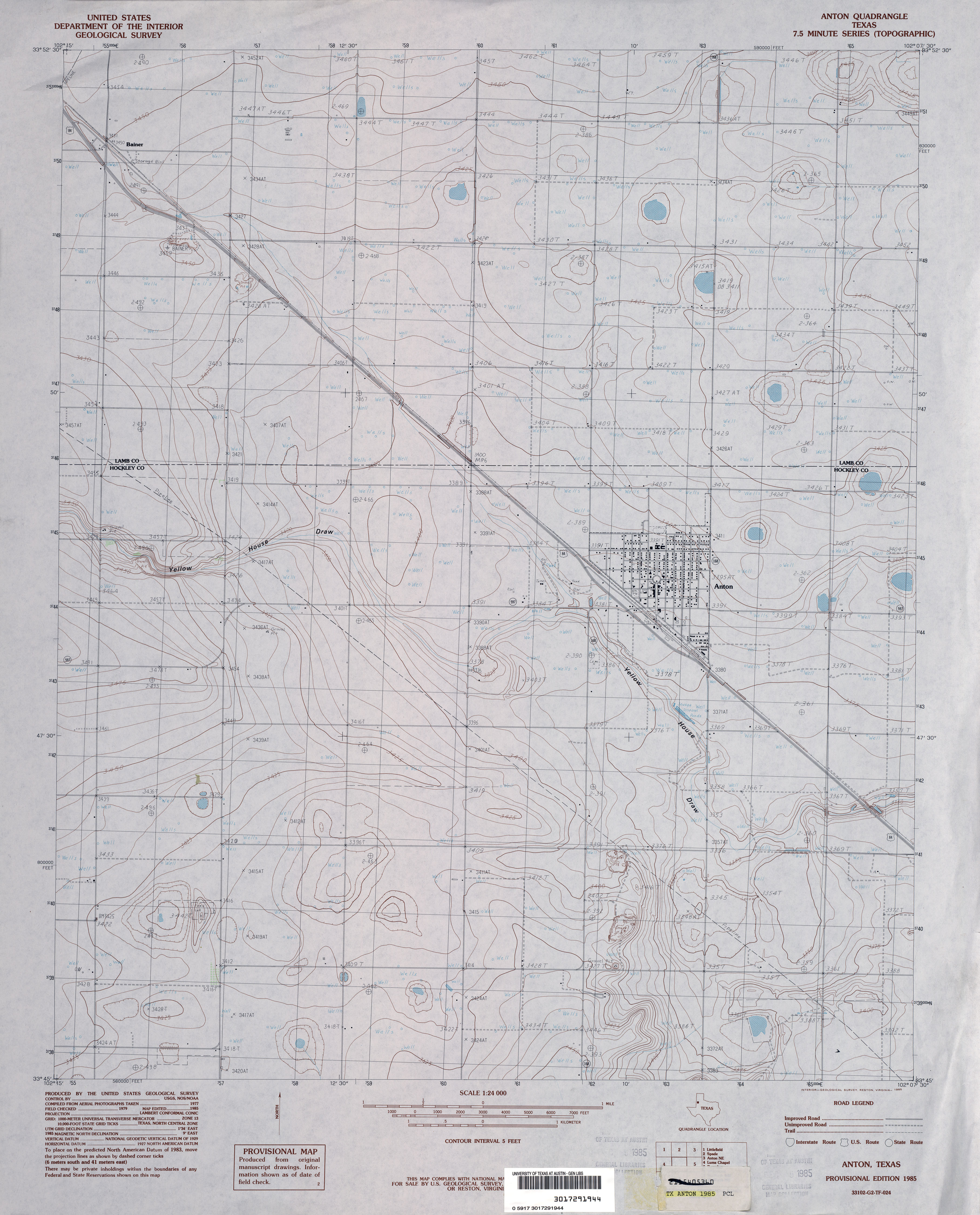
- Abernathy 1:24,000 1985 (3.3MB)
- Abernathy 1:24,000 2008 (10.0MB) [GeoPDF]
- Abernathy 1:24,000 2012 (15.5MB) [GeoPDF]
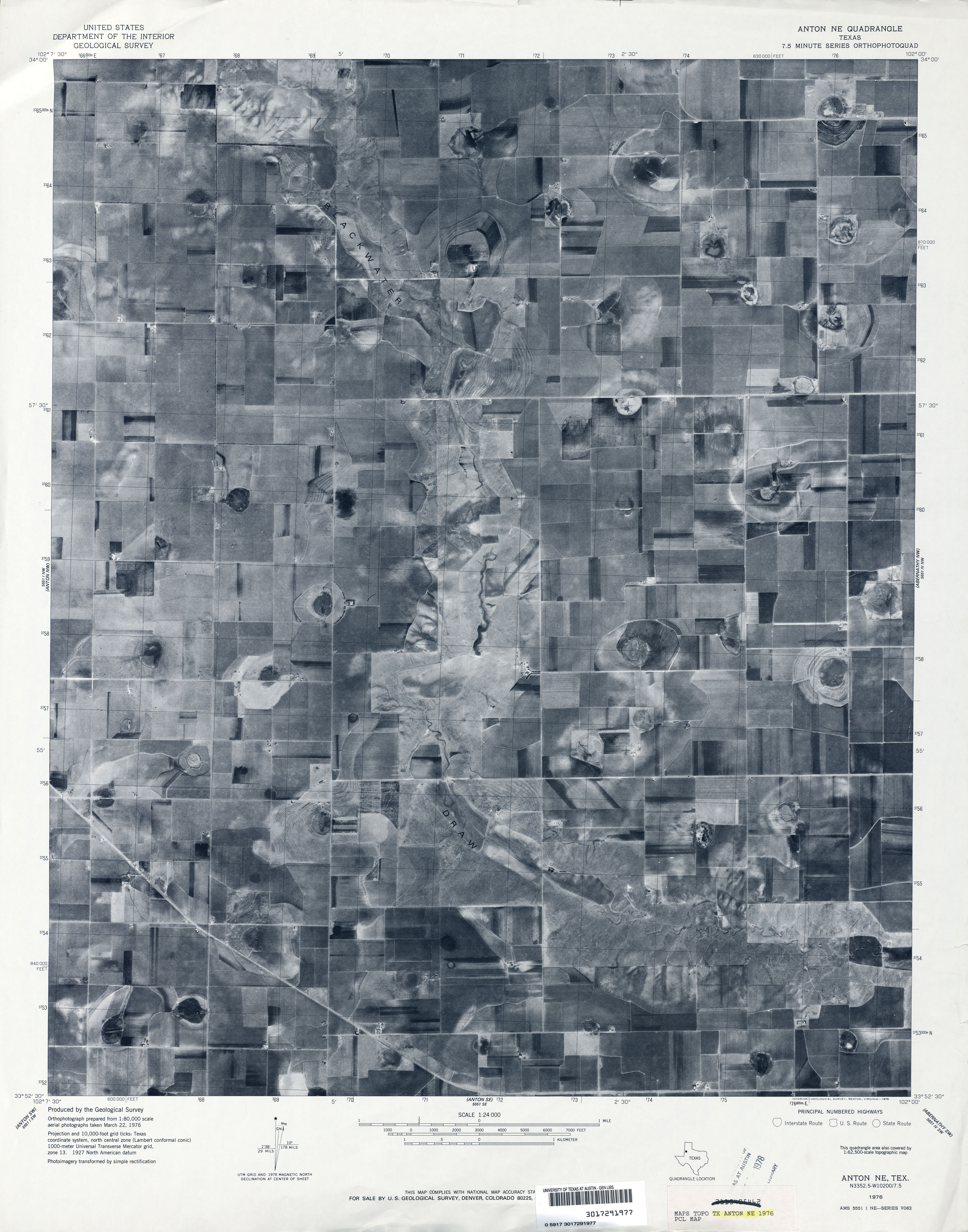
- Abernathy NE 1:24,000 1976 (2.7MB) 7.5 Minute Series Orthophotoquad
- Abernathy SW 1:24,000 1976 (2.8MB) 7.5 Minute Series Orthophotoquad
- Abernathy SW 1:24,000 1985 (3.5MB)
- Abernathy SW 1:24,000 2008 (9.6MB) [GeoPDF]
- Abernathy SW 1:24,000 2012 (14.8MB) [GeoPDF]
- Abilene 1:125,000 1892 (3.3MB)
- Abilene 1:250,000 1954 (9.5MB)
- Abilene 1:250,000 1965 (7.9MB)
- Abilene 1:250,000 1965 (7.1MB)
- Abilene East 1:24,000 1957 (3.6MB)
- Abilene East 1:24,000 1967 (3.5MB)
- Abilene East 1:24,000 1974 (3.7MB)
- Abilene East 1:24,000 1987 (4.2MB)
- Abilene East 1:24,000 2008 (14.4MB) [GeoPDF]
- Abilene East 1:24,000 2012 (20.7MB) [GeoPDF]
- Abilene West (Taylor County) 1:24,000 1957 (3.8MB)
- Abilene West (Taylor County) 1:24,000 1967 (3.8MB)
- Abilene West (Taylor County) 1:24,000 1974 (3.9MB)
- Abilene West (Taylor County) 1:24,000 1987 (4.2MB)
- Abilene West 1:24,000 2008 (15.2MB) [GeoPDF]
- Abilene West 1:24,000 2012 (22.6MB) [GeoPDF]
- Ables Springs 1:24,000 1979 (4MB)
- Ables Springs 1:24,000 2010 (16.2MB) [GeoPDF]
- Ables Springs 1:24,000 2012 (20.3MB) [GeoPDF]
- Abra (Collingsworth County) 1:24,000 1964 (4.8MB)
- Abra 1:24,000 2008 (13.6MB) [GeoPDF]
- Abra 1:24,000 2012 (19.9MB) [GeoPDF]
- Acala 1:24,000 1972 (2.3MB)
- Acala 1:24,000 2008 (19.7MB) [GeoPDF]
- Acala 1:24,000 2013 (15.5MB) [GeoPDF]
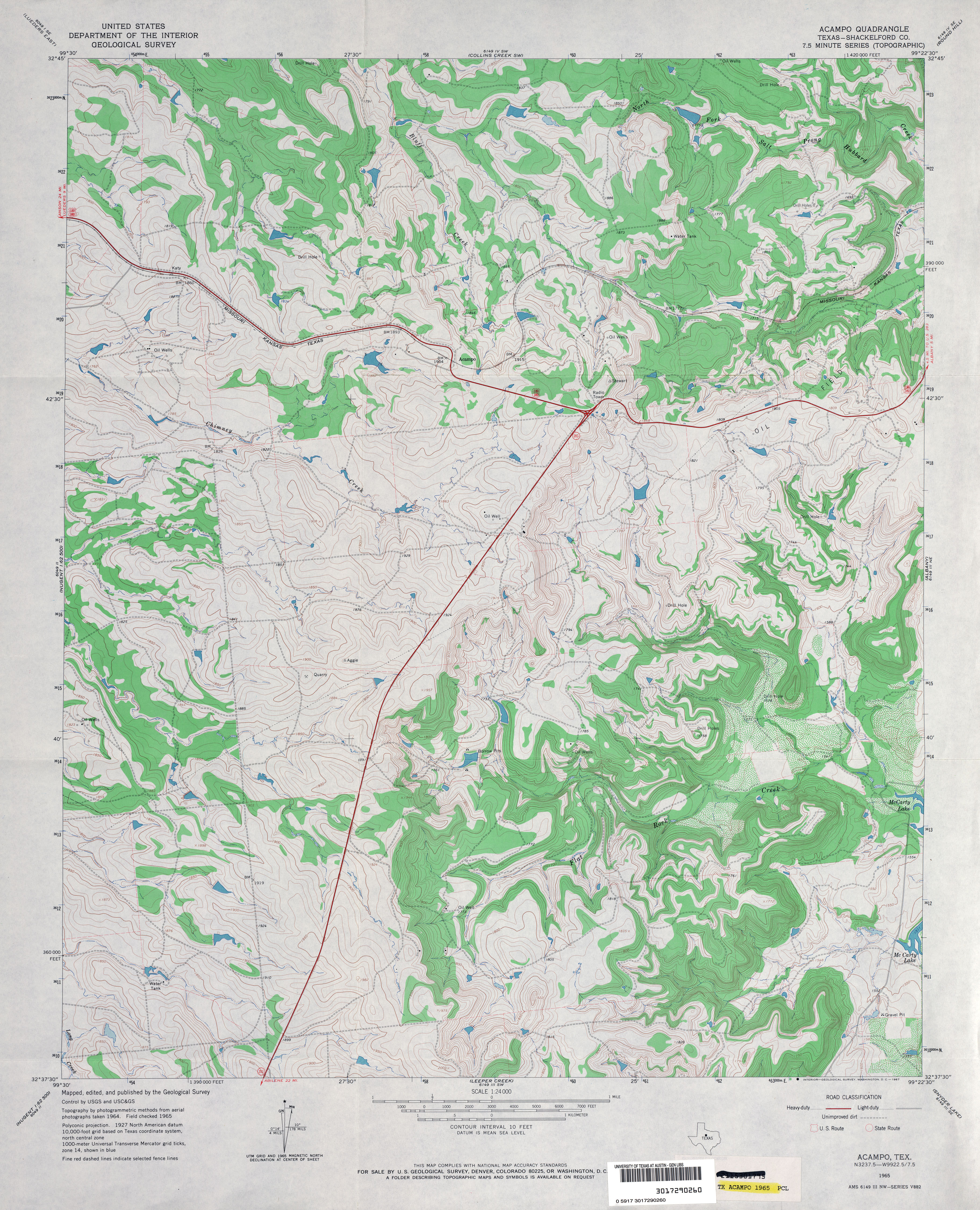
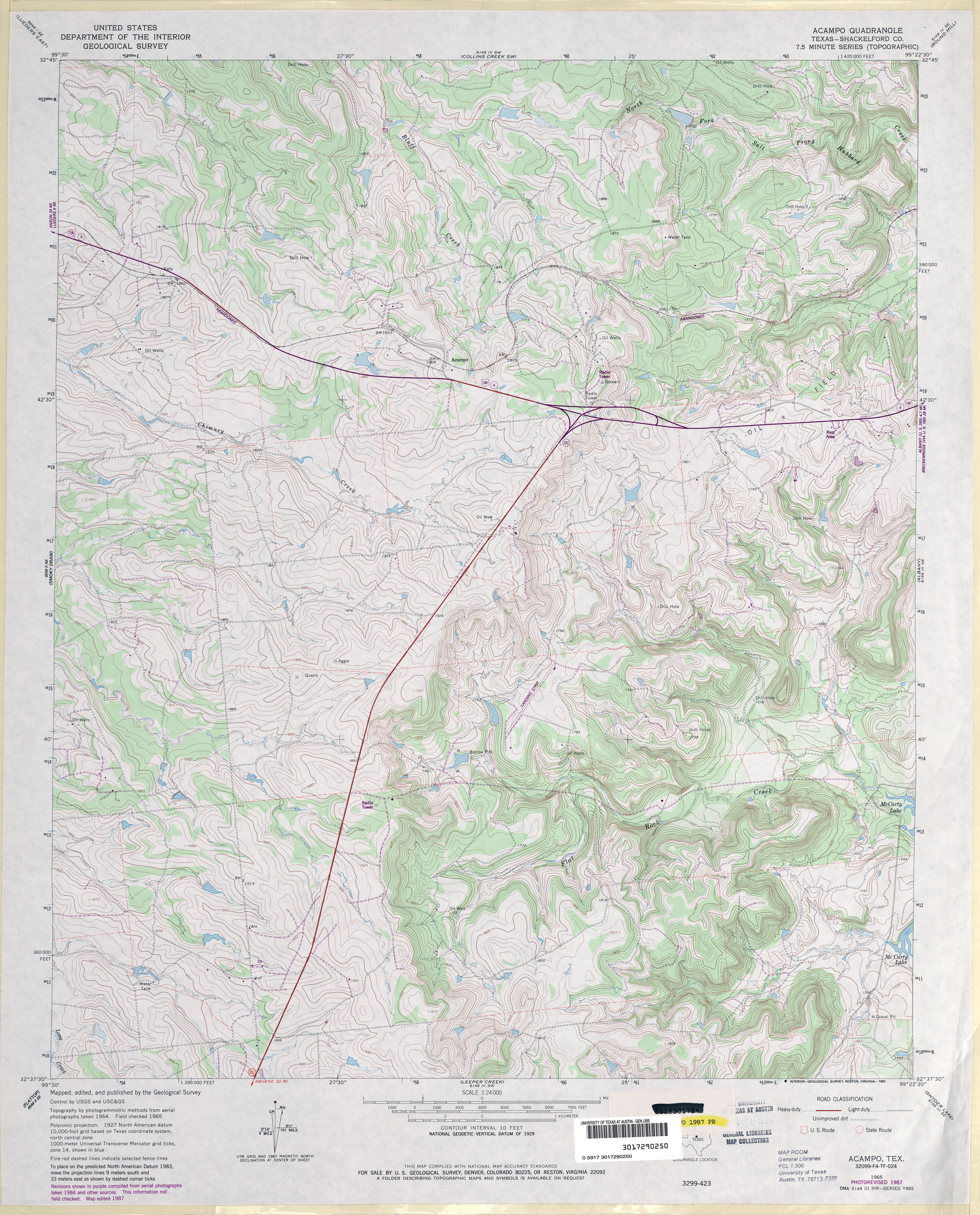
- Acampo (Shackelford County) 1:24,000 1965 (4.4MB)
- Acampo (Shackelford County) 1:24,000 1987 (4.9MB)
- Acampo 1:24,000 2008 (13.9MB) [GeoPDF]
- Acampo 1:24,000 2012 (22.3MB) [GeoPDF]
- Achille [Oklahoma, Texas] 1:24,000 2008 (16.2MB) [GeoPDF]
- Achille 1:24,000 2013 (22.4MB) [GeoPDF]
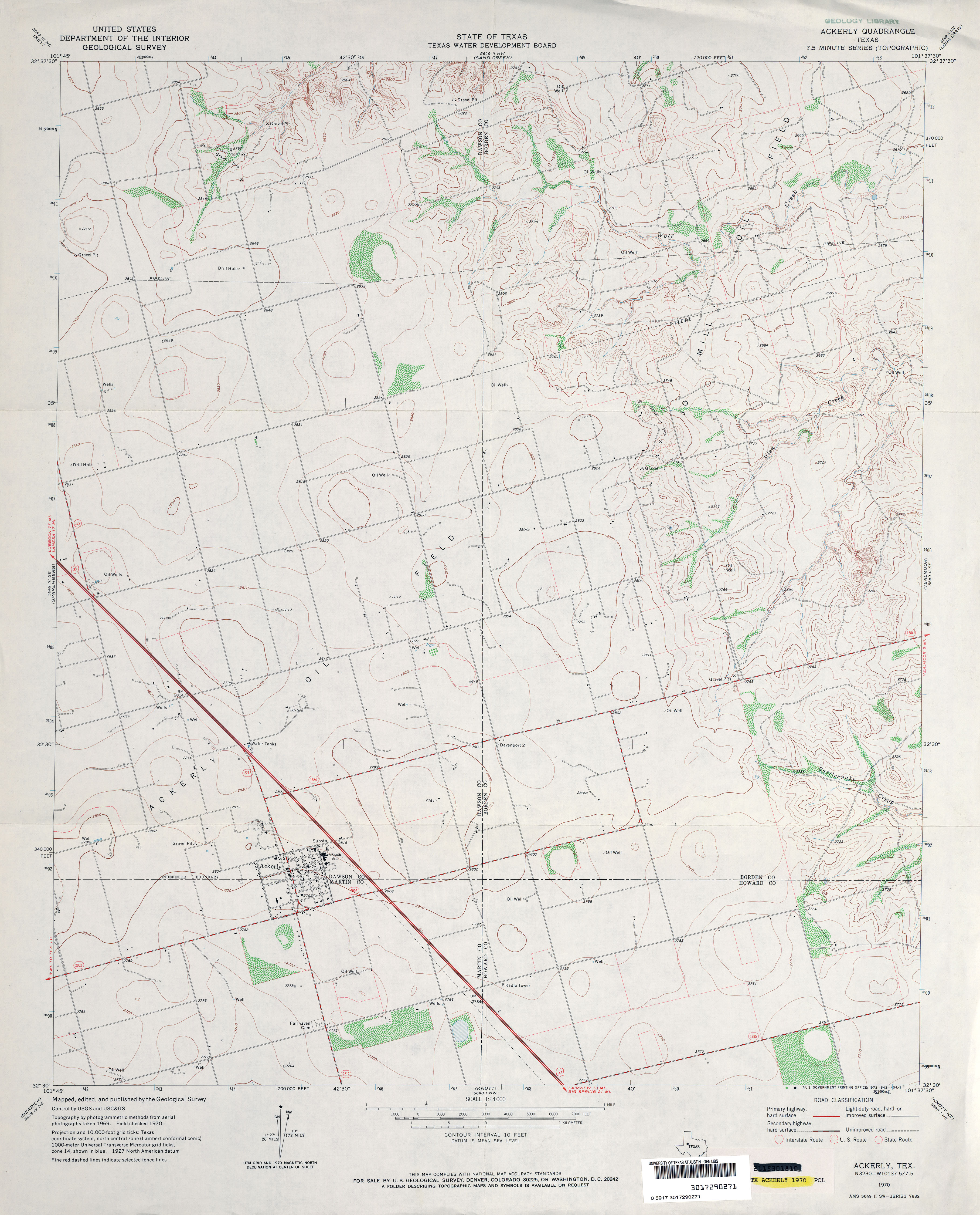
- Ackerly 1:24,000 1970 (3.1MB)
- Ackerly 1:24,000 2008 (14.6MB) [GeoPDF]
- Ackerly 1:24,000 2012 (19.1MB) [GeoPDF]
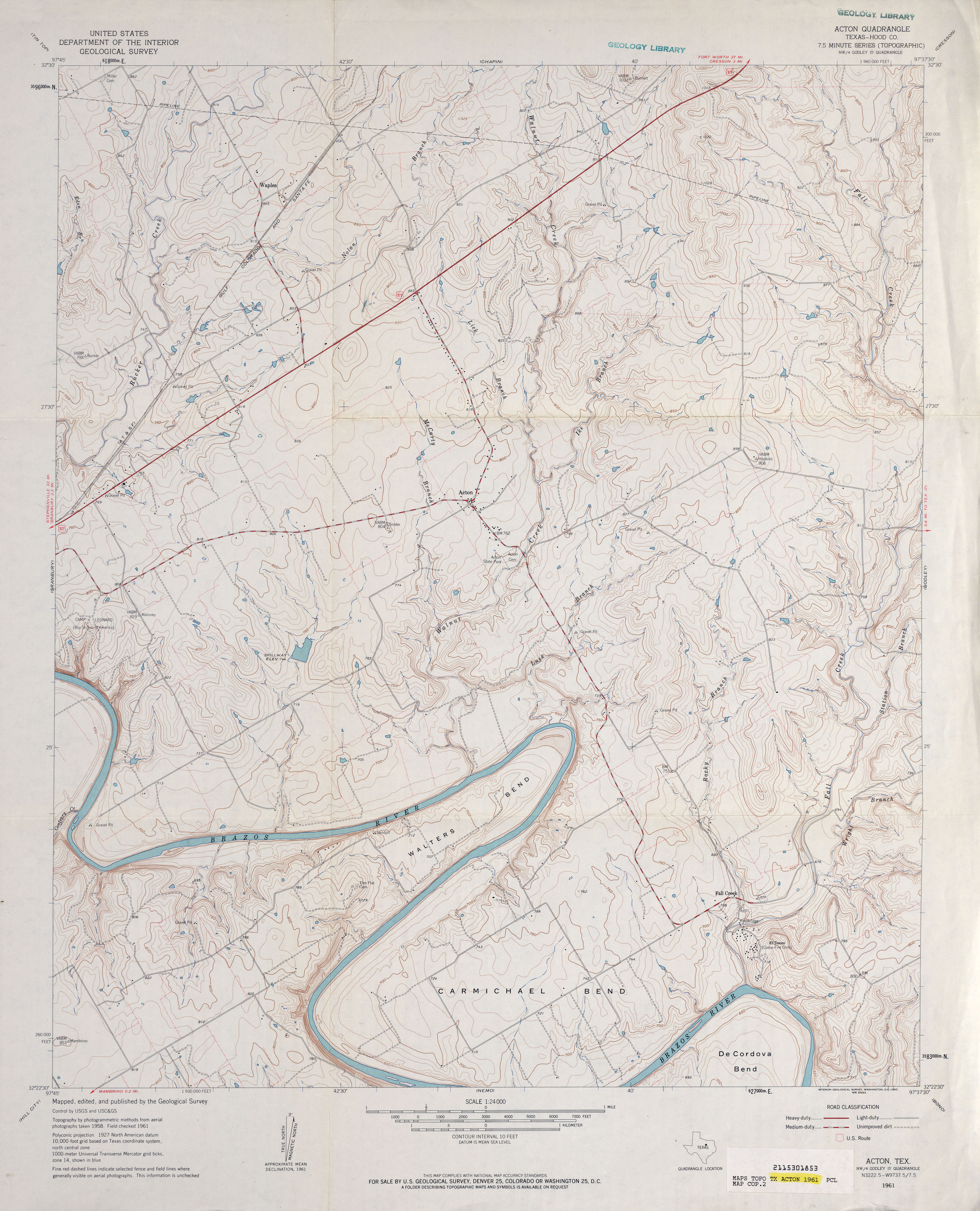
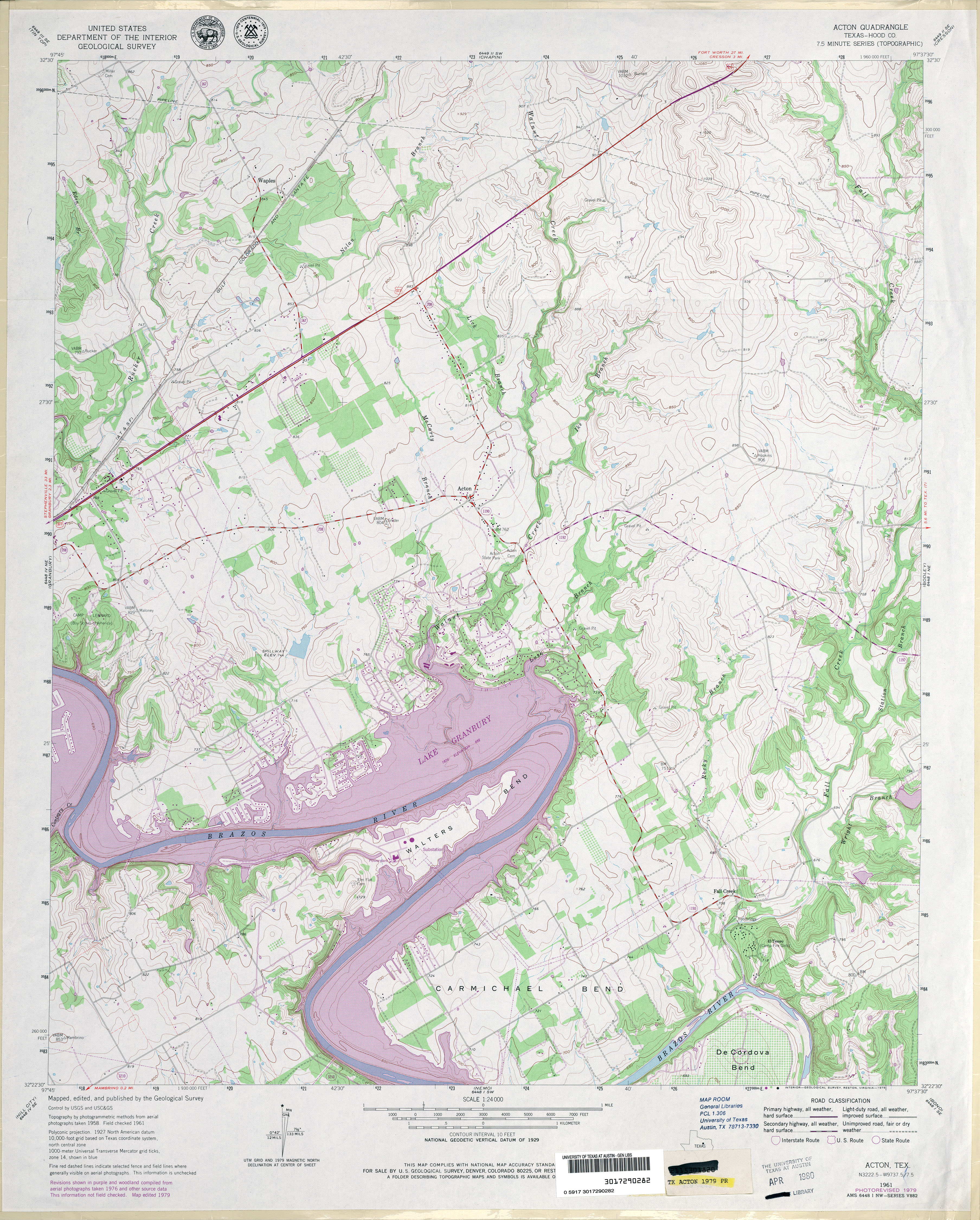
- Acton (Hood County) 1:24,000 1961 (3.8MB)
- Acton (Hood County) 1:24,000 1979 (4.7MB)
- Acton 1:24,000 2008 (17.5MB) [GeoPDF]
- Acton 1:24,000 2012 (23.2MB) [GeoPDF]
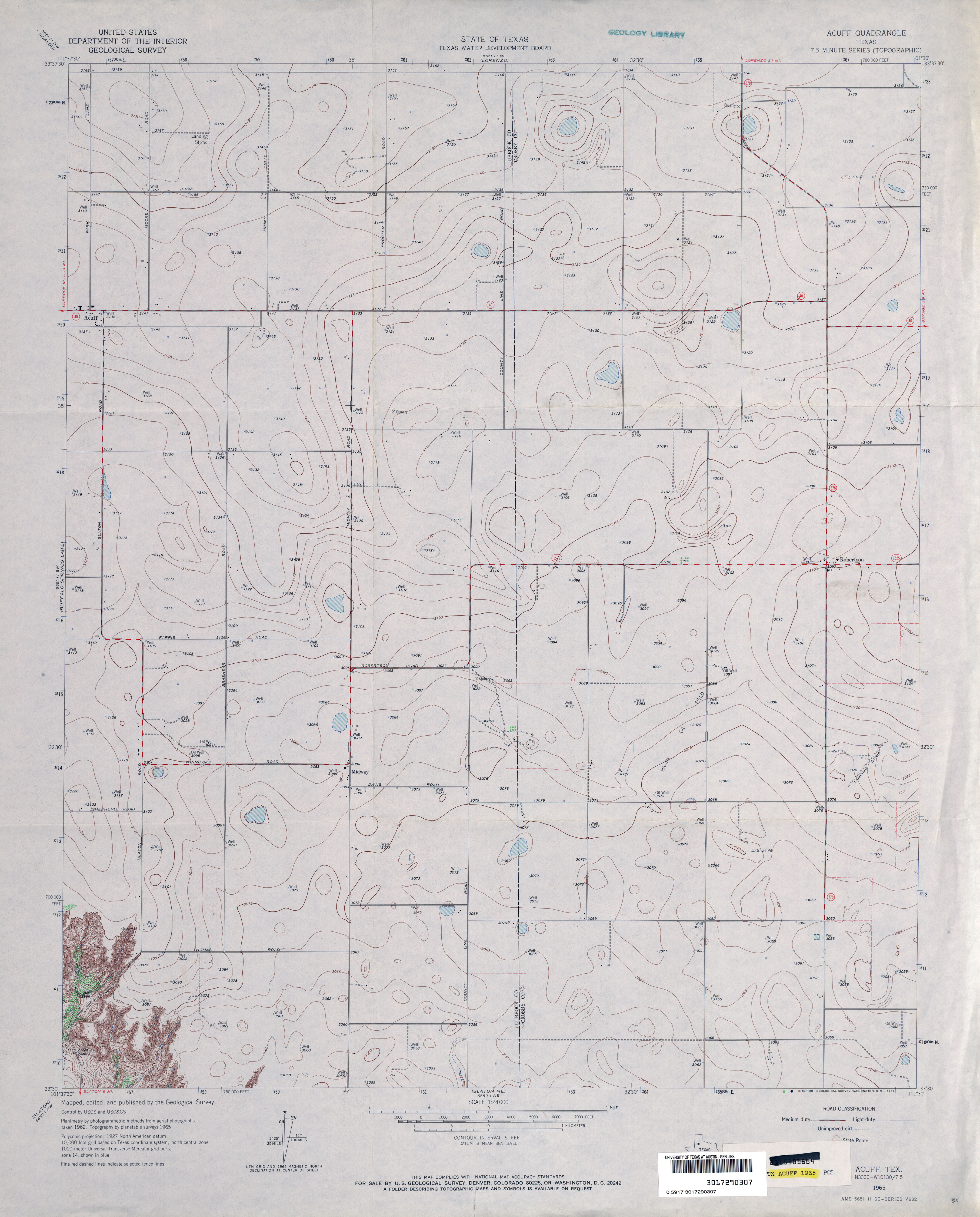
- Acuff 1:24,000 1965 (2.8MB)
- Acuff 1:24,000 2008 (12.4MB) [GeoPDF]
- Acuff 1:24,000 2012 (16.3MB) [GeoPDF]
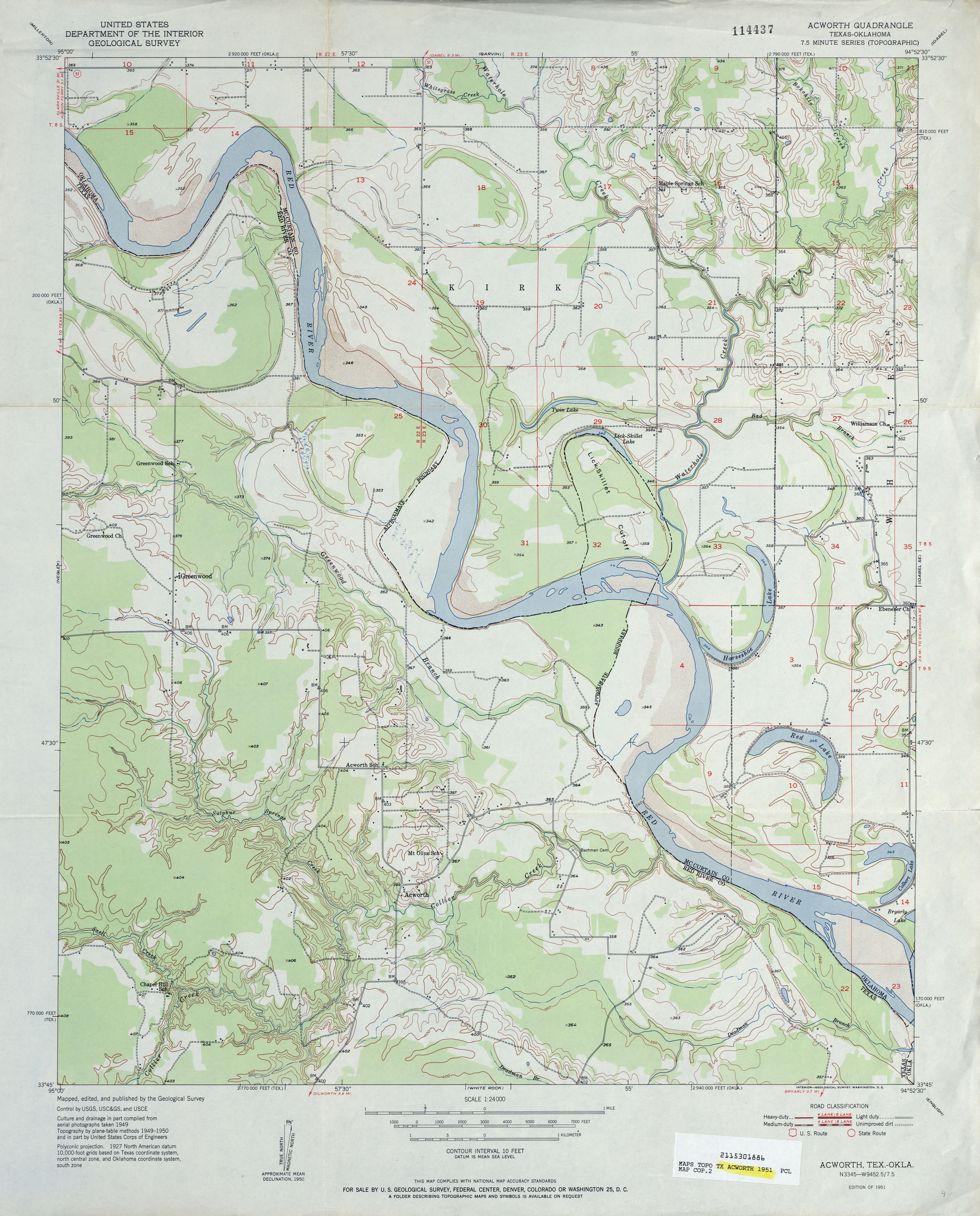
- Acworth 1:24,000 1951 (3.7MB)
- Acworth 1:24,000 2008 (17.2MB) [GeoPDF]
- Acworth 1:24,000 2013 (23.9MB) [GeoPDF]
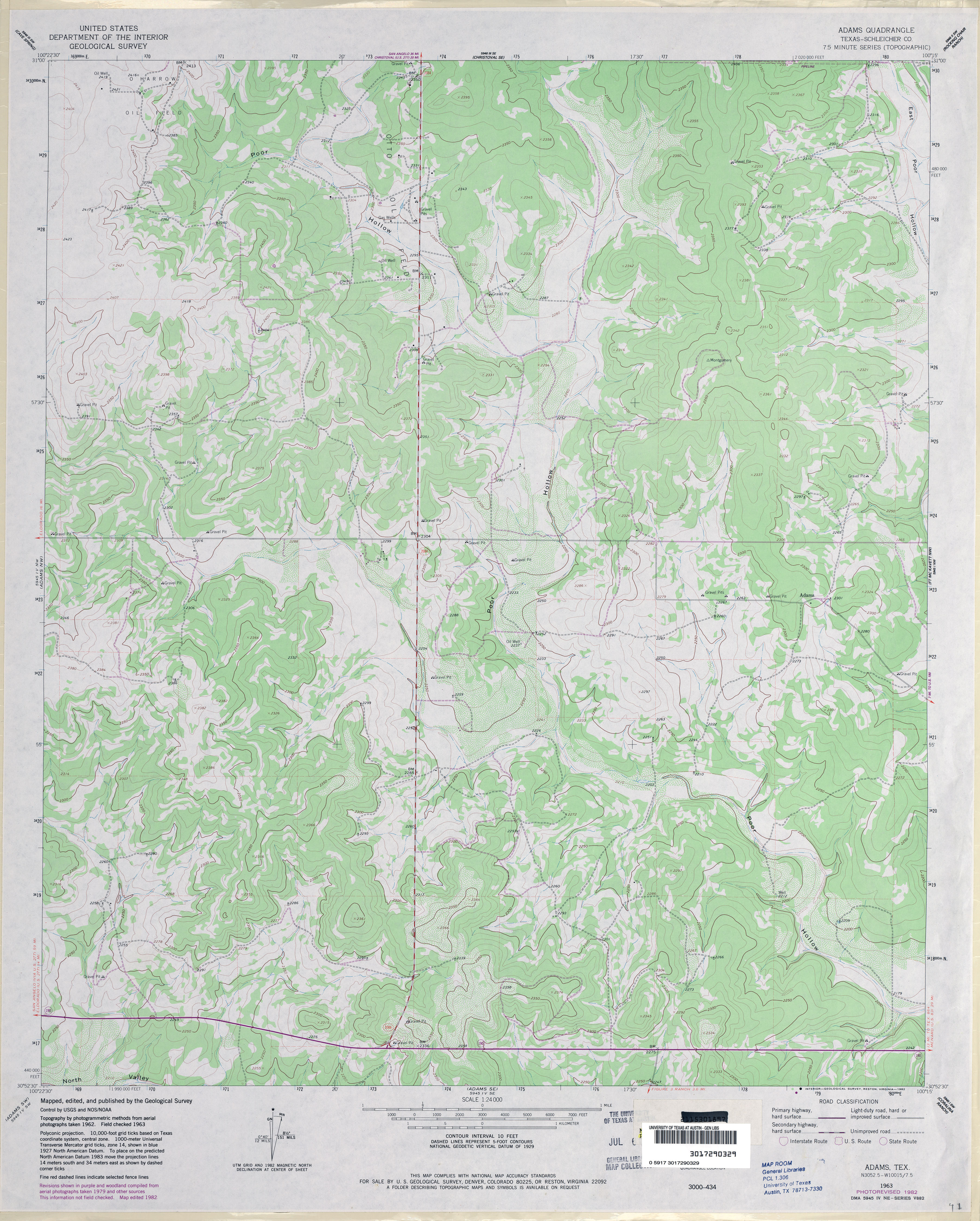
- Adams (Schleicher County) 1:24,000 1963 (3.4MB)
- Adams (Schleicher County) 1:24,000 1982 (3.7MB)
- Adams 1:24,000 2008 (19.8MB) [GeoPDF]
- Adams 1:24,000 2012 (26.3MB) [GeoPDF]
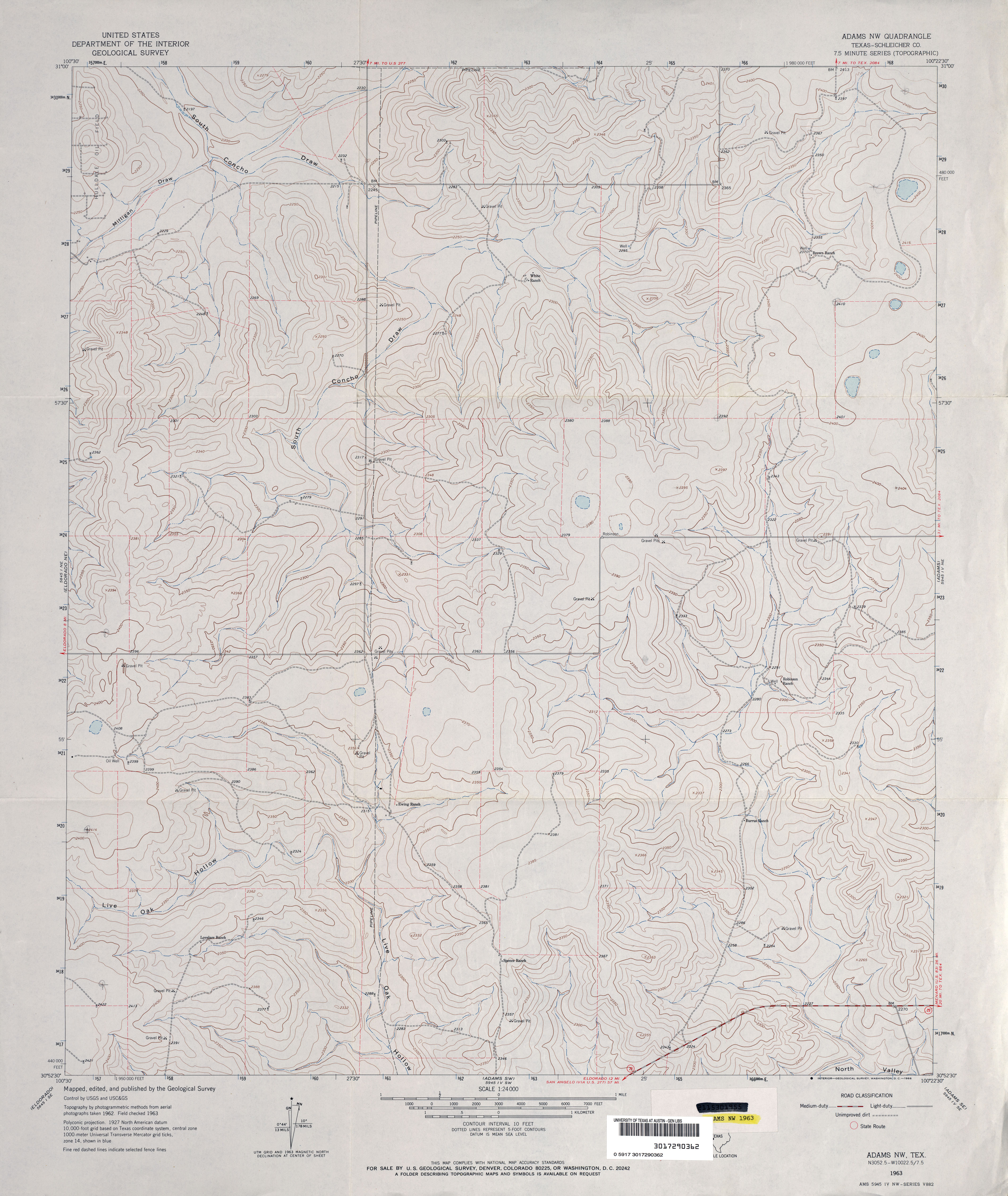
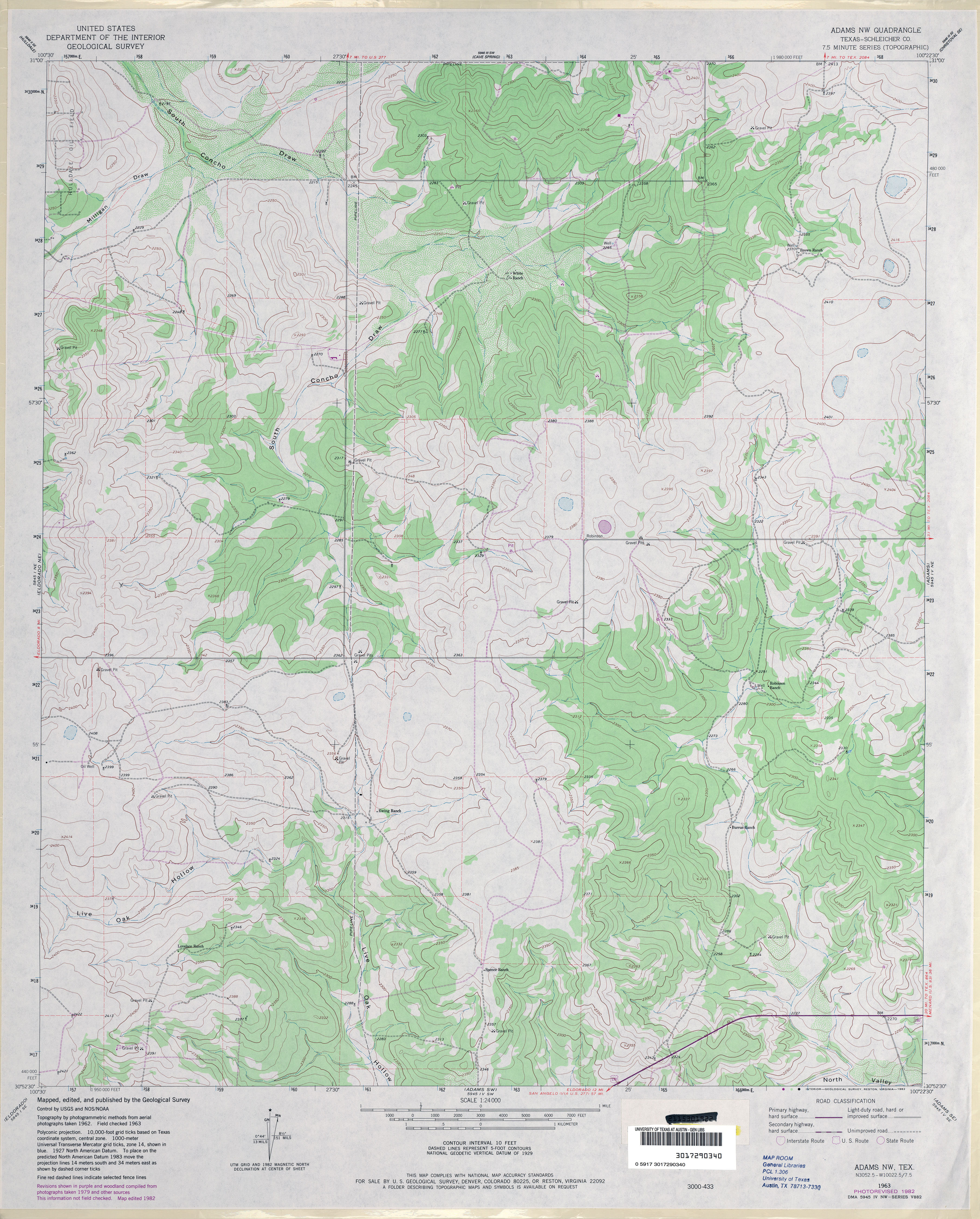
- Adams NW (Schleicher County) 1:24,000 1963 (3.5MB)
- Adams NW (Schleicher County) 1:24,000 1982 (3.9MB)
- Adams NW 1:24,000 2008 (19.7MB) [GeoPDF]
- Adams NW 1:24,000 2012 (25.7MB) [GeoPDF]
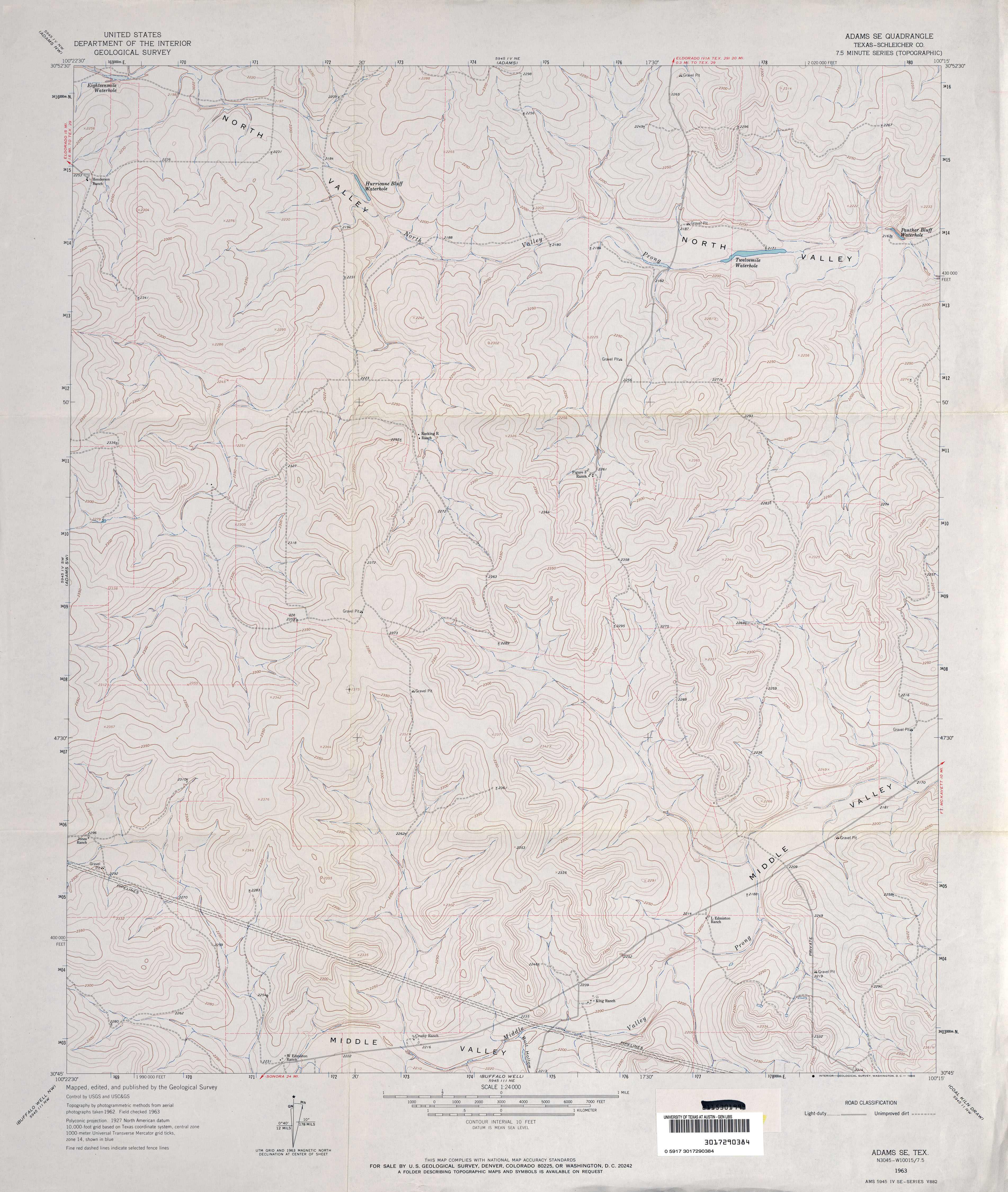
- Adams SE (Schleicher County) 1:24,000 1963 (3.6MB)
- Adams SE (Schleicher County) 1:24,000 1982 (4.4MB)
- Adams SE 1:24,000 2008 (23.5MB) [GeoPDF]
- Adams SE 1:24,000 2012 (30.2MB) [GeoPDF]
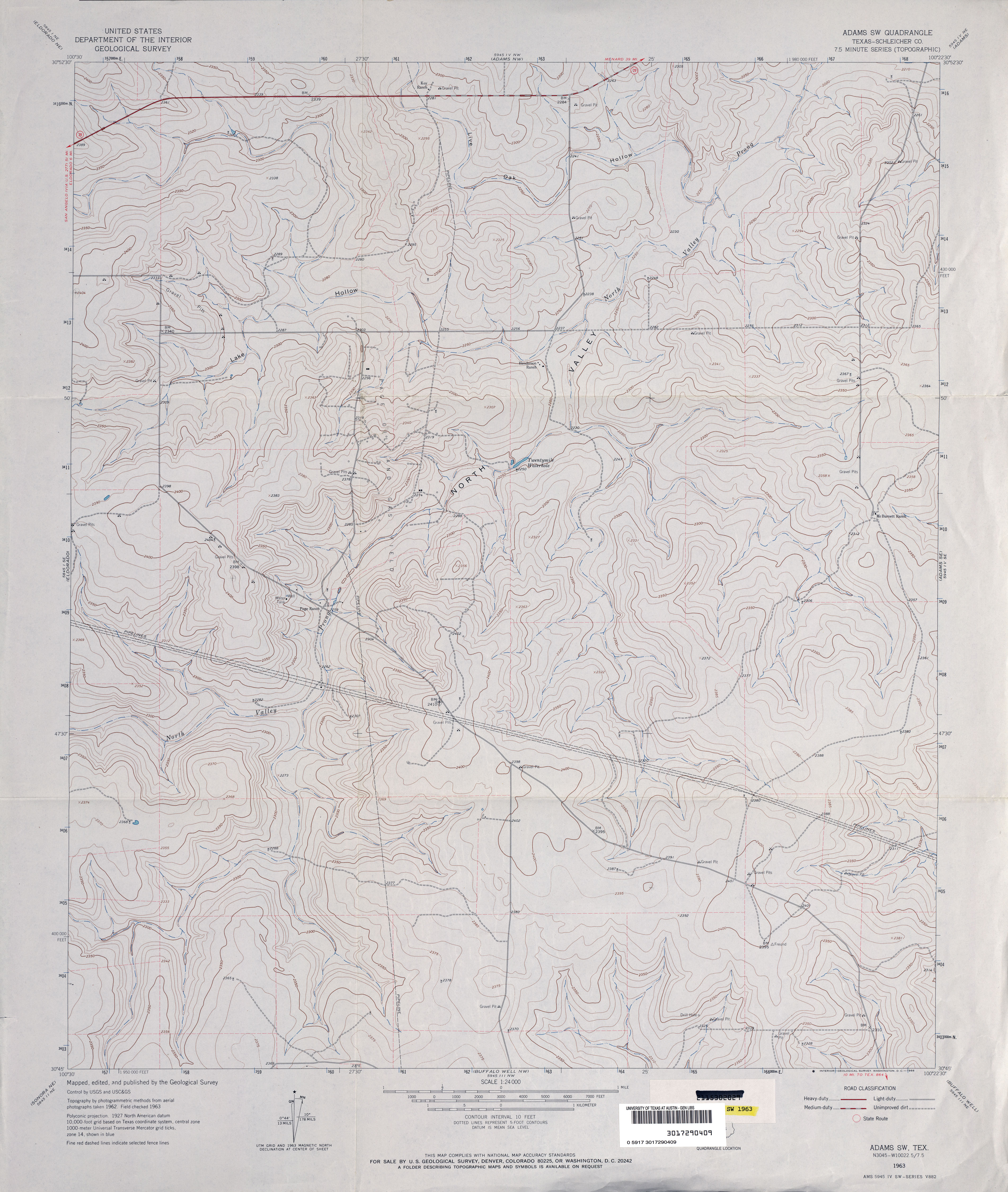
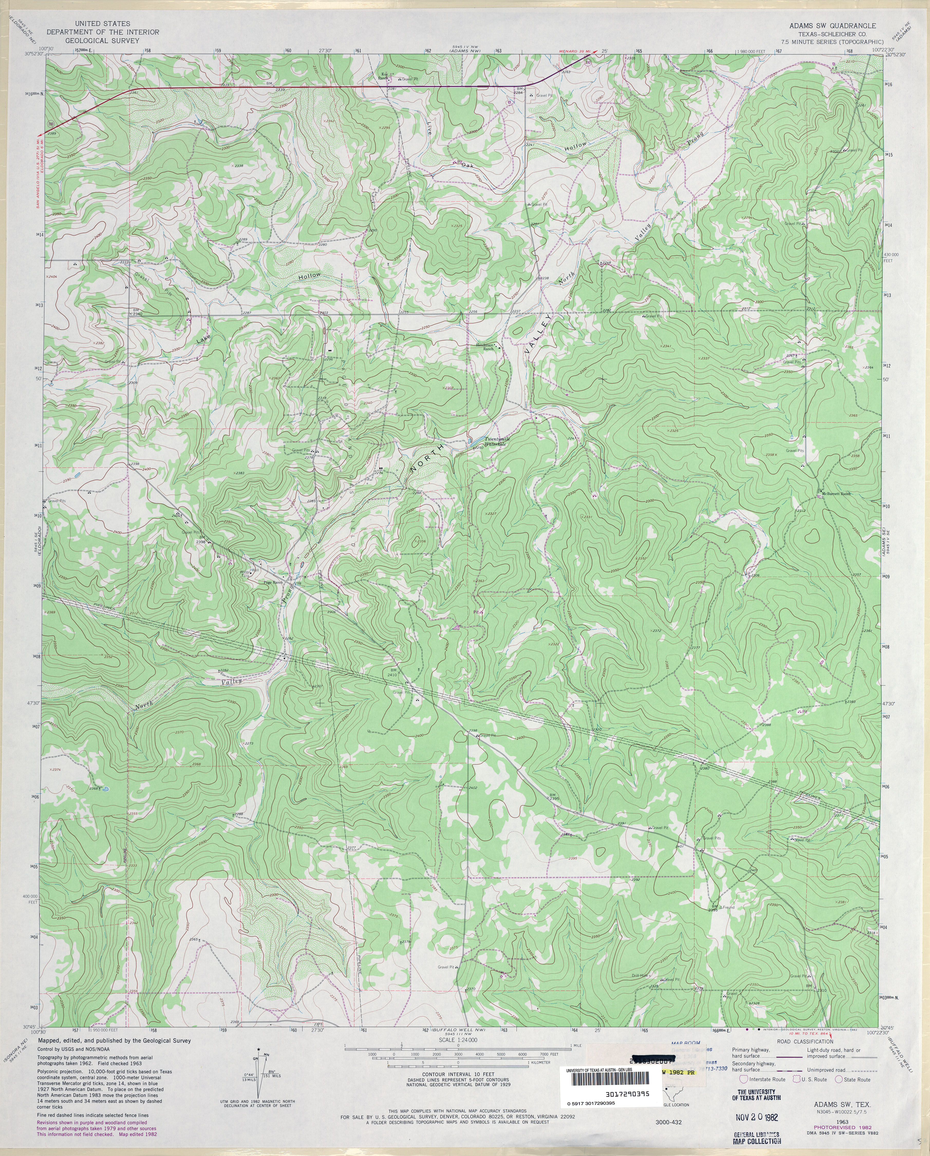
- Adams SW (Schleicher County) 1:24,000 1963 (3.5MB)
- Adams SW (Schleicher County) 1:24,000 1982 (4.1MB)
- Adams SW 1:24,000 2008 (23.5MB) [GeoPDF]
- Adams SW 1:24,000 2012 (29.7MB) [GeoPDF]
- Adamsville 1:24,000 1954 (4.2MB)
- Adamsville 1:24,000 2008 (17.0MB) [GeoPDF]
- Adamsville 1:24,000 2012 (20.9MB) [GeoPDF]
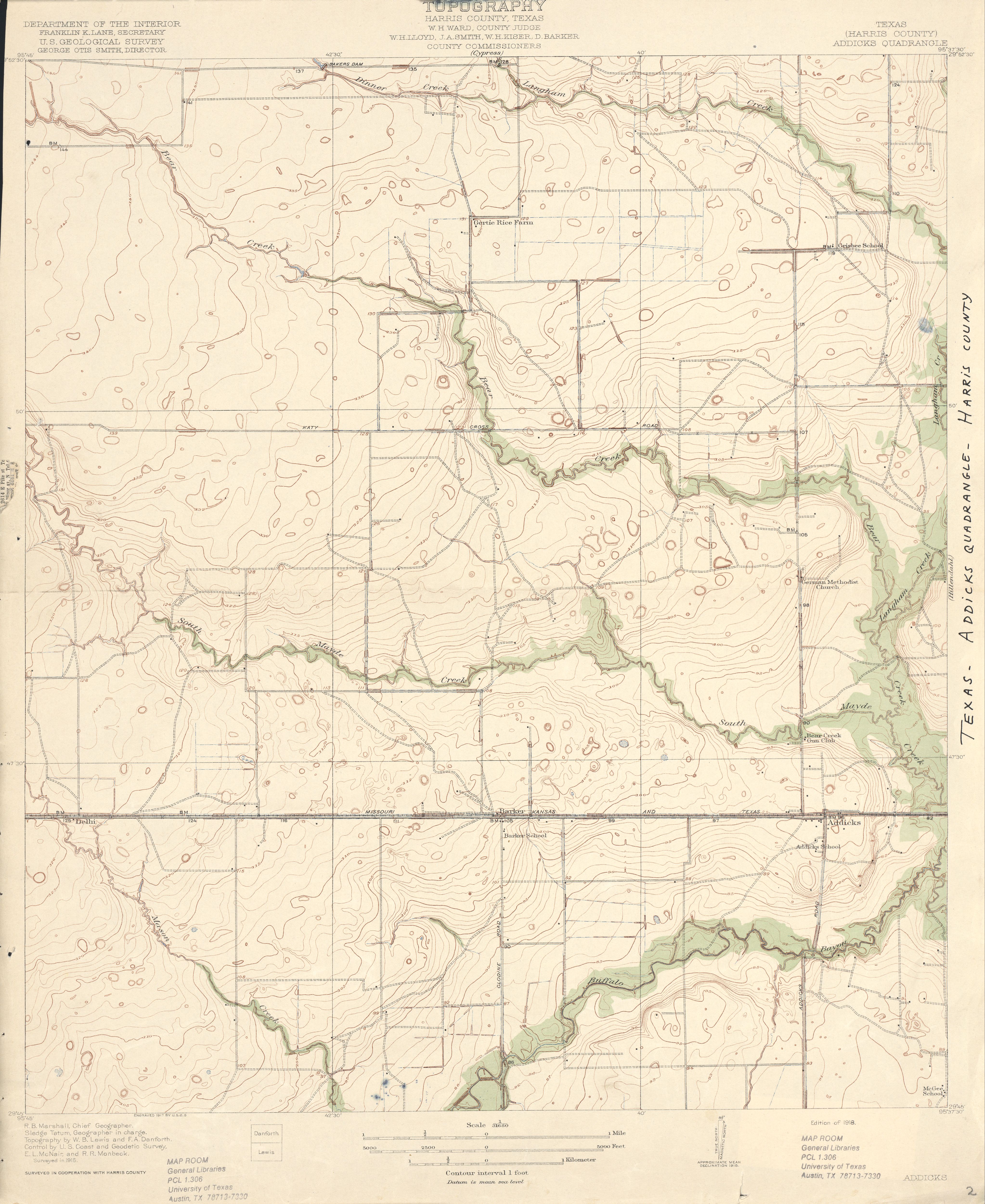
- Addicks (Harris County) 1:31,680 1915 (3.5MB)
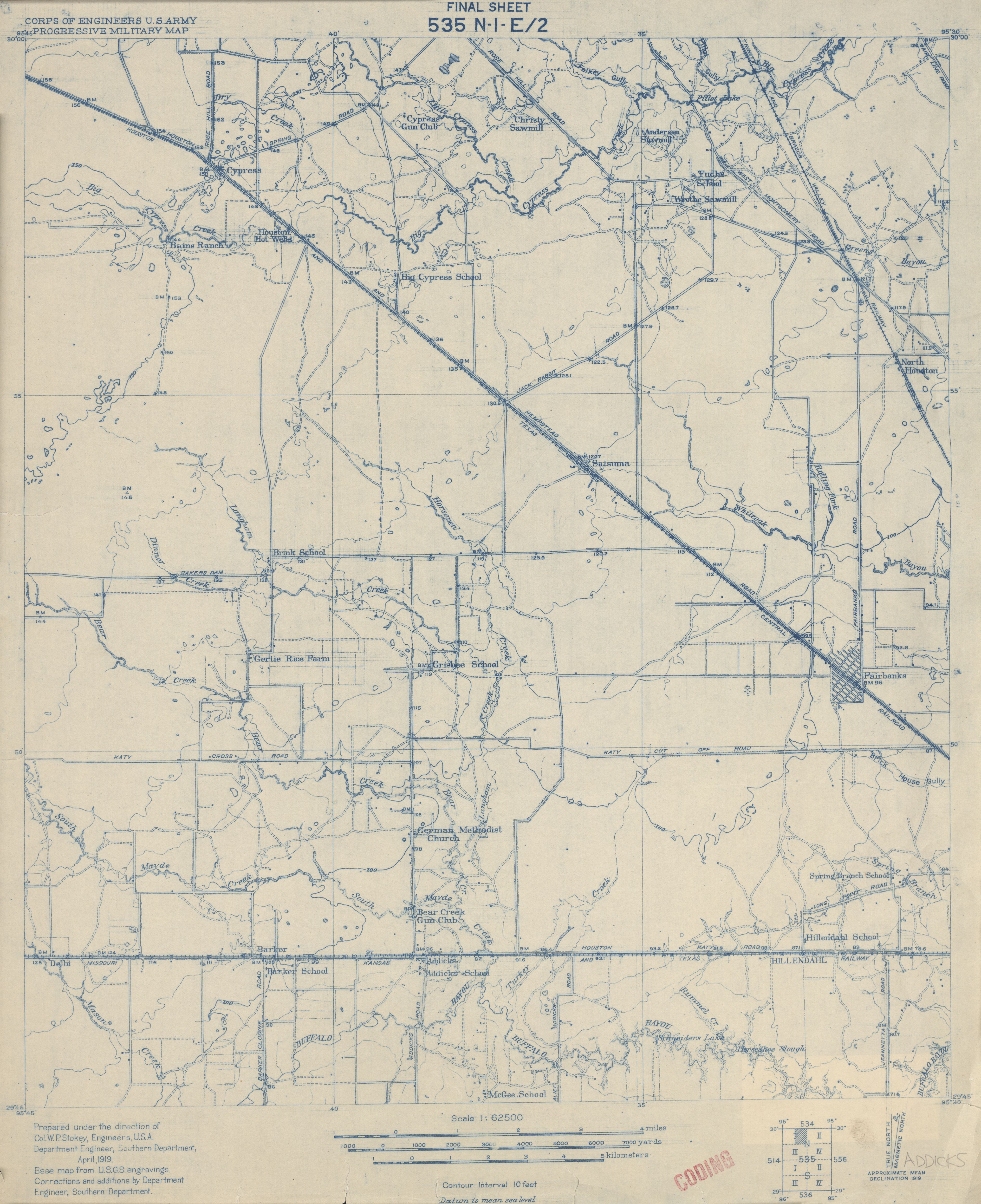
- Addicks 1:62,500 1919 (3.1MB) U.S. Army. Corp of Engineers. Progressive Military Map
- Addicks 1:25,000 1949 (3.8MB) Corps of Engineers, U.S. Army Map Service, Series V882
- Addicks (Harris County) 1:62,500 1955 (3.9MB)
- Addicks (Harris County) 1:24,000 1970 (3.7MB)
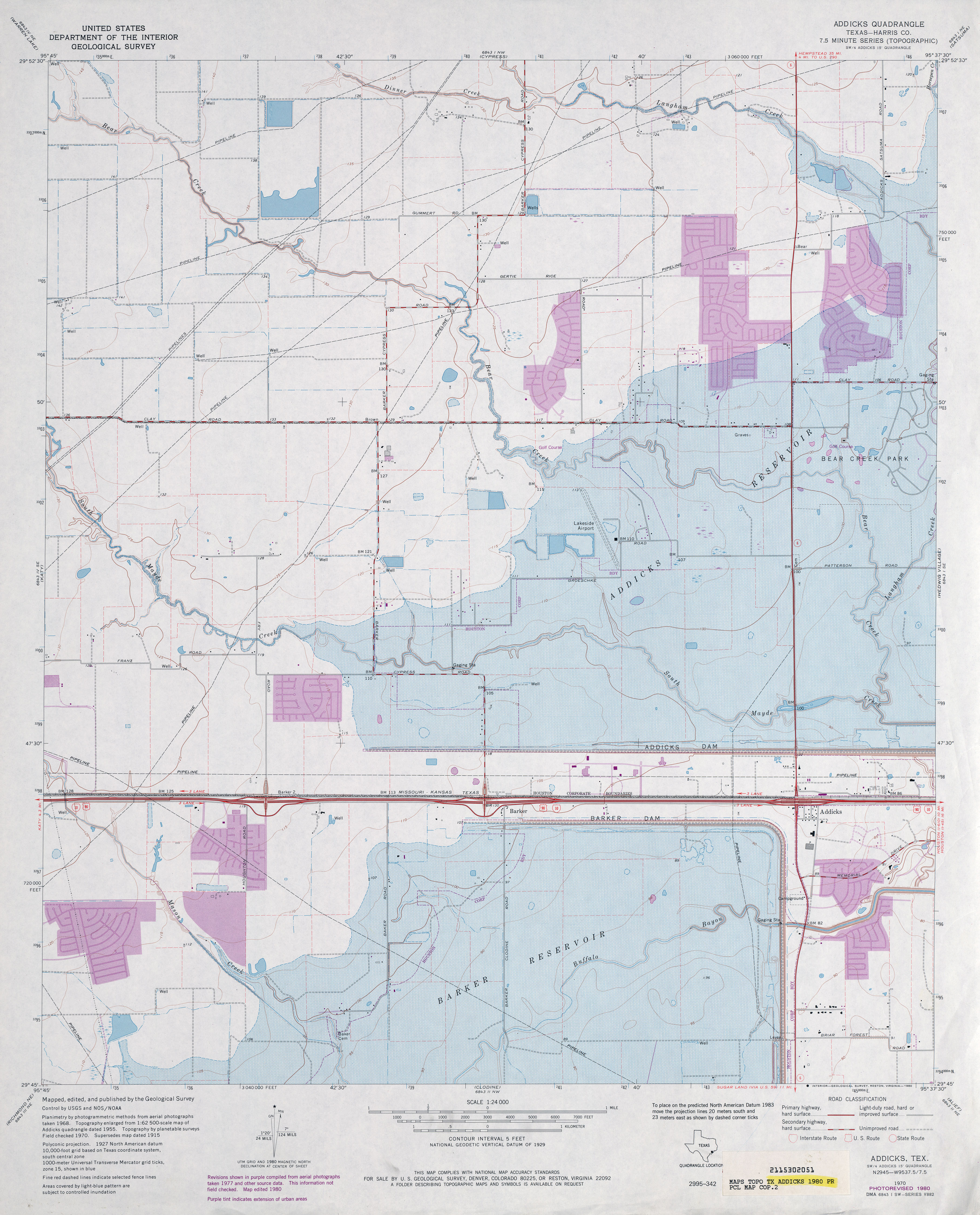
- Addicks (Harris County) 1:24,000 1980 (4.1MB)
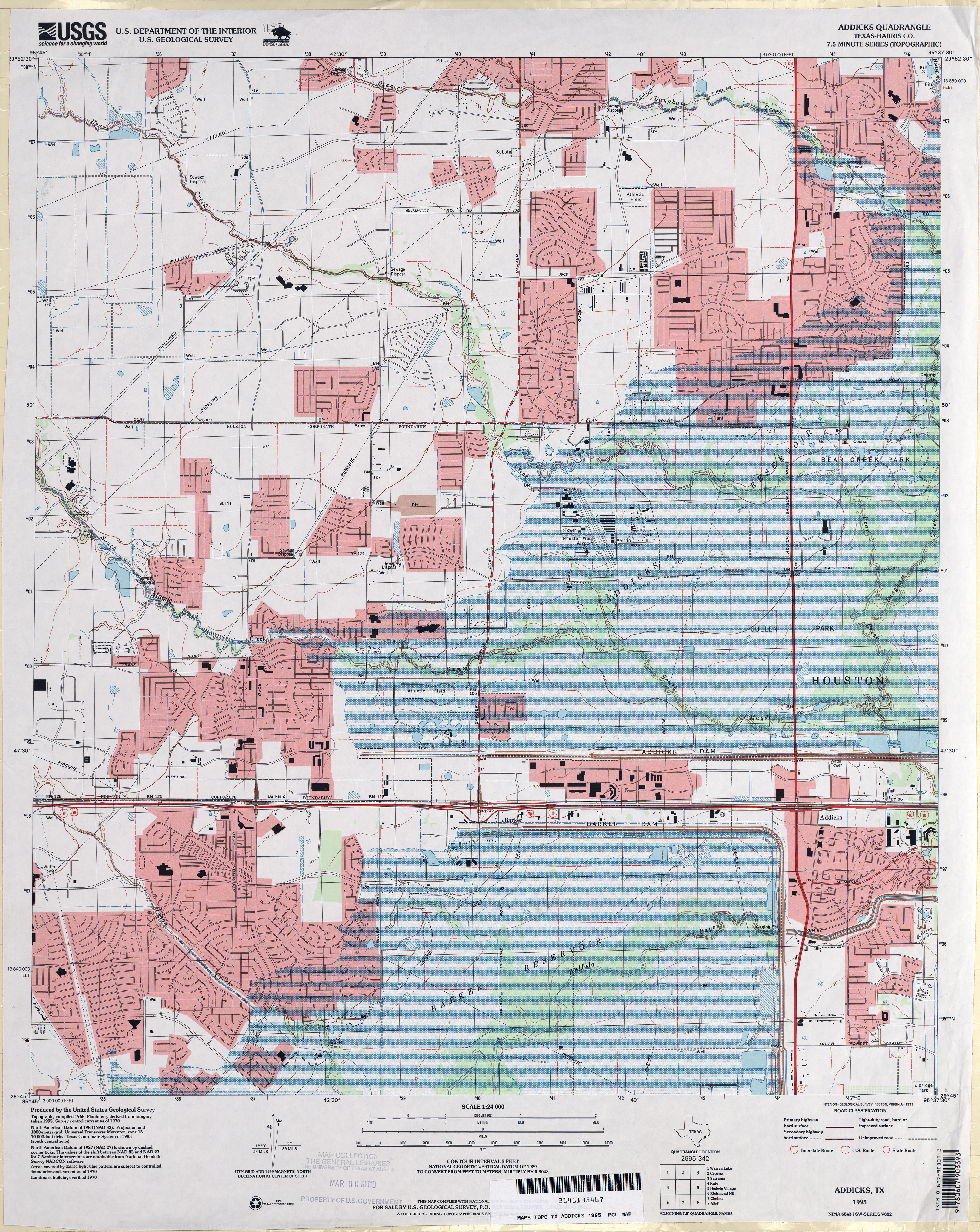
- Addicks (Harris County) 1:24,000 1995 (5.3MB)
- Addicks 1:24,000 2009 (25.8MB) [GeoPDF]
- Addicks 1:24,000 2013 (25.9MB) [GeoPDF]
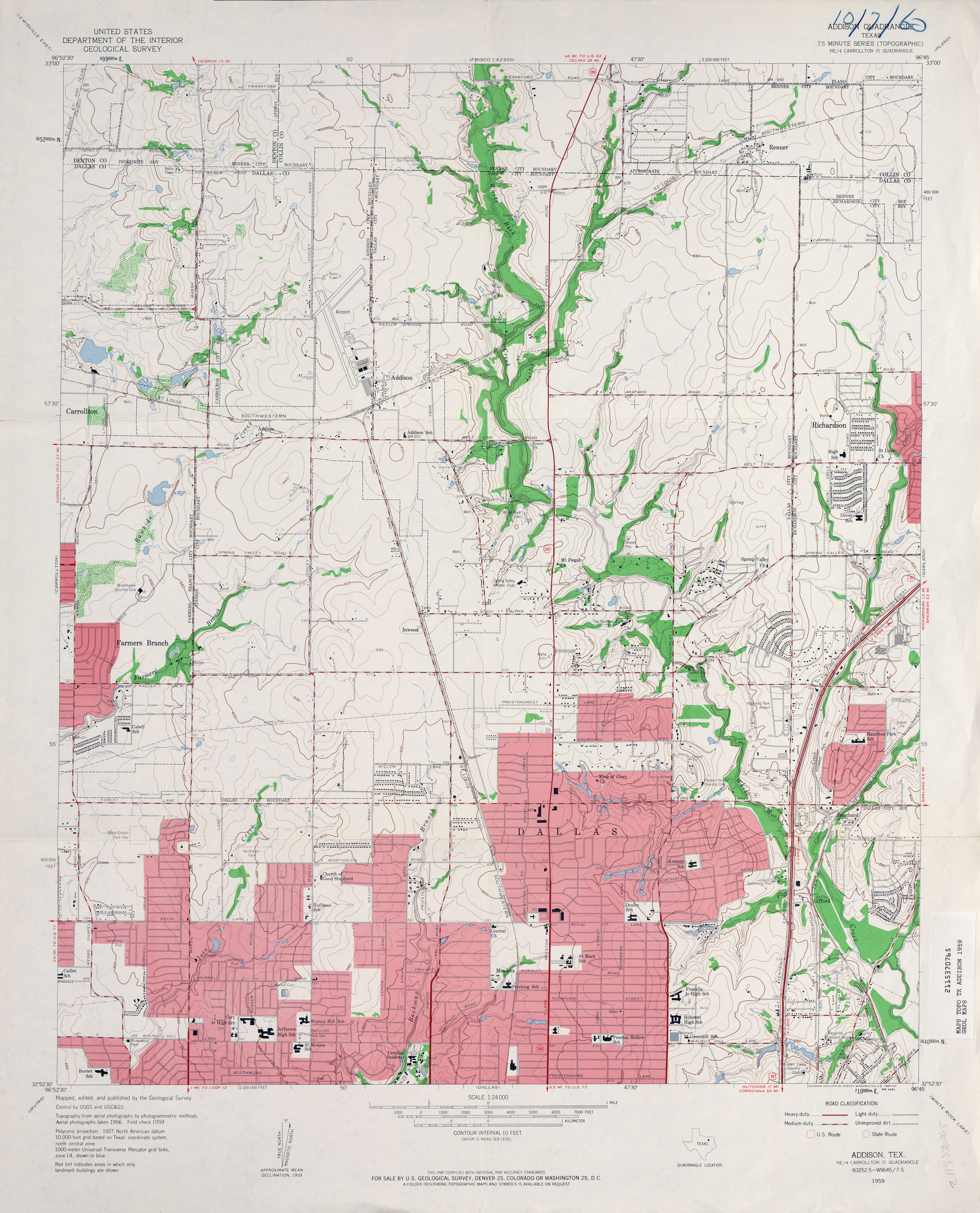
- Addison 1:24,000 1959 (3.8MB)
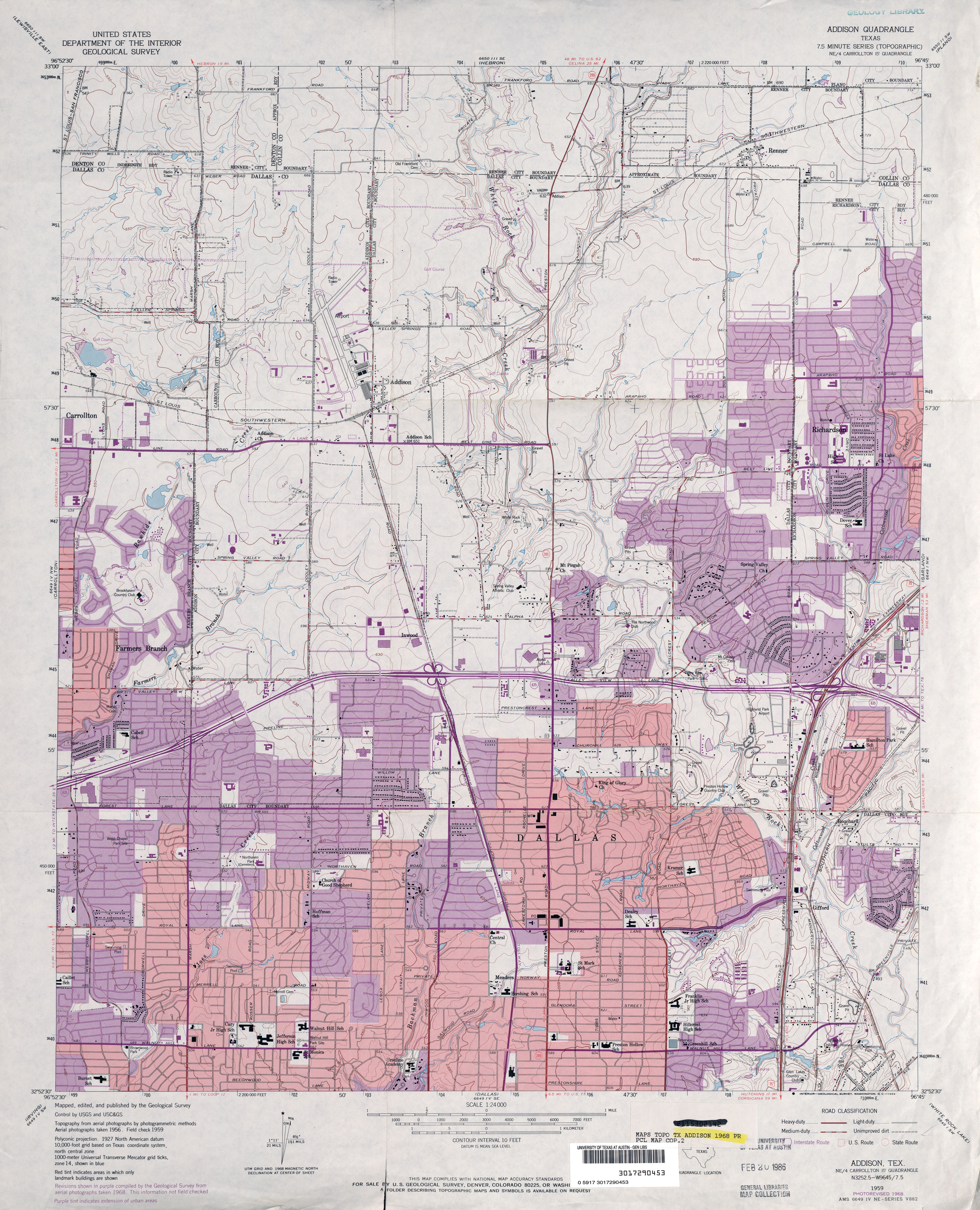
- Addison 1:24,000 1968 (4.1MB)
- Addison 1:24,000 1973 (4.2MB)
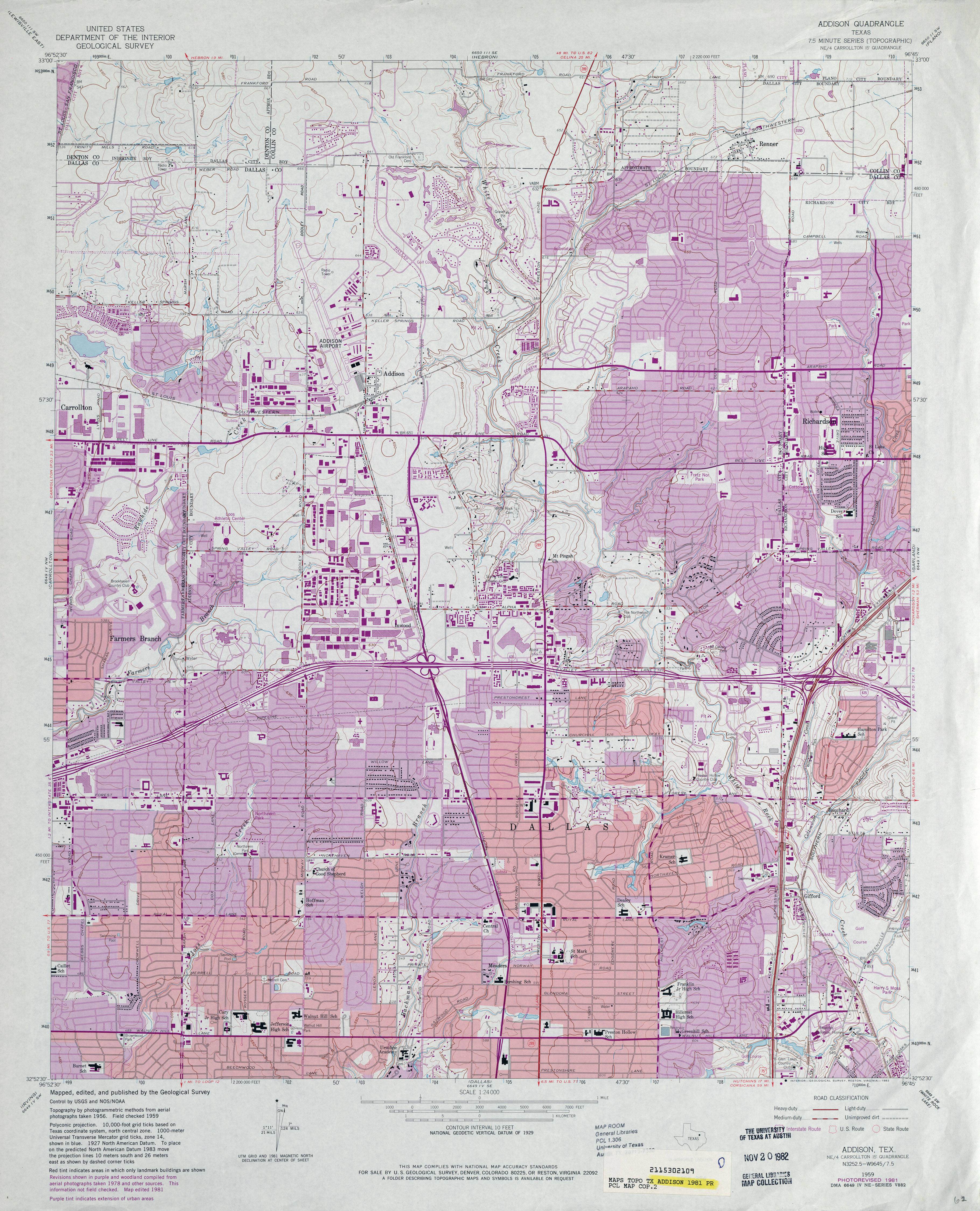
- Addison 1:24,000 1981 (4.7MB)
- Addison 1:24,000 2008 (21.6MB) [GeoPDF]
- Addison 1:24,000 2012 (27.6MB) [GeoPDF]
- Adell (Parker County) 1:24,000 1959 (4.4MB)
- Adell (Parker County) 1:24,000 1979 (4.2MB)
- Adell 1:24,000 2008 (18.9MB) [GeoPDF]
- Adell 1:24,000 2012 (22MB) [GeoPDF]
- Admiral (Callahan County) 1:24,000 1966 (4.1MB)
- Admiral (Callahan County) 1:24,000 1987 (4.8MB)
- Admiral 1:24,000 2012 (26.3MB) [GeoPDF]
- Adobe Creek (Hutchinson County) 1:24,000 1971 (4.4MB)
- Adobe Creek 1:24,000 2008 (16.6MB) [GeoPDF]
- Adobe Creek 1:24,000 2012 (22.3MB) [GeoPDF]
- Adobe Creek SE (Hutchinson County) 1:24,000 1971 (5.2MB)
- Adobe Creek SE 1:24,000 2008 (13.9MB) [GeoPDF]
- Adobe Creek SE 1:24,000 2012 (21.0MB) [GeoPDF]
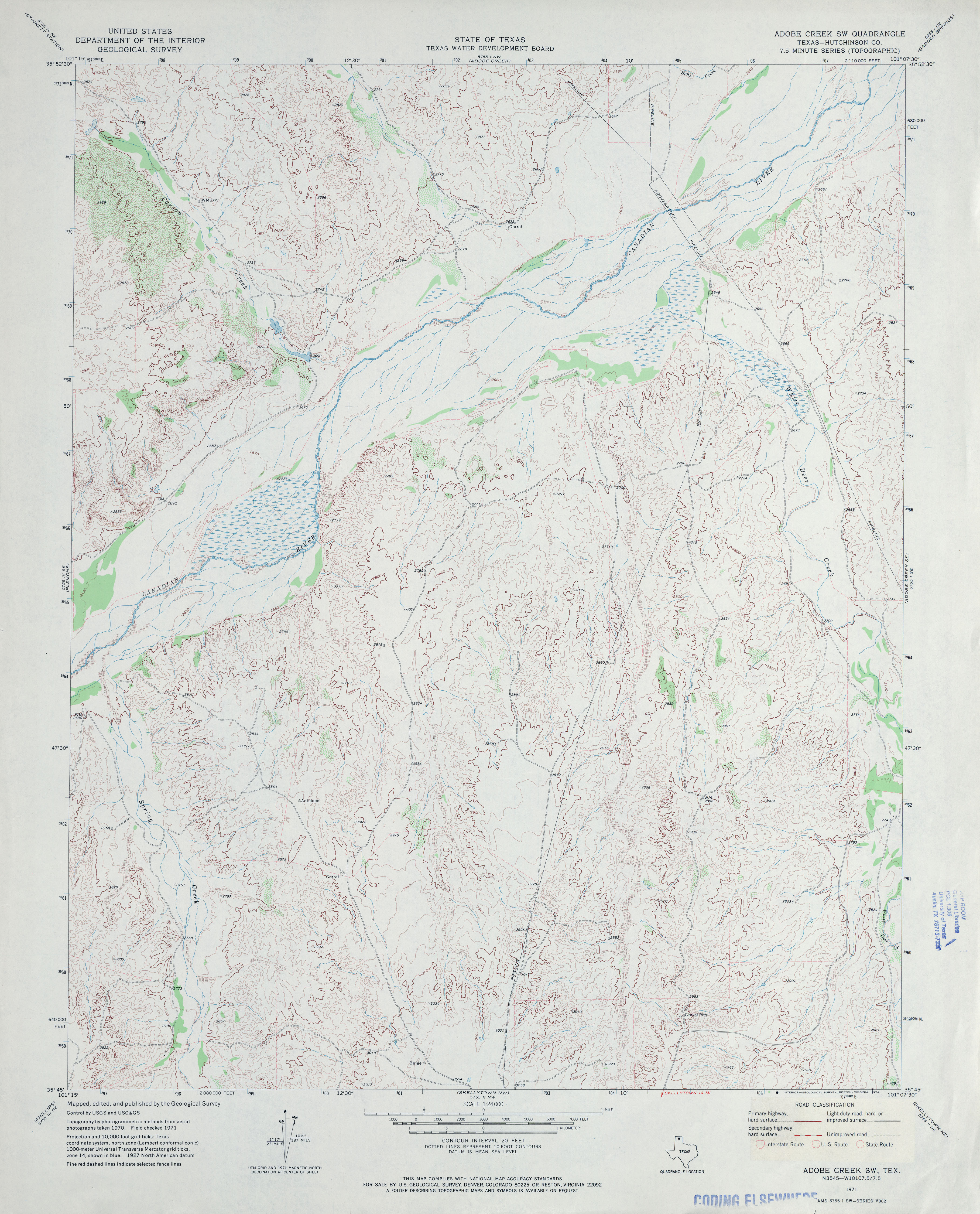
- Adobe Creek SW (Hutchinson County) 1:24,000 1971 (3.8MB)
- Adobe Creek SW 1:24,000 2008 (17.5MB) [GeoPDF]
- Adobe Creek SW 1:24,000 2012 (22.0MB) [GeoPDF]
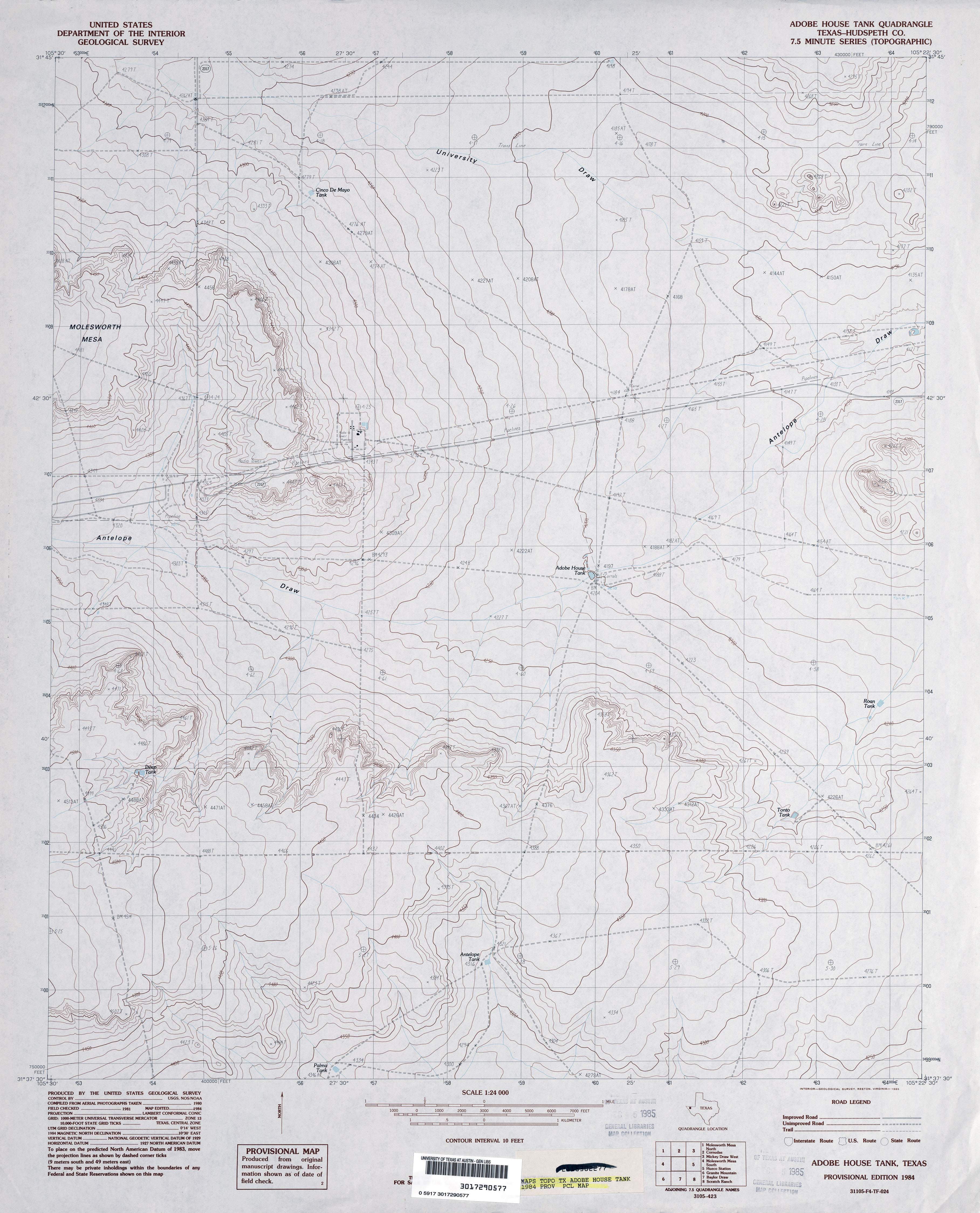
- Adobe House Tank (Hudspeth County) 1:24,000 1984 (3.3MB)
- Adobe House Tank 1:24,000 2008 (16.5MB) [GeoPDF]
- Adobe House Tank 1:24,000 2012 (21.4MB) [GeoPDF]
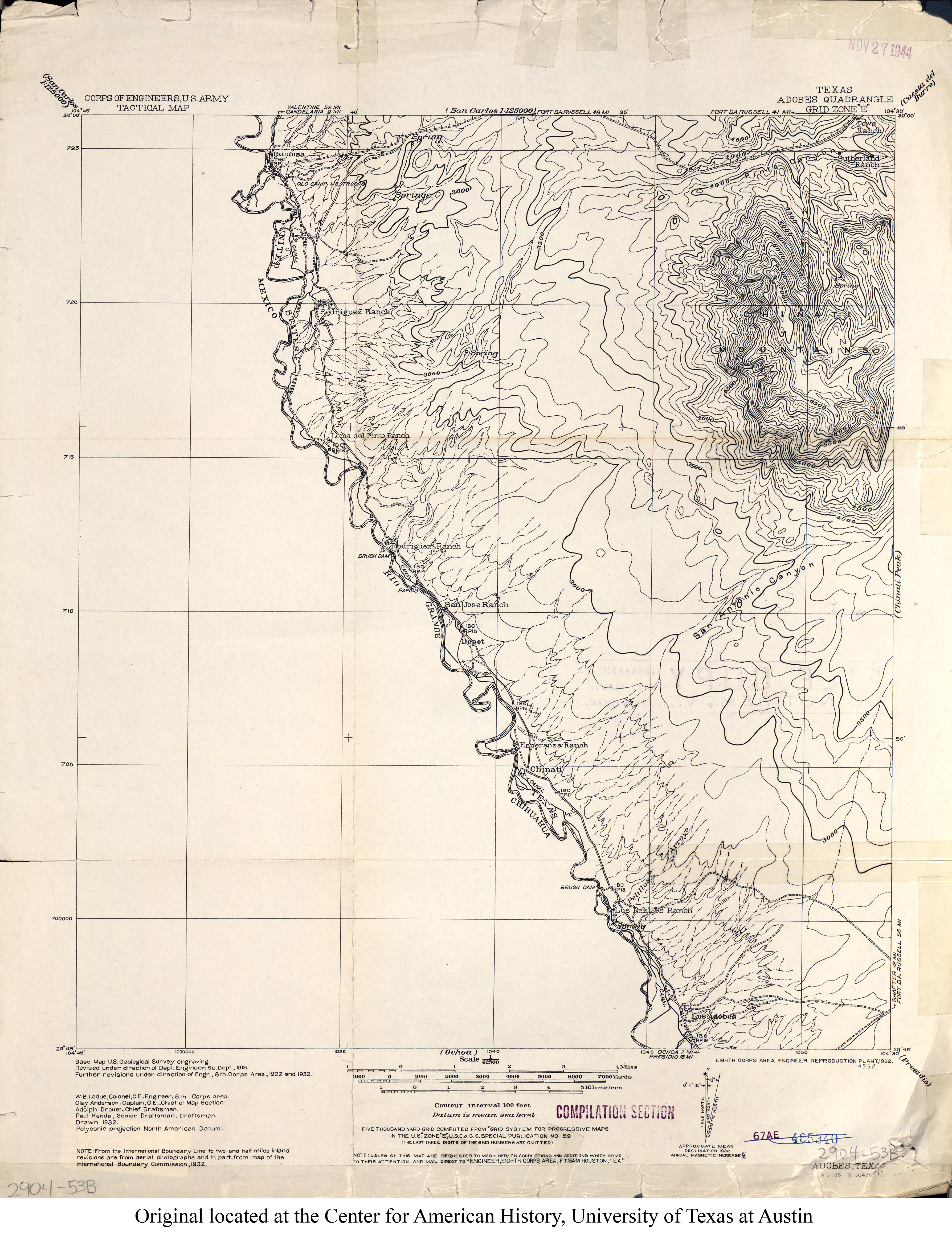
- Adobes 1:62,500 1932 (3MB) U.S. Army. Corps of Engineers. Tactical Map
- Adobes 1:24,000 1979 (4.1MB)
- Adobes 1:24,000 2008 (21.9MB) [GeoPDF]
- Adobes 1:24,000 2012 (27.5MB) [GeoPDF]
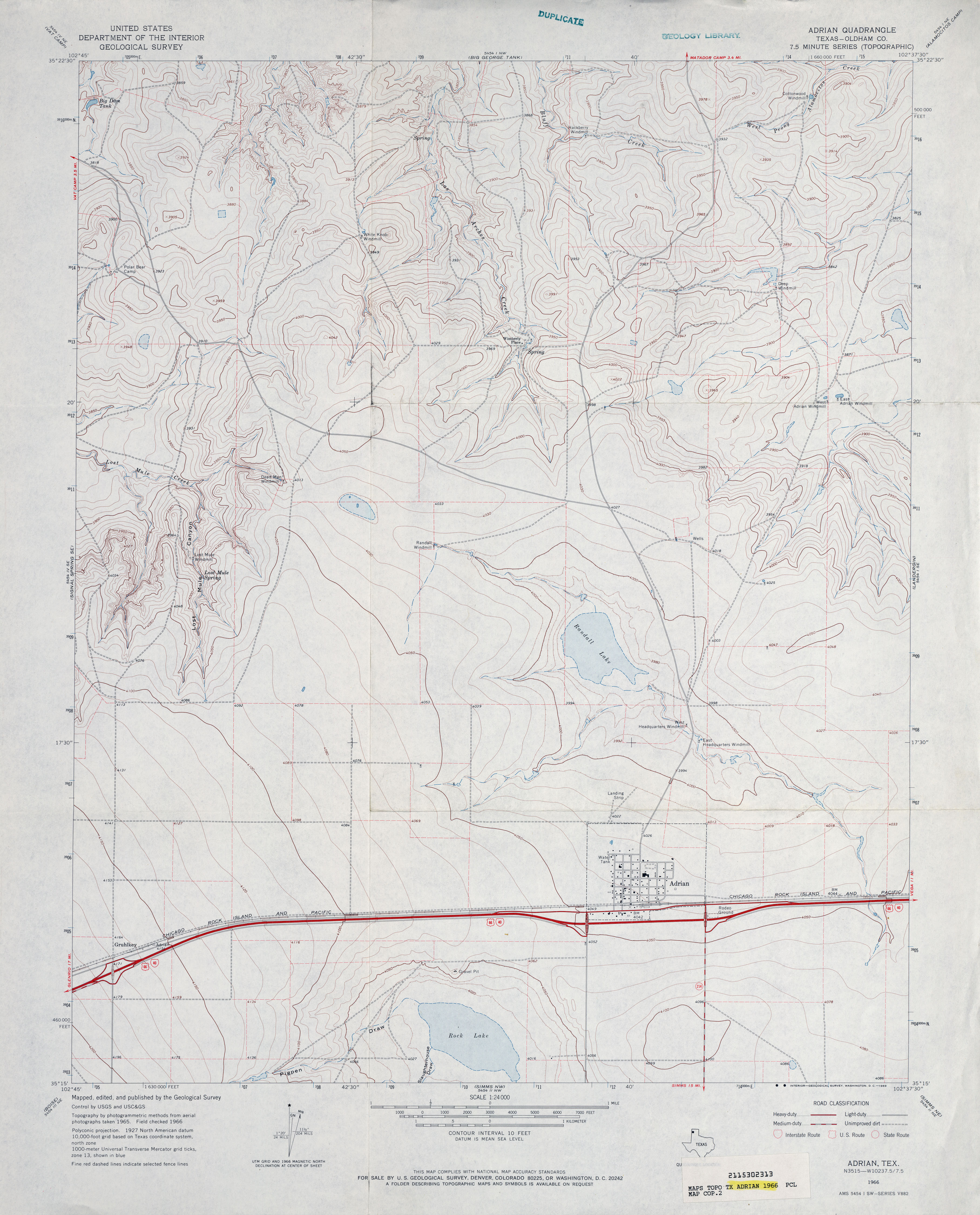
- Adrian (Oldham County) 1:24,000 1966 (3.2MB)
- Adrian 1:24,000 2008 (9.9MB) [GeoPDF]
- Adrian 1:24,000 2012 (14.9MB) [GeoPDF]
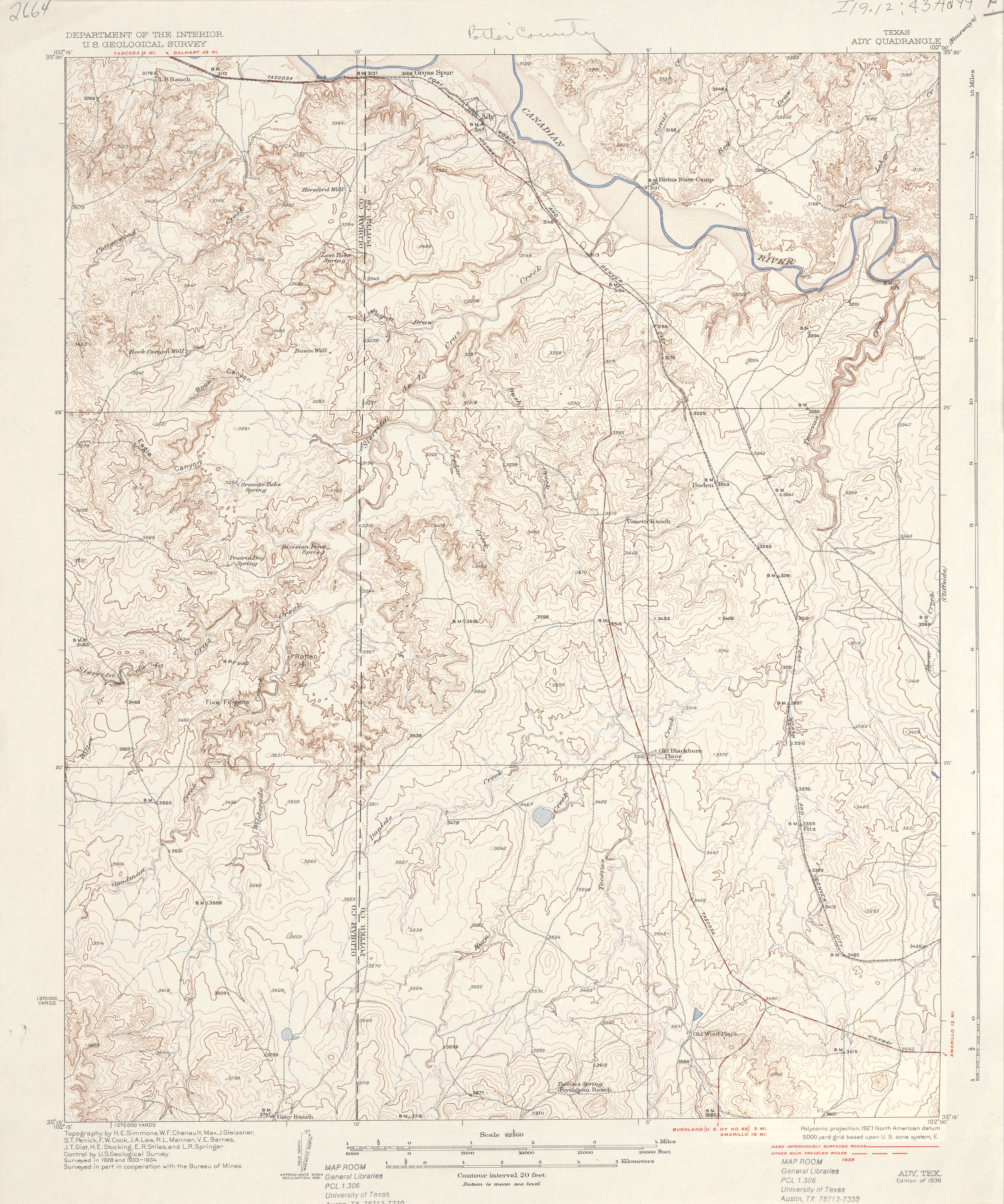
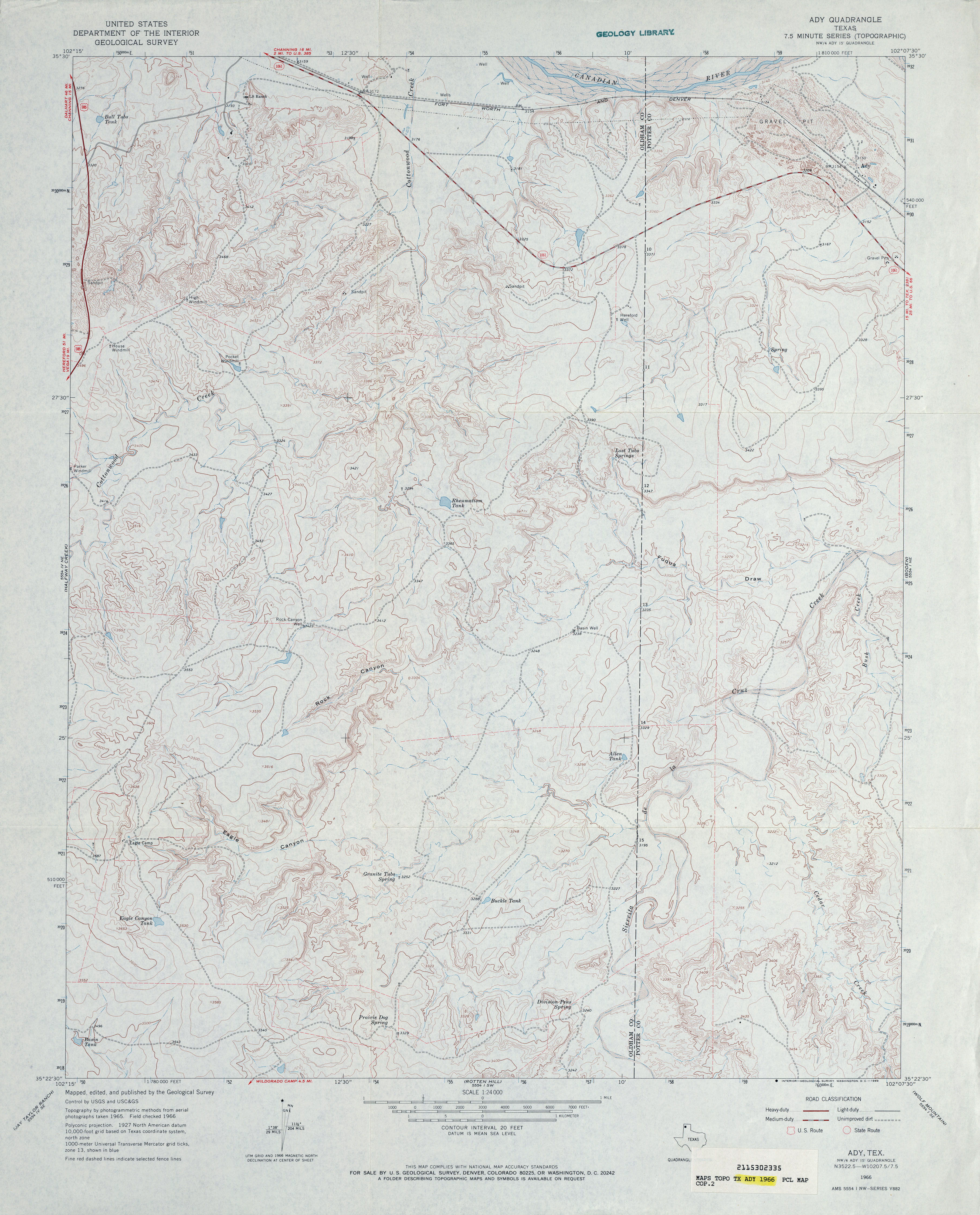
- Ady 1:62,500 1934 survey, 1935 overprint (4.5MB)
- Ady 1:24,000 1966 (3.7MB)
- Ady 1:24,000 2008 (17.9MB) [GeoPDF]
- Ady 1:24,000 2012 (22.8MB) [GeoPDF]
- Aermotor Draw 1:24,000 1970 (4.4MB)
- Aermotor Draw 1:24,000 2008 (23.8MB) [GeoPDF]
- Aermotor Draw 1:24,000 2012 (34.2MB) [GeoPDF]
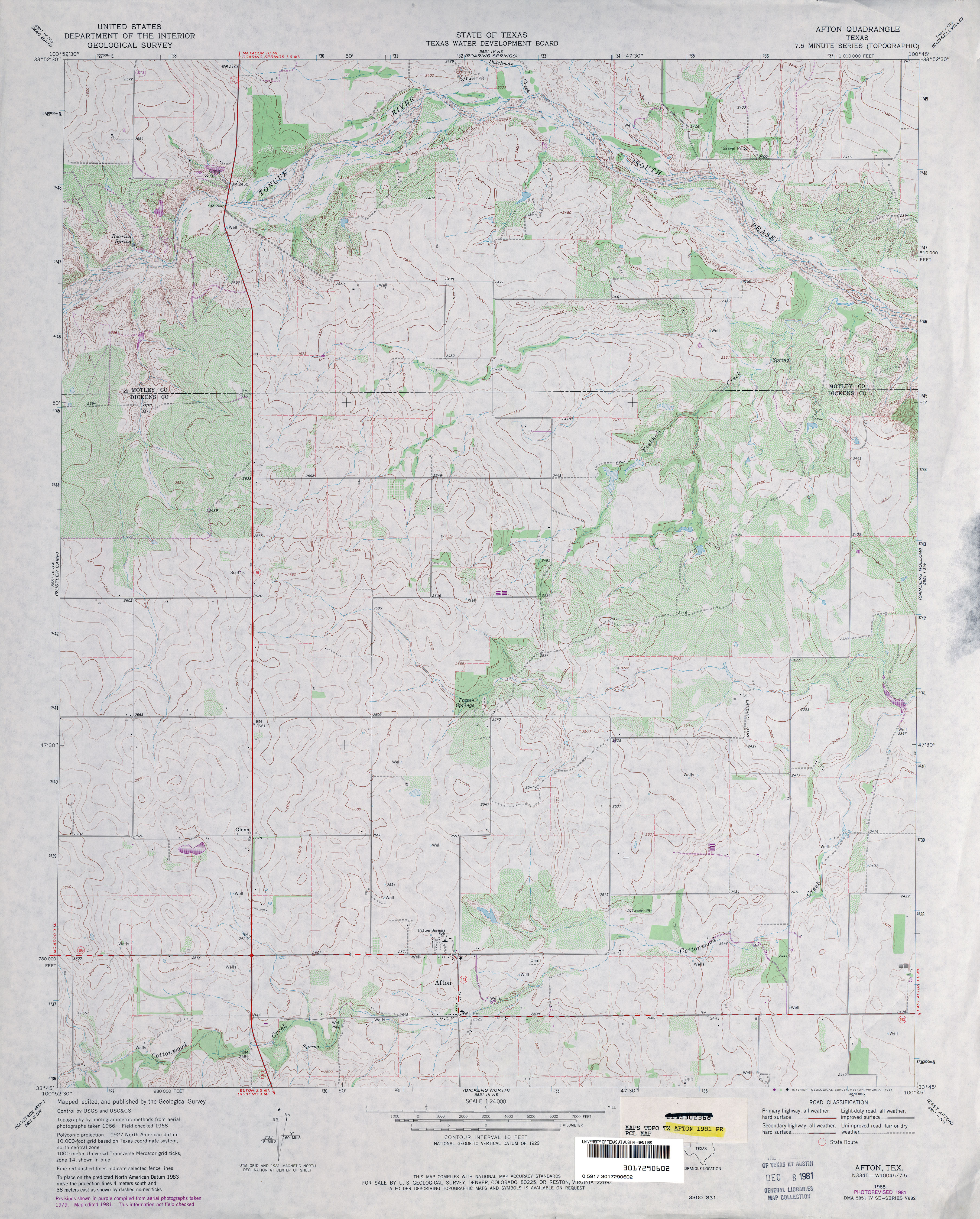
- Afton 1:24,000 1968 (3.8MB)
- Afton 1:24,000 1981 (3.9MB)
- Afton 1:24,000 2008 (13.4MB) [GeoPDF]
- Afton 1:24,000 2012 (19.6MB) [GeoPDF]
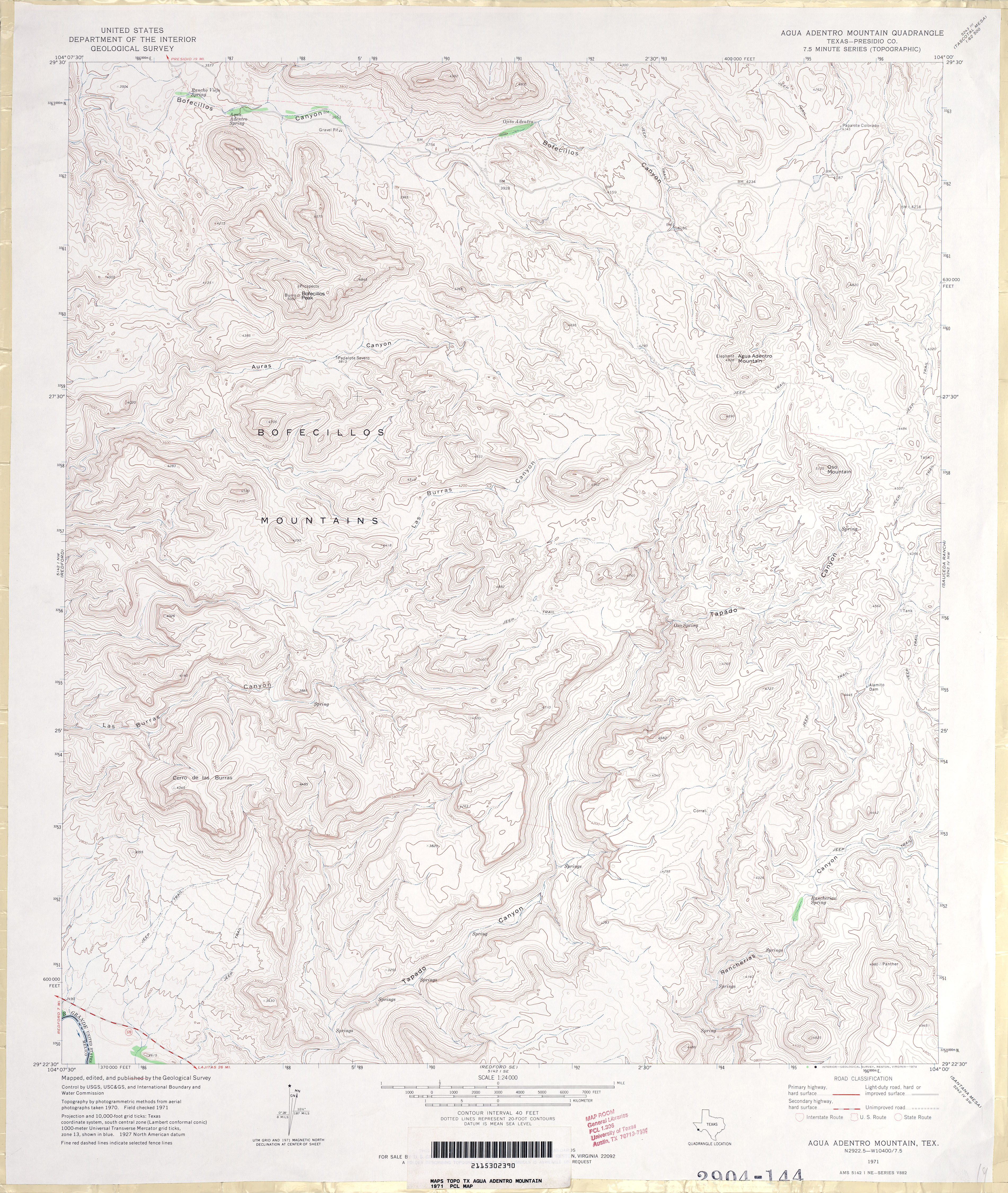
- Agua Adentro Mountain 1:24,000 1971 (4.8MB)
- Agua Adentro Mountain 1:24,000 2008 (18.1MB) [GeoPDF]
- Agua Adentro Mountain 1:24,000 2013 (23.9MB) [GeoPDF]
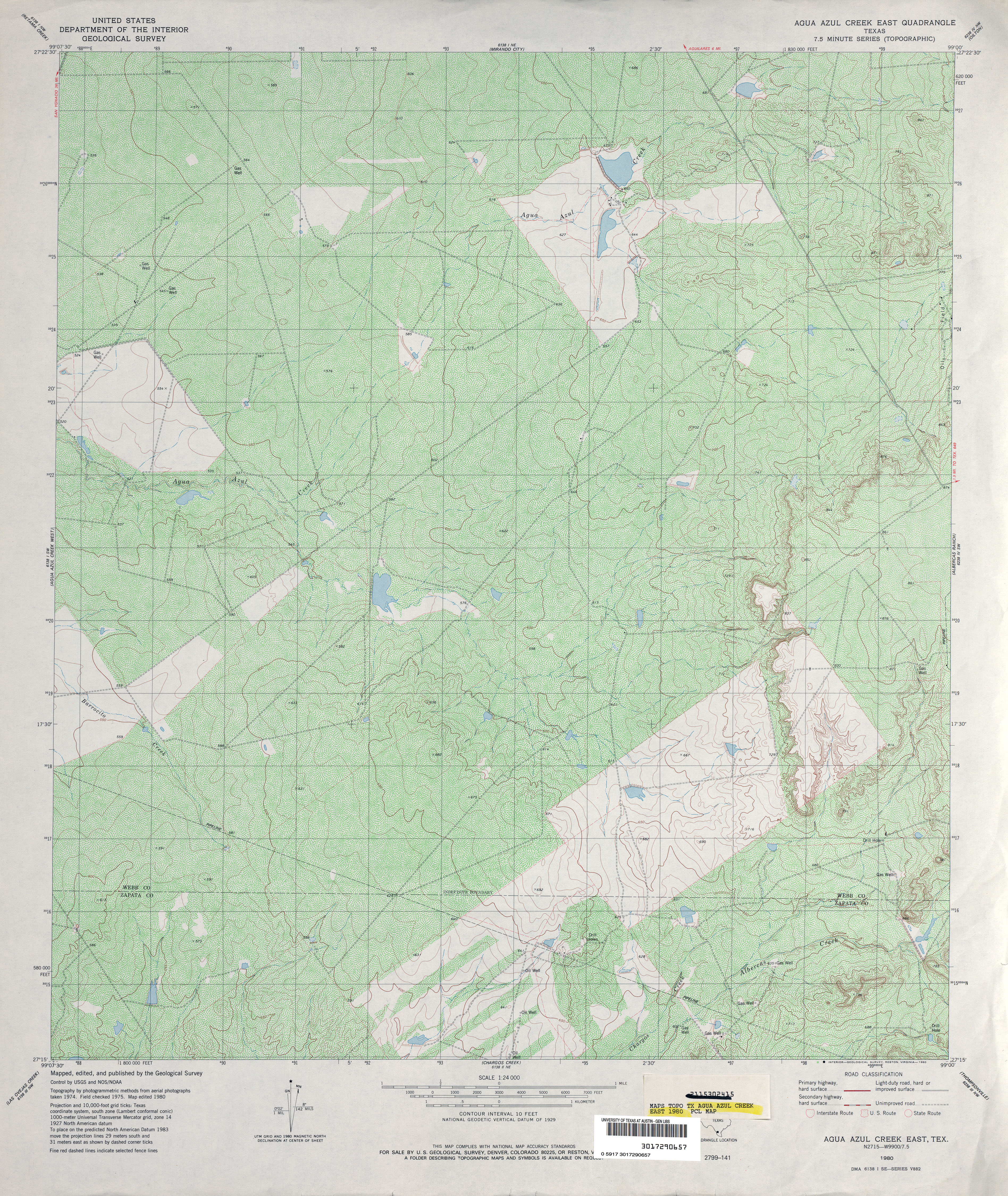
- Agua Azul Creek East 1:24,000 1980 (6MB)
- Agua Azul Creek East 1:24,000 2013 (26.8MB) [GeoPDF]
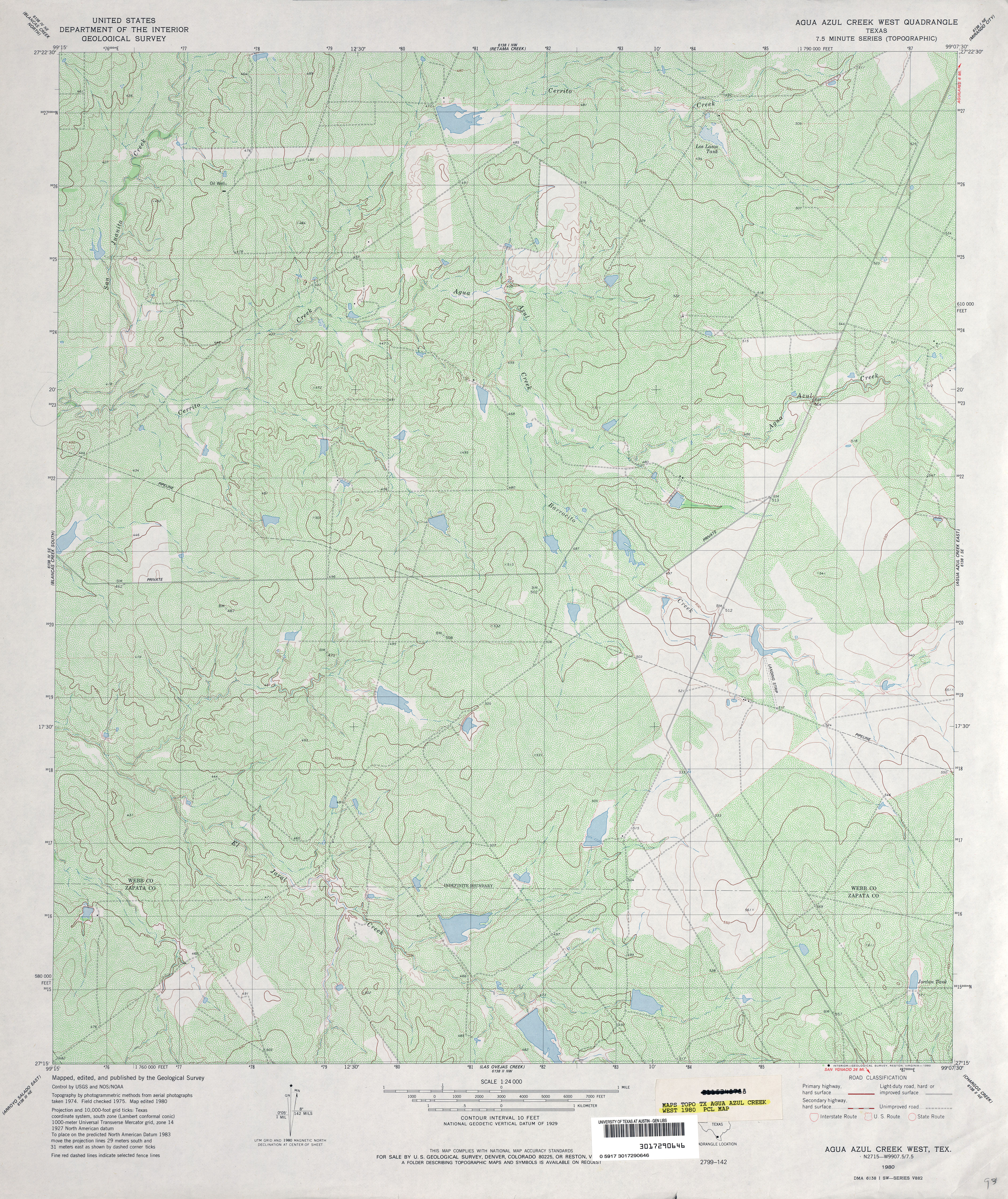
- Agua Azul Creek West 1:24,000 1980 (5.5MB)
- Agua Azul Creek West 1:24,000 2008 (18.1MB) [GeoPDF]
- Agua Azul Creek West 1:24,000 2013 (26.0MB) [GeoPDF]
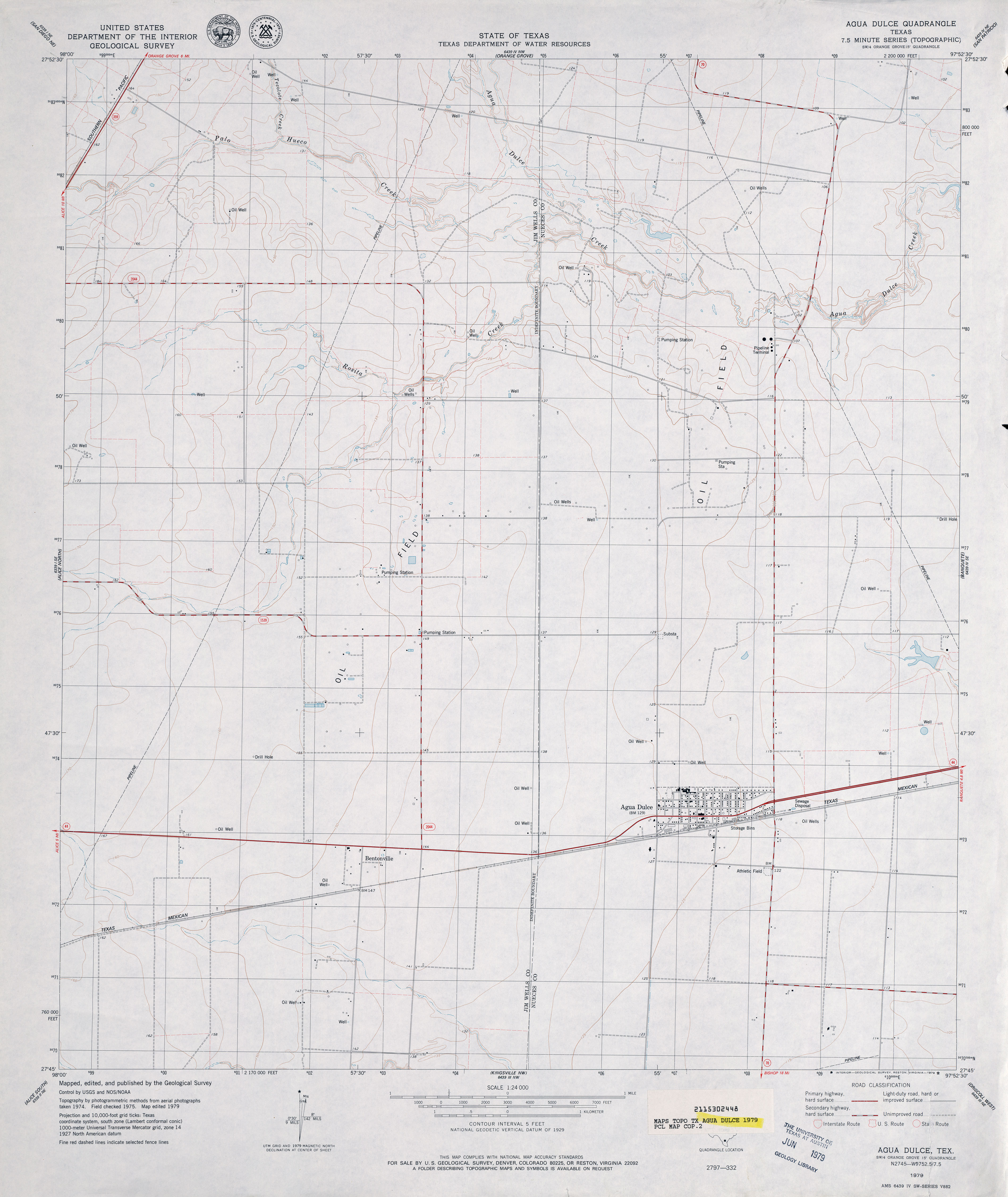
- Agua Dulce 1:24,000 1979 (2.7MB)
- Agua Dulce 1:24,000 2008 (11.6MB) [GeoPDF]
- Agua Dulce 1:24,000 2013 (16.2MB) [GeoPDF]
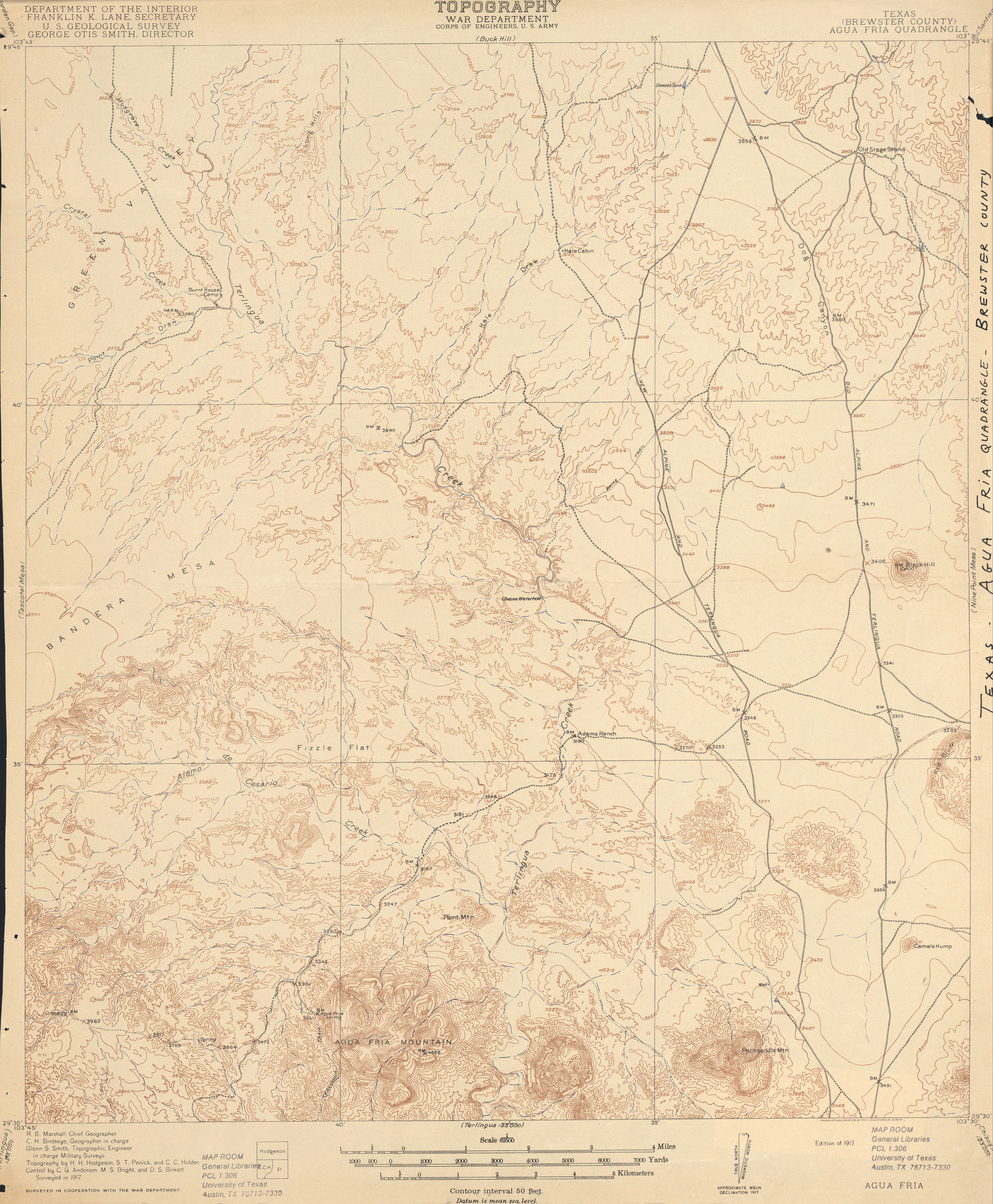
- Agua Fria (Brewster County) 1:62,500 1917 (3.7MB)
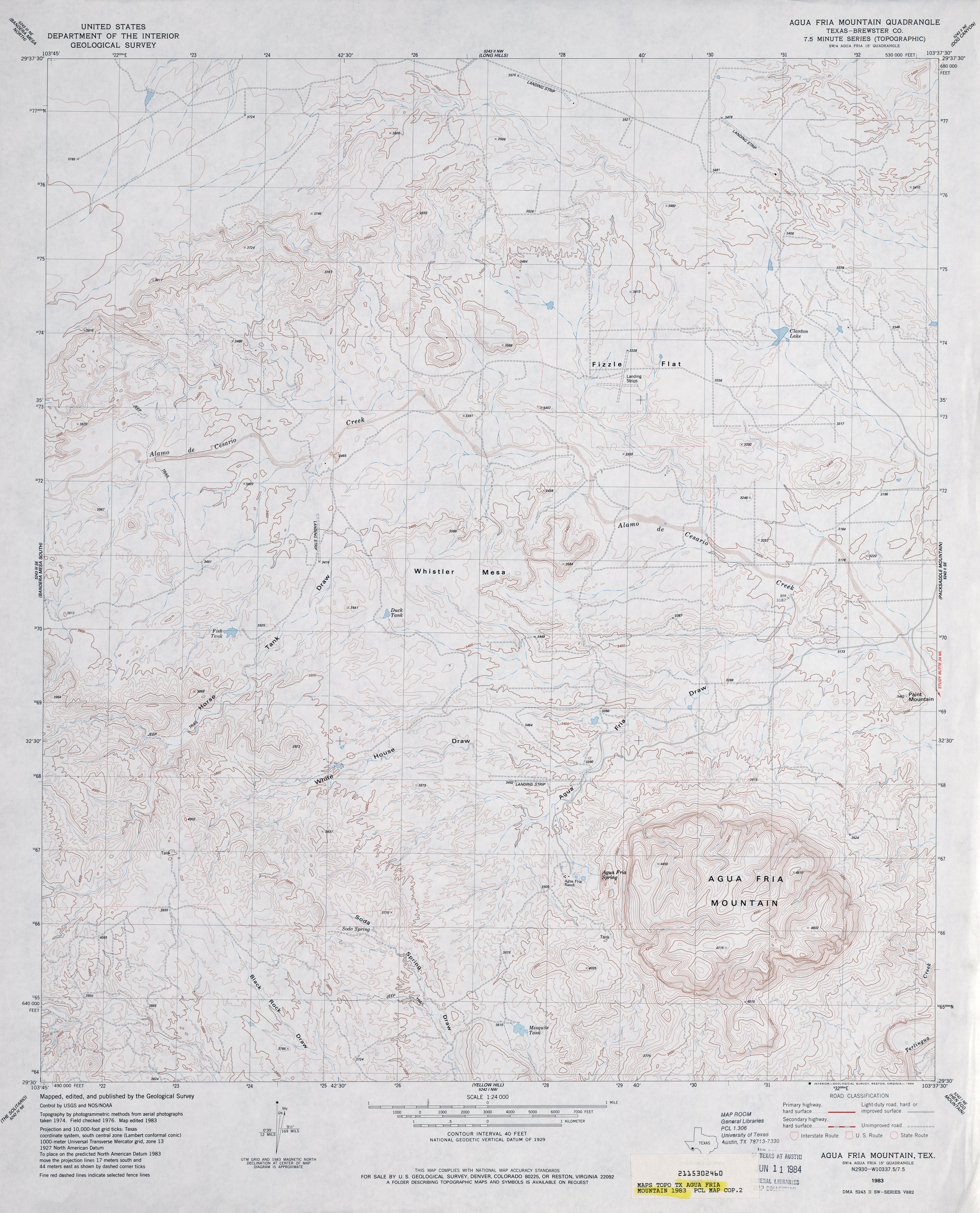
- Agua Fria Mountain 1:24,000 1983 (3.8MB)
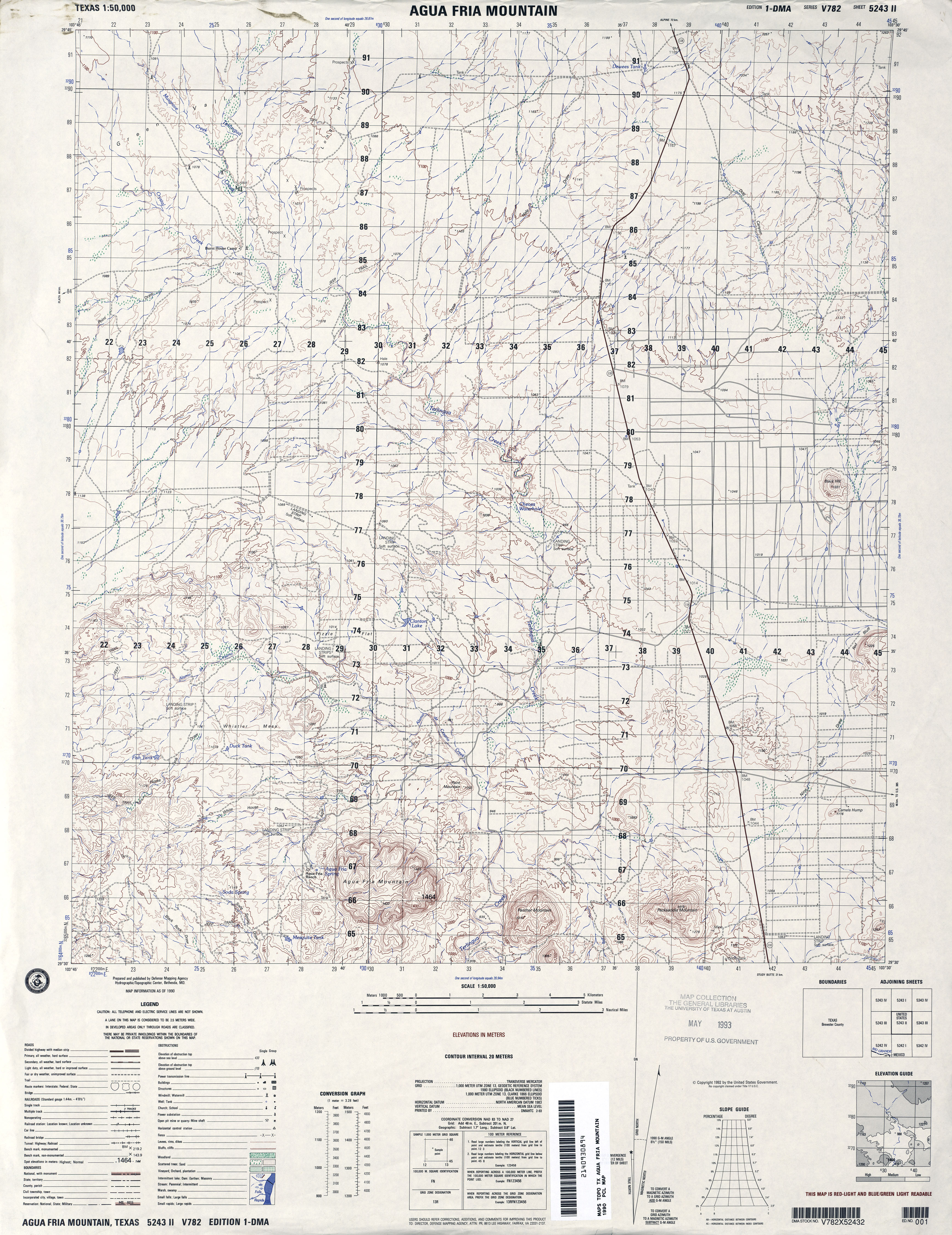
- Agua Fria Mountain 1:50,000 1990 (4.1MB) Defense Mapping Agency, Series V782
- Agua Fria Mountain 1:24,000 2008 (27.0MB) [GeoPDF]
- Agua Fria Mountain 1:24,000 2013 (26.2MB) [GeoPDF]
- Agua Nueva 1:62,500 1938 (3.7 MB) U.S. Army. Corps of Engineers. 15 Minute Series
- Agua Nueva 1:24,000 1972 (2.8MB)
- Agua Nueva 1:24,000 1993 (4.2MB)
- Agua Nueva 1:24,000 2008 (18.5MB) [GeoPDF]
- Agua Nueva 1:24,000 2012 (20.9MB) [GeoPDF]
- Agua Nueva NW (Jim Hogg County) 1:24,000 1972 (4.4MB)
- Agua Nueva NW (Jim Hogg County) 1:24,000 1993 (4.3MB)
- Agua Nueva NW 1:24,000 2008 (18.2MB) [GeoPDF]
- Agua Nueva NW 1:24,000 2012 (22.2MB) [GeoPDF]
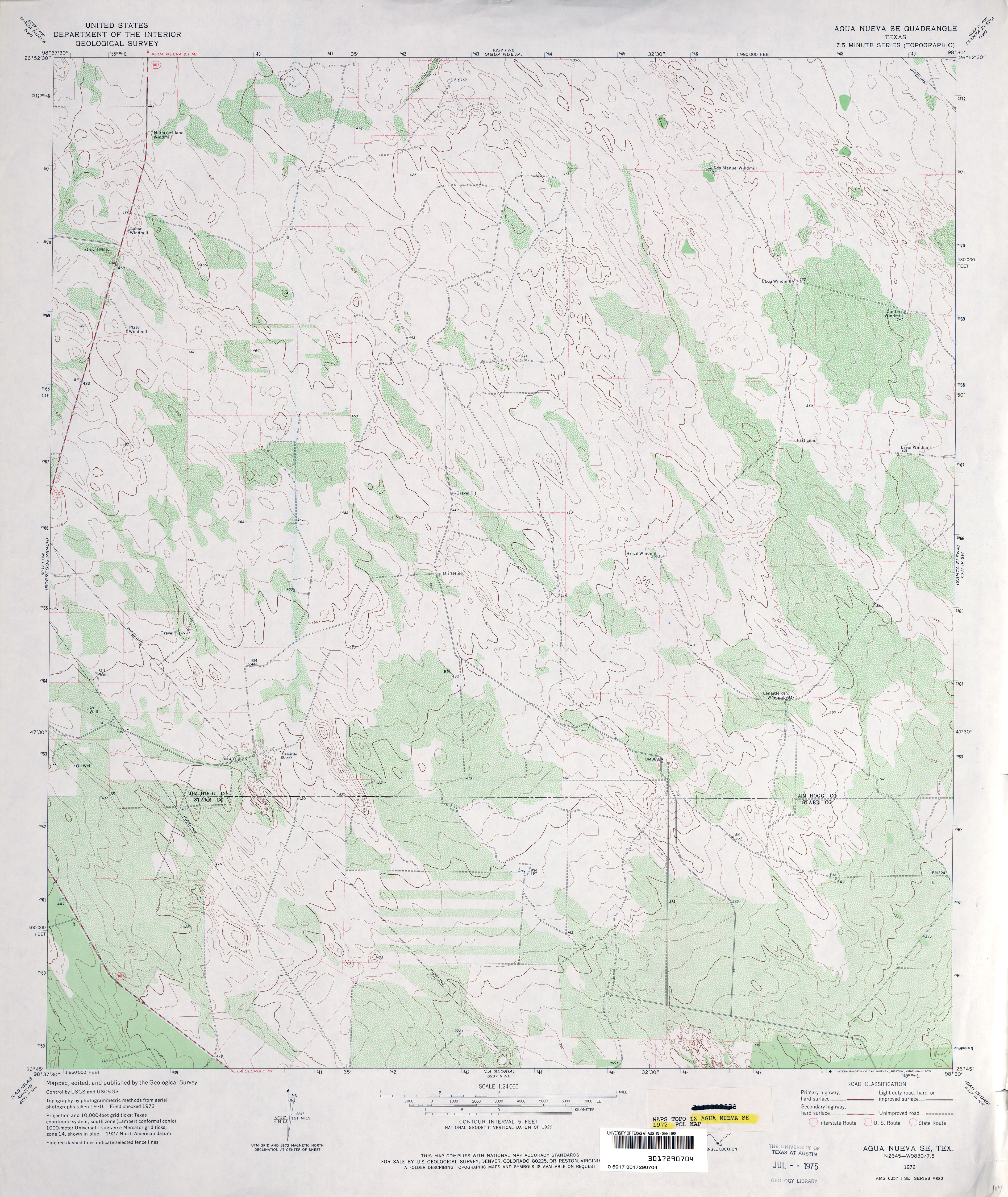
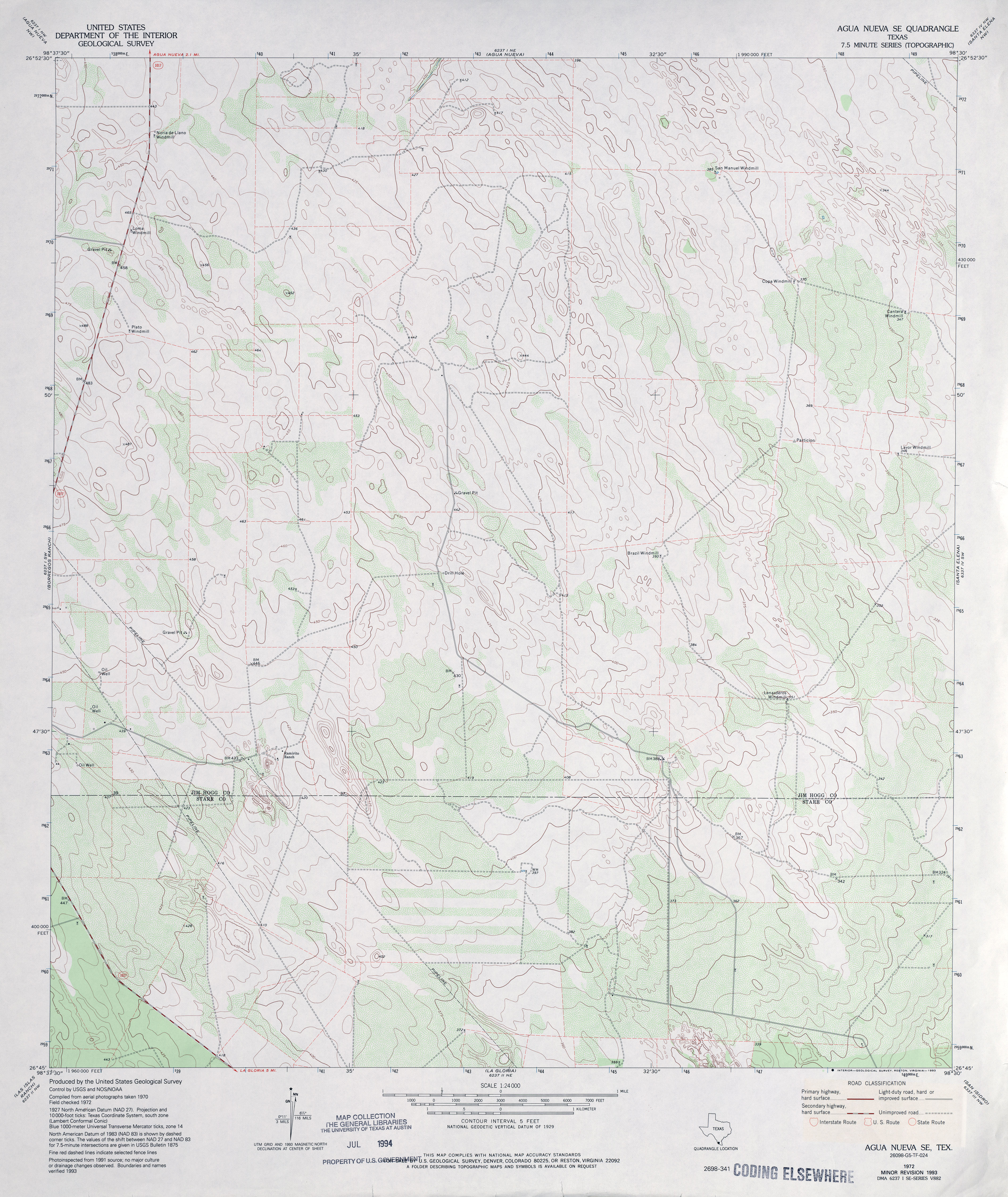
- Agua Nueva SE 1:24,000 1972 (3.7MB)
- Agua Nueva SE 1:24,000 1993 (3.7MB)
- Agua Nueva SE 1:24,000 2009 (18.8MB) [GeoPDF]
- Agua Nueva SE 1:24,000 2012 (20.9MB) [GeoPDF]
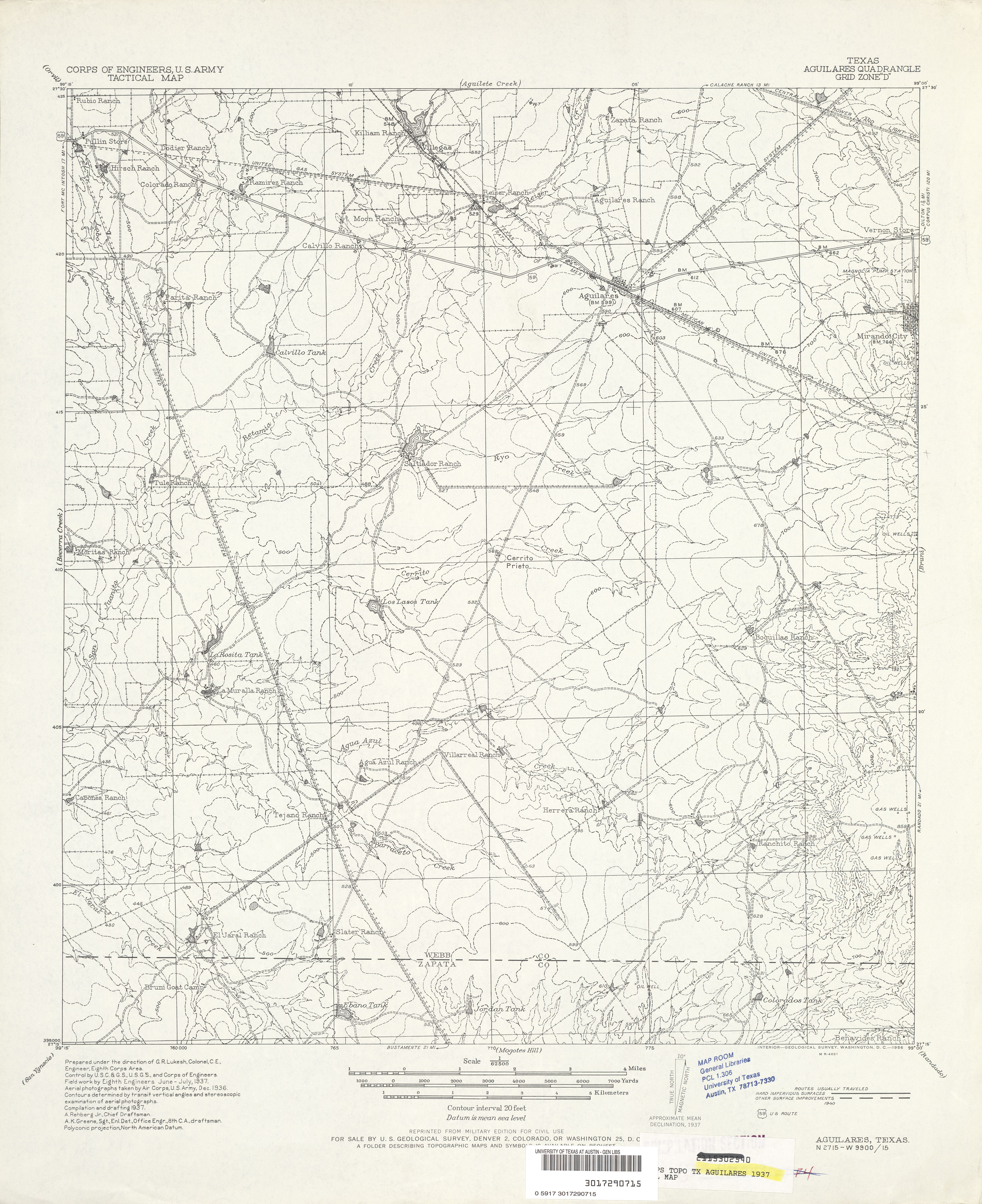
- Aguilares 1:62,500 1937 survey, 1940 overprint (4.0 MB) U.S. Army. Corps of Engineers. Tactical Map
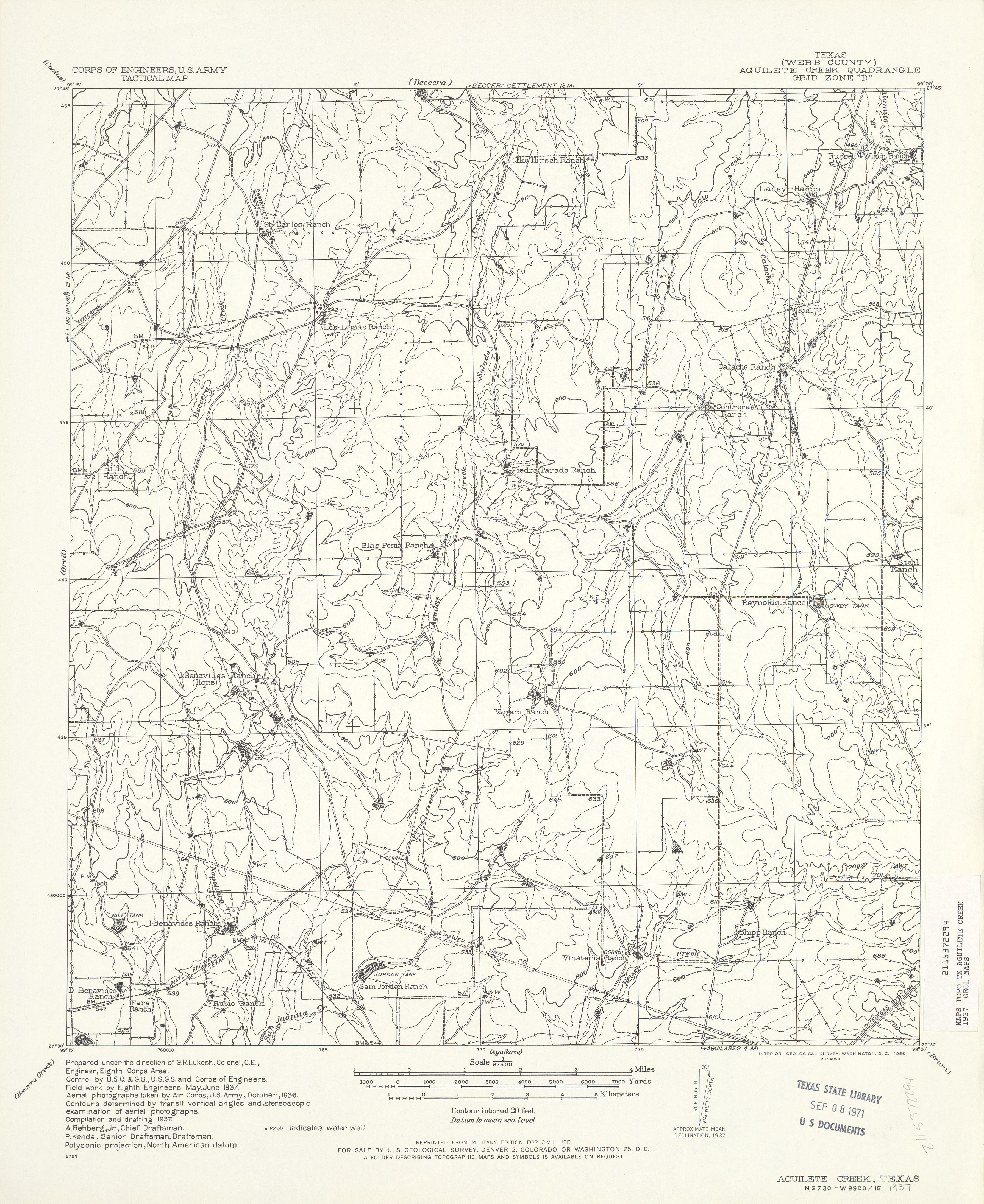
- Aguilete Creek (Webb County) 1:62,500 1937 (3.9 MB) U.S. Army. Corps of Engineers. Tactical Map
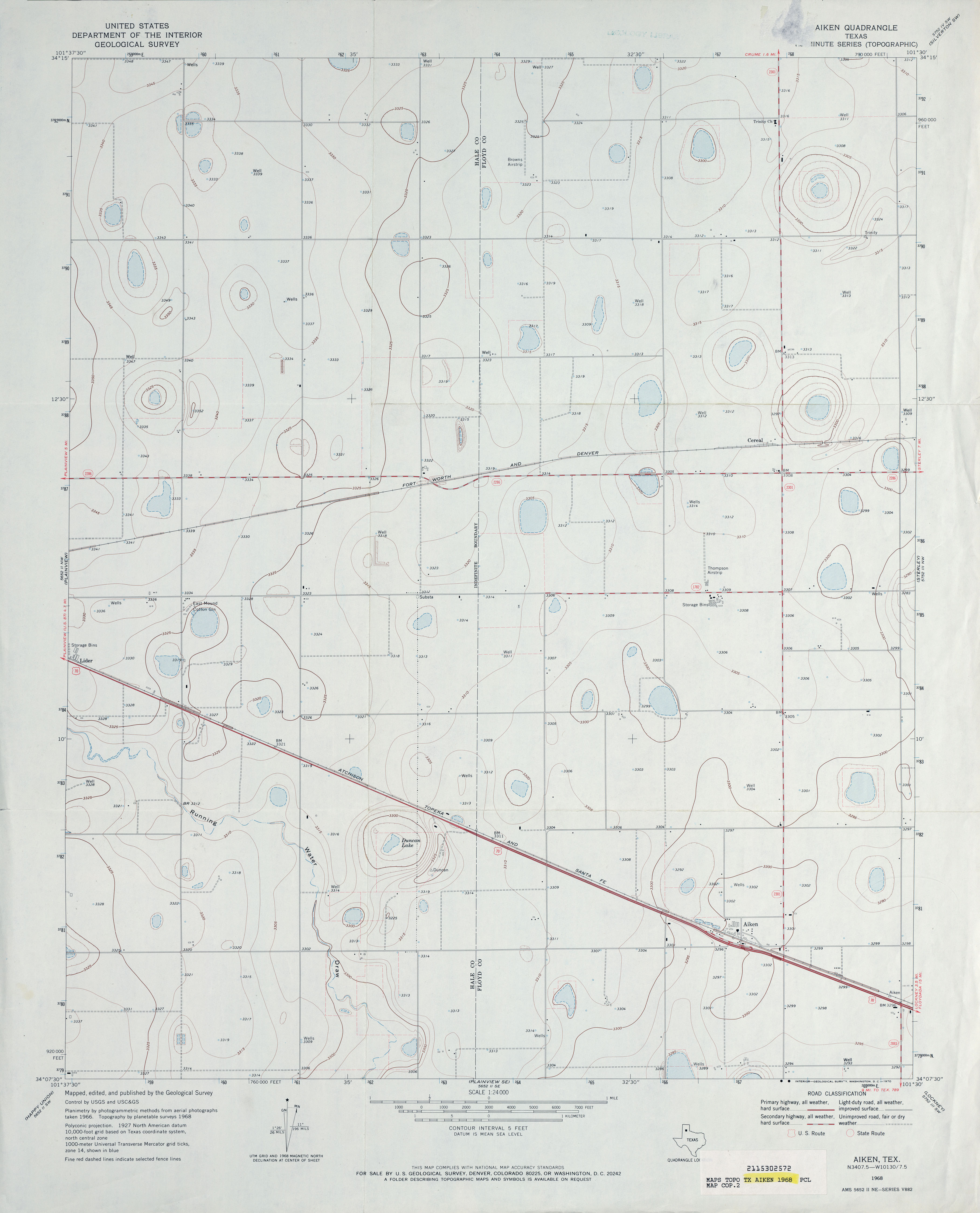
- Aiken 1:24,000 1968 (2.3MB)
- Aiken 1:24,000 2008 (11.3MB) [GeoPDF]
- Aiken 1:24,000 2012 (15.5MB) [GeoPDF]
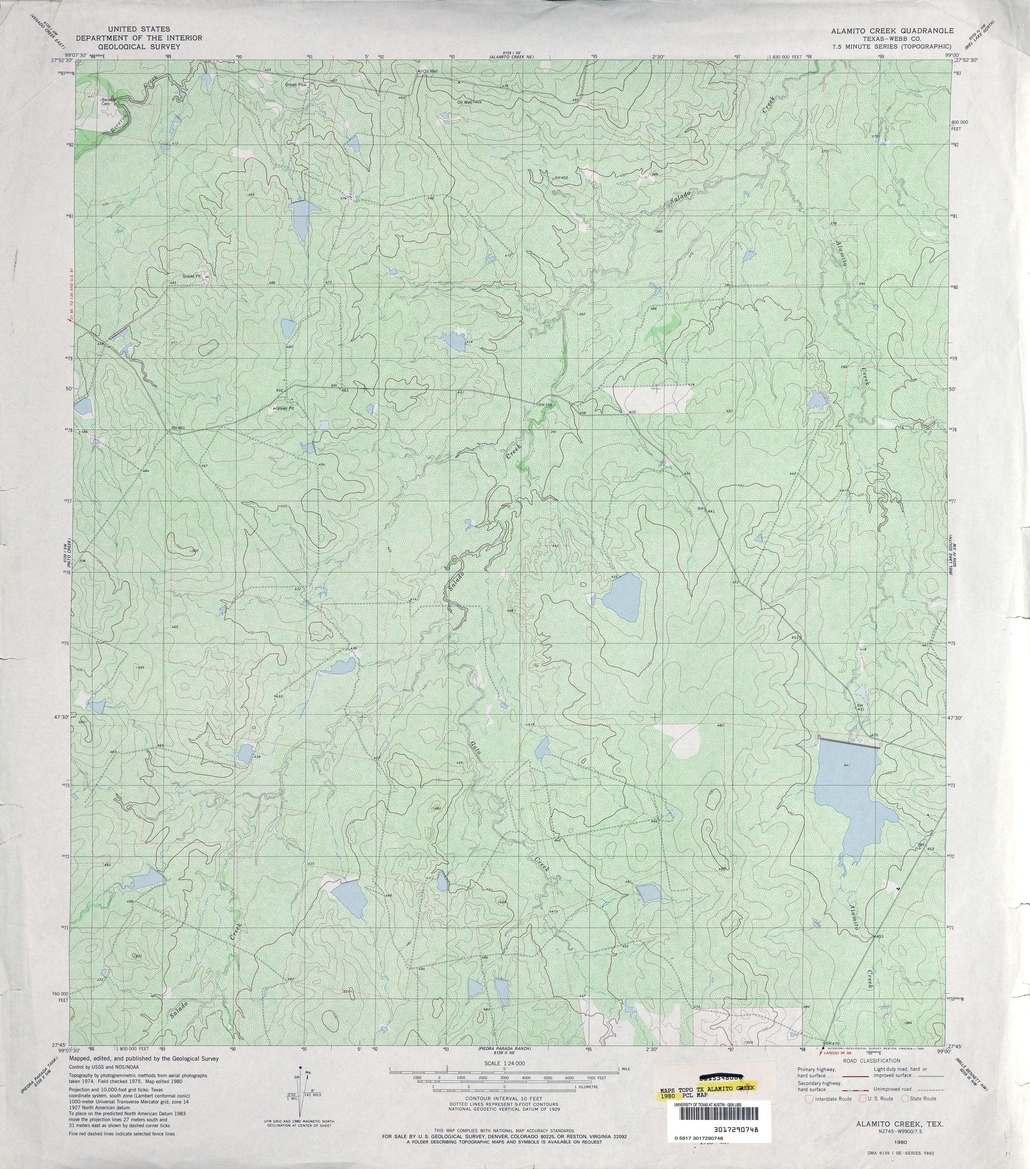
- Alamito Creek (Webb County) 1:24,000 1980 (5.9MB)
- Alamito Creek 1:24,000 2008 (17.4MB) [GeoPDF]
- Alamito Creek 1:24,000 2013 (26.3MB) [GeoPDF]
- Alamito Creek NE (Webb County) 1:24,000 1980 (4.7MB)
- Alamito Creek NE 1:24,000 2008 (18.2MB) [GeoPDF]
- Alamito Creek NE 1:24,000 2013 (26.7MB) [GeoPDF]
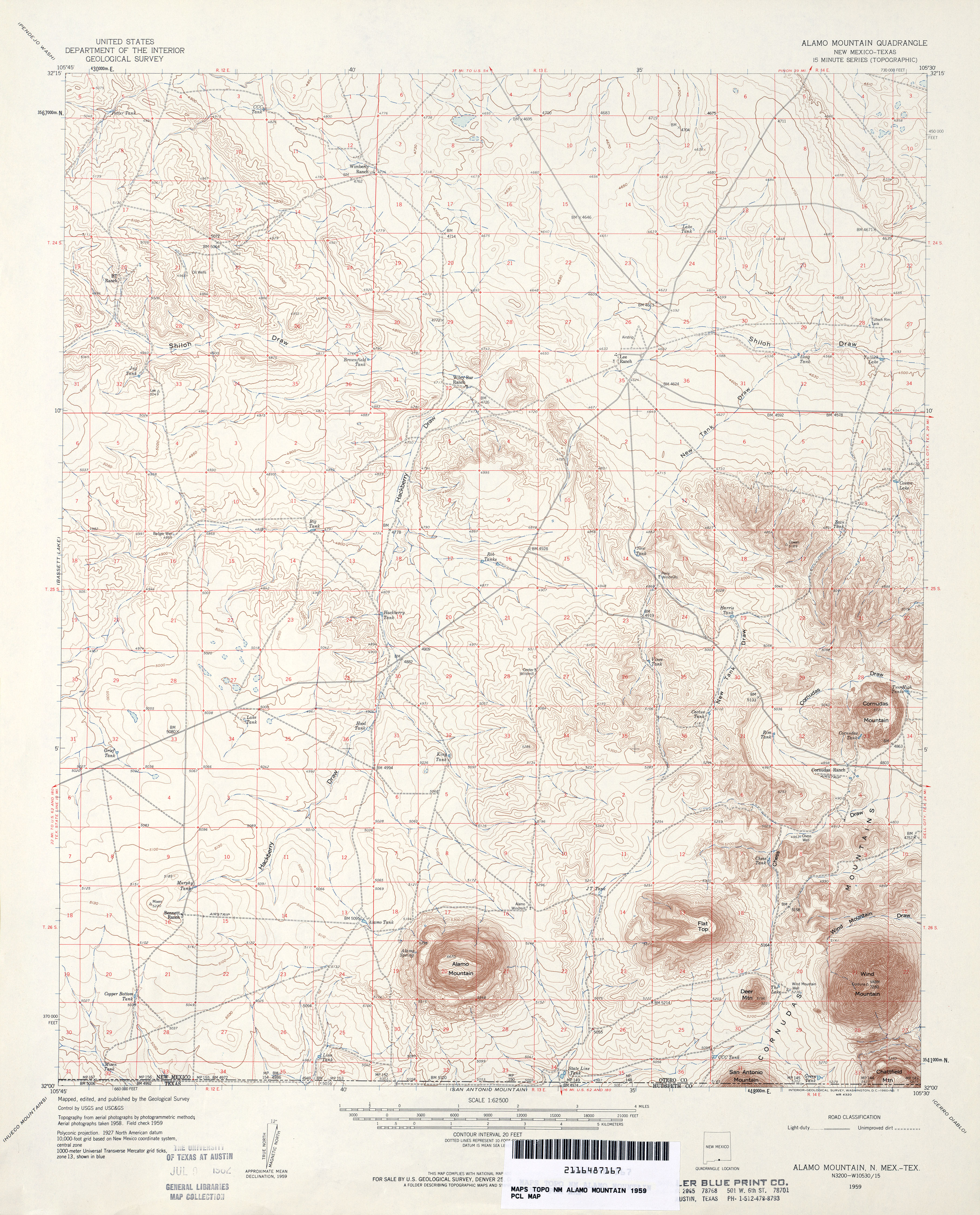
- Alamo Mountain 1:62,500 1959 (4.6MB)
- Alamo Mountain [New Mexico, Texas] 1:24,000 2009 (20.3MB) [GeoPDF]
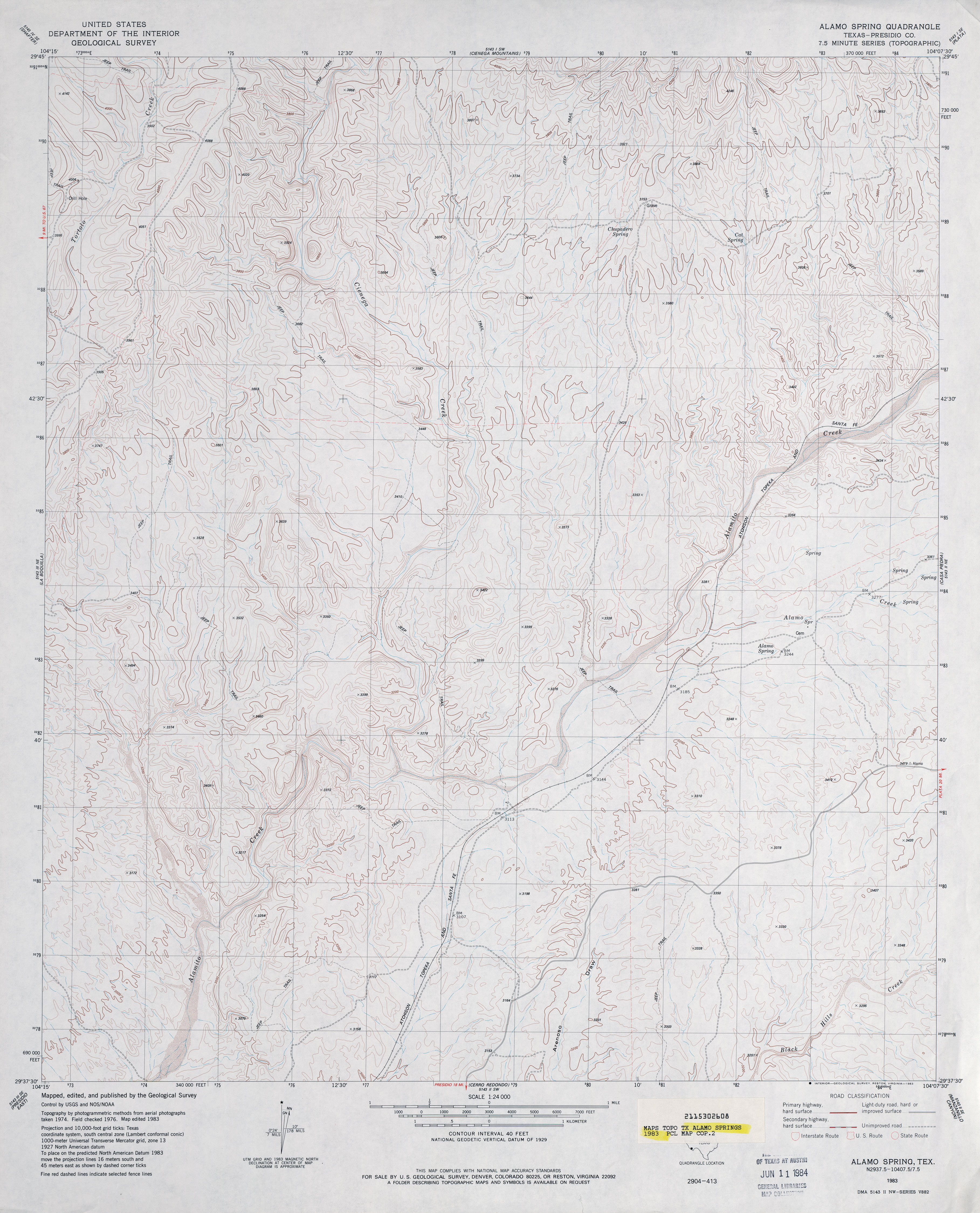
- Alamo Spring (Presidio County) 1:24,000 1983 (3.8MB)
- Alamo Spring 1:24,000 2008 (17.2MB) [GeoPDF]
- Alamo Spring 1:24,000 2012 (25.2MB) [GeoPDF]
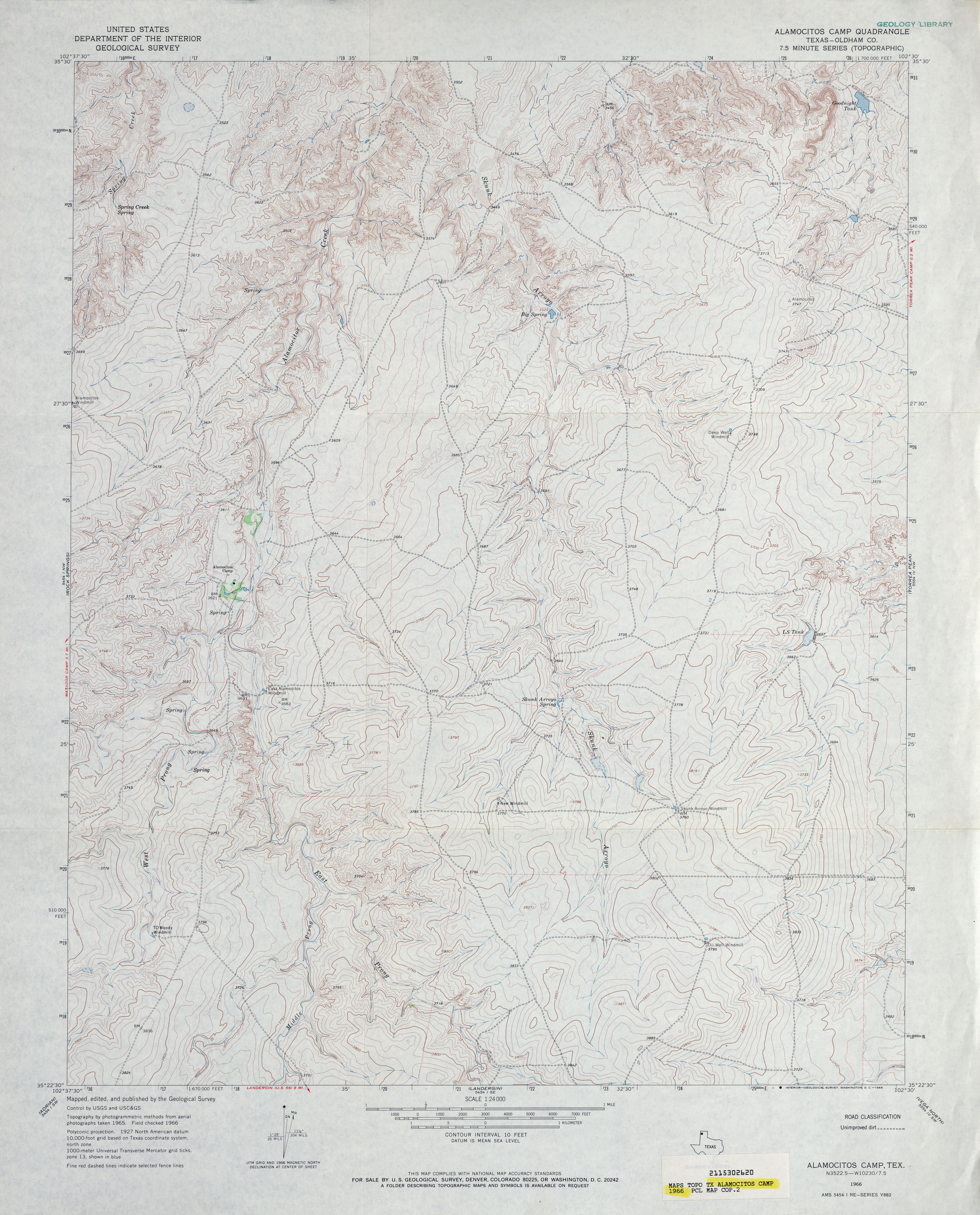
- Alamocitos Camp (Oldham County) 1:24,000 1966 (4MB)
- Alamocitos Camp 1:24,000 2008 (13.4MB) [GeoPDF]
- Alamocitos Camp 1:24,000 2012 (18.3MB) [GeoPDF]
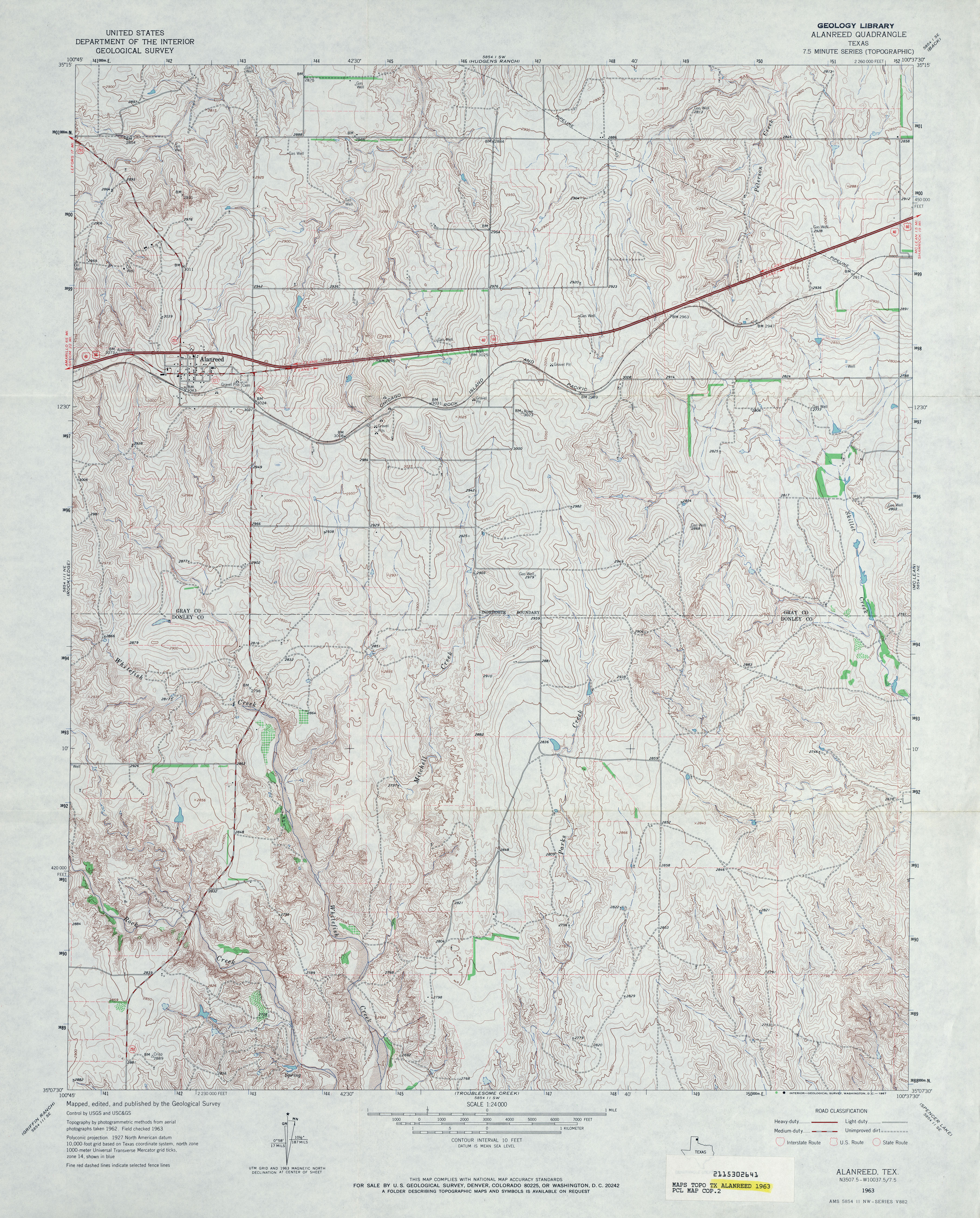
- Alanreed 1:24,000 1963 (4.9MB)
- Alanreed 1:24,000 2008 (12.8MB) [GeoPDF]
- Alanreed 1:24,000 2012 (19.7MB) [GeoPDF]
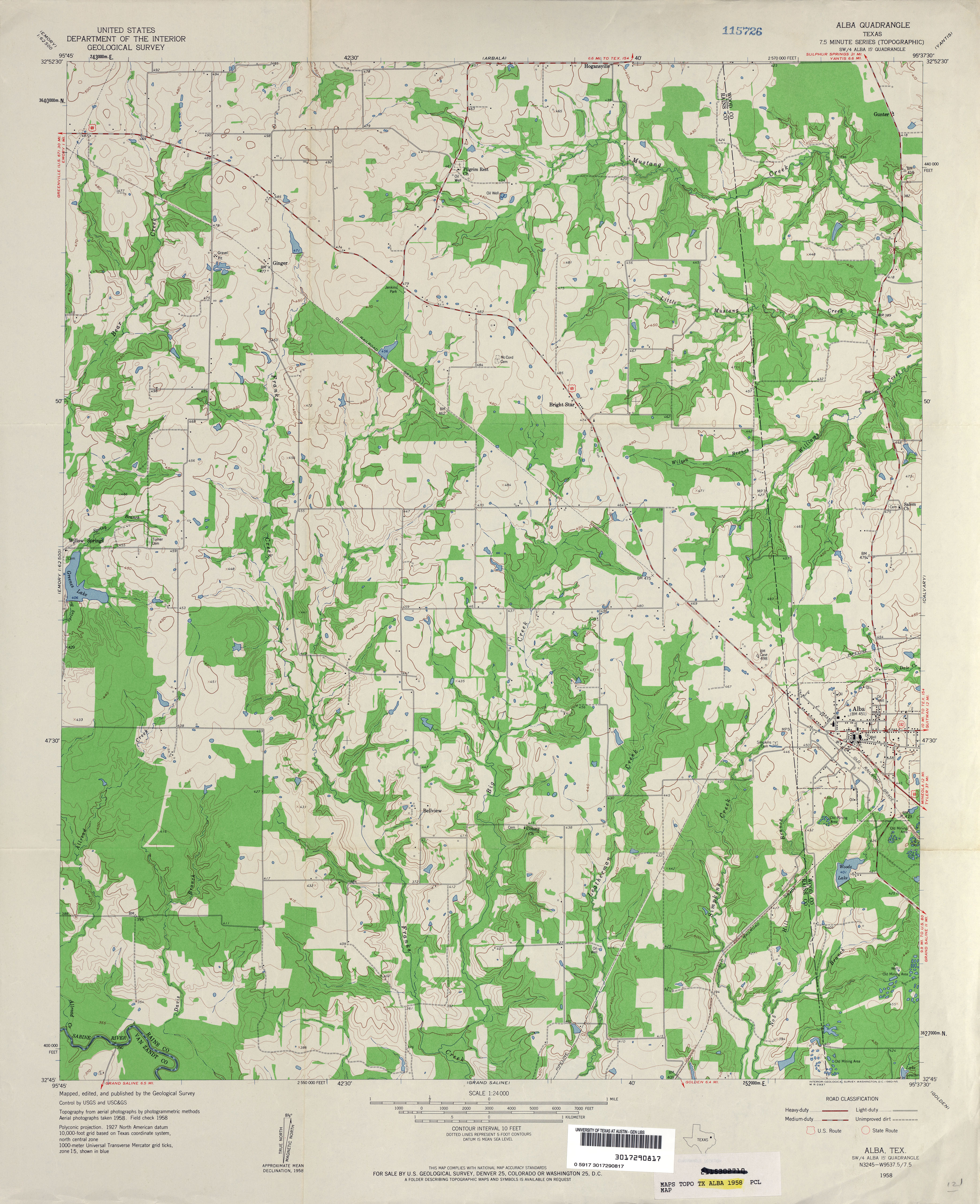
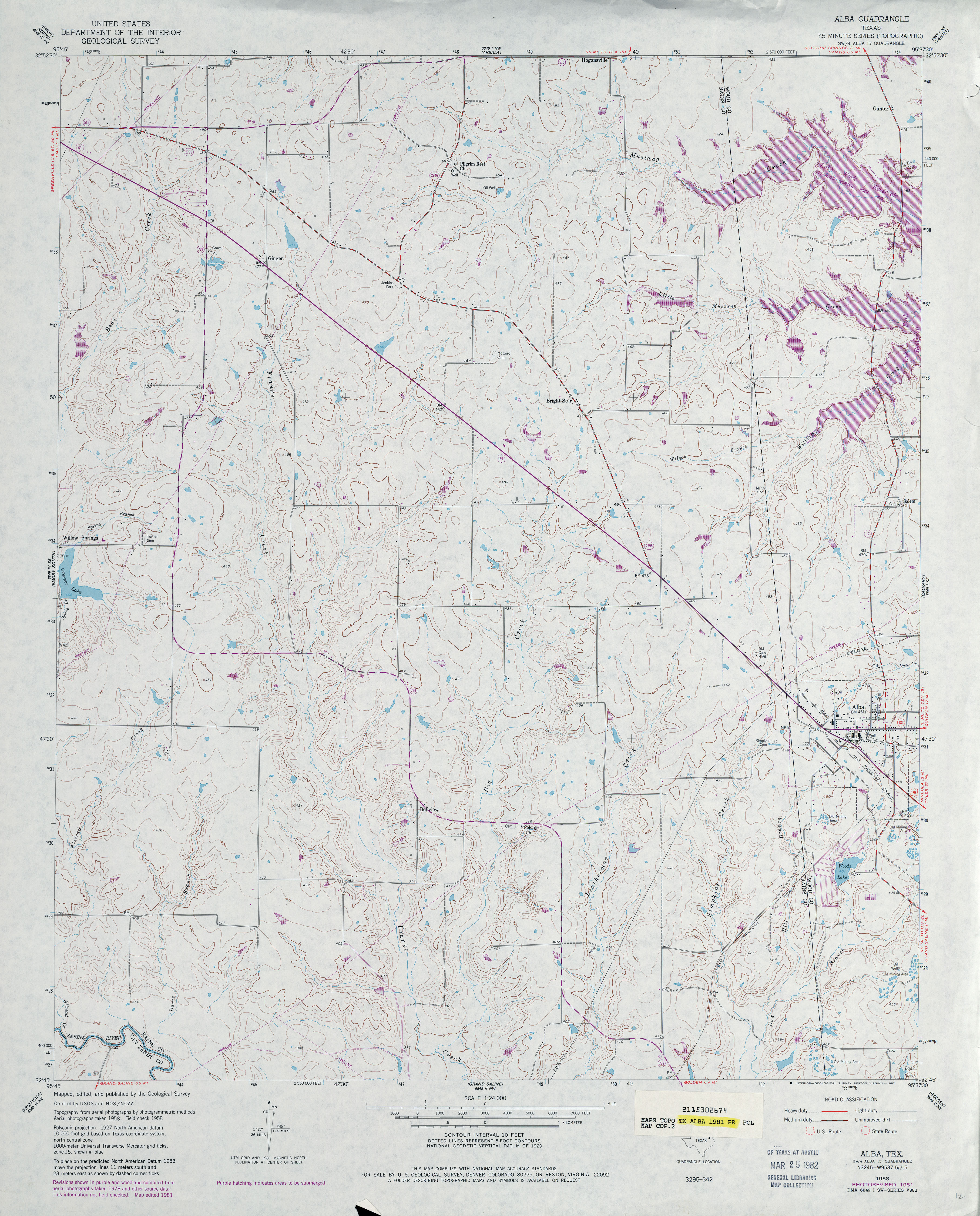
- Alba 1:24,000 1958 (3.8MB)
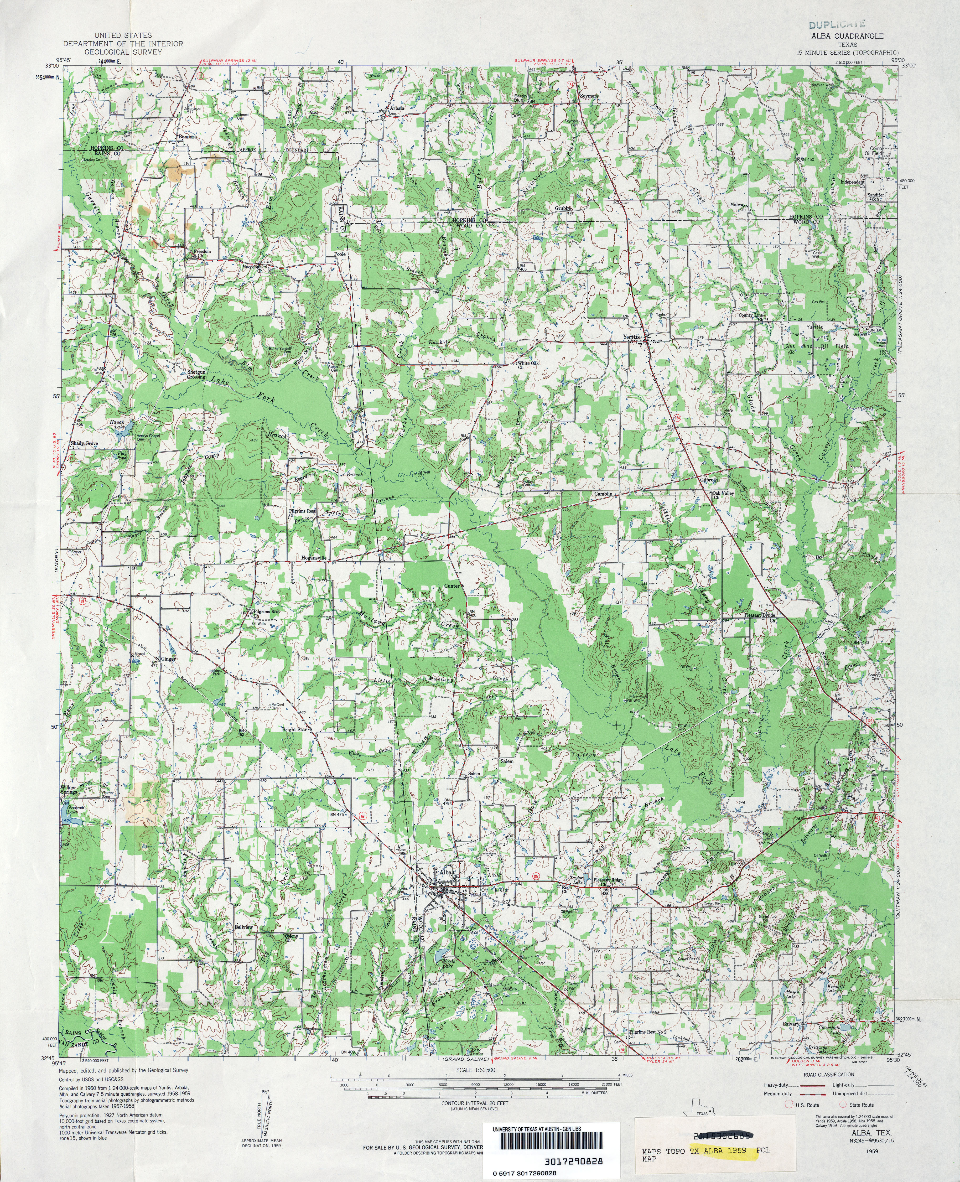
- Alba 1:62,500 1959 (4.9MB)
- Alba 1:24,000 1981 (3.9MB)
- Alba 1:24,000 2012 (21.6MB) [GeoPDF]
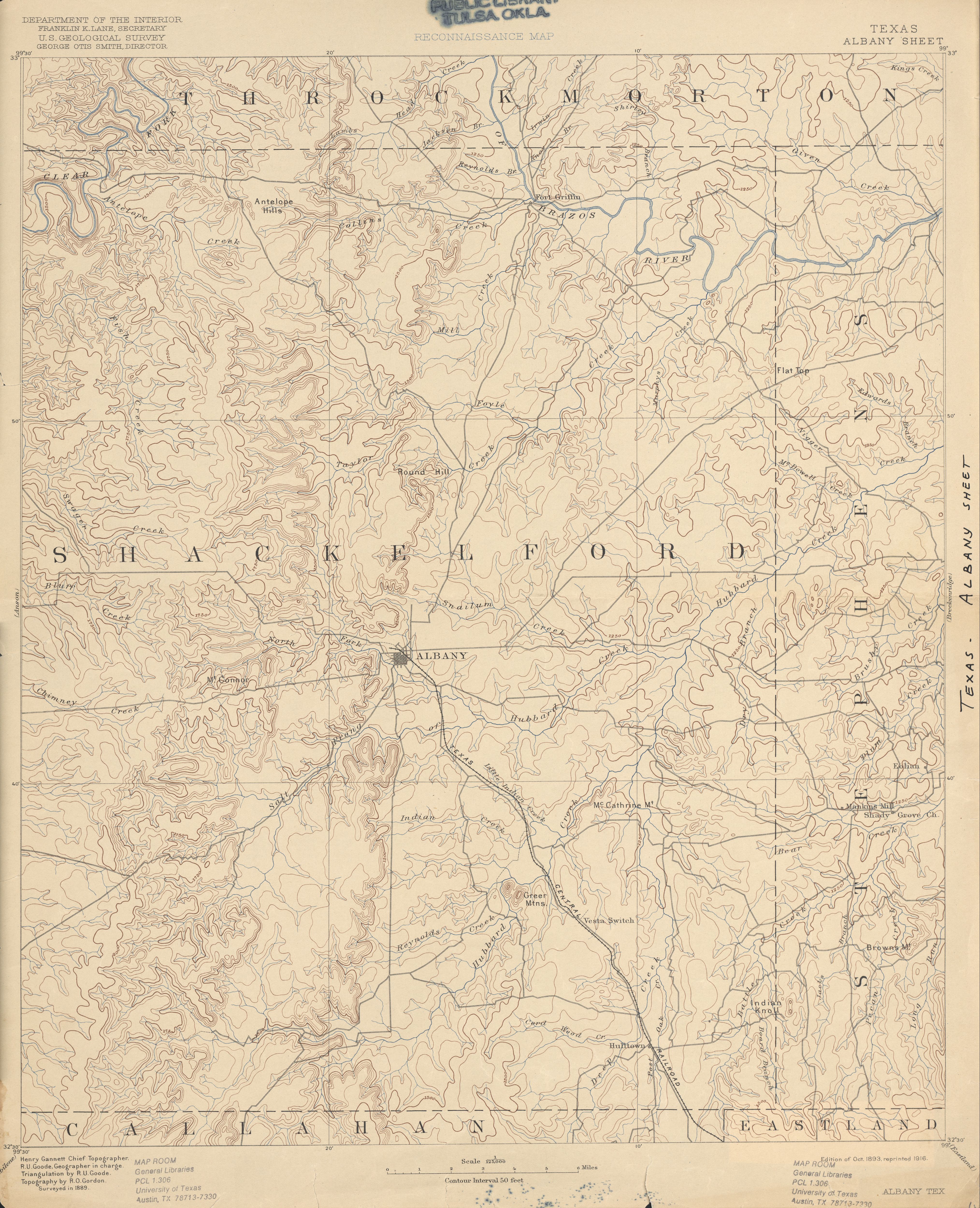
- Albany 1:125,000 1889 (4.2MB)
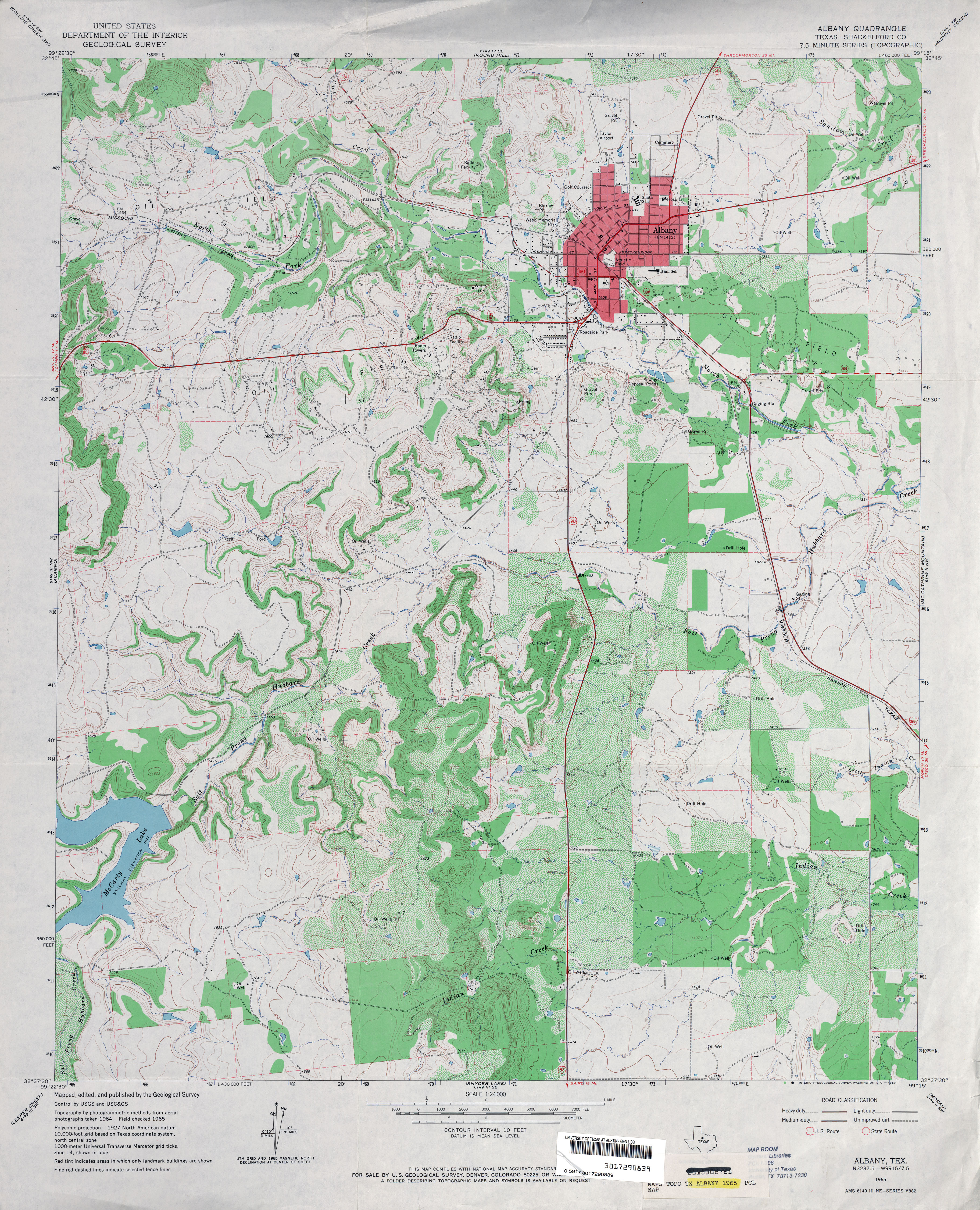
- Albany (Shackelford County) 1:24,000 1965 (4.4MB)
- Albany 1:24,000 2008 (14.9MB) [GeoPDF]
- Albany 1:24,000 2012 (23.8MB) [GeoPDF]
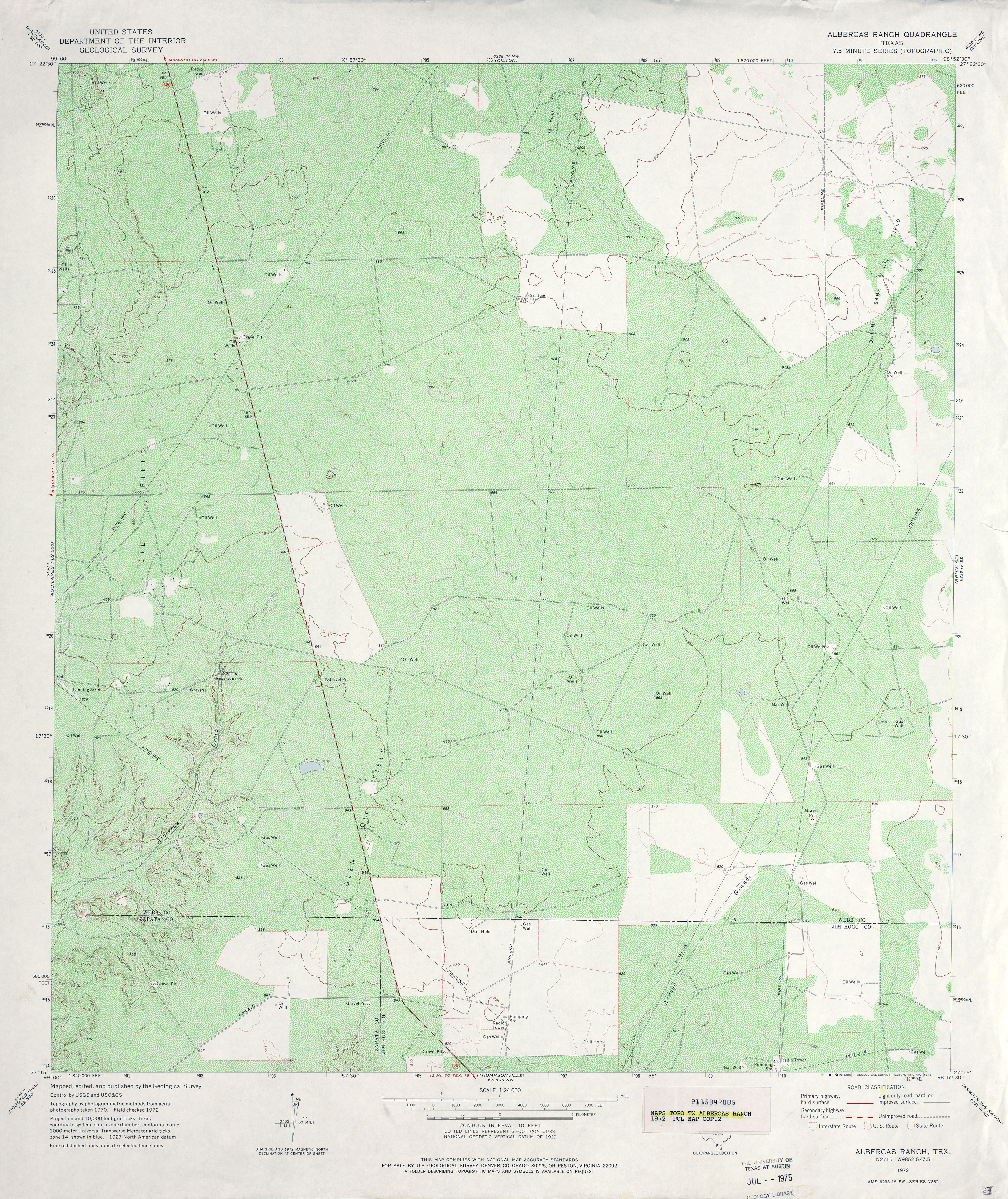
- Albercas Ranch 1:24,000 1972 (5.7MB)
- Albercas Ranch 1:24,000 2008 (16.3MB) [GeoPDF]
- Albercas Ranch 1:24,000 2013 (23.5MB) [GeoPDF]
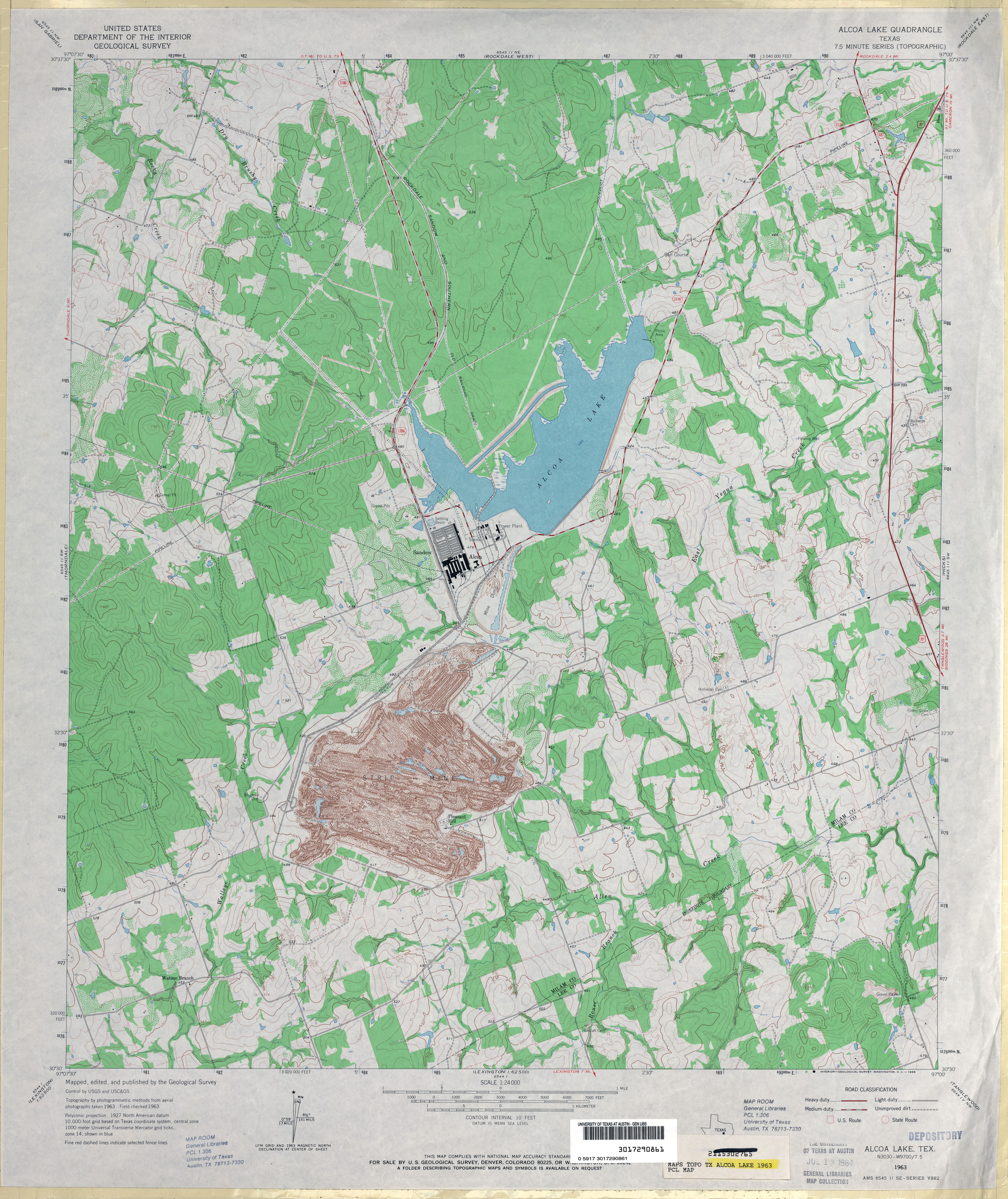
- Alcoa Lake 1:24,000 1963 (4.2MB)
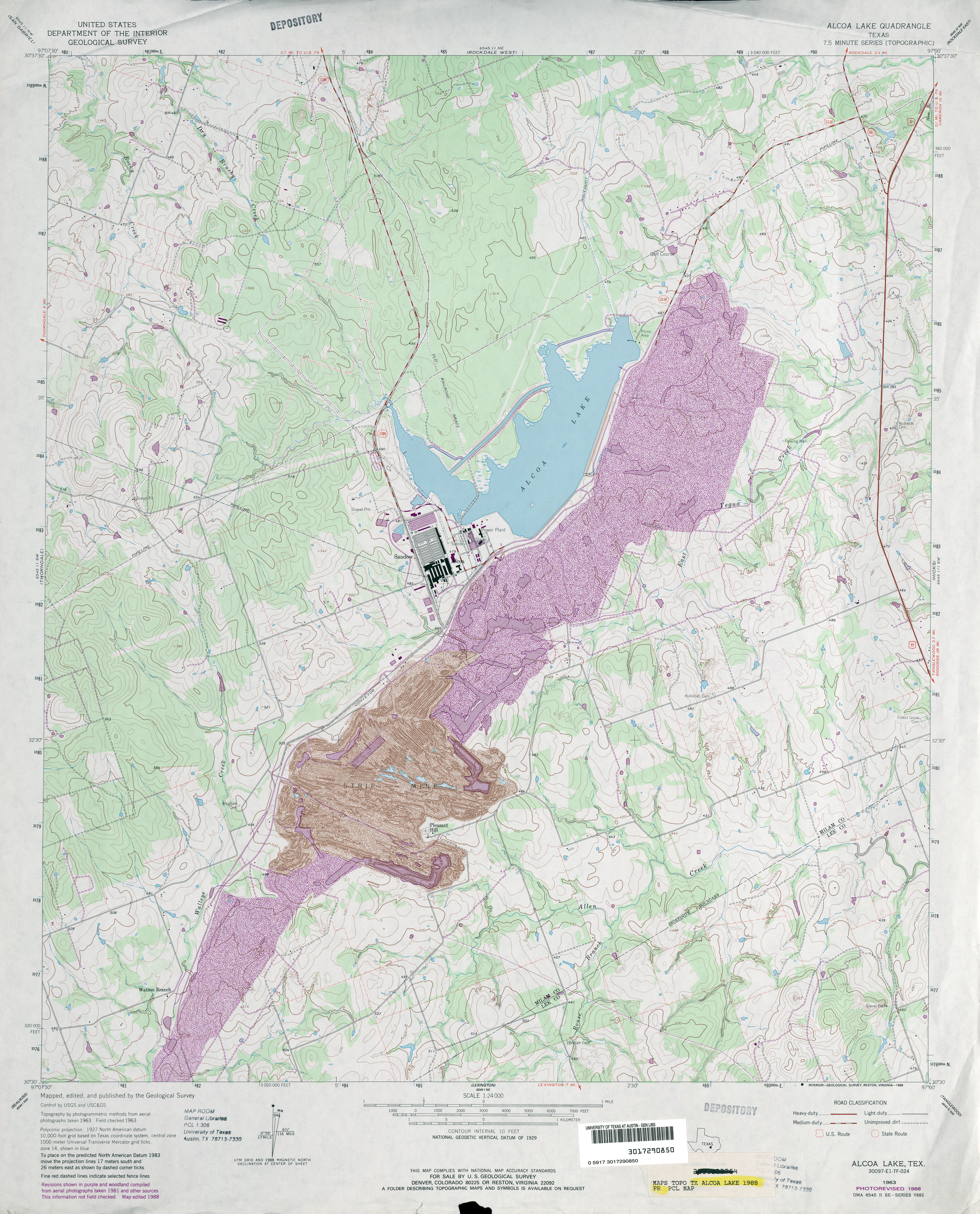
- Alcoa Lake 1:24,000 1988 (4.4MB)
- Alcoa Lake 1:24,000 2008 (15.3MB) [GeoPDF]
- Alcoa Lake 1:24,000 2013 (24.3MB) [GeoPDF]
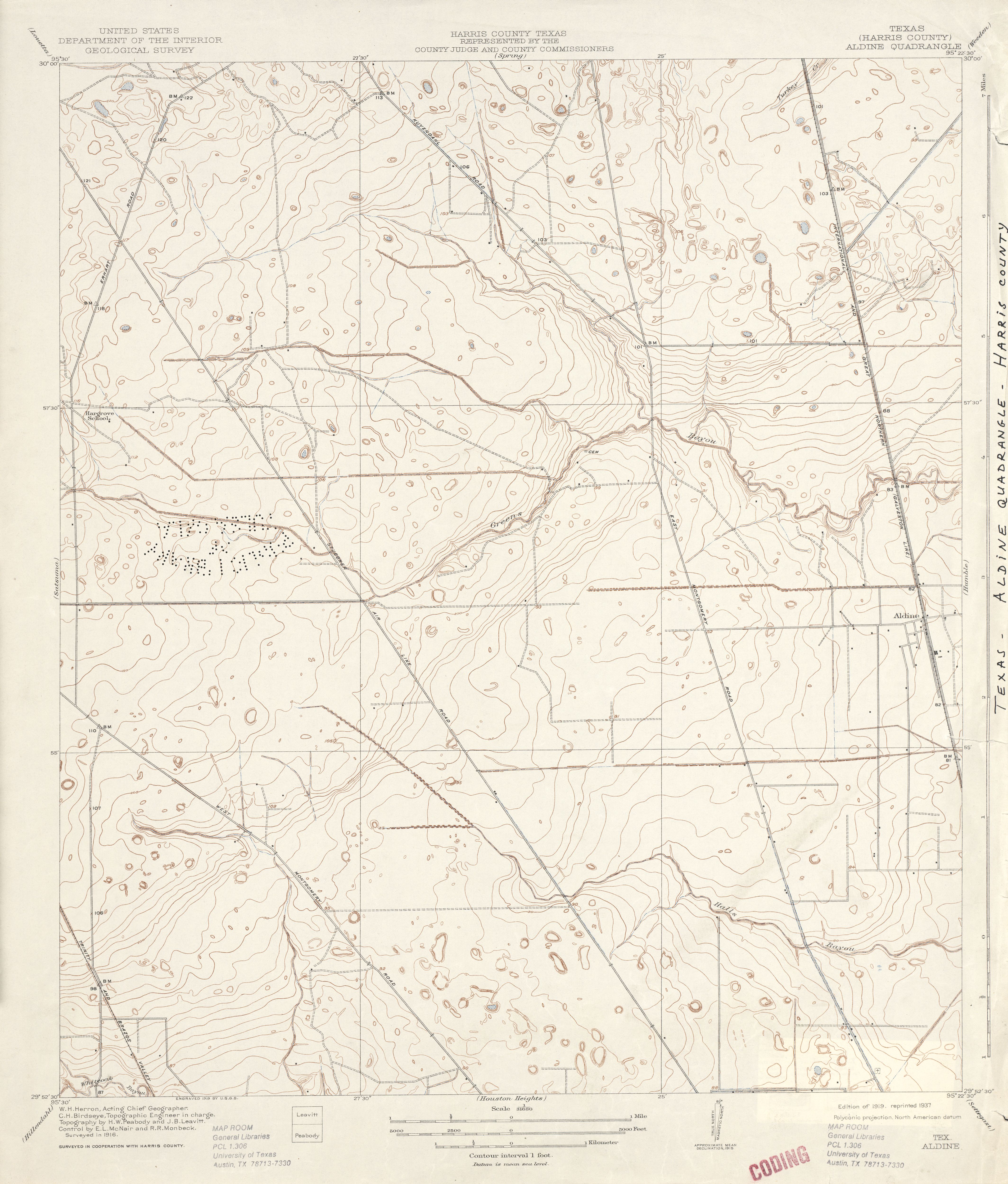
- Aldine (Harris County) 1:31,680 1916 (3.3MB)
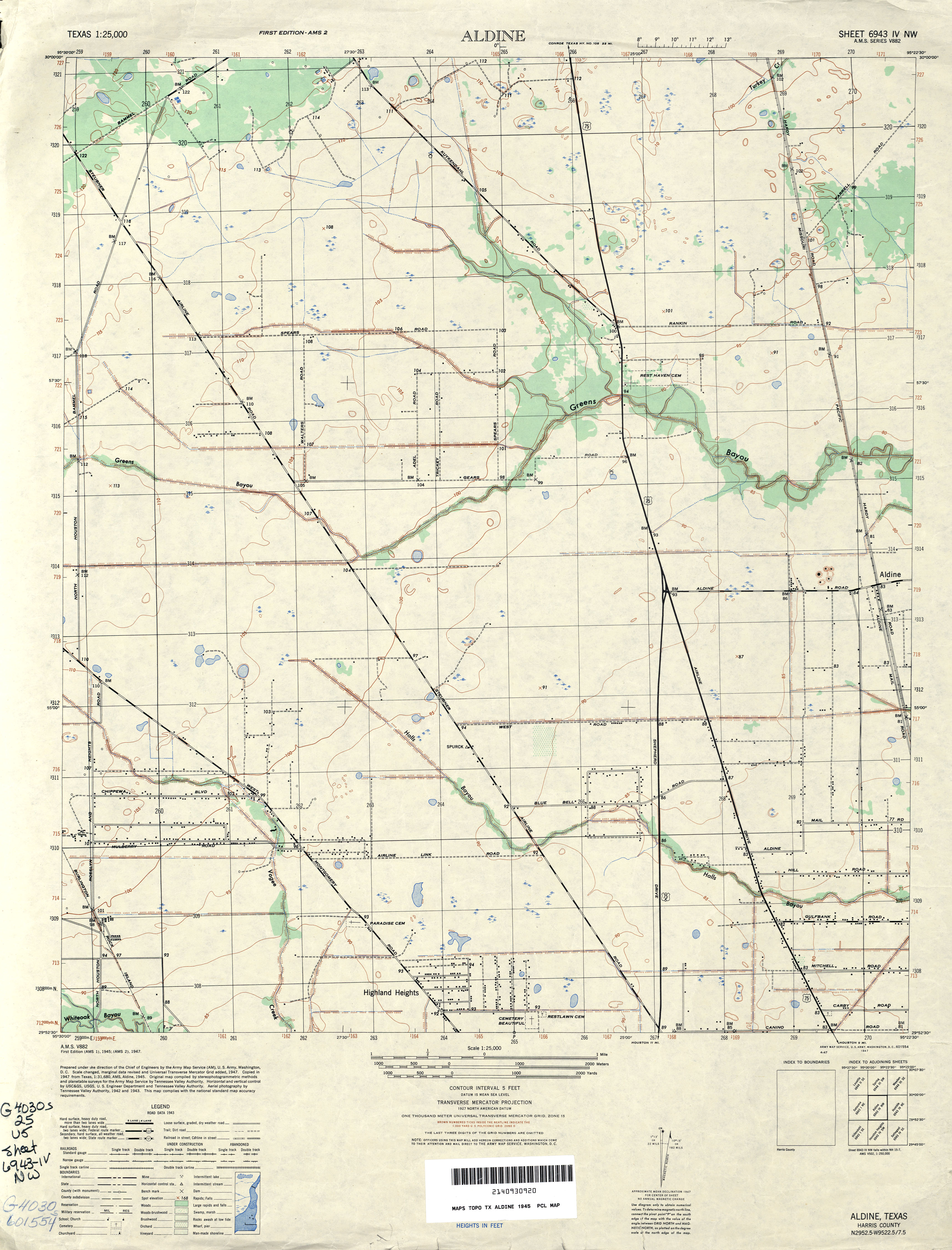
- Aldine 1:25,000 1945 (2.8MB) U.S. Army Map Service, Series V882
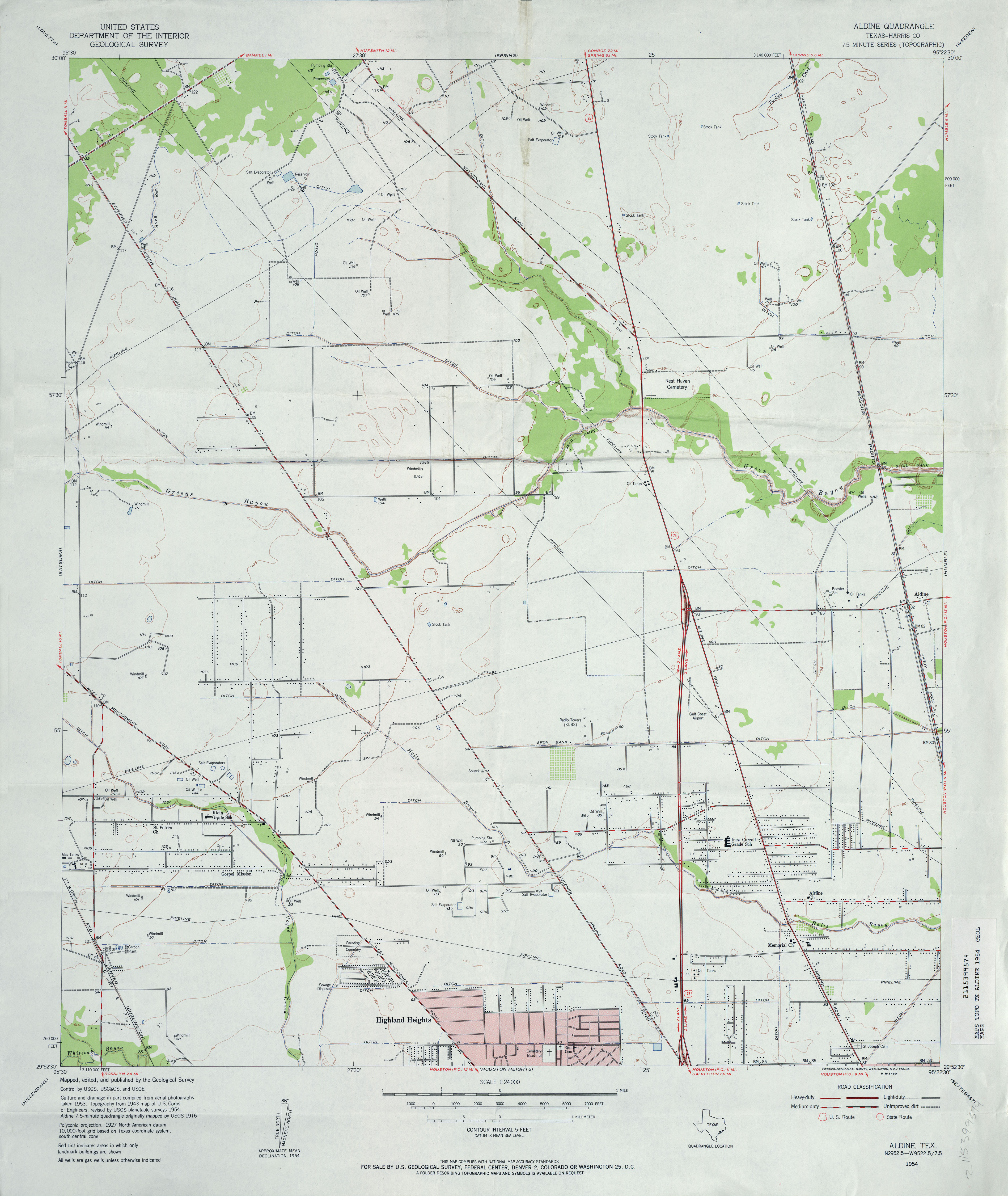
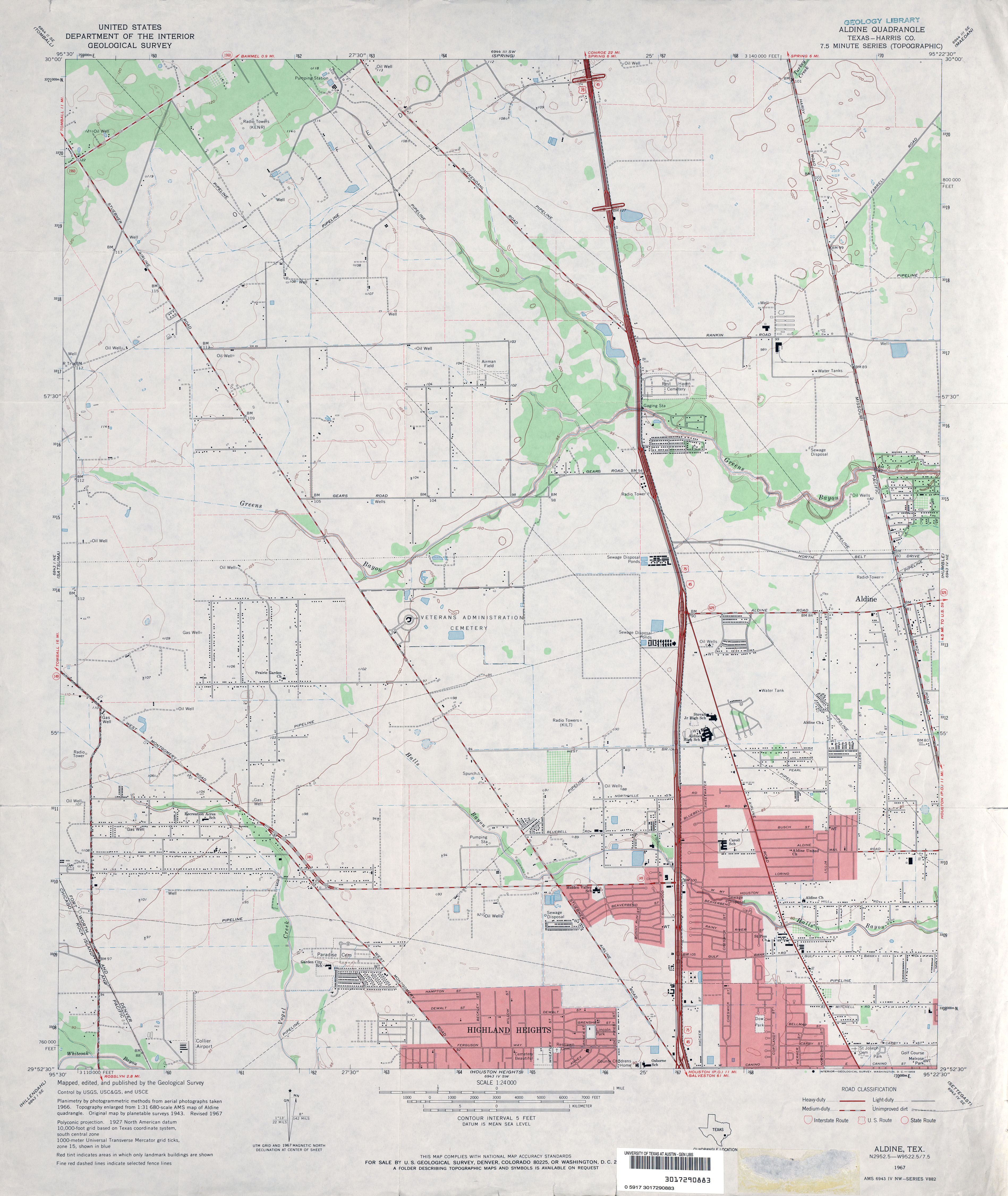
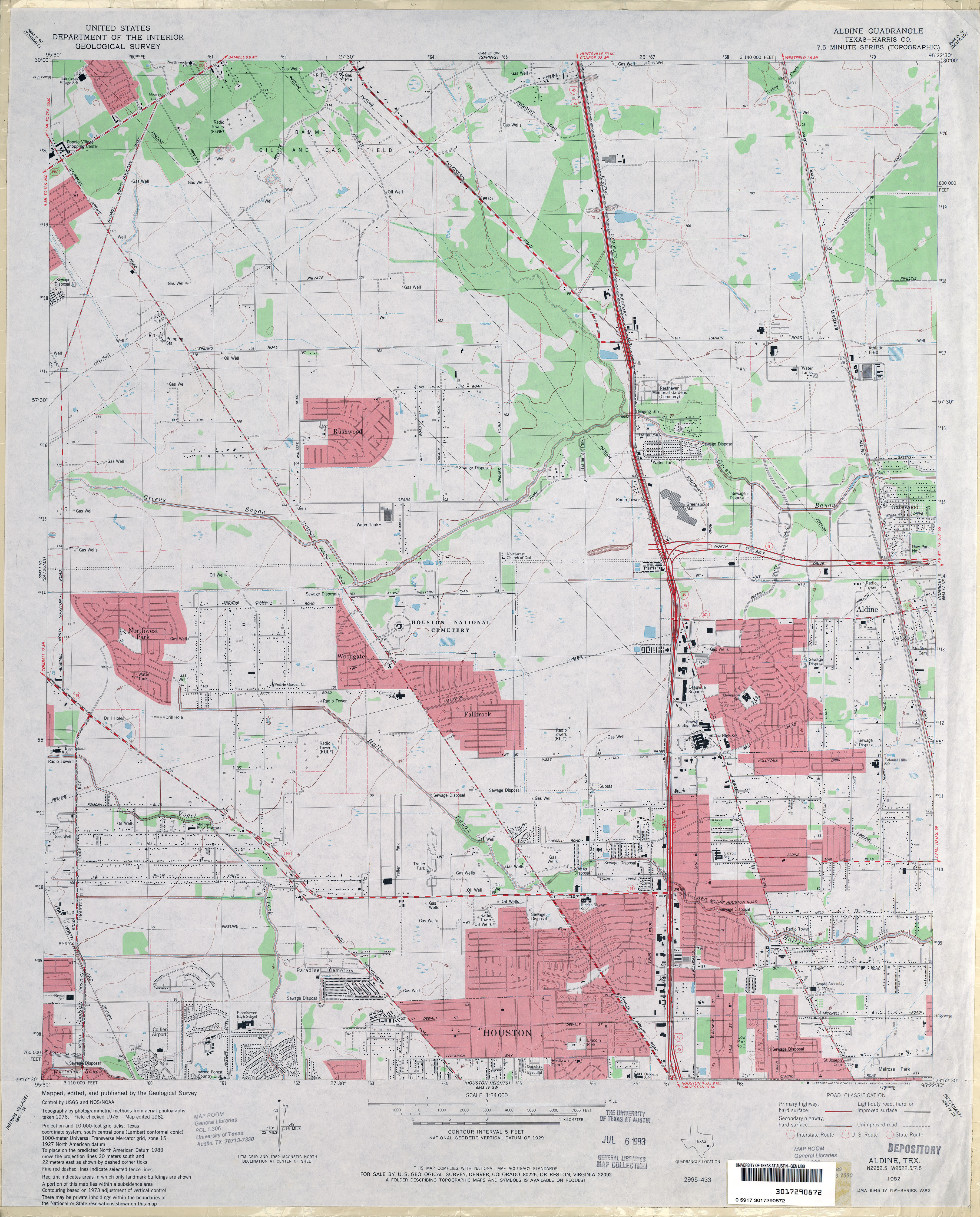
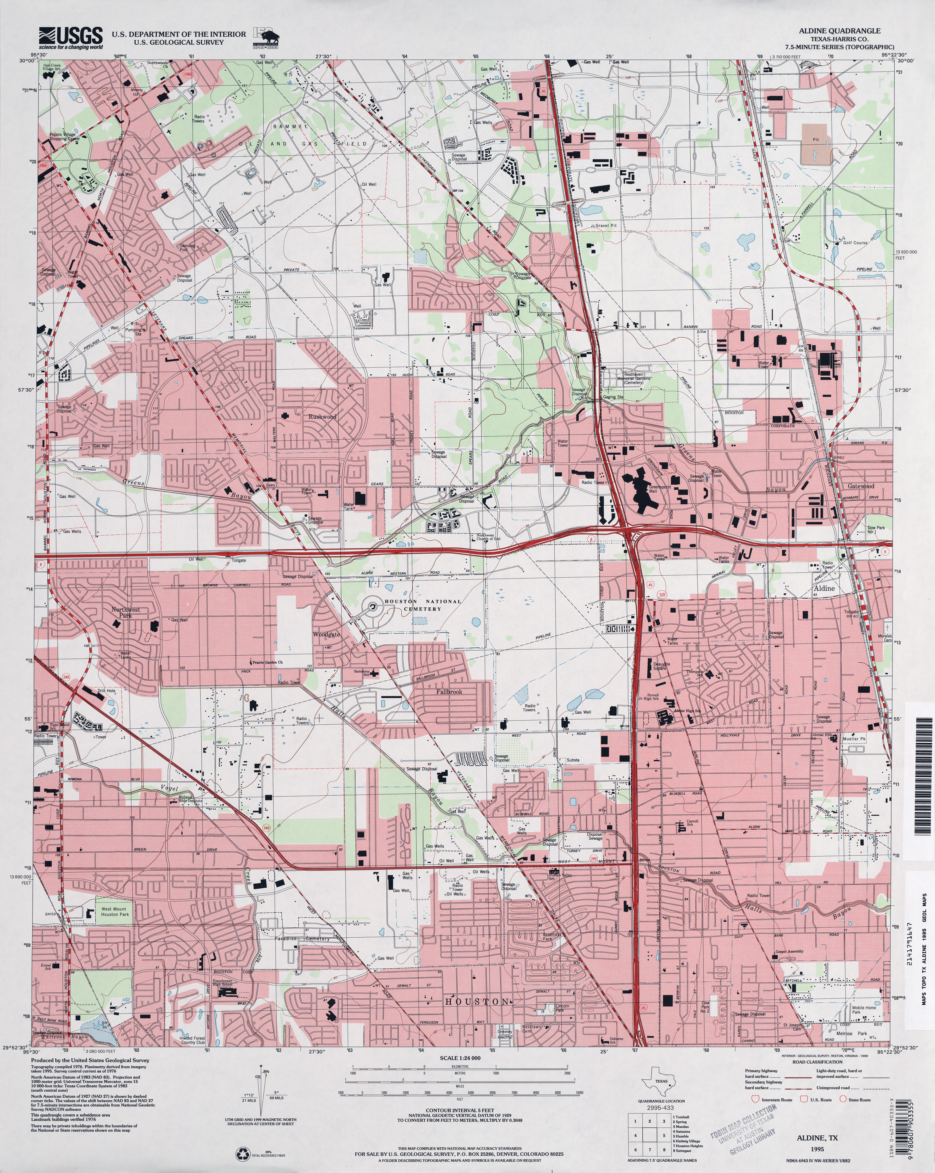
- Aldine (Harris County) 1:24,000 1954 (2.8MB)
- Aldine (Harris County) 1:24,000 1967 (3MB)
- Aldine (Harris County) 1:24,000 1982 (3.5MB)
- Aldine (Harris County) 1:24,000 1995 (3.8MB)
- Aldine 1:24,000 2009 (25.0MB) [GeoPDF]
- Aldine 1:24,000 2013 (26.8MB) [GeoPDF]
- Aledo 1:24,000 1955 (4.4MB)
- Aledo 1:24,000 1968 (4.8MB)
- Aledo 1:24,000 1981 (4.8MB)
- Aledo 1:24,000 2008 (13.0MB) [GeoPDF]
- Aledo 1:24,000 2012 (18.5MB) [GeoPDF]
- Alexander (Erath County) 1:24,000 1961 (4.1MB)
- Alexander (Erath County) 1:24,000 1979 (4.6MB)
- Alexander 1:24,000 2008 (15.0MB) [GeoPDF]
- Alexander 1:24,000 2012 (18.8MB) [GeoPDF]
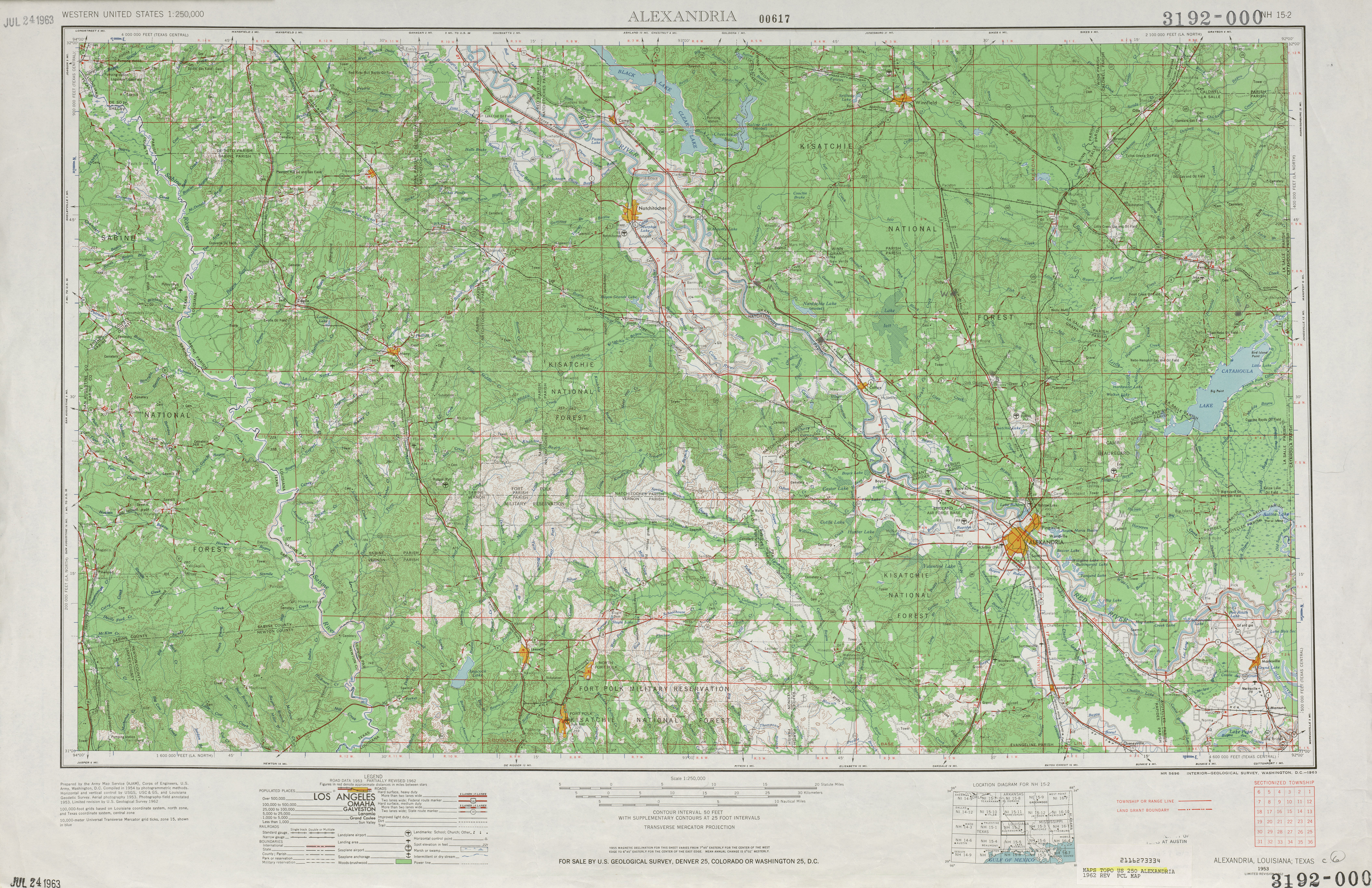
- Alexandria 1:250,000 1955 (12.1MB)
- Alexandria 1:250,000 1962 (8.4MB)
- Alexandria 1:250,000 1984 (8.9MB)
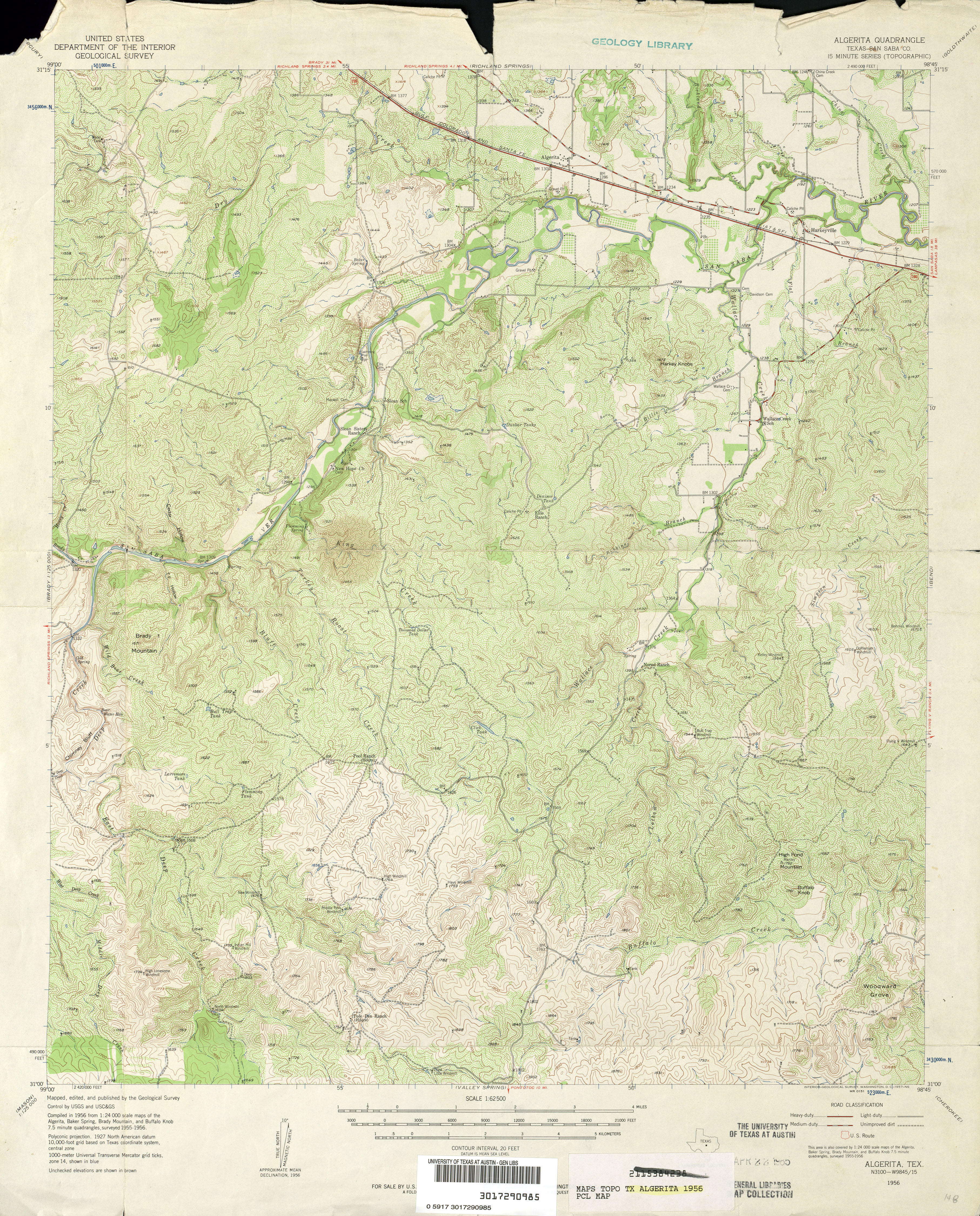
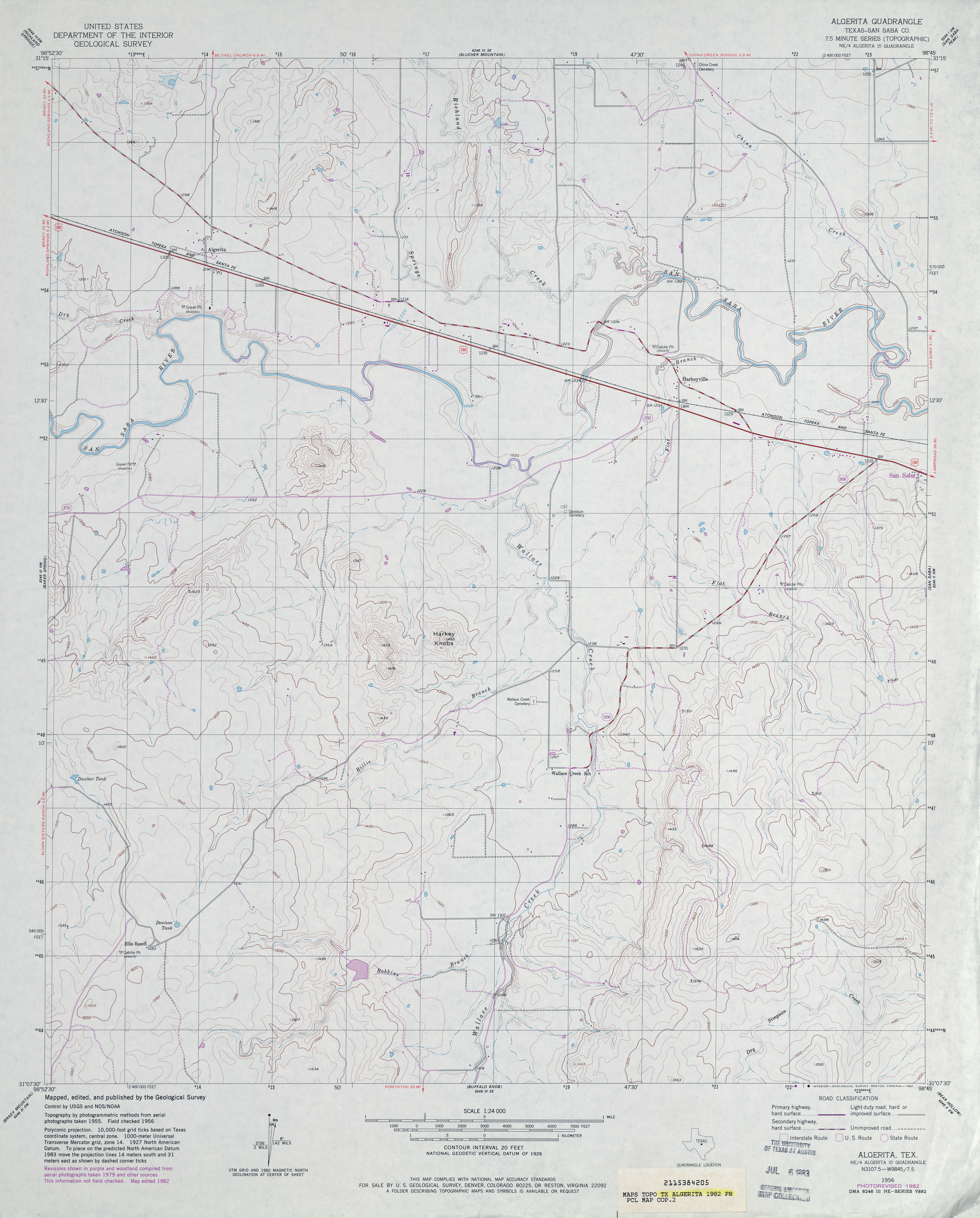
- Algerita (San Saba County) 1:24,000 1956 (4.9MB)
- Algerita (San Saba County) 1:62,500 1956 (5.4MB)
- Algerita (San Saba County) 1:24,000 1982 (3.2MB)
- Algerita 1:24,000 2008 (16.4MB) [GeoPDF]
- Algerita 1:24,000 2012 (21.1MB) [GeoPDF]
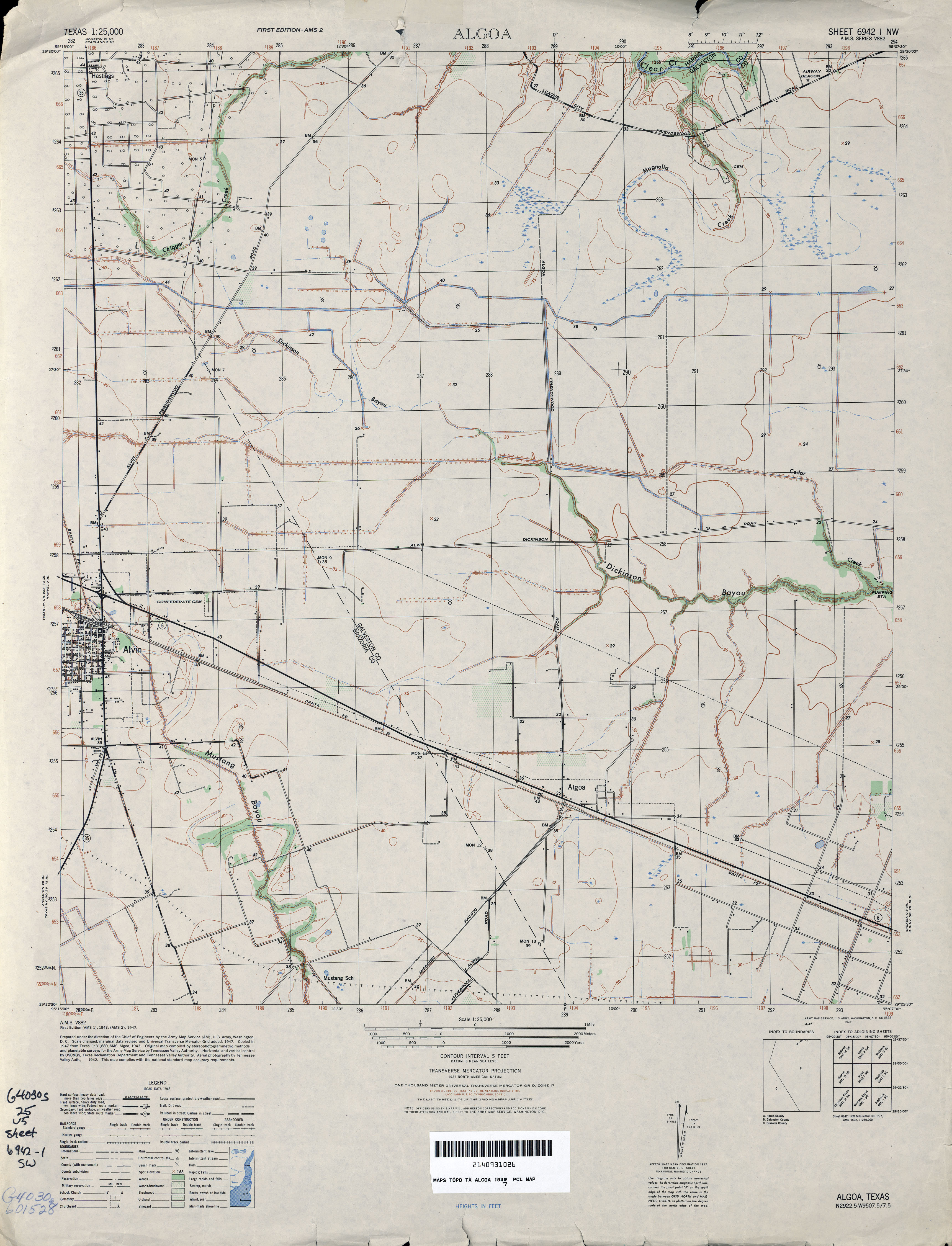
- Algoa 1:31,680 1929 survey, 1932 overprint (2.7MB)
- Algoa 1:25,000 1947 (2.8MB) U.S. Army Map Service, Series V882
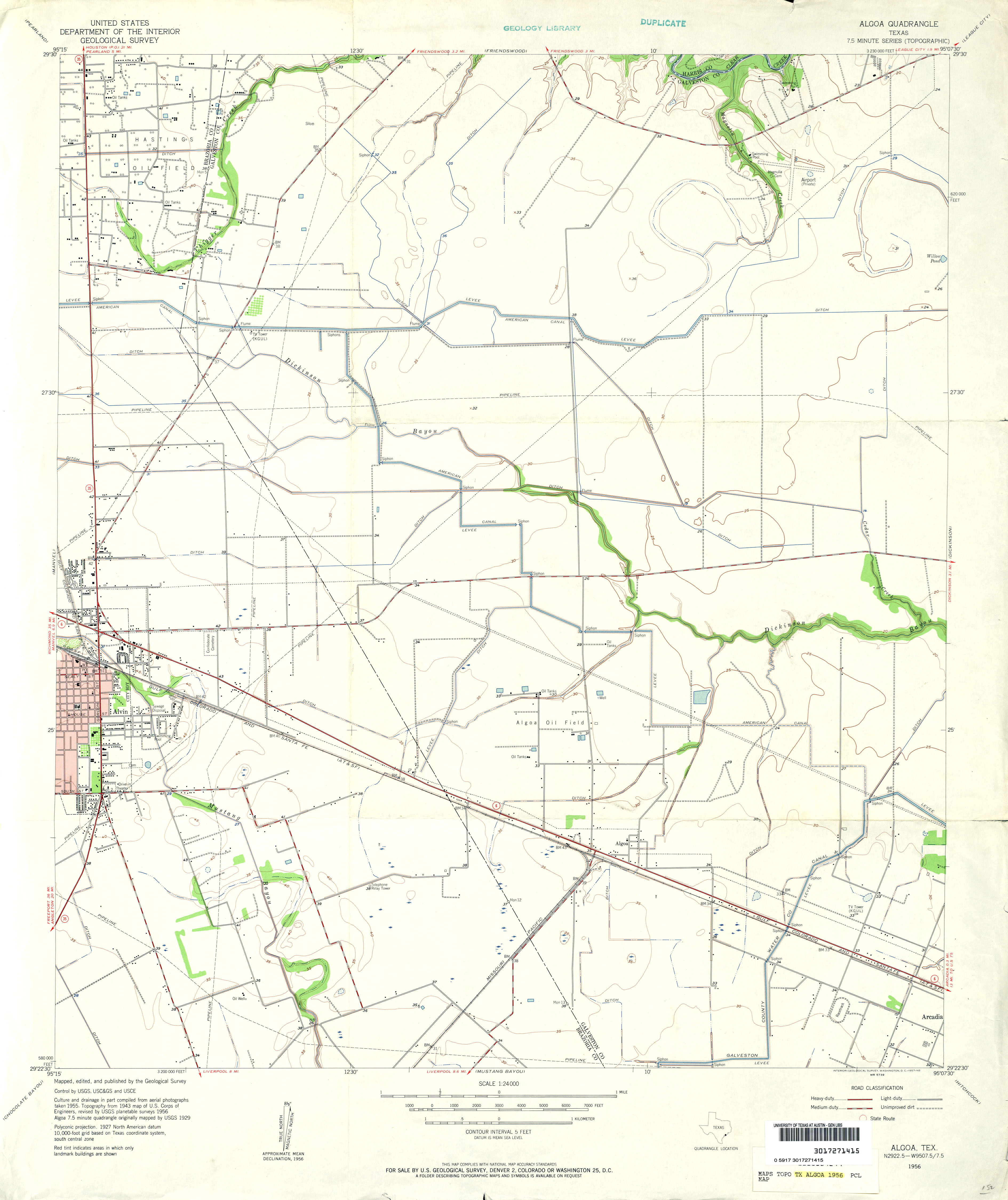
- Algoa 1:24,000 1956 (2.5MB)
- Algoa 1:24,000 1969 (3MB)
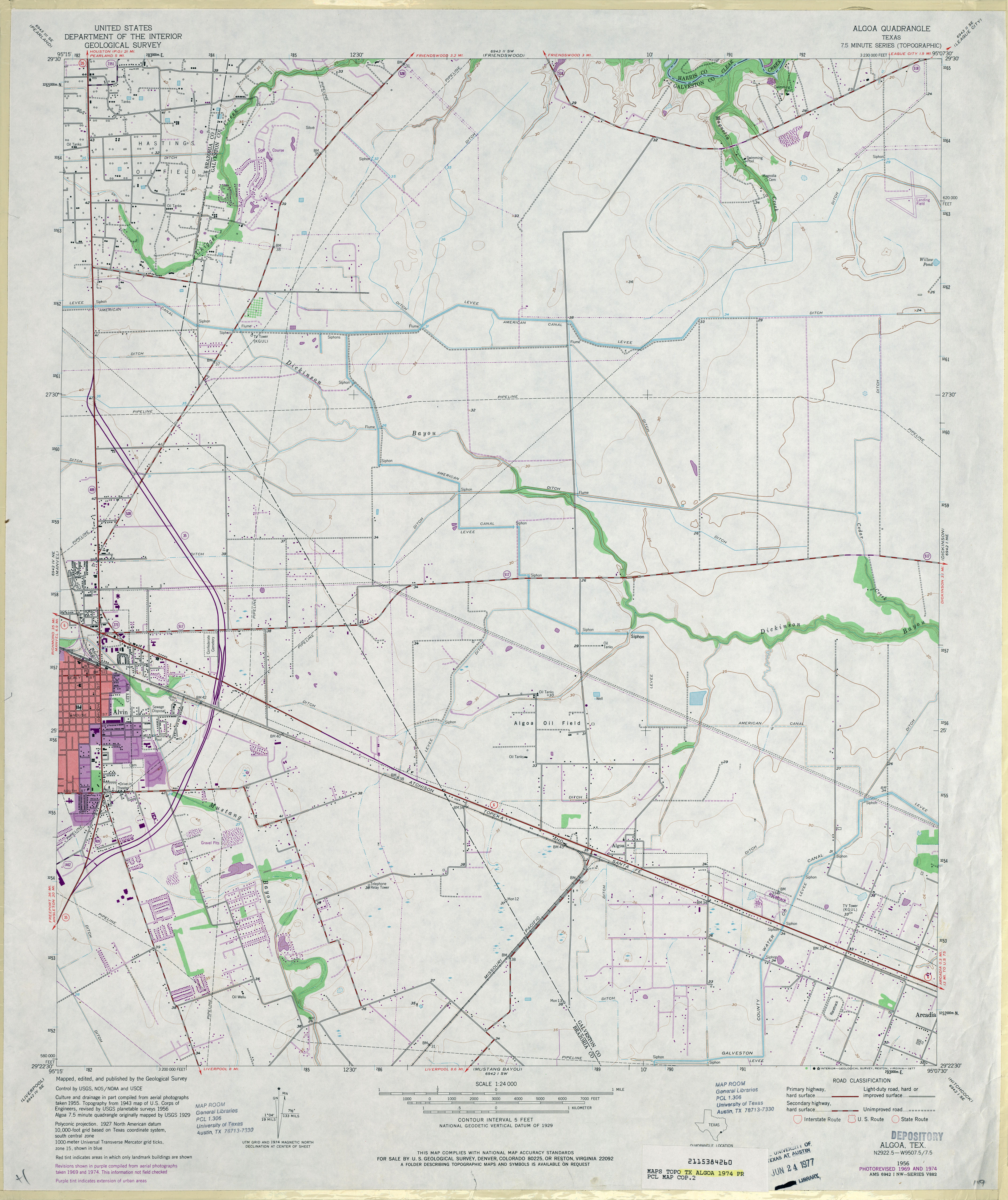
- Algoa 1:24,000 1974 (3.2MB)
- Algoa 1:24,000 2008 (1.3MB) Texas Natural Resources Information System (TNRIS) [pdf]
- Algoa 1:24,000 2009 (16.8MB) [GeoPDF]
- Algoa 1:24,000 2013 (21.9MB) [GeoPDF]
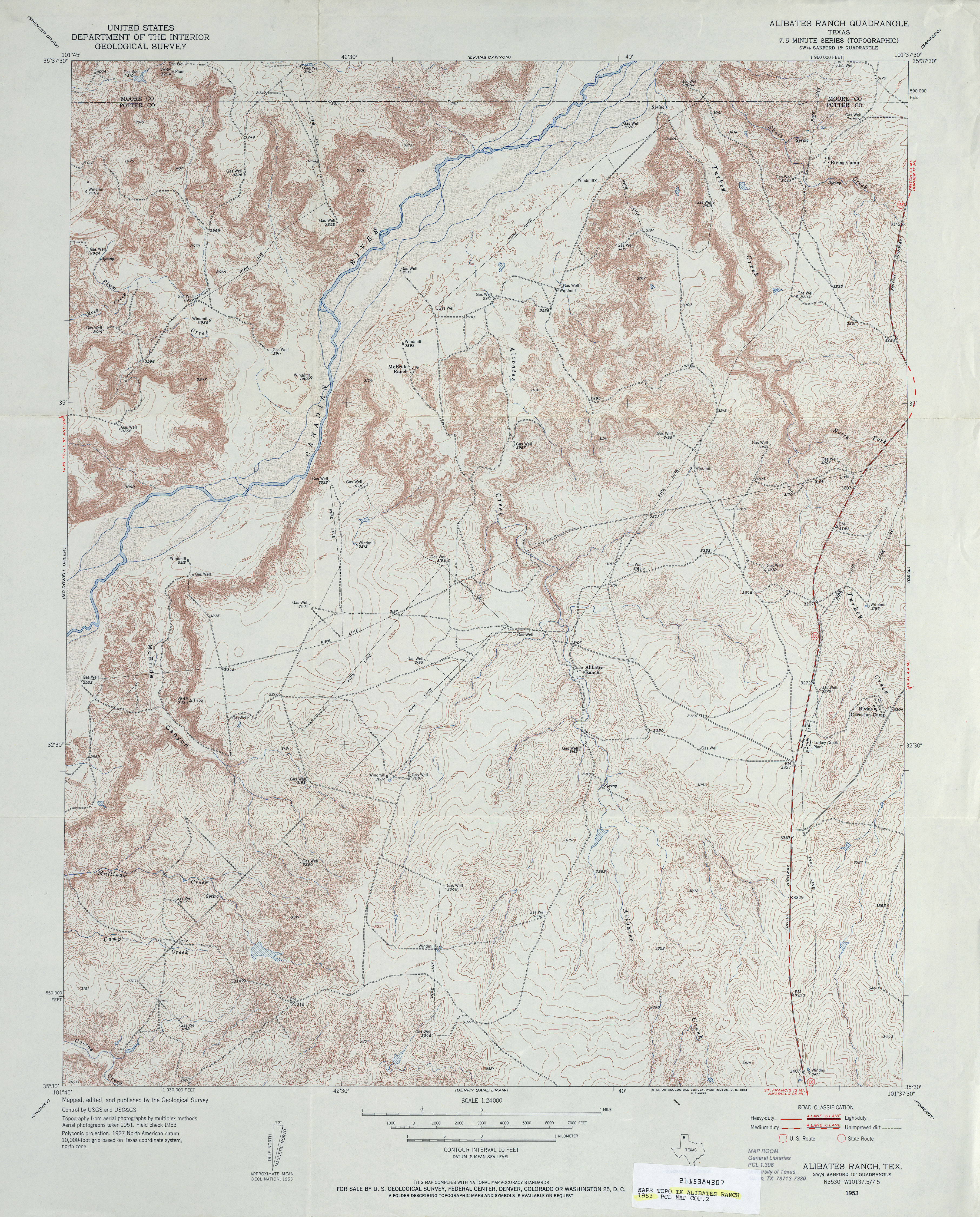
- Alibates Ranch 1:24,000 1953 (5.3MB)
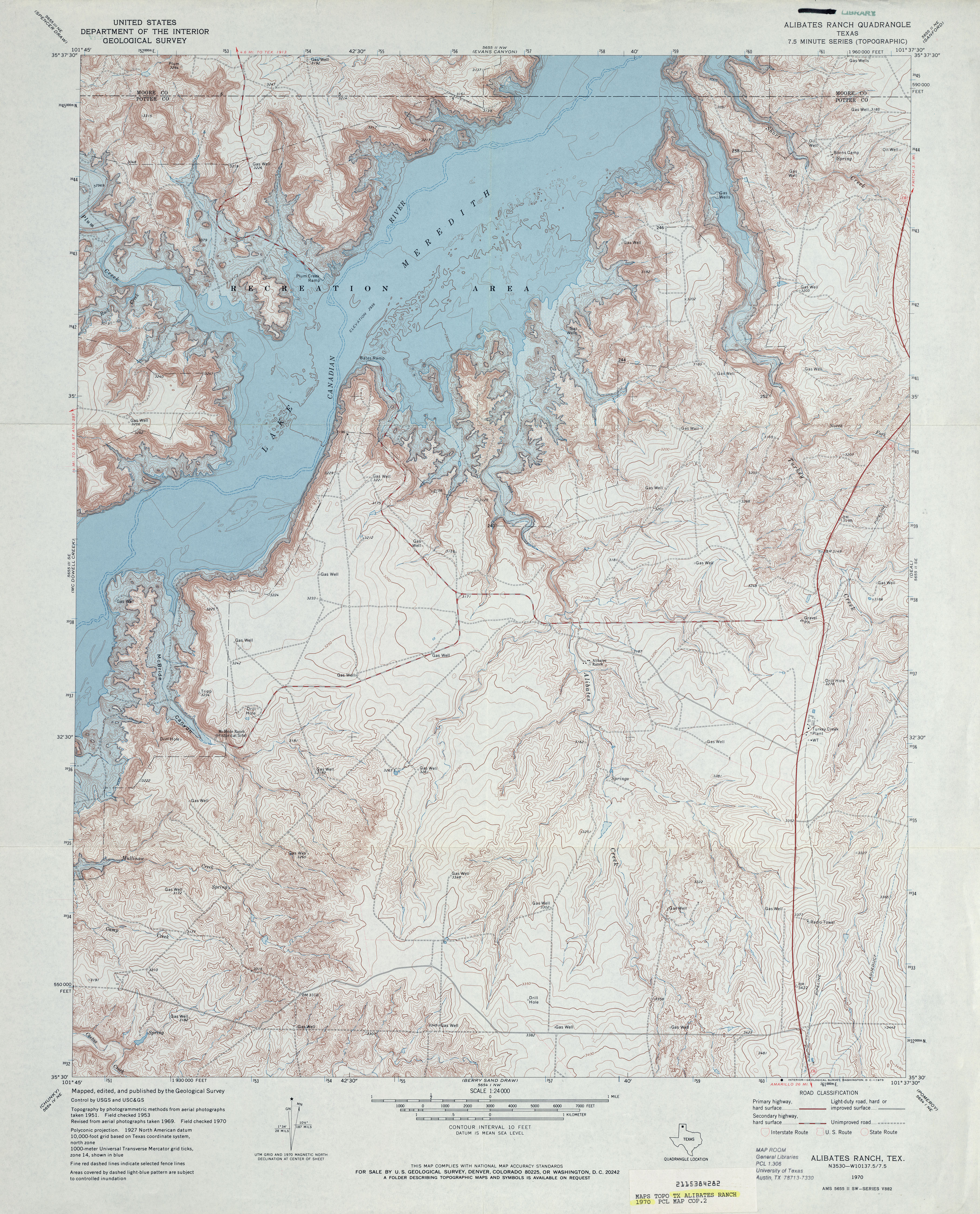
- Alibates Ranch 1:24,000 1970 (5.4MB)
- Alibates Ranch 1:24,000 2008 (19.3MB) [GeoPDF]
- Alibates Ranch 1:24,000 2012 (24.1MB) [GeoPDF]
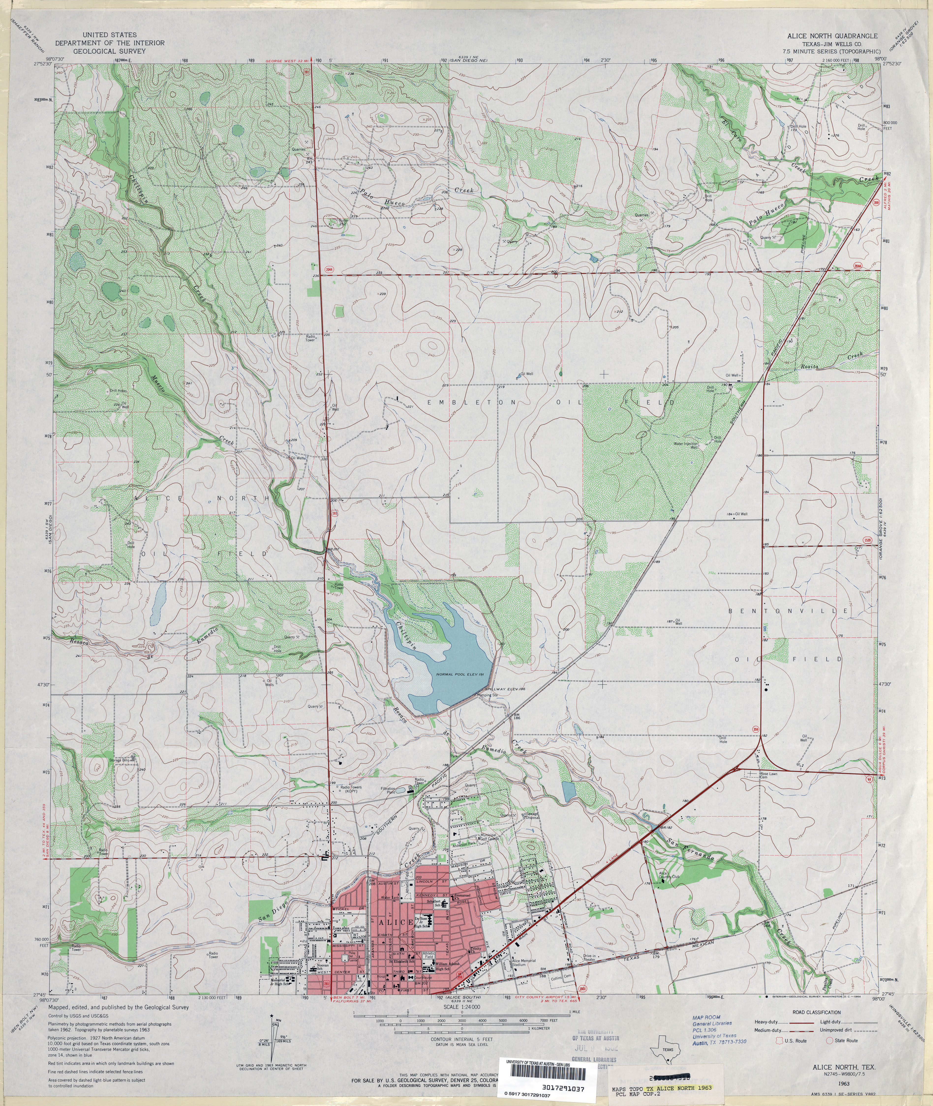
- Alice North (Jim Wells County) 1:24,000 1963 (3.9MB)
- Alice North 1:24,000 2009 (13.1MB) [GeoPDF]
- Alice North 1:24,000 2013 (18.7MB) [GeoPDF]
- Alice South 1:24,000 1963 (3.4MB)
- Alice South 1:24,000 2009 (13.6MB) [GeoPDF]
- Alice South 1:24,000 2013 (18.8MB) [GeoPDF]
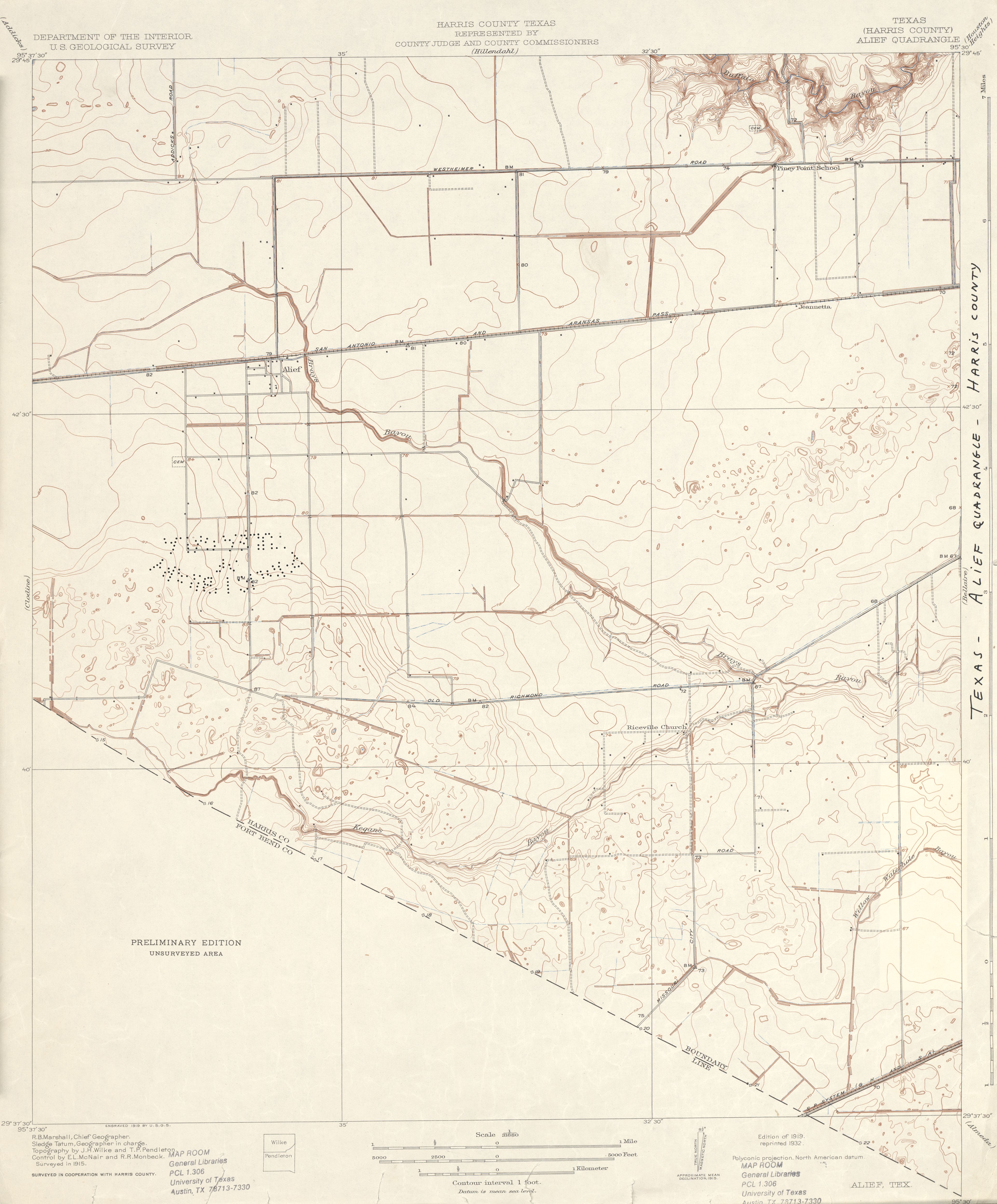
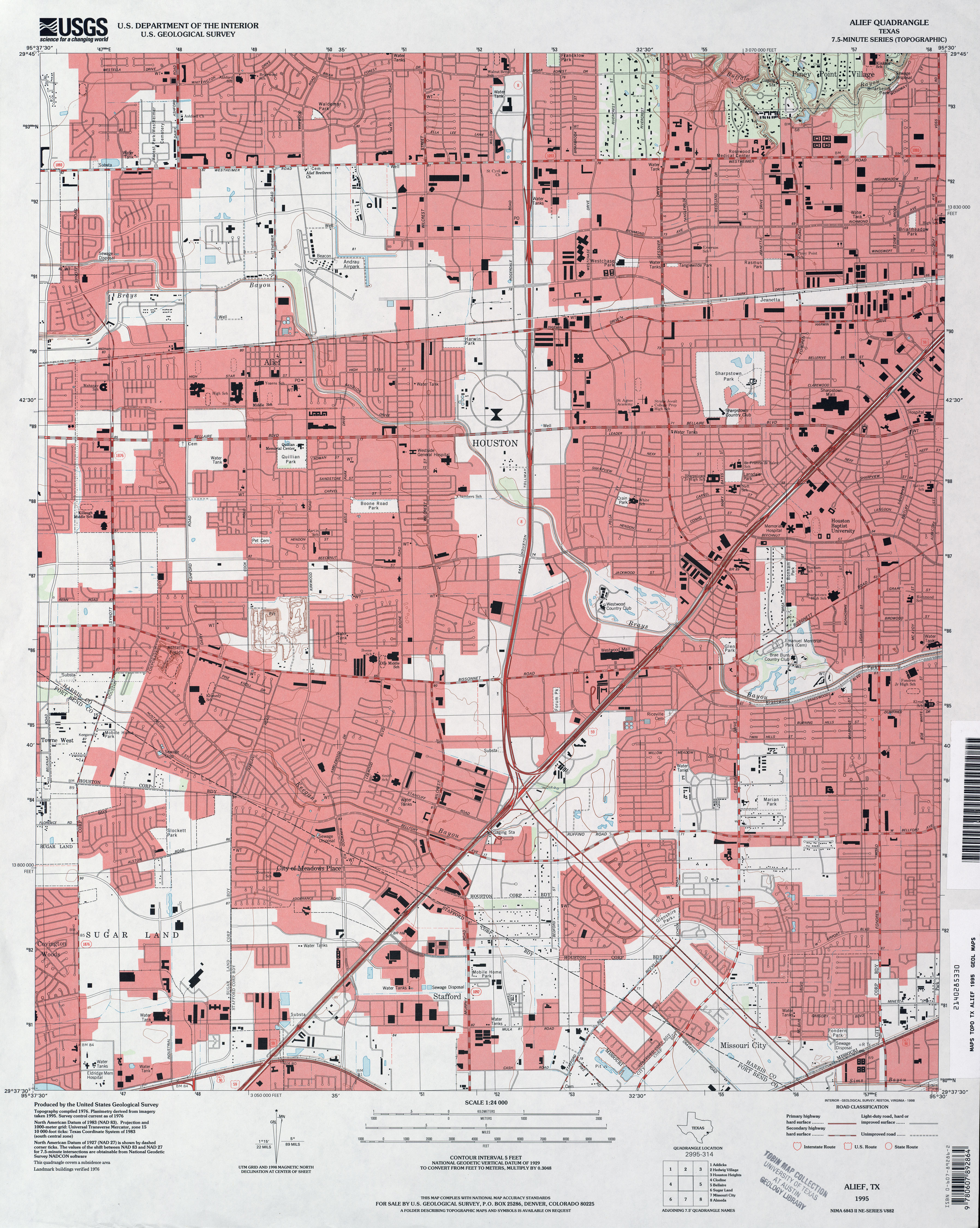
- Alief (Harris County) 1:31,680 1915 (4.8MB)
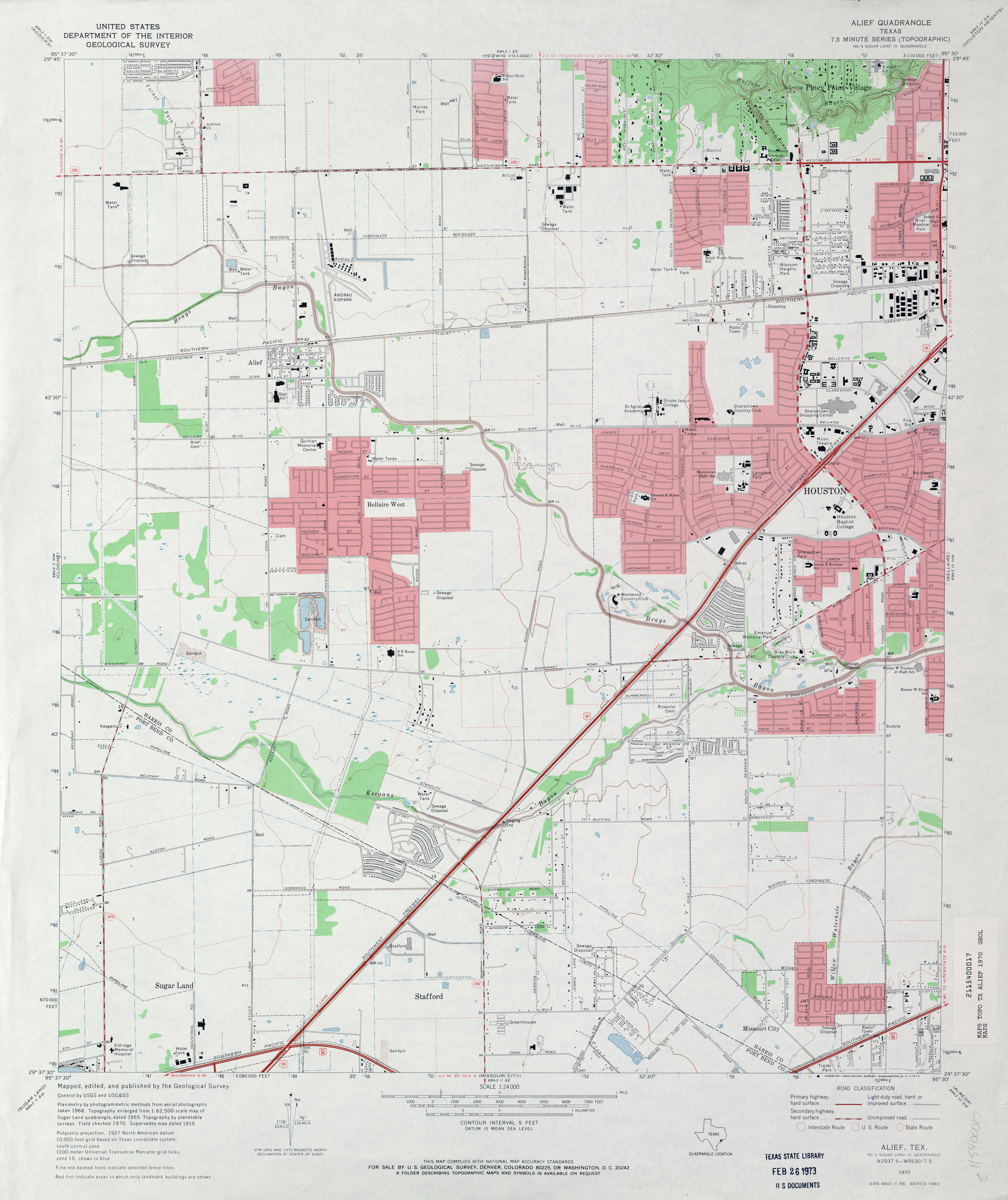
- Alief 1:24,000 1970 (3MB)
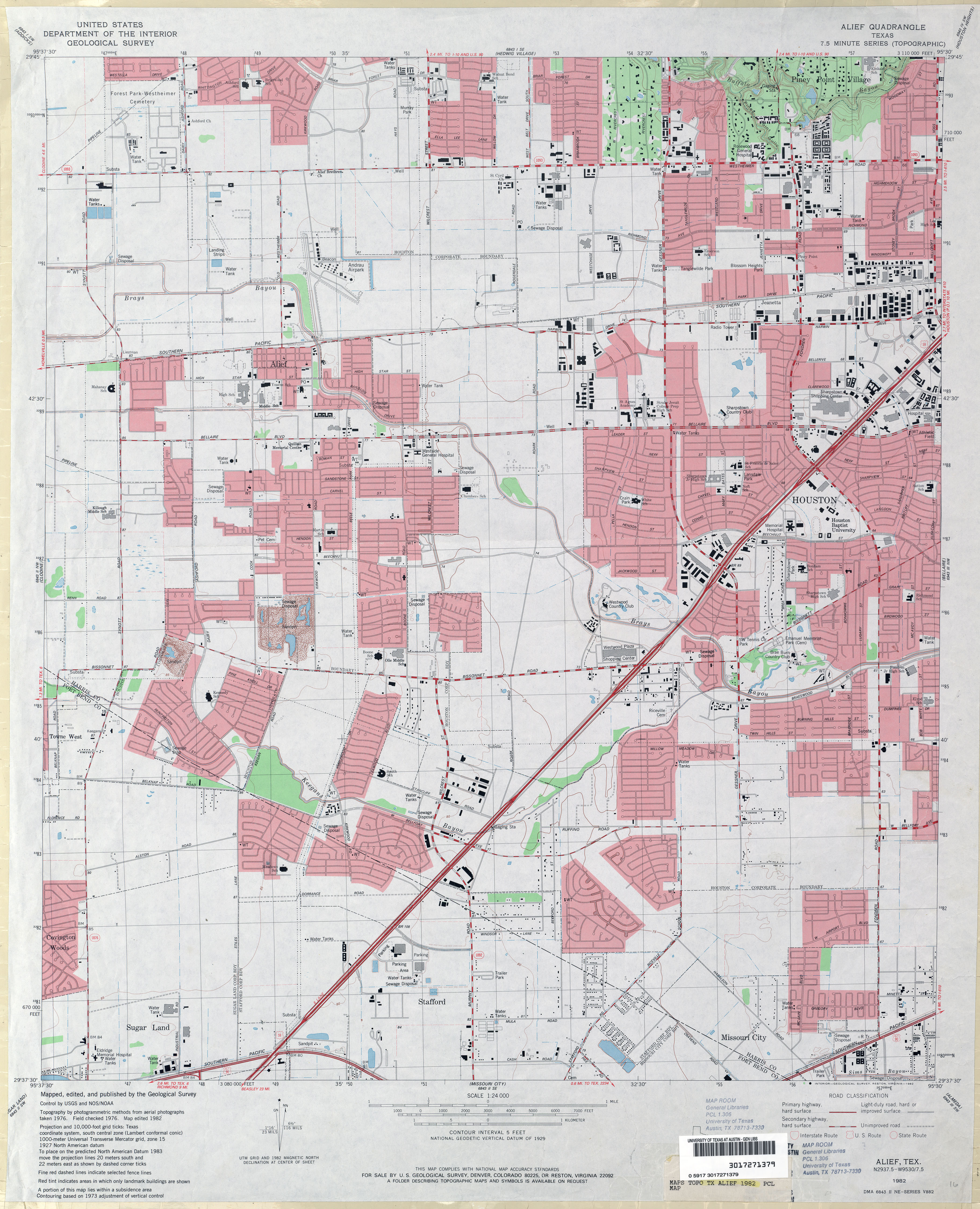
- Alief 1:24,000 1982 (3.7MB)
- Alief 1:24,000 1995 (4.2MB)
- Alief 1:24,000 2009 (25.7MB) [GeoPDF]
- Alief 1:24,000 2013 (28.7MB) [GeoPDF]
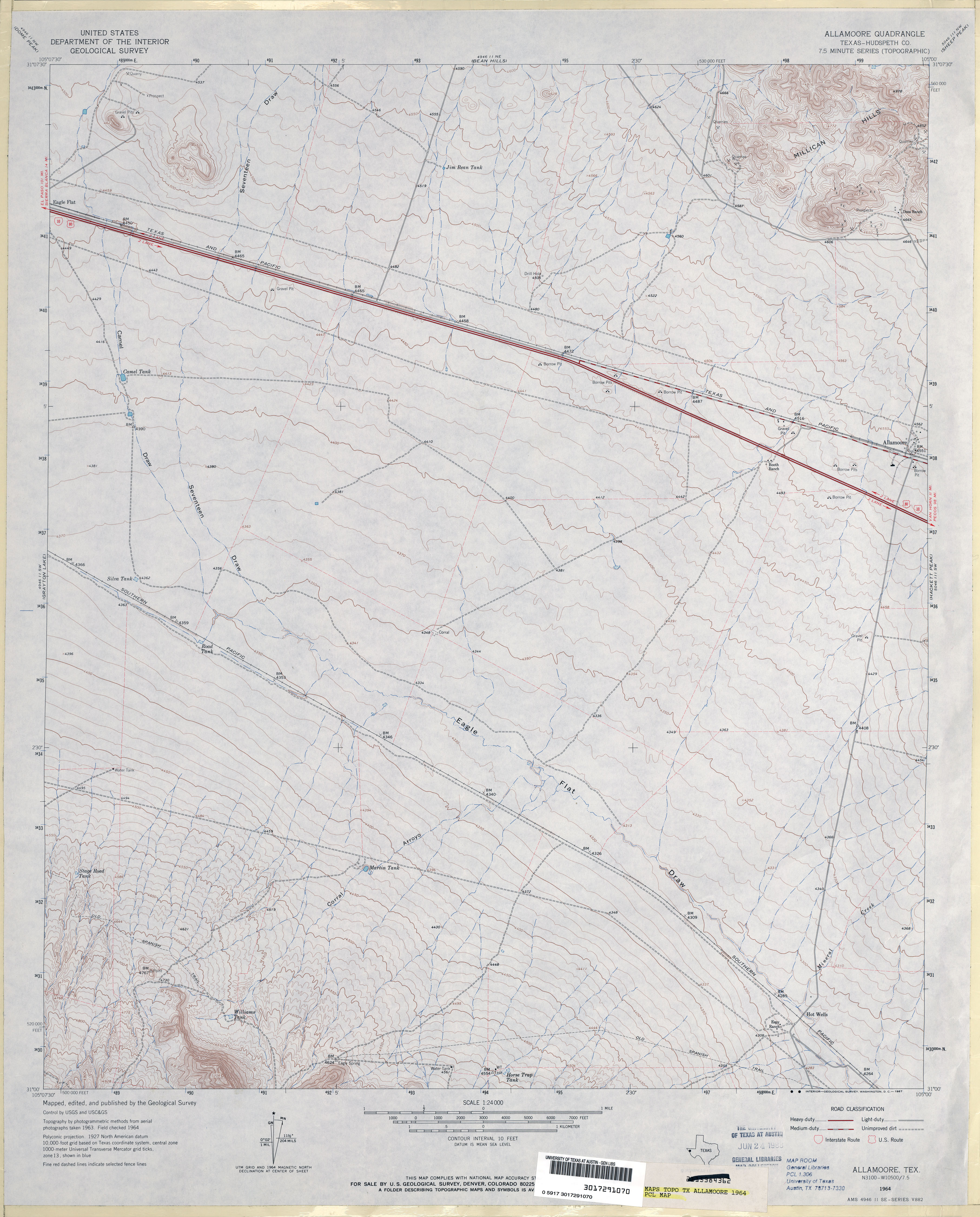
- Allamoore (Hudspeth County) 1:24,000 1964 (3.1MB)
- Allamoore 1:24,000 2008 (19.9MB) [GeoPDF]
- Allamoore 1:24,000 2012 (24.7MB) [GeoPDF]
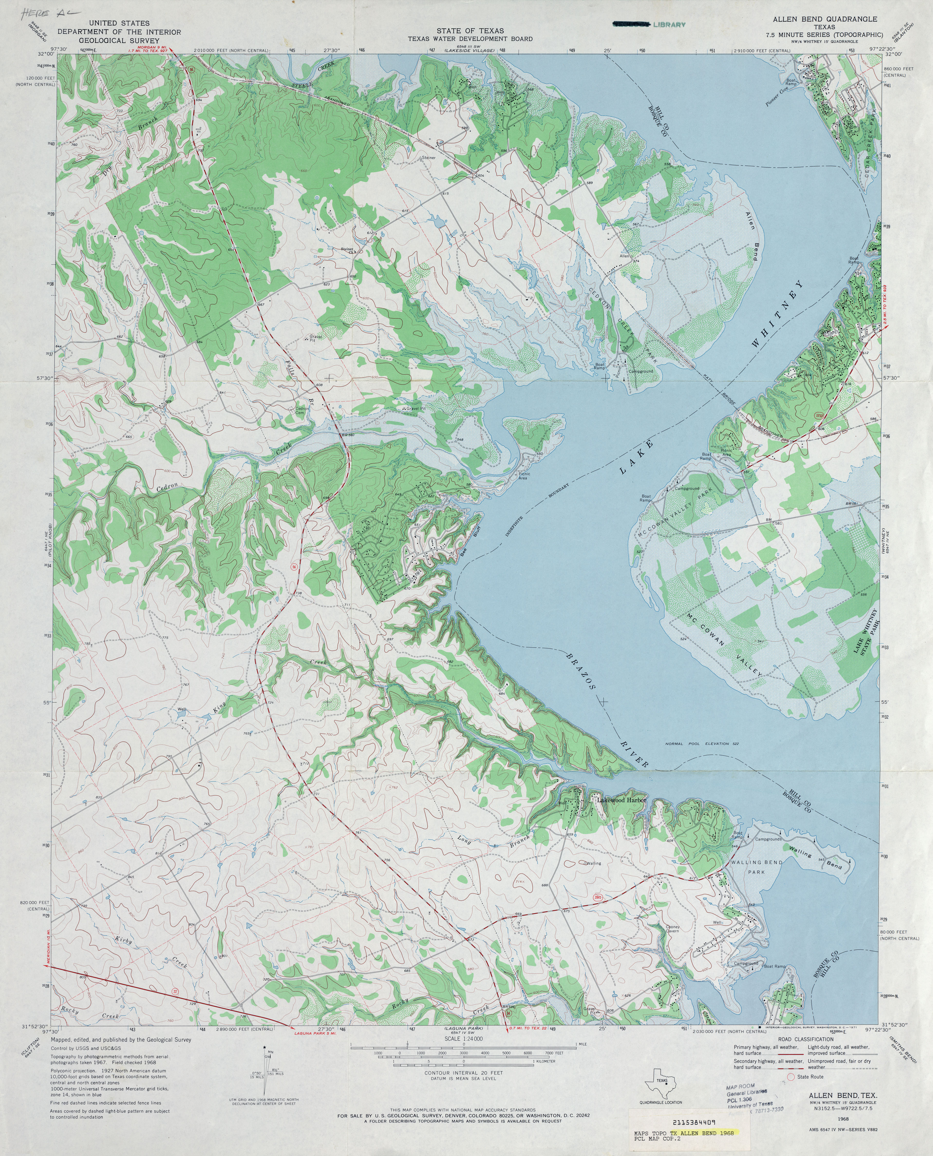
- Allen Bend 1:24,000 1968 (3.7MB)
- Allen Bend 1:24,000 2008 (14.8MB) [GeoPDF]
- Allen Bend 1:24,000 2012 (21.8MB) [GeoPDF]
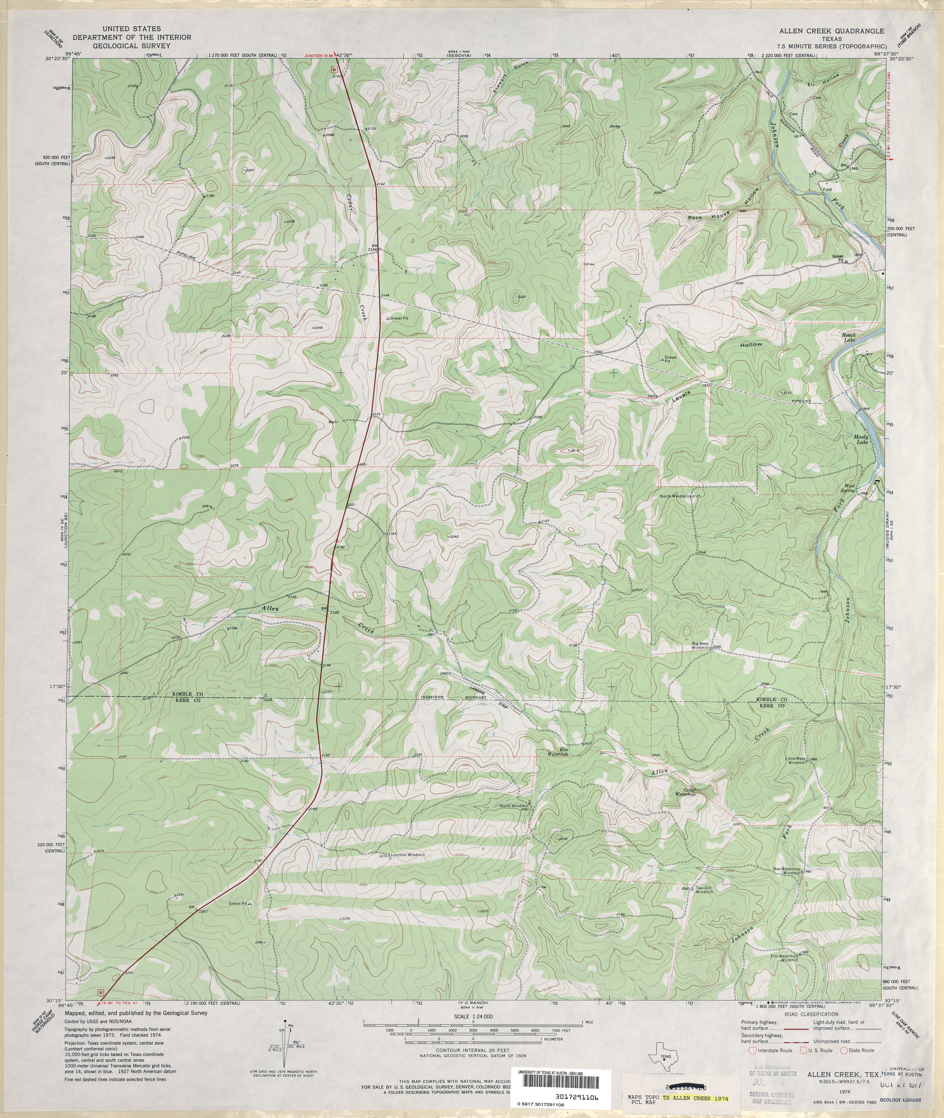
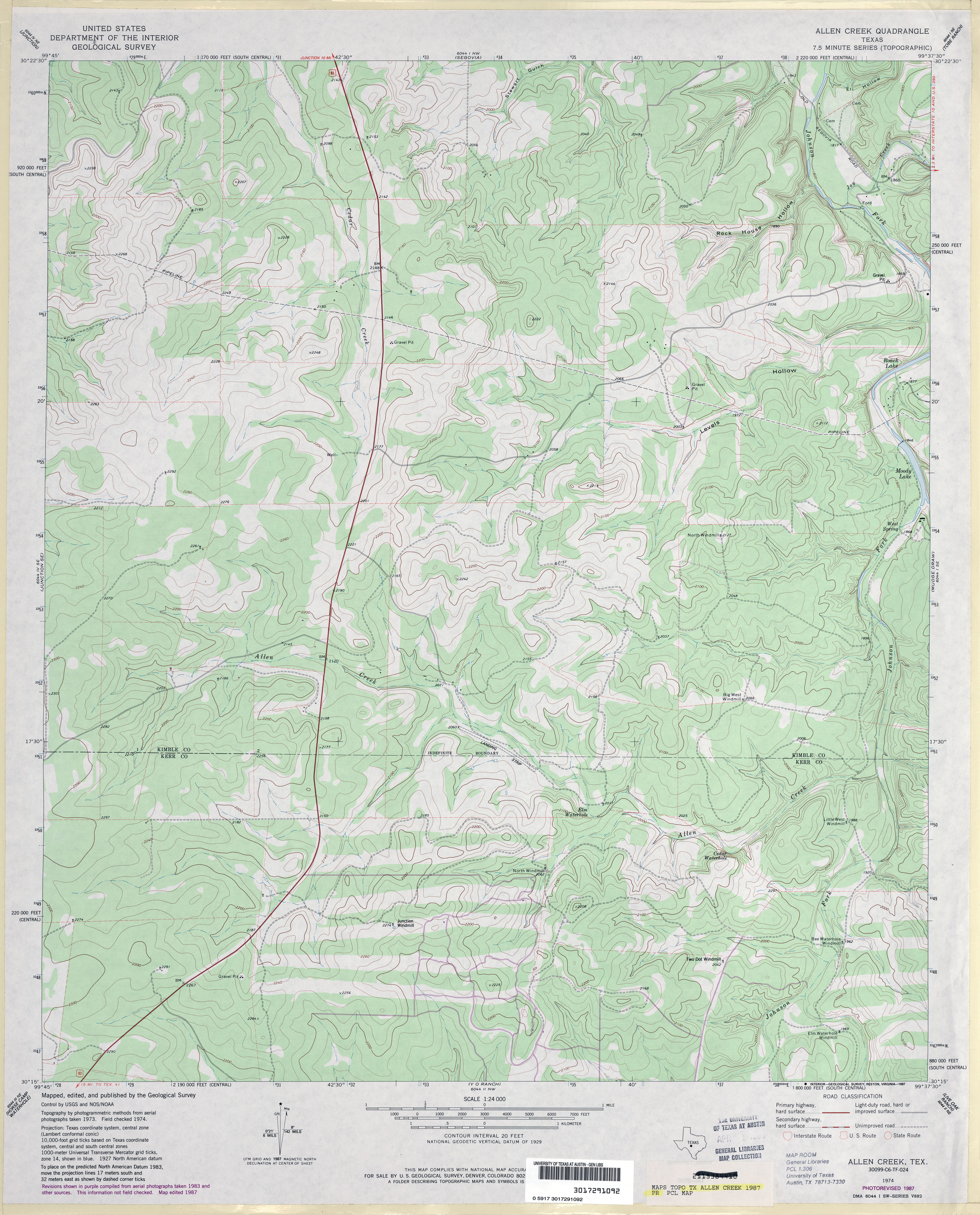
- Allen Creek 1:24,000 1974 (3.5MB)
- Allen Creek 1:24,000 1987 (3.7MB)
- Allen Creek 1:24,000 2008 (21.2MB) [GeoPDF]
- Allen Creek 1:24,000 2012 (29.6MB) [GeoPDF]
- Allen Ranch (Terrell County) 1:24,000 1969 (4.2MB)
- Allen Ranch 1:24,000 2008 (23.8MB) [GeoPDF]
- Allen Ranch 1:24,000 2012 (31.4MB) [GeoPDF]
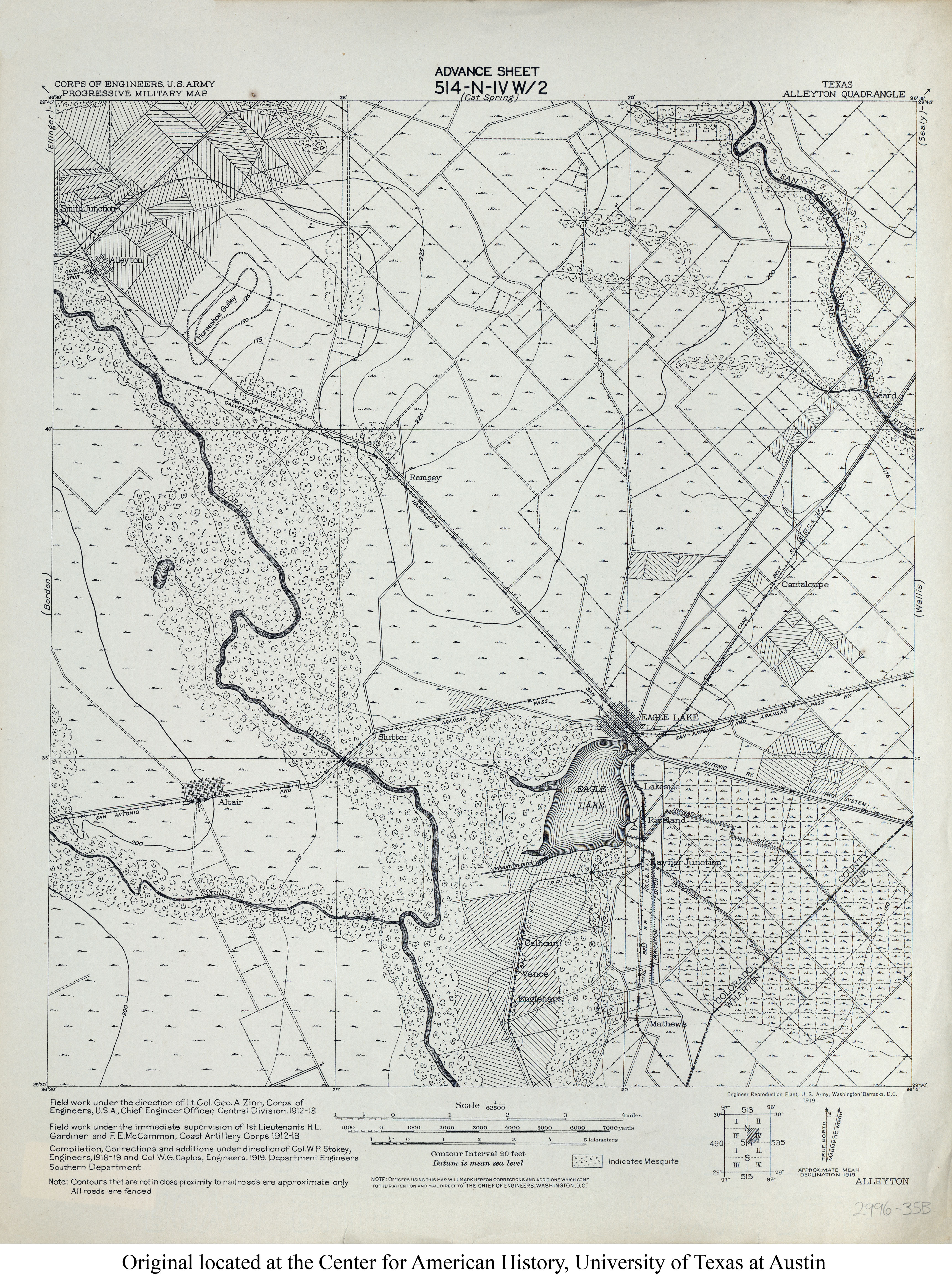
- Alleyton 1:62,500 1919 (3.8MB) U.S. Army. Corps of Engineers. Progressive Military Map
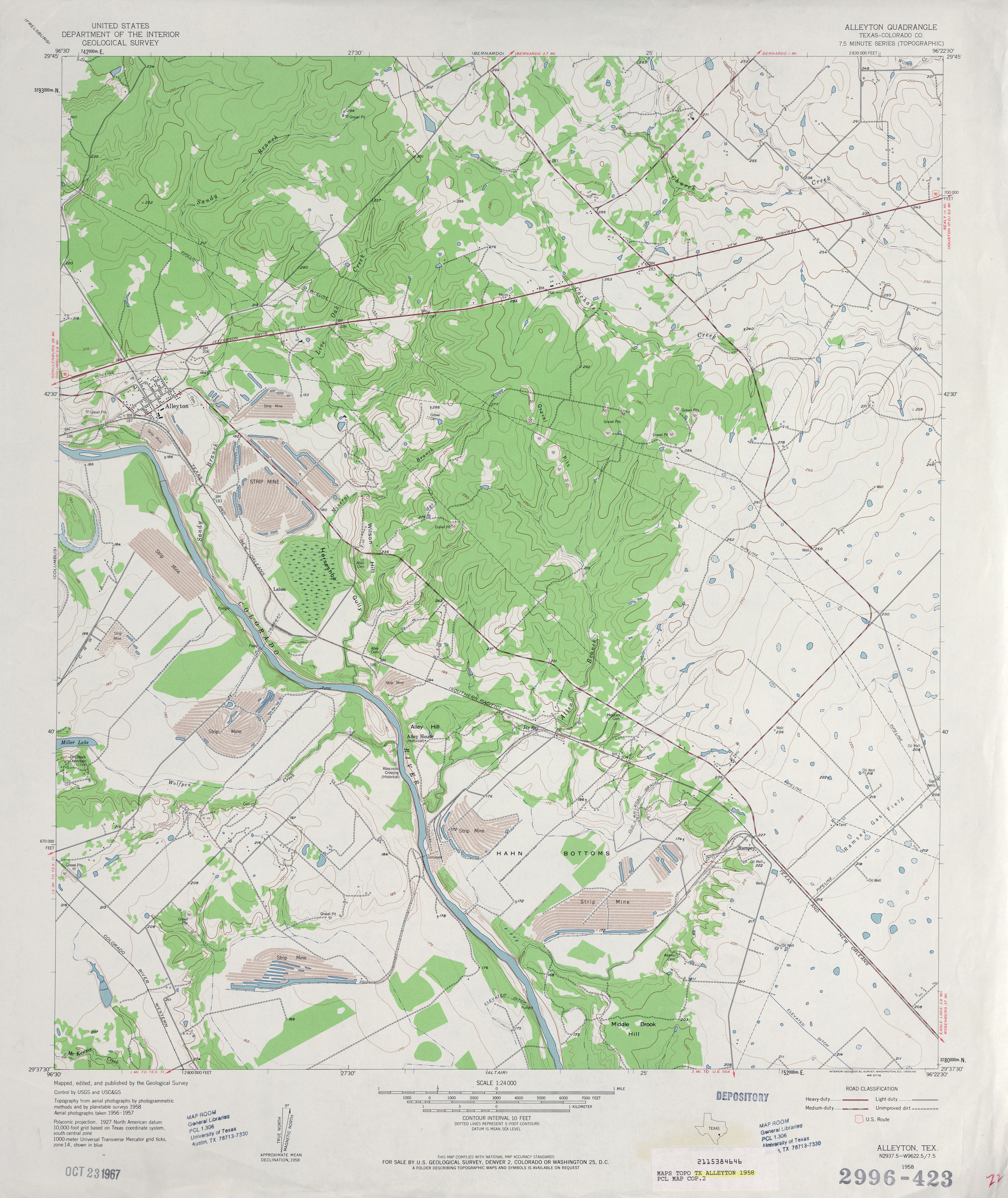
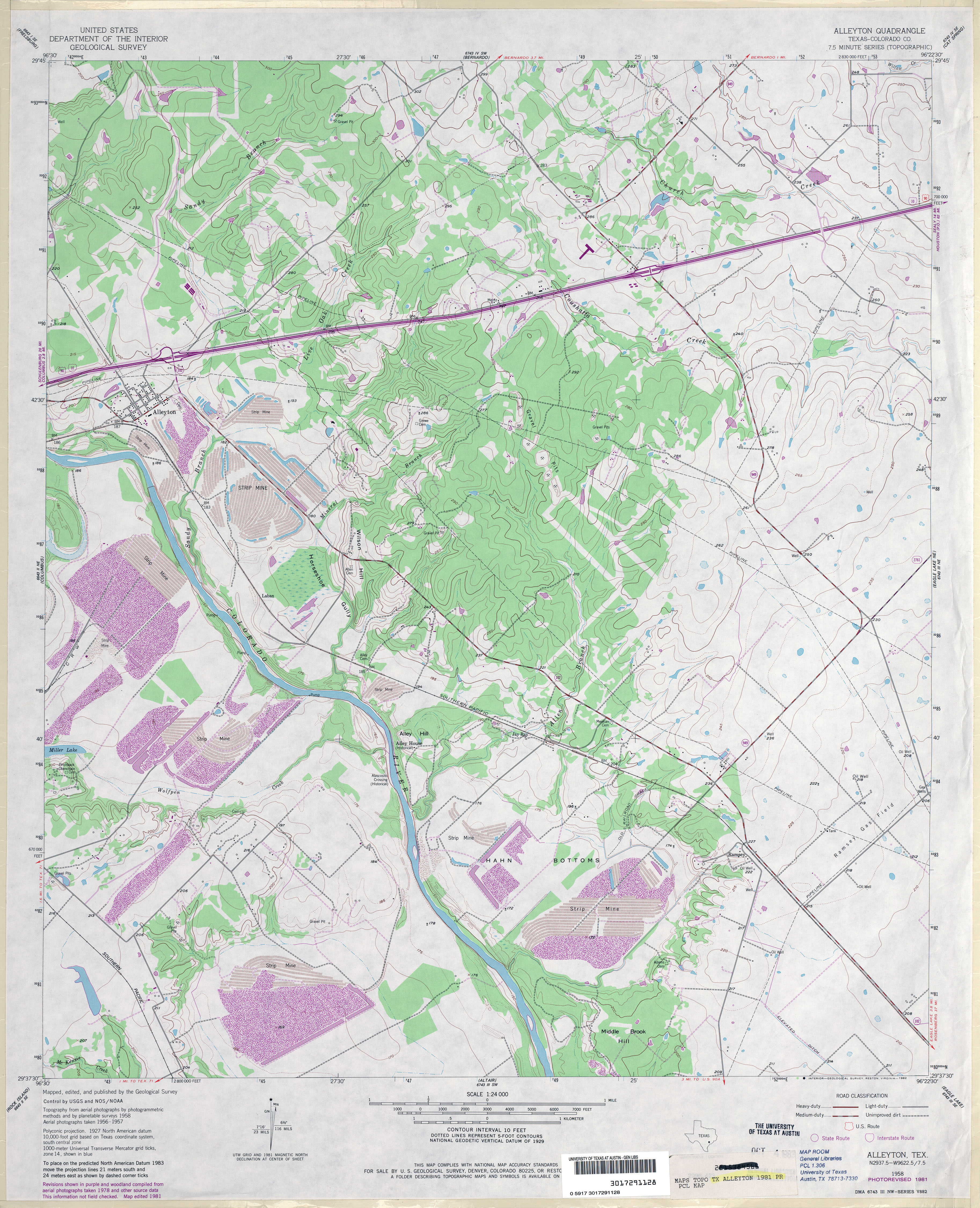
- Alleyton (Colorado County) 1:24,000 1958 (3.7MB)
- Alleyton (Colorado County) 1:24,000 1981 (4MB)
- Alleyton 1:24,000 2008 (15.0MB) [GeoPDF]
- Alleyton 1:24,000 2013 (22.1MB) [GeoPDF]
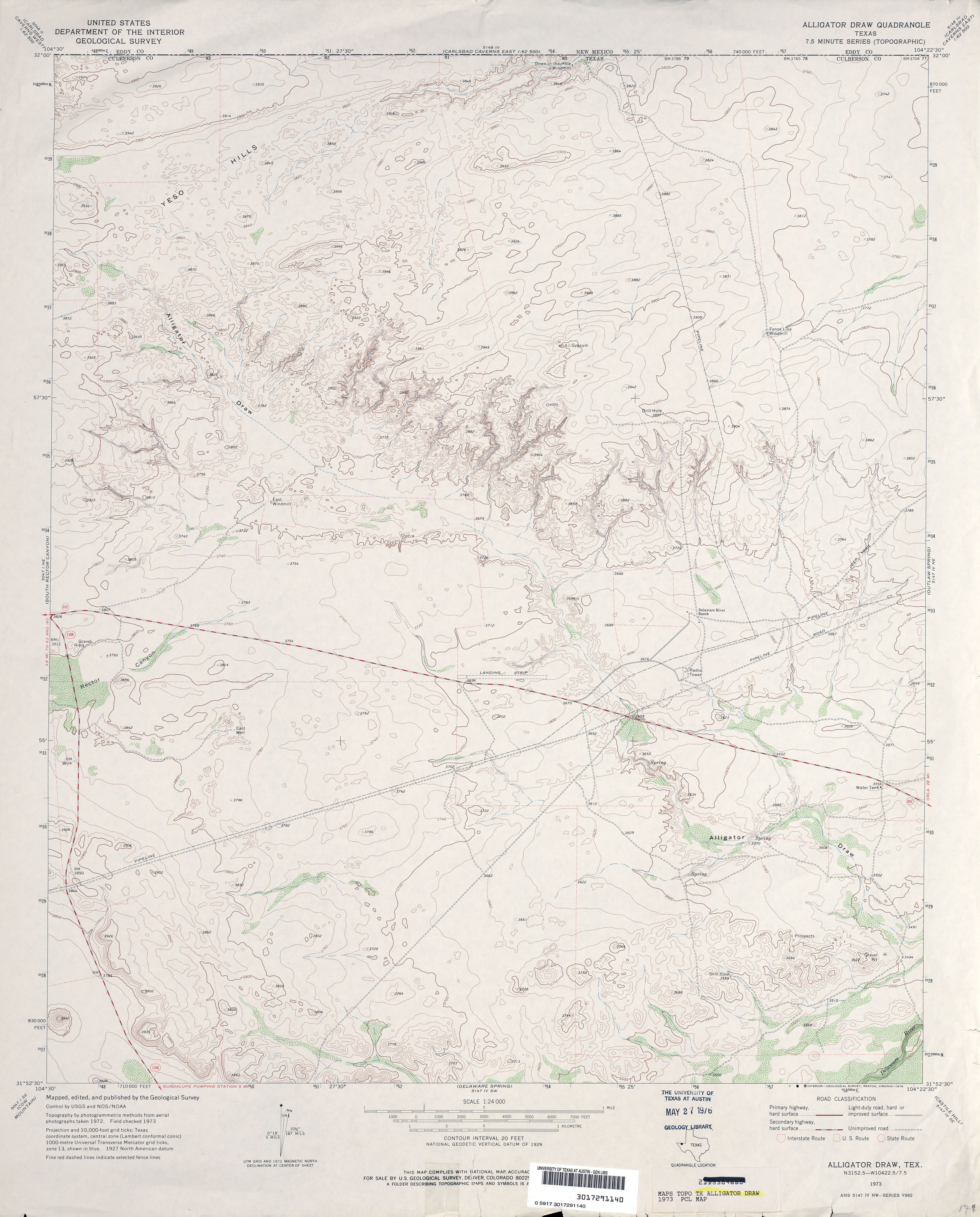
- Alligator Draw 1:24,000 1973 (3.2MB)
- Alligator Draw 1:24,000 2008 (22.9MB) [GeoPDF]
- Alligator Draw 1:24,000 2013 (24.8MB) [GeoPDF]
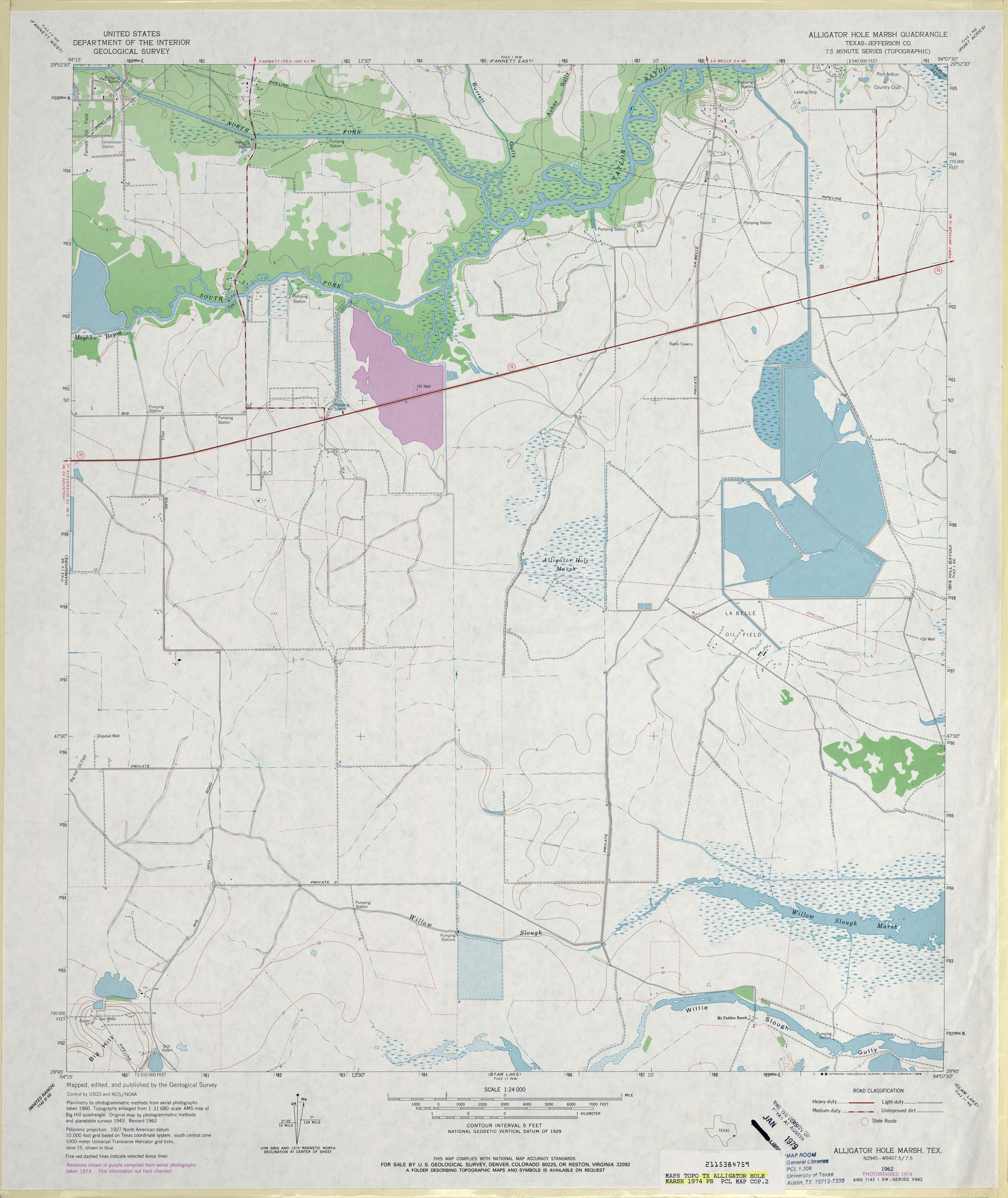
- Alligator Hole Marsh (Jefferson County) 1:24,000 1962 (3.1MB)
- Alligator Hole Marsh (Jefferson County) 1:24,000 1974 (3MB)
- Alligator Hole Marsh (Jefferson County) 1:24,000 1993 (3.2MB)
- Alligator Hole Marsh 1:24,000 2009 (16.6MB) [GeoPDF]
- Alligator Hole Marsh 1:24,000 2013 (17.2MB) [GeoPDF]
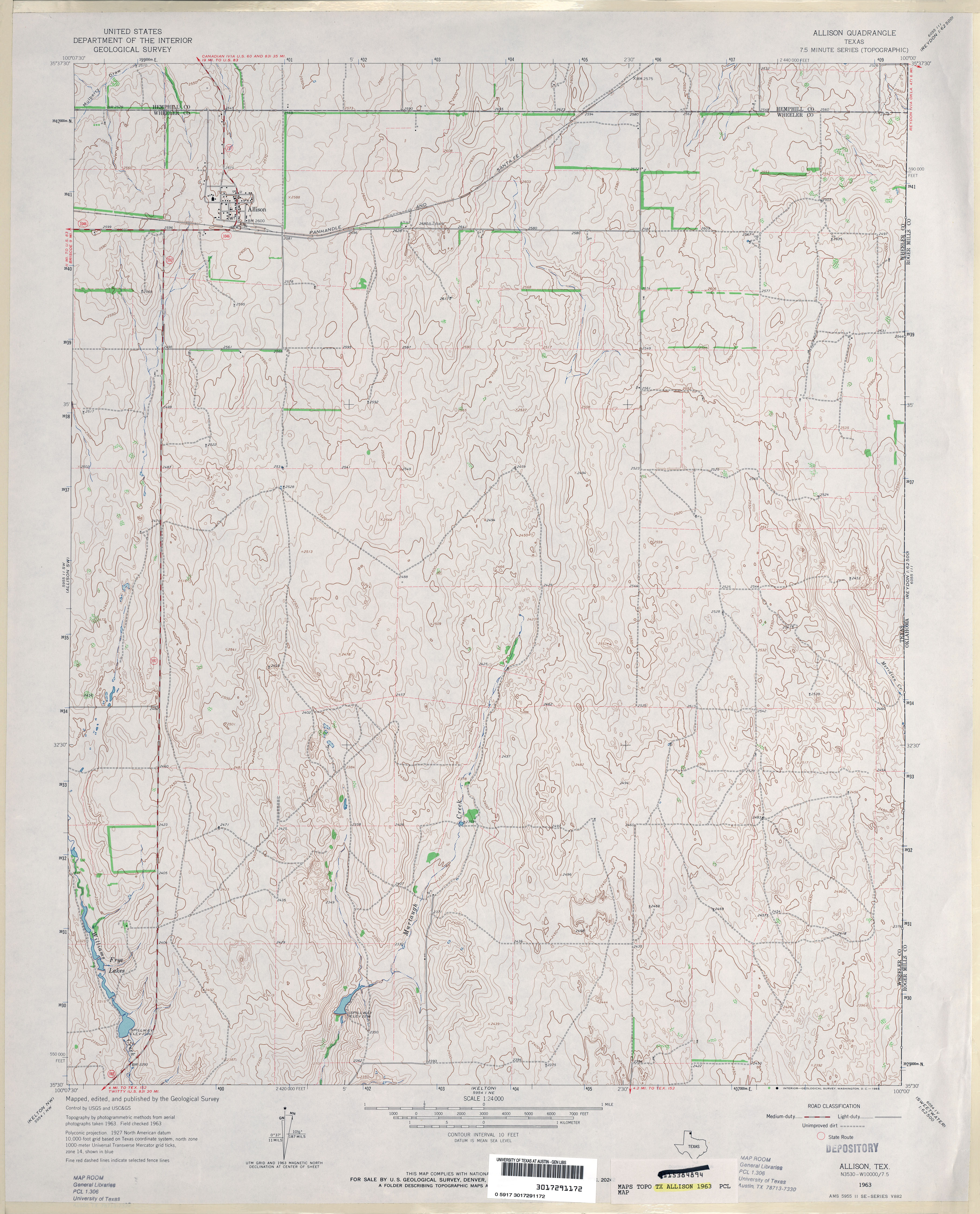
- Allison 1:24,000 1963 (3.6MB)
- Allison 1:24,000 2008 (14.9MB) [GeoPDF]
- Allison 1:24,000 2012 (17.9MB) [GeoPDF]
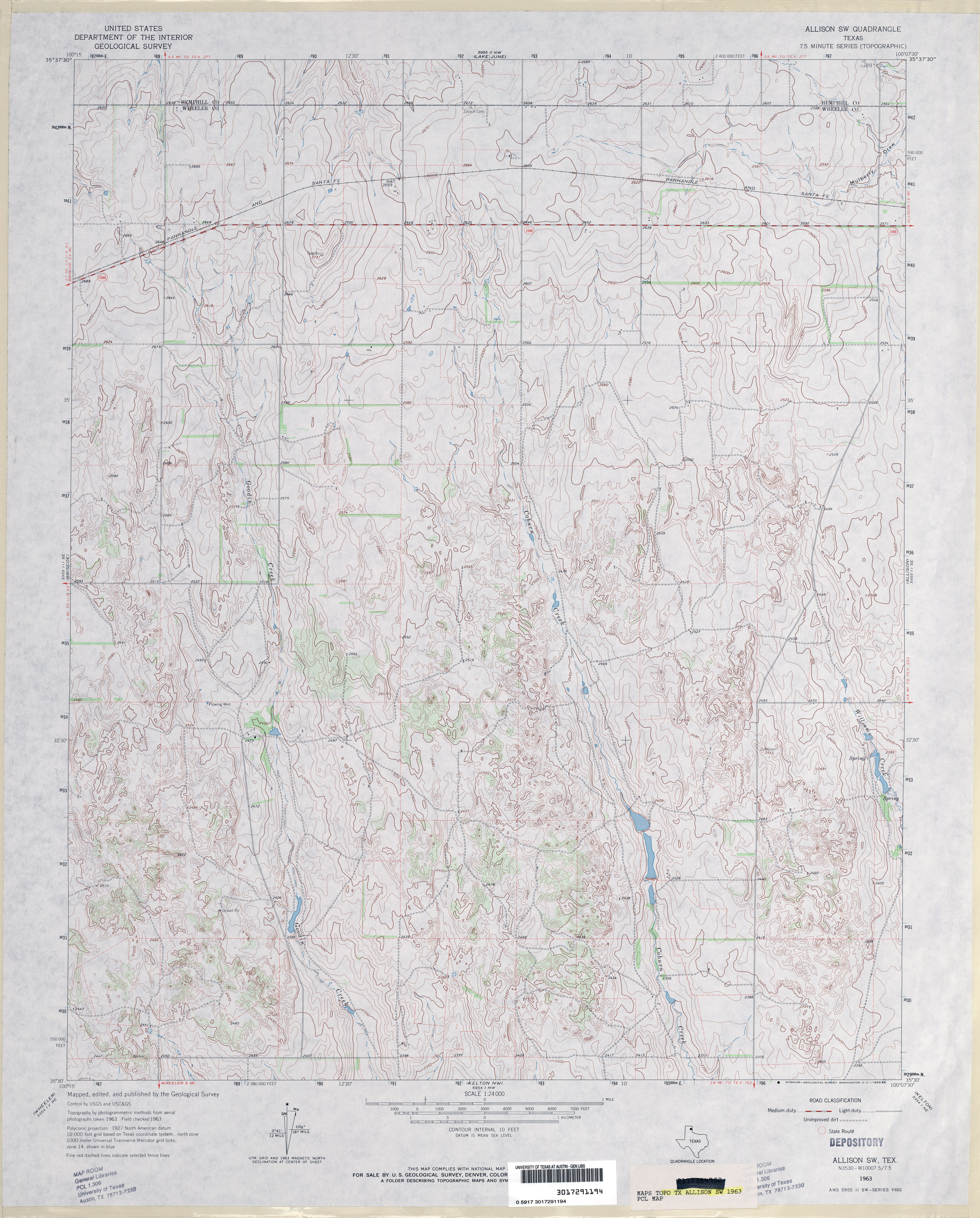
- Allison SW 1:24,000 1963 (4MB)
- Allison SW 1:24,000 2008 (13.2MB) [GeoPDF]
- Allison SW 1:24,000 2012 (17.0MB) [GeoPDF]
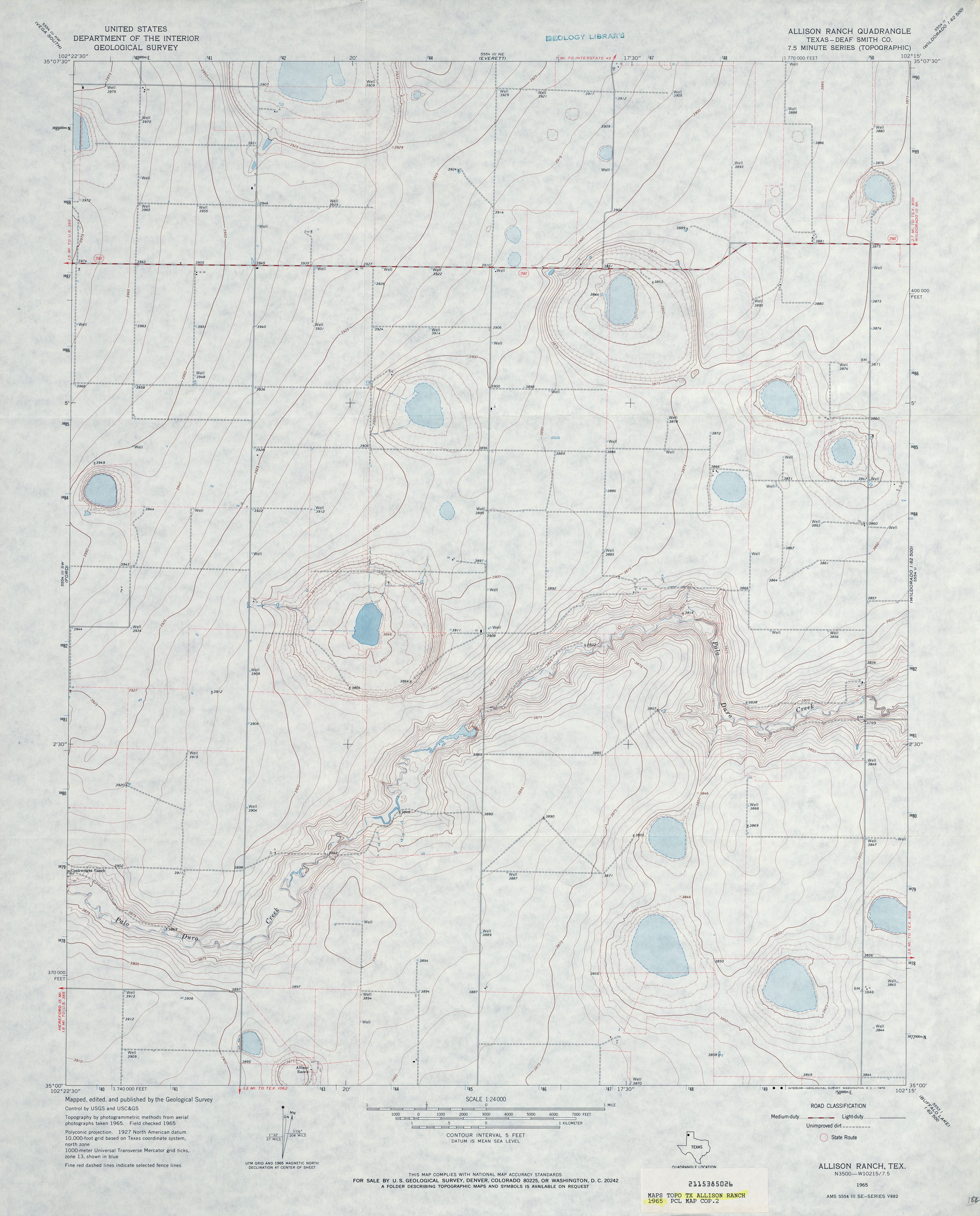
- Allison Ranch (Deaf Smith County) 1:24,000 1965 (2.9MB)
- Allison Ranch 1:24,000 2008 (7.8MB) [GeoPDF]
- Allison Ranch 1:24,000 2012 (14MB) [GeoPDF]
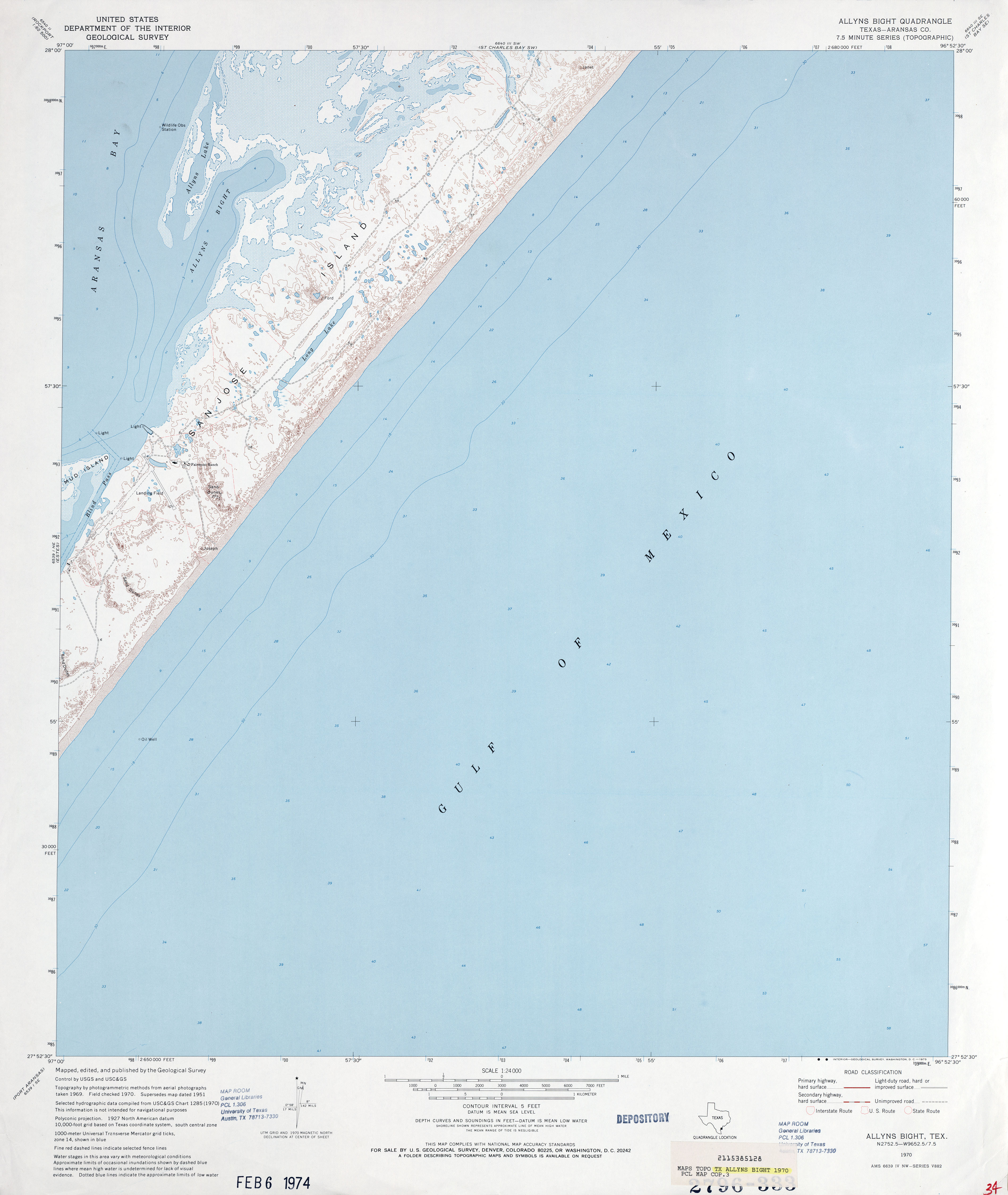
- Allyns Bight (Aransas County) 1:24,000 1951 (2.4MB)
- Allyns Bight (Aransas County) 1:24,000 1970 (2.4MB)
- Allyns Bight 1:24,000 2008 (1.4MB) Texas Natural Resources Information System (TNRIS) [pdf]
- Allyns Bight 1:24,000 2008 (13.2MB) [GeoPDF]
- Allyns Bight 1:24,000 2012 (21.2MB) [GeoPDF]
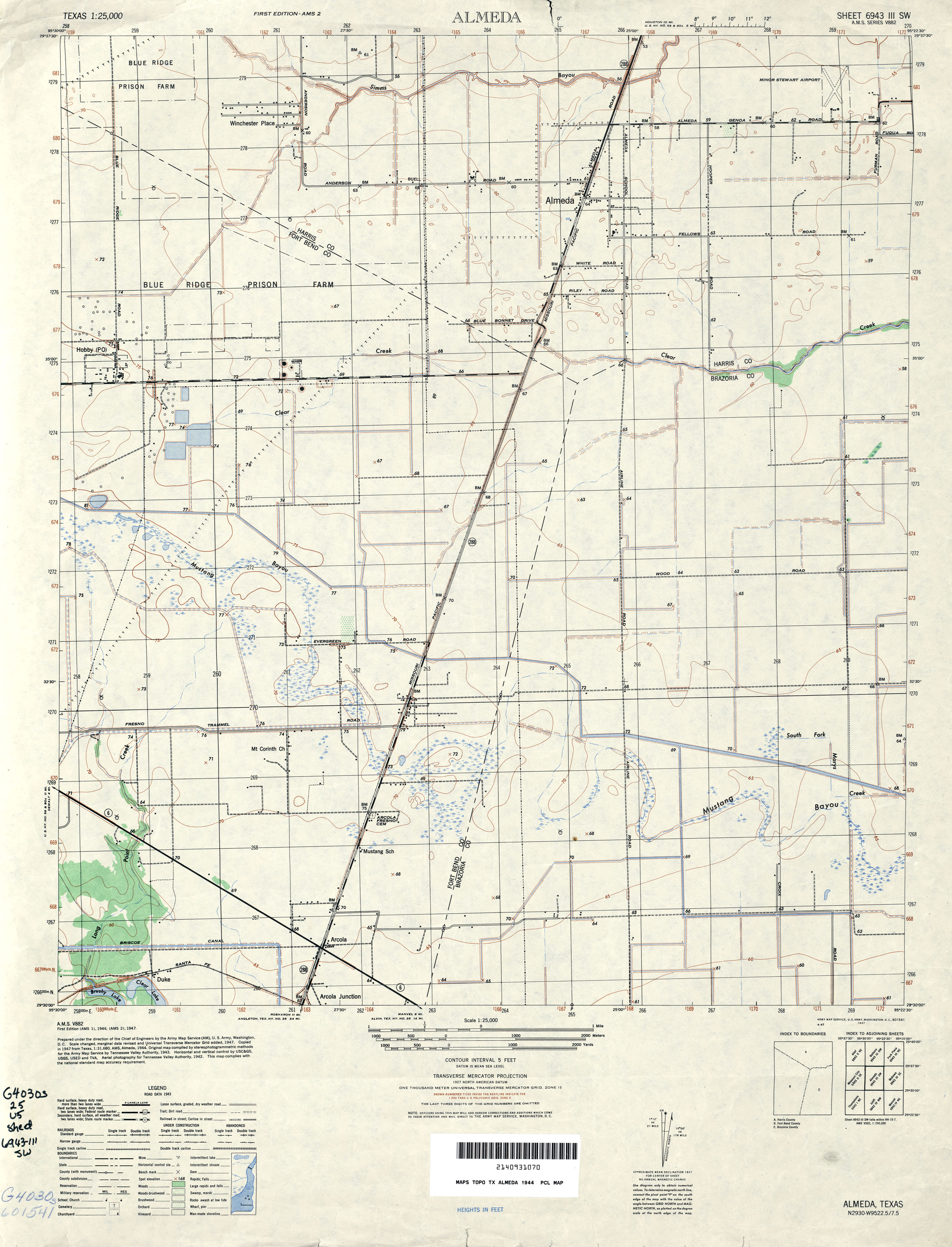
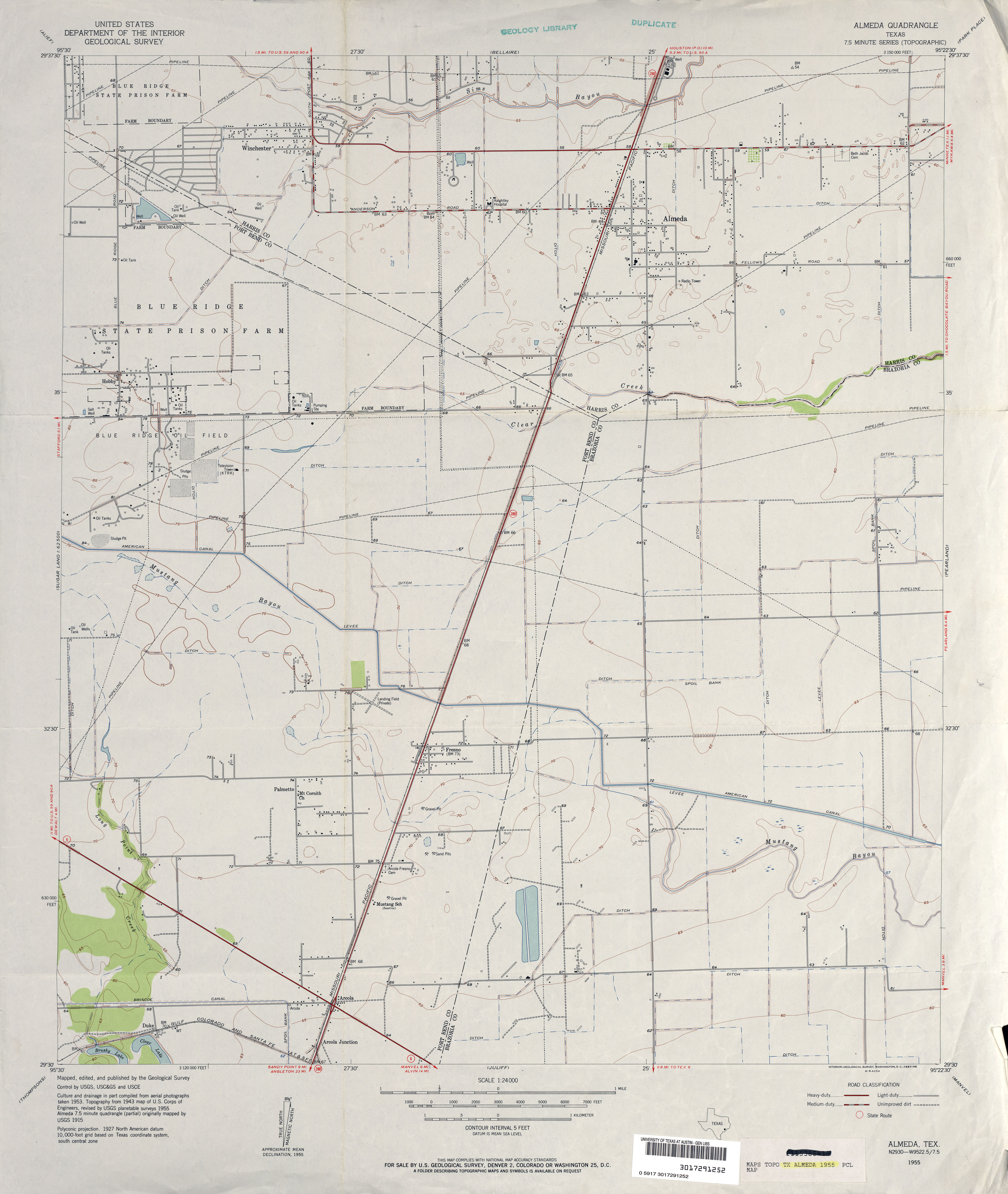
- Almeda (Harris County) 1:31,680 1915 (2.2MB)
- Almeda 1:25,000 1944 (2.9MB) U.S. Army Map Service, Series V882
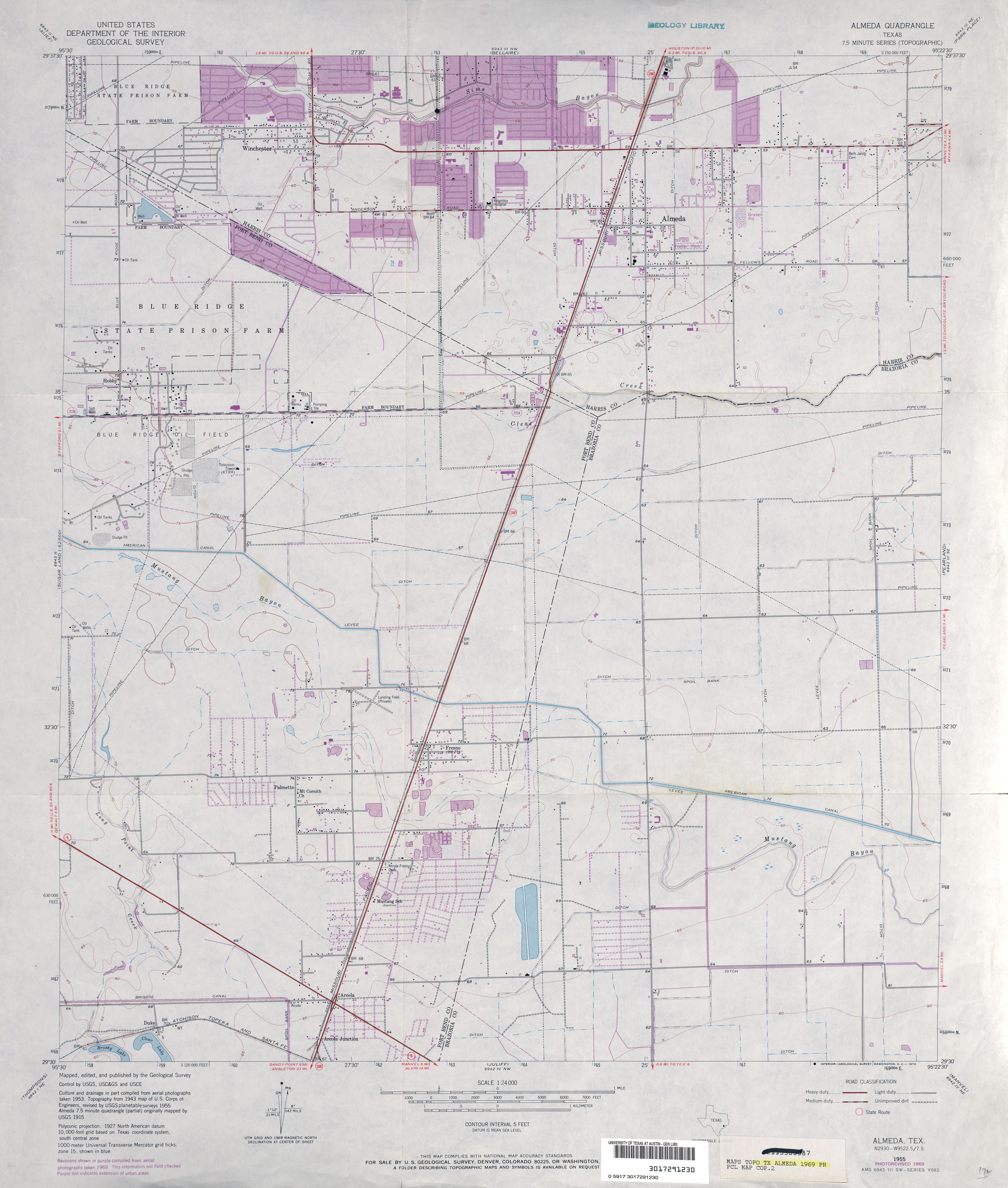
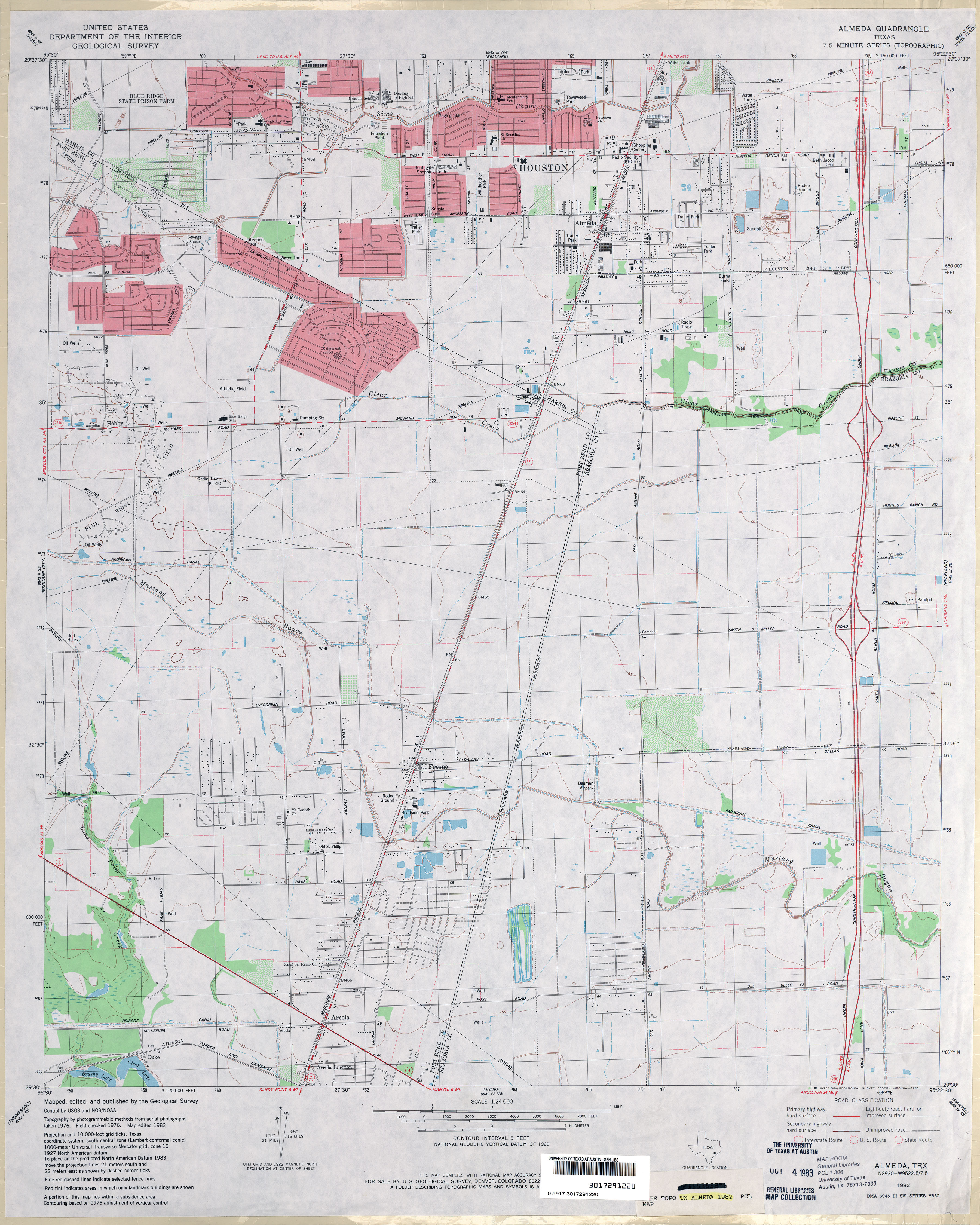
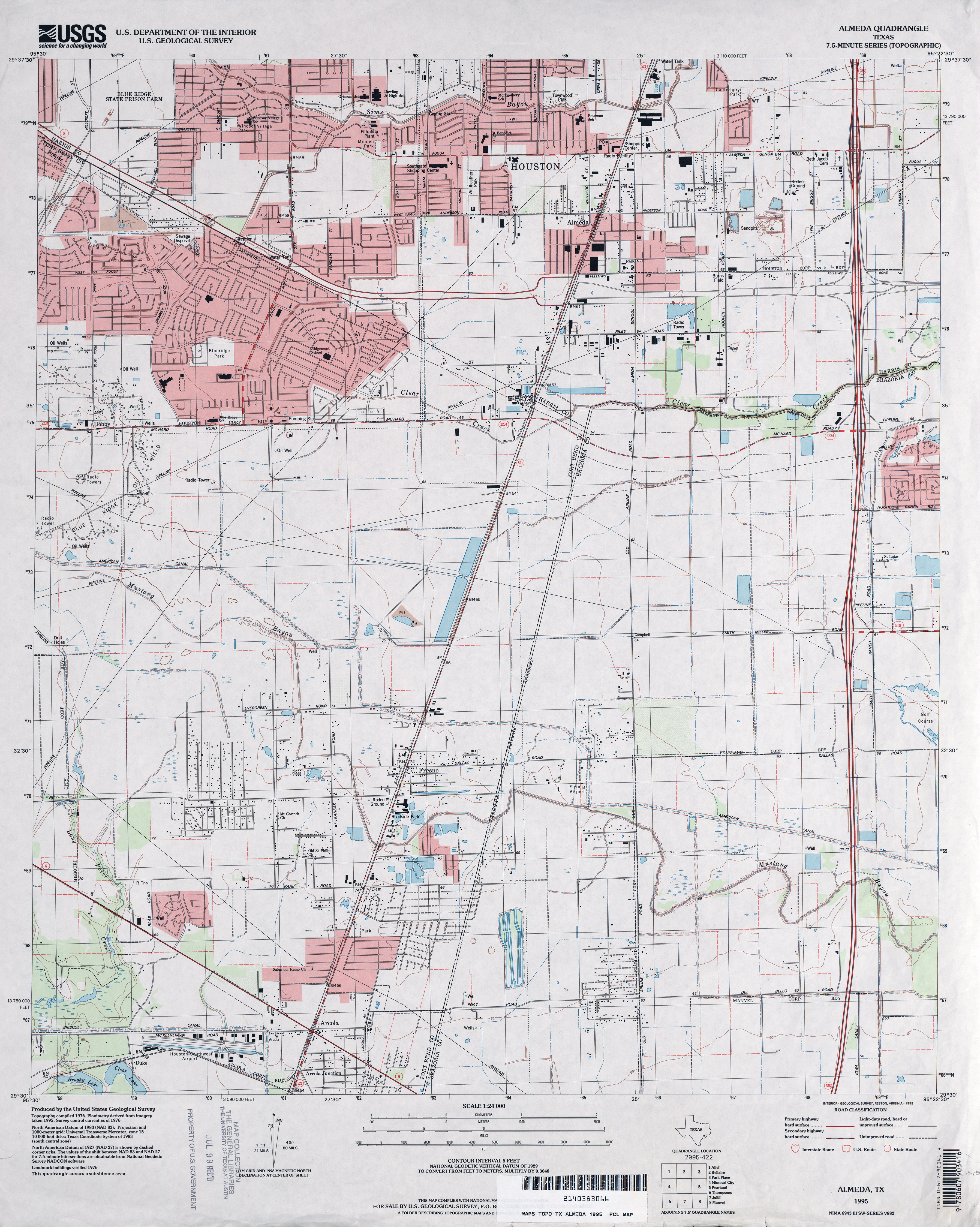
- Almeda 1:24,000 1955 (2.6MB)
- Almeda 1:24,000 1969 (2.9MB)
- Almeda 1:24,000 1982 (3.3MB)
- Almeda 1:24,000 1995 (3.6MB)
- Almeda 1:24,000 2009 (19.6MB) [GeoPDF]
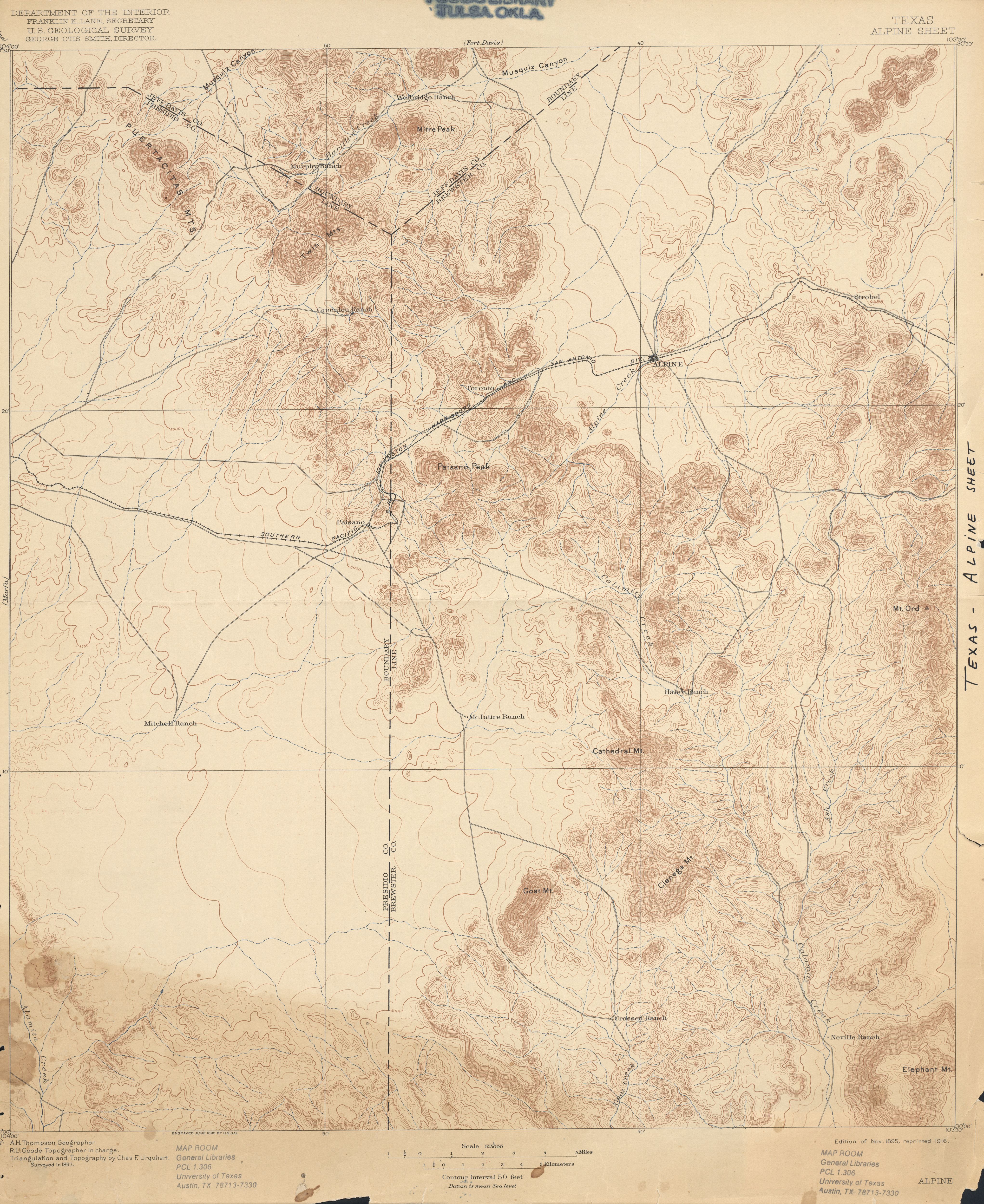
- Alpine 1:125,000 1893 (4.7MB)
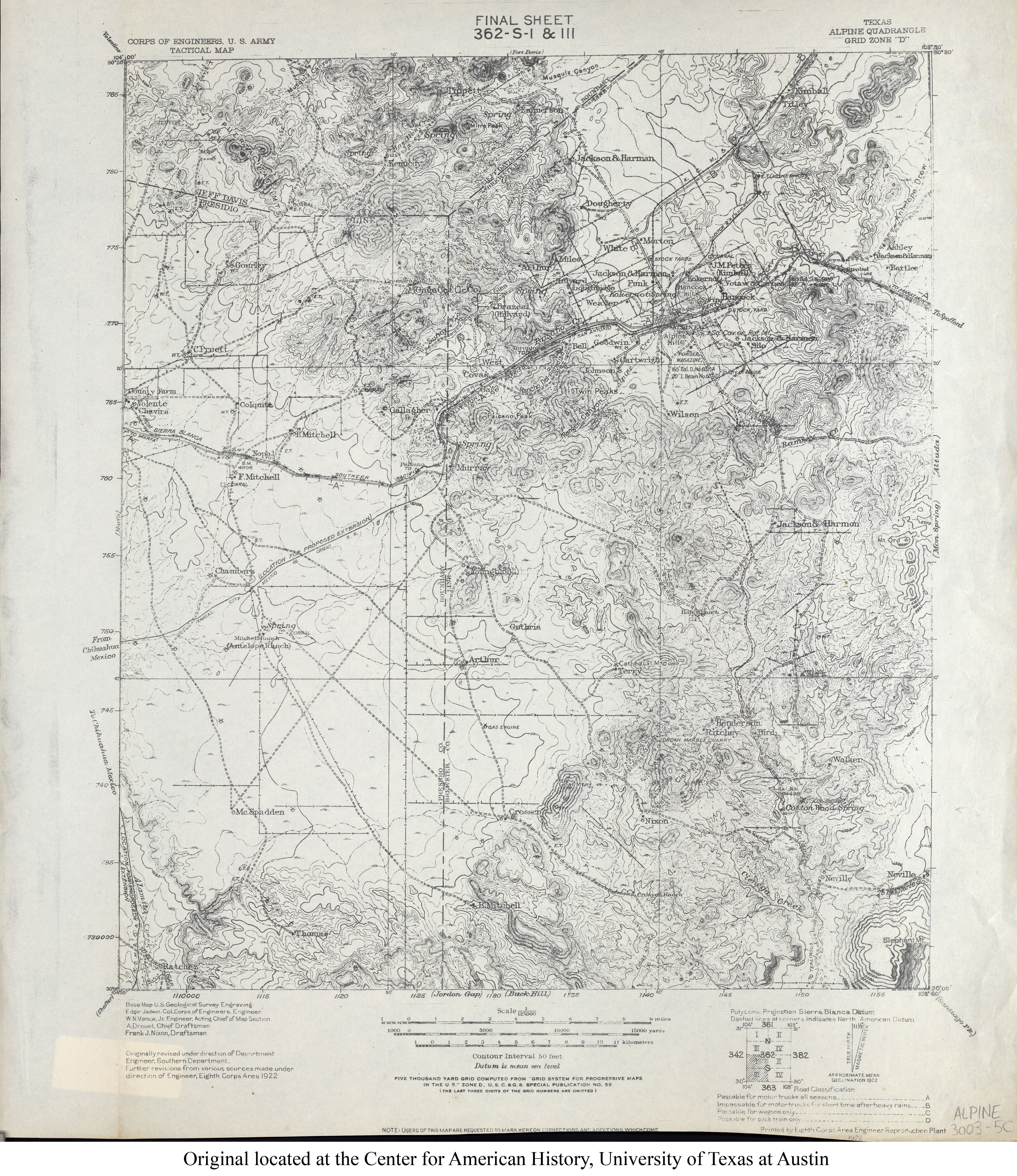
- Alpine 1:125,000 1922 (4.6MB) U.S. Army. Corps of Engineers. Tactical Map
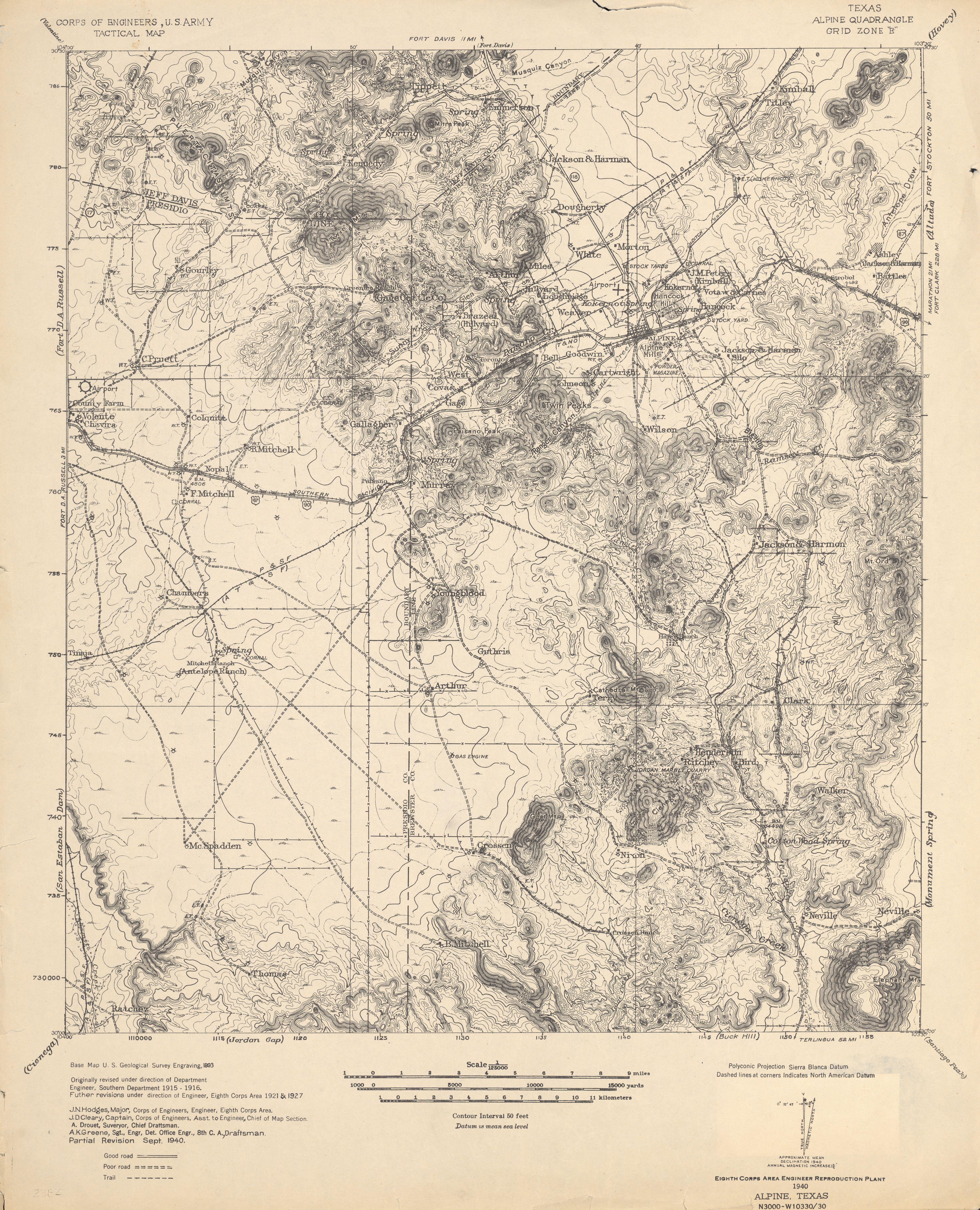
- Alpine 1:125,000 1940 (3.8MB) U.S. Army. Corps of Engineers. Tactical Map
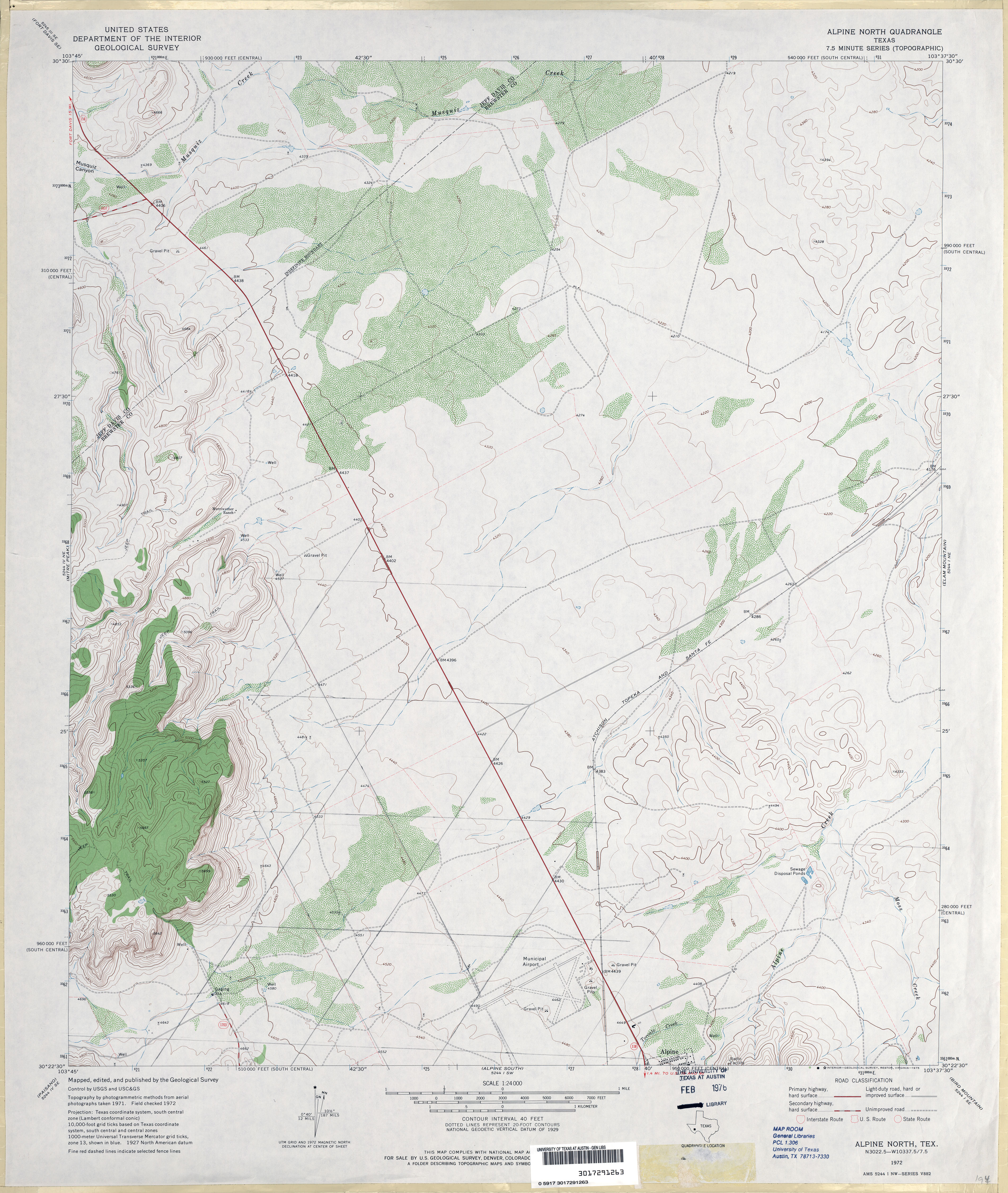
- Alpine North 1:24,000 1972 (3.6MB)
- Alpine North 1:24,000 2008 (16.6MB) [GeoPDF]
- Alpine North 1:24,000 2012 (20.5MB) [GeoPDF]
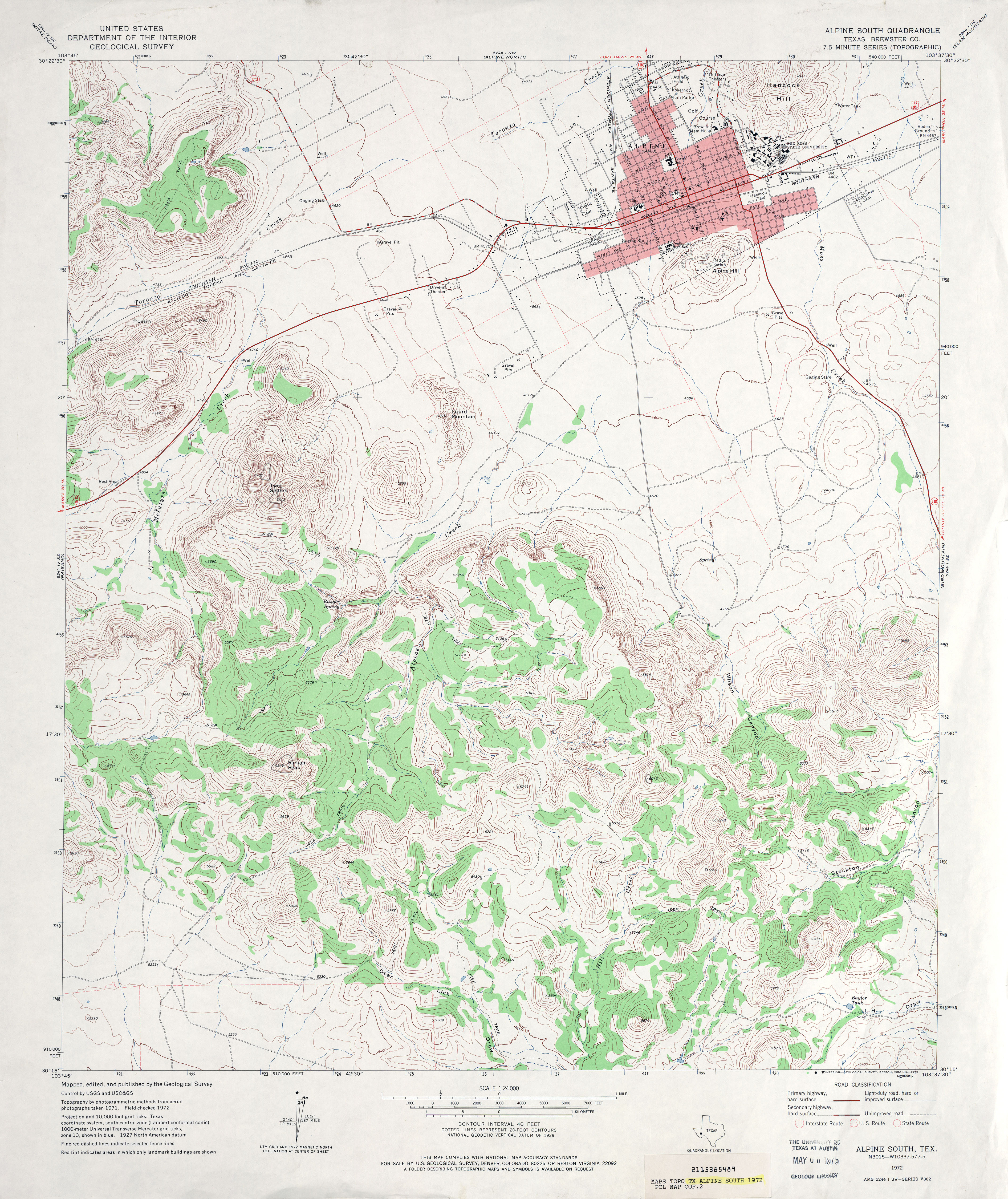
- Alpine South (Brewster County) 1:24,000 1972 (4.4MB)
- Alpine South 1:24,000 2008 (20.0MB) [GeoPDF]
- Alpine South 1:24,000 2012 (24.1MB) [GeoPDF]
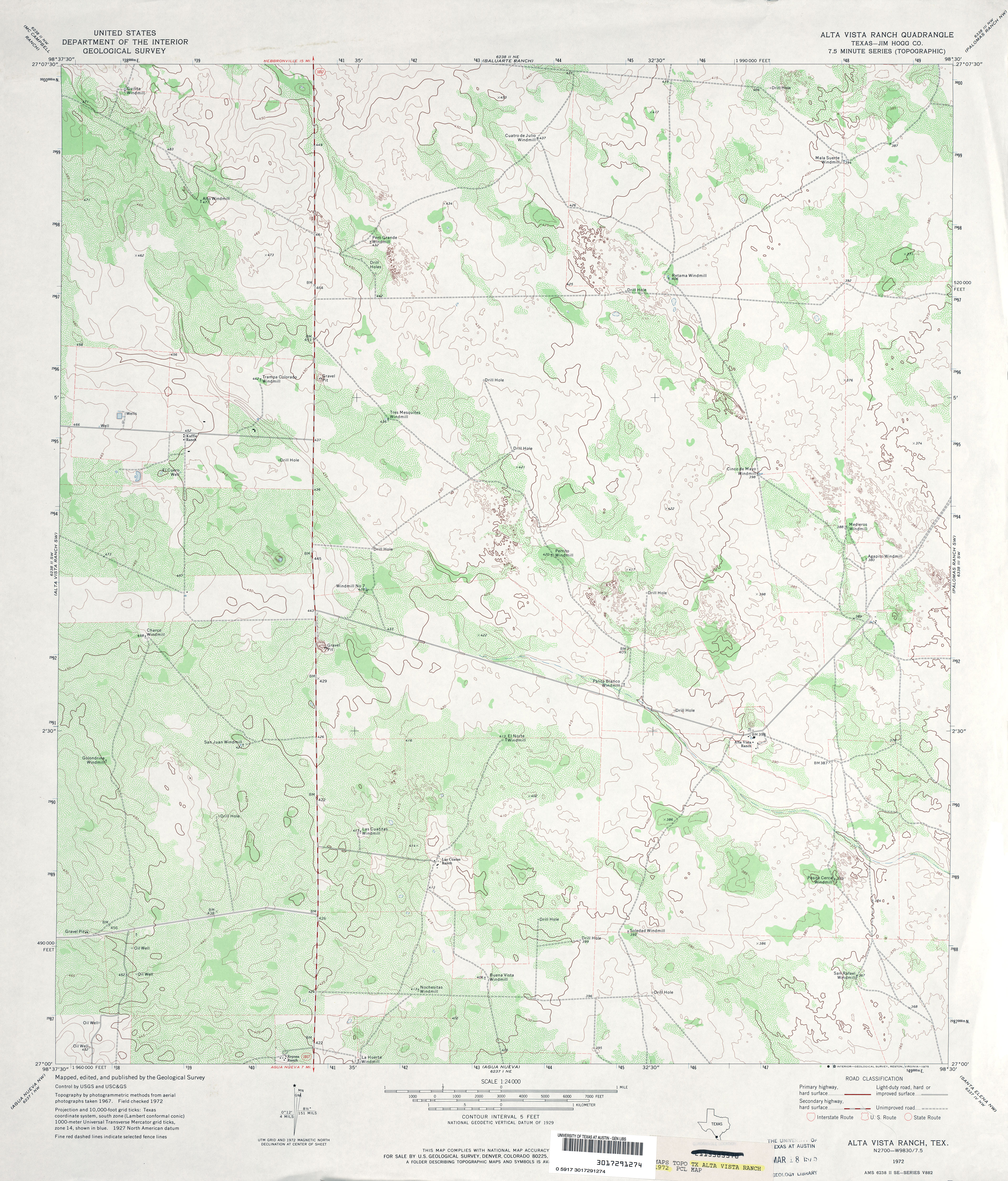
- Alta Vista Ranch (Jim Hogg County) 1:24,000 1972 (4.1MB)
- Alta Vista Ranch 1:24,000 2008 (18.0MB) [GeoPDF]
- Alta Vista Ranch 1:24,000 2013 (20.4MB) [GeoPDF]
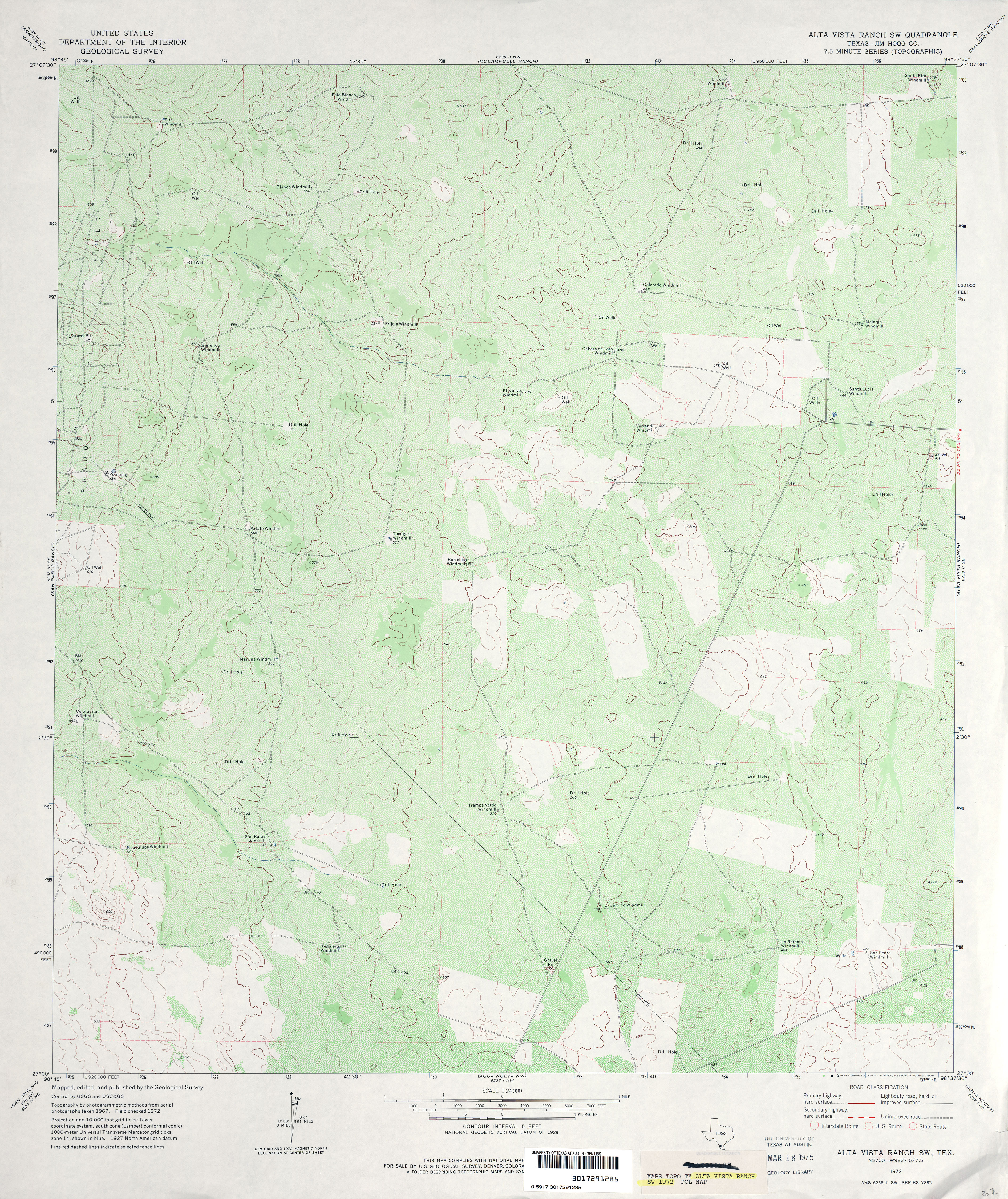
- Alta Vista Ranch SW (Jim Hogg County) 1:24,000 1972 (4.6MB)
- Alta Vista Ranch SW 1:24,000 2008 (17.7MB) [GeoPDF]
- Alta Vista Ranch SW 1:24,000 2013 (21.8MB) [GeoPDF]
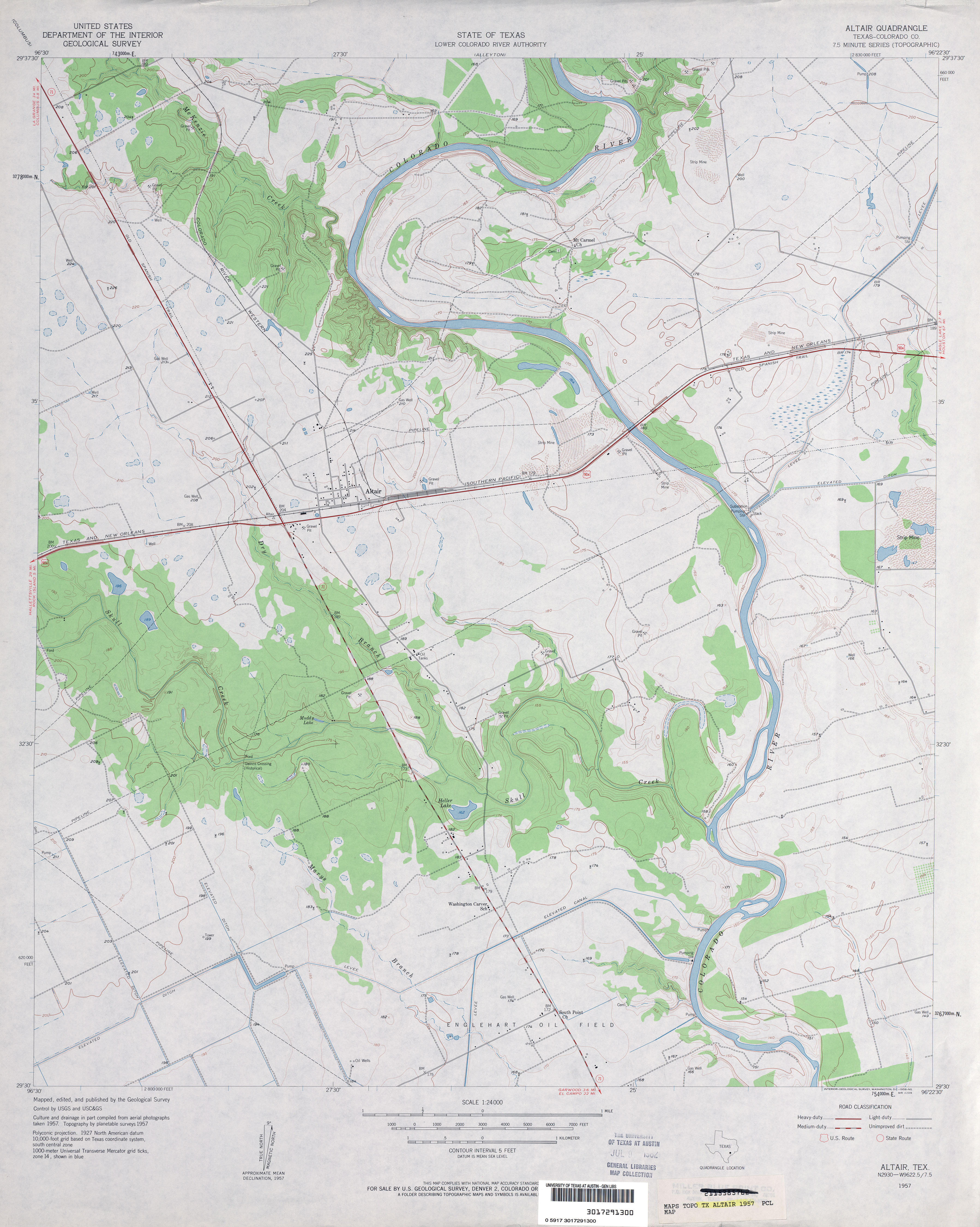
- Altair (Colorado County) 1:24,000 1957 (3.2MB)
- Altair (Colorado County) 1:24,000 1981 (4.2MB)
- Altair 1:24,000 2008 (14.2MB) [GeoPDF]
- Altair 1:24,000 2013 (21.3MB) [GeoPDF]
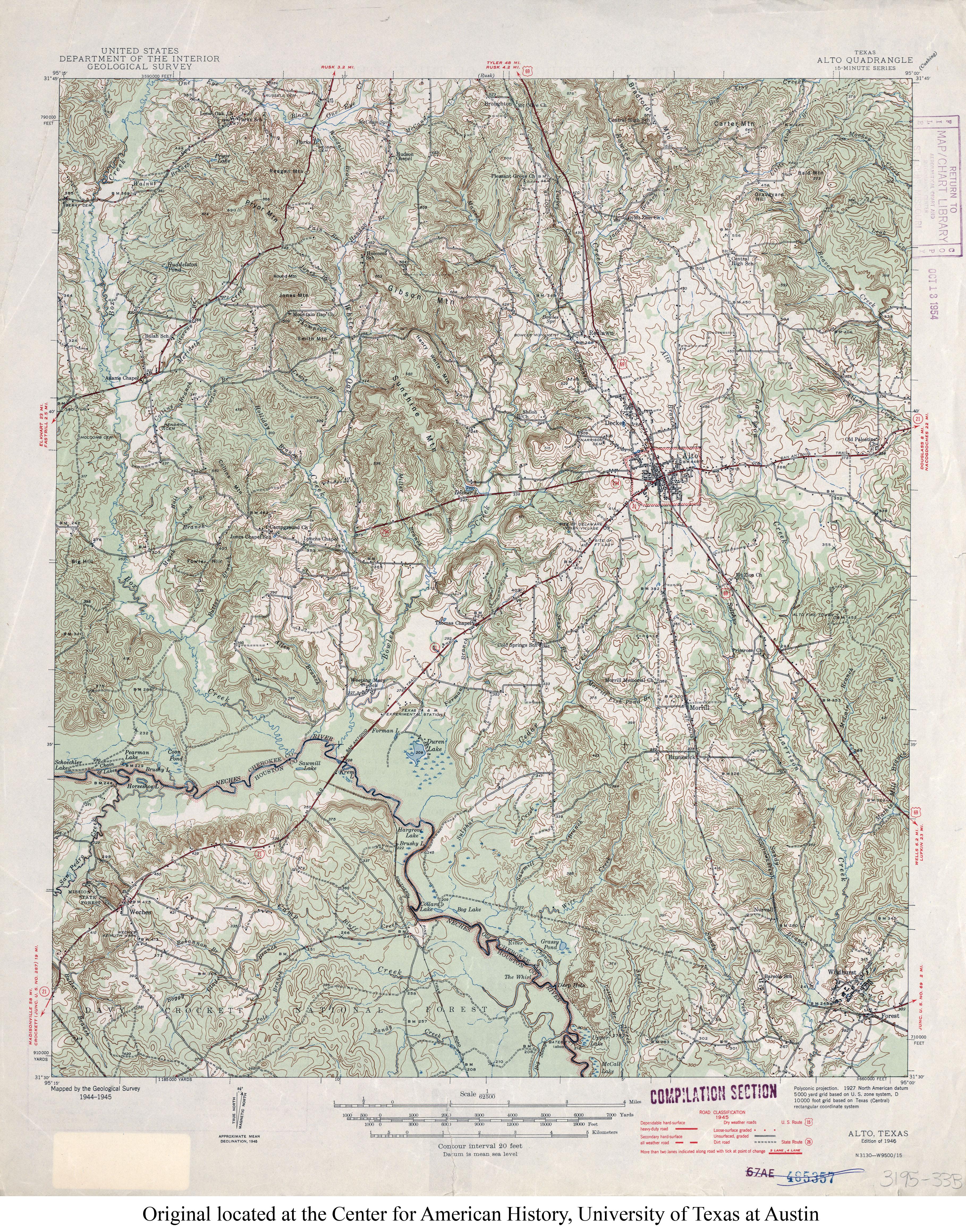
- Alto 1:62,500 1945 (6MB)
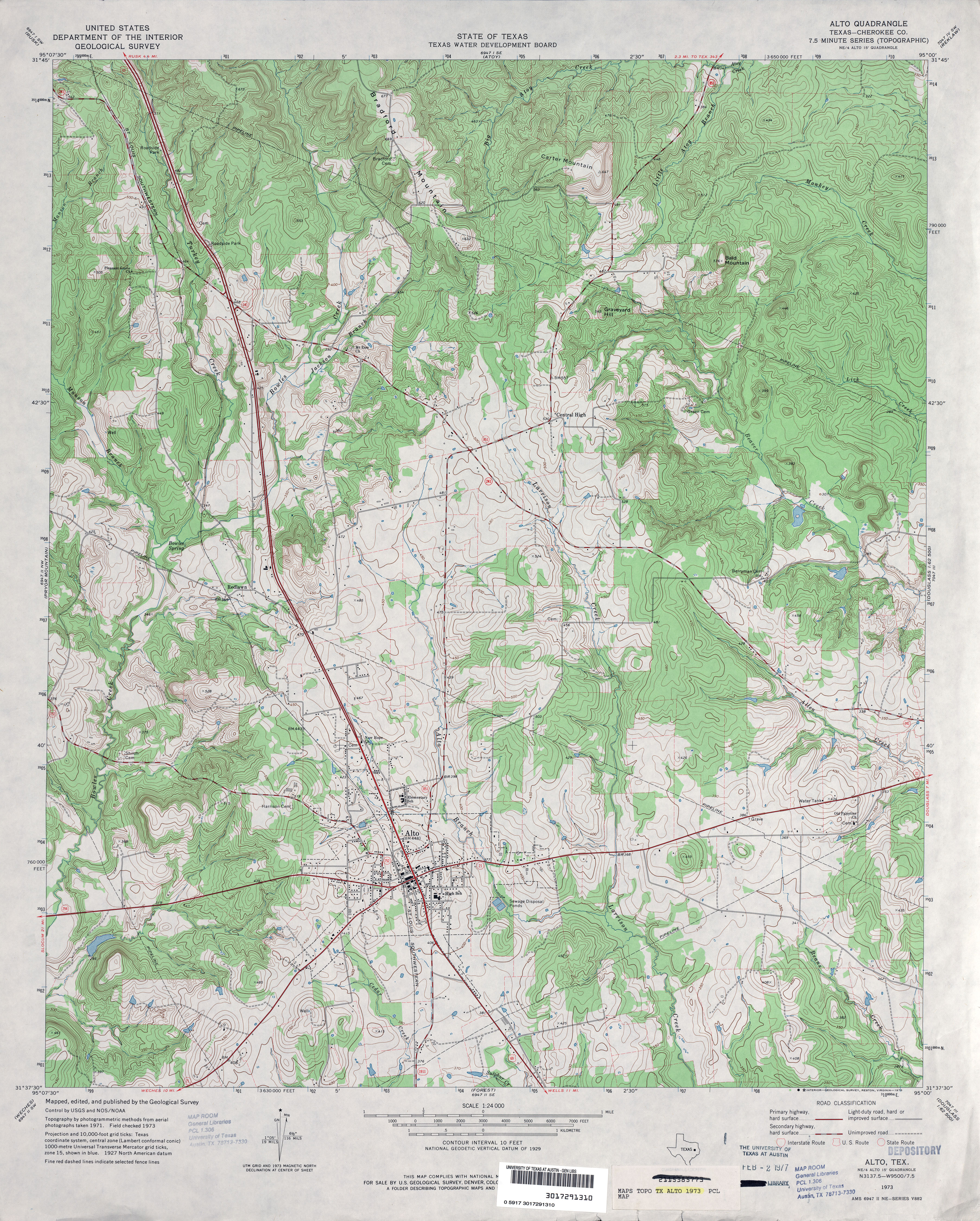
- Alto (Cherokee County) 1:24,000 1973 (5.2MB)
- Alto 1:24,000 2009 (22.1MB) [GeoPDF]
- Alto 1:24,000 2013 (25.8MB) [GeoPDF]
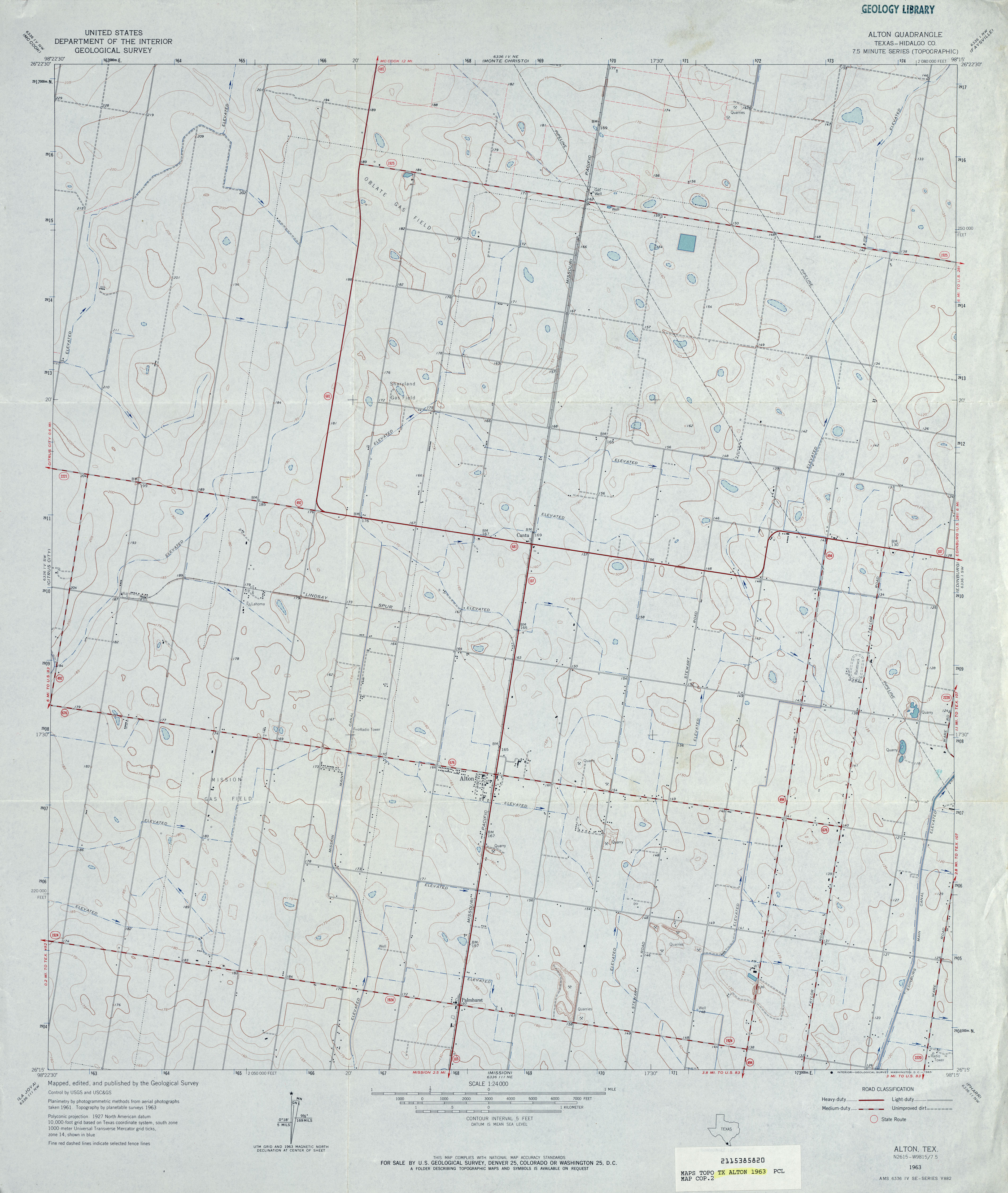
- Alton (Hidalgo County) 1:24,000 1963 (3.1MB)
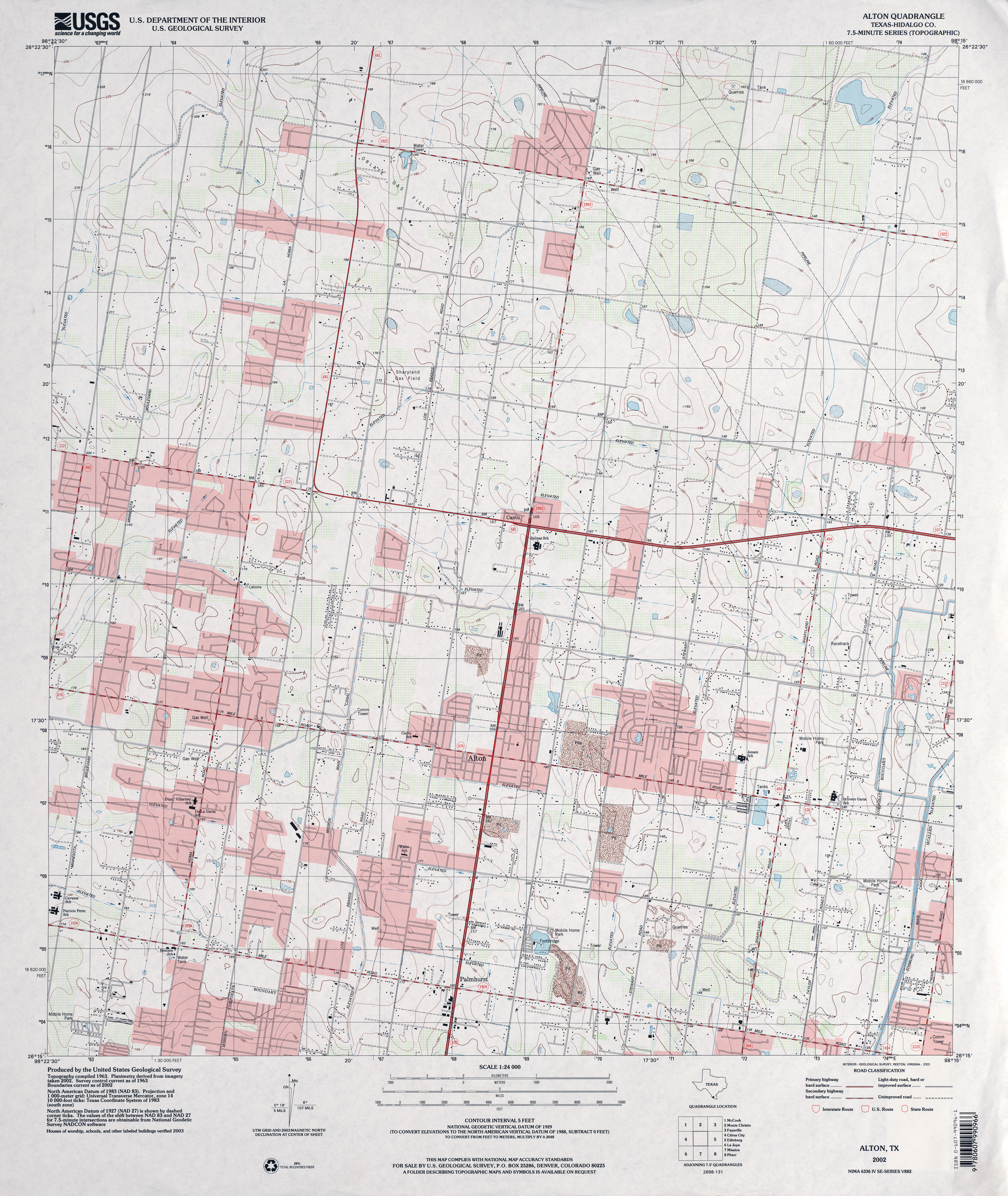
- Alton (Hidalgo County) 1:24,000 2002 (3.9MB)
- Alton 1:24,000 2009 (23.6MB) [GeoPDF]
- Alton 1:24,000 2012 (23.8MB) [GeoPDF]
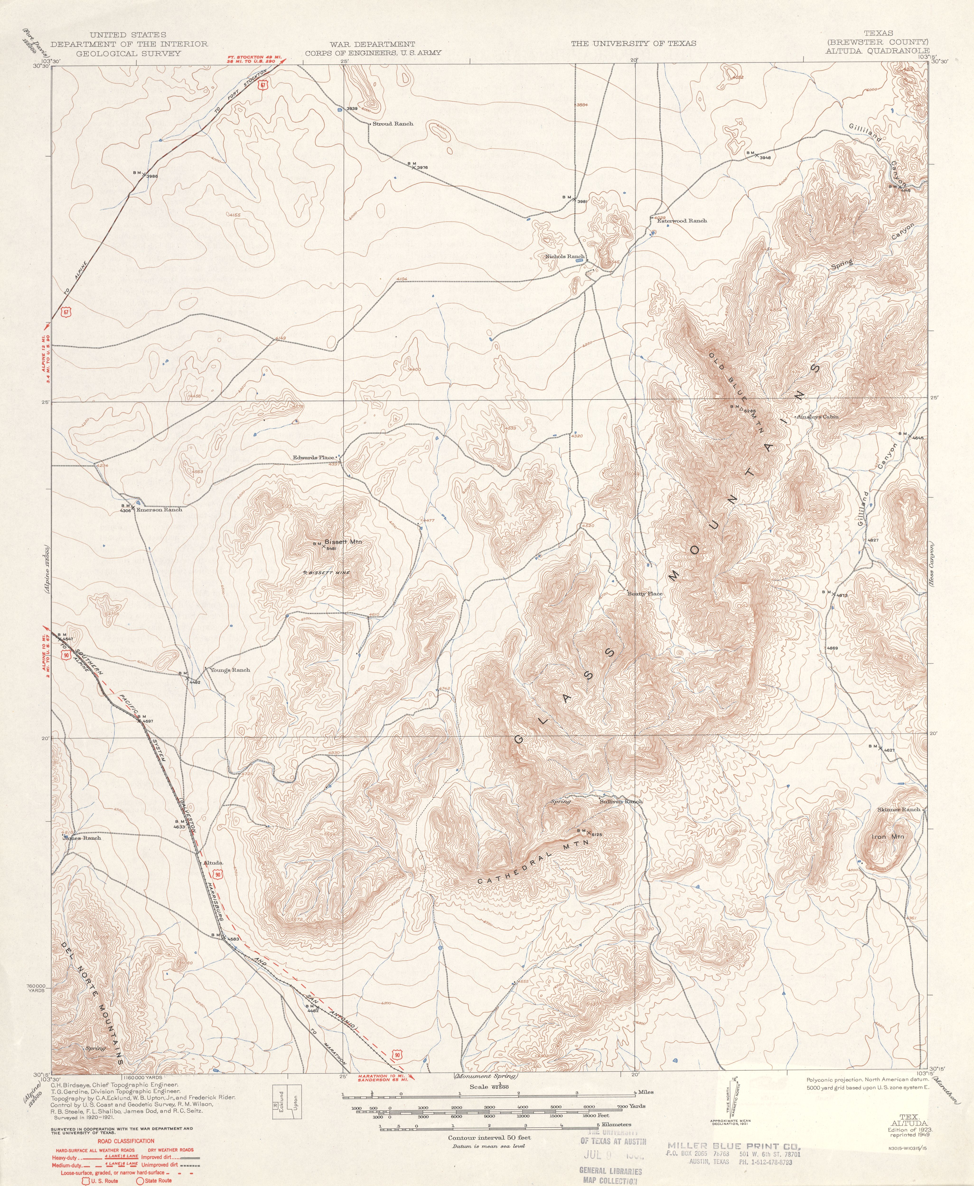
- Altuda (Brewster County) 1:62,500 1921 (3.3MB)
- Altuda (Brewster County) 1:24,000 1983 (4MB)
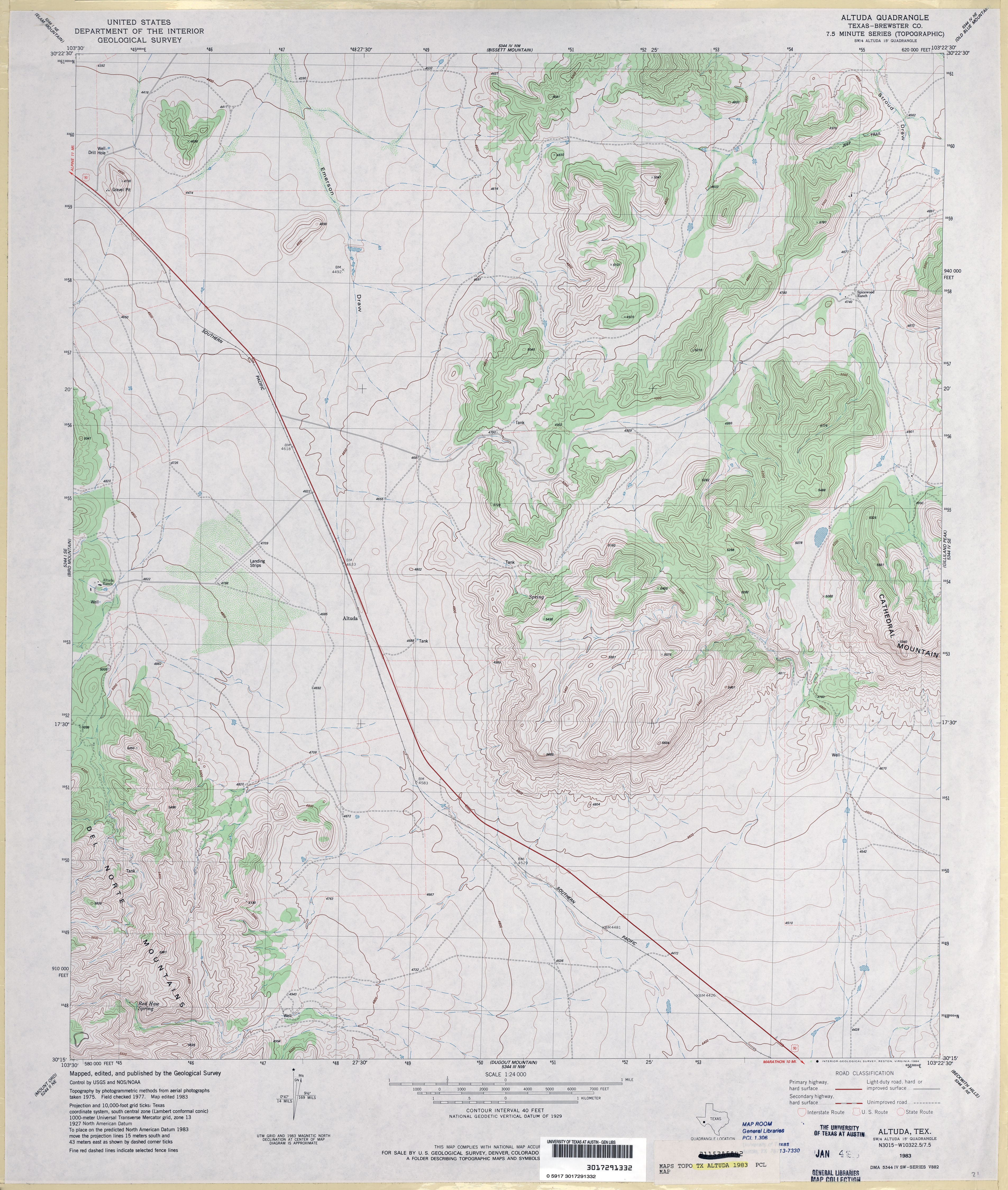
- Altuda 1:24,000 2008 (24.1MB) [GeoPDF]
- Altuda 1:24,000 2012 (27.6MB) [GeoPDF]
- Alum (Wilson County) 1:24,000 1961 (3.9MB)
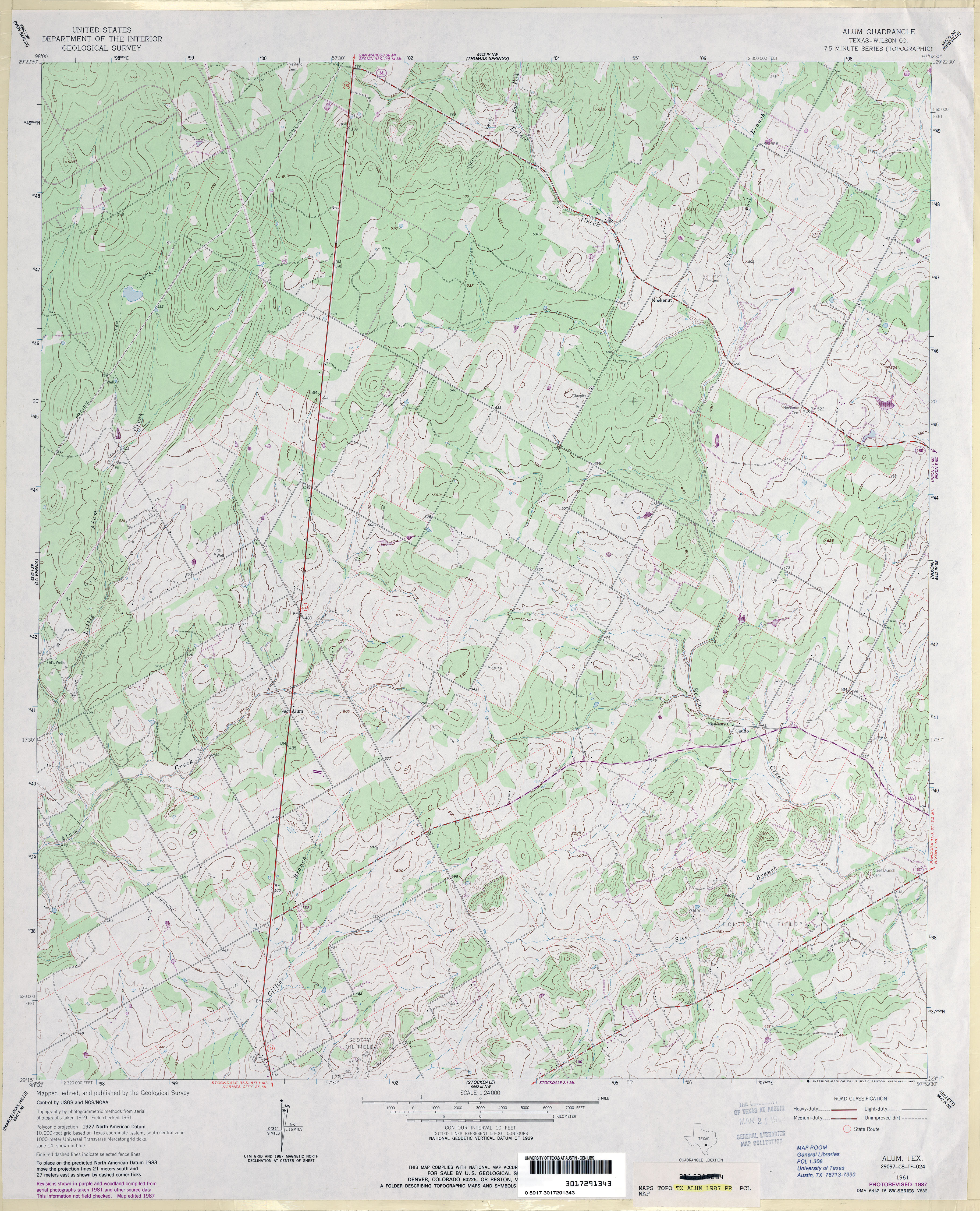
- Alum (Wilson County) 1:24,000 1987 (4.1MB)
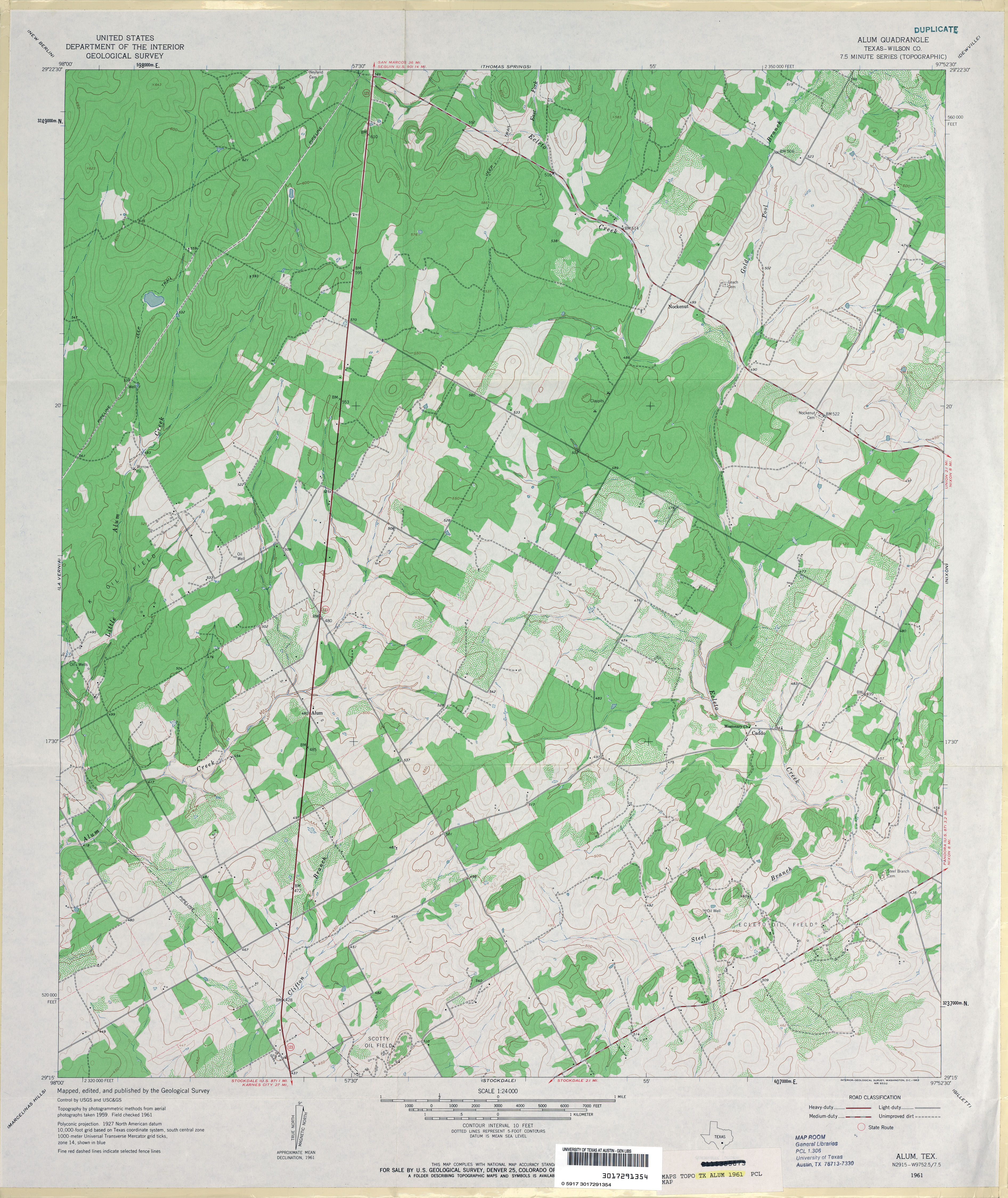
- Alum 1:24,000 2008 (15.6MB) [GeoPDF]
- Alum 1:24,000 2013 (23.9MB) [GeoPDF]
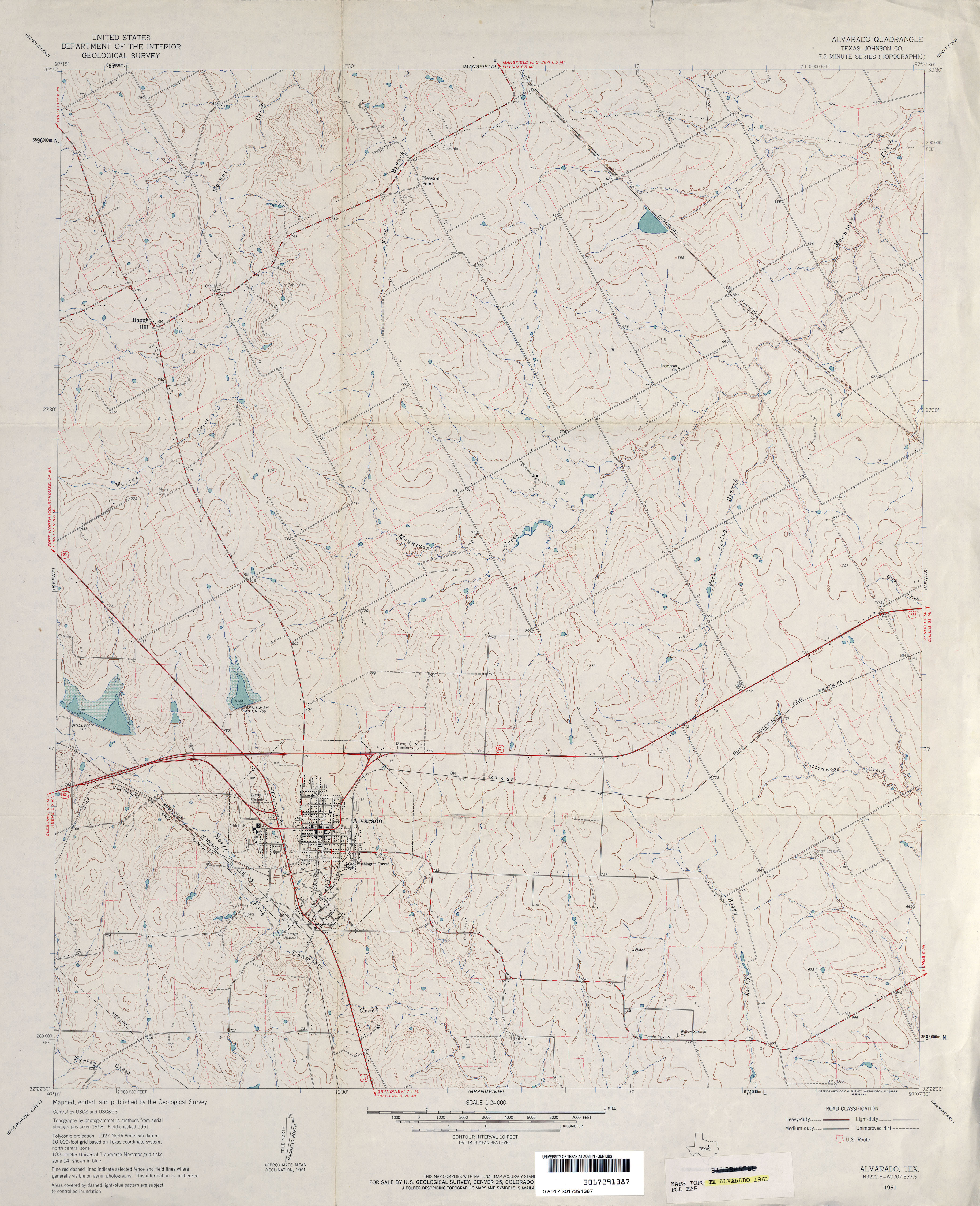
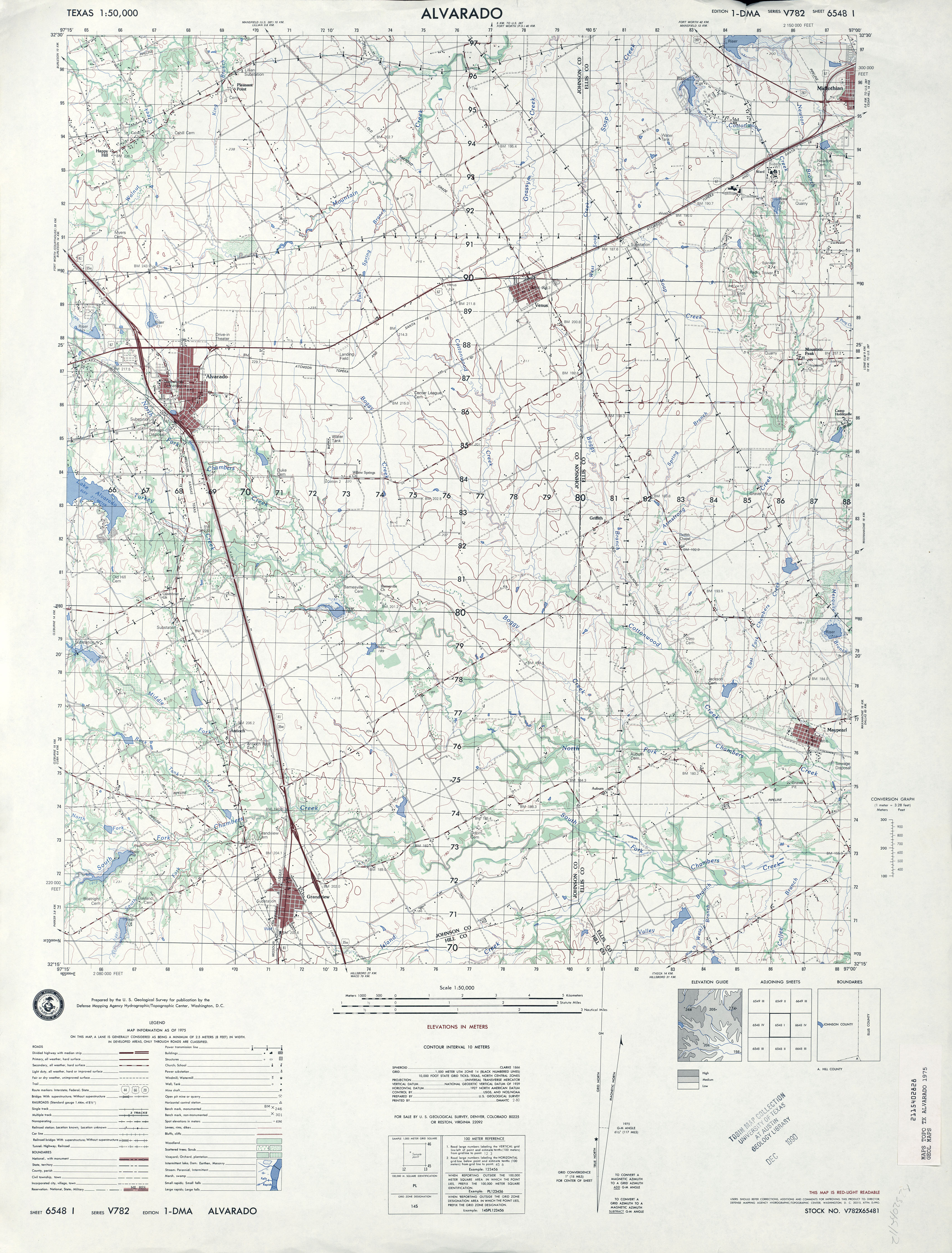
- Alvarado (Johnson County) 1:24,000 1961 (3.5MB)
- Alvarado 1:50,000 1975 (3.6MB) Defense Mapping Agency, Series V782
- Alvarado (Johnson County) 1:24,000 1978 (3.7MB)
- Alvarado 1:24,000 2008 (14.4MB) [GeoPDF]
- Alvarado 1:24,000 2012 (19.5MB) [GeoPDF]
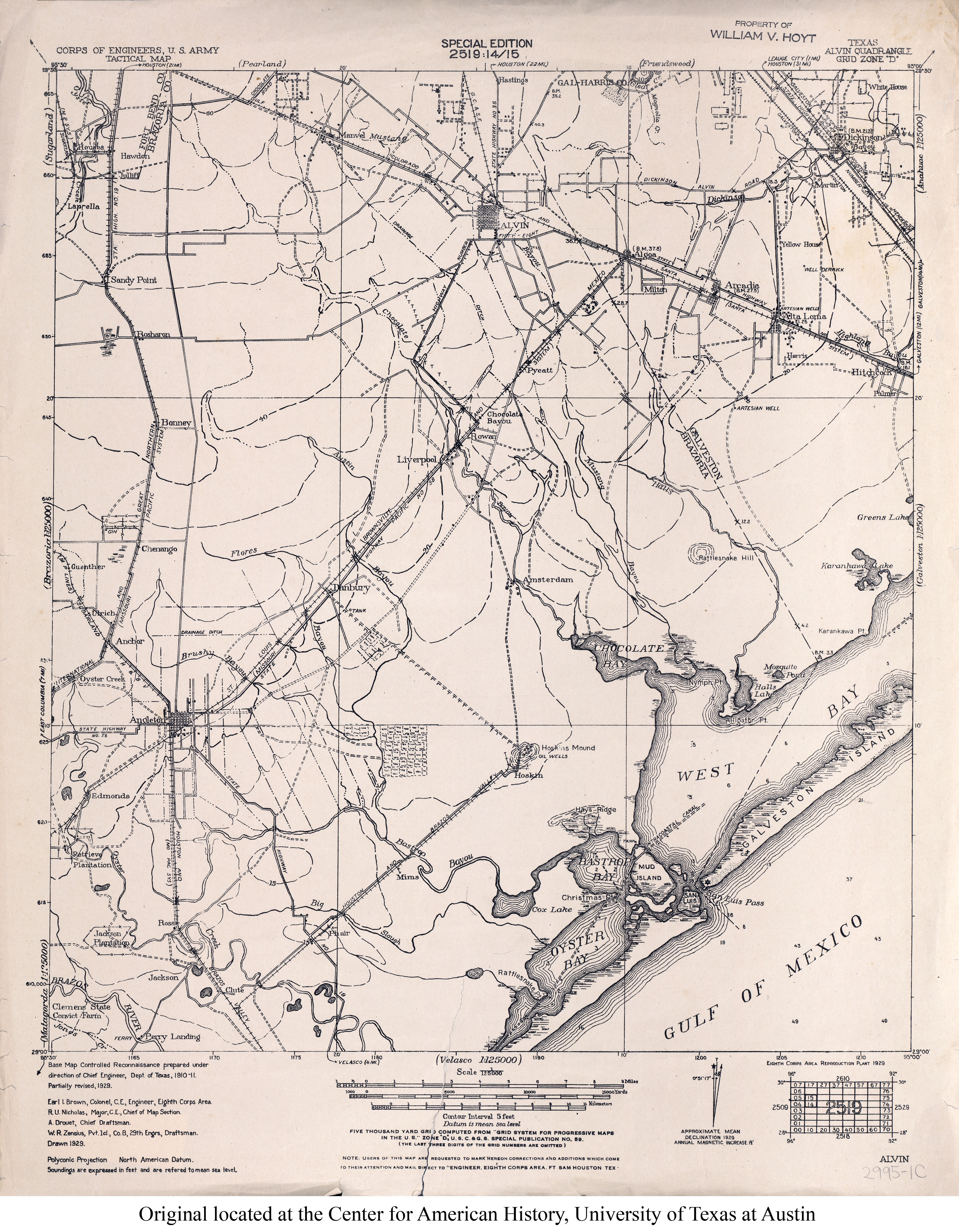
- Alvin 1:125,000 1929 (3.6MB) U.S. Army. Corps of Engineers. Tactical Map
- [Alvin/Brazoria] 1:125,000 1916 (6.7MB) U.S. Army. Corps of Engineers. Progressive Military Map
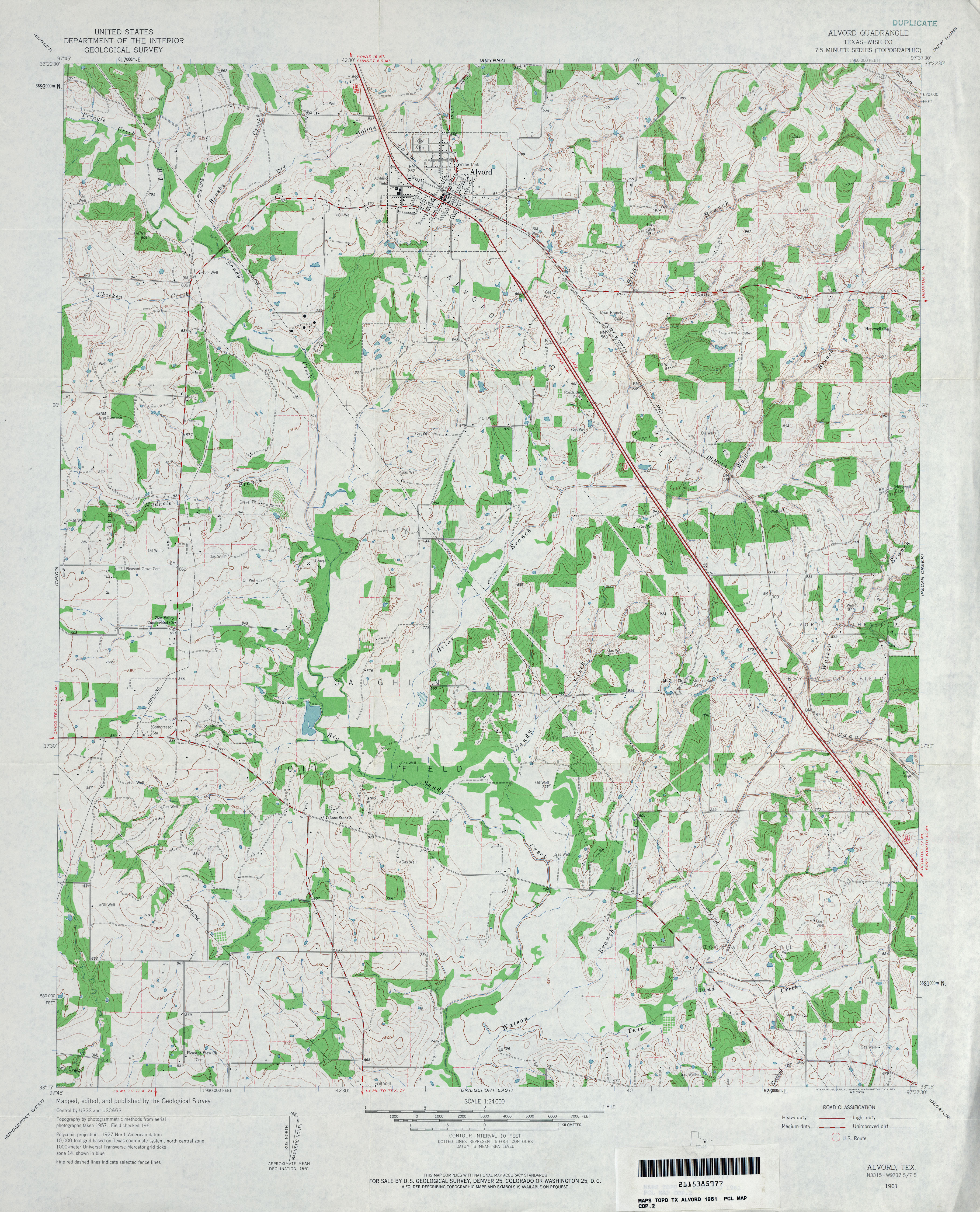
- Alvord (Wise County) 1:24,000 1961 (4.3MB)
- Alvord 1:24,000 2009 (16.1MB) [GeoPDF]
- Alvord 1:24,000 2013 (21.4MB) [GeoPDF]
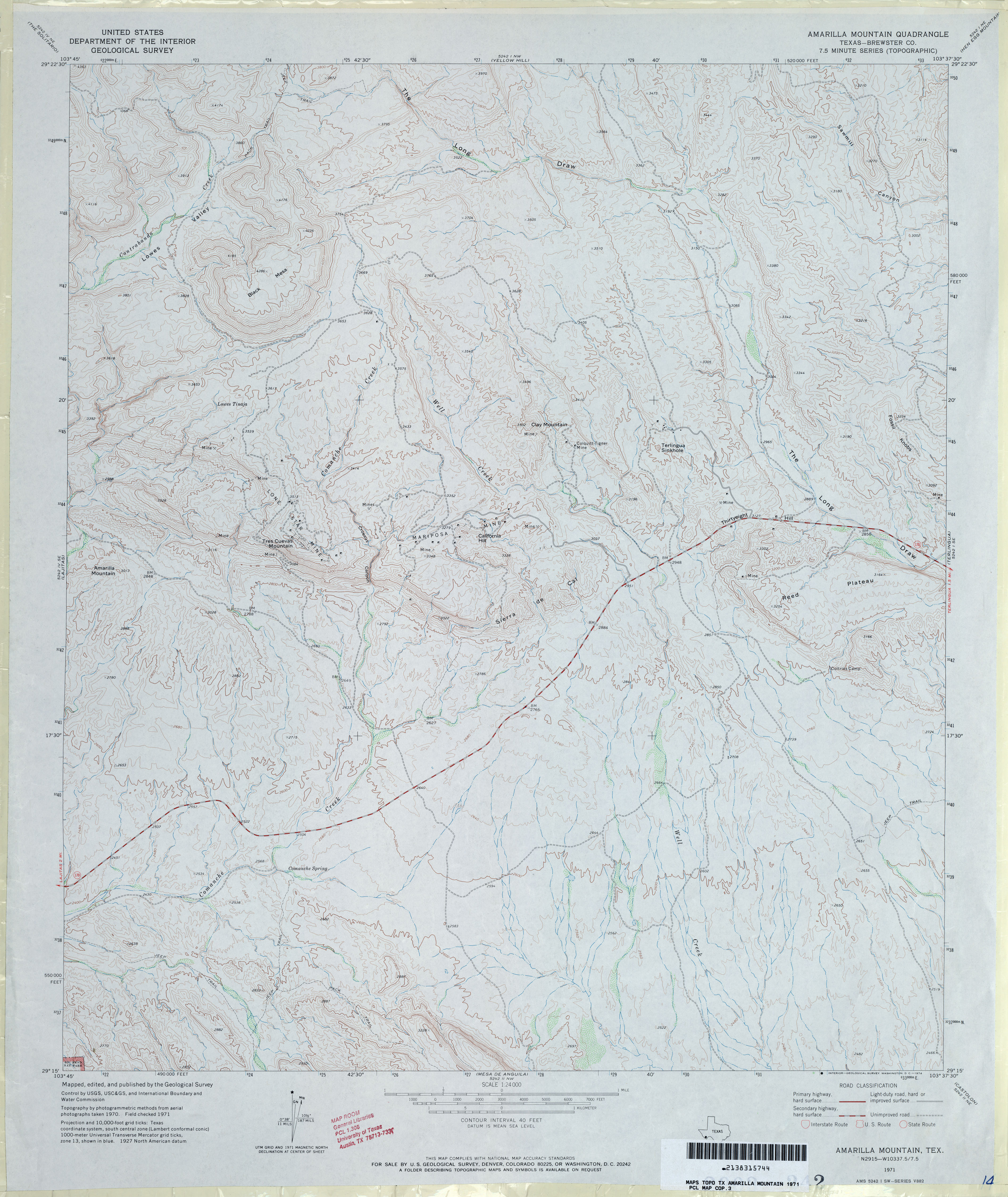
- Amarilla Mountain (Brewster County) 1:24,000 1971 (3.9MB)
- Amarilla Mountain 1:24,000 2008 (24.5MB) [GeoPDF]
- Amarilla Mountain 1:24,000 2012 (27MB) [GeoPDF]
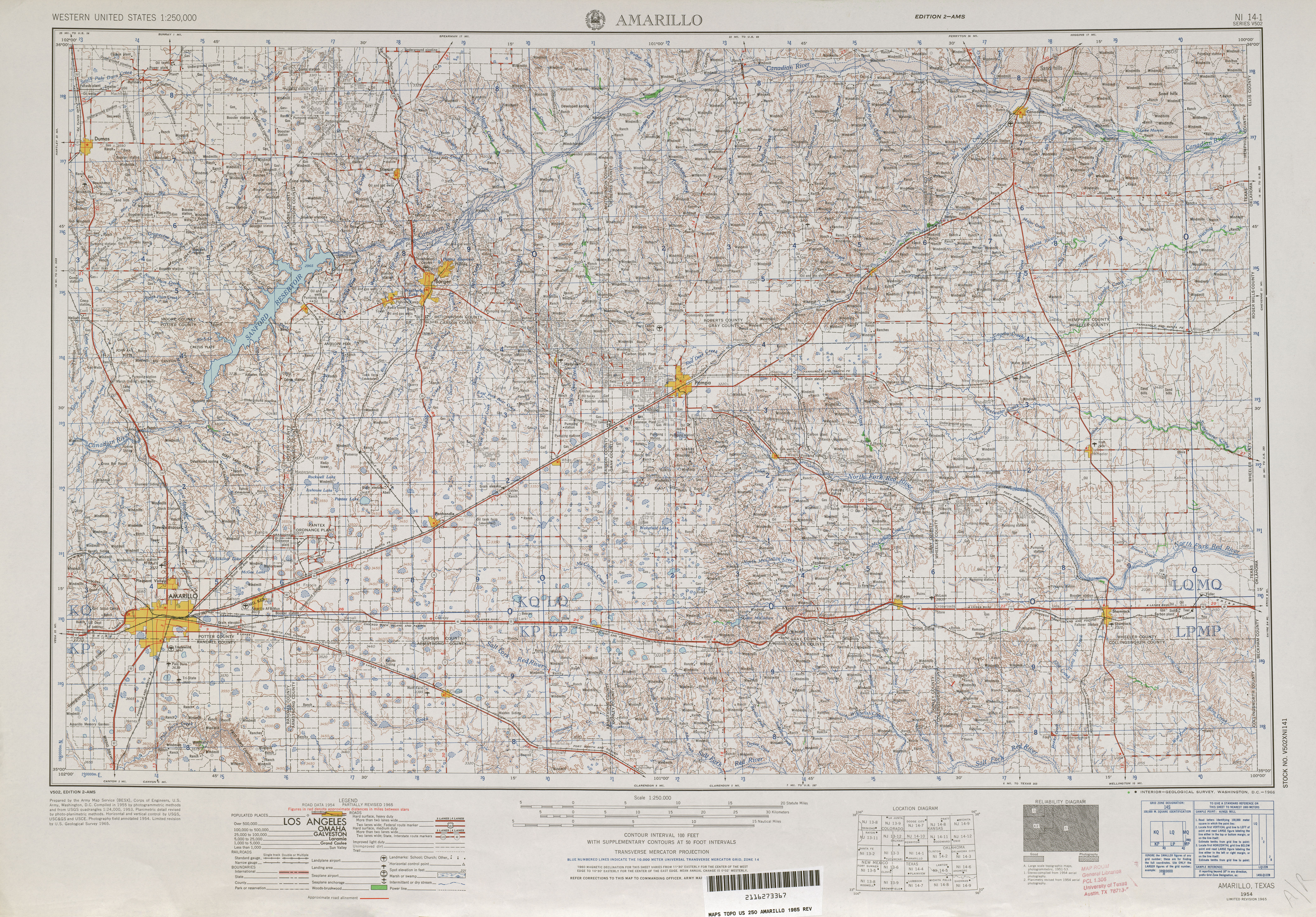
- Amarillo 1:250,000 1956 (9.6MB)
- Amarillo 1:250,000 1965 (8.5MB)
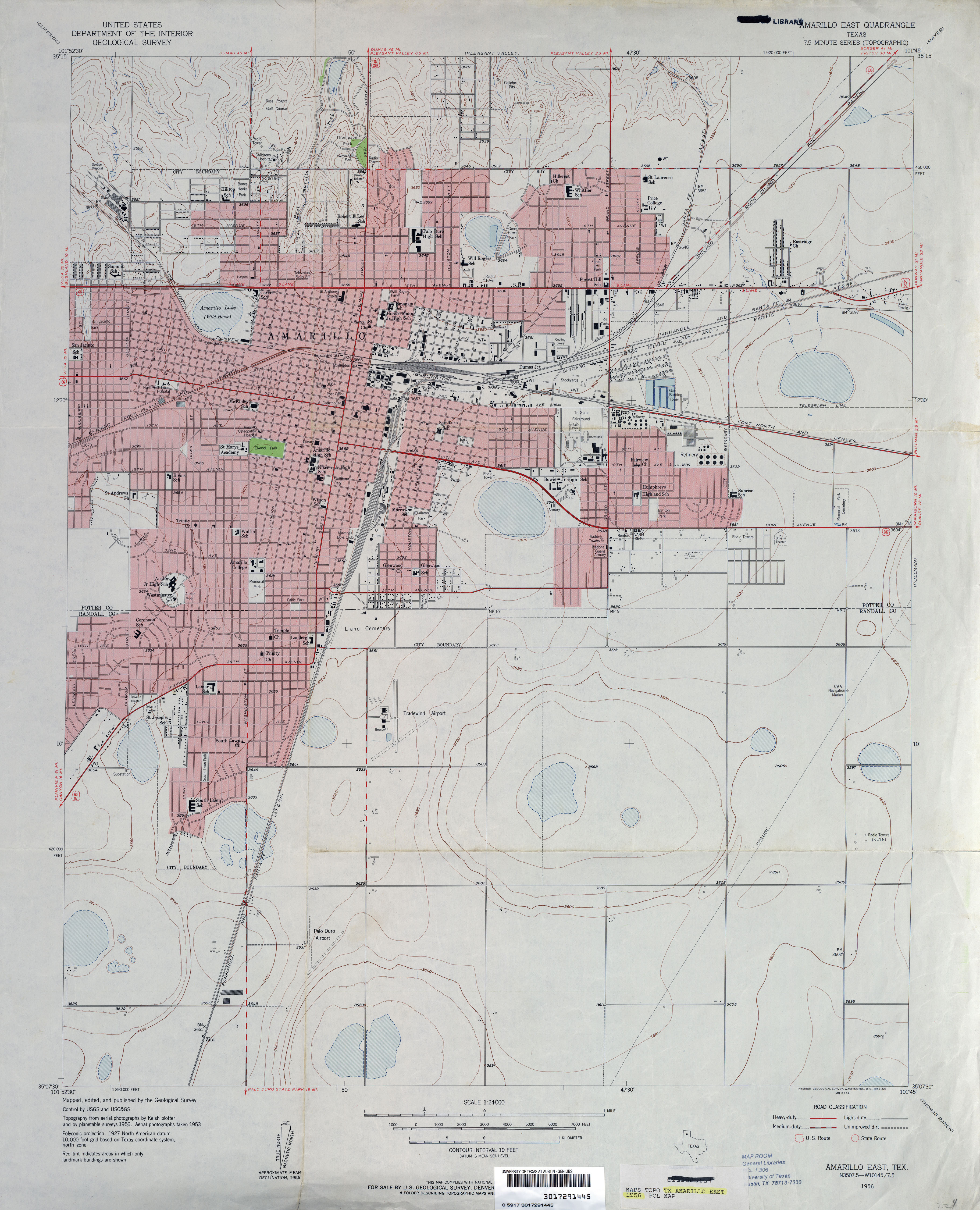
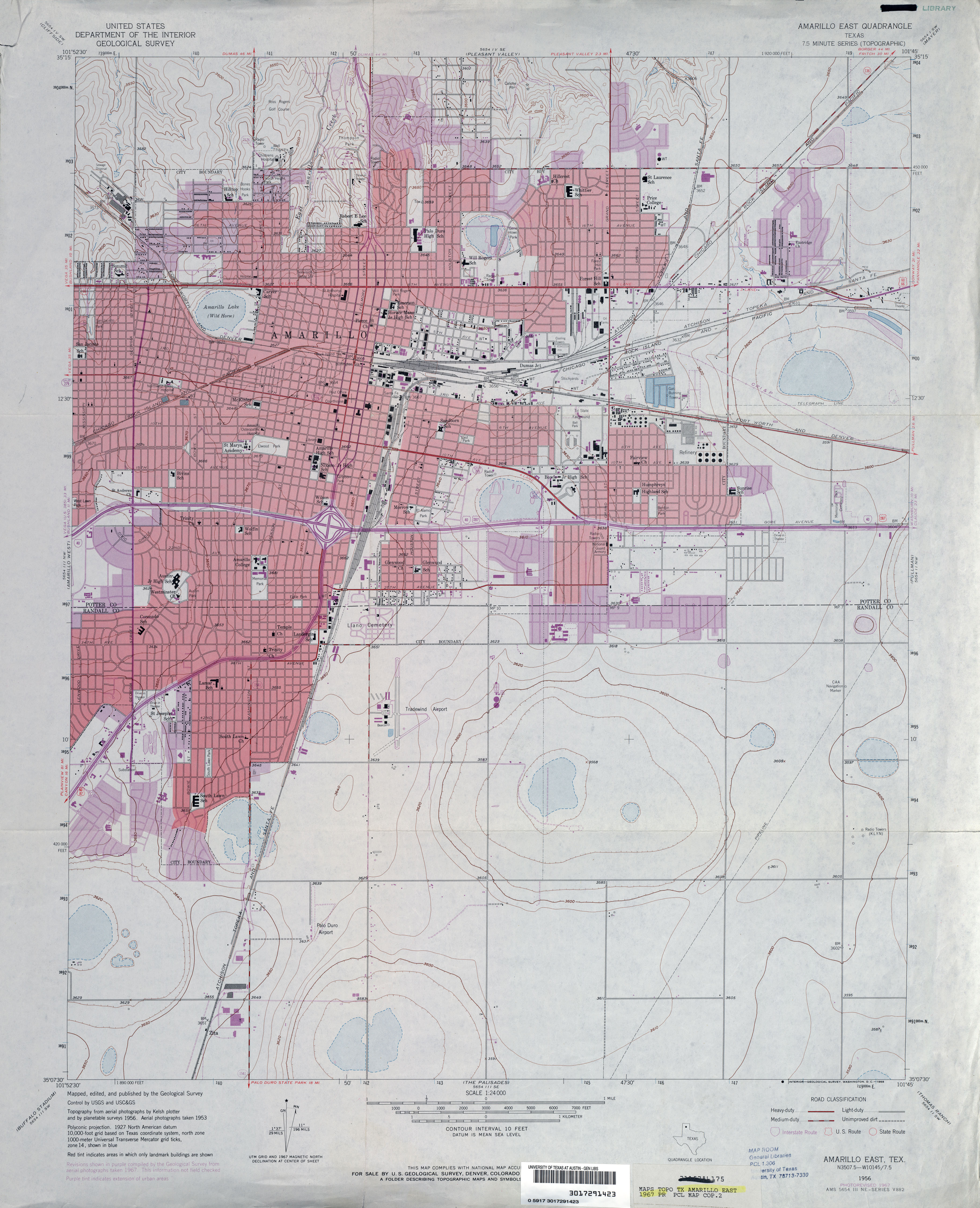
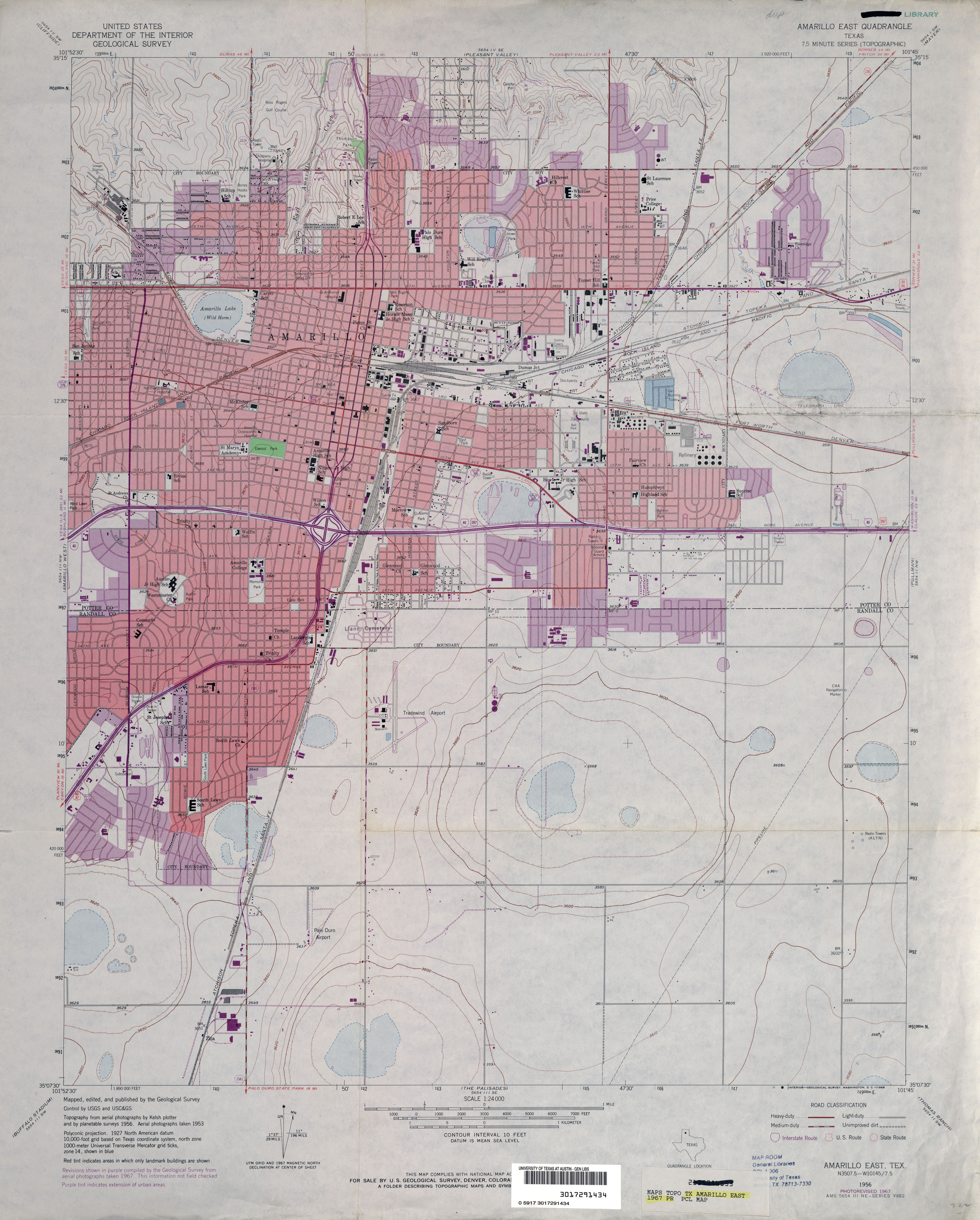
- Amarillo East 1:24,000 1956 (3.5MB)
- Amarillo East 1:24,000 1967 (3.3MB)
- Amarillo East 1:24,000 1967 (3.2MB)
- Amarillo East 1:24,000 1973 (3.3MB)
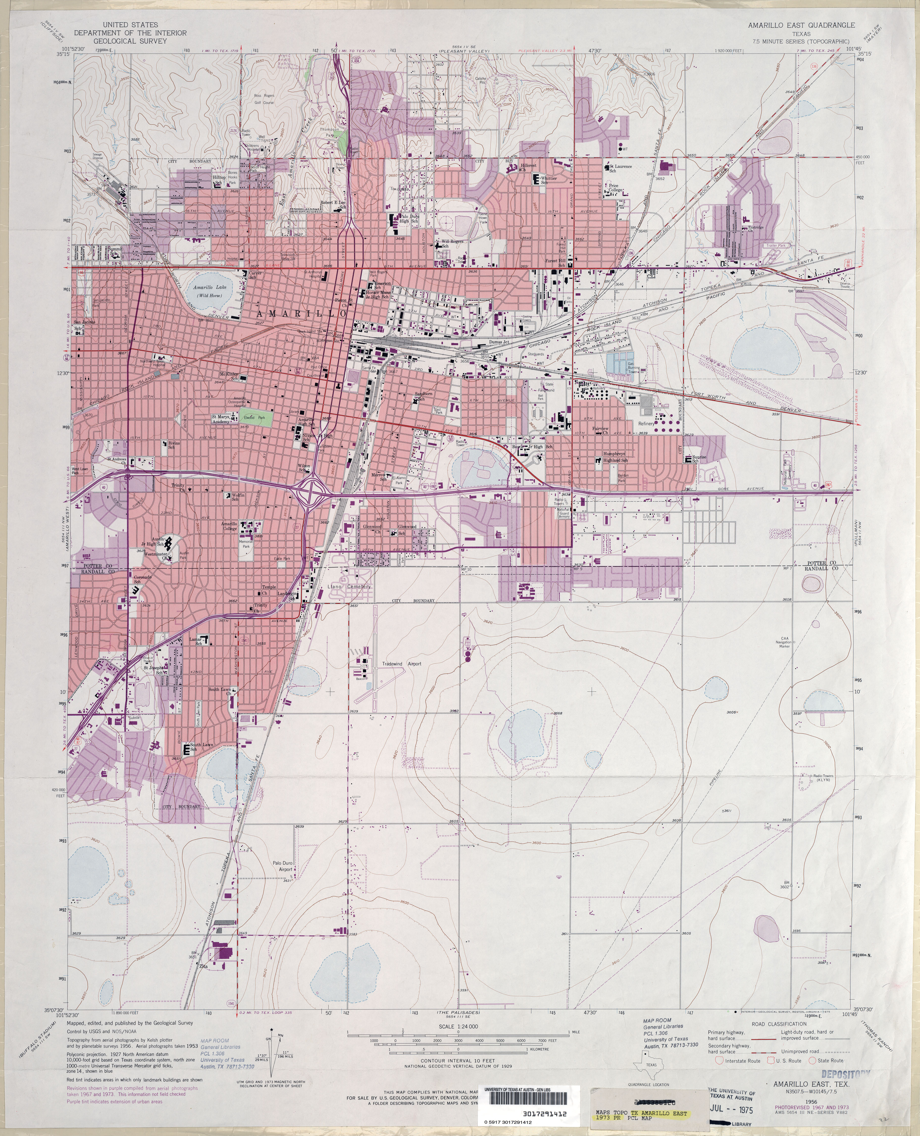
- Amarillo East 1:24,000 2008 (16.5MB) [GeoPDF]
- Amarillo East 1:24,000 2012 (23.1MB) [GeoPDF]
- Amarillo West 1:24,000 1960 (3.4MB)
- Amarillo West 1:24,000 1967 (3.6MB)
- Amarillo West 1:24,000 1973 (3.6MB)
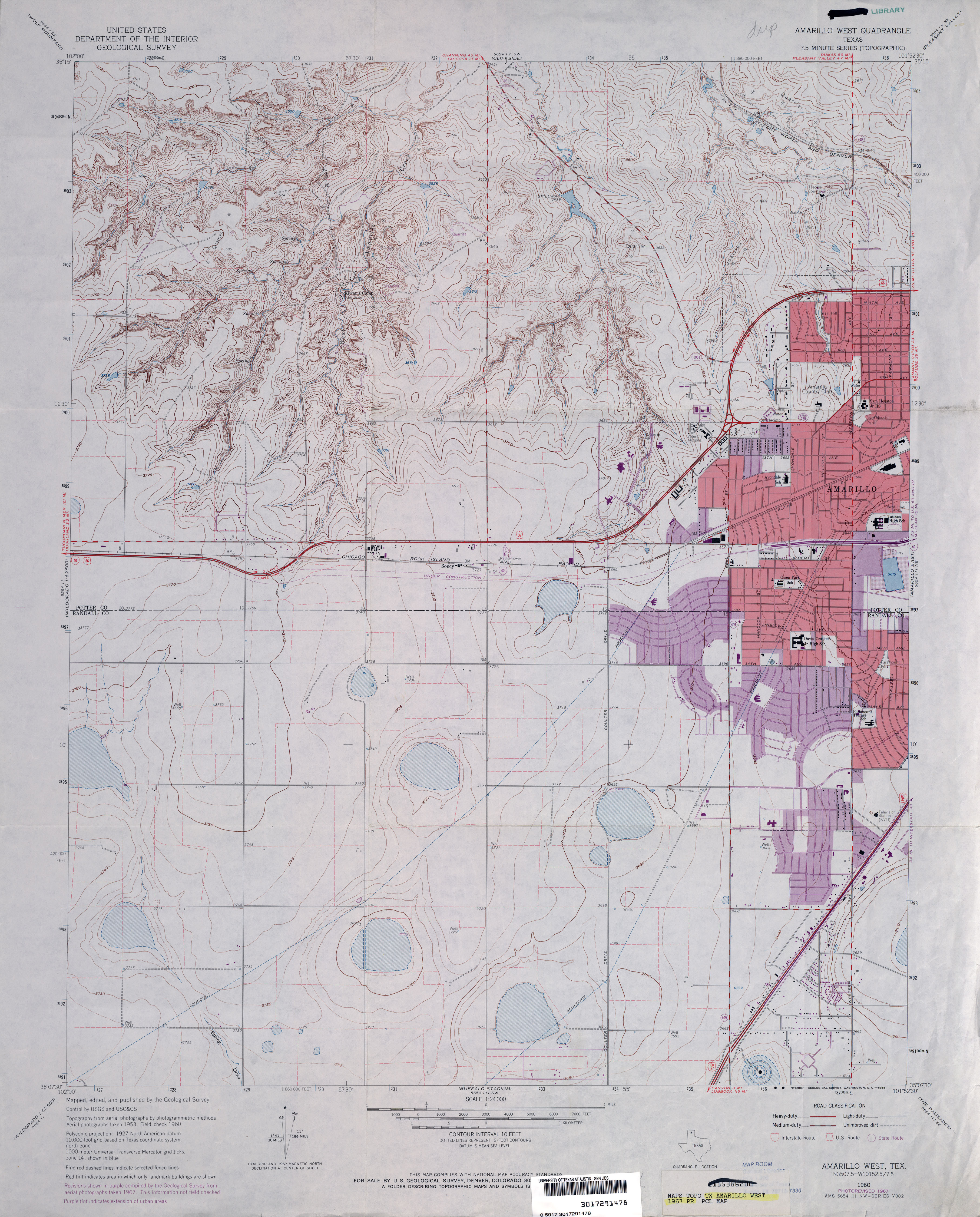
- Amarillo West 1:24,000 2008 (16.8MB) [GeoPDF]
- Amarillo West 1:24,000 2012 (23.9MB) [GeoPDF]
- Ambrose 1:24,000 1984 (4.5MB)
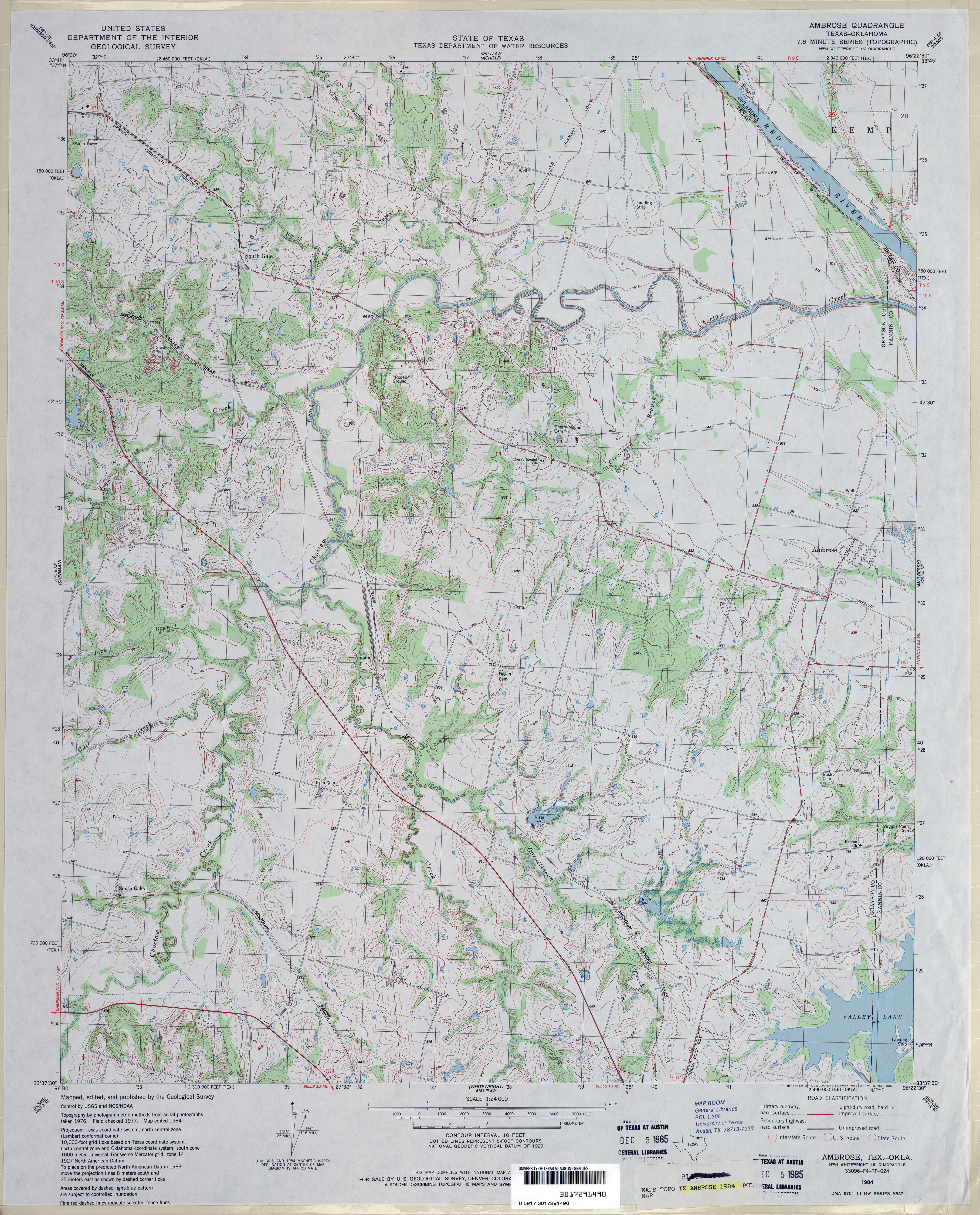
- Ambrose 1:24,000 2008 (14.9MB) [GeoPDF]
- Ambrose 1:24,000 2013 (21.9MB) [GeoPDF]
- Amburgey Ranch 1:24,000 1971 (3.2MB)
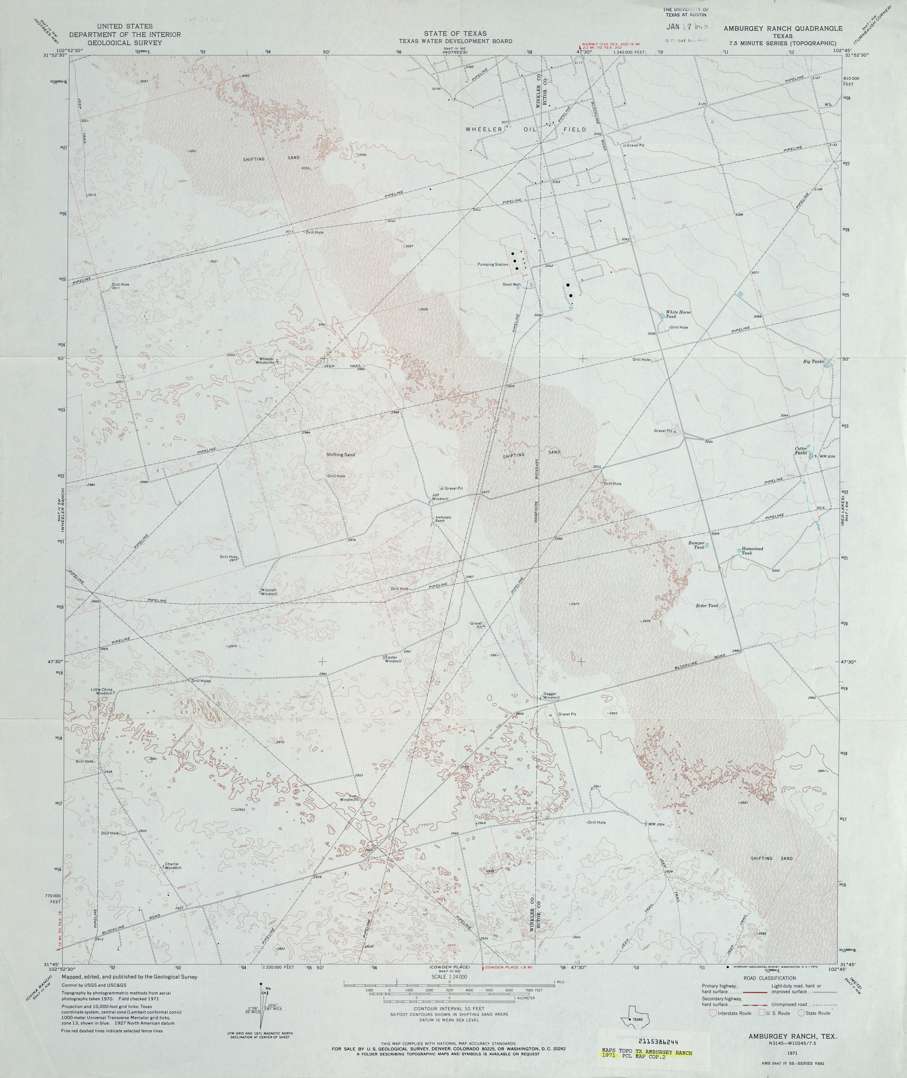
- Amburgey Ranch 1:24,000 2008 (19.9MB) [GeoPDF]
- Amburgey Ranch 1:24,000 2012 (23.6MB) [GeoPDF]
- Amherst (Lamb County) 1:24,000 1962 (2.8MB)
- Amherst (Lamb County) 1:24,000 1981 (2.8MB)
- Amherst 1:24,000 2008 (MB) [GeoPDF]
- Amherst 1:24,000 2012 (14.8MB) [GeoPDF]
- Amistad Dam (Val Verde County) 1:24,000 1972 (3MB)
- Amistad Dam 1:24,000 2008 (19.9MB) [GeoPDF]
- Amistad Dam 1:24,000 2013 (23MB) [GeoPDF]
- Amistad Dam OE S 1:24,000 2008 (22.0MB) [GeoPDF]
- Amistad Dam OE S 1:24,000 2013 (10.8MB) [GeoPDF]
- Amistad SE [New Mexico, Texas] 1:24,000 2009 (16.9MB) [GeoPDF]
- Ammannsville 1:24,000 1957 (3.9MB)
- Ammannsville 1:24,000 1981 (4.2MB)
- Ammannsville 1:24,000 2008 (13.0MB) [GeoPDF]
- Ammannsville 1:24,000 2013 (20.7MB) [GeoPDF]
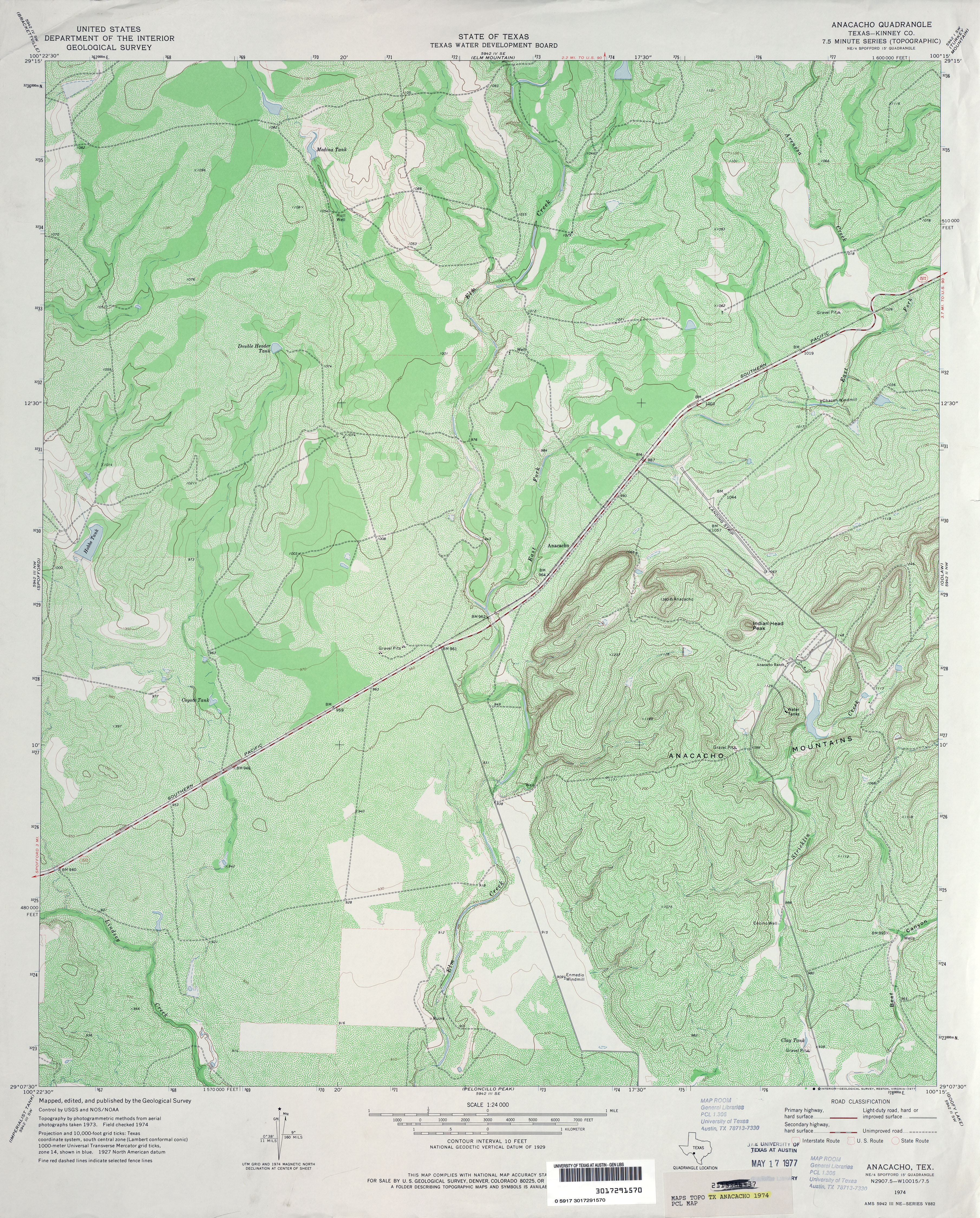
- Anacacho (Kinney County) 1:24,000 1974 (5.7MB)
- Anacacho 1:24,000 2008 (22.9MB) [GeoPDF]
- Anacacho 1:24,000 2012 (33.1MB) [GeoPDF]
- Anahuac 1:125,000 1928 (4.3MB) U.S. Army. Corps of Engineers. Tactical Map
- Anahuac 1:31,680 1942 (3.2MB) Tennessee Valley Authority
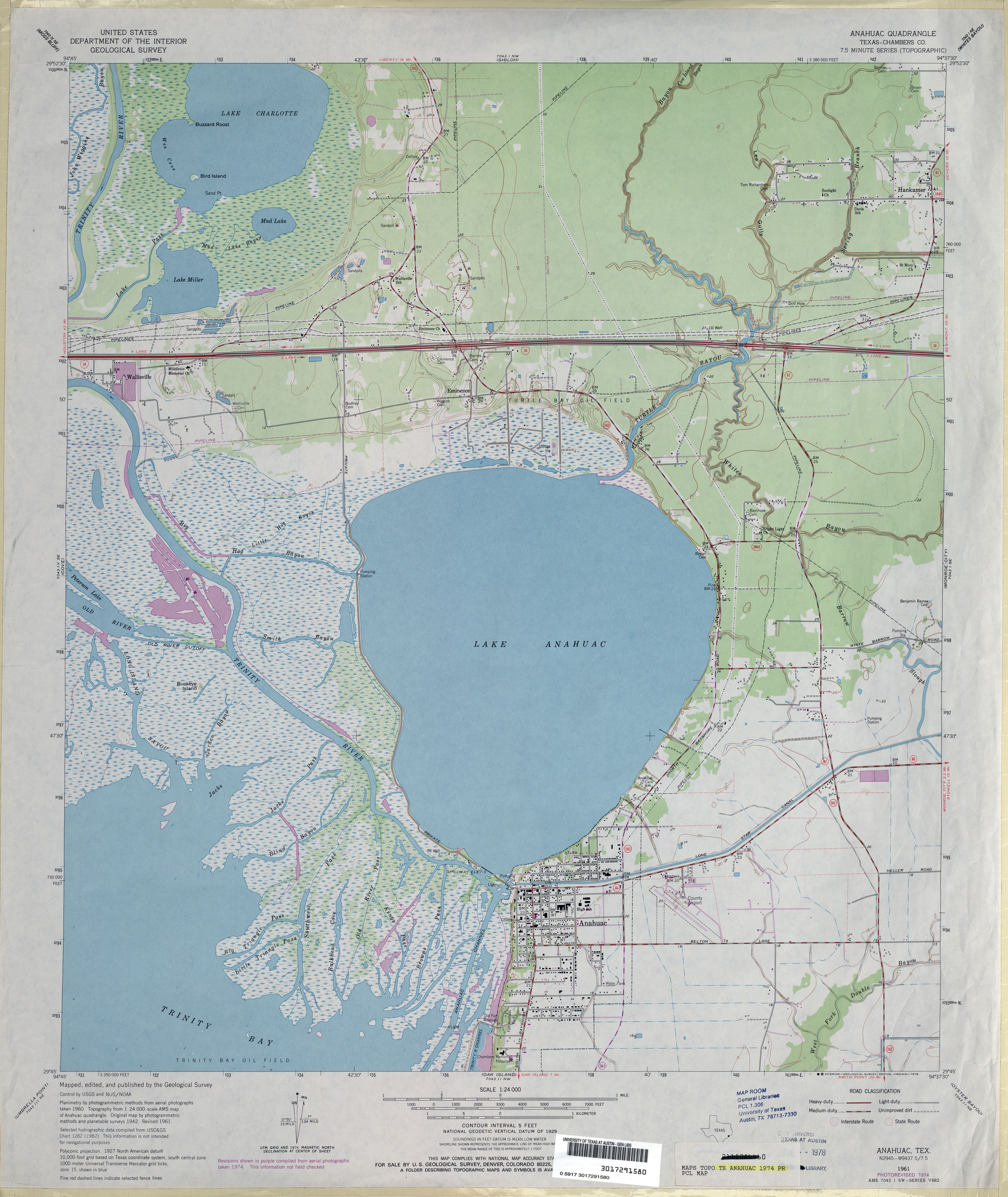
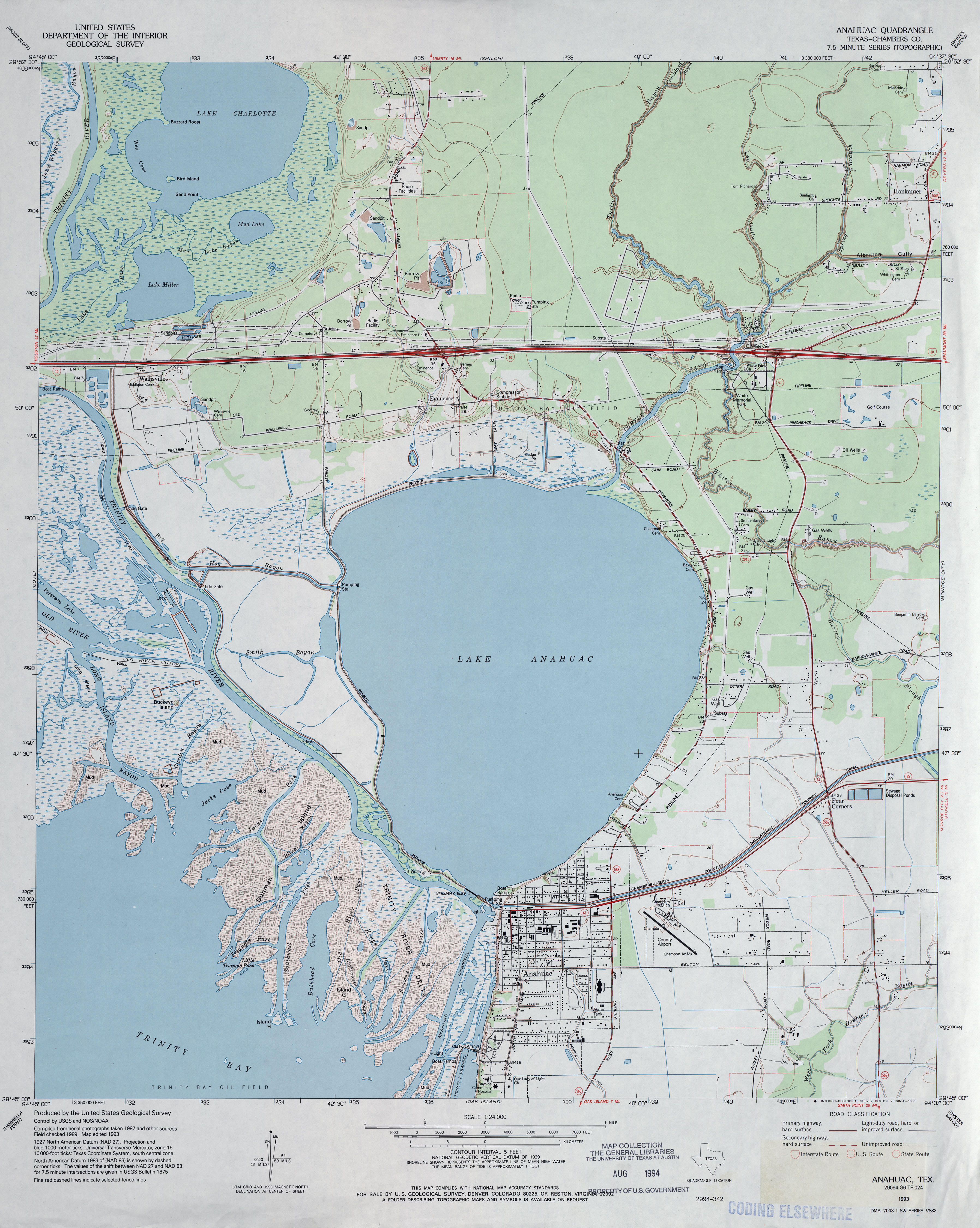
- Anahuac (Chambers County) 1:24,000 1961 (3.3MB)
- Anahuac (Chambers County) 1:24,000 1974 (3.5MB)
- Anahuac (Chambers County) 1:24,000 1993 (3.6MB)
- Anahuac 1:24,000 2009 (21.3MB) [GeoPDF]
- Anahuac 1:24,000 2013 (19.1MB) [GeoPDF]
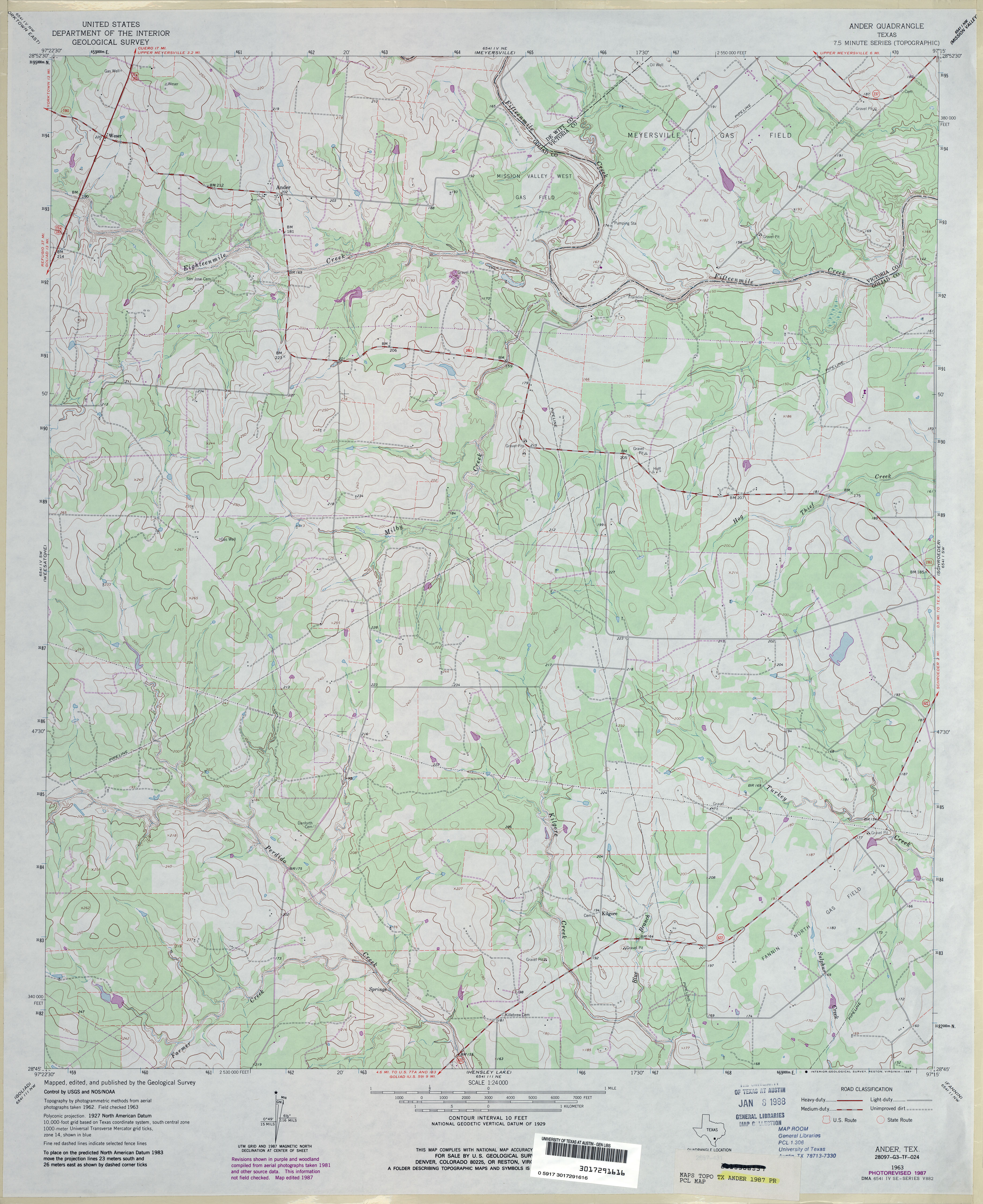
- Ander 1:24,000 1963 (3.5MB)
- Ander 1:24,000 1987 (3.6MB)
- Ander 1:24,000 2009 (15.1MB) [GeoPDF]
- Ander 1:24,000 2013 (25.6MB) [GeoPDF]
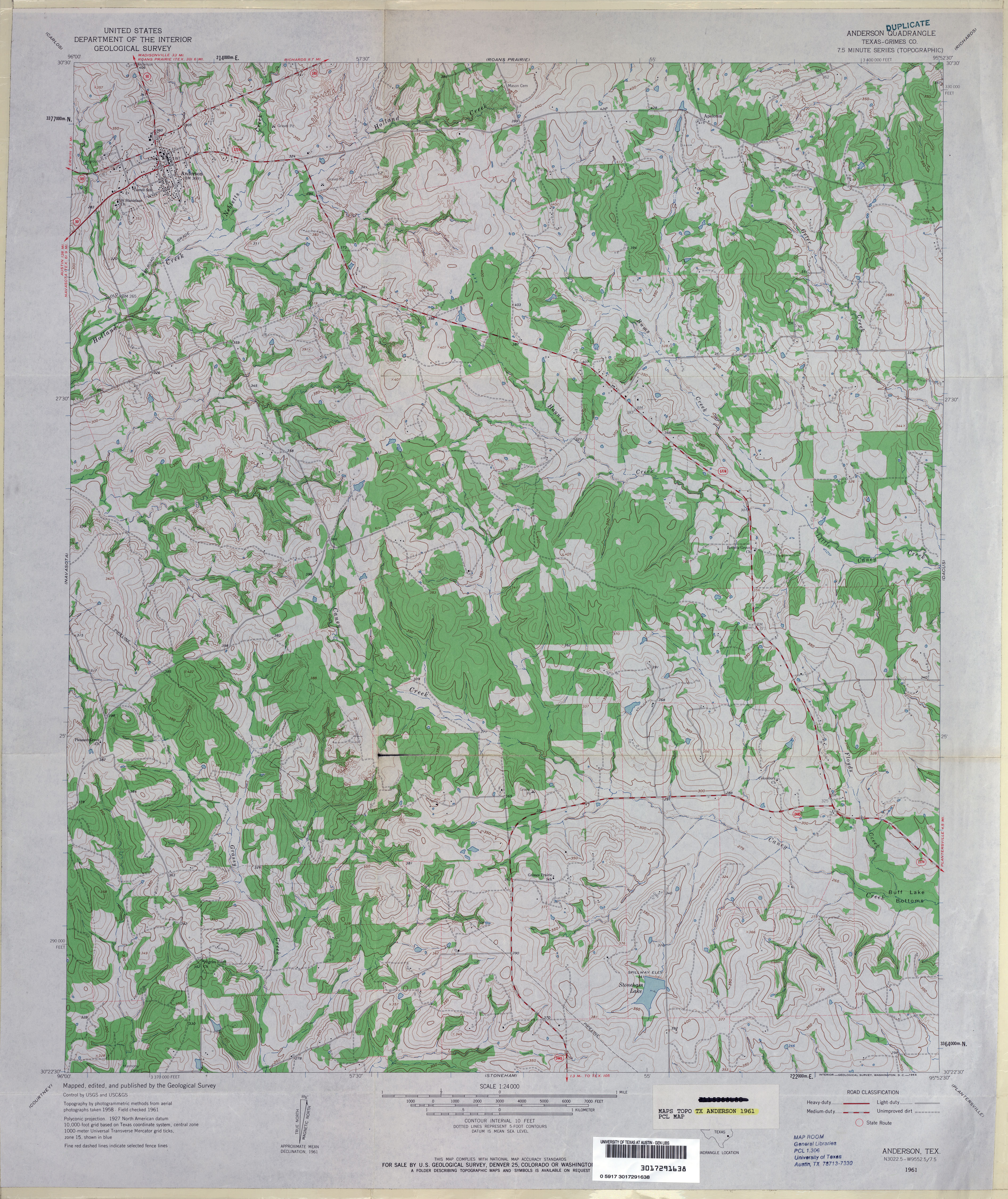
- Anderson (Grimes County) 1:24,000 1961 (4.4MB)
- Anderson 1:24,000 2009 (19.1MB) [GeoPDF]
- Anderson 1:24,000 2013 (21.2MB) [GeoPDF]
- Anderson Ranch 1:24,000 1961 (3.5MB)
- Anderson Ranch 1:24,000 2008 (20.3MB) [GeoPDF]
- Anderson Ranch 1:24,000 2013 (26.0MB) [GeoPDF]
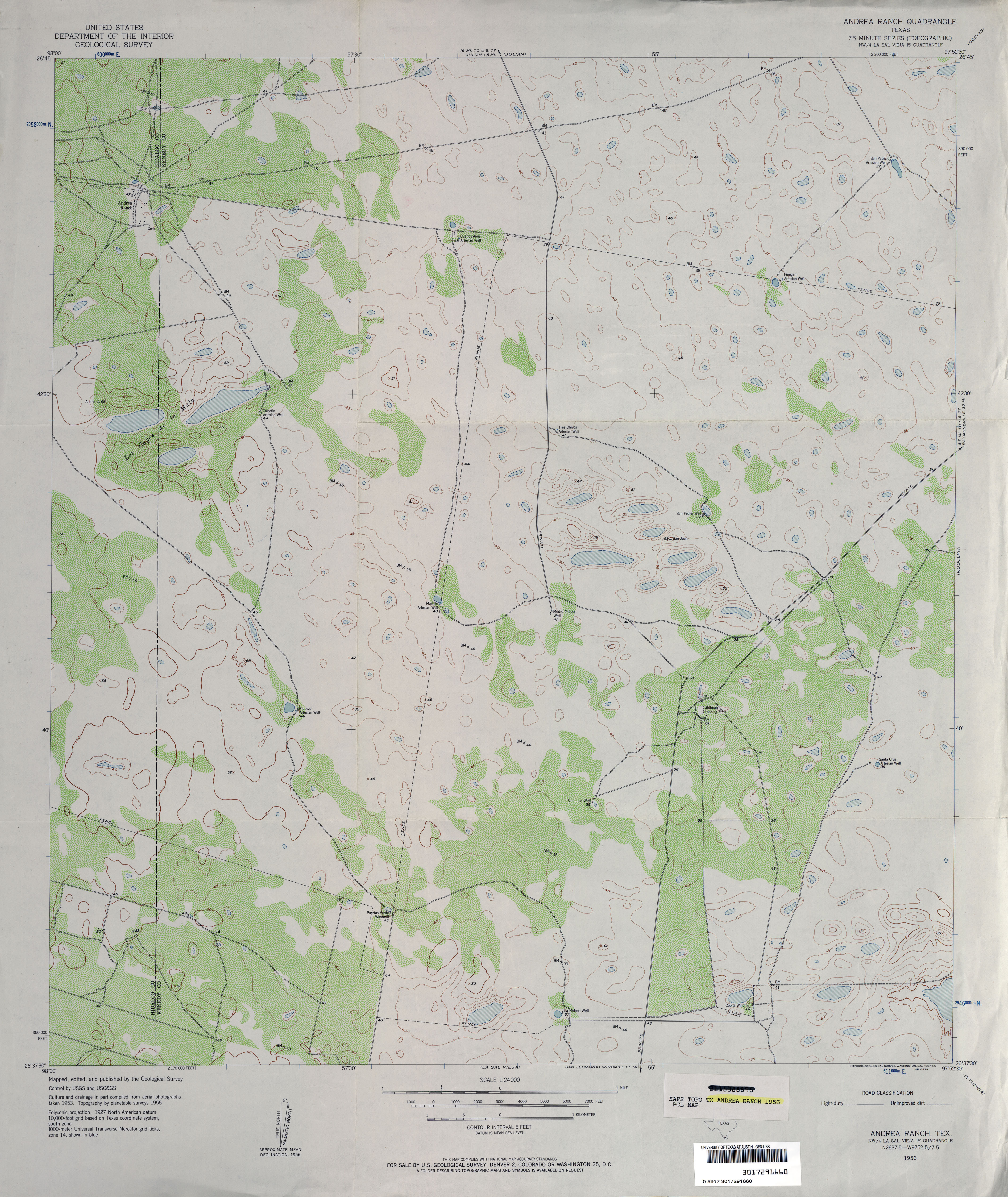
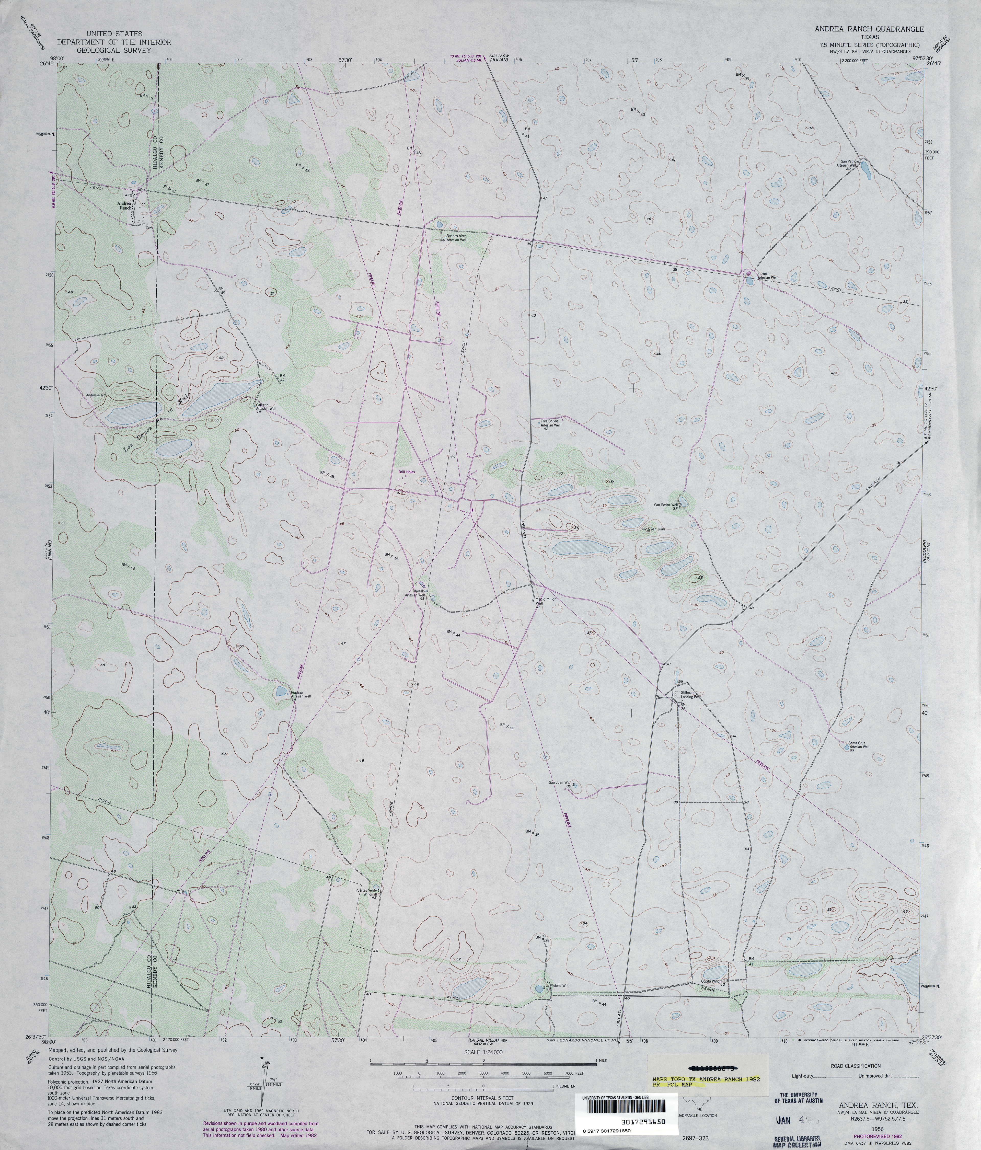
- Andrea Ranch 1:24,000 1956 (3.6MB)
- Andrea Ranch 1:24,000 1982 (3.1MB)
- Andrea Ranch 1:24,000 2009 (18.3MB) [GeoPDF]
- Andrea Ranch 1:24,000 2013 (22MB) [GeoPDF]
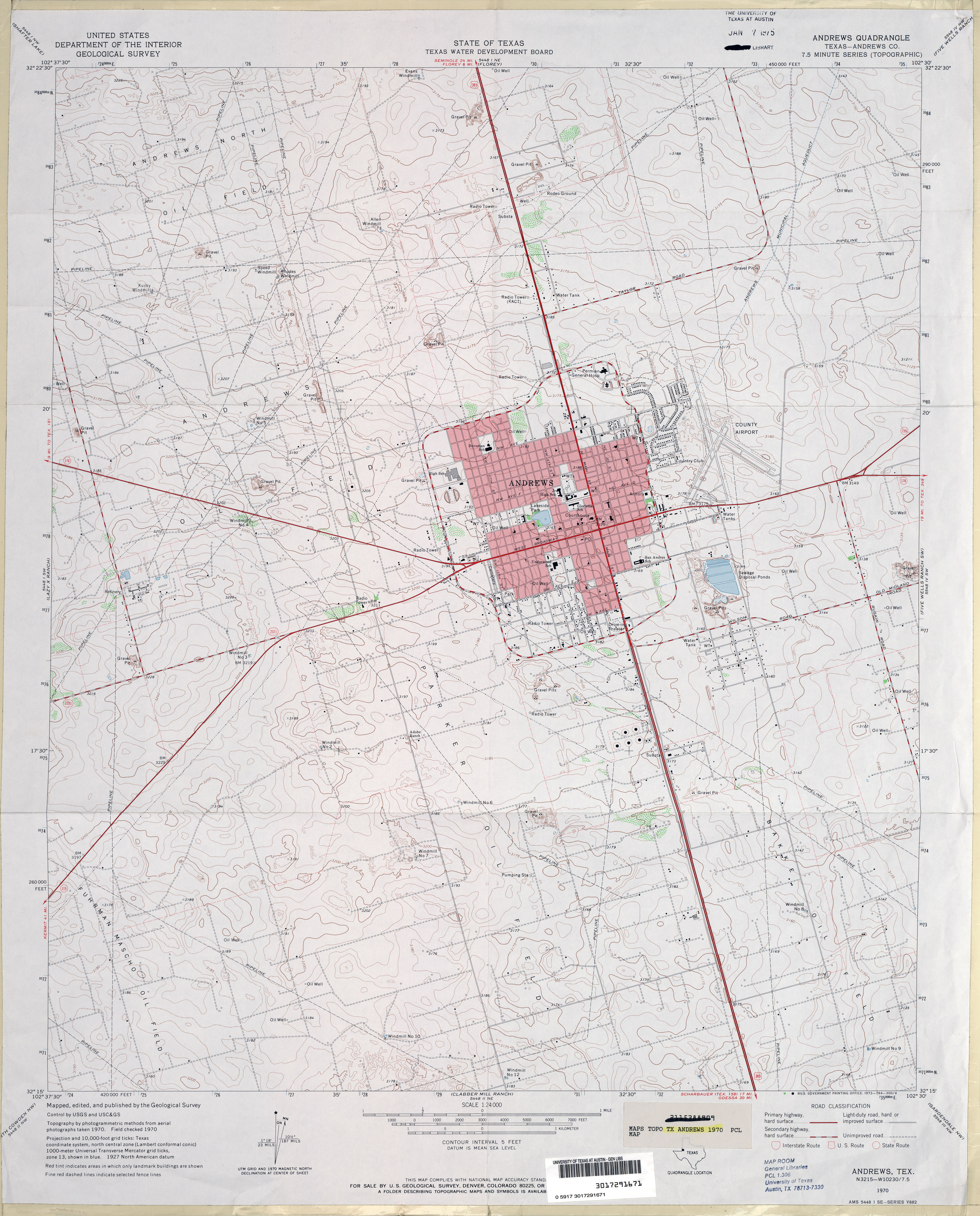
- Andrews (Andrews County) 1:24,000 1970 (3.5MB)
- Andrews 1:24,000 2008 (17.8MB) [GeoPDF]
- Andrews 1:24,000 2012 (20.1MB) [GeoPDF]
- Andrews Place [New Mexico, Texas] 1:24,000 2009 (25.7MB) [GeoPDF]
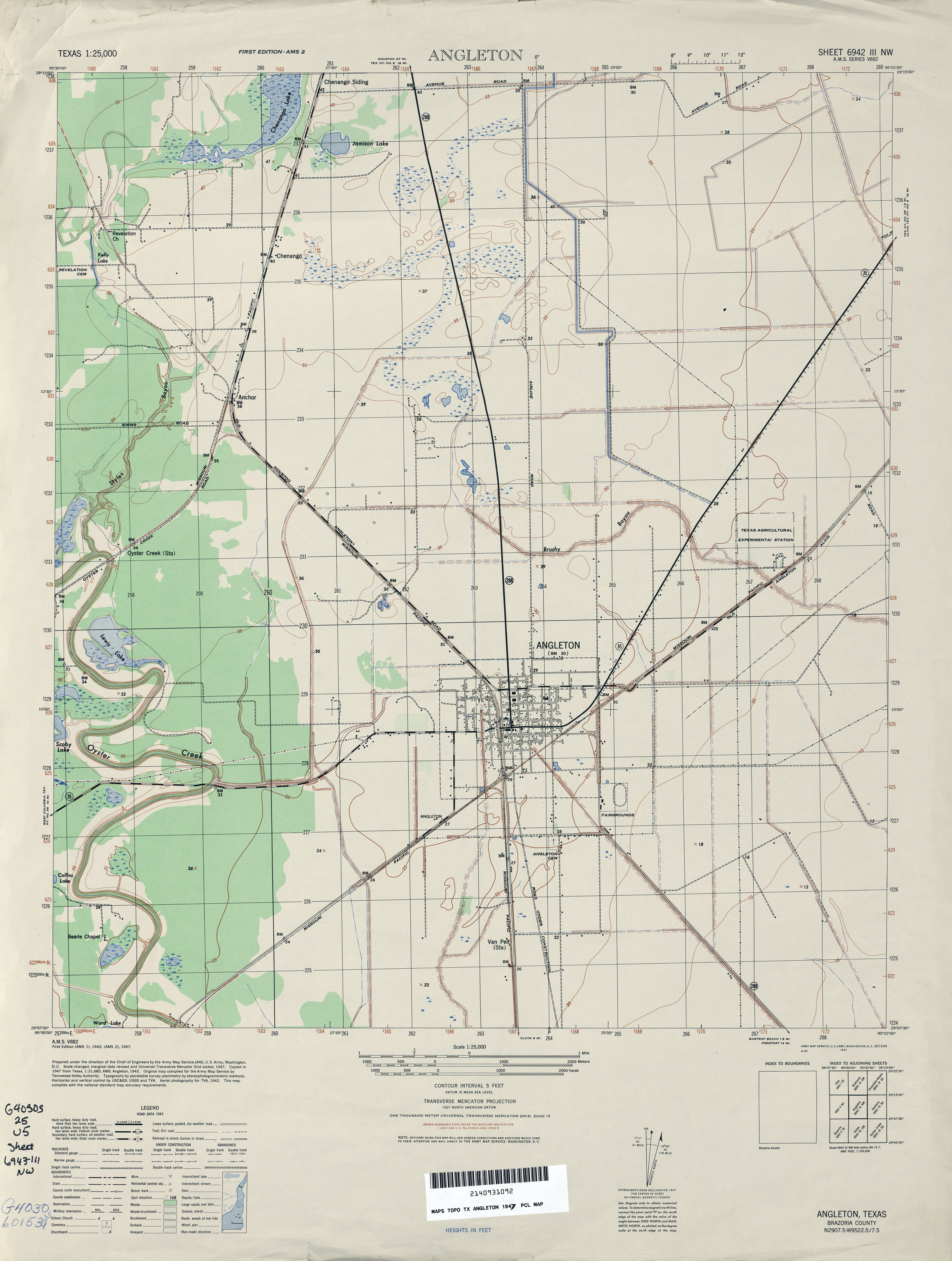
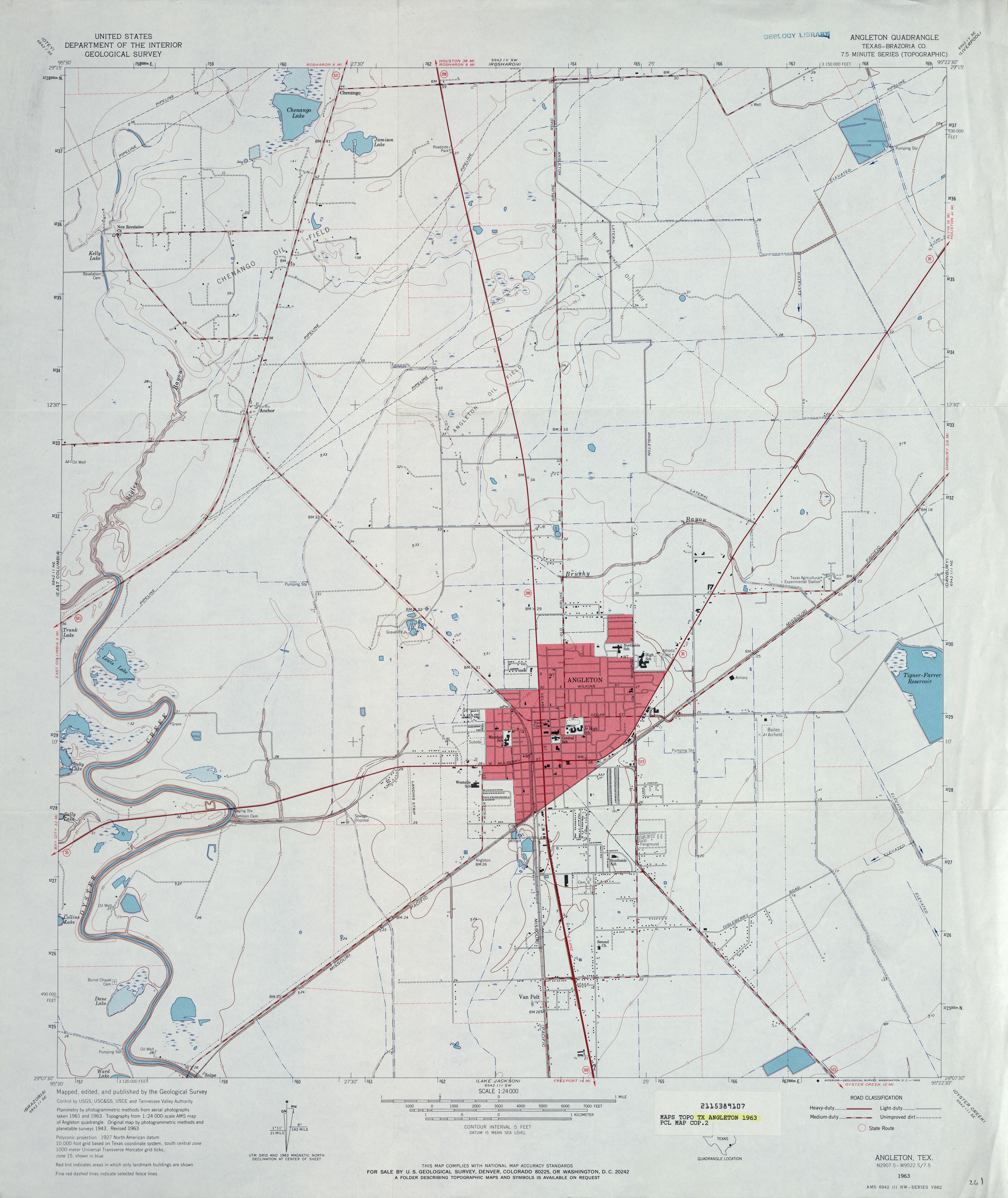
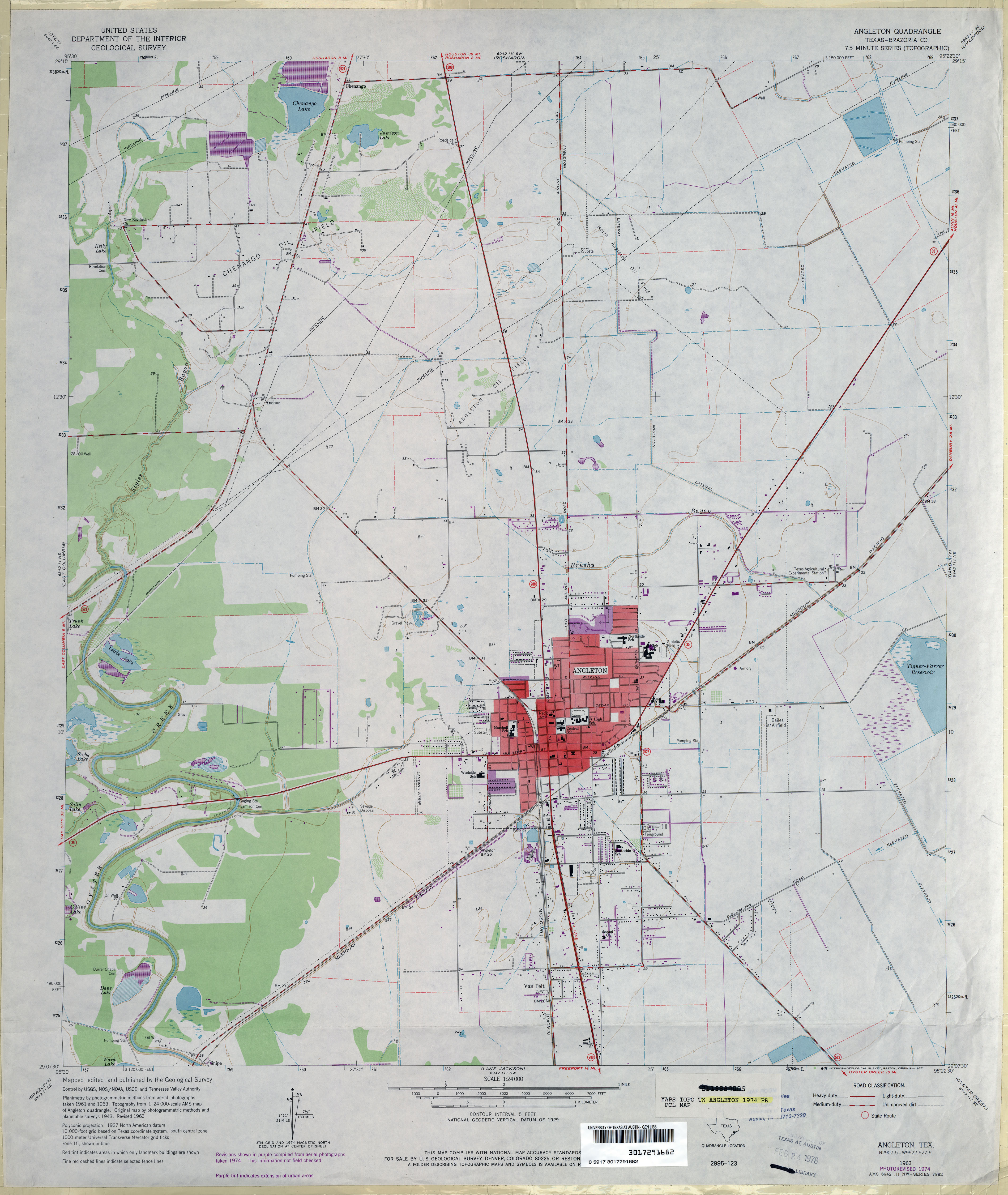
- Angleton 1:25,000 1947 (2.7MB) Army Map Service, Series V882
- Angleton (Brazoria County) 1:24,000 1963 (2.9MB)
- Angleton (Brazoria County) 1:24,000 1974 (2.9MB)
- Angleton 1:24,000 2009 (16.8MB) [GeoPDF]
- Angleton 1:24,000 2013 (18.1MB) [GeoPDF]
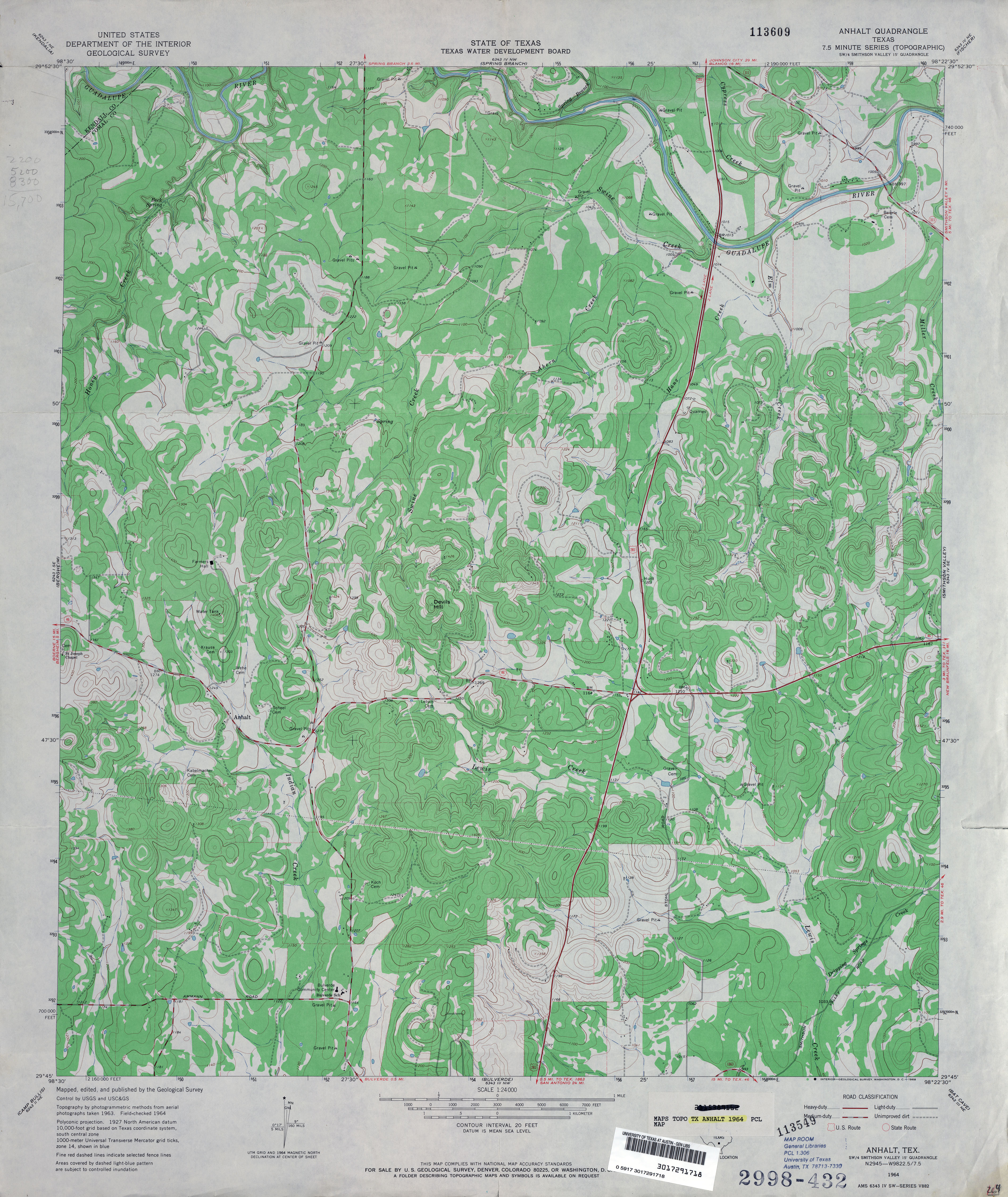
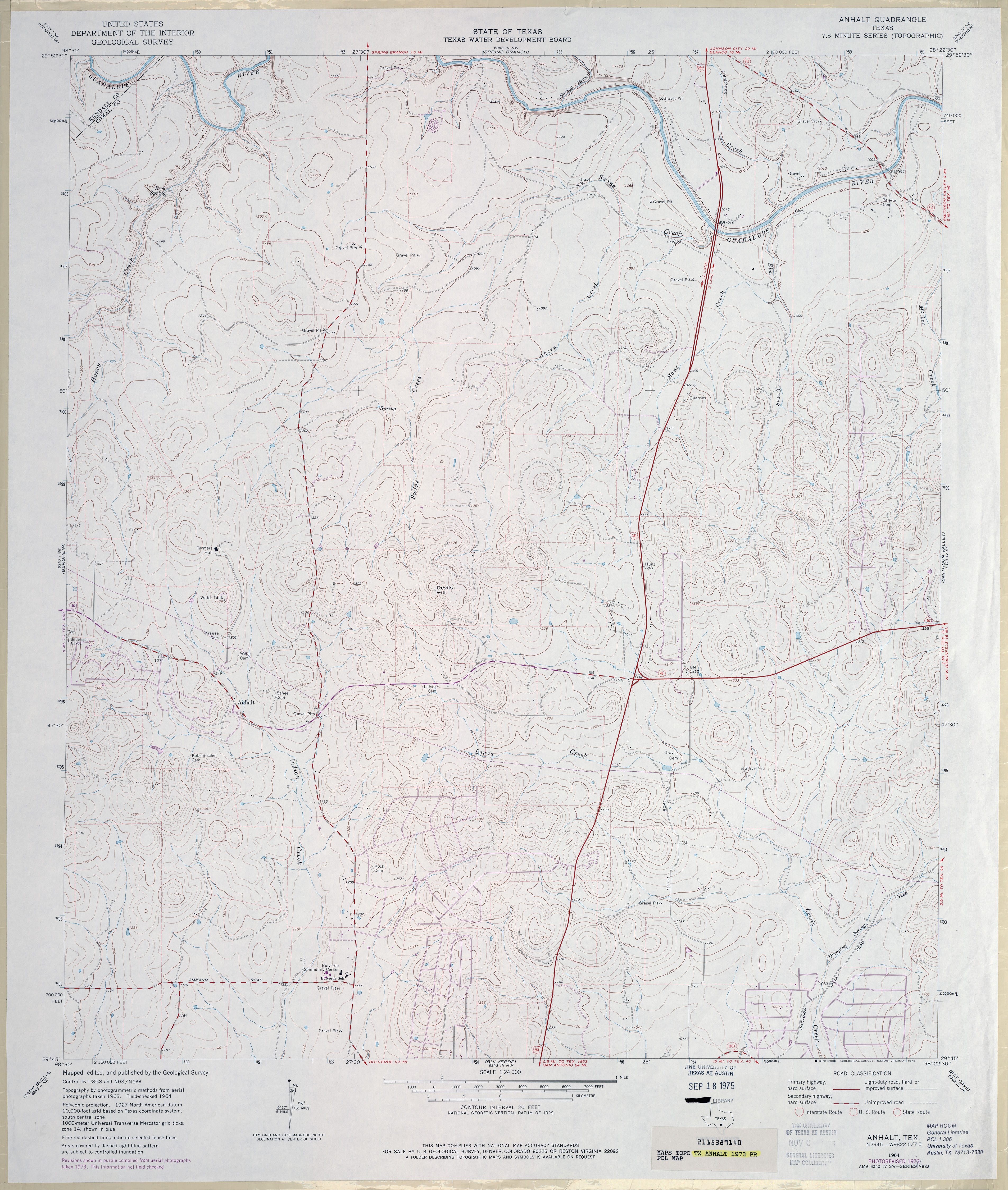
- Anhalt 1:24,000 1964 (4.1MB)
- Anhalt 1:24,000 1973 (3.7MB)
- Anhalt 1:24,000 2008 (21.8MB) [GeoPDF]
- Anhalt 1:24,000 2013 (27.5MB) [GeoPDF]
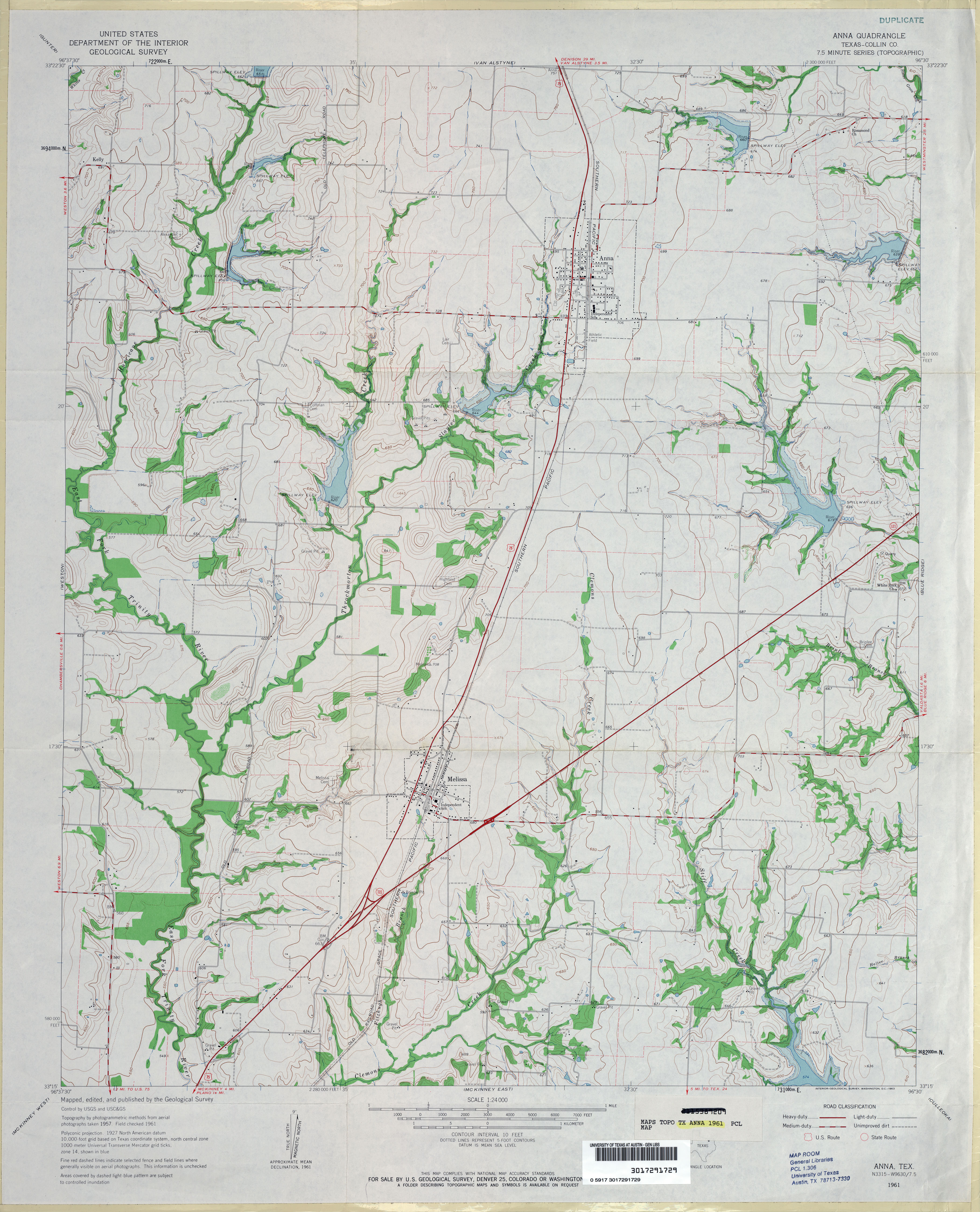
- Anna (Collin County) 1:24,000 1961 (3.5MB)
- Anna 1:24,000 2008 (13.9MB) [GeoPDF]
- Anna 1:24,000 2013 (19.7MB) [GeoPDF]
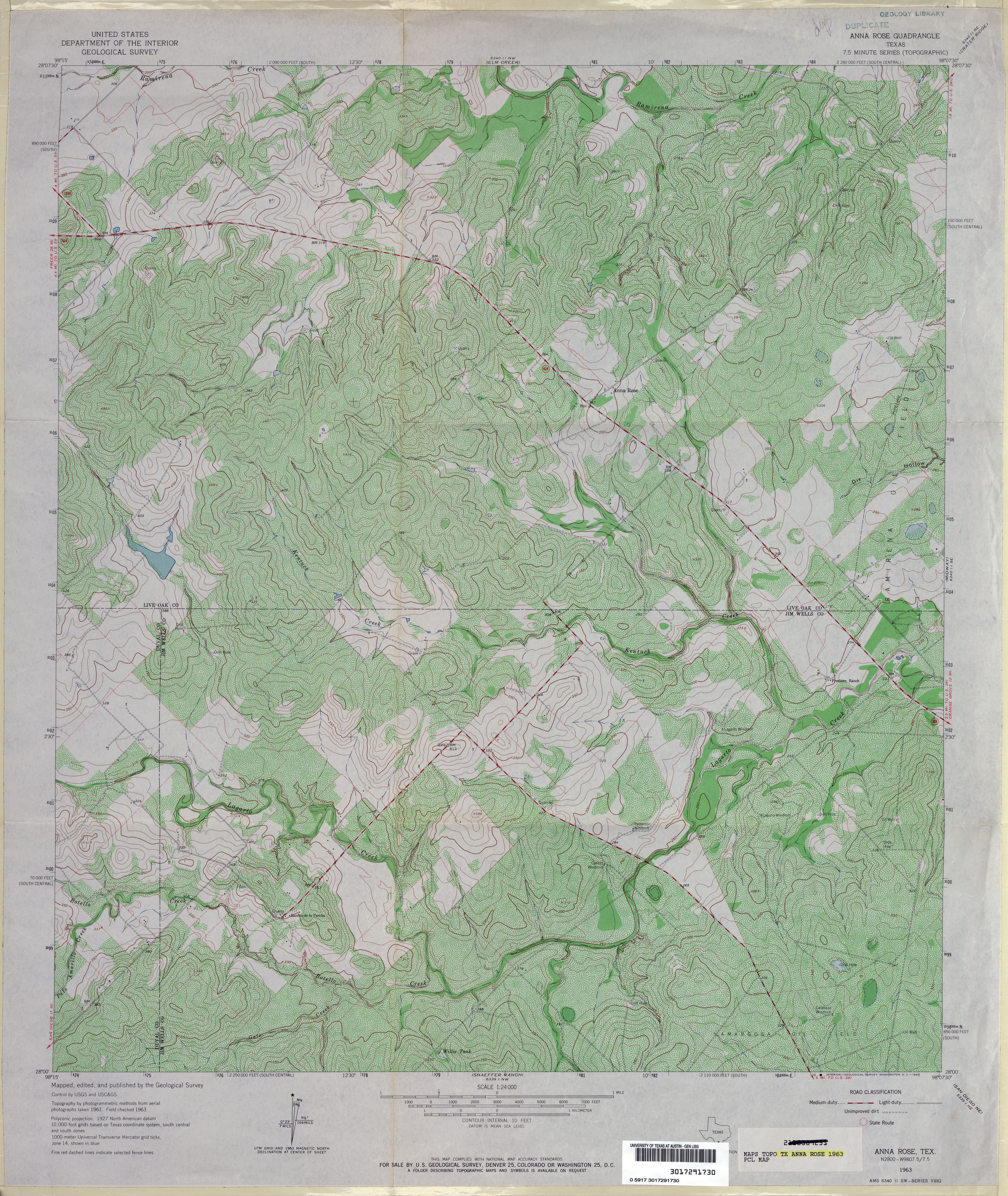
- Anna Rose 1:24,000 1963 (5.4MB)
- Anna Rose 1:24,000 2008 (15.2MB) [GeoPDF]
- Anna Rose 1:24,000 2012 (23.8MB) [GeoPDF]
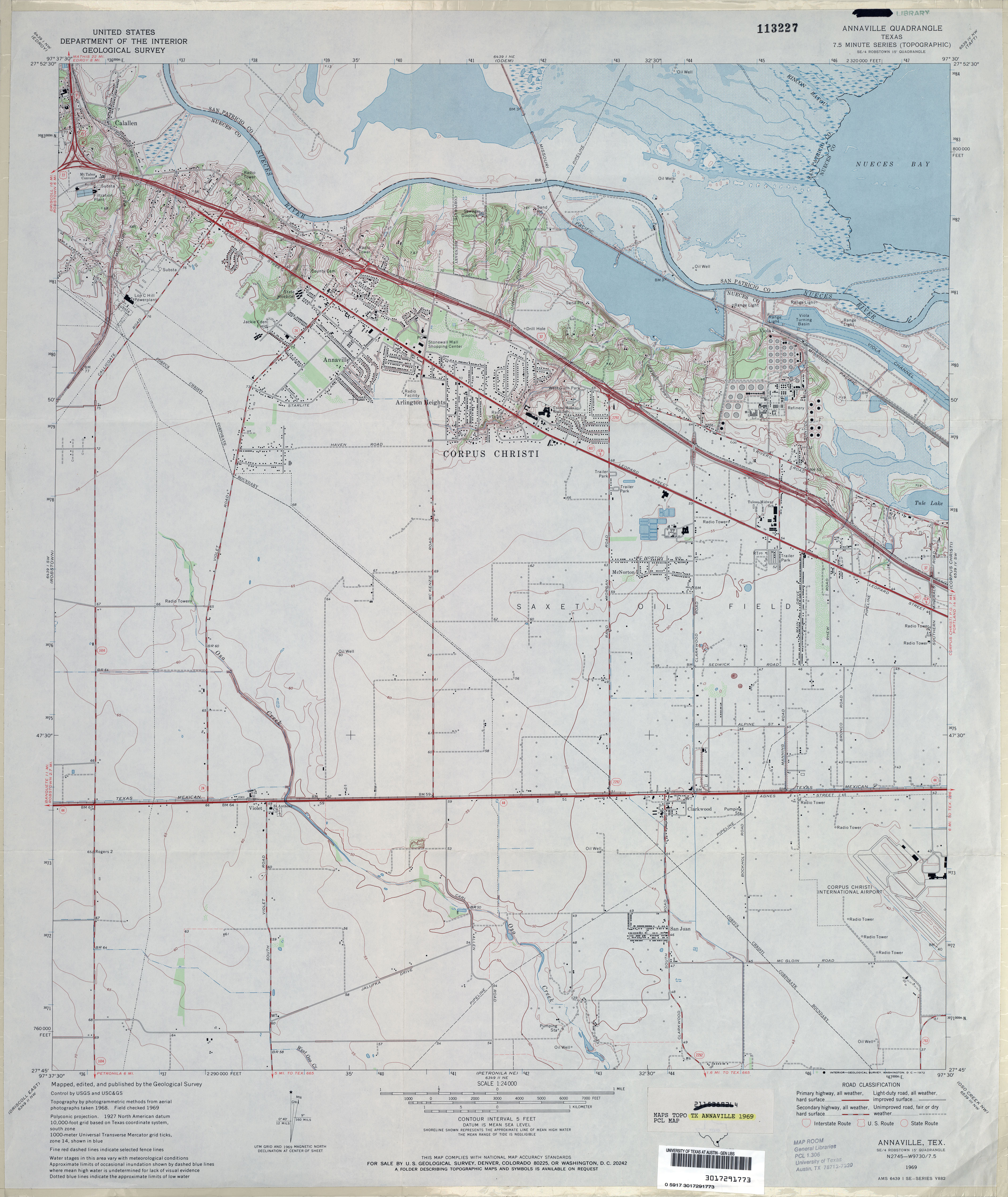
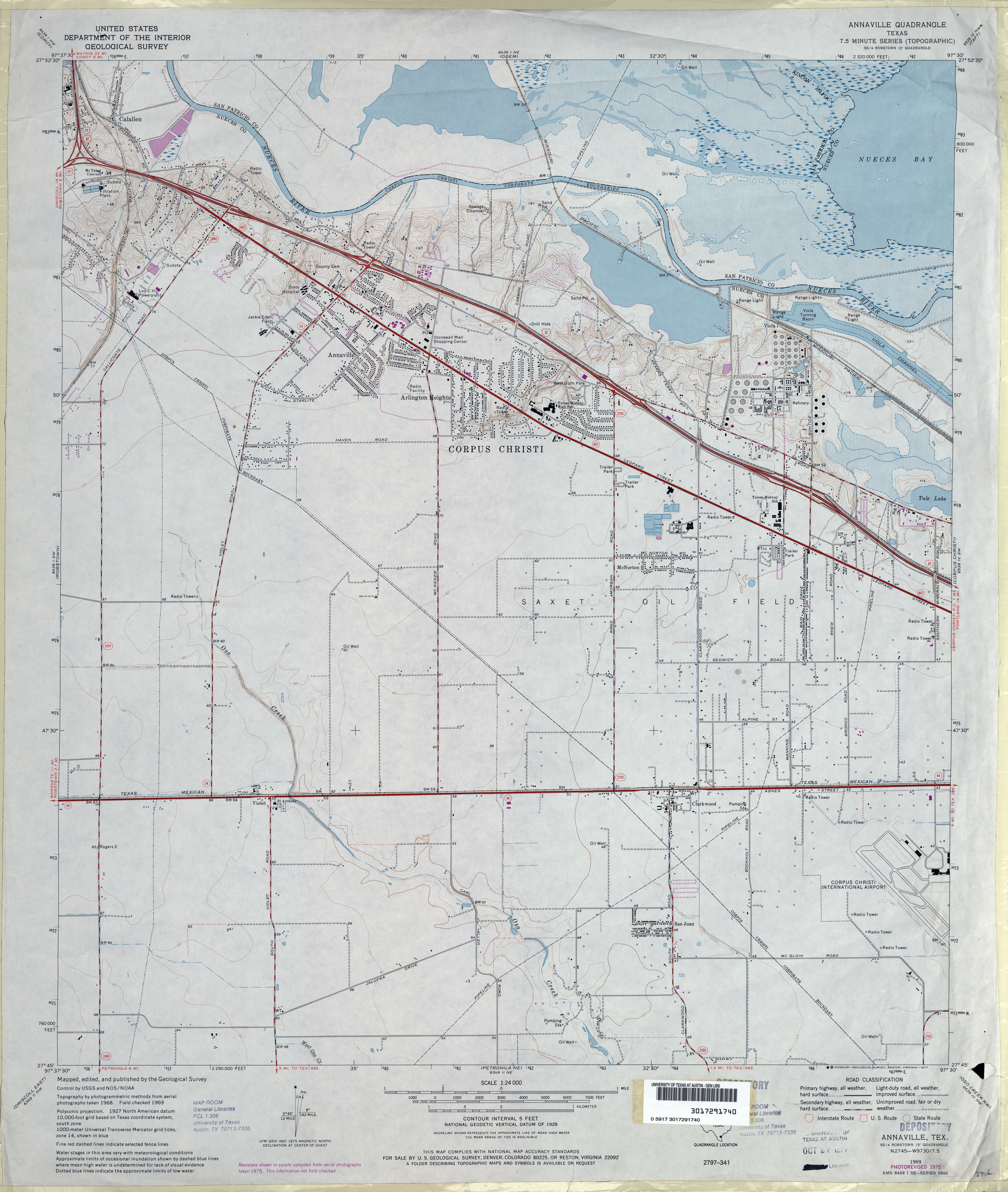
- Annaville 1:24,000 1969 (3.3MB)
- Annaville 1:24,000 1975 (3.3MB)
- Annaville 1:24,000 2008 (11.6MB) [GeoPDF]
- Annaville 1:24,000 2013 (18.1MB) [GeoPDF]
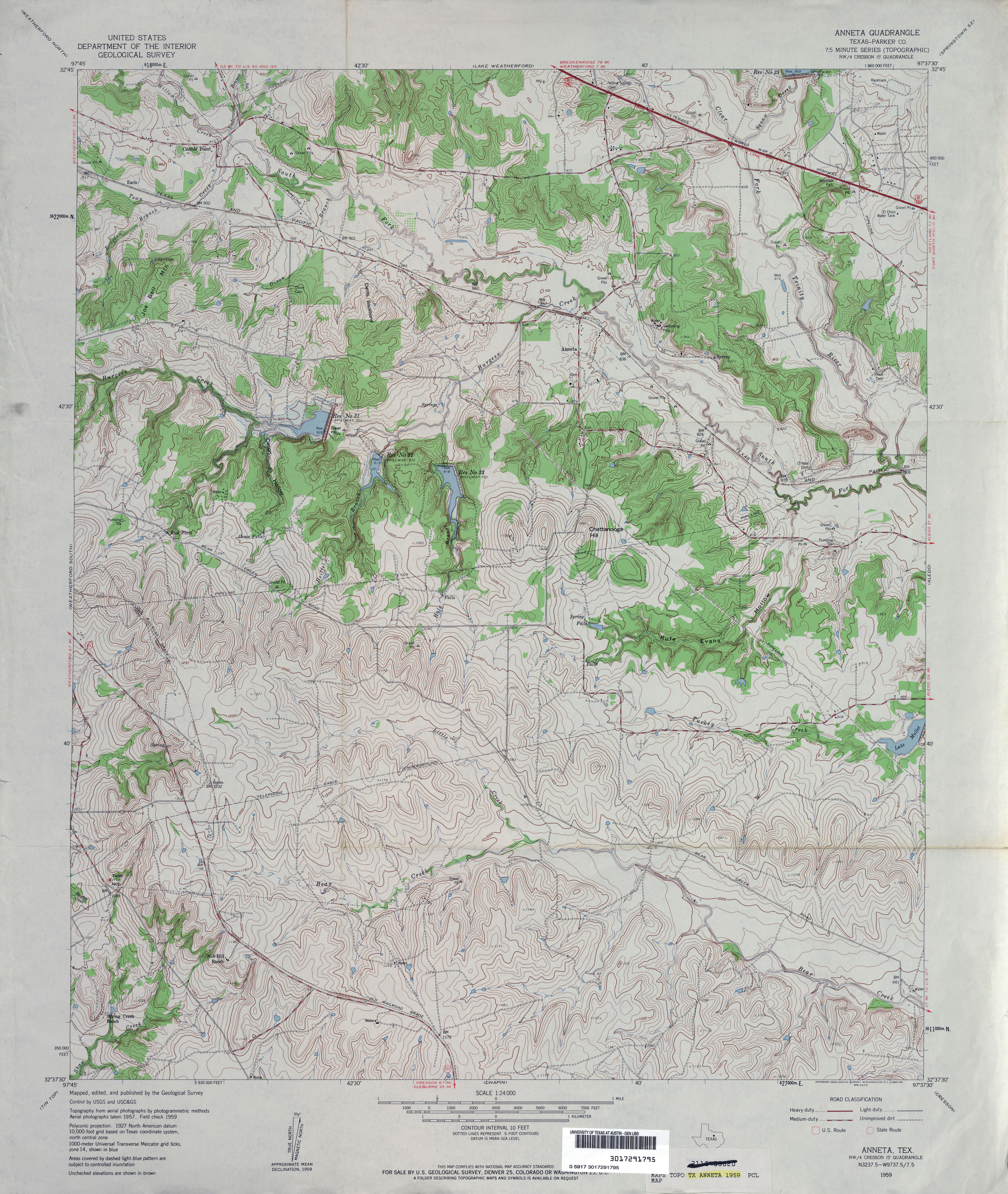
- Anneta (Parker County) 1:24,000 1959 (4.8MB)
- Anneta (Parker County) 1:24,000 1979 (4.9MB)
- Annetta 1:24,000 2008 (16.5MB) [GeoPDF]
- Annetta 1:24,000 2012 (21.6MB) [GeoPDF]
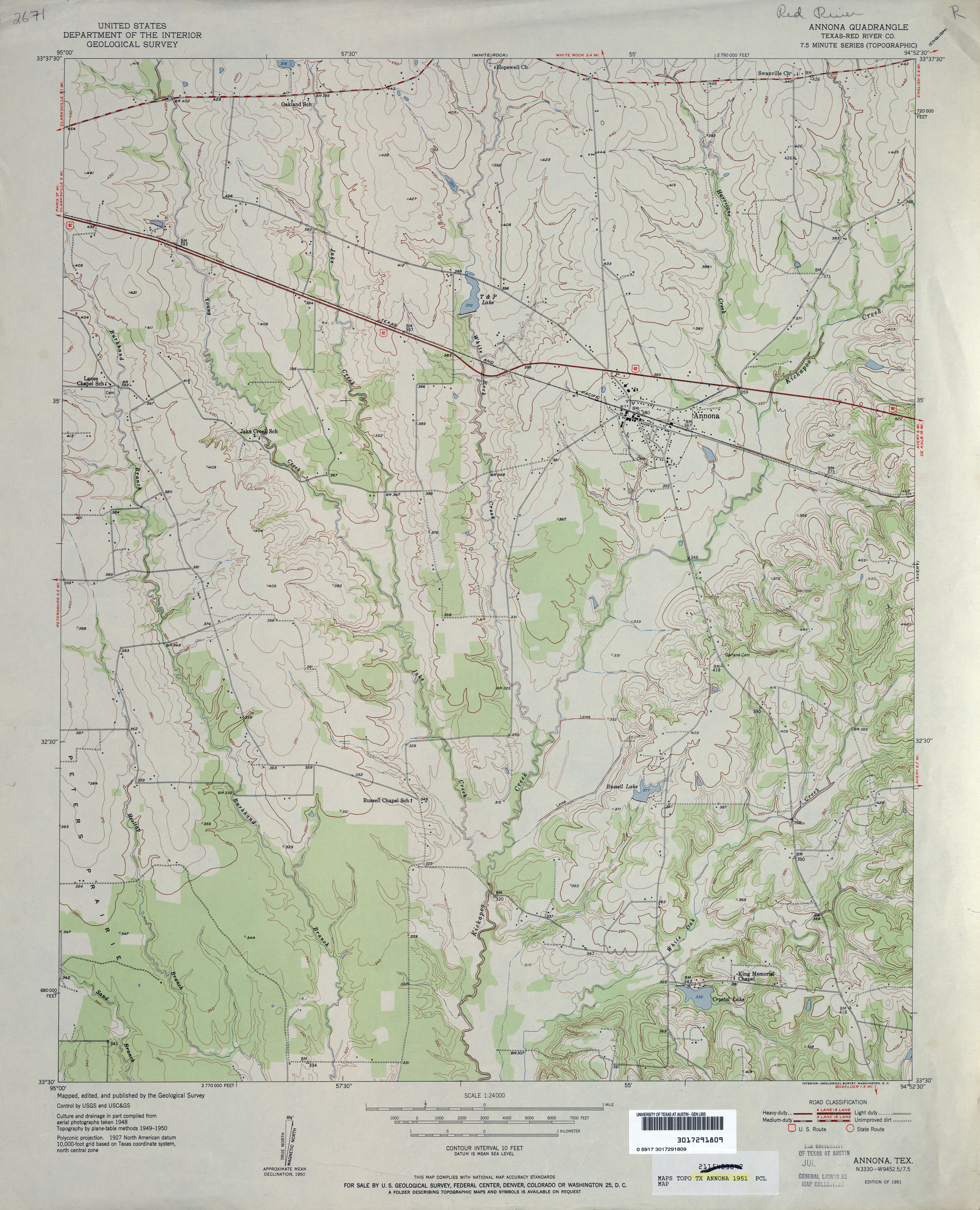
- Annona (Red River County) 1:24,000 1951 (3.5MB)
- Annona 1:24,000 2009 (15.0MB) [GeoPDF]
- Annona 1:24,000 2012 (19.9MB) [GeoPDF]
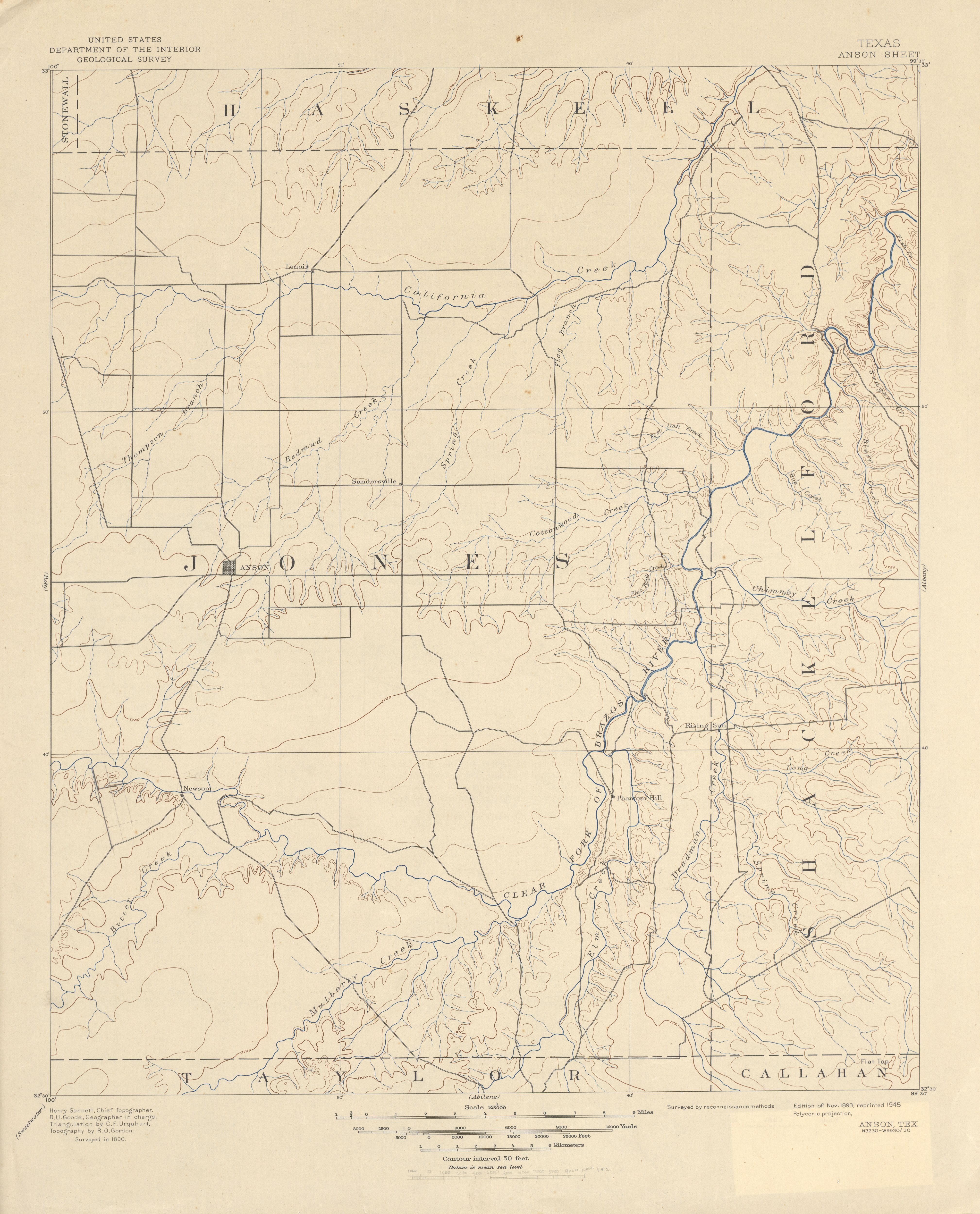
- Anson 1:125,000 1890 (3.9MB)
- Anson (Jones County) 1:24,000 1965 (2.6MB)
- Anson 1:24,000 2008 (9.8MB) [GeoPDF]
- Anson 1:24,000 2012 (17.2MB) [GeoPDF]
- Antelope 1:24,000 1964 (3.9MB)
- Antelope 1:24,000 1981 (4.3MB)
- Antelope 1:24,000 2008 (18.7MB) [GeoPDF]
- Antelope 1:24,000 2012 (22.5MB) [GeoPDF]
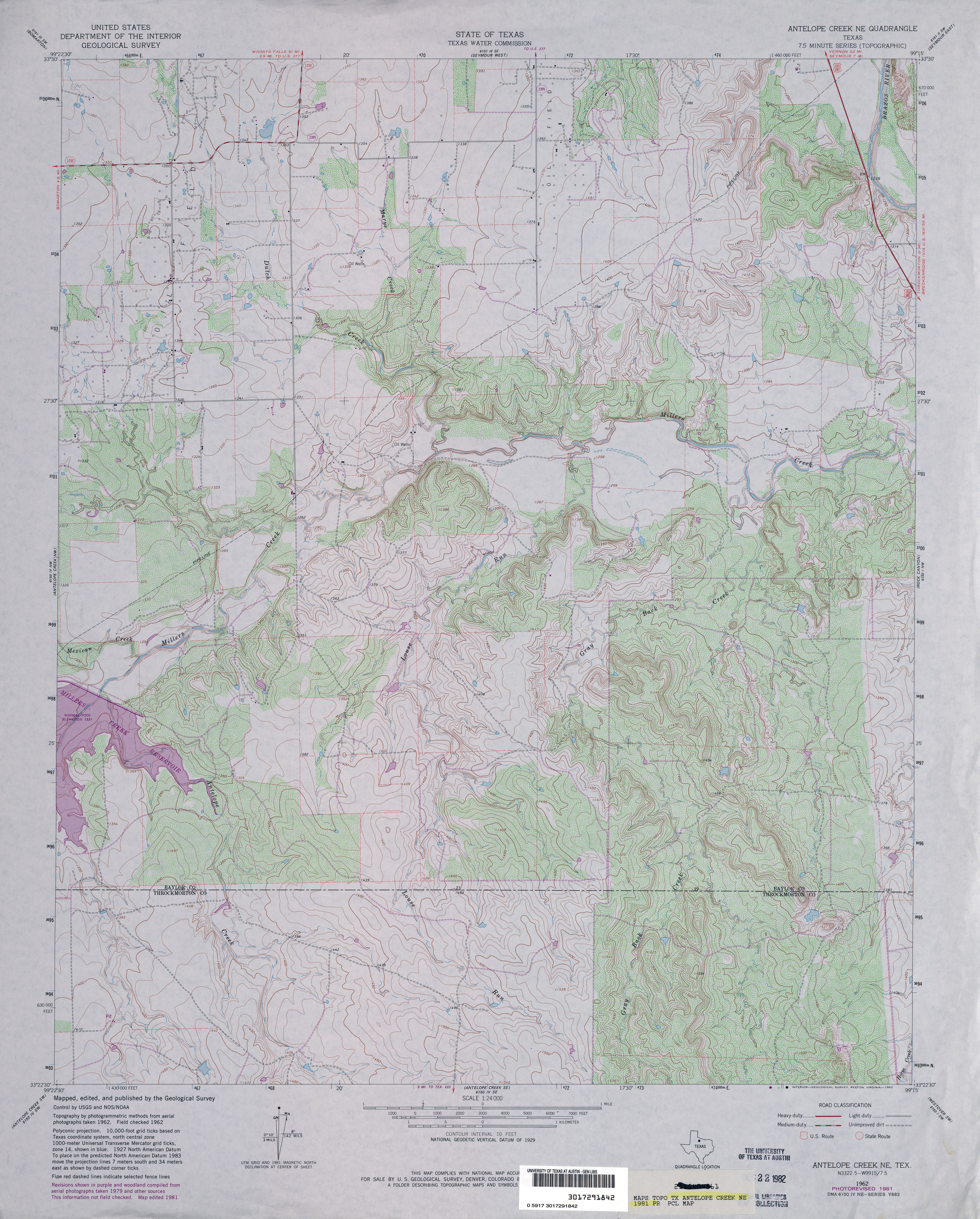
- Antelope Creek NE (Throckmorton County) 1:24,000 1962 (3.8MB)
- Antelope Creek NE (Throckmorton County) 1:24,000 1981 (4.6MB)
- Antelope Creek NE 1:24,000 2008 (12.5MB) [GeoPDF]
- Antelope Creek NE 1:24,000 2013 (19.4MB) [GeoPDF]
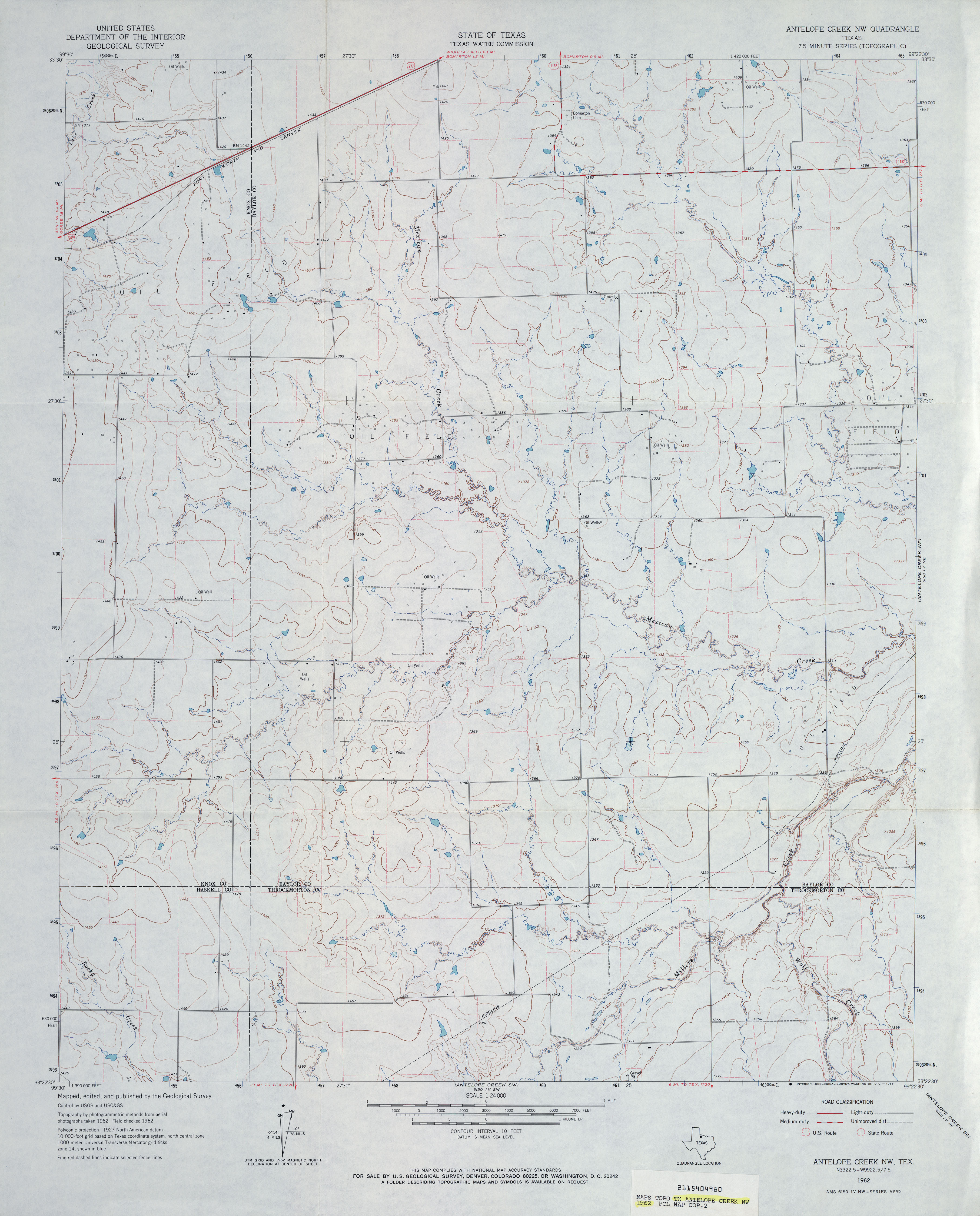
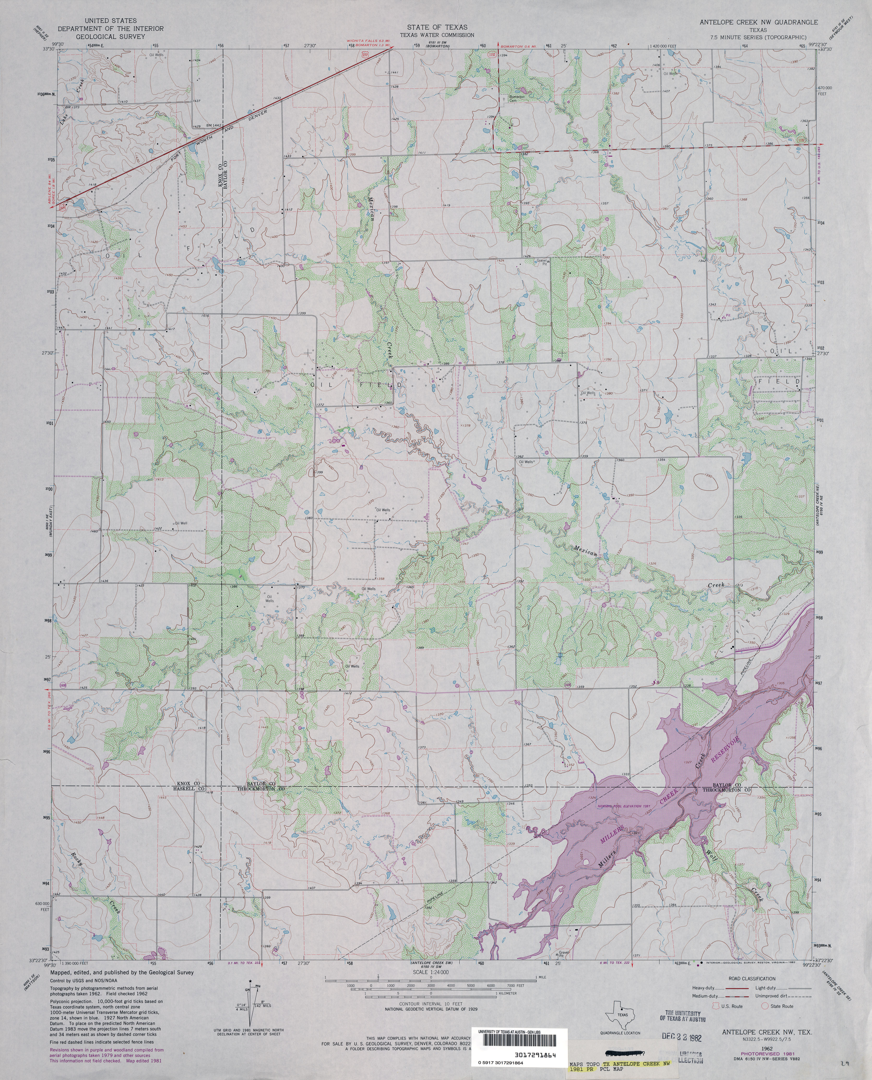
- Antelope Creek NW (Throckmorton County) 1:24,000 1962 (3.1MB)
- Antelope Creek NW (Throckmorton County) 1:24,000 1981 (3.6MB)
- Antelope Creek NW 1:24,000 2008 (11.2MB) [GeoPDF]
- Antelope Creek NW 1:24,000 2012 (17.3MB) [GeoPDF]
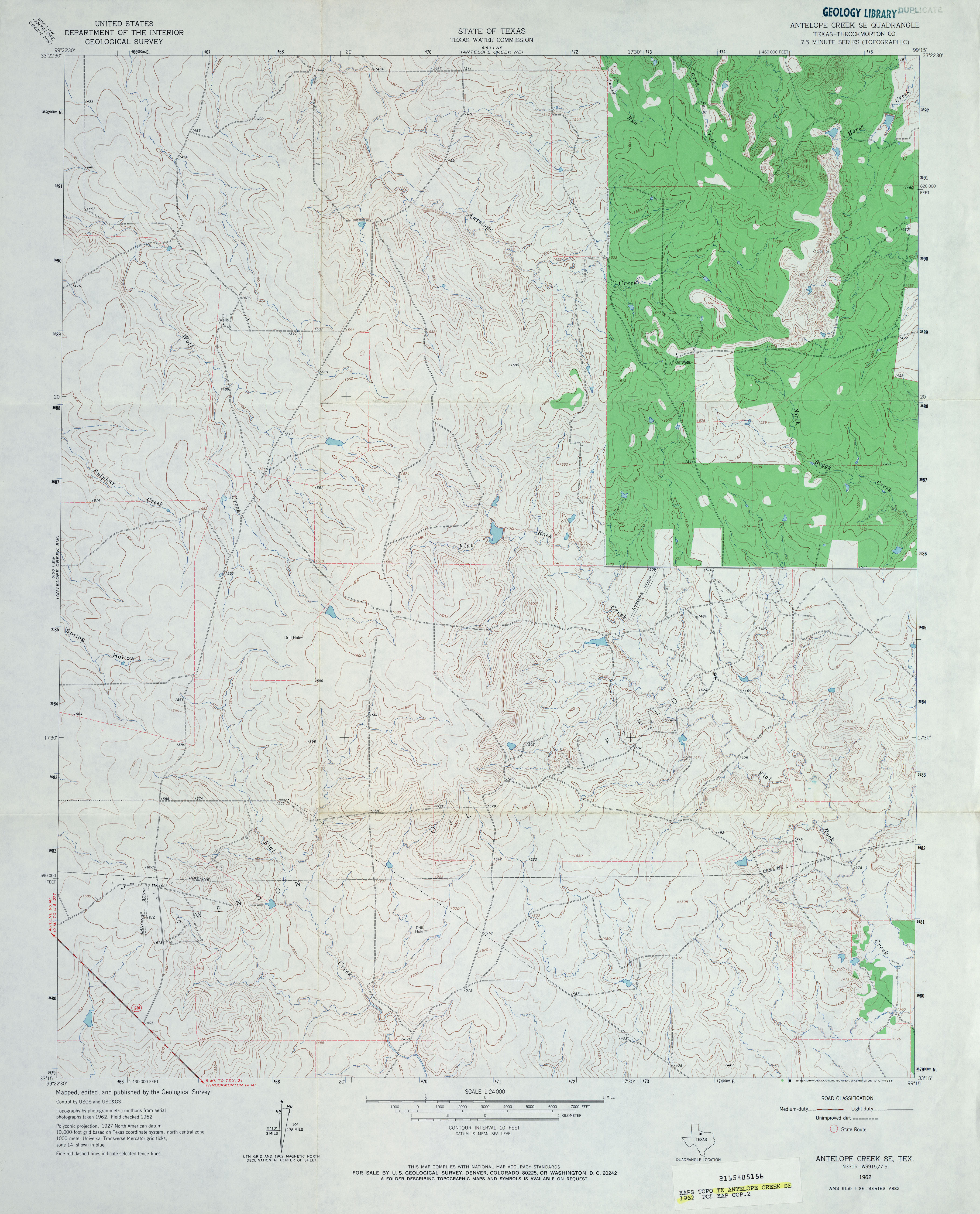
- Antelope Creek SE (Throckmorton County) 1:24,000 1962 (3.7MB)
- Antelope Creek SE (Throckmorton County) 1:24,000 1981 (3.9MB)
- Antelope Creek SE 1:24,000 2008 (10.2MB) [GeoPDF]
- Antelope Creek SE 1:24,000 2012 (16.9MB) [GeoPDF]
- Antelope Creek SW (Throckmorton County) 1:24,000 1962 (2.9MB)
- Antelope Creek SW 1:24,000 2008 (9.2MB) [GeoPDF]
- Antelope Creek SW 1:24,000 2013 (15.6MB) [GeoPDF]
- Antelope Flat 1:24,000 1972 (3.9MB)
- Antelope Flat 1:24,000 2008 (19.8MB) [GeoPDF]
- Antelope Flat 1:24,000 2012 (19.5MB) [GeoPDF]
- Antelope Gap 1:24,000 1979 (3.9MB)
- Antelope Gap 1:24,000 2008 (17.0MB) [GeoPDF]
- Antelope Gap 1:24,000 2012 (23.5MB) [GeoPDF]
- Antelope Hills 1:24,000 1965 (4.6MB)
- Antelope Hills 1:24,000 2008 (16.3MB) [GeoPDF]
- Antelope Hills 1:24,000 2012 (27.4MB) [GeoPDF]
- Anthony [New Mexico, Texas] 1:24,000 2009 (29.9MB) [GeoPDF]
- Anton 1:62,500 1957 (3.4MB)
- Anton 1:24,000 1976 (2.8MB) 7.5 Minute Series Orthophotoquad
- Anton 1:24,000 1985 (3.2MB)
- Anton 1:24,000 2008 (10.1MB) [GeoPDF]
- Anton 1:24,000 2012 (14.5MB) [GeoPDF]
- Anton NE 1:24,000 1976 (2.8MB) 7.5 Minute Series Orthophotoquad
- Anton NE 1:24,000 2008 (10.6MB) [GeoPDF]
- Anton NE 1:24,000 2012 (14.8MB) [GeoPDF]
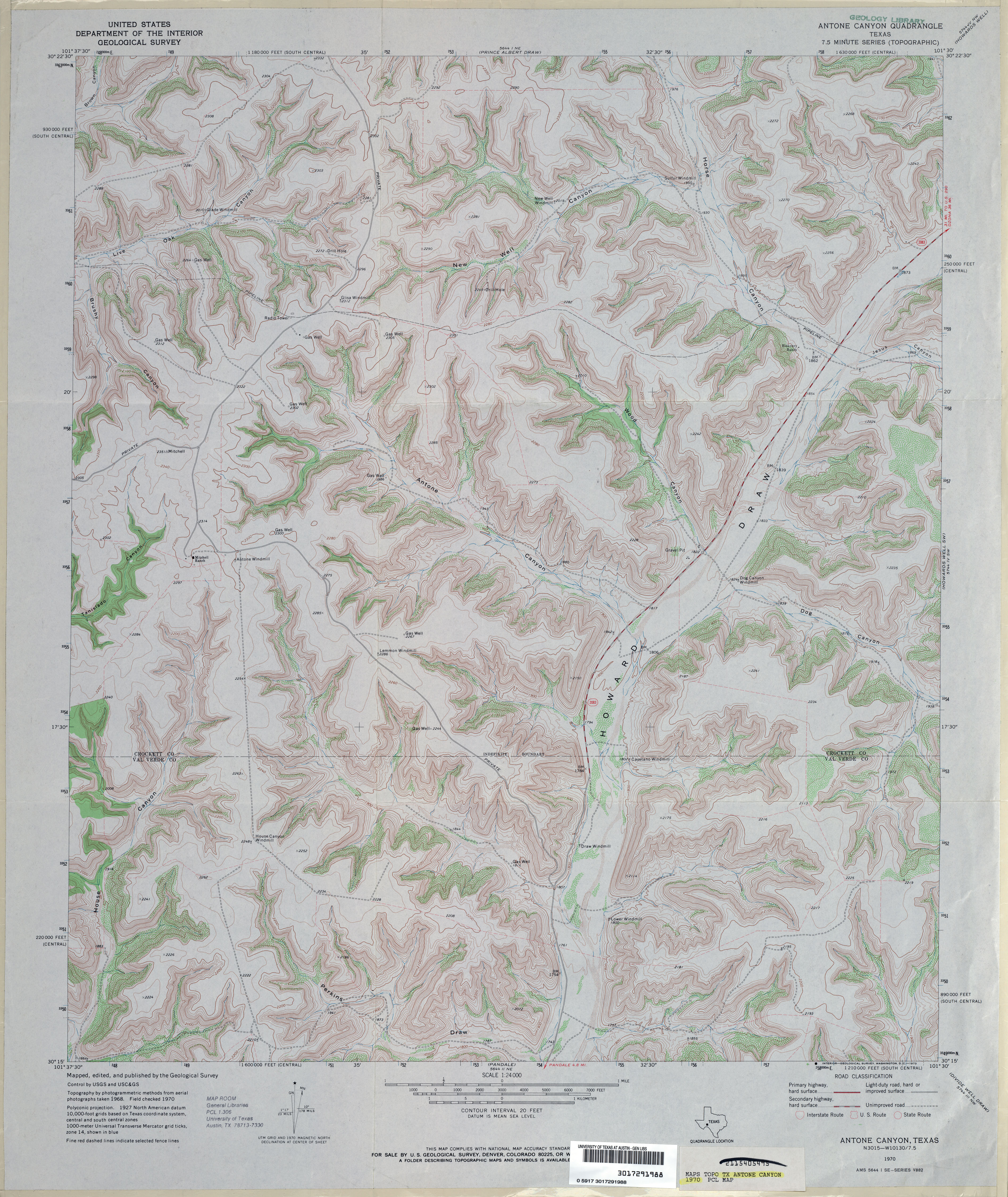
- Antone Canyon 1:24,000 1970 (4.9MB)
- Antone Canyon 1:24,000 2008 (30.4MB) [GeoPDF]
- Antone Canyon 1:24,000 2012 (37MB) [GeoPDF]
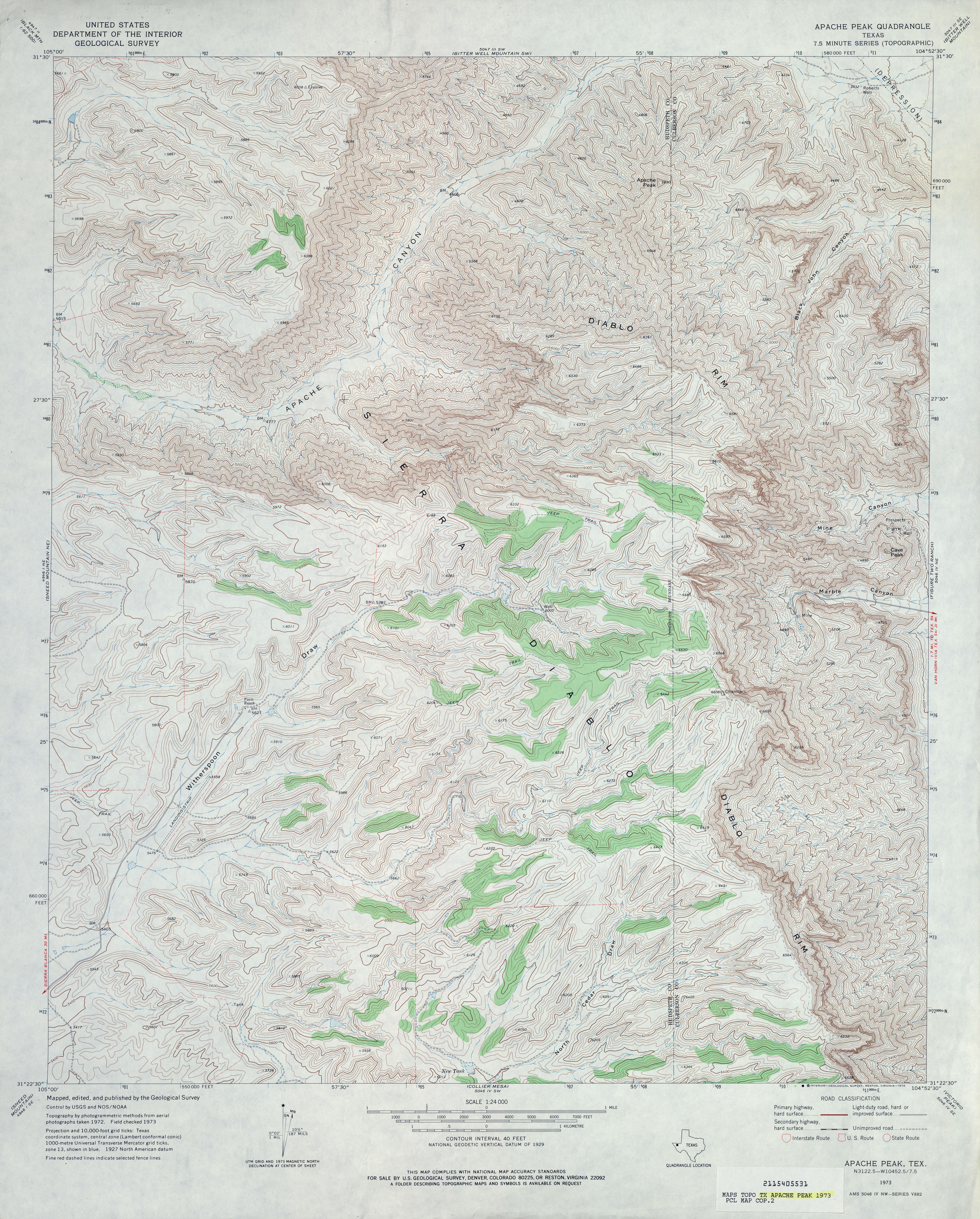
- Apache Peak 1:24,000 1973 (5.6MB)
- Apache Peak 1:24,000 2010 (23.9MB) [GeoPDF]
- Apache Peak 1:24,000 2013 (27.3MB) [GeoPDF]
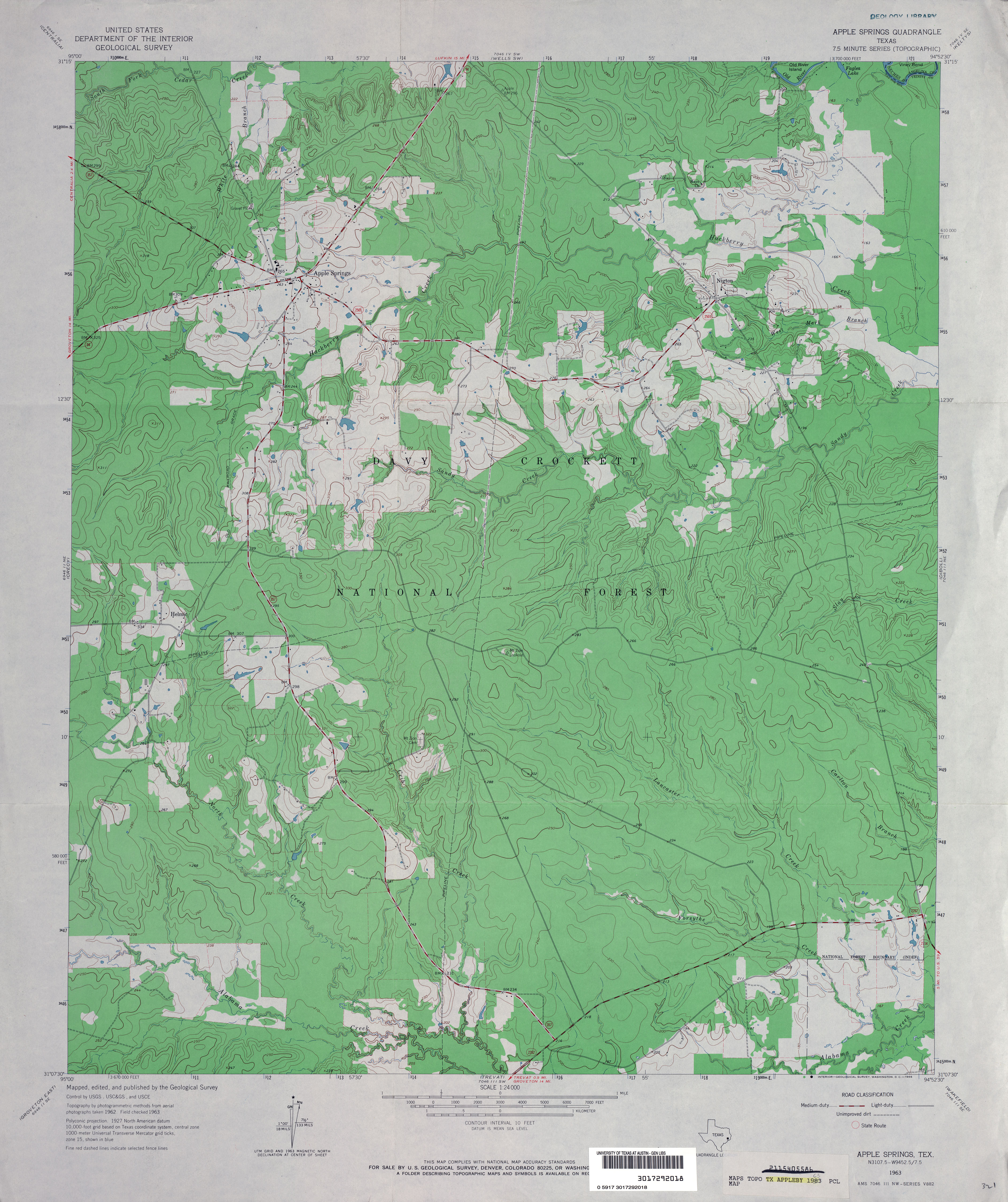
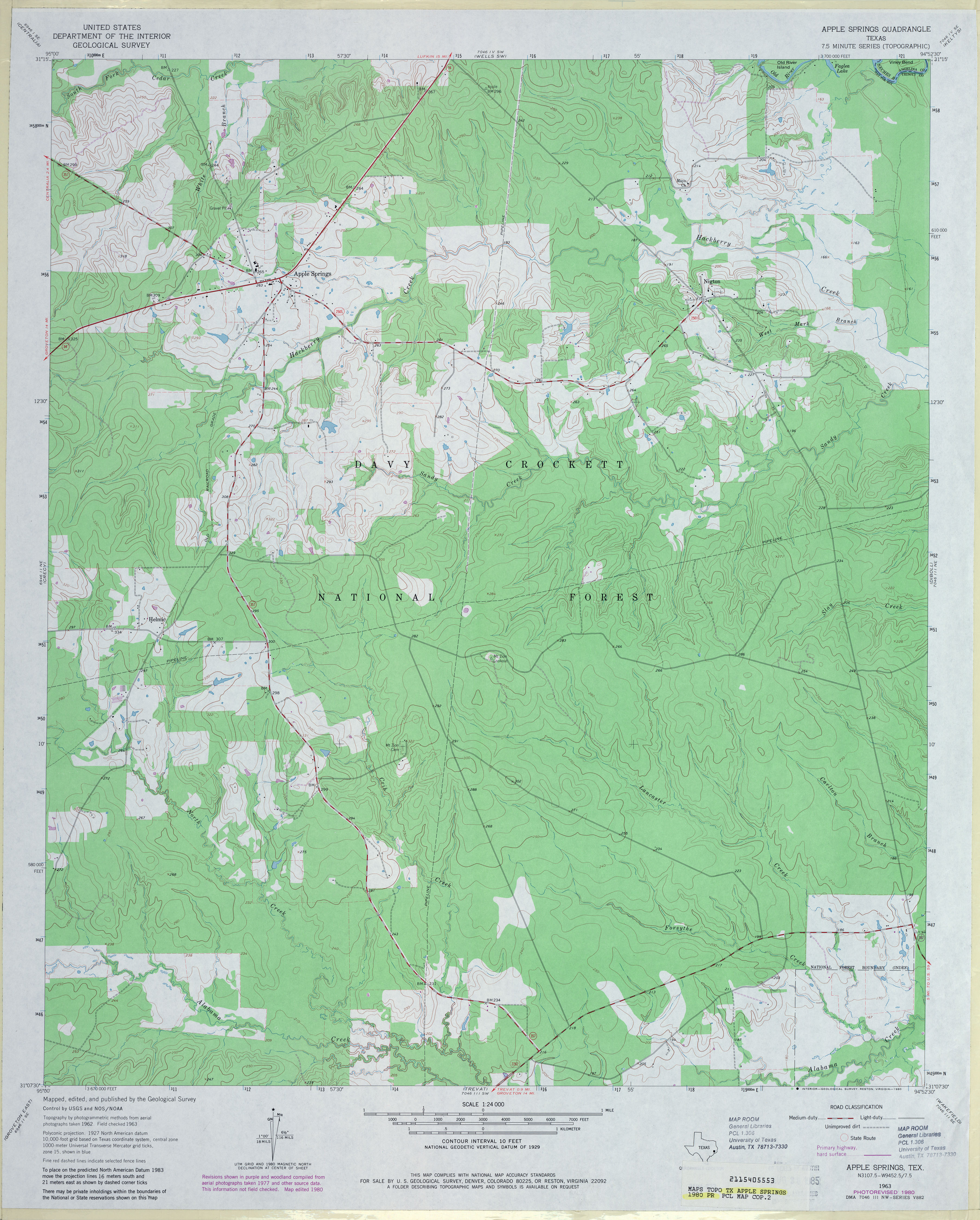
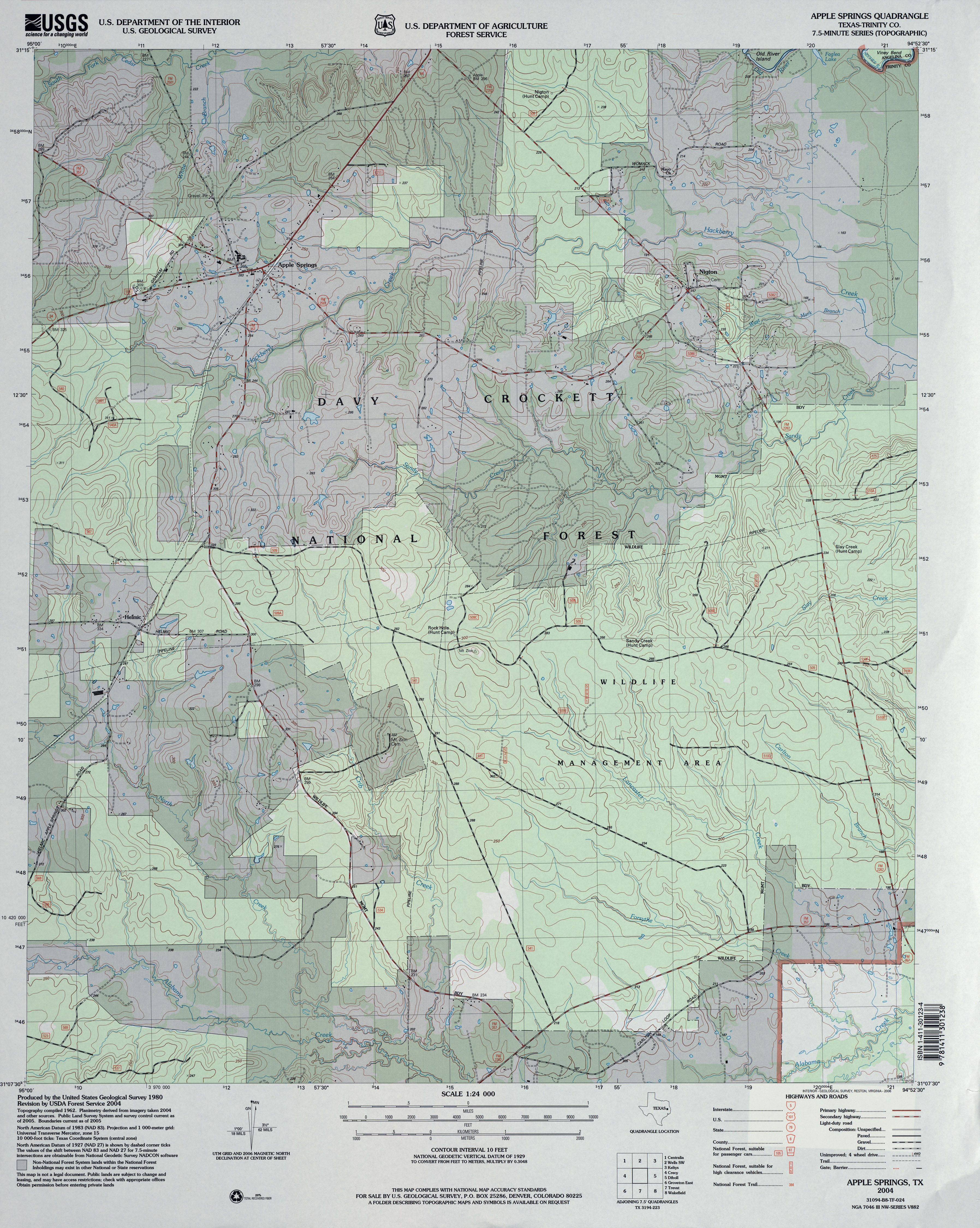
- Apple Springs (Trinity County) 1:24,000 1963 (3.7MB)
- Apple Springs (Trinity County) 1:24,000 1980 (3.8MB)
- Apple Springs (Trinity County) 1:24,000 2004 (4.4MB)
- Apple Springs 1:24,000 2009 (23.4MB) [GeoPDF]
- Apple Springs 1:24,000 2013 (25.6MB) [GeoPDF]
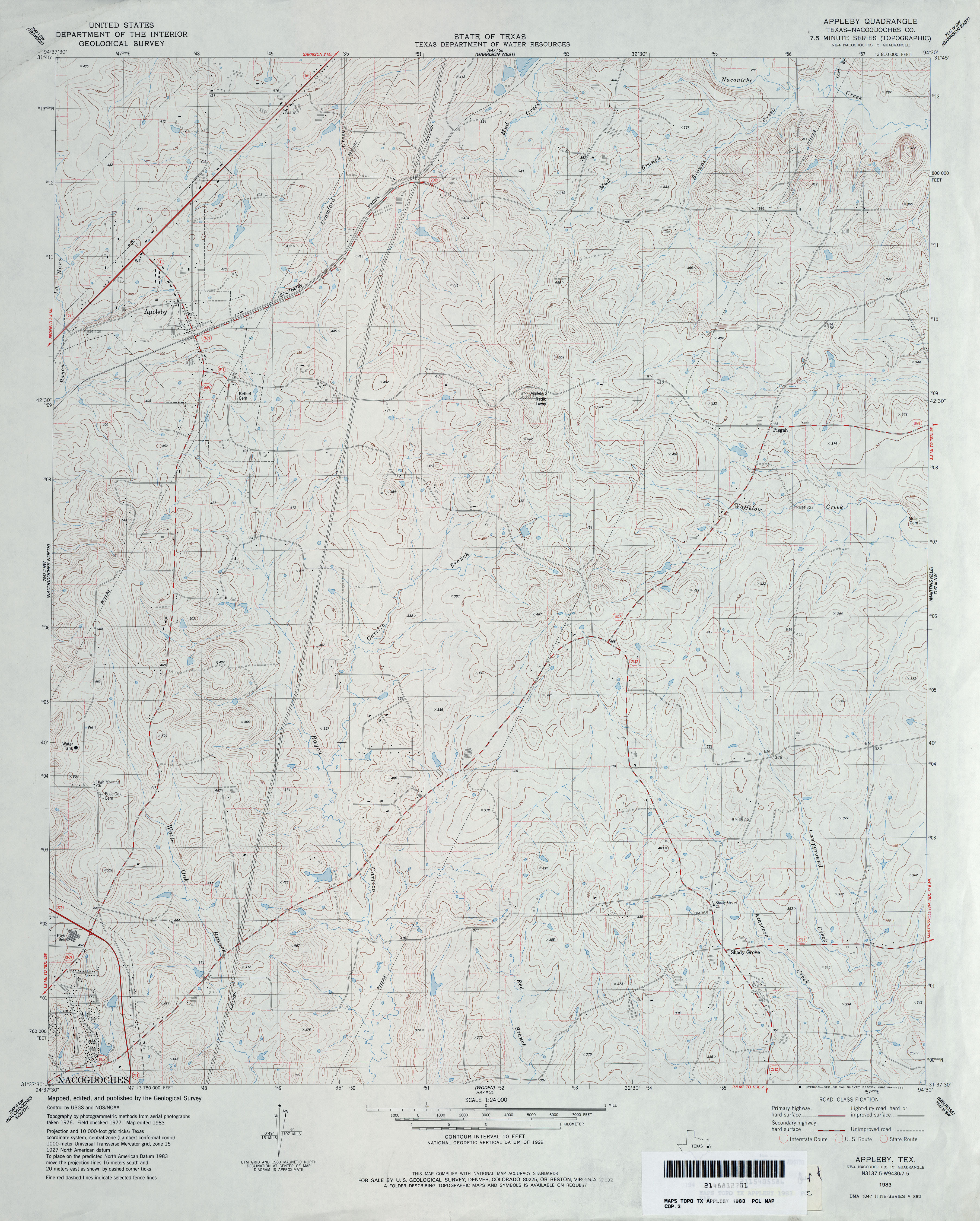
- Appleby (Nacogdoches County) 1:24,000 1983 (4.1MB)
- Appleby 1:24,000 2009 (20.8MB) [GeoPDF]
- Appleby 1:24,000 2013 (25MB) [GeoPDF]
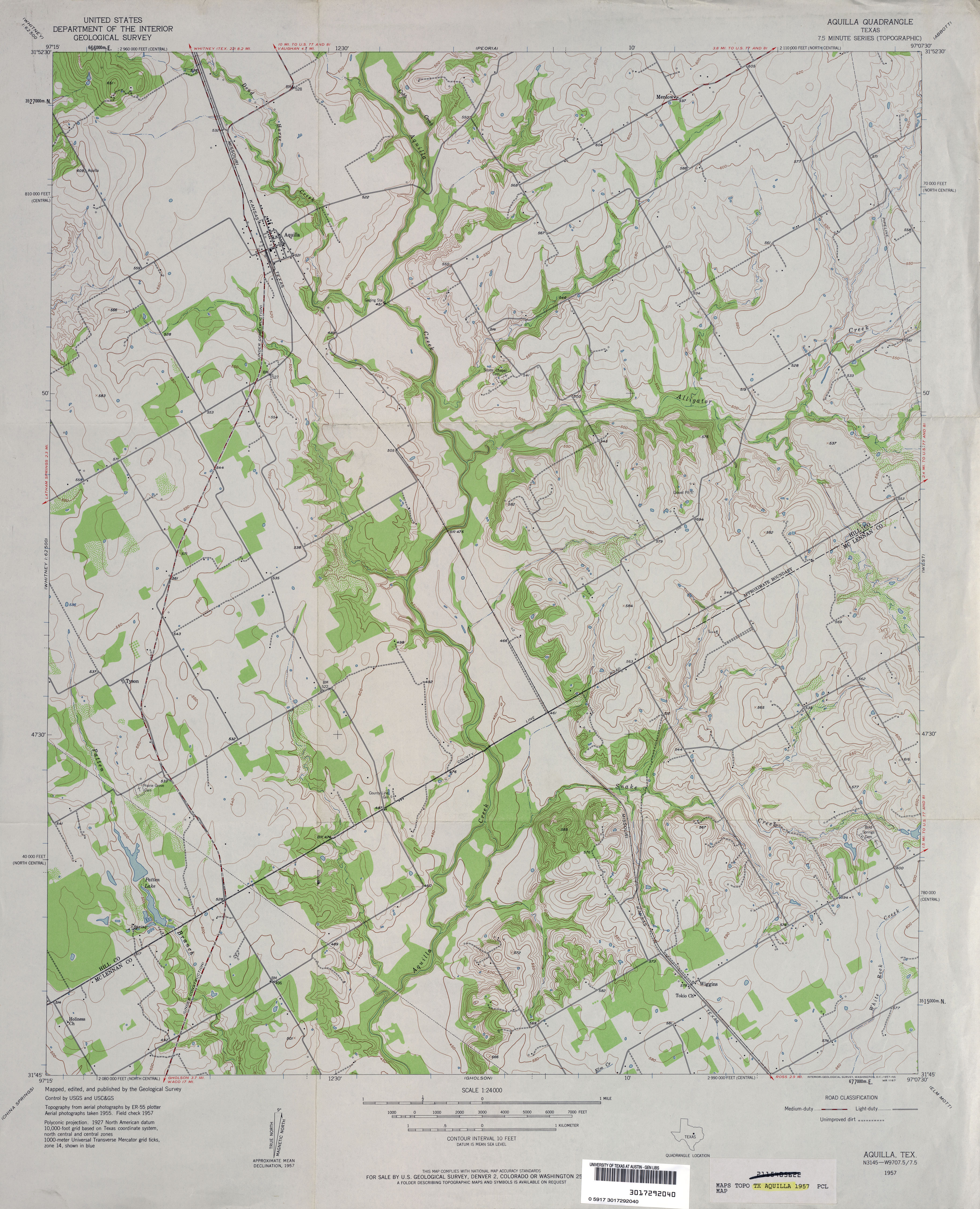
- Aquilla 1:24,000 1957 (3.6MB)
- Aquilla 1:24,000 1979 (3.8MB)
- Aquilla 1:24,000 2008 (14.2MB) [GeoPDF]
- Aquilla 1:24,000 2012 (20.2MB) [GeoPDF]
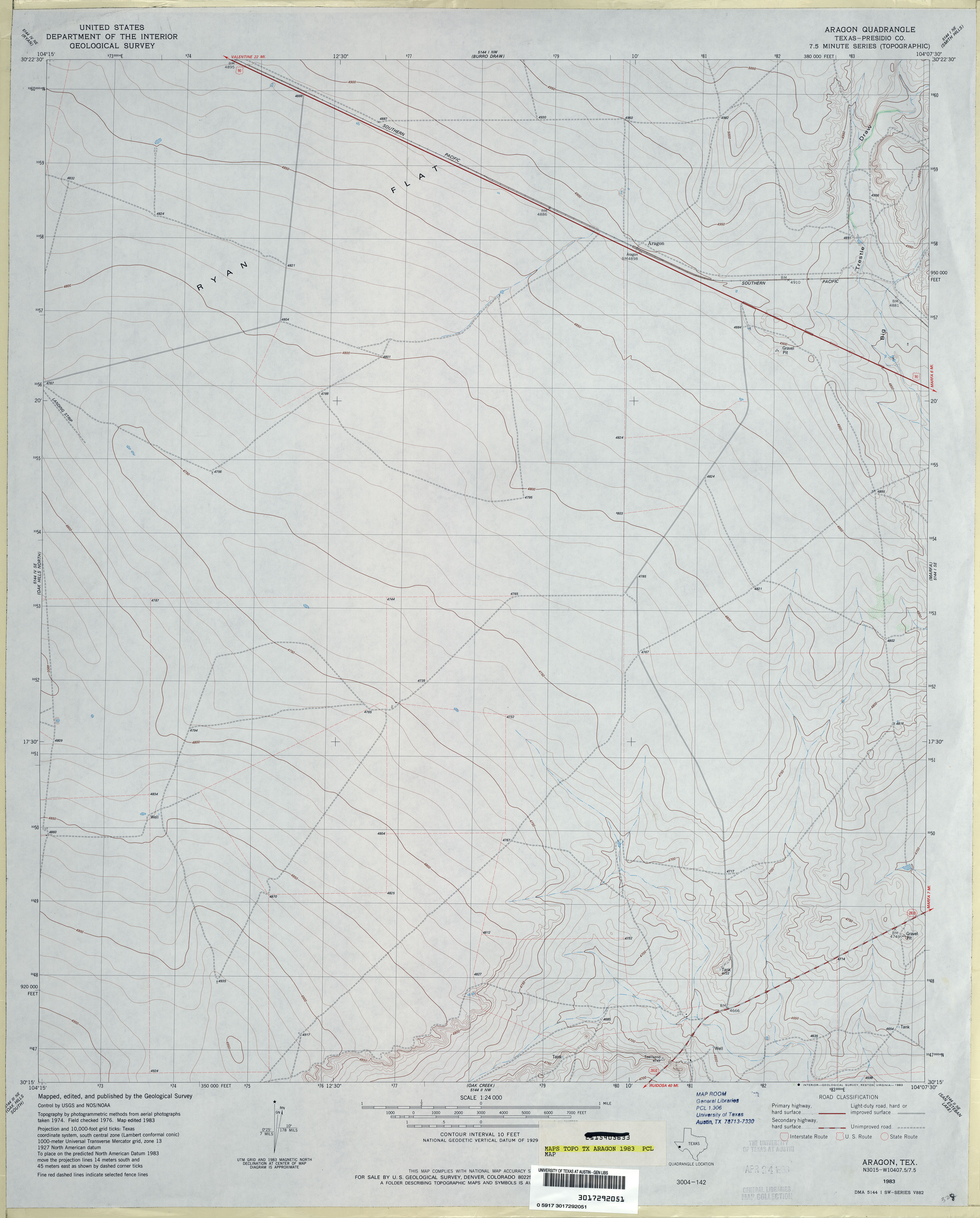
- Aragon (Presidio County) 1:24,000 1983 (2.7MB)
- Aragon 1:24,000 2008 (15.2MB) [GeoPDF]
- Aragon 1:24,000 2012 (24.0MB) [GeoPDF]
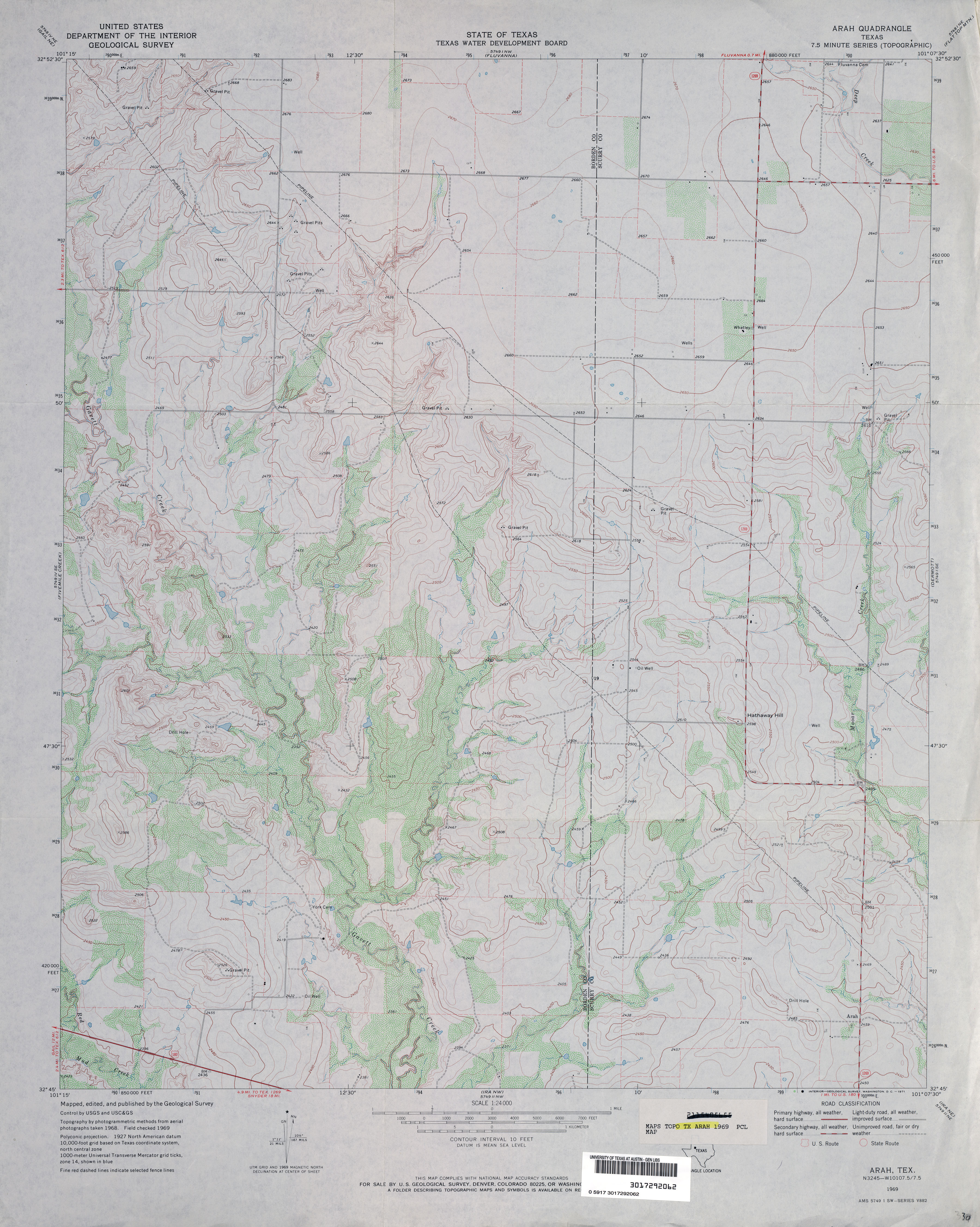
- Arah 1:24,000 1969 (3.3MB)
- Arah 1:24,000 2008 (13.3MB) [GeoPDF]
- Arah 1:24,000 2012 (21.2MB) [GeoPDF]
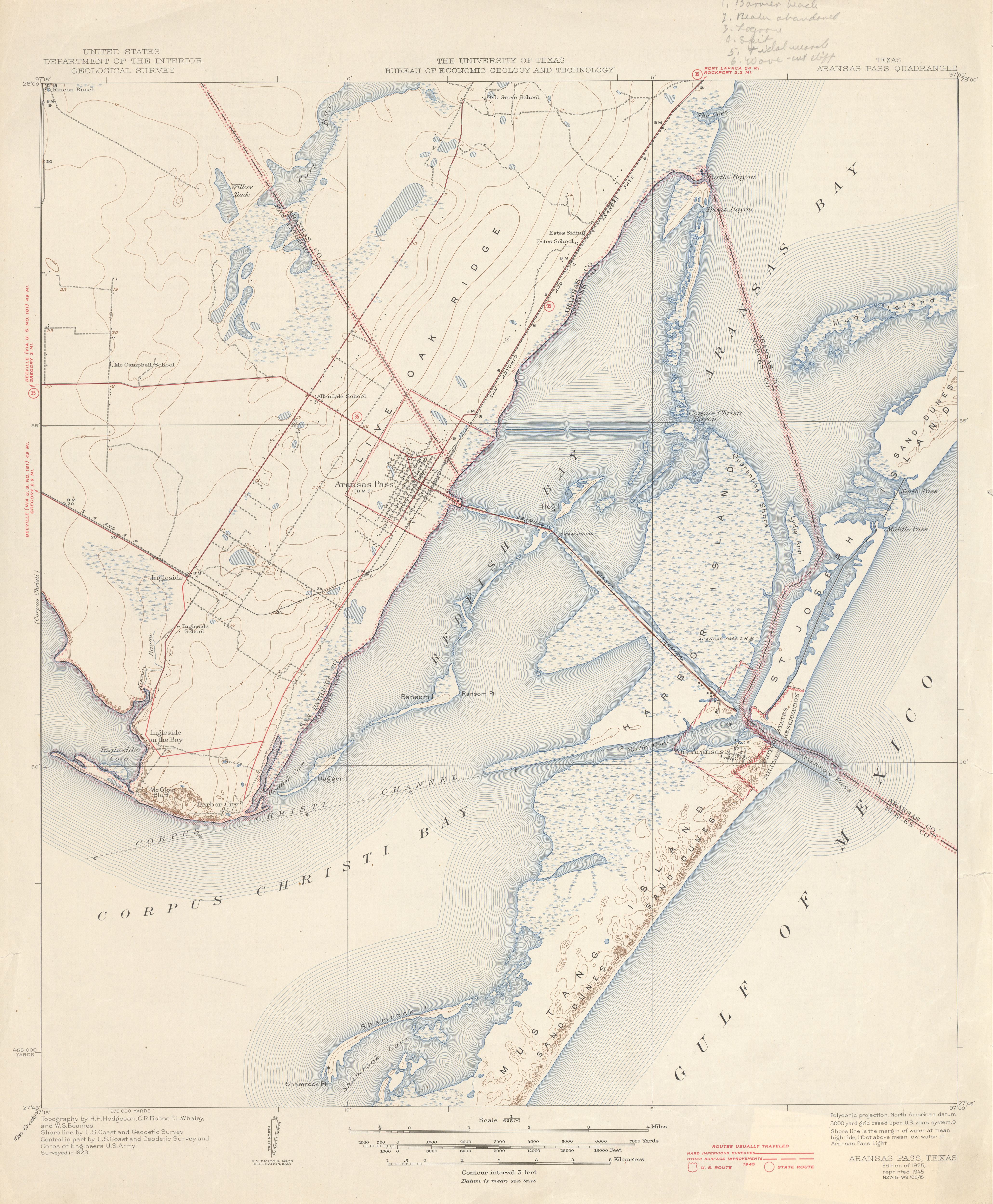
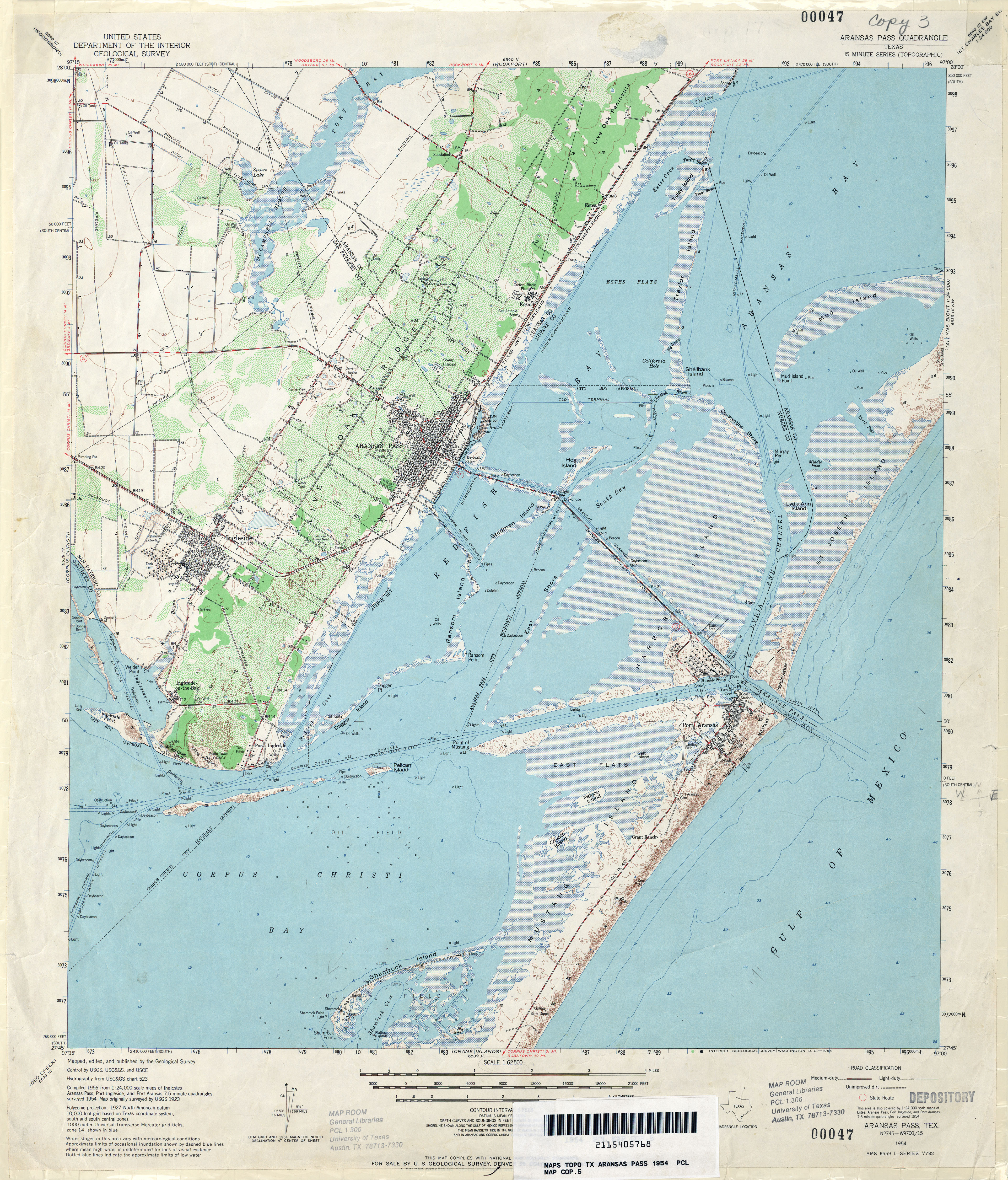
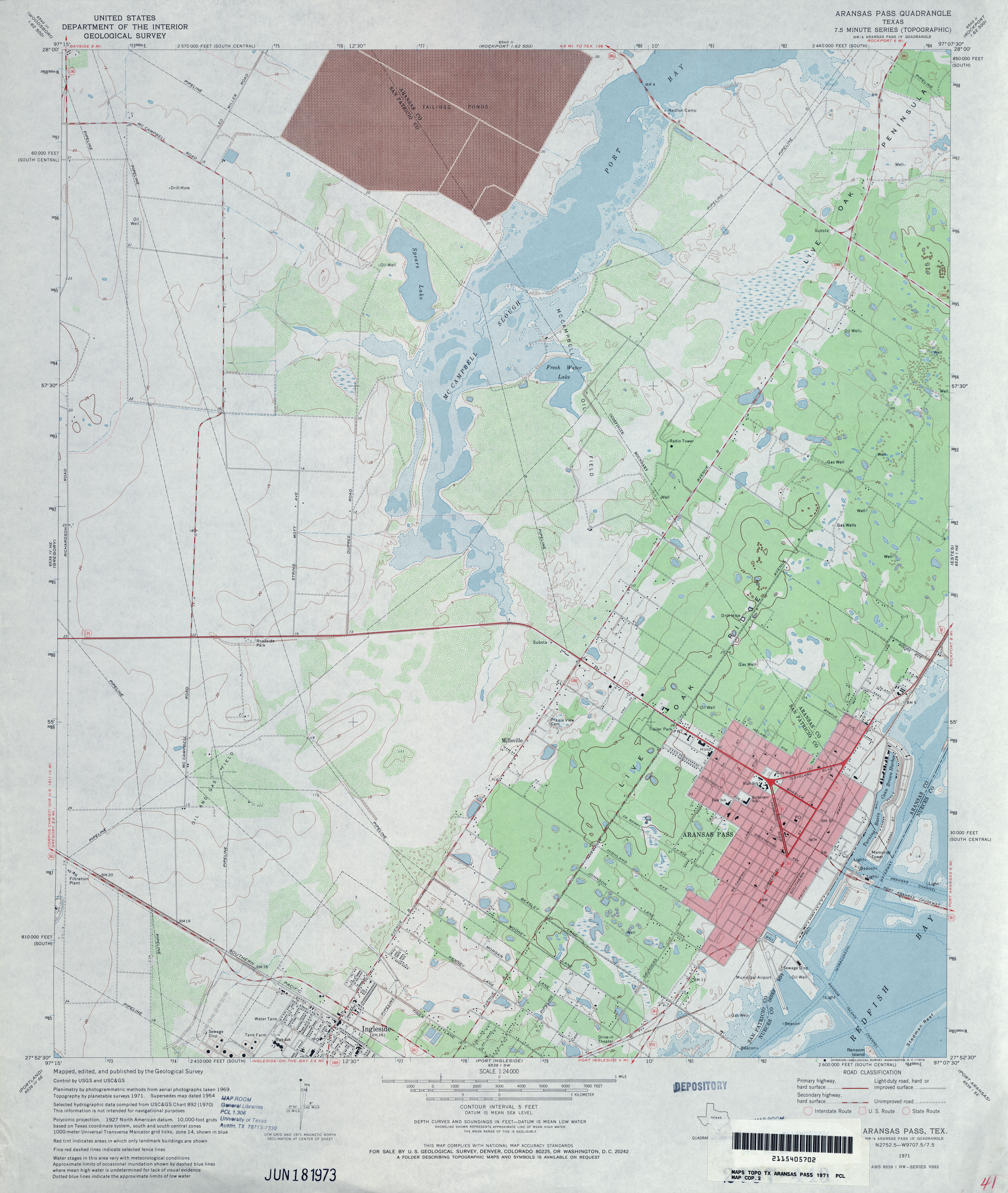
- Aransas Pass 1:62,500 1923 survey, 1945 overprint (3.7MB)
- Aransas Pass 1:62,500 1954 (4.5MB)
- Aransas Pass 1:24,000 1971 (3.8MB)
- Aransas Pass 1:24,000 1975 (3.8MB)
- Aransas Pass 1:24,000 2008 (5.9MB) Texas Natural Resources Information System (TNRIS) [pdf]
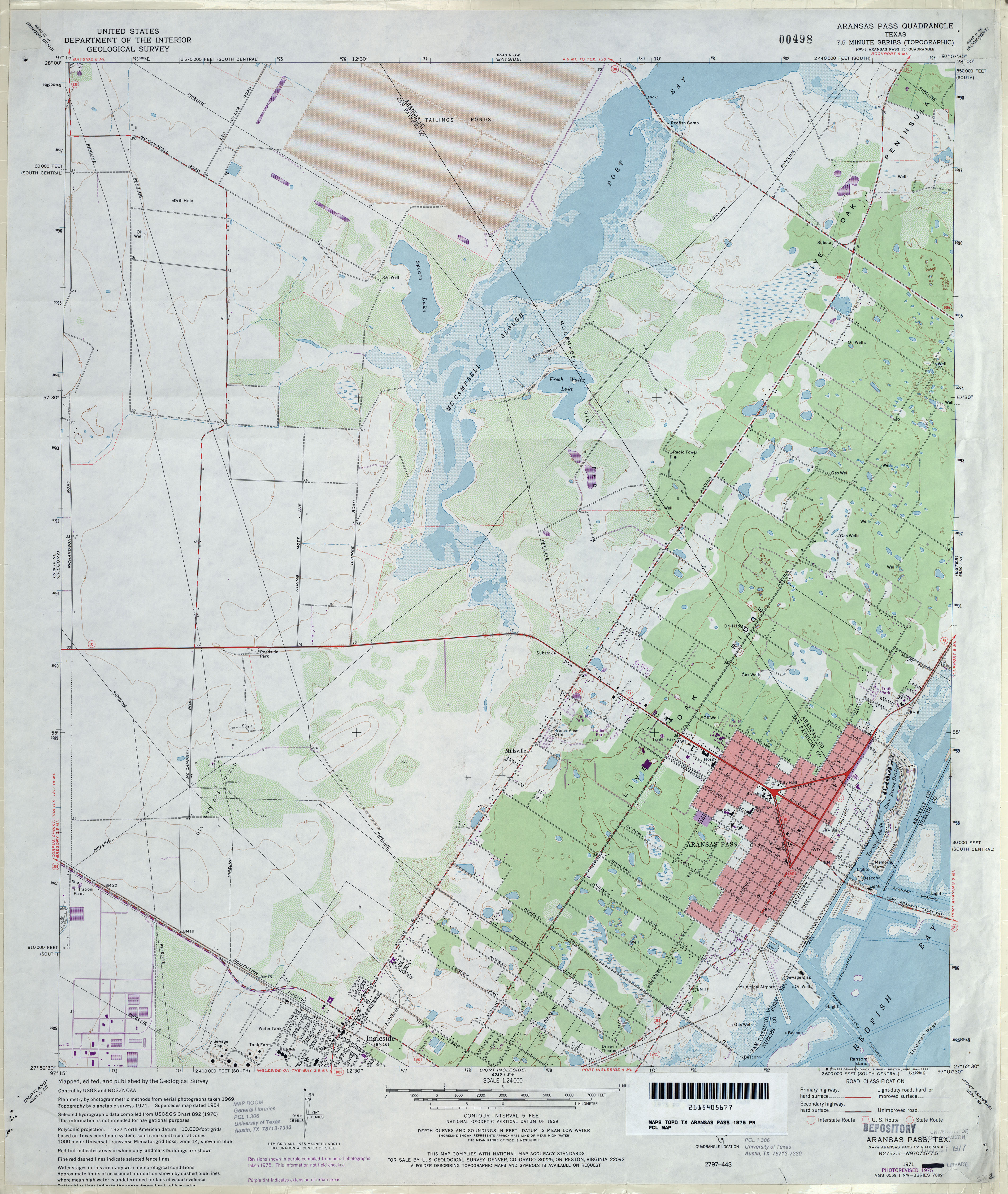
- Aransas Pass 1:24,000 2008 (14.5MB) [GeoPDF]
- Aransas Pass 1:24,000 2013 (21.7MB) [GeoPDF]
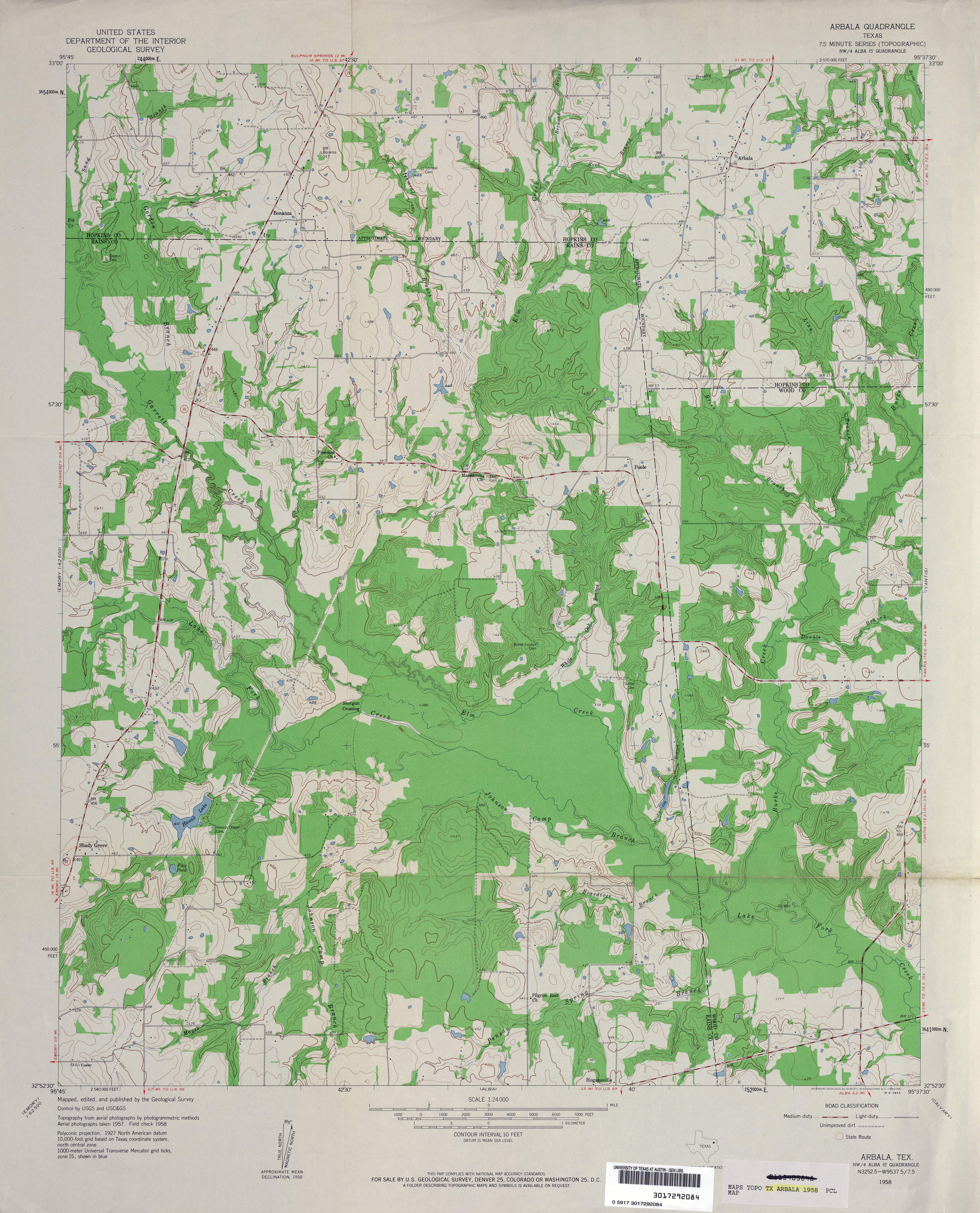
- Arbala 1:24,000 1958 (3.7MB)
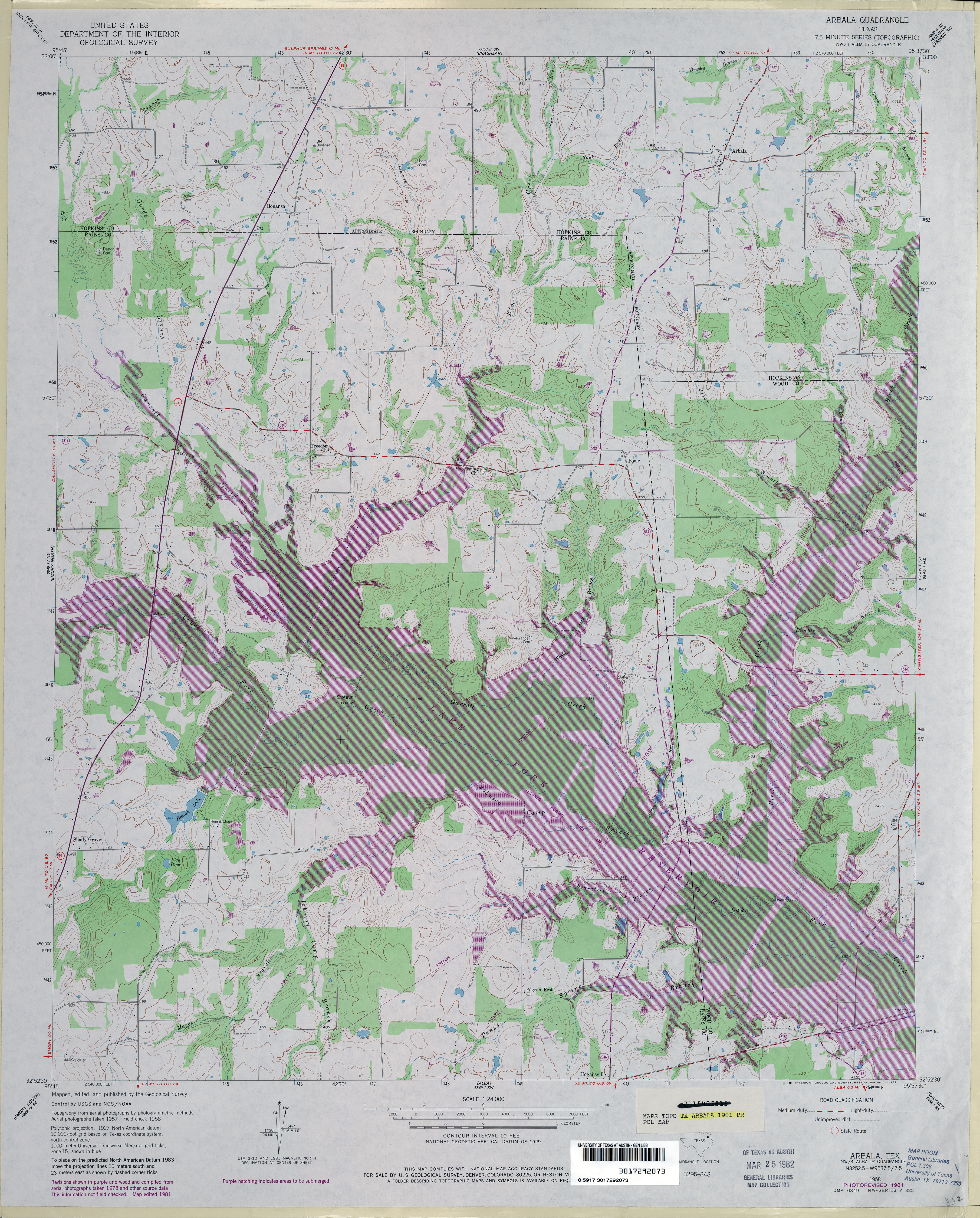
- Arbala 1:24,000 1981 (5MB)
- Arbala 1:24,000 2012 (21.1MB) [GeoPDF]
- Arcadia (Shelby County) 1:24,000 1984 (5.2MB)
- Arcadia 1:24,000 2009 (22.9MB) [GeoPDF]
- Arcadia 1:24,000 2013 (25.4MB) [GeoPDF]
- Arch NE [New Mexico, Texas] 1:24,000 2009 (18.4MB) [GeoPDF]
- Archer City (Archer County) 1:62,500 1929 (2.6MB)
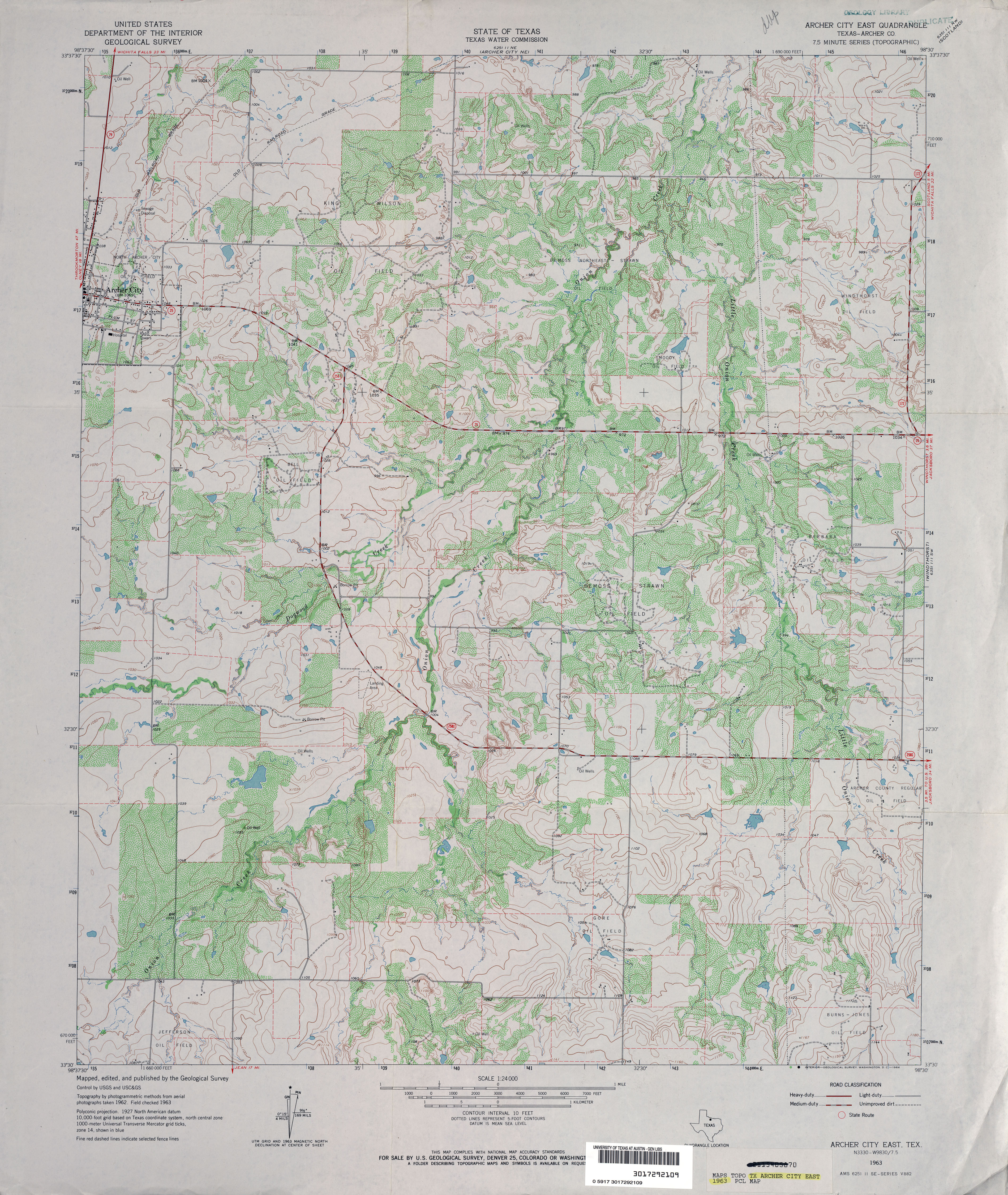
- Archer City East (Archer County) 1:24,000 1963 (4.4MB)
- Archer City East 1:24,000 2010 (11.9MB) [GeoPDF]
- Archer City East 1:24,000 2012 (17.8MB) [GeoPDF]
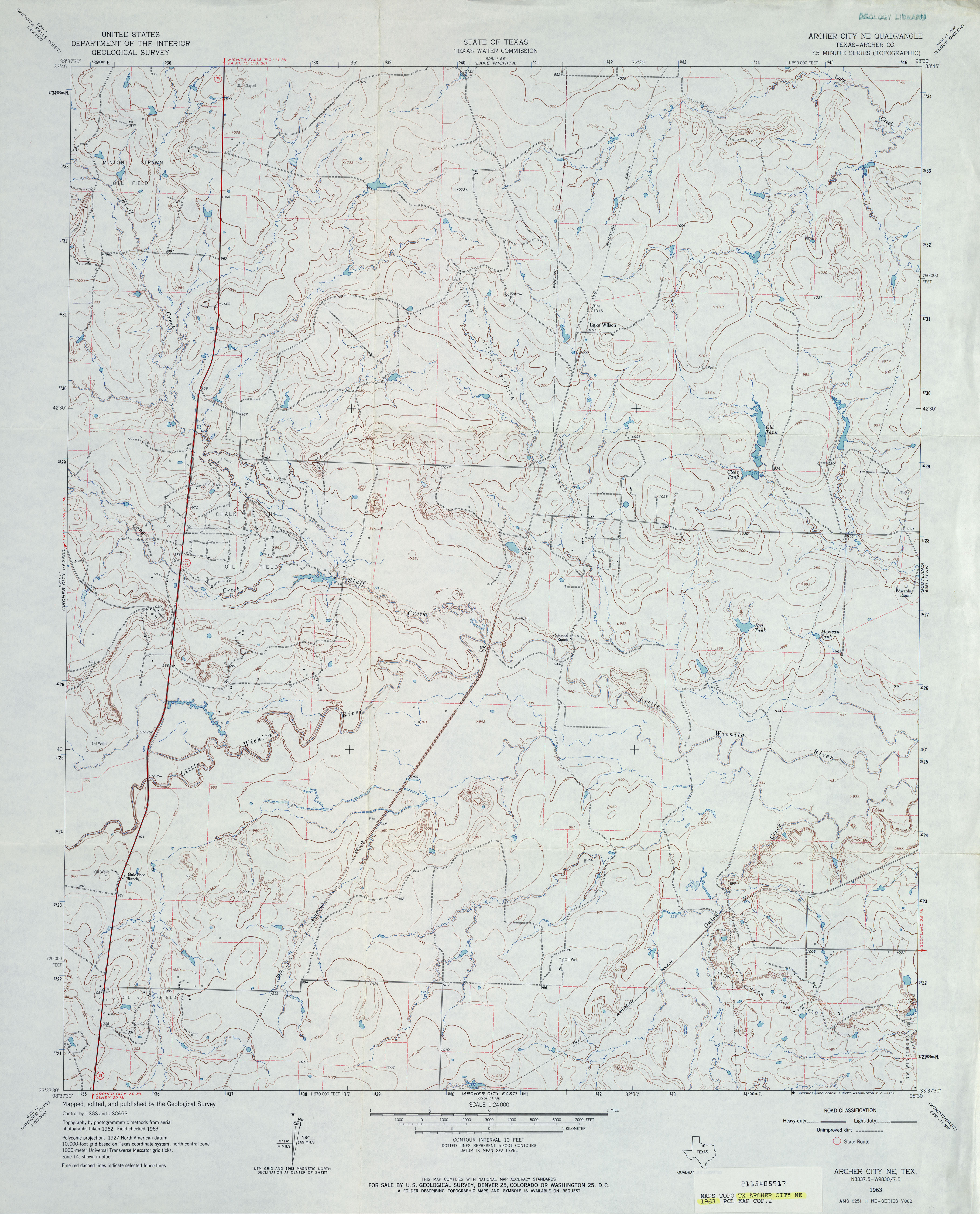
- Archer City NE (Archer County) 1:24,000 1963 (3.6MB)
- Archer City NE 1:24,000 2008 (12.1MB) [GeoPDF]
- Archer City NE 1:24,000 2012 (16.7MB) [GeoPDF]
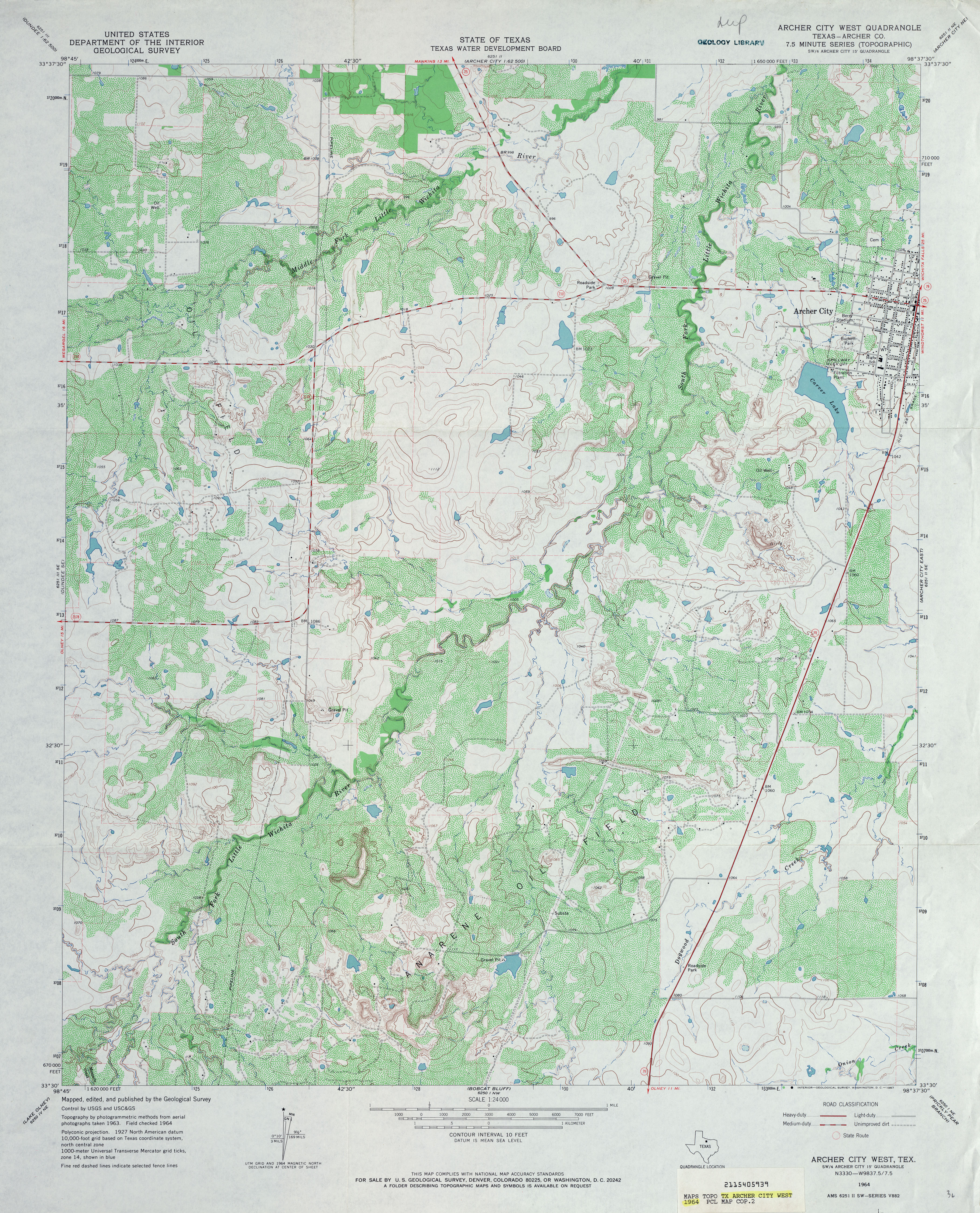
- Archer City West (Archer County) 1:24,000 1964 (5MB)
- Archer City West 1:24,000 2008 (MB) [GeoPDF]
- Archer City West 1:24,000 2012 (19.6MB) [GeoPDF]
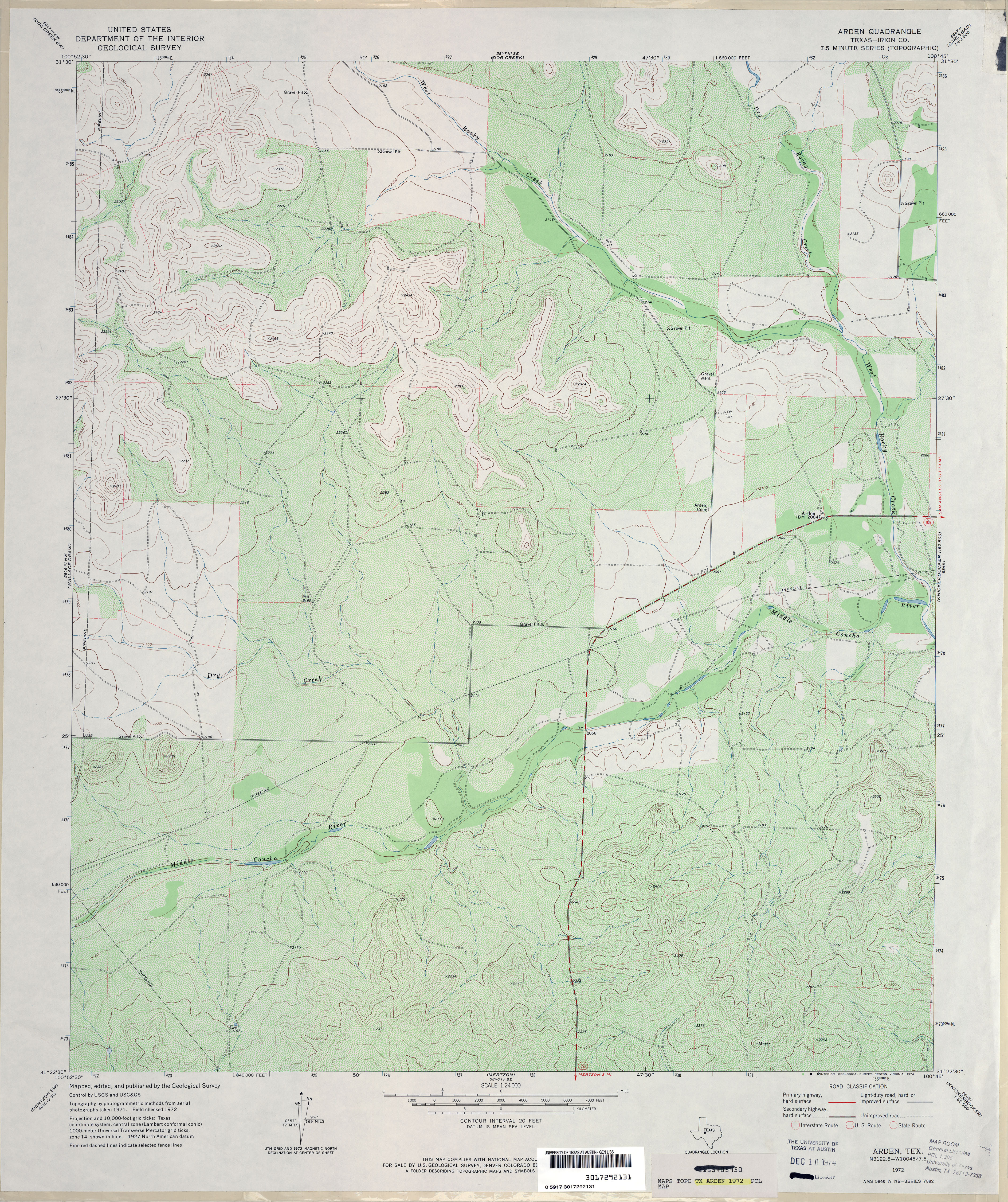
- Arden (Irion County) 1:24,000 1972 (4.7MB)
- Arden 1:24,000 2008 (21.5MB) [GeoPDF]
- Arden 1:24,000 2012 (25.1MB) [GeoPDF]
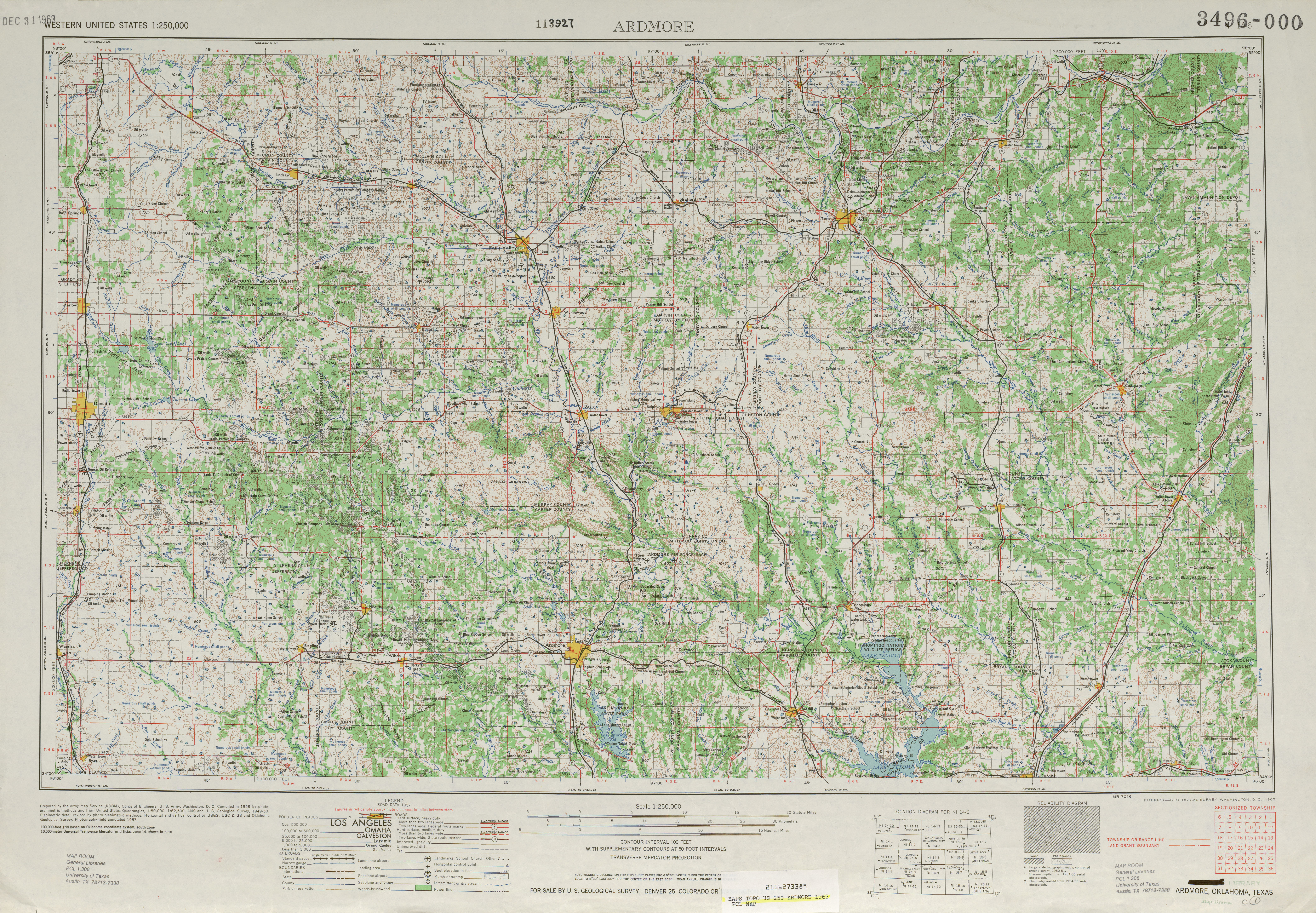
- Ardmore 1:250,000 1963 (8.7MB)
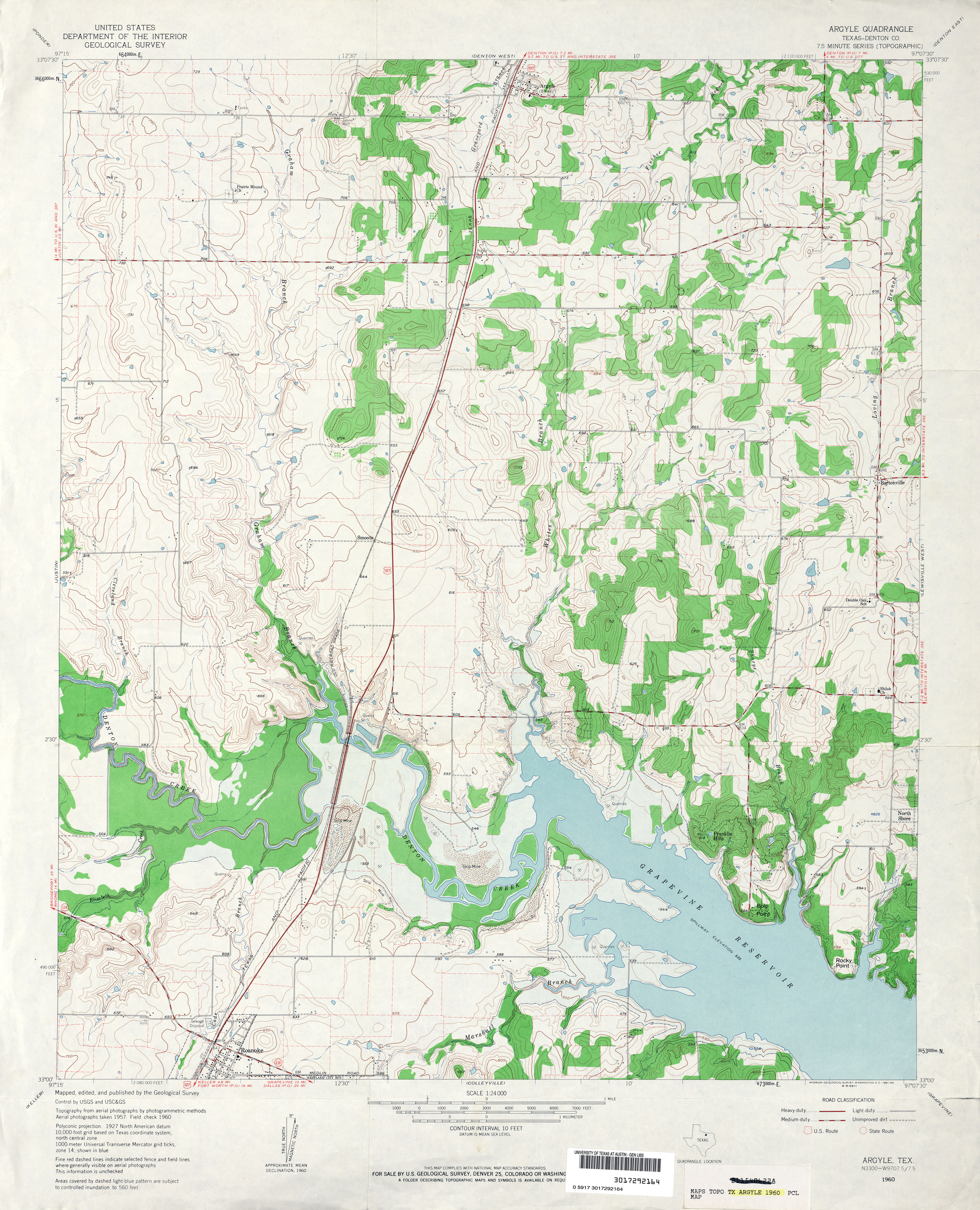
- Argyle (Denton County) 1:24,000 1960 (4.1MB)
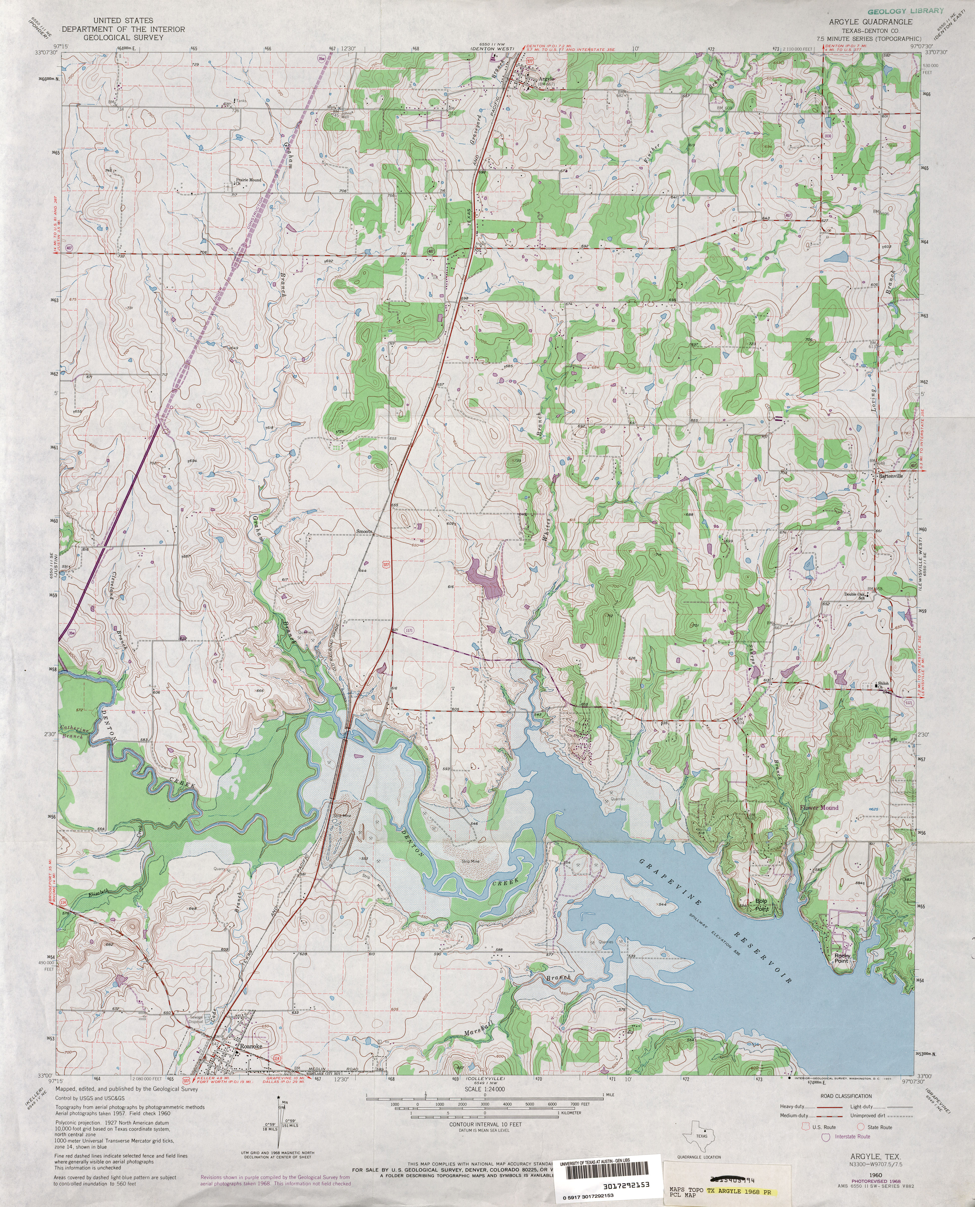
- Argyle (Denton County) 1:24,000 1968 (5MB)
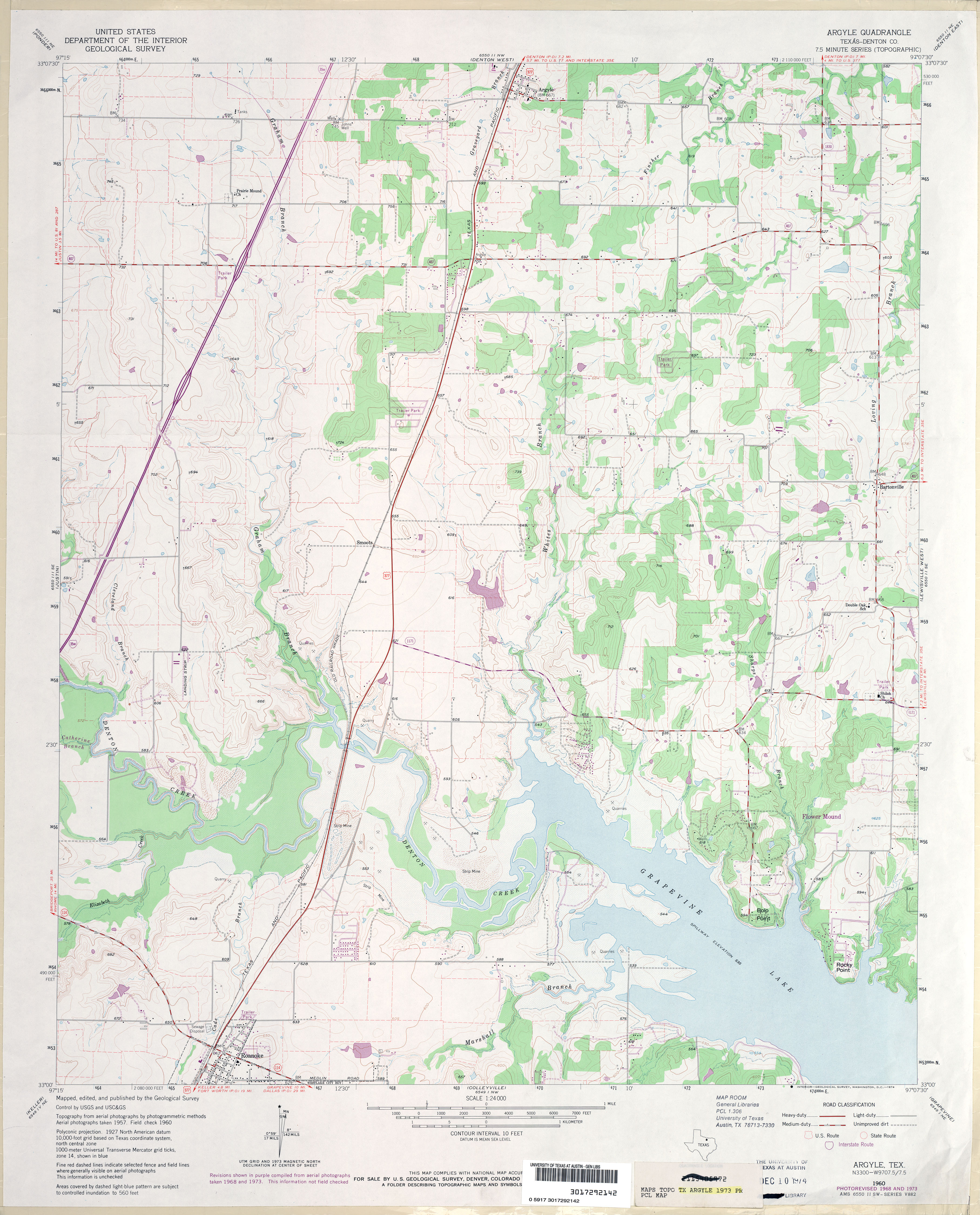
- Argyle (Denton County) 1:24,000 1973 (3.5MB)
- Argyle 1:24,000 2008 (17.3MB) [GeoPDF]
- Argyle 1:24,000 2013 (21.9MB) [GeoPDF]
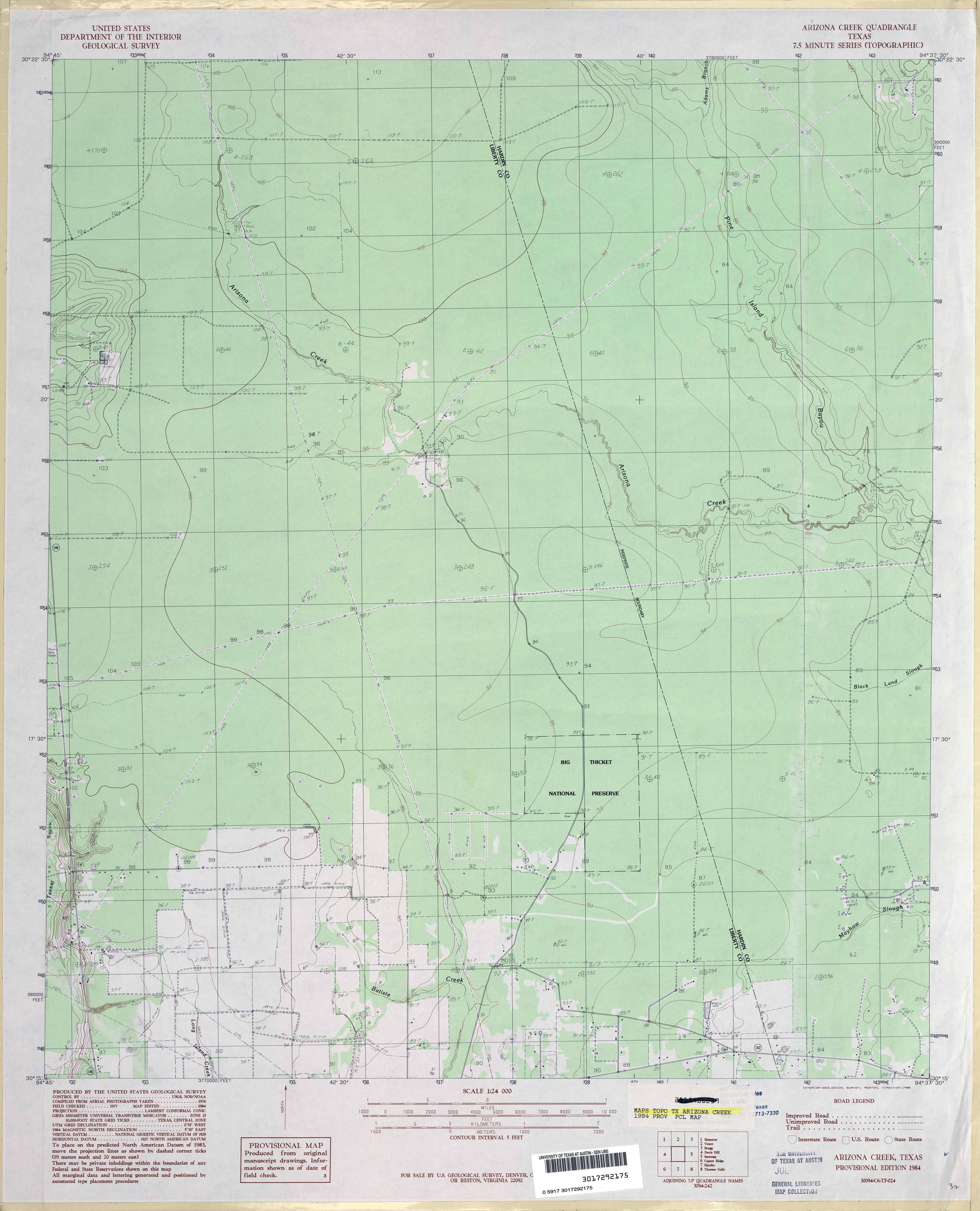
- Arizona Creek 1:24,000 1984 (2.6MB)
- Arizona Creek 1:24,000 2009 (22.2MB) [GeoPDF]
- Arizona Creek 1:24,000 2013 (22.1MB) [GeoPDF]
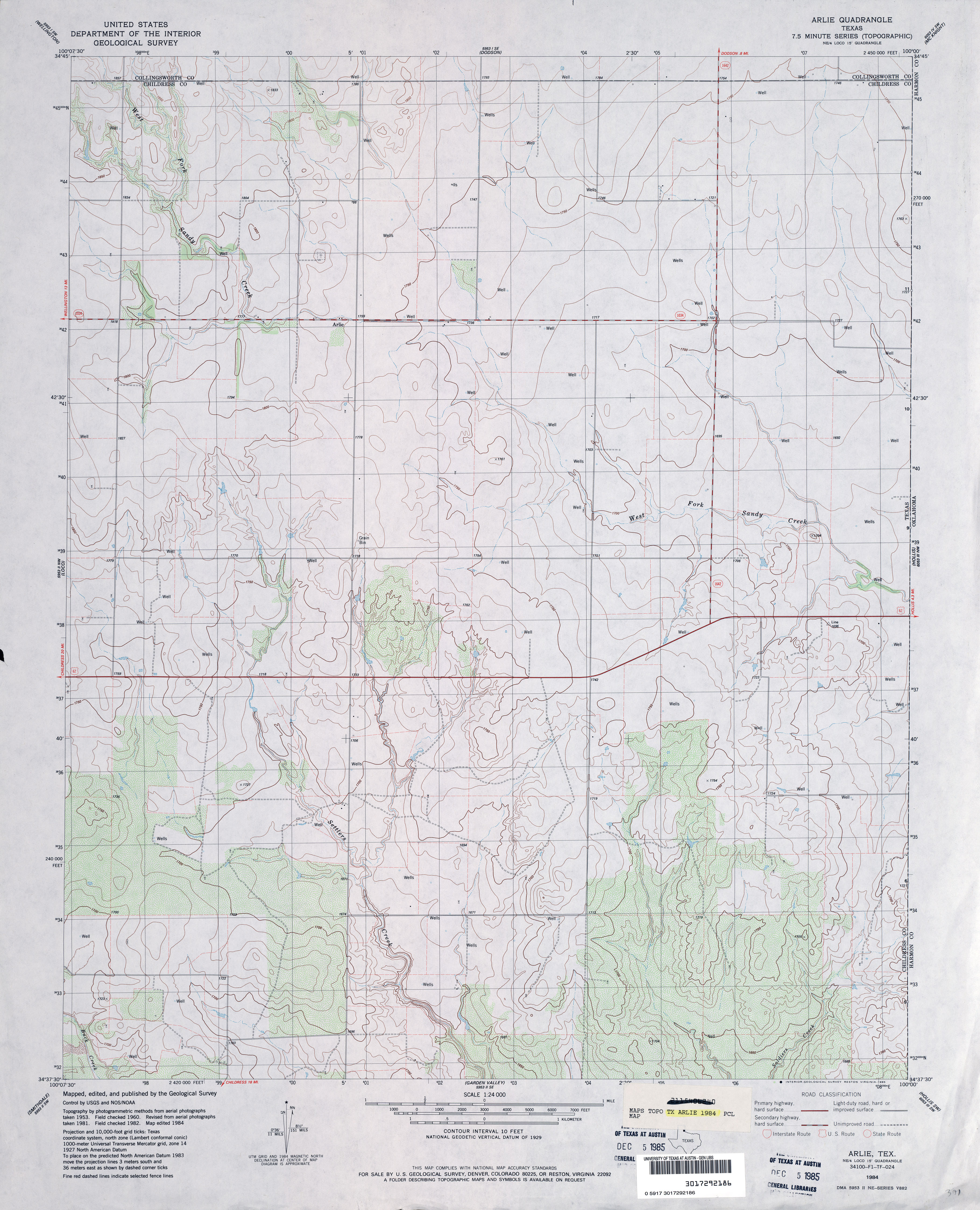
- Arlie 1:24,000 1984 (3.4MB)
- Arlie 1:24,000 2008 (11.7MB) [GeoPDF]
- Arlie 1:24,000 2012 (15.7MB) [GeoPDF]
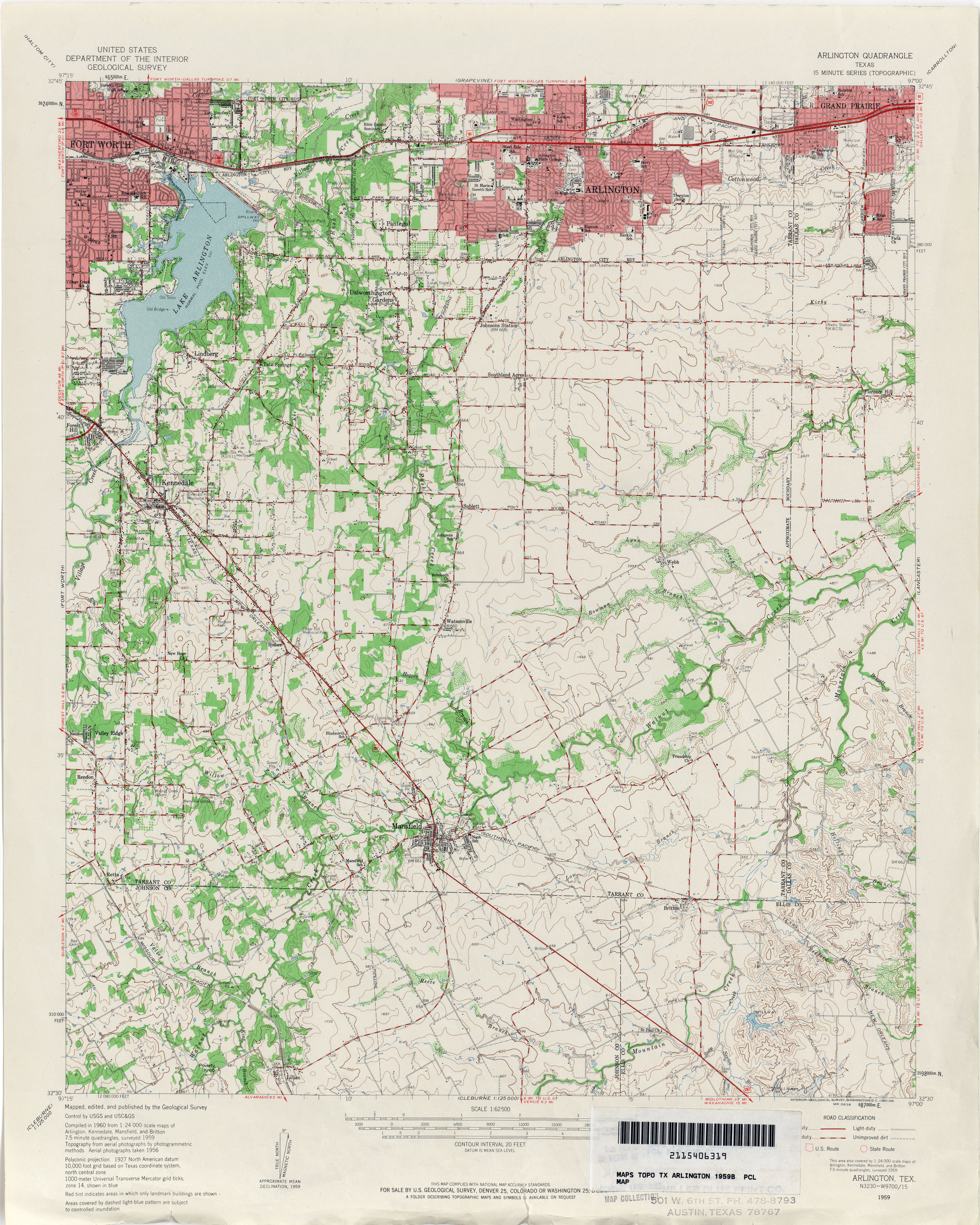
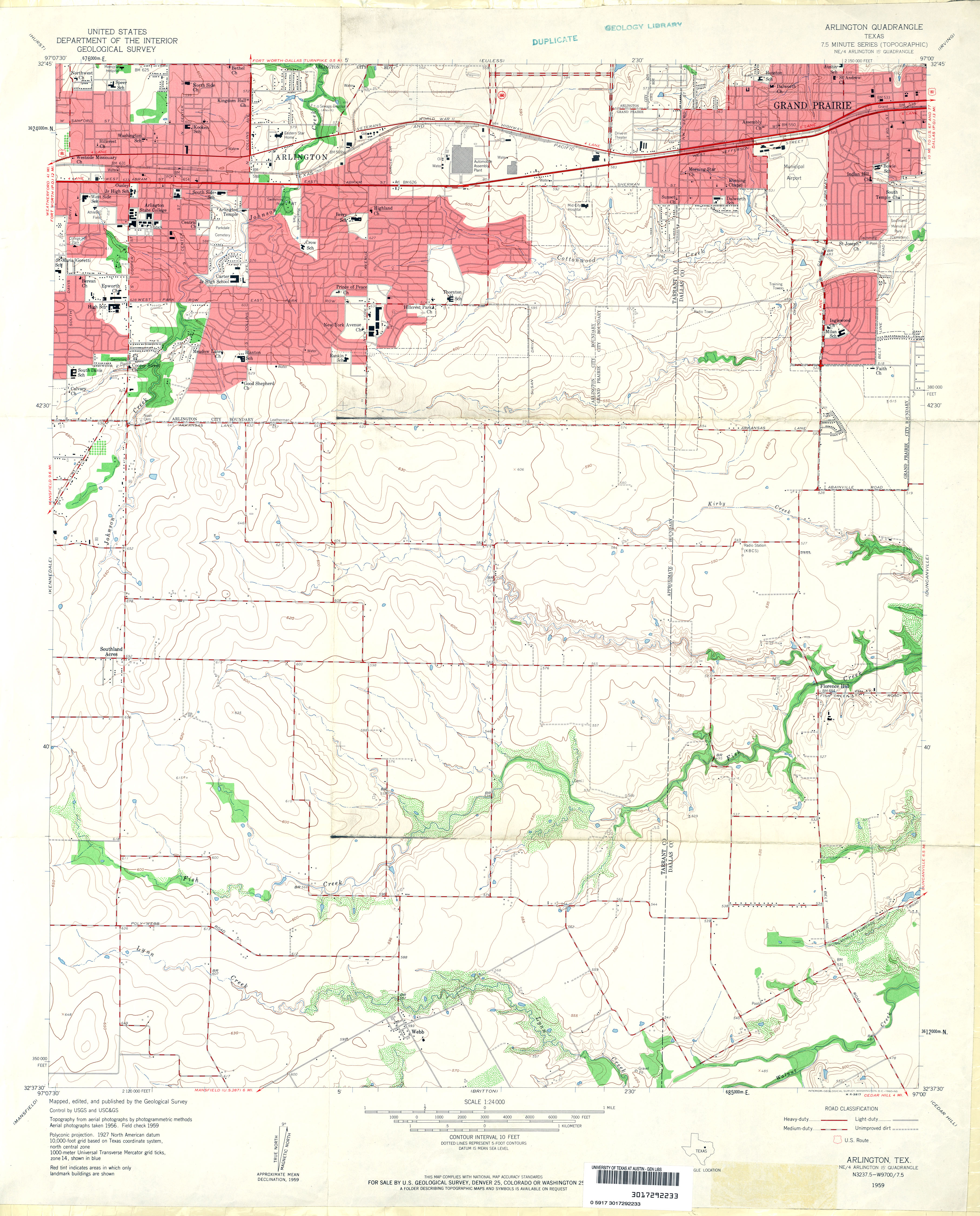
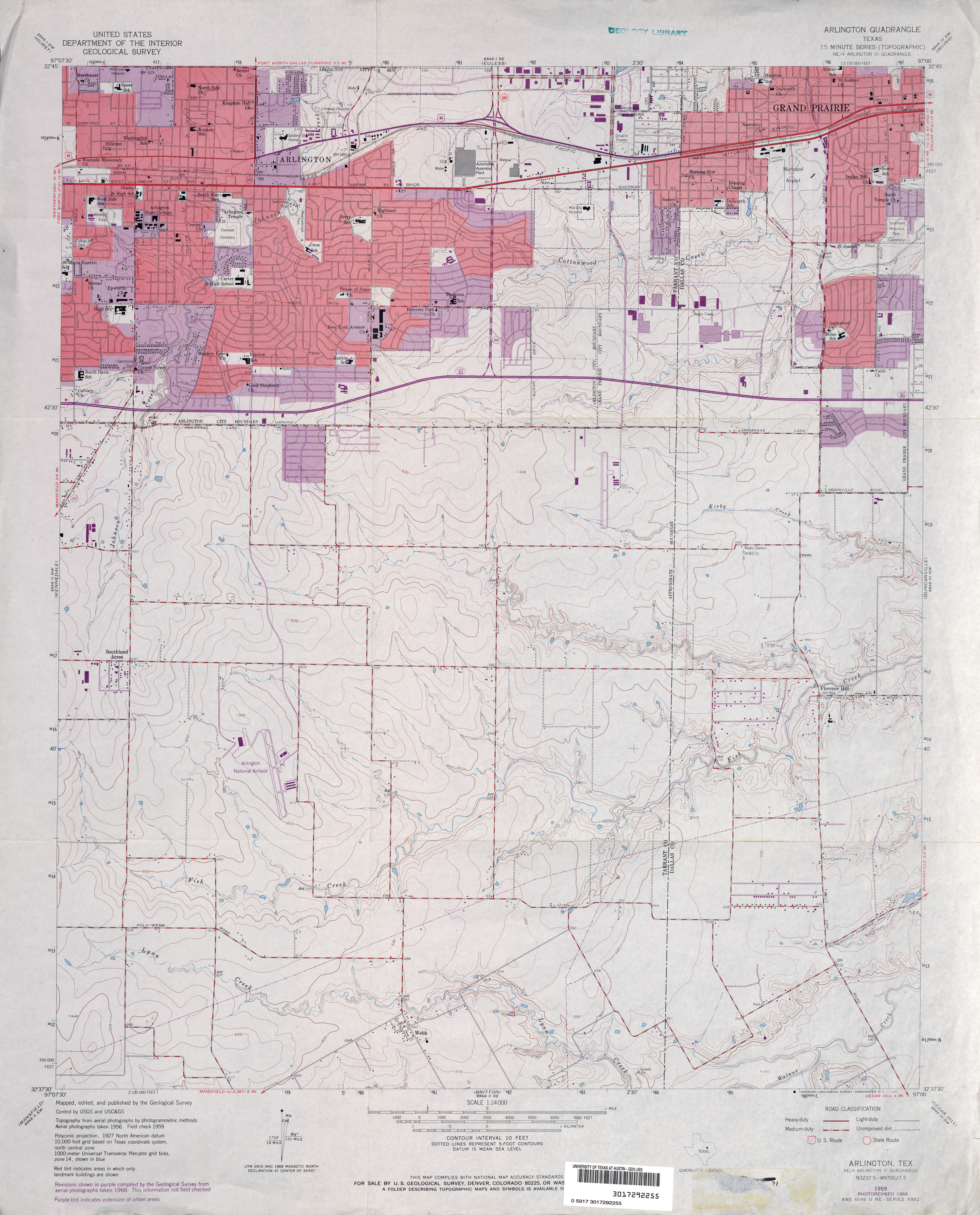
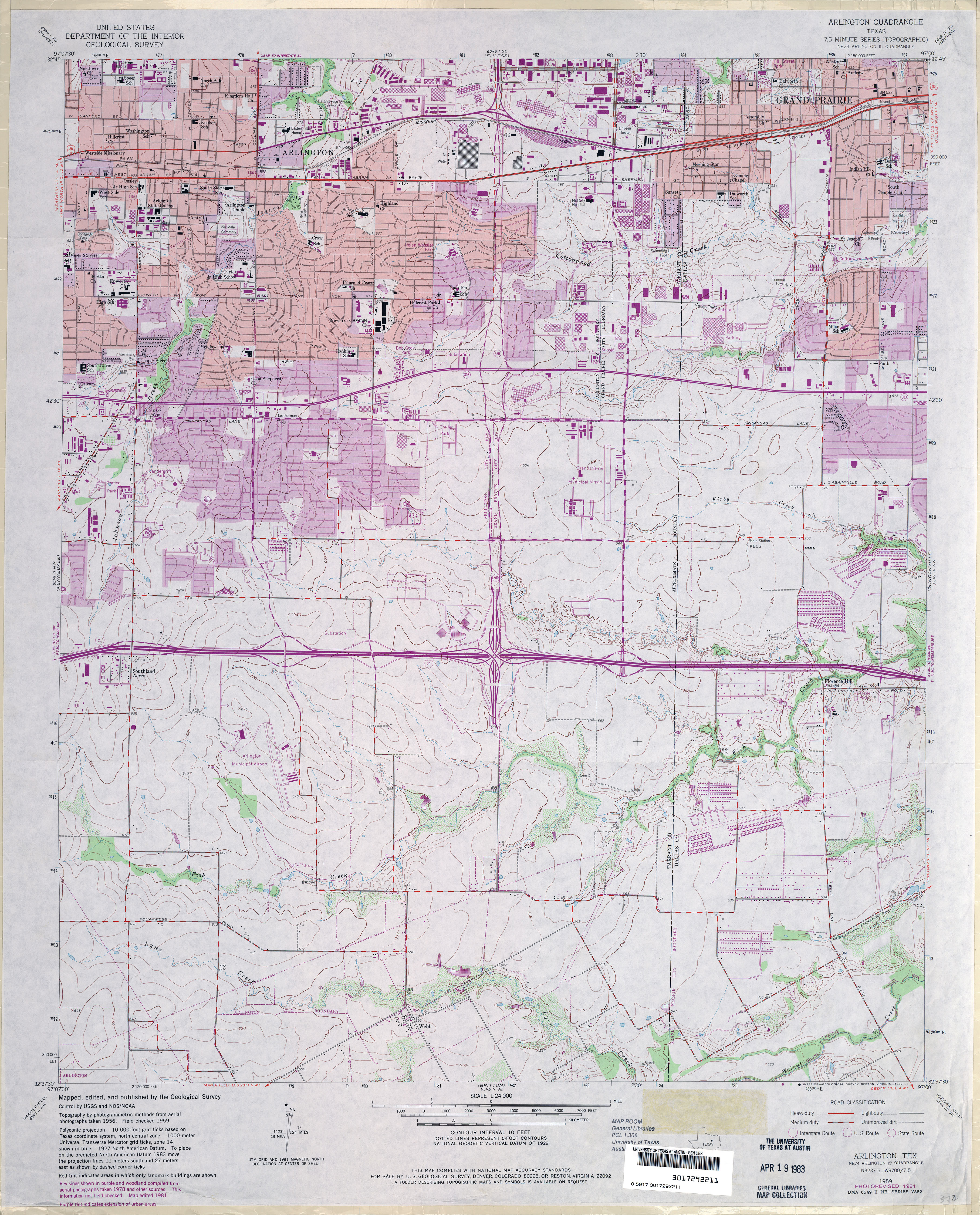
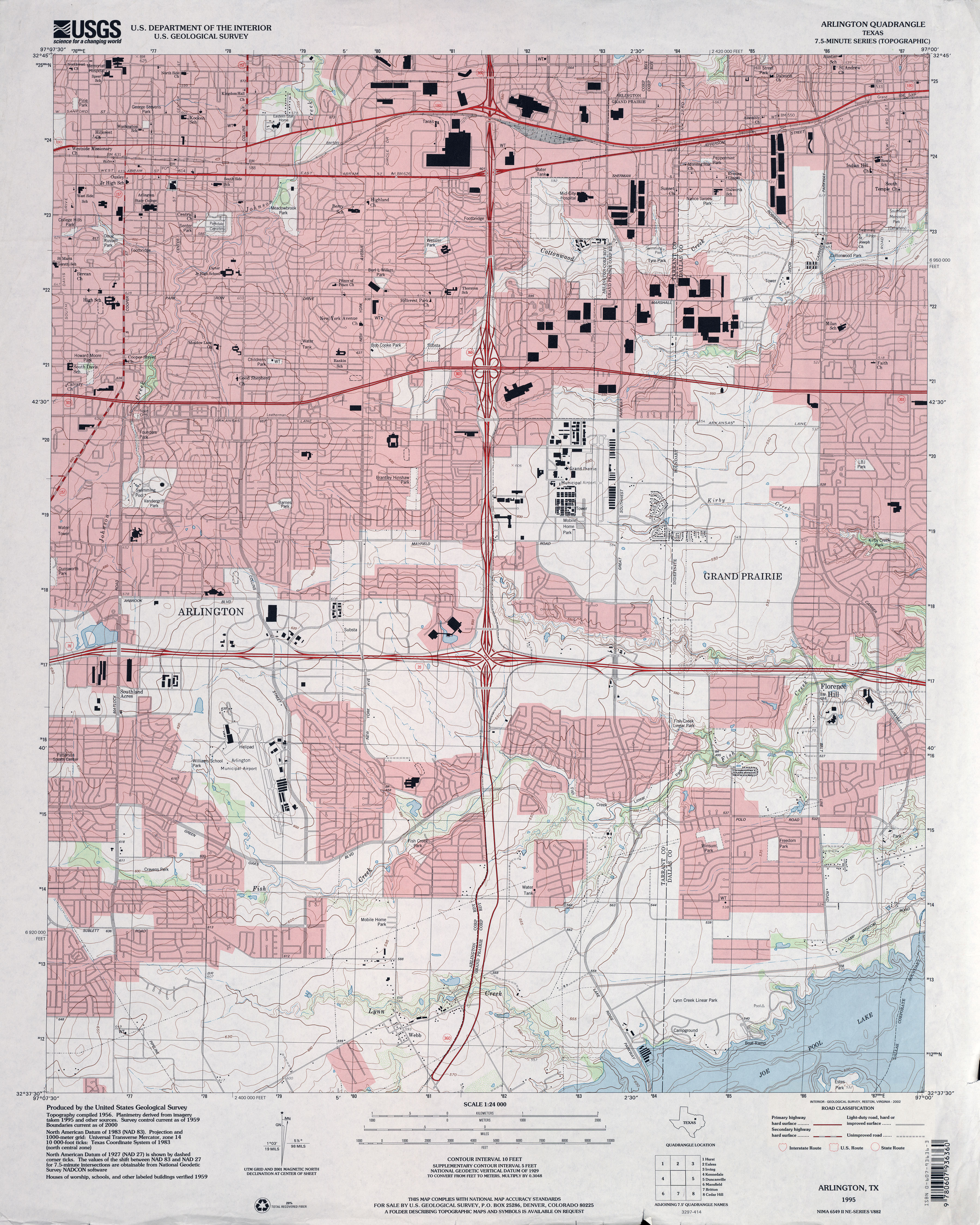
- Arlington 1:62,500 1959 (3.4 MB)
- Arlington 1:24,000 1959 (3.3MB)
- Arlington 1:24,000 1968 (3.5MB)
- Arlington 1:24,000 1973 (3.8MB)
- Arlington 1:50,000 1978 (4.4MB) U.S. Defense Mapping Agency, Series V782
- Arlington 1:24,000 1981 (4.3MB)
- Arlington 1:24,000 1995 (4.3MB)
- Arlington 1:24,000 2008 (18.5MB) [GeoPDF]
- Arlington 1:24,000 2012 (25.7MB) [GeoPDF]
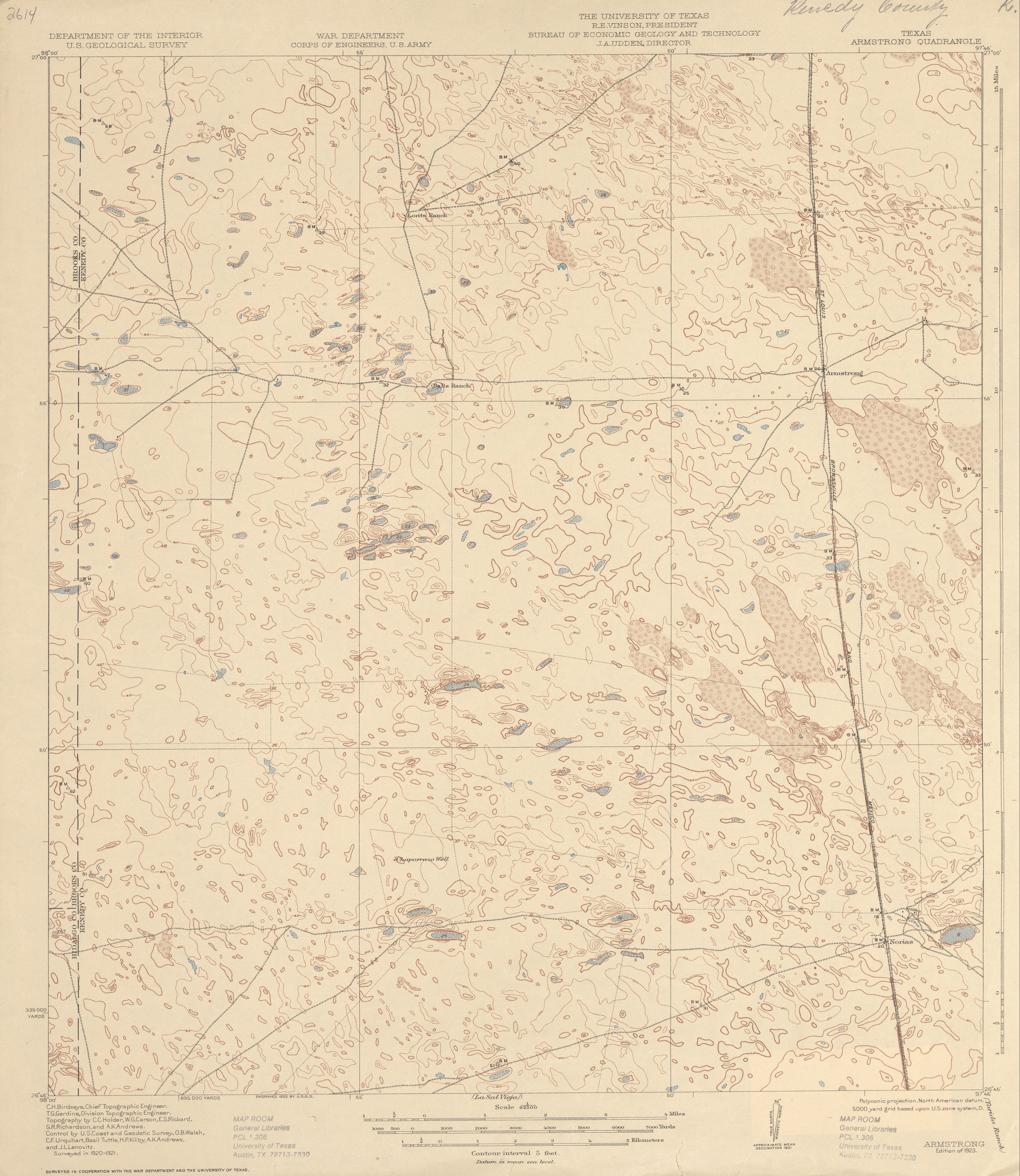
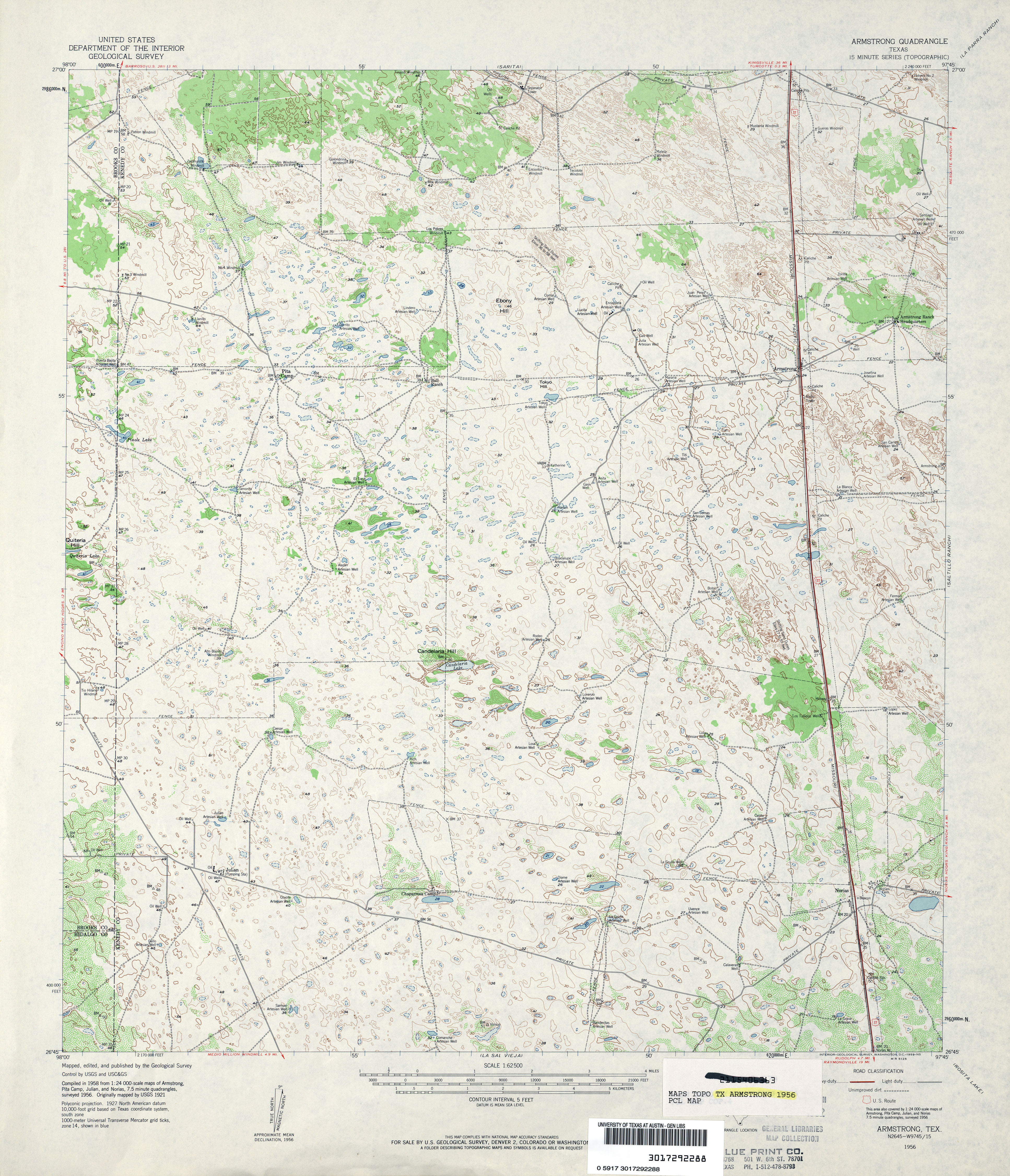
- Armstrong 1:62,500 1921 (3.6MB)
- Armstrong 1:62,500 1956 (4.6MB)
- Armstrong (Kenedy County) 1:24,000 1982 (3.8MB)
- Armstrong 1:24,000 2009 (14.9MB) [GeoPDF]
- Armstrong 1:24,000 2013 (20.2MB) [GeoPDF]
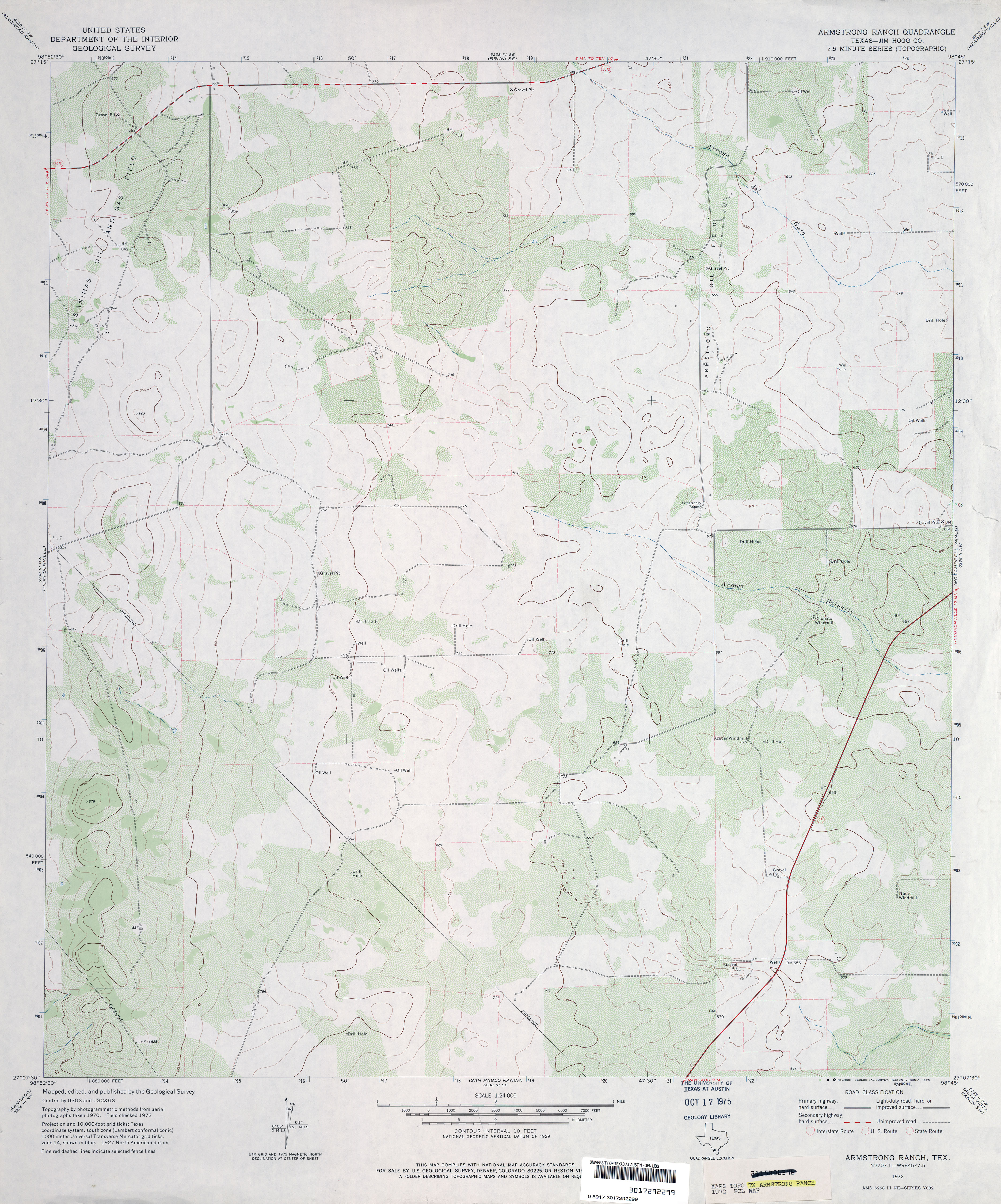
- Armstrong Ranch (Jim Hogg County) 1:24,000 1972 (3.4MB)
- Armstrong Ranch 1:24,000 2008 (16.2MB) [GeoPDF]
- Armstrong Ranch 1:24,000 2013 (22MB) [GeoPDF]
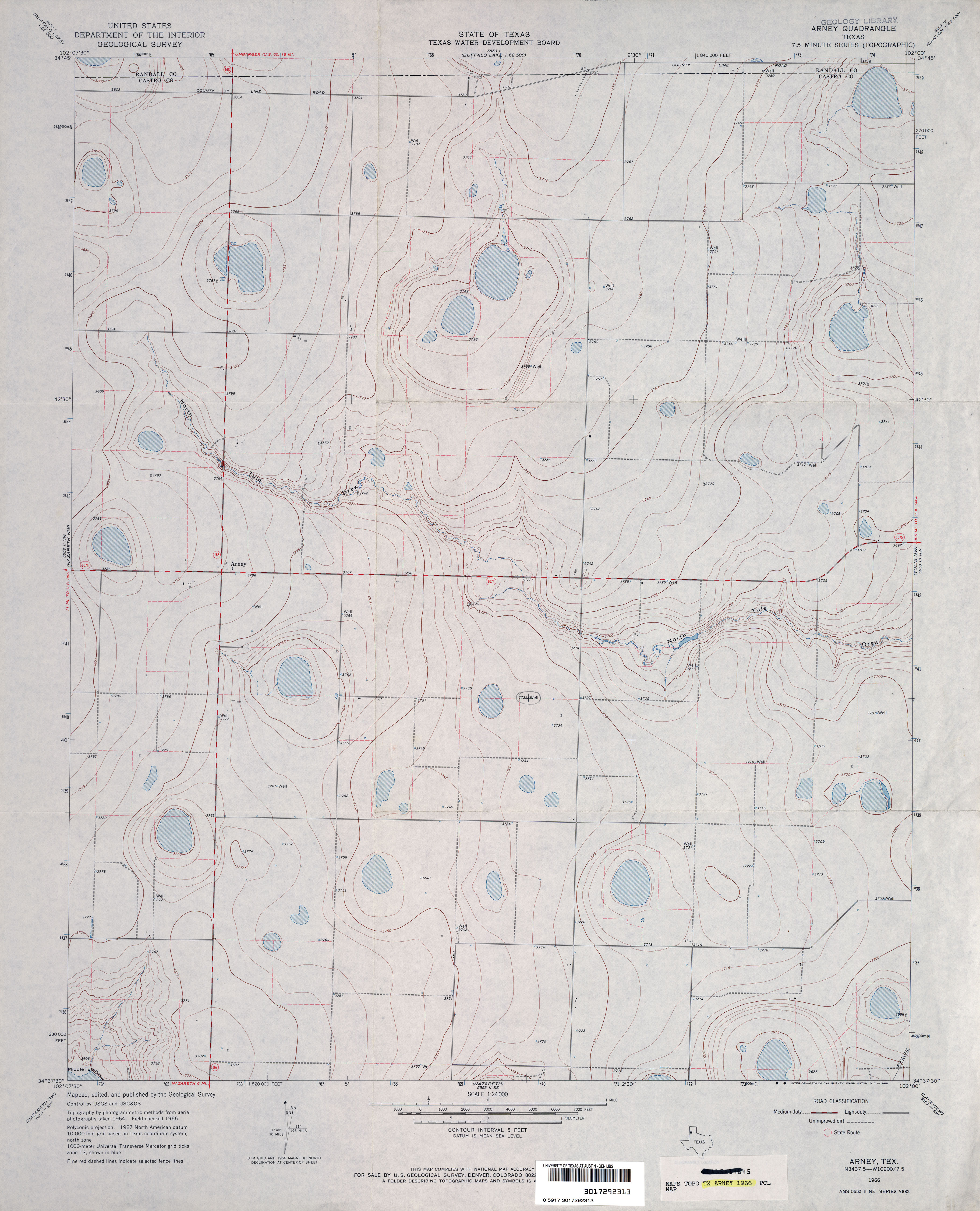
- Arney 1:24,000 1966 (2.9MB)
- Arney 1:24,000 1980 (2.6MB)
- Arney 1:24,000 2008 (9.0MB) [GeoPDF]
- Arney 1:24,000 2012 (13MB) [GeoPDF]
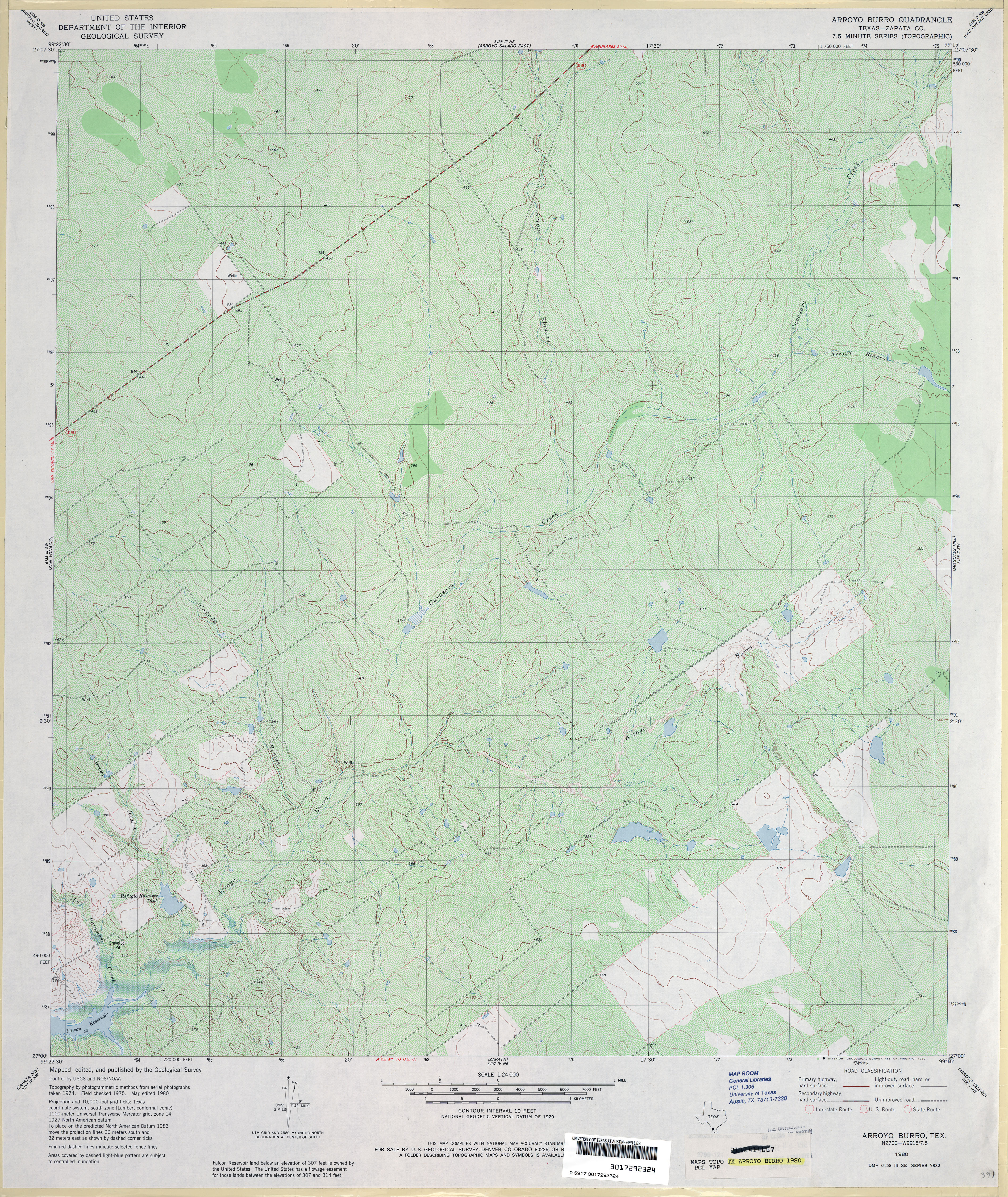
- Arroyo Burro (Zapata County) 1:24,000 1980 (5.7MB)
- Arroyo Burro 1:24,000 2008 (22.8MB) [GeoPDF]
- Arroyo Burro 1:24,000 2013 (25.8MB) [GeoPDF]
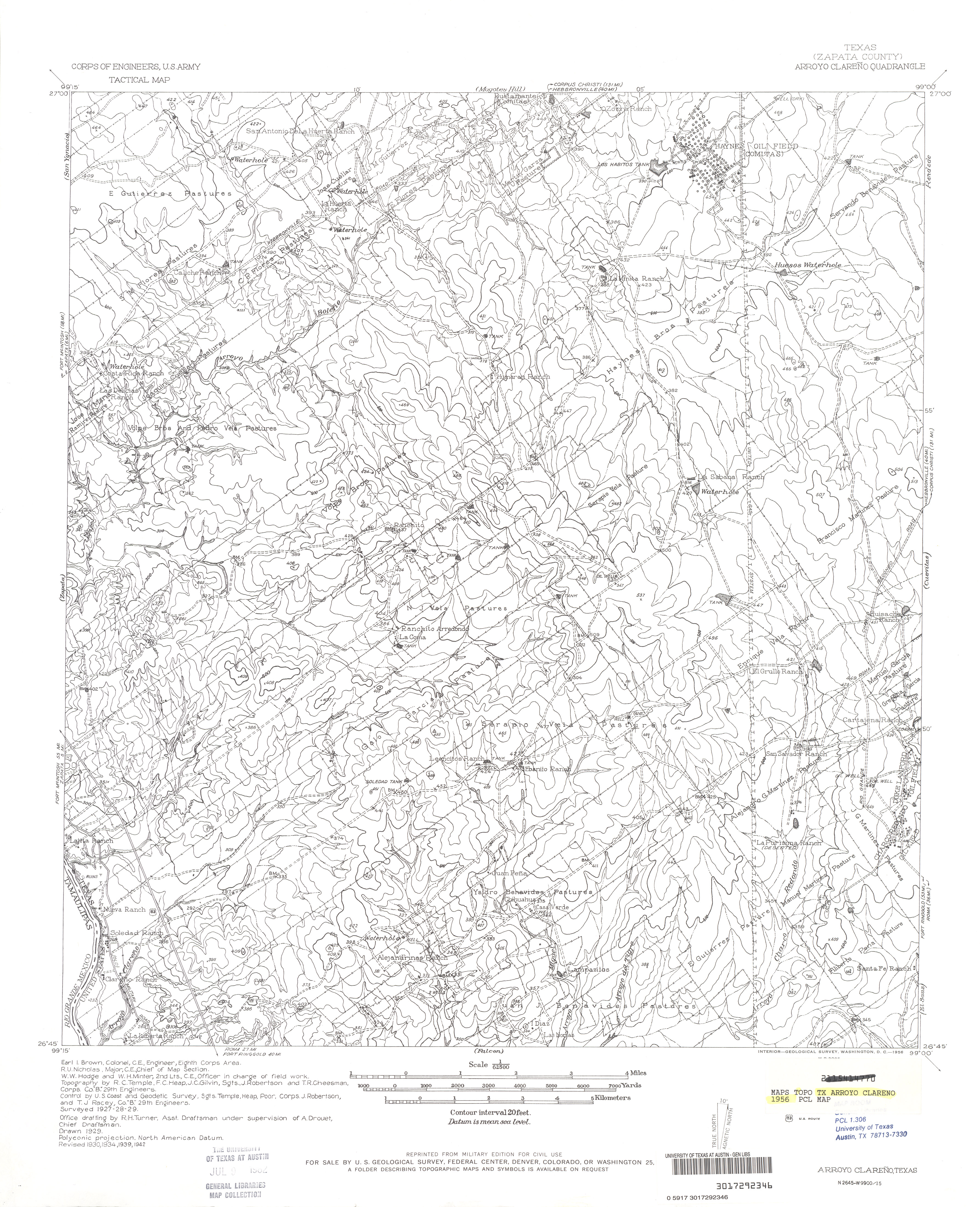
- Arroyo Clareno (Zapata County) 1:62,500 1942 (4.0 MB) U.S. Army. Corps of Engineers. Tactical Map
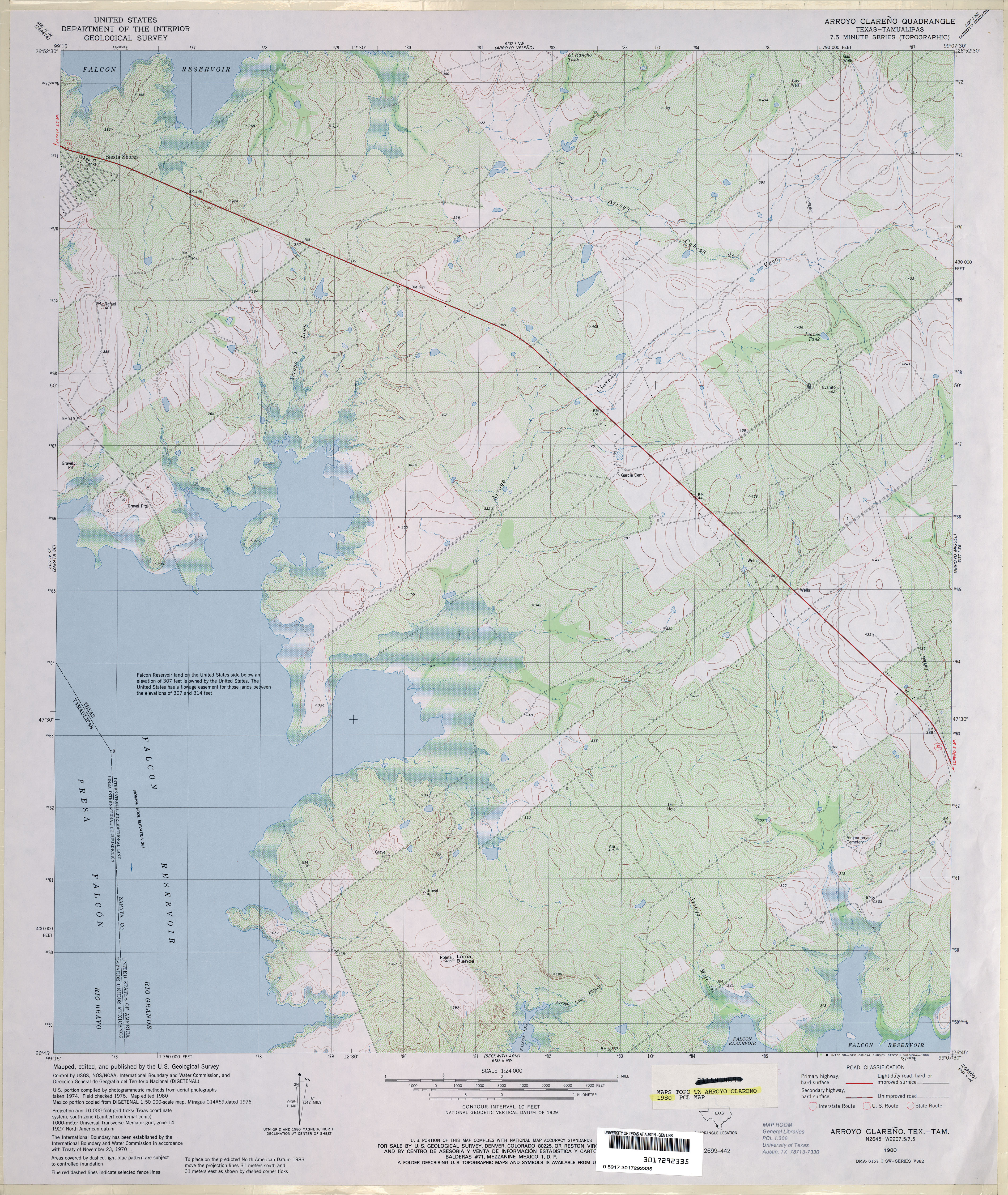
- Arroyo Clareno 1:24,000 1980 (4.4MB)
- Arroyo Clareno 1:24,000 2008 (23.5MB) [GeoPDF]
- Arroyo Clareno 1:24,000 2012 (24.7MB) [GeoPDF]
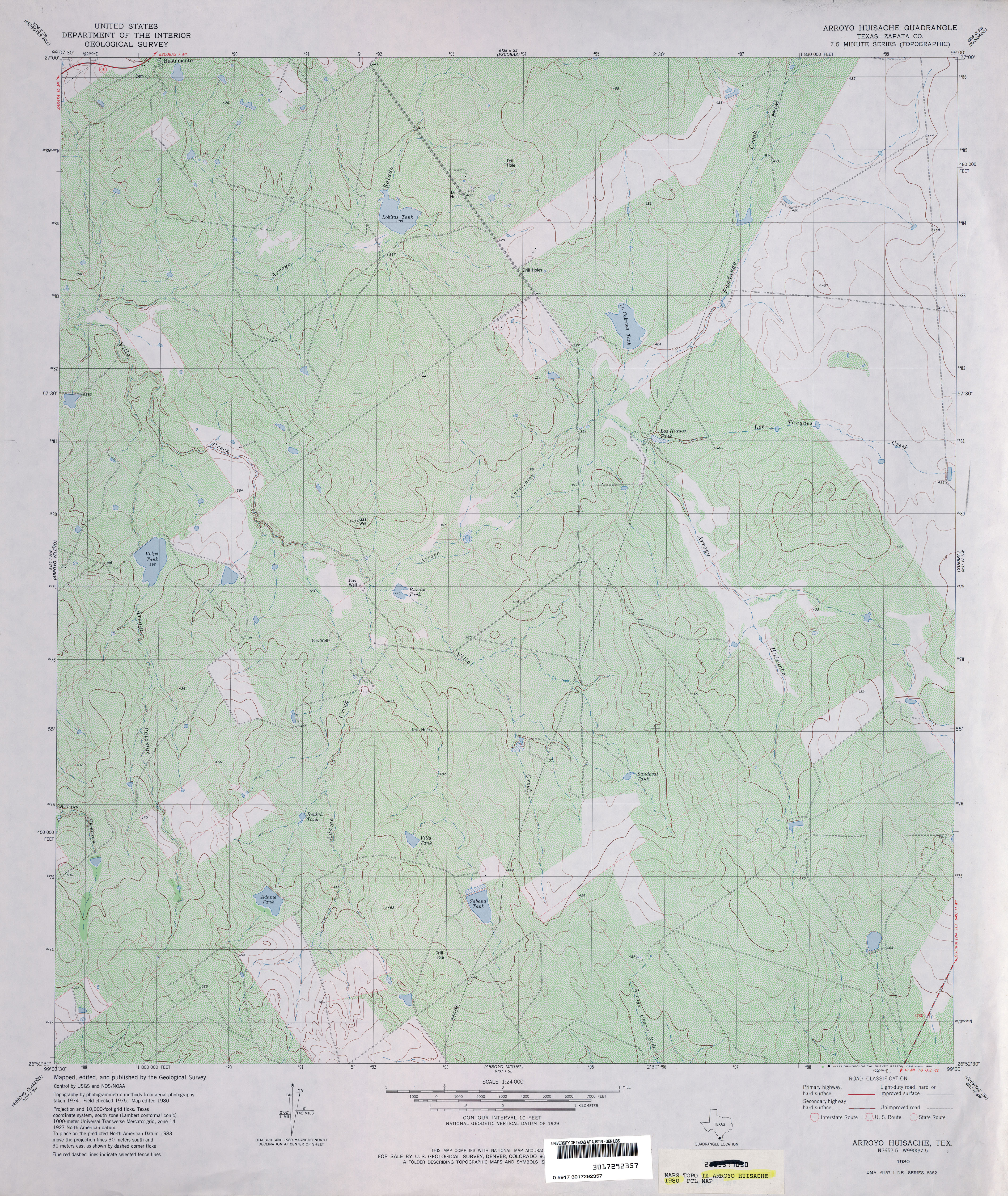
- Arroyo Huisache (Zapata County) 1:24,000 1980 (4.9MB)
- Arroyo Huisache 1:24,000 2008 (23.2MB) [GeoPDF]
- Arroyo Huisache 1:24,000 2012 (26.3MB) [GeoPDF]
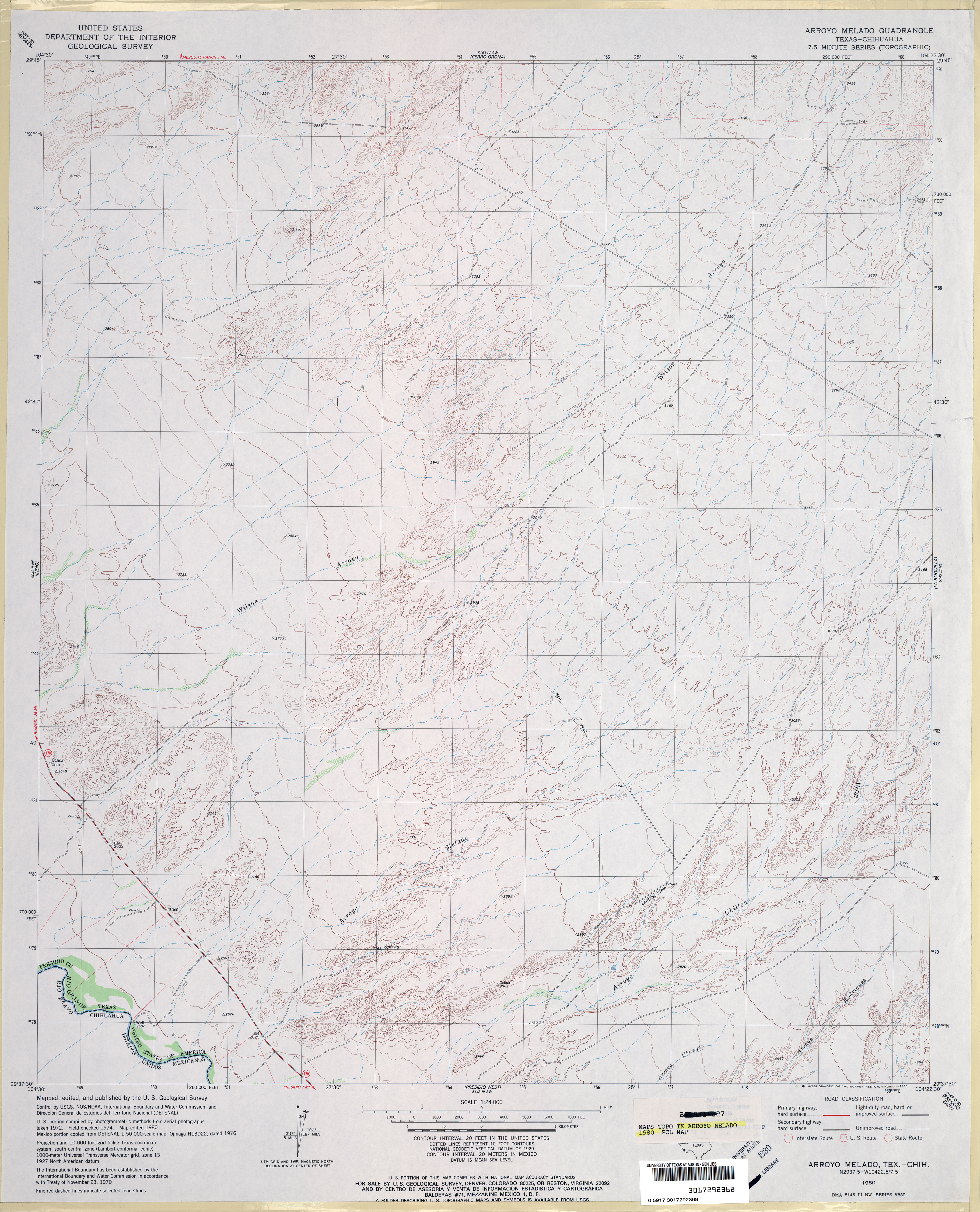
- Arroyo Melado 1:24,000 1980 (3.6MB)
- Arroyo Melado 1:24,000 2008 (18.1MB) [GeoPDF]
- Arroyo Melado 1:24,000 2012 (25.0MB) [GeoPDF]
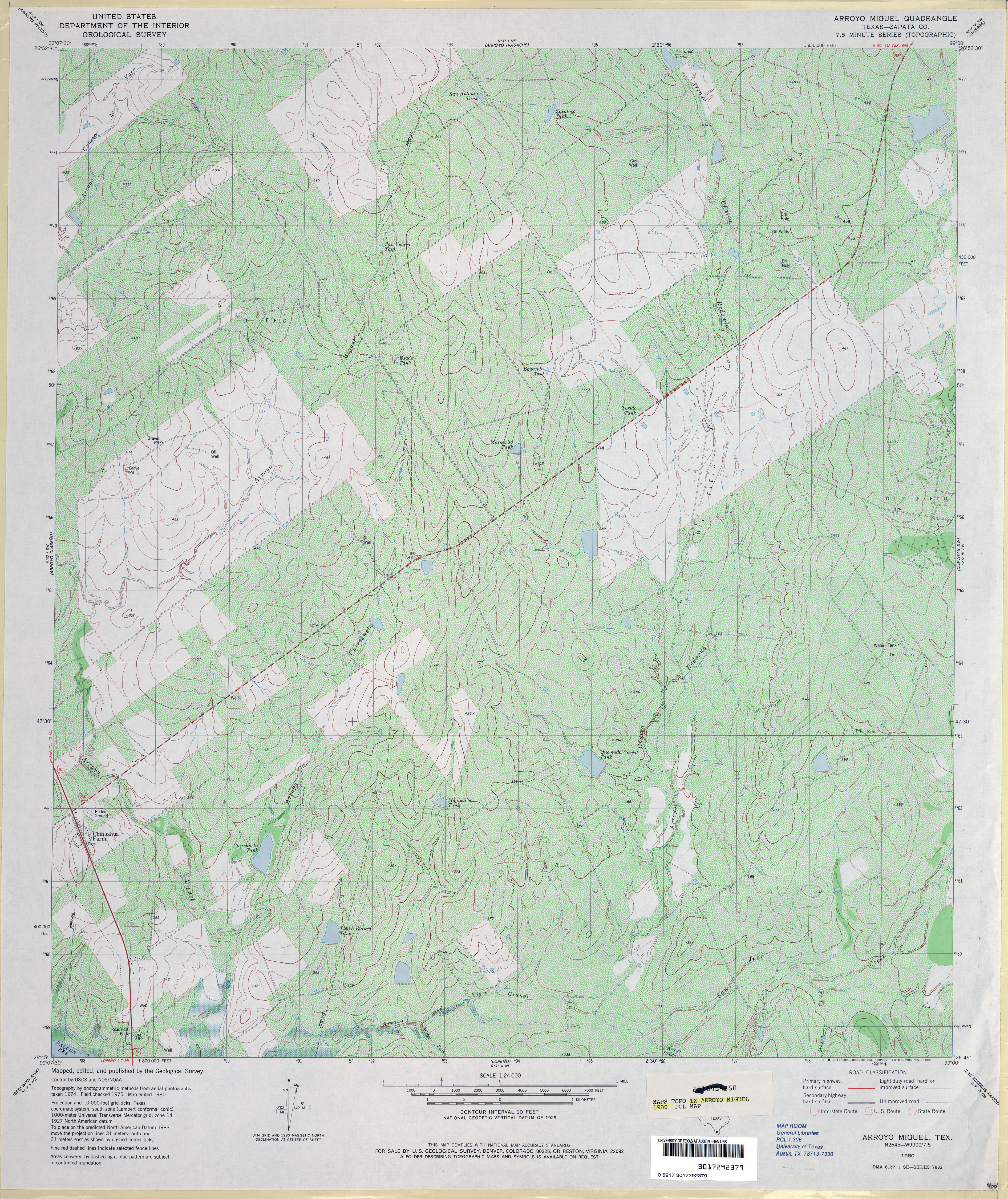
- Arroyo Miguel (Zapata County) 1:24,000 1980 (5.8MB)
- Arroyo Miguel 1:24,000 2008 (24.9MB) [GeoPDF]
- Arroyo Miguel 1:24,000 2012 (27.6MB) [GeoPDF]
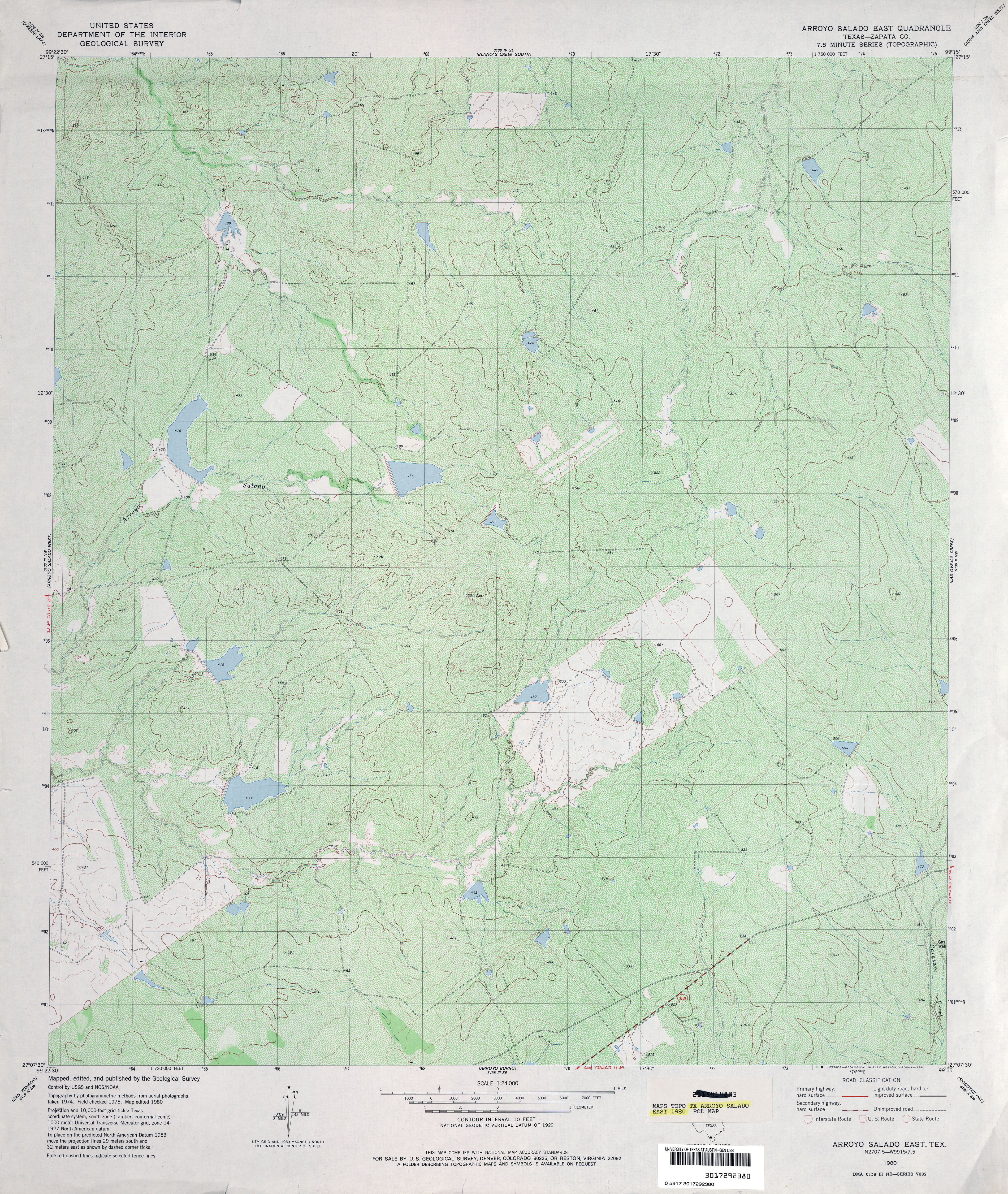
- Arroyo Salado East (Zapata County) 1:24,000 1980 (6.1MB)
- Arroyo Salado East 1:24,000 2008 (19.8MB) [GeoPDF]
- Arroyo Salado East 1:24,000 2013 (26.2MB) [GeoPDF]
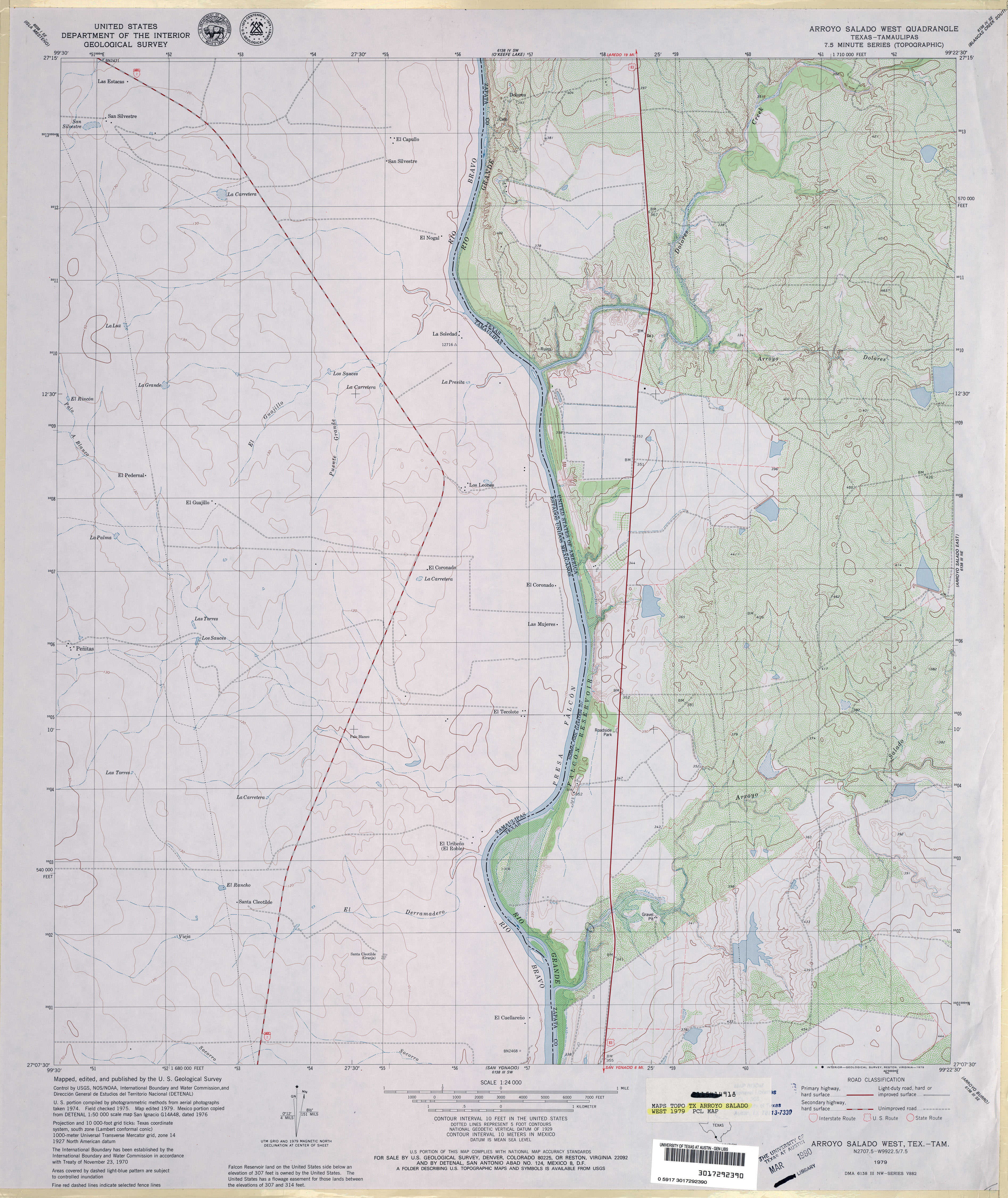
- Arroyo Salado West 1:24,000 1979 (3.5MB)
- Arroyo Salado West 1:24,000 2008 (19.4MB) [GeoPDF]
- Arroyo Salado West 1:24,000 2013 (23.2MB) [GeoPDF]
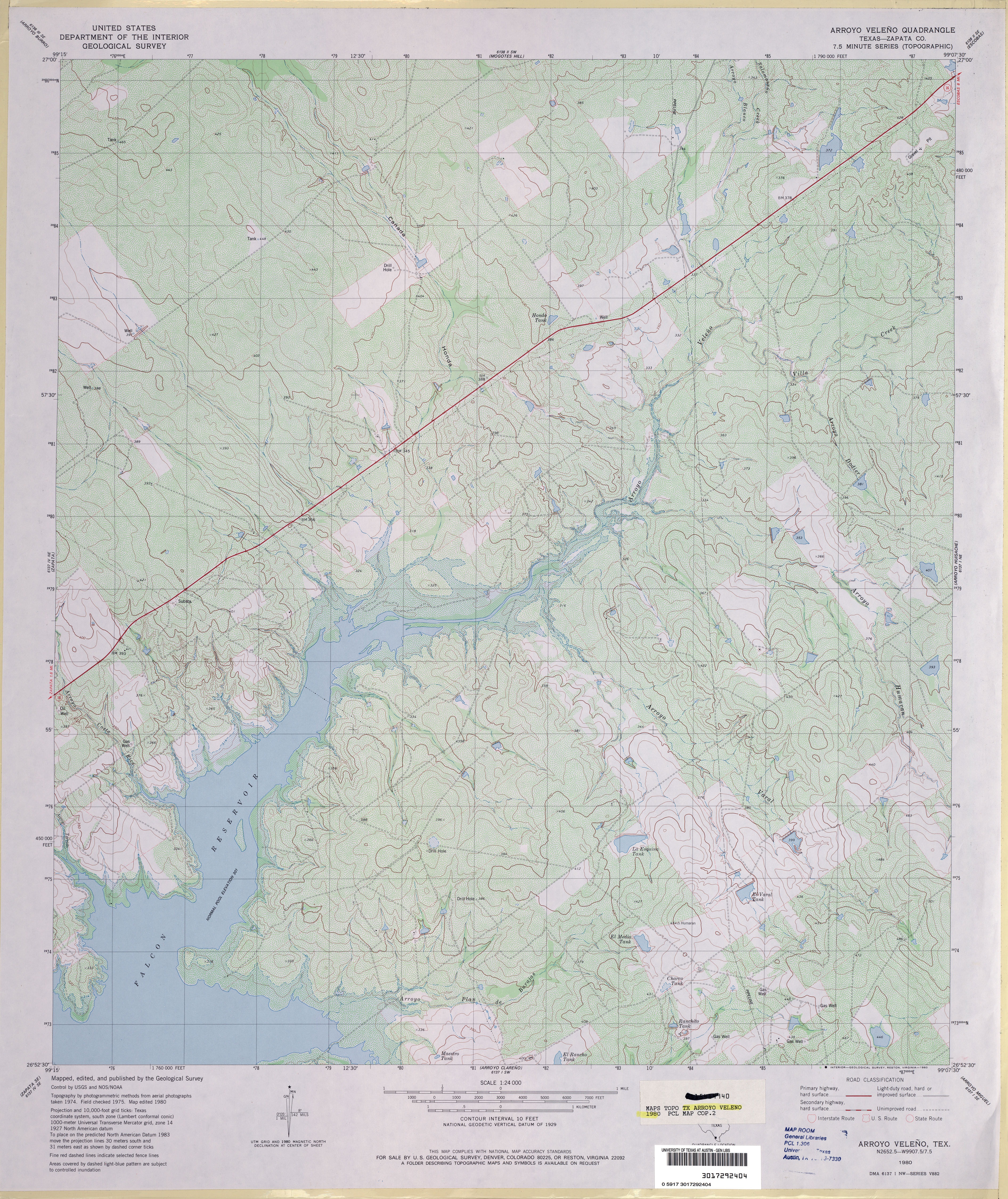
- Arroyo Veleno (Zapata County) 1:24,000 1980 (4.9MB)
- Arroyo Veleno 1:24,000 2008 (24.9MB) [GeoPDF]
- Arroyo Veleno 1:24,000 2012 (27MB) [GeoPDF]
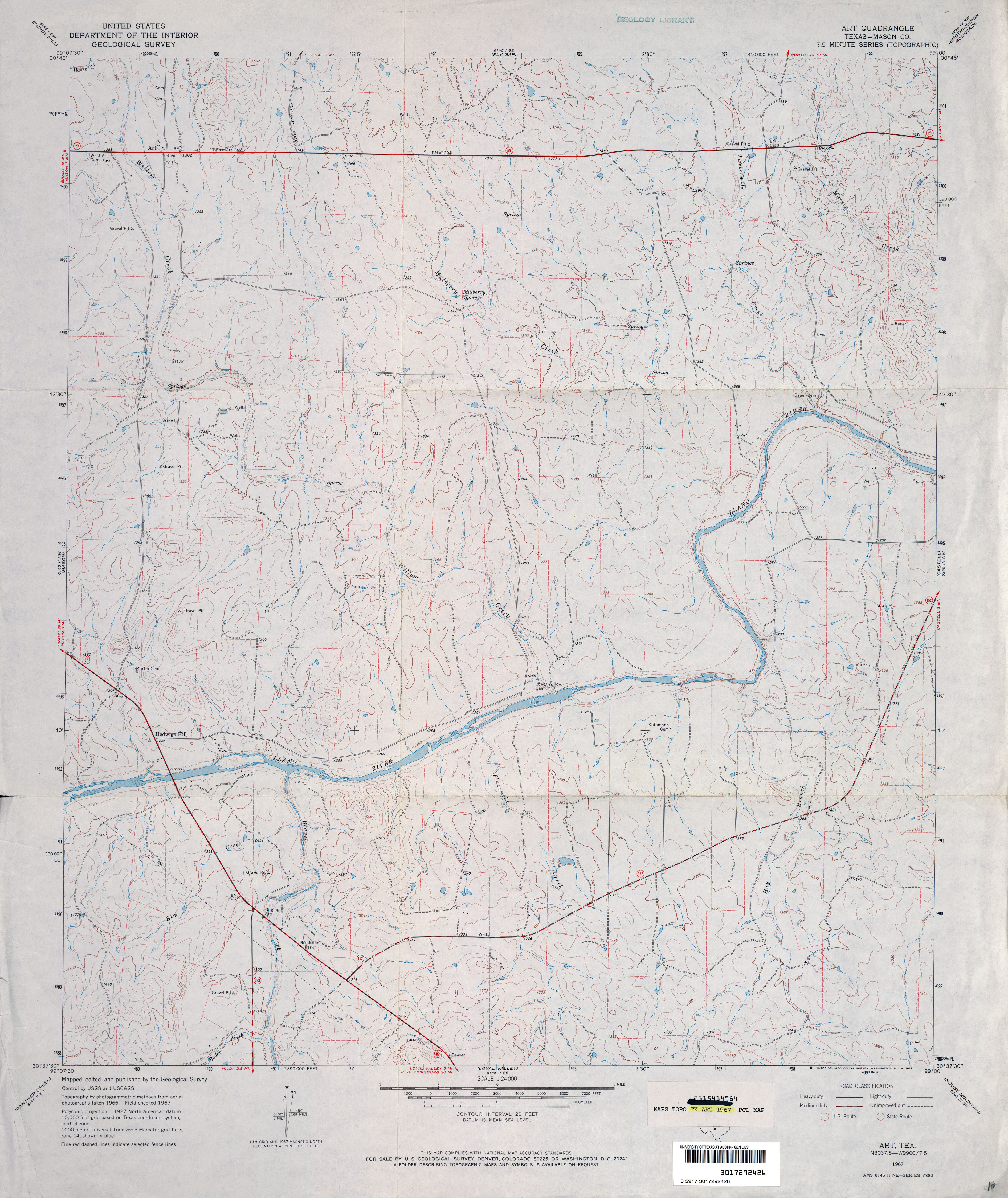
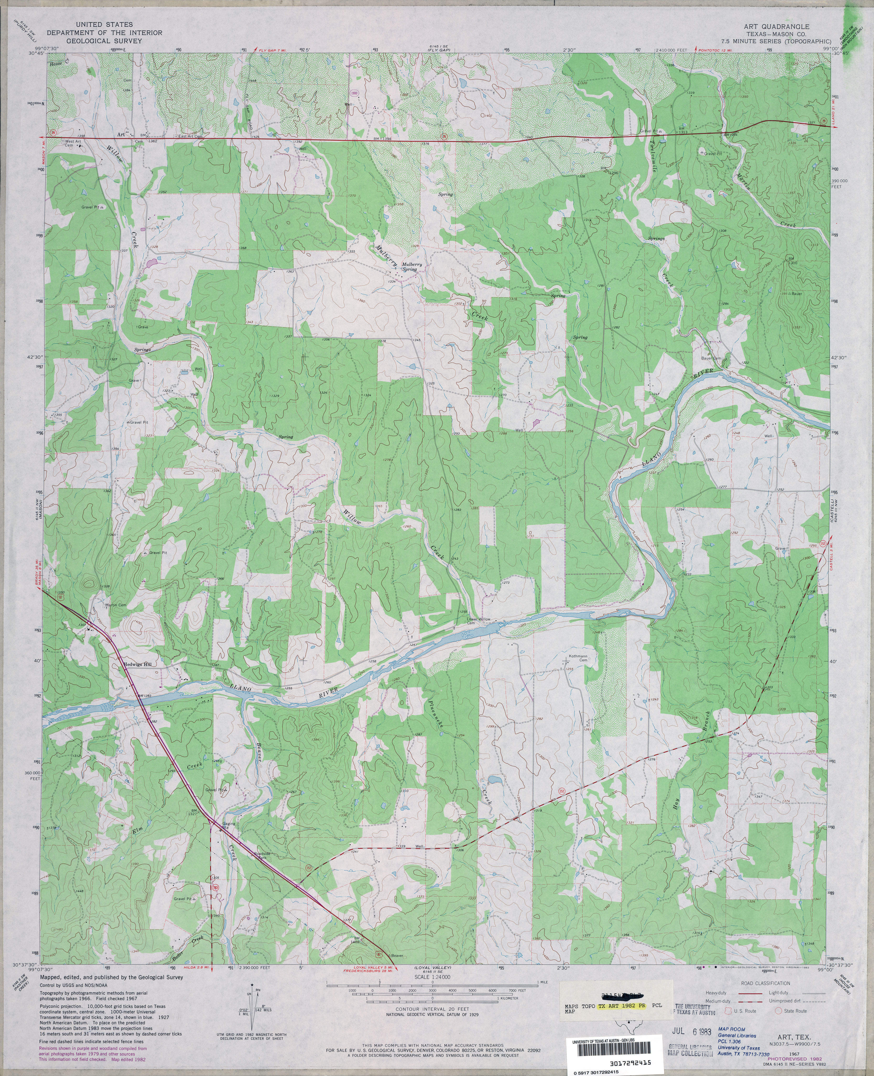
- Art (Mason County) 1:24,000 1967 (3.6MB)
- Art (Mason County) 1:24,000 1982 (3.9MB)
- Art 1:24,000 2008 (20.9MB) [GeoPDF]
- Art 1:24,000 2012 (24.6MB) [GeoPDF]
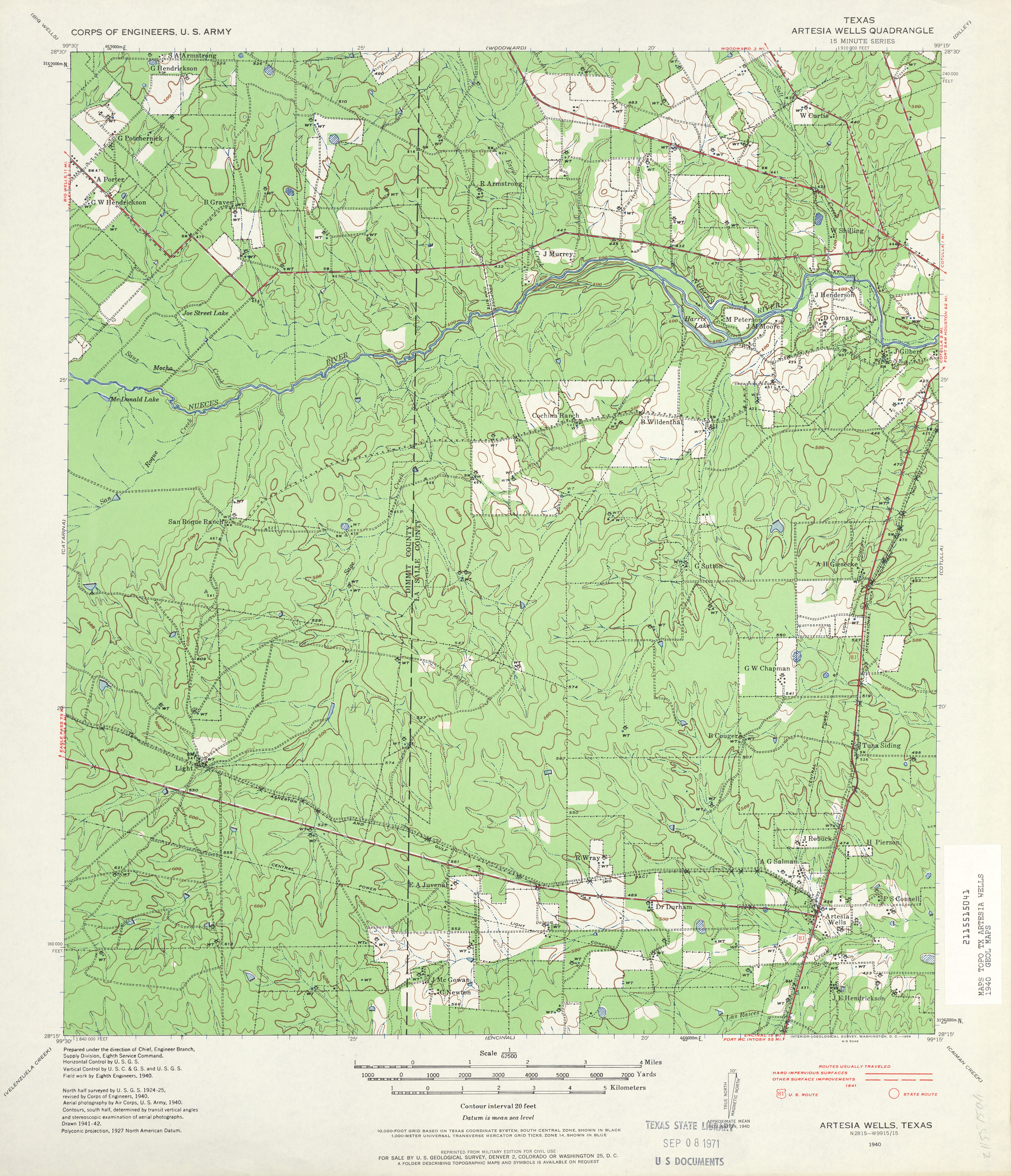
- Artesia Wells 1:62,500 1940 survey, 1941 overprint (4.6 MB) U.S. Army. Corps of Engineers. 15 Minute Series
- Artesia Wells (La Salle County) 1:24,000 1982 (3.9MB)
- Artesia Wells 1:24,000 2008 (17.1MB) [GeoPDF]
- Artesia wells 1:24,000 2013 (24.8MB) [GeoPDF]
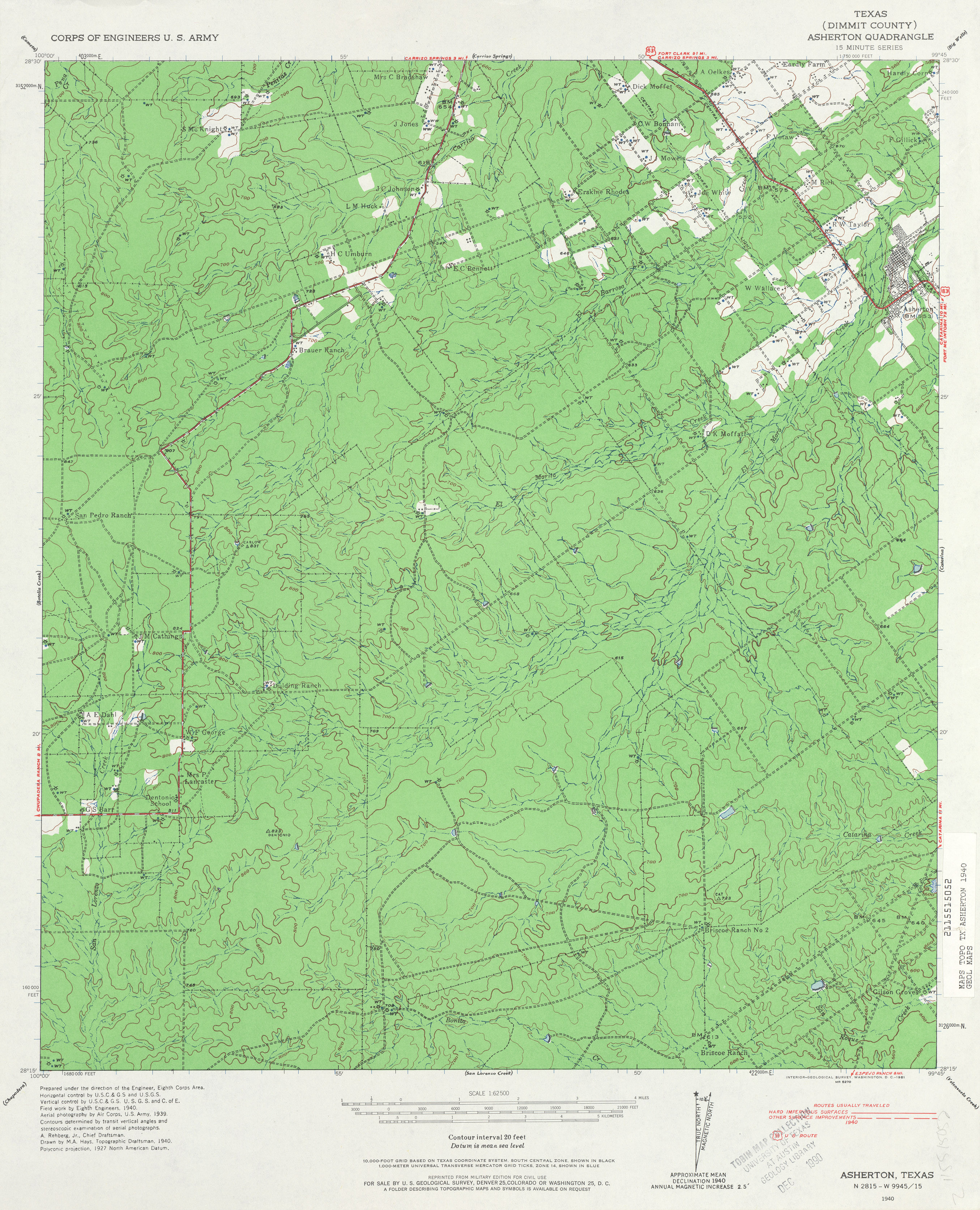
- Asherton (Dimmit County) 1:62,500 1939 survey, 1940 overprint (19.3 MB) U.S. Army. Corps of Engineers. 15 Minute Series
- Asherton (Dimmit County) 1:24,000 1982 (4.2MB)
- Asherton 1:24,000 2008 (18.2MB) [GeoPDF]
- Asherton 1:24,000 2013 (28MB) [GeoPDF]
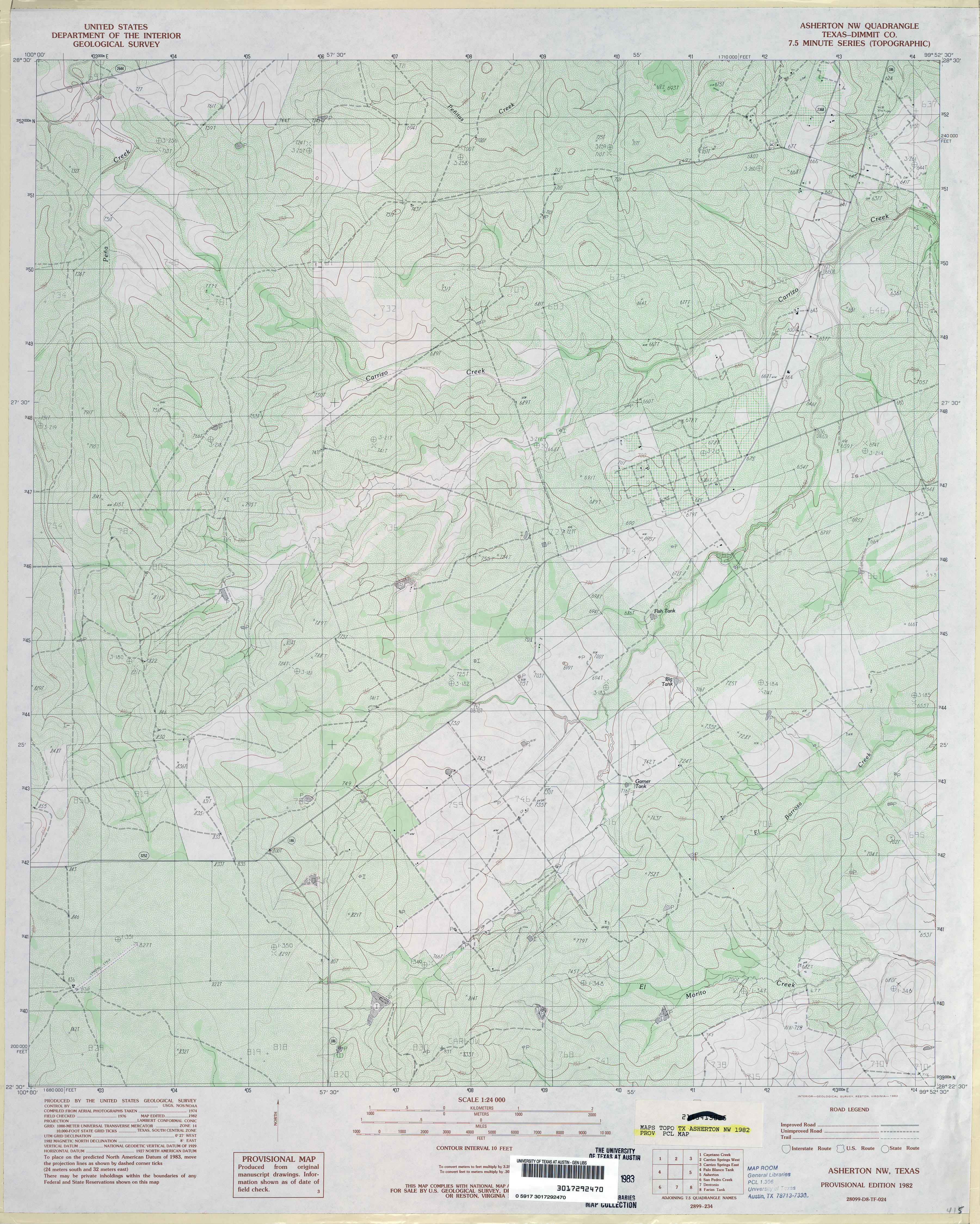
- Asherton NW (Dimmit County) 1:24,000 1982 (4.4MB)
- Asherton NW 1:24,000 2008 (16.6MB) [GeoPDF]
- Asherton NW 1:24,000 2013 (26.3MB) [GeoPDF]
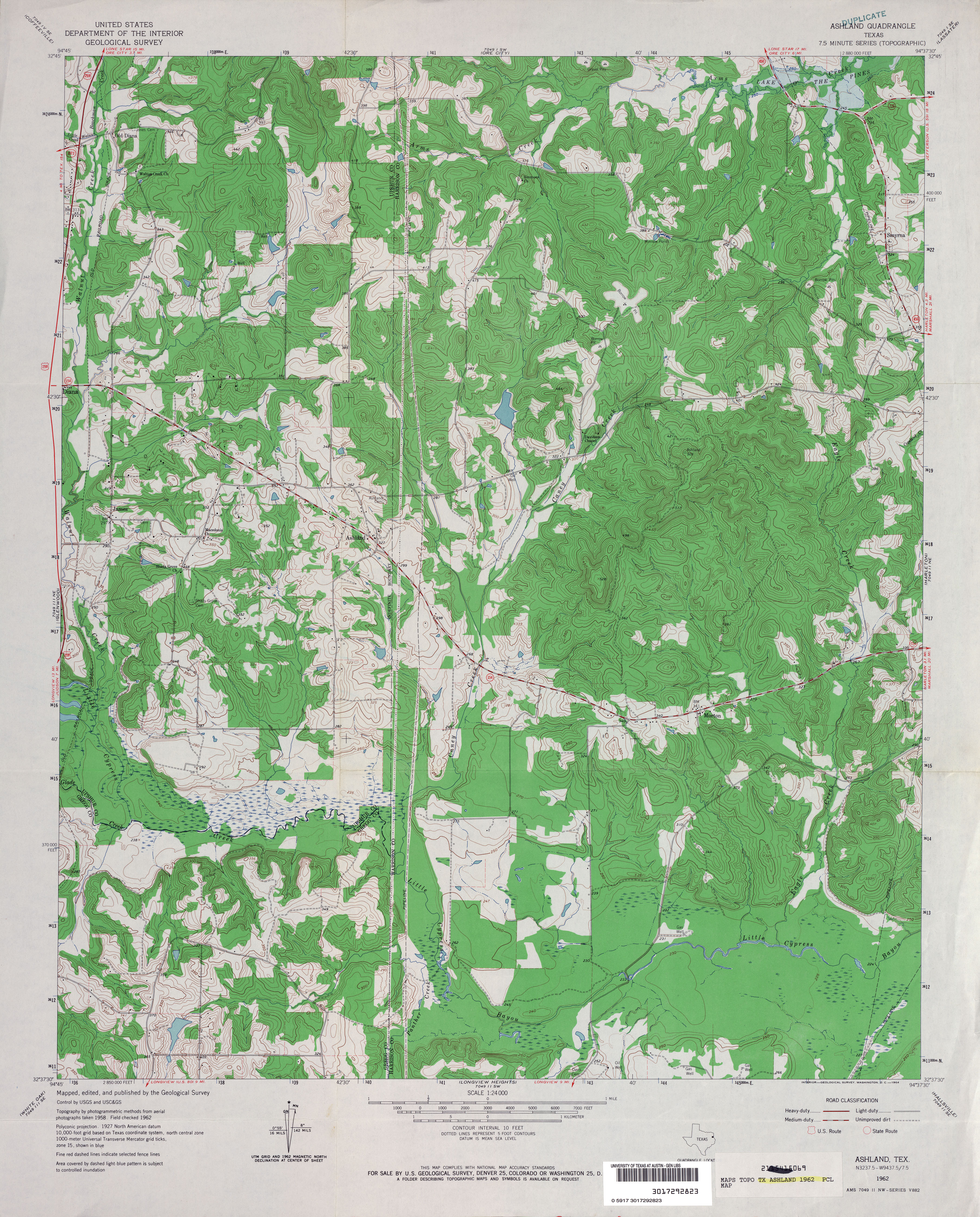
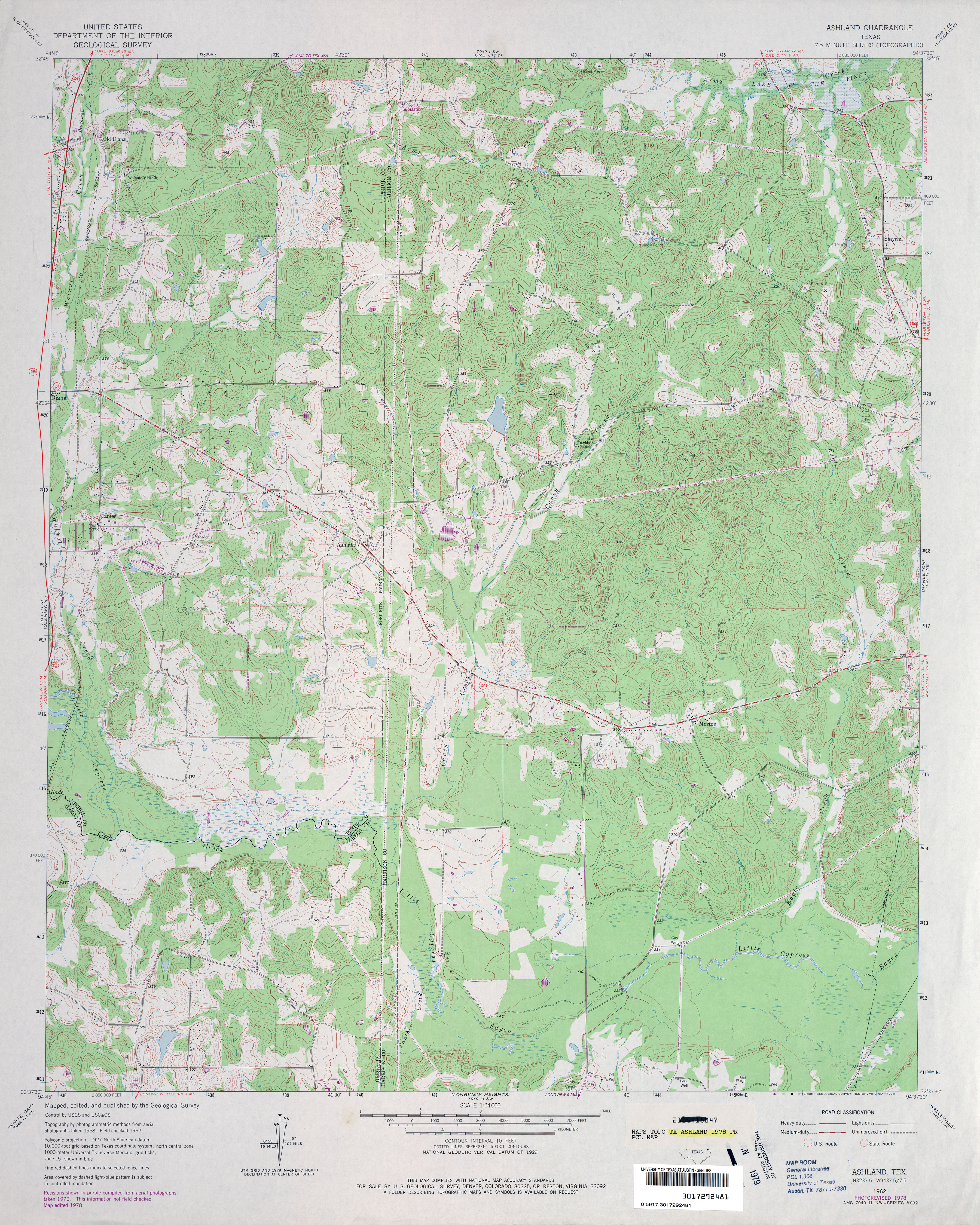
- Ashland 1:24,000 1962 (4.9MB)
- Ashland 1:24,000 1978 (4.9MB)
- Ashland 1:24,000 2009 (22.9MB) [GeoPDF]
- Ashland 1:24,000 2013 (26.1MB) [GeoPDF]
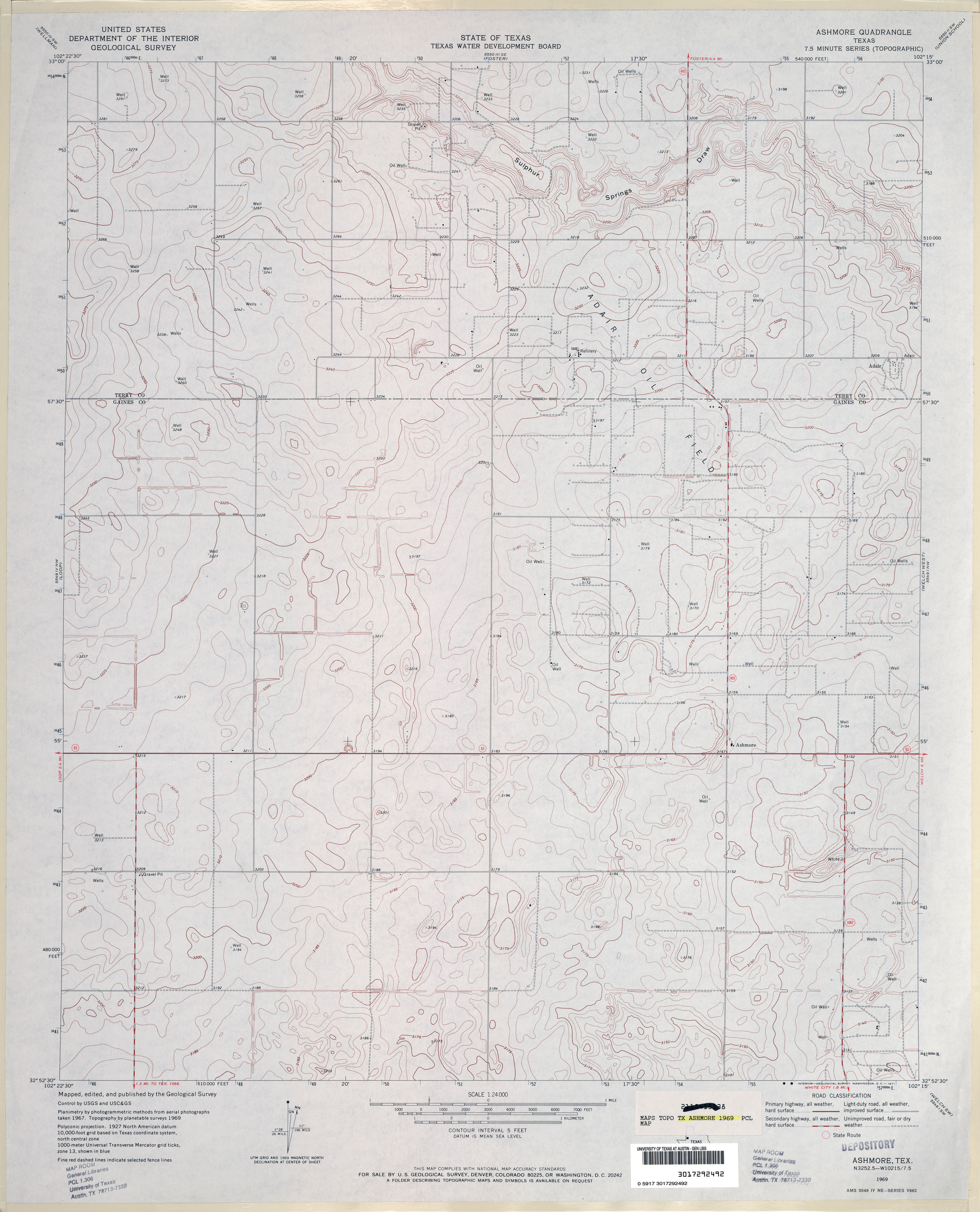
- Ashmore 1:24,000 1969 (2.9MB)
- Ashmore 1:24,000 2008 (8.4MB) [GeoPDF]
- Ashmore 1:24,000 2012 (15.3MB) [GeoPDF]
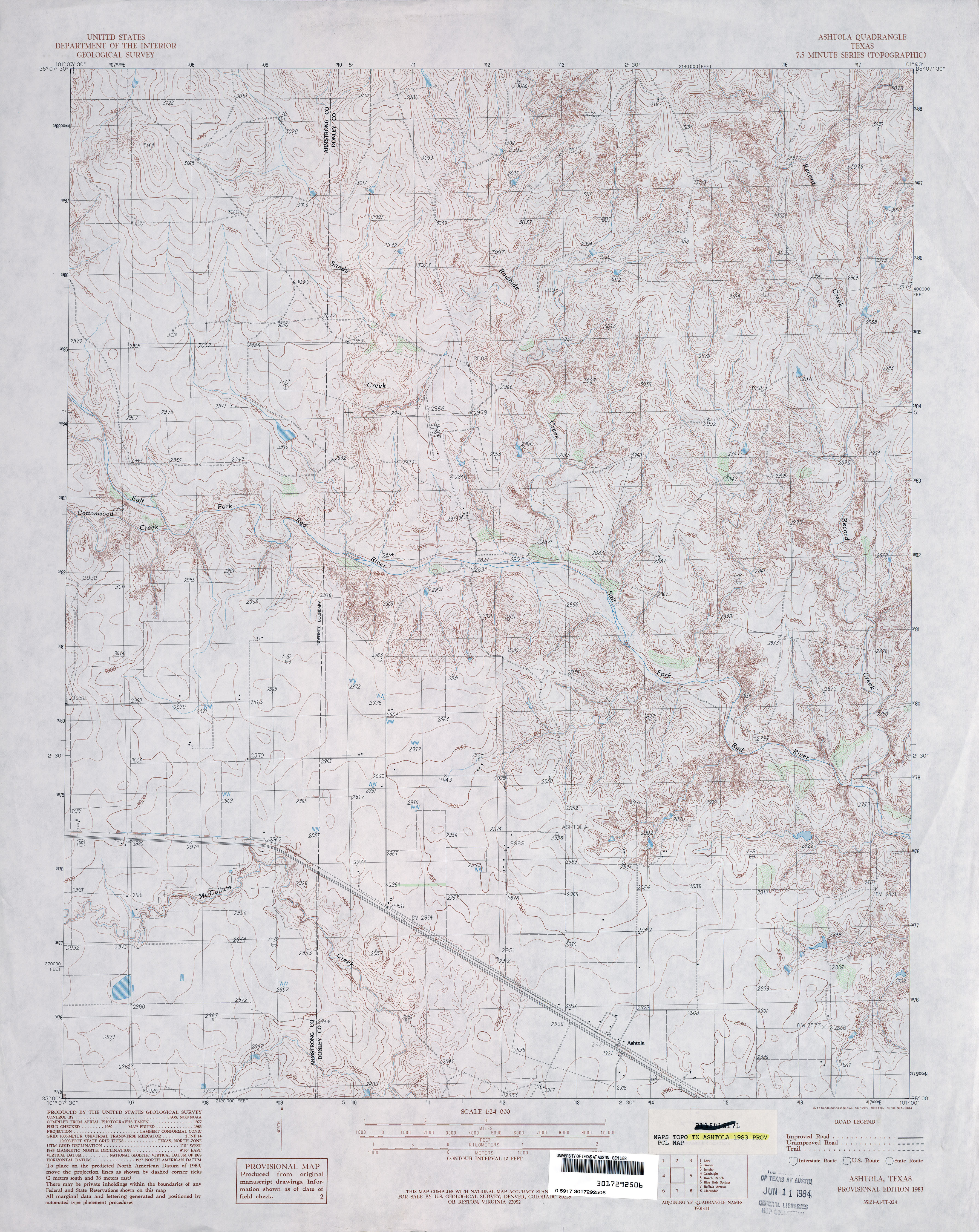
- Ashtola 1:24,000 1983 (4.4MB)
- Ashtola 1:24,000 2008 (13.2MB) [GeoPDF]
- Ashtola 1:24,000 2012 (19.5MB) [GeoPDF]
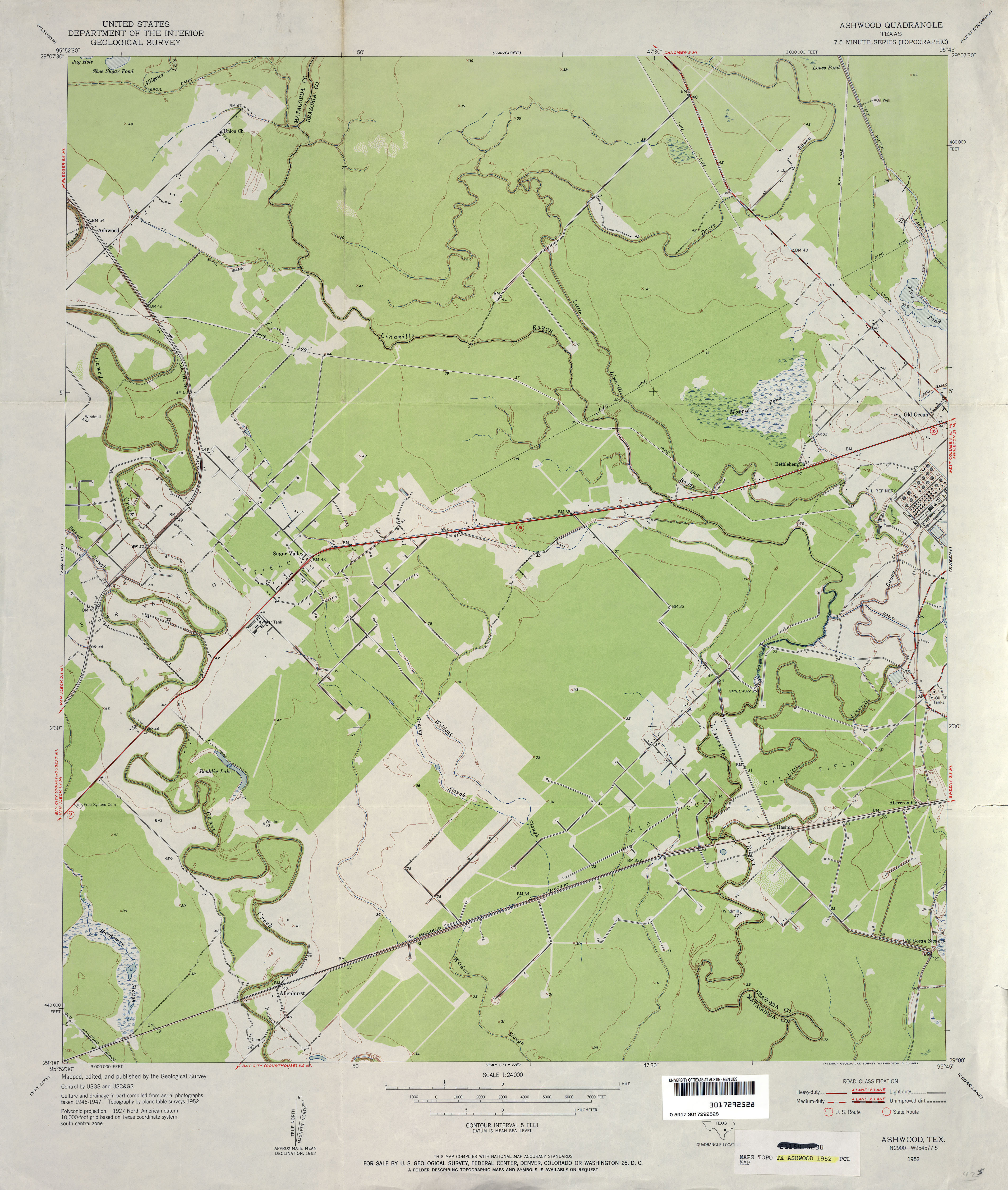
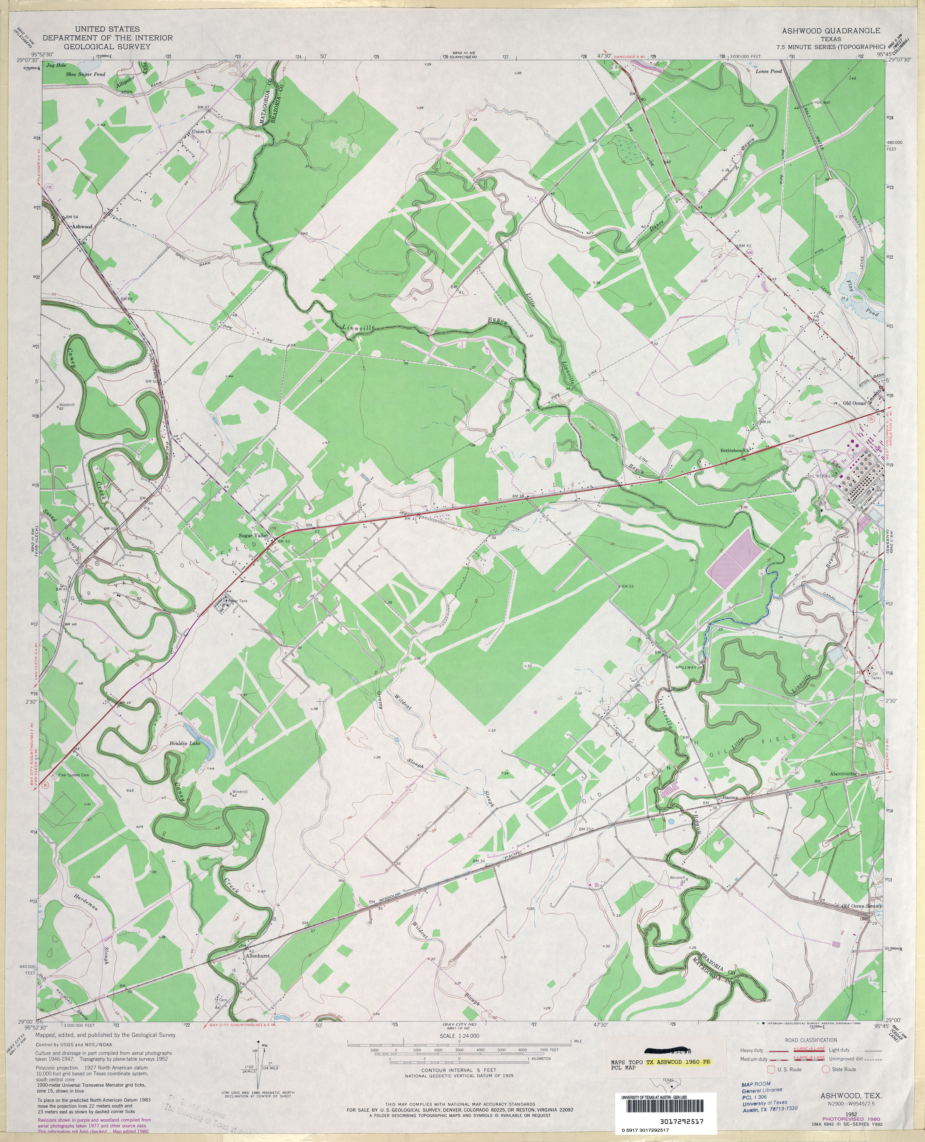
- Ashwood 1:24,000 1952 (3MB)
- Ashwood 1:24,000 1980 (3.3MB)
- Ashwood 1:24,000 2009 (19.9MB) [GeoPDF]
- Ashwood 1:24,000 2013 (19.8MB) [GeoPDF]
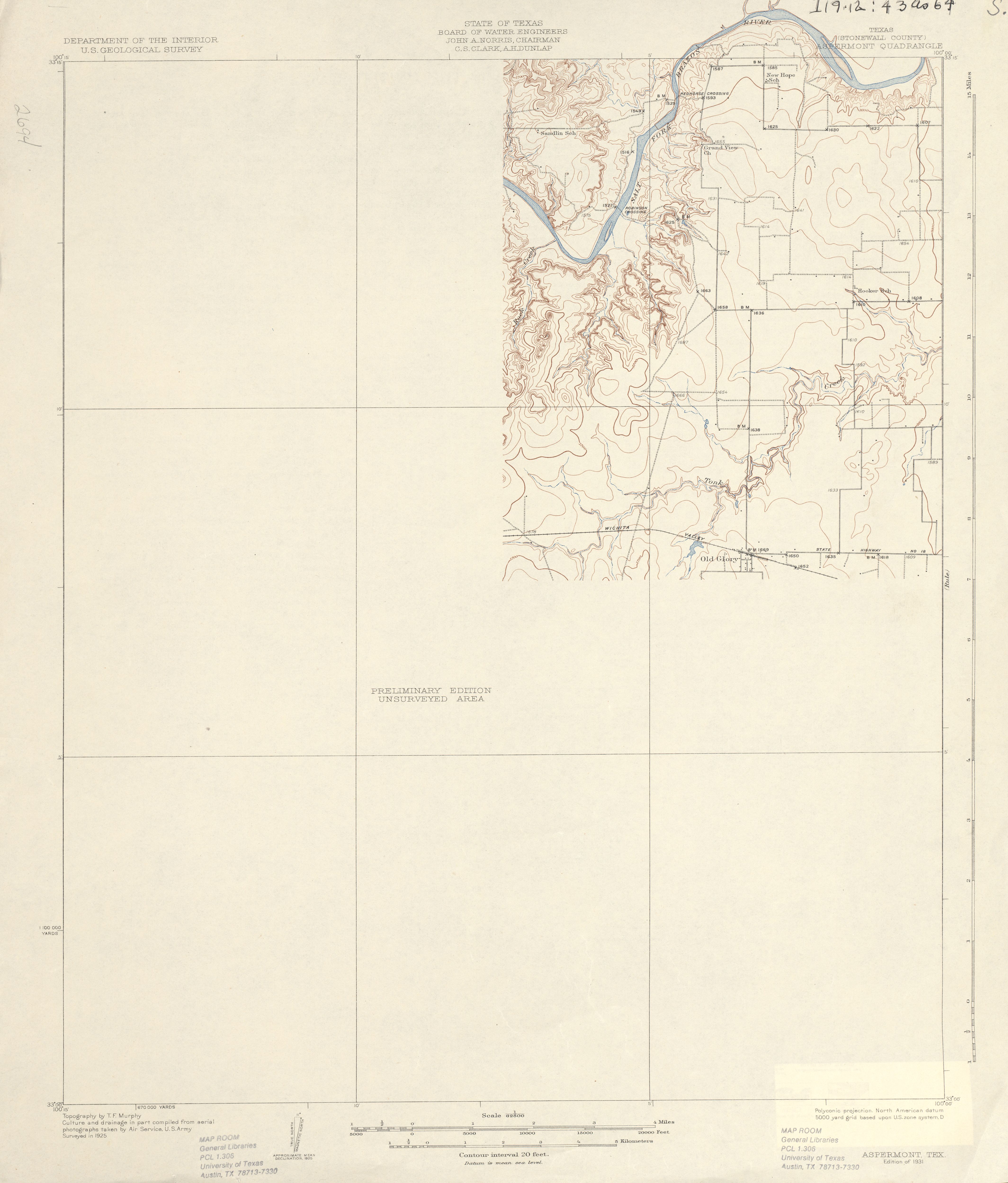
- Aspermont (Stonewall County) 1:62,500 1925 (2.3MB)
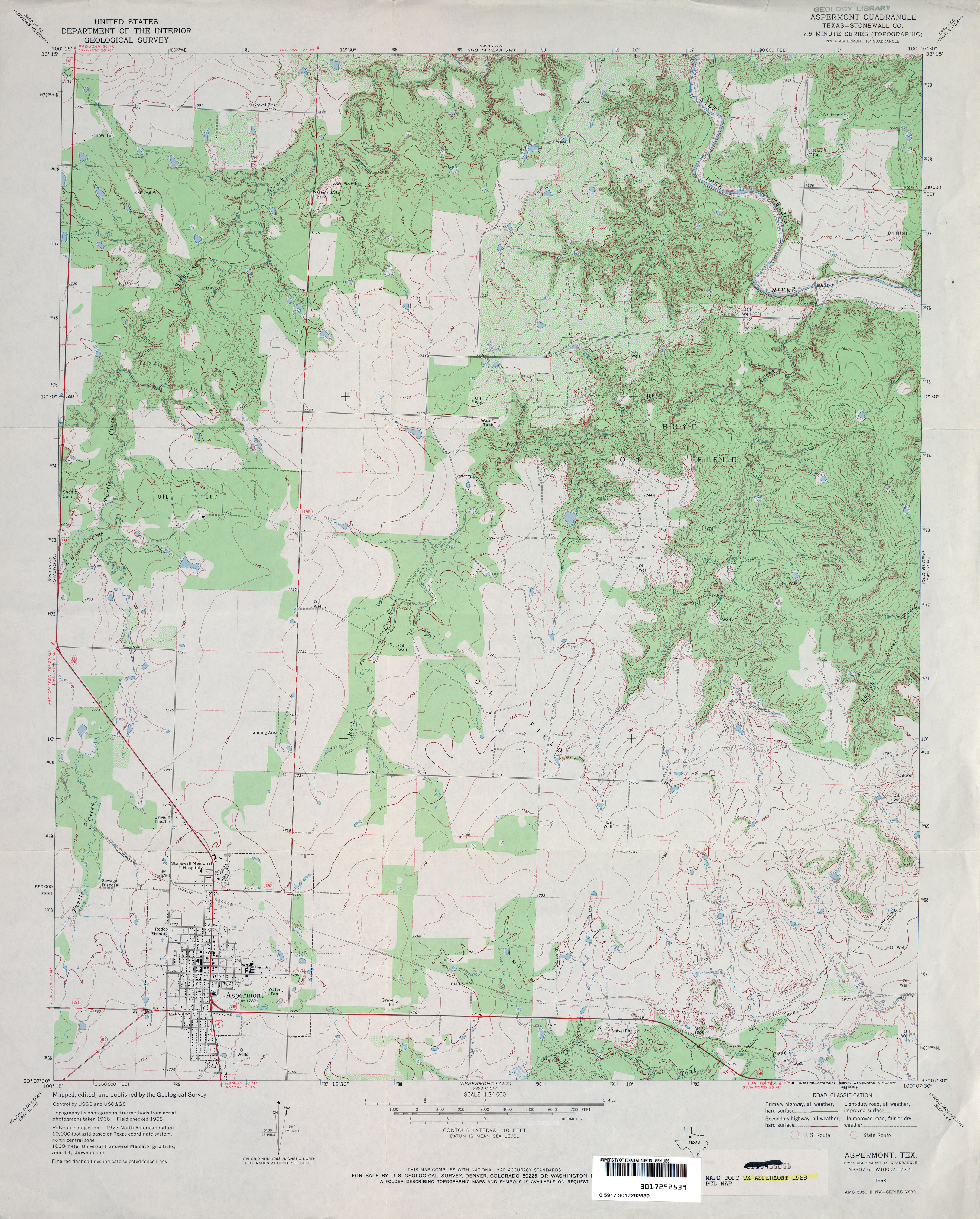
- Aspermont (Stonewall County) 1:24,000 1968 (4MB)
- Aspermont 1:24,000 2008 (16.7MB) [GeoPDF]
- Aspermont 1:24,000 2012 (23.6MB) [GeoPDF]
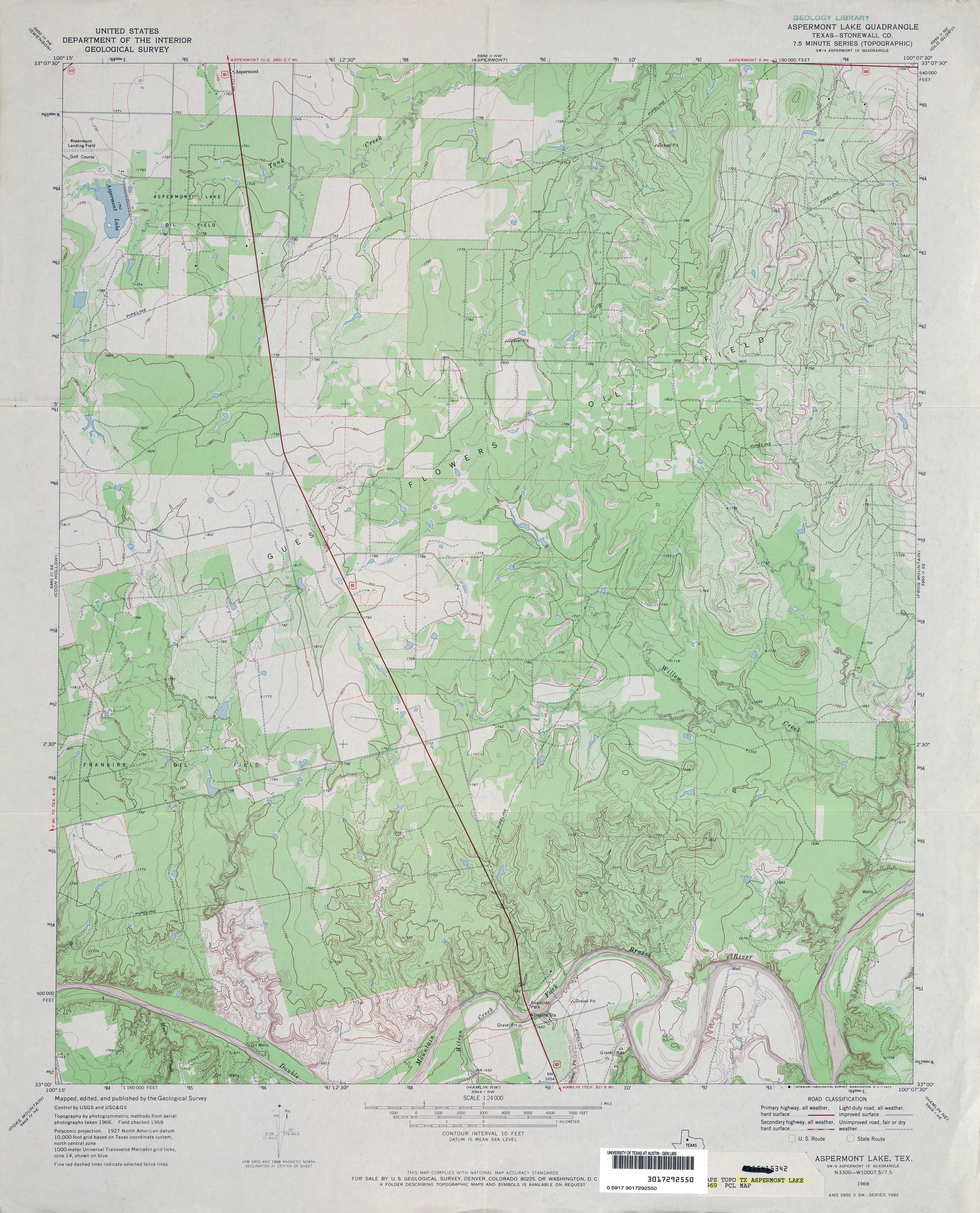
- Aspermont Lake (Stonewall County) 1:24,000 1969 (4MB)
- Aspermont Lake (Stonewall County) 1:24,000 1981 (4.1MB)
- Aspermont Lake 1:24,000 2008 (16.9MB) [GeoPDF]
- Aspermont Lake 1:24,000 2012 (23.9MB) [GeoPDF]
- Ater 1:24,000 1955 (3.3MB)
- Ater 1:24,000 1979 (3.5MB)
- Ater 1:24,000 2008 (14.7MB) [GeoPDF]
- Ater 1:24,000 2013 (19.3MB) [GeoPDF]
- Athens 1:62,500 1949 (5.3MB)
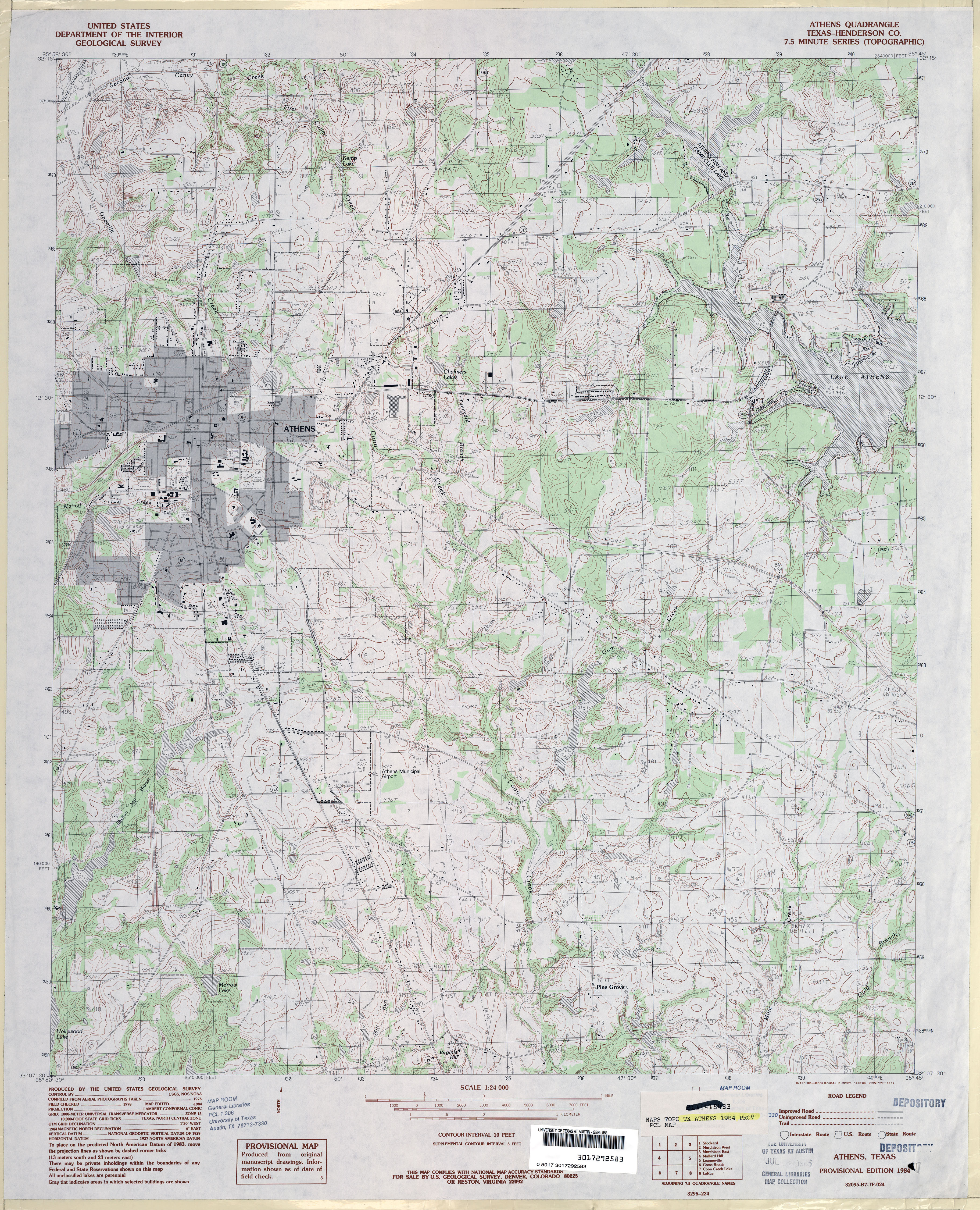
- Athens (Henderson County) 1:24,000 1984 (5MB)
- Athens 1:24,000 2009 (21.1MB) [GeoPDF]
- Athens 1:24,000 2013 (24.4MB) [GeoPDF]
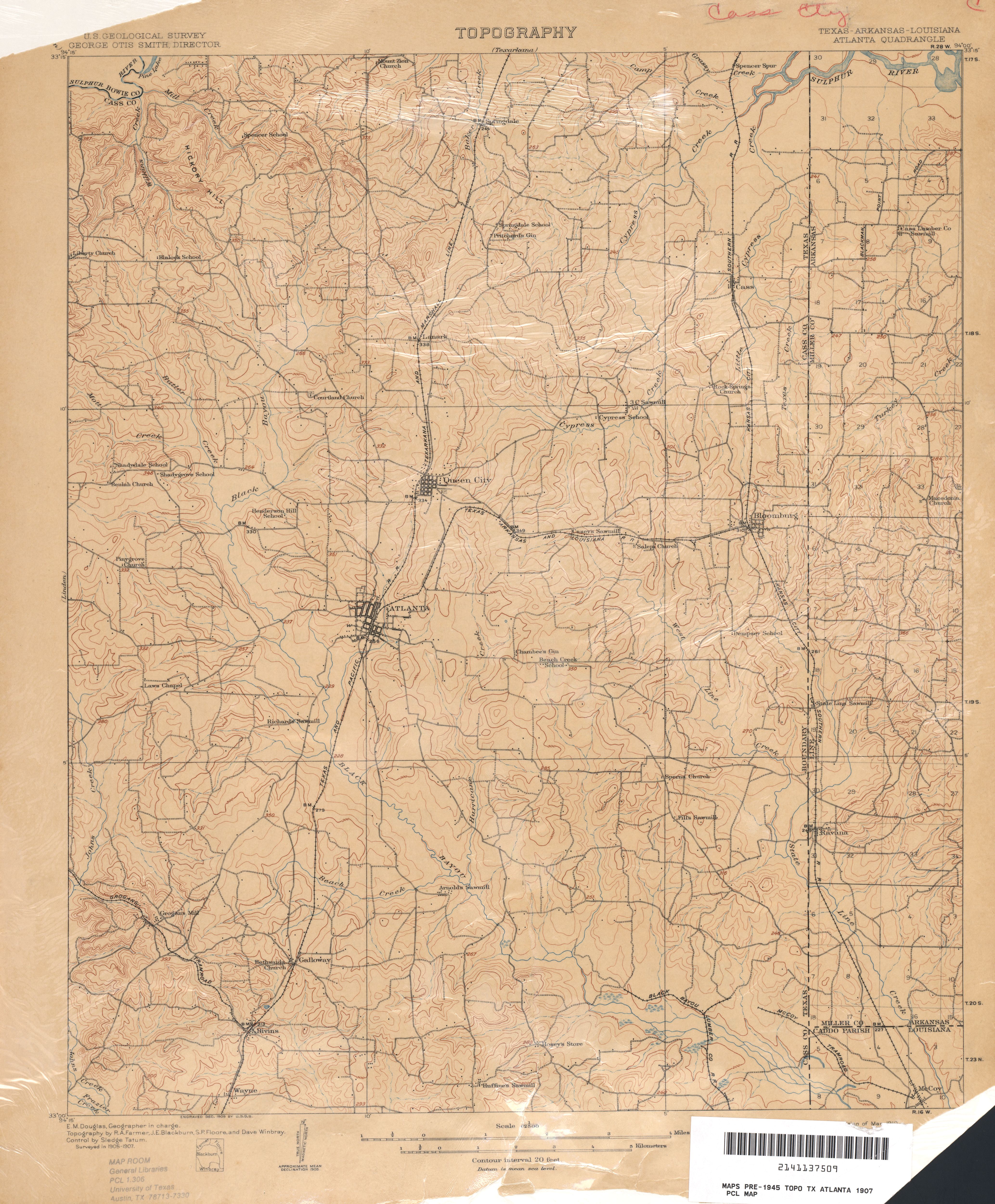
- Atlanta 1:62,500 1907 (5.0MB)
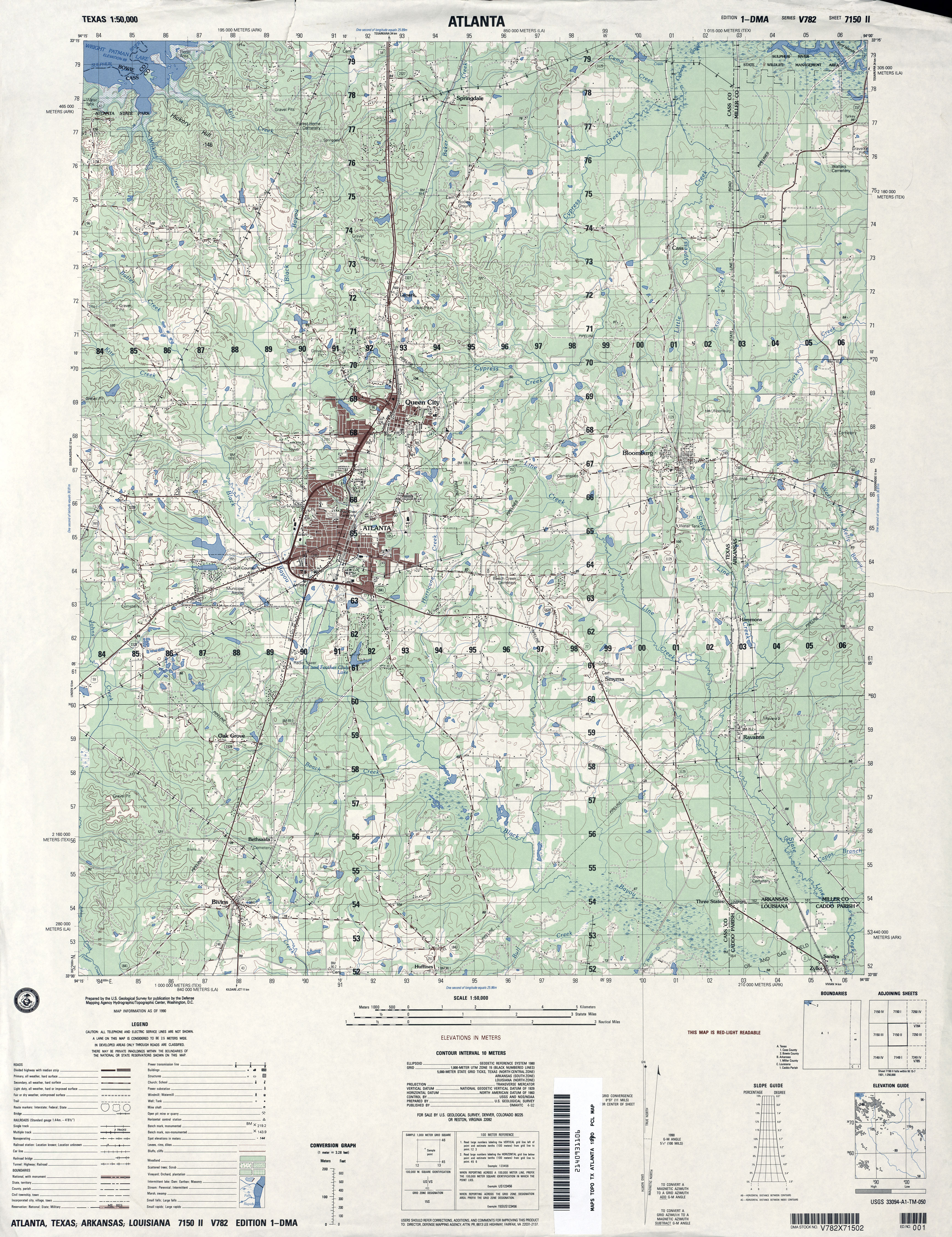
- Atlanta 1:50,000 1990 (4.4MB) U.S. Defense Mapping Agency, Series V782
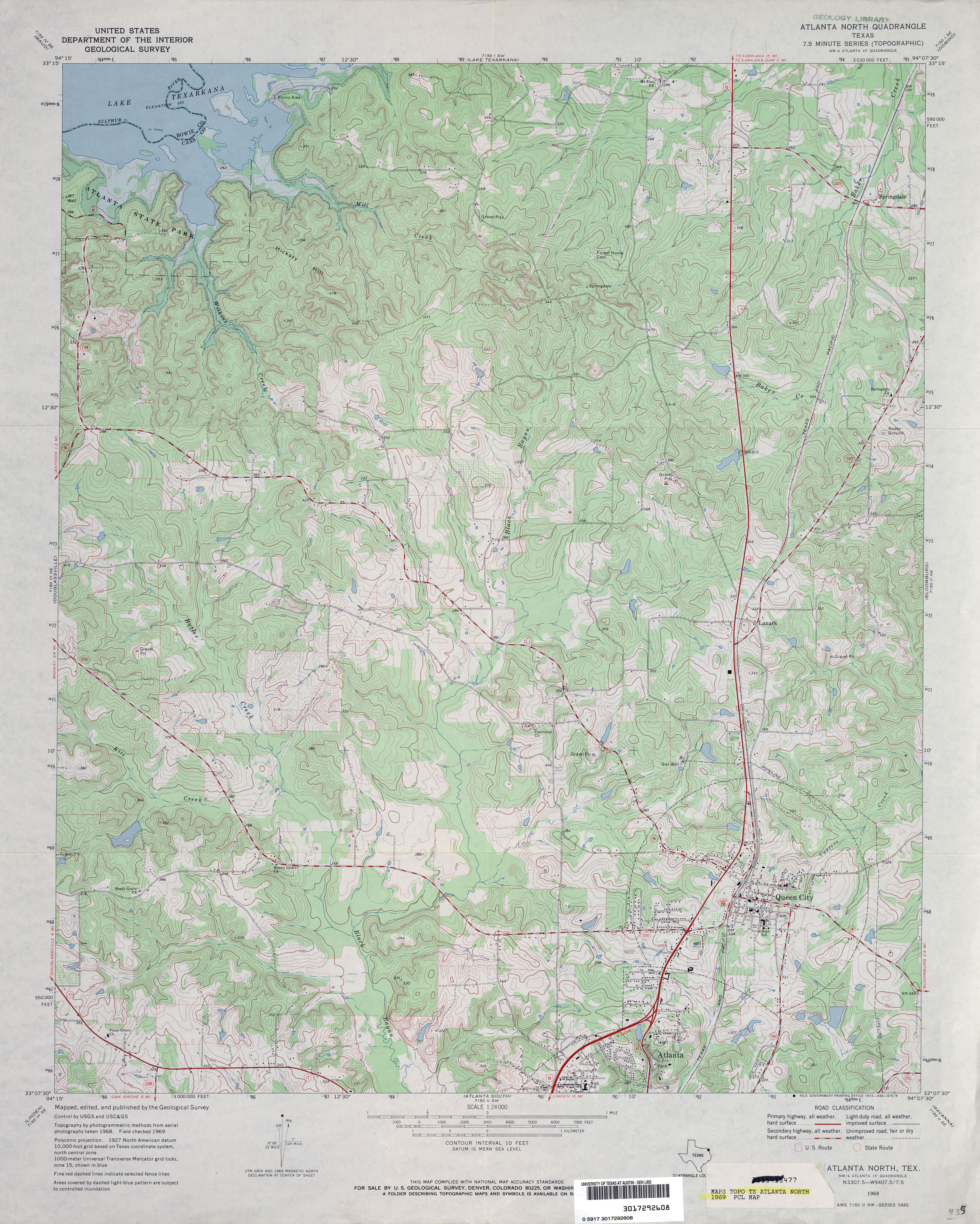
- Atlanta North 1:24,000 1969 (4.6MB)
- Atlanta North 1:24,000 2009 (21.5MB) [GeoPDF]
- Atlanta North 1:24,000 2012 (24.1MB) [GeoPDF]
- Atlanta South (Cass County) 1:24,000 1969 (4.6MB)
- Atlanta South 1:24,000 2009 (21.9MB) [GeoPDF]
- Atlanta South 1:24,000 2013 (23.7MB) [GeoPDF]
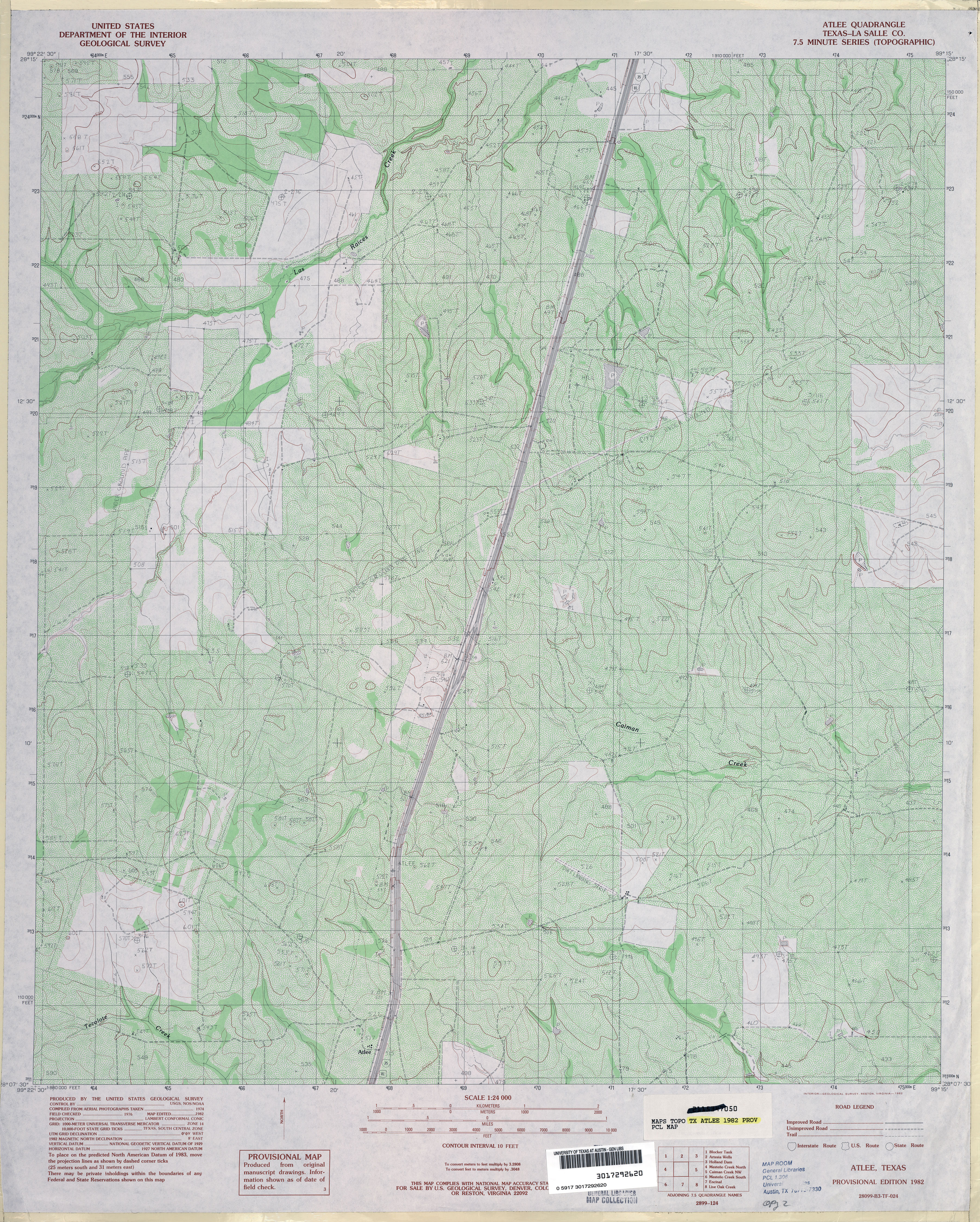
- Atlee (La Salle County) 1:24,000 1982 (5.2MB)
- Atlee 1:24,000 2008 (17.6MB) [GeoPDF]
- Atlee 1:24,000 2013 (25.4MB) [GeoPDF]
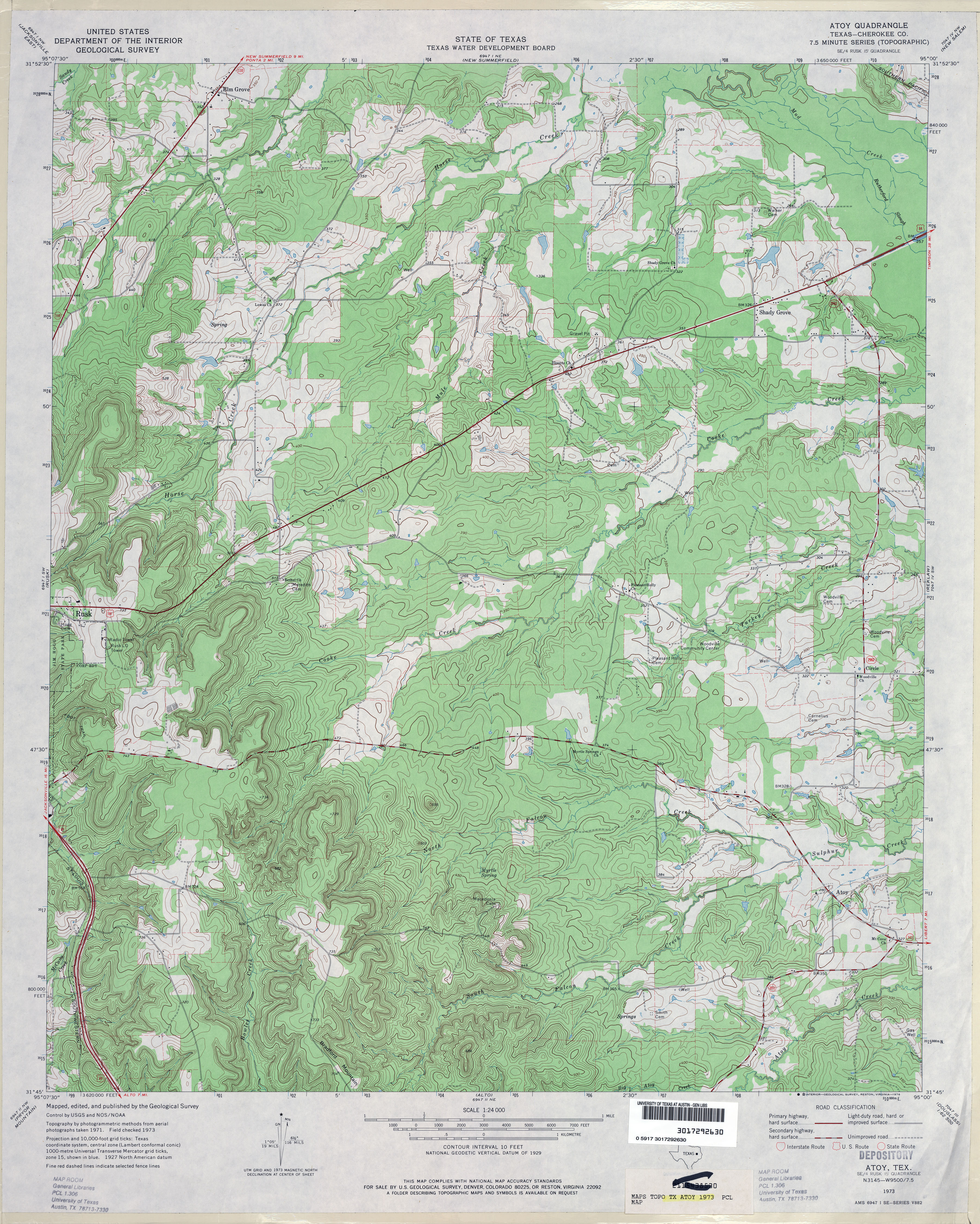
- Atoy (Cherokee County) 1:24,000 1973 (4.8MB)
- Atoy 1:24,000 2009 (22.5MB) [GeoPDF]
- Atoy 1:24,000 2013 (26.4MB) [GeoPDF]
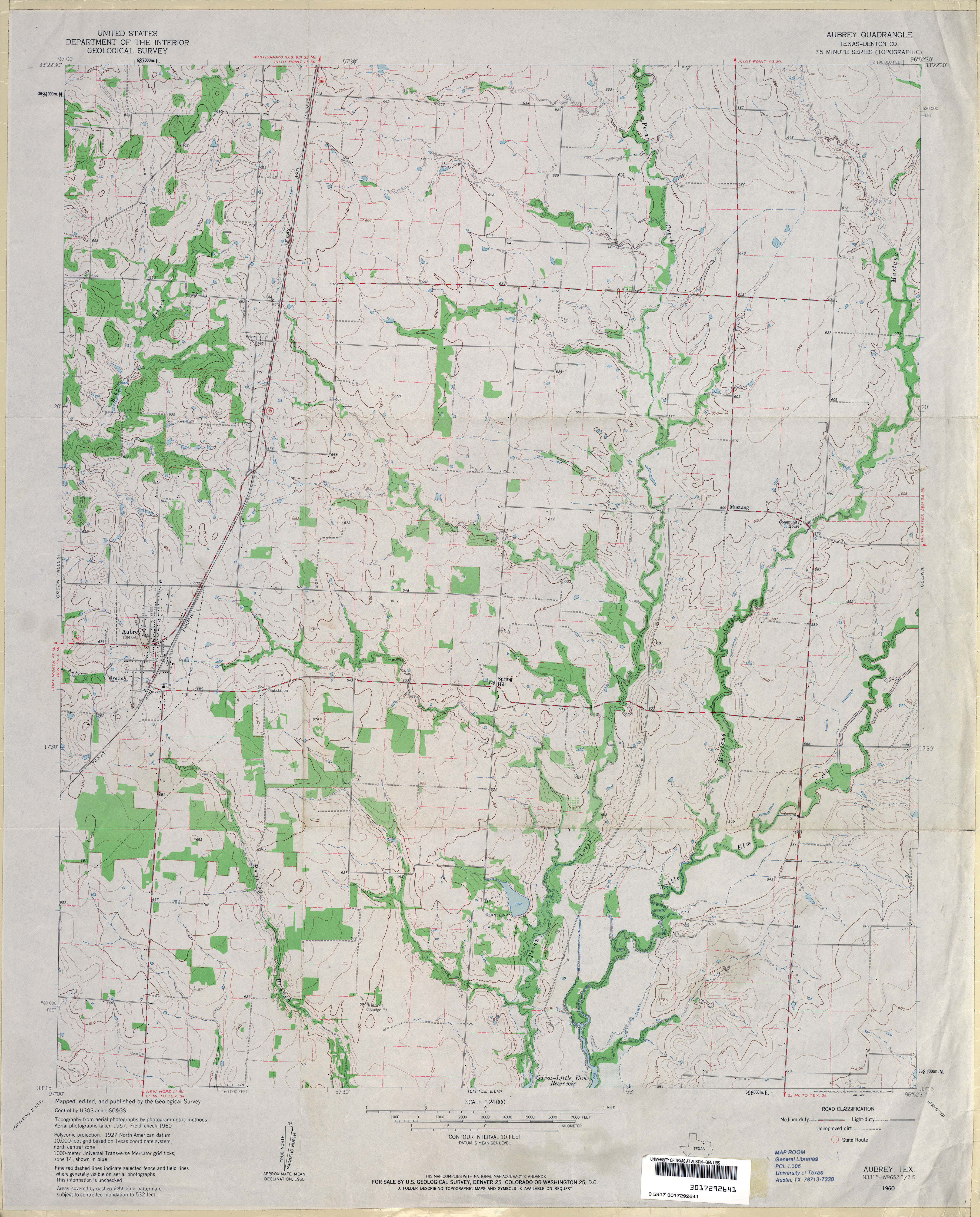
- Aubrey (Denton County) 1:24,000 1960 (3.5MB)
- Aubrey 1:24,000 2008 (12.6MB) [GeoPDF]
- Aubrey 1:24,000 2013 (18.5MB) [GeoPDF]
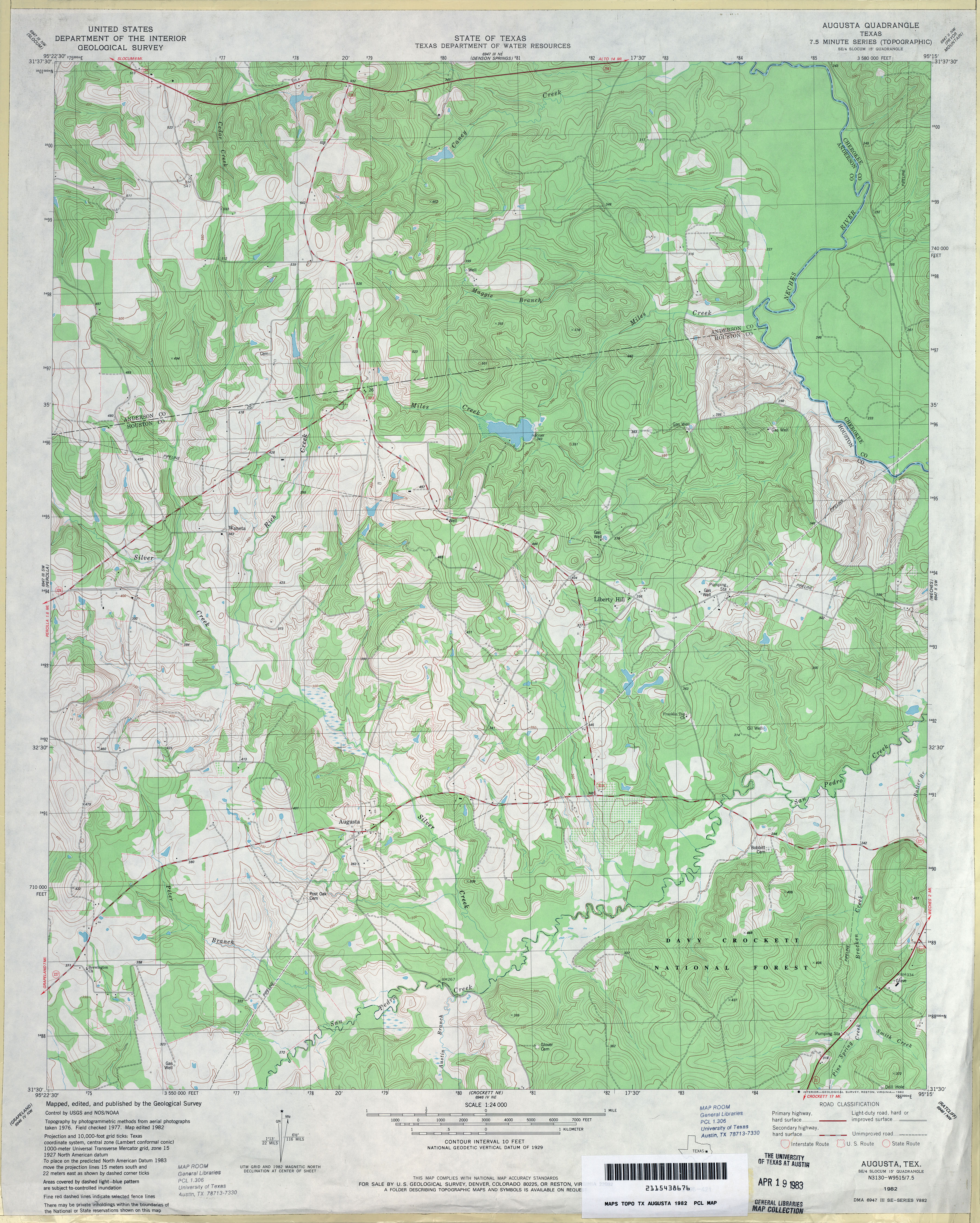
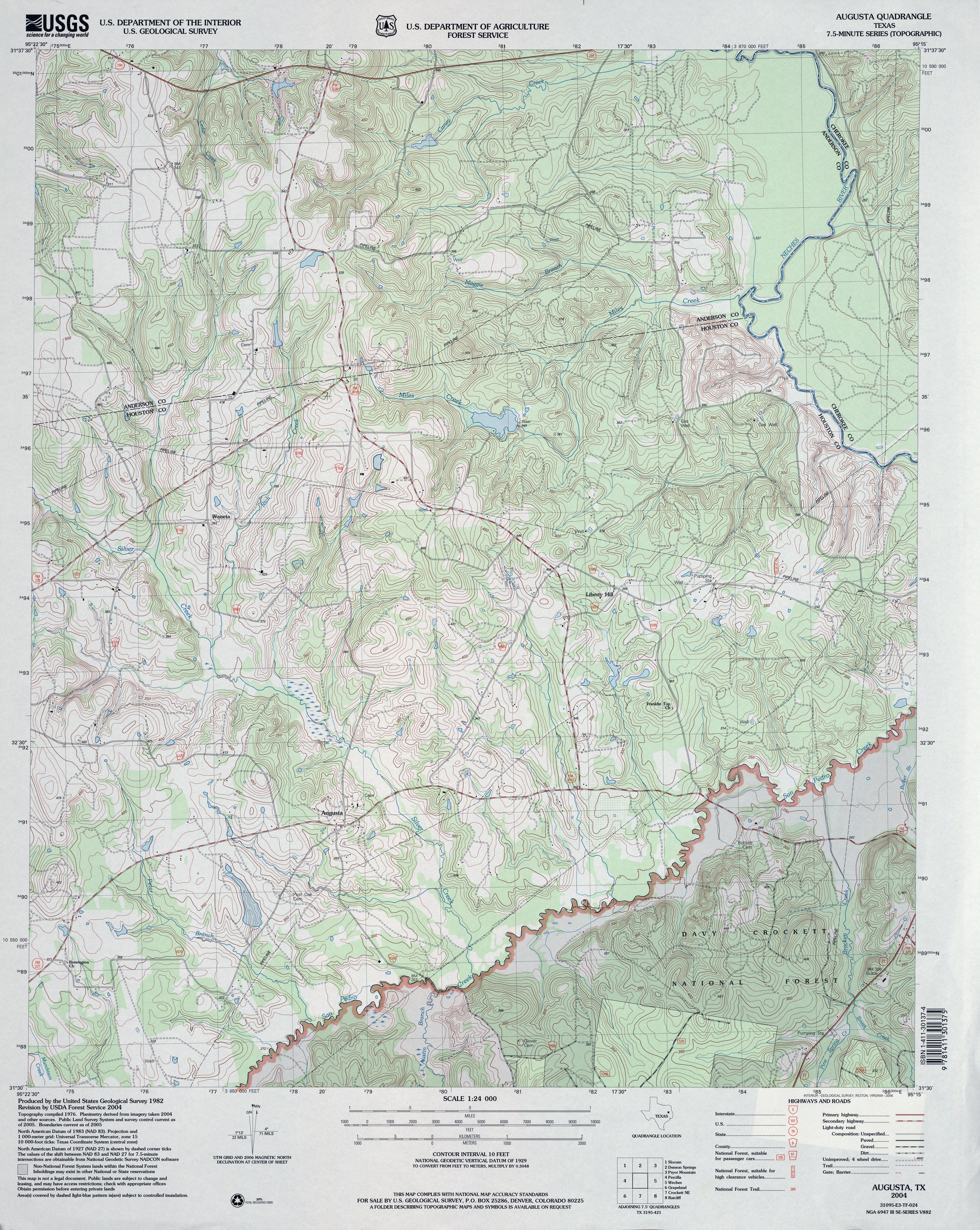
- Augusta 1:24,000 1982 (4.6MB)
- Augusta 1:24,000 2004 (5.3MB)
- Augusta 1:24,000 2013 (26MB) [GeoPDF]
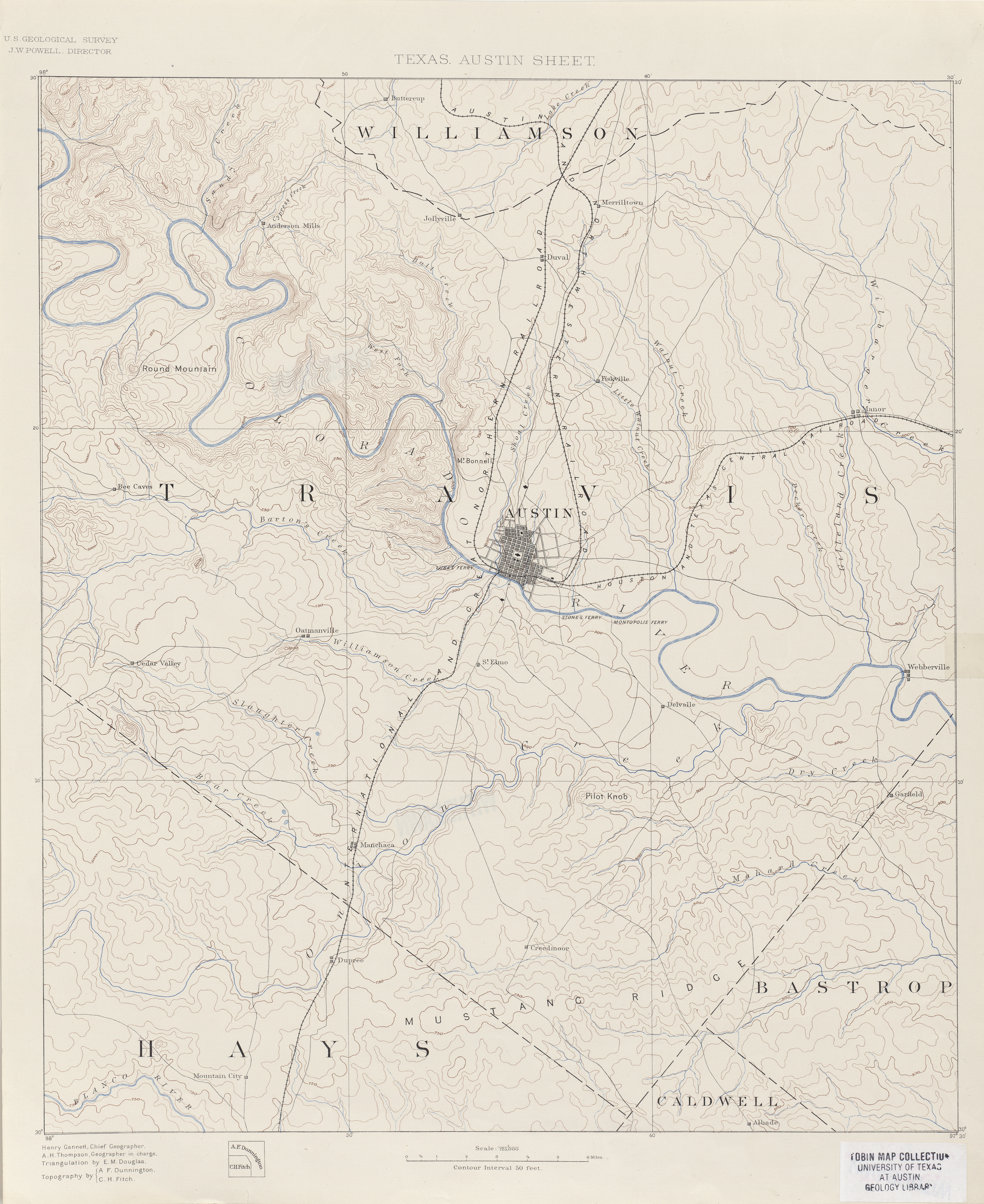
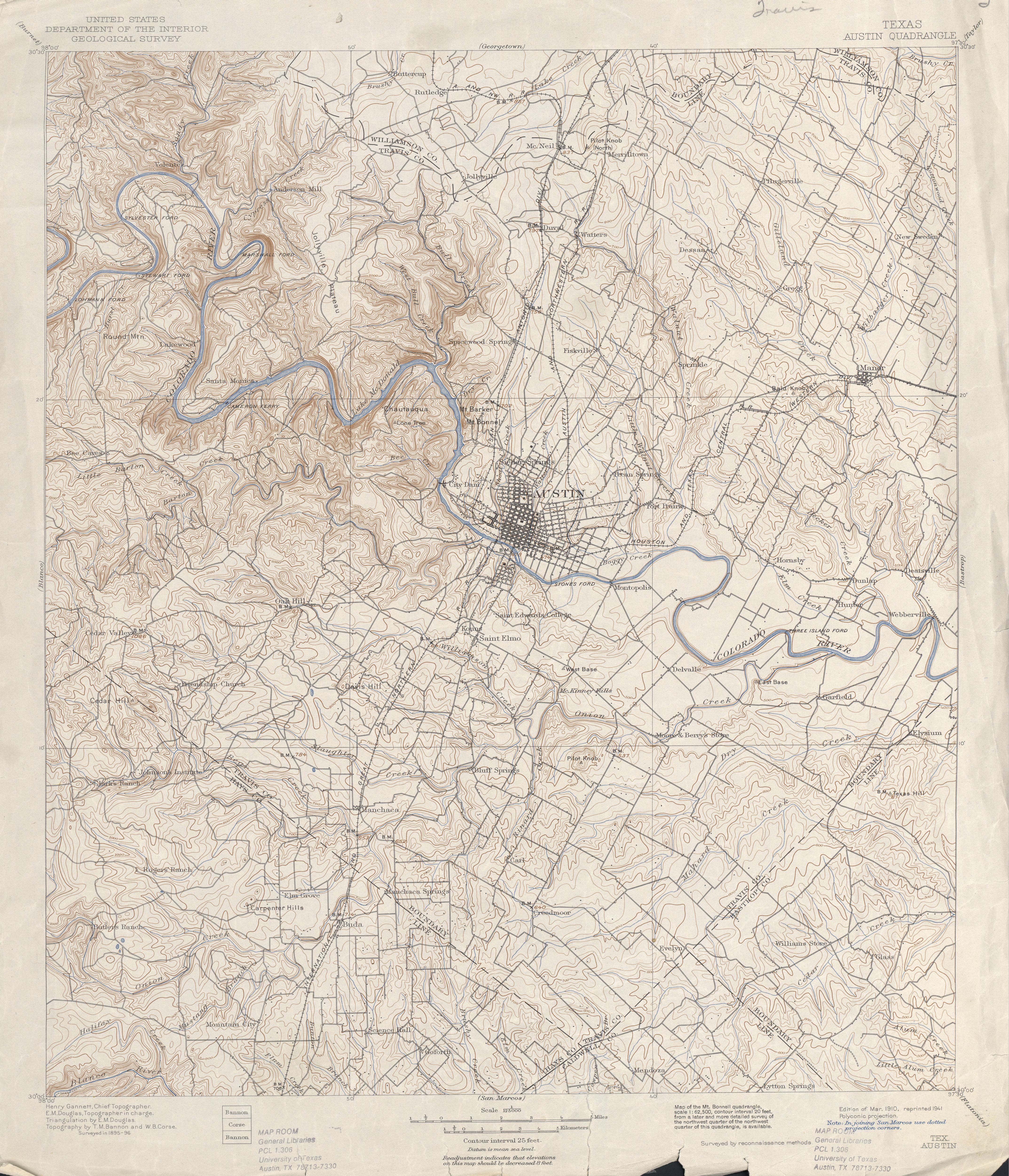
- Austin 1:125,000 1894 (19.1MB)
- Austin 1:125,000 Surveyed 1895-96 (5.3MB)
- Austin 1:125,000 [portion of map above] Surveyed 1895-96, 1910 Edition, 1921 Reprint (741K)
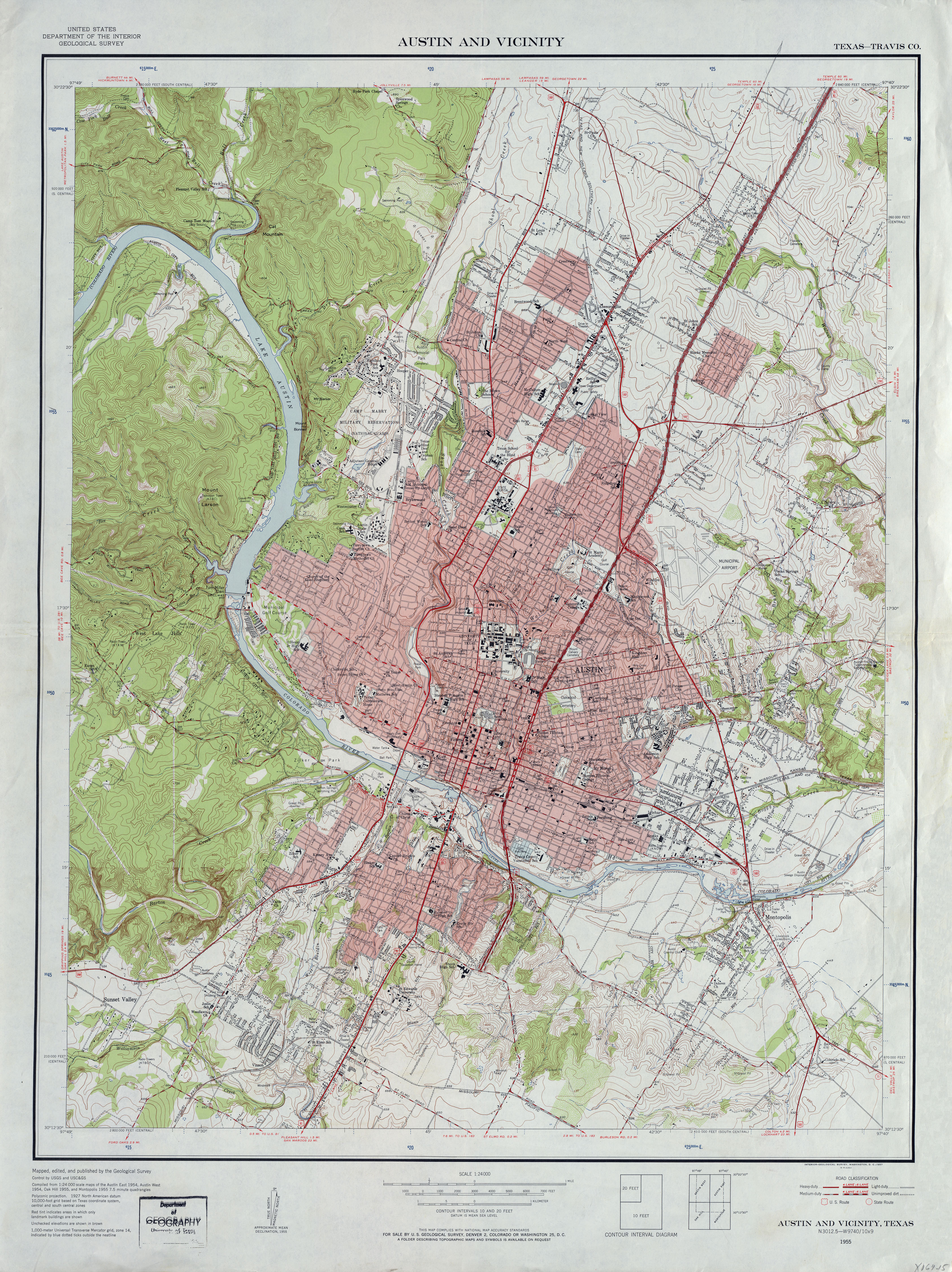
- Austin and Vicinity (Travis County) 1:24,000 1955 (4.9MB)
- Austin 1:250,000 1955 (9.4MB)
- Austin 1:250,000 1963 (9.1MB)
- Austin 1:250,000 1974 (10.2MB)
- Austin East (Travis County) 1:24,000 1954 (5.1MB)
- Austin East (Travis County) 1:24,000 1966 (4.8MB)
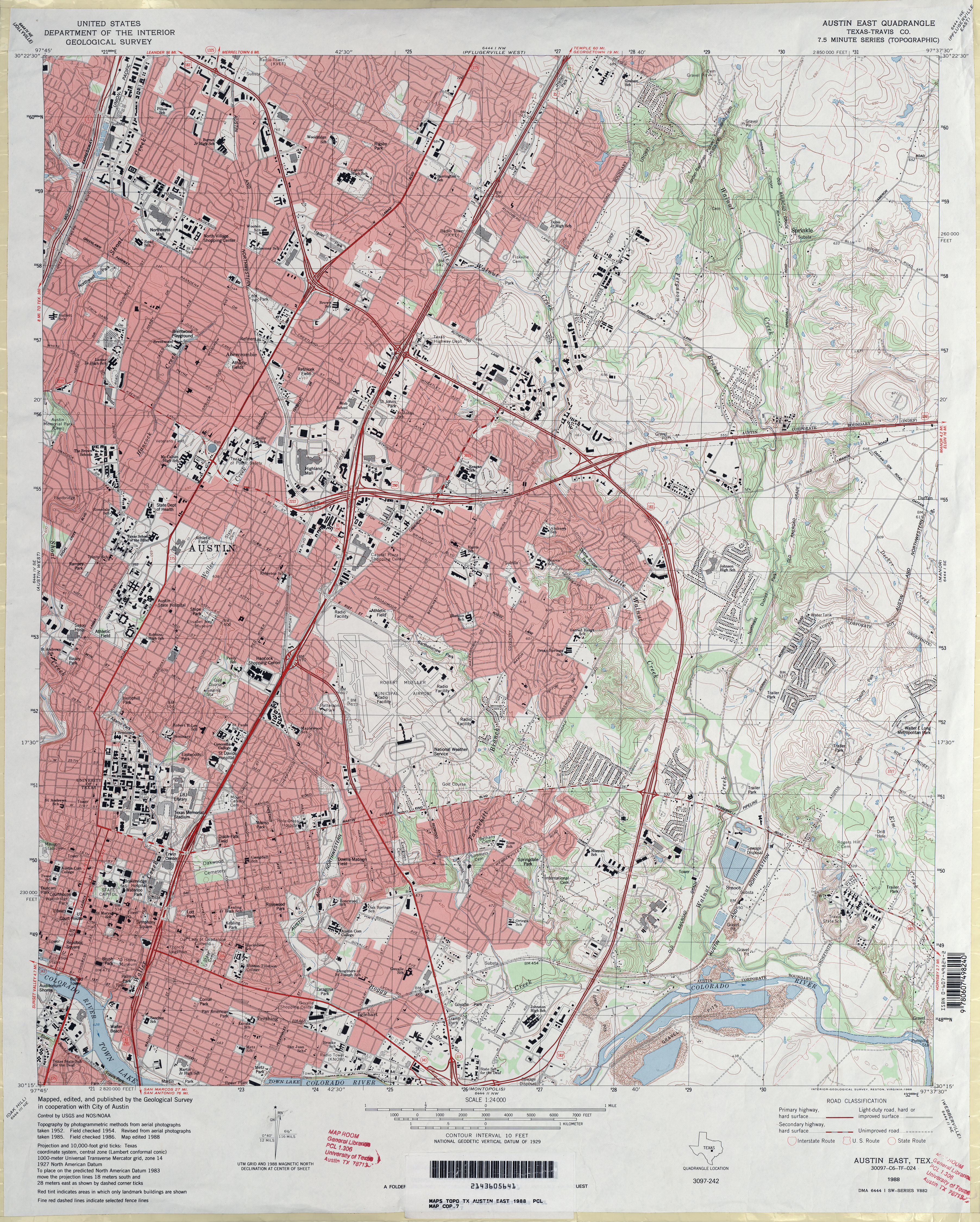
- Austin East (Travis County) 1:24,000 1973 (4.8MB)
- Austin East (Travis County) 1:24,000 1988 (5.8MB)
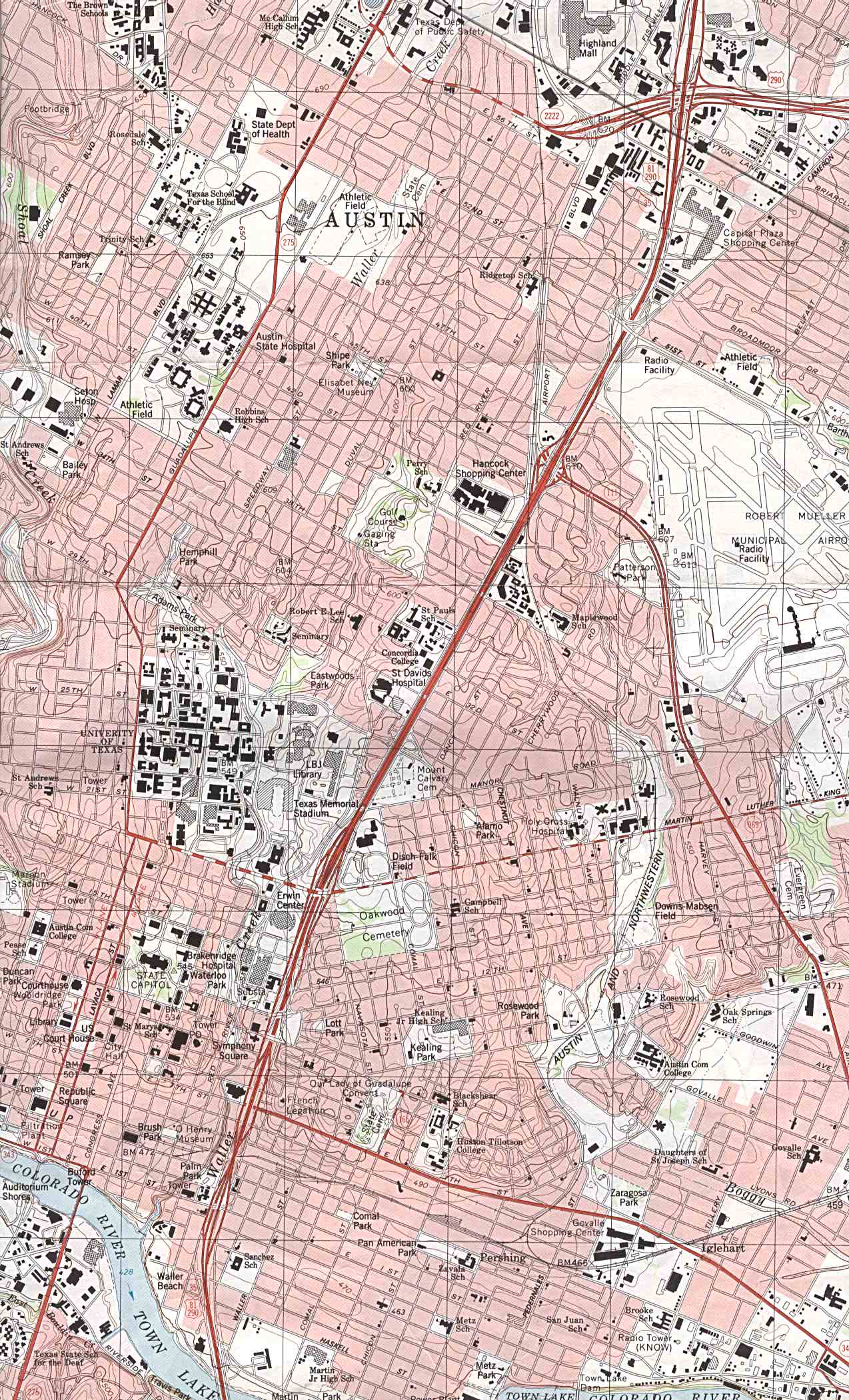
- Austin East - Part of map showing Central Austin 1:24,000 1988 (504K)
- Austin East 1:24,000 2008 (19.4MB) [GeoPDF]
- Austin East 1:24,000 2013 (30.1MB) [GeoPDF]
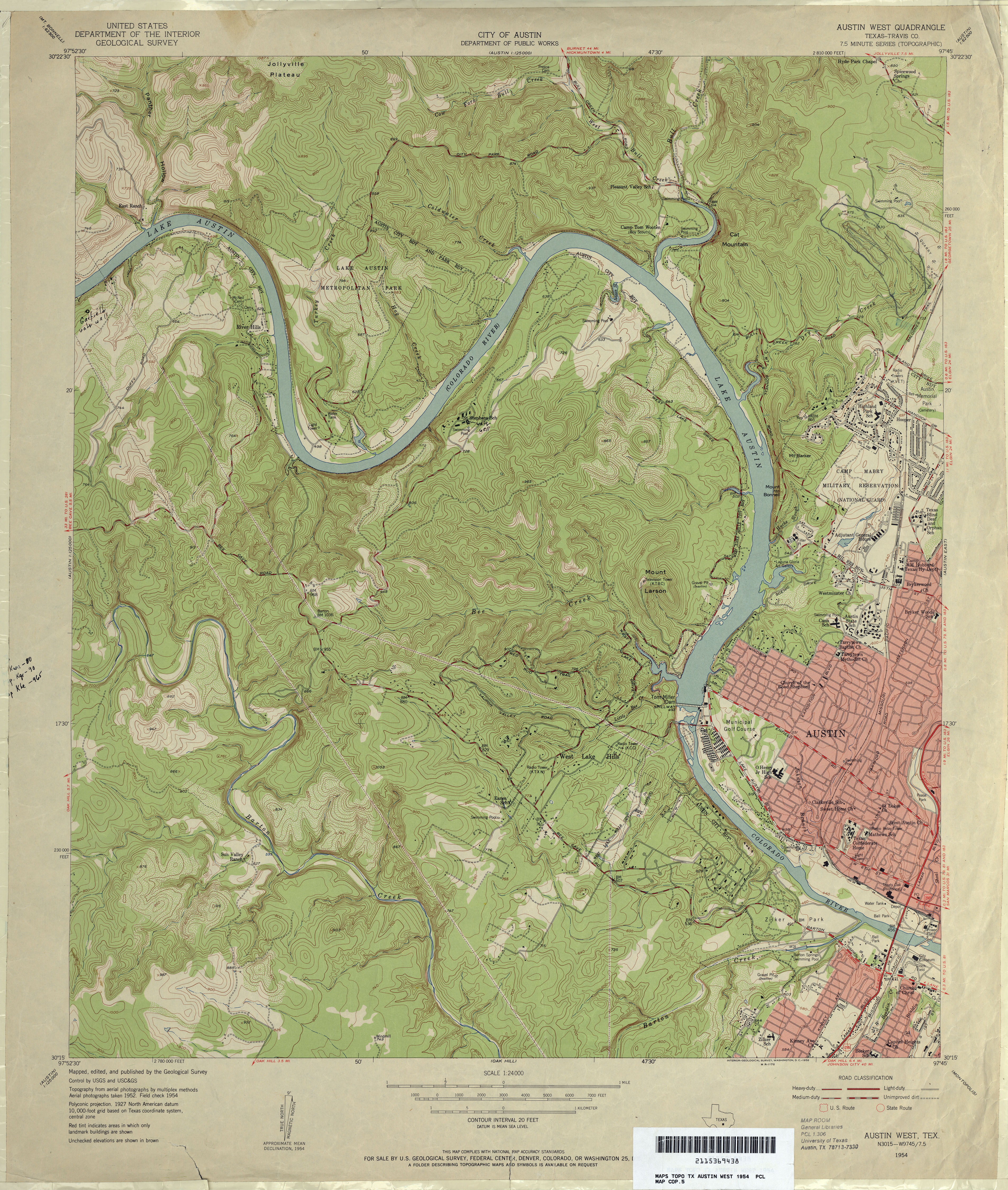
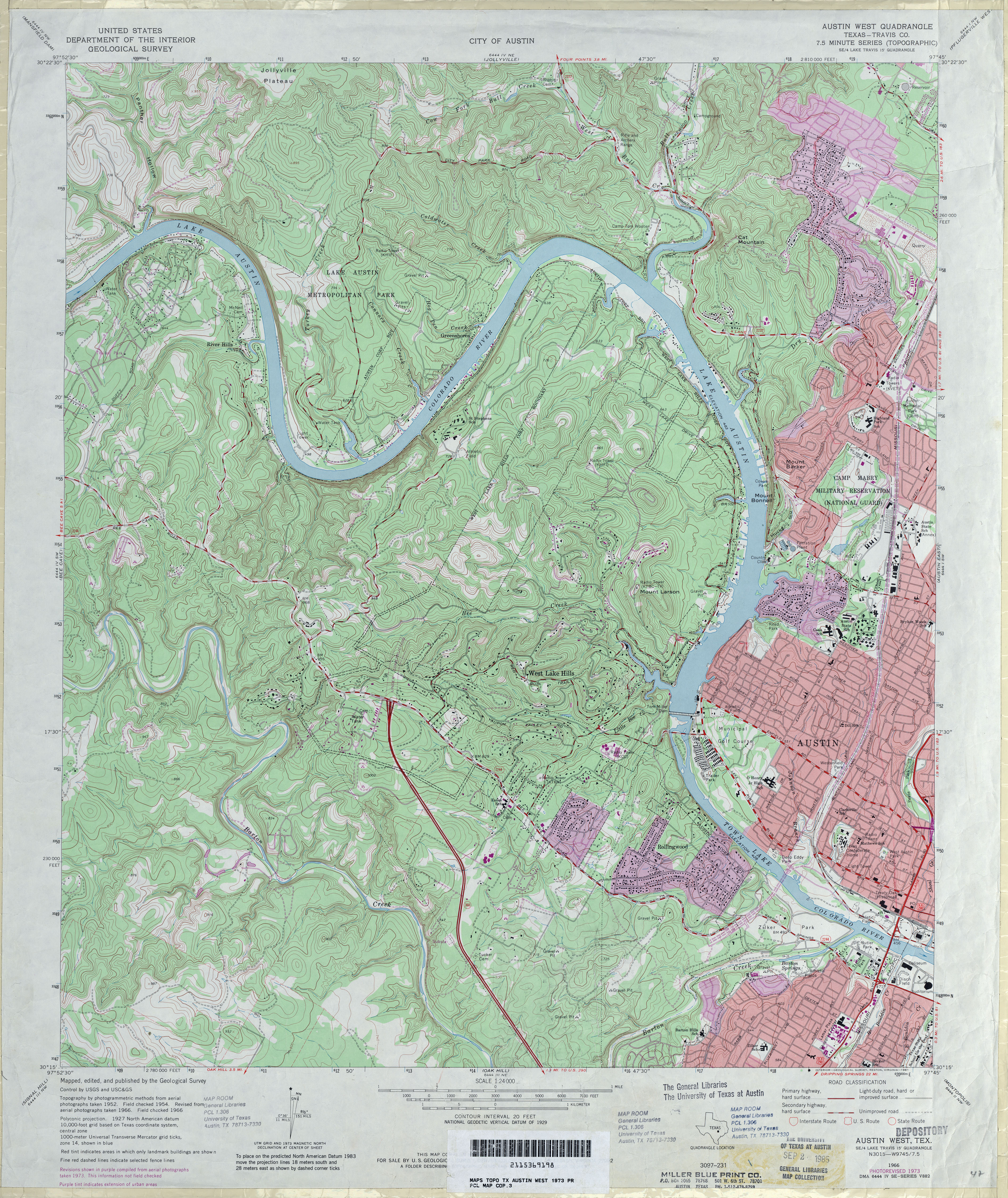
- Austin West (Travis County) 1:24,000 1954 (5.4MB)
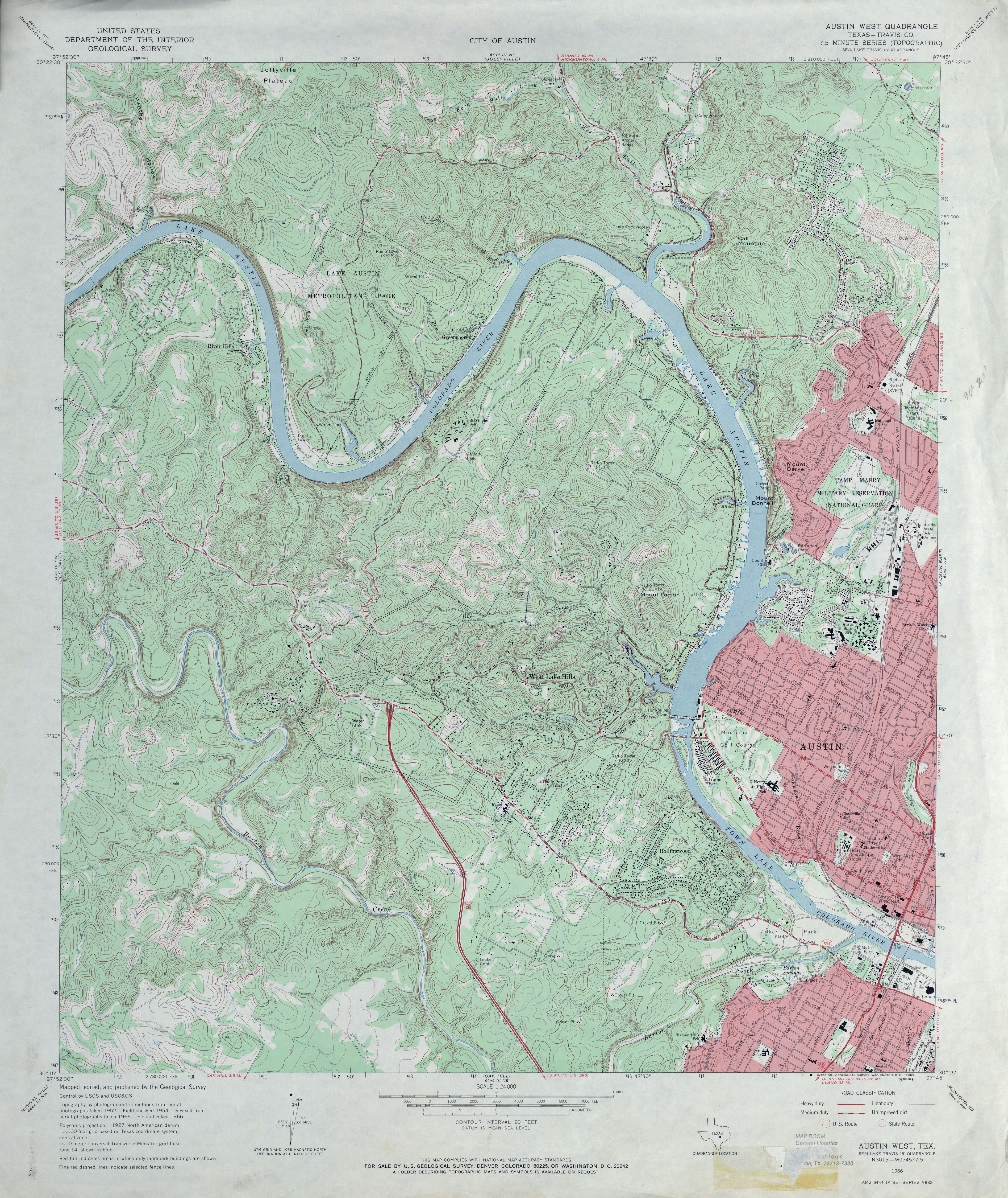
- Austin West (Travis County) 1:24,000 1966 (5.5MB)
- Austin West (Travis County) 1:24,000 1973 (5.8MB)
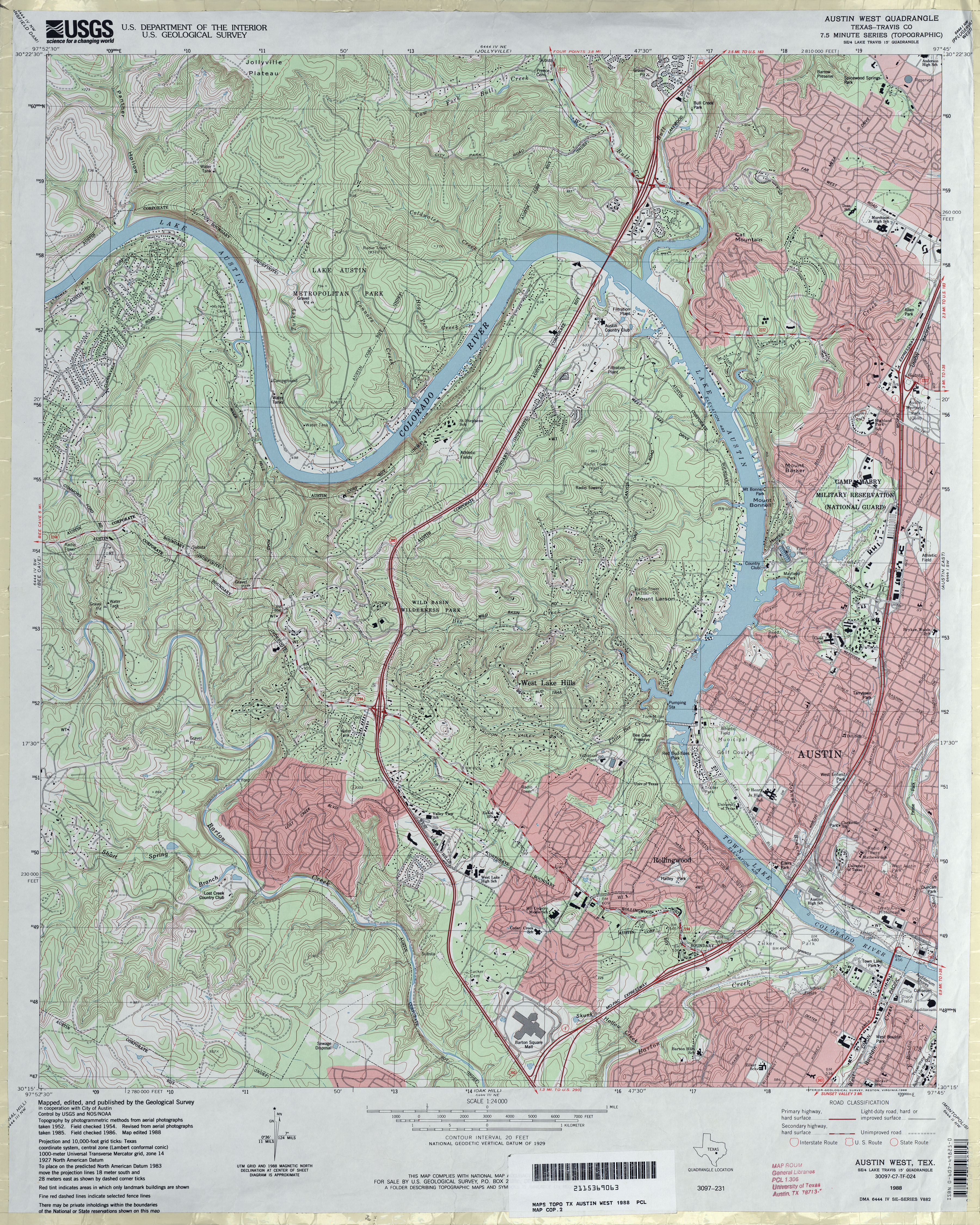
- Austin West (Travis County) 1:24,000 1988 (6.2MB)
- Austin West 1:24,000 2008 (21.2MB) [GeoPDF]
- Austin West 1:24,000 2013 (31.1MB) [GeoPDF]
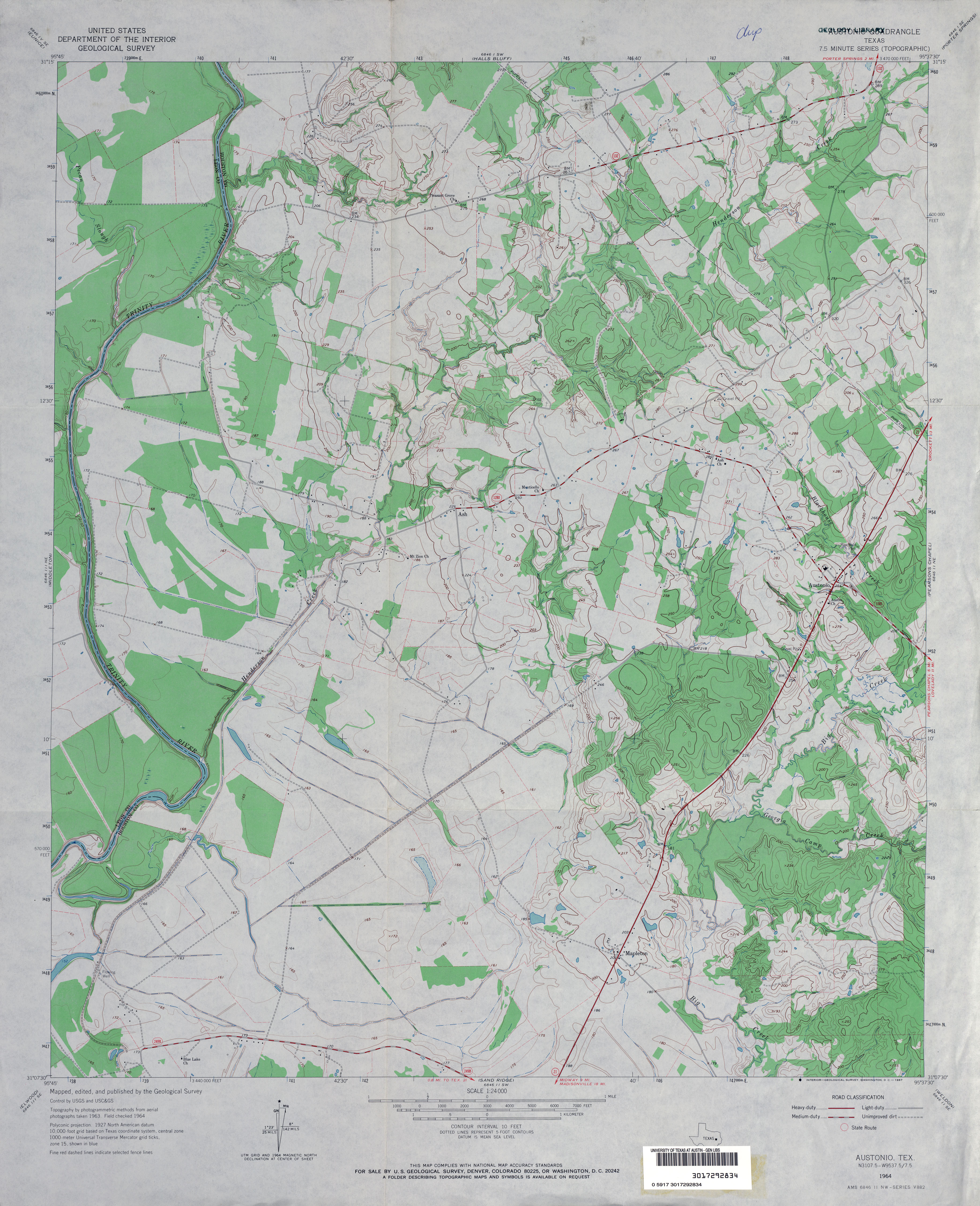
- Austonio 1:24,000 1964 (3.6MB)
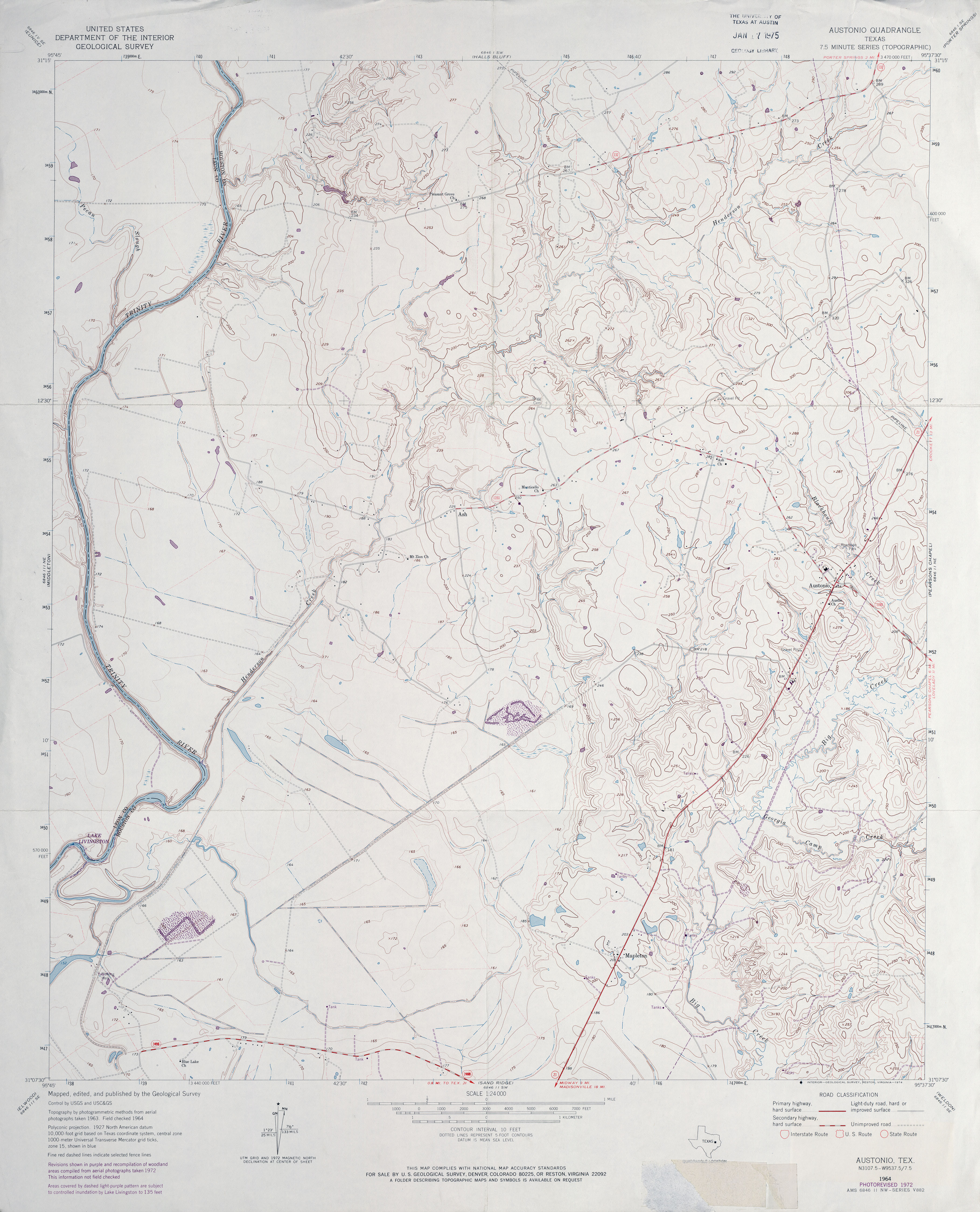
- Austonio 1:24,000 1972 (3.4MB)
- Austonio 1:24,000 2009 (16.4MB) [GeoPDF]
- Austonio 1:24,000 2013 (19.9MB) [GeoPDF]
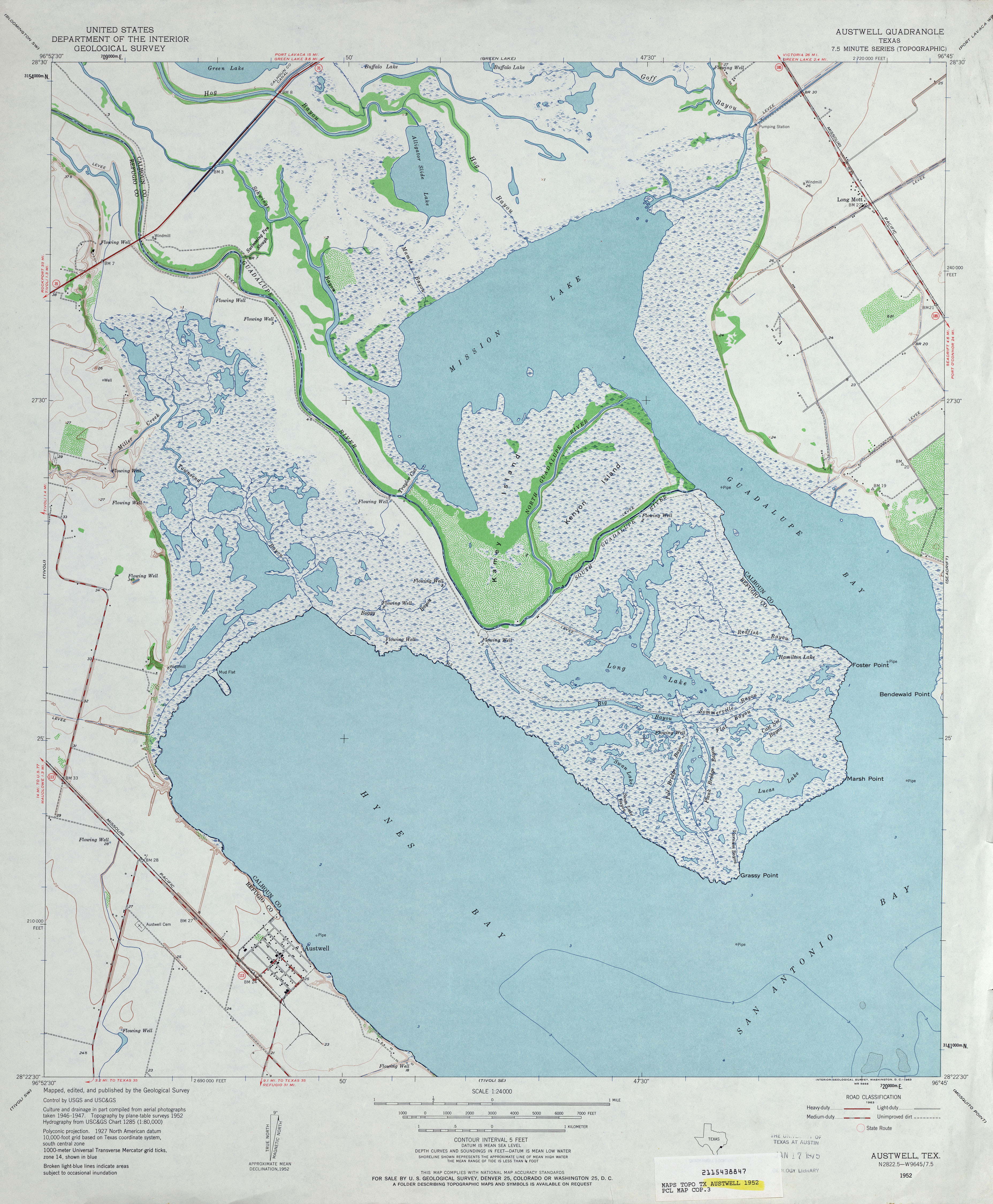
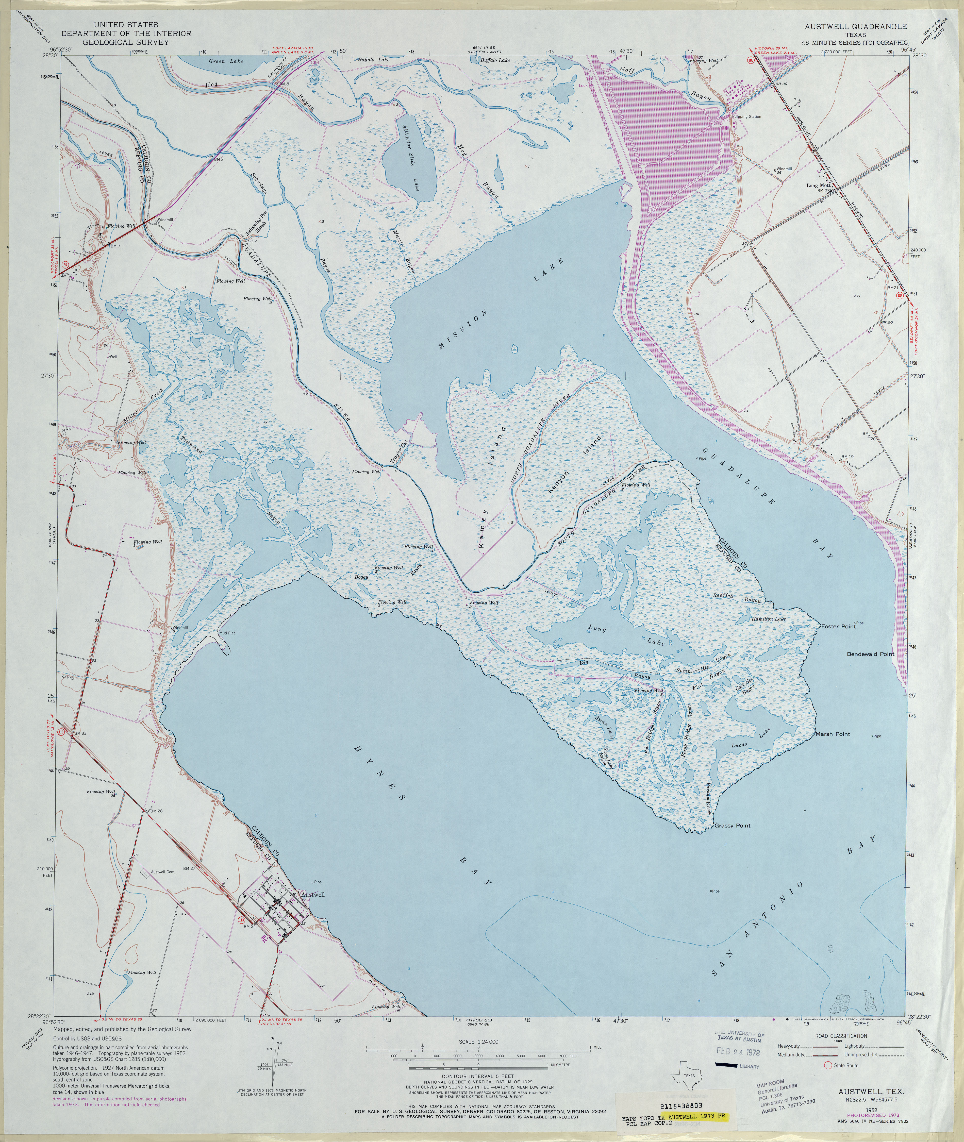
- Austwell 1:24,000 1952 (3.5MB)
- Austwell 1:24,000 1973 (3.4MB)
- Austwell 1:24,000 2008 (10.6MB) [GeoPDF]
- Austwell 1:24,000 2013 (18.4MB) [GeoPDF]
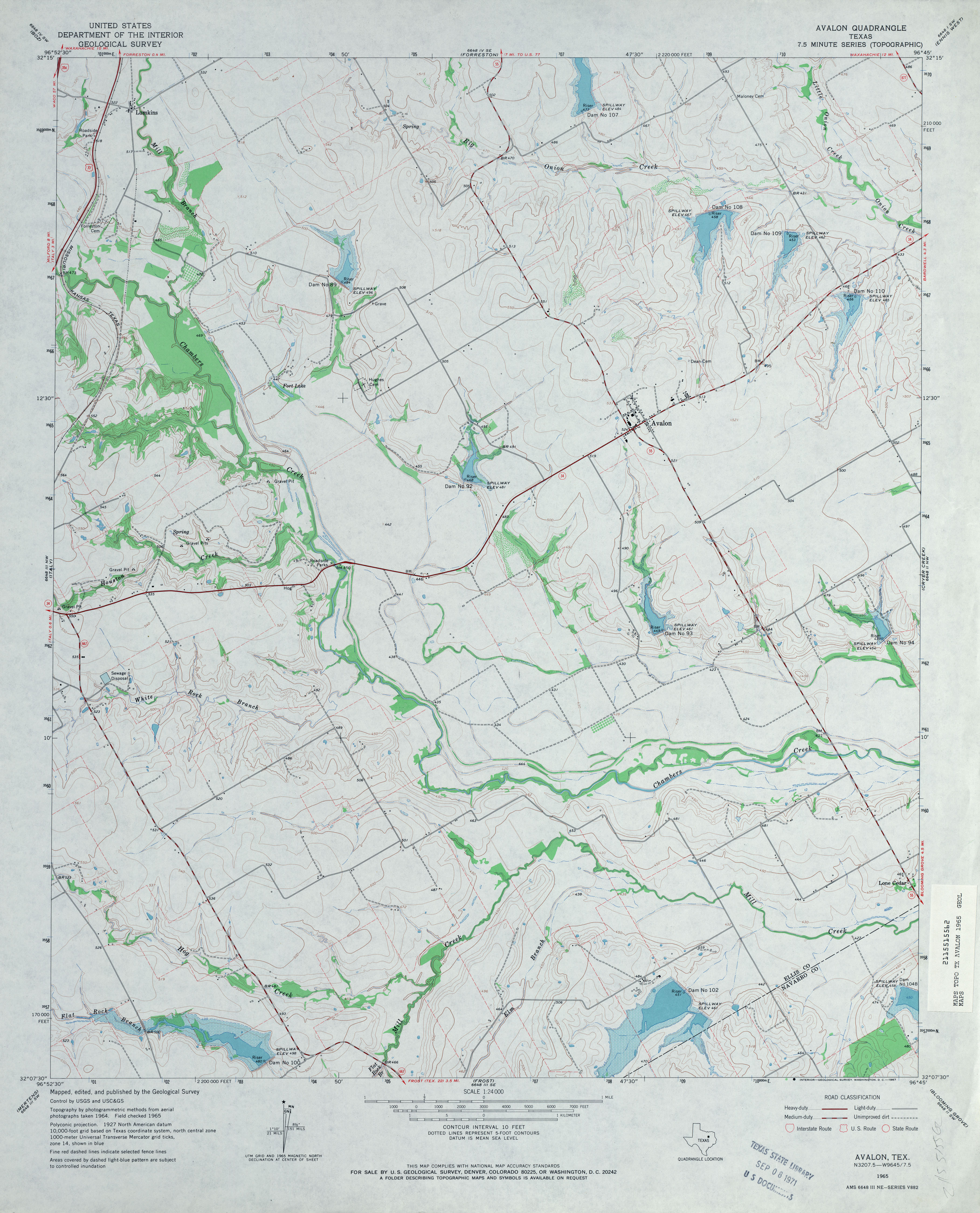
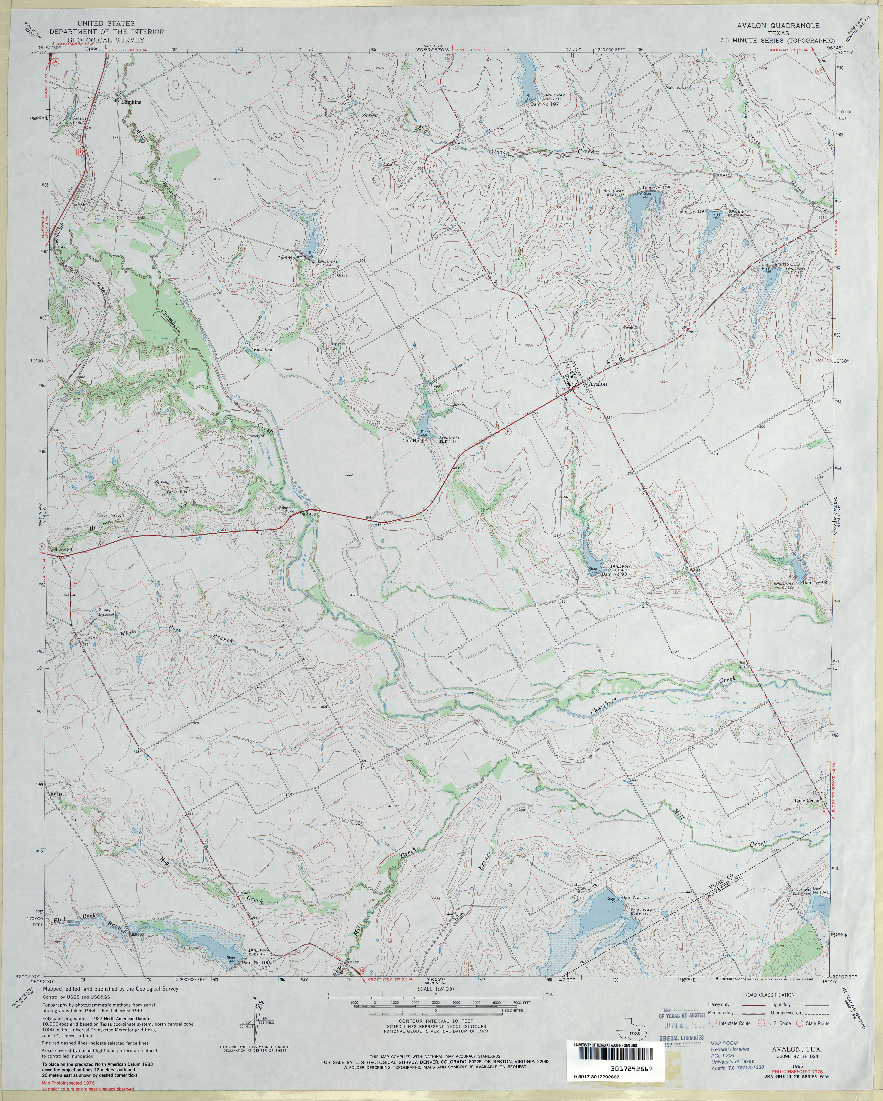
- Avalon 1:24,000 1965 (3.4MB)
- Avalon 1:24,000 1976 (3.6MB)
- Avalon 1:24,000 2008 (12.2MB) [GeoPDF]
- Avalon 1:24,000 2012 (17.7MB) [GeoPDF]
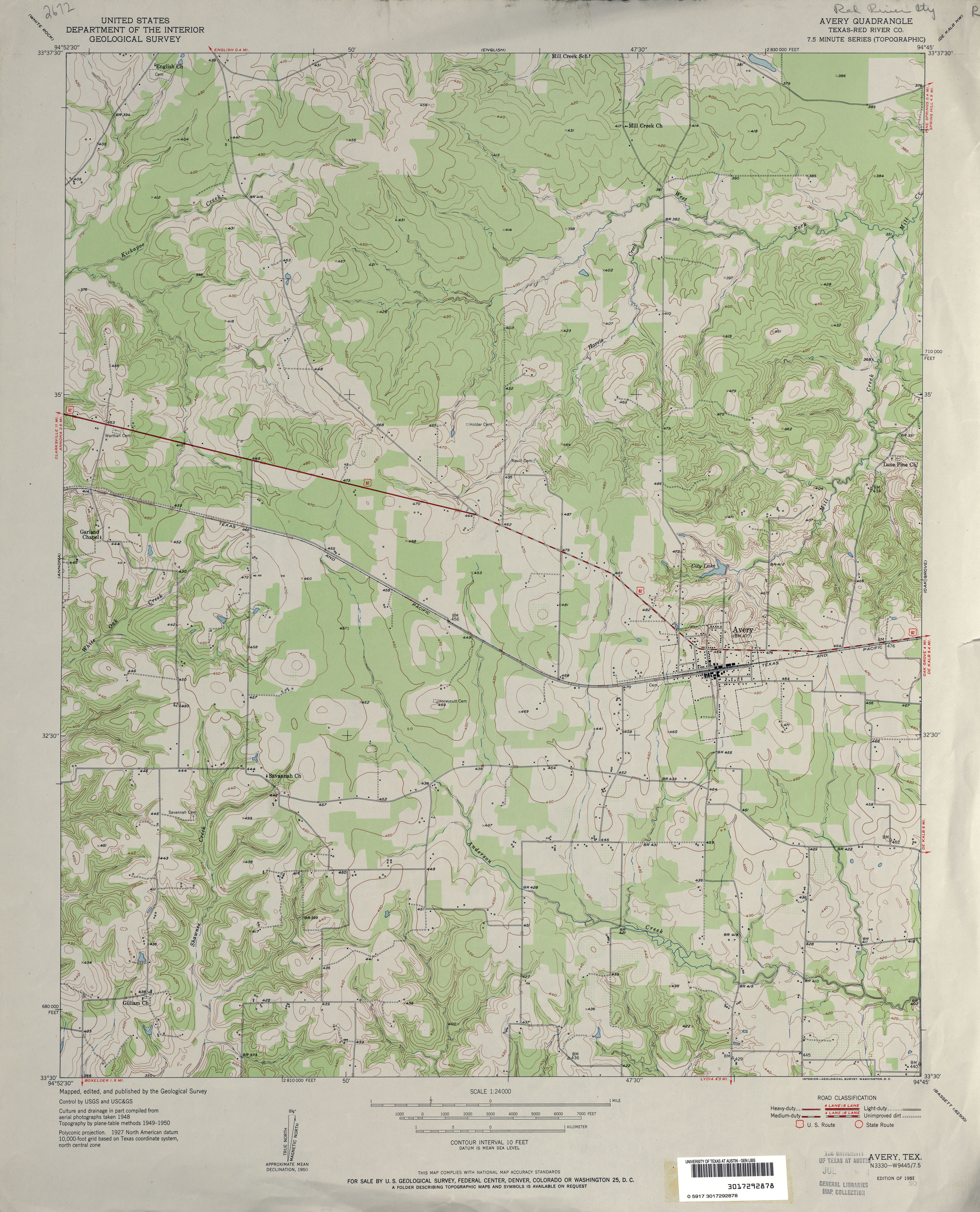
- Avery 1:24,000 1950 (3.4MB)
- Avery 1:24,000 2009 (16.5MB) [GeoPDF]
- Avery 1:24,000 2013 (21.5MB) [GeoPDF]
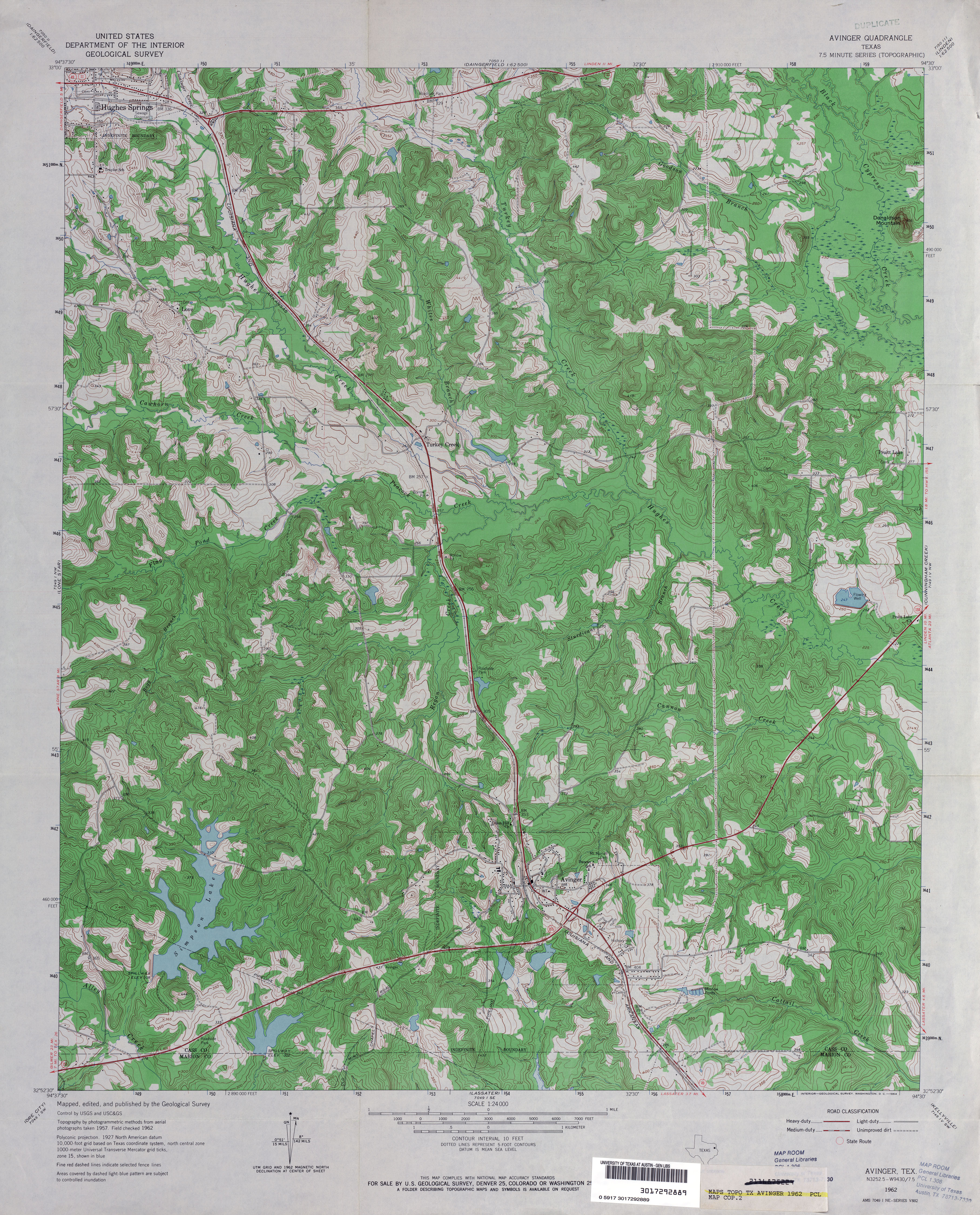
- Avinger 1:24,000 1962 (5.2MB)
- Avinger 1:24,000 2009 (22.9MB) [GeoPDF]
- Avinger 1:24,000 2013 (25.3MB) [GeoPDF]
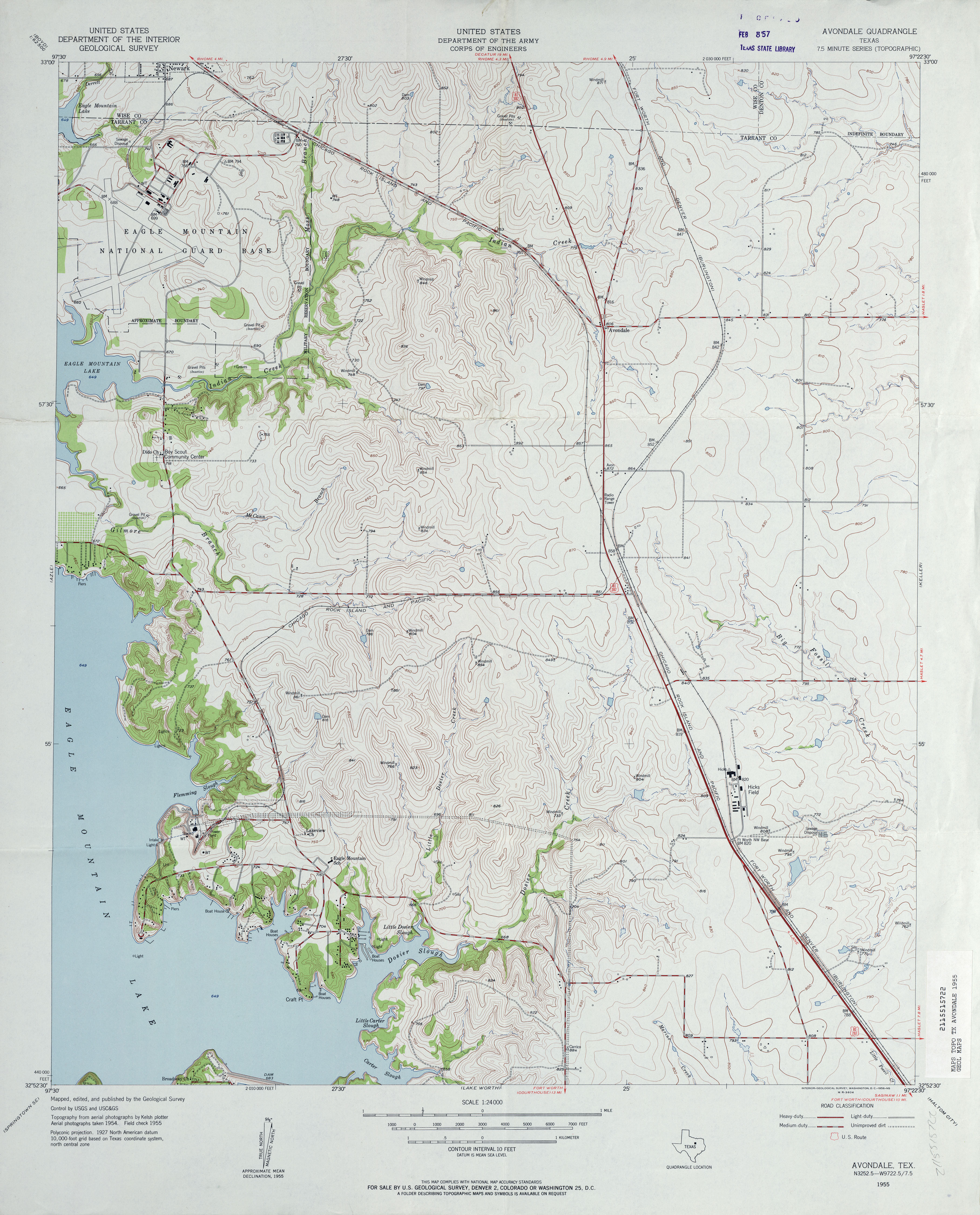
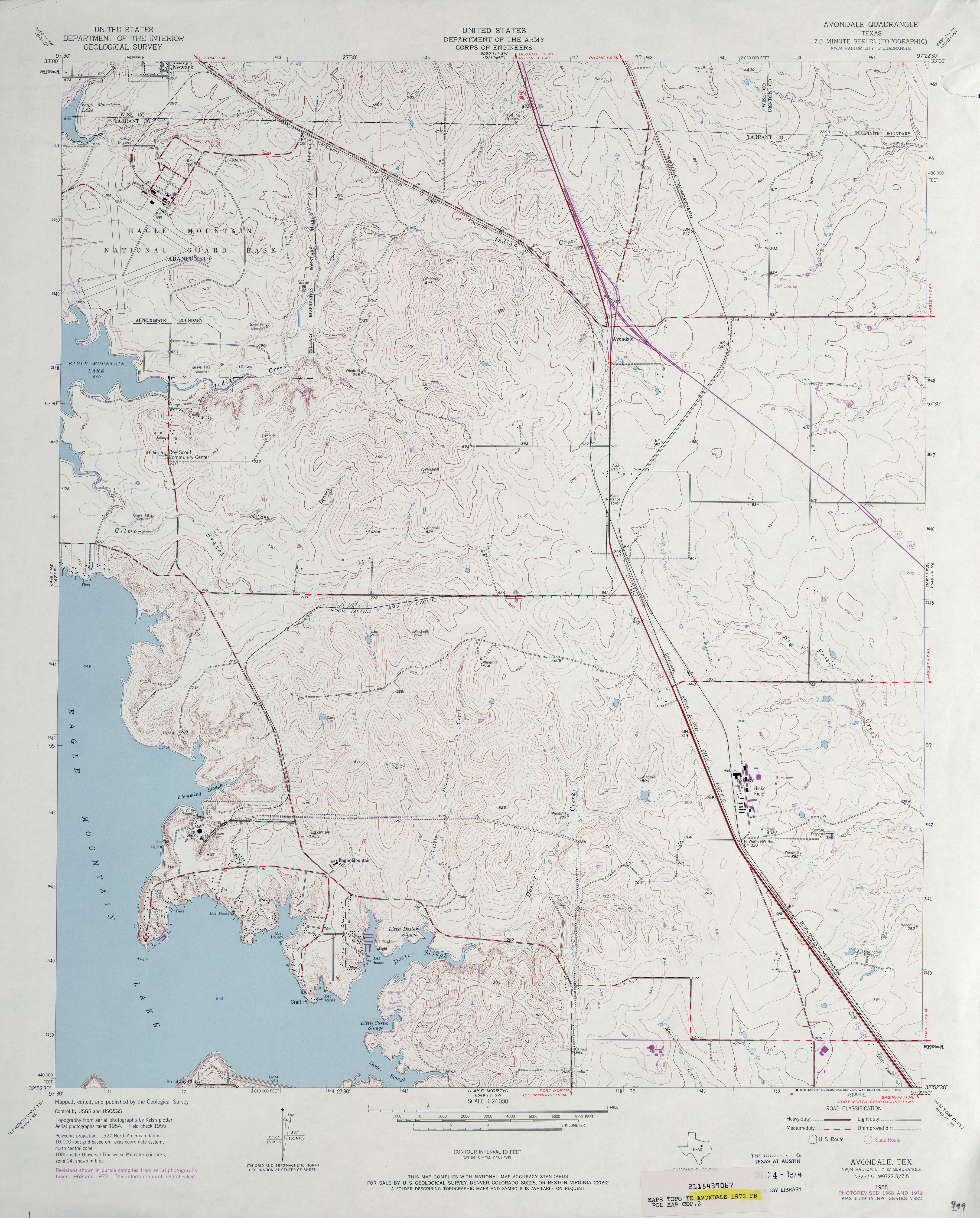
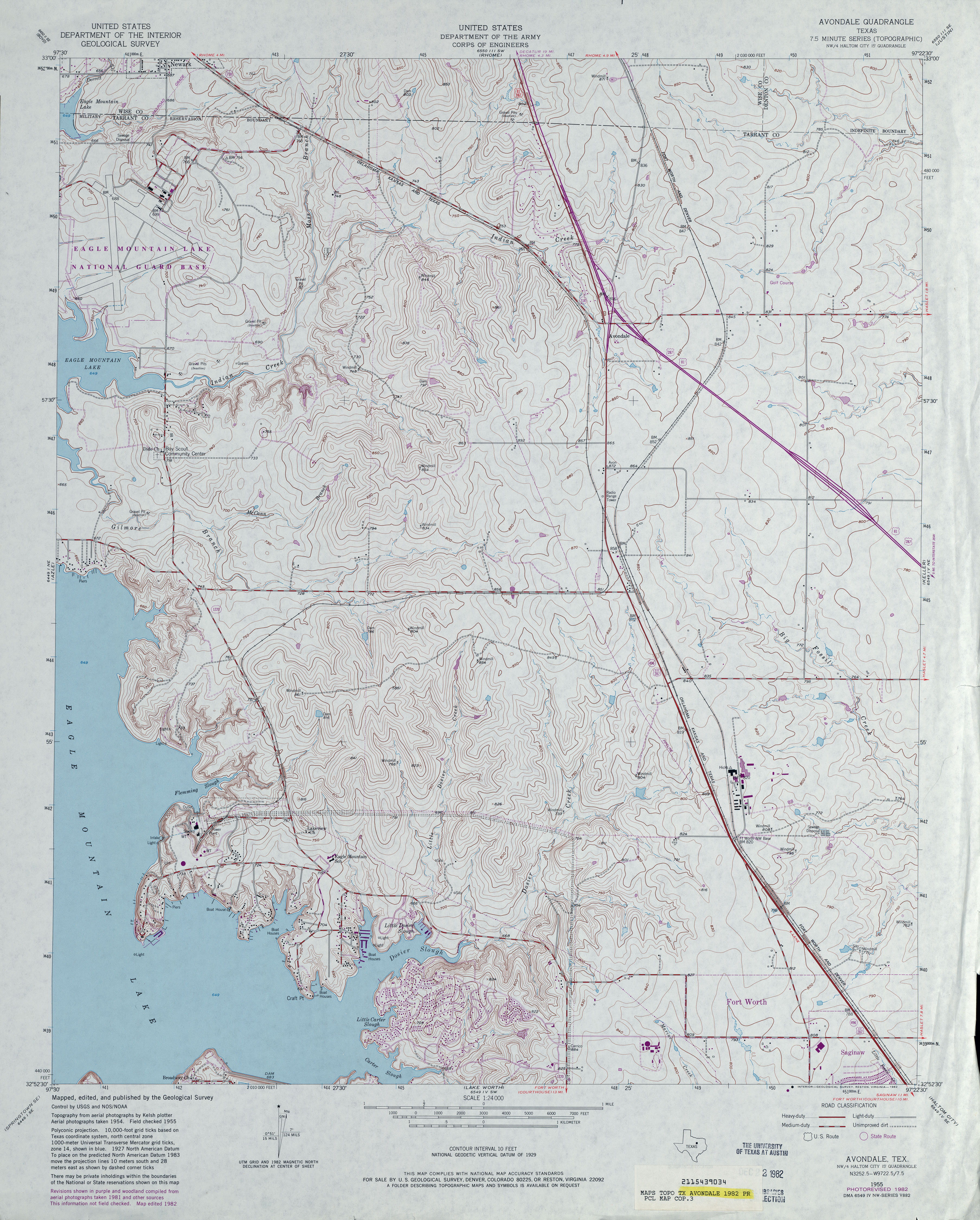
- Avondale 1:24,000 1955 (3.8MB)
- Avondale 1:24,000 1968 (3.7MB)
- Avondale 1:24,000 1972 (3.6MB)
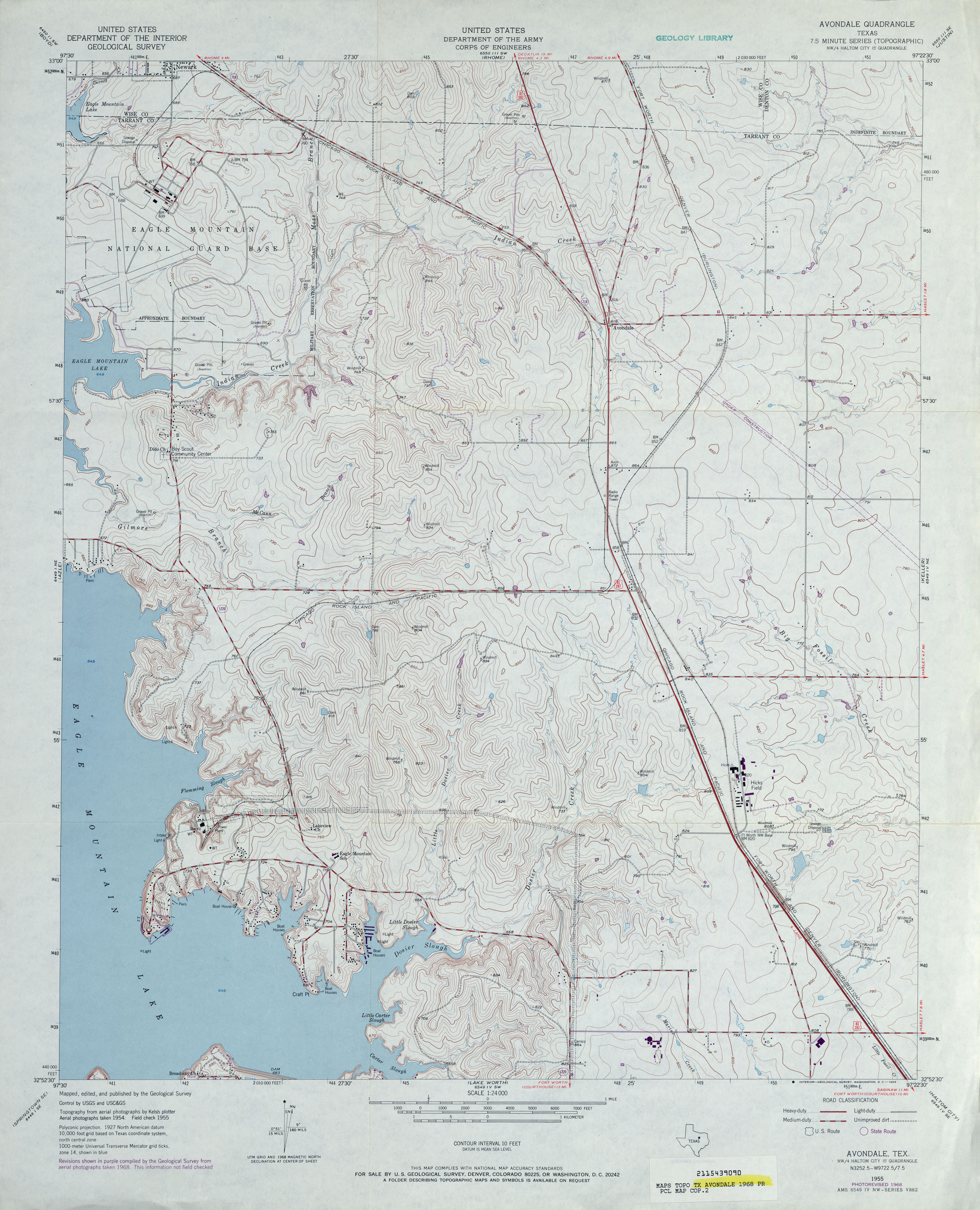
- Avondale 1:24,000 1982 (4.2MB)
- Avondale 1:24,000 2008 (13.3MB) [GeoPDF]
- Avondale 1:24,000 2012 (18.8MB) [GeoPDF]
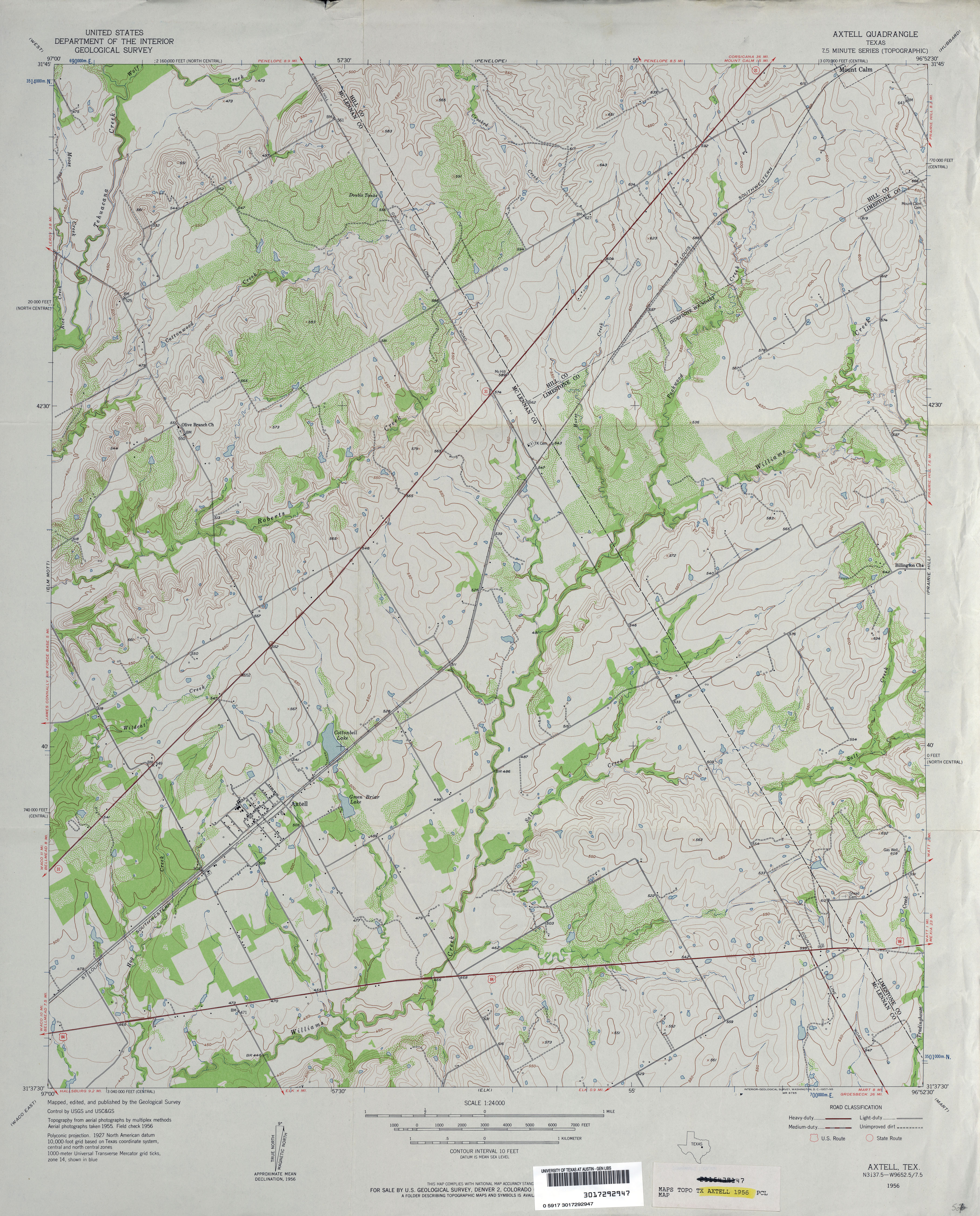
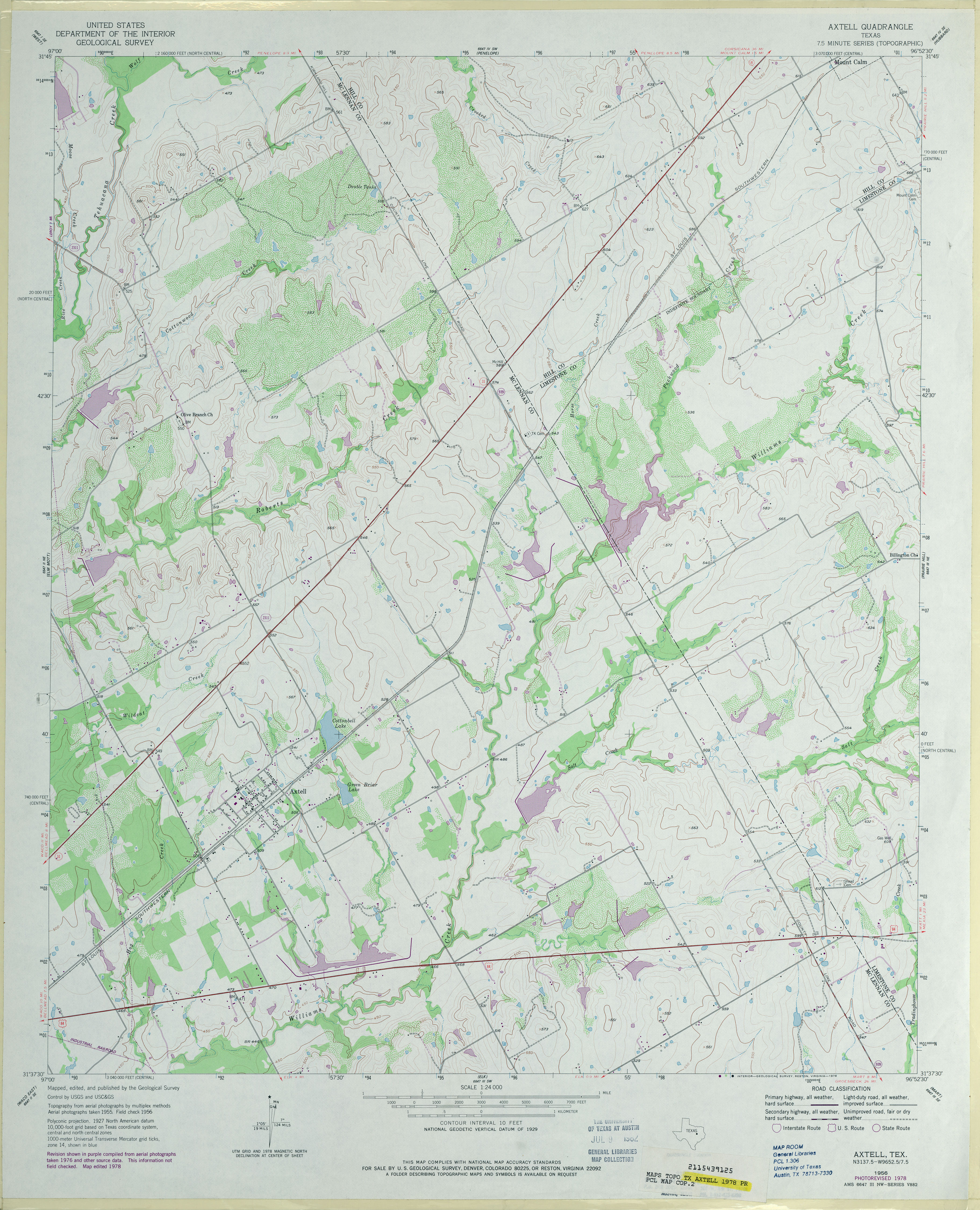
- Axtell 1:24,000 1956 (3.9MB)
- Axtell 1:24,000 1978 (3.8MB)
- Axtell 1:24,000 2008 (15.3MB) [GeoPDF]
- Axtell 1:24,000 2013 (21.3MB) [GeoPDF]
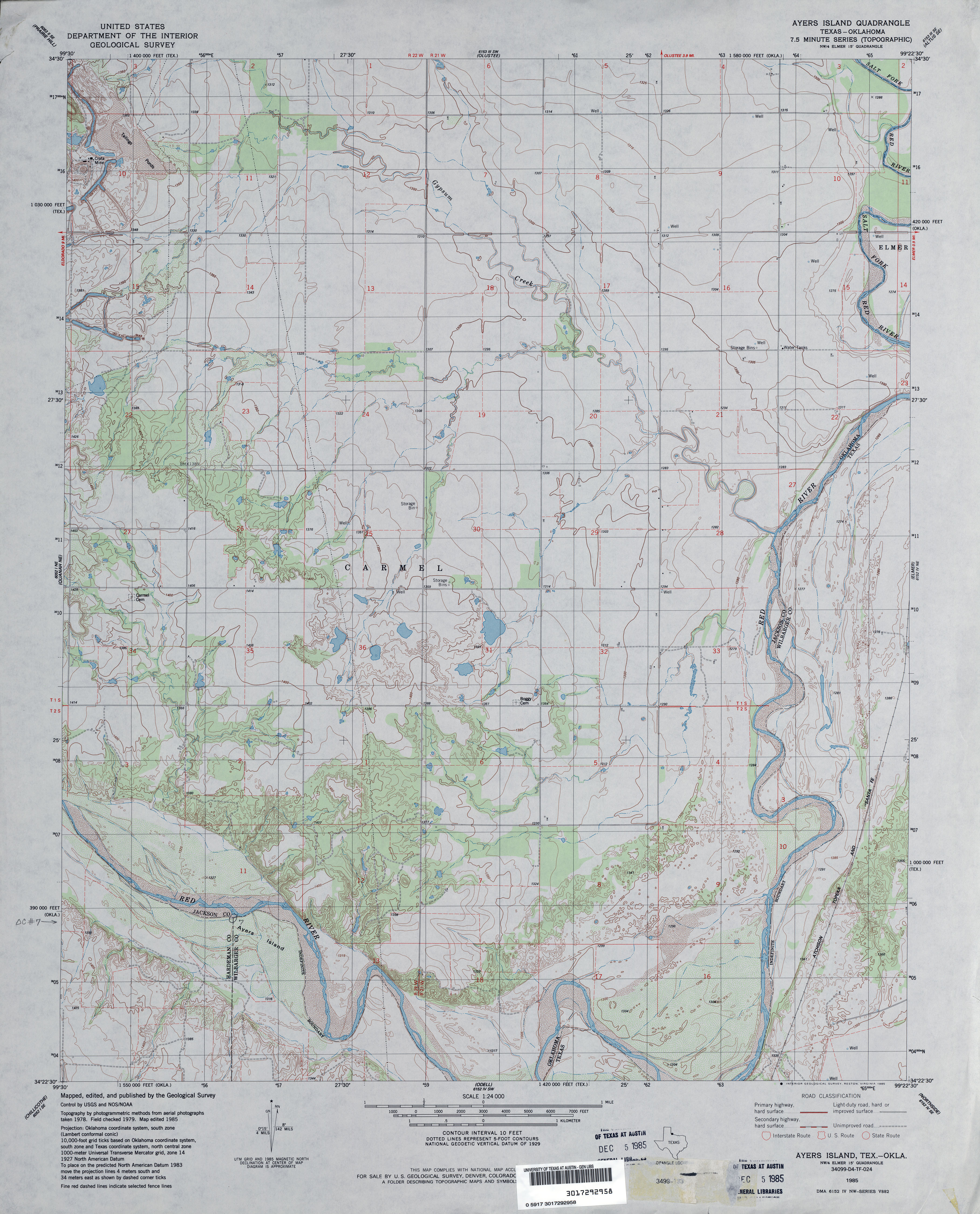
- Ayers Island 1:24,000 1985 (3.8MB)
- Ayers Island 1:24,000 2008 (15.1MB) [GeoPDF]
- Ayers Island 1:24,000 2012 (17.6MB) [GeoPDF]
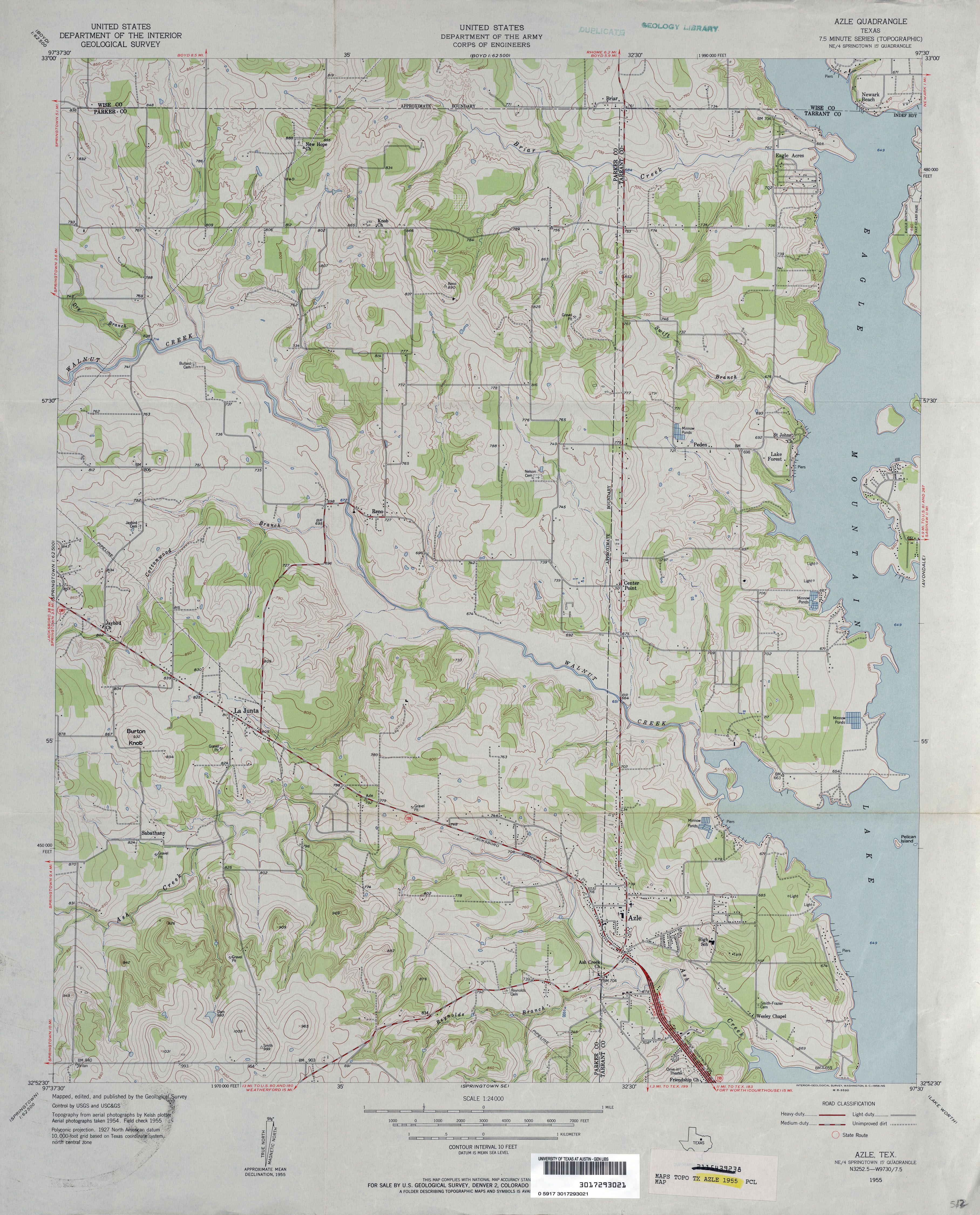
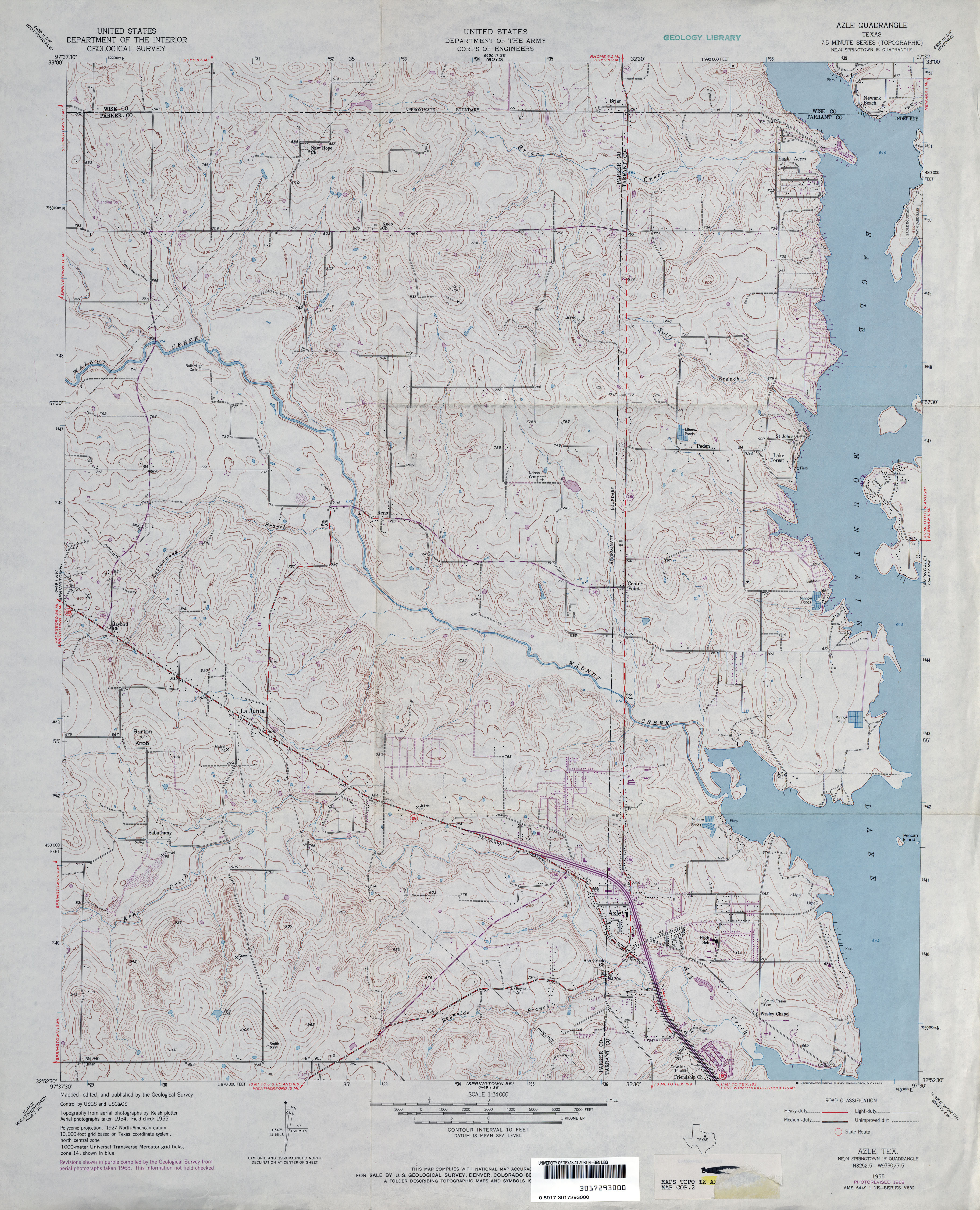
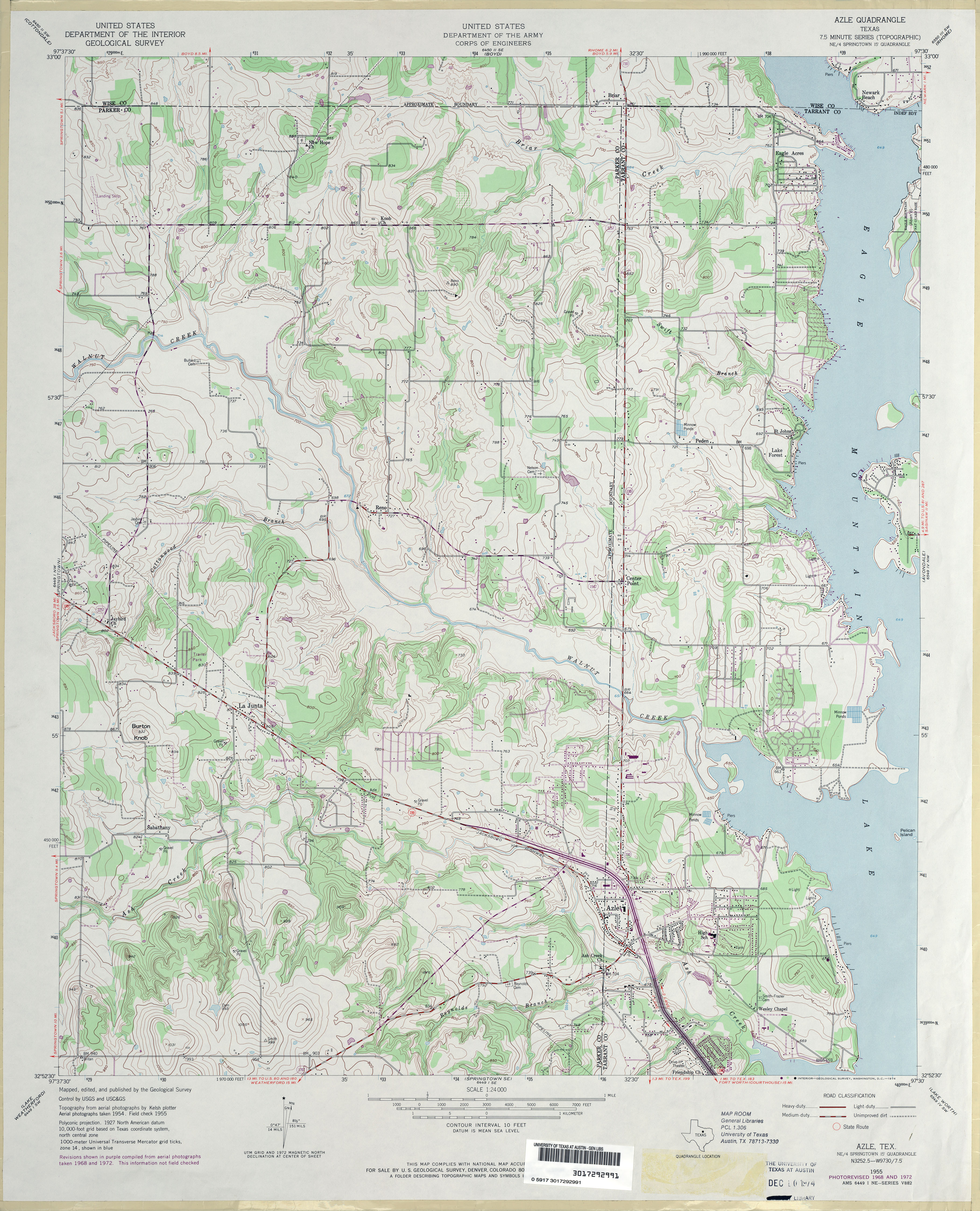
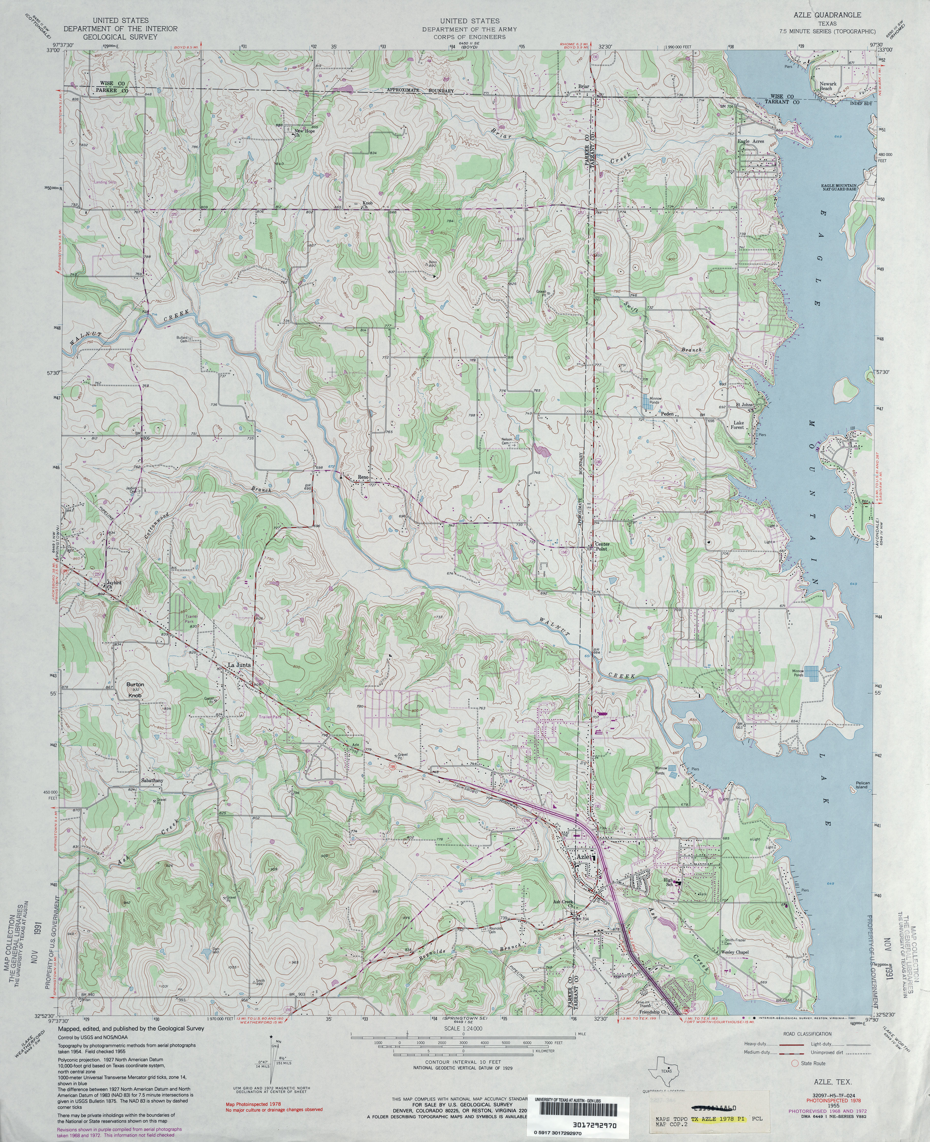
- Azle 1:24,000 1955 (3.6MB)
- Azle 1:24,000 1968 (3.9MB)
- Azle 1:24,000 1972 (4.1MB)
- Azle 1:24,000 1978 (4.1MB)
- Azle 1:24,000 2008 (16.5MB) [GeoPDF]
- Azle 1:24,000 2012 (21.2MB) [GeoPDF]
Return to the top
![[Alvin/Brazoria]](http://maps.lib.utexas.edu/maps/topo/texas/txu-pclmaps-topo-tx-alvin_brazoria-1916.jpg)