Perry-Castañeda Library
Map Collection
Texas Topographic Maps
Maps in this online collection are from the Perry-Castañeda Library, Walter Geology Library and Dolph Briscoe Center for American History at the University of Texas at Austin as well as the Texas State Library. All maps on this site were published by the U.S. Geological Survey unless otherwise noted and are in the public domain. The date given for each map is the date of latest survey. The Geographic Names Information System allows searches of geographic names to determine which map sheets they appear on. Indexes are available for Texas - East and Texas - West for the 1:24,000 map series. Maps published prior to 1923 are on the Texas Historical Topographic Map Index. More information about these maps is available on the Topographic Maps Home Page.Note: To fully view the GeoPDF files use Adobe Reader as your default PDF viewer or download the files and open them within Adobe Reader.
A, B, C, D, E, F, G, H, I, J, K, L, M, N, O, P, Q, R, S, T, U, V, W, X, Y, Z
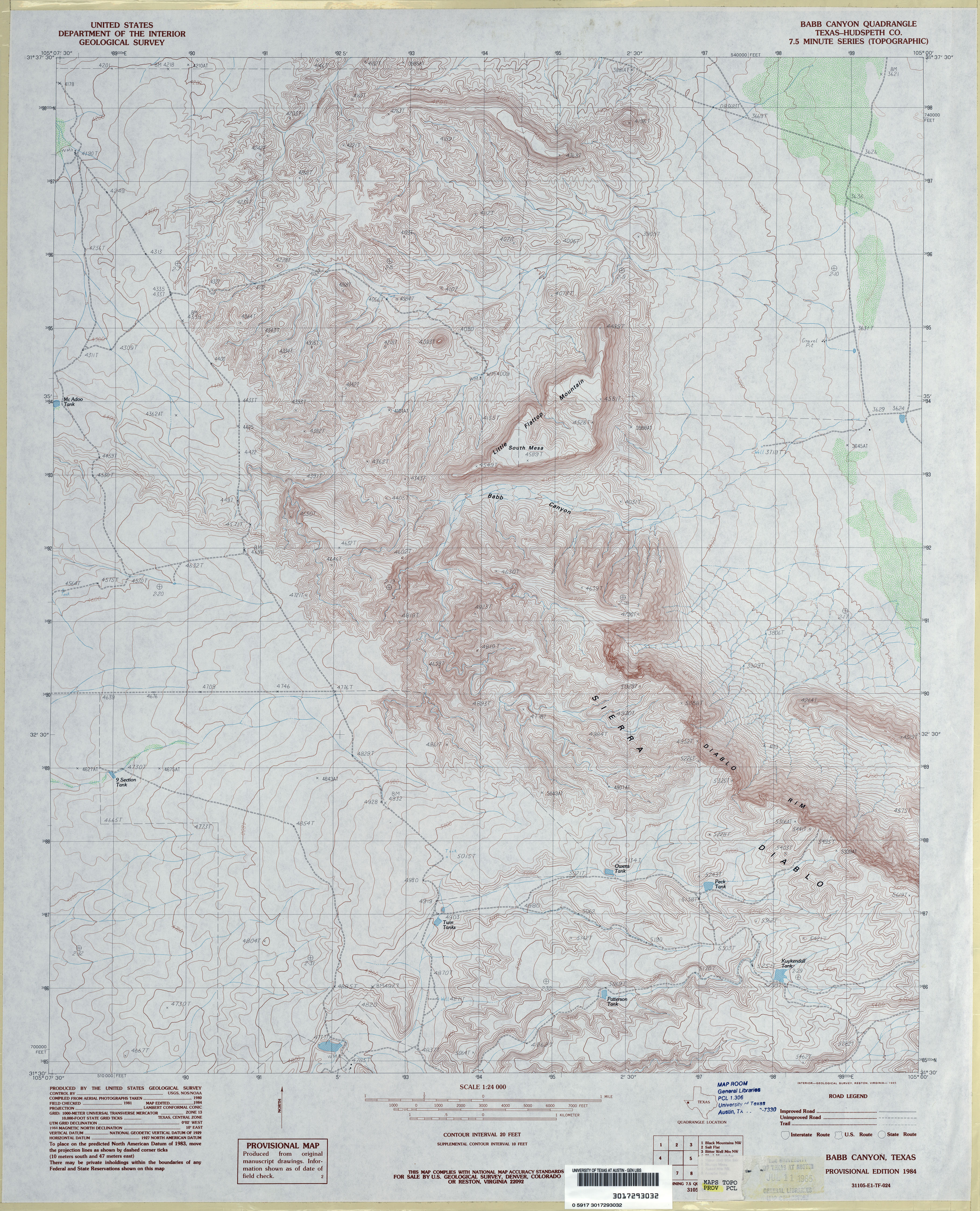
- Babb Canyon (Hudsperth County) 1:24,000 1984 (4.7MB)
- Babb Canyon 1:24,000 2008 (18.6MB) [GeoPDF]
- Babb Canyon 1:24,000 2013 (24.4MB) [GeoPDF]
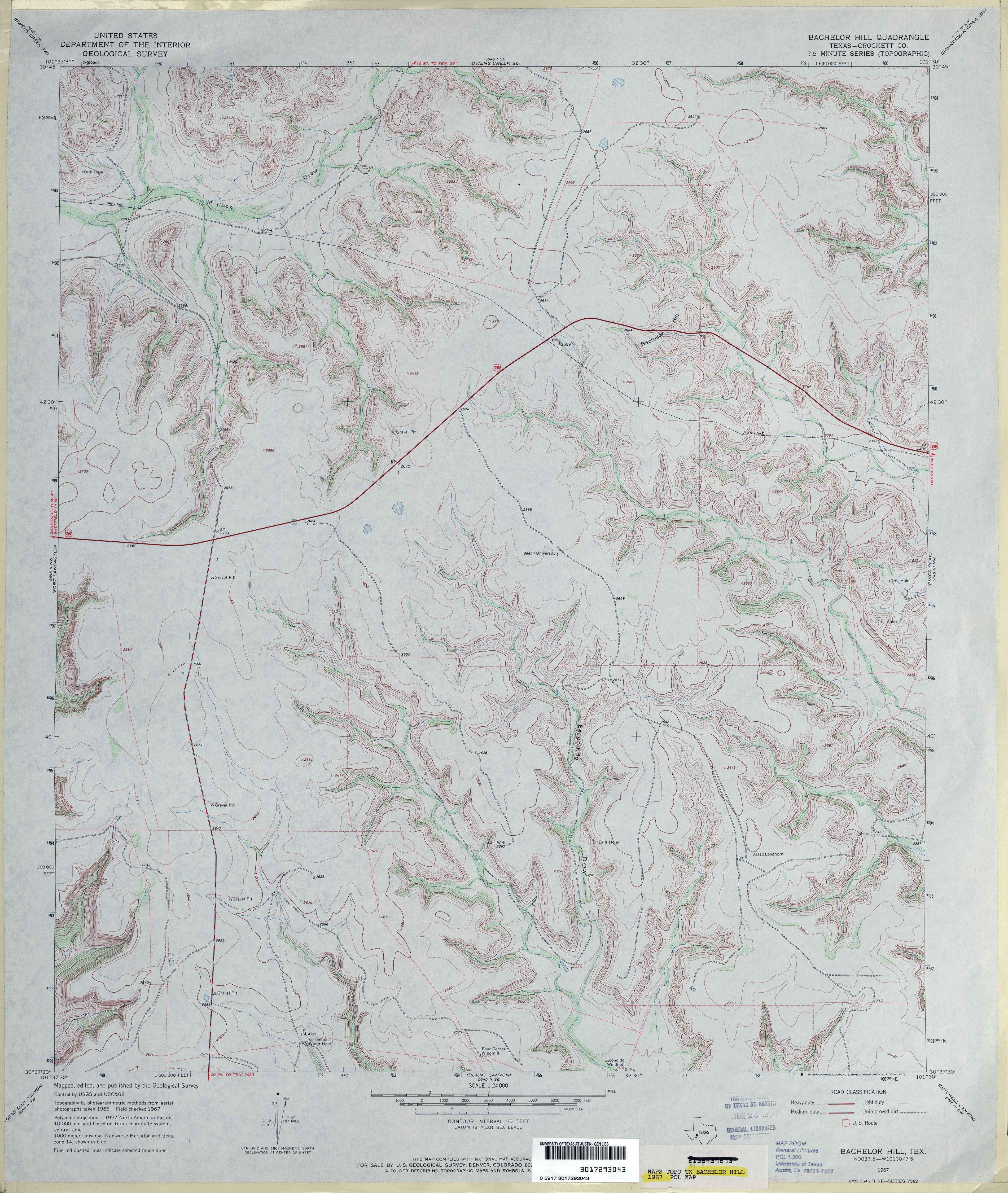
- Bachelor Hill (Crockett County) 1:24,000 1967 (4MB)
- Bachelor Hill 1:24,000 2008 (24.4MB) [GeoPDF]
- Bachelor Hill 1:24,000 2012 (33.9MB) [GeoPDF]
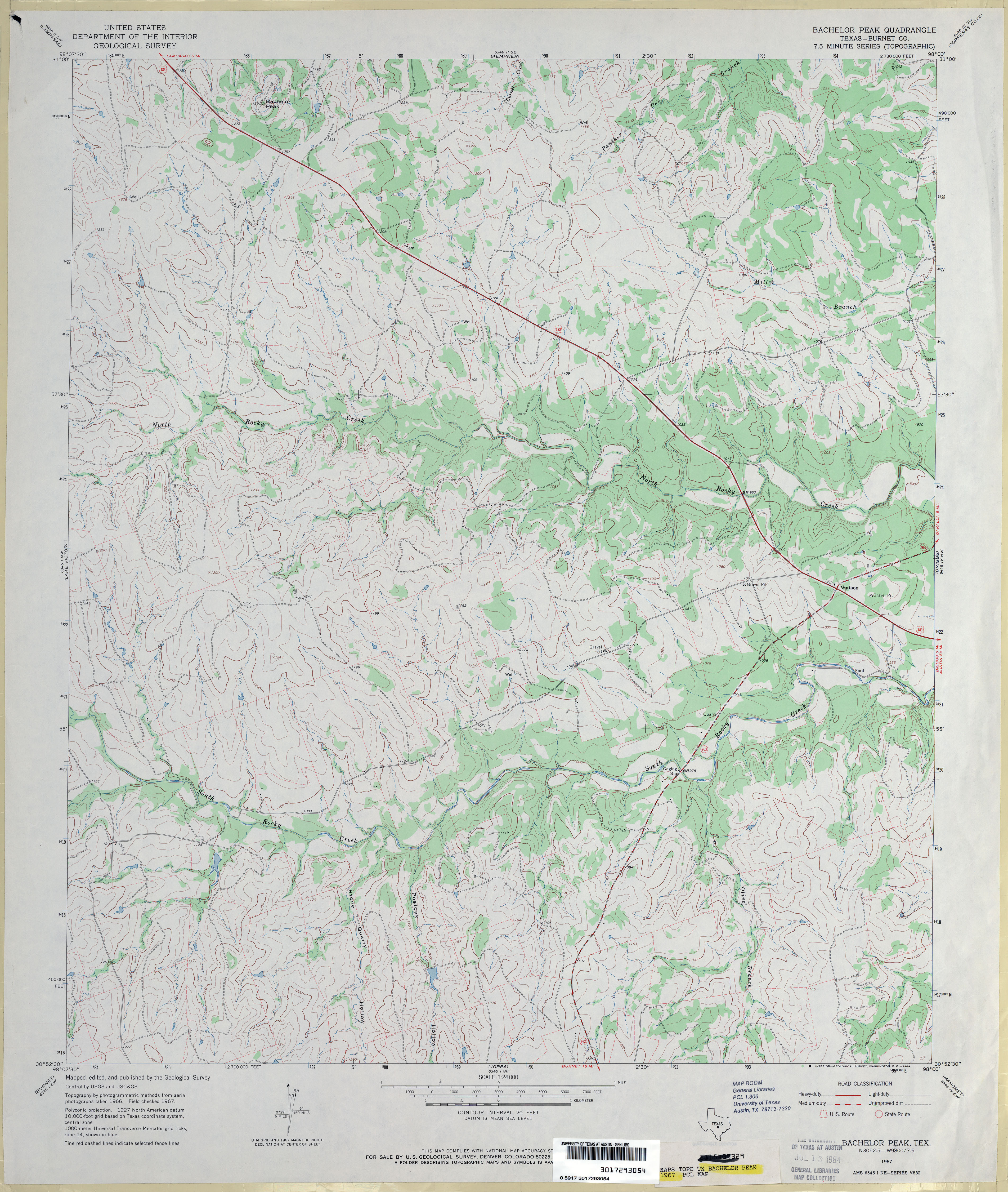
- Bachelor Peak (Burnet County) 1:24,000 1967 (3.8MB)
- Bachelor Peak 1:24,000 2012 (23.9MB) [GeoPDF]
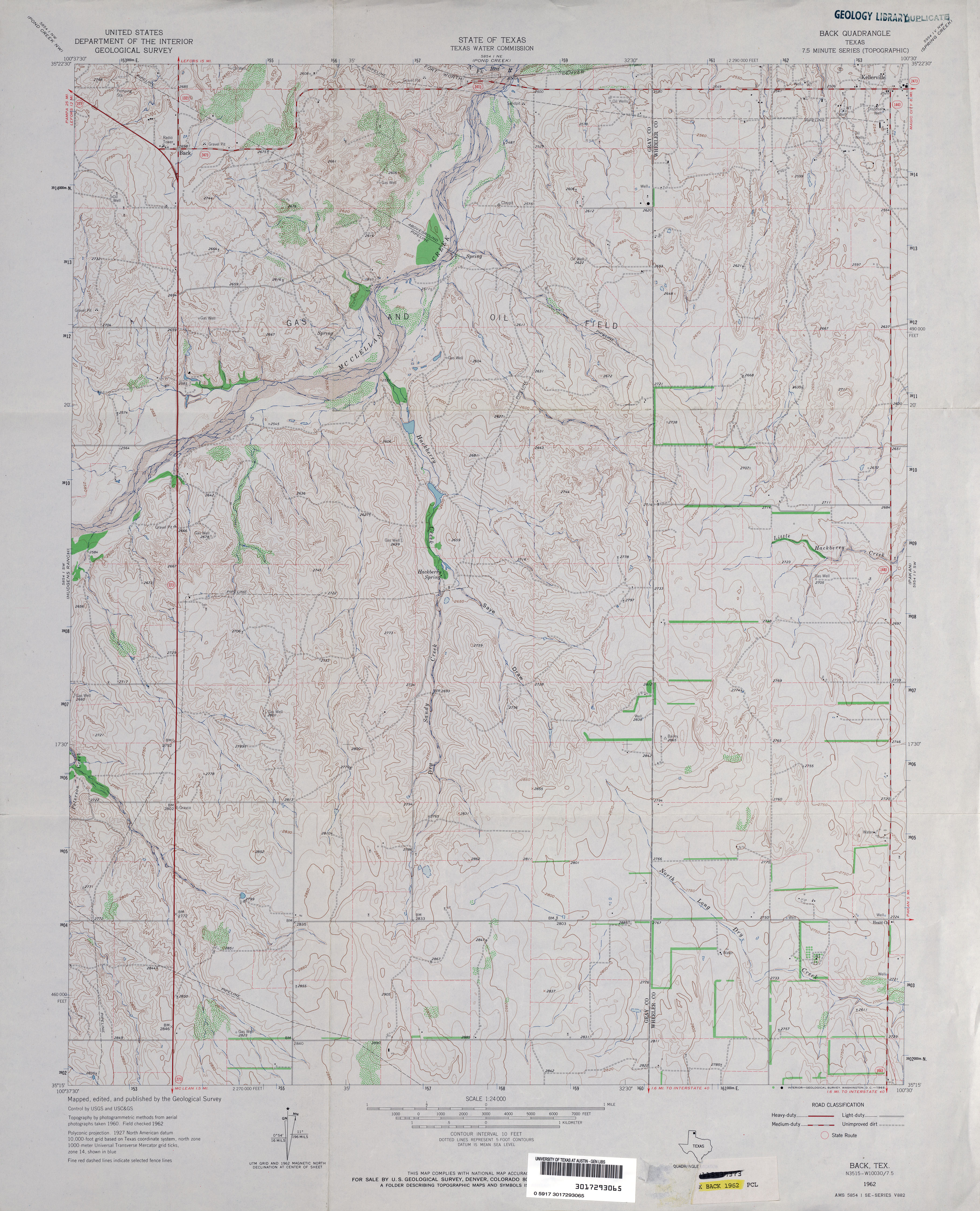
- Back 1:24,000 1962 (3.8MB)
- Back 1:24,000 2008 (12.6MB) [GeoPDF]
- Back 1:24,000 2012 (19.6MB) [GeoPDF]
- Bacliff 1:24,000 1956 (1.9MB)
- Bacliff 1:24,000 1969 (2.6MB)
- Bacliff 1:24,000 1982 (2.3MB)
- Bacliff 1:24,000 1993 (2.2MB)
- Bacliff 1:24,000 2008 (620KB) Texas Natural Resources Information System (TNRIS) [pdf]
- Bacliff 1:24,000 2009 (11.4MB) [GeoPDF]
- Badger Nest Tank (Hall County) 1:24,000 1967 (4.6MB)
- Badger Nest Tank (Hall County) 1:24,000 1981 (4.3MB)
- Badger Nest Tank 1:24,000 2008 (16.1MB) [GeoPDF]
- Badger Nest Tank 1:24,000 2012 (22.7MB) [GeoPDF]
- Baggett Ranch (Crockett County) 1:24,000 1967 (4MB)
- Baggett Ranch 1:24,000 2008 (22.1MB) [GeoPDF]
- Baggett Ranch 1:24,000 2012 (32.6MB) [GeoPDF]
- Bagwell (Red River County) 1:24,000 1964 (3.3MB)
- Bagwell 1:24,000 2008 (16.4MB) [GeoPDF]
- Bagwell 1:24,000 2012 (24.0MB) [GeoPDF]
- Bailey Creek (Kimble County) 1:24,000 1974 (3.9MB)
- Bailey Creek (Kimble County) 1:24,000 1987 (4.1MB)
- Bailey Creek 1:24,000 2012 (32MB) [GeoPDF]
- Bailey Draw 1:24,000 1964 (3.5MB)
- Bailey Draw 1:24,000 1982 (3.7MB)
- Bailey Draw 1:24,000 2008 (23.7MB) [GeoPDF]
- Bailey Draw 1:24,000 2012 (28.4MB) [GeoPDF]
- Baileyboro (Bailey County) 1:24,000 1962 (2.8MB)
- Baileyboro 1:24,000 2008 (10.8MB) [GeoPDF]
- Baileyboro NE (Bailey County) 1:24,000 1962 (2.7MB)
- Baileyboro NE (Bailey County) 1:24,000 1980 (2.6MB)
- Baileyboro NE 1:24,000 2008 (11.4MB) [GeoPDF]
- Baileyboro NE 1:24,000 2012 (15.9MB) [GeoPDF]
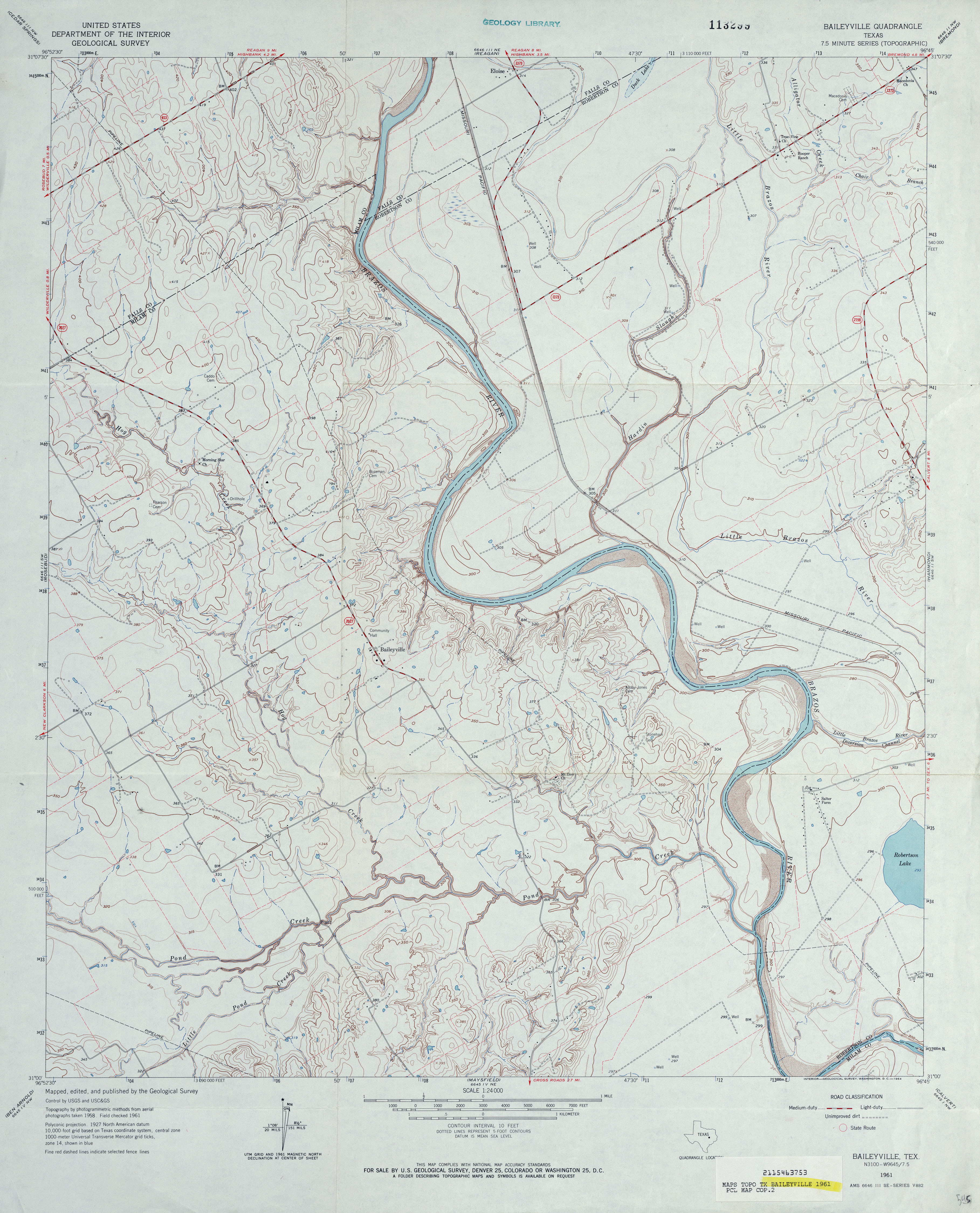
- Baileyville 1:24,000 1961 (3.7MB)
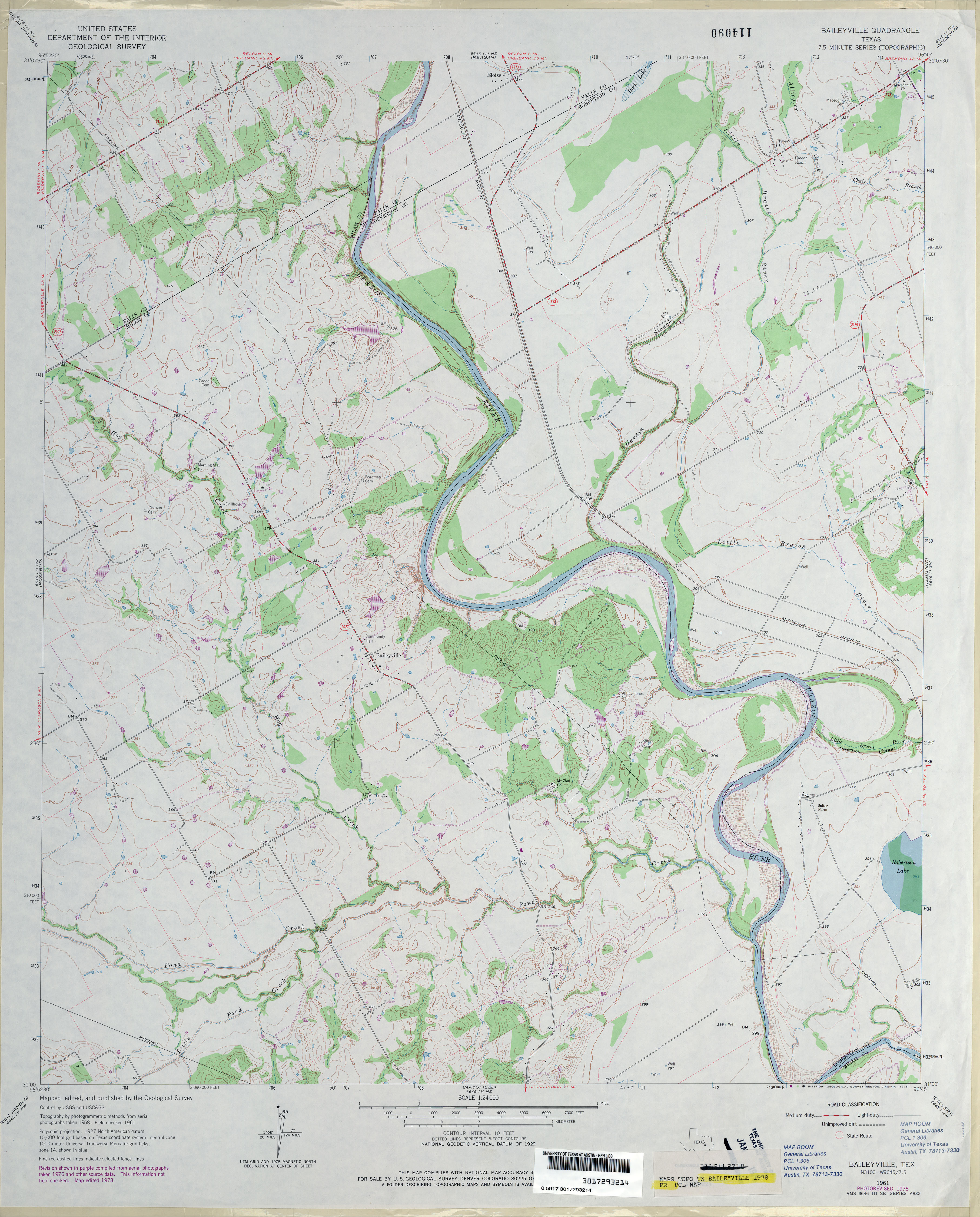
- Baileyville 1:24,000 1978 (3.5MB)
- Baileyville 1:24,000 2008 (12.3MB) [GeoPDF]
- Baileyville 1:24,000 2013 (22MB) [GeoPDF]
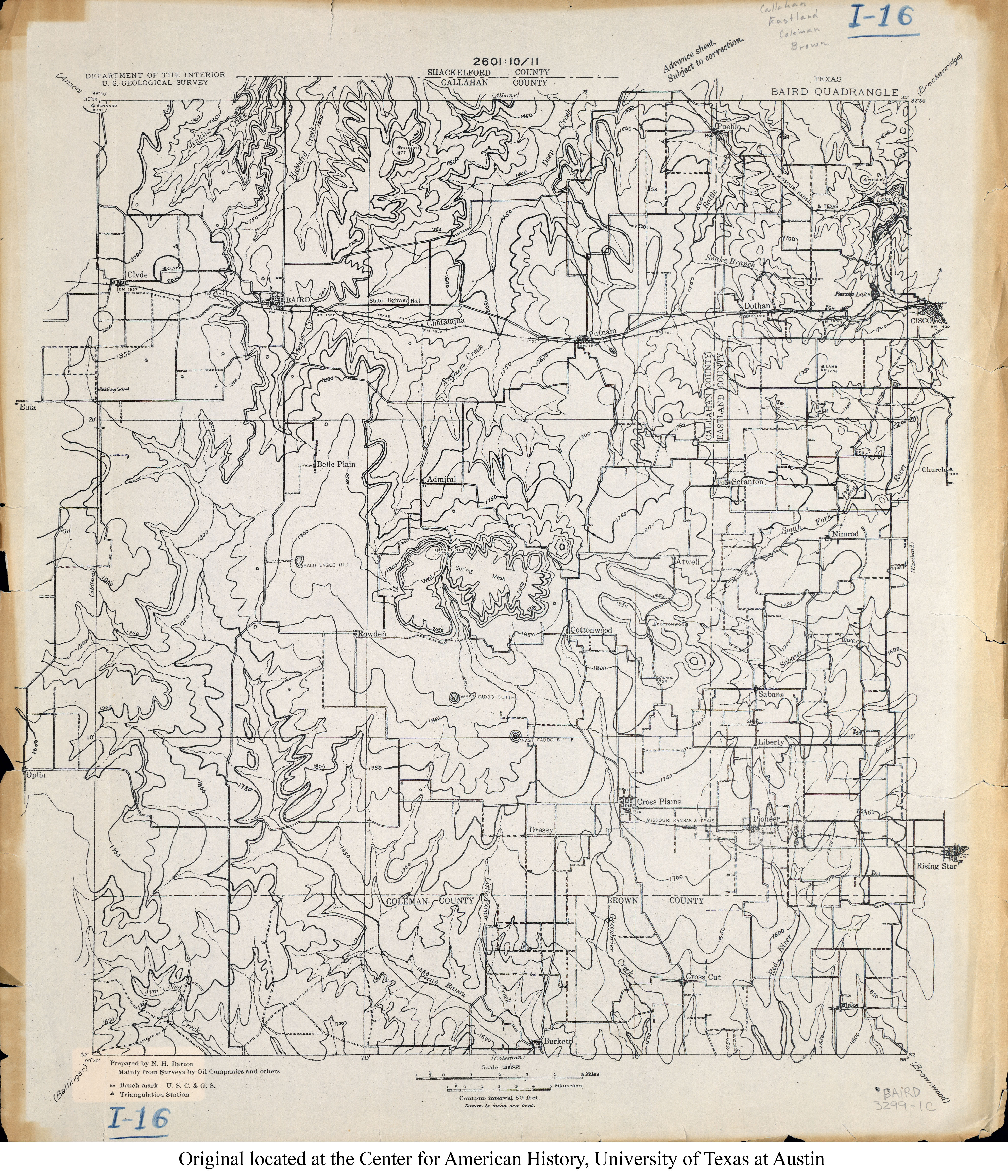
- Baird 1:125,000 192- (4.2MB)
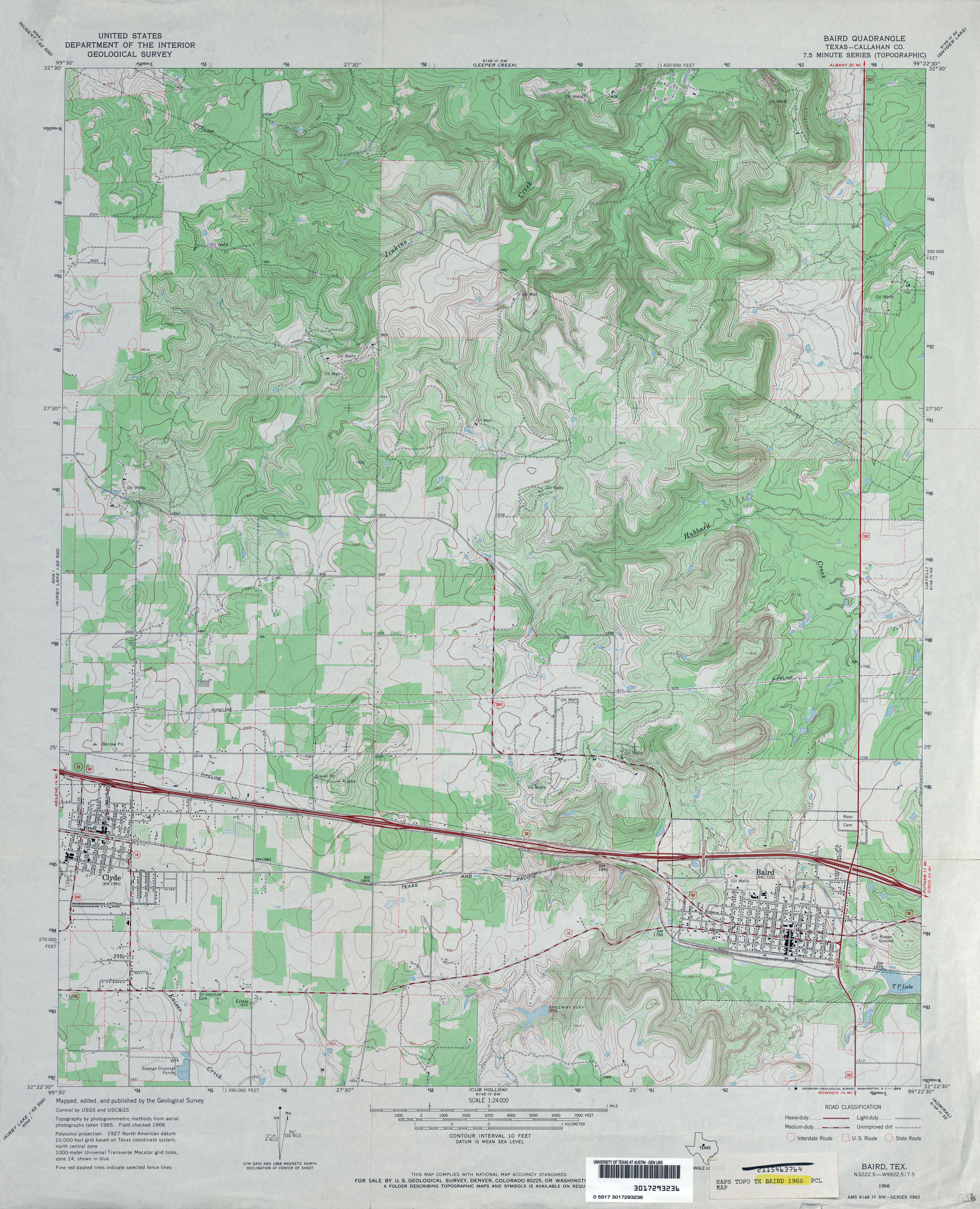
- Baird (Callahan County) 1:24,000 1966 (4.5MB)
- Baird 1:24,000 2008 (16.1MB) [GeoPDF]
- Baird 1:24,000 2012 (24.5MB) [GeoPDF]
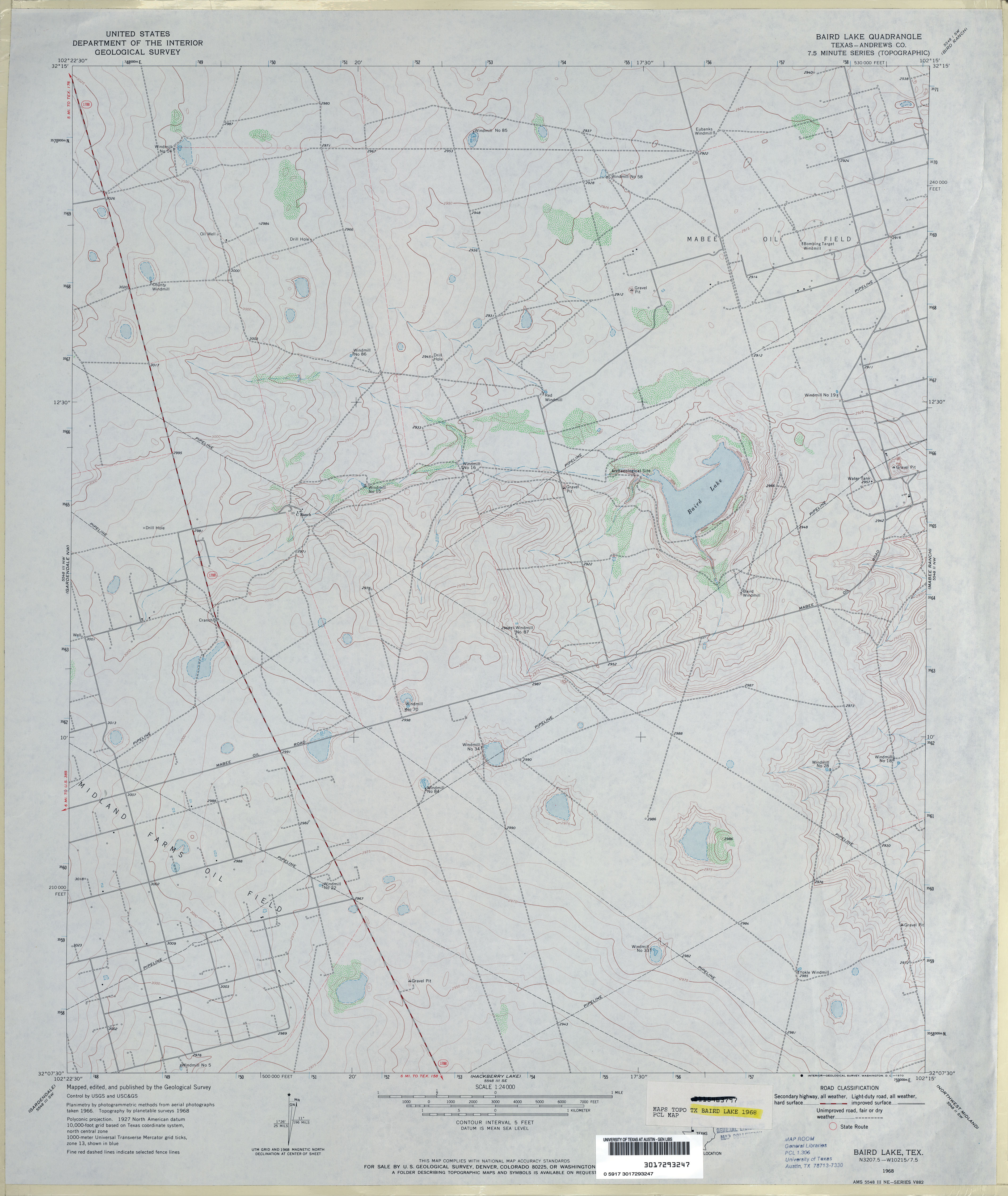
- Baird Lake (Andrews County) 1:24,000 1968 (2.8MB)
- Baird Lake 1:24,000 2008 (16.2MB) [GeoPDF]
- Baird Lake 1:24,000 2012 (19.8MB) [GeoPDF]
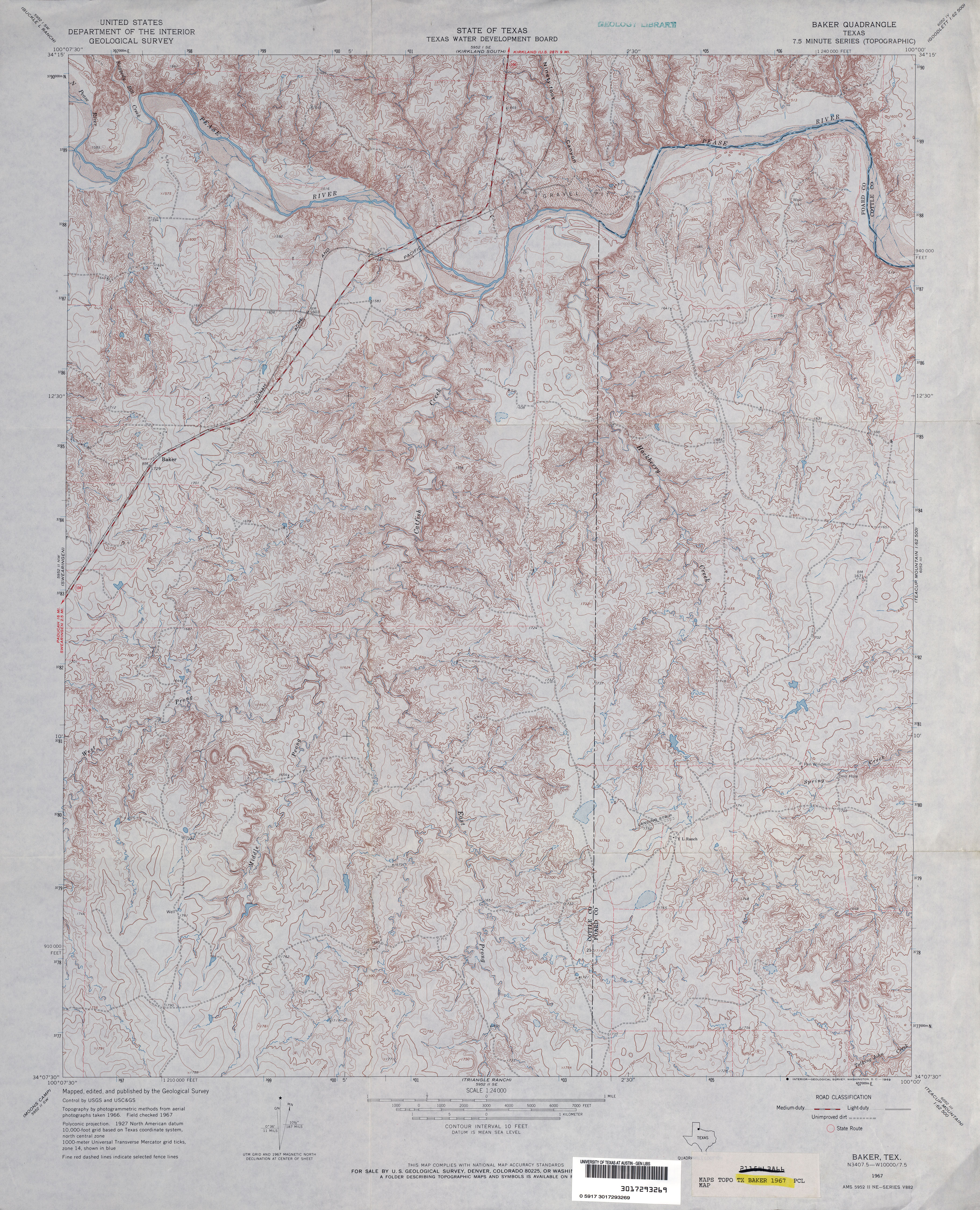
- Baker 1:24,000 1967 (5.1MB)
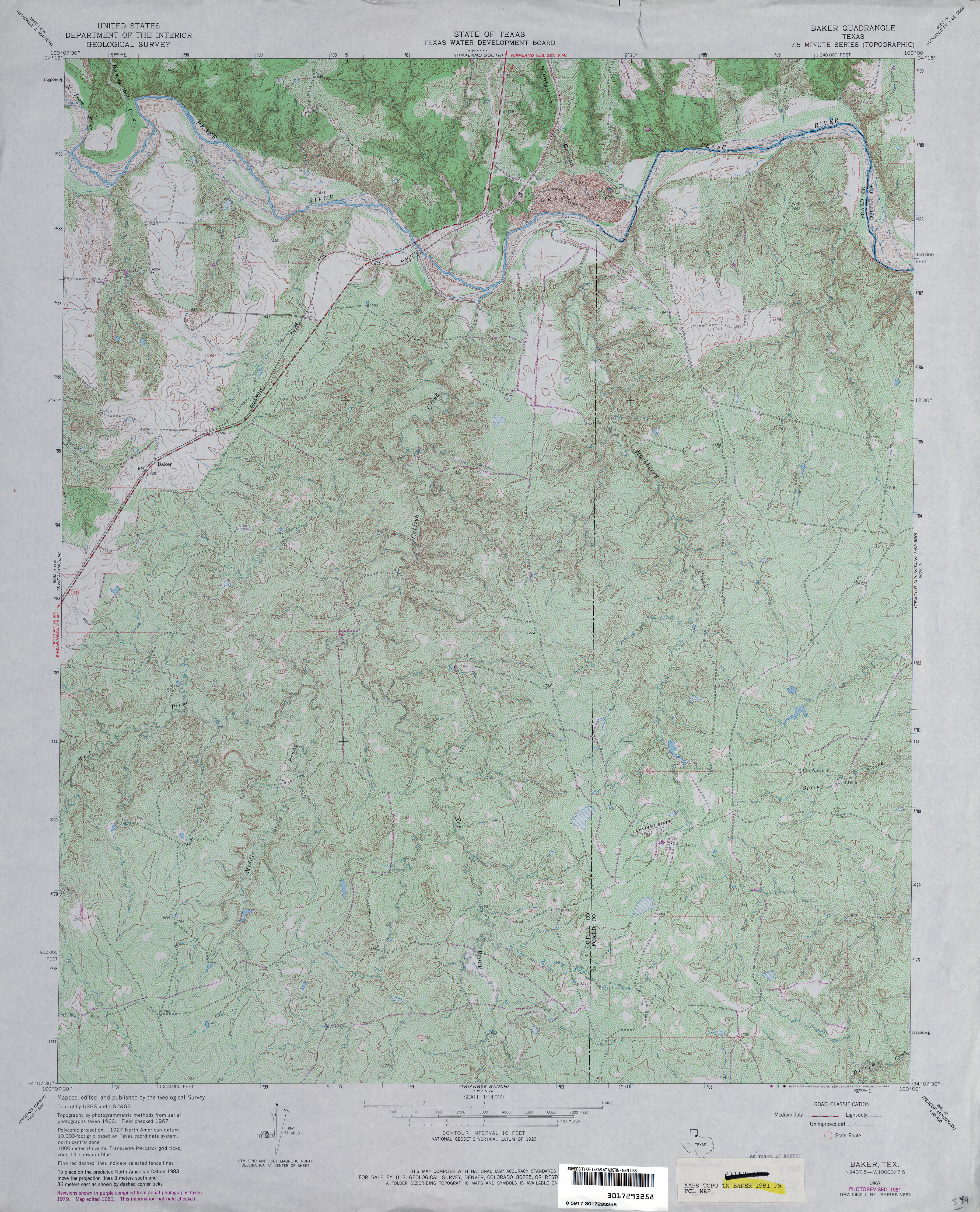
- Baker 1:24,000 1981 (5.9MB)
- Baker 1:24,000 2008 (23.0MB) [GeoPDF]
- Baker 1:24,000 2013 (28MB) [GeoPDF]
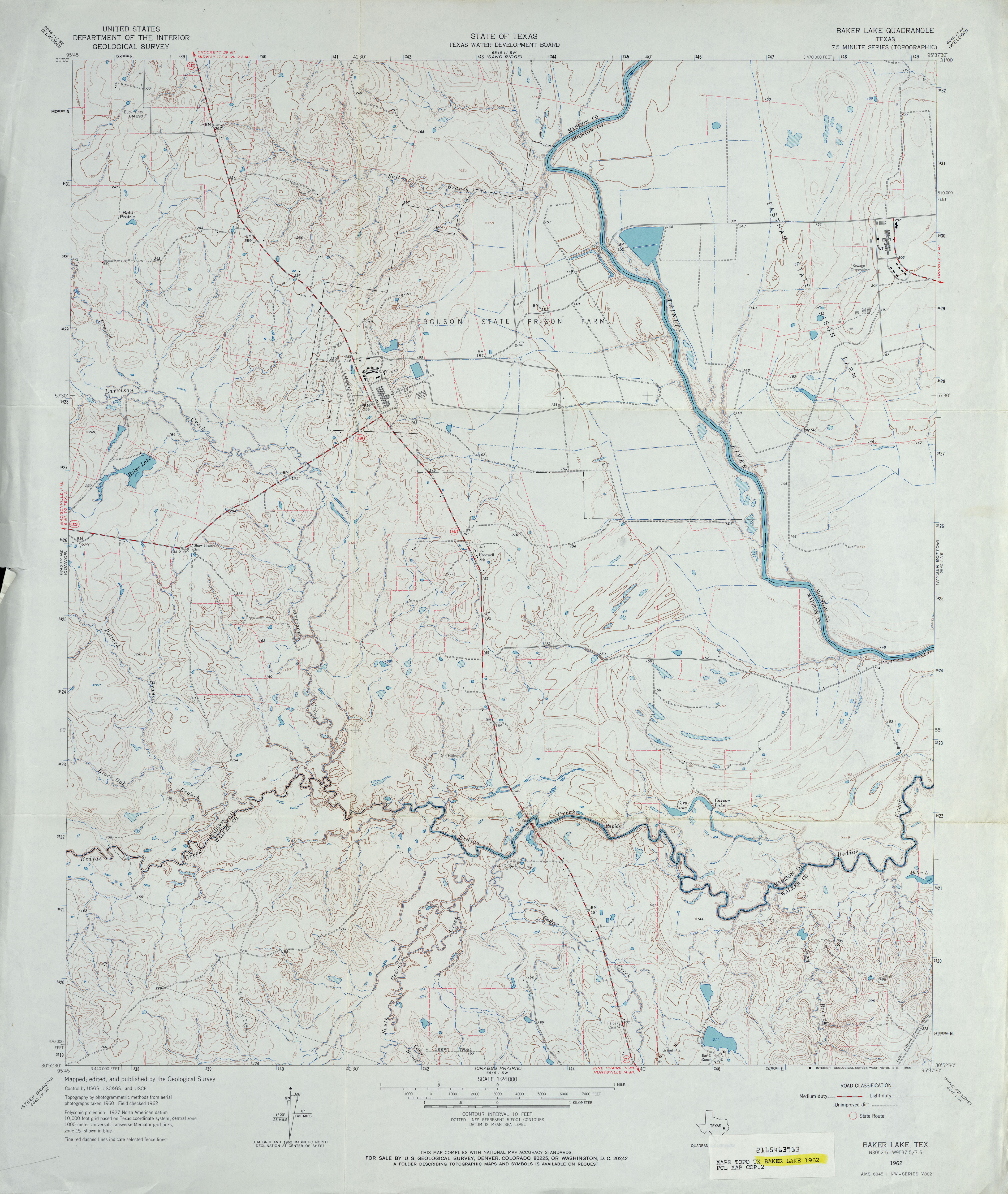
- Baker Lake 1:24,000 1962 (3.8MB)
- Baker Lake 1:24,000 1972 (4MB)
- Baker Lake 1:24,000 2009 (19.8MB) [GeoPDF]
- Baker Lake 1:24,000 2013 (22.3MB) [GeoPDF]
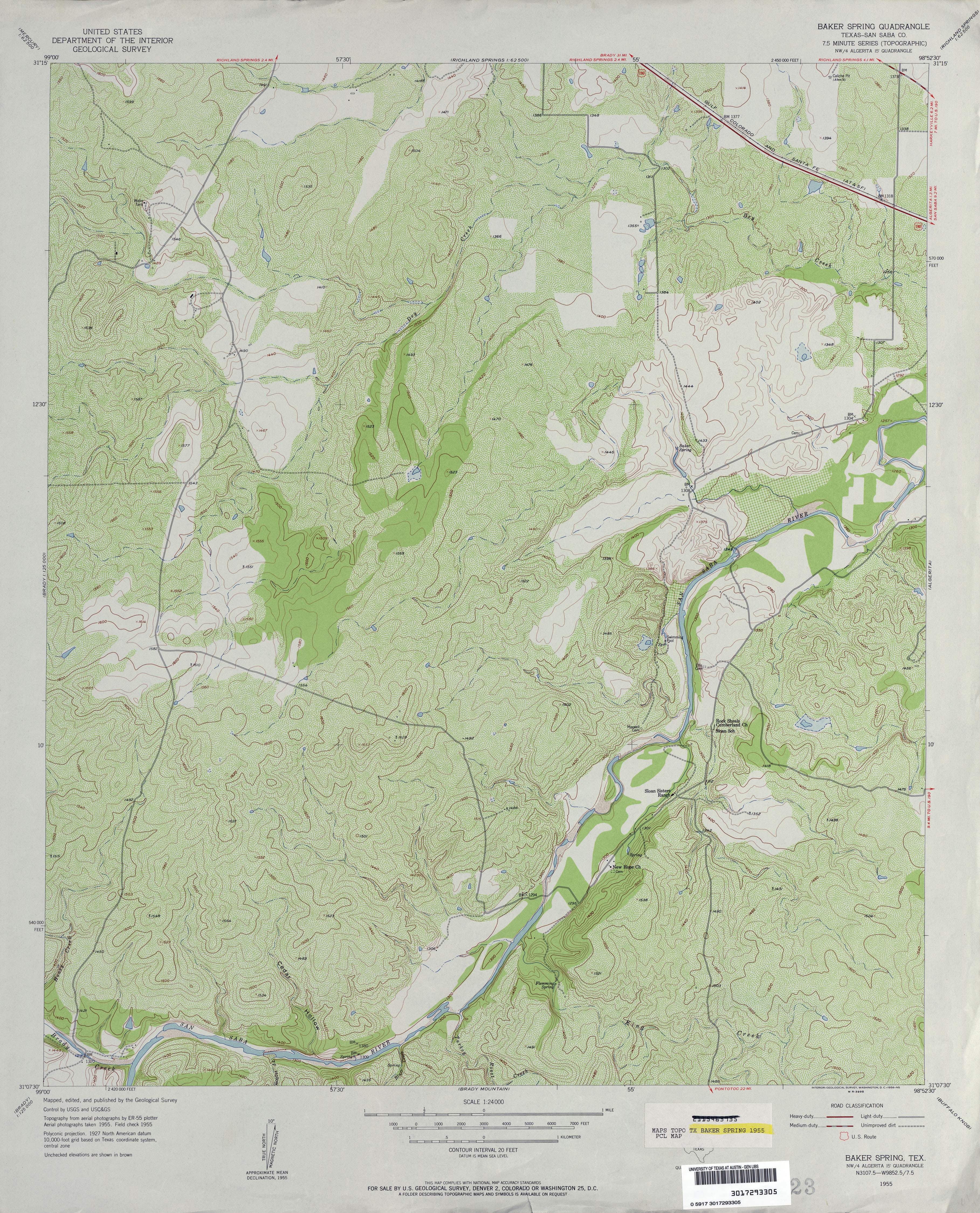
- Baker Spring (San Saba County) 1:24,000 1955 (5MB)
- Baker Spring (San Saba County) 1:24,000 1982 (4.9MB)
- Baker Spring 1:24,000 2008 (19.6MB) [GeoPDF]
- Baker Spring 1:24,000 2013 (23.7MB) [GeoPDF]
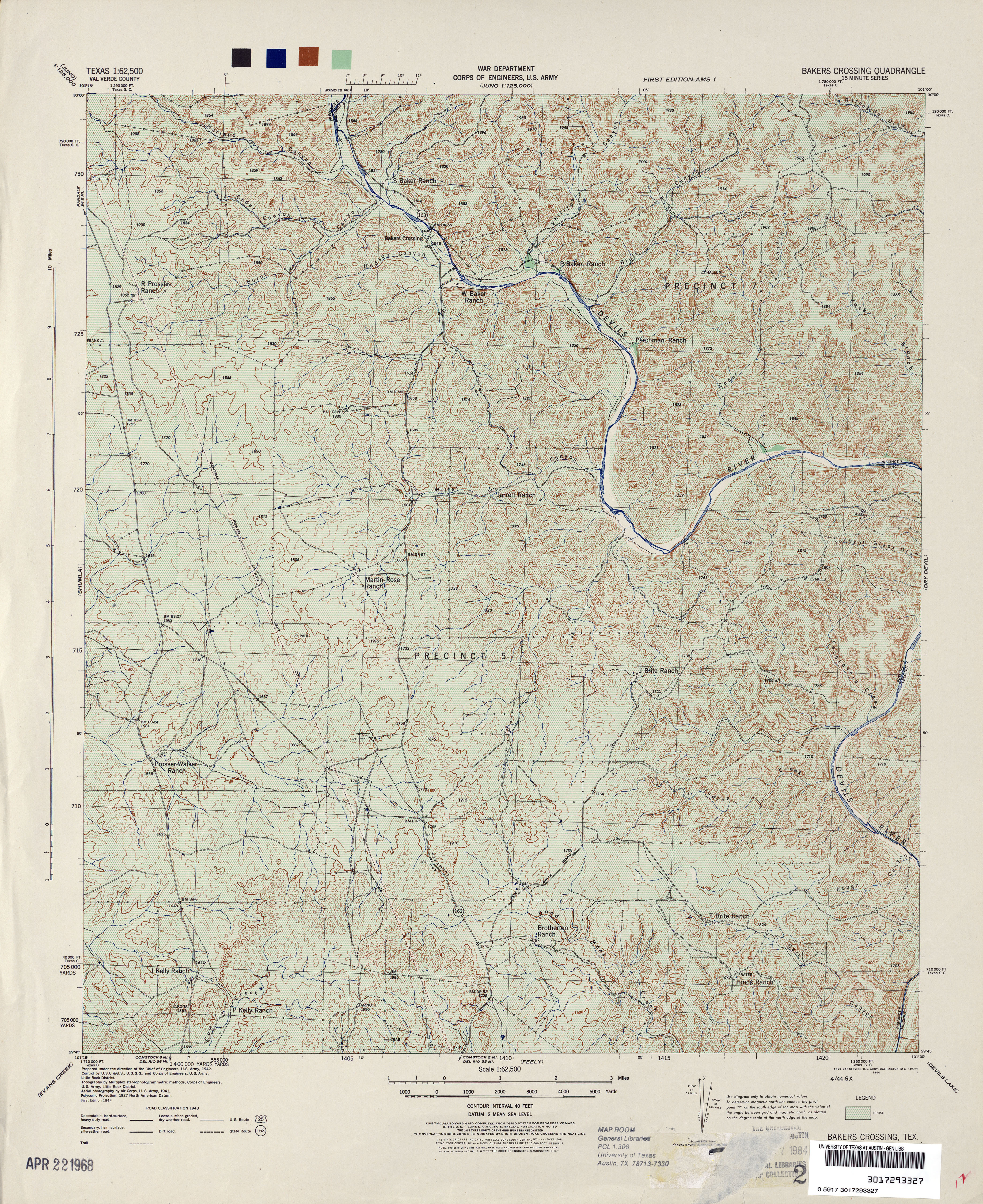
- Bakers Crossing 1:62,500 1943 (6.5MB) U.S. War Department. Corps of Engineers
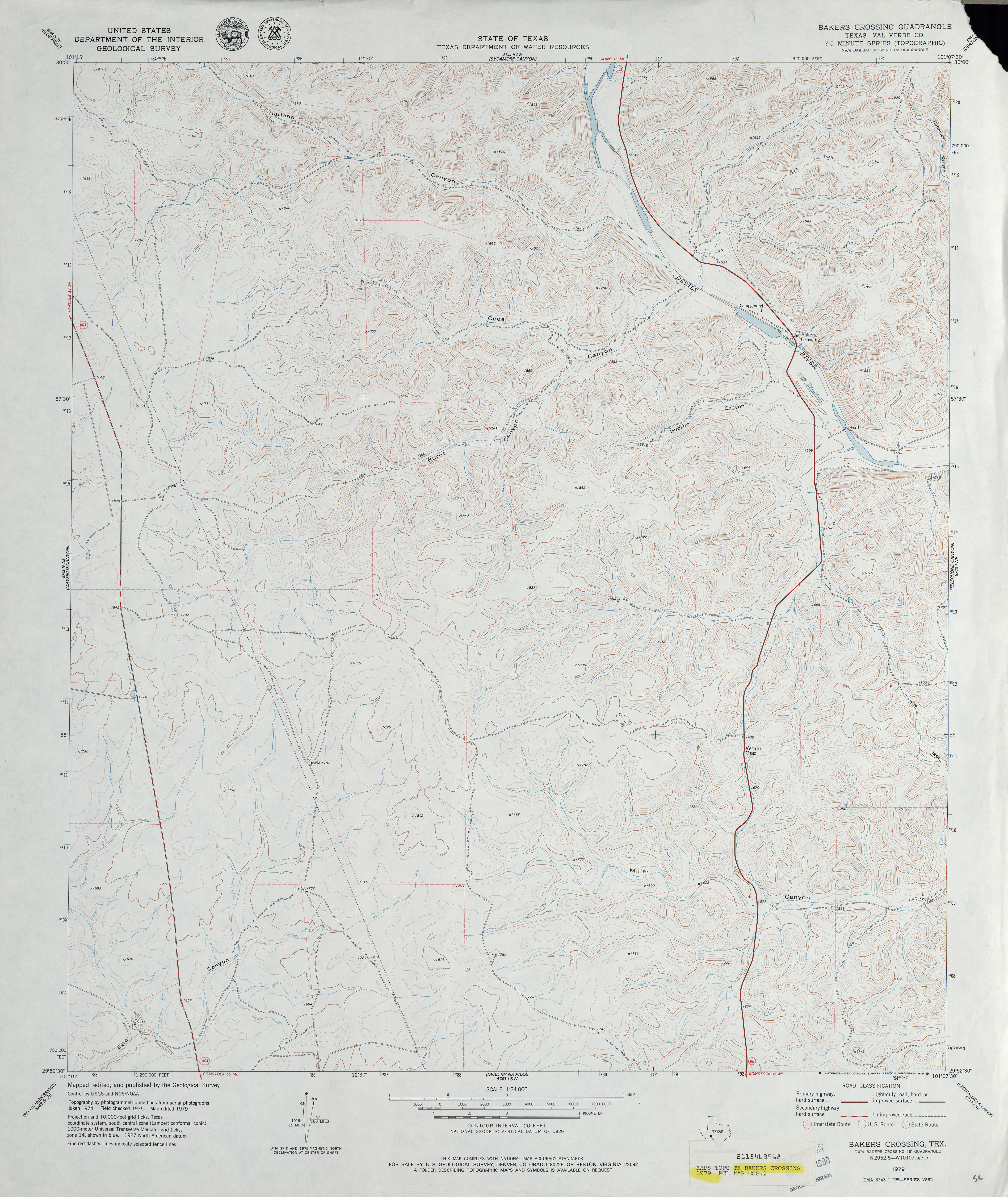
- Bakers Crossing (Val Verde County) 1:24,000 1979 (3.9MB)
- Bakers Crossing 1:24,000 2008 (21.7MB) [GeoPDF]
- Bakers Crossing 1:24,000 2013 (33.2MB) [GeoPDF]
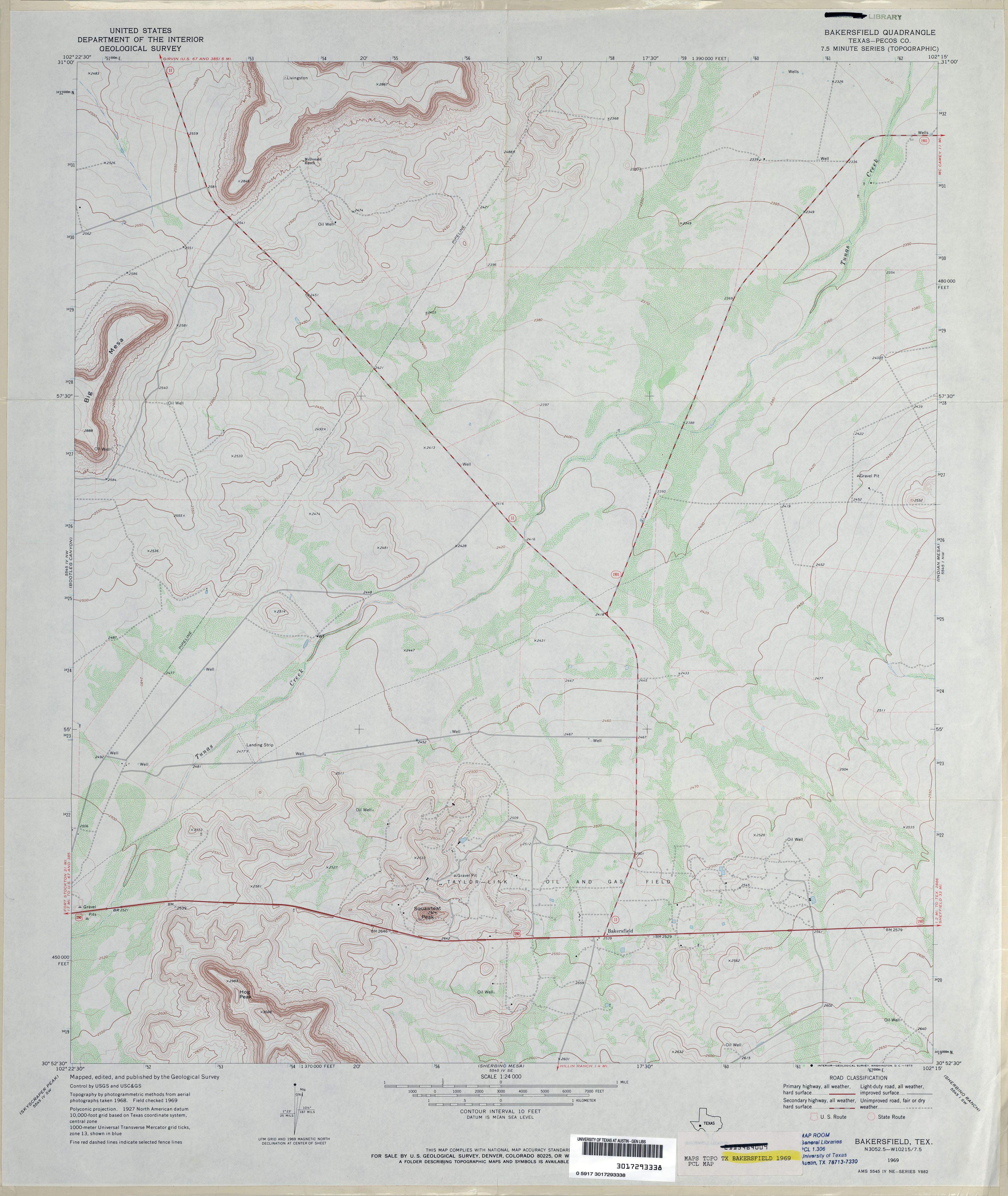
- Bakersfield (Pecos County) 1:24,000 1969 (3.1MB)
- Bakersfield 1:24,000 2008 (21.8MB) [GeoPDF]
- Bakersfield 1:24,000 2012 (26.2MB) [GeoPDF]
- Balcon Creek (Terrell County) 1:24,000 1983 (3.9MB)
- Balcon Creek 1:24,000 2008 (19.8MB) [GeoPDF]
- Balcon Creek 1:24,000 2013 (27.7MB) [GeoPDF]
- Bald Hill (Angelina County) 1:24,000 1963 (3.1MB)
- Bald Hill (Angelina County) 1:24,000 1980 (3.2MB)
- Bald Hill 1:24,000 2008 (1.3MB) Texas Natural Resources Information System (TNRIS) [pdf]
- Bald Hill 1:24,000 2009 (23.3MB) [GeoPDF]
- Bald Hill 1:24,000 2013 (24.6MB) [GeoPDF]
- Bald Knob 1:24,000 1967 (4.3MB)
- Bald Knob 1:24,000 2012 (24.2MB) [GeoPDF]
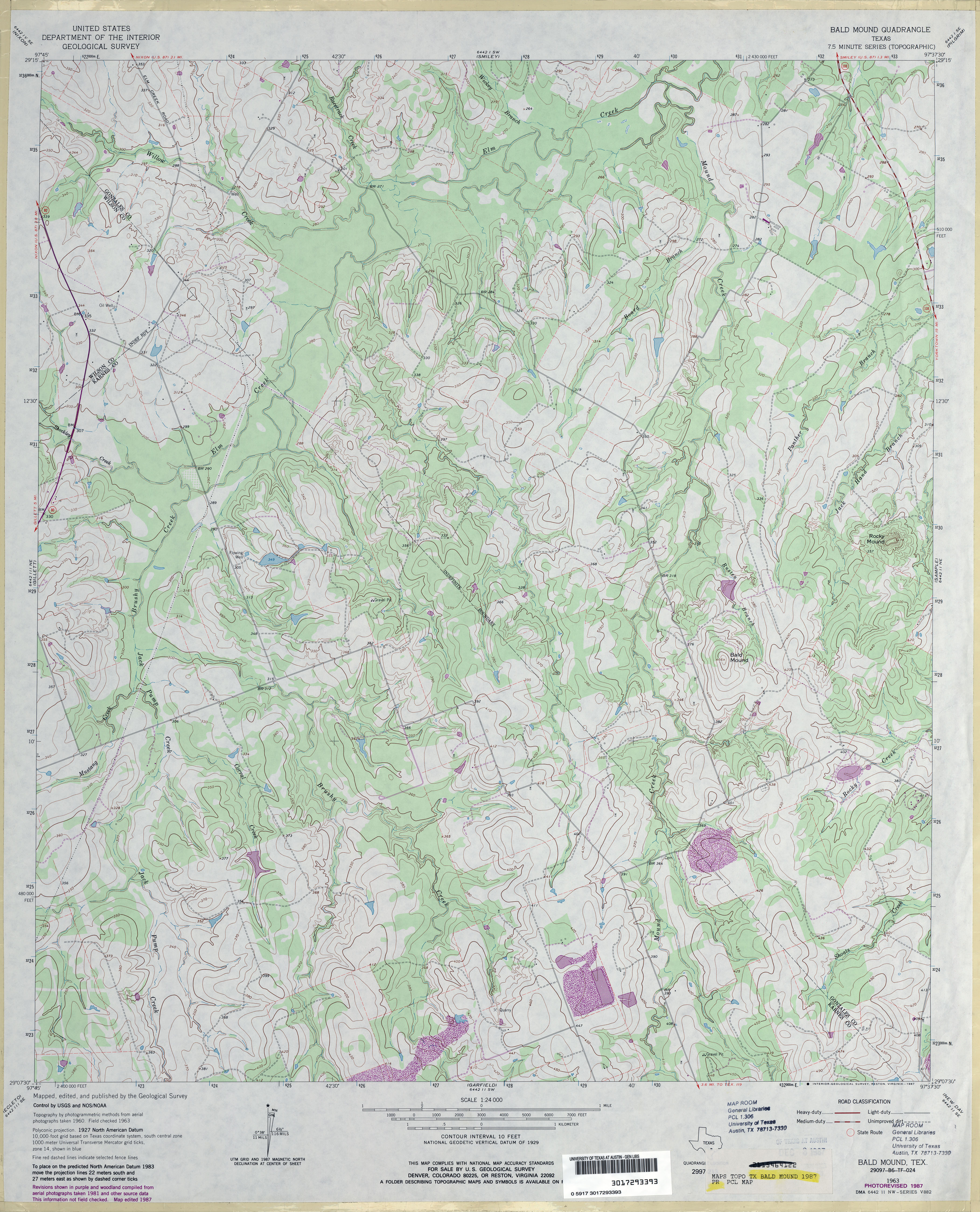
- Bald Mound 1:24,000 1963 (3.5MB)
- Bald Mound 1:24,000 1987 (4.1MB)
- Bald Mound 1:24,000 2008 (16.8MB) [GeoPDF]
- Bald Mound 1:24,000 2013 (27MB) [GeoPDF]
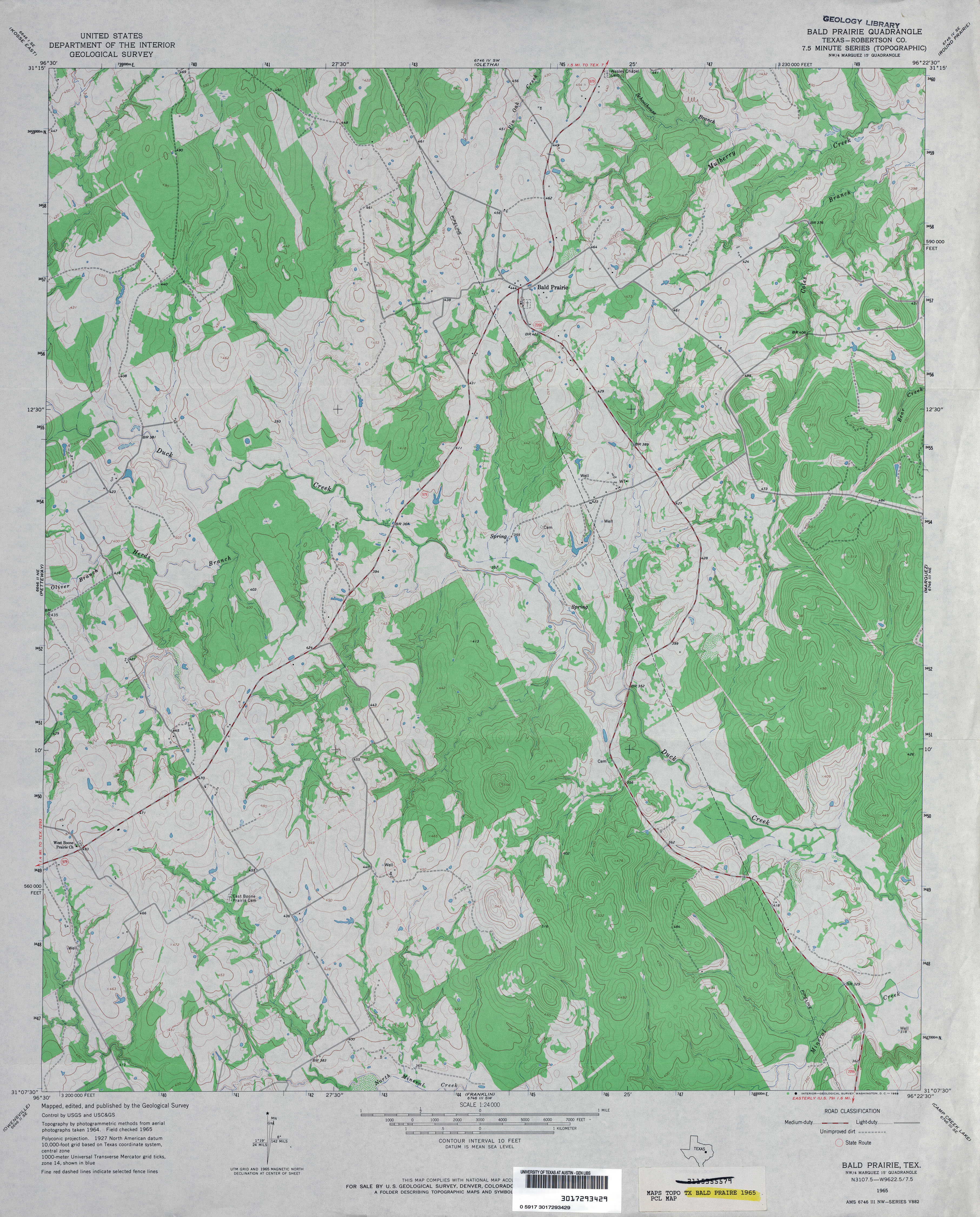
- Bald Prairie (Robertson County) 1:24,000 1965 (3.7MB)
- Bald Prairie (Robertson County) 1:24,000 1982 (4.1MB)
- Bald Prairie 1:24,000 2008 (16.1MB) [GeoPDF]
- Bald Prairie 1:24,000 2013 (22.4MB) [GeoPDF]
- Ballard Camp (Motley County) 1:24,000 1966 (4.2MB)
- Ballard Camp (Motley County) 1:24,000 (5MB)
- Ballard Camp 1:24,000 2008 (13.3MB) [GeoPDF]
- Ballard Camp 1:24,000 2012 (19.5MB) [GeoPDF] Ballinger 1:125,000 1890 (3.4MB)
- Ballinger (Runnels County) 1:24,000 1967 (3.5MB)
- Ballinger 1:24,000 2012 (21.6MB) [GeoPDF]
- Ballinger Ranch (Glasscock County) 1:24,000 1963 (4.3MB)
- Ballinger Ranch 1:24,000 2008 (17.6MB) [GeoPDF]
- Ballinger Ranch 1:24,000 2012 (24.2MB) [GeoPDF]
- Balmorhea (Reeves County) 1:24,000 1980 (2.9MB)
- Balmorhea 1:24,000 2008 (19.1MB) [GeoPDF]
- Balmorhea 1:24,000 2012 (22.1MB) [GeoPDF]
- Baluarte Ranch 1:24,000 1972 (3.4MB)
- Baluarte Ranch 1:24,000 2008 (16.0MB) [GeoPDF]
- Baluarte Ranch 1:24,000 2013 (20.5MB) [GeoPDF]
- Bancroft 1:24,000 2009 (34.0MB) [GeoPDF]
- Bancroft 1:24,000 2012 (29.8MB) [GeoPDF]
- Bandera 1:62,500 1932 (2.8 MB) U.S. Army. Corps of Engineers. Tactical Map
- Bandera (Bandera County) 1:24,000 1964 (4.3MB)
- Bandera (Bandera County) 1:24,000 1982 (4.5MB)
- Bandera 1:24,000 2008 (21.2MB) [GeoPDF]
- Bandera 1:24,000 2013 (27.3MB) [GeoPDF]
- Bandera City 1:125,000 1912 (10.7MB) U.S. Army. Corps of Engineers. Progressive Military Map
- Bandera City 1:125,000 1927 (11.6MB) U.S. Army. Corps of Engineers. Progressive Military Map
- Bandera Mesa North 1:24,000 1983 (3.2MB)
- Bandera Mesa North 1:24,000 2008 (18.9MB) [GeoPDF]
- Bandera Mesa North 1:24,000 2012 (23.5MB) [GeoPDF]
- Bandera Mesa South 1:24,000 1983 (4MB)
- Bandera Mesa South 1:24,000 2008 (19.9MB) [GeoPDF]
- Bandera Mesa South 1:24,000 2012 (24.8MB) [GeoPDF]
- Bandera Pass 1:24,000 1964 (3.8MB)
- Bandera Pass 1:24,000 1982 (4.5MB)
- Bandera Pass 1:24,000 2008 (20.9MB) [GeoPDF]
- Bandera Pass 1:24,000 2013 (27.7MB) [GeoPDF]
- Bangs East (Brown County) 1:24,000 1962 (4.1MB)
- Bangs East (Brown County) 1:24,000 1978 (4MB)
- Bangs East (Brown County) 1:24,000 1987 (3.9MB)
- Bangs East 1:24,000 2013 (23MB) [GeoPDF]
- Bangs West 1:24,000 1962 (3.8MB)
- Bangs West 1:24,000 1978 (3.4MB)
- Bangs West 1:24,000 1987 (3.7MB)
- Bangs West 1:24,000 2013 (20.8MB) [GeoPDF]
- Banquete (Nueces County) 1:24,000 1979 (2.6MB)
- Banquete 1:24,000 2008 (11.2MB) [GeoPDF]
- Banquete 1:24,000 2013 (15.1MB) [GeoPDF]
- Bare Mountain (Jeff Davis County) 1:24,000 1978 (3.8MB)
- Bare Mountain 1:24,000 2008 (19.9MB) [GeoPDF]
- Bare Mountain 1:24,000 2012 (20.7MB) [GeoPDF]
- Barkman 1:24,000 1950 (3.6MB)
- Barkman 1:24,000 1970 (3.5MB)
- Barkman 1:24,000 1975 (3.1MB)
- Barkman 1:24,000 2013 (19.4MB) [GeoPDF]
- Barksdale 1:62,500 1943 (6.6MB) U.S. War Department. Army Corps of Engineers
- Barksdale 1:50,000 1947 (6.1MB) U.S. Army Map Service, Series V782
- Barnes Bridge 1:31,680 1910 (3.5MB)
- Barnhart 1:62,500 1920 (3.4MB)
- Barnhart (Irion County) 1:24,000 1971 (3.9MB)
- Barnhart 1:24,000 2008 (24.8MB) [GeoPDF]
- Barnhart 1:24,000 2012 (28.3MB) [GeoPDF]
- Barnhart NE (Irion County) 1:24,000 1971 (3.8MB)
- Barnhart NE 1:24,000 2008 (25.0MB) [GeoPDF]
- Barnhart NE 1:24,000 2012 (29.2MB) [GeoPDF]
- Barnhart SW 1:24,000 1971 (2.6MB)
- Barnhart SW 1:24,000 2008 (17.9MB) [GeoPDF]
- Barnhart SW 1:24,000 2013 (21.6MB) [GeoPDF]
- Barreda (Cameron County) 1:31,680 1930 survey, 1932 overprint (4.2MB)
- Barrilla Draw North (Reeves County) 1:24,000 1970 (3.1MB)
- Barrilla Draw North 1:24,000 2008 (23.0MB) [GeoPDF]
- Barrilla Draw North 1:24,000 2012 (26.2MB) [GeoPDF]
- Barrilla Draw South (Reeves County) 1:24,000 1970 (2.6MB)
- Barrilla Draw South 1:24,000 2008 (19.5MB) [GeoPDF]
- Barrilla Draw South 1:24,000 2012 (24.3MB) [GeoPDF]
- Barrilla Mountains East 1:24,000 1980 (3.3MB)
- Barrilla Mountains East 1:24,000 2008 (22.6MB) [GeoPDF]
- Barrilla Mountains East 1:24,000 2012 (25.6MB) [GeoPDF]
- Barrilla Mountains West 1:24,000 1980 (4.5MB)
- Barrilla Mountains West 1:24,000 2008 (22.0MB) [GeoPDF]
- Barrilla Mountains West 1:24,000 2012 (24.8MB) [GeoPDF]
- Barstow 1:125,000 192- (2.8MB)
- Barstow 3 NE (Reeves County) 1:24,000 1970 (2.6MB)
- Barstow 3 NW (Reeves County) 1:24,000 1970 (2.9MB)
- Barstow 3 SE 1:24,000 1970 (2.1MB)
- Barstow 3 SW 1:24,000 1970 (2.1MB)
- Bart 1:62,500 1925 (2.7MB)
- Bartlett 1:24,000 1964 (3.5MB)
- Bartlett 1:50,000 1972 (3.7MB) U.S. Defense Mapping Agency, Series V782
- Bartlett 1:24,000 1989 (3.3MB)
- Bartlett 1:24,000 2008 (12.1MB) [GeoPDF]
- Bartlett 1:24,000 2012 (17.6MB) [GeoPDF]
- Barton Corners (Lipscomb County) 1:24,000 1972 (3.3MB)
- Barton Corners 1:24,000 2008 (10.8MB) [GeoPDF]
- Barton Corners 1:24,000 2012 (17.2MB) [GeoPDF]
- Barton Creek 1:24,000 1973 (3.6MB)
- Barton Creek 1:24,000 2012 (18.9MB) [GeoPDF]
- Bartons Chapel 1:24,000 1961 (3.6MB)
- Bartons Chapel 1:24,000 1982 (4.3MB)
- Bartons Chapel 1:24,000 2012 (20.3MB) [GeoPDF]
- Barwise 1:24,000 1968 (2.6MB)
- Barwise 1:24,000 2008 (10.3MB) [GeoPDF]
- Barwise 1:24,000 2012 (15.7MB) [GeoPDF]
- Barwise School (Wichita County) 1:31,680 1915 survey, 1930 overprint (3.4MB)
- Bascom (Smith County) 1:24,000 1966 (4.6MB)
- Bascom (Smith County) 1:24,000 1972 (4.5MB)
- Bascom 1:24,000 2009 (23.1MB) [GeoPDF]
- Bascom 1:24,000 2012 (26.4MB) [GeoPDF]
- Bass Canyon 1:24,000 1972 (2.9MB)
- Bass Canyon 1:24,000 2008 (20.0MB) [GeoPDF]
- Bass Canyon 1:24,000 2012 (22.8MB) [GeoPDF]
- Bassett 1:62,500 1927 survey, 1930 overprint (3.7MB)
- Bassett 1:24,000 1965 (4.2MB)
- Bassett 1:24,000 1975 (3.4MB)
- Bassett 1:24,000 2009 (17.1MB) [GeoPDF]
- Bassett 1:24,000 2013 (22.8MB) [GeoPDF]
- Bassett Lake [New Mexico, Texas] 1:62,500 1940 (2.9MB)
- Bassett Lake [New Mexico, Texas] 1:24,000 2009 (21.0MB) [GeoPDF]
- Bastrop 1:125,000 1899 (5.0MB)
- Bastrop 1:62,500 1948 (5.3MB)
- Bastrop (Bastrop County) 1:24,000 1982 (4.8MB)
- Bastrop 1:24,000 2008 (15.5MB) [GeoPDF]
- Bastrop 1:24,000 2013 (26.3MB) [GeoPDF]
- Bastrop SW (Bastrop County) 1:24,000 1982 (3.8MB)
- Bastrop SW 1:24,000 2008 (16.1MB) [GeoPDF]
- Bastrop SW 1:24,000 2012 (26.3MB) [GeoPDF]
- Bat Cave 1:24,000 1953 (5.6MB)
- Bat Cave 1:24,000 1967 (4.3MB)
- Bat Cave 1:24,000 1973 (4.6MB)
- Bat Cave 1:24,000 1988 (4.8MB)
- Bat Cave 1:24,000 2008 (19.8MB) [GeoPDF]
- Bat Cave 1:24,000 2013 (26.8MB) [GeoPDF]
- Batesville (Zavala County) 1:62,500 1940 (5.4MB) U.S. Army Corps of Engineers Tactical Map
- Batesville (Zavala County) 1:24,000 1972 (4.4MB)
- Batesville 1:24,000 2008 (15.7MB) [GeoPDF]
- Batesville 1:24,000 2013 (22.2MB) [GeoPDF]
- Batesville Hill 1:24,000 1971 (4.5MB)
- Batesville Hill 1:24,000 2008 (18.1MB) [GeoPDF]
- Batesville Hill 1:24,000 2013 (23.9MB) [GeoPDF]
- Batesville NW (Zavala County) 1:24,000 1972 (4MB)
- Batesville NW 1:24,000 2008 (19.7MB) [GeoPDF]
- Batesville NW 1:24,000 2013 (25.5MB) [GeoPDF]
- Batesville SW (Zavala County) 1:24,000 1972 (3.7MB)
- Batesville SW 1:24,000 2008 (19.8MB) [GeoPDF]
- Batesville SW 1:24,000 2013 (26.4MB) [GeoPDF]
- Baumann School 1:24,000 1969 (3.2MB)
- Baumann School 1:24,000 1987 (3.6MB)
- Baumann School 1:24,000 2012 (20.7MB) [GeoPDF]
- Bautista (Moore County) 1:24,000 1971 (3MB)
- Bautista 1:24,000 2008 (10.2MB) [GeoPDF]
- Bautista 1:24,000 2012 (15.7MB) [GeoPDF]
- Bay City 1:250,000 1951 (6.6MB)
- Bay City (Matagorda County) 1:24,000 1952 (2.7MB)
- Bay City 1:250,000 1958 (3.0MB)
- Bay City 1:250,000 1964 (3.5MB)
- Bay City (Matagorda County) 1:24,000 1972 (2.8MB)
- Bay City 1:24,000 2008 (14.1MB) [GeoPDF]
- Bay City 1:24,000 2013 (17.9MB) [GeoPDF]
- Bay City NE 1:24,000 1952 (2.8MB)
- Bay City NE 1:24,000 1972 (2.8MB)
- Bay City NE 1:24,000 2008 (15.9MB) [GeoPDF]
- Bay City NE 1:24,000 2013 (17.8MB) [GeoPDF]
- Baylor Draw (Hudspeth County) 1:24,000 1984 (3.6MB)
- Baylor Draw 1:24,000 2008 (16.5MB) [GeoPDF]
- Baylor Draw 1:24,000 2012 (22.5MB) [GeoPDF]
- Bayside 1:24,000 1979 (2.7MB)
- Bayside 1:24,000 2008 (4.5MB) Texas Natural Resources Information System (TNRIS) [pdf]
- Bayside 1:24,000 2009 (8.7MB) [GeoPDF]
- Bayside 1:24,000 2013 (18.7MB) [GeoPDF]
- Bazette 1:24,000 1962 (3.7MB)
- Bazette 1:24,000 2008 (14.7MB) [GeoPDF]
- Bazette 1:24,000 2012 (20.2MB) [GeoPDF]
- Bead Mountain (Coleman County) 1:24,000 1967 (4MB)
- Bead Mountain (Coleman County) 1:24,000 1987 (4.1MB)
- Bead Mountain 1:24,000 2013 (21.8MB) [GeoPDF]
- Beal Hollow 1:24,000 1969 (3.8MB)
- Beal Hollow 1:24,000 2008 (16.7MB) [GeoPDF]
- Beal Hollow 1:24,000 2012 (23.9MB) [GeoPDF]
- Bean Hills (Hudspeth County) 1:24,000 1964 (4.4MB)
- Bean Hills 1:24,000 2008 (20.1MB) [GeoPDF]
- Bean Hills 1:24,000 2013 (25.0MB) [GeoPDF]
- Bear Creek 1:24,000 1958 (3.8MB)
- Bear Creek 1:24,000 1976 (3.7MB)
- Bear Creek 1:24,000 1997 (4.6MB)
- Bear Creek 1:24,000 2009 (24.6MB) [GeoPDF]
- Bear Creek 1:24,000 2013 (22.8MB) [GeoPDF]
- Bear Hollow (San Saba County) 1:24,000 1959 (5.4MB)
- Bear Hollow 1:24,000 2008 (21.2MB) [GeoPDF]
- Bear Hollow 1:24,000 2012 (25.6MB) [GeoPDF]
- Bear Mountain (Eastland County) 1:24,000 1966 (4.6MB)
- Bear Mountain (Eastland County) 1:24,000 1987 (5.4MB)
- Bear Mountain 1:24,000 2008 (18.6MB) [GeoPDF]
- Bear Mountain 1:24,000 2012 (23.6MB) [GeoPDF]
- Beaukiss 1:24,000 1982 (4.5MB)
- Beaukiss 1:24,000 2008 (14.6MB) [GeoPDF]
- Beaukiss 1:24,000 2012 (25.4MB) [GeoPDF]
- Beaumont 1:125,000 1911 (5.4MB) U.S. Army. Corps of Engineers. Tactical Map
- Beaumont 1:62,500 1926 (2.9MB)
- Beaumont 1:250,000 1954 (11.1MB)
- Beaumont 1:250,000 1963 (7.8MB)
- Beaumont 1:250,000 1984 (8.6MB)
- Beaumont East 1:31,680 1943 (4.0MB) Tennessee Valley Authority
- Beaumont East 1:25,000 1946 (5.1MB) U.S. Army Map Service, Series V882
- Beaumont East 1:24,000 1960 (4.4MB)
- Beaumont East 1:24,000 1970 (4.6MB)
- Beaumont East 1:24,000 1974 (4.7MB)
- Beaumont East 1:24,000 1994 (4.8MB)
- Beaumont East 1:24,000 2009 (21.8MB) [GeoPDF]
- Beaumont East 1:24,000 2013 (22.9MB) [GeoPDF]
- Beaumont West 1:31,680 1943 (3.3MB) Tennessee Valley Authority
- Beaumont West 1:25,000 1946 (3.5MB) U.S. Army Map Service, Series V882
- Beaumont West (Jefferson County) 1:24,000 1960 (3.2MB)
- Beaumont West (Jefferson County) 1:24,000 1970 (3.4MB)
- Beaumont West (Jefferson County) 1:24,000 1974 (3.4MB)
- Beaumont West (Jefferson County) 1:24,000 1994 (4.1MB)
- Beaumont West 1:24,000 2009 (19.4MB) [GeoPDF]
- Beaumont West 1:24,000 2013 (20.5MB) [GeoPDF]
- Beaver Creek 1:24,000 1917 (4.5MB)
- Beaver Creek 1:24,000 1968 (4.3MB)
- Beaver Creek 1:24,000 2008 (14.3MB) [GeoPDF]
- Beaver Creek 1:24,000 2012 (20.1MB) [GeoPDF]
- Becerra (Webb County) 1:62,500 1937 (3.9 MB) U.S. Army. Corps of Engineers. Tactical Map
- Becerra Creek 1:62,500 1933 (3.8MB) U.S. Army. Corps of Engineers. Tactical Map
- Beck 1:24,000 1964 (2.9MB)
- Beck 1:24,000 2008 (10.7MB) [GeoPDF]
- Beck 1:24,000 2012 (14.5MB) [GeoPDF]
- Beck Ranch (Hartley County) 1:24,000 1971 (3.8MB)
- Beck Ranch 1:24,000 2008 (9.2MB) [GeoPDF]
- Beck Ranch 1:24,000 2012 (14.8MB) [GeoPDF]
- Beckville (Panola County) 1:24,000 1983 (4.8MB)
- Beckville 1:24,000 2009 (20.6MB) [GeoPDF]
- Beckville 1:24,000 2013 (23.6MB) [GeoPDF]
- Beckwith Arm (Zapata County) 1:24,000 1965 (3MB)
- Beckwith Arm (Zapata County) 1:24,000 1980 (3.5MB)
- Beckwith Arm 1:24,000 2008 (20.4MB) [GeoPDF]
- Beckwith Arm 1:24,000 2012 (17.4MB) [GeoPDF]
- Beckwith Hills (Brewster County) 1:24,000 1983 (3.9MB)
- Beckwith Hills 1:24,000 2008 (23.2MB) [GeoPDF]
- Beckwith Hills 1:24,000 2012 (25.8MB) [GeoPDF]
- Bedford Ranch 1:24,000 1971 (4.3MB)
- Bedford Ranch 1:24,000 2008 (19.2MB) [GeoPDF]
- Bedford Ranch 1:24,000 2012 (22.2MB) [GeoPDF]
- Bedias 1:24,000 1963 (4.1MB)
- Bedias 1:24,000 2009 (18.3MB) [GeoPDF]
- Bedias 1:24,000 2013 (20.6MB) [GeoPDF]
- Bee Canyon (Val Verde County) 1:24,000 1970 (5.7MB)
- Bee Canyon 1:24,000 2008 (28.4MB) [GeoPDF]
- Bee Canyon 1:24,000 2012 (36.3MB) [GeoPDF]
- Bee Cave (Travis County) 1:24,000 1968 (4.8MB)
- Bee Cave (Travis County) 1:24,000 1973 (5.1MB)
- Bee Cave (Travis County) 1:24,000 1986 (5.8MB)
- Bee Cave 1:24,000 2008 (22.0MB) [GeoPDF]
- Bee Cave 1:24,000 2013 (31.2MB) [GeoPDF]
- Bee Cave Hollow (Real County) 1:24,000 1971 (4.3MB)
- Bee Cave Hollow 1:24,000 2008 (21.7MB) [GeoPDF]
- Bee Cave Hollow 1:24,000 2012 (28.9MB) [GeoPDF]
- Bee Caves Creek (Kerr County) 1:24,000 1964 (4.2MB)
- Bee Caves Creek 1:24,000 2012 (29.4MB) [GeoPDF]
- Beech Grove 1:24,000 1984 (4.4MB)
- Beech Grove 1:24,000 2009 (24.8MB) [GeoPDF]
- Beech Grove 1:24,000 2013 (25MB) [GeoPDF]
- Beef Gap (Brewster County) 1:24,000 1983 (4.3MB)
- Beef Gap 1:24,000 2008 (22.5MB) [GeoPDF]
- Beef Gap 1:24,000 2013 (29.6MB) [GeoPDF]
- Beef Hollow Creek (Zavala County) 1:24,000 1972 (4.7MB)
- Beef Hollow Creek 1:24,000 2008 (17.1MB) [GeoPDF]
- Beef Hollow Creek 1:24,000 2013 (28.5MB) [GeoPDF]
- Beeville 1:250,000 1949 (6.2MB)
- Beeville 1:250,000 1956 (6.8MB)
- Bellview [New Mexico, Texas] 1:24,000 2009 (13.5MB) [GeoPDF]
- Bellville 1:24,000 2008 (17.4MB) [GeoPDF]
- Beeville East (Bee County) 1:24,000 1979 (4.4MB)
- Beeville East 1:24,000 2008 (14.7MB) [GeoPDF]
- Beeville East 1:24,000 2013 (20.9MB) [GeoPDF]
- Beeville West (Bee County) 1:24,000 1979 (4.9MB)
- Beeville West 1:24,000 2008 (14.5MB) [GeoPDF]
- Beeville West 1:24,000 2013 (21.4MB) [GeoPDF]
- Belcherville 1:24,000 1967 (4.2MB)
- Belcherville 1:24,000 2008 (13.6MB) [GeoPDF]
- Belcherville 1:24,000 2013 (19.1MB) [GeoPDF]
- Belding (Pecos County) 1:24,000 1970 (2.9MB)
- Belding 1:24,000 2012 (23.1MB) [GeoPDF]
- Belding NE (Pecos County) 1:24,000 1970 (3MB)
- Belding NE 1:24,000 2008 (21.8MB) [GeoPDF]
- Belding NE 1:24,000 2012 (23.3MB) [GeoPDF]
- Belding NW (Pecos County) 1:24,000 1970 (2.5MB)
- Belding NW 1:24,000 2008 (23.3MB) [GeoPDF]
- Belding NW 1:24,000 2012 (25.1MB) [GeoPDF]
- Belding SW (Pecos County) 1:24,000 1970 (2.8MB)
- Belding SW 1:24,000 2008 (23.9MB) [GeoPDF]
- Belding SW 1:24,000 2012 (26.1MB) [GeoPDF]
- Belfalls 1:24,000 1963 (3.9MB)
- Belfalls 1:24,000 1978 (4MB)
- Belfalls 1:24,000 1993 (4.3MB)
- Belfalls 1:24,000 2008 (11.7MB) [GeoPDF]
- Belfalls 1:24,000 2012 (18.7MB) [GeoPDF]
- Bellaire (Harris County) 1:31,680 1915 (3.6MB)
- Bellaire 1:25,000 1947 (2.8MB) U.S. Army Map Service, Series V882
- Bellaire (Harris County) 1:24,000 1967 (4.6MB)
- Bellaire (Harris County) 1:24,000 1982 (4.5MB)
- Bellaire (Harris County) 1:24,000 1995 (4.6MB)
- Bellaire 1:24,000 2009 (25.6MB) [GeoPDF]
- Bellaire 1:24,000 2013 (27.7MB) [GeoPDF]
- Bellevue (Clay County) 1:24,000 1968 (3.5MB)
- Bellevue 1:24,000 2008 (15.8MB) [GeoPDF]
- Bellevue 1:24,000 2012 (18.5MB) [GeoPDF]
- Bellville (Austin County) 1:24,000 1963 (4.1MB)
- Bellville (Austin County) 1:24,000 1981 (4.8MB)
- Bellville 1:24,000 2008 (17.4MB) [GeoPDF]
- Bellville 1:24,000 2013 (24.9MB) [GeoPDF]
- [Bellville] Cat Spring 1:62,500 1919 (5.2MB) U.S. Army. Corps of Engineers. Tactical Map
- Belmont 1:24,000 1964 (4.5MB)
- Belmont 1:24,000 1973 (4.6MB)
- Belmont 1:24,000 1994 (5MB)
- Belmont 1:24,000 2008 (15.3MB) [GeoPDF]
- Belmont 1:24,000 2013 (27.2MB) [GeoPDF]
- Belton (Bell County) 1:62,500 1924 (3.3MB)
- Belton (Bell County) 1:24,000 1965 (4.6MB)
- Belton (Bell County) 1:24,000 1974 (4.7MB)
- Belton (Bell County) 1:24,000 1993 (5.5MB)
- Belton 1:24,000 2008 (18.1MB) [GeoPDF]
- Belton 1:24,000 2012 (24.8MB) [GeoPDF]
- Ben Arnold (Milam County) 1:24,000 1962 (4MB)
- Ben Arnold (Milam County) 1:24,000 1989 (3.6MB)
- Ben Arnold 2008 1:24,000 (12.6MB) [GeoPDF]
- Ben Arnold 1:24,000 2013 (19.6MB) [GeoPDF]
- Ben Bolt 1:62,500 1917 (3.7MB) U.S. Army. Corps of Engineers. Tactical Map
- Ben Bolt NW 1:24,000 1963 (3.4MB)
- Ben Bolt NW 1:24,000 2009 (14.6MB) [GeoPDF]
- Ben Bolt NW 1:24,000 2013 (21.0MB) [GeoPDF]
- Ben Bolt SE 1:24,000 1963 (3.6MB)
- Ben Bolt SE 1:24,000 2009 (15.3MB) [GeoPDF]
- Ben Bolt Se 1:24,000 2013 (18.4MB) [GeoPDF]
- Ben Hur (Limestone County) 1:24,000 1966 (3.7MB)
- Ben Hur 1:24,000 2008 (14.9MB) [GeoPDF]
- Ben Hur 1:24,000 2013 (20.2MB) [GeoPDF]
- Ben Wheeler (Van Zandt County) 1:24,000 1984 (4.2MB)
- Ben Wheeler 1:24,000 2008 (19.6MB) [GeoPDF]
- Ben Wheeler 1:24,000 2013 (22.8MB) [GeoPDF]
- Benavides 1:62,500 1917 (3.9 MB) U.S. Army. Corps of Engineers. Progressive Military Map
- Benavides (Duval County) 1:24,000 1968 (5MB)
- Benavides 1:24,000 2008 (15.6MB) [GeoPDF]
- Benavides 1:24,000 2013 (22.3MB) [GeoPDF]
- Benavides NE (Duval County) 1:24,000 1968 (4.8MB)
- Benavides NE 1:24,000 2008 (16.3MB) [GeoPDF]
- Benavides NE 1:24,000 2013 (23.1MB) [GeoPDF]
- Benavides NW (Duval County) 1:24,000 1968 (5MB)
- Benavides NW 1:24,000 2008 (15.5MB) [GeoPDF]
- Benavides NW 1:24,000 2013 (22.6MB) [GeoPDF]
- Benbrook (Tarrant County) 1:24,000 1955 (5MB)
- Benbrook (Tarrant County) 1:24,000 1968 (4.8MB)
- Benbrook (Tarrant County) 1:24,000 1972 (4.8MB)
- Benbrook (Tarrant County) 1:24,000 1981 (5.2MB)
- Benbrook 1:24,000 2008 (18.9MB) [GeoPDF]
- Benbrook 1:24,000 2012 (24.6MB) [GeoPDF]
- Bench Mountain (Nolan County) 1:24,000 1969 (4.2MB)
- Bench Mountain 1:24,000 2012 (22.4MB) [GeoPDF]
- Bend 1:62,500 1925 (4.0MB)
- Bend 1:24,000 1959 (6.1MB)
- Bend 1:24,000 1979 (4.3MB)
- Bend 1:24,000 2008 (20.2MB) [GeoPDF]
- Benge Corner 1:24,000 1968 (2.8MB)
- Benge Corner 1:24,000 2008 (18.2MB) [GeoPDF]
- Benge Corner 1:24,000 2012 (21.8MB) [GeoPDF]
- Benge Corner NW 1:24,000 1968 (2.6MB)
- Benge Corner NW 1:24,000 2008 (19.5MB) [GeoPDF]
- Benge Corner NW 1:24,000 2012 (21.4MB) [GeoPDF]
- Benge Corner SE (Upton County) 1:24,000 1968 (2.4MB)
- Benge Corner SE 1:24,000 2008 (20.7MB) [GeoPDF]
- Benge Corner SE 1:24,000 2012 (24.2MB) [GeoPDF]
- Benge Corner SW (Upton County) 1:24,000 1968 (2.3MB)
- Benge Corner SW 1:24,000 2008 (20.4MB) [GeoPDF]
- Benge Corner SW 1:24,000 2012 (22.3MB) [GeoPDF]
- Benjamin (Knox County) 1:24,000 1967 (3.4MB)
- Benjamin 1:24,000 2008 (13.3MB) [GeoPDF]
- Benjamin 1:24,000 2013 (20.3MB) [GeoPDF]
- Bennett Ranch 1:24,000 1972 (2.4MB)
- Bennett Ranch 1:24,000 2008 (19.6MB) [GeoPDF]
- Bennett Ranch 1:24,000 2012 (20.2MB) [GeoPDF]
- Benoit (Runnels County) 1:24,000 1967 (3.8MB)
- Benoit 1:24,000 2008 (17.6MB) [GeoPDF]
- Benoit 1:24,000 2012 (22.3MB) [GeoPDF]
- Bentsen Ranch 1:24,000 1972 (3MB)
- Bentsen Ranch 1:24,000 1993 (3MB)
- Bentsen Ranch 1:24,000 2009 (16.2MB) [GeoPDF]
- Bentsen Ranch 1:24,000 2012 (19.1MB) [GeoPDF]
- Berclair 1:24,000 1963 (3.2MB)
- Berclair 1:24,000 1987 (3.6MB)
- Berclair 1:24,000 2009 (14.8MB) [GeoPDF]
- Berclair 1:24,000 2013 (21.7MB) [GeoPDF]
- Berclair NW 1:24,000 1963 (4.5MB)
- Berclair NW 1:24,000 1987 (4.1MB)
- Berclair NW 1:24,000 2008 (16.3MB) [GeoPDF]
- Berclair NW 1:24,000 2013 (21.7MB) [GeoPDF]
- Berea (Houston County) 1:24,000 1951 (4MB)
- Berea (Houston County) 1:24,000 2004 (4.6MB)
- Berea 1:24,000 2009 (24.4MB) [GeoPDF]
- Berea 1:24,000 2013 (25.2MB) [GeoPDF]
- Bergheim 1:24,000 1964 (3.4MB)
- Bergheim 1:24,000 1973 (4.1MB)
- Bergheim 1:24,000 2008 (20.6MB) [GeoPDF]
- Bergheim 1:24,000 2013 (27.6MB) [GeoPDF]
- Bernardo 1:24,000 1958 (3.7MB)
- Bernardo 1:24,000 1981 (3.9MB)
- Bernardo 1:24,000 2008 (18.4MB) [GeoPDF]
- Bernardo 1:24,000 2013 (25.4MB) [GeoPDF]
- Bernecker 1:24,000 1969 (4.6MB)
- Bernecker 1:24,000 2008 (15.6MB) [GeoPDF]
- Bernecker 1:24,000 2012 (22.8MB) [GeoPDF]
- Bernie Lake 1:24,000 1966 (4.3MB)
- Bernie Lake 1:24,000 2008 (17.0MB) [GeoPDF]
- Bernie Lake 1:24,000 2012 (25.3MB) [GeoPDF]
- Bernstein 1:24,000 1974 (3MB)
- Bernstein 1:24,000 2008 (8.8MB) [GeoPDF]
- Bernstein 1:24,000 2012 (14.5MB) [GeoPDF]
- Berry Sand Draw (Potter County) 1:24,000 1953 (5.2MB)
- Berry Sand Draw 1:24,000 2008 (23.2MB) [GeoPDF]
- Berry Sand Draw 1:24,000 2012 (22.6MB) [GeoPDF]
- Berryhill Creek (Rusk County) 1:24,000 1973 (4.9MB)
- Berryhill Creek 1:24,000 2009 (21.9MB) [GeoPDF]
- Berryhill Creek 1:24,000 2013 (25.1MB) [GeoPDF]
- Berryville 1:24,000 1973 (4.5MB)
- Berryville 1:24,000 2009 (20.2MB) [GeoPDF]
- Berryville 1:24,000 2013 (23.1MB) [GeoPDF]
- Bertram (Burnet County) 1:62,500 1930 (3.5MB)
- Bertram 1:24,000 1986 (3.7MB)
- Bertram 1:24,000 2012 (26.1MB) [GeoPDF]
- Bessmay 1:62,500 1955 (3.9MB)
- Best (Reagan County) 1:24,000 1970 (2.9MB)
- Best 1:24,000 2008 (21.8MB) [GeoPDF]
- Best 1:24,000 2012 (27MB) [GeoPDF]
- Bettie (Upshur County) 1:24,000 1960 (3.9MB)
- Bettie 1:24,000 2009 (20.4MB) [GeoPDF]
- Bettie 1:24,000 2012 (23.6MB) [GeoPDF]
- Bevil Oaks 1:24,000 1984 (3MB)
- Bevil Oaks 1:24,000 2009 (23.4MB) [GeoPDF]
- Bevil Oaks 1:24,000 2013 (23.9MB) [GeoPDF]
- Biardstown (Lamar County) 1:24,000 1984 (3.6MB)
- Biardstown 1:24,000 2008 (14.0MB) [GeoPDF]
- Biardstown 1:24,000 2013 (19.4MB) [GeoPDF]
- Biel Lake NE 1:24,000 1974 (4.5MB)
- Biel Lake NE 1:24,000 2008 (20.6MB) [GeoPDF]
- Biel Lake NE 1:24,000 2013 (25.4MB) [GeoPDF]
- Biel Lake North (Webb County) 1:24,000 1973 (4.4MB)
- Biel Lake North 1:24,000 2008 (18.3MB) [GeoPDF]
- Biel lake North 1:24,000 2013 (25.4MB) [GeoPDF]
- Biel Lake SE 1:24,000 1974 (4.5MB)
- Biel Lake SE 1:24,000 2008 (20.1MB) [GeoPDF]
- Biel Lake SE 1:24,000 2013 (24.8MB) [GeoPDF]
- Biel Lake South (Webb County) 1:24,000 1974 (4.5MB)
- Biel Lake South 1:24,000 2008 (18.1MB) [GeoPDF]
- Biel lake South 1:24,000 2013 (24.9MB) [GeoPDF]
- Big Aguja Mountain (Jeff Davis County) 1:24,000 1972 (4.3MB)
- Big Aguja Mountain 1:24,000 2008 (19.5MB) [GeoPDF]
- Big Aguja Mountain 1:24,000 2013 (21.6MB) [GeoPDF]
- Big Apache Hill 1:24,000 1983 (4MB)
- Big Apache Hill 1:24,000 2008 (17.8MB) [GeoPDF]
- Big Apache Hill 1:24,000 2012 (23.3MB) [GeoPDF]
- Big Betty Reservoir 1:24,000 1965 (6MB)
- Big Betty Reservoir 1:24,000 2008 (25MB) [GeoPDF]
- Big Betty Reservoir 1:24,000 2013 (31.4MB) [GeoPDF]
- Big Brindle Canyon 1:24,000 1968 (4.7MB)
- Big Brindle Canyon 1:24,000 2008 (23.5MB) [GeoPDF]
- Big Brindle Canyon 1:24,000 2012 (32.5MB) [GeoPDF]
- Big Canyon Ranch 1:24,000 1969 (4.6MB)
- Big Canyon Ranch 1:24,000 2008 (23.5MB) [GeoPDF]
- Big Canyon Ranch 1:24,000 2012 (33.6MB) [GeoPDF]
- Big Canyon Ranch NE 1:24,000 1969 (3.7MB)
- Big Canyon Ranch NE 1:24,000 2008 (21.3MB) [GeoPDF]
- Big Canyon Ranch NE 1:24,000 2012 (30MB) [GeoPDF]
- Big Canyon Ranch NW (Pecos County) 1:24,000 1969 (4.3MB)
- Big Canyon Ranch NW 1:24,000 2008 (24.7MB) [GeoPDF]
- Big Canyon Ranch NW 1:24,000 2012 (31MB) [GeoPDF]
- Big Canyon Ranch SW 1:24,000 1969 (5.1MB)
- Big Canyon Ranch SW 1:24,000 2008 (24.6MB) [GeoPDF]
- Big Canyon Ranch SW 1:24,000 2012 (32.3MB) [GeoPDF]
- Big Draw (Kimble County) 1:24,000 1970 (3.1MB)
- Big Draw 1:24,000 2012 (29.1MB) [GeoPDF]
- Big Four Ranch 1:24,000 1966 (4.4MB)
- Big Four Ranch 1:24,000 1981 (4.6MB)
- Big Four Ranch 1:24,000 2008 (18.9MB) [GeoPDF]
- Big Four Ranch 1:24,000 2012 (26.6MB) [GeoPDF]
- Big George Tank (Oldham County) 1:24,000 1966 (3.9MB)
- Big George Tank 1:24,000 2008 (13.9MB) [GeoPDF]
- Big George Tank 1:24,000 2013 (19.3MB) [GeoPDF]
- Big Heiser Tank (Hudspeth County) 1:24,000 1979 (3.3MB)
- Big Heiser Tank 1:24,000 2008 (13.2MB) [GeoPDF]
- Big Heiser Tank 1:24,000 2012 (19.3MB) [GeoPDF]
- Big Hill 1:31,680 1943 (2.9MB) Tennessee Valley Authority
- Big Hill (Reeves County) 1:24,000 1970 (2.7MB)
- Big Hill 1:24,000 2008 (17.9MB) [GeoPDF]
- Big Hill 1:24,000 2013 (22.4MB) [GeoPDF]
- Big Hill Bayou (Jefferson County) 1:24,000 1962 (4.1MB)
- Big Hill Bayou (Jefferson County) 1:24,000 1970 (3.8MB)
- Big Hill Bayou (Jefferson County) 1:24,000 1974 (3.2MB)
- Big Hill Bayou (Jefferson County) 1:24,000 1993 (4.7MB)
- Big Hill Bayou 1:24,000 2009 (15.5MB) [GeoPDF]
- Big Hill Bayou 1:24,000 2012 (16.4MB) [GeoPDF]
- Big Lake 1:62,500 1920 (3.5MB)
- Big Lake (Reagan County) 1:24,000 1971 (3.1MB)
- Big Lake 1:24,000 2008 (23.8MB) [GeoPDF]
- Big Lake 1:24,000 2013 (27.5MB) [GeoPDF]
- Big Lake SE 1:24,000 1971 (3.1MB)
- Big Lake SE 1:24,000 2008 (19.9MB) [GeoPDF]
- Big Lake SE 1:24,000 2013 (25.2MB) [GeoPDF]
- Big Lake SW 1:24,000 1971 (3.3MB)
- Big Lake SW 1:24,000 2008 (27.7MB) [GeoPDF]
- Big Lake SW 1:24,000 2012 (31.1MB) [GeoPDF]
- Big Mound (Hardeman County) 1:24,000 1983 (4.7MB)
- Big Mound 1:24,000 2008 (16.2MB) [GeoPDF]
- Big Mound 1:24,000 2012 (22.1MB) [GeoPDF]
- Big Sandy 1:24,000 1960 (4.5MB)
- Big Sandy 1:24,000 1981 (4.5MB)
- Big Sandy 1:24,000 2008 (23.1MB) [GeoPDF]
- Big Sandy 1:24,000 2012 (25.1MB) [GeoPDF]
- Big Spring 1:250,000 1954 (8.0MB)
- Big Spring 1:250,000 1975 (7.7MB)
- Big Spring North (Howard County) 1:62,500 1940 (3.8MB)
- Big Spring North (Howard County) 1:24,000 1971 (3.2MB)
- Big Spring North (Howard County) 1:24,000 1978 (3.6MB)
- Big Spring North 1:24,000 2008 (13.6MB) [GeoPDF]
- Big Spring North 1:24,000 2012 (22.3MB) [GeoPDF]
- Big Spring North NE (Howard County) 1:24,000 1971 (3.5MB)
- Big Spring North NE 1:24,000 2008 (15.7MB) [GeoPDF]
- Big Spring North NE 1:24,000 2012 (25.4MB) [GeoPDF]
- Big Spring South 1:62,500 1939 (3.5MB)
- Big Spring South (Howard County) 1:24,000 1971 (4MB)
- Big Spring South (Howard County) 1:24,000 1978 (4.2MB)
- Big Spring South 1:24,000 2008 (20.4MB) [GeoPDF]
- Big Spring South 1:24,000 2012 (30.6MB) [GeoPDF]
- Big Valley North 1:24,000 1980 (4.6MB)
- Big Valley North 1:24,000 1987 (4.9MB)
- Big Valley North 1:24,000 2008 (17.4MB) [GeoPDF]
- Big Valley North 1:24,000 2012 (25.2MB) [GeoPDF]
- Big Valley South 1:24,000 1979 (4.7MB)
- Big Valley South 1:24,000 2008 (17.9MB) [GeoPDF]
- Big Valley South 1:24,000 2012 (24.5MB) [GeoPDF]
- Big Wells 1:62,500 1939 survey, 1940 overprint (4.3 MB) U.S. Army. Corps of Engineers
- Big Wells (Dimmit County) 1:24,000 1972 (3.5MB)
- Big Wells 1:24,000 2008 (19.1MB) [GeoPDF]
- Big Wells 1:24,000 2013 (25.2MB) [GeoPDF]
- Bigby Corner 1:24,000 1973 (2.3MB)
- Bigby Corner 1:24,000 2008 (16.8MB) [GeoPDF]
- Bigby Corner 1:24,000 2013 (22MB) [GeoPDF]
- Bigfoot 1:24,000 1964 (4MB)
- Bigfoot 1:24,000 2008 (16.4MB) [GeoPDF]
- Bigfoot 1:24,000 2012 (23.8MB) [GeoPDF]
- Bird Mountain (Brewster County) 1:24,000 1972 (4.2MB)
- Bird Mountain 1:24,000 2008 (23.2MB) [GeoPDF]
- Bird Mountain 1:24,000 2013 (26MB) [GeoPDF]
- Bird Ranch 1:24,000 1966 (2.6MB)
- Bird Ranch 1:24,000 2008 (15.6MB) [GeoPDF]
- Bird Ranch 1:24,000 2012 (18.1MB) [GeoPDF]
- Bird Ranch Store 1:24,000 1963 (2.4MB)
- Bird Ranch Store 1:24,000 2008 (10.0MB) [GeoPDF]
- Bird Ranch Store 1:24,000 2012 (13.9MB) [GeoPDF]
- Birdwell Lake (Tyler County) 1:24,000 1984 (4.9MB)
- Birdwell Lake 1:24,000 2009 (25.4MB) [GeoPDF]
- Birdwell Lake 1:24,000 2012 (26.1MB) [GeoPDF]
- Birdwell Ranch (Bailey County) 1:24,000 1962 (3MB)
- Birdwell Ranch (Bailey County) 1:24,000 1980 (2.8MB)
- Birdwell Ranch 1:24,000 2008 (12.1MB) [GeoPDF]
- Birdwell Ranch 1:24,000 2013 (15MB) [GeoPDF]
- Biry (Medina County) 1:24,000 1964 (5.2MB)
- Biry 1:24,000 2008 (15.8MB) [GeoPDF]
- Biry 1:24,000 2012 (23.6MB) [GeoPDF]
- Bissett Mountain (Brewster County) 1:24,000 1983 (3.3MB)
- Bissett Mountain 1:24,000 2008 (23.8MB) [GeoPDF]
- Bissett Mountain 1:24,000 2012 (27.4MB) [GeoPDF]
- Bitter Well Mountain (Culberson County) 1:24,000 1973 (3.1MB)
- Bitter Well Mountain 1:24,000 2008 (19.1MB) [GeoPDF]
- Bitter Well Mountain 1:24,000 2012 (22.7MB) [GeoPDF]
- Bitter Well Mountain NW 1:24,000 1973 (3.1MB)
- Bitter Well Mountain NW 1:24,000 2008 (22.3MB) [GeoPDF]
- Bitter Well Mountain NW 1:24,000 2012 (19.7MB) [GeoPDF]
- Bitter Well Mountain SW 1:24,000 1973 (3.5MB)
- Bitter Well Mountain SW 1:24,000 2008 (19.4MB) [GeoPDF]
- Bitter Well Mountain SW 1:24,000 2013 (20.2MB) [GeoPDF]
- Bivins Channing Ranch 1:24,000 1971 (3MB)
- Bivins Channing Ranch 1:24,000 2008 (11.2MB) [GeoPDF]
- Bivins Channing Ranch 1:24,000 2013 (16.6MB) [GeoPDF]
- Bivins Lake (Randall County) 1:24,000 1984 (3.2MB)
- Bivins Lake 1:24,000 2008 (9.1MB) [GeoPDF]
- Bivins Lake 1:24,000 2012 (15MB) [GeoPDF]
- Black Gap (Brewster County) 1:24,000 1983 (4.8MB)
- Black Gap 1:24,000 2008 (23.7MB) [GeoPDF]
- Black Gap 1:24,000 2012 (27.0MB) [GeoPDF]
- Black Hills (Hudspeth County) 1:24,000 1979 (3MB)
- Black Hills 1:24,000 2008 (17.9MB) [GeoPDF]
- Black Hills 1:24,000 2013 (24.7MB) [GeoPDF]
- Black Mountains (Hudspeth County) 1:62,500 1955 (3.7MB)
- Black Mountains (Hudspeth County) 1:24,000 1984 (3.7MB)
- Black Mountains 1:24,000 2008 (18.2MB) [GeoPDF]
- Black Mountains 1:24,000 2013 (22.9MB) [GeoPDF]
- Black Mountains NW (Hudspeth County) 1:24,000 1984 (3.6MB)
- Black Mountains NW 1:24,000 2008 (19.4MB) [GeoPDF]
- Black Mountains NW 1:24,000 2013 (22.9MB) [GeoPDF]
- Black Waterhole (Edwards County) 1:24,000 1971 (3.8MB)
- Black Waterhole 1:24,000 2008 (24.7MB) [GeoPDF]
- Black Waterhole 1:24,000 2012 (33.6MB) [GeoPDF]
- Blackfoot (Anderson County) 1:24,000 1982 (4.4MB)
- Blackfoot 1:24,000 2009 (20.0MB) [GeoPDF]
- Blackfoot 1:24,000 2013 (23.2MB) [GeoPDF]
- Blackwell 1:24,000 1969 (4.1MB)
- Blackwell 1:24,000 1987 (4MB)
- Blackwell 1:24,000 2013 (27.3MB) [GeoPDF]
- Blackwell Lake (De Witt County) 1:24,000 1960 (4.8MB)
- Blackwell Lake (De Witt County) 1:24,000 1987 (4MB)
- Blackwell Lake 1:24,000 2009 (12.8MB) [GeoPDF]
- Blackwell Lake 1:24,000 2012 (22.9MB) [GeoPDF]
- Blackwell NE (Nolan County) 1:24,000 1969 (3.8MB)
- Blackwell NE (Nolan County) 1:24,000 1987 (3.8MB)
- Blackwell NE 1:24,000 2013 (27.1MB) [GeoPDF]
- Blackwell SW 1:24,000 1969 (5MB)
- Blackwell SW 1:24,000 1987 (5MB)
- Blackwell SW 1:24,000 2012 (29.4MB) [GeoPDF]
- Blancas Creek North (Webb County) 1:24,000 1980 (4.9MB)
- Blancas Creek North 1:24,000 2008 (17.4MB) [GeoPDF]
- Blancas Creek North 1:24,000 2012 (25MB) [GeoPDF]
- Blancas Creek South 1:24,000 1980 (5.1MB)
- Blancas Creek South 1:24,000 2008 (17.6MB) [GeoPDF]
- Blancas Creek South 1:24,000 2013 (25.9MB) [GeoPDF]
- Blanchard 1:24,000 1960 (4.3MB)
- Blanchard 1:24,000 1972 (6.6MB)
- Blanchard 1:24,000 2009 (15.9MB) [GeoPDF]
- Blanchard 1:24,000 2013 (17.5MB) [GeoPDF]
- Blanco 1:125,000 1885 (3.3MB)
- Blanco 1:24,000 1963 (3.8MB)
- Blanco 1:24,000 2008 (18.9MB) [GeoPDF]
- Blanco 1:24,000 2013 (25.4MB) [GeoPDF]
- Blanco Lake (Uvalde County) 1:24,000 1971 (3.4MB)
- Blanco Lake 1:24,000 2008 (11.3MB) [GeoPDF]
- Blanco lake 1:24,000 2012 (17.9MB) [GeoPDF]
- Blanconia 1:24,000 1979 (3.8MB)
- Blanconia 1:24,000 2009 (21.4MB) [GeoPDF]
- Blanconia 1:24,000 2012 (25.6MB) [GeoPDF]
- Bland 1:24,000 1947 (4.2MB)
- Bland 1:24,000 1958 (3.9MB)
- Bland 1:24,000 1978 (4.8MB)
- Bland 1:24,000 1995 (4.2MB)
- Bland 1:24,000 2008 (17.1MB) [GeoPDF]
- Bland 1:24,000 2013 (23.3MB) [GeoPDF]
- Blanket 1:24,000 1966 (3.9MB)
- Blanket 1:24,000 1978 (4MB)
- Blanket 1:24,000 2008 (16.9MB) [GeoPDF]
- Blanket 1:24,000 2012 (22.3MB) [GeoPDF]
- Blanket Springs 1:24,000 1979 (4.4MB)
- Blanket Springs 1:24,000 2008 (18.7MB) [GeoPDF]
- Blanket Springs 1:24,000 2012 (25.2MB) [GeoPDF]
- Blanton (Hill County) 1:24,000 1966 (4MB)
- Blanton (Hill County) 1:24,000 1976 (4MB)
- Blanton 1:24,000 2008 (15.8MB) [GeoPDF]
- Blanton 1:24,000 2012 (20.6MB) [GeoPDF]
- Bleakwood 1:24,000 1984 (4.1MB)
- Bleakwood 1:24,000 2009 (24.1MB) [GeoPDF]
- Bleakwood 1:24,000 2012 (21.1MB) [GeoPDF]
- Bledsoe 1:24,000 1970 (3.2MB)
- Bledsoe 1:24,000 1984 (3.5MB)
- Bledsoe 1:24,000 2008 (14.1MB) [GeoPDF]
- Bledsoe 1:24,000 2012 (25.9MB) [GeoPDF]
- Bledsoe NE 1:24,000 1970 (3.1MB)
- Bledsoe NE [New Mexico, Texas] 1:24,000 2009 (17.7MB) [GeoPDF]
- Blessing 1:125,000 1929 (3.7MB) U.S. Army. Corps of Engineers. Tactical Map
- Blessing (Matagorda County) 1:24,000 1952 (2.9MB)
- Blessing (Matagorda County) 1:24,000 1972 (2.7MB)
- Blessing (Matagorda County) 1:24,000 1995 (3.3MB)
- Blessing 1:24,000 2008 (11.3MB) [GeoPDF]
- Blessing 1:24,000 2012 (18.1MB) [GeoPDF]
- Blessing SE (Matagorda County) 1:24,000 1952 (2.7MB)
- Blessing SE (Matagorda County) 1:24,000 1972 (2.9MB)
- Blessing SE (Matagorda County) 1:24,000 1995 (3.2MB)
- Blessing SE 1:24,000 2008 (11.6MB) [GeoPDF]
- Blessing SE 1:24,000 2013 (18MB) [GeoPDF]
- Blind Pass (Aransas County) 1:62,500 1929 (2.3MB) U.S. Army. Corps of Engineers. Tactical Map
- Blocker Tank 1:24,000 1982 (4.5MB)
- Blocker Tank 1:24,000 2008 (17.7MB) [GeoPDF]
- Blocker Tank 1:24,000 2013 (22.8MB) [GeoPDF]
- Blocker's Ranch 1:125,000 1922 (4.2MB) U.S. Army. Corps of Engineers. Tactical Map
- Bloomburg 1:24,000 1969 (4.2MB)
- Bloomburg 1:24,000 2013 (22.3MB) [GeoPDF]
- Blooming Grove (Navarro County) 1:24,000 1965 (3.6MB)
- Blooming Grove 1:50,000 1976 (3.7MB) U.S. Defense Mapping Agency, Series V782
- Blooming Grove 1:24,000 2008 (15.6MB) [GeoPDF]
- Blooming Grove 1:24,000 2013 (19.9MB) [GeoPDF]
- Bloomington (Victoria County) 1:24,000 1951 (3.5MB)
- Bloomington (Victoria County) 1:24,000 1973 (3.6MB)
- Bloomington (Victoria County) 1:24,000 1995 (3.7MB)
- Bloomington 1:24,000 2008 (12.5MB) [GeoPDF]
- Bloomington 1:24,000 2012 (19.5MB) [GeoPDF]
- Bloomington SW 1:24,000 1952 (3.4MB)
- Bloomington SW 1:24,000 1973 (3.3MB)
- Bloomington SW 1:24,000 1995 (4.1MB)
- Bloomington SW 1:24,000 2008 (13.8MB) [GeoPDF]
- Bloomington SW 1:24,000 2013 (21.1MB) [GeoPDF]
- Blossom (Lamar County) 1:24,000 1964 (3.6MB)
- Blossom 1:24,000 2008 (15.4MB) [GeoPDF]
- Blossom 1:24,000 2013 (22.4MB) [GeoPDF]
- Blowout 1:24,000 1967 (4.2MB)
- Blowout 1:24,000 2008 (19.6MB) [GeoPDF]
- Blowout 1:24,000 2013 (26.6MB) [GeoPDF]
- Blucher Mountain (San Saba County) 1:24,000 1980 (4.6MB)
- Blucher Mountain 1:24,000 2008 (17.3MB) [GeoPDF]
- Blucher Mountain 1:24,000 2012 (22MB) [GeoPDF]
- Blue Hills (Val Verde County) 1:24,000 1970 (3.4MB)
- Blue Hills 1:24,000 2008 (23.1MB) [GeoPDF]
- Blue Hills 1:24,000 2013 (33.7MB) [GeoPDF]
- Blue Hole Springs (Armstrong County) 1:24,000 1963 (5.2MB)
- Blue Hole Springs 1:24,000 2008 (24.6MB) [GeoPDF]
- Blue Hole Springs 1:24,000 2012 (29.8MB) [GeoPDF]
- Blue Mountain (Jeff Davis County) 1:24,000 1978 (3.5MB)
- Blue Mountain 1:24,000 2008 (17.0MB) [GeoPDF]
- Blue Mountain 1:24,000 2012 (22MB) [GeoPDF]
- Blue Ridge 1:24,000 1960 (3.8MB)
- Blue Ridge 1:24,000 2008 (13.2MB) [GeoPDF]
- Blue Ridge 1:24,000 2012 (20.3MB) [GeoPDF]
- Blue Ridge School (Hemphill County) 1:24,000 1967 (4MB)
- Blue Ridge School 1:24,000 2008 (12.7MB) [GeoPDF]
- Blue Ridge School 1:24,000 2013 (17.5MB) [GeoPDF]
- Blue Tank Canyon (Hall County) 1:24,000 1967 (4.2MB)
- Blue Tank Canyon (Hall County) 1:24,000 1981 (4.3MB)
- Blue Tank Canyon 1:24,000 2008 (15.3MB) [GeoPDF]
- Blue Tank Canyon 1:24,000 2012 (23MB) [GeoPDF]
- Bluegrove (Clay County) 1:24,000 1968 (3.3MB)
- Bluegrove 1:24,000 2012 (17.4MB) [GeoPDF]
- Bluett 1:24,000 1960 (4.6MB)
- Bluett 1:24,000 1968 (4.8MB)
- Bluett 1:24,000 1972 (4.2MB)
- Bluett 1:24,000 2008 (12.0MB) [GeoPDF]
- Bluett 1:24,000 2012 (17.3MB) [GeoPDF]
- Bluff Creek (McCulloch County) 1:24,000 1973 (4.4MB)
- Bluff Creek 1:24,000 2013 (24.3MB) [GeoPDF]
- Bluff Dale 1:24,000 1965 (5.7MB)
- Bluff Dale 1:24,000 1979 (4.6MB)
- Bluff Dale 1:24,000 2012 (25.5MB) [GeoPDF]
- Bluff Dale NE 1:24,000 1965 (4.9MB)
- Bluff Dale NE 1:24,000 2008 (20.7MB) [GeoPDF]
- Bluff Dale NE 1:24,000 2012 (21.8MB) [GeoPDF]
- Blum 1:62,500 1924 (2.7MB)
- Blum 1:24,000 1968 (4.8MB)
- Blum 1:24,000 2008 (15.5MB) [GeoPDF]
- Blum 1:24,000 2012 (21.9MB) [GeoPDF]
- Bob Creek 1:24,000 1959 (6.2MB)
- Bob Creek 1:24,000 2008 (15.4MB) [GeoPDF]
- Bob Creek 1:24,000 2012 (21.4MB) [GeoPDF]
- Bobcat Bluff 1:24,000 1964 (5.1MB)
- Bobcat Bluff 1:24,000 2008 (13.7MB) [GeoPDF]
- Bobcat Bluff 1:24,000 2012 (18.3MB) [GeoPDF]
- Boden (Potter County) 1:24,000 1966 (4.8MB)
- Boden 1:24,000 2008 (17.3MB) [GeoPDF]
- Boden 1:24,000 2012 (22.8MB) [GeoPDF]
- Boerne 1:62,500 1943 (5.4 MB) U.S. Army. Corps of Engineers. Tactical Map
- Boerne 1:24,000 1964 (4MB)
- Boerne 1:24,000 1973 (3.9MB)
- Boerne 1:50,000 1979 (4.3MB) U.S. Defense Mapping Agency, Series V782
- Boerne 1:24,000 1982 (4.7MB)
- Boerne 1:24,000 2008 (20.4MB) [GeoPDF]
- Boerne 1:24,000 2012 (27.9MB) [GeoPDF]
- Bogata 1:24,000 1964 (3.3MB)
- Bogata 1:24,000 2009 (15.2MB) [GeoPDF]
- Bogata 1:24,000 2013 (20.7MB) [GeoPDF]
- Boggy Creek (Wilbarger County) 1:24,000 1983 (4MB)
- Boggy Creek 1:24,000 2008 (10.1MB) [GeoPDF]
- Boggy Creek 1:24,000 2013 (16.5MB) [GeoPDF]
- Boggy Draw (Jeff Davis County) 1:24,000 1978 (2.6MB)
- Boggy Draw 1:24,000 2008 (21.1MB) [GeoPDF]
- Boggy Draw 1:24,000 2012 (21.1MB) [GeoPDF]
- Boggy Lake (Tyler County) 1:24,000 1984 (5.9MB)
- Boggy Lake 1:24,000 2008 (3.1MB) Texas Natural Resources Information System (TNRIS) [pdf]
- Boggy Lake 1:24,000 2009 (26.2MB) [GeoPDF]
- Boggy Lake 1:24,000 2012 (27.9MB) [GeoPDF]
- Boiling Spring (Foard County) 1:24,000 1968 (3.7MB)
- Boiling Spring (Foard County) 1:24,000 1981 (5.1MB)
- Boiling Spring 1:24,000 2008 (16.4MB) [GeoPDF]
- Boiling Spring 1:24,000 2013 (23MB) [GeoPDF]
- Boise 1:24,000 1966 (3.2MB)
- Boise 1:24,000 2008 (9.5MB) [GeoPDF]
- Boise 1:24,000 2013 (14.9MB) [GeoPDF]
- Bolin (Dallam County) 1:24,000 1973 (2.6MB)
- Bolin 1:24,000 2008 (10.3MB) [GeoPDF]
- Bolin 1:24,000 2012 (15.2MB) [GeoPDF]
- Bolin NE (Dallam County) 1:24,000 1973 (3.1MB)
- Bolin NE 1:24,000 2008 (11.1MB) [GeoPDF]
- Bolin NE 1:24,000 2012 (15MB) [GeoPDF]
- Boling 1:24,000 1953 (3.5MB)
- Boling 1:24,000 1980 (3.5MB)
- Boling 1:24,000 2009 (18.6MB) [GeoPDF]
- Boling 1:24,000 2012 (19MB) [GeoPDF]
- Bolivar Point (Galveston County) 1:31,680 1932 survey, 1933 overprint (4.0MB)
- Bomarton 1:24,000 1966 (3MB)
- Bomarton 1:24,000 2013 (16.4MB) [GeoPDF]
- Bon Wier 1:62,500 1959 (4.6MB)
- Bon Wier 1:24,000 1982 (3.6MB)
- Bon Wier 1:24,000 2009 (25.6MB) [GeoPDF]
- Bon Wier 1:24,000 2013 (25.9MB) [GeoPDF]
- Bone Spring (Brewster County) 1:62,500 1917 (4.3MB)
- Bone Spring (Brewster County) 1:24,000 1971 (4MB)
- Bone Spring 1:24,000 2008 (24.1MB) [GeoPDF]
- Bone Spring 1:24,000 2012 (26.3MB) [GeoPDF]
- Bone Spring NE (Brewster County) 1:24,000 1971 (4.1MB)
- Bone Spring NE 1:24,000 2008 (25.0MB) [GeoPDF]
- Bone Spring NE 1:24,000 2012 (27.7MB) [GeoPDF]
- Boneyard Draw (Kerr County) 1:24,000 1964 (3.8MB)
- Boneyard Draw (Kerr County) 1:24,000 1987 (3.9MB)
- Boneyard Draw 1:24,000 2008 (18.5MB) [GeoPDF]
- Boneyard Draw 1:24,000 2012 (27.2MB) [GeoPDF]
- Bonham 1:62,500 1958 (5MB)
- Bonham (Fannin County) 1:24,000 1984 (3.9MB)
- Bonham 1:24,000 2008 (13.1 MB) [GeoPDF]
- Bonham 1:24,000 2013 (20.6MB) [GeoPDF]
- Bonita (Montague County) 1:24,000 1968 (5.1MB)
- Bonita 1:24,000 2008 (15.7MB) [GeoPDF]
- Bonita 1:24,000 2013 (21.4MB) [GeoPDF]
- Bono 1:24,000 1961 (4MB)
- Bono 1:24,000 1979 (4.7MB)
- Bono 1:24,000 2008 (15.1MB) [GeoPDF]
- Bono 1:24,000 2013 (20.3MB) [GeoPDF]
- Bonus 1:24,000 1959 (3.1MB)
- Bonus 1:24,000 1981 (3.6MB)
- Bonus 1:24,000 2008 (11.2MB) [GeoPDF]
- Bonus 1:24,000 2013 (19.7MB) [GeoPDF]
- Booker 1:24,000 1973 (3MB)
- Booker 1:24,000 2008 (8.8MB) [GeoPDF]
- Booker 1:24,000 2013 (15.2MB) [GeoPDF]
- Booker SE 1:24,000 1972 (4MB)
- Booker SE 1:24,000 2008 (10.9MB) [GeoPDF]
- Booker SE 1:24,000 2012 (17.1MB) [GeoPDF]
- Booker SW (Ochiltree County) 1:24,000 1973 (3.4MB)
- Booker SW 1:24,000 2008 (9.7MB) [GeoPDF]
- Booker SW 1:24,000 2012 (15.5MB) [GeoPDF]
- Boonsville 1:24,000 1960 (5.3MB)
- Boonsville 1:24,000 2008 (19.3MB) [GeoPDF]
- Boonsville 1:24,000 2012 (23.3MB) [GeoPDF]
- Boothe (Floyd County) 1:24,000 1965 (2.4MB)
- Boothe 1:24,000 2008 (8.9MB) [GeoPDF]
- Boothe 1:24,000 2013 (14.3MB) [GeoPDF]
- Bootleg (Deaf Smith County) 1:24,000 1971 (2.7MB)
- Bootleg 1:24,000 2008 (7.0MB) [GeoPDF]
- Bootleg 1:24,000 2012 (12.1MB) [GeoPDF]
- Bootleg Canyon (Pecos County) 1:24,000 1969 (2.9MB)
- Bootleg Canyon 1:24,000 2008 (22.7MB) [GeoPDF]
- Bootleg Canyon 1:24,000 2012 (26.2MB) [GeoPDF]
- Boquillas 1:125,000 1916 (5.8MB)
- Boquillas (Brewster County) 1:24,000 1971 (3.5MB)
- Boracho (Culberson County) 1:24,000 1970 (3.7MB)
- Boracho 1:24,000 2008 (20.0MB) [GeoPDF]
- Boracho 1:24,000 2012 (22.4MB) [GeoPDF]
- Boracho Peak 1:24,000 1978 (3.2MB)
- Boracho Peak 1:24,000 2008 (20.7MB) [GeoPDF]
- Boracho Peak 1:24,000 2013 (21.9MB) [GeoPDF]
- Borden (Colorado County) 1:24,000 1957 (3.8MB)
- Borden (Colorado County) 1:24,000 1981 (3.8MB)
- Borden 1:24,000 2008 (15.6MB) [GeoPDF]
- Borden 1:24,000 2012 (23.6MB) [GeoPDF]
- Borger (Hutchinson County) 1:24,000 1953 (5.2MB)
- Borger (Hutchinson County) 1:24,000 1970 (5.1MB)
- Borger (Hutchinson County) 1:24,000 1978 (5.5MB)
- Borger 1:24,000 2008 (19.6MB) [GeoPDF]
- Borger 1:24,000 2013 (26.3MB) [GeoPDF]
- Borger SE 1:24,000 1953 (4.7MB)
- Borger SE 1:24,000 1978 (5.2MB)
- Borger SE 1:24,000 2008 (11.7MB) [GeoPDF]
- Borger SE 1:24,000 2012 (18.2MB) [GeoPDF]
- Borrego 1:62,500 1940 (2.5MB)
- Borregos Ranch 1:24,000 1972 (4.3MB)
- Borregos Ranch 1:24,000 1993 (4.1MB)
- Borregos Ranch 1:24,000 2008 (21.2MB) [GeoPDF]
- Borregos Ranch 1:24,000 2012 (24.2MB) [GeoPDF]
- Botella Creek 1:62,500 1923 (4MB) U.S. Army. Corps of Engineers. Tactical Map
- Botella Creek 1:62,500 1940 survey, 1941 overprint (5.8 MB)
- Bourland Canyon (Coahuila County) 1:24,000 1983 (5.6MB)
- Bourland Canyon 1:24,000 2008 (22.9MB) [GeoPDF]
- Bourland Canyon 1:24,000 2013 (26.1MB) [GeoPDF]
- Bovina (Parmer County) 1:24,000 1965 (2.9MB)
- Bovina (Parmer County) 1:24,000 1980 (3.1MB)
- Bovina 1:24,000 2008 (8.7MB) [GeoPDF]
- Bovina 1:24,000 2012 (13.5MB) [GeoPDF]
- Bowers City (Gray County) 1:24,000 1966 (4.7MB)
- Bowers City 1:24,000 2008 (16.7MB) [GeoPDF]
- Bowers City 1:24,000 2012 (19.7MB) [GeoPDF]
- Bowie (Montague County) 1:24,000 1961 (4.2MB)
- Bowie (Montague County) 1:24,000 1978 (4.4MB)
- Bowie 1:24,000 2008 (15.9MB) [GeoPDF]
- Bowie 1:24,000 2013 (21.3MB) [GeoPDF]
- Bowser 1:24,000 1980 (4.8MB)
- Bowser 1:24,000 2008 (19.3MB) [GeoPDF]
- Bowser 1:24,000 2012 (23.5MB) [GeoPDF]
- Box Canyon (Val Verde County) 1:24,000 1972 (3.3MB)
- Box Canyon 1:24,000 2008 (23.1MB) [GeoPDF]
- Box Canyon 1:24,000 2013 (31.4MB) [GeoPDF]
- Box Canyon OE S 1:24,000 2008 (20.4MB) [GeoPDF]
- Box Canyon OE S 1:24,000 2013 (8.6MB) [GeoPDF]
- Box Church (Limestone County) 1:24,000 1966 (4.3MB)
- Box Church (Limestone County) 1:24,000 1982 (4MB)
- Box Church 1:24,000 2010 (17.2MB) [GeoPDF]
- Box Church 1:24,000 2013 (22.7MB) [GeoPDF]
- Boxelder 1:24,000 1965 (3.4MB)
- Boxelder 1:24,000 2009 (18.1MB) [GeoPDF]
- Boxelder 1:24,000 2012 (22.3MB) [GeoPDF]
- Boyd (Wise County) 1:62,500 1924 (3.6MB)
- Boyd (Wise County) 1:24,000 1960 (4MB)
- Boyd (Wise County) 1:24,000 1968 (3.7MB)
- Boyd 1:24,000 2008 (15.9MB) [GeoPDF]
- Boyd 1:24,000 2013 (20.3MB) [GeoPDF]
- Boykin Spring 1:24,000 1984 (4.6MB)
- Boykin Spring 1:24,000 2003 (4.9MB)
- Boykin Spring 1:24,000 2008 (2.6MB) Texas Natural Resources Information System (TNRIS) [pdf]
- Boykin Spring 1:24,000 2008 (26.3MB) [GeoPDF]
- Boykin Spring 1:24,000 2013 (27.8MB) [GeoPDF]
- Boys Ranch East 1:24,000 1971 (4MB)
- Boys Ranch East 1:24,000 2008 (16.5MB) [GeoPDF]
- Boys Ranch East 1:24,000 2012 (20.6MB) [GeoPDF]
- Boys Ranch West (Oldham County) 1:24,000 1971 (3.7MB)
- Boys Ranch West 1:24,000 2008 (17.3MB) [GeoPDF]
- Boys Ranch West 1:24,000 2012 (21.9MB) [GeoPDF]
- Boz (Ellis County) 1:24,000 1960 (3.6MB)
- Boz (Ellis County) 1:24,000 1978 (4.1MB)
- Boz 1:24,000 2008 (14.0MB) [GeoPDF]
- Boz 1:24,000 2012 (18.7MB) [GeoPDF]
- Bracken 1:62,500 1928 (6MB) U.S. Army. Corps of Engineers. Tactical Map
- Bracken 1:62,500 1938 (5.7MB) U.S. Army. Corps of Engineers. Tactical Map
- Bracken 1:50,000 1978 (4.6MB) U.S. Defense Mapping Agency, Series V782.
- Brackett [Brackettville] 1:125,000 1895 (3.7MB) U.S. Army. Corps of Engineers. Tactical Map
- Brackett [Brackettville] 1:62,500 1922 (4.8MB)
- Brackettville 1:62,500 1944 (5.6MB) U.S. Army. Corps of Engineers.
- Brackettville (Kinney County) 1:24,000 1974 (6.3MB)
- Brackettville 1:24,000 2008 (20.3MB) [GeoPDF]
- Brackettville 1:24,000 2013 (30.6MB) [GeoPDF]
- Brackettville NE (Kinney County) 1:24,000 1974 (6.1MB)
- Brackettville NE 1:24,000 2008 (23.5MB) [GeoPDF]
- Brackettville NE 1:24,000 2013 (32MB) [GeoPDF]
- [Brackettville] Las Moras 1:62,500 1928 (3.3MB) U.S. Army. Corps of Engineers. Tactical Map
- Brad 1:24,000 1967 (3.7MB)
- Brad 1:24,000 1979 (4.2MB)
- Brad 1:24,000 2008 (19.1MB) [GeoPDF]
- Brad 1:24,000 2012 (23.3MB) [GeoPDF]
- Bradford Creek (Edwards County) 1:24,000 1971 (4.2MB)
- Bradford Creek 1:24,000 2008 (22.9MB) [GeoPDF]
- Bradford Creek 1:24,000 2012 (31.5MB) [GeoPDF]
- Bradford Draw (Irion County) 1:24,000 1973 (4.5MB)
- Bradford Draw 1:24,000 2008 (25.1MB) [GeoPDF]
- Bradford Draw 1:24,000 2012 (28.7MB) [GeoPDF]
- Bradshaw 1:24,000 1967 (3.3MB)
- Bradshaw 1:24,000 2012 (19.9MB) [GeoPDF]
- Brady 1:125,000 1886 (3.7MB)
- Brady 2a 1:48,000 1924 (3MB)
- Brady 2b 1:48,000 1925 (3MB)
- Brady Mountain (San Saba County) 1:24,000 1955 (5.2MB)
- Brady Mountain 1:24,000 2008 (20.5MB) [GeoPDF]
- Brady Mountain 1:24,000 2013 (25.7MB) [GeoPDF]
- Brady North (McCulloch County) 1:24,000 1960 (4MB)
- Brady North (McCulloch County) 1:24,000 1987 (3.8MB)
- Brady North (McCulloch County) 1:24,000 2013 (20.7MB) [GeoPDF]
- Brady South (McCulloch County) 1:24,000 1970 (4.8MB)
- Brady South (McCulloch County) 1:24,000 1987 (4.7MB)
- Brady South (McCulloch County) 1:24,000 2013 (25.1MB) [GeoPDF]
- Brady SW (McCulloch County) 1:24,000 1963 (4.8MB)
- Brady SW (McCulloch County) 1:24,000 1987 (4.4MB)
- Brady SW (McCulloch County) 1:24,000 2013 (24.2MB) [GeoPDF]
- Bragg 1:24,000 1984 (2.8MB)
- Bragg 1:24,000 2009 (23.4MB) [GeoPDF]
- Bragg 1:24,000 2013 (23.8MB) [GeoPDF]
- Bramlett Ranch (Hudspeth County) 1:24,000 1972 (2.3MB)
- Bramlett Ranch 1:24,000 2008 (17.5MB) [GeoPDF]
- Bramlett Ranch 1:24,000 2012 (23MB) [GeoPDF]
- Brand (Scurry County) 1:24,000 1954 (4.2MB)
- Brand (Scurry County) 1:24,000 1979 (4.3MB)
- Brand 1:24,000 2008 (13.5MB) [GeoPDF]
- Brand 1:24,000 2012 (22.3MB) [GeoPDF]
- Brashear (Hopkins County) 1:24,000 1962 (4MB)
- Brashear 1:24,000 2009 (16.6MB) [GeoPDF]
- Brashear 1:24,000 2013 (21.1MB) [GeoPDF]
- Brazoria 1:125,000 1929 (3.5MB) U.S. Army. Corps of Engineers. Tactical Map
- Brazoria (Brazoria County) 1:24,000 1952 (2.8MB)
- Brazoria (Brazoria County) 1:24,000 1972 (3.3MB)
- Brazoria 1:24,000 2009 (19.0MB) [GeoPDF]
- Brazoria 1:24,000 2013 (18.9MB) [GeoPDF]
- Brazos East 1:24,000 1984 (4.9MB)
- Brazos East 1:24,000 2008 (18.8MB) [GeoPDF]
- Brazos East 1:24,000 2012 (22.7MB) [GeoPDF]
- Brazos Point 1:24,000 1968 (4.4MB)
- Brazos Point 1:24,000 1979 (4.7MB)
- Brazos Point 1:24,000 2008 (18.7MB) [GeoPDF]
- Brazos Point 1:24,000 2013 (23.7MB) [GeoPDF]
- Brazos West (Palo Pinto County) 1:24,000 1984 (5.3MB)
- Brazos West 1:24,000 2008 (18.7MB) [GeoPDF]
- Brazos West 1:24,000 2012 (24MB) [GeoPDF]
- Breckenridge 1:125,000 1888 (3.3MB)
- Breckenridge 1:48,000 1924 (4MB)
- Breckenridge (Stephens County) 1:24,000 1958 (5.6MB)
- Breckenridge 1:50,000 1979 (4.5MB) U.S. Defense Mapping Agency, Series V782
- Breckenridge (Stephens County) 1:24,000 1981 (5.6MB)
- Breckenridge 1:24,000 2008 (16.2MB) [GeoPDF]
- Breckenridge 1:24,000 2012 (22.1MB) [GeoPDF]
- Bremond 1:24,000 1962 (4MB)
- Bremond 1:24,000 1978 (3.7MB)
- Bremond 1:24,000 2008 (15.2MB) [GeoPDF]
- Bremond 1:24,000 2013 (21.9MB) [GeoPDF]
- Brenham 1:62,500 1919 (2.9MB)
- Brenham (Washington County) 1:24,000 1963 (4.3MB)
- Brenham (Washington County) 1:24,000 1989 (5MB)
- Brenham 1:24,000 2008 (15.5MB) [GeoPDF]
- Brenham 1:24,000 2013 (23.6MB) [GeoPDF]
- Brewer Hollow 1:24,000 1970 (3.8MB)
- Brewer Hollow 1:24,000 2012 (29.8MB) [GeoPDF]
- Brice 1:62,500 1960 (5.5MB)
- Brice 1:24,000 1976 (3.2MB) 7.5 Minute Series Orthophotoquad
- Brice 1:24,000 1985 (4.2MB)
- Brice 1:24,000 2008 (13.7MB) [GeoPDF]
- Brice 1:24,000 2012 (20.6MB) [GeoPDF]
- Brickel 1:24,000 1964 (2.9MB)
- Brickel 1:24,000 1998 (3.4MB)
- Brickel 1:24,000 2008 (10.2MB) [GeoPDF]
- Brickel 1:24,000 2012 (14.8MB) [GeoPDF]
- Bridgeport East (Wise County) 1:24,000 1960 (3.7MB)
- Bridgeport East (Wise County) 1:24,000 1978 (4MB)
- Bridgeport East 1:24,000 2009 (15.8MB) [GeoPDF]
- Bridgeport East 1:24,000 2013 (20.5MB) [GeoPDF]
- Bridgeport West (Wise County) 1:24,000 1960 (4.1MB)
- Bridgeport West (Wise County) 1:24,000 1978 (4.2MB)
- Bridgeport West 1:24,000 2009 (17.8MB) [GeoPDF]
- Bridgeport West 1:24,000 2013 (21.1MB) [GeoPDF]
- Briggs 1:24,000 1958 (5.1MB)
- Briggs 1:24,000 1979 (5.2MB)
- Briggs 1:24,000 2013 (25.3MB) [GeoPDF]
- Brinson Ranch 1:24,000 1971 (2.9MB)
- Brinson Ranch 1:24,000 2008 (15.6MB) [GeoPDF]
- Brinson Ranch 1:24,000 2012 (17.7MB) [GeoPDF]
- Briscoe 1:24,000 1963 (3.7MB)
- Briscoe 1:24,000 2008 (12.5MB) [GeoPDF]
- Briscoe 1:24,000 2012 (18MB) [GeoPDF]
- Briscoe Ranch 1:24,000 1969 (4.7MB)
- Briscoe Ranch 1:24,000 2008 (19.1MB) [GeoPDF]
- Briscoe Ranch 1:24,000 2013 (23.8MB) [GeoPDF]
- Bristol 1:24,000 1962 (4MB)
- Bristol 1:24,000 1978 (4.1MB)
- Bristol 1:24,000 2008 (15.4MB) [GeoPDF]
- Bristol 1:24,000 2012 (19.2MB) [GeoPDF]
- Brite Ranch 1:50,000 1988 (5.3MB) U.S. Defense Mapping Agency, Series V782
- Britton 1:24,000 1959 (4.1MB)
- Britton 1:24,000 1968 (3.8MB)
- Britton 1:24,000 1973 (4MB)
- Britton 1:24,000 1995 (4.1MB)
- Britton 1:24,000 2008 (15.1MB) [GeoPDF]
- Britton 1:24,000 2013 (21.3MB) [GeoPDF]
- Broaddus 1:62,500 1958 (4.5MB)
- Broaddus 1:24,000 1984 (4.3MB)
- Broaddus 1:24,000 2004 (4.8MB)
- Broaddus 1:24,000 2008 (2.5MB) Texas Natural Resources Information System (TNRIS) [pdf]
- Broaddus 1:24,000 2009 (22.9MB) [GeoPDF]
- Broaddus 1:24,000 2013 (25.1MB) [GeoPDF]
- Brock (Parker County) 1:24,000 1959 (4.6MB)
- Brock (Parker County) 1:24,000 1979 (4.3MB)
- Brock 1:24,000 2008 (17.8MB) [GeoPDF]
- Brock 1:24,000 2012 (21.5MB) [GeoPDF]
- Brokeleg Mountain (Sutton County) 1:24,000 1963 (4MB)
- Brokeleg Mountain (Sutton County) 1:24,000 1982 (4.5MB)
- Brokeleg Mountain 1:24,000 2012 (32.1MB) [GeoPDF]
- Bronco 1:24,000 2008 (11.8MB) [GeoPDF]
- Bronco 1:24,000 2012 (22.9MB) [GeoPDF]
- Bronco NE [New Mexico, Texas] 1:24,000 2009 (19.3MB) [GeoPDF]
- Bronson 1:62,500 1958 (3.8MB)
- Bronson 1:24,000 1984 (4.7MB)
- Bronson 1:24,000 2003 (5.1MB)
- Bronson 1:24,000 2008 (2.8MB) Texas Natural Resources Information System (TNRIS) [pdf]
- Bronson 1:24,000 2008 (25.4MB) [GeoPDF]
- Bronson 1:24,000 2013 (28.1MB) [GeoPDF]
- Bronte (Coke County) 1:31,680 1921 (3MB)
- Bronte (Coke County) 1:24,000 1961 (4.7MB)
- Bronte (Coke County) 1:24,000 1987 (4MB)
- Bronte 1:24,000 2013 (26.5MB) [GeoPDF]
- Brookeland 1:62,500 1957 (4.8MB)
- Brookeland 1:62,500 1969 (5MB)
- Brookesmith (Brown County) 1:24,000 1963 (4.7MB)
- Brookesmith (Brown County) 1:24,000 1978 (4.3MB)
- Brookesmith 1:24,000 2013 (23.8MB) [GeoPDF]
- Brookshire 1:62,500 1915 (3.1MB) U.S. Army. Corps of Engineers. Tactical Map
- Brookshire 1:62,500 1955 (3.6MB)
- Brookshire 1:24,000 1971 (2.9MB)
- Brookshire 1:24,000 1980 (2.8MB)
- Brookshire 1:24,000 2009 (14.8MB) [GeoPDF]
- Brookshire 1:24,000 2013 (18MB) [GeoPDF]
- Broome 1:24,000 1972 (4.6MB)
- Broome 1:24,000 2013 (26.3MB) [GeoPDF]
- Brown Cedar Cut (Matagorda County) 1:24,000 1952 (2.4MB)
- Brown Cedar Cut (Matagorda County) 1:24,000 1973 (1.8MB)
- Brown Cedar Cut 1:24,000 2008 (16.9MB) [GeoPDF]
- Brown Cedar Cut 1:24,000 2013 (16.1MB) [GeoPDF]
- Brownfield 1:250,000 1962 (5.5MB)
- Brownfield 1:250,000 1973 (5.7MB)
- Brownfield East (Terry County) 1:24,000 1969 (2.8MB)
- Brownfield East 1:24,000 2008 (10.0MB) [GeoPDF]
- Brownfield East 1:24,000 2012 (15.7MB) [GeoPDF]
- Brownfield West (Terry County) 1:24,000 1969 (3MB)
- Brownfield West 1:24,000 2008 (10.9MB) [GeoPDF]
- Brownfield West 1:24,000 2012 (16.9MB) [GeoPDF]
- Brownsboro 1:62,500 1948 (4.5MB)
- Brownsboro 1:24,000 1984 (4.7MB)
- Brownsboro 1:24,000 2009 (22.7MB) [GeoPDF]
- Brownsboro 1:24,000 2013 (25.2MB) [GeoPDF]
- Brownsville 1:125,000 1916 (6.9MB) U.S. Army. Corps of Engineers. Progressive Military Map
- Brownsville 1:62,500 1923 (2.4MB) U.S. Army. Corps of Engineers. Tactical Map
- Brownsville 1:250,000 1953 (6.3MB)
- Brownsville 1:250,000 1953 [verso] [Brownsville, Texas and Vicinity] (625 K)
- Brownsville 1:250,000 1962 (4.7MB)
- Brownwood 1887 (3.2MB)
- Brownwood 1:125,000 1918 (4.9MB)
- Brownwood 1:250,000 1964 (6.9MB)
- Brownwood 1:250,000 1964 (7.0MB)
- Brownwood (Brown County) 1:24,000 1980 (4.4MB)
- Brownwood (Brown County) 1:24,000 1987 (4.5MB)
- Brownwood 1:24,000 2008 (19.7MB) [GeoPDF]
- Brownwood 1:24,000 2013 (23.8MB) [GeoPDF]
- Bruceville 1:24,000 1957 (3.9MB)
- Bruceville 1:24,000 1978 (3.5MB)
- Bruceville 1:24,000 1993 (4.2MB)
- Bruceville 1:24,000 2008 (13.3MB) [GeoPDF]
- Bruceville 1:24,000 2012 (19.5MB) [GeoPDF]
- Brundage (Dimmit County) 1:24,000 1972 (4.1MB)
- Brundage 1:24,000 2008 (18.3MB) [GeoPDF]
- Brundage 1:24,000 2013 (25.3MB) [GeoPDF]
- Bruni 1:62,500 1939 survey, 1940 overprint (5.0 MB) U.S. Army. Corps of Engineers. 15 Minute Series
- Bruni 1:24,000 1972 (4.3MB)
- Bruni 1:24,000 2008 (16.4MB) [GeoPDF]
- Bruni 1:24,000 2013 (25.4MB) [GeoPDF]
- Bruni SE 1:24,000 1972 (4.3MB)
- Bruni SE 1:24,000 2008 (16.4MB) [GeoPDF]
- Bruni SE 1:24,000 2013 (23.1MB) [GeoPDF]
- Brunson Ranch (Loving County) 1:24,000 1970 (3.9MB)
- Brunson Ranch 1:24,000 2008 (26.5MB) [GeoPDF]
- Brunson Ranch 1:24,000 2012 (31.8MB) [GeoPDF]
- Brushy Creek 1:24,000 1984 (4MB)
- Brushy Creek 1:24,000 2003 (4.3MB)
- Brushy Creek 1:24,000 2009 (16.7MB) [GeoPDF]
- Brushy Creek 1:24,000 2013 (23.1MB) [GeoPDF]
- Brushy Draw 1:24,000 1970 (3.7MB)
- Brushy Draw 1:24,000 2008 (22.3MB) [GeoPDF]
- Brushy Draw 1:24,000 2012 (33.8MB) [GeoPDF]
- Brushy Mound 1:24,000 1961 (3.6MB)
- Brushy Mound 1:24,000 1978 (3.5MB)
- Brushy Mound 1:24,000 2008 (15.3MB) [GeoPDF]
- Brushy Mound 1:24,000 2013 (17.8MB) [GeoPDF]
- Bryan 1:62,500 1919 (3.9MB)
- Bryan East (Brazos County) 1:24,000 1962 (4.3MB)
- Bryan East (Brazos County) 1:24,000 1971 (3.7MB)
- Bryan East (Brazos County) 1:24,000 1980 (3.9MB)
- Bryan East 1:24,000 2008 (18.6MB) [GeoPDF]
- Bryan East 1:24,000 2013 (25.9MB) [GeoPDF]
- Bryan West 1:24,000 1962 (4.5MB)
- Bryan West 1:24,000 1971 (4MB)
- Bryan West 1:24,000 1980 (4.3MB)
- Bryan West 1:24,000 2008 (17.6MB) [GeoPDF]
- Bryan West 1:24,000 2013 (24.7MB) [GeoPDF]
- Bryans Mill (Cass County) 1:24,000 1969 (4.4MB)
- Bryans Mill 1:24,000 2009 (22.0MB) [GeoPDF]
- Bryans Mill 1:24,000 2013 (22.5MB) [GeoPDF]
- Bryant Ranch (Midland County) 1:24,000 1964 (2.8MB)
- Bryant Ranch (Midland County) 1:24,000 1974 (2.5MB)
- Bryant Ranch 1:24,000 2008 (19.0MB) [GeoPDF]
- Bryant Ranch 1:24,000 2012 (21.9MB) [GeoPDF]
- Bryson 1:24,000 1964 (3.9MB)
- Bryson 1:24,000 1981 (4.1MB)
- Bryson 1:24,000 2008 (17.9MB) [GeoPDF]
- Bryson 1:24,000 2012 (21.3MB) [GeoPDF]
- Buck Bay 1:24,000 1984 (4.3MB)
- Buck Bay 1:24,000 2003 (4.2MB)
- Buck Bay 1:24,000 2008 (2.1MB) Texas Natural Resources Information System (TNRIS) [pdf]
- Buck Bay 1:24,000 2008 (21.2MB) [GeoPDF]
- Buck Bay 1:24,000 2013 (24.6MB) [GeoPDF]
- Buck Hill (Brewster County) 1:62,500 1917 (3.7MB)
- Buck Hill (Brewster County) 1:24,000 1983 (2.9MB)
- Buck Hill 1:24,000 2008 (22.2MB) [GeoPDF]
- Buck Hill 1:24,000 2012 (23.9MB) [GeoPDF]
- Buck Mountain (Stephens County) 1:24,000 1961 (3.5MB)
- Buck Mountain (Stephens County) 1:24,000 1982 (4.4MB)
- Buck Mountain 1:24,000 2008 (17.5MB) [GeoPDF]
- Buck Mountain 1:24,000 2012 (23.6MB) [GeoPDF]
- Buckholts (Milam County) 1:31,680 1909 (3.3MB)
- Buckhorn 1:24,000 1962 (3.6MB)
- Buckhorn 1:24,000 1989 (4.4MB)
- Buckhorn 1:24,000 2008 (13.0MB) [GeoPDF]
- Buckhorn 1:24,000 2013 (21.5MB) [GeoPDF]
- Buckhorn Draw East (Hudspeth County) 1:24,000 1979 (2.7MB)
- Buckhorn Draw East 1:24,000 2008 (14.1MB) [GeoPDF]
- Buckhorn Draw East 1:24,000 2012 (22MB) [GeoPDF]
- Buckhorn Draw West (Hudspeth County) 1:24,000 1979 (4.4MB)
- Buckhorn Draw West 1:24,000 2008 (17.4MB) [GeoPDF]
- Buckhorn Draw West 1:24,000 2012 (24.4MB) [GeoPDF]
- Buckhorn Mountain (Jeff Davis County) 1:24,000 1978 (3.8MB)
- Buckhorn Mountain 1:24,000 2008 (13.0MB) [GeoPDF]
- Buckhorn Mountain 1:24,000 2012 (22.7MB) [GeoPDF]
- Buckle L Ranch 1:24,000 1967 (3.9MB)
- Buckle L Ranch 1:24,000 1981 (4.4MB)
- Buckle L Ranch 1:24,000 2008 (20.5MB) [GeoPDF]
- Buckle L Ranch 1:24,000 2012 (25.7MB) [GeoPDF]
- Buda 1:62,500 1958 (4.6MB)
- Buda 1:24,000 1968 (4.2MB)
- Buda 1:24,000 1973 (4.5MB)
- Buda 1:50,000 1981 (4.7MB) U.S. Defense Mapping Agency, Series V782.
- Buda 1:24,000 1994 (4.7MB)
- Buda 1:24,000 2008 (13.3MB) [GeoPDF]
- Buda 1:24,000 2013 (24.2MB) [GeoPDF]
- Buena Vista (Cameron County) 1:31,680 1929 (4.3MB)
- Buena Vista 1:24,000 1972 (2.4MB)
- Buena Vista 1:24,000 2008 (25.1MB) [GeoPDF]
- Buena Vista 1:24,000 2012 (28.6MB) [GeoPDF]
- Buena Vista NE 1:24,000 1972 (2.5MB)
- Buena Vista NE 1:24,000 2008 (24.0MB) [GeoPDF]
- Buena Vista NE 1:24,000 2012 (26.9MB) [GeoPDF]
- Buena Vista SW 1:24,000 1972 (2.6MB)
- Buena Vista SW 1:24,000 2008 (21.1MB) [GeoPDF]
- Buena Vista SW 1:24,000 2012 (26.7MB) [GeoPDF]
- Buffalo 1:24,000 1965 (4.4MB)
- Buffalo 1:24,000 1982 (5MB)
- Buffalo 1:24,000 2009 (18.0MB) [GeoPDF]
- Buffalo 1:24,000 2013 (25.6MB) [GeoPDF]
- Buffalo Arroyo 1:24,000 1963 (4.9MB)
- Buffalo Arroyo 1:24,000 2008 (22.7MB) [GeoPDF]
- Buffalo Arroyo 1:24,000 2012 (27.5MB) [GeoPDF]
- Buffalo Bluff (Runnels County) 1:24,000 1967 (3.5MB)
- Buffalo Bluff (Runnels County) 1:24,000 1987 (4MB)
- Buffalo Bluff 1:24,000 2013 (23.1MB) [GeoPDF]
- Buffalo Creek 1:24,000 1968 (3.2MB)
- Buffalo Creek 1:24,000 1981 (3.3MB)
- Buffalo Creek 1:24,000 2008 (11.49MB) [GeoPDF]
- Buffalo Creek 1:24,000 2012 (17MB) [GeoPDF]
- Buffalo Draw 1:24,000 1963 (5.6MB)
- Buffalo Draw 1:24,000 2008 (15.6MB) [GeoPDF]
- Buffalo Draw 1:24,000 2012 (24.7MB) [GeoPDF]
- Buffalo Gap (Taylor County) 1:62,500 1957 (4.6MB)
- Buffalo Gap 1:50,000 1983 (4.5MB) U.S. Defense Mapping Agency, Series V782
- Buffalo Gap (Taylor County) 1:24,000 1984 (3.9MB)
- Buffalo Gap 1:24,000 2012 (24.3MB) [GeoPDF]
- Buffalo Knob (San Saba County) 1:24,000 1955 (4.7MB)
- Buffalo Knob (San Saba County) 1:24,000 1979 (4.4MB)
- Buffalo Knob 1:24,000 2008 (18.8MB) [GeoPDF]
- Buffalo Knob 1:24,000 2012 (25MB) [GeoPDF]
- Buffalo Lake 1:62,500 1961 (3.6MB)
- Buffalo Lake SW 1:24,000 1984 (3MB)
- Buffalo Lake SW 1:24,000 2008 (9.4MB) [GeoPDF]
- Buffalo Lake SW 1:24,000 2012 (14.7MB) [GeoPDF]
- Buffalo Springs (Dallam County) 1:24,000 1973 (2.5MB)
- Buffalo Springs (Dallam County) 1:24,000 1998 (3MB)
- Buffalo Springs 1:24,000 2012 (14.8MB) [GeoPDF]
- Buffalo Springs Lake (Lubbock County) 1:24,000 1965 (2.9MB)
- Buffalo Springs Lake (Lubbock County) 1:24,000 1975 (3MB)
- Buffalo Springs Lake 1:24,000 2008 (13.9MB) [GeoPDF]
- Buffalo Springs Lake 1:24,000 2012 (18MB) [GeoPDF]
- Buffalo Stadium (Randall County) 1:24,000 1960 (2.8MB)
- Buffalo Stadium (Randall County) 1:24,000 1967 (2.9MB)
- Buffalo Stadium (Randall County) 1:24,000 1973 (2.6MB)
- Buffalo Stadium 1:24,000 2008 (11.5MB) [GeoPDF]
- Buffalo Stadium 1:24,000 2012 (18.1MB) [GeoPDF]
- Buffalo Well 1:24,000 1963 (3.3MB)
- Buffalo Well 1:24,000 1982 (3.7MB)
- Buffalo Well 1:24,000 2013 (29.3MB) [GeoPDF]
- Buffalo Well NW 1:24,000 1963 (3.2MB)
- Buffalo Well NW 1:24,000 1982 (3.3MB)
- Buffalo Well NW 1:24,000 2008 (20.4MB) [GeoPDF]
- Buffalo Well NW 1:24,000 2012 (27.4MB) [GeoPDF]
- Buffalo Well SE (Sutton County) 1:24,000 1963 (3.8MB)
- Buffalo Well SE (Sutton County) 1:24,000 1982 (3.9MB)
- Buffalo Well SE 1:24,000 2012 (29.8MB) [GeoPDF]
- Buffalo Well SW (Sutton County) 1:24,000 1963 (3.1MB)
- Buffalo Well SW (Sutton County) 1:24,000 1982 (3.4MB)
- Buffalo Well SW 1:24,000 2008 (18.2MB) [GeoPDF]
- Buffalo Well SW 1:24,000 2012 (26.5MB) [GeoPDF]
- Bula (Bailey County) 1:24,000 1968 (2.4MB)
- Bula (Bailey County) 1:24,000 1980 (2.4MB)
- Bula 1:24,000 2008 (10.5MB) [GeoPDF]
- Bula 1:24,000 2012 (15MB) [GeoPDF]
- Bull Creek (Fisher County) 1:24,000 1969 (3.6MB)
- Bull Creek 1:24,000 2008 (13.6MB) [GeoPDF]
- Bull Creek 1:24,000 2013 (21.5MB) [GeoPDF]
- Bull Hollow Tank 1:24,000 1984 (3.1MB)
- Bull Hollow Tank 1:24,000 2008 (18.2MB) [GeoPDF]
- Bull Hollow Tank 1:24,000 2012 (23.3MB) [GeoPDF]
- Bull Lake (Lamb County) 1:24,000 1964 (2.8MB)
- Bull Lake (Lamb County) 1:24,000 1981 (2.7MB)
- Bull Lake 1:24,000 2008 (10.8MB) [GeoPDF]
- Bull Lake 1:24,000 2012 (15.4MB) [GeoPDF]
- Bull Waterhole 1:24,000 1974 (4.4MB)
- Bull Waterhole 1:24,000 2008 (25.6MB) [GeoPDF]
- Bull Waterhole 1:24,000 2012 (33.2MB) [GeoPDF]
- Bullard 1:62,500 1946 (5.3MB)
- Bullard 1:24,000 1973 (4.6MB)
- Bullard 1:24,000 2009 (21.4MB) [GeoPDF]
- Bullard 1:24,000 2012 (25.1MB) [GeoPDF]
- Bullis Gap (Brewster County) 1:62,500 1917 (3.4MB)
- Bullis Gap 1:24,000 1983 (4.5MB)
- Bullis Gap 1:24,000 2013 (30.4MB) [GeoPDF]
- Bullis Gap NE (Brewster County) 1:24,000 1983 (3.9MB)
- Bullis Gap NE 1:24,000 2008 (24.4MB) [GeoPDF]
- Bullis Gap NE 1:24,000 2013 (29MB) [GeoPDF]
- Bullis Gap Range 1:50,000 1990 (6.7MB) U.S. Defense Mapping Agency, Series V782
- Bullshead Creek 1:24,000 1979 (3.4MB)
- Bullshead Creek 1:24,000 2009 (12.2MB) [GeoPDF]
- Bullshead Creek 1:24,000 2013 (18MB) [GeoPDF]
- Bulverde 1:24,000 1953 (5.1MB)
- Bulverde 1:24,000 1967 (4.9MB)
- Bulverde 1:24,000 1973 (4.7MB)
- Bulverde 1:24,000 1988 (5.4MB)
- Bulverde 1:24,000 2008 (23.2MB) [GeoPDF]
- Bulverde 1:24,000 2013 (29.5MB) [GeoPDF]
- Buna 1:24,000 1984 (3.4MB)
- Buna 1:24,000 2009 (23.1MB) [GeoPDF]
- Buna 1:24,000 2012 (22.3MB) [GeoPDF]
- Bundy Ranch 1:24,000 1962 (3.3MB)
- Bundy Ranch 1:24,000 1987 (3.5MB)
- Bundy Ranch 1:24,000 2008 (20.6MB) [GeoPDF]
- Bundy Ranch 1:24,000 2012 (29.5MB) [GeoPDF]
- Bunker Hill 1:24,000 1961 (5.7MB)
- Bunker Hill 1:24,000 2008 (13.5MB) [GeoPDF]
- Bunker Hill 1:24,000 2012 (21.6MB) [GeoPDF]
- Bunyan (Erath County) 1:24,000 1965 (4MB)
- Bunyan 1:24,000 2008 (15.3MB) [GeoPDF]
- Bunyan 1:24,000 2012 (20MB) [GeoPDF]
- Burkburnett 1:24,000 1915 (3.4MB)
- Burkburnett 1:62,500 1957 (4.5MB)
- Burkburnett 1:24,000 1972 (4.1MB)
- Burkburnett 1:24,000 1981 (4.1MB)
- Burkburnett 1:24,000 2008 (12.0MB) [GeoPDF]
- Burkburnett 1:24,000 2012 (18.1MB) [GeoPDF]
- Burkes Ridge (Bee County) 1:24,000 1979 (3.5MB)
- Burkes Ridge 1:24,000 2009 (15.8MB) [GeoPDF]
- Burkes Ridge 1:24,000 2013 (22.9MB) [GeoPDF]
- Burkett 1:24,000 1960 (5.6MB)
- Burkett 1:24,000 1977 (4.8MB)
- Burkett 1:24,000 2013 (23.7MB) [GeoPDF]
- Burleigh 1:24,000 1961 (3.6MB)
- Burleigh 1:24,000 1981 (3.9MB)
- Burleigh 1:24,000 2008 (13.6MB) [GeoPDF]
- Burleigh 1:24,000 2013 (21.5MB) [GeoPDF]
- Burleson 1:24,000 1955 (3.4MB)
- Burleson 1:24,000 1968 (3.6MB)
- Burleson 1:24,000 1981 (3.8MB)
- Burleson 1:24,000 2008 (16.7MB) [GeoPDF]
- Burleson 1:24,000 2012 (22.9MB) [GeoPDF]
- Burnet 1:125,000 1909 (5.8MB)
- Burnet (Burnet County) 1:24,000 1967 (3.6MB)
- Burnet 1:24,000 2012 (23.7MB) [GeoPDF]
- Burnett Bay (Harris County) 1:31,680 1916 (4.0MB)
- Burnett Bay 1:25,000 1947 (4.5MB) U.S. Army Map Service, Series V882
- Burneyville 1:24,000 2008 (16.2MB) [GeoPDF]
- Burneyville 1:24,000 2013 (19.3MB) [GeoPDF]
- Burns Ranch (La Salle County) 1:24,000 1974 (4.4MB)
- Burns Ranch 1:24,000 2008 (17.9MB) [GeoPDF]
- Burns Ranch 1:24,000 2013 (22.8MB) [GeoPDF]
- Burnt Canyon (Crockett County) 1:24,000 1967 (3.9MB)
- Burnt Canyon 1:24,000 2008 (23.9MB) [GeoPDF]
- Burnt Canyon 1:24,000 2012 (34.6MB) [GeoPDF]
- Burnt Spring Hills 1:24,000 1973 (2.8MB)
- Burnt Spring Hills 1:24,000 2008 (21.3MB) [GeoPDF]
- Burnt Spring Hills 1:24,000 2012 (20.9MB) [GeoPDF]
- Burnt Spring Hills SE 1:24,000 1973 (2.9MB)
- Burnt Spring Hilla SE 1:24,000 2008 (20.3MB) [GeoPDF]
- Burnt Spring Hills SE 1:24,000 2012 (21.2MB) [GeoPDF]
- Burr Oak Creek 1:24,000 1970 (3MB)
- Burr Oak Creek 1:24,000 1979 (3.6MB)
- Burr Oak Creek 1:24,000 2012 (25.2MB) [GeoPDF]
- Burrito Tank (Webb County) 1:24,000 1980 (3MB)
- Burrito Tank 1:24,000 2008 (17.8MB) [GeoPDF]
- Burrito Tank 1:24,000 2013 (27.3MB) [GeoPDF]
- Burro Canyon (Culberson County) 1:24,000 1973 (5.9MB)
- Burro Canyon 1:24,000 2008 (20.9MB) [GeoPDF]
- Burro Canyon 1:24,000 2013 (24.3MB) [GeoPDF]
- Burro Draw 1:24,000 1983 (3.6MB)
- Burro Draw 1:24,000 2008 (11.3MB) [GeoPDF]
- Burro Draw 1:24,000 2012 (19.3MB) [GeoPDF]
- Burton 1:62,500 1919 (3.2MB) U.S. Army. Corps of Engineers. Tactical Map
- Burton (Washington County) 1:24,000 1958 (3.9MB)
- Burton (Washington County) 1:24,000 1989 (4.2MB)
- Burton 1:24,000 2008 (12.8MB) [GeoPDF]
- Burton 1:24,000 2013 (22.2MB) [GeoPDF]
- Busby 1:24,000 1969 (4.2MB)
- Busby 1:24,000 2008 (15.8MB) [GeoPDF]
- Busby 1:24,000 2012 (23.7MB) [GeoPDF]
- Busher Canyon (Pecos County) 1:24,000 1968 (4.2MB)
- Busher Canyon 1:24,000 2008 (24.1MB) [GeoPDF]
- Busher Canyon 1:24,000 2012 (28.9MB) [GeoPDF]
- Bushland 1:24,000 1984 (3.3MB)
- Bushland 1:24,000 2008 (10.6MB) [GeoPDF]
- Bushland 1:24,000 2012 (16.6MB) [GeoPDF]
- Bustamante 1:50,000 1990 (6.4MB) U.S. Defense Mapping Service, Series V782
- Busterville 1:24,000 1976 (2.7MB) 7.5 Minute Series Orthophotoquad
- Busterville 1:24,000 1985 (3MB)
- Busterville 1:24,000 2012 (16.1MB) [GeoPDF]
- Butler 1:24,000 1964 (4.1MB)
- Butler 1:24,000 2009 (20.6MB) [GeoPDF]
- Butler 1:24,000 2013 (24.4MB) [GeoPDF]
- Butterbowl (Brewster County) 1:24,000 1983 (4.1MB)
- Butterbowl 1:24,000 2008 (23.8MB) [GeoPDF]
- Butterbowl 1:24,000 2012 (24.9MB) [GeoPDF]
- Buzzard Peak (King County) 1:24,000 1967 (4.8MB)
- Buzzard Peak (King County) 1:24,000 1981 (5.9MB)
- Buzzard Peak 1:24,000 2008 (20.7MB) [GeoPDF]
- Buzzard Peak 1:24,000 2012 (28.8MB) [GeoPDF]
- Buzzard Roost Knob (Montague County) 1:24,000 1960 (3.9MB)
- Buzzard Roost Knob 1:24,000 2008 (16.1MB) [GeoPDF]
- Buzzard Roost Knob 1:24,000 2013 (20.6MB) [GeoPDF]
- Byrds (Brown County) 1:24,000 1969 (4.4MB)
- Byrds (Brown County) 1:24,000 1977 (4.1MB)
- Byrds (Brown County) 1:24,000 1987 (4.5MB)
- Byrds 1:24,000 2013 (24.4MB) [GeoPDF]
Return to the top
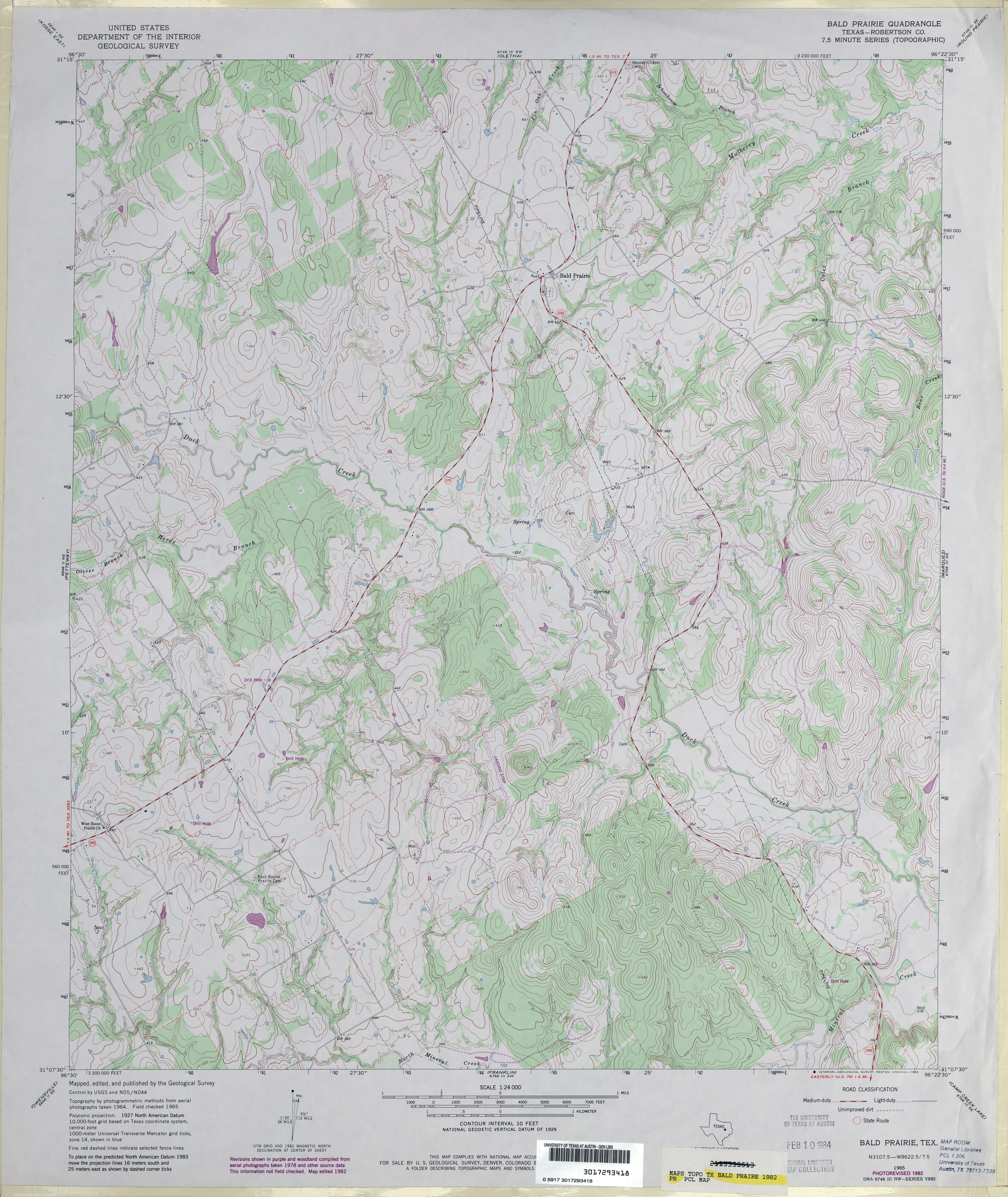
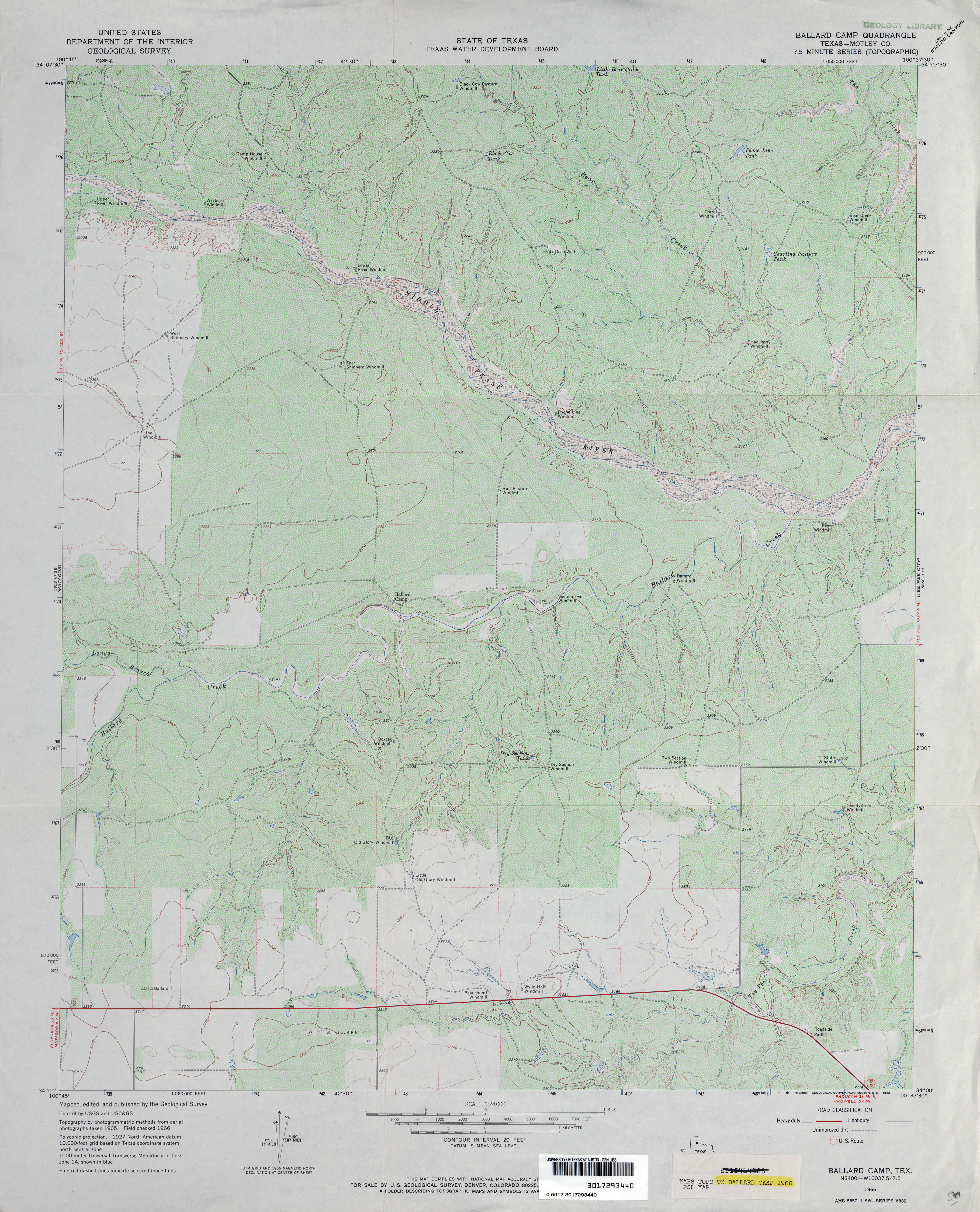
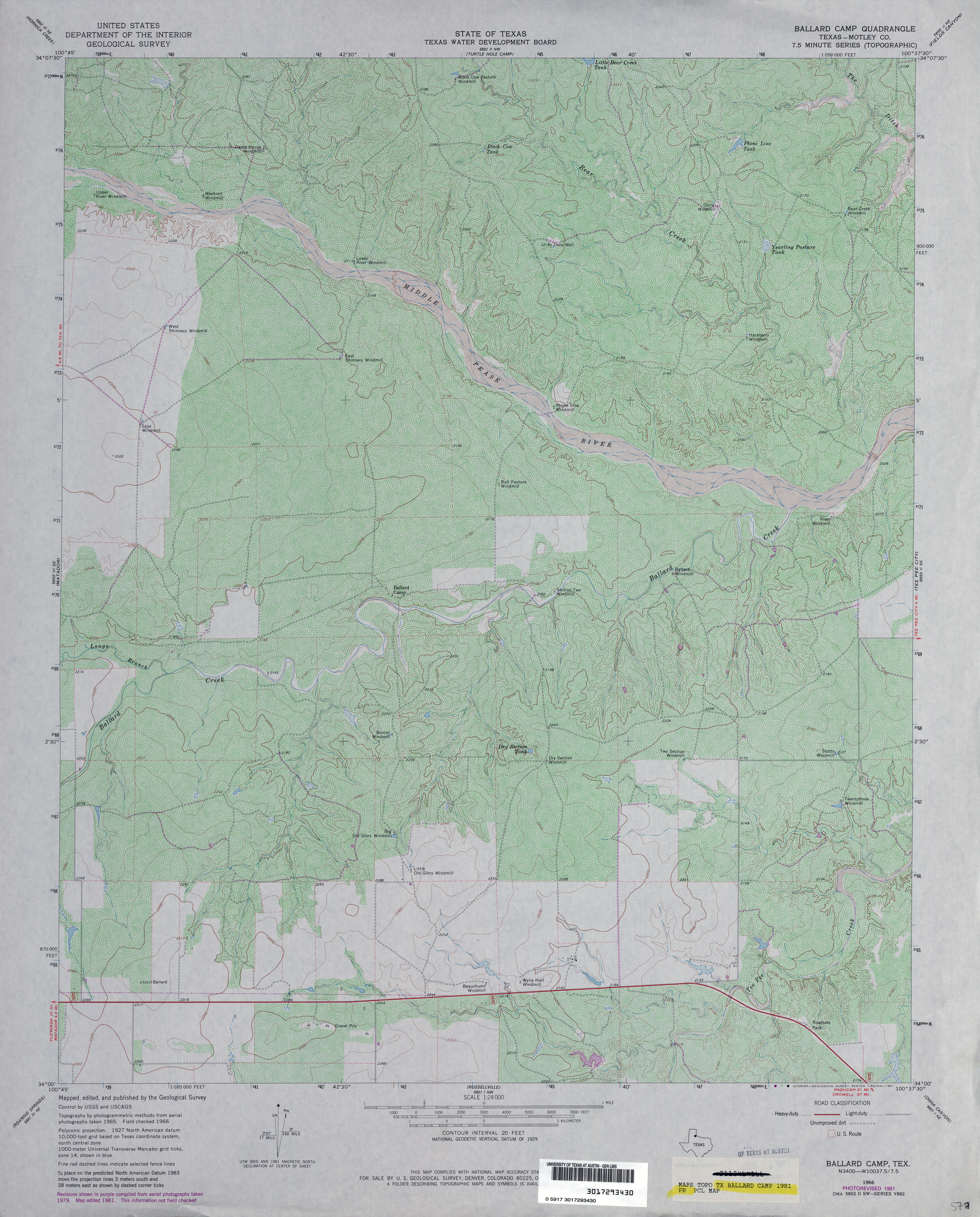
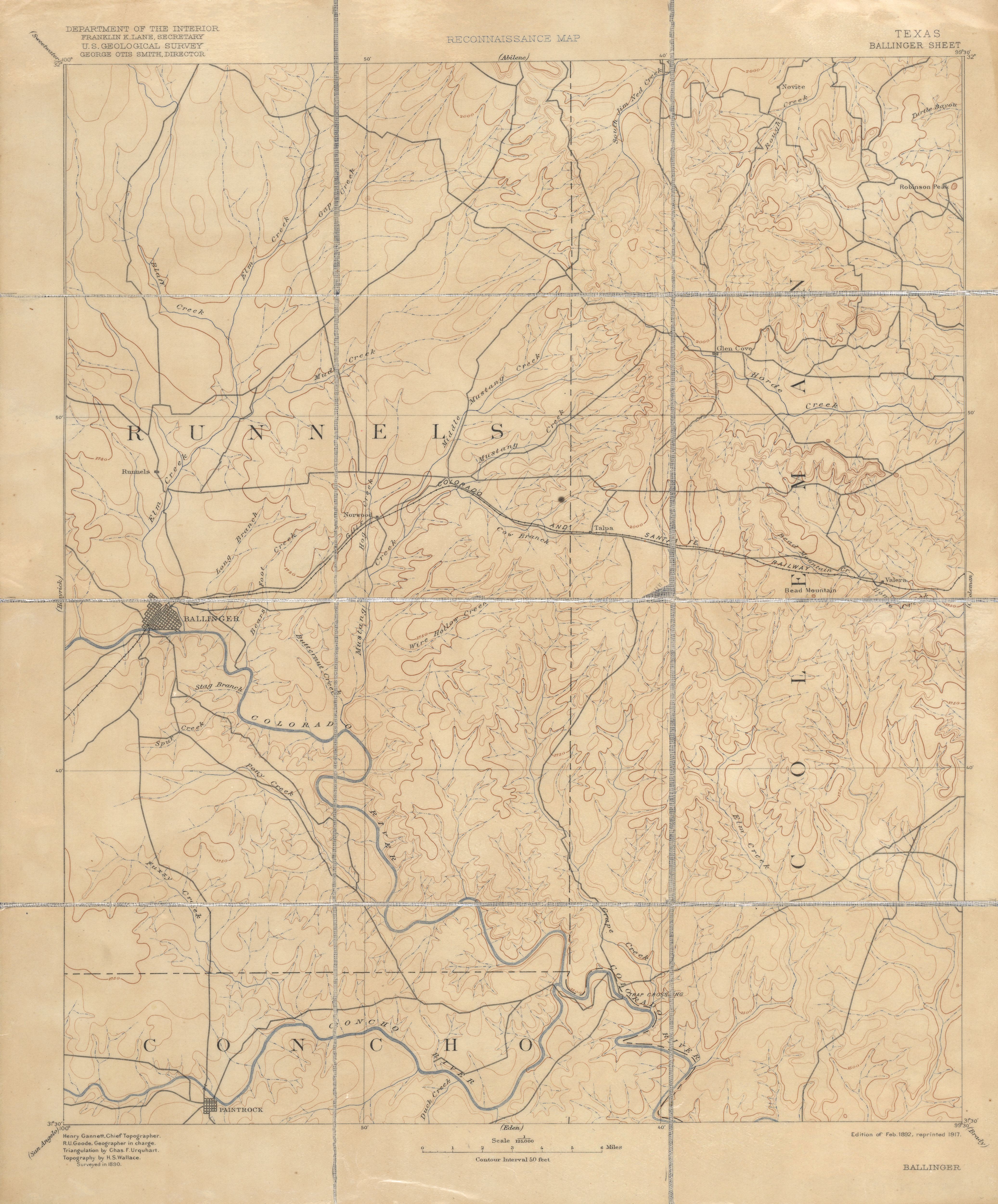
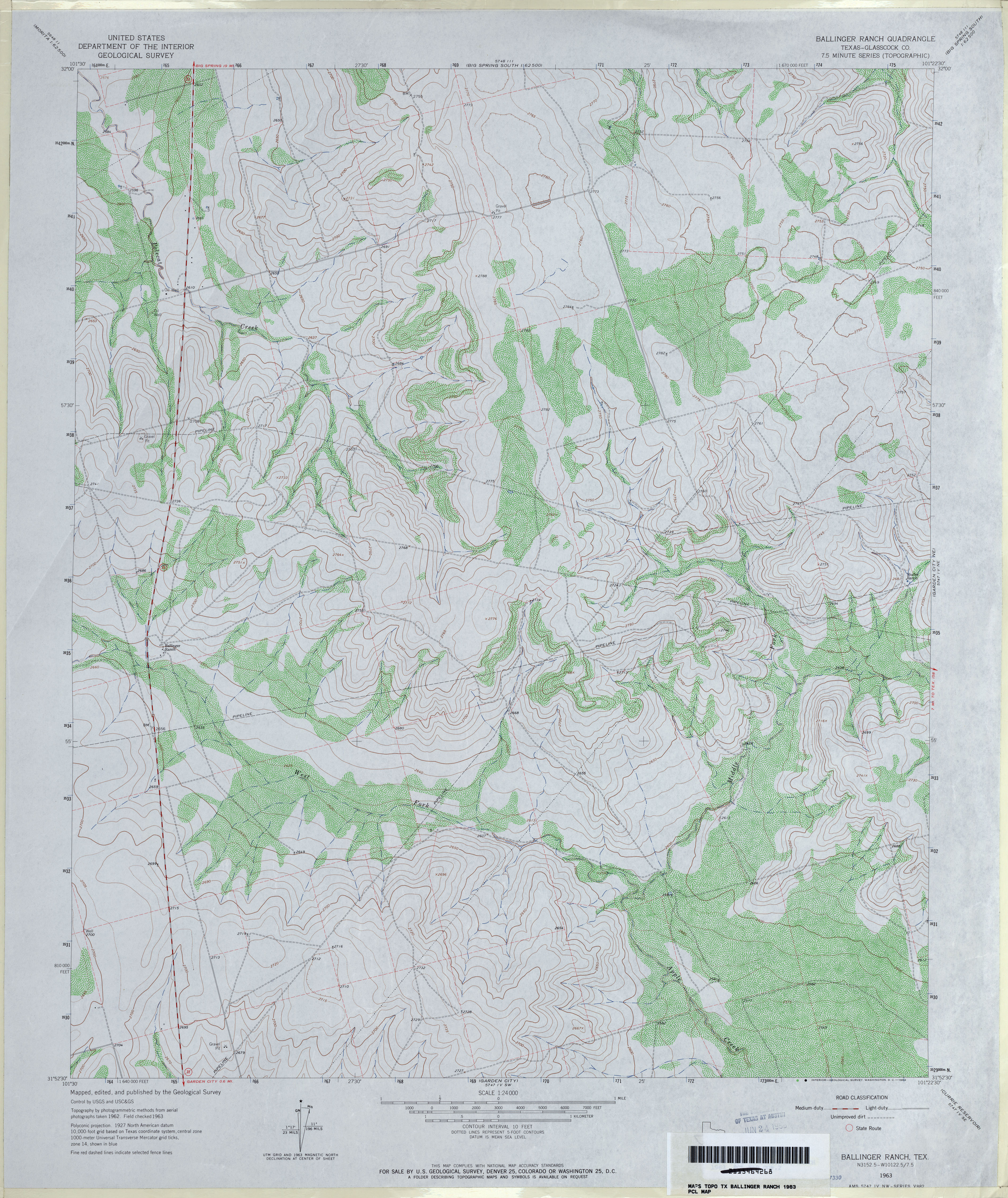
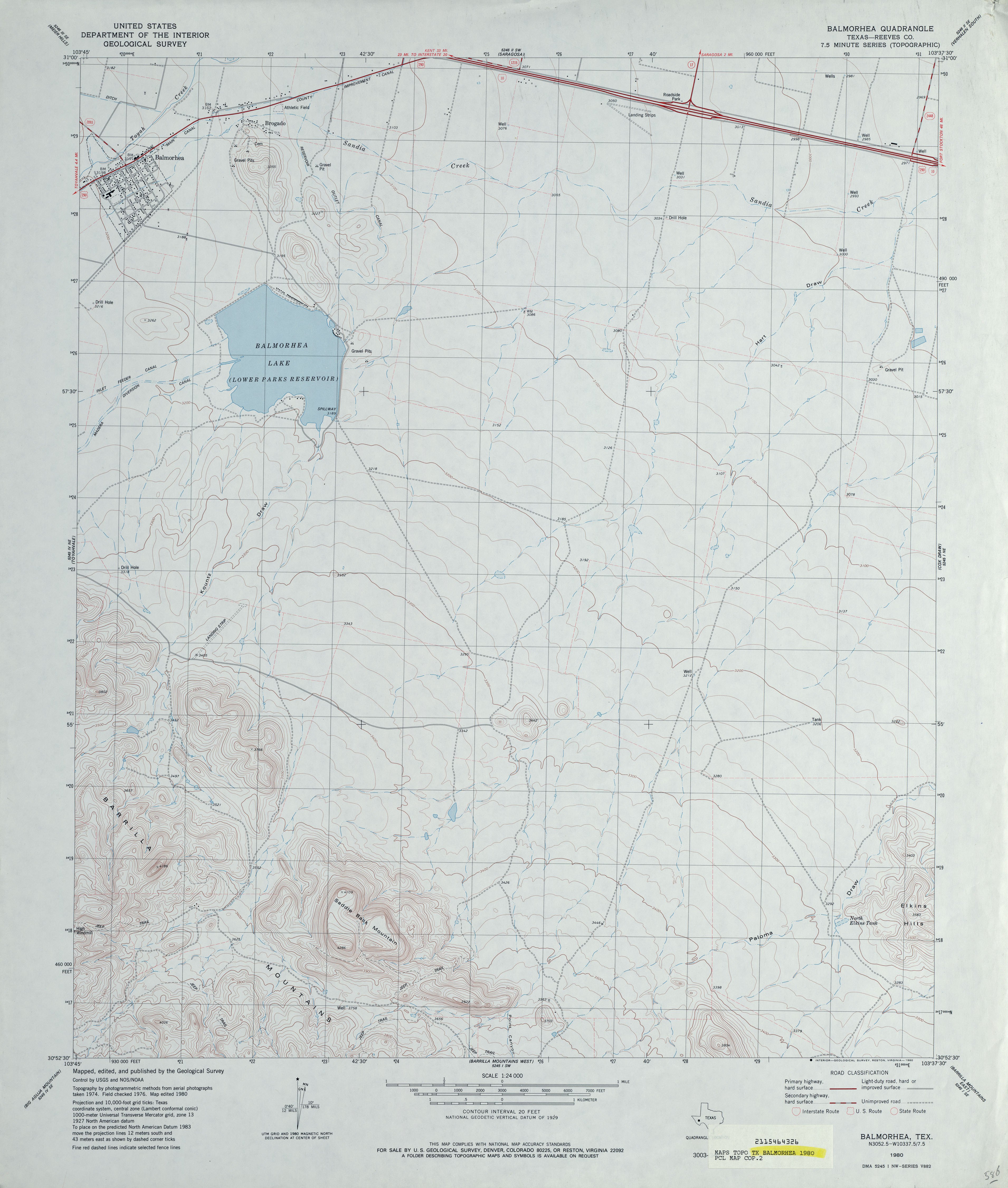
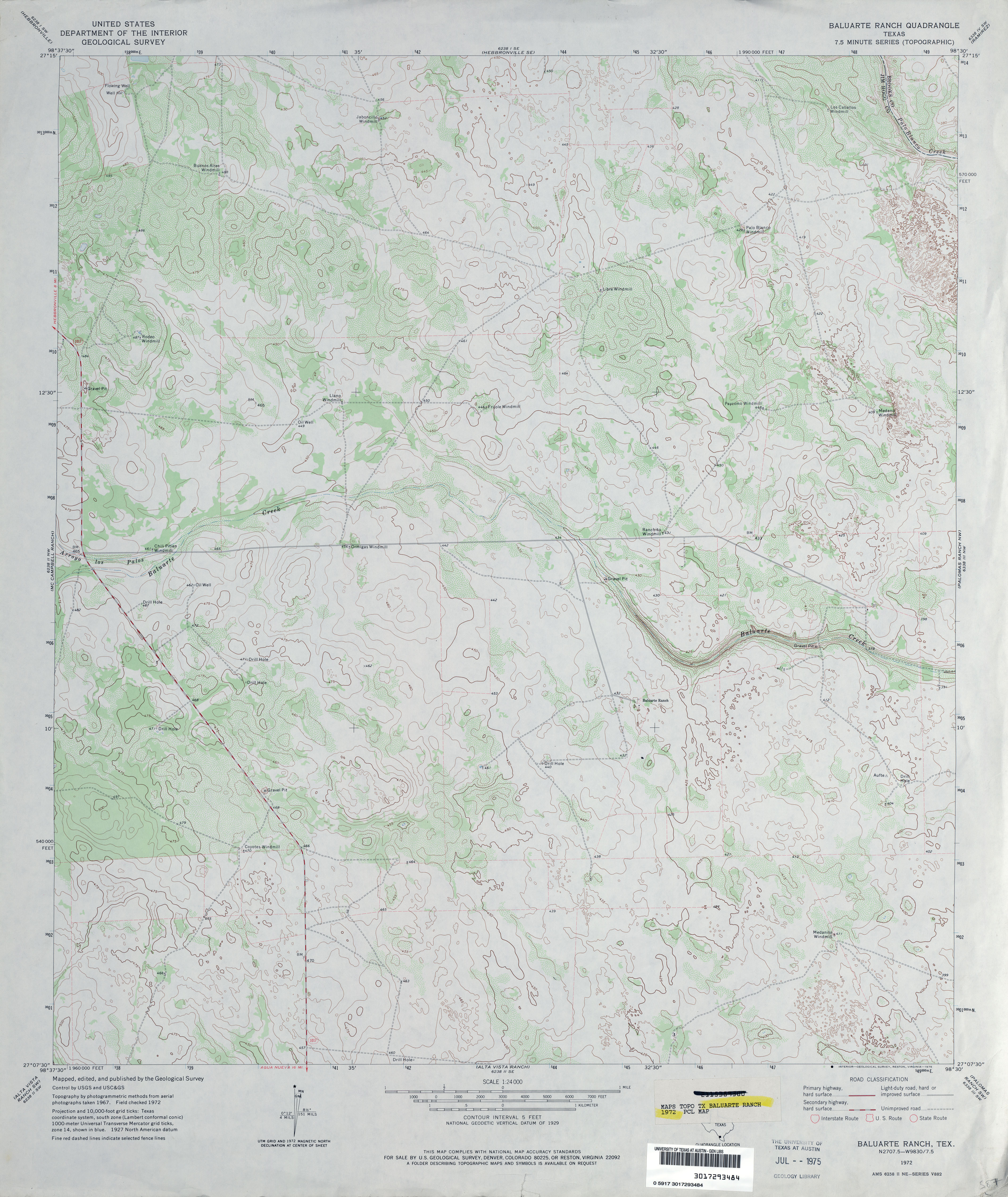
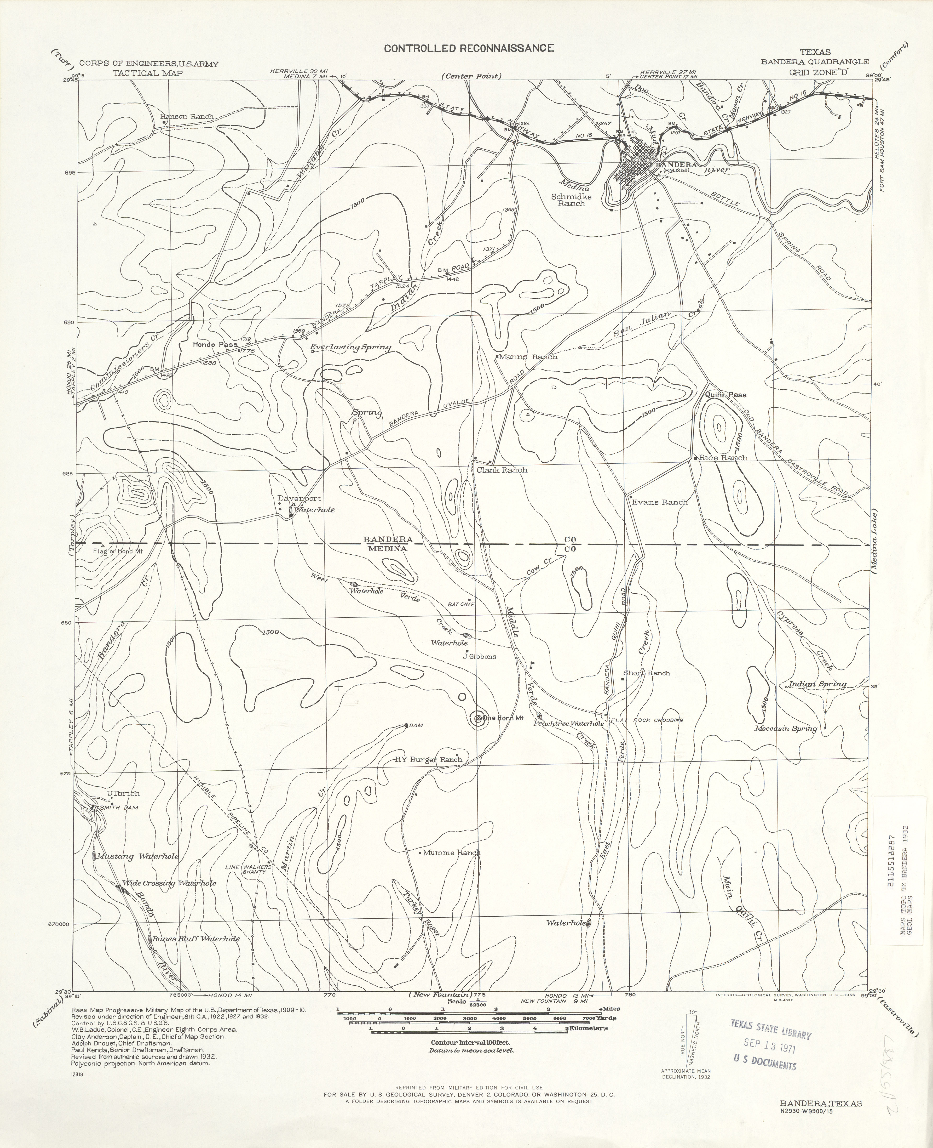
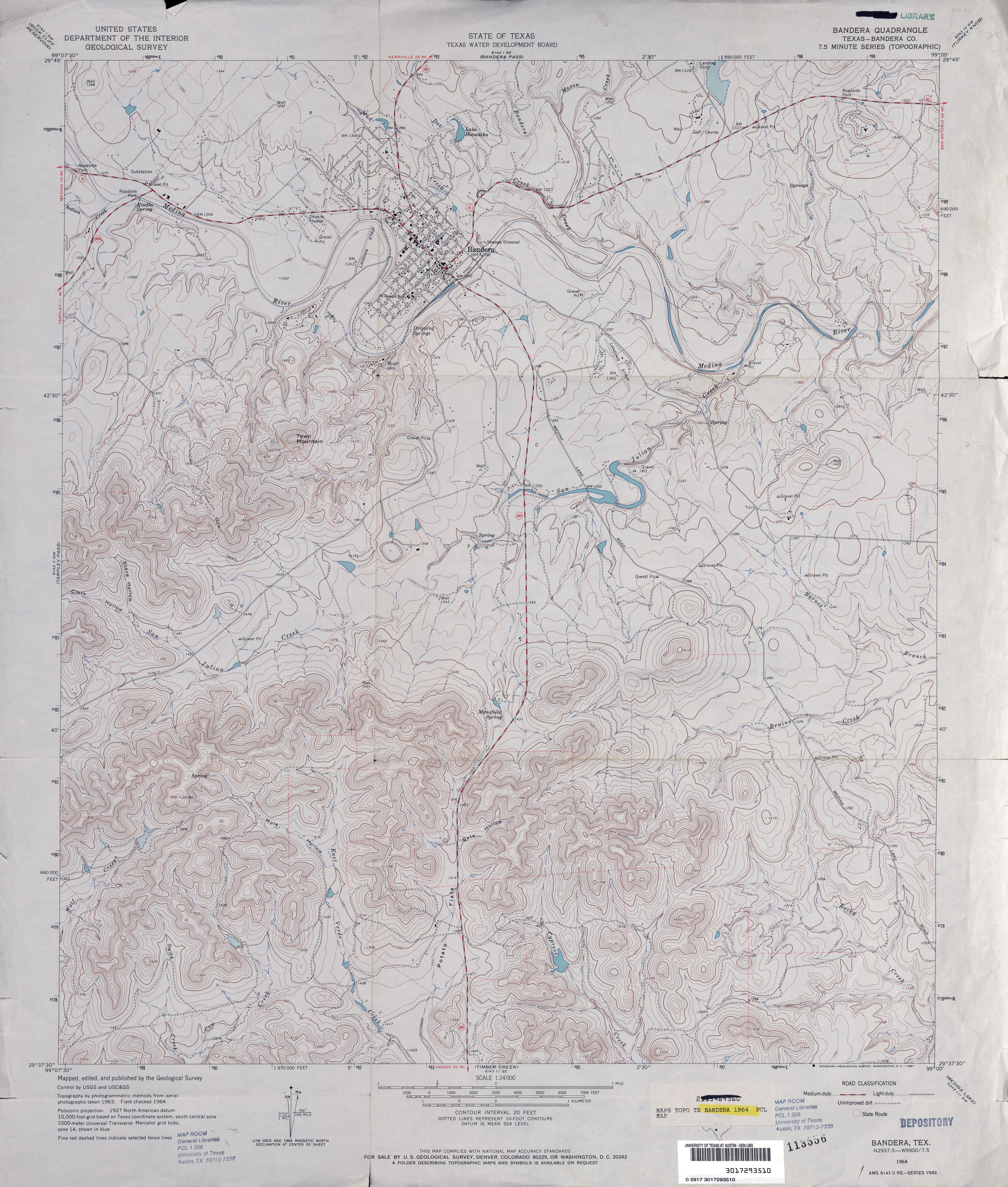
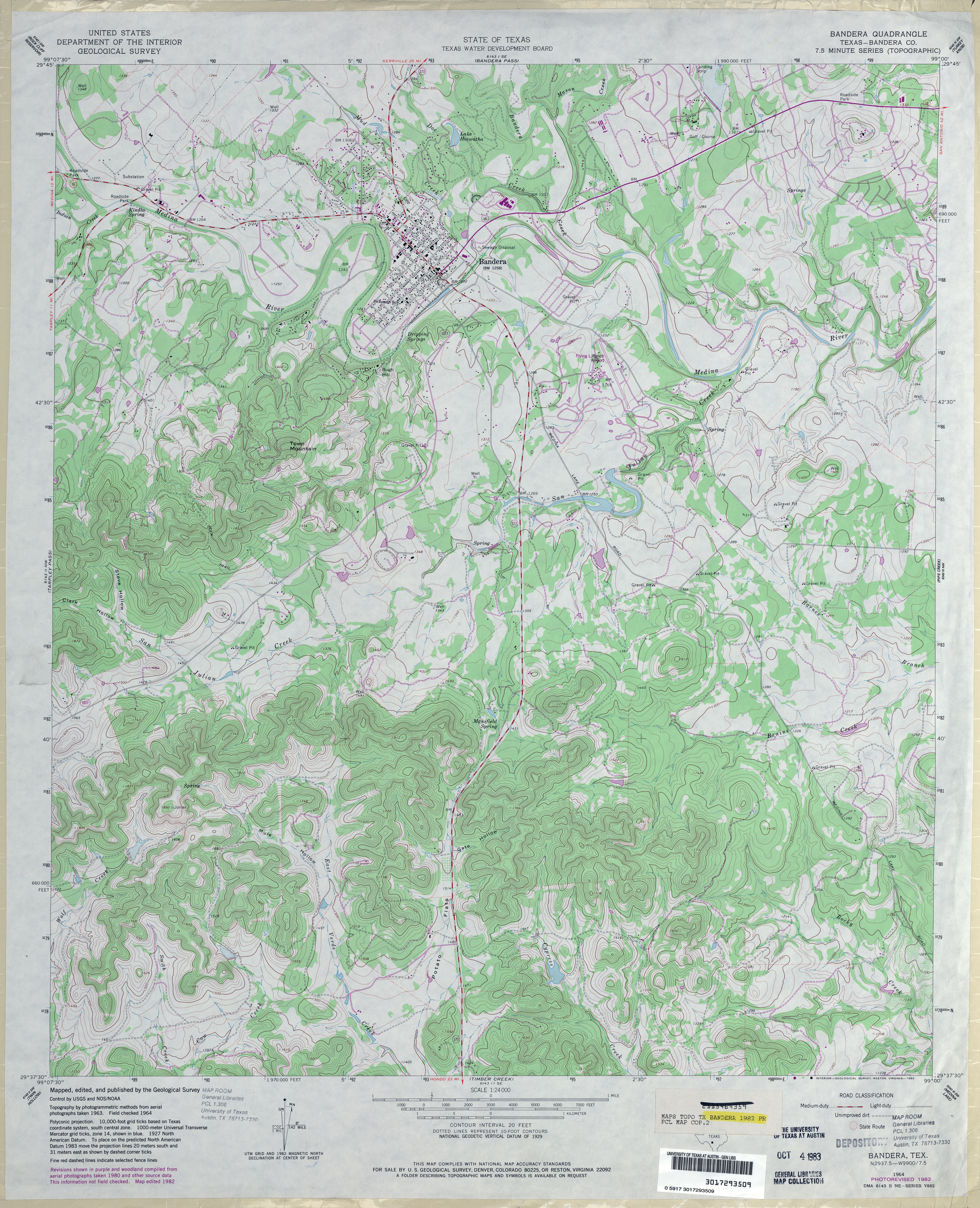
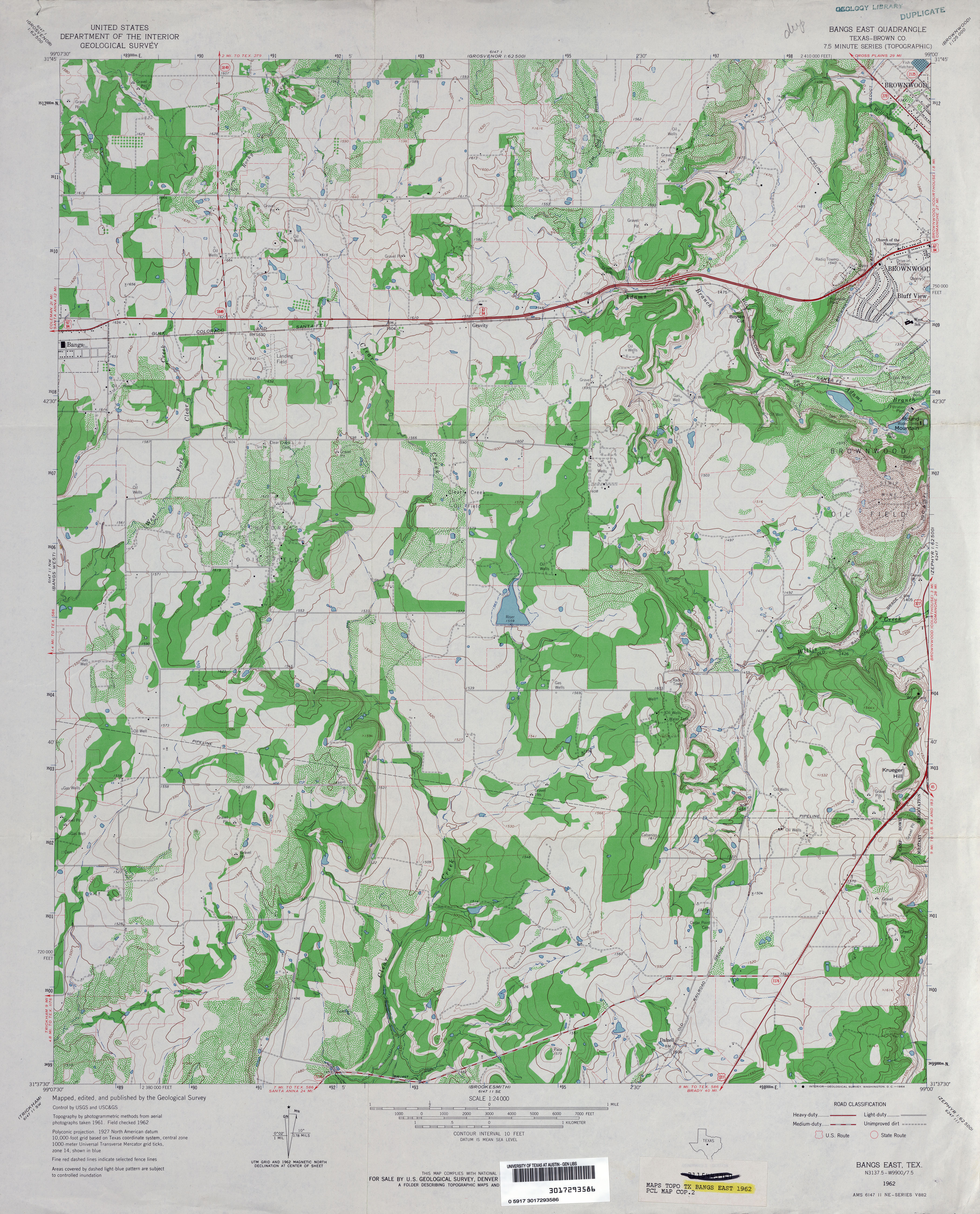
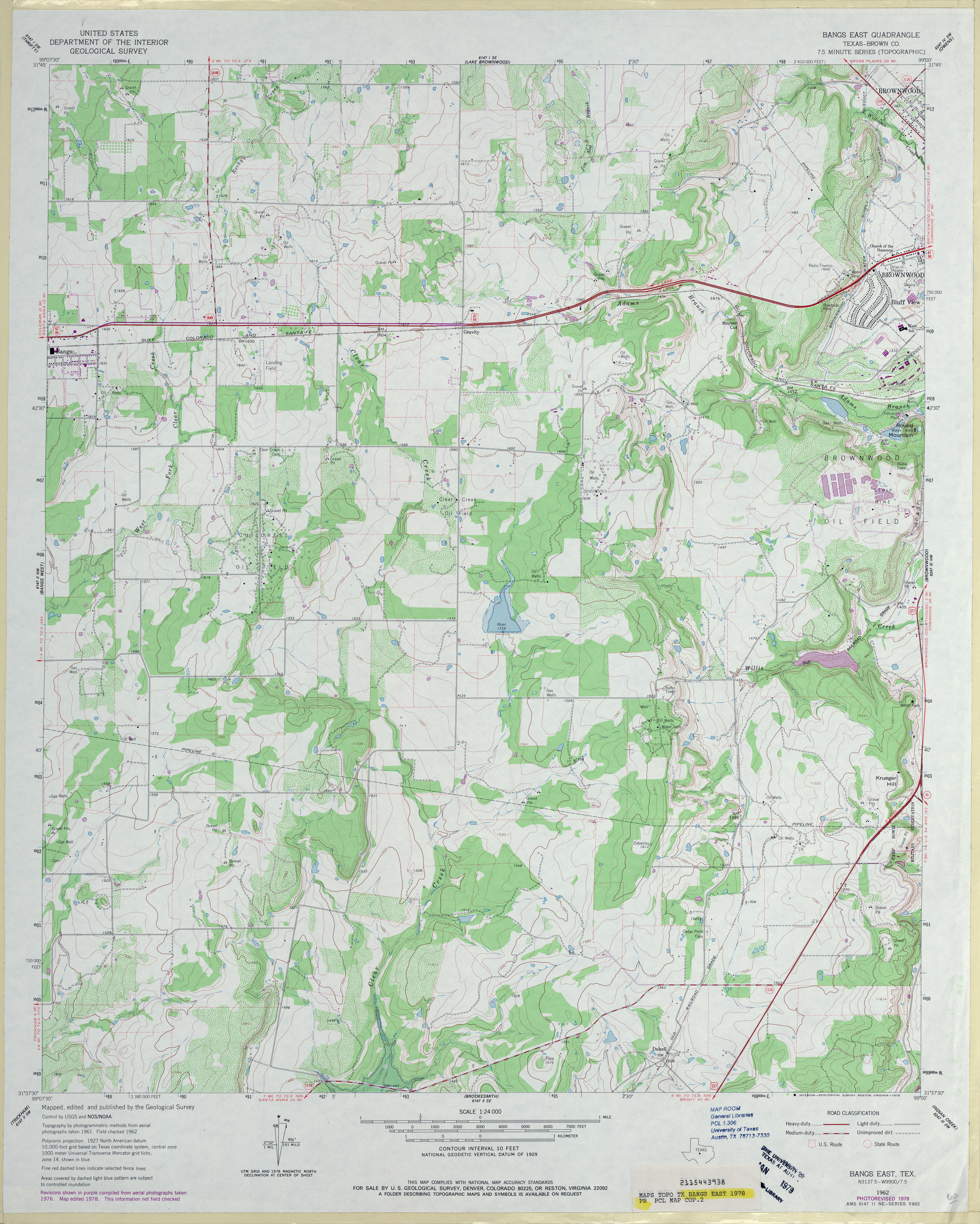
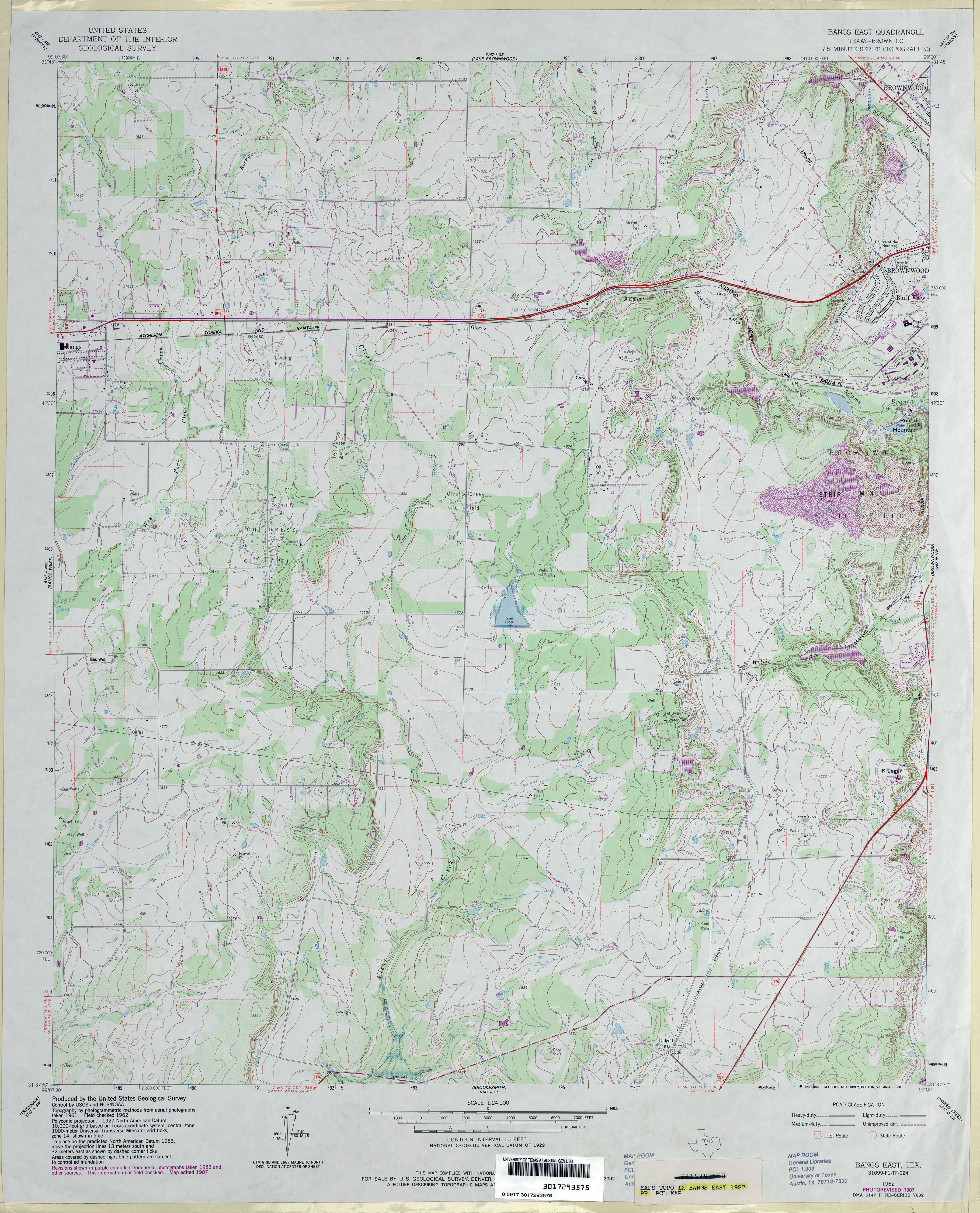
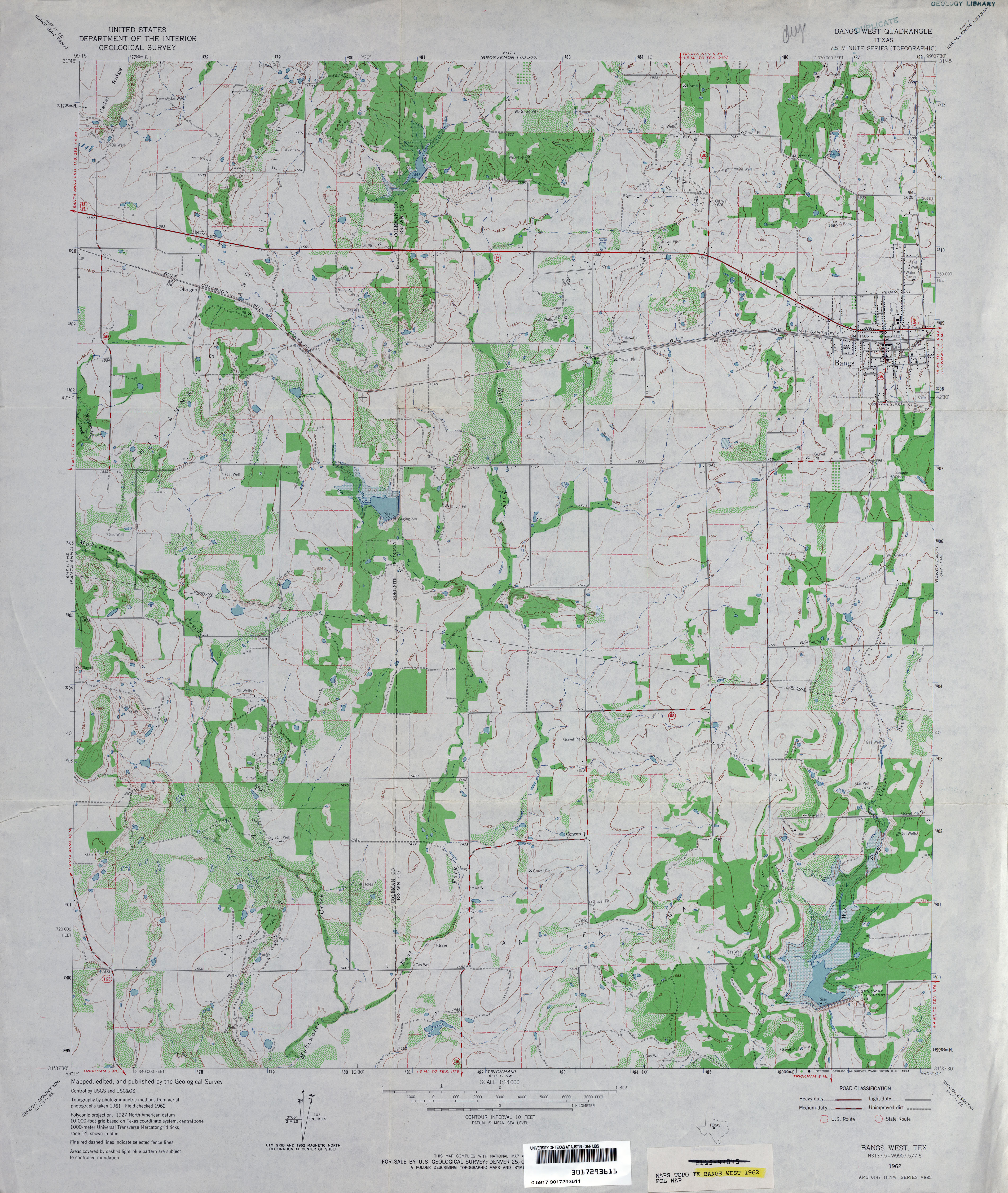
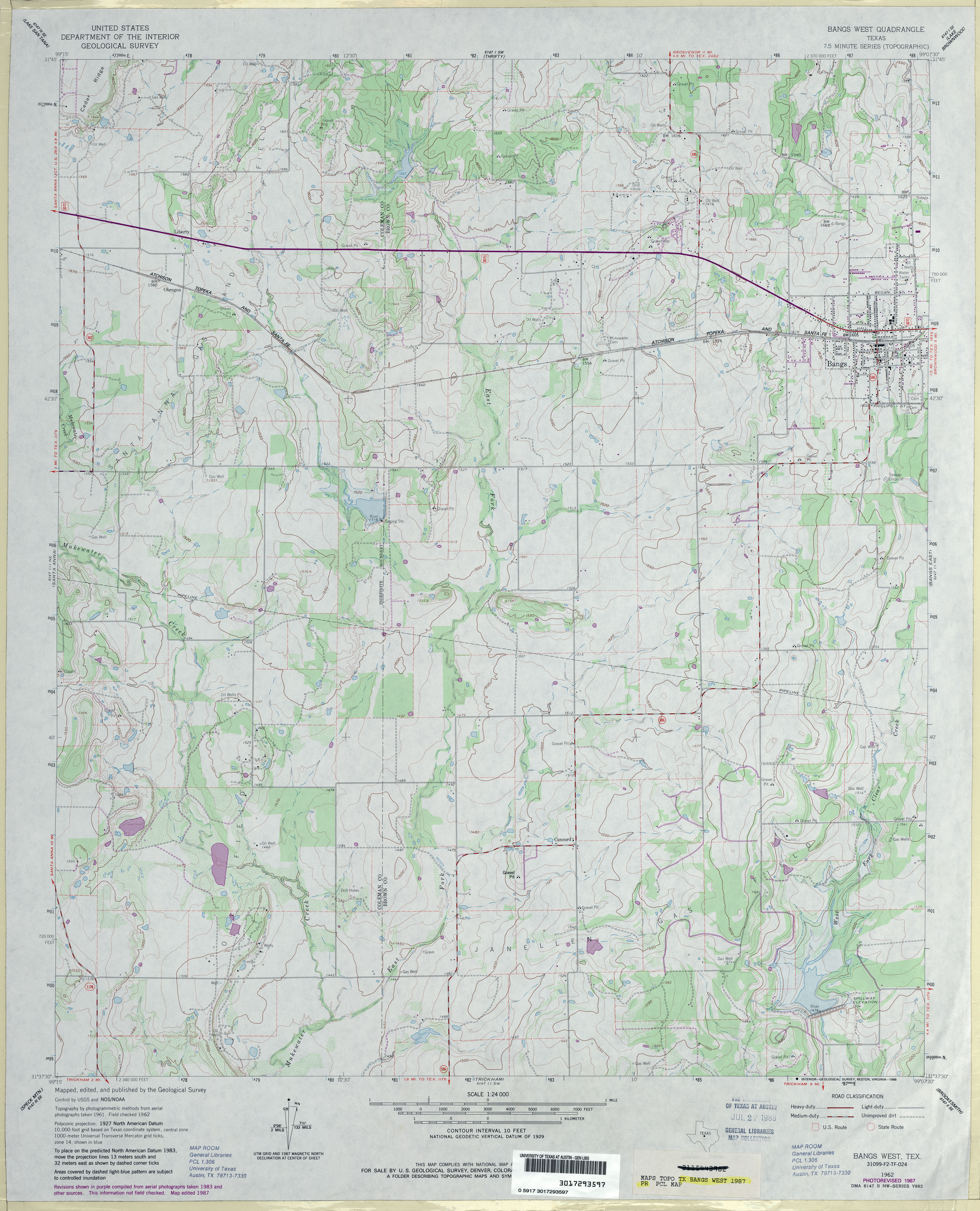
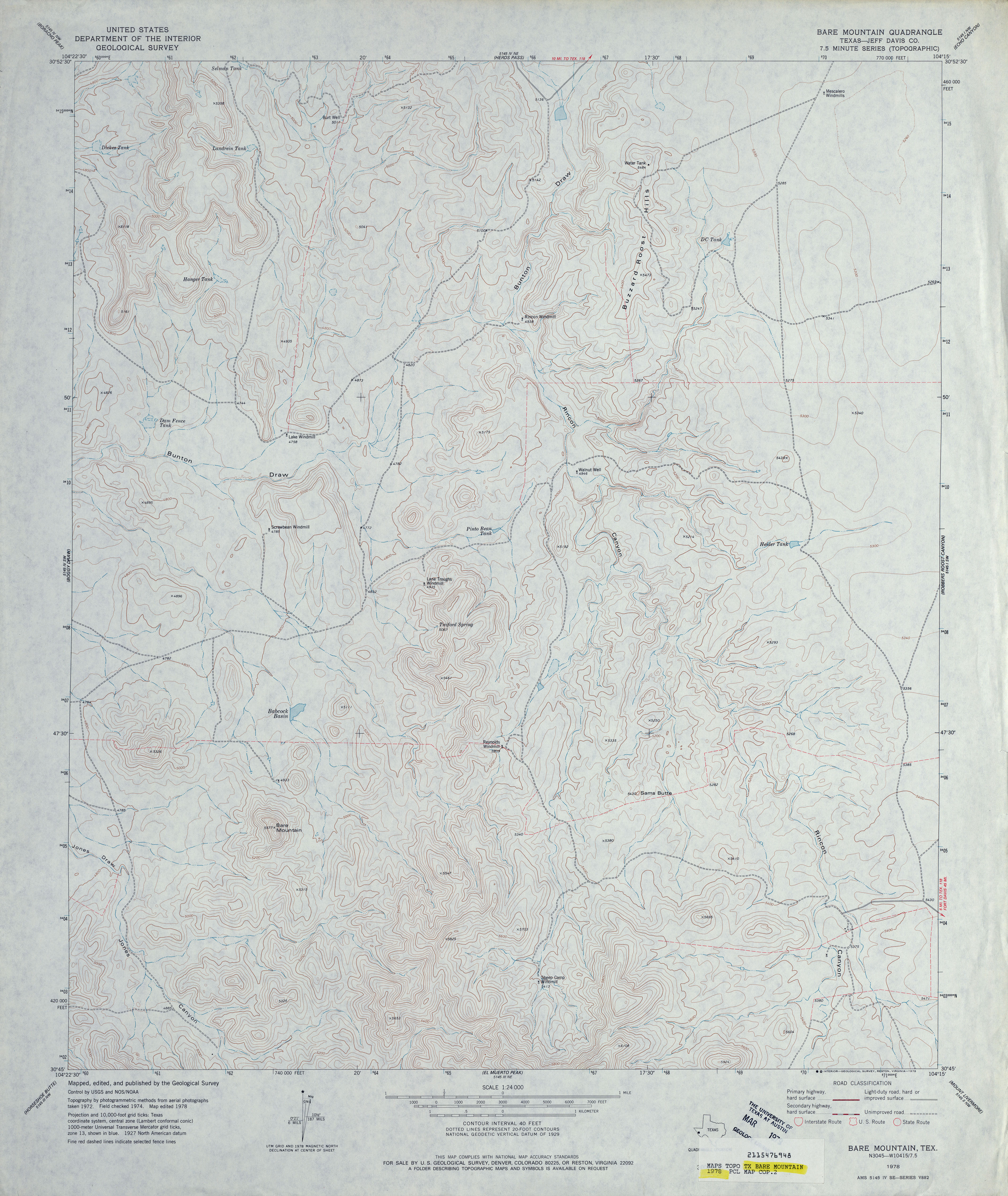
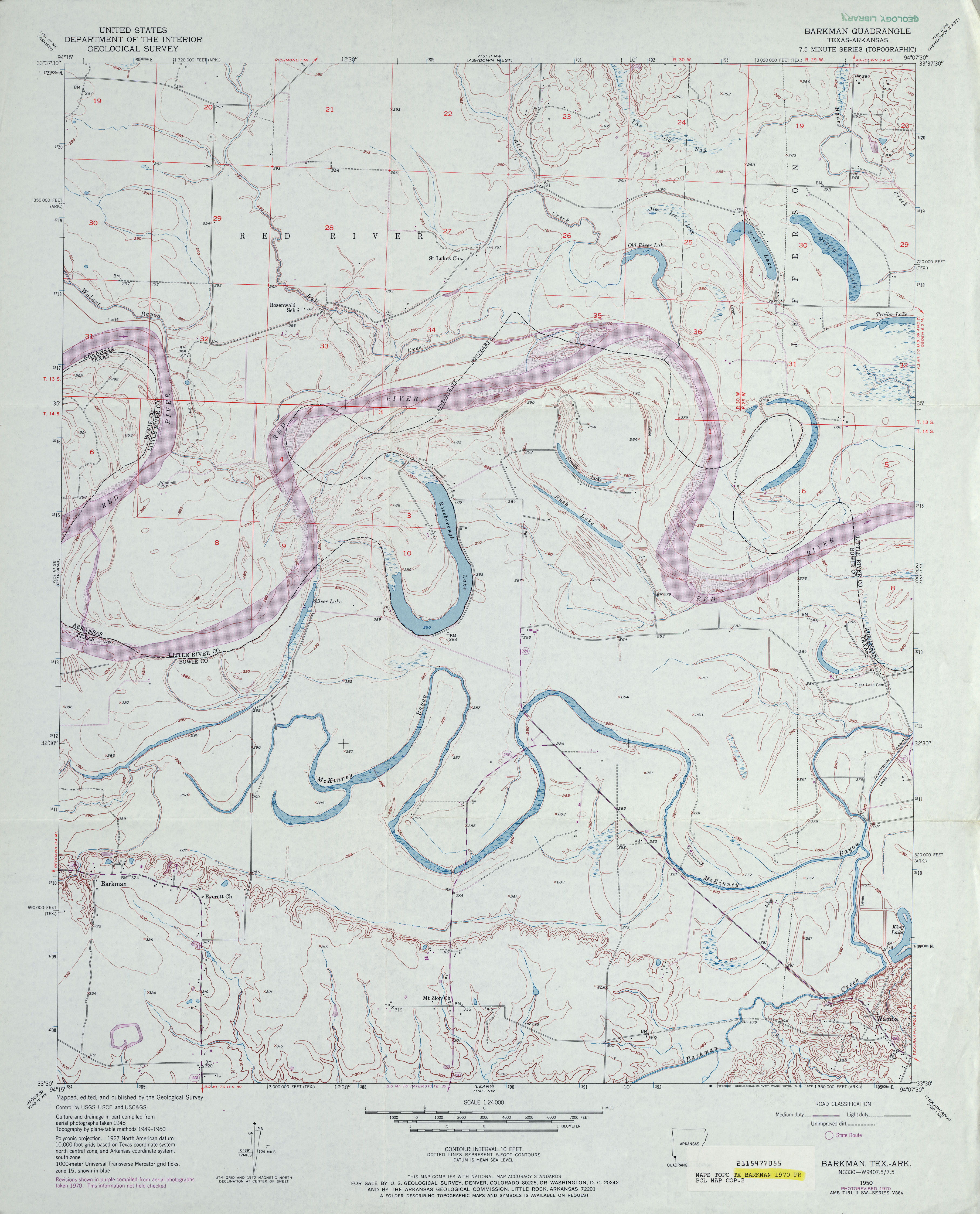
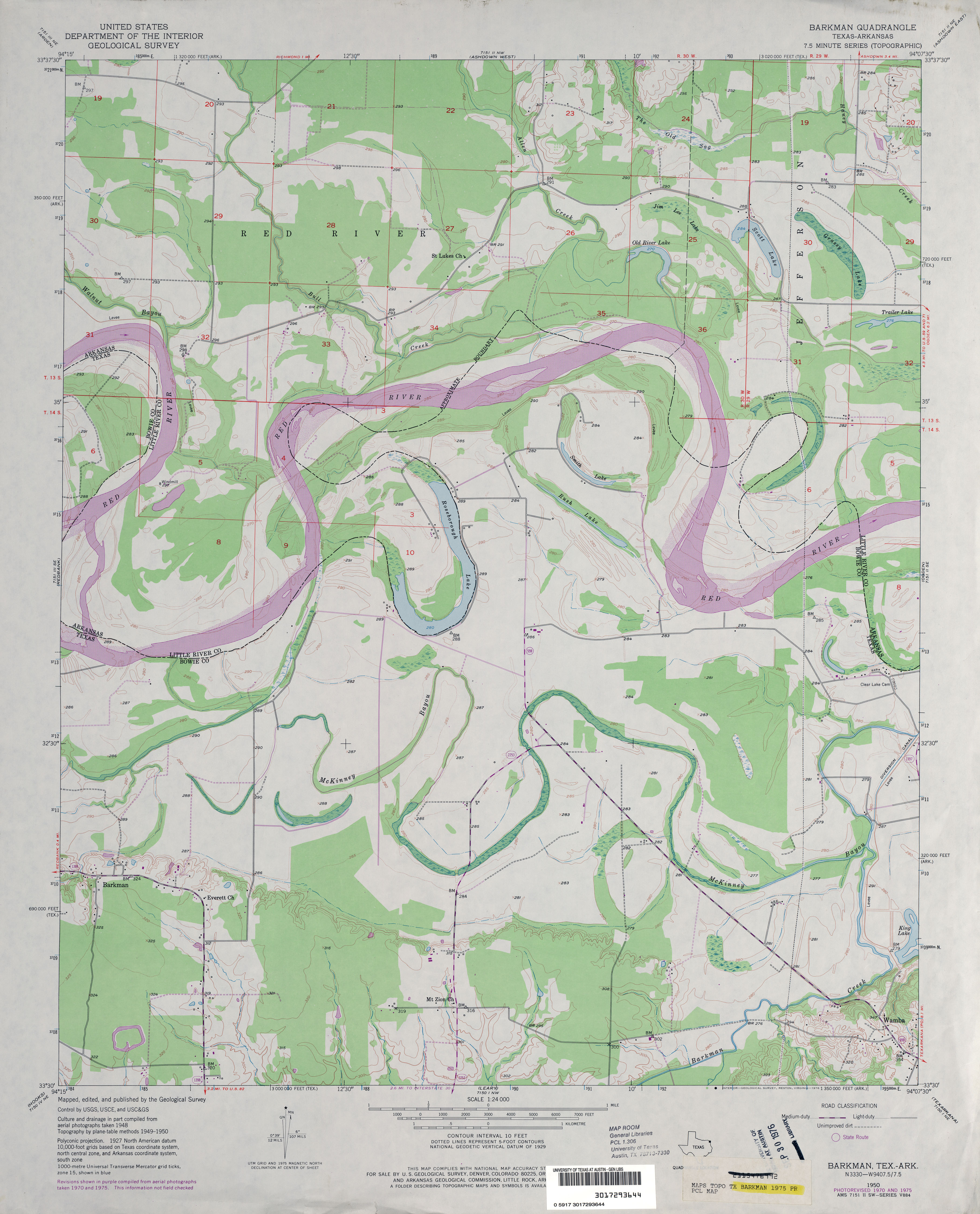
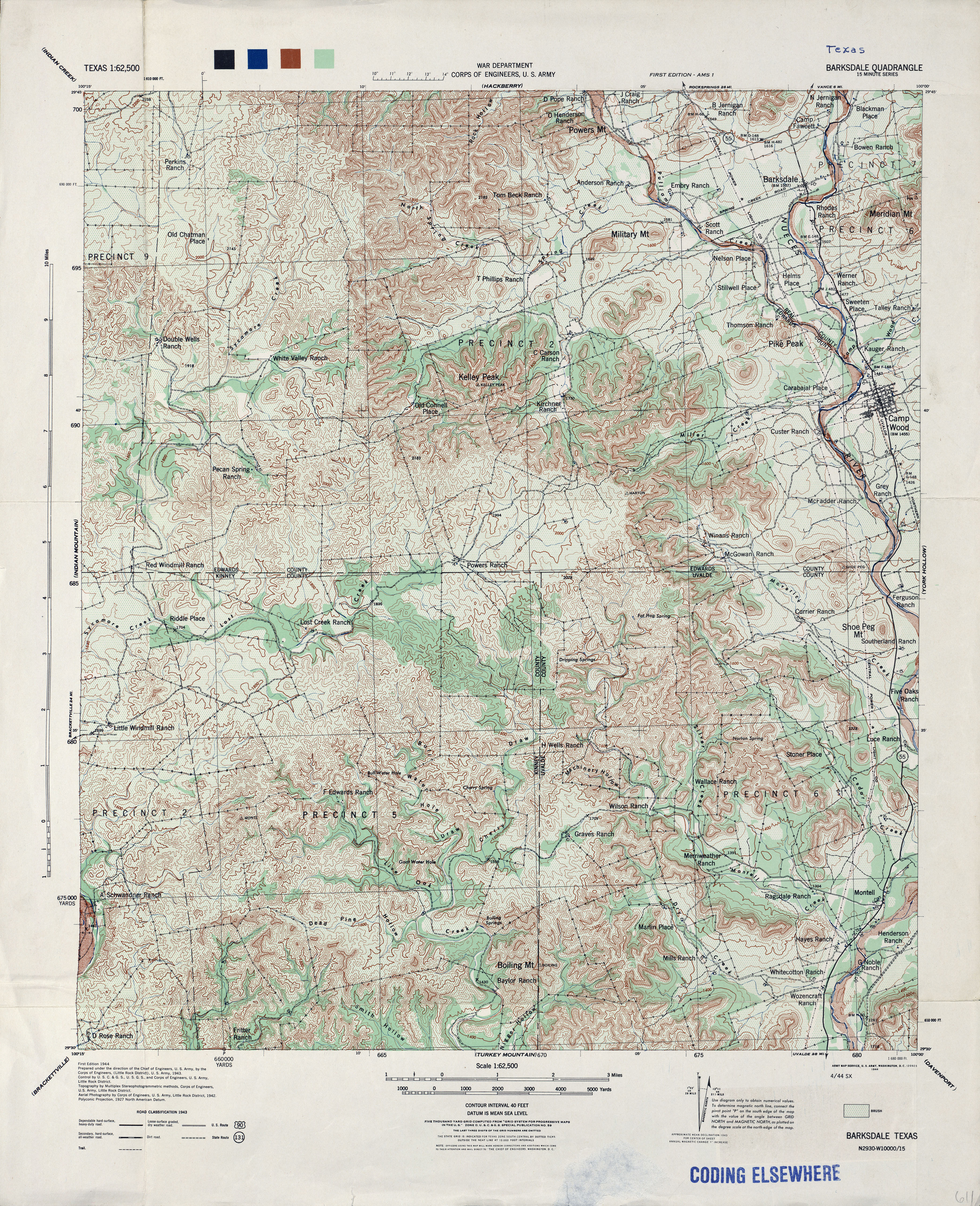
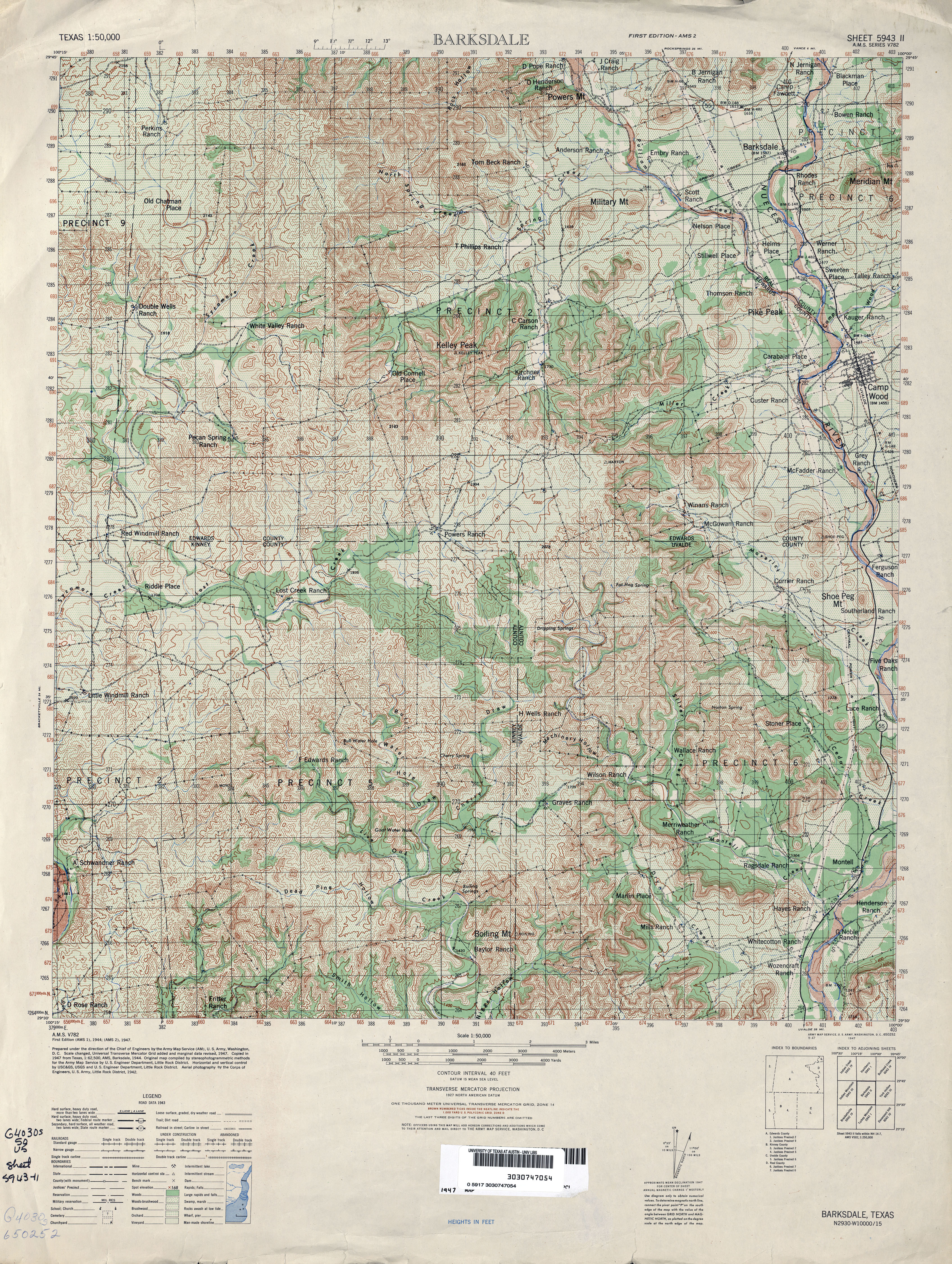
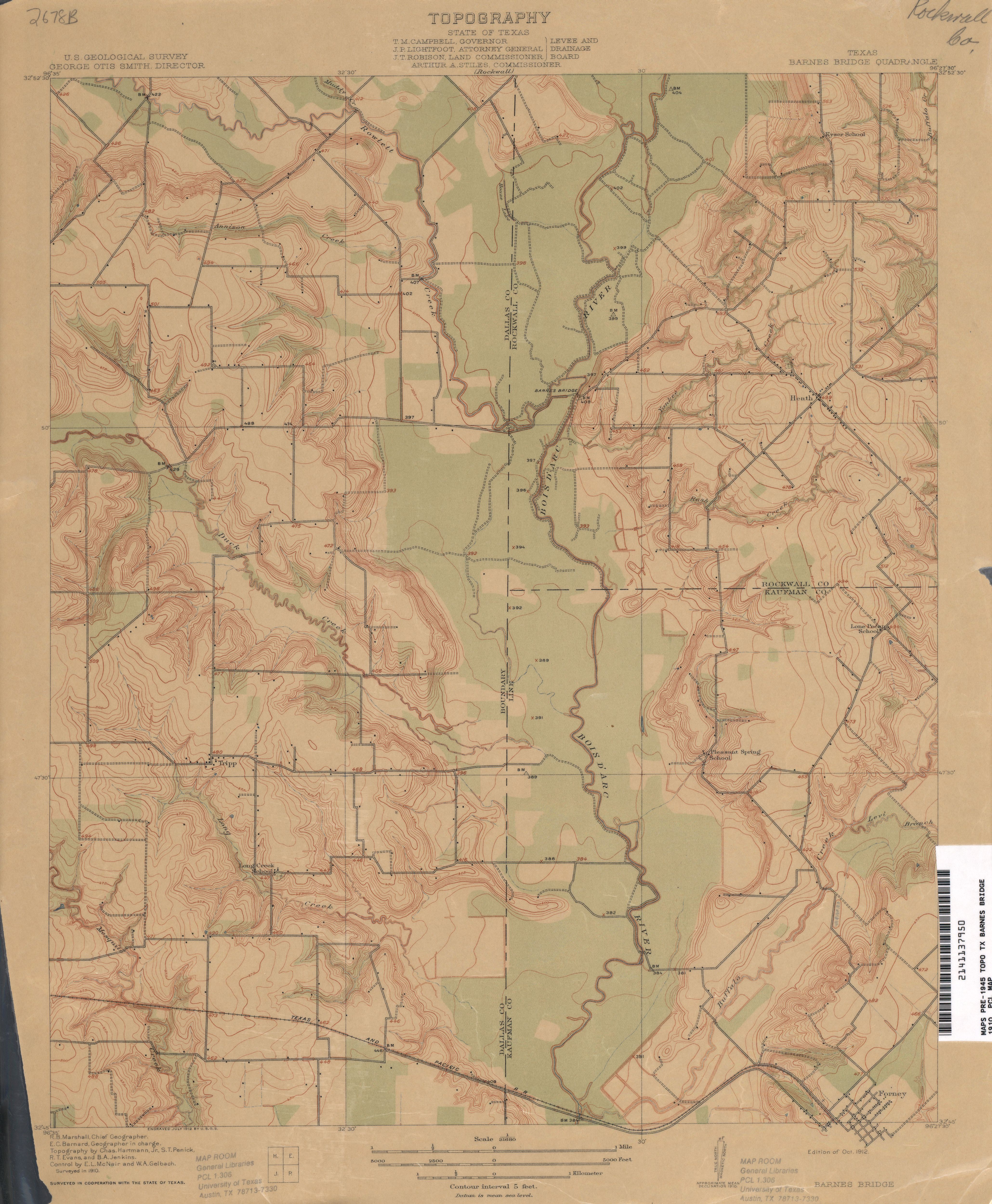
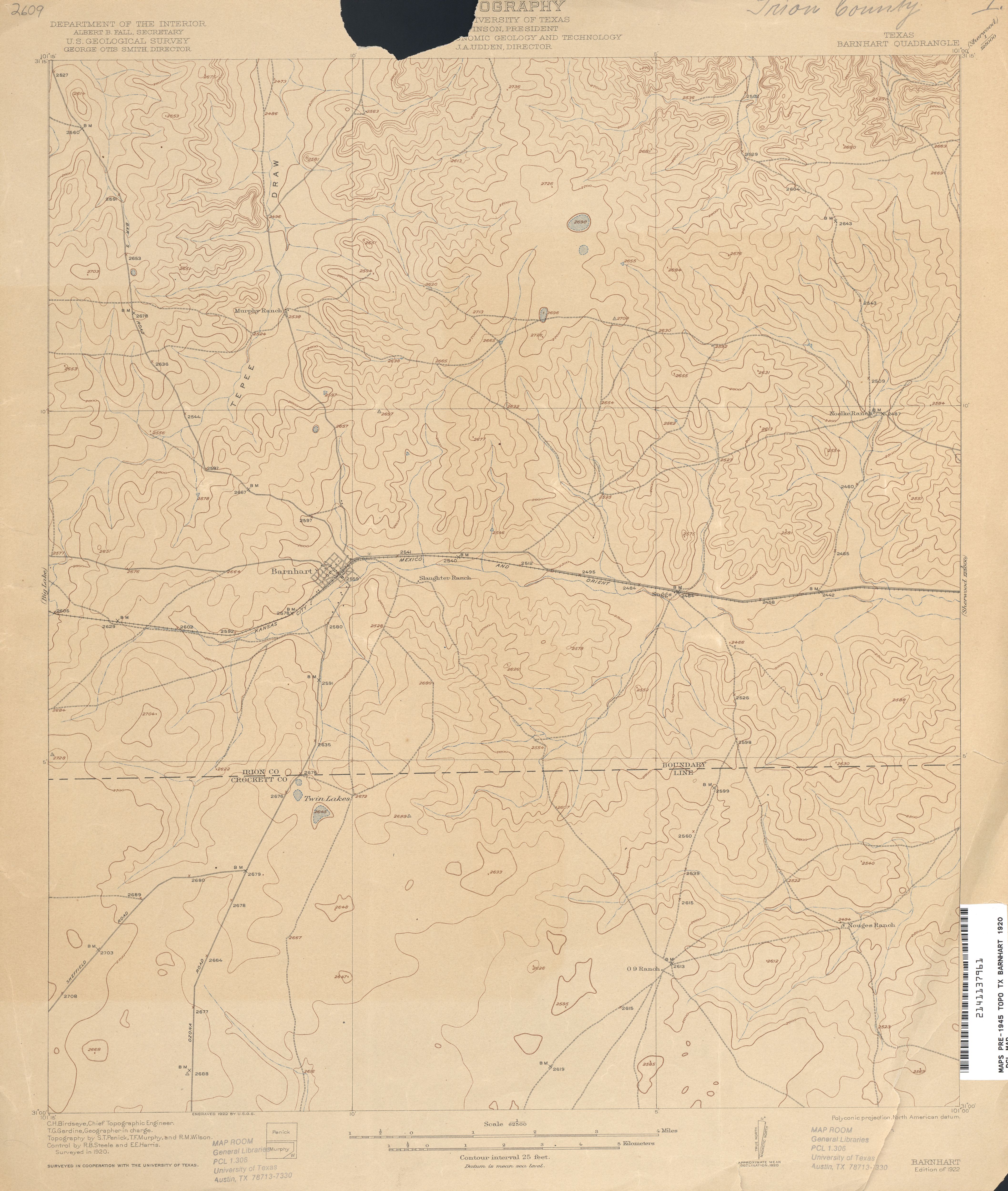
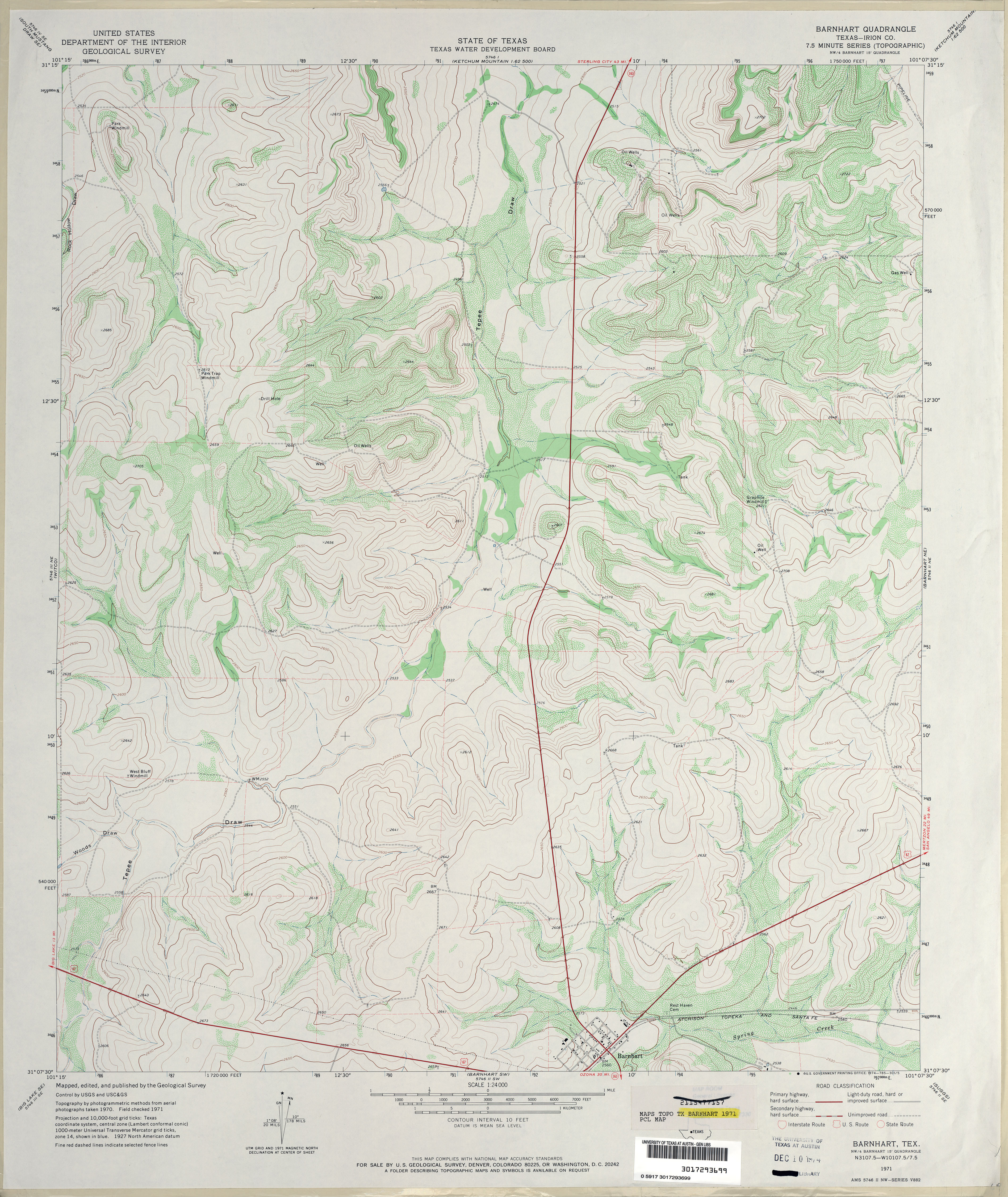
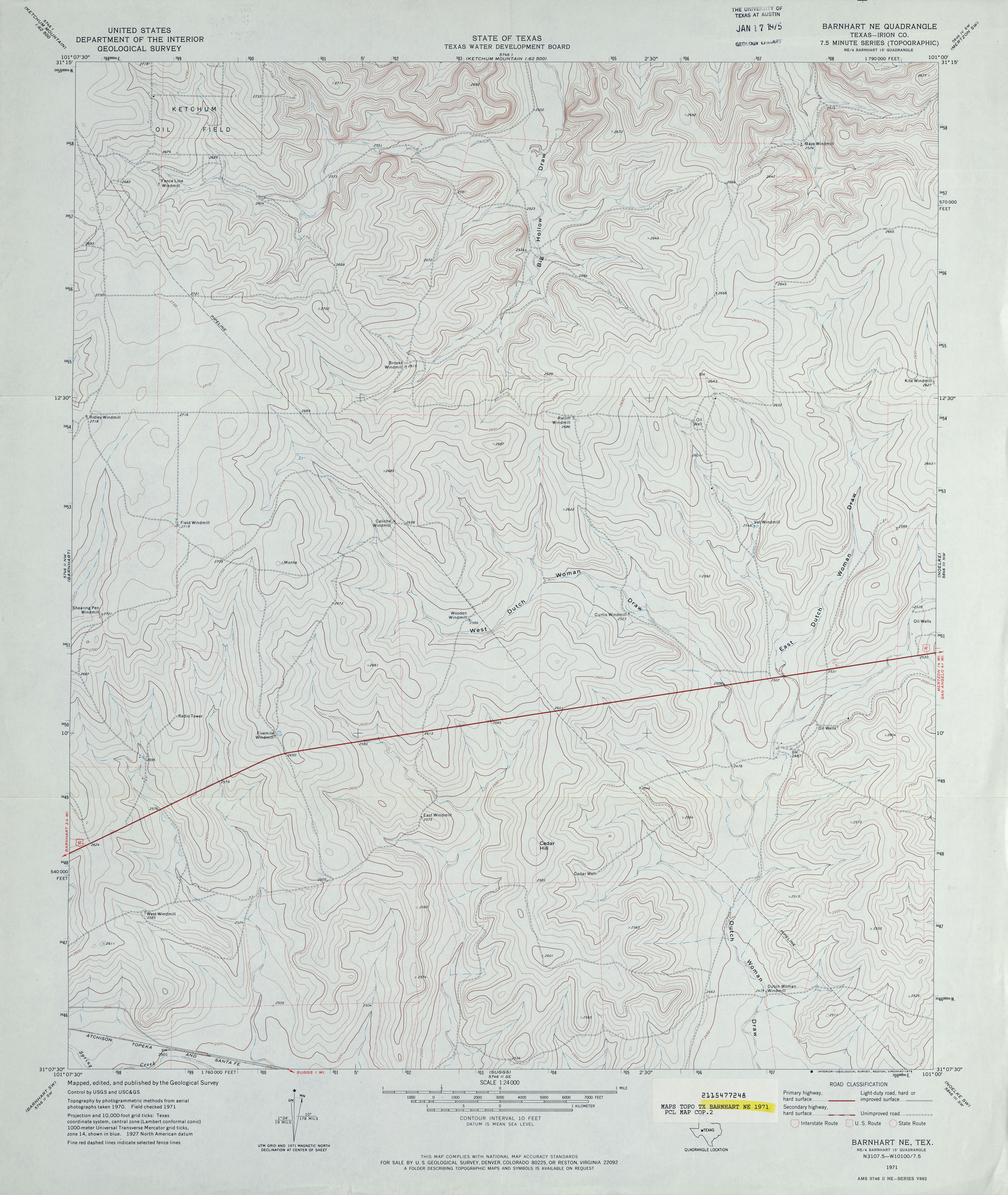
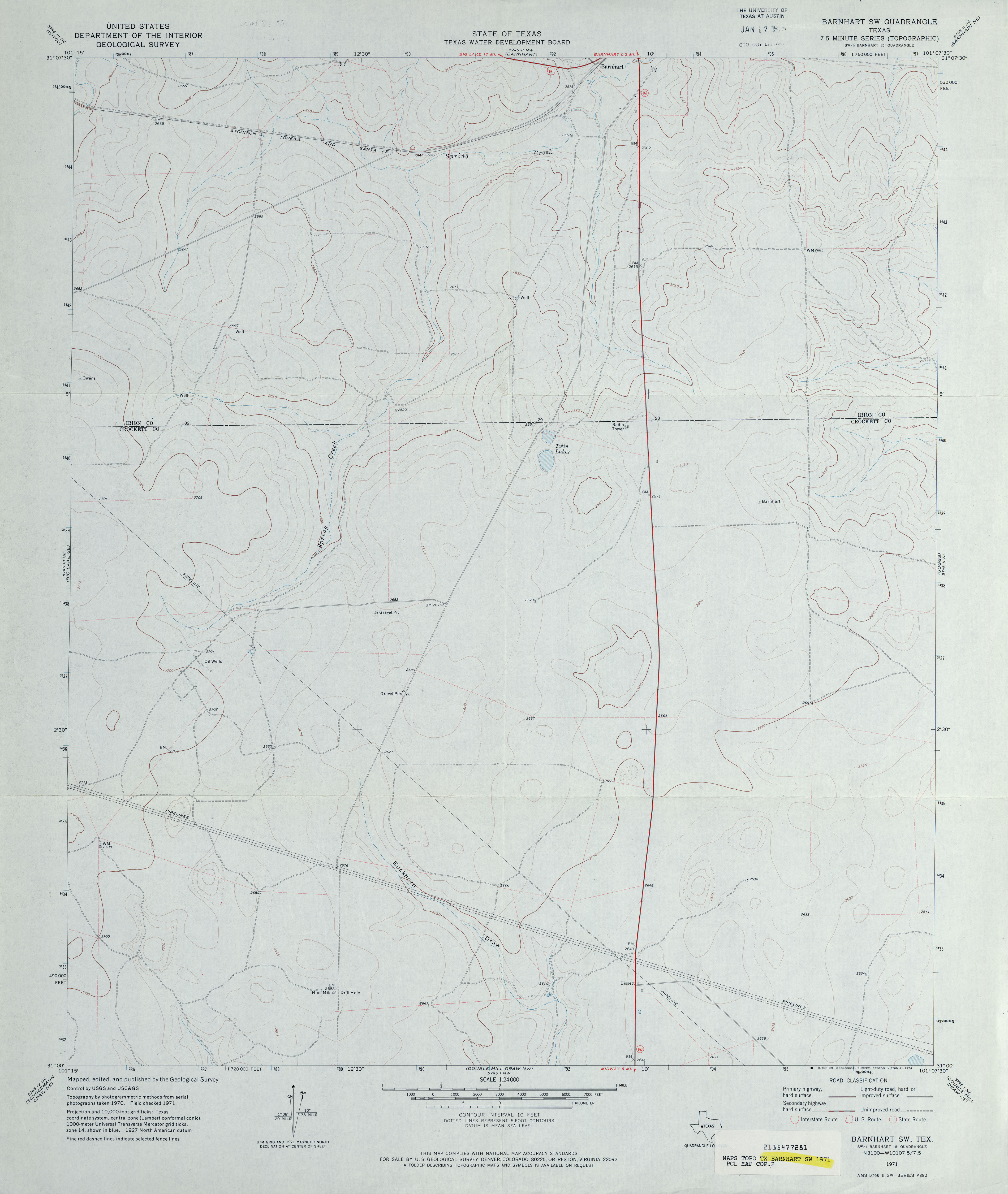
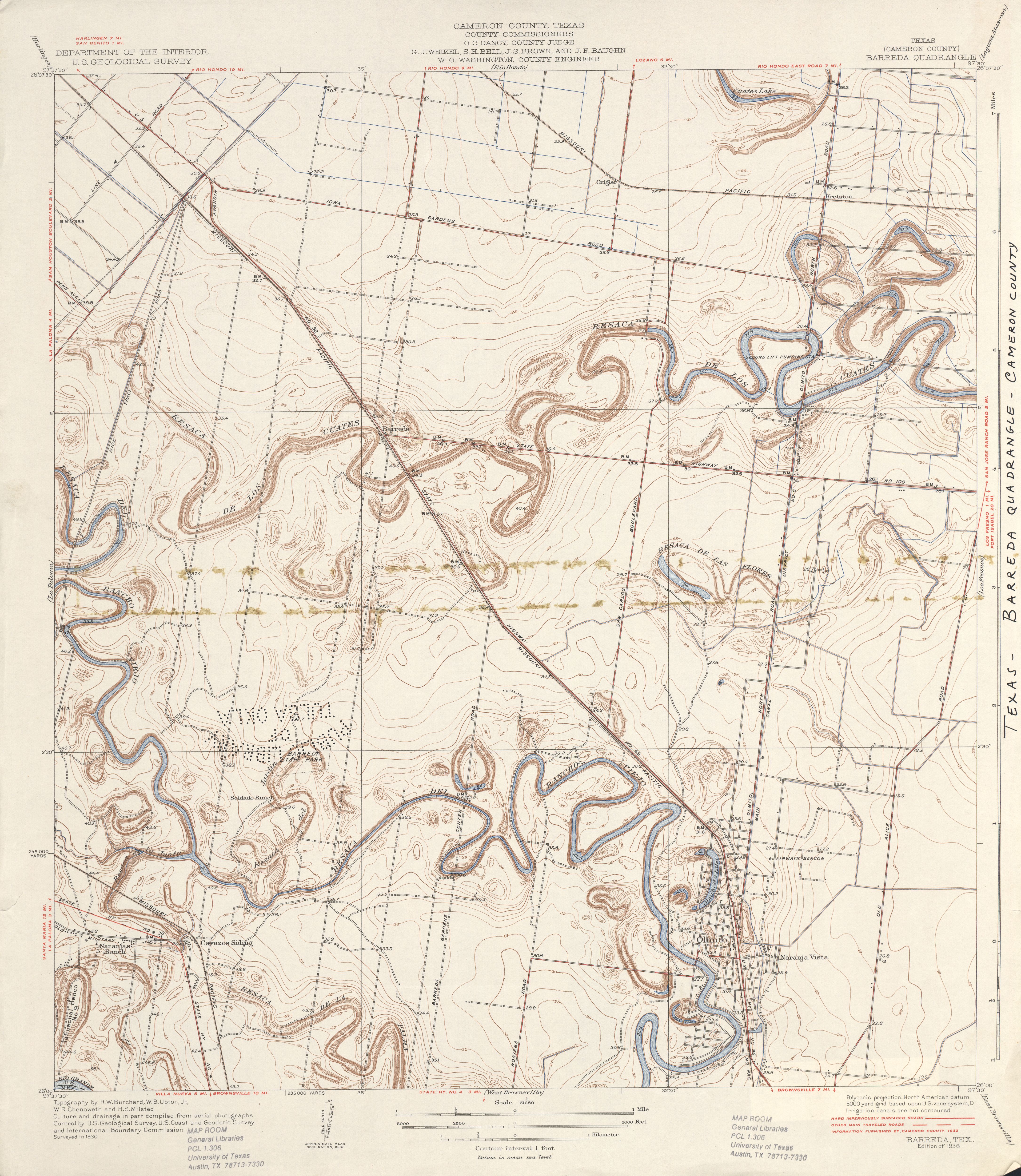
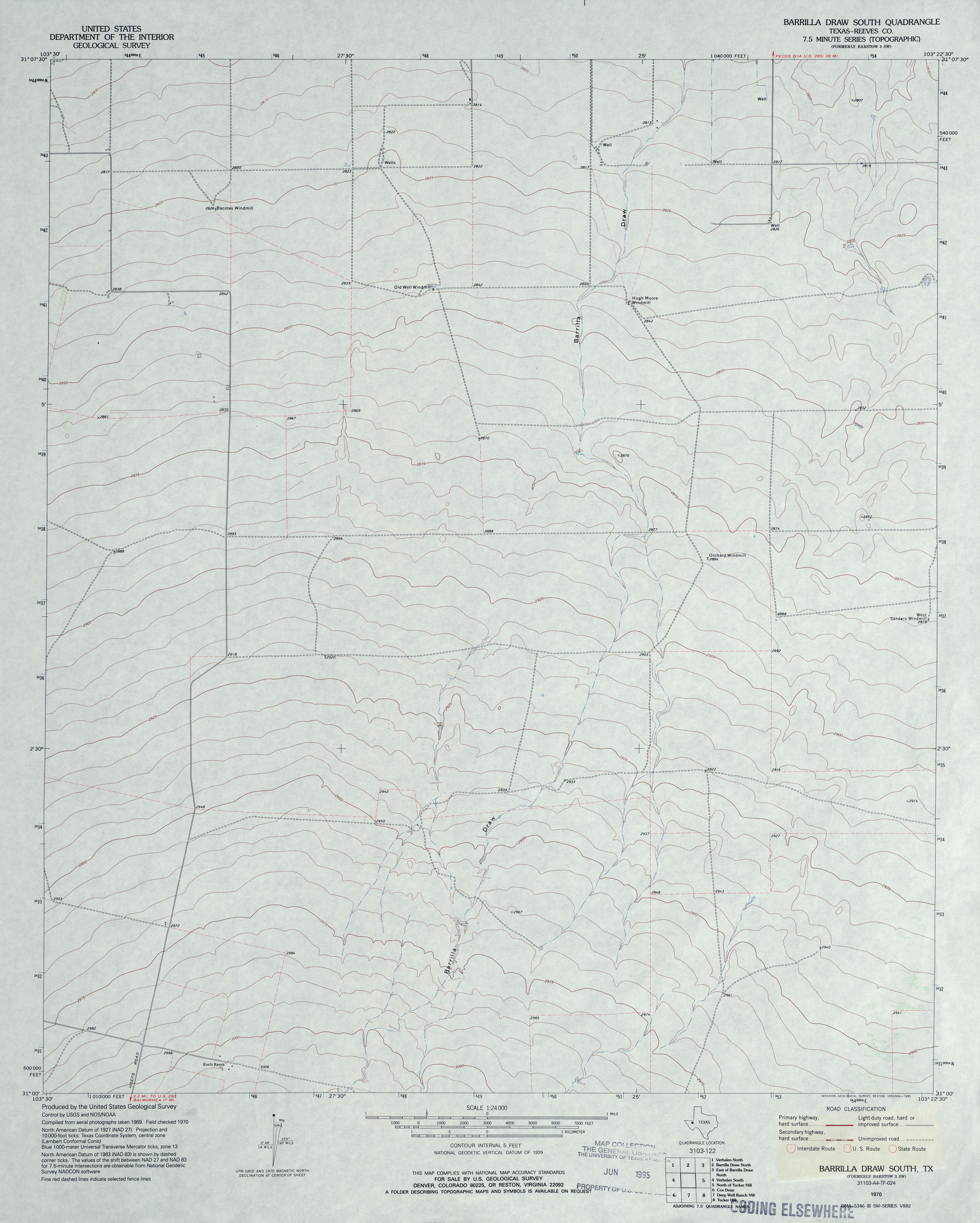
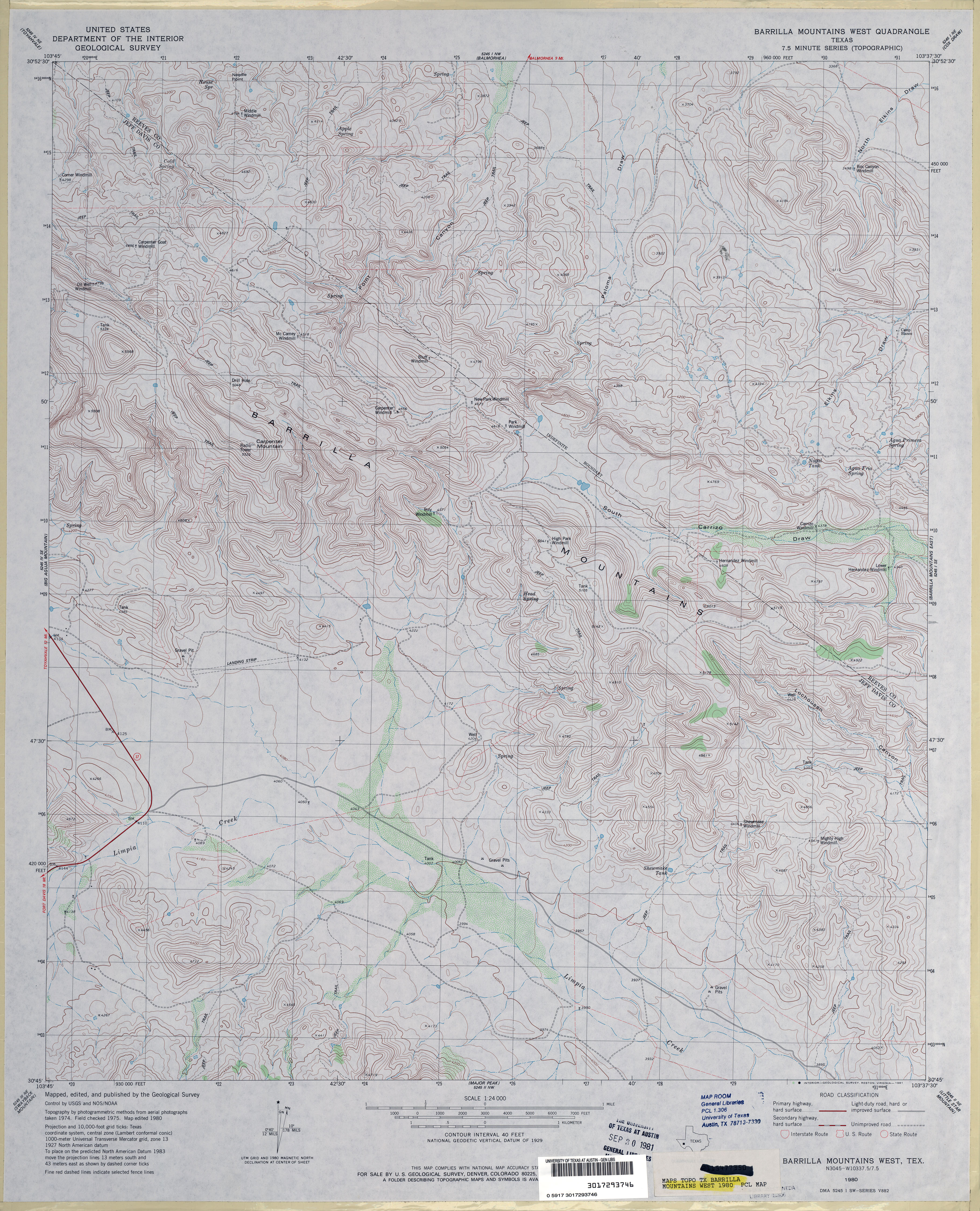
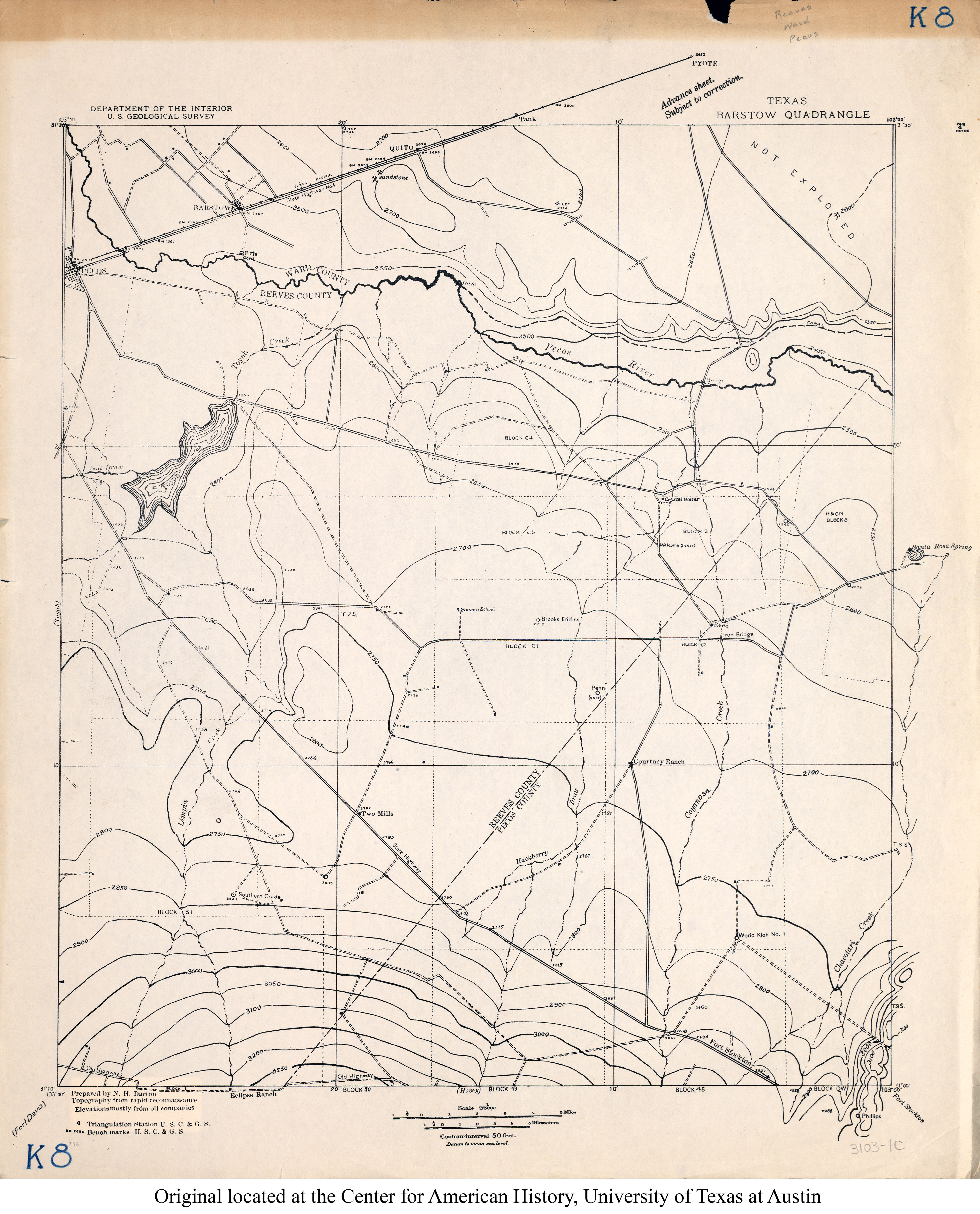
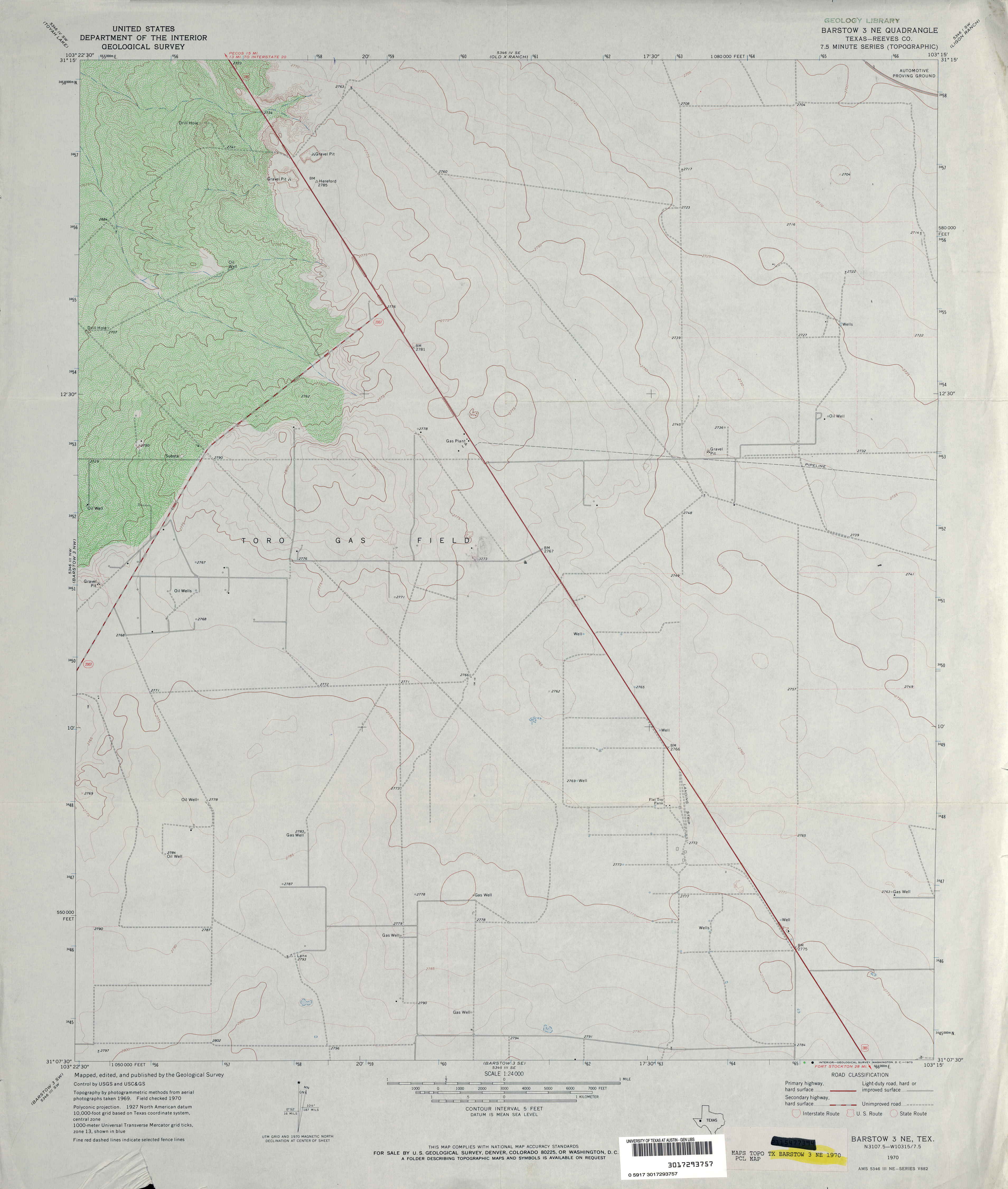
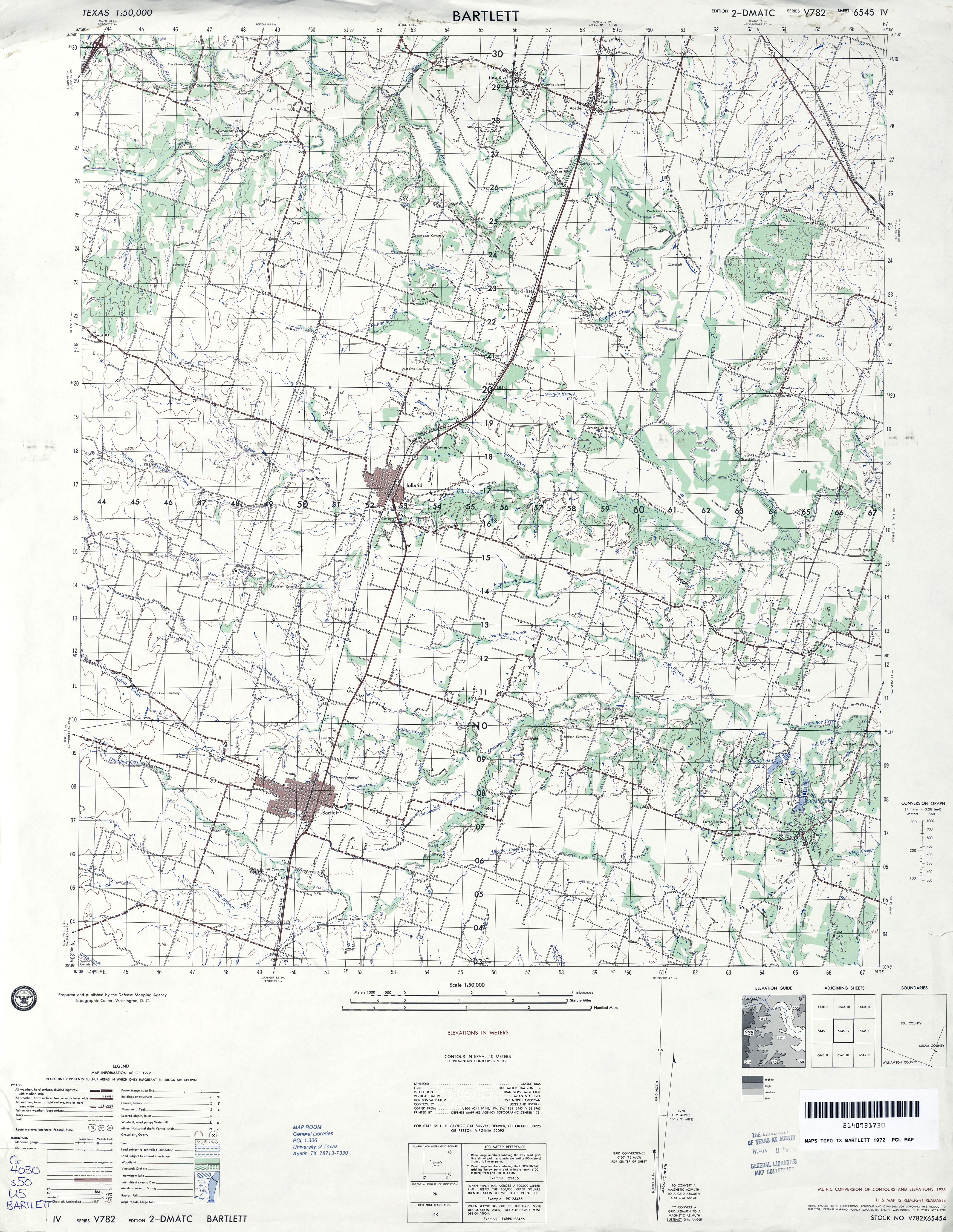
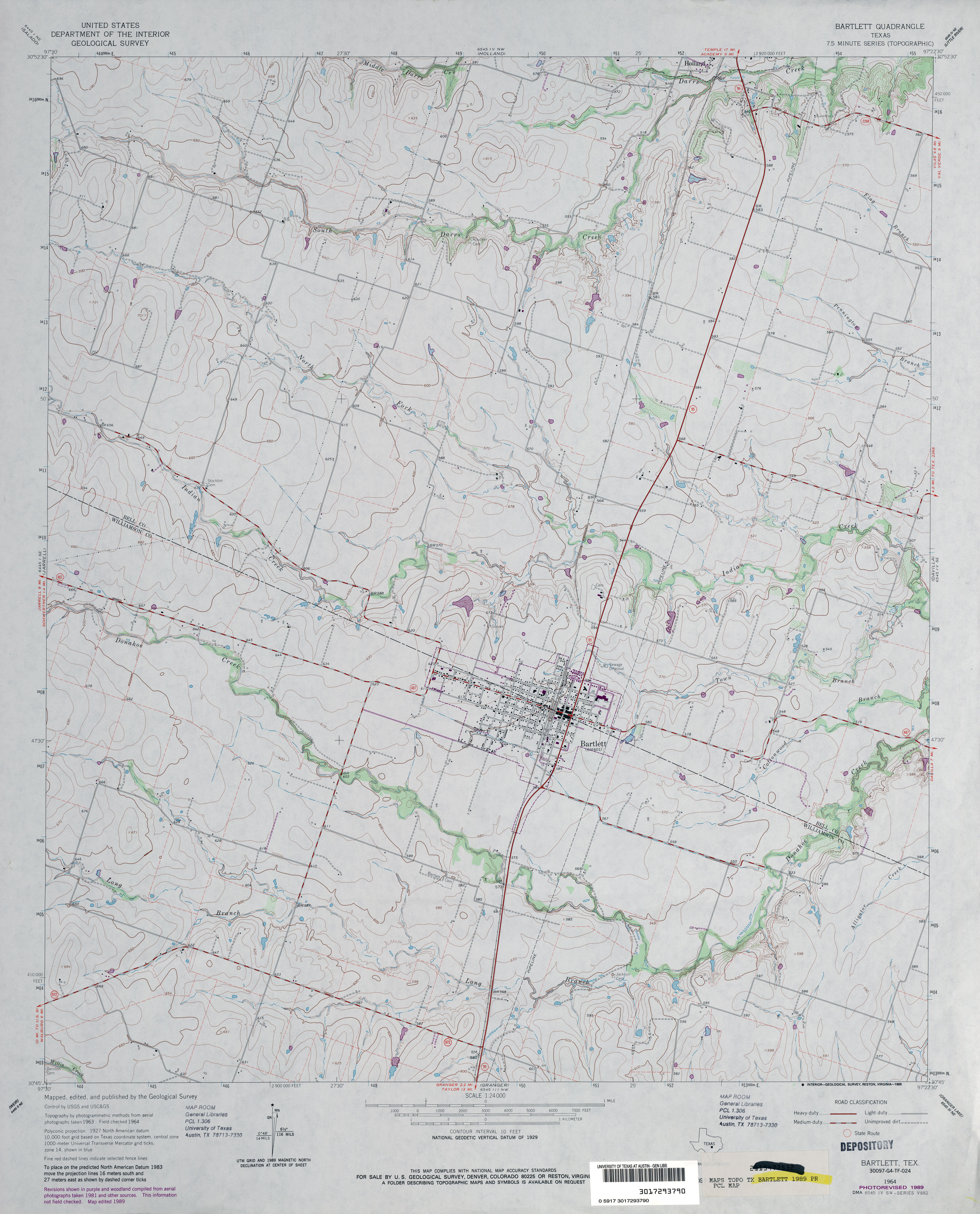
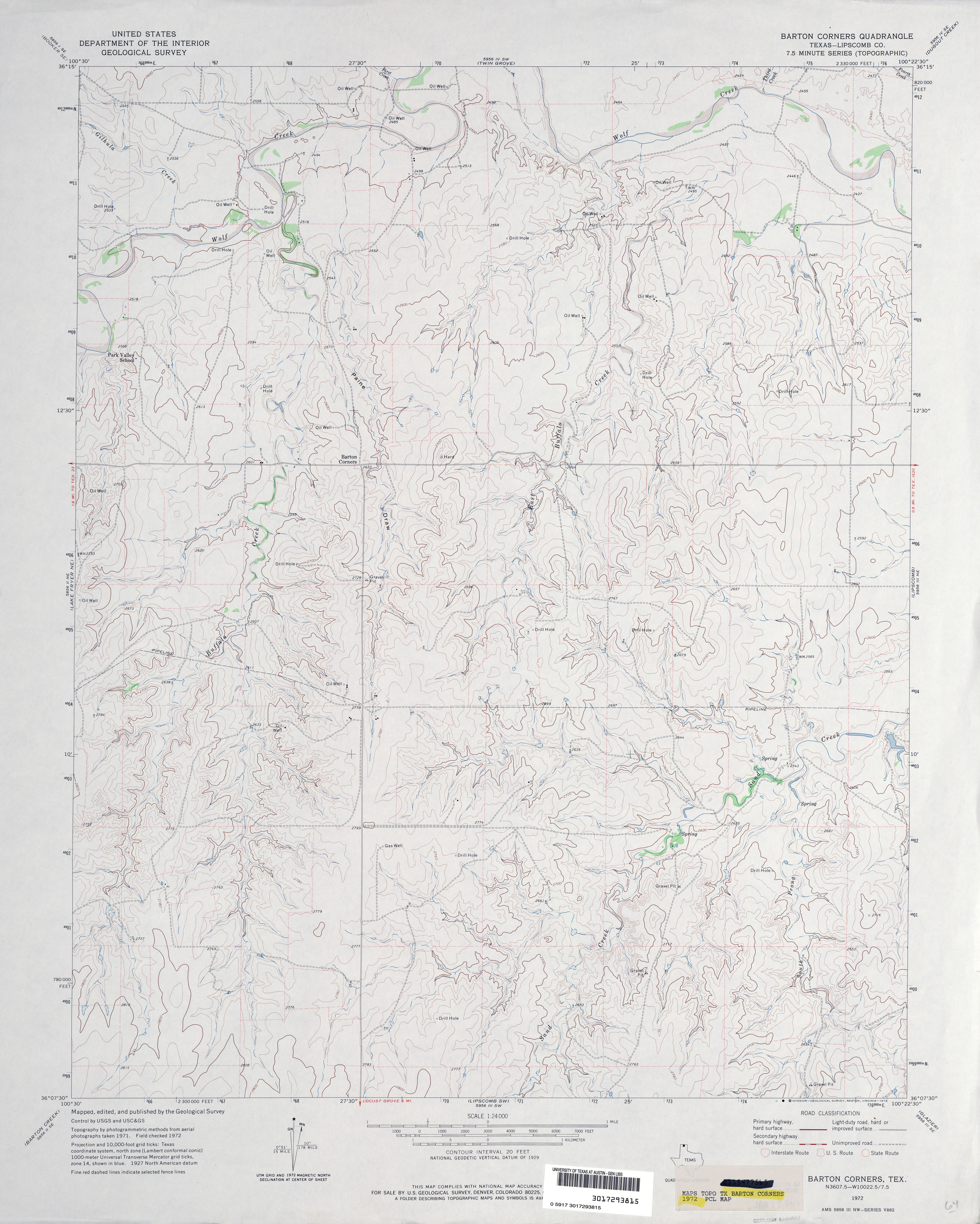
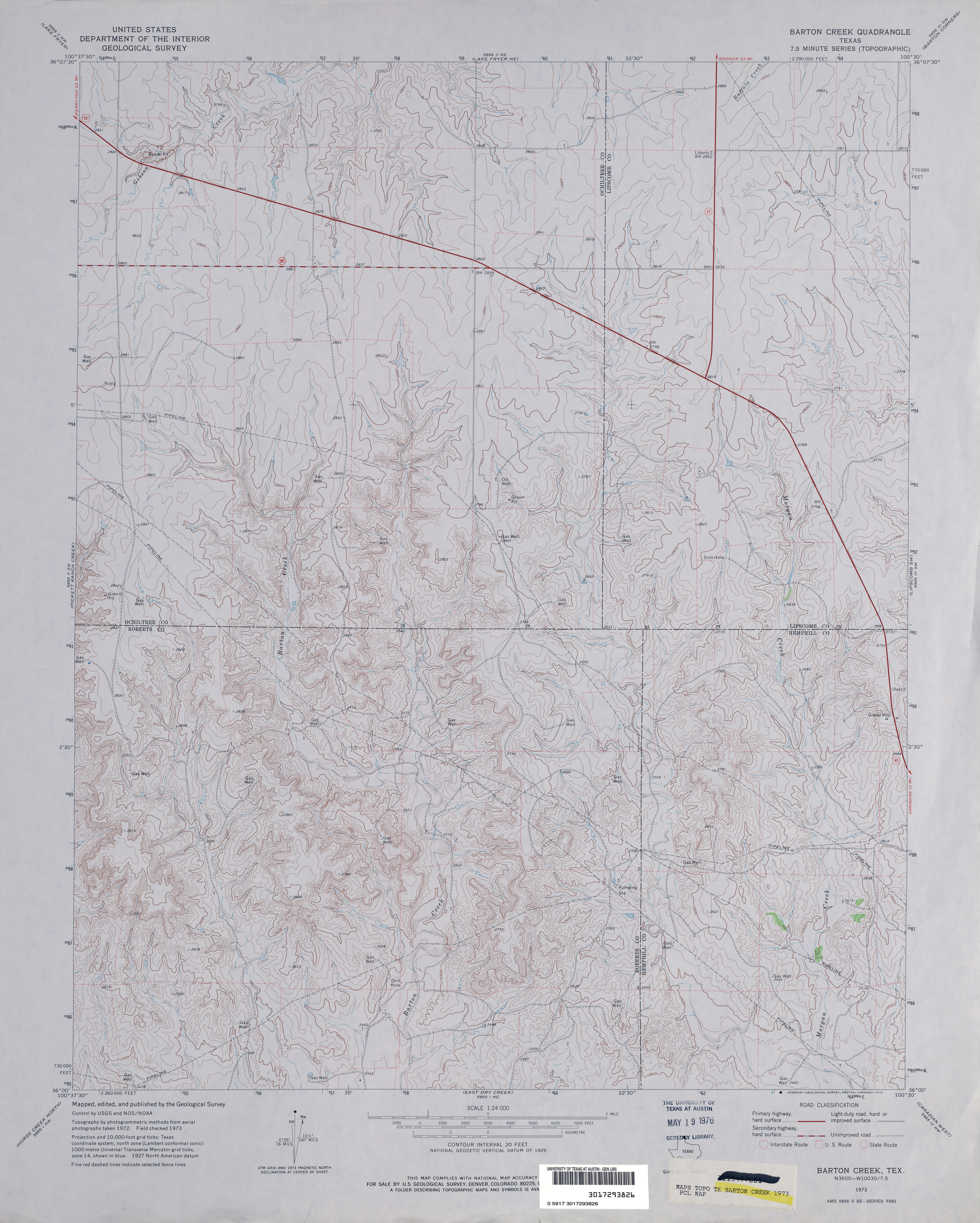
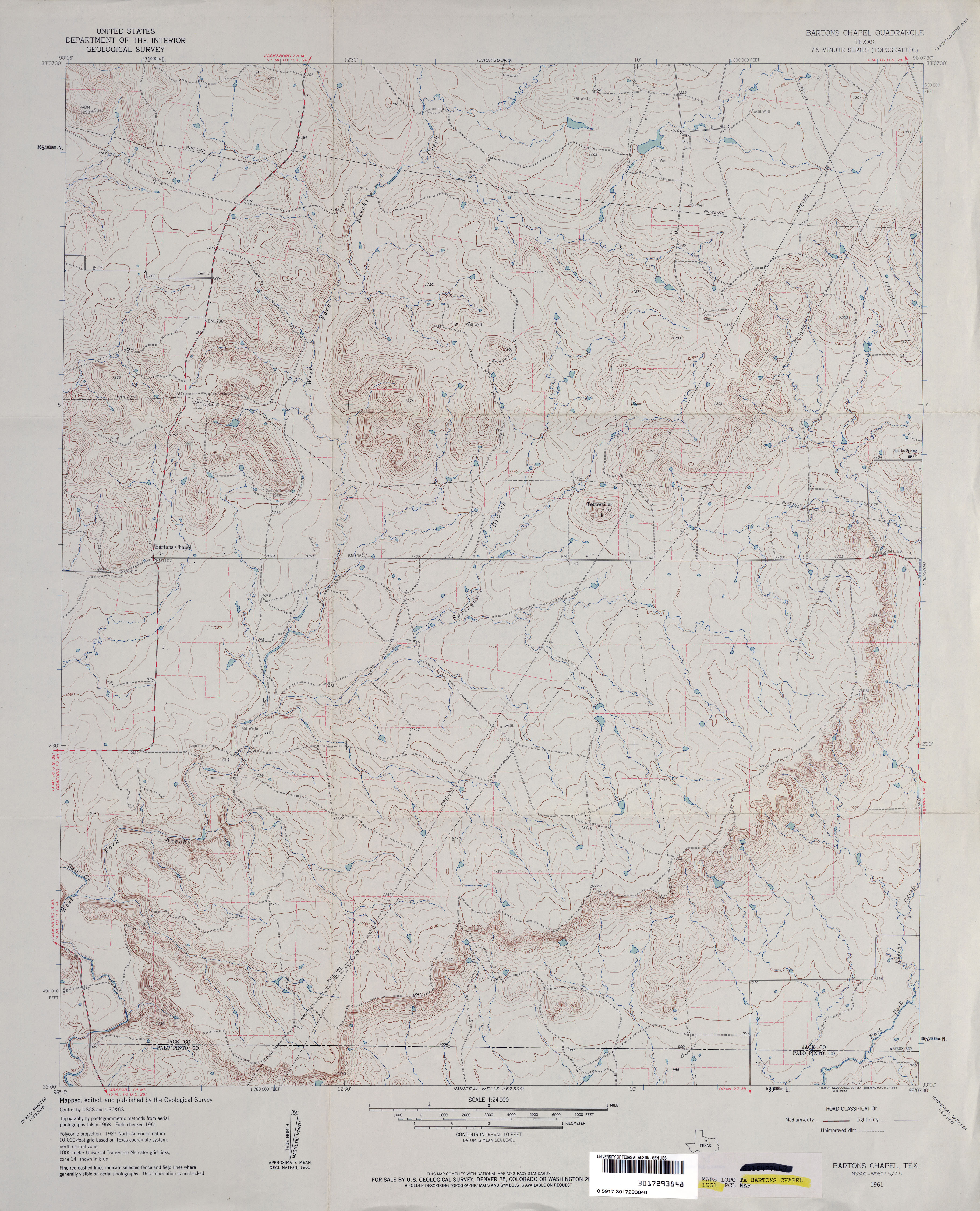
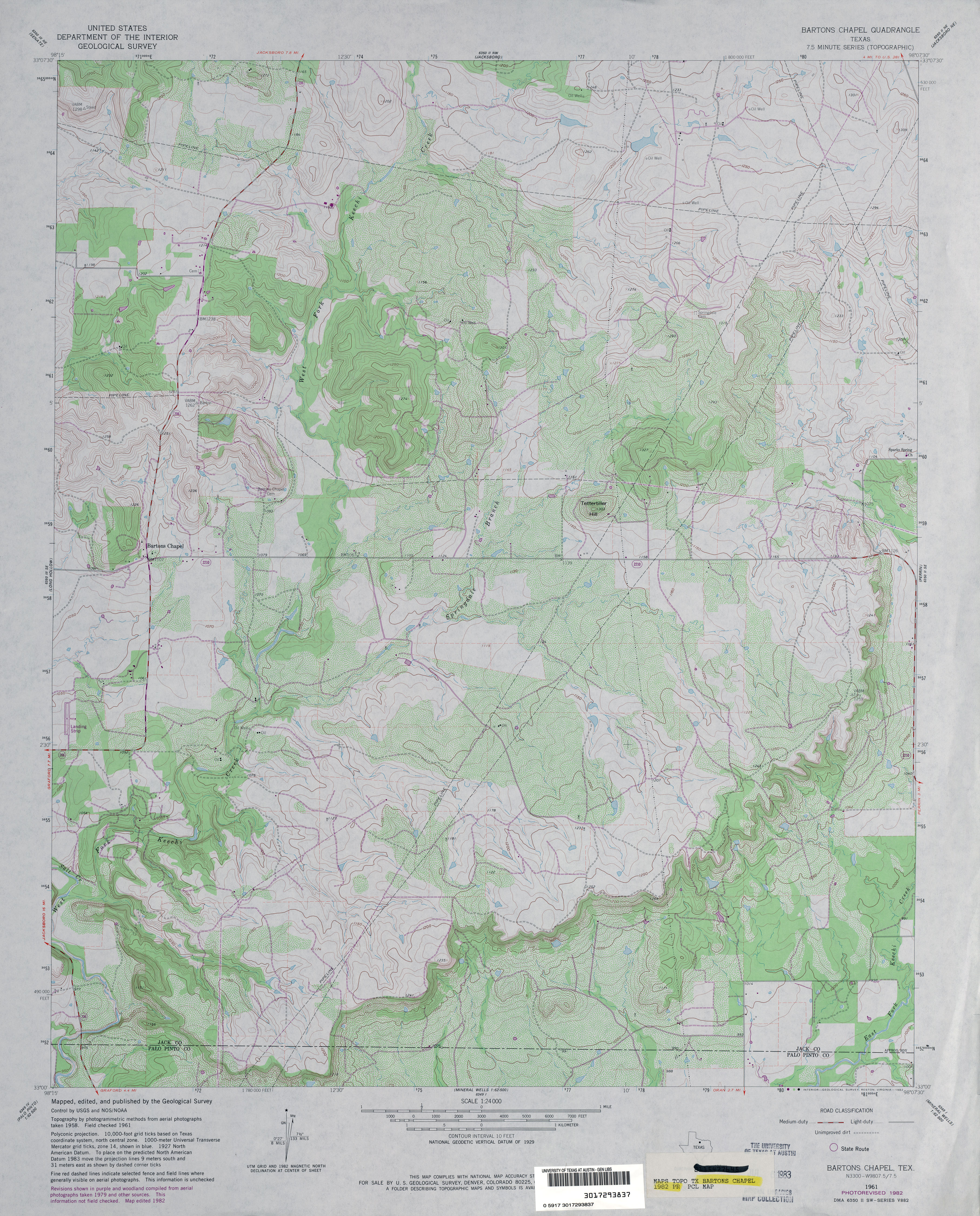
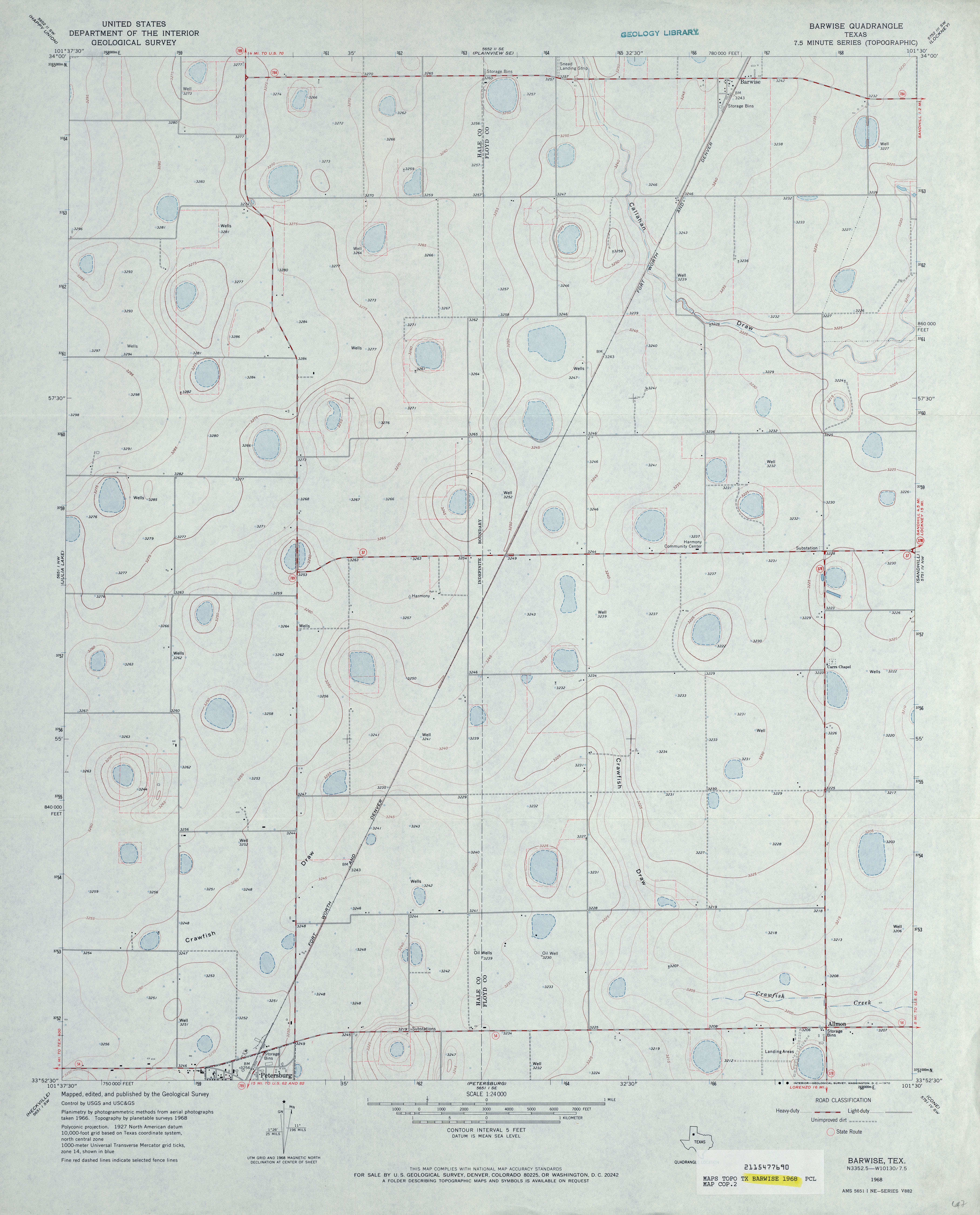
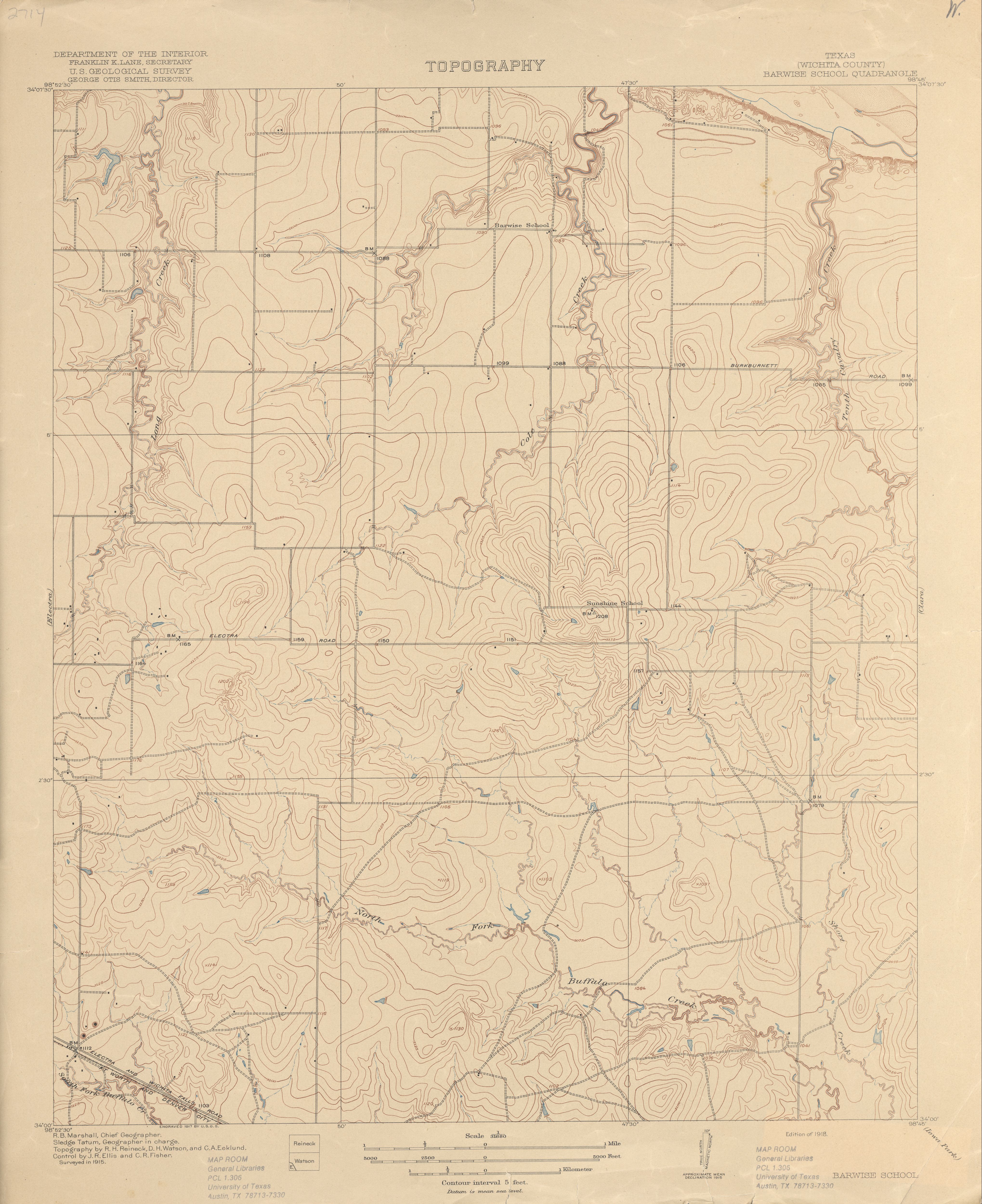
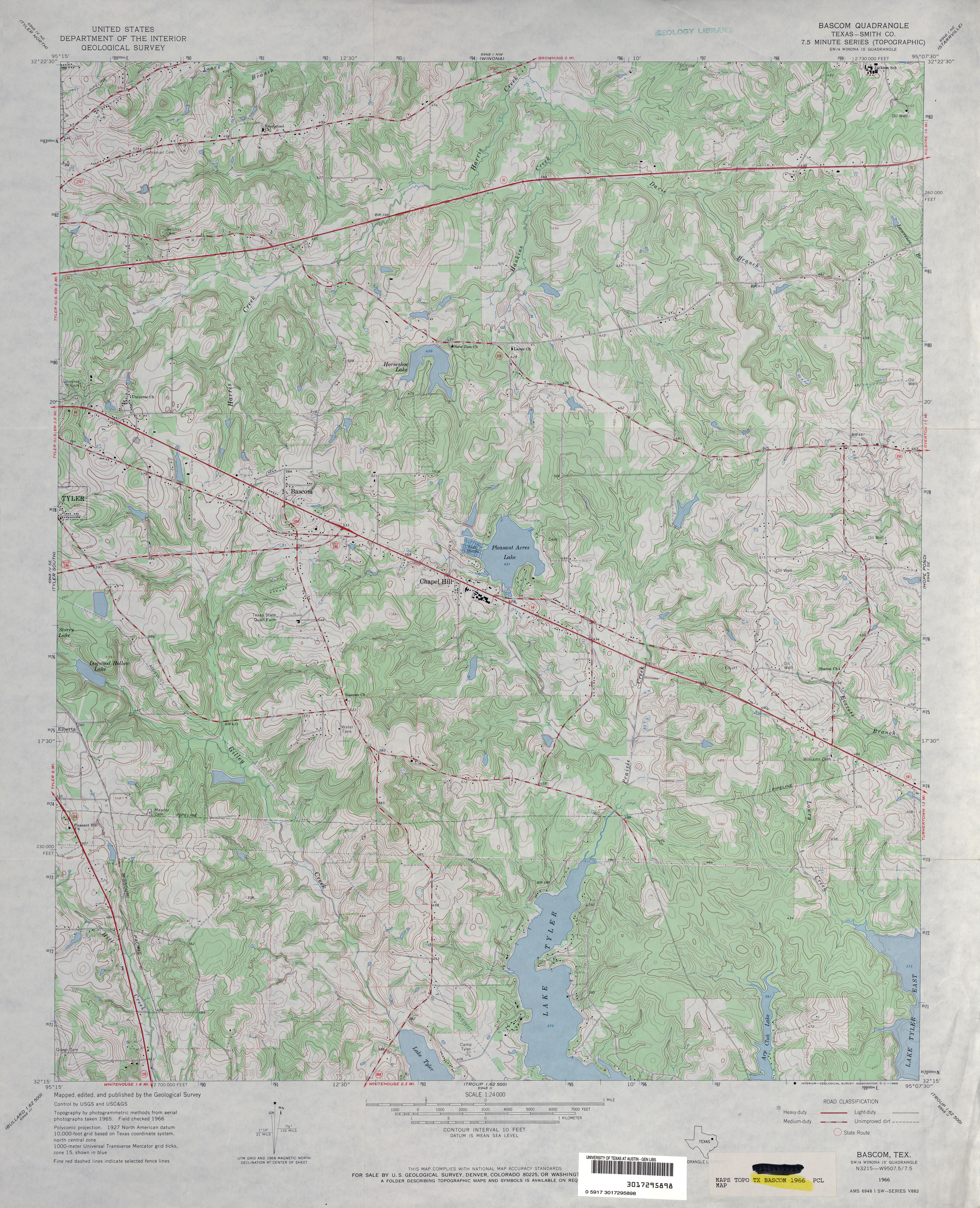
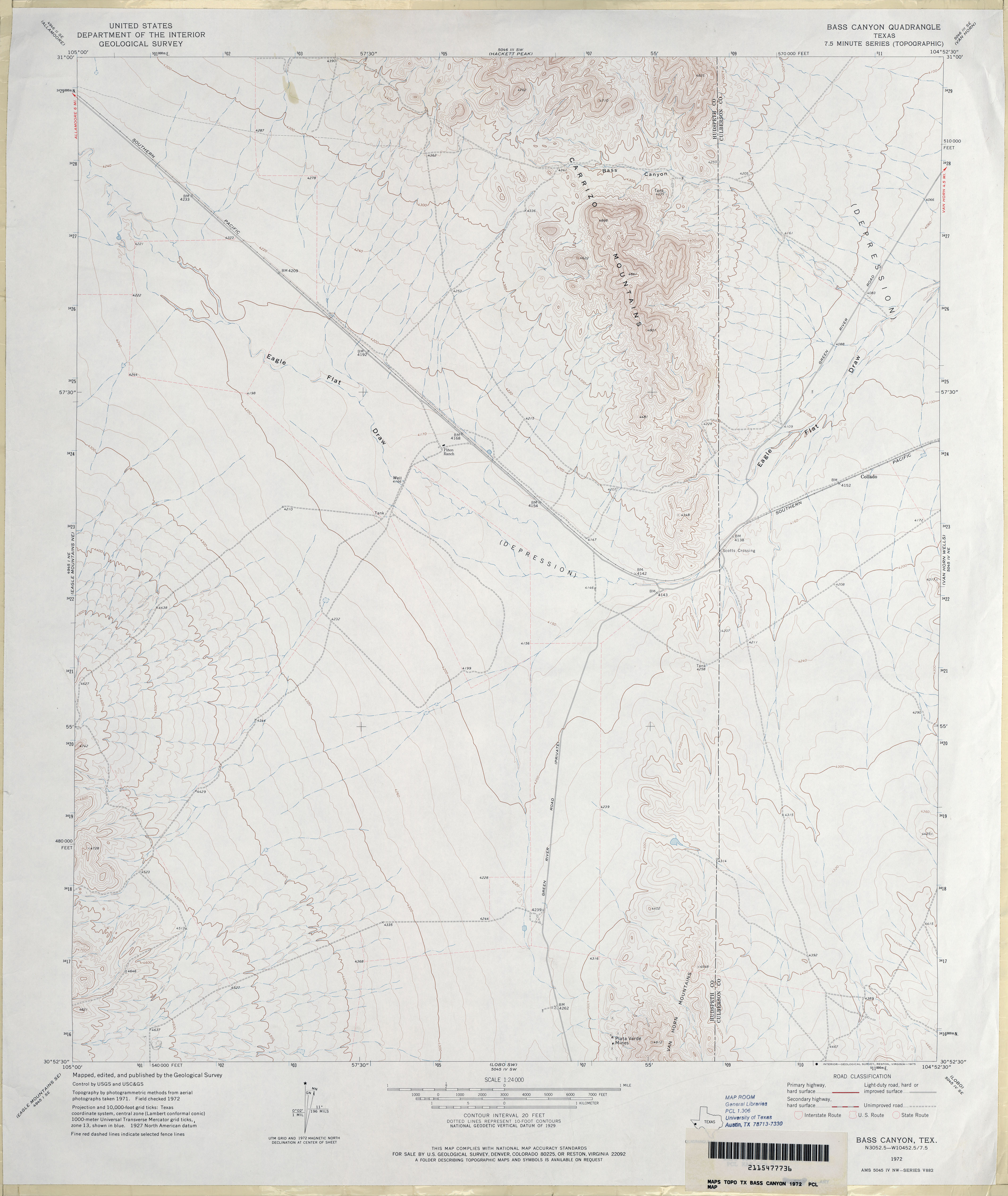
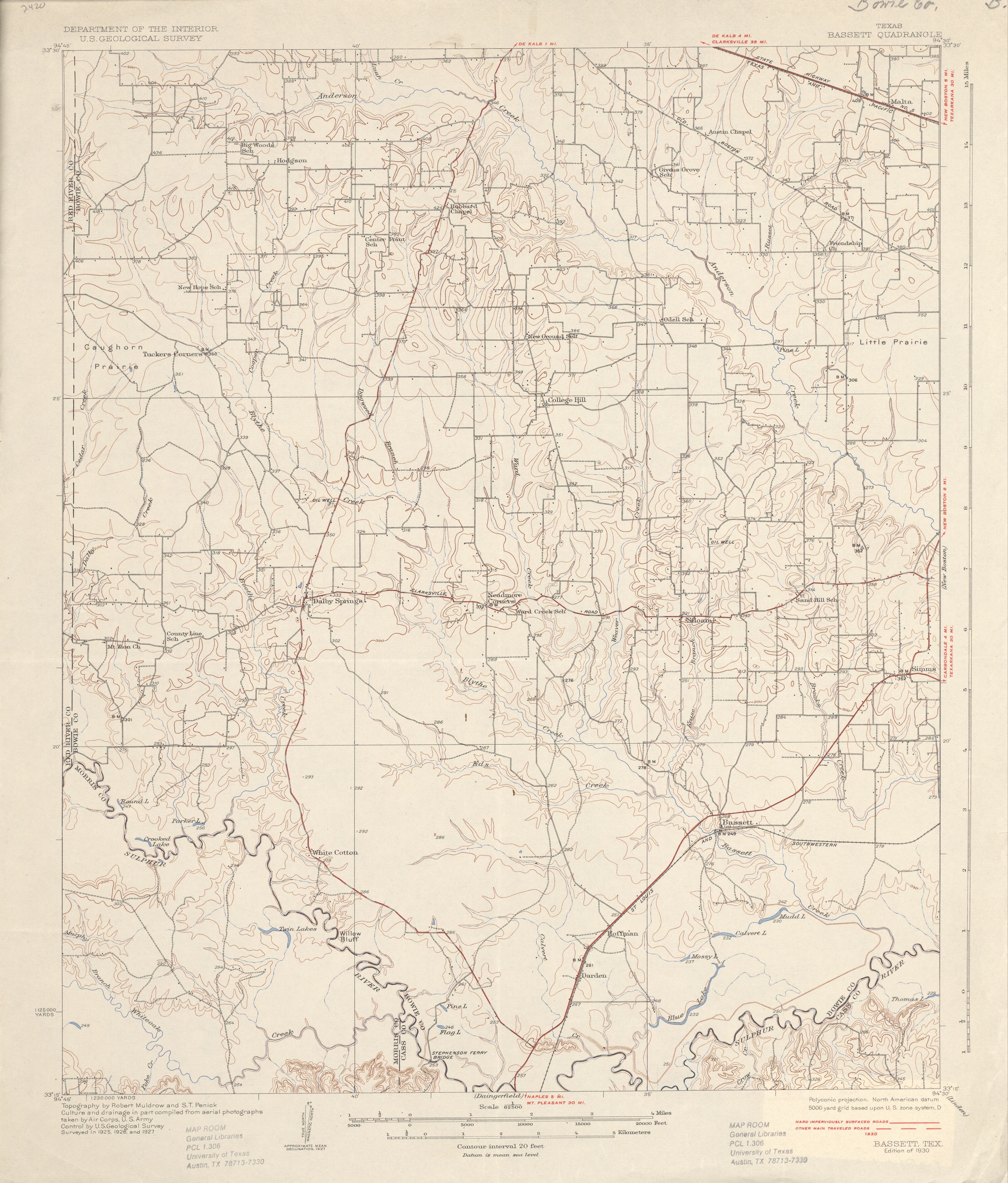
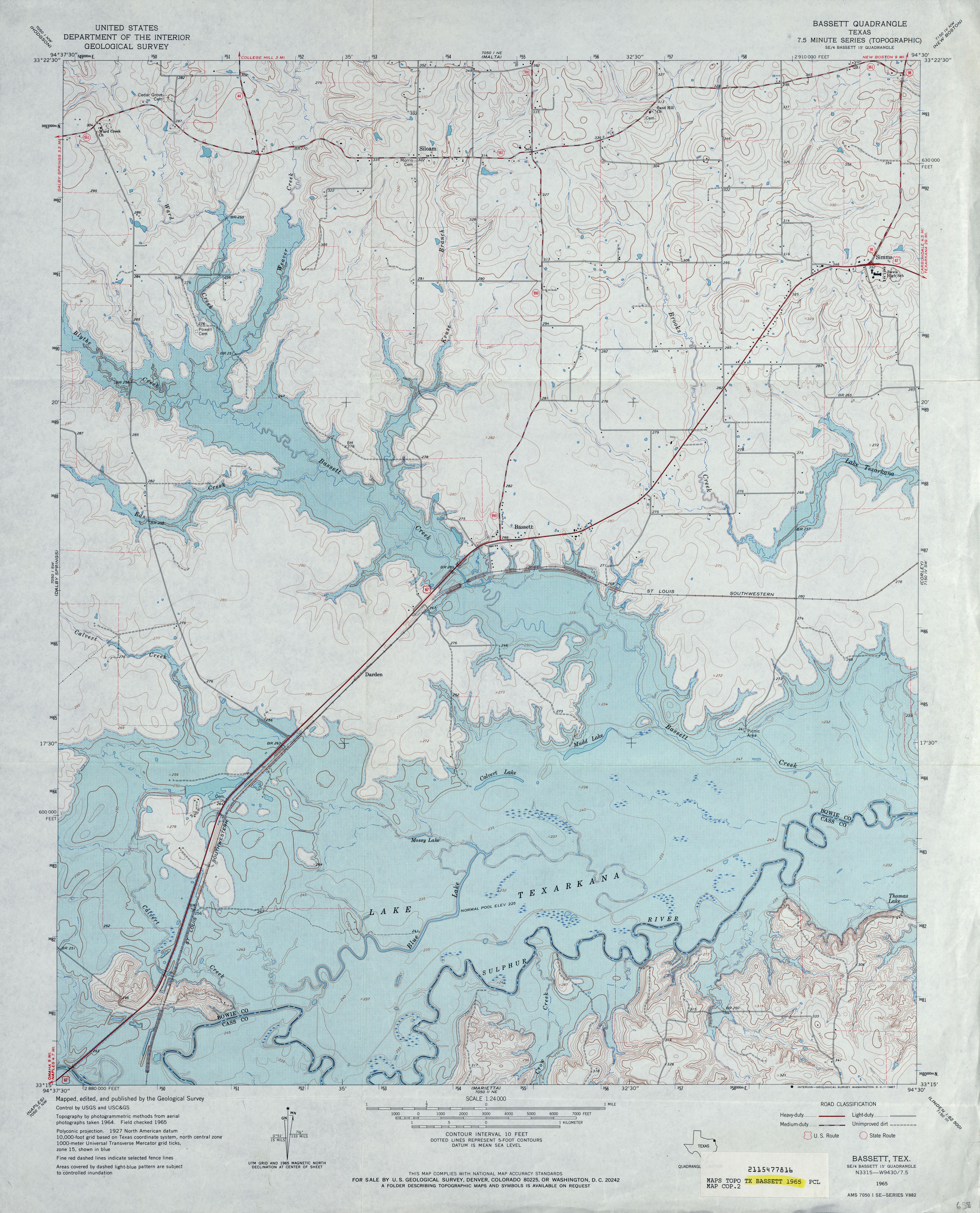
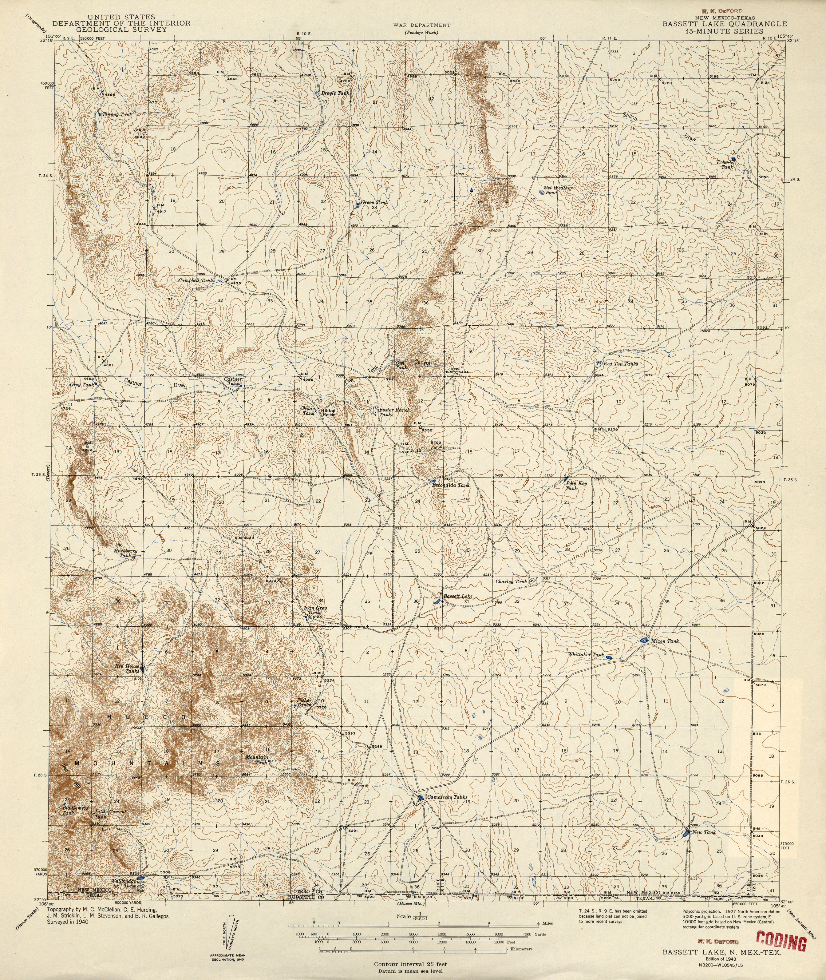
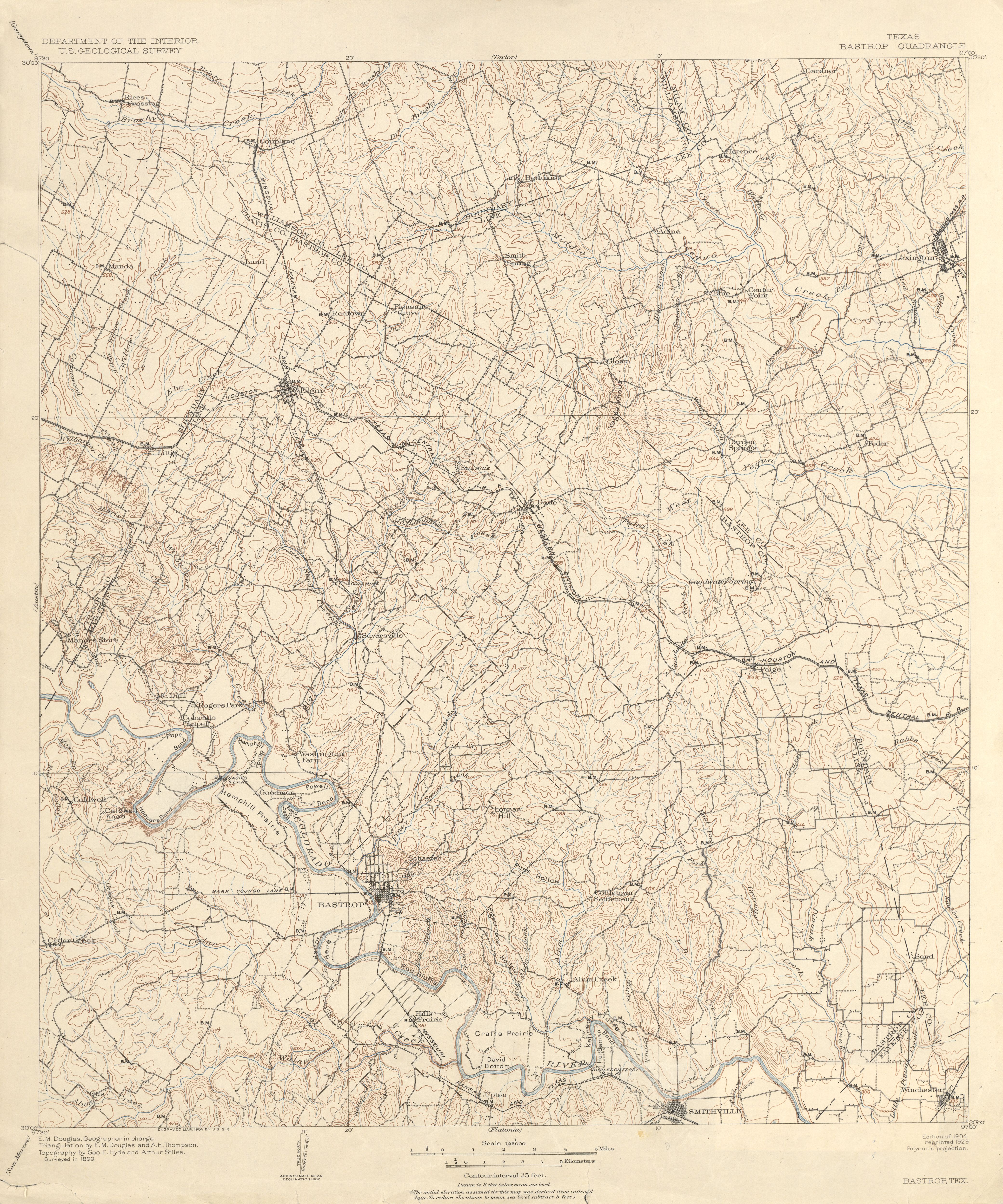
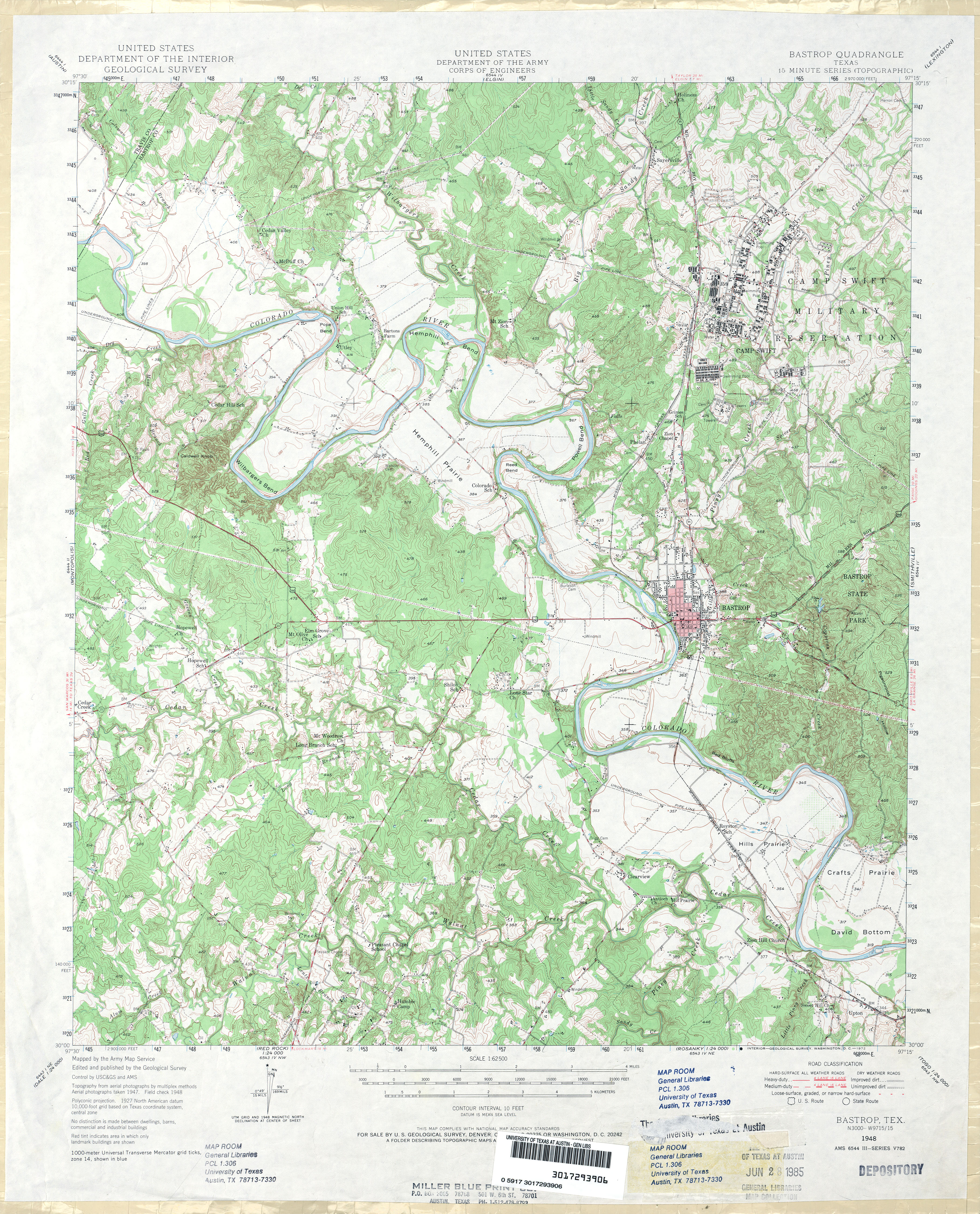
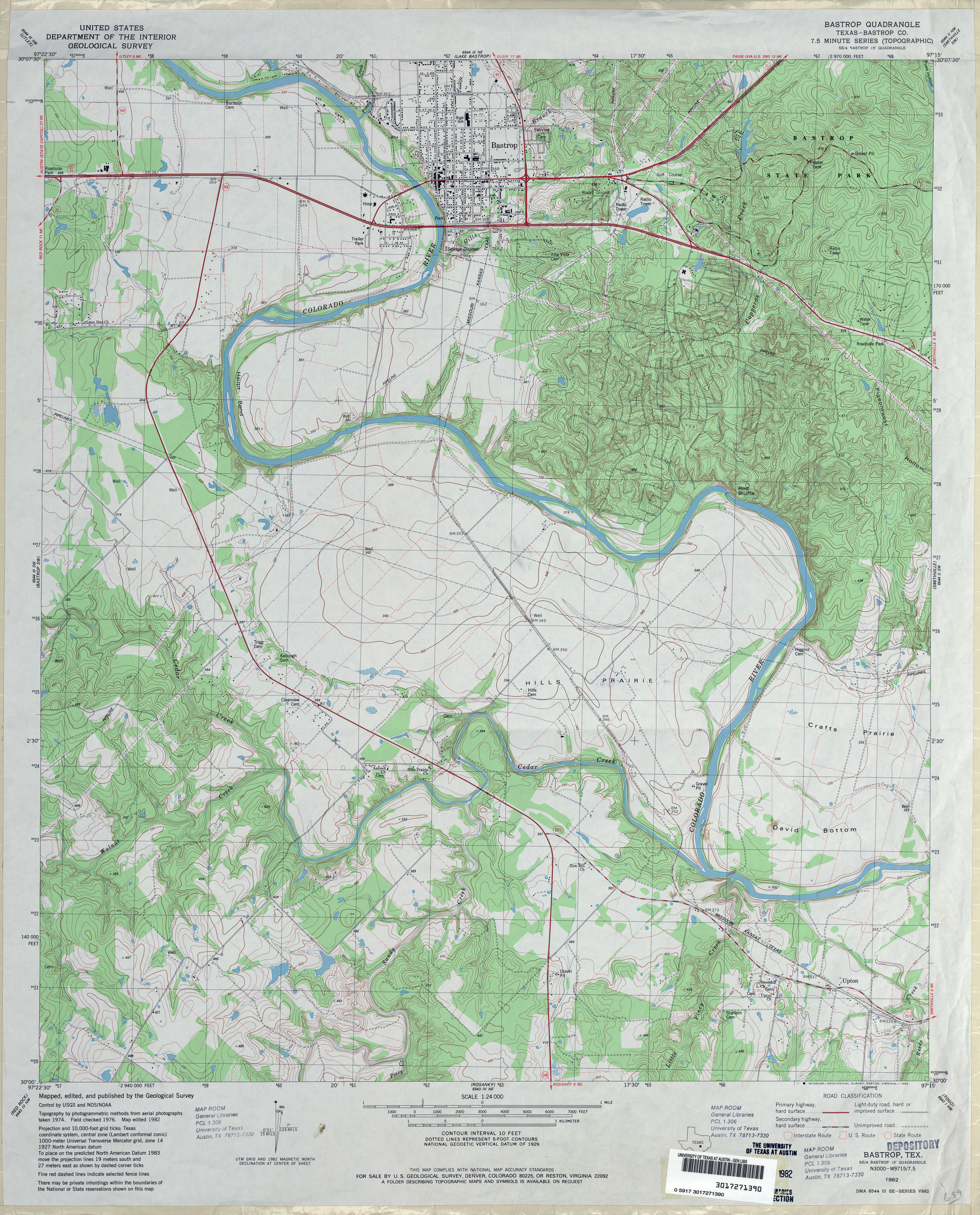
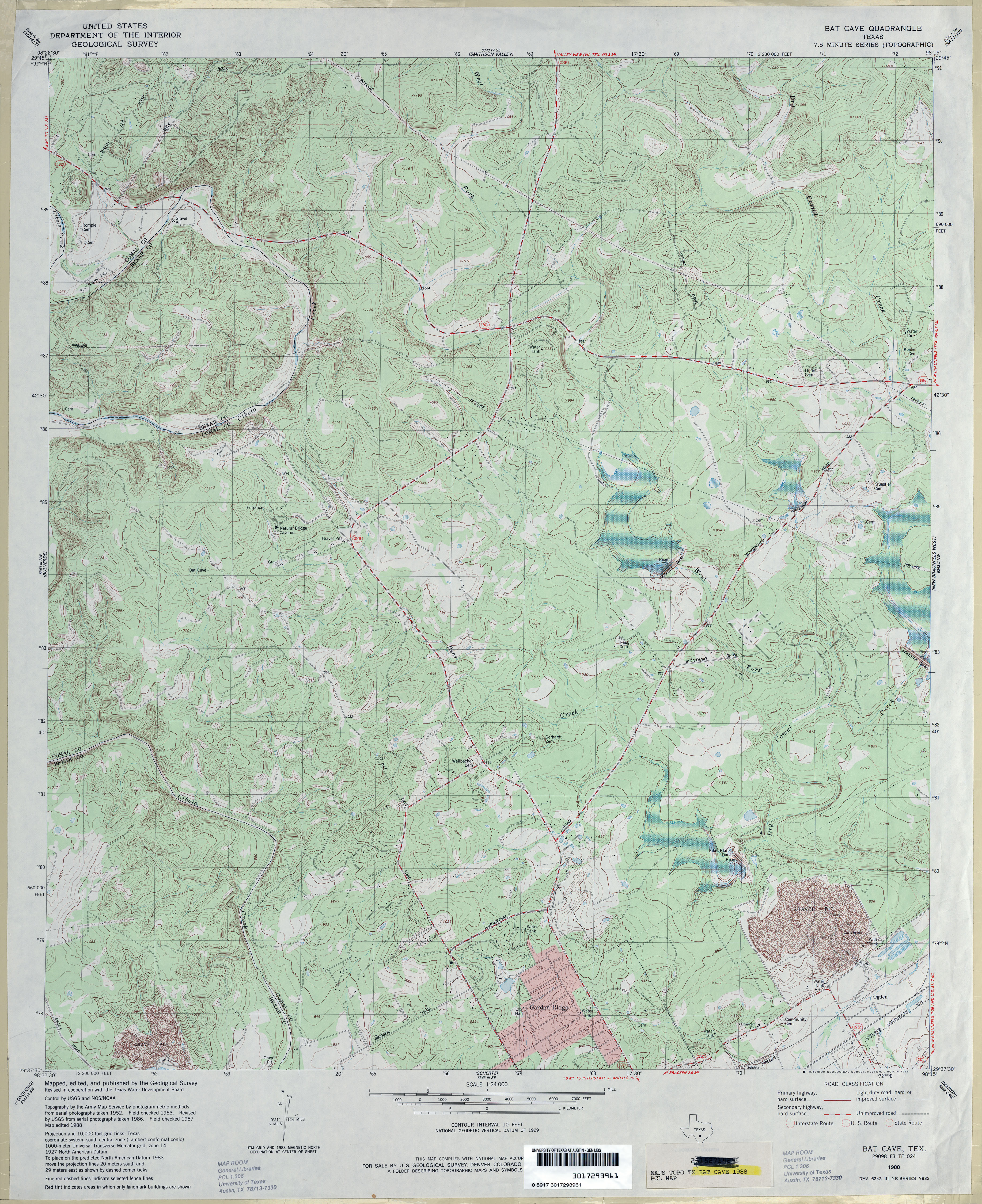
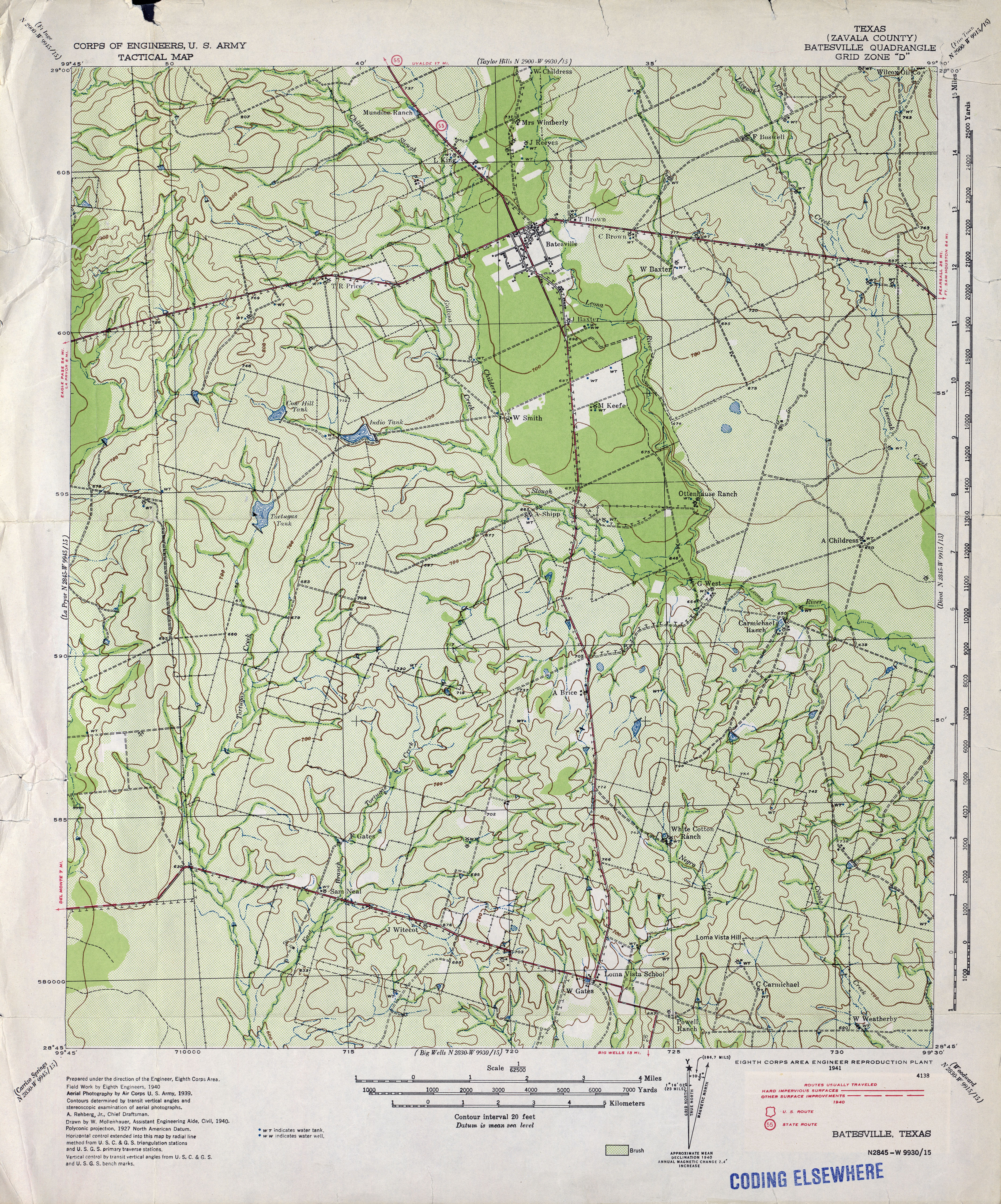
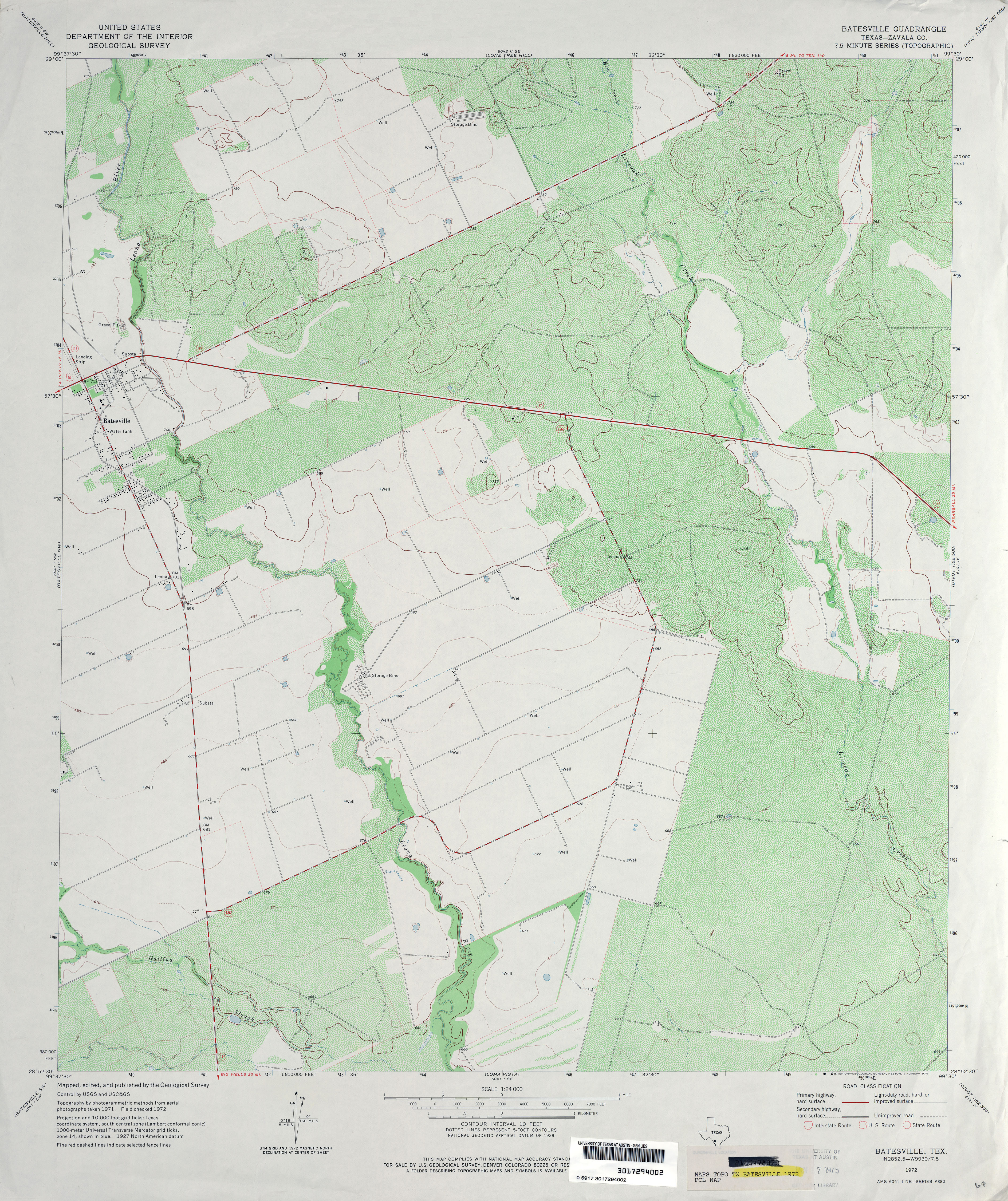
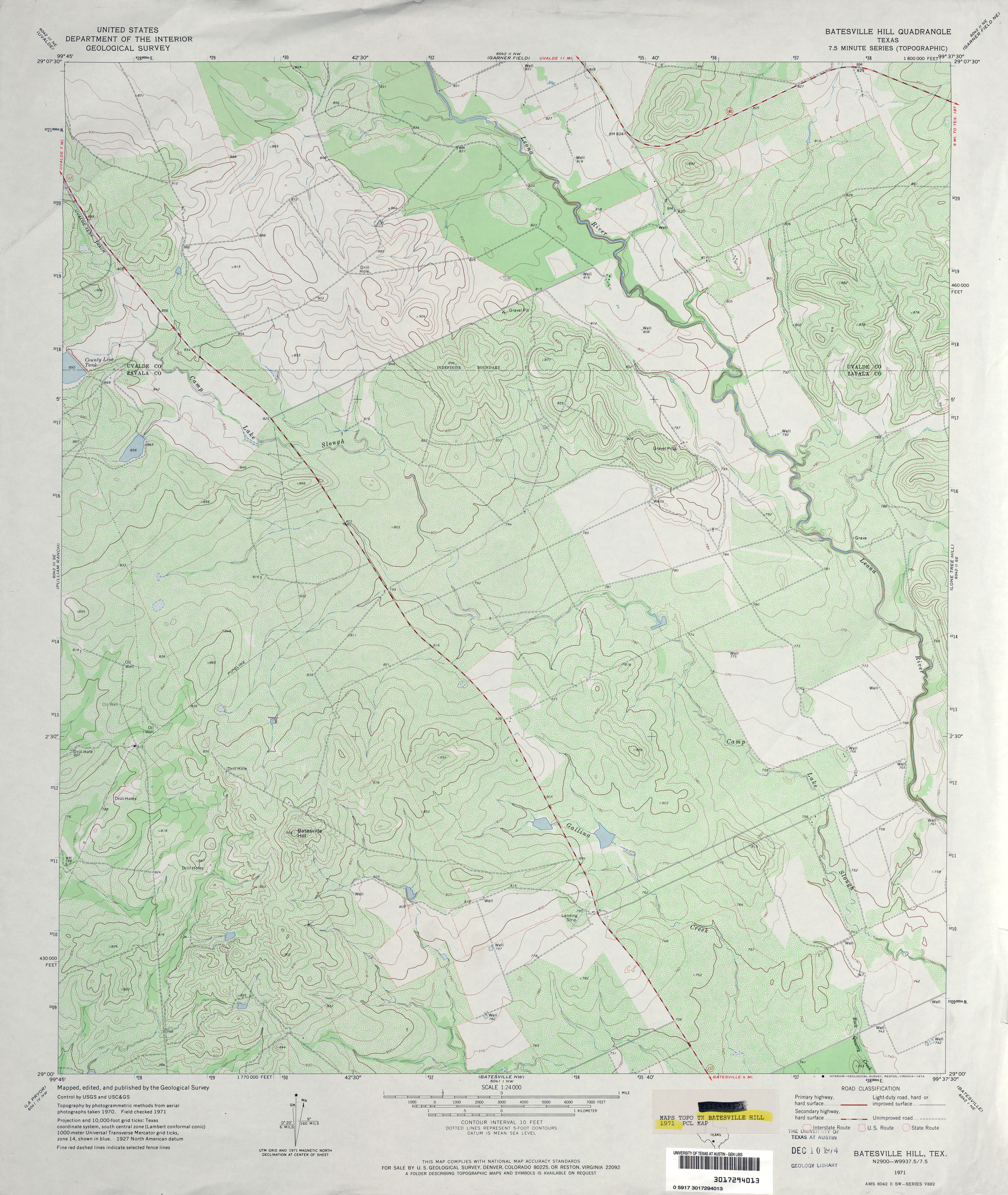
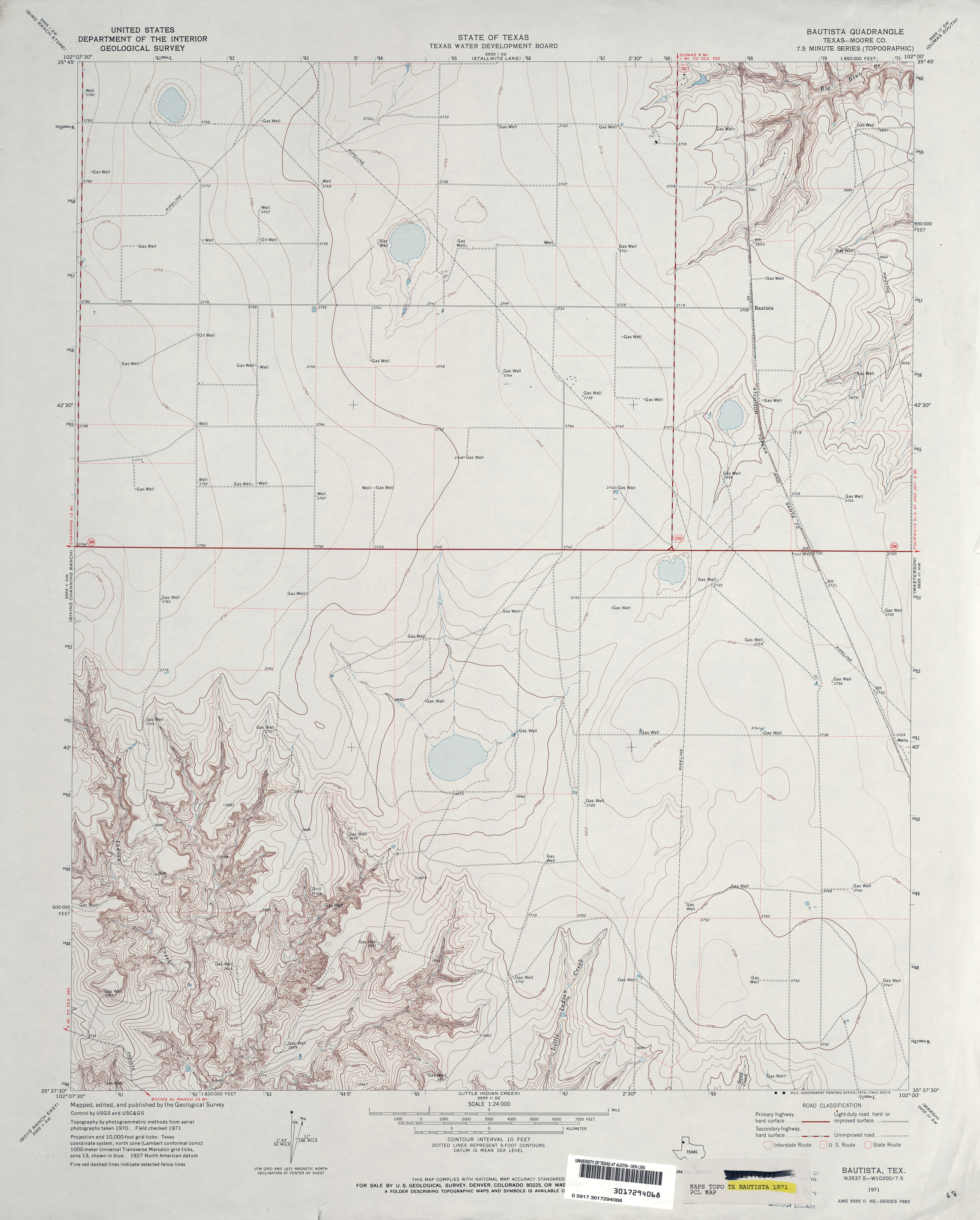
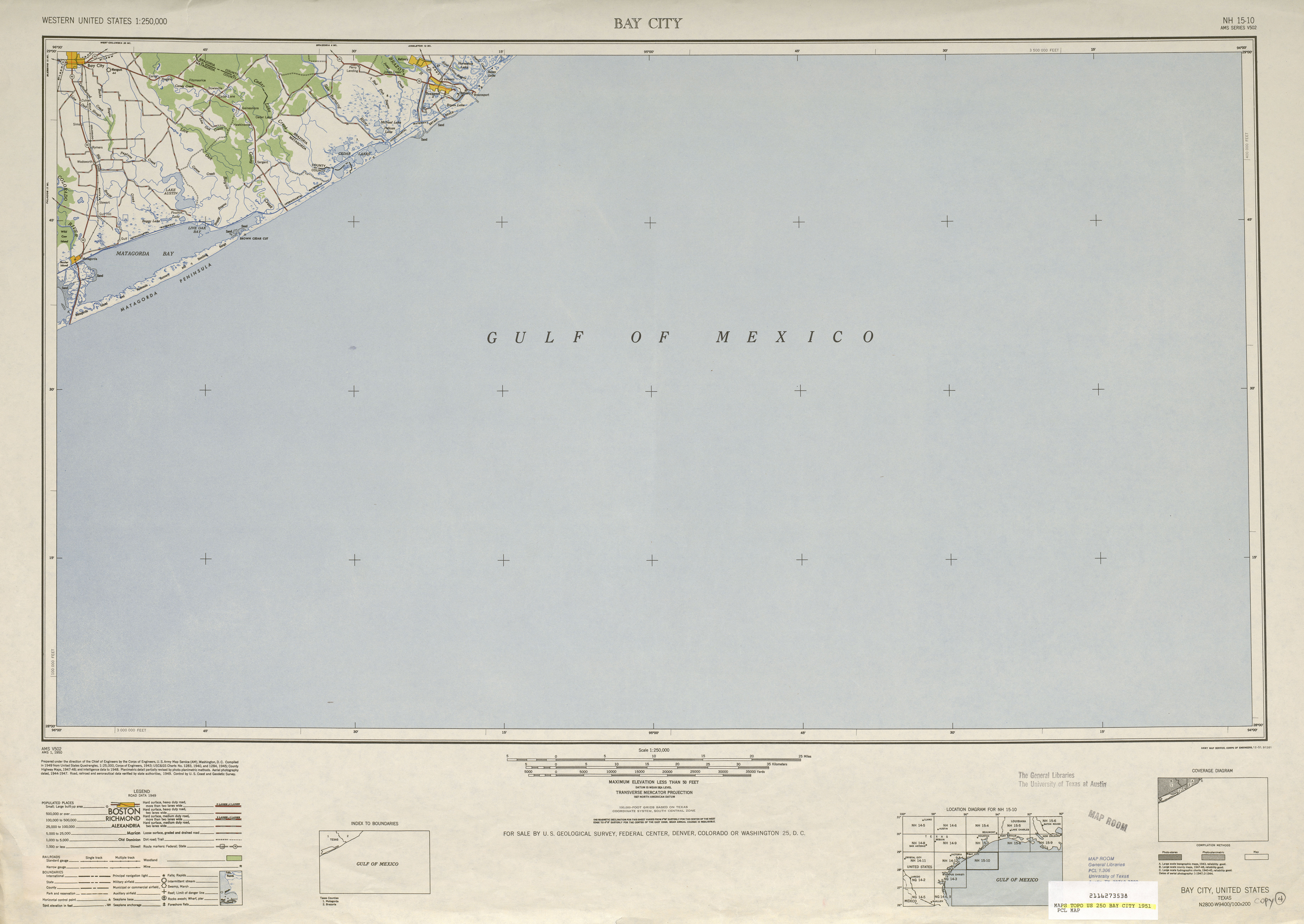
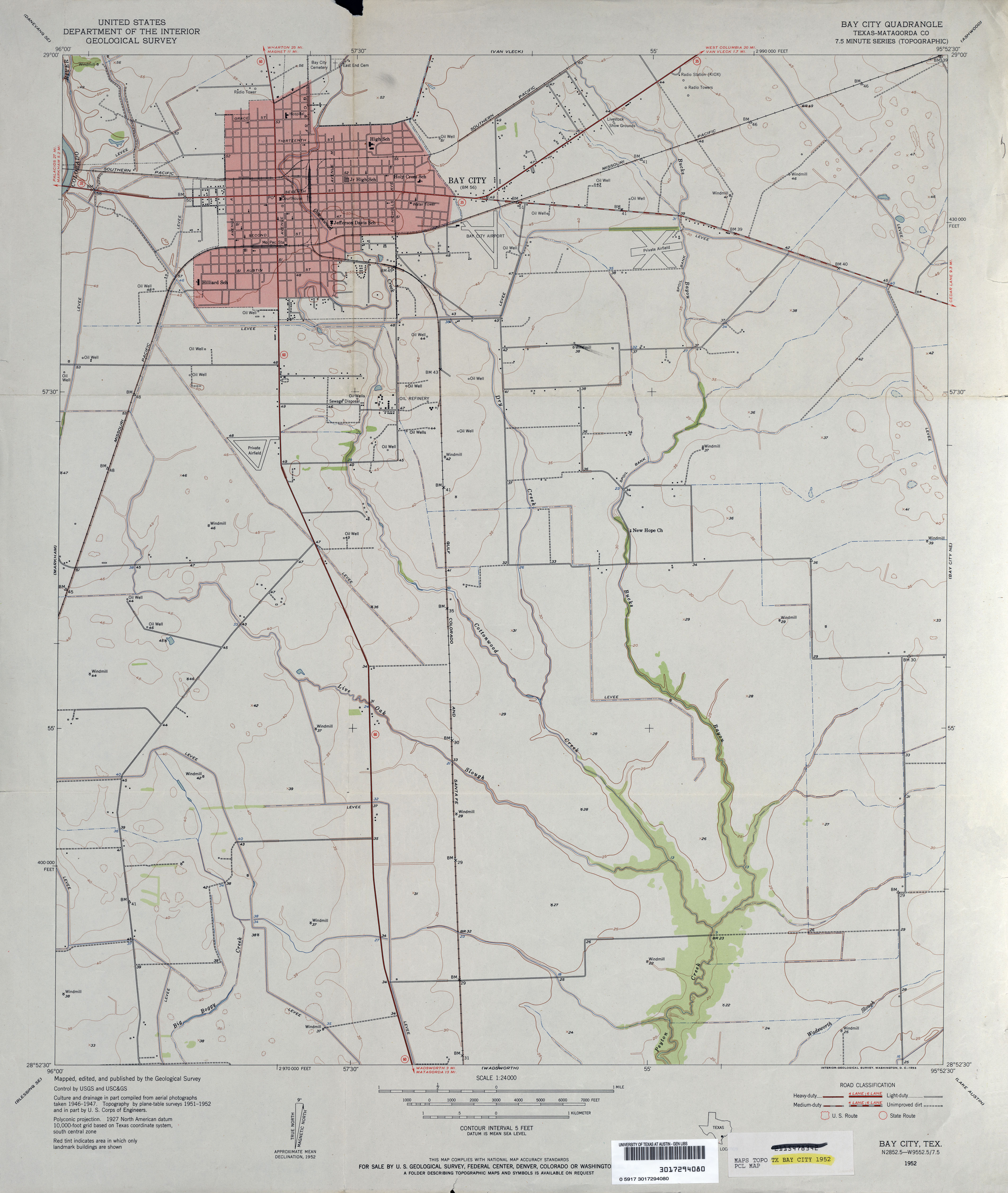
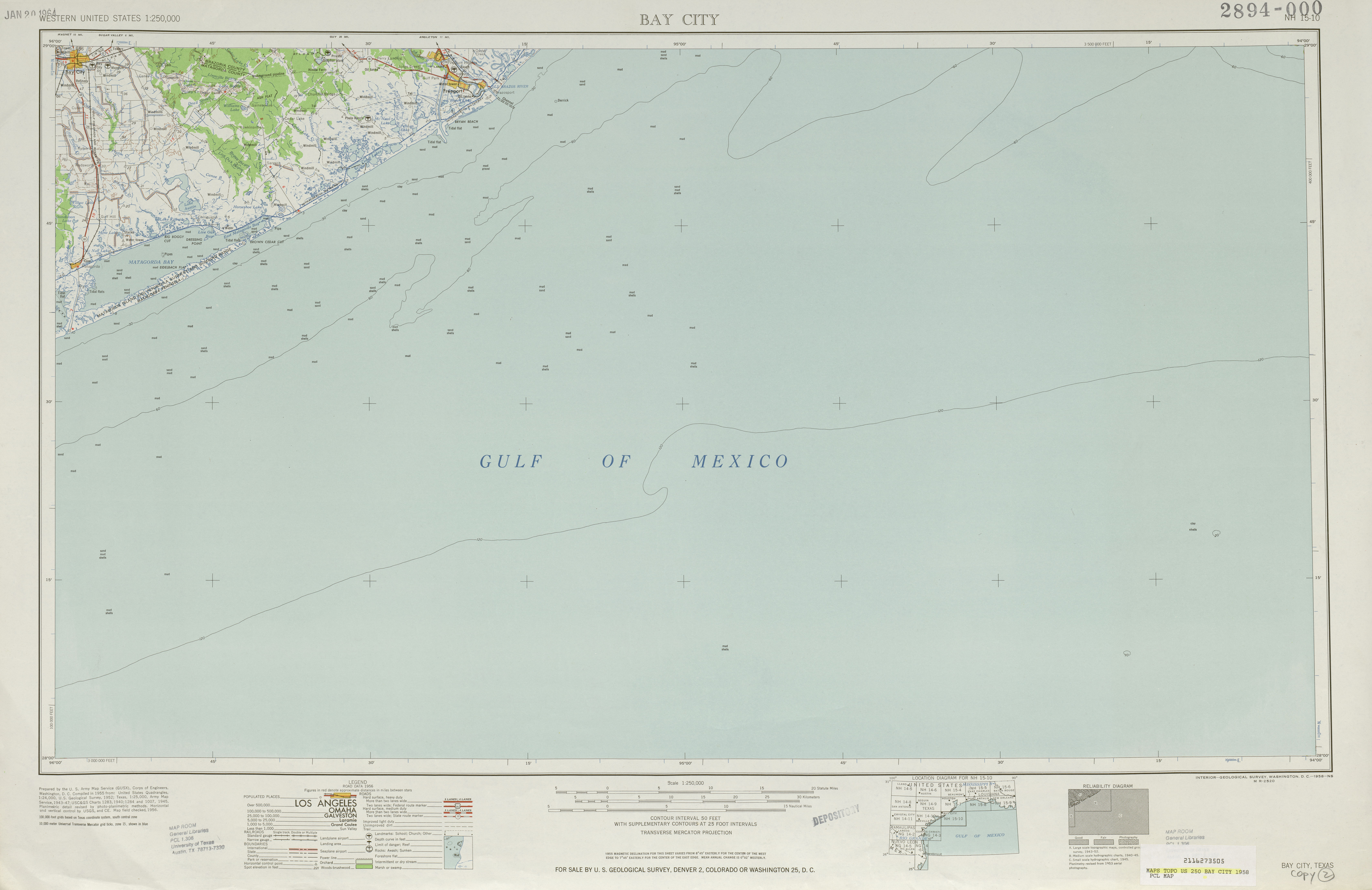
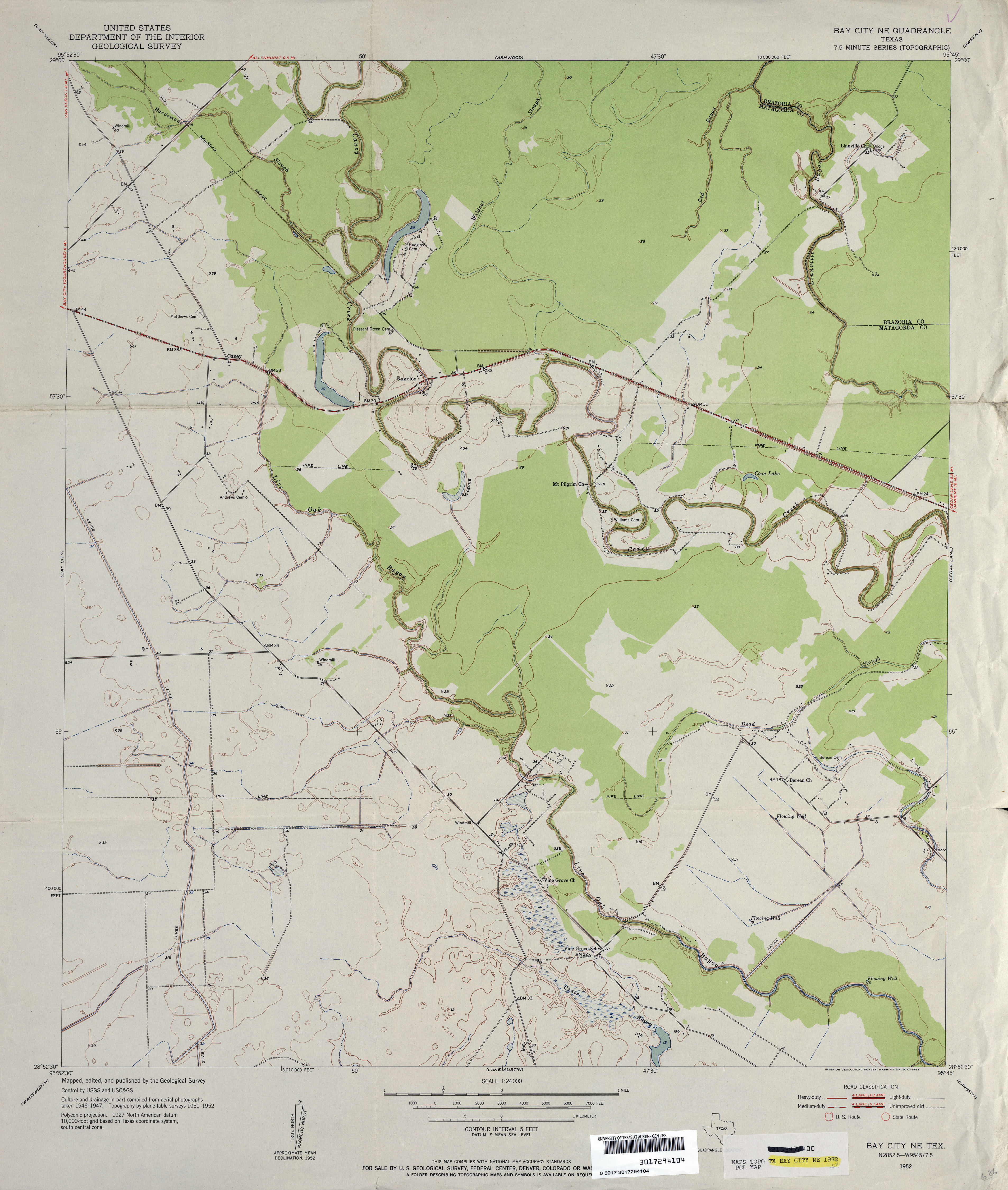
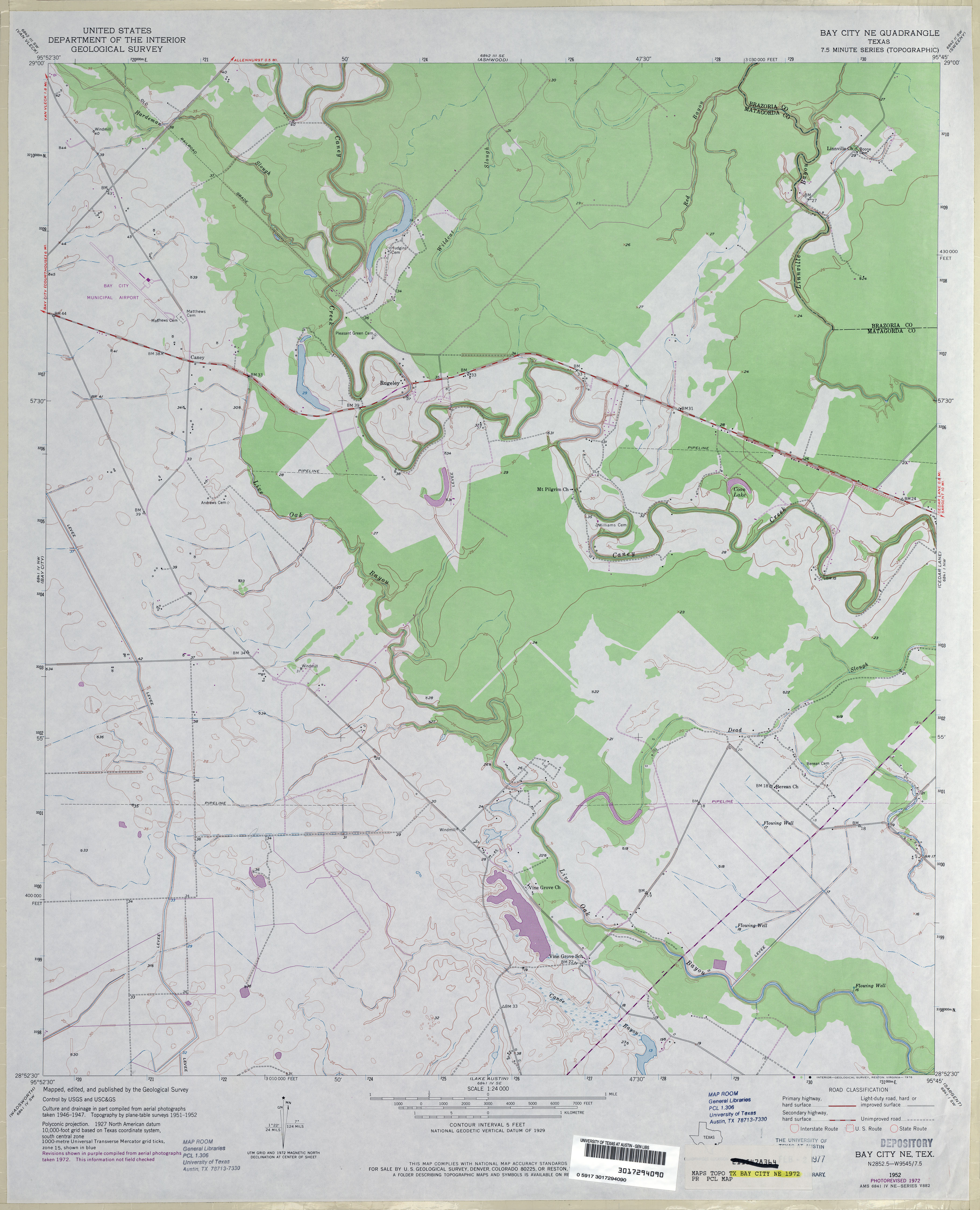
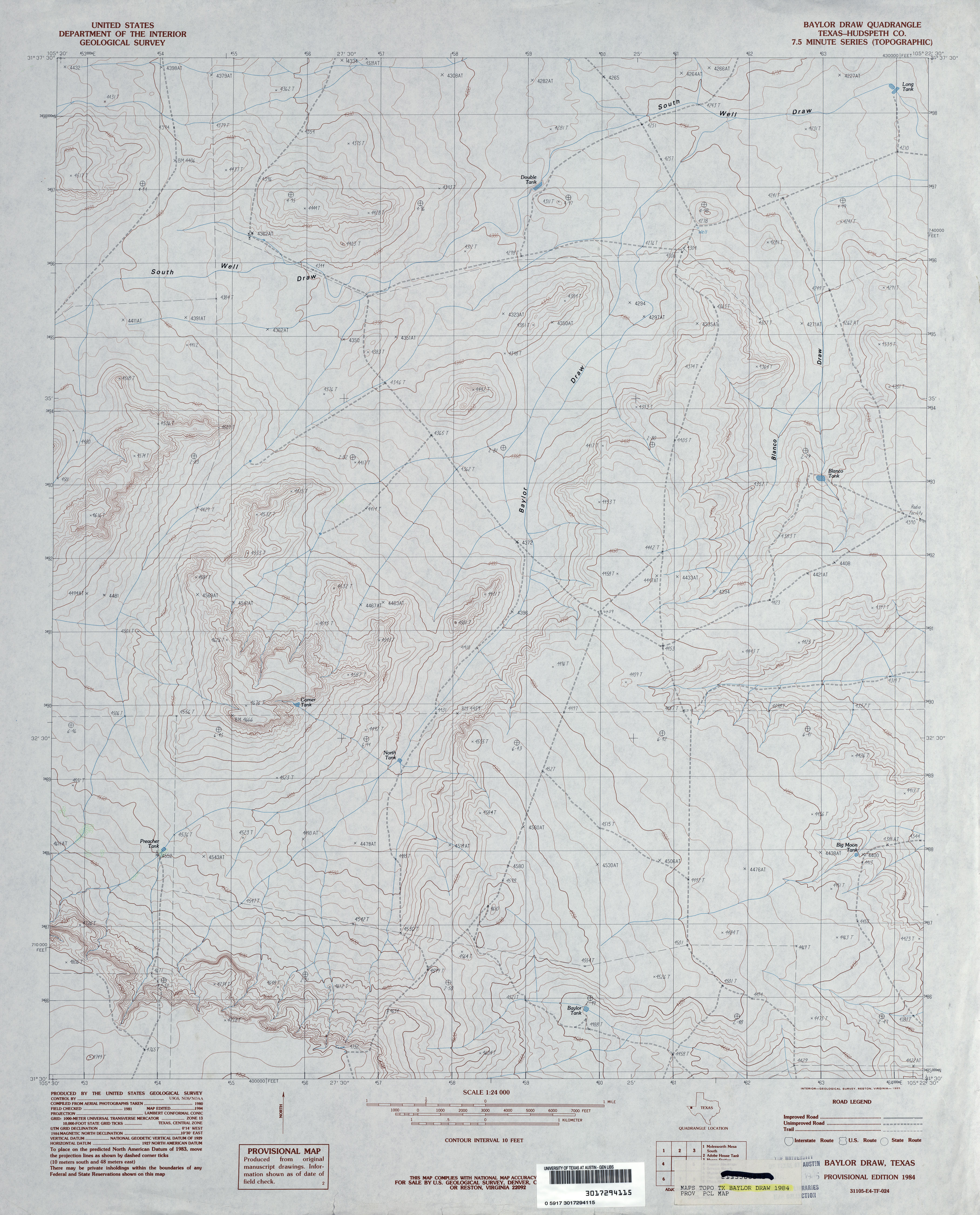
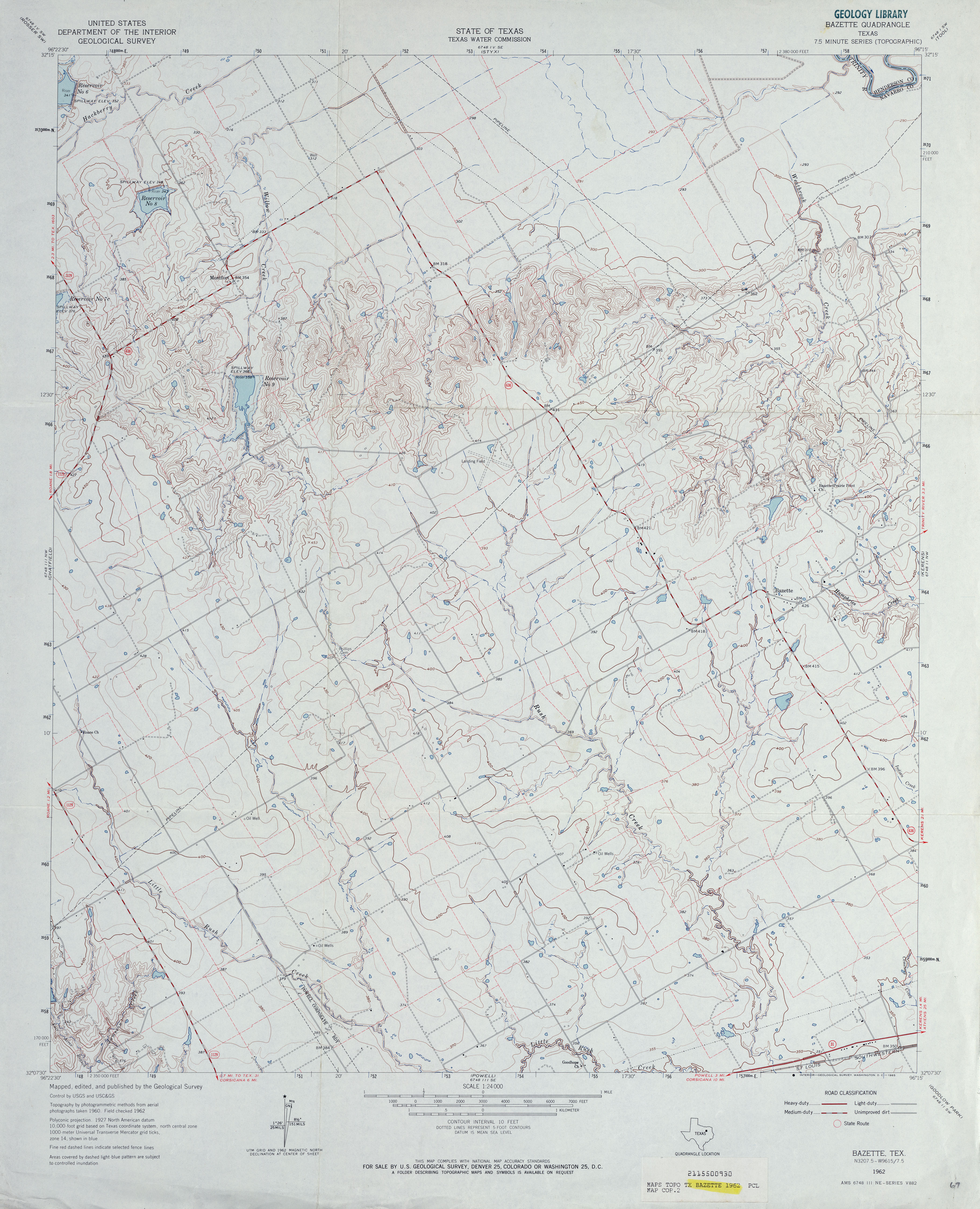
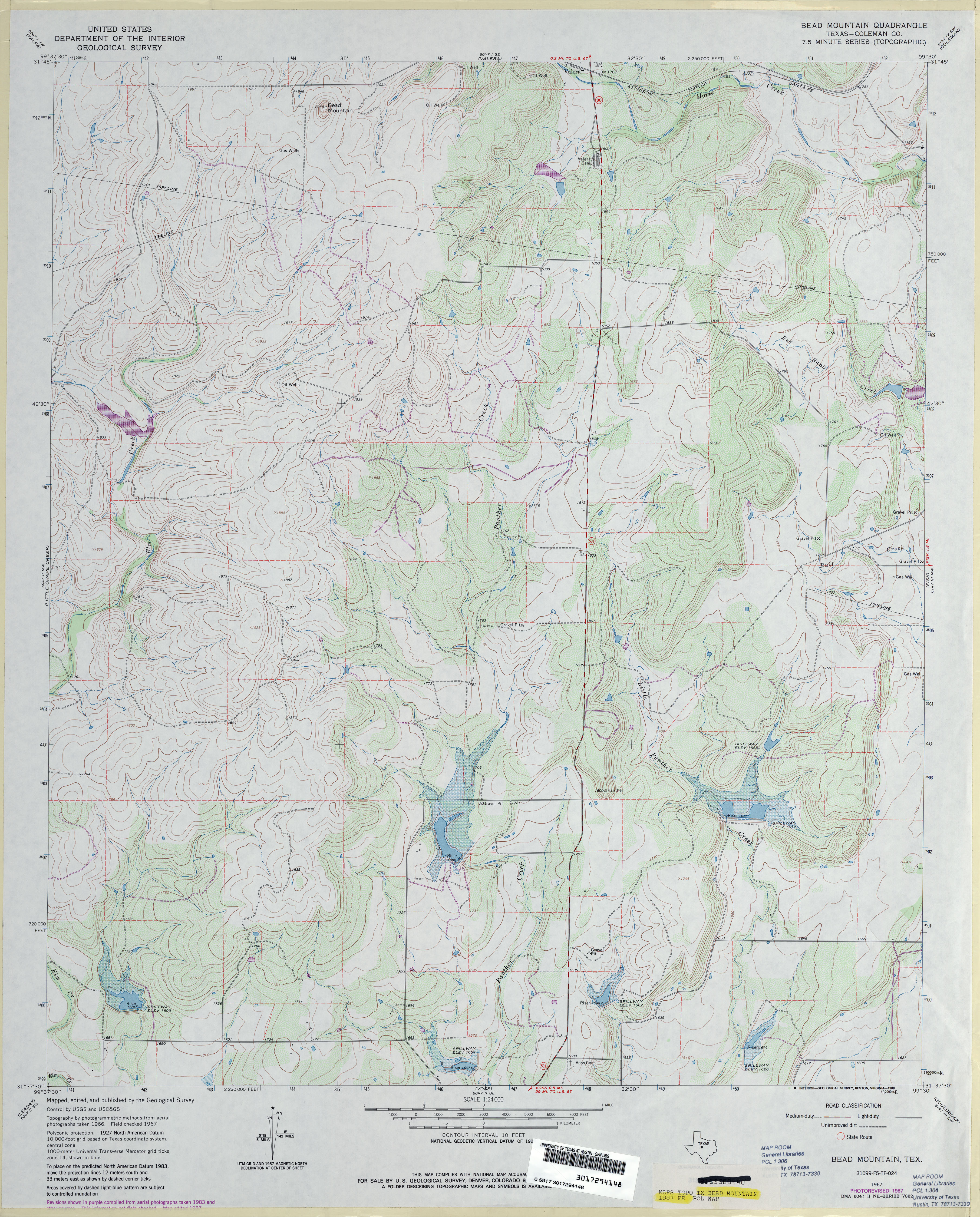
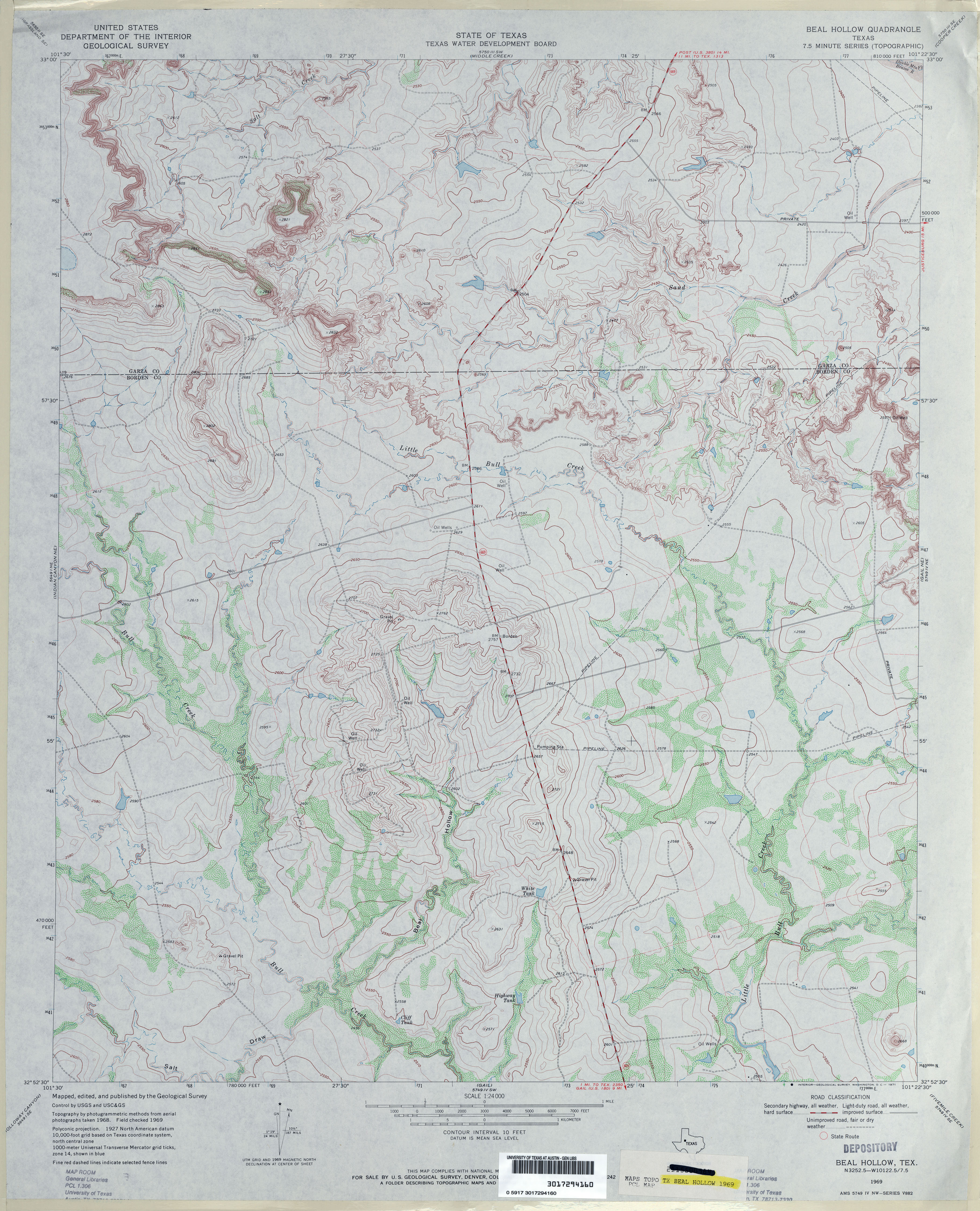
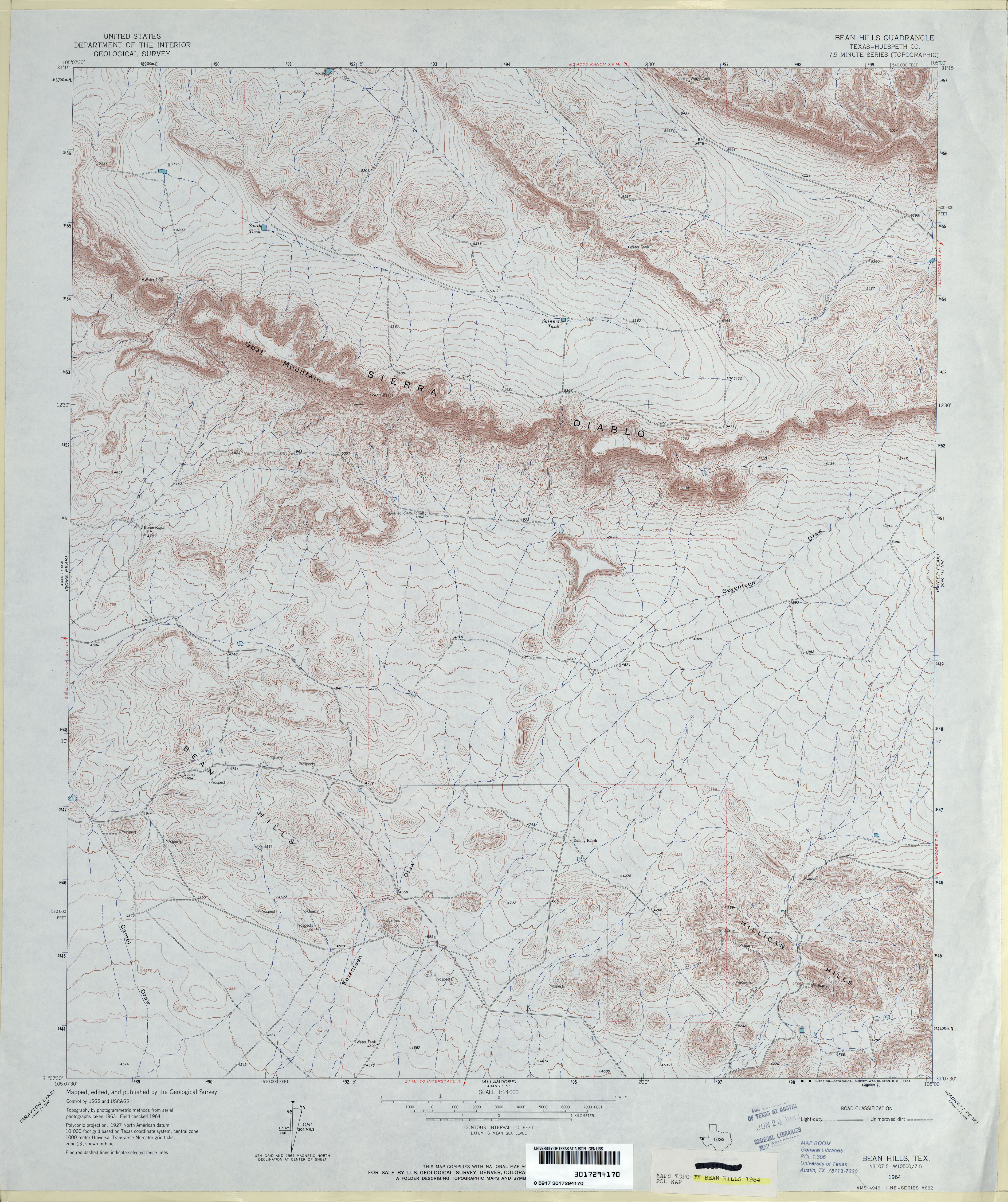
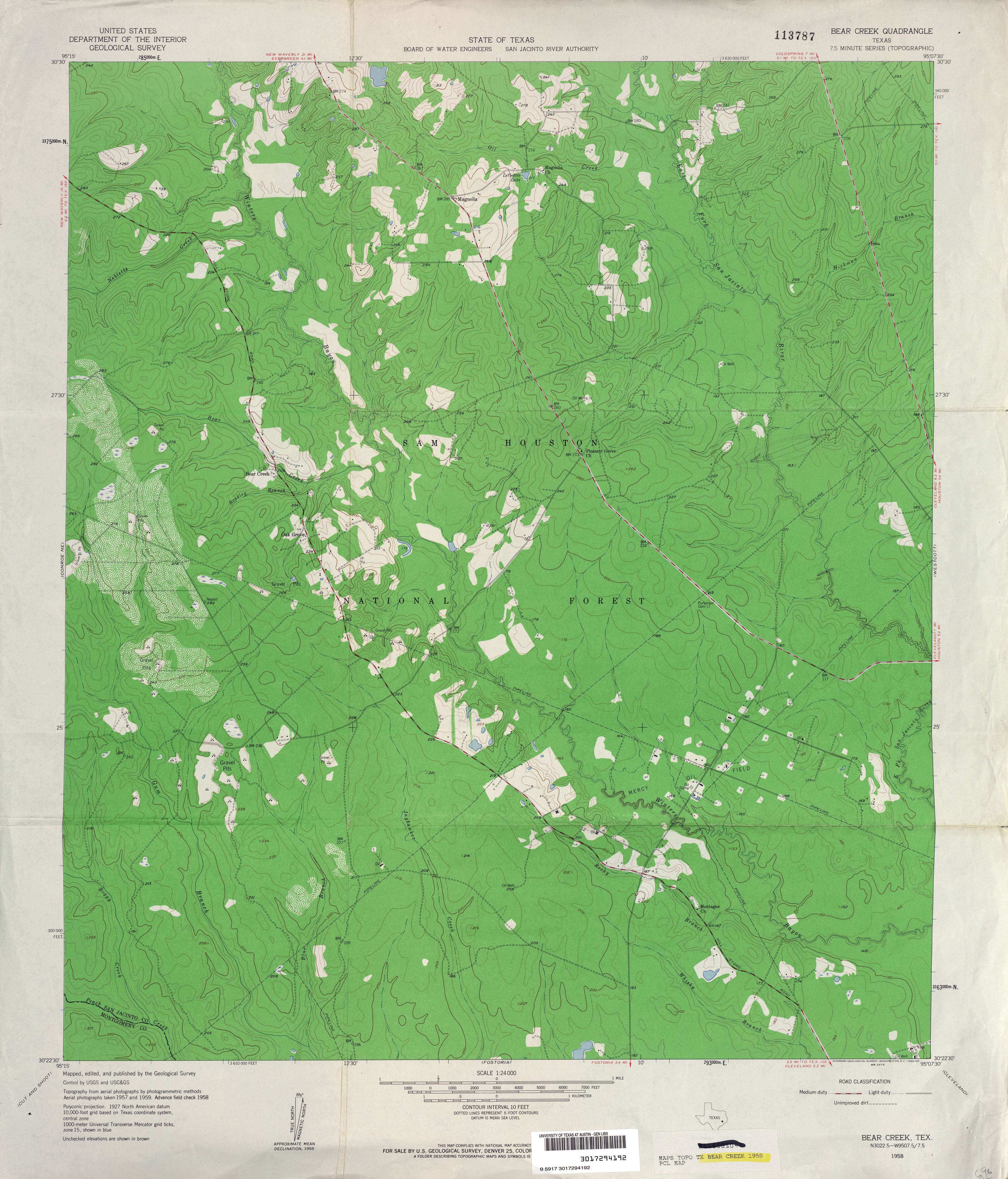
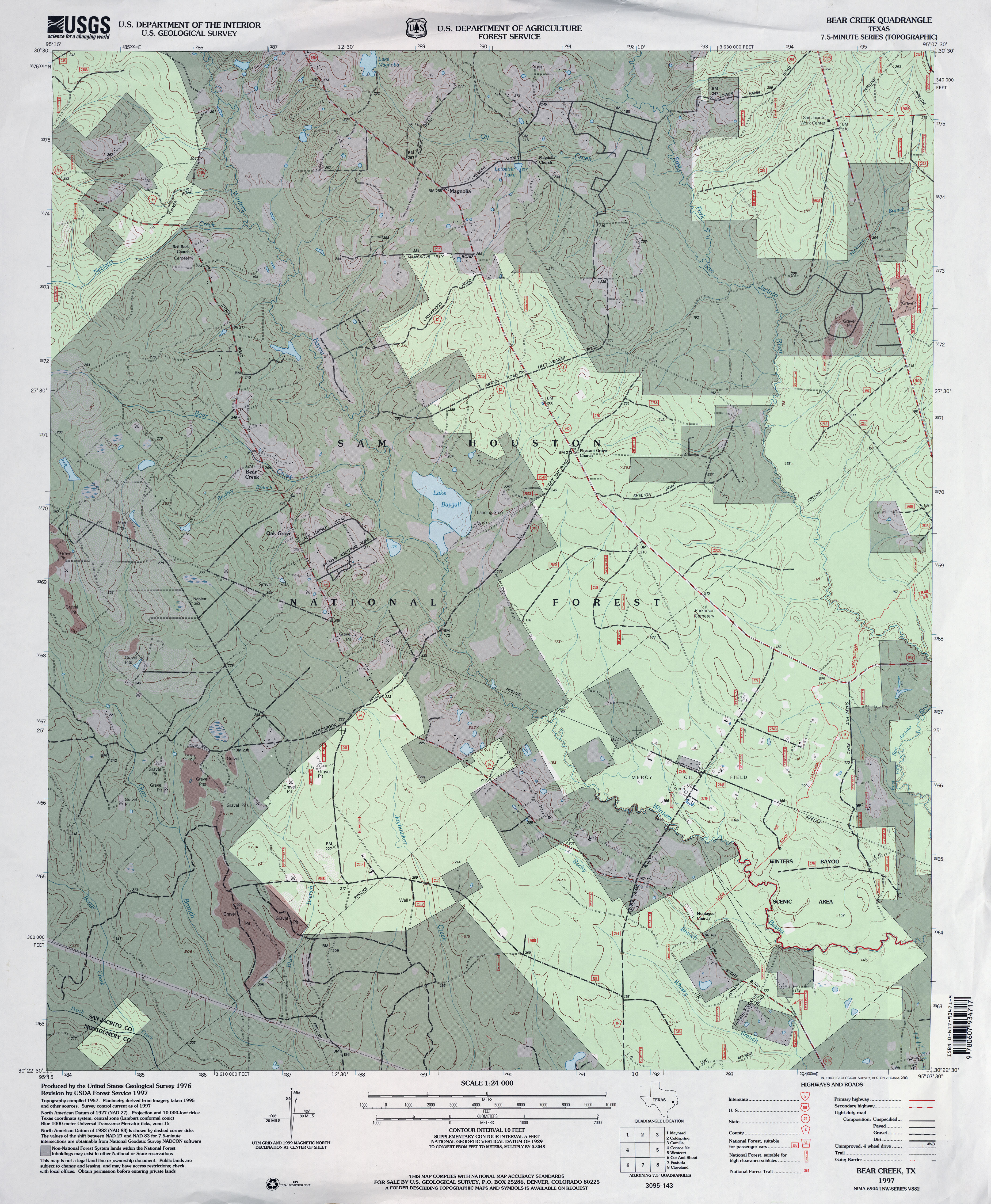
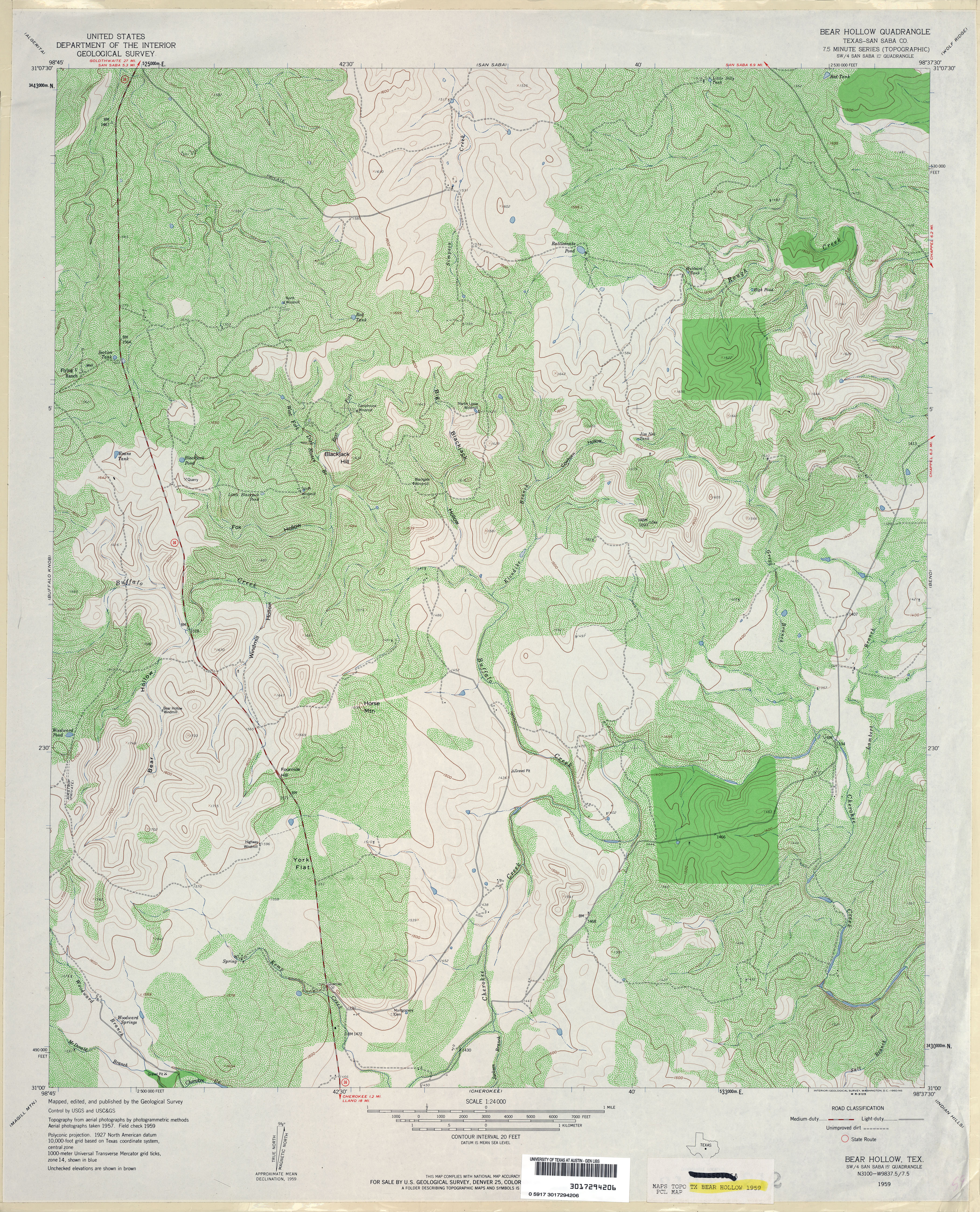
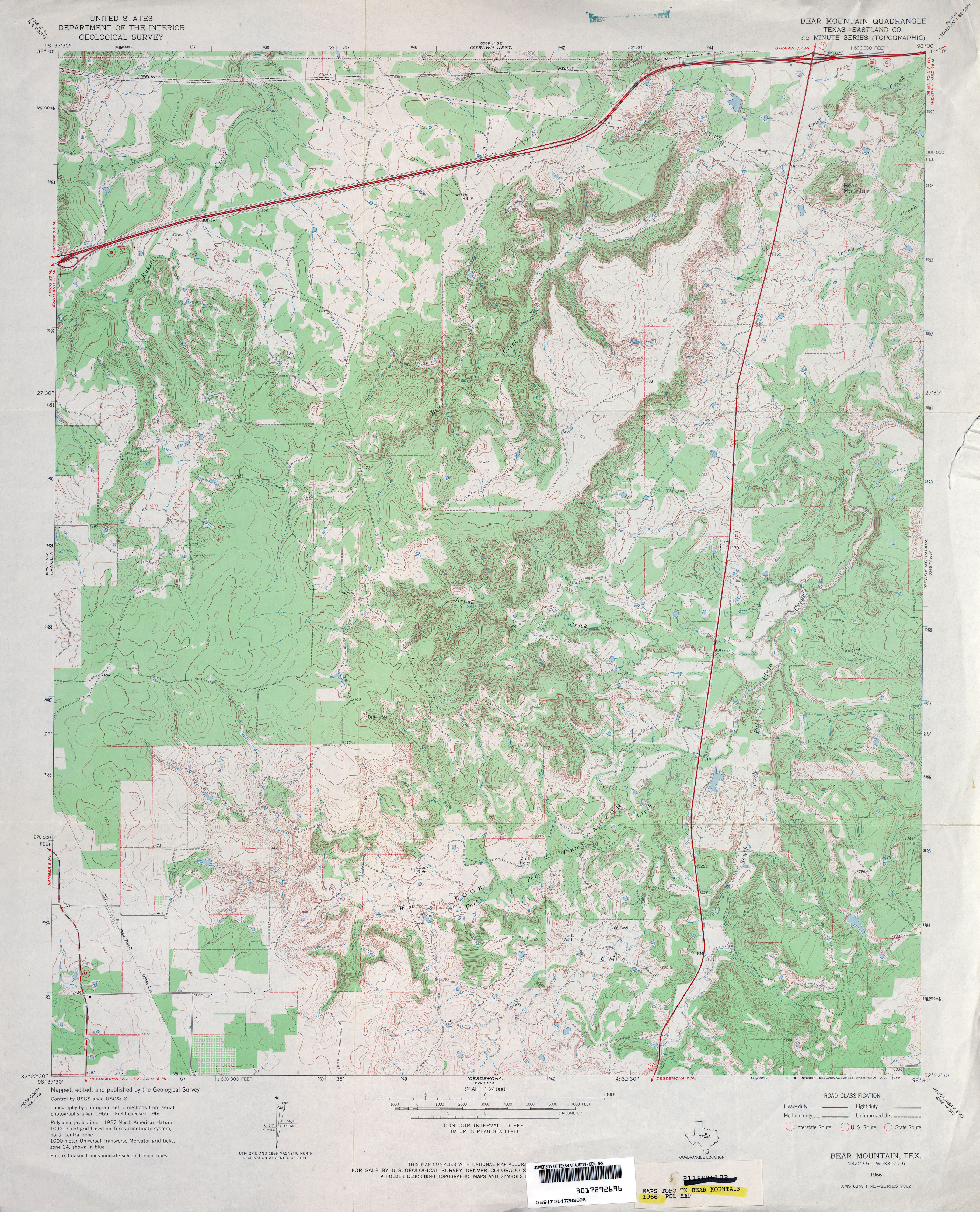
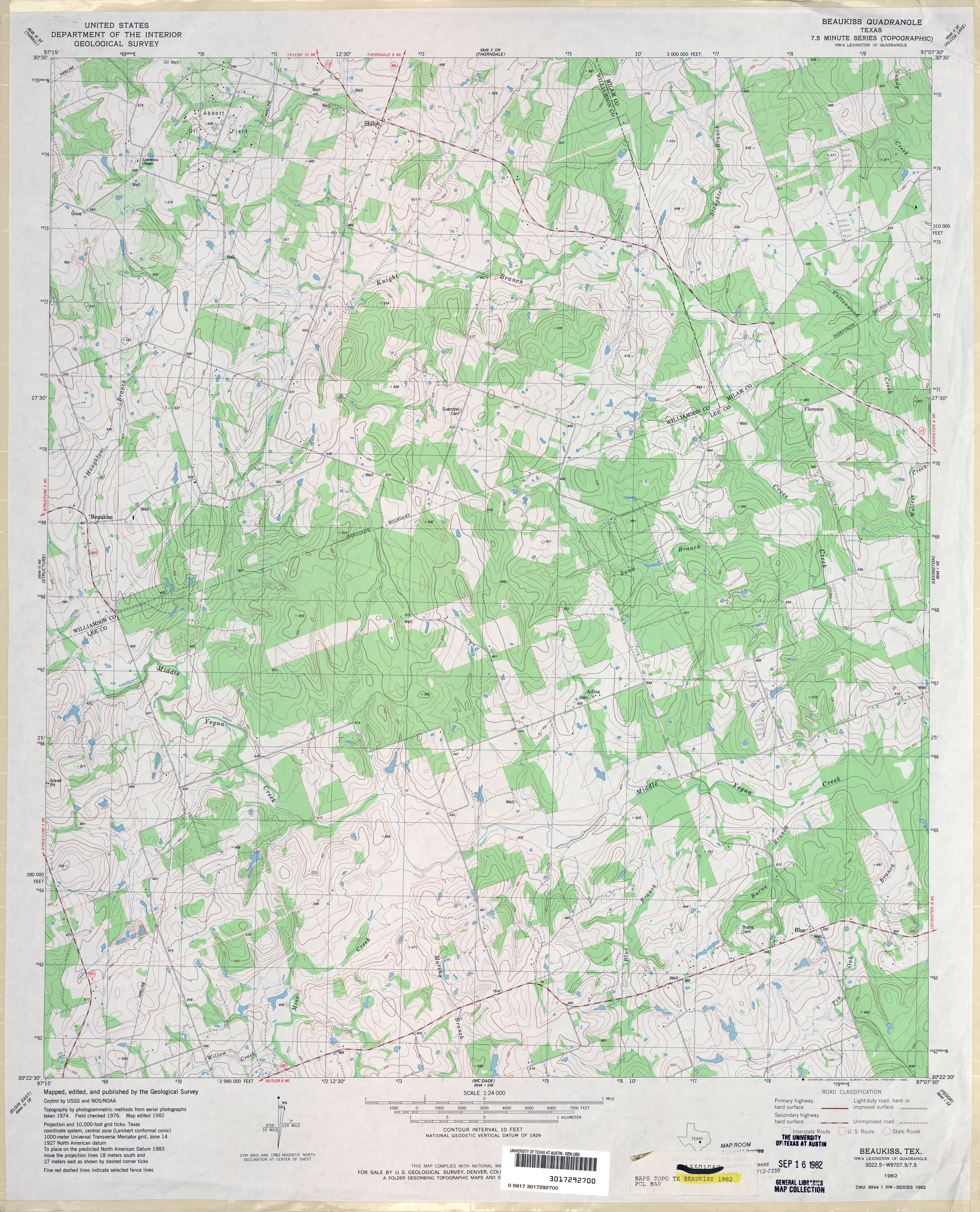
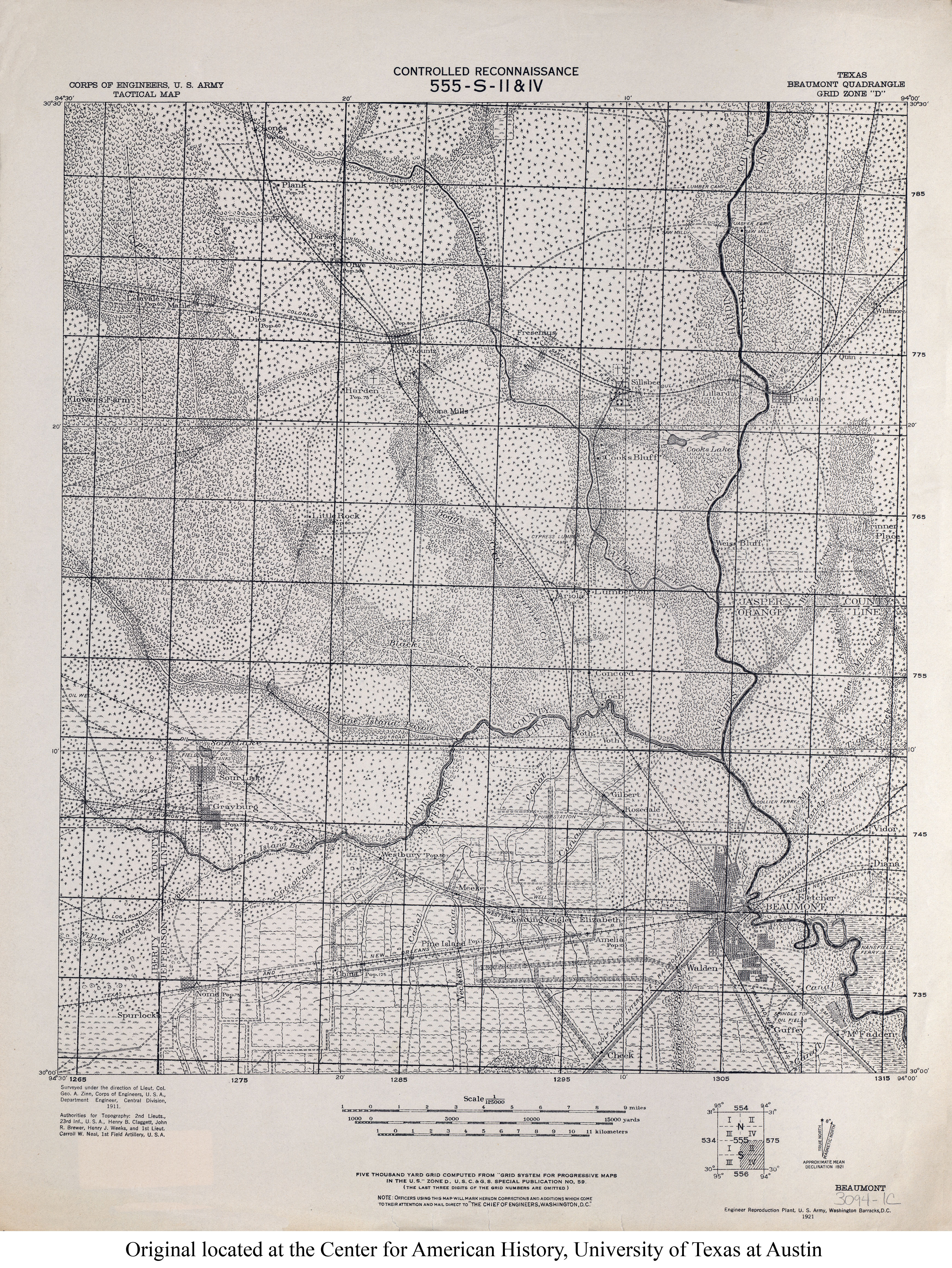
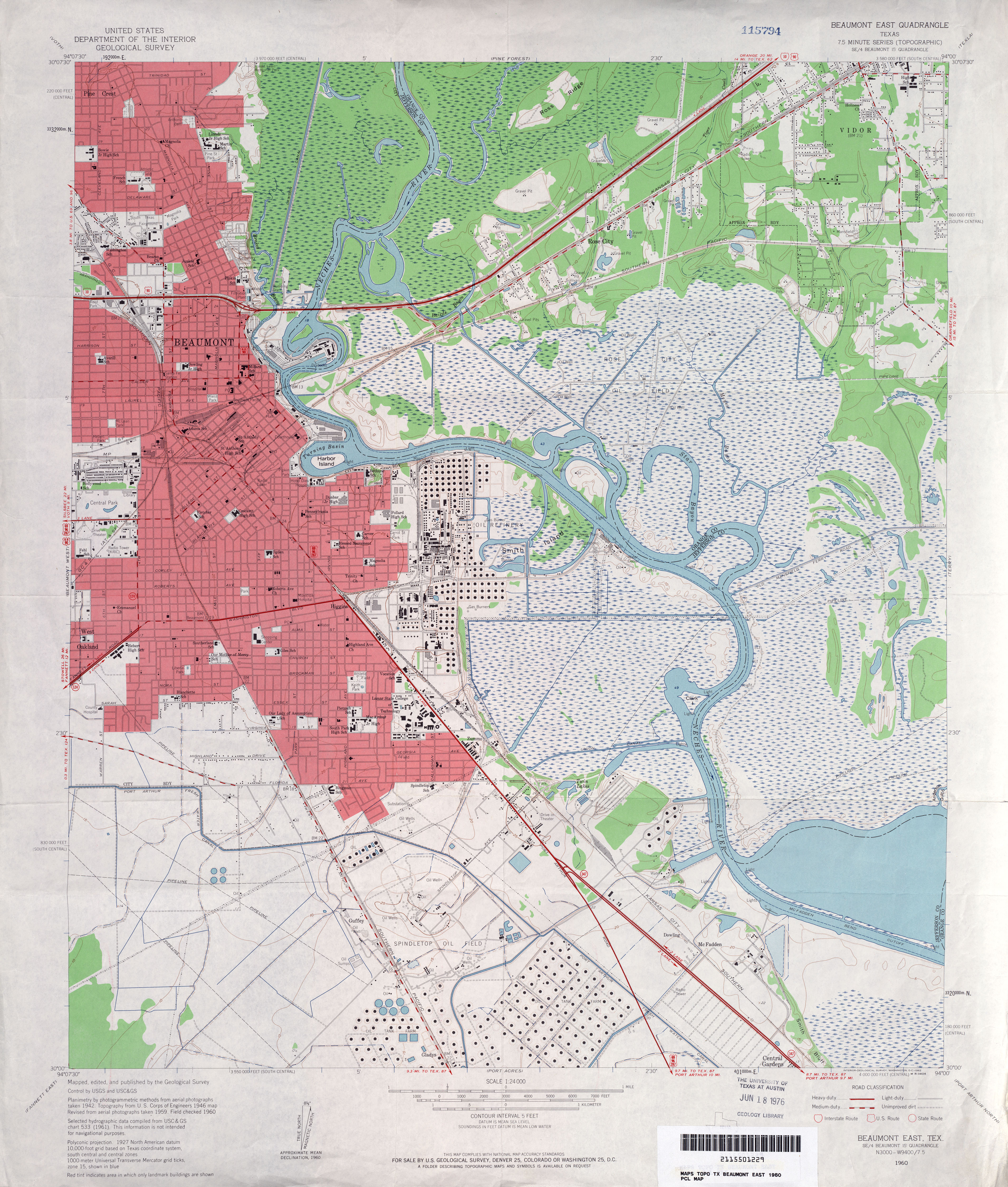
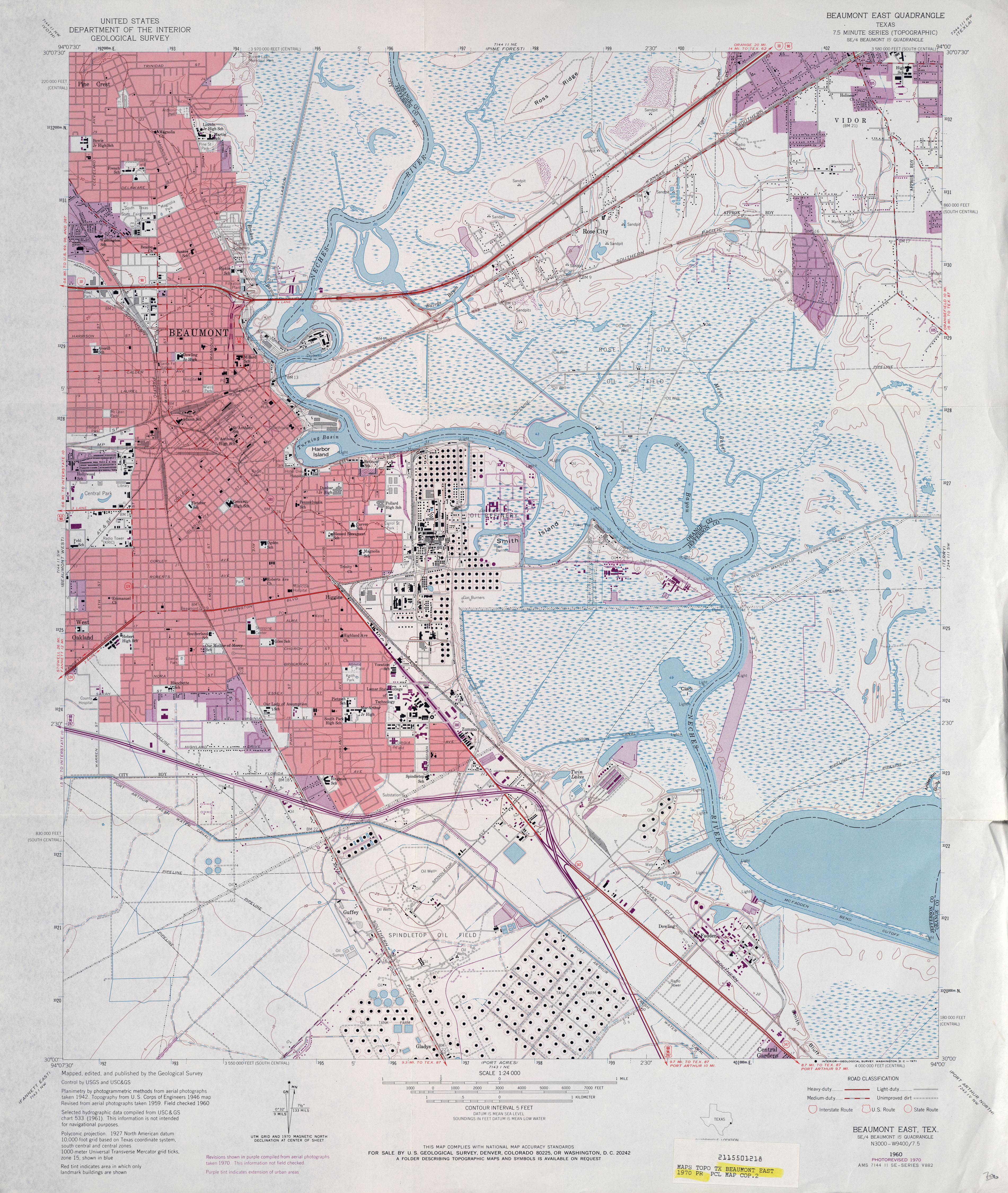
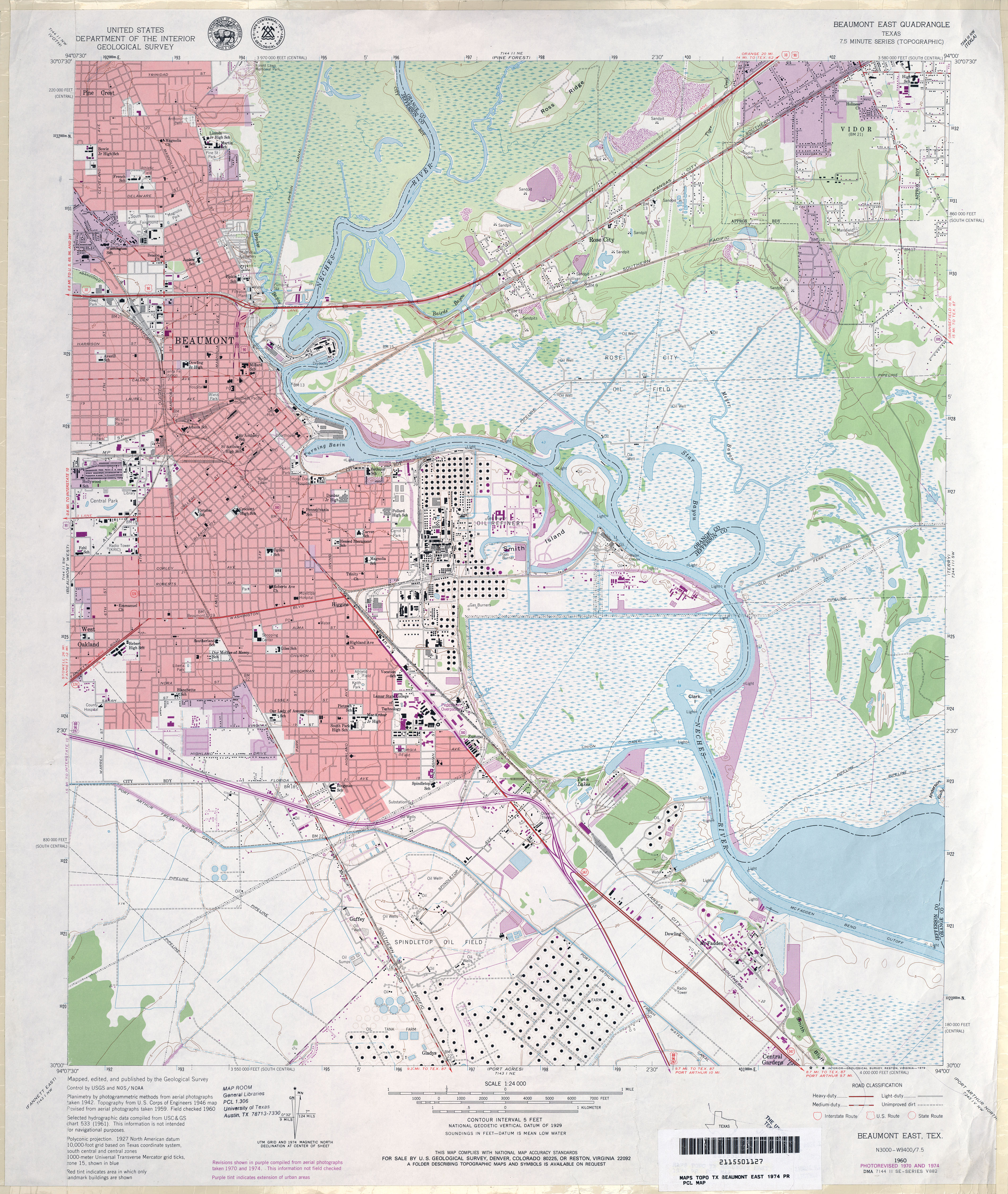
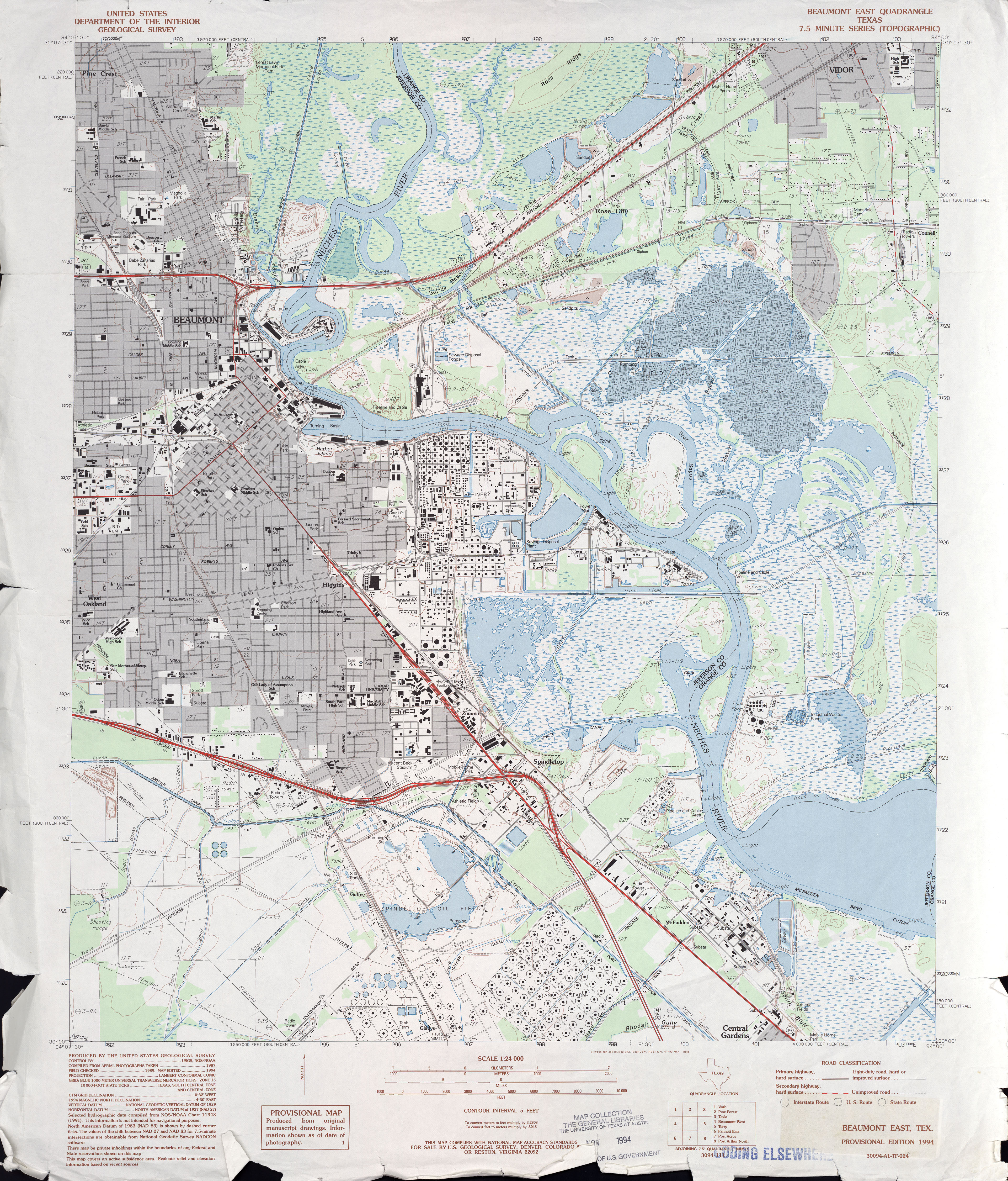
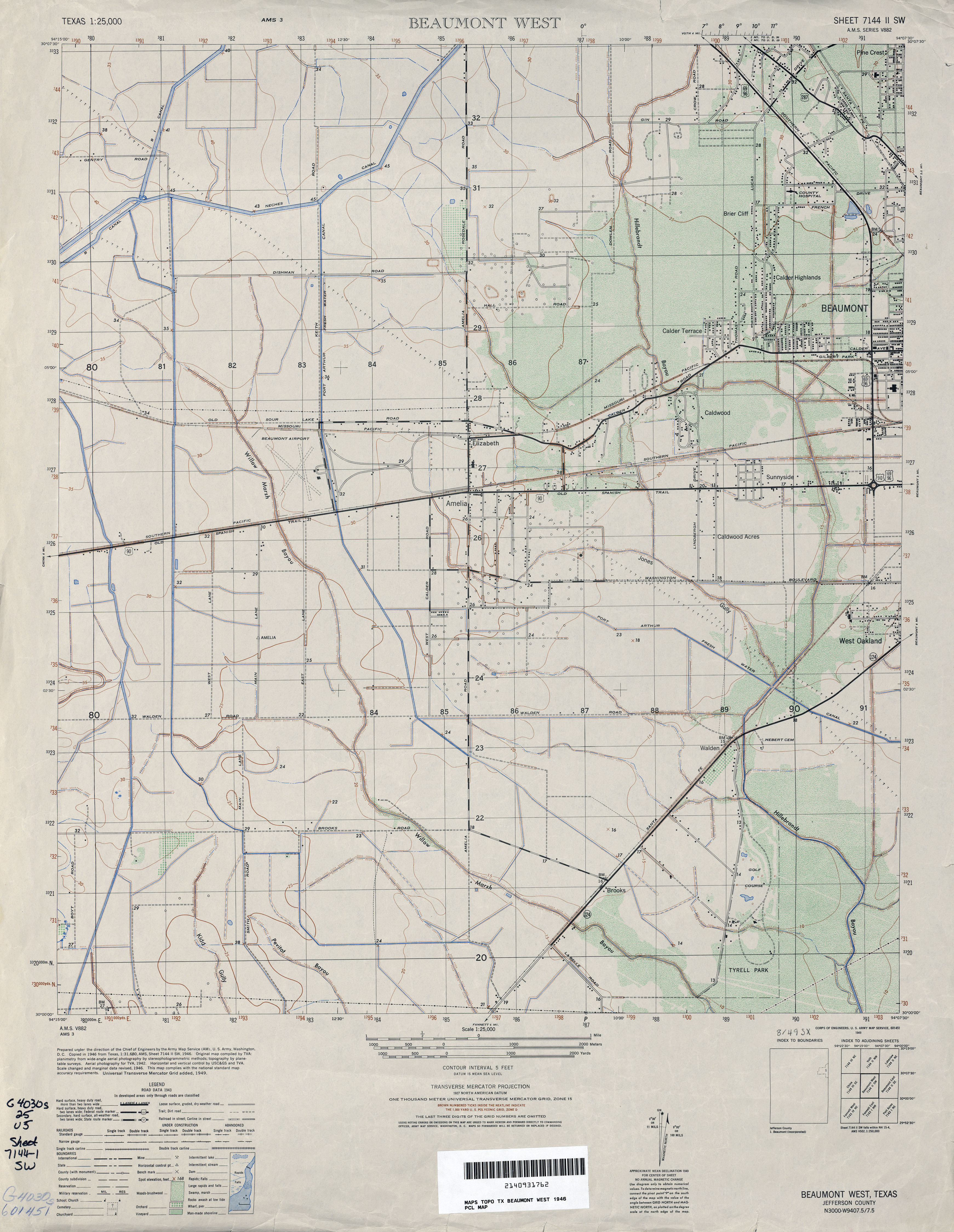
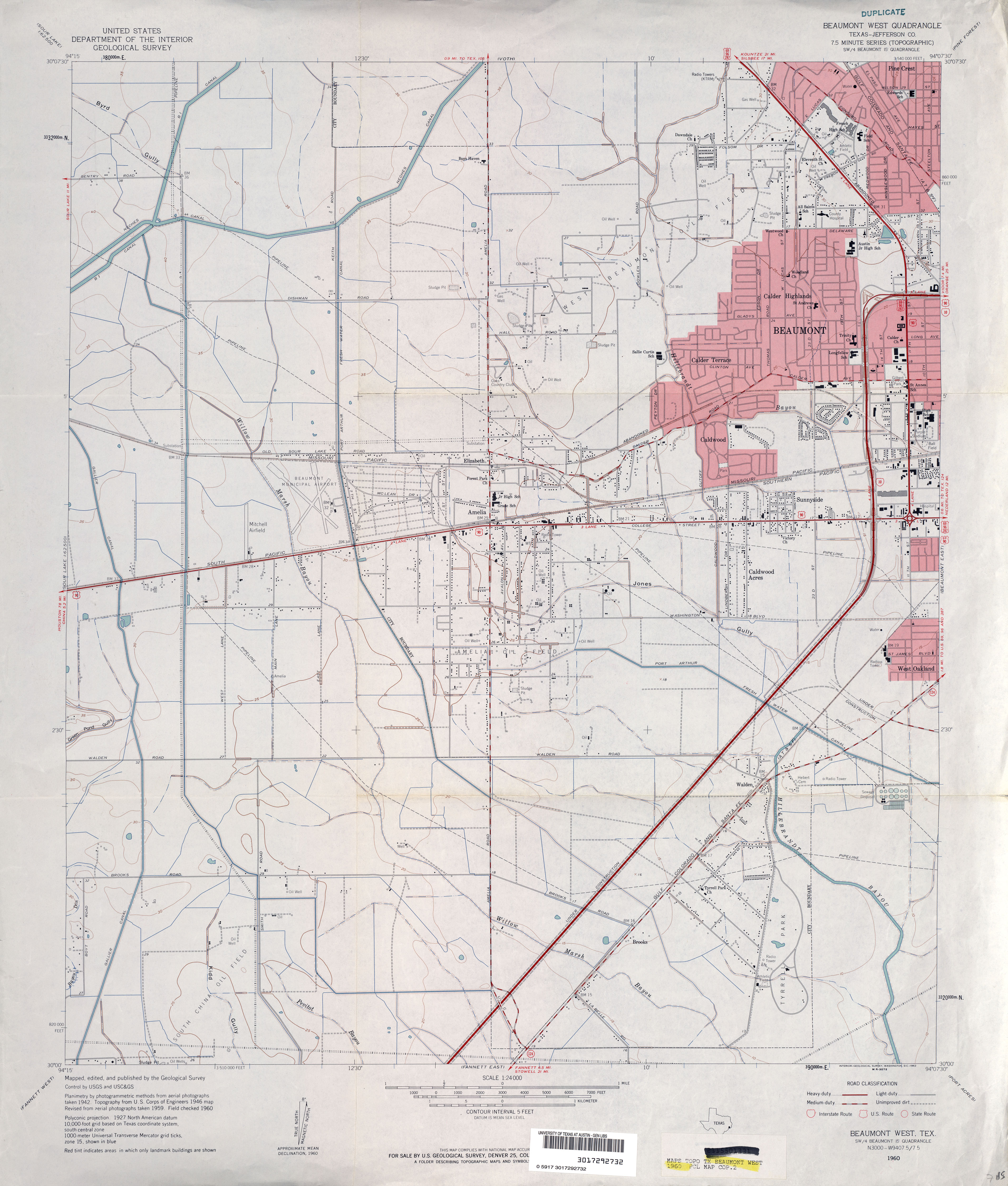
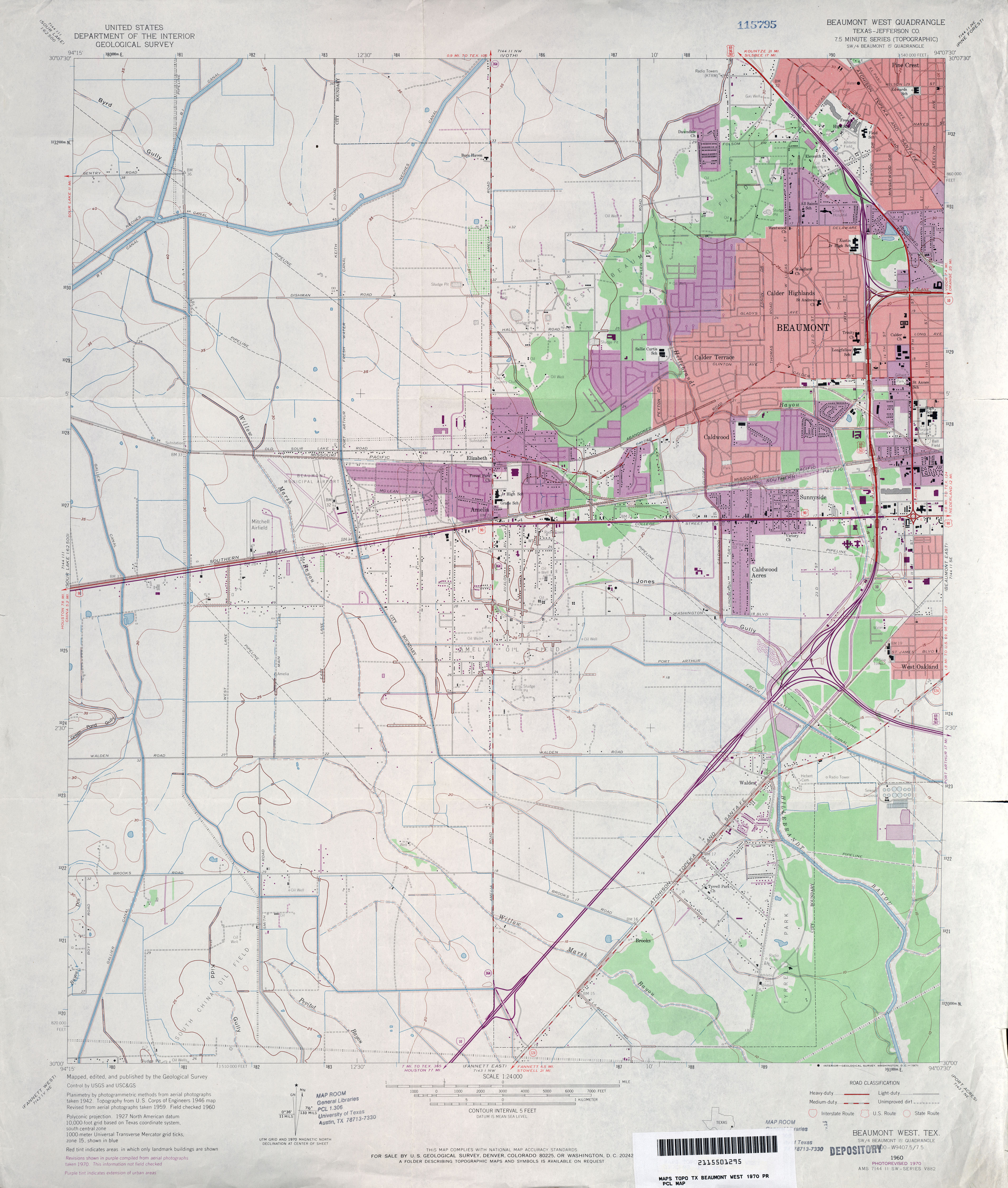
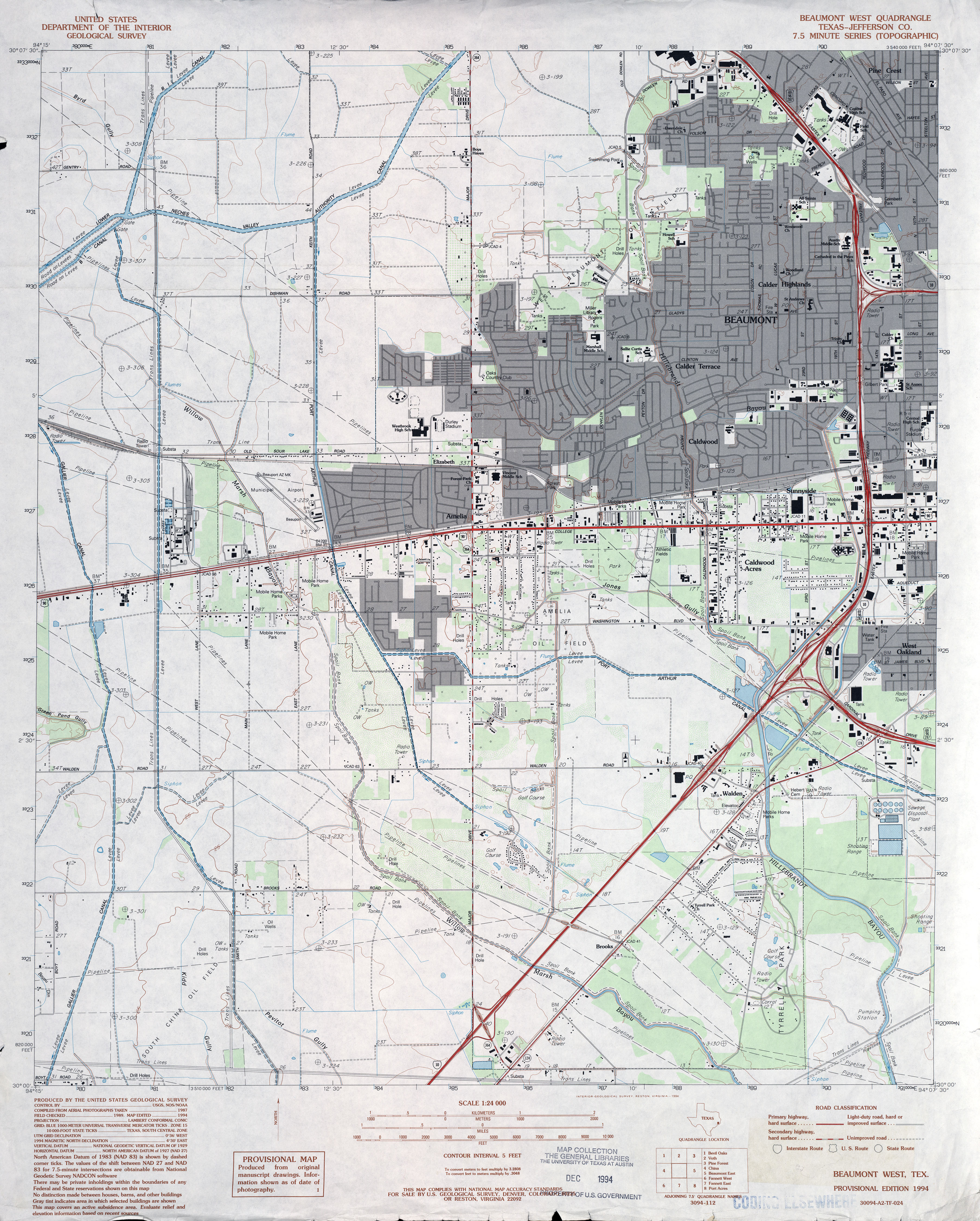
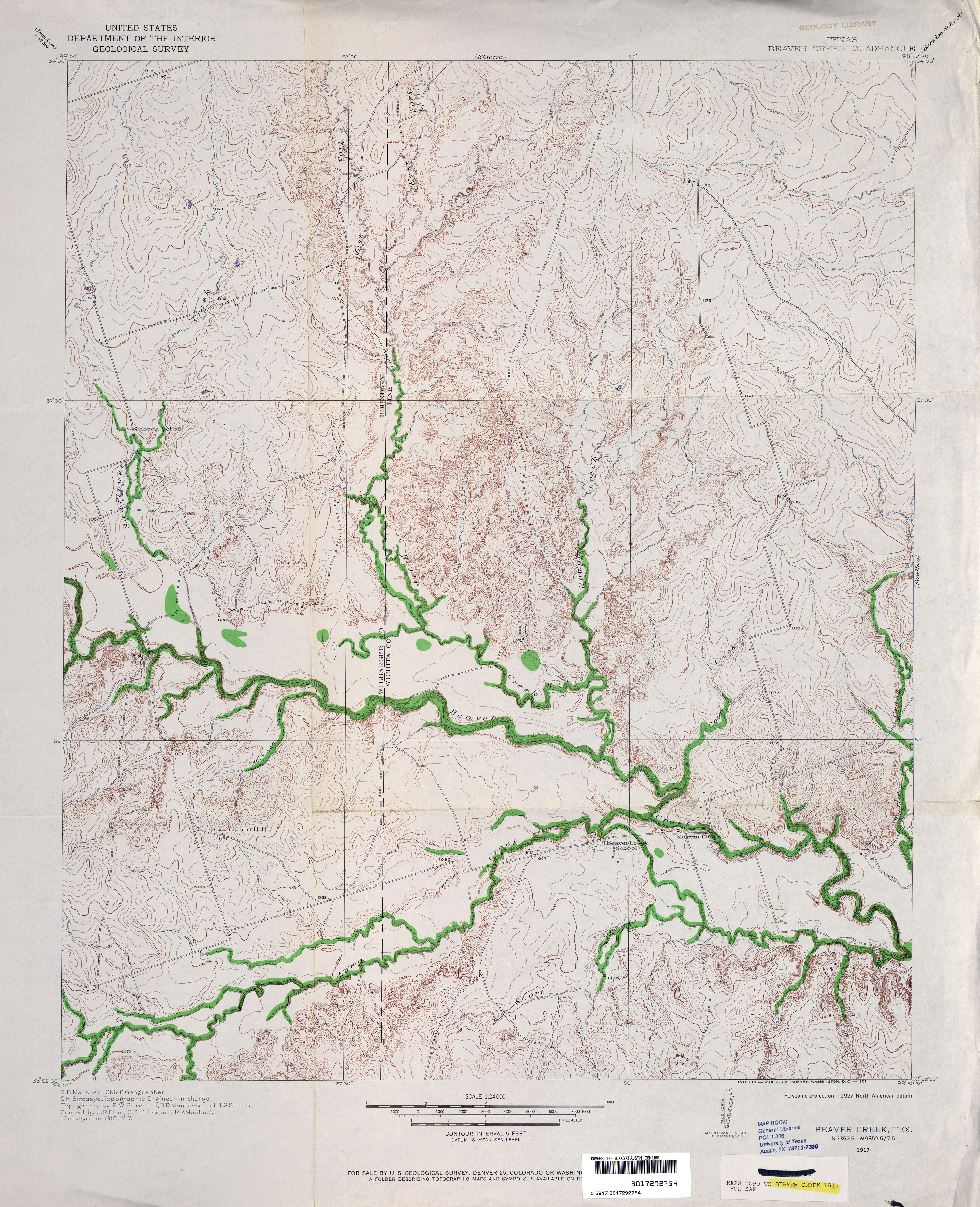
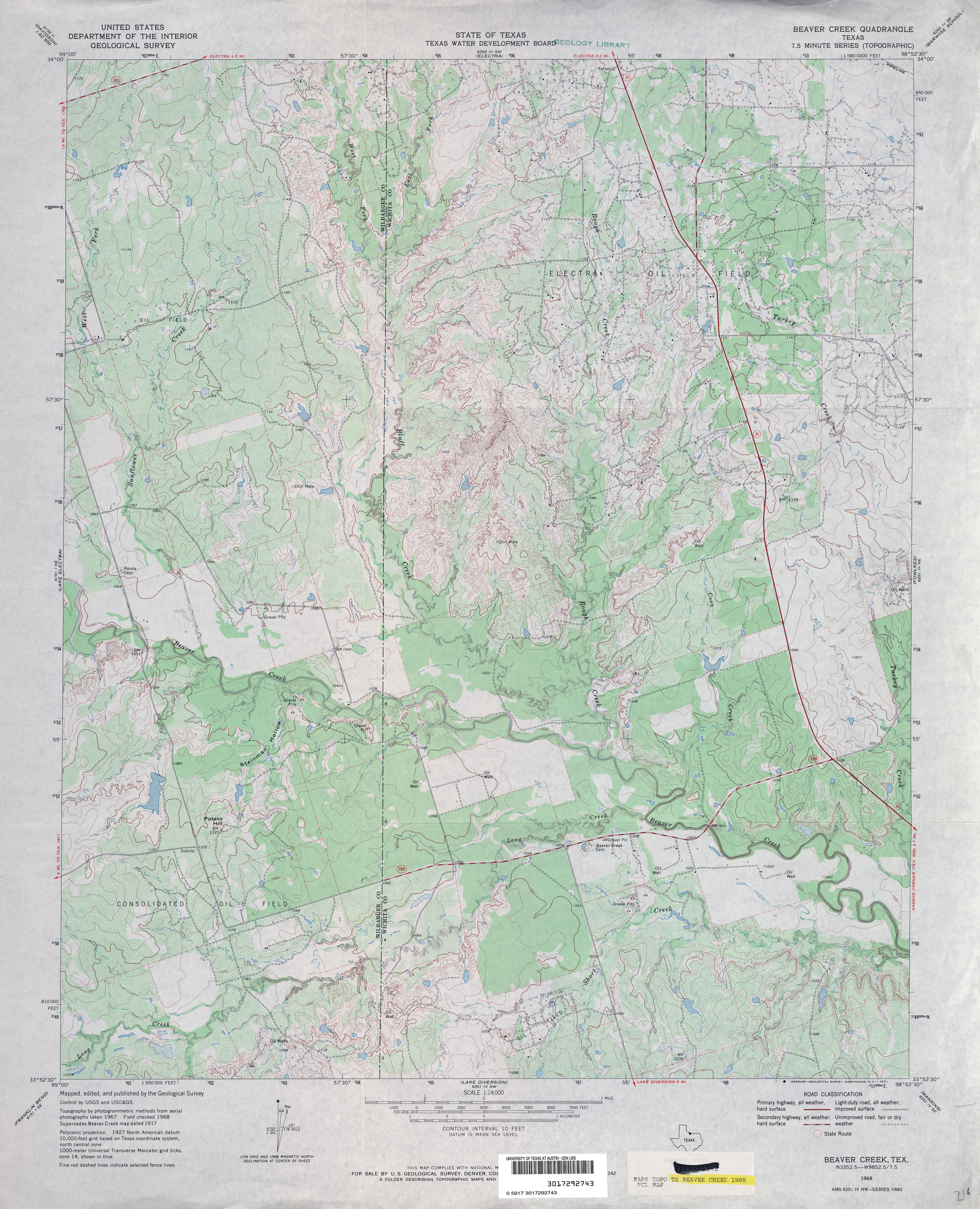
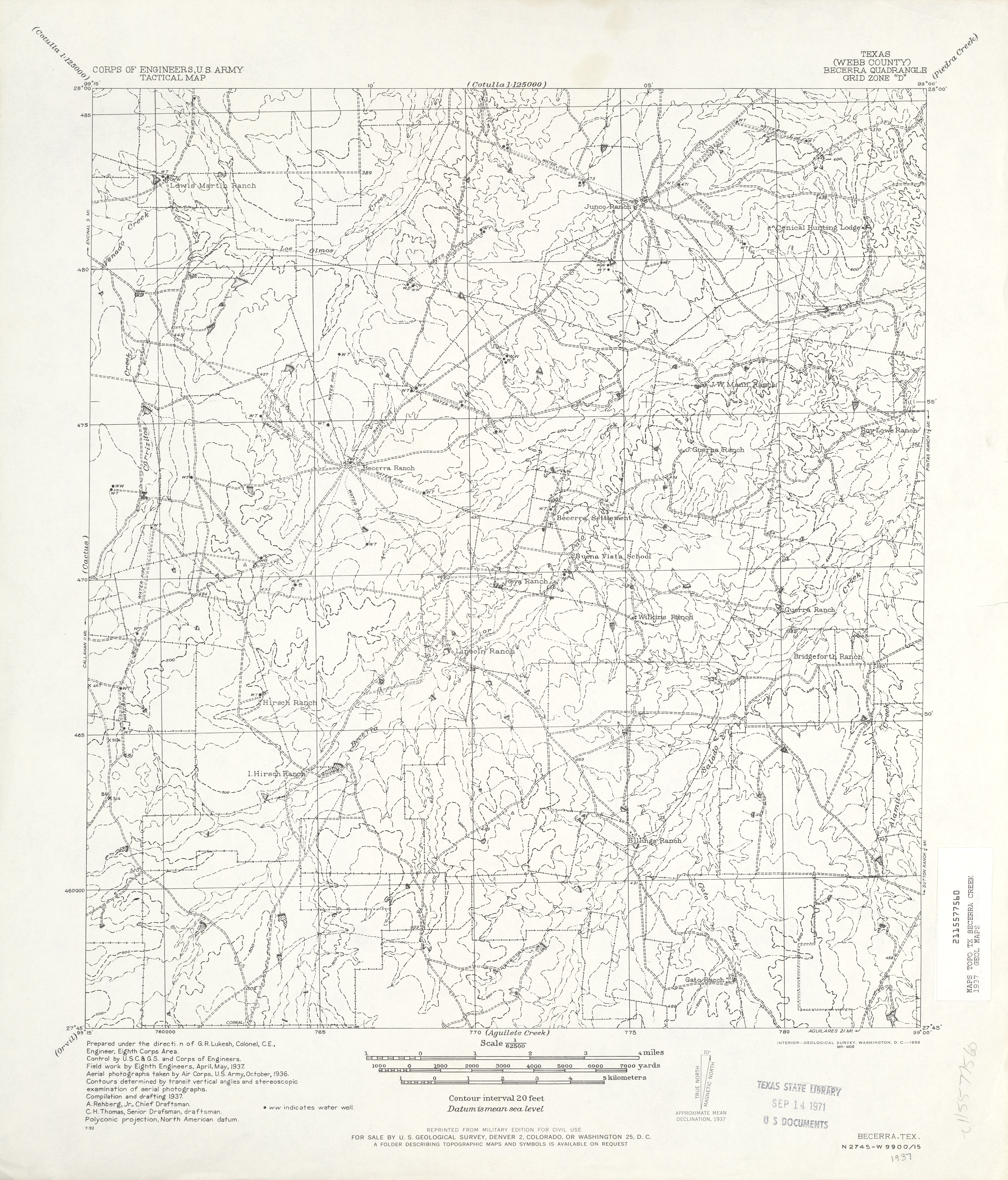
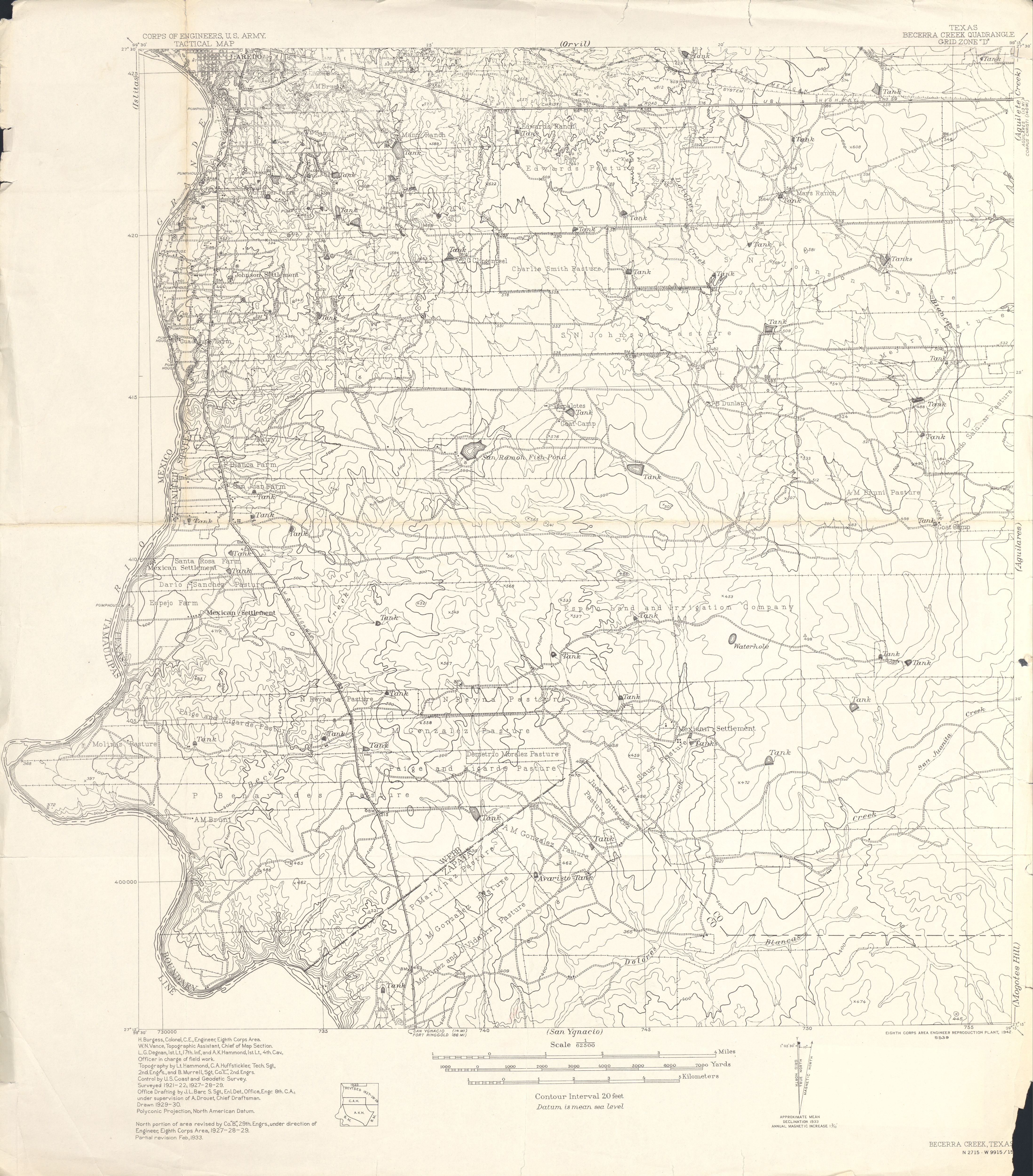
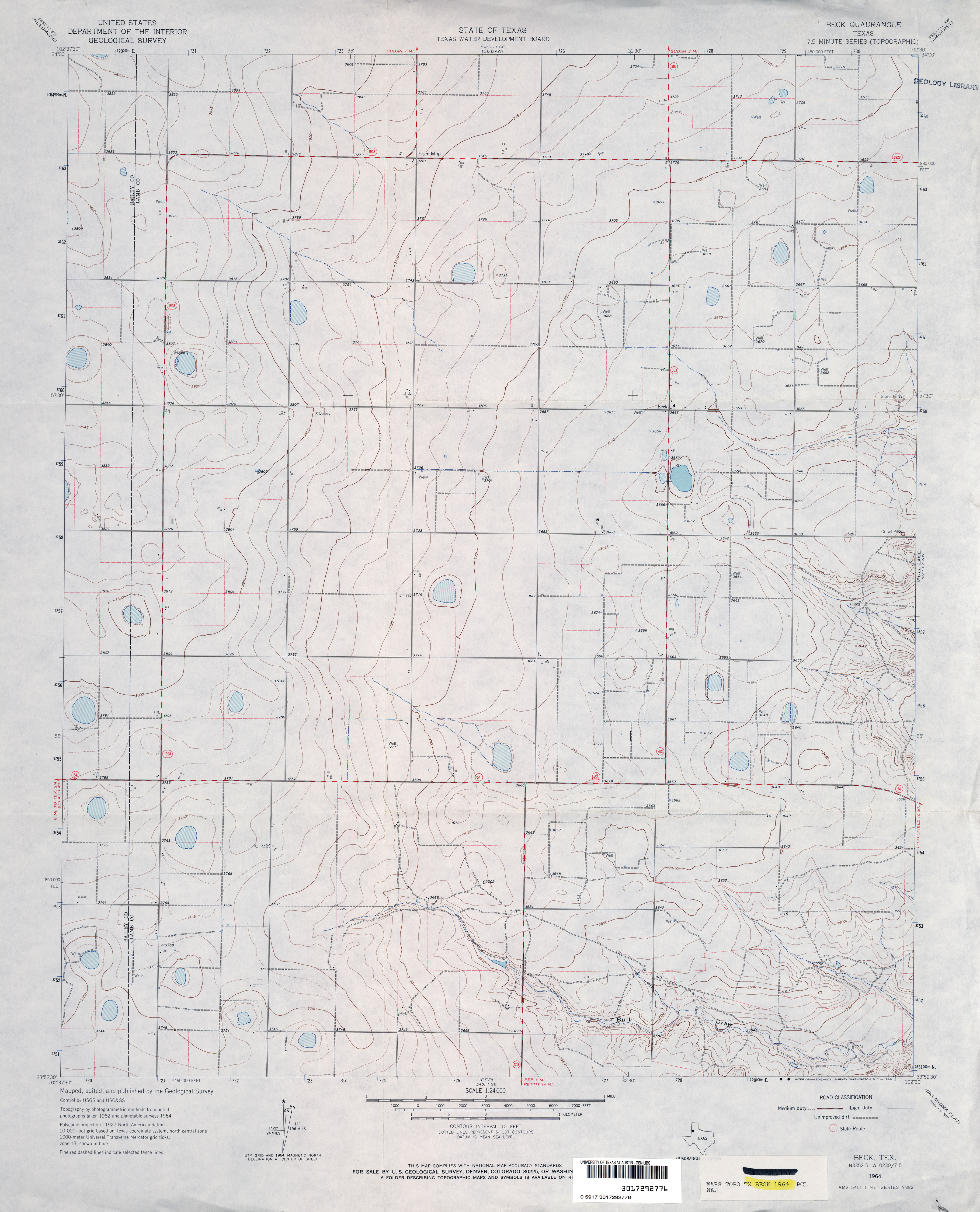
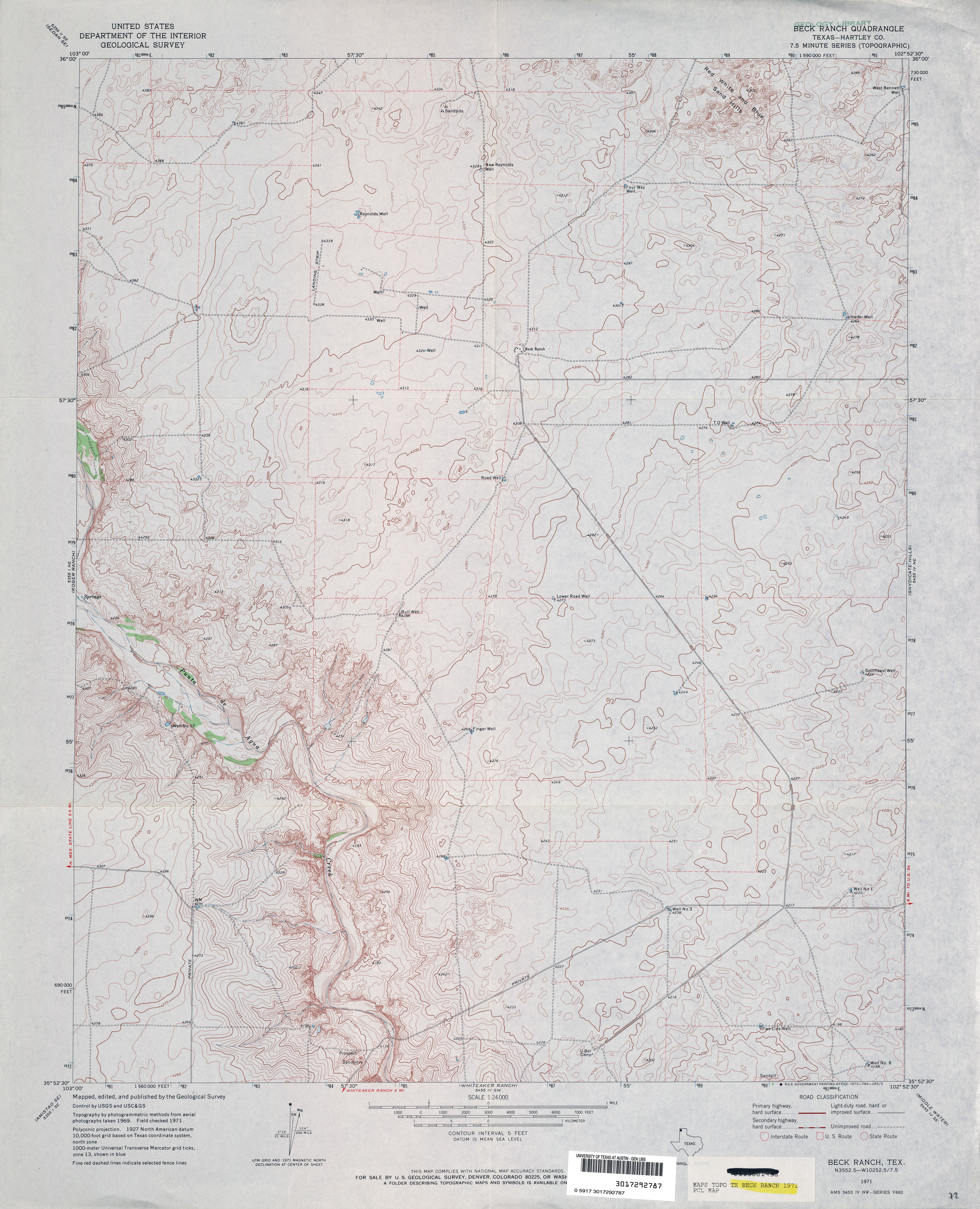
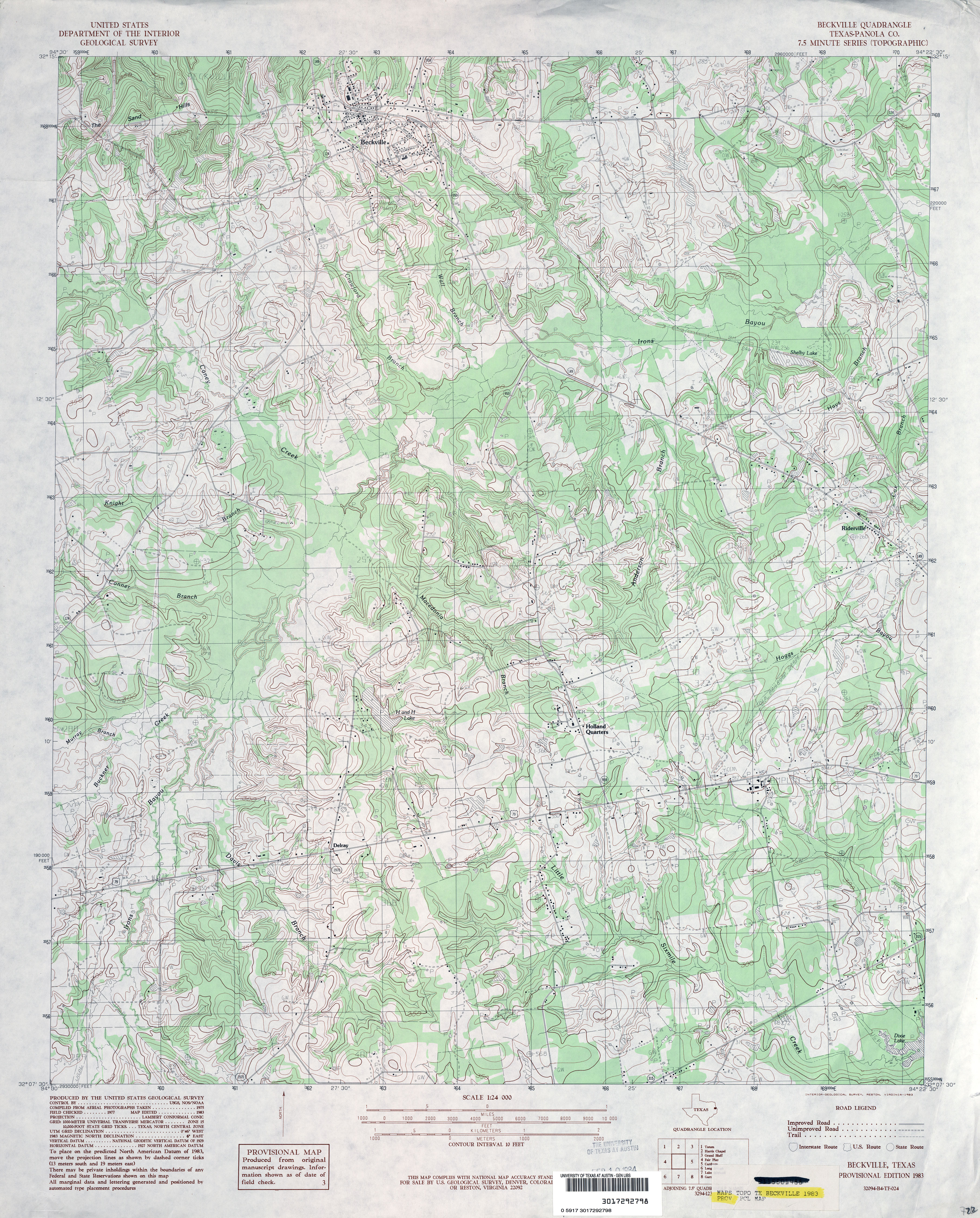
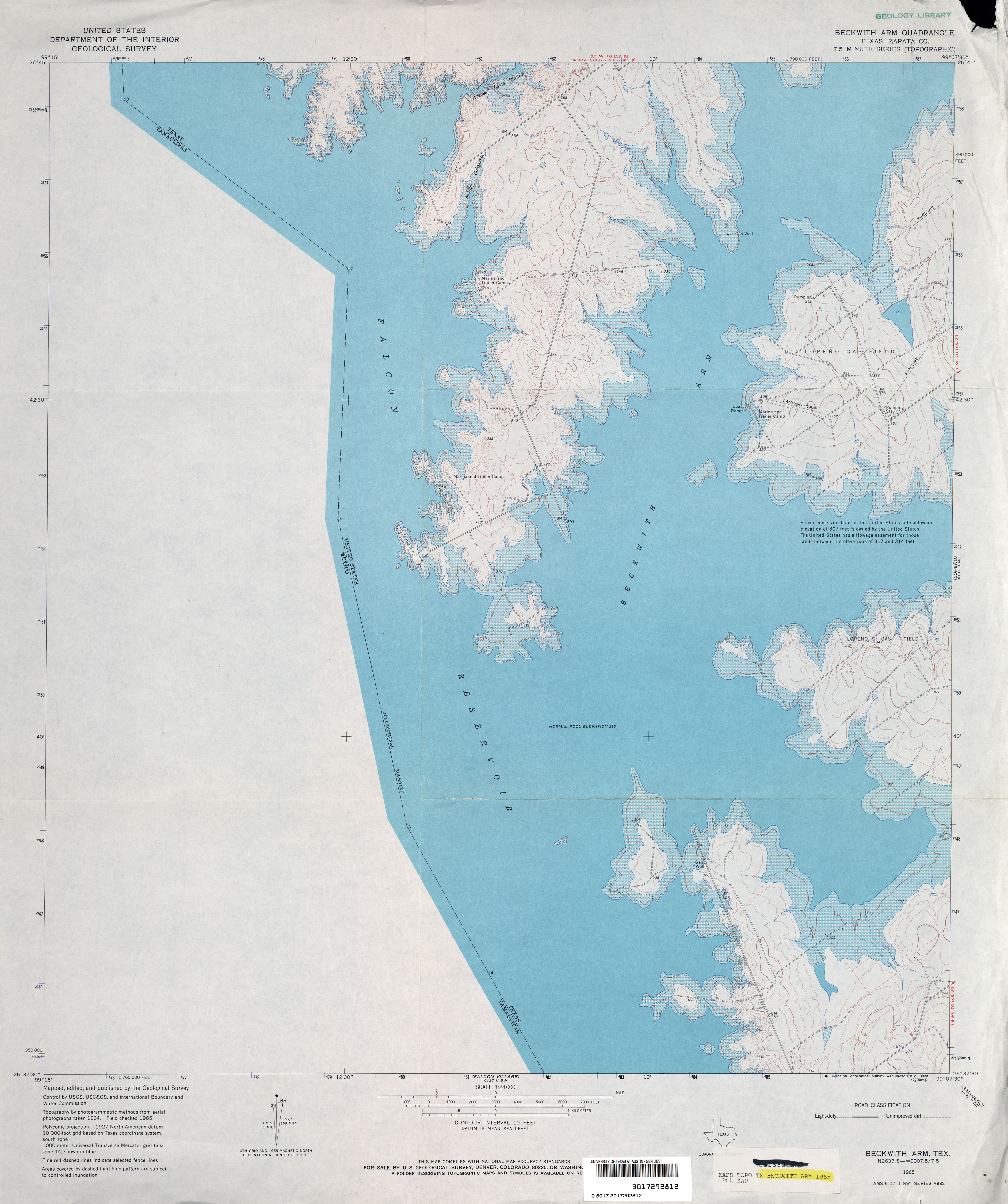
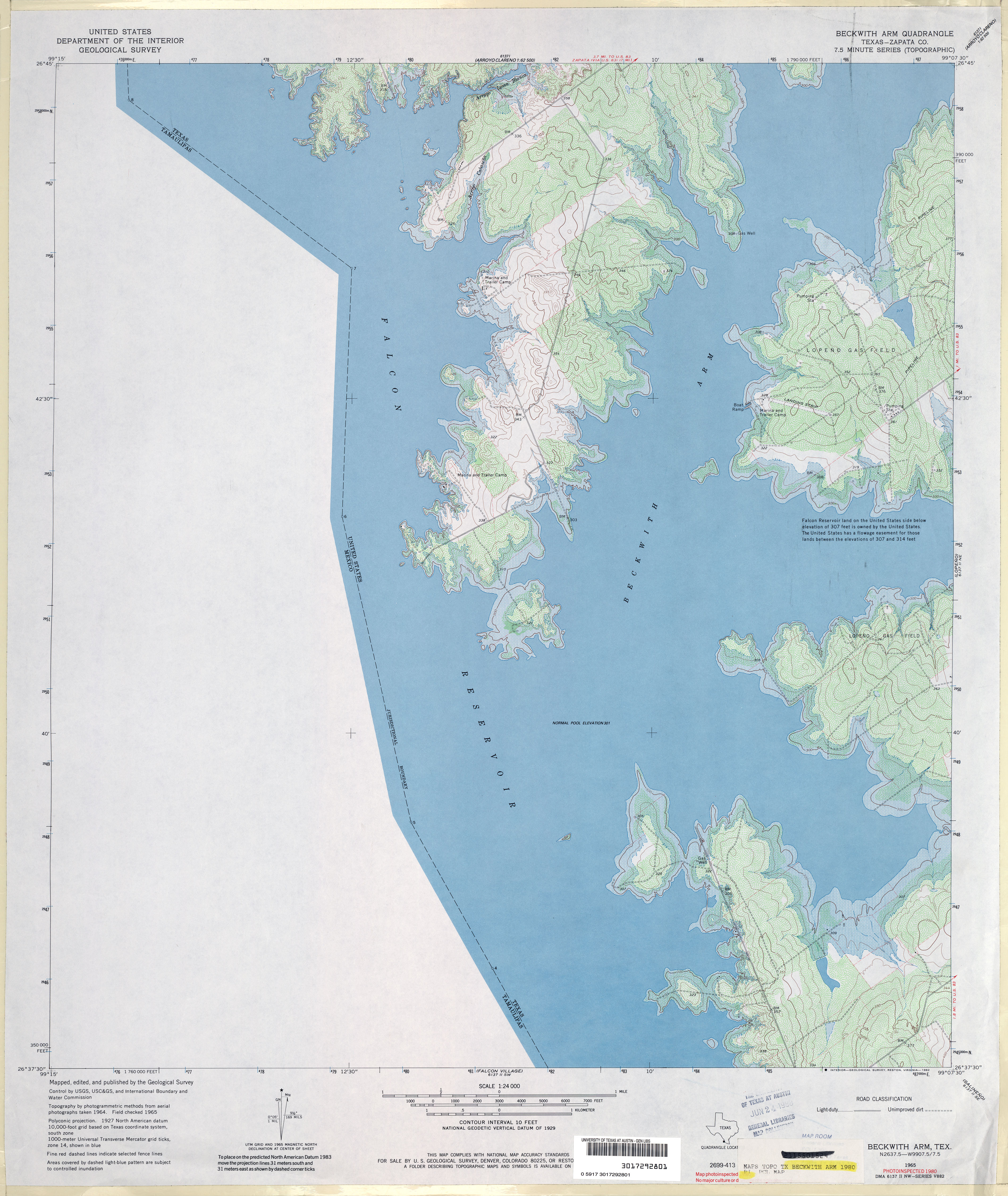
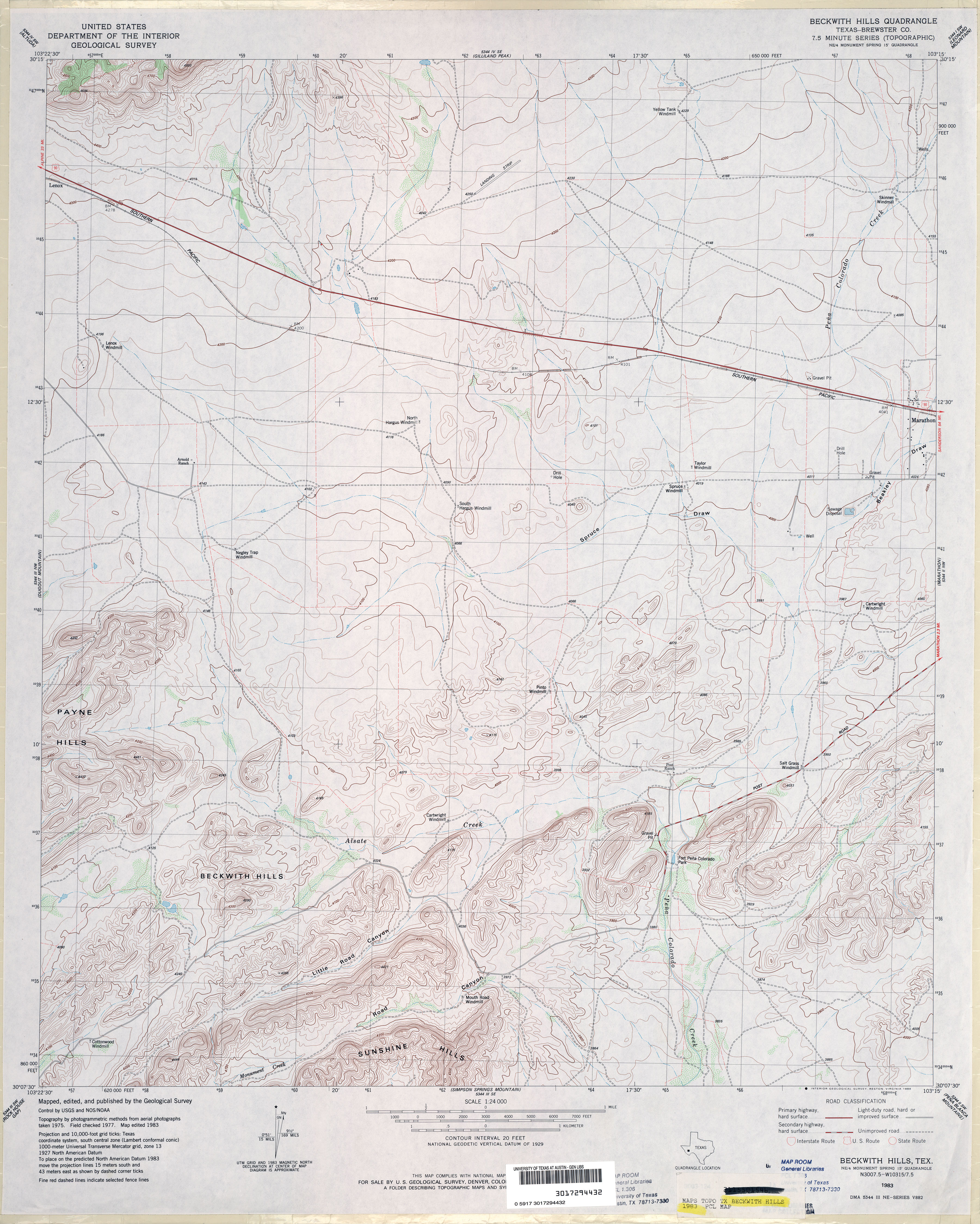
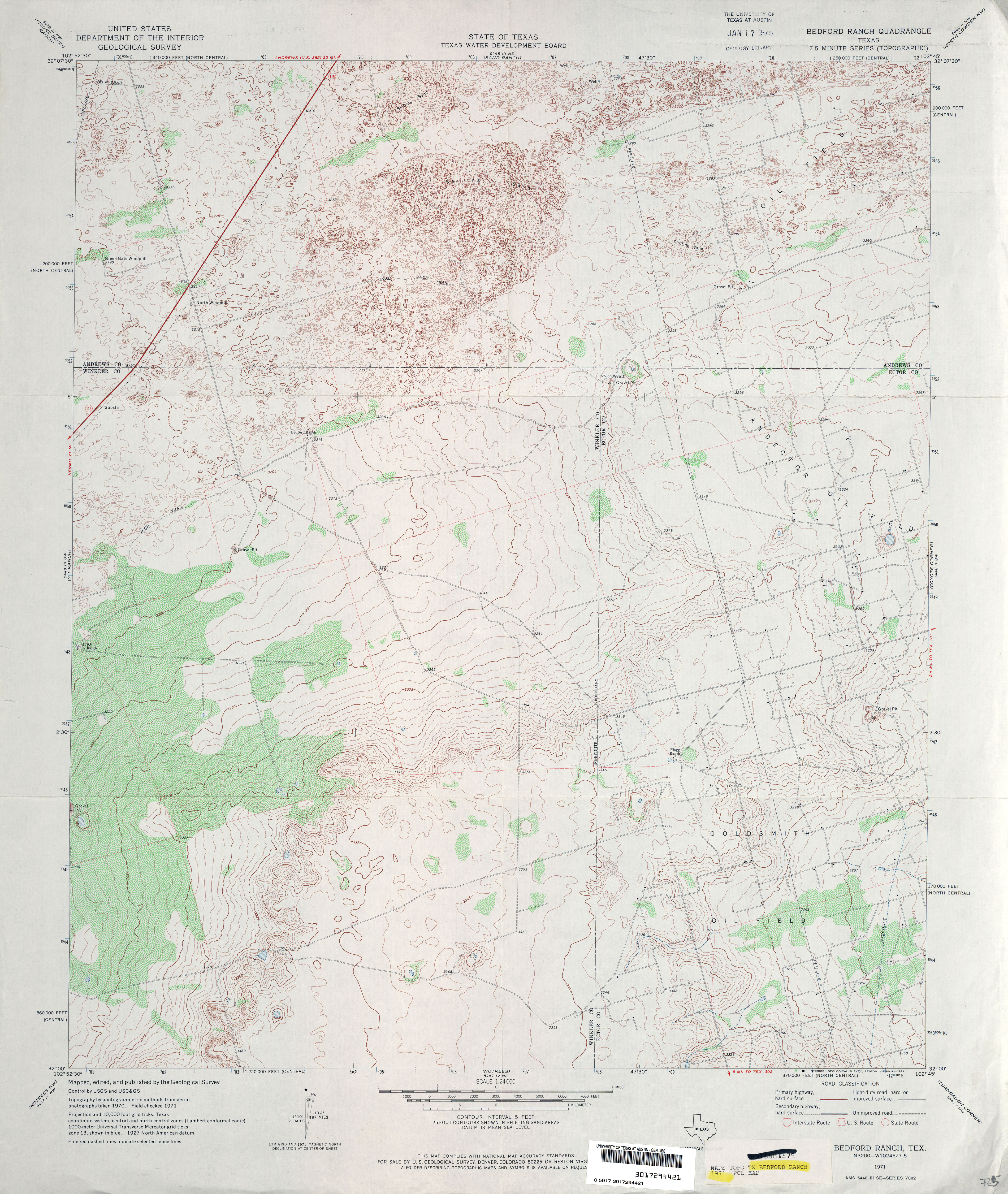
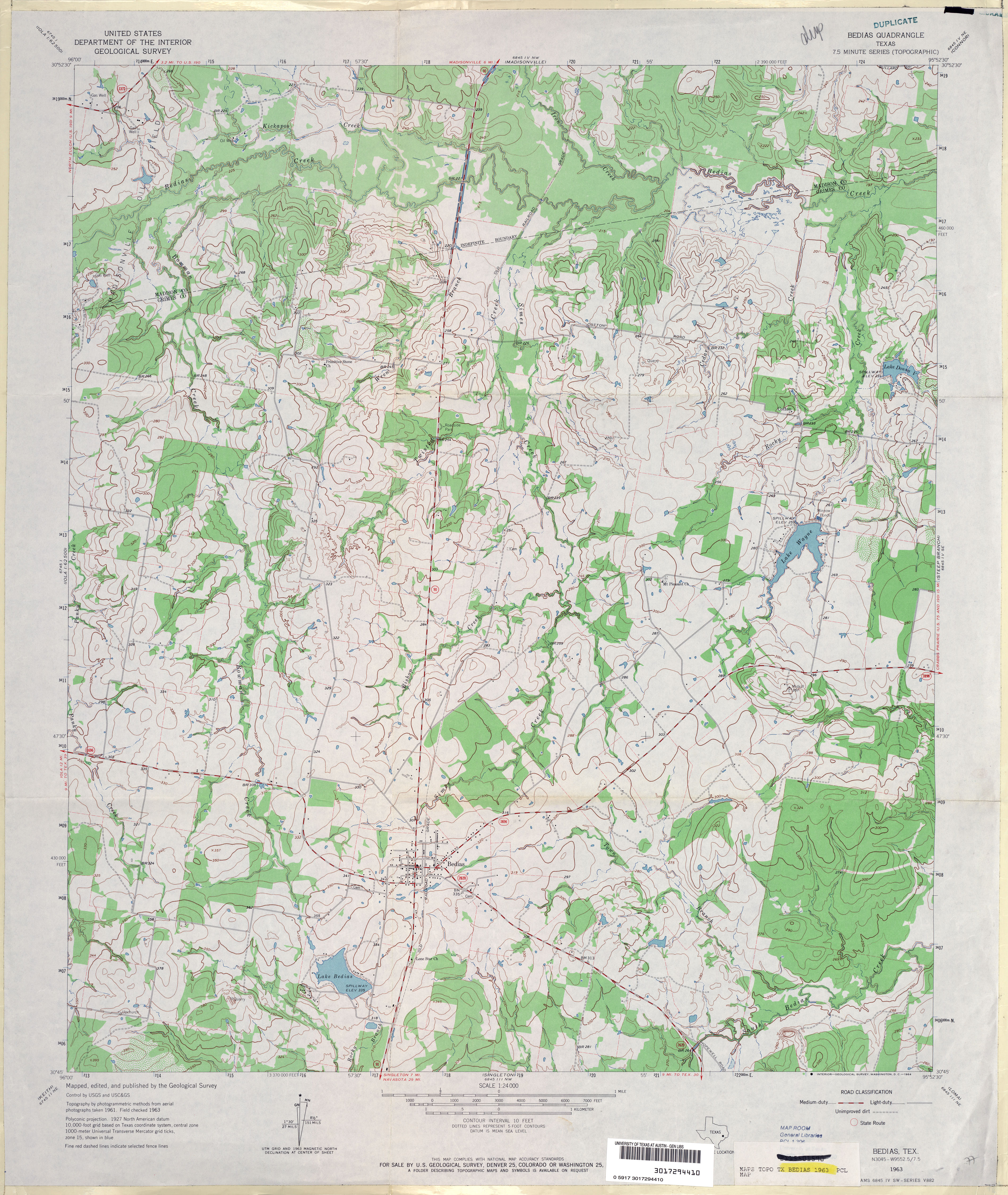
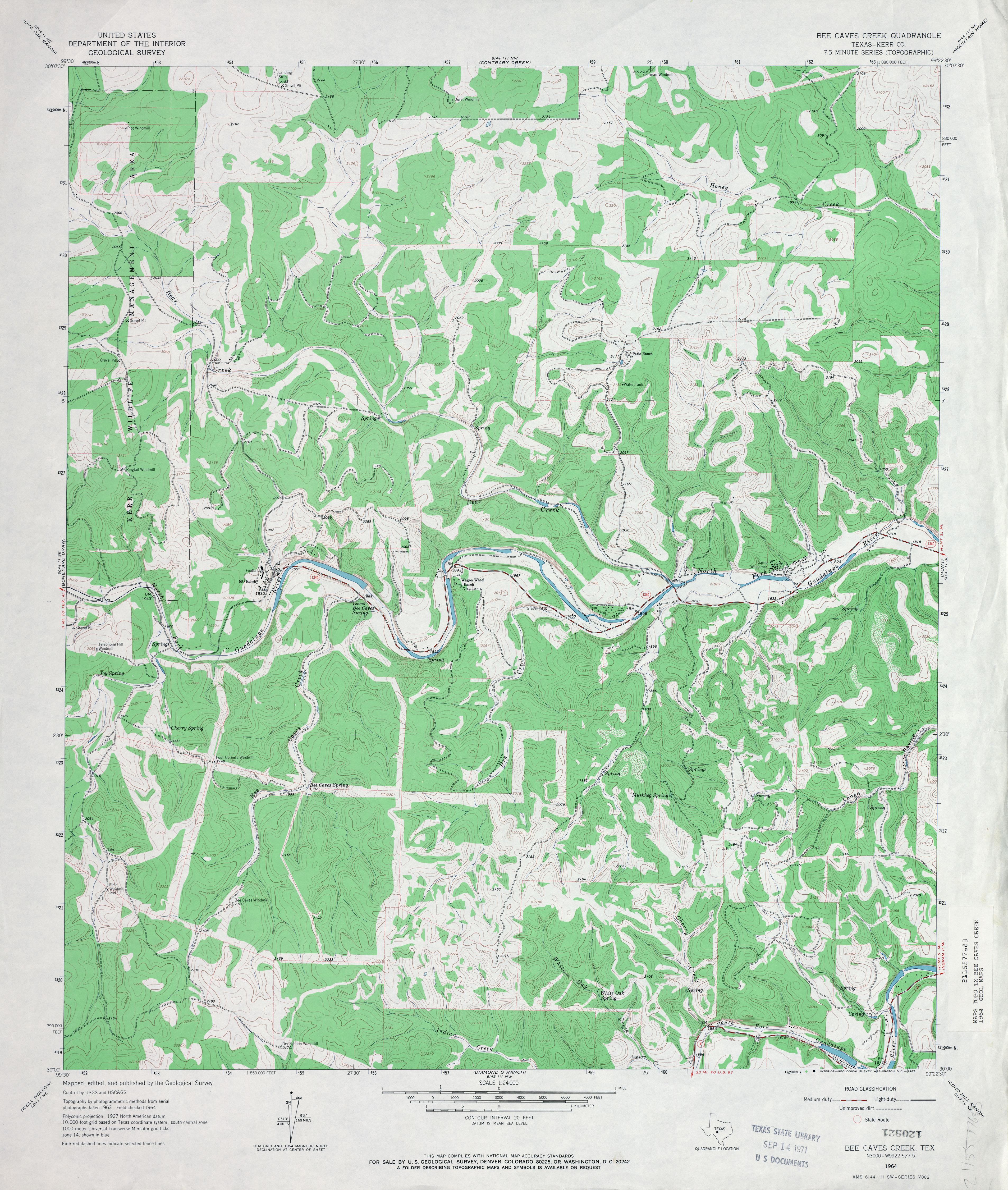
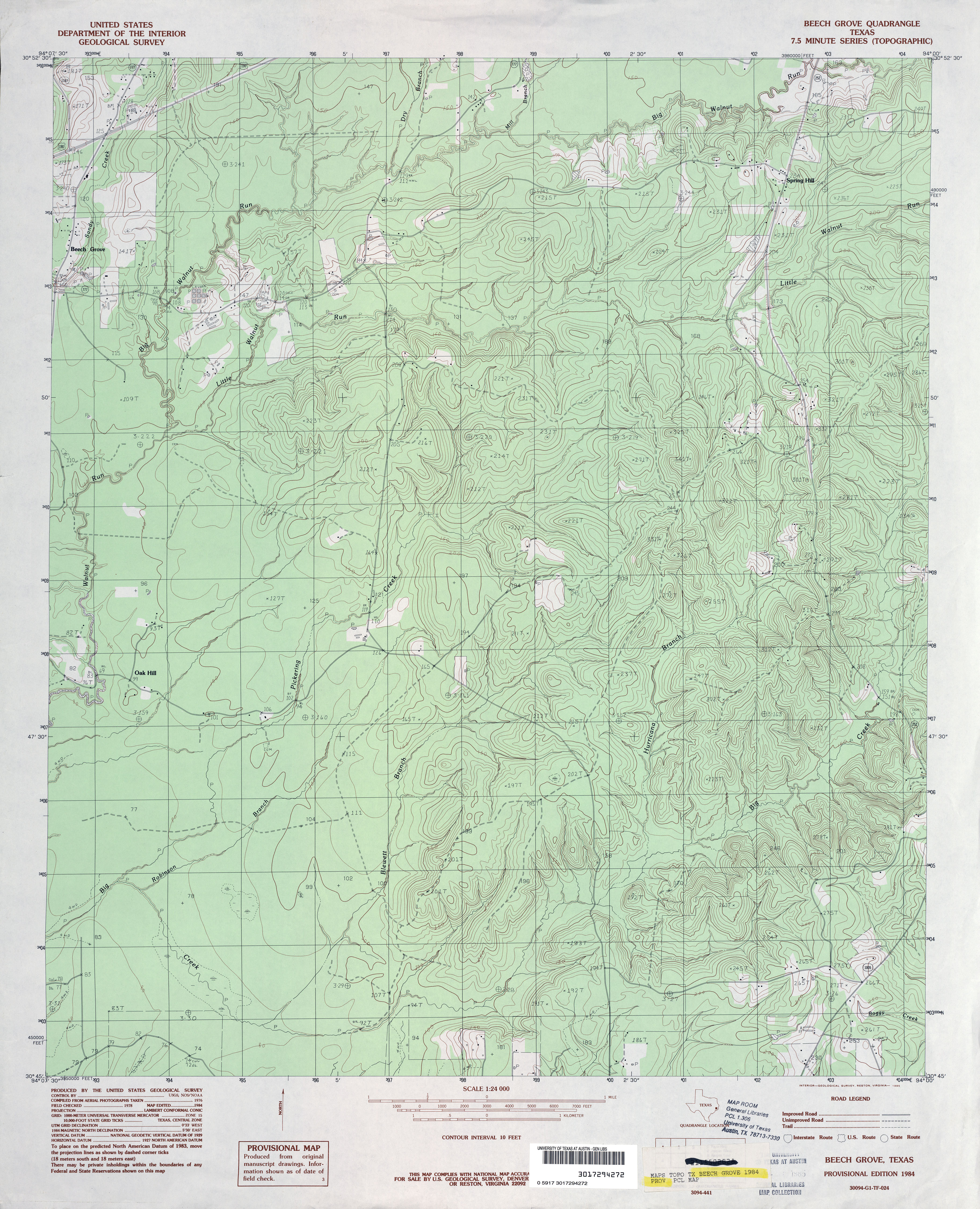
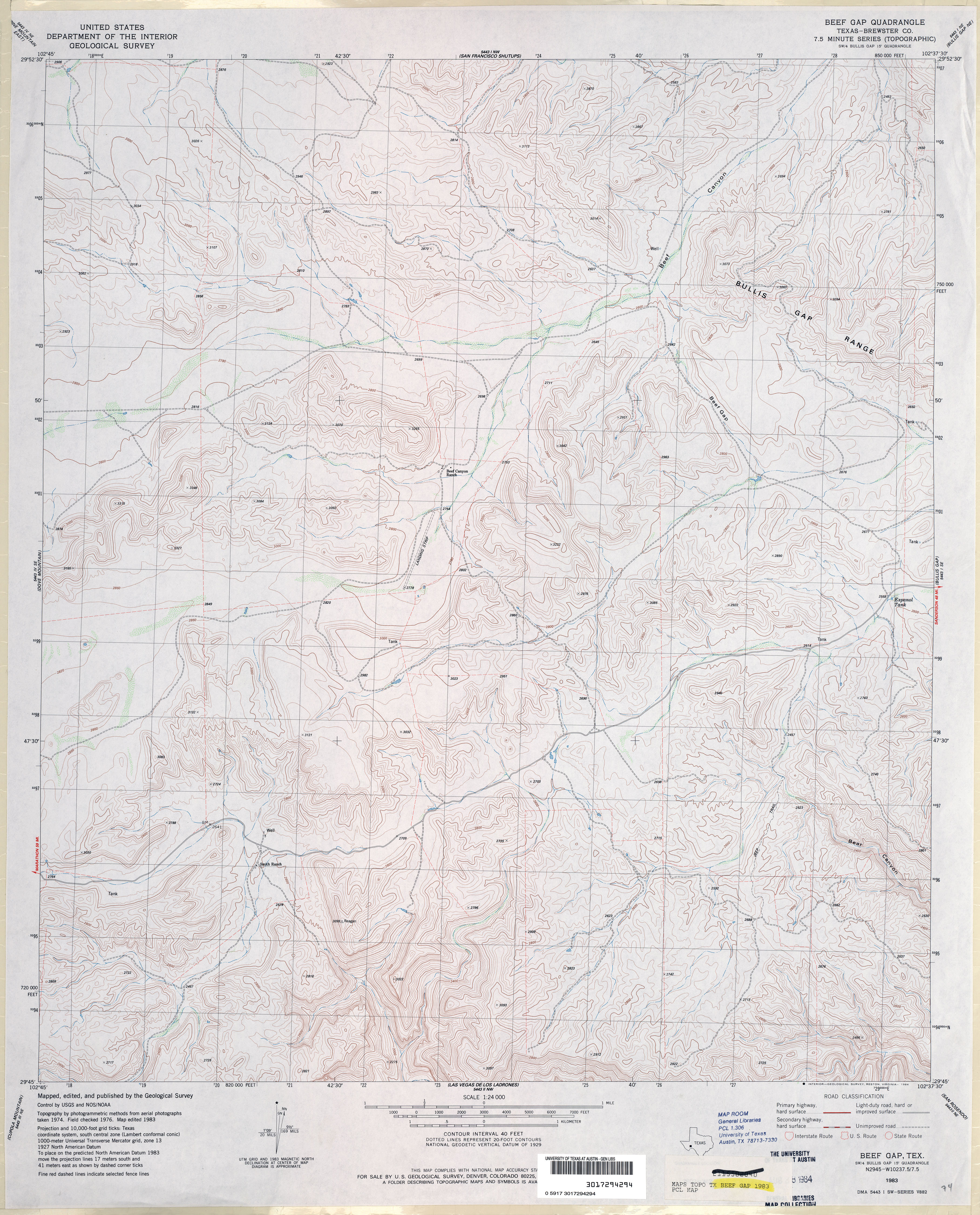
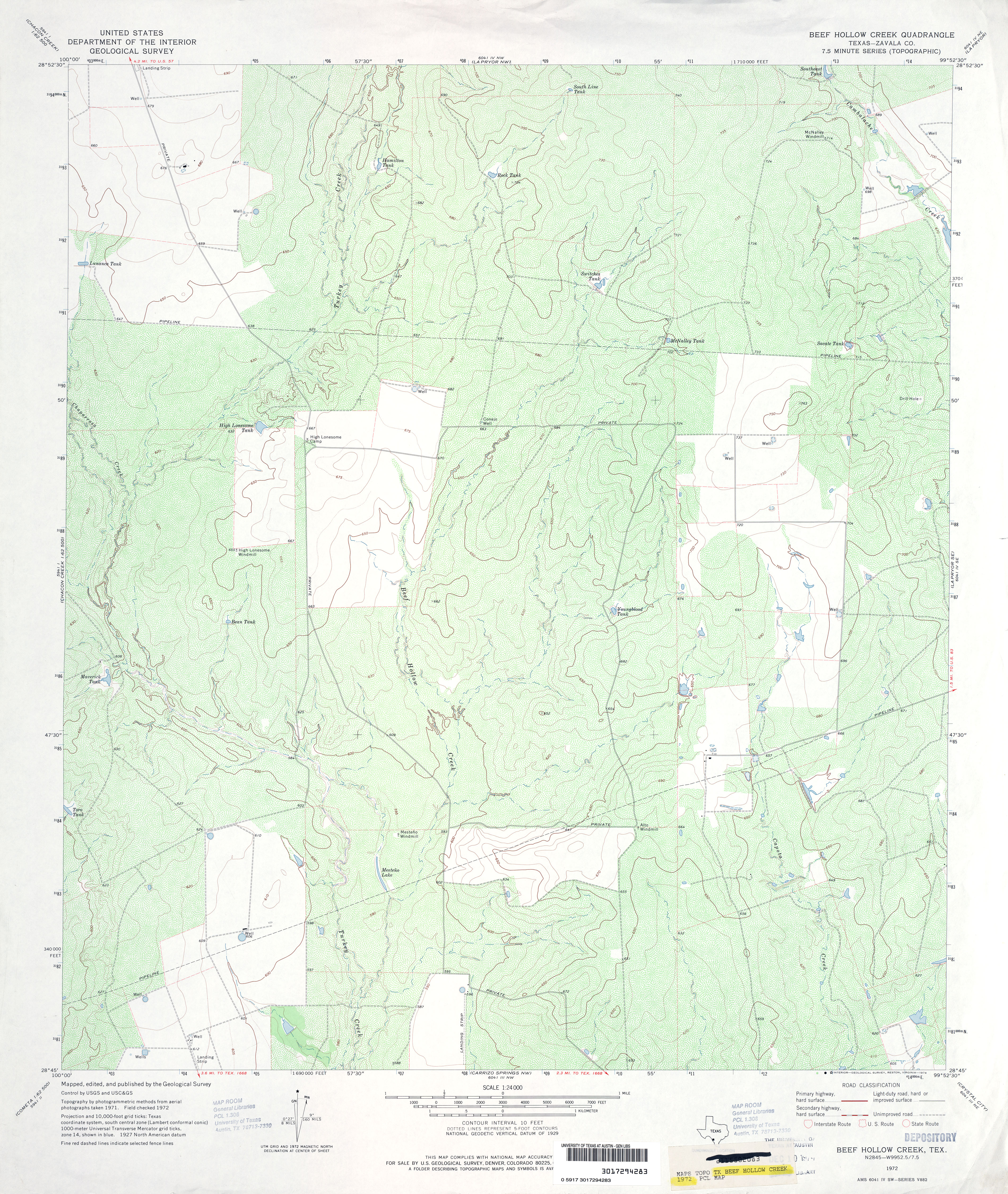
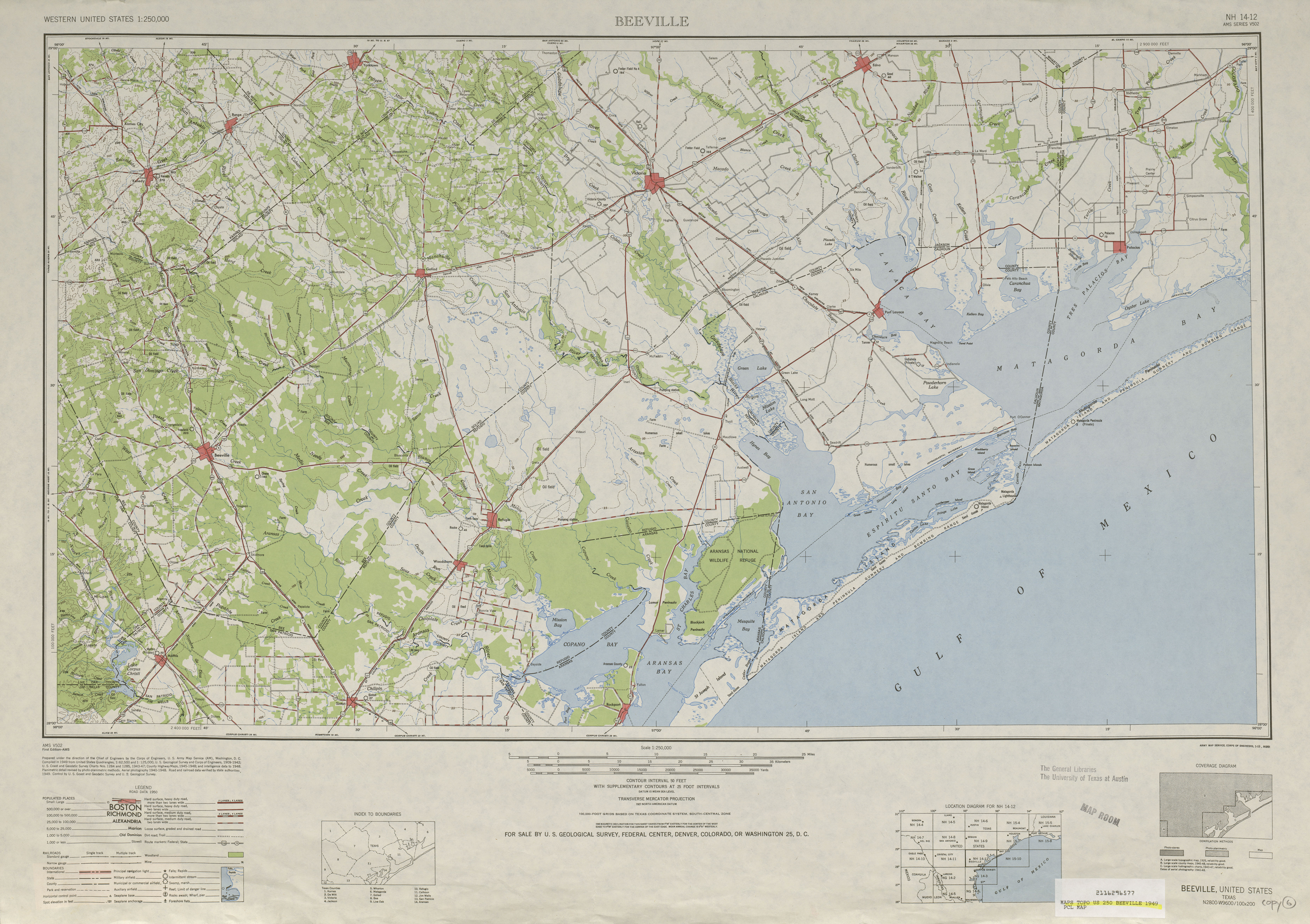
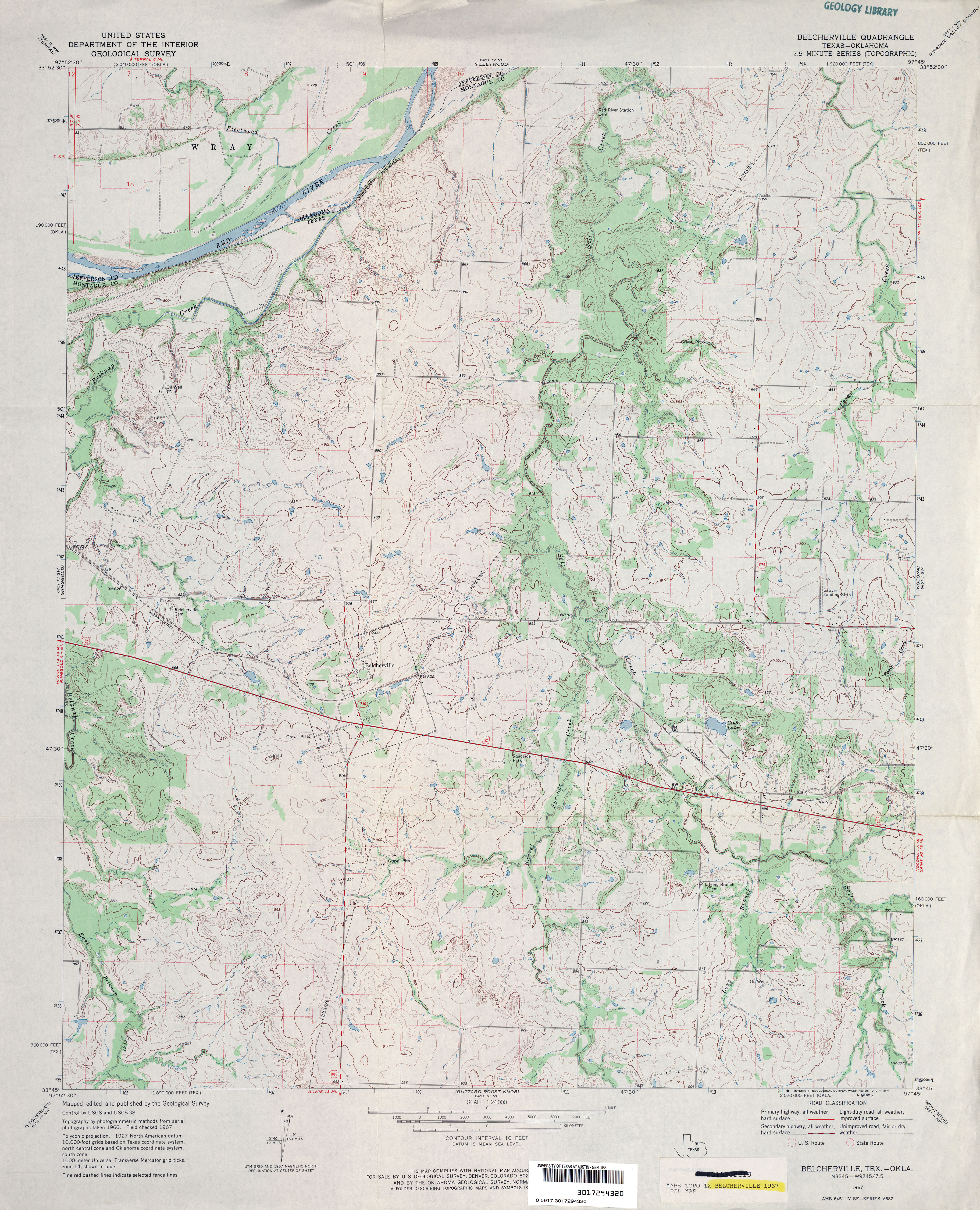
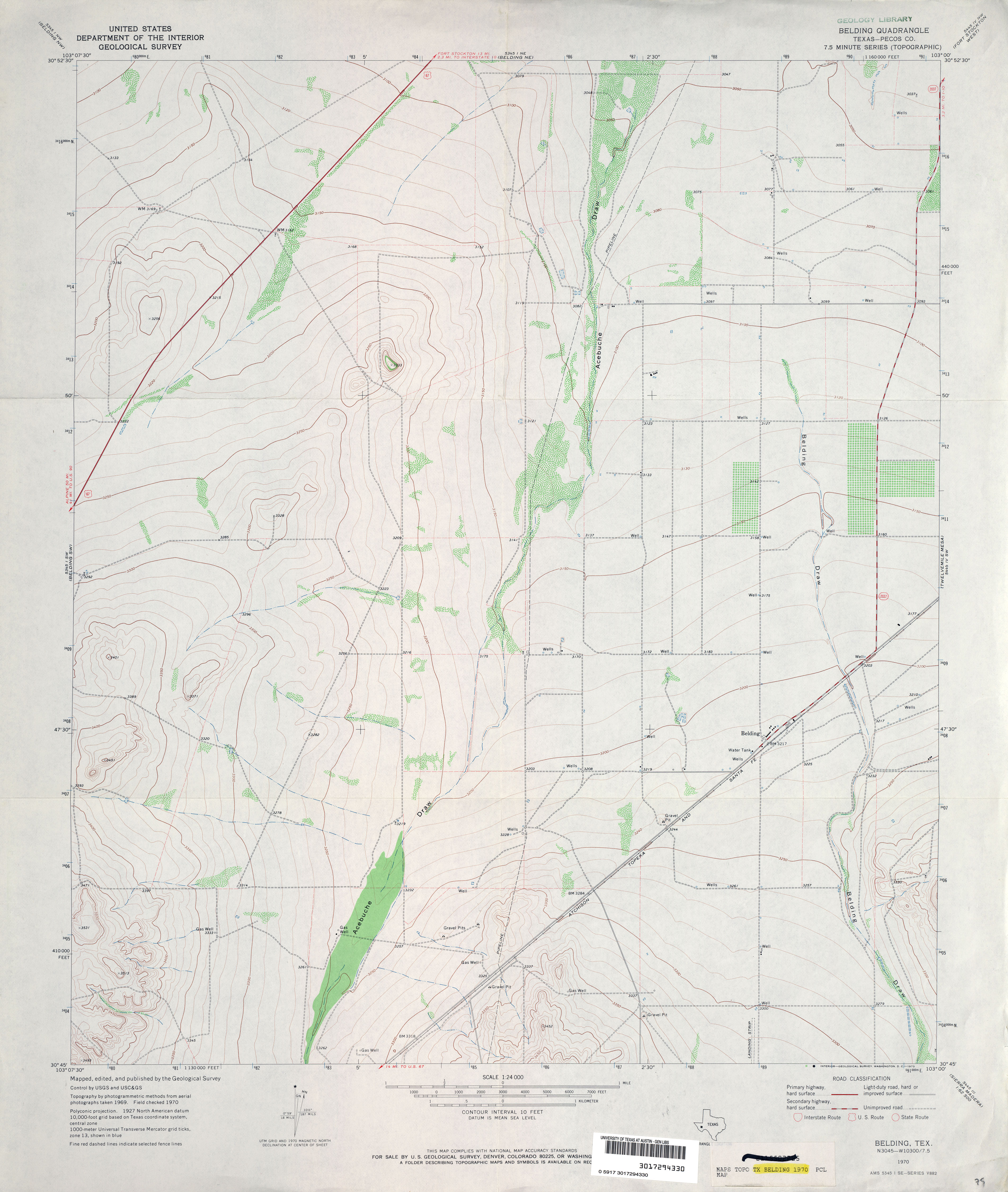
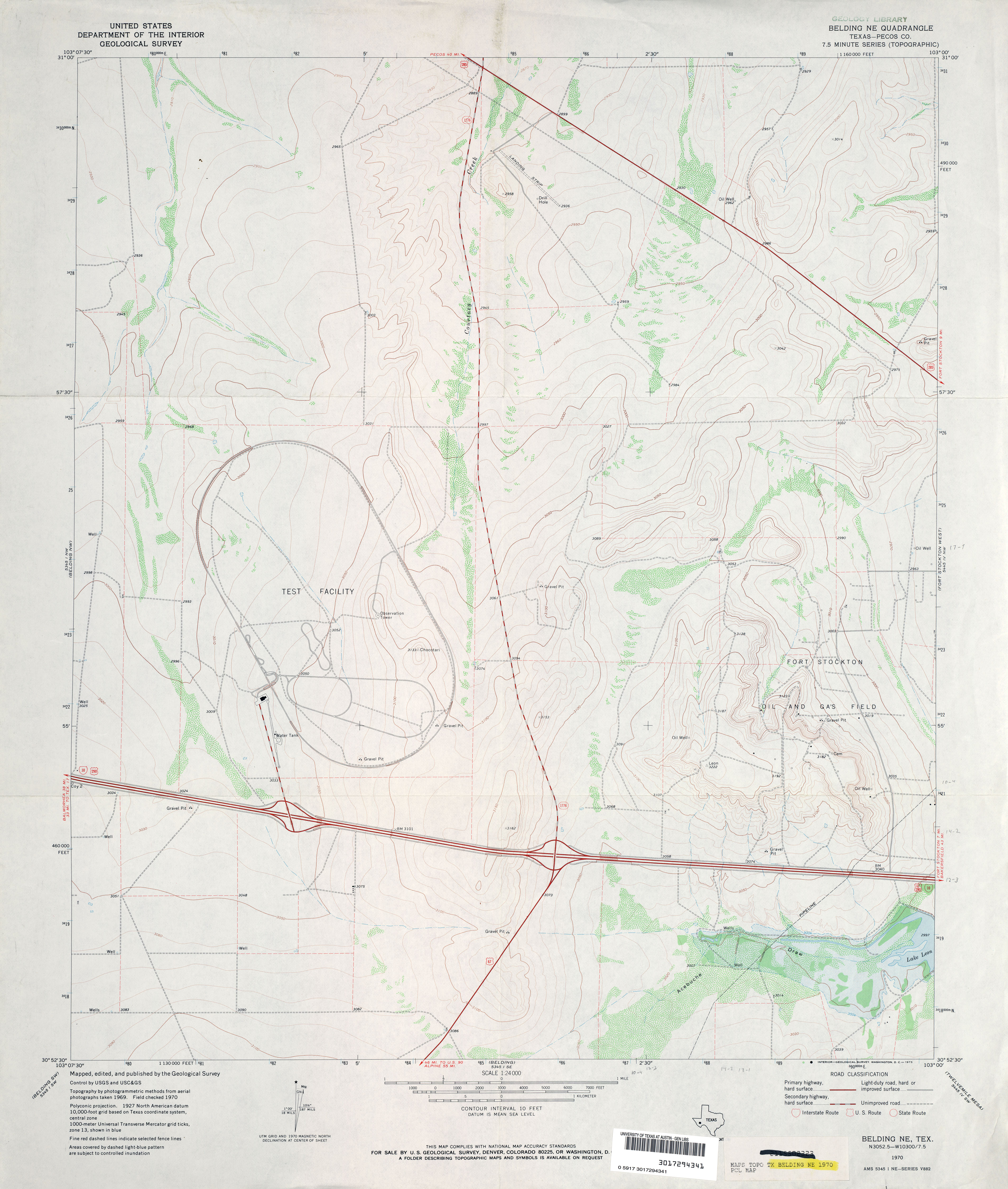
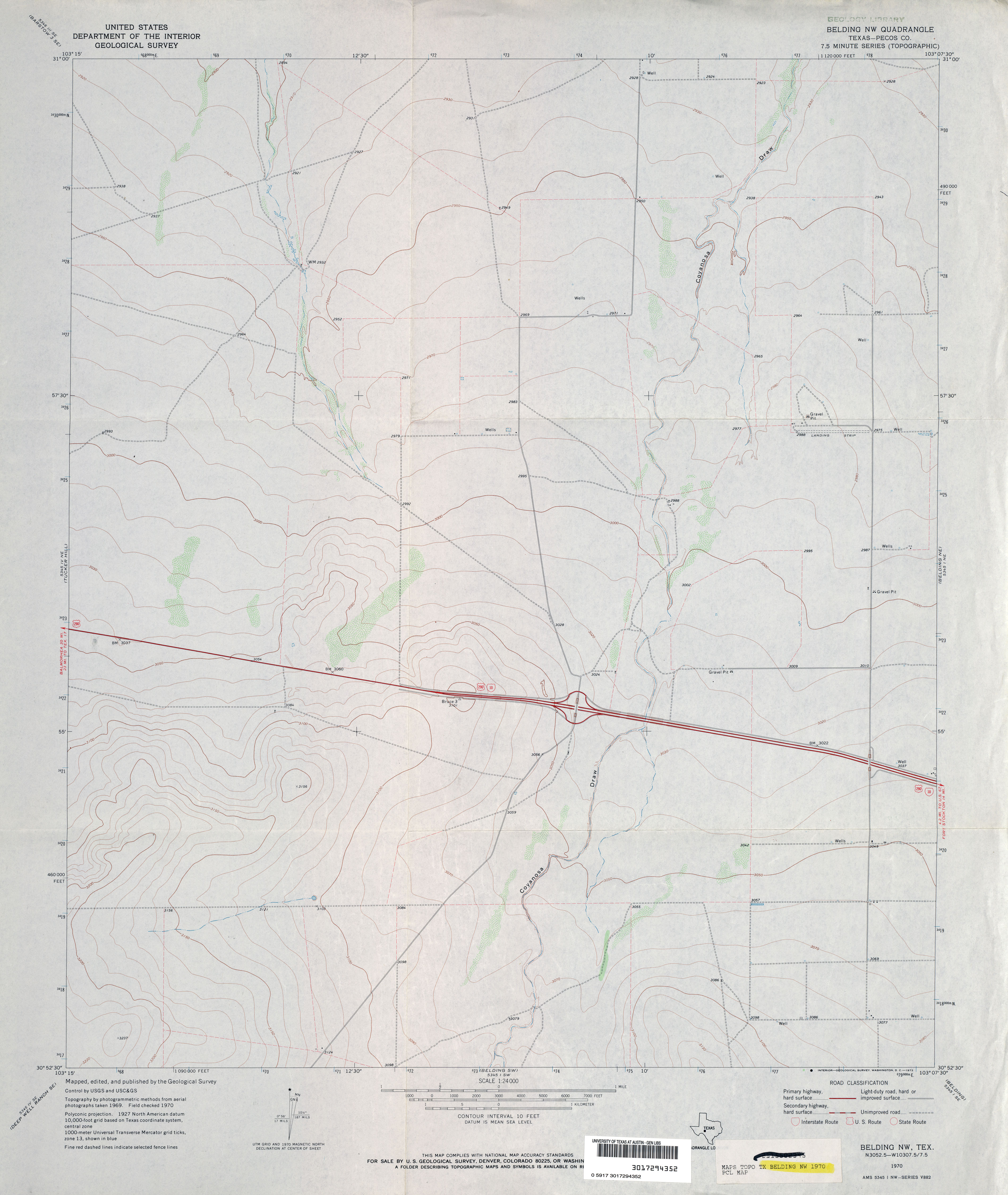
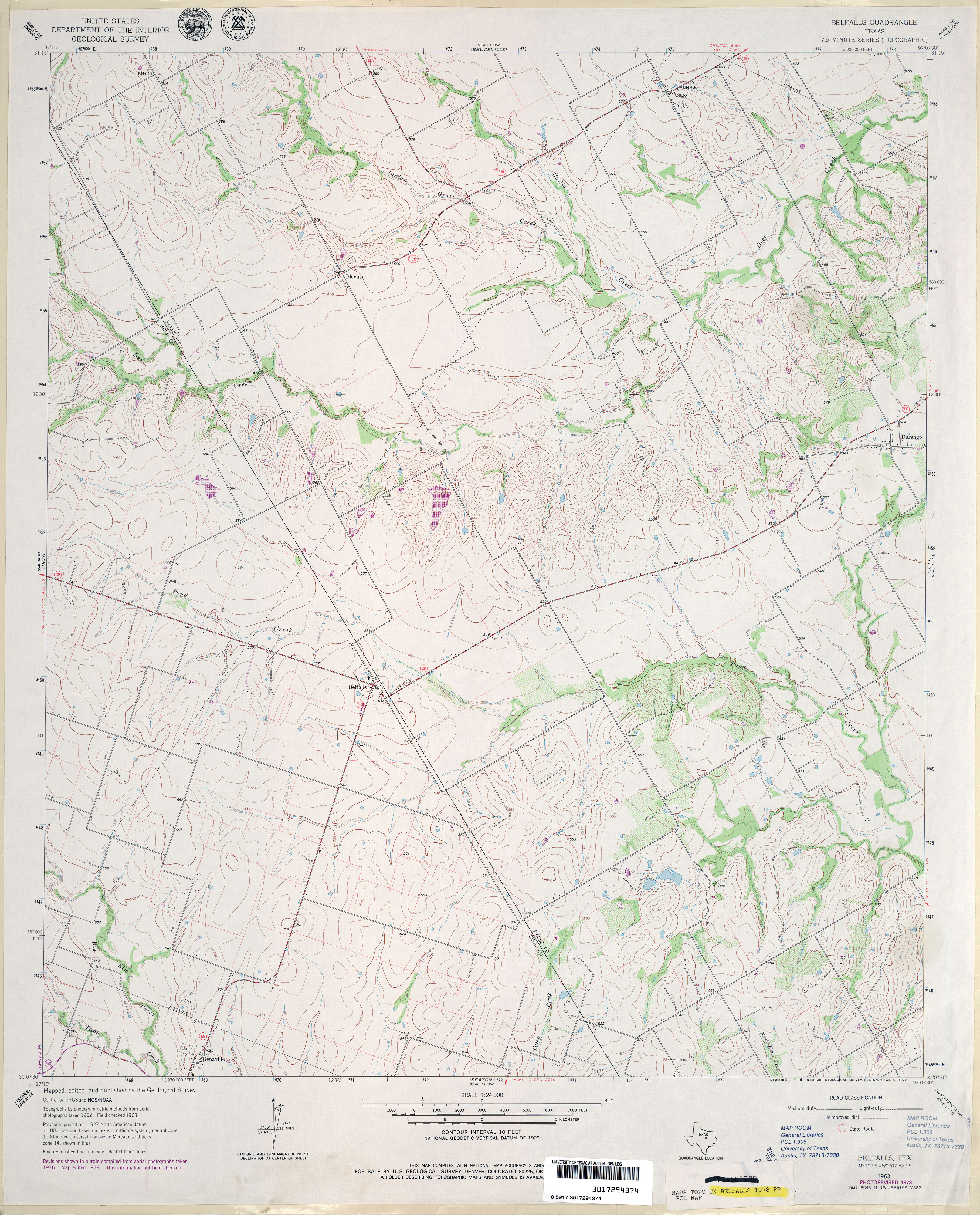
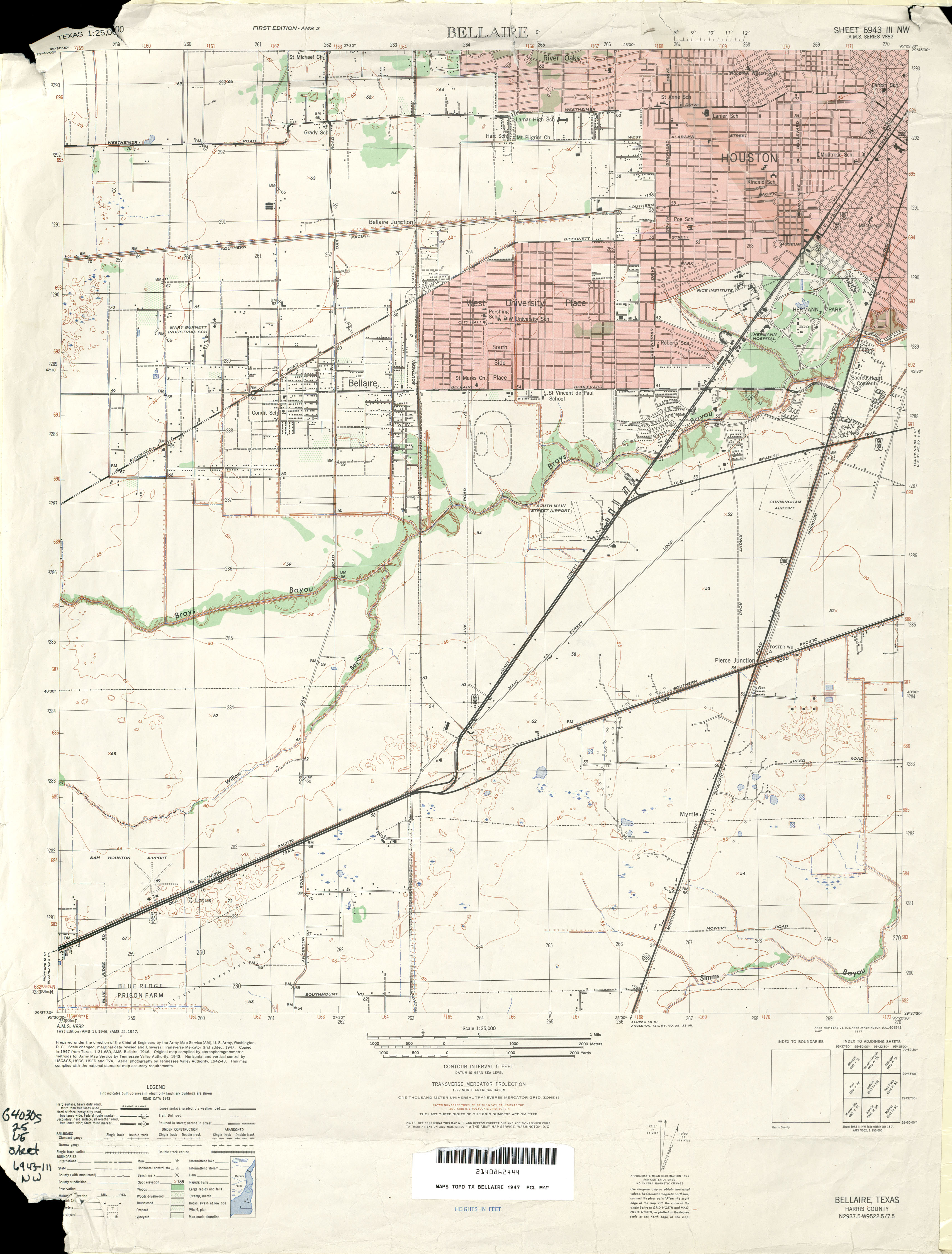
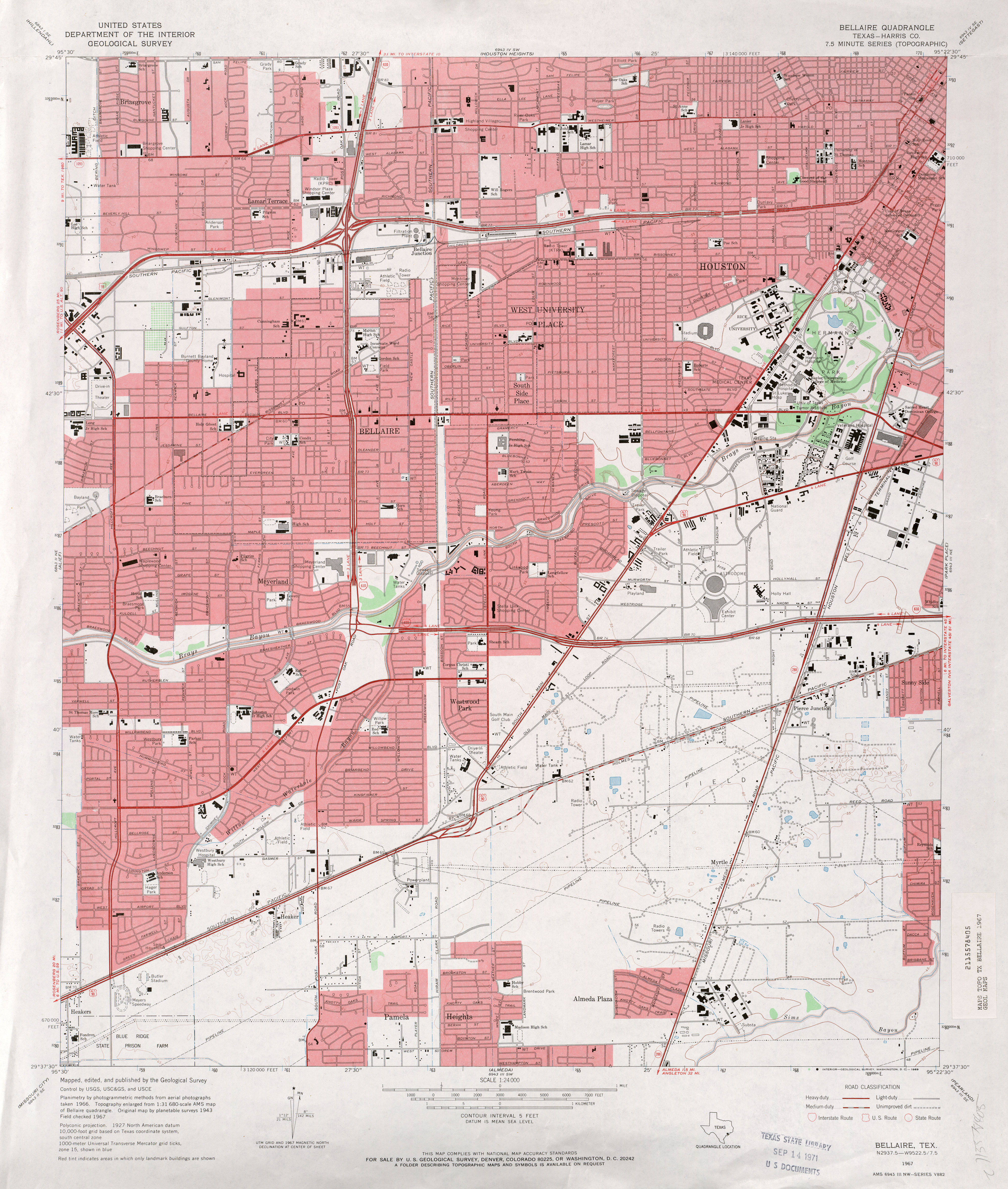
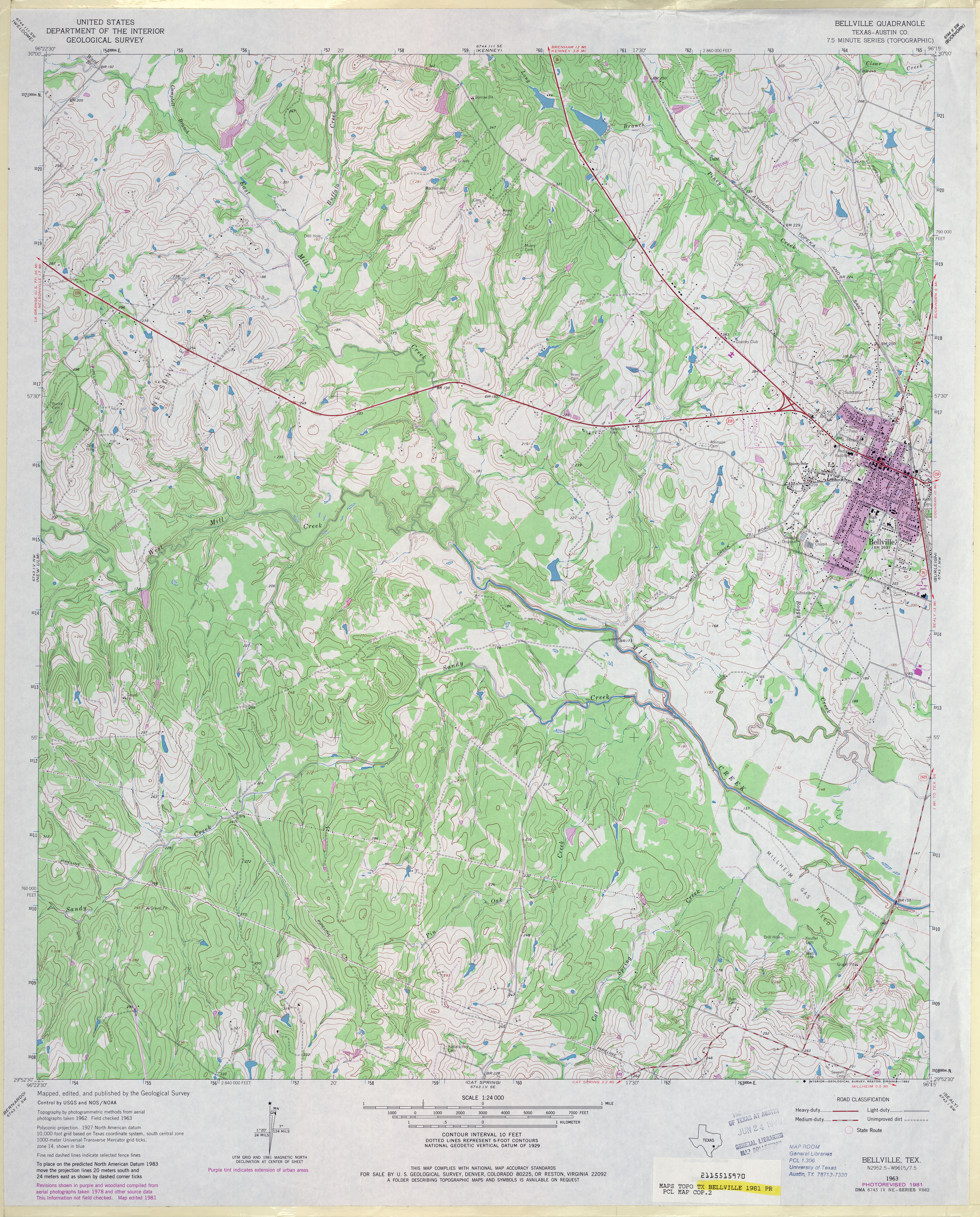
![[Bellville] Cat Spring](http://maps.lib.utexas.edu/maps/topo/texas/txu-pclmaps-topo-tx-cat_spring-1919.jpg)
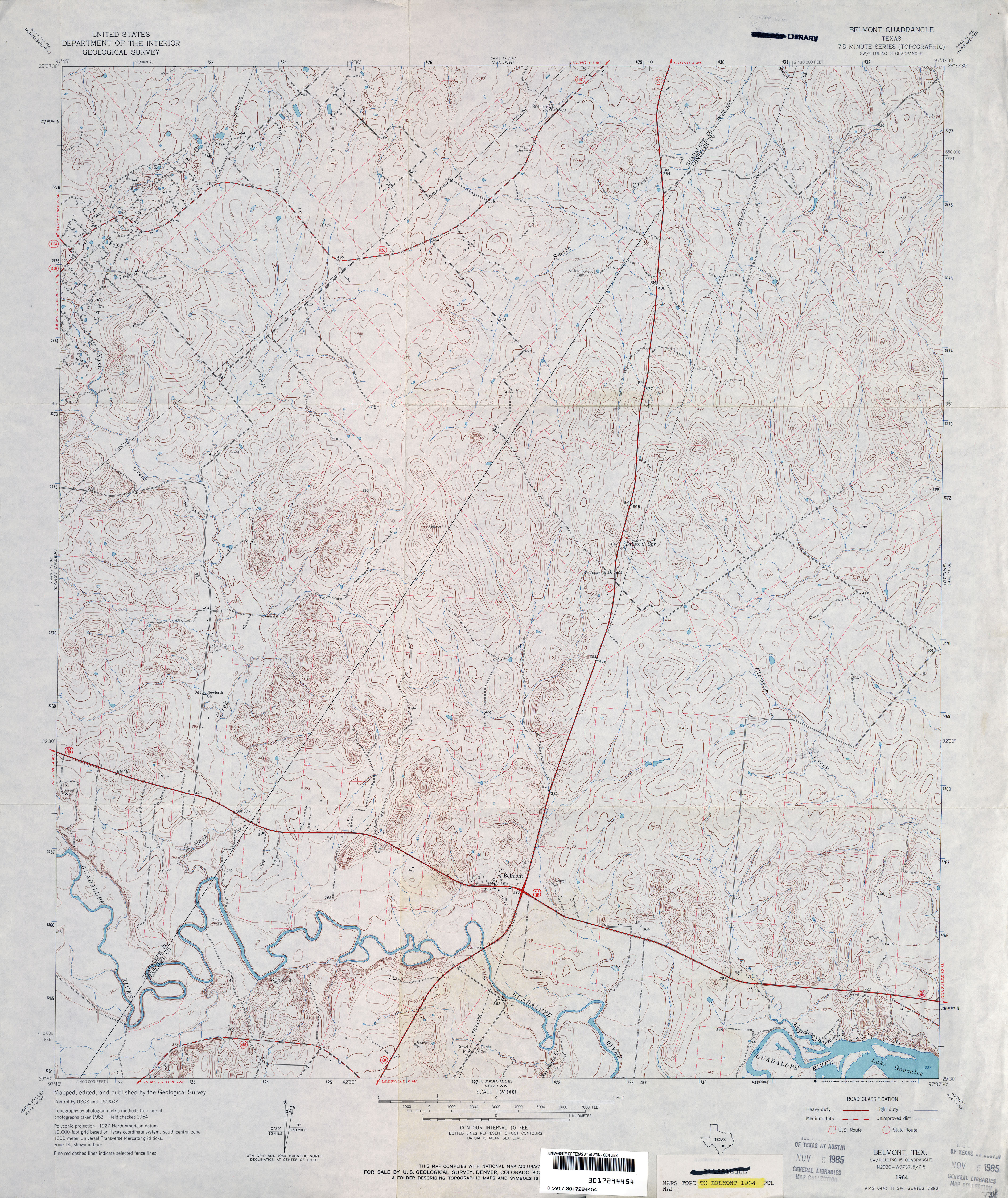
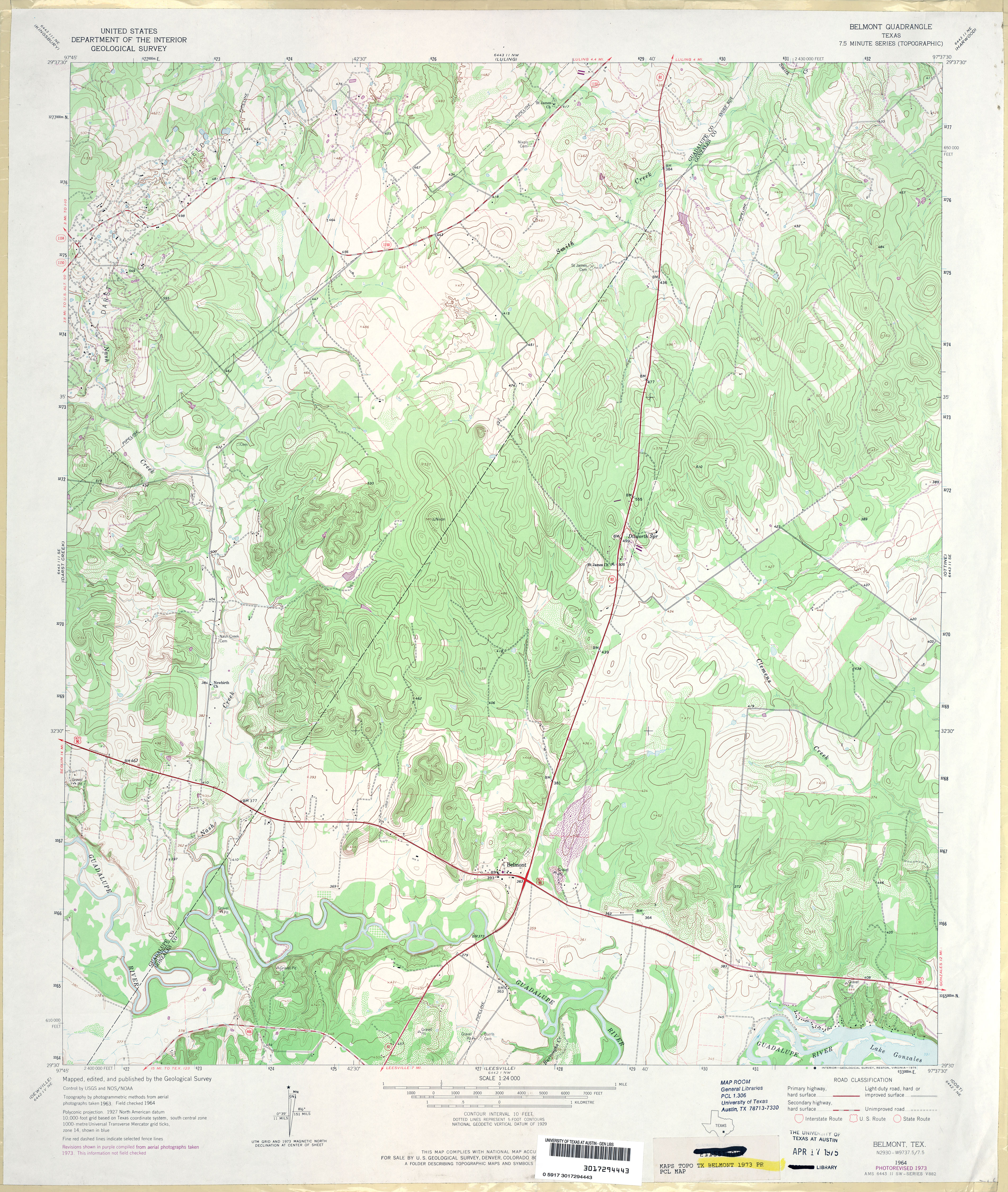
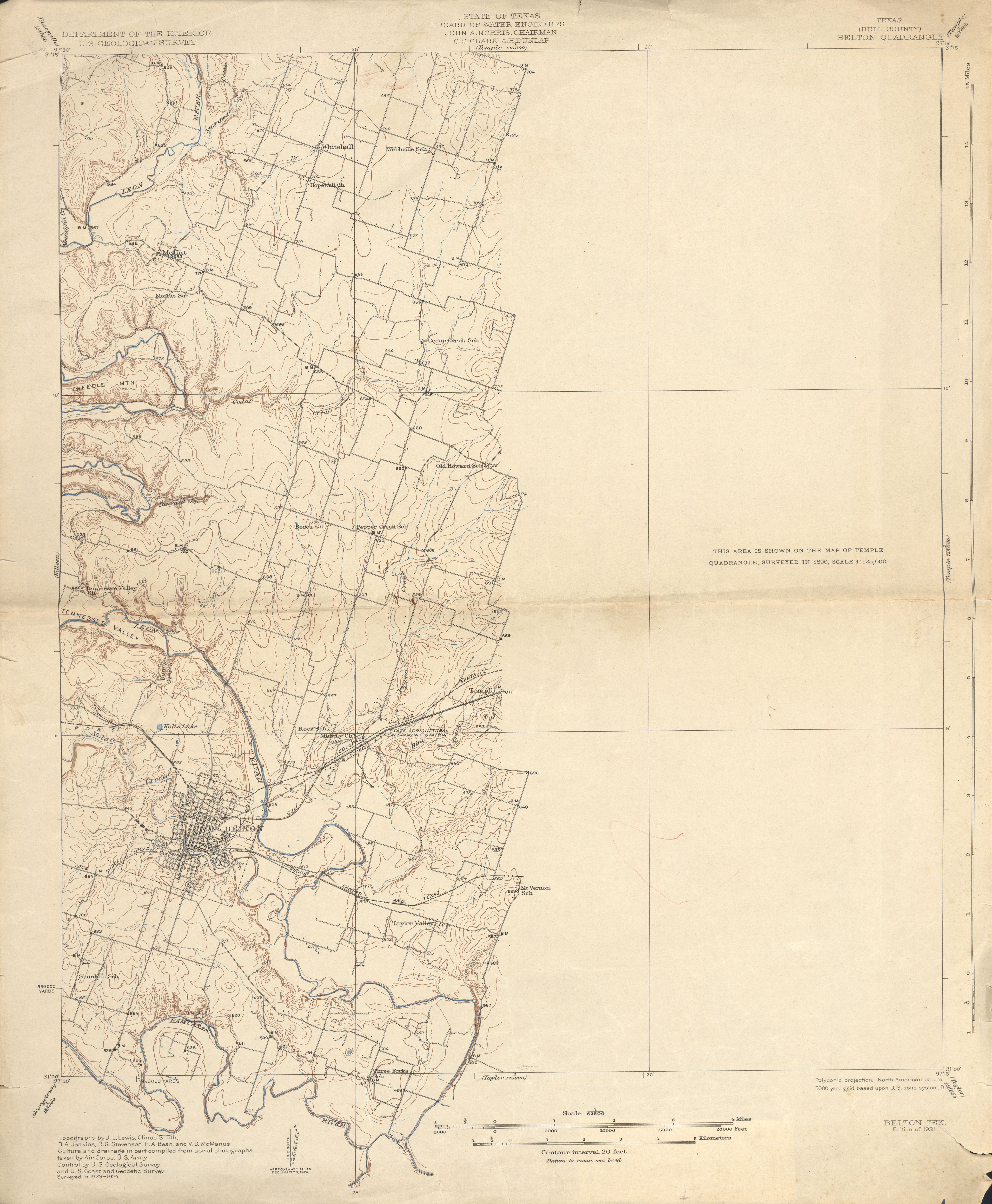
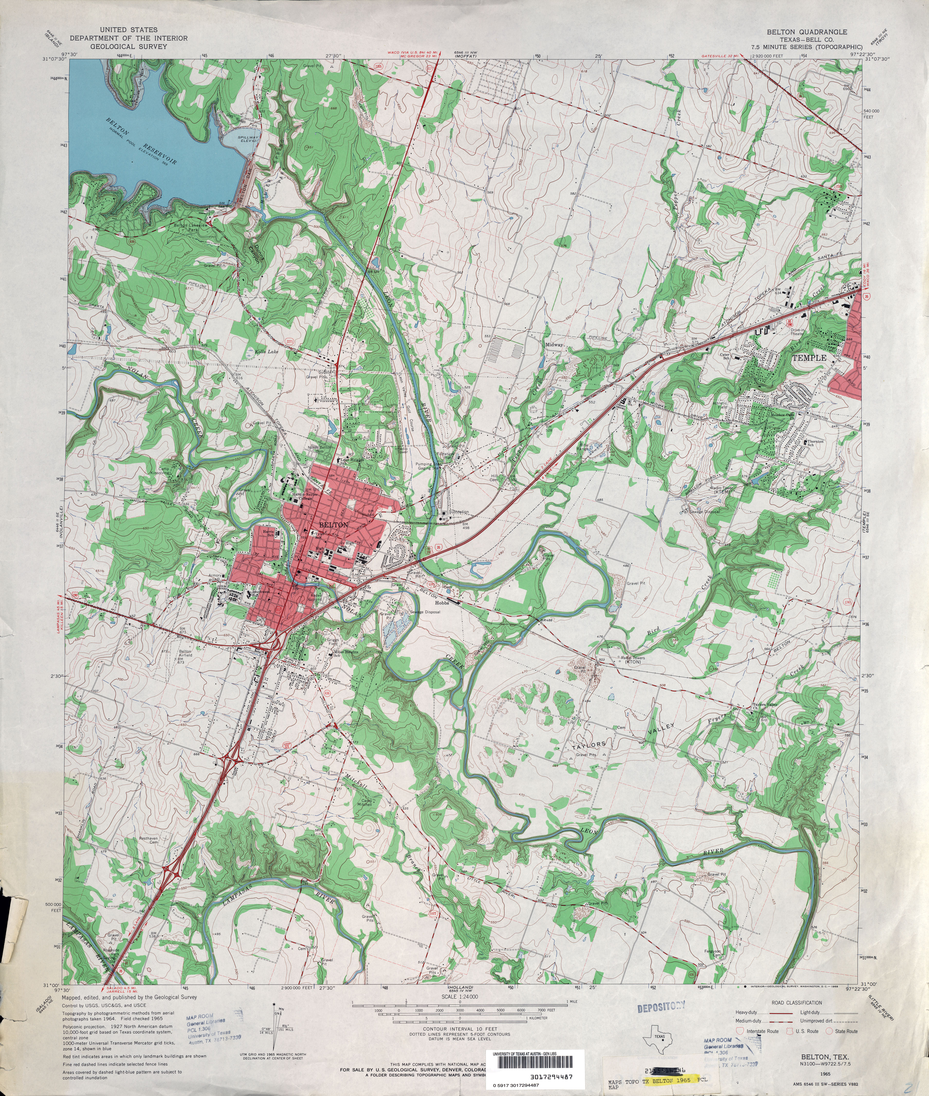
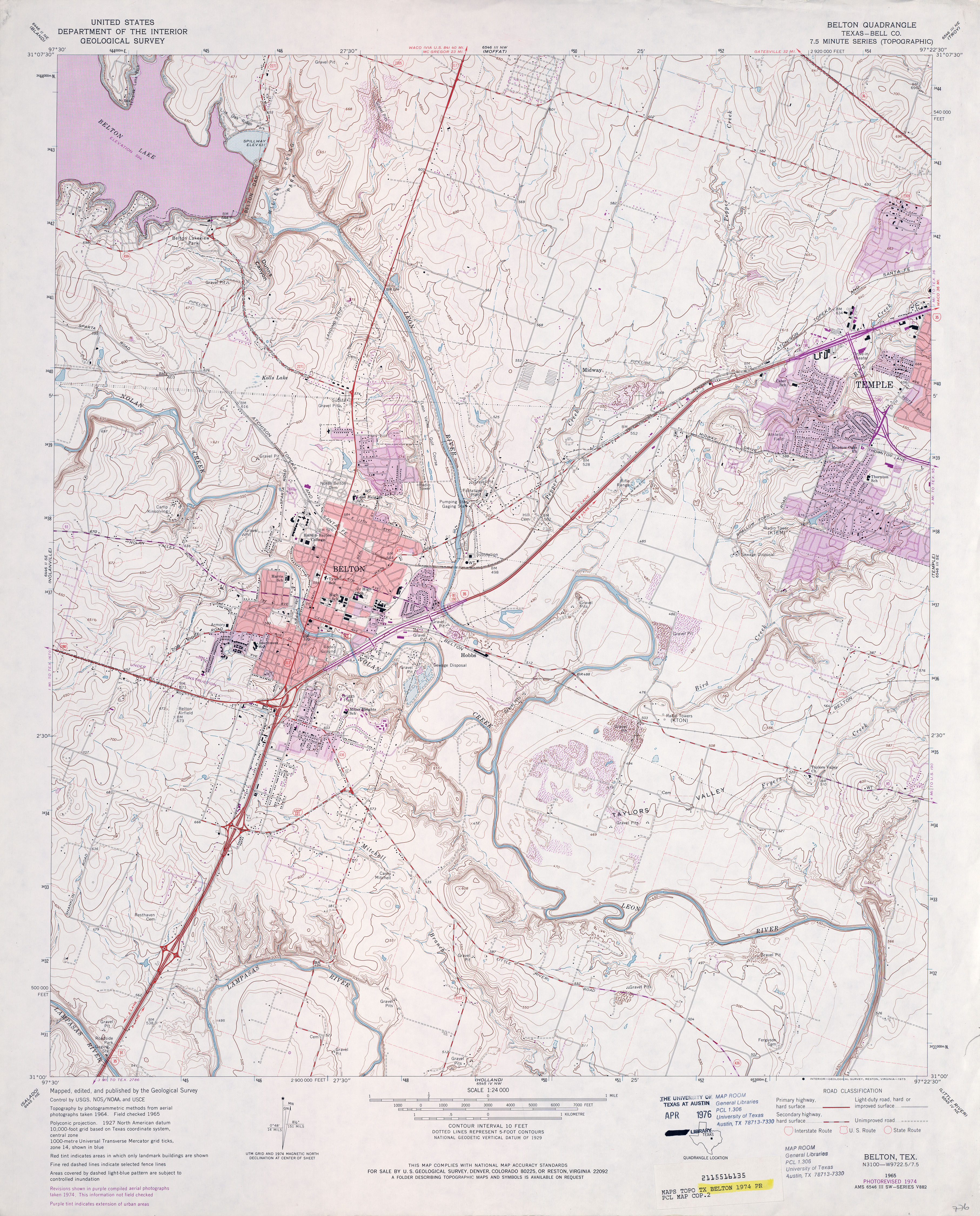
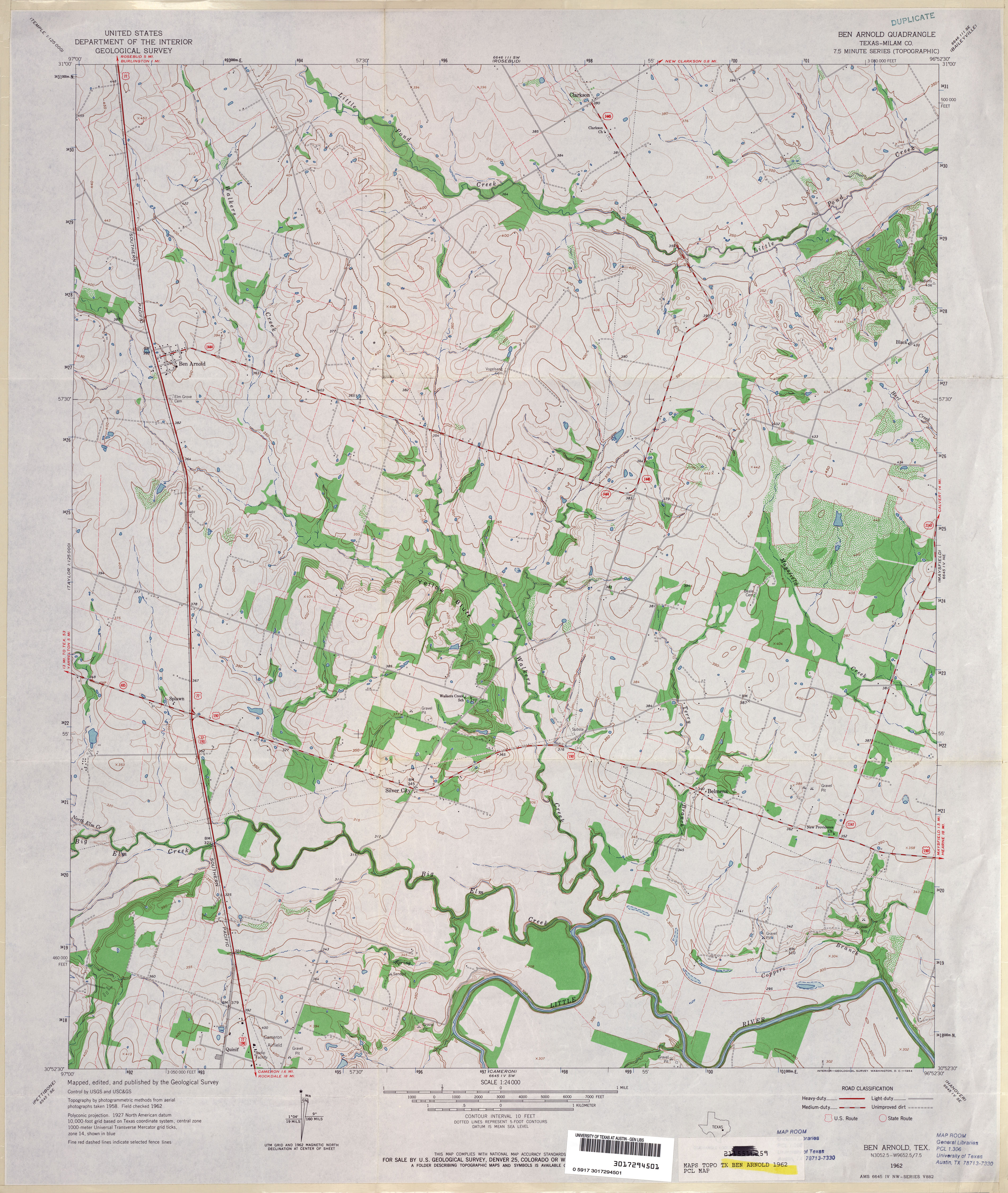
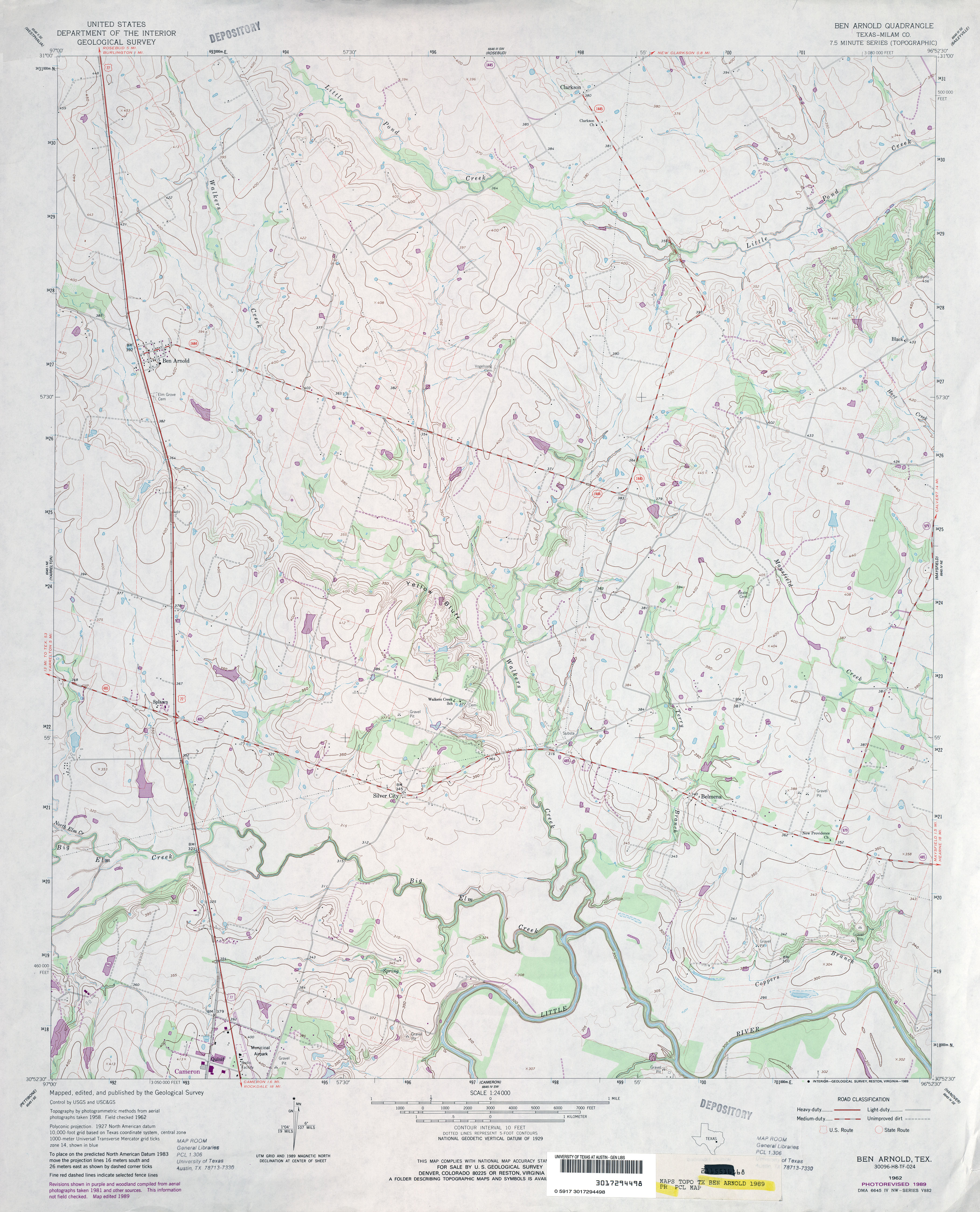
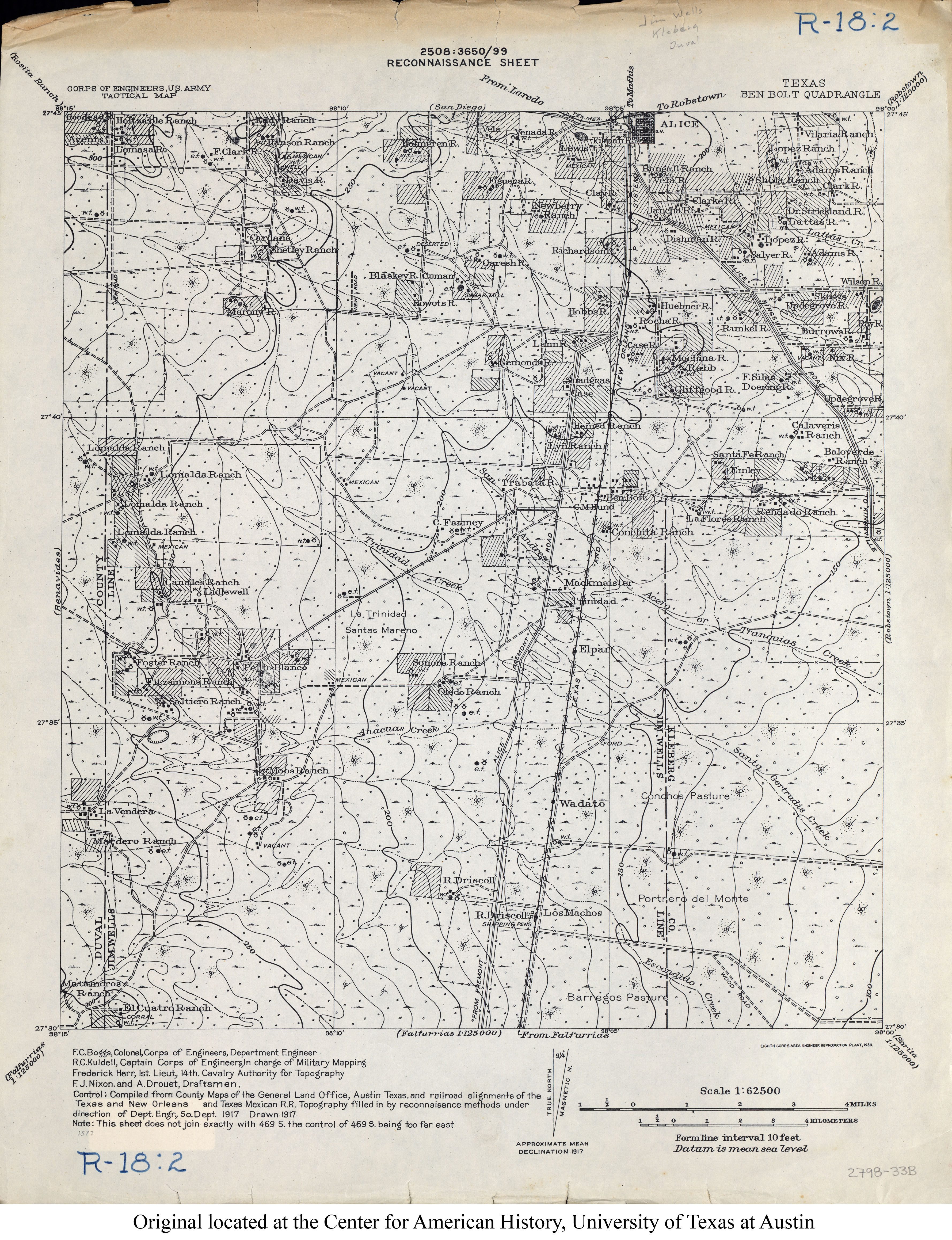
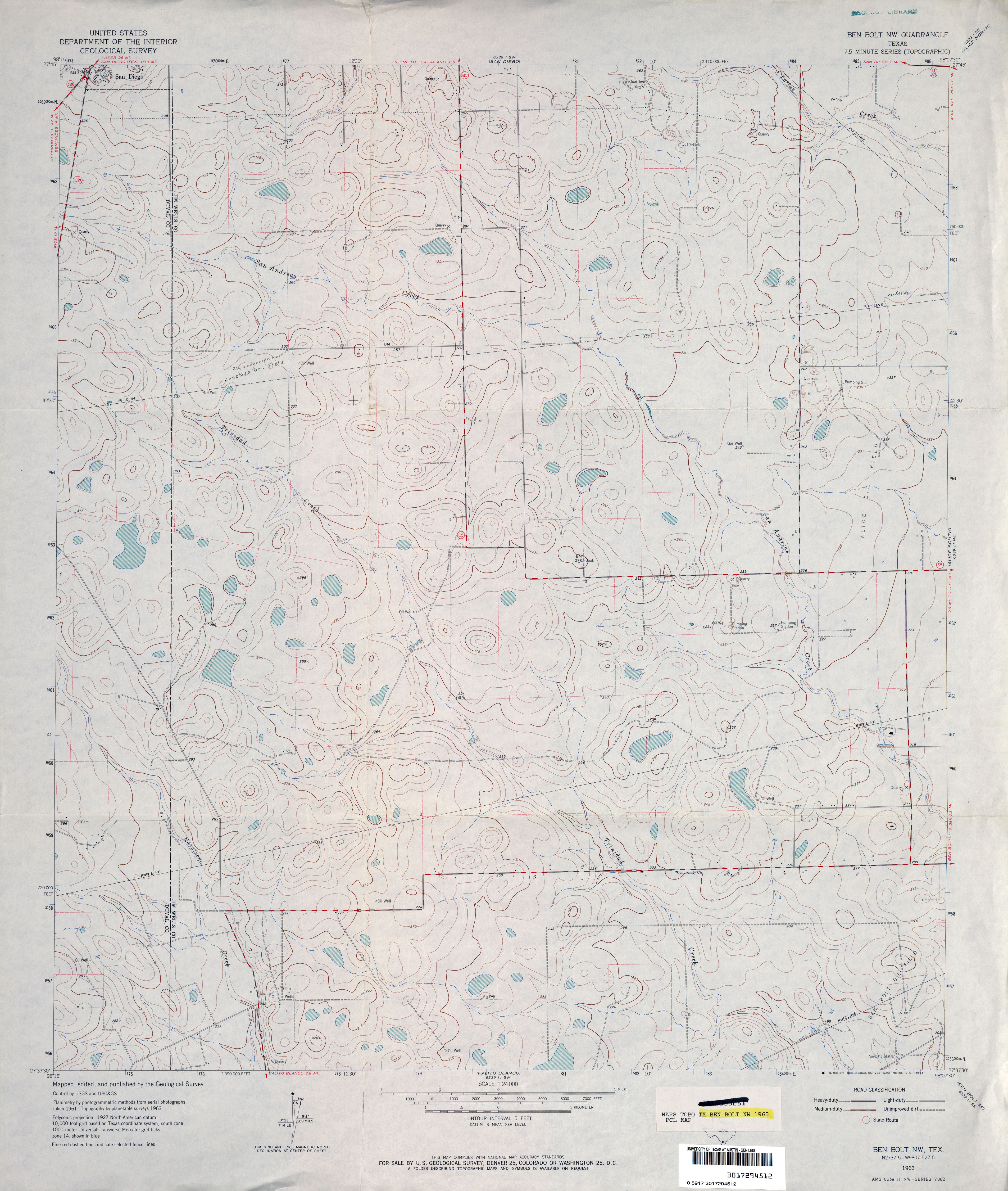
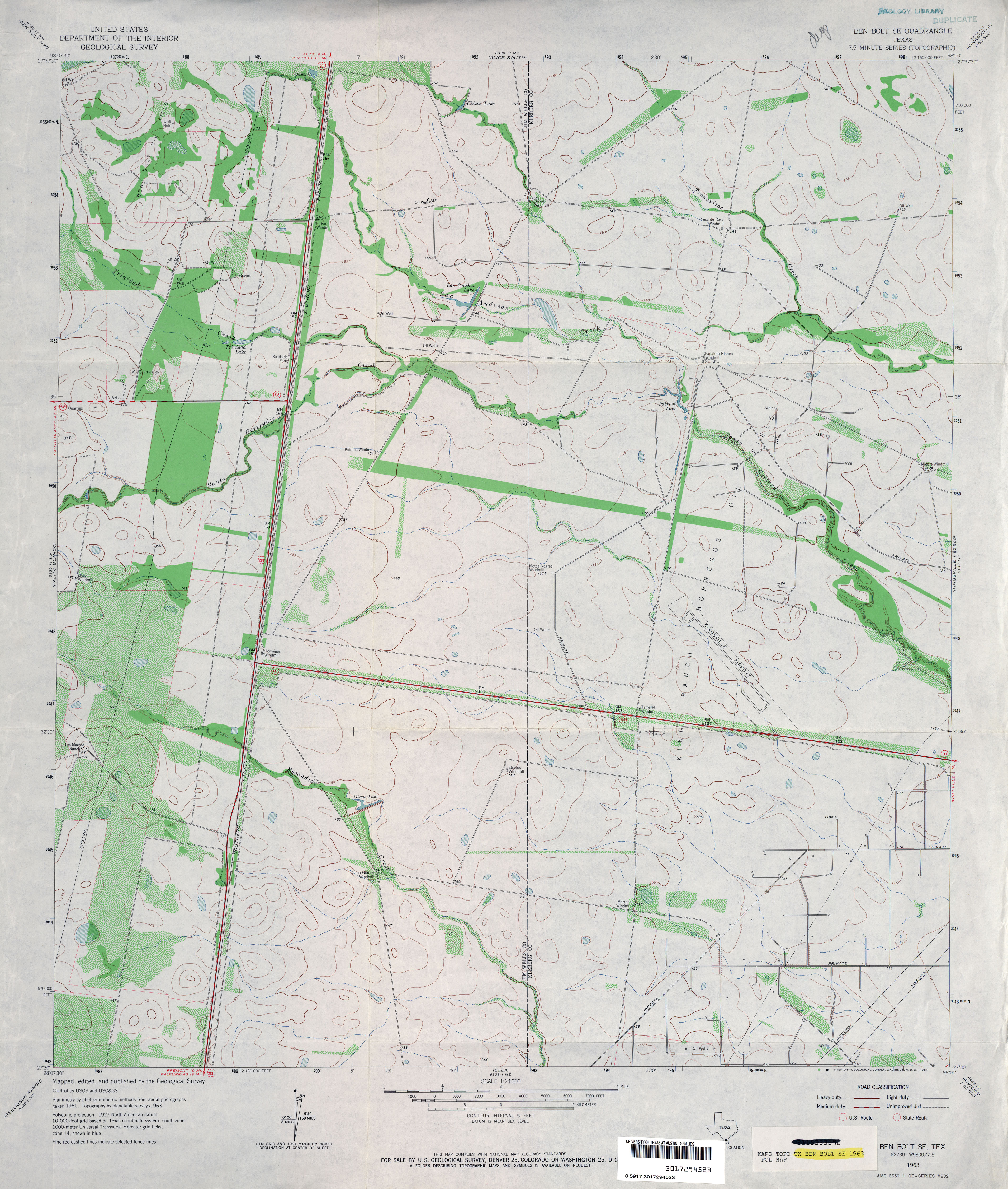
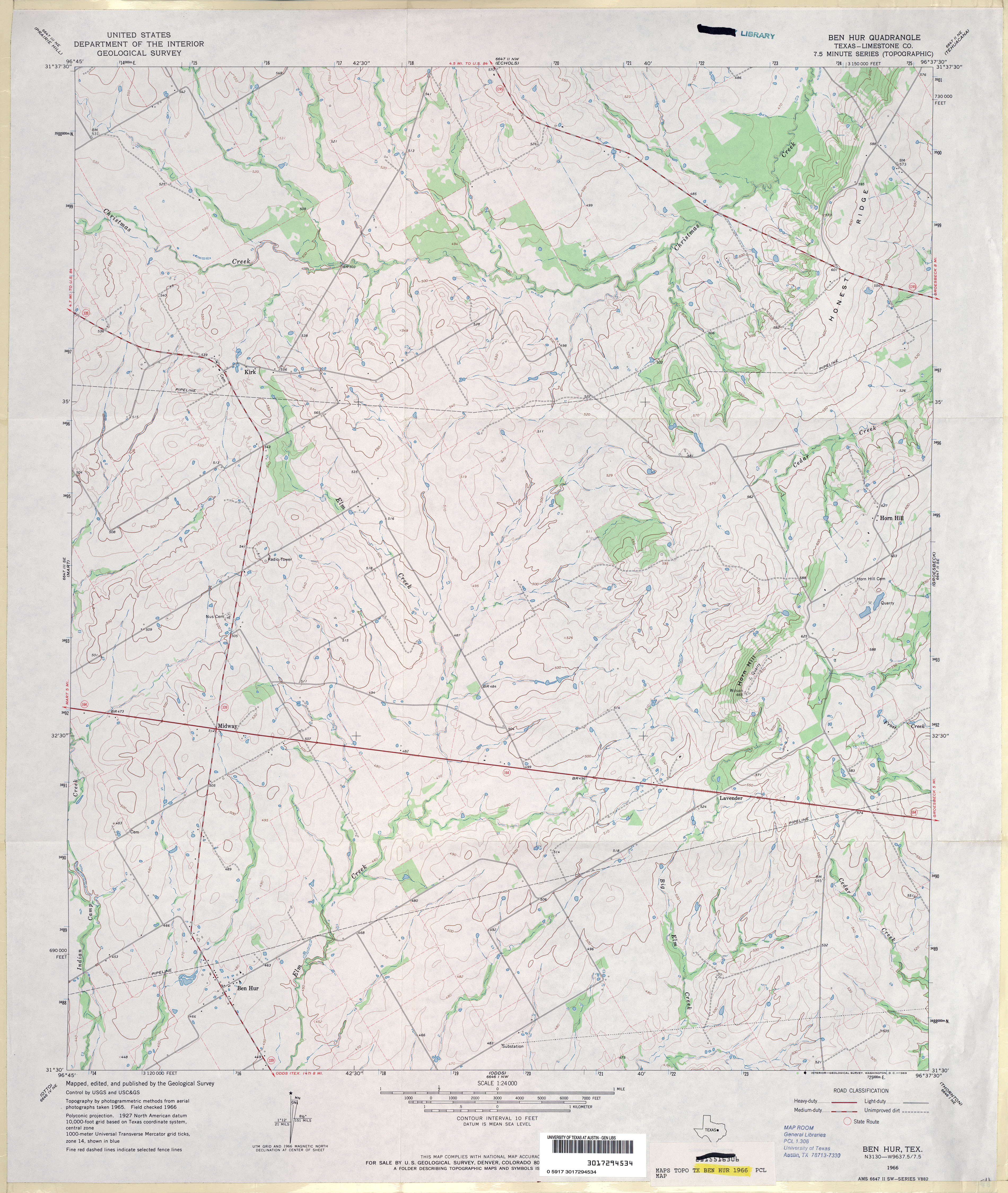
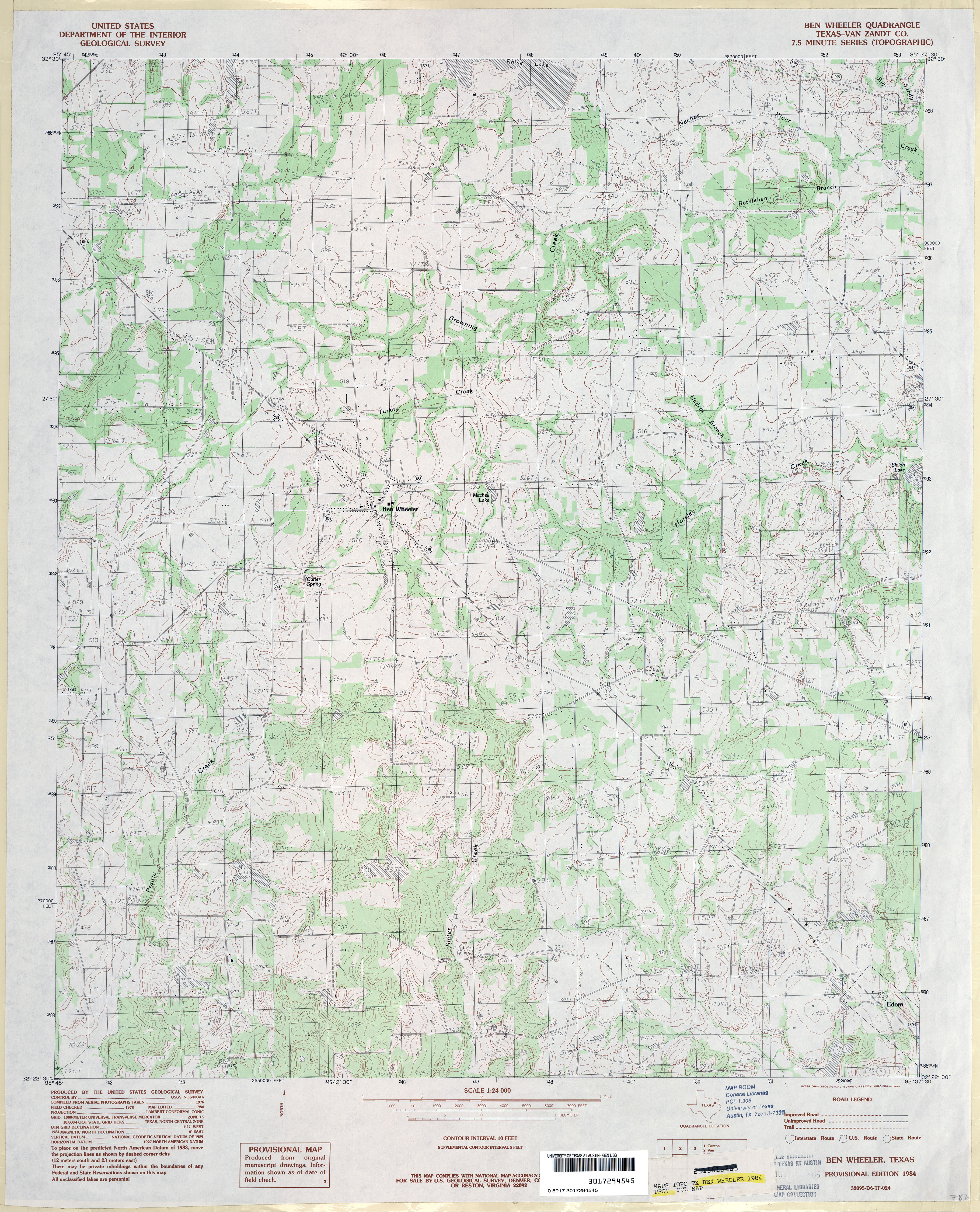
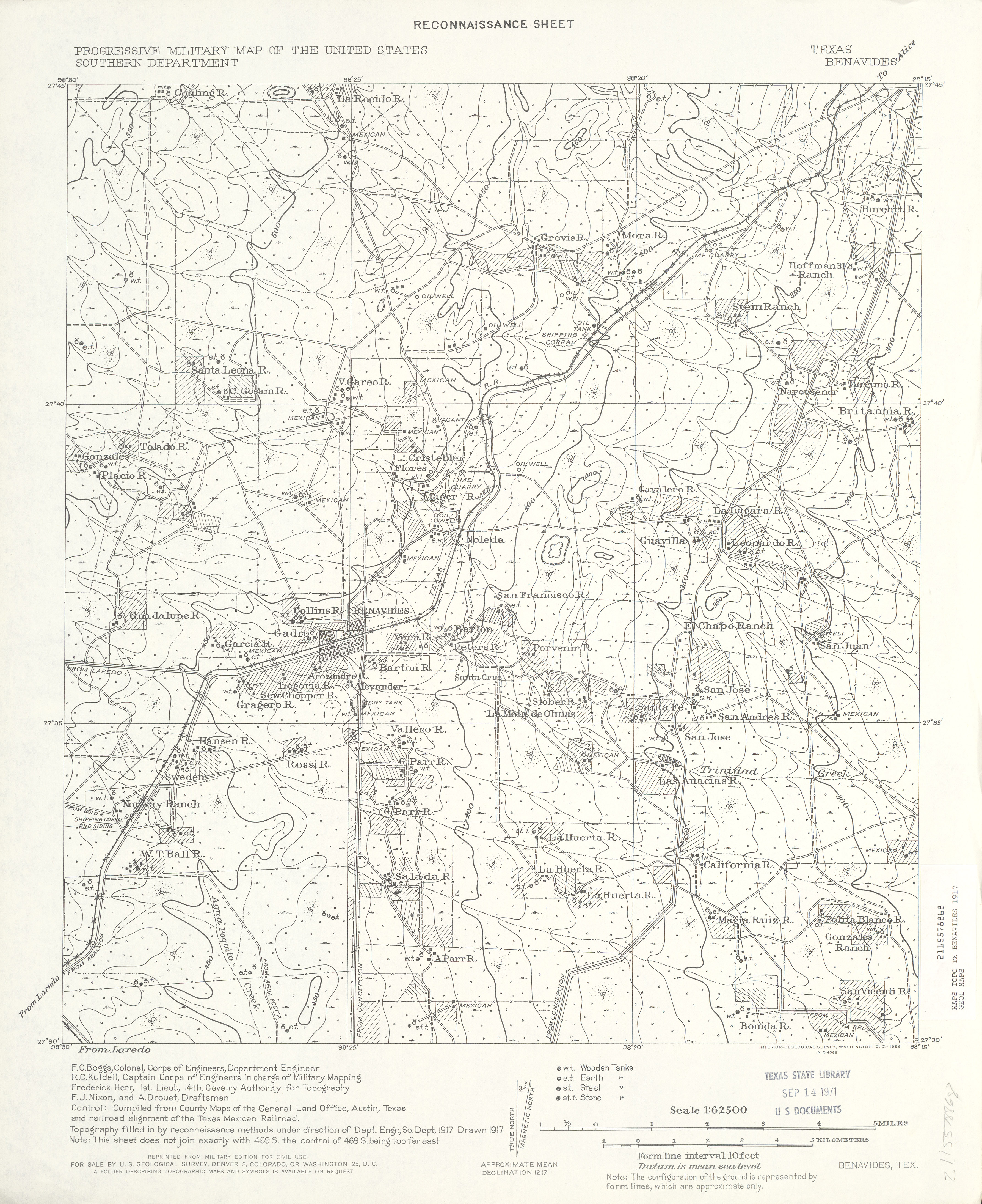
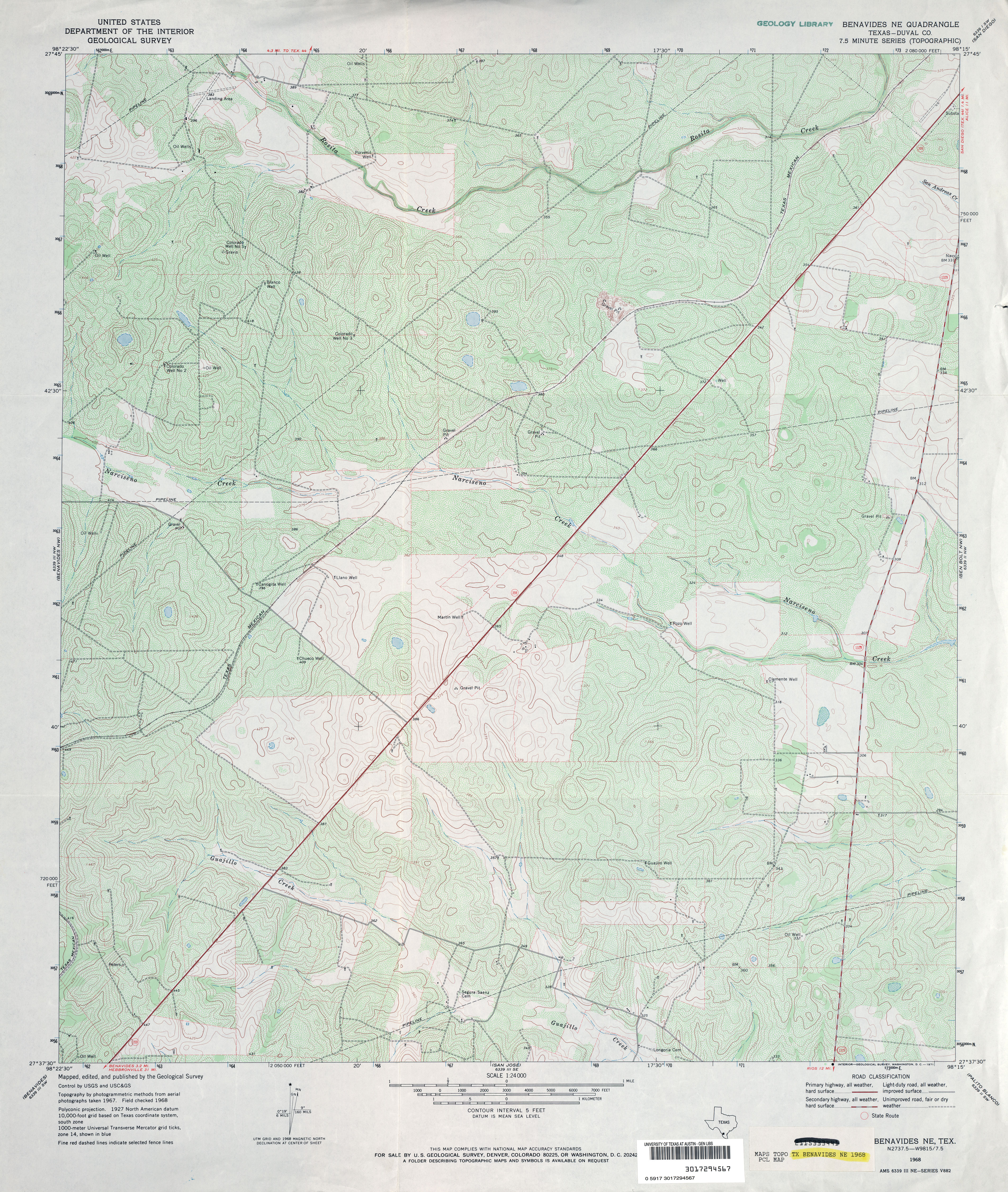
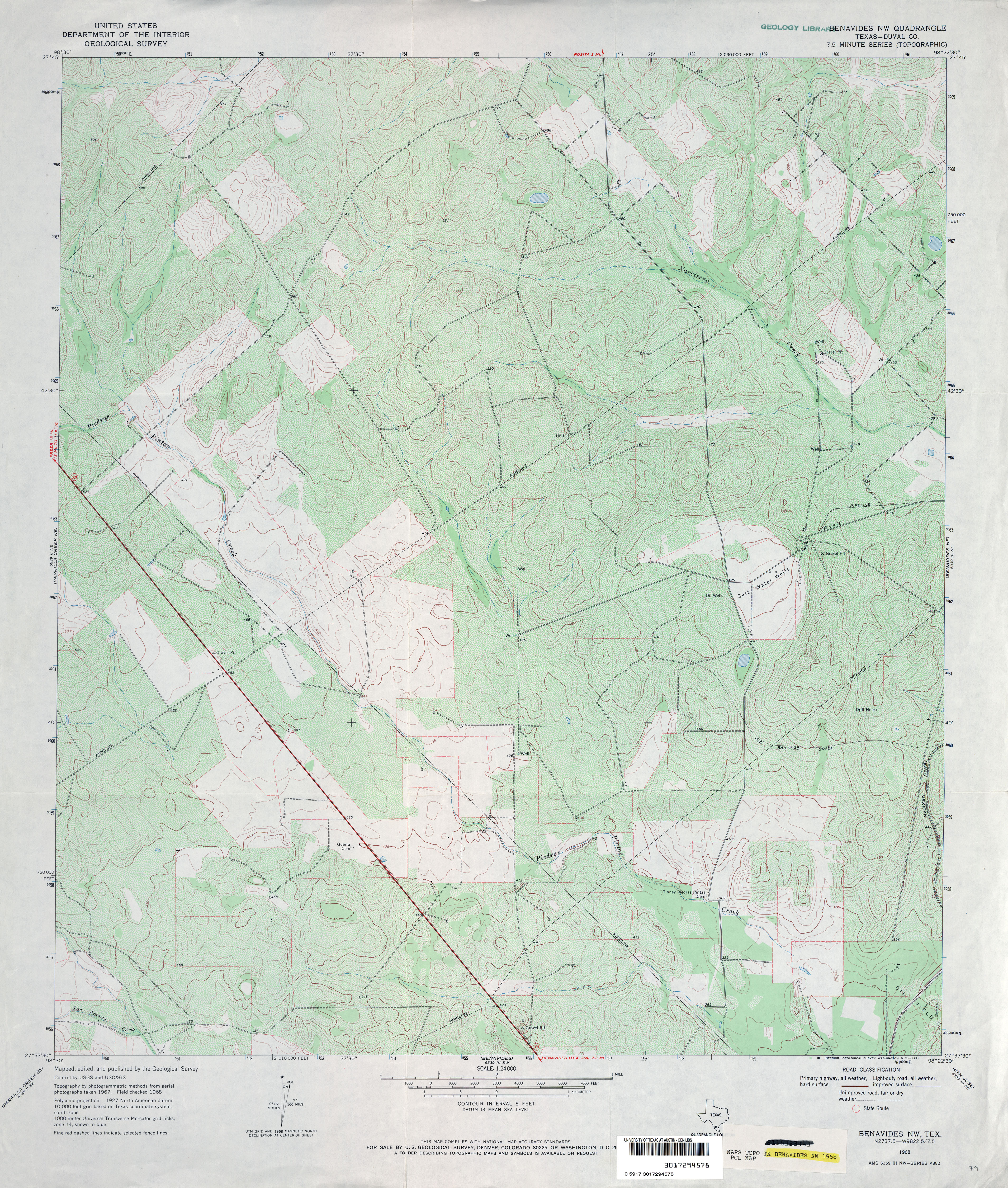
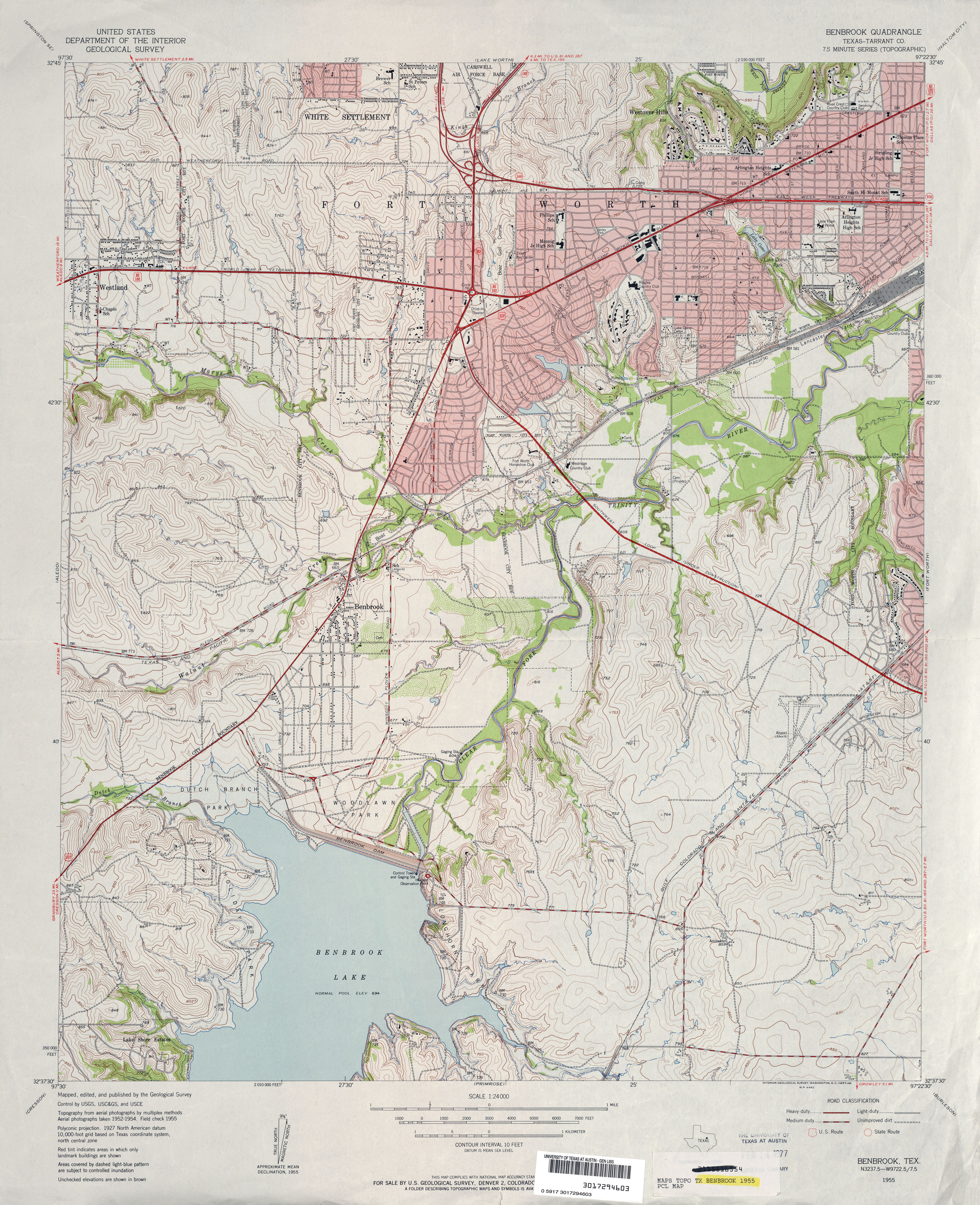
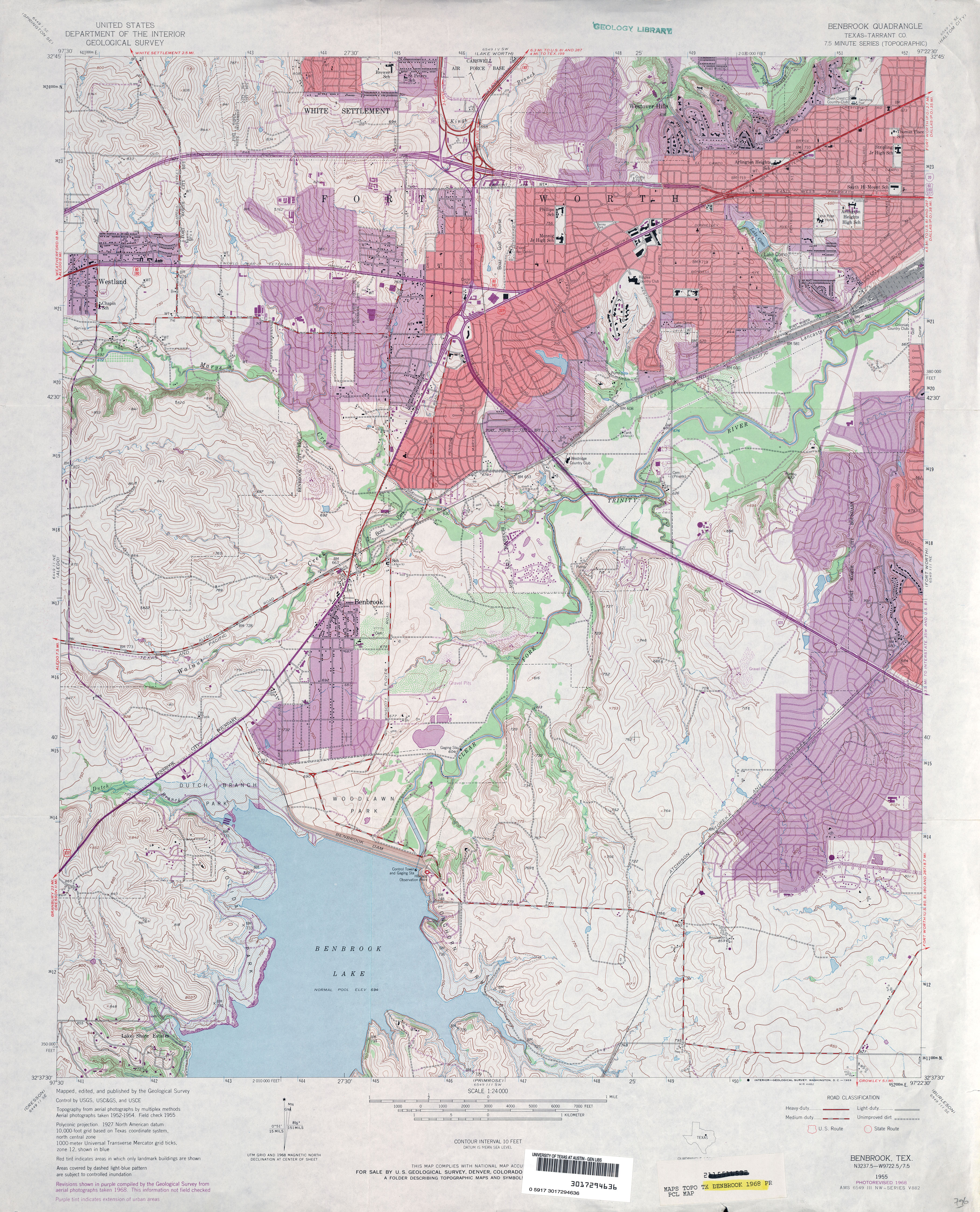
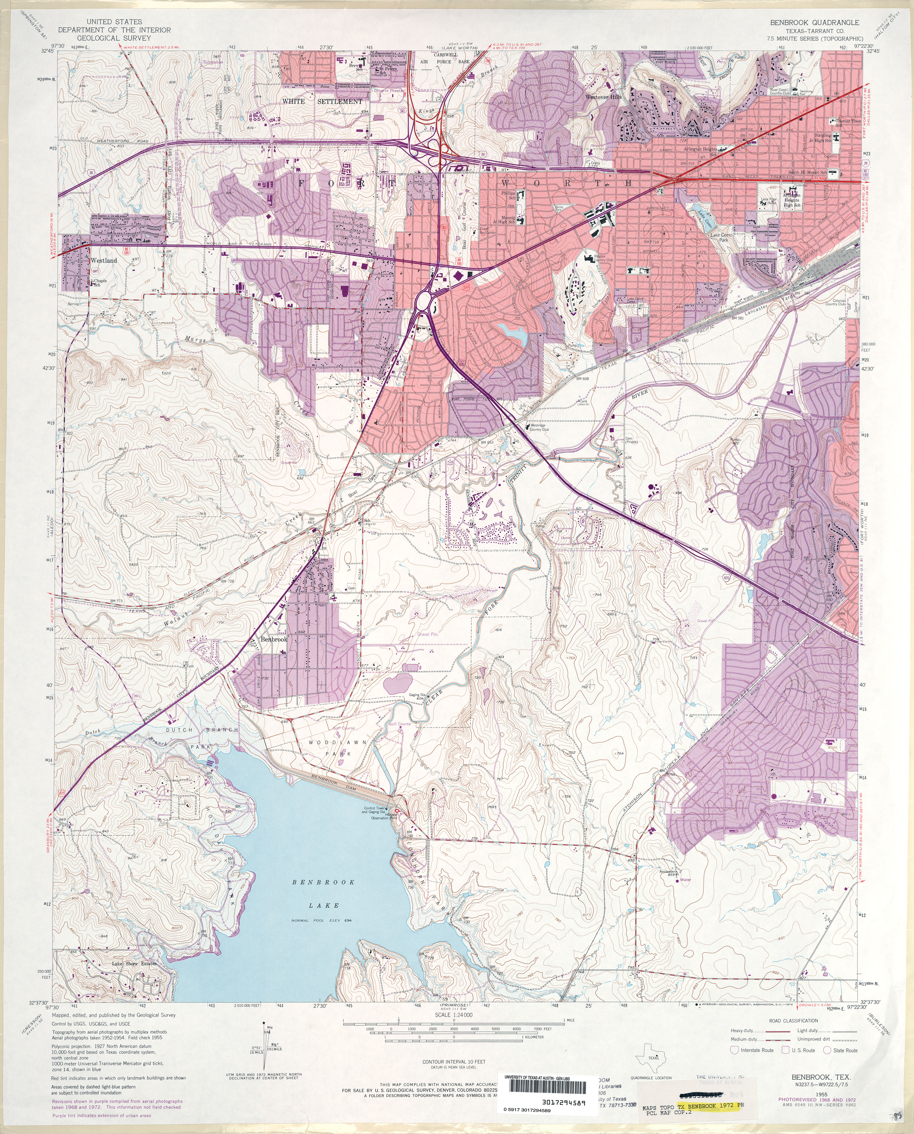
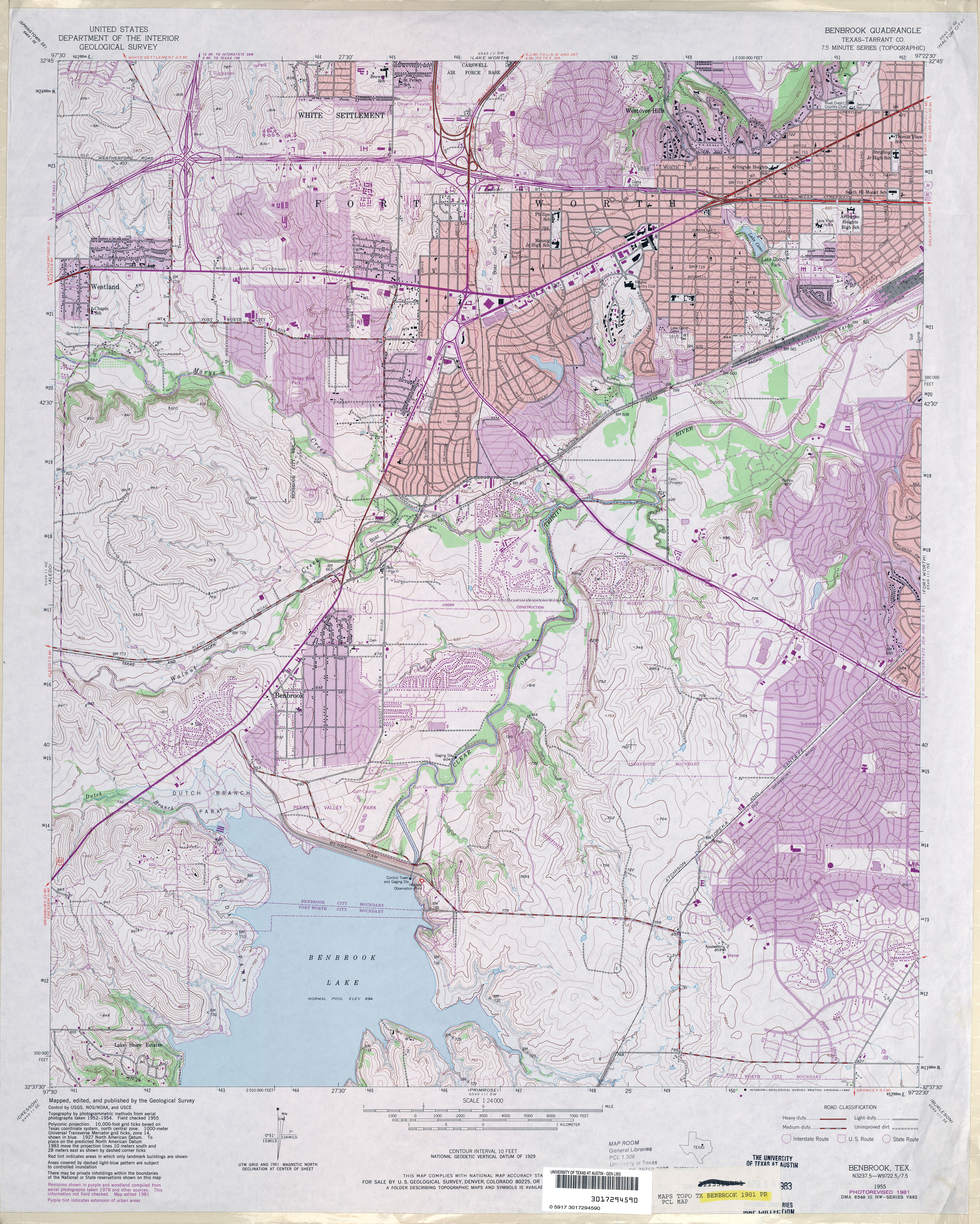
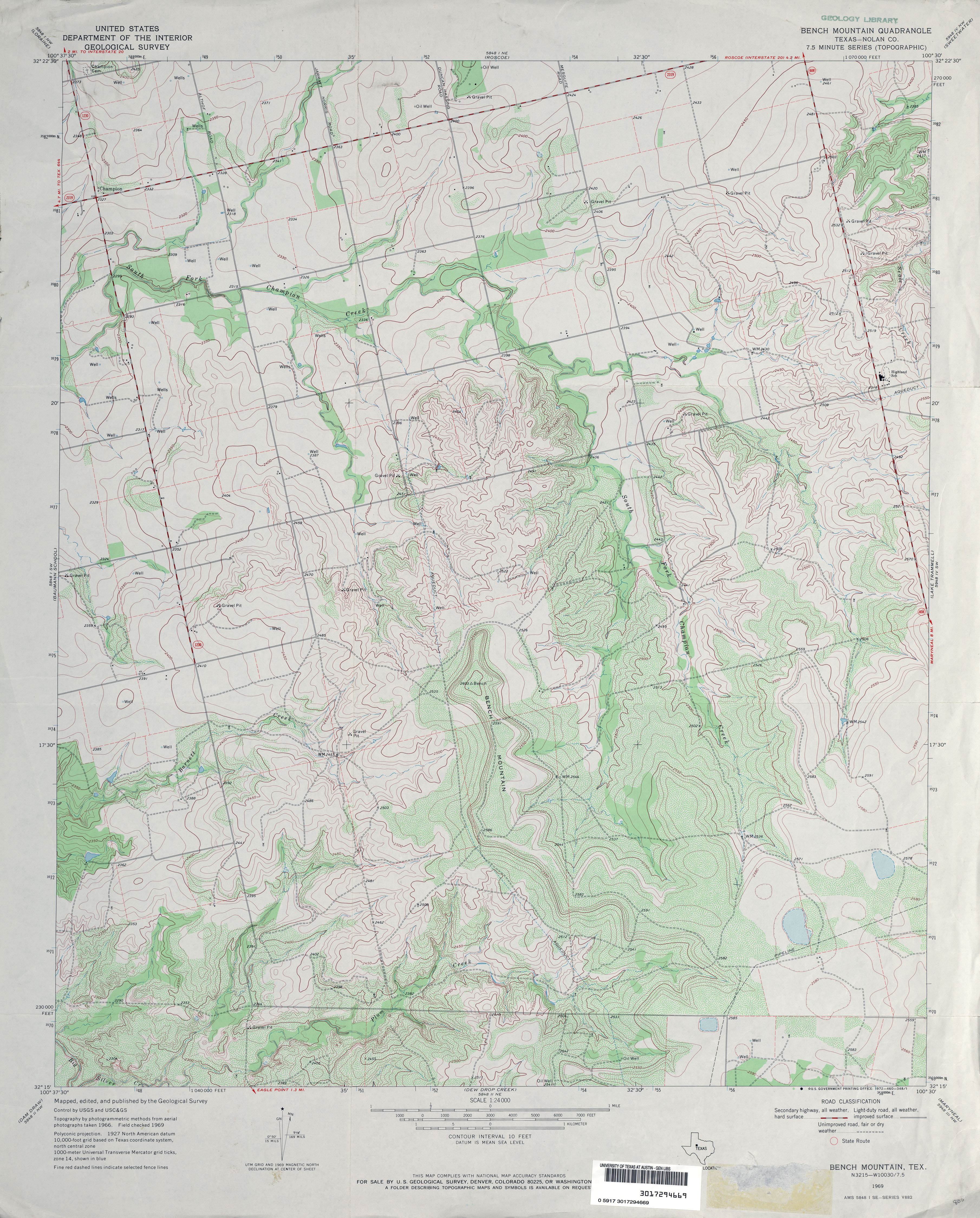
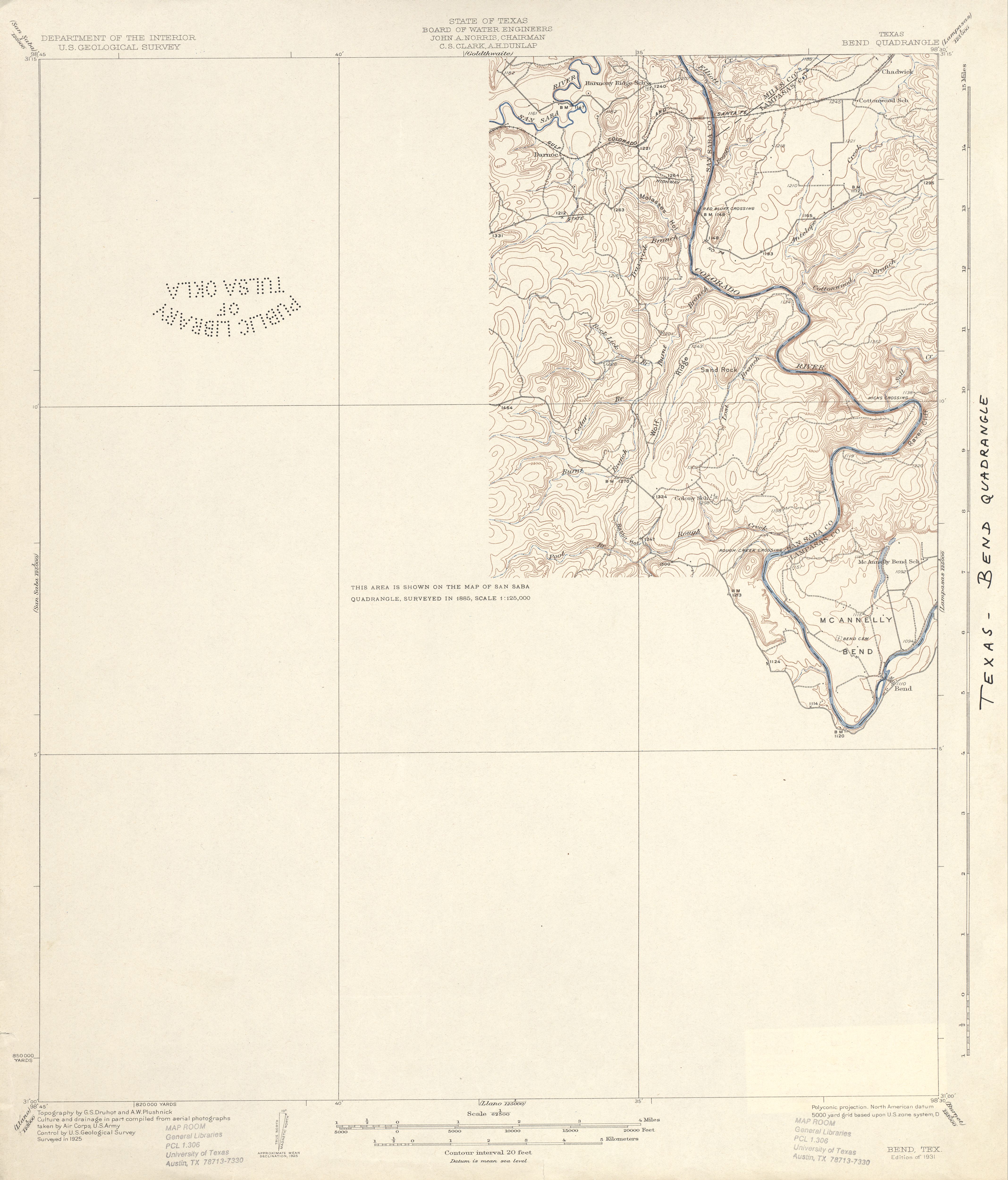
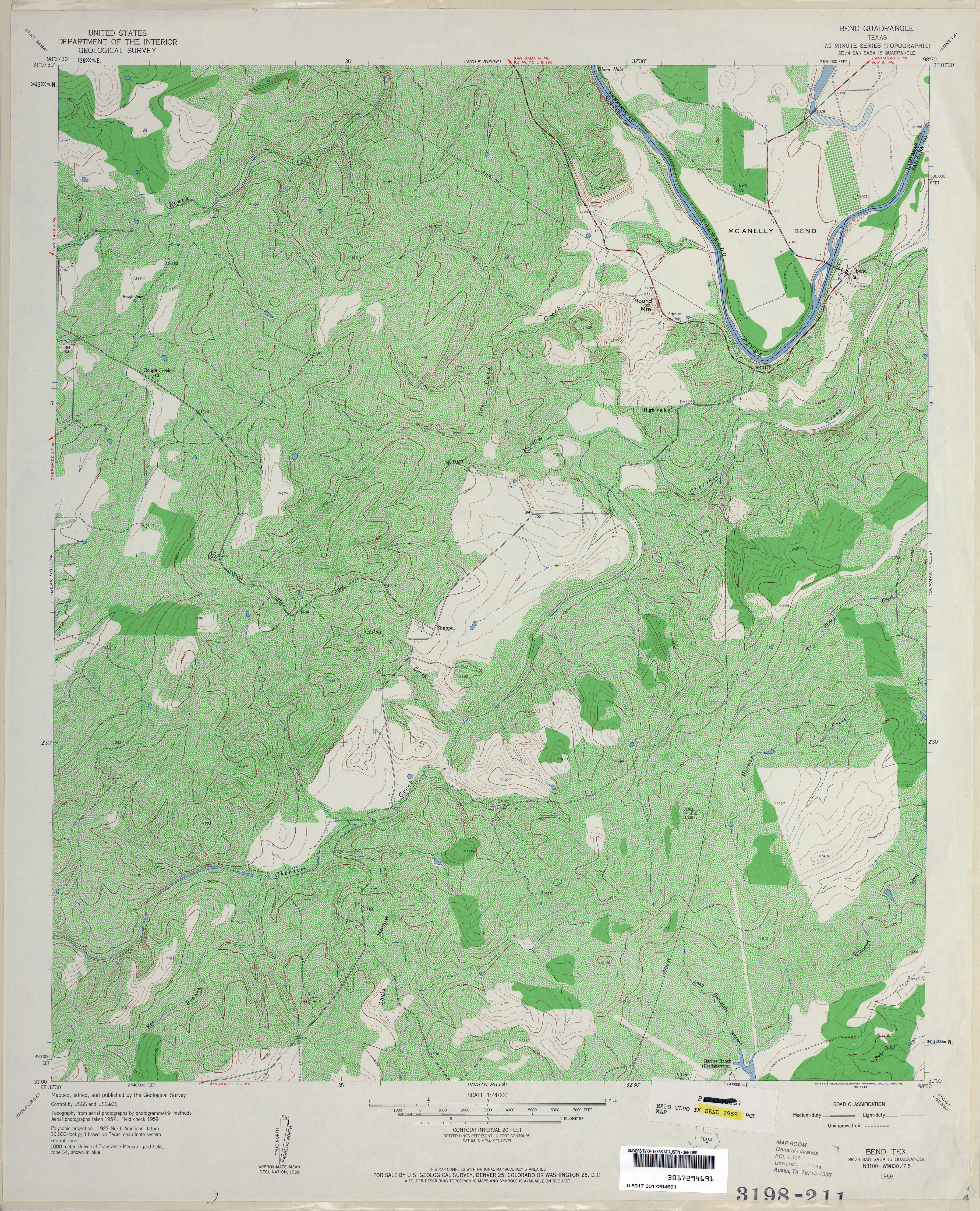
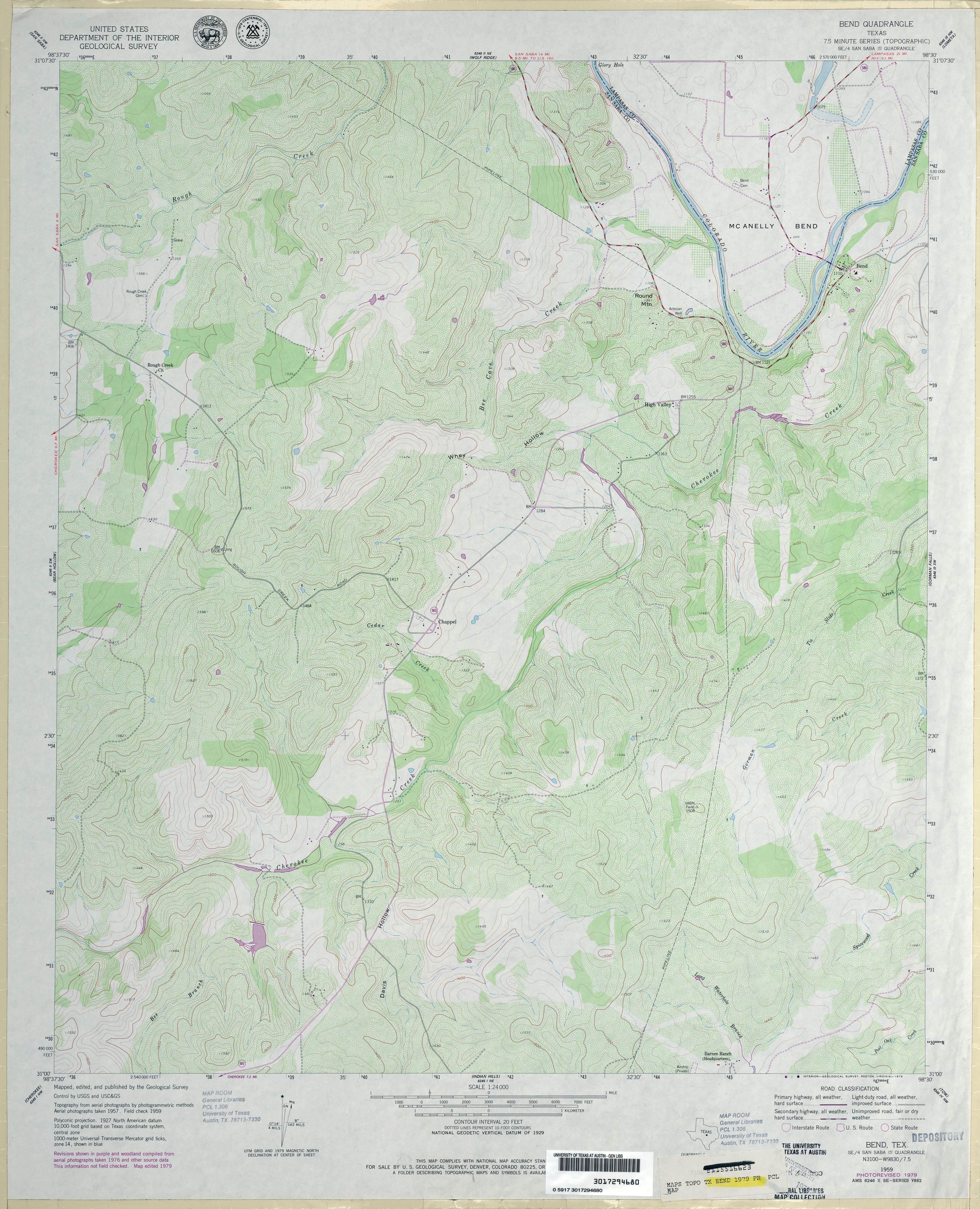
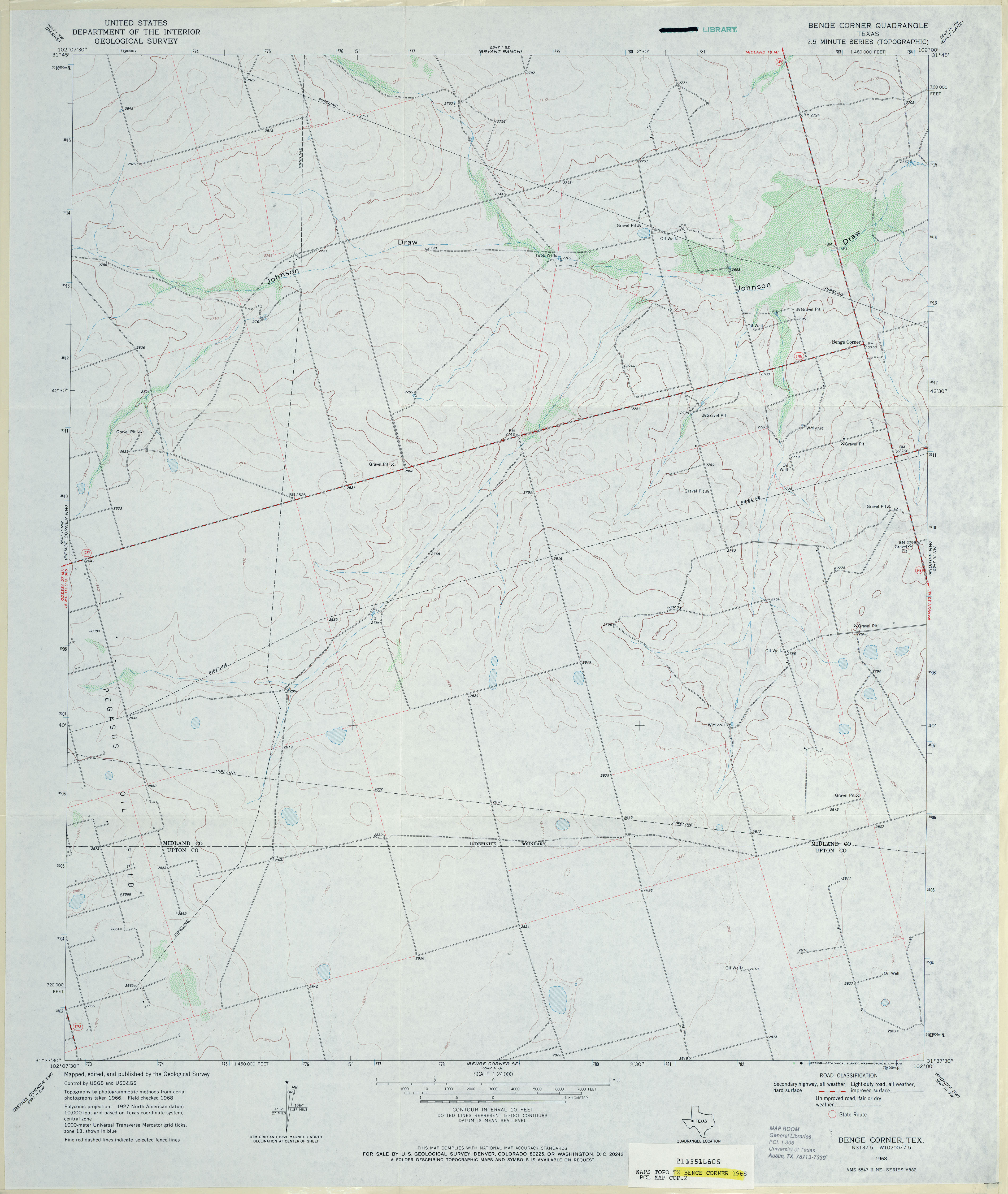
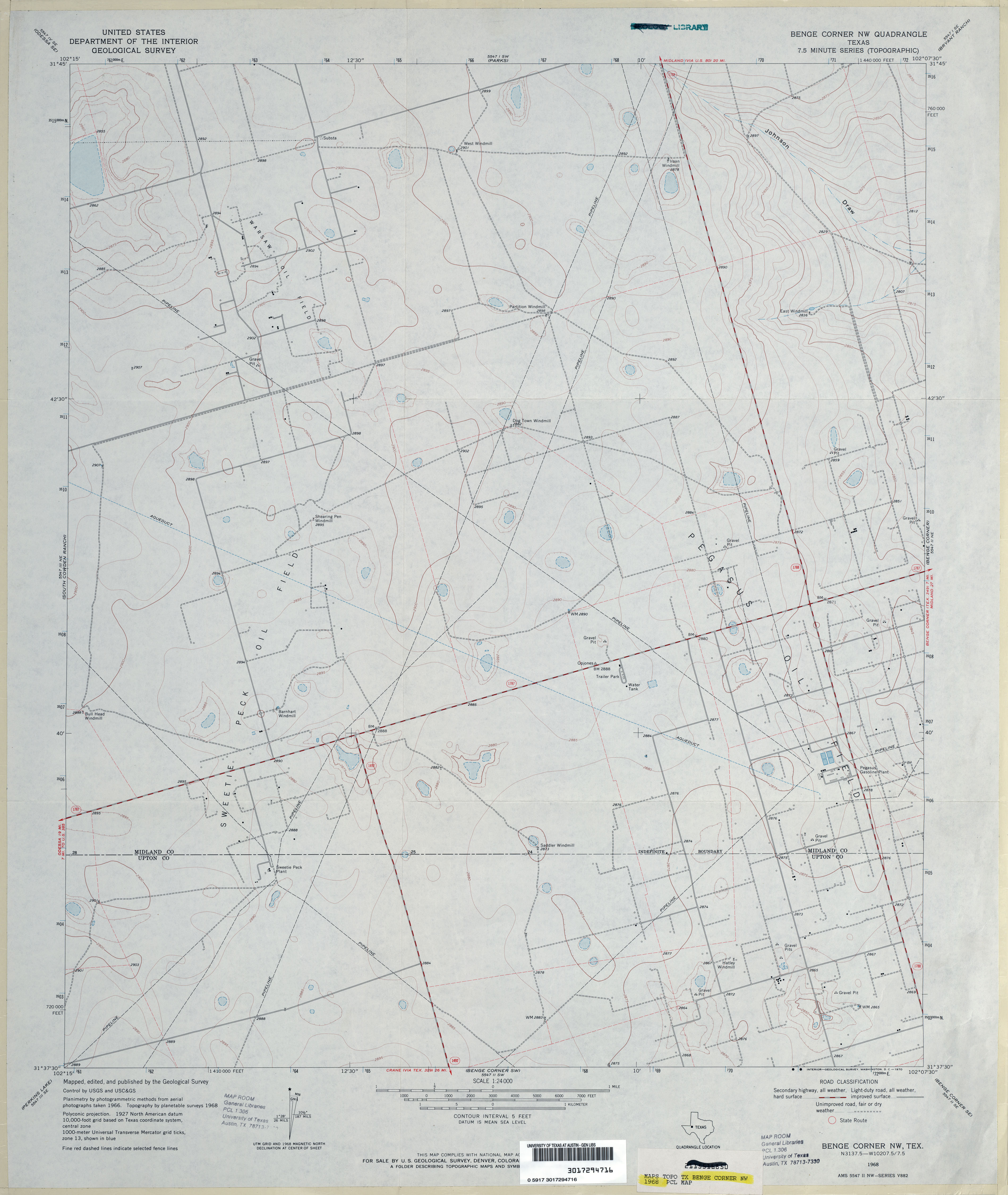
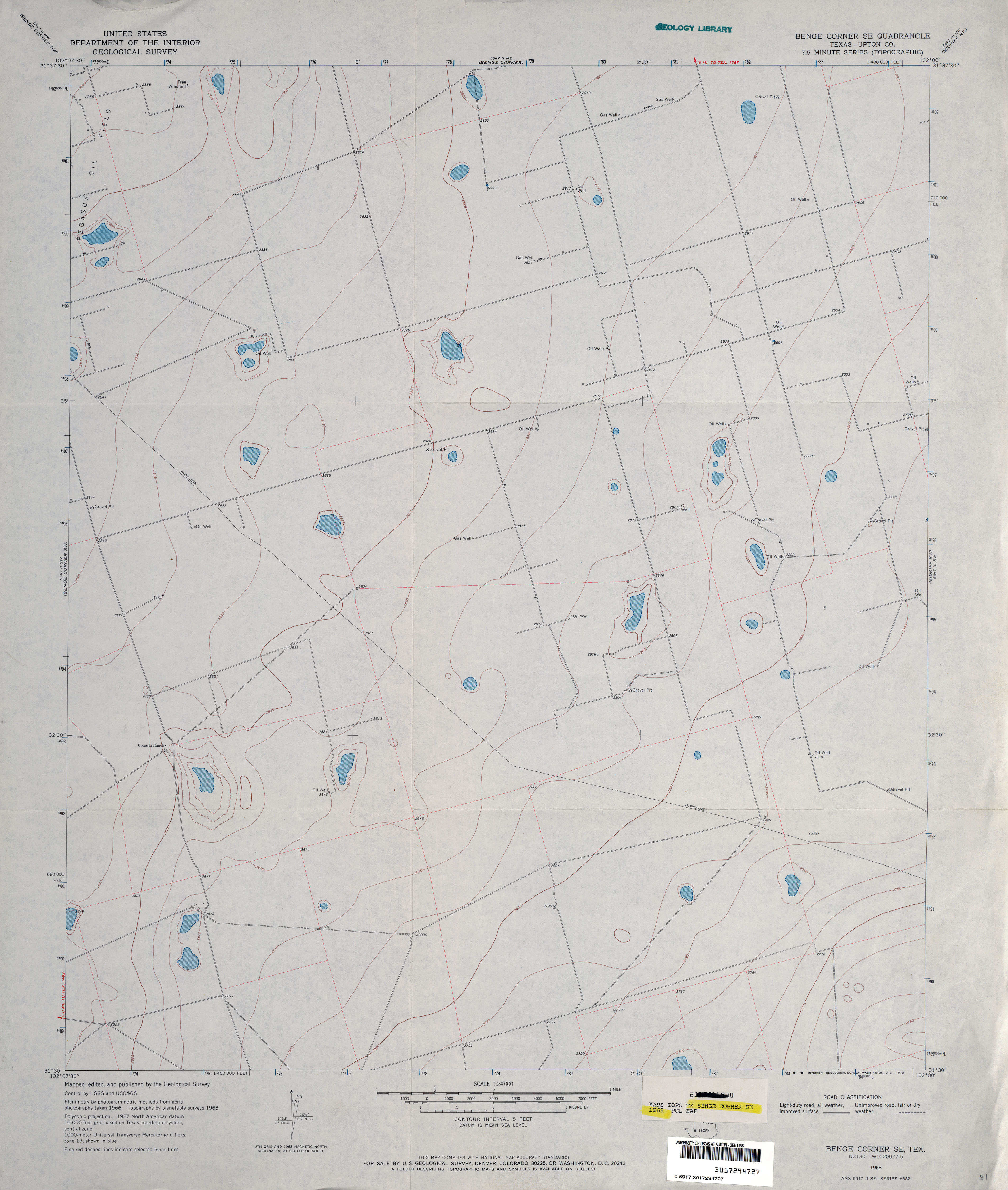
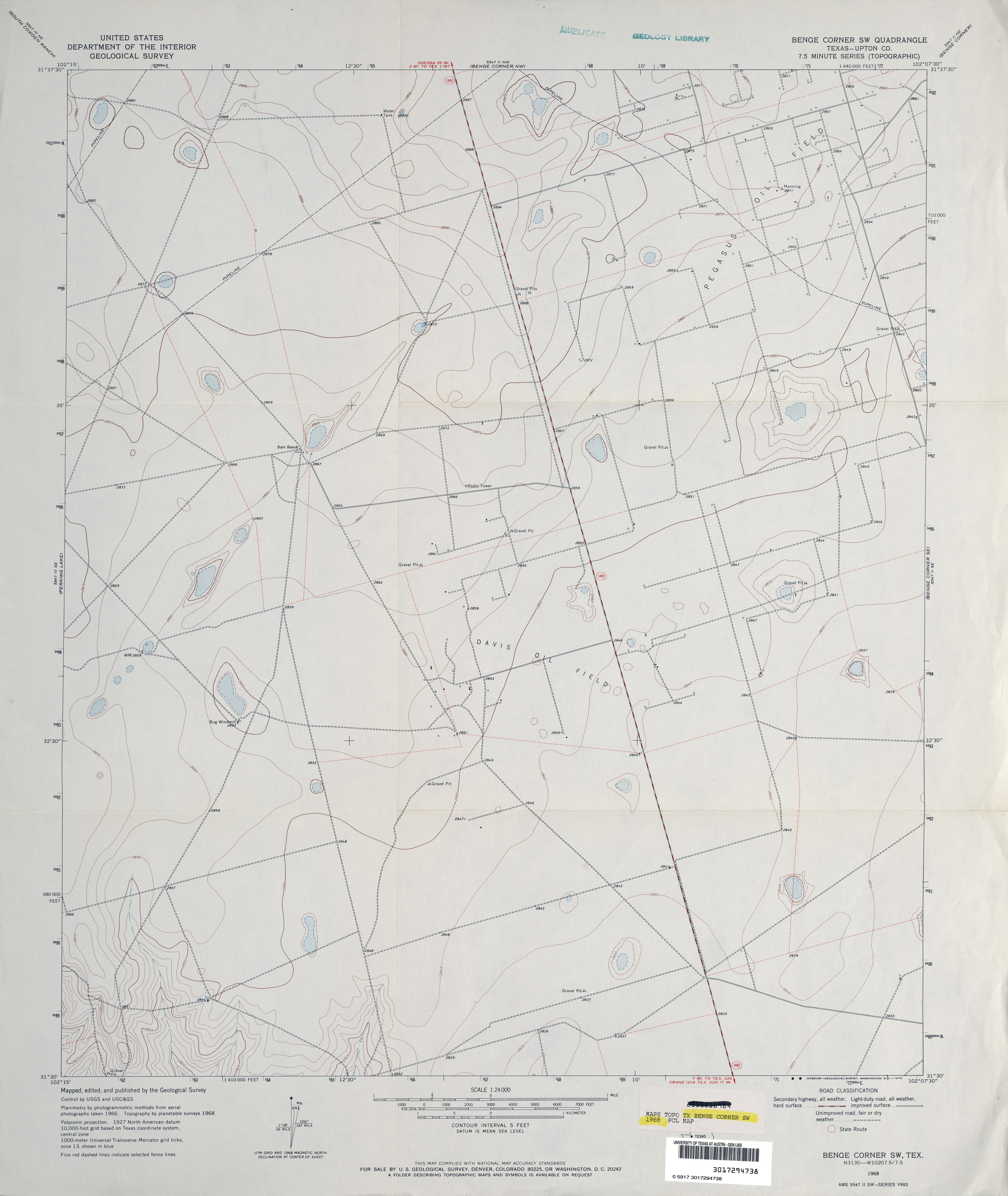
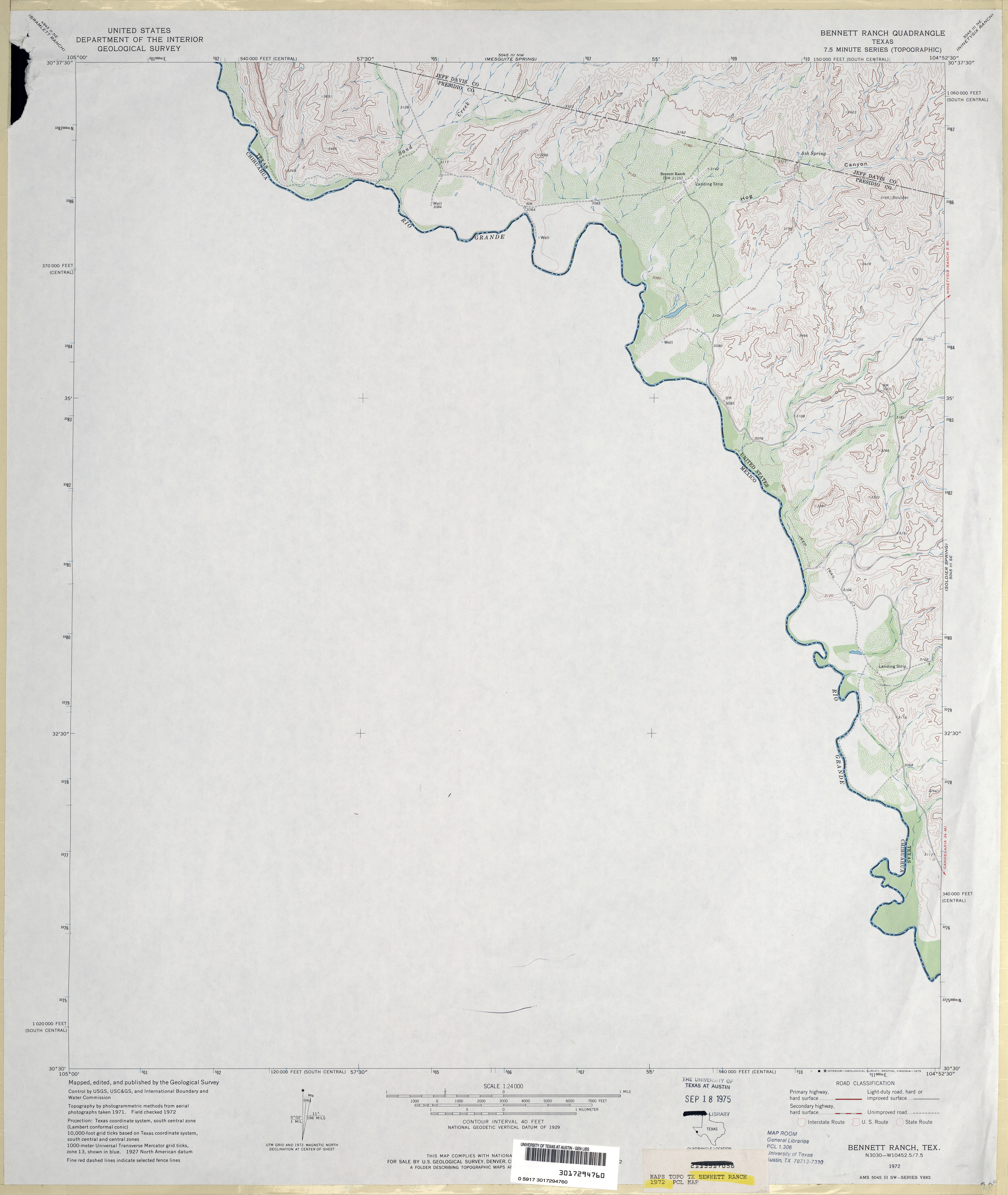
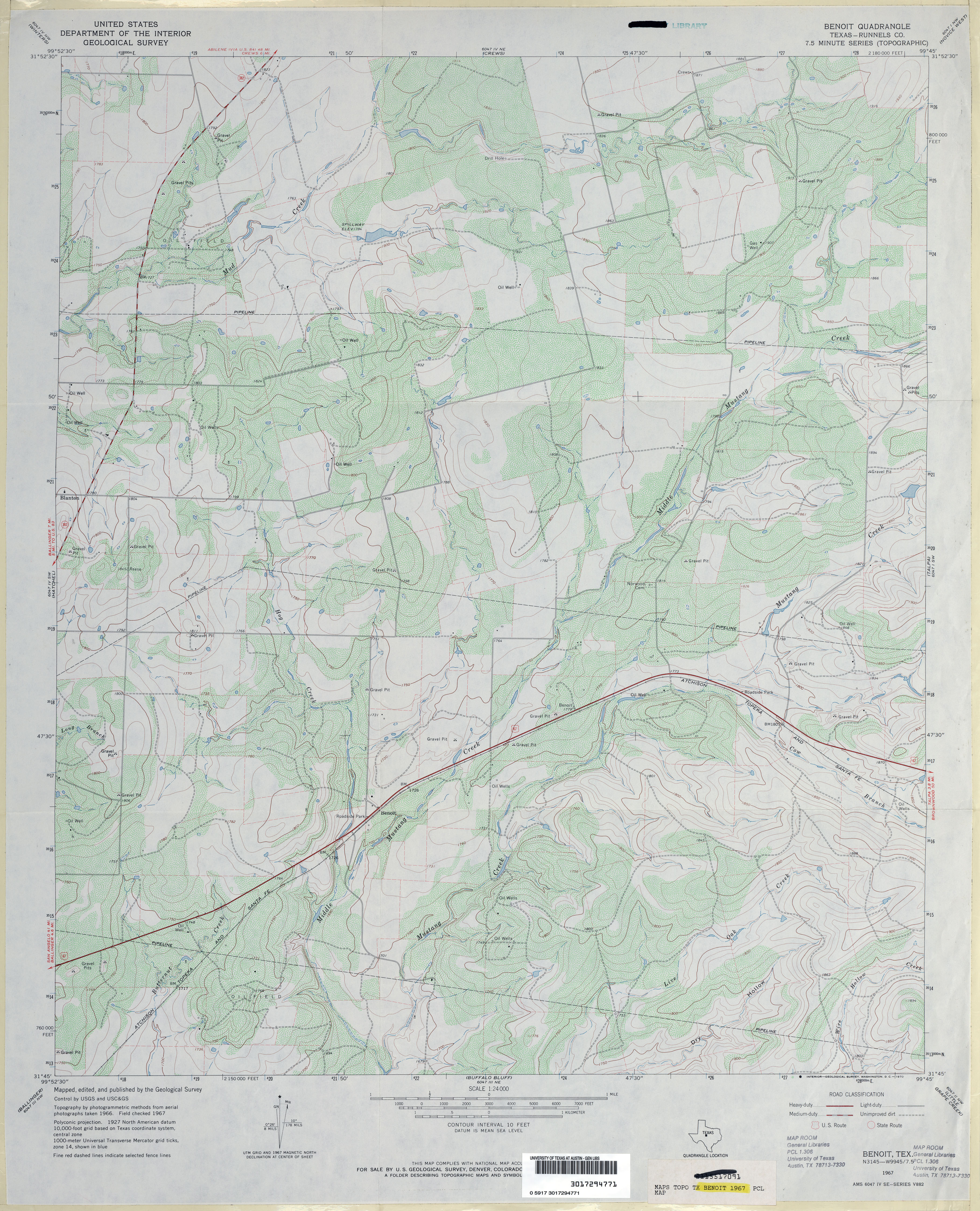
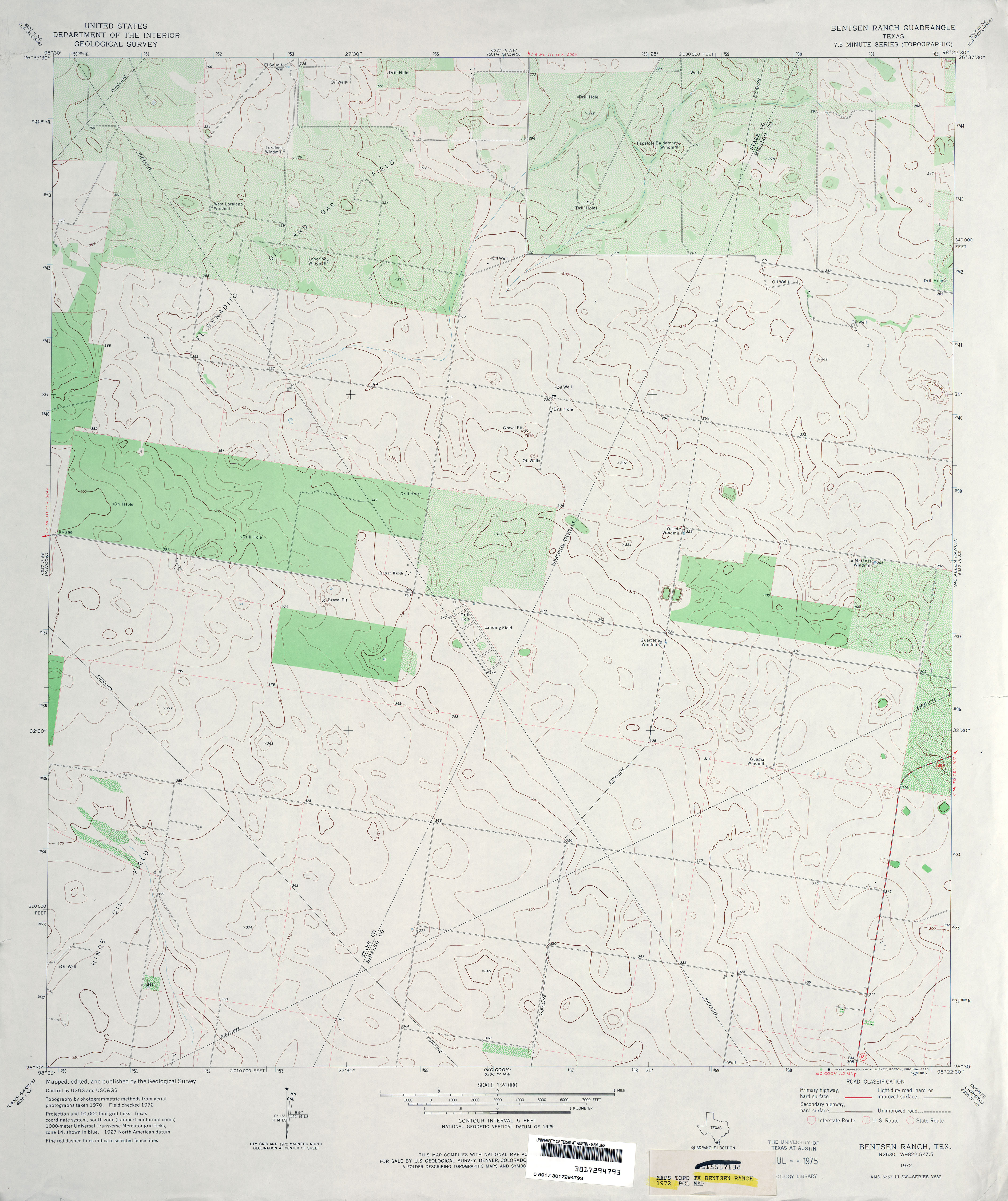
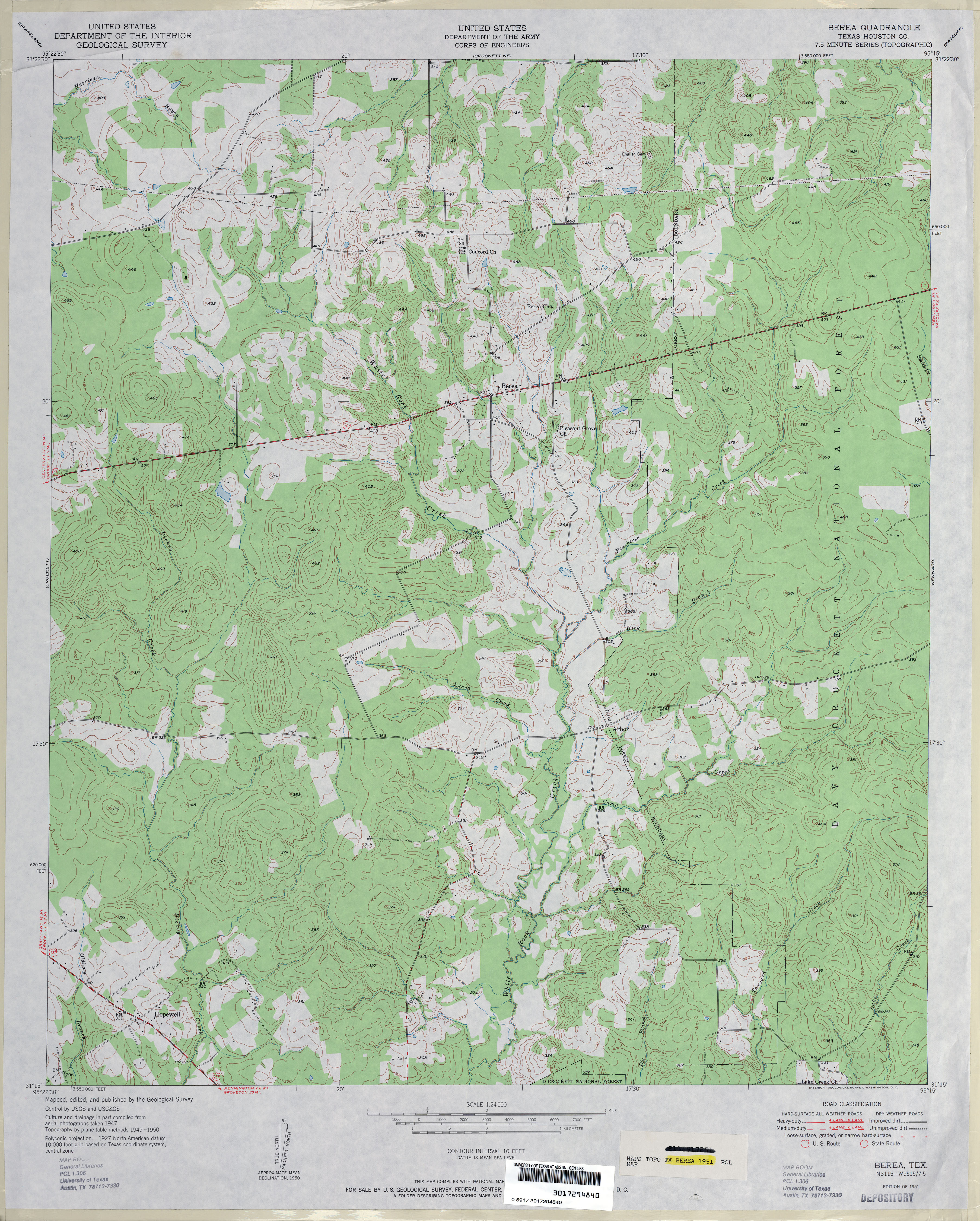
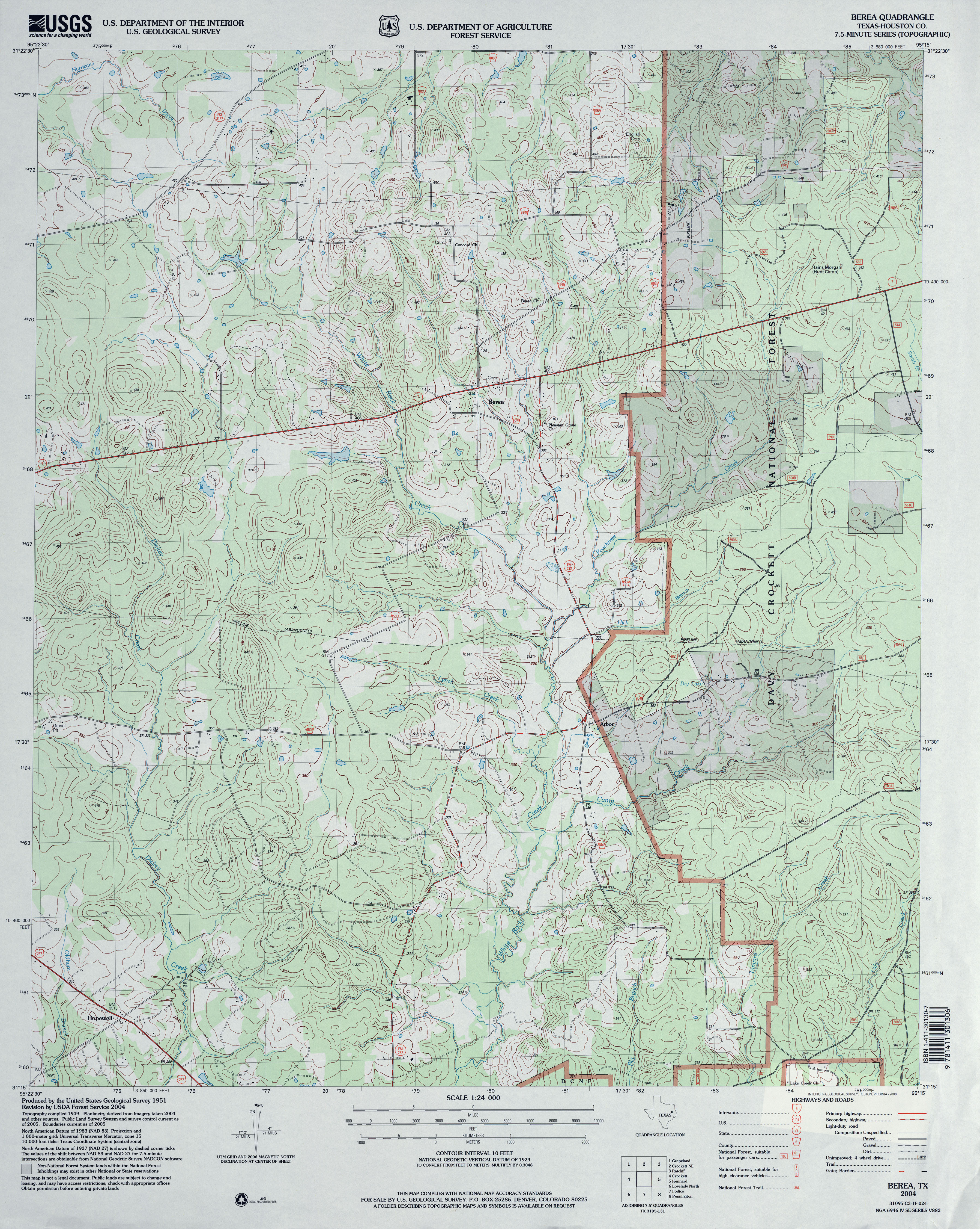
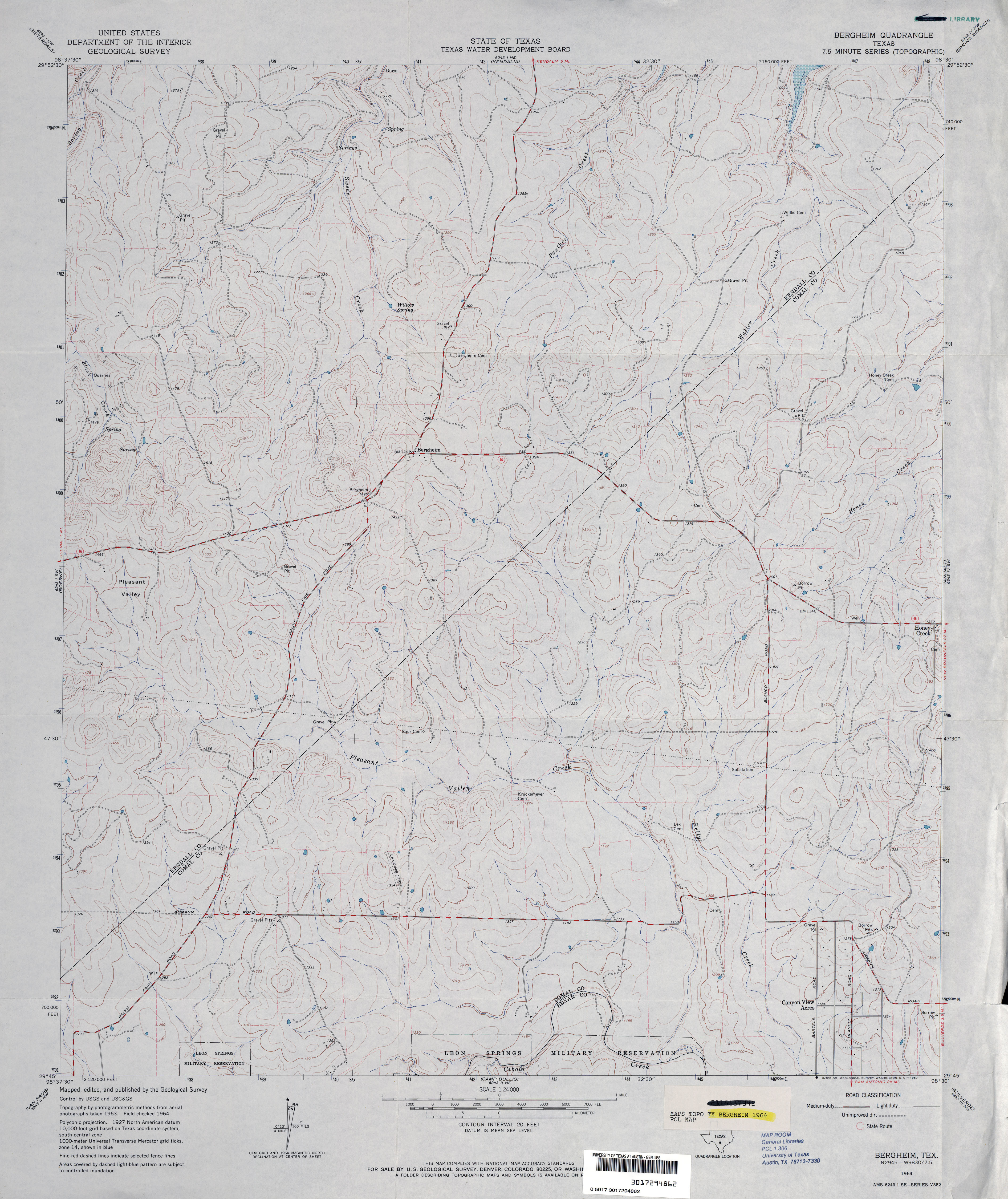
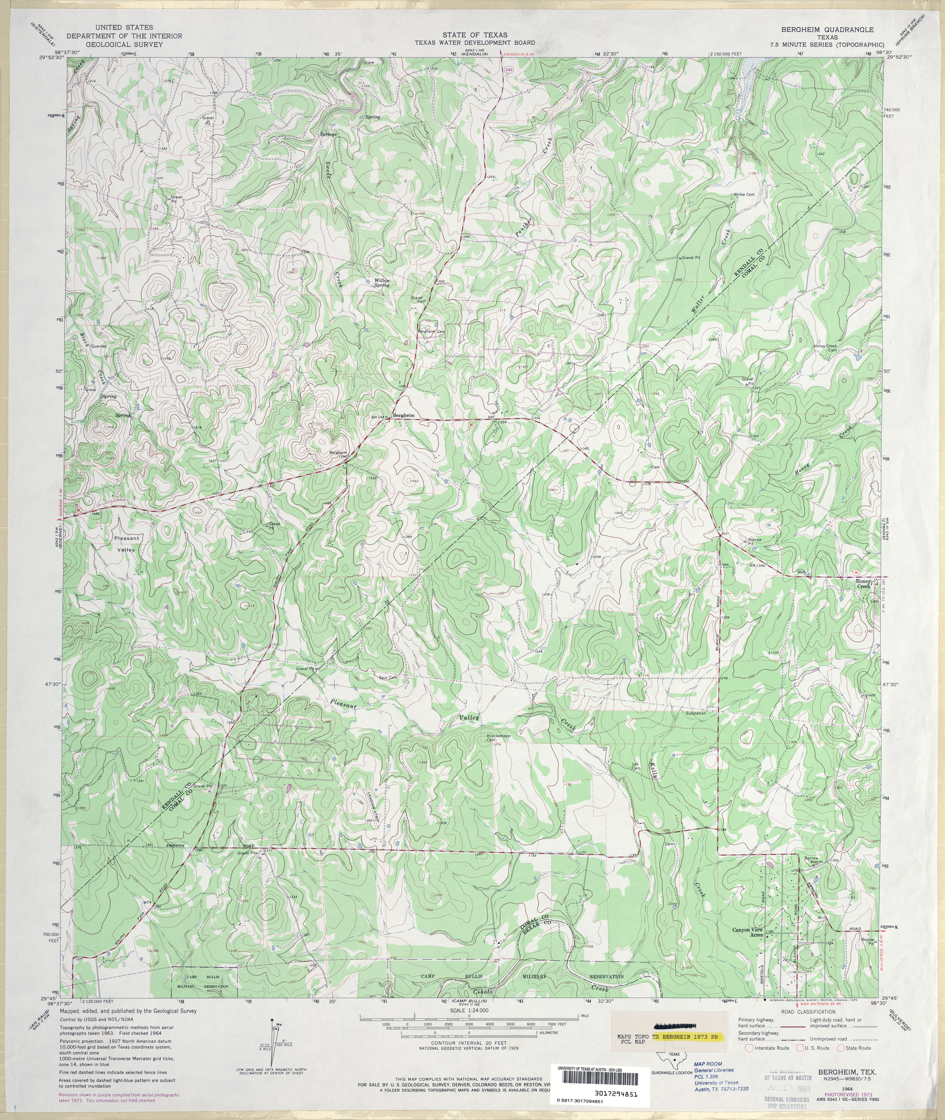
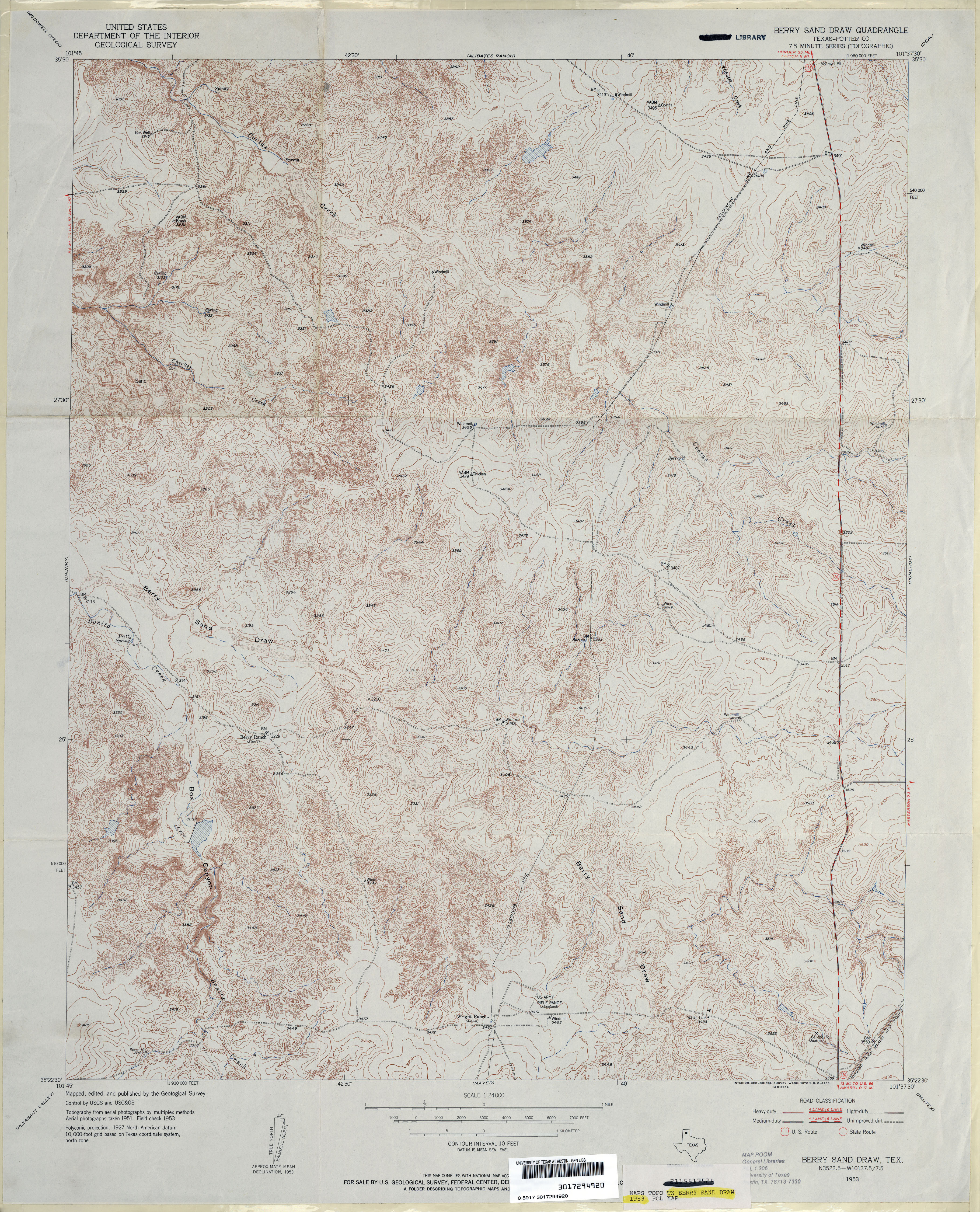
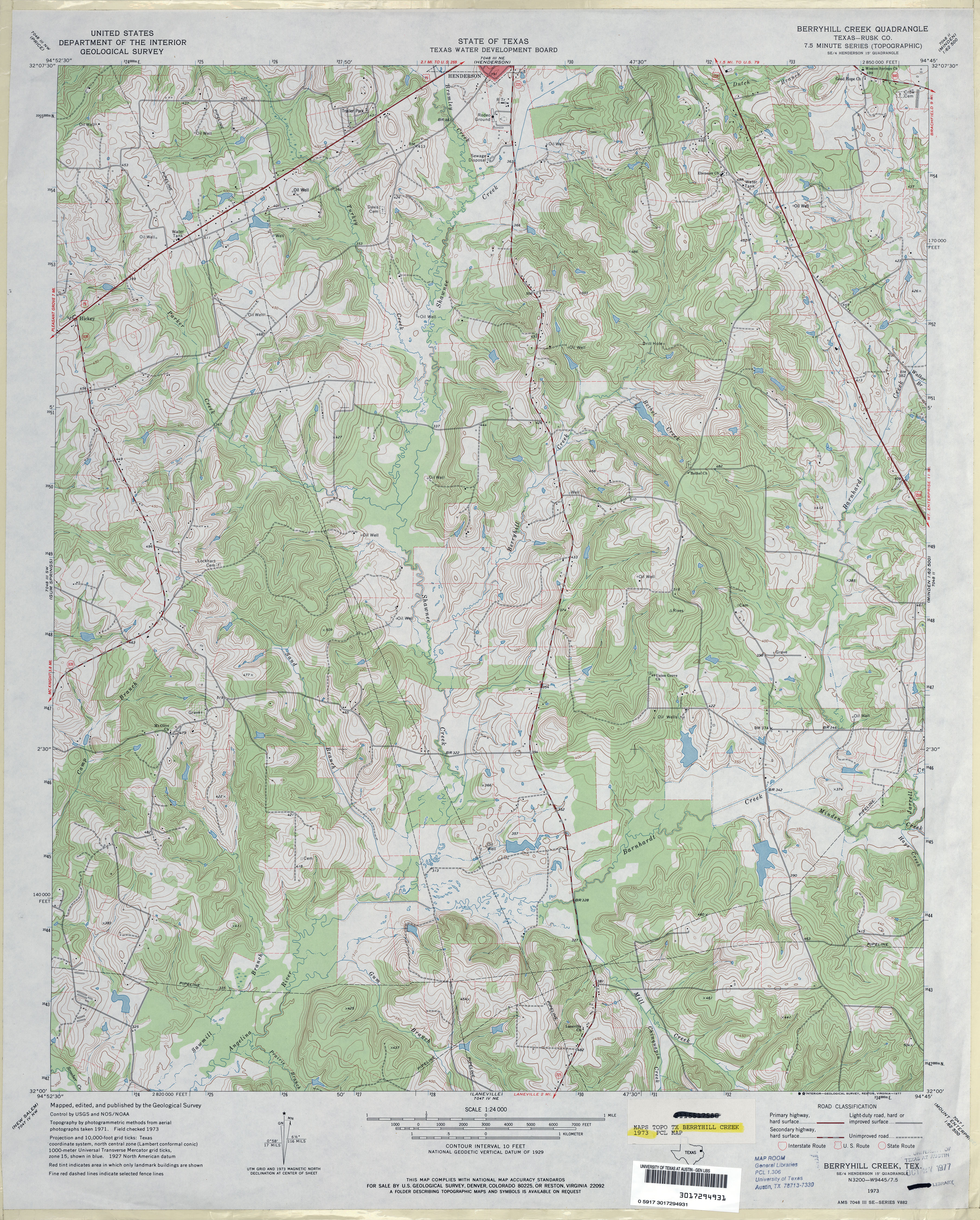
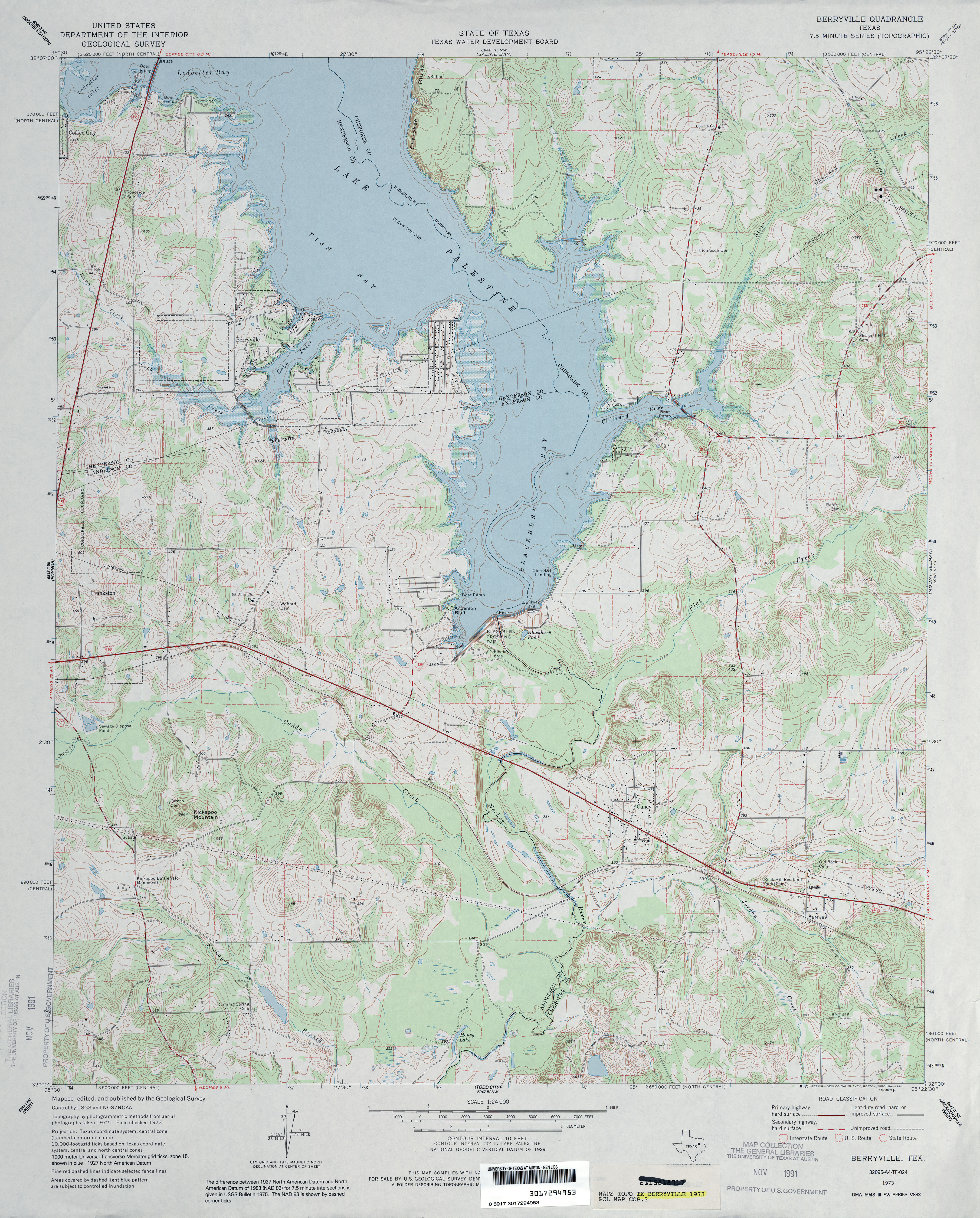
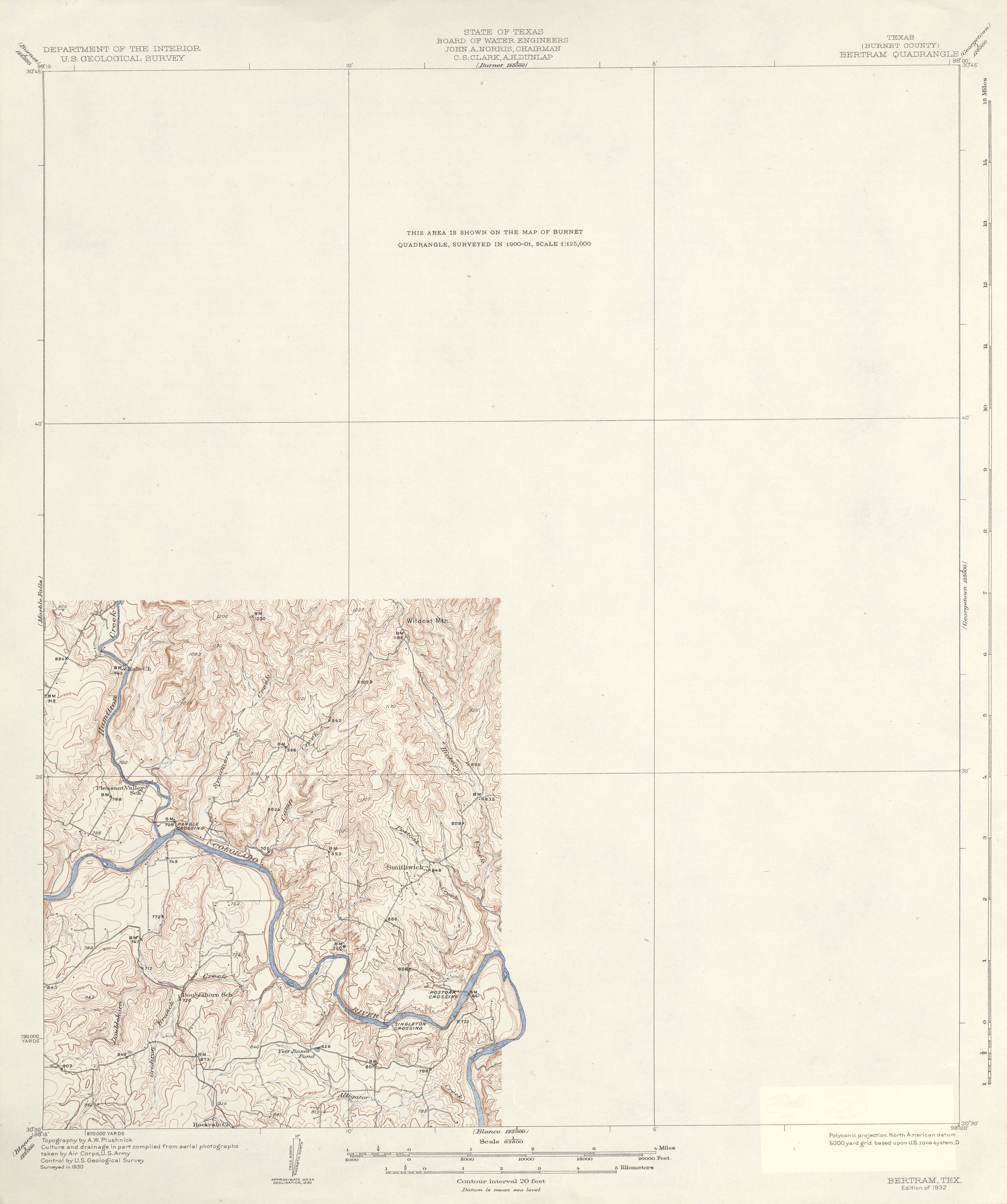
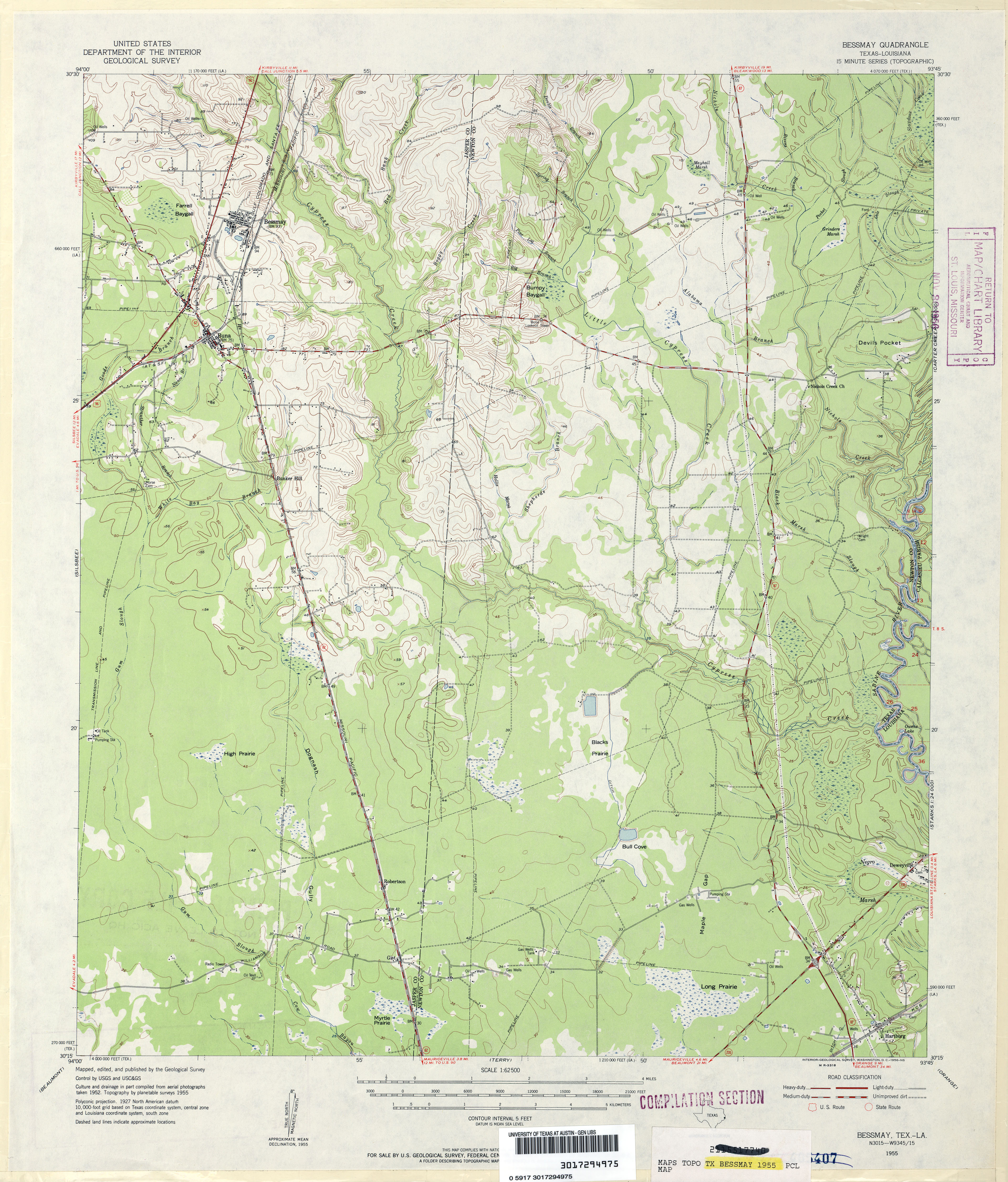
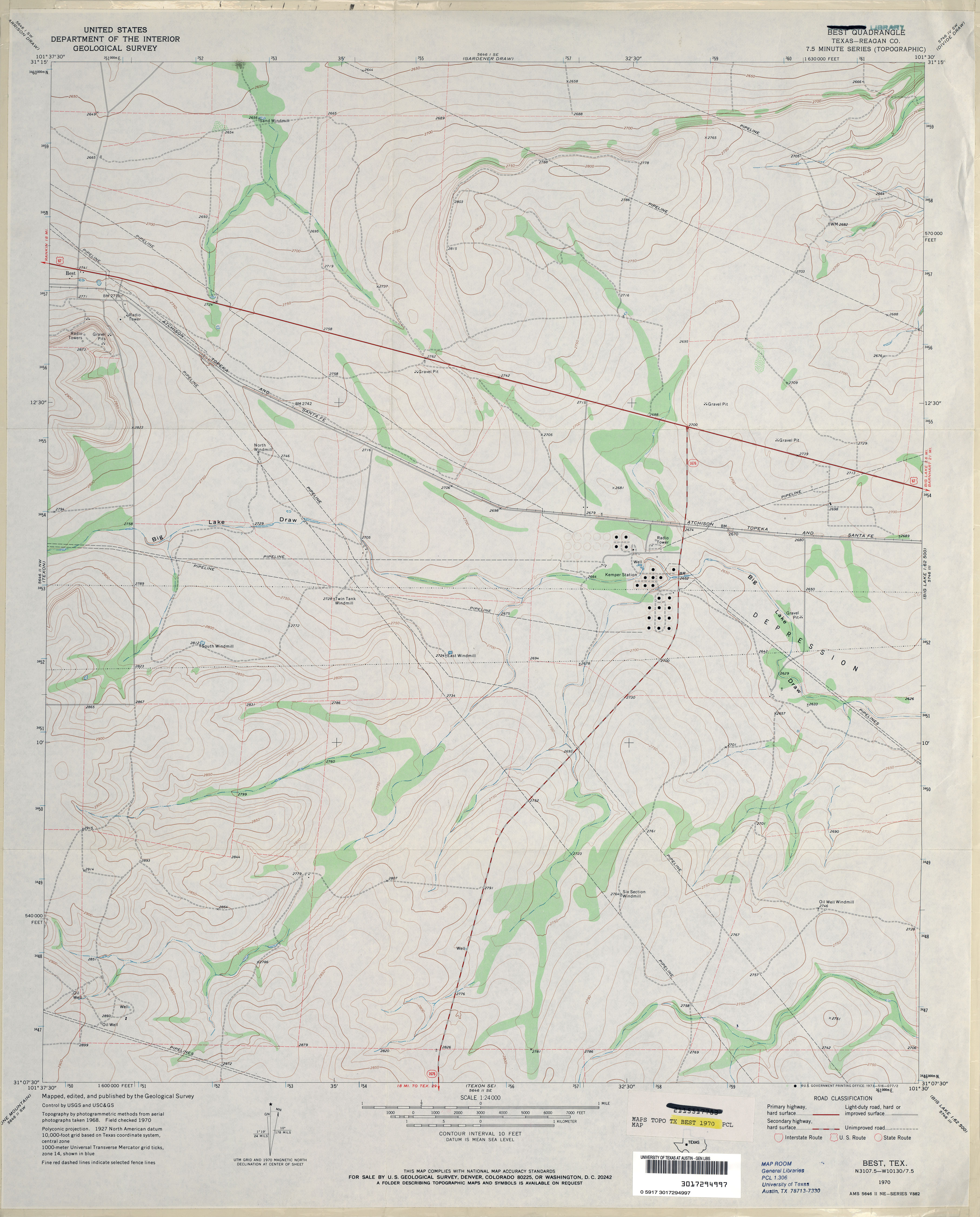
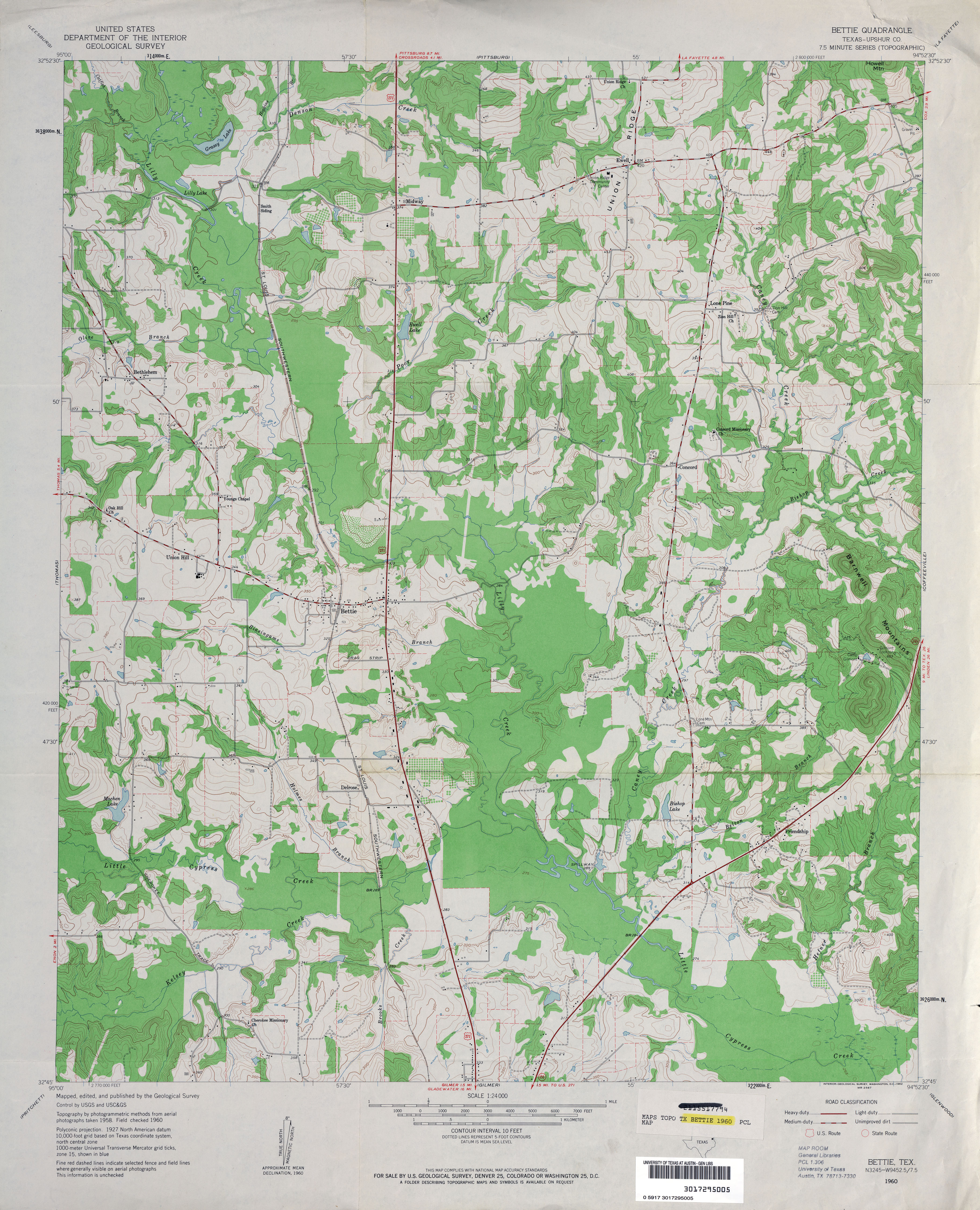
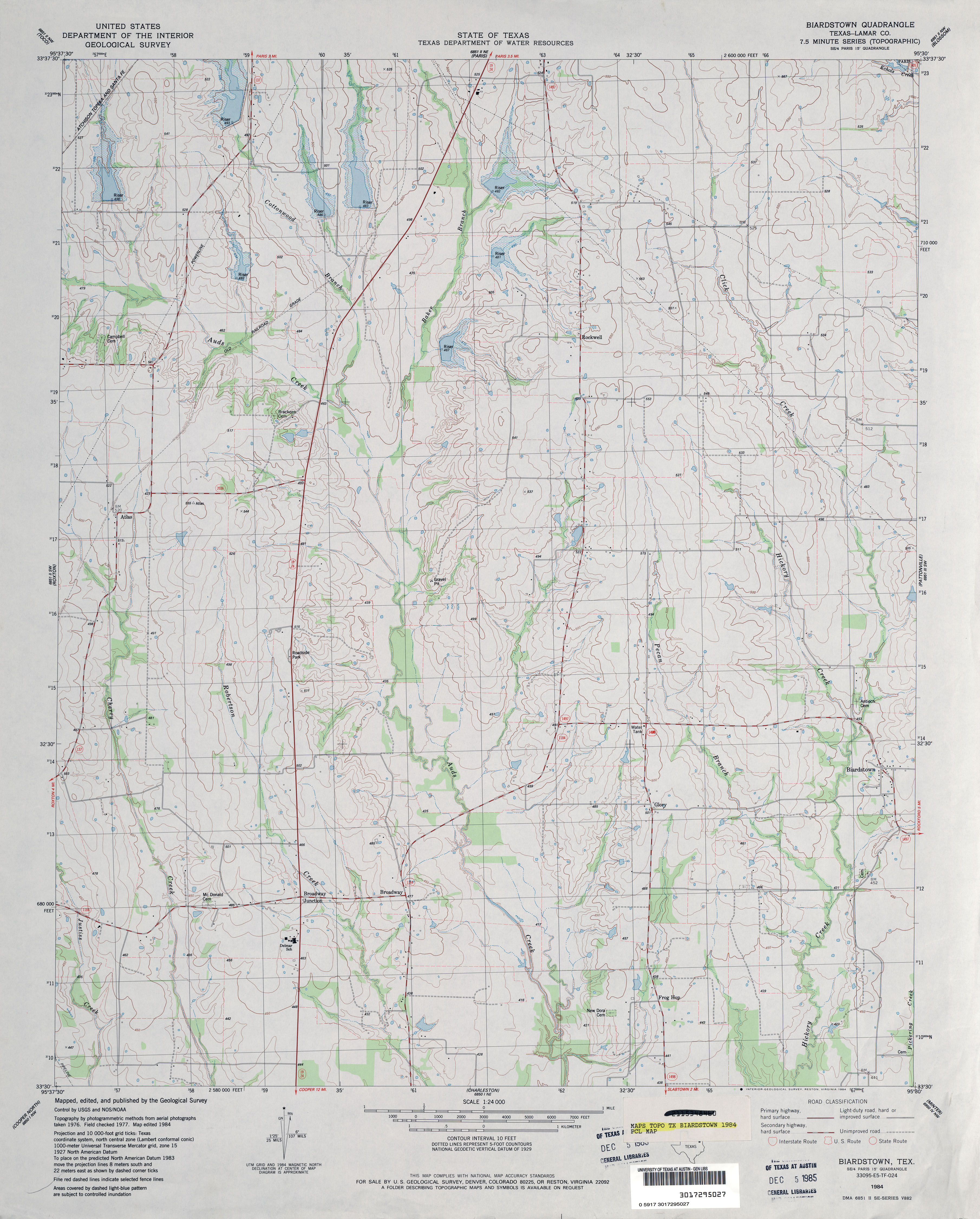
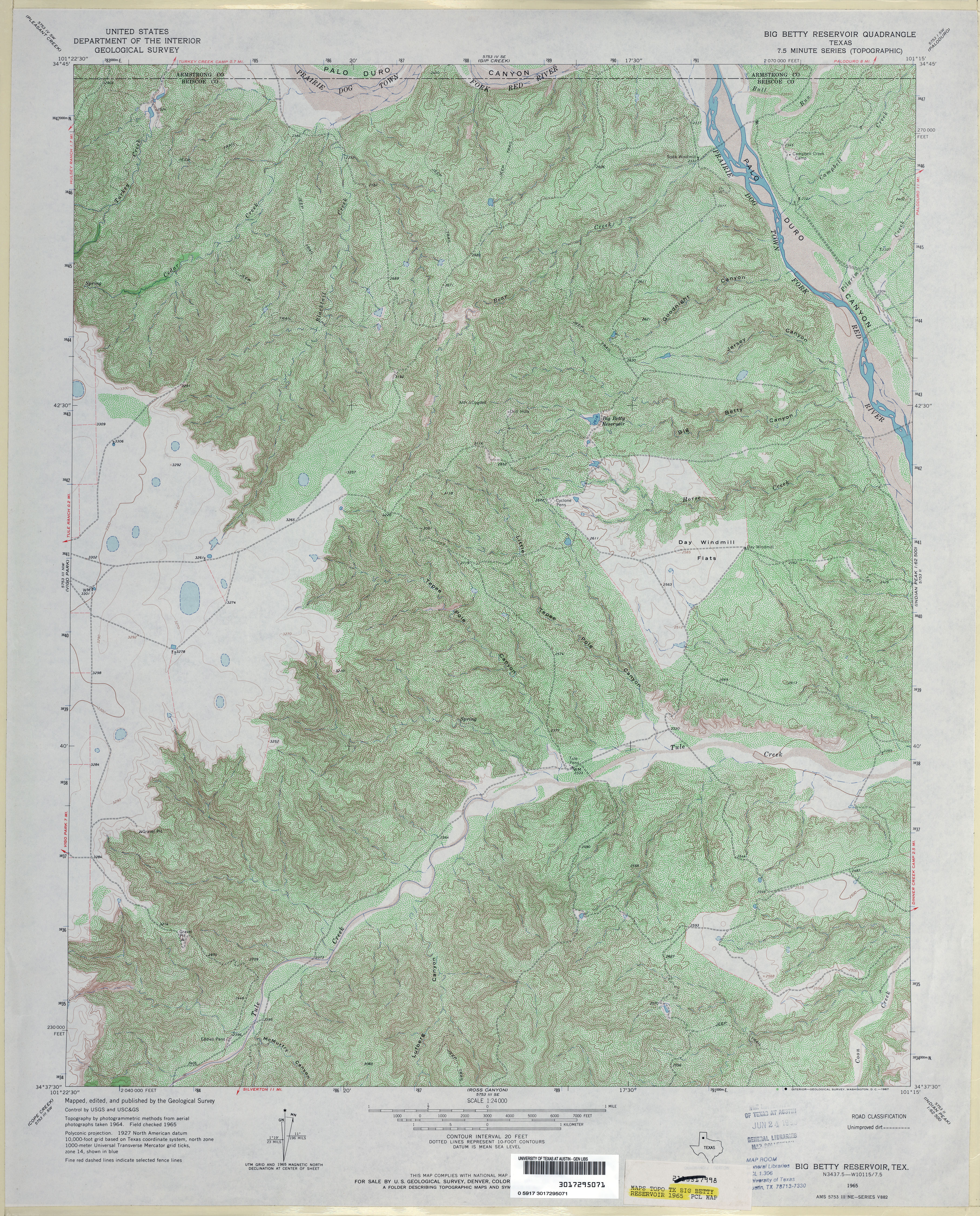
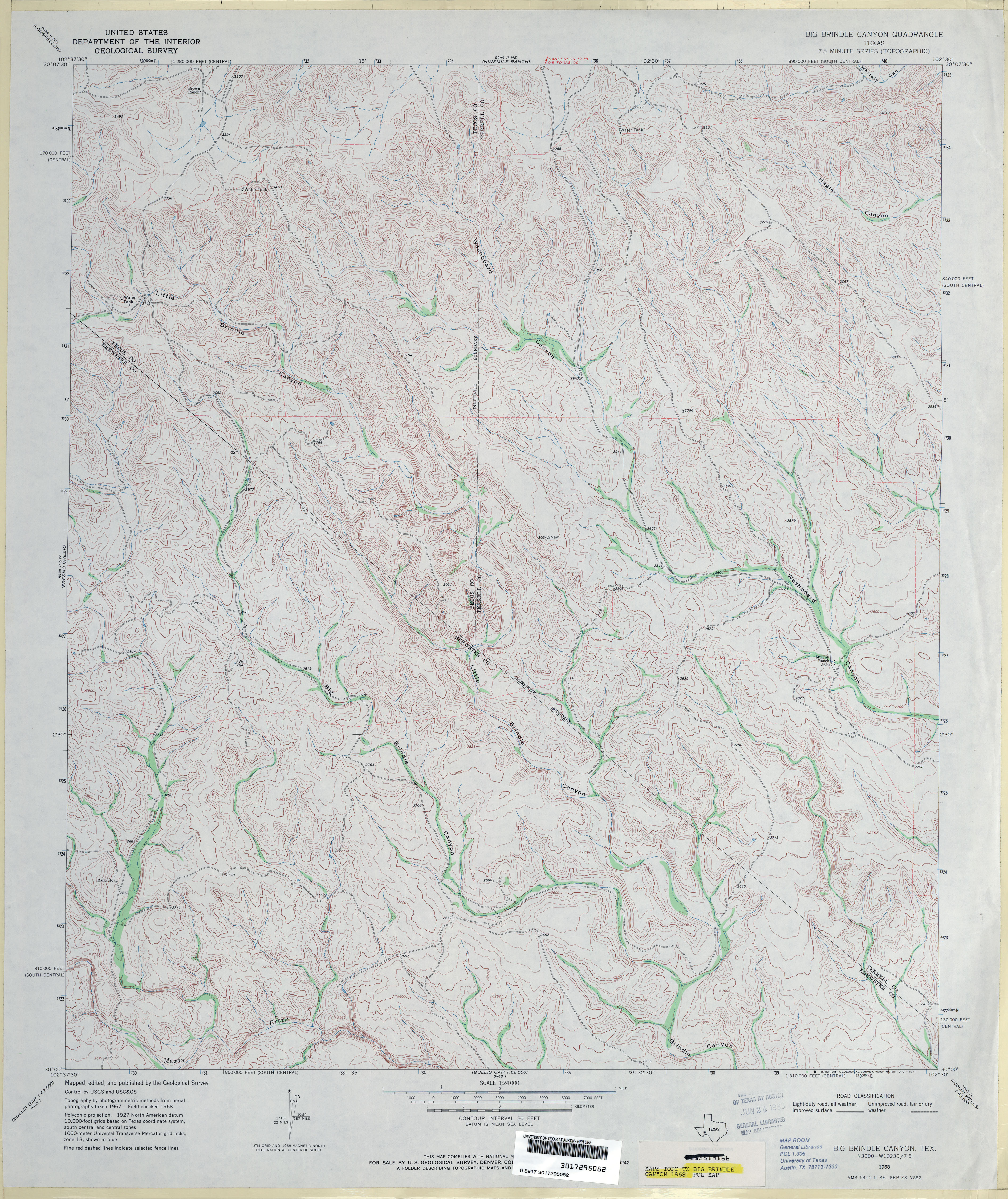
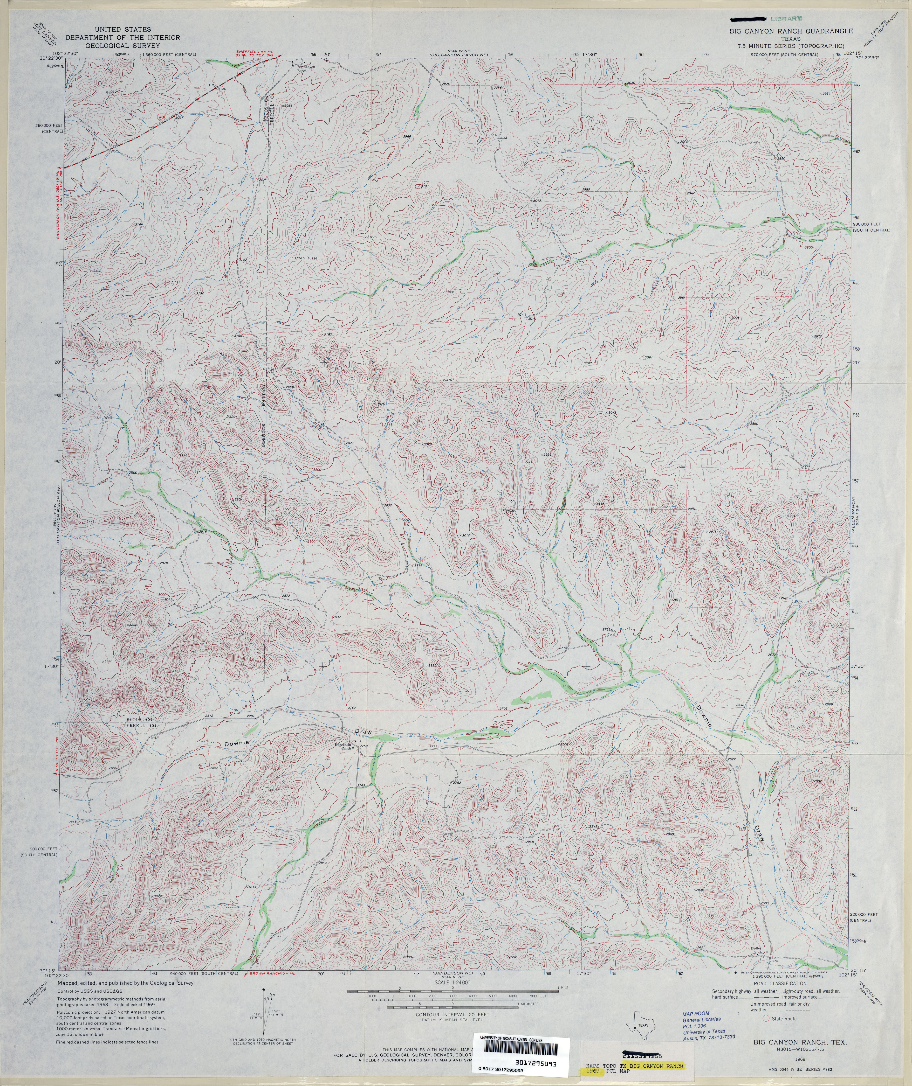
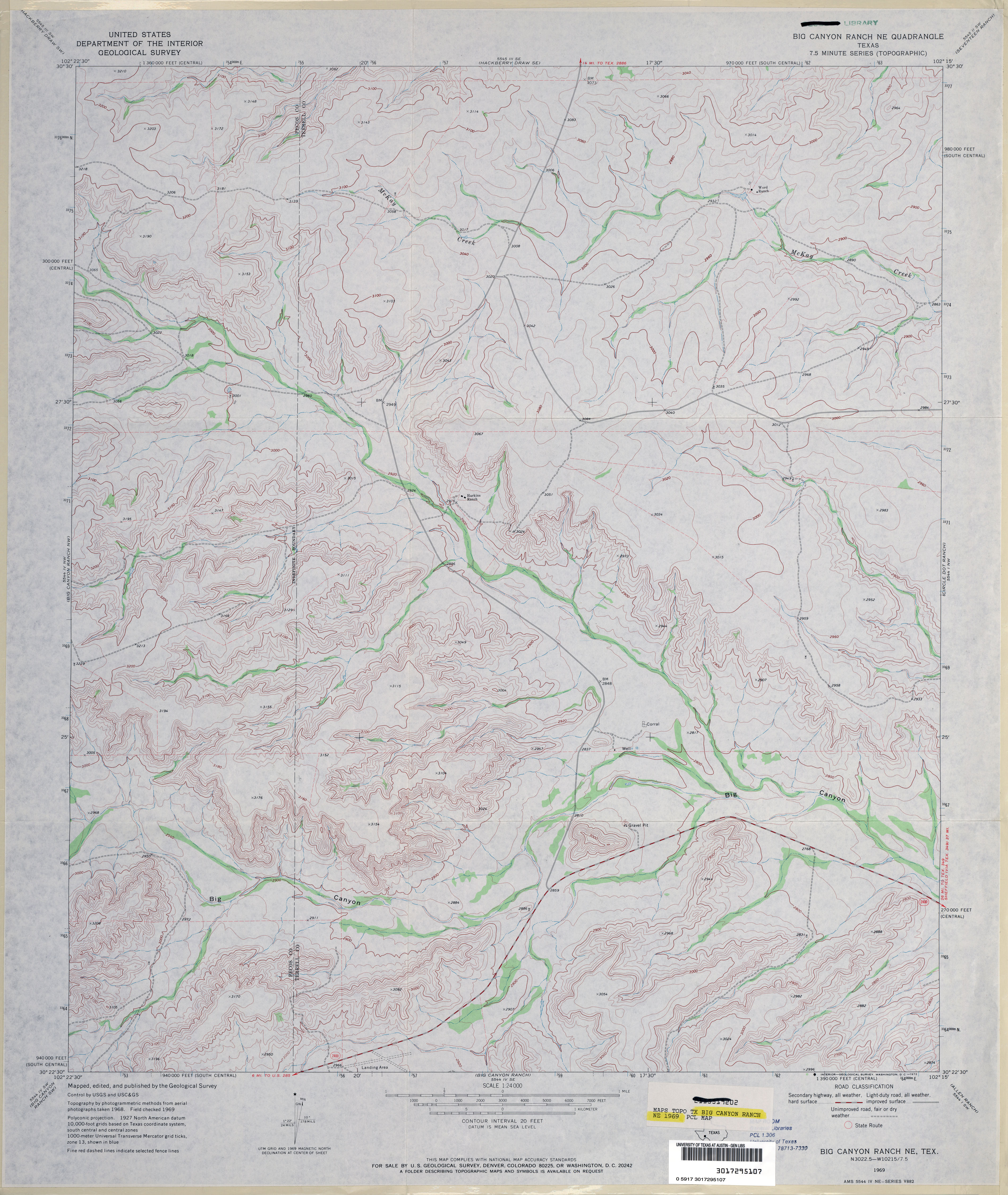
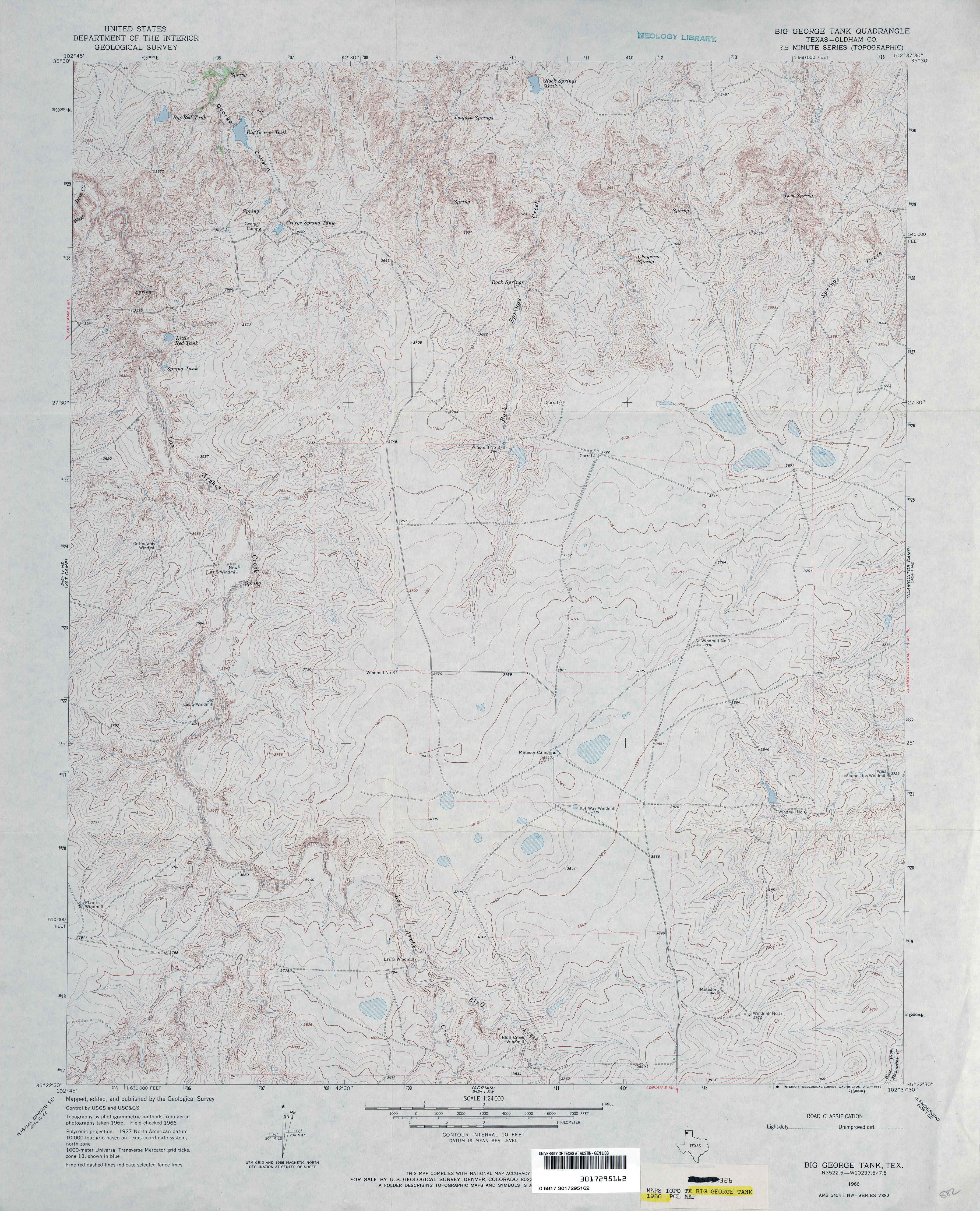
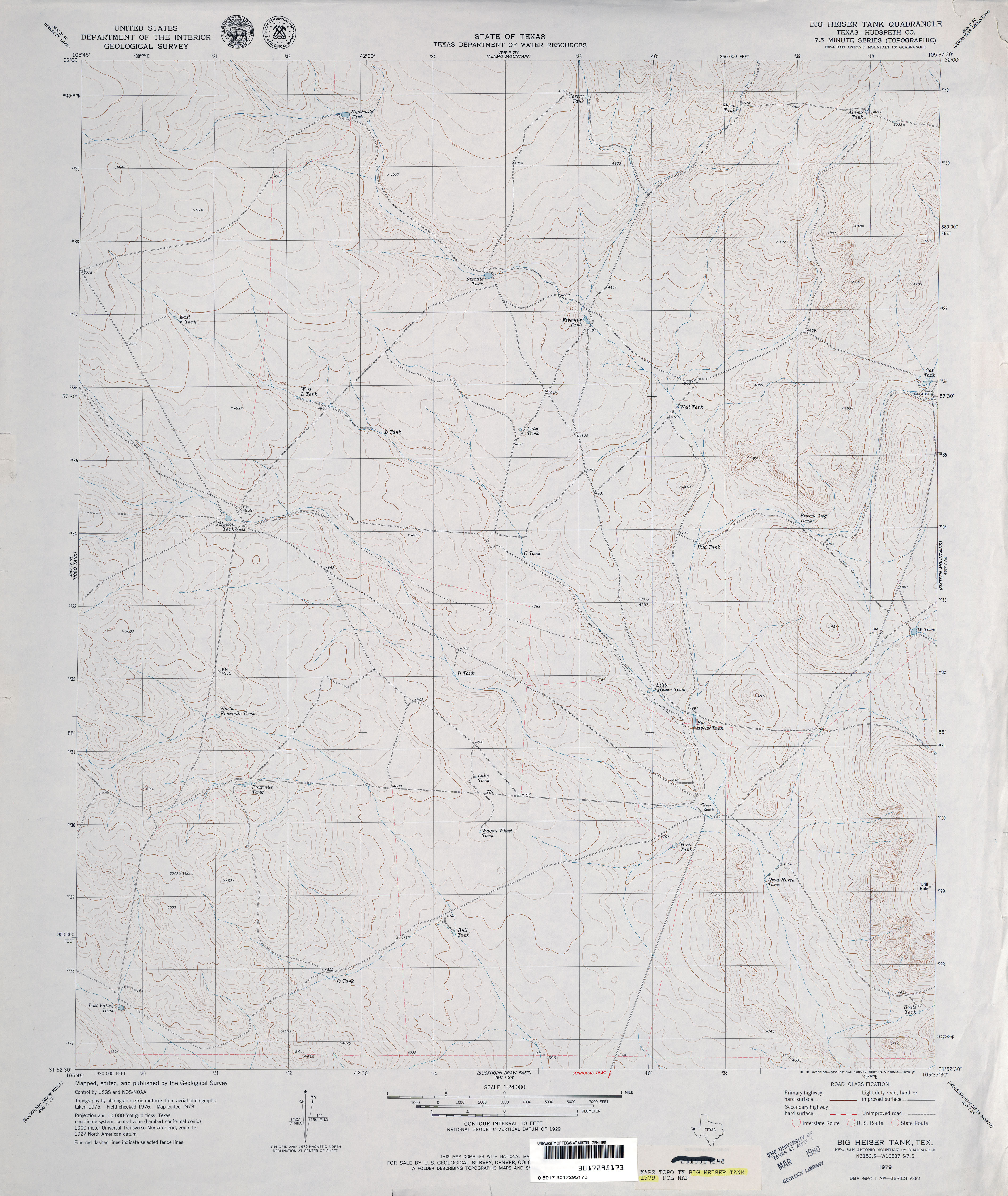
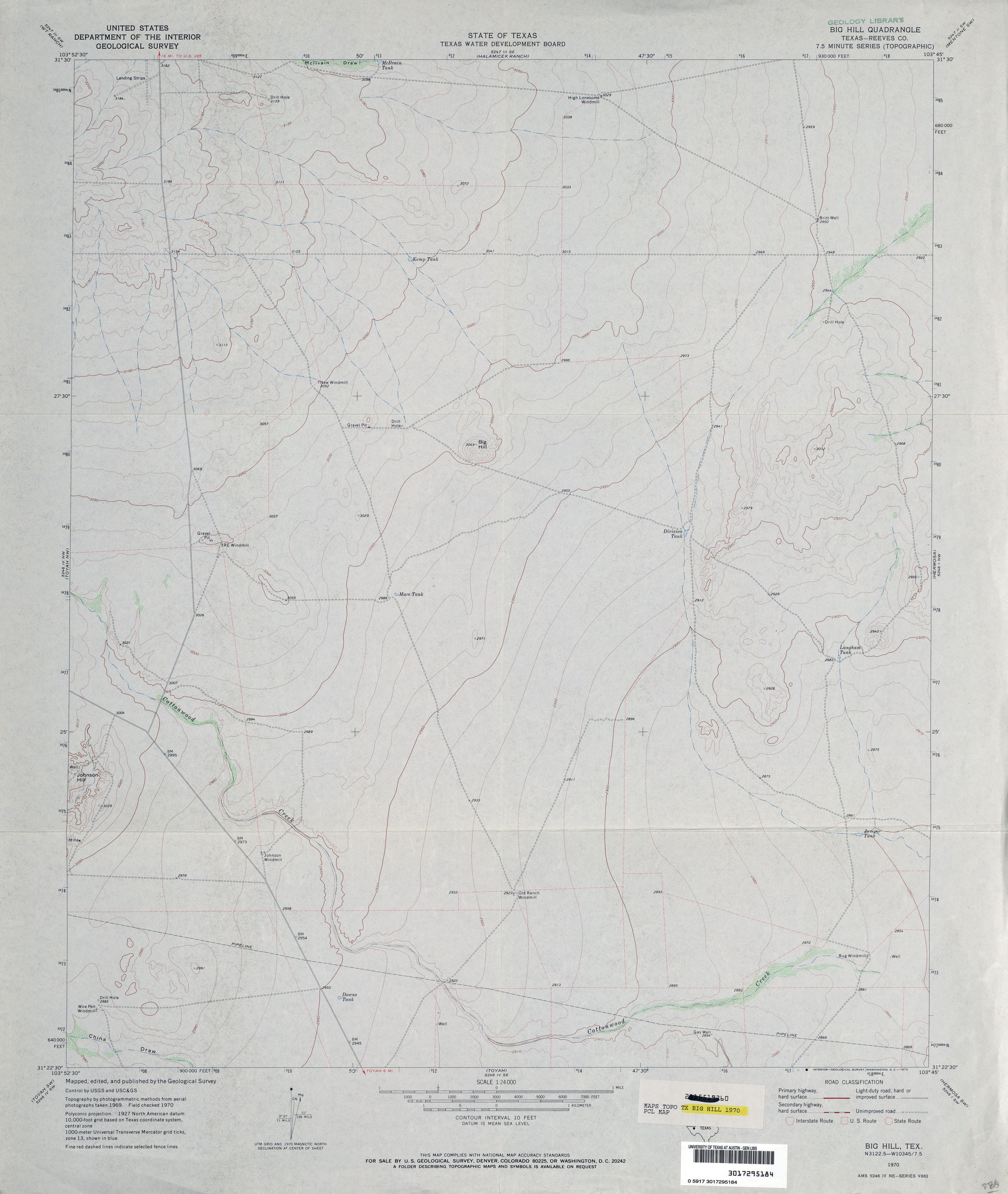
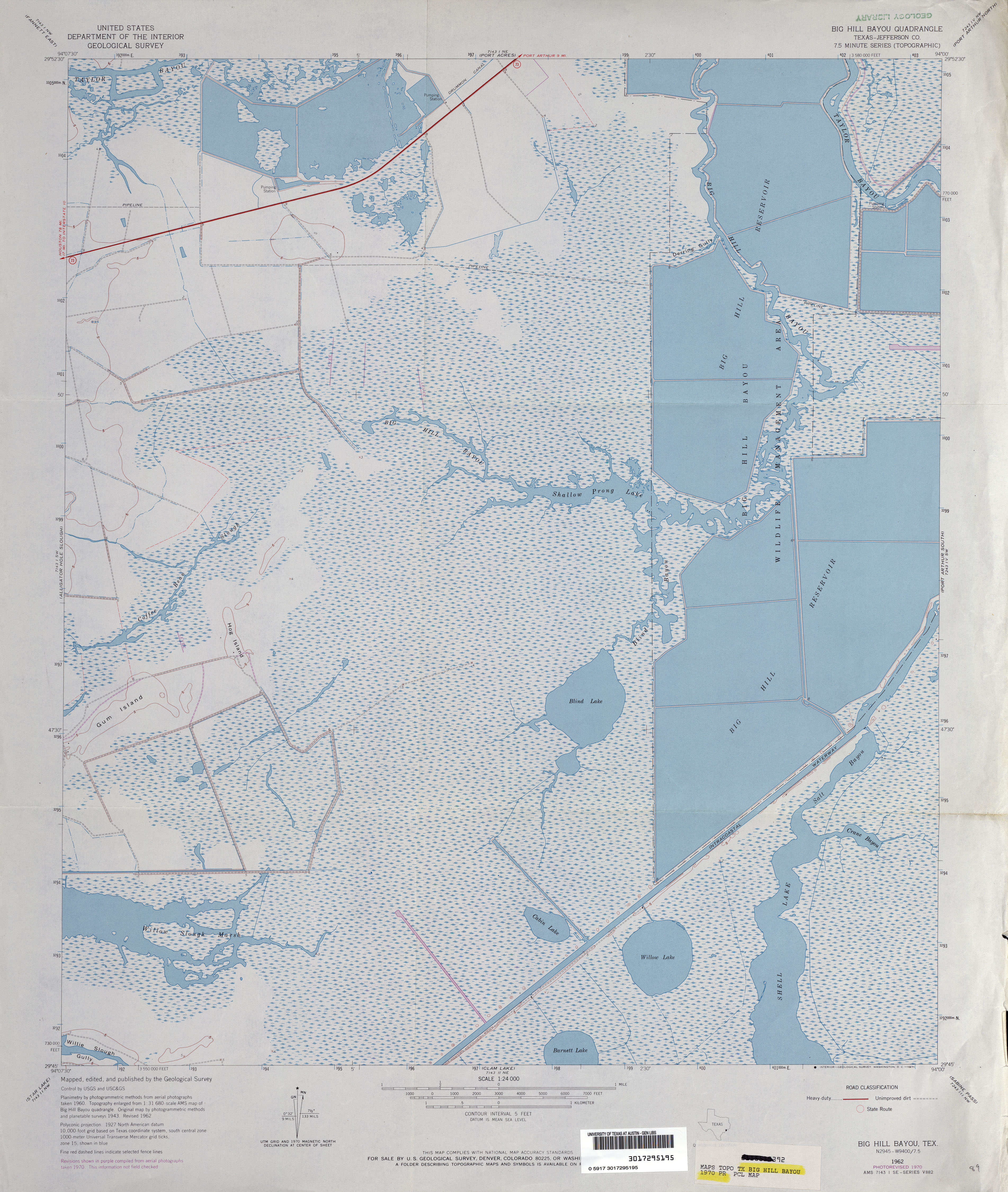
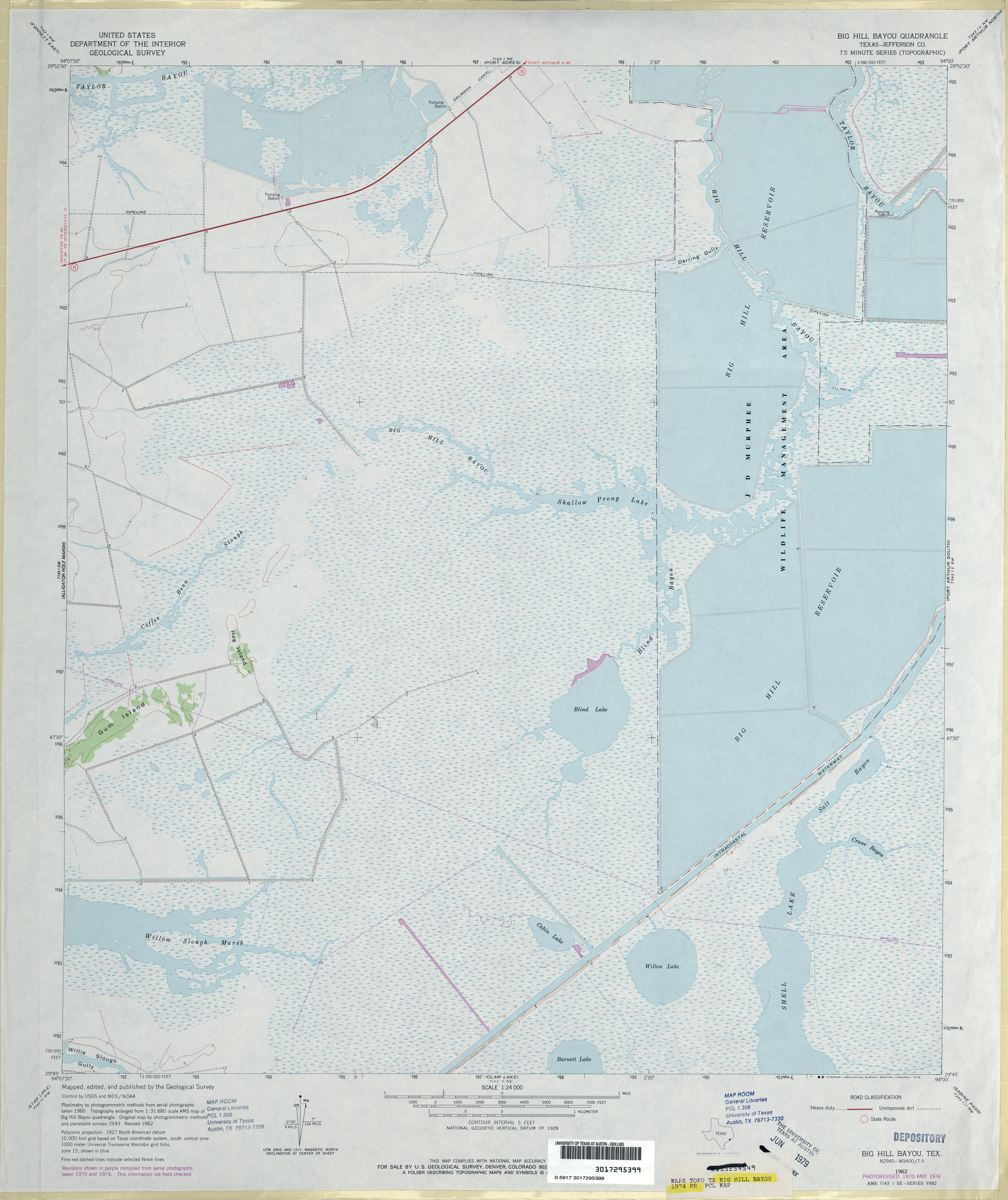
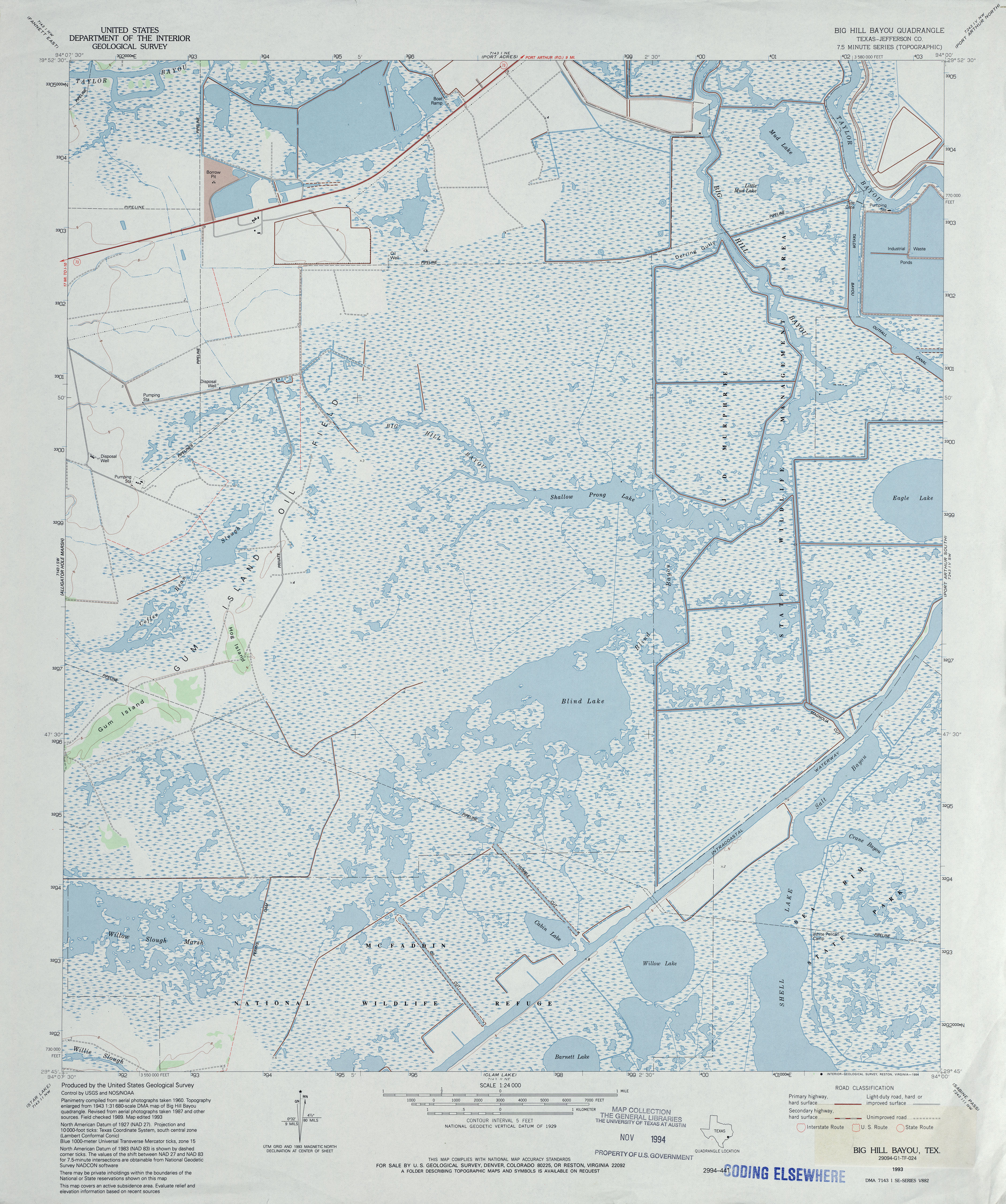
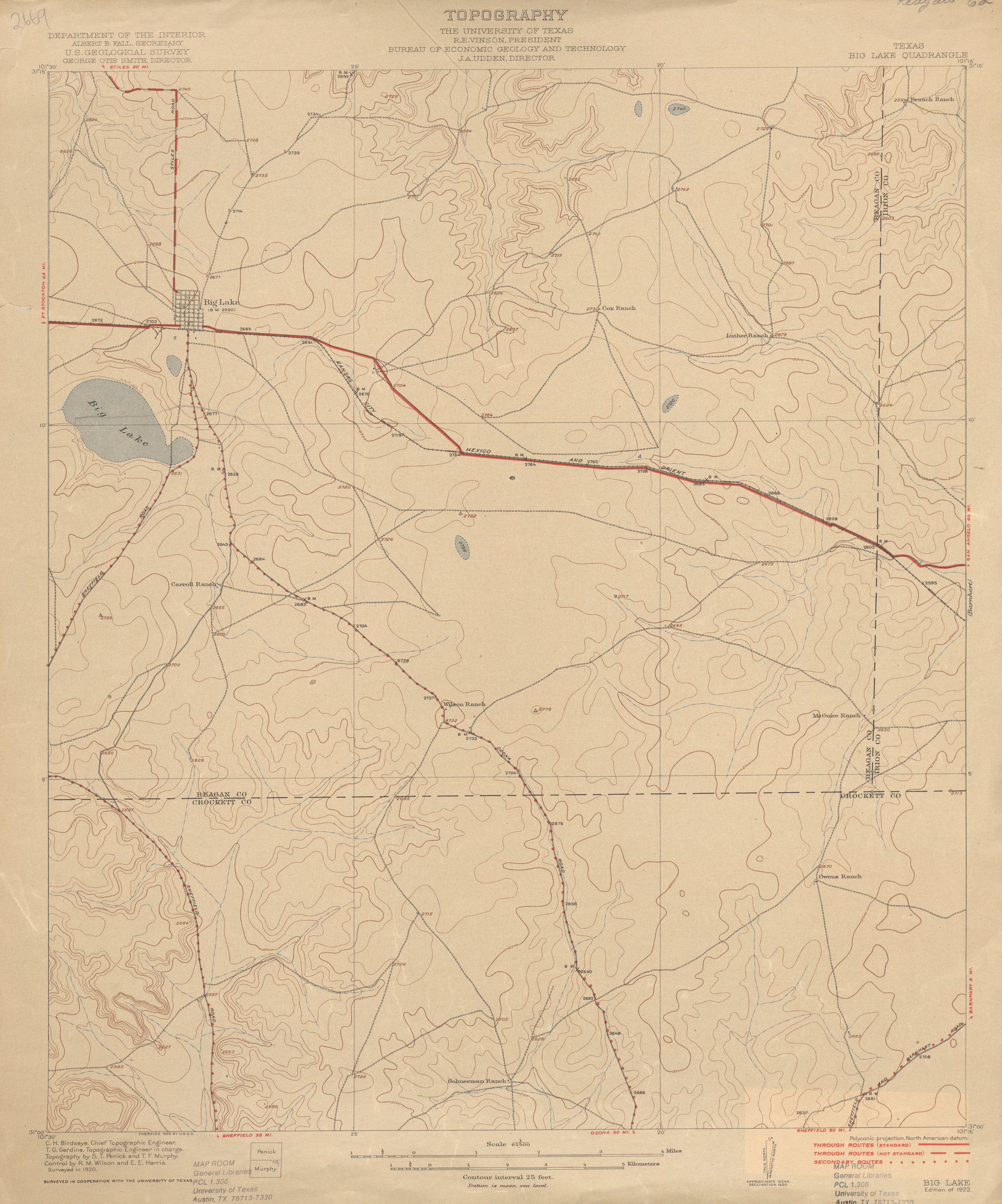
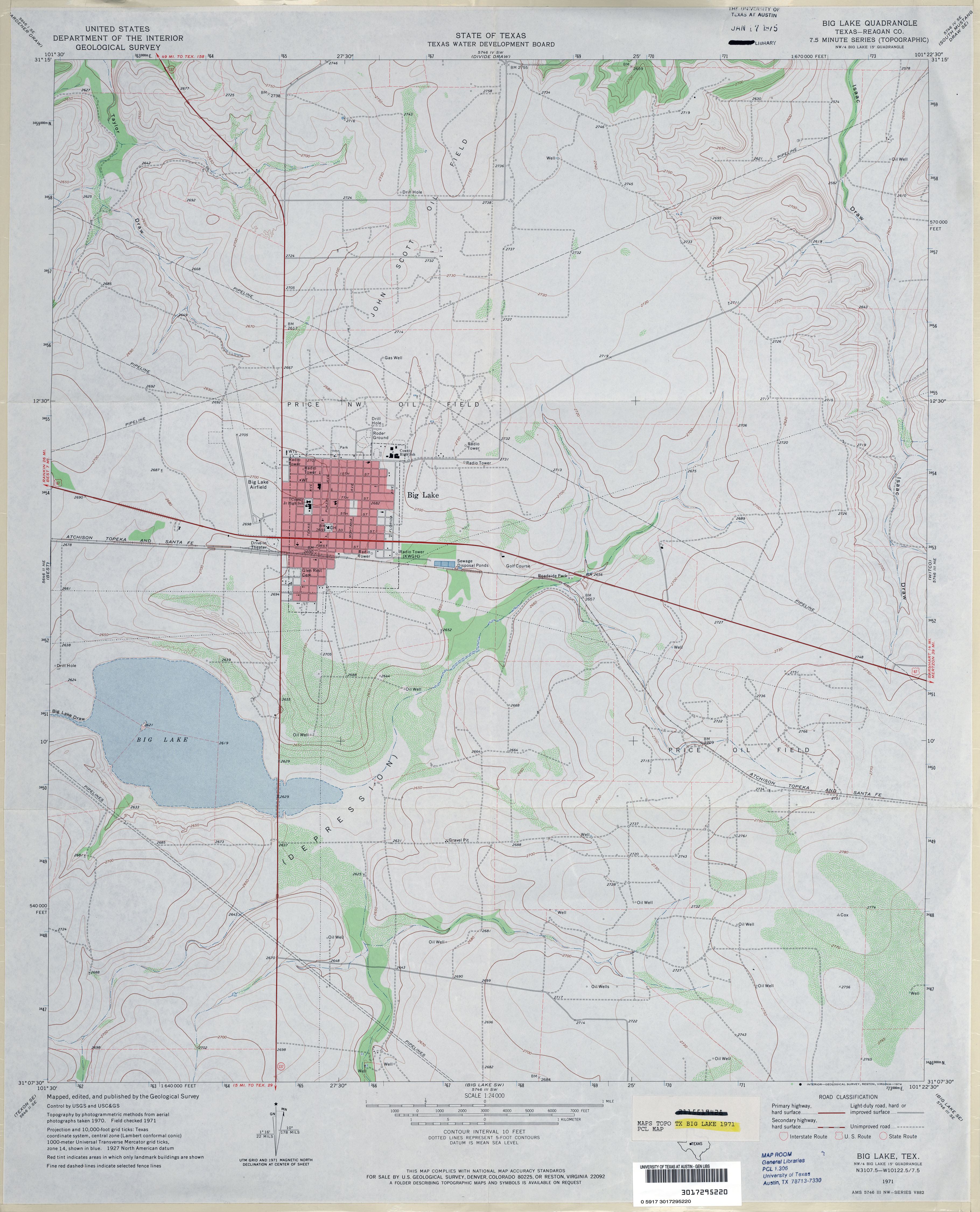
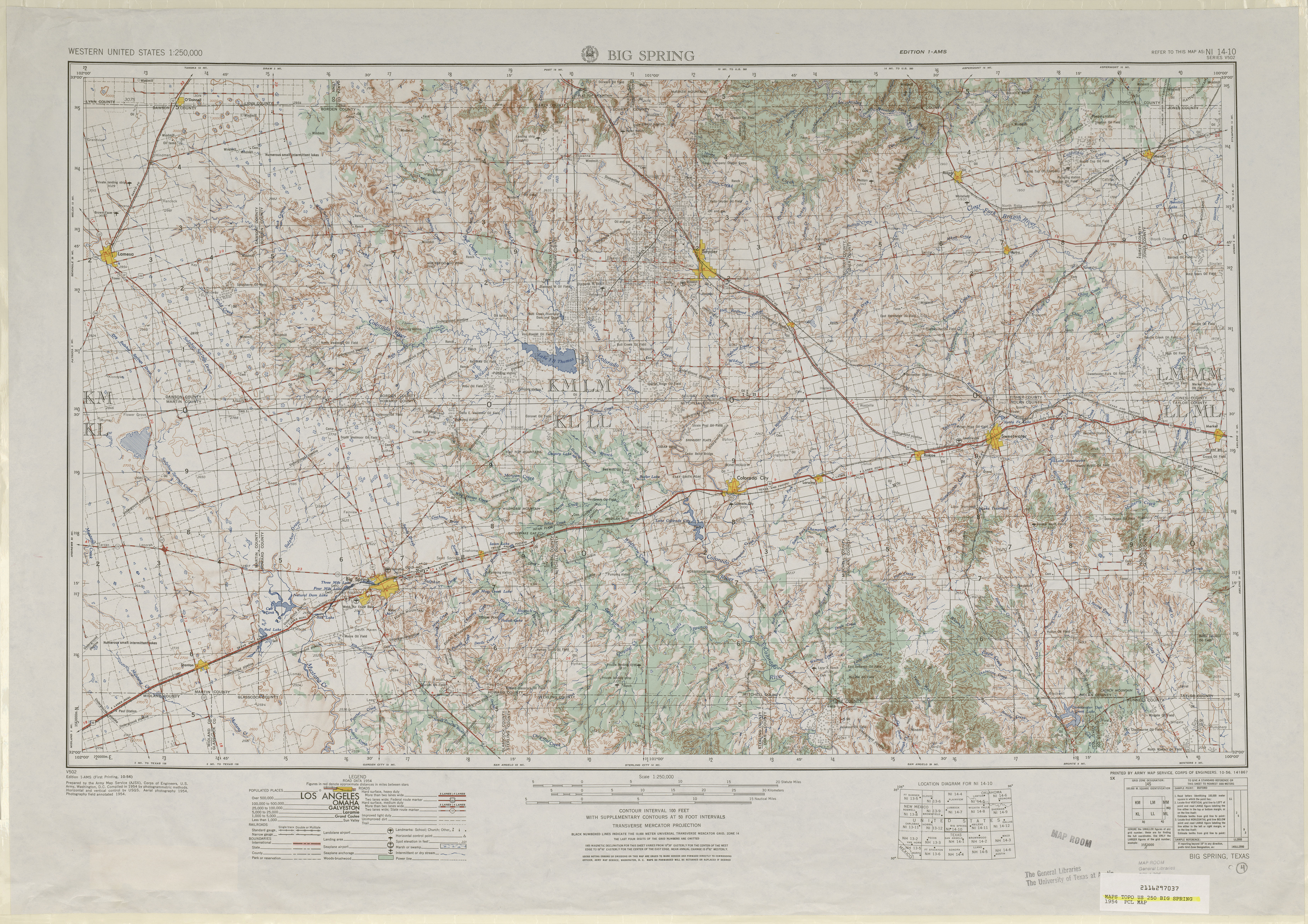
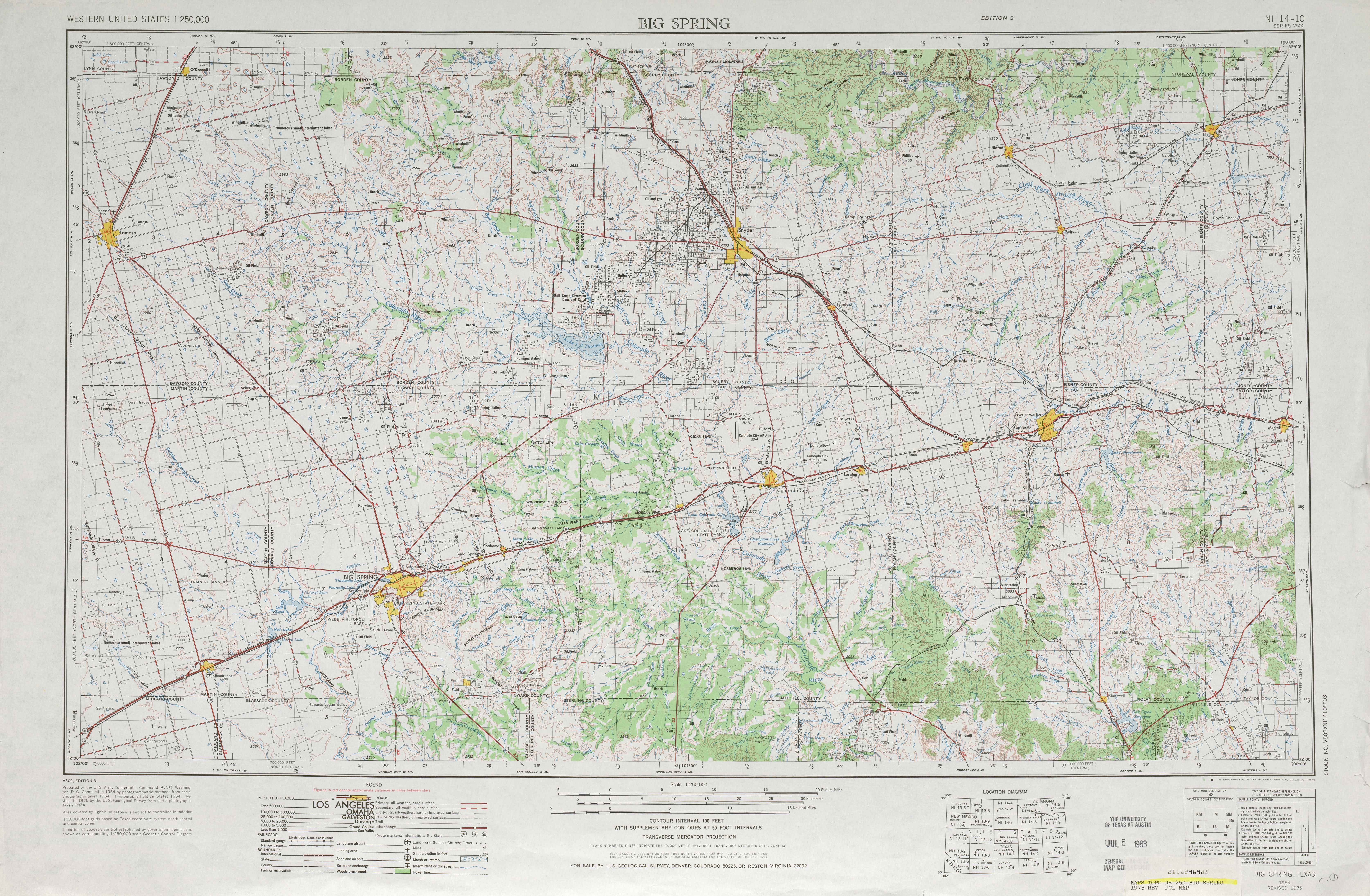
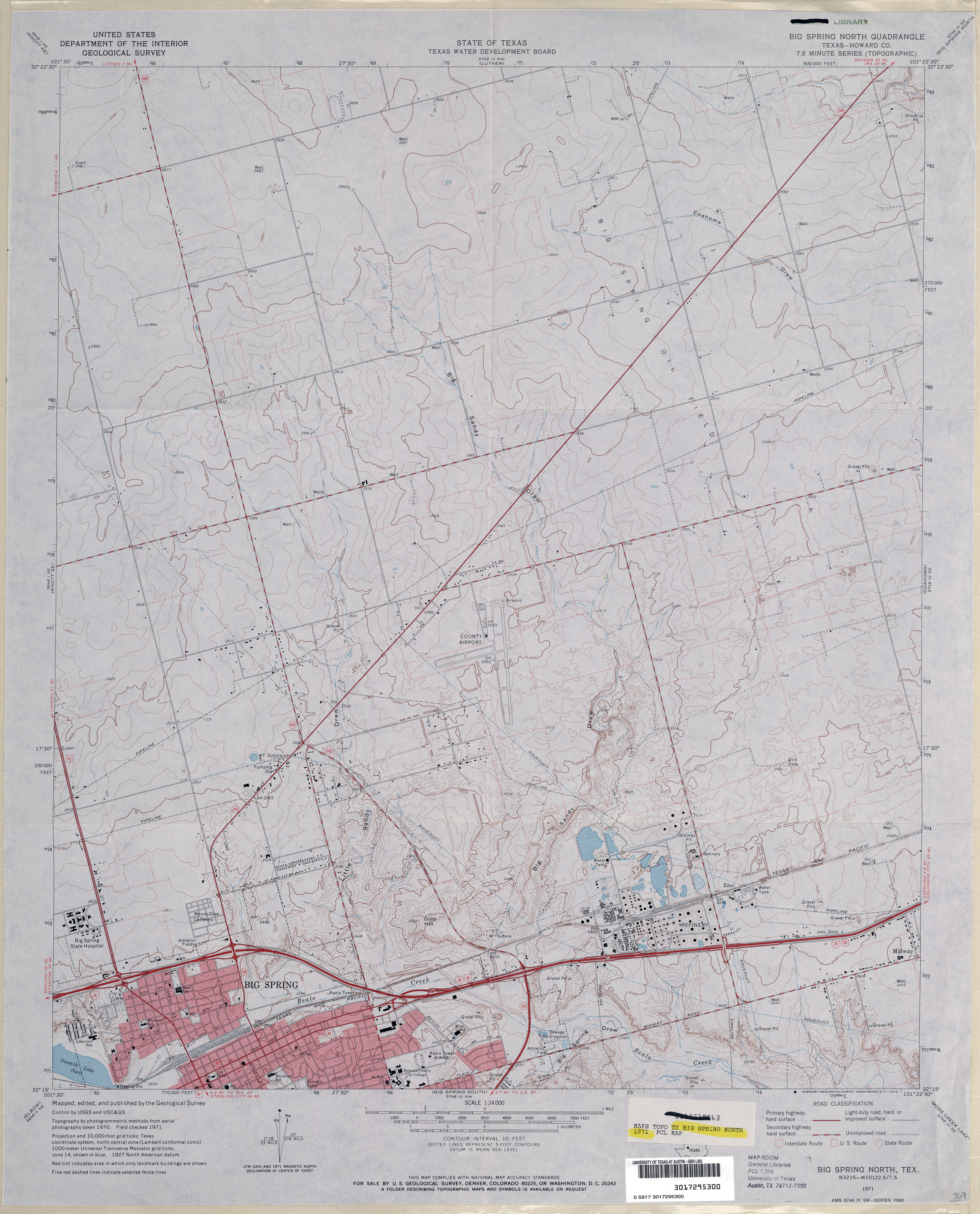
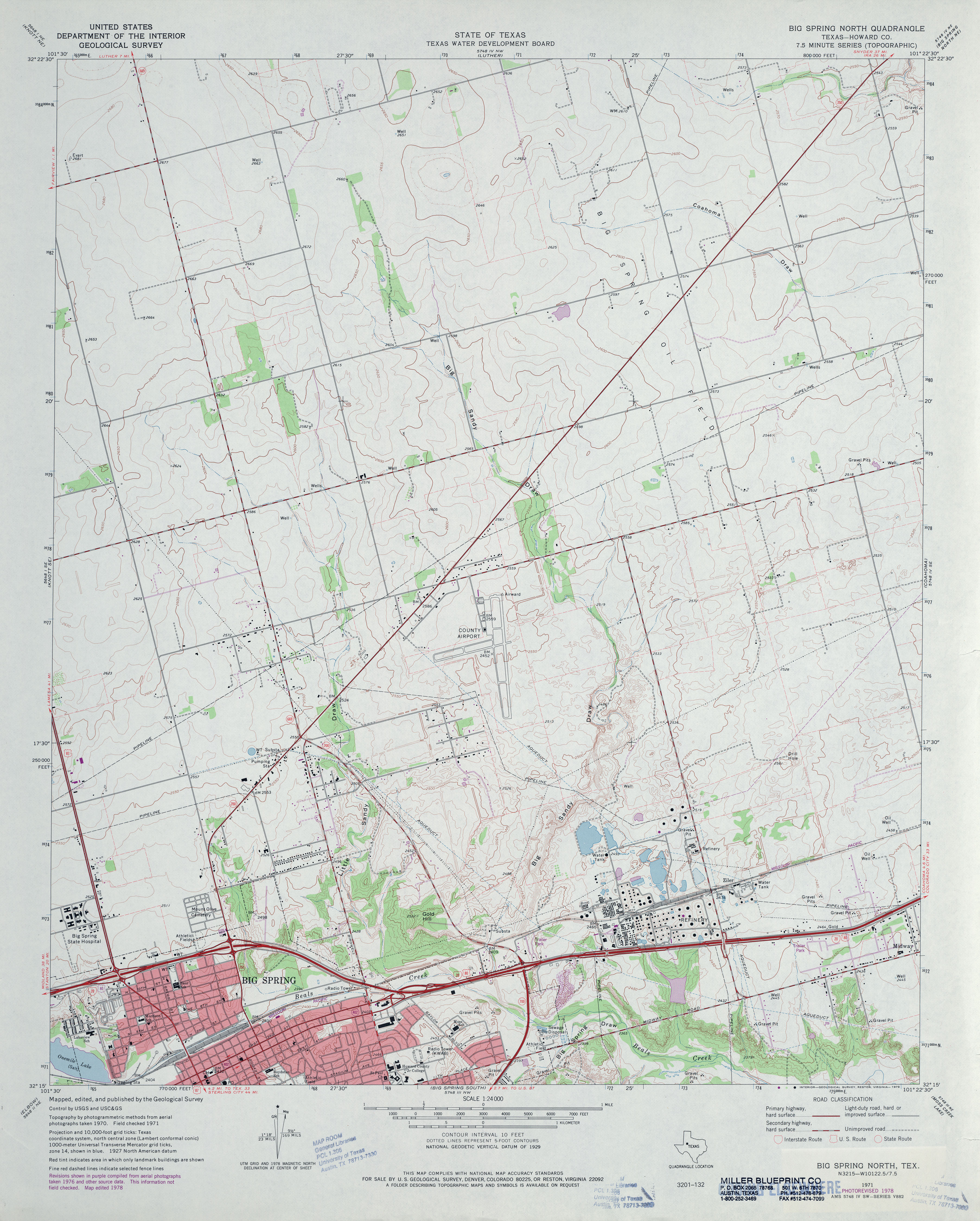
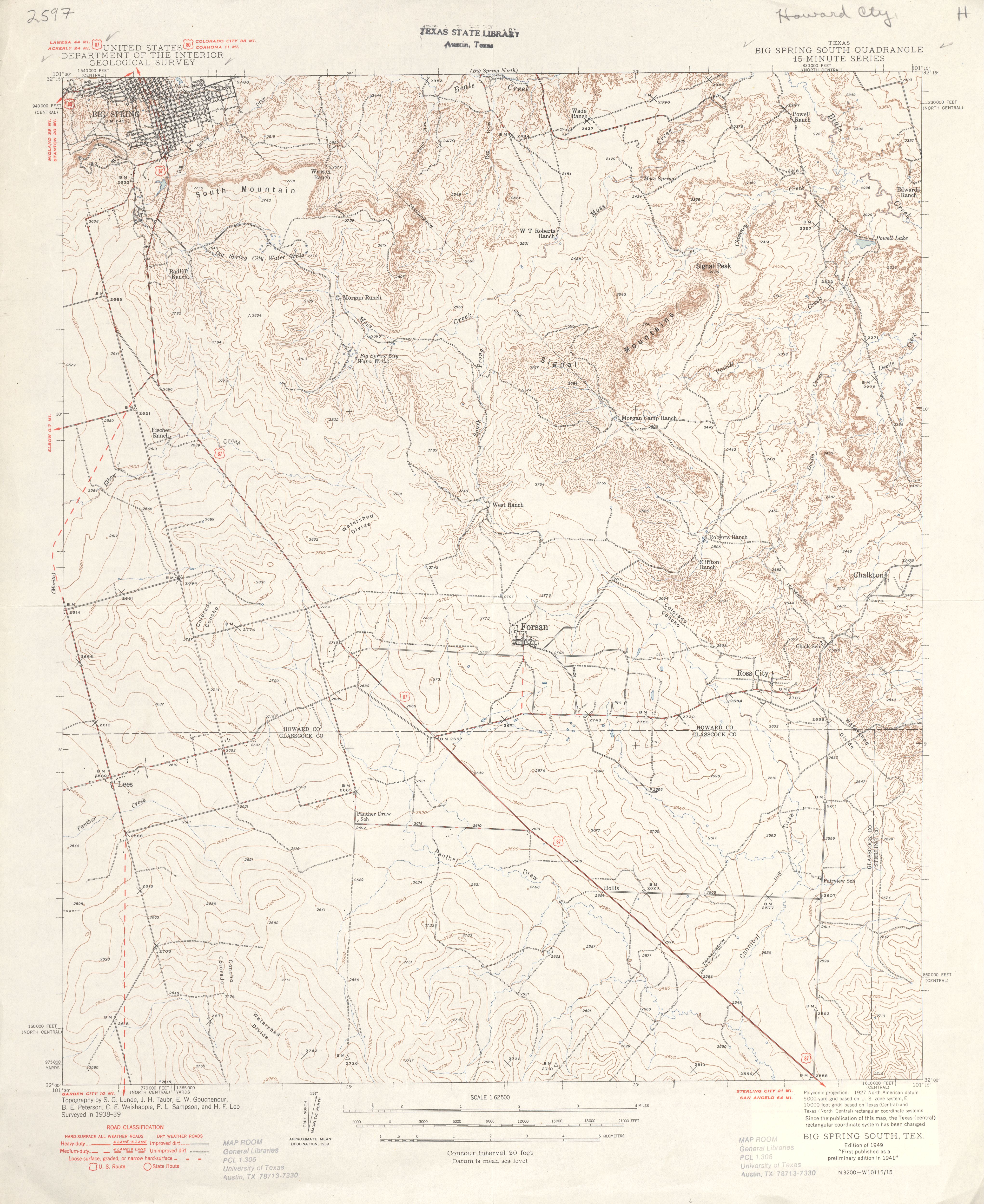
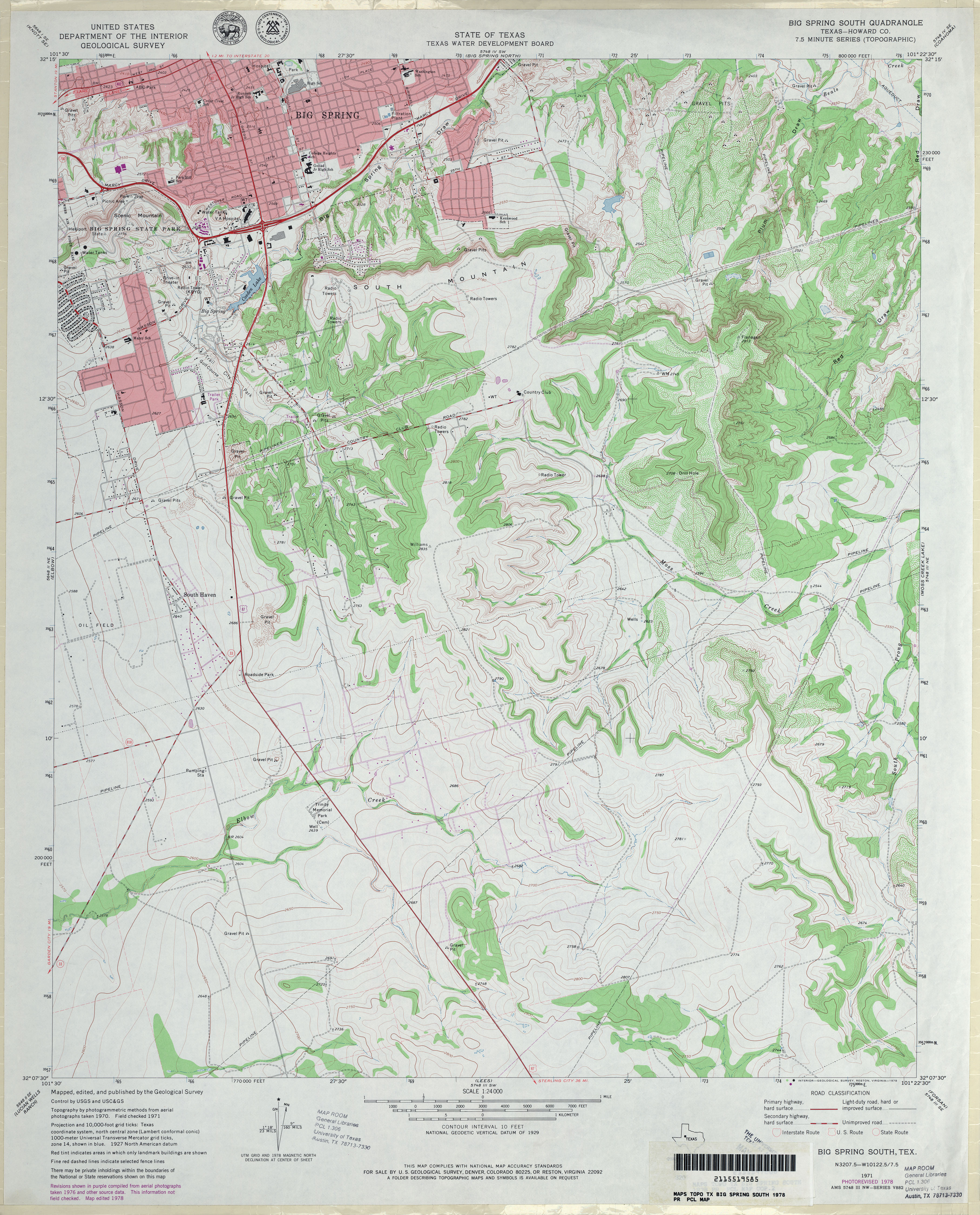
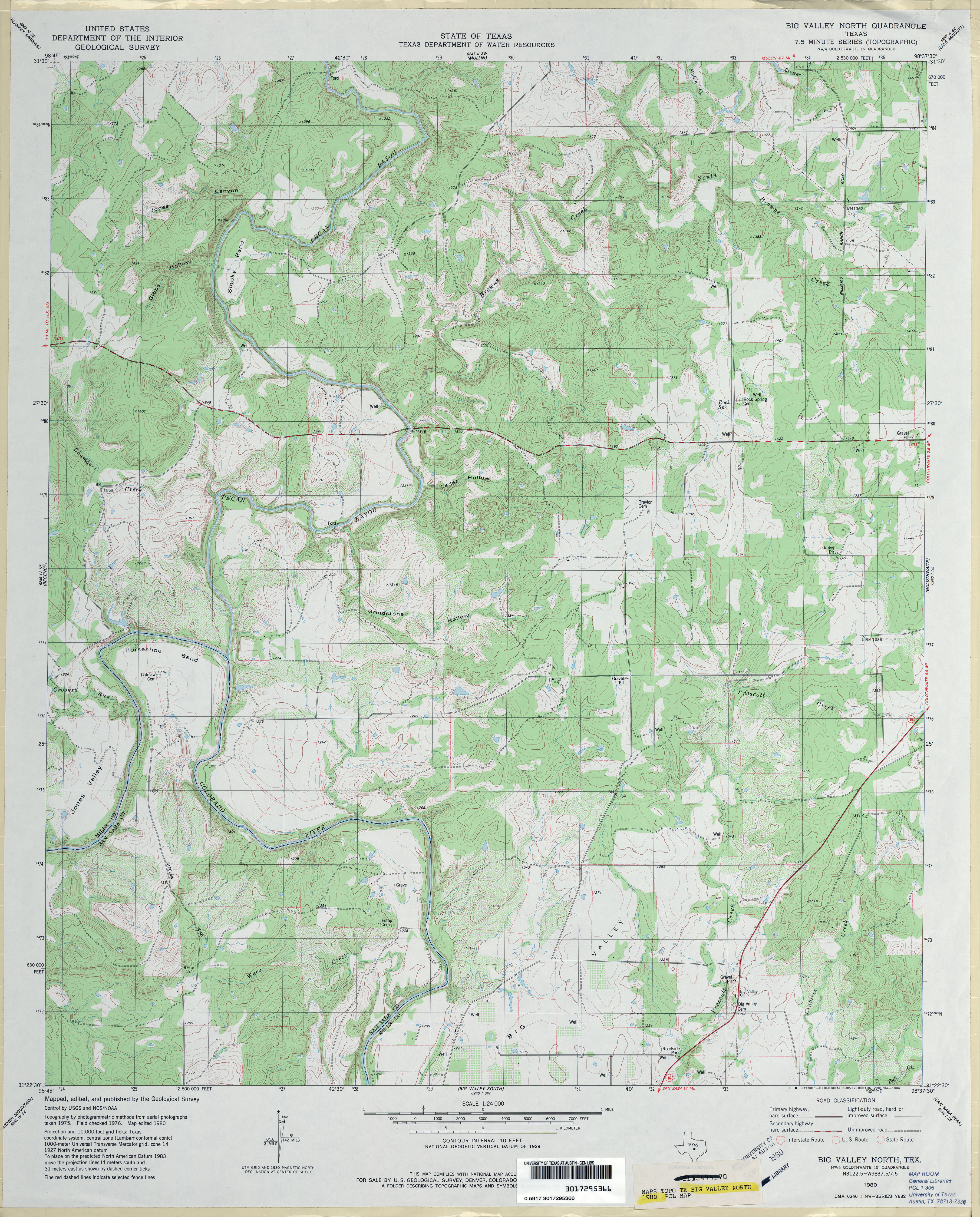
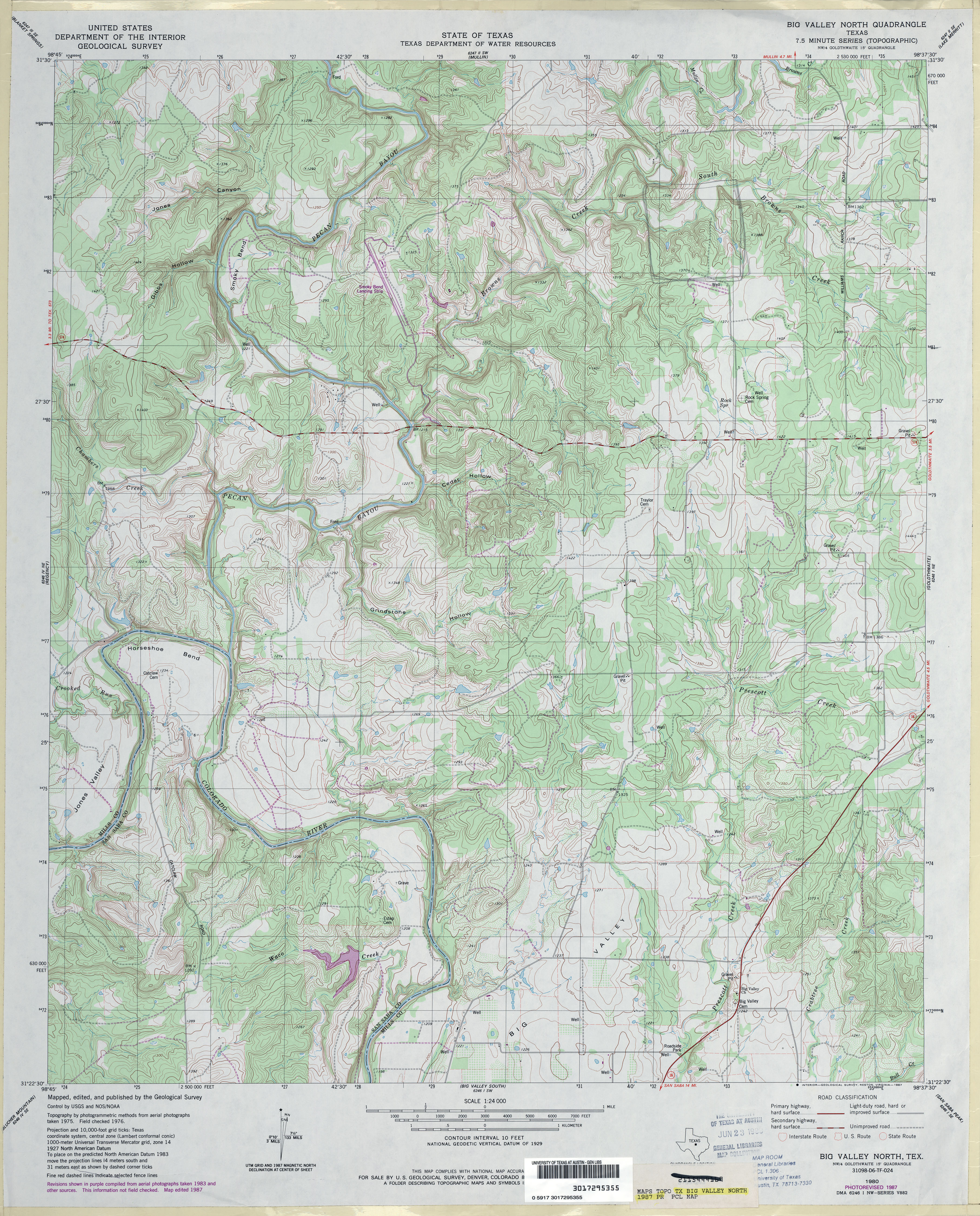
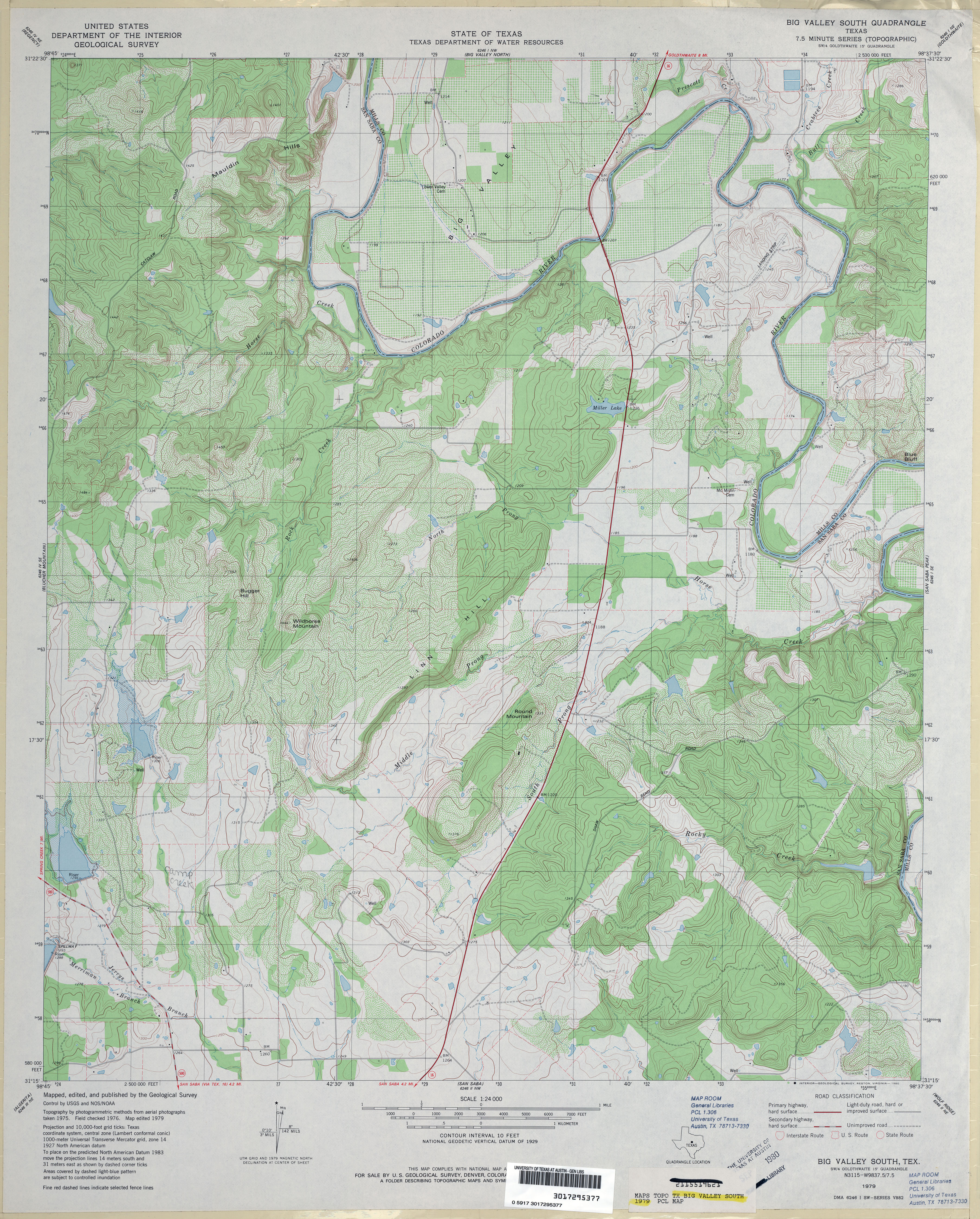
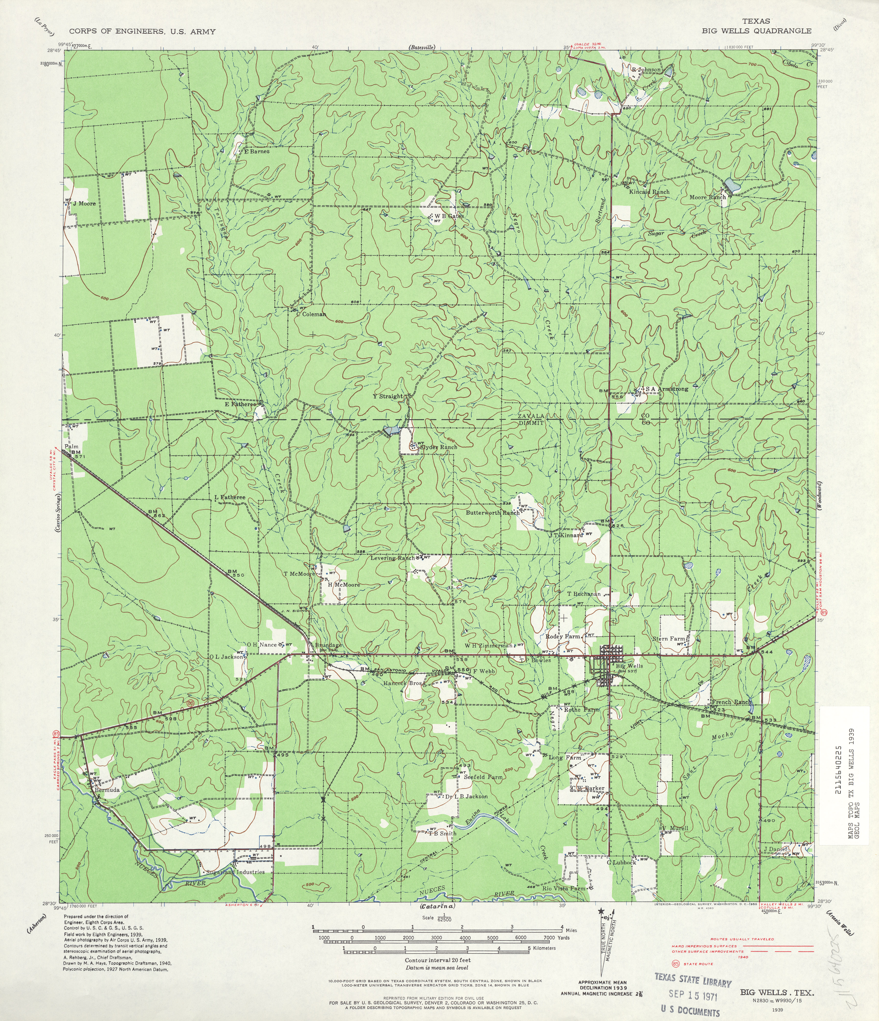
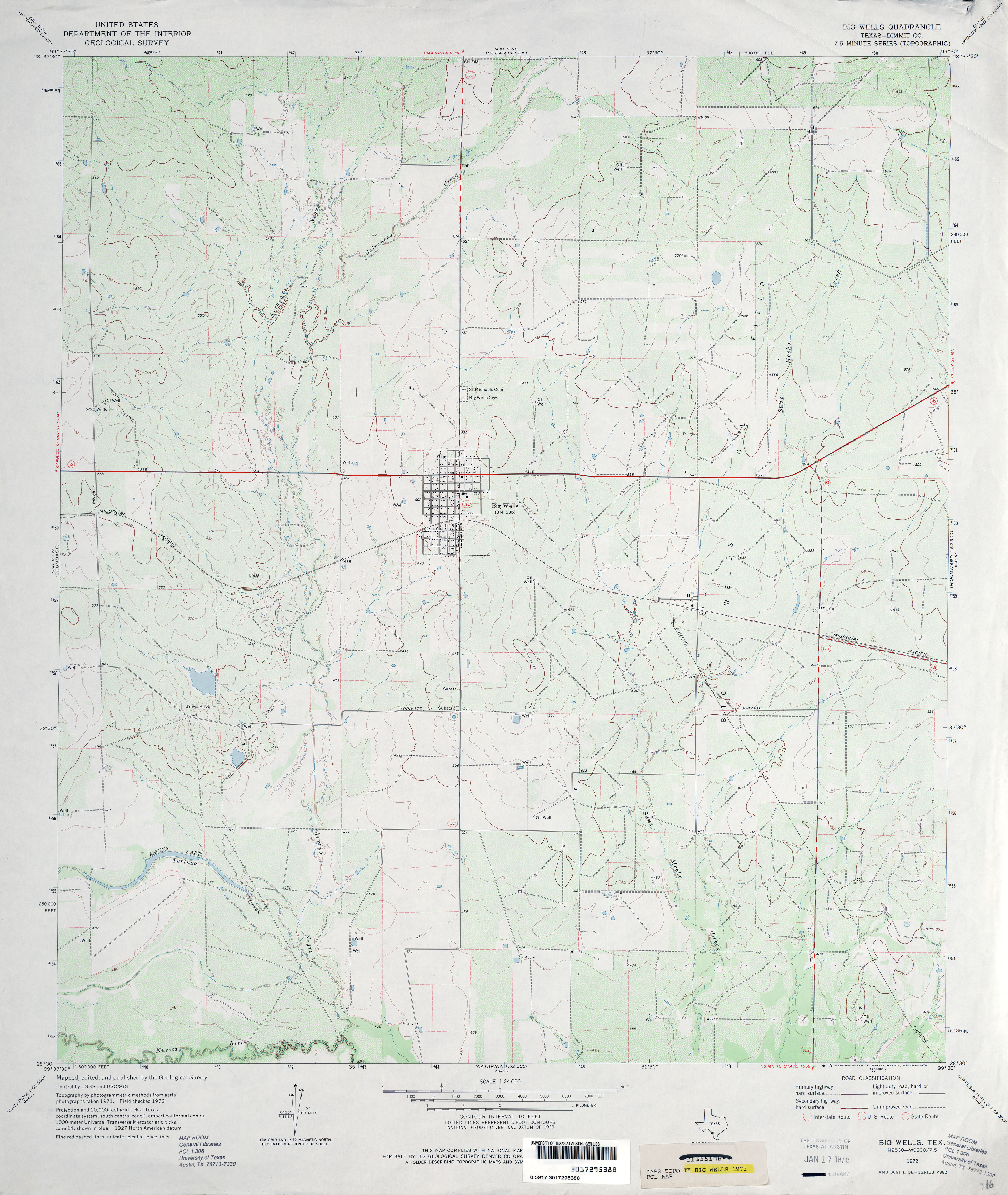
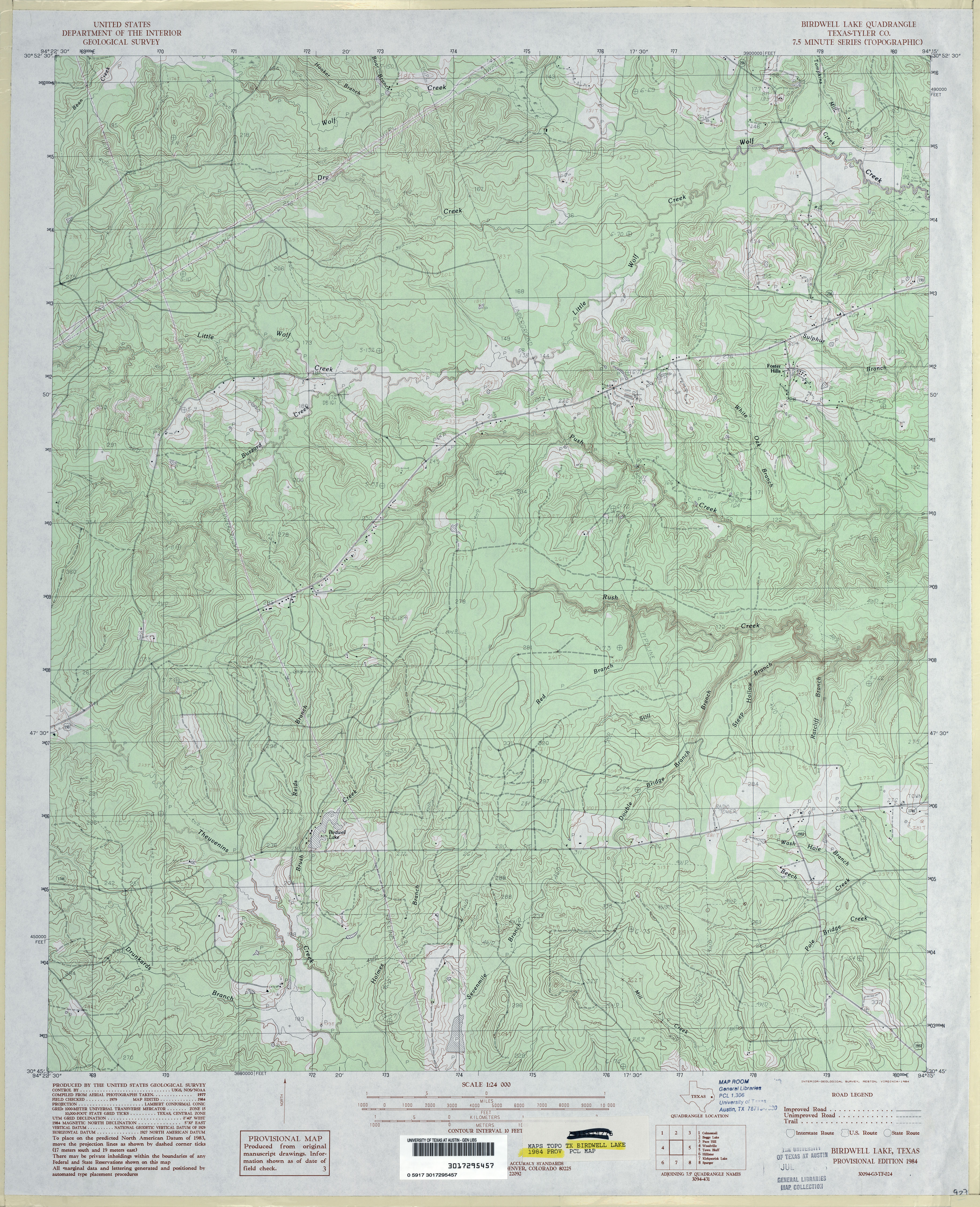
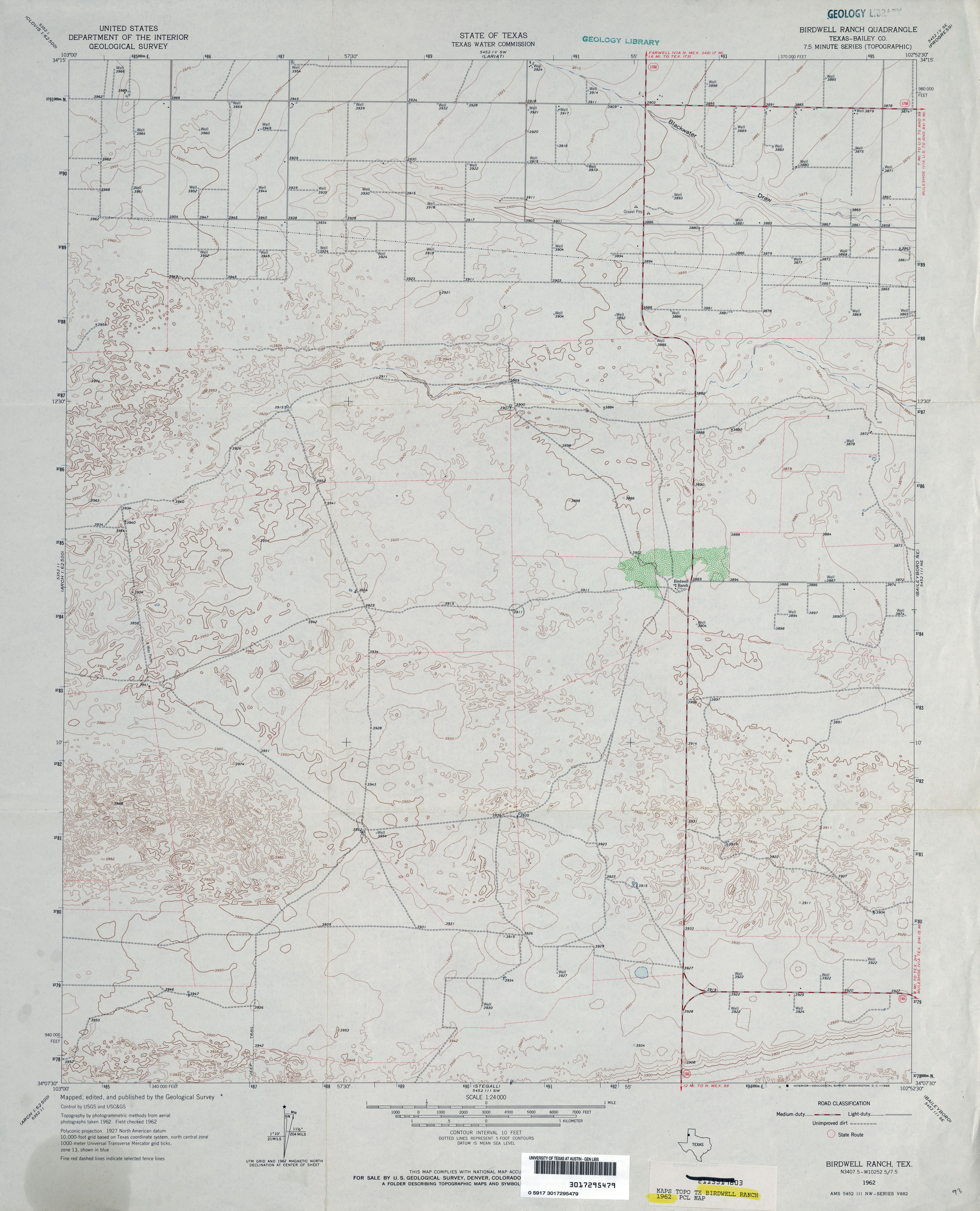
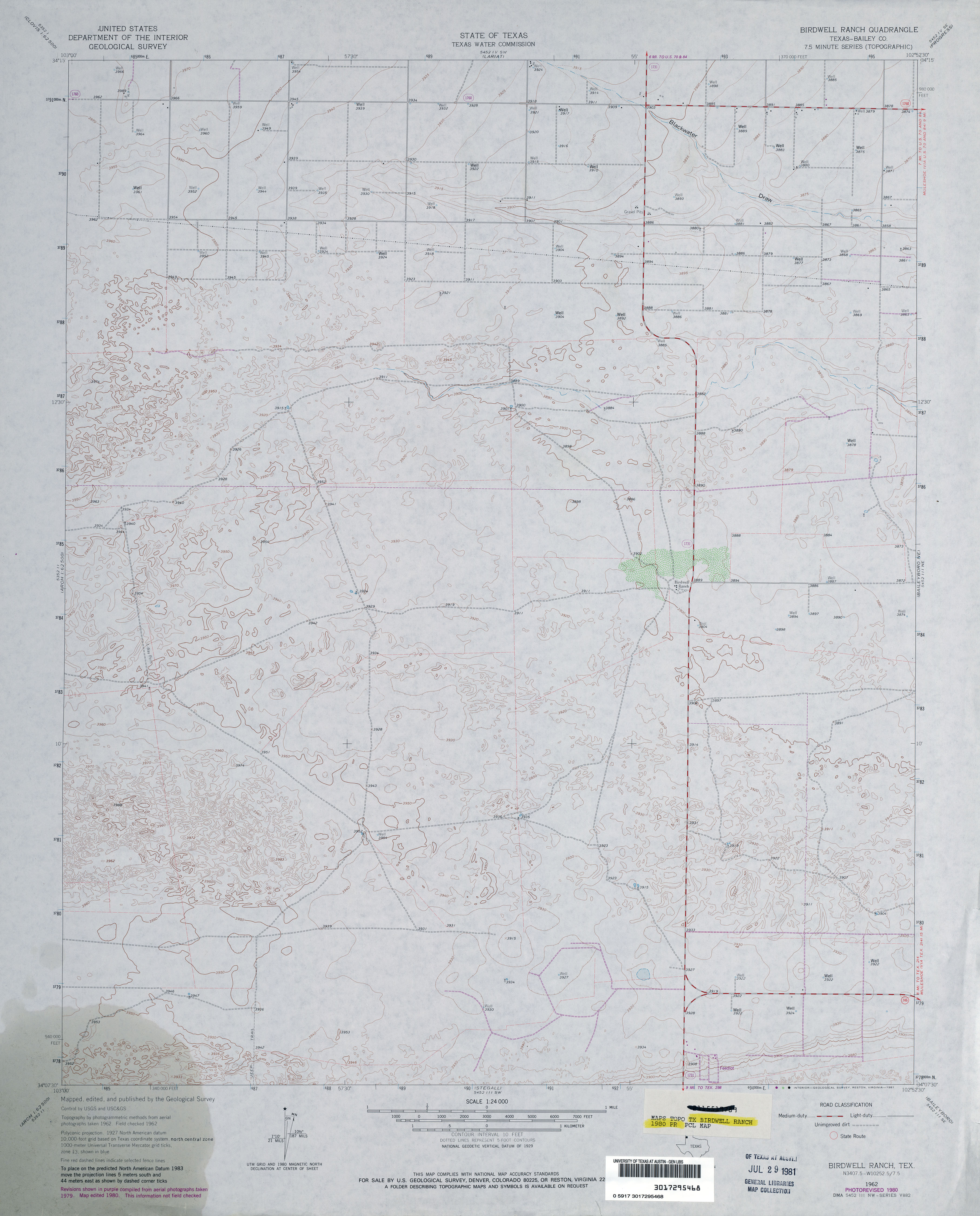
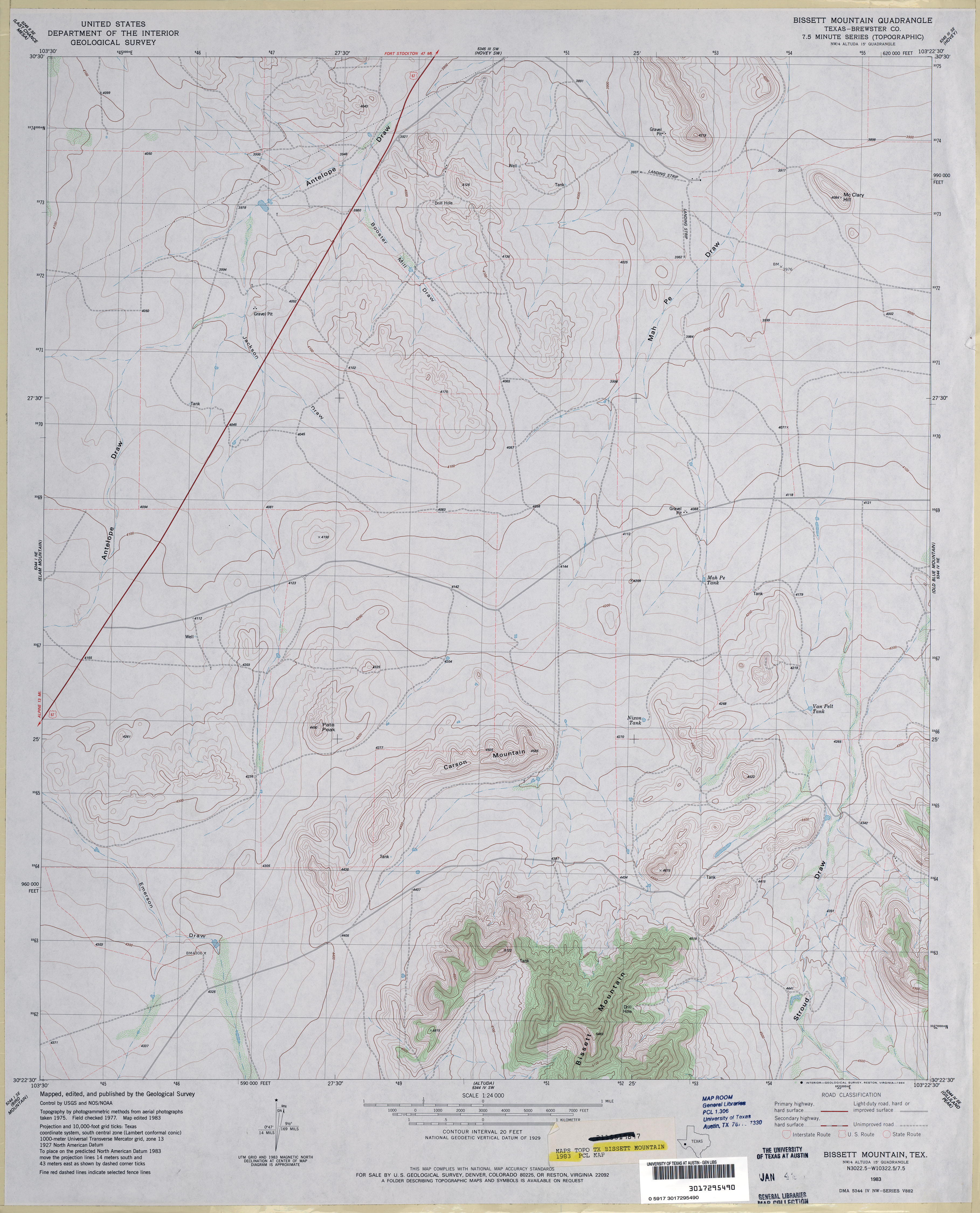
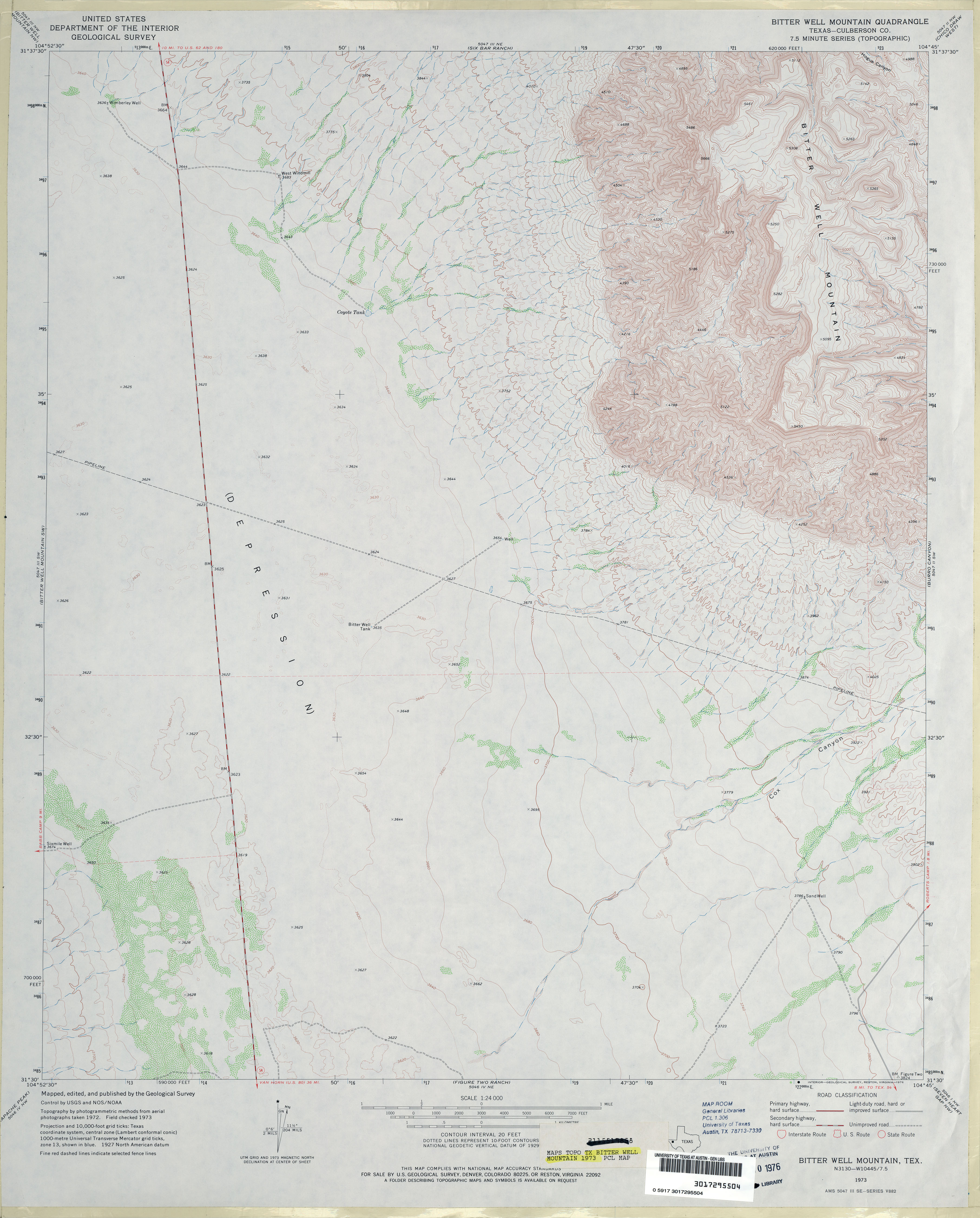
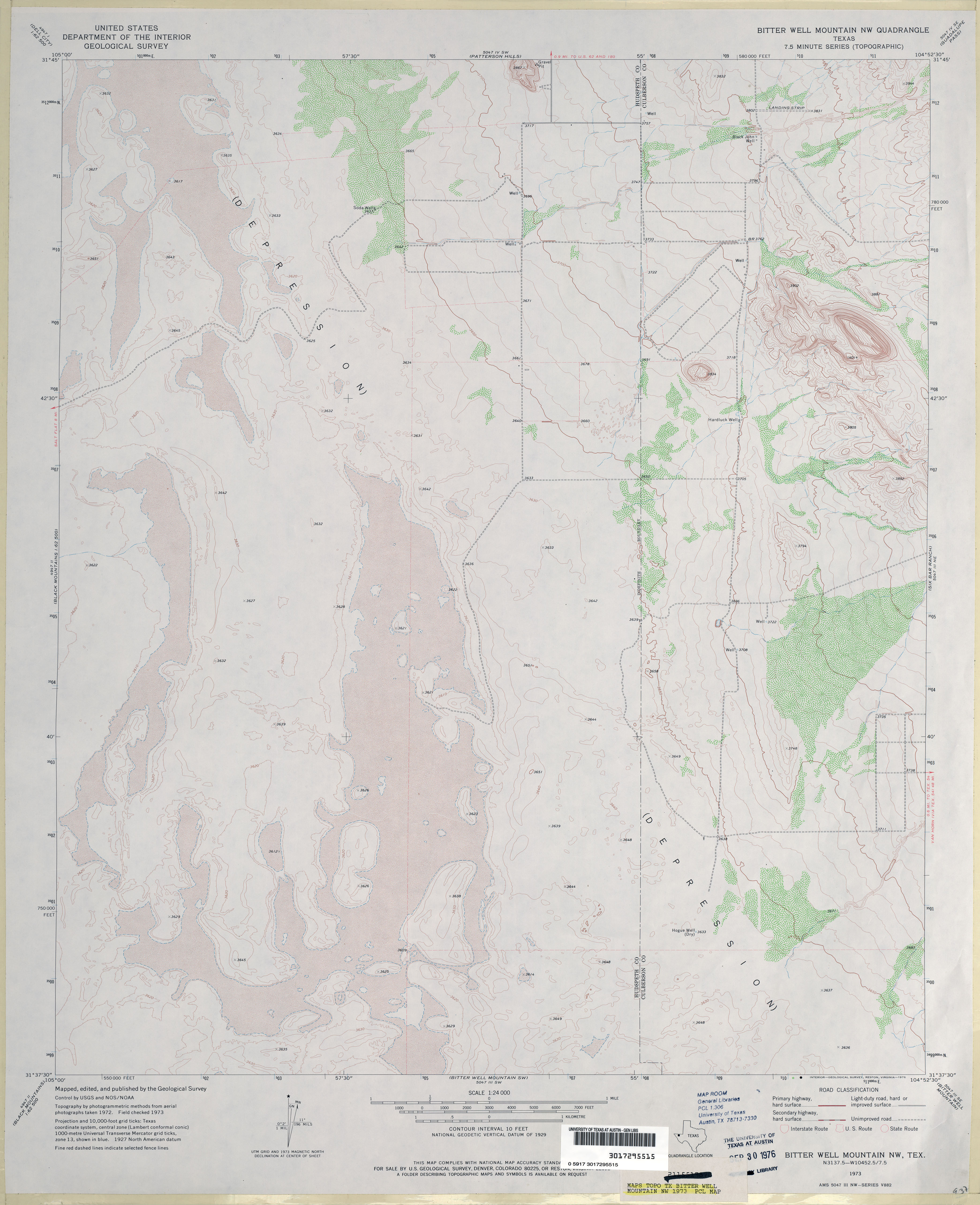
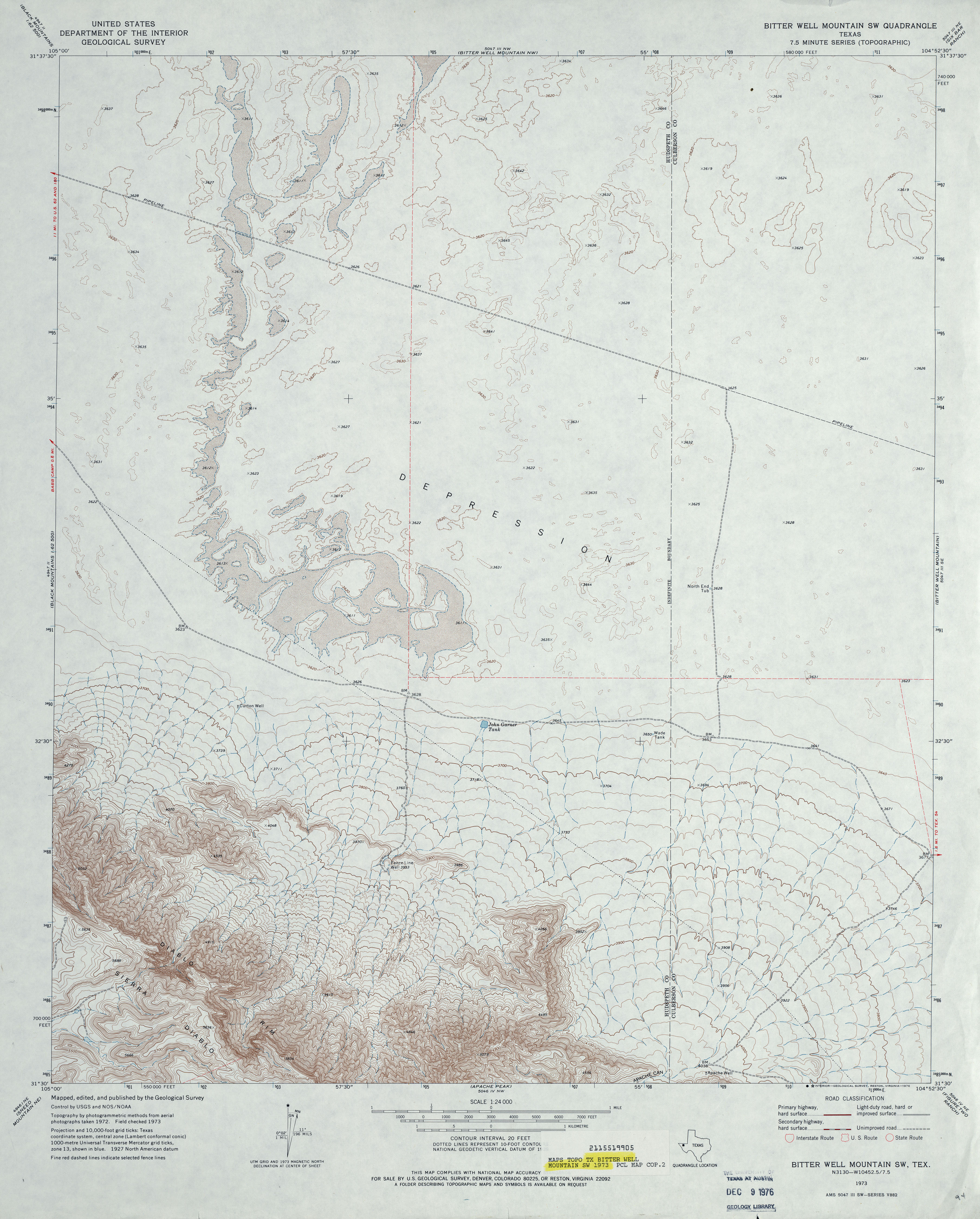
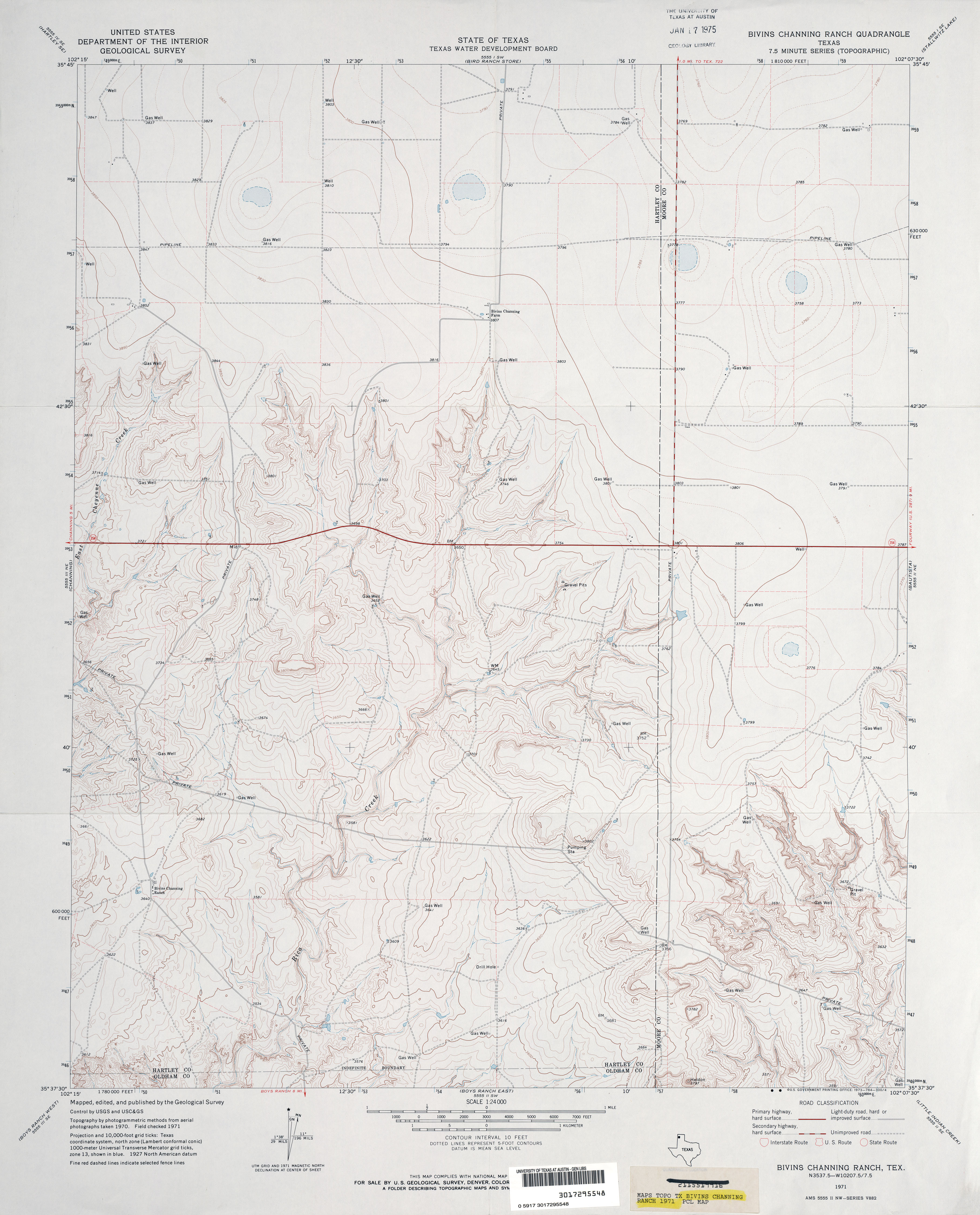
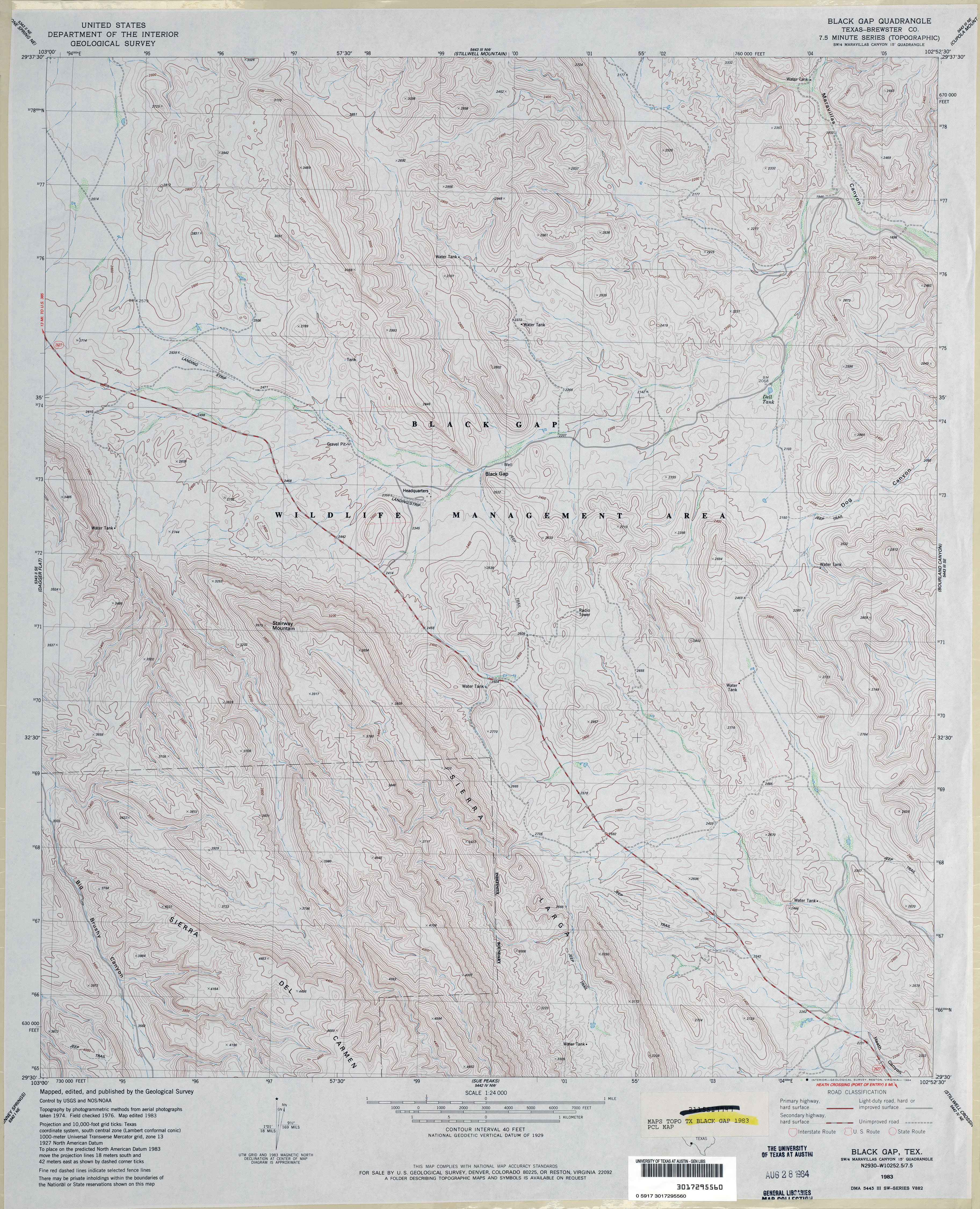
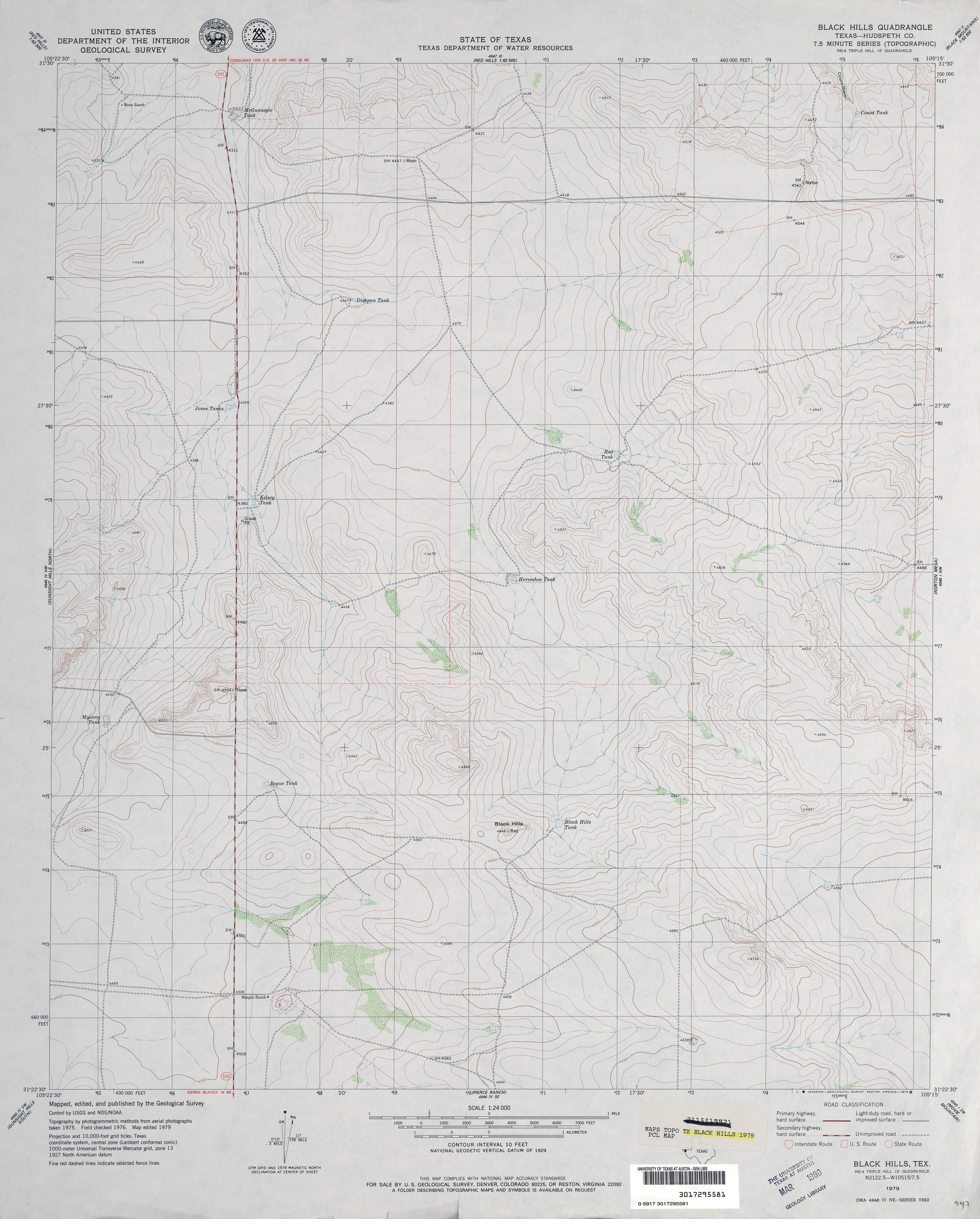
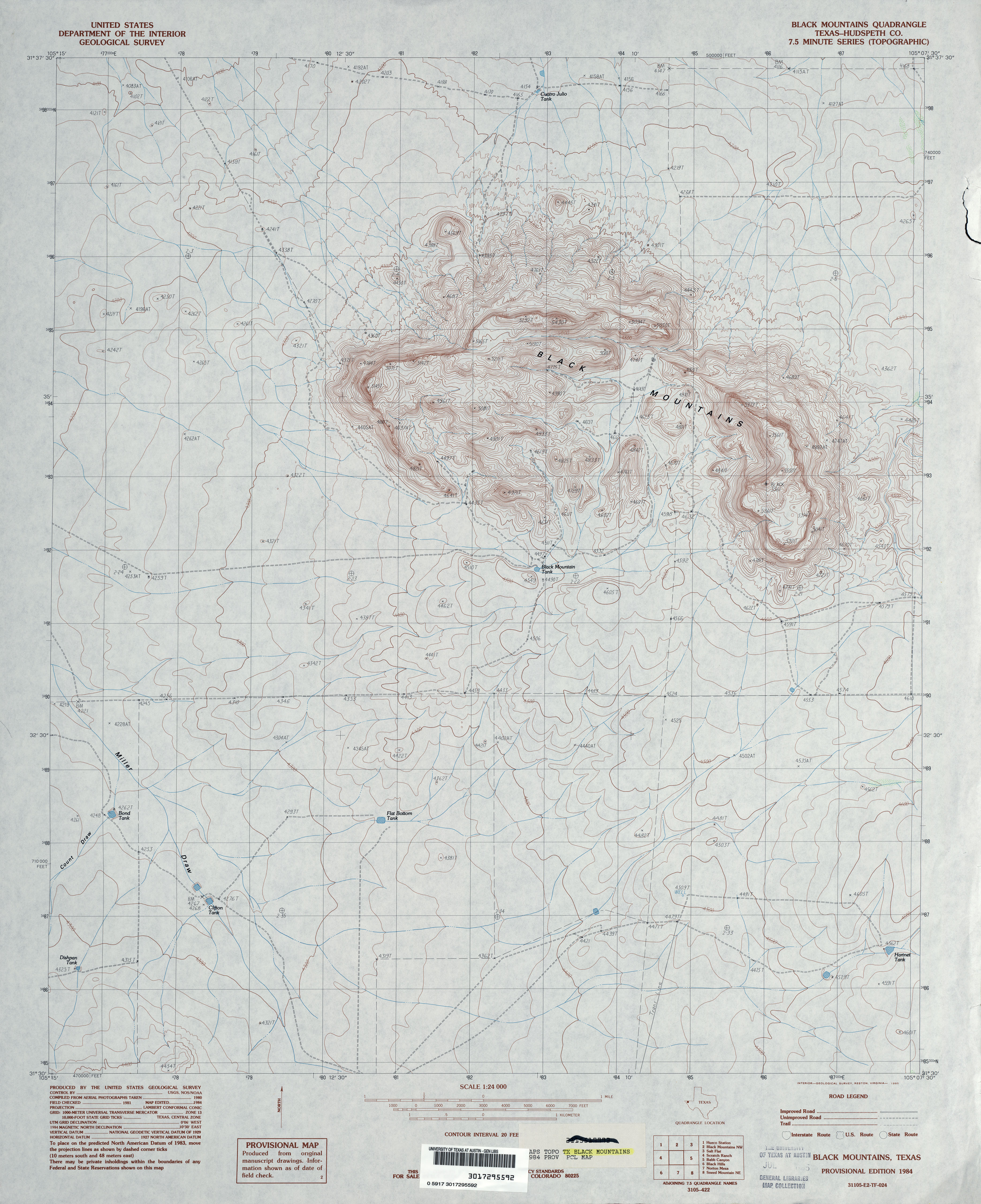
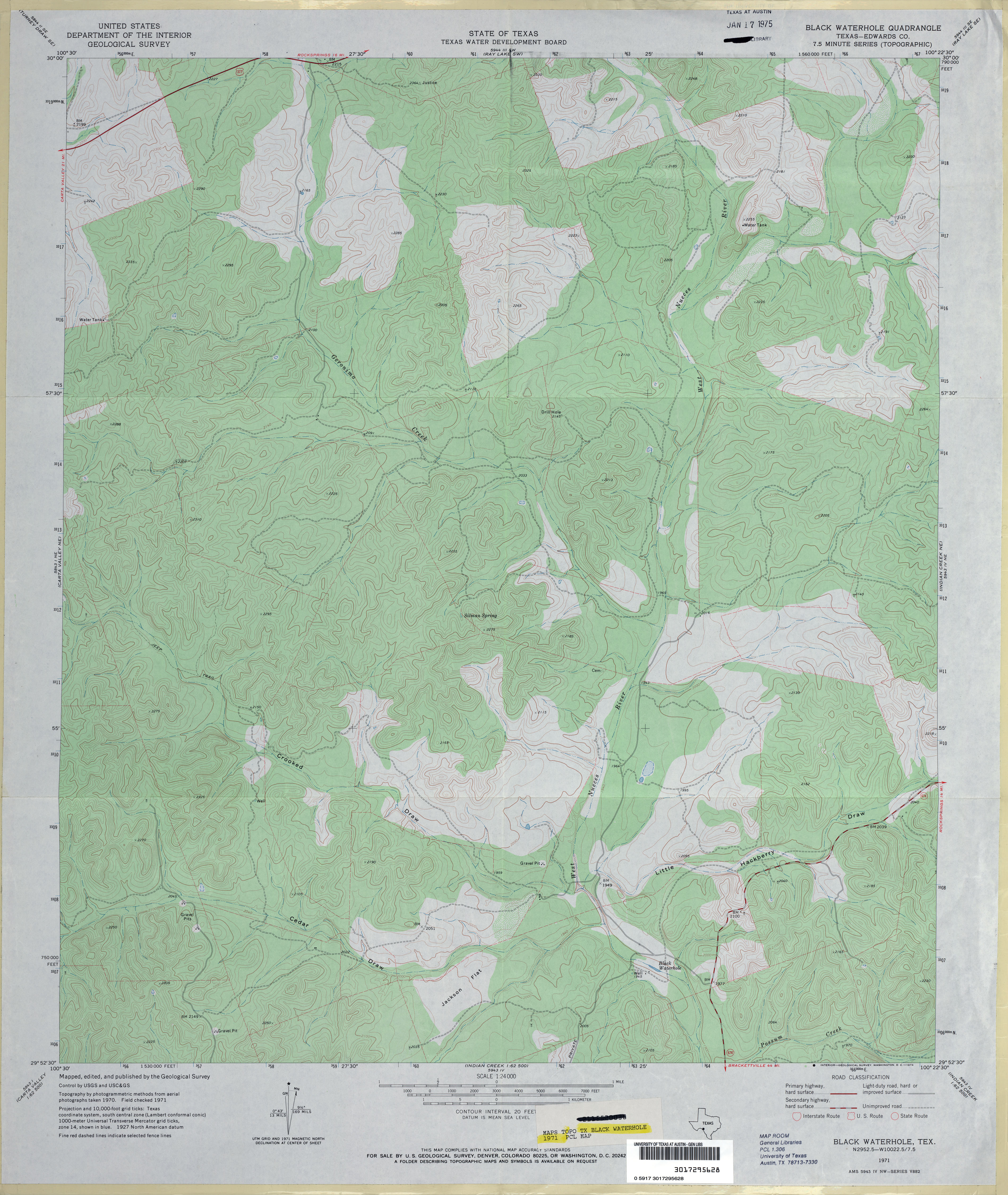
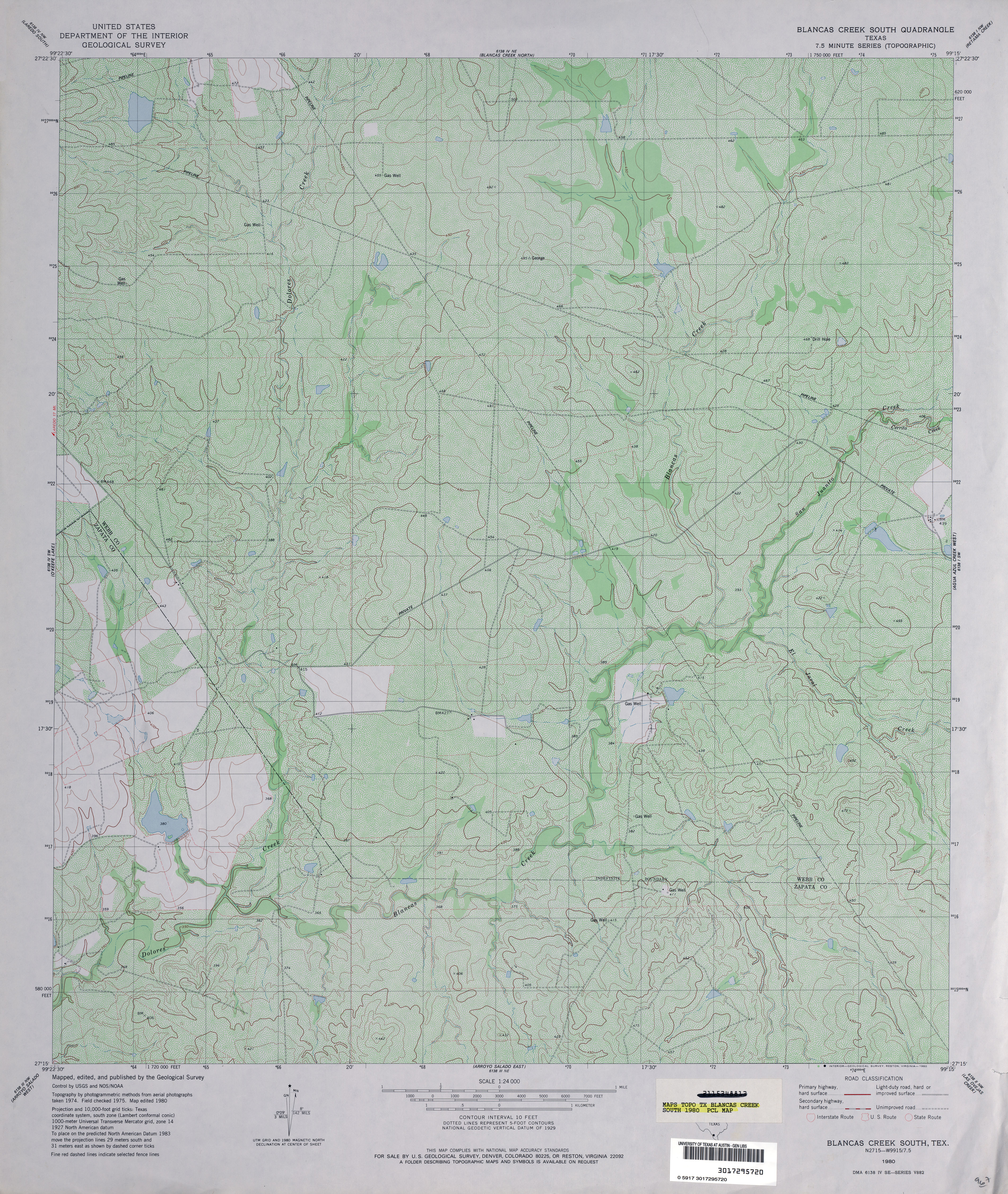
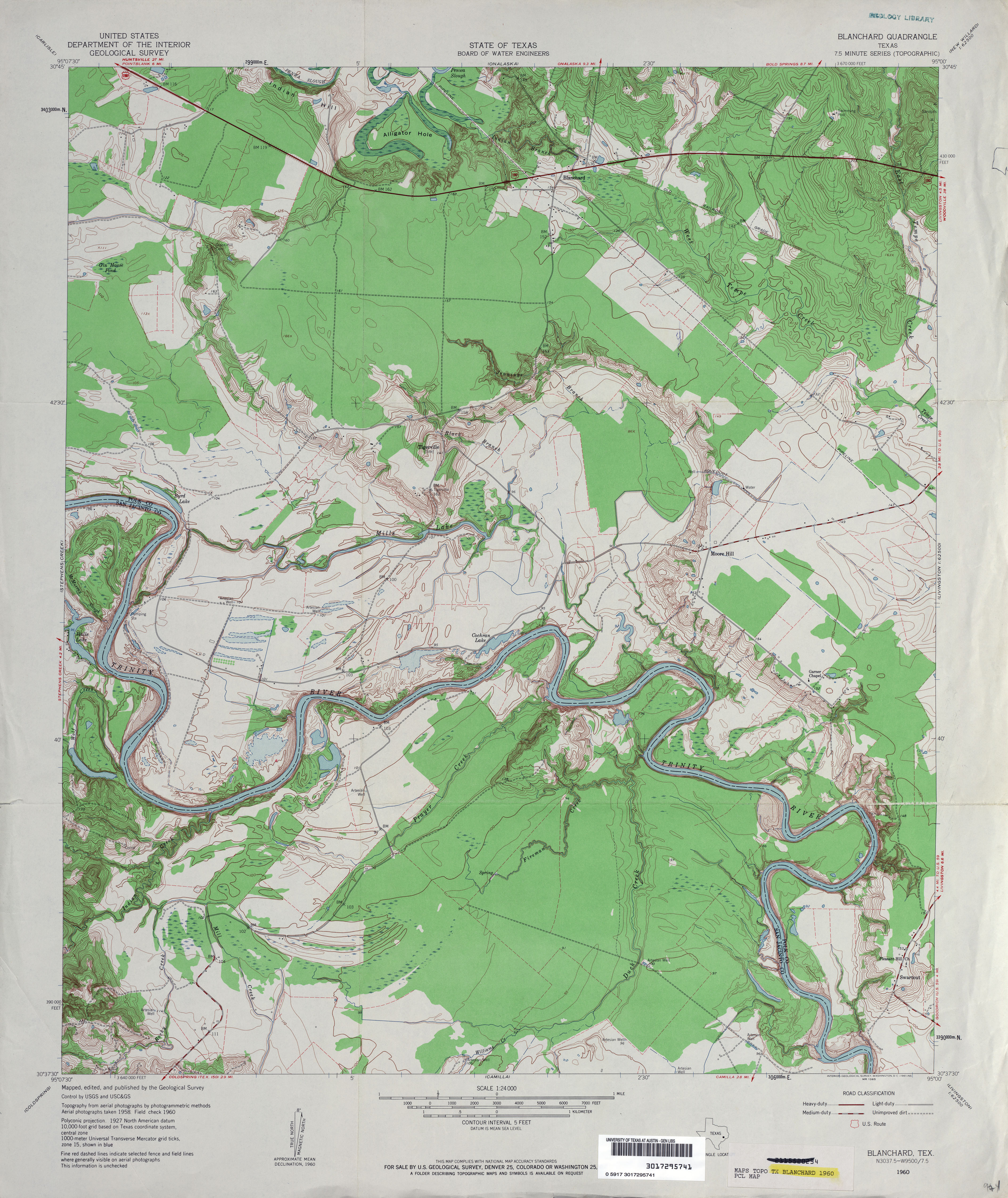
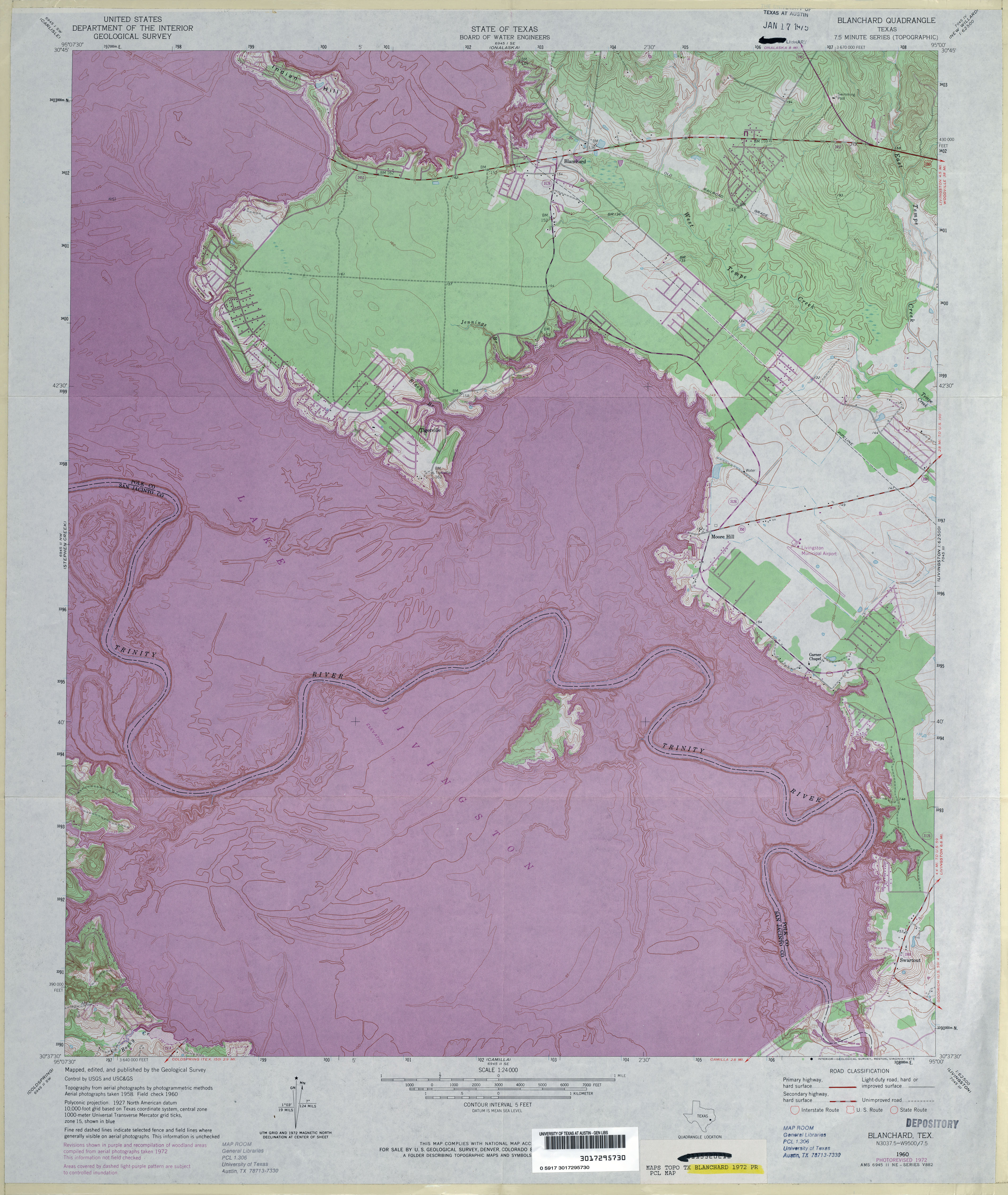
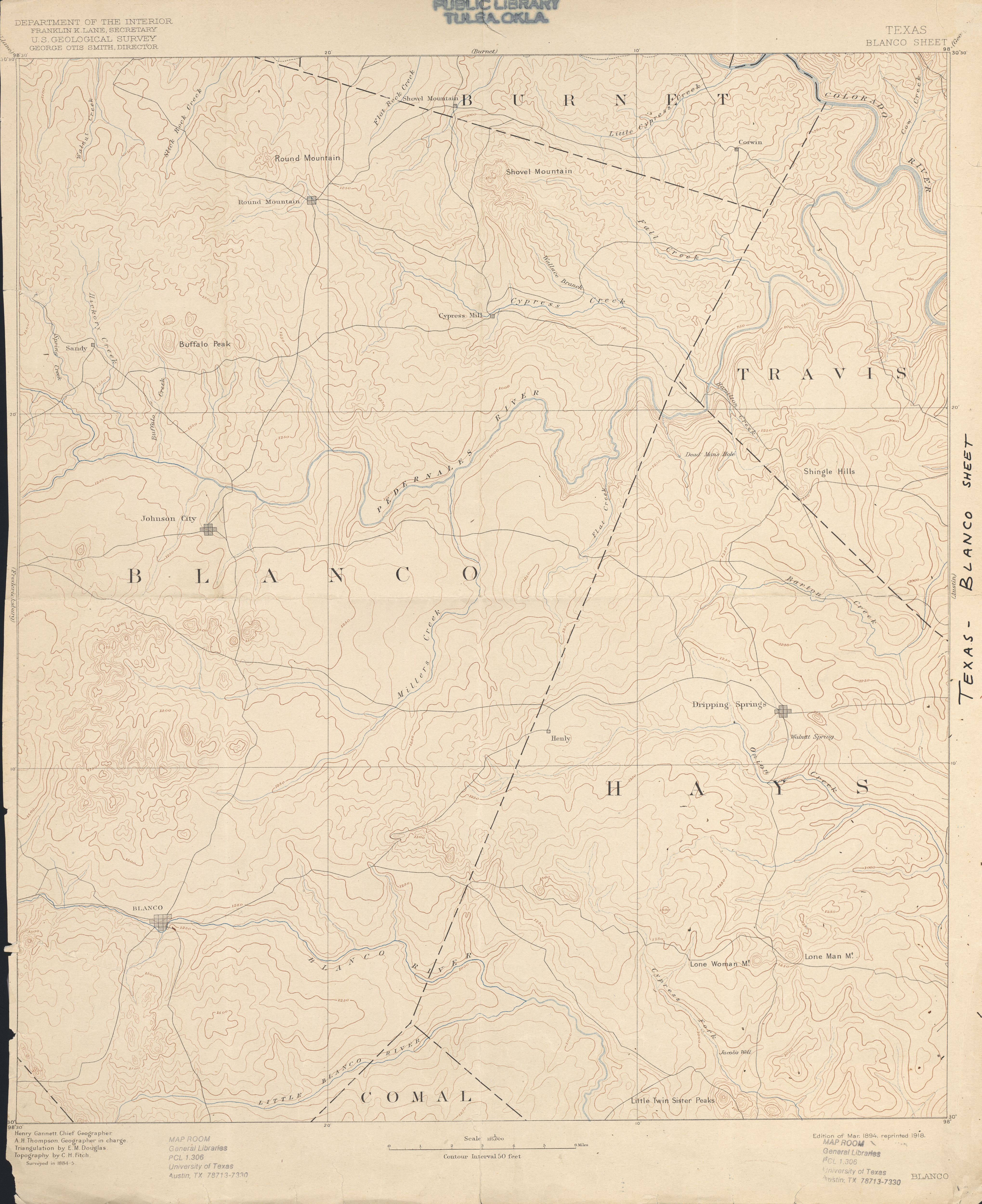
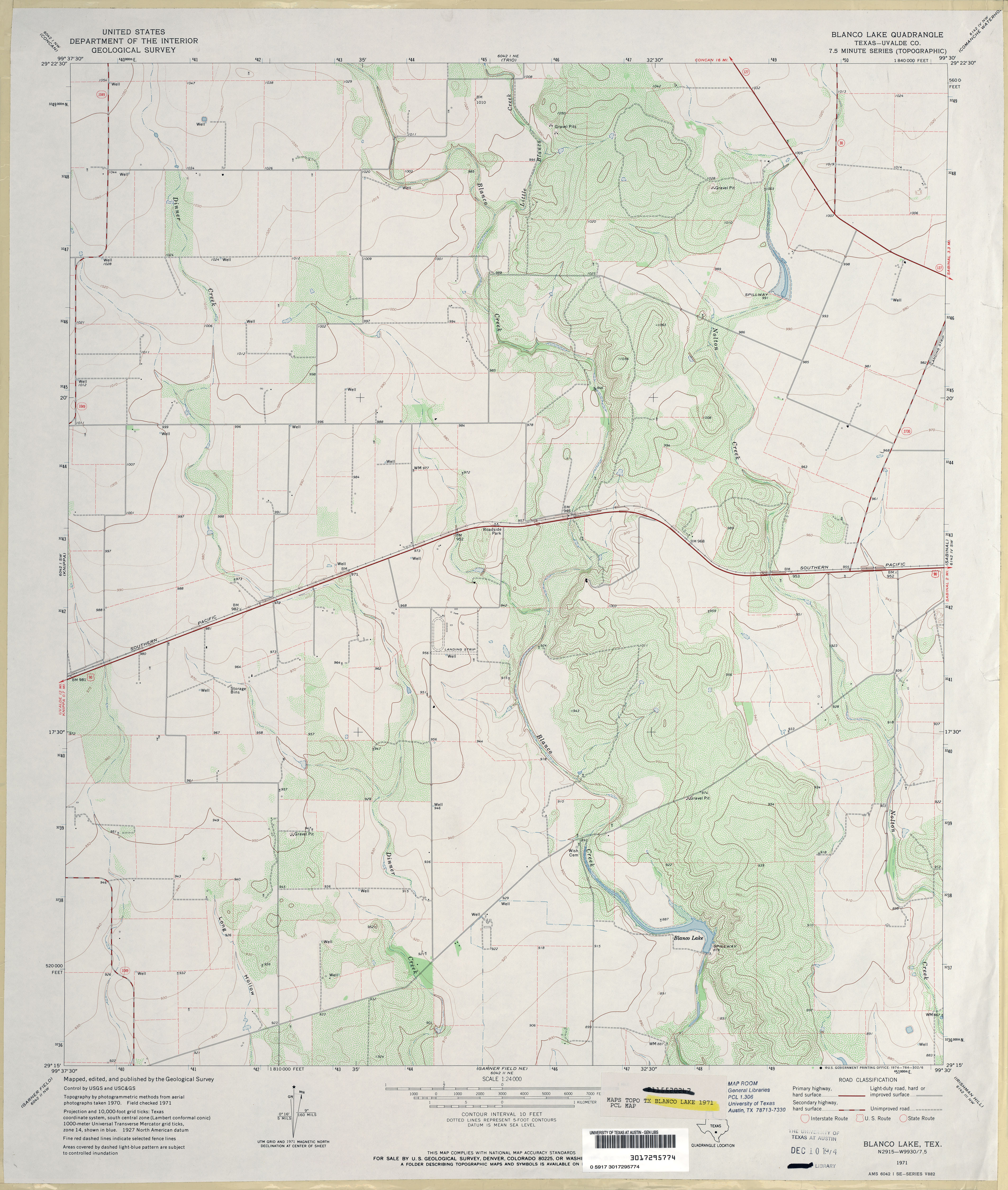
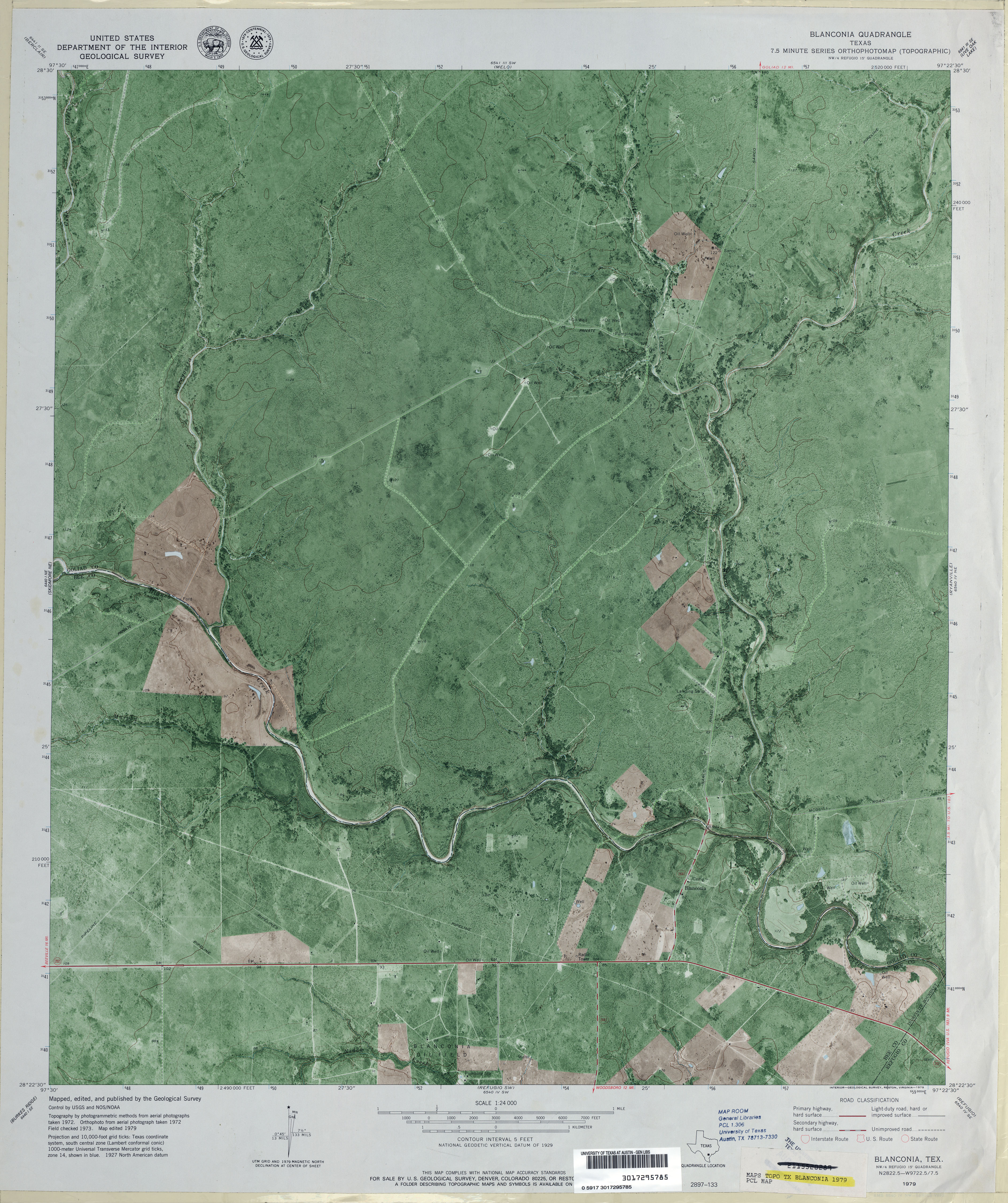
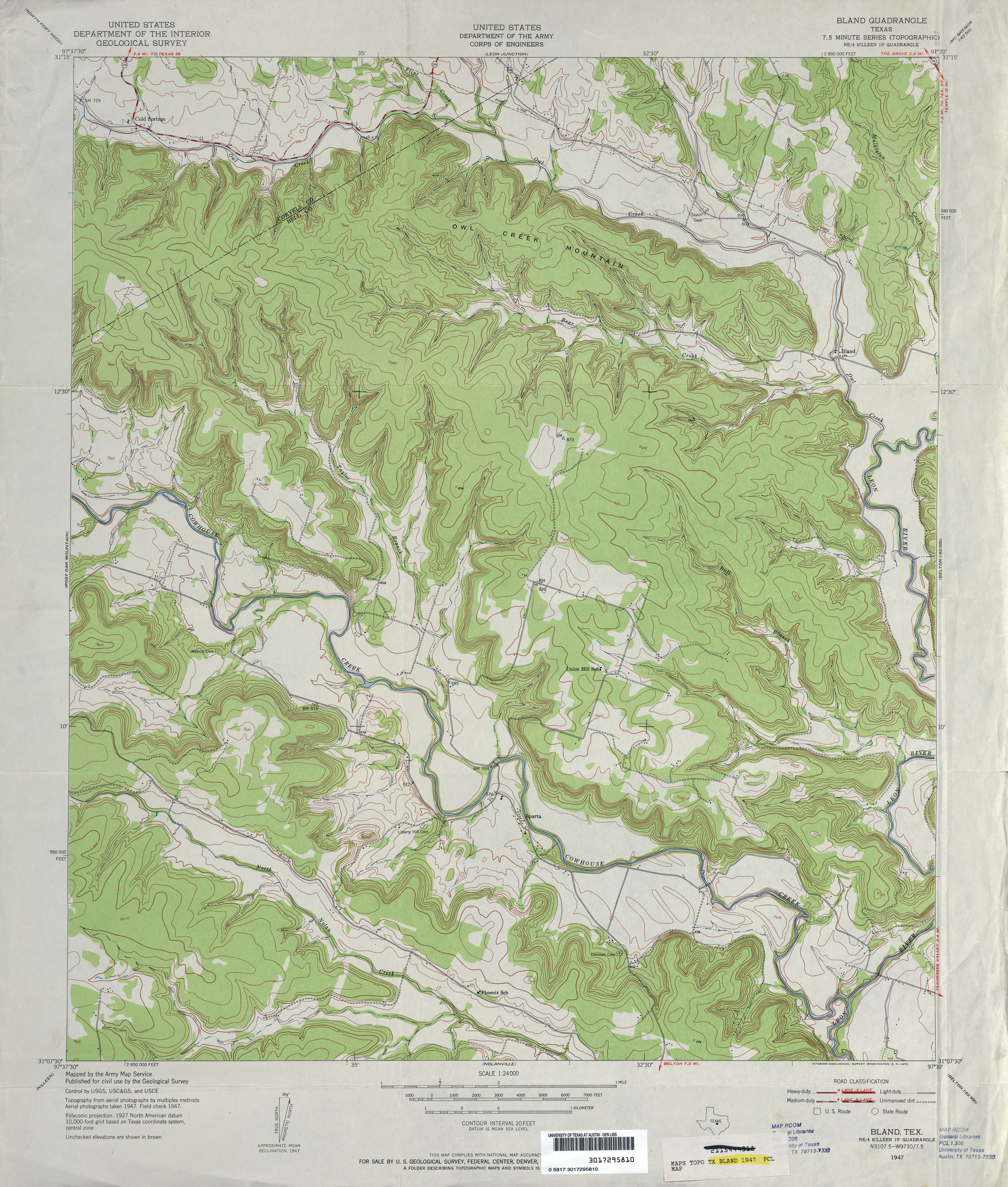
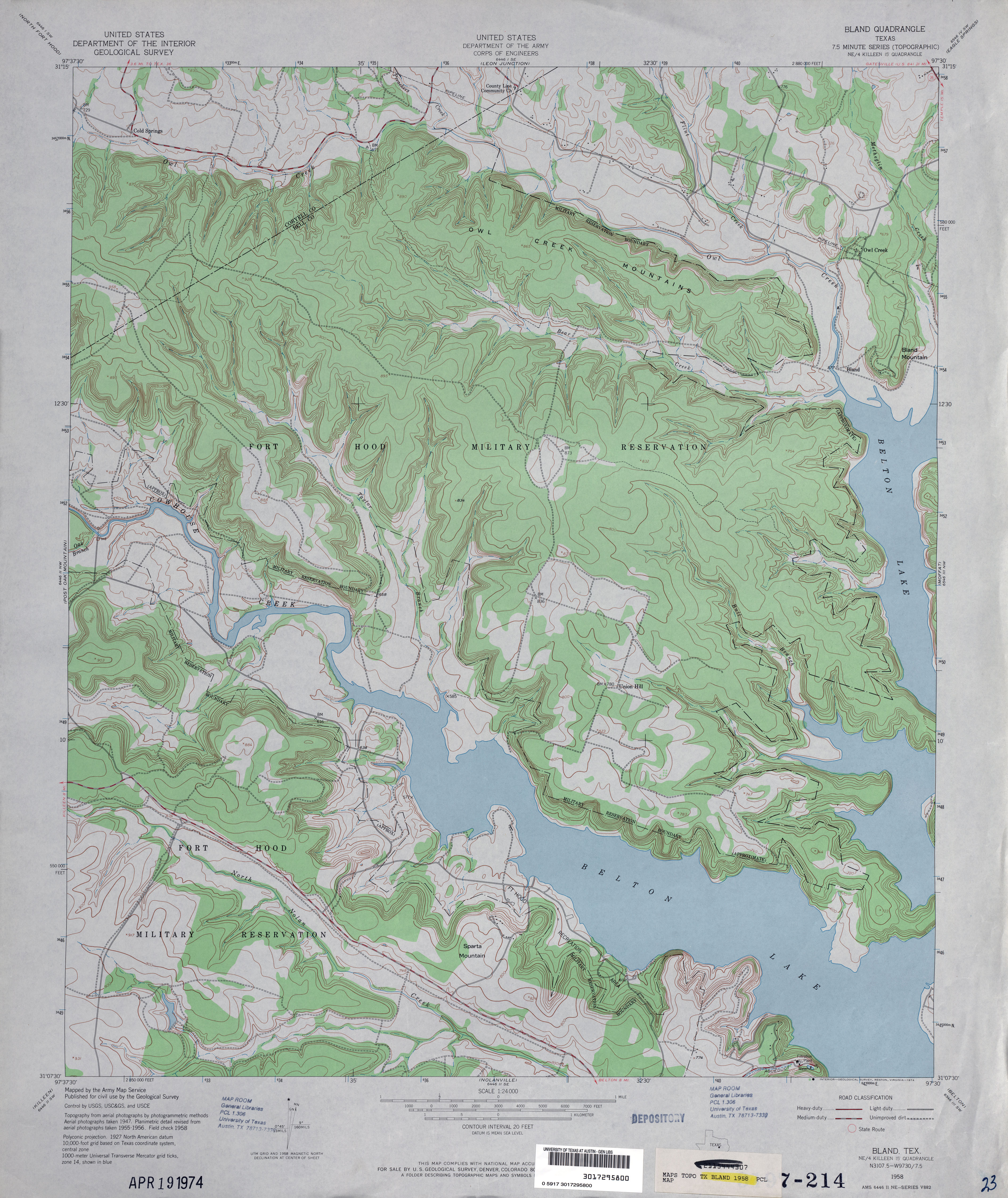
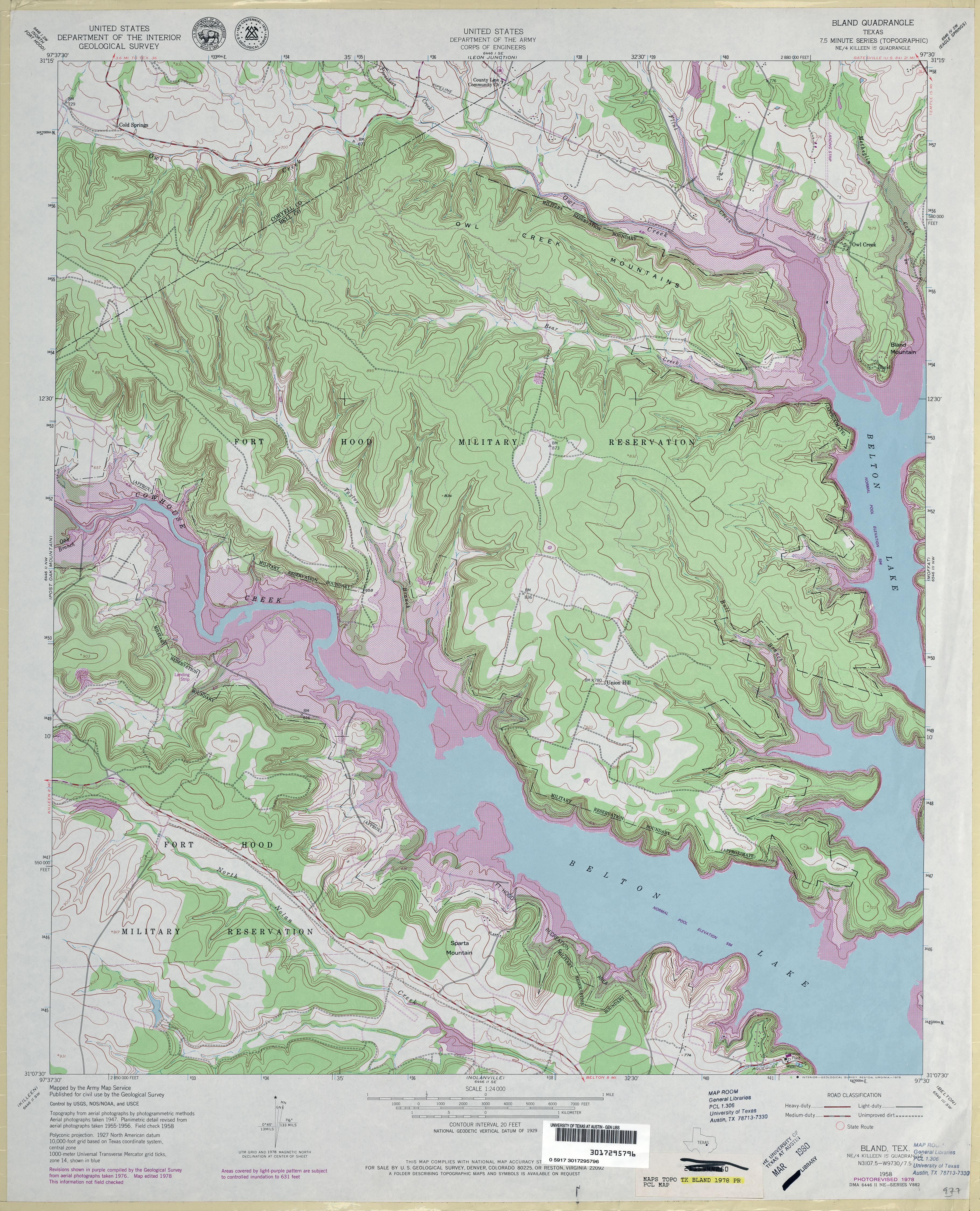
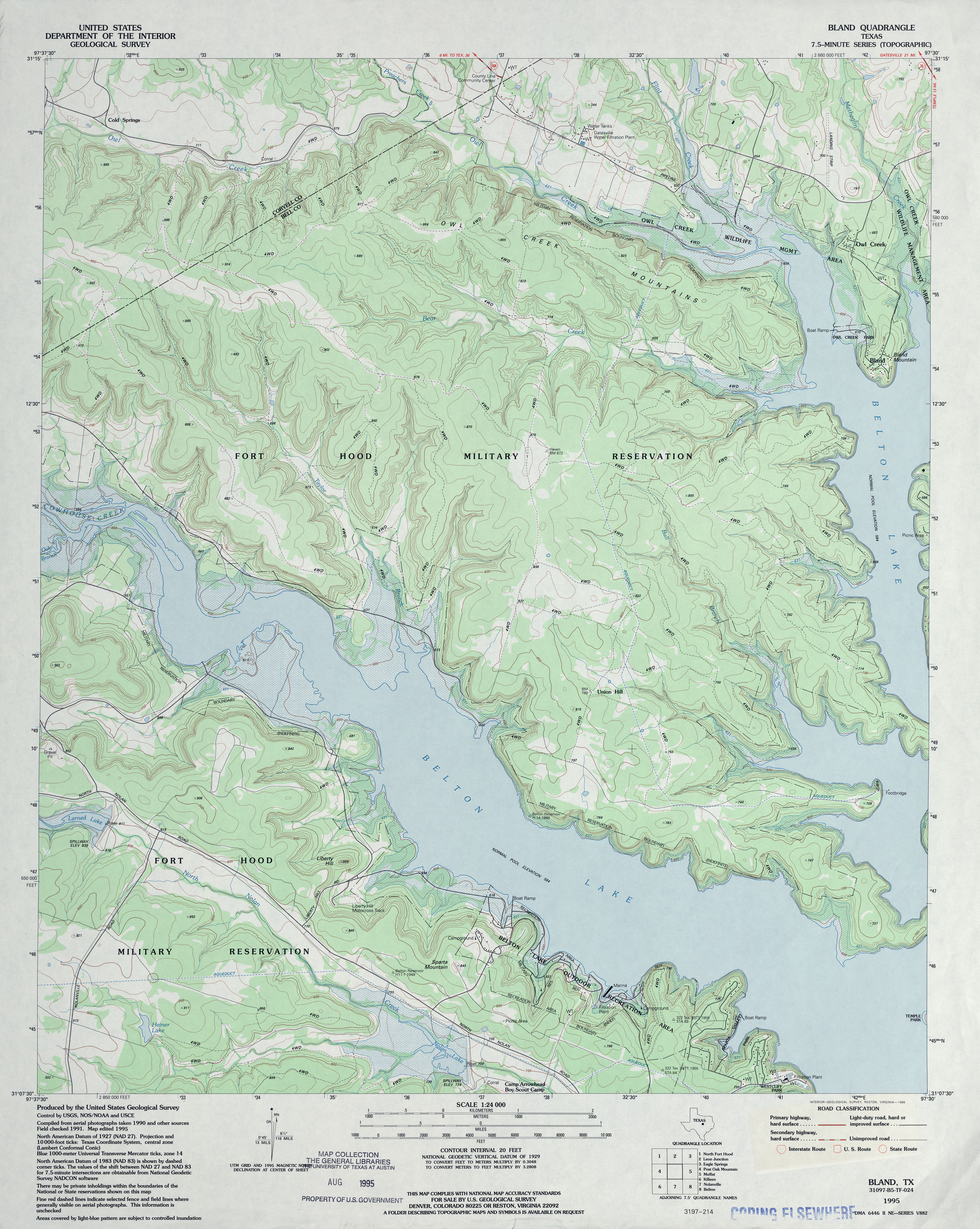
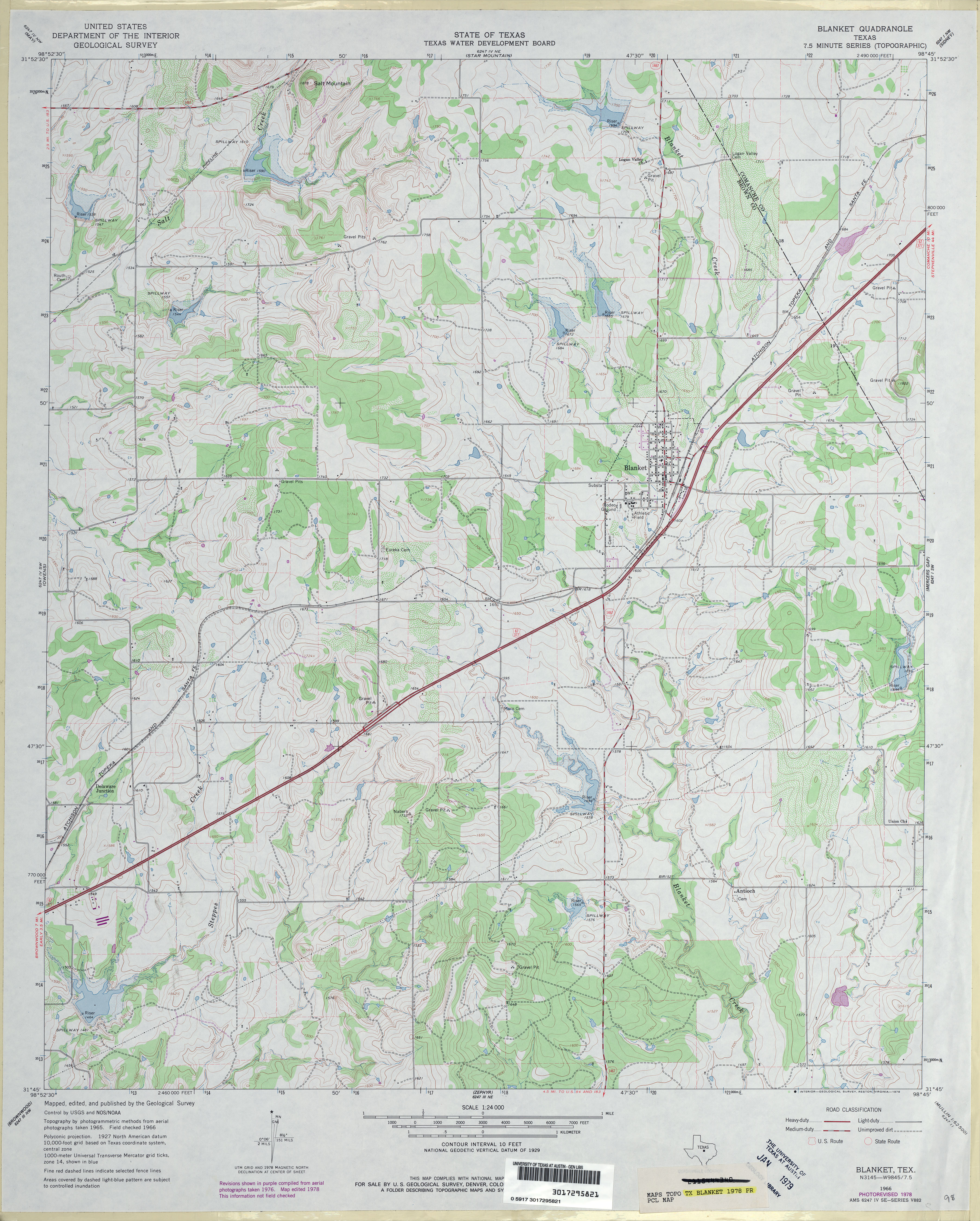
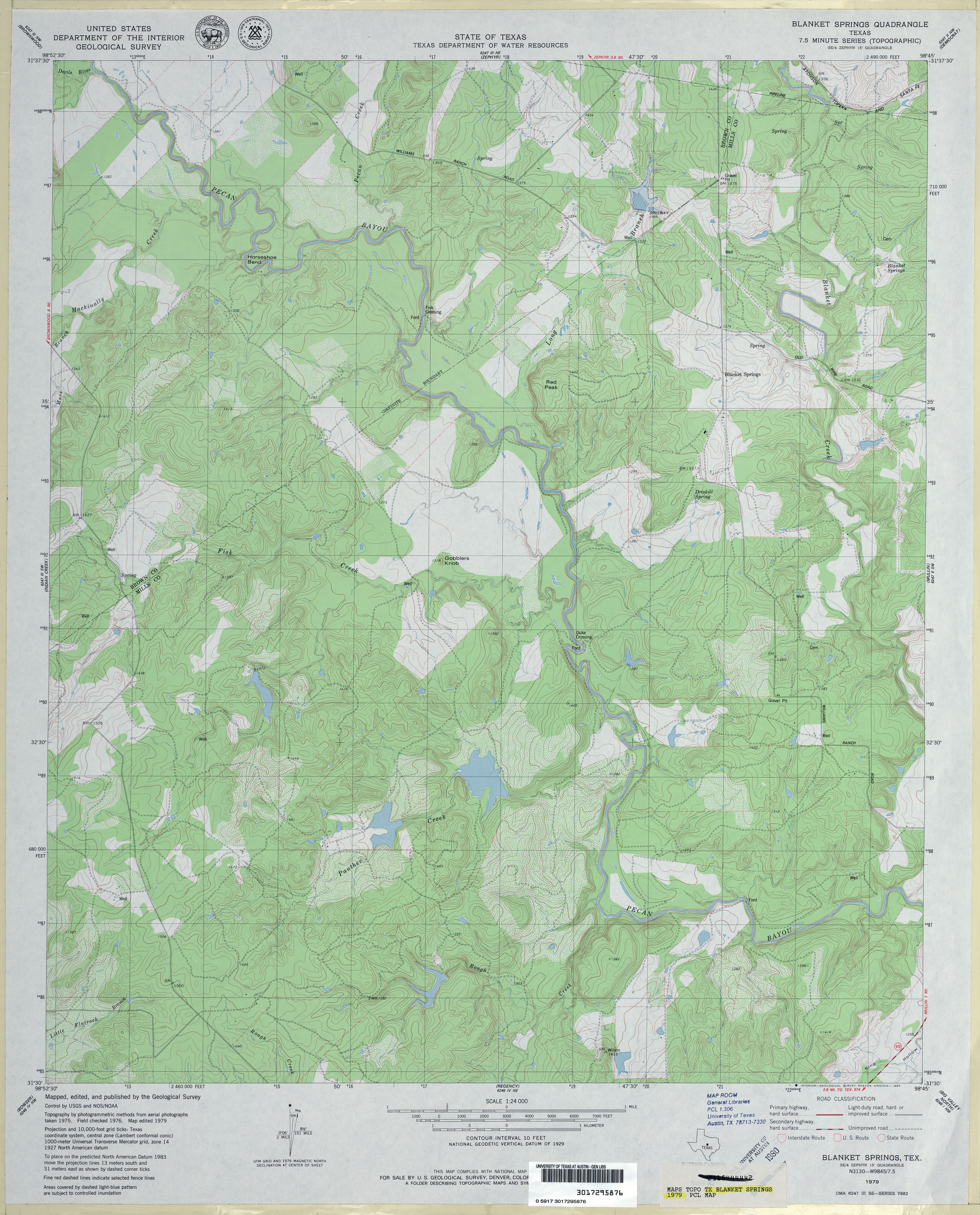
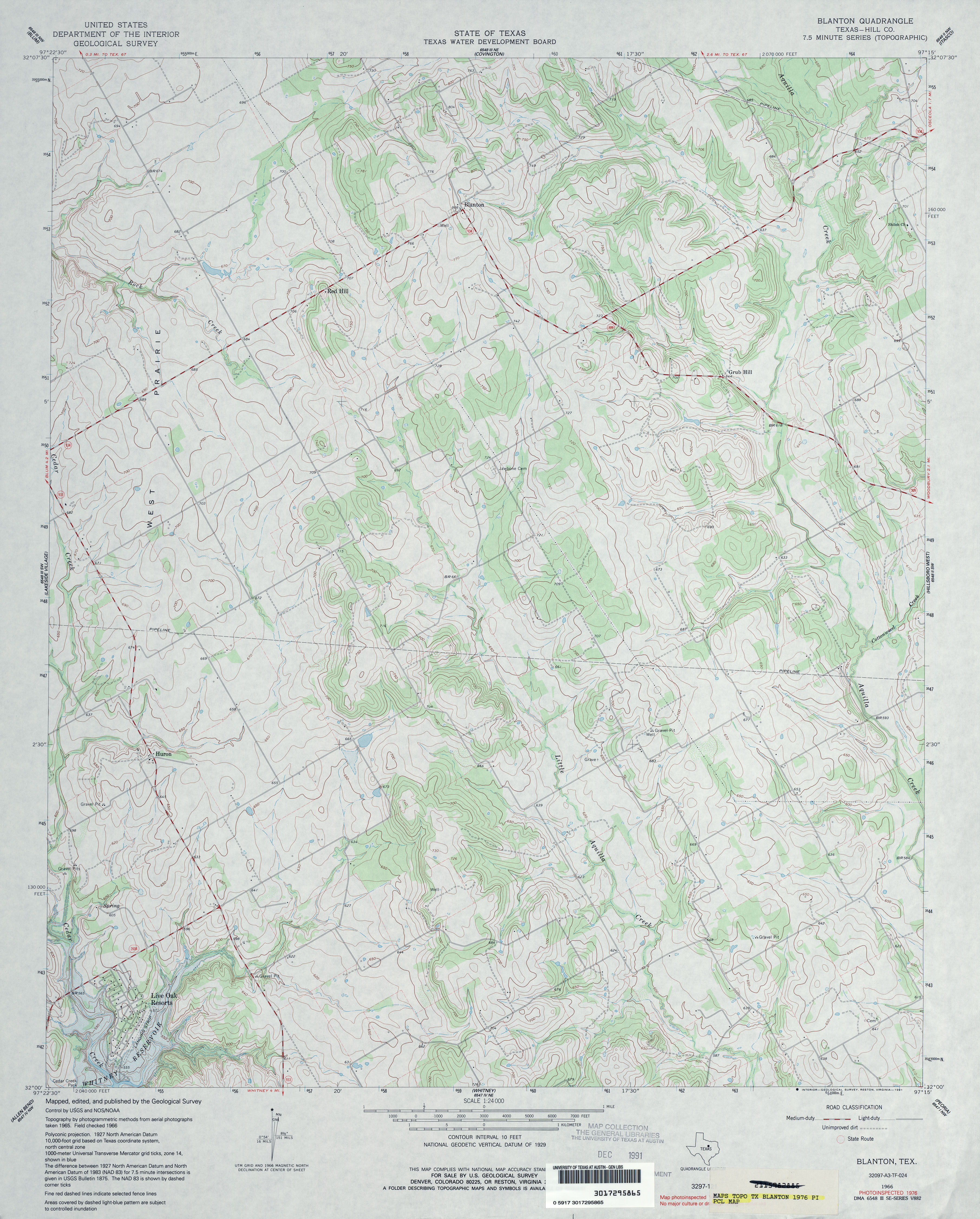
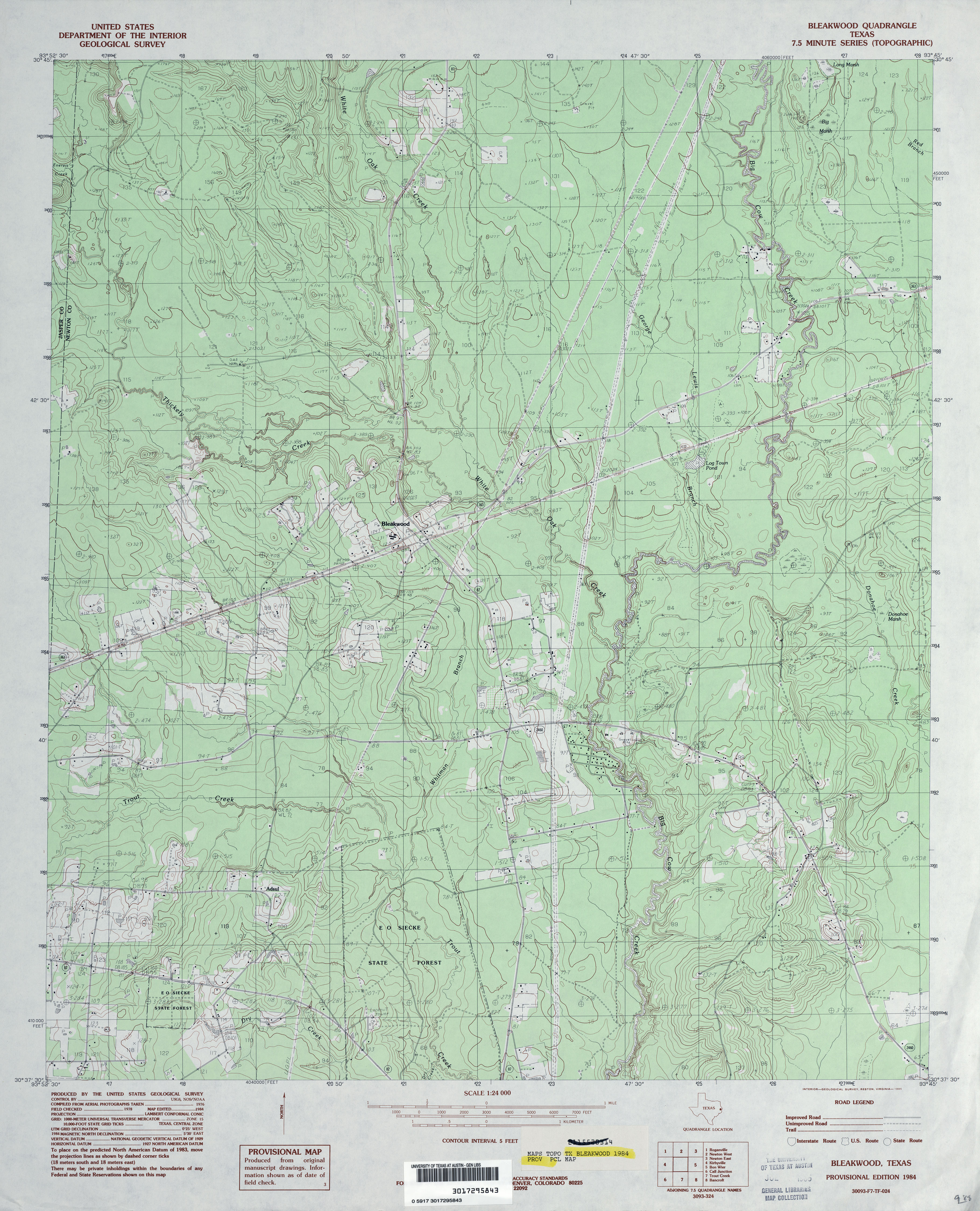
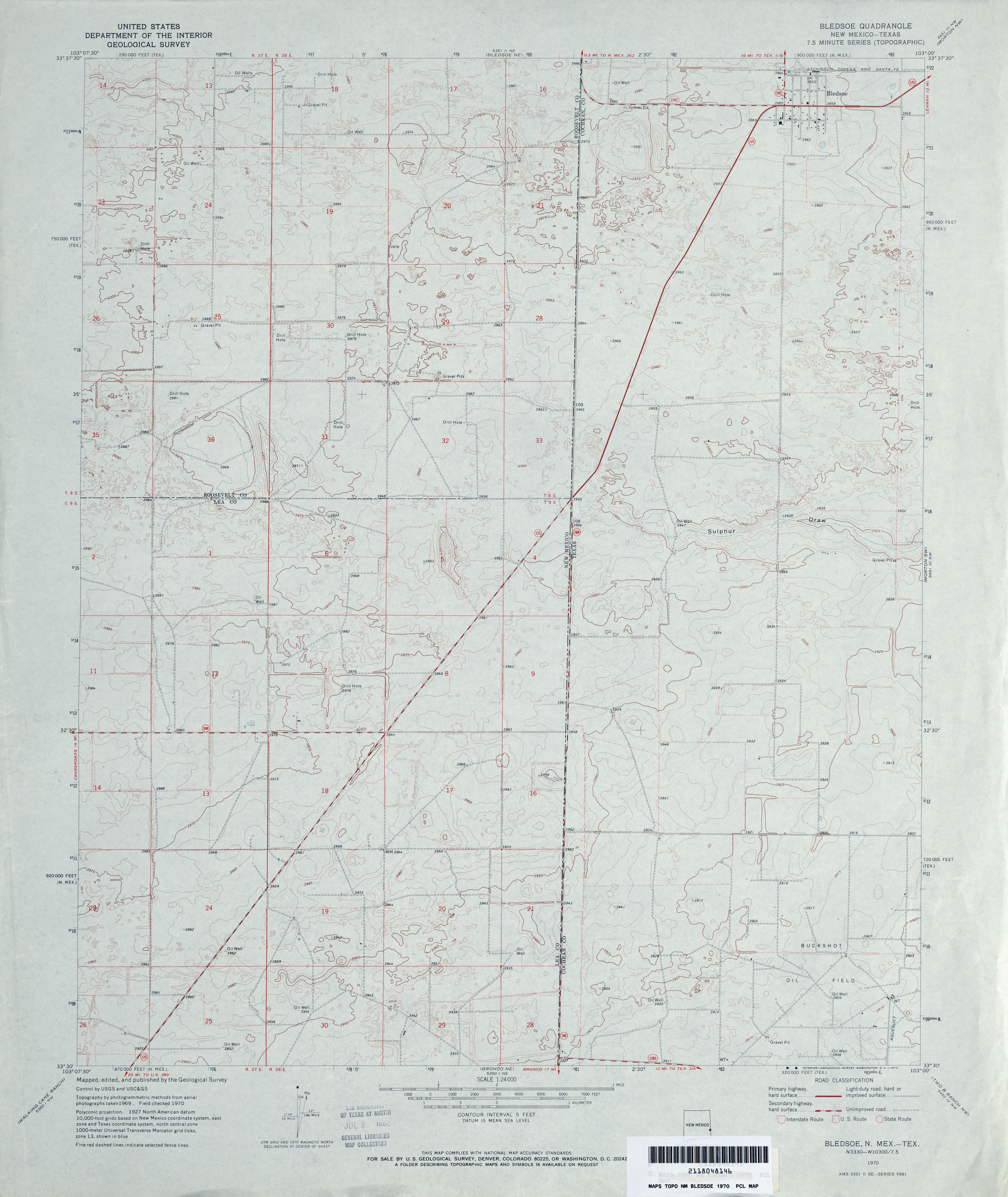
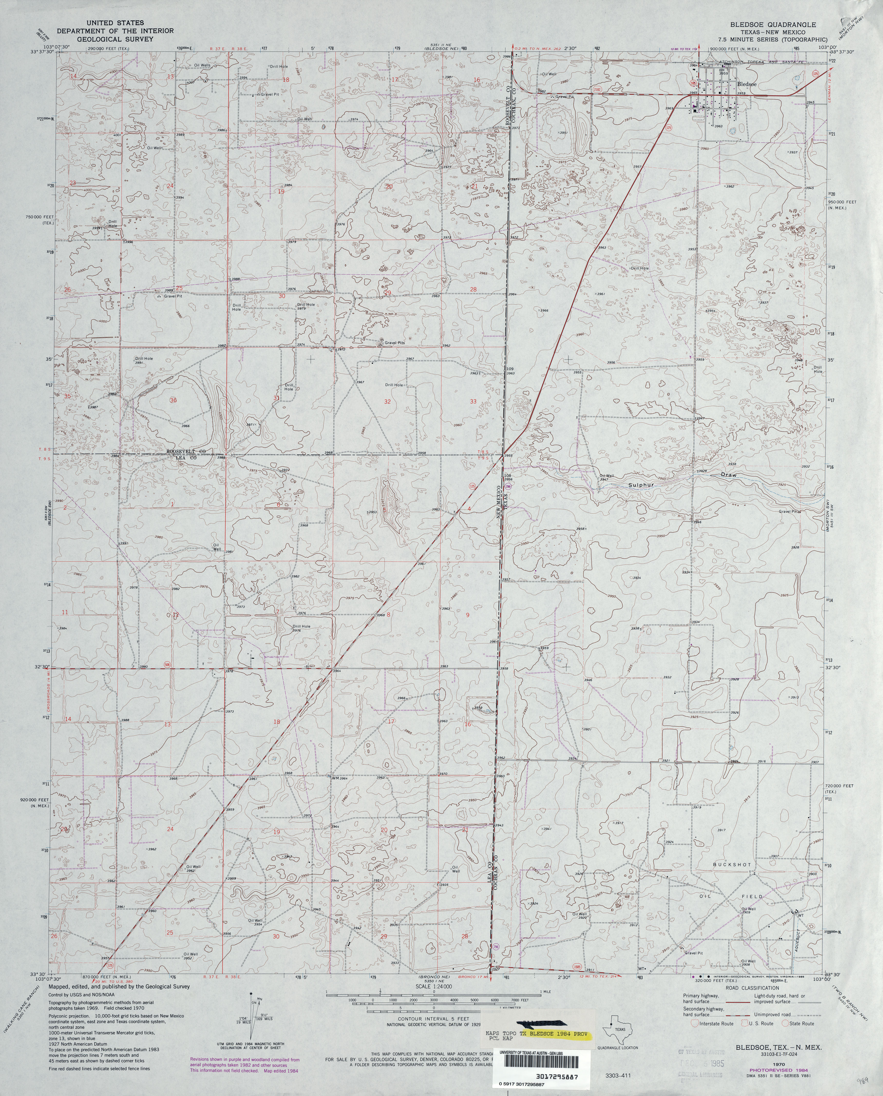
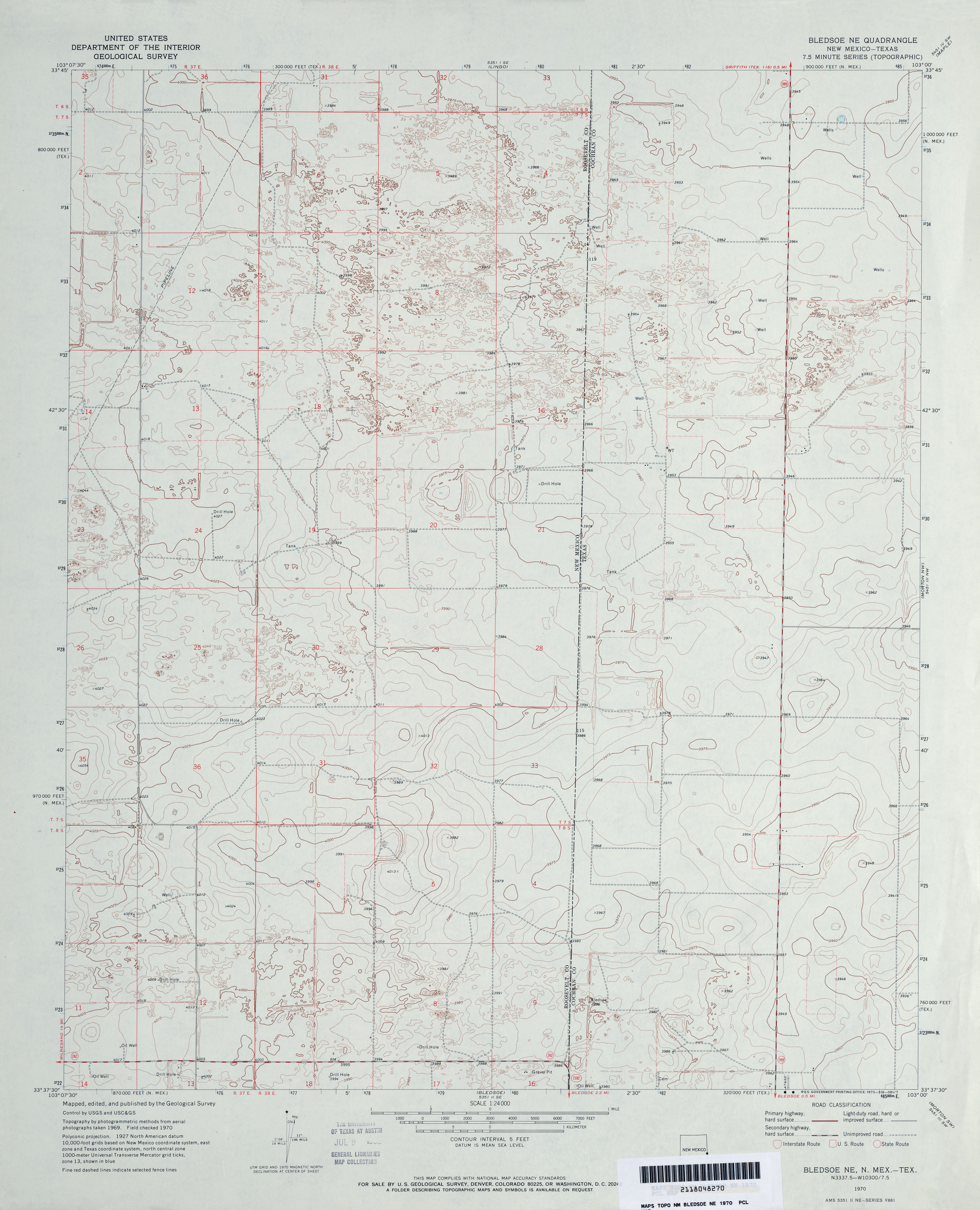
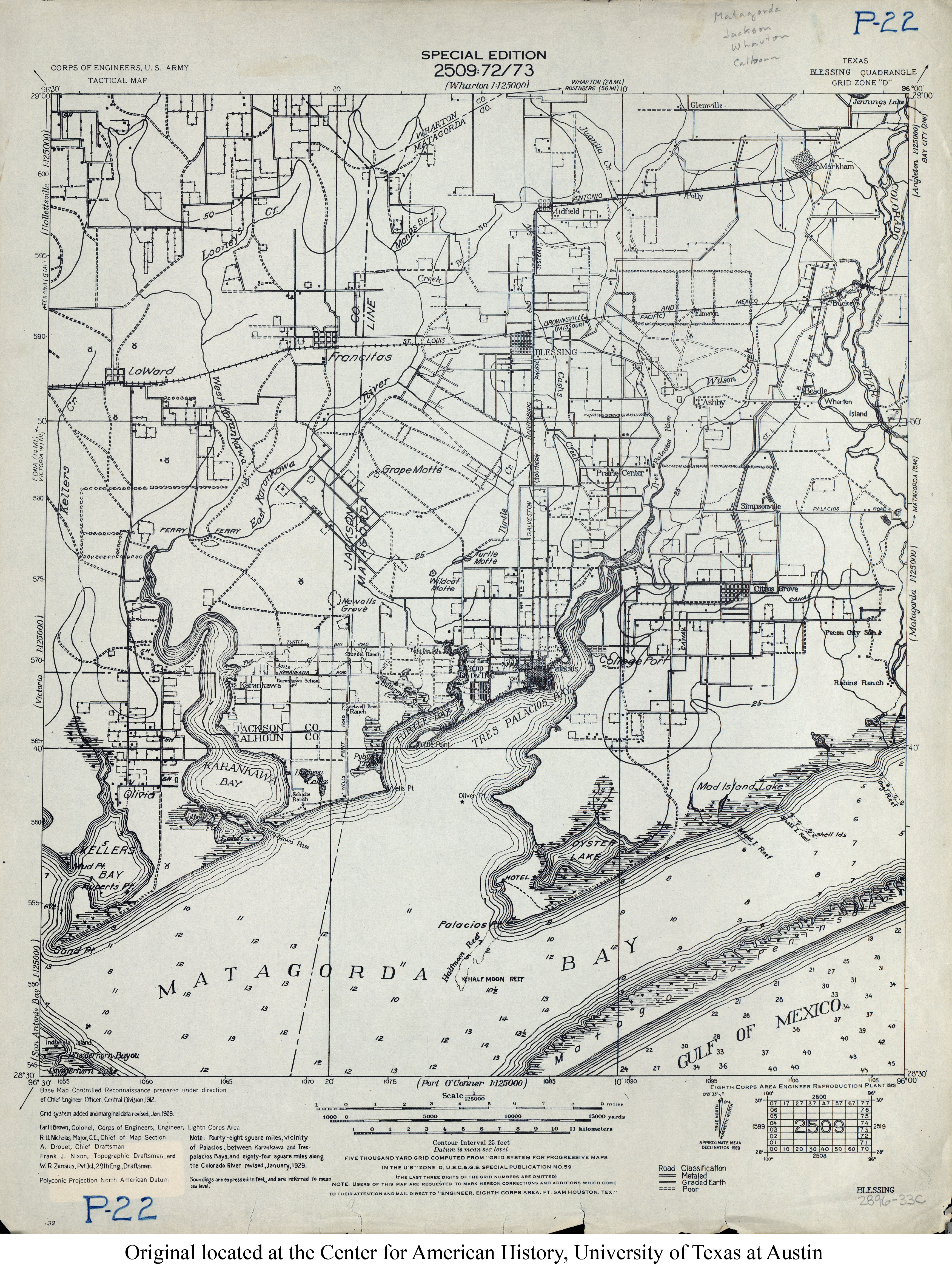
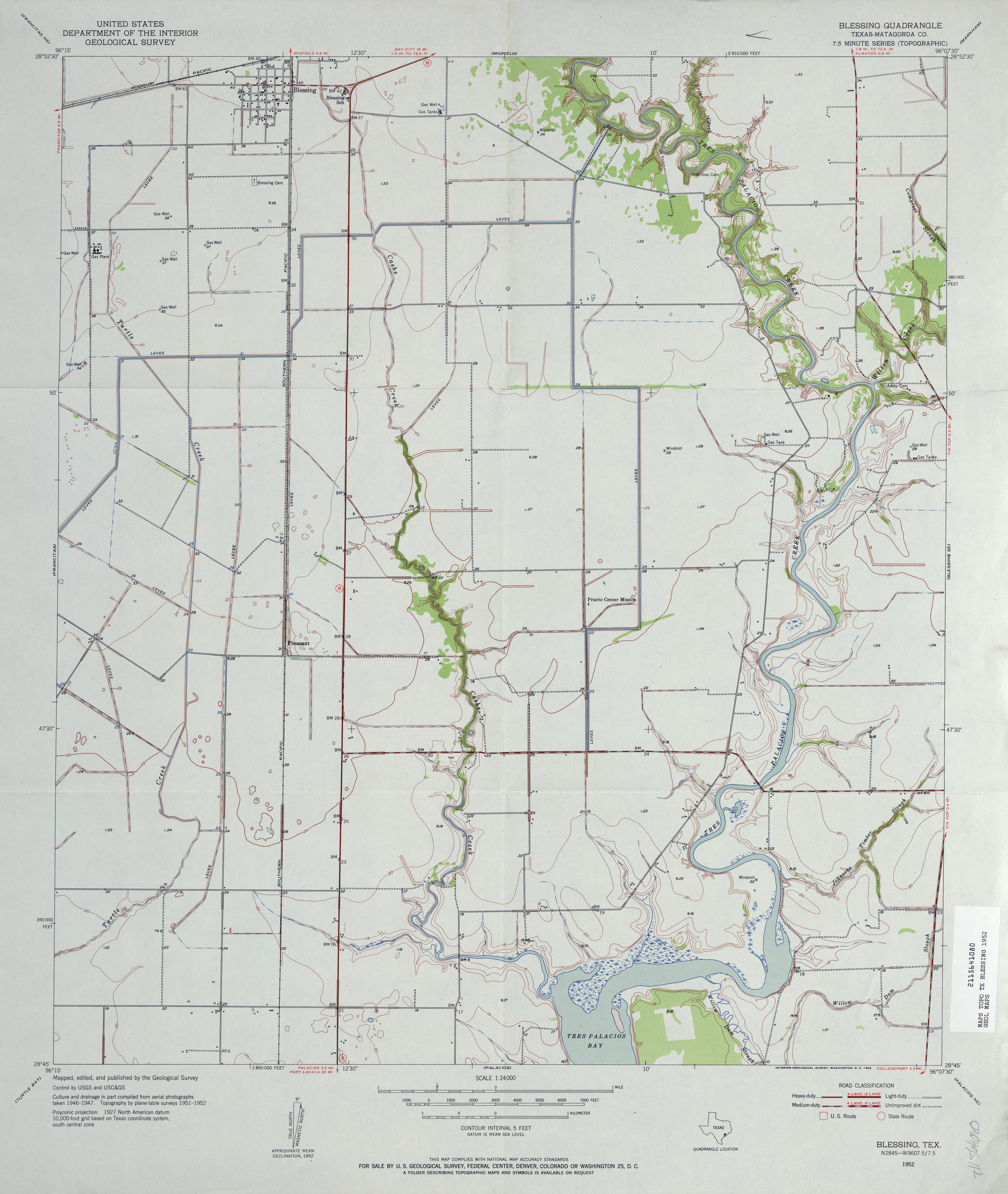
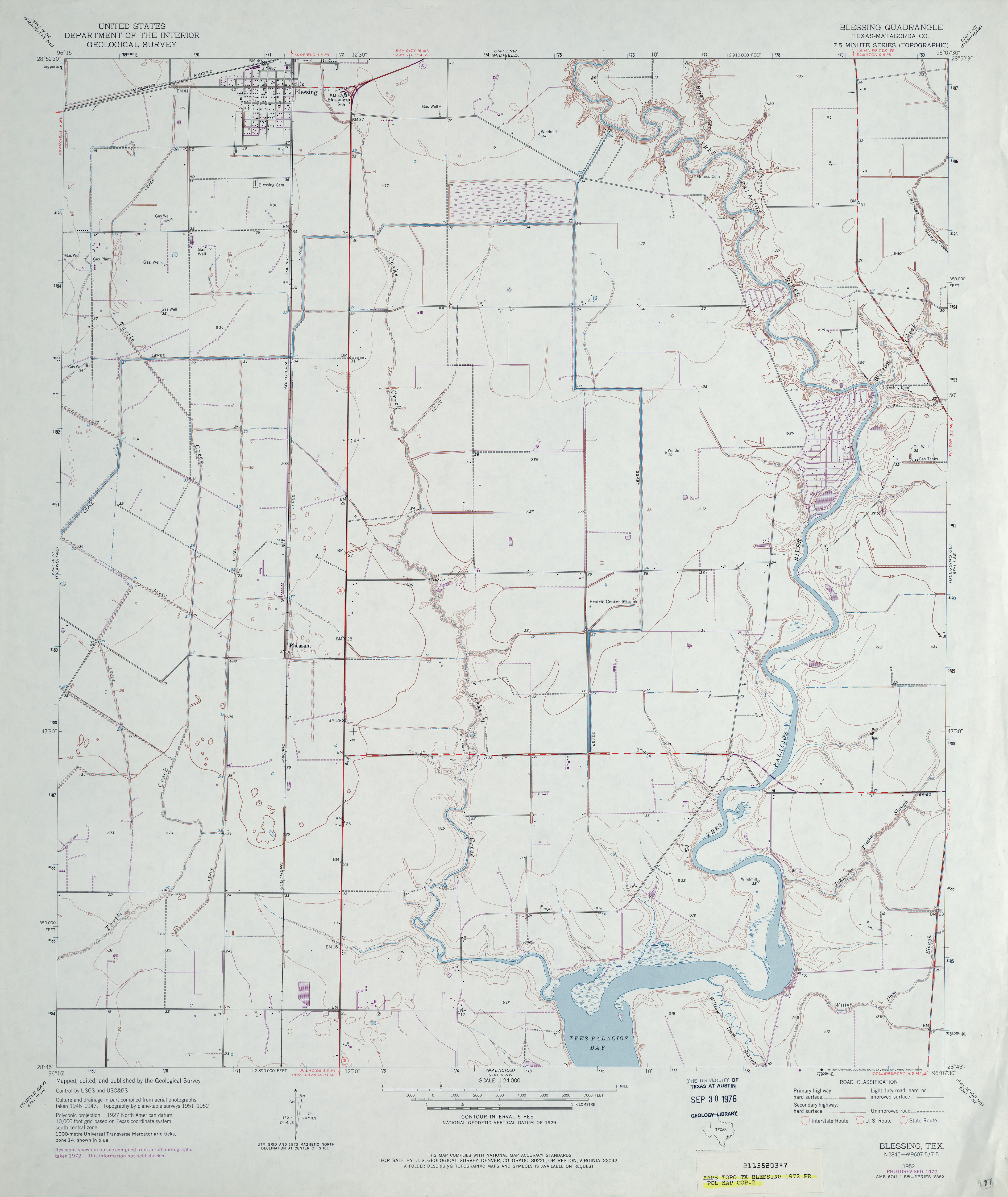
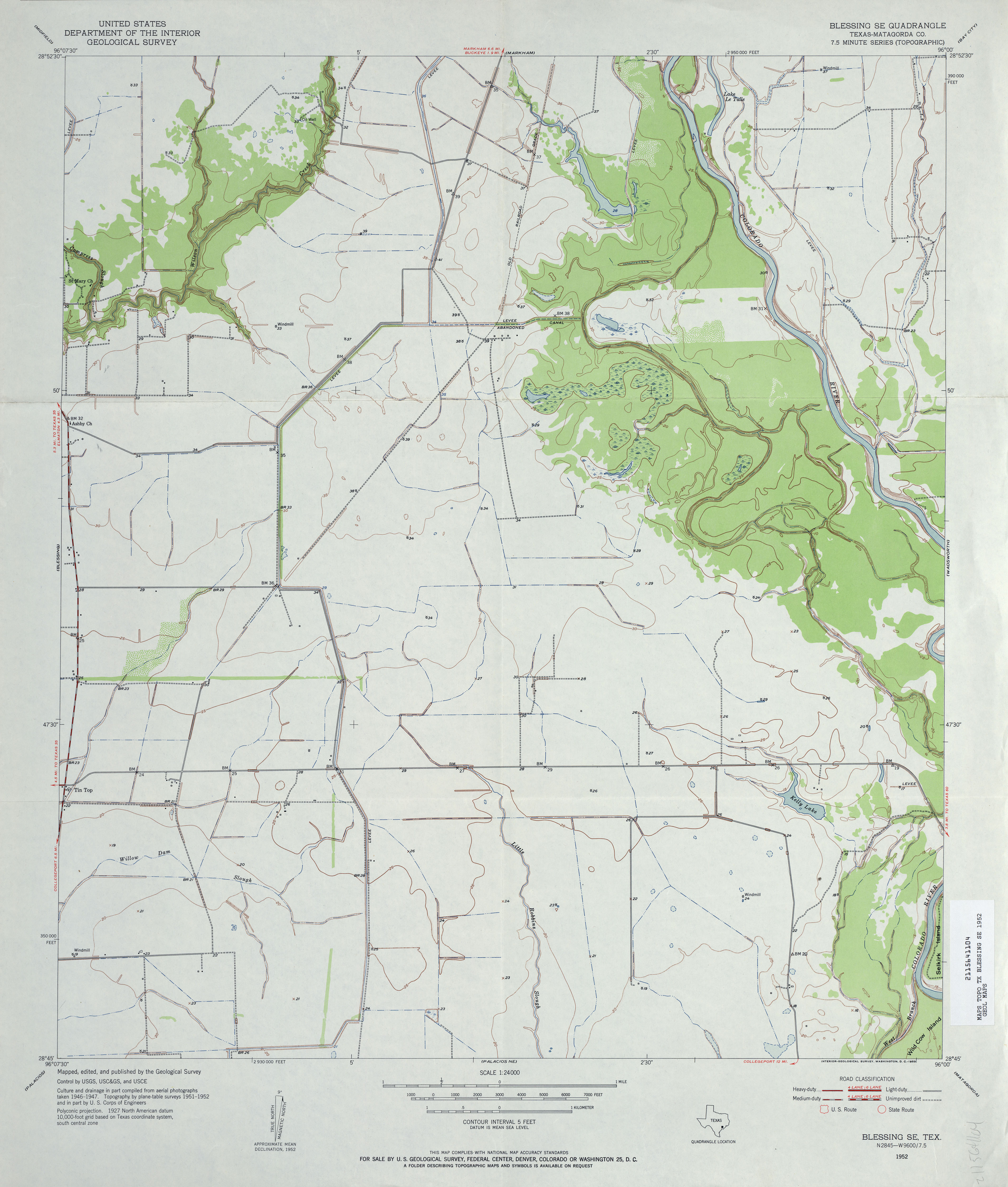
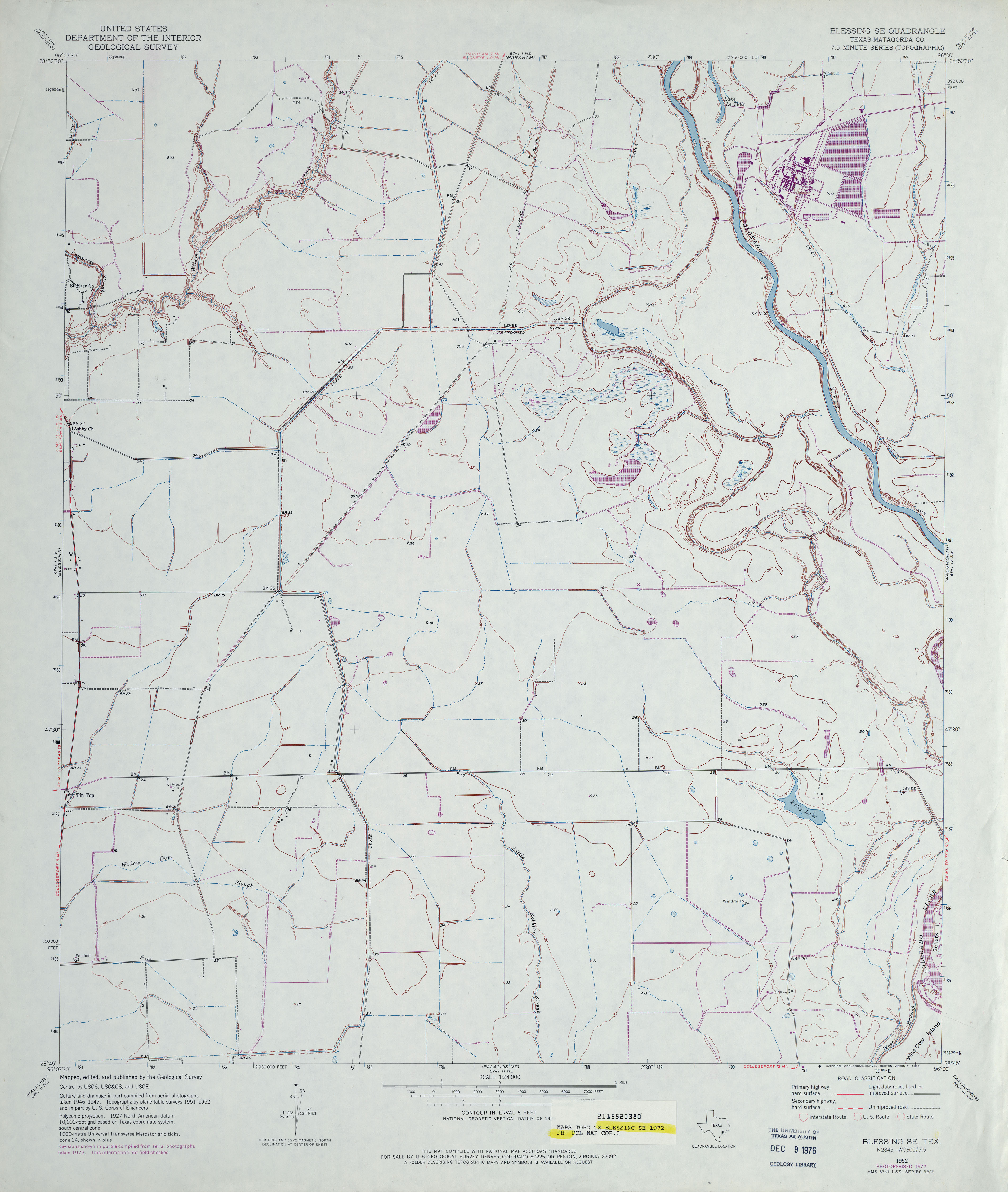
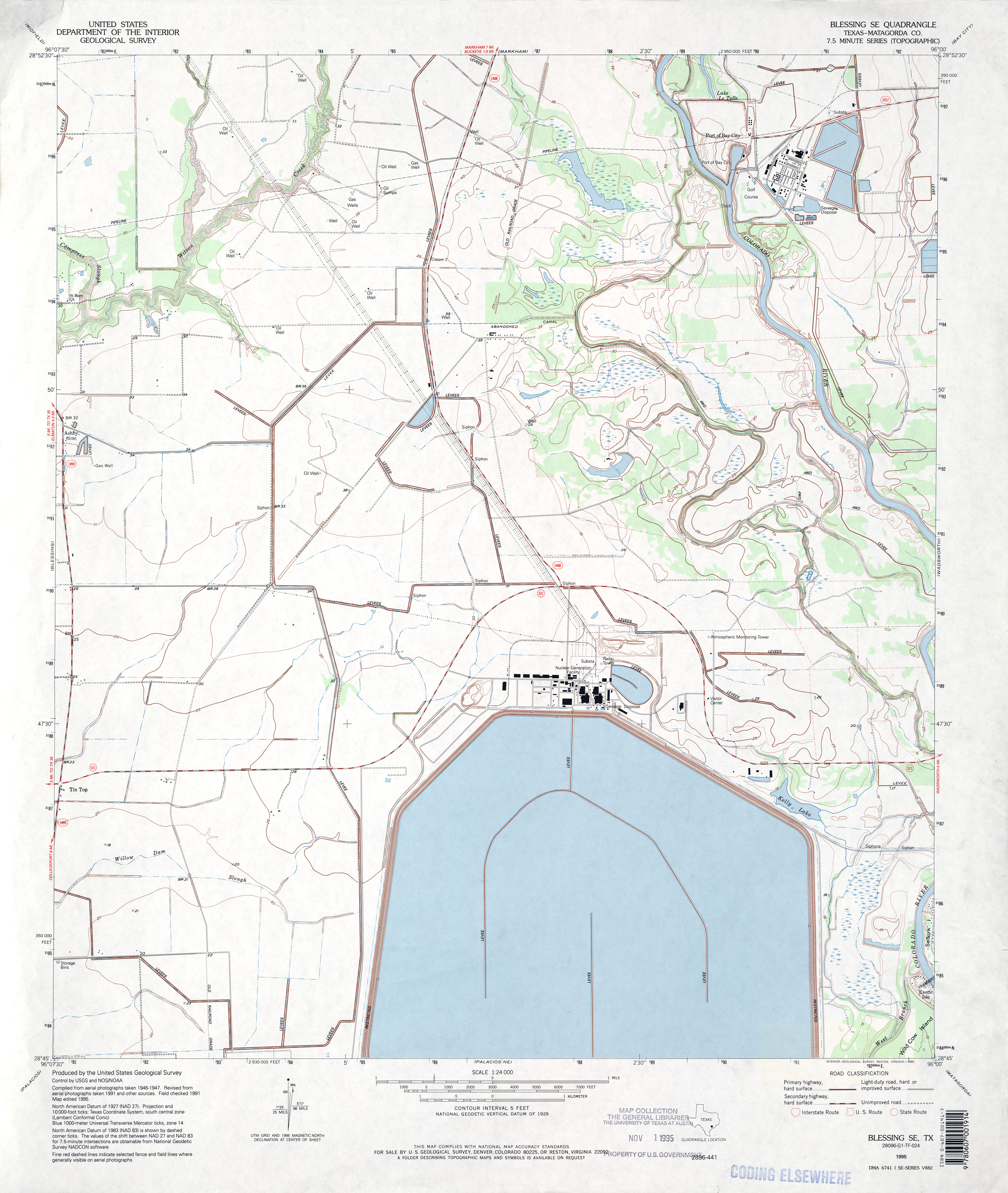
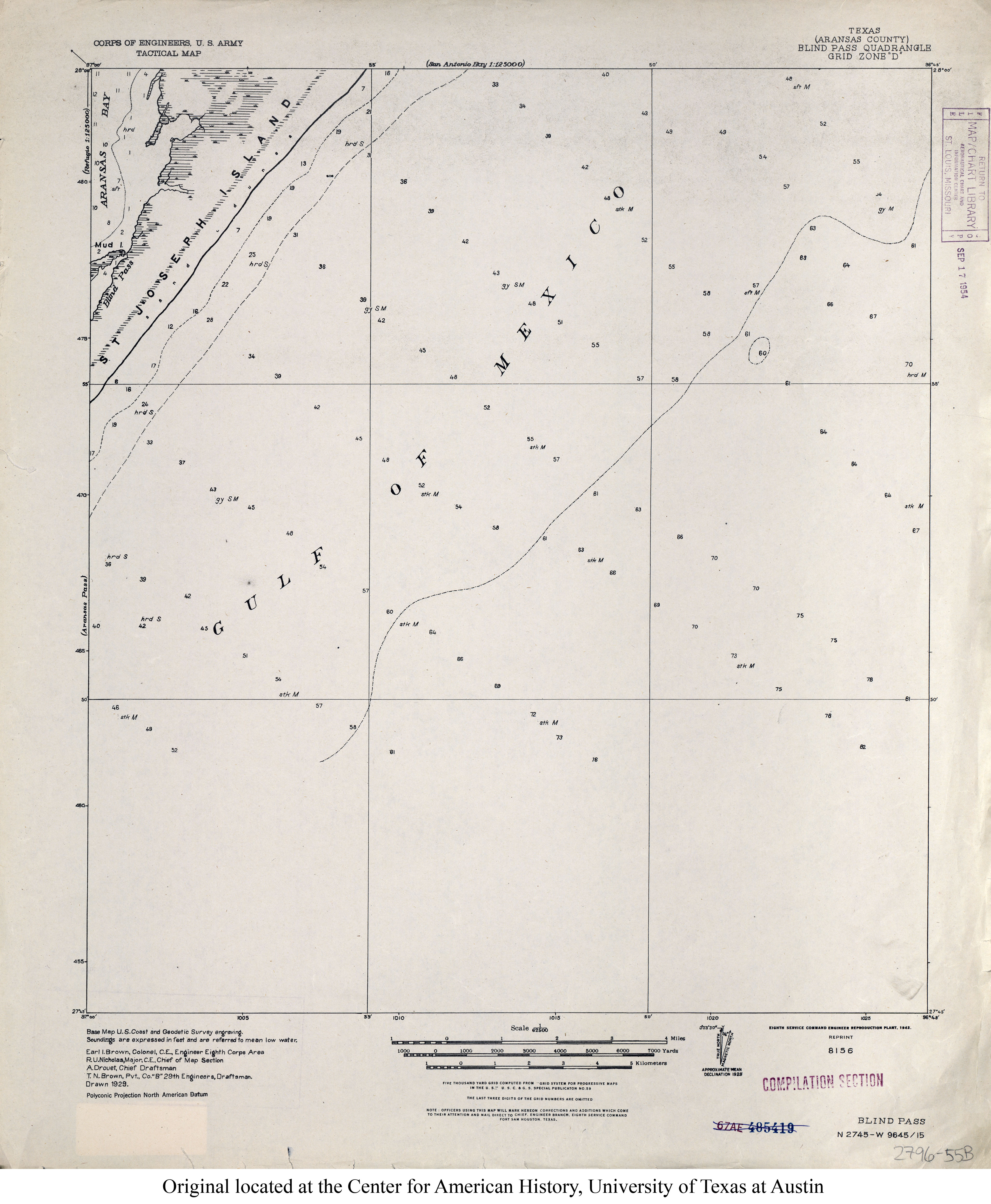
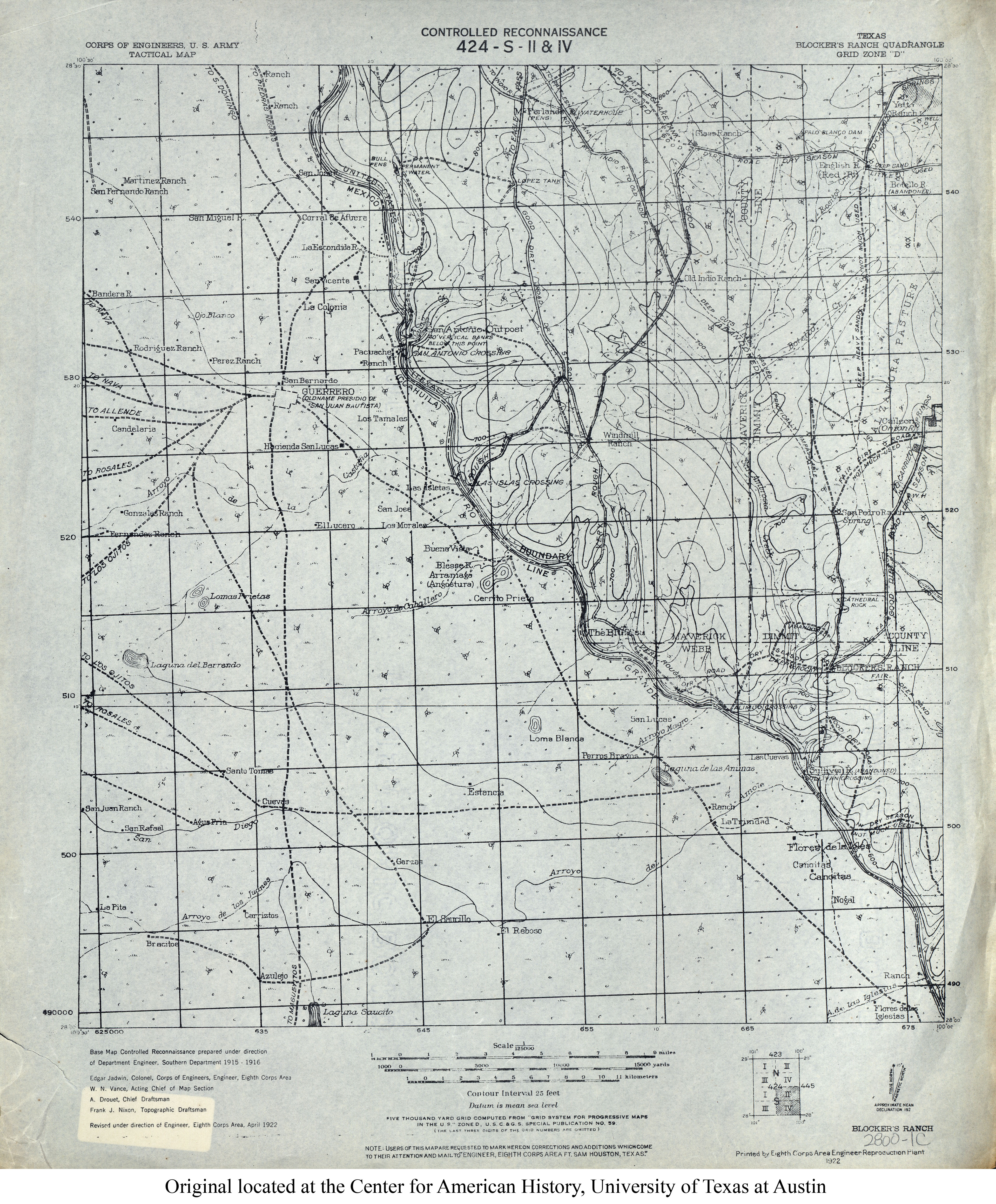
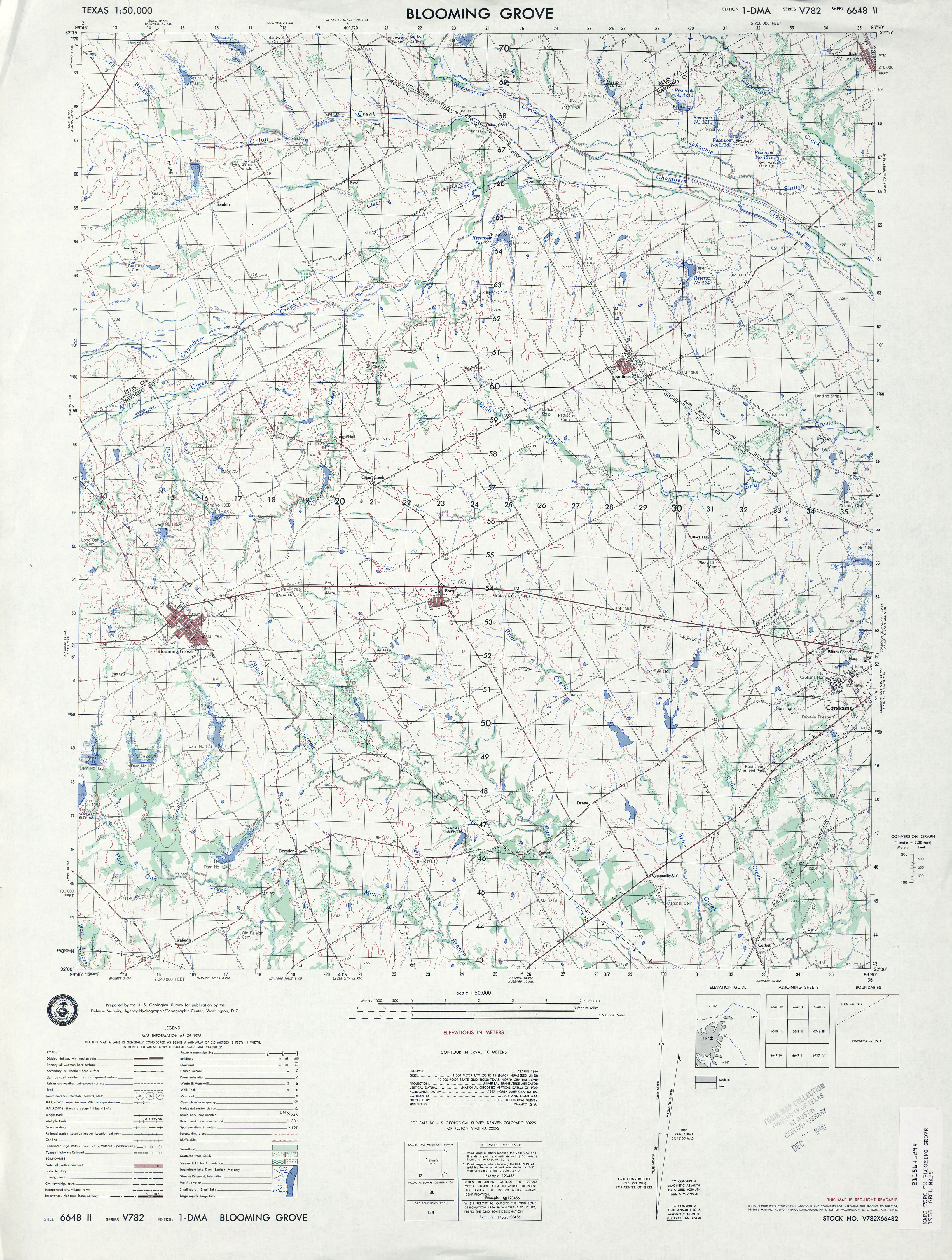
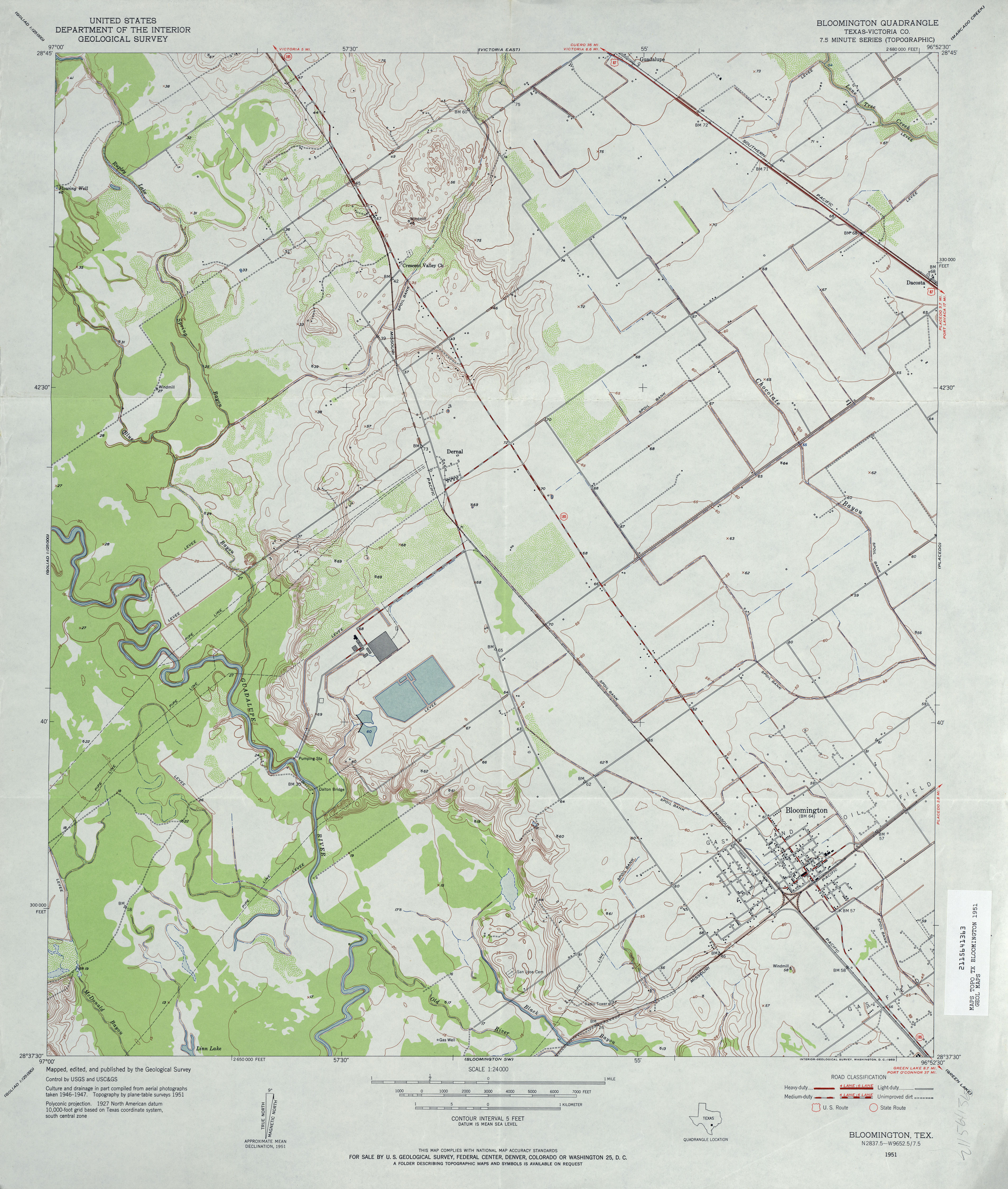
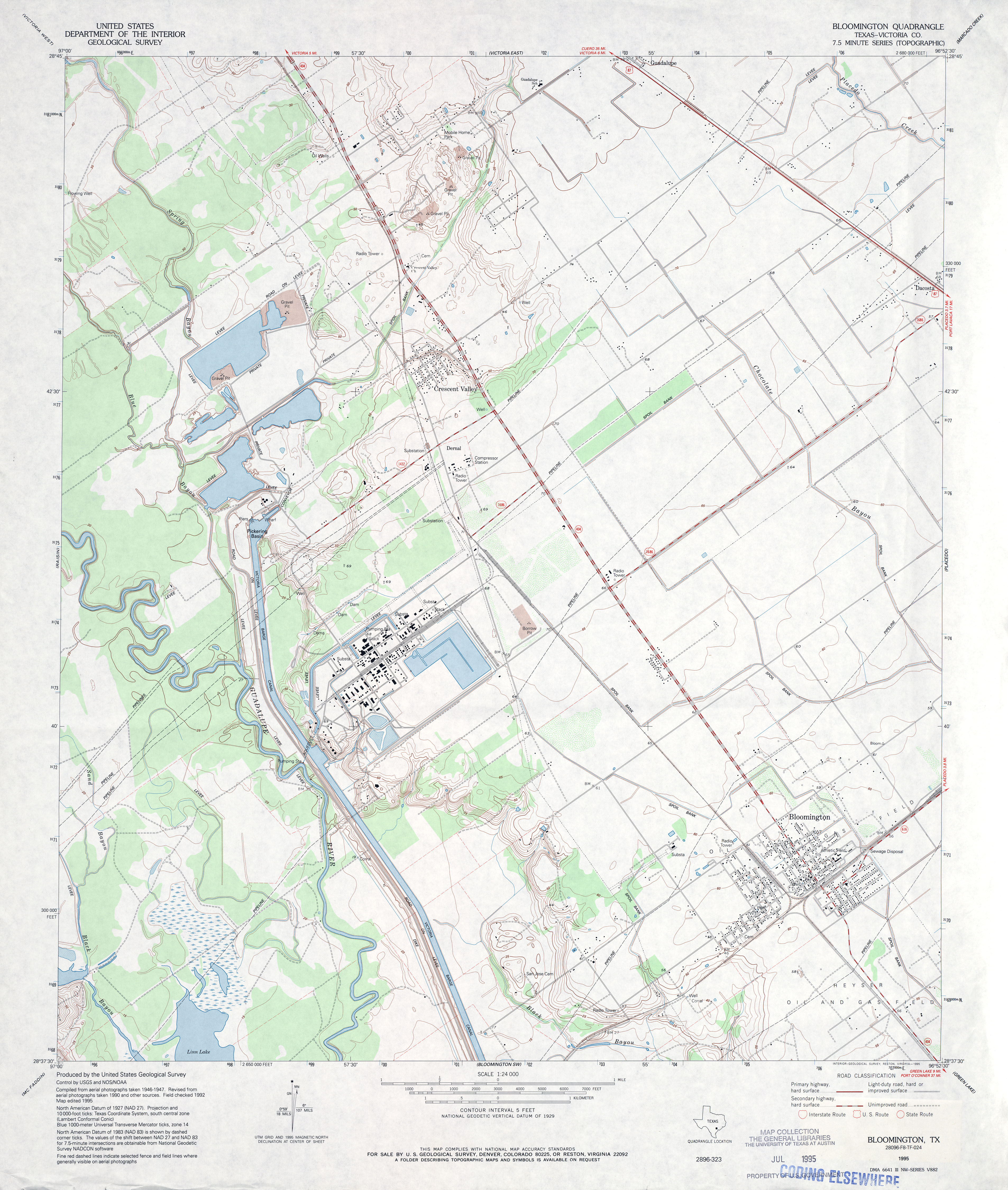
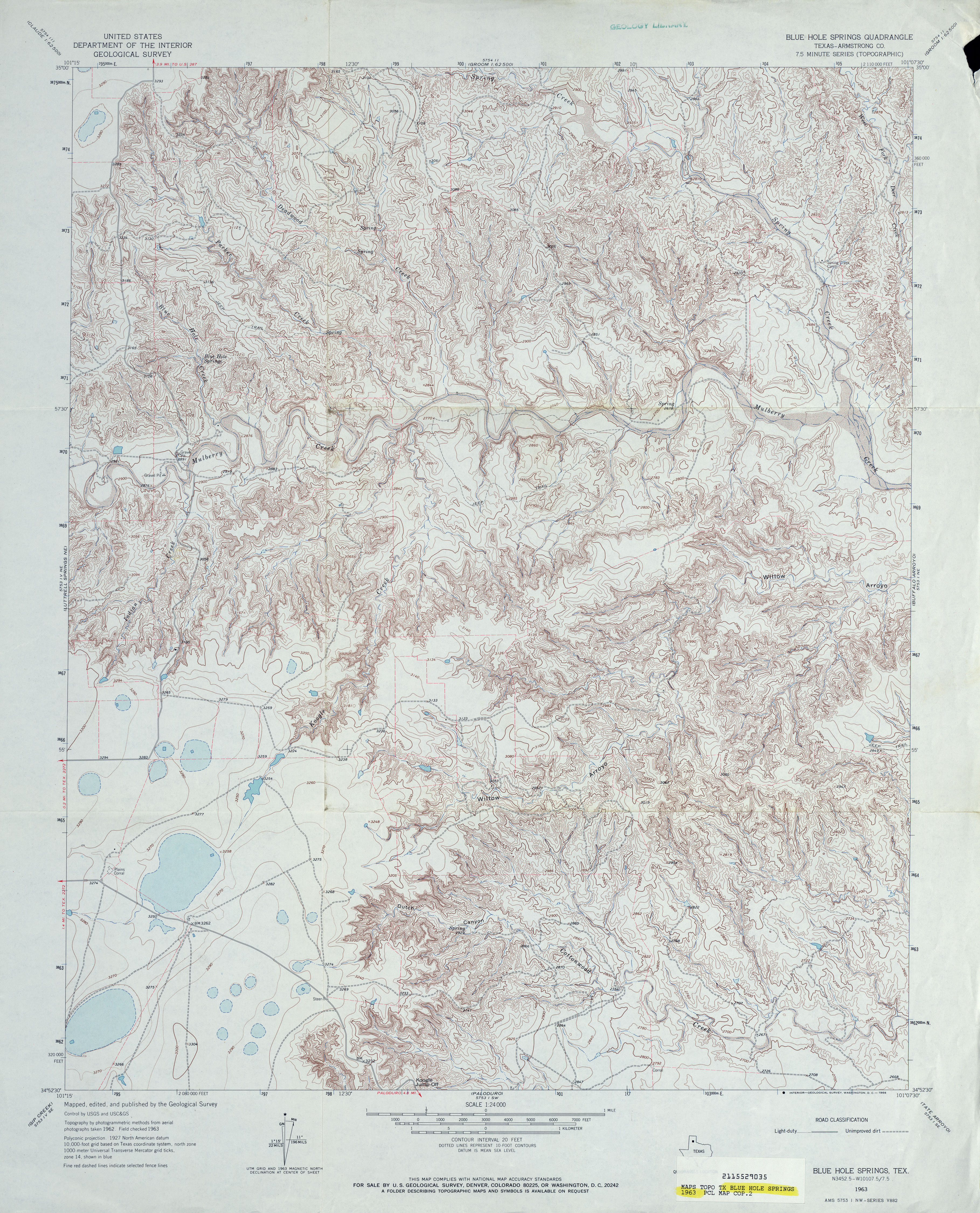
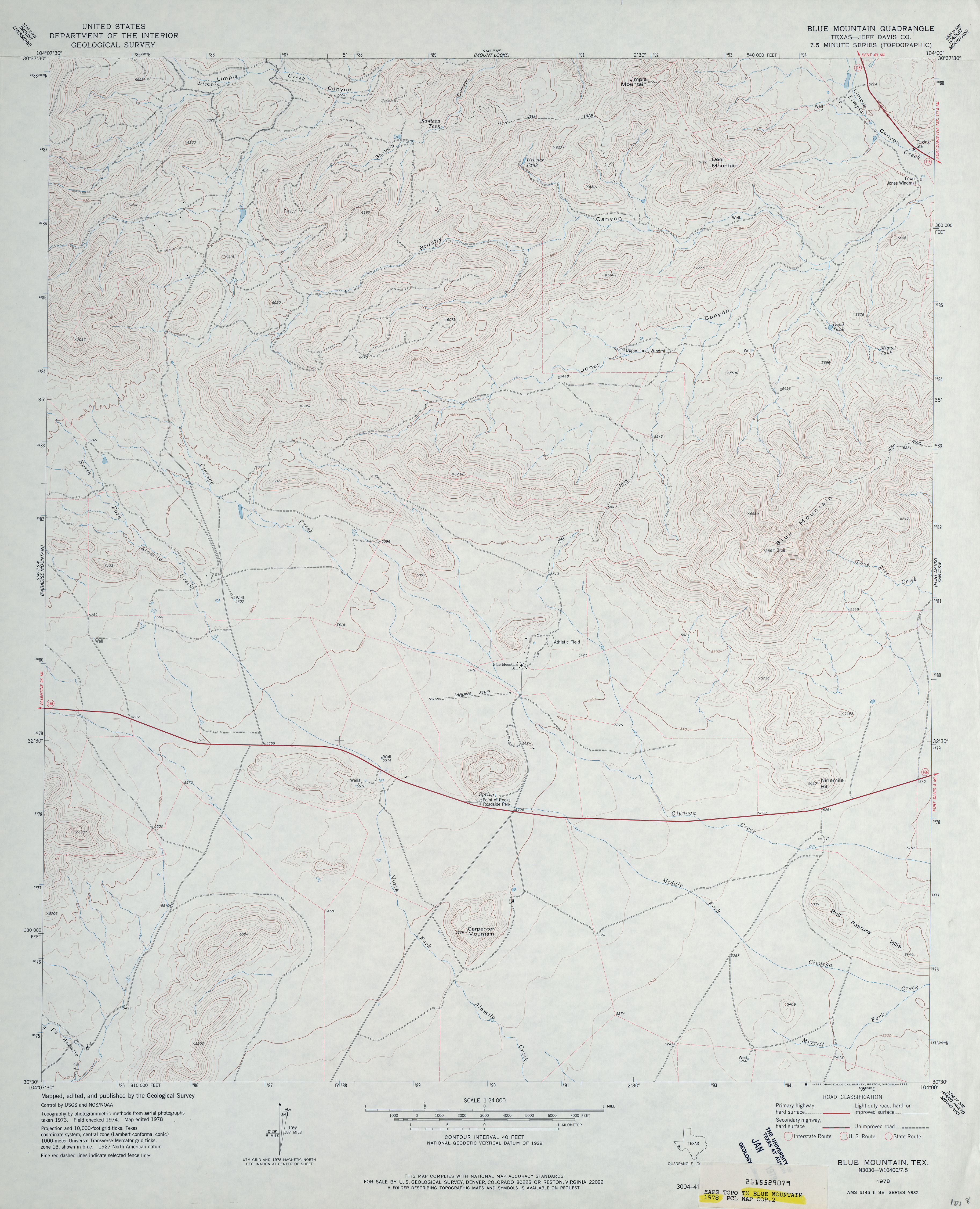
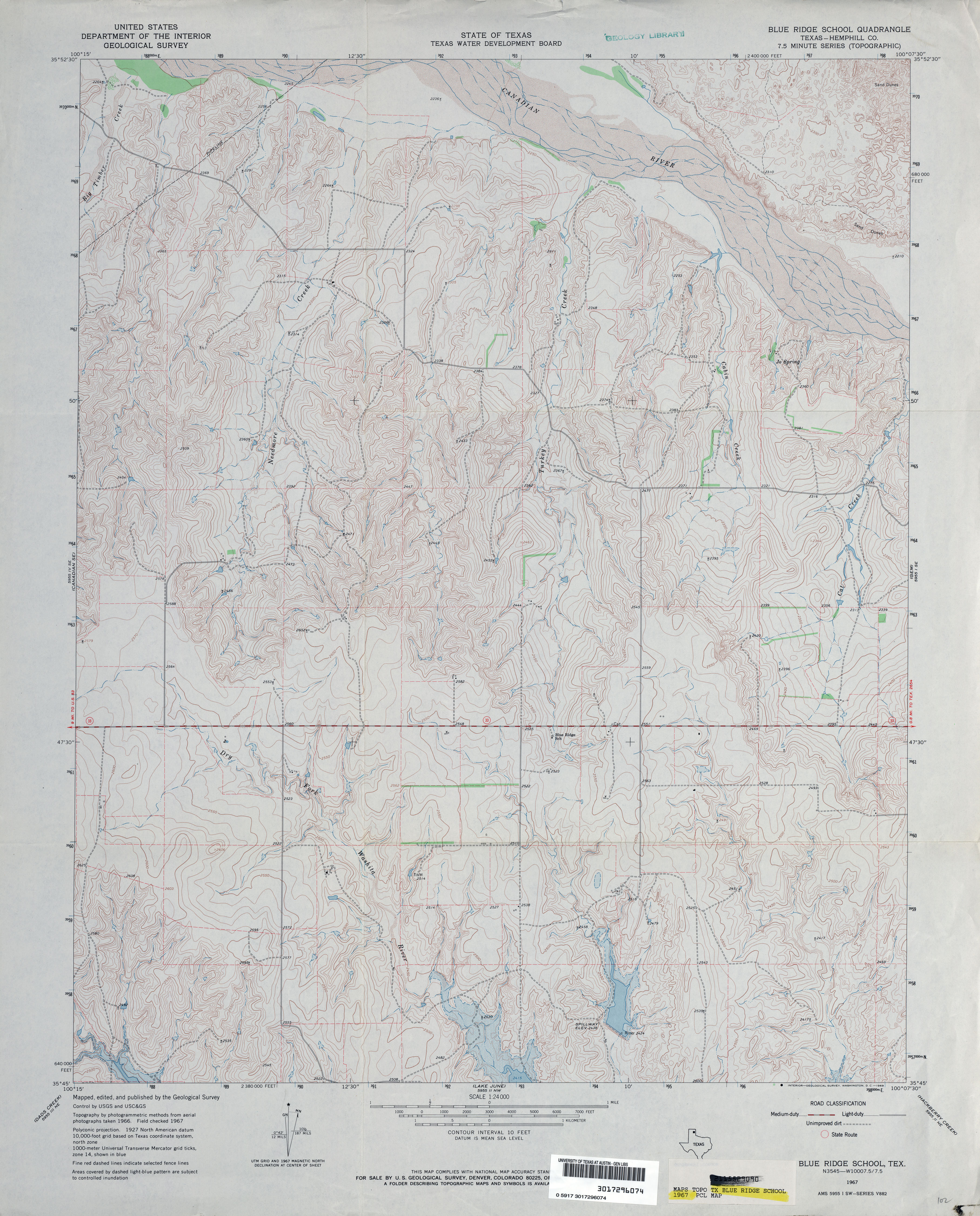
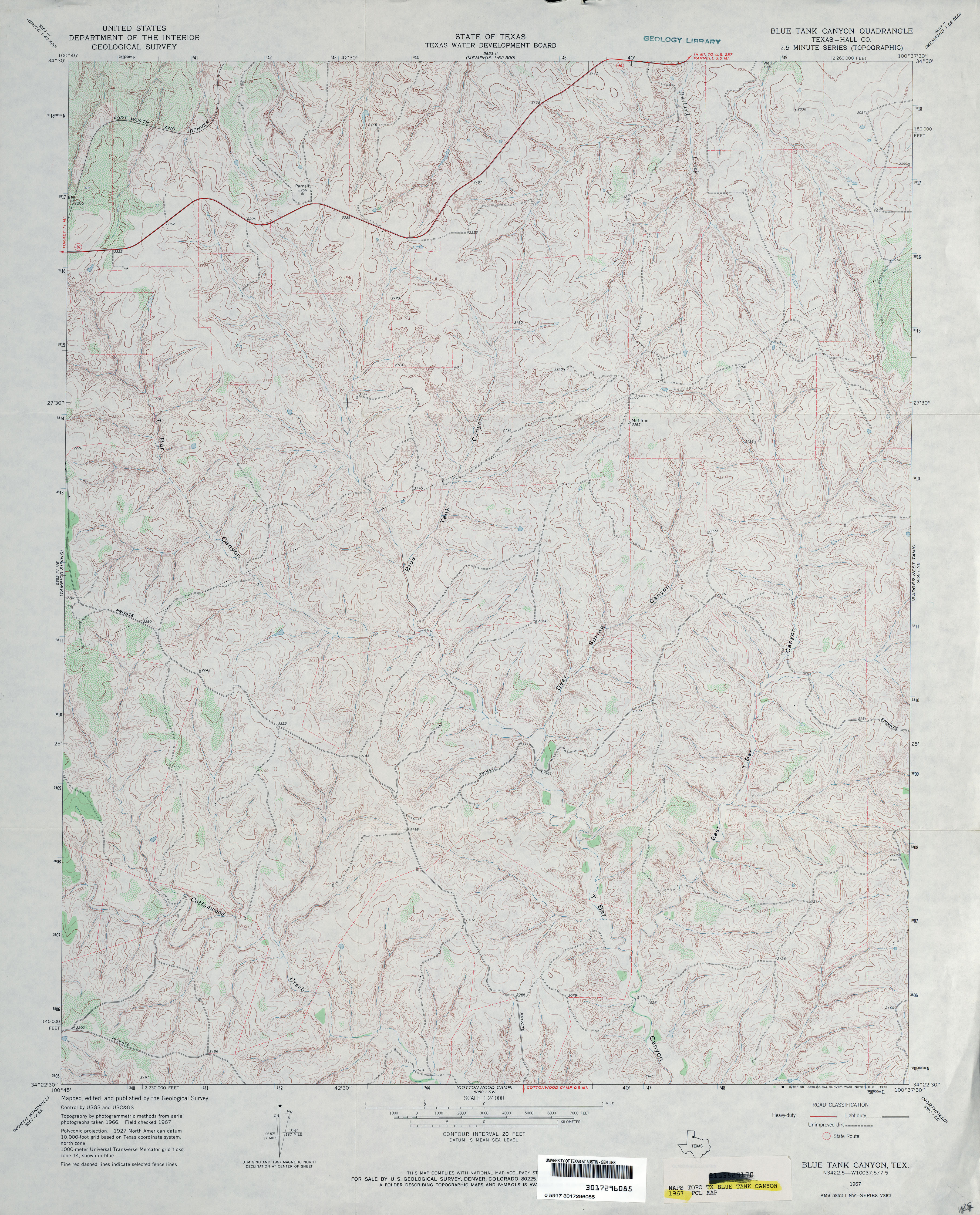
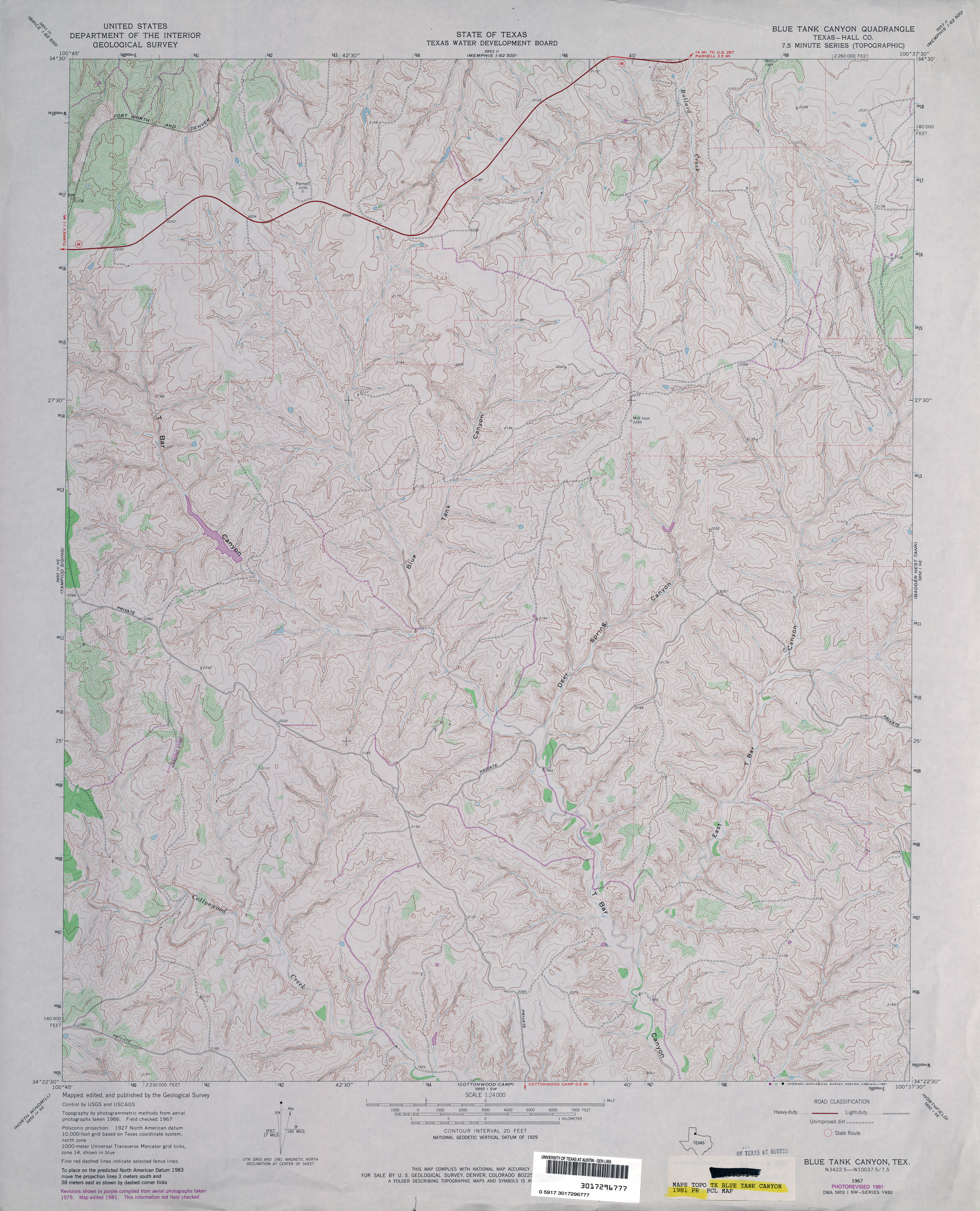
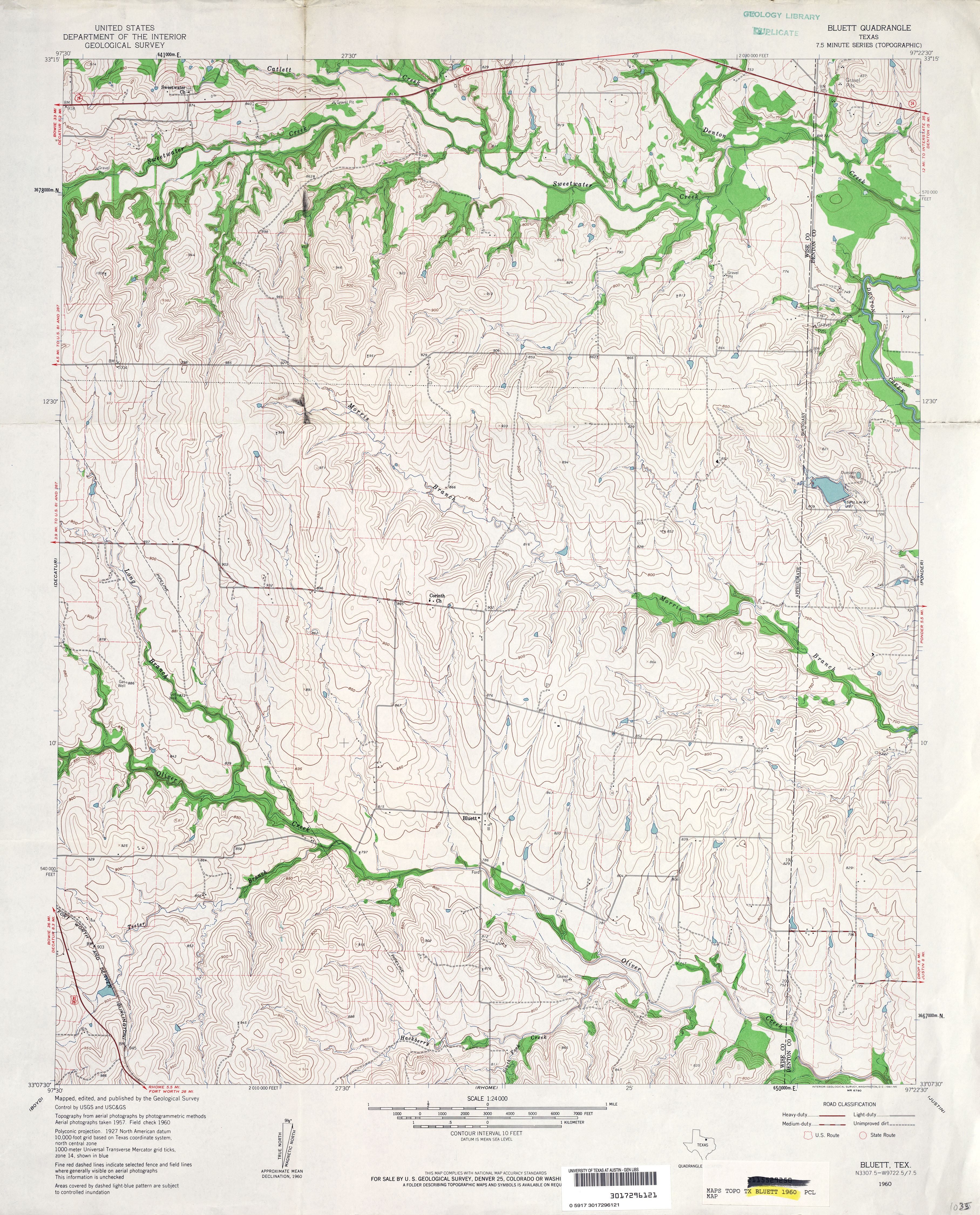
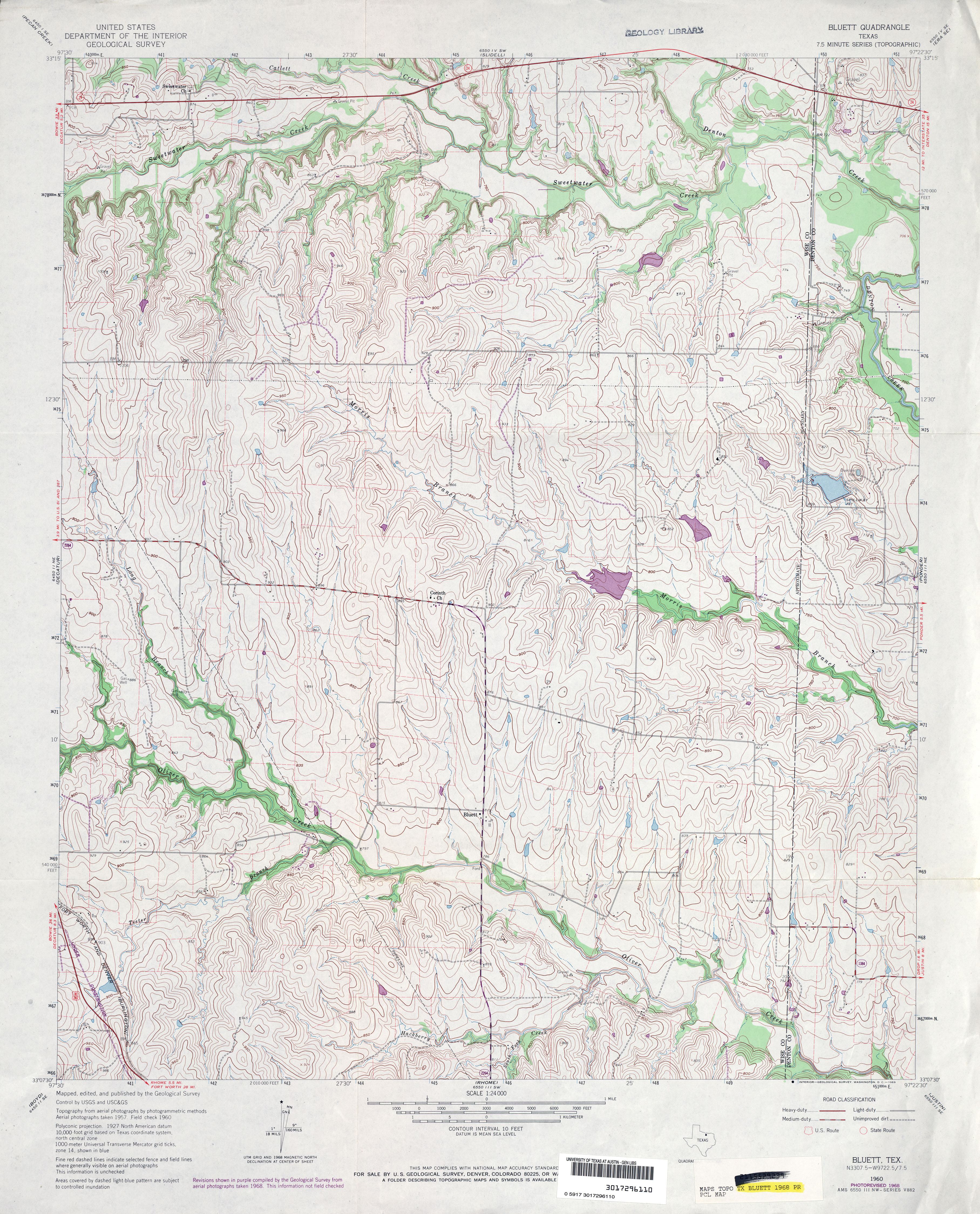
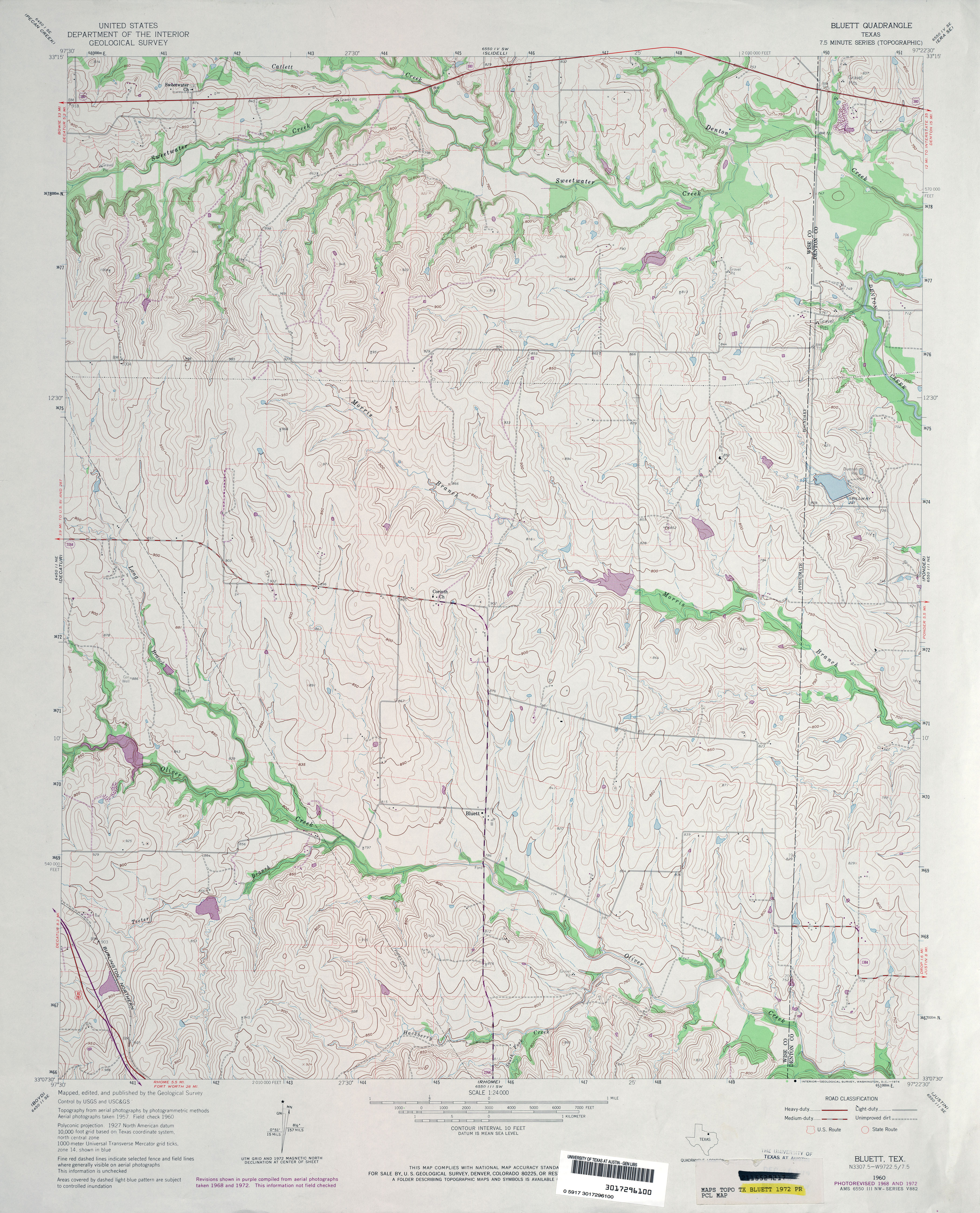
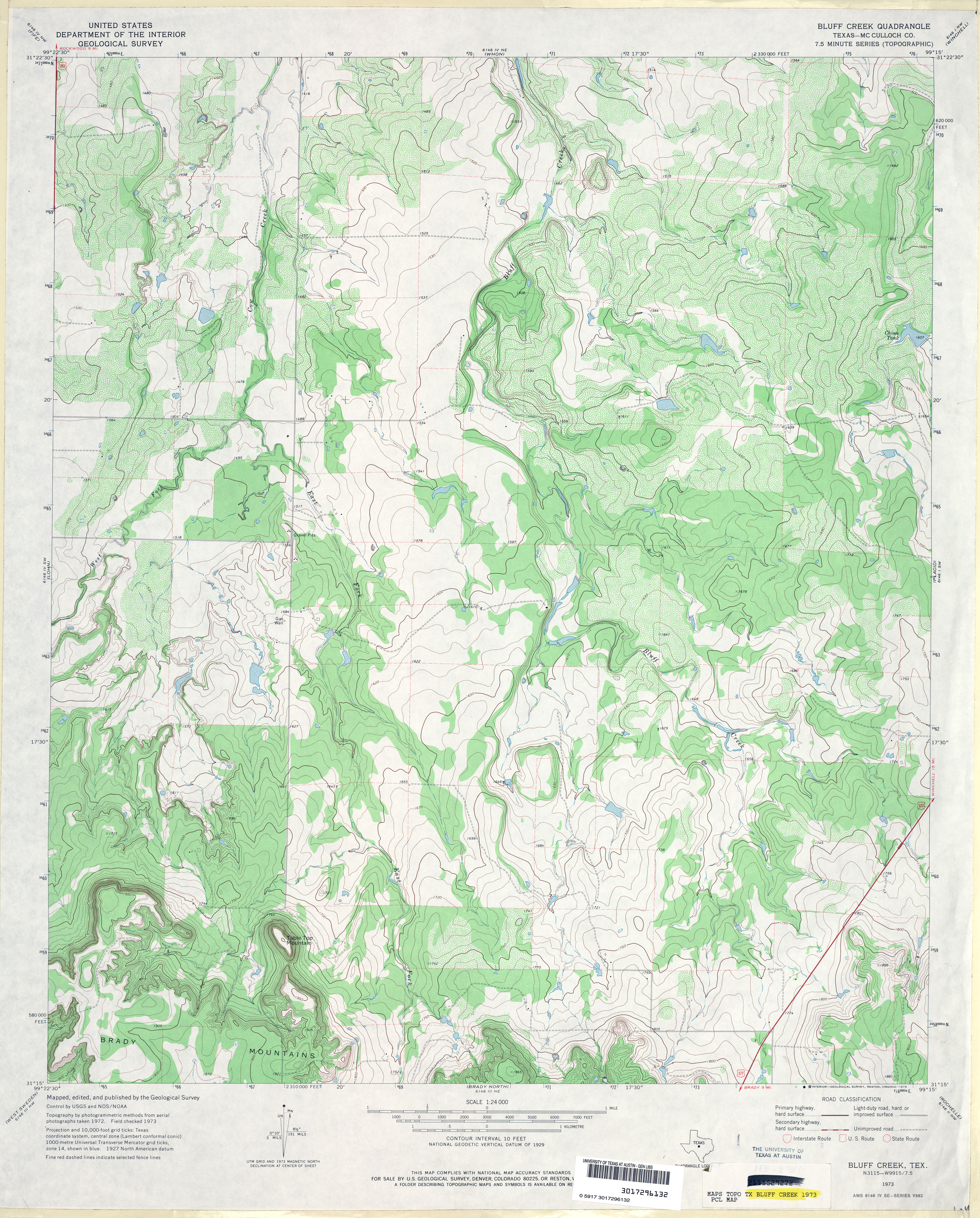
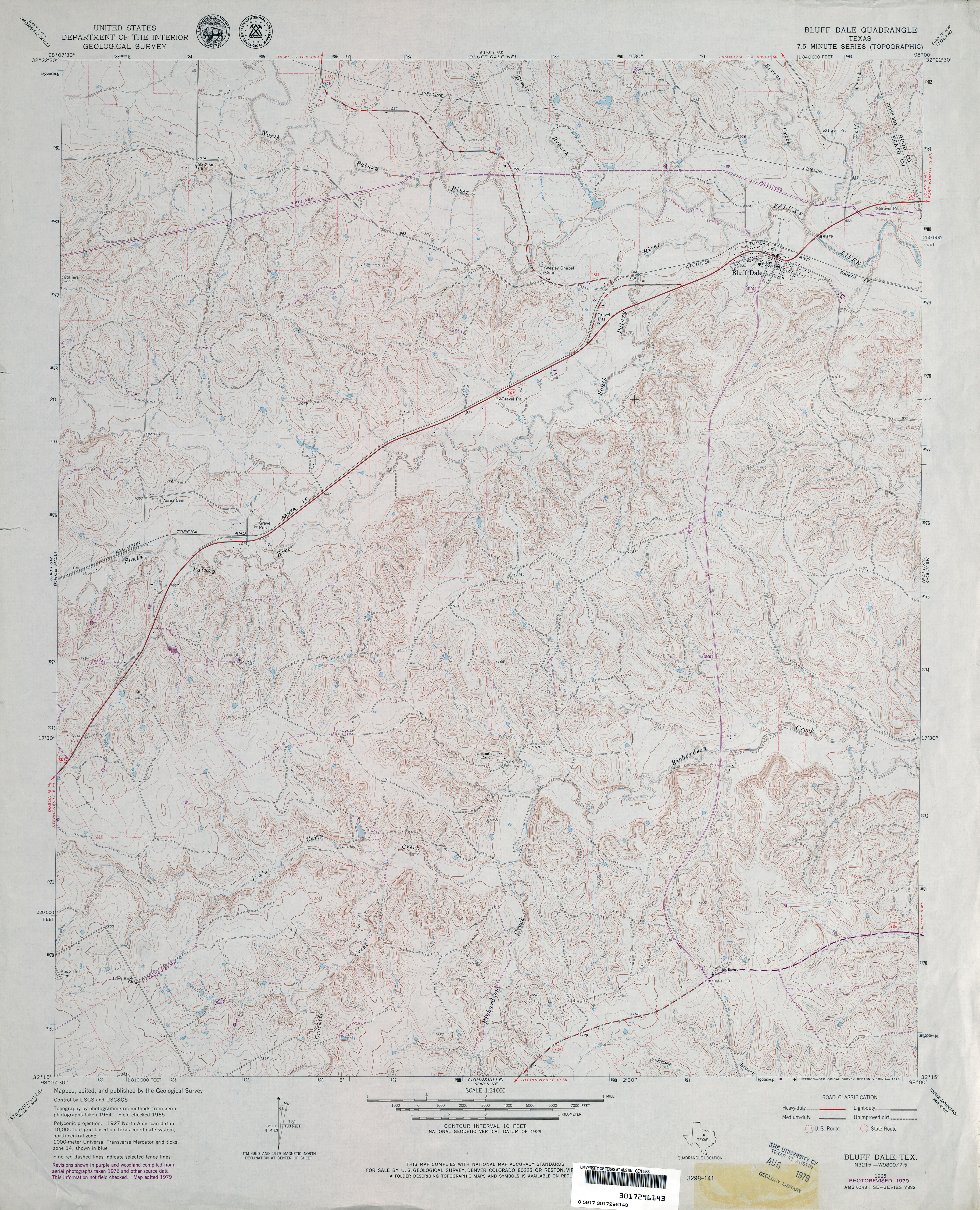
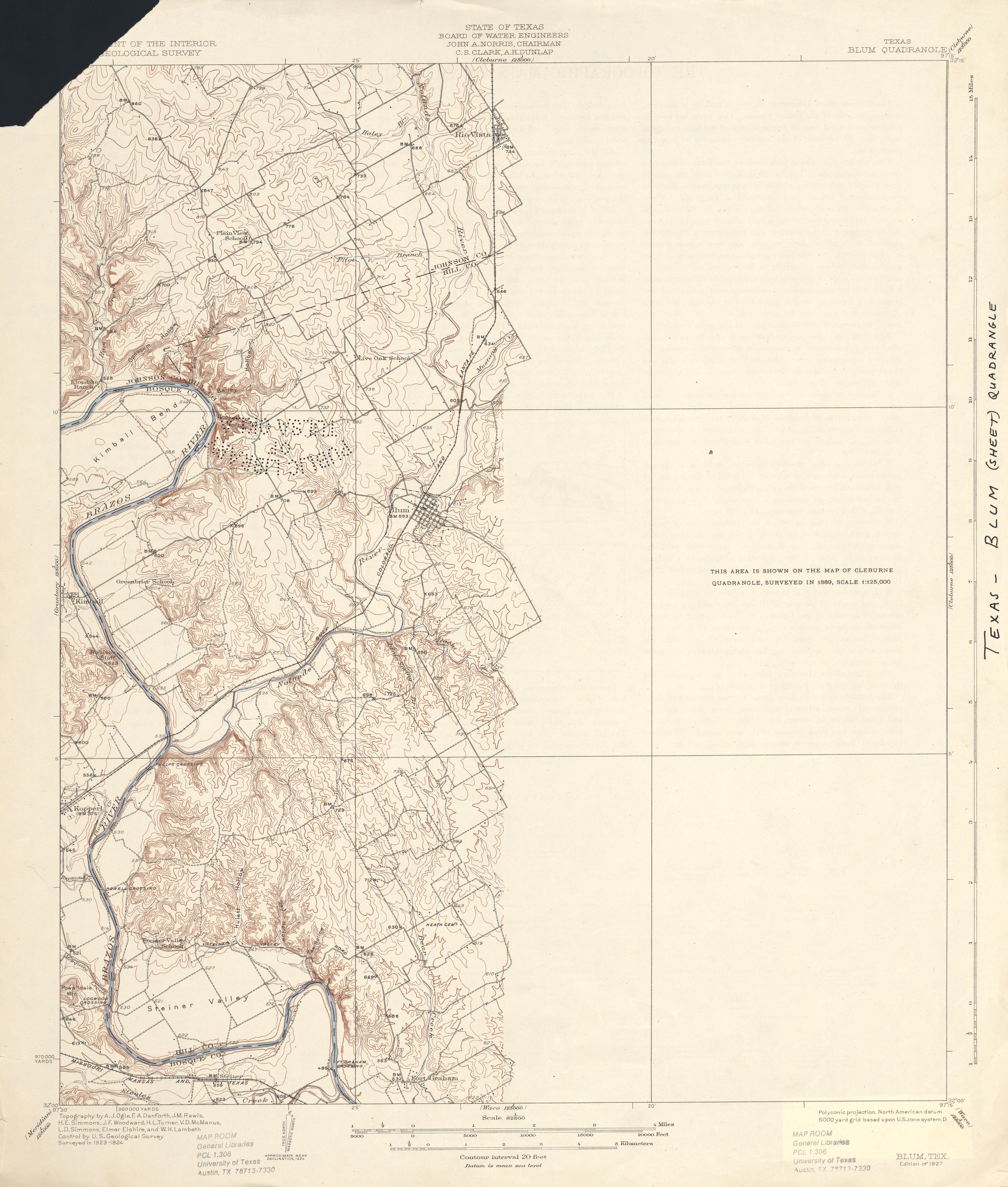
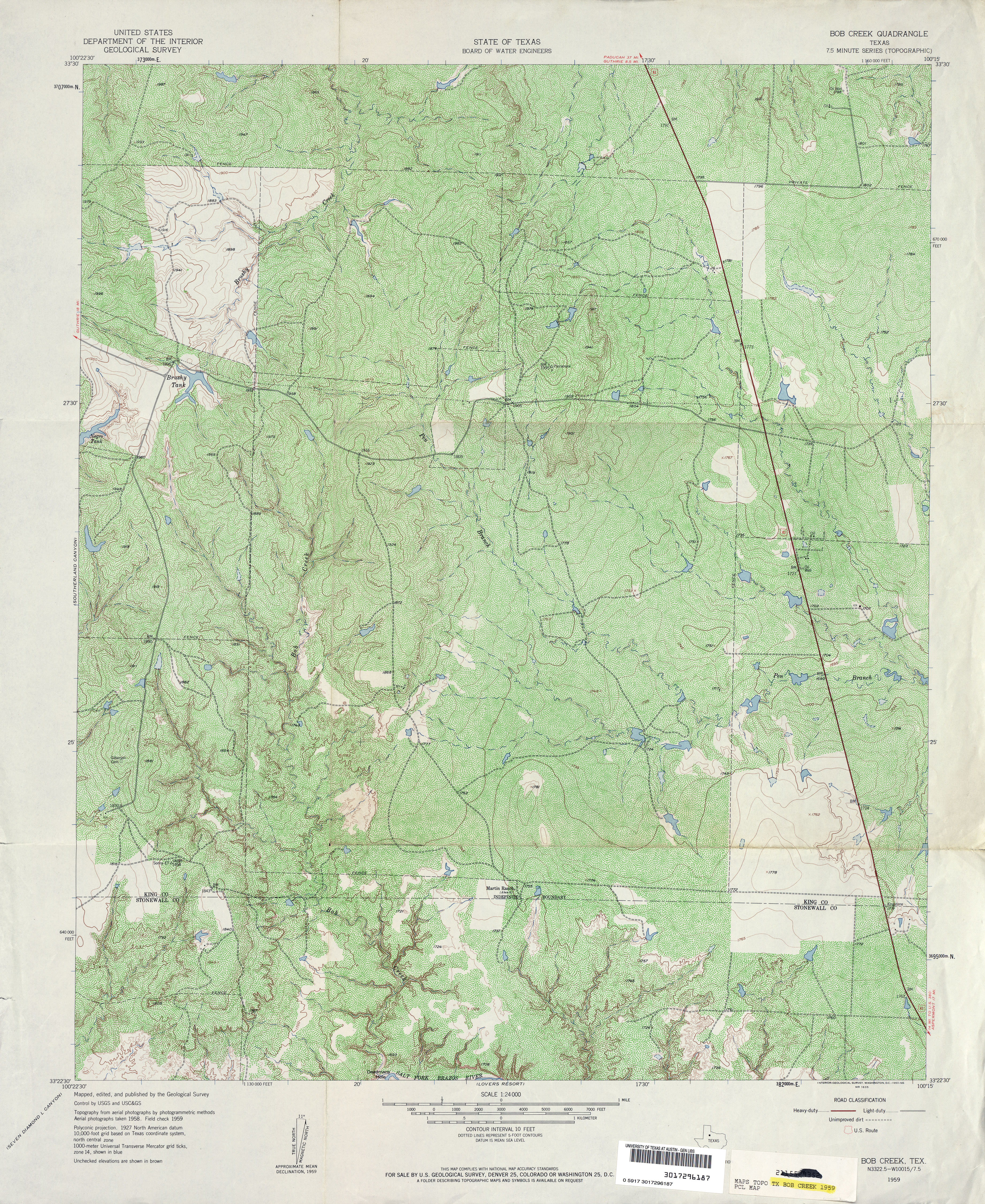
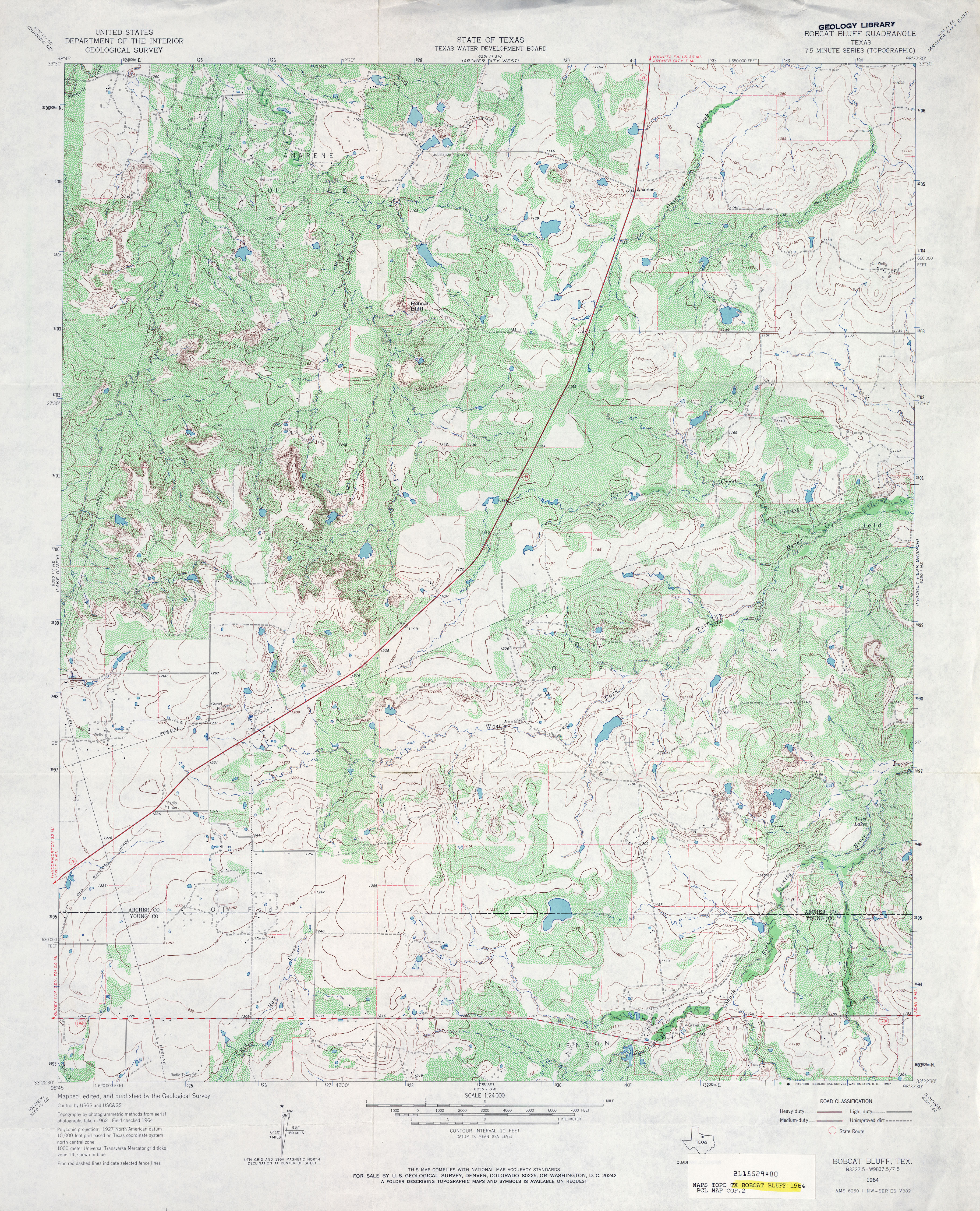
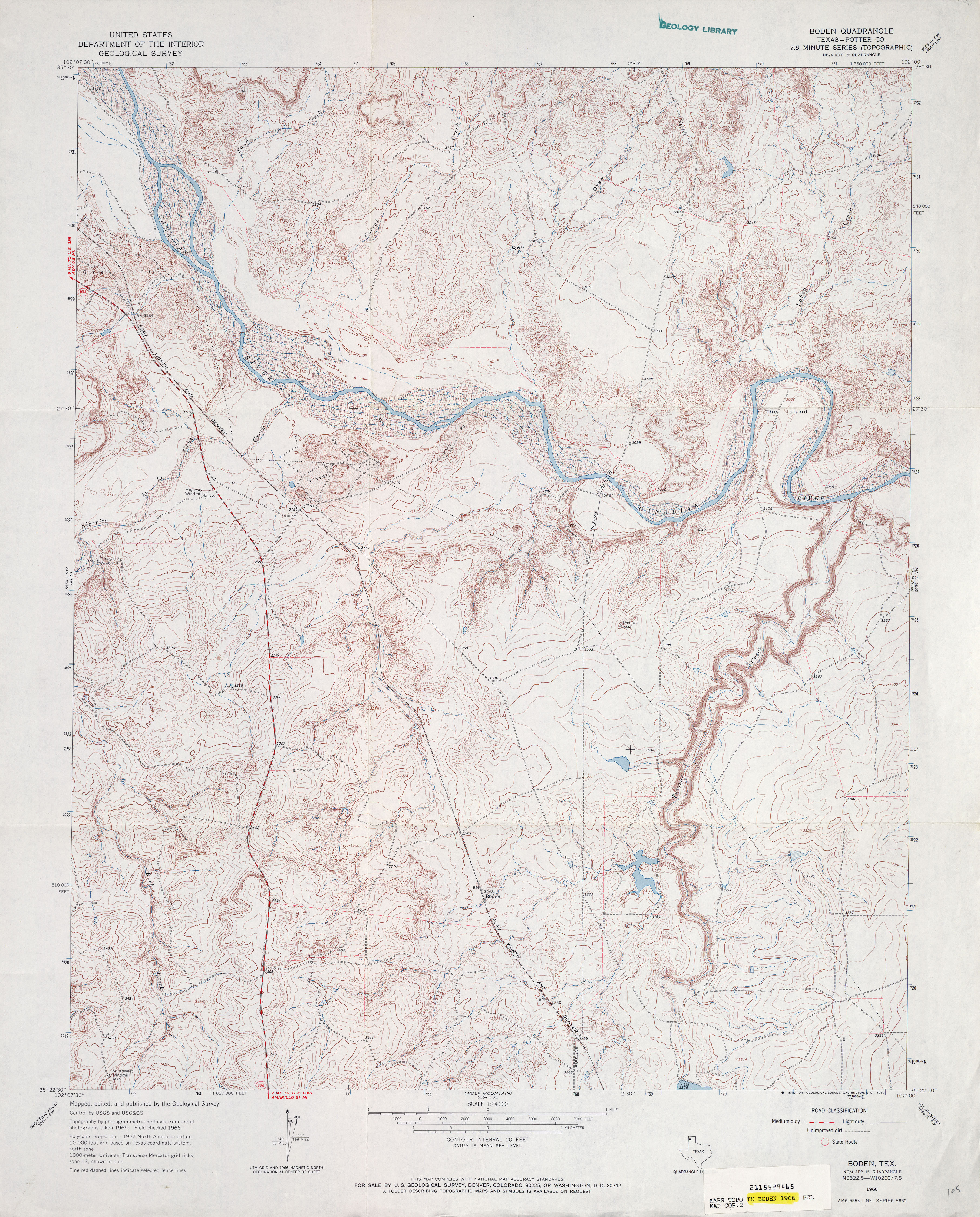
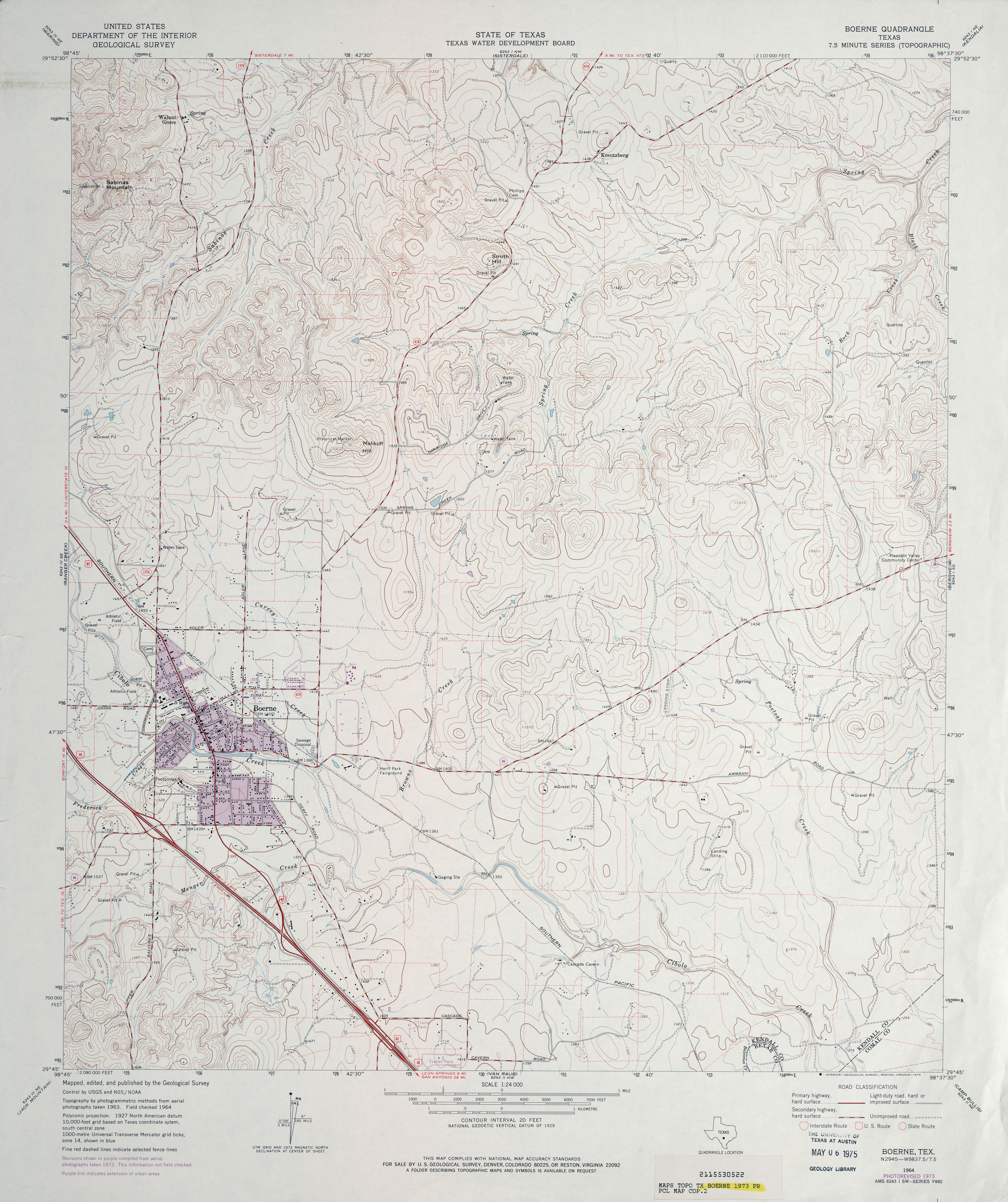
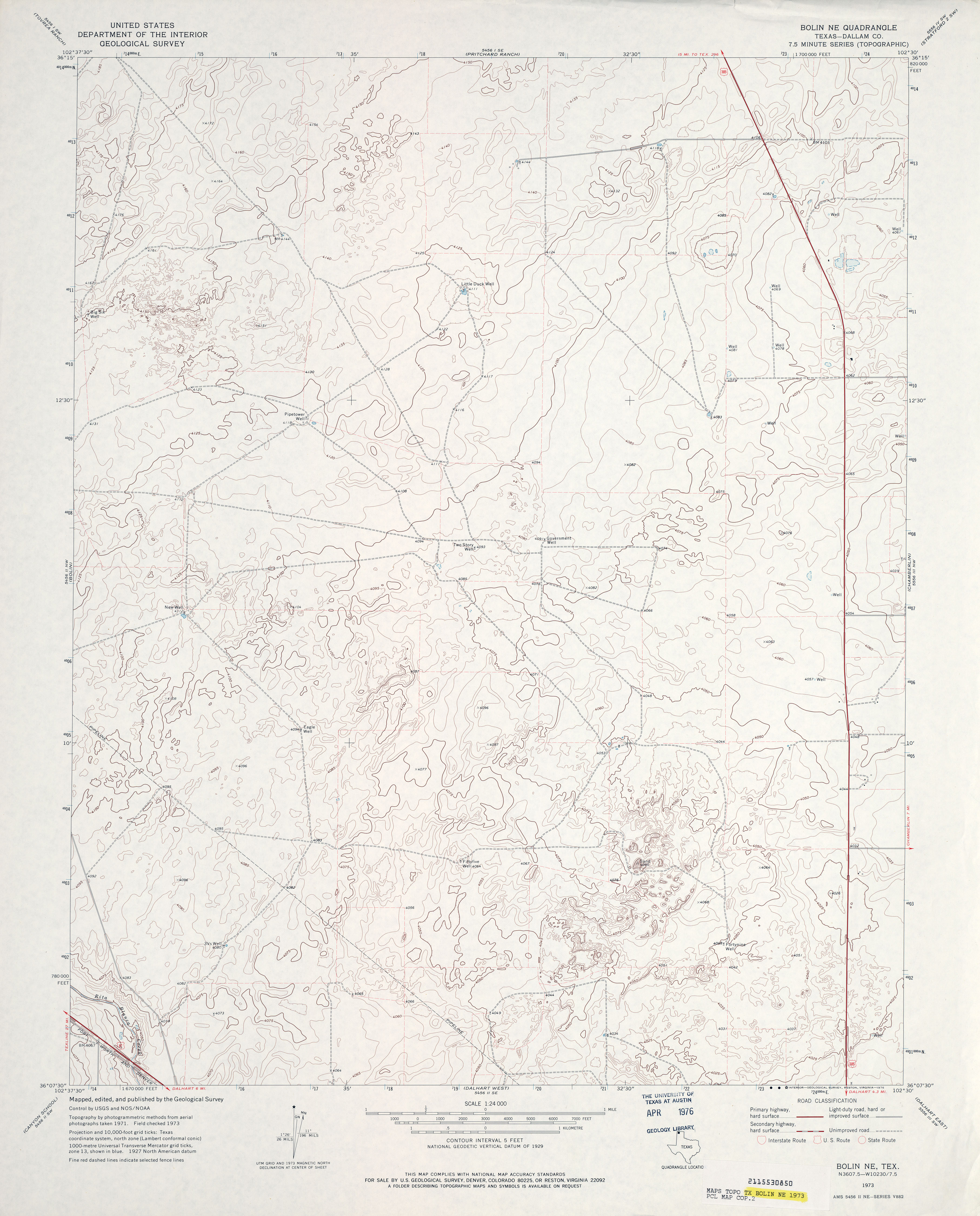
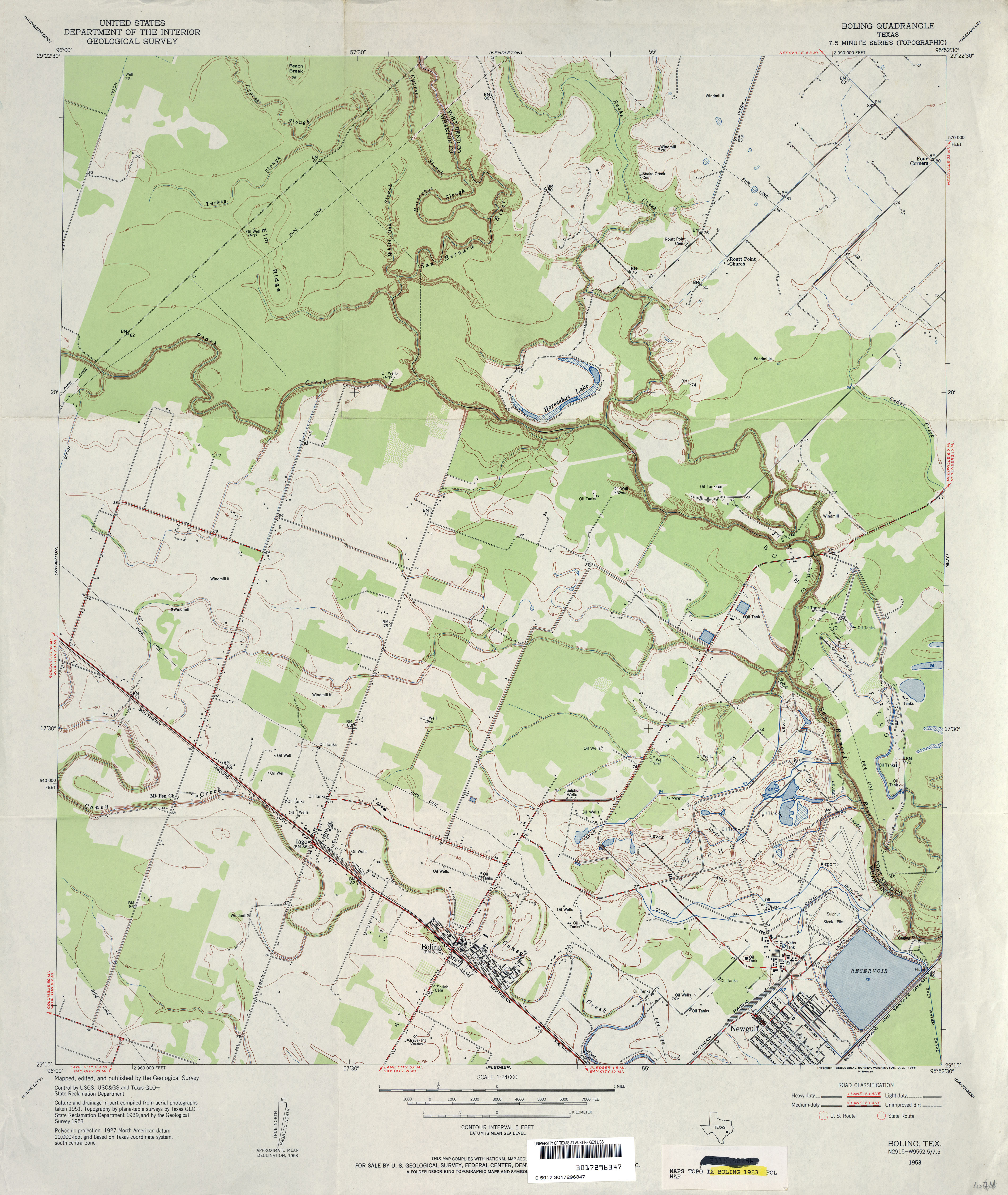
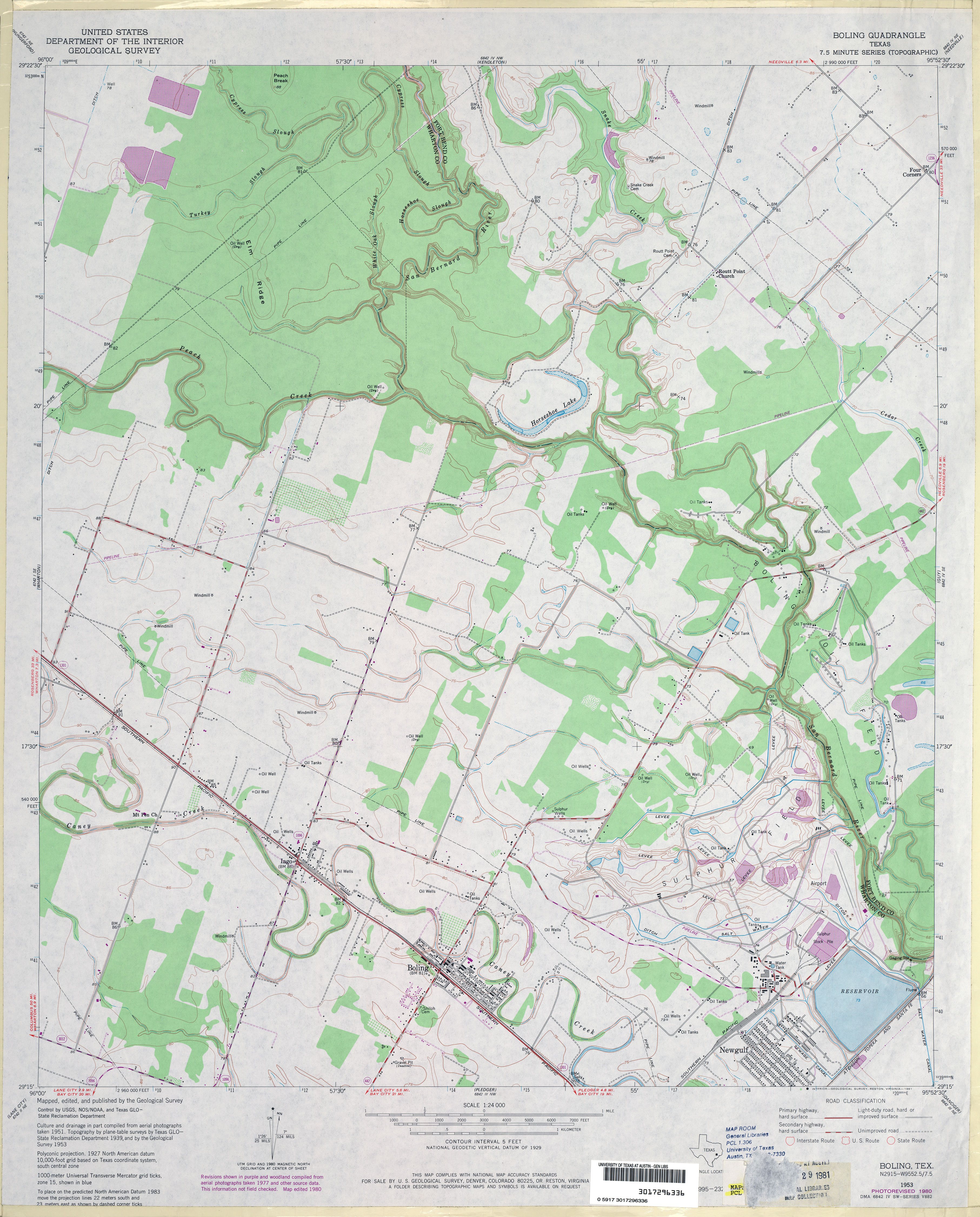
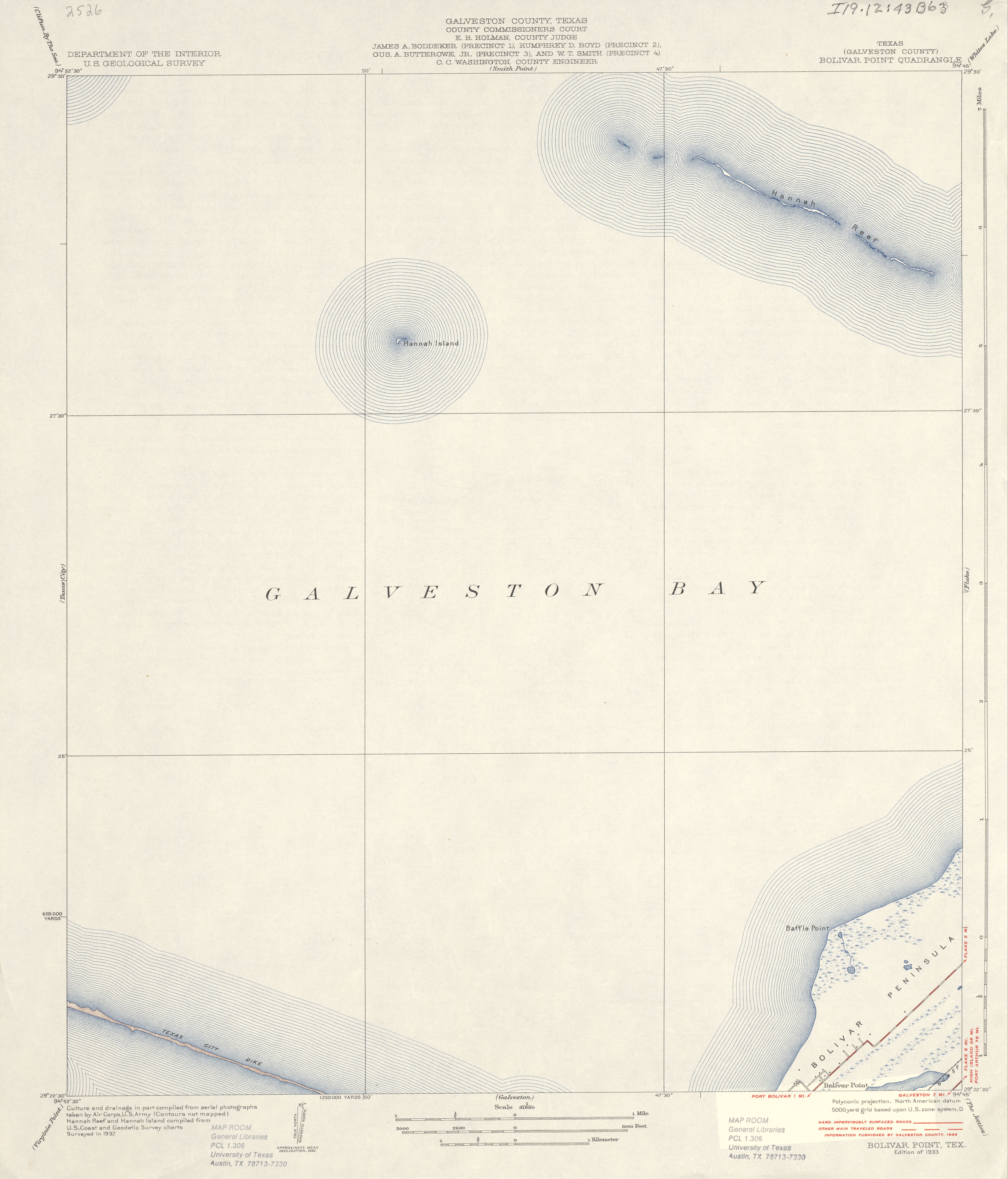
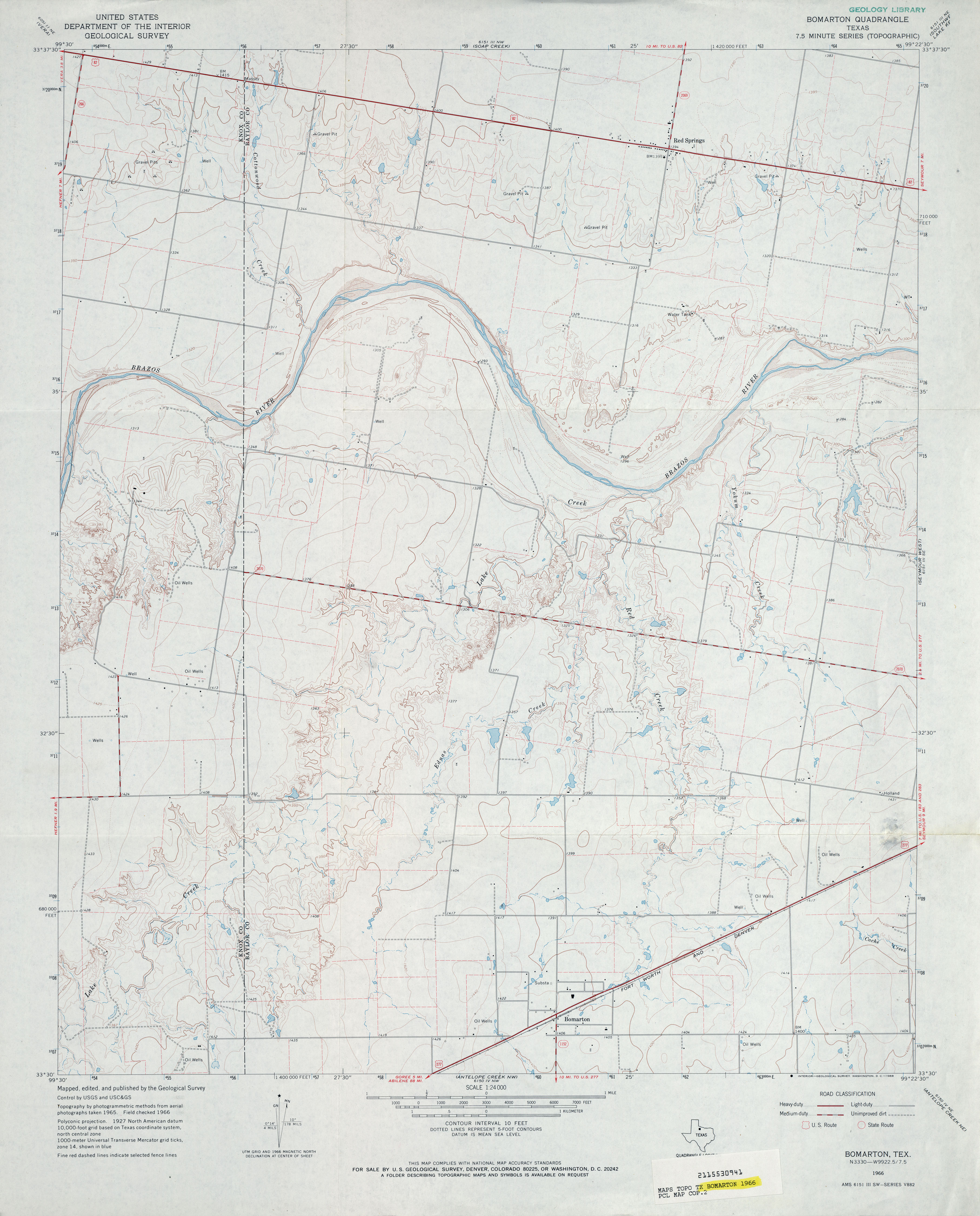
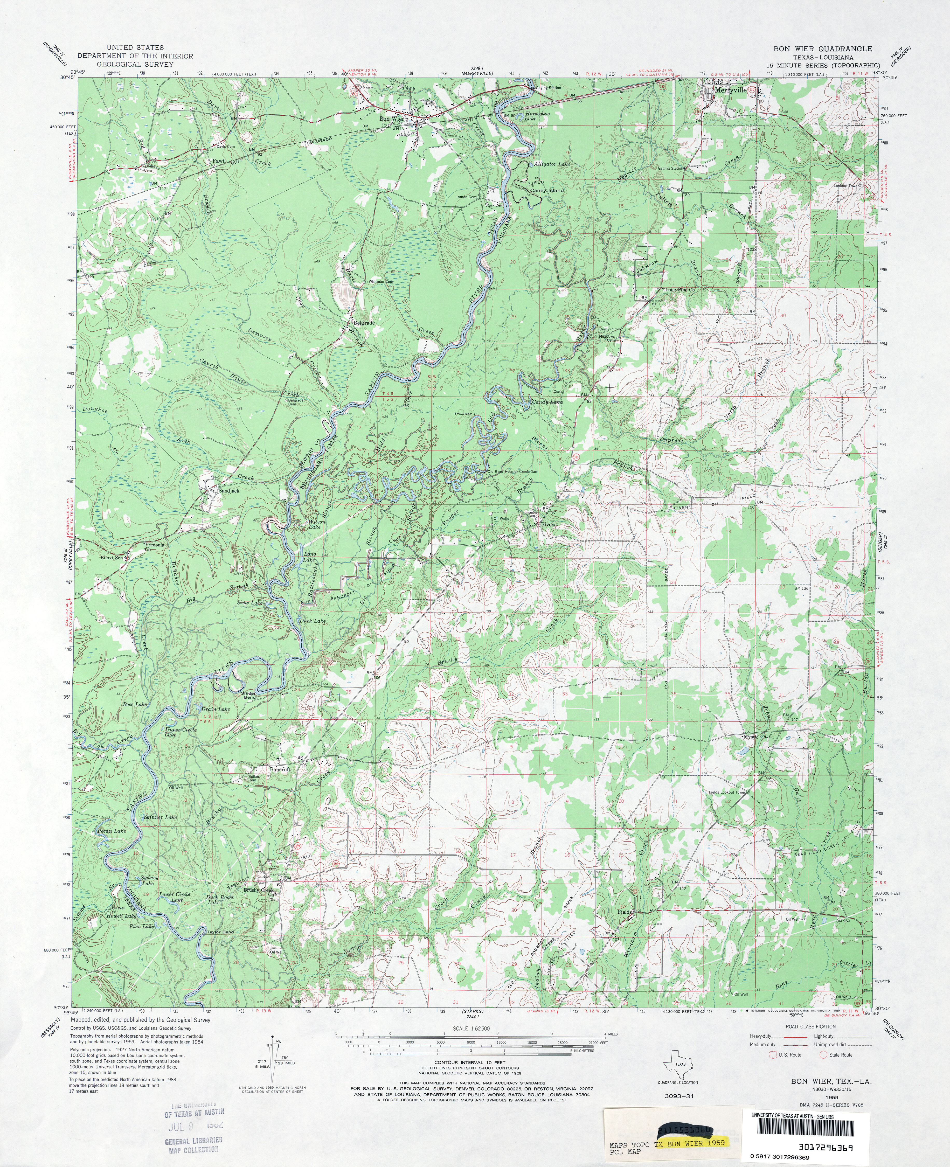
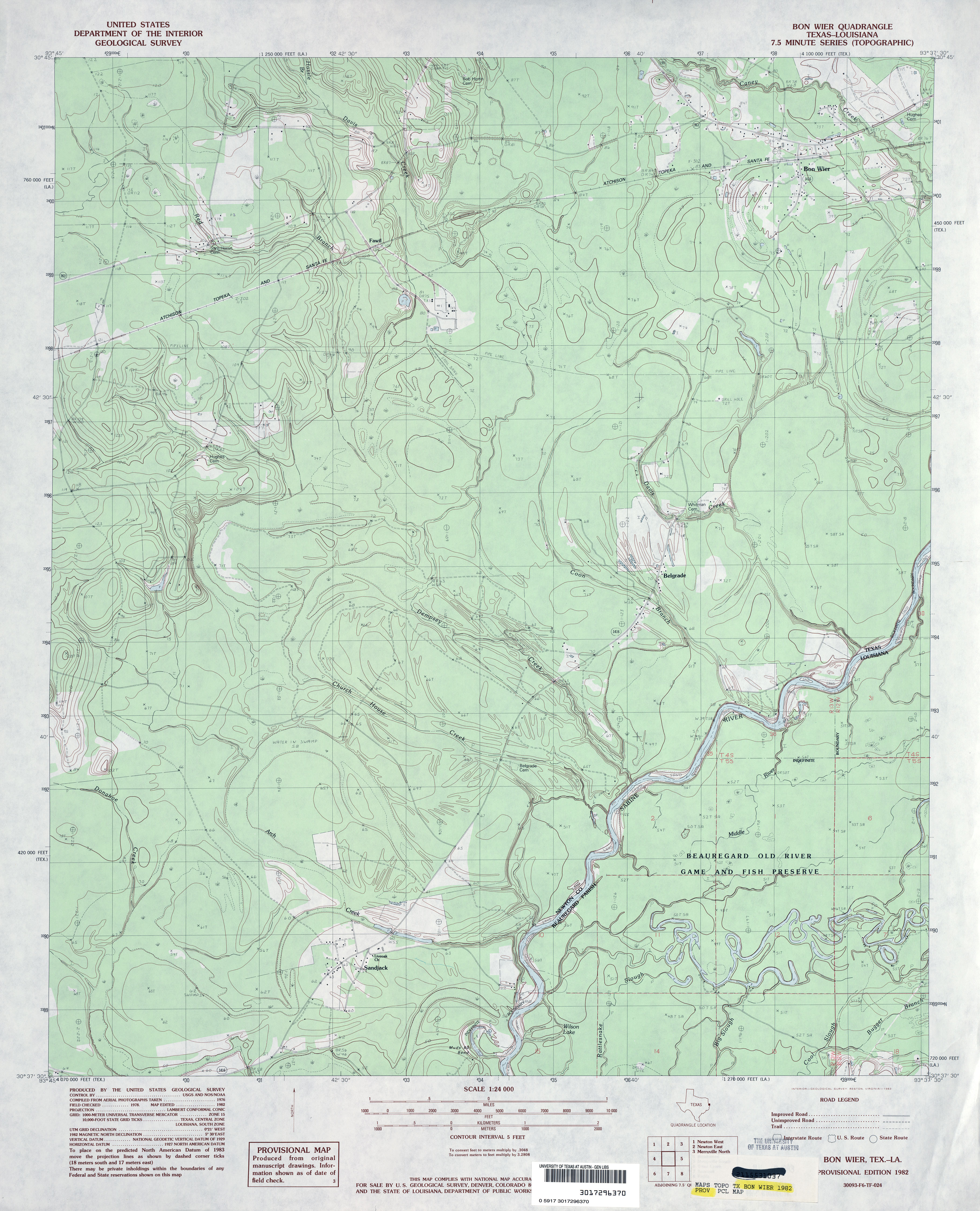
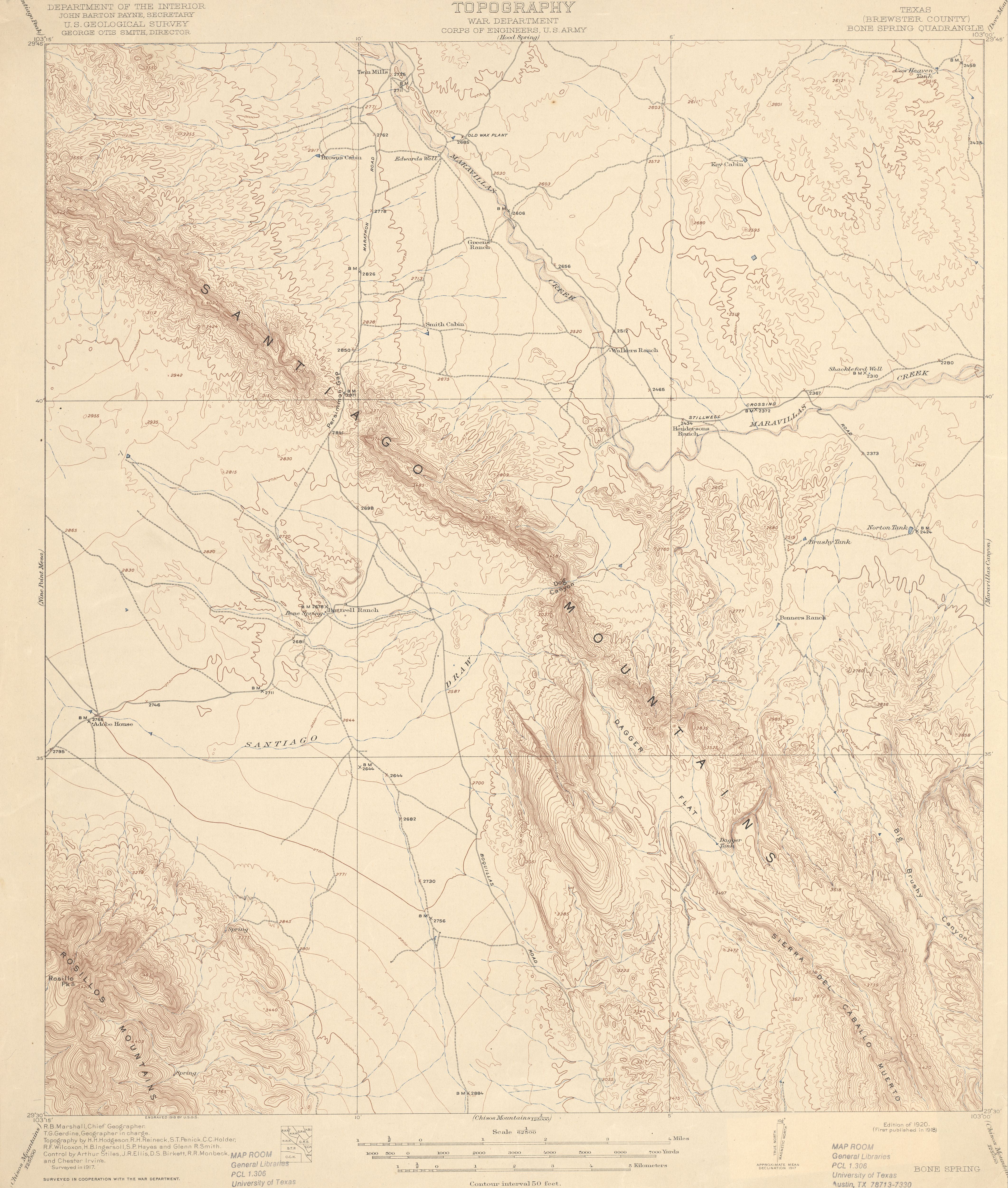
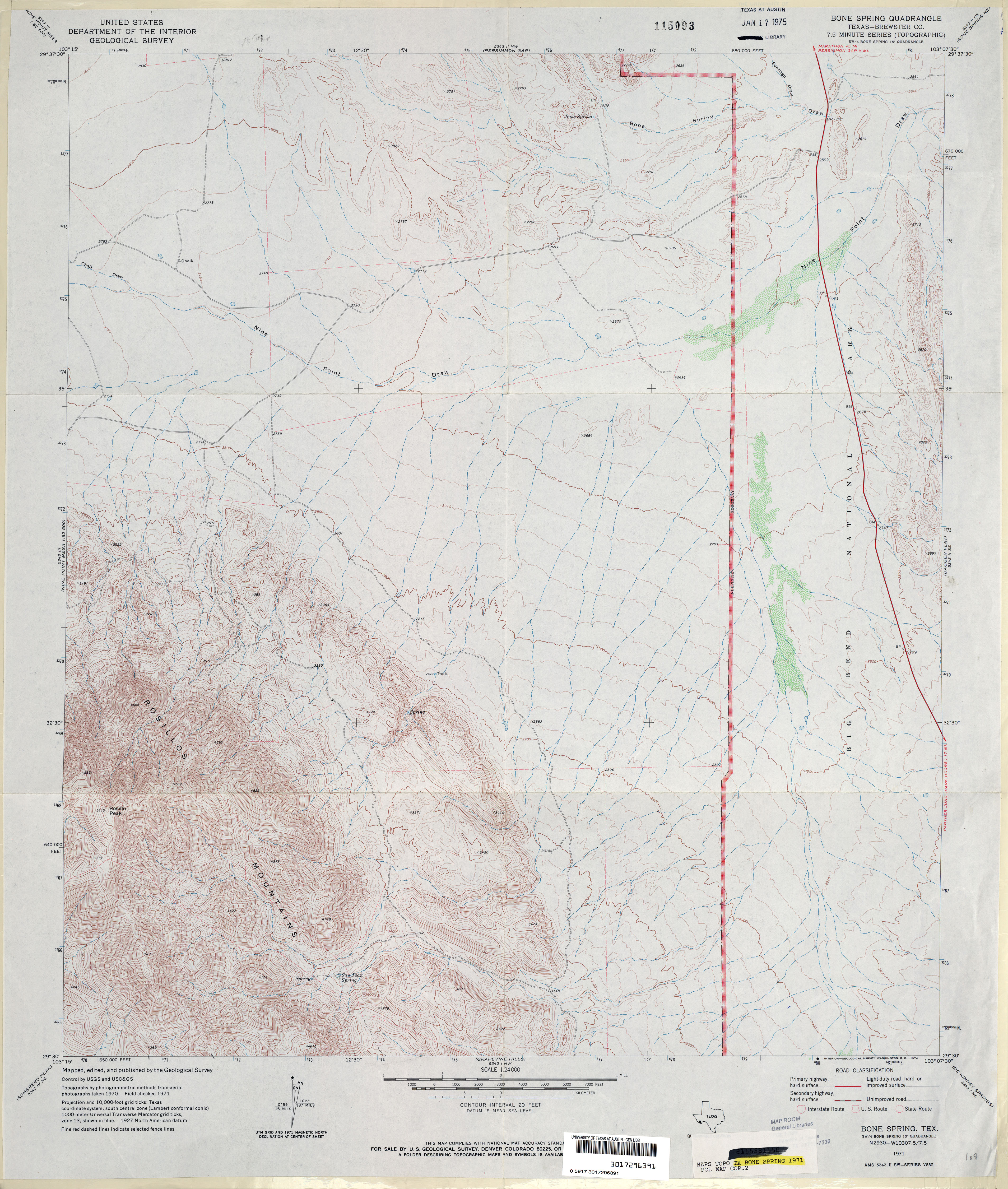
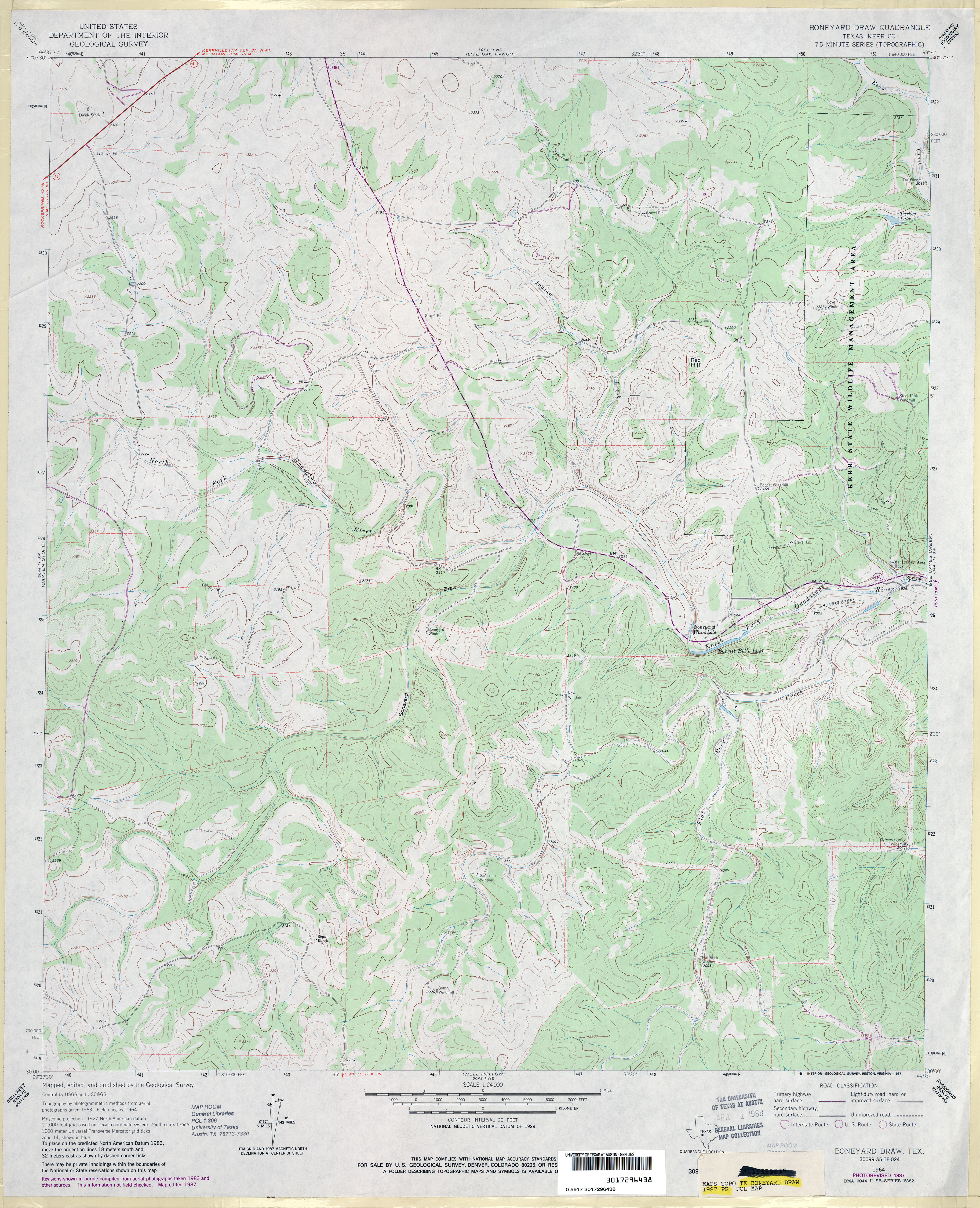
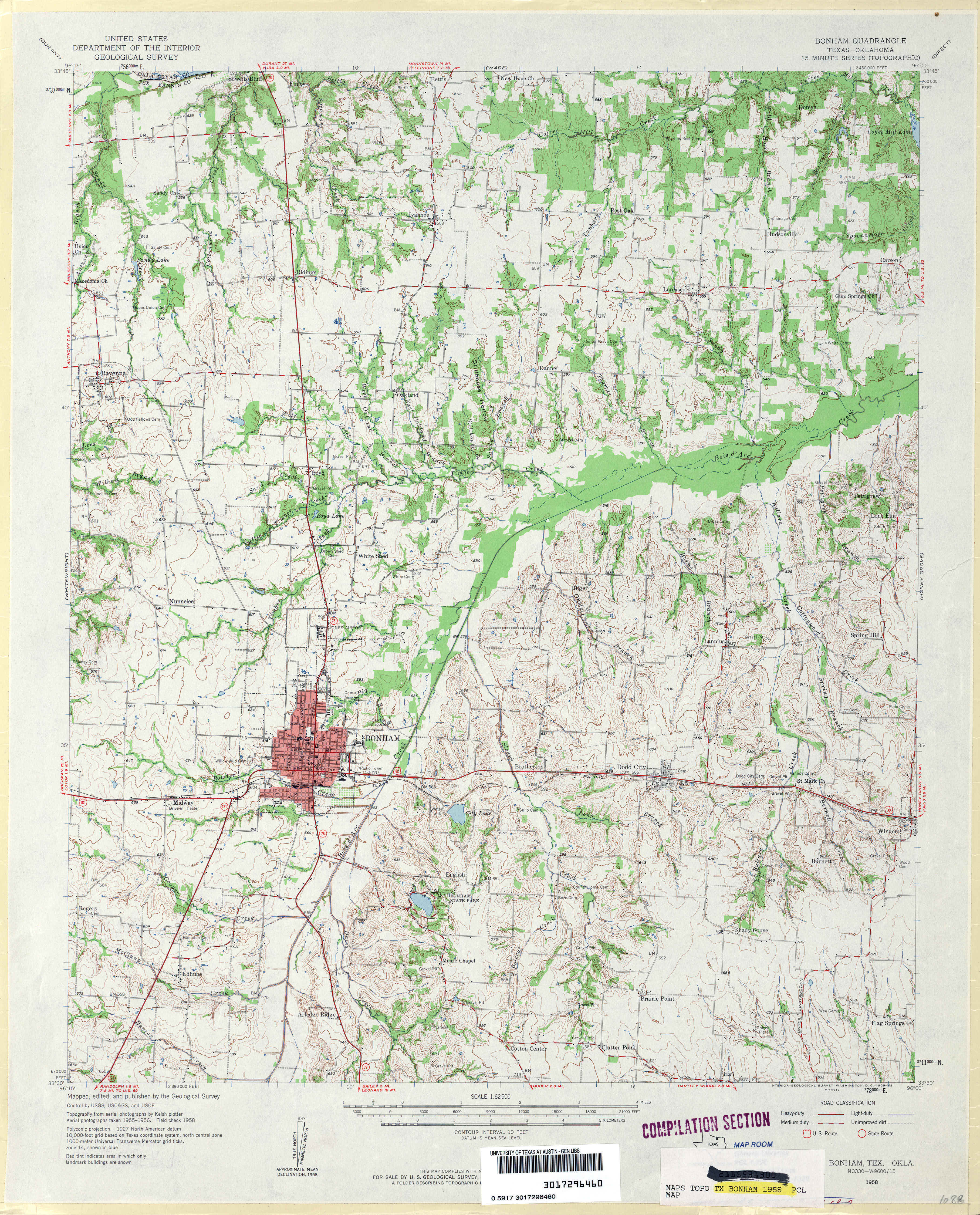
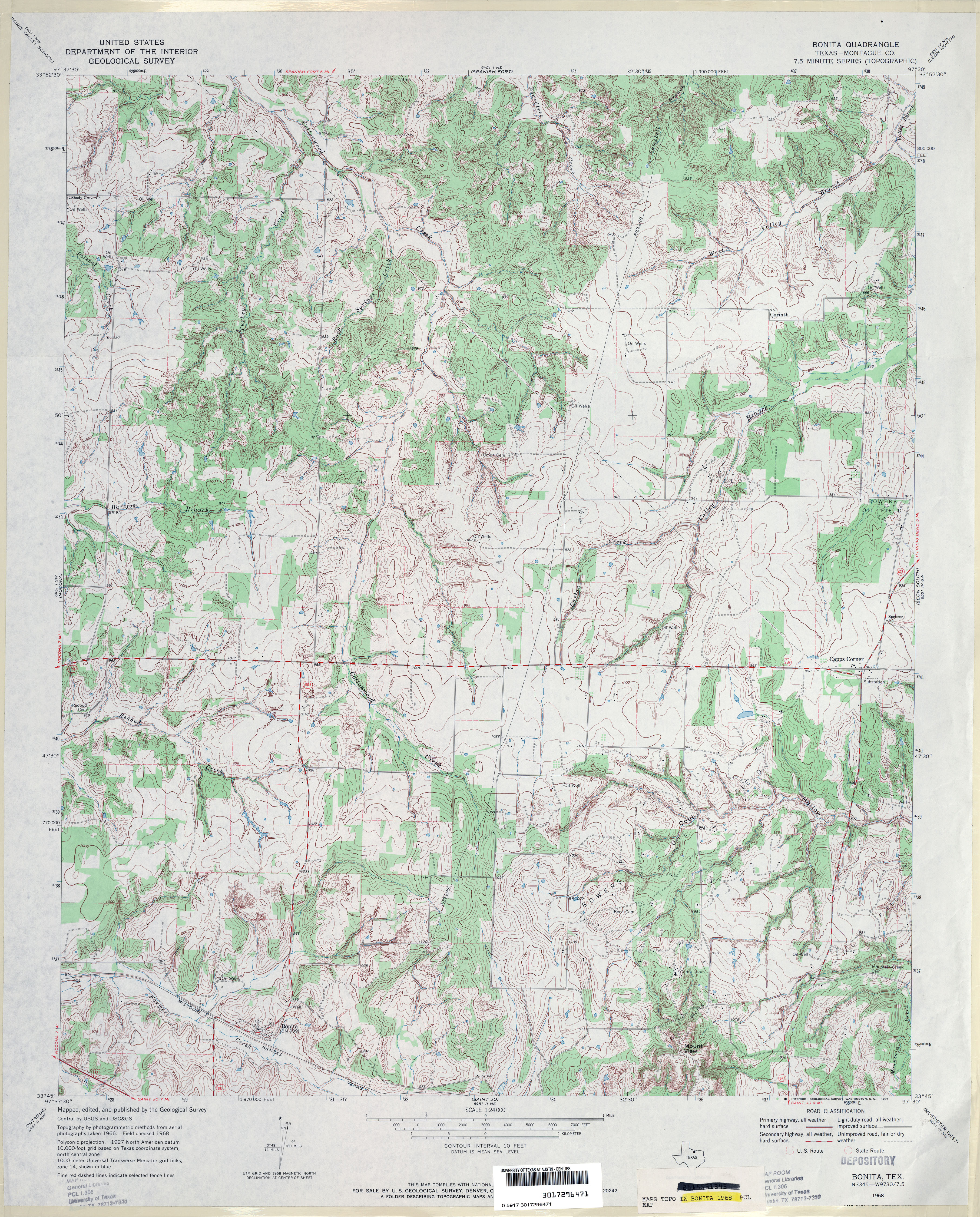
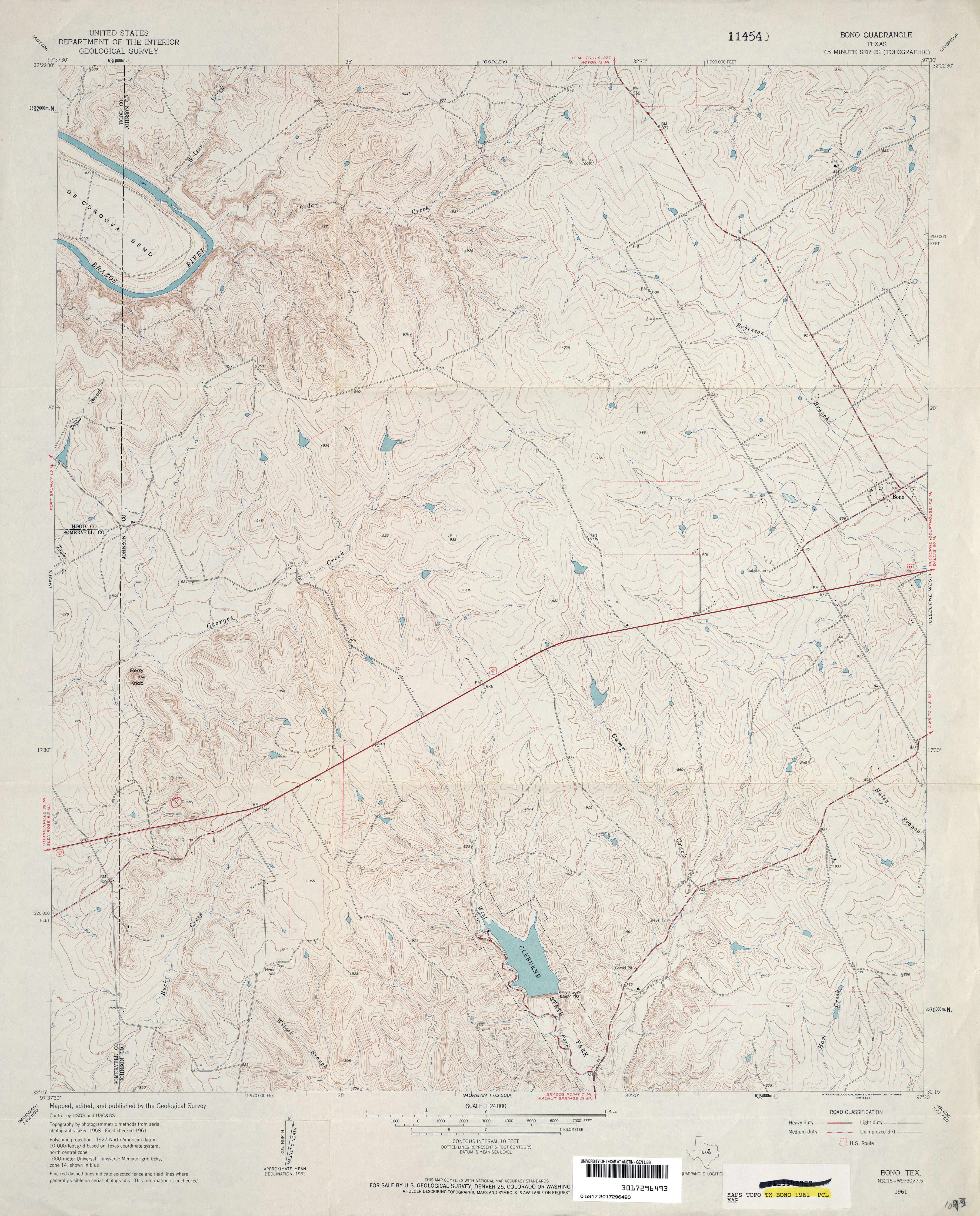
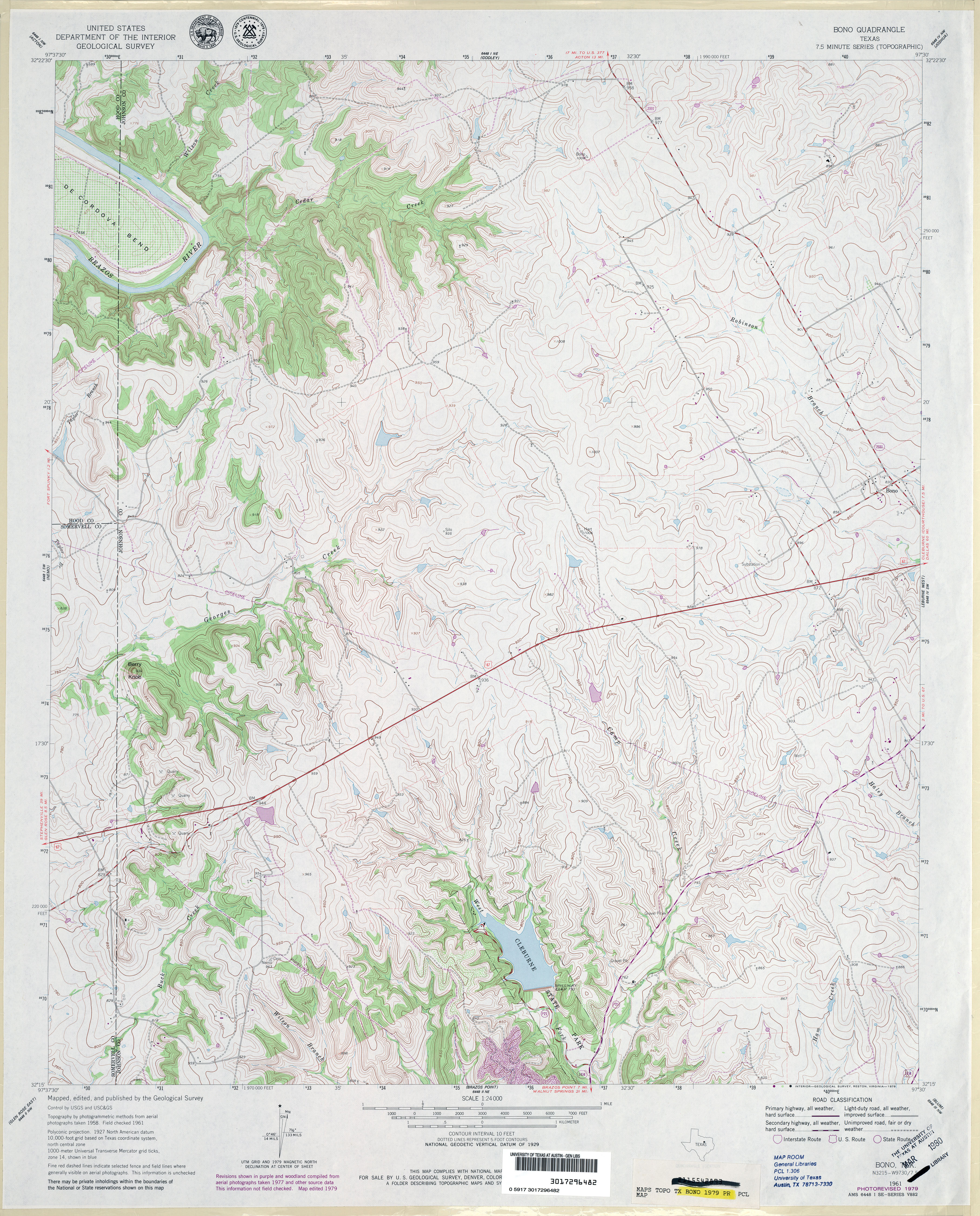
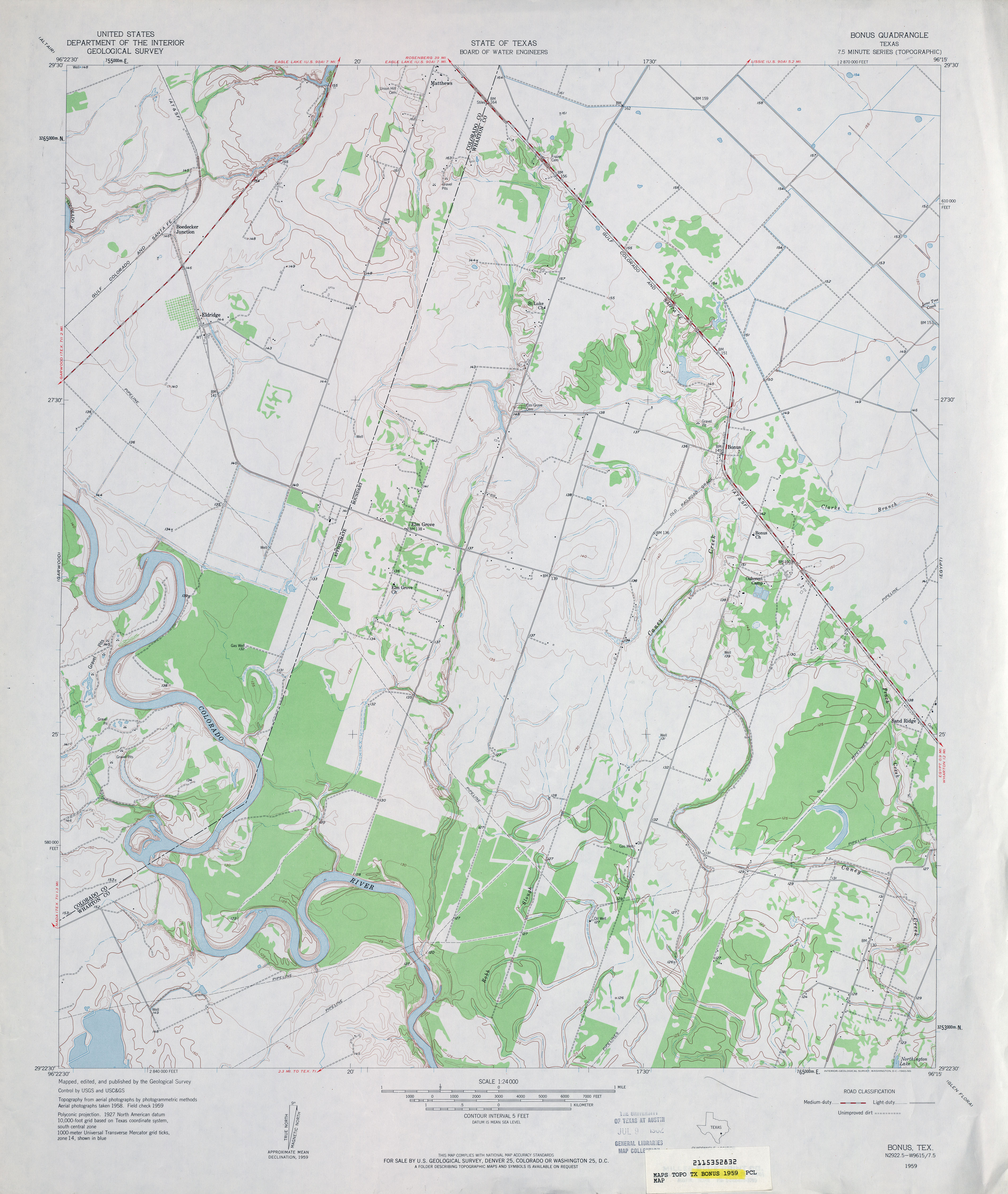
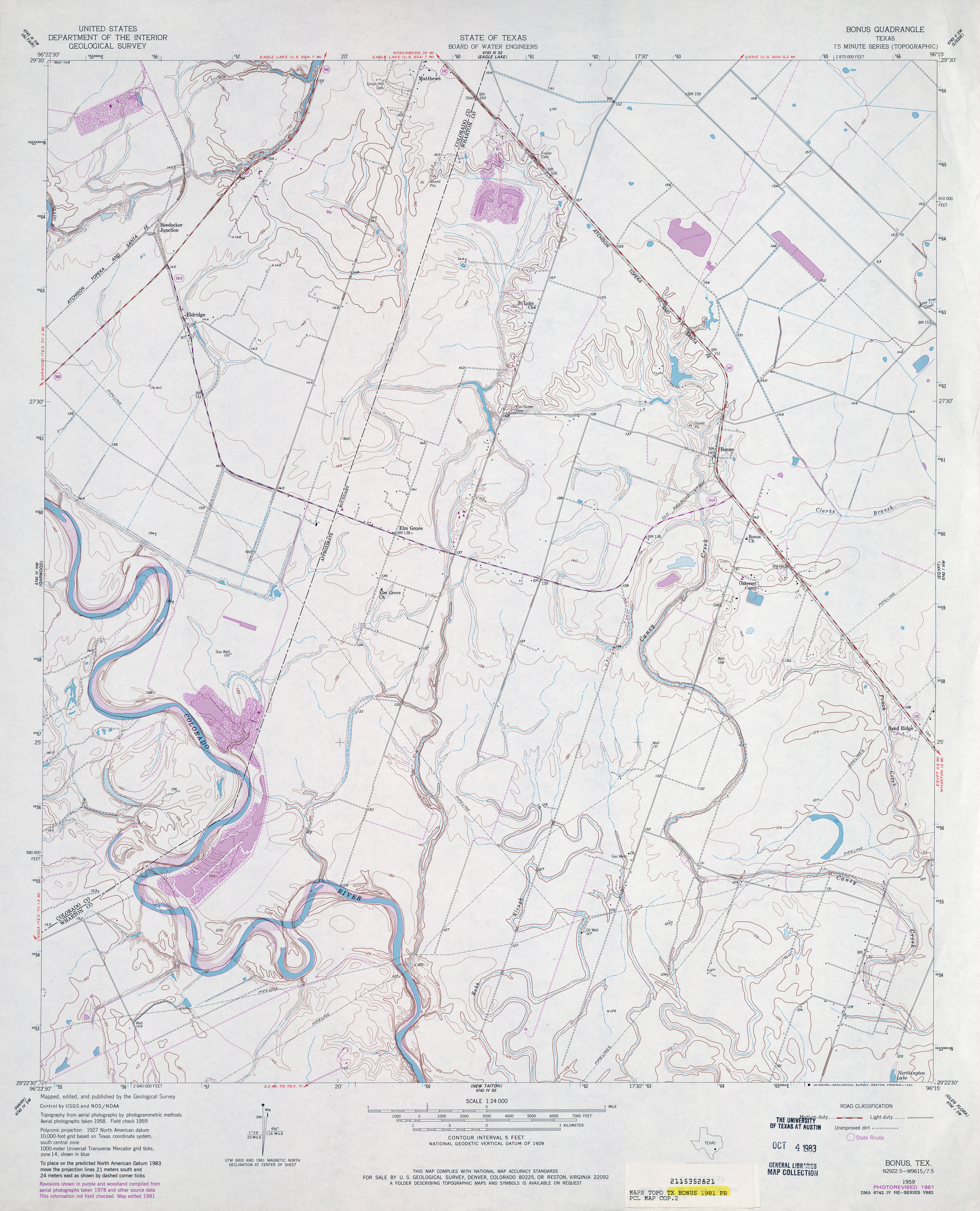
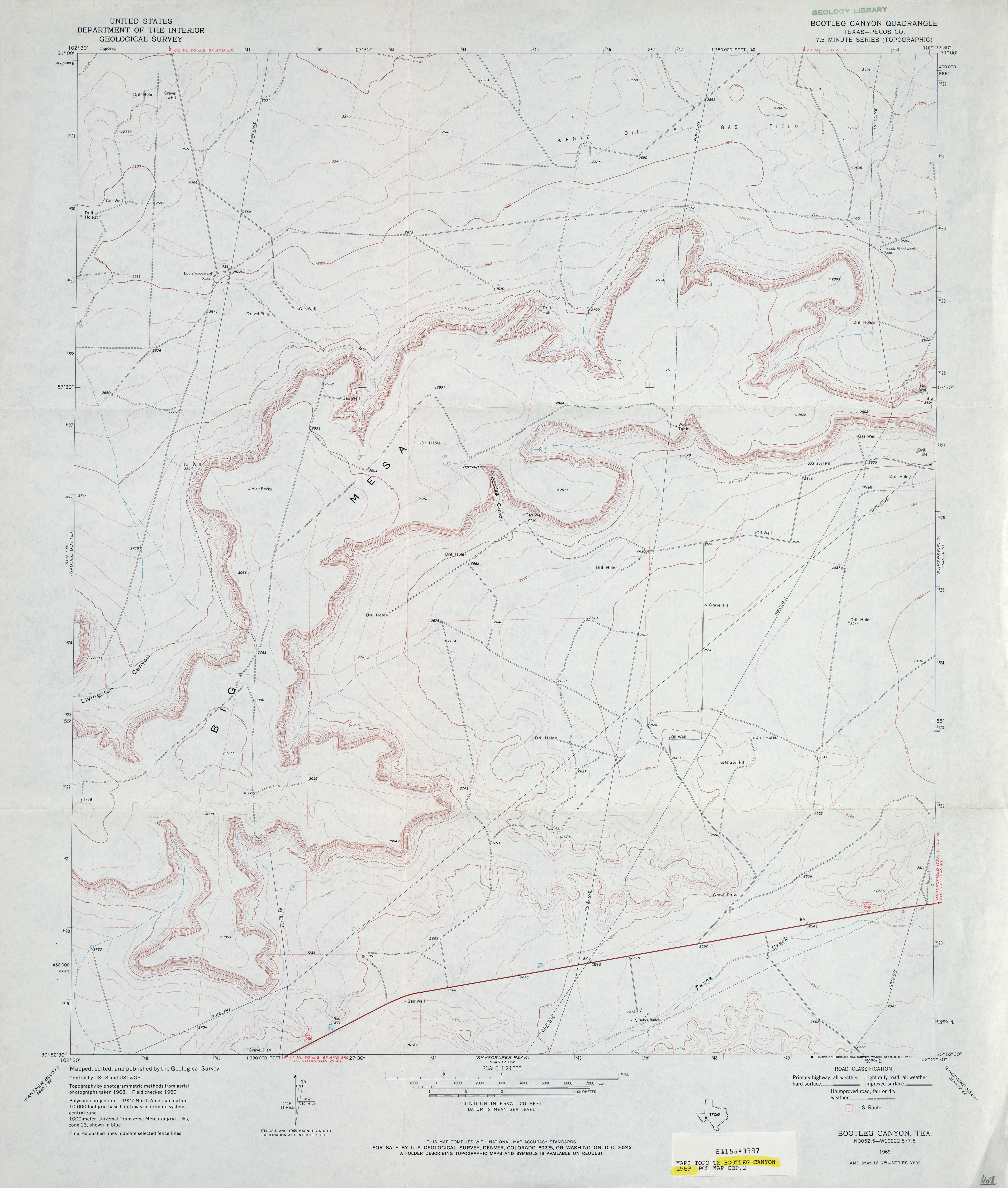
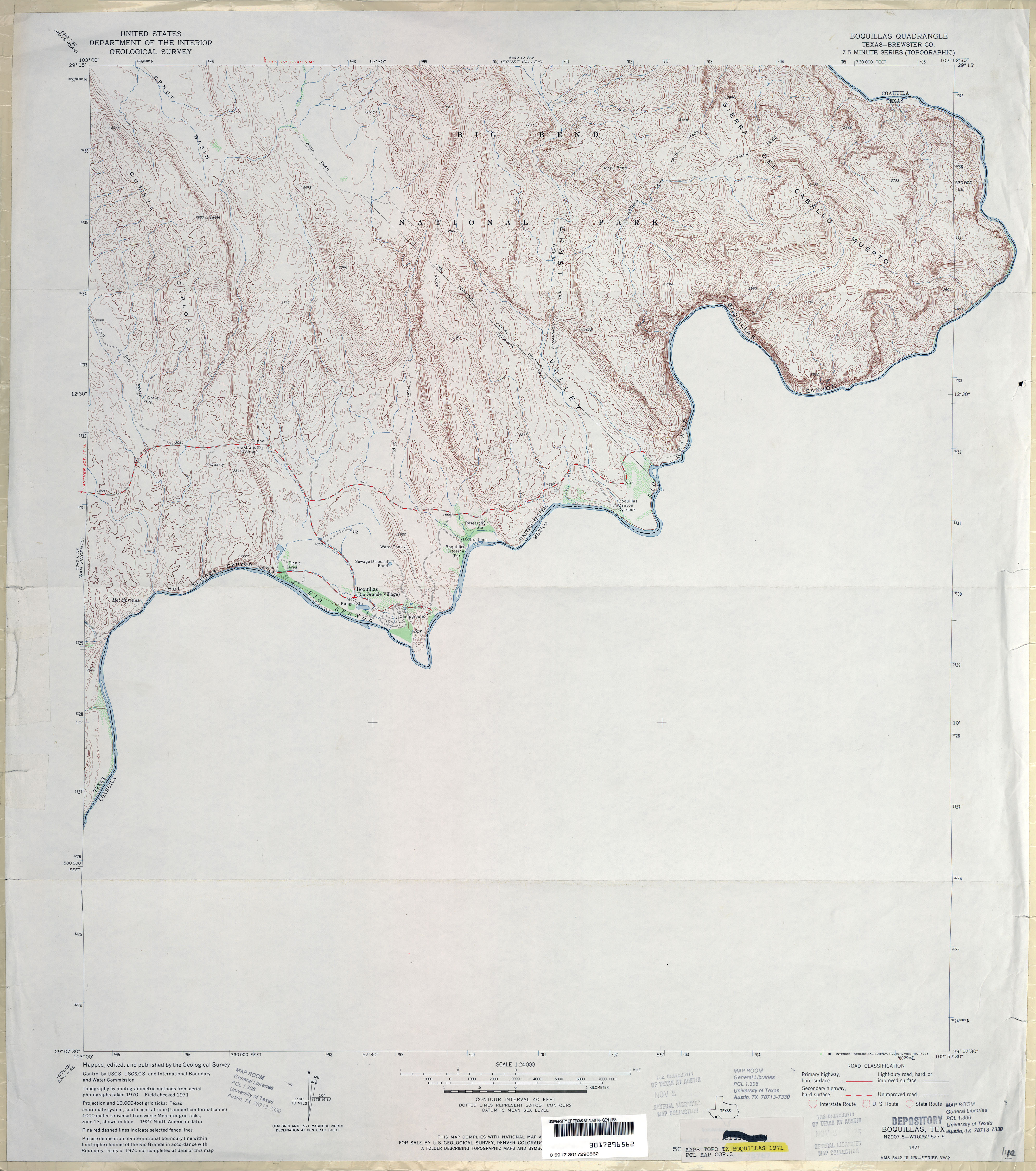
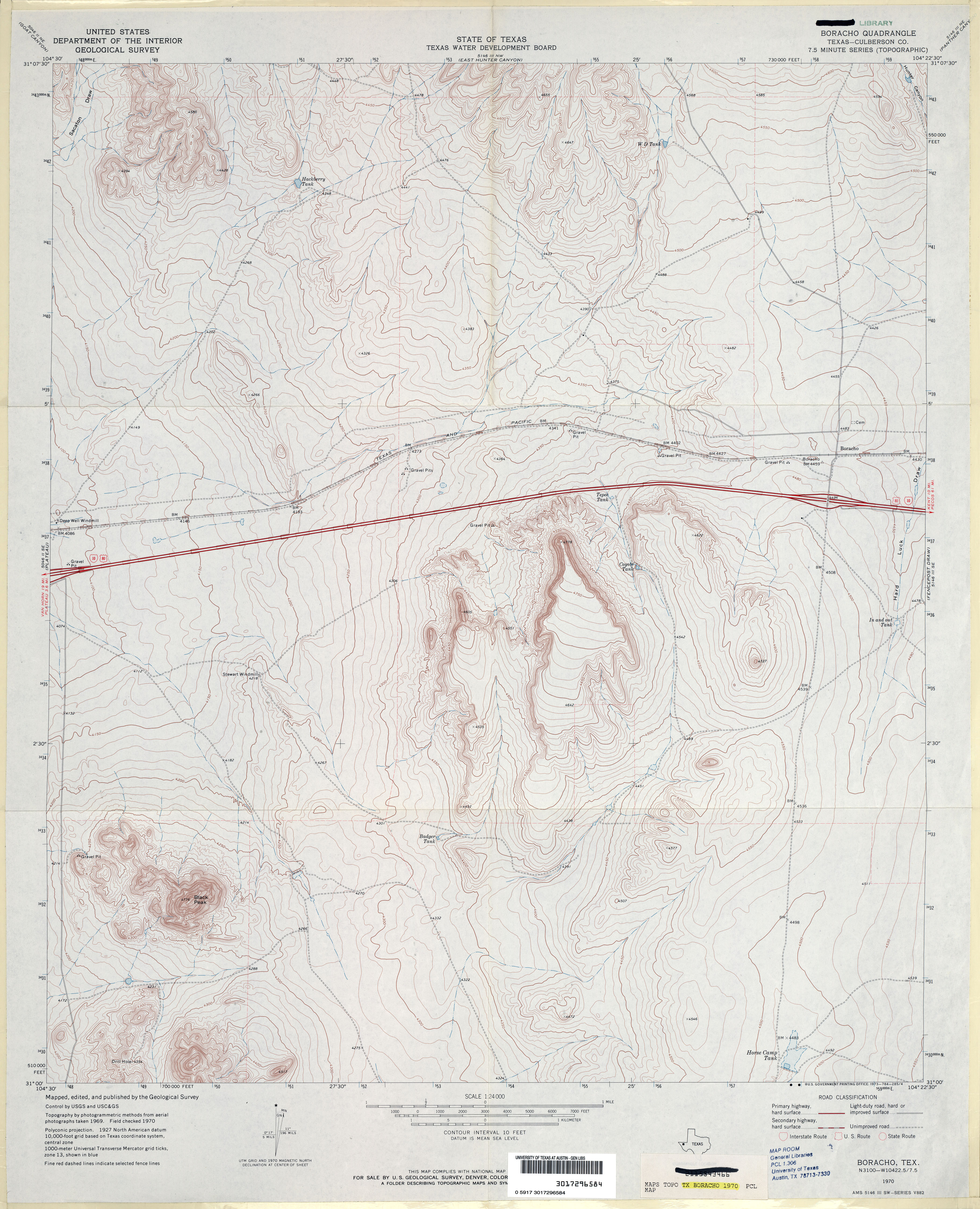
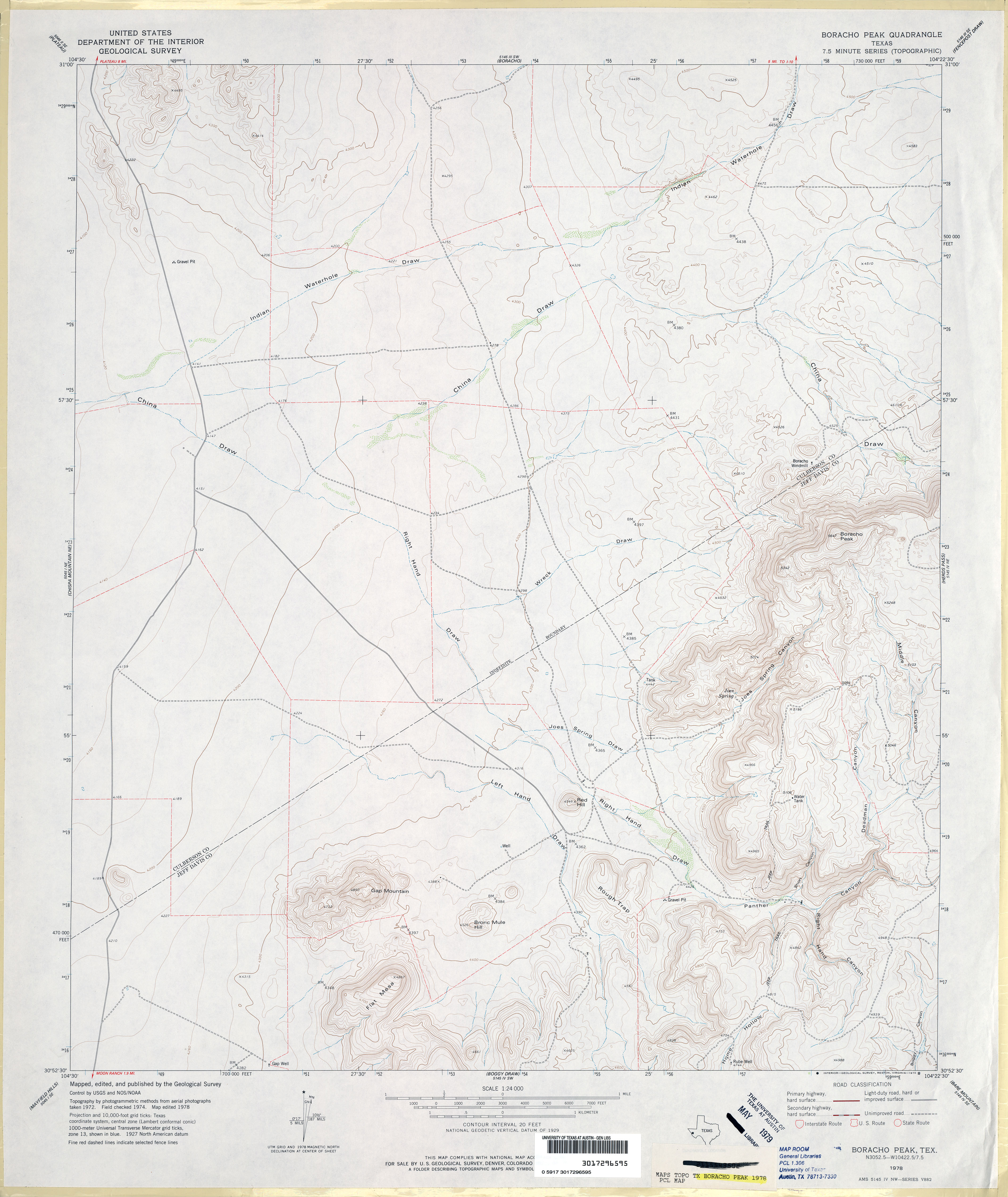
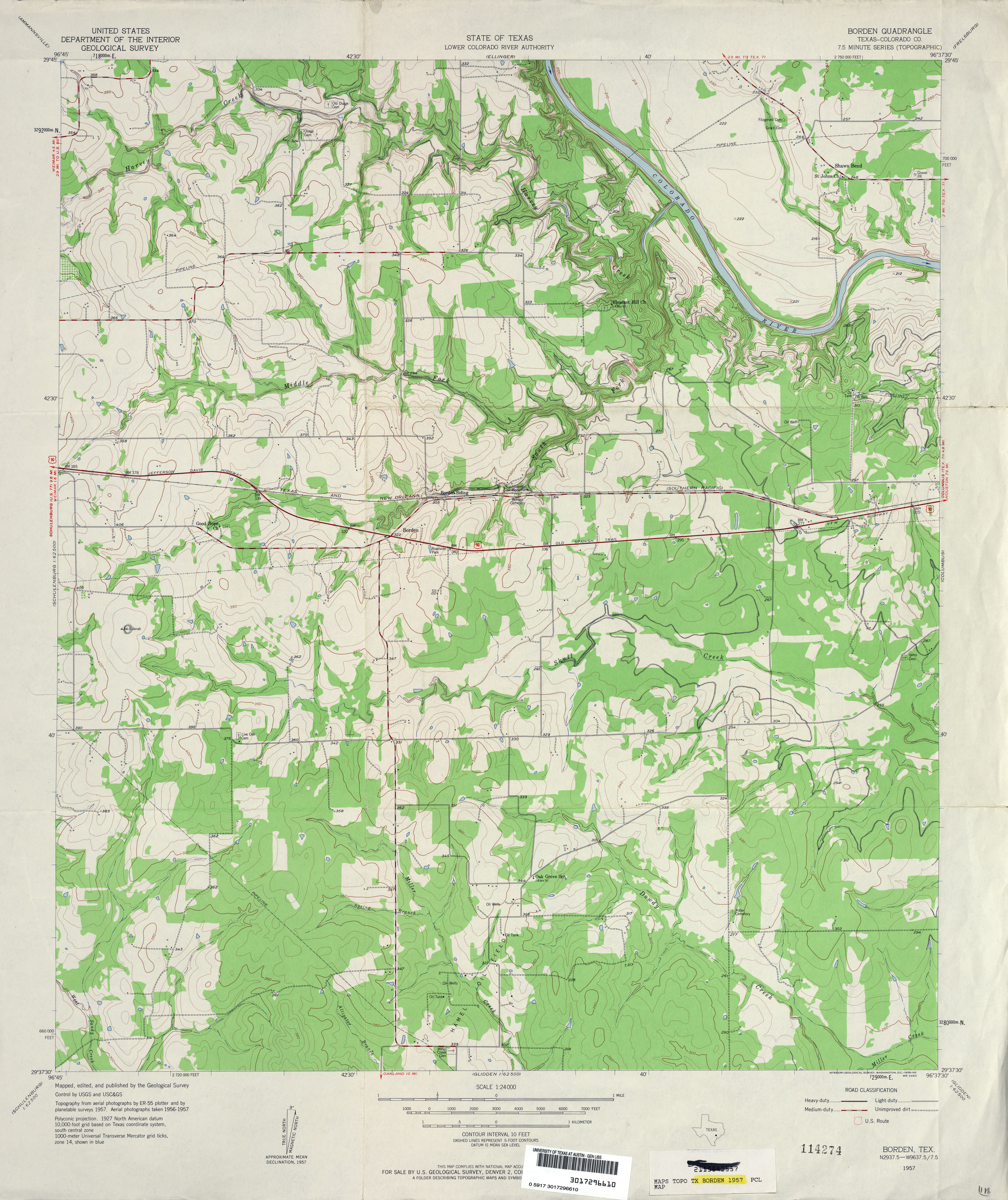
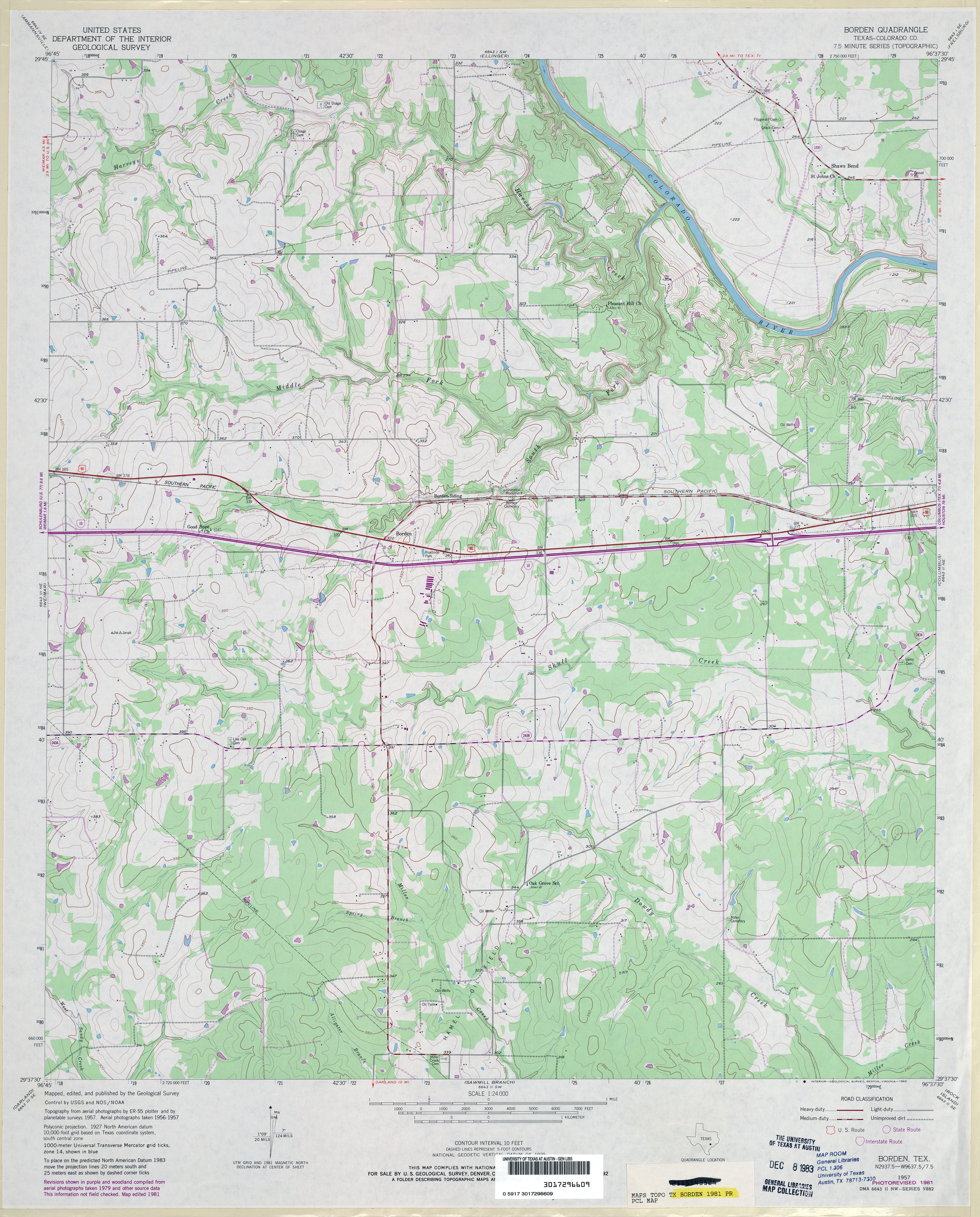
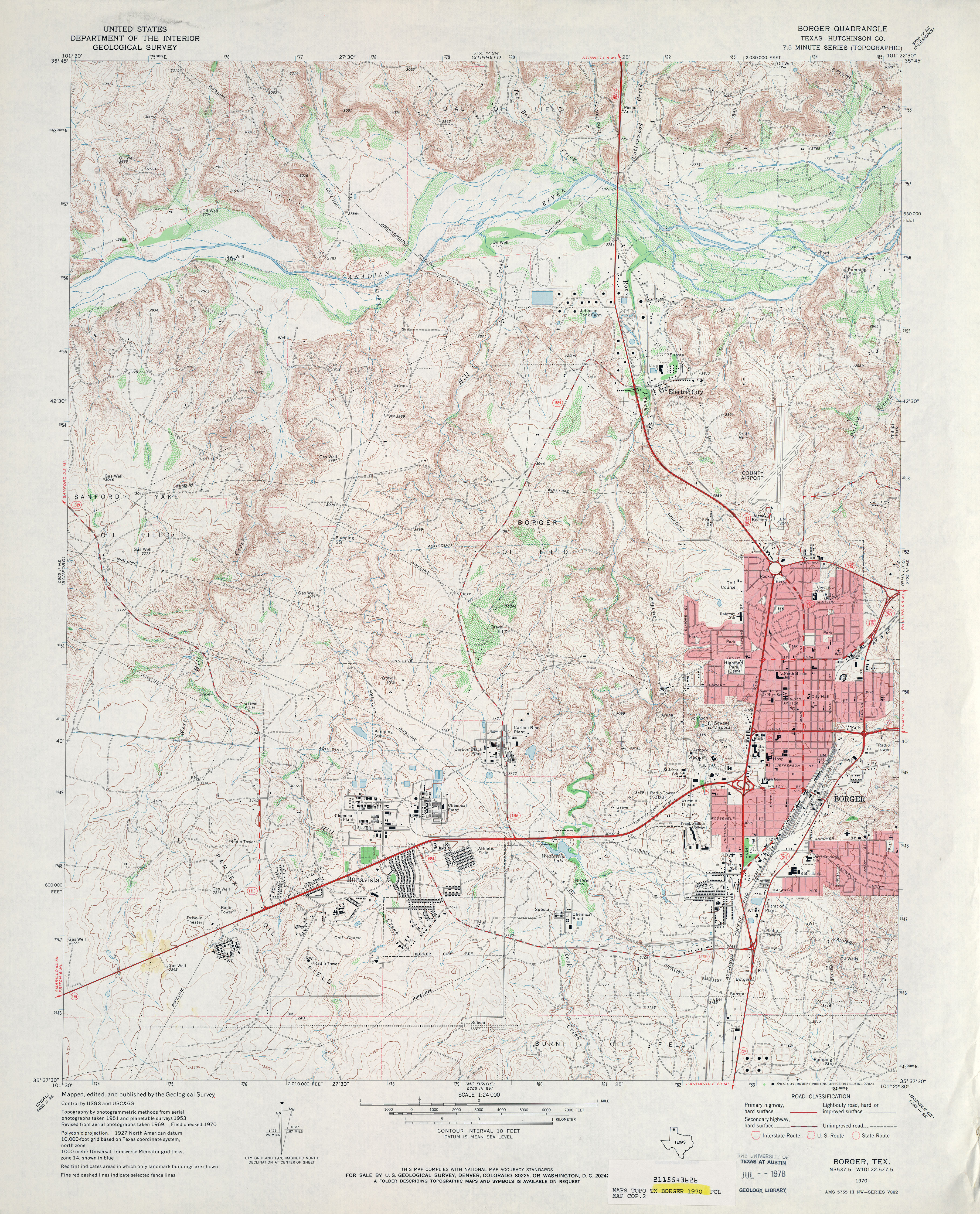
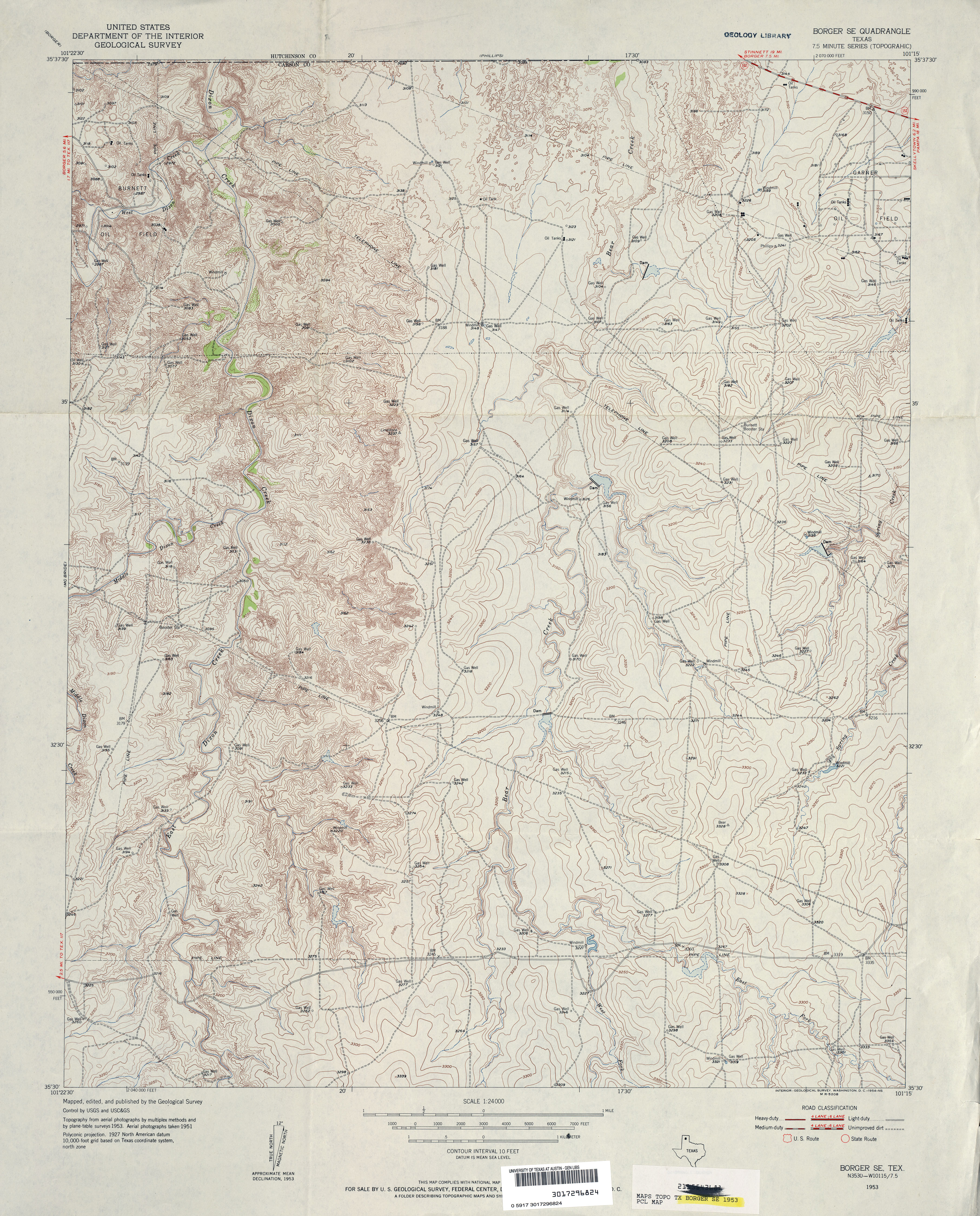
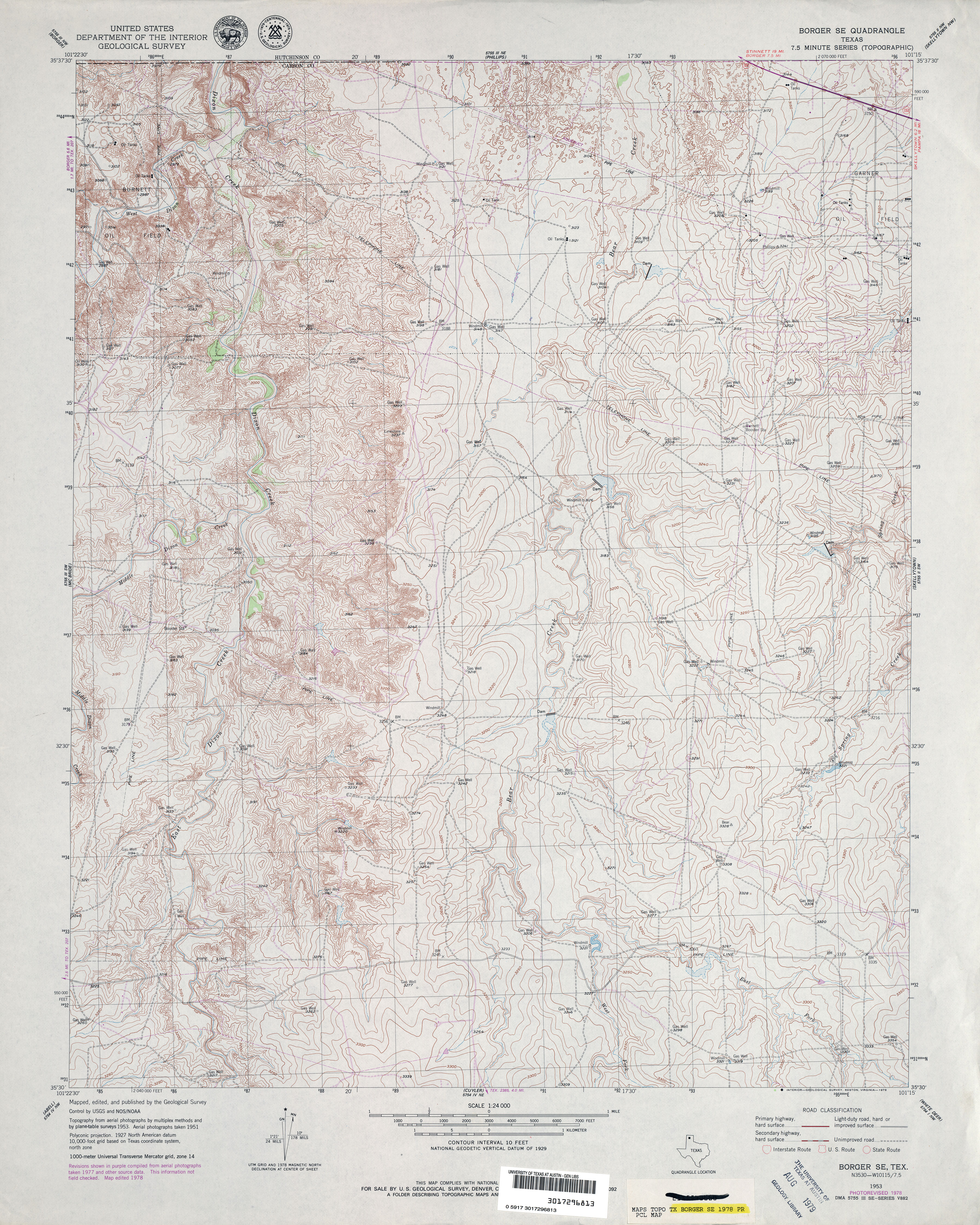
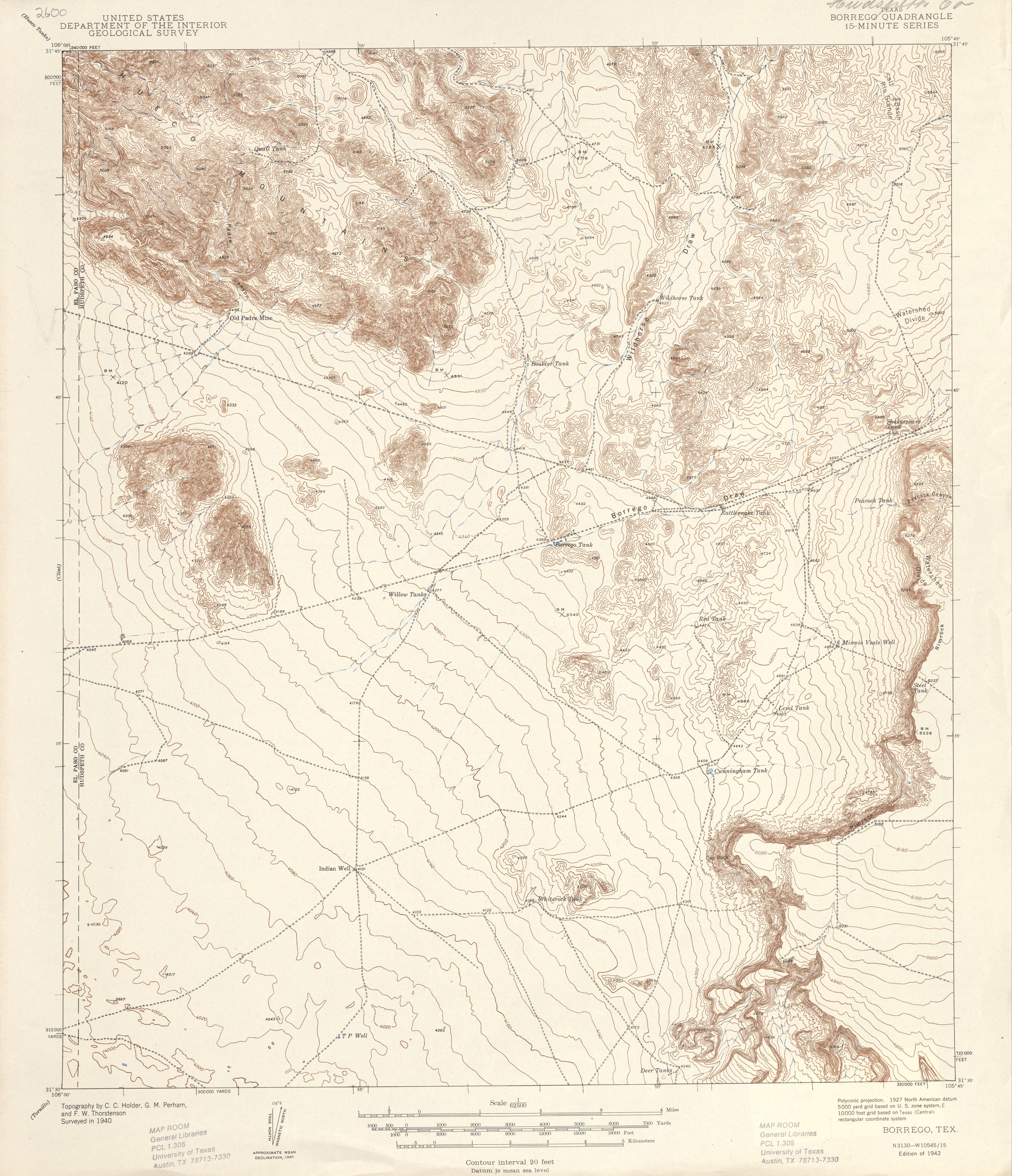
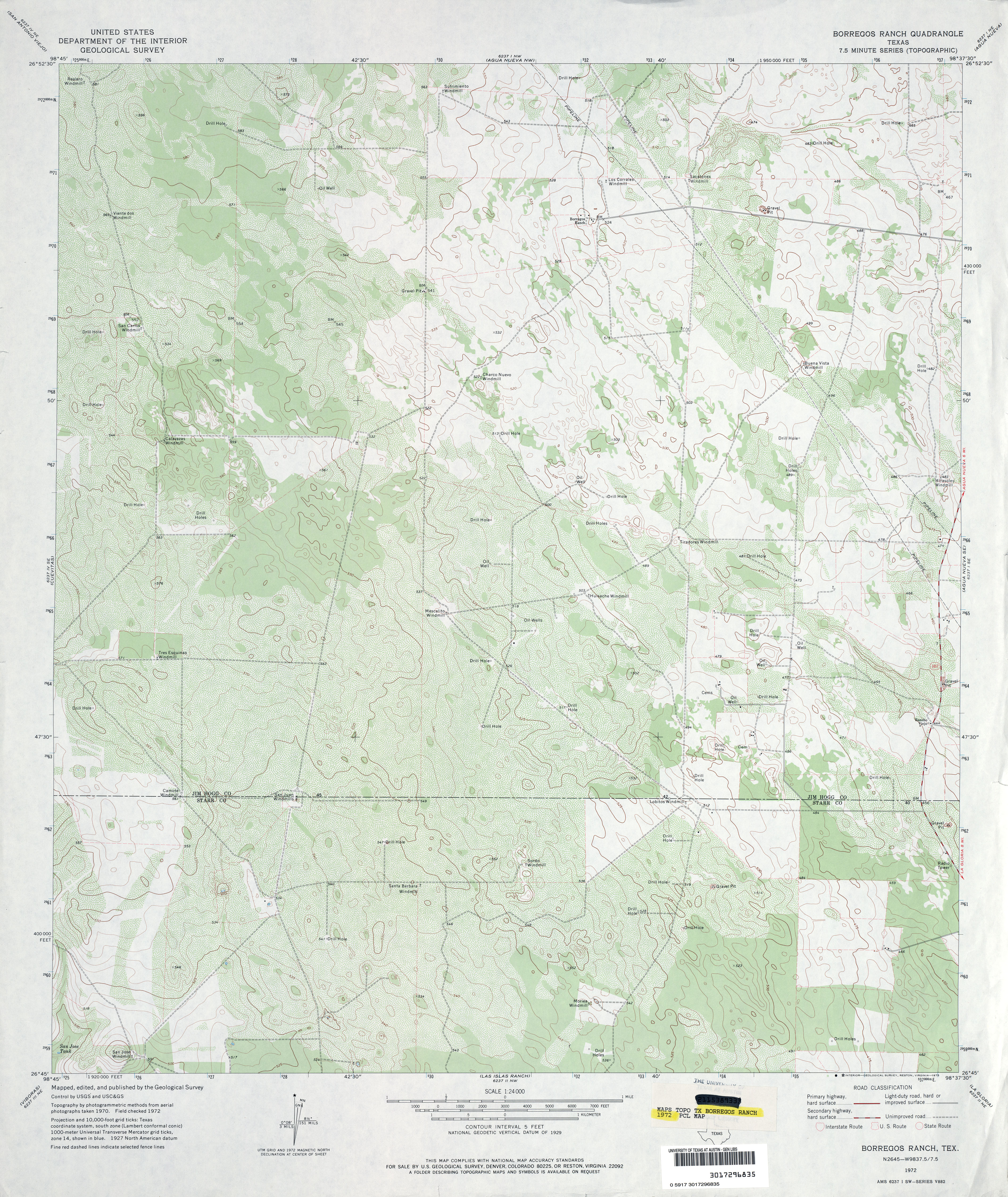
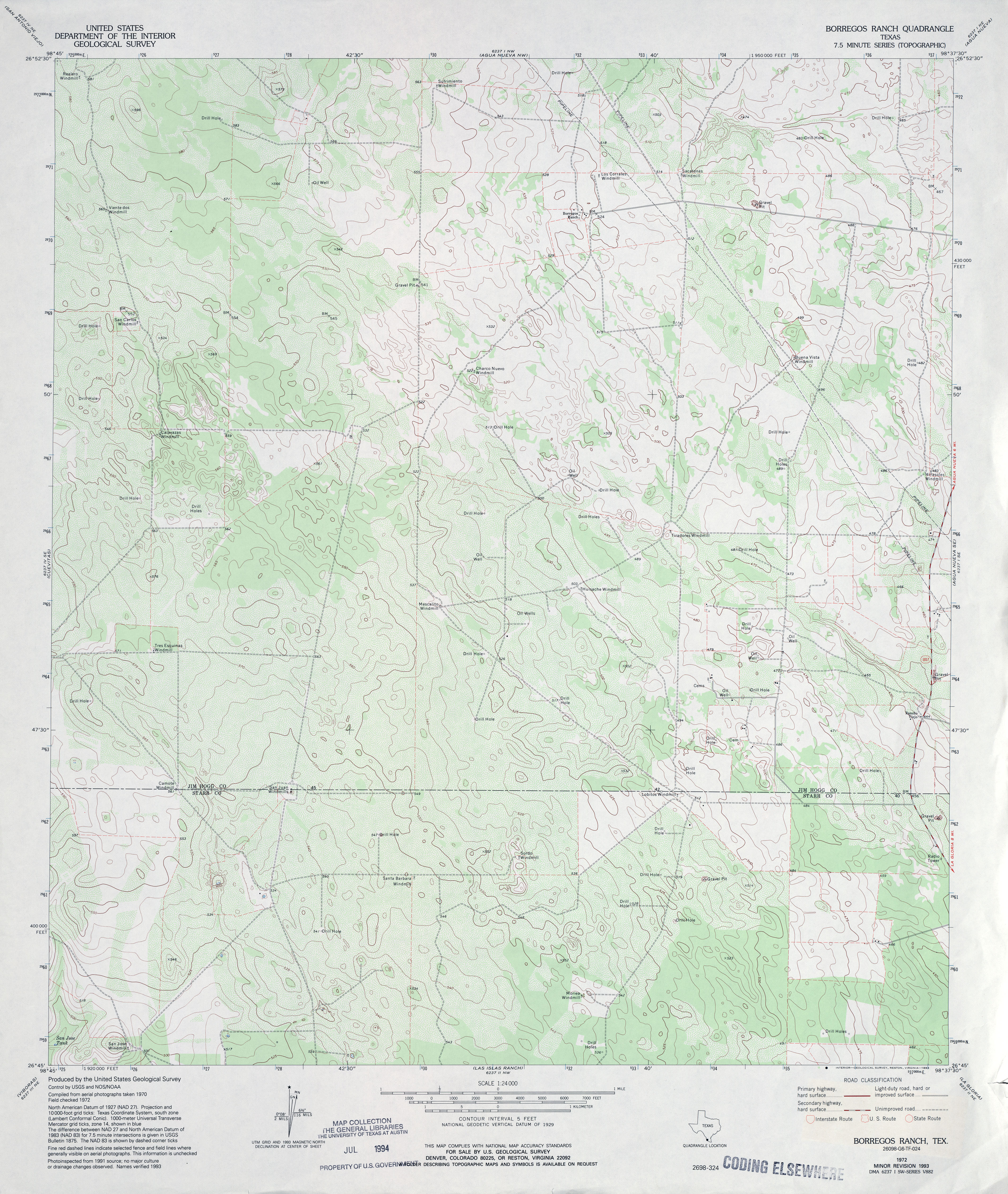
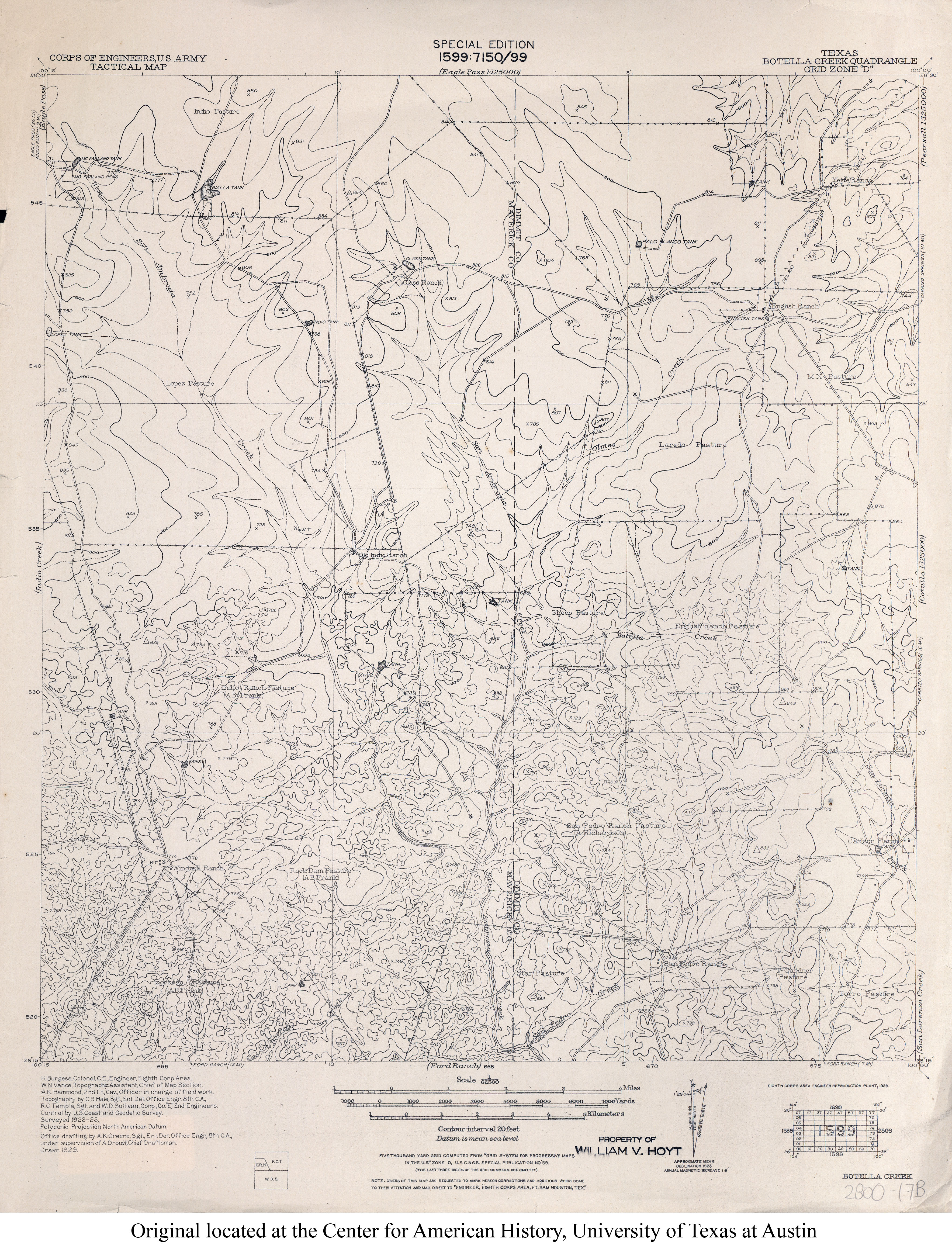
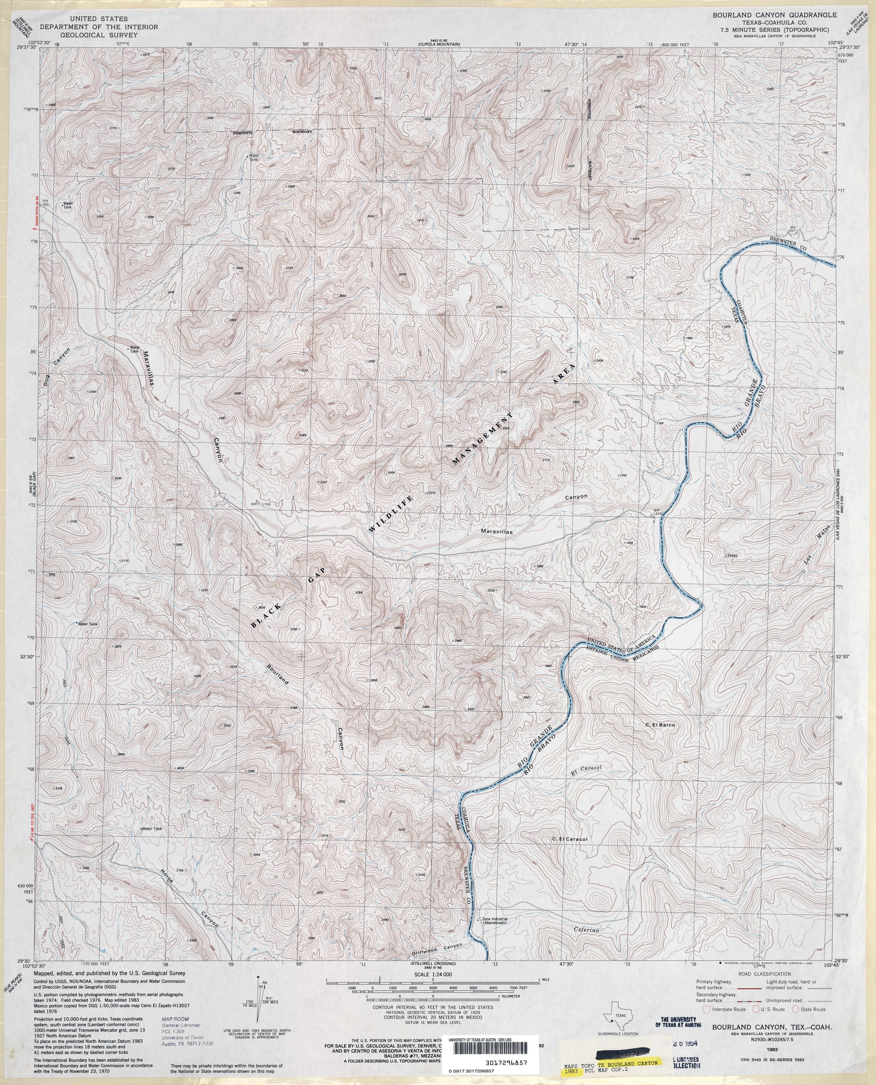
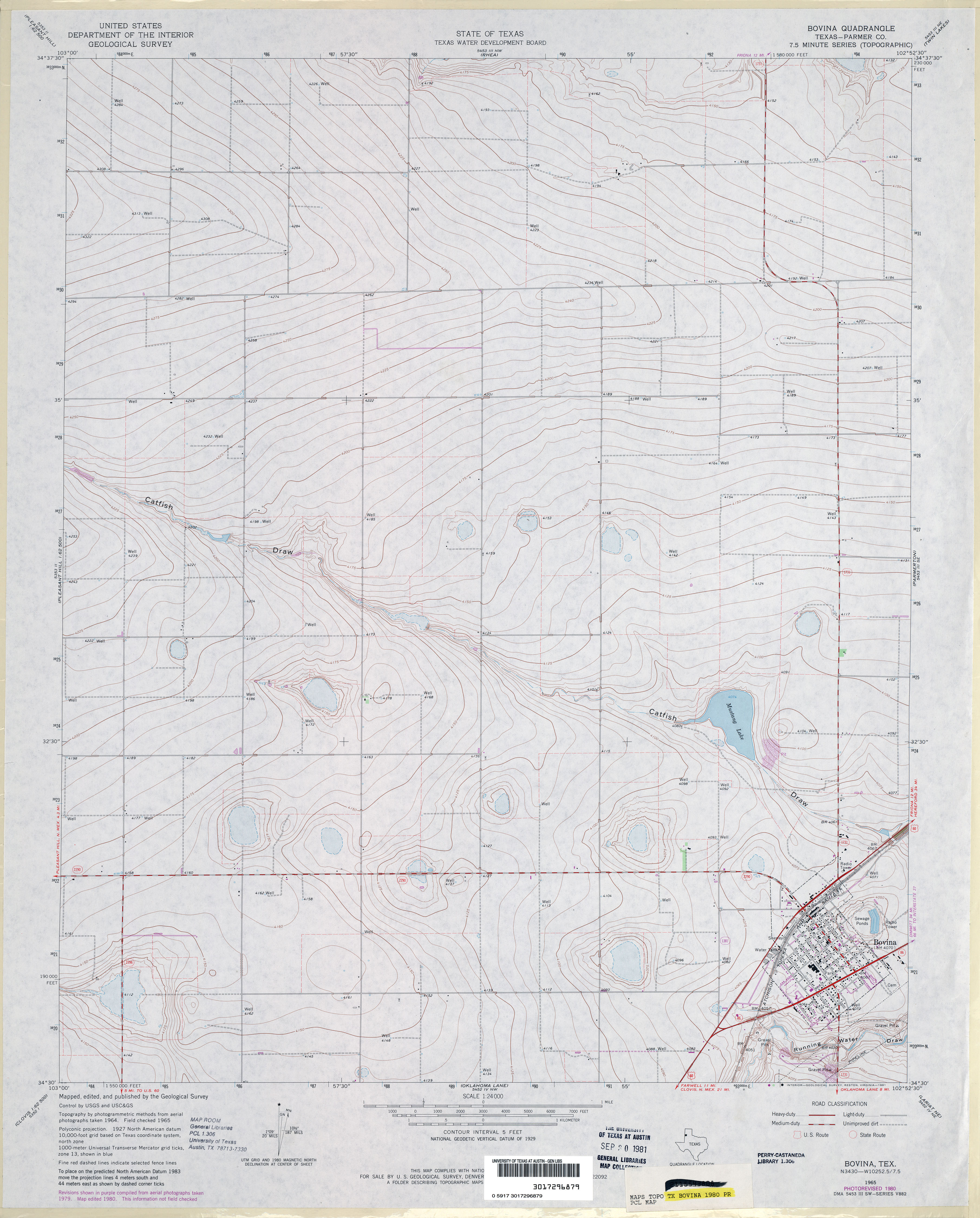
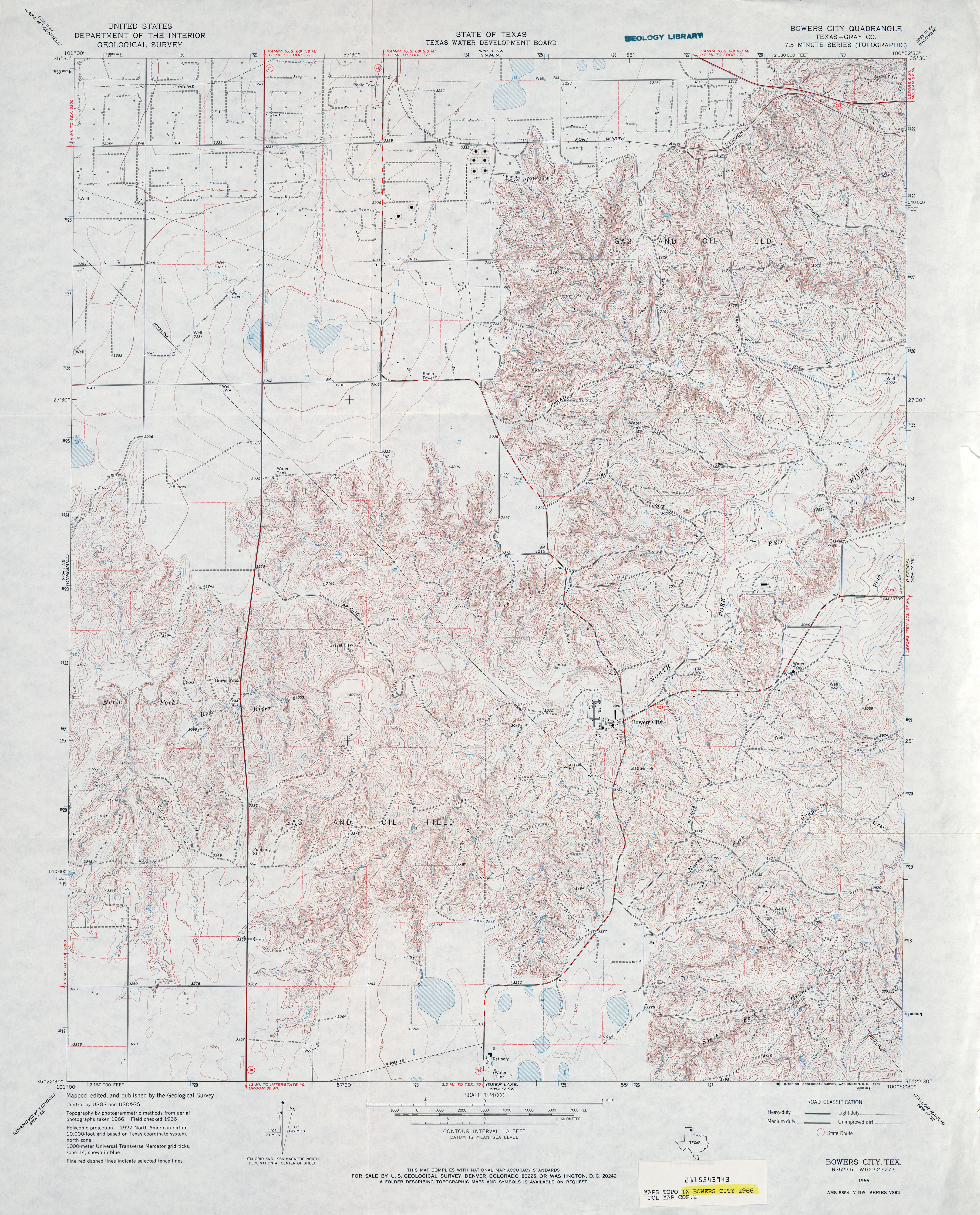
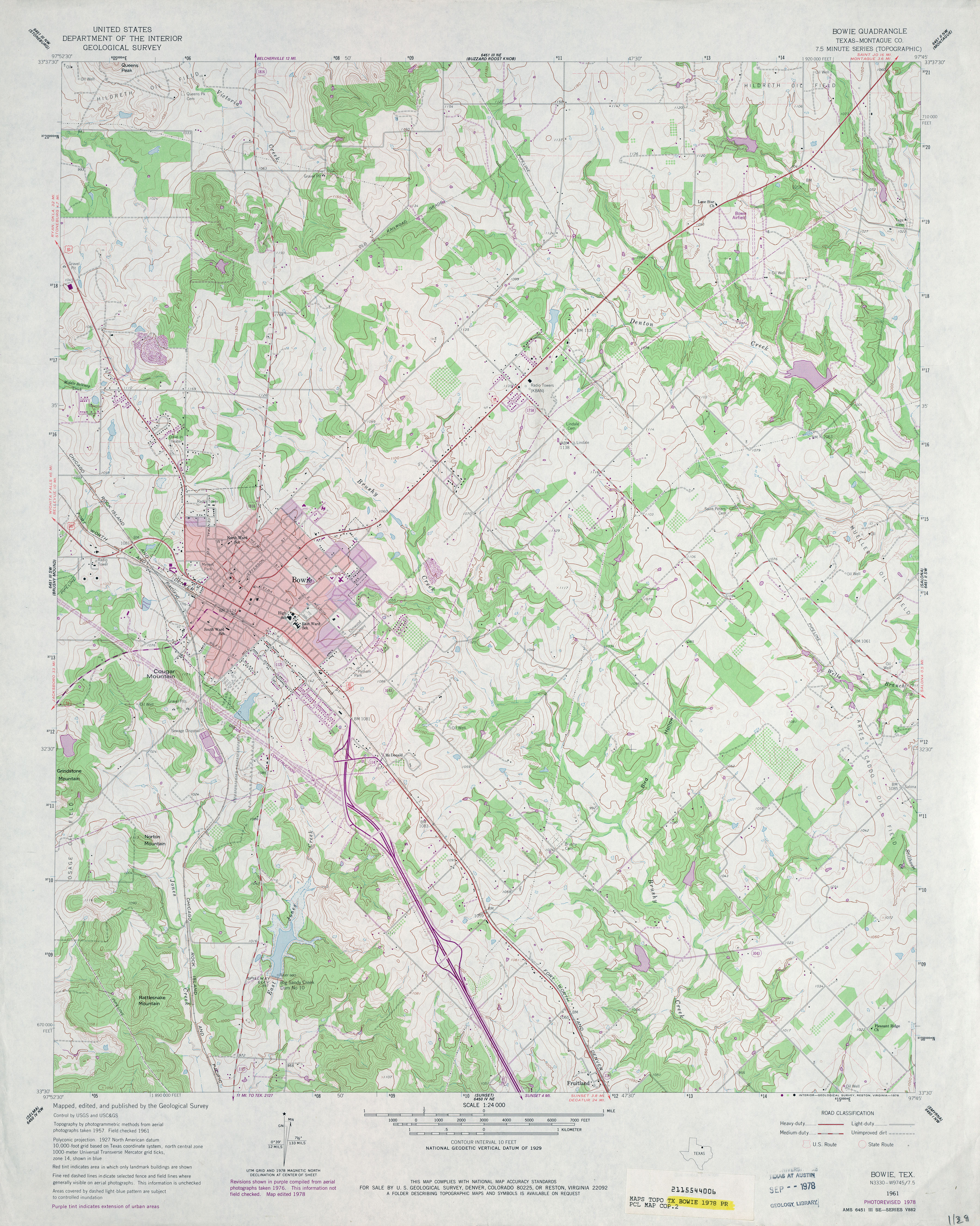
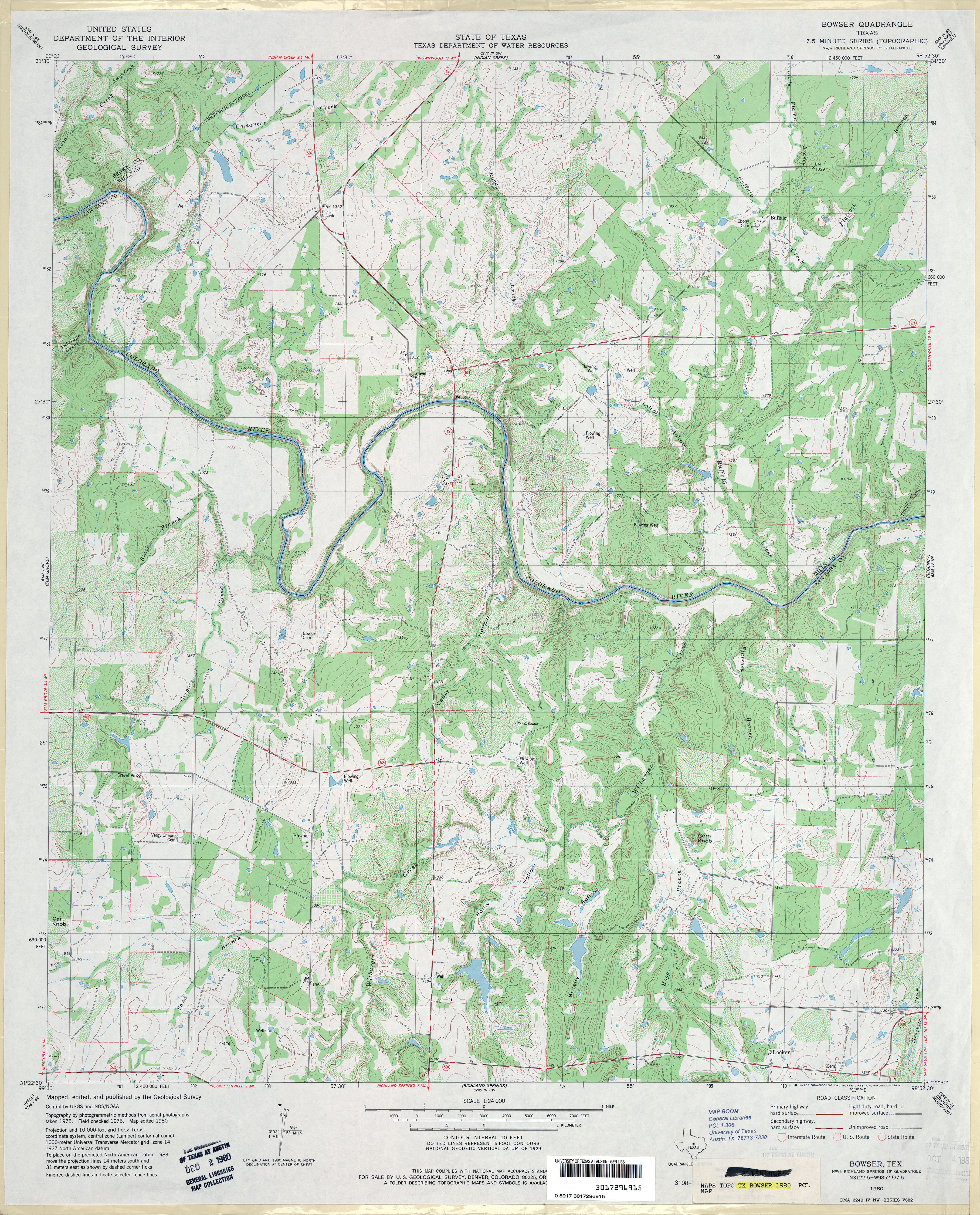
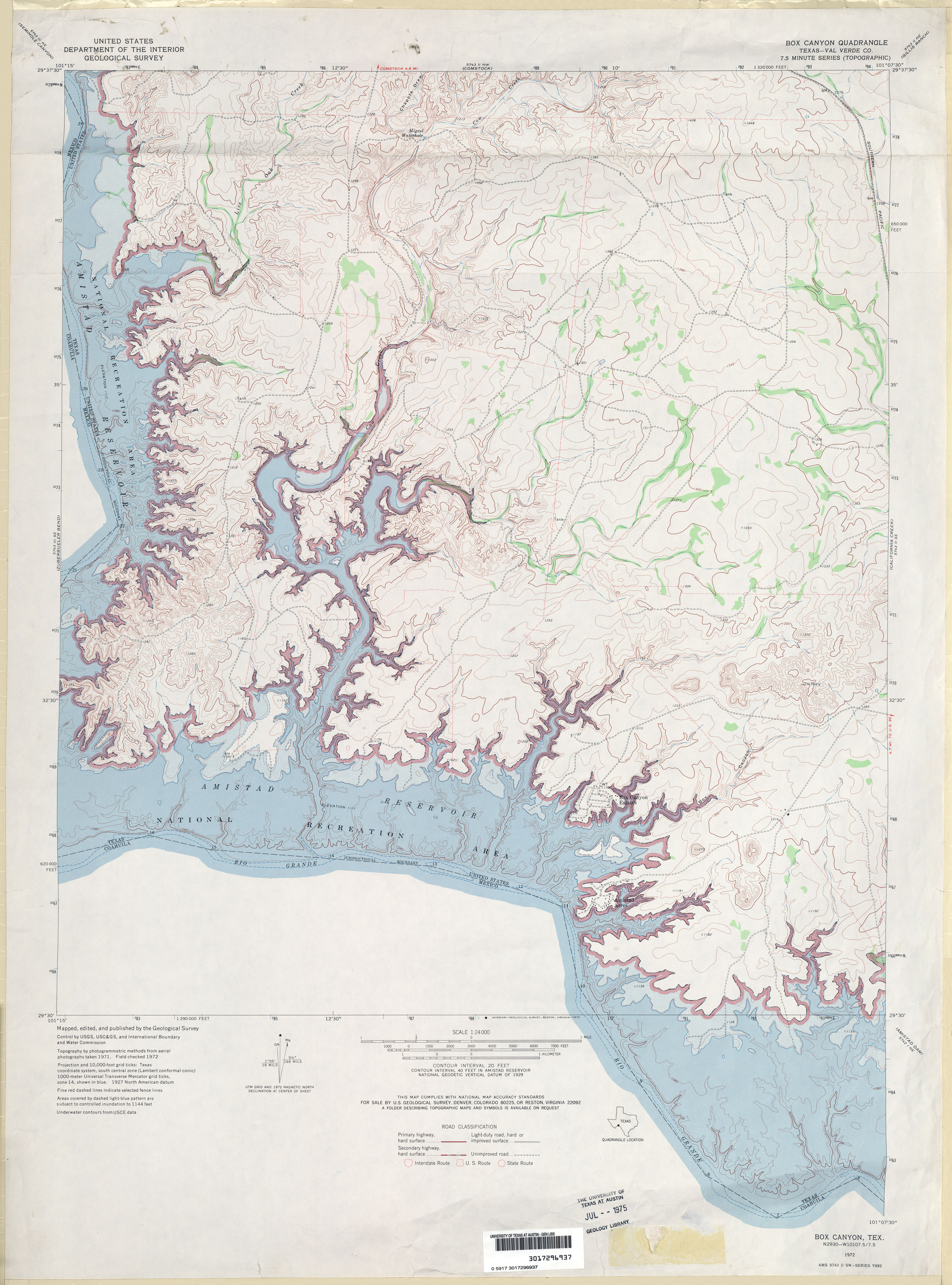
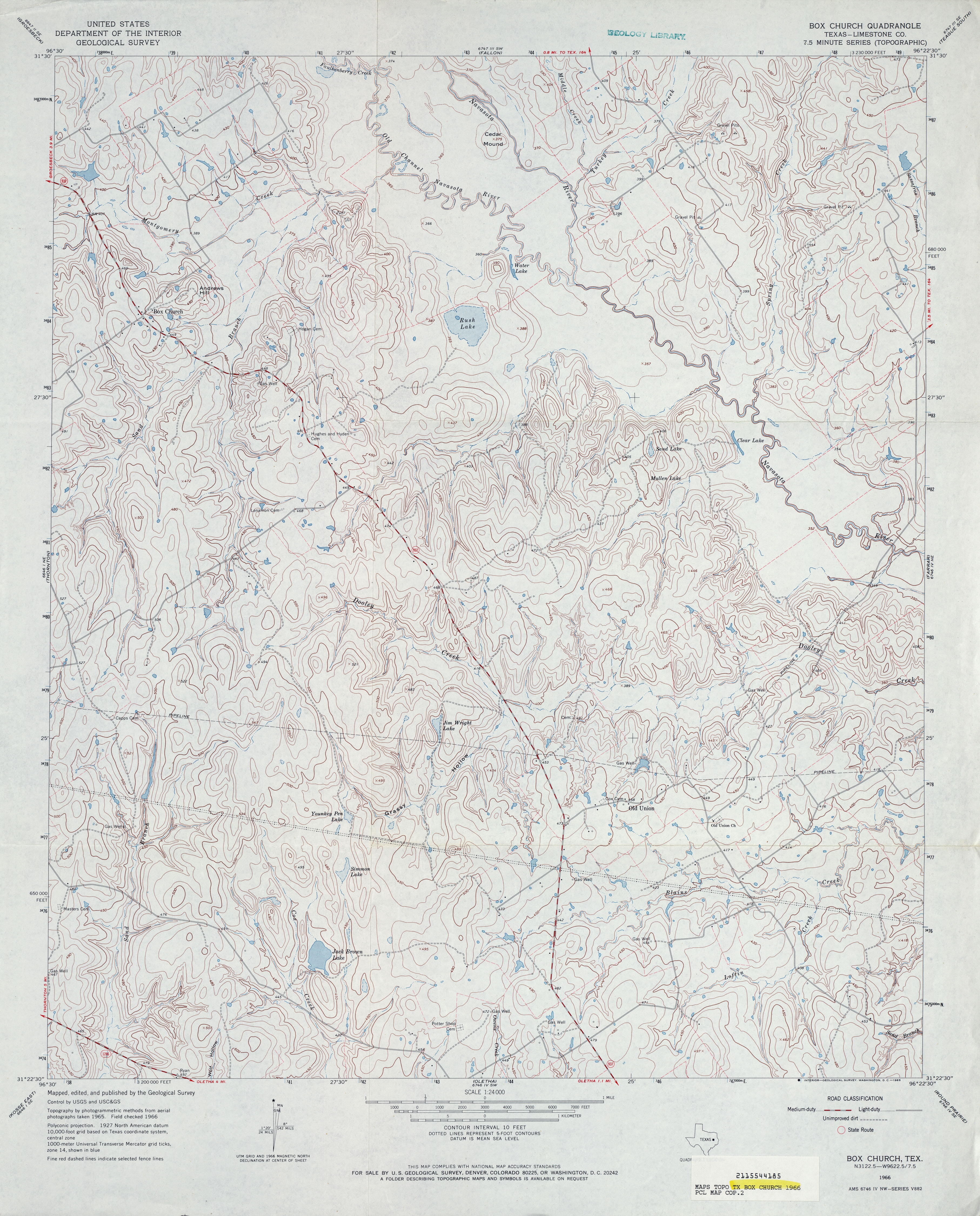
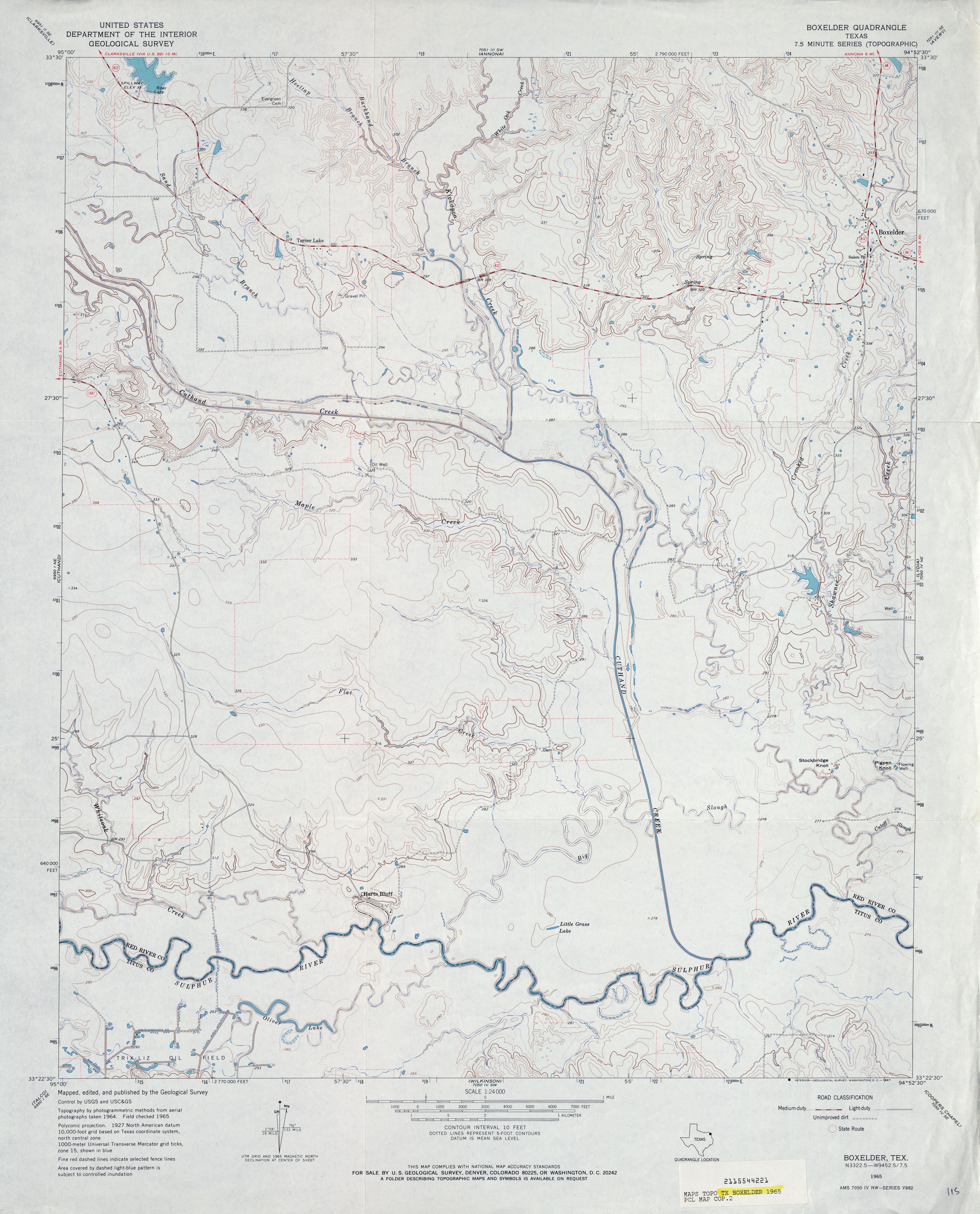
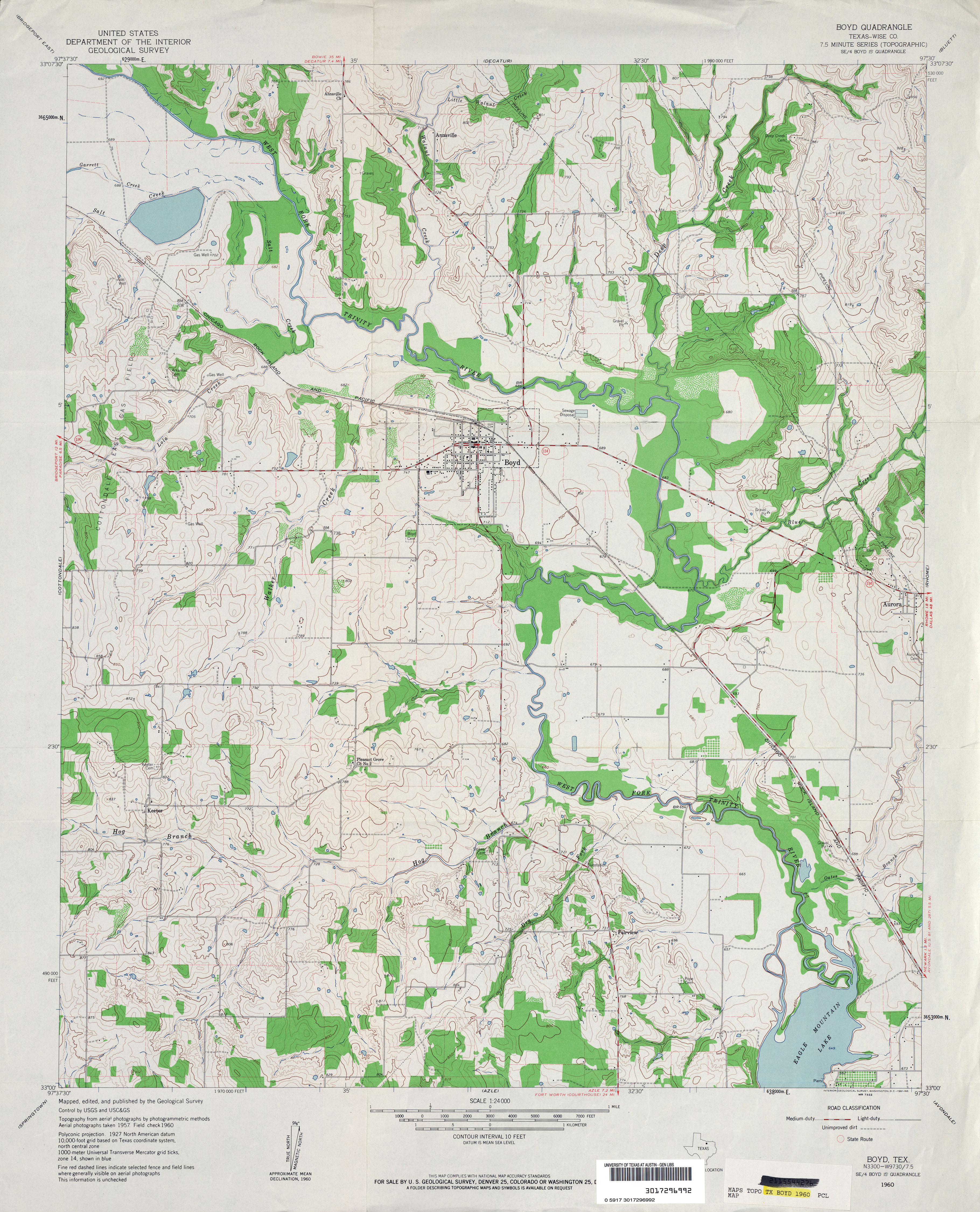
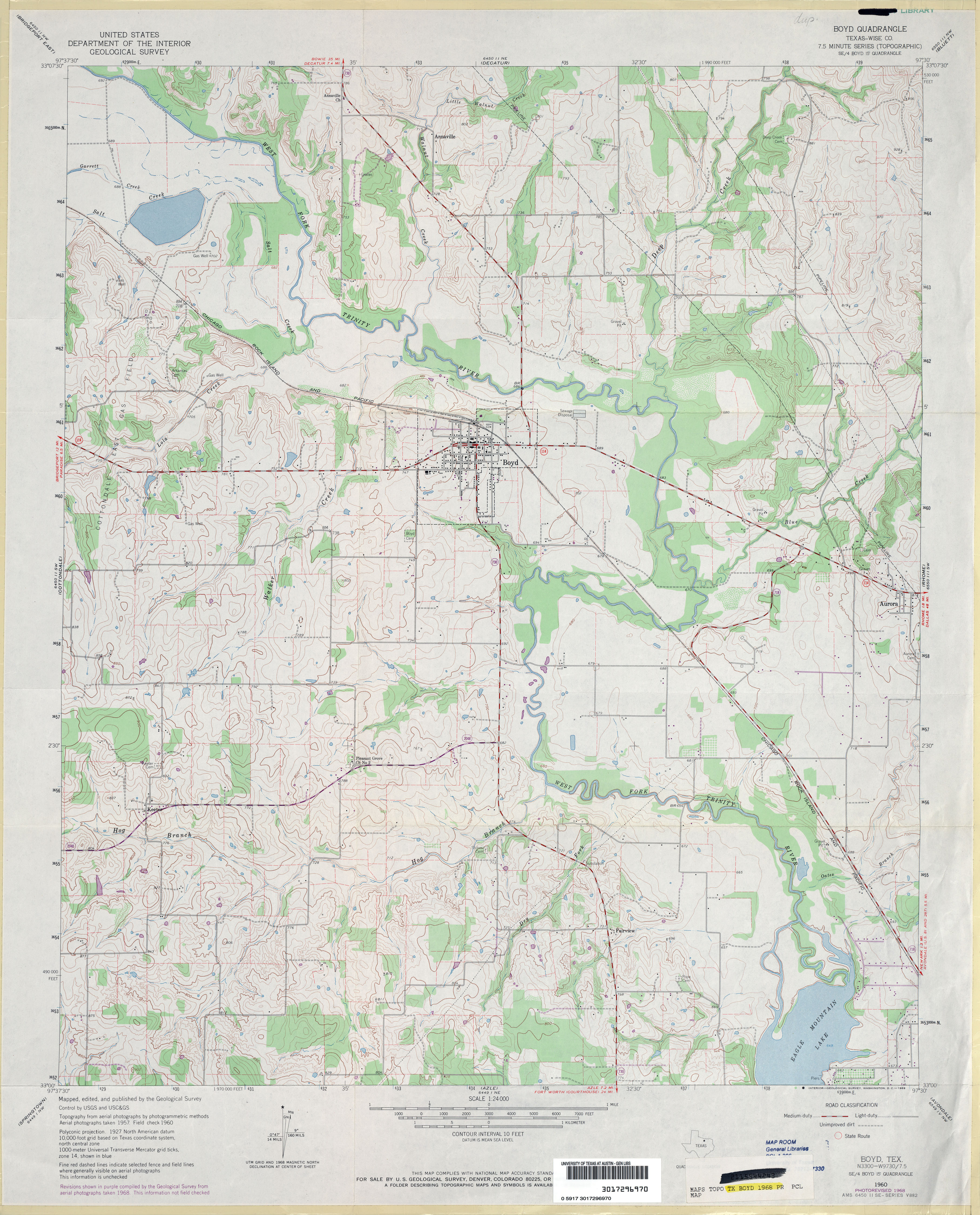
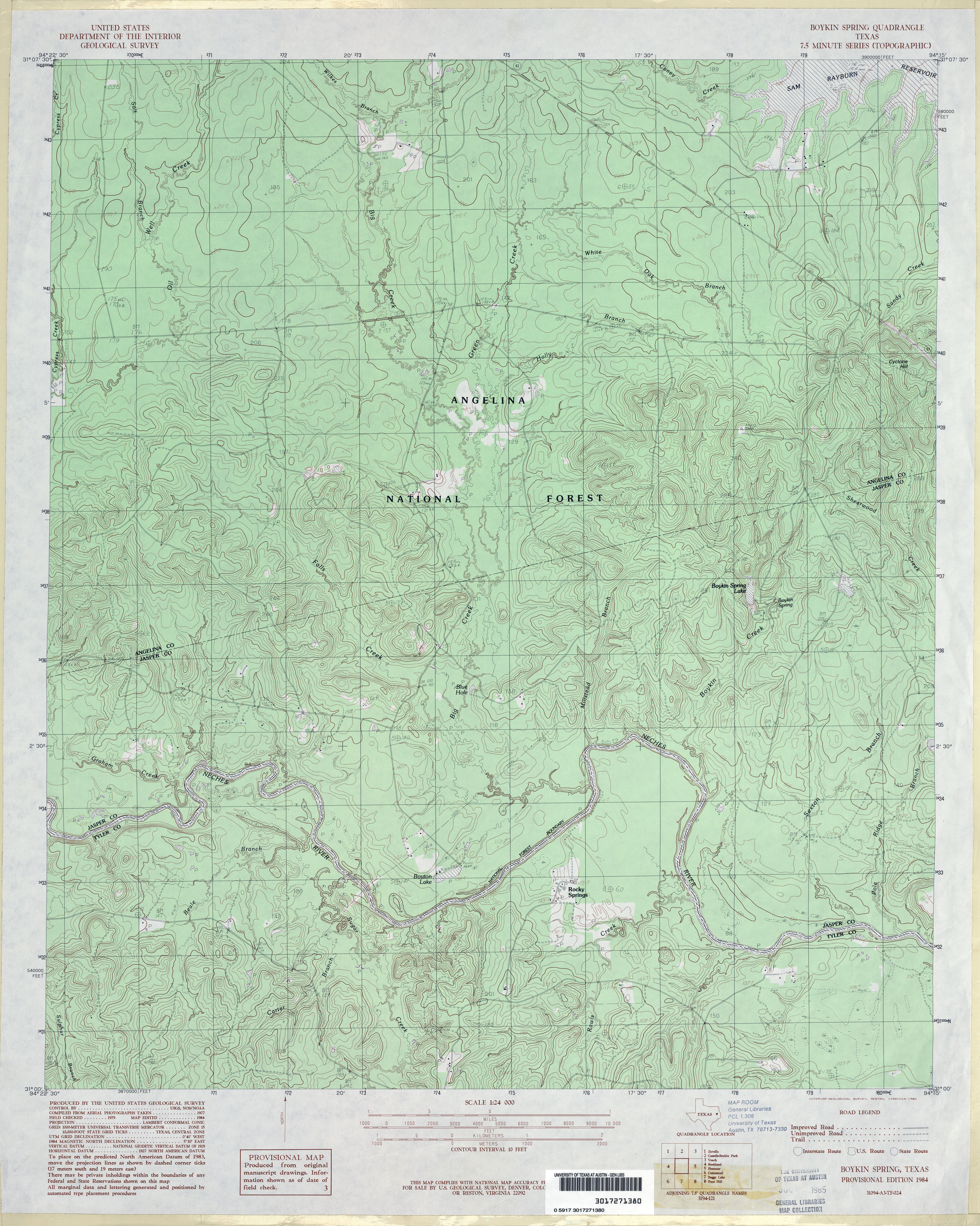
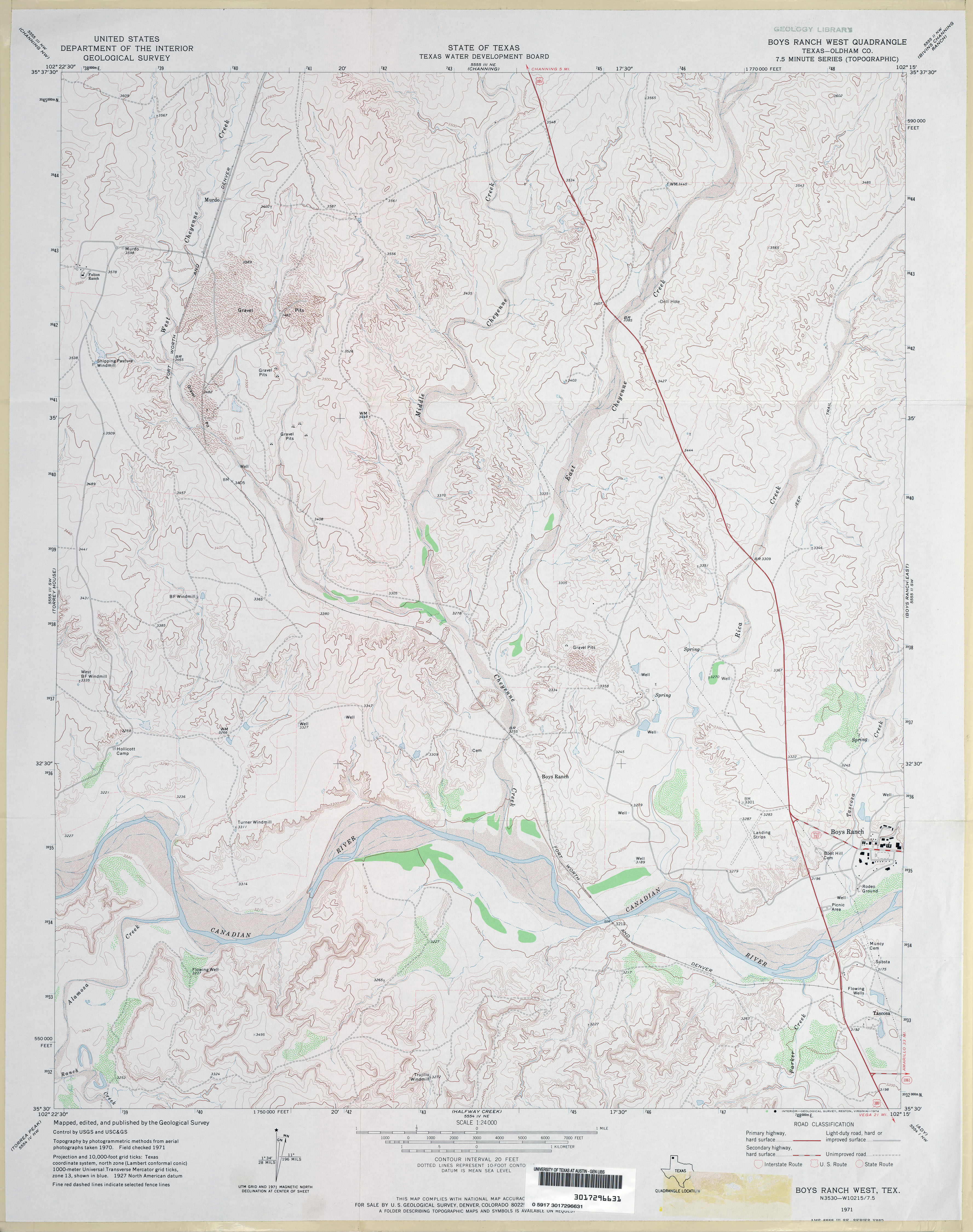
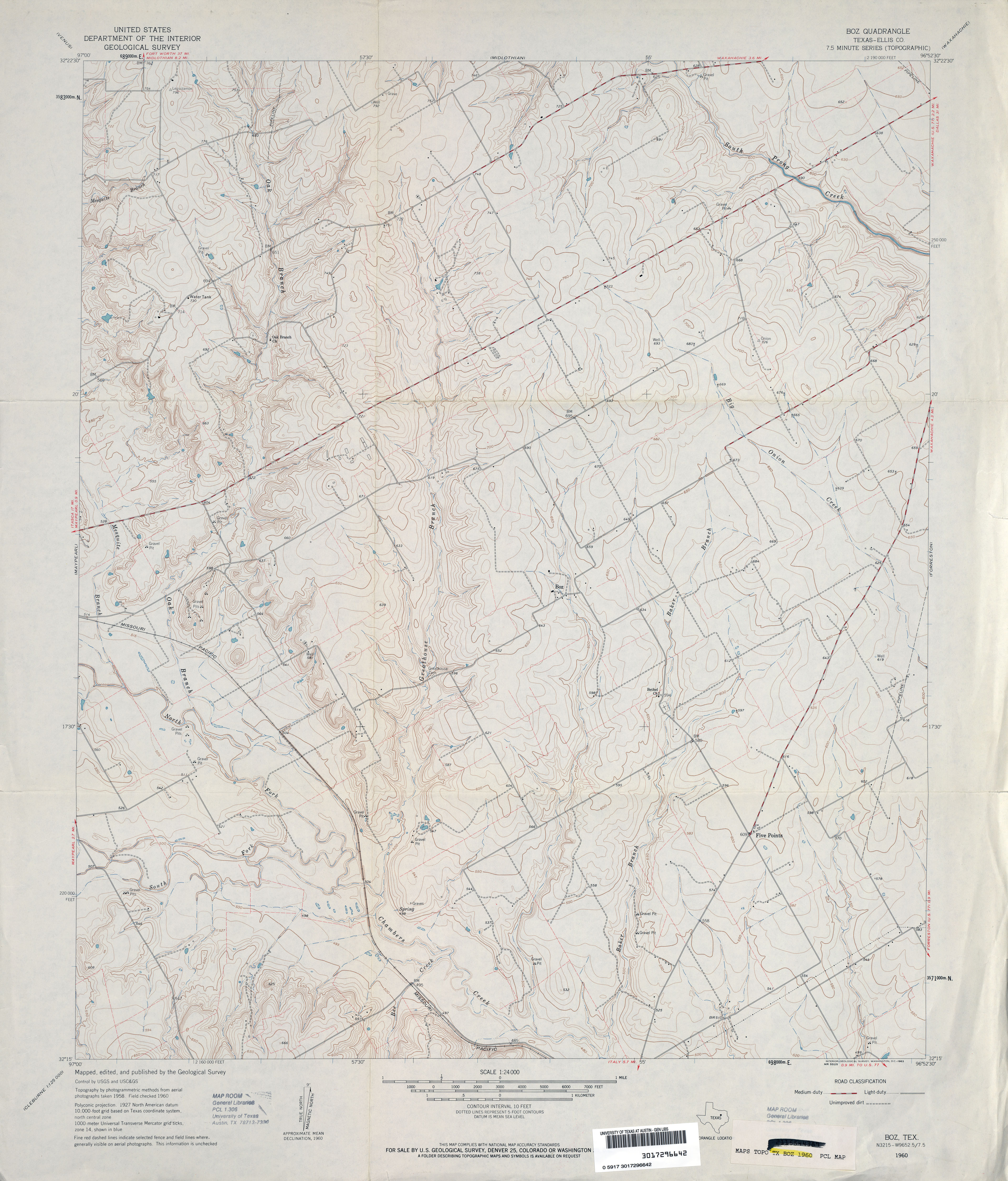
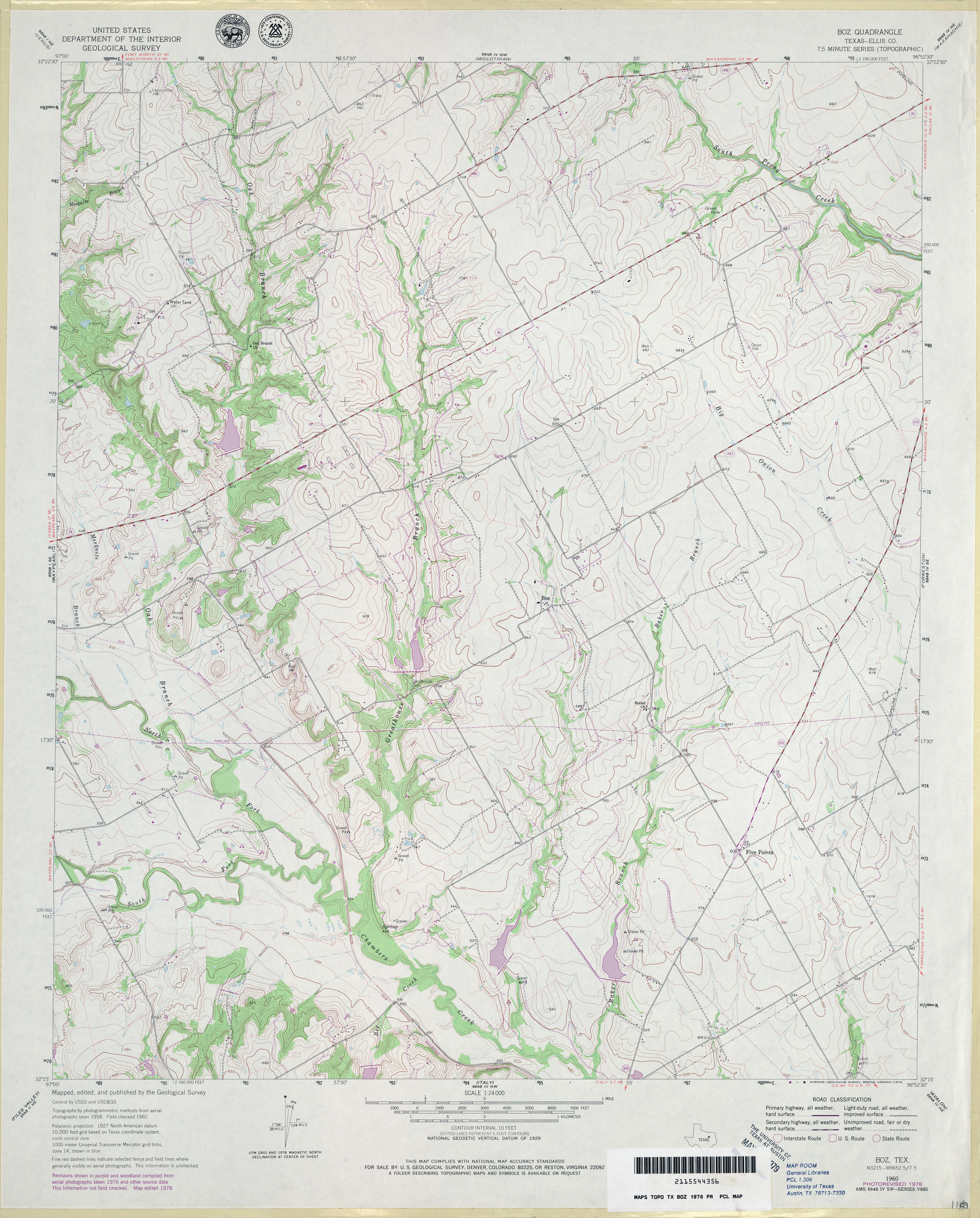
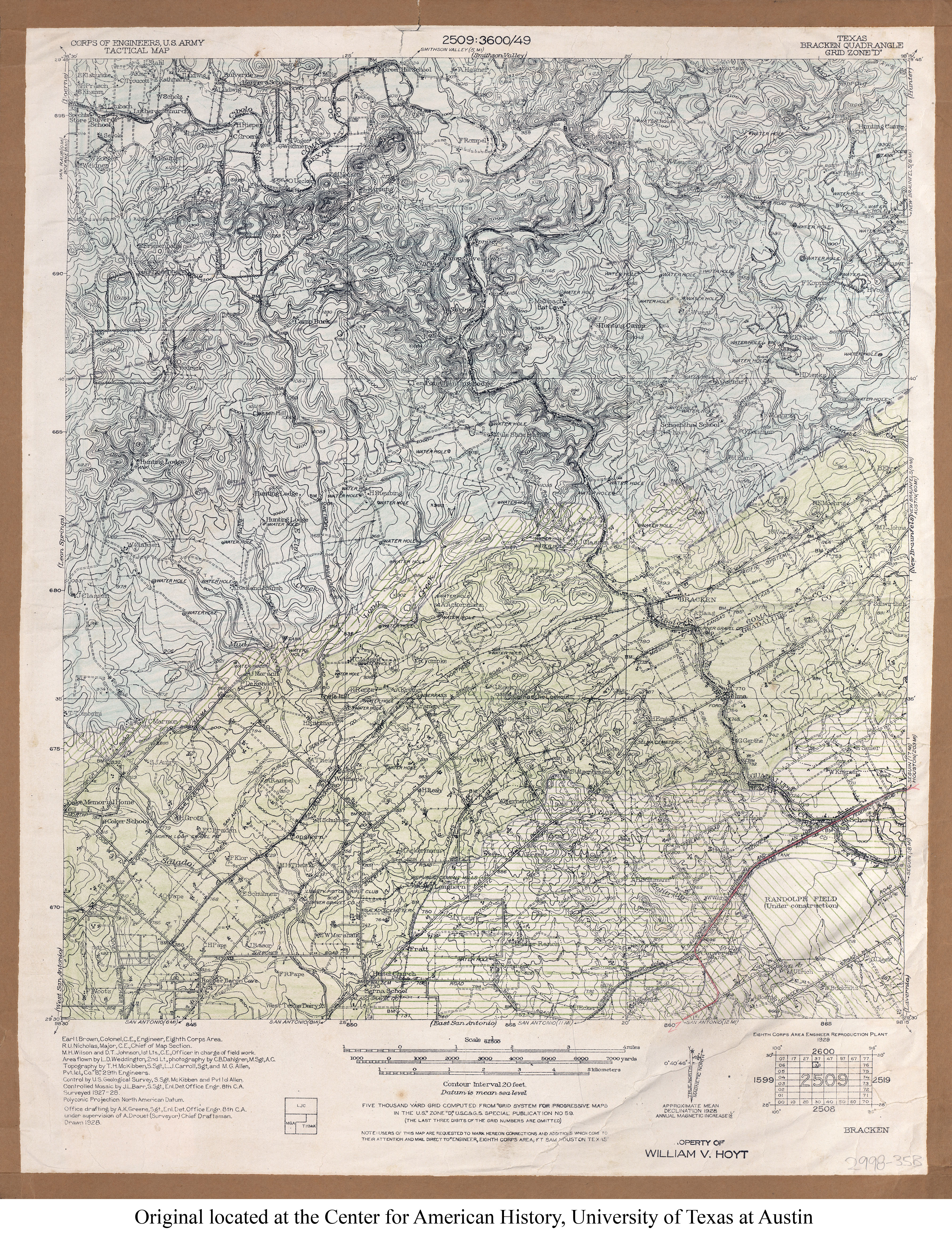
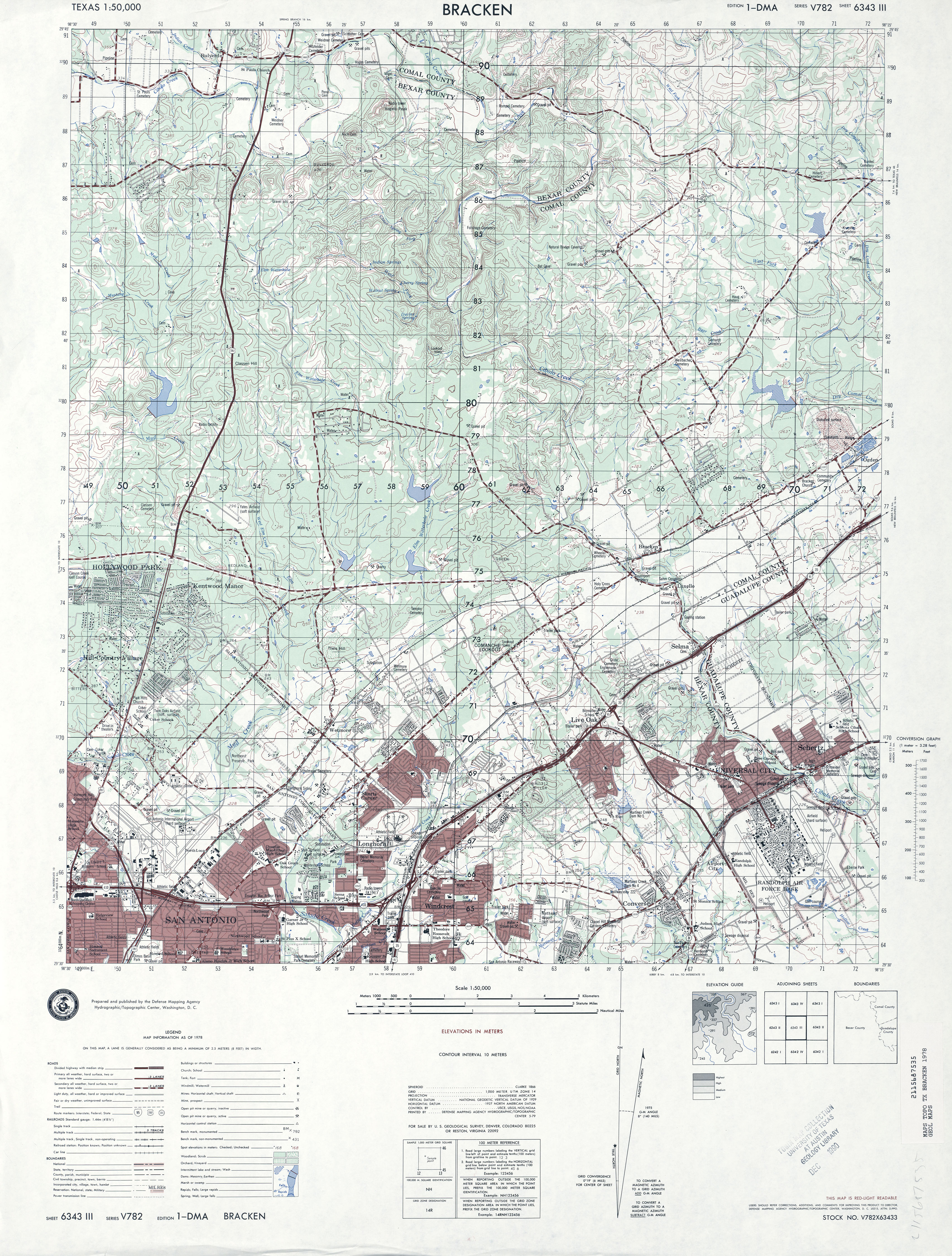
![Brackett [Brackettville]](http://maps.lib.utexas.edu/maps/topo/texas/txu-pclmaps-topo-tx-brackettville-1895.jpg)
![Brackett [Brackettville]](http://maps.lib.utexas.edu/maps/topo/texas/txu-pclmaps-topo-tx-brackett-brackettville-1922.jpg)
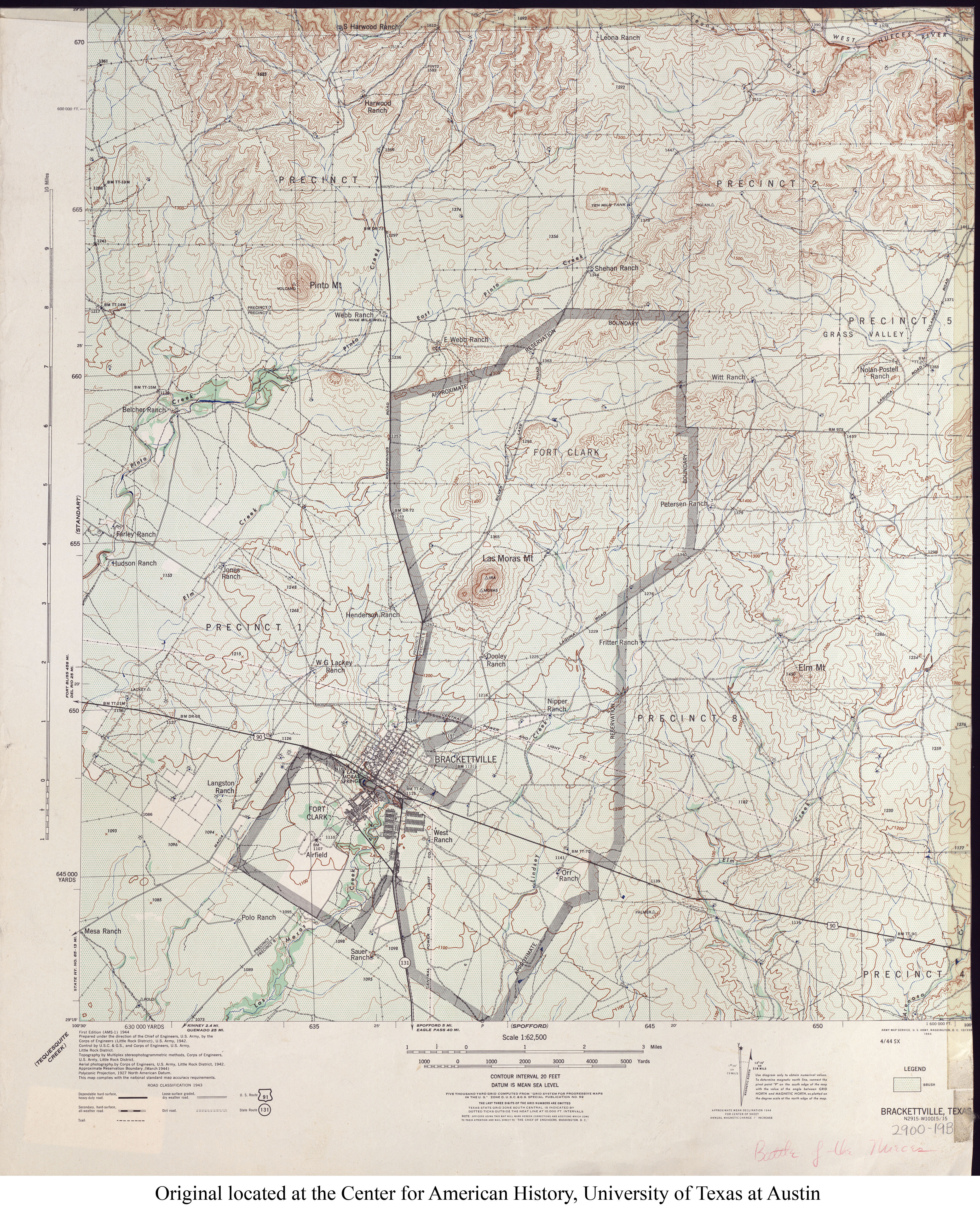
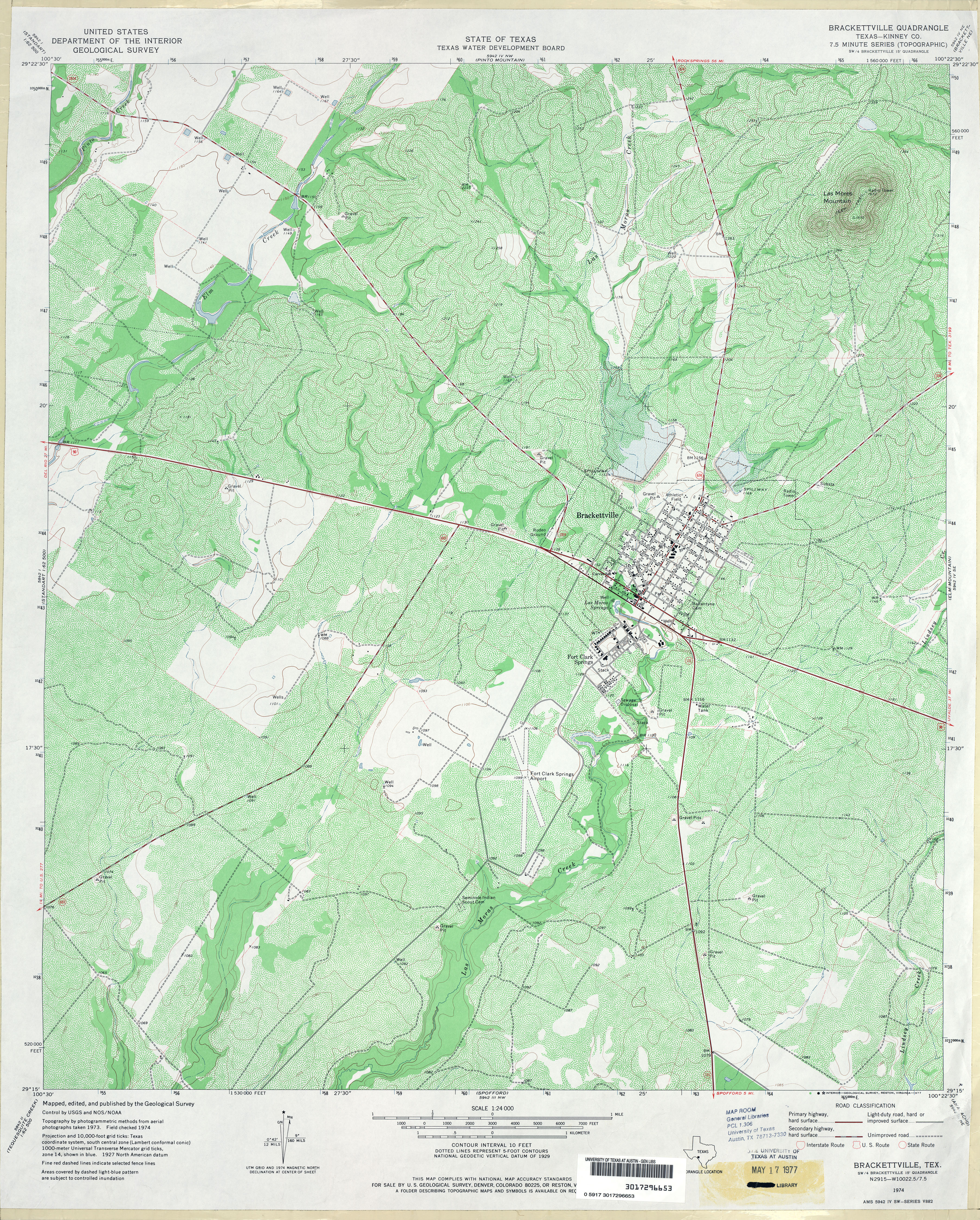
![[Brackettville] Las Moras](http://maps.lib.utexas.edu/maps/topo/texas/txu-pclmaps-topo-tx-las_moras-1928.jpg)
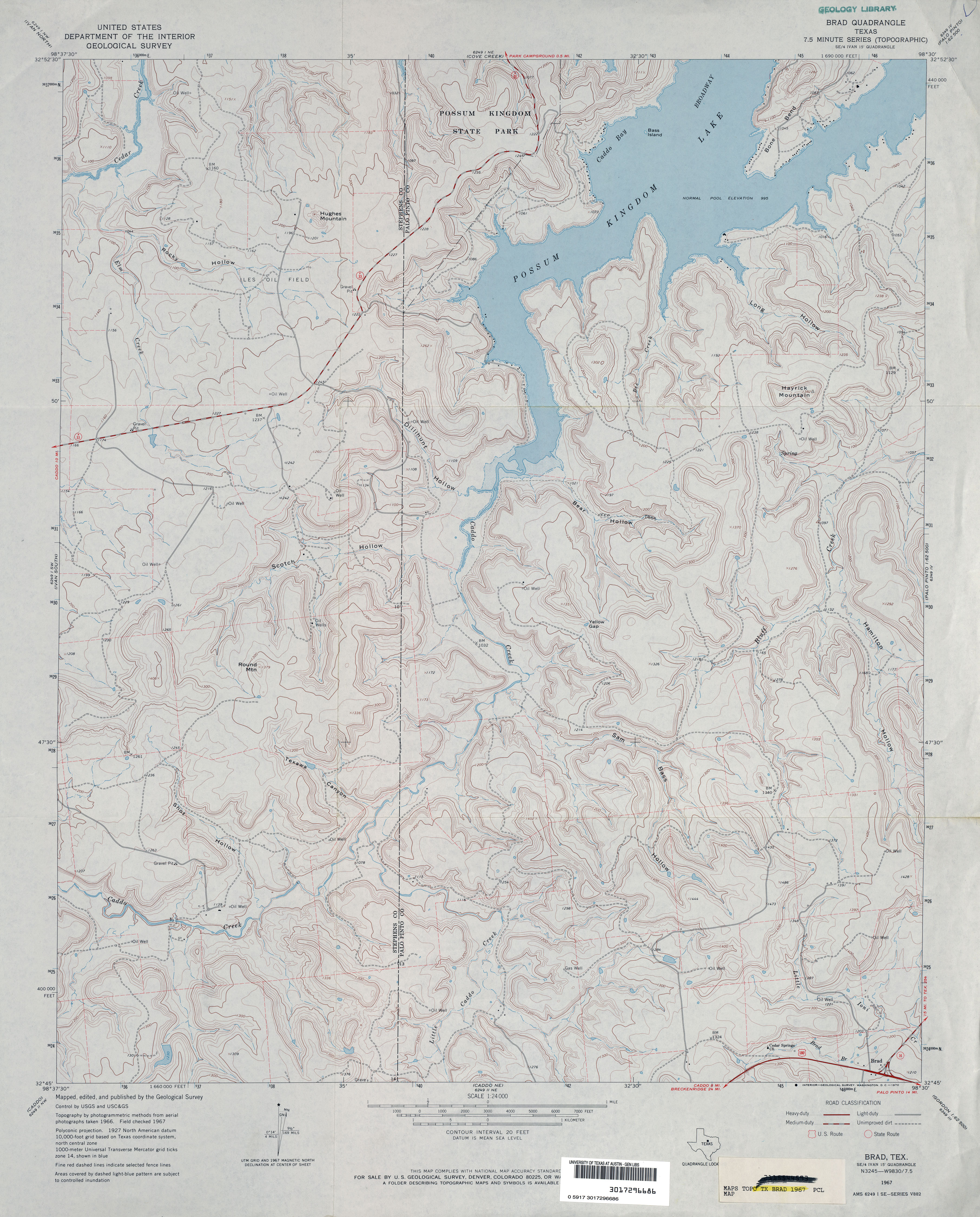
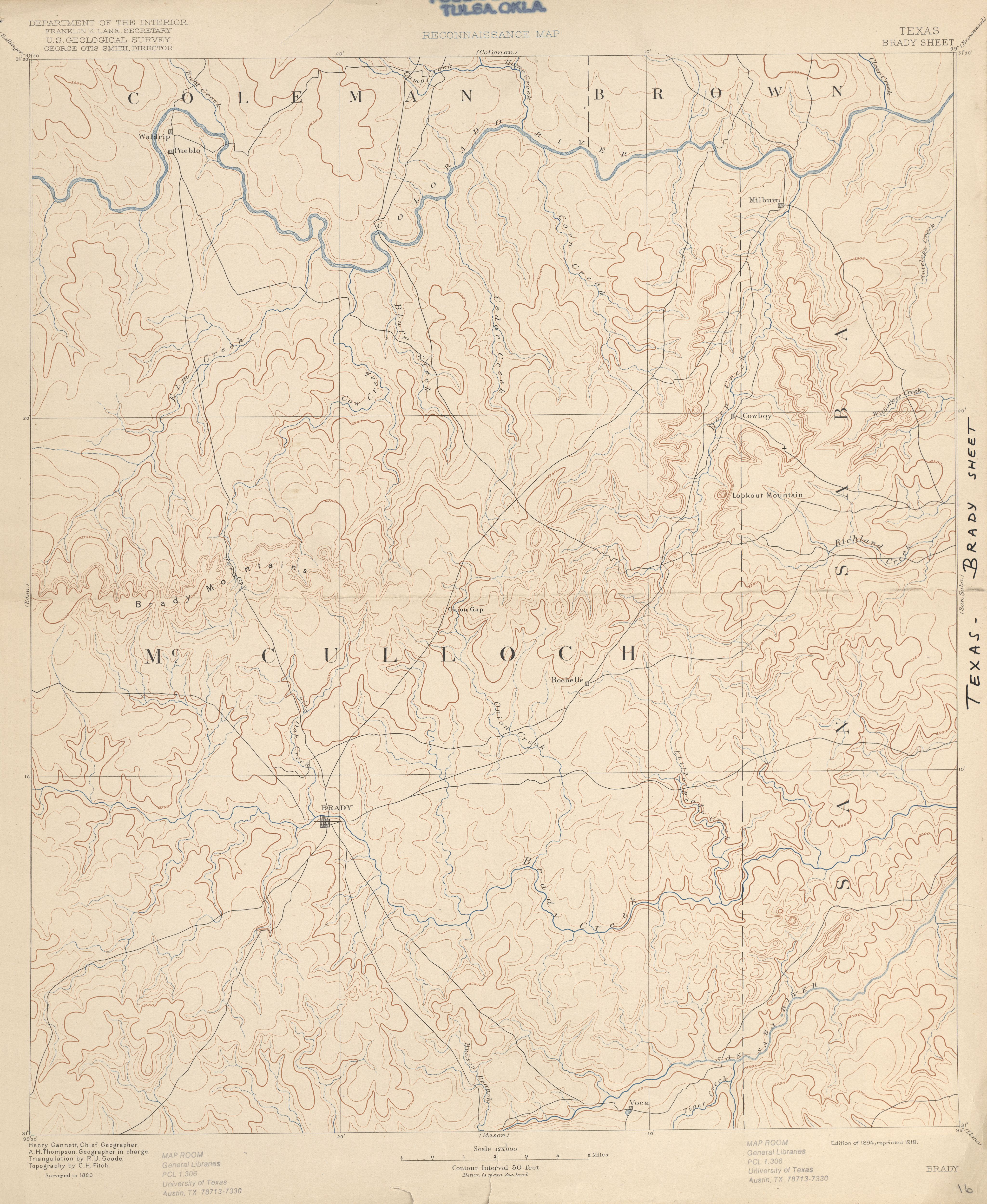
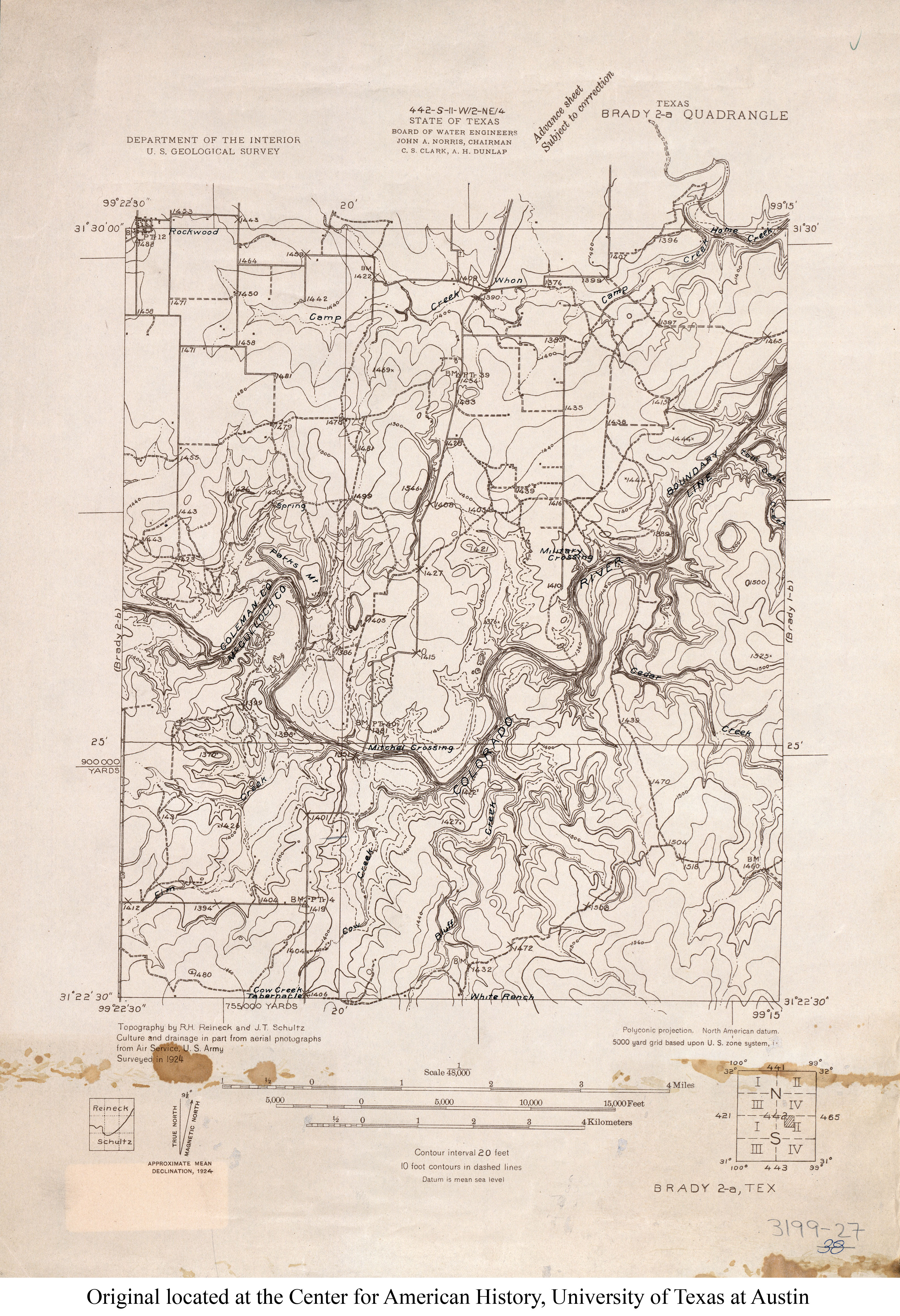
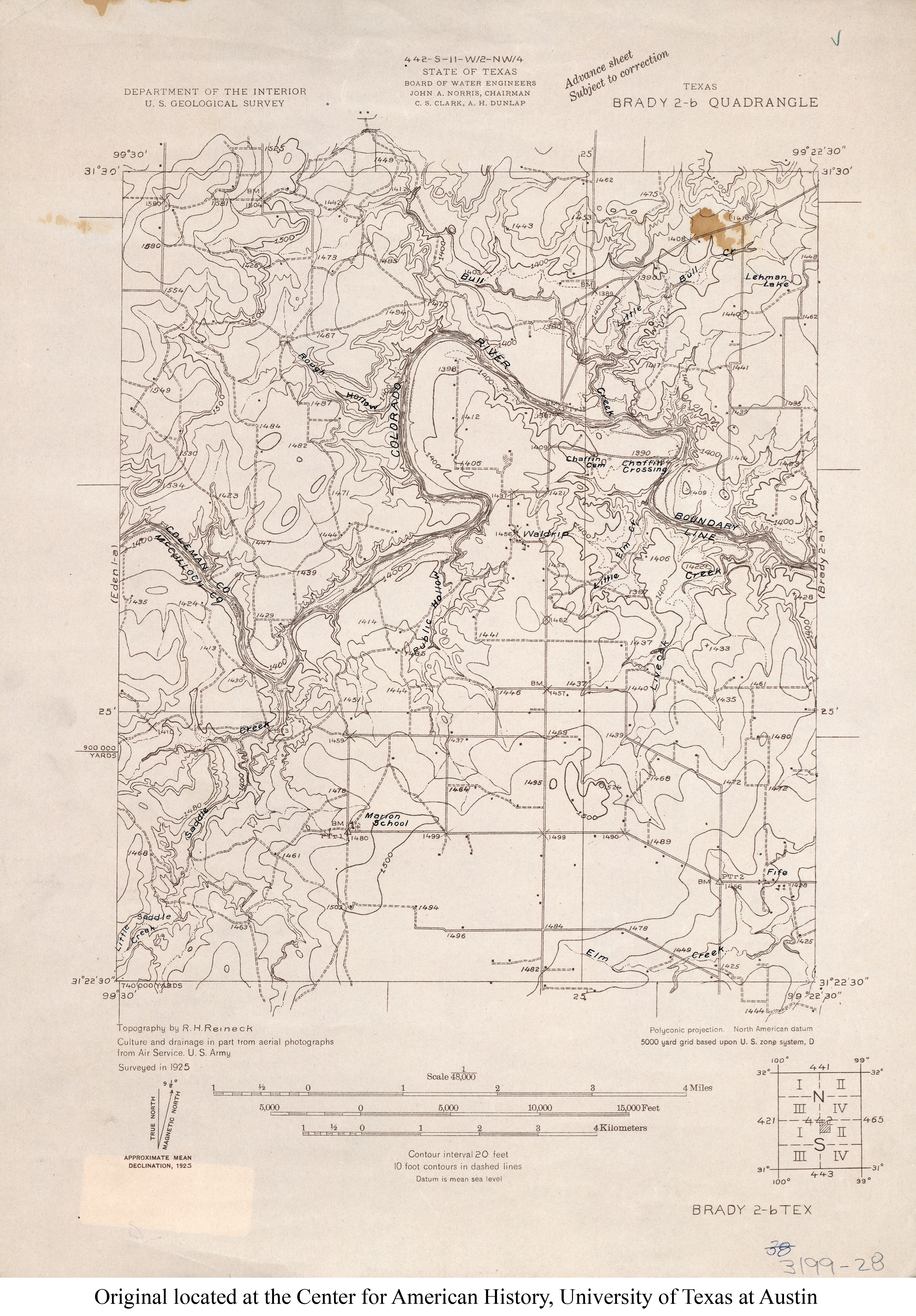
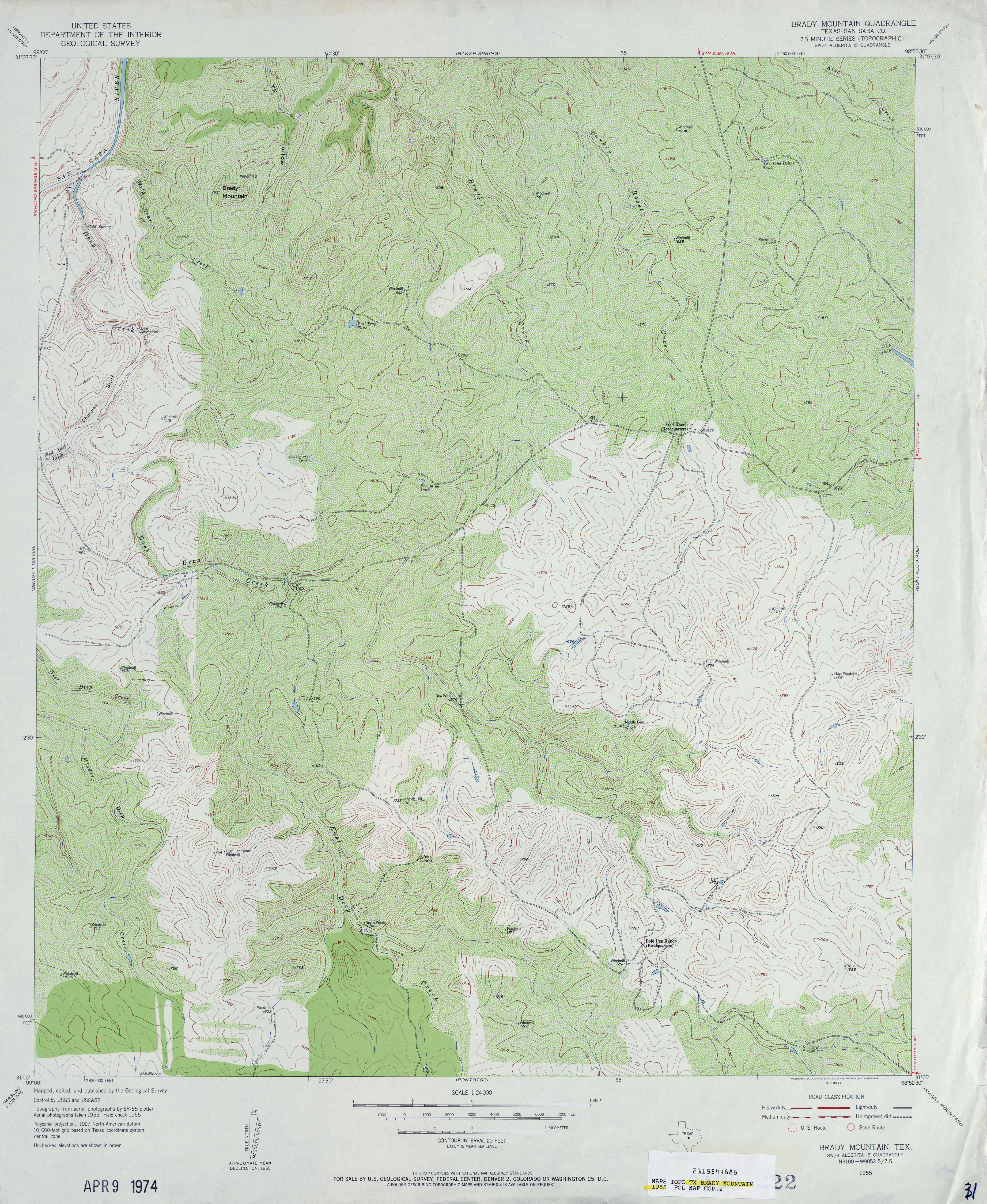
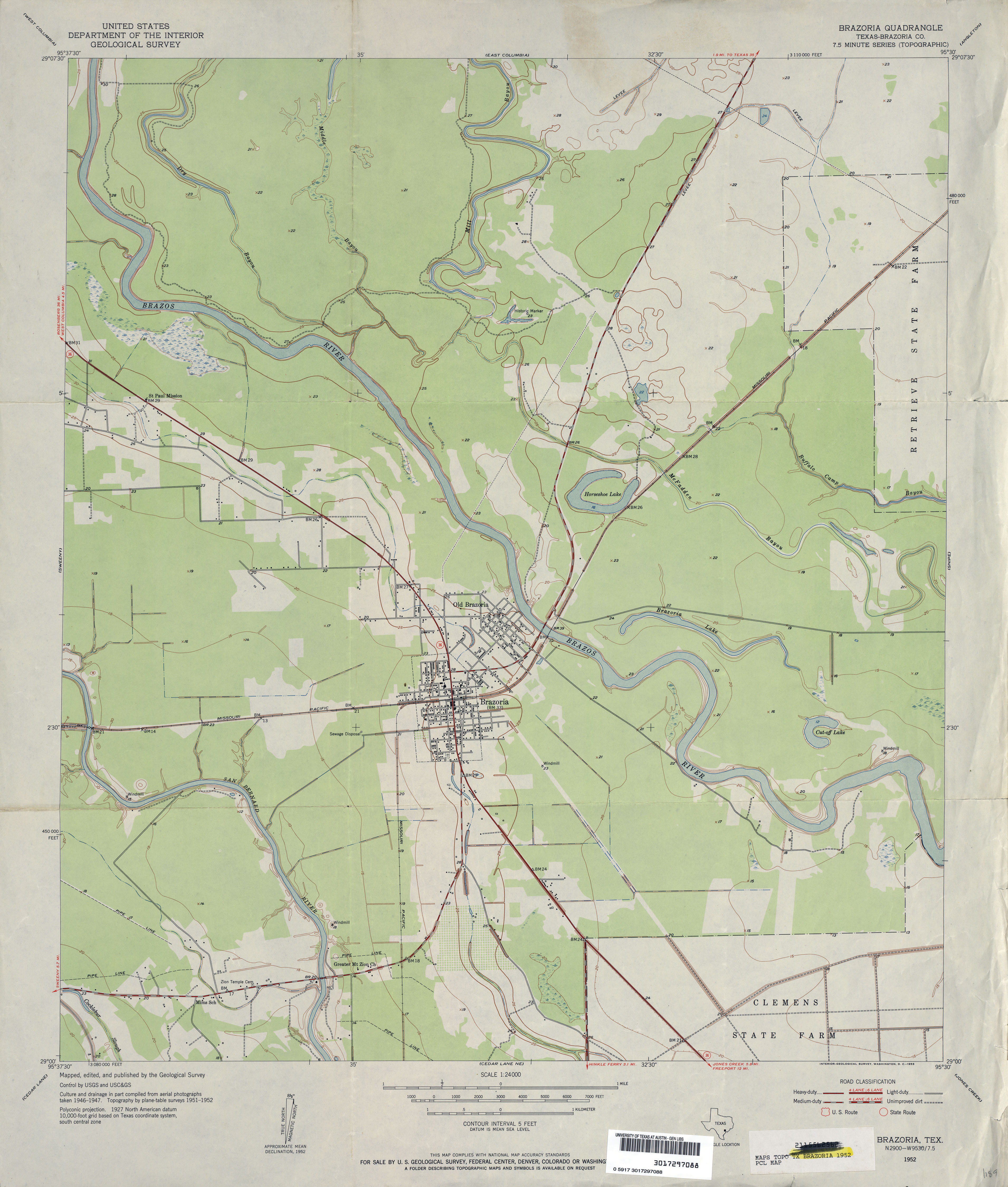
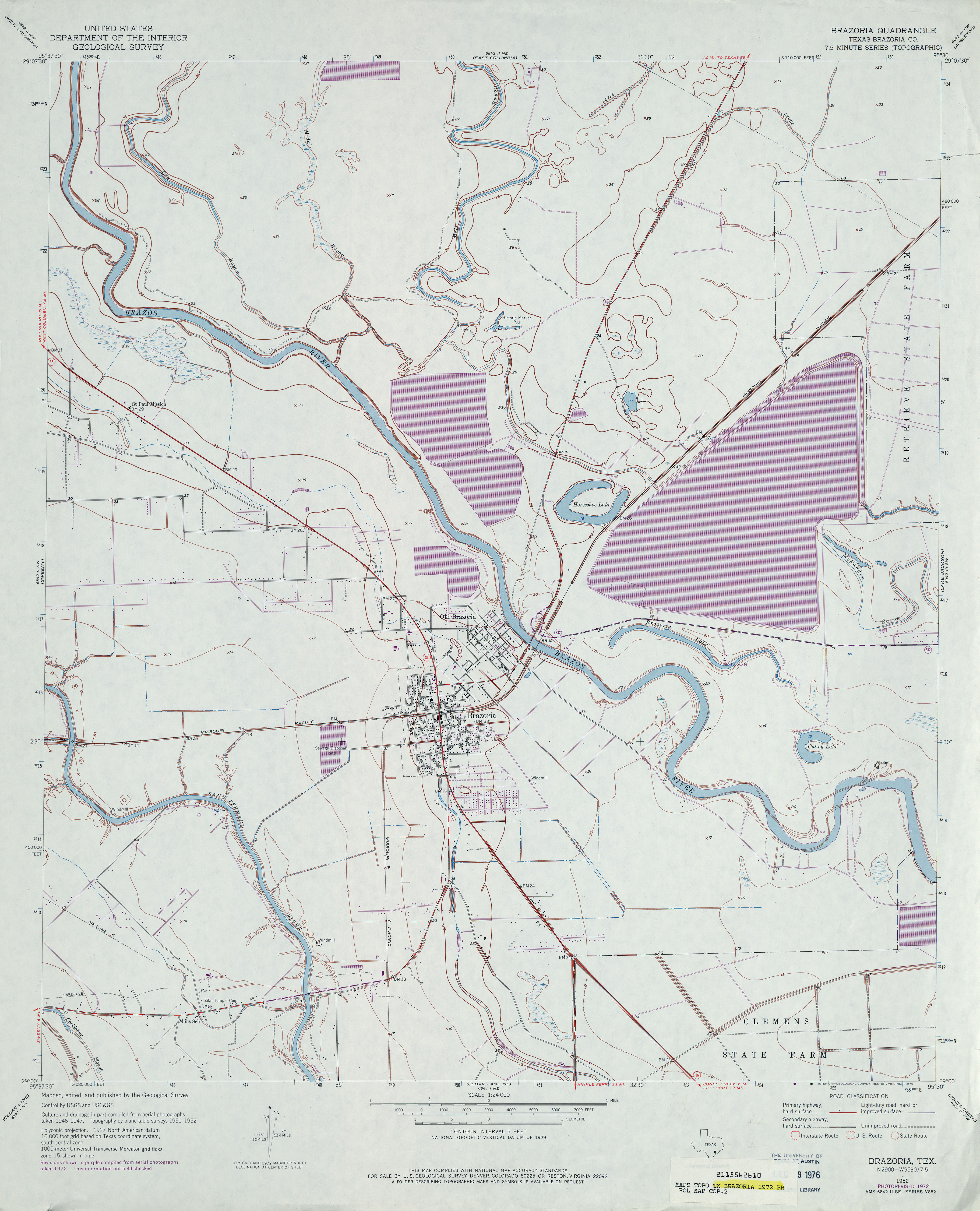
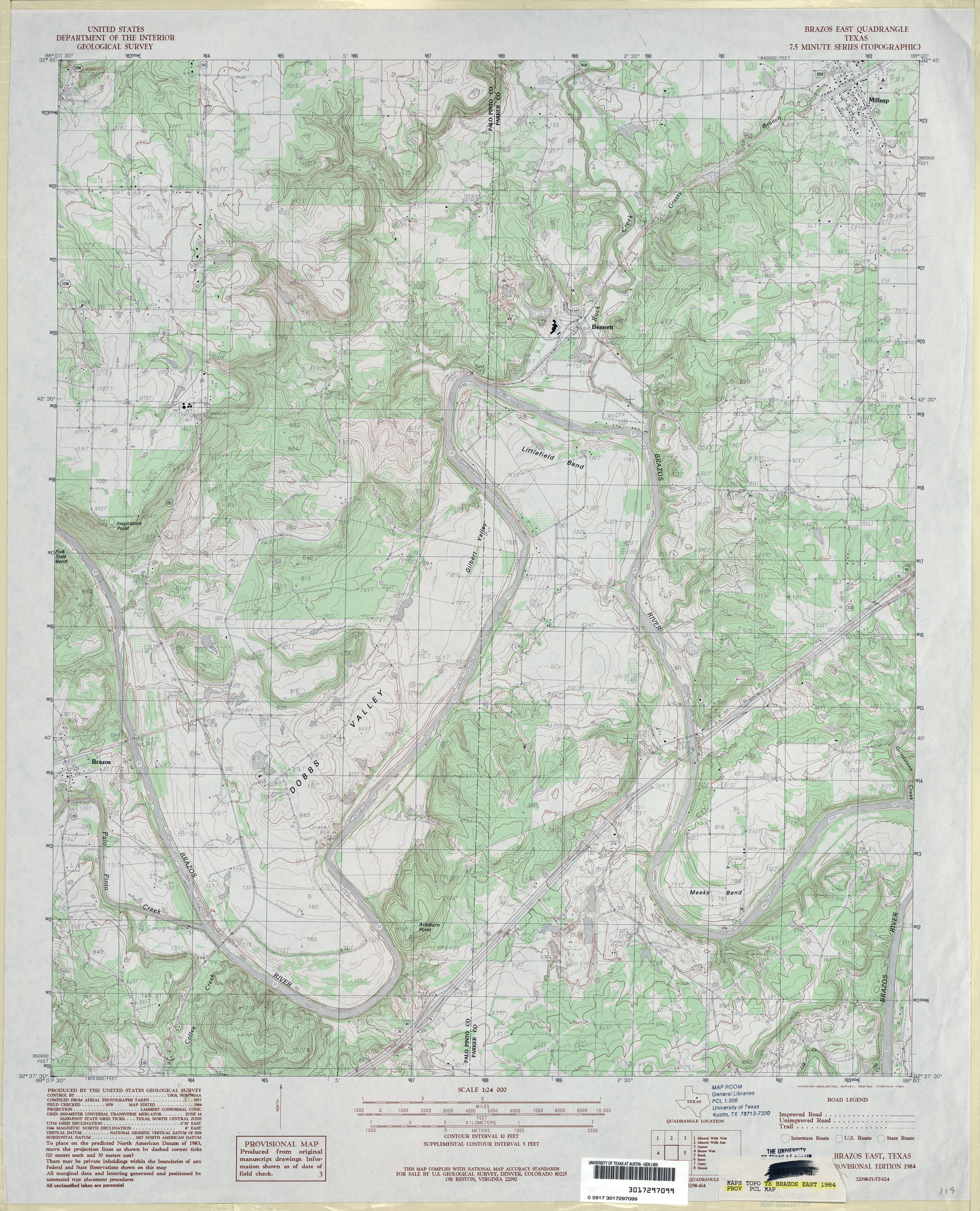
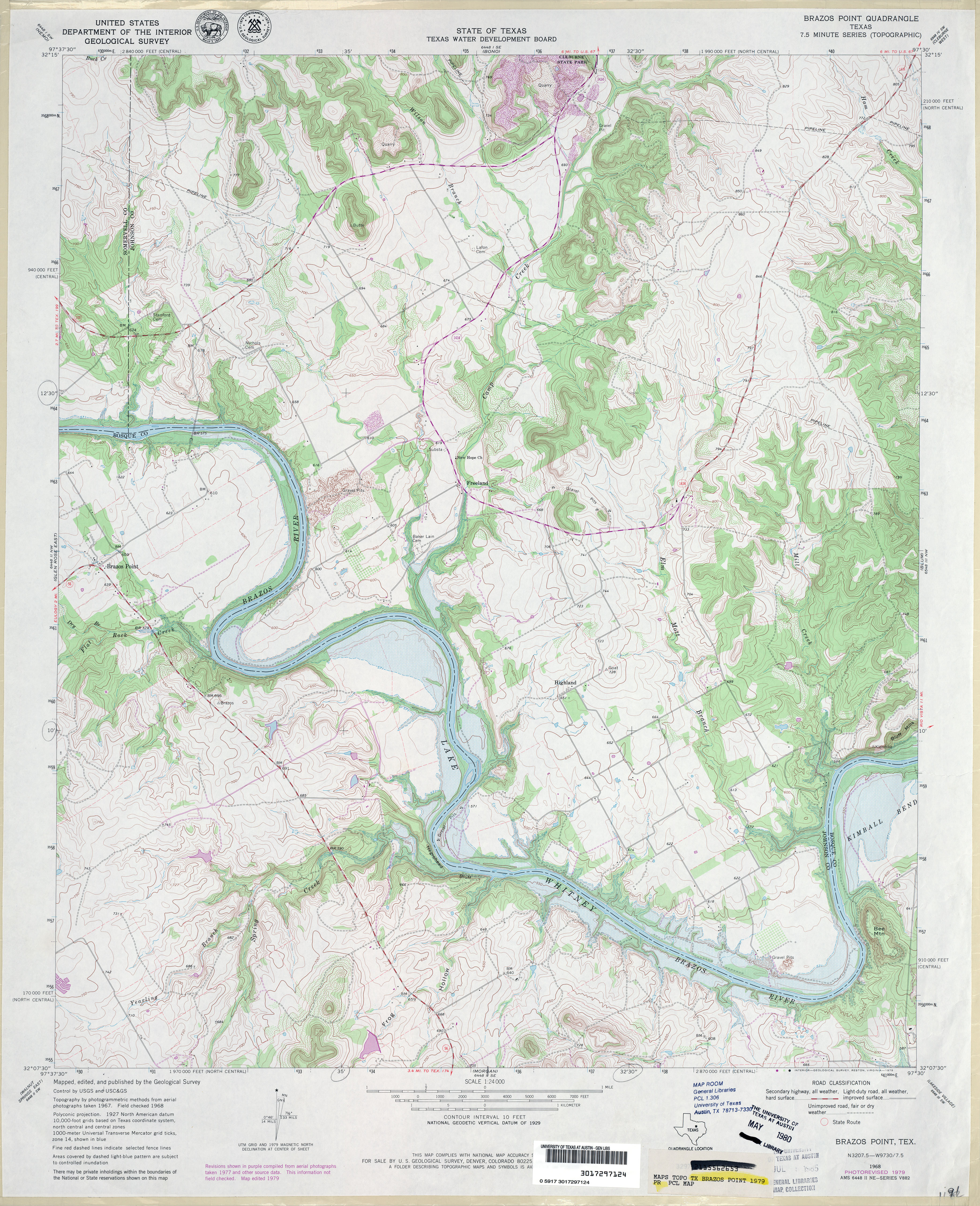
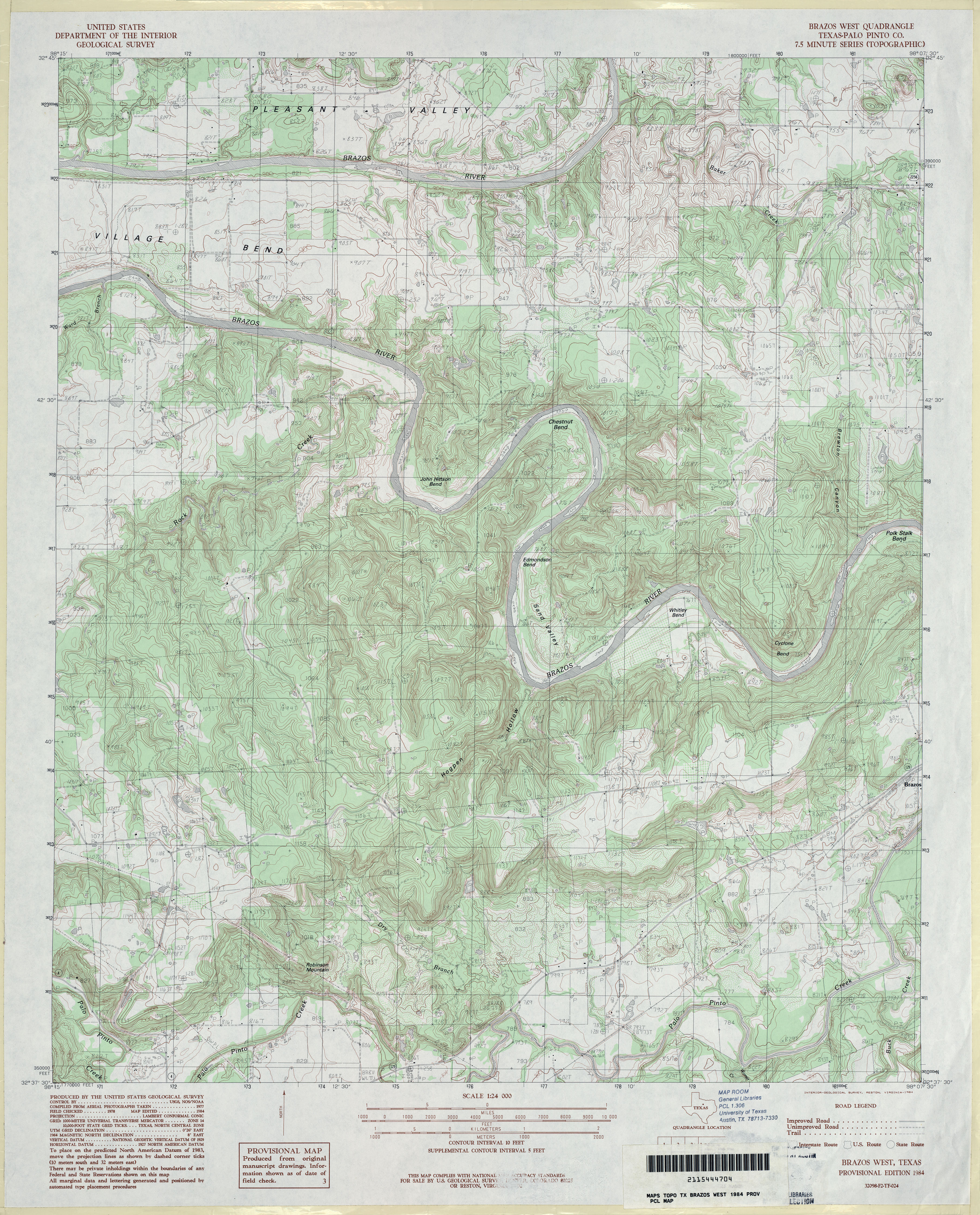
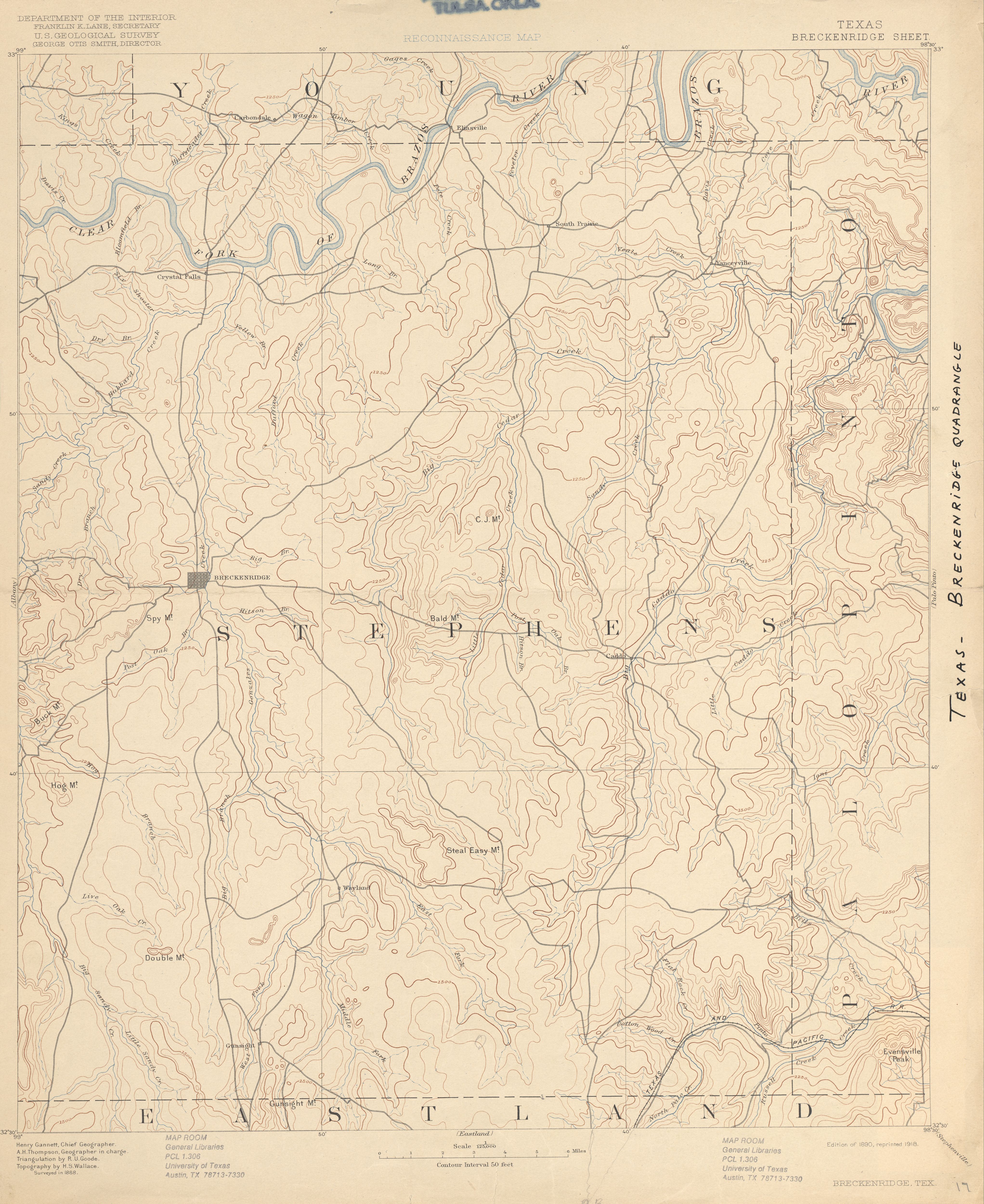
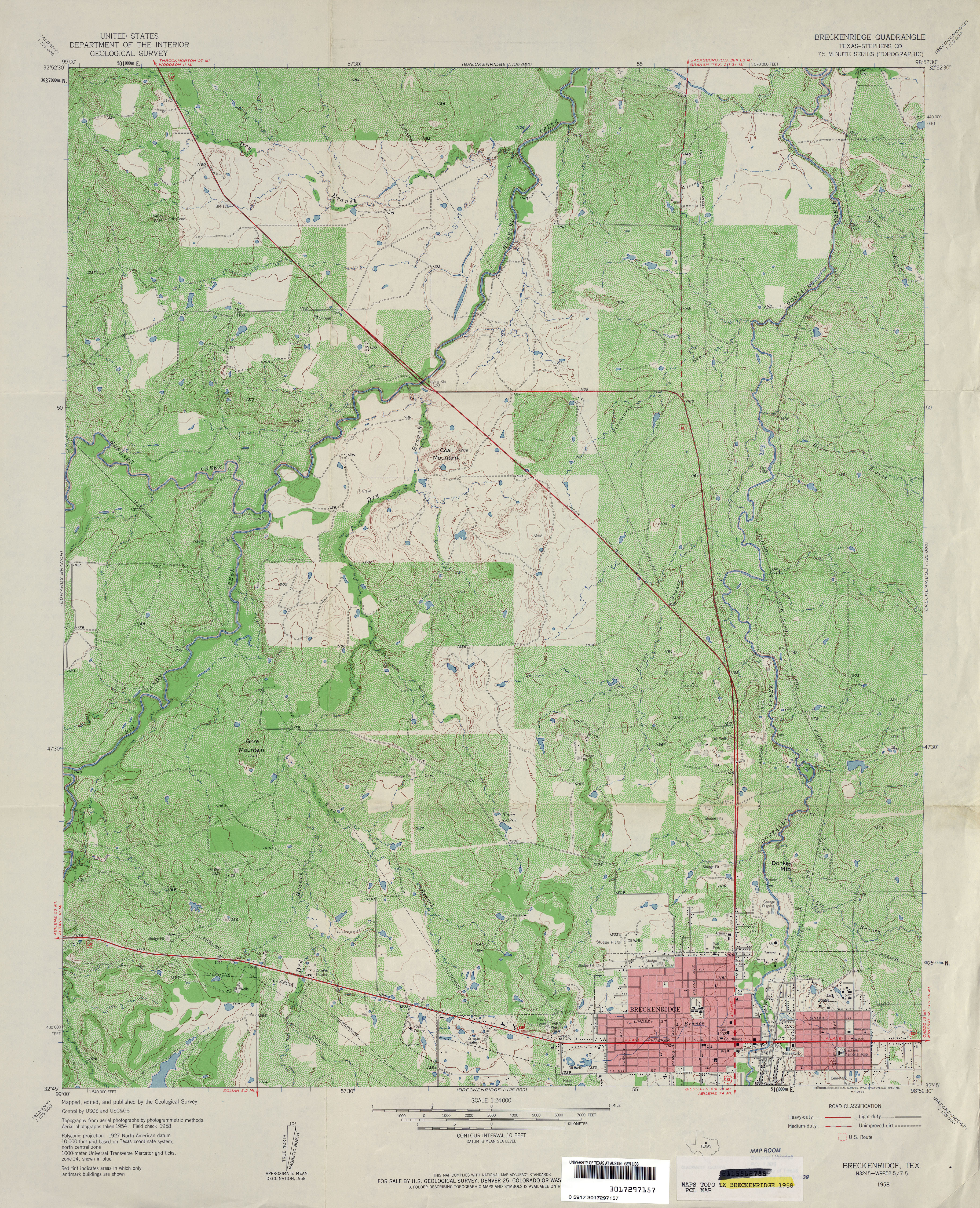
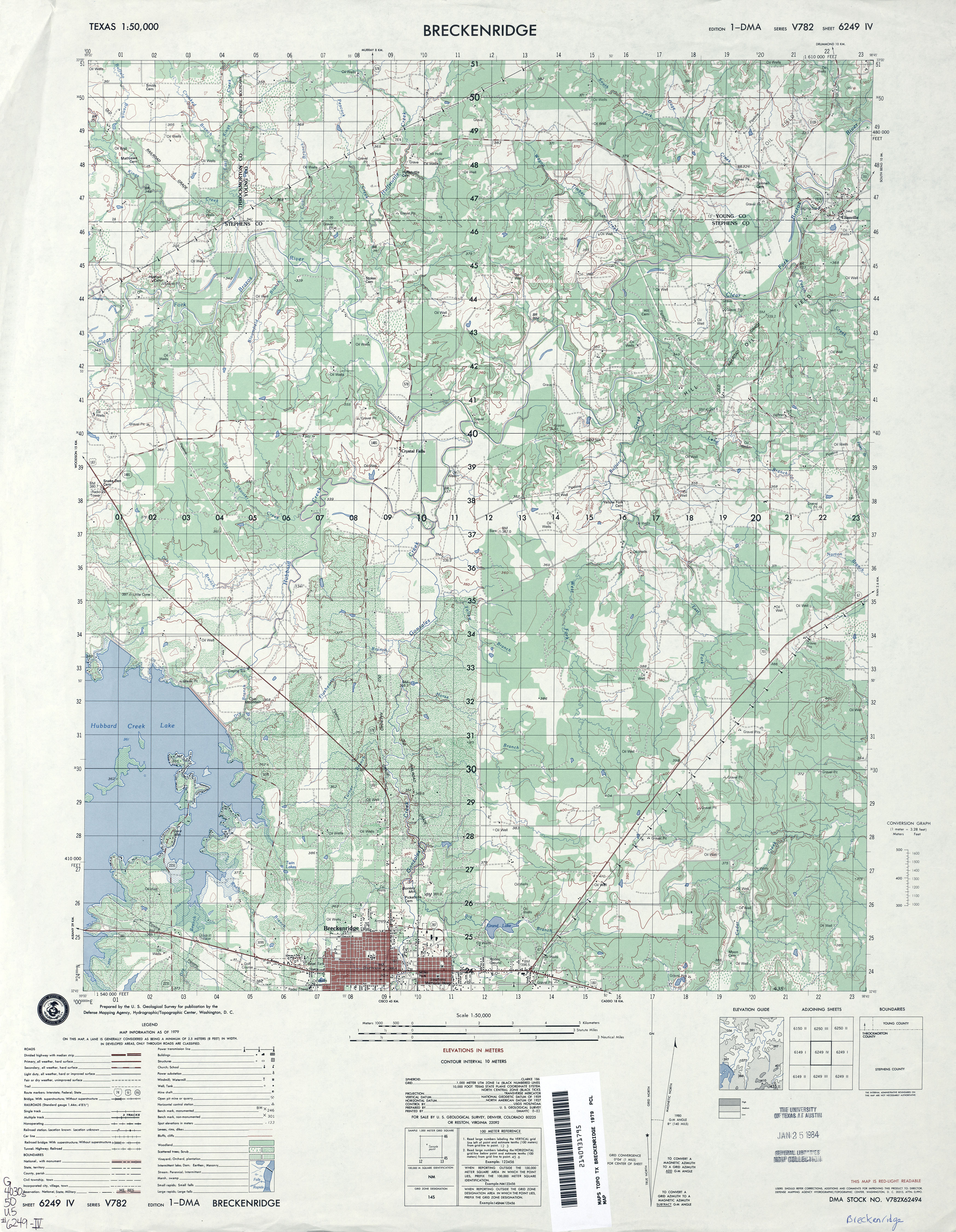
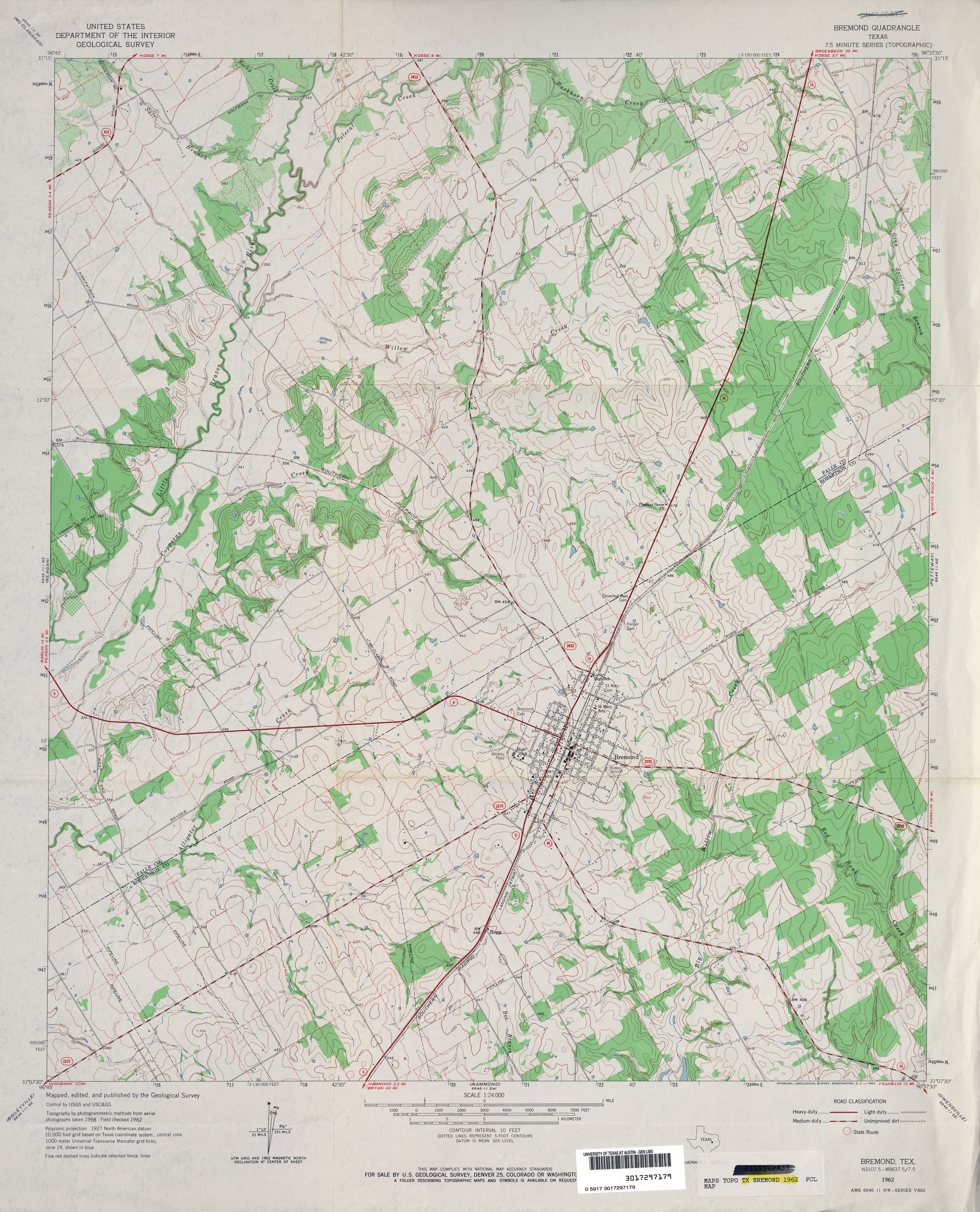
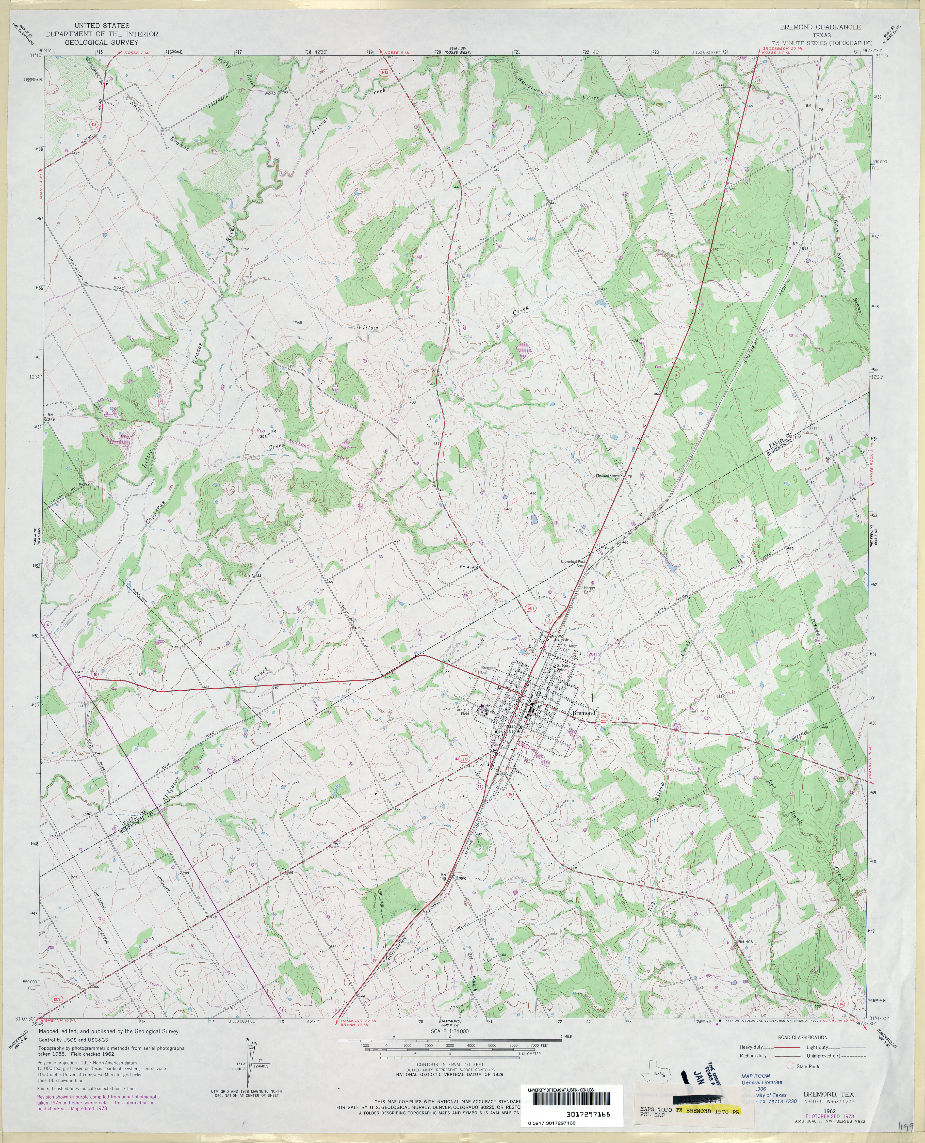
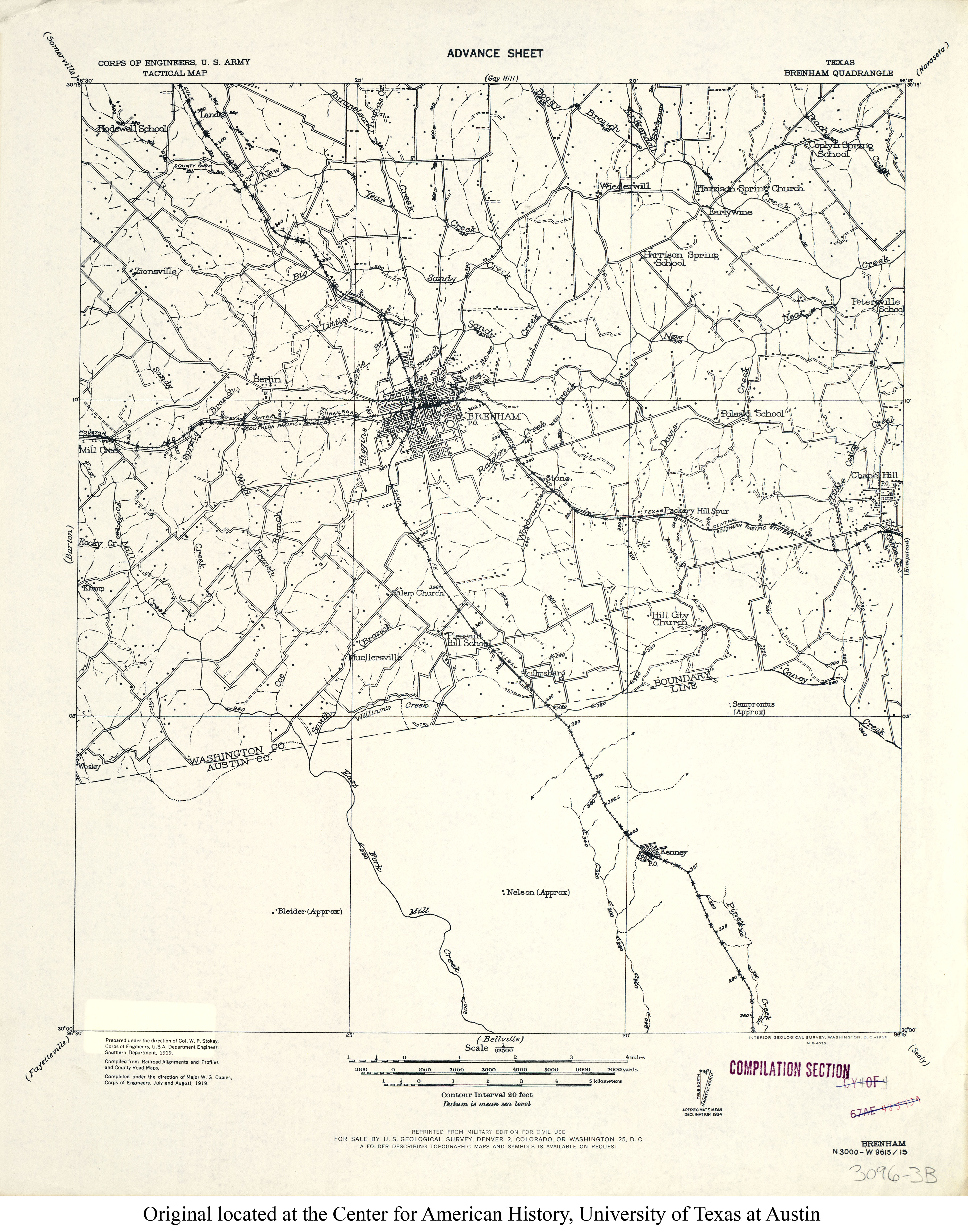
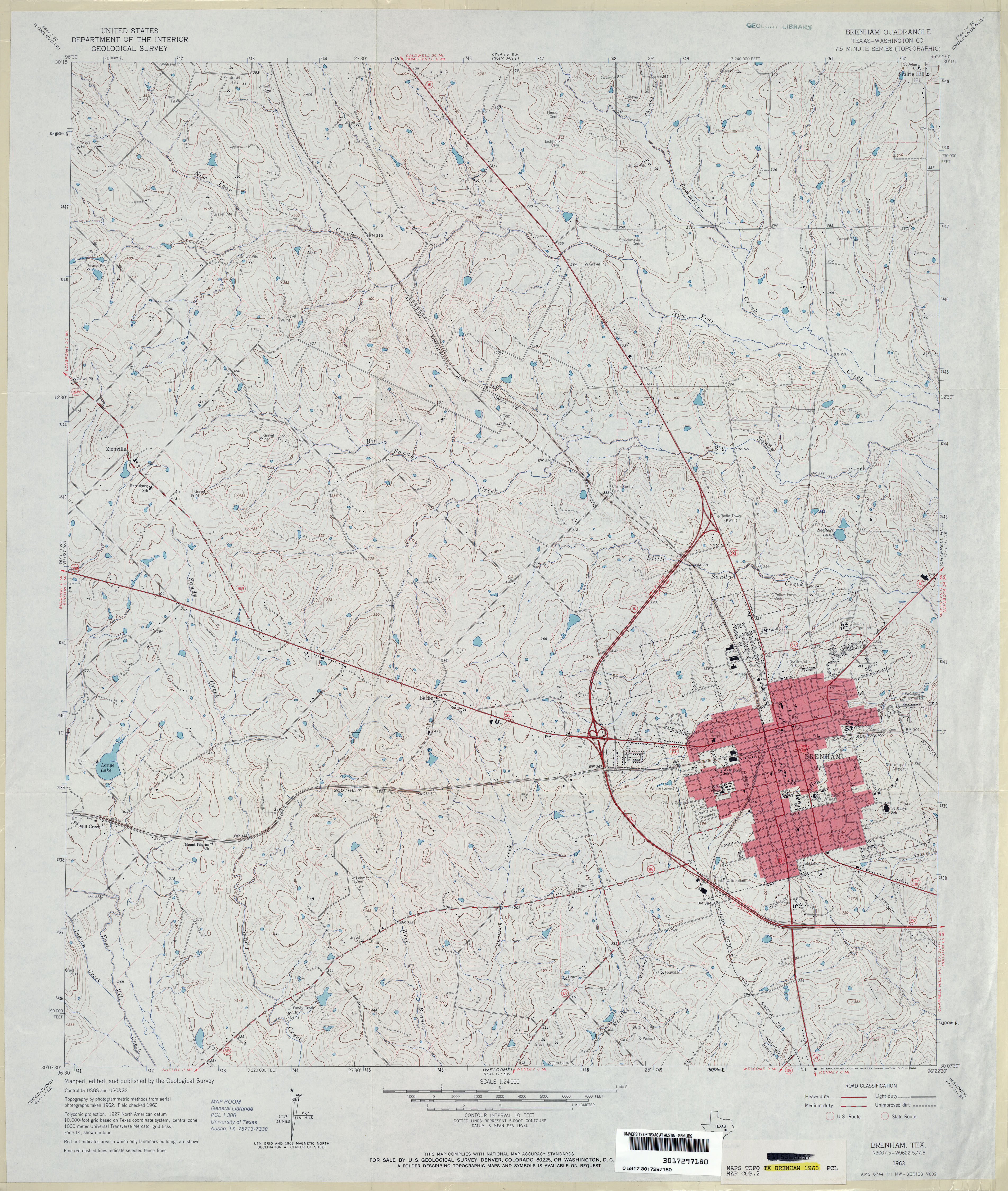
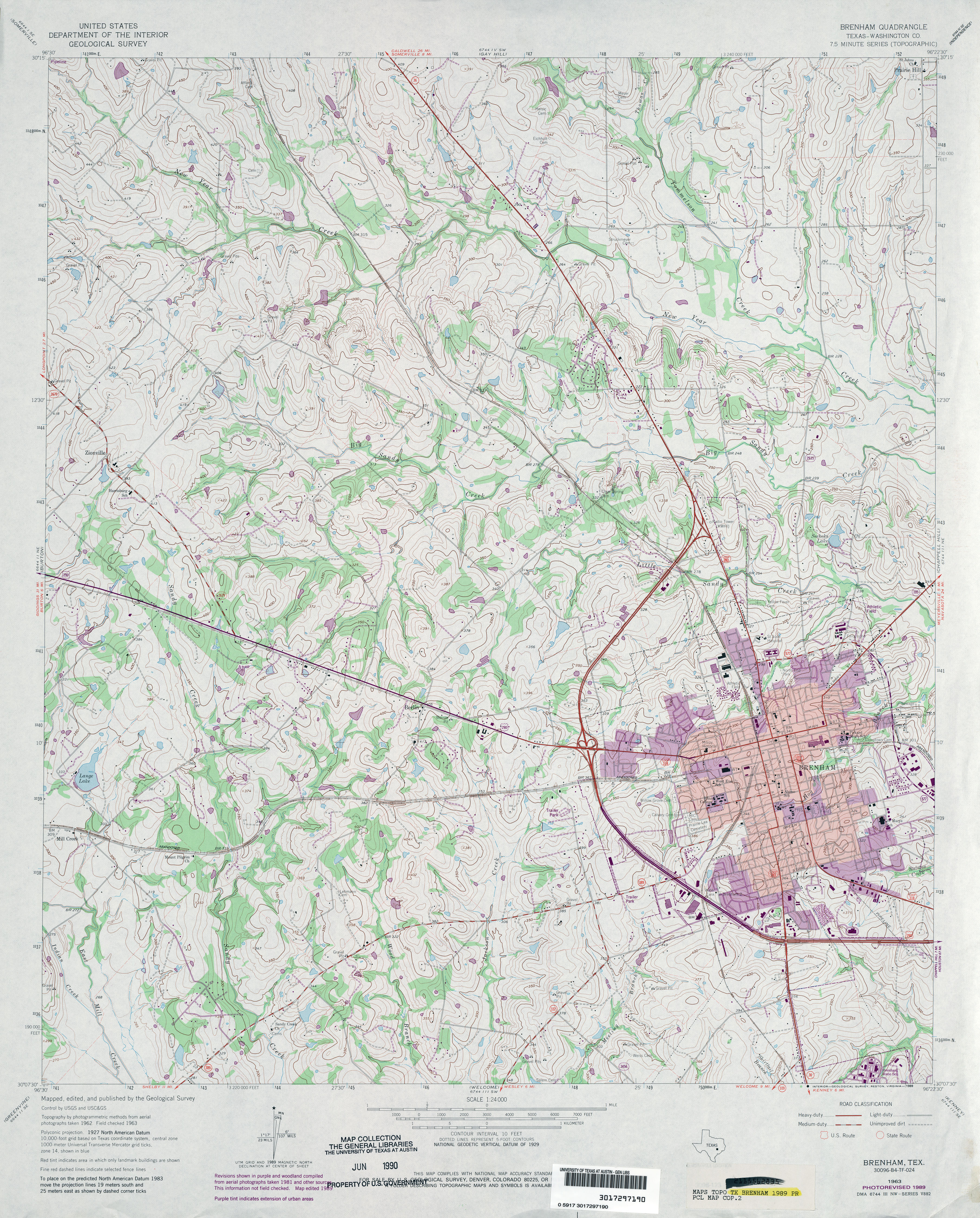
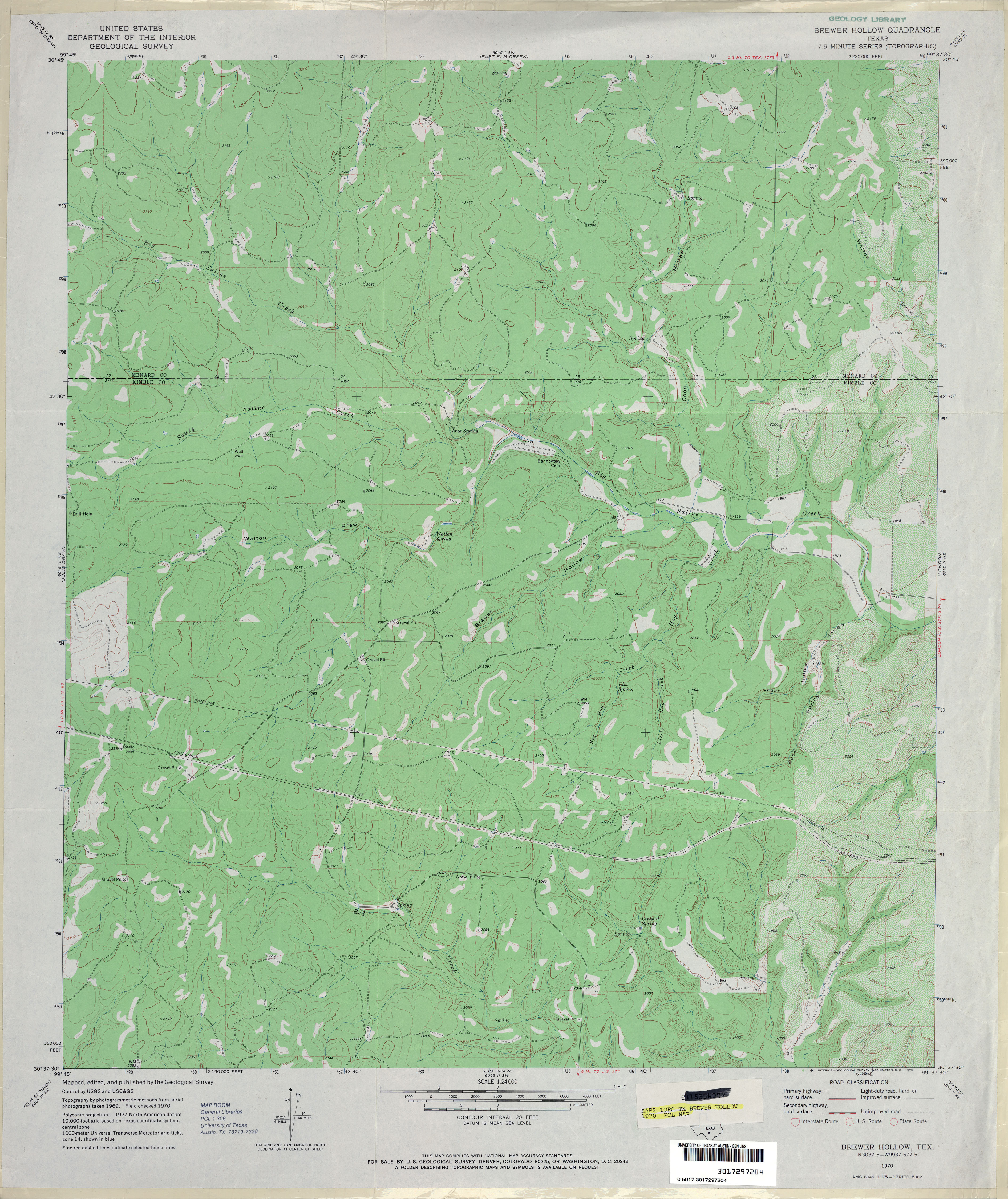
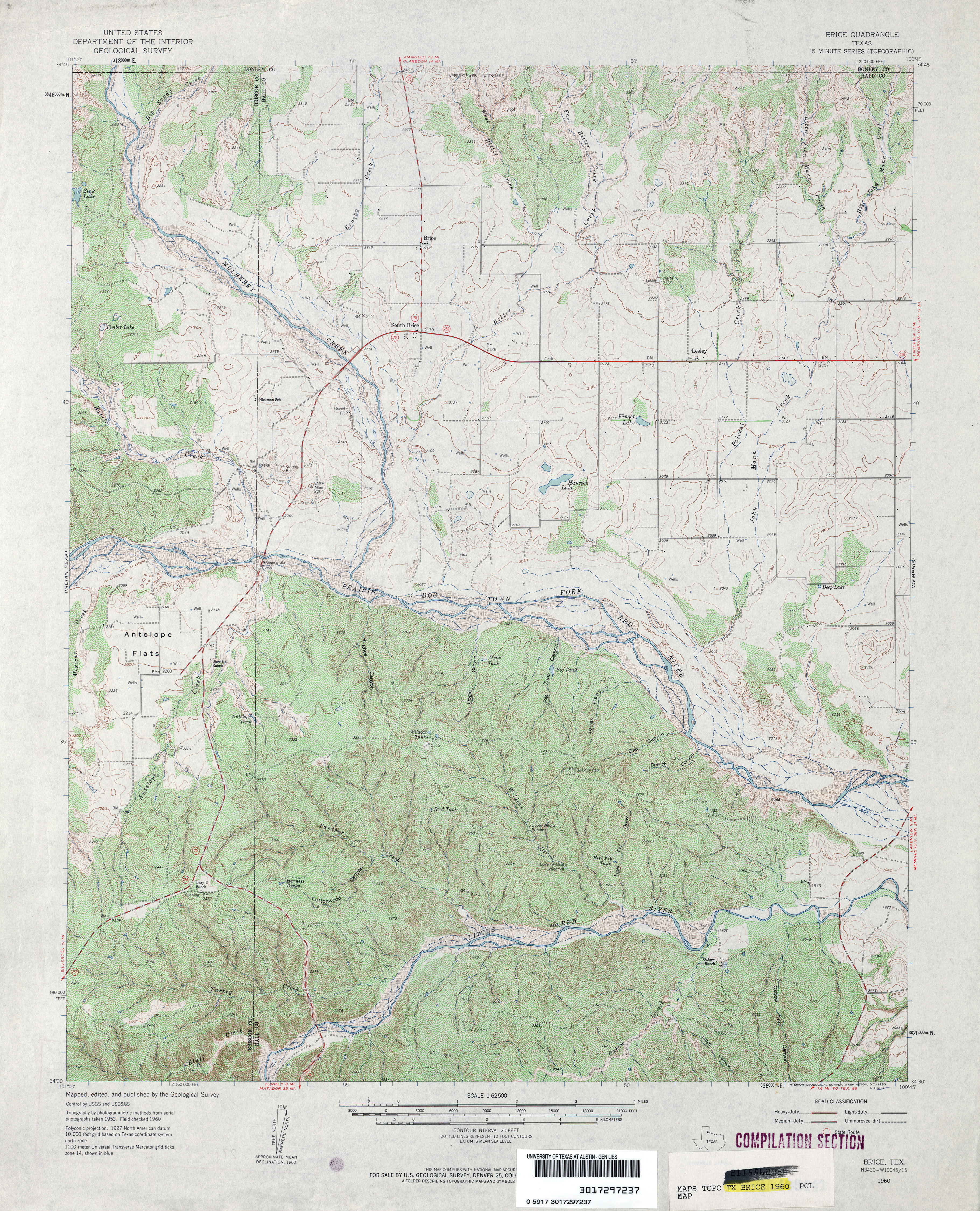
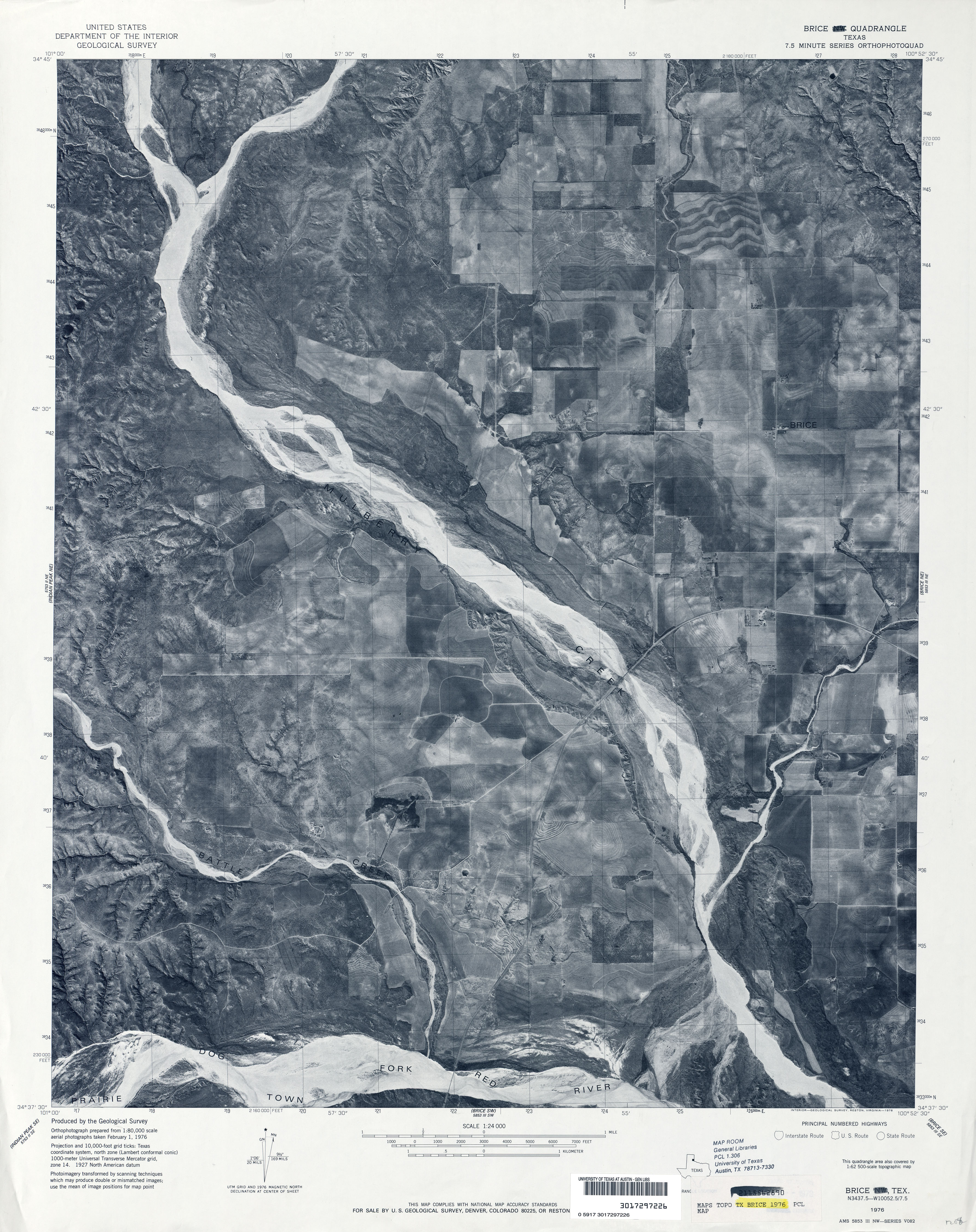
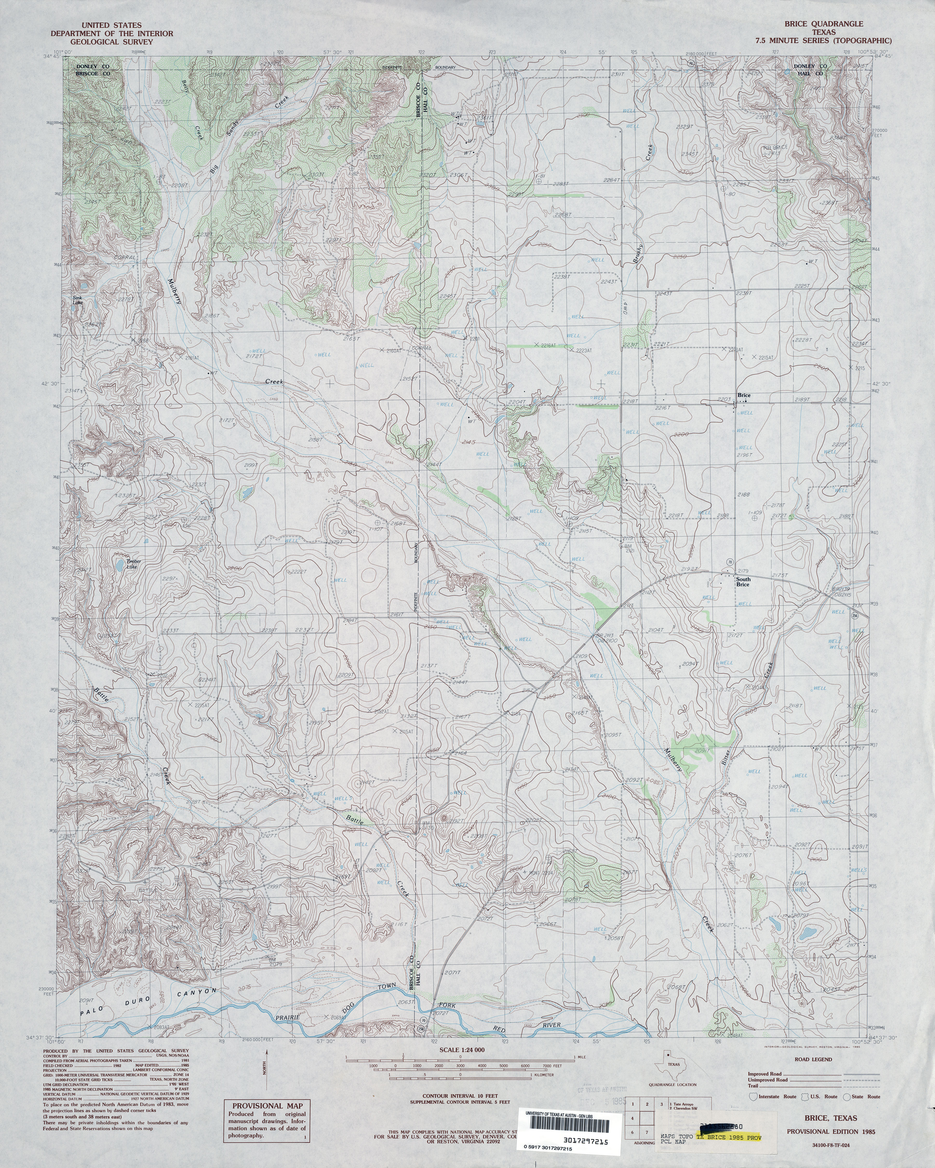
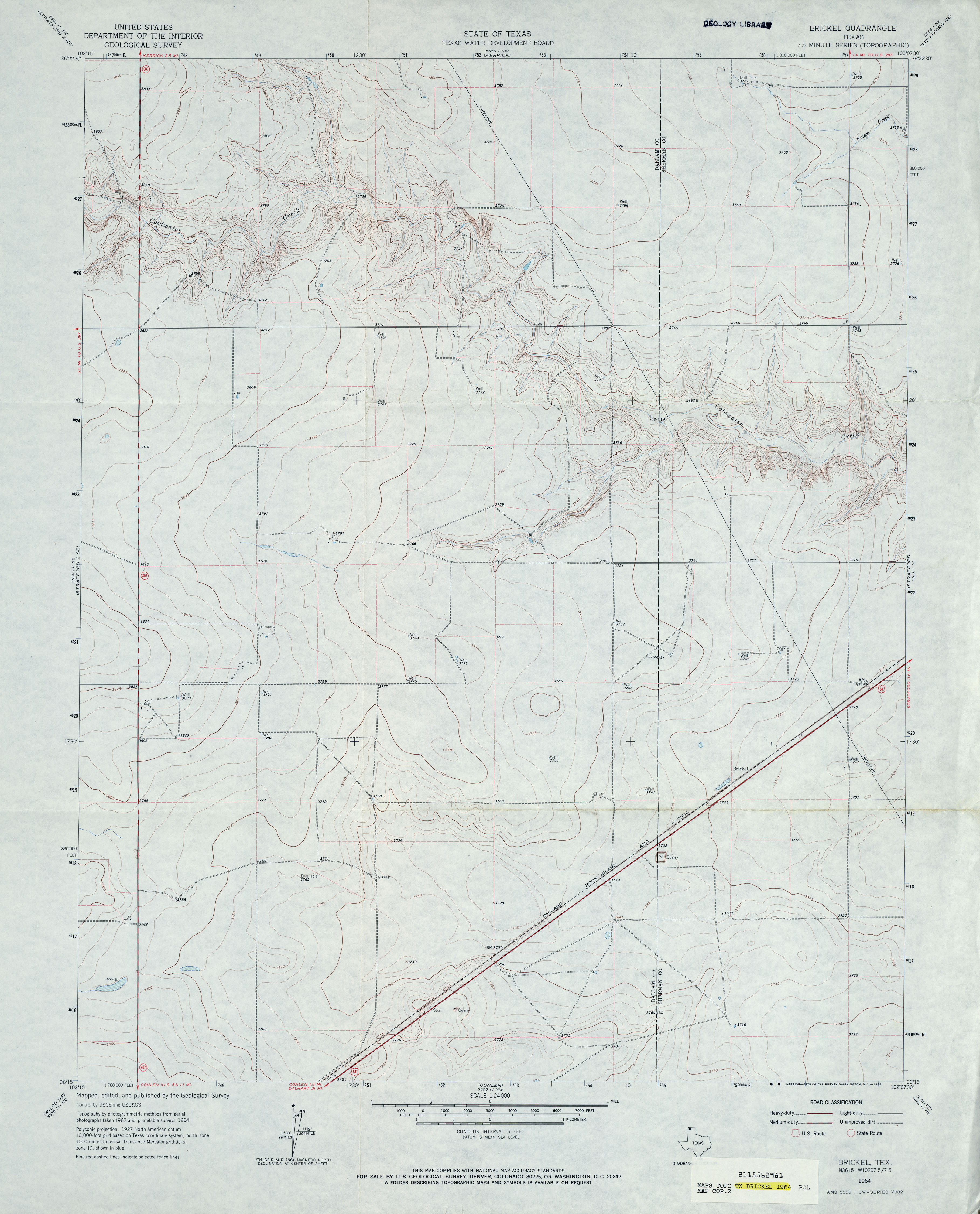
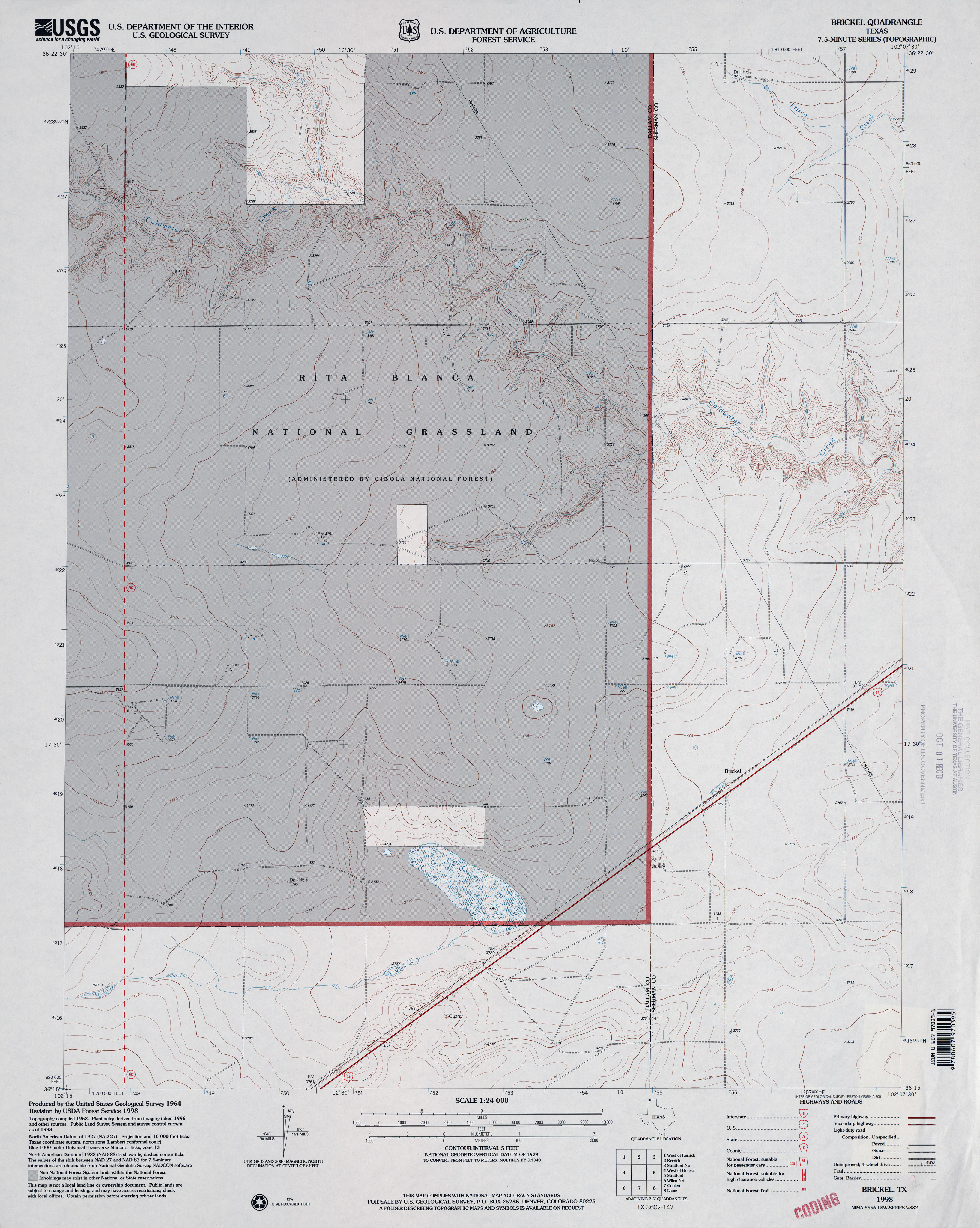
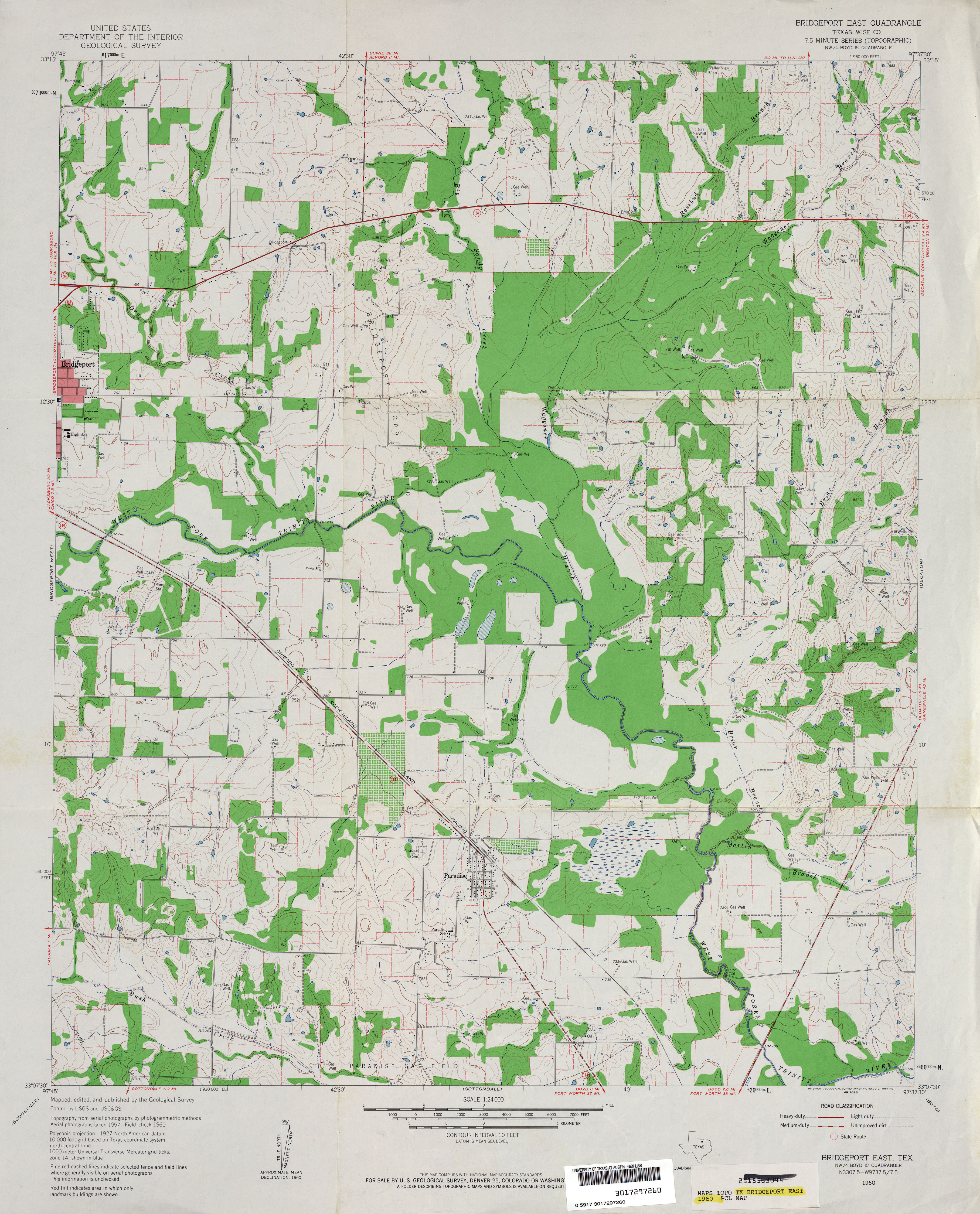
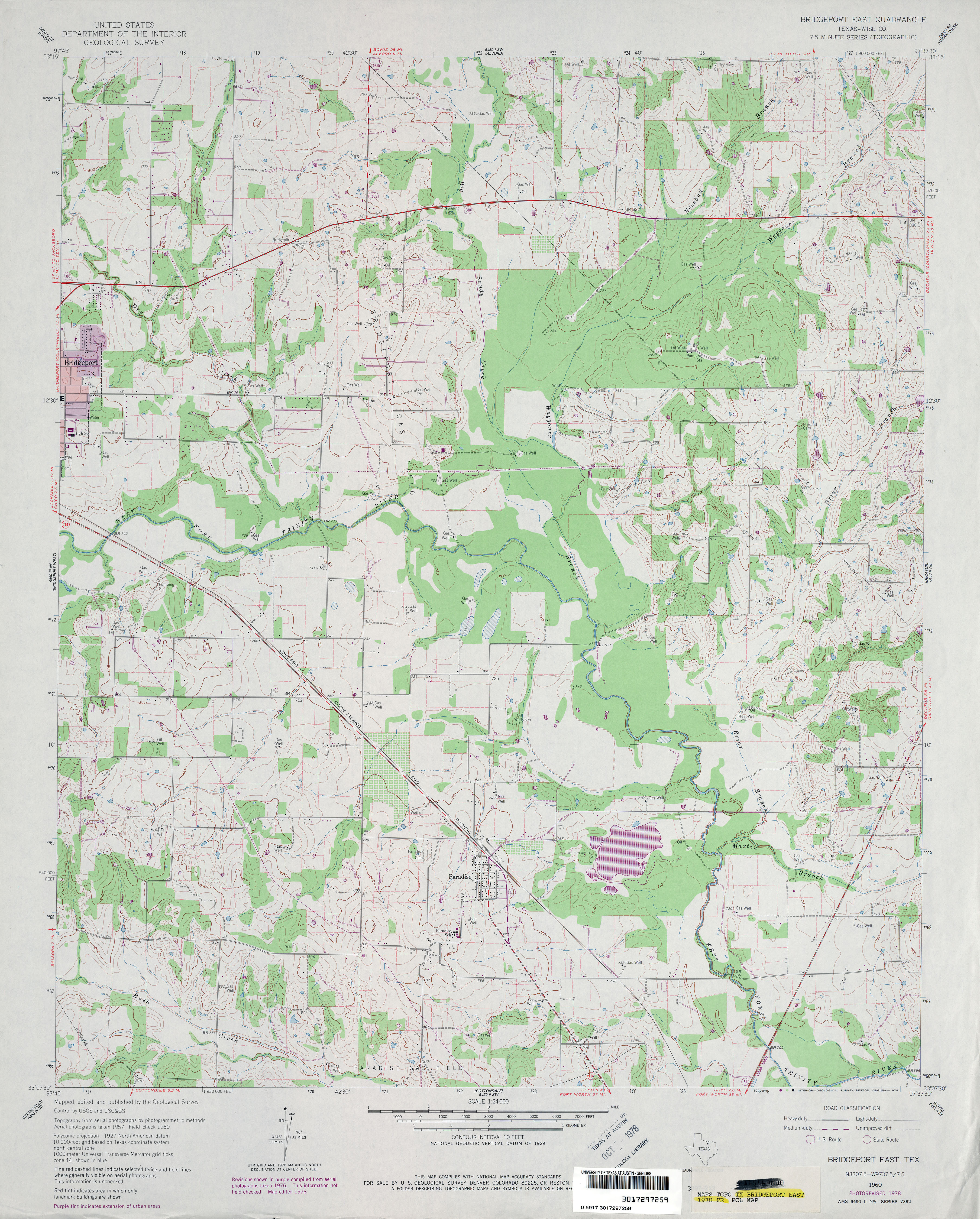
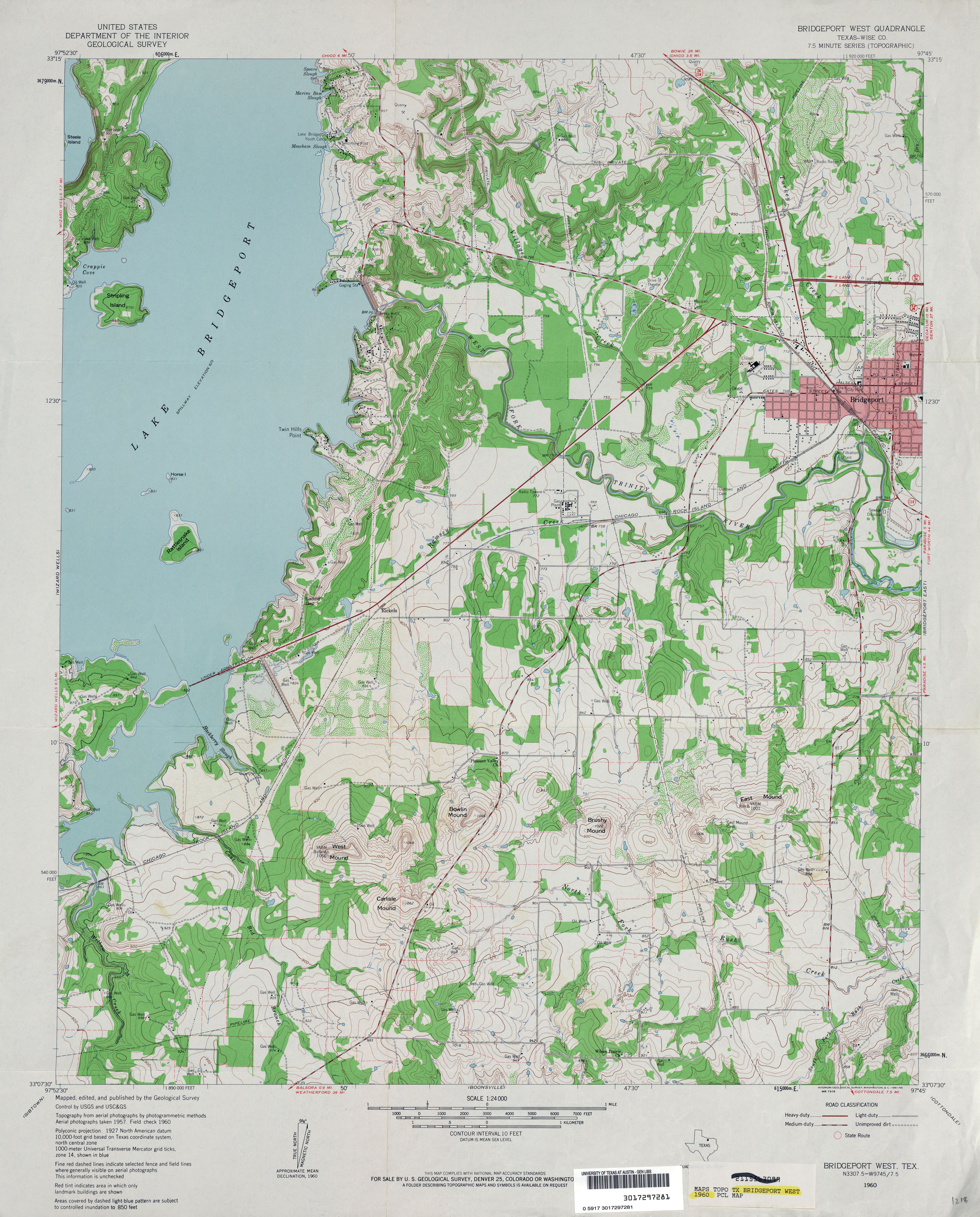
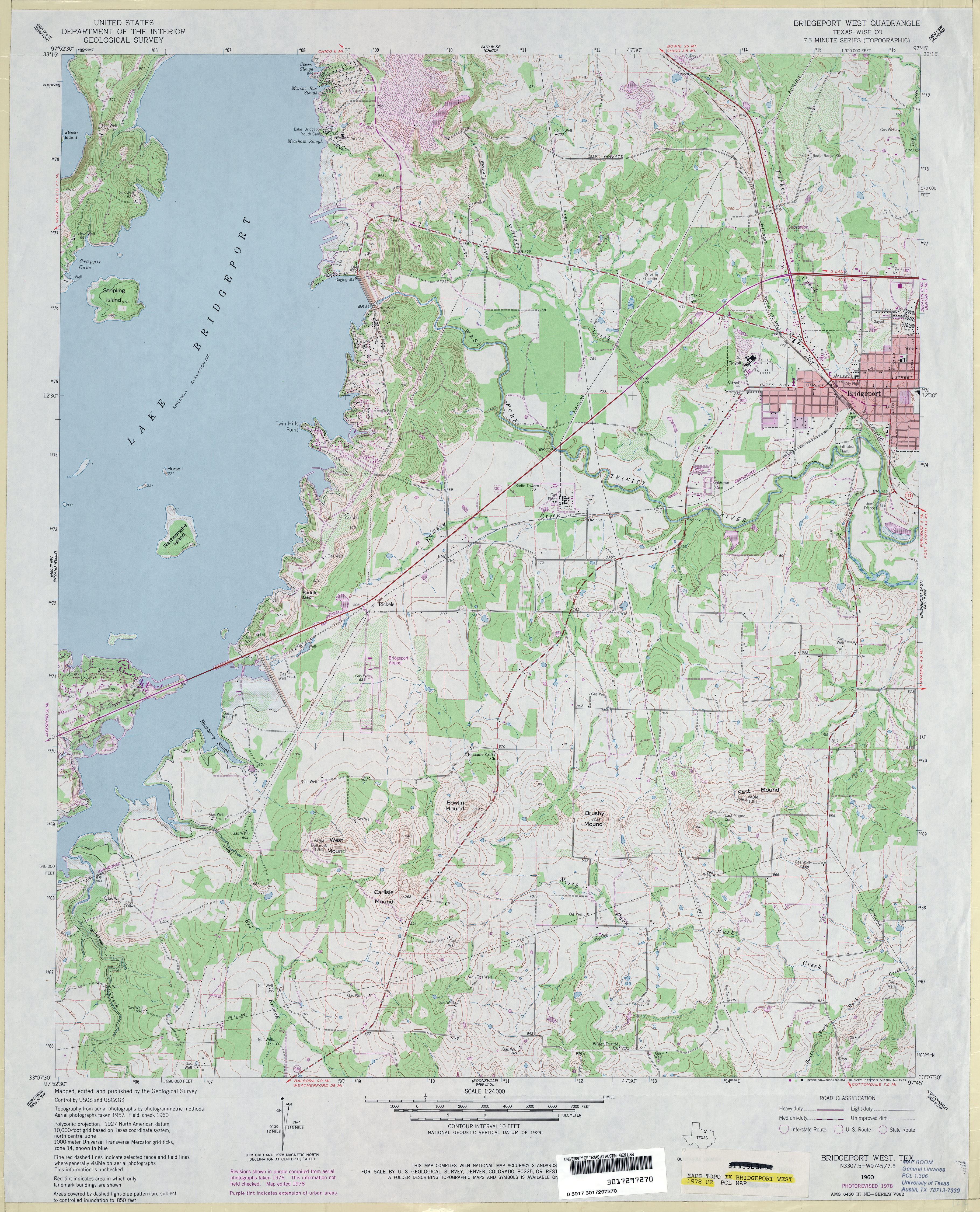
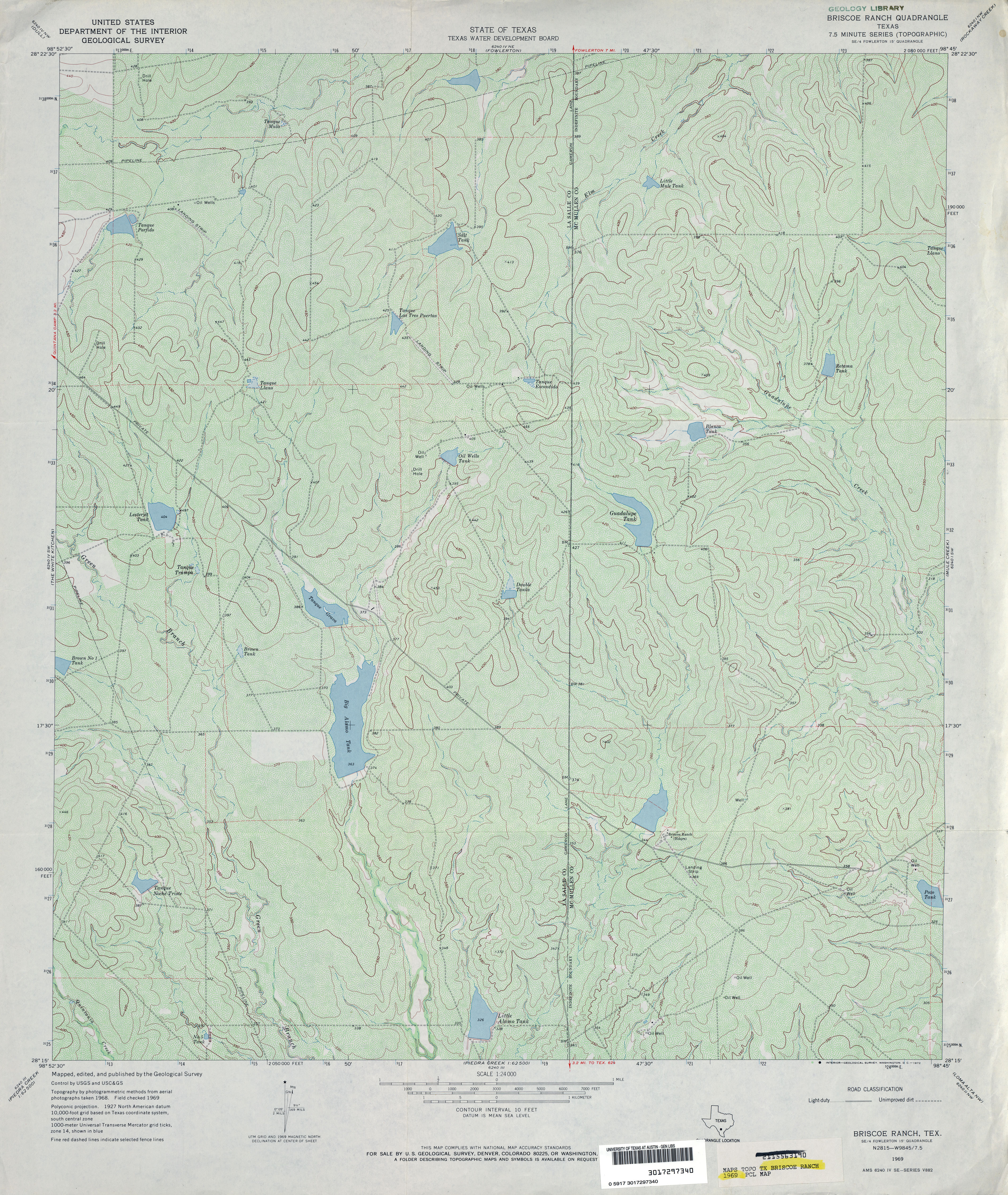
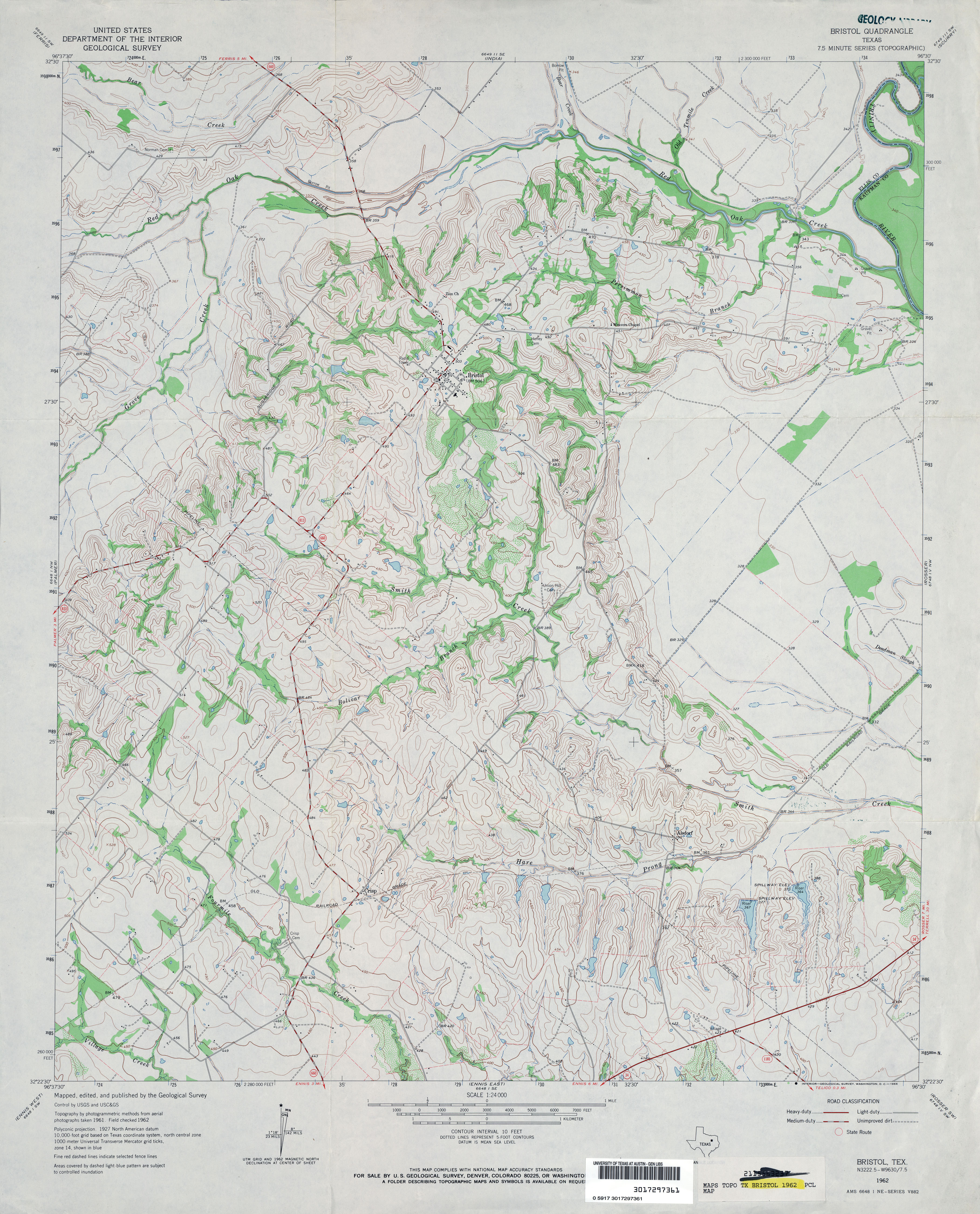
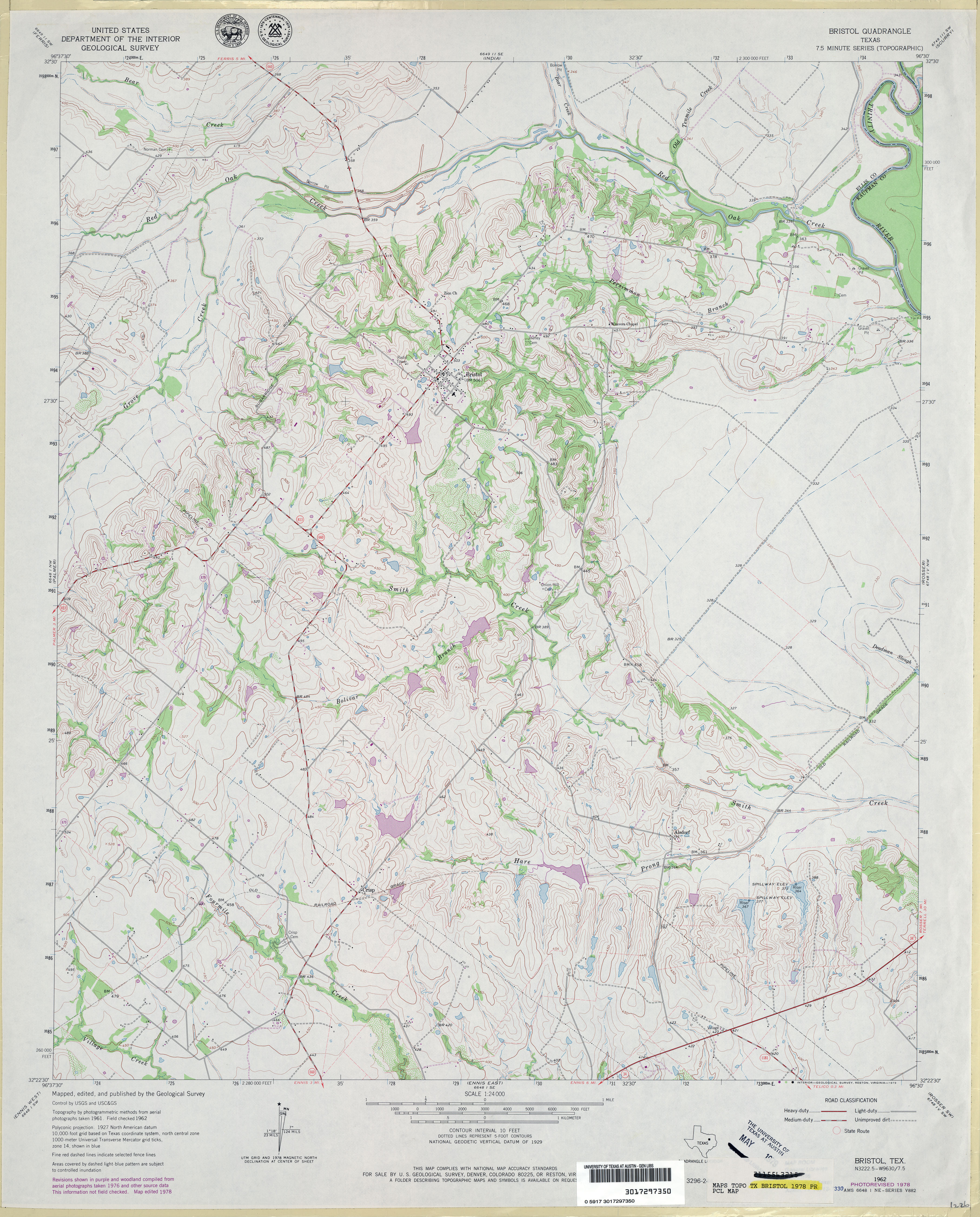
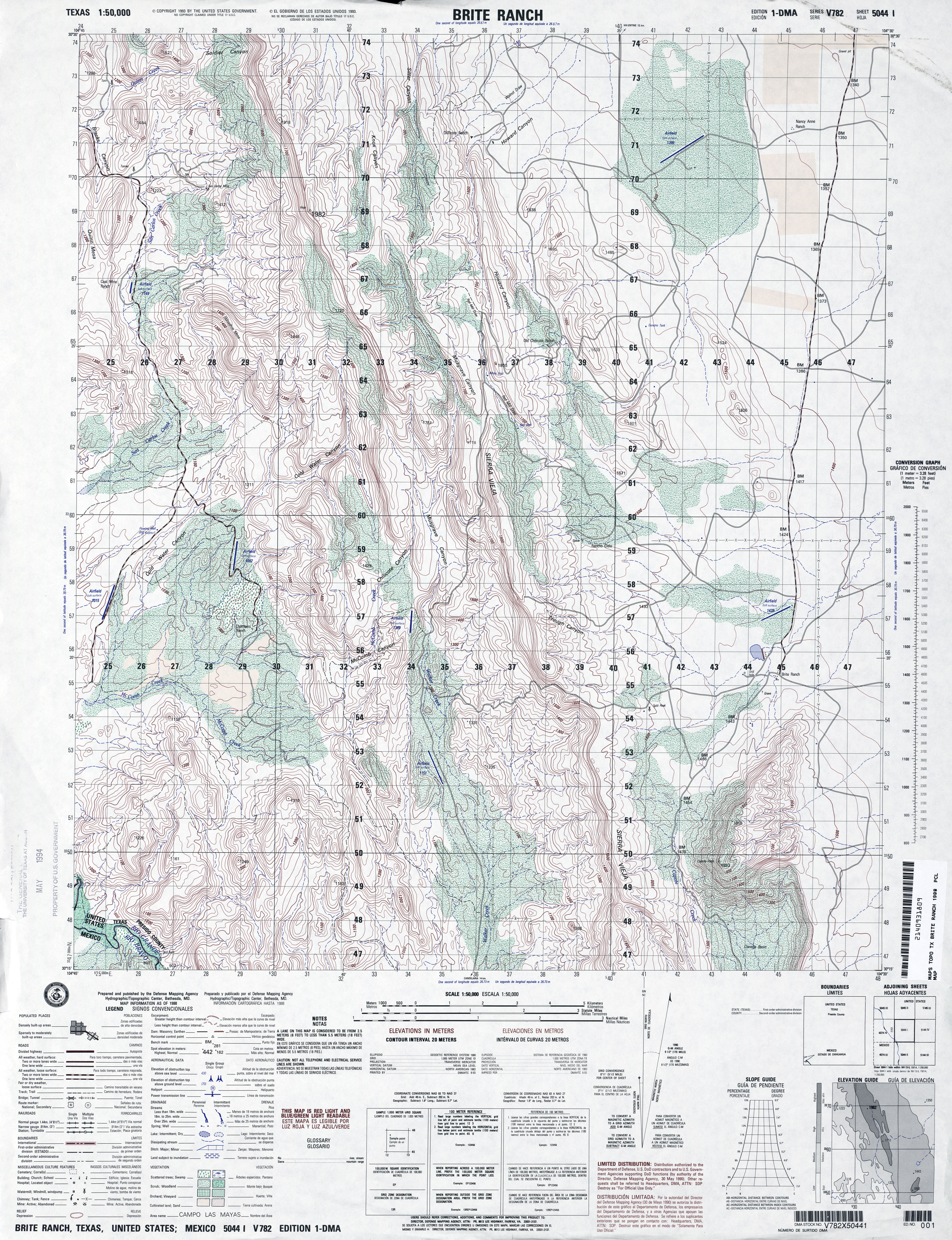
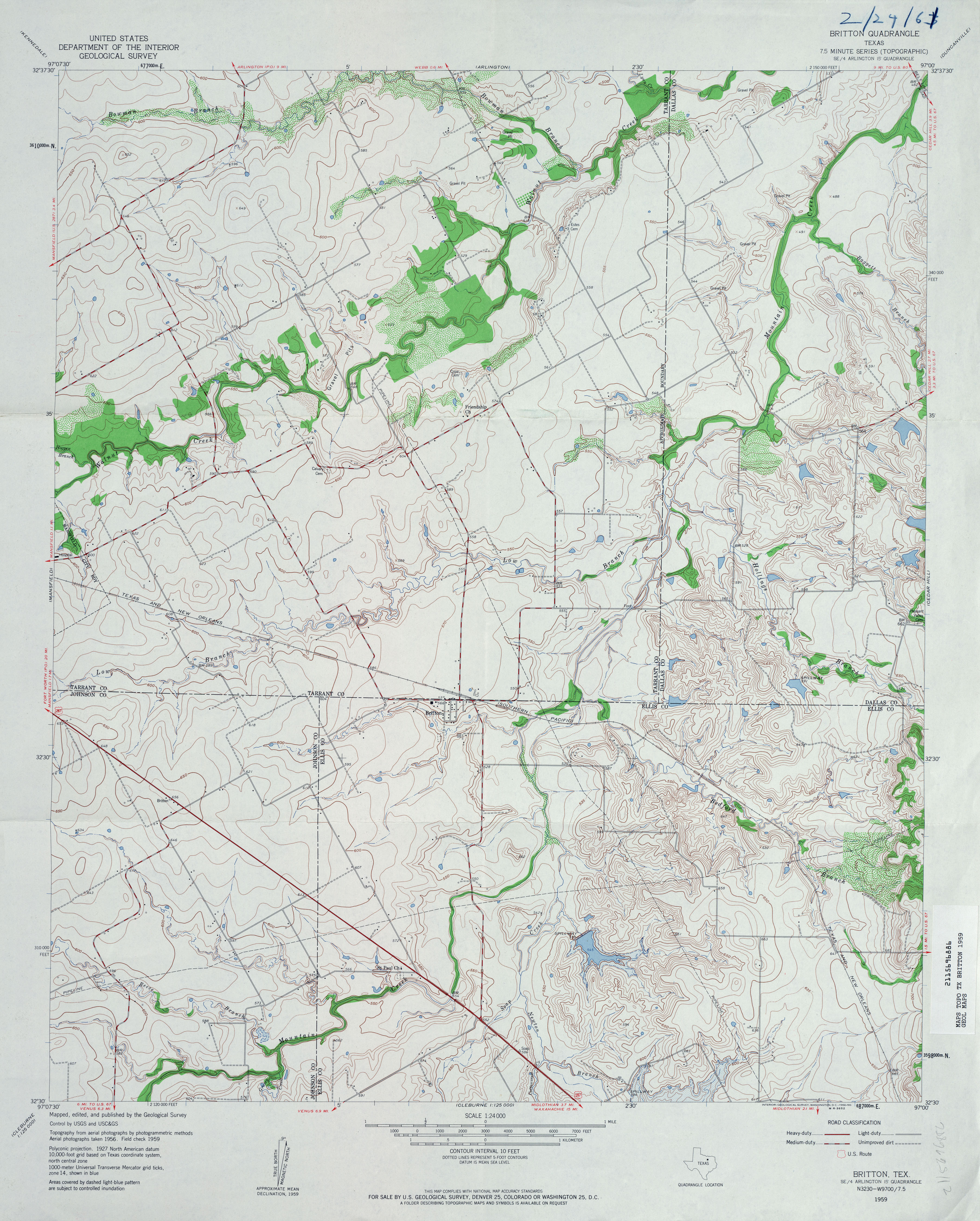
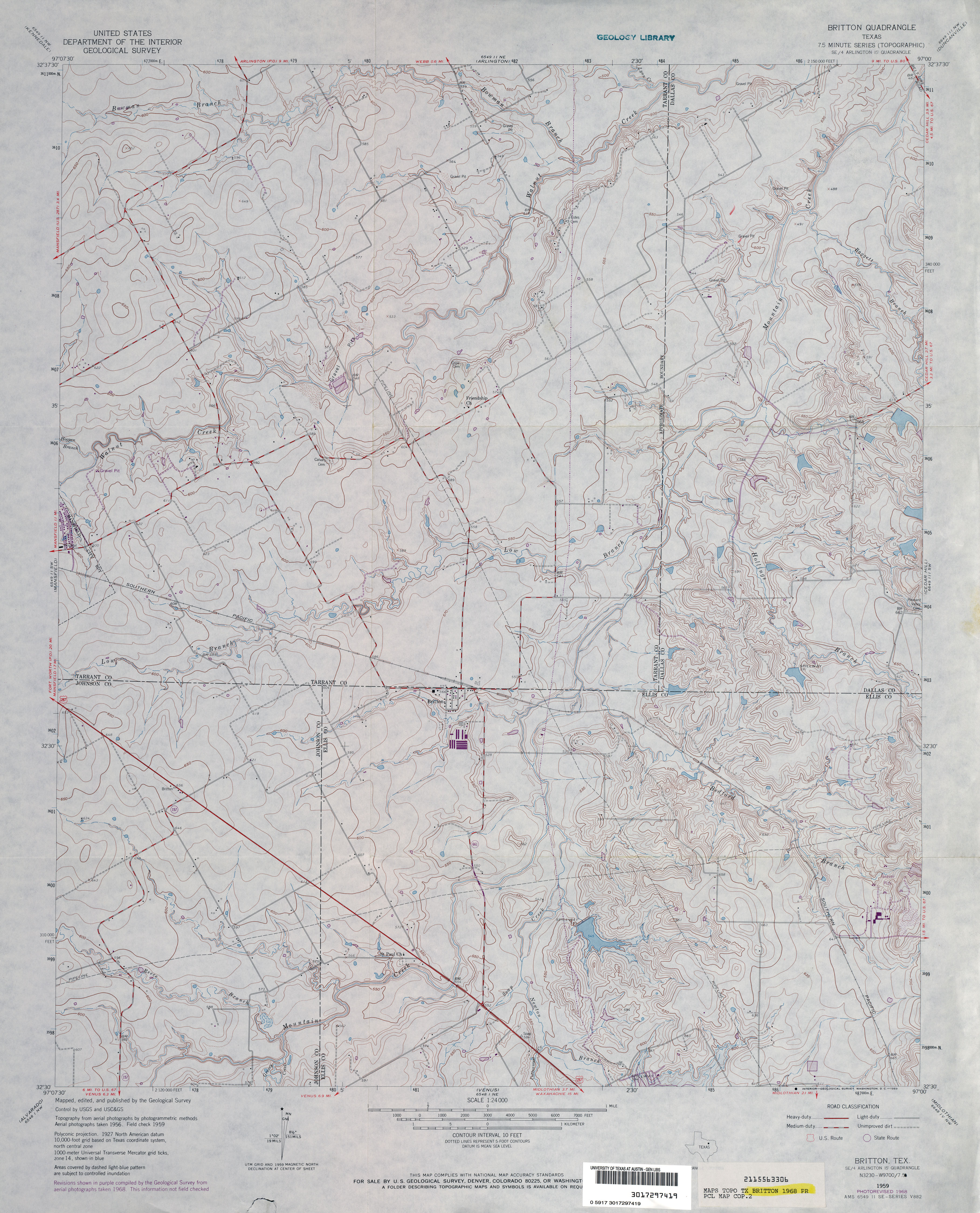
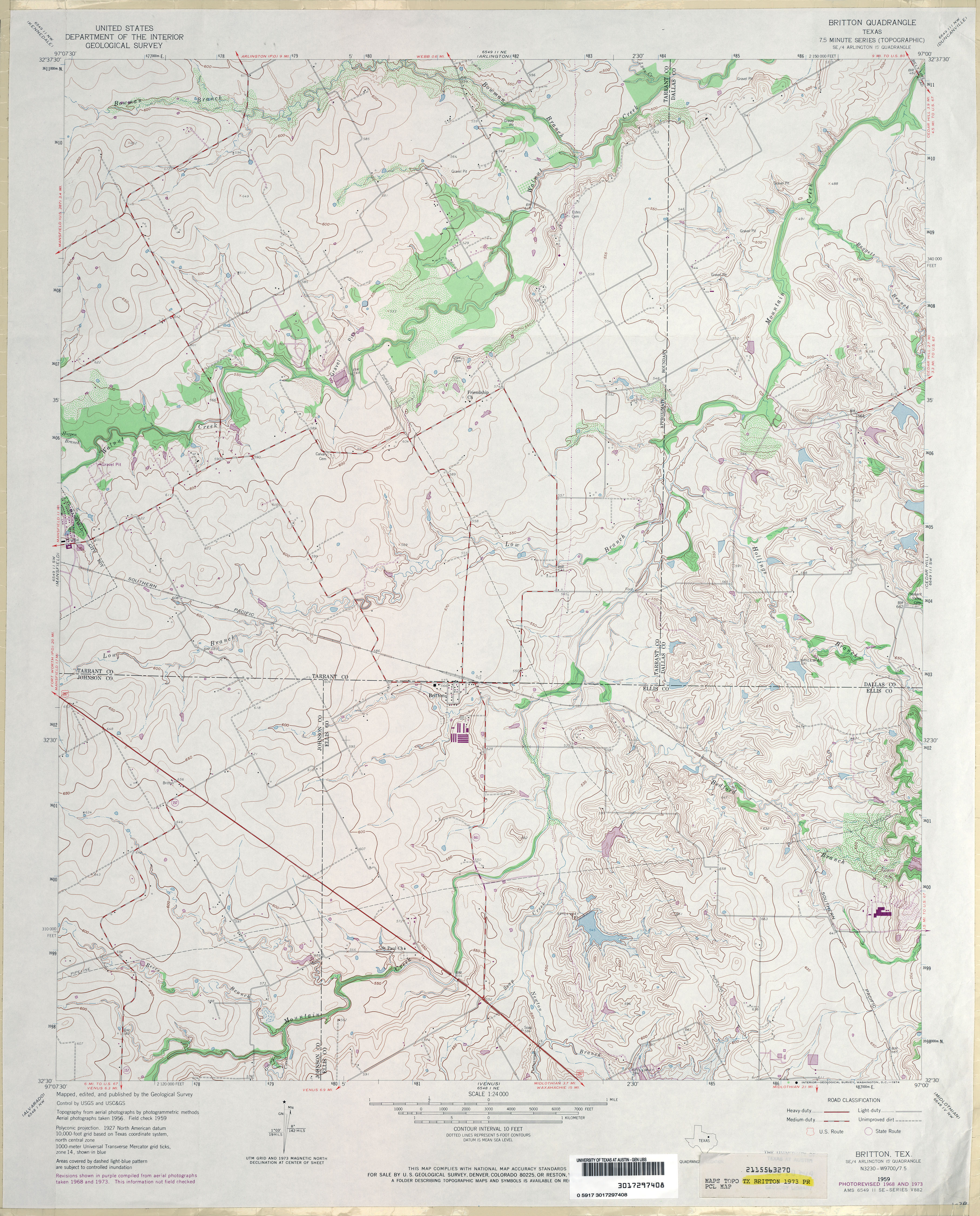
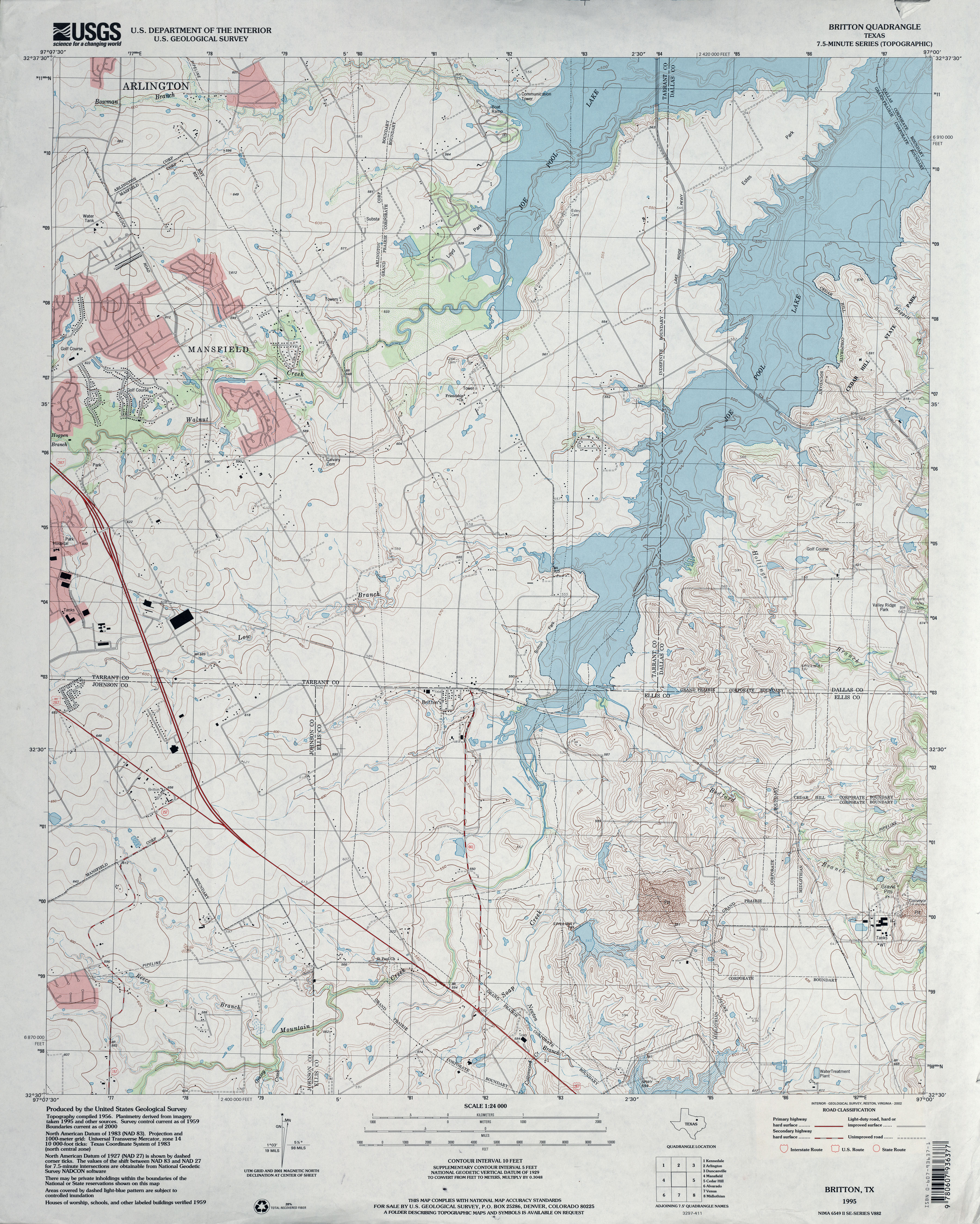
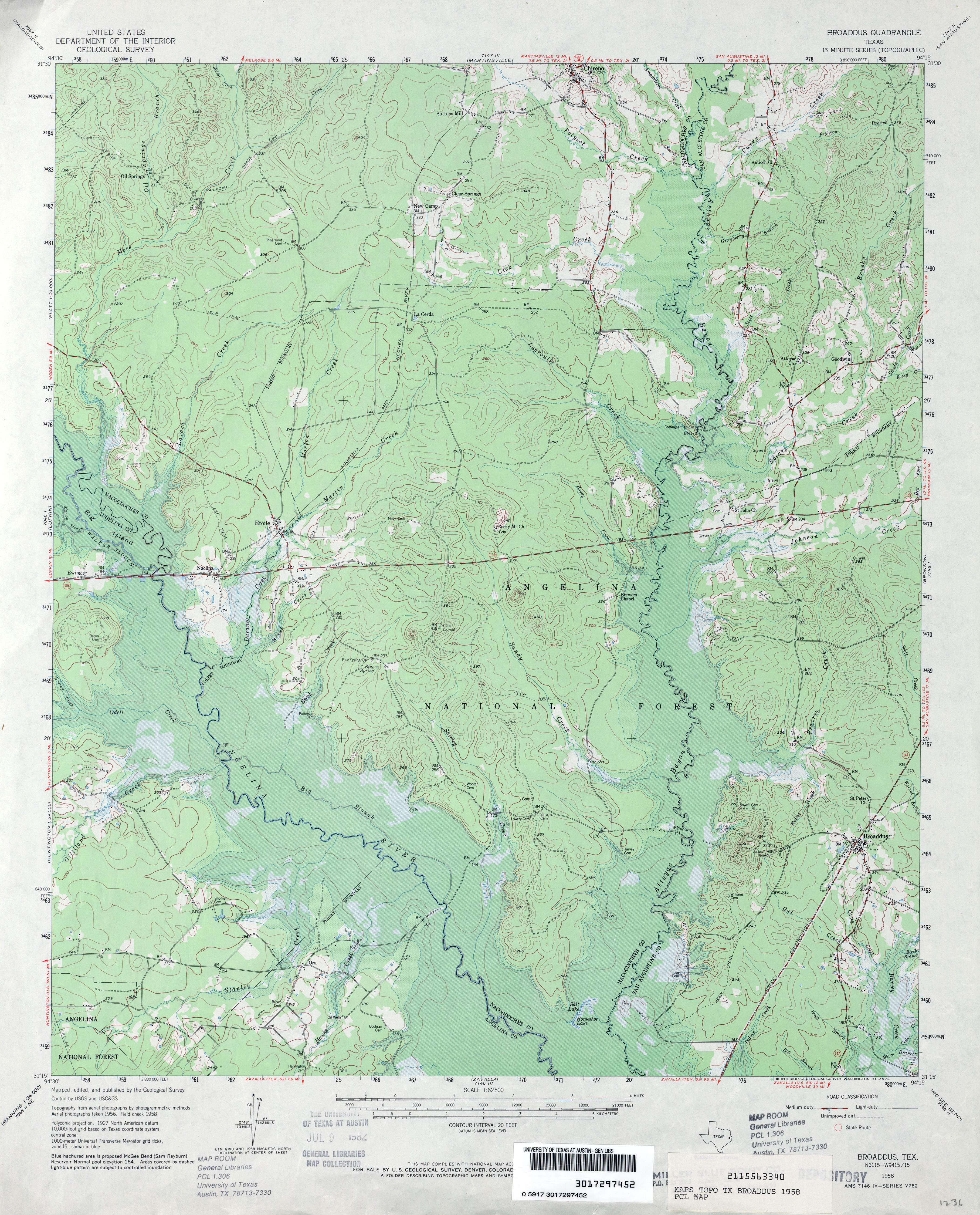
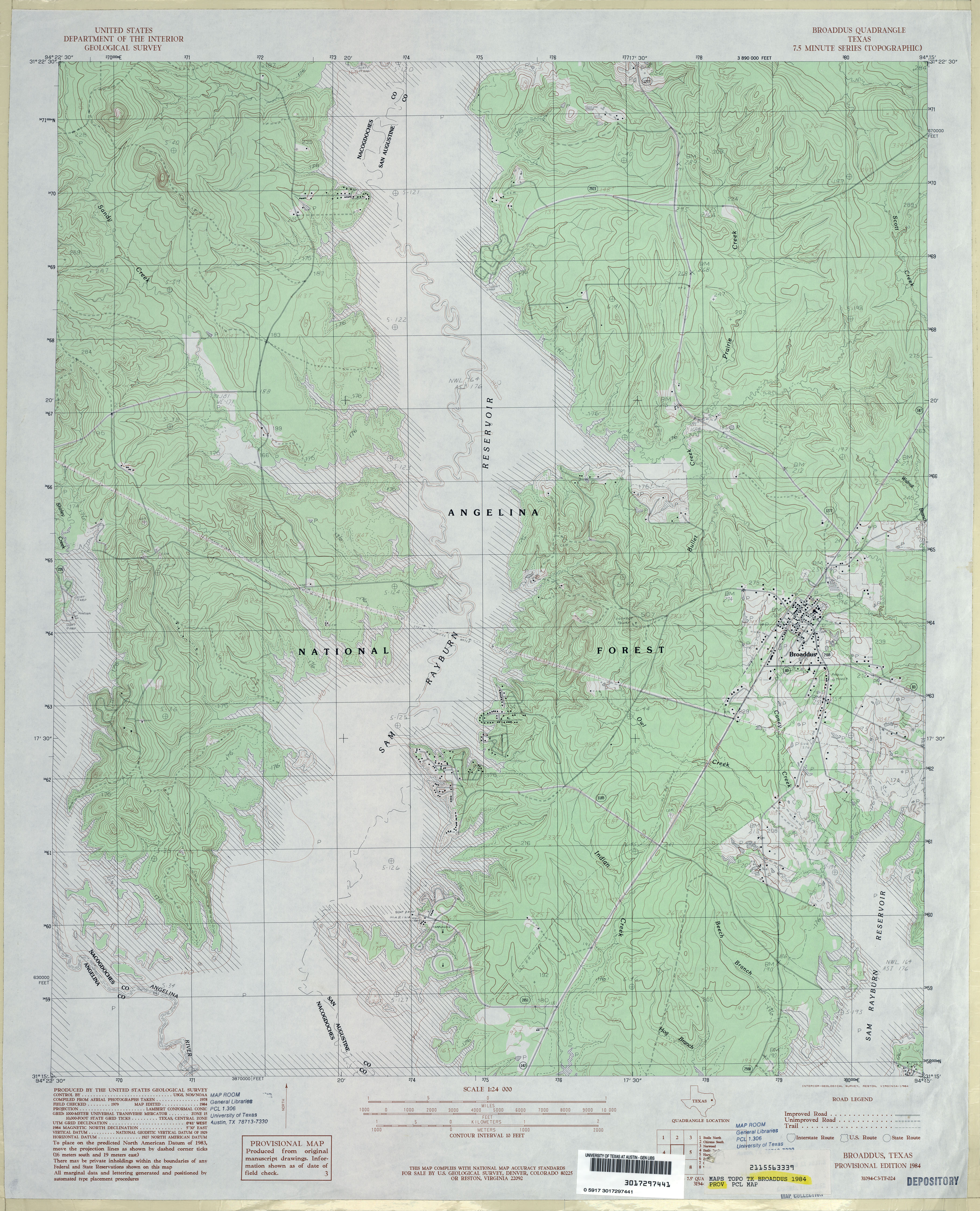
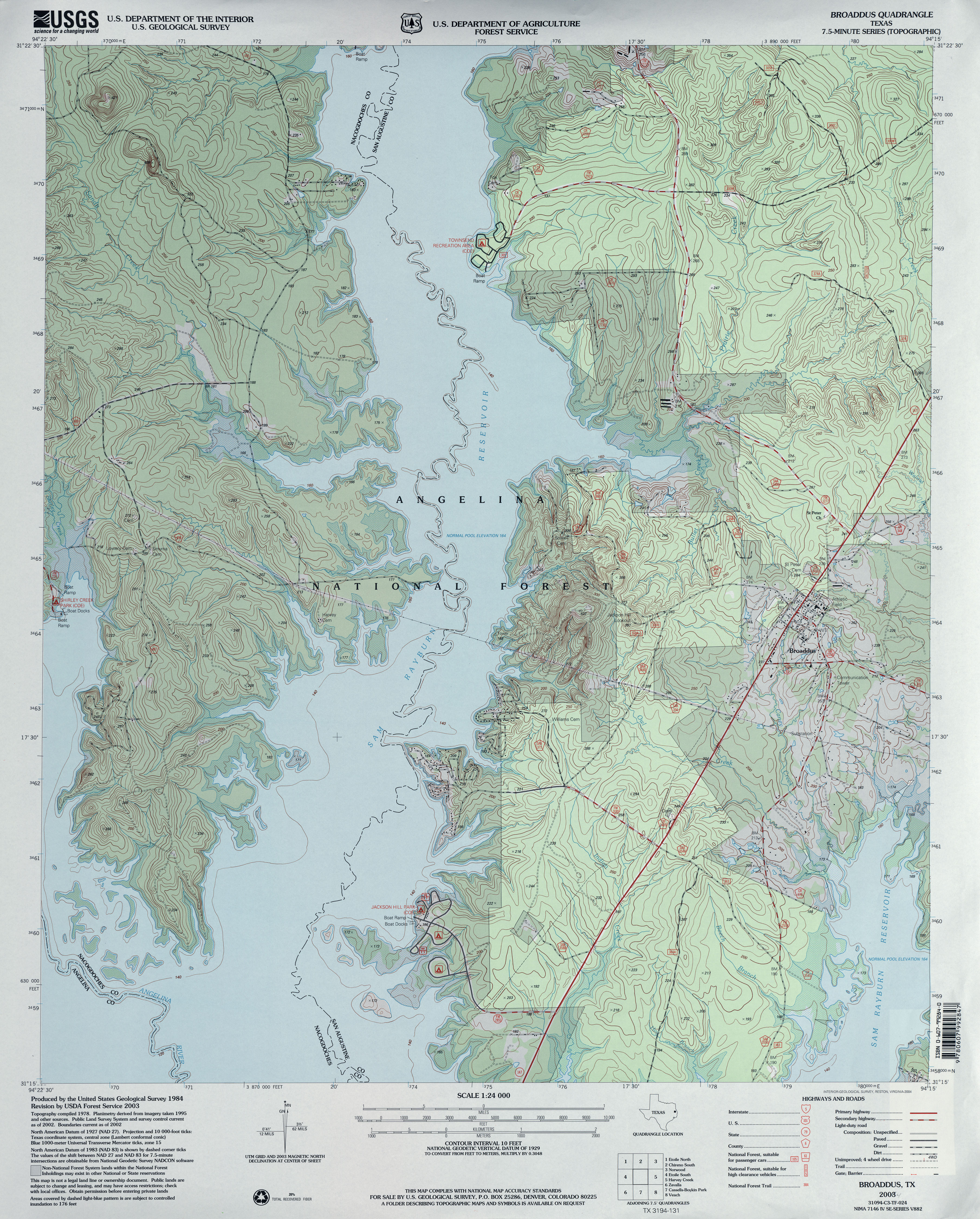
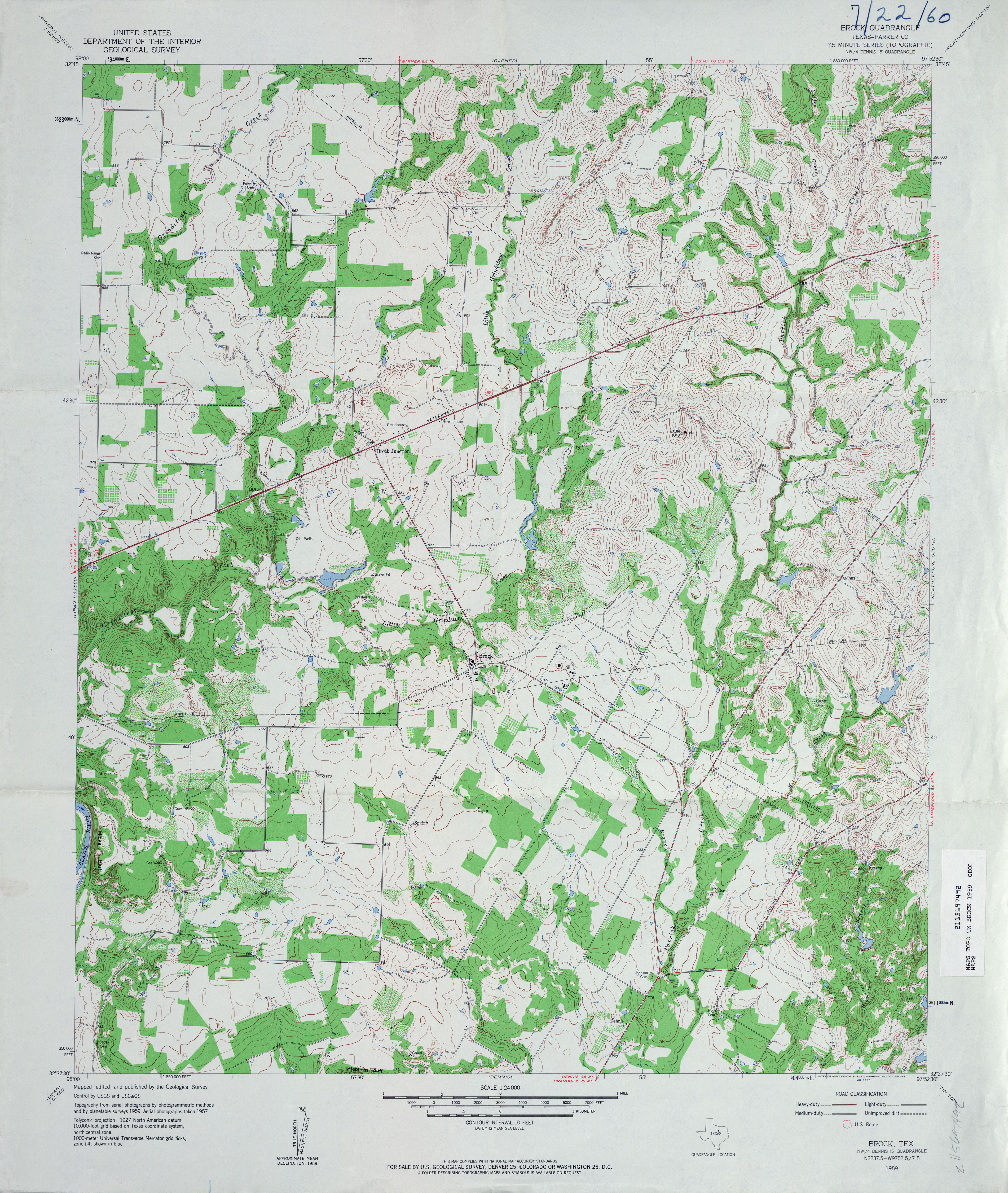
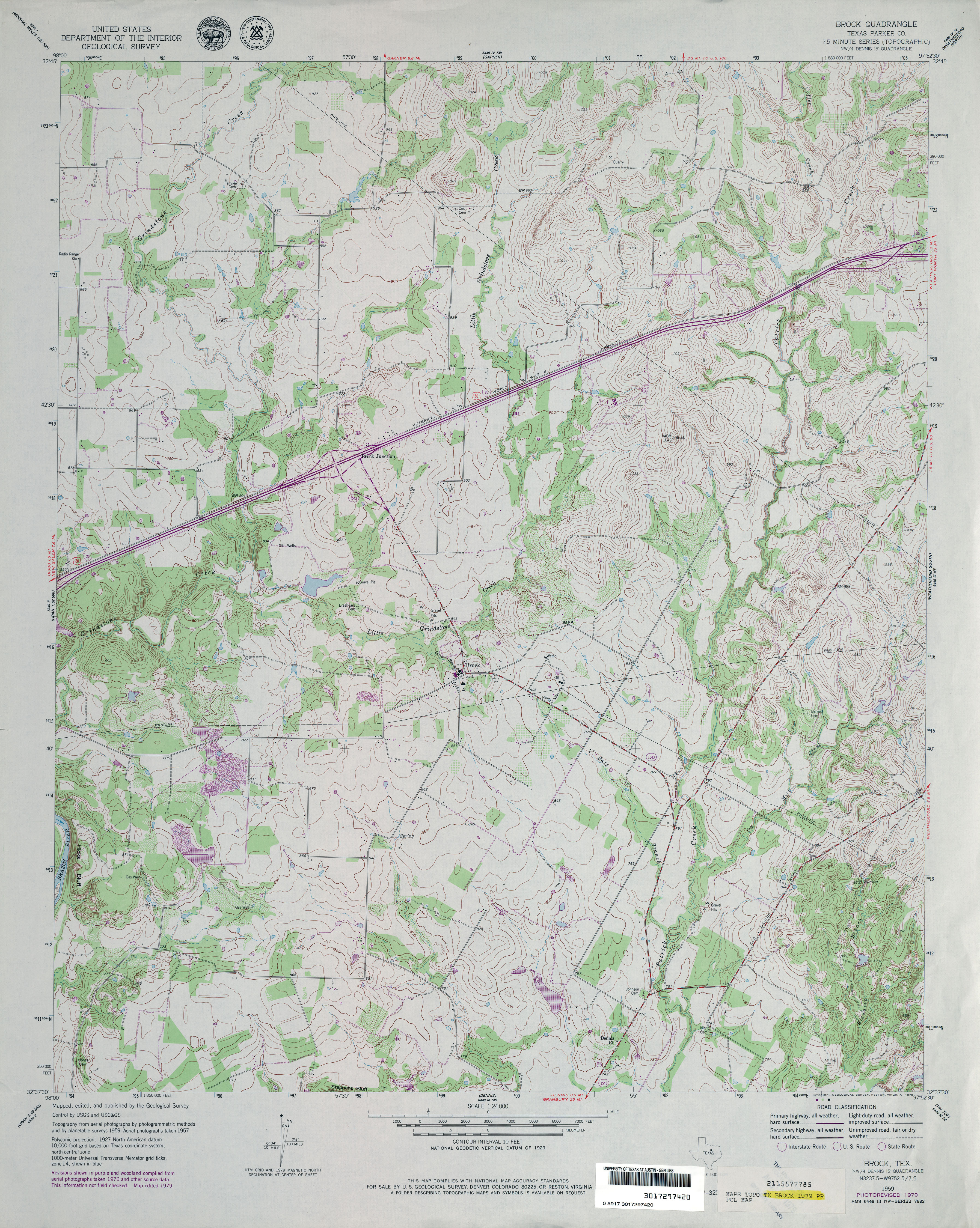
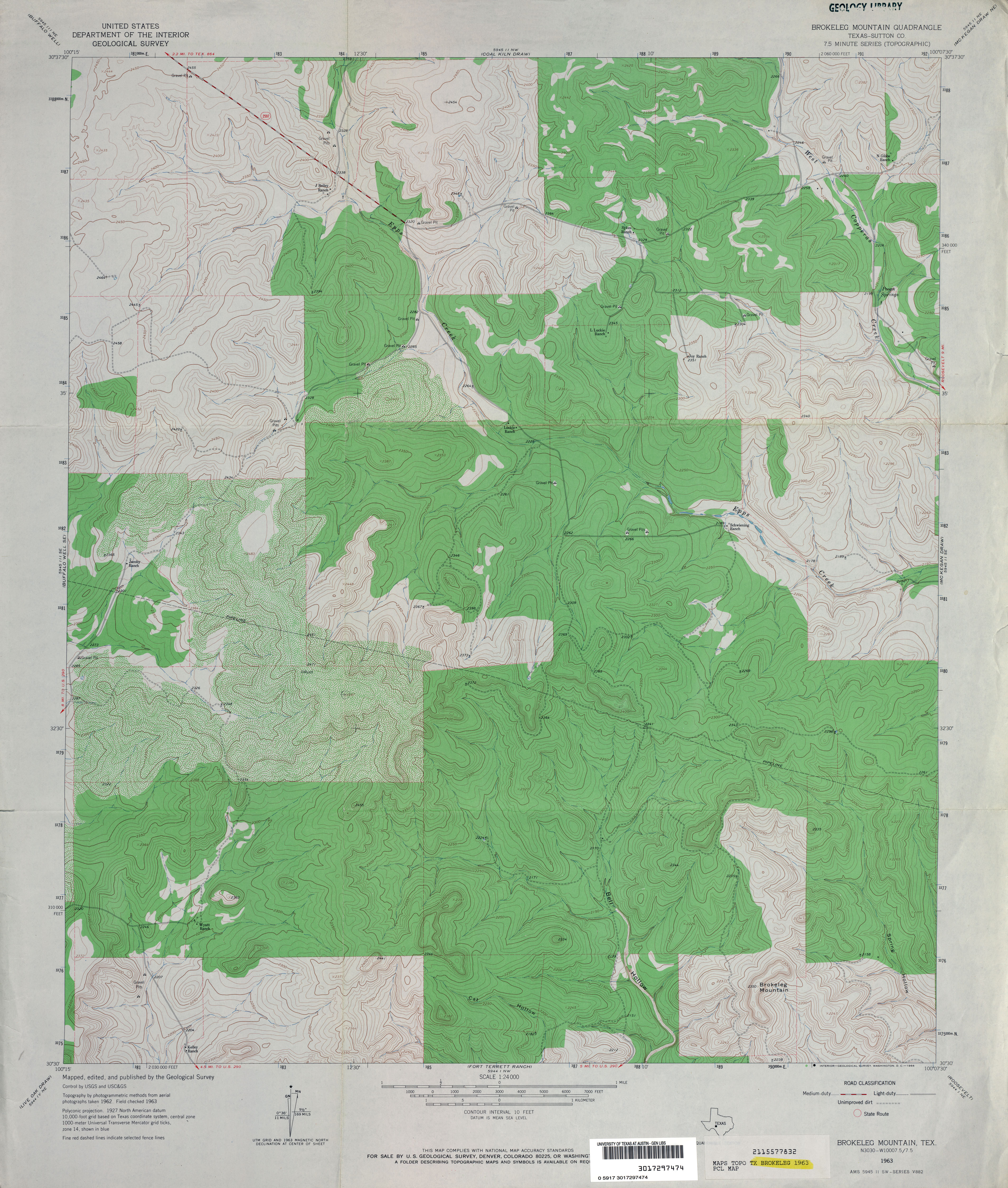
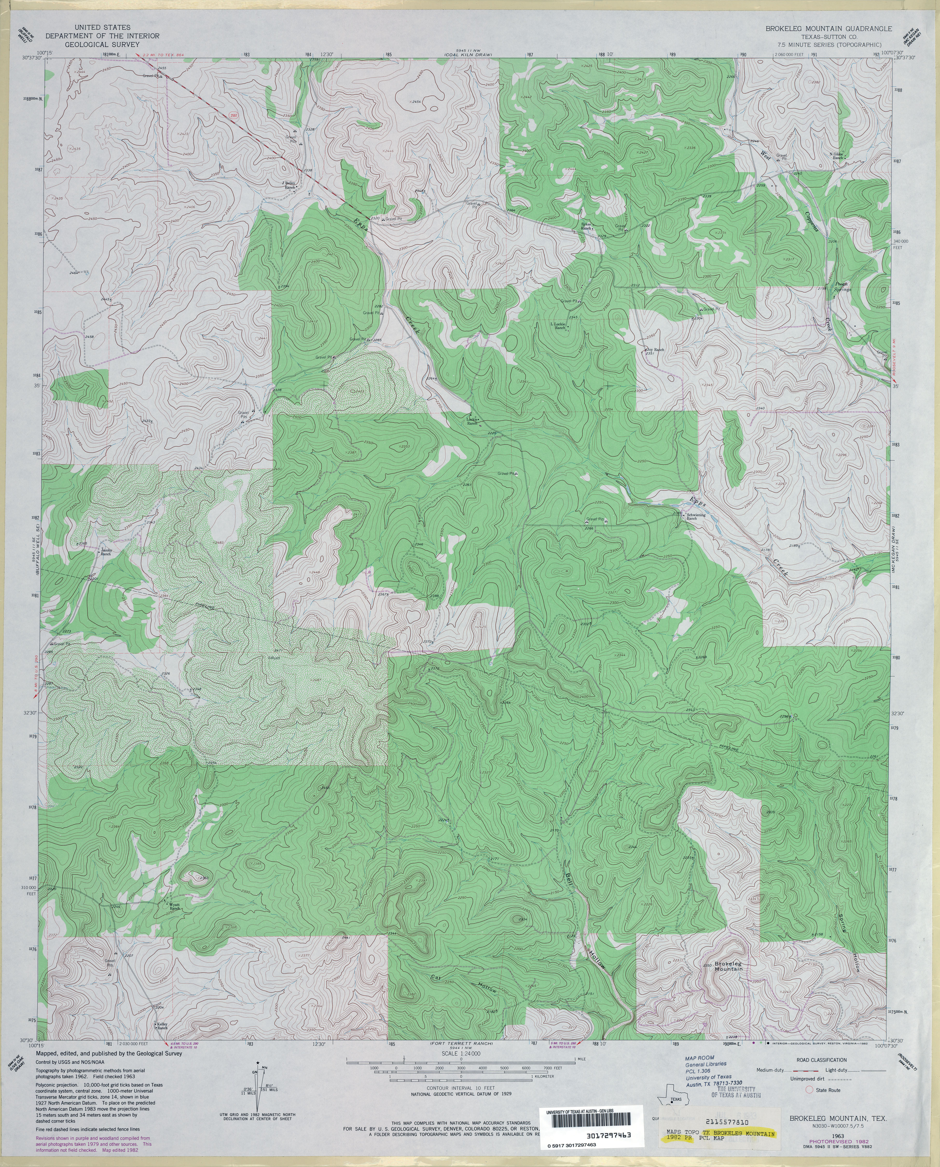
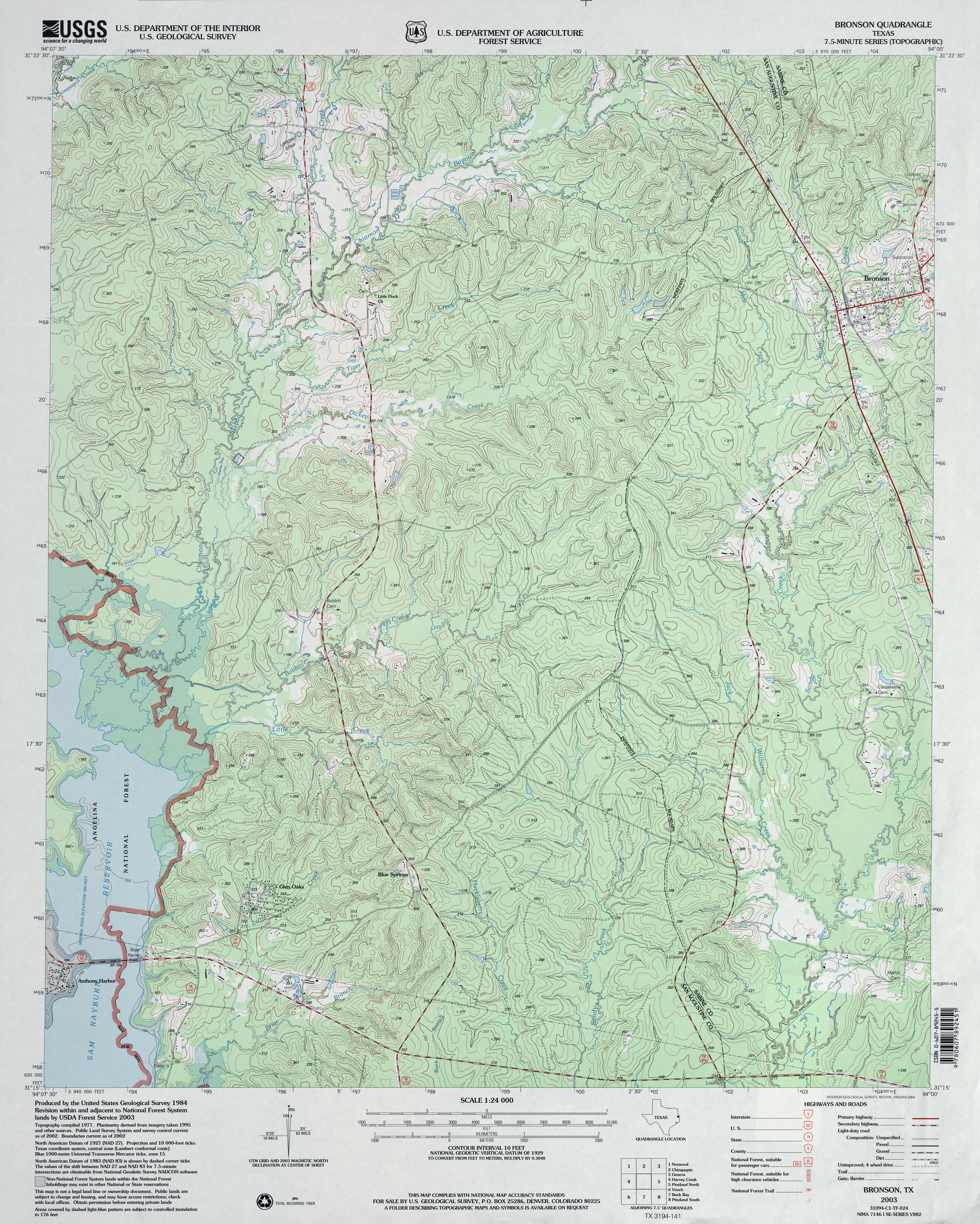
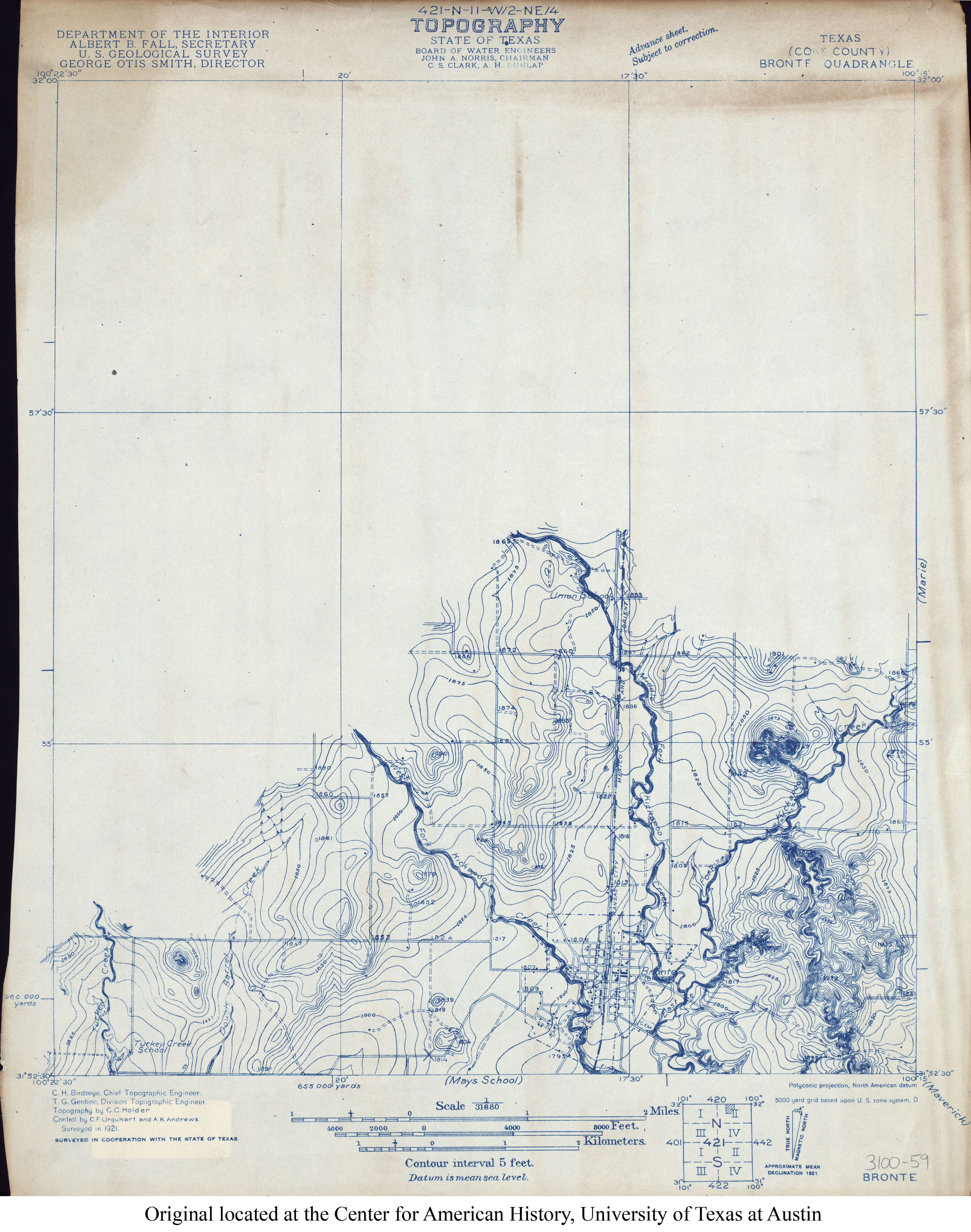
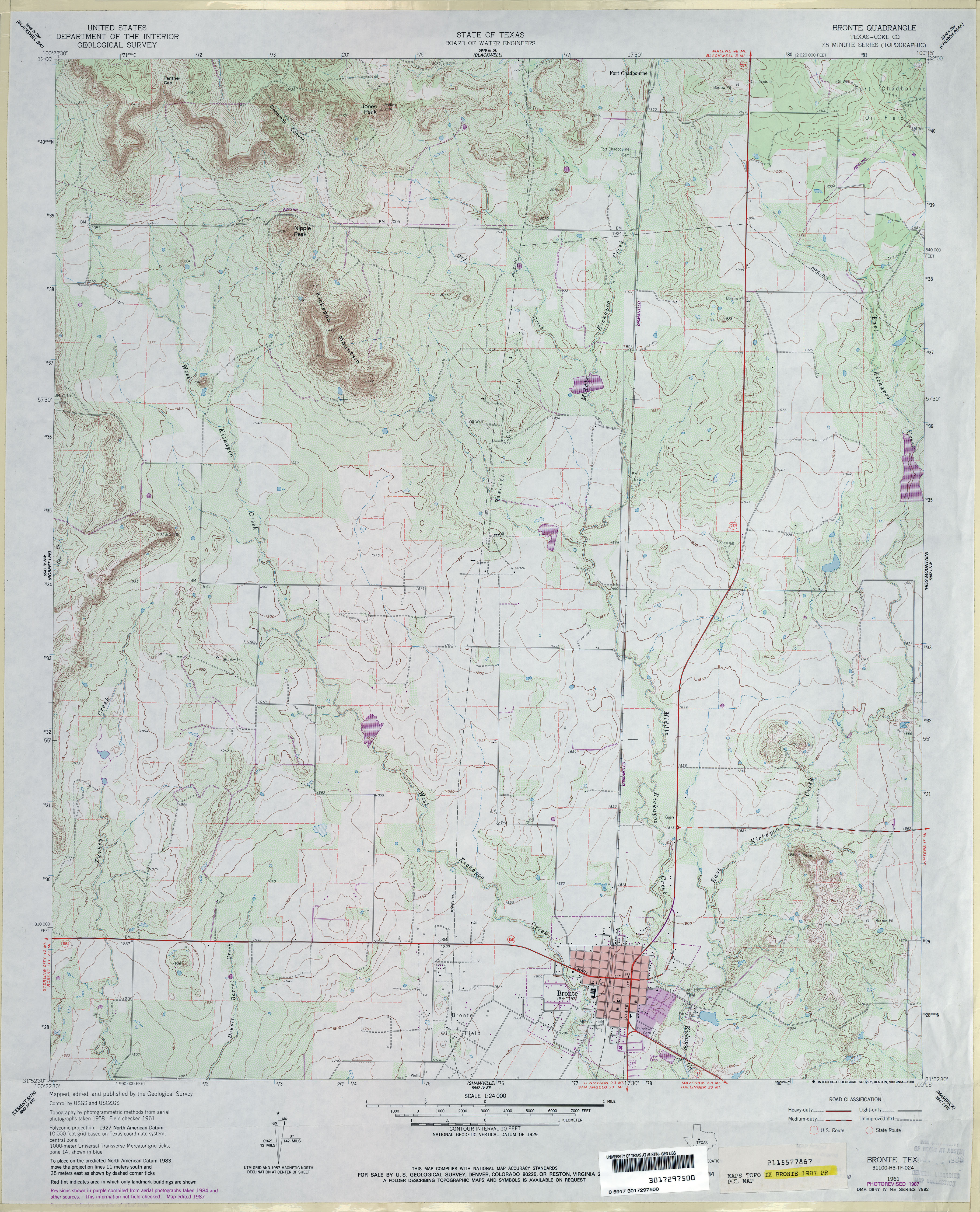
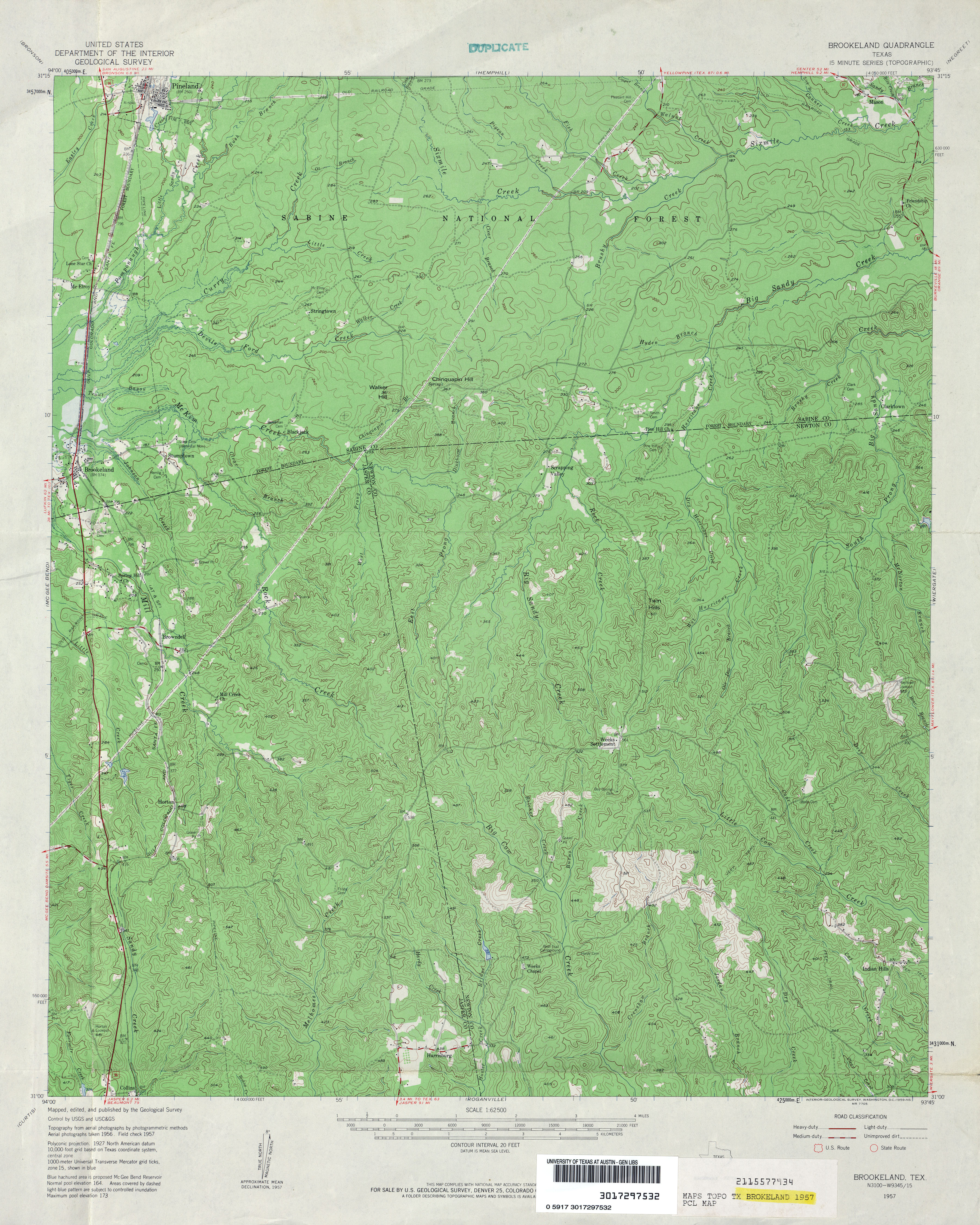
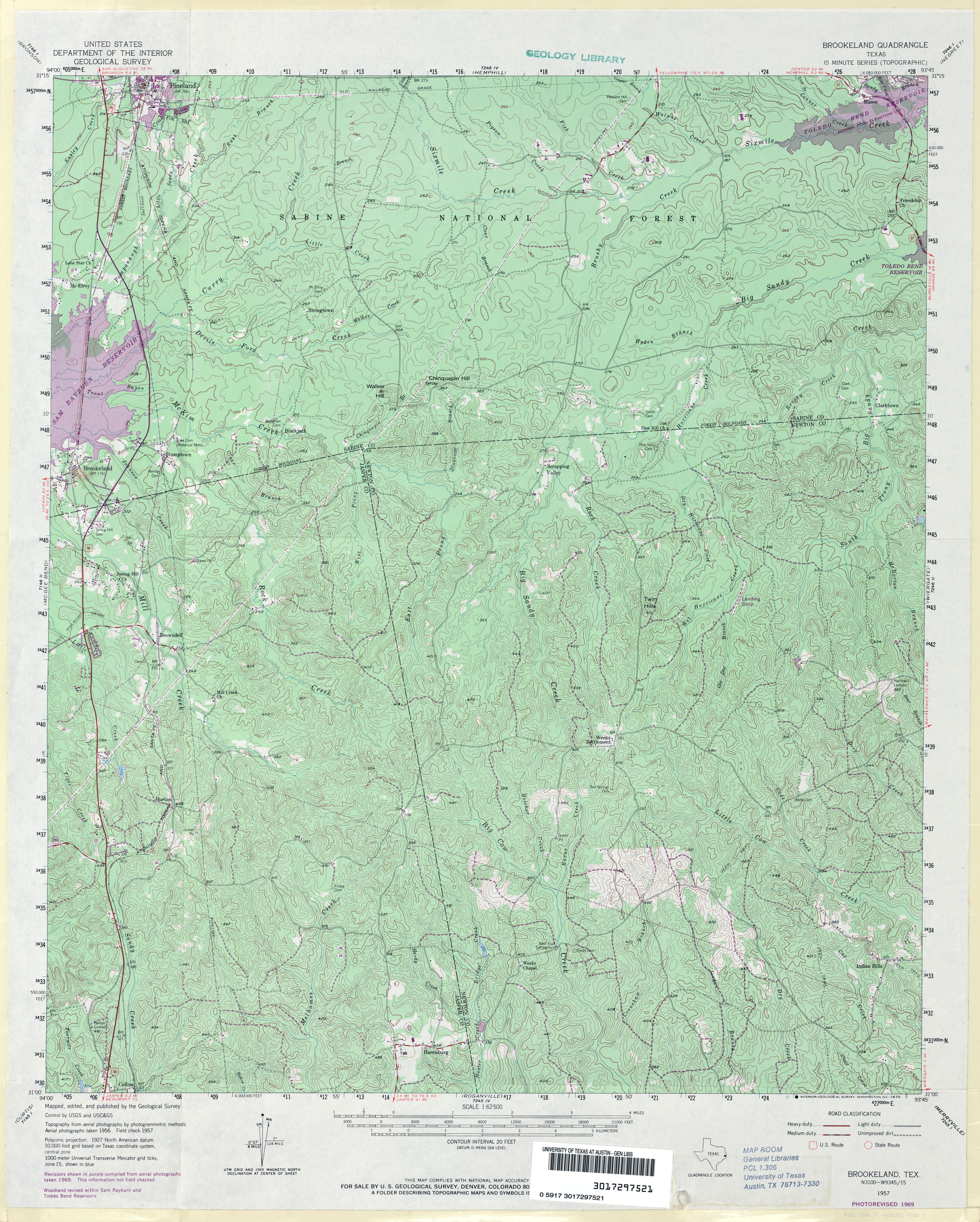
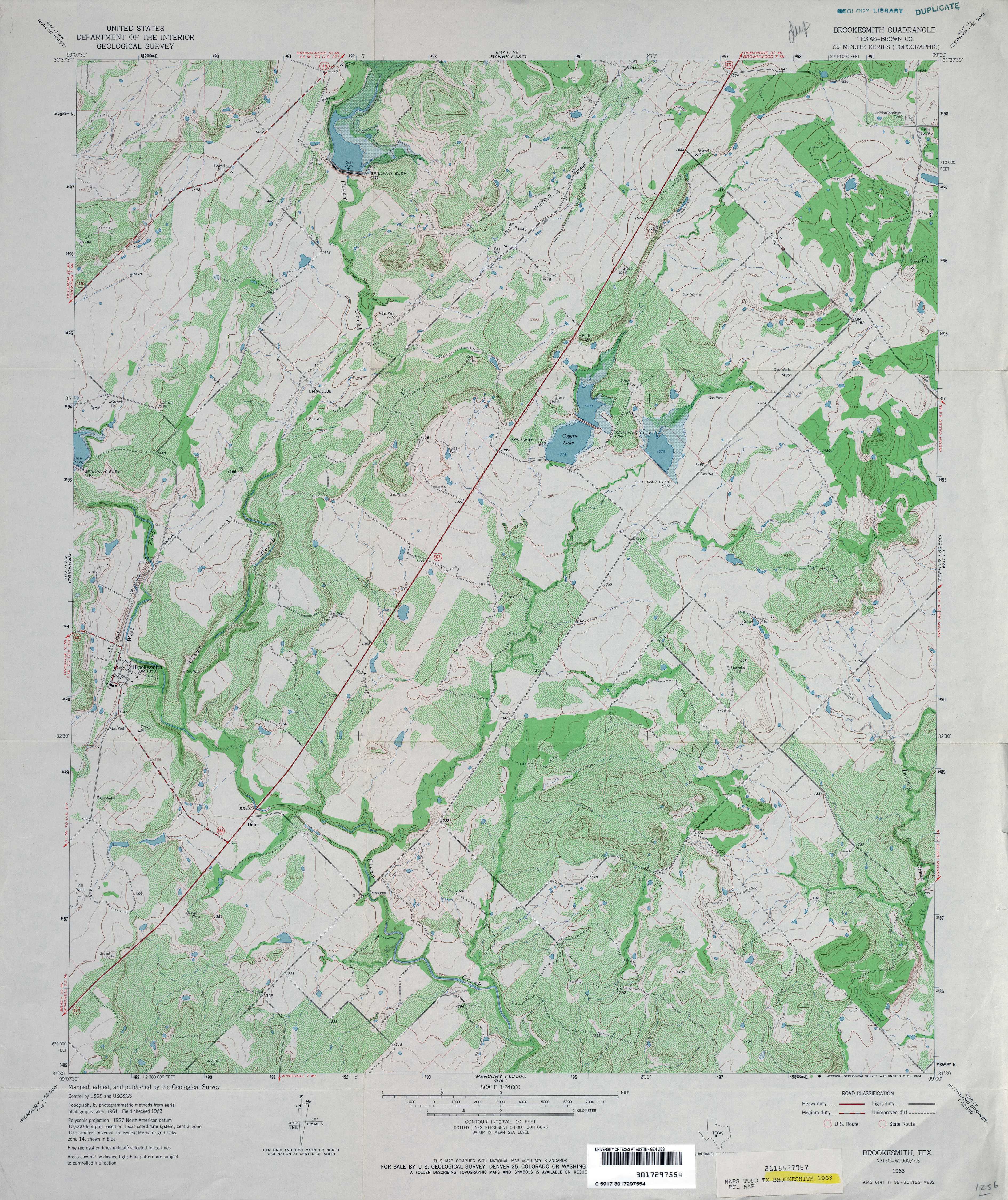
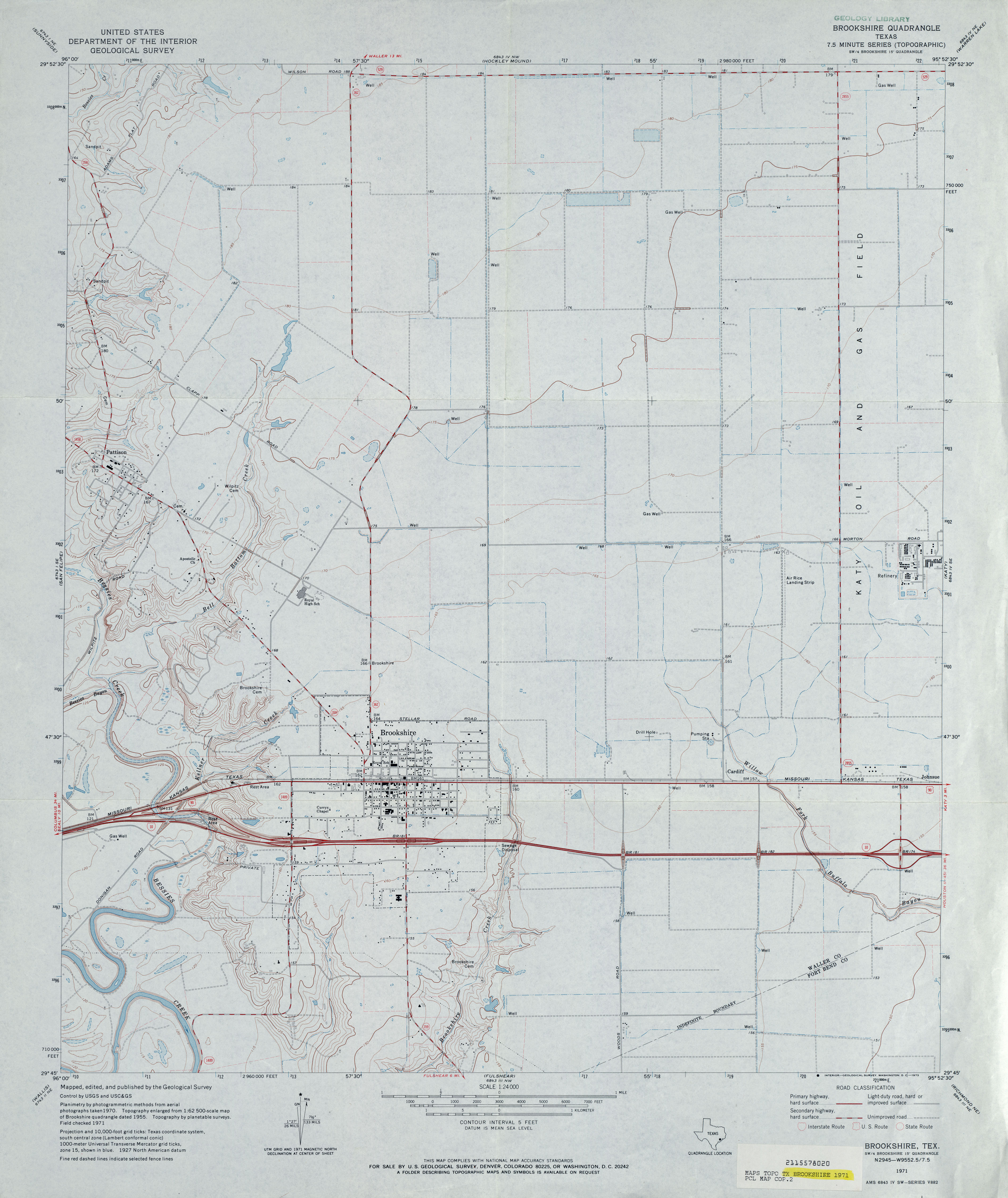
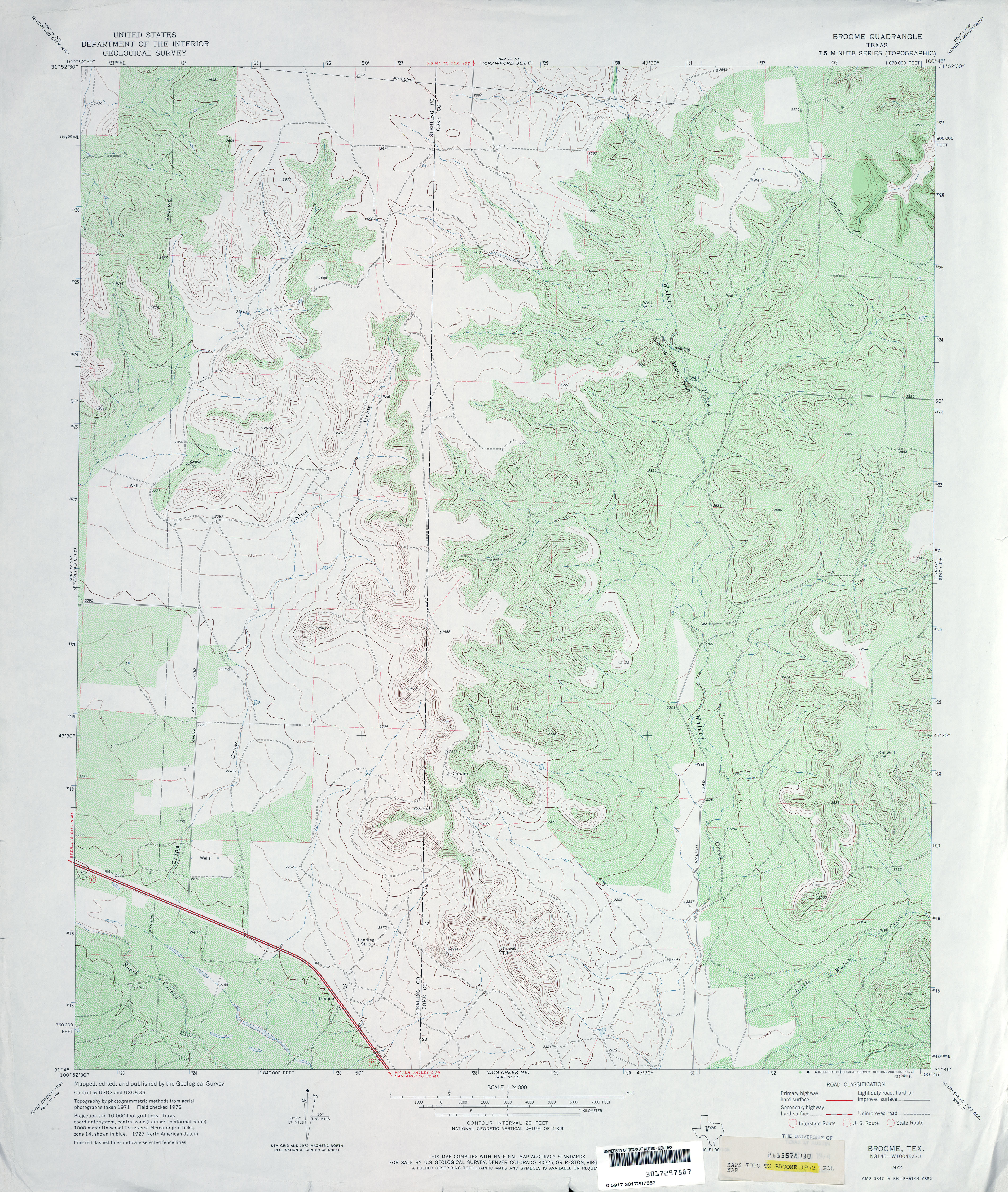
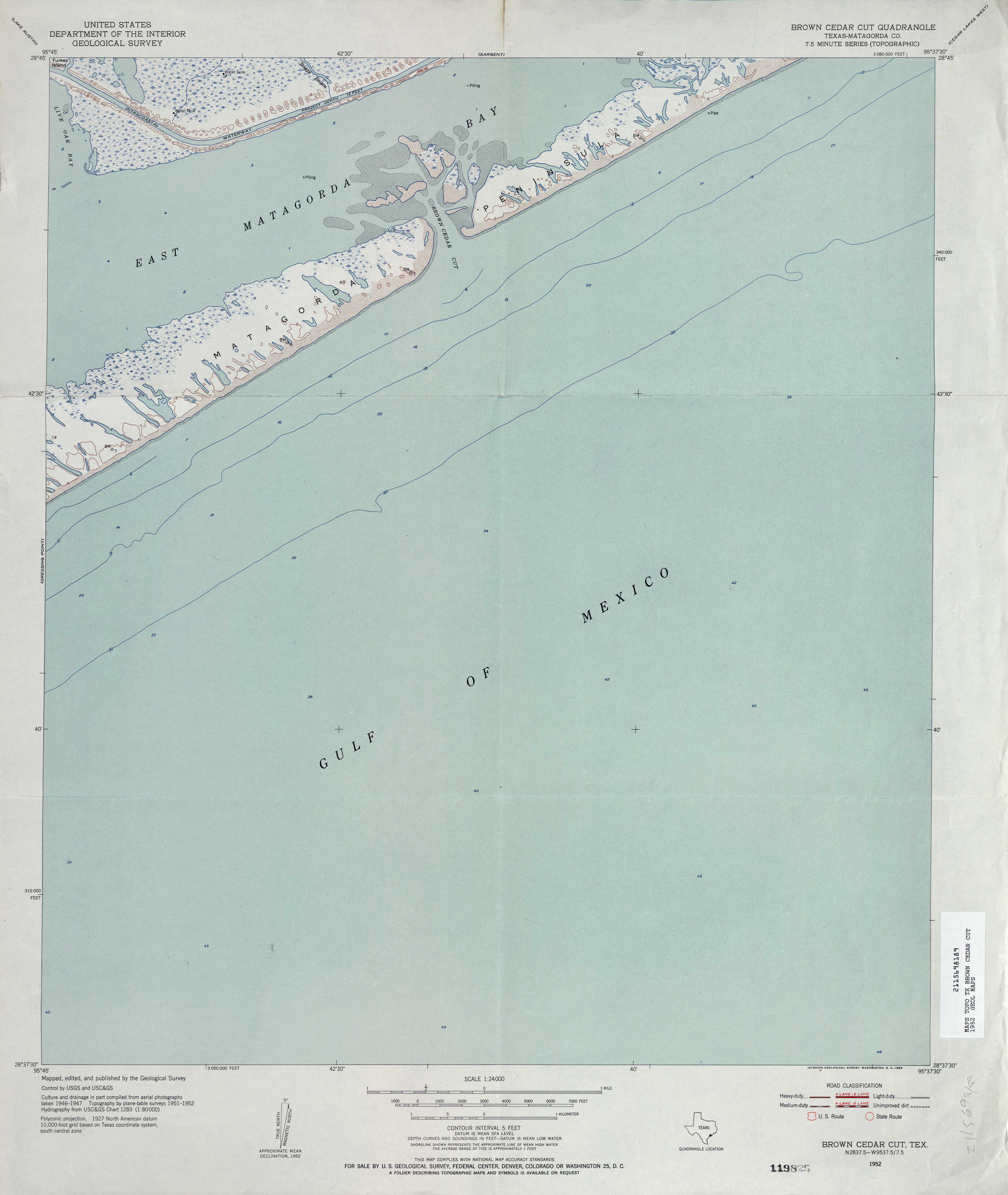
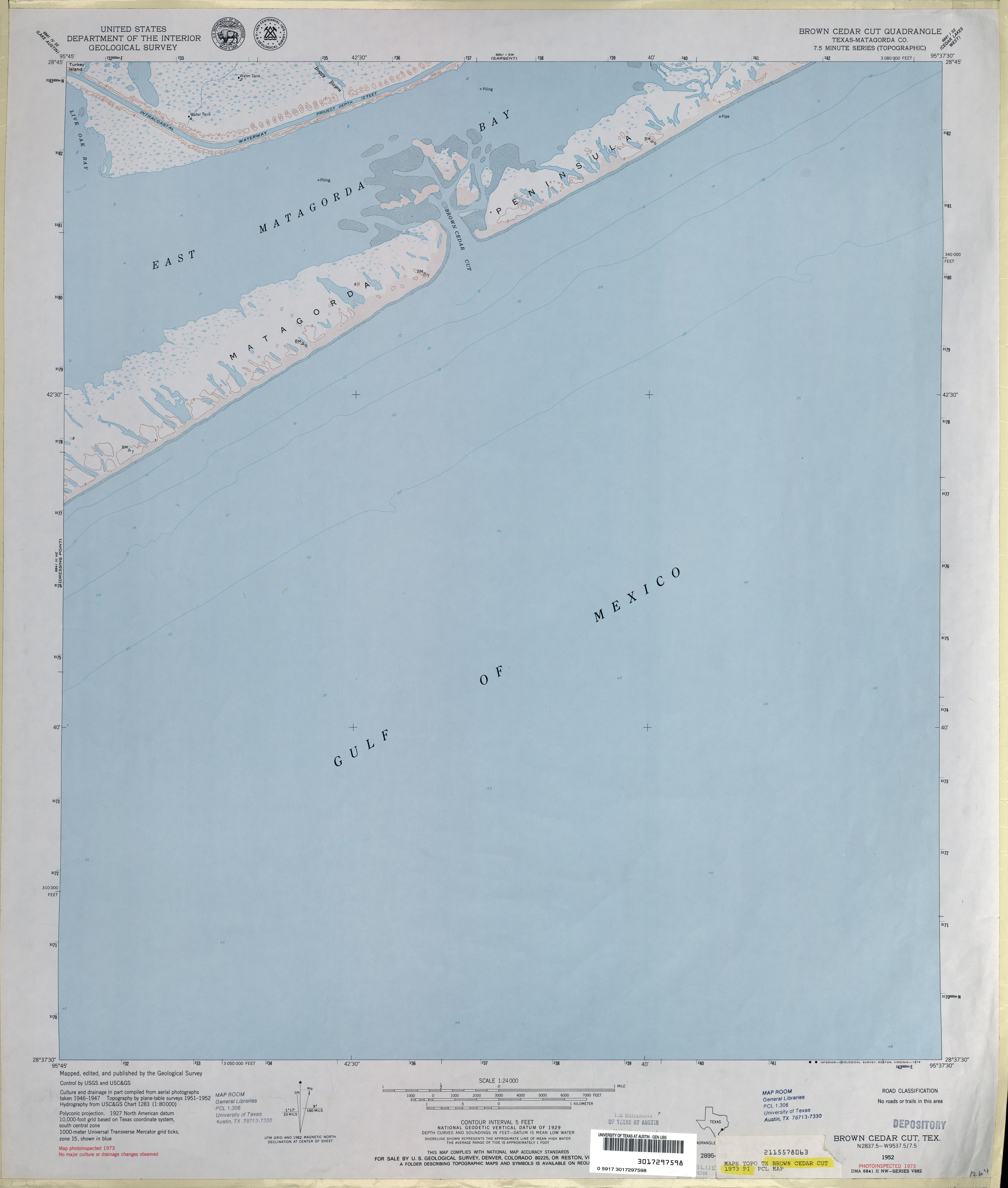
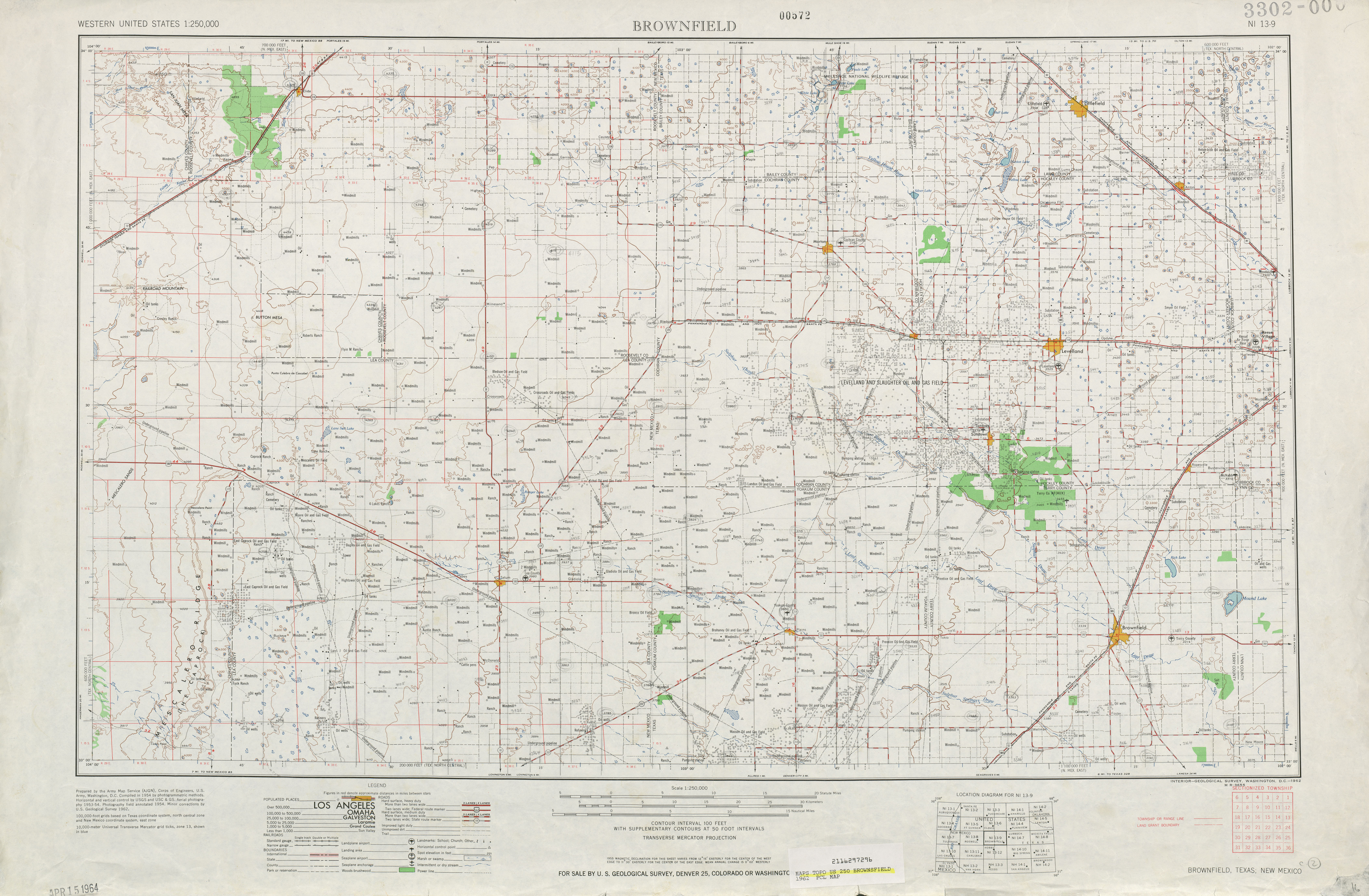
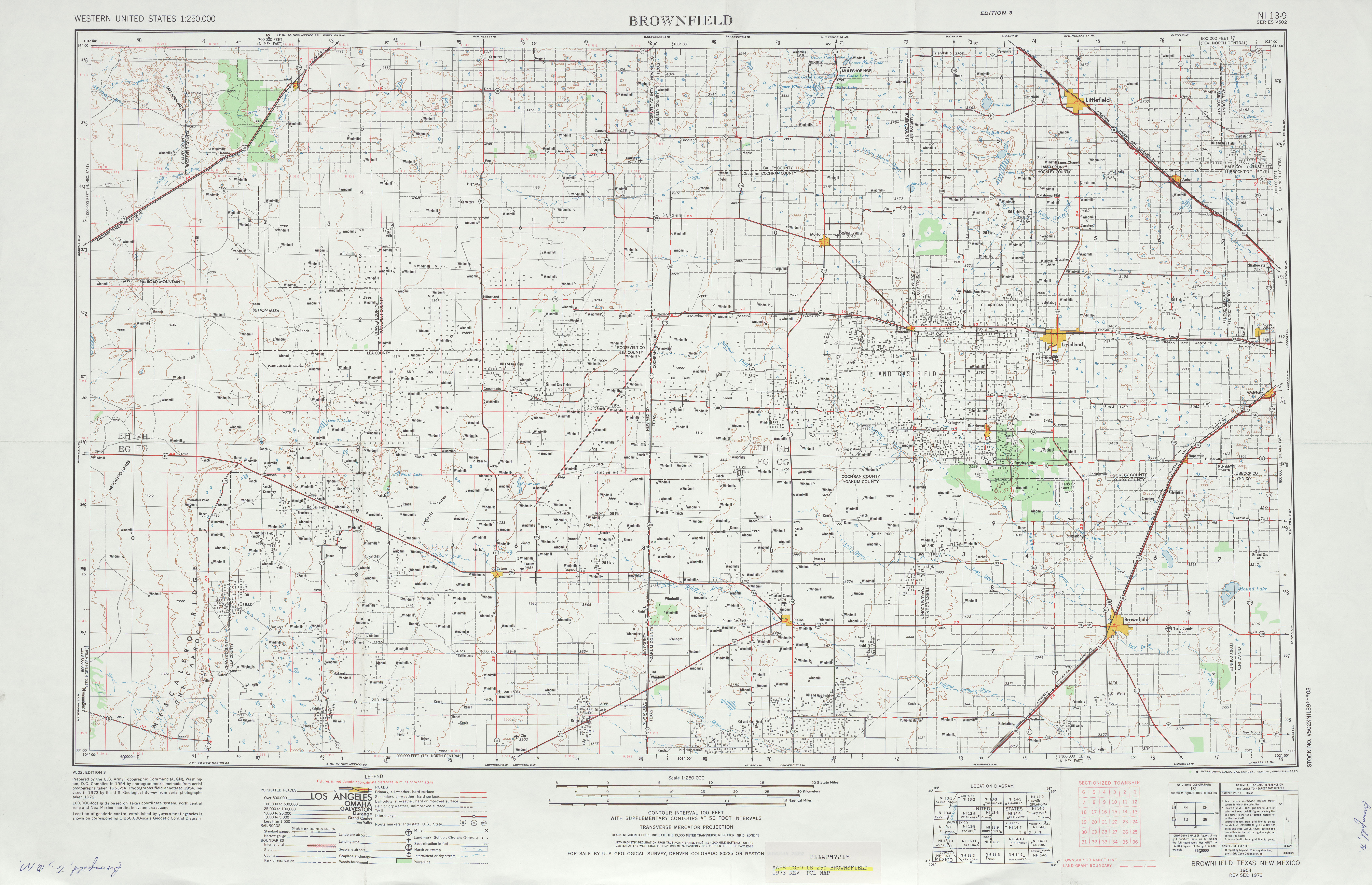
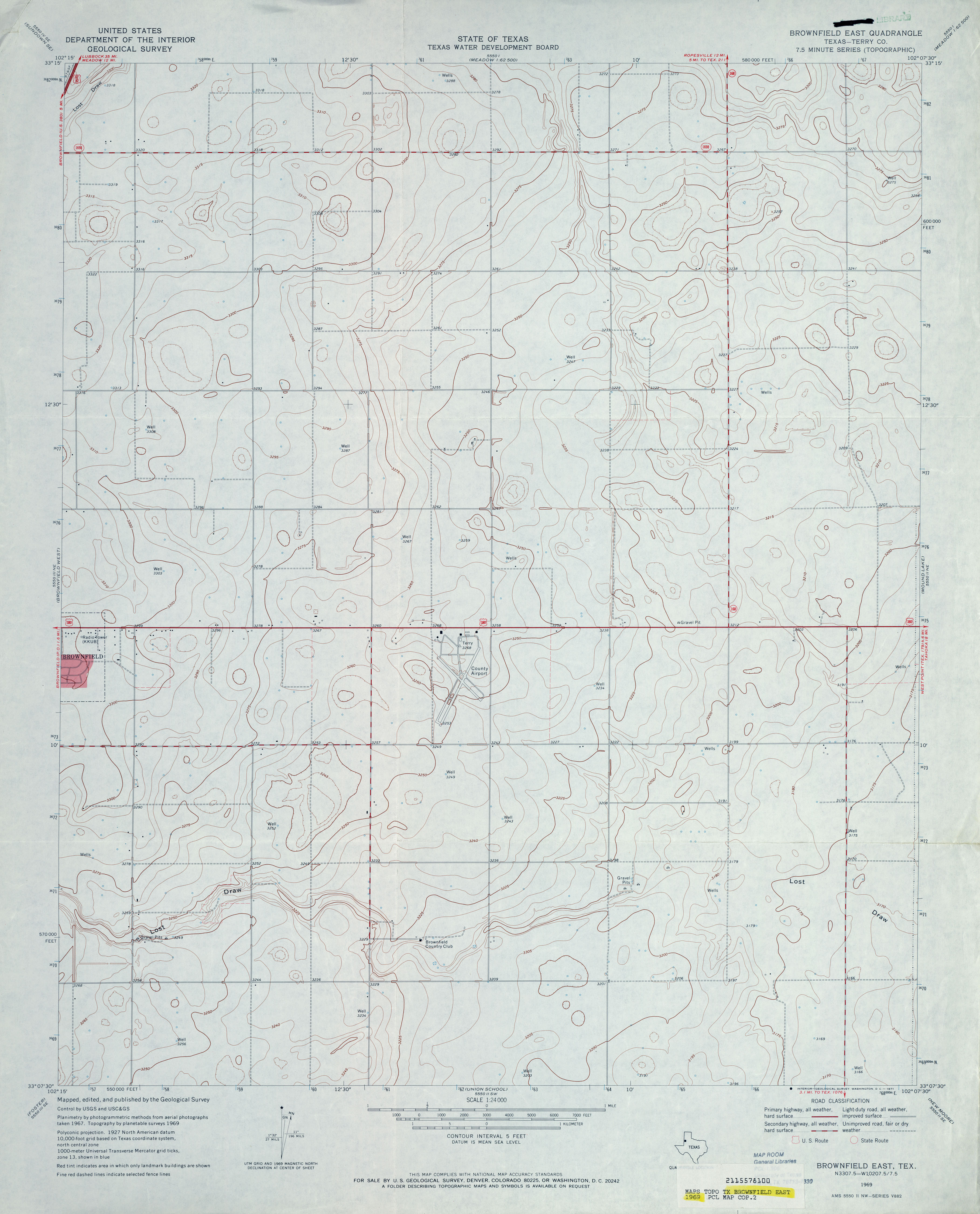
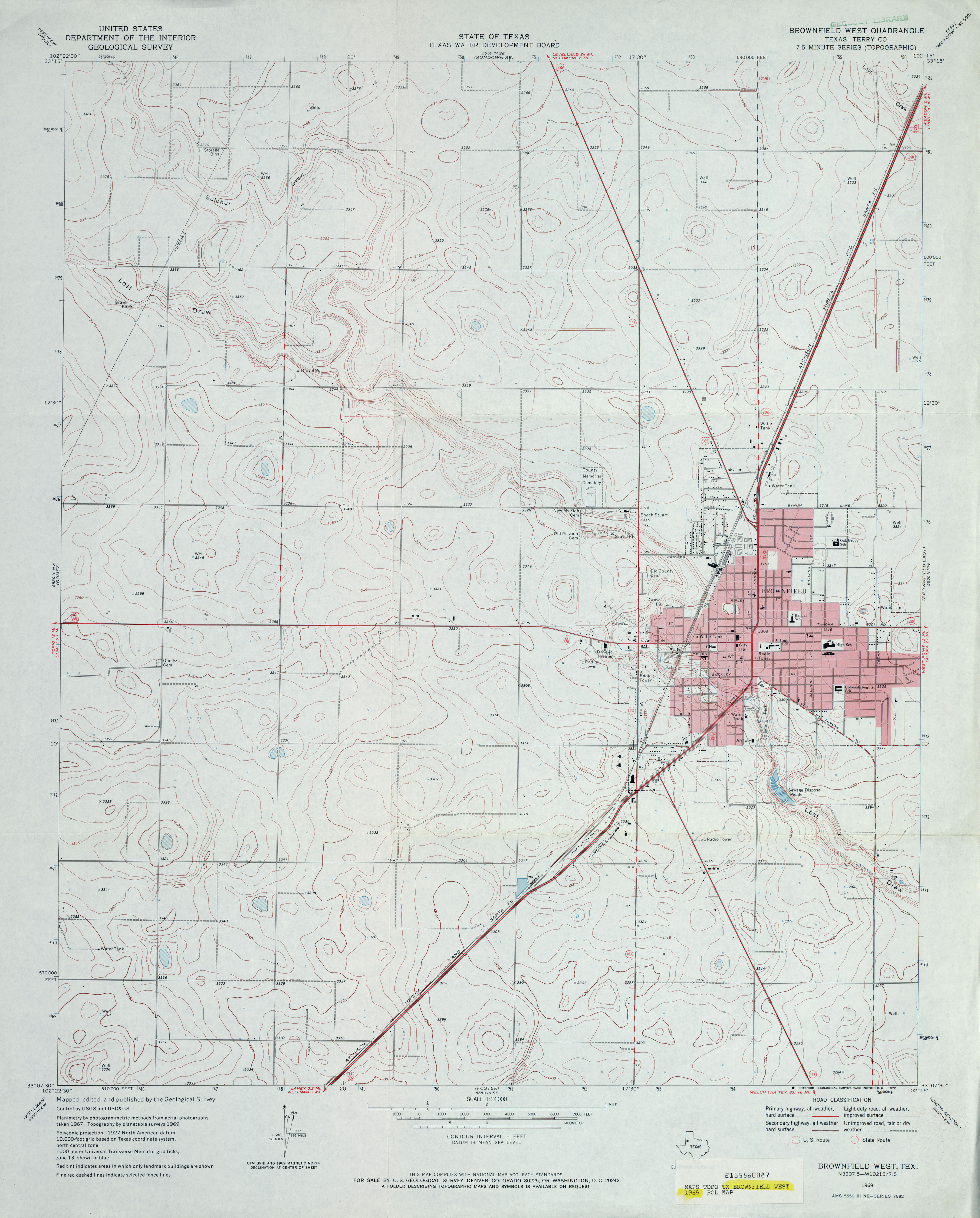
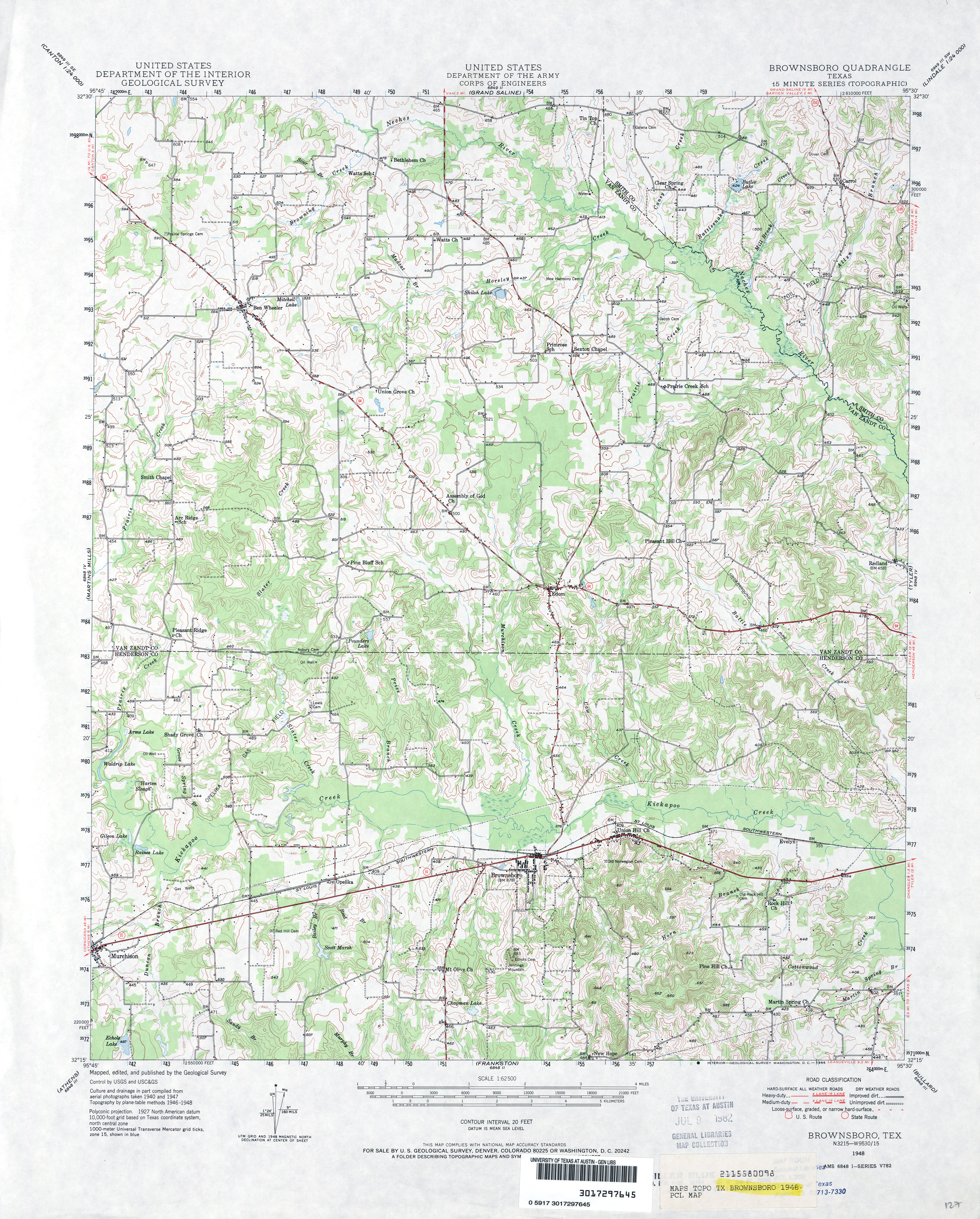
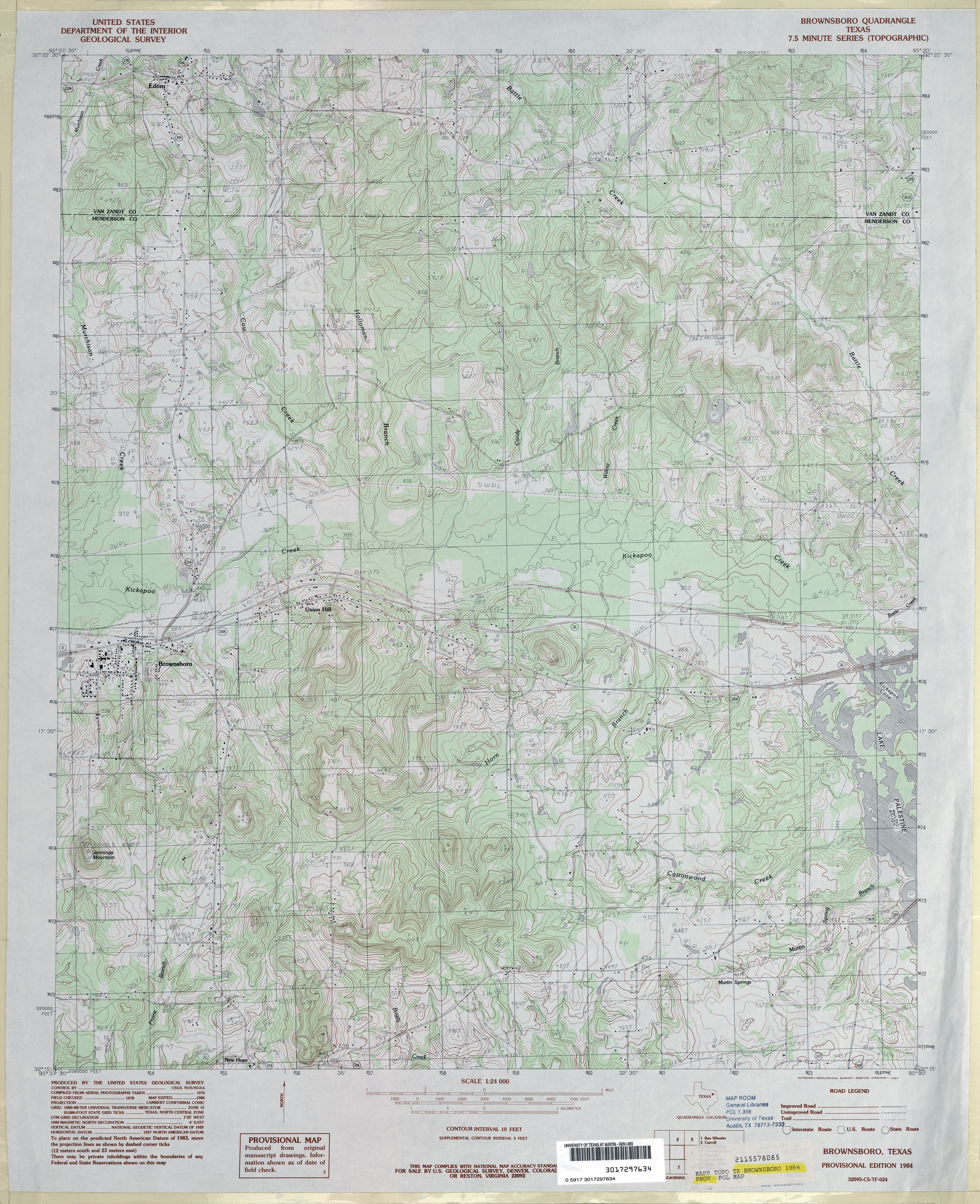
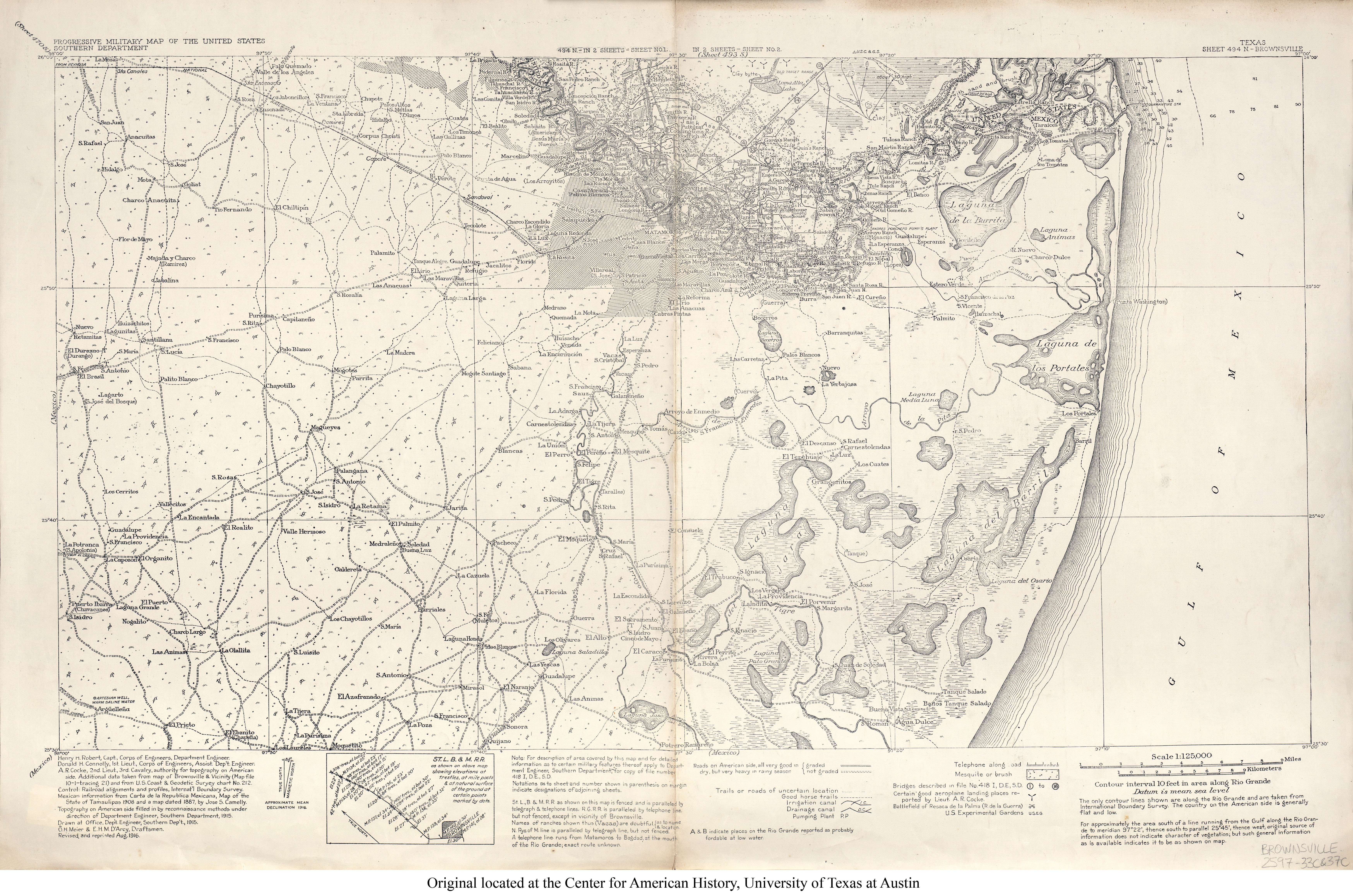
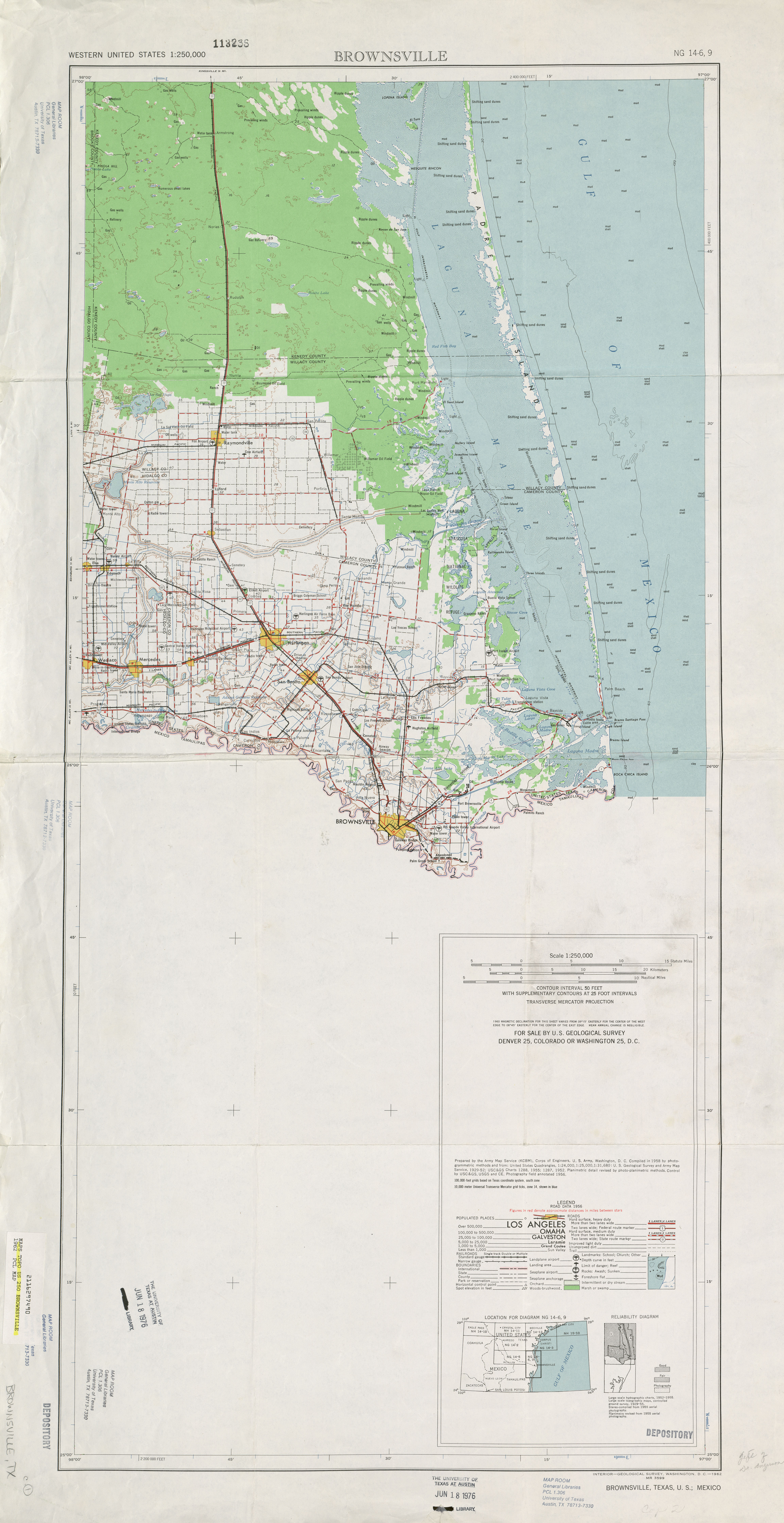
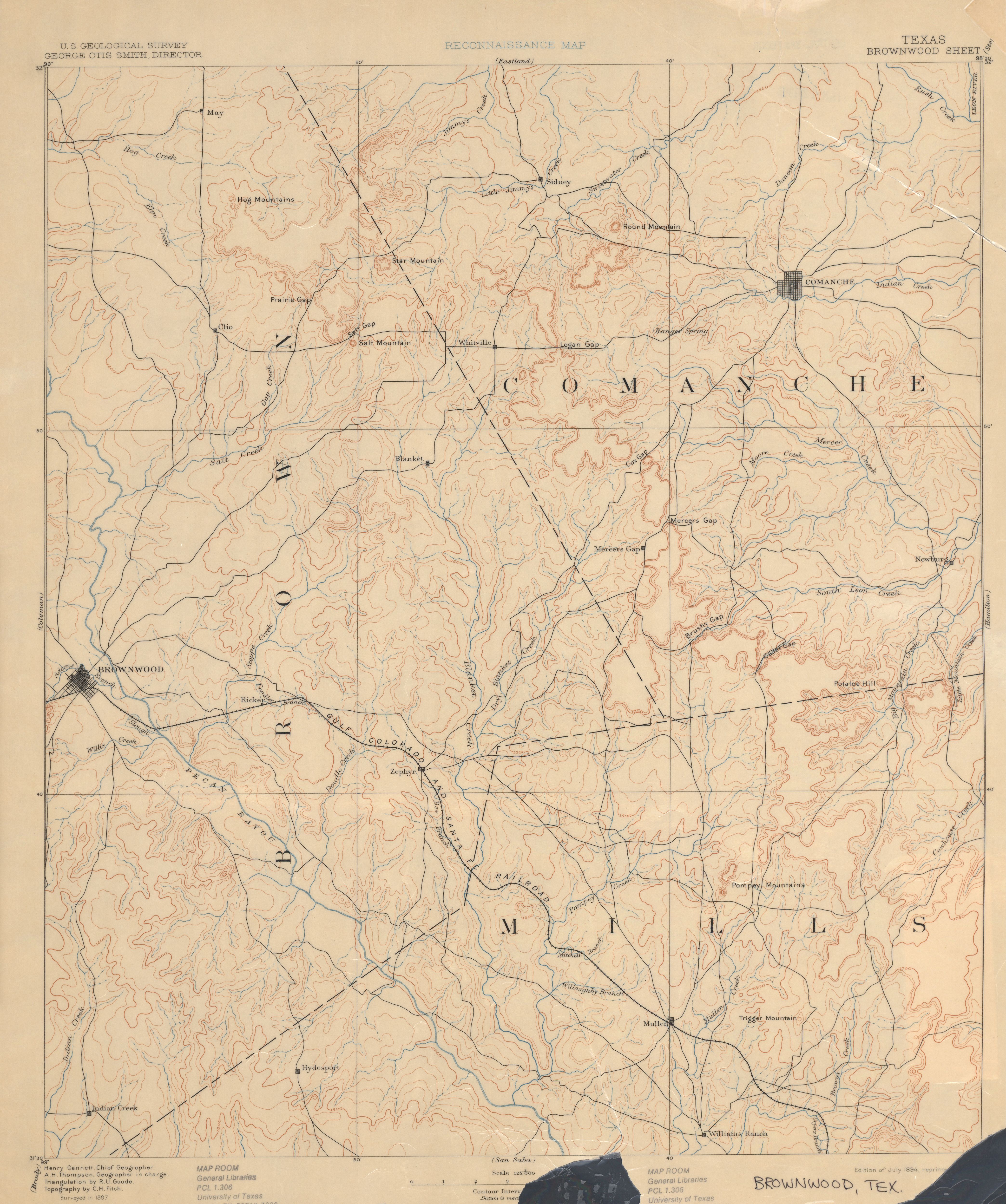
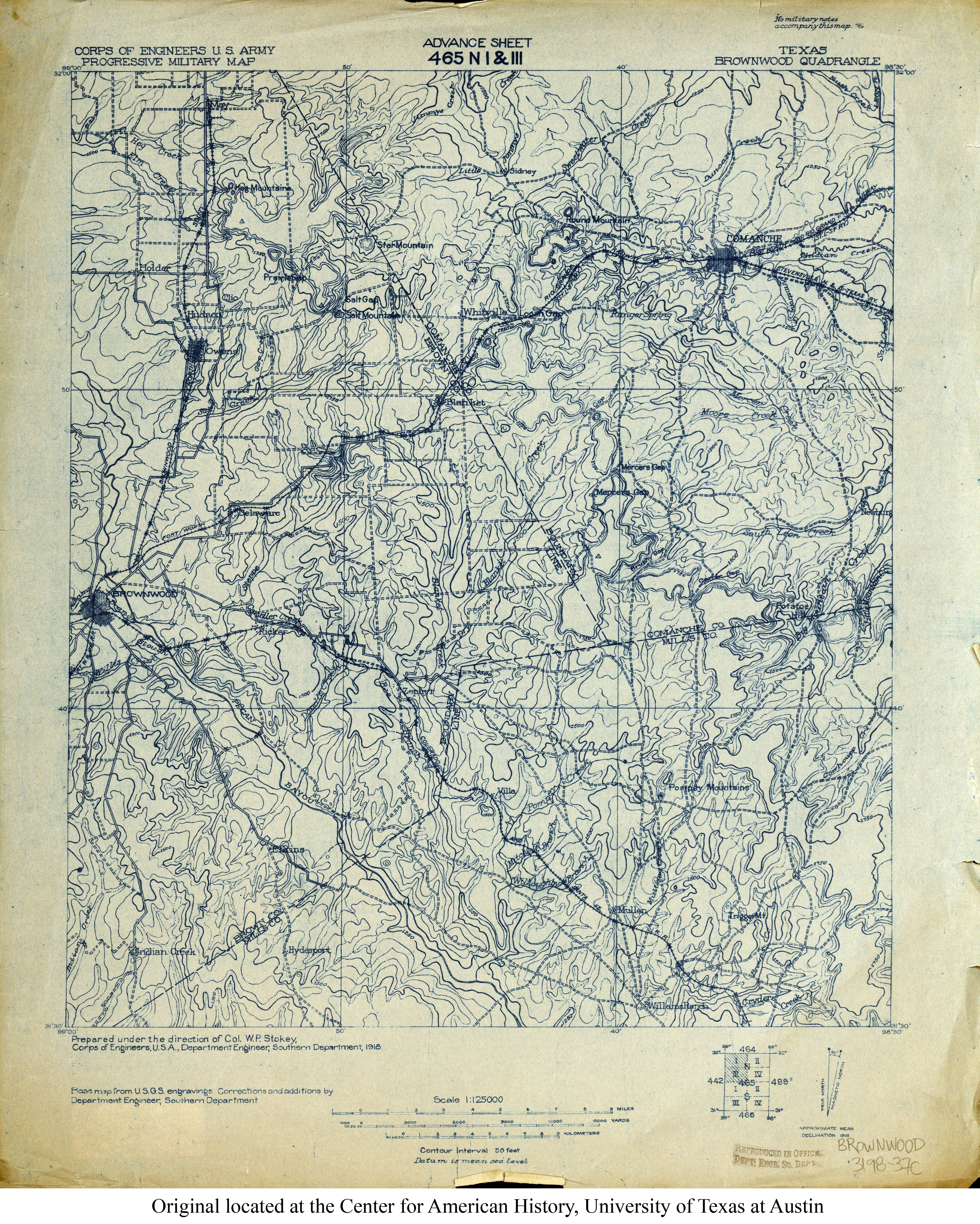
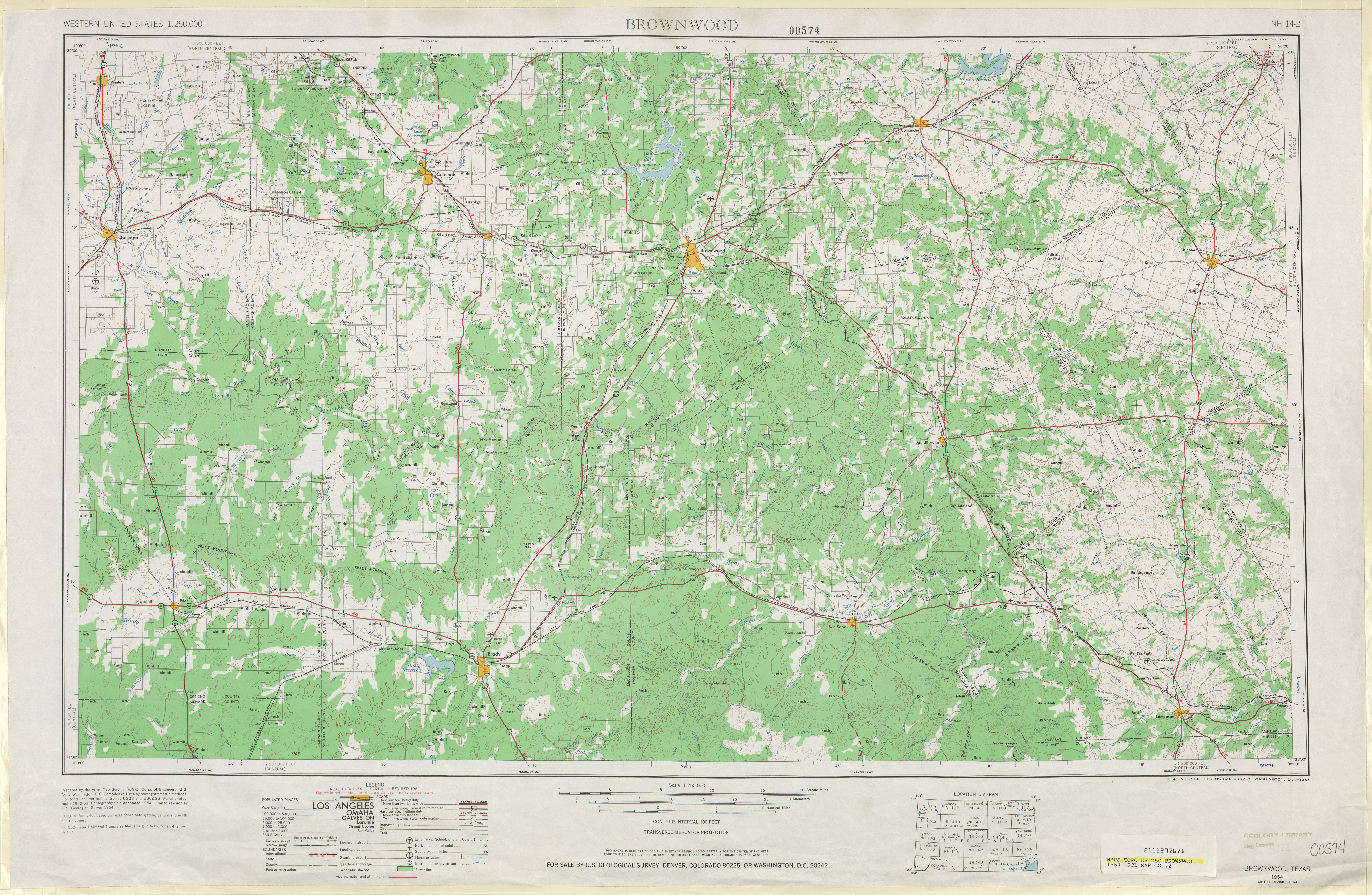
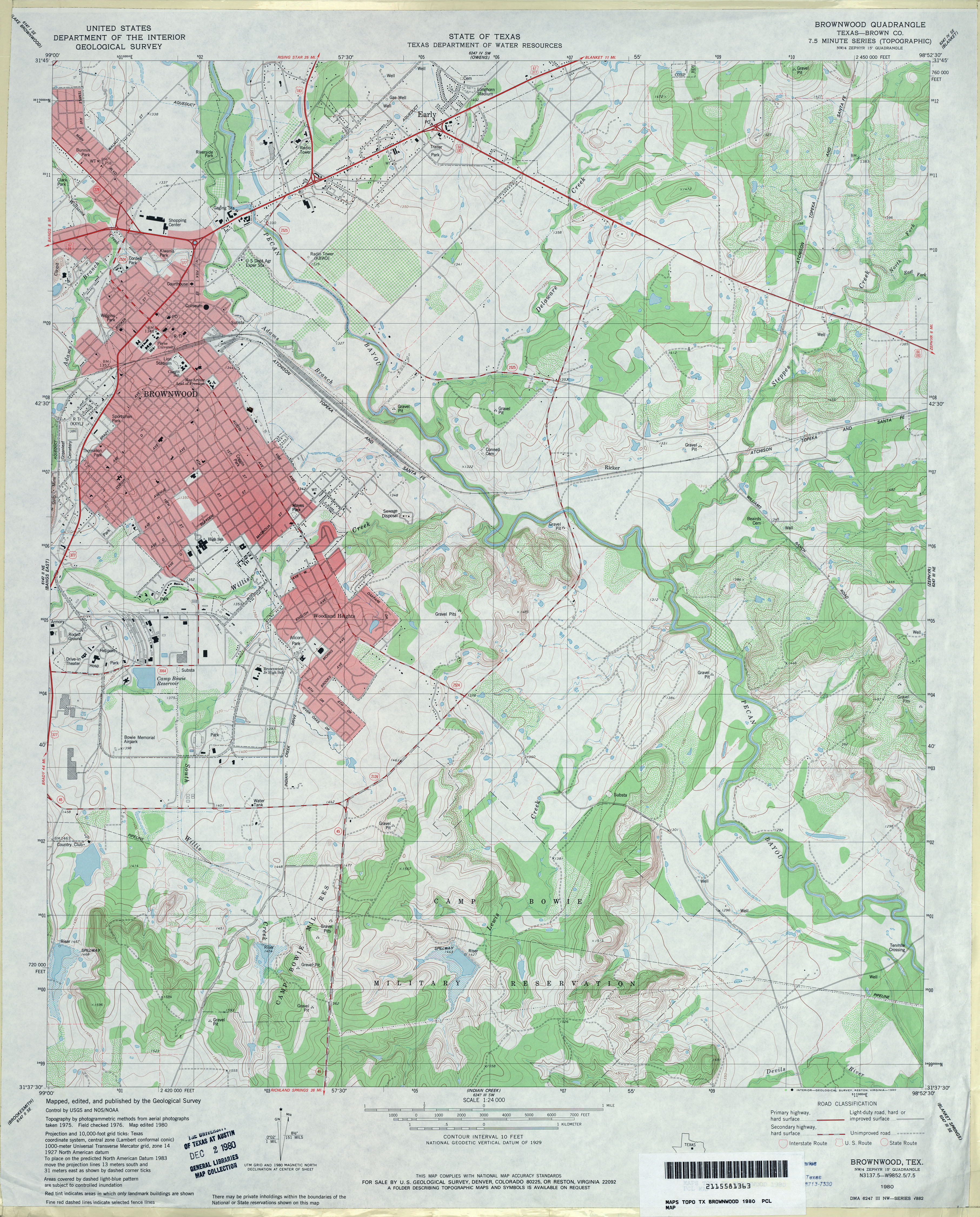
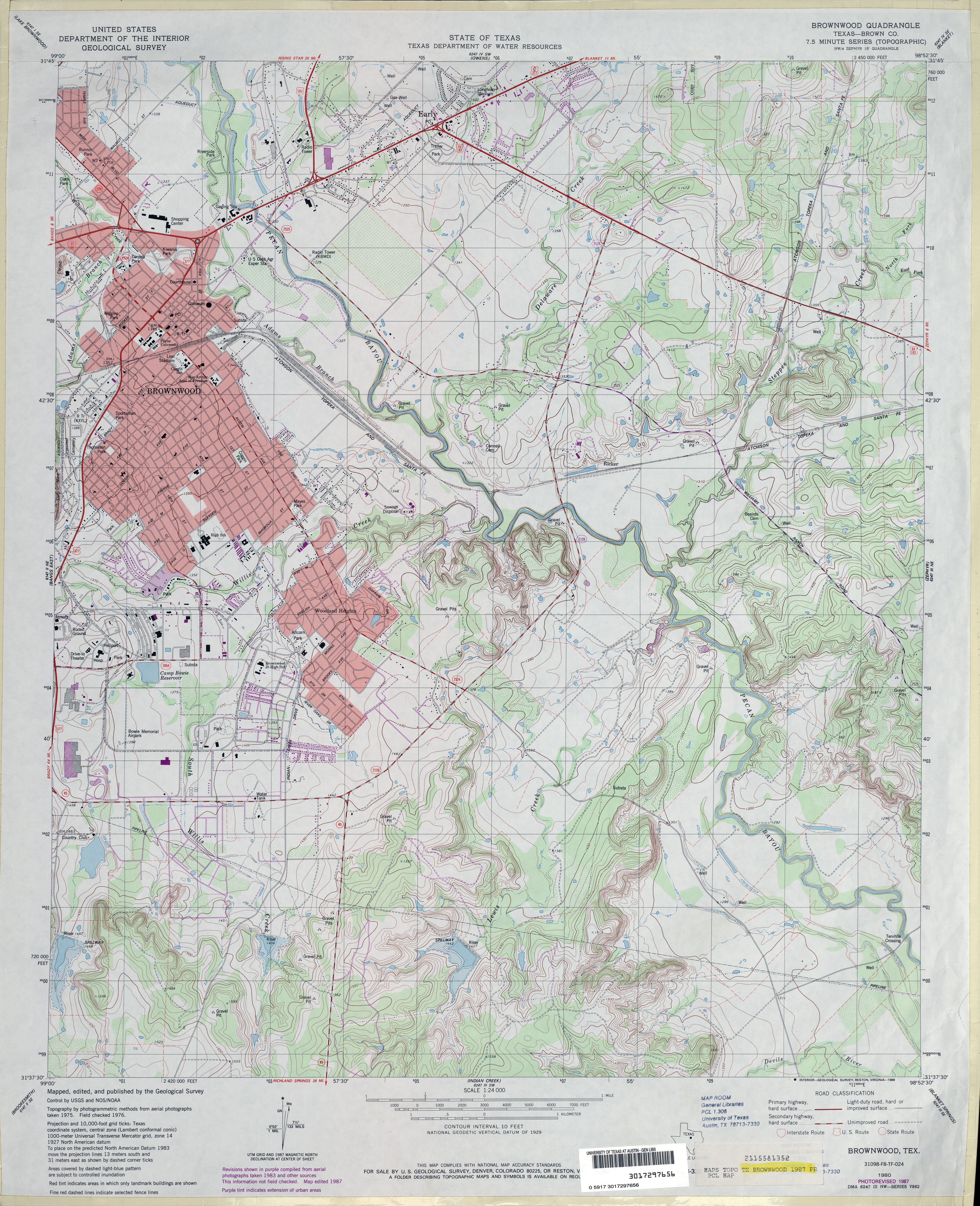
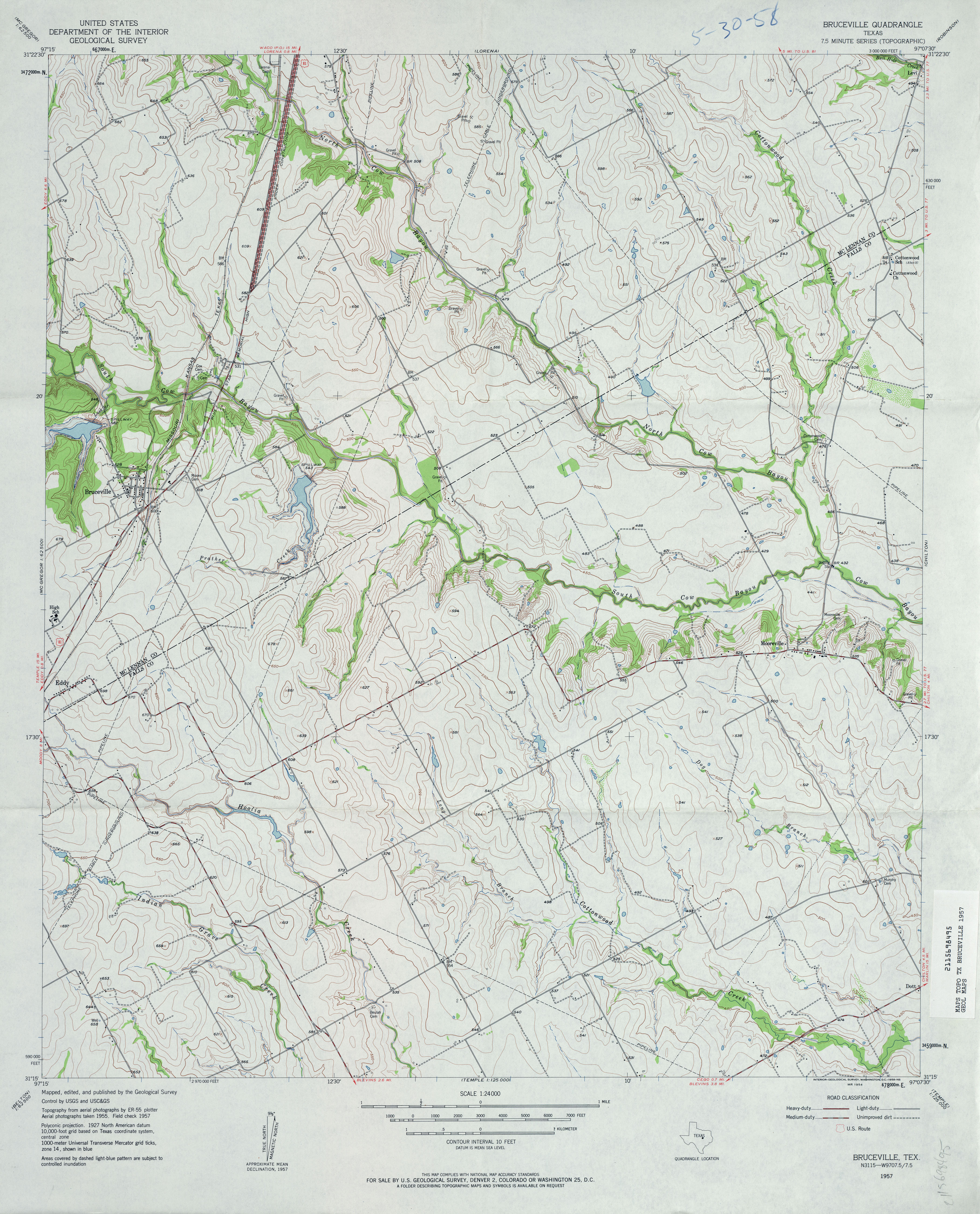
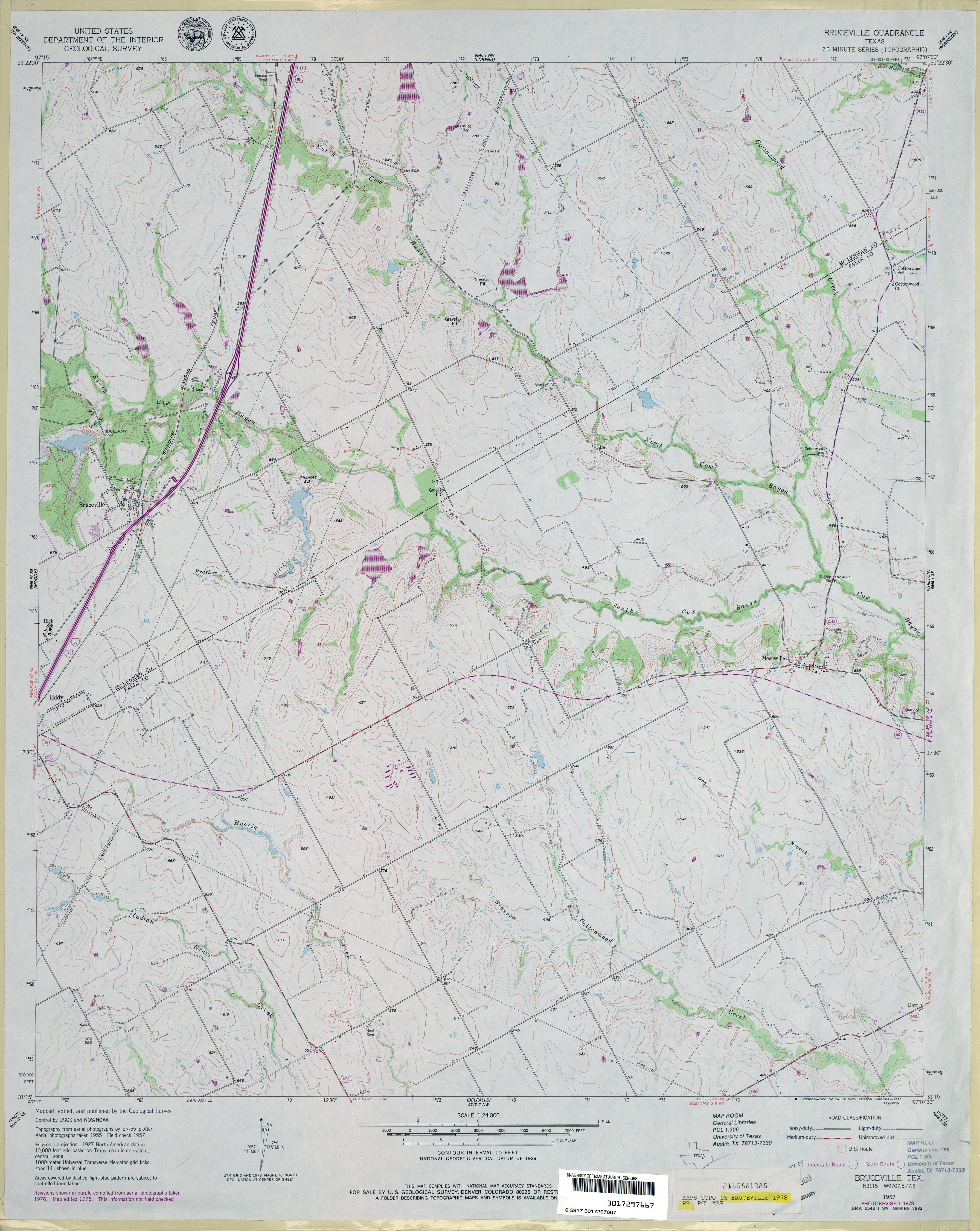
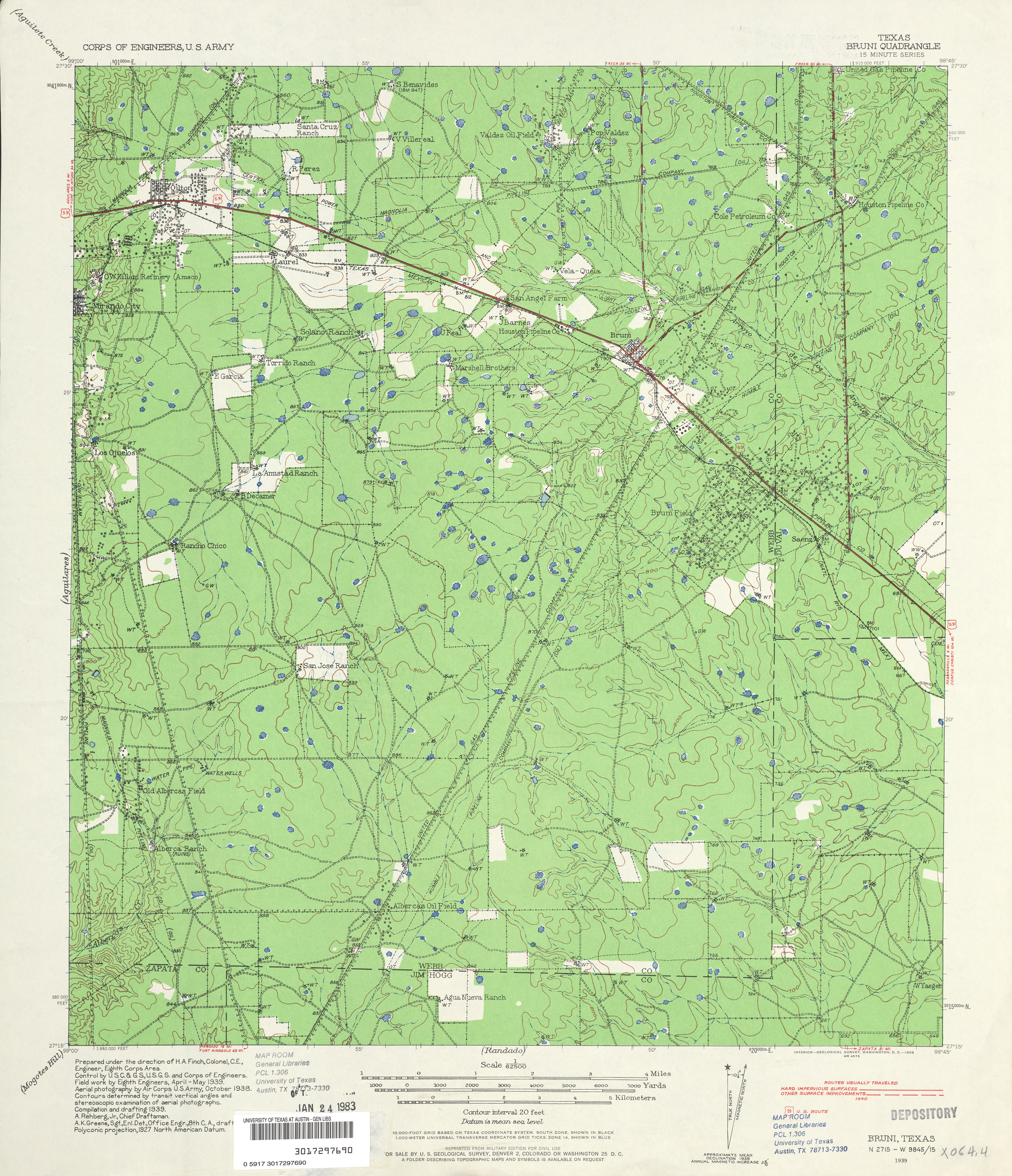
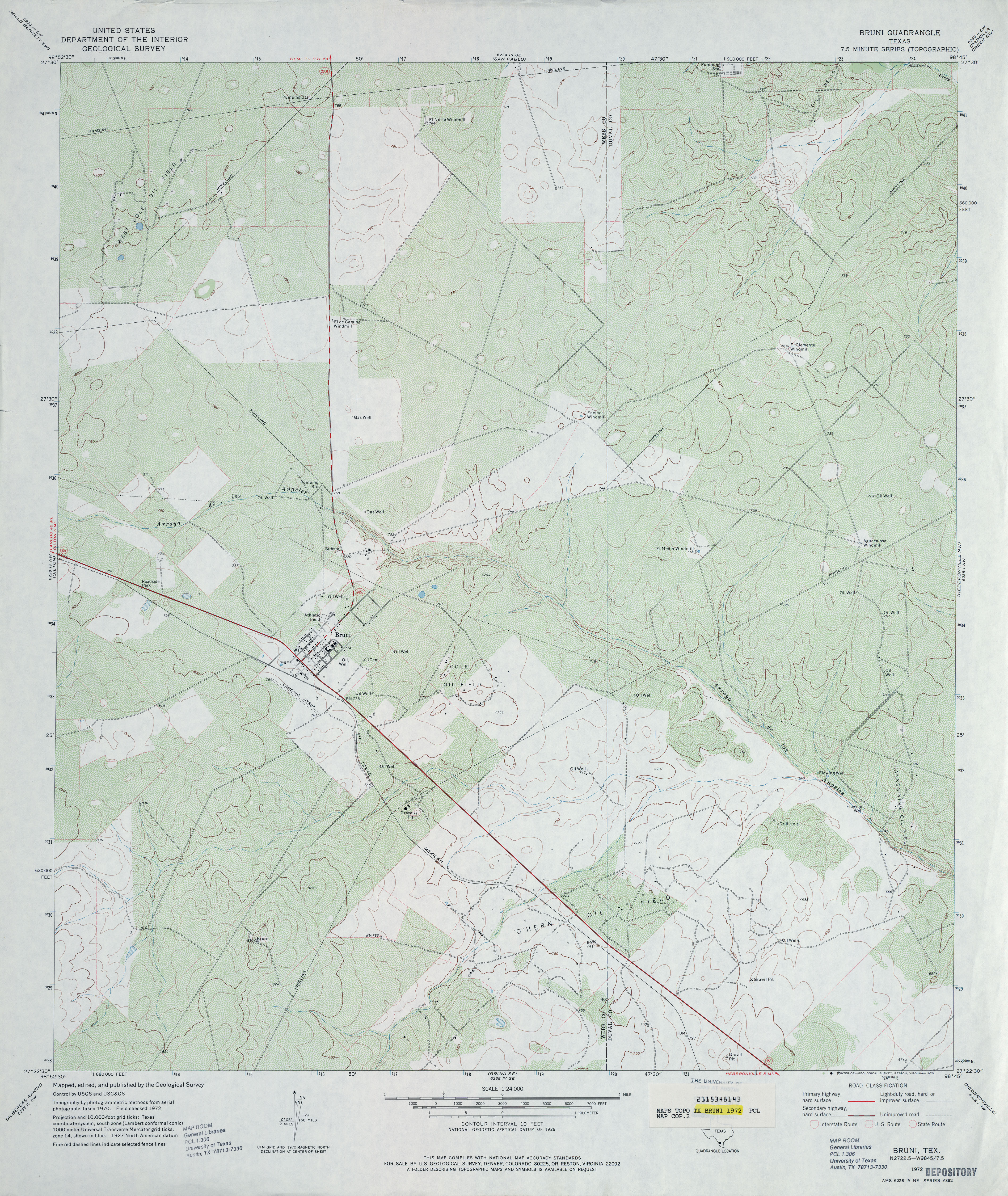
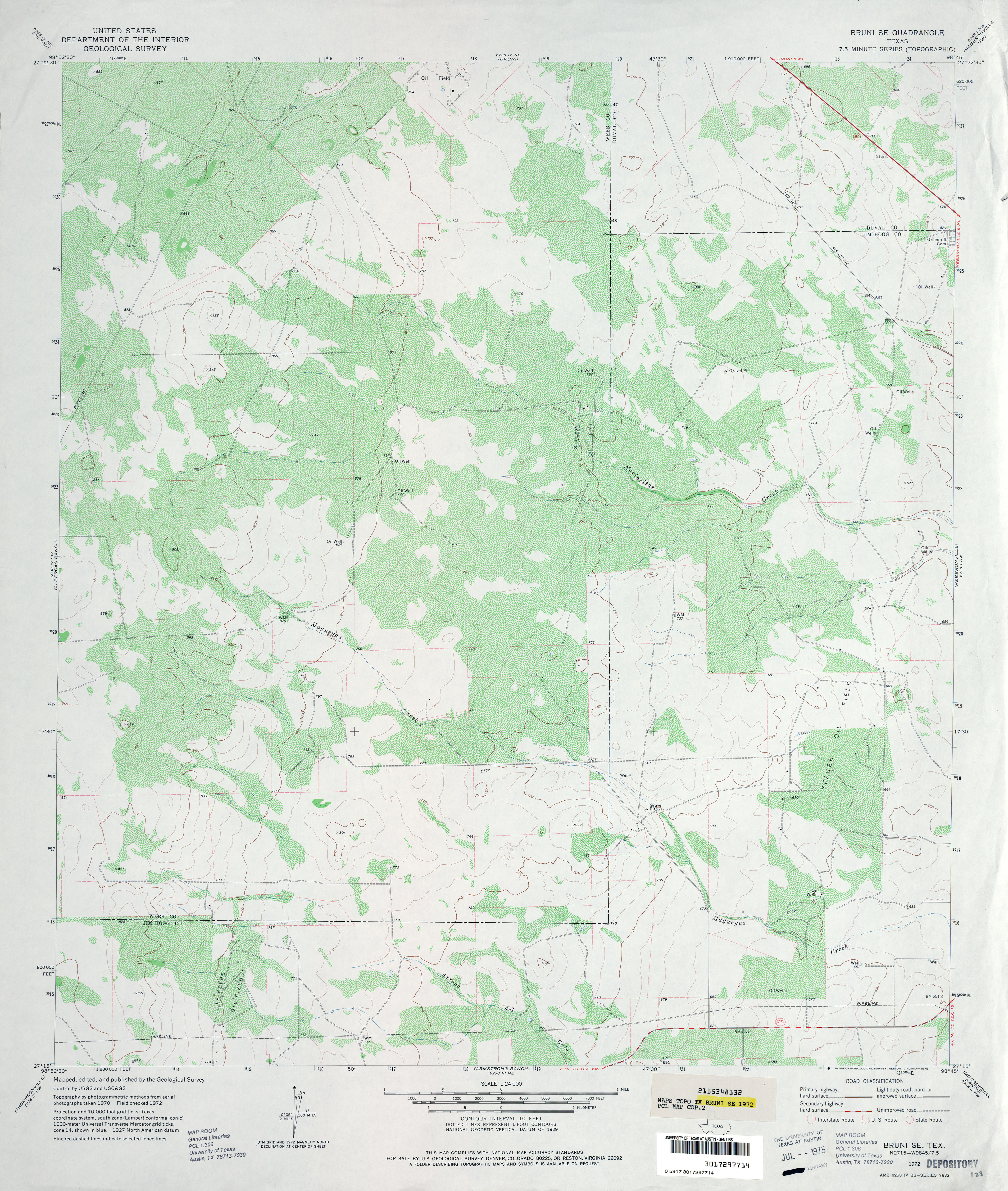
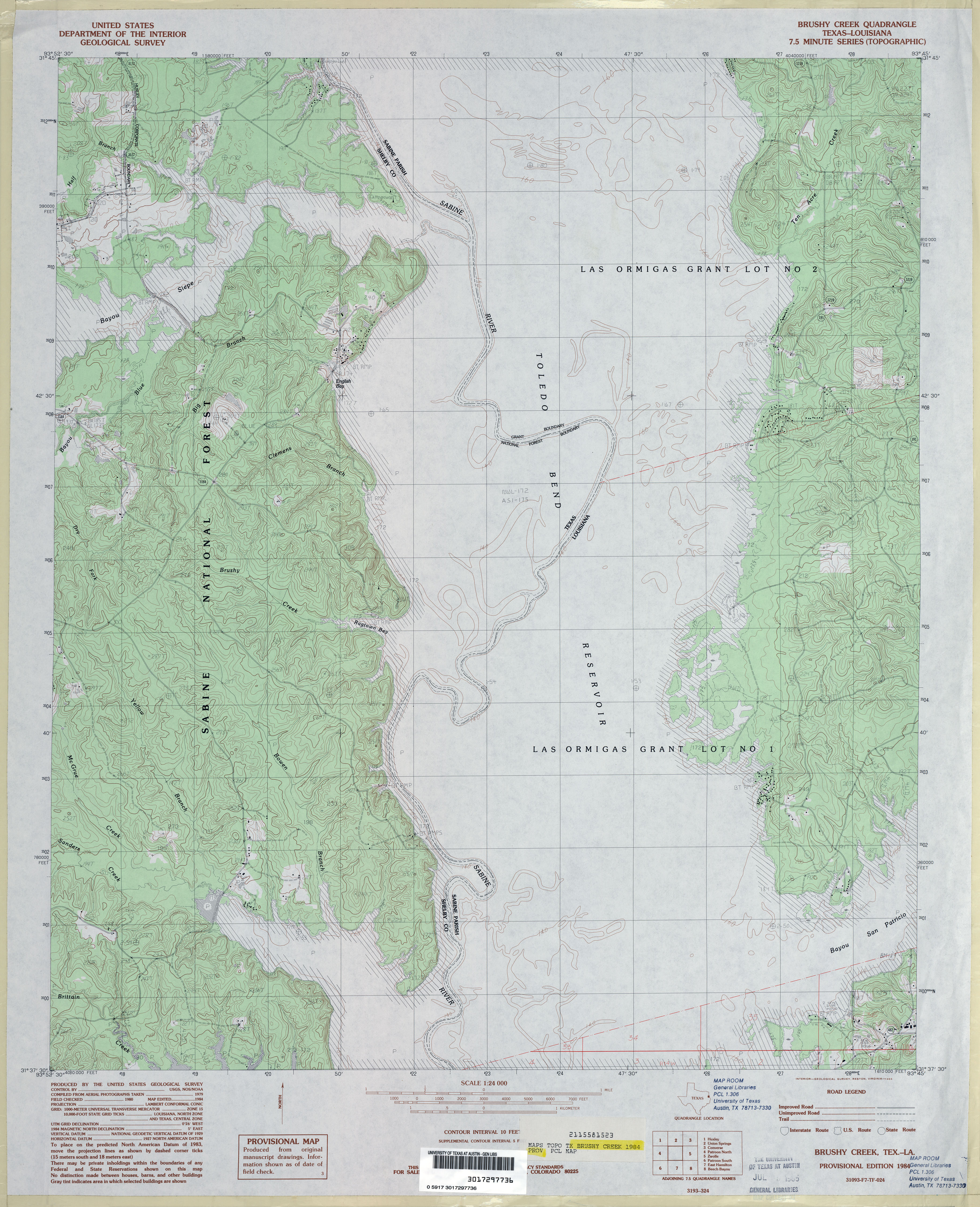
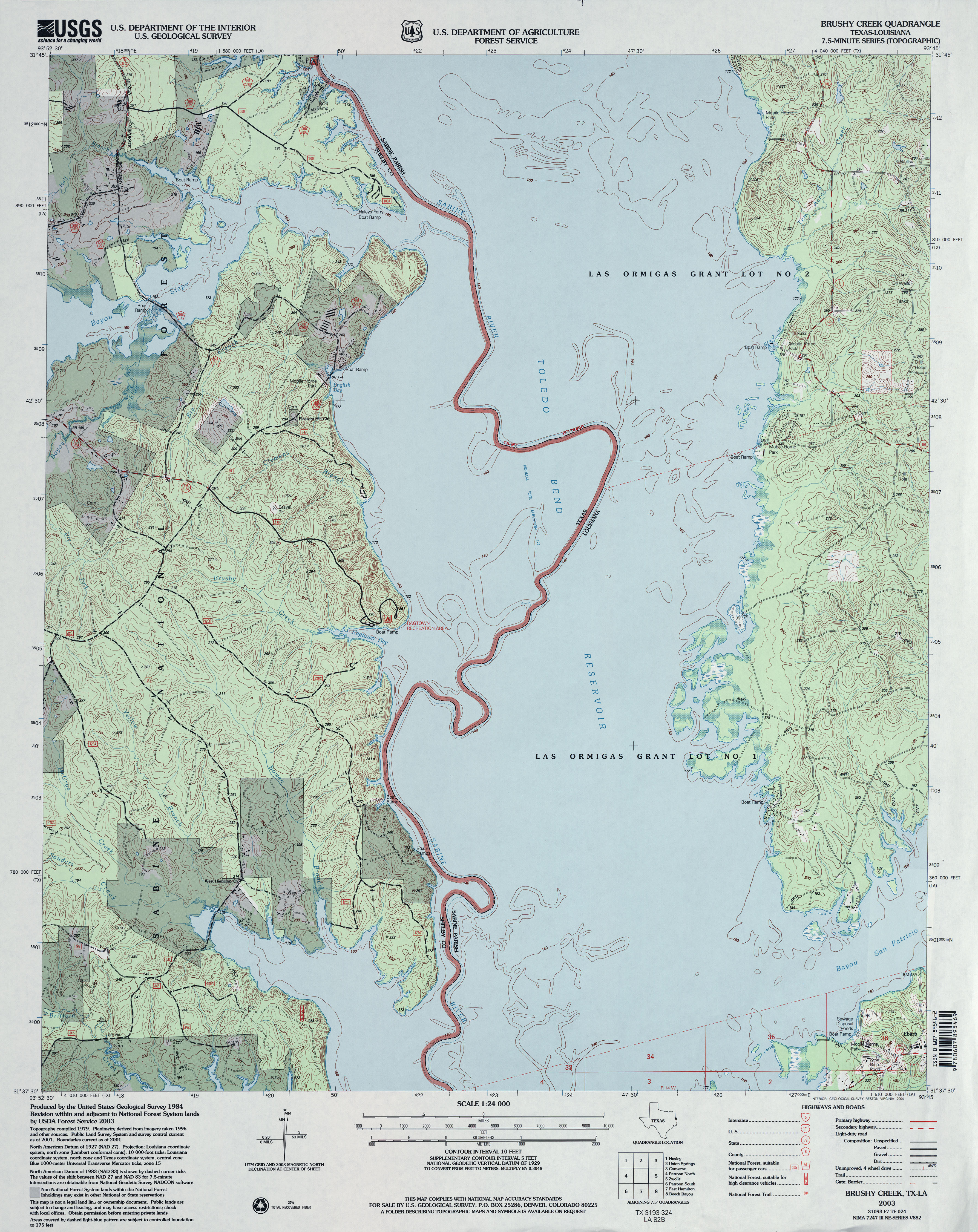
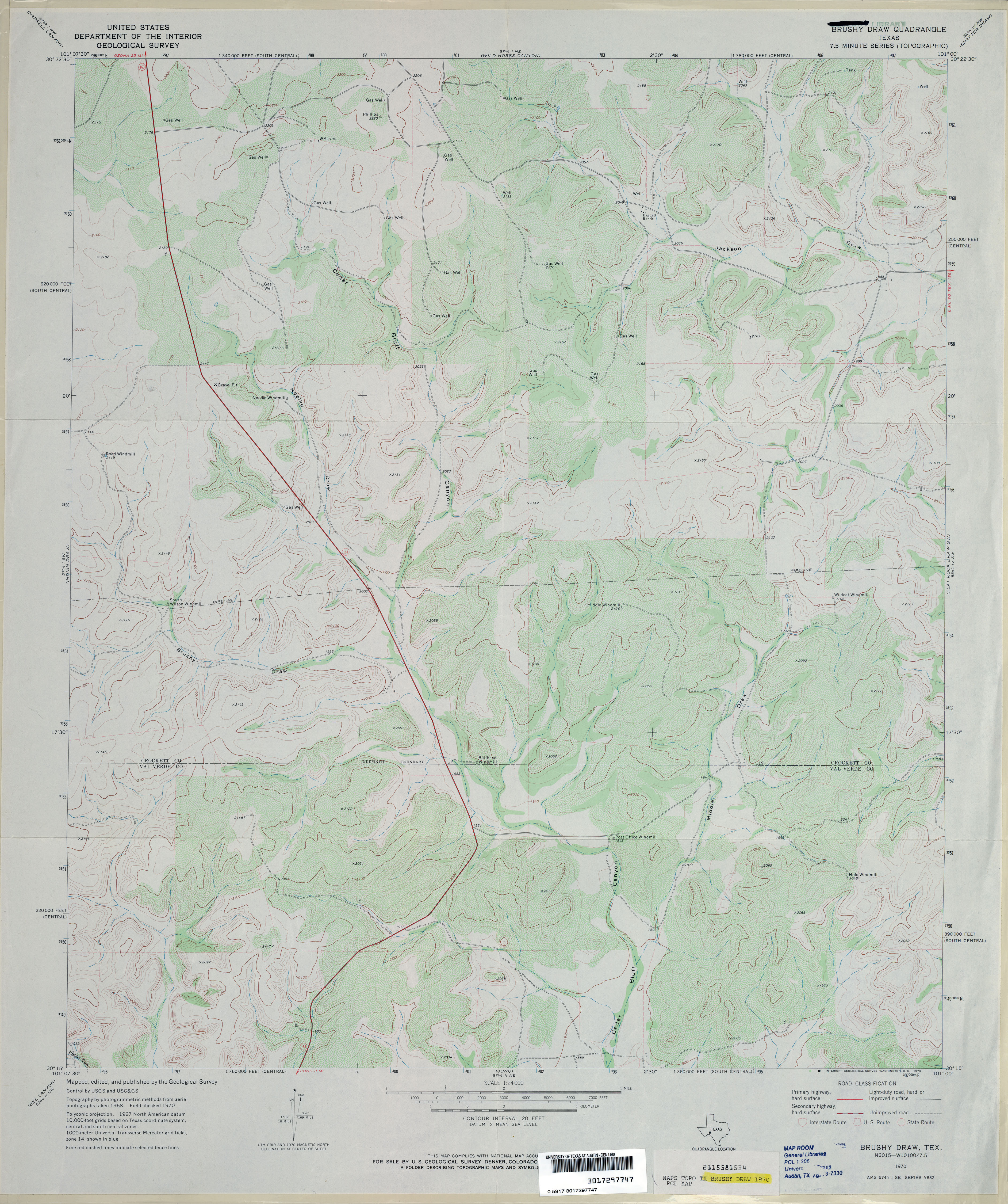
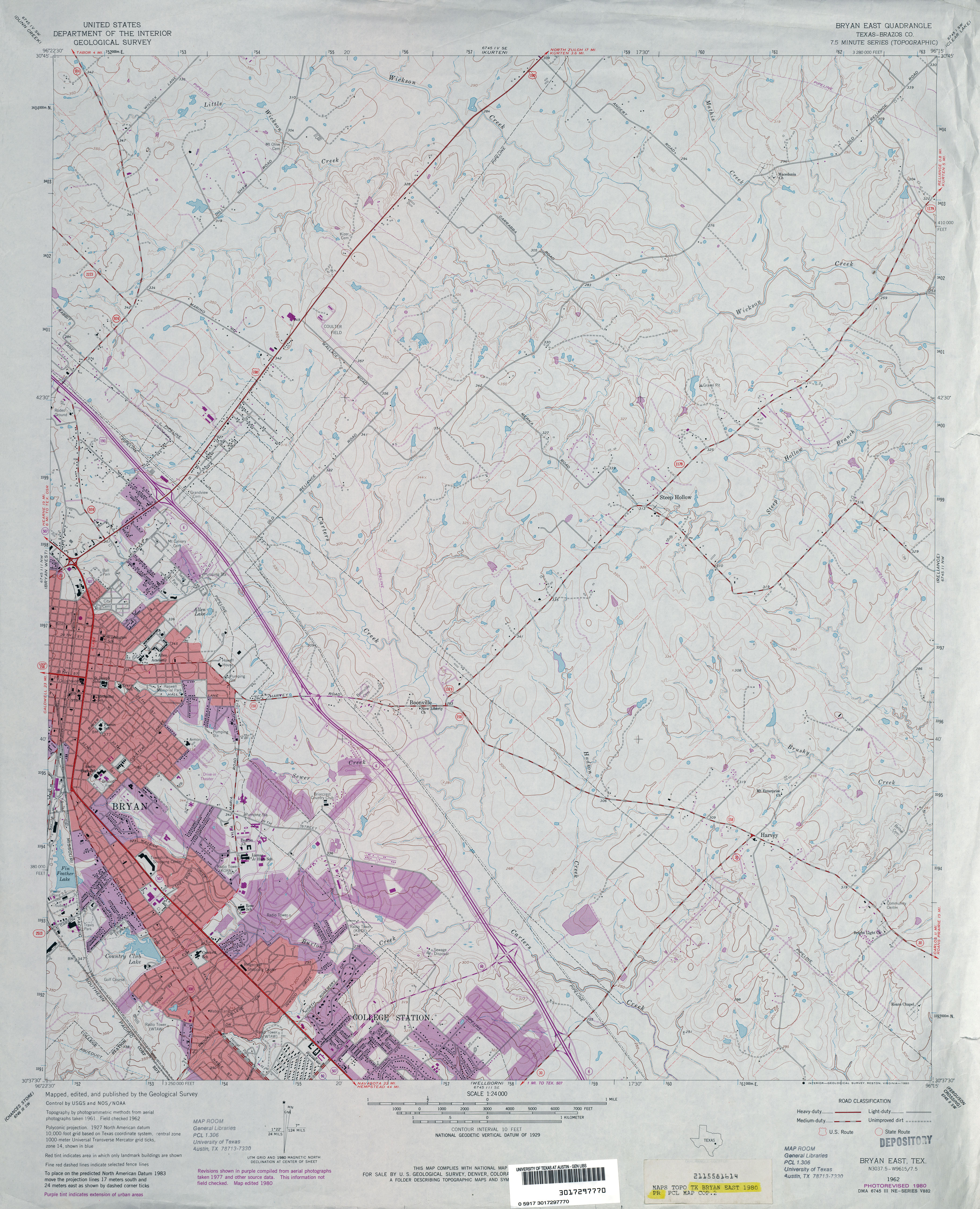
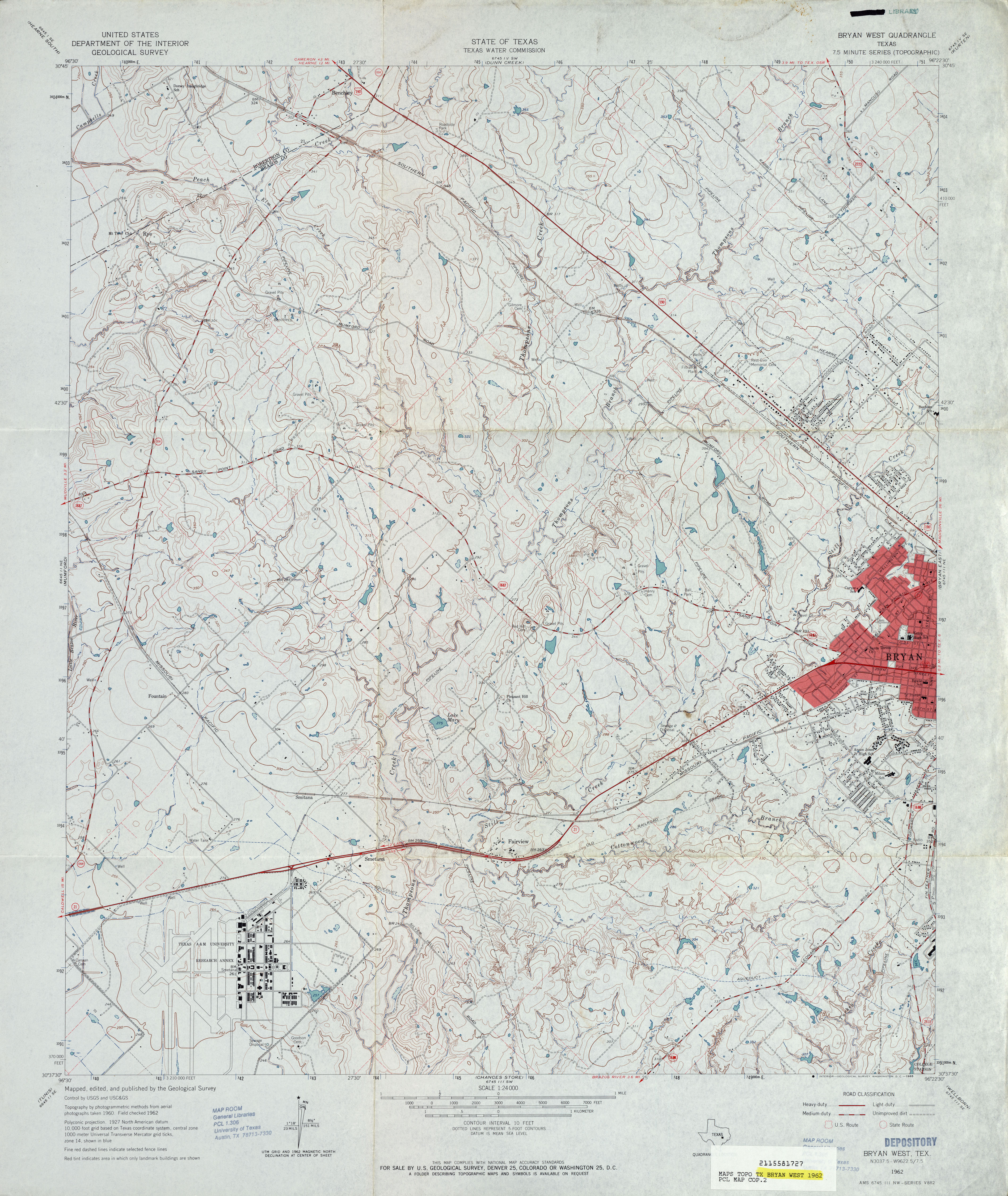
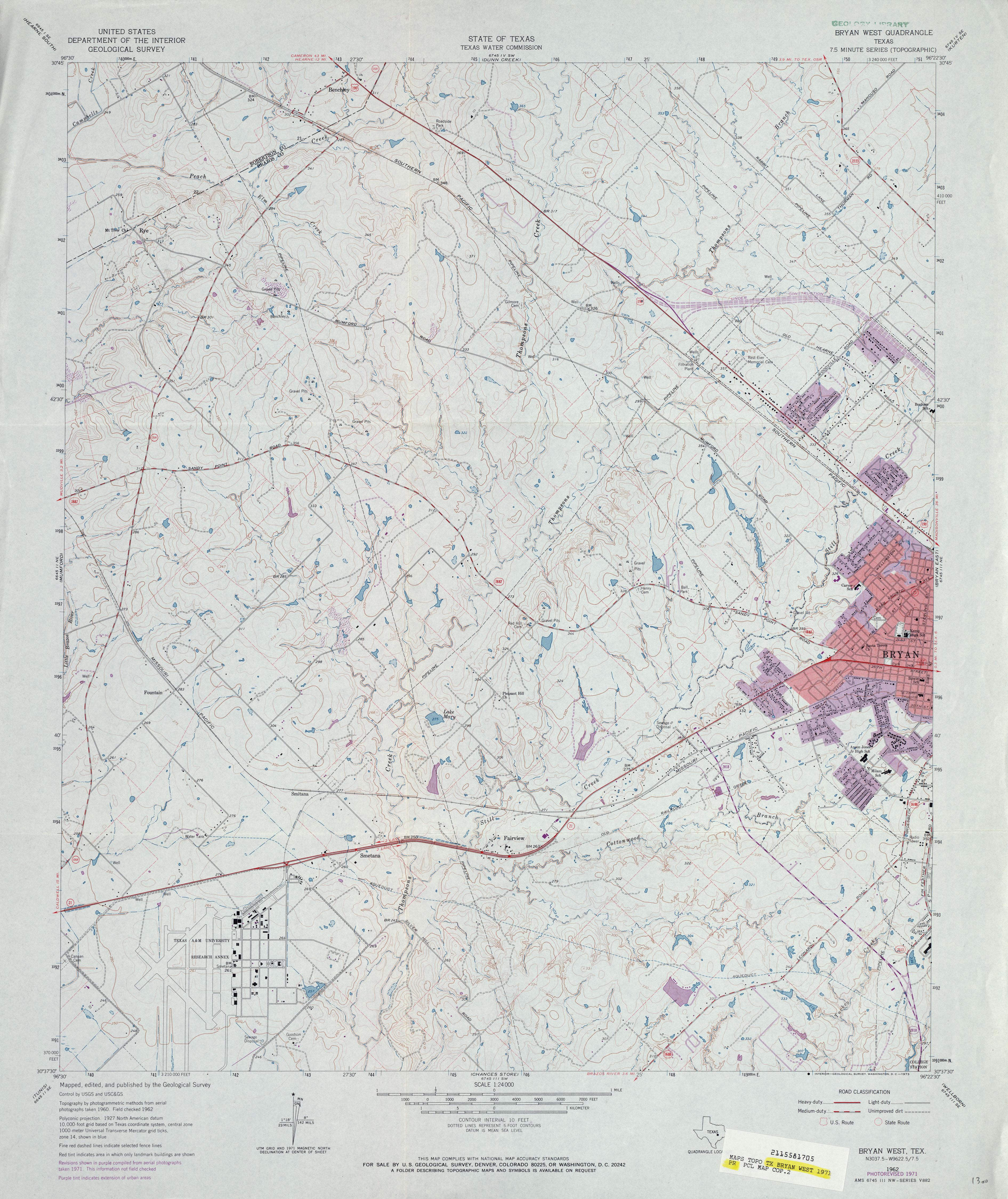
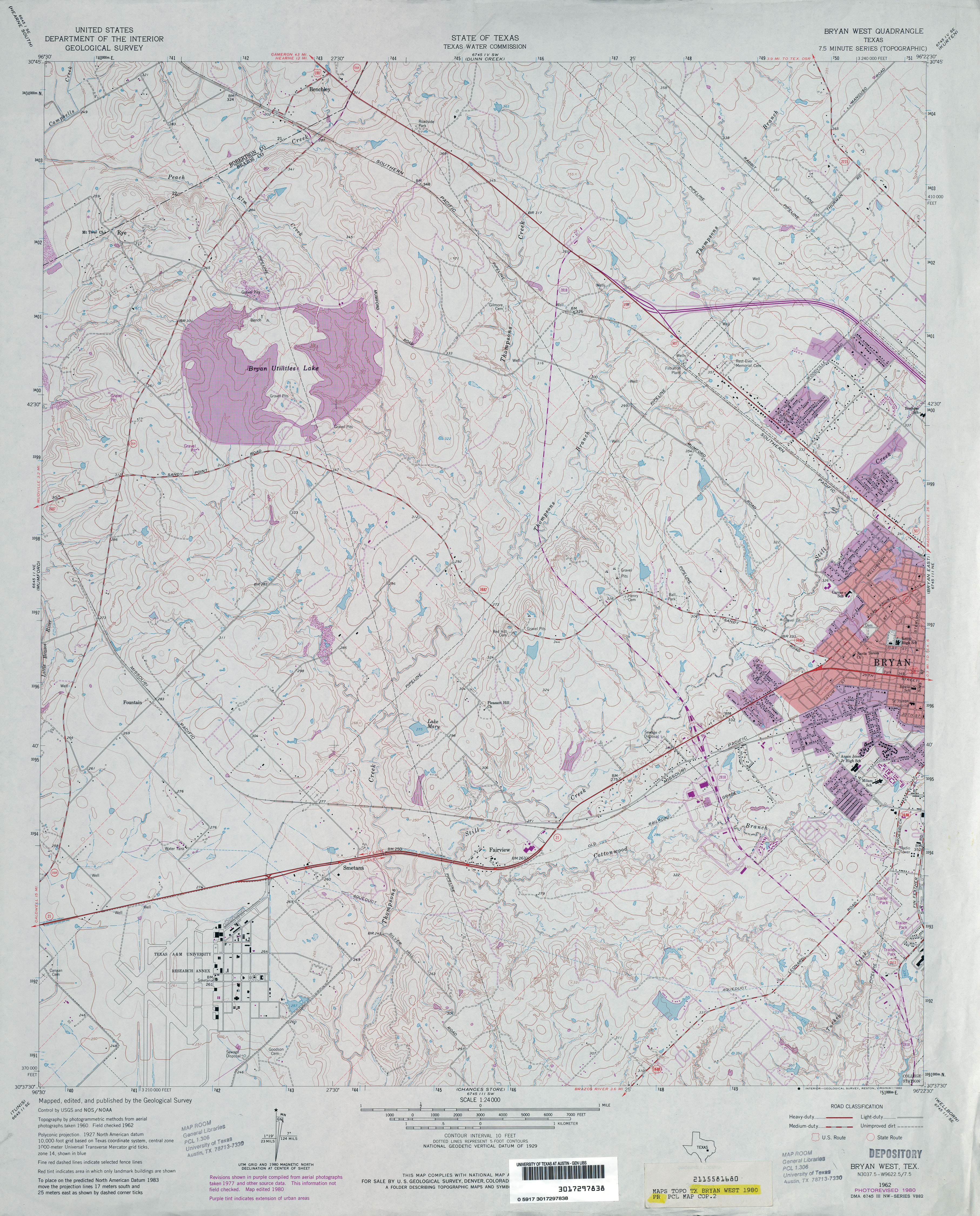
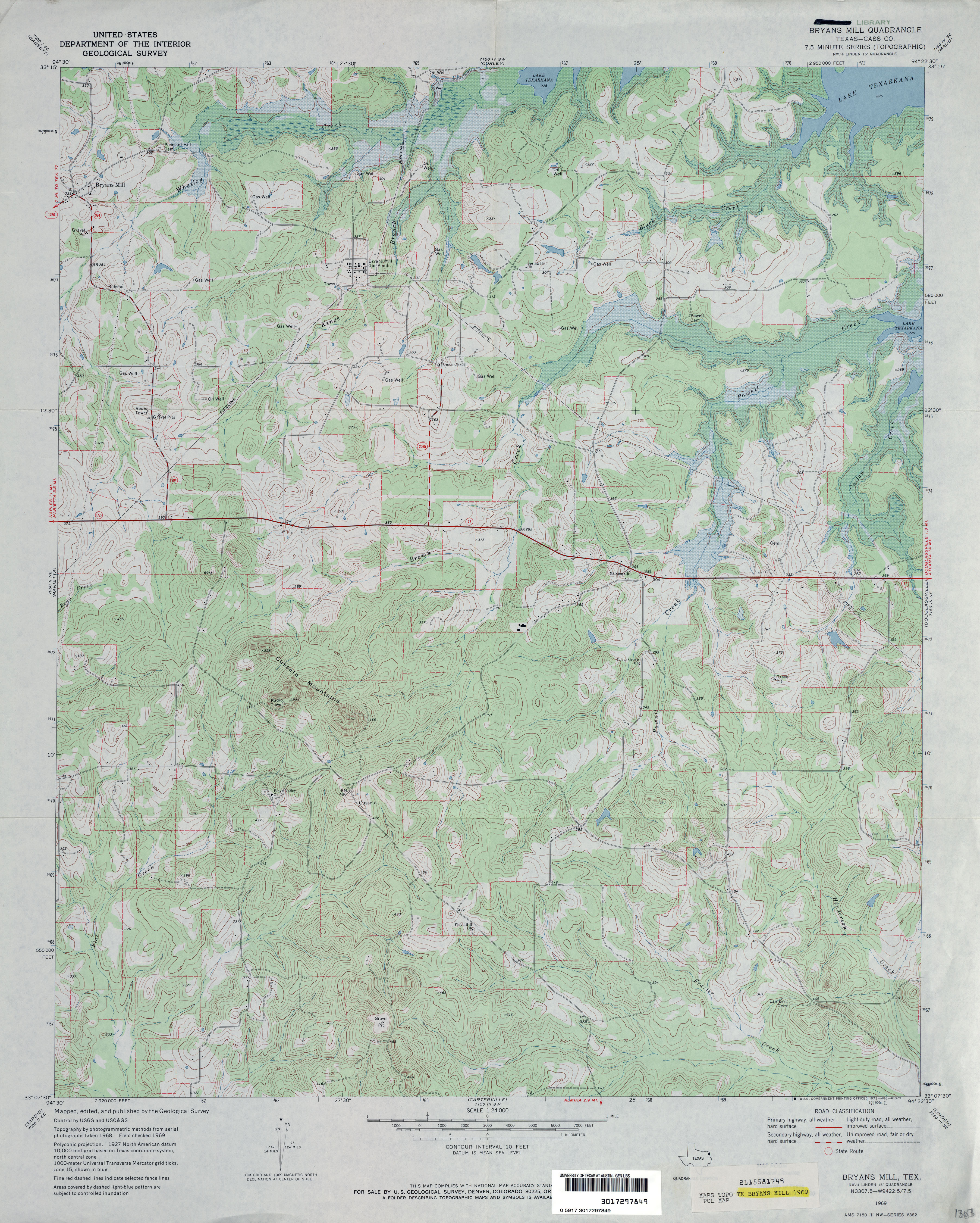
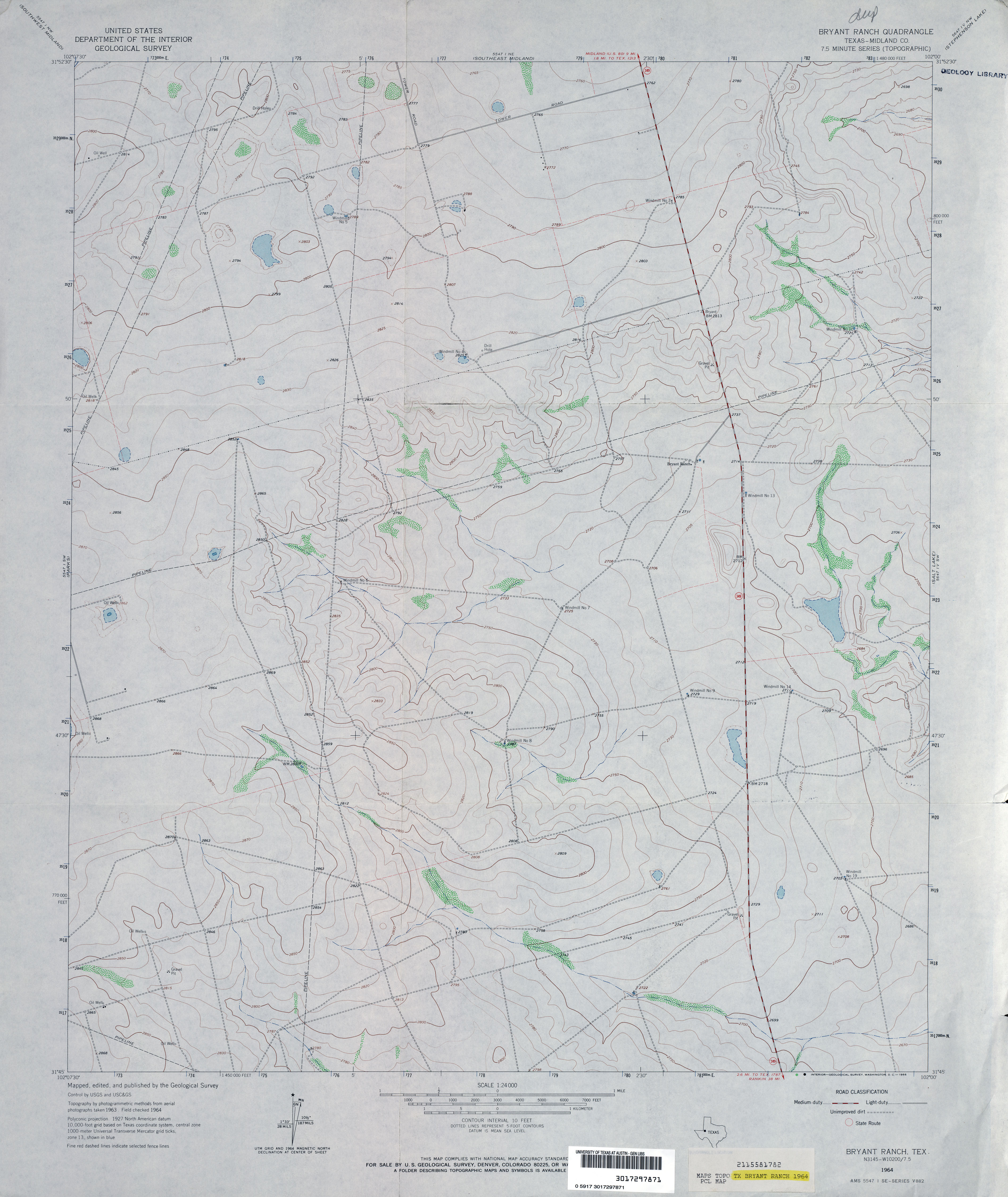
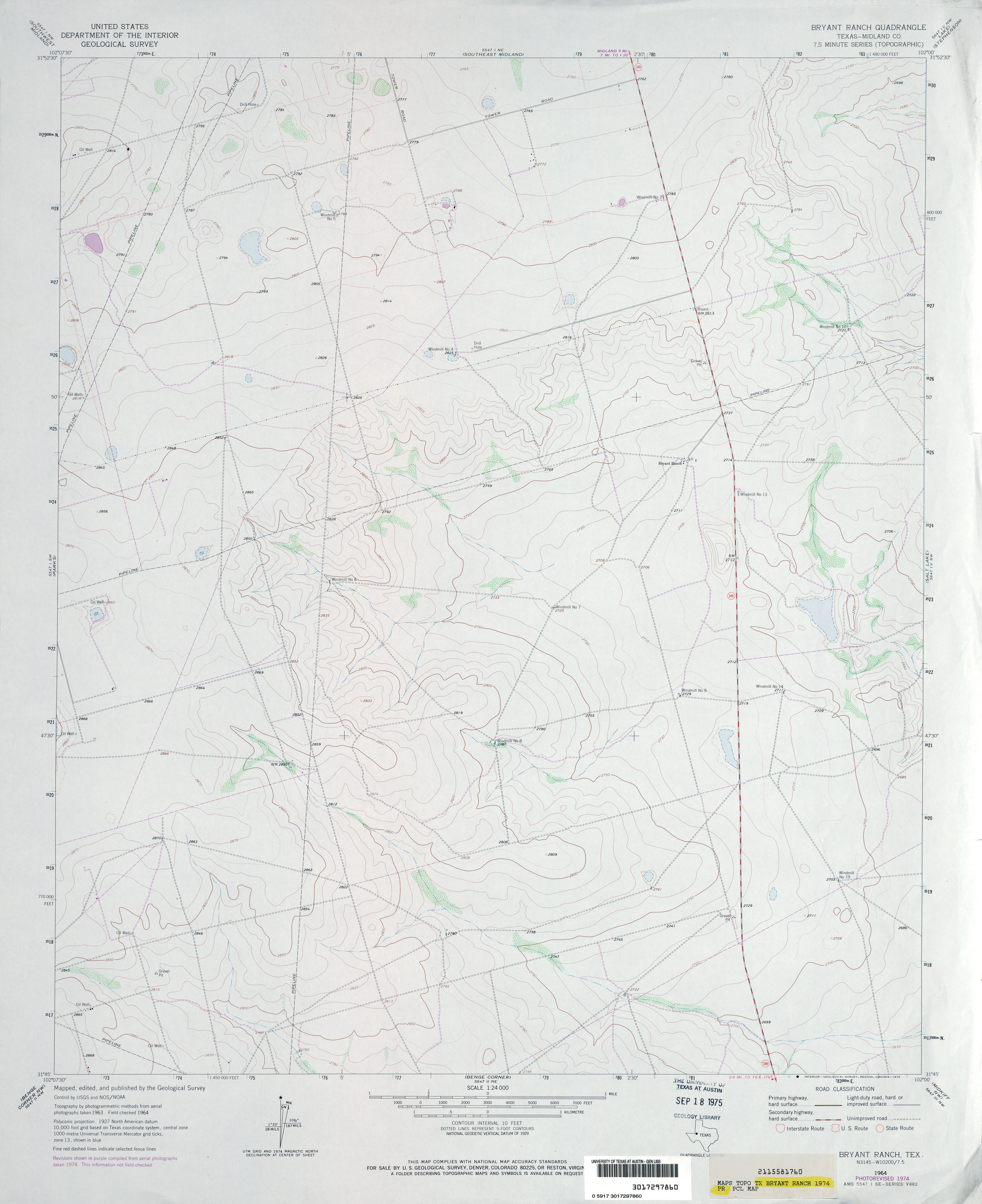
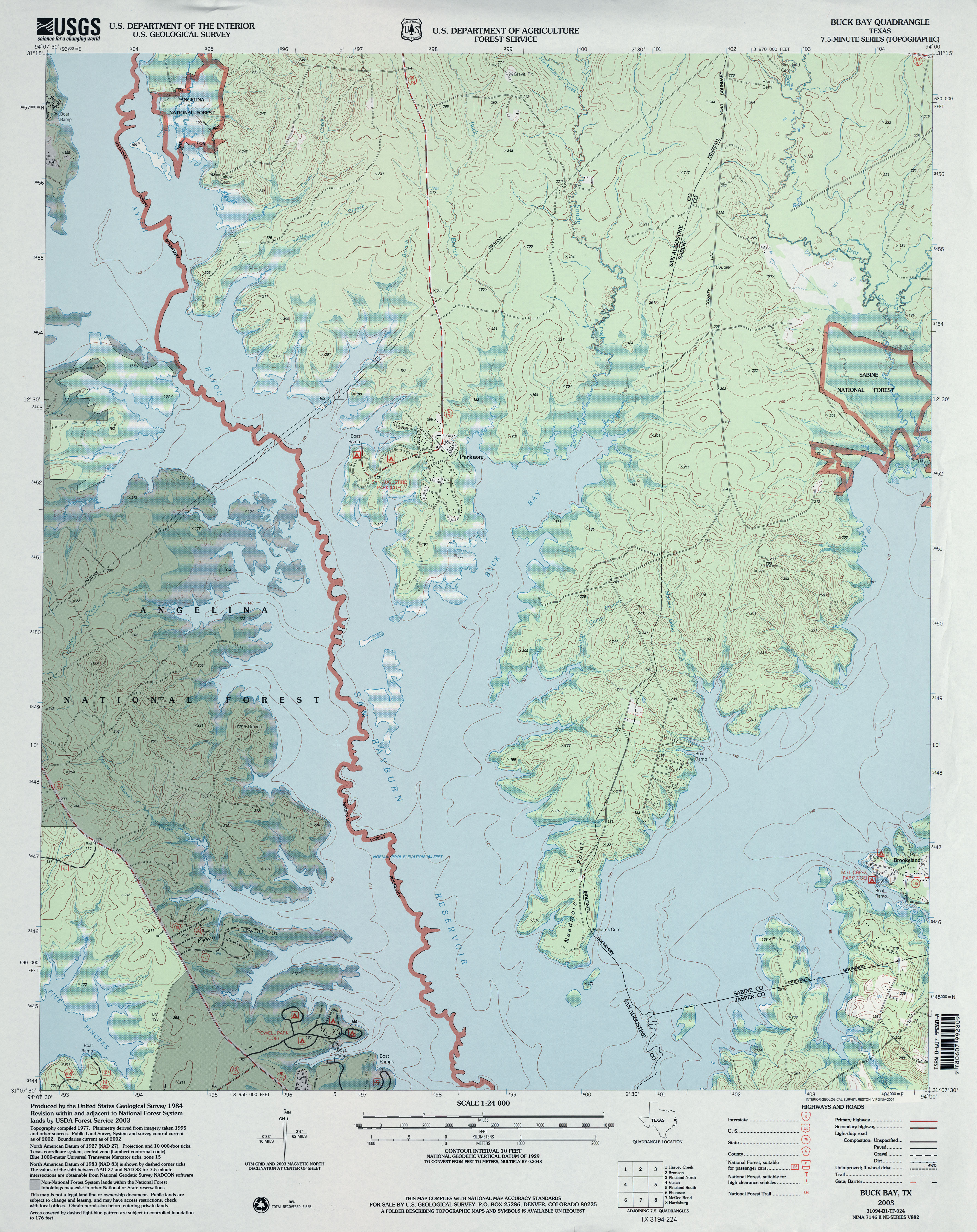
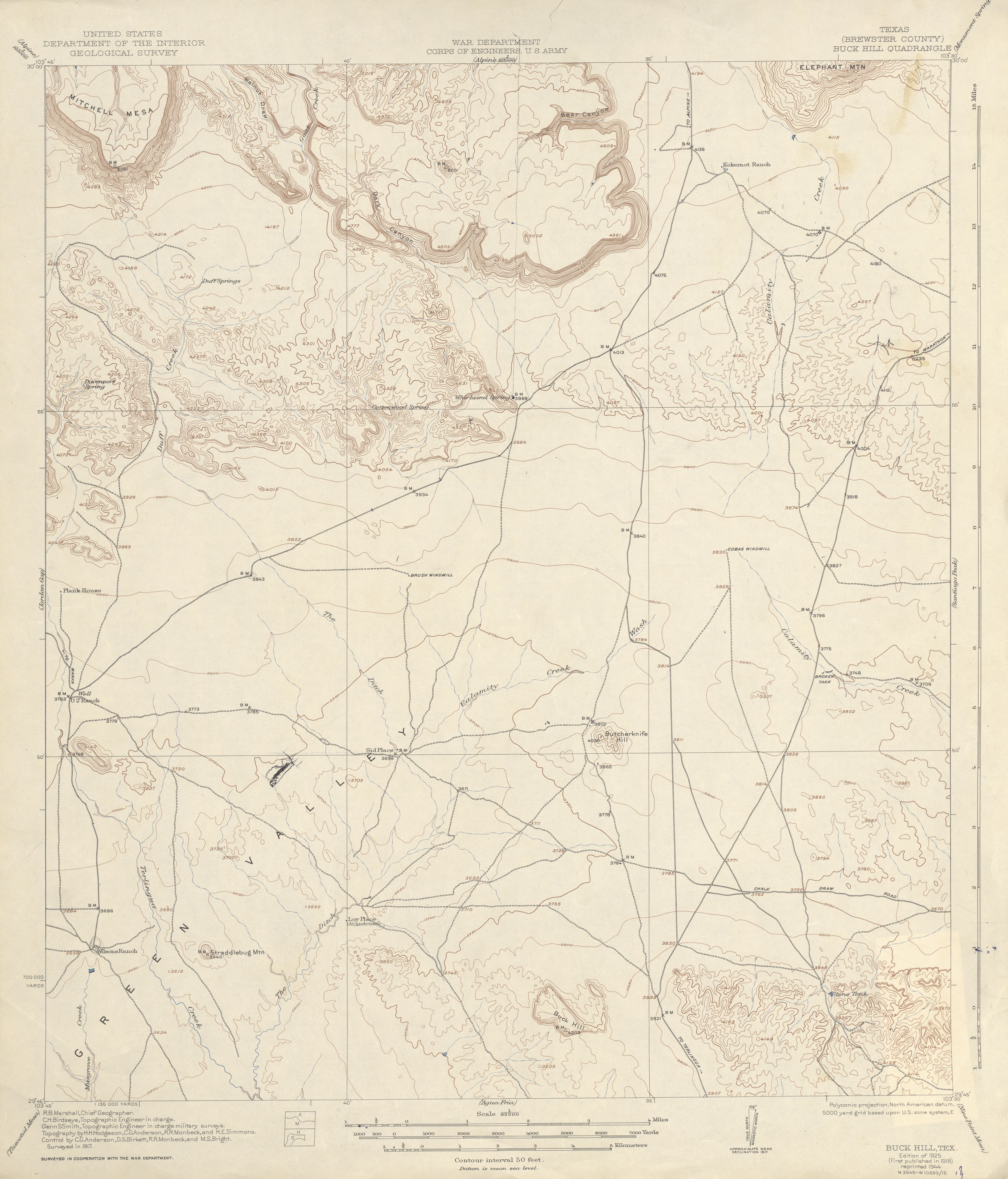
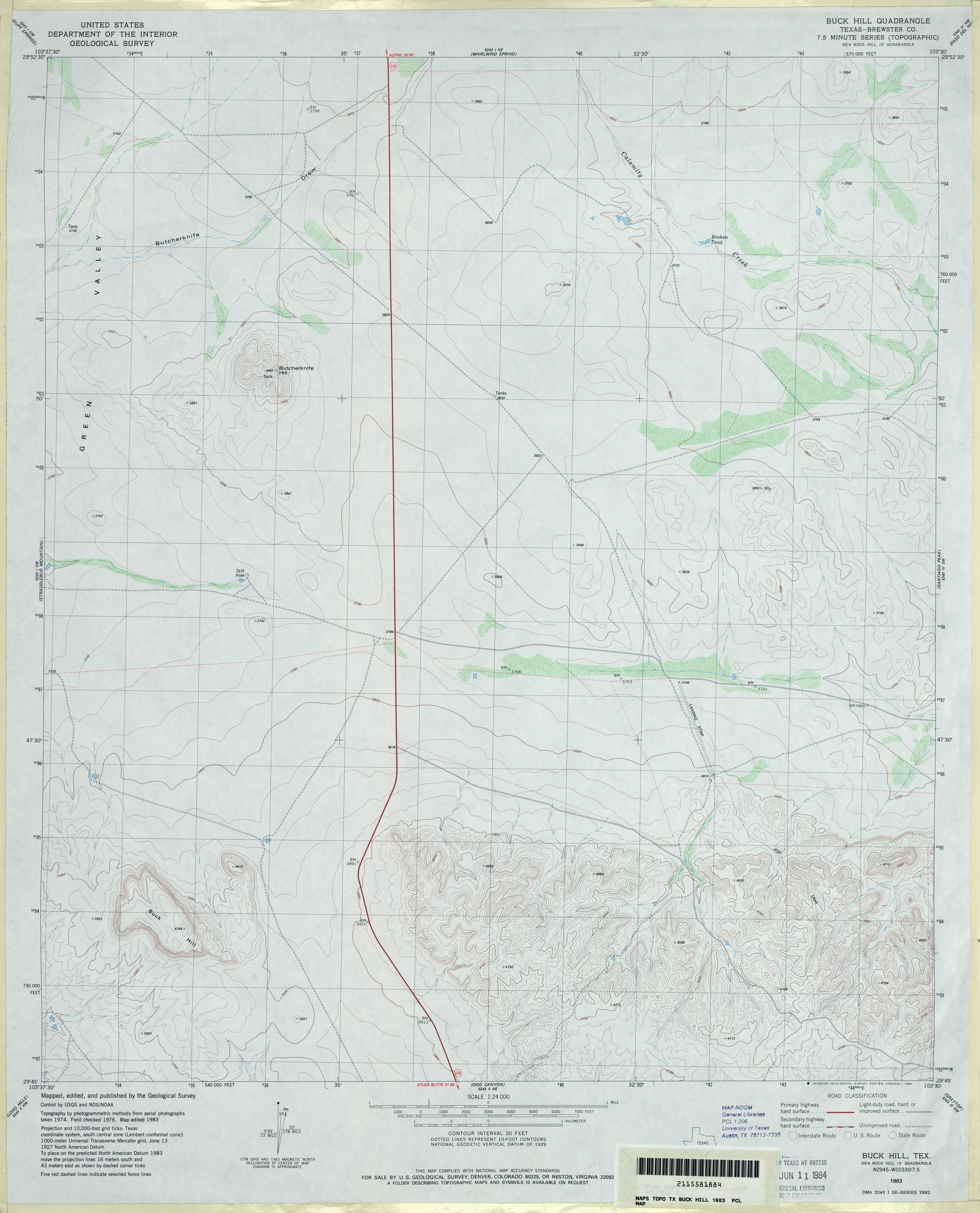
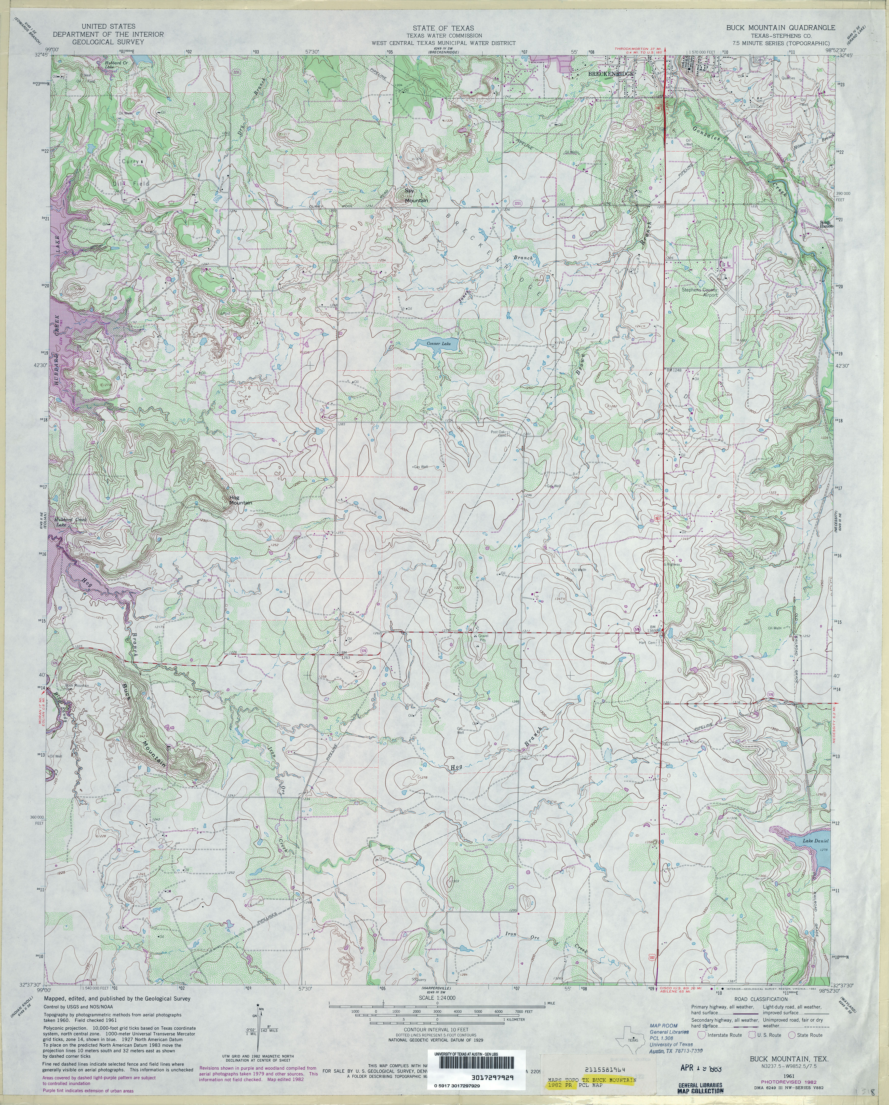
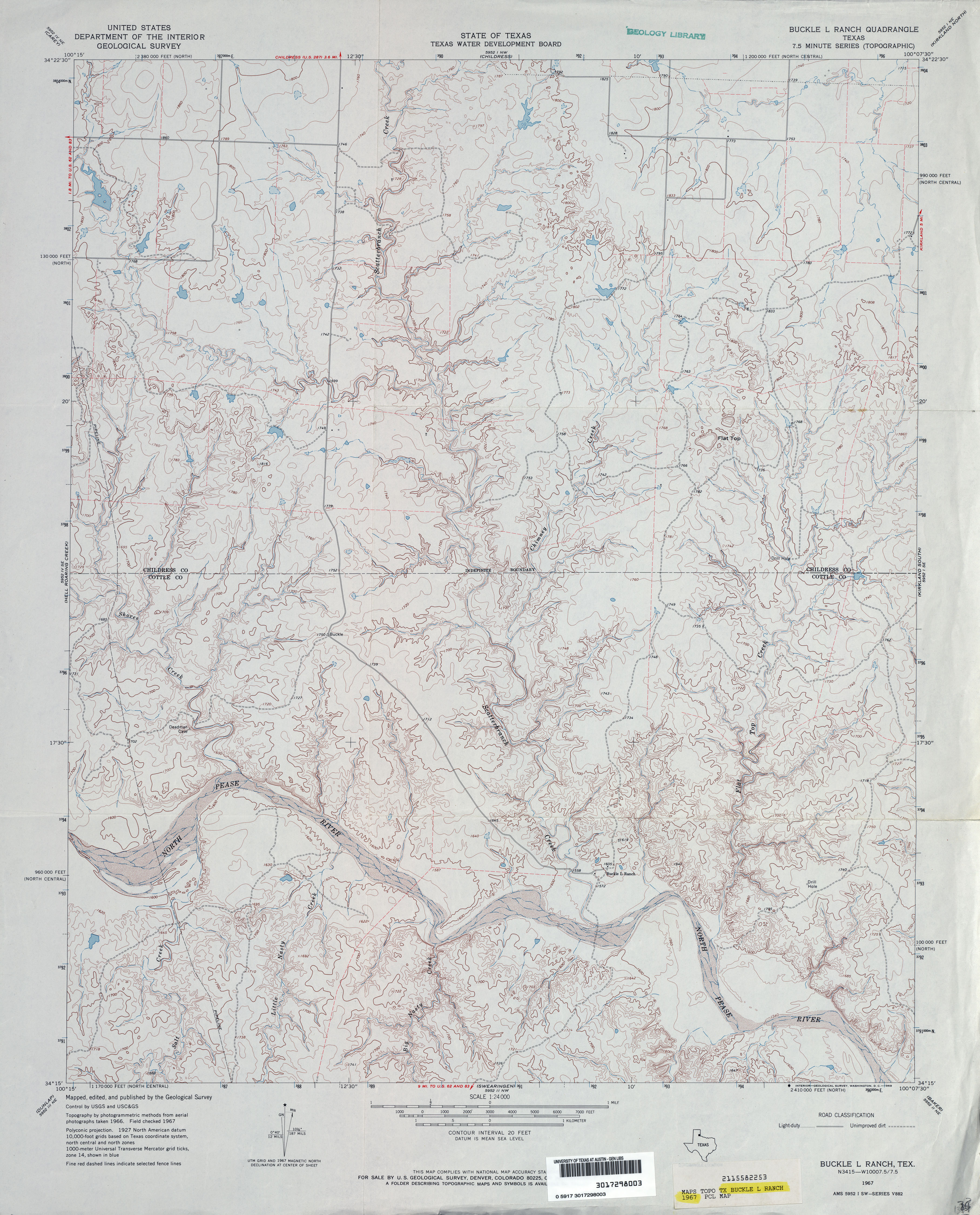
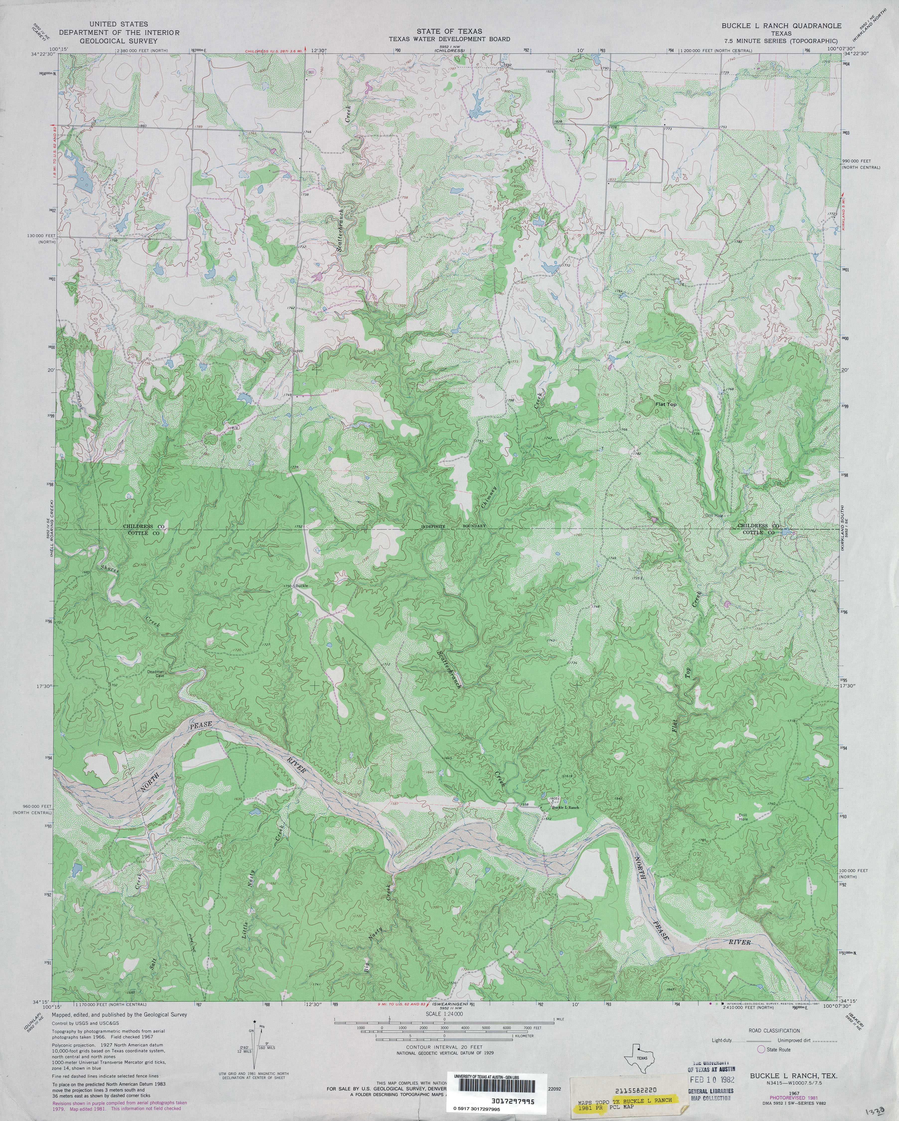
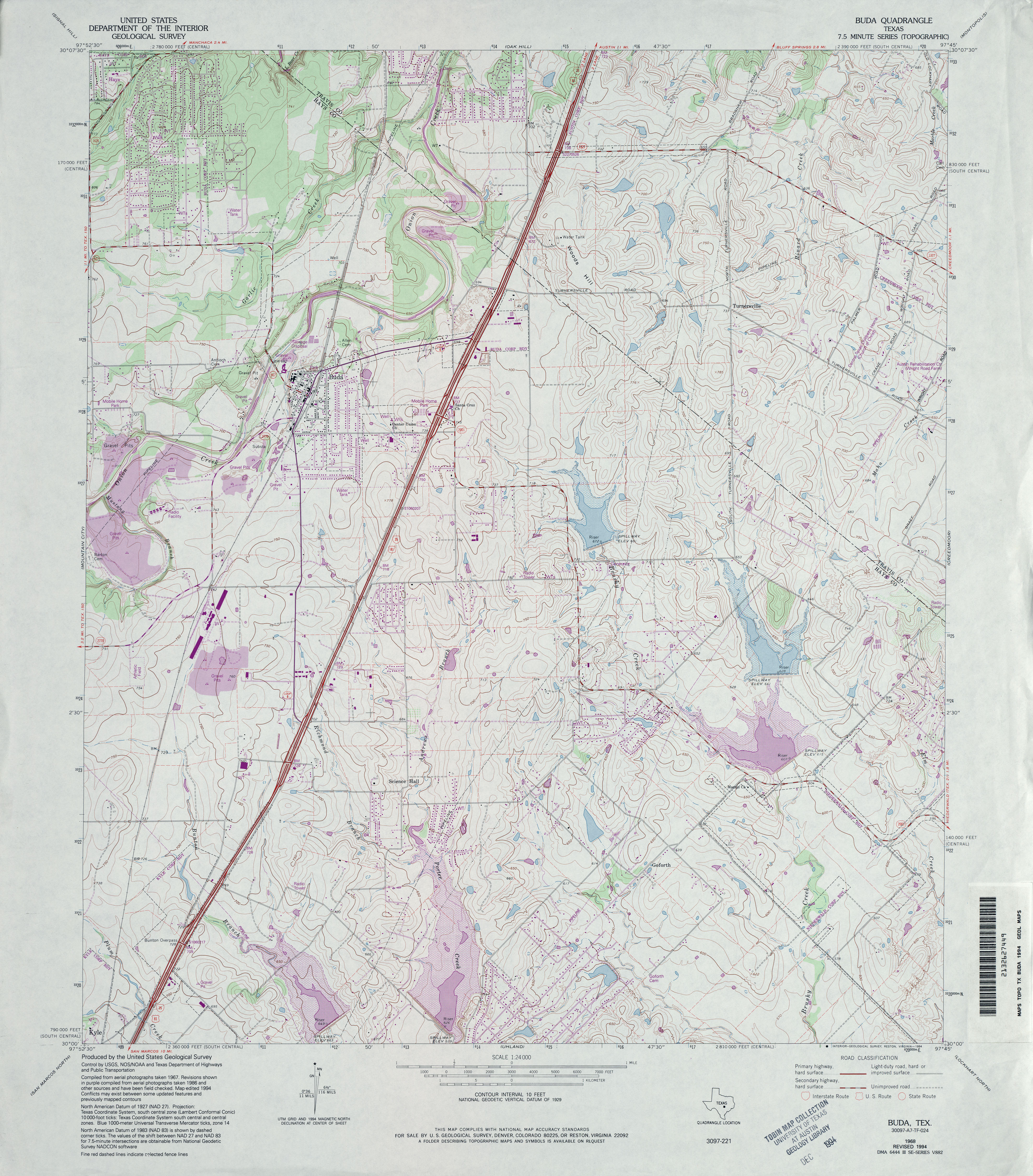
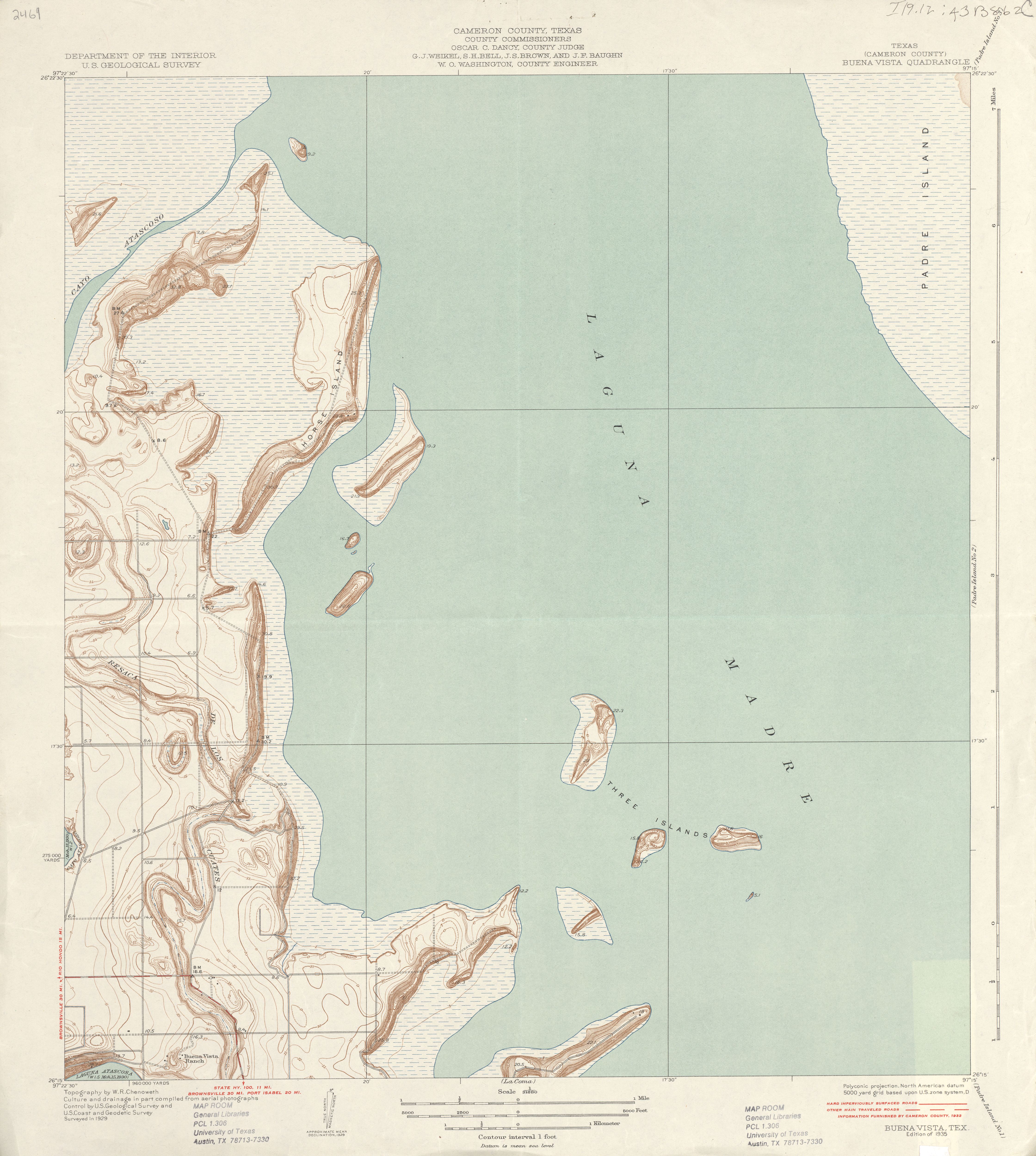
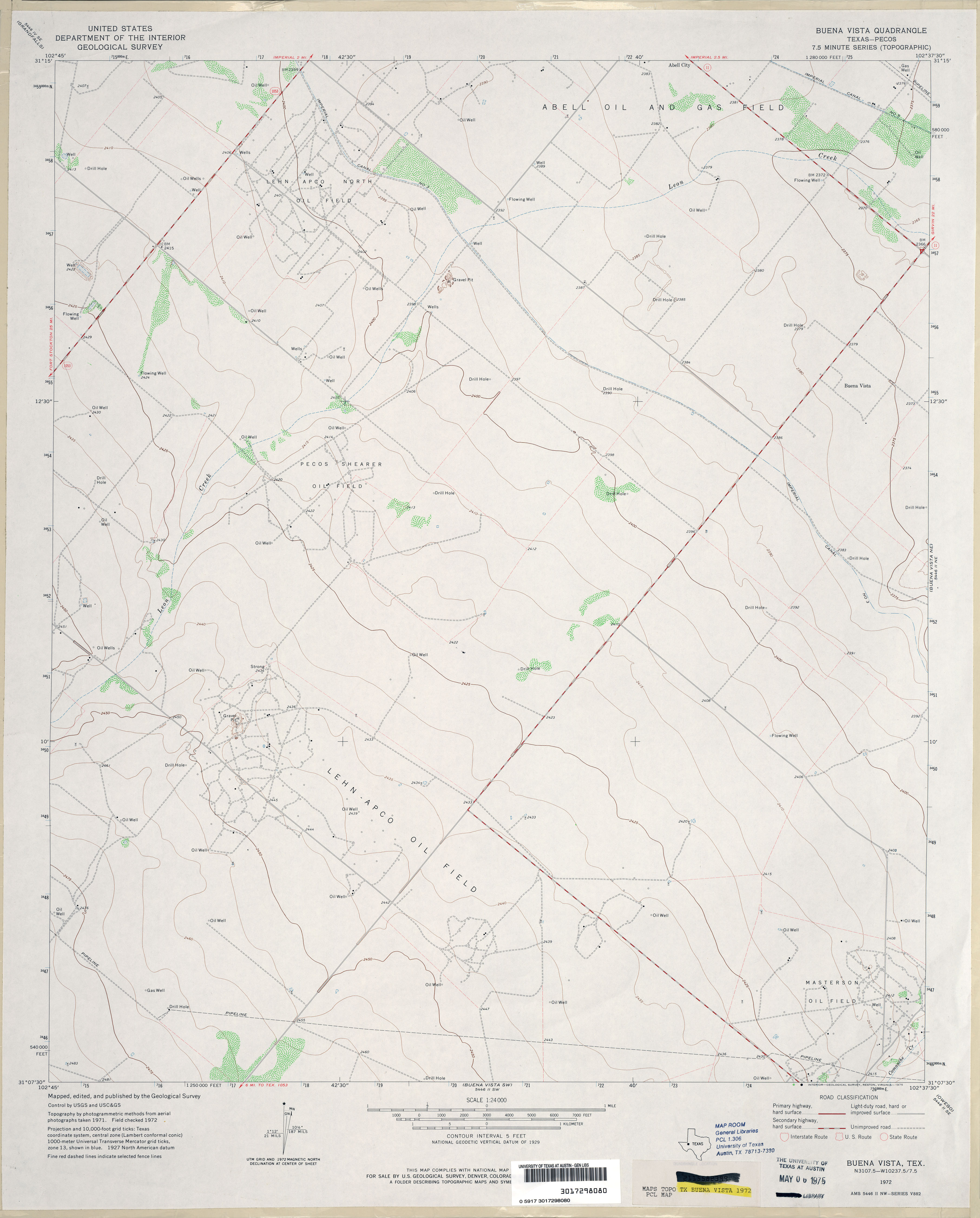
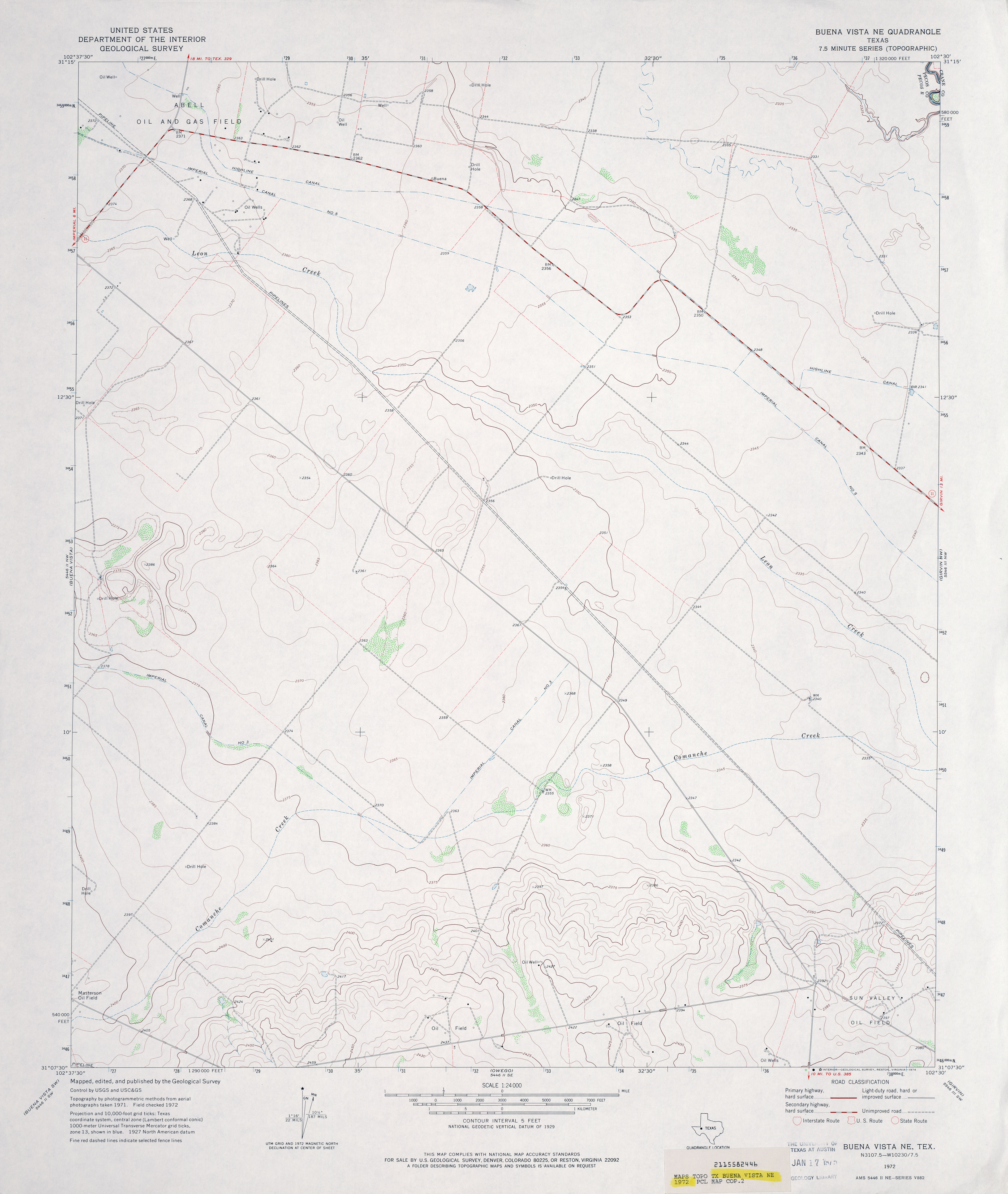
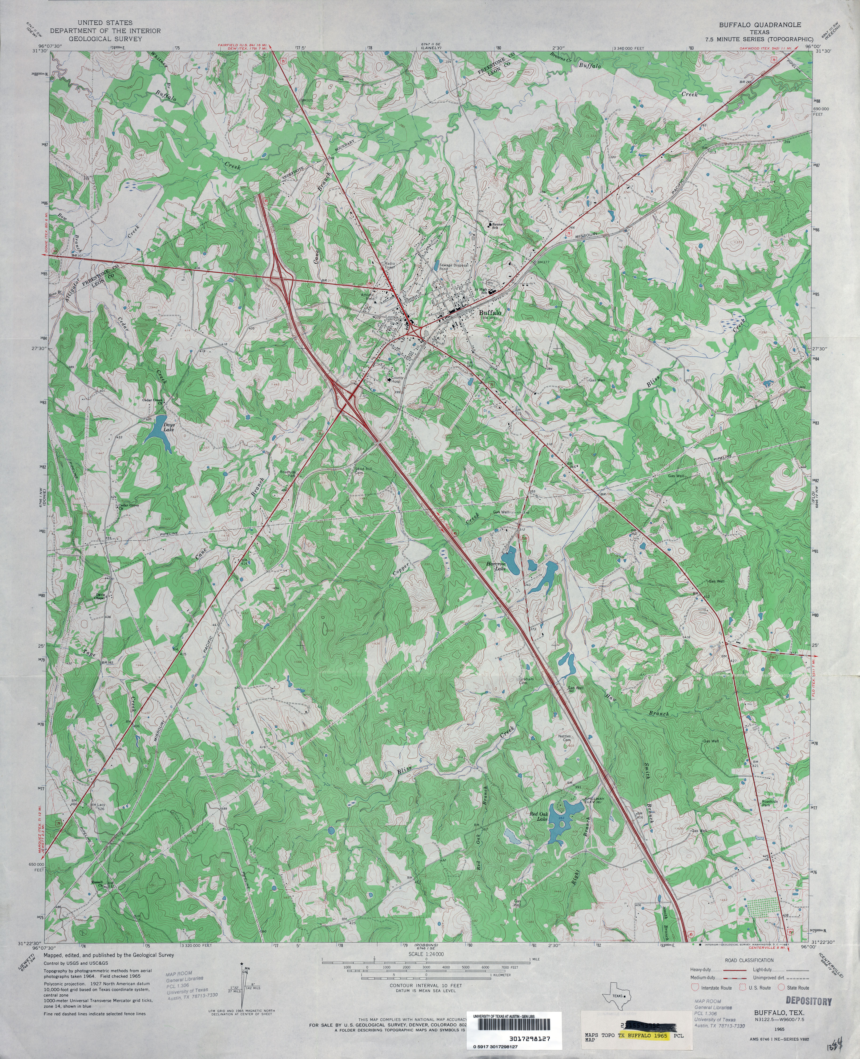
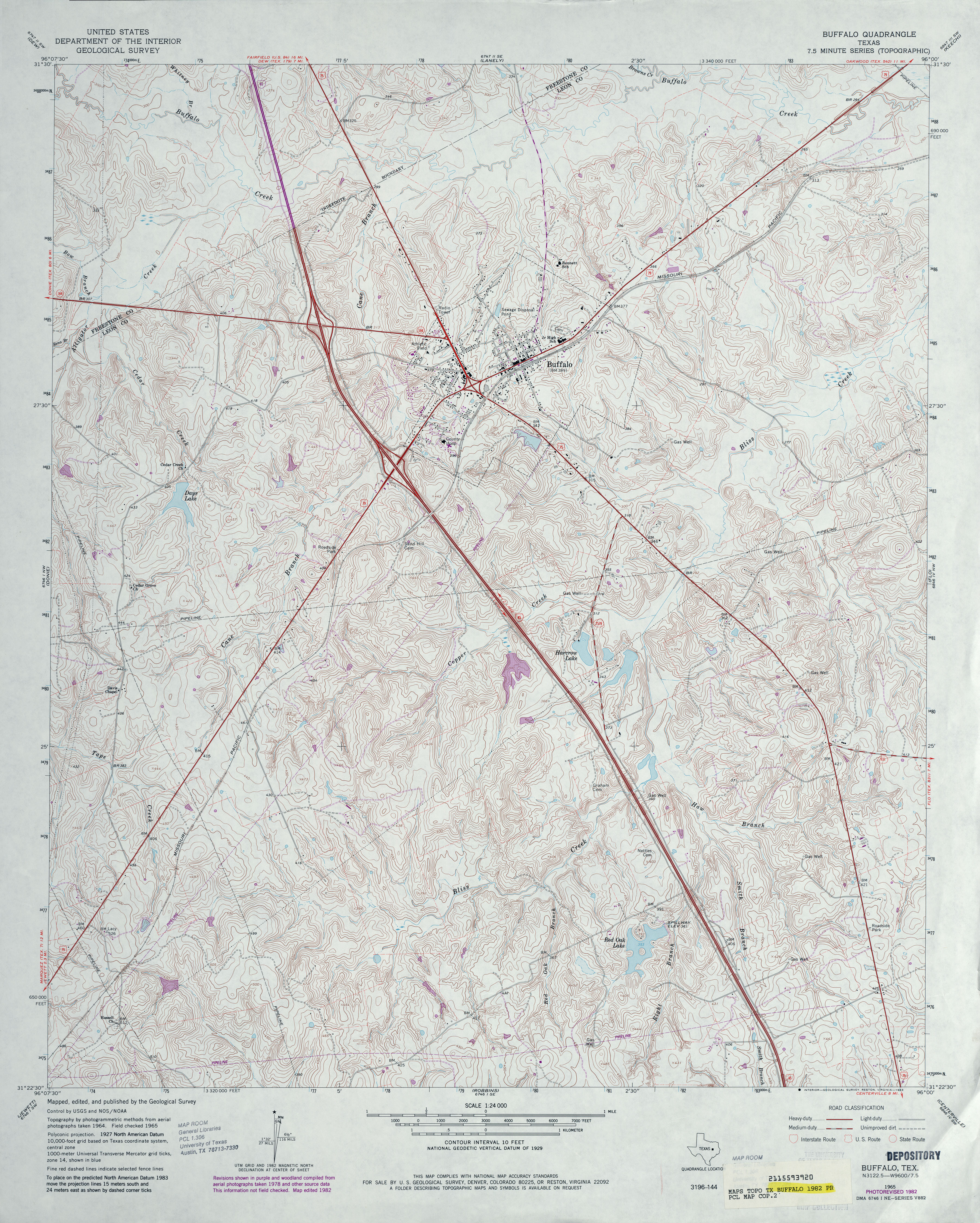
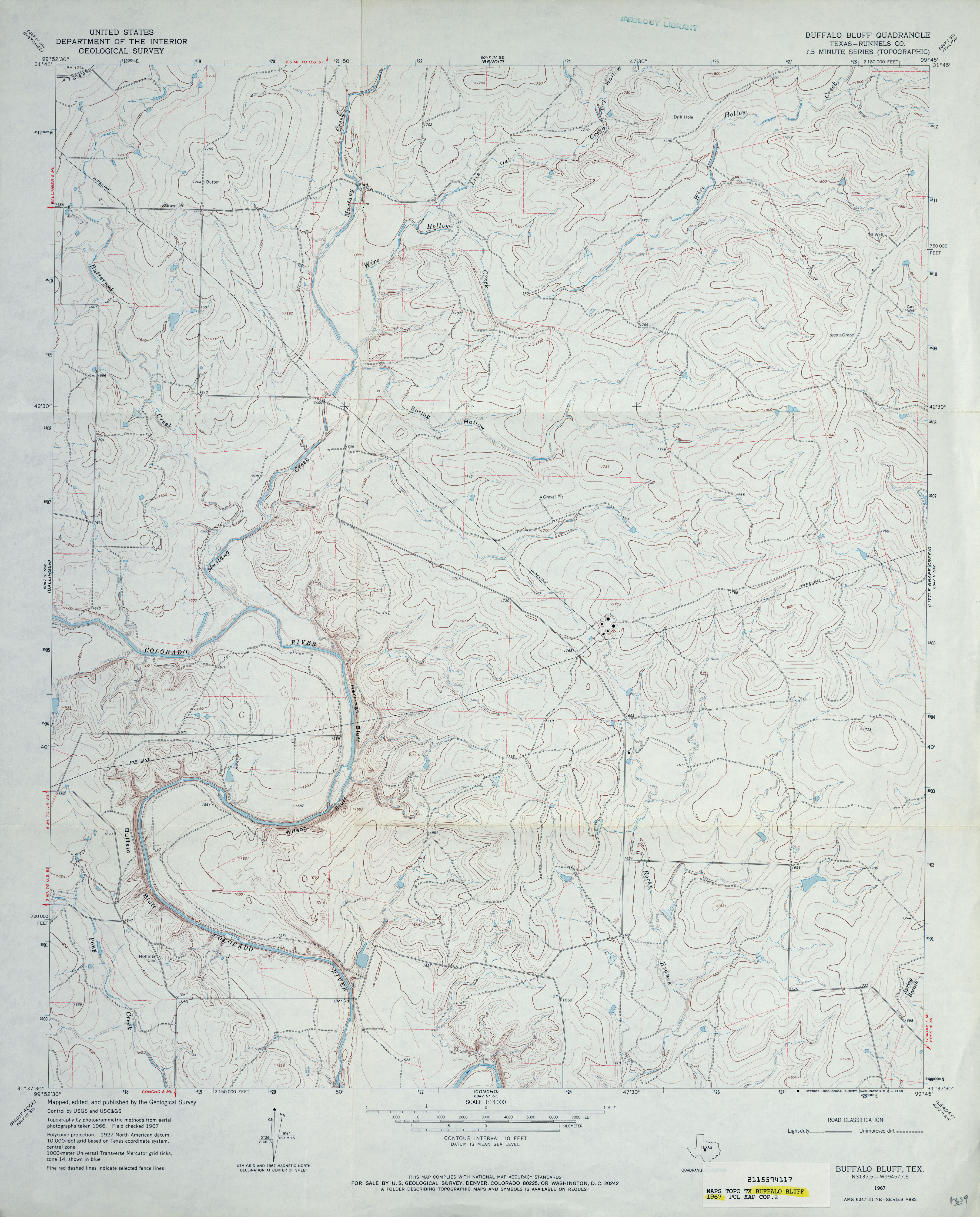
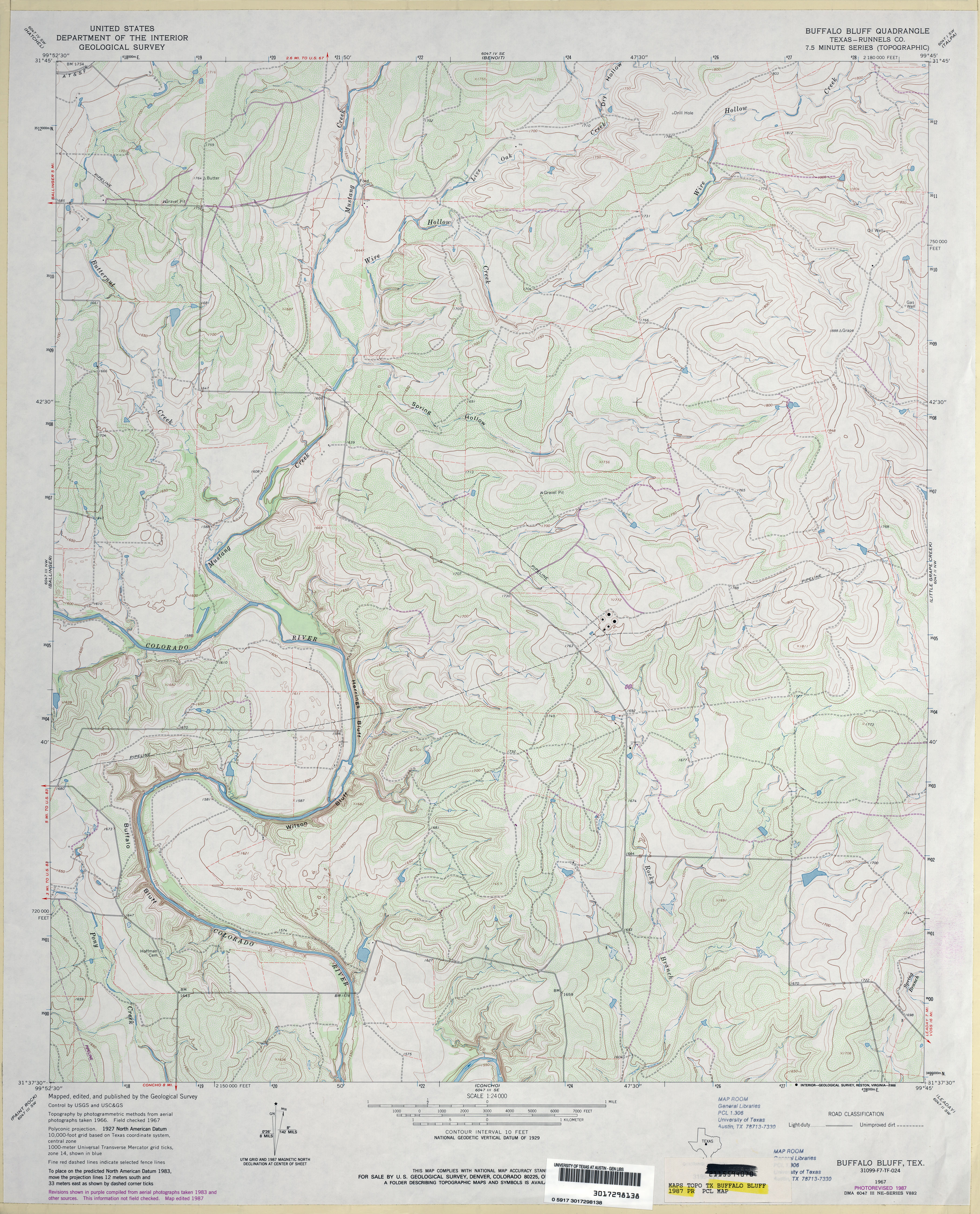
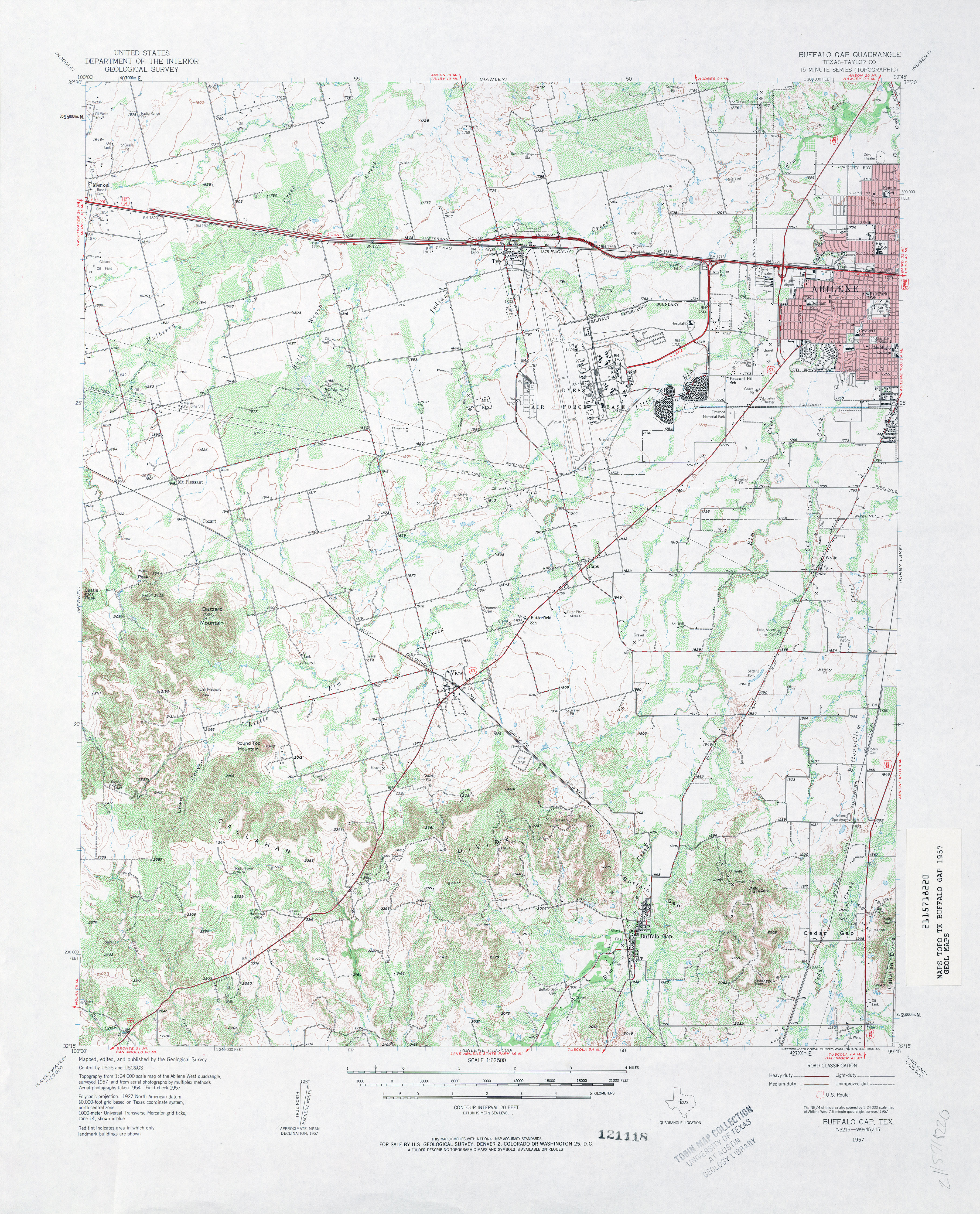
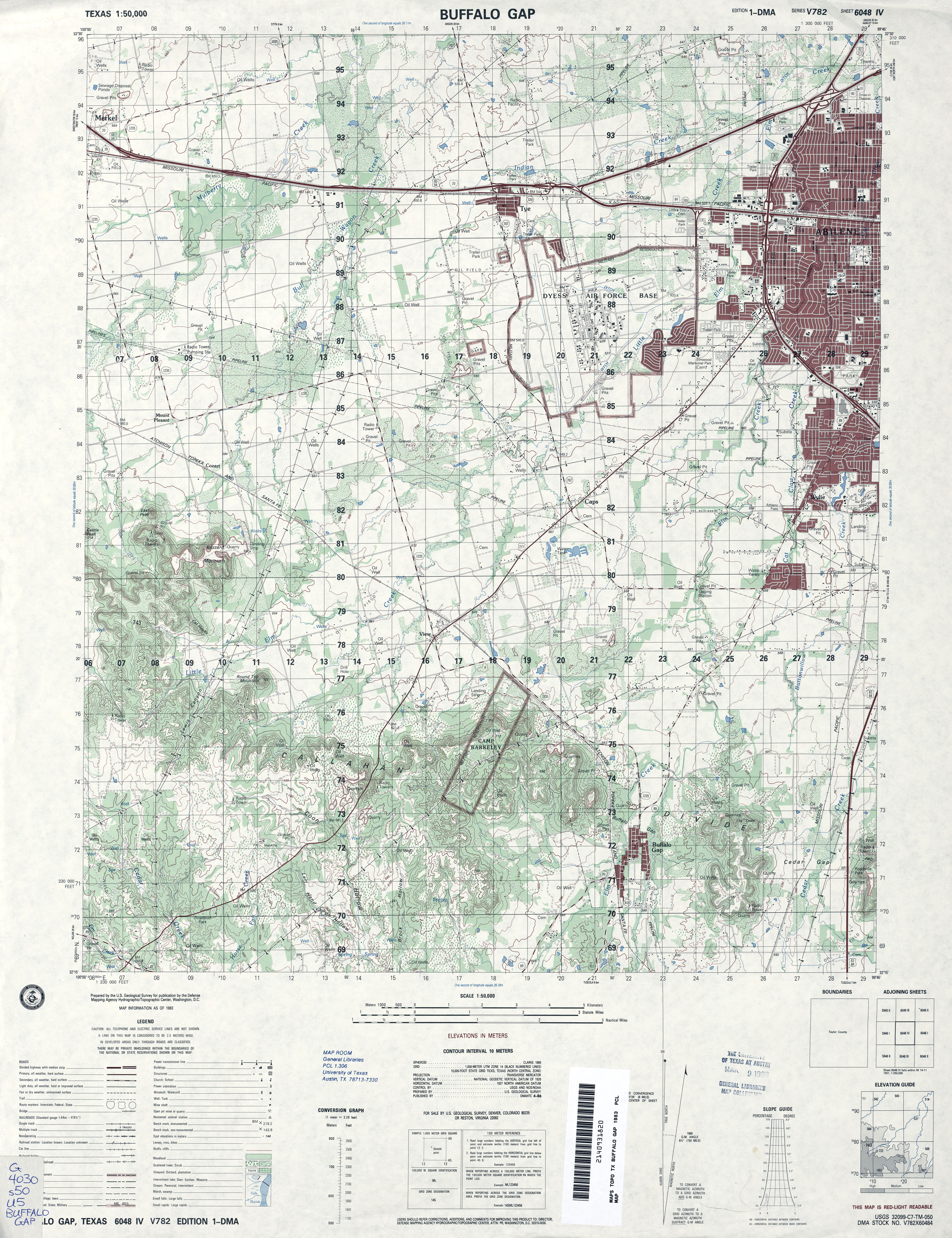
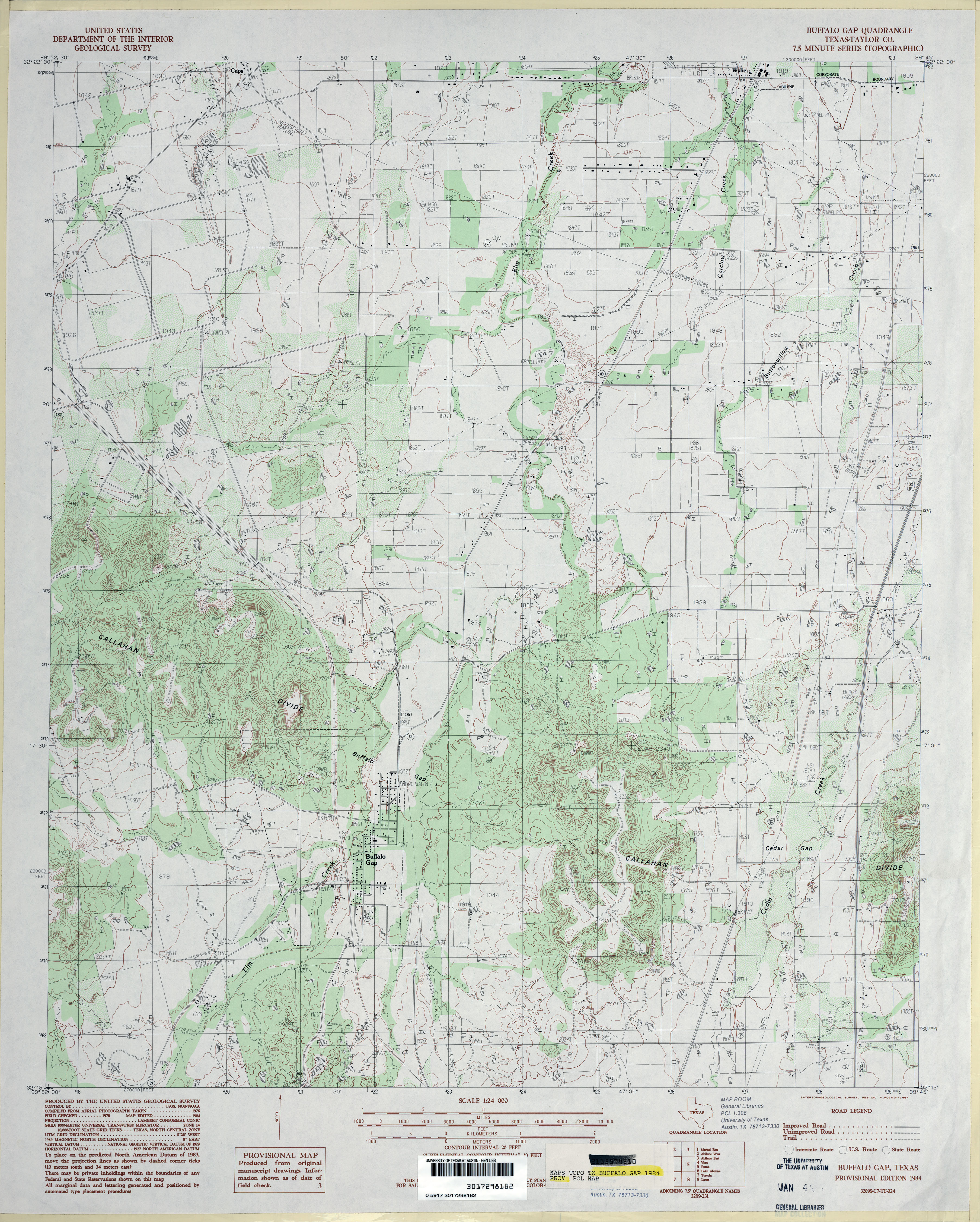
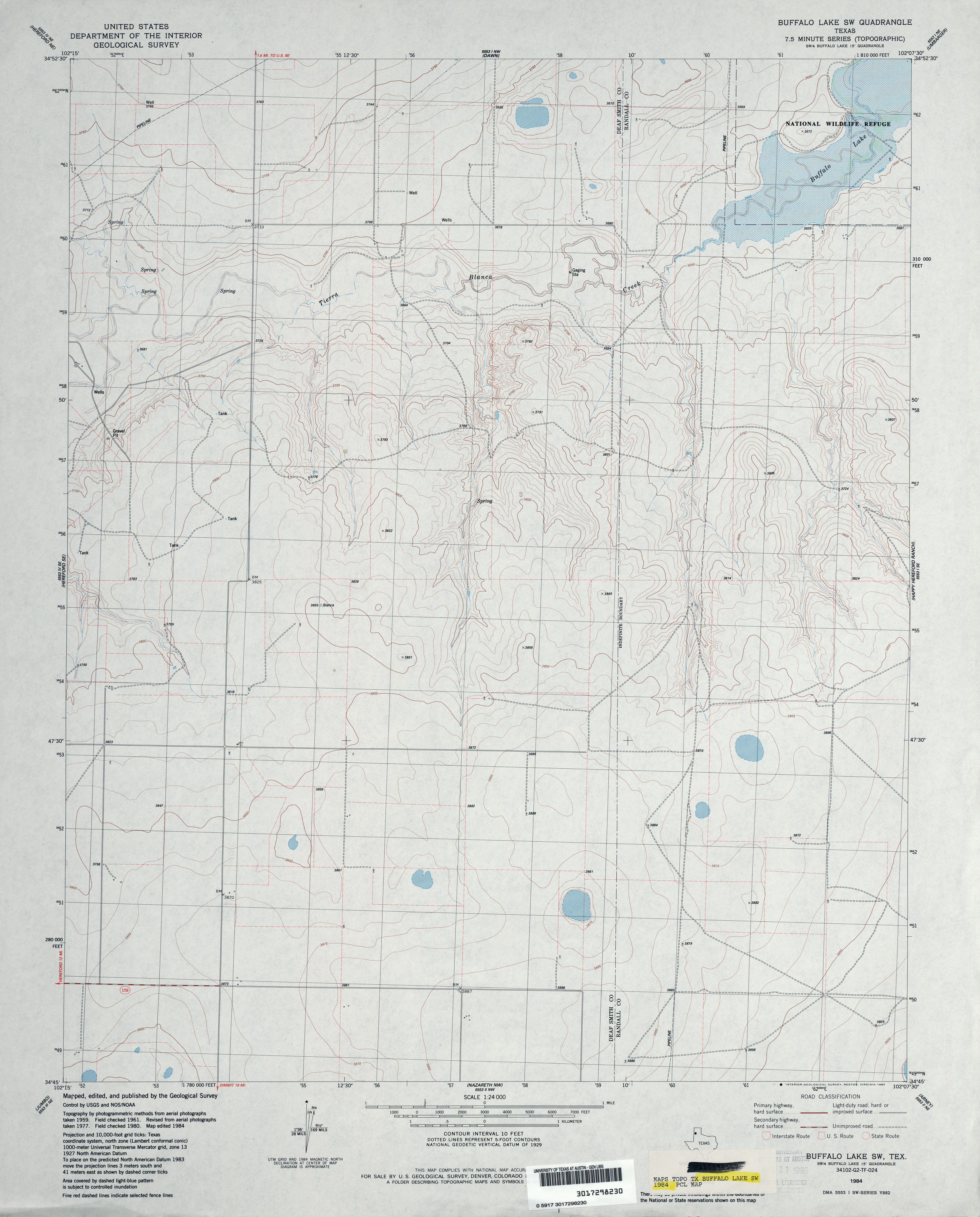
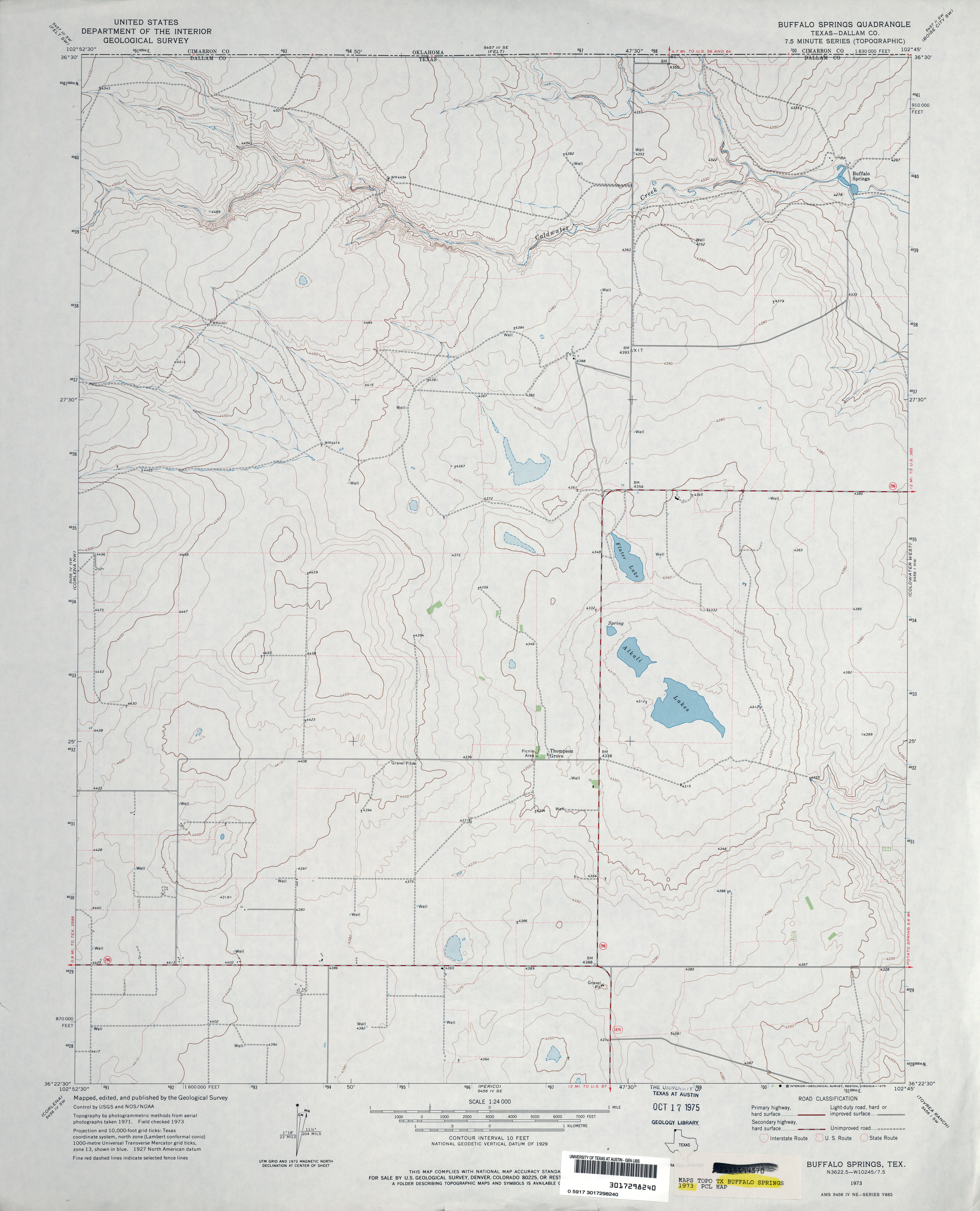
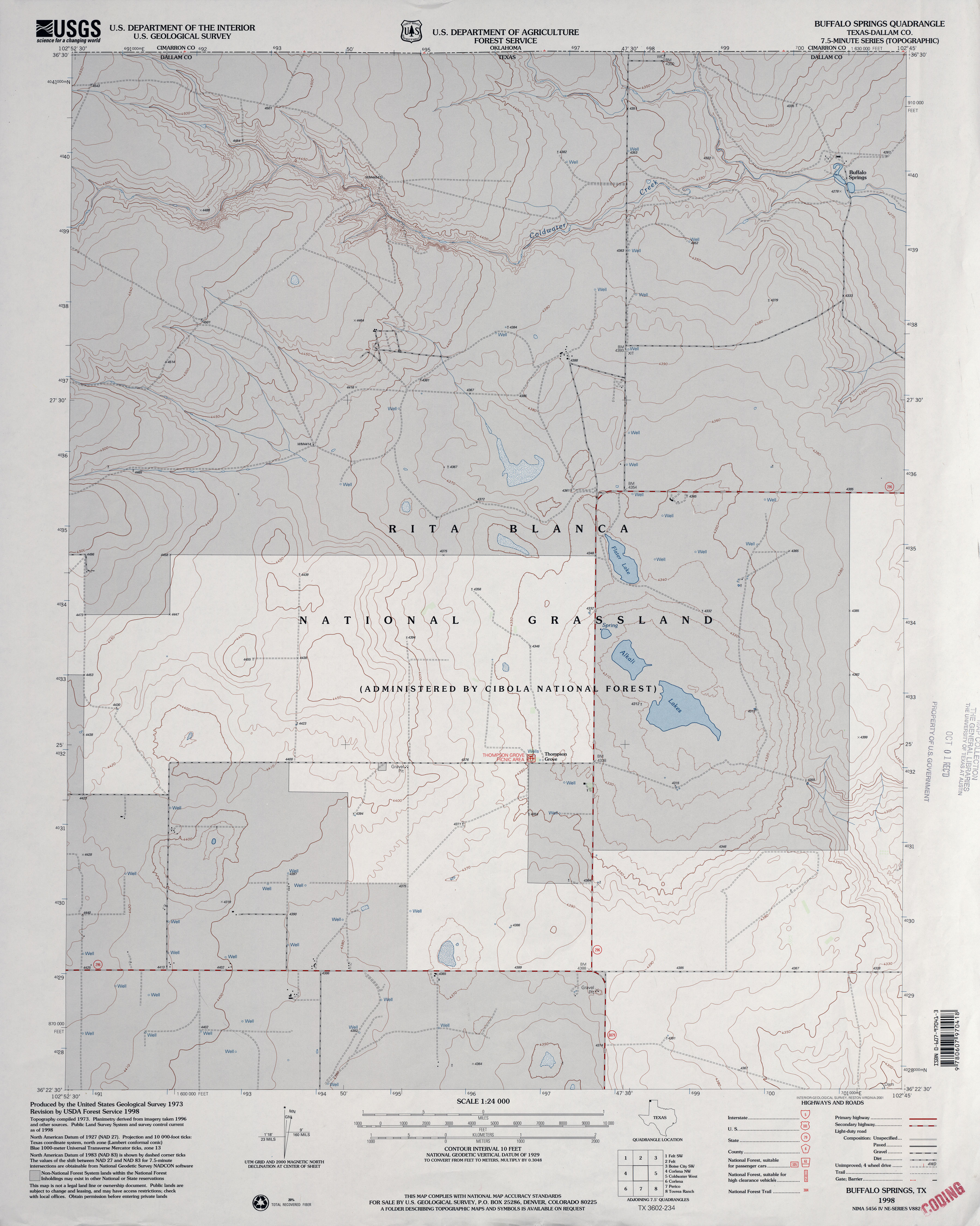
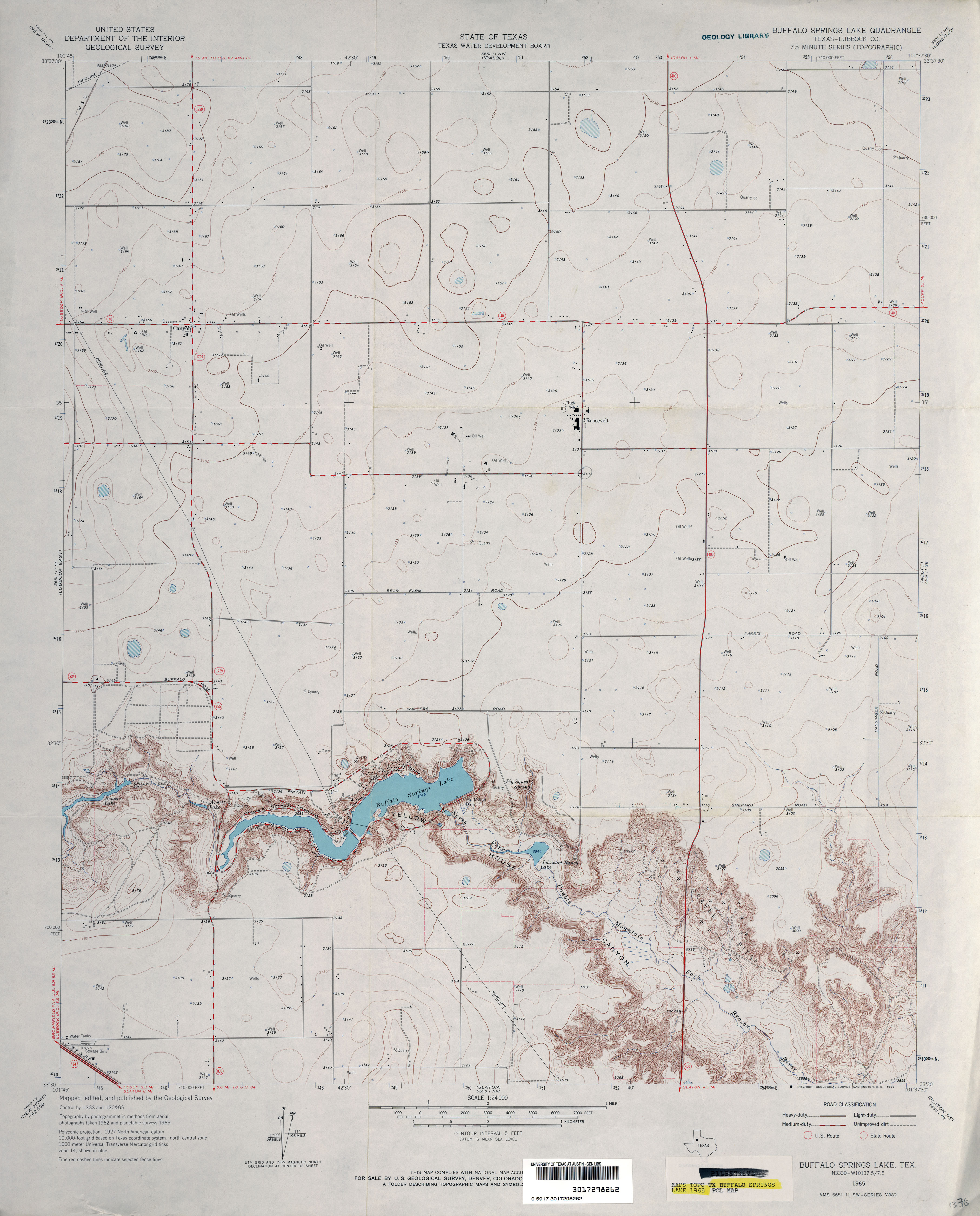
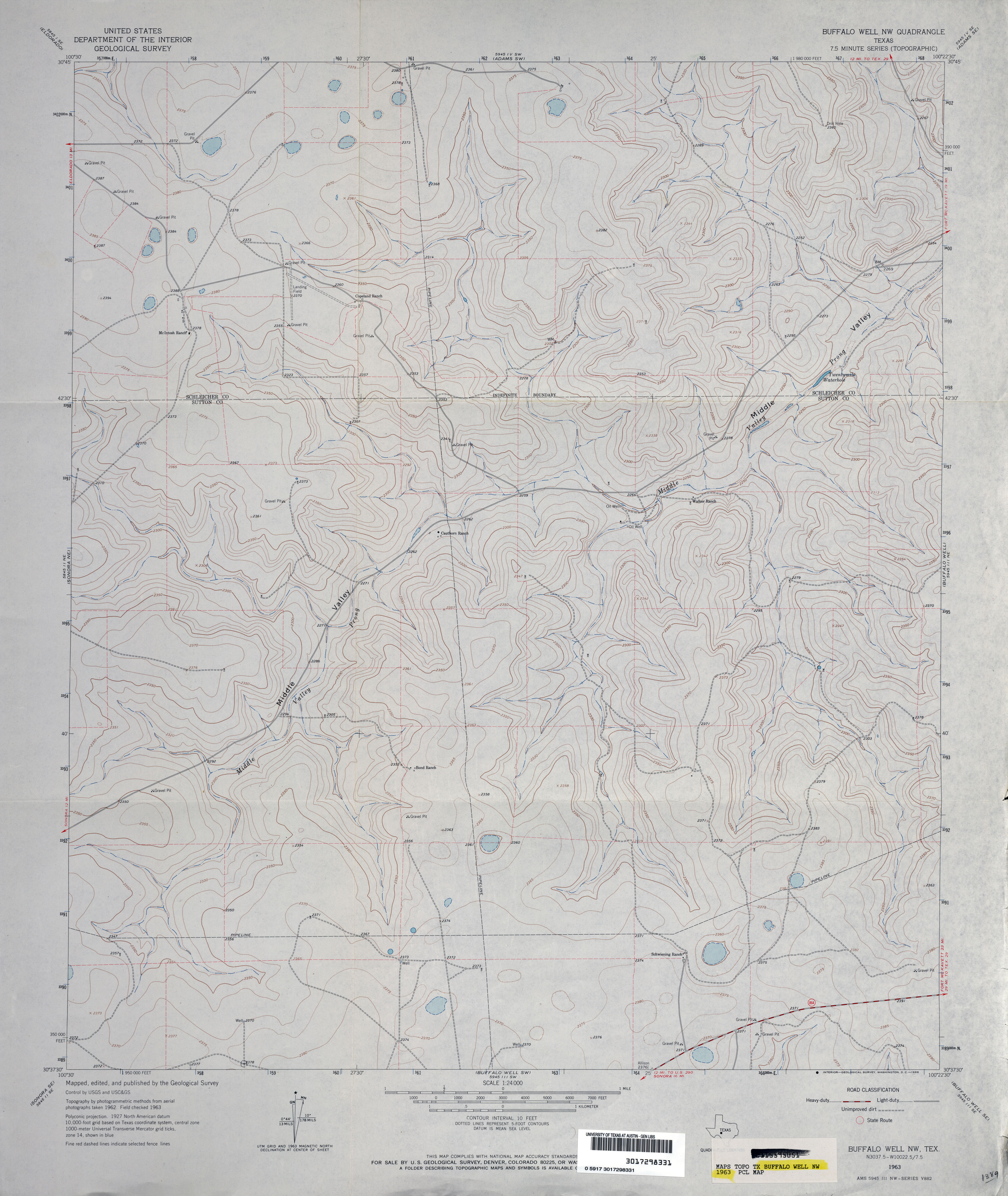
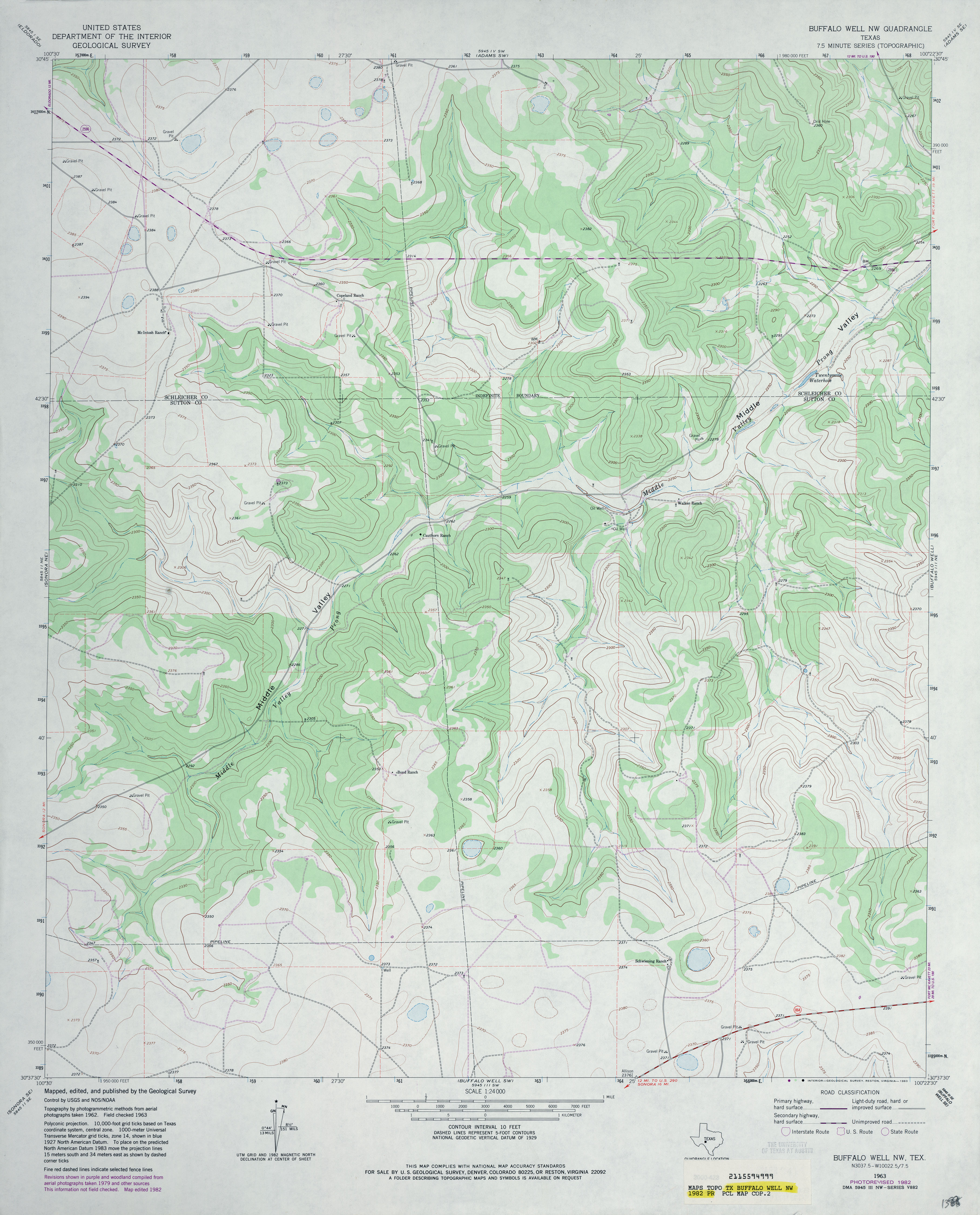
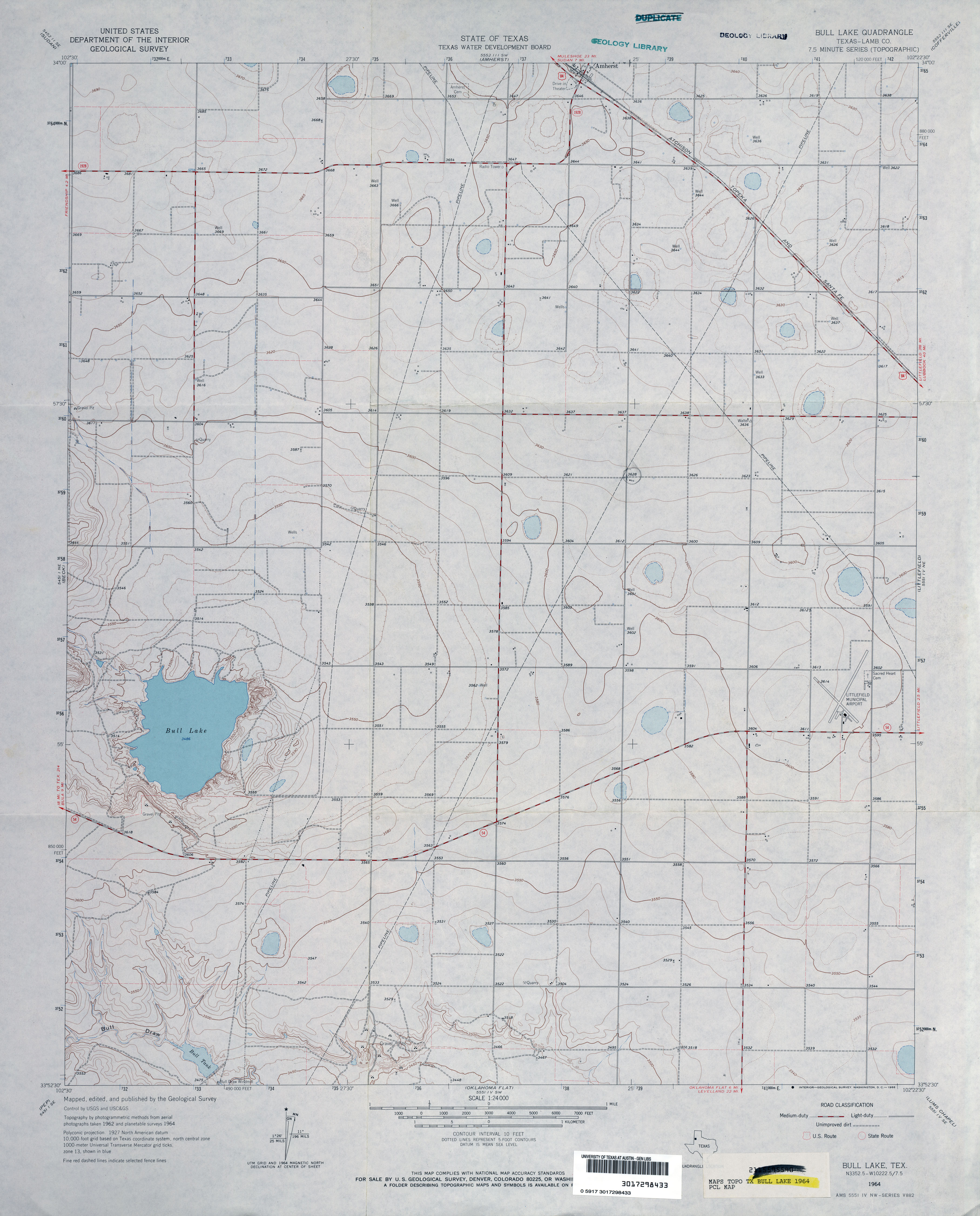
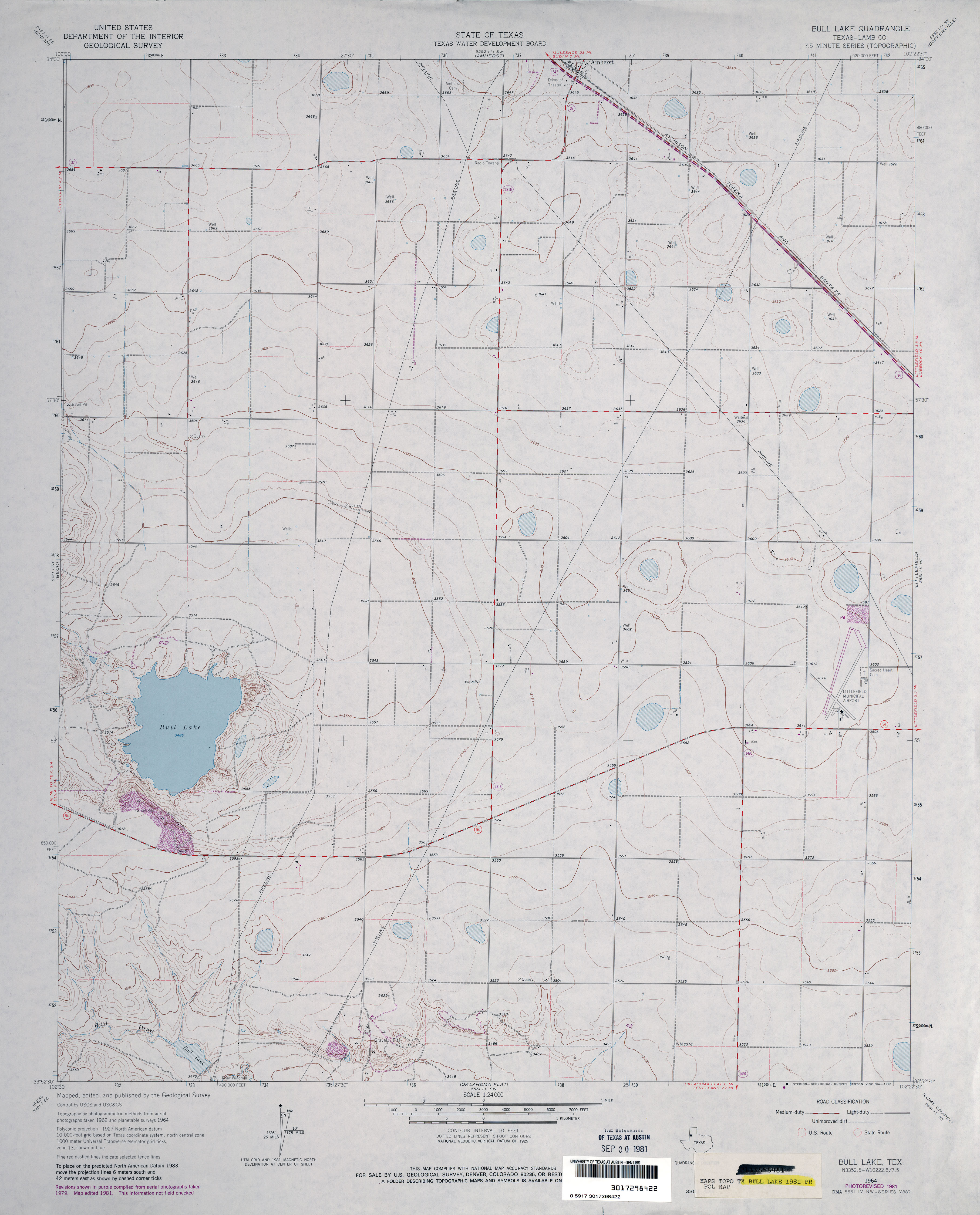
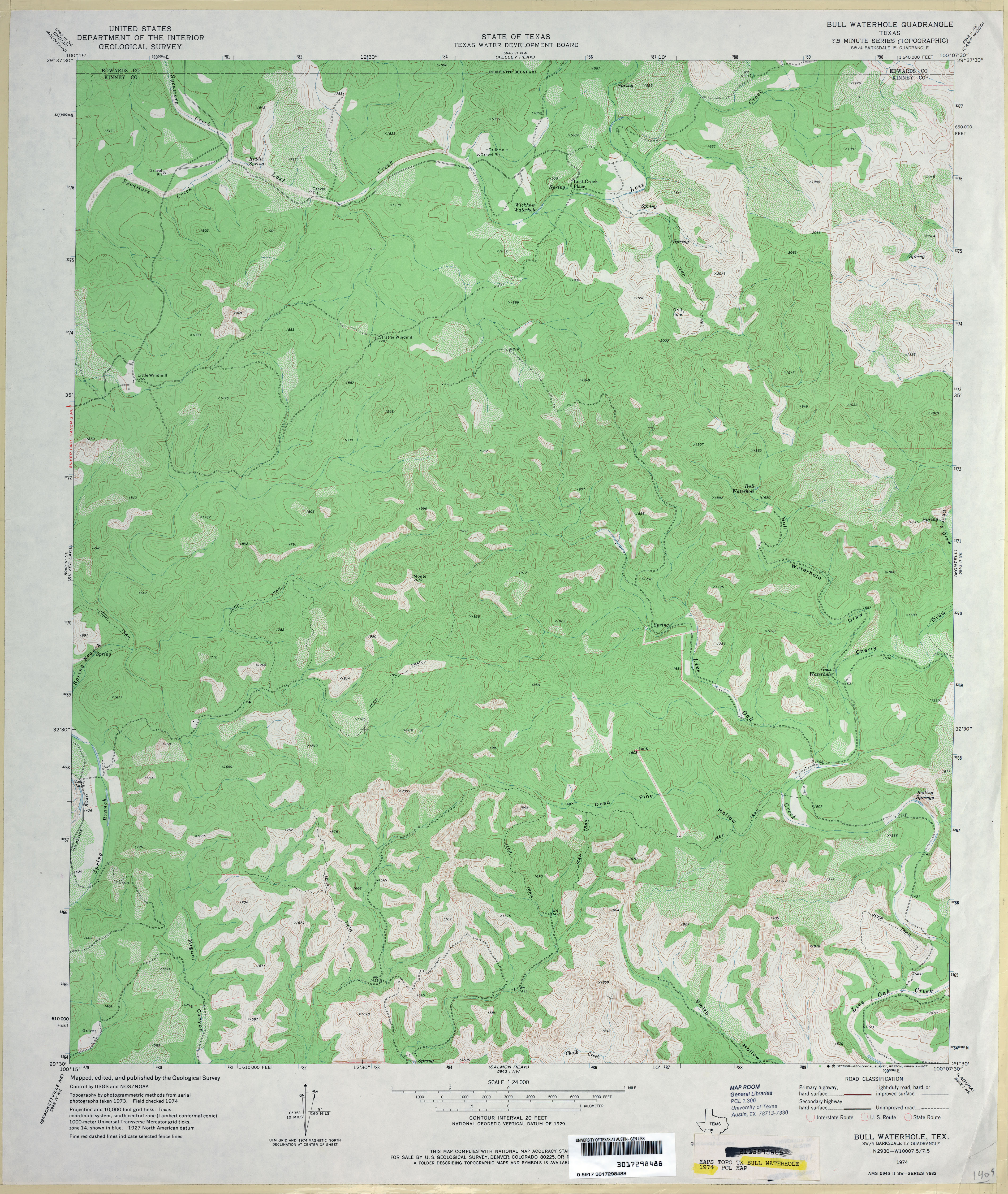
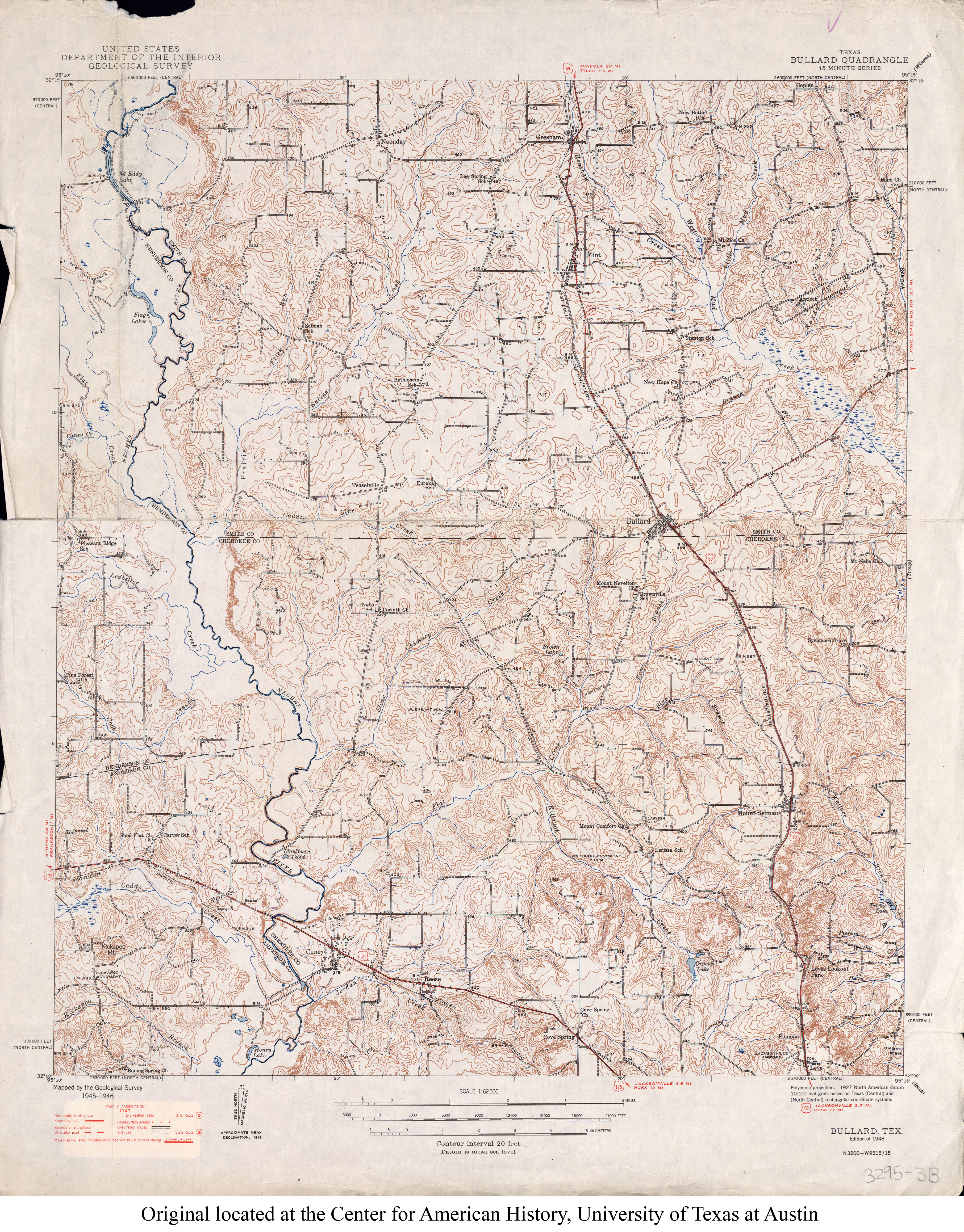
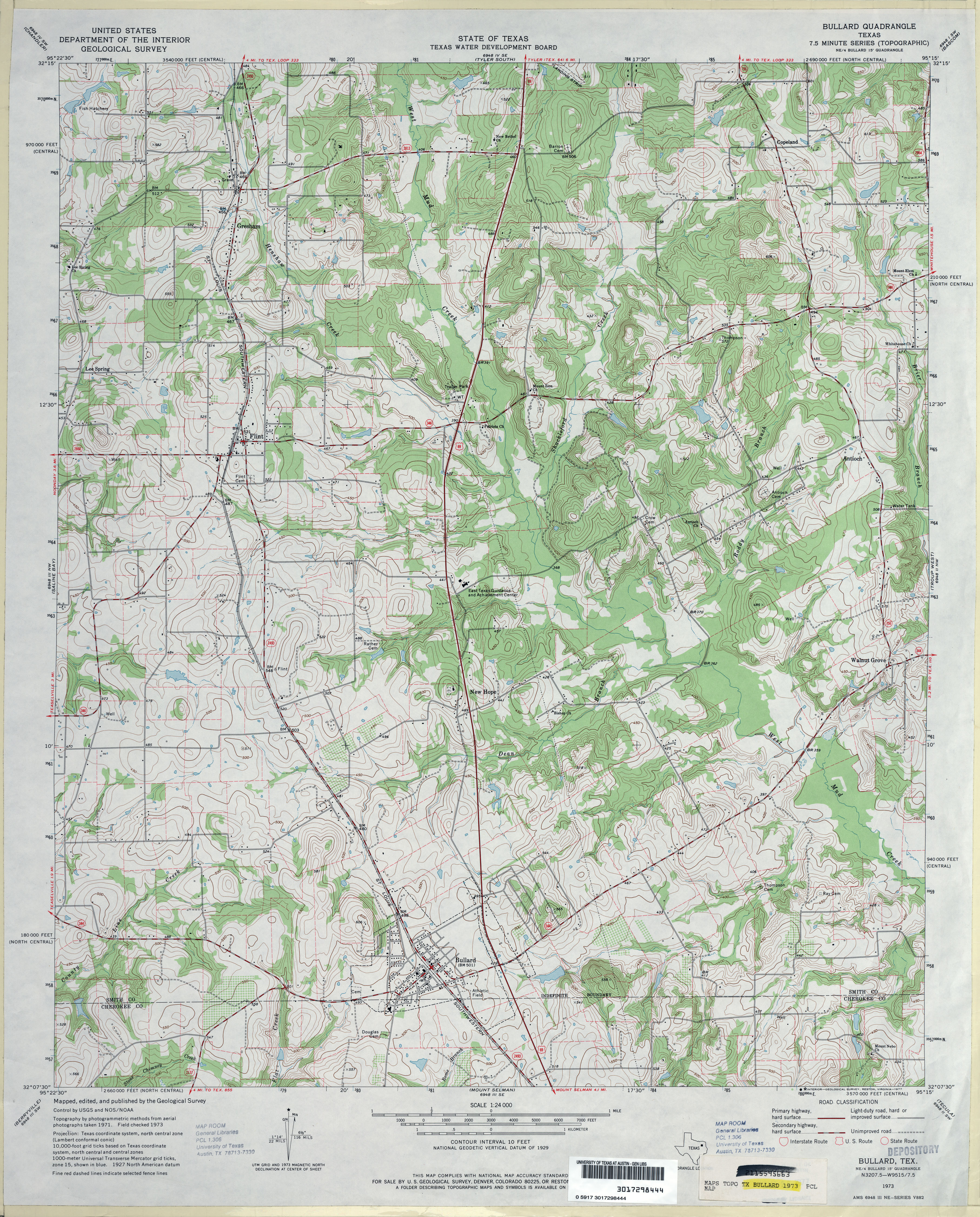
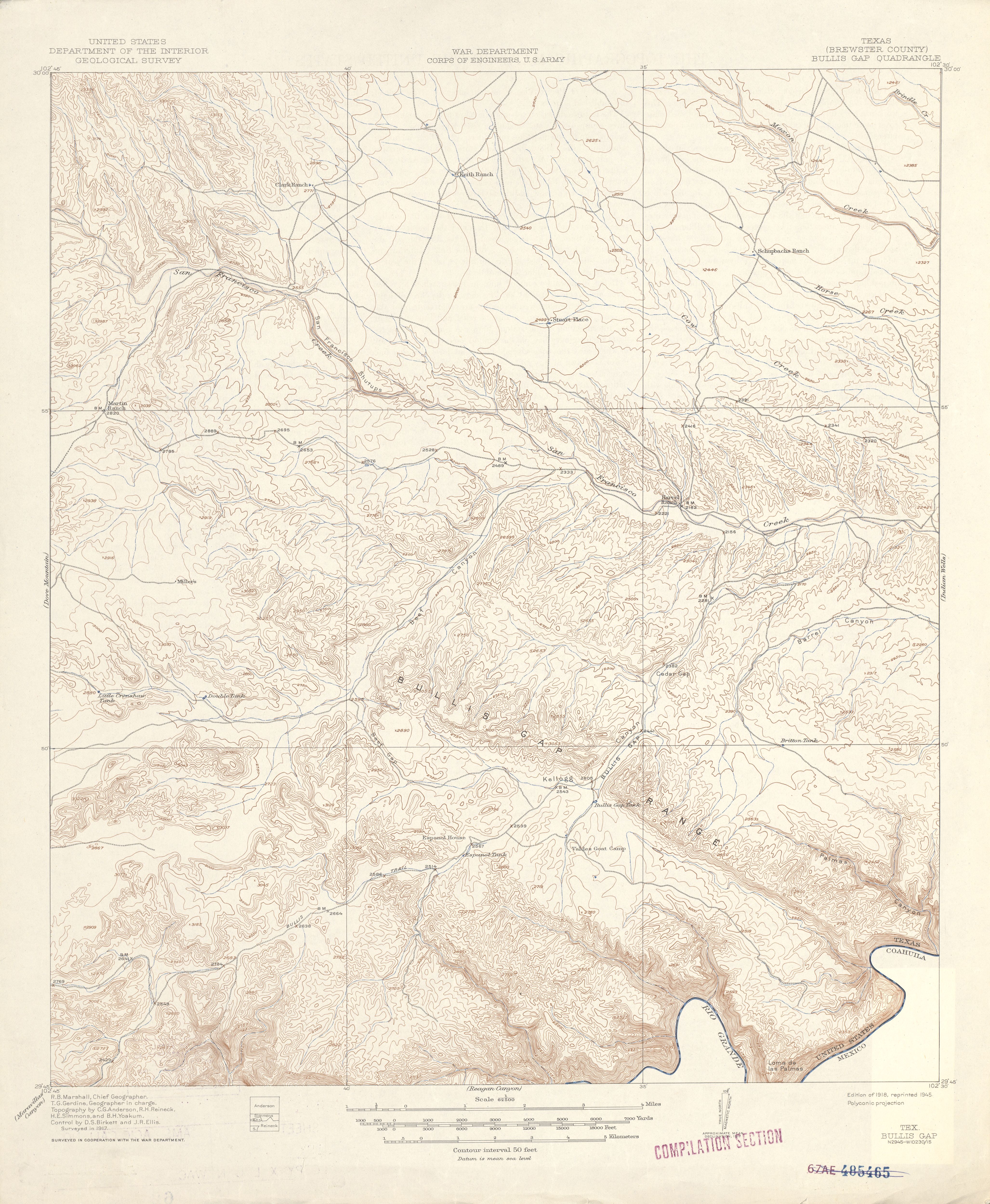
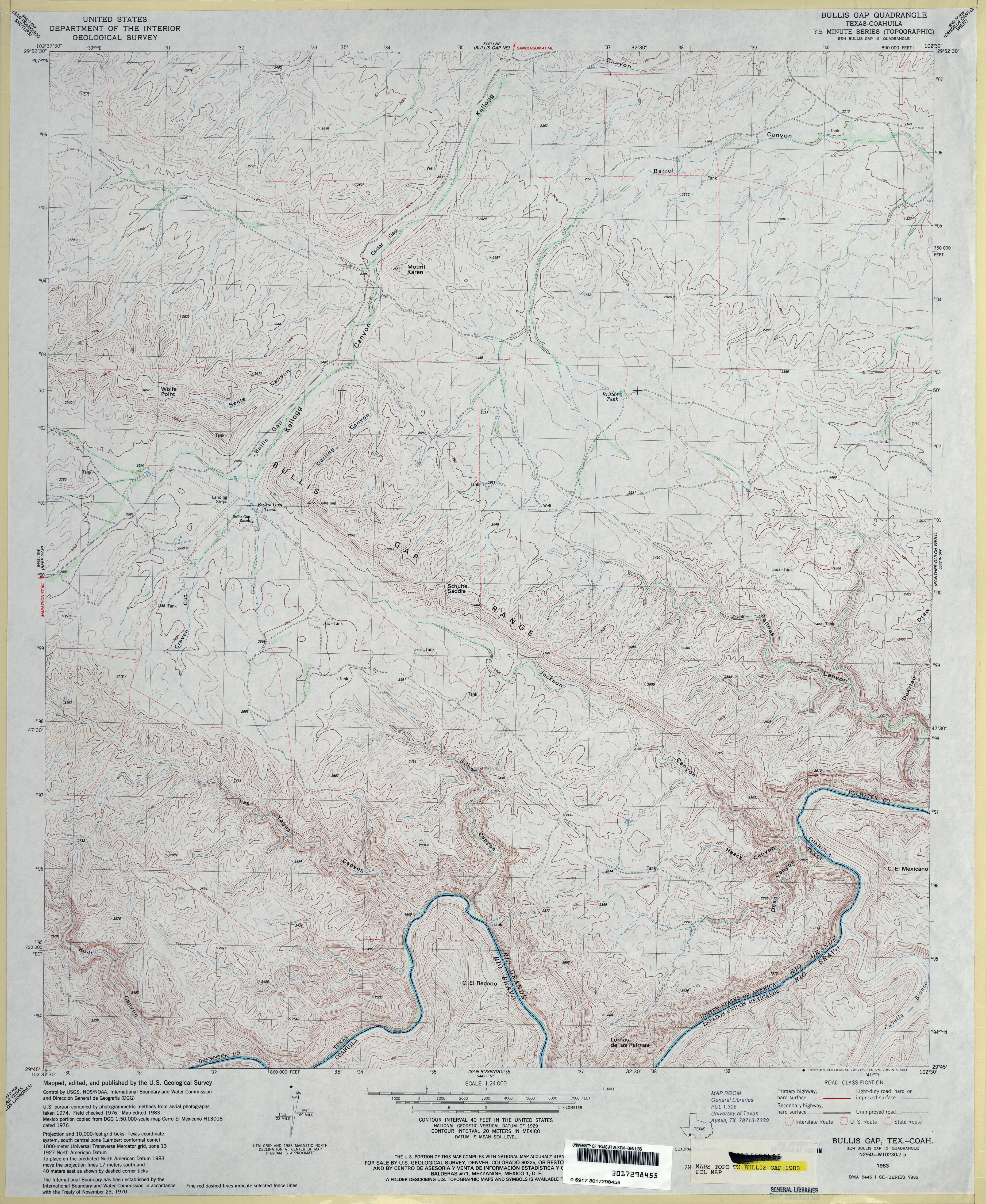
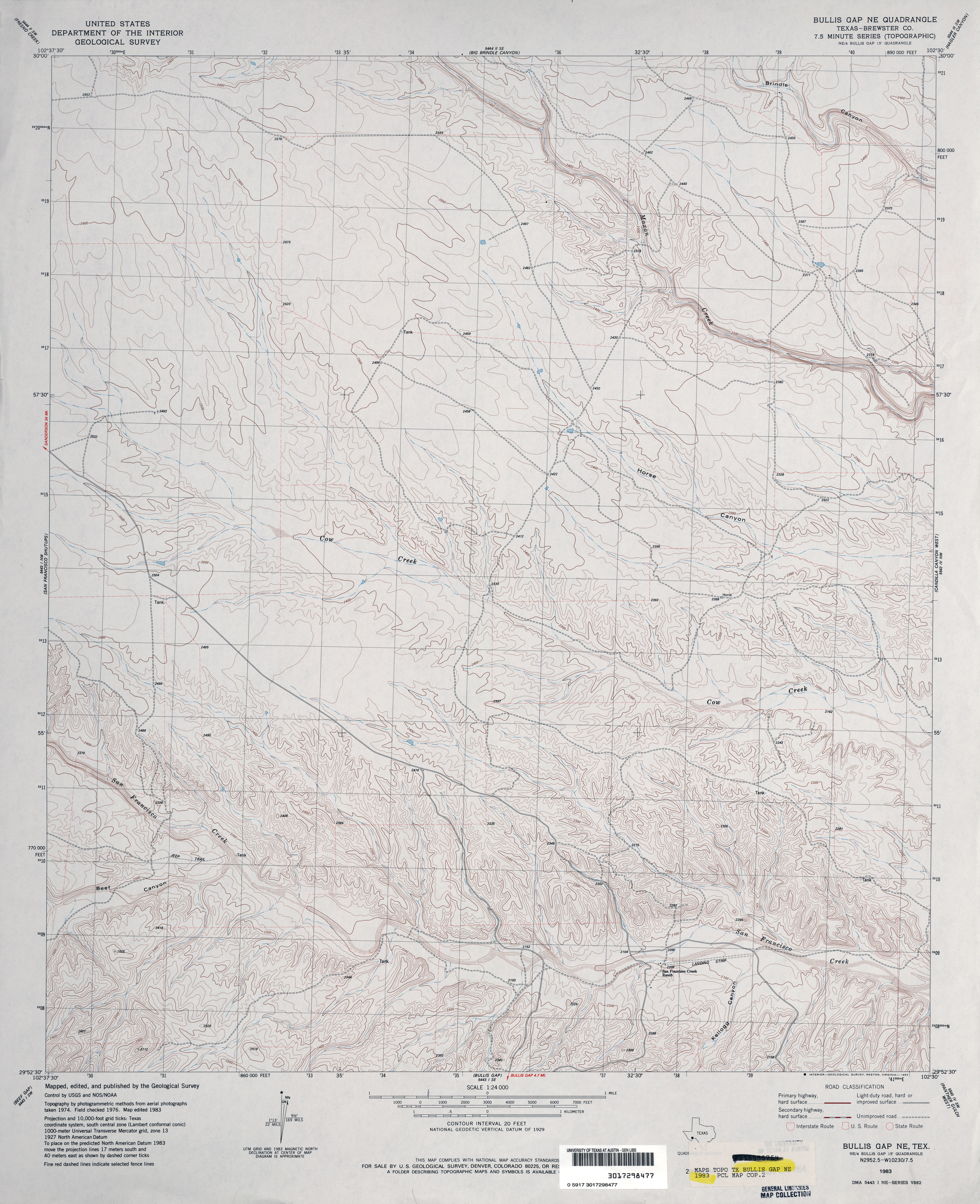
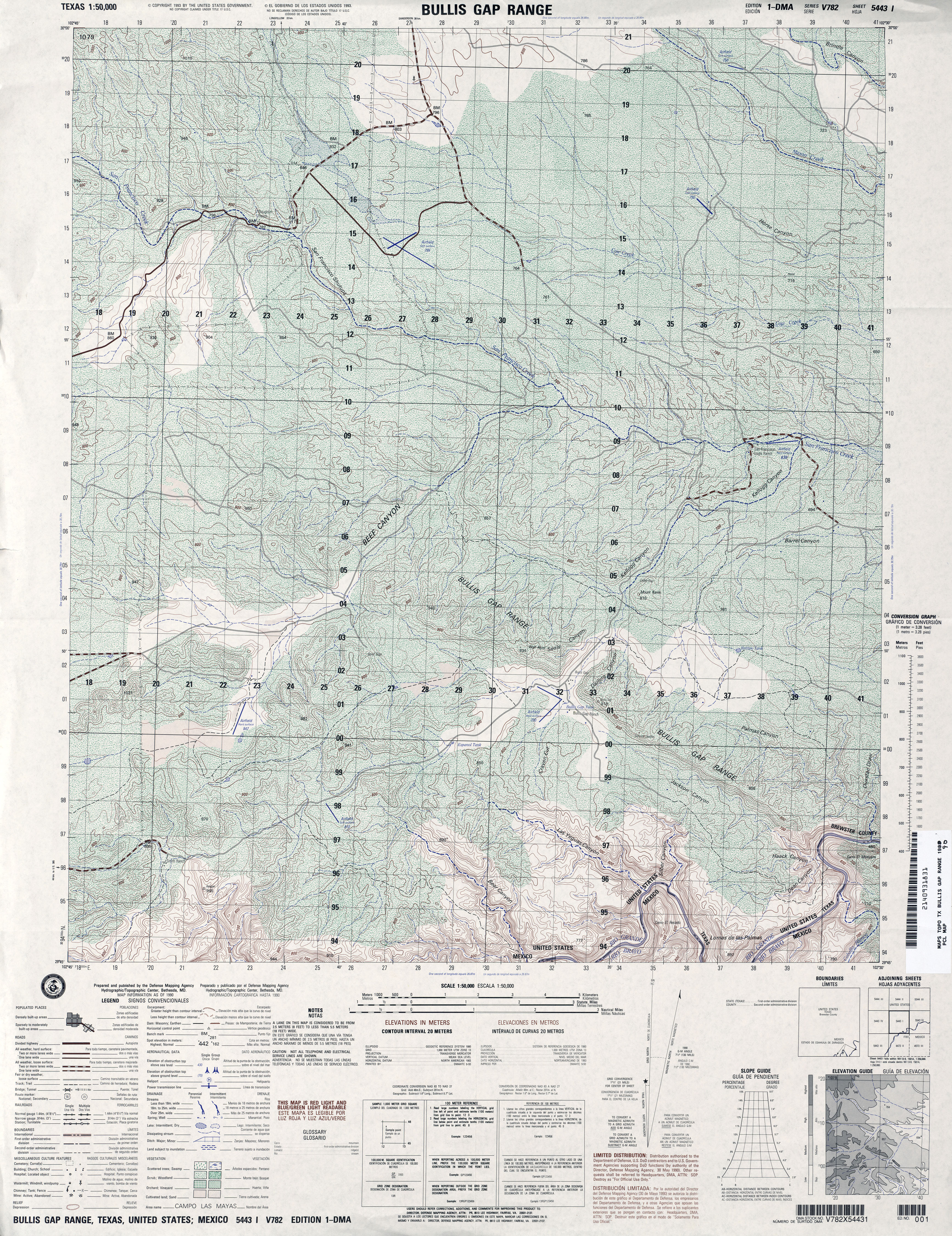
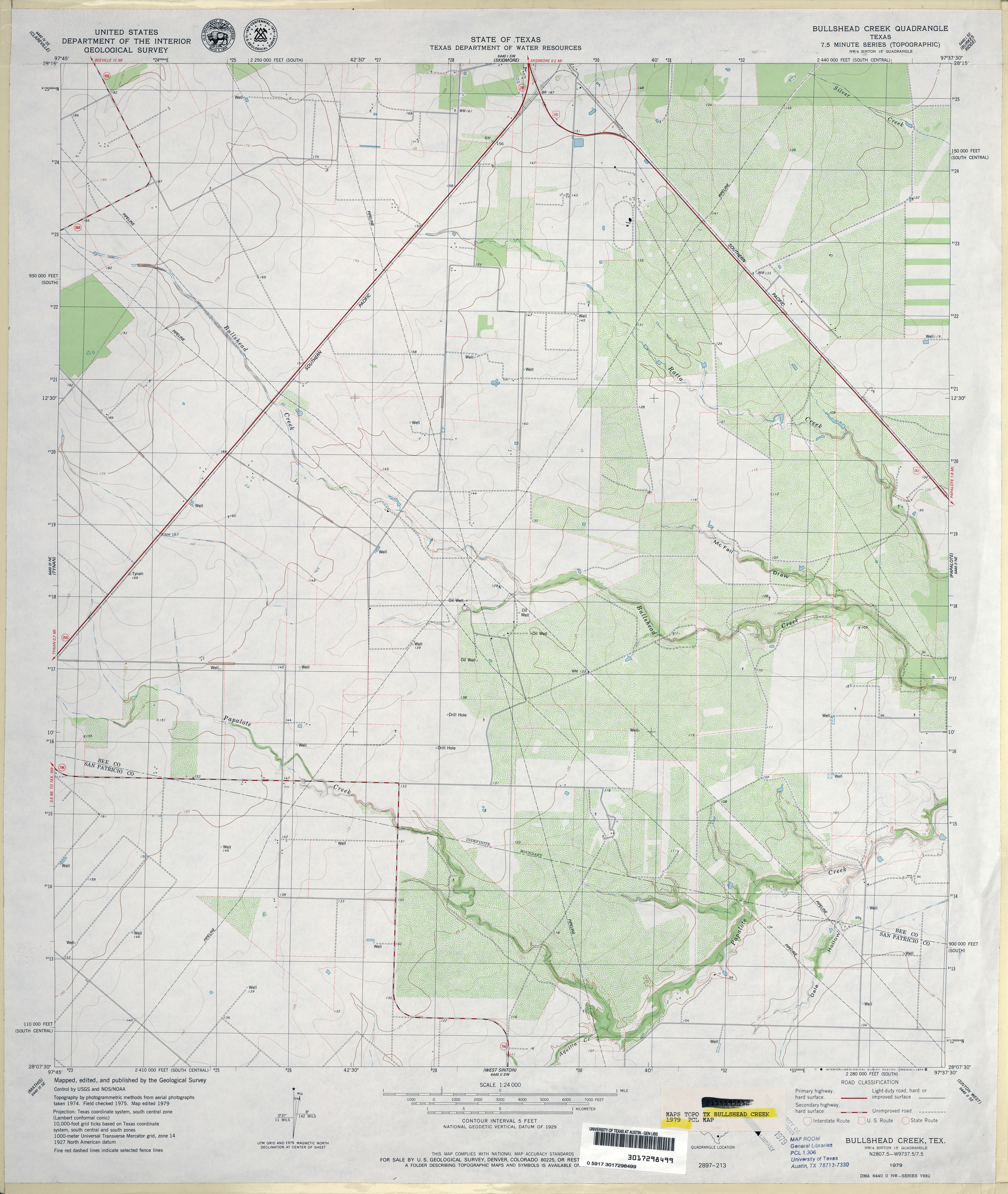
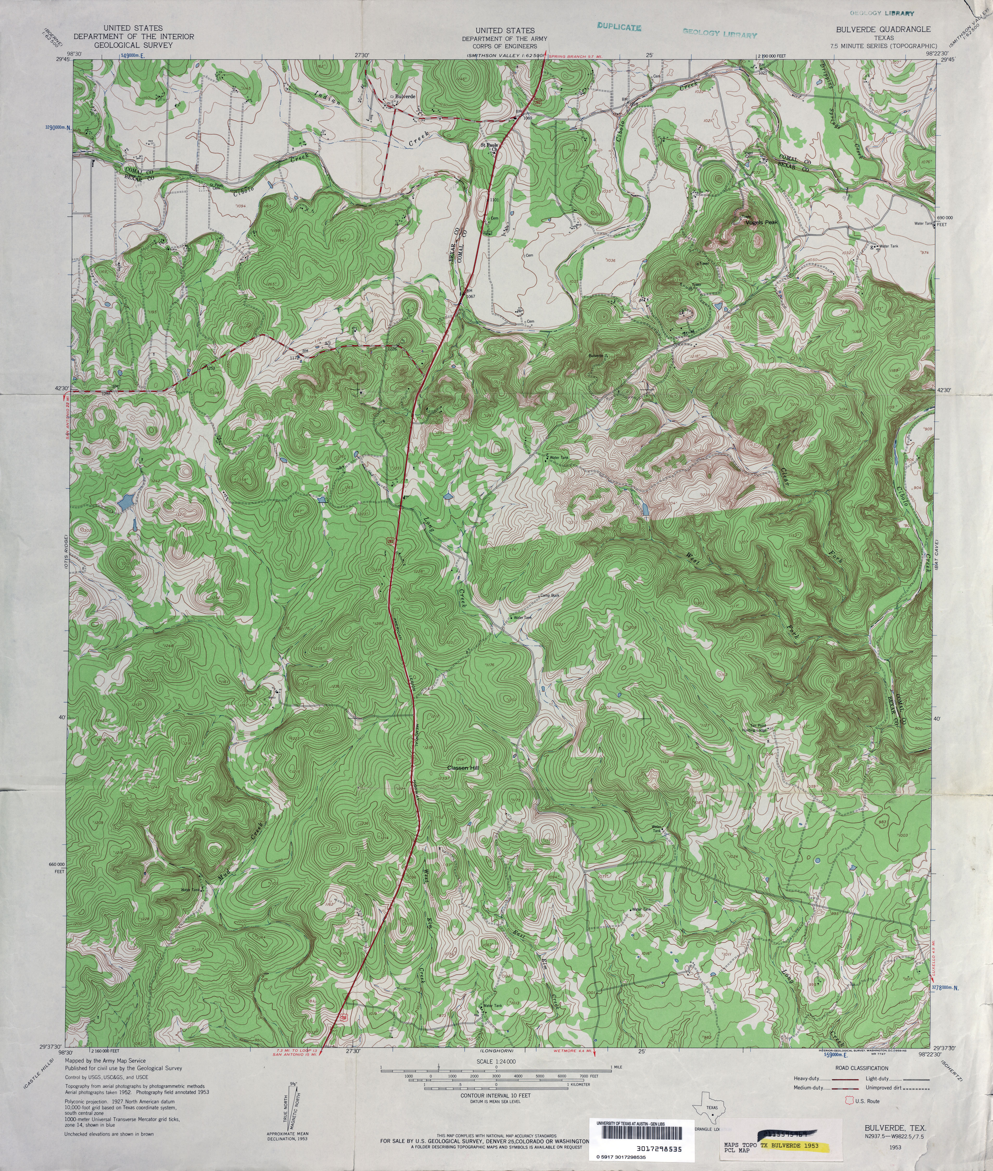
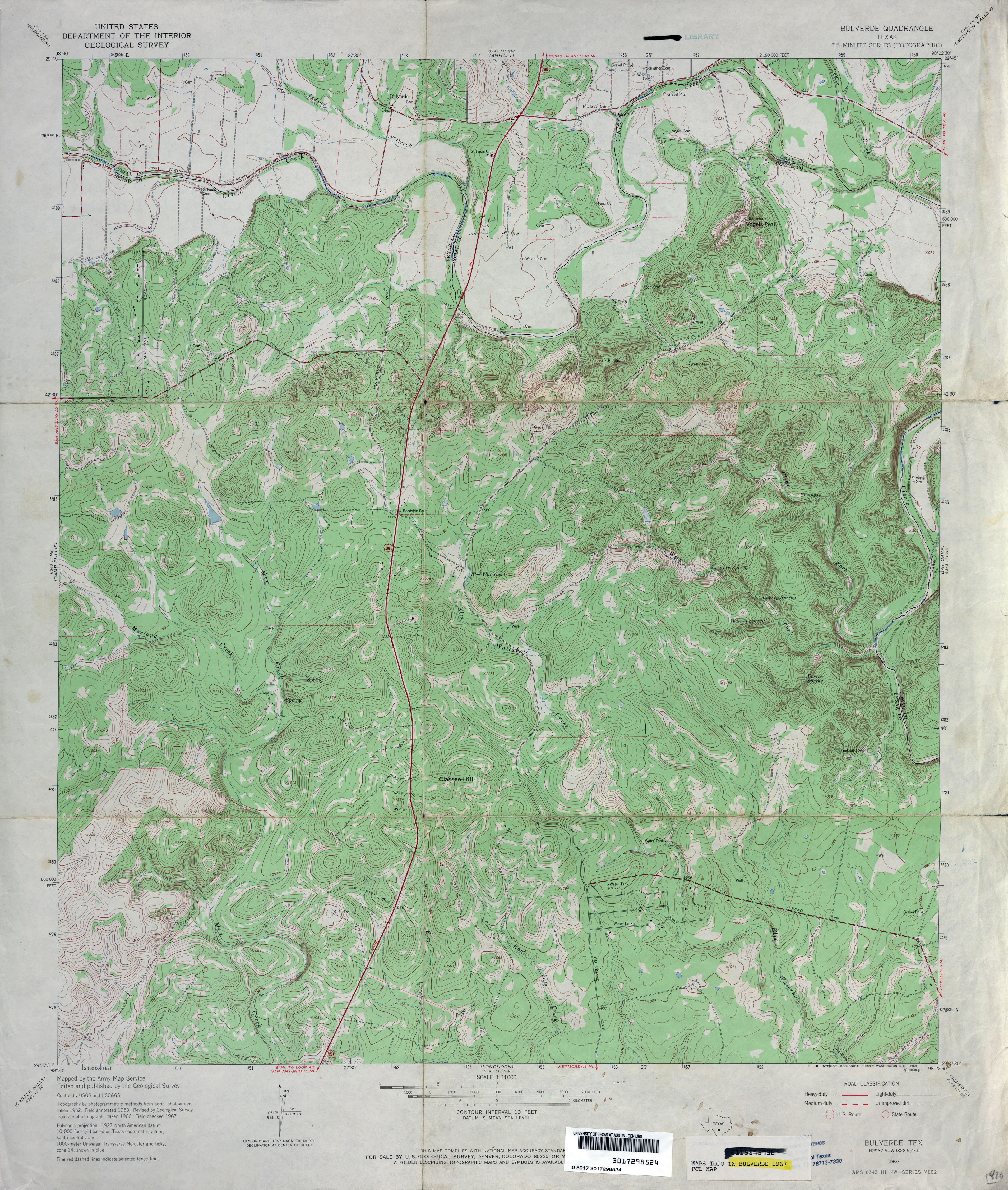
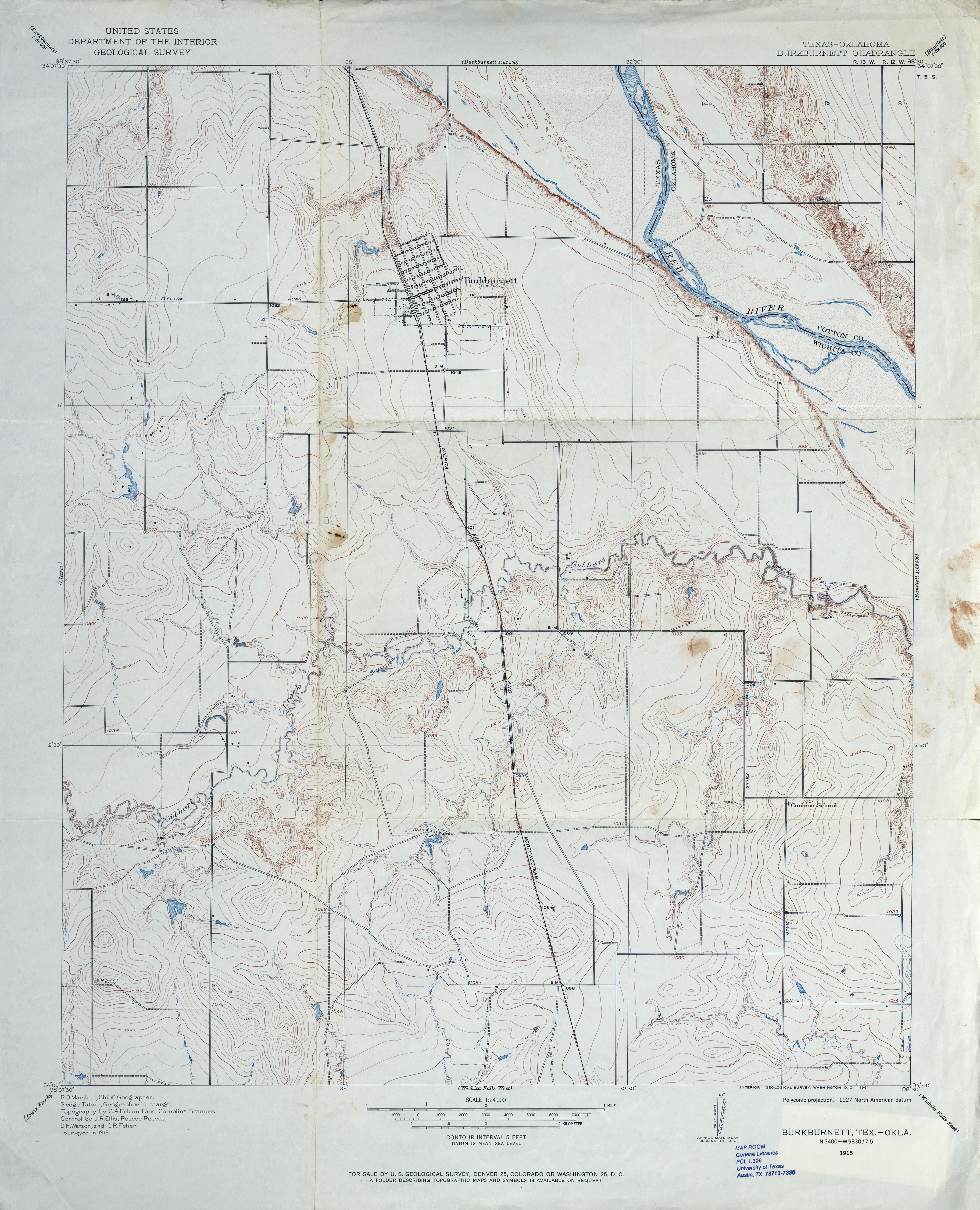
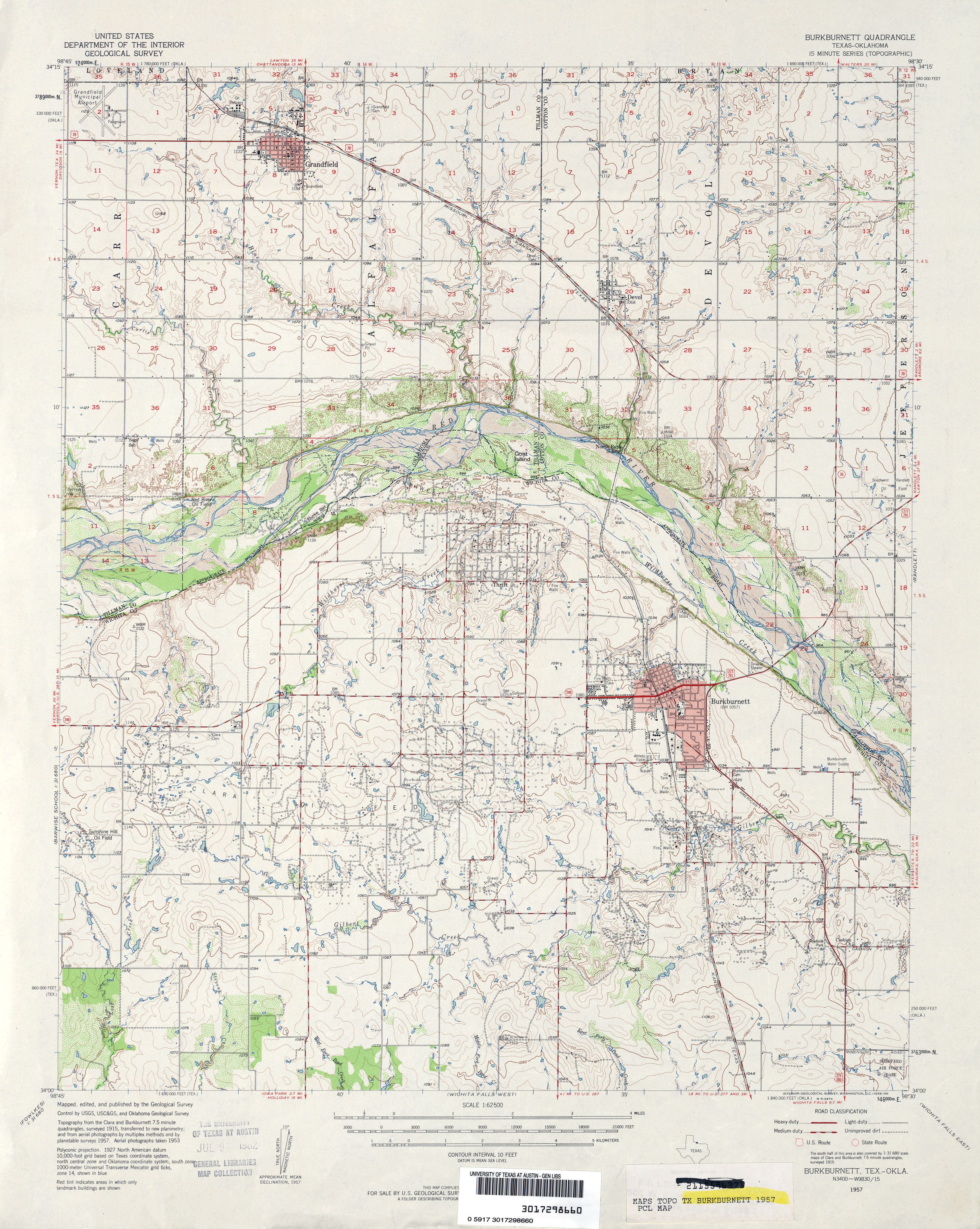
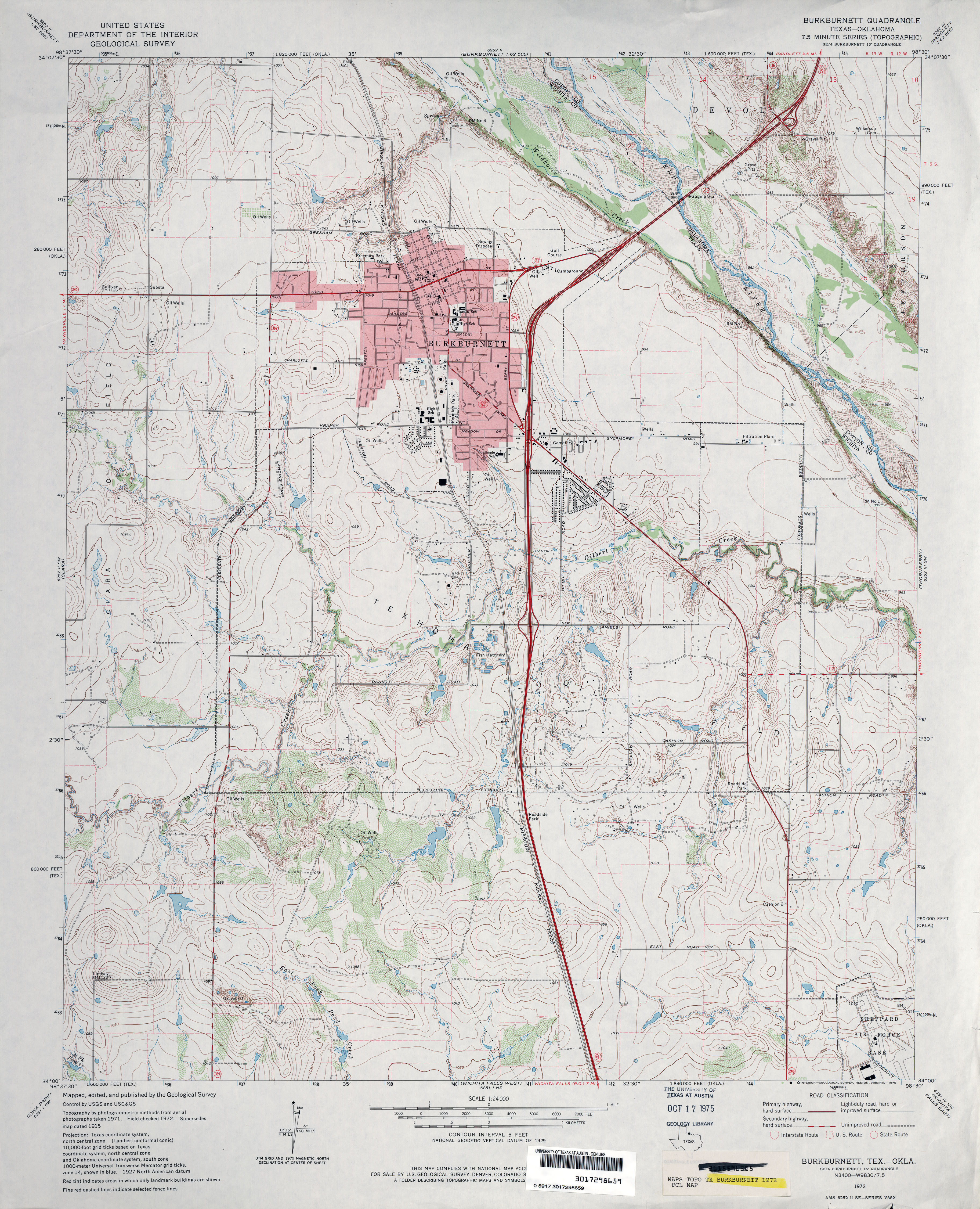
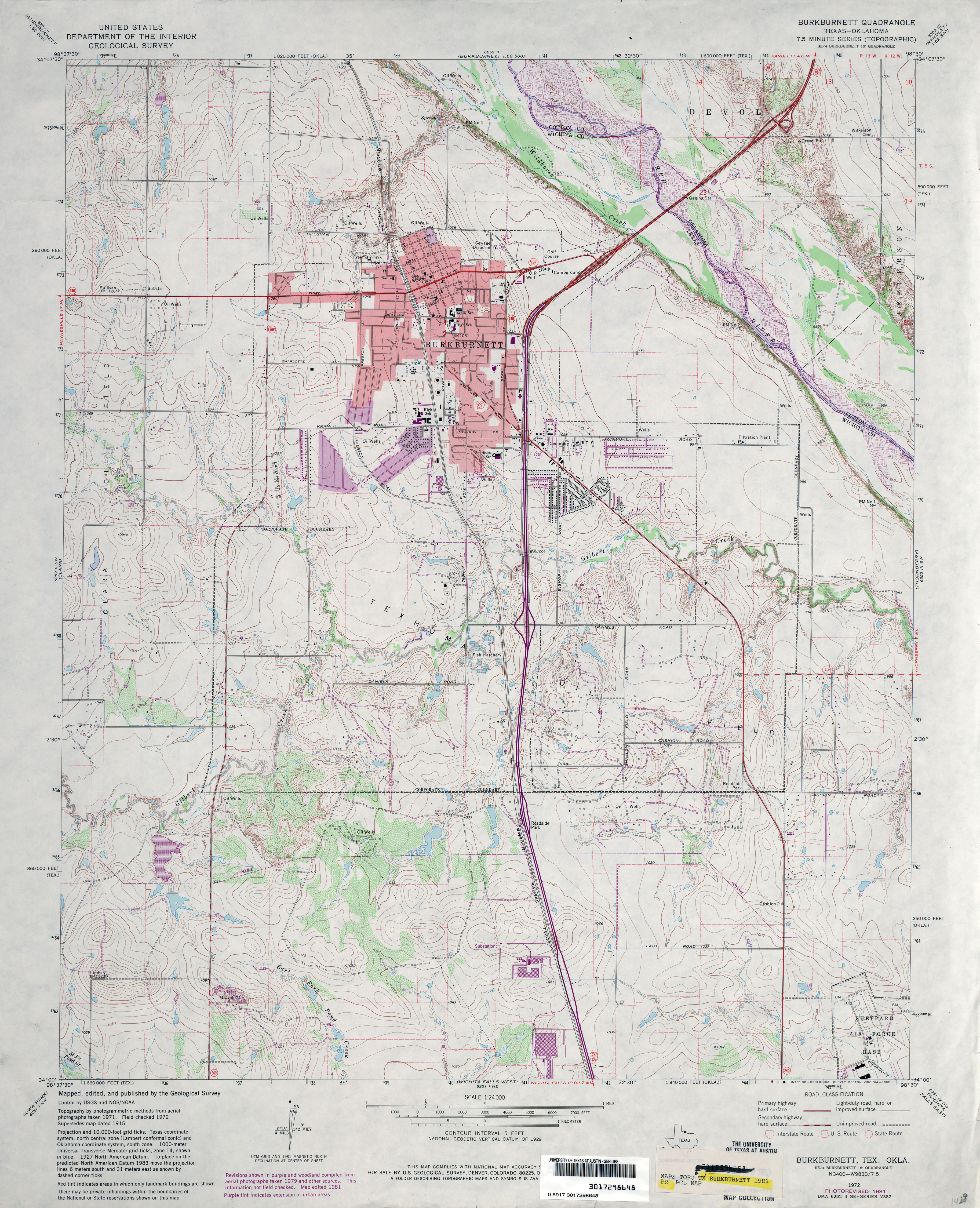
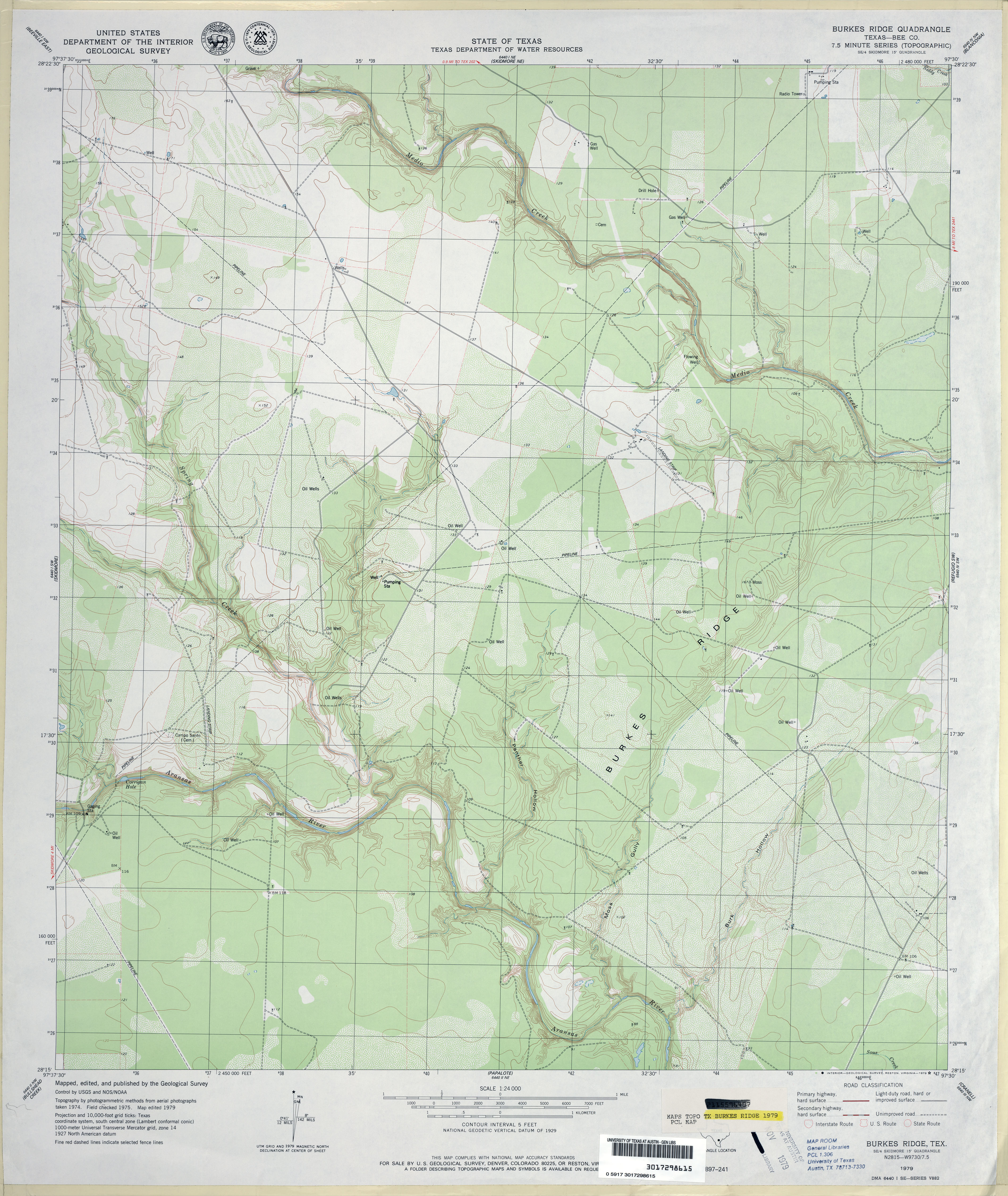
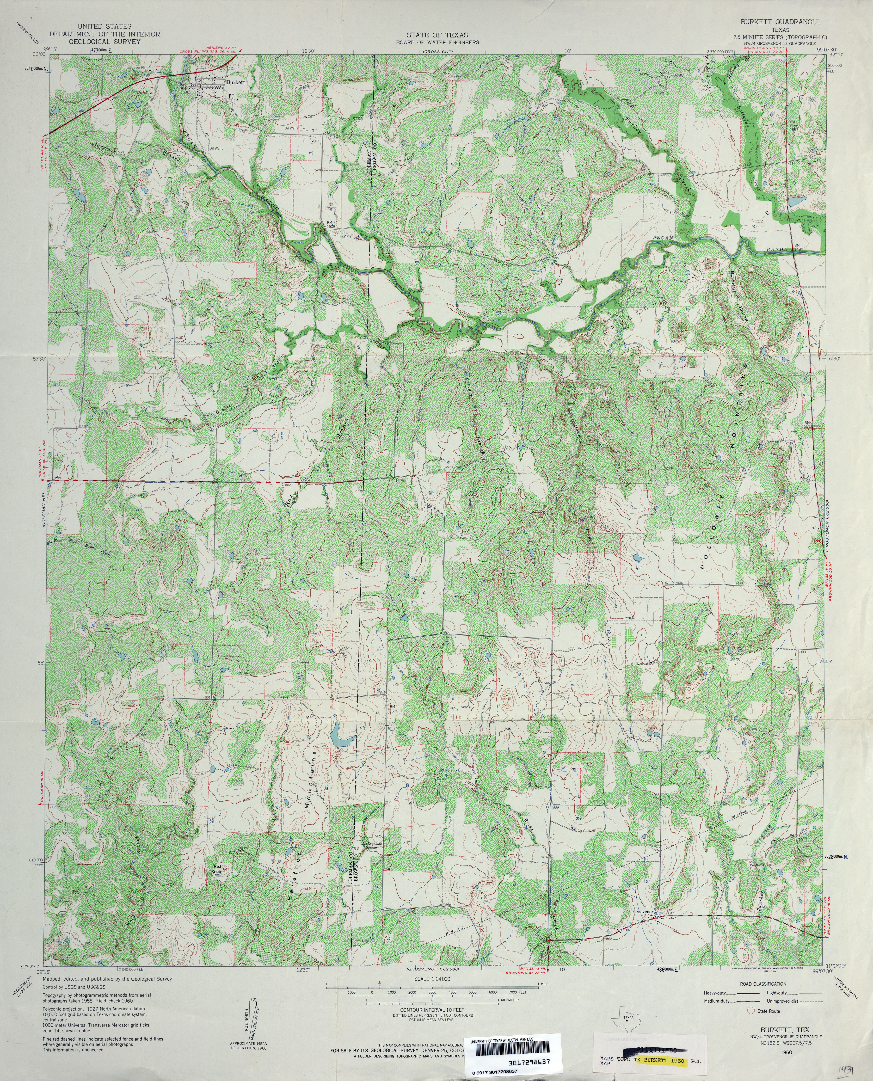
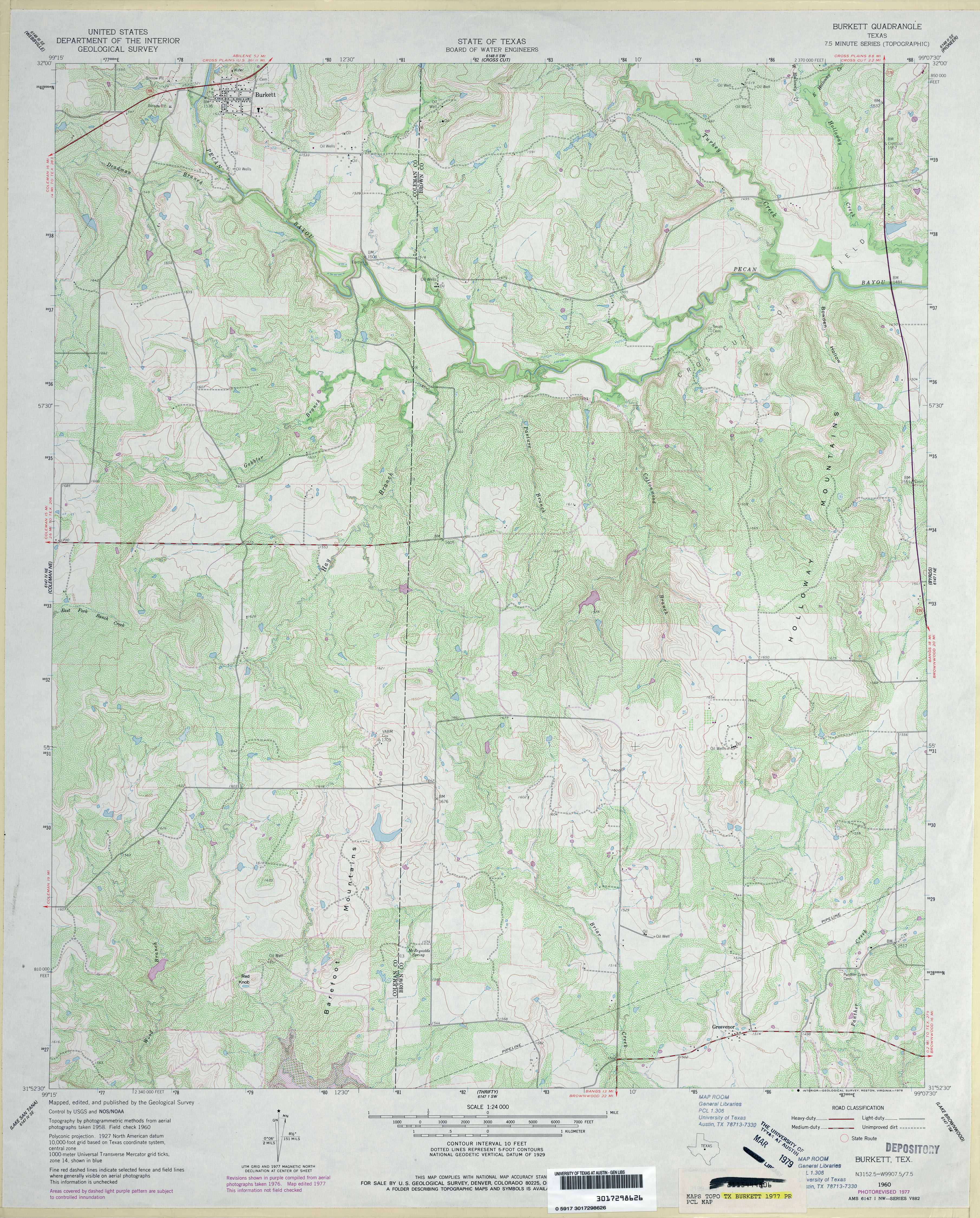
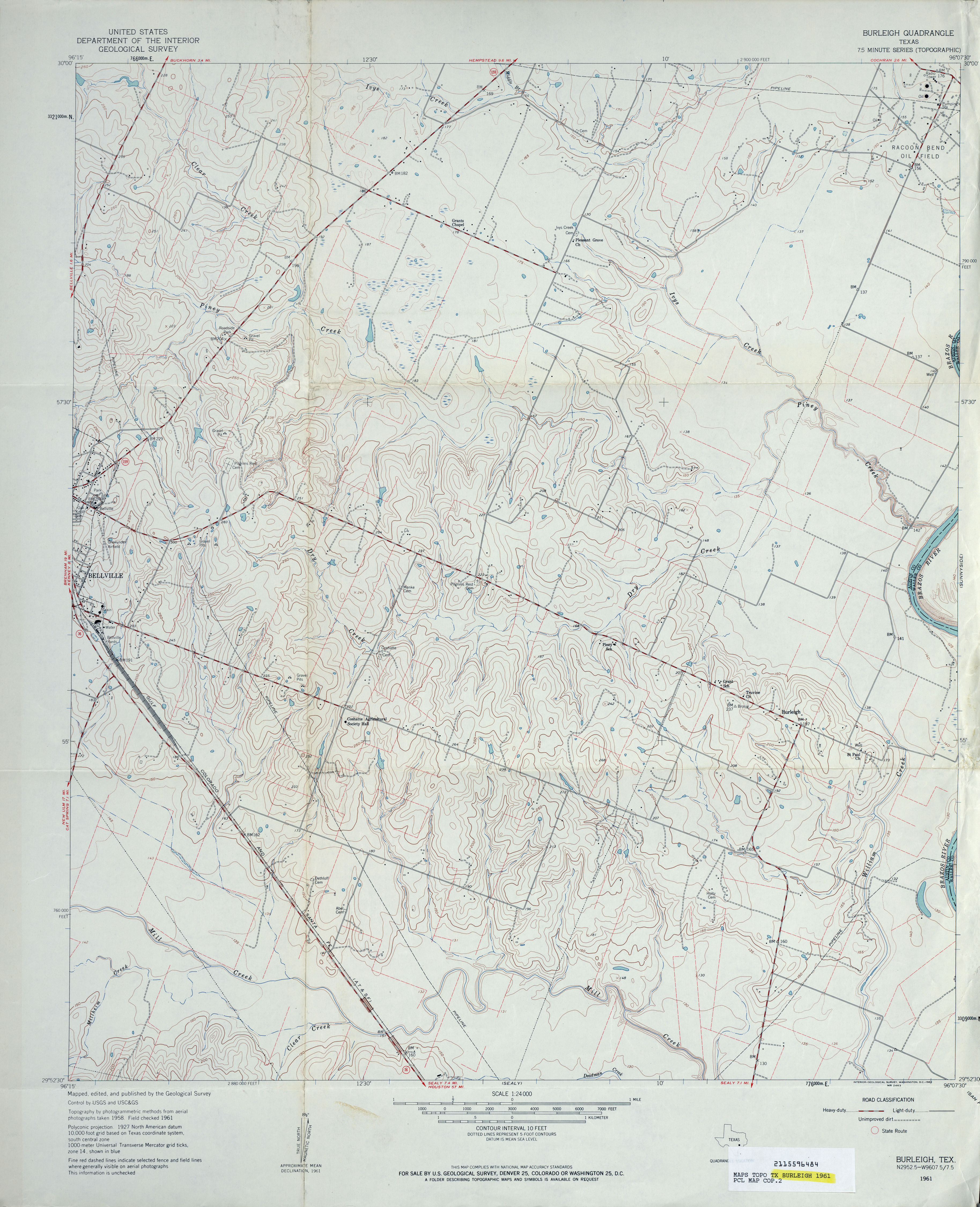
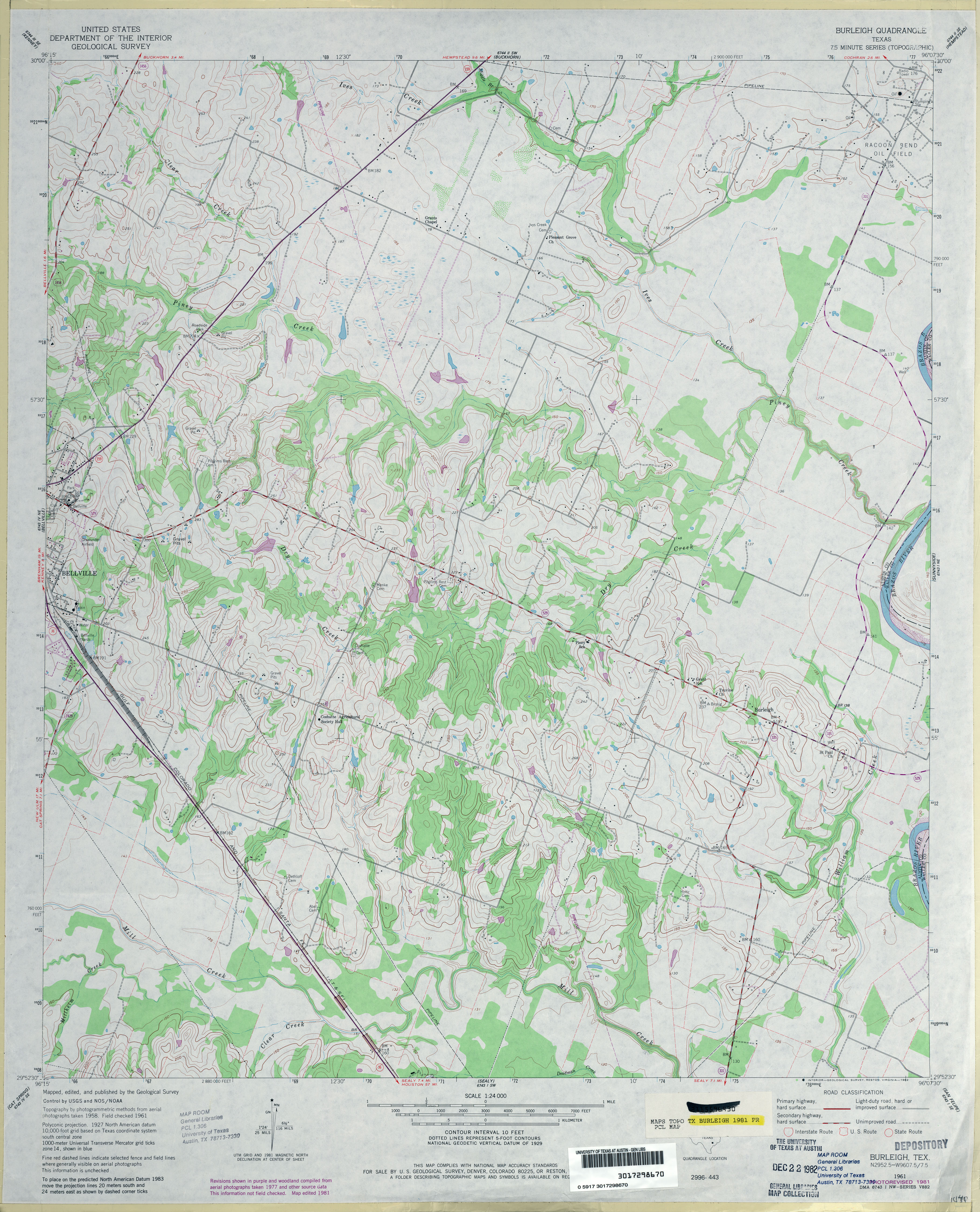
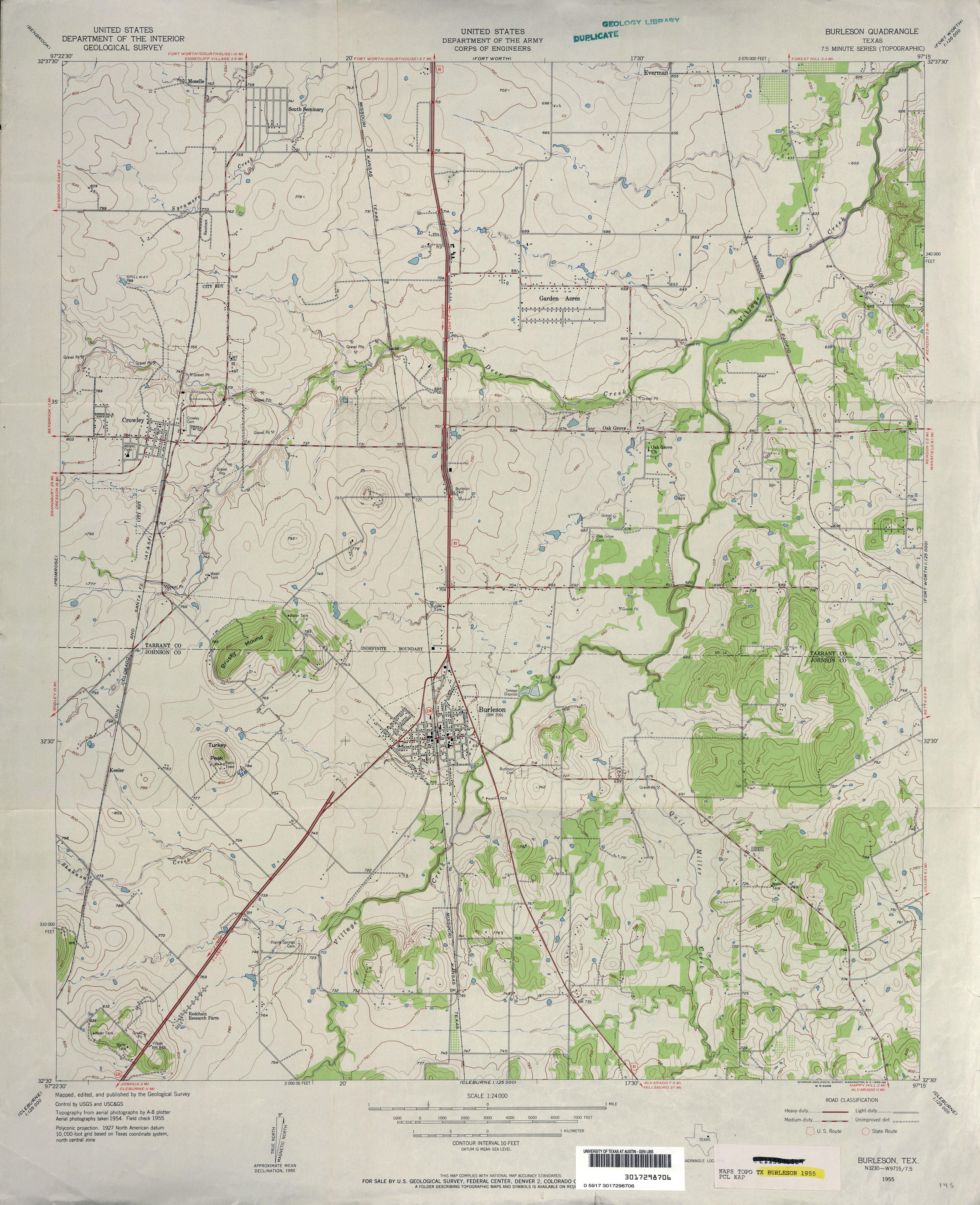
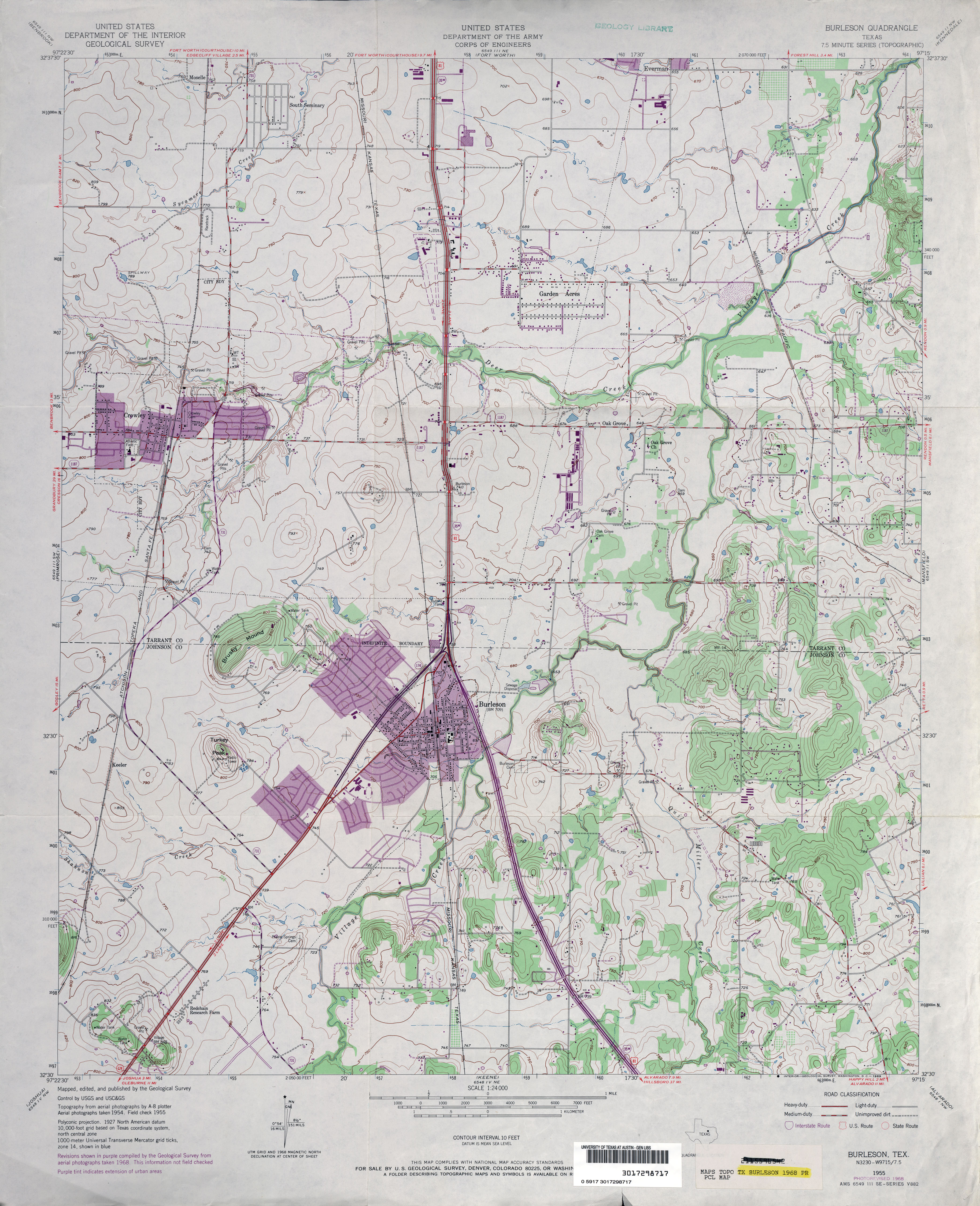
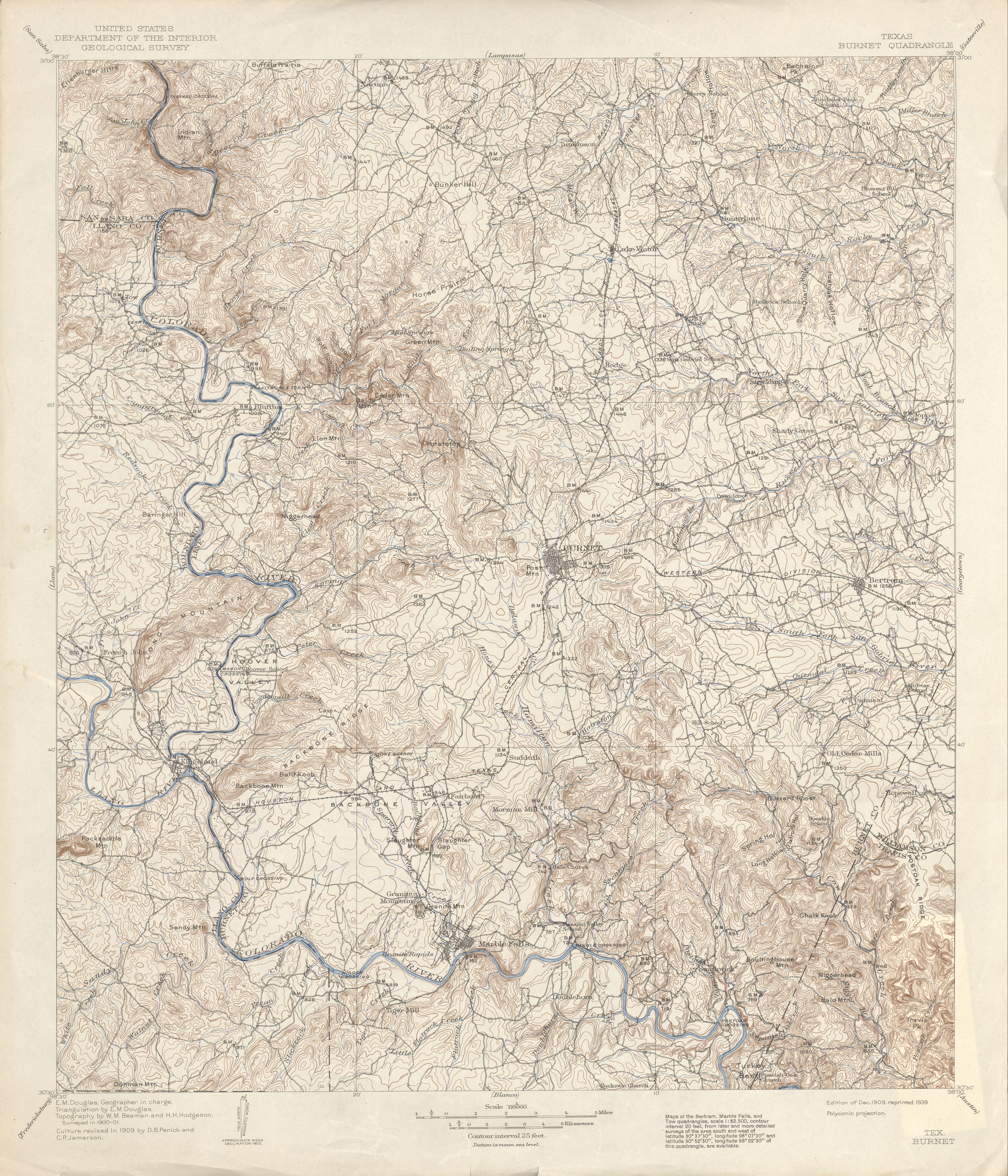
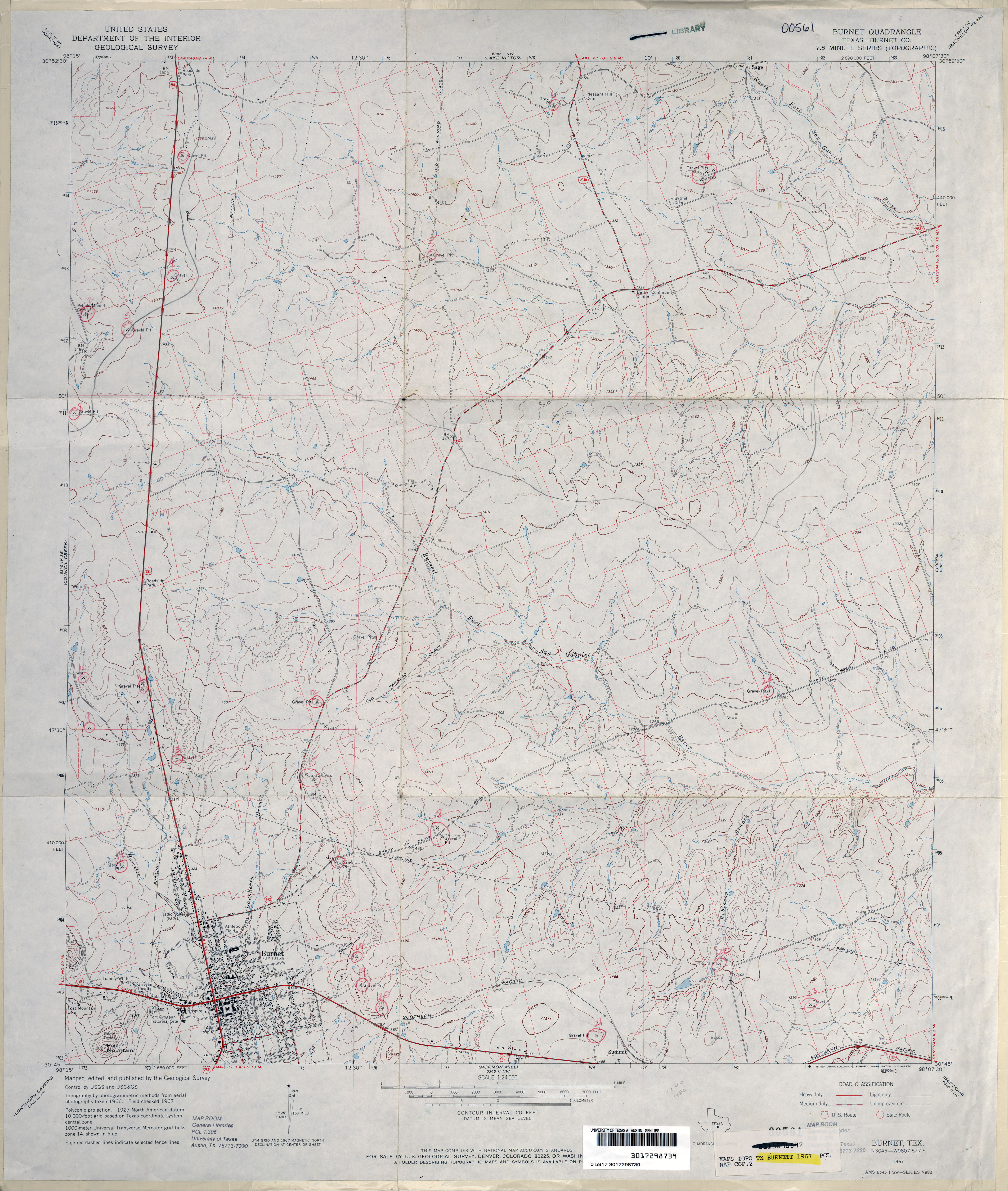
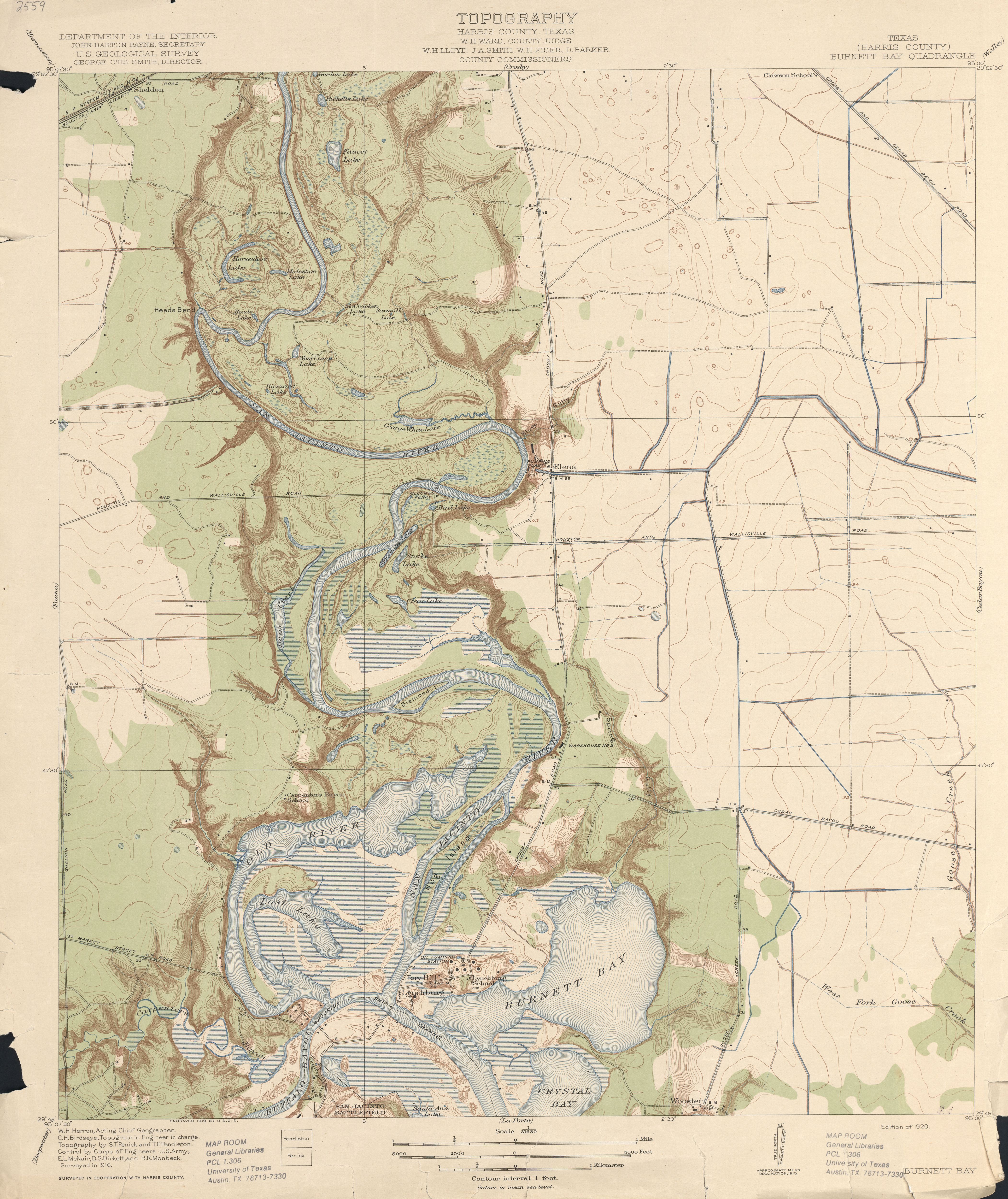
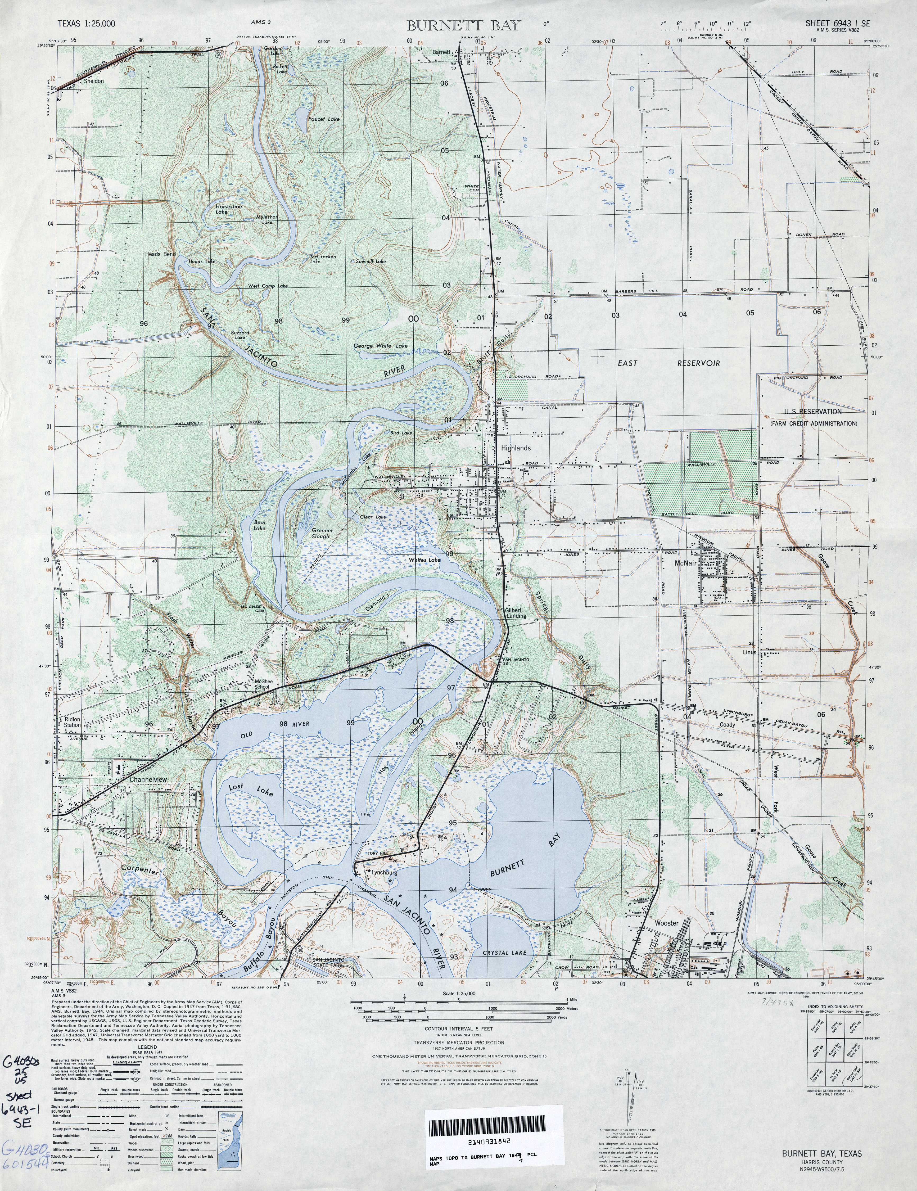
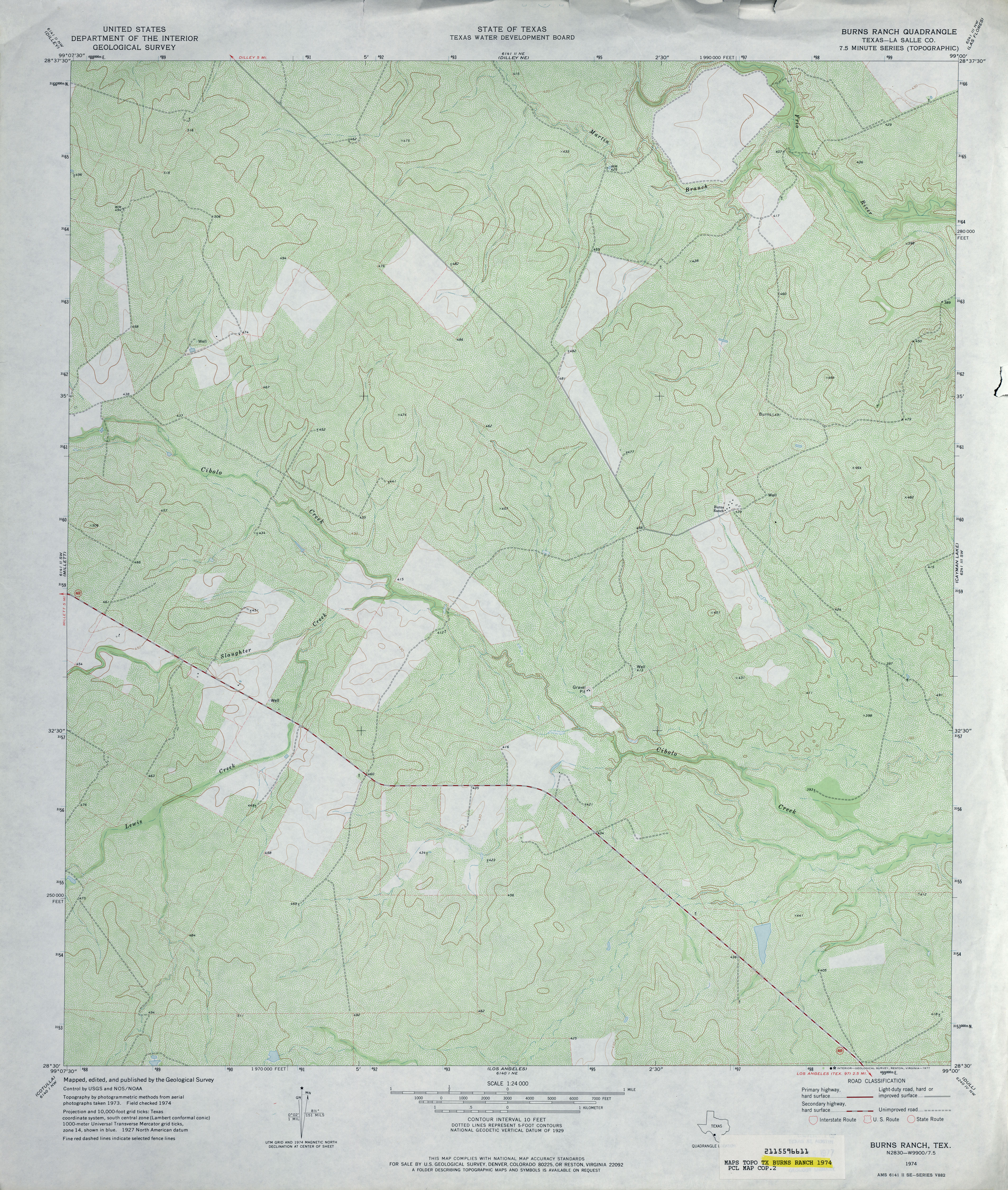
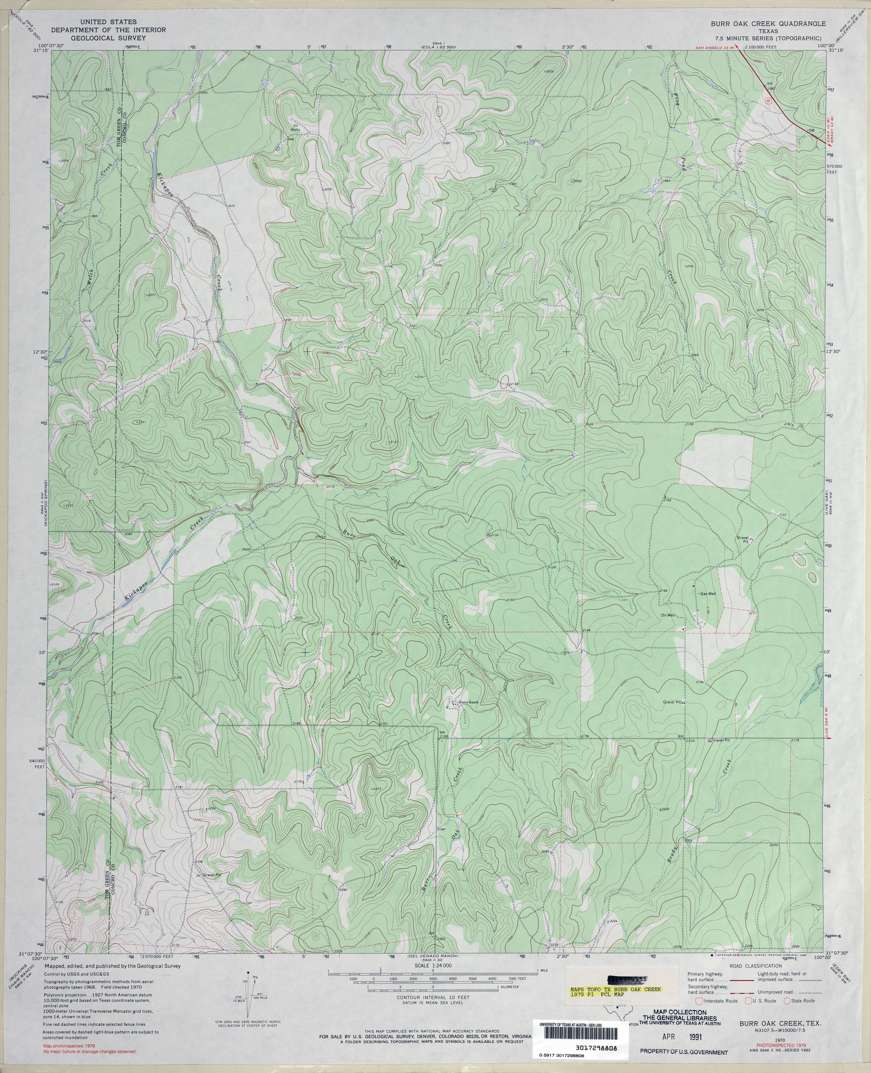
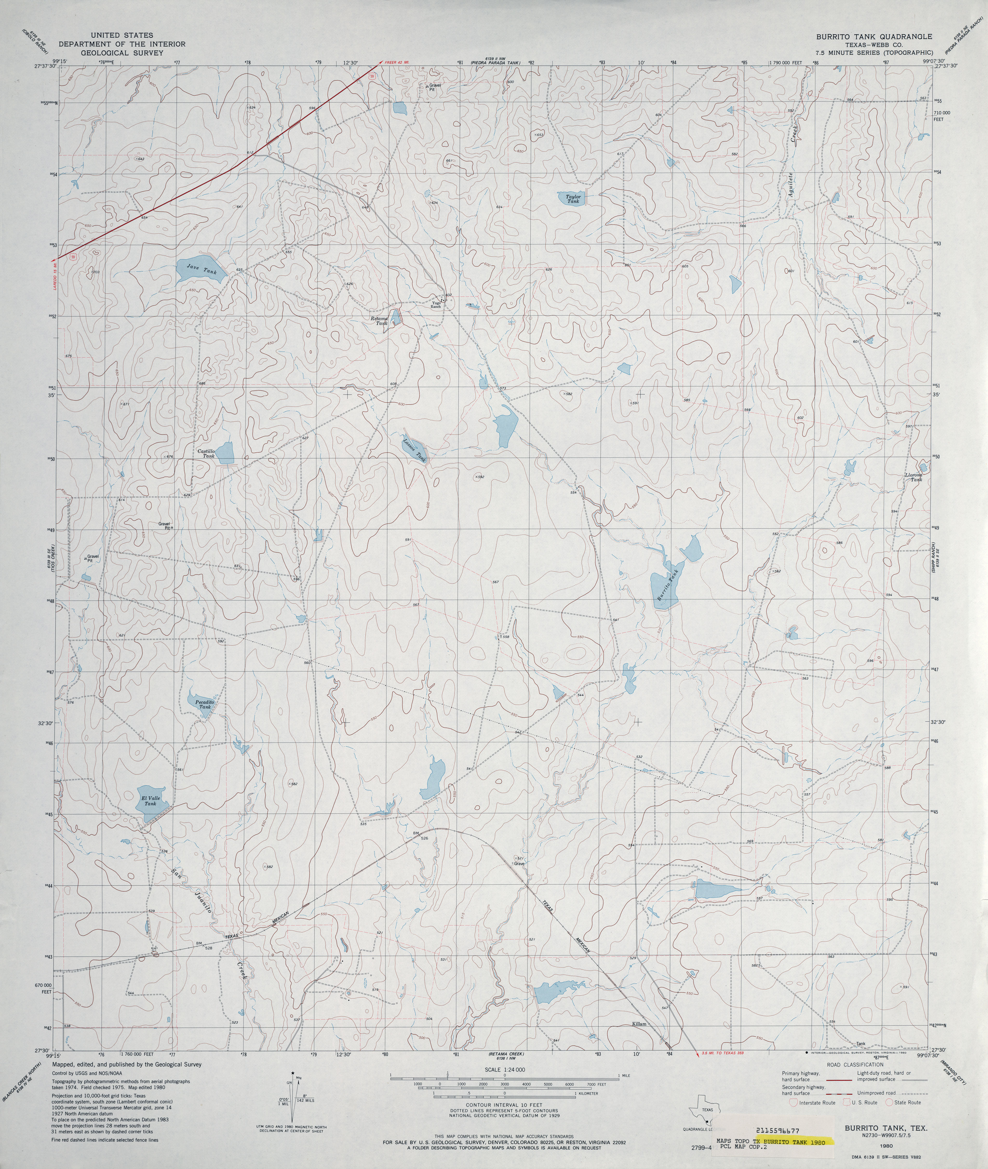
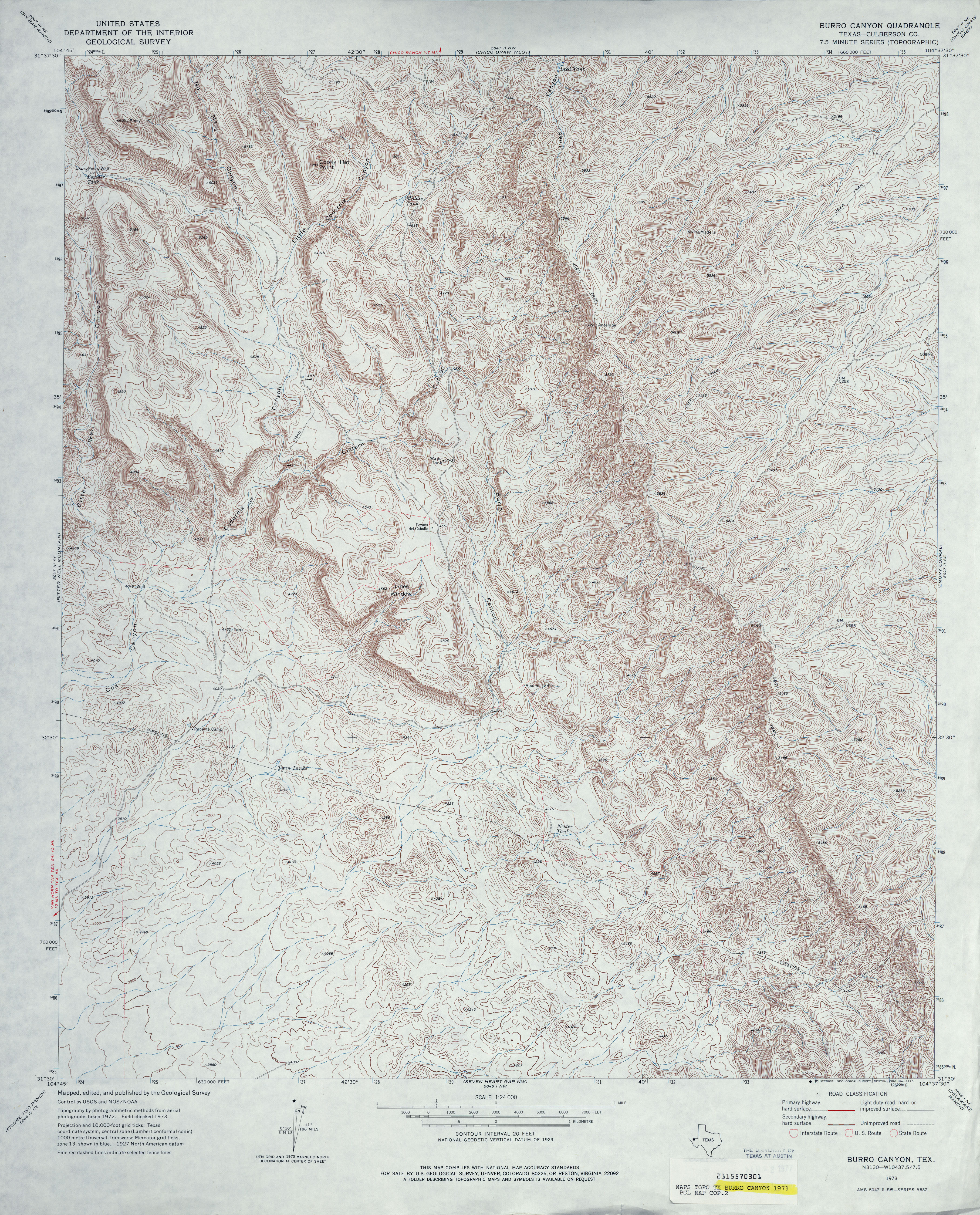
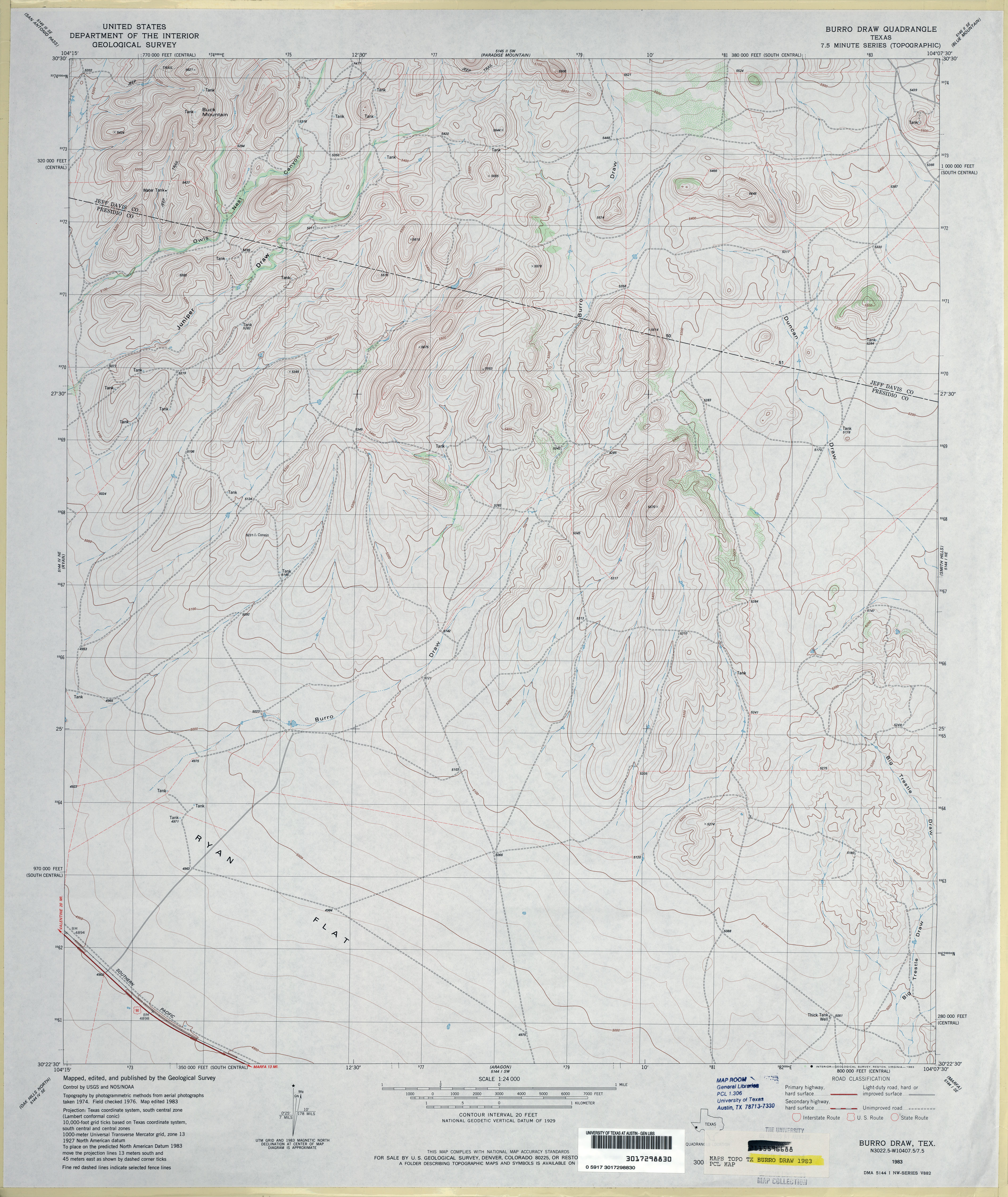
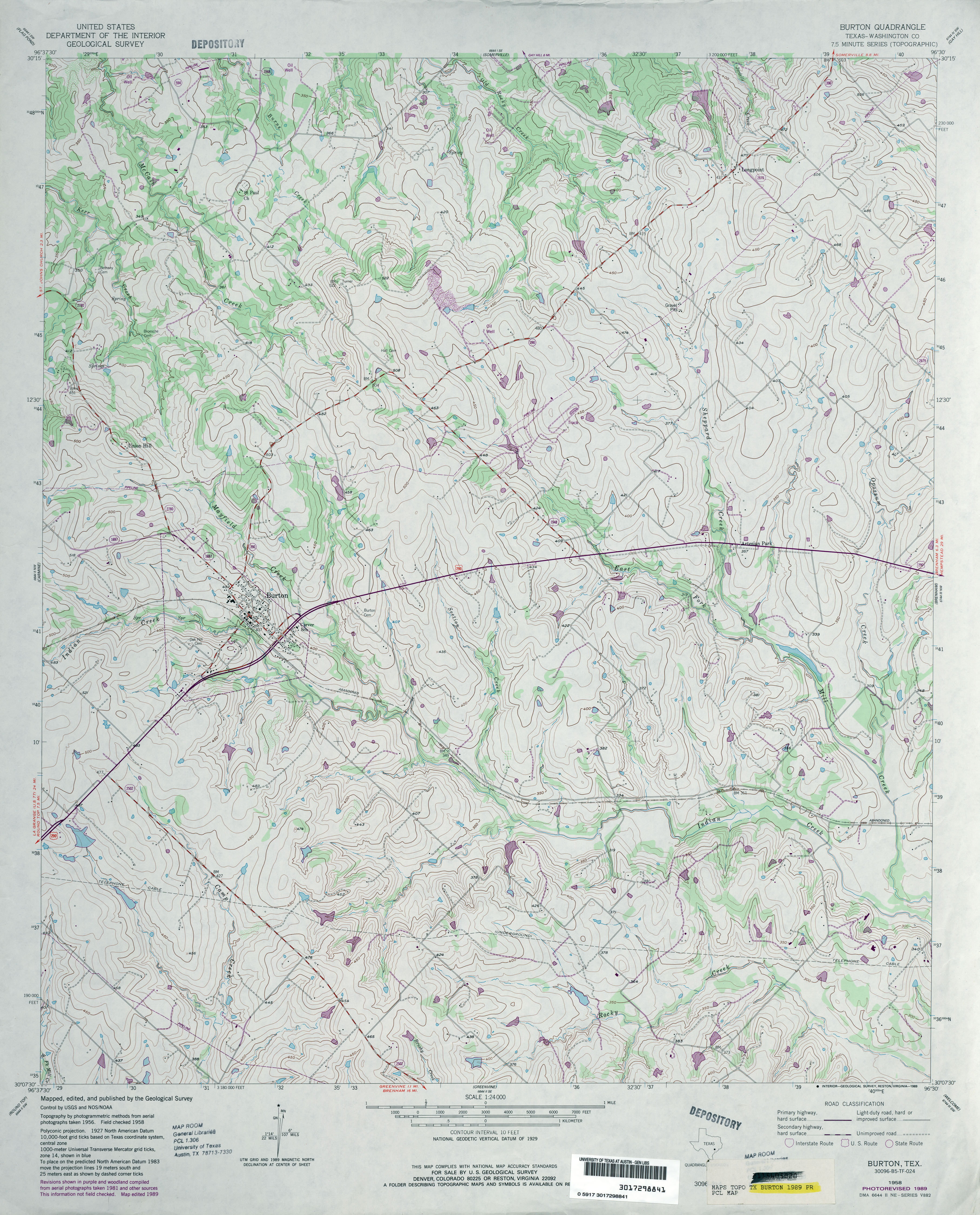
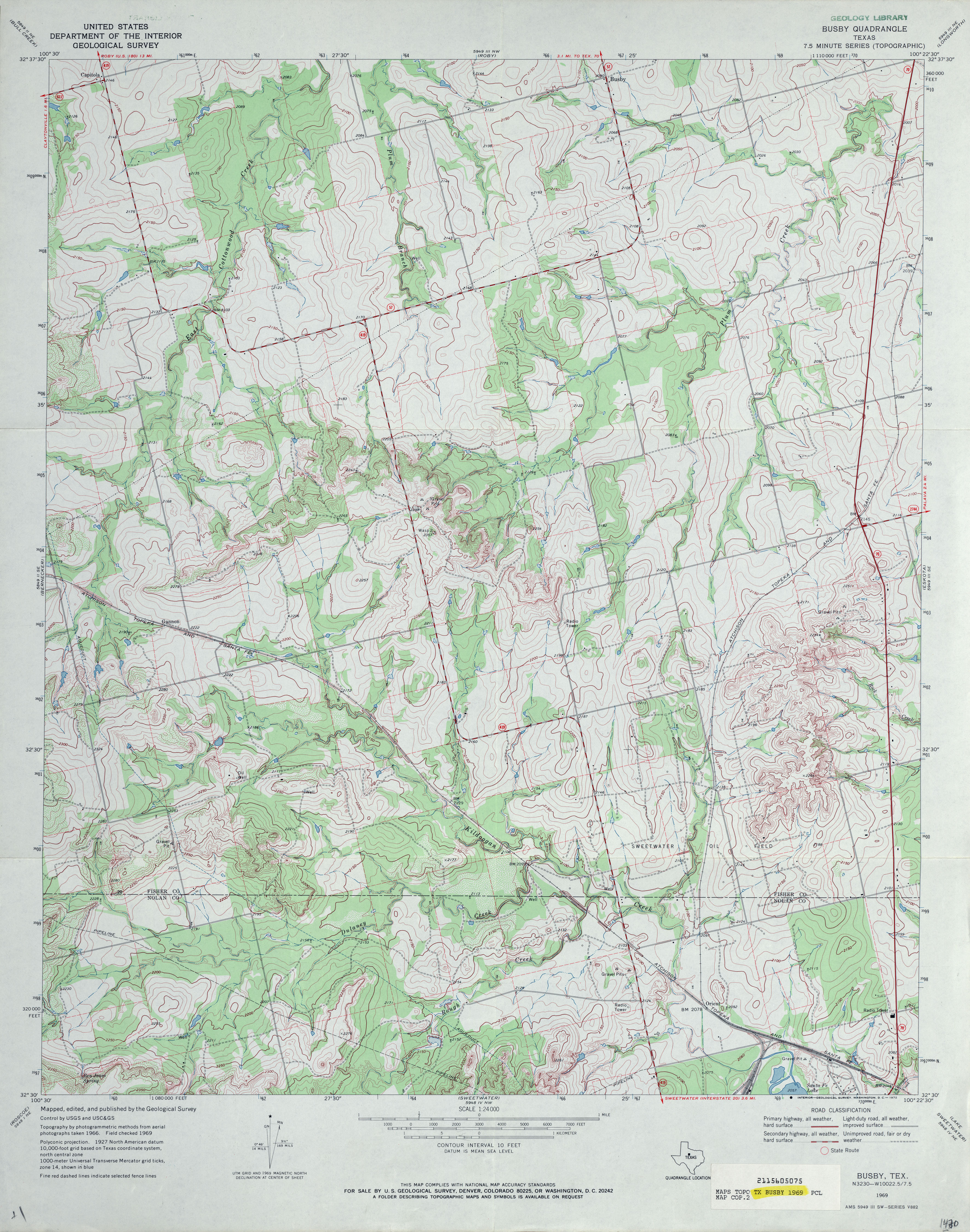
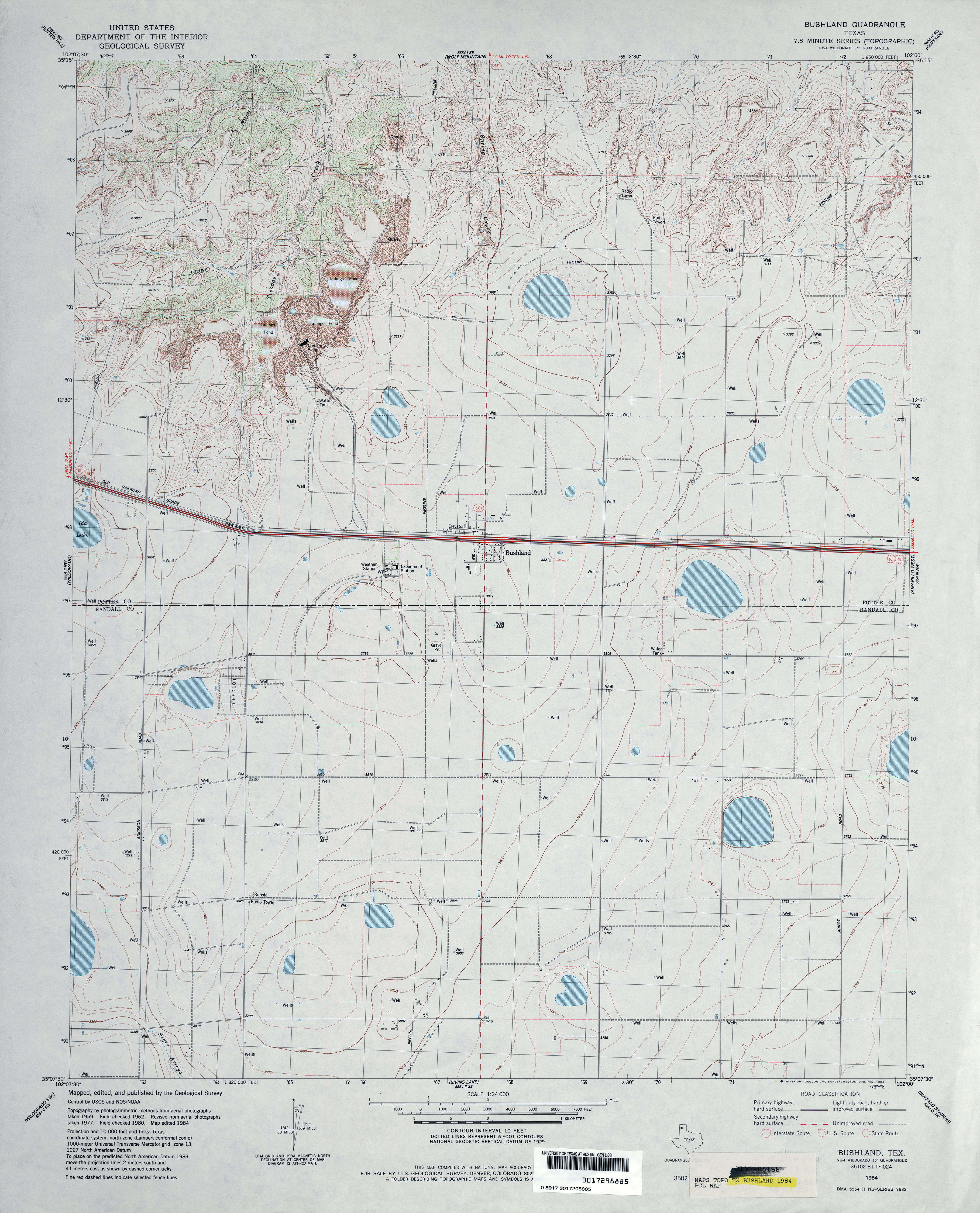
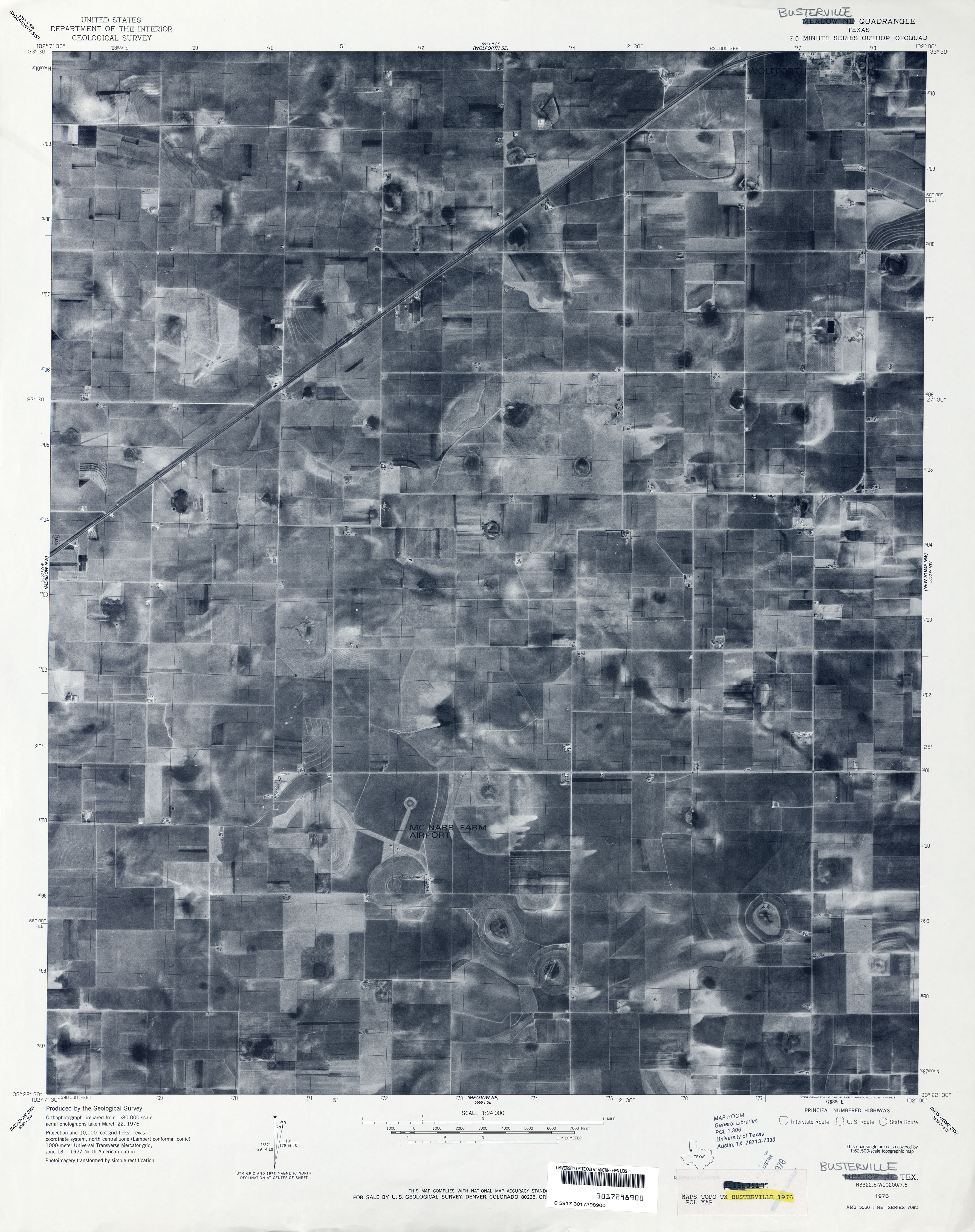
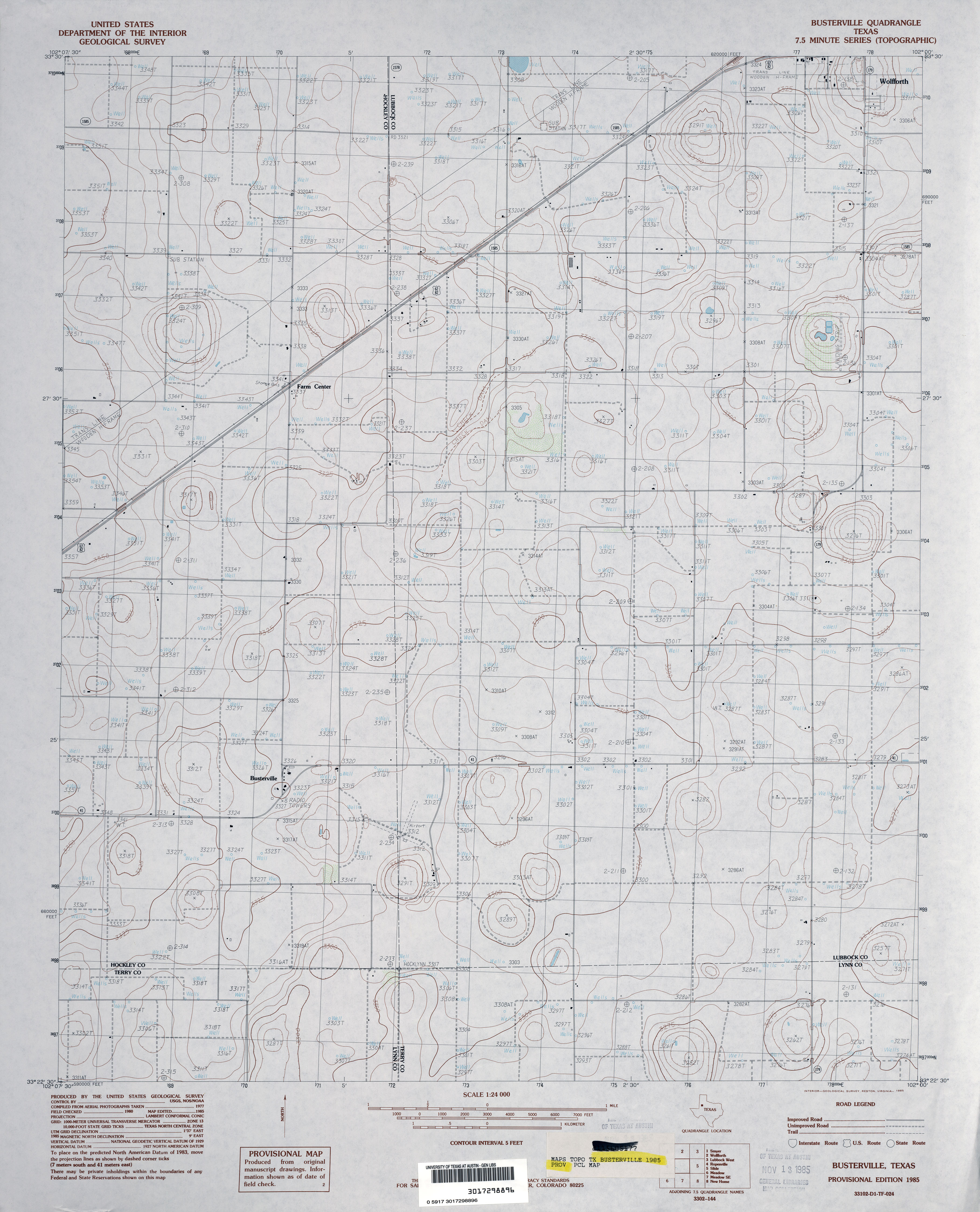
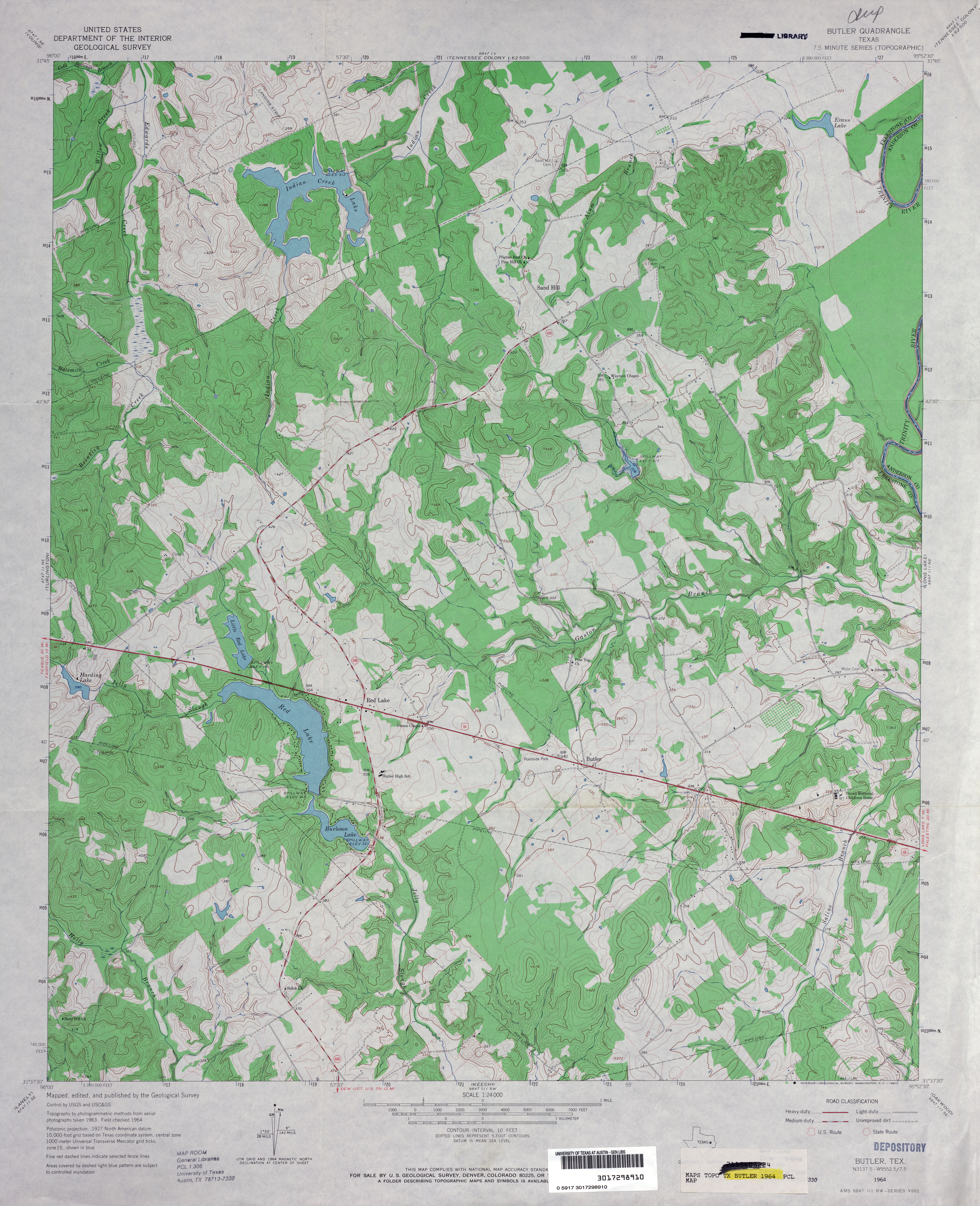
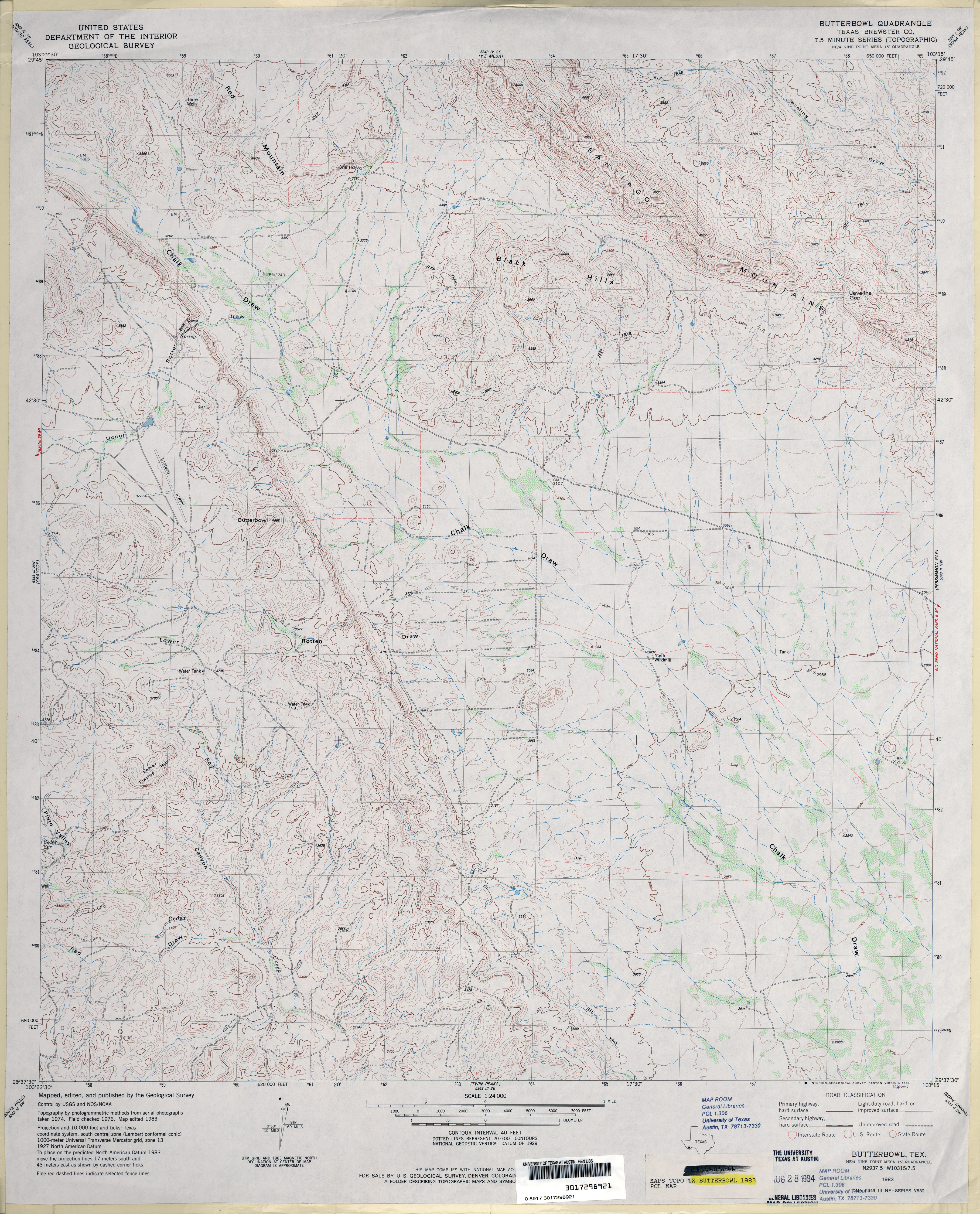
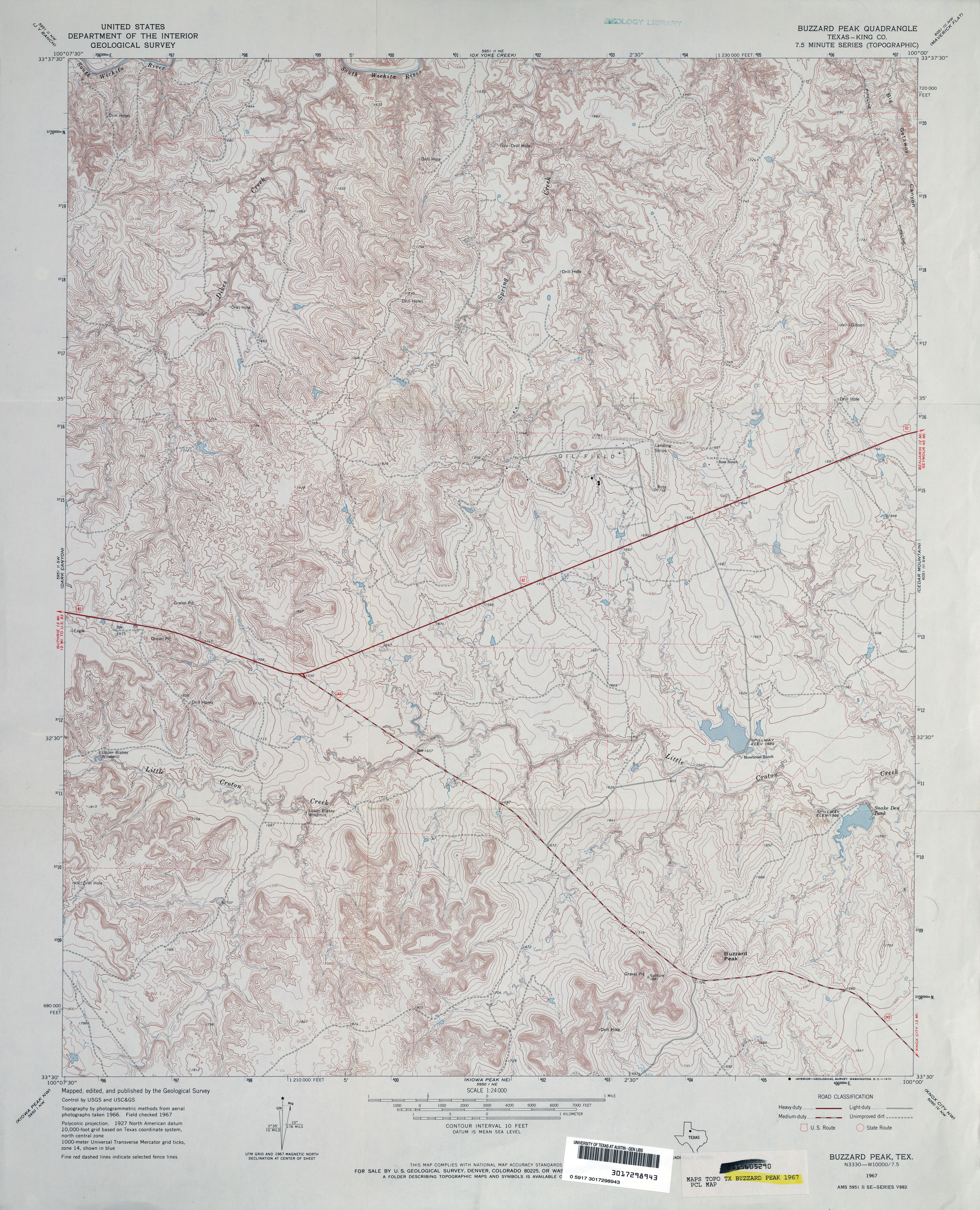
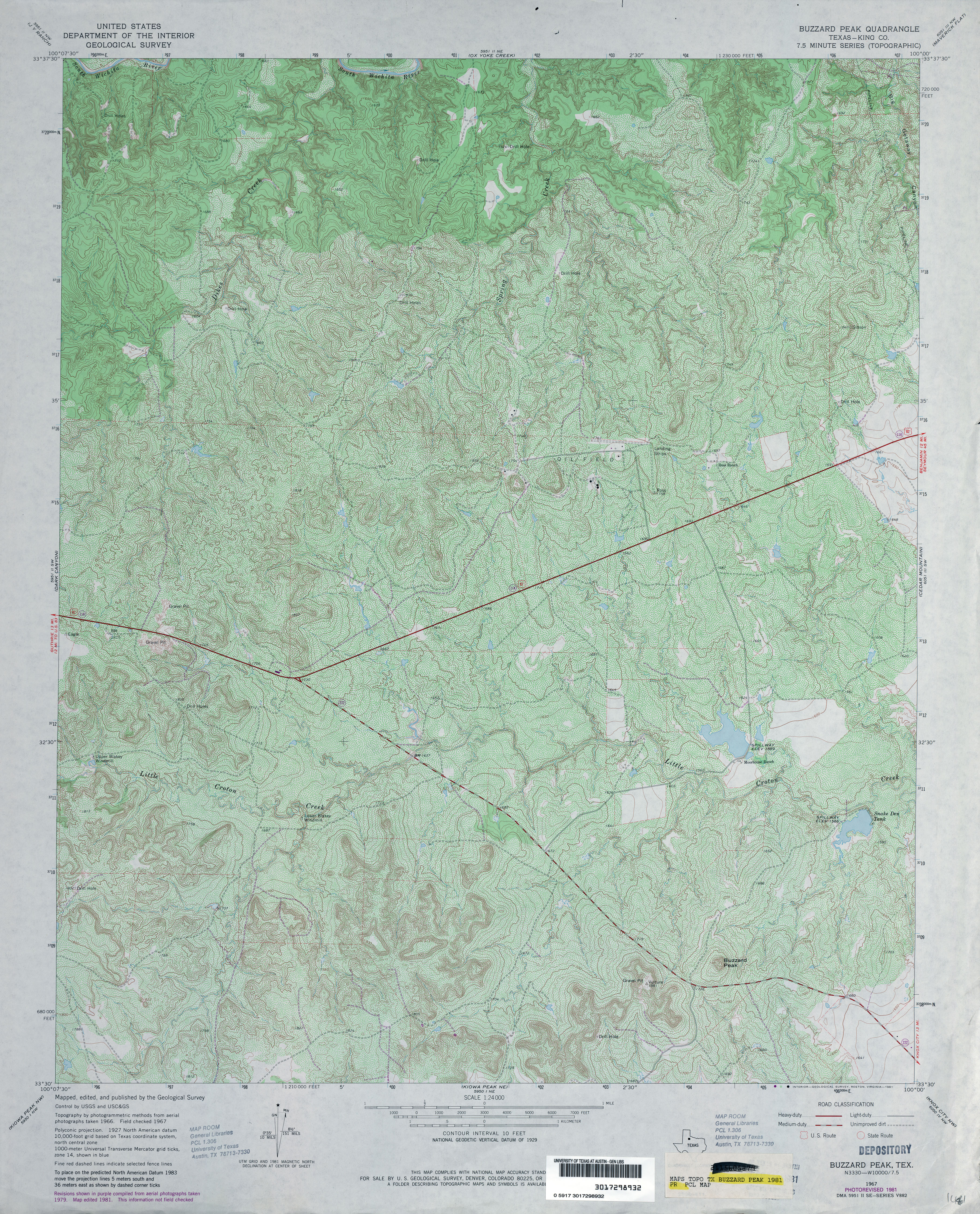
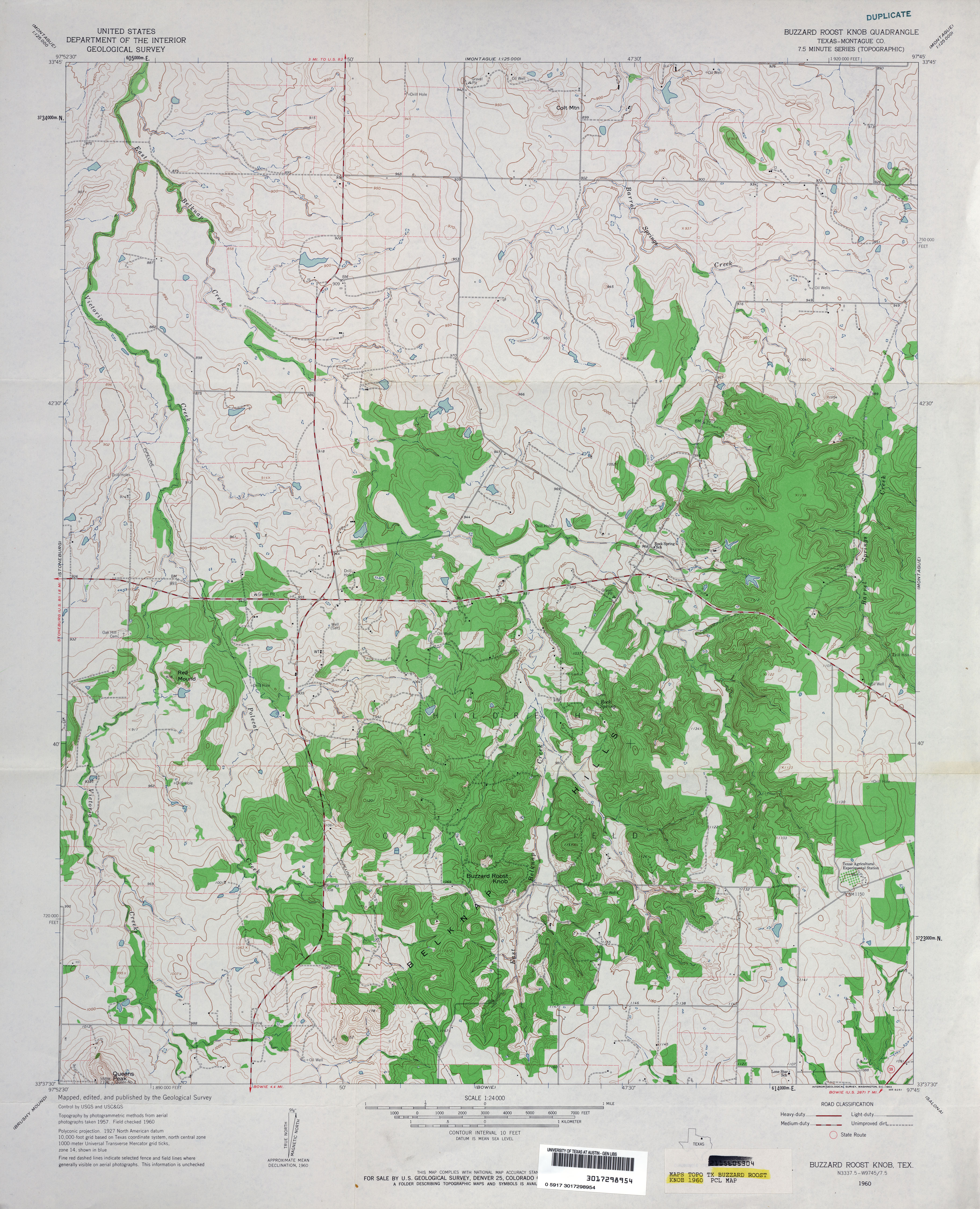
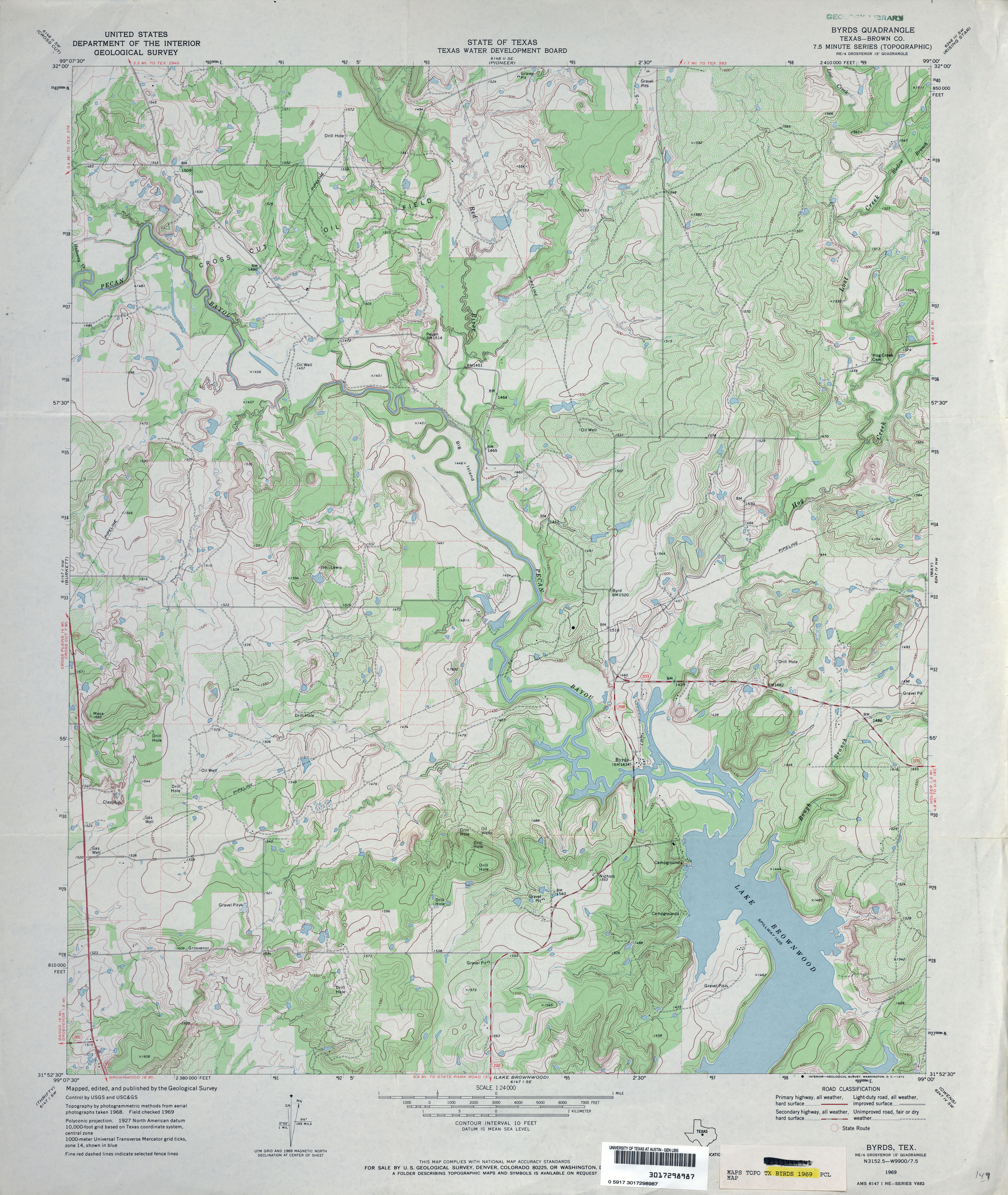
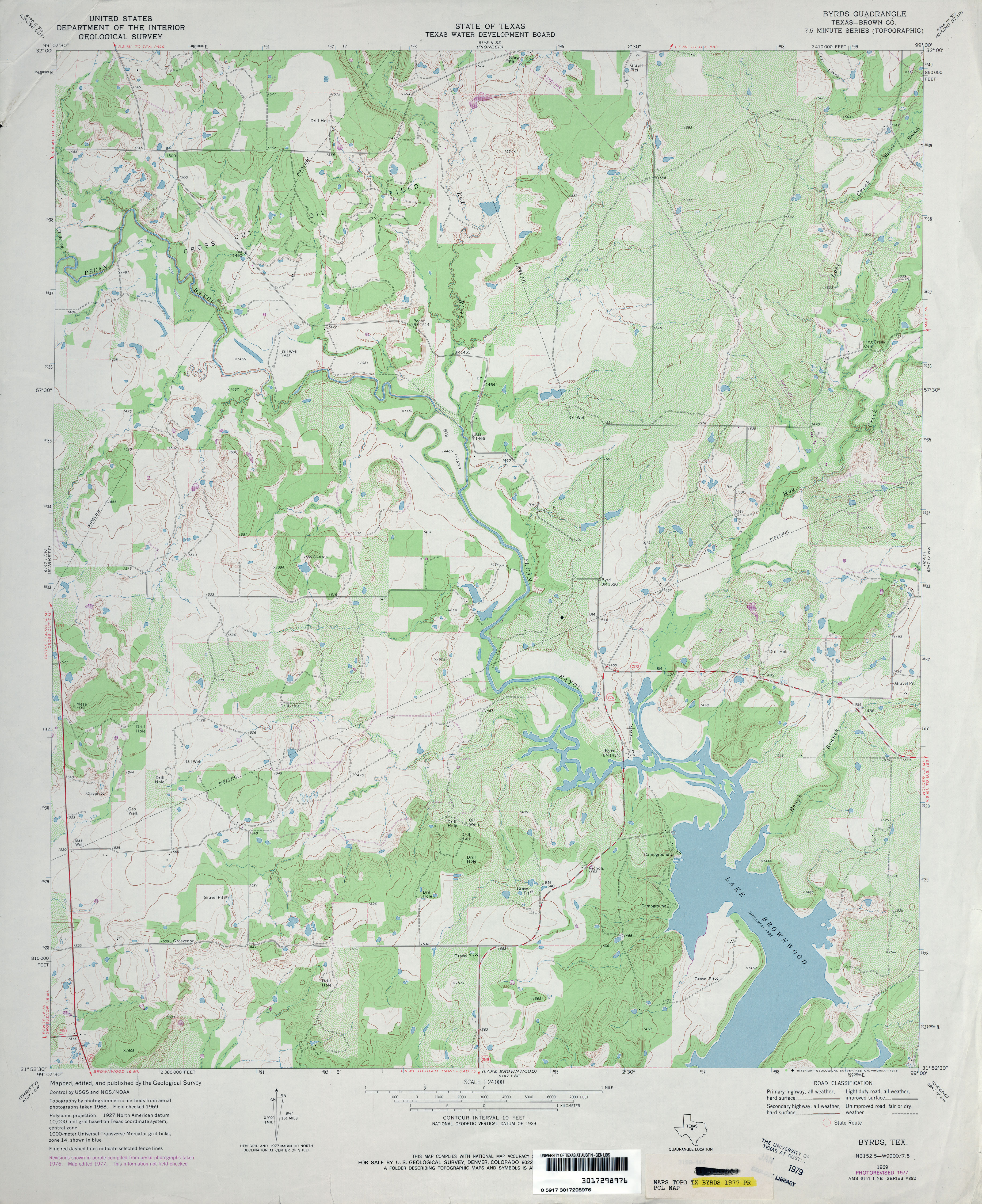
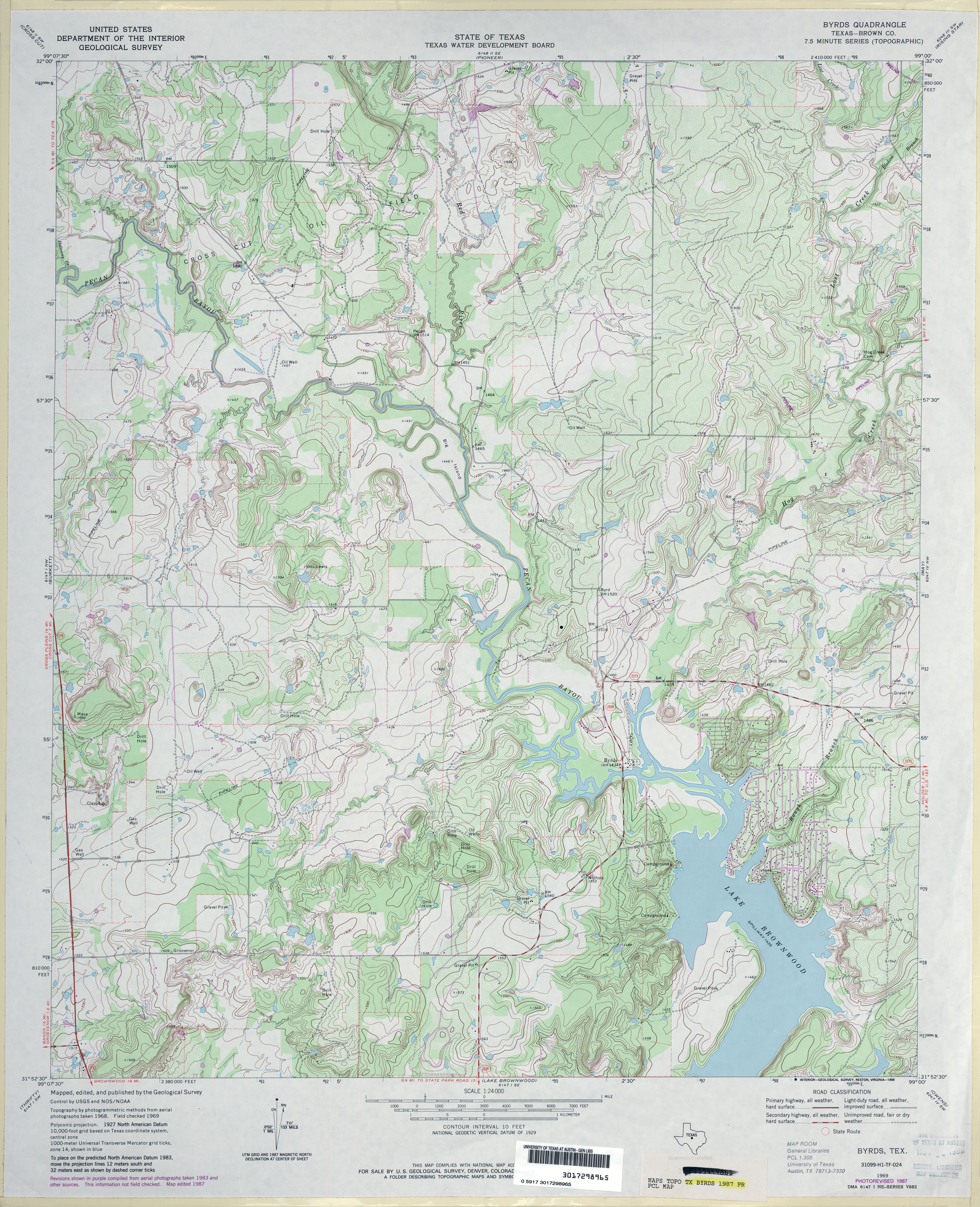