Perry-Castañeda Library
Map Collection
South Dakota Historical Topographic Maps
All maps on this page were published by the U.S. Geological Survey and are in the public domain. The date given for each map is the date of latest survey. More information about these maps is available on the Topographic Maps Home Page.
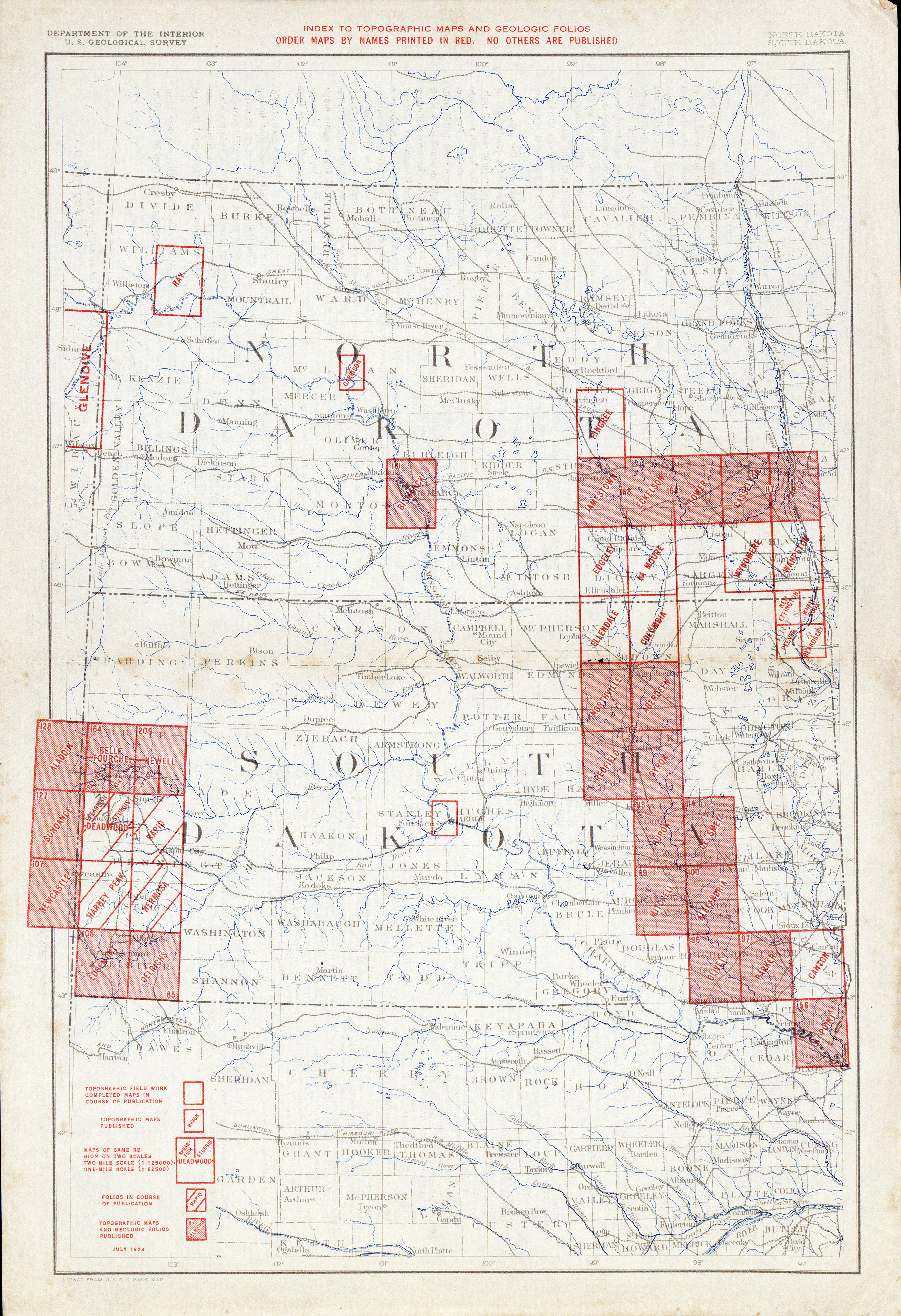
- South Dakota - Topographic Map Index 1924 (6.8MB)
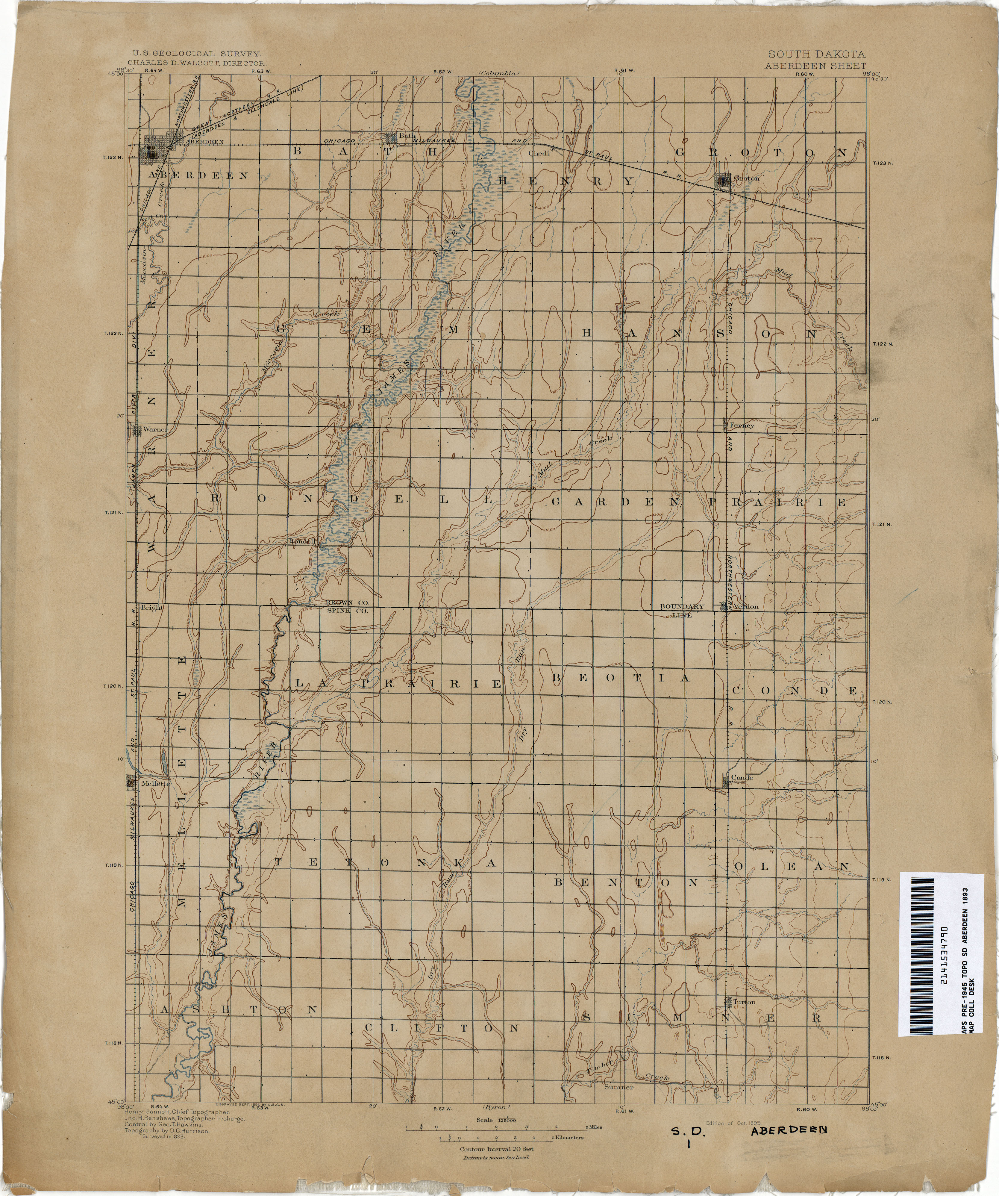
- Aberdeen 1893 1:125,000 (2.8MB)
- Alexandria 1895 1:125,000 (2.8MB)
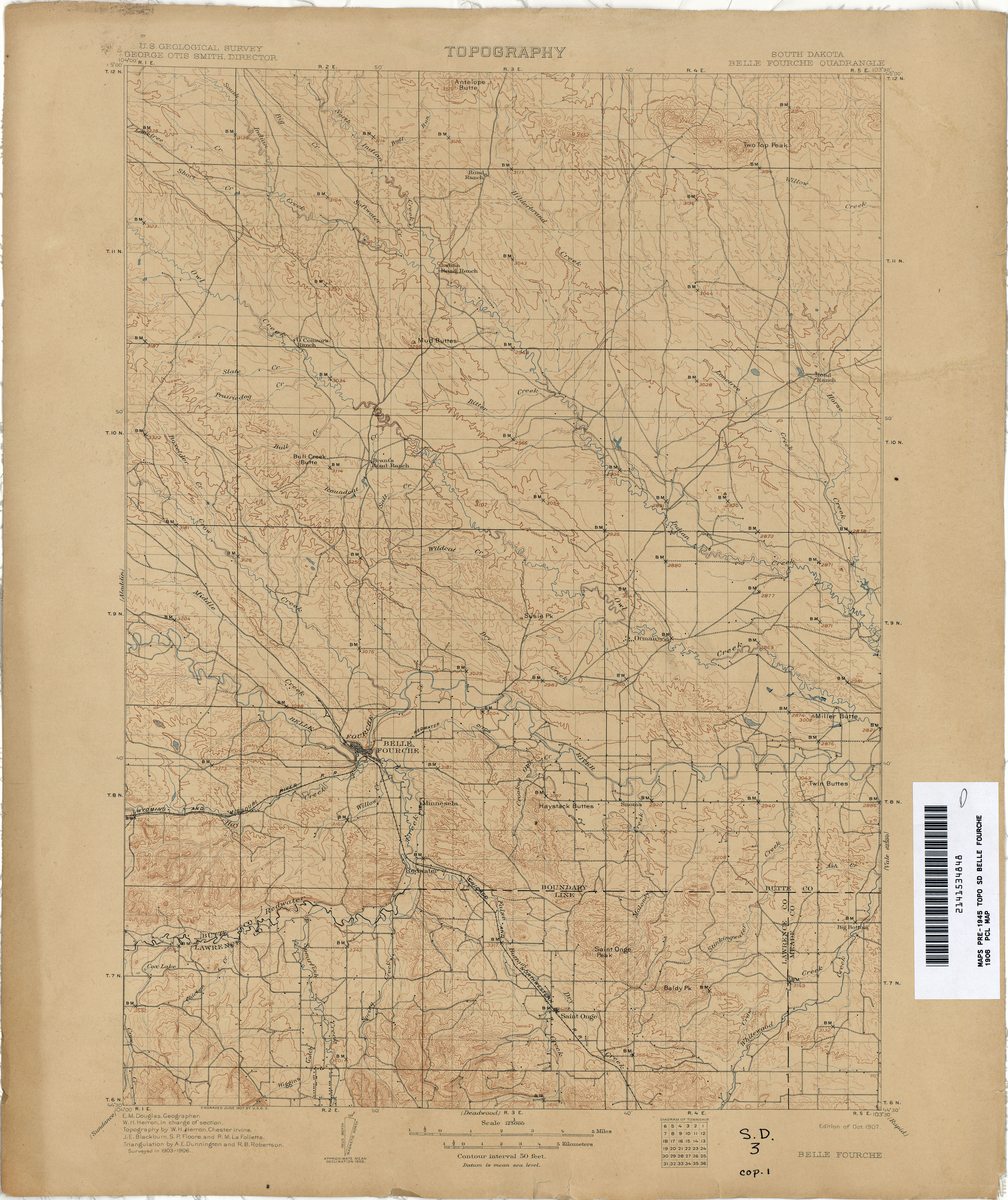
- Belle Fourche 1906 1:125,000 (3.5MB)
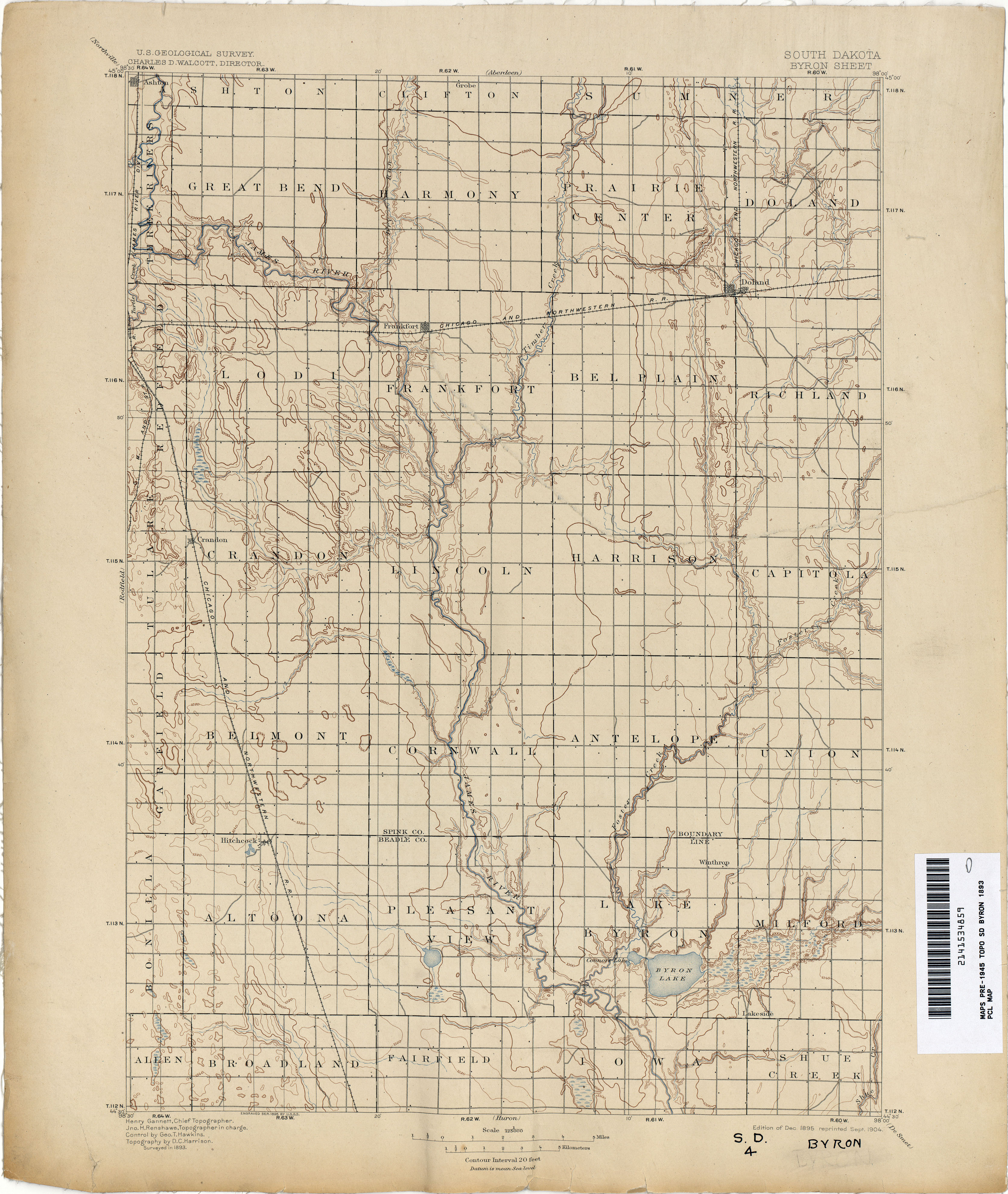
- Byron 1893 1:125,000 (3.0MB)
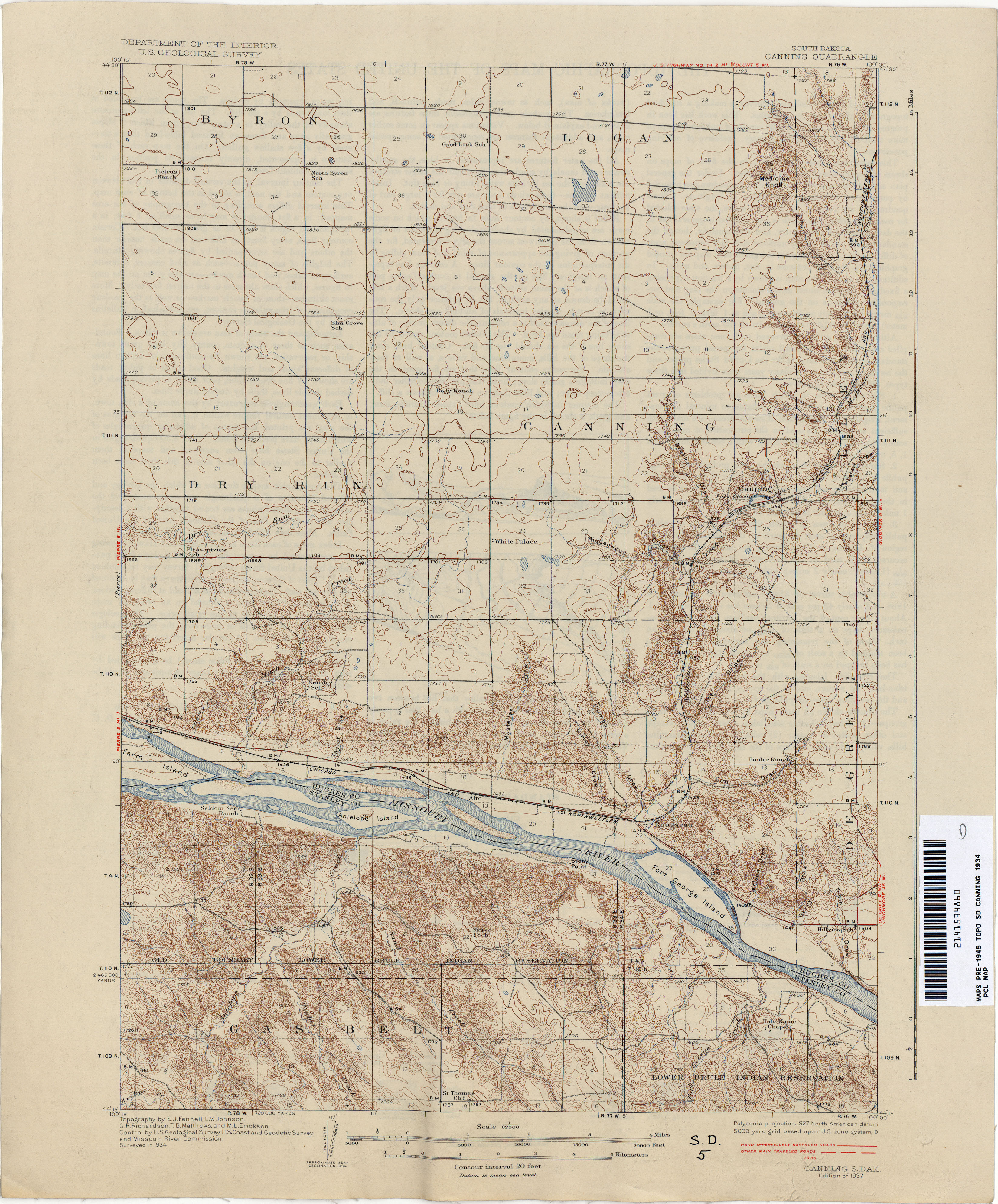
- Canning 1934 1:62,500 (4.0MB)
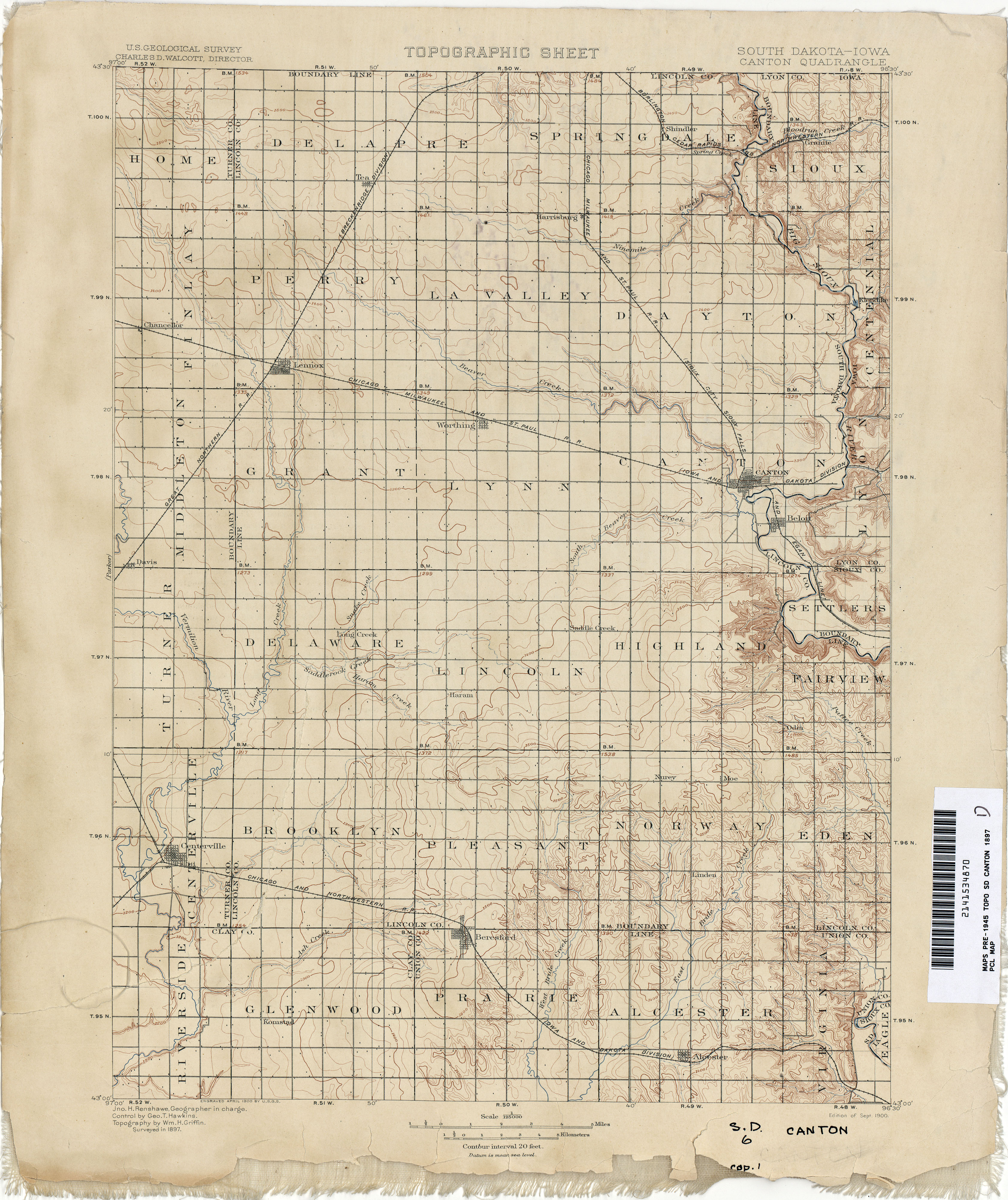
- Canton [South Dakota, Iowa] 1897 1:125,000 (3.4MB)
- Chamberlain 1935 1:62,500 (4.7MB)
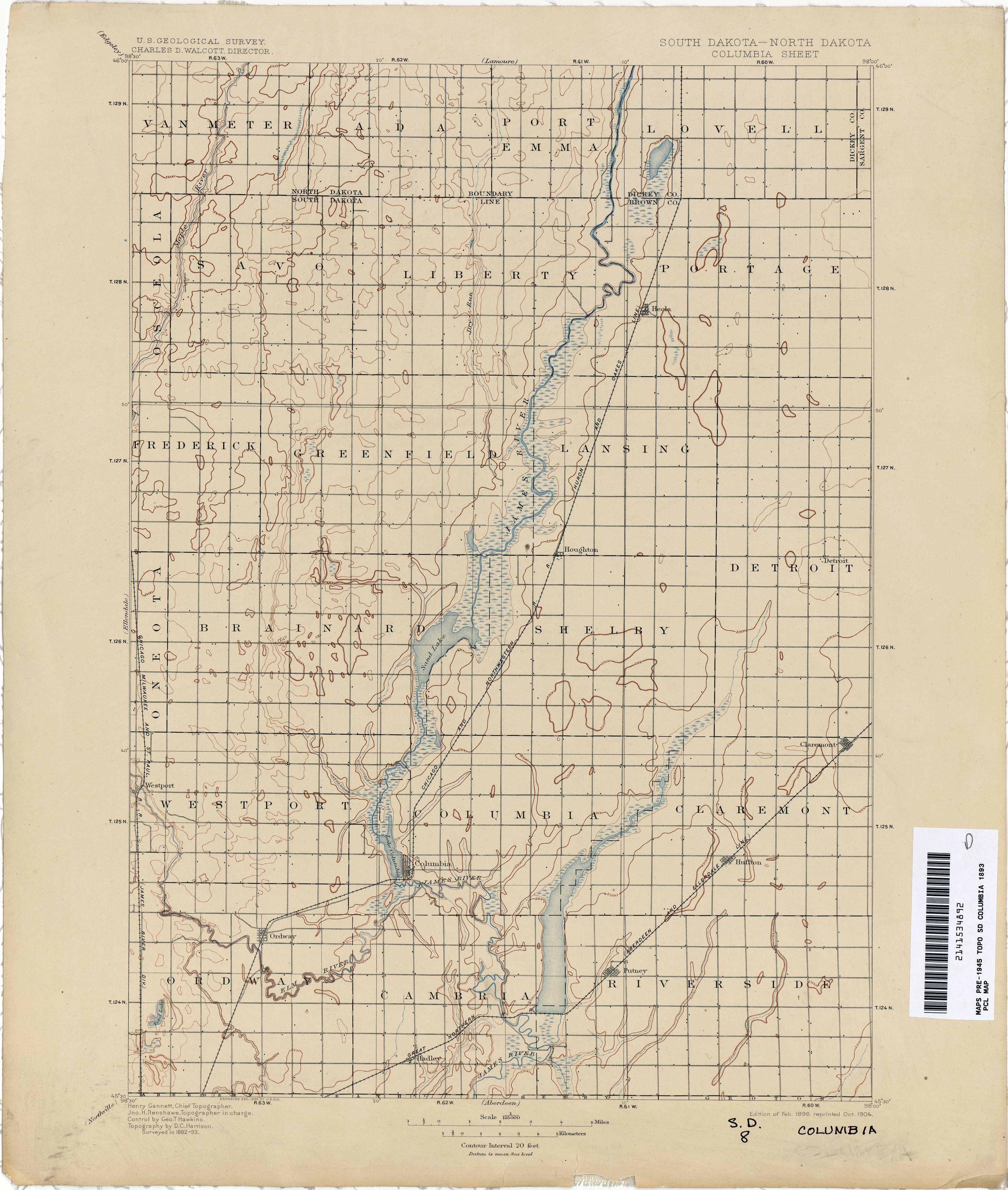
- Columbia [South Dakota, North Dakota] 1893 1:125,000 (2.7MB)
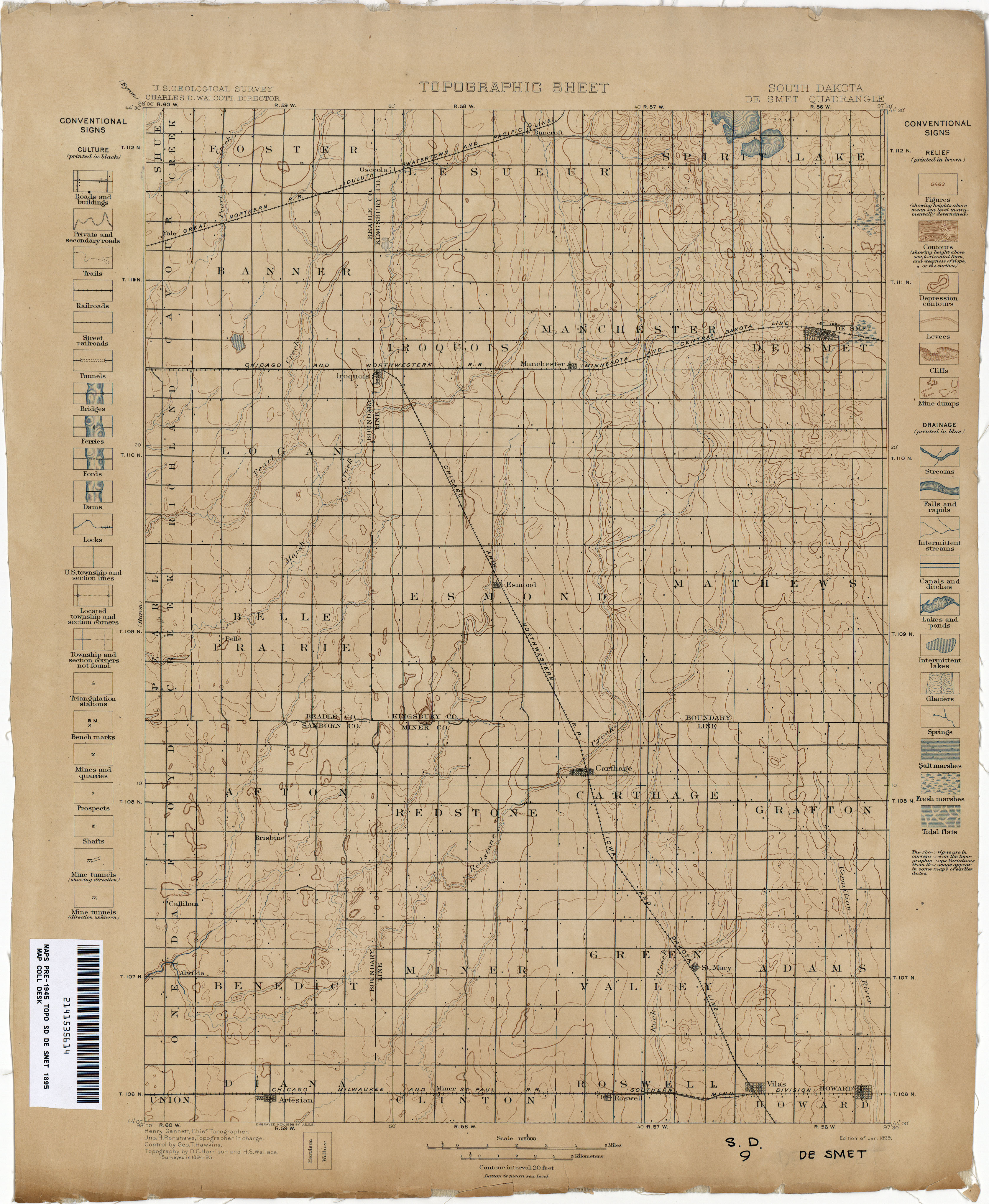
- De Smet 1895 1:125,000 (3.0MB)
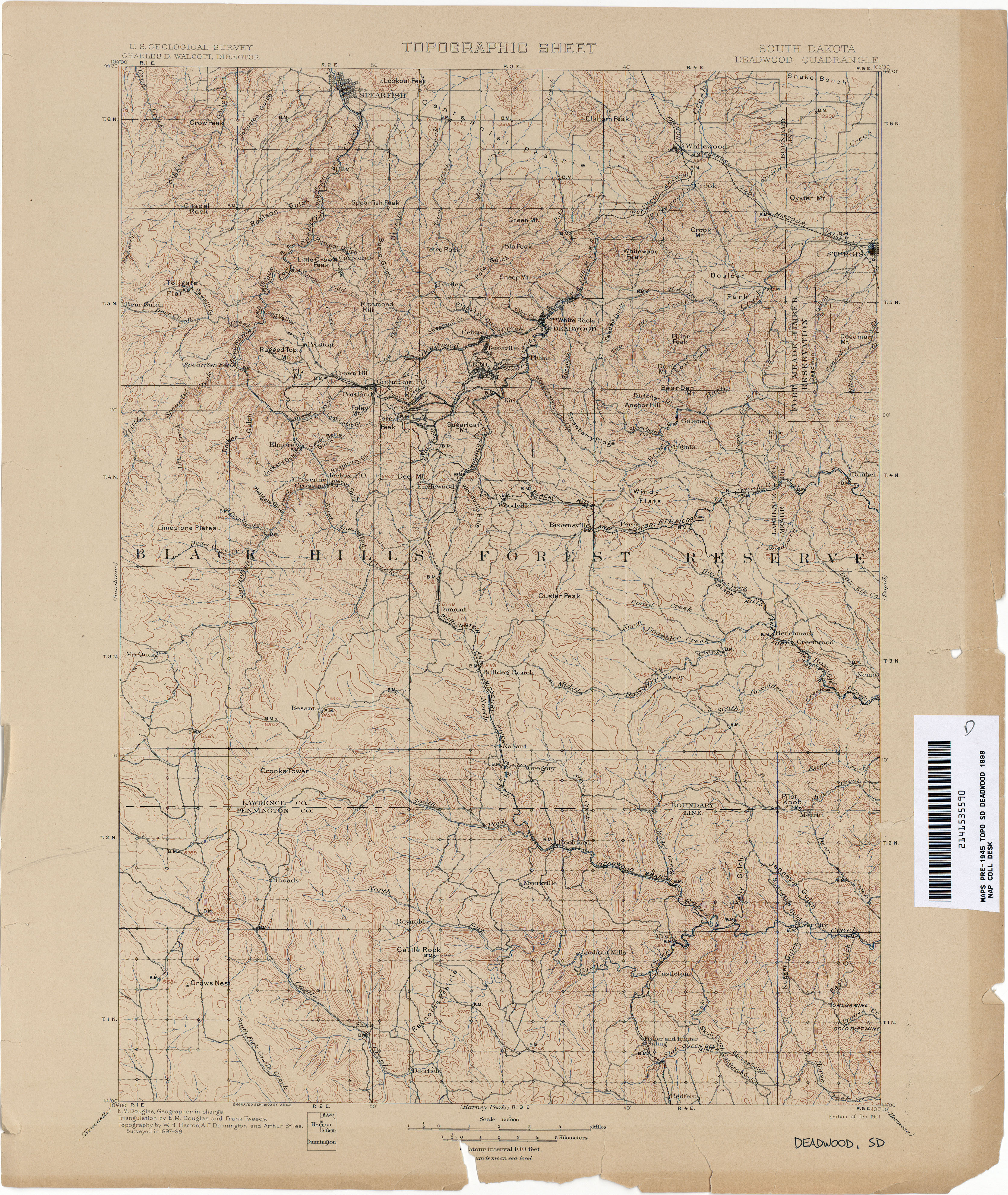
- Deadwood 1898 1:125,000 (4.6MB)
- Deadwood 1913 1:125,000 (4.1MB)
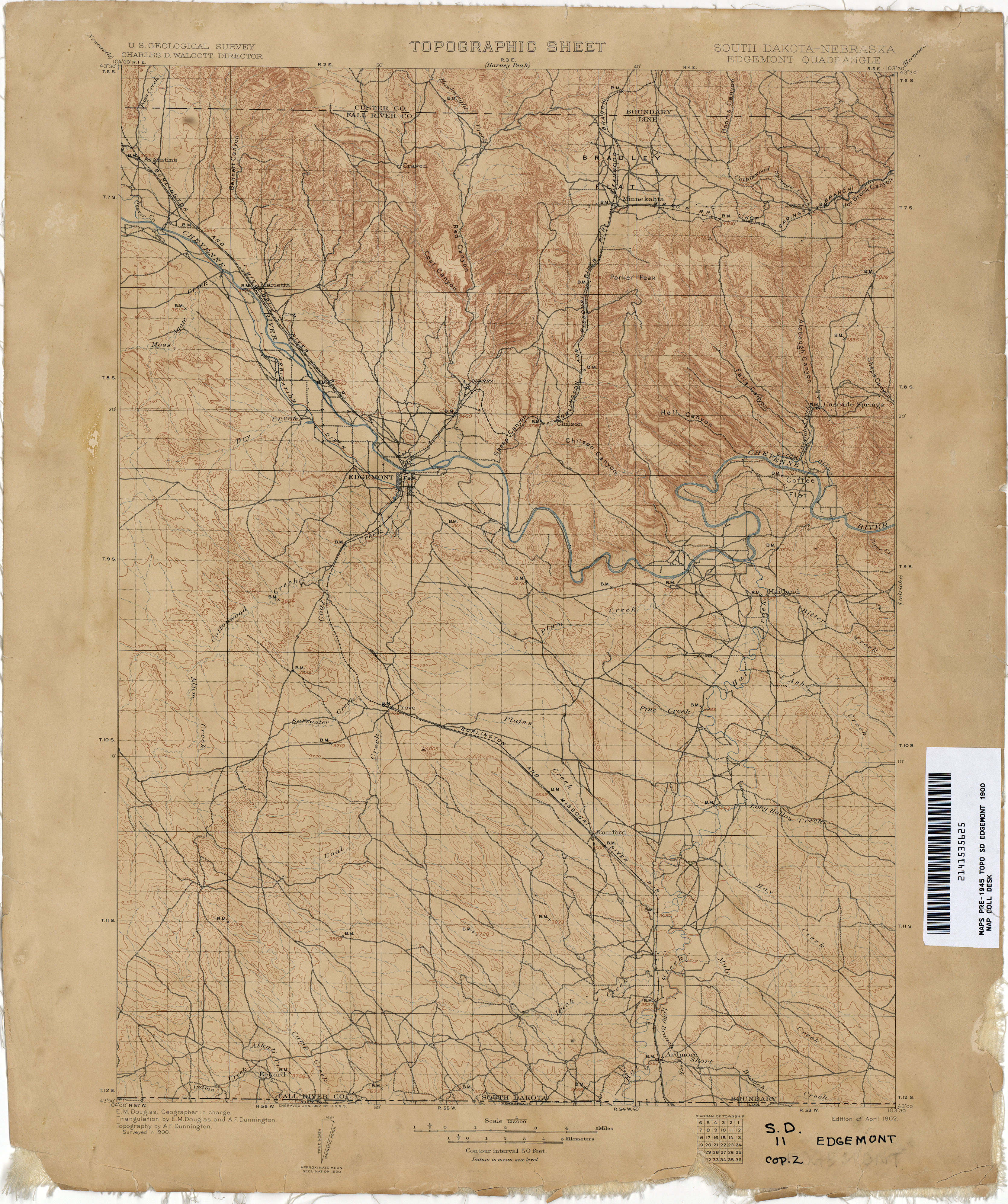
- Edgemont [South Dakota, Nebraska] 1900 1:125,000 (3.9MB)
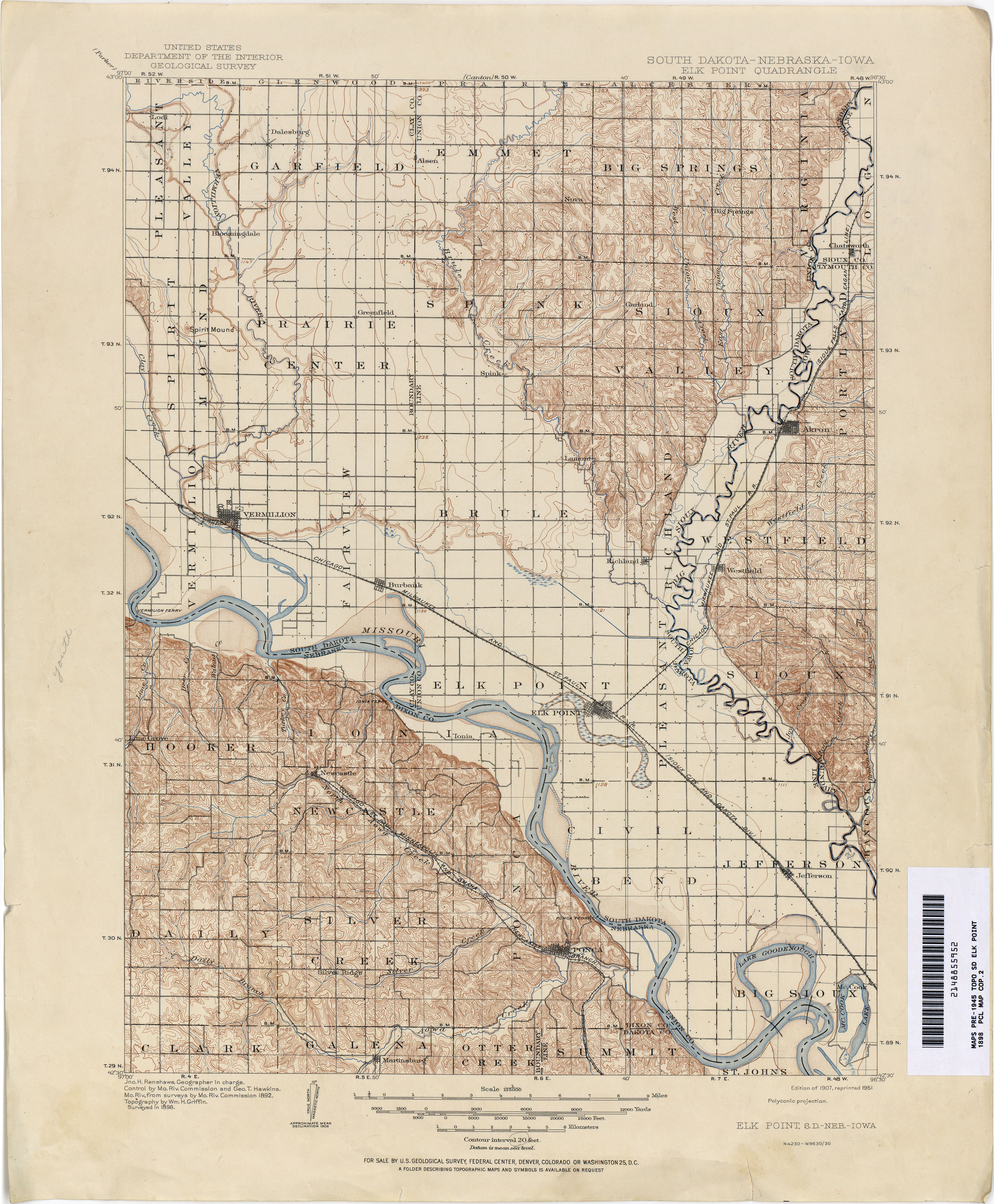
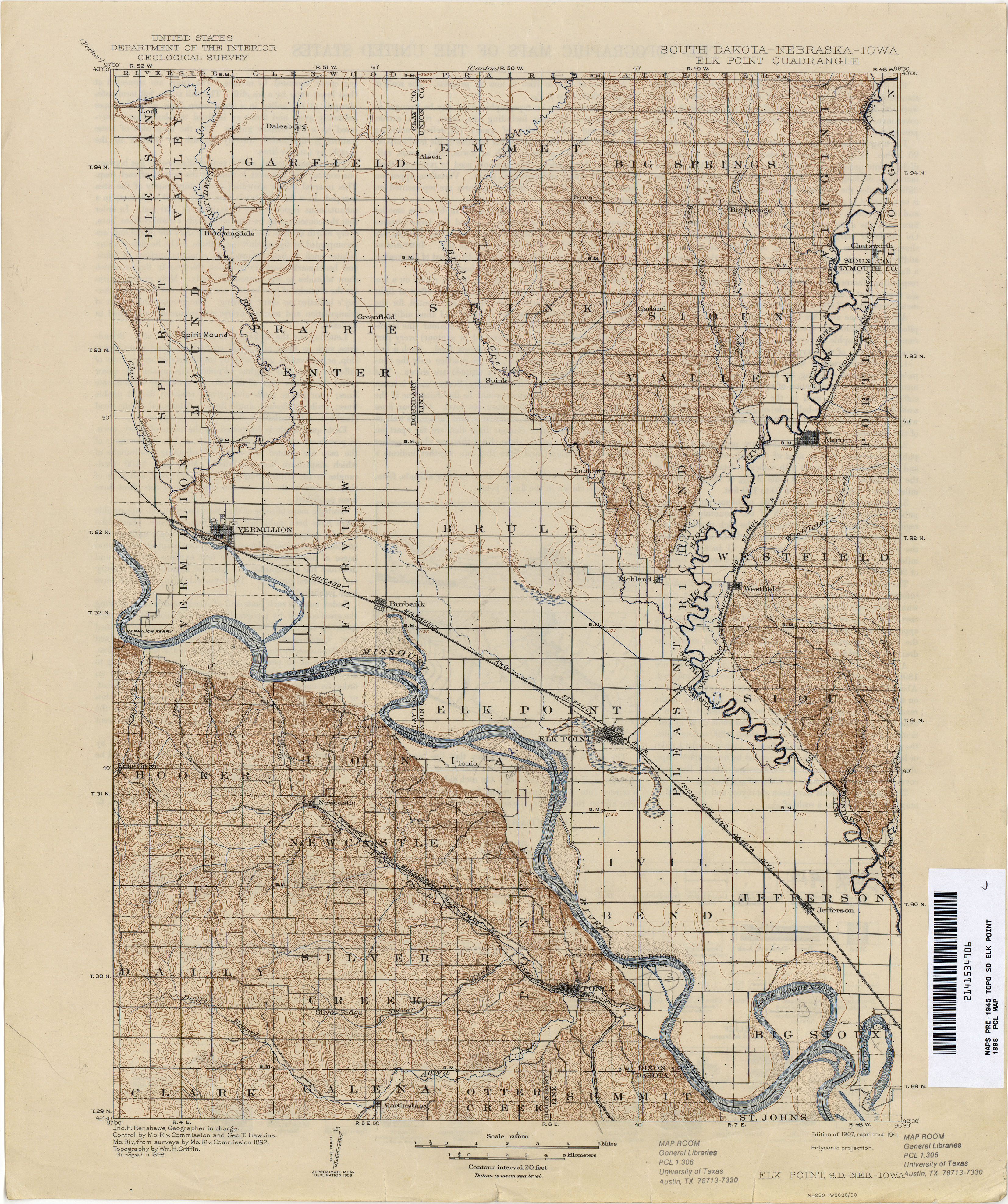
- Elk Point [South Dakota, Nebraska, Iowa] 1898 1:125,000 (4.4MB)
- Elk Point [South Dakota, Nebraska, Iowa] 1898 1:125,000 (4.3MB)
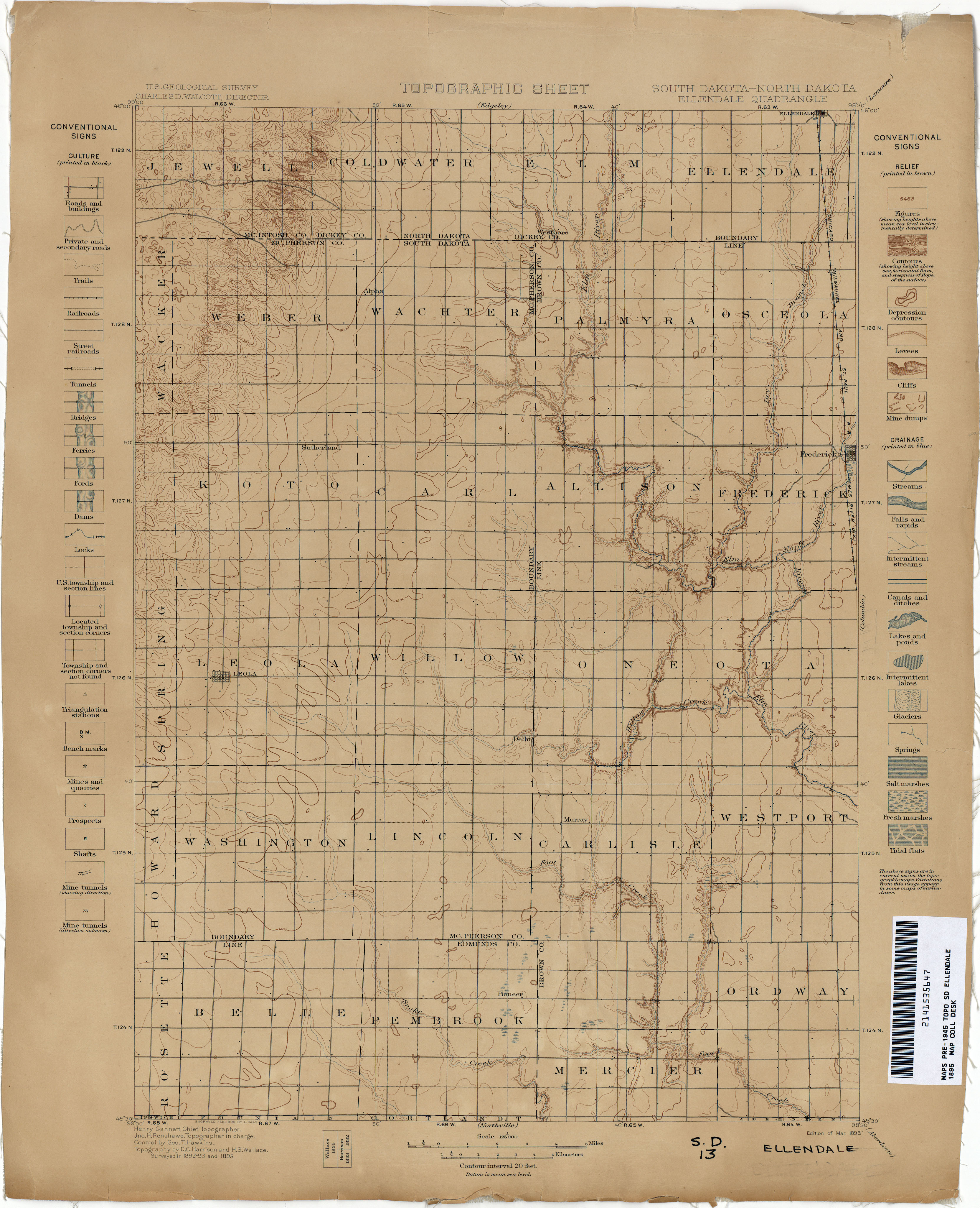
- Ellendale [South Dakota, North Dakota] 1895 1:125,000 (2.7MB)
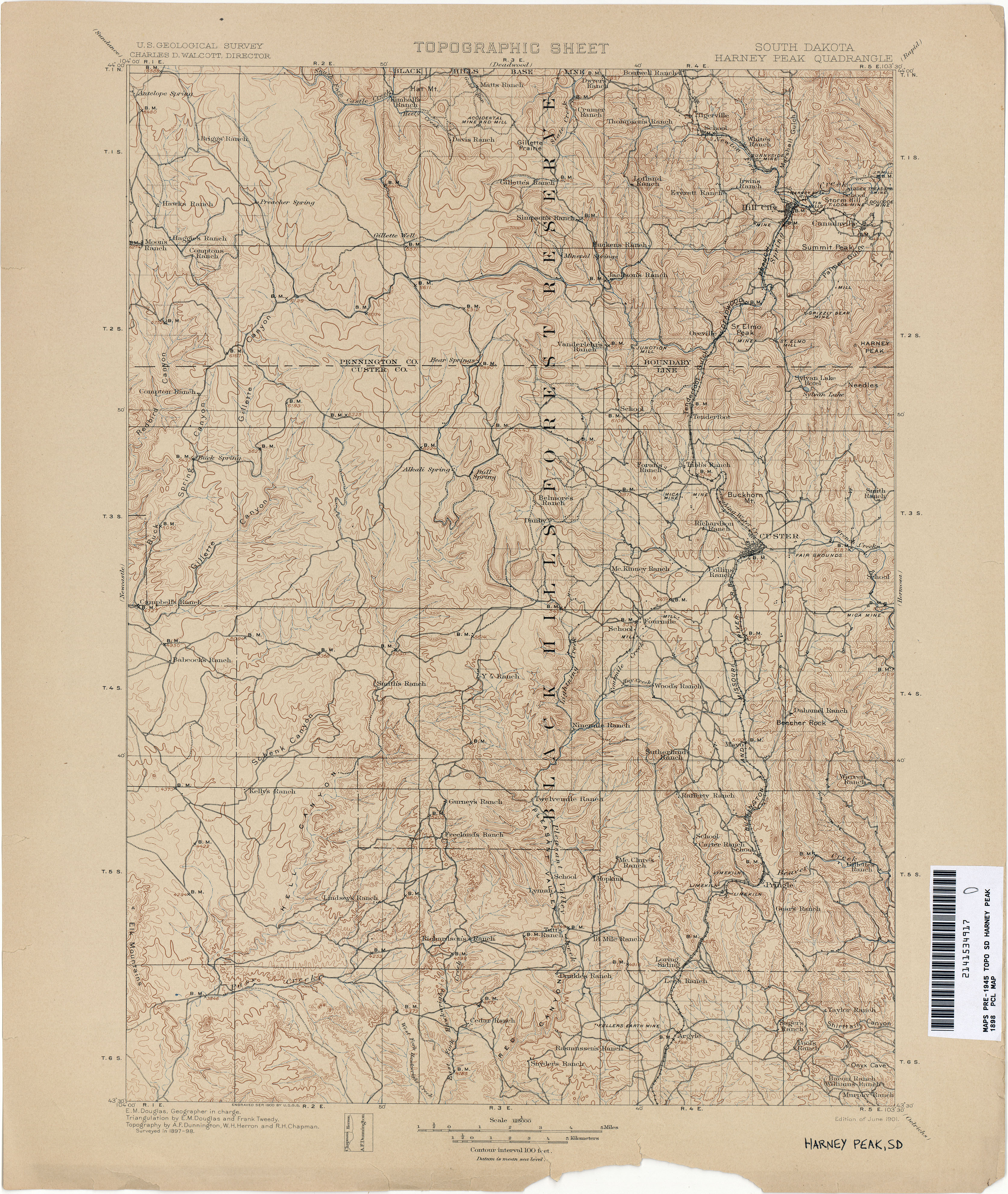
- Harney Peak 1898 1:125,000 (4.5MB)
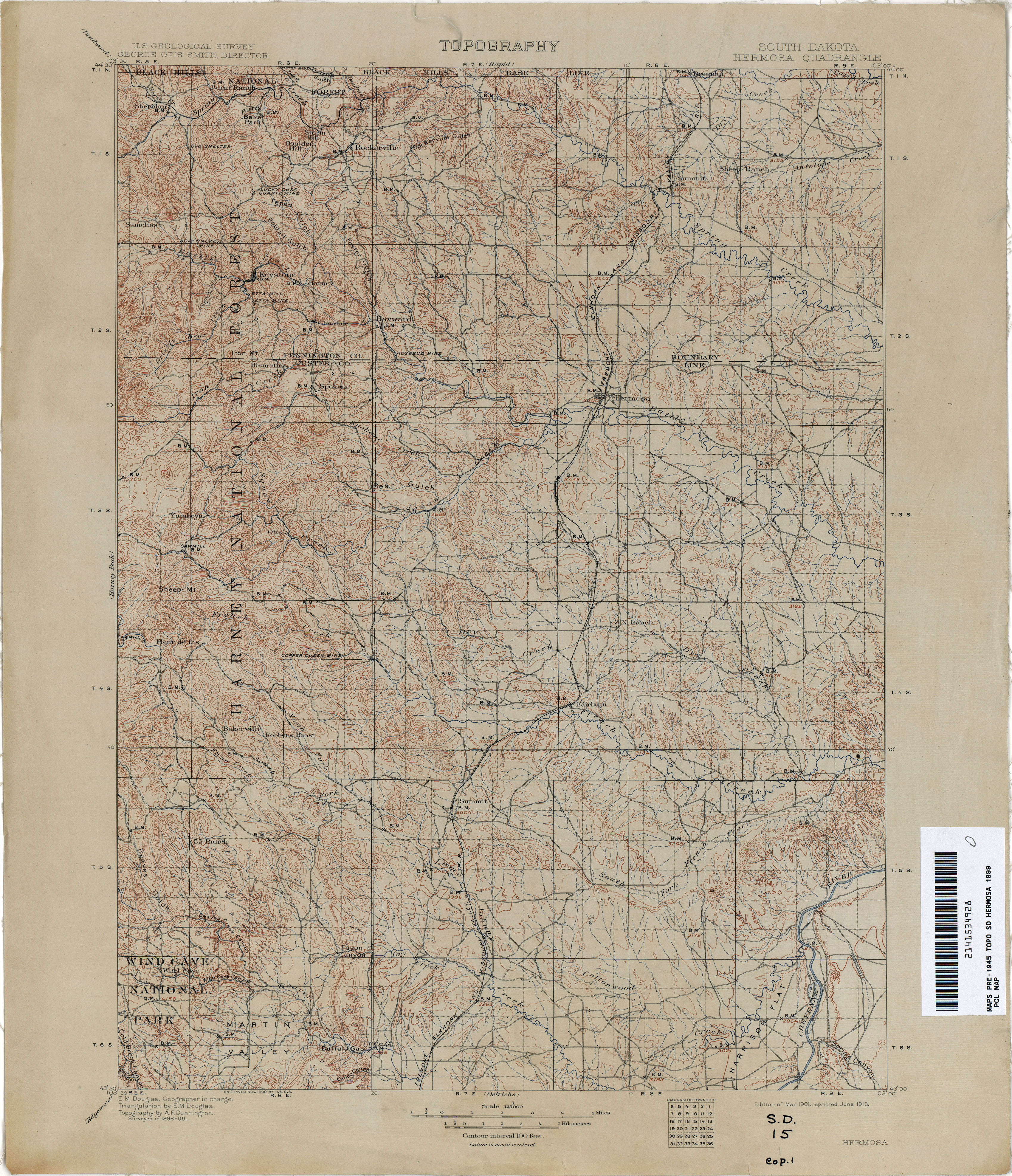
- Hermosa 1899 1:125,000 (4.6MB)
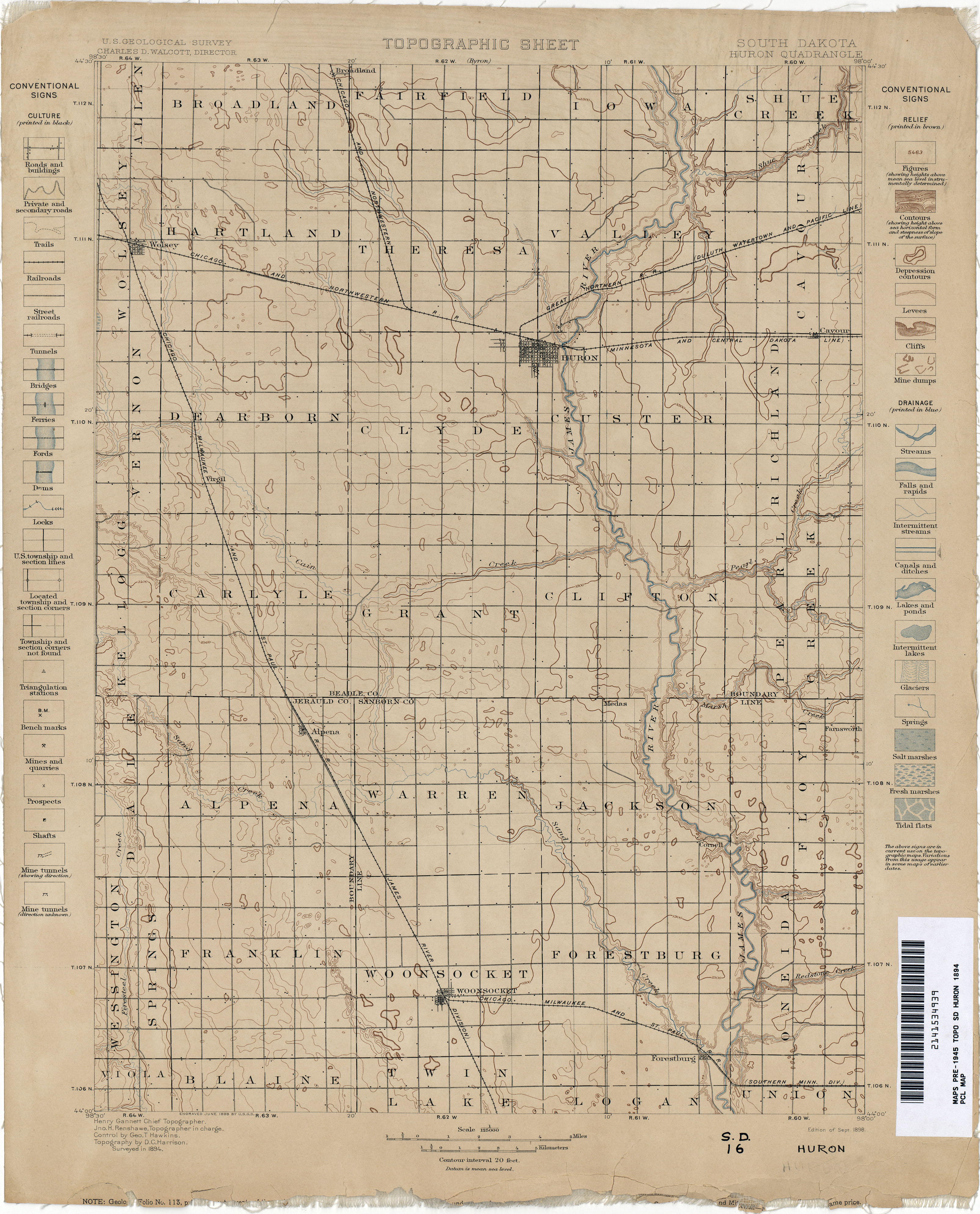
- Huron 1894 1:125,000 (2.9MB)
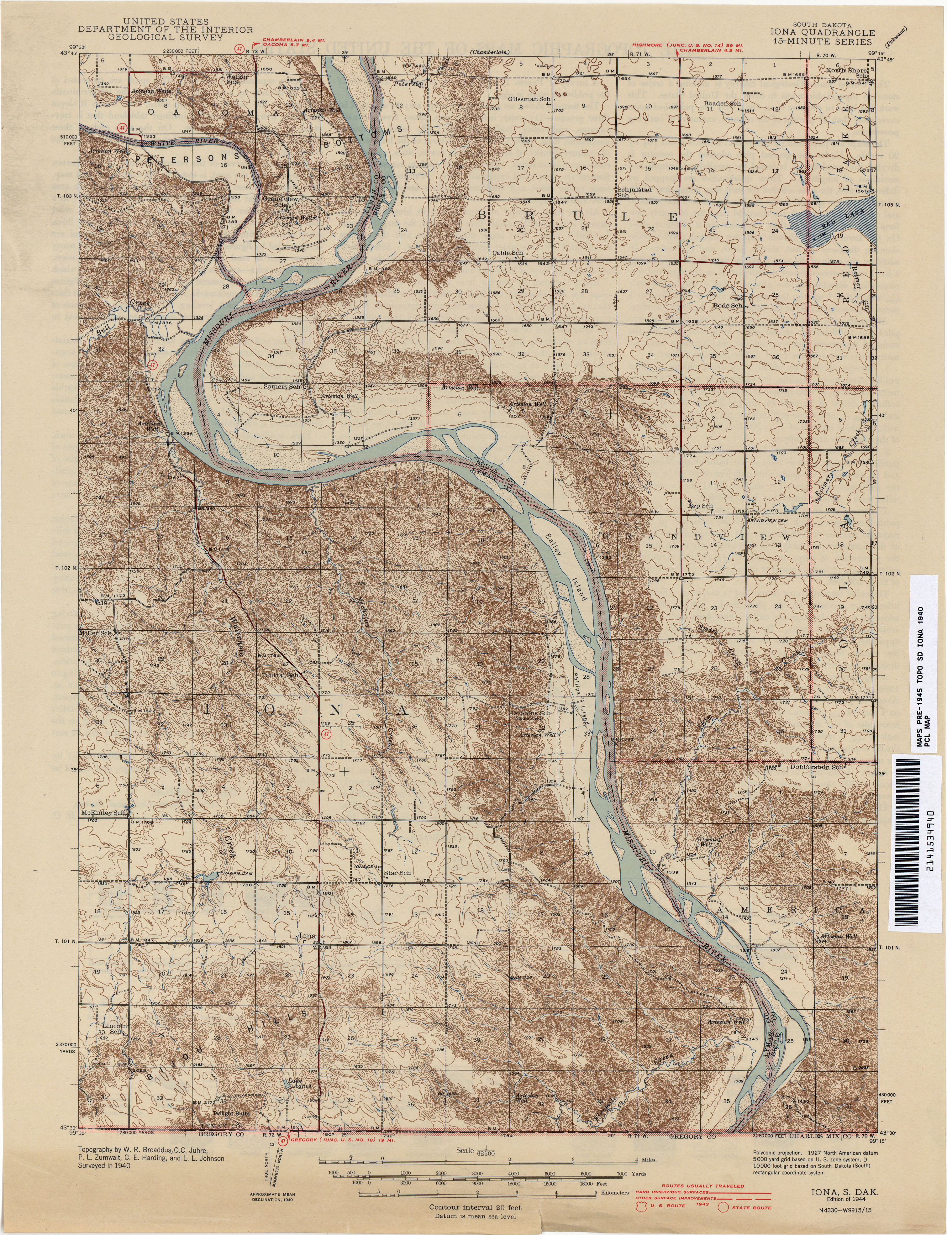
- Iona 1940 1:62,500 (4.4MB)
- Mitchell 1895 1:125,000 (2.5MB)
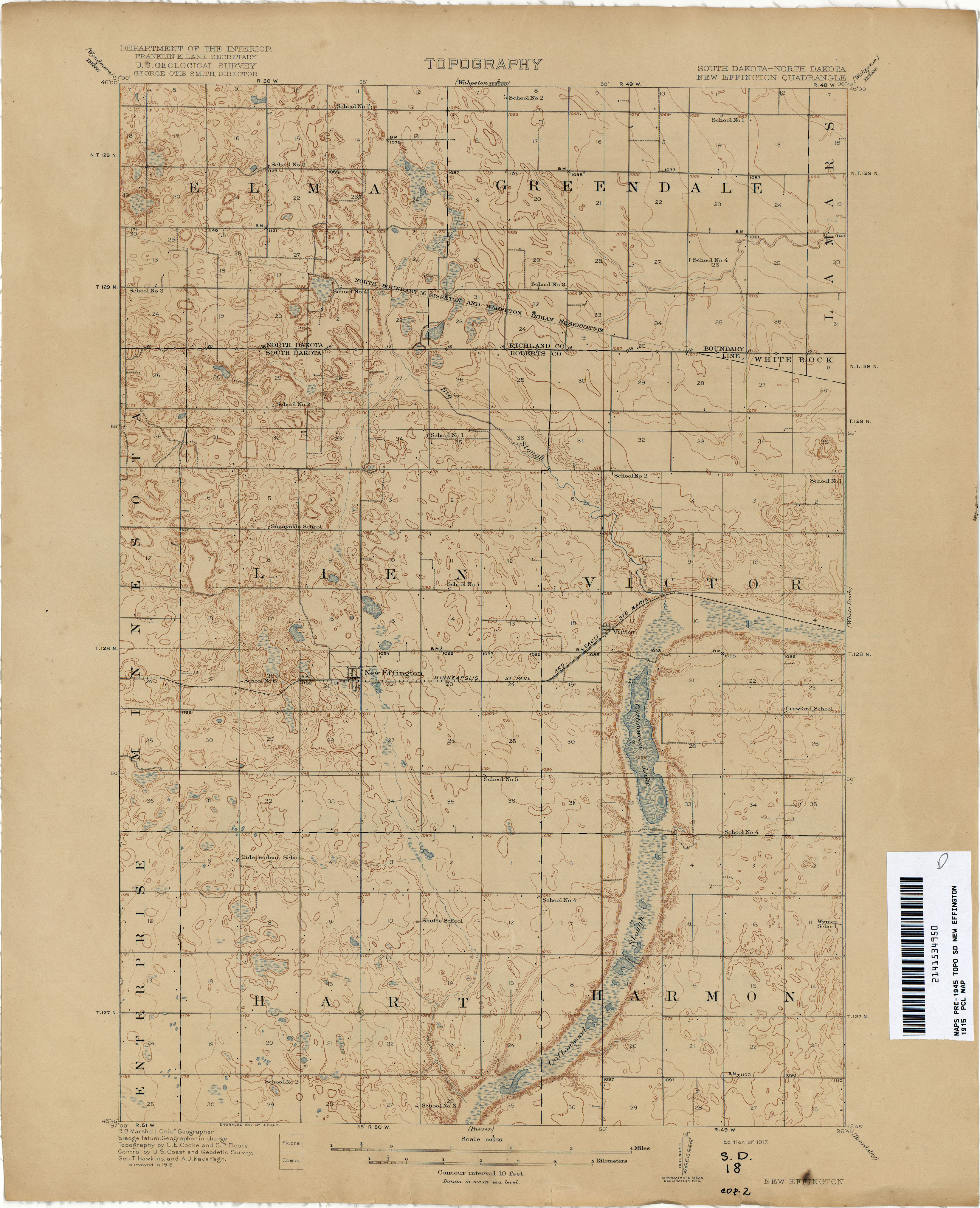
- New Effington [South Dakota, North Dakota] 1915 1:62,500 (2.9MB)
- Newell 1910 1:125,000 (3.9MB)
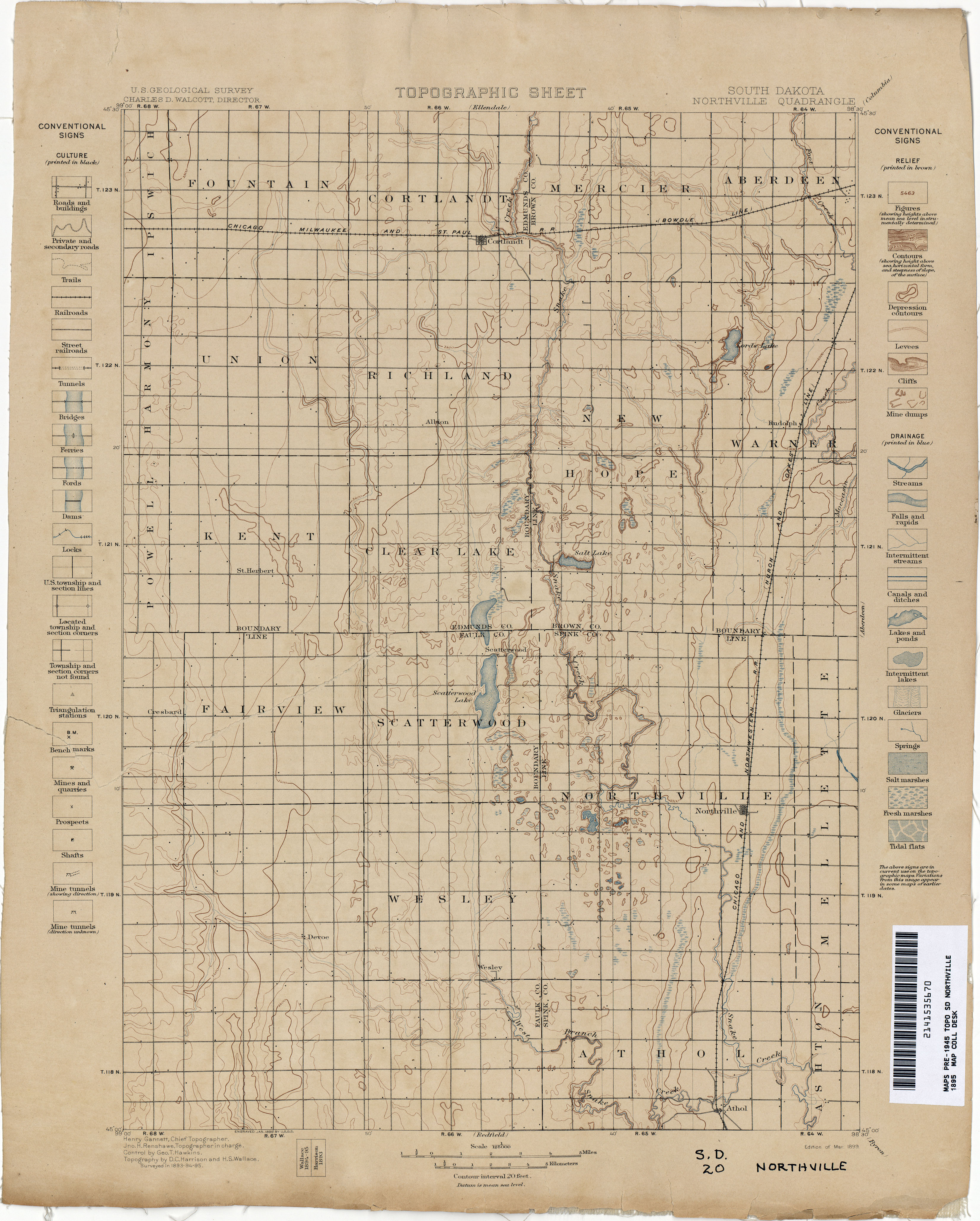
- Northville 1895 1:125,000 (2.9MB)
- Oahe 1934 1:62,500 (5.3MB)
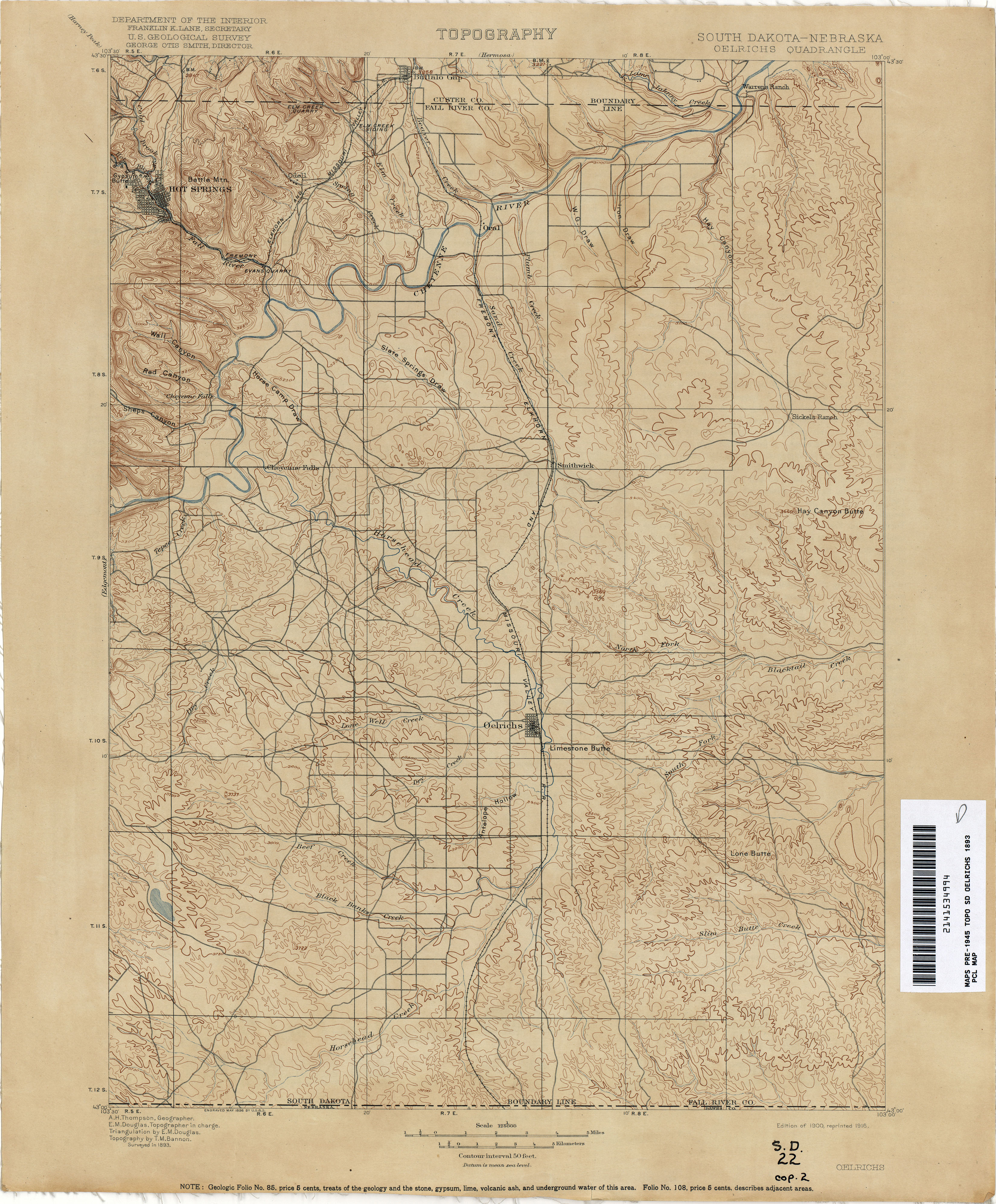
- Oelrichs [South Dakota, Nebraska] 1893 1:125,000 (3.5MB)
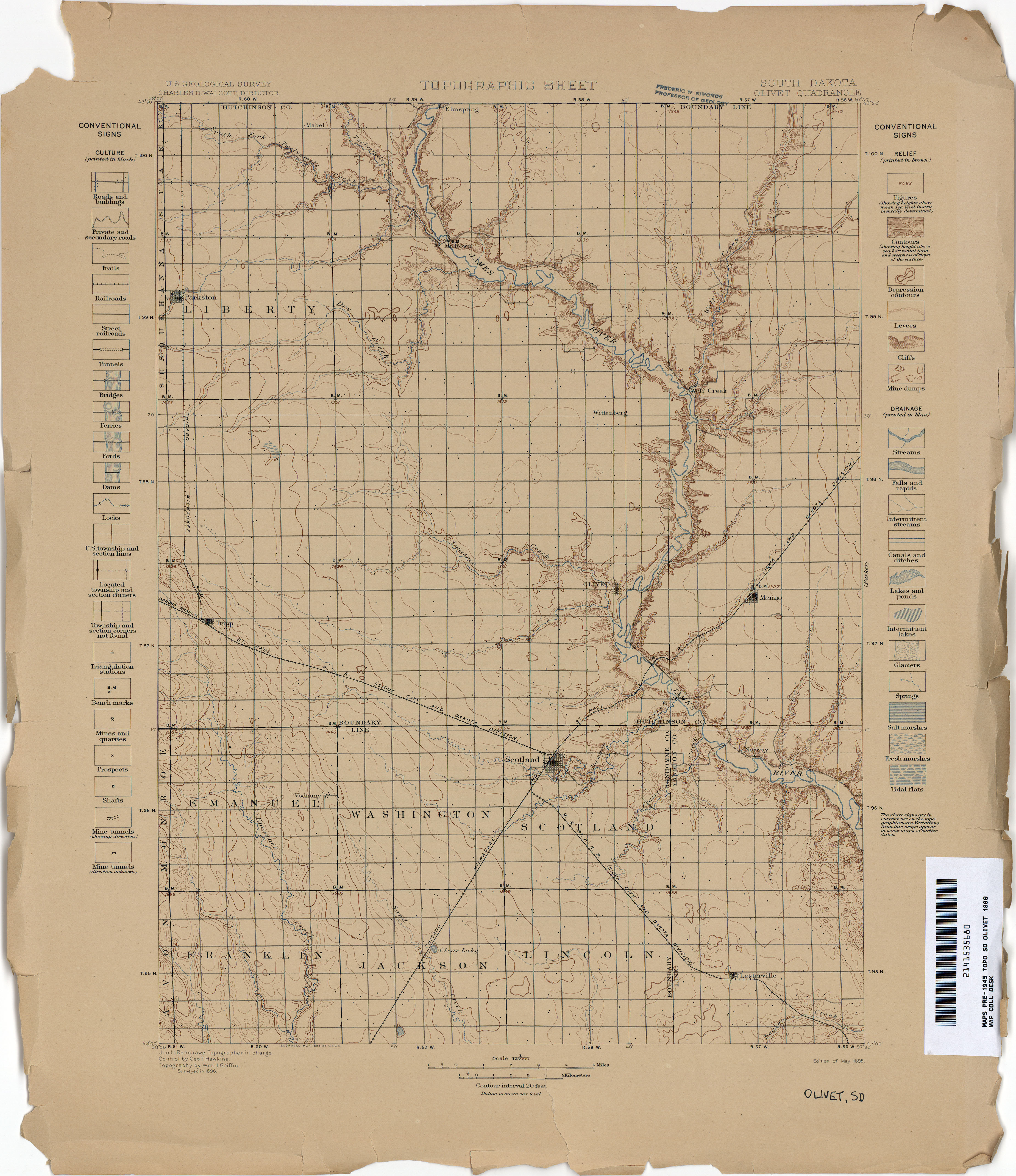
- Olivet 1896 1:125,000 (3.2MB)
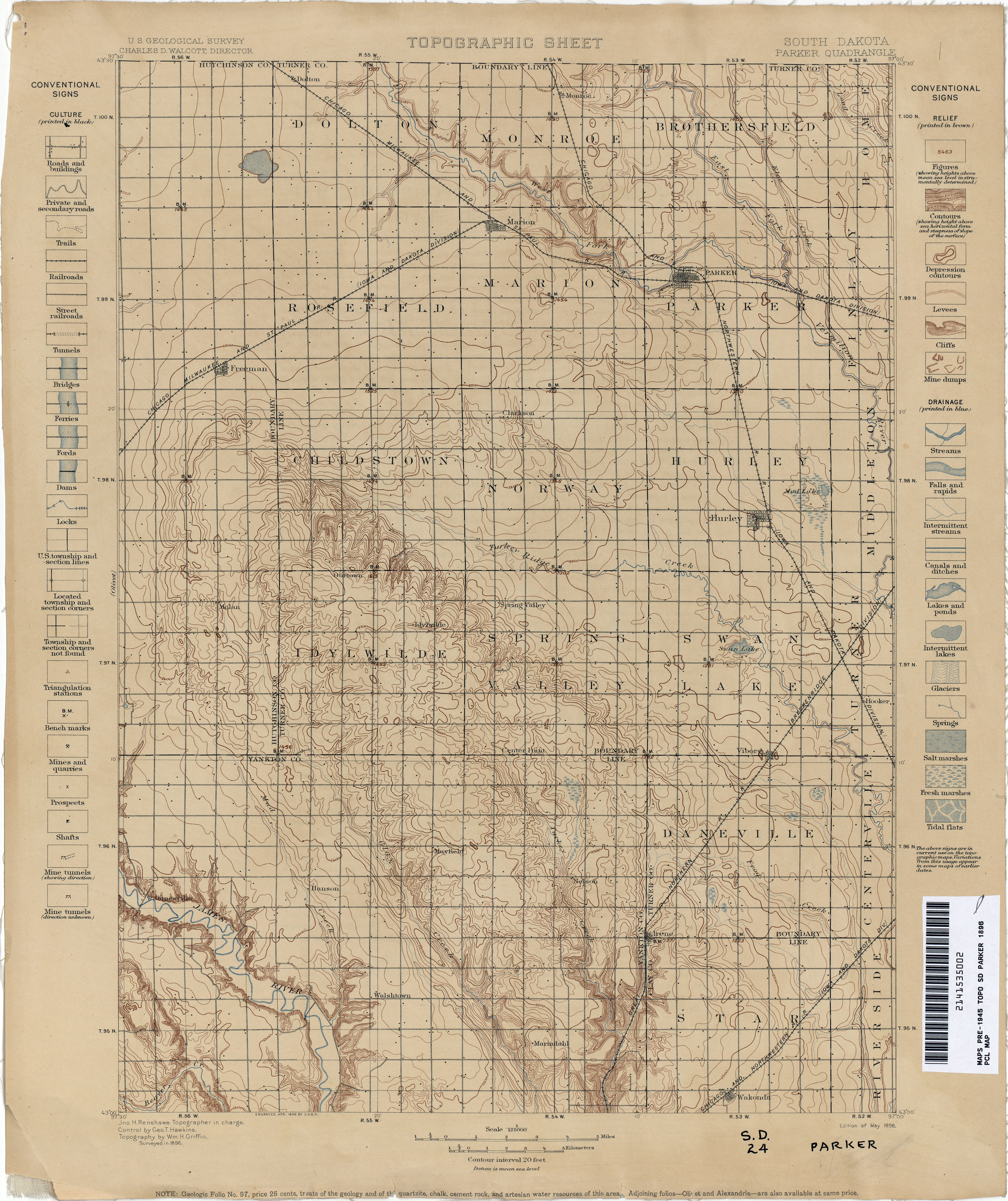
- Parker 1896 1:125,000 (3.4MB)
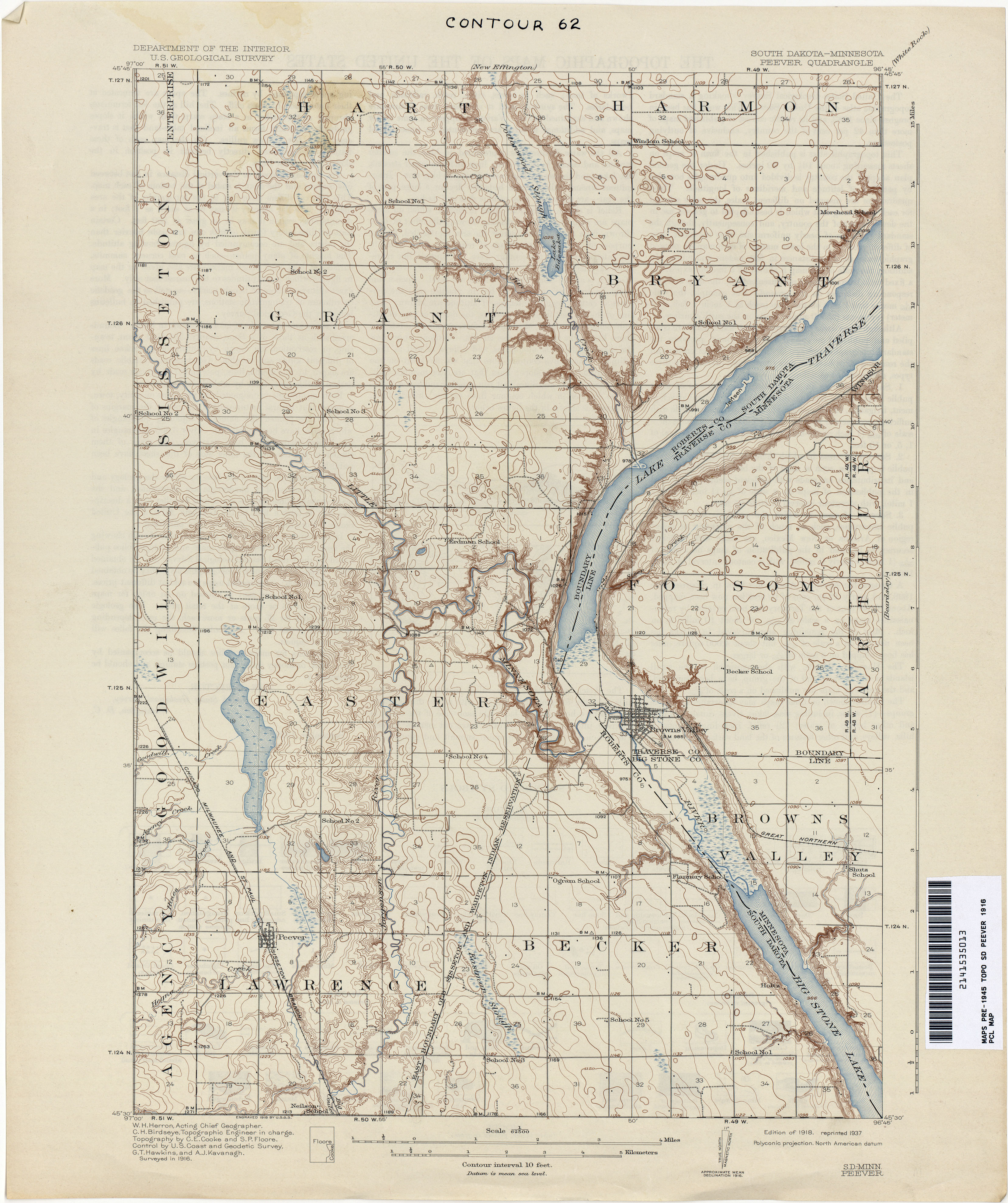
- Peever [South Dakota, Minnesota] 1916 1:62,500 (3.6MB)
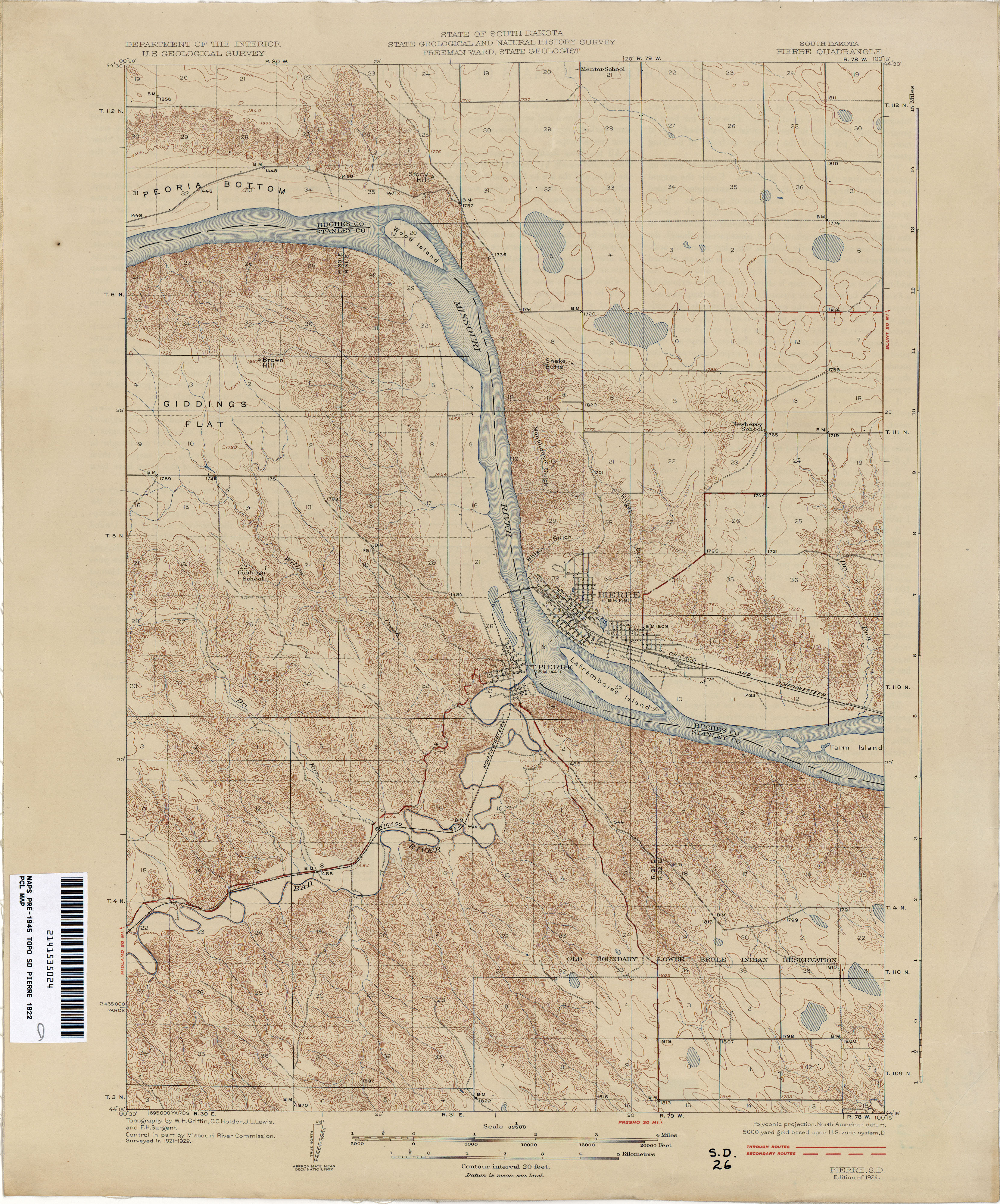
- Pierre 1922 1:62,500 (4.1MB)
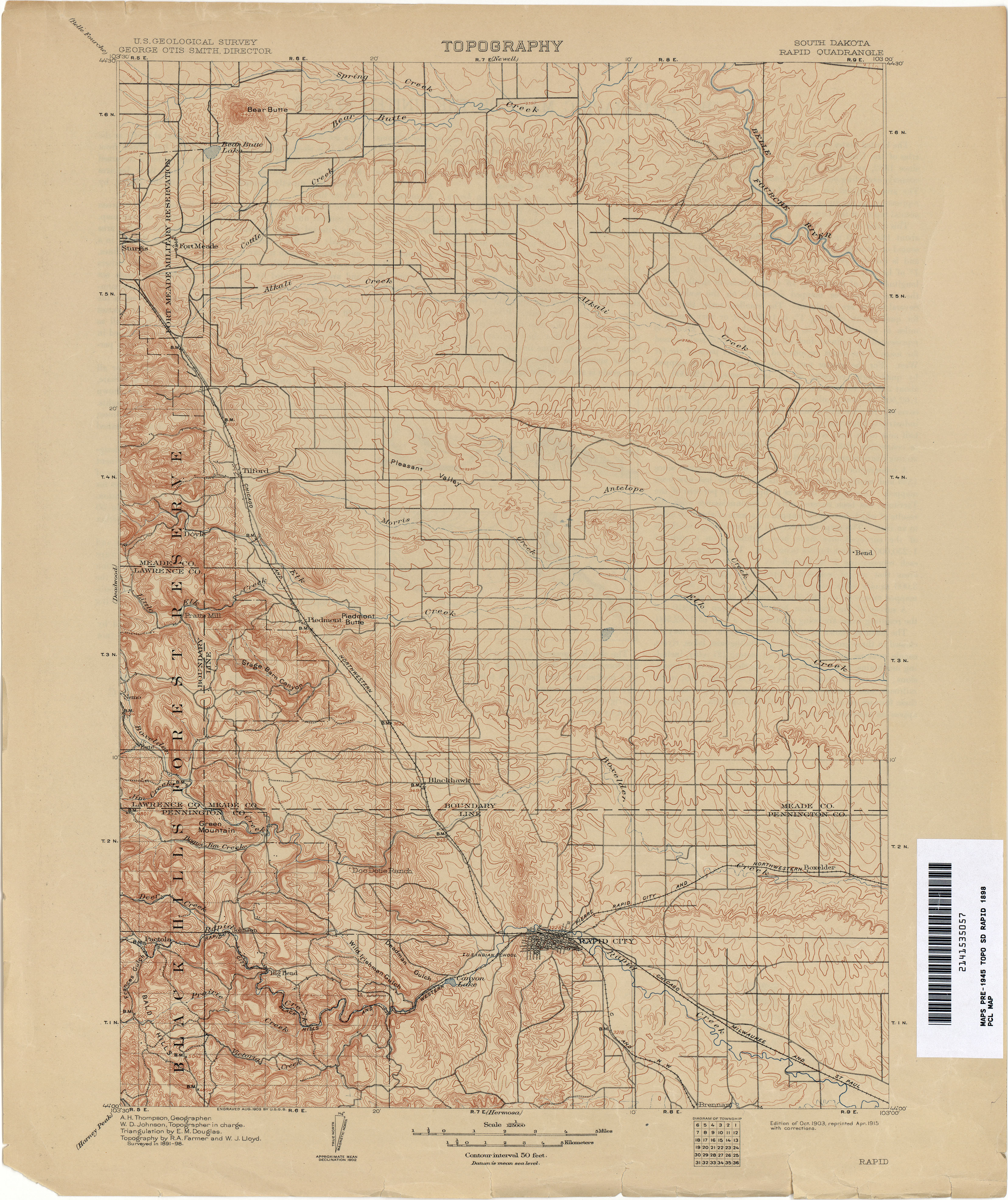
- Rapid 1898 1:125,000 (3.8MB) [Rapid City]
- Redfield 1895 1:125,000 (3.4MB)
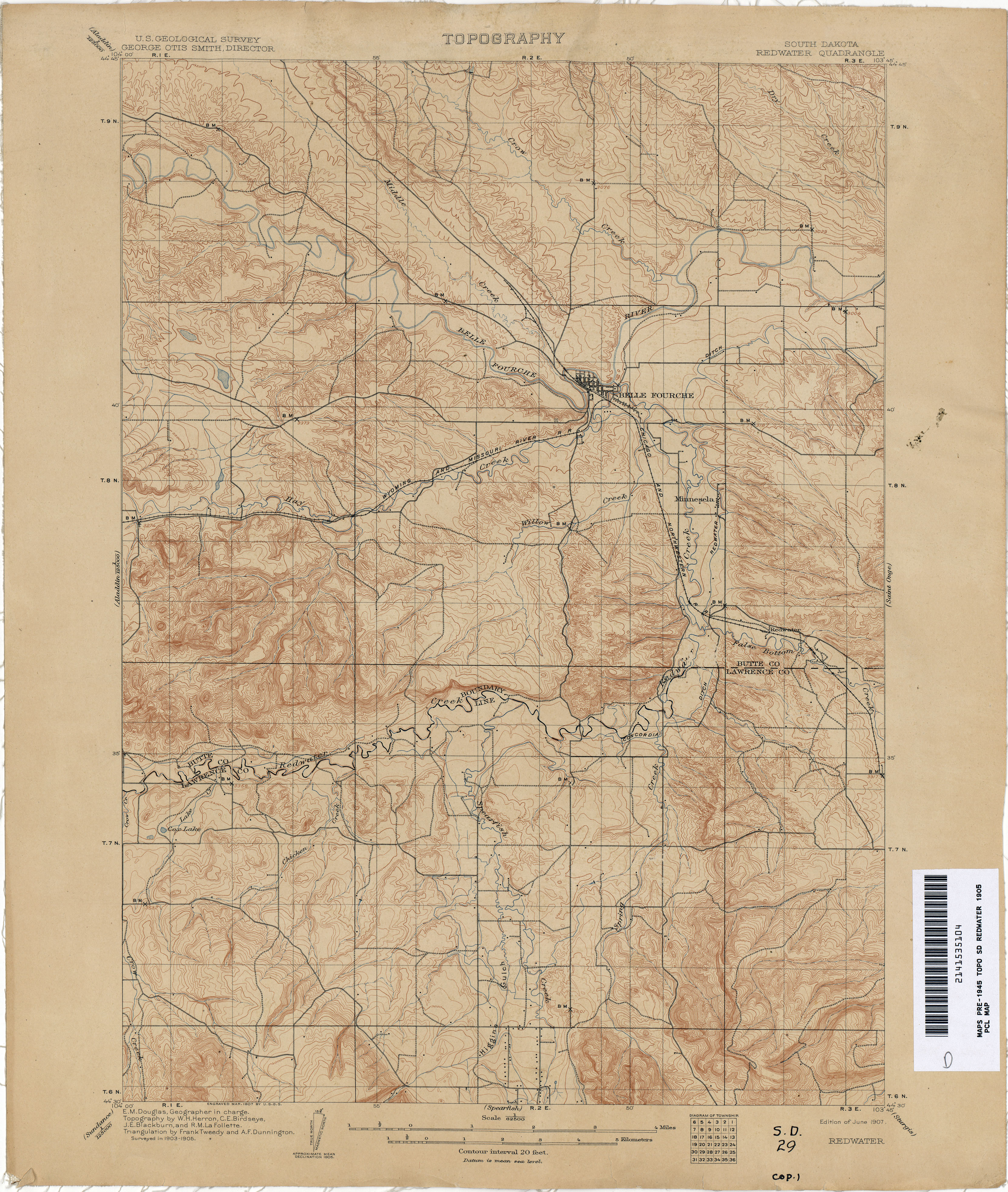
- Redwater 1905 1:62,500 (4.0MB)
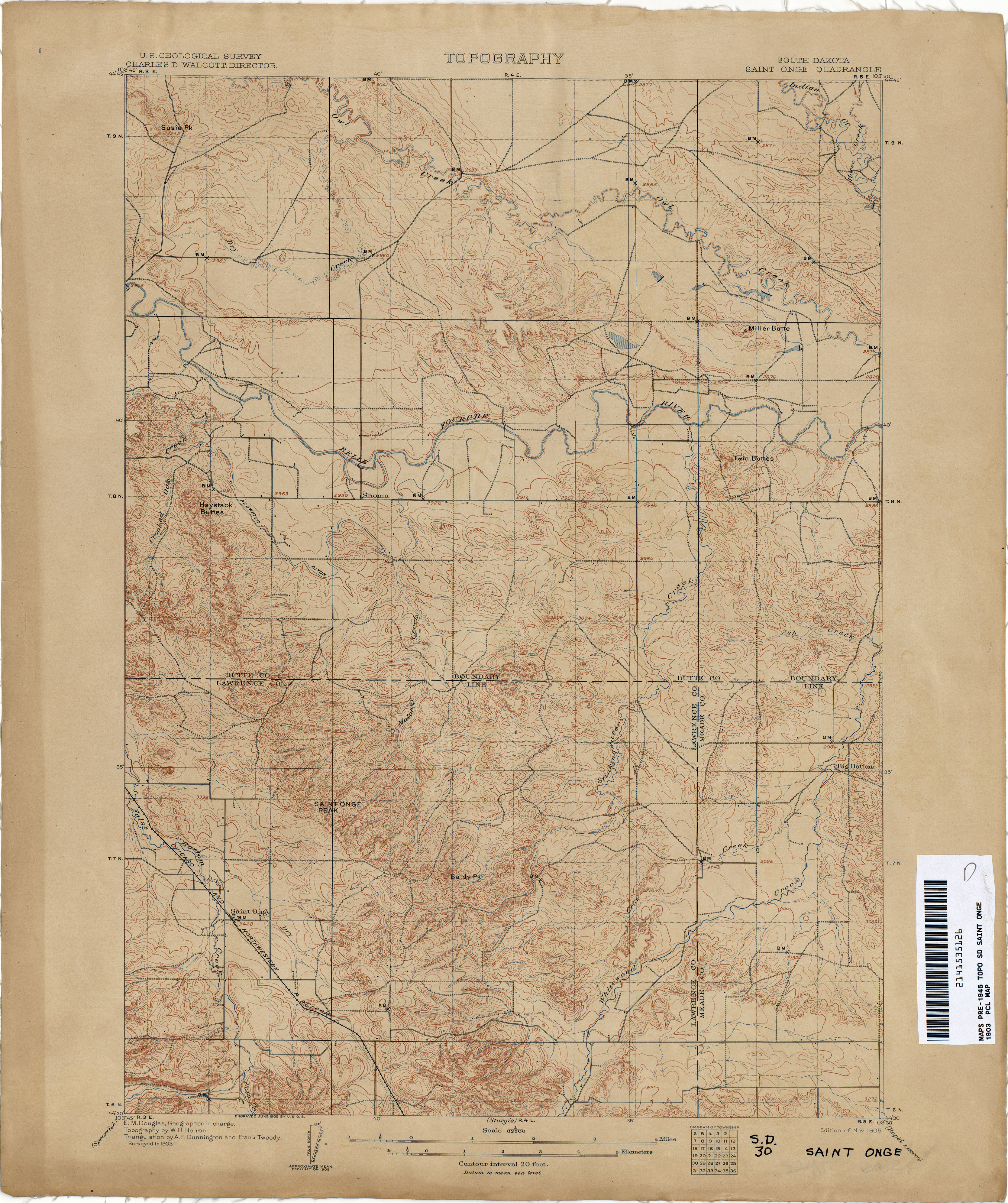
- Saint Onge 1903 1:62,500 (3.9MB)
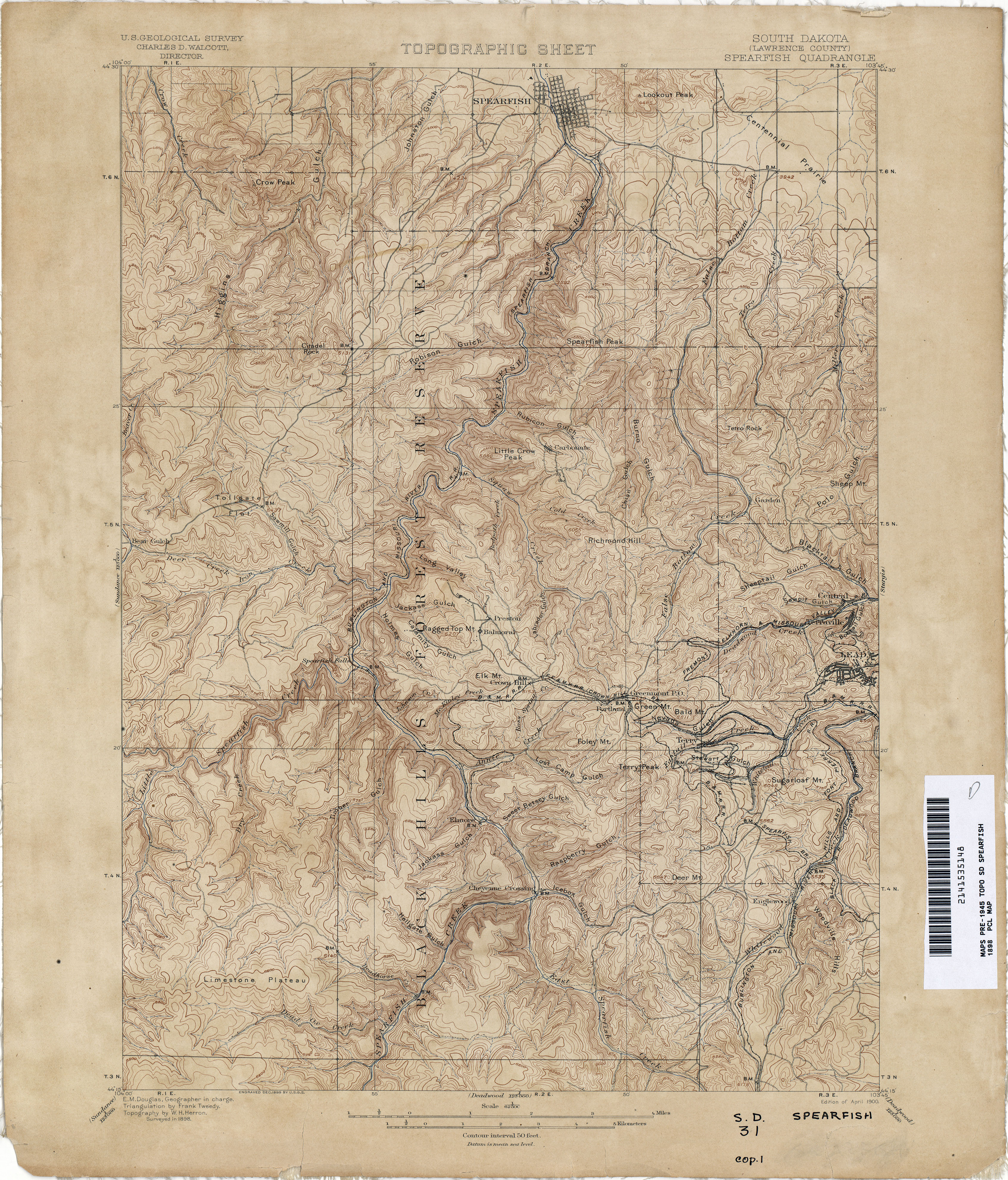
- Spearfish 1898 1:62,500 (4.9MB)
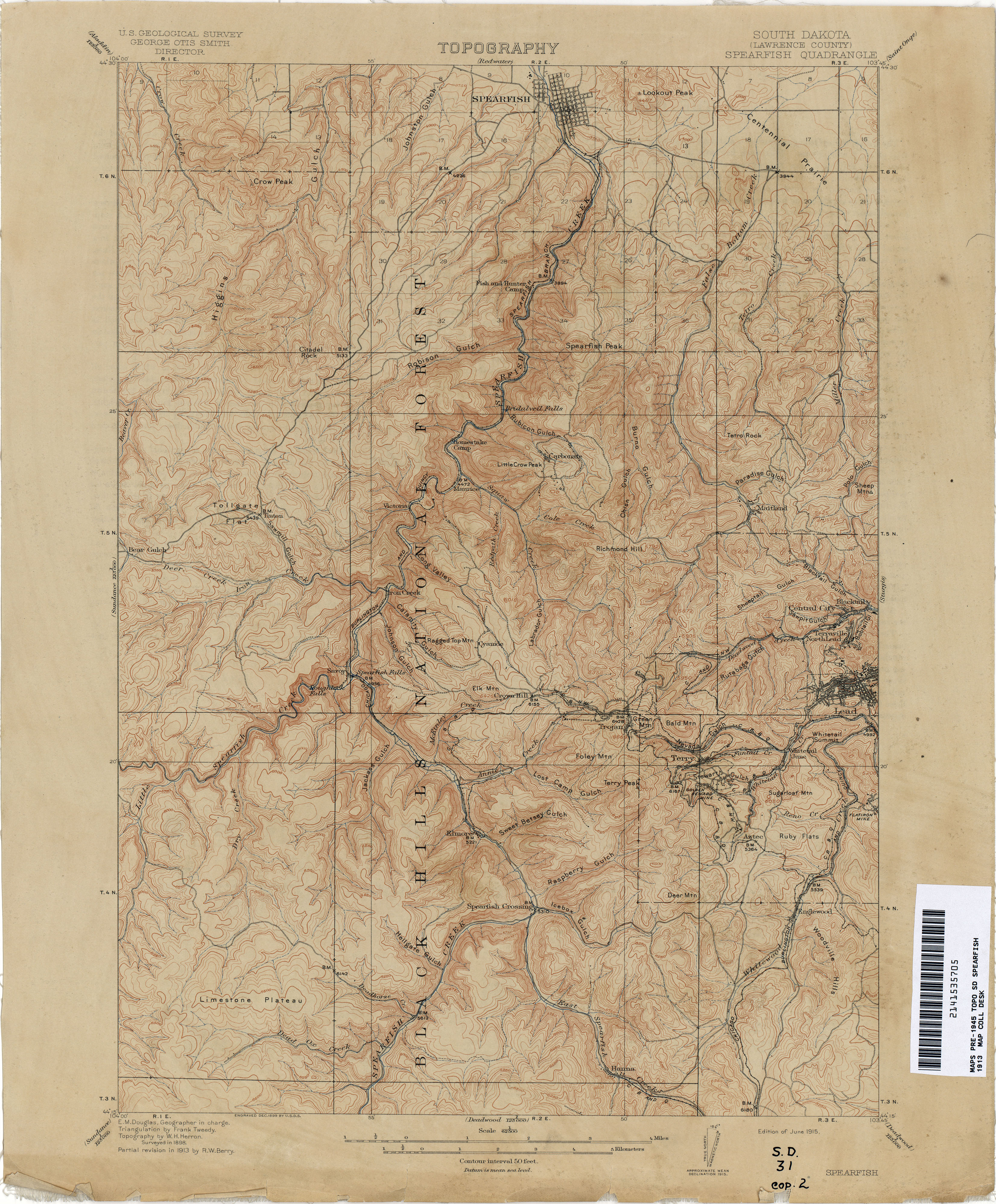
- Spearfish 1913 1:62,500 (4.1MB)
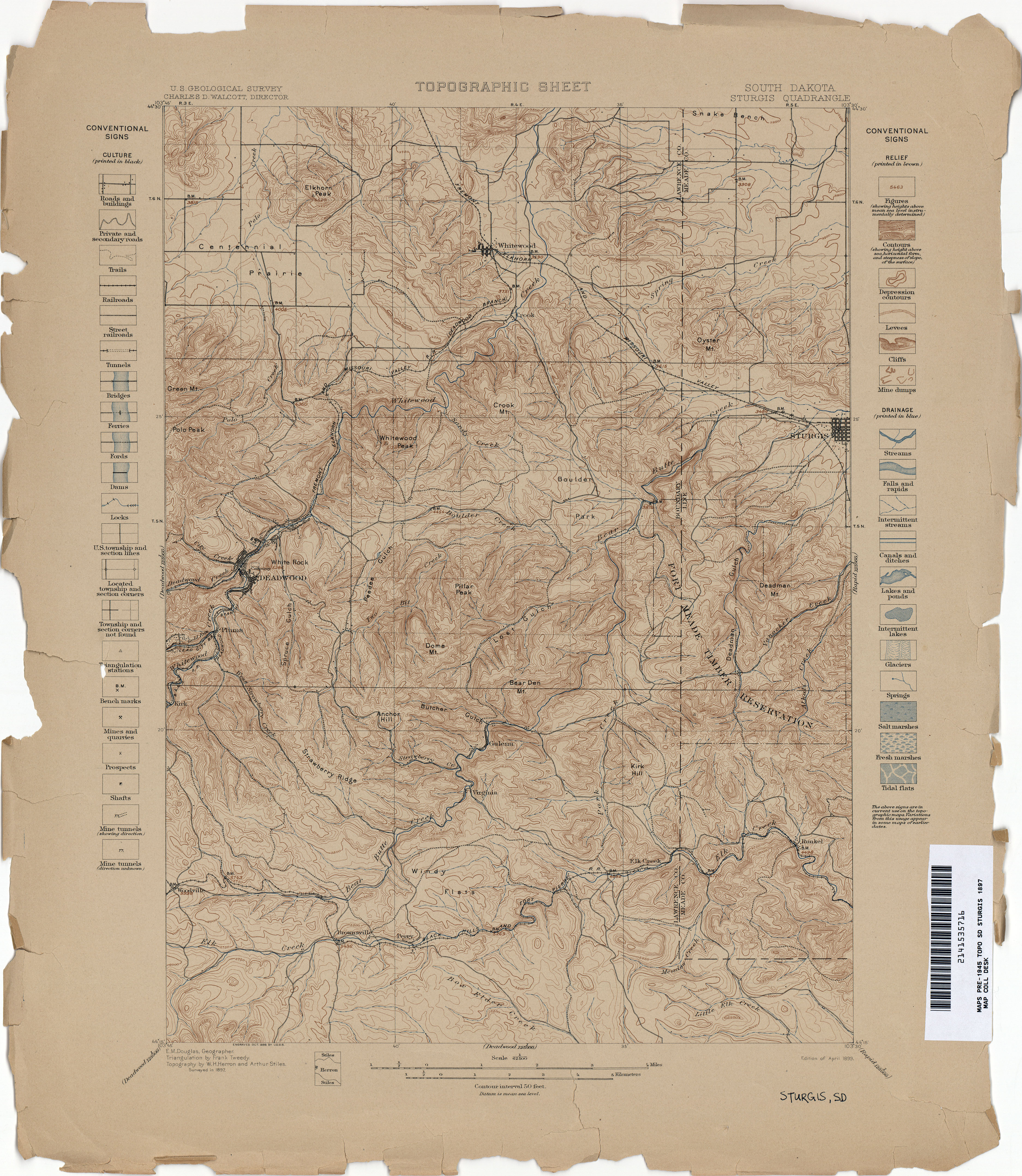
- Sturgis 1897 1:62,500 (4.8MB)
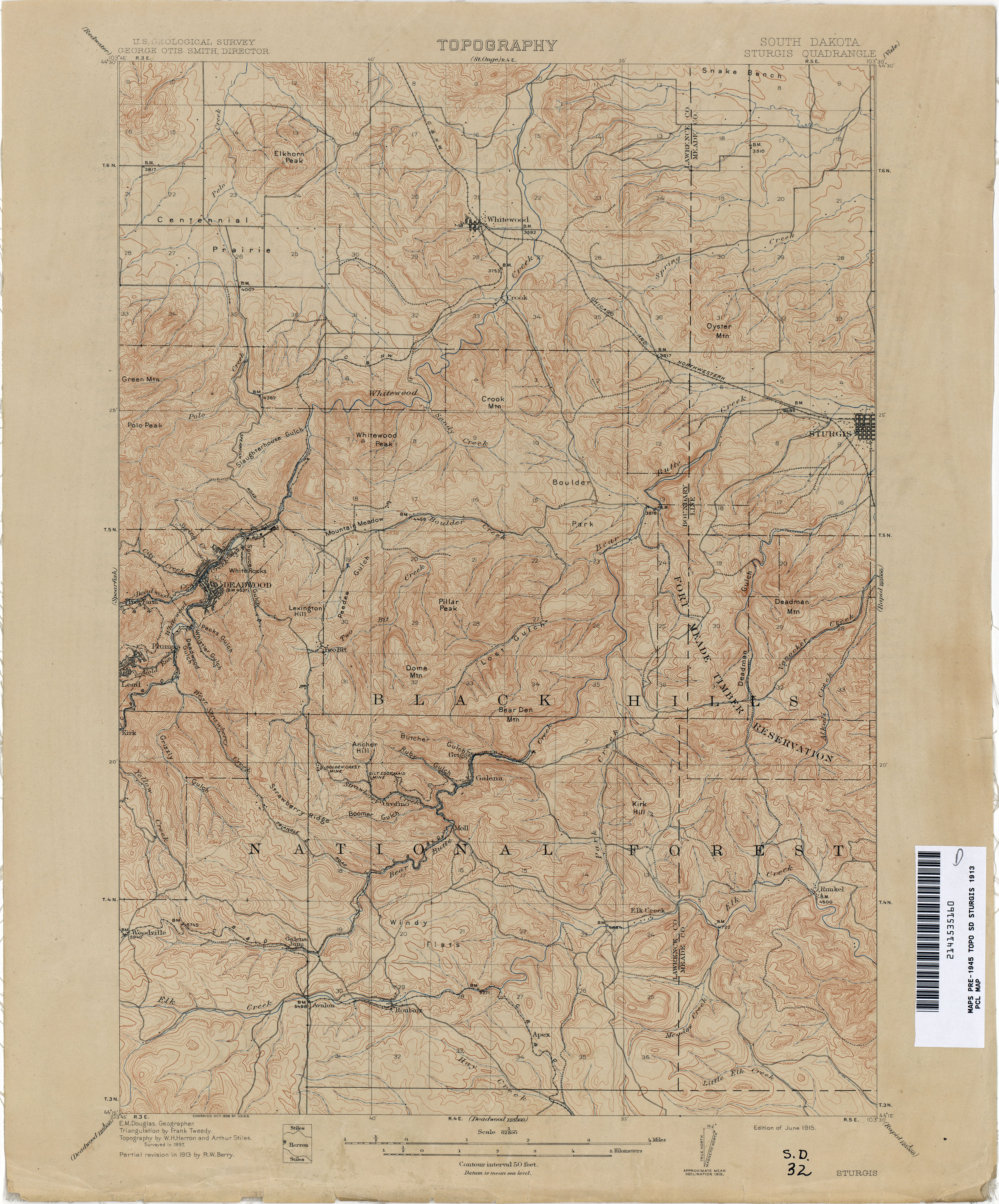
- Sturgis 1913 1:62,500 (4.1MB)
- Tinton [South Dakota, Wyoming] 1939 1:125,000 (3.3MB)
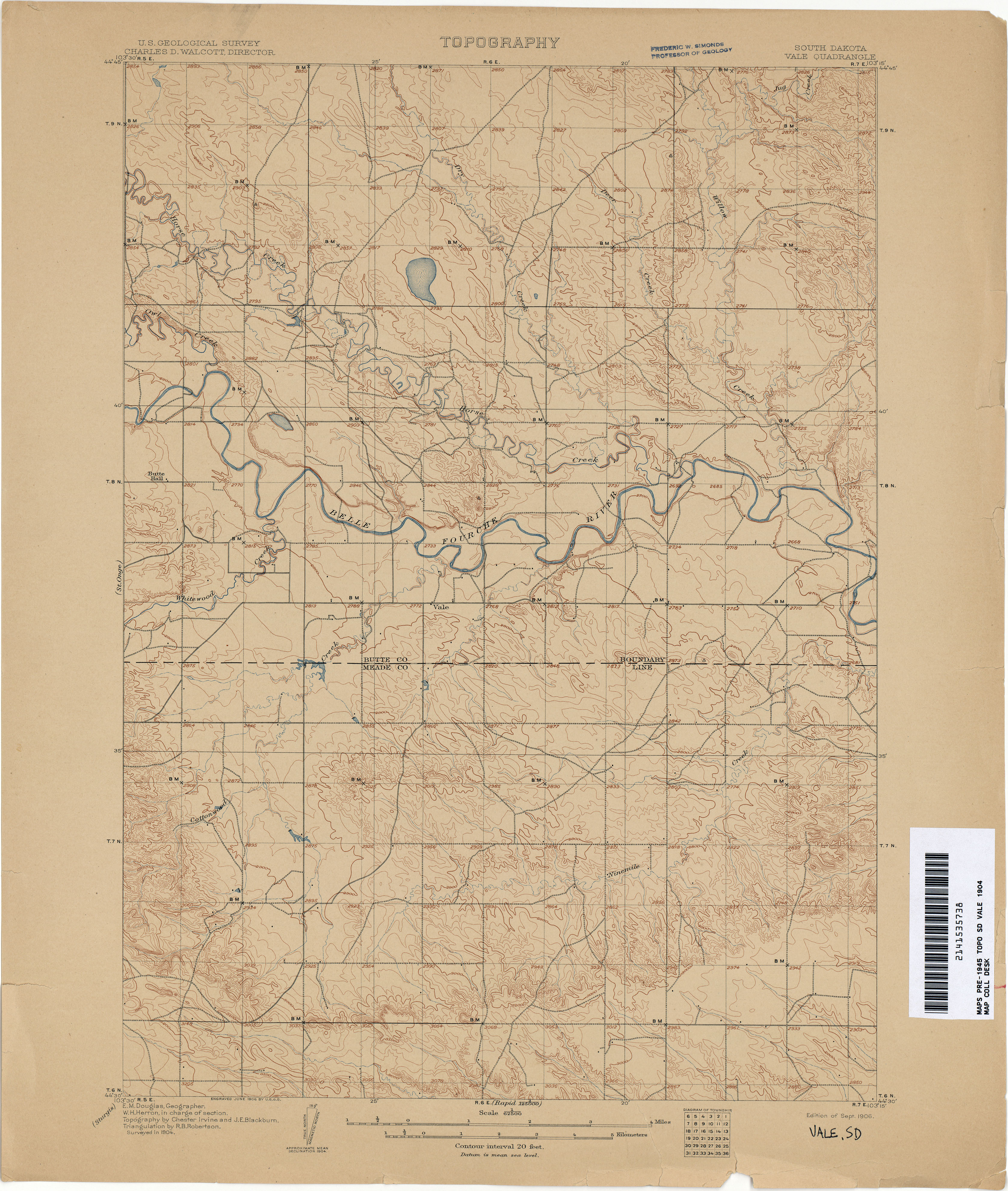
- Vale 1904 1:62,500 (3.3MB)
- White Rock [South Dakota, Minnesota, North Dakota] 1915 1:62,500 (3.1MB)
Return to the top