Maps
Maps FAQ

Map Room Guide
World
Africa
Americas
Asia
Australia/Pacific
Europe
Middle East
Polar/Oceans
Russia/Republics
U.S.
Texas
Historical
Thematic
Map Dealers
Other Map Sites
Map Sites
City Map Sites
Country Map Sites
Historical Map Sites
Outline Map Sites
Route Planning Sites
State Map Sites
Weather Map Sites
Perry-Castañeda Library
The following maps were published by the U.S. Geological Survey.
American Samoa
Maps FAQ
Map Room Guide
World
Africa
Americas
Asia
Australia/Pacific
Europe
Middle East
Polar/Oceans
Russia/Republics
U.S.
Texas
Historical
Thematic
Map Dealers
Other Map Sites
Map Sites
City Map Sites
Country Map Sites
Historical Map Sites
Outline Map Sites
Route Planning Sites
State Map Sites
Weather Map Sites
Perry-Castañeda Library
Map Collection
Pacific Islands Topographic Maps
The following maps were published by the U.S. Geological Survey.
American Samoa
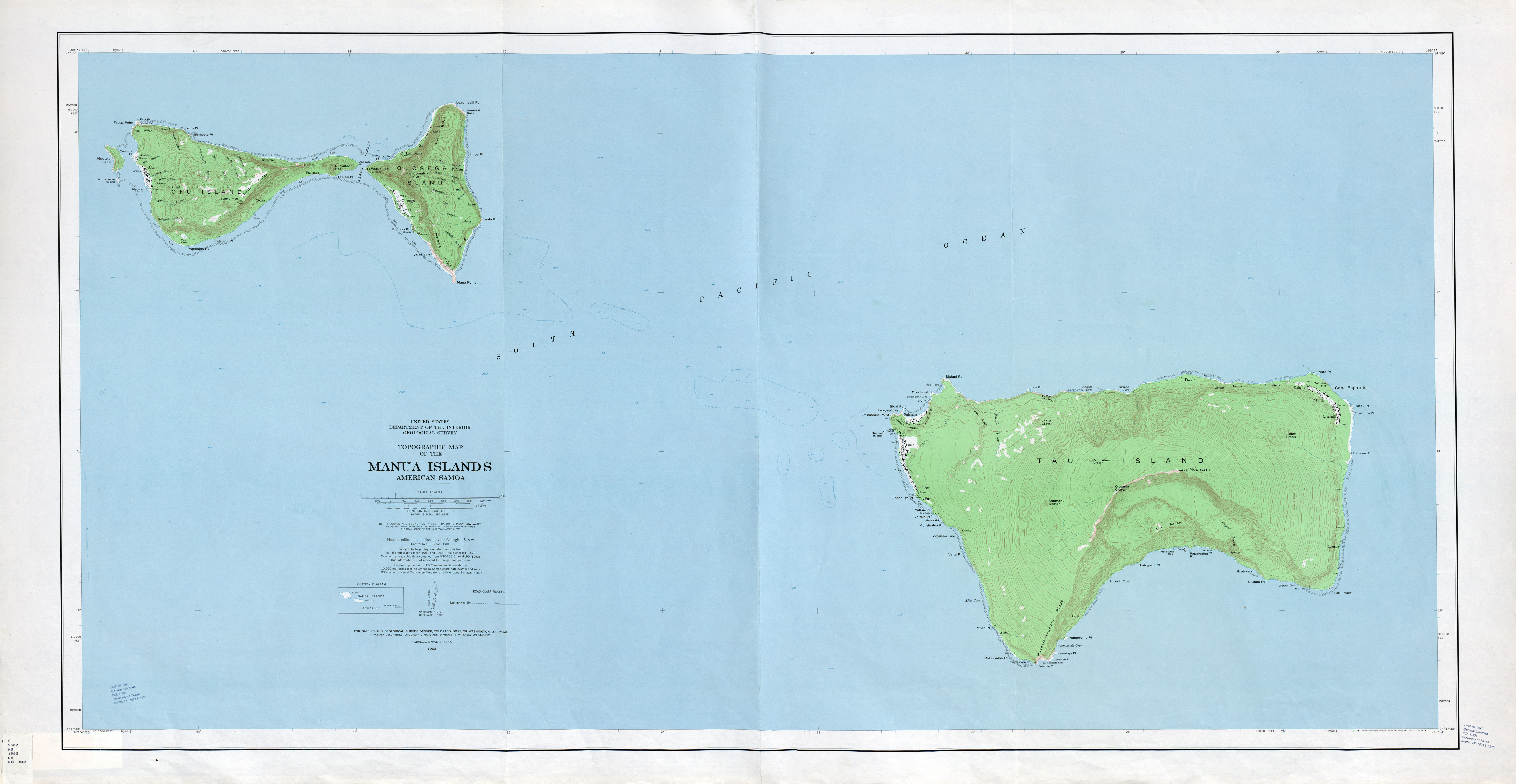
- Manua Islands American Samoa 1:24,000 1963 (3.6MB)
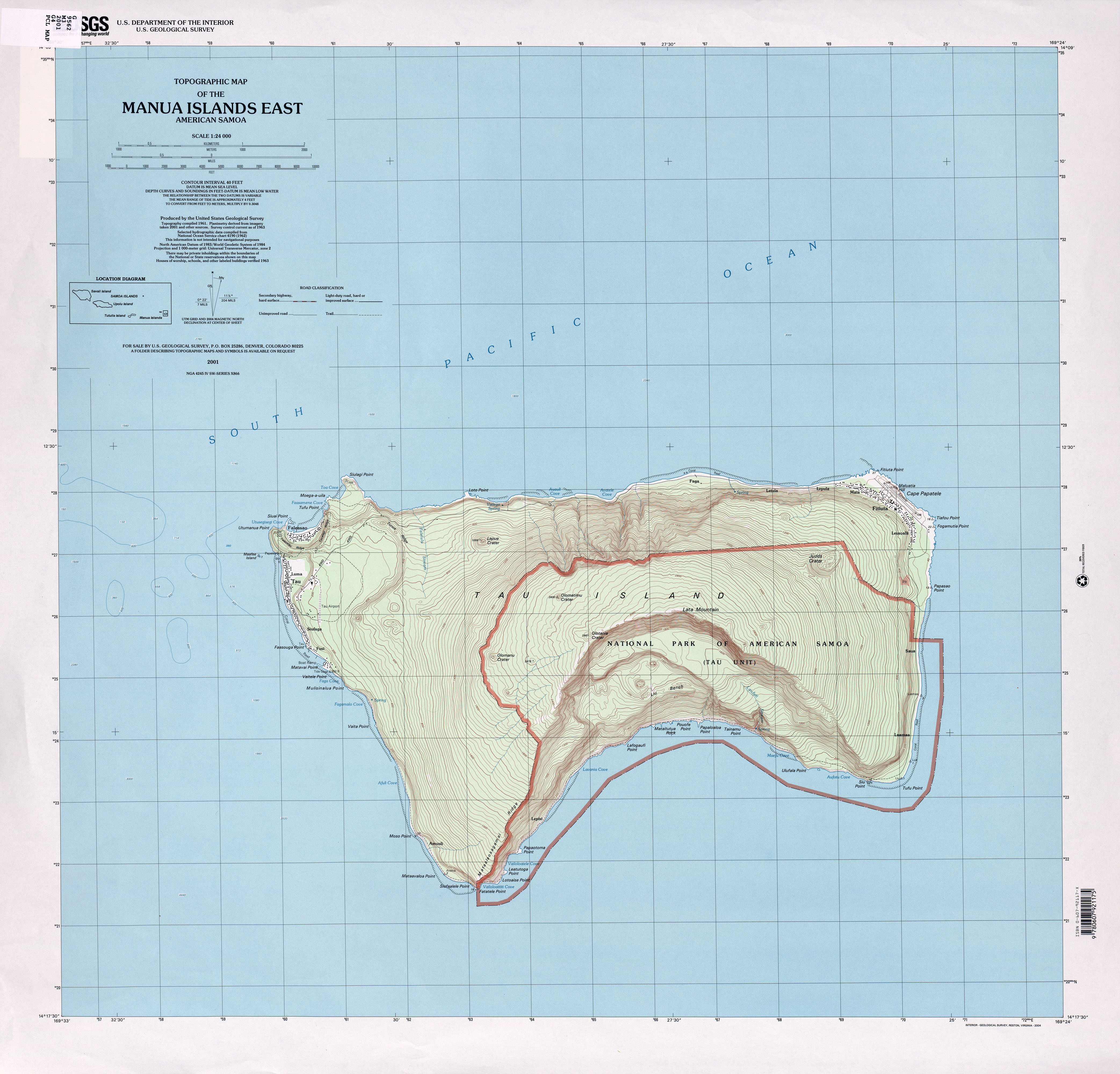
- Manua Islands East American Samoa 1:24,000 2001 (2.8MB)
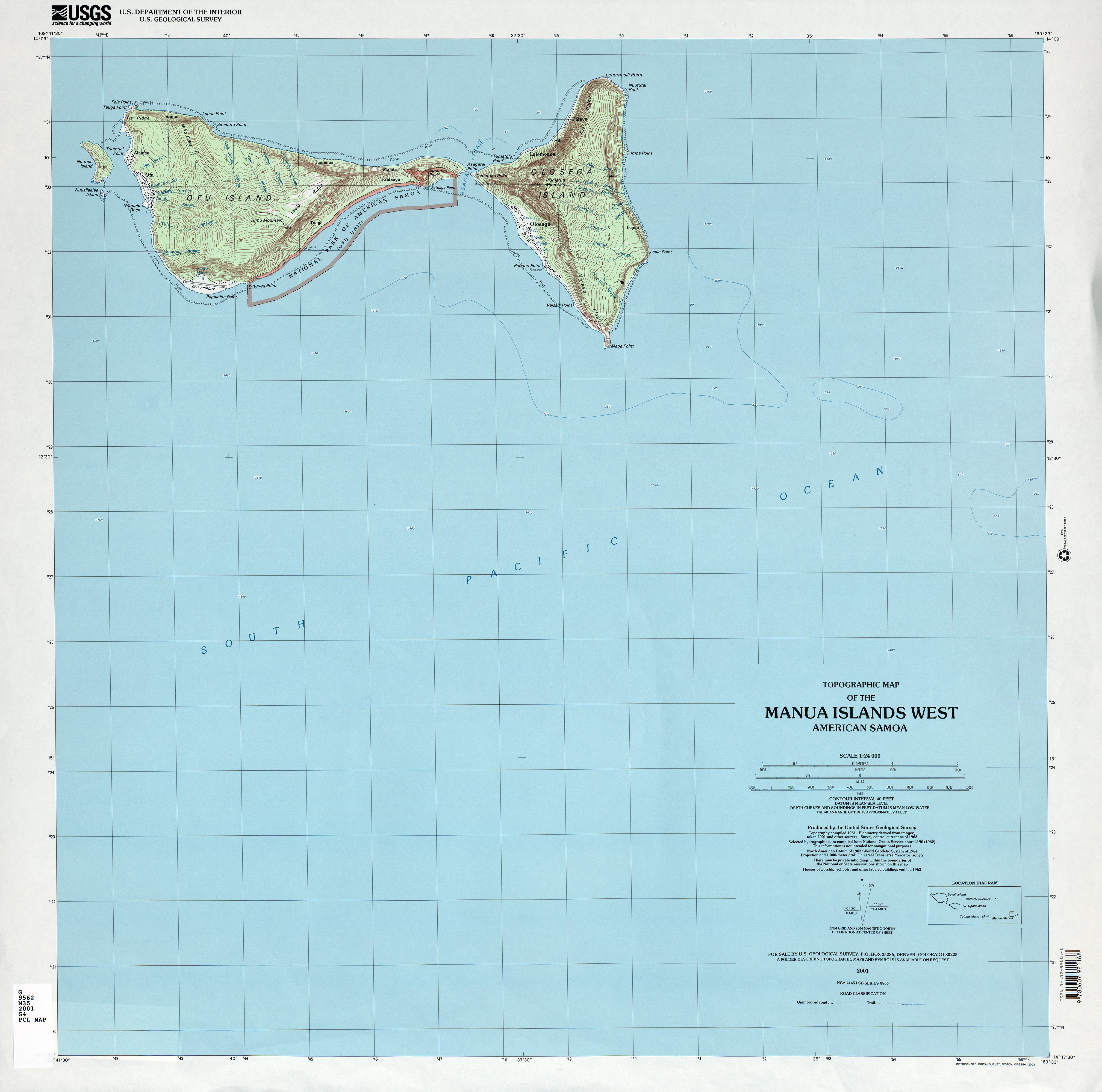
- Manua Islands West American Samoa 1:24,000 2001 (2.2MB)
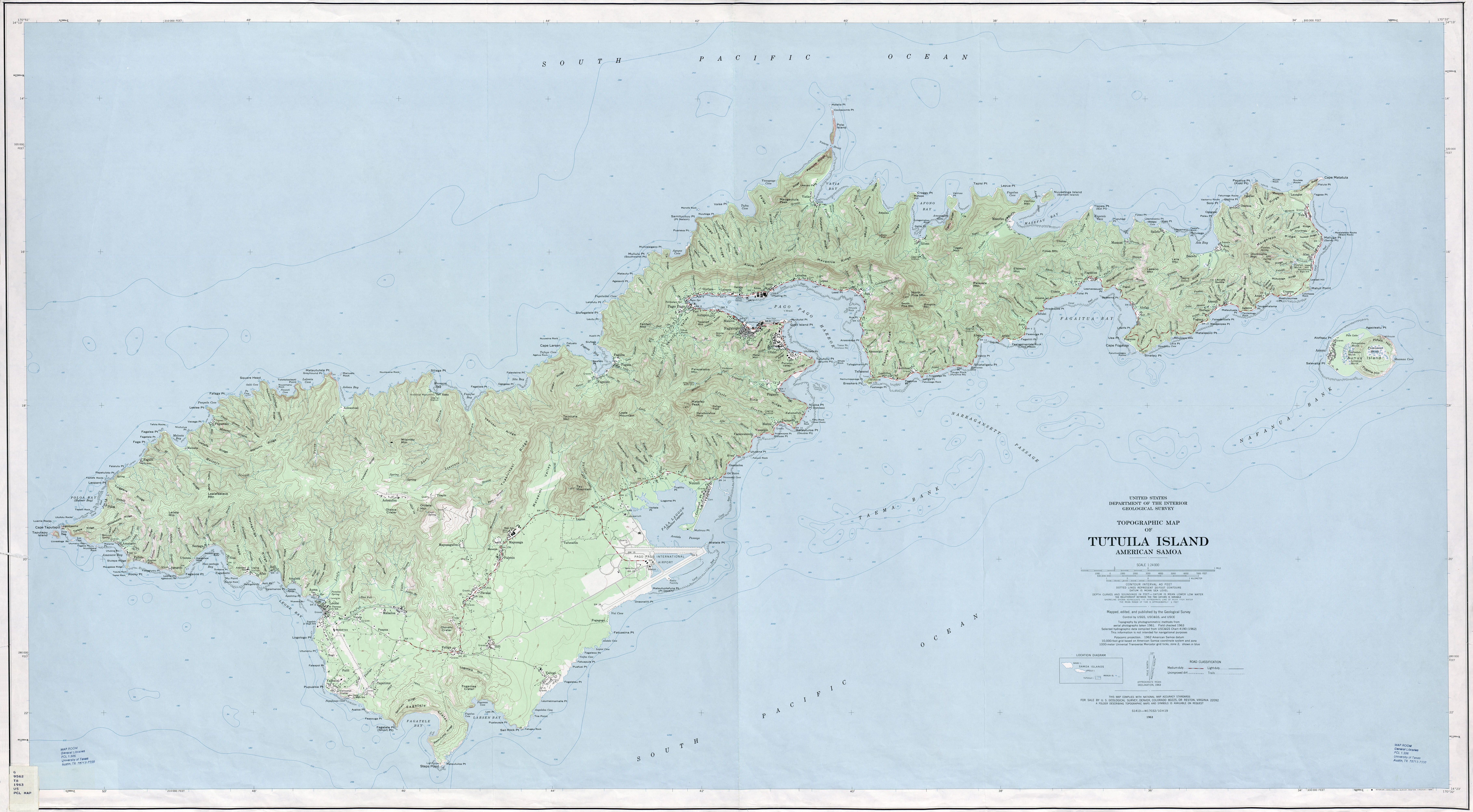
- Tutuila Island American Samoa 1:24,000 1963 (4.9MB)
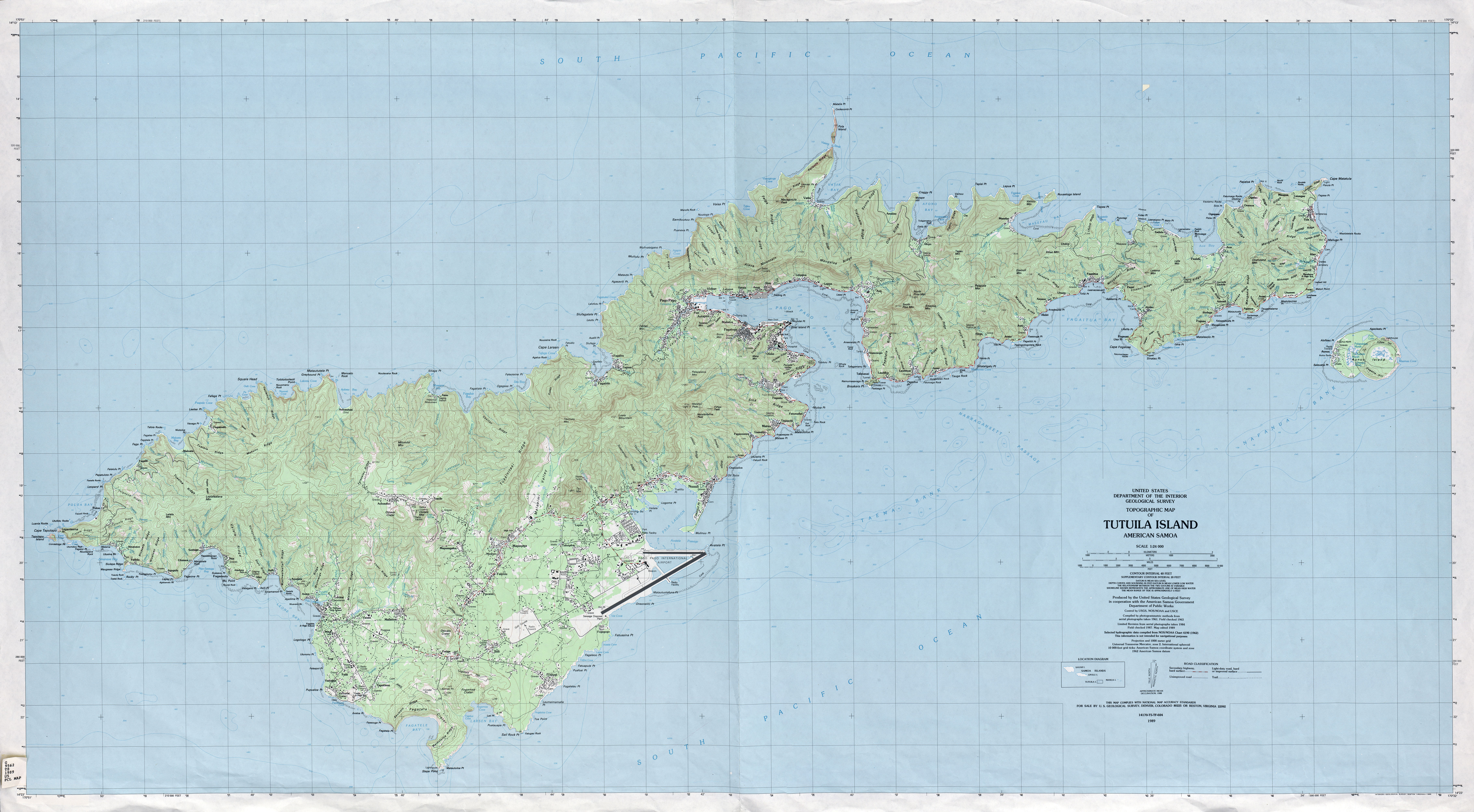
- Tutuila Island American Samoa 1:24,000 1989 (5.4MB)
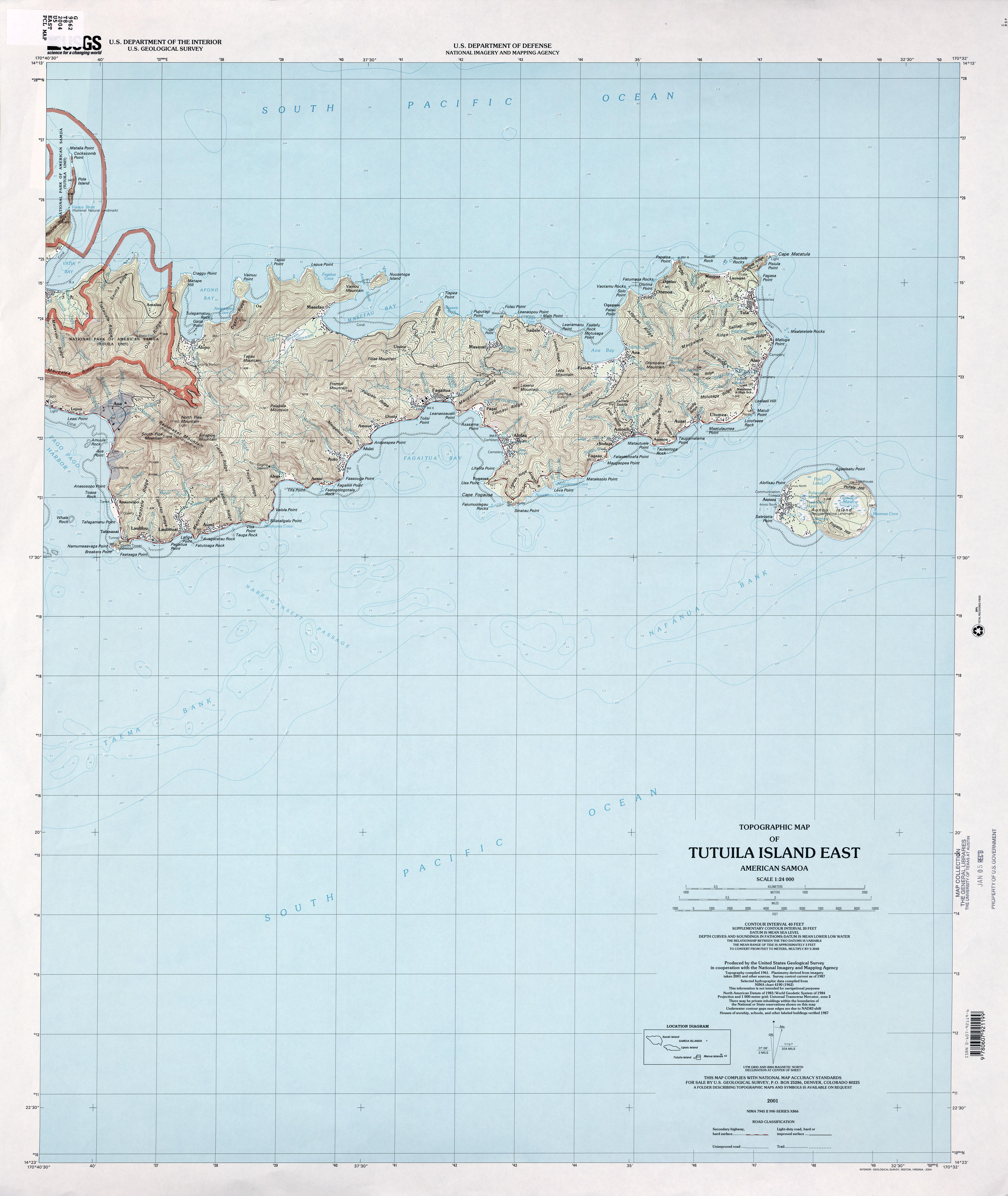
- Tutuila Island East American Samoa 1:24,000 2001 (2.5MB)
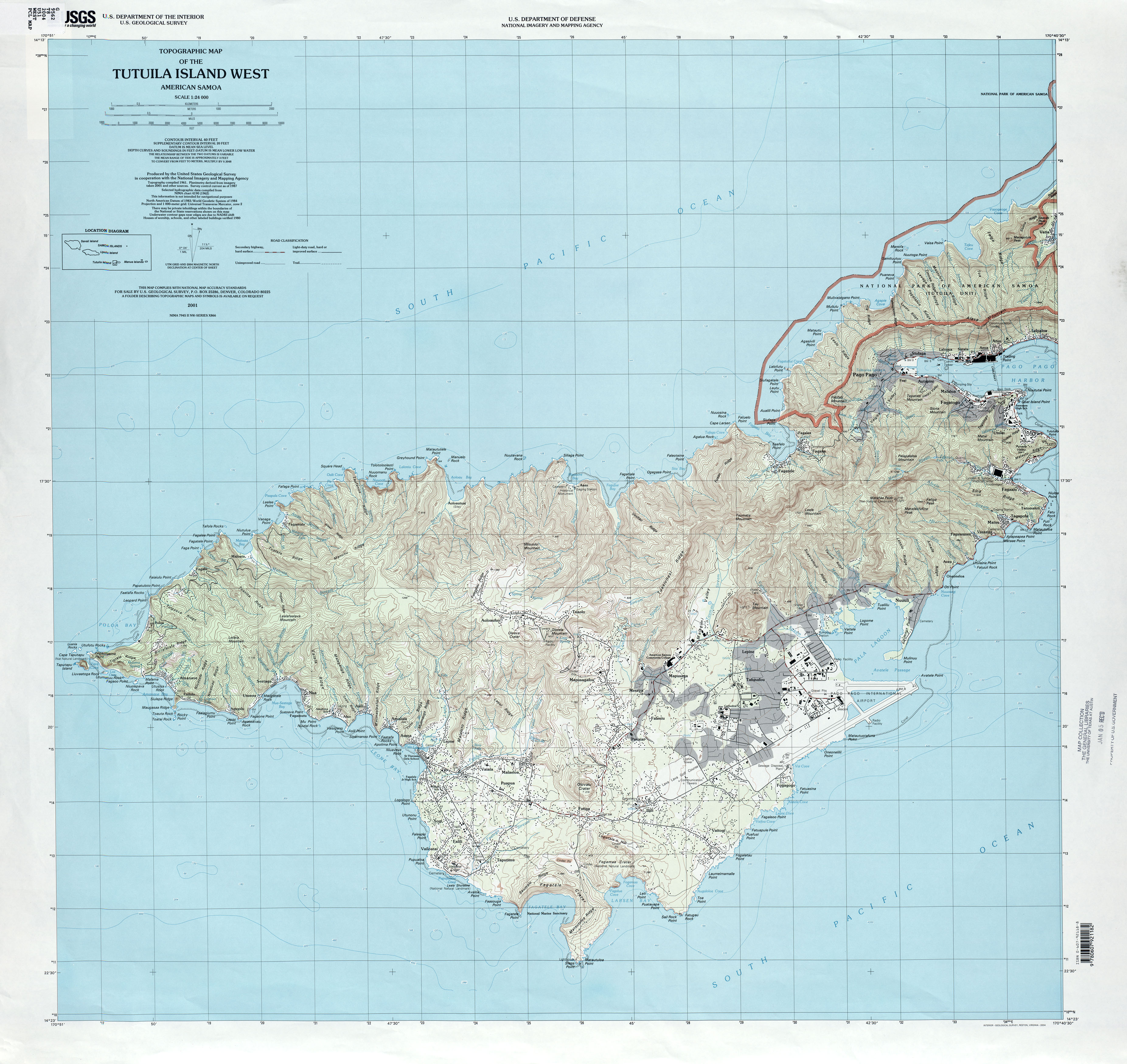
- Tutuila Island West American Samoa 1:24,000 2001 (2.9MB)
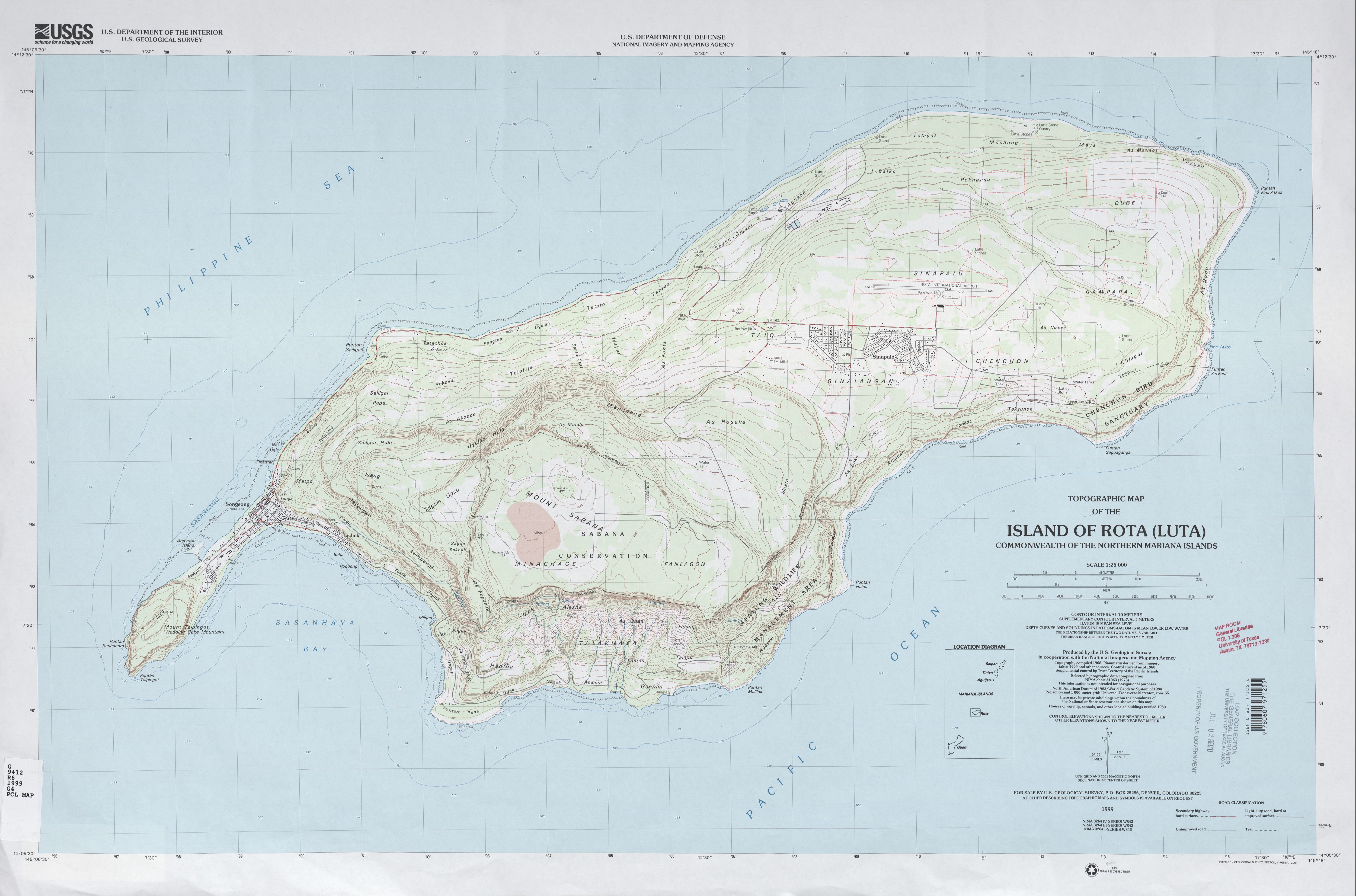
- Island of Rota (Luta) Commonwealth of the Northern Mariana Islands 1:25,000 1999 (2.1 MB)
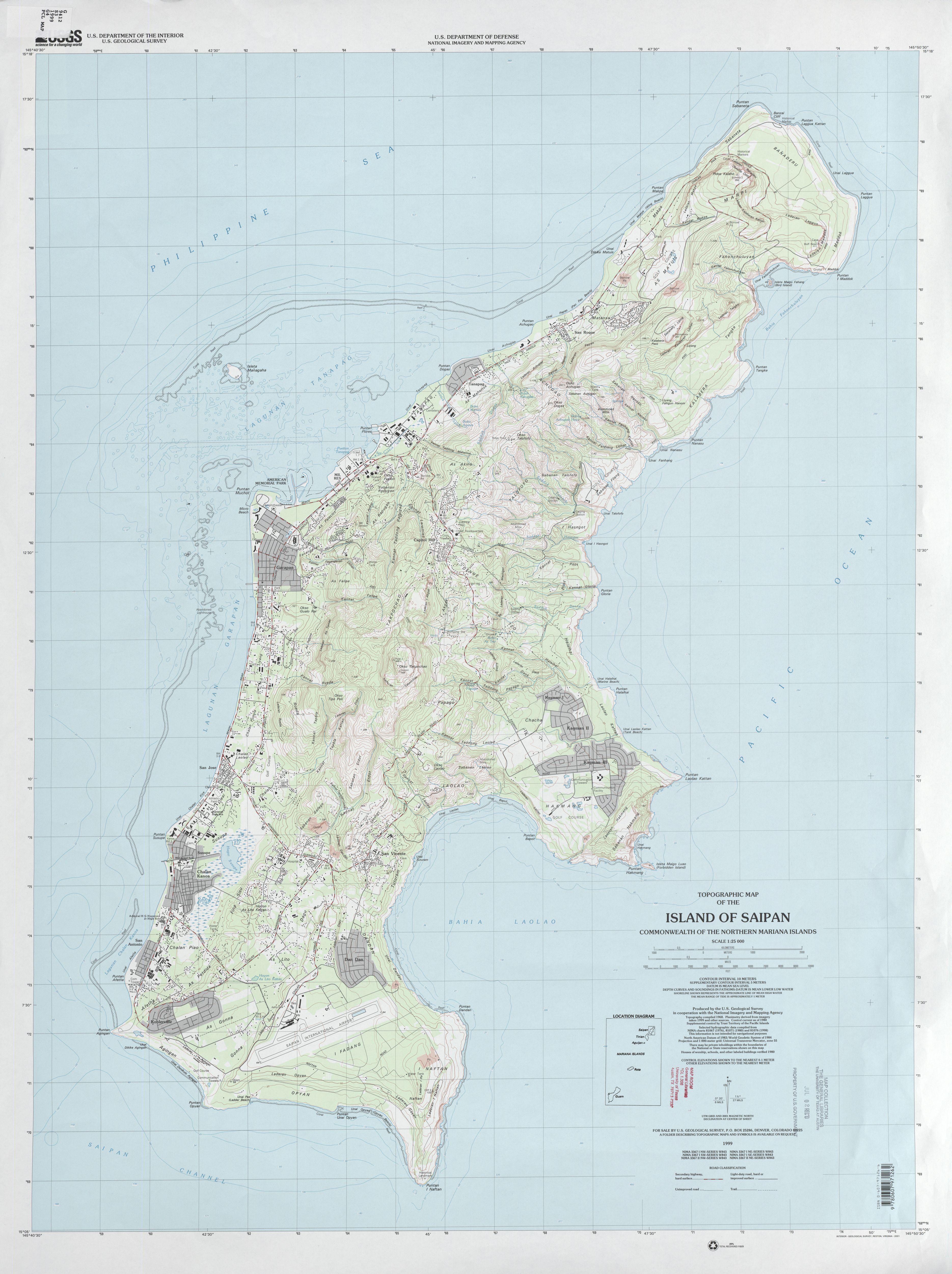
- Island of Saipan Commonwealth of the Northern Mariana Islands 1:25,000 1999 (2.5 MB)
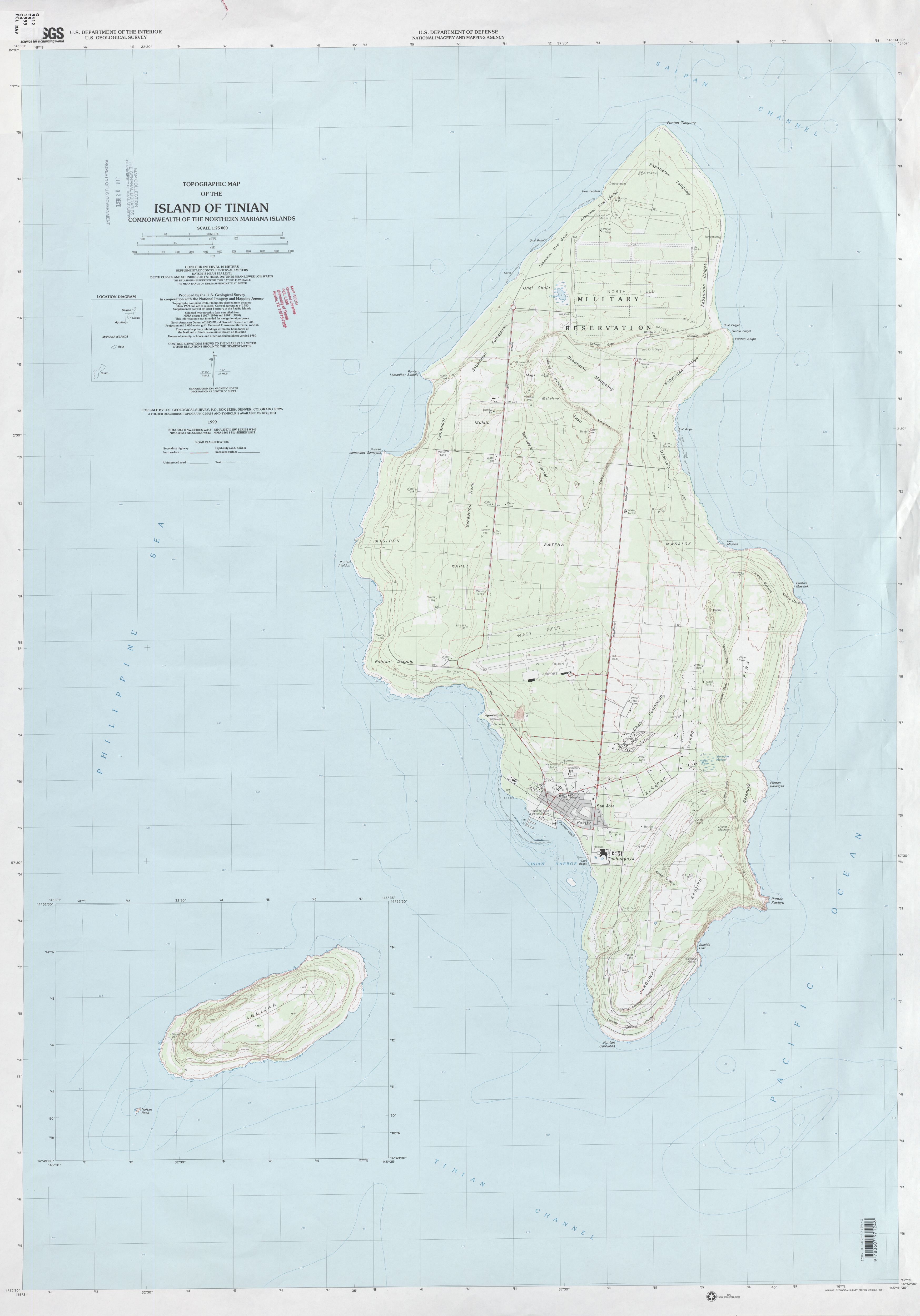
- Island of Tinian Commonwealth of the Northern Mariana Islands 1:25,000 1999 (1.7 MB)
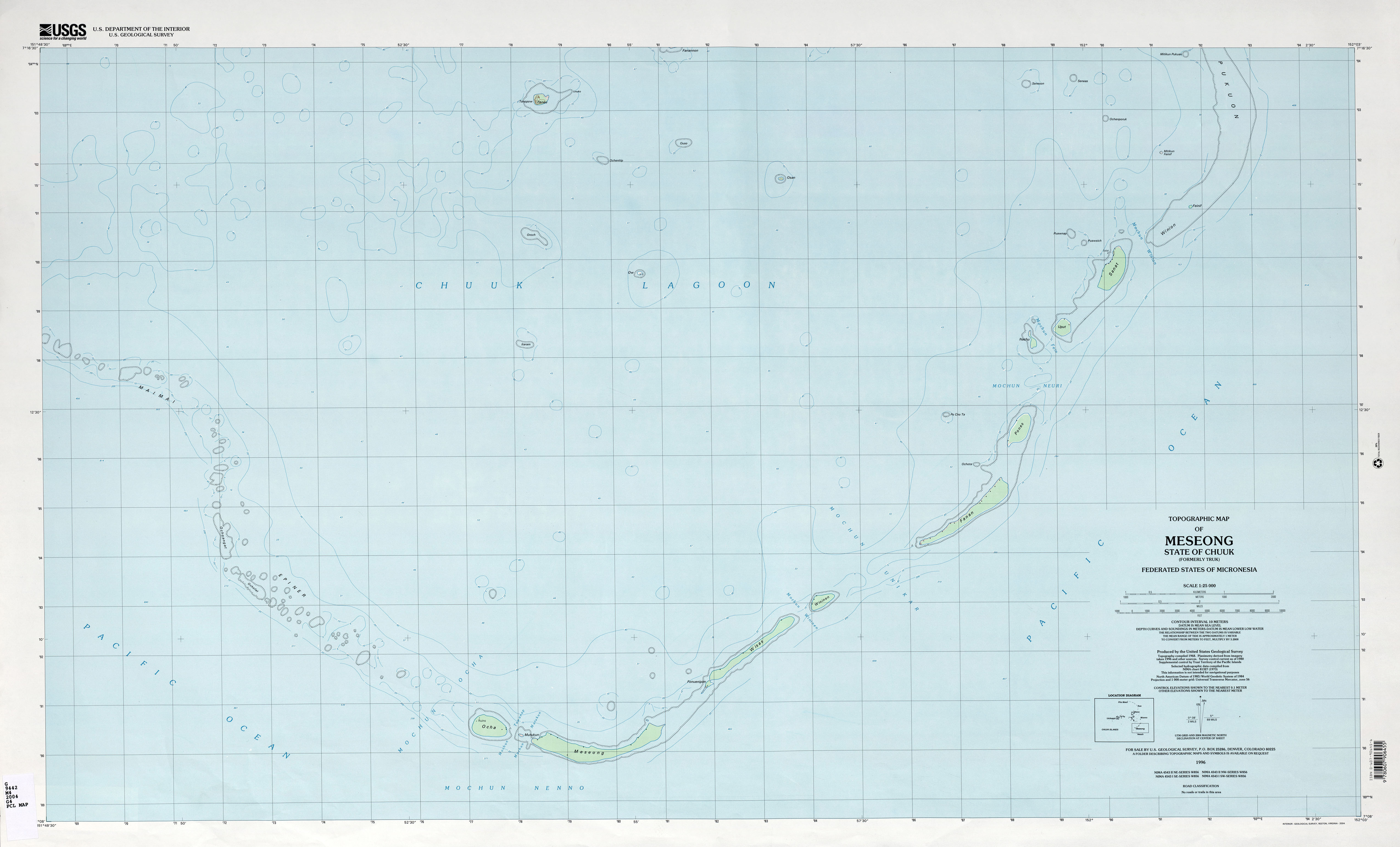
- Chuuk (Truk) Meseong Federated States of Micronesia 1:25,000 1996 (1.6MB)
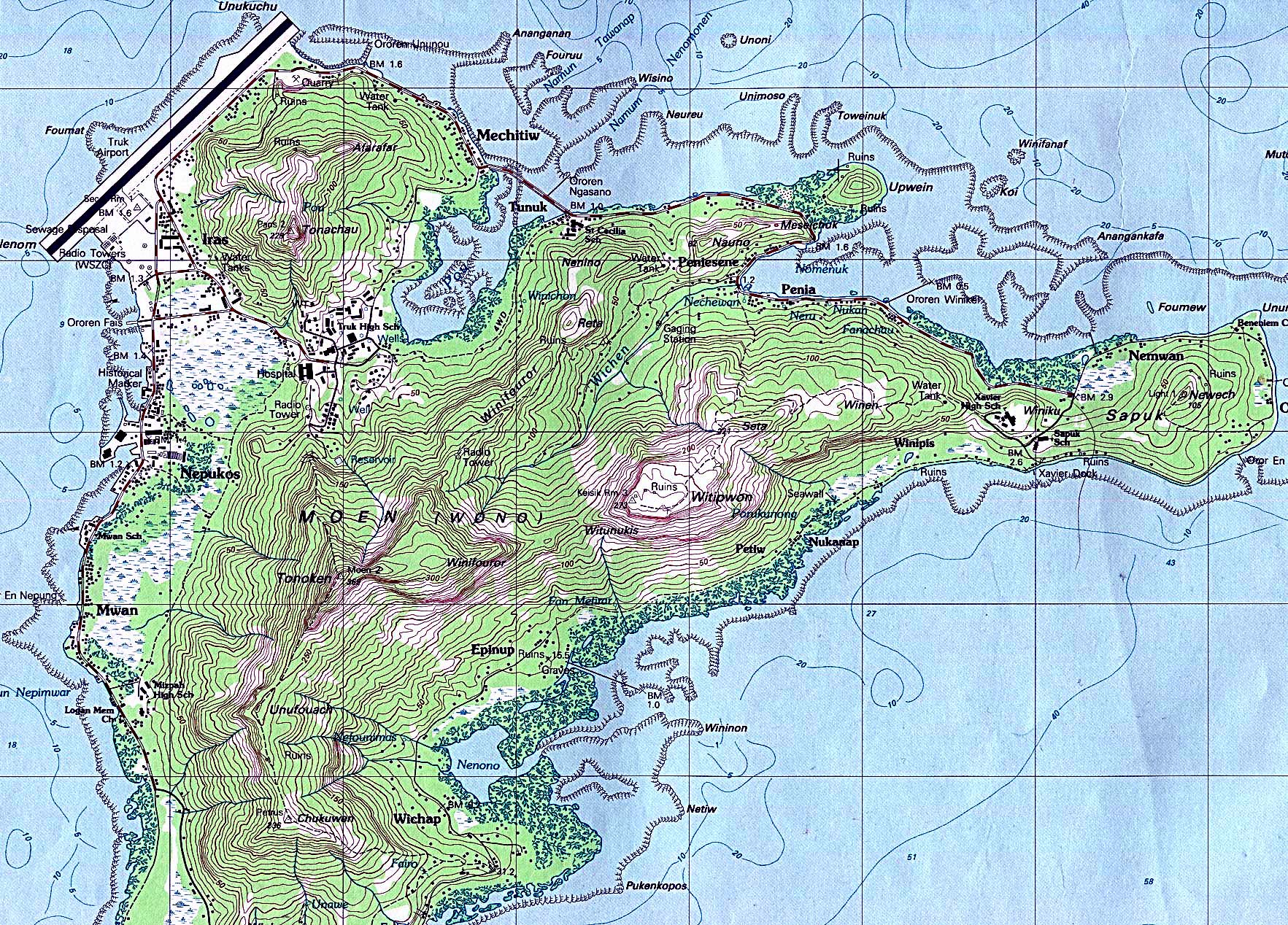
- Chuuk (Truk) Moen Island Federated States of Micronesia 1:25,000 [Portion of map] U.S. Geological Survey, 1983 (1,080K)
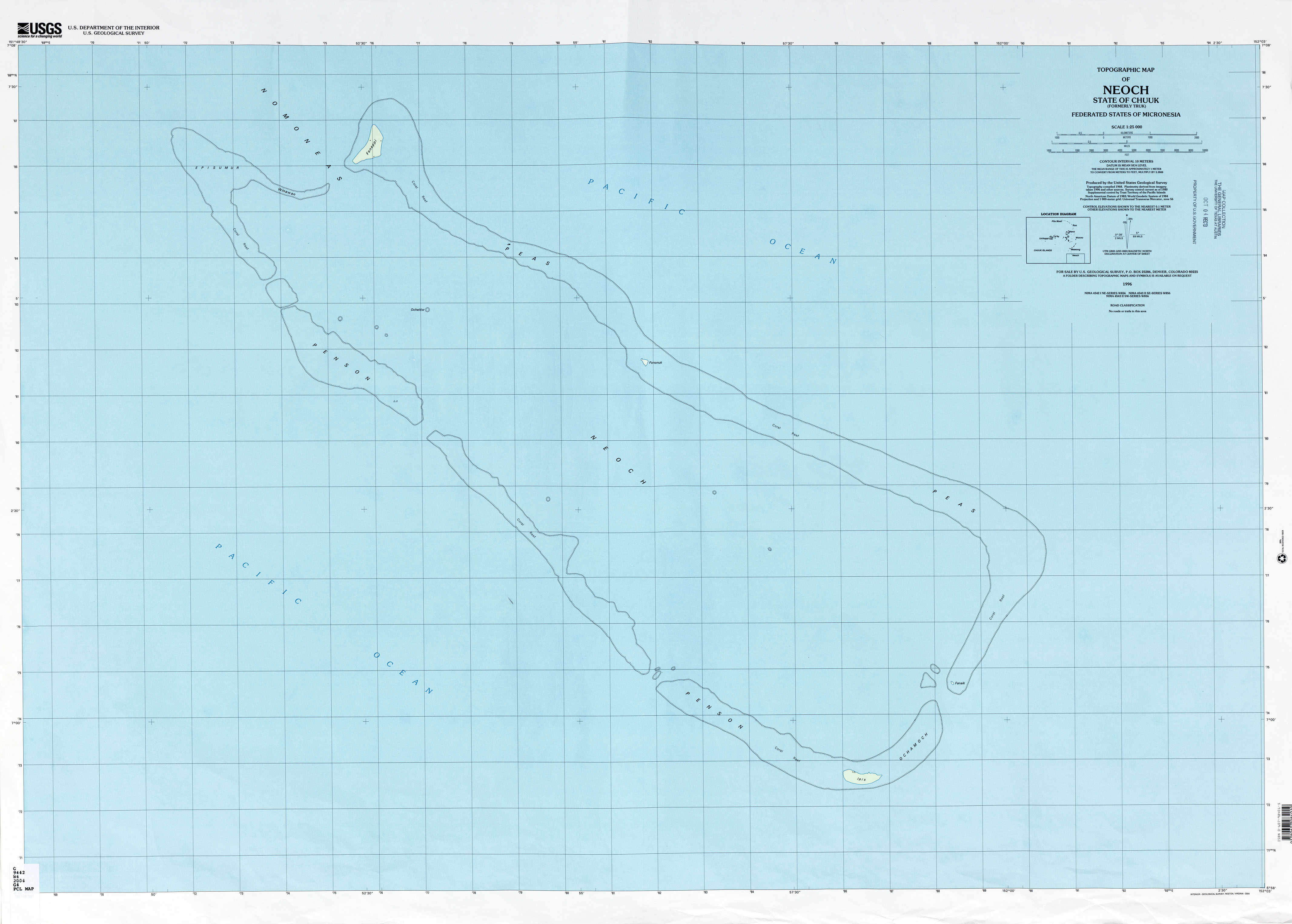
- Chuuk (Truk) Neoch Federated States of Micronesia 1:25,000 1996 (1.2MB)
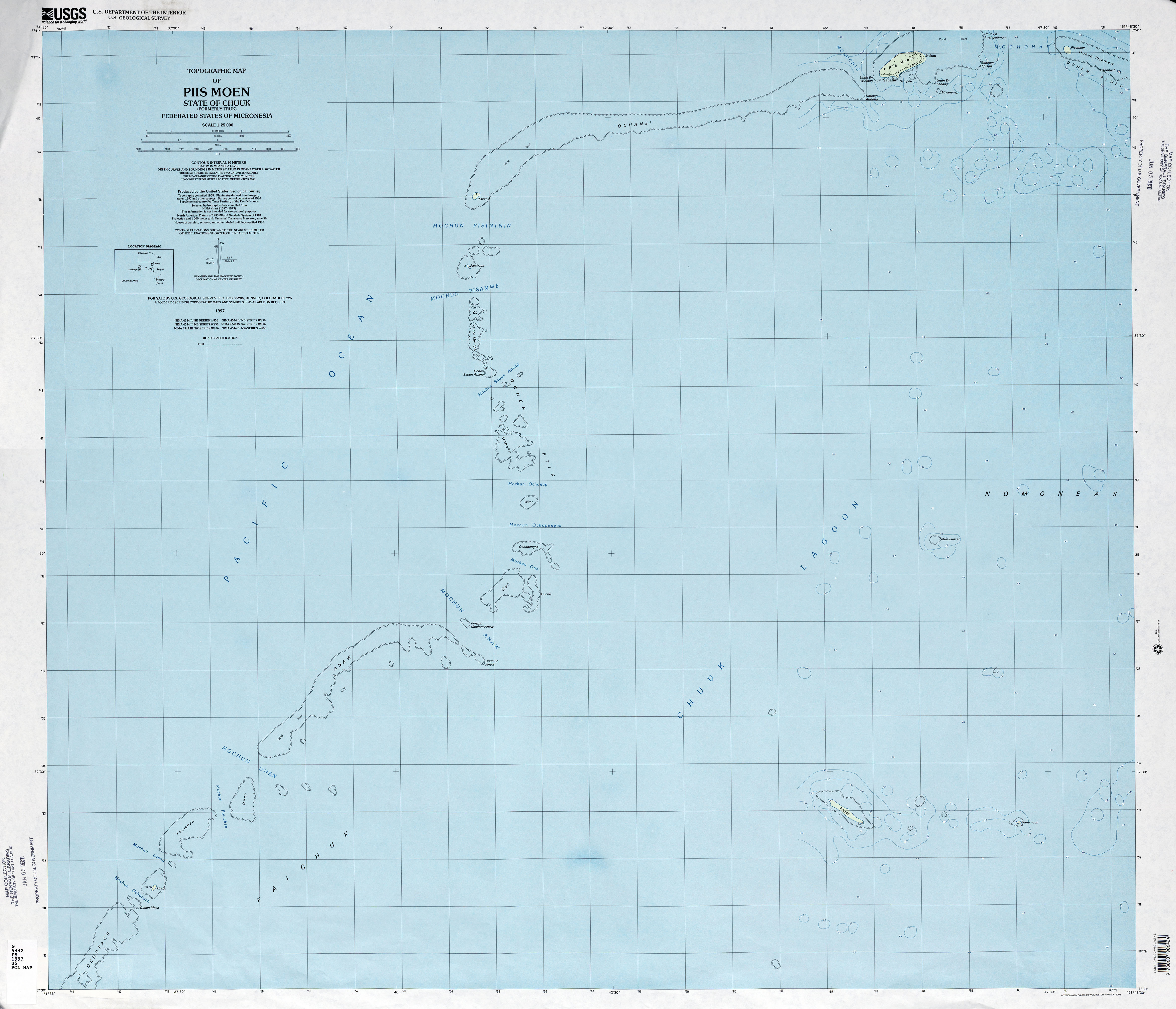
- Chuuk (Truk) Piis Moen Federated States of Micronesia 1:25,000 1997 (2.2MB)
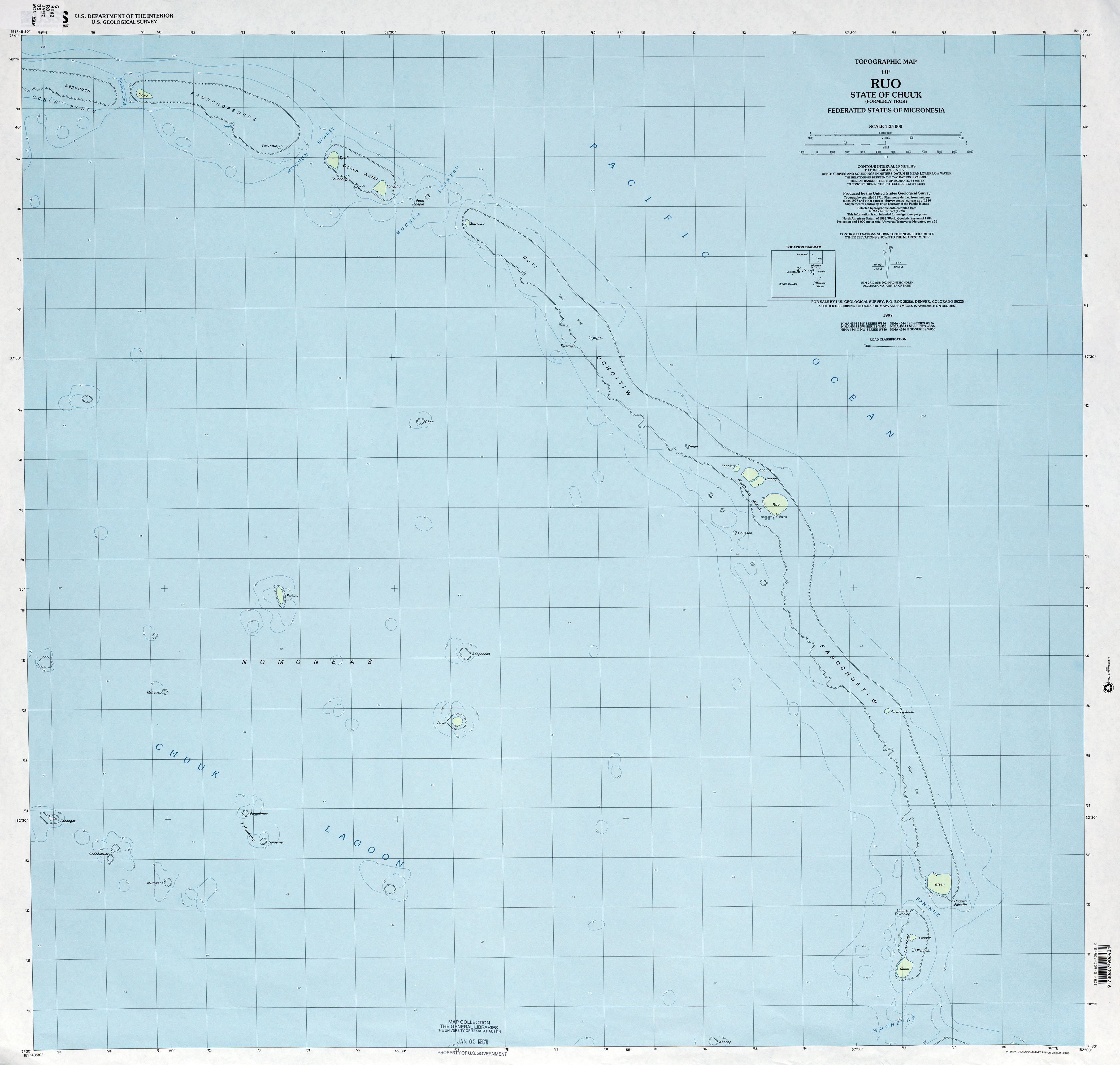
- Chuuk (Truk) Ruo Federated States of Micronesia 1:25,000 1997 (2.0MB)
- Chuuk (Truk) Tol Federated States of Micronesia 1:25,000 1983 (4.6MB)
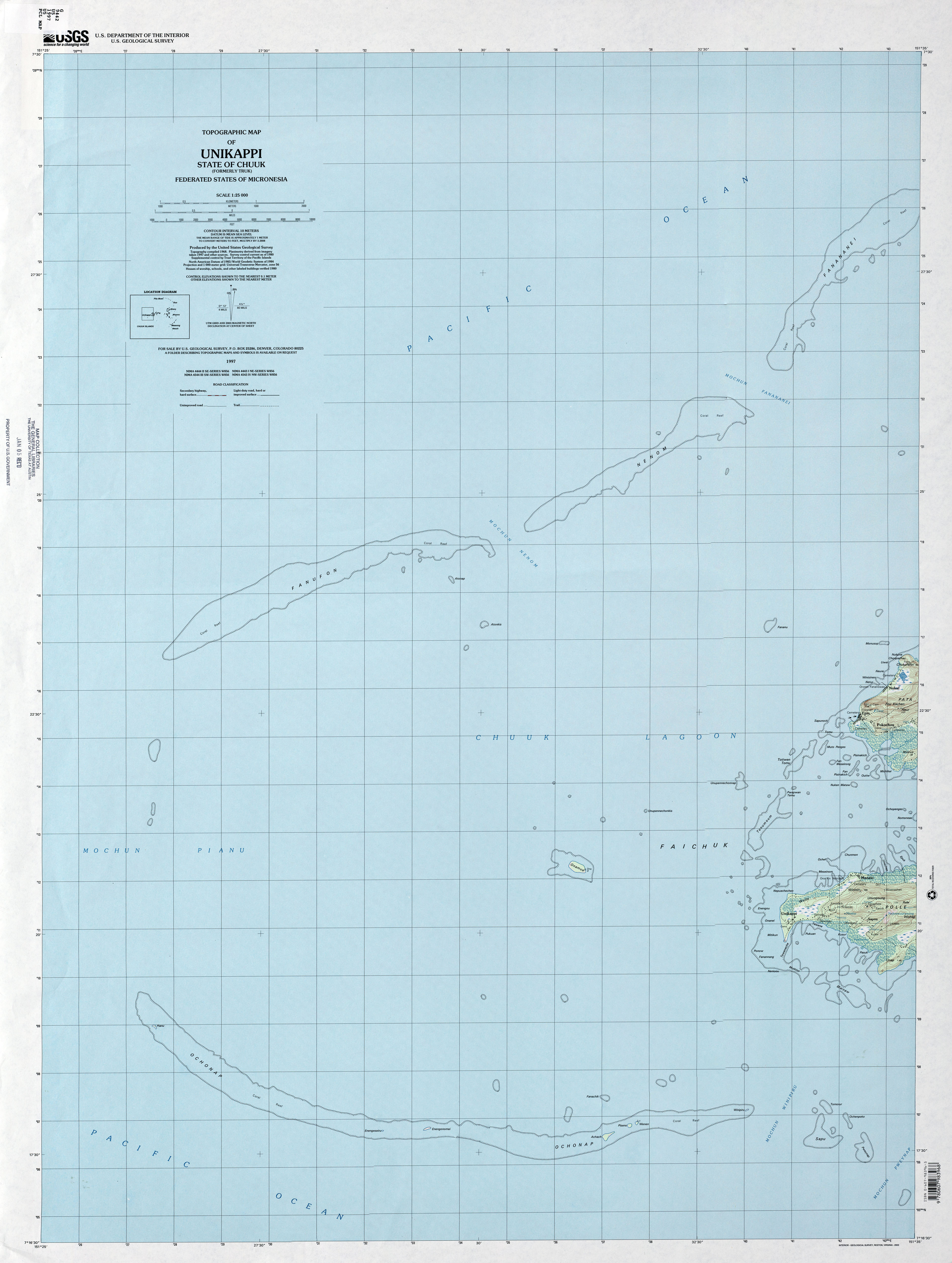
- Chuuk (Truk) Unikappi Federated States of Micronesia 1:25,000 1997 (2.2MB)
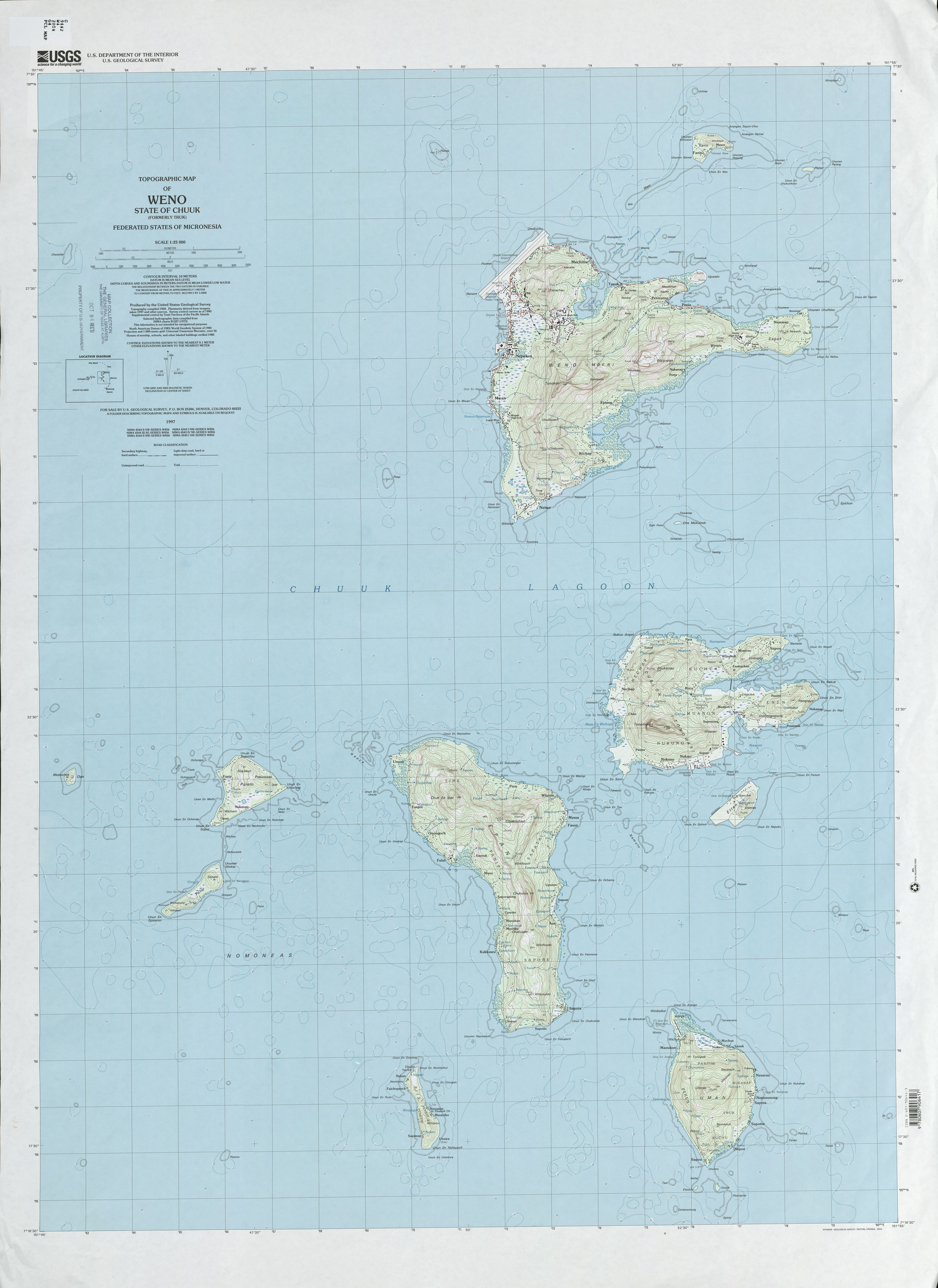
- Chuuk (Truk) Weno Federated States of Micronesia 1:25,000 1997 (2.7MB)
- Chuuk (Truk) Wonno Federated States of Micronesia 1:25,000 1997 (1.7MB)
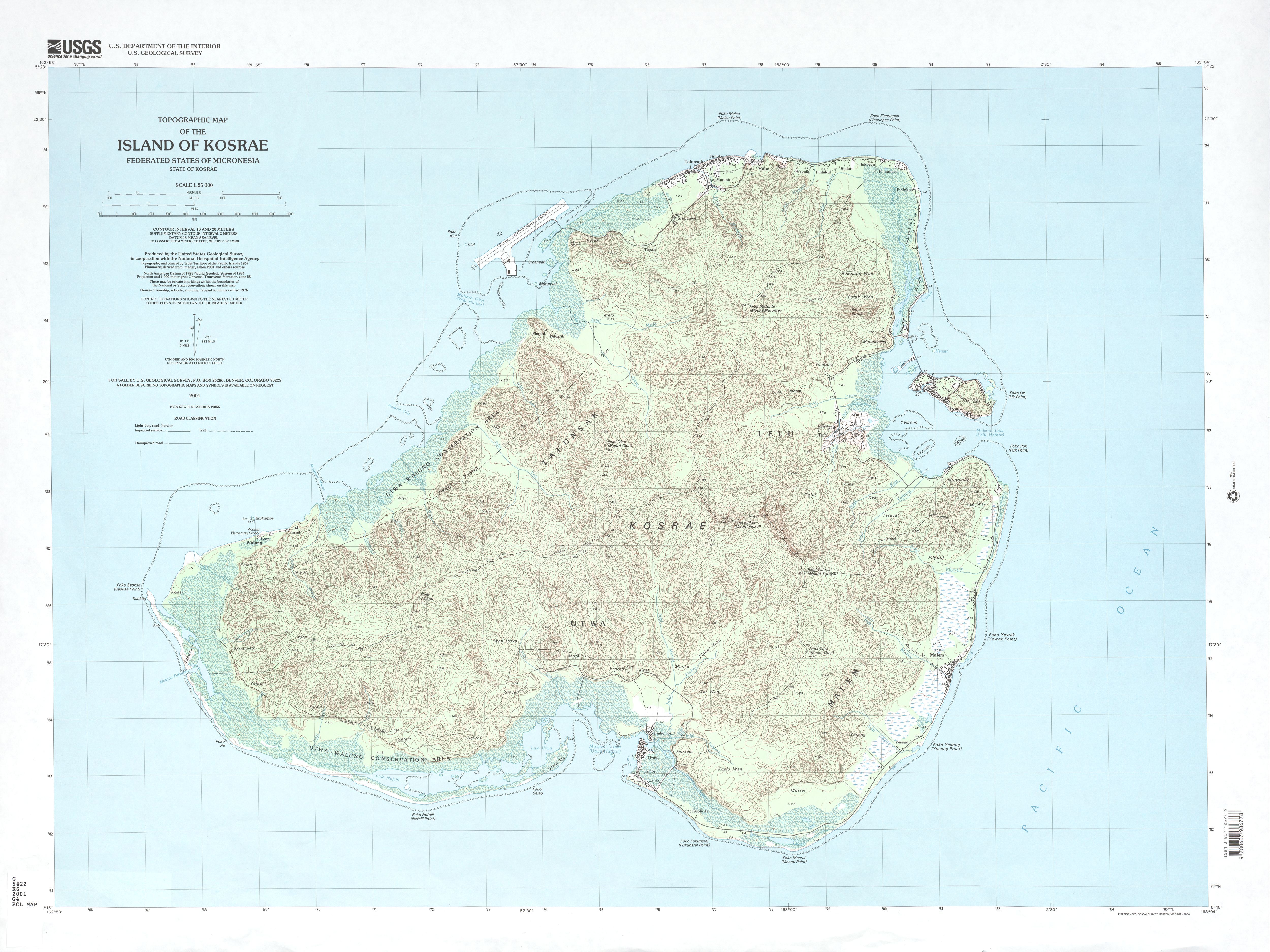
- Island of Kosrae Federated States of Micronesia 1:25,000 2001 (3.1 MB)
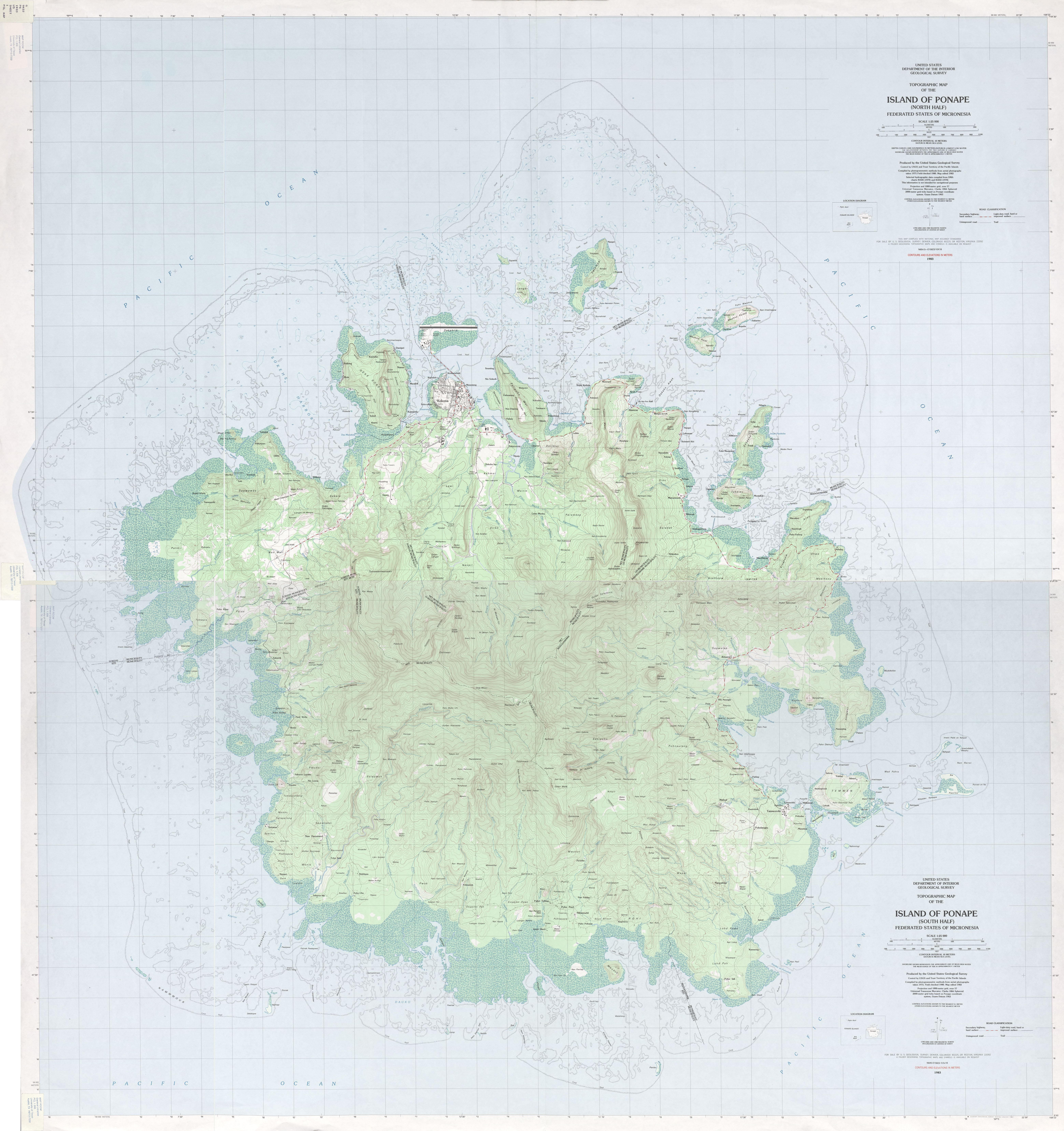
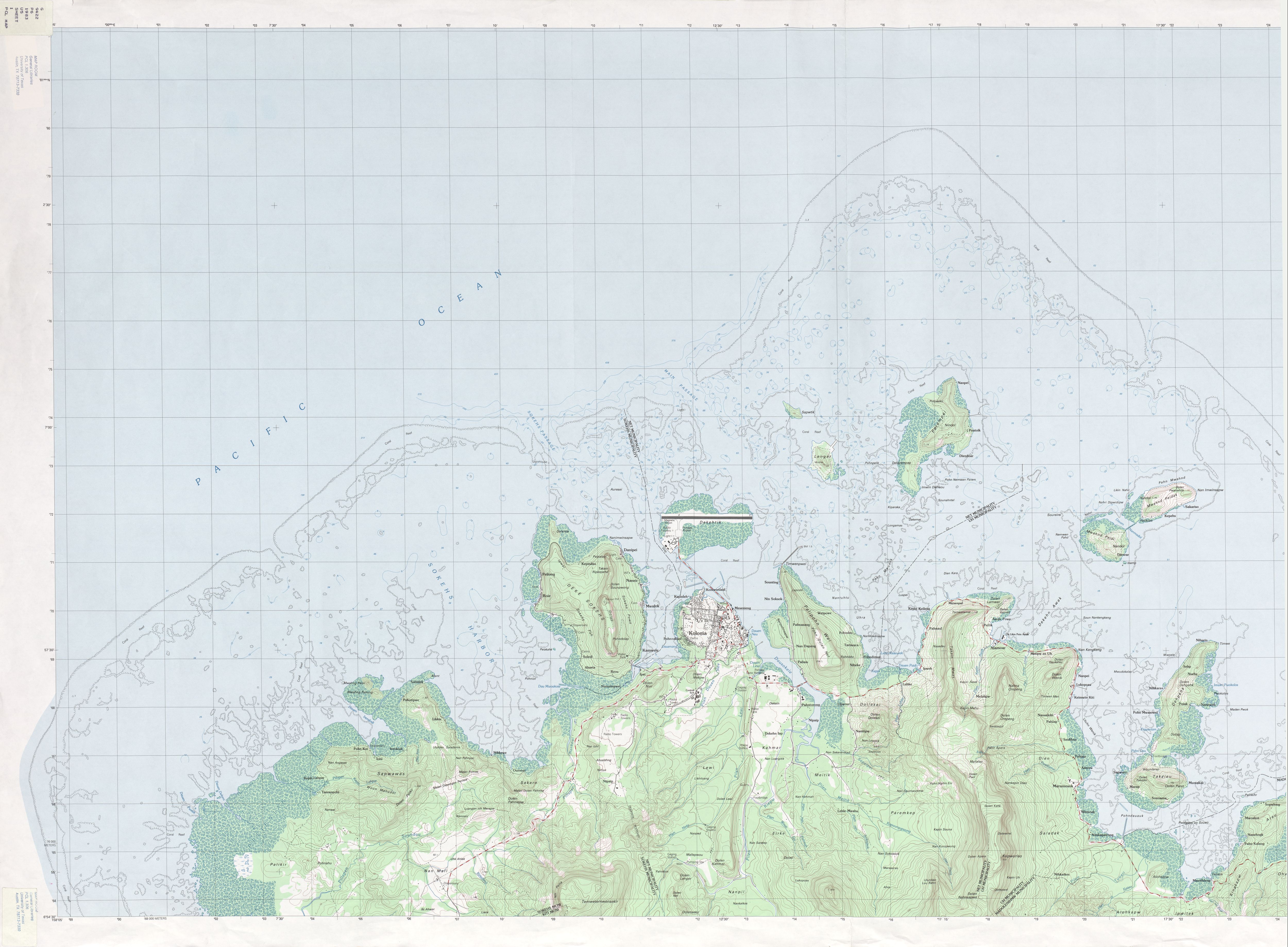
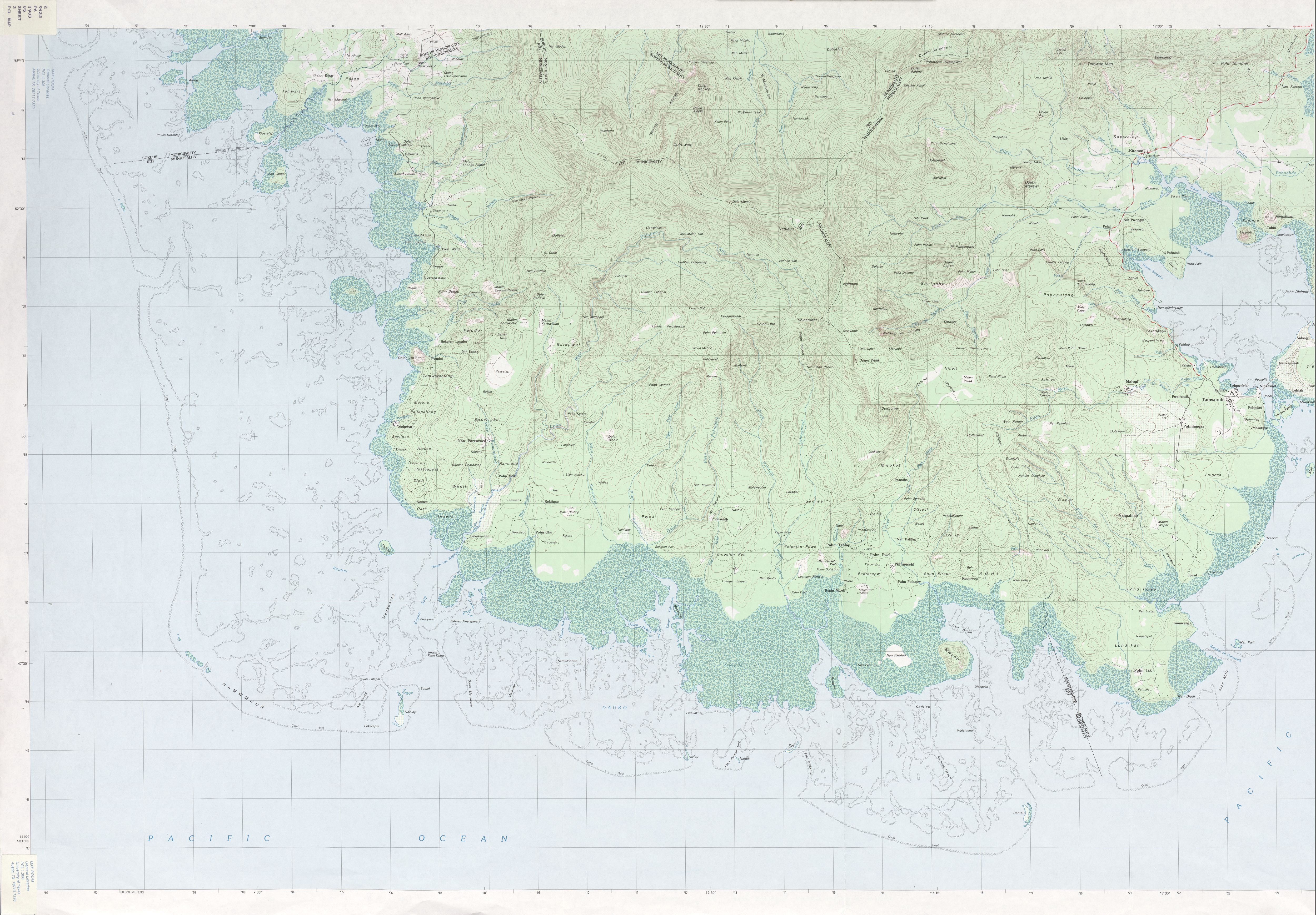
- Ponape North and South Sheets. Federated States of Micronesia 1:25,000 1983 (7.1 MB)
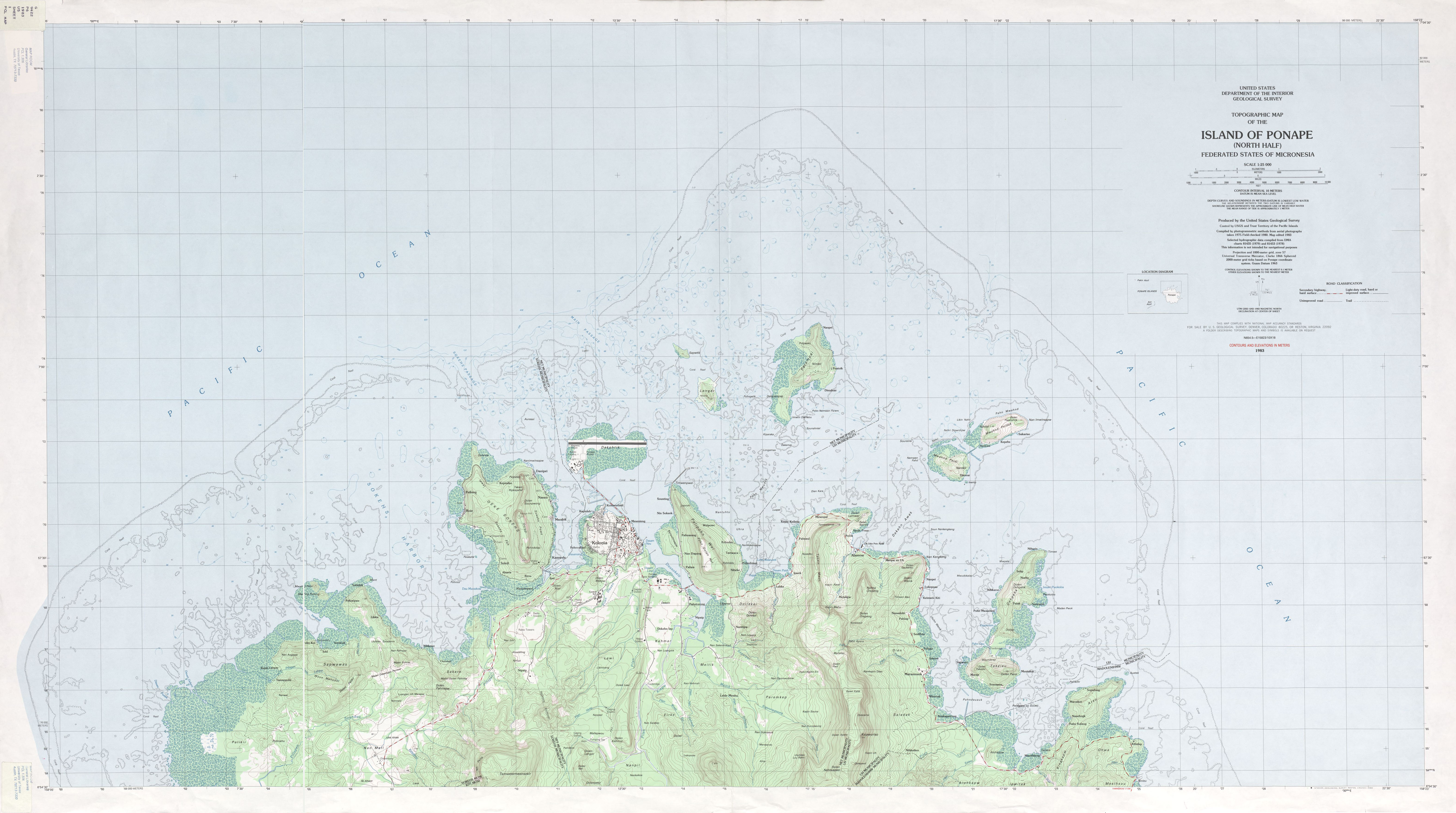
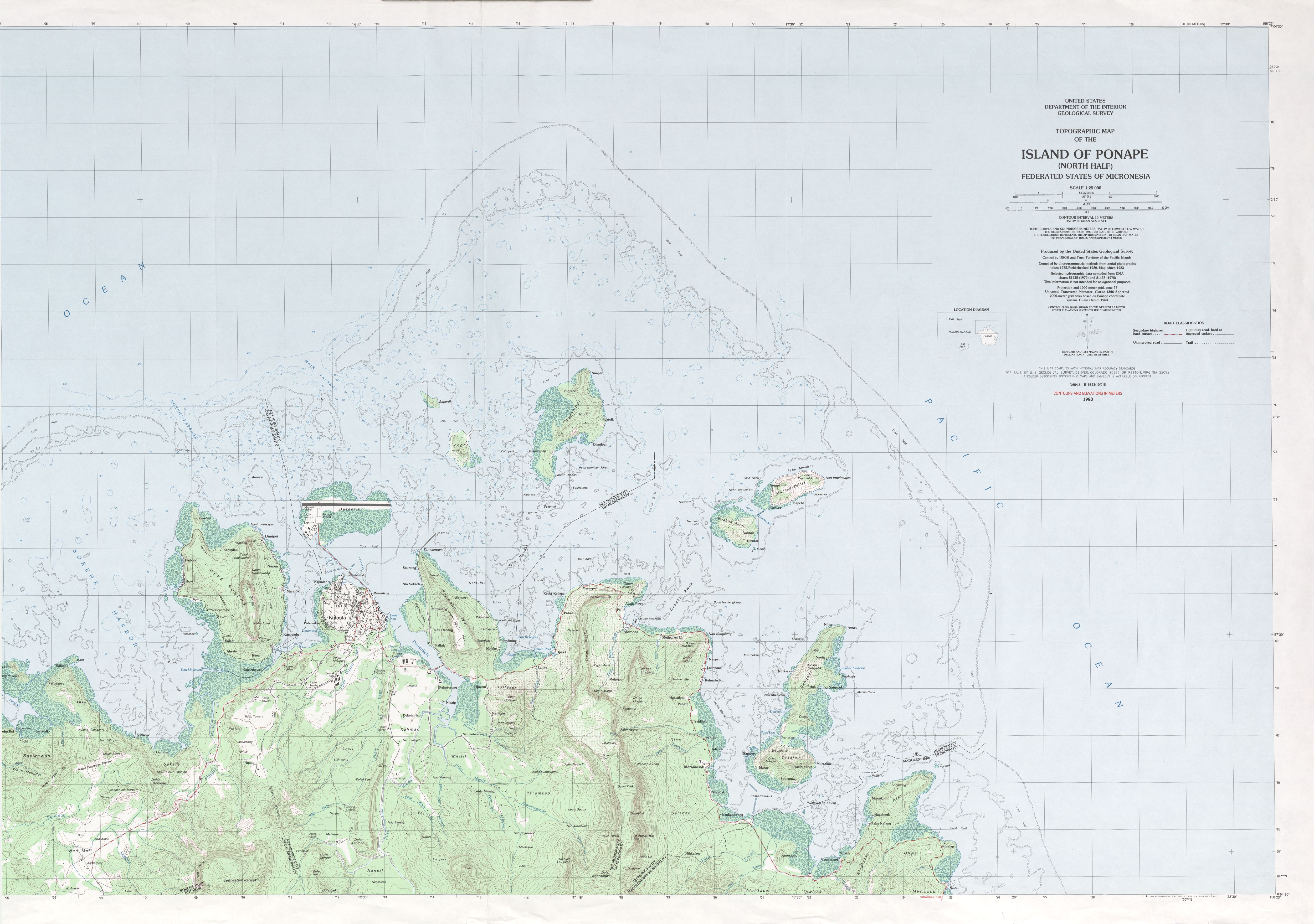
- Ponape North Federated States of Micronesia 1:25,000 1983 (3.3 MB)
- Ponape Northeast Federated States of Micronesia 1:25,000 1983 (2.5 MB)
- Ponape Northwest Federated States of Micronesia 1:25,000 1983 (2.8 MB)
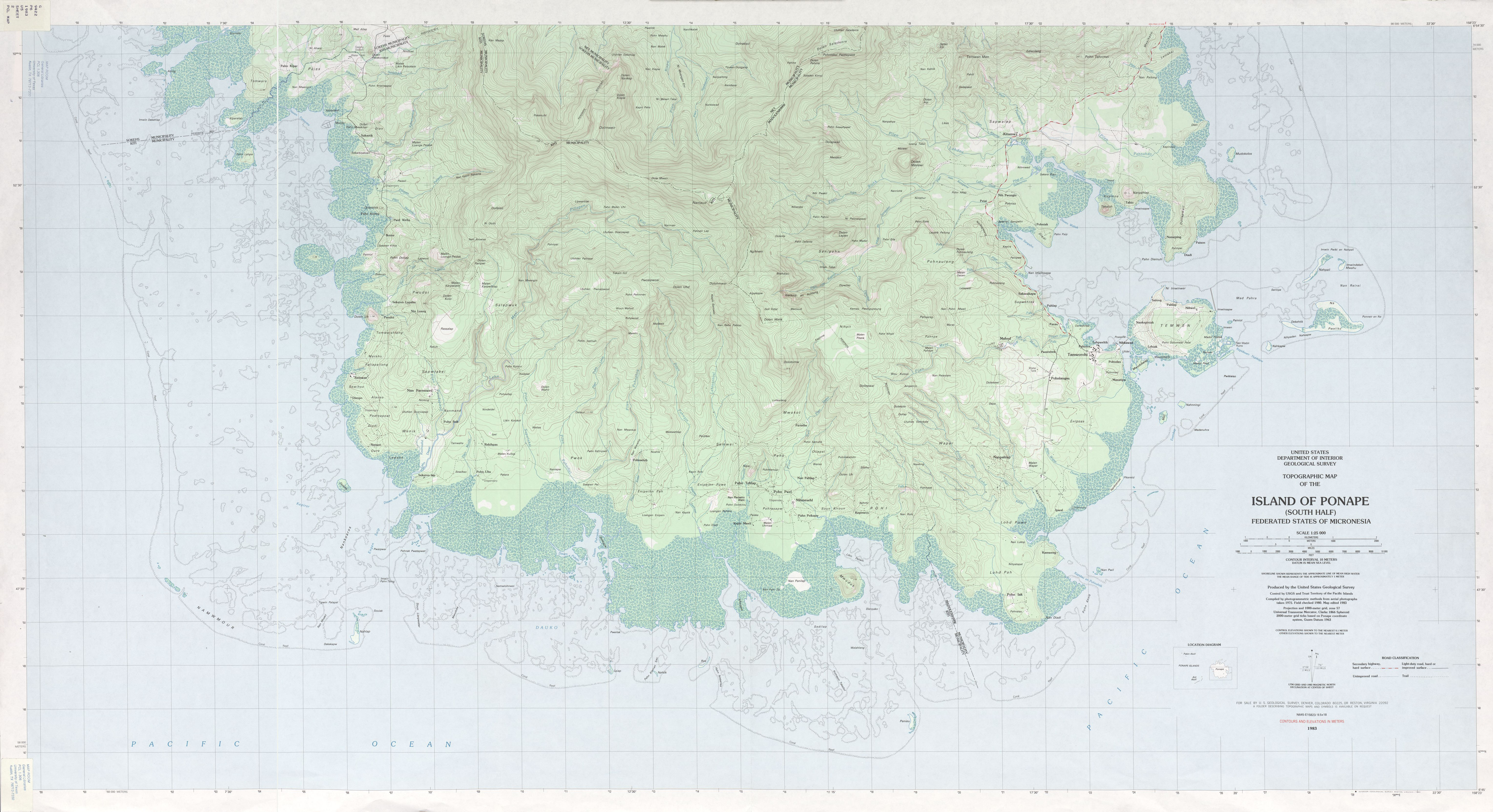
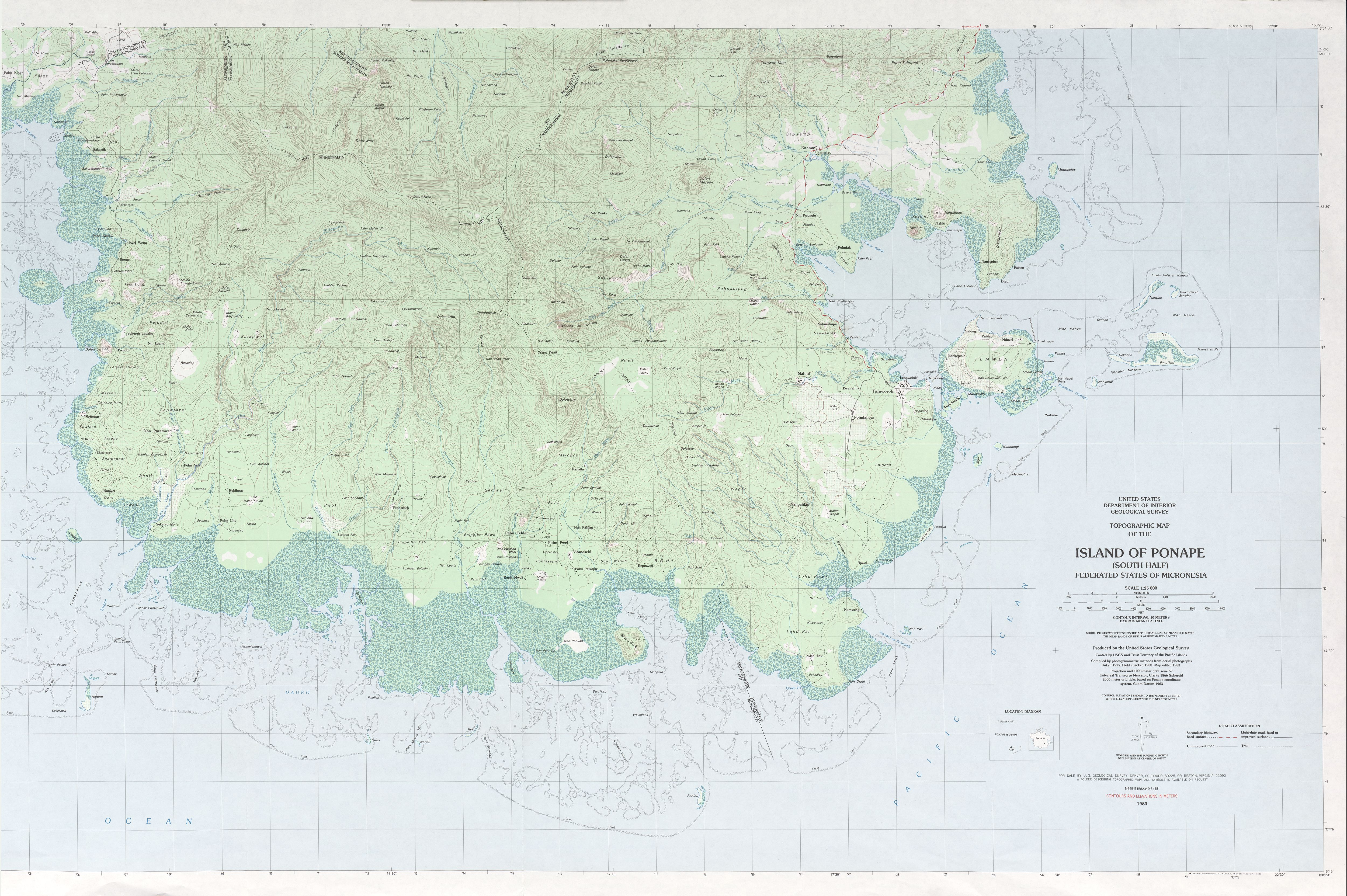
- Ponape South Federated States of Micronesia 1:25,000 1983 (3.9 MB)
- Ponape Southeast Federated States of Micronesia 1:25,000 1983 (3.2 MB)
- Ponape Southwest Federated States of Micronesia 1:25,000 1983 (3.3 MB)
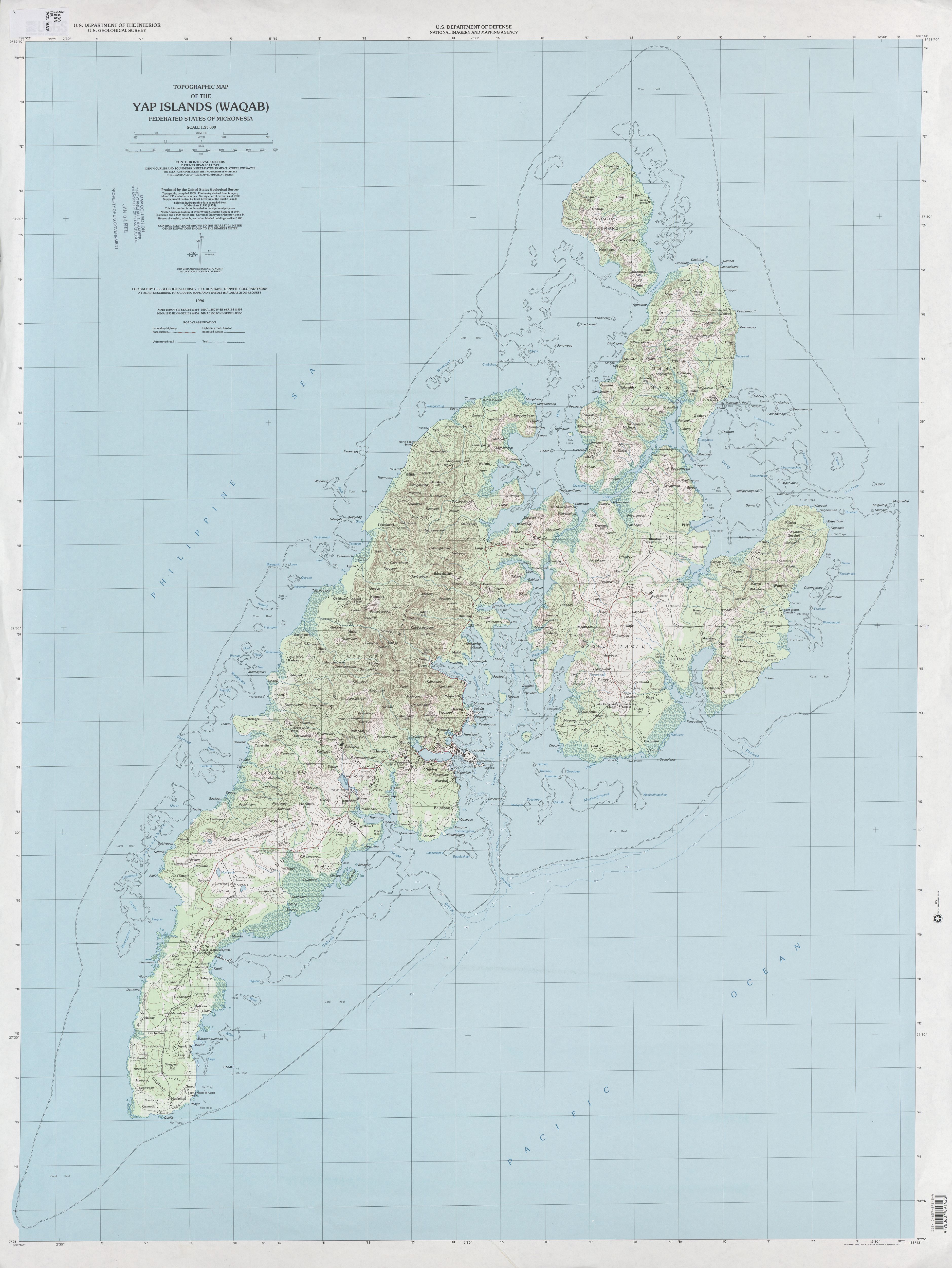
- Yap Islands (Waqab) Federated States of Micronesia 1:25,000 2003 (2.7 MB)
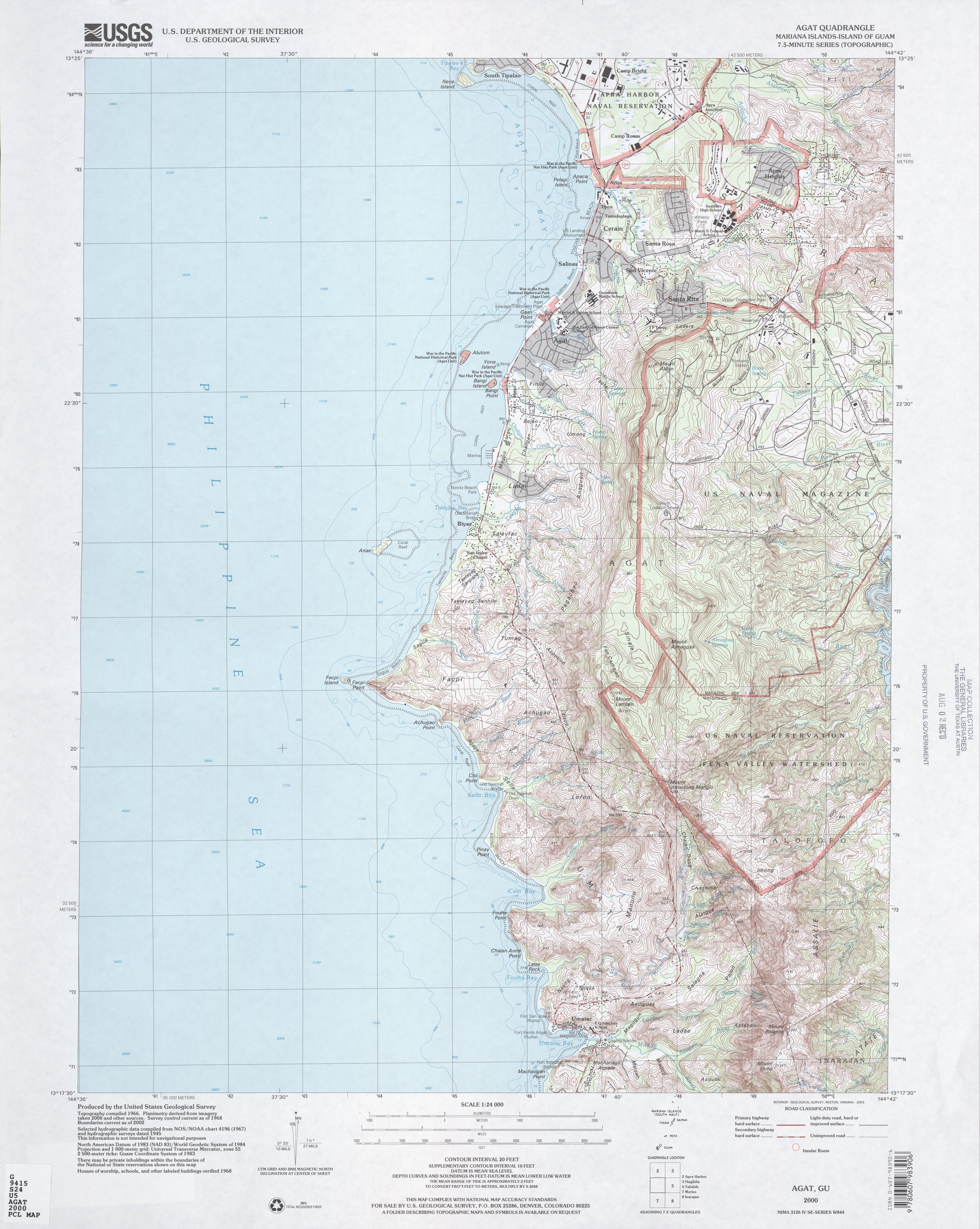
- Agat Quadrangle Mariana Islands, Island of Guam 1:24,000 2000 (3.6 MB)
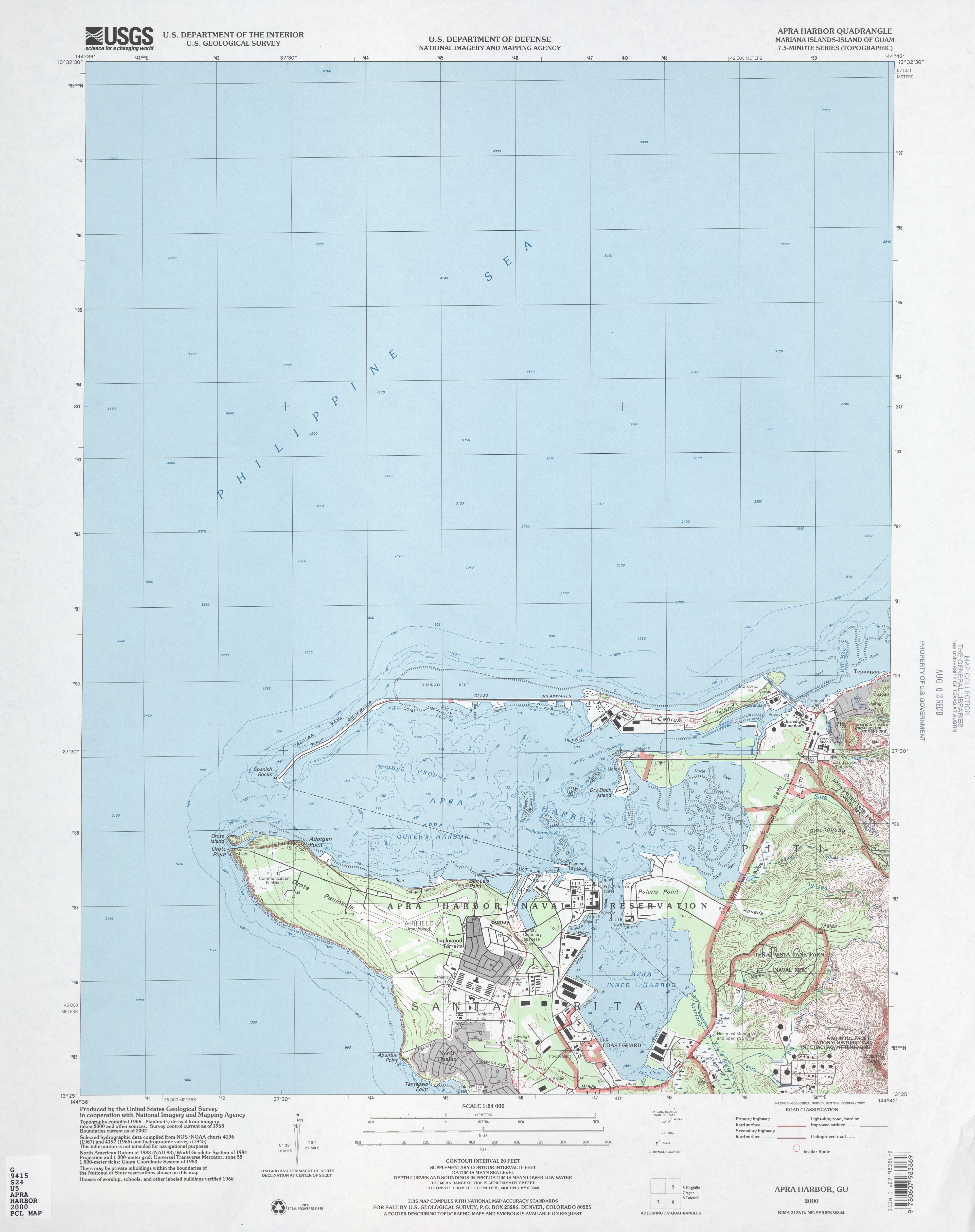
- Apra Harbor Mariana Islands, Island of Guam 1:24,000 2000 (2.7 MB)
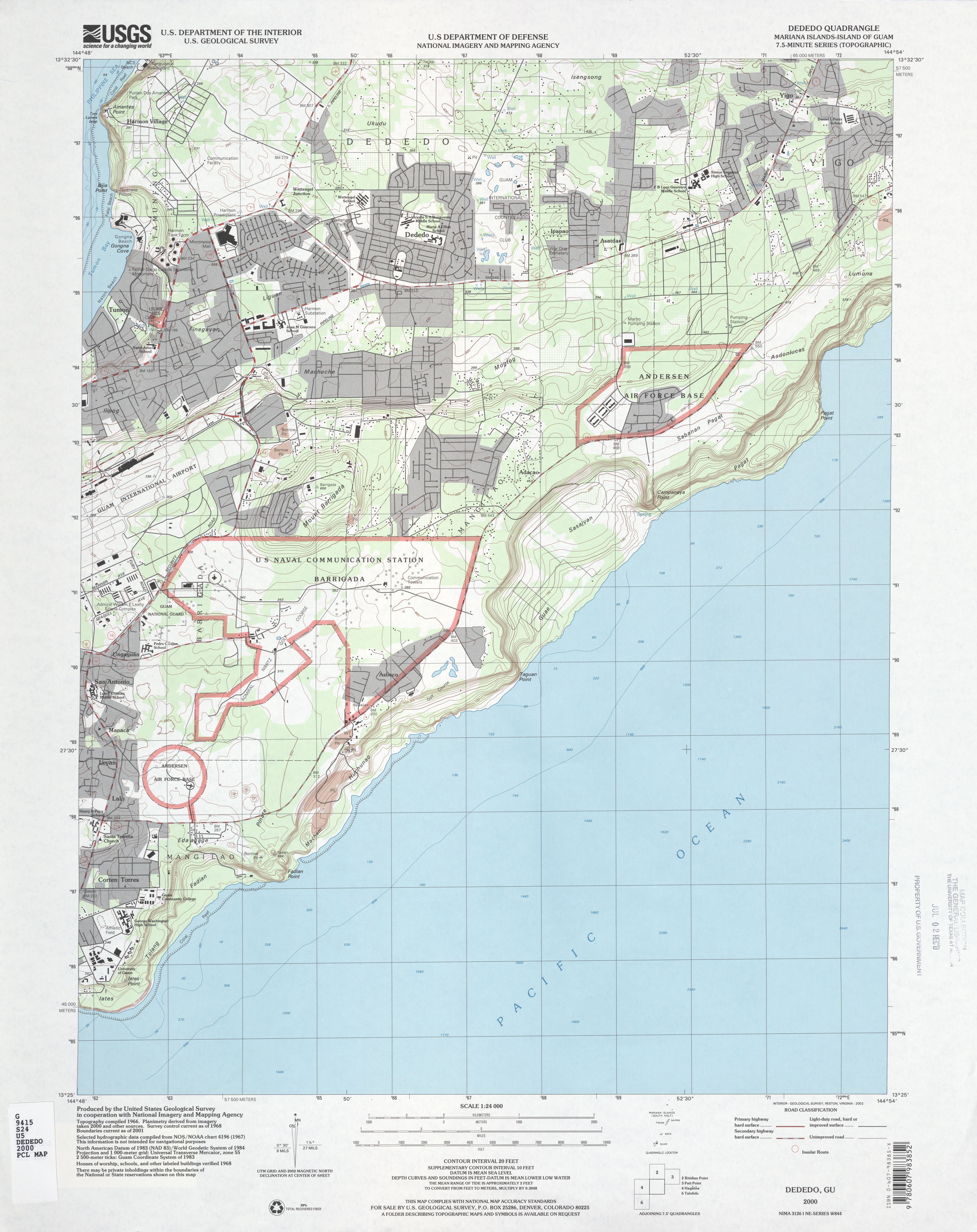
- Dededo Mariana Islands, Island of Guam 1:24,000 2000 (3.2 MB)
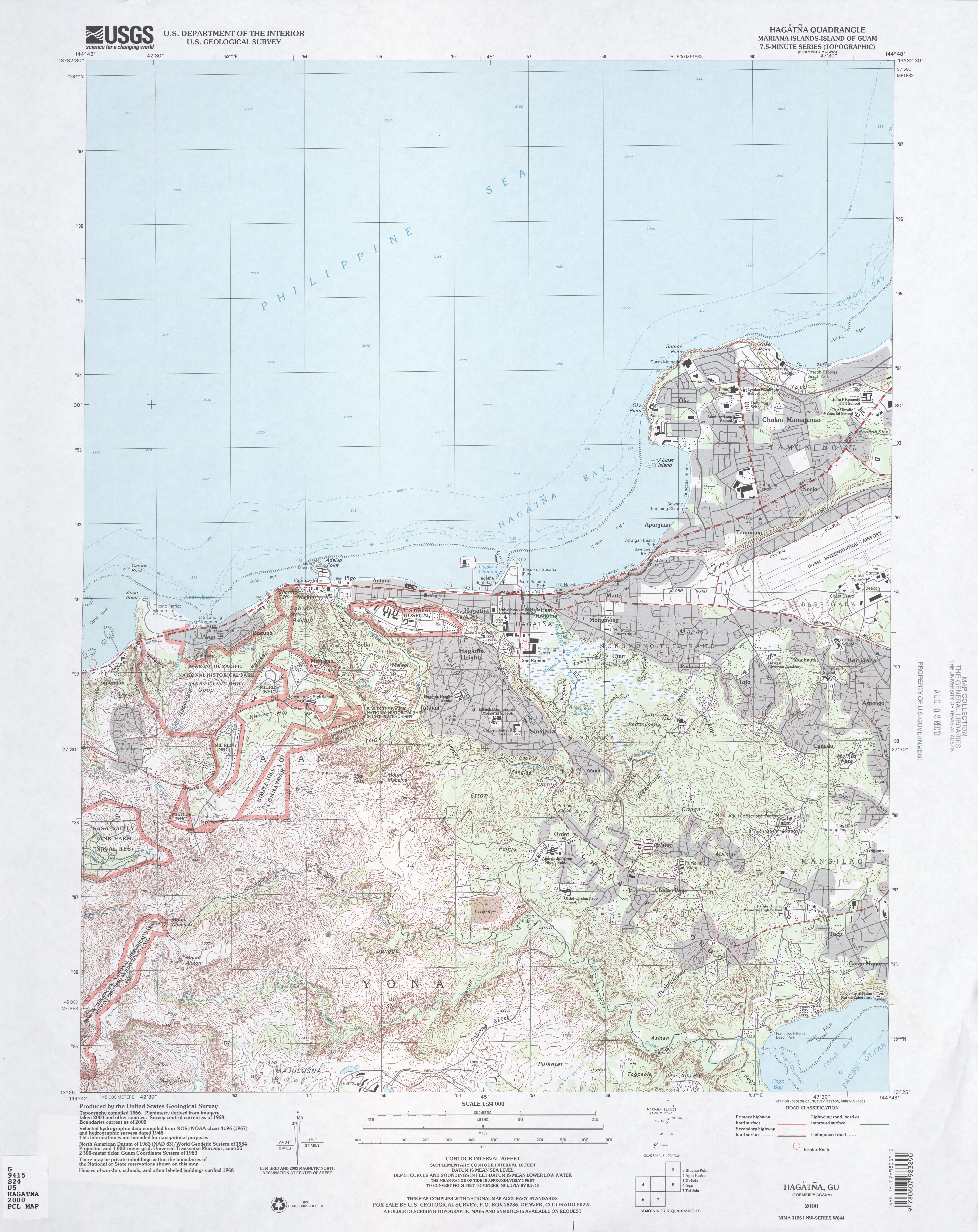
- Hagatna Mariana Islands, Island of Guam 1:24,000 2000 (3.5 MB)
- Inarajan Mariana Islands, Island of Guam 1:24,000 2000 (2.4 MB)
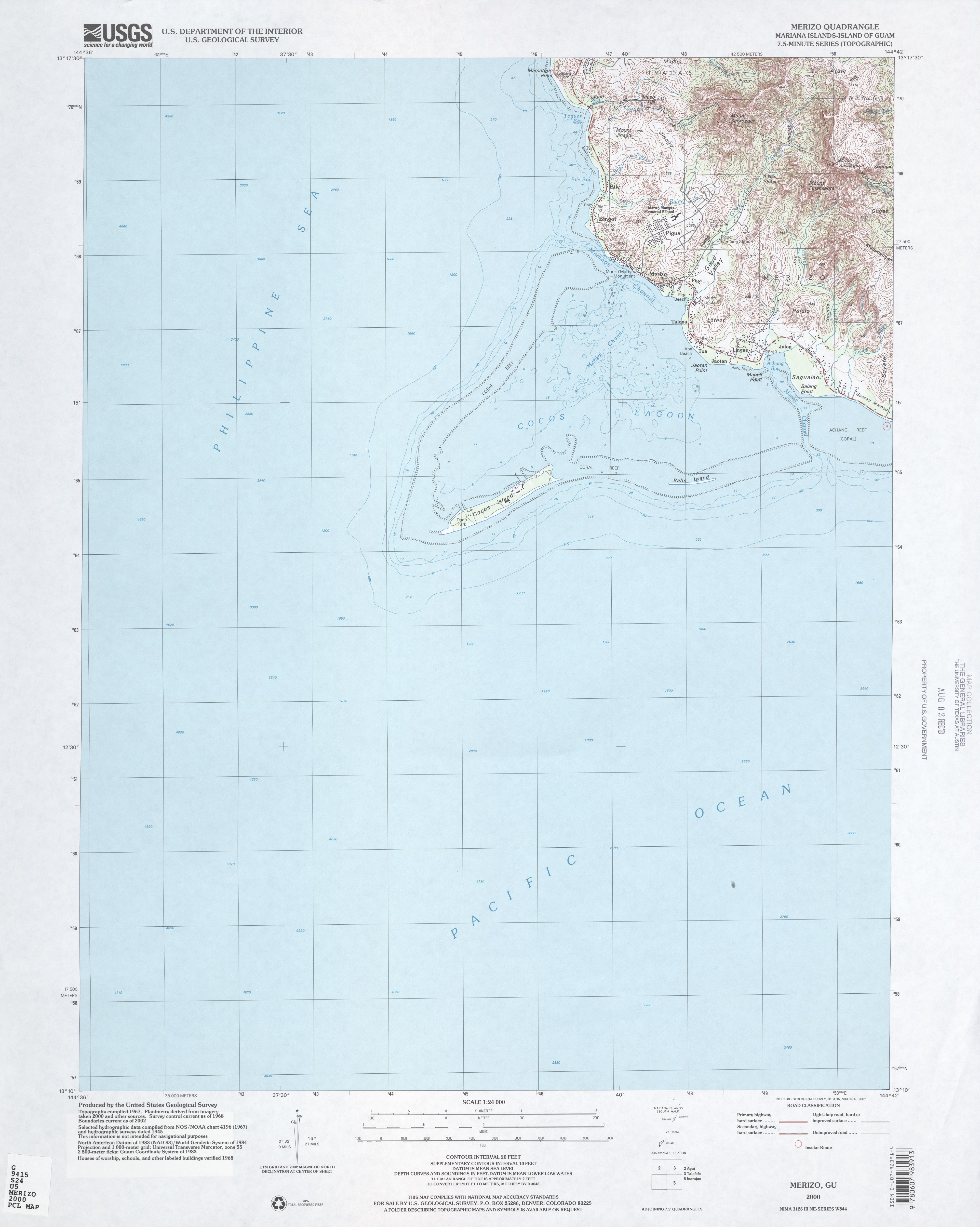
- Merizo Mariana Islands, Island of Guam 1:24,000 2000 (2.2 MB)
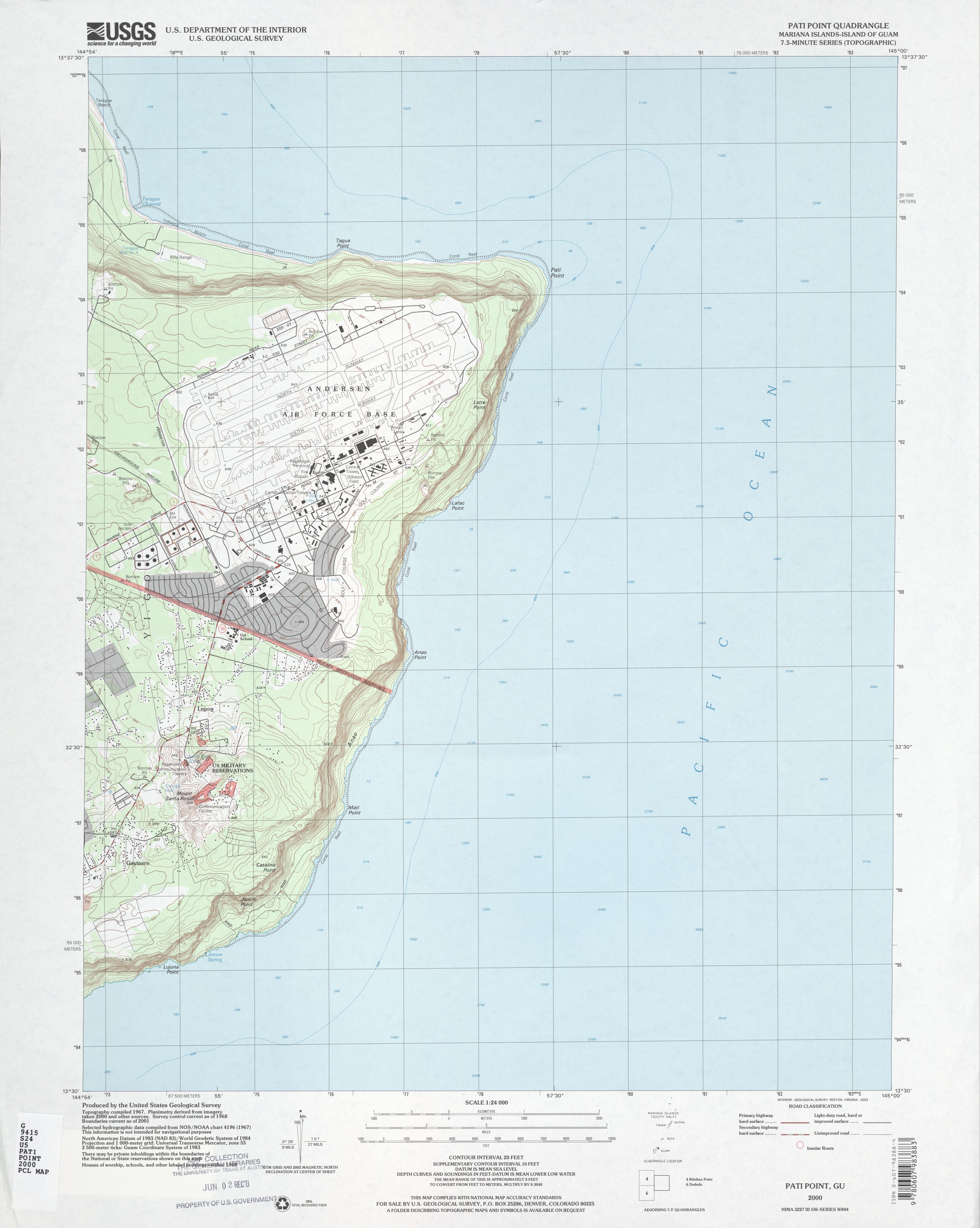
- Pati Point Mariana Islands, Island of Guam 1:24,000 2000 (2.5 MB)
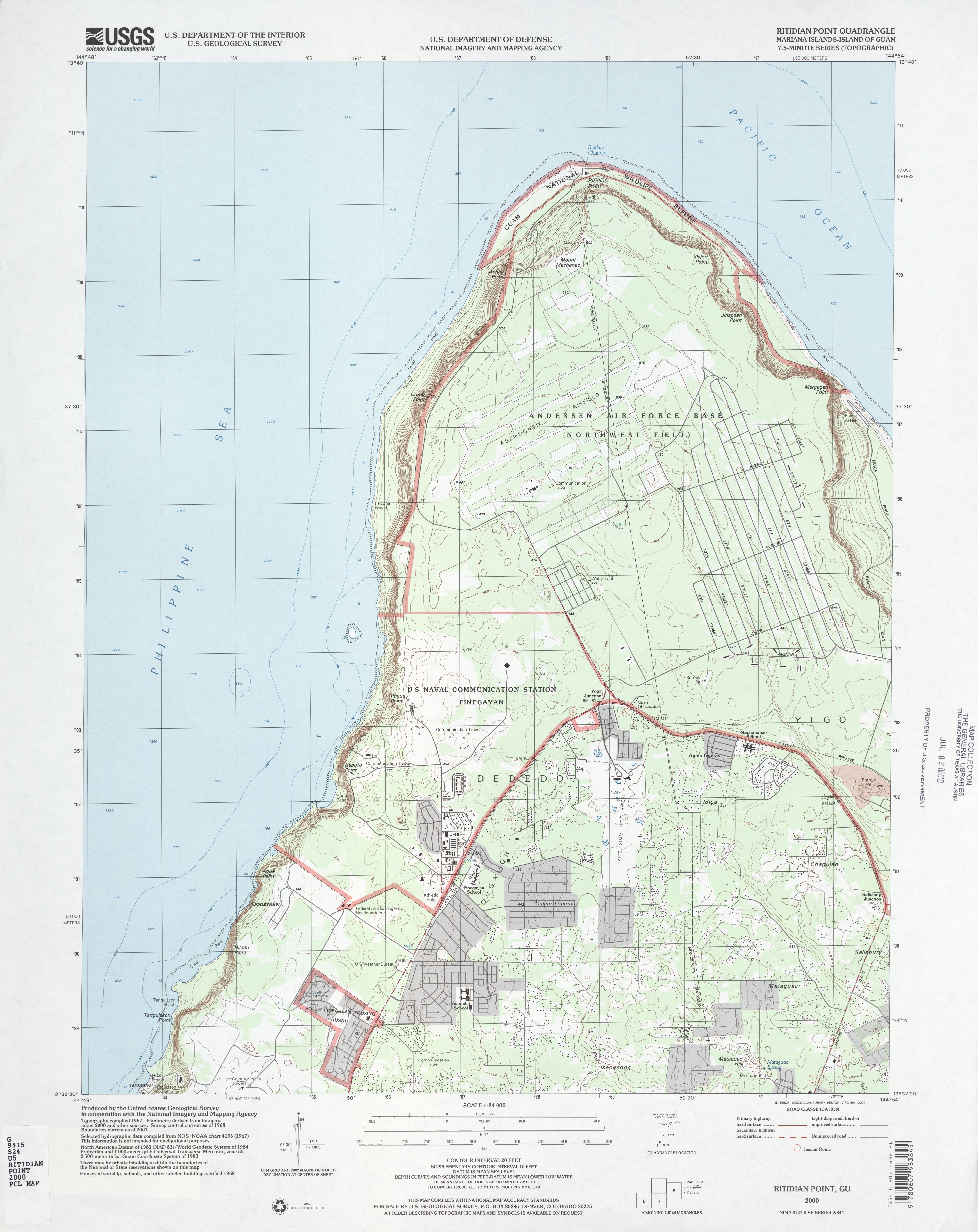
- Ritidian Point Mariana Islands, Island of Guam 1:24,000 2000 (2.8 MB)
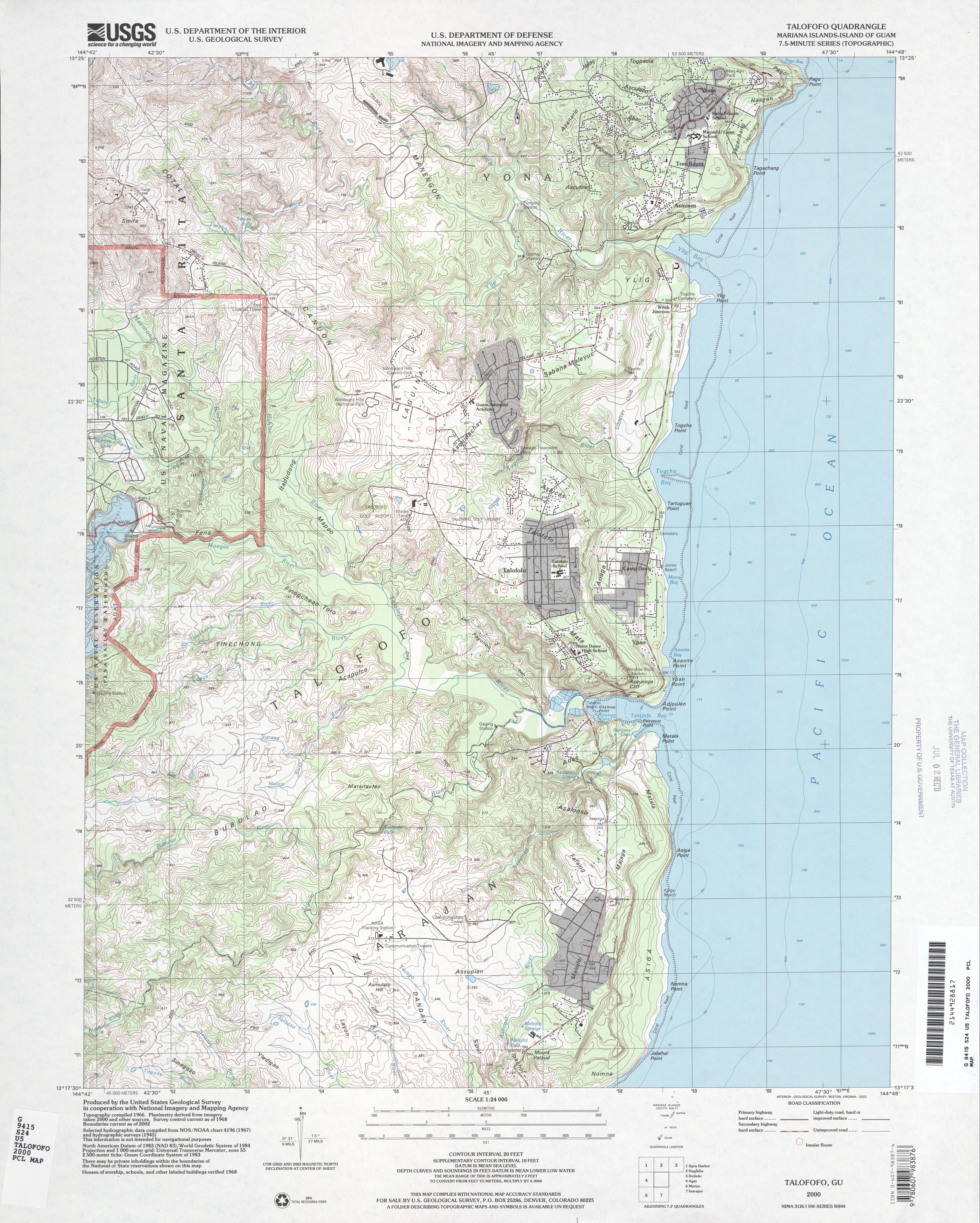
- Talofofo Mariana Islands, Island of Guam 1:24,000 2000 (4.3 MB)
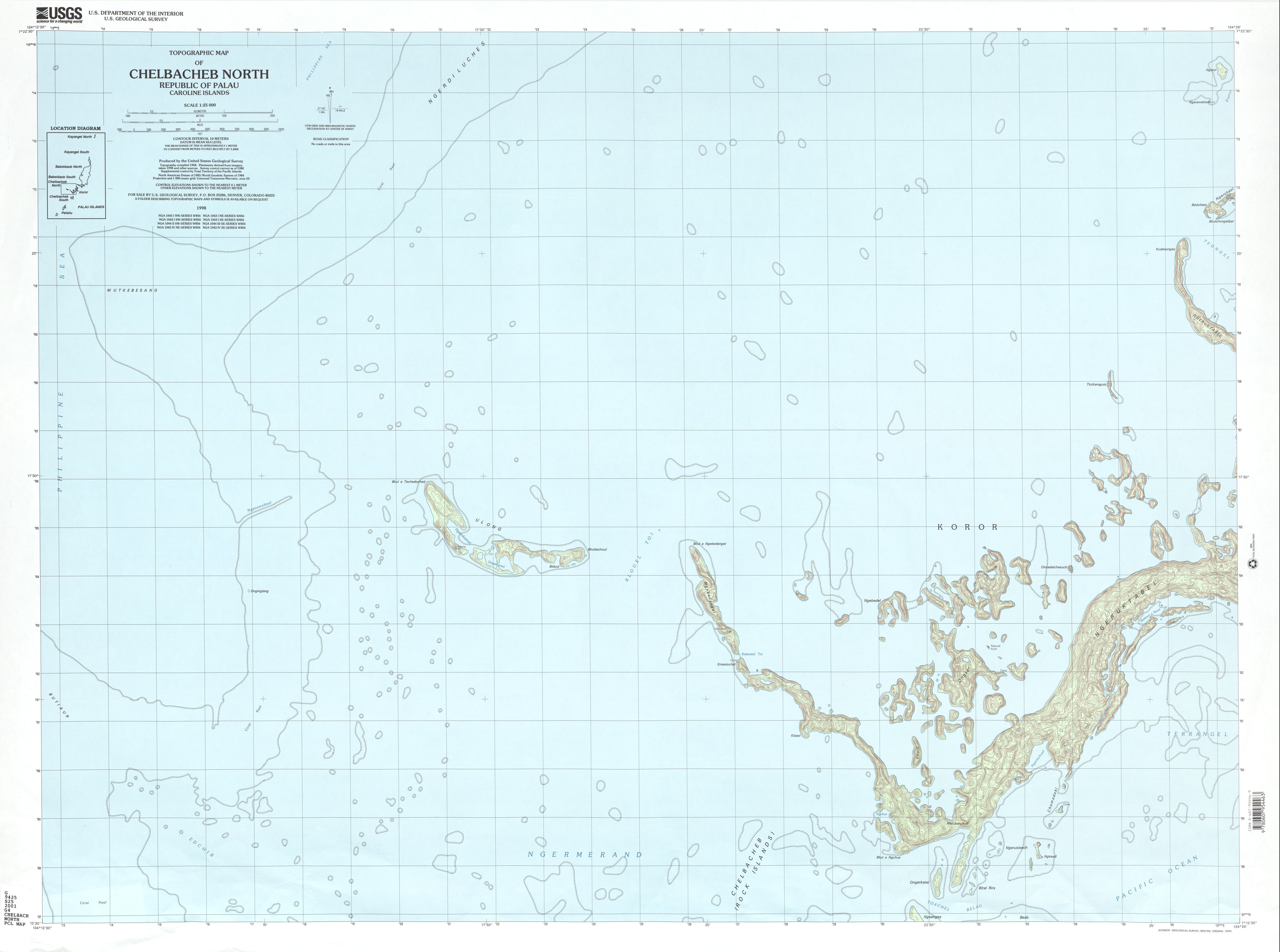
- Chelbacheb North Republic of Palau, Caroline Islands 1:25,000 2001 (1.8 MB)
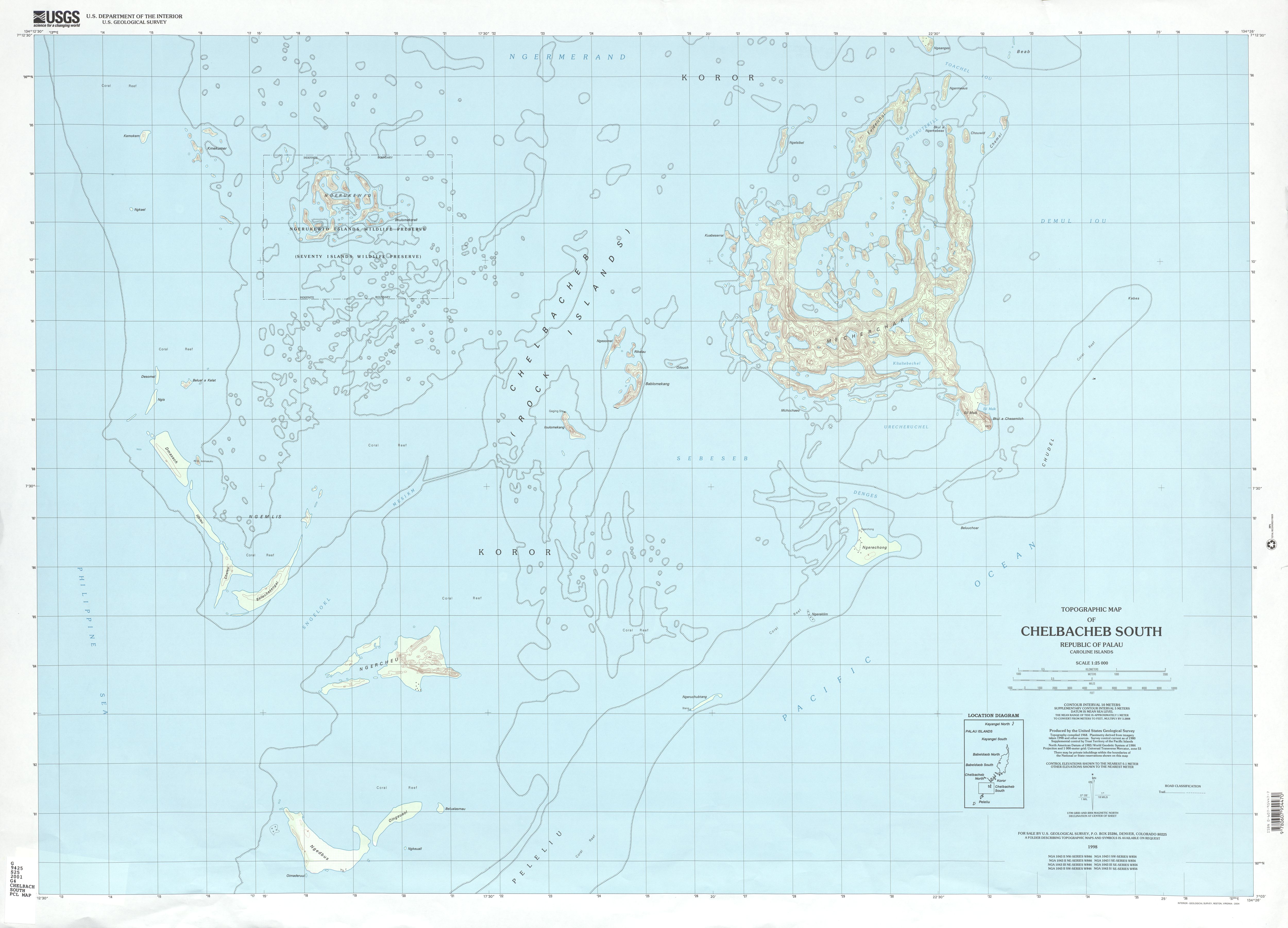
- Chelbacheb South Republic of Palau, Caroline Islands 1:25,000 2001 (2.0 MB)