Perry-Castañeda Library
Map Collection
Minnesota Historical Topographic Maps
All maps on this page were published by the U.S. Geological Survey and are in the public domain. The date given for each map is the date of latest survey. More information about these maps is available on the Topographic Maps Home Page.
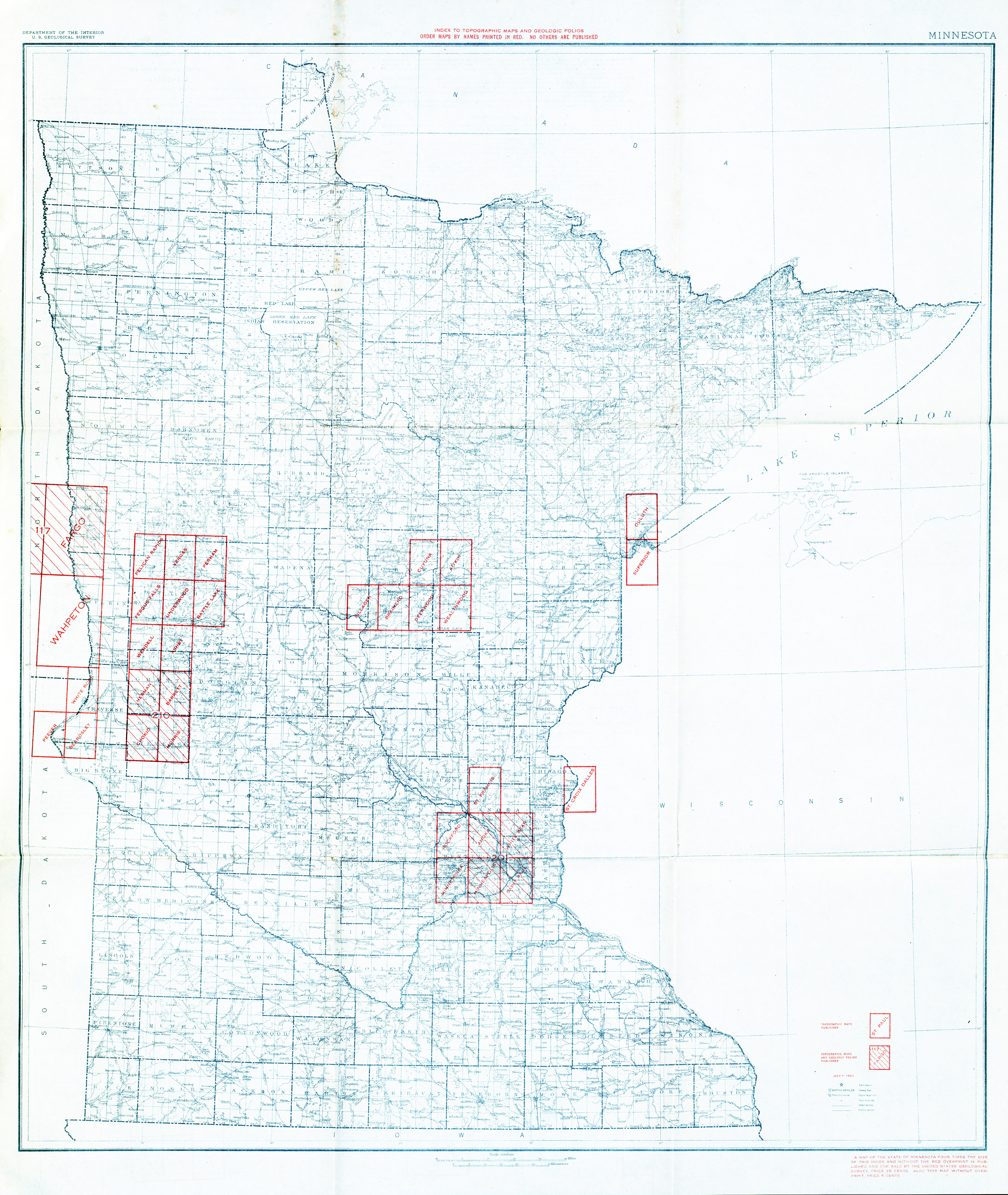
- Minnesota - Topographic Map Index 1923 (10.2MB)
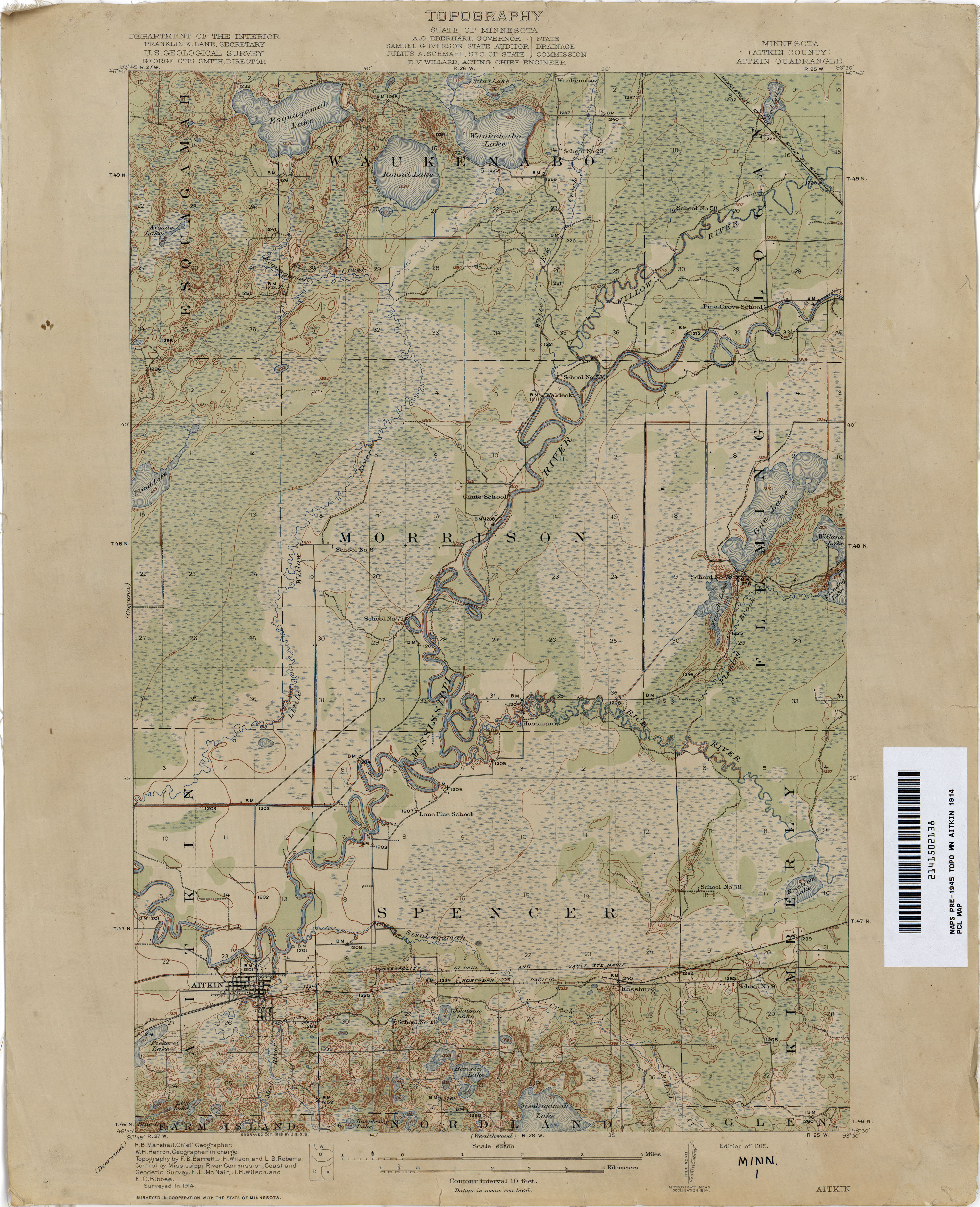
- Aitkin 1914 1:62,500 (2.7MB)
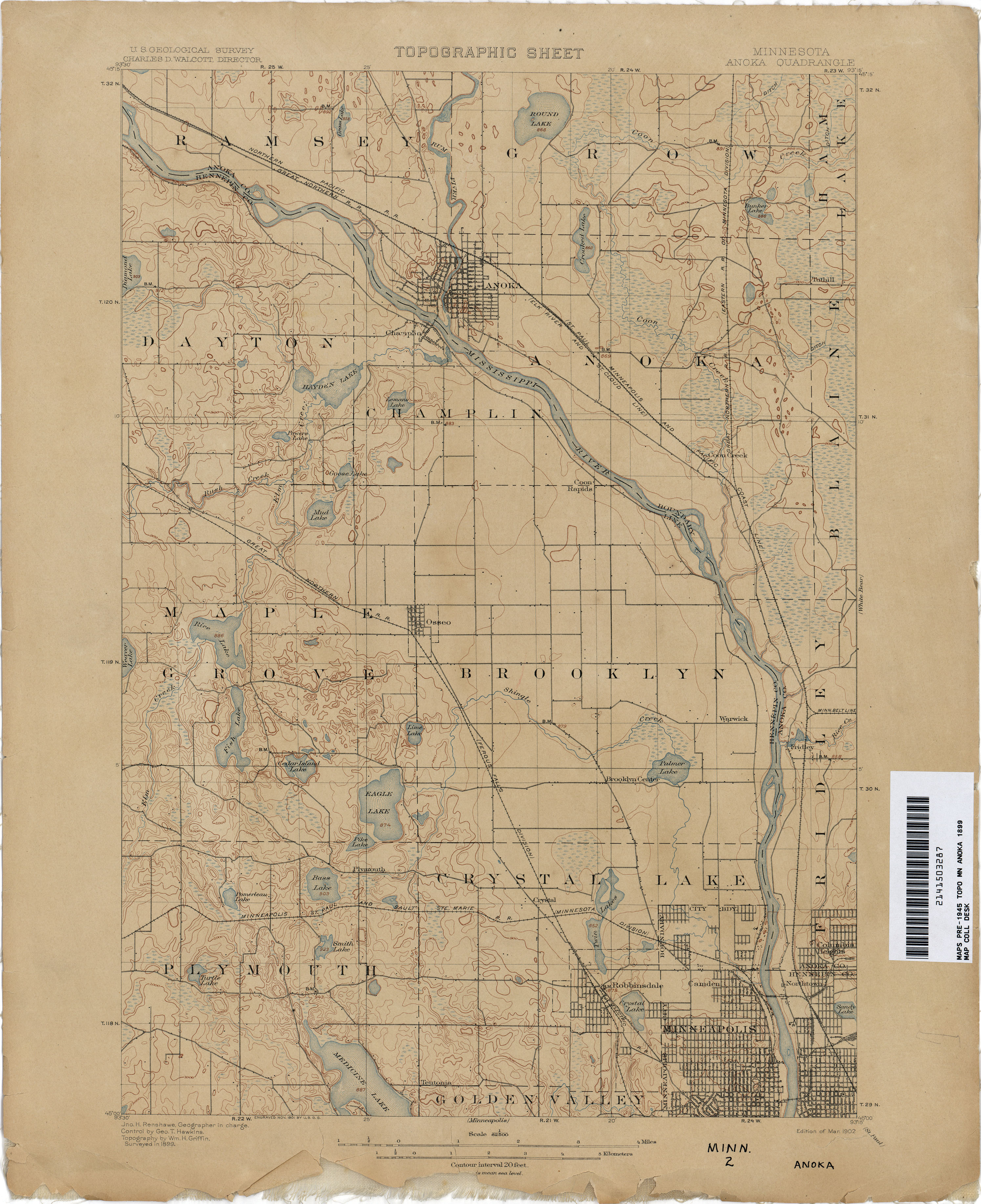
- Anoka 1899 1:62,500 (2.5MB)
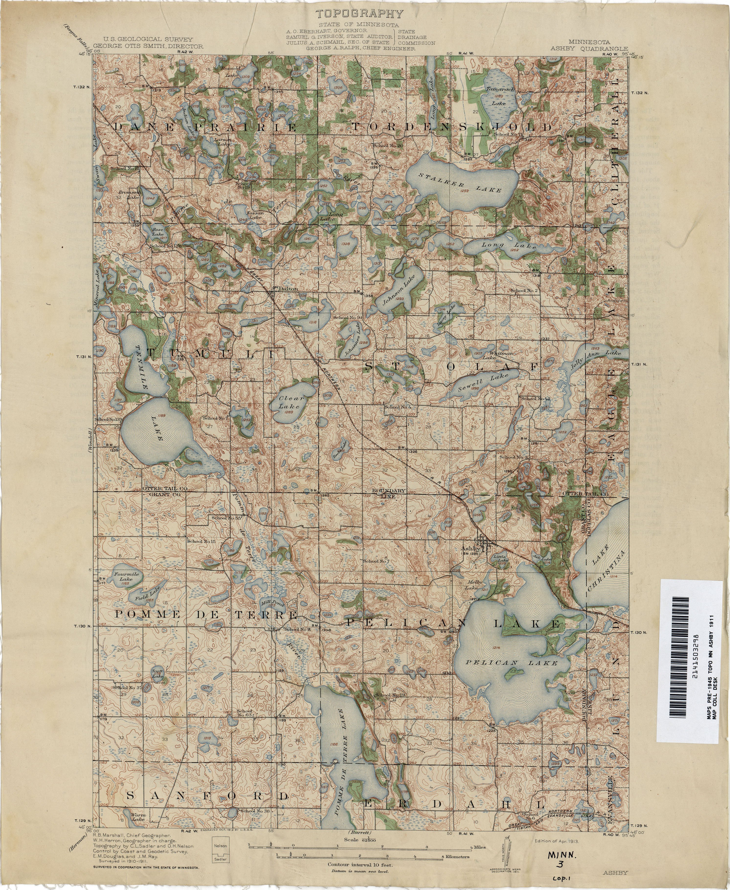
- Ashby 1911 1:62,500 (3.7MB)
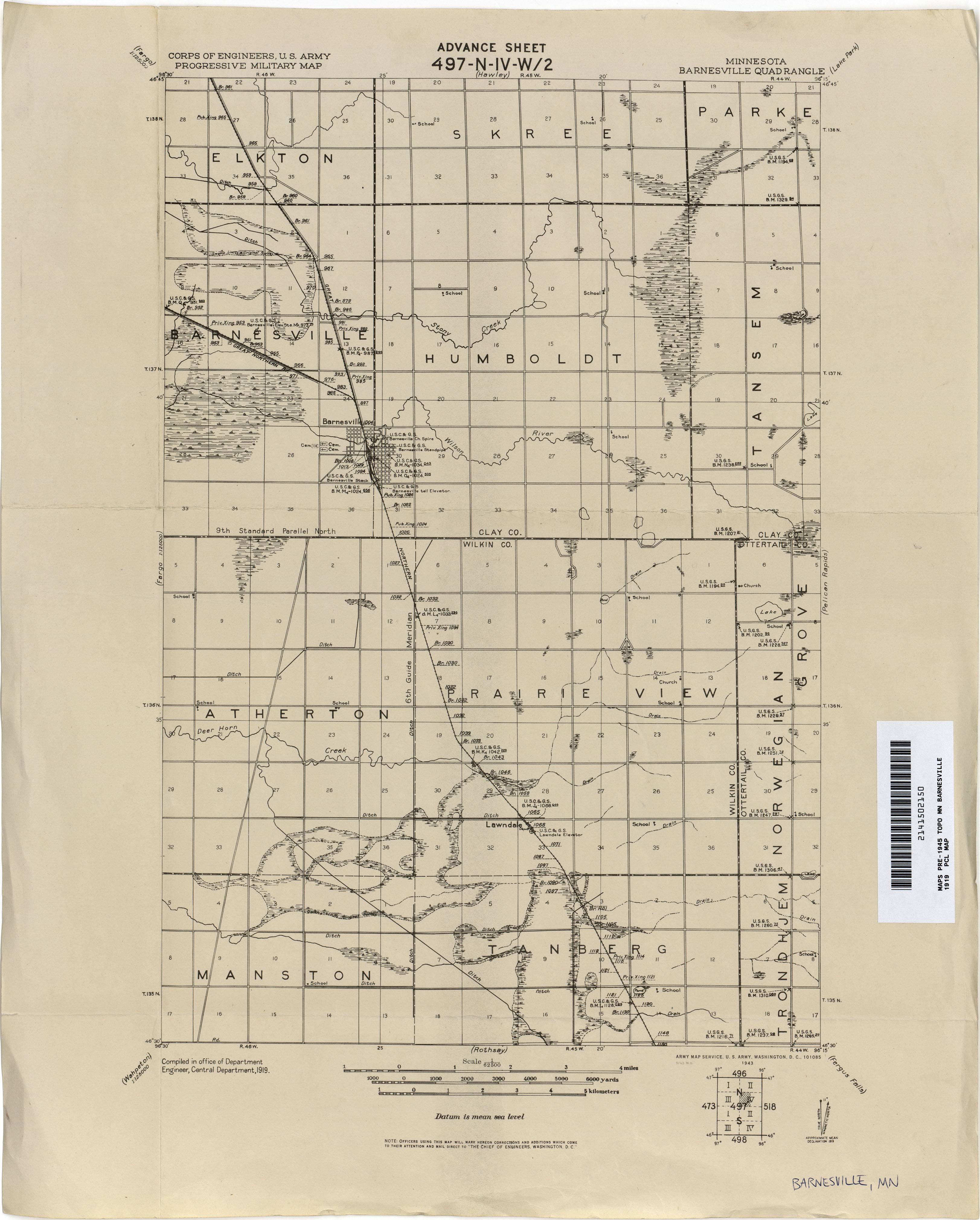
- Barnesville 1919 1:62,500 (1.8MB)
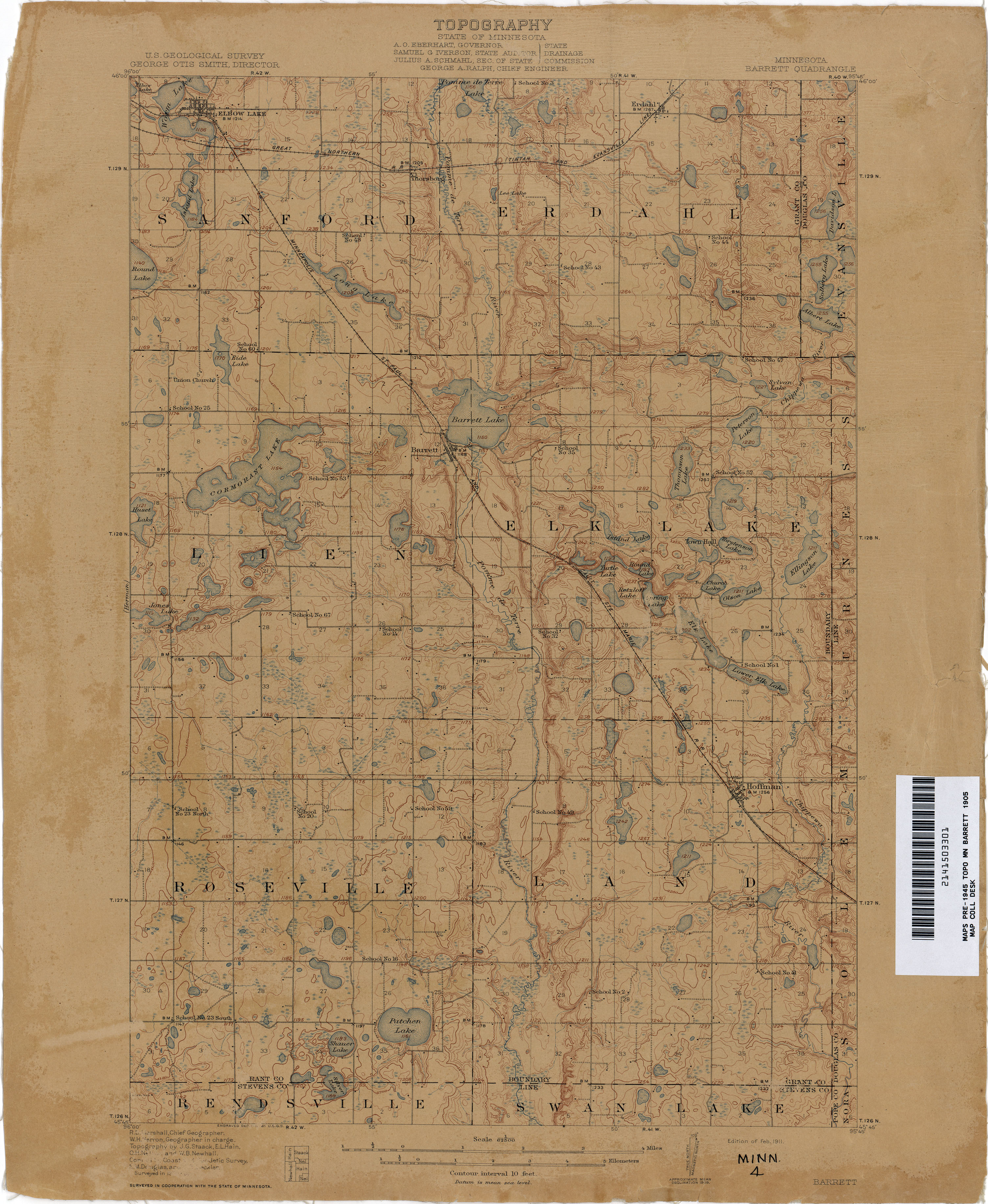
- Barrett 1905 1:62,500 (2.7MB)
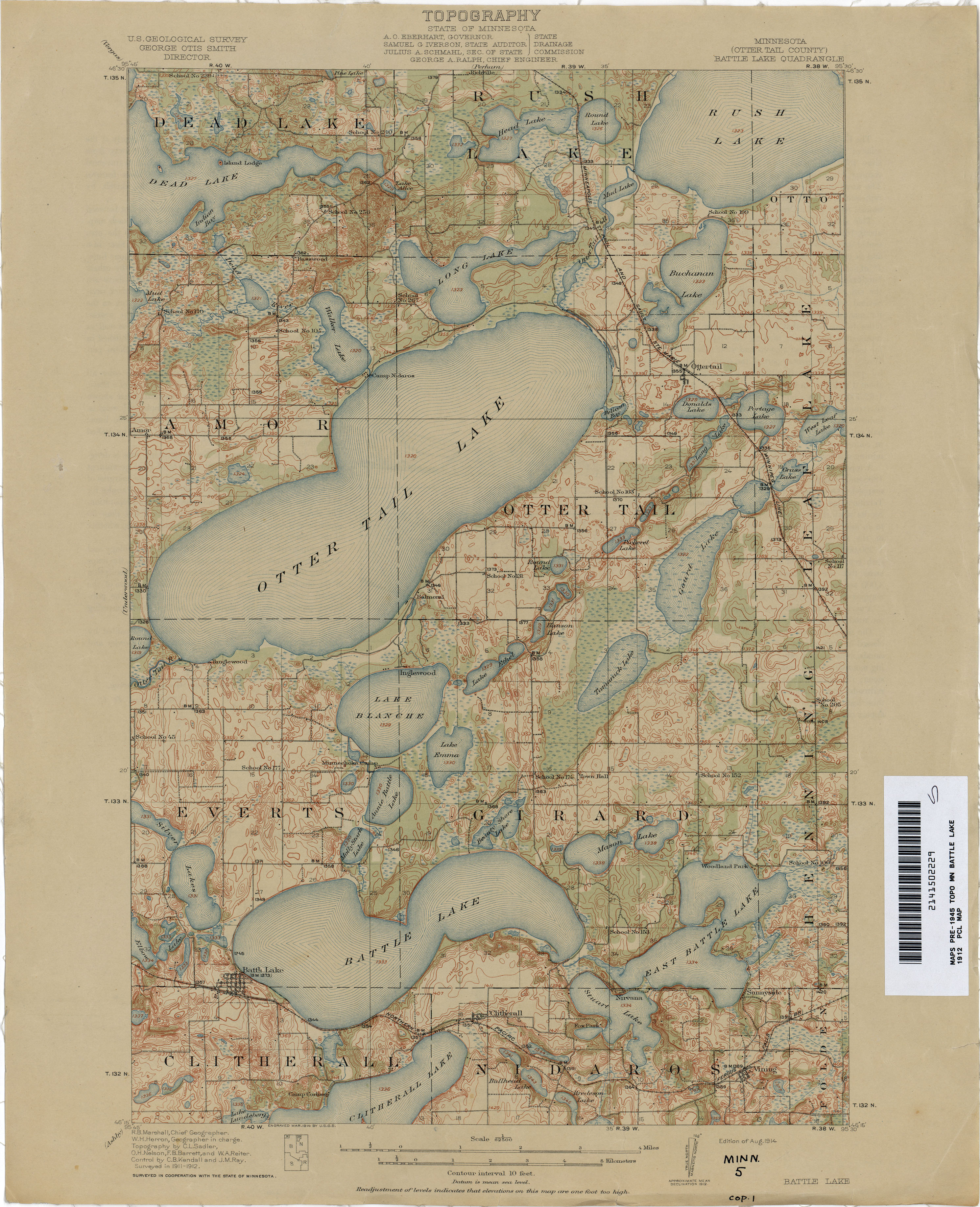
- Battle Lake 1912 1:62,500 (3.0MB)
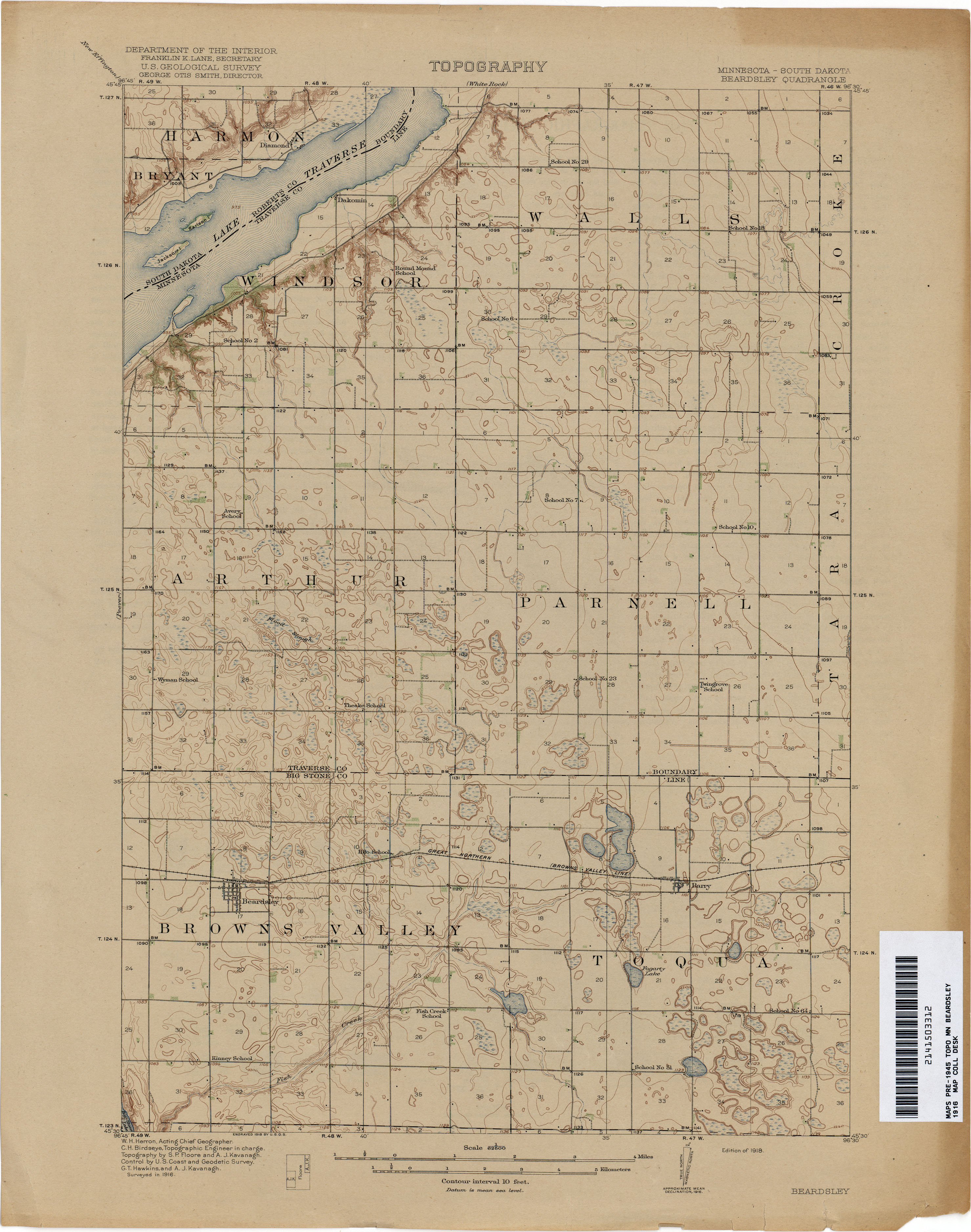
- Beardsley 1916 1:62,500 (2.3MB)
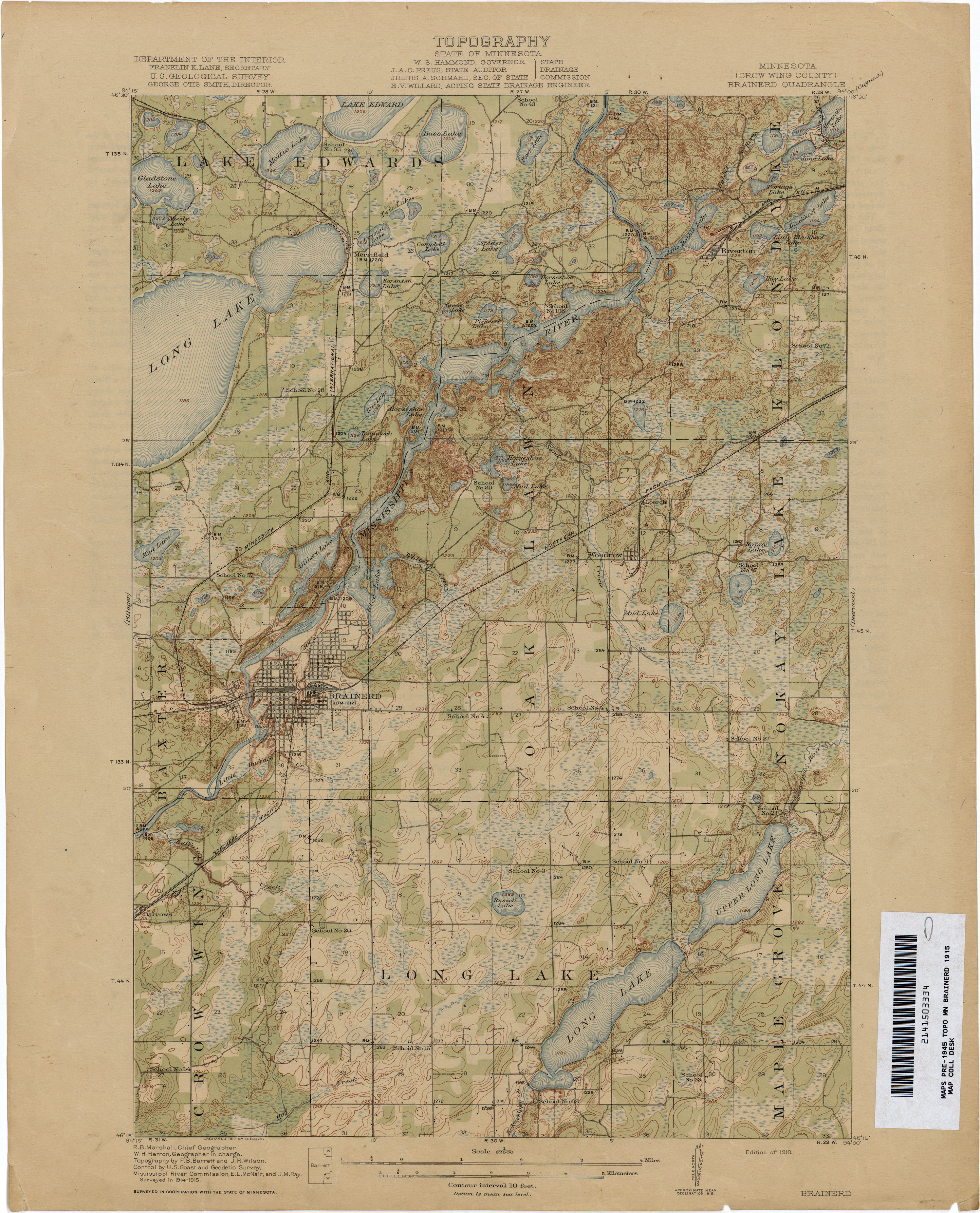
- Brainerd 1915 1:62,500 (3.0MB)
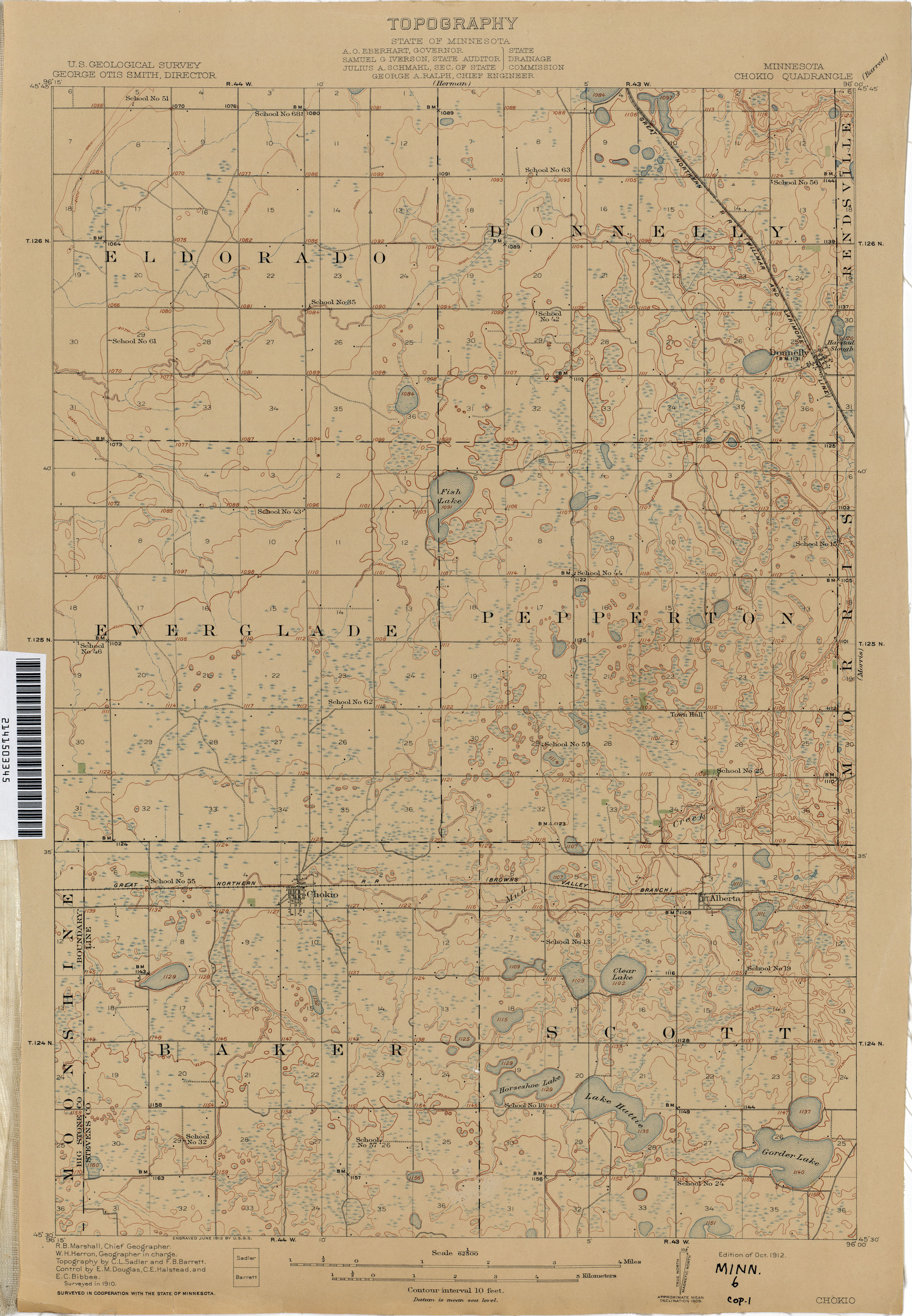
- Chokio 1910 1:62,500 (2.1MB)
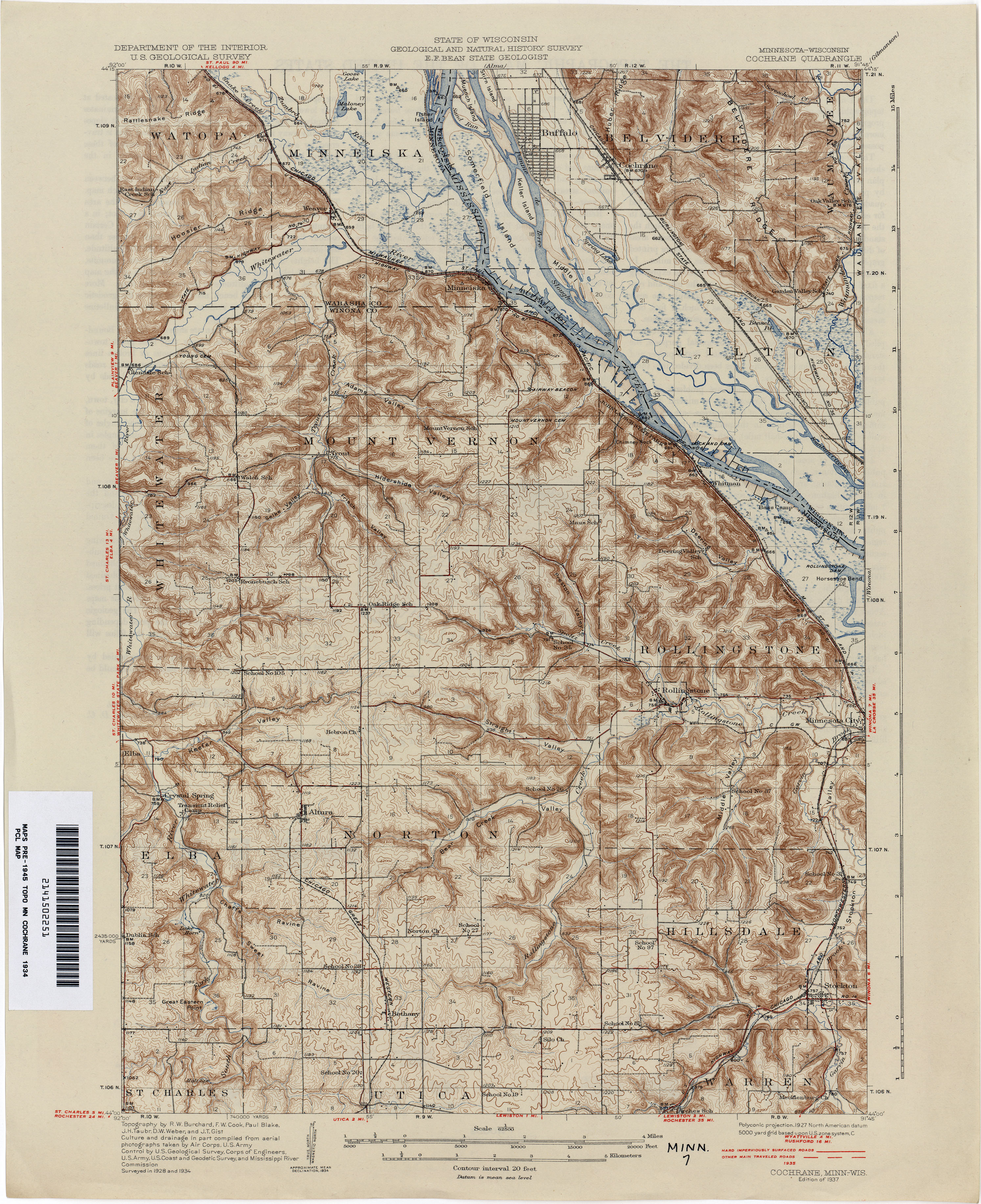
- Cochrane 1934 1:62,500 (3.7MB)
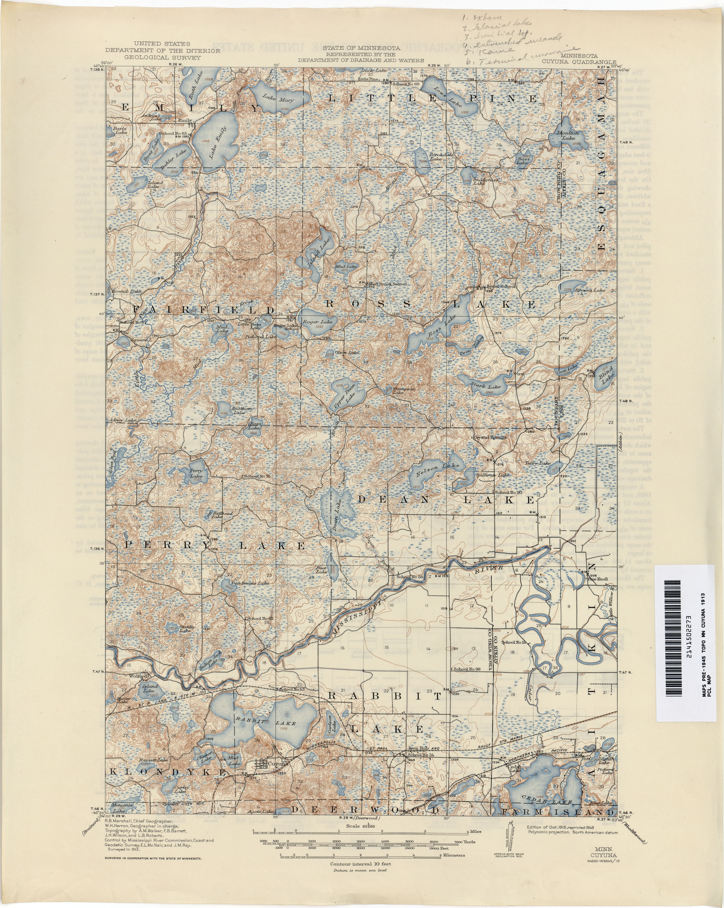
- Cuyuna 1913 1:62,500 (3.4MB)
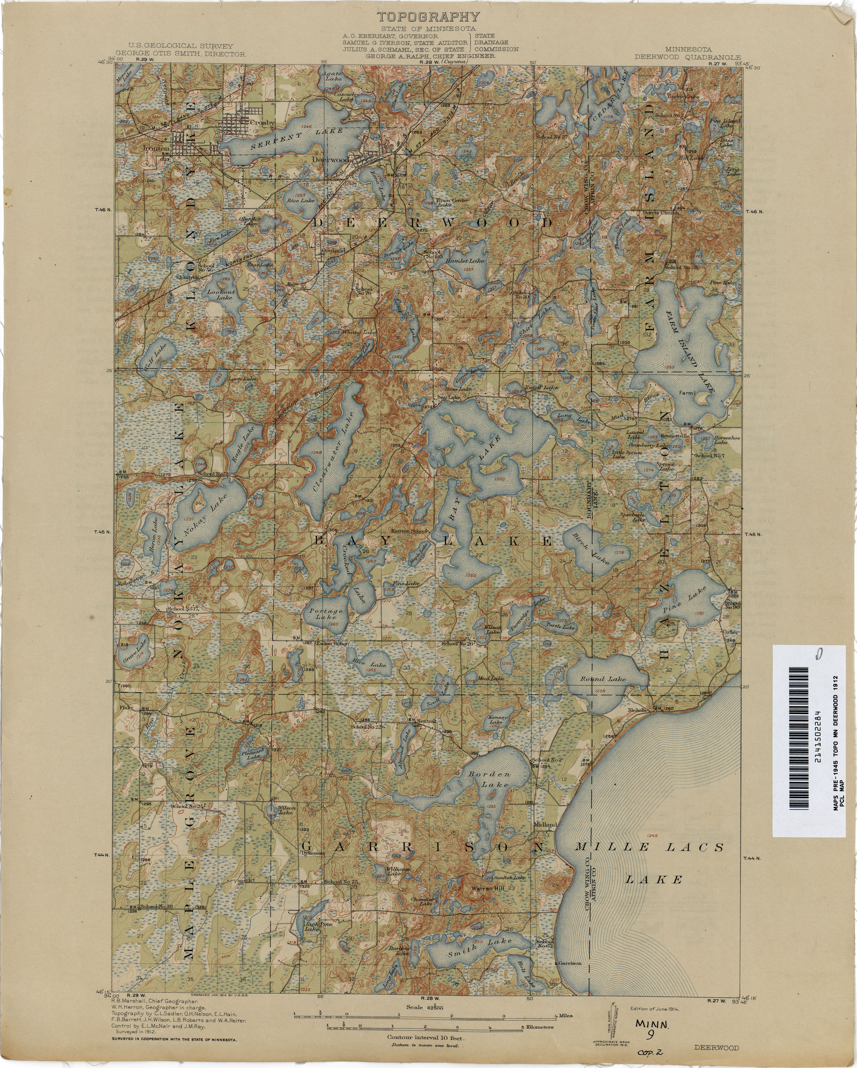
- Deerwood 1912 1:62,500 (3.3MB)
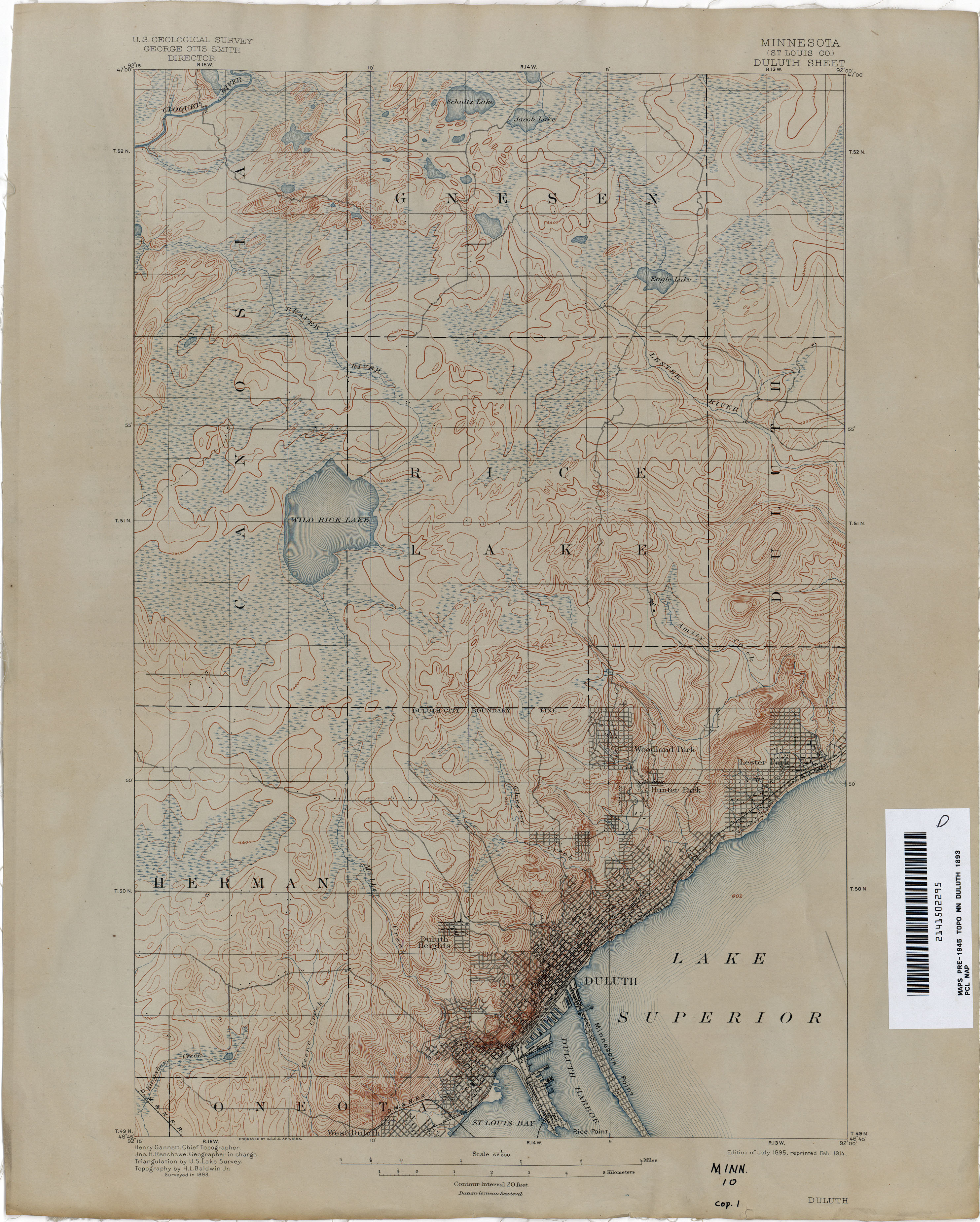
- Duluth 1893 1:62,500 (2.7MB)
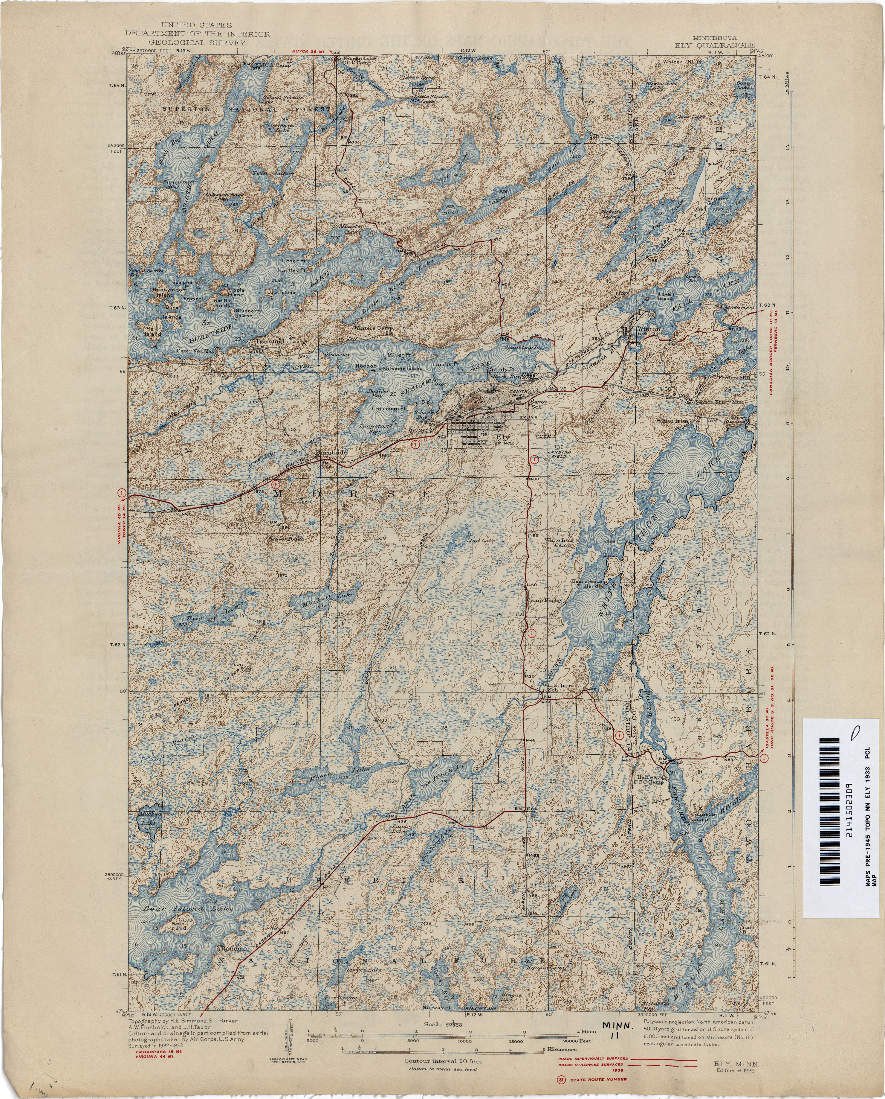
- Ely 1933 1:62,500 (3.8MB)
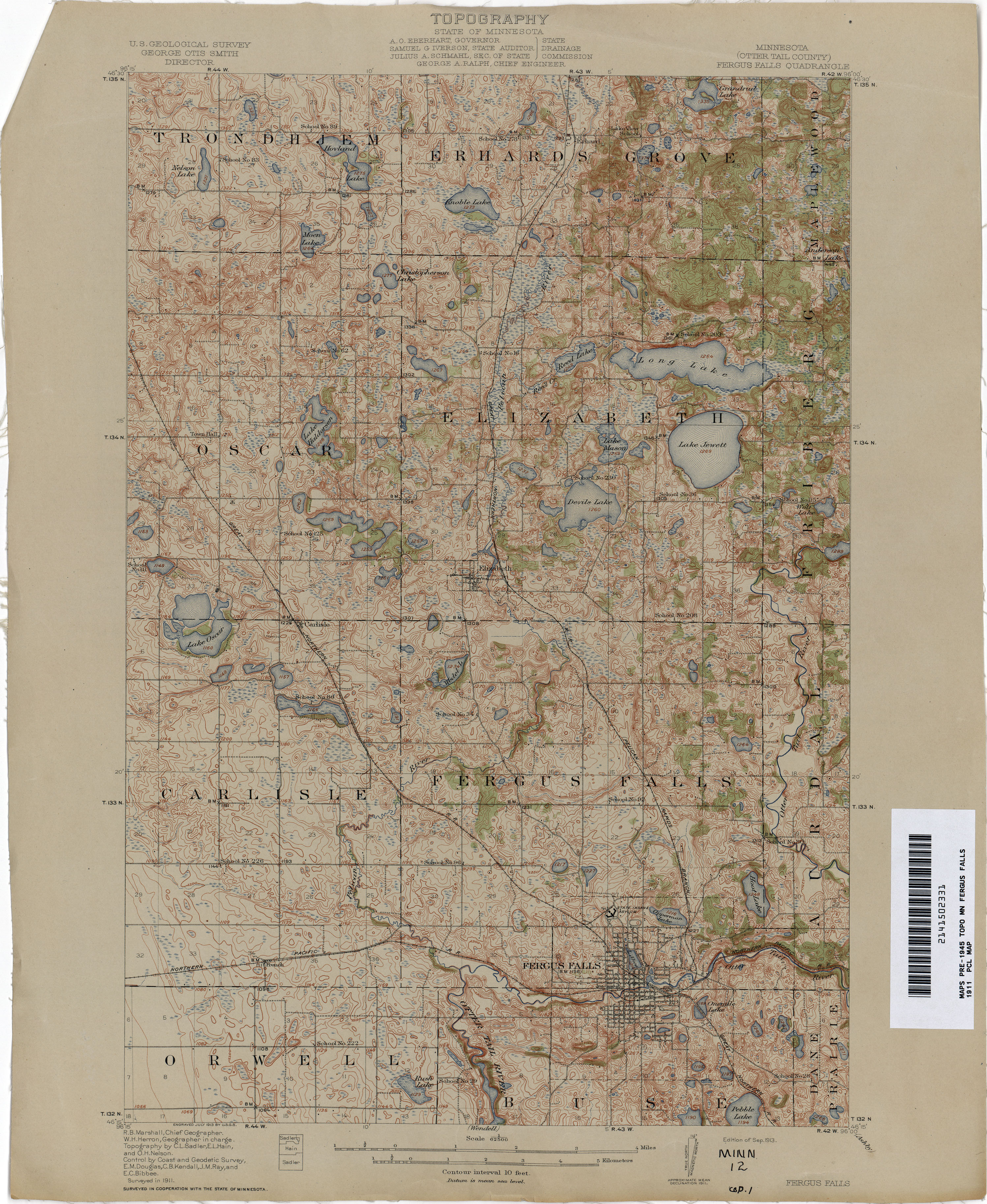
- Fergus Falls 1911 1:62,500 (3.5MB)
- Herman 1910 1:62,500 (2.1MB)
- Juneberry 1930 1:62,500 (2.2MB)
- Minneapolis 1894 1:62,500 (2.9MB)
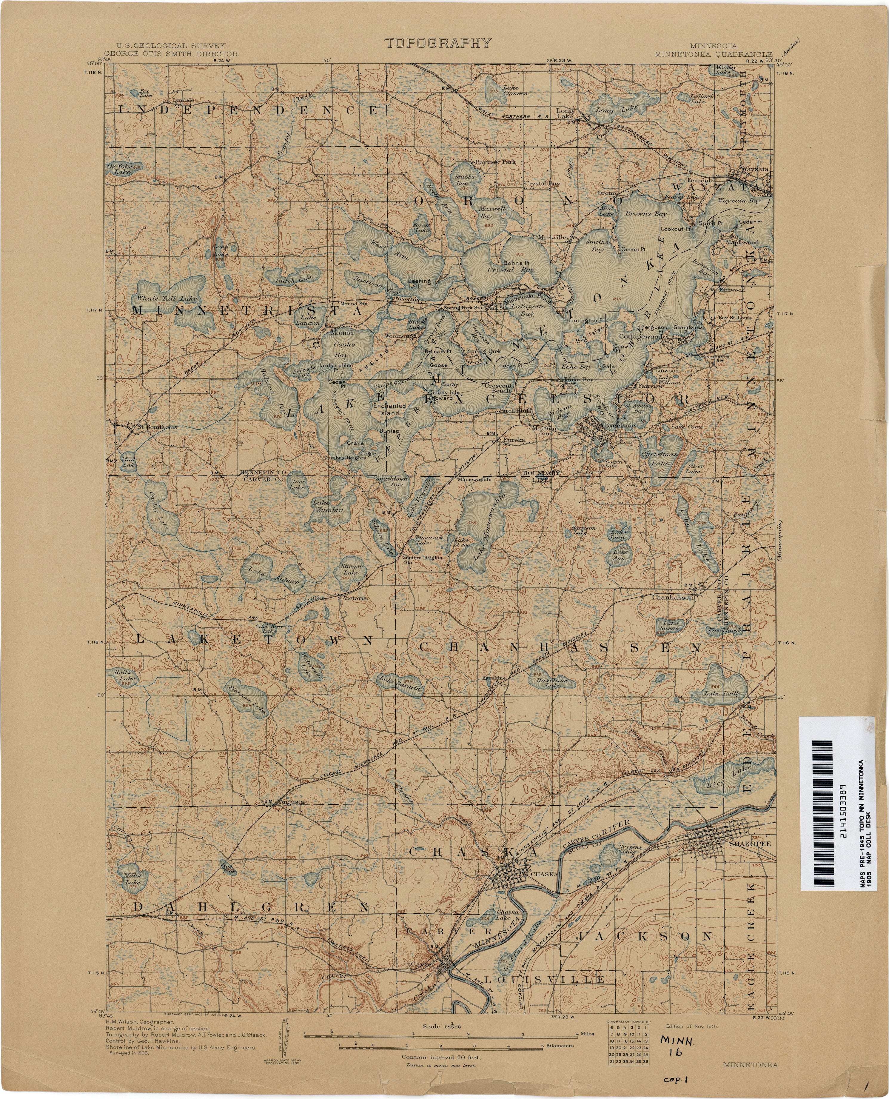
- Minnetonka 1905 1:62,500 (3.3MB)
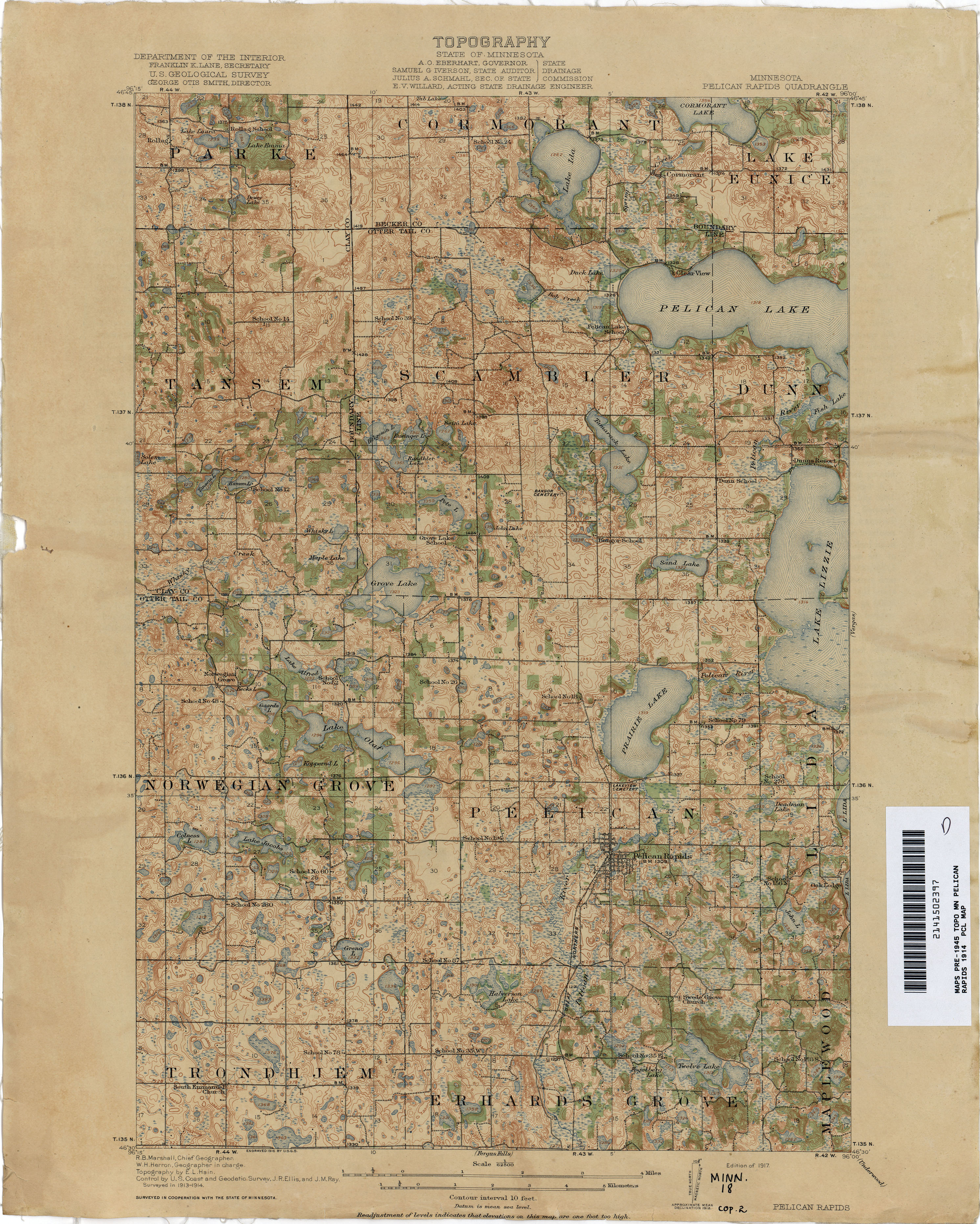
- Pelican Rapids 1914 1:62,500 (3.6MB)
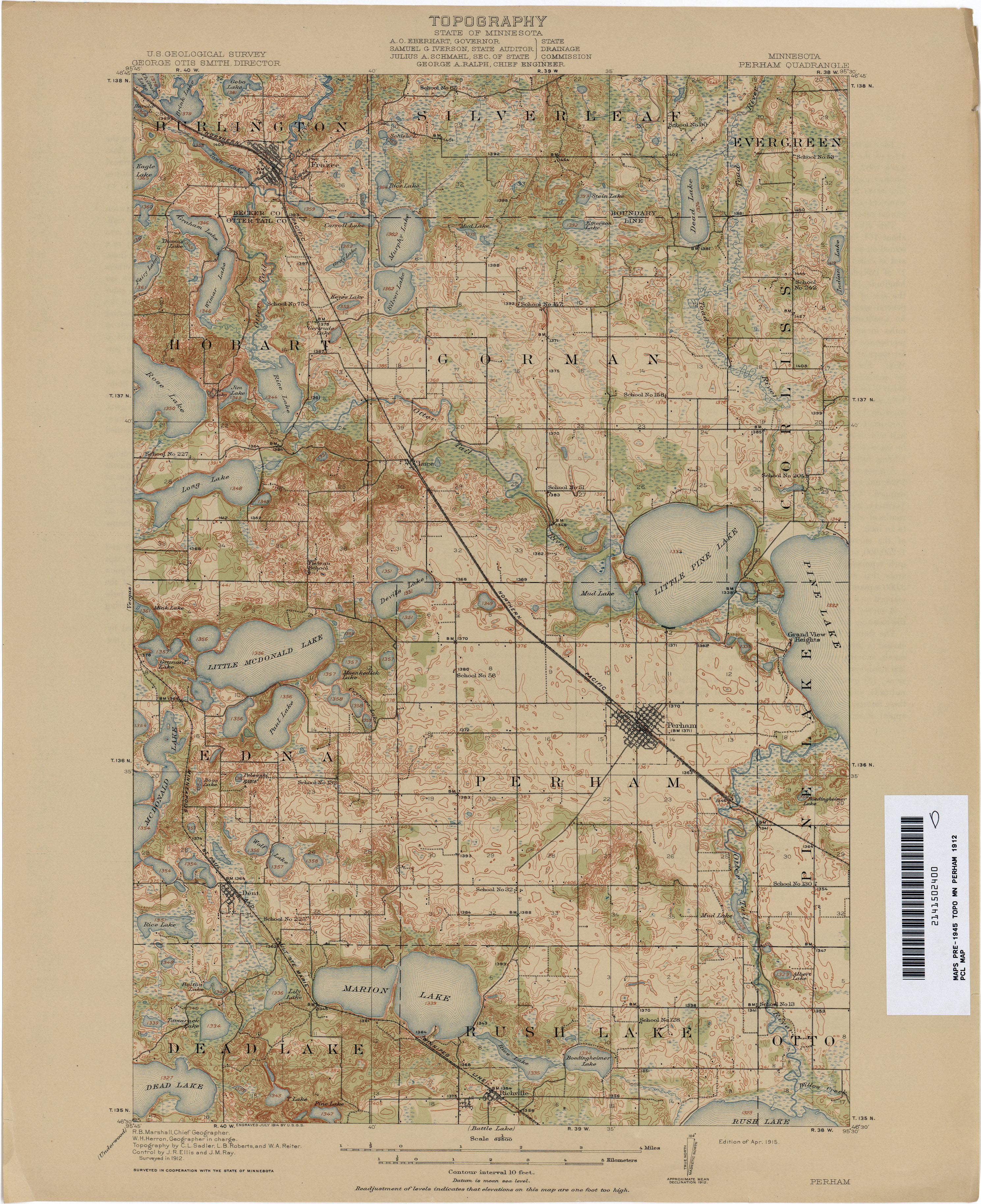
- Perham 1912 1:62,500 (3.2MB)
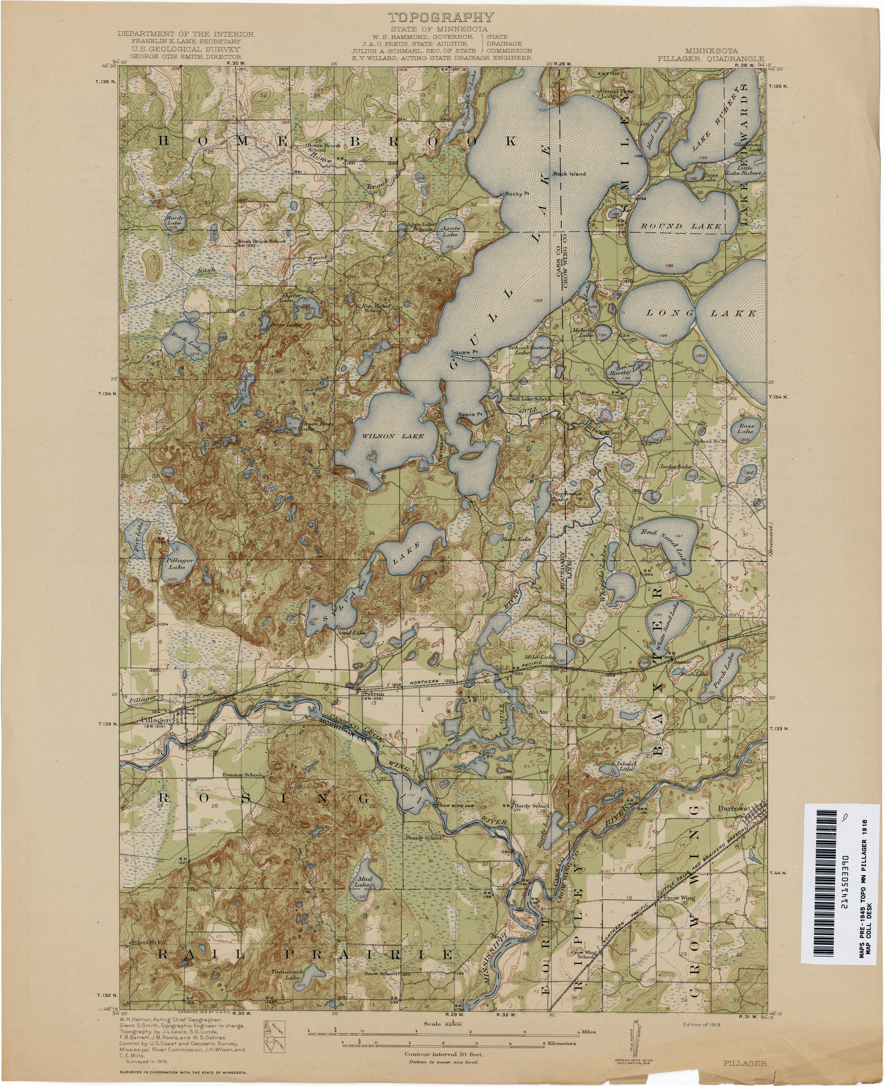
- Pillager 1916 1:62,500 (3.2MB)
- Plainview 1934 1:62,500 (3.4MB)
- Rochester 1935 1:62,500 (3.4MB)
- Rockford 1907 1:62,500 (2.9MB)
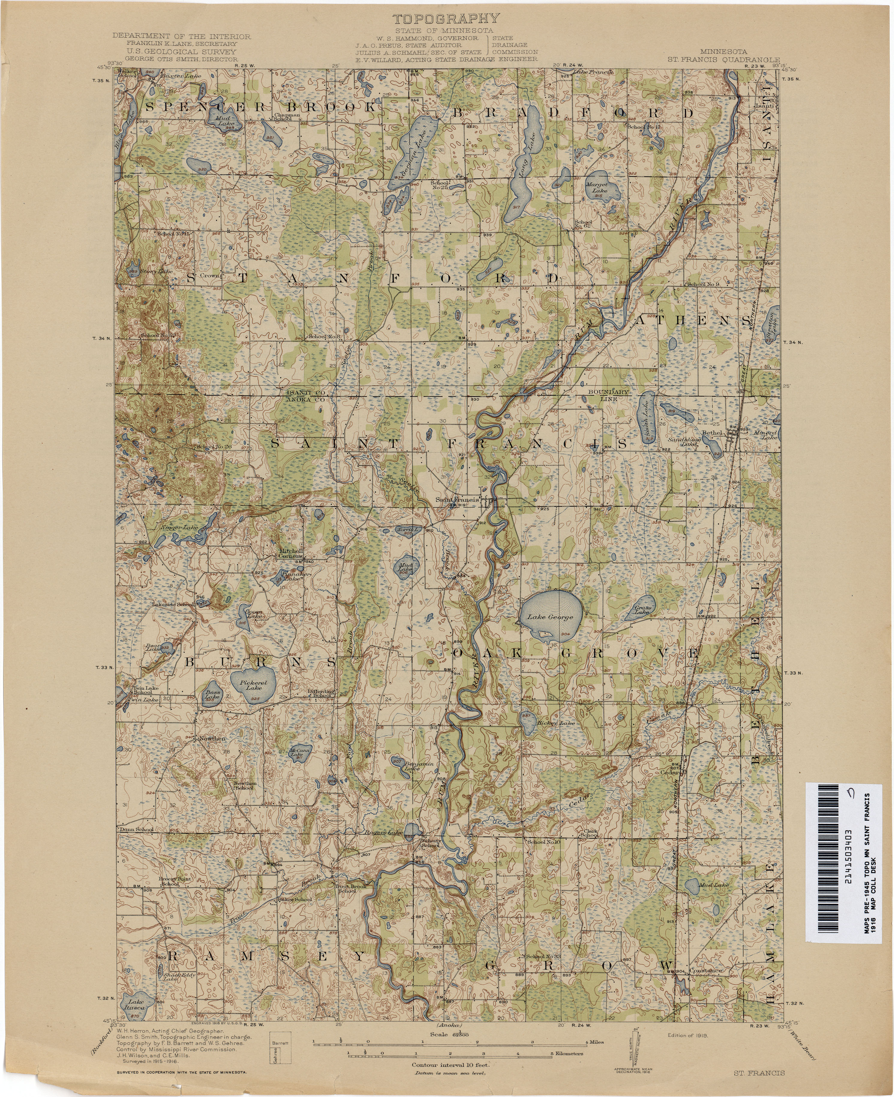
- Saint Francis 1916 1:62,500 (3.1MB)
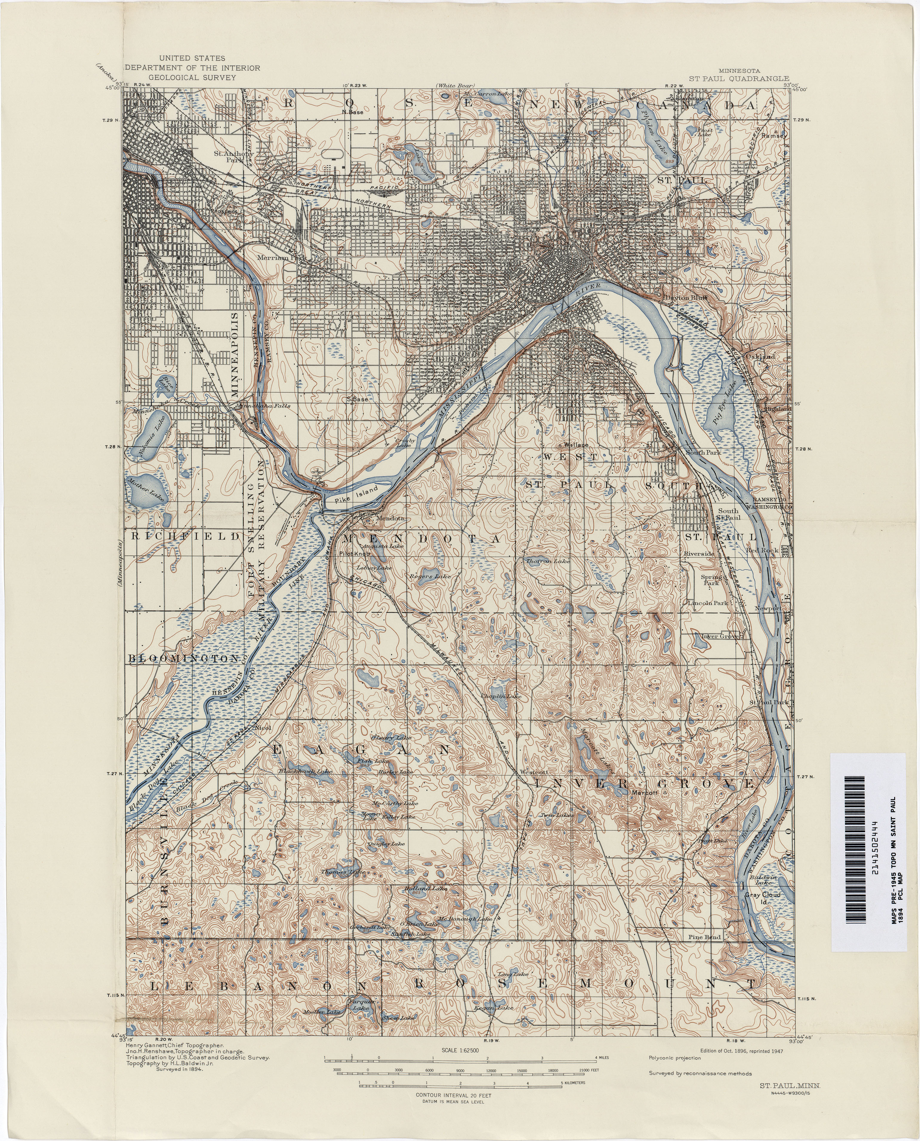
- Saint Paul 1894 1:62,500 (3.8MB)
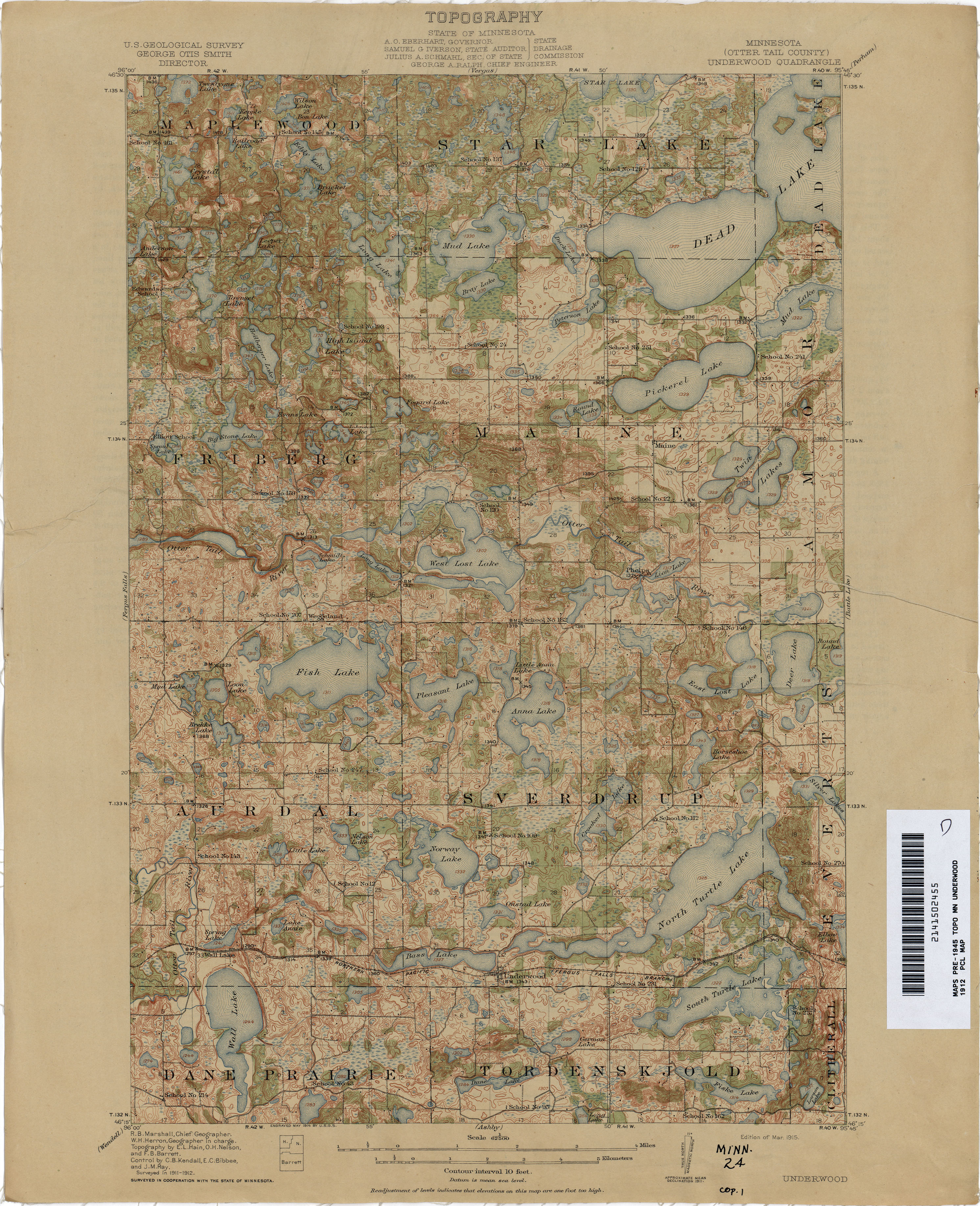
- Underwood 1912 1:62,500 (3.3MB)
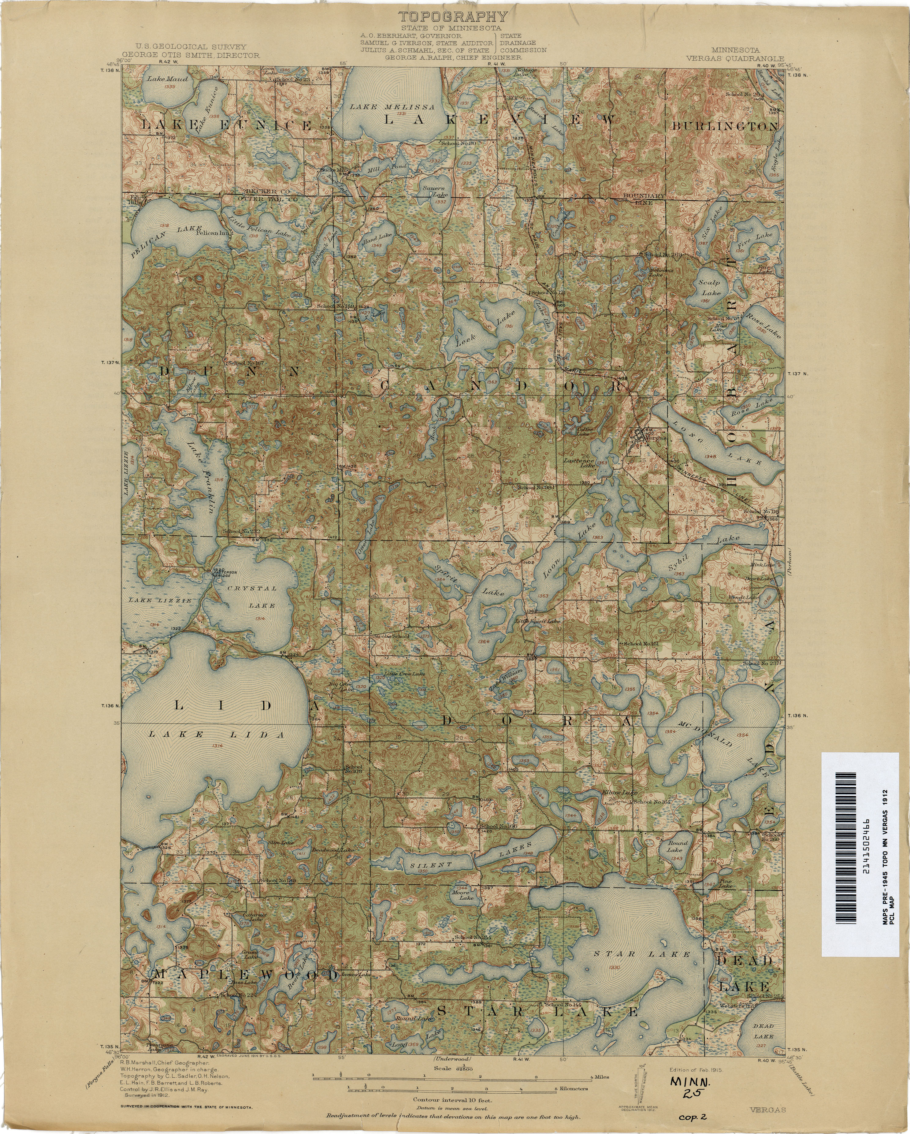
- Vergas 1912 1:62,500 (3.6MB)
- Wealthwood 1914 1:62,500 (2.5MB)
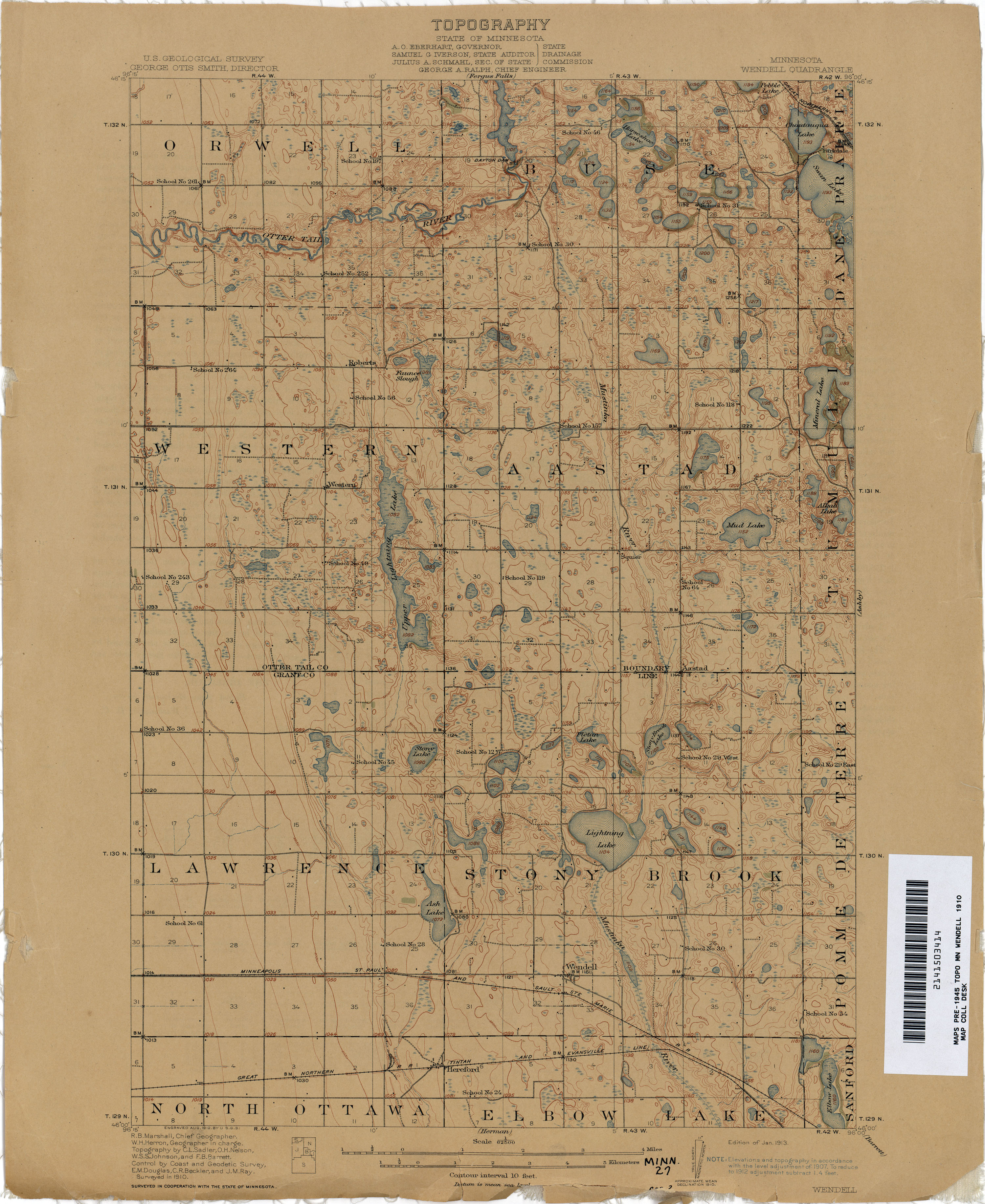
- Wendell 1910 1:62,500 (2.6MB)
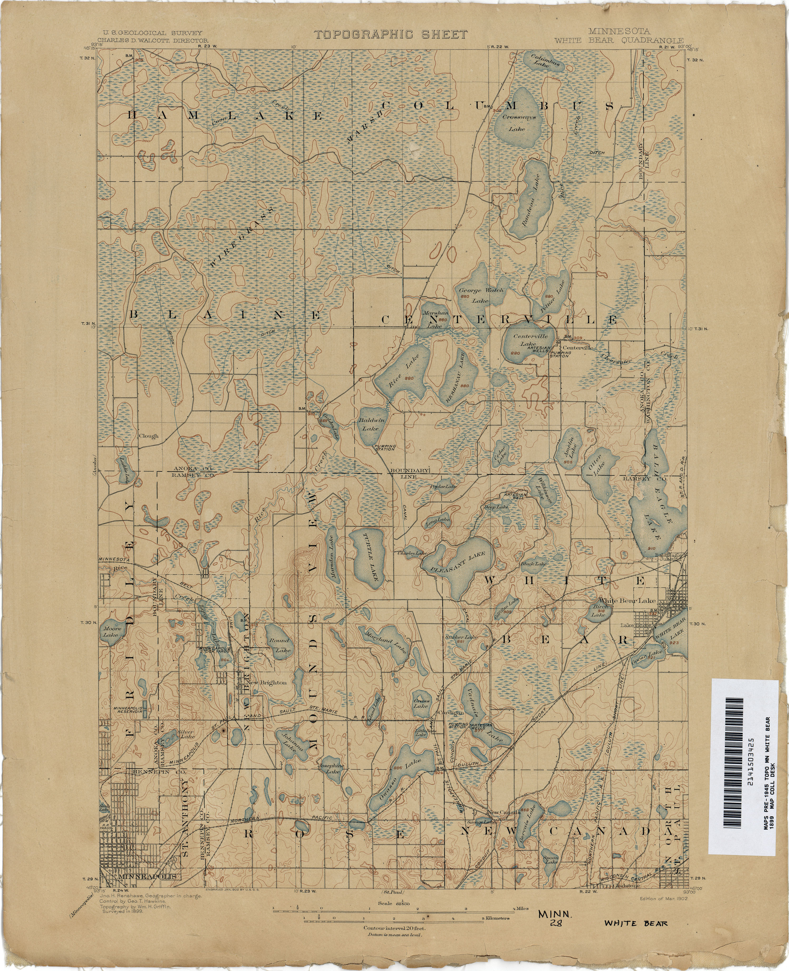
- White Bear 1899 1:62,500 (2.8MB)