Perry-Castañeda Library
Map Collection
Rhode Island Maps
State and Regional Maps
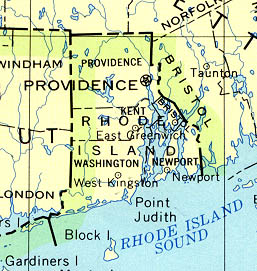
- Rhode Island (base map) JPEG format (68K) County boundaries and names, county seats, rivers. Original scale 1:2,500,000 U.S. Geological Survey, 1972 limited update 1990
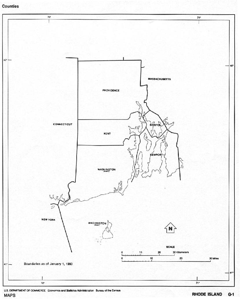
- Rhode Island (outline map) JPEG format (70K) County boundaries and names. U.S. Bureau of the Census, 1990
- Rhode Island - Federal Lands and Indian Reservations PDF format (388K) The National Atlas of the United States of America, U.S. Geological Survey, 2003
- New England (reference map) JPEG format (385K) Shaded relief map with state boundaries, forest cover, place names, major highways. Portion of "The National Atlas of the United States of America. General Reference", compiled by U.S. Geological Survey 2001, printed 2002
- New England (reference map) PDF format (388K) Shaded relief map with state boundaries, forest cover, place names, major highways. Portion of "The National Atlas of the United States of America. General Reference", compiled by U.S. Geological Survey 2001, printed 2002
City Maps
- Providence (topographic) original scale 1:50,000 U.S.G.S. 1979 (768K)
Historical City Maps
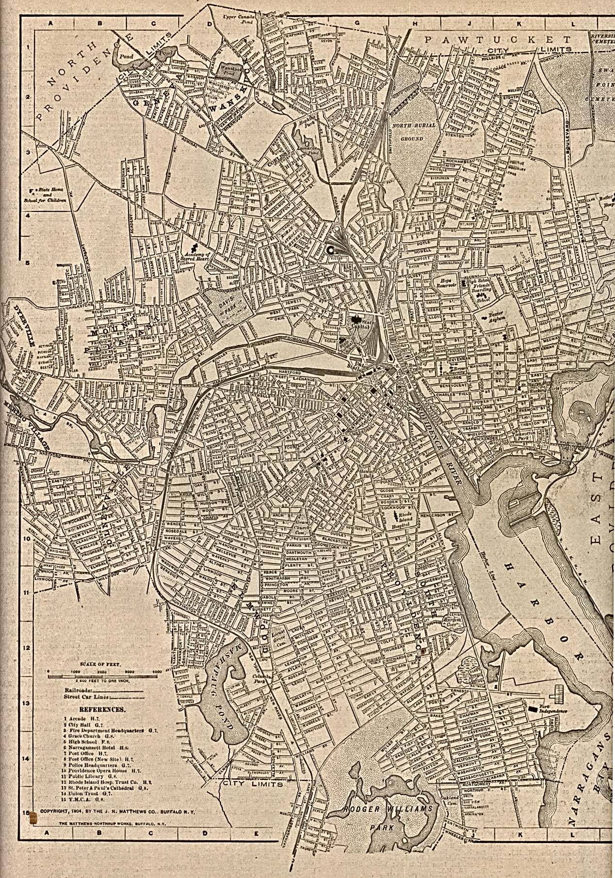
- Providence 1917 The New Encyclopedic Atlas and Gazetteer of the World. Edited and Revised by Francis J. Reynolds, 1917 (903K)
Historical Maps
- Rhode Island Historical Topographic Maps (U.S. Geological Survey)
- Pre-1945 maps, scales 1:31,680 and 1:62,500
- Rhode Island 1796 (4.4MB)
- "The State of Rhode Island" from Heads of Families First Census of the United States - State of Rhode Island, 1908.
- Pre-1945 maps, scales 1:31,680 and 1:62,500
Maps of National Parks, Monuments, and Historic Sites
The following maps were produced by the U.S. National Park Service unless otherwise noted.
- Blackstone River Valley National Heritage Corridor [Massachusetts / Rhode Island] (Park Map) 1998 (645K) (PDF Format)
- Roger Williams National Memorial (Route Map 1631-1636) 1999 (65K) (PDF Format)
Maps on Other Web Sites