Perry-Castañeda Library
Map Collection
Ireland Maps
The following maps were produced by the U.S. Central Intelligence Agency, unless otherwise indicated.
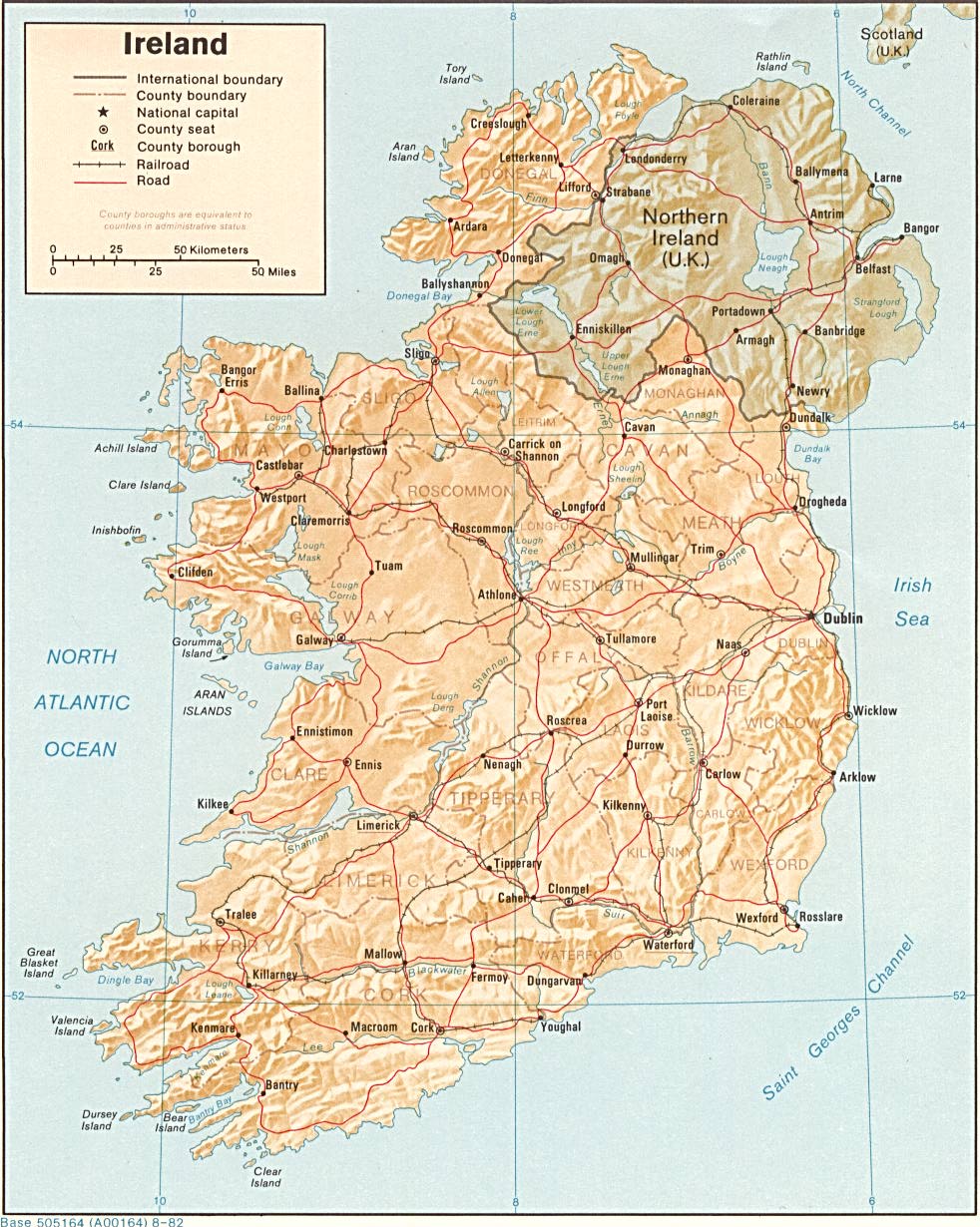
Country Maps- Ireland (Shaded Relief) 1982 (259K) and pdf format (262K)
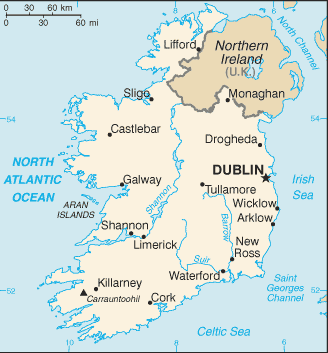
- Ireland (Small Map) 2016 (6.9K)
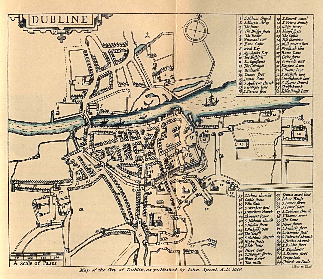
- Dublin 1610 From Dublin Som Norsk by L.J. Vogt, H. Aschehoug and Co. 1896. (306K)
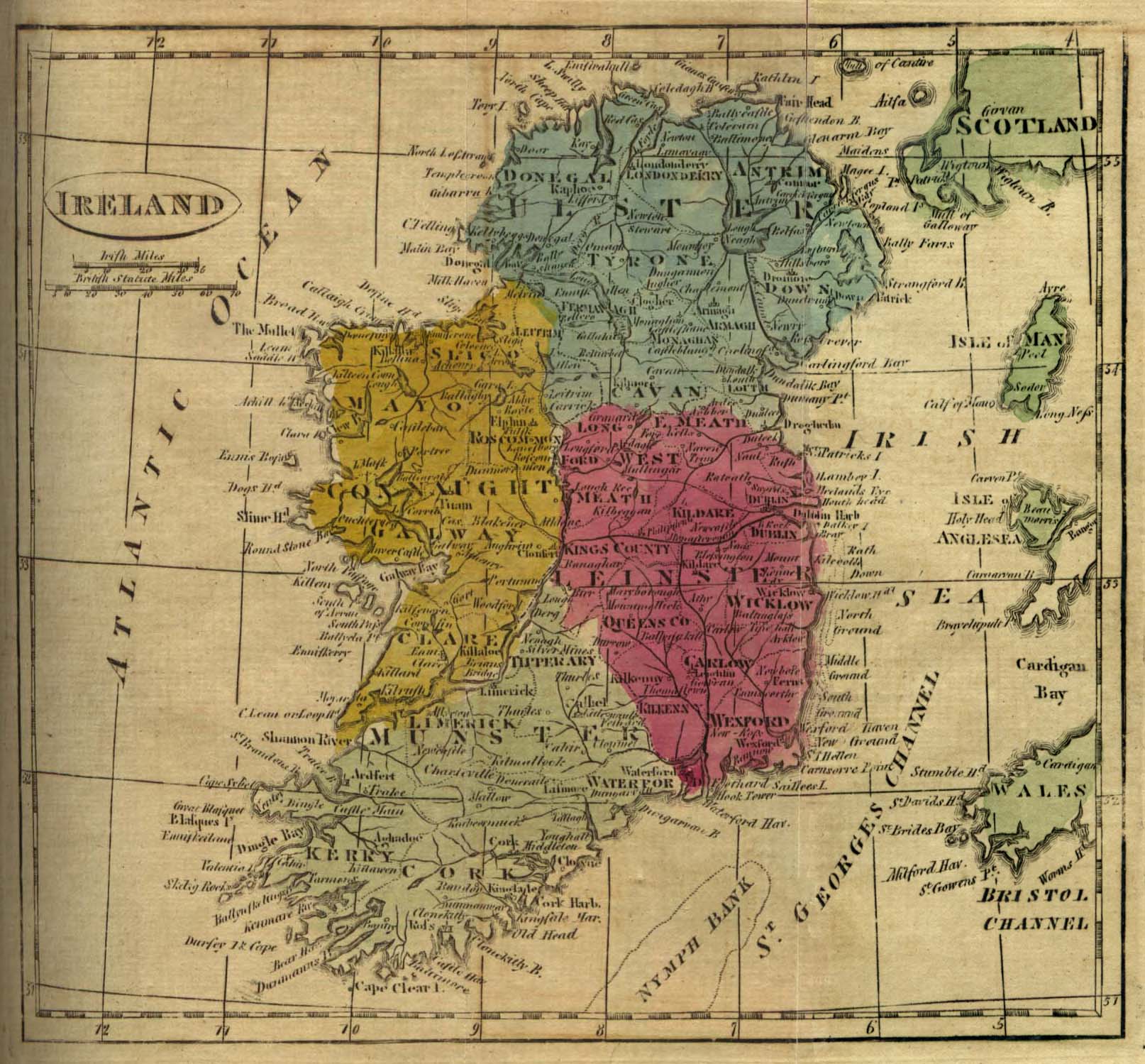
- Ireland 1808 From The General Gazetteer; or, Compendious Geographical Dictionary. Compiled by R. Brookes, Revised by W. Guthrie and E. Jones. Eighth Edition, Dublin, 1808. (452K)
- 1:1,000,000 - Operational Navigation Chart, Sheet E-1 U.S. Defense Mapping Agency, 1993
- 1:500,000 - Europe Series M404 (4072), Great Britain War Office, 1942-
- This series covers all of Ireland
- 1:500,000 - Tactical Pilotage Charts U.S. National Imagery and Mapping Agency. Not for navigational use
- 1:253,440 - Ireland, Series 4142, U.S. Army Map Service, 1942
- This series covers all of Ireland
Maps on Other Web Sites