Perry-Castañeda Library
Map Collection
Edo [Tokyo] 1844-1848
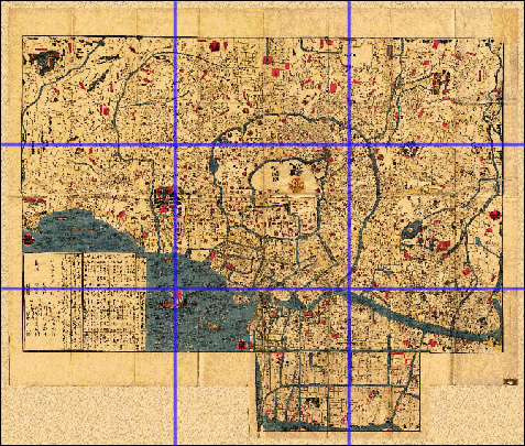
This map is from the Koka Era (1844-1848). The direction East is at the bottom of the map. Click on the section you wish to view. The images are large, 1MB or more each. Our thanks go to Professor Emeritus Dr. William Braisted for providing us with this map.